Trails near Šempeter pri Gorici
62 hikes starting within 15 km, nearest first.
Nearest first, page 2 of 2
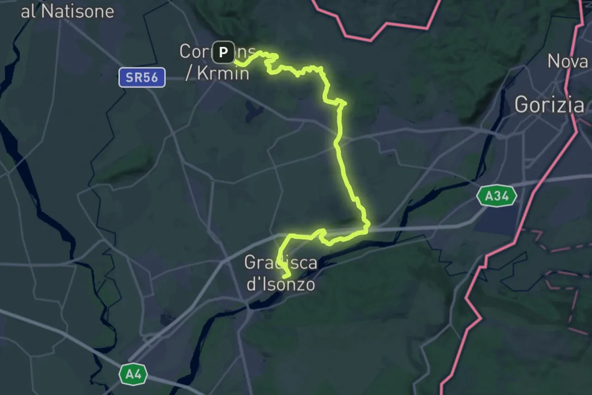
Demanding · Trail
Cormons – Gradisca d'Isonzo
18.4 km · ↑ 175 m · 5 h · 13 km away
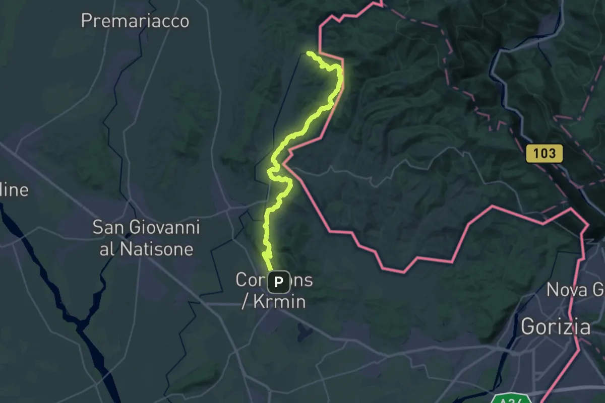
Medium · Trail
Albana – Cormons
15.6 km · ↑ 505 m · 4 h 59 min · 13 km away
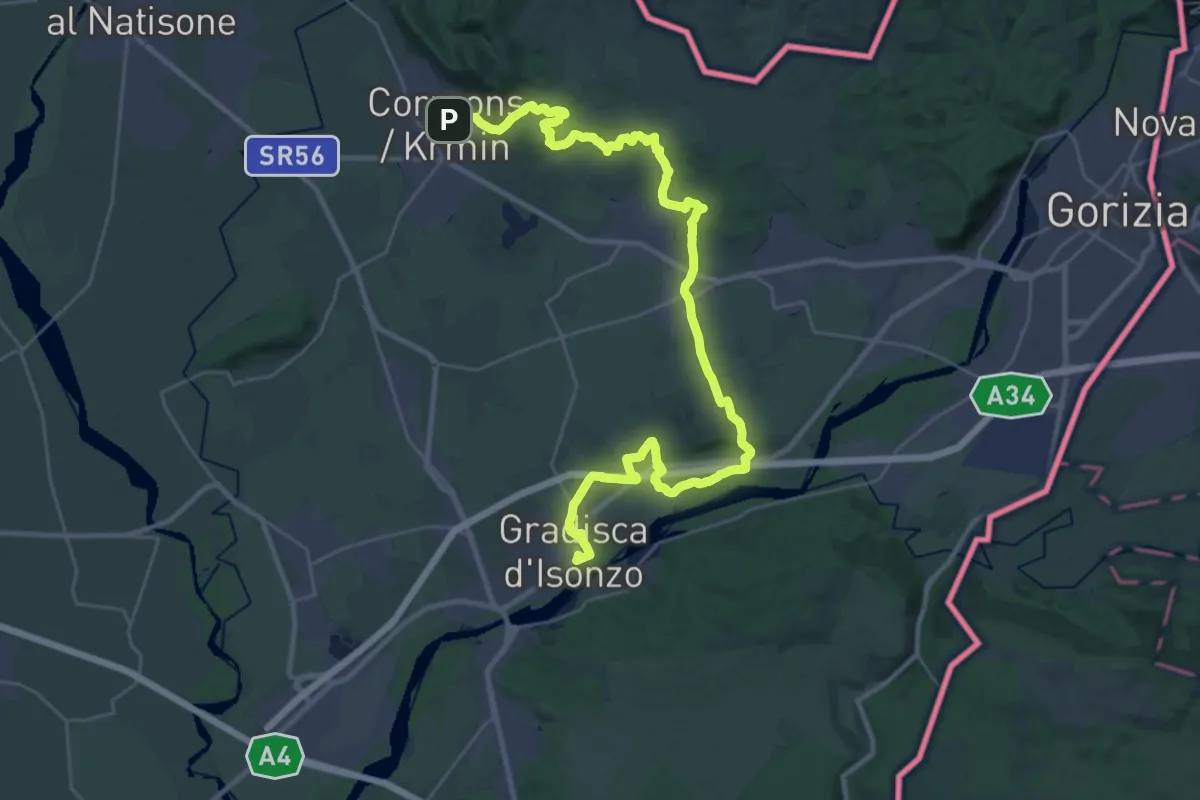
Demanding · Trail
Alpe Adria Trail E32
19.8 km · ↑ 193 m · 5 h 22 min · 13 km away
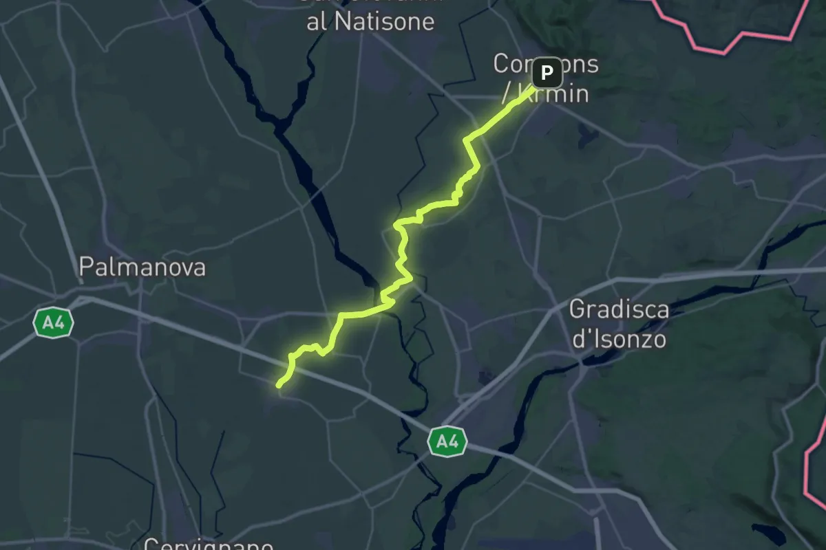
Medium · Trail
Cammino Celeste Italia - 2 Aiello - Cormons
17.0 km · ↑ 104 m · 4 h 30 min · 13 km away
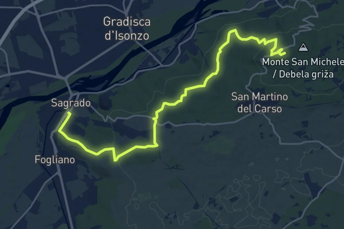
Medium · Summit
Sagrado (quota 40 m) – monte San Michele (quota 275 m)
16.9 km · ↑ 382 m · 4 h 48 min · 14 km away
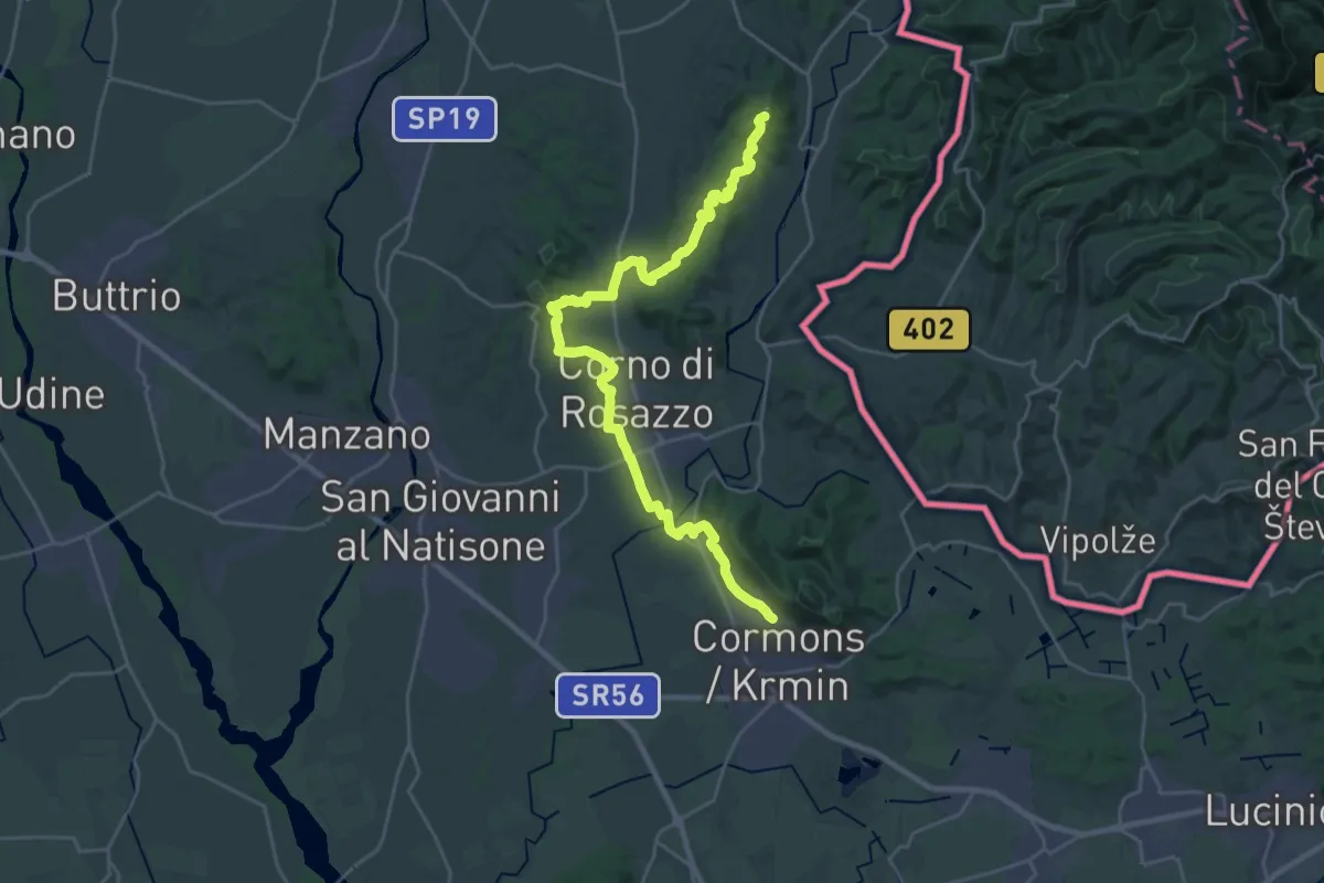
Demanding · Summit
Iter Aquileiense - variante per l'Abbazia di Rosazzo
28.9 km · ↑ 395 m · 7 h 41 min · 14 km away
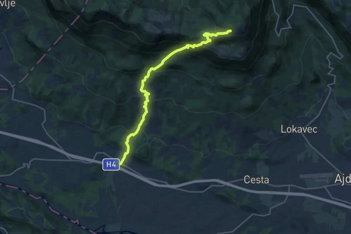
Demanding · Cabin
Vrtovin - Čaven
14.5 km · ↑ 1138 m · 5 h 54 min · 14 km away
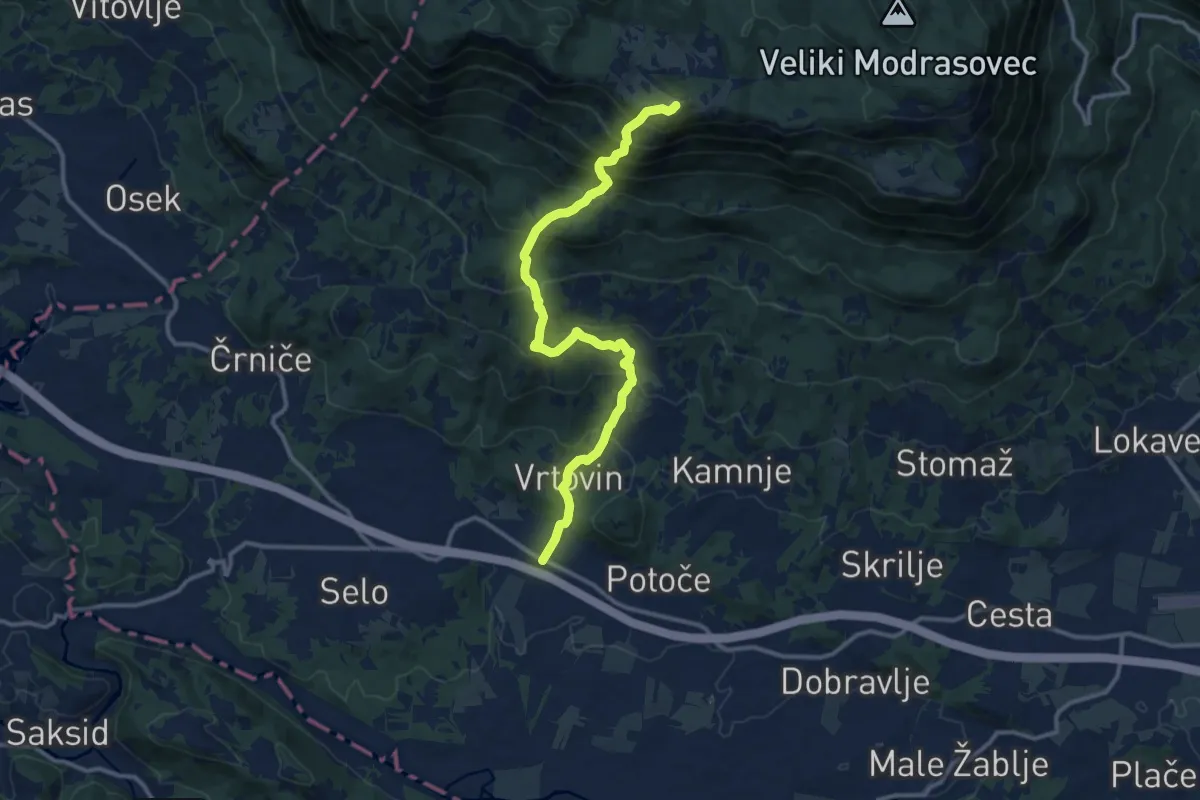
Demanding · Summit
Vrtovin - Sv. Pavel - Kucelj
12.9 km · ↑ 1090 m · 5 h 24 min · 14 km away
Medium · Summit
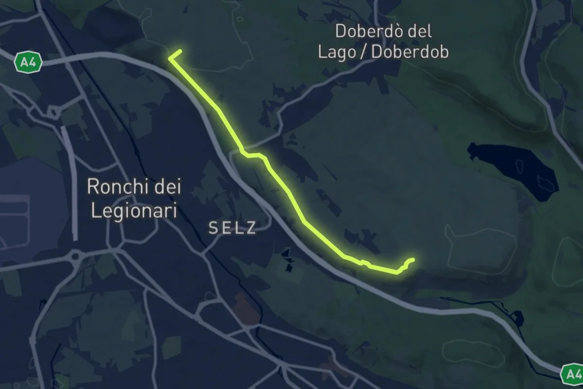
Redipuglia (quota 25 m) – Sella Monte Cosici e Monte Debeli (quota 65 m)
8.6 km · ↑ 150 m · 2 h 22 min · 14 km away
Medium · Summit
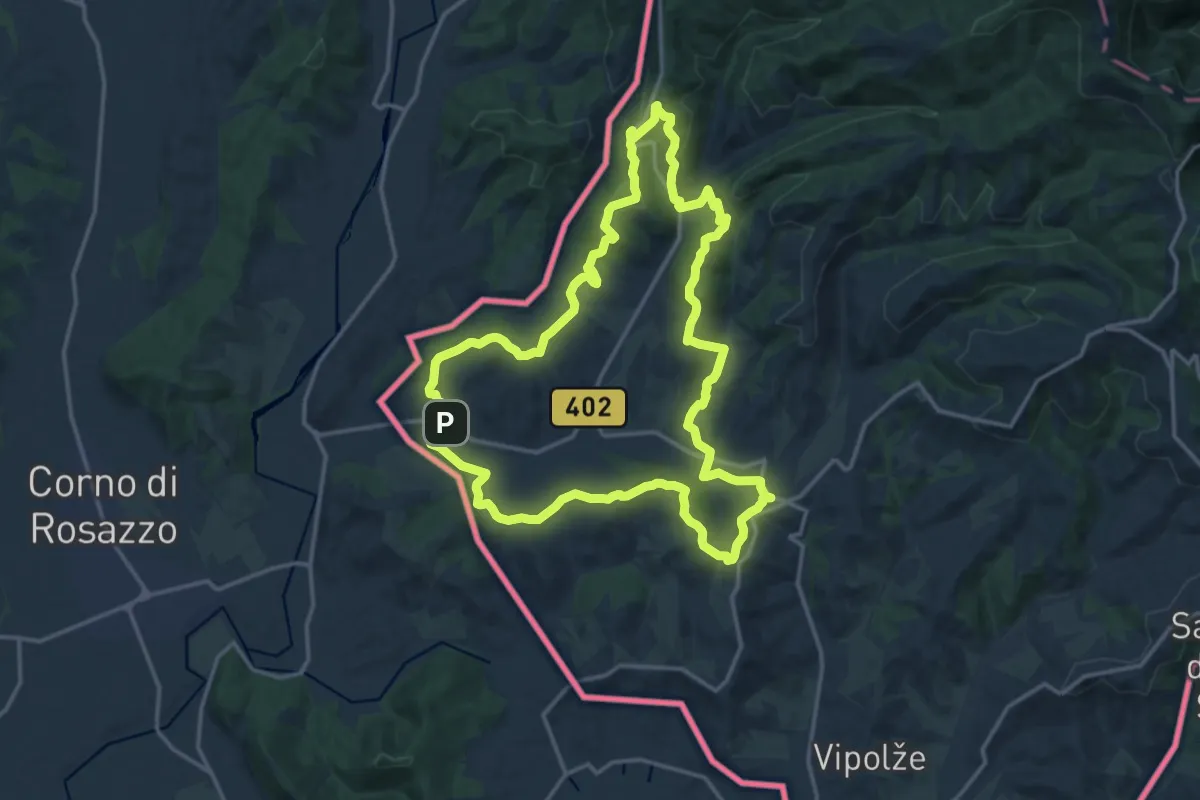
Črnica
16.6 km · ↑ 421 m · 5 h 4 min · 15 km away
Medium · Summit
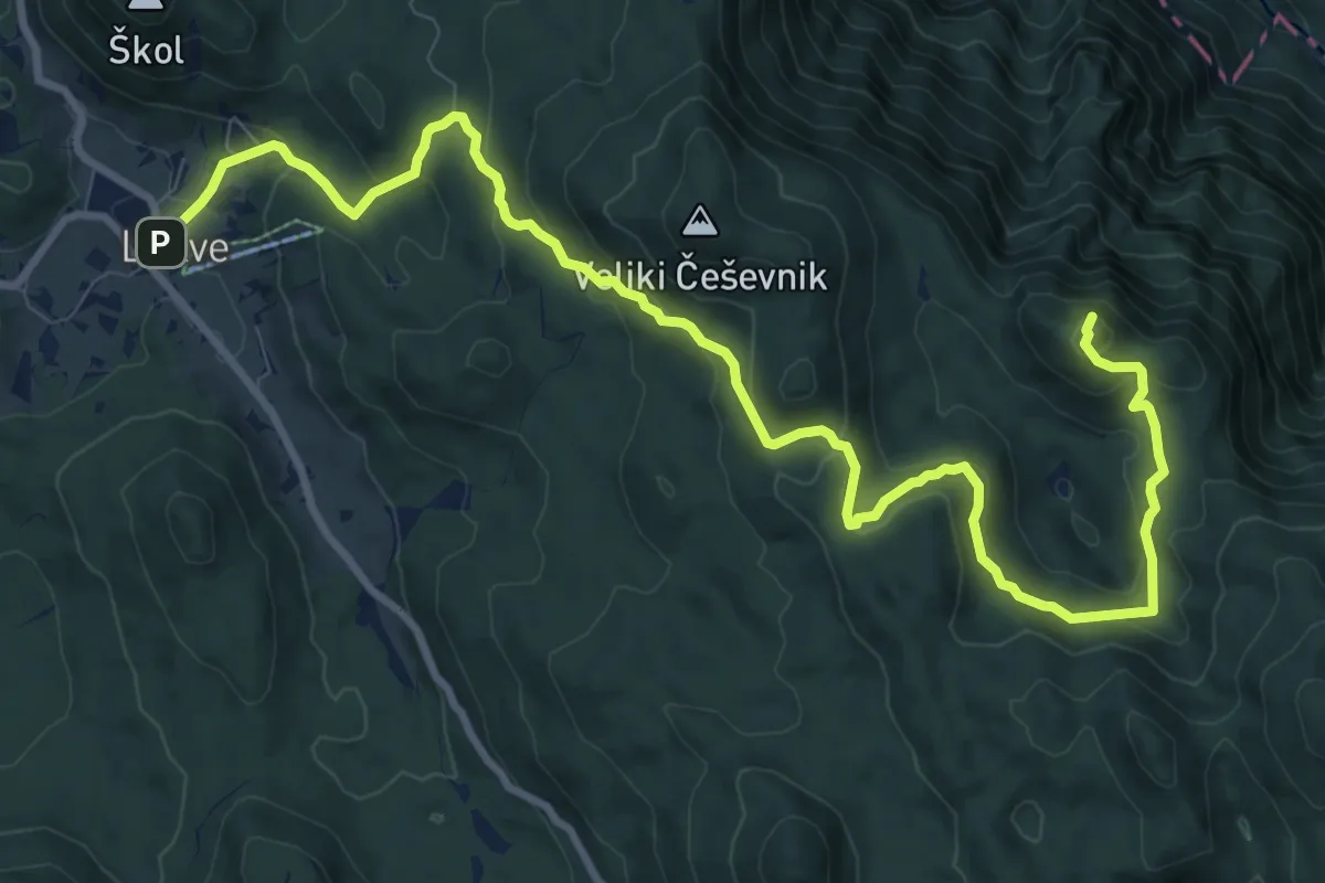
Lokve - Poldanovec
12.8 km · ↑ 667 m · 4 h 28 min · 15 km away
Medium · Summit
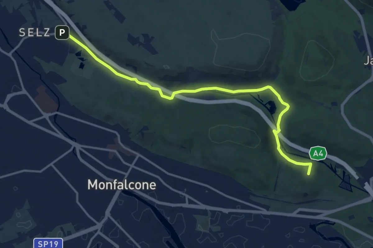
Ronchi dei Legionari – Cave di Selz (quota 10 m) – Monfalcone – Lisert Ponte degli Archi (quota 25 m)
10.5 km · ↑ 63 m · 2 h 37 min · 15 km away
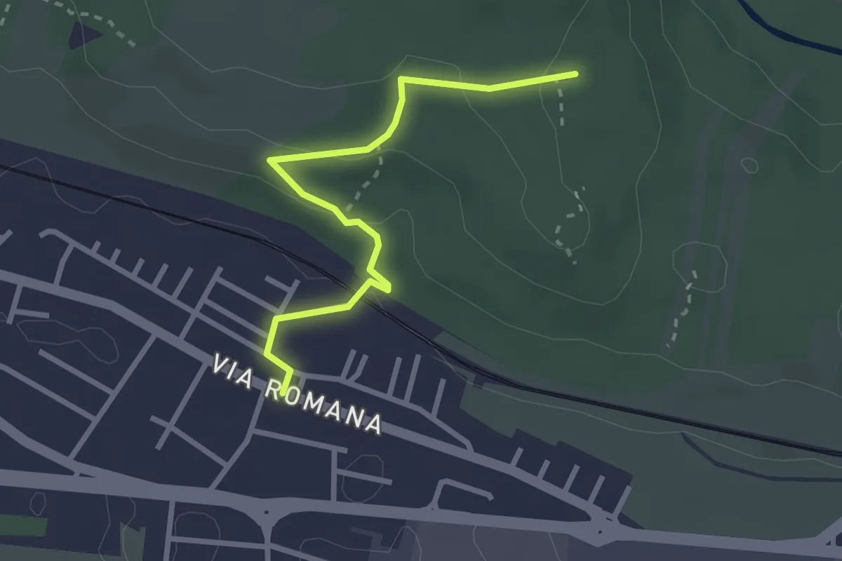
Easy · Trail
Monfalcone – Via Romana (quota 10 m) – Bivio sentiero 78 (quota 83 m)
2.7 km · ↑ 79 m · 48 min · 15 km away
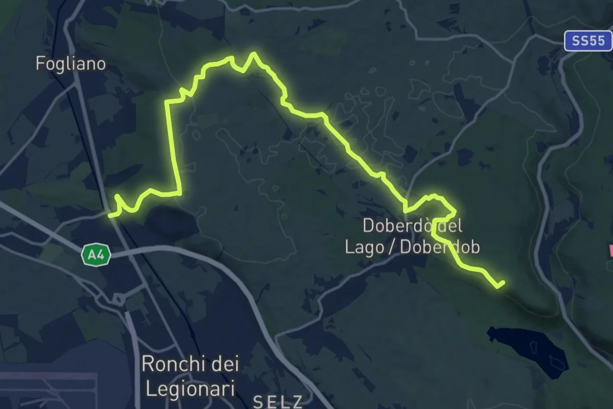
Demanding · Summit
Redipuglia (quota 24 m) – Casa Cadorna (quota 118 m)
20.8 km · ↑ 318 m · 5 h 36 min · 15 km away