Trails near Tržič
146 hikes starting within 15 km, nearest first.
Nearest first, page 1 of 4
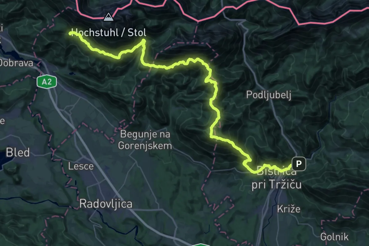
Demanding · Summit
JK08
23.1 km · ↑ 2008 m · 9 h 48 min · under 1 km away
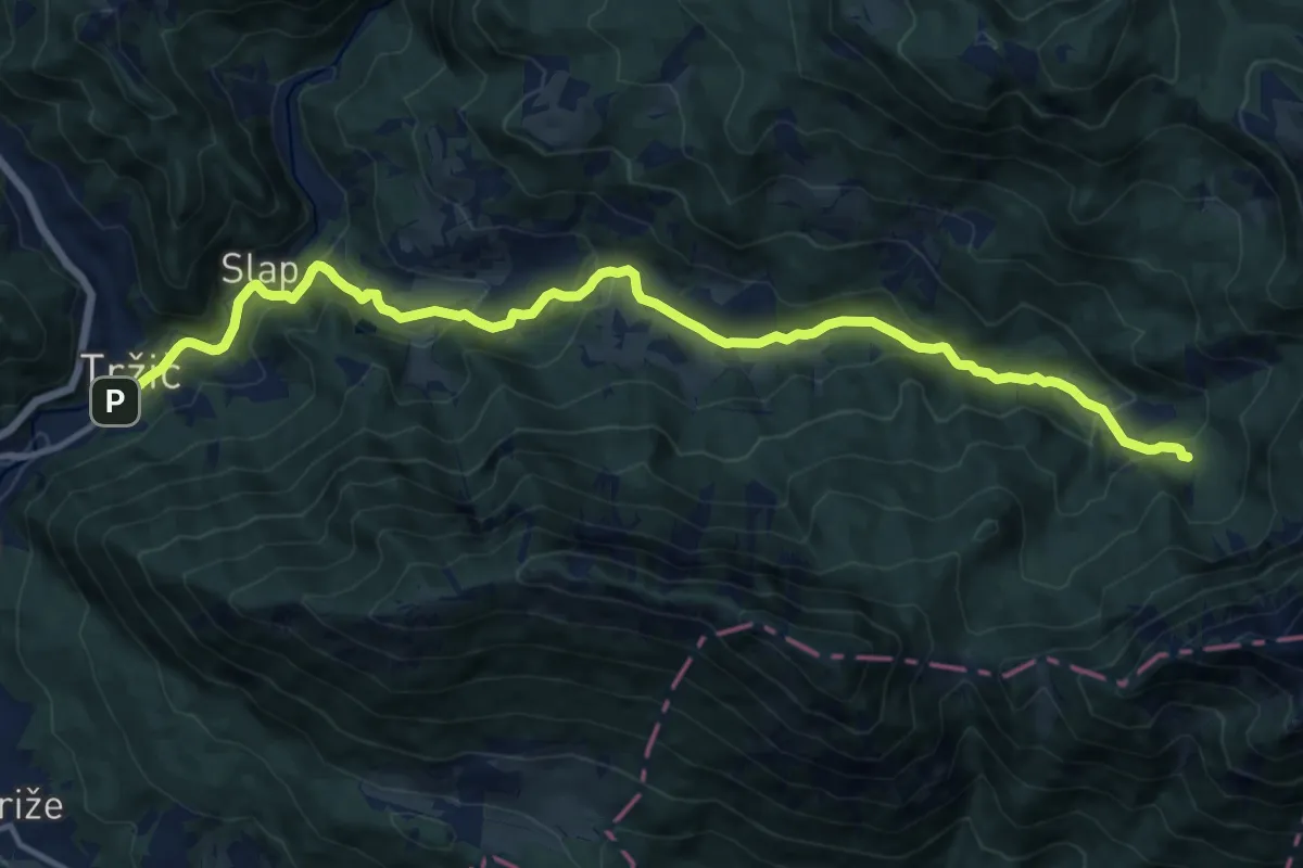
Medium · Cabin
Tržič - Lom - Dom pod Storžičem
15.4 km · ↑ 623 m · 4 h 59 min · under 1 km away
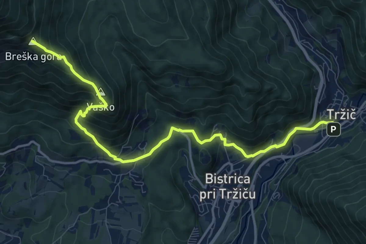
Demanding · Summit
Via Alpina Purple A7 alternative
11.3 km · ↑ 813 m · 4 h 26 min · under 1 km away
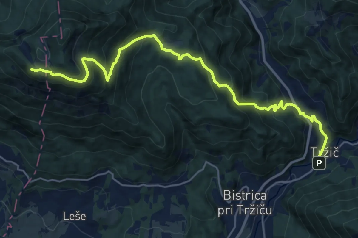
Demanding · Cabin
Via Alpina Purple A7
16.0 km · ↑ 1147 m · 6 h 16 min · under 1 km away
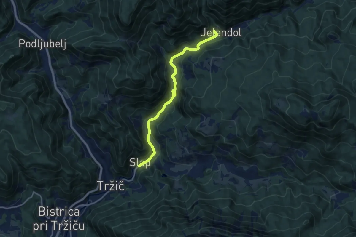
Medium · Summit
Lom - Jelendol - Dolga njiva
10.4 km · ↑ 363 m · 3 h 14 min · 1 km away
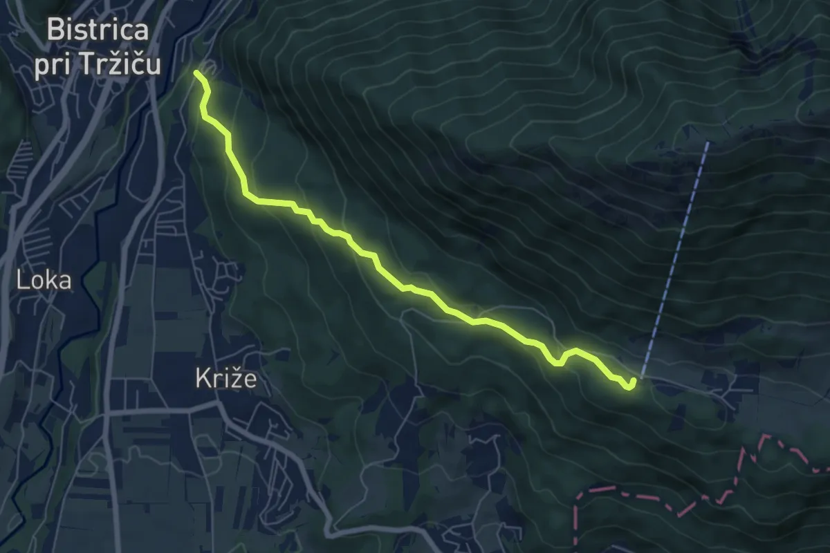
Medium · Cabin
Tržič - Zavetišče v Gozdu
6.3 km · ↑ 371 m · 2 h 18 min · 1 km away
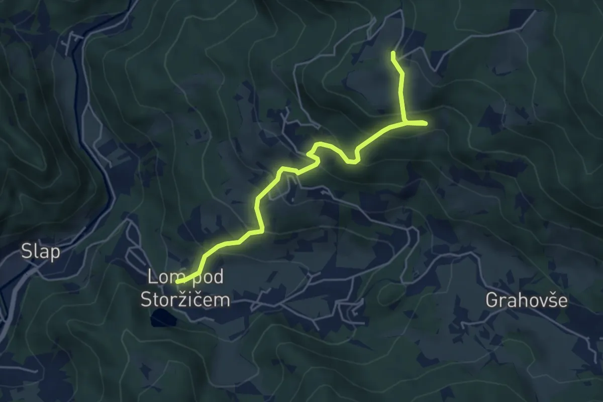
Medium · Trail
Lom - Tič
4.7 km · ↑ 395 m · 1 h 58 min · 2 km away
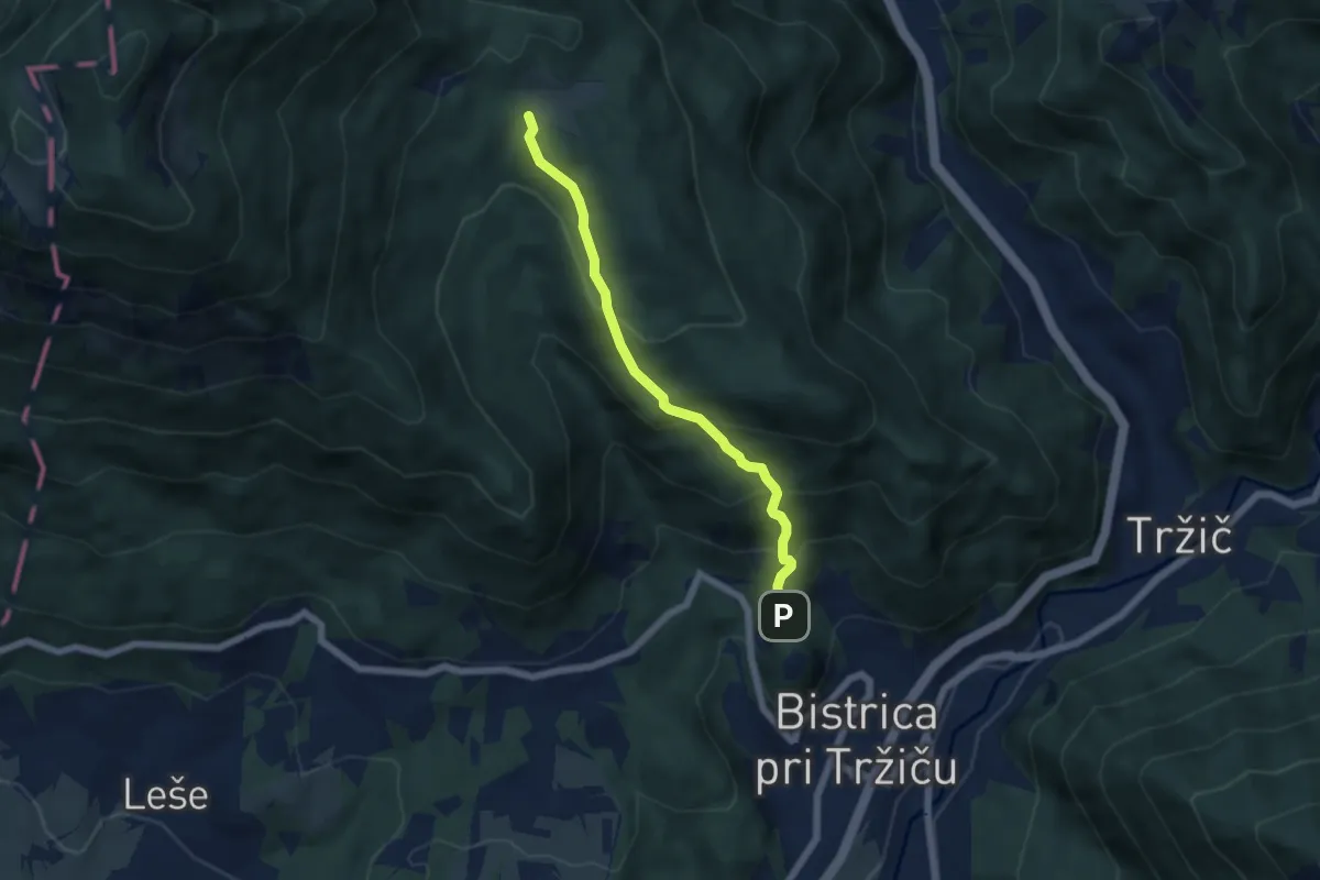
Medium · Trail
Sv. Jurij - Bistriška planina
5.2 km · ↑ 408 m · 2 h 6 min · 2 km away
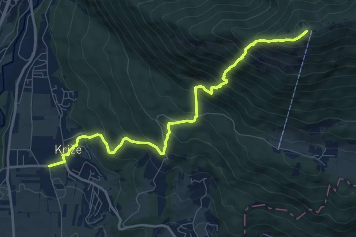
Demanding · Summit
Križe - Zg. Vetrno - Koča na Kriški gori
8.3 km · ↑ 956 m · 4 h 2 min · 3 km away
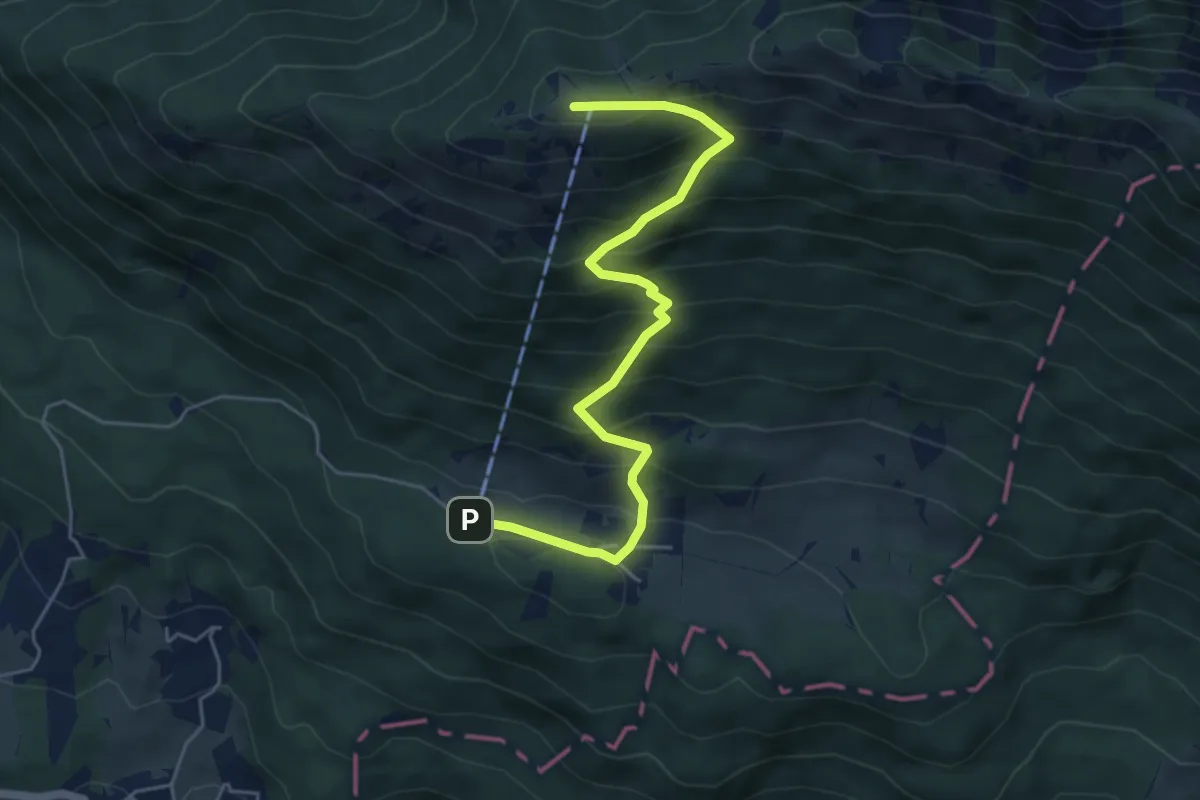
Demanding · Summit
Gozd - Koča na Kriški gori
5.5 km · ↑ 581 m · 2 h 34 min · 3 km away
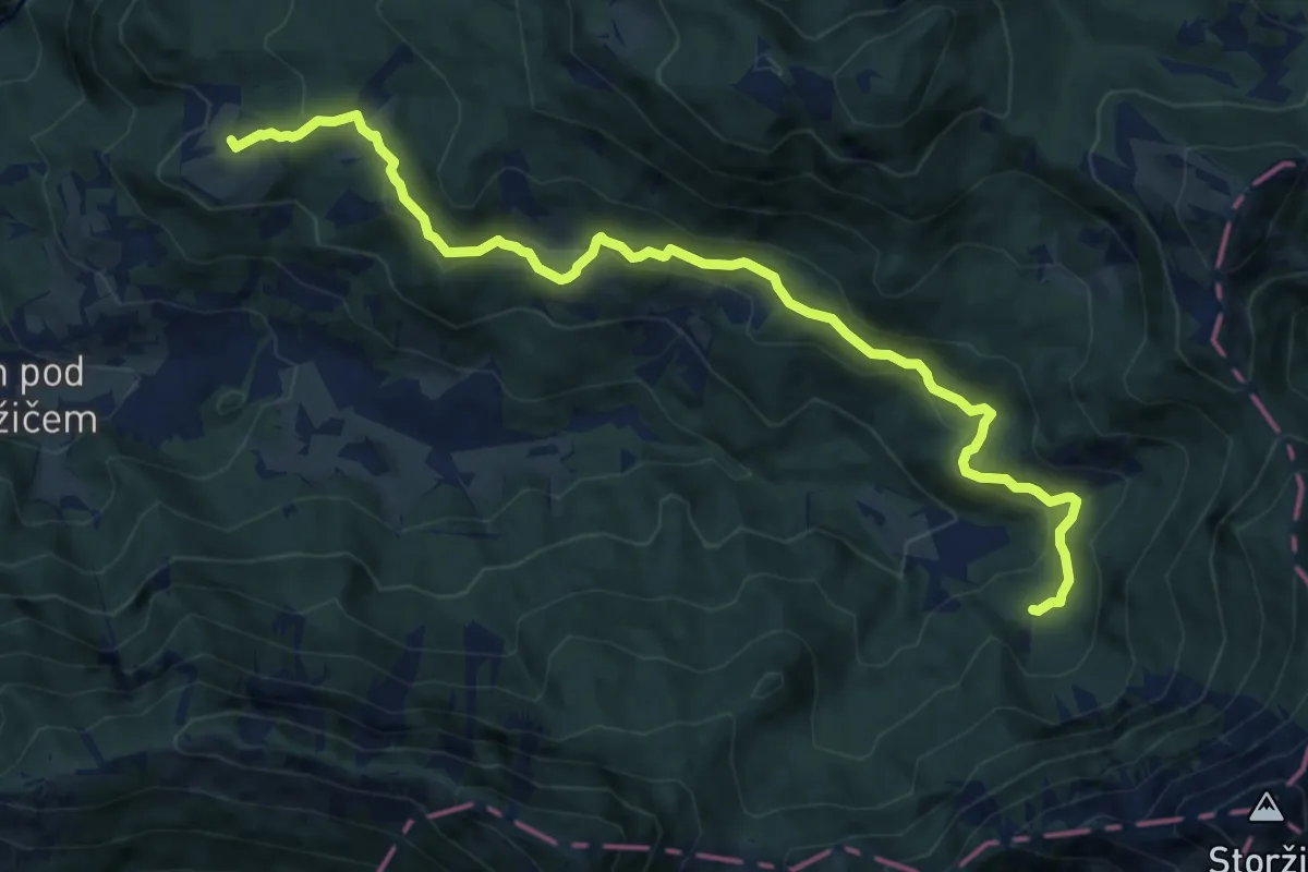
Medium · Cabin
Dom pod Storžičem - Pavšel - Tič
12.1 km · ↑ 430 m · 3 h 47 min · 3 km away
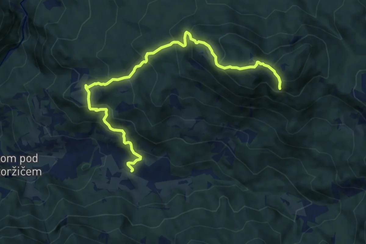
Demanding · Summit
Grahovše - Tič - Bela peč
12.2 km · ↑ 926 m · 4 h 54 min · 3 km away
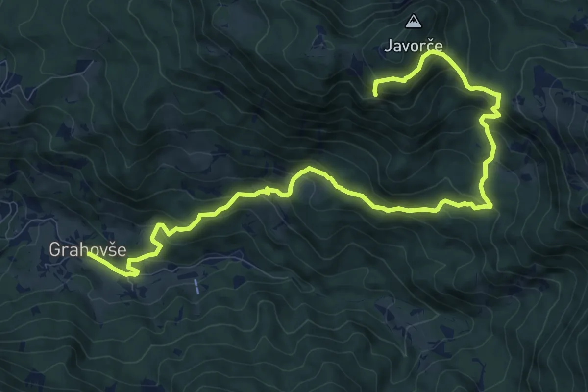
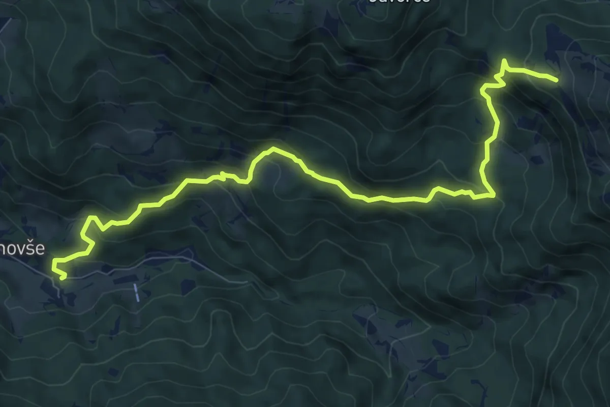
Demanding · Summit
Grahovše - Rekar - Bela peč
13.1 km · ↑ 899 m · 5 h 2 min · 3 km away
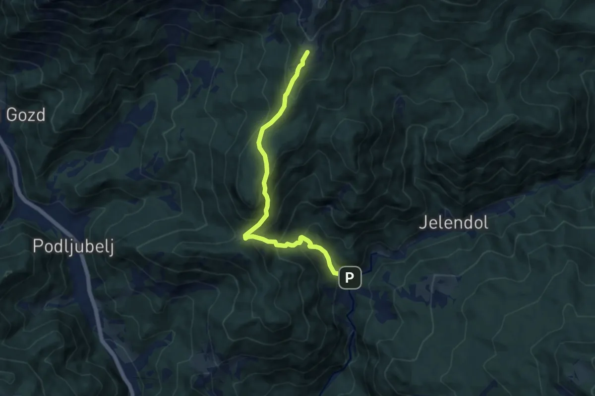
Medium · Trail
Slaparska vas - Pl. Javornik
10.4 km · ↑ 737 m · 4 h 3 min · 4 km away
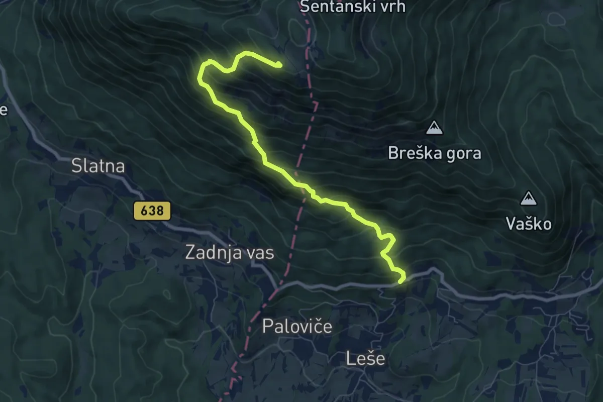
Medium · Cabin
Dolina - Kofce
8.5 km · ↑ 746 m · 3 h 38 min · 4 km away
Demanding · Cabin
Hudi Graben - Koča na Dobrči
7.4 km · ↑ 840 m · 3 h 34 min · 4 km away
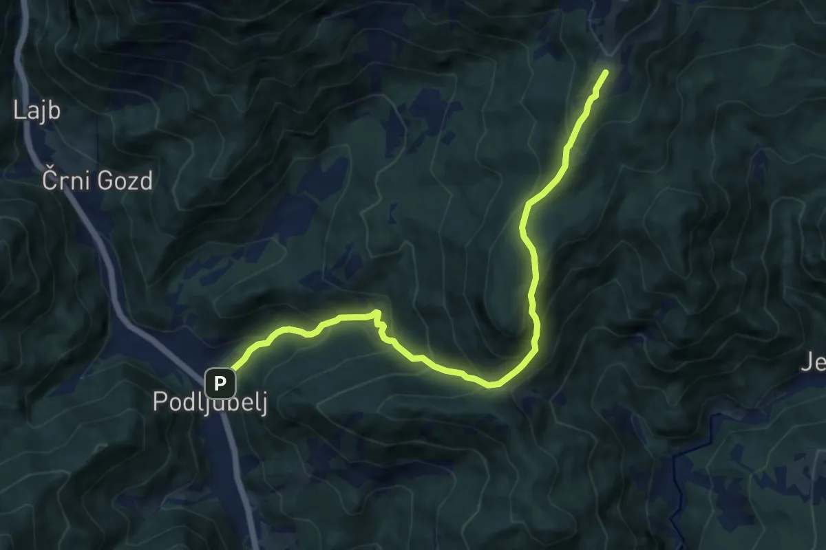
Demanding · Cabin
Podljubelj - Kal - Kofce
10.2 km · ↑ 865 m · 4 h 17 min · 4 km away
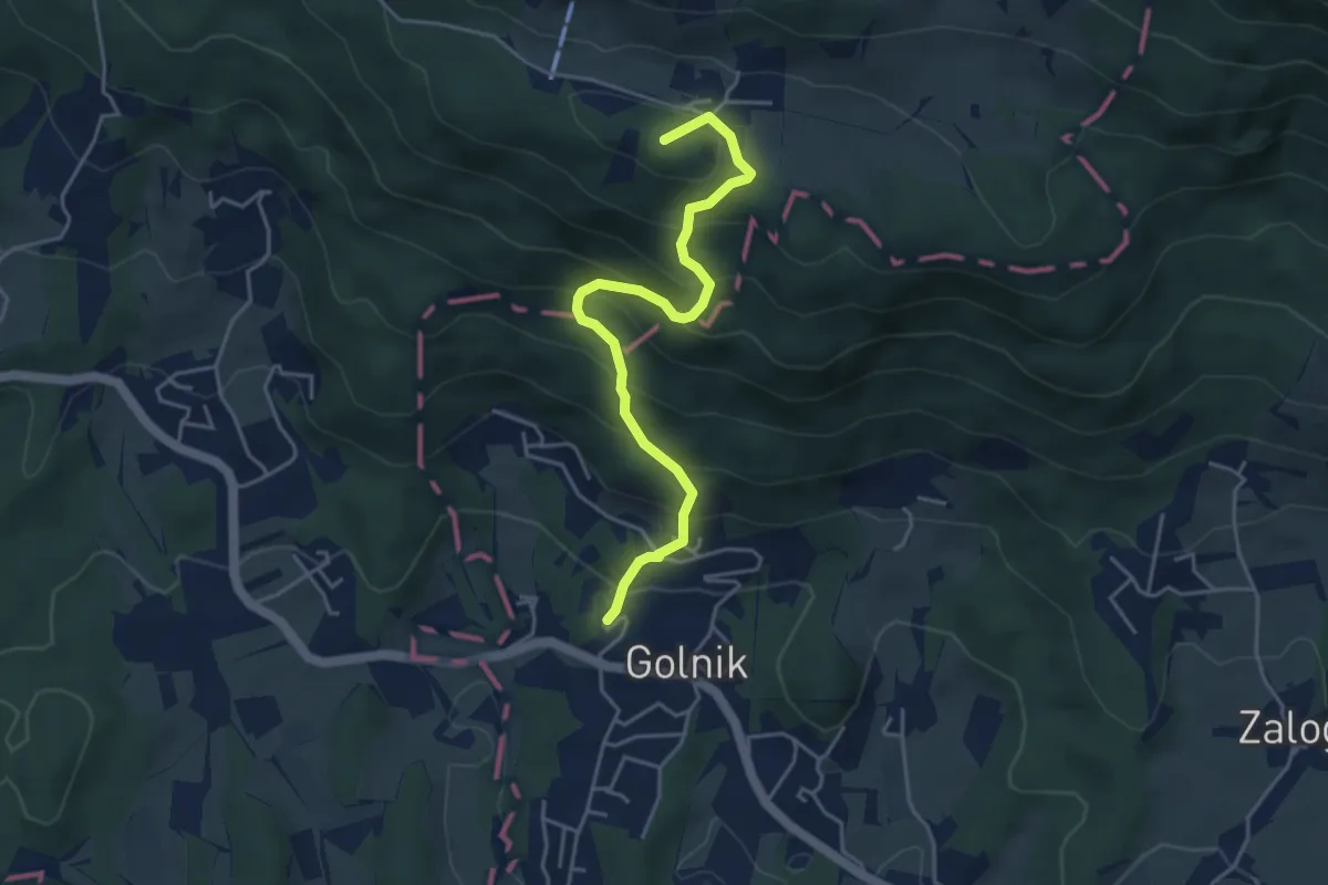
Medium · Summit
Golnik - Gozd
4.5 km · ↑ 427 m · 1 h 59 min · 4 km away
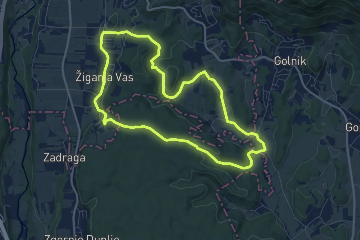
Medium · Trail
Pot treh zvonov
8.0 km · ↑ 177 m · 2 h 23 min · 5 km away
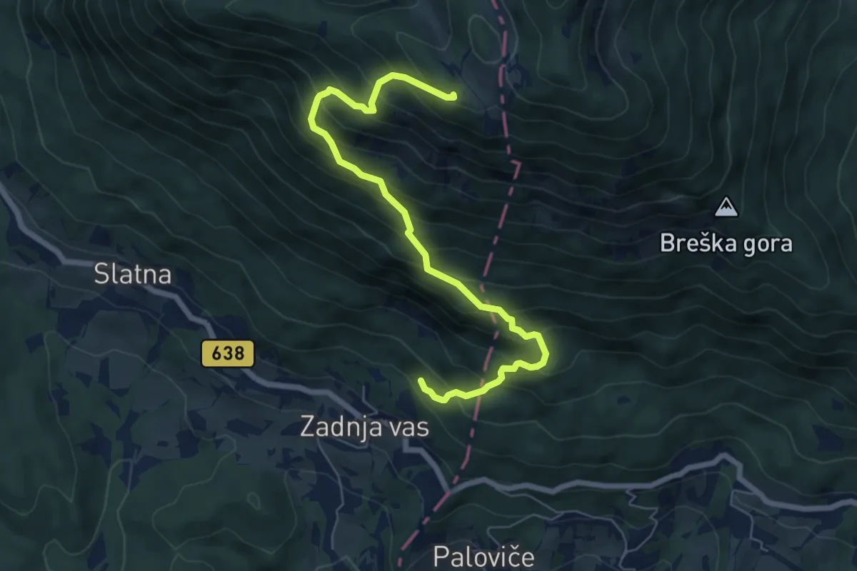
Medium · Cabin
Zadnja vas - Koča na Dobrči
6.8 km · ↑ 780 m · 3 h 18 min · 5 km away
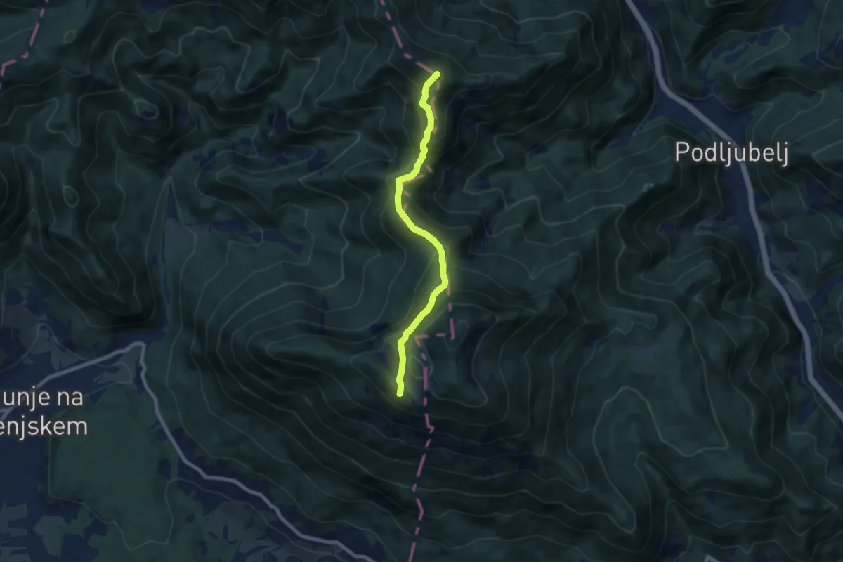
Demanding · Summit
Via Alpina Purple A6
7.2 km · ↑ 585 m · 2 h 58 min · 5 km away
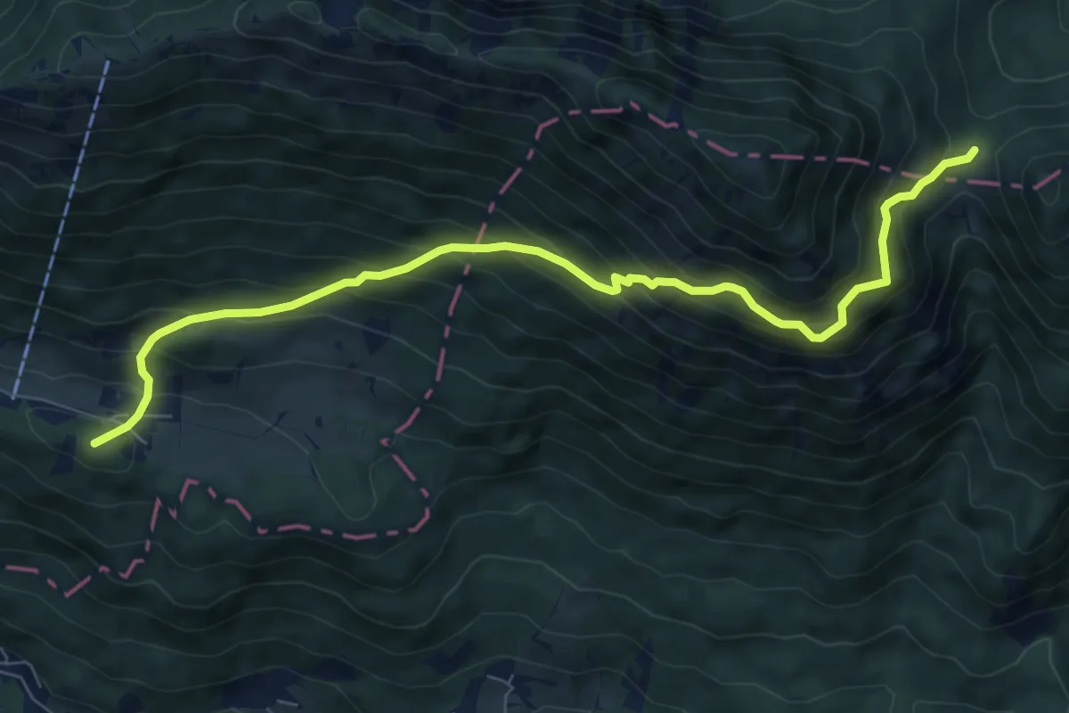
Demanding · Summit
Gozd - Ježa - Mala Poljana
8.3 km · ↑ 788 m · 3 h 41 min · 5 km away
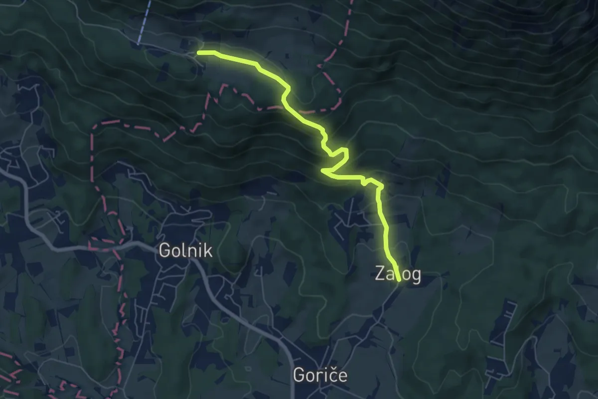
Medium · Trail
Zalog - Svarje - Gozd
6.1 km · ↑ 374 m · 2 h 15 min · 5 km away
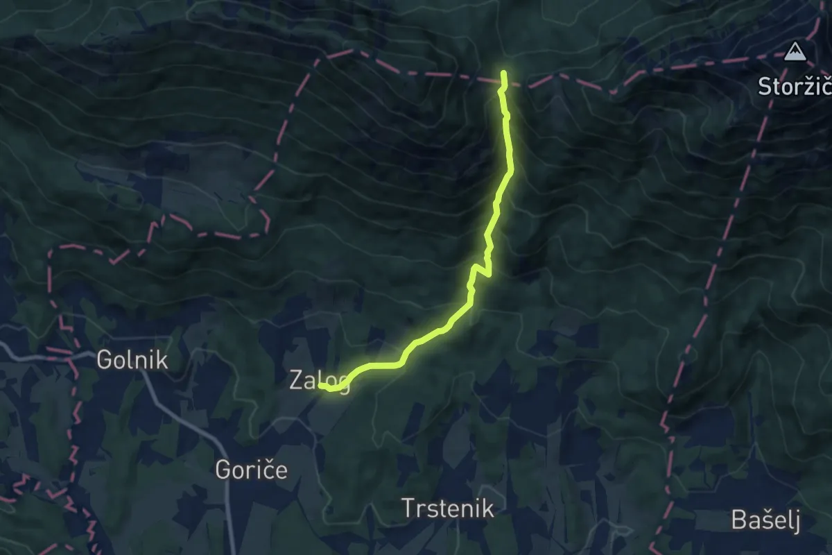
Medium · Cabin
Zalog - Mala Poljana
7.5 km · ↑ 800 m · 3 h 30 min · 5 km away
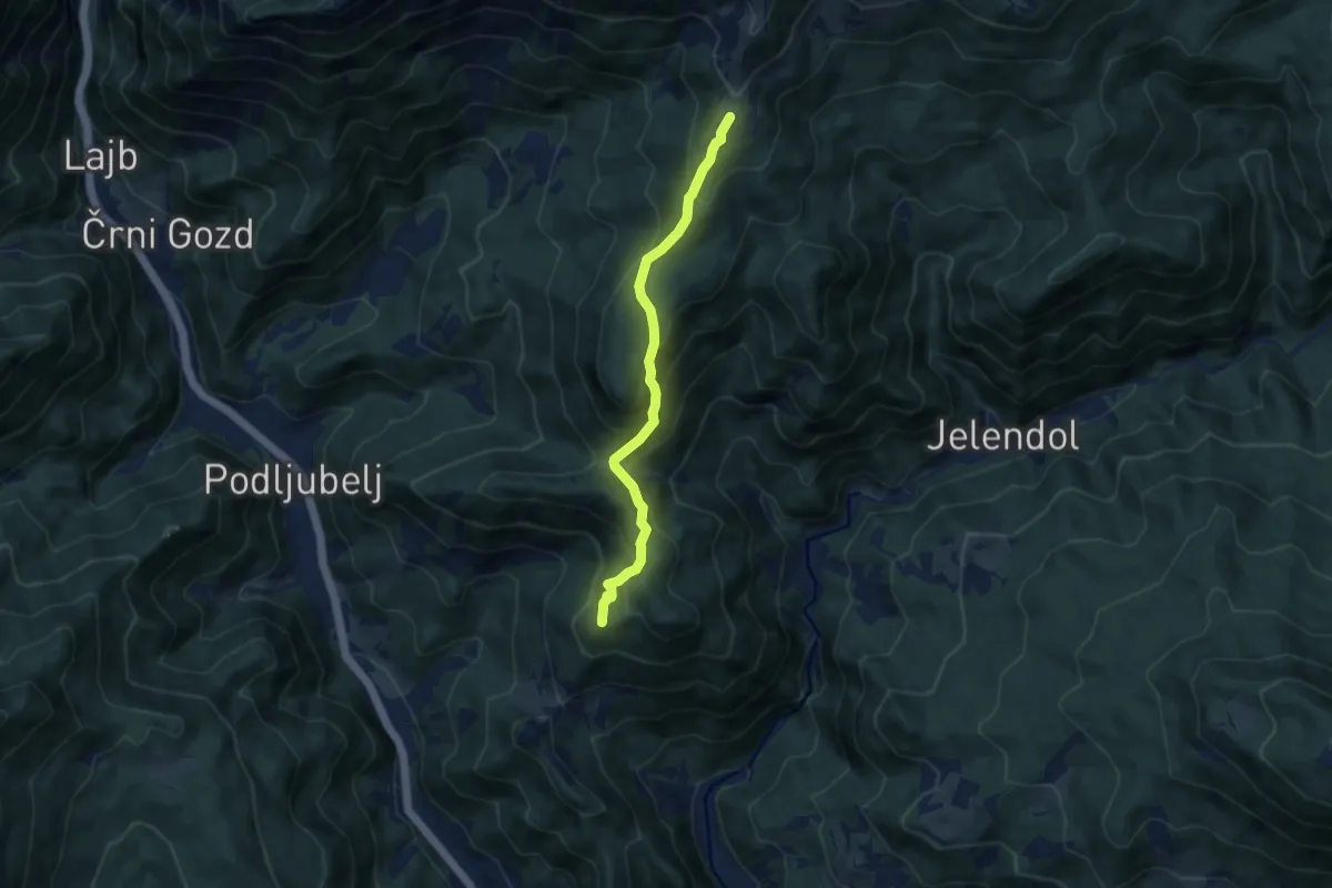
Medium · Summit
Tržič - Kal - Kofce
7.7 km · ↑ 530 m · 2 h 58 min · 6 km away
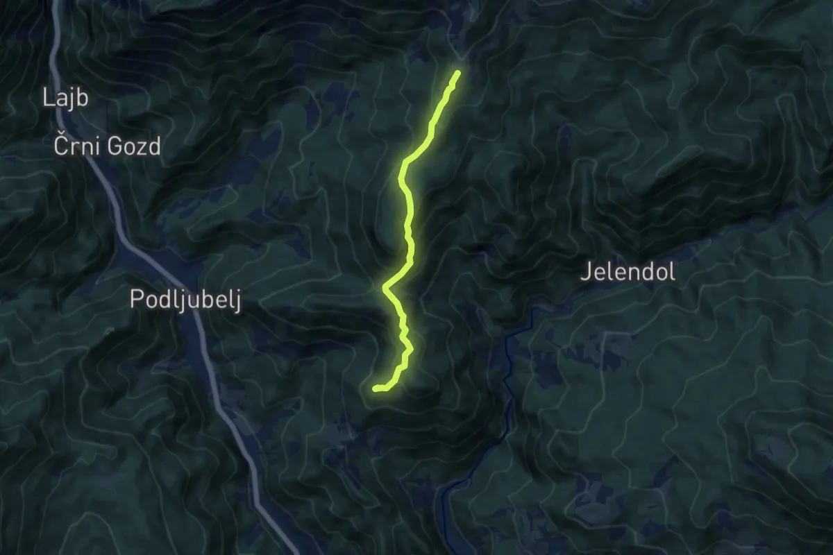
Medium · Summit
Tržič - Pirmance - Kofce
7.9 km · ↑ 494 m · 2 h 56 min · 6 km away
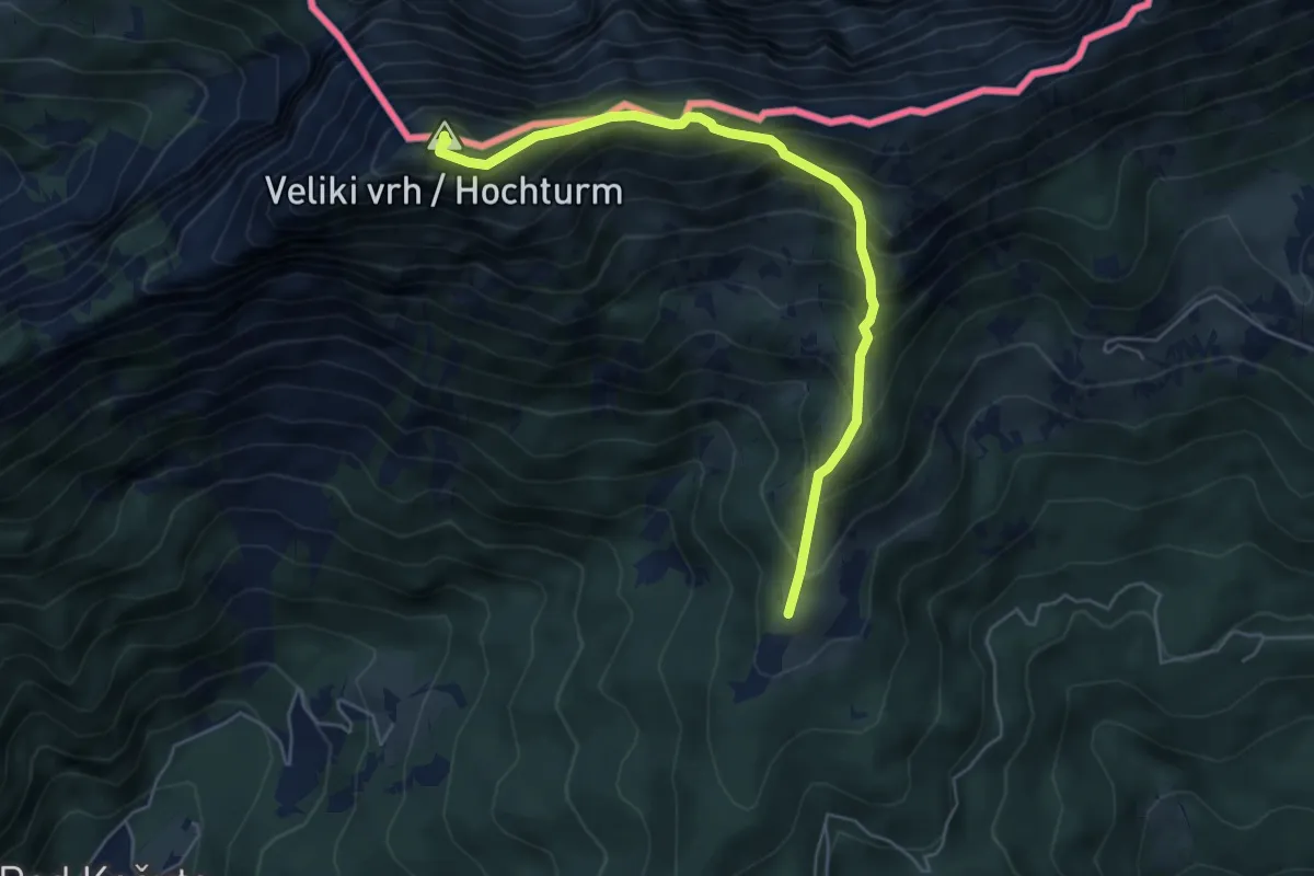
Medium · Summit
Dom na Kofcah - Veliki vrh
5.5 km · ↑ 630 m · 2 h 40 min · 6 km away
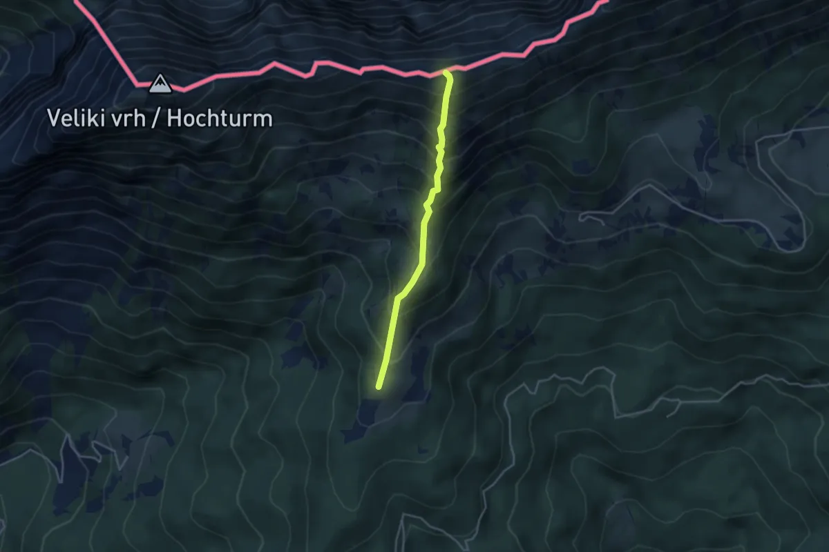
Medium · Summit
Dom na Kofcah - Kofce gora
3.2 km · ↑ 483 m · 1 h 48 min · 6 km away
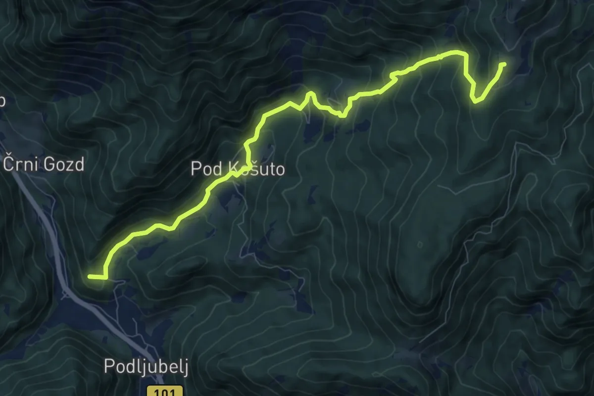
Demanding · Summit
Podljubelj - Matizovec - Kofce
10.1 km · ↑ 818 m · 4 h 9 min · 6 km away
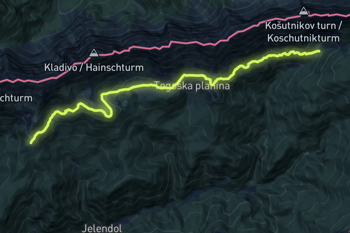
Demanding · Cabin
Dom na Kofcah - Pl. Dolga njiva
18.8 km · ↑ 890 m · 6 h 22 min · 6 km away
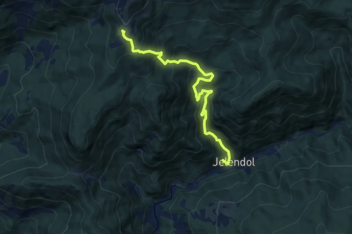
Medium · Summit
Jelendol - Dom na Kofcah
9.5 km · ↑ 768 m · 3 h 55 min · 6 km away
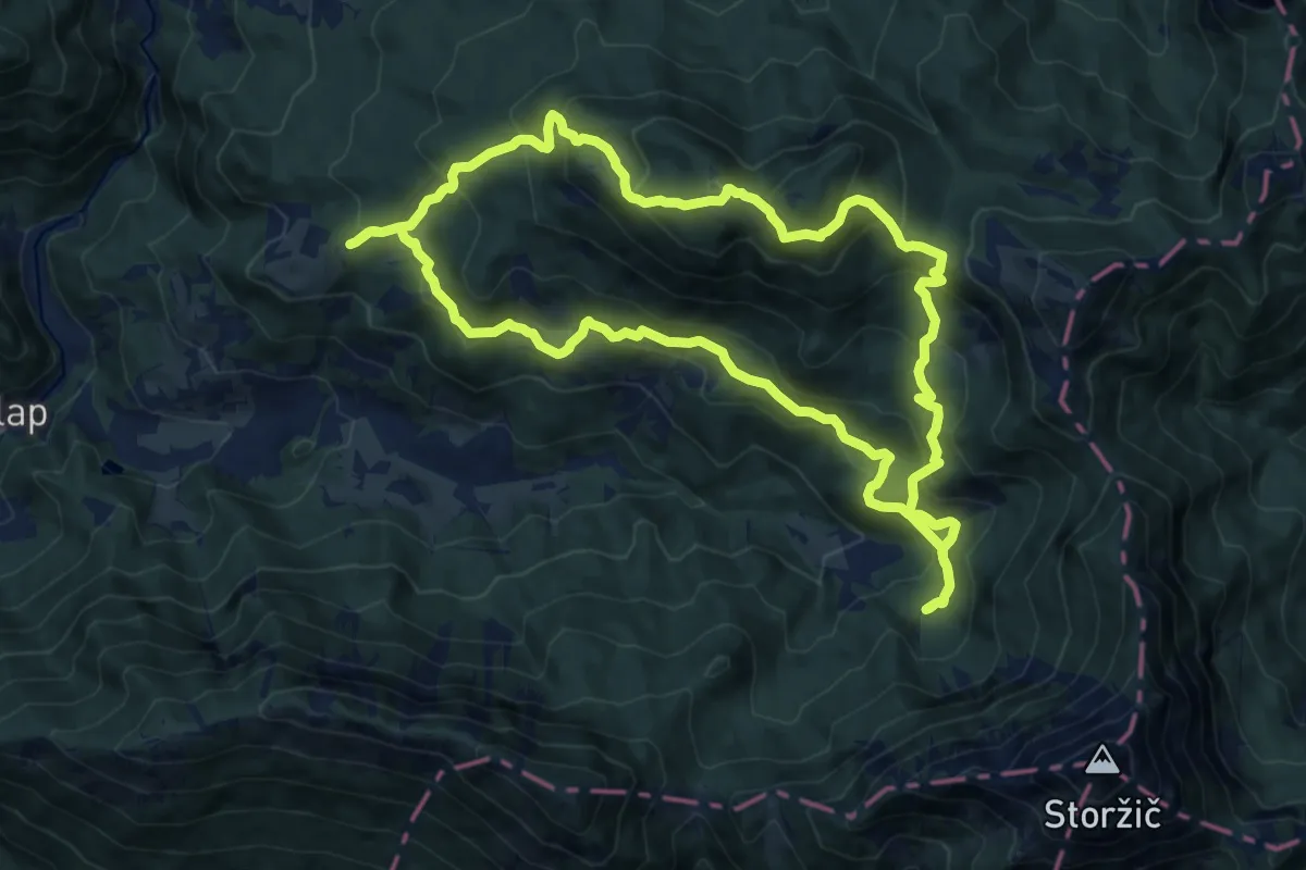
Demanding · Summit
Tematska pot Konšca
13.8 km · ↑ 826 m · 5 h 14 min · 6 km away
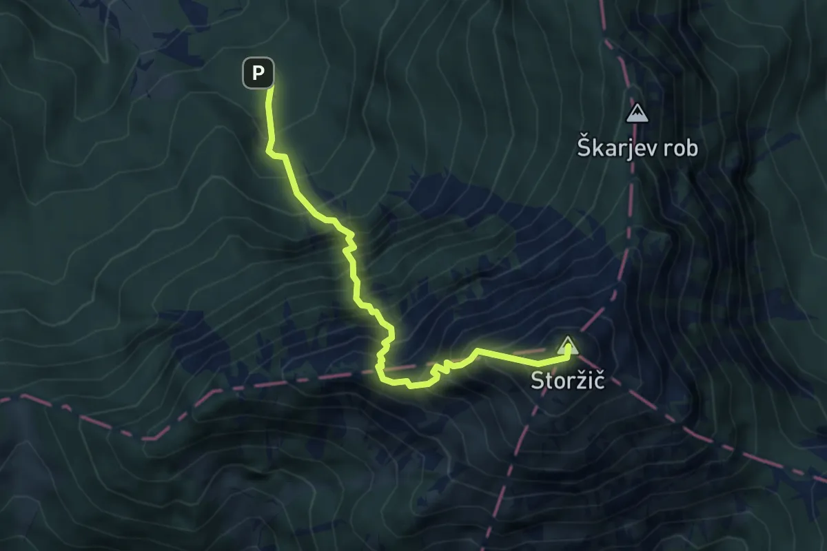
Expert · Summit
Dom pod Storžičem - Žrelo - Storžič
4.6 km · ↑ 994 m · 3 h 15 min · 6 km away
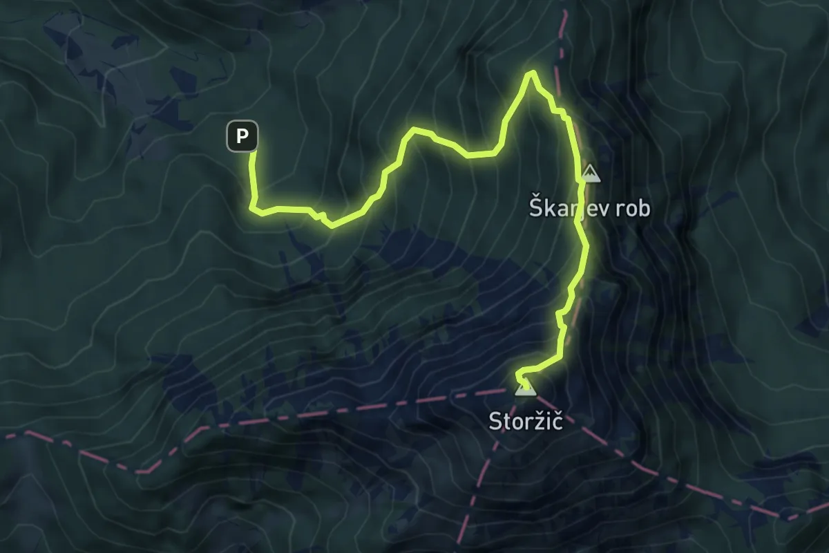
Expert · Summit
Dom pod Storžičem - Škarjev rob - Storžič
6.9 km · ↑ 953 m · 3 h 42 min · 6 km away
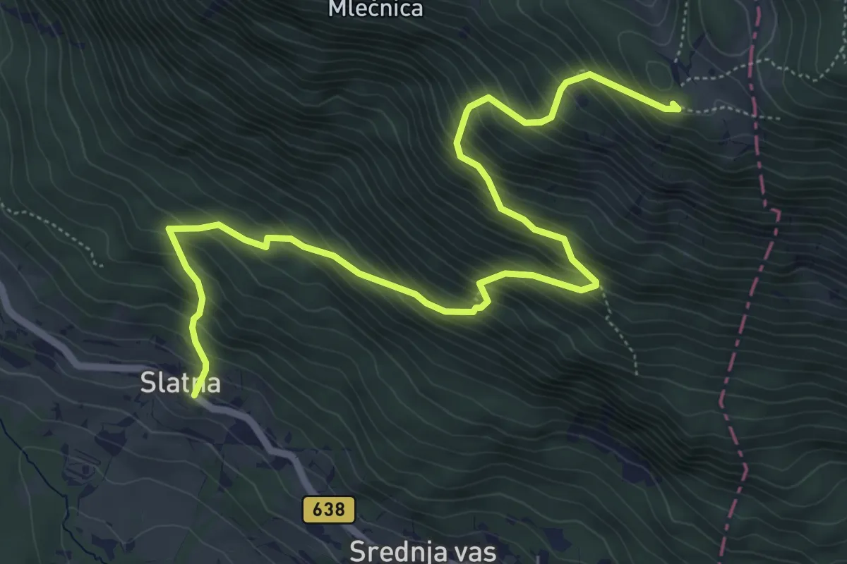
Demanding · Cabin
Slatna - Koča na Dobrči
7.2 km · ↑ 864 m · 3 h 35 min · 6 km away
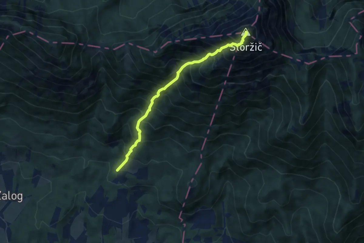
Expert · Summit
Povlje - Pl. Javornik - Storžič
7.3 km · ↑ 1359 m · 4 h 40 min · 6 km away
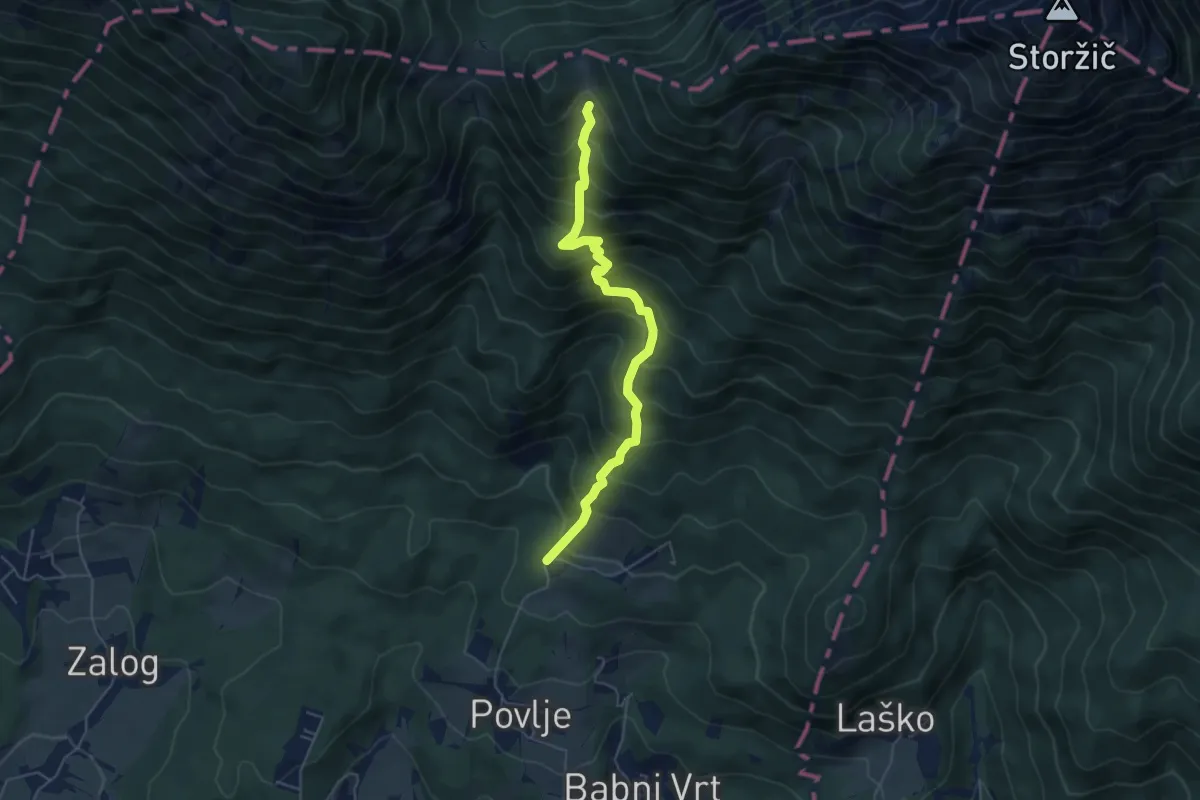
Medium · Cabin
Povlje - Velika Poljana
5.2 km · ↑ 686 m · 2 h 43 min · 6 km away
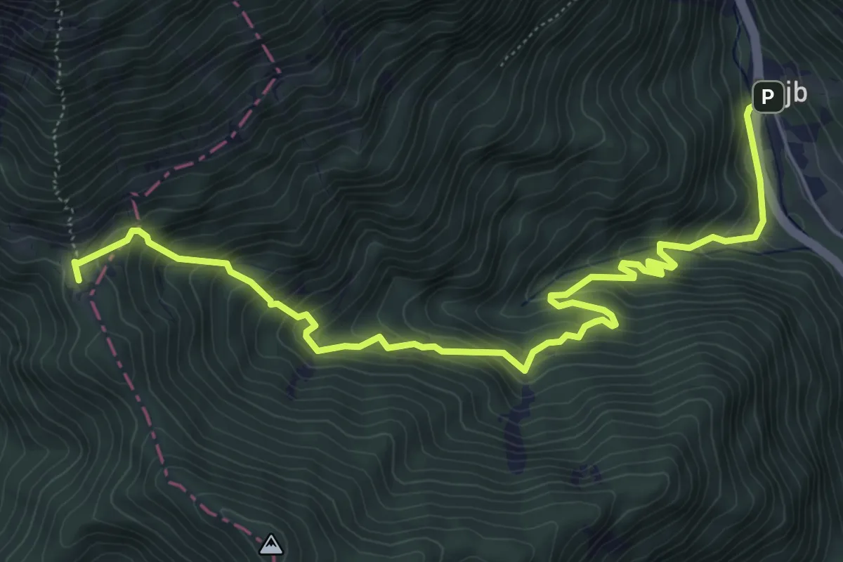
Medium · Cabin
Podljubelj - Koča na Prevalu
7.5 km · ↑ 692 m · 3 h 16 min · 6 km away
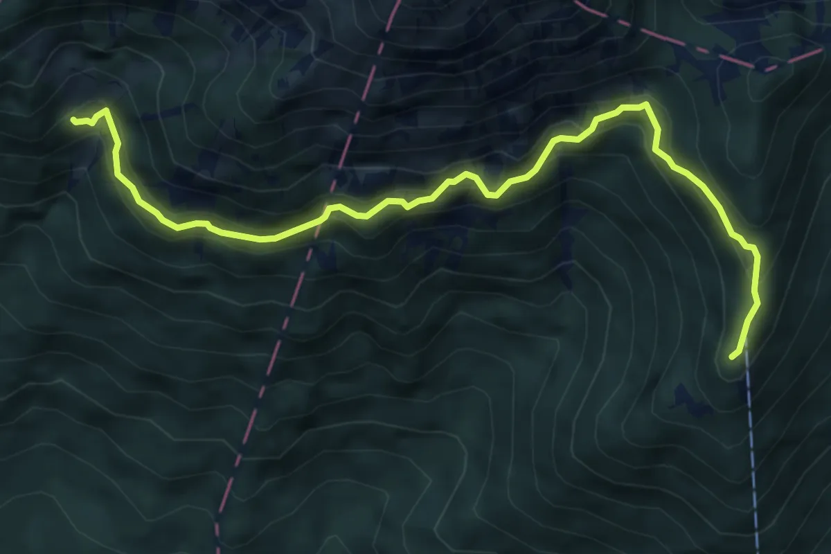
Demanding · Cabin
Pl. Javornik - Kališče
6.9 km · ↑ 633 m · 2 h 59 min · 6 km away
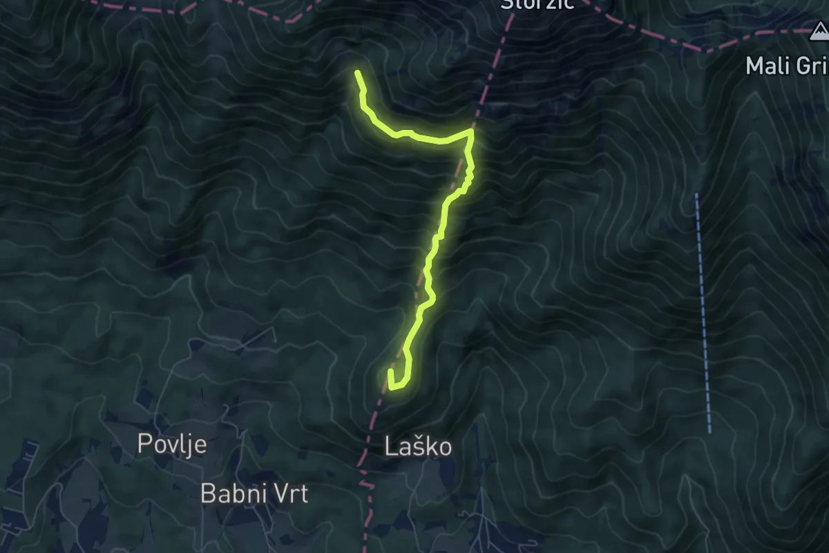
Medium · Summit
Laško - Sv. Lovrenc - Pl. Javornik
5.8 km · ↑ 777 m · 3 h 4 min · 7 km away
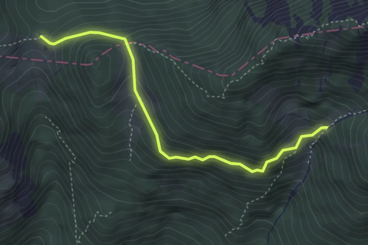
Medium · Cabin
Mala Poljana - Pl. Javornik
3.8 km · ↑ 318 m · 1 h 36 min · 7 km away
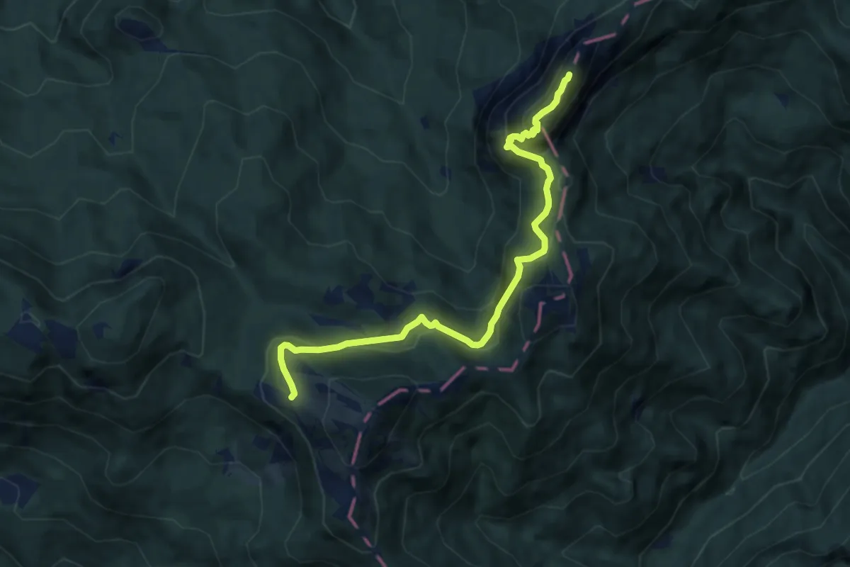
Demanding · Summit
Pl. Javornik - Stegovnik
8.6 km · ↑ 658 m · 3 h 27 min · 7 km away
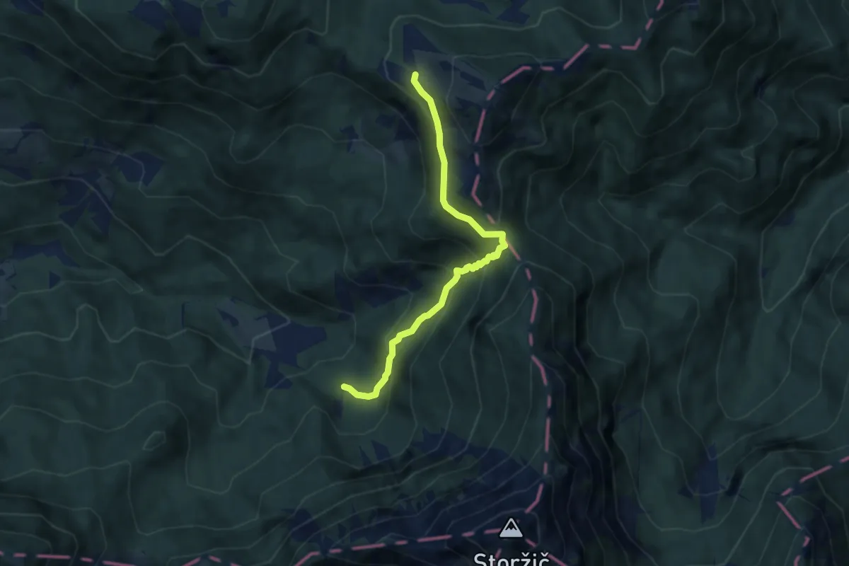
Medium · Cabin
Dom pod Storžičem - Javorniški p. - Pl. Javornik
6.3 km · ↑ 418 m · 2 h 23 min · 7 km away
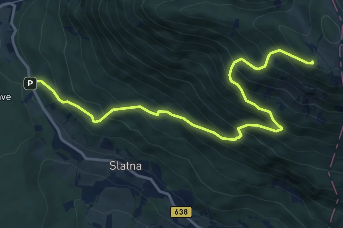
Demanding · Cabin
Preska - Dobrča
7.9 km · ↑ 849 m · 3 h 42 min · 7 km away
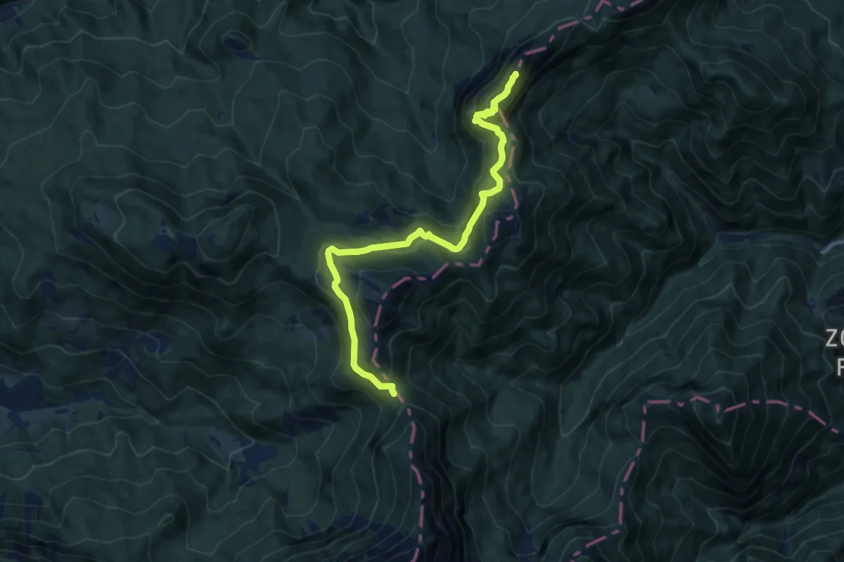
Demanding · Summit
Via Alpina Purple A9
11.4 km · ↑ 754 m · 4 h 20 min · 7 km away
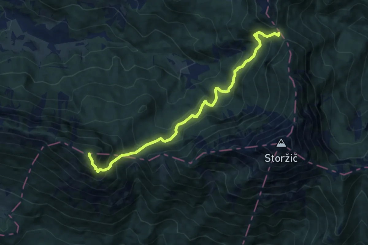
Demanding · Summit
Via Alpina Purple A8
10.2 km · ↑ 1007 m · 4 h 36 min · 7 km away
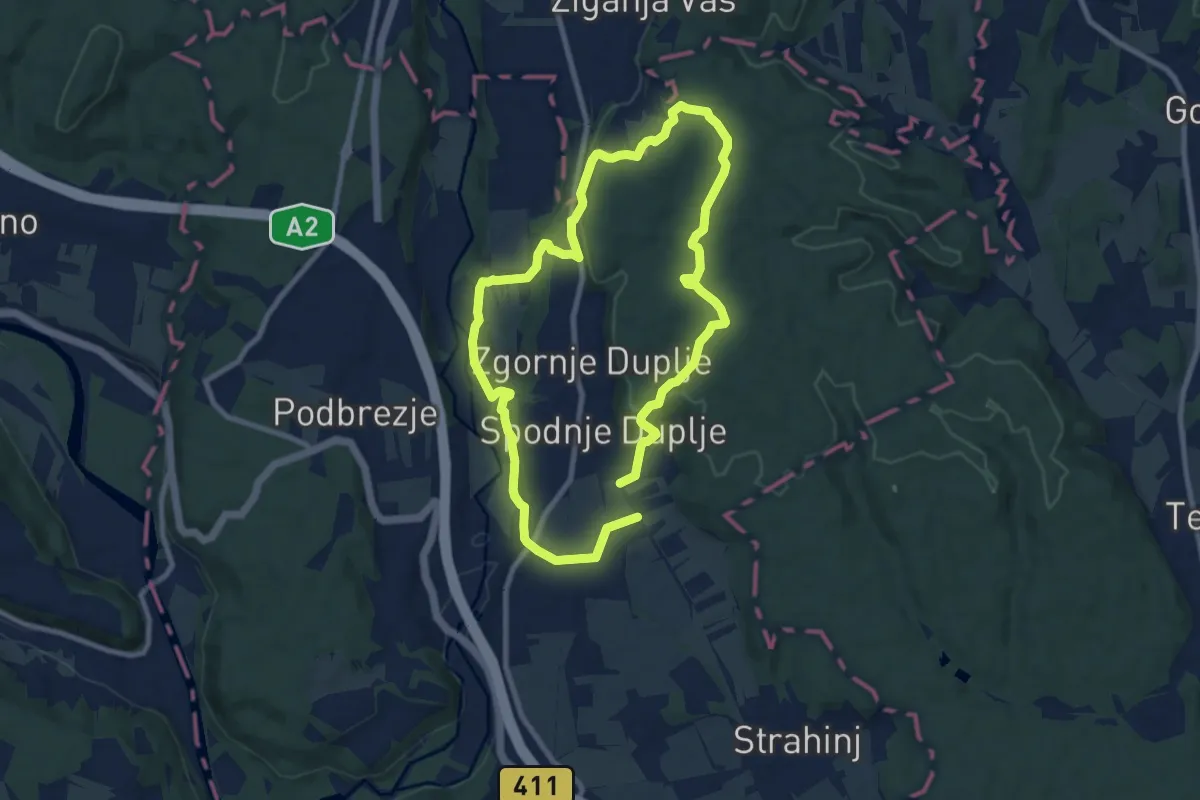
Medium · Trail
Krožna pot Kriva Jelka
16.3 km · ↑ 299 m · 4 h 30 min · 8 km away
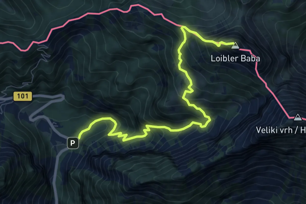
Demanding · Summit
Vranček - Pl. Korošica - Košutica
10.1 km · ↑ 1119 m · 4 h 49 min · 8 km away