Trails near Tržič
146 hikes starting within 15 km, nearest first.
Nearest first, page 2 of 4
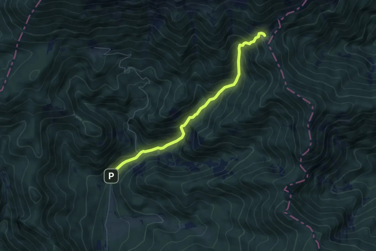
Medium · Cabin
Draga - Luknja - Preval
6.0 km · ↑ 601 m · 2 h 43 min · 8 km away
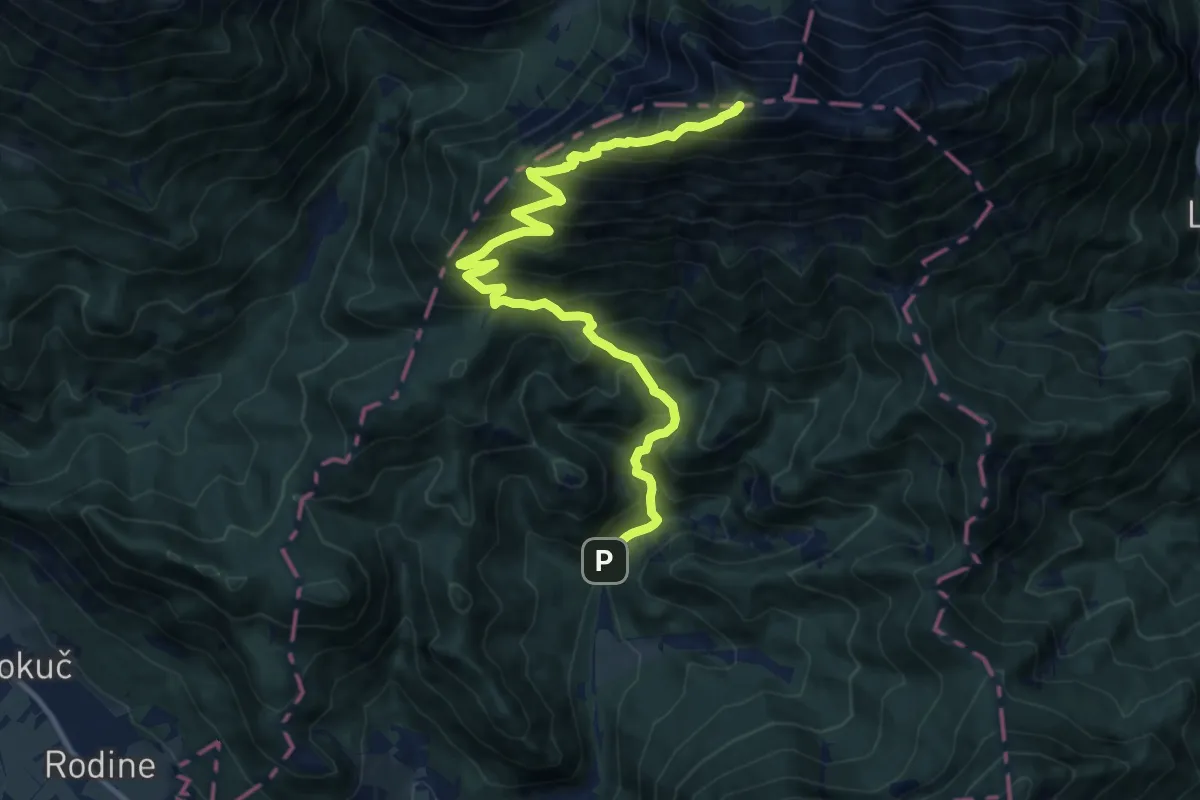
Demanding · Summit
Draga - Roblekov dom - Begunjščica
13.9 km · ↑ 1305 m · 6 h 6 min · 8 km away
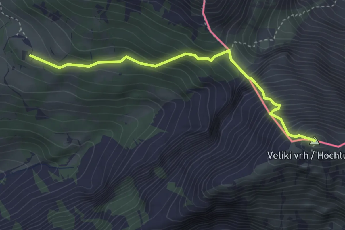
Expert · Summit
Pl. Korošica - Veliki vrh
3.5 km · ↑ 544 m · 2 h · 8 km away
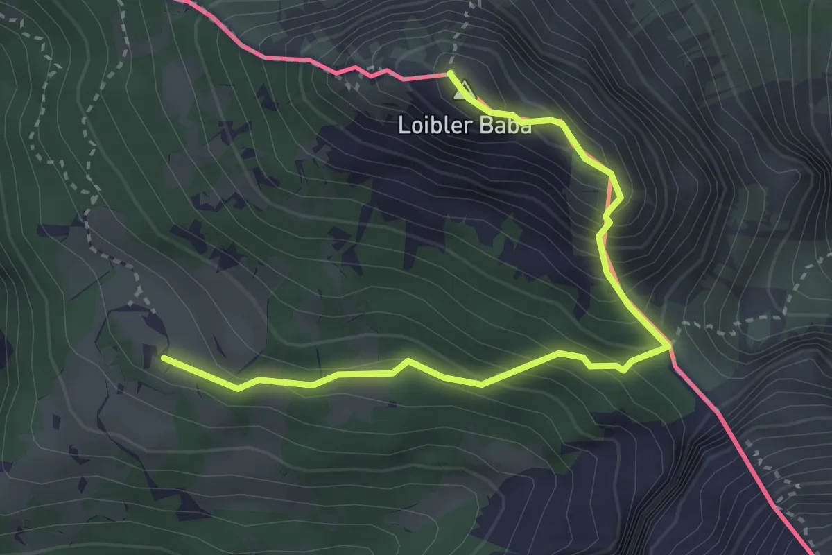
Demanding · Summit
Pl. Korošica - Hajnževo sedlo - Košutica
3.6 km · ↑ 462 m · 1 h 51 min · 8 km away
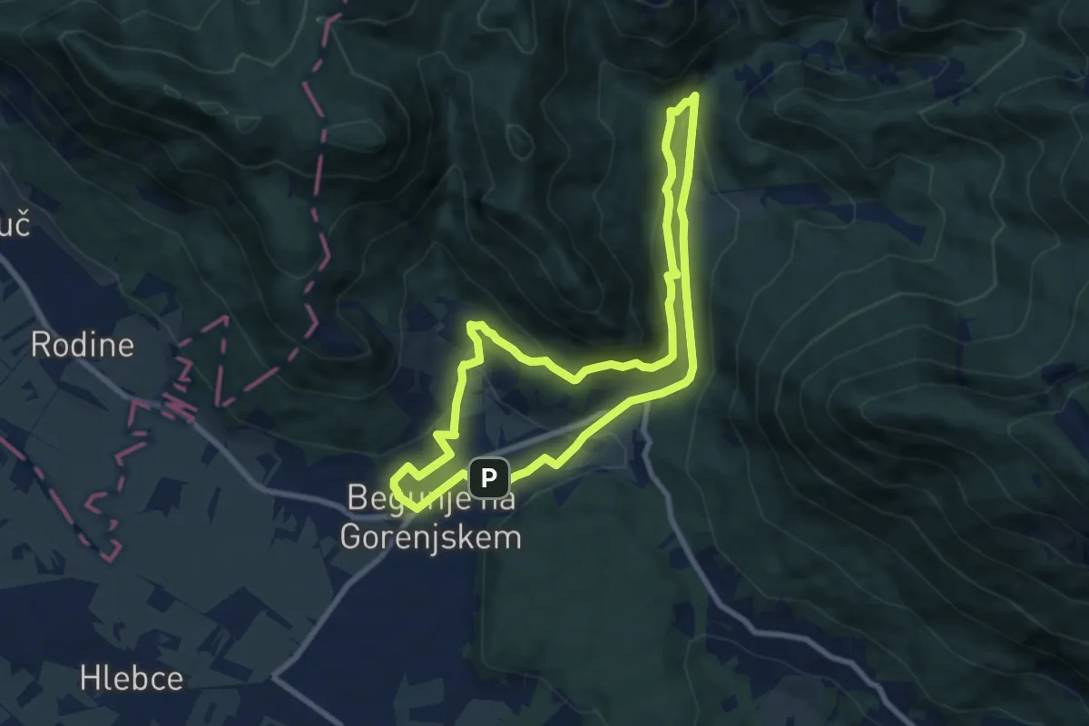
Medium · Trail
Lambergova pot
7.6 km · ↑ 246 m · 2 h 26 min · 8 km away
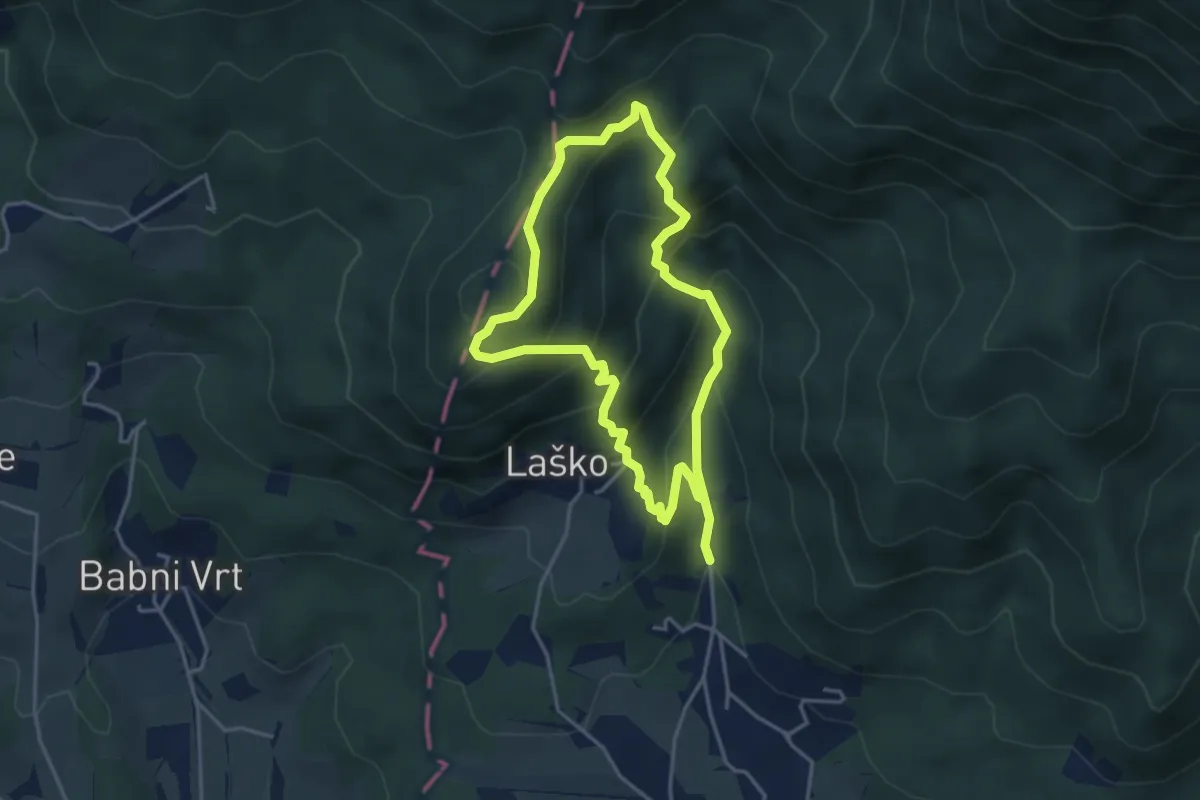
Medium · Summit
Gamsova pot
3.5 km · ↑ 308 m · 1 h 32 min · 8 km away
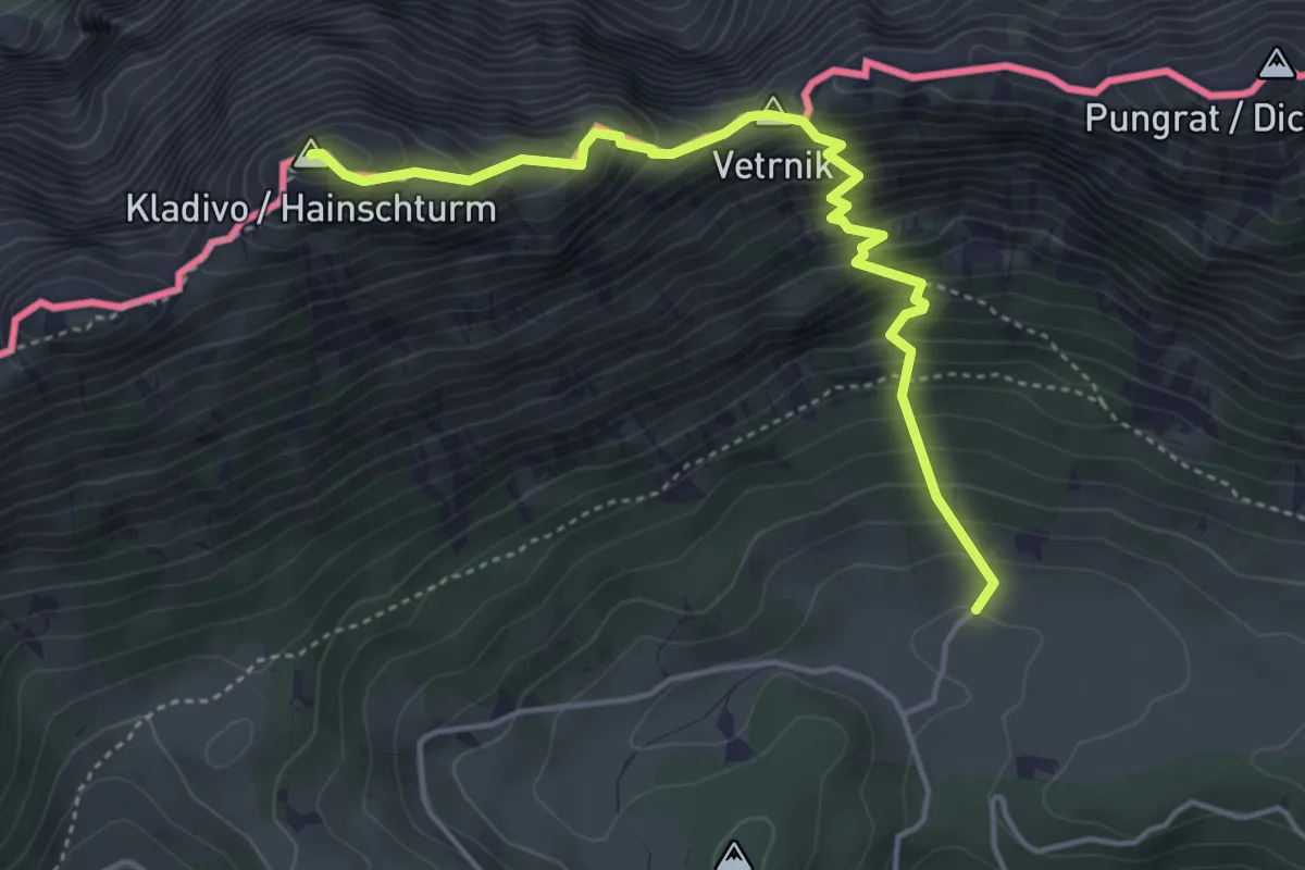
Demanding · Summit
Pl. Pungrat - Škrbina - Kladivo
4.4 km · ↑ 642 m · 2 h 26 min · 8 km away
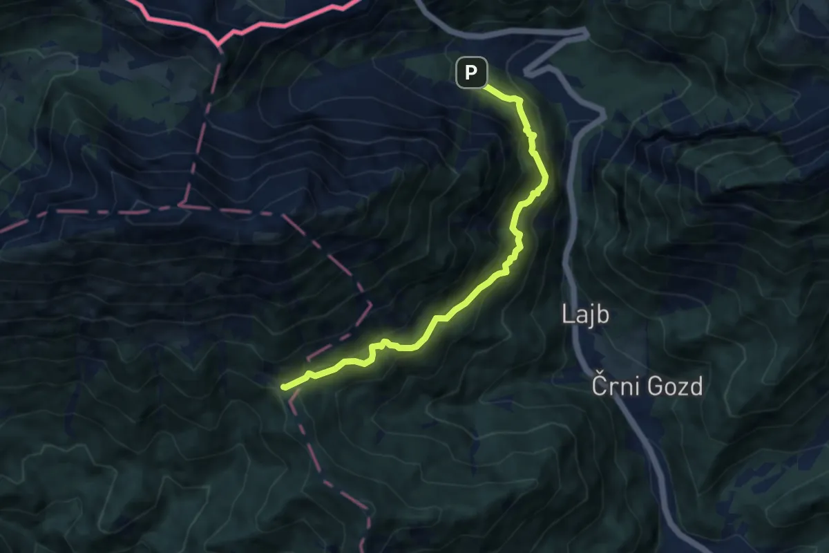
Medium · Cabin
Bornova pot
7.8 km · ↑ 724 m · 3 h 24 min · 8 km away
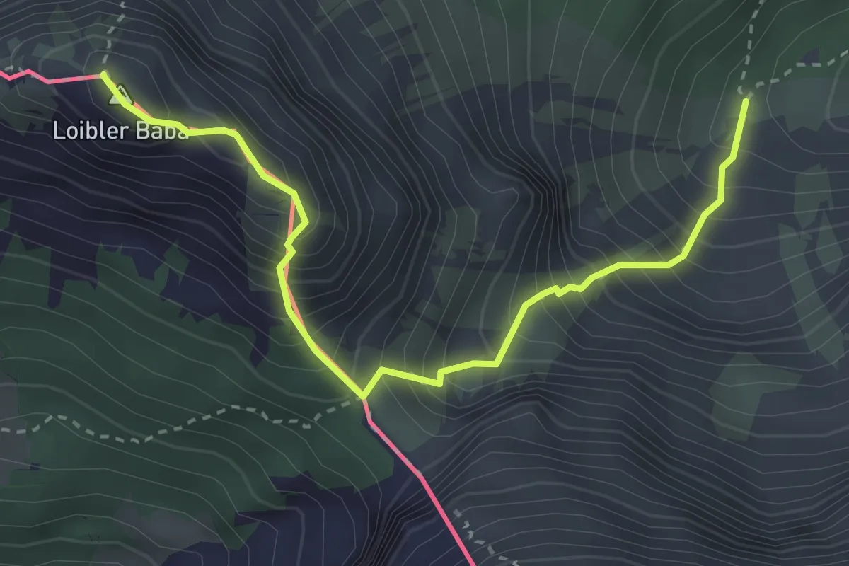
Demanding · Summit
Wanderweg 651
3.4 km · ↑ 668 m · 2 h 15 min · 8 km away
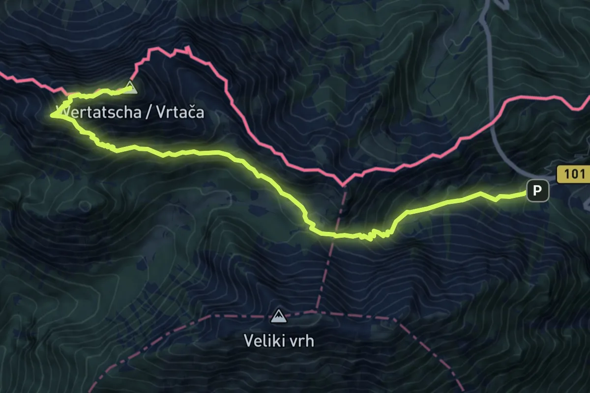
Demanding · Summit
Ljubelj - Vrtača
12.3 km · ↑ 1193 m · 5 h 30 min · 8 km away
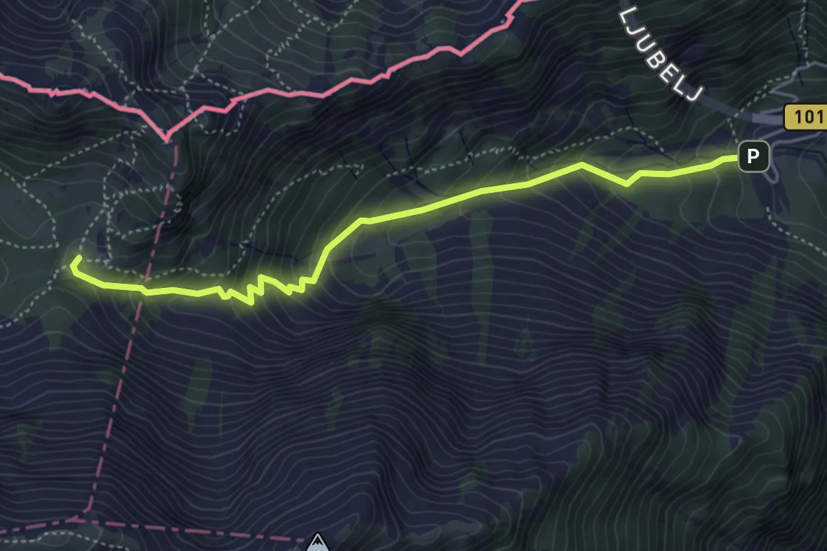
Medium · Cabin
Ljubelj - Dom na Zelenici
4.8 km · ↑ 483 m · 2 h 11 min · 8 km away
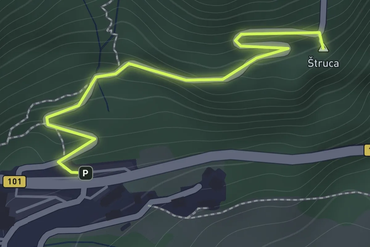
Easy · Summit
Ljubelj - Koča na Ljubelju
1.6 km · ↑ 147 m · 41 min · 9 km away
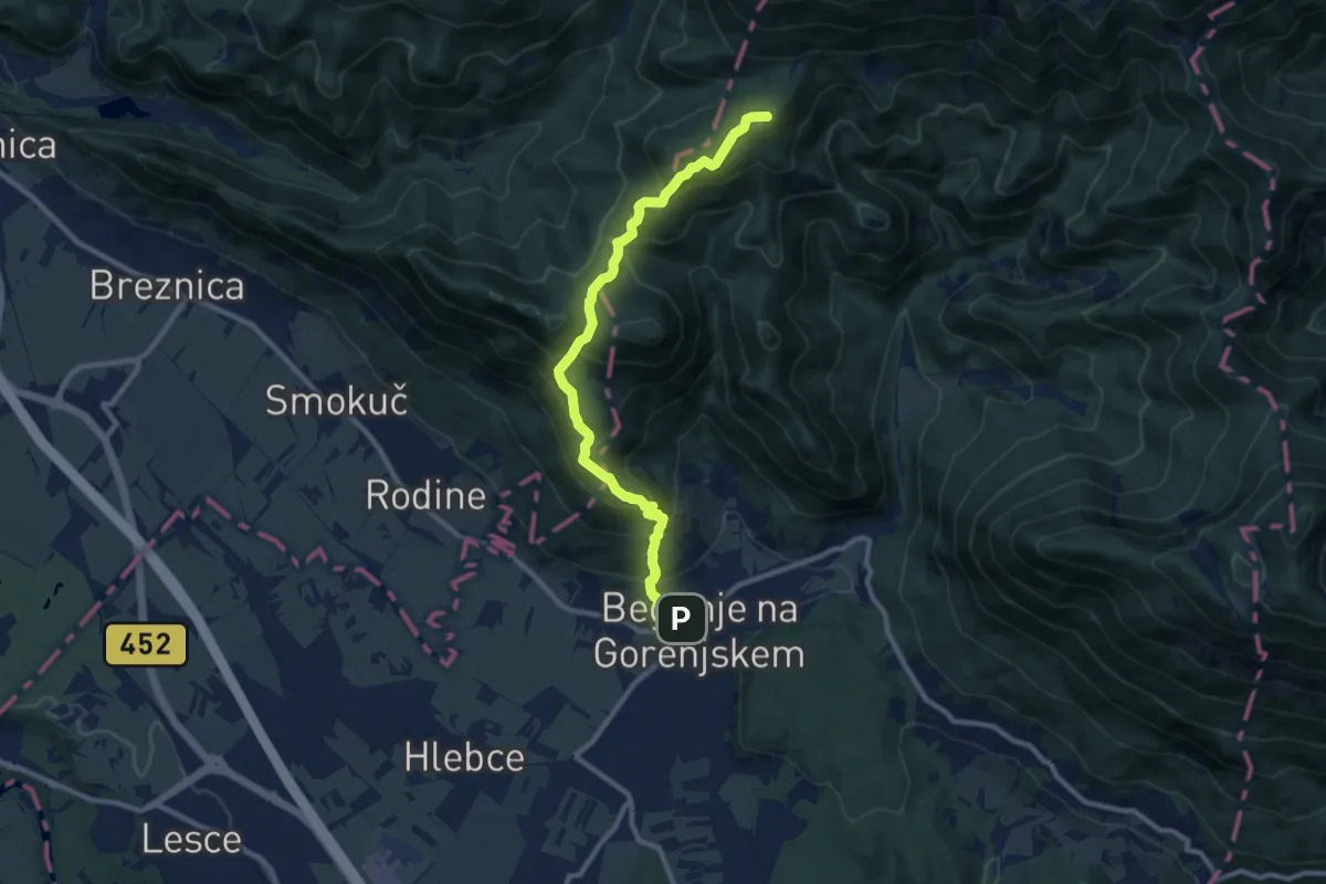
Medium · Summit
Begunje - Sv. Peter - Poljška pl.
9.9 km · ↑ 780 m · 4 h 2 min · 9 km away
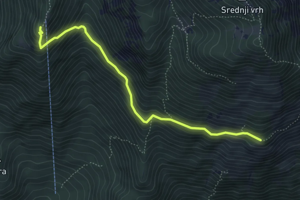
Medium · Cabin
Hudičev boršt - Kališče
5.4 km · ↑ 406 m · 2 h 9 min · 9 km away
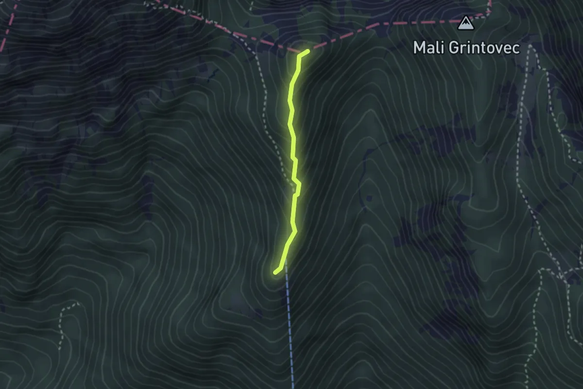
Demanding · Summit
Kališče - Bašeljski vrh
2.0 km · ↑ 199 m · 55 min · 9 km away
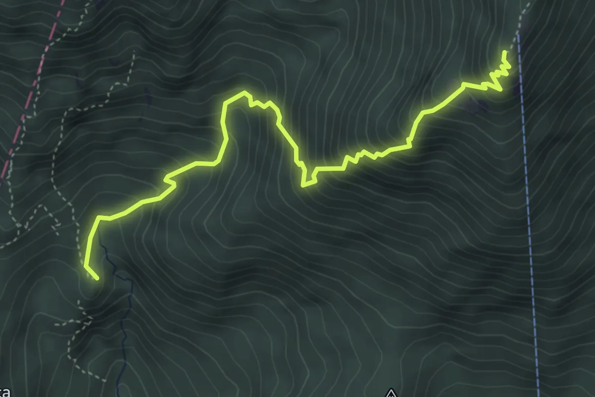
Medium · Summit
Laško - Kališče
5.1 km · ↑ 694 m · 2 h 42 min · 9 km away
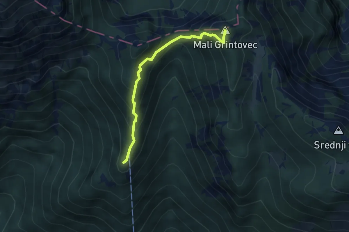
Demanding · Summit
Kališče - Mali Grintovec
3.5 km · ↑ 382 m · 1 h 39 min · 9 km away
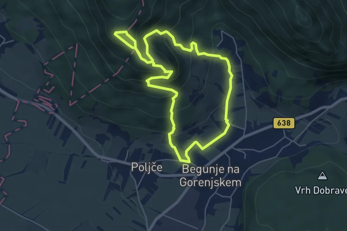
Easy · Trail
Petrova pot
4.6 km · ↑ 319 m · 1 h 50 min · 9 km away
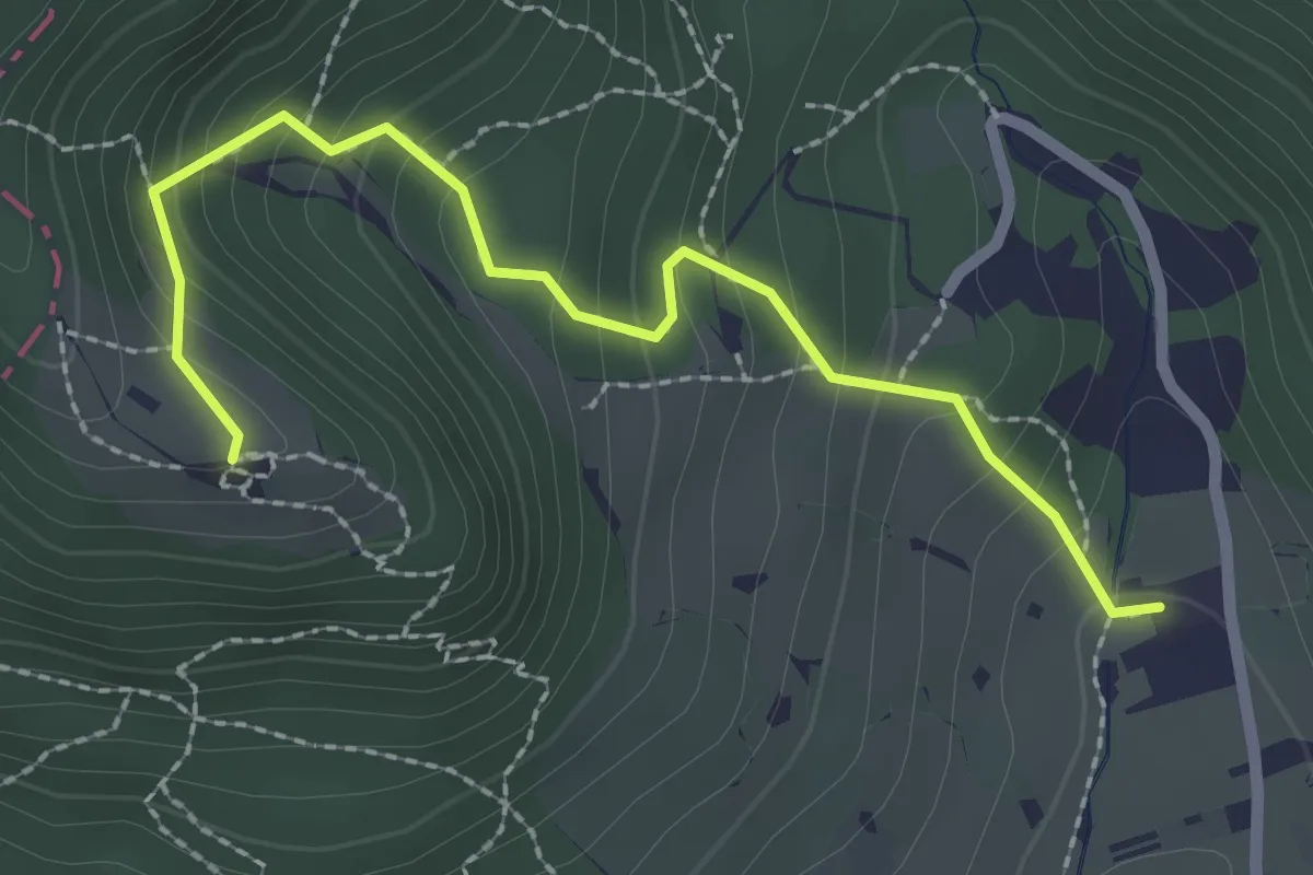
Easy · Trail
Krpin - Sv. Peter
2.5 km · ↑ 218 m · 1 h 4 min · 9 km away
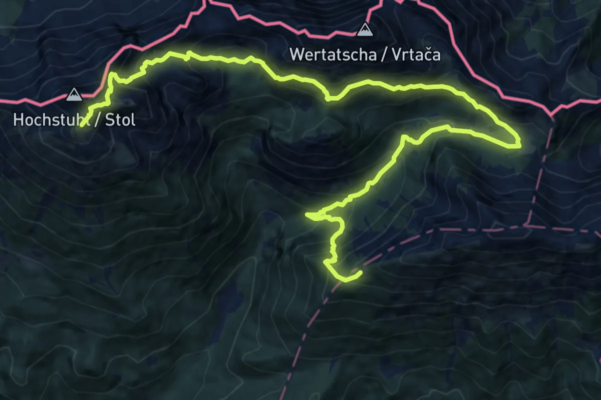
Demanding · Summit
Via Alpina Purple A5
20.1 km · ↑ 1929 m · 8 h 55 min · 10 km away
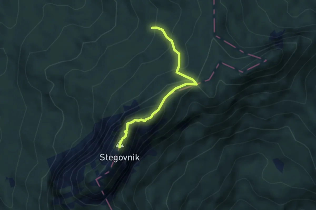
Demanding · Summit
Fevča - Stegovnik
3.4 km · ↑ 290 m · 1 h 26 min · 10 km away
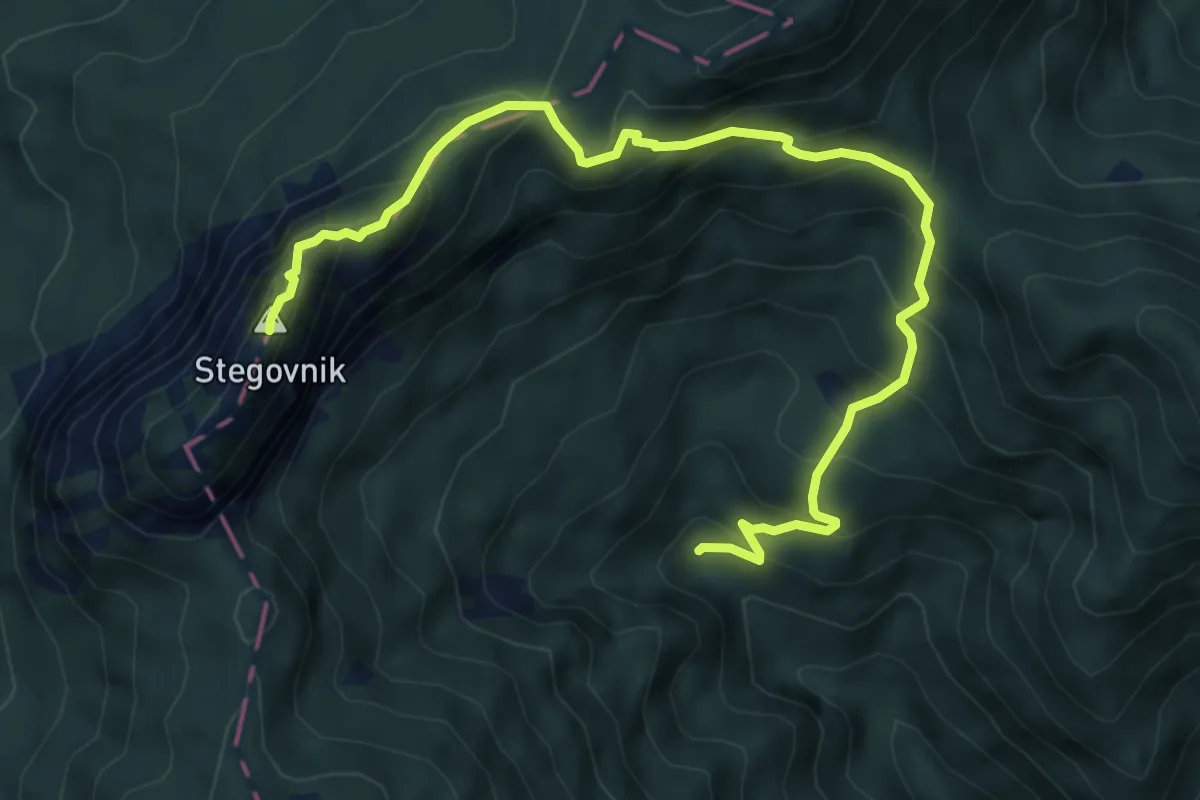
Demanding · Summit
Dol - Močnikovo sedlo - Stegovnik
7.2 km · ↑ 634 m · 3 h 4 min · 10 km away
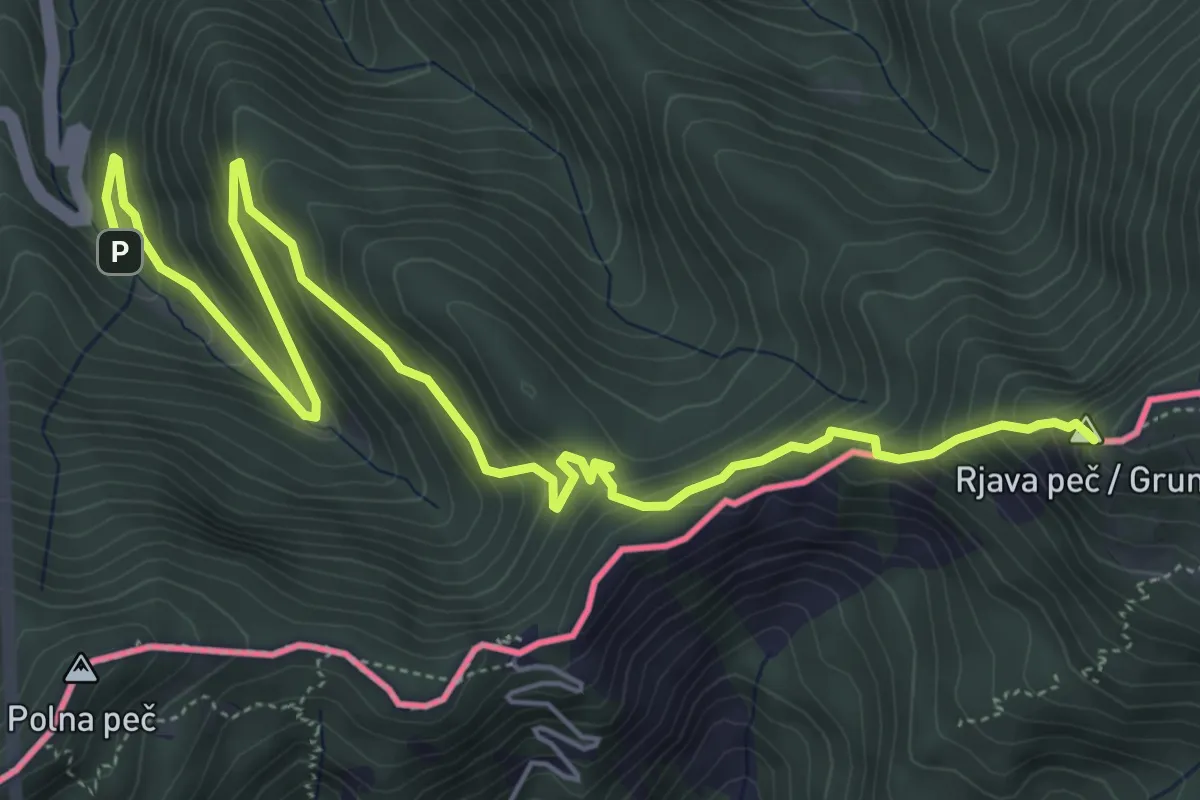
Demanding · Summit
Wanderweg 650
7.3 km · ↑ 582 m · 2 h 59 min · 10 km away
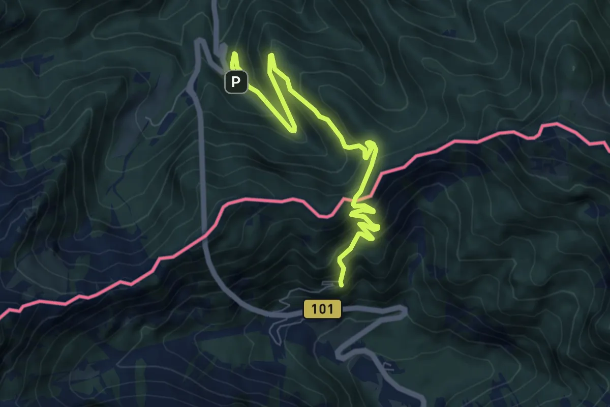
Medium · Summit
Hemmaweg SvAna-Gurk
4.1 km · ↑ 388 m · 1 h 48 min · 10 km away
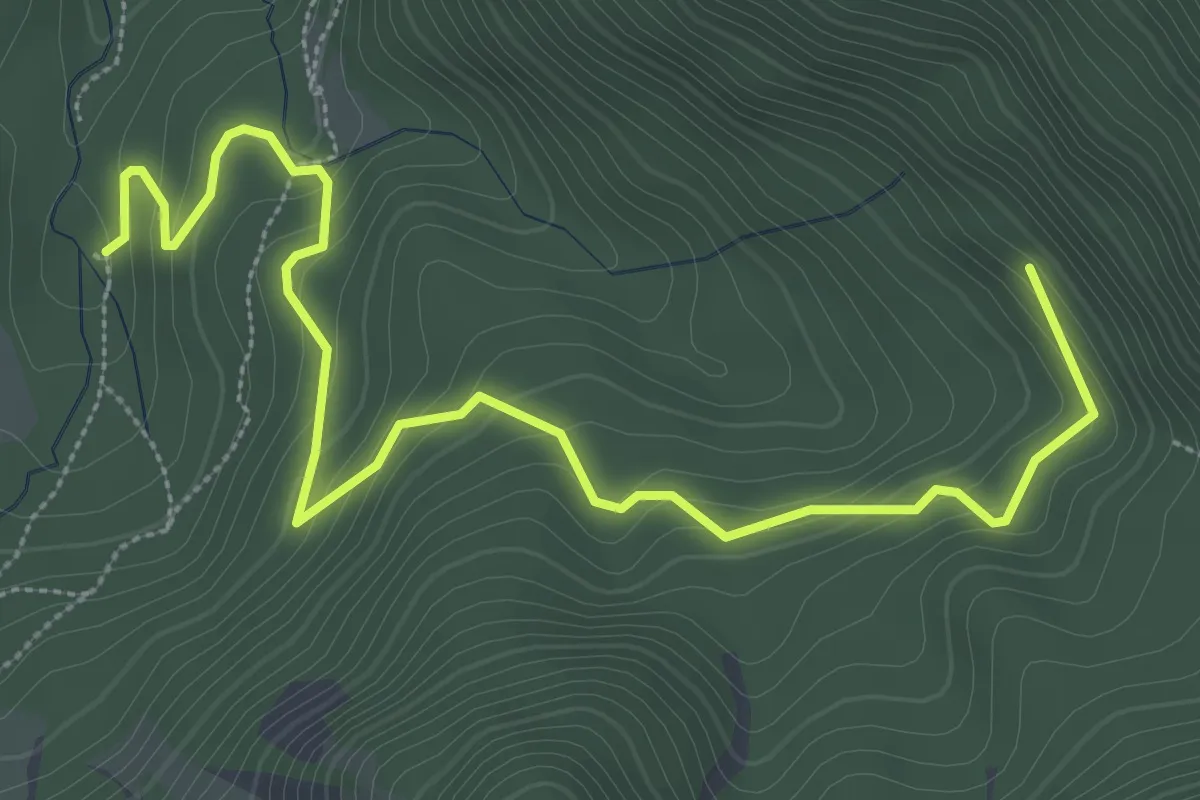
Easy · Trail
Wanderweg 649
4.3 km · ↑ 230 m · 1 h 31 min · 10 km away
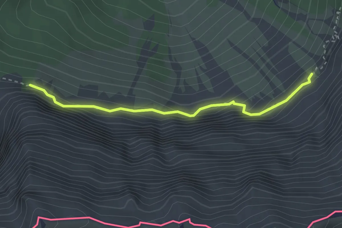
Expert · Trail
JK02
1.3 km · ↑ 134 m · 36 min · 10 km away
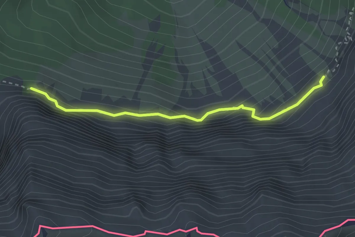
Expert · Trail
Panoramaweg Südalpen 07
2.6 km · ↑ 233 m · 1 h 7 min · 10 km away
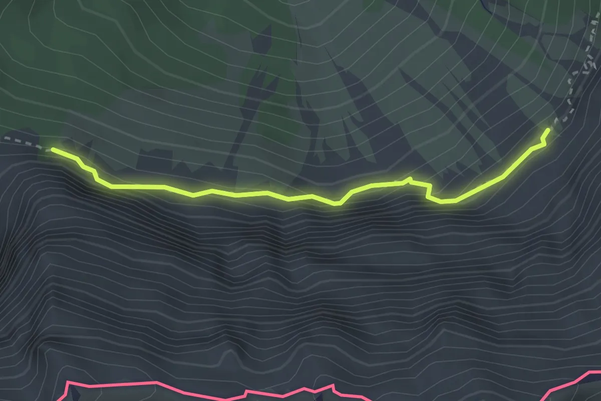
Expert · Trail
Wanderweg 647
2.6 km · ↑ 233 m · 1 h 7 min · 10 km away
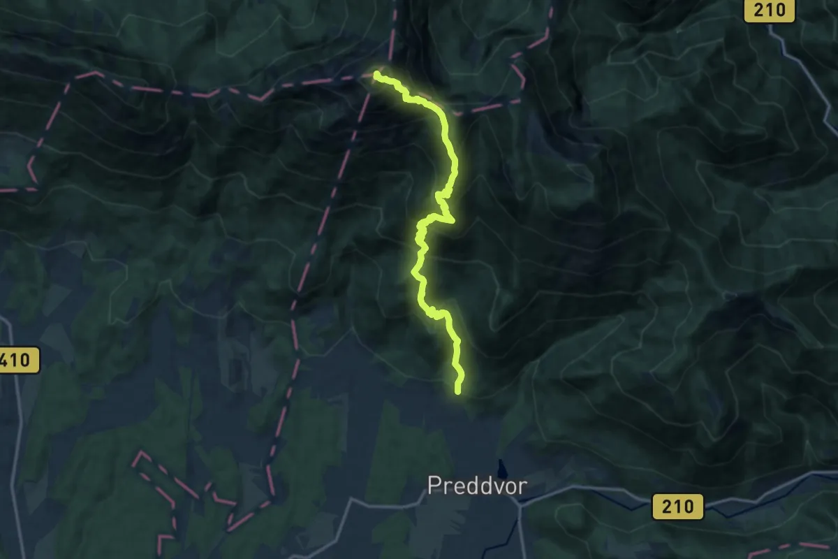
Expert · Summit
Mače - Kališče - Storžič
14.0 km · ↑ 1532 m · 6 h 37 min · 10 km away
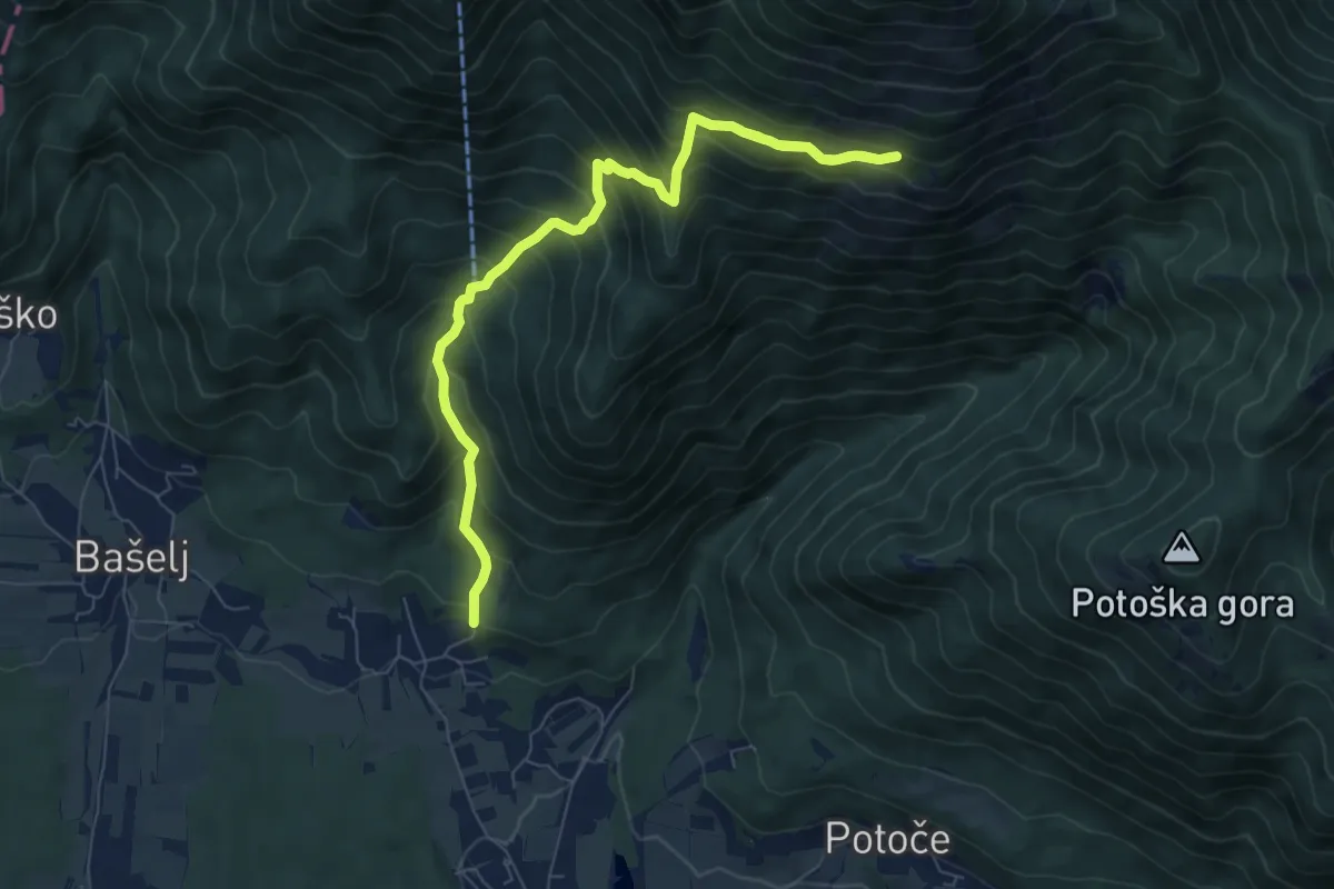
Demanding · Trail
Mače - Kozjek - Hudičev boršt
8.8 km · ↑ 826 m · 3 h 52 min · 10 km away
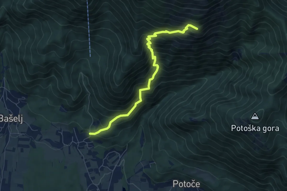
Demanding · Cabin
Mače - Hudičev boršt
7.3 km · ↑ 835 m · 3 h 32 min · 10 km away
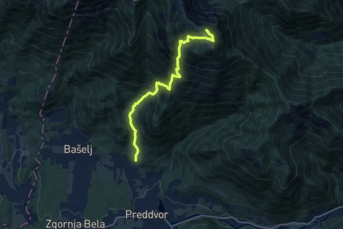
Demanding · Summit
Mače - Srednji vrh
10.4 km · ↑ 1243 m · 5 h 10 min · 10 km away
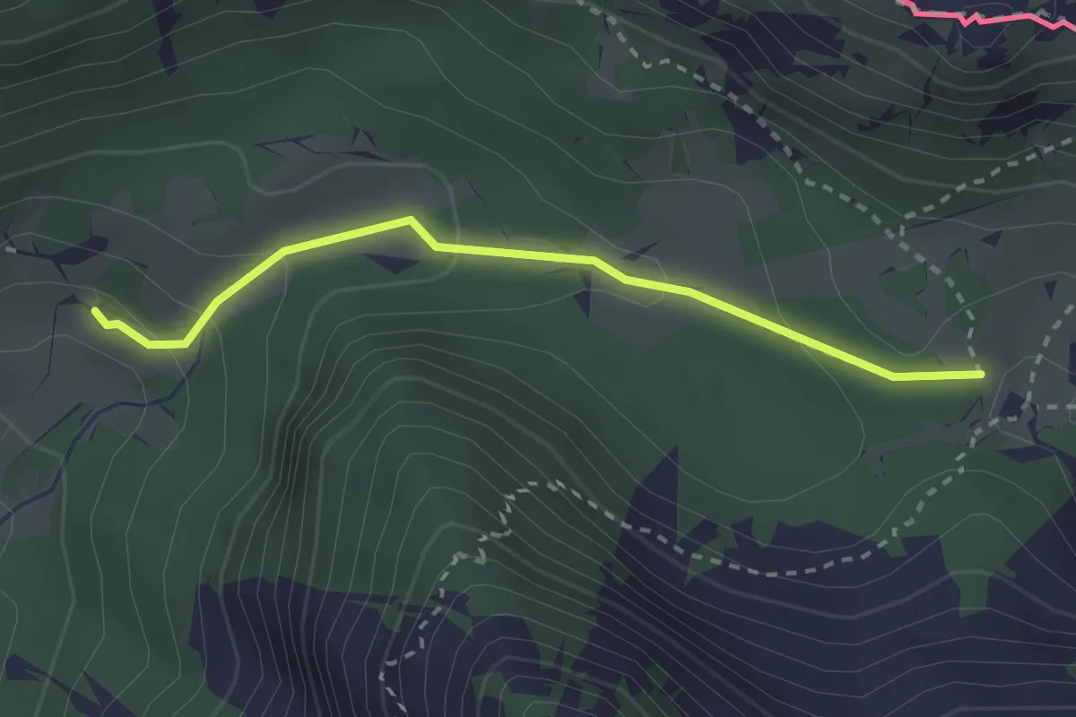
Medium · Trail
Slovenska geološka pot
2.5 km · ↑ 112 m · 50 min · 10 km away
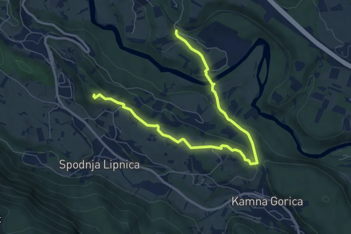
Medium · Summit
Naravoslovna učna pot Pusti grad
8.1 km · ↑ 222 m · 2 h 23 min · 10 km away
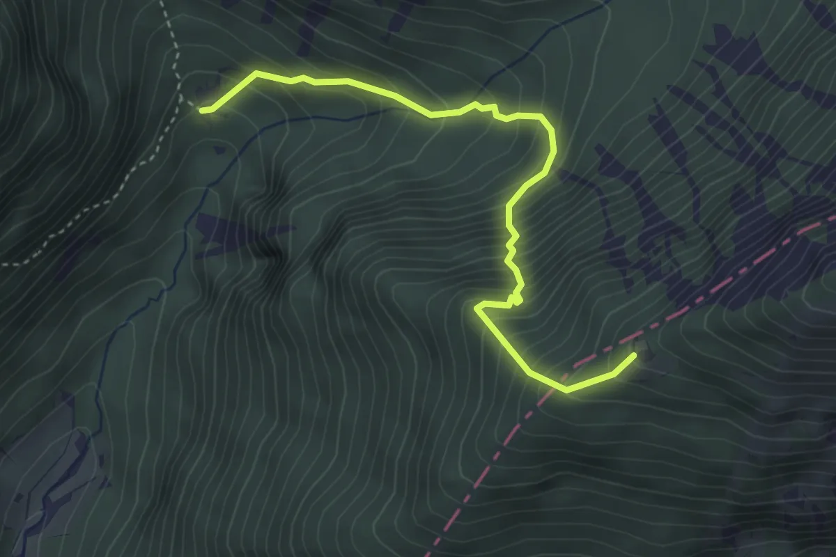
Medium · Cabin
Tinčkova koča - Roblekov dom
3.8 km · ↑ 574 m · 2 h 9 min · 11 km away
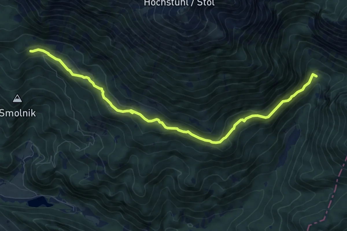
Medium · Cabin
Tinčkova koča - Valvasorjev dom
10.3 km · ↑ 463 m · 3 h 26 min · 11 km away
Medium · Cabin
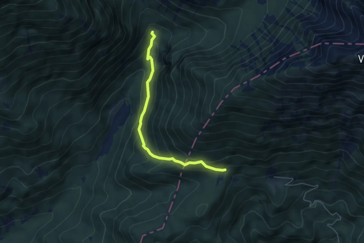
Tinčkova koča - Poljška pl.
4.5 km · ↑ 377 m · 1 h 53 min · 11 km away
Medium · Summit
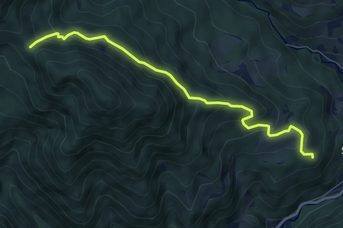
Kanonir - Močnikovo sedlo
6.7 km · ↑ 463 m · 2 h 35 min · 11 km away
Medium · Summit
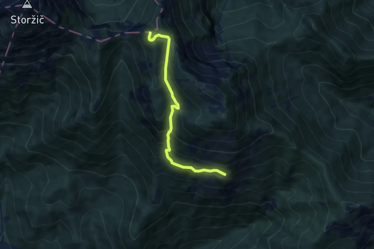
Hudičev boršt - M. Grintovec
6.5 km · ↑ 547 m · 2 h 44 min · 11 km away
Medium · Summit
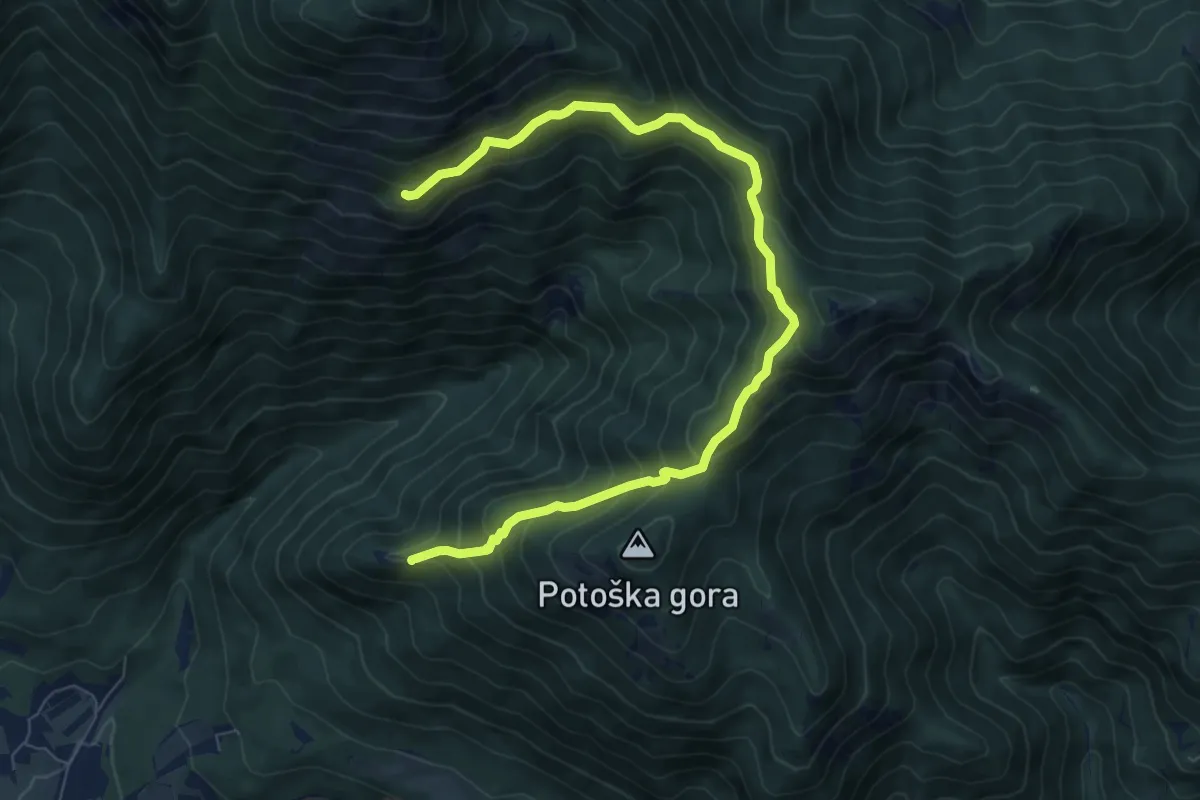
Sv. Jakob - Hudičev boršt
8.9 km · ↑ 686 m · 3 h 36 min · 11 km away
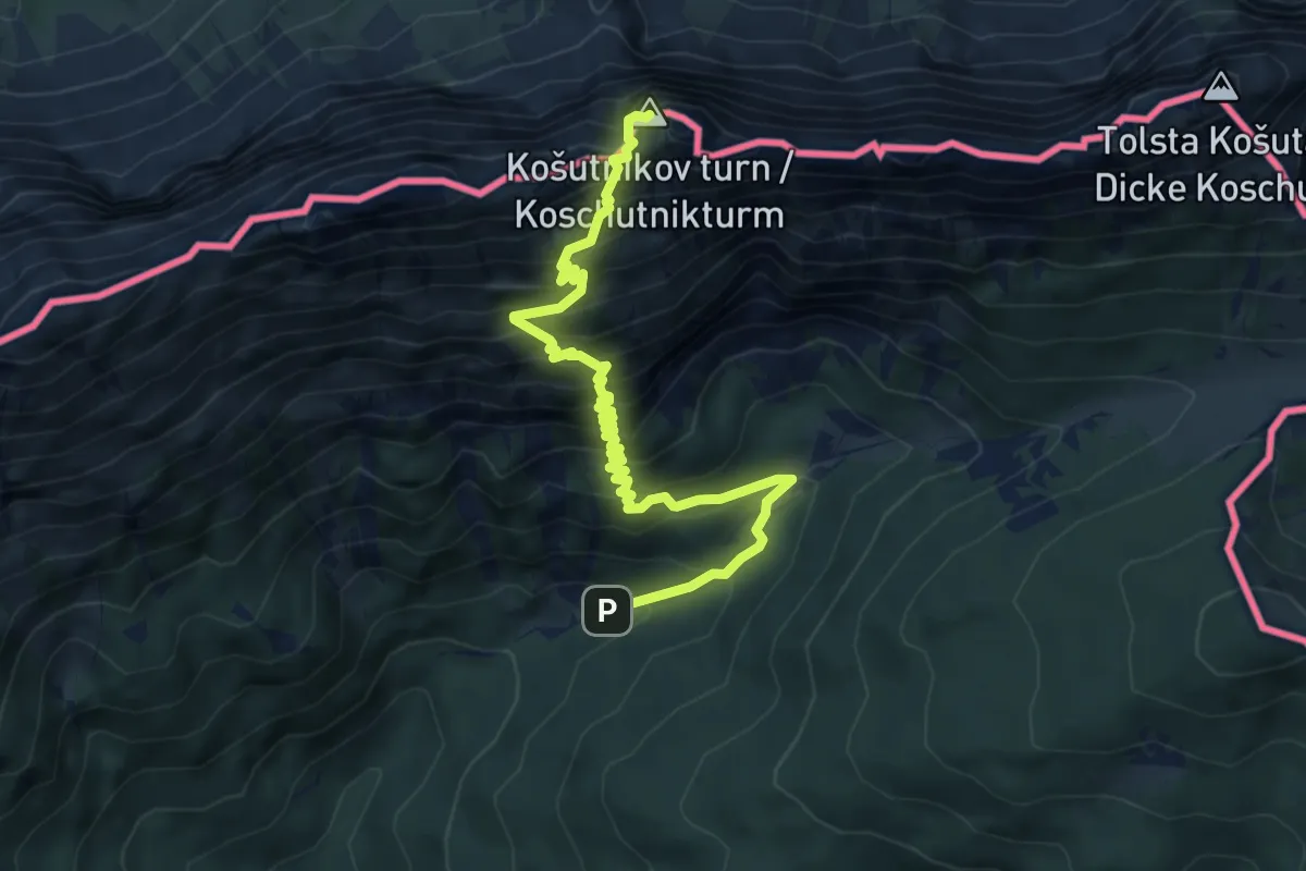
Demanding · Summit
Pod Krnico - Košutnikov turn (zah. pot)
6.7 km · ↑ 903 m · 3 h 32 min · 11 km away
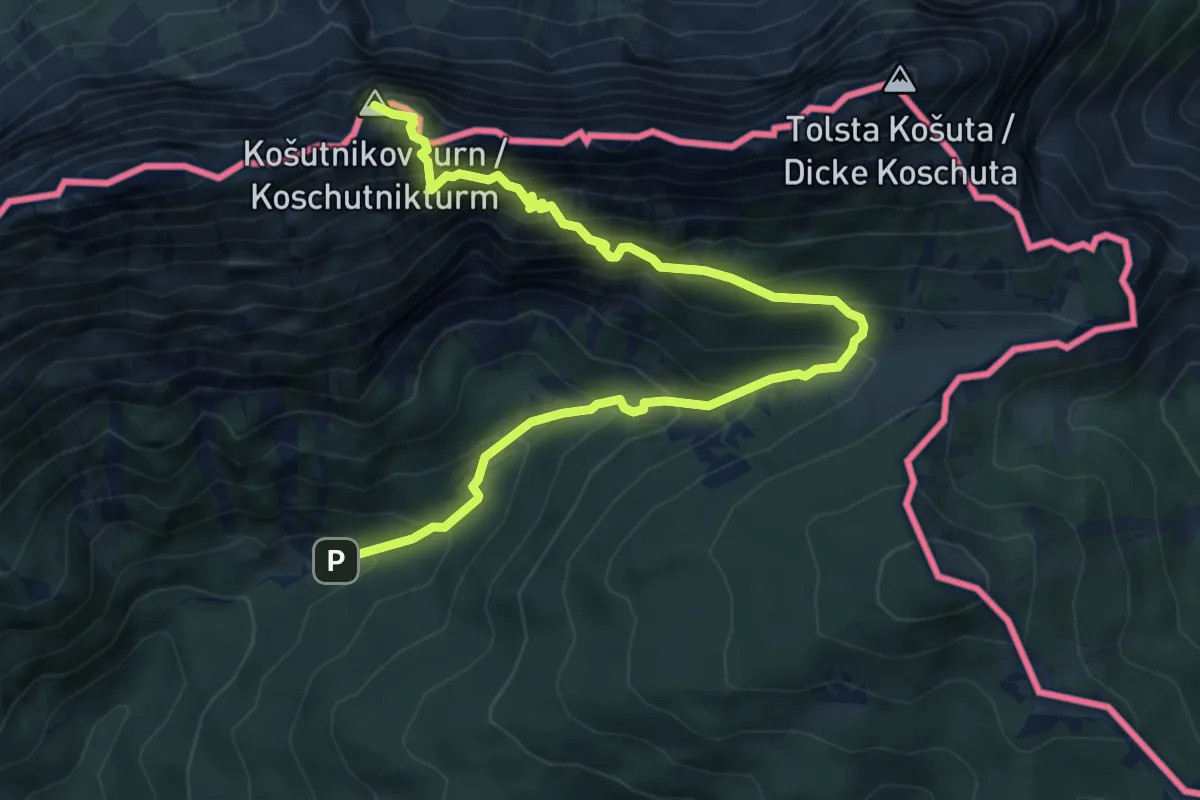
Demanding · Summit
Pod Krnico - Košutnikov turn (vzh. pot)
7.6 km · ↑ 1014 m · 4 h · 11 km away
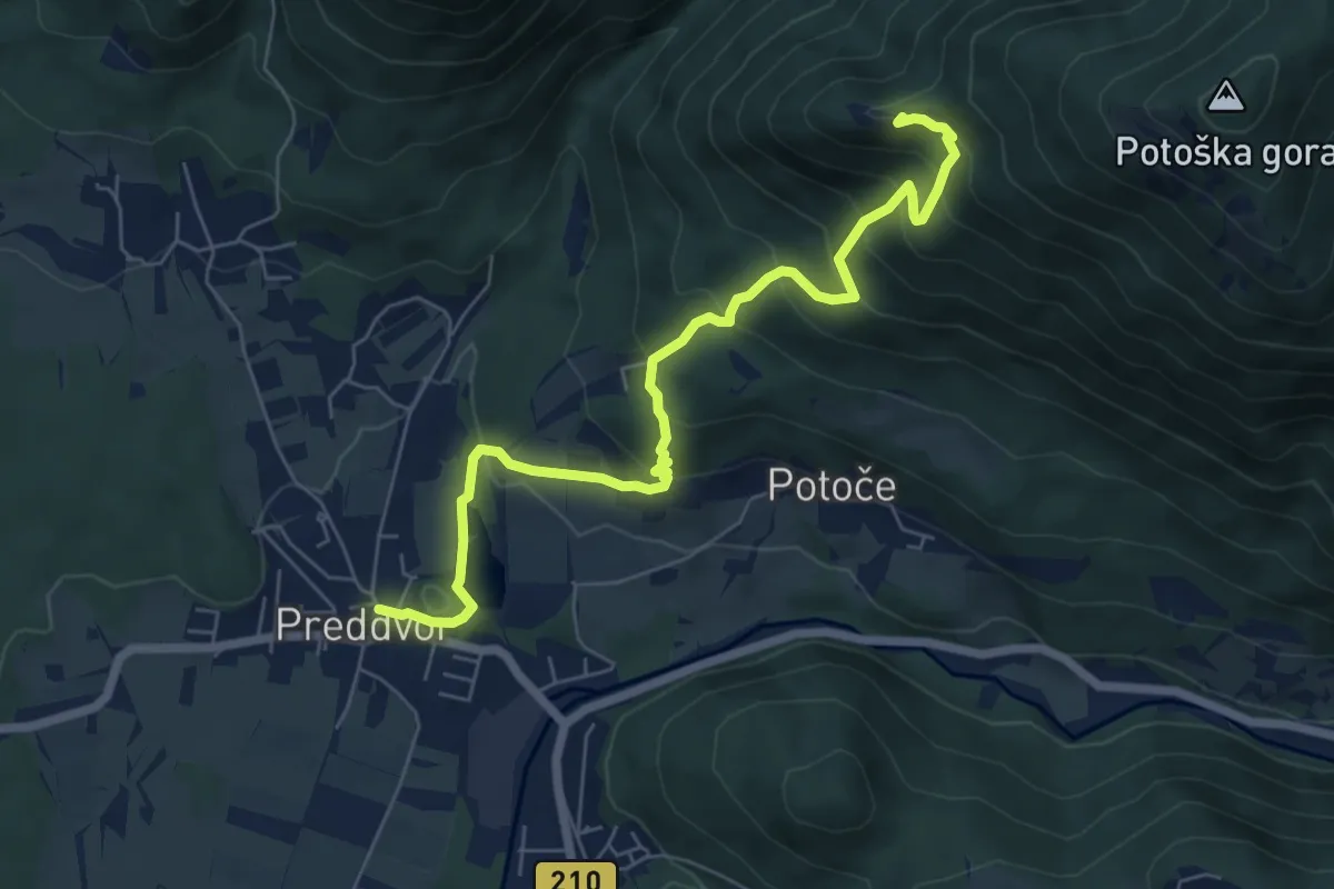
Medium · Summit
Jakobova pot – Preddvorska veja (var. 1)
3.5 km · ↑ 479 m · 1 h 41 min · 11 km away
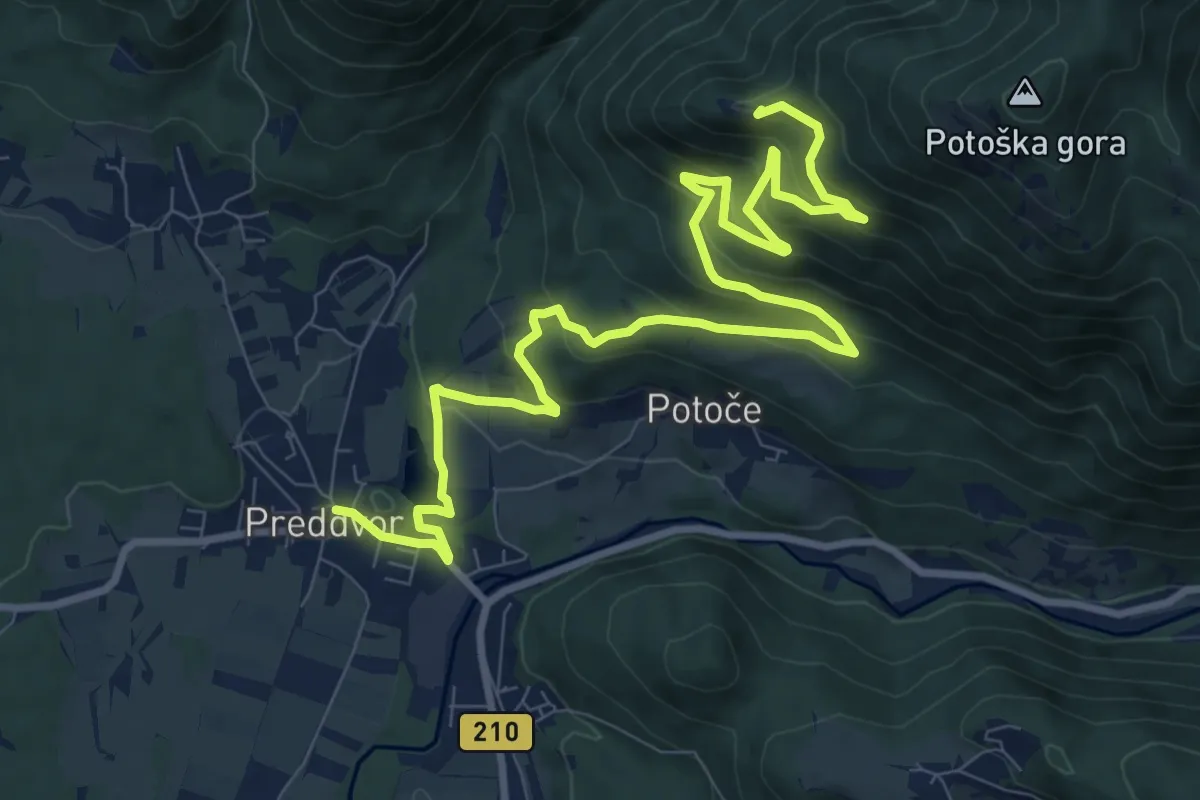
Medium · Summit
Jakobova pot – Preddvorska veja (var. 2)
6.5 km · ↑ 545 m · 2 h 35 min · 11 km away
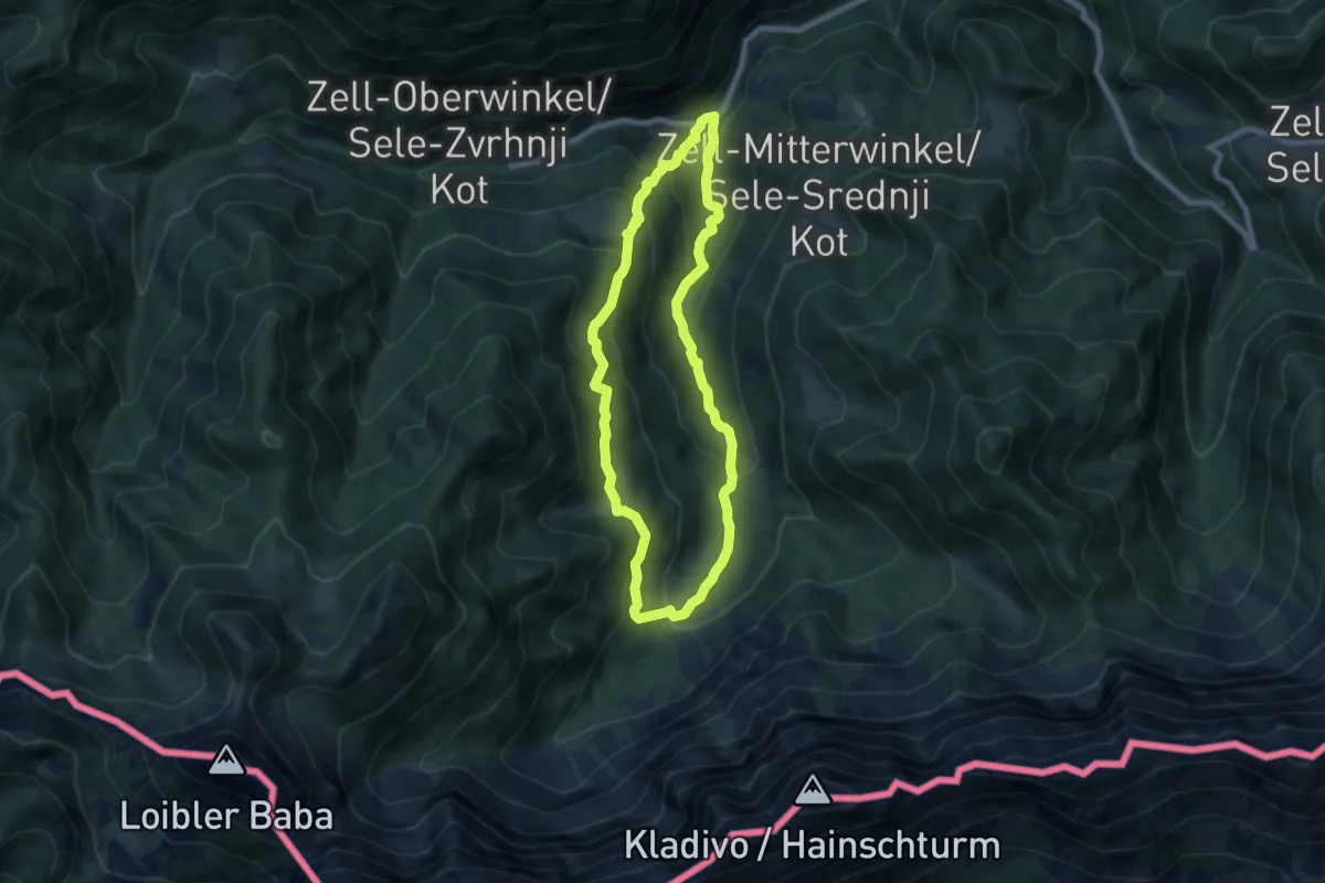
Medium · Trail
Wassererlebnisweg Hainschgraben
7.2 km · ↑ 433 m · 2 h 44 min · 11 km away
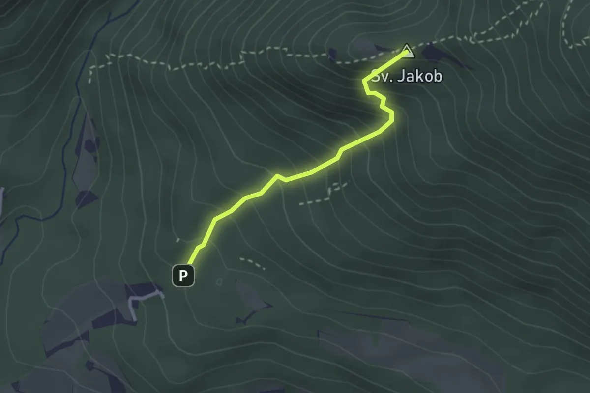
Medium · Summit
Juhantova pot
2.2 km · ↑ 323 m · 1 h 14 min · 11 km away
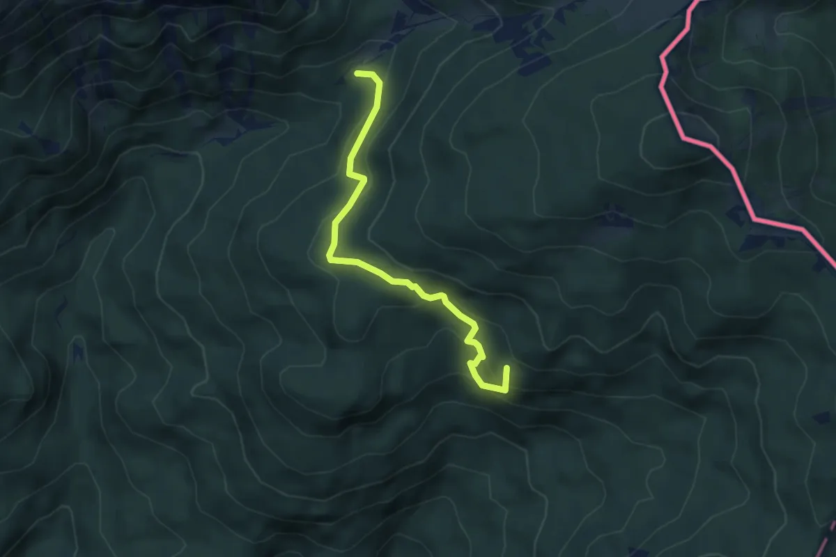
Medium · Summit
Dolga njiva - Pl. Brsnina
4.4 km · ↑ 327 m · 1 h 44 min · 11 km away
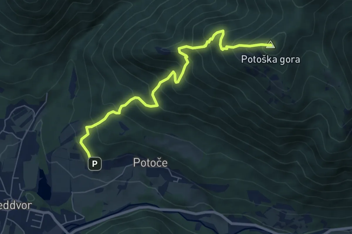
Medium · Summit
Potoče - Potoška gora
6.7 km · ↑ 740 m · 3 h 11 min · 11 km away