Trails in Slovenia
1,594 hiking trails, each with its route, climb, walking time and grade.
All trails, page 13 of 34
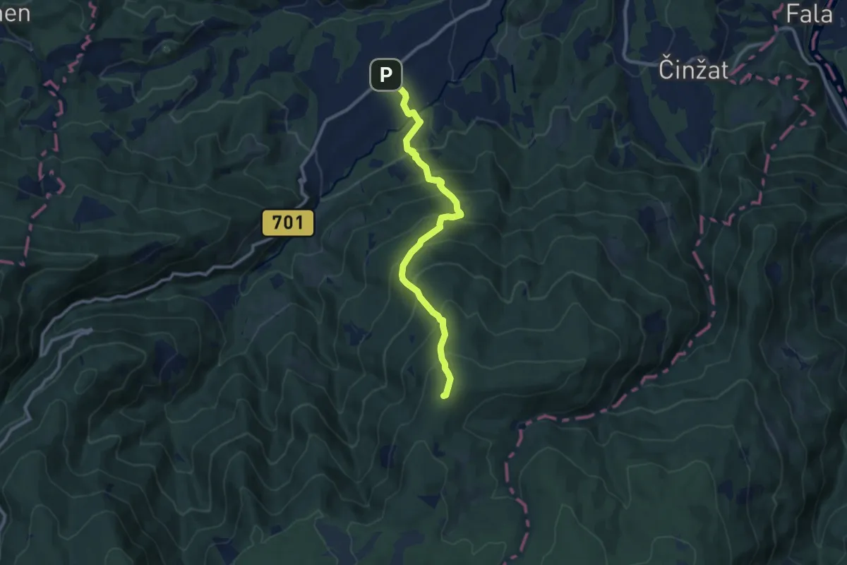
Demanding · Summit
Lovrenc na Pohorju (Spodnji trg) - Koča na Klopnem vrhu
9.7 km · ↑ 859 m · 4 h 9 min
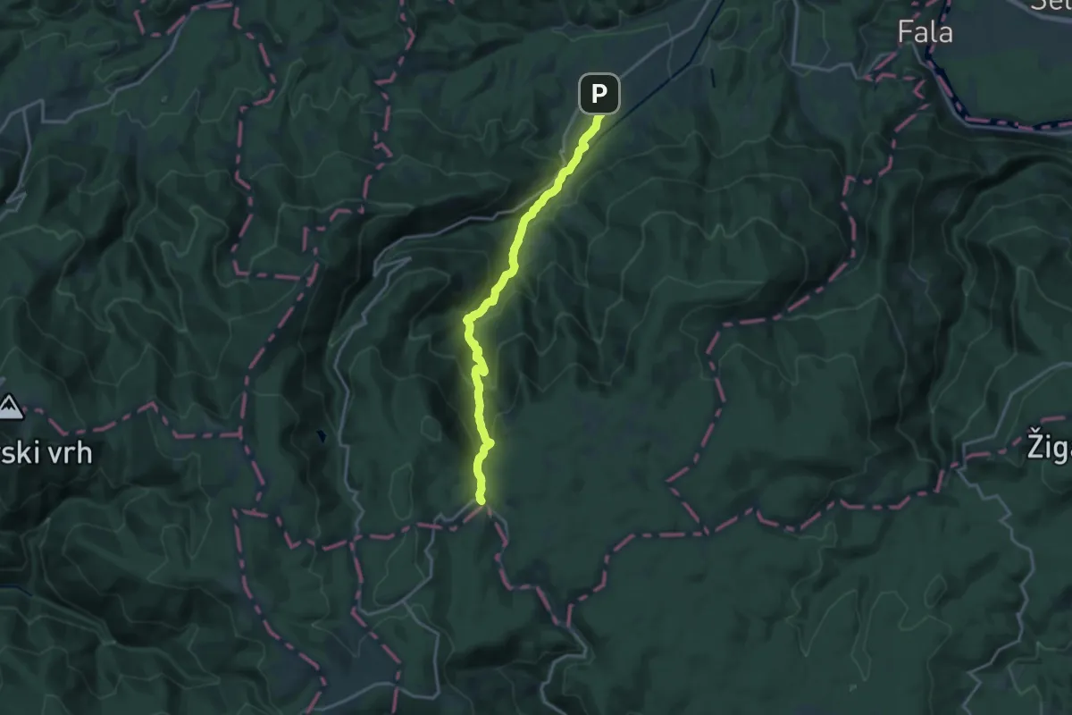
Demanding · Trail
Lovrenc na Pohorju - Zgornja Brv
15.7 km · ↑ 907 m · 5 h 40 min
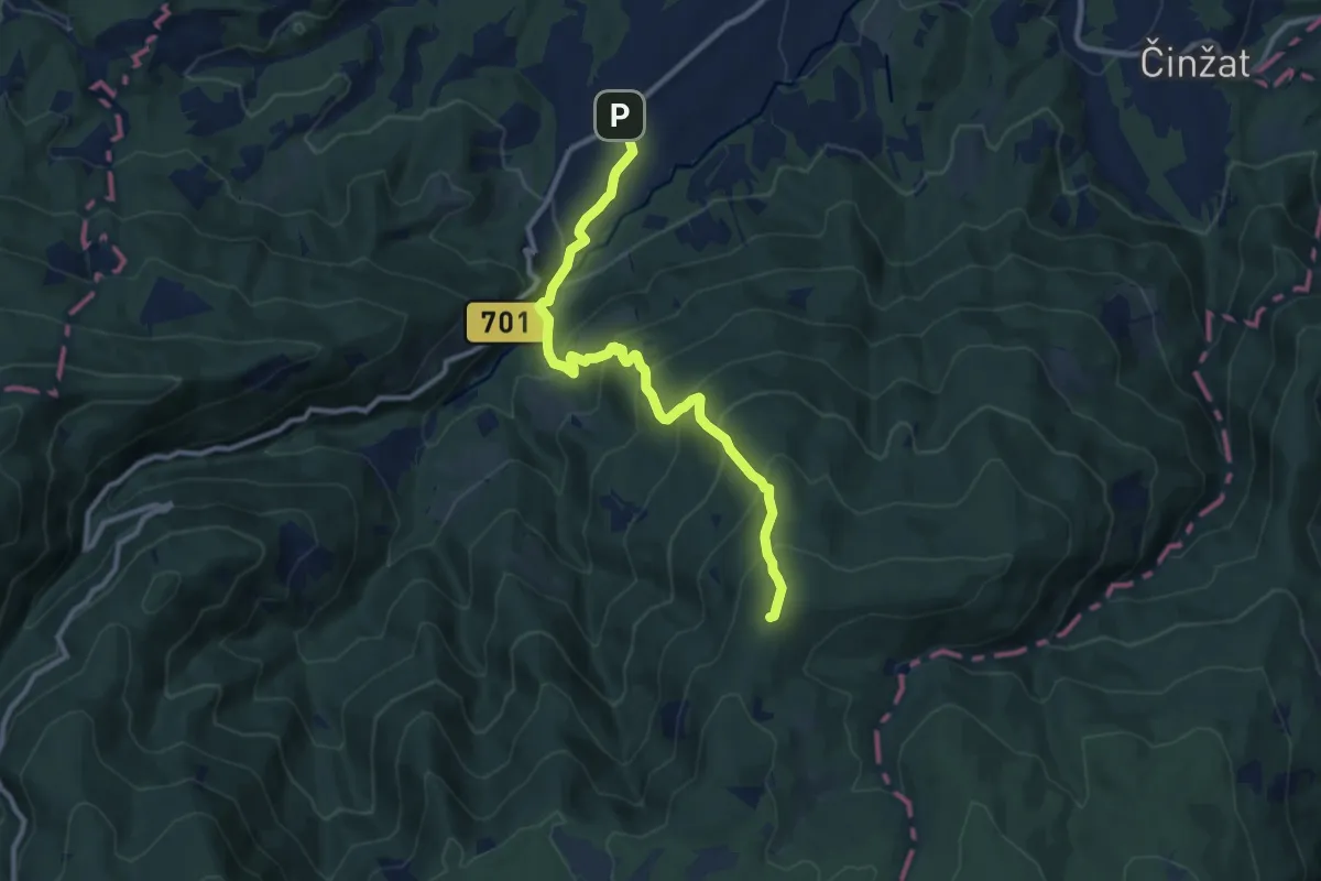
Demanding · Summit
Lovrenc na Pohorju (Zgornji trg) - Koča na Klopnem vrhu
10.4 km · ↑ 827 m · 4 h 15 min
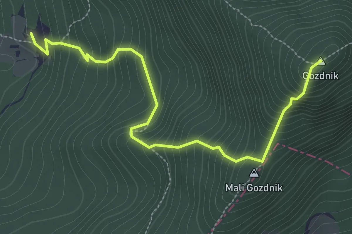
Medium · Summit
Lovska koča - Gozdnik
3.3 km · ↑ 452 m · 1 h 45 min
Easy · Trail
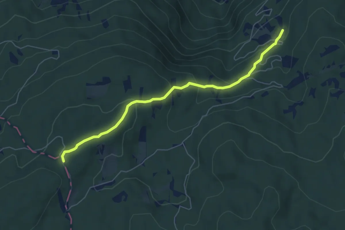
Lovska koča - Mirčev križ
5.7 km · ↑ 280 m · 1 h 56 min
Demanding · Cabin
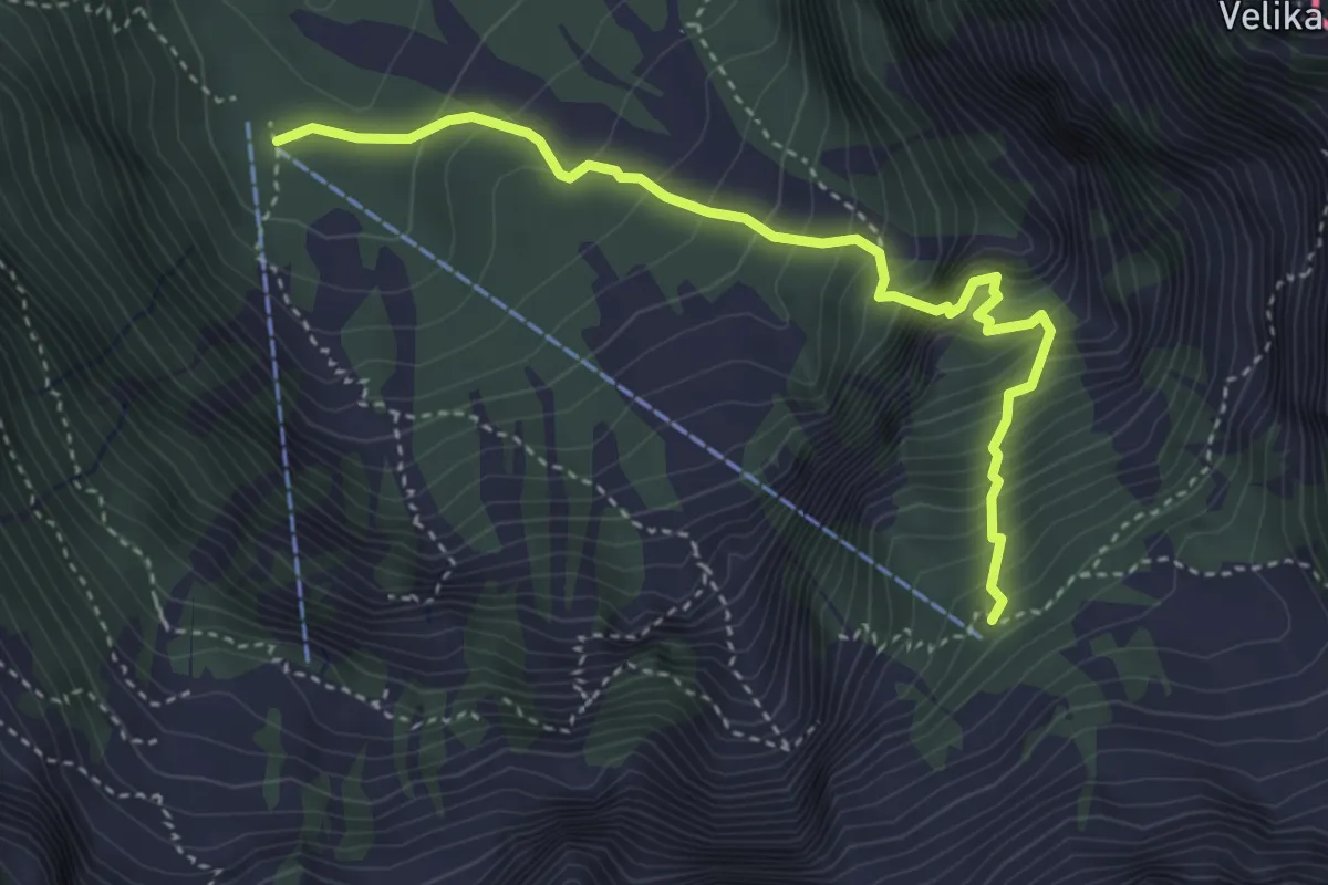
Lovska pot
4.0 km · ↑ 612 m · 2 h 16 min
Demanding · Summit
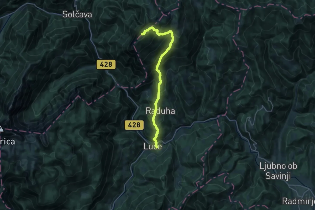
Luče - Koča na Loki - Raduha
18.5 km · ↑ 1632 m · 7 h 54 min
Demanding · Trail
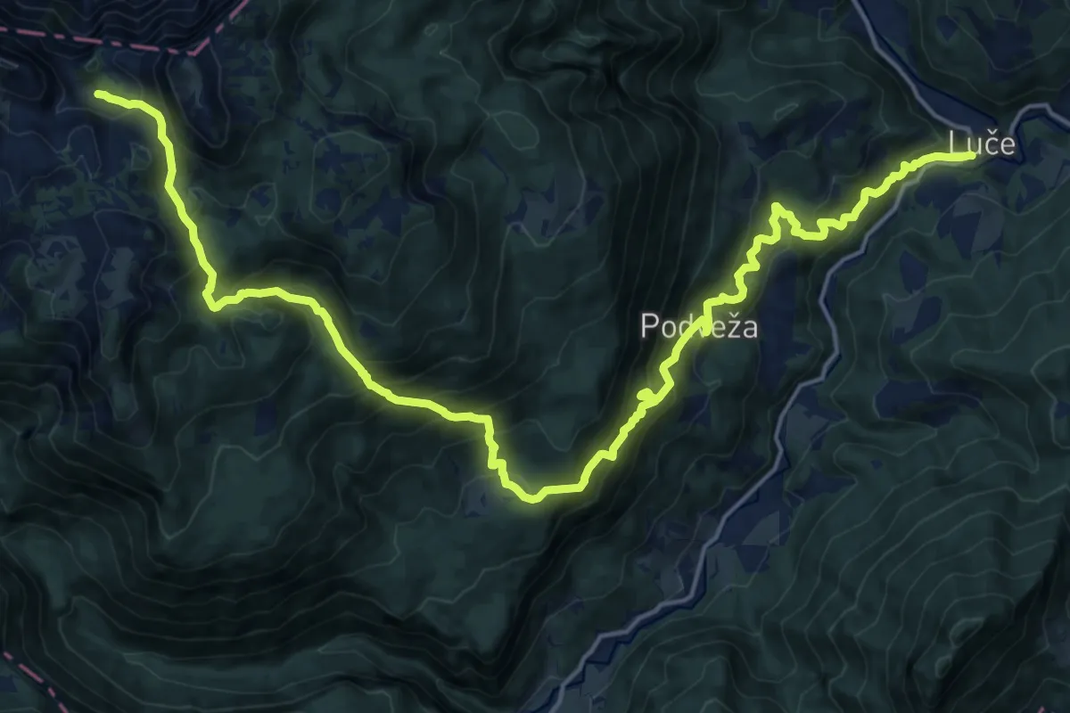
Luče - Molička pl.
11.7 km · ↑ 1661 m · 5 h 55 min
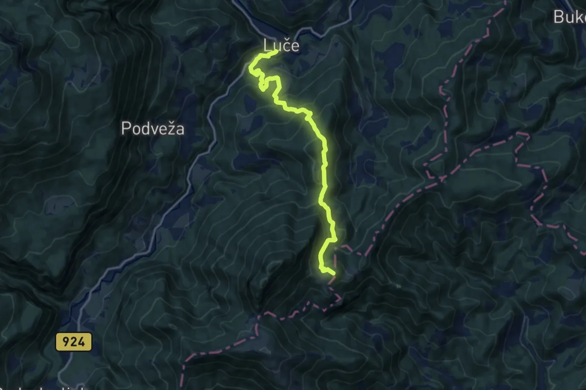
Demanding · Summit
Luče - Zg. Špeh
12.0 km · ↑ 829 m · 4 h 38 min
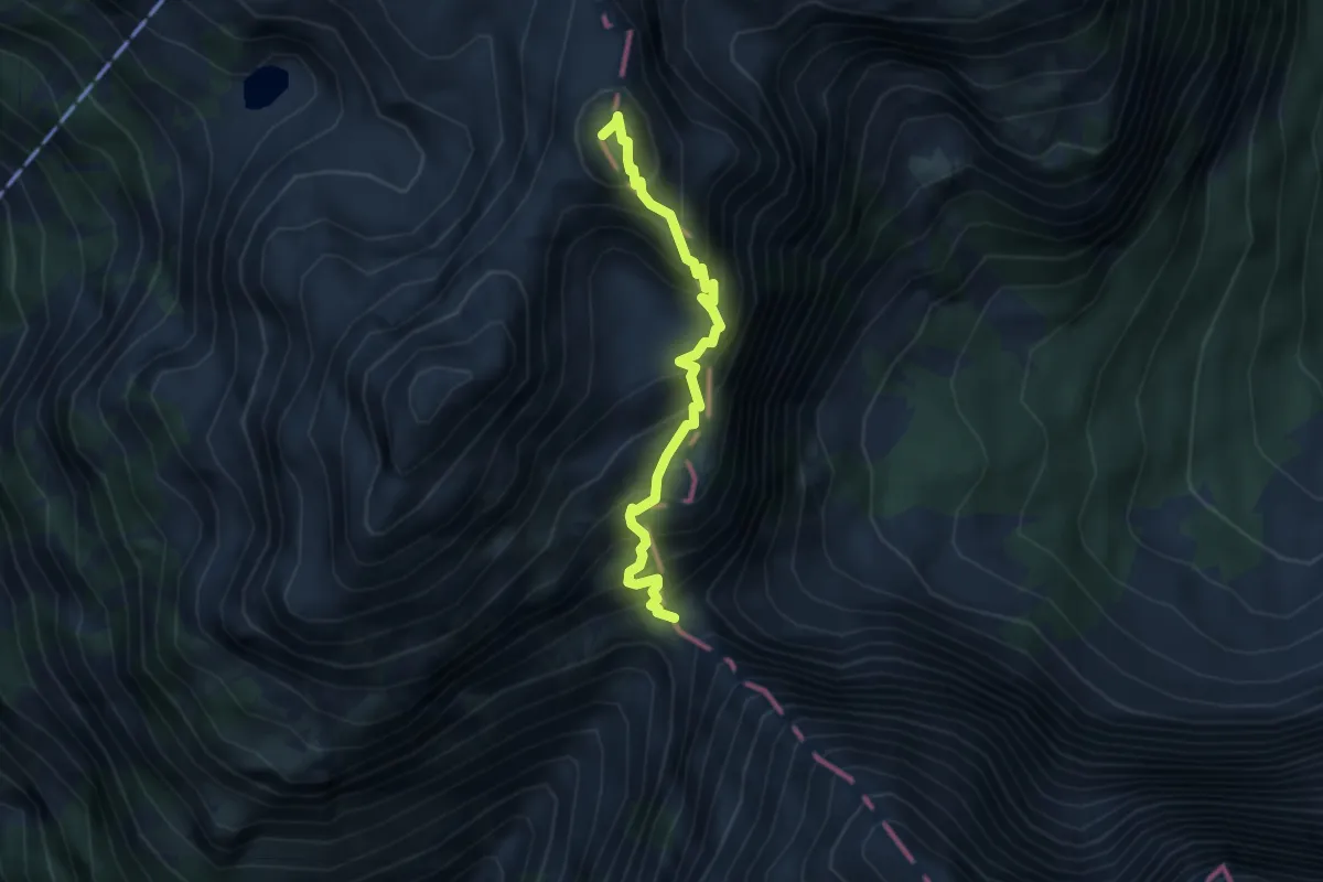
Expert · Summit
Luknja - Bovški Gamsovec
3.6 km · ↑ 668 m · 2 h 18 min
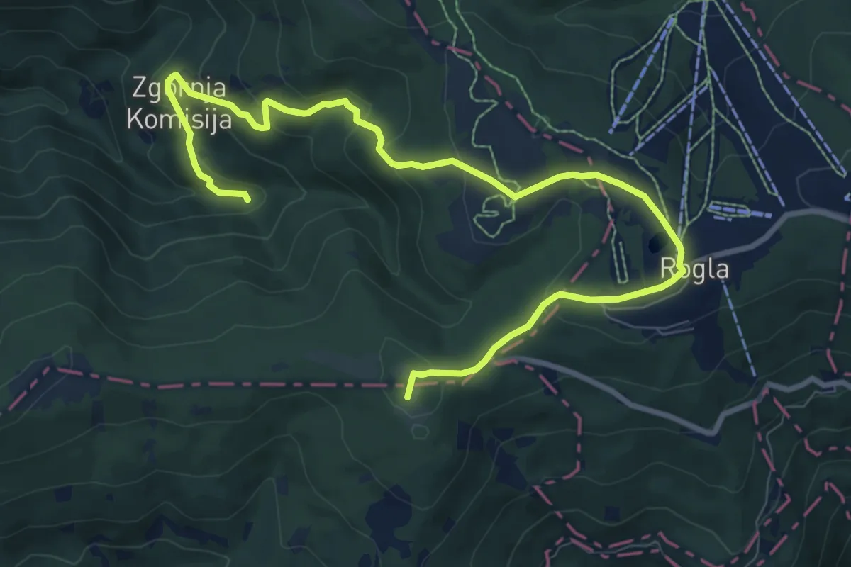
Medium · Summit
Lukov slap
10.9 km · ↑ 401 m · 3 h 27 min
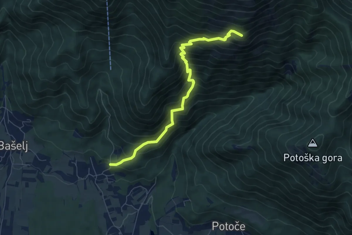
Demanding · Cabin
Mače - Hudičev boršt
7.3 km · ↑ 835 m · 3 h 32 min
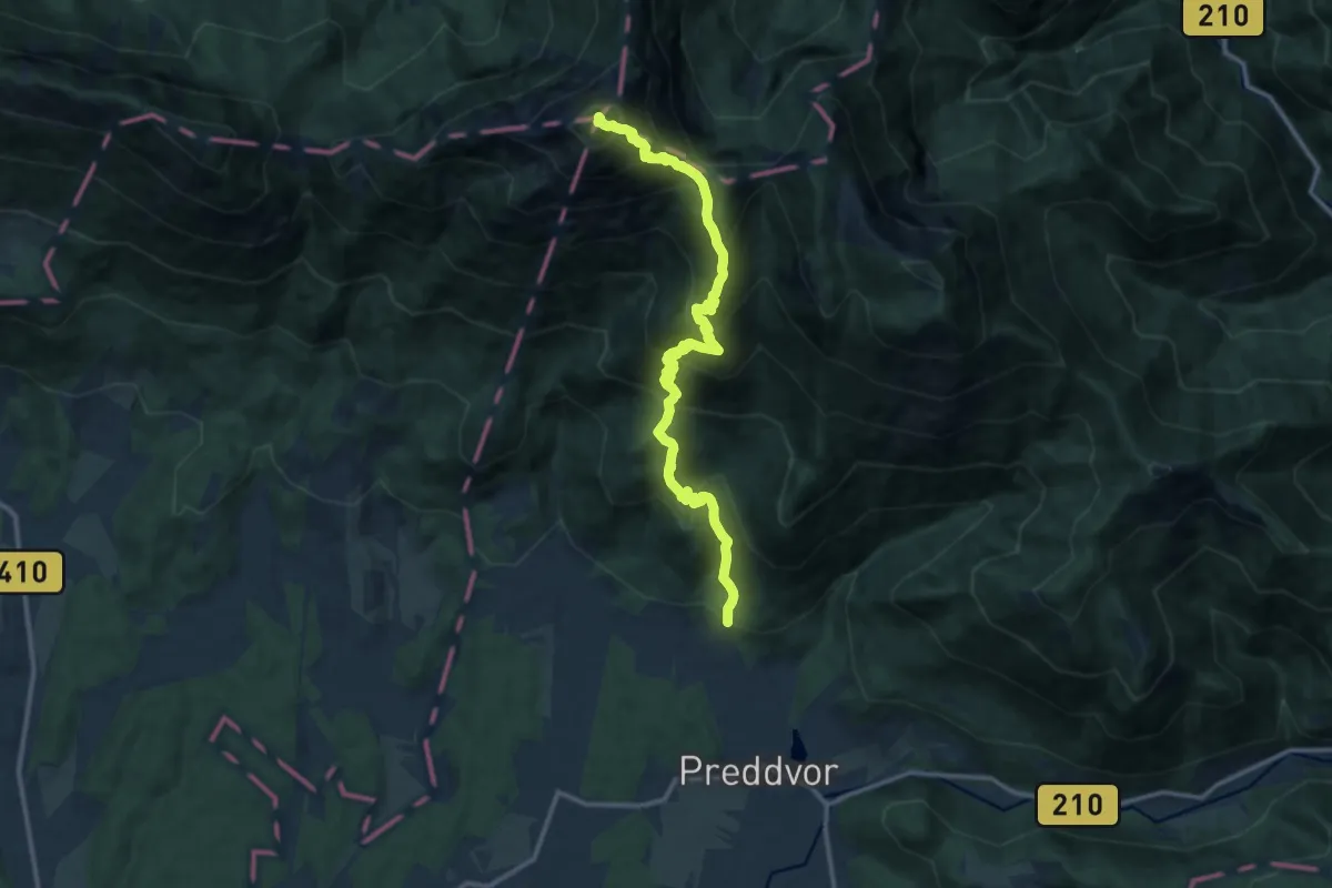
Expert · Summit
Mače - Kališče - Storžič
14.0 km · ↑ 1532 m · 6 h 37 min
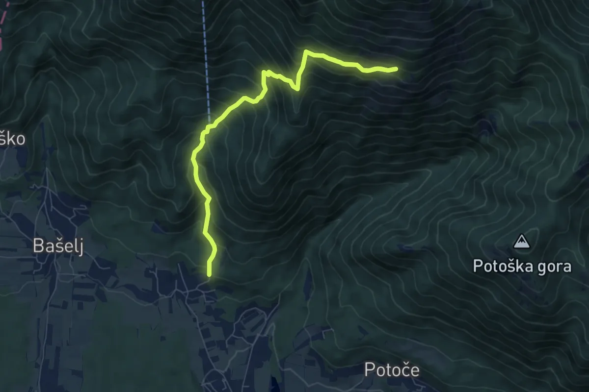
Demanding · Trail
Mače - Kozjek - Hudičev boršt
8.8 km · ↑ 826 m · 3 h 52 min
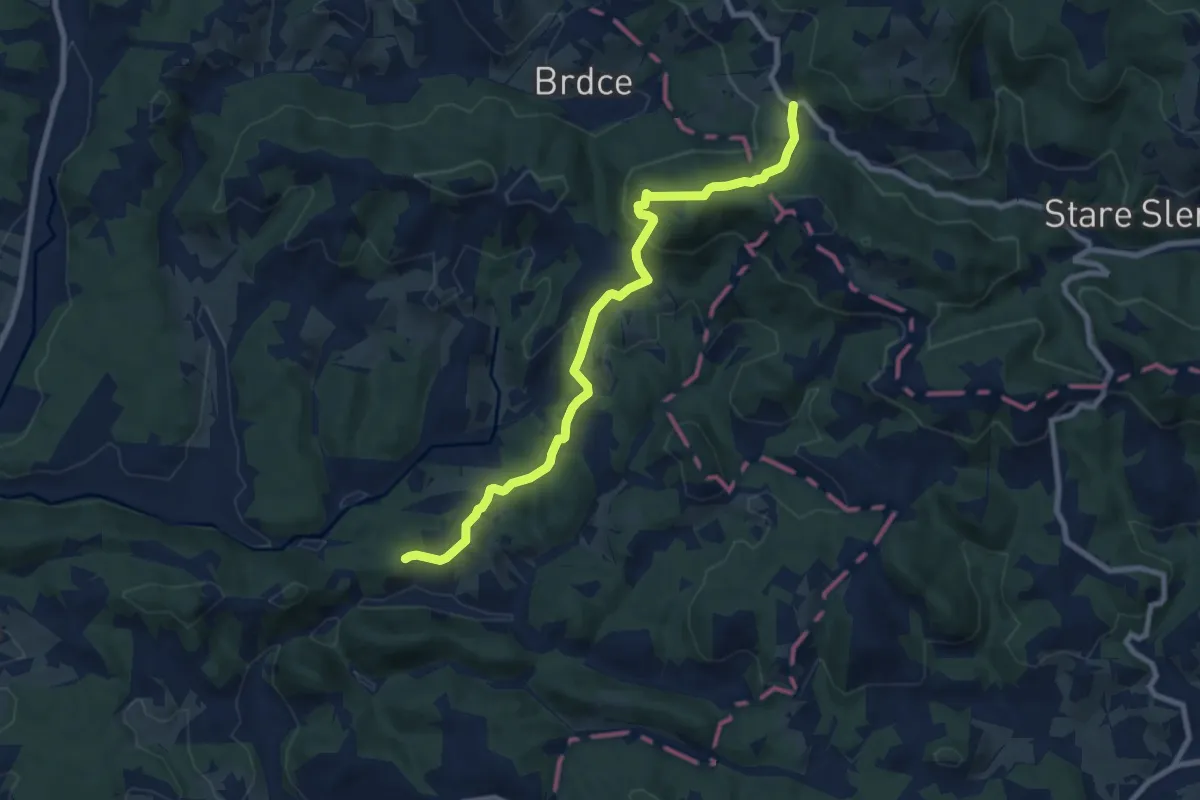
Medium · Trail
Maček - Sojek
8.7 km · ↑ 438 m · 3 h
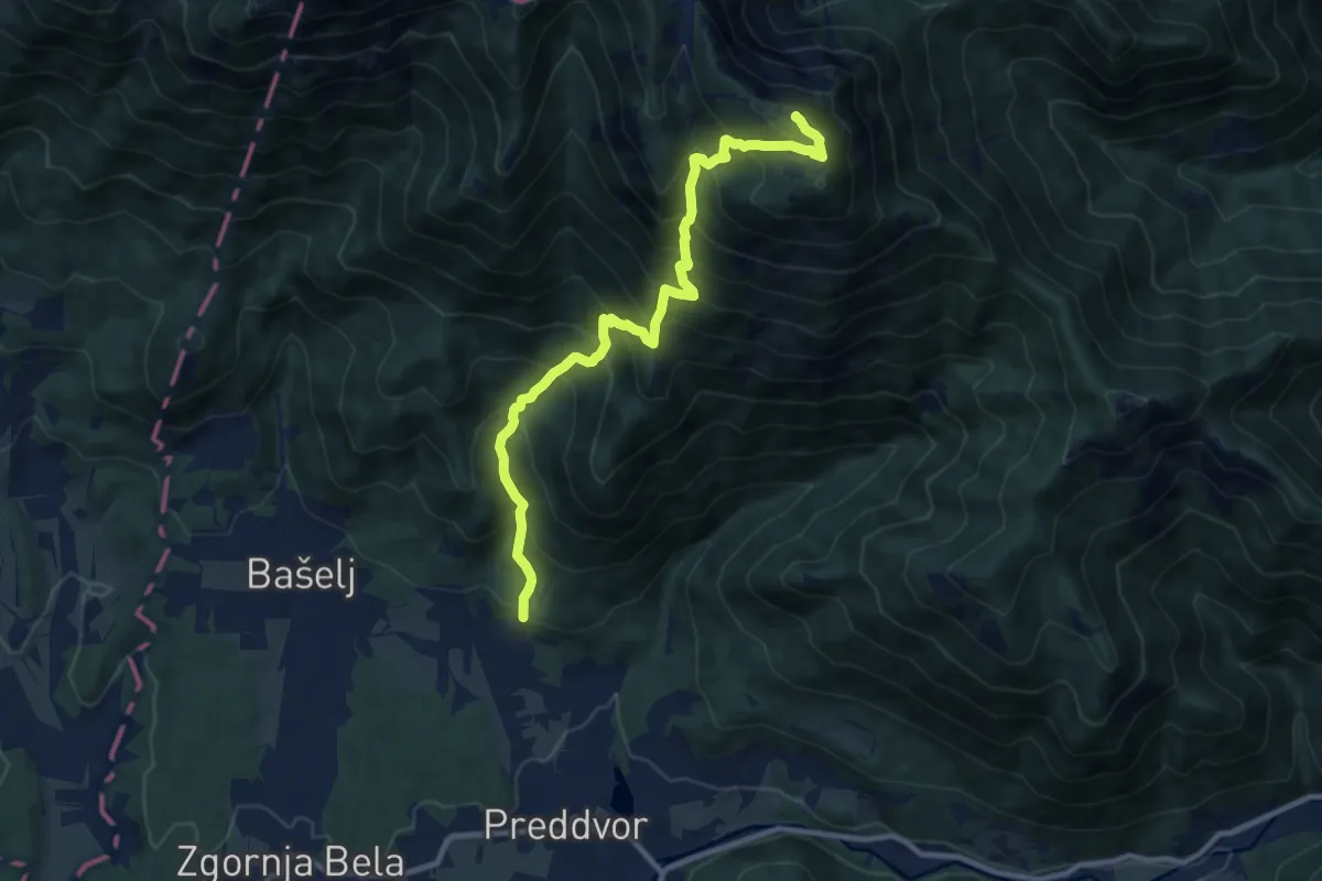
Demanding · Summit
Mače - Srednji vrh
10.4 km · ↑ 1243 m · 5 h 10 min
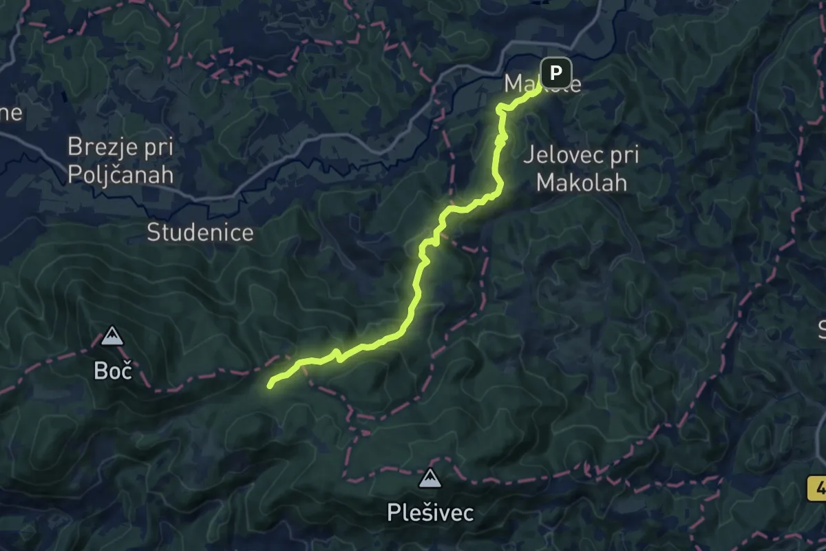
Medium · Trail
Makole - Formila
13.1 km · ↑ 617 m · 4 h 26 min
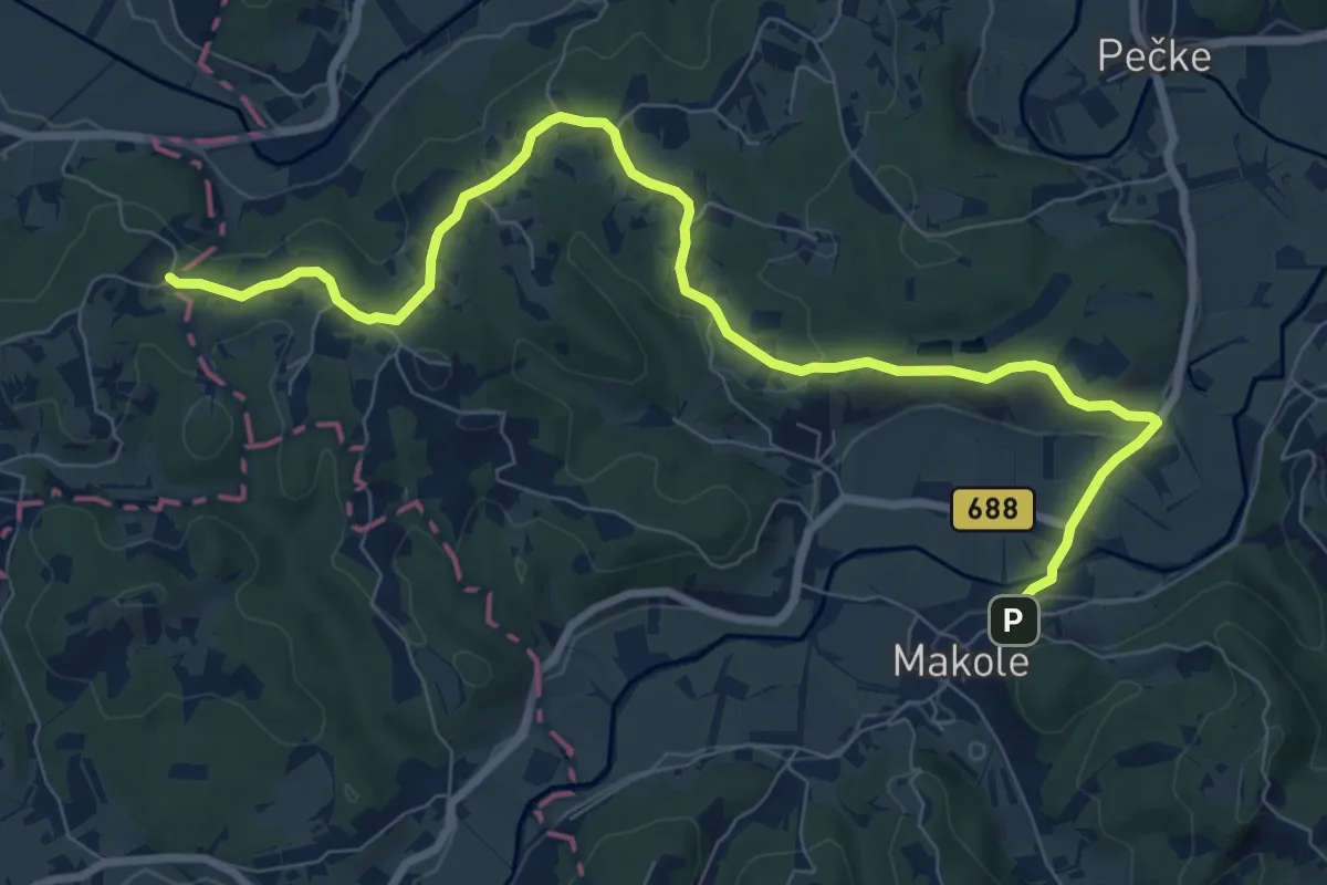
Medium · Trail
Makole - Sv. trije kralji
9.7 km · ↑ 191 m · 2 h 43 min
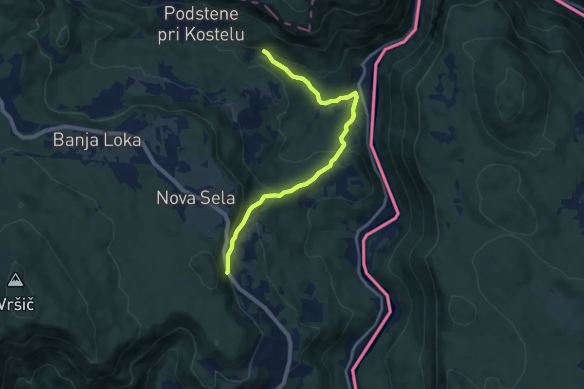
Medium · Trail
Mala Kočevska planinska pot
8.1 km · ↑ 372 m · 2 h 43 min
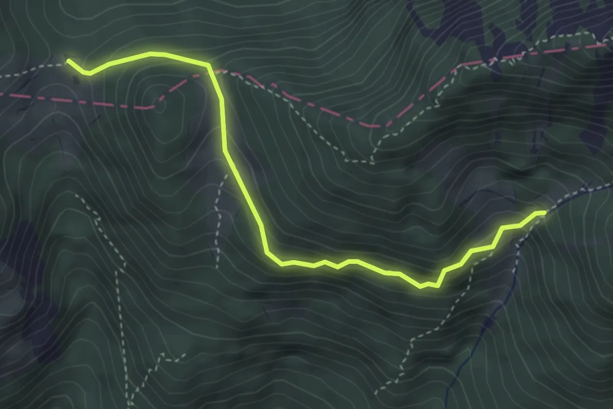
Medium · Cabin
Mala Poljana - Pl. Javornik
3.8 km · ↑ 318 m · 1 h 36 min
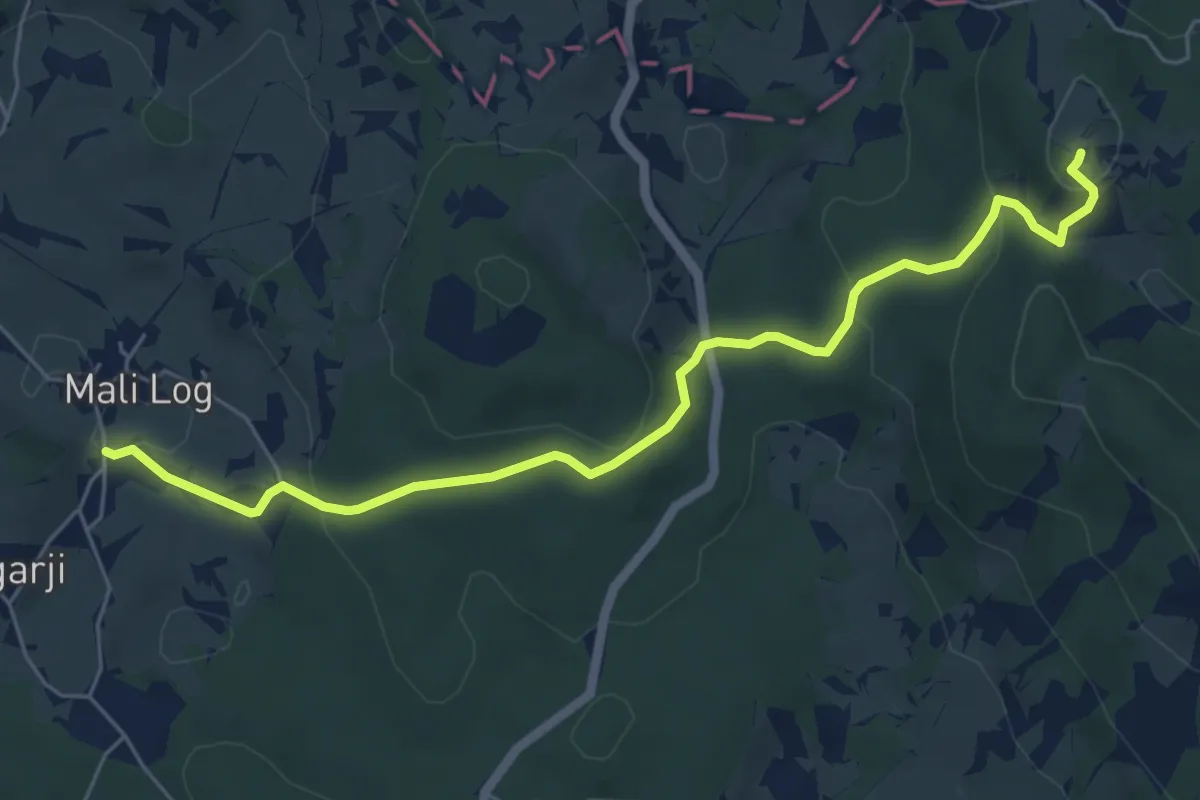
Easy · Summit
Mali Log - Kamni grič
6.4 km · ↑ 277 m · 2 h 6 min
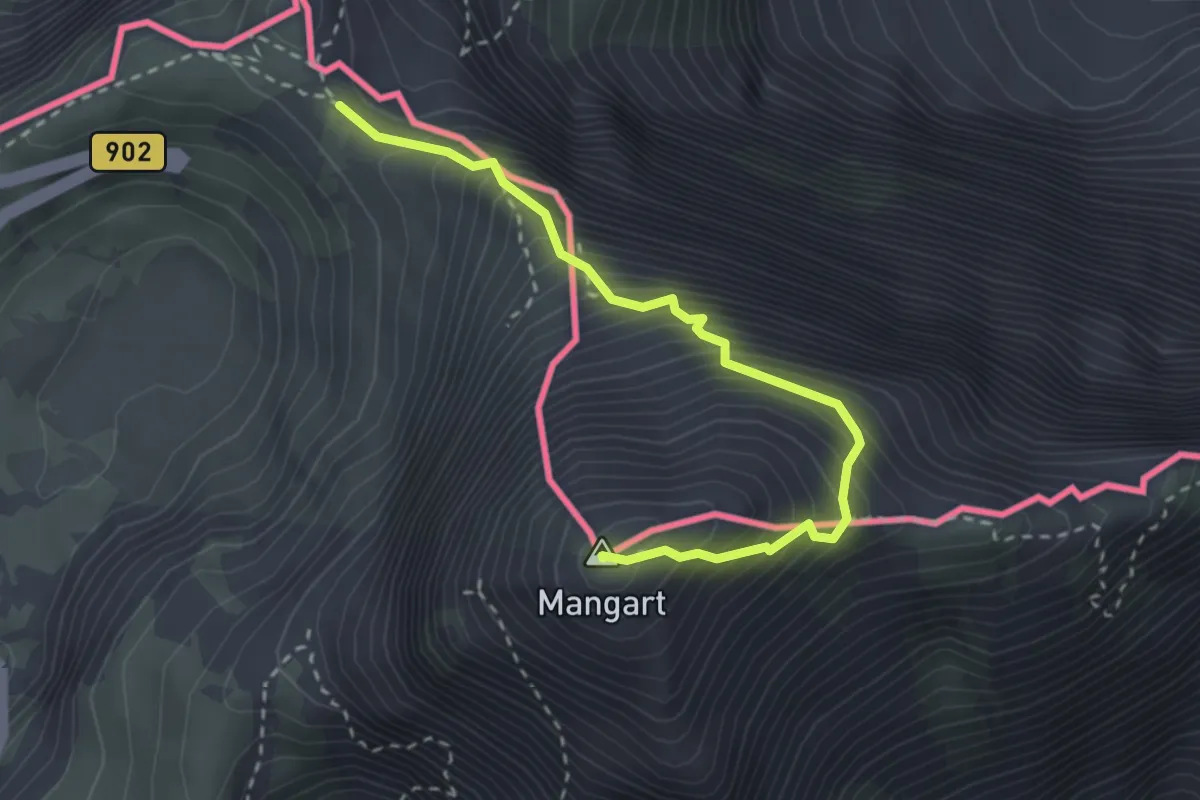
Expert · Summit
Mangart (Italijanska pot)
2.9 km · ↑ 504 m · 1 h 47 min
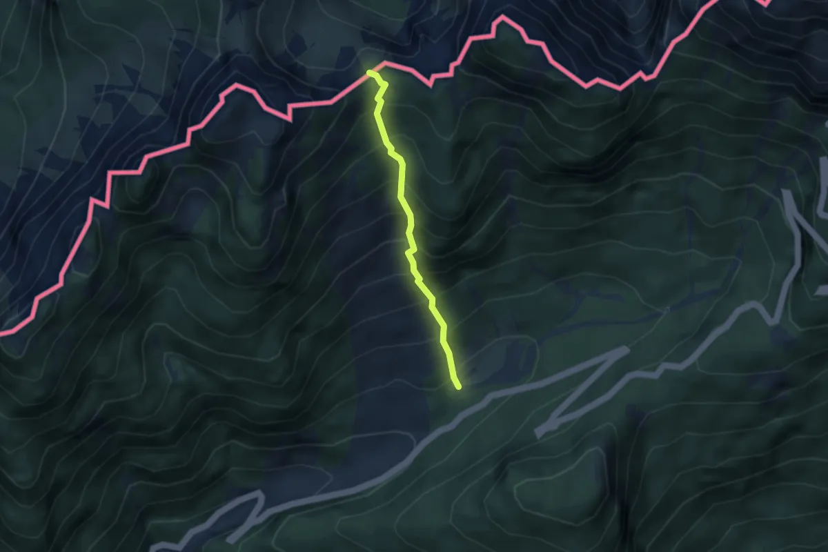
Medium · Trail
Mangartska pl. - Čez Stože
2.7 km · ↑ 439 m · 1 h 35 min
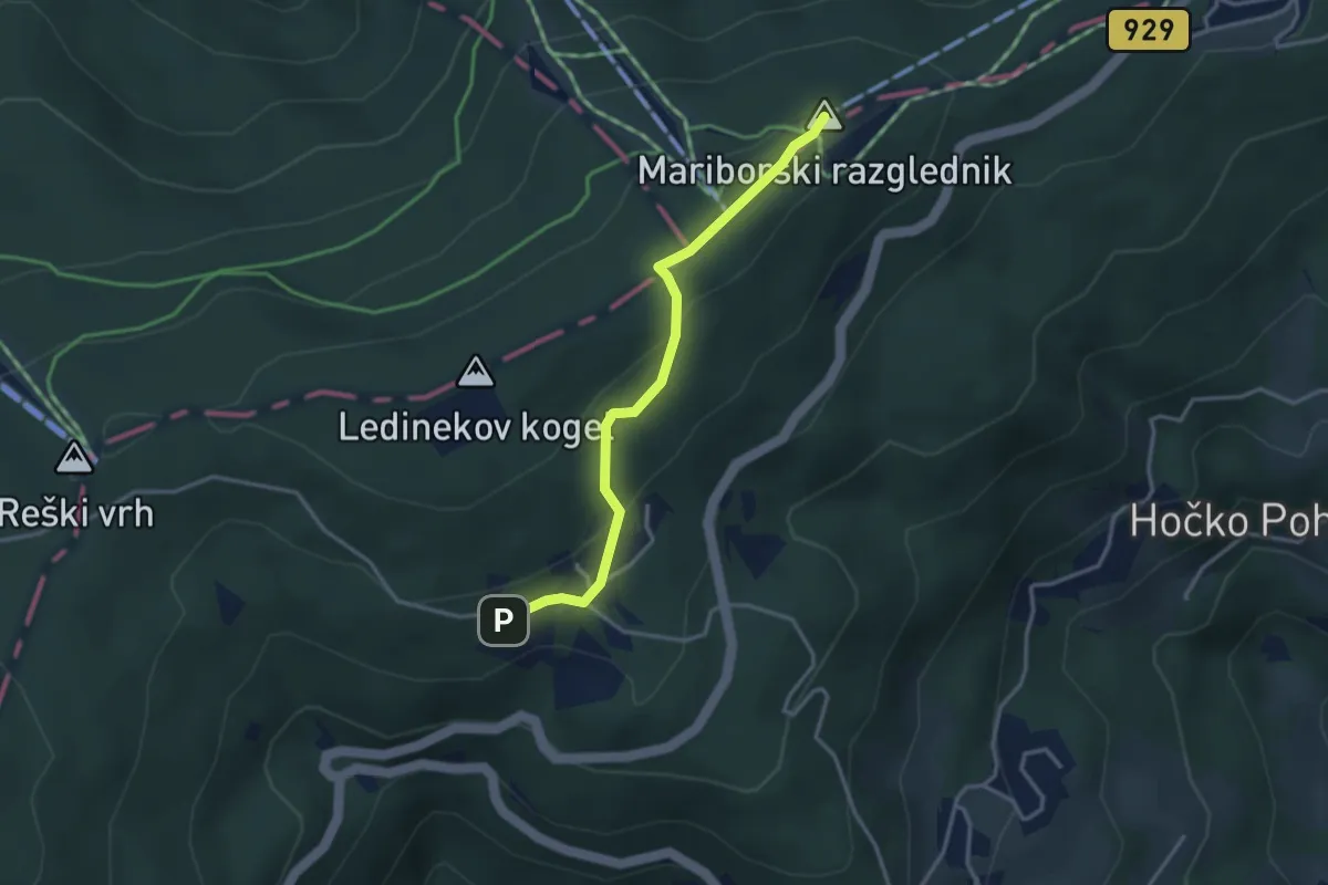
Easy · Summit
Mariborska koča - Ciglenica
3.2 km · ↑ 117 m · 1 h
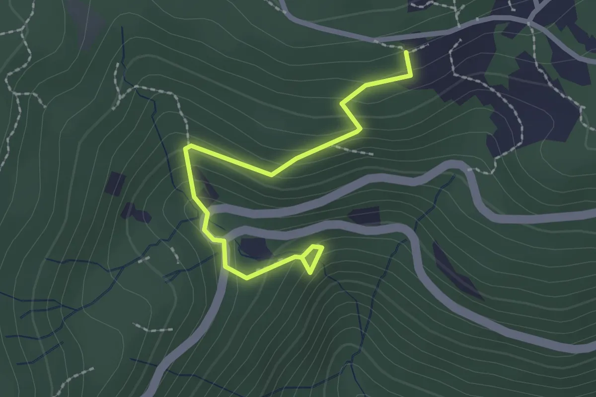
Demanding · Cabin
Mariborska koča - Framski slap
2.2 km · ↑ 149 m · 51 min
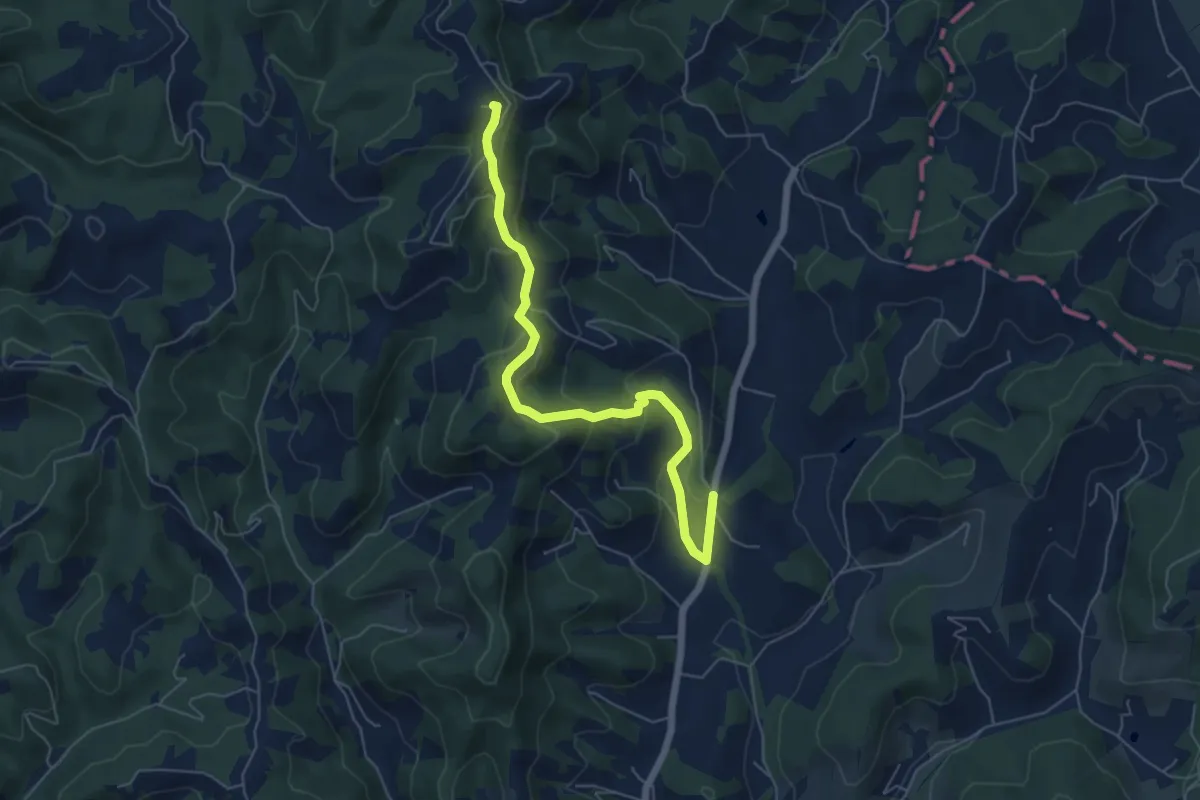
Medium · Summit
Maribor - Urban
6.2 km · ↑ 347 m · 2 h 12 min
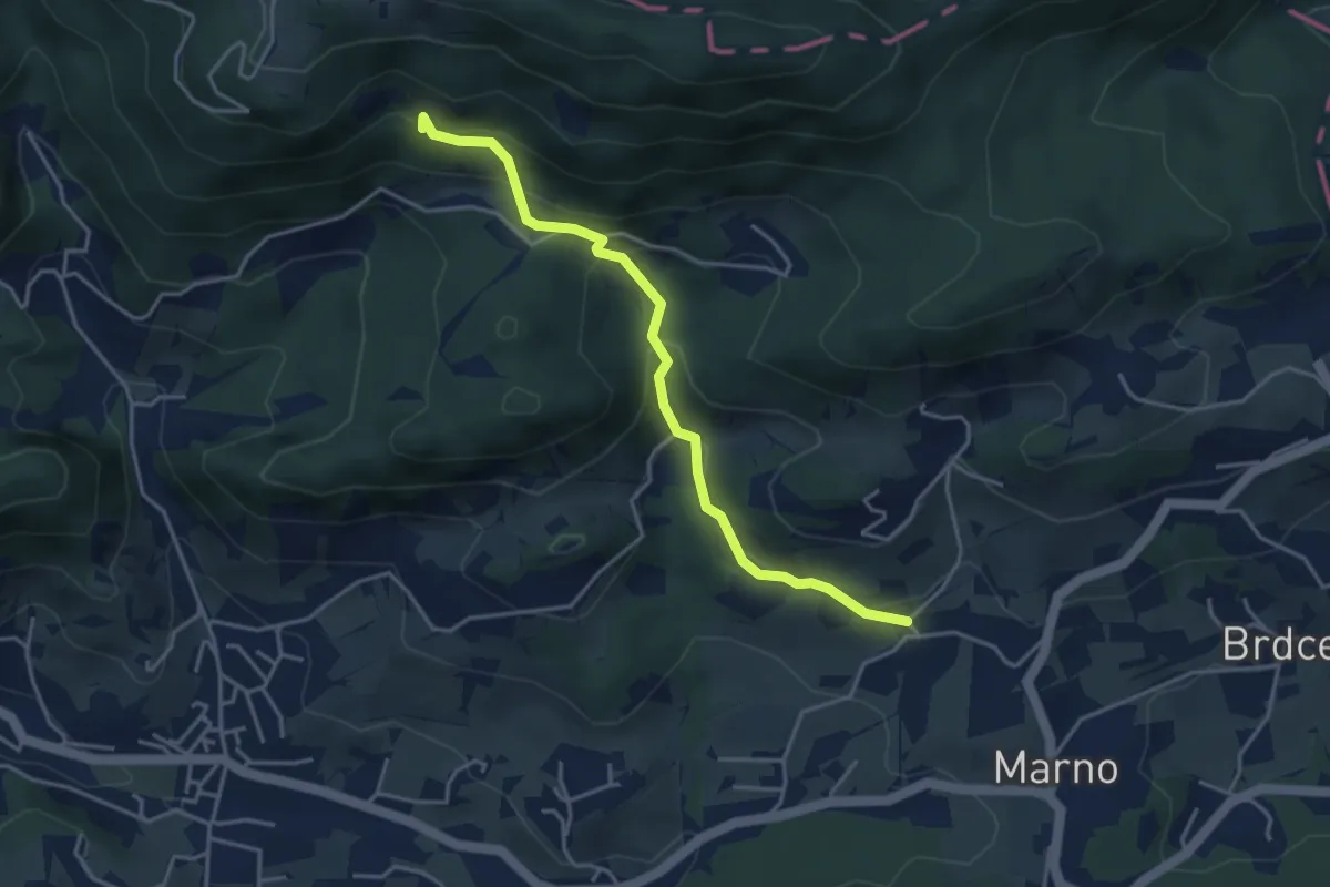
Easy · Summit
Marno - Kal
4.0 km · ↑ 282 m · 1 h 33 min
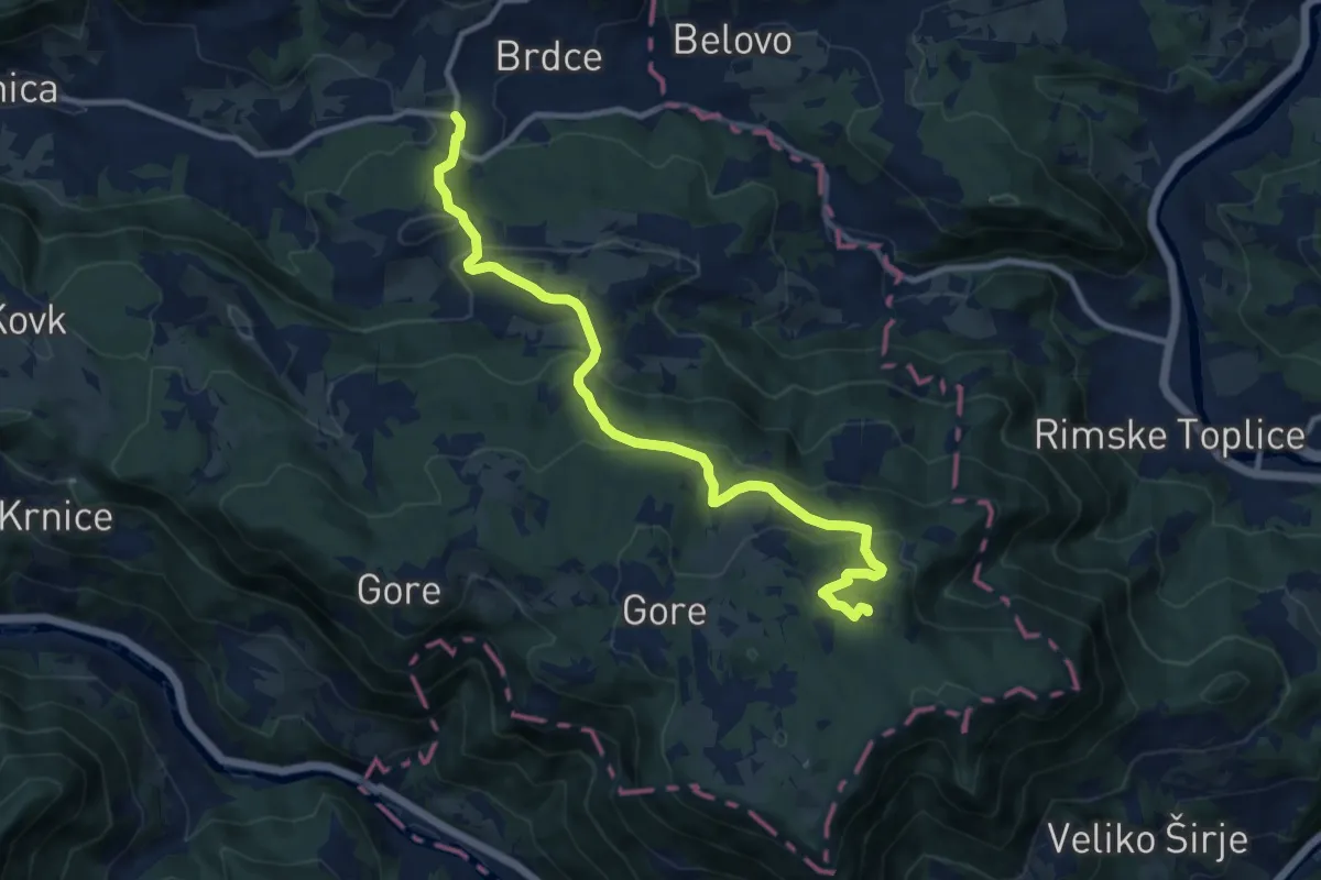
Medium · Cabin
Marno - Koča na Kopitniku
11.2 km · ↑ 503 m · 3 h 44 min
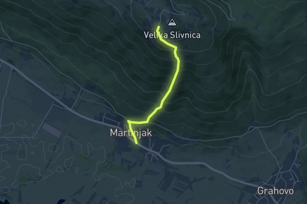
Medium · Cabin
Martinjak - Slivnica
4.1 km · ↑ 506 m · 2 h 3 min
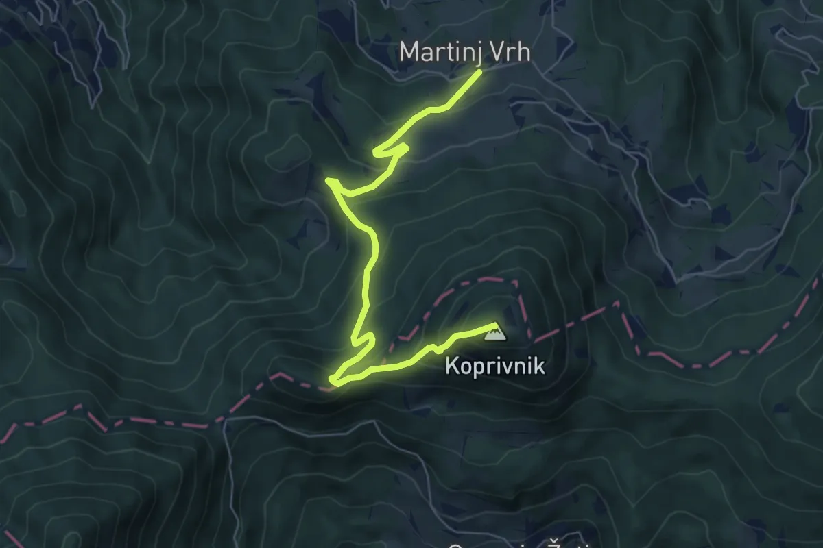
Medium · Summit
Martinj Vrh - Koprivnik
6.6 km · ↑ 492 m · 2 h 38 min
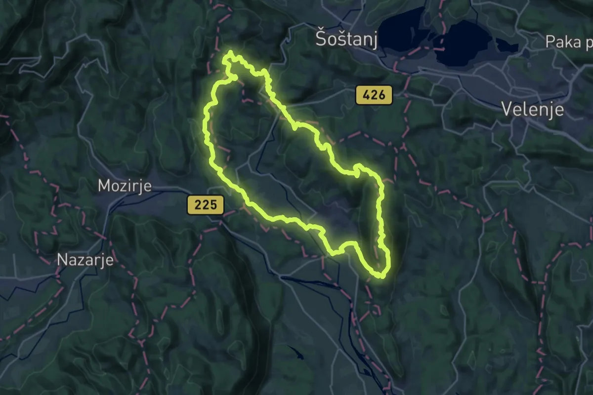
Demanding · Summit
Martinova pot
23.2 km · ↑ 987 m · 7 h 56 min
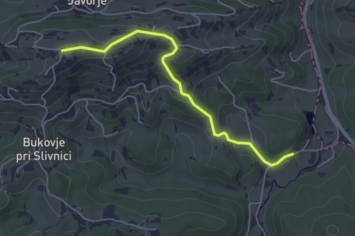
Easy · Trail
Martinova pot
4.1 km · ↑ 186 m · 1 h 23 min
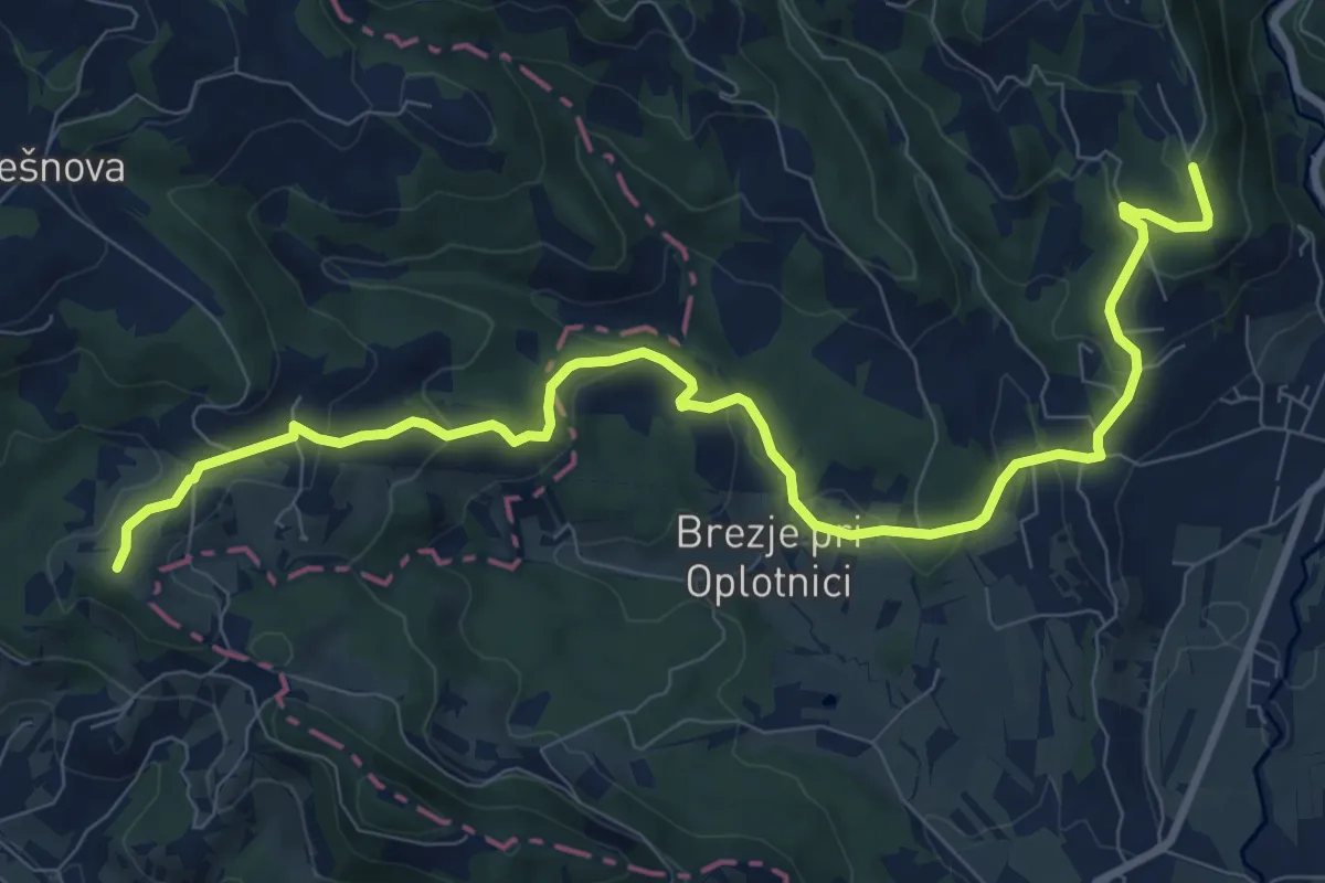
Medium · Trail
Martinova pot
10.9 km · ↑ 408 m · 3 h 27 min
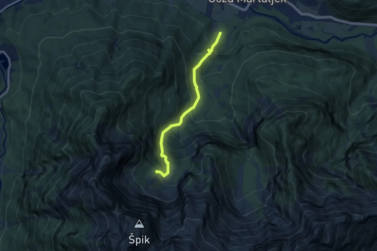
Medium · Trail
Martuljek - Krnica Pod srcem
6.7 km · ↑ 687 m · 3 h 4 min
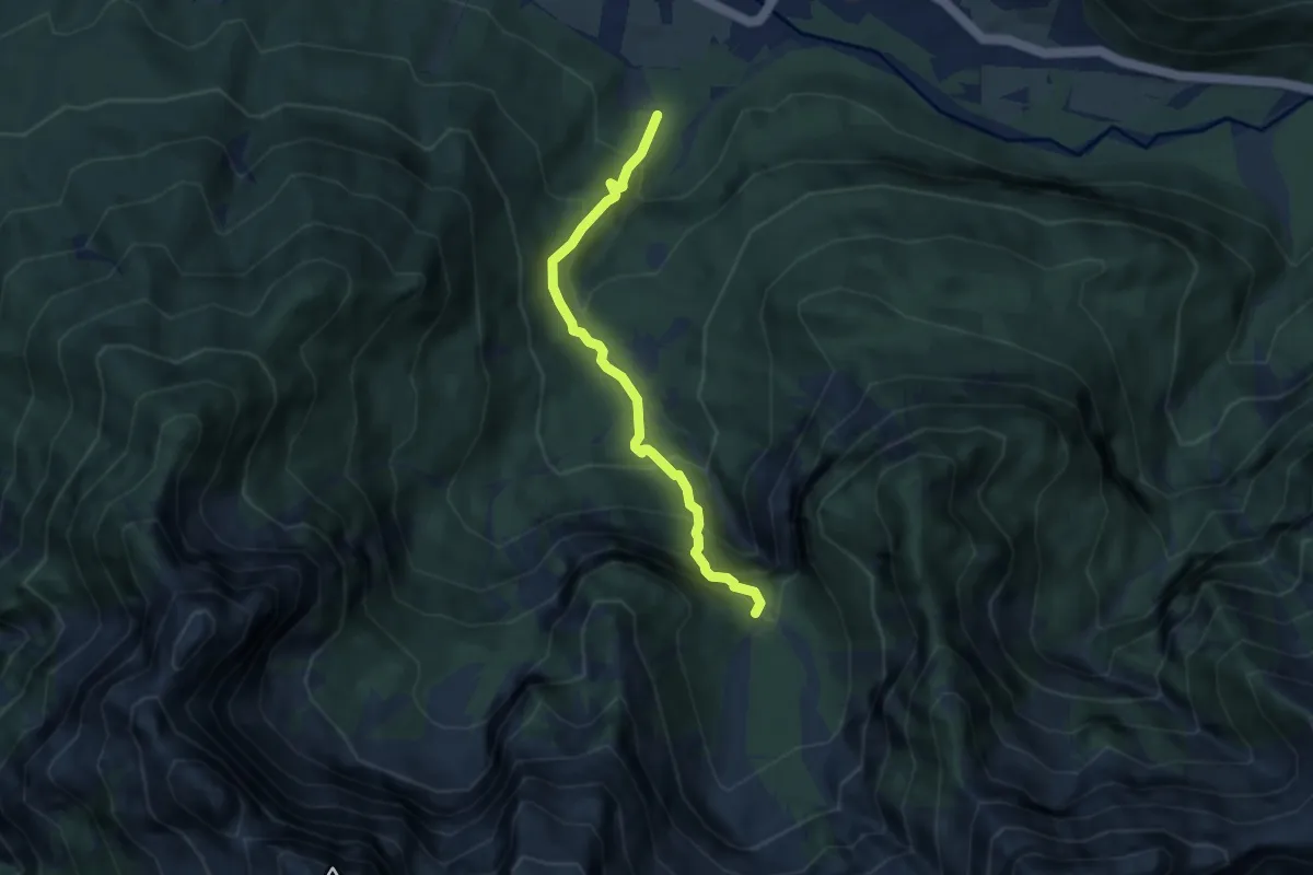
Demanding · Trail
Martuljek - Za Akom
5.8 km · ↑ 628 m · 2 h 44 min
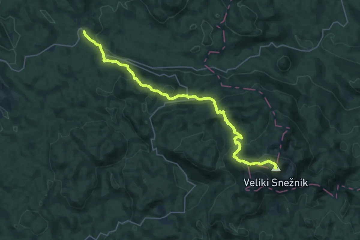
Demanding · Summit
Mašun - Snežnik
20.0 km · ↑ 1133 m · 7 h 10 min
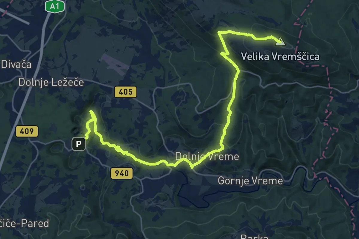
Demanding · Summit
Matavun - Famlje - Vremščica
24.1 km · ↑ 905 m · 7 h 38 min
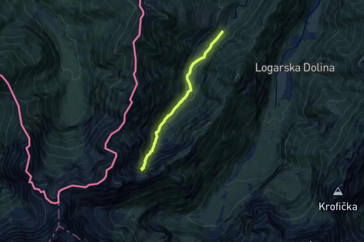
Demanding · Trail
Matkov kot - Matkov škaf
7.6 km · ↑ 838 m · 3 h 37 min
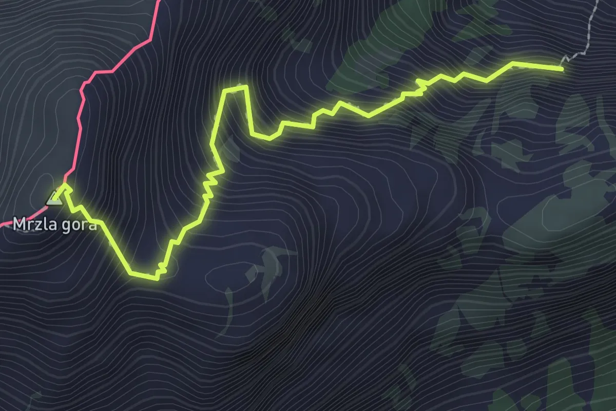
Expert · Summit
Matkov kot - Mrzla gora
2.8 km · ↑ 631 m · 2 h 2 min
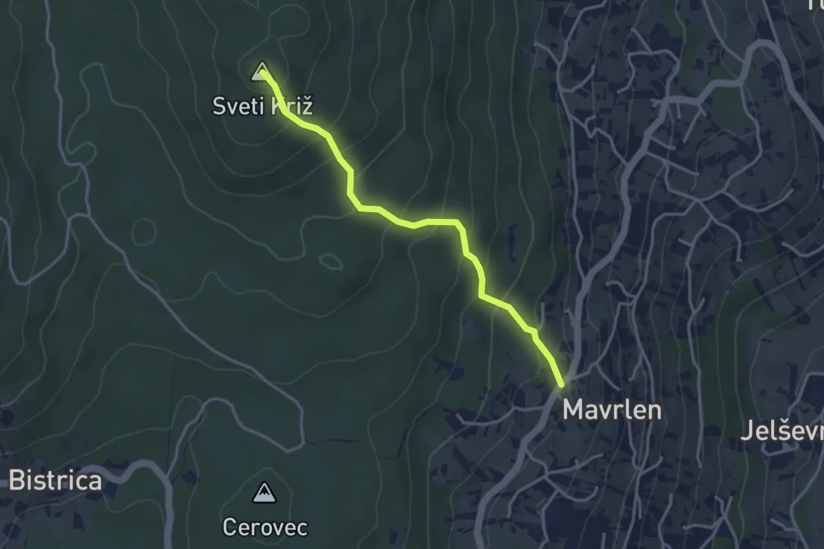
Easy · Summit
Mavrlen - Sv. Križ
3.1 km · ↑ 214 m · 1 h 12 min
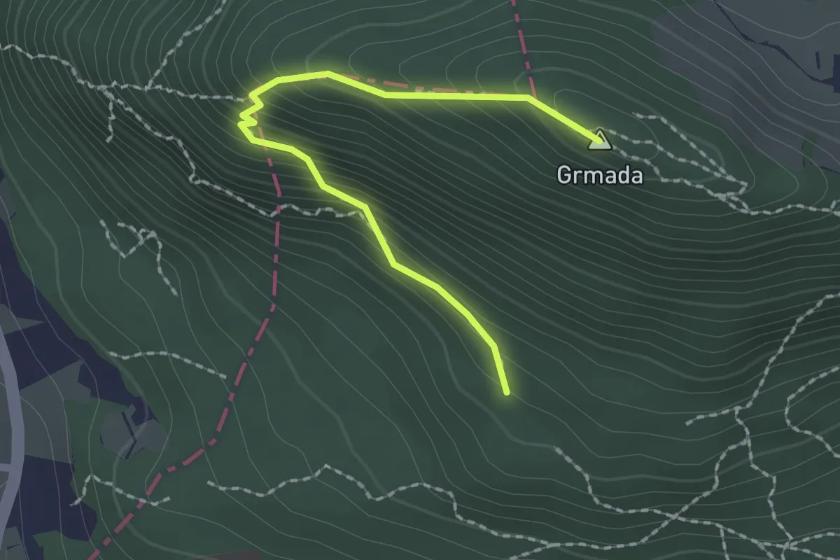
Medium · Summit
Mazijeva steza
2.0 km · ↑ 196 m · 54 min
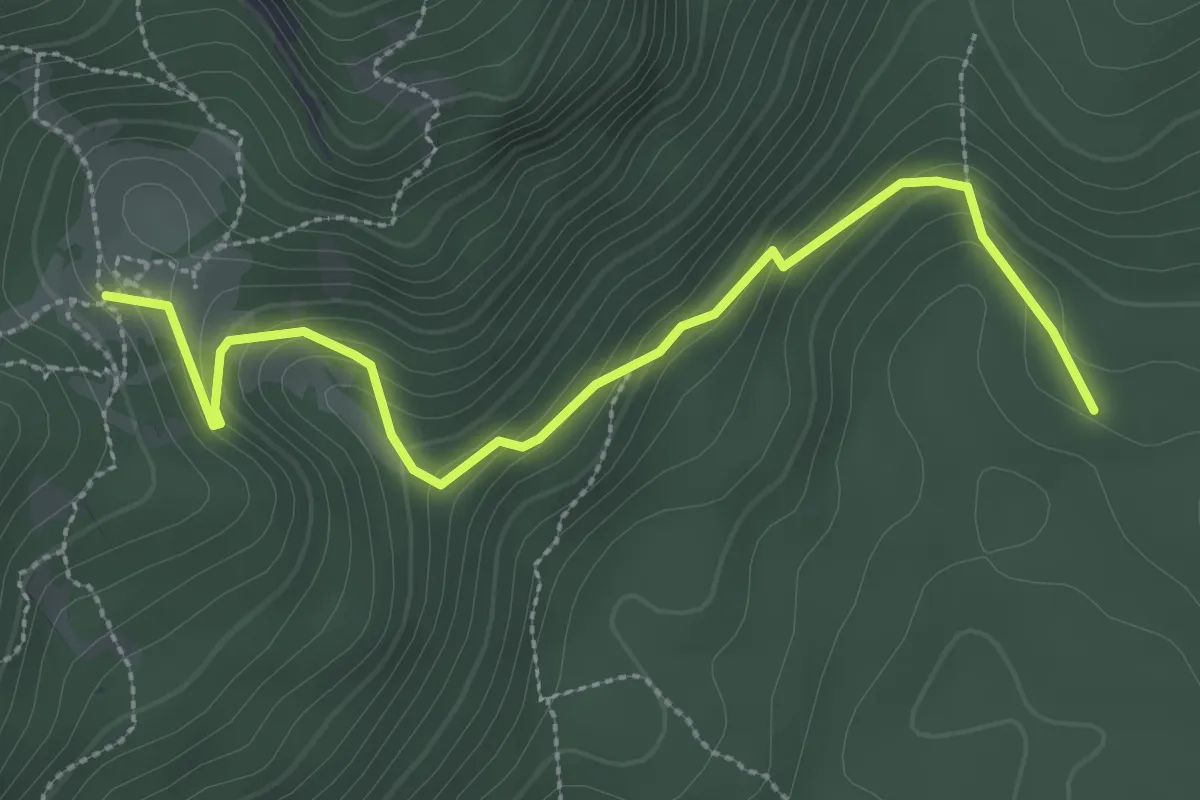
Medium · Cabin
Medvedova konta - Blejska koča
3.2 km · ↑ 208 m · 1 h 13 min
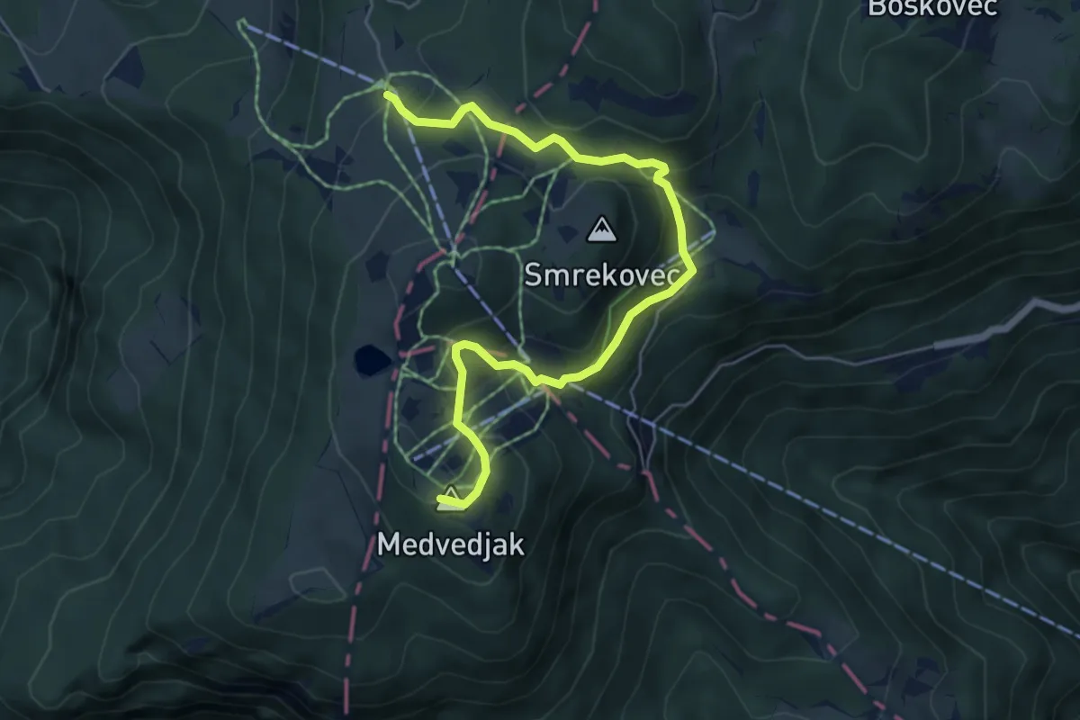
Easy · Summit
Medvedova pot
6.3 km · ↑ 293 m · 2 h 7 min
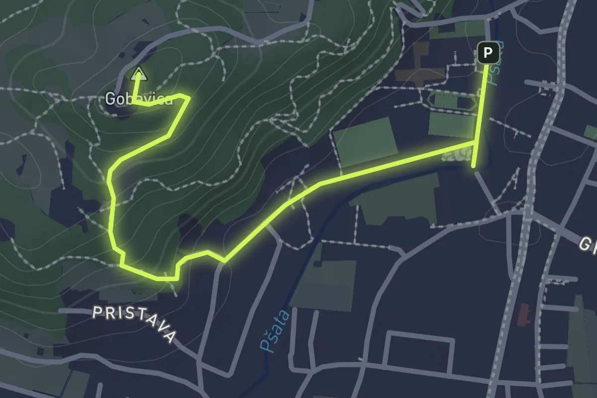
Easy · Summit
Mengeš - Mengeška koča
3.1 km · ↑ 120 m · 1 h
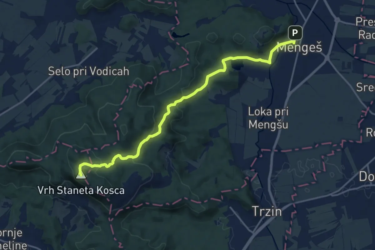
Medium · Summit
Mengeš - Rašica
13.5 km · ↑ 363 m · 3 h 58 min
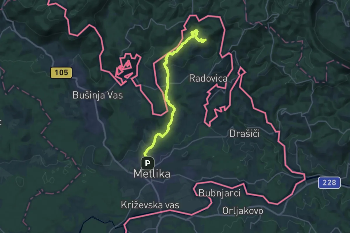
Demanding · Summit
Metlika - Pečenjevka - Krašnji vrh
18.2 km · ↑ 470 m · 5 h 19 min
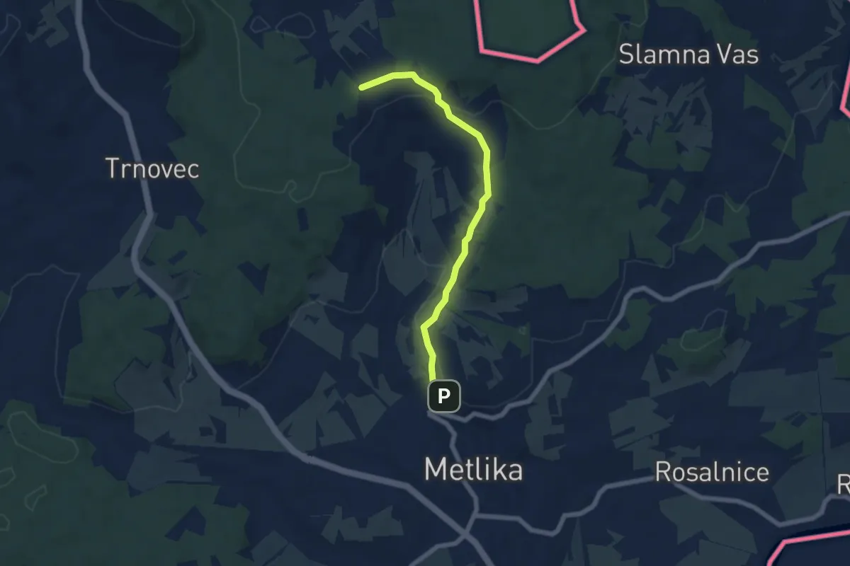
Easy · Trail
Metlika - Sv. Urban
5.6 km · ↑ 139 m · 1 h 38 min
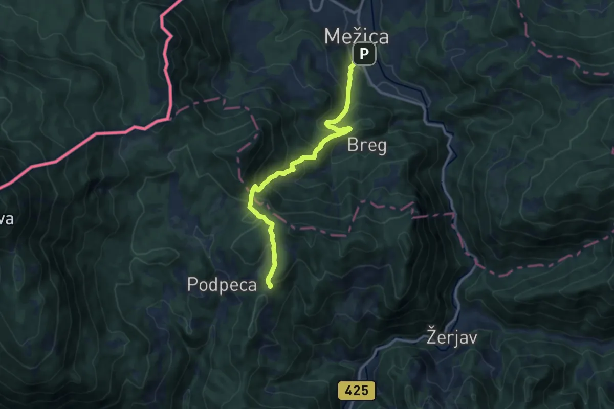
Medium · Cabin
Mežica-Koča na Pikovem
9.9 km · ↑ 631 m · 3 h 43 min