Trails in Slovenia
1,594 hiking trails, each with its route, climb, walking time and grade.
All trails, page 14 of 34
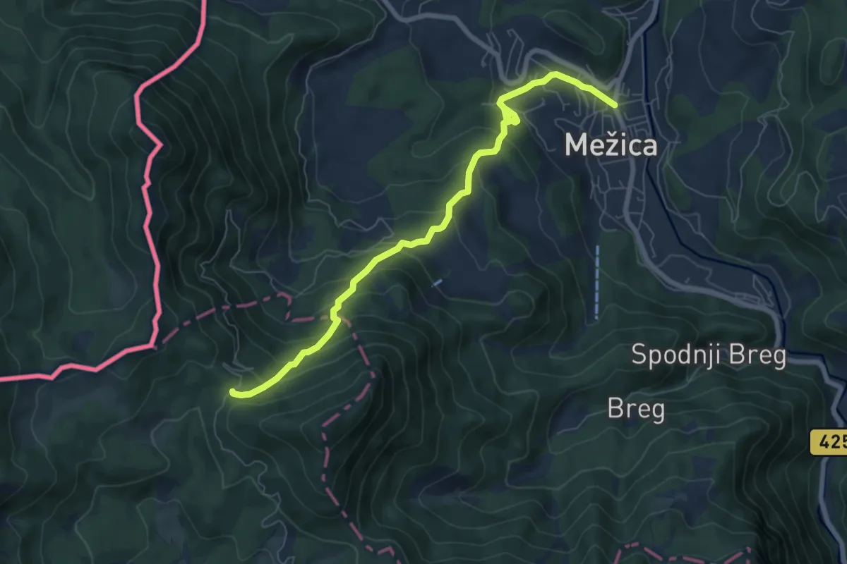
Medium · Trail
Mežica-Štenge
7.1 km · ↑ 579 m · 2 h 56 min
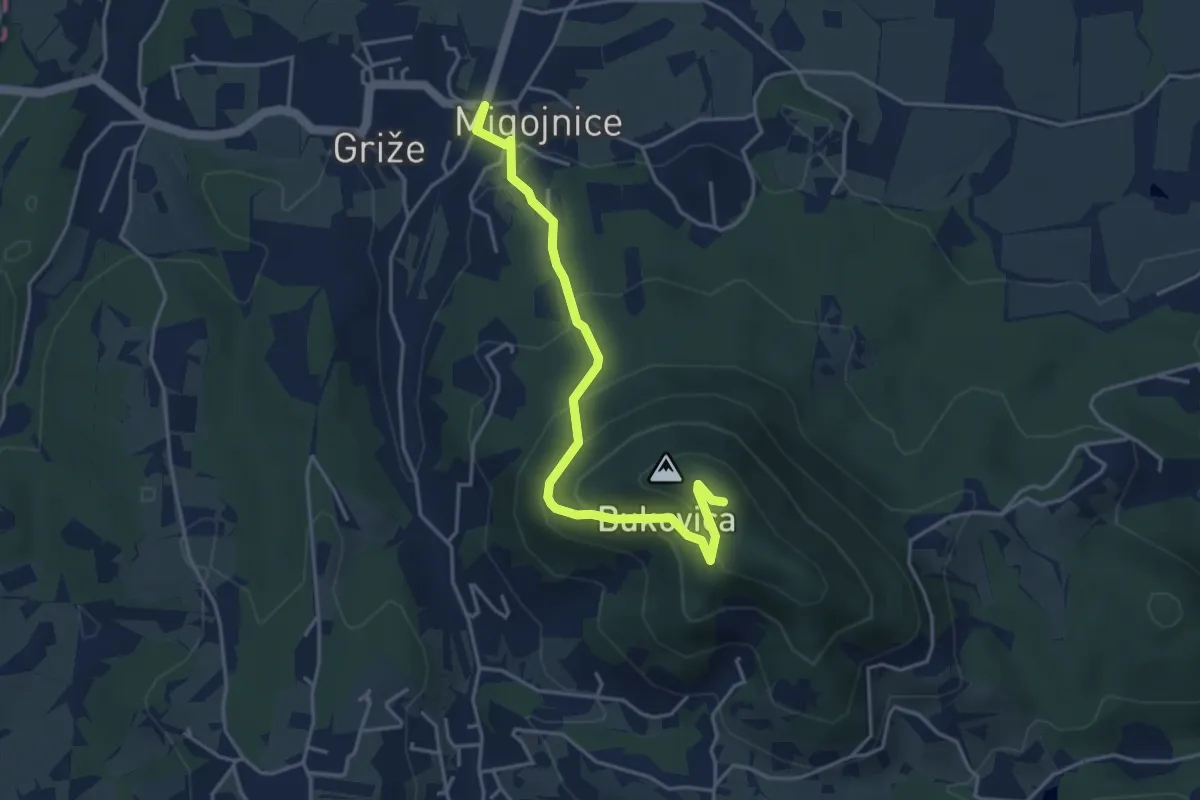
Easy · Summit
Migojnice - Bukovica
4.2 km · ↑ 305 m · 1 h 39 min
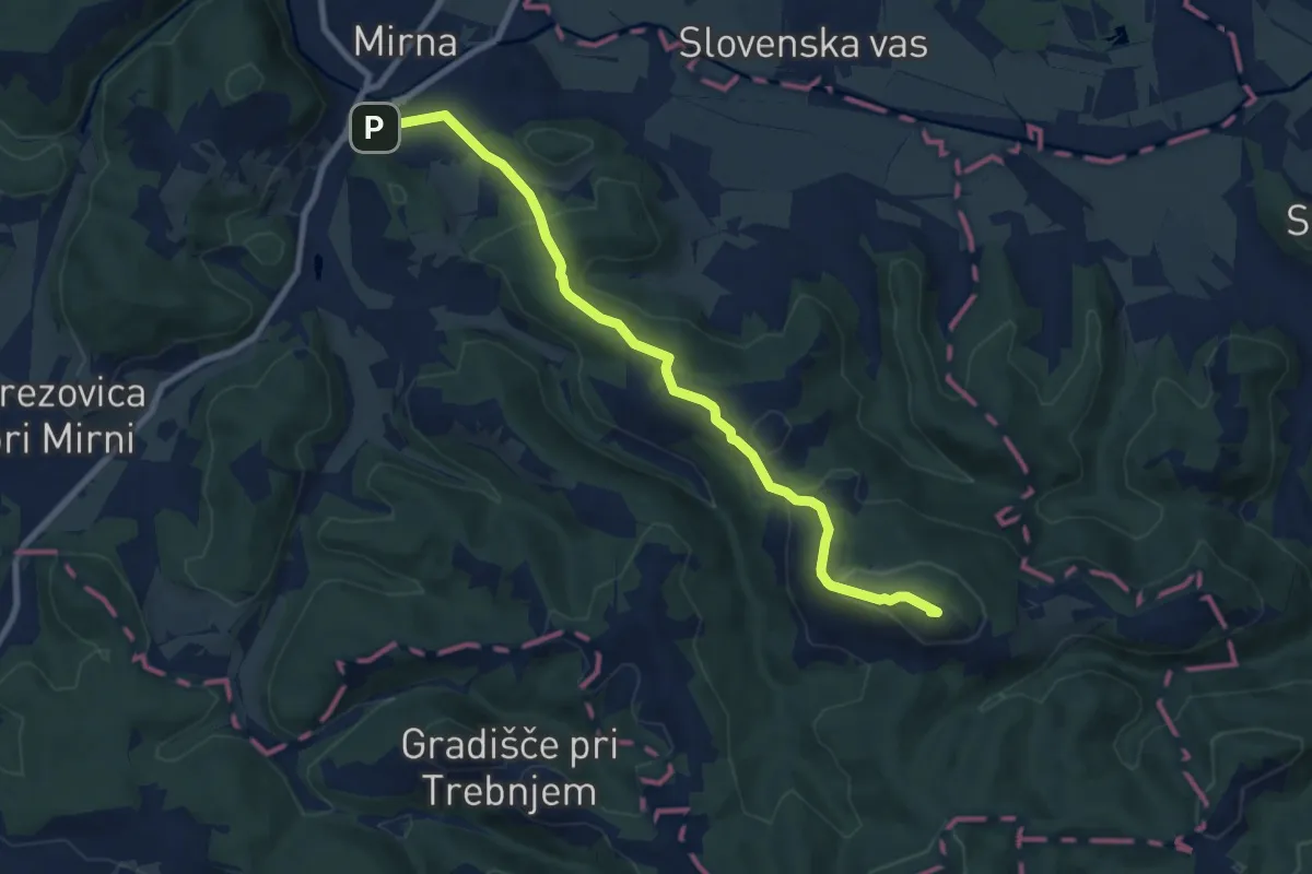
Medium · Summit
Mirna - Debenec
8.6 km · ↑ 334 m · 2 h 45 min
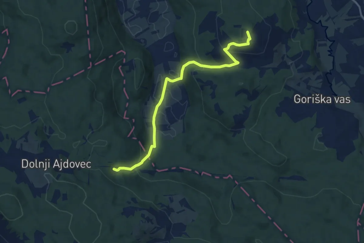
Medium · Summit
Mirna Peč - Frata
9.8 km · ↑ 401 m · 3 h 10 min
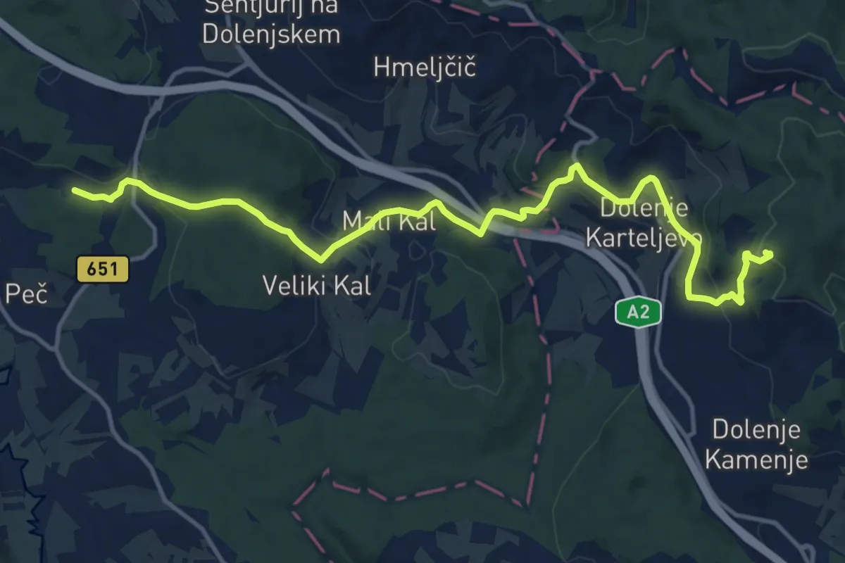
Medium · Trail
Mirna Peč - Grad Hmeljnik
14.3 km · ↑ 525 m · 4 h 31 min
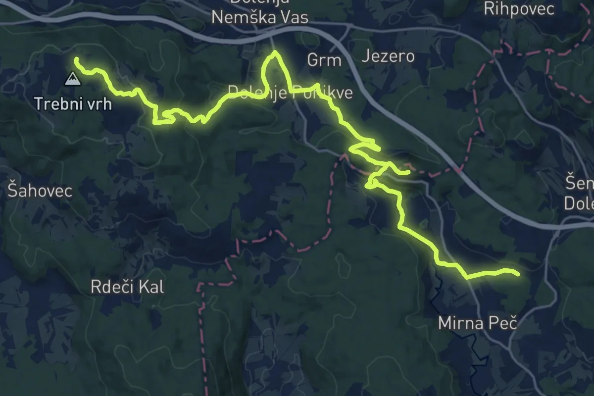
Medium · Trail
Mirna Peč - Vrhtrebnje
13.3 km · ↑ 524 m · 4 h 21 min
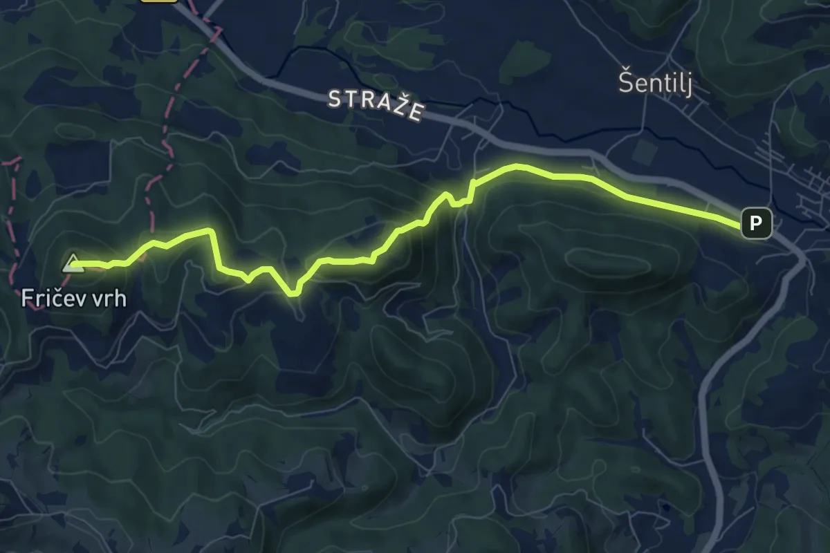
Medium · Summit
Mislinja - Črepič - Fričev vrh
9.0 km · ↑ 427 m · 3 h 3 min
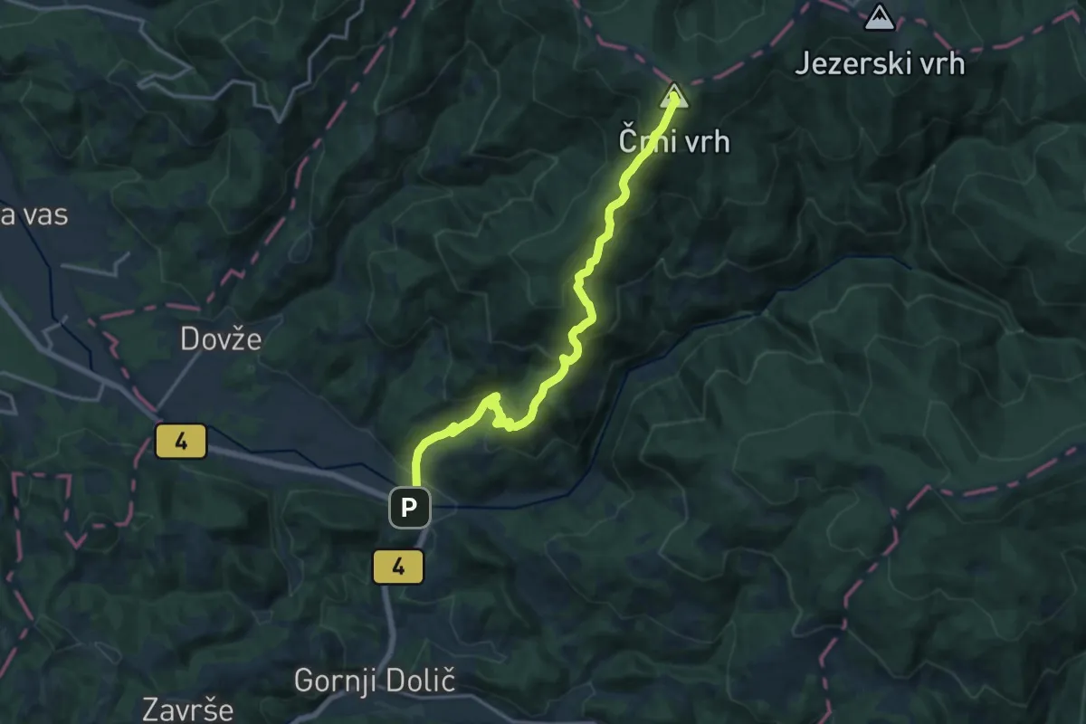
Demanding · Summit
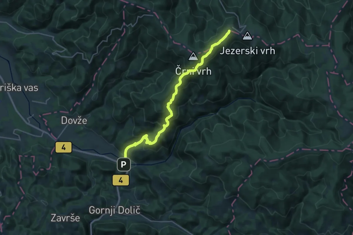
Mislinja - Črni vrh
15.4 km · ↑ 1033 m · 5 h 53 min
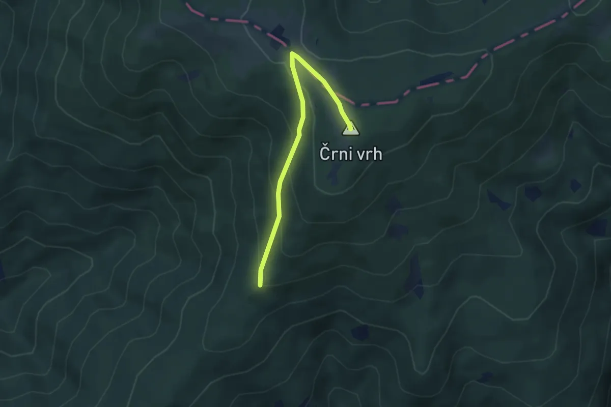
Easy · Summit
Mislinja - Črni vrh mimo Mrzlega studenca
3.5 km · ↑ 188 m · 1 h 15 min
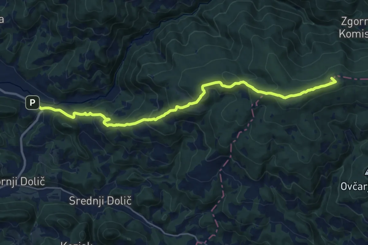
Demanding · Summit
Mislinja - Ribniška koča
19.6 km · ↑ 1097 m · 7 h
Demanding · Summit
Mislinja - Rogla
18.8 km · ↑ 986 m · 6 h 34 min
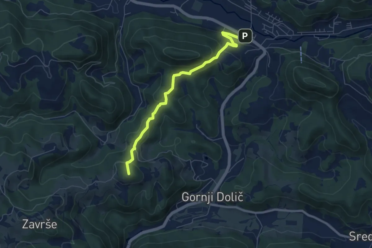
Medium · Summit
Mislinja - Završe
6.2 km · ↑ 352 m · 2 h 13 min
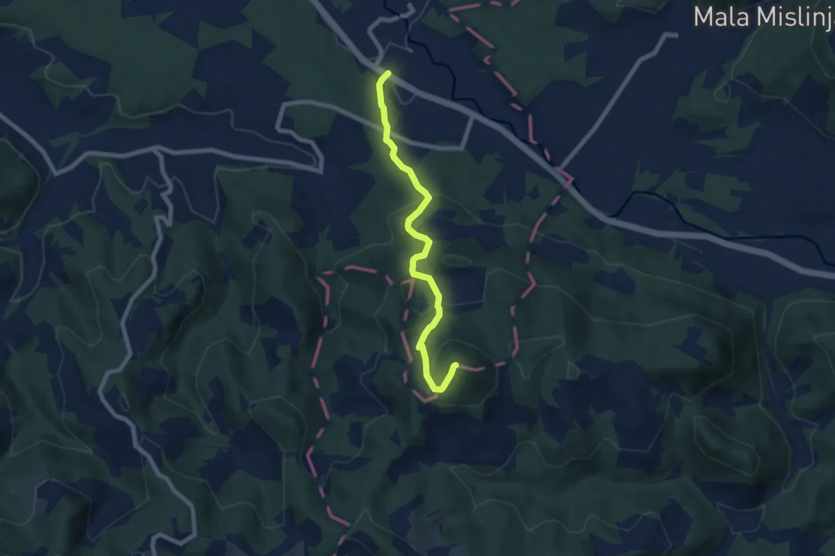
Medium · Summit
Mislinjska Dobrava - Fričev vrh
5.8 km · ↑ 400 m · 2 h 15 min
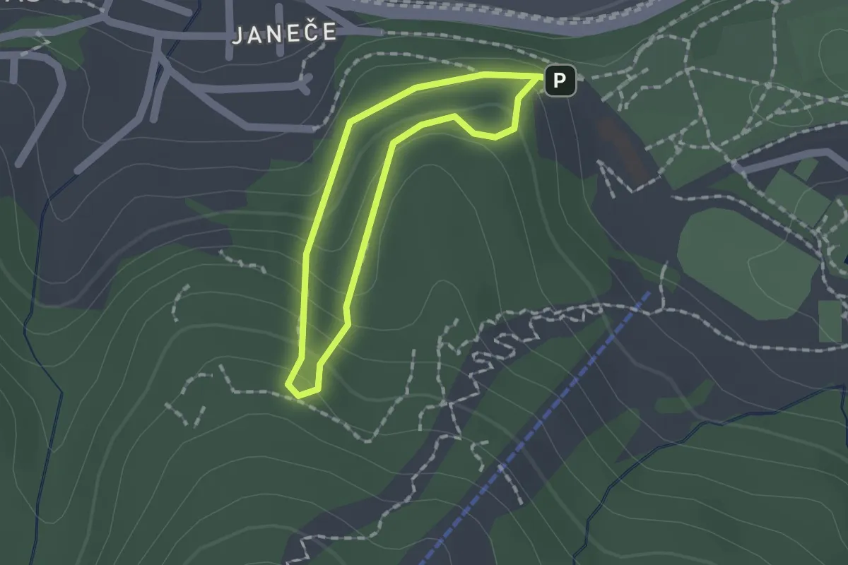
Easy · Trail
Mladinska pot
1.2 km · ↑ 96 m · 30 min
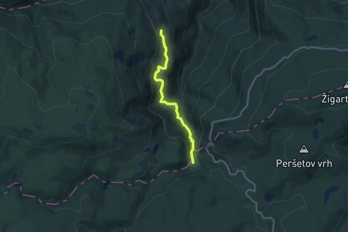
Medium · Trail
Mladinski dom Smolnik - Veliki Šumik
5.7 km · ↑ 435 m · 2 h 17 min
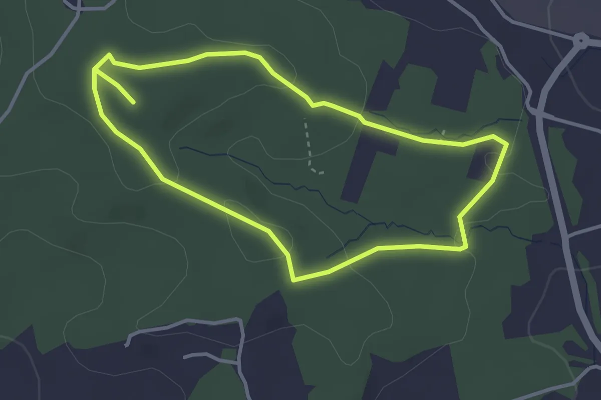
Easy · Trail
Močeradova pot
3.0 km · ↑ 61 m · 52 min
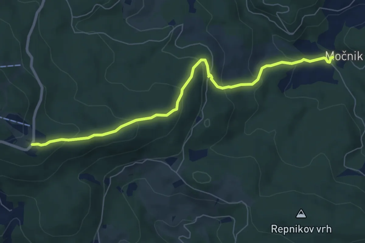
Medium · Cabin
Močnik - Trije kralji
6.9 km · ↑ 379 m · 2 h 27 min
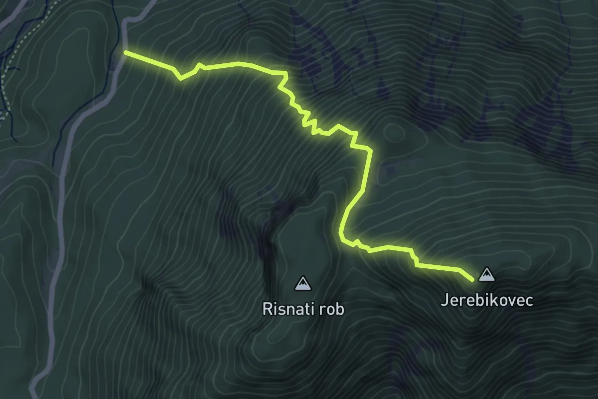
Demanding · Summit
Mojstrana - Jerebikovec
5.2 km · ↑ 834 m · 3 h 1 min
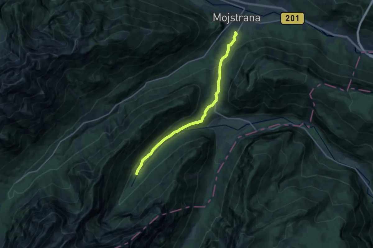
Medium · Summit
Mojstrana - Kot
12.3 km · ↑ 339 m · 3 h 38 min
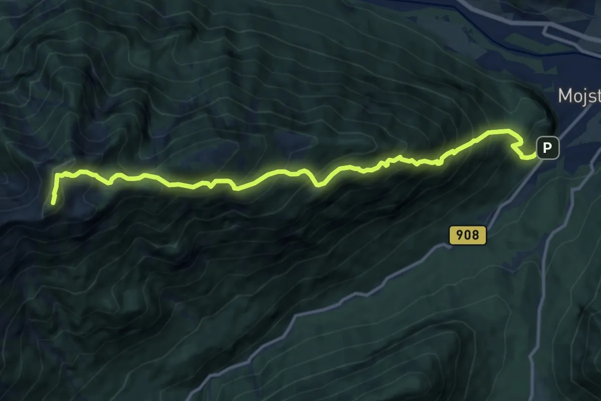
Demanding · Summit
Mojstrana - Vrtaško Sleme
11.8 km · ↑ 1490 m · 6 h 1 min
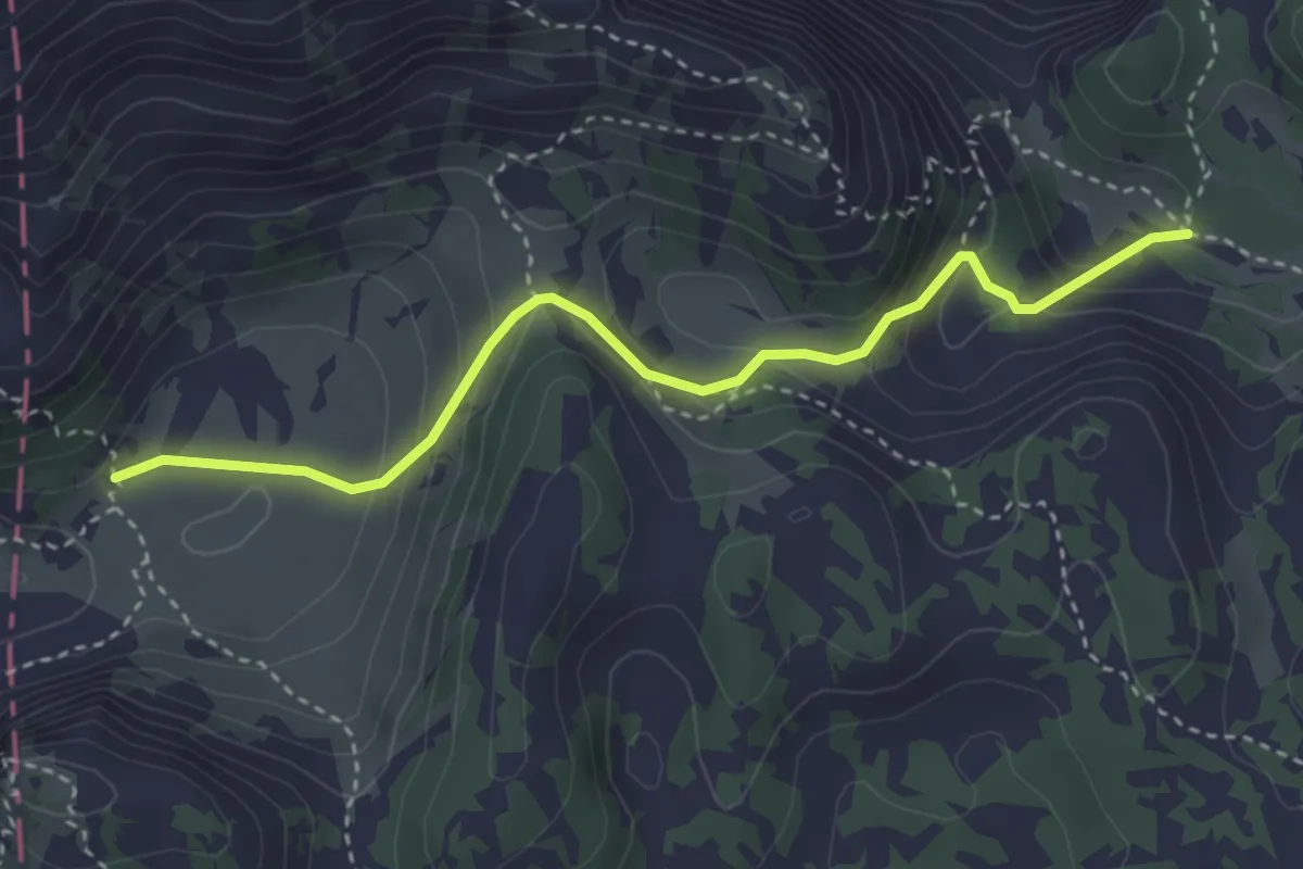
Easy · Trail
Molička planina - Korošica
3.5 km · ↑ 250 m · 1 h 22 min
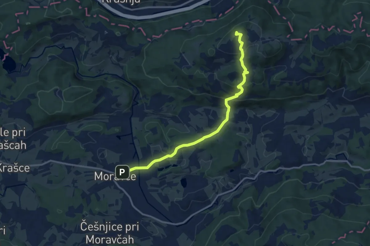
Medium · Summit
Moravče - Gabrje - Limbarska gora
9.5 km · ↑ 429 m · 3 h 11 min
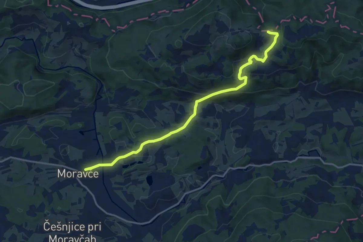
Medium · Trail
Moravče - Hrastnik
10.9 km · ↑ 367 m · 3 h 22 min
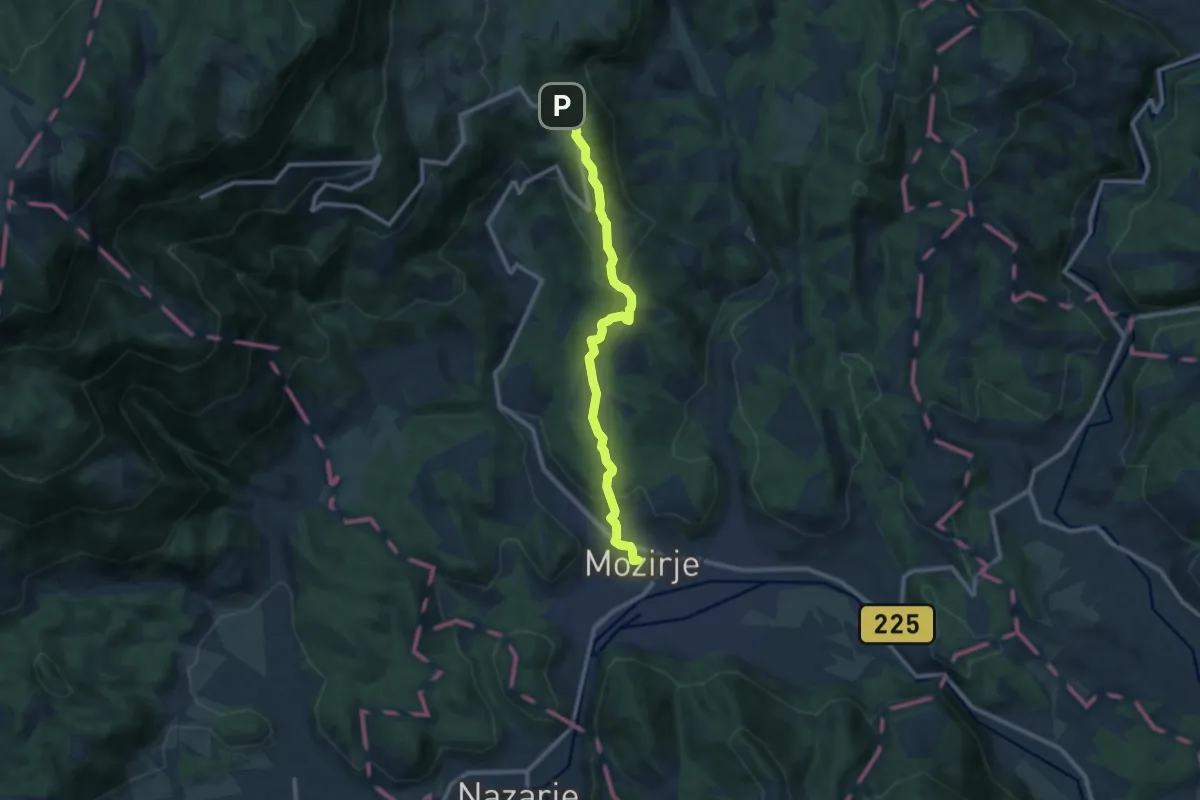
Medium · Trail
Mozirje - Šmihel
10.1 km · ↑ 397 m · 3 h 14 min
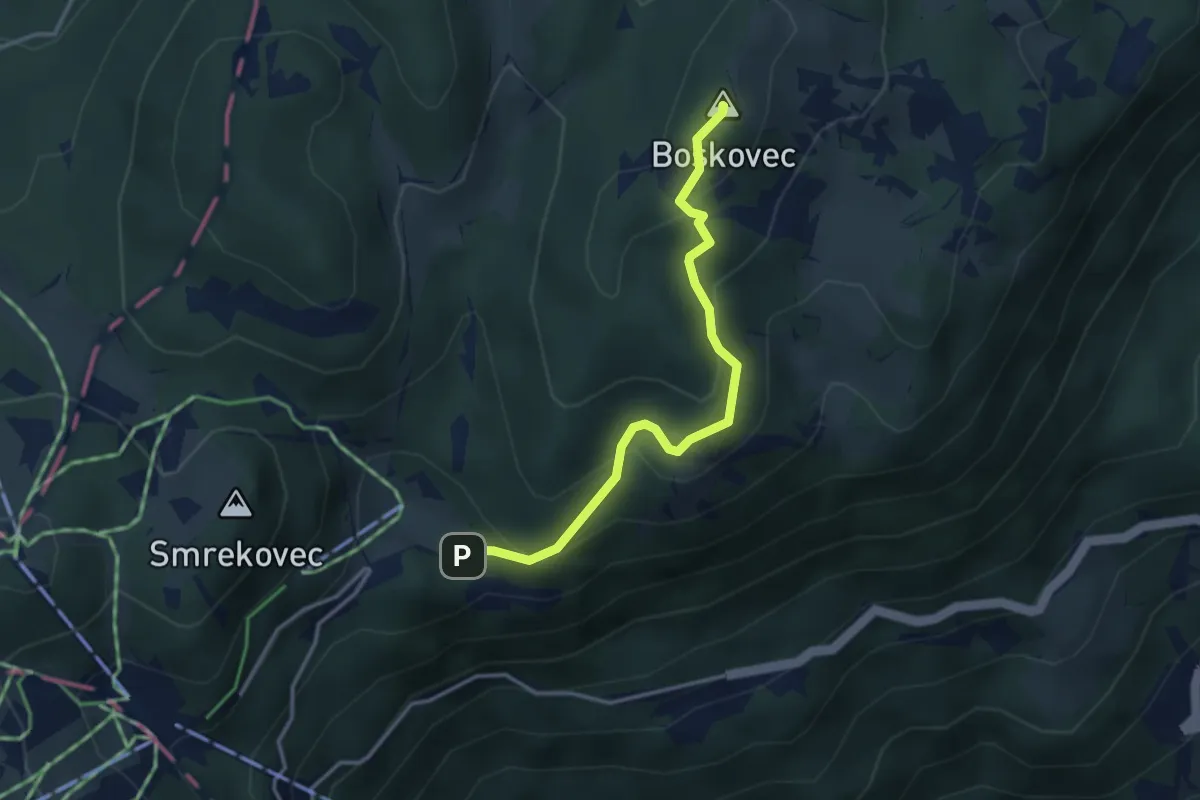
Medium · Summit
Mozirska koča - Boskovec
3.3 km · ↑ 224 m · 1 h 15 min
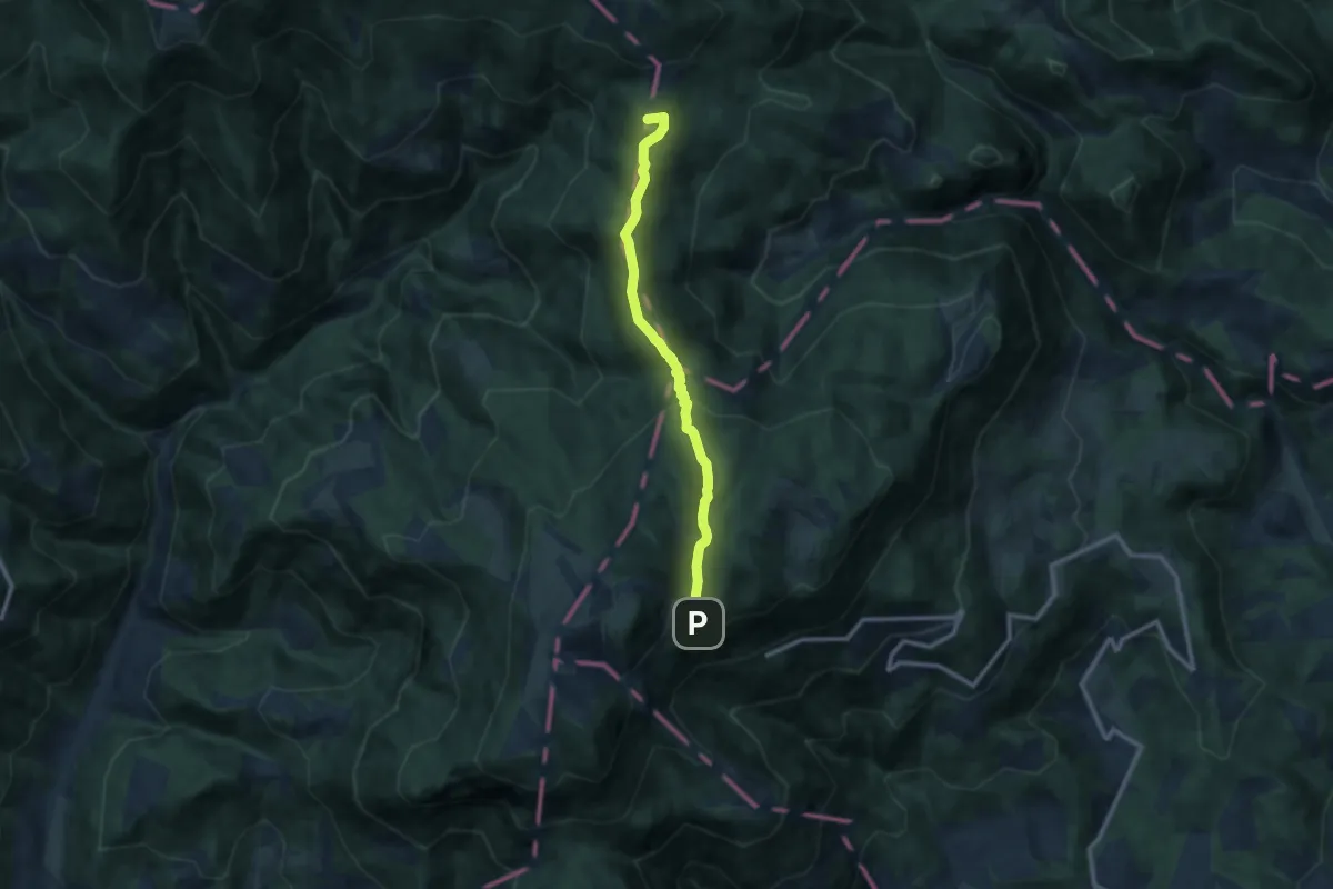
Medium · Summit
Mozirska koča - Dom na Smrekovcu
9.6 km · ↑ 575 m · 3 h 31 min
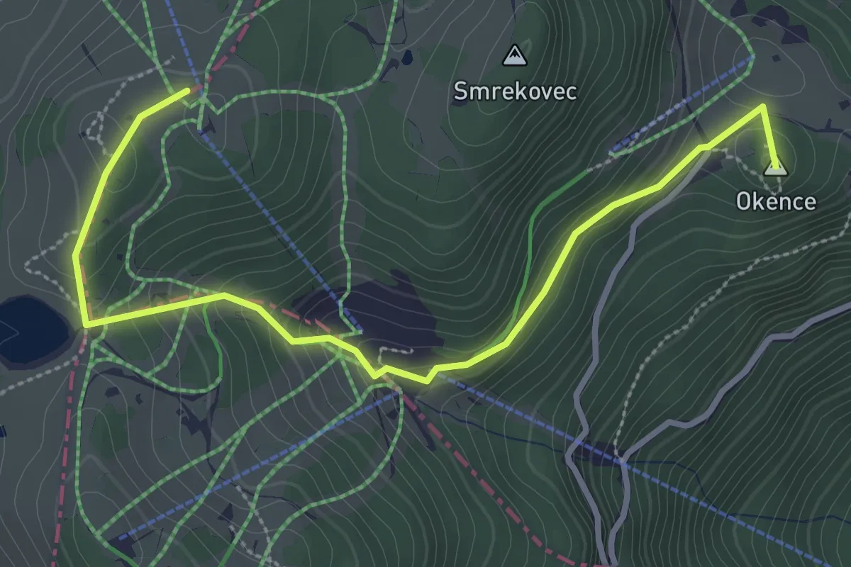
Easy · Summit
Mozirska koča - Stari stani
3.6 km · ↑ 199 m · 1 h 17 min
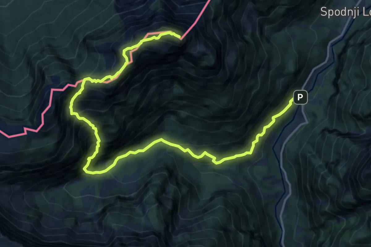
Expert · Summit
Možnica - Jerebica
15.2 km · ↑ 1725 m · 7 h 20 min
Easy · Summit
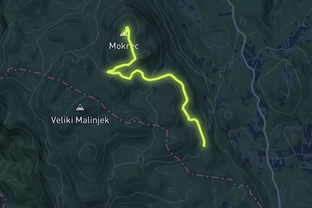
Mrzlica - Mokrec
7.5 km · ↑ 290 m · 2 h 24 min
Easy · Summit
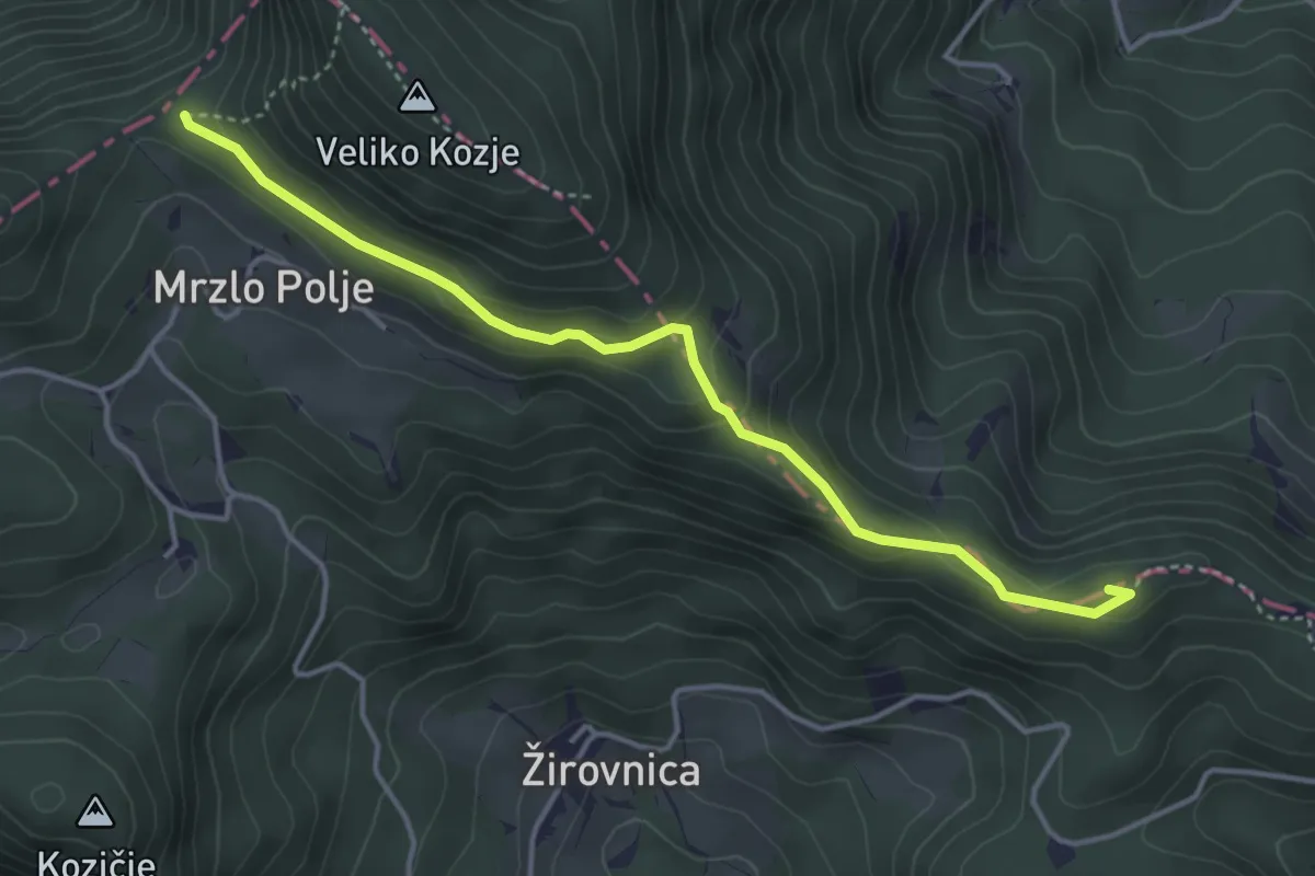
Mrzlo Polje - Sv. Lovrenc
4.1 km · ↑ 187 m · 1 h 23 min
Easy · Trail
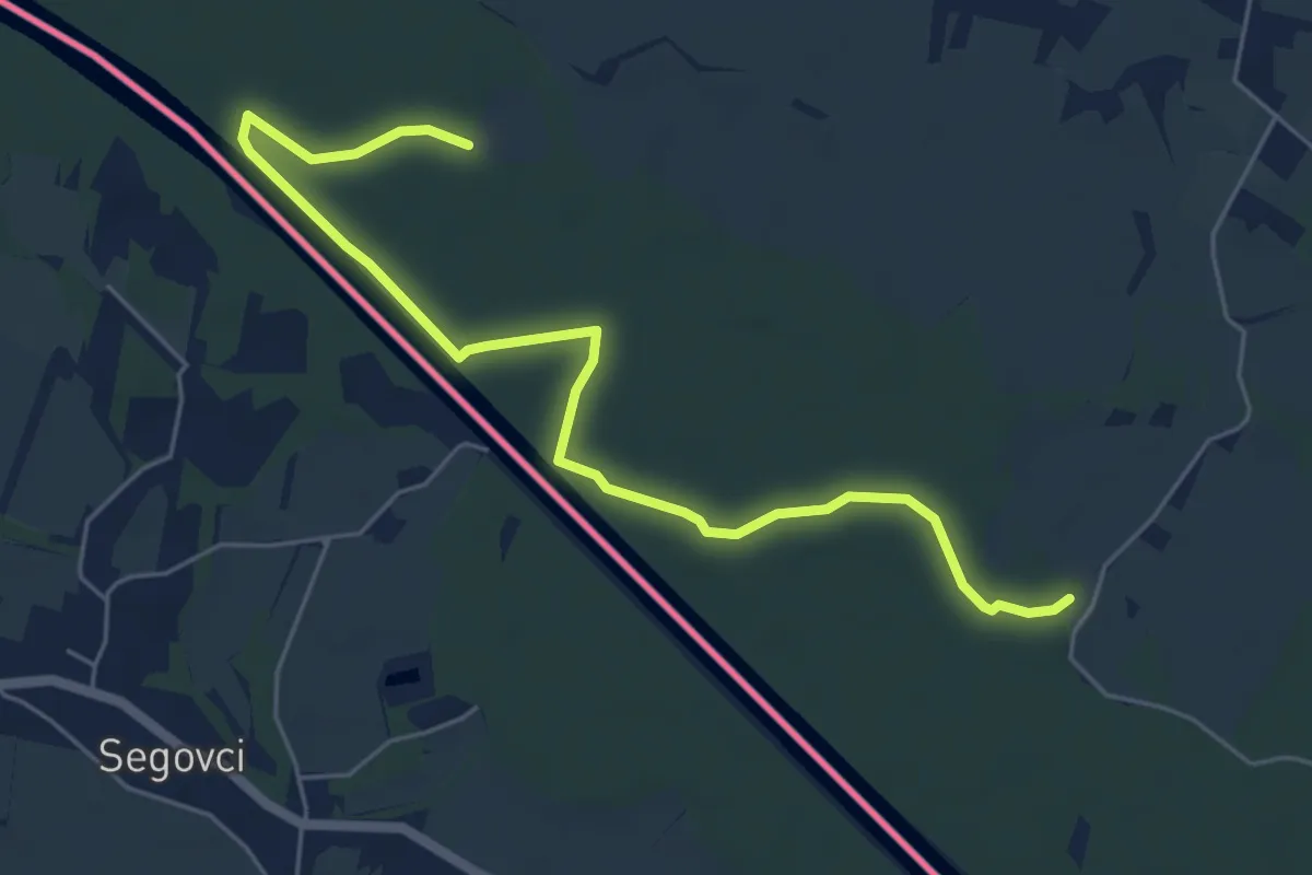
murauen.weg
3.2 km · ↑ 0 m · 48 min
Medium · Trail
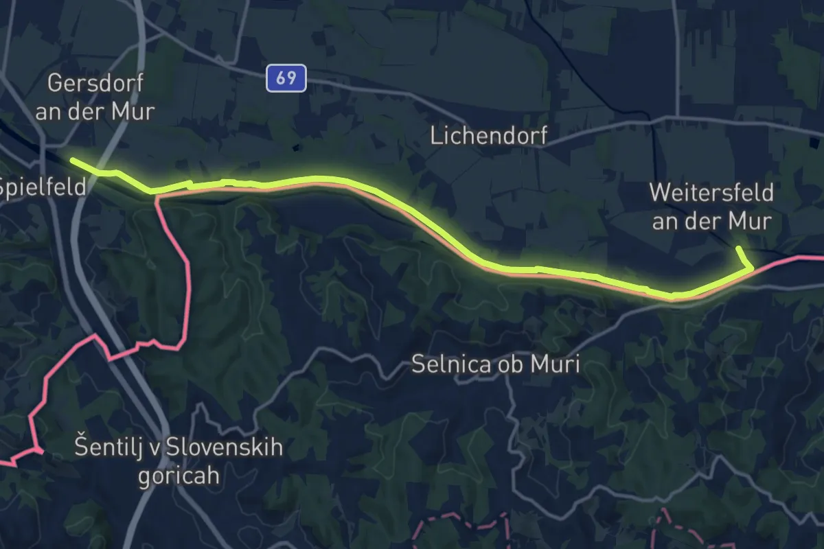
Mur-Grenzweg
16.0 km · ↑ 12 m · 3 h 48 min
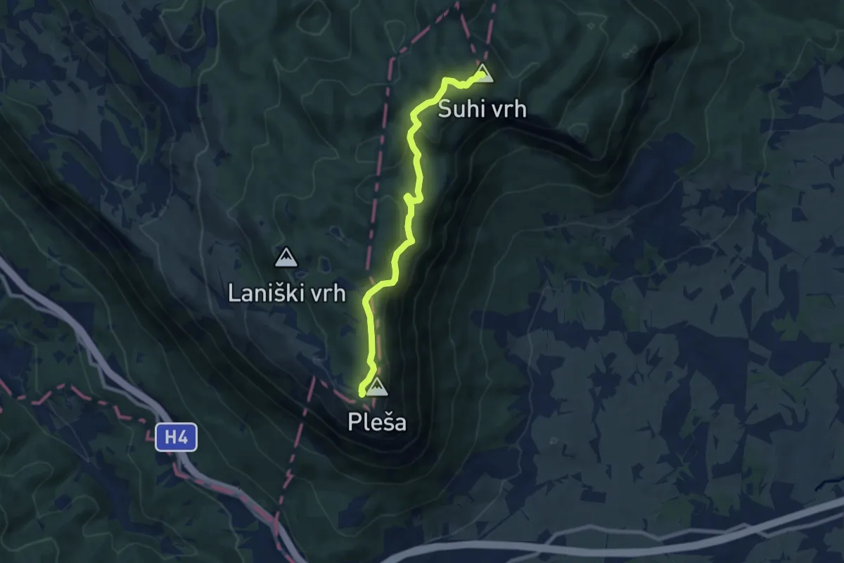
Medium · Summit
Nanos - Suhi vrh
8.0 km · ↑ 362 m · 2 h 40 min
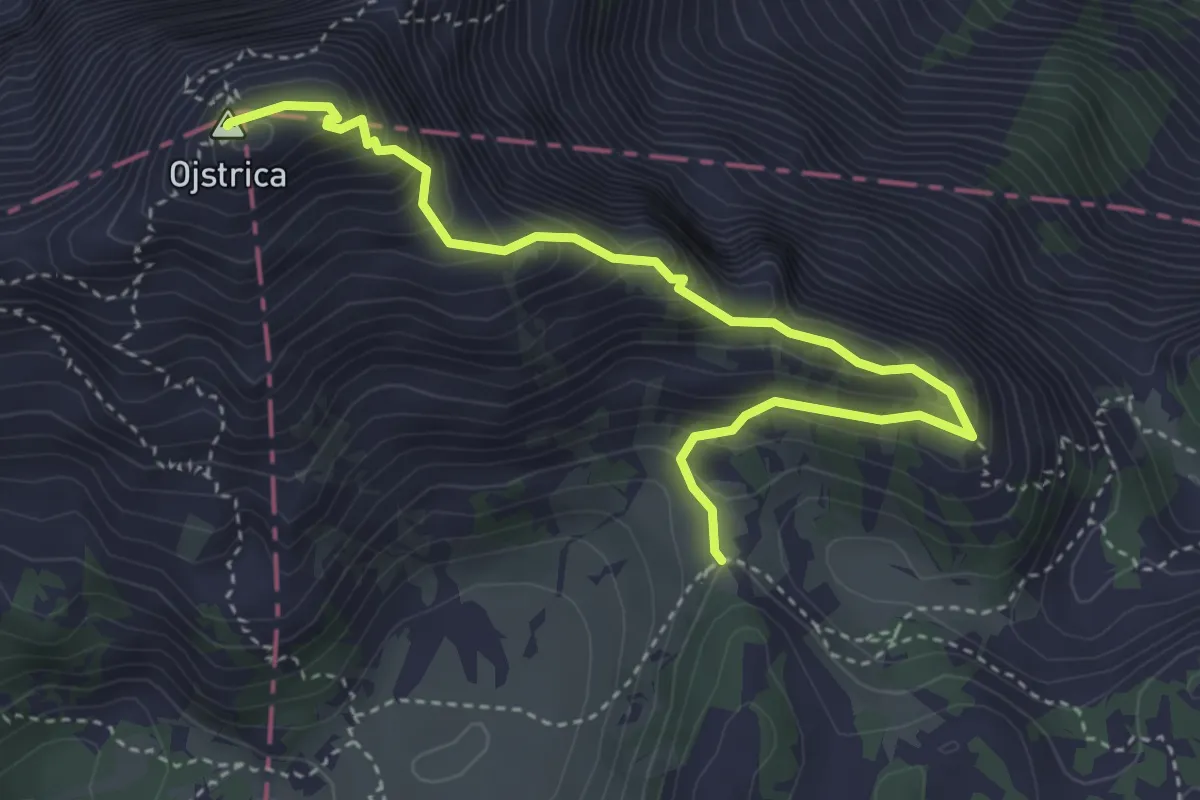
Expert · Summit
Na Ojstrico preko Male Ojstrice
4.3 km · ↑ 486 m · 2 h 5 min
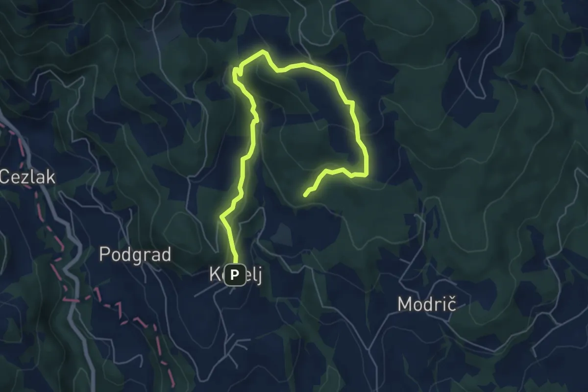
Medium · Trail
Naravoslovna učna pot Kebelj (nezahtevna)
6.9 km · ↑ 330 m · 2 h 21 min
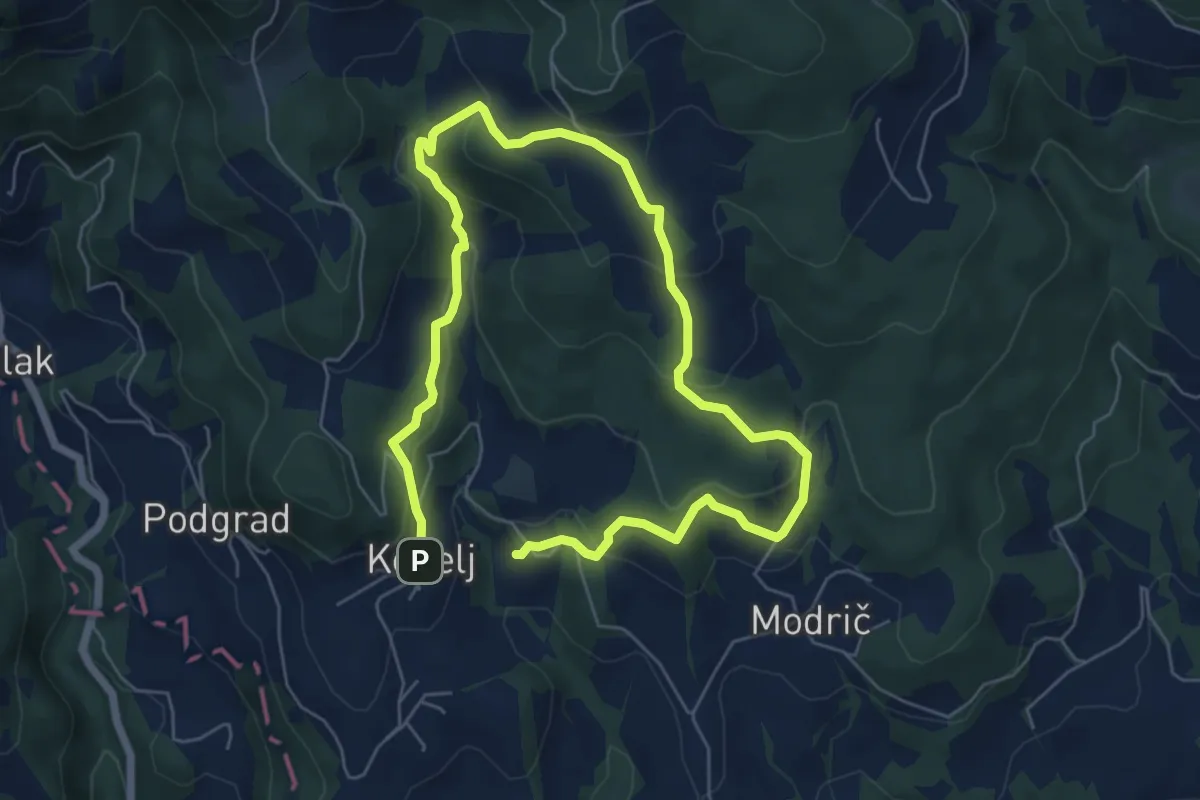
Medium · Trail
Naravoslovna učna pot Kebelj (zahtevnejša)
9.8 km · ↑ 479 m · 3 h 21 min
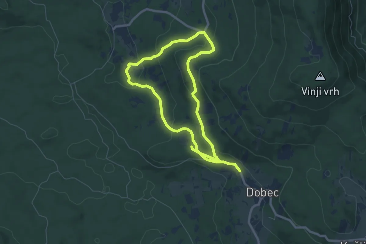
Easy · Trail
Naravoslovna učna pot Menišija
5.6 km · ↑ 180 m · 1 h 46 min
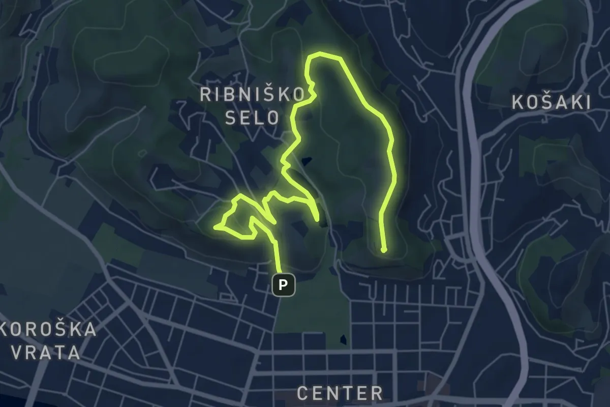
Medium · Summit
Naravoslovna učna pot Piramida - Kalvarrija
8.6 km · ↑ 295 m · 2 h 40 min
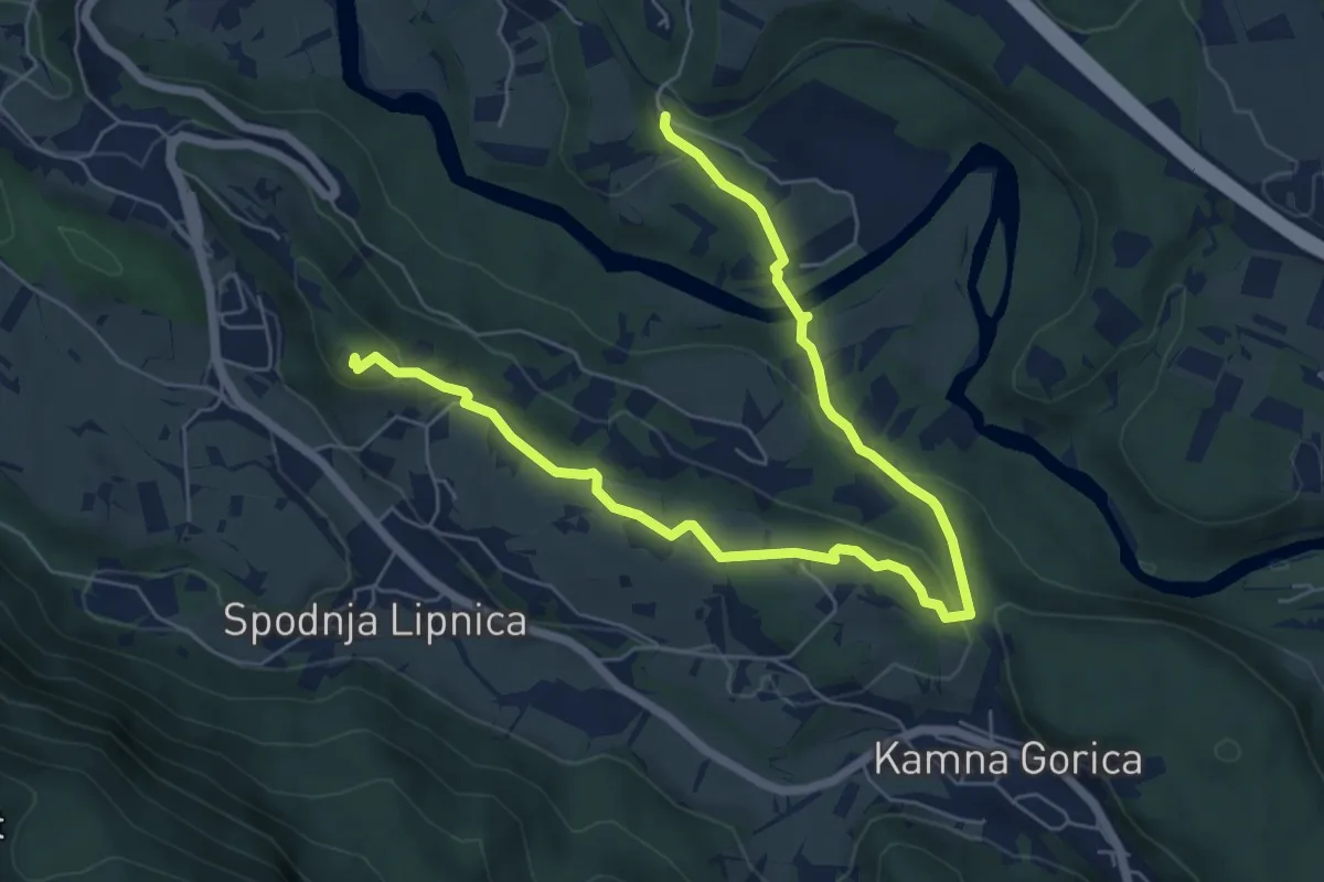
Medium · Summit
Naravoslovna učna pot Pusti grad
8.1 km · ↑ 222 m · 2 h 23 min
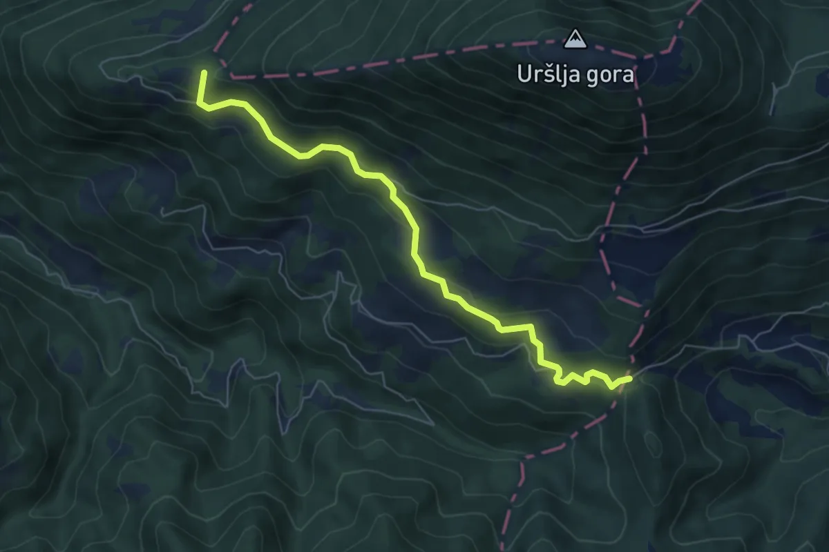
Easy · Summit
Naravske ledine - Krivec
6.2 km · ↑ 256 m · 2 h 1 min
Medium · Summit
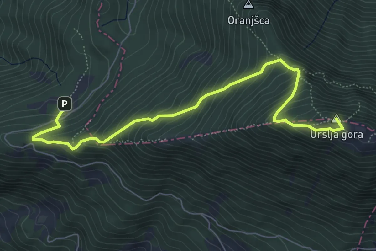
Naravske ledine - Uršlja gora
6.8 km · ↑ 597 m · 2 h 54 min
Medium · Trail
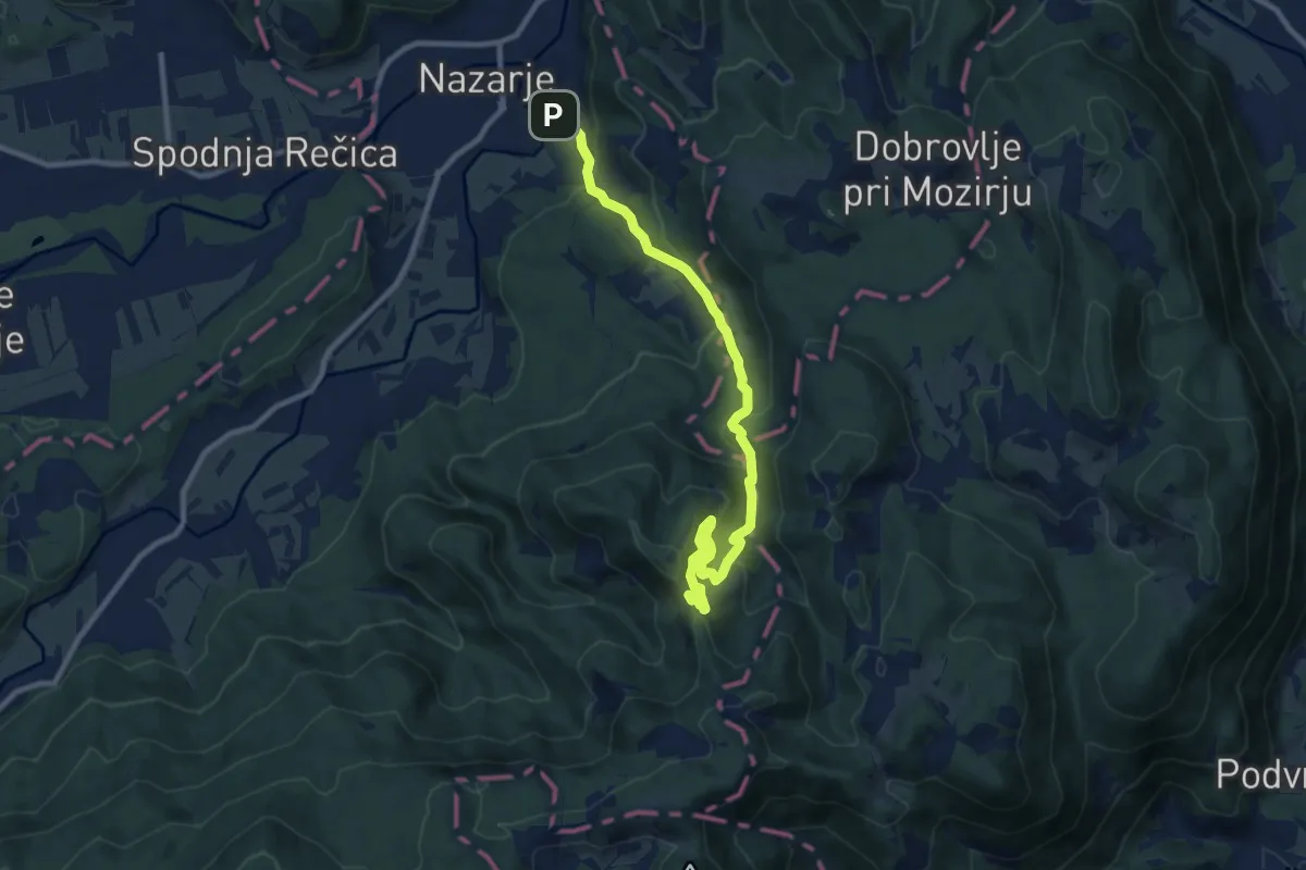
Nazarje - Čreta
10.1 km · ↑ 525 m · 3 h 32 min
Medium · Summit
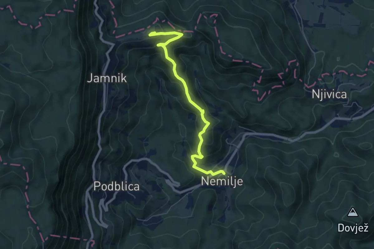
Nemilje - Jamnik
6.2 km · ↑ 351 m · 2 h 13 min
Medium · Summit
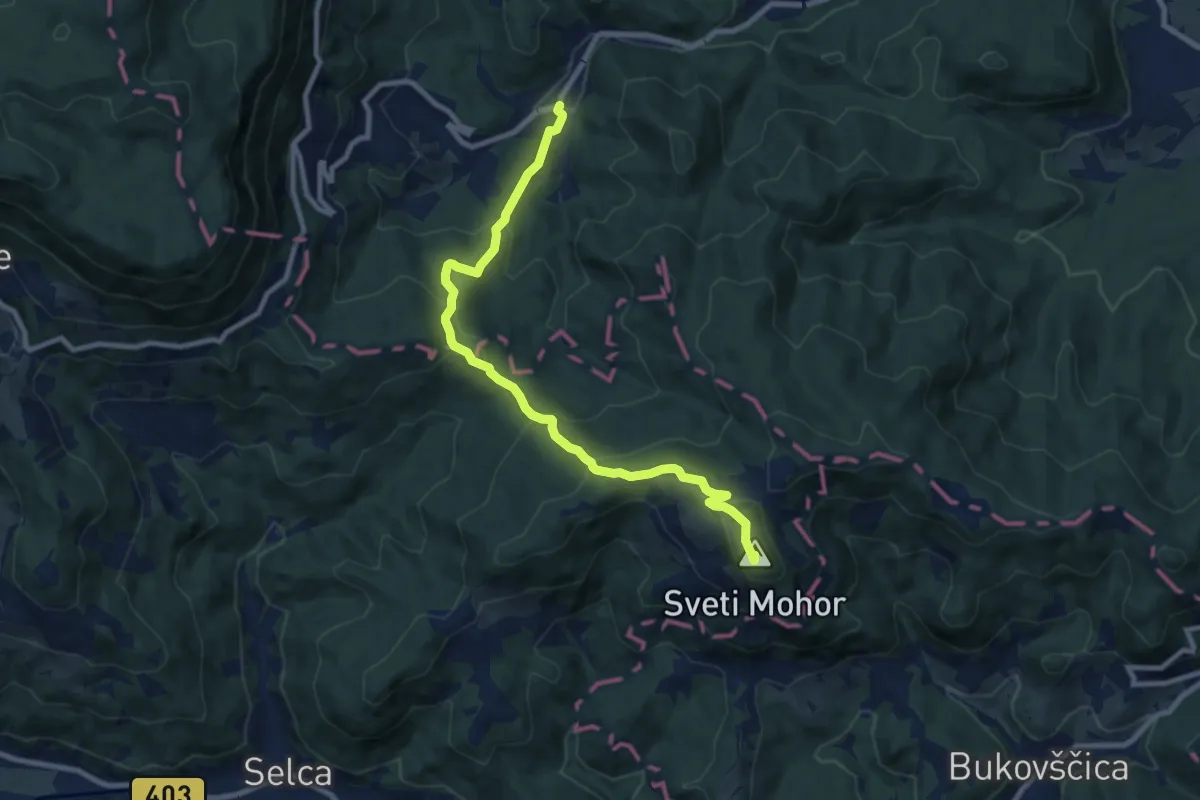
Nemilje - Sv. Mohor
9.4 km · ↑ 531 m · 3 h 22 min
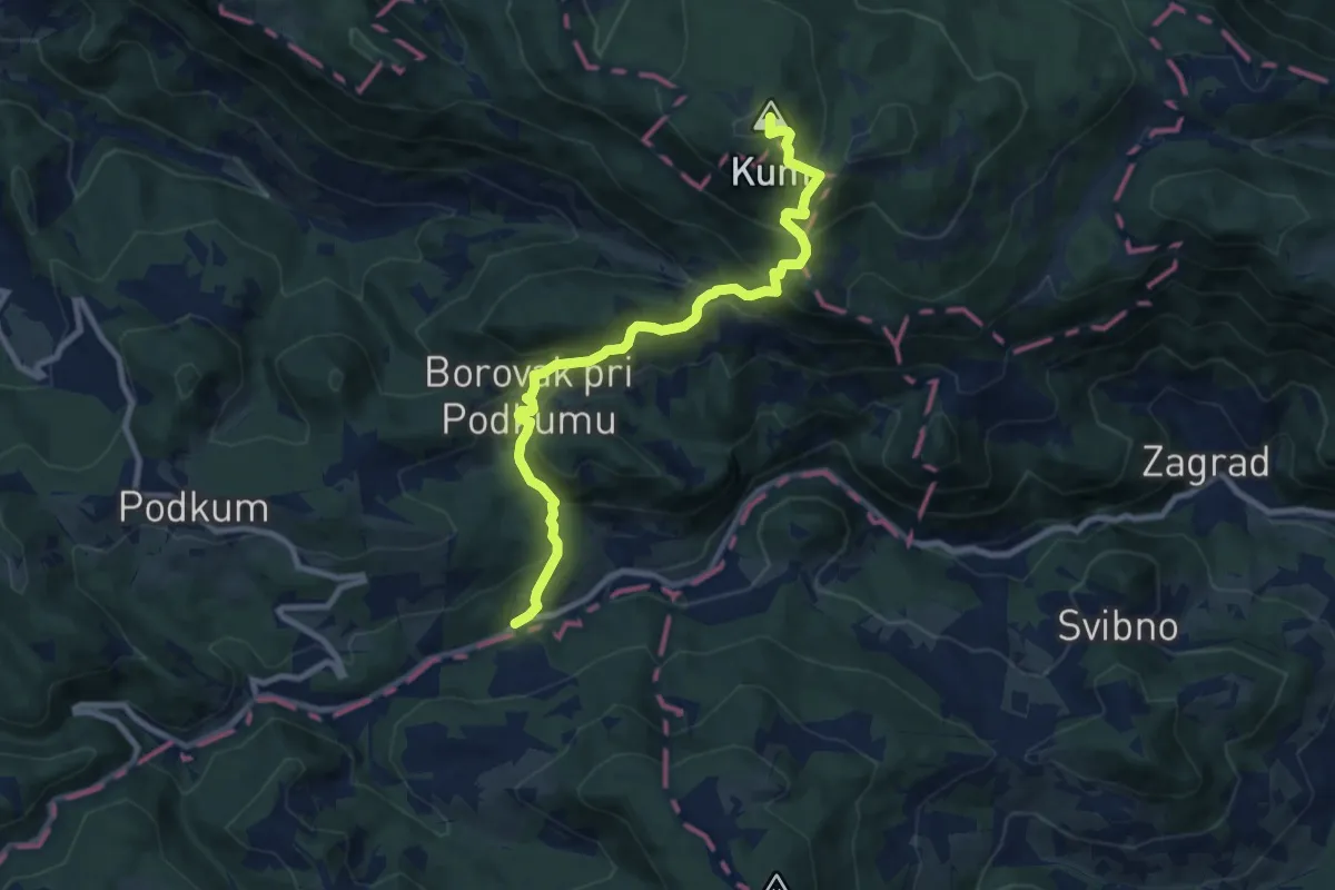
Medium · Summit
Nežina pot (Sopota - Kum)
9.3 km · ↑ 720 m · 3 h 46 min
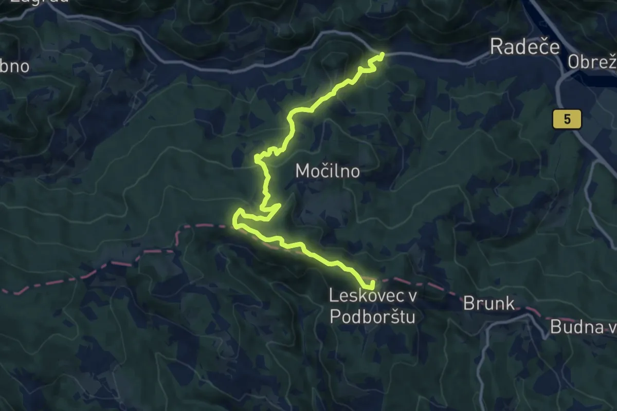
Medium · Summit
Njivice - Žebnik - Leskovec
13.2 km · ↑ 652 m · 4 h 31 min
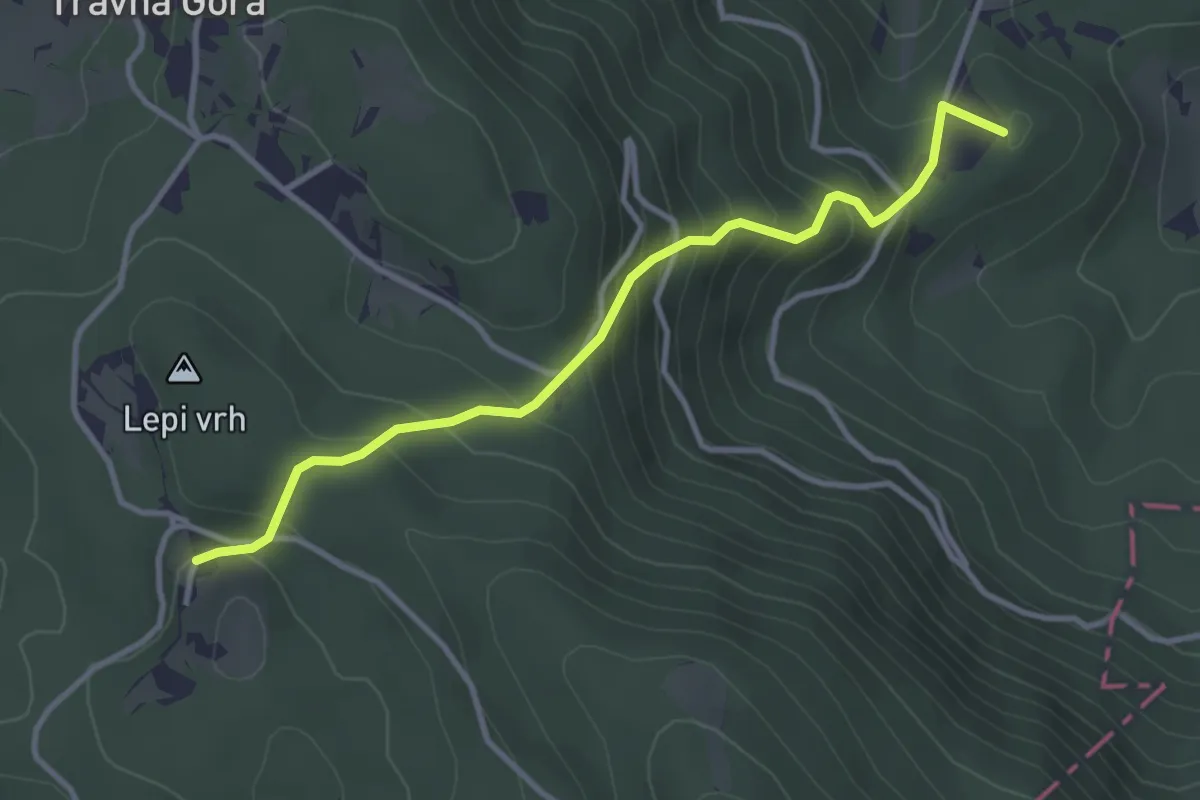
Medium · Summit
Nova Štifta - Dom na Travni gori
3.5 km · ↑ 329 m · 1 h 32 min
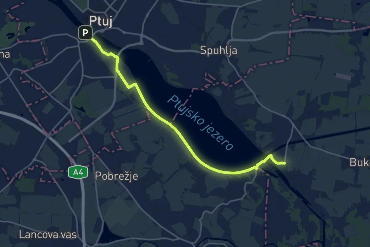
Medium · Trail
Nova vas pri Markovcih - Ptuj
14.5 km · ↑ 21 m · 3 h 28 min