Trails in Slovenia
1,594 hiking trails, each with its route, climb, walking time and grade.
All trails, page 15 of 34
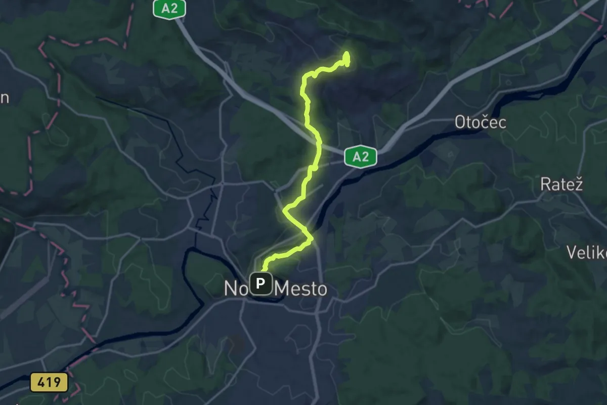
Medium · Summit
Novo mesto - Trška gora
14.0 km · ↑ 452 m · 4 h 18 min
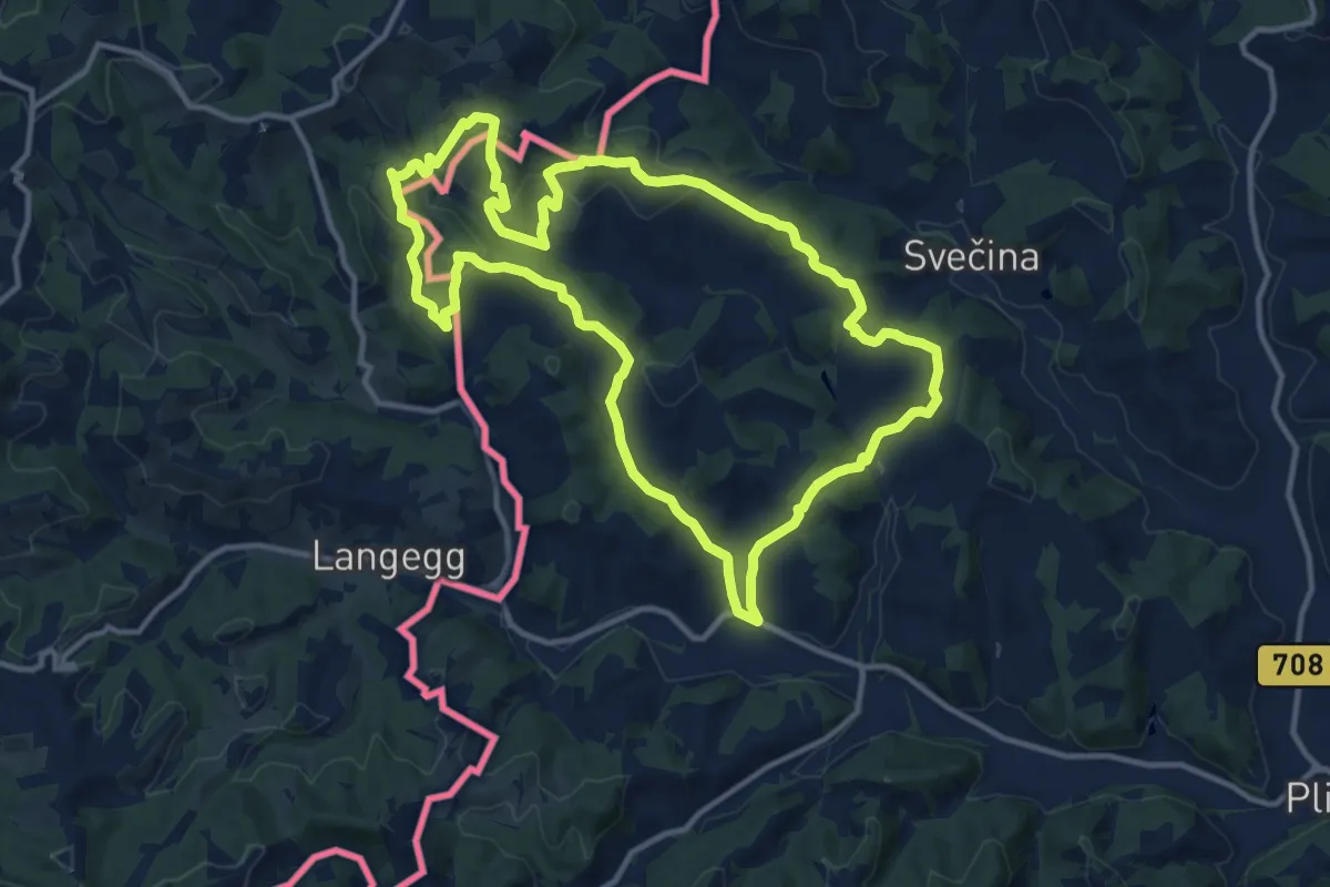
Medium · Trail
NW Vino TOUR - Grüne Strecke - zelena pot
12.8 km · ↑ 542 m · 4 h 22 min
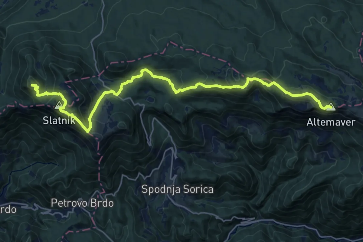
Demanding · Summit
Obhodnica Ratitovec
21.6 km · ↑ 1205 m · 7 h 42 min
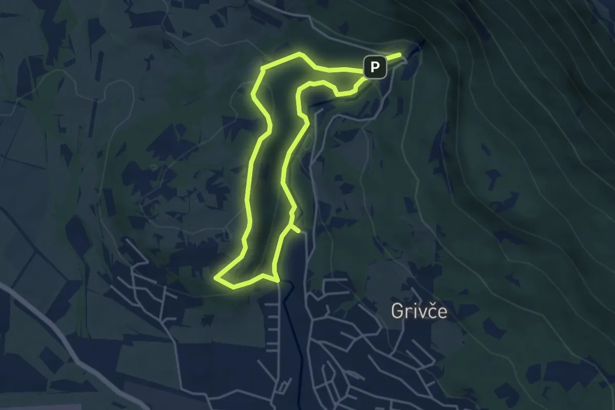
Medium · Summit
Ob Hublju po naravoslovni učni poti
3.6 km · ↑ 153 m · 1 h 13 min
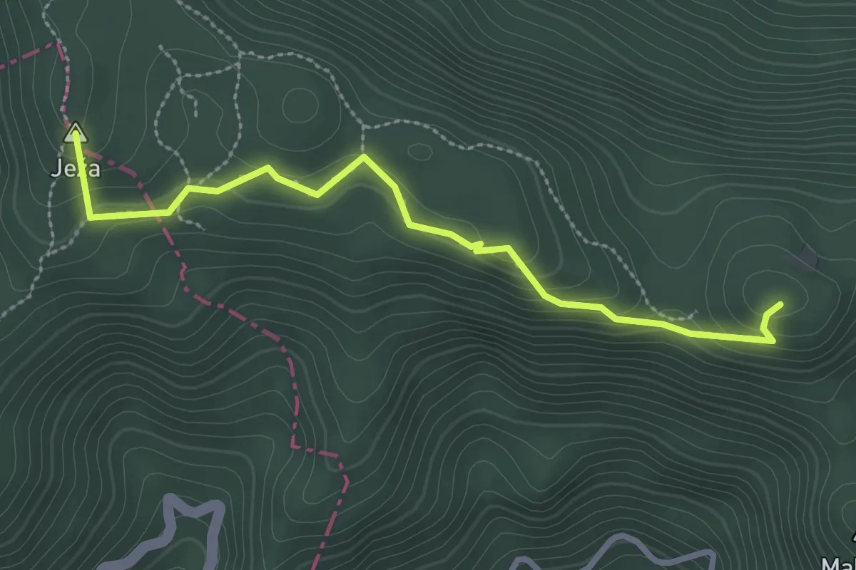
Easy · Summit
Očna
2.9 km · ↑ 112 m · 55 min
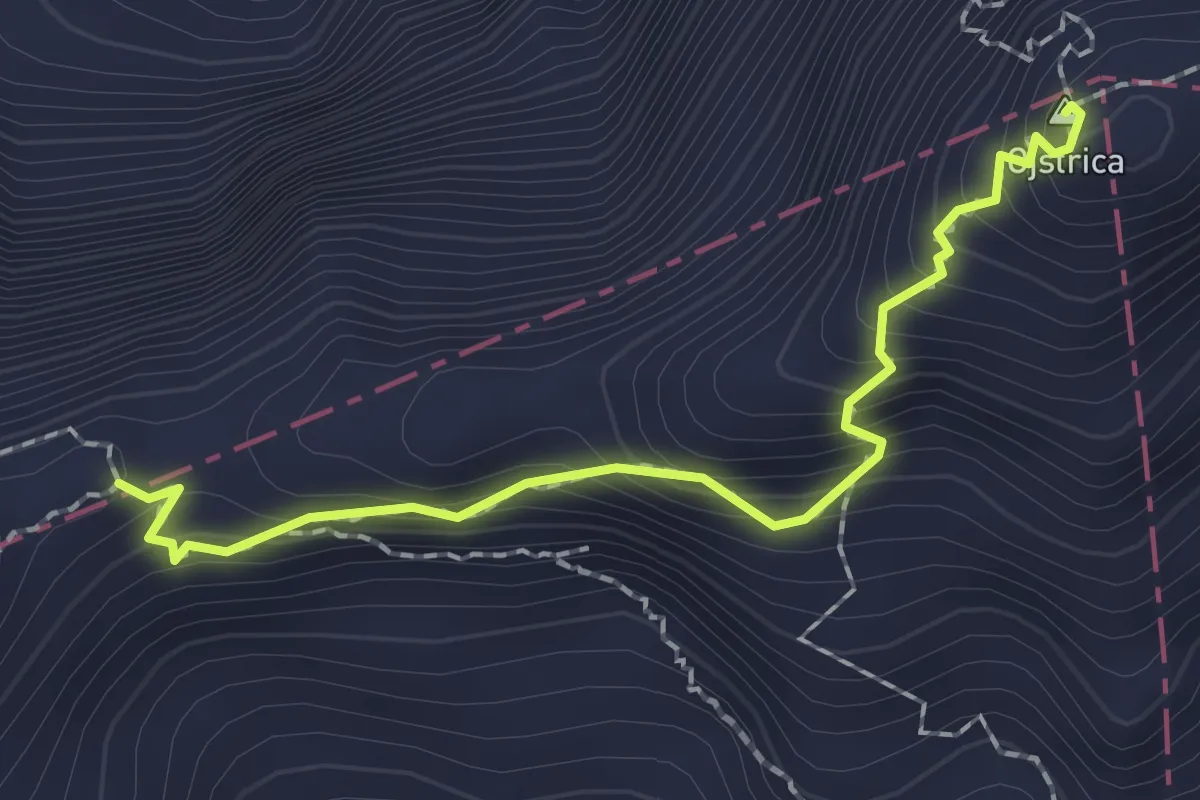
Expert · Summit
Ojstrica - Škarje
2.0 km · ↑ 278 m · 1 h 4 min
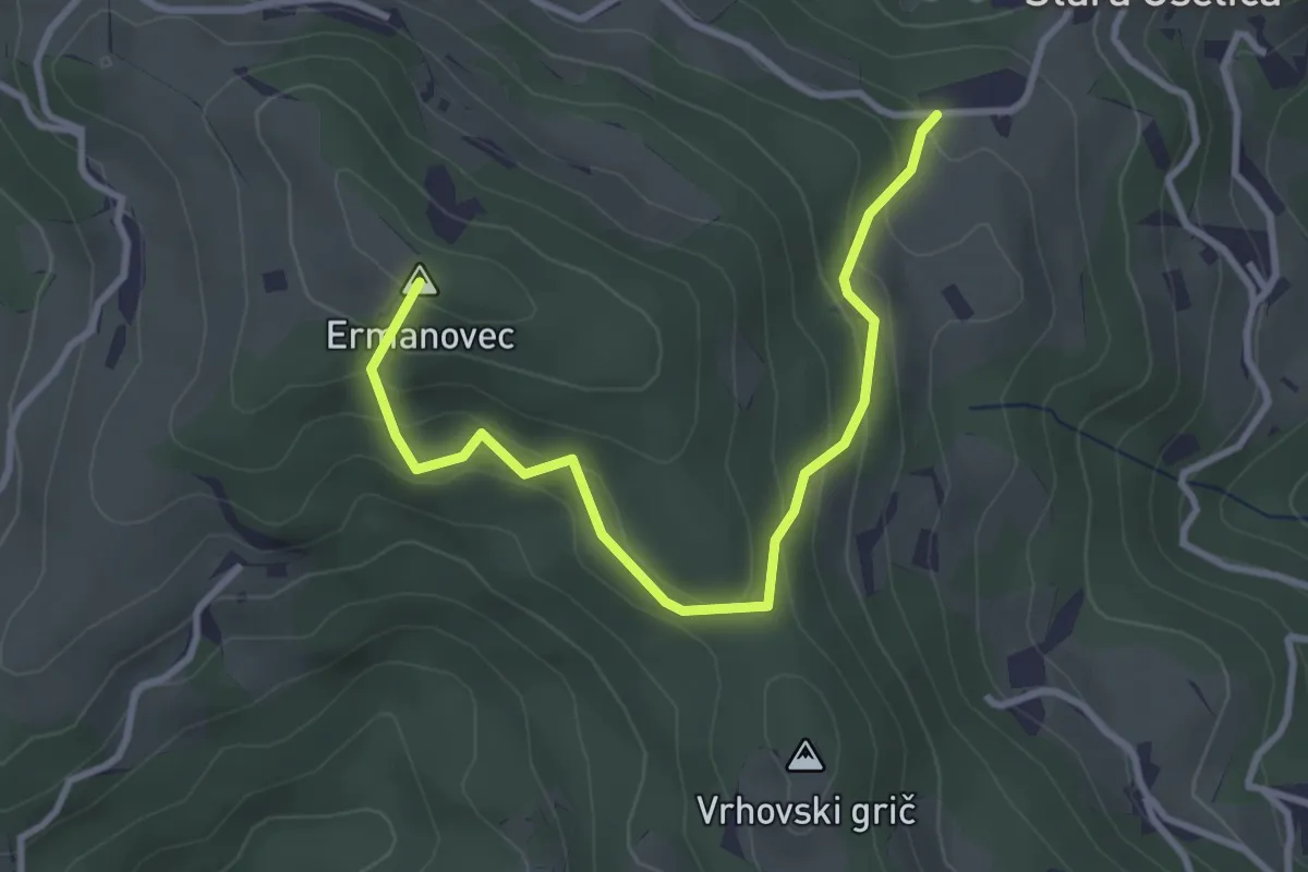
Easy · Summit
Okoli Ermanovca
3.4 km · ↑ 275 m · 1 h 24 min
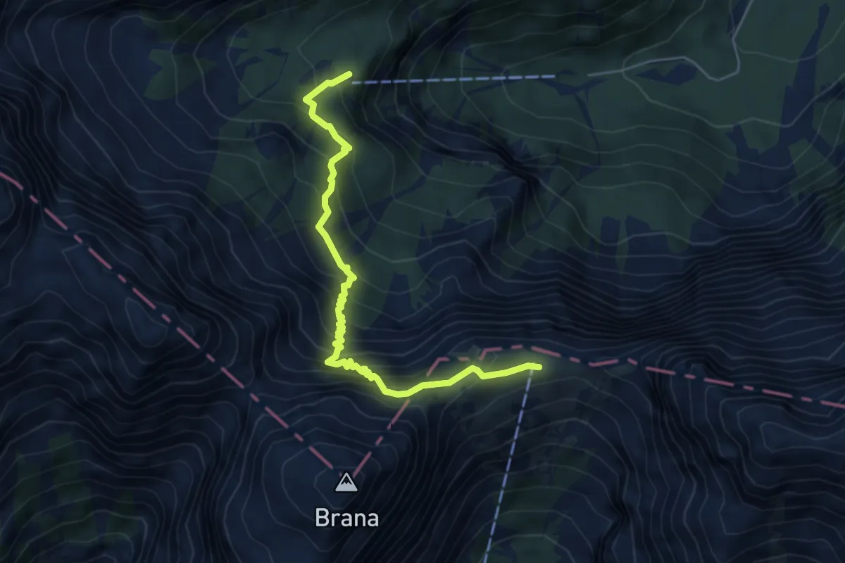
Demanding · Cabin
Okrešelj - Kamniško sedlo
5.4 km · ↑ 644 m · 2 h 41 min
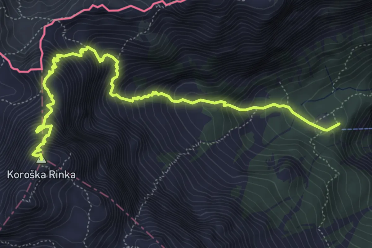
Expert · Summit
Okrešelj - Koroška rinka
6.8 km · ↑ 1132 m · 4 h 3 min
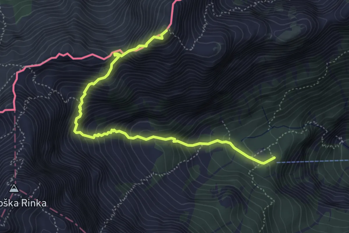
Expert · Summit
Okrešelj - Mrzla gora
5.3 km · ↑ 805 m · 3 h
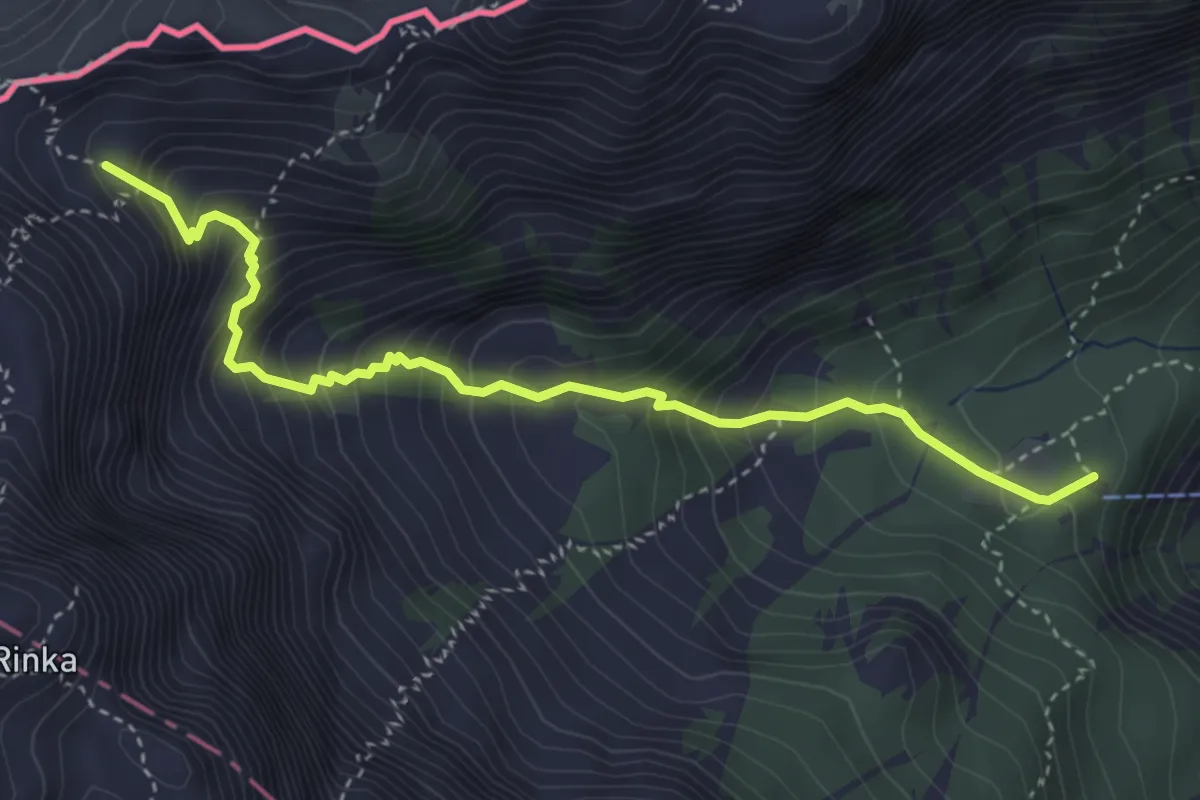
Medium · Cabin
Okrešelj - Savinjsko sedlo
4.1 km · ↑ 511 m · 2 h 5 min
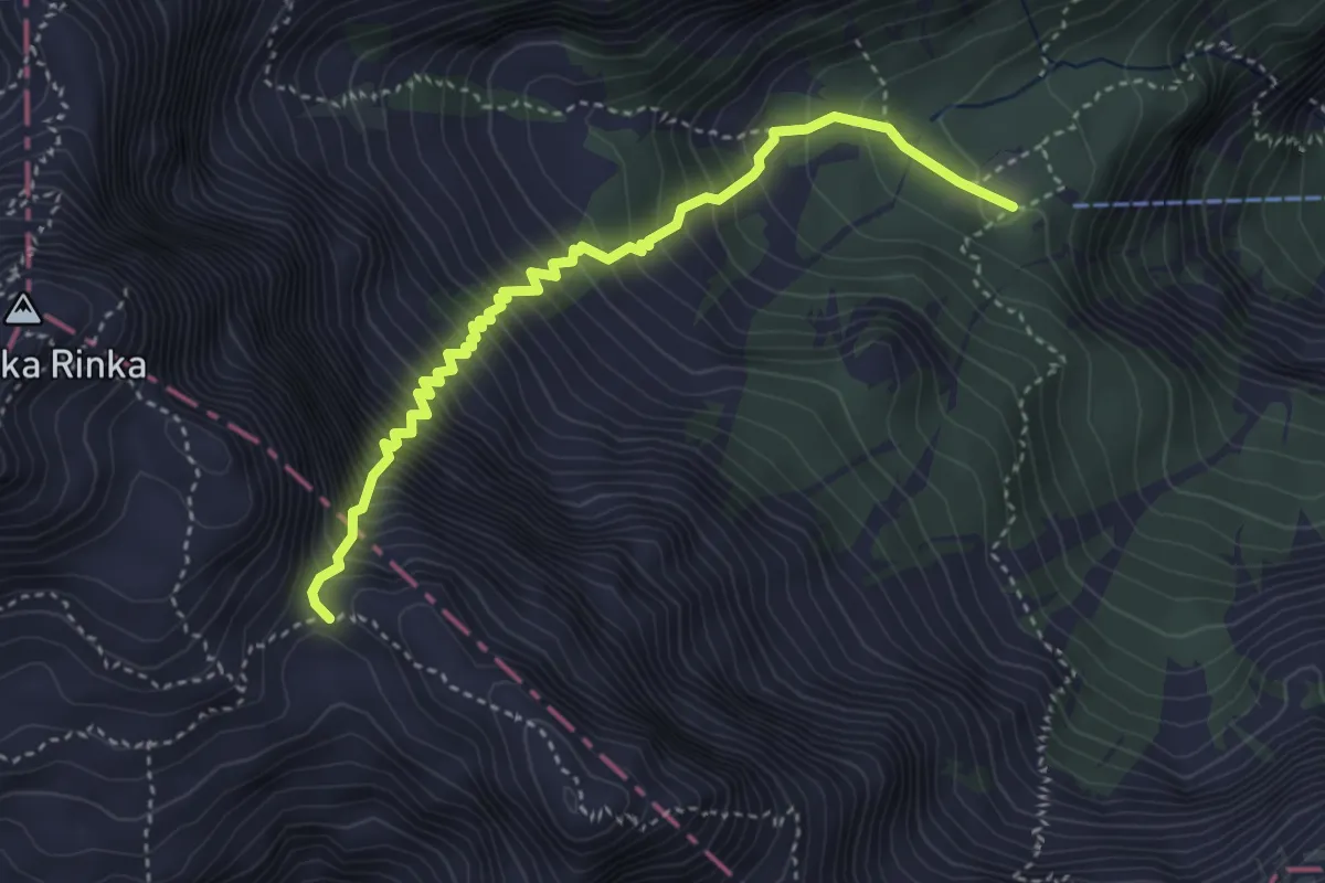
Expert · Cabin
Okrešelj - Turski žleb
4.0 km · ↑ 726 m · 2 h 31 min
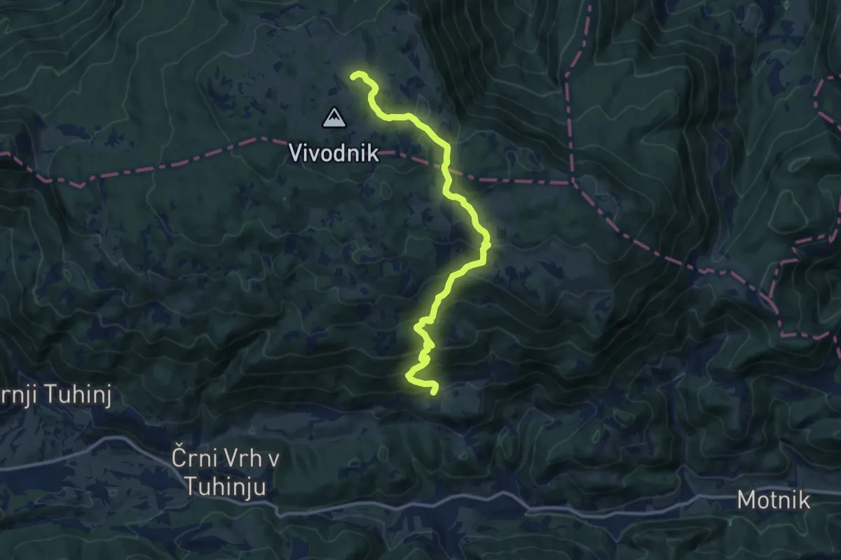
Medium · Cabin
Okrog - Pl. Biba - Dom na Menini
12.4 km · ↑ 697 m · 4 h 27 min
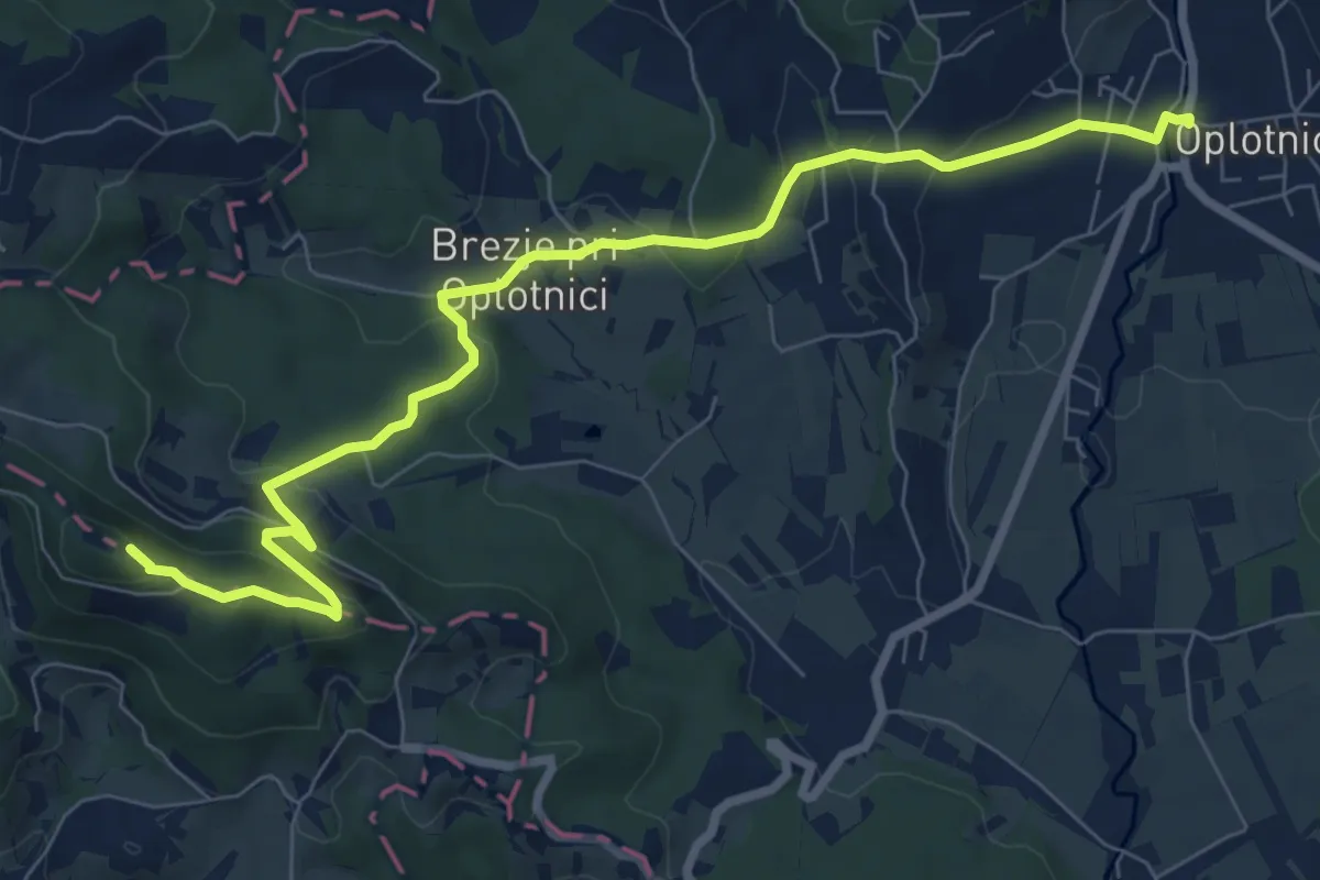
Medium · Summit
Oplotnica - Brinjeva gora
9.1 km · ↑ 338 m · 2 h 53 min
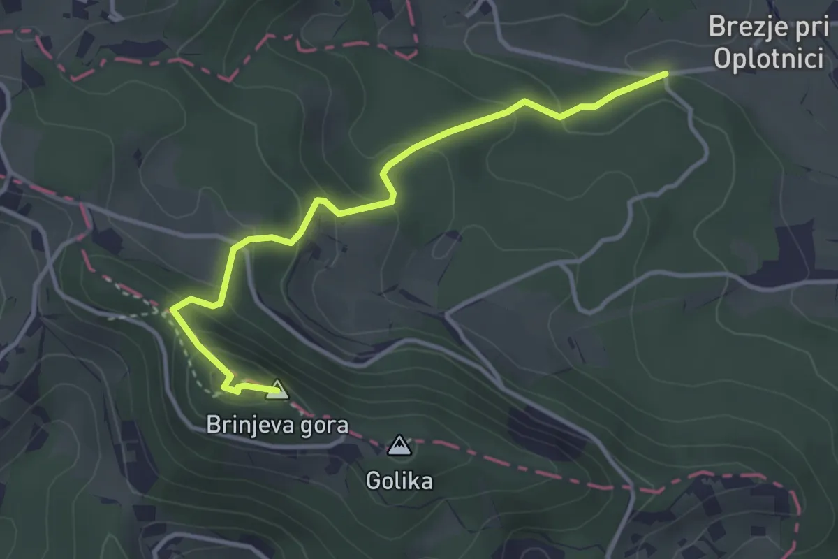
Easy · Summit
Oplotnica - Brinjeva gora (gozdna)
3.6 km · ↑ 227 m · 1 h 20 min
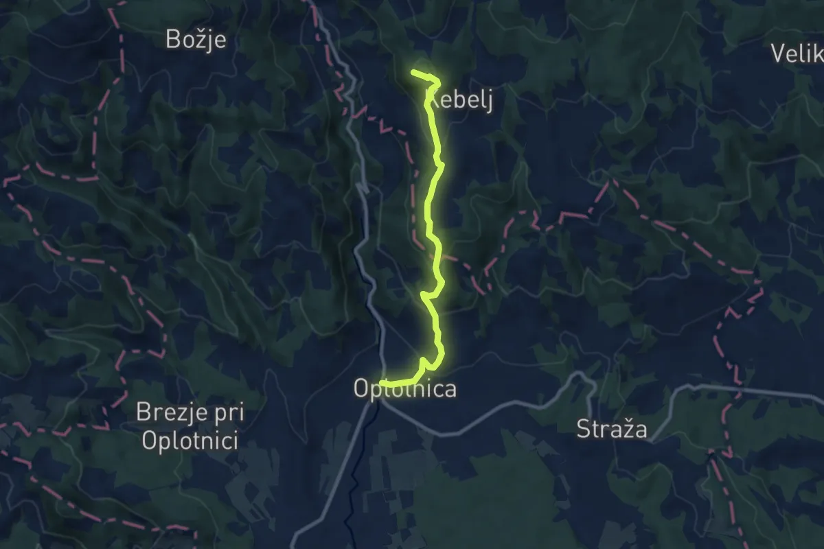
Medium · Summit
Oplotnica - Črno jezero
8.2 km · ↑ 429 m · 2 h 51 min
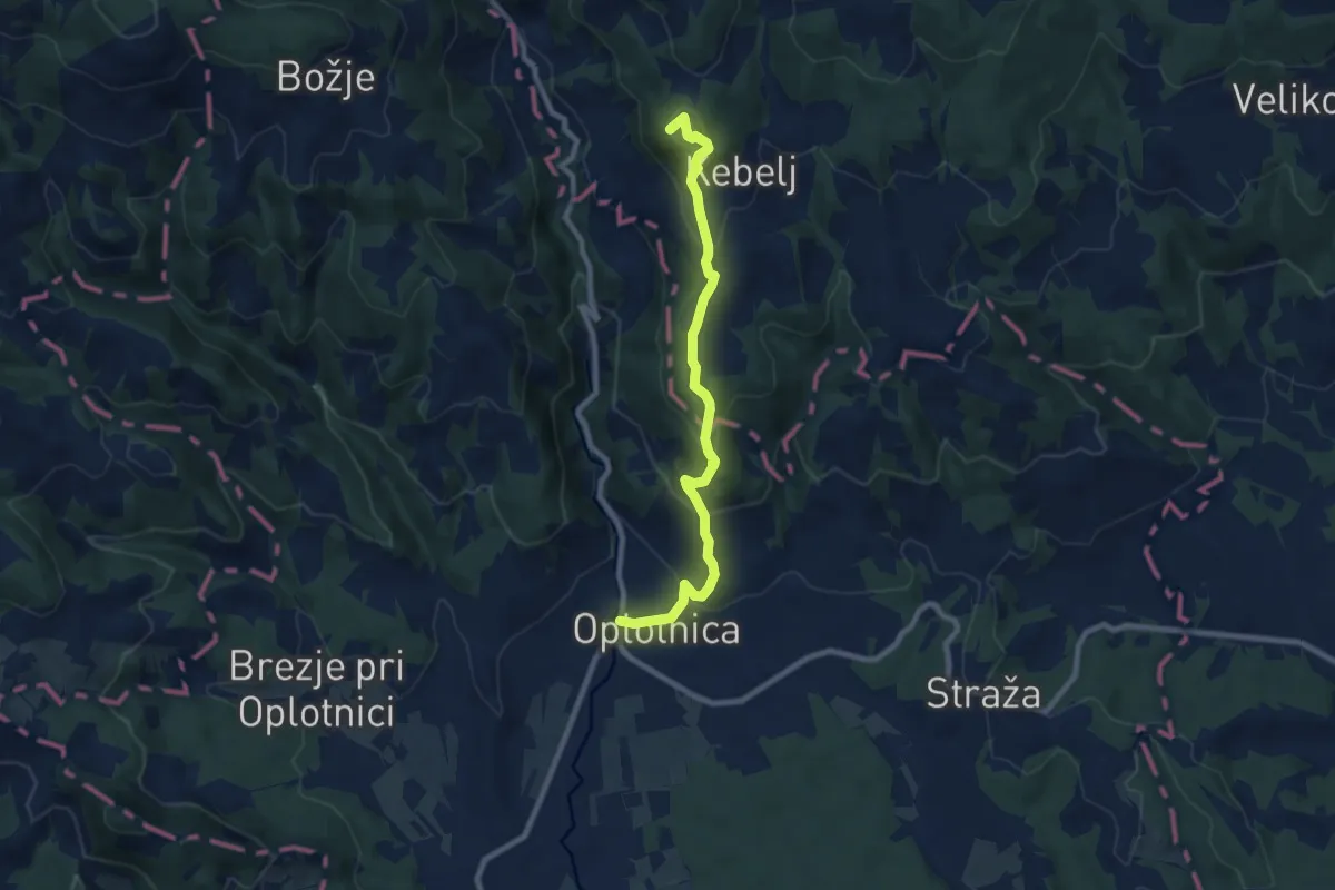
Medium · Summit
Oplotnica - Osankarica
8.4 km · ↑ 440 m · 2 h 56 min
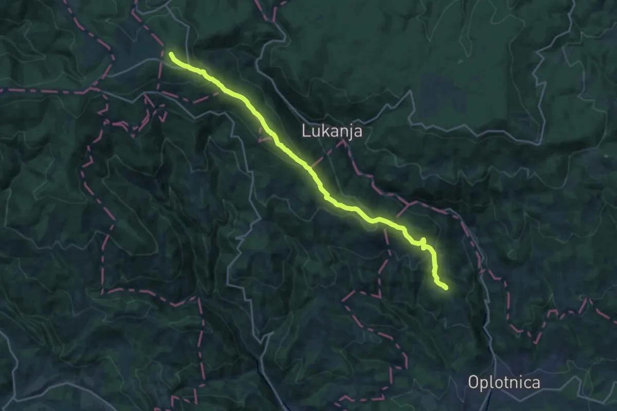
Demanding · Summit
Oplotnica - Rogla
19.2 km · ↑ 836 m · 6 h 20 min
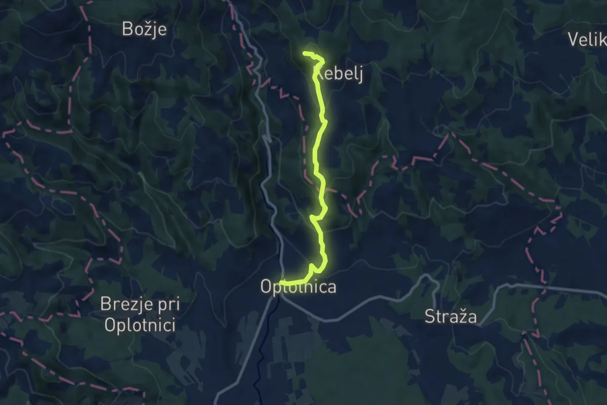
Medium · Summit
Oplotnica - Trije kralji
8.2 km · ↑ 429 m · 2 h 52 min
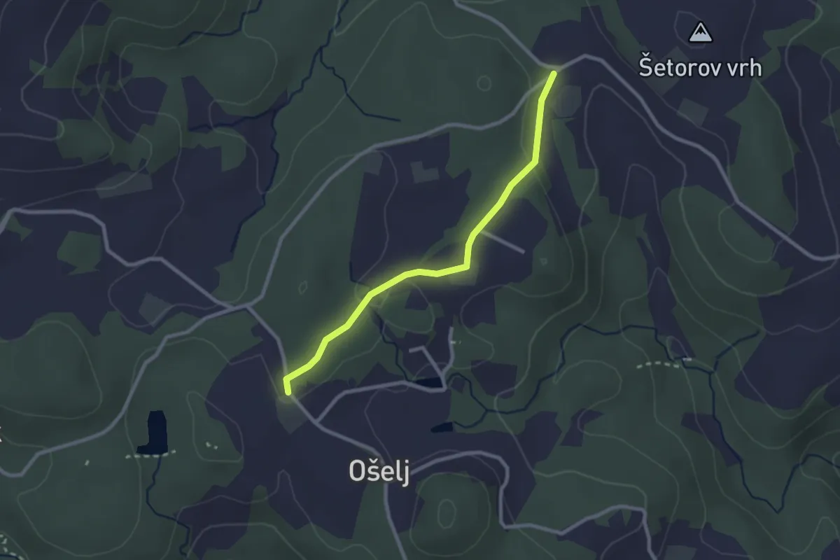
Easy · Trail
Ošelj - Smrečno
2.4 km · ↑ 62 m · 42 min
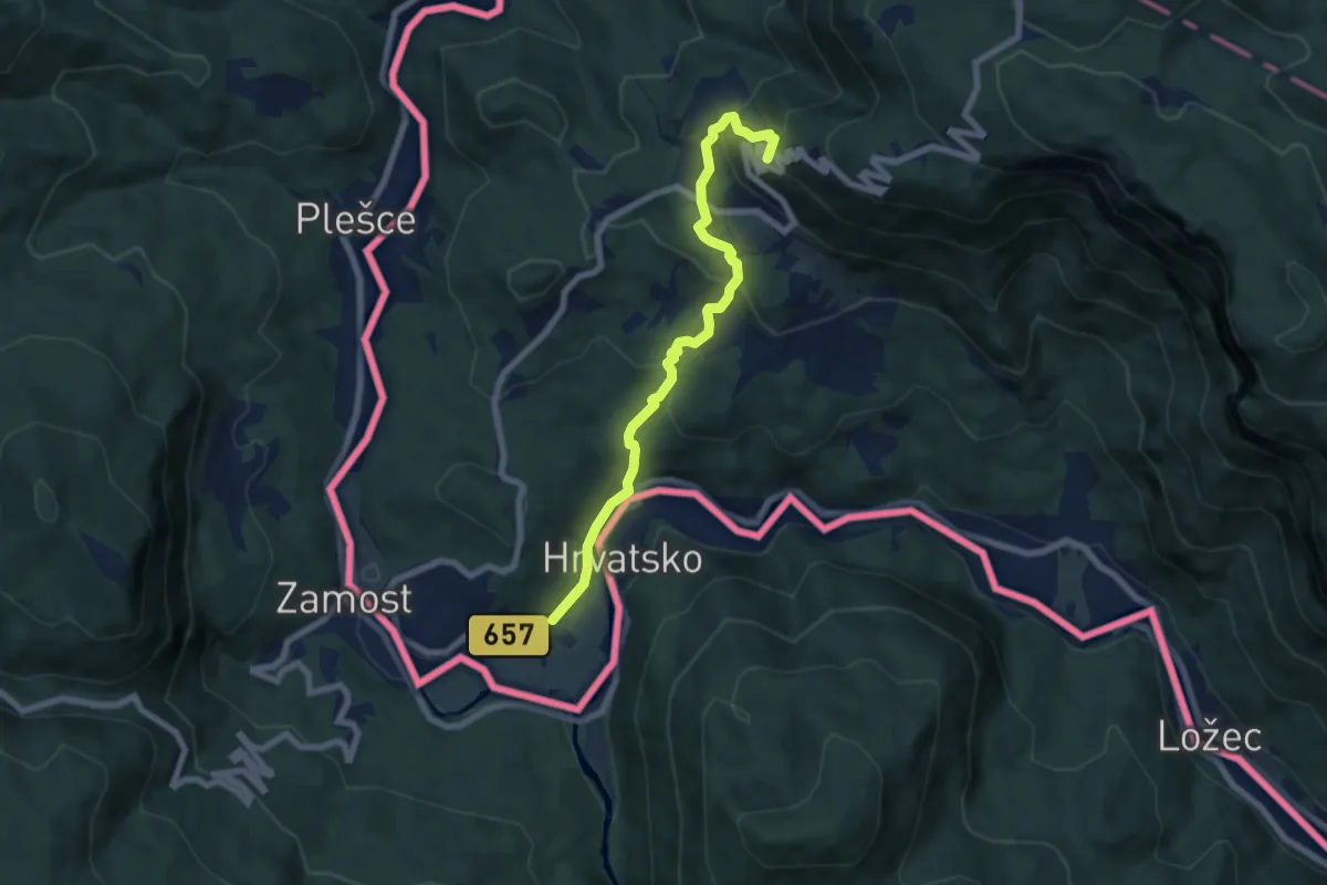
Medium · Summit
Osilnica - Bezgarska pl.
7.0 km · ↑ 455 m · 2 h 39 min
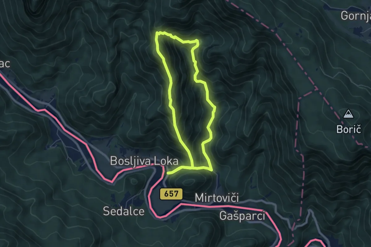
Medium · Summit
Osilniška planinska pot
5.5 km · ↑ 464 m · 2 h 23 min
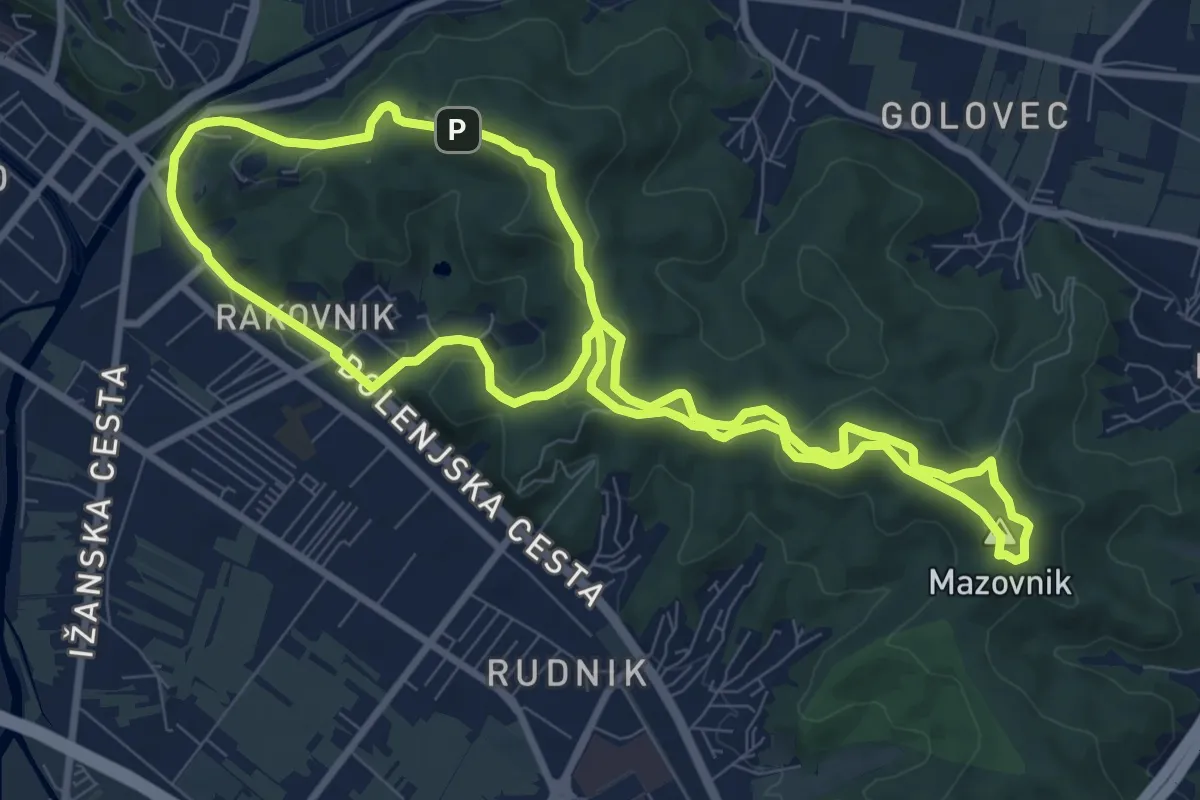
Medium · Summit
Oskarjeva pot
9.3 km · ↑ 245 m · 2 h 52 min
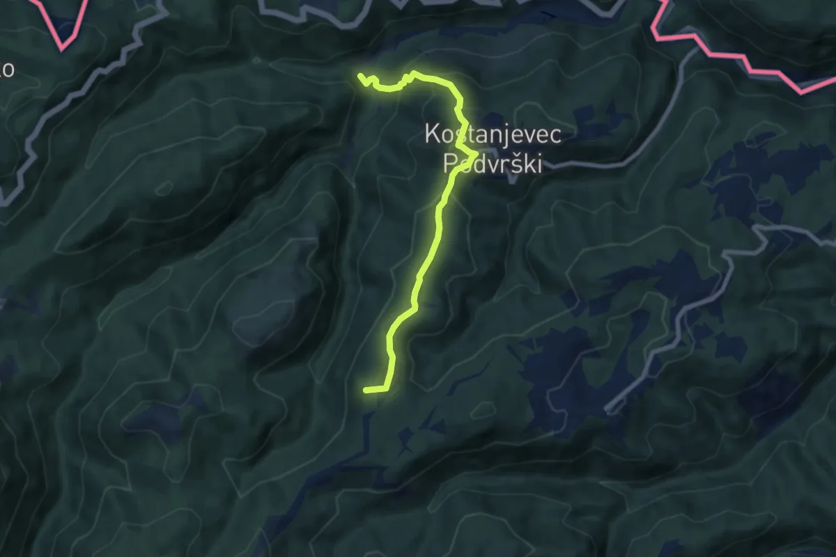
Medium · Summit
Osredek - Beder
6.9 km · ↑ 370 m · 2 h 25 min
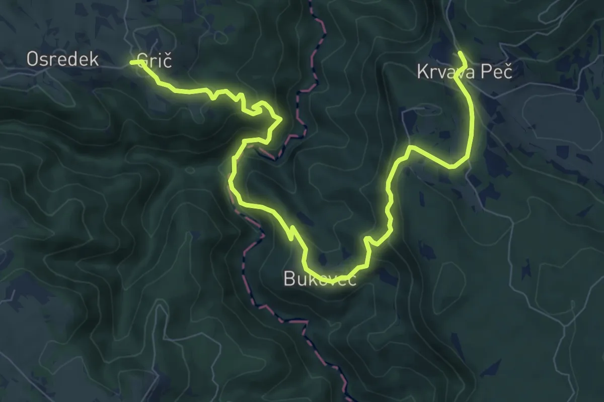
Medium · Trail
Osredek - Krvava Peč
10.8 km · ↑ 574 m · 3 h 48 min
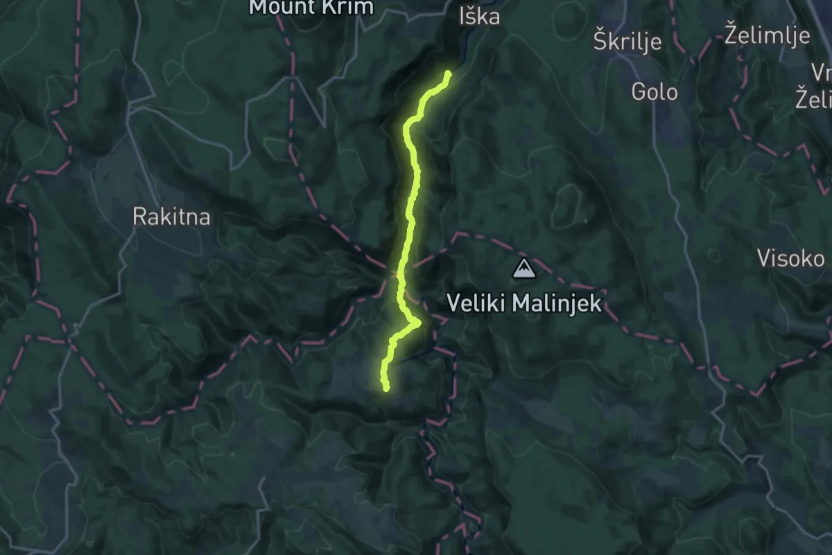
Medium · Trail
Osredek - Vrbica - Iški vintgar
13.2 km · ↑ 616 m · 4 h 28 min
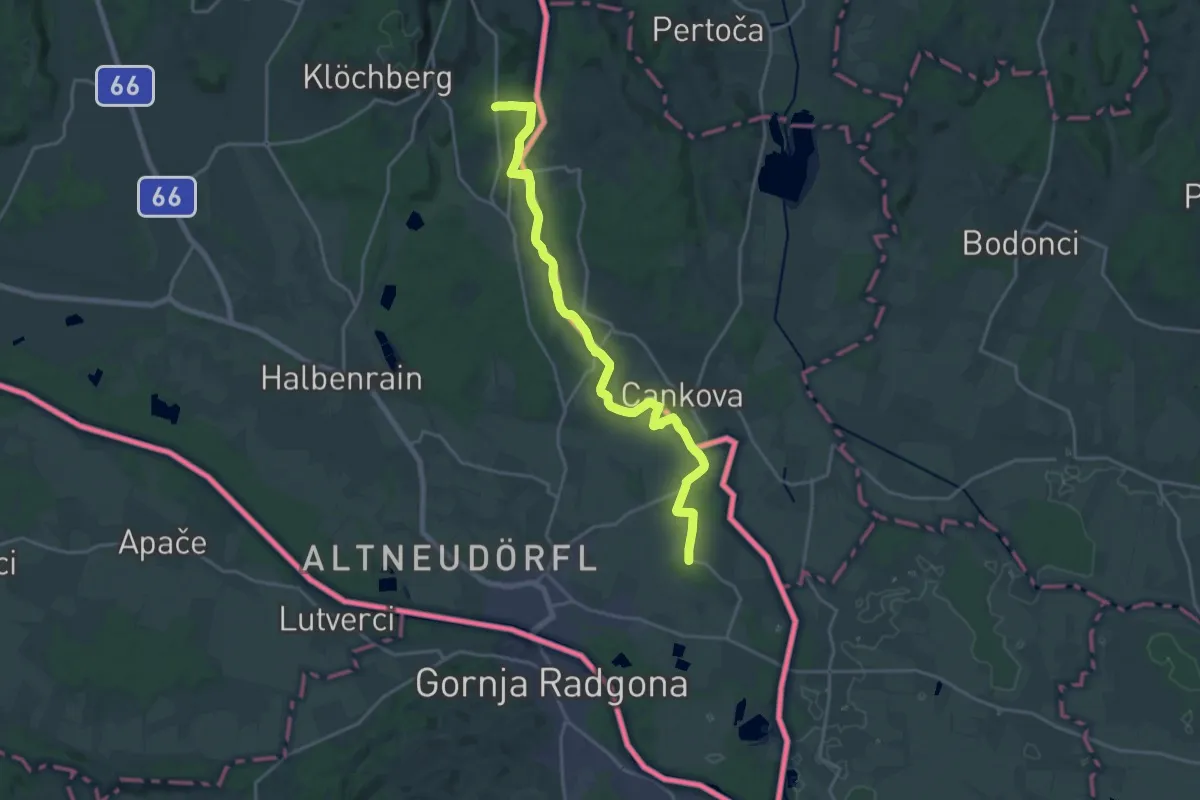
Demanding · Trail
Ostösterreichischer Grenzlandweg 07
21.5 km · ↑ 93 m · 5 h 17 min
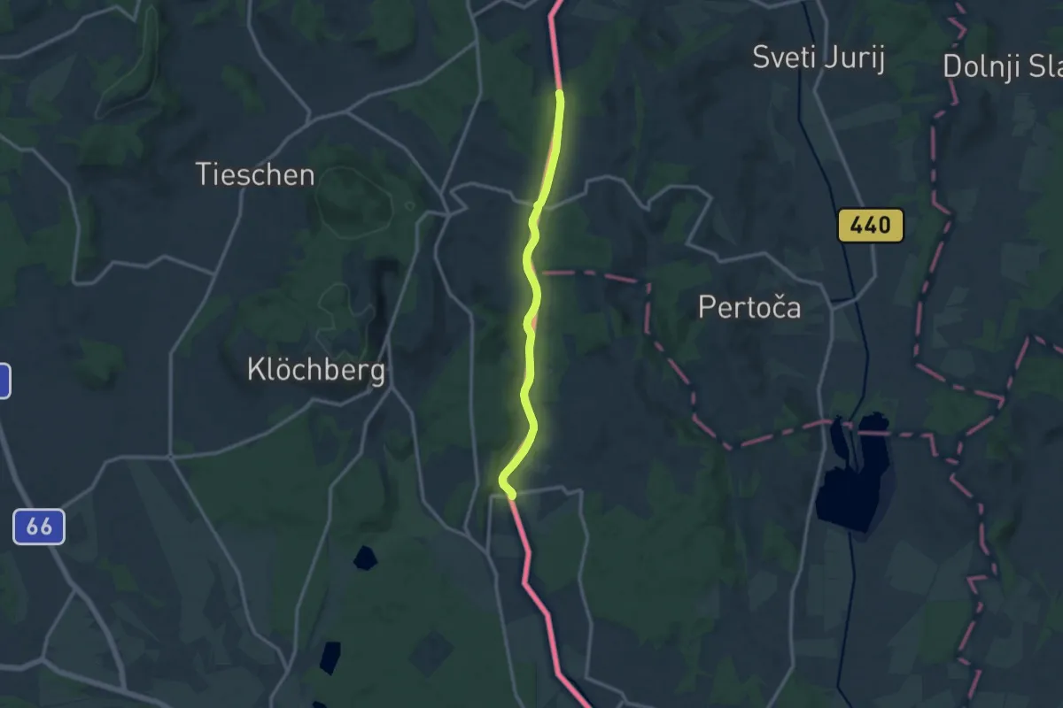
Medium · Trail
Ostösterreichischer Grenzlandweg 07A (Variante Kutschenitza)
10.5 km · ↑ 25 m · 2 h 33 min
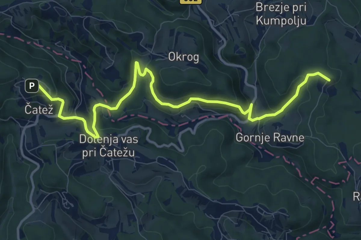
Medium · Summit
Ostrež - Zaplaz
11.2 km · ↑ 512 m · 3 h 45 min
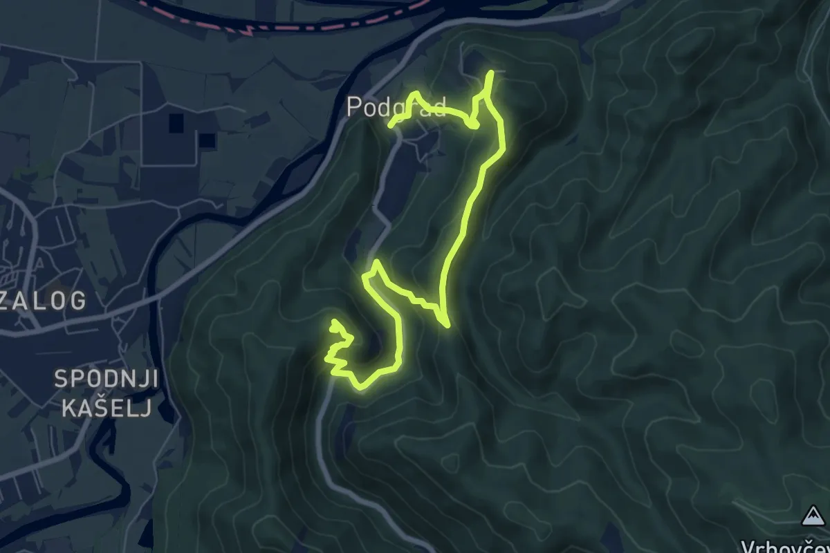
Medium · Summit
Ostrovrharjeva pot
9.2 km · ↑ 459 m · 3 h 11 min
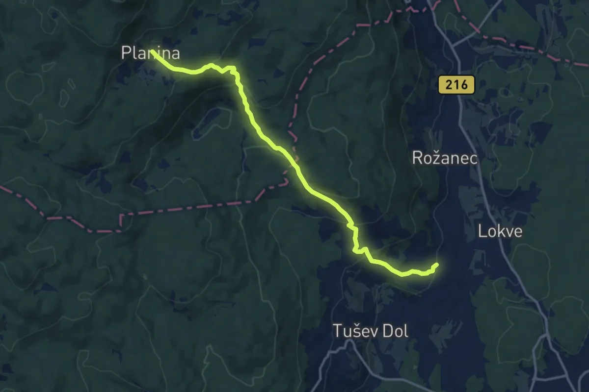
Medium · Trail
Otovec - Planina
13.1 km · ↑ 543 m · 4 h 16 min
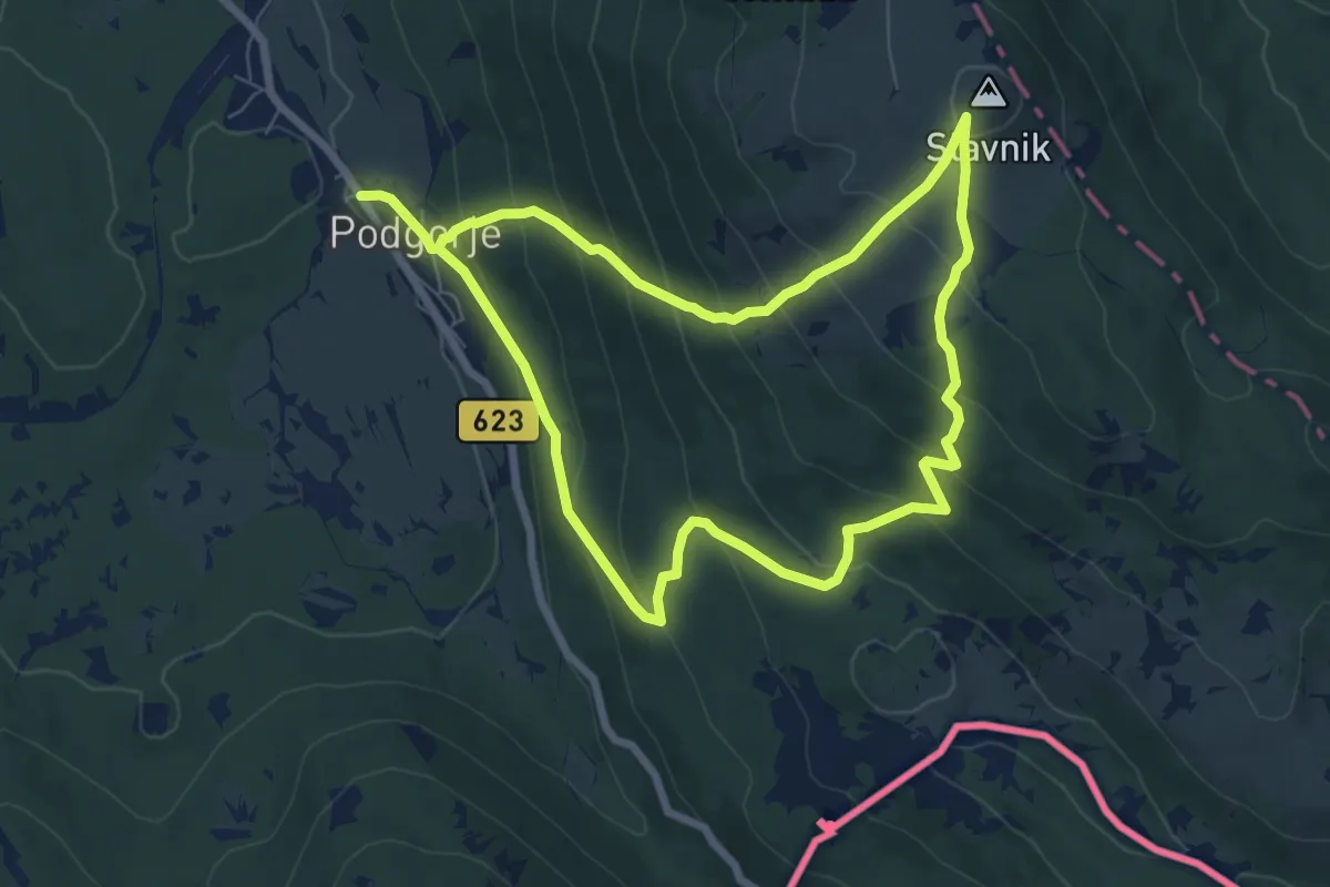
Medium · Summit
P1
7.0 km · ↑ 509 m · 2 h 50 min
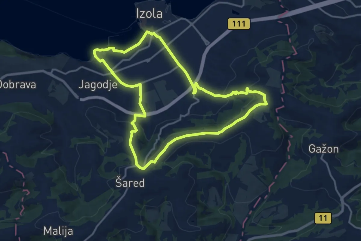
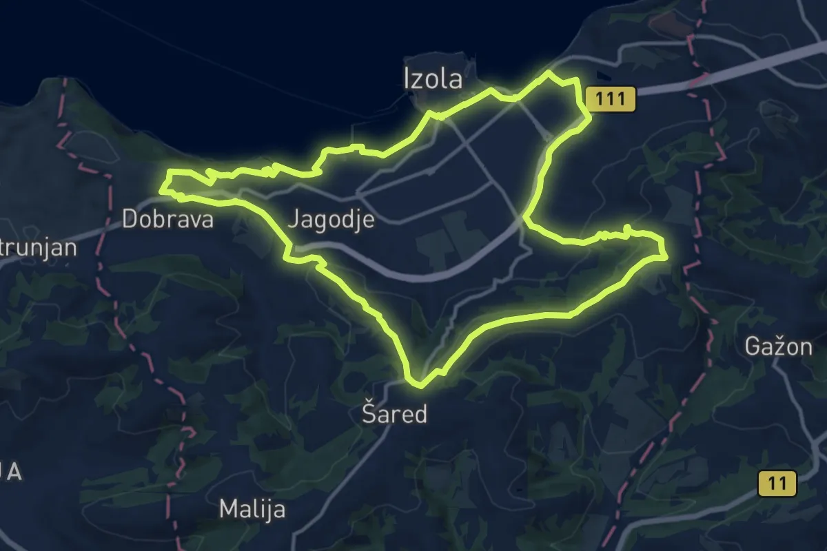
Medium · Trail
P10
10.6 km · ↑ 246 m · 3 h 11 min
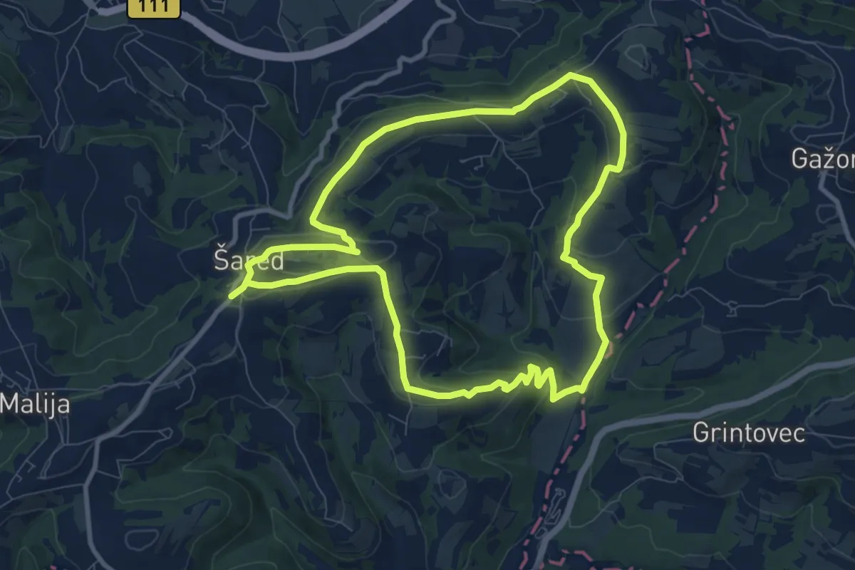
Medium · Trail
P11
14.6 km · ↑ 309 m · 4 h 20 min
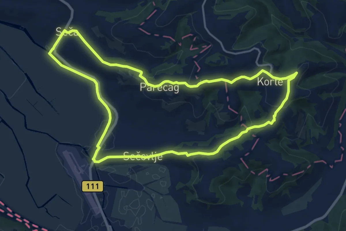
Medium · Trail
P12
8.9 km · ↑ 236 m · 2 h 45 min
Medium · Summit
P16
11.8 km · ↑ 265 m · 3 h 31 min
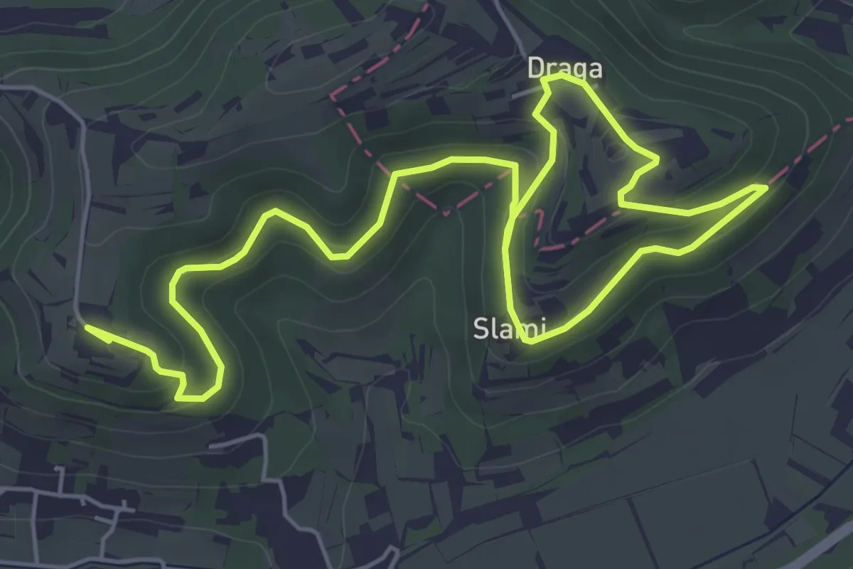
Medium · Summit
P17
8.7 km · ↑ 286 m · 2 h 41 min
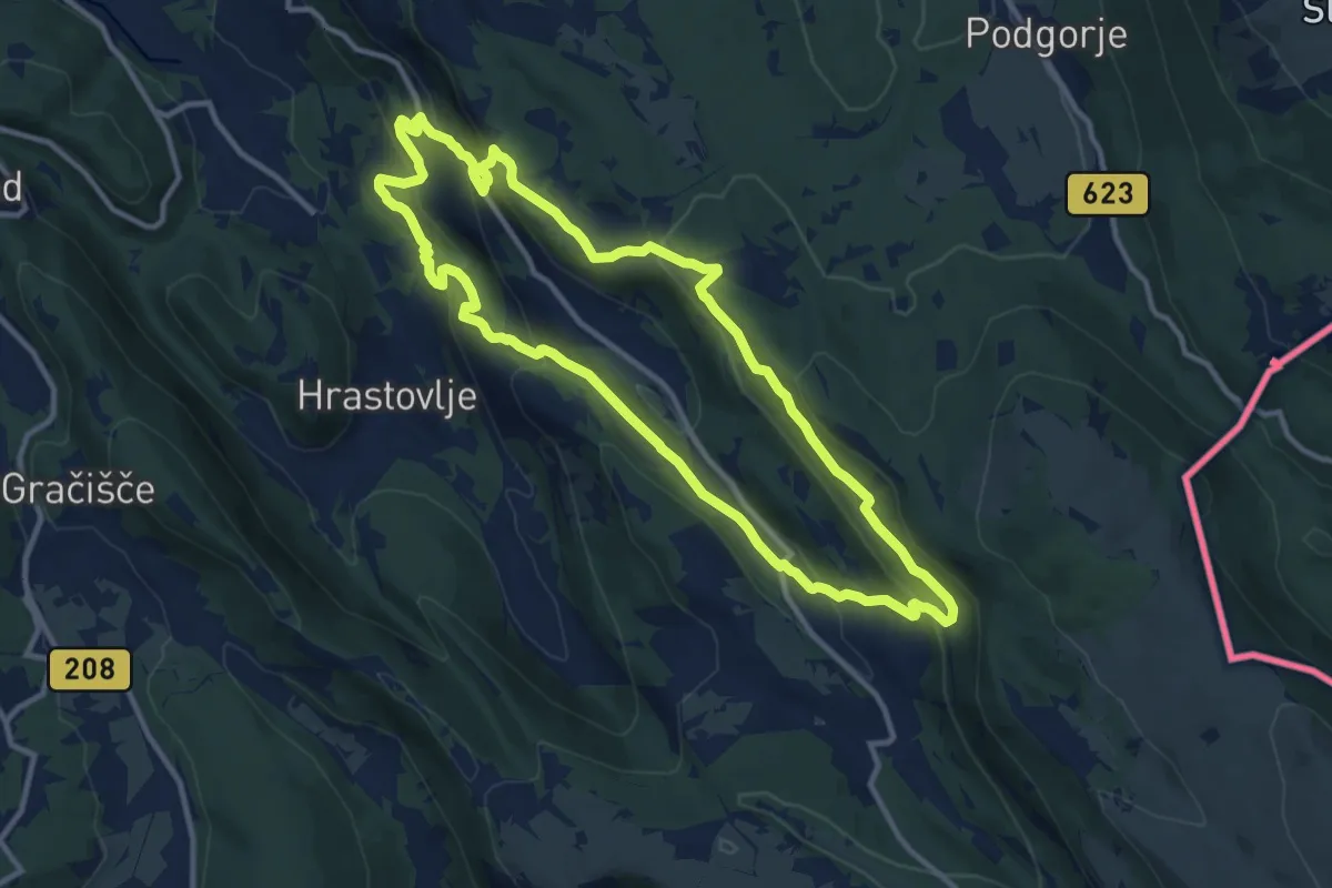
Medium · Summit
P2
11.5 km · ↑ 477 m · 3 h 54 min
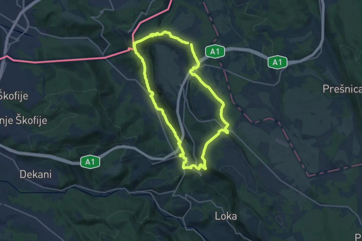
Medium · Summit
P3
13.8 km · ↑ 546 m · 4 h 38 min
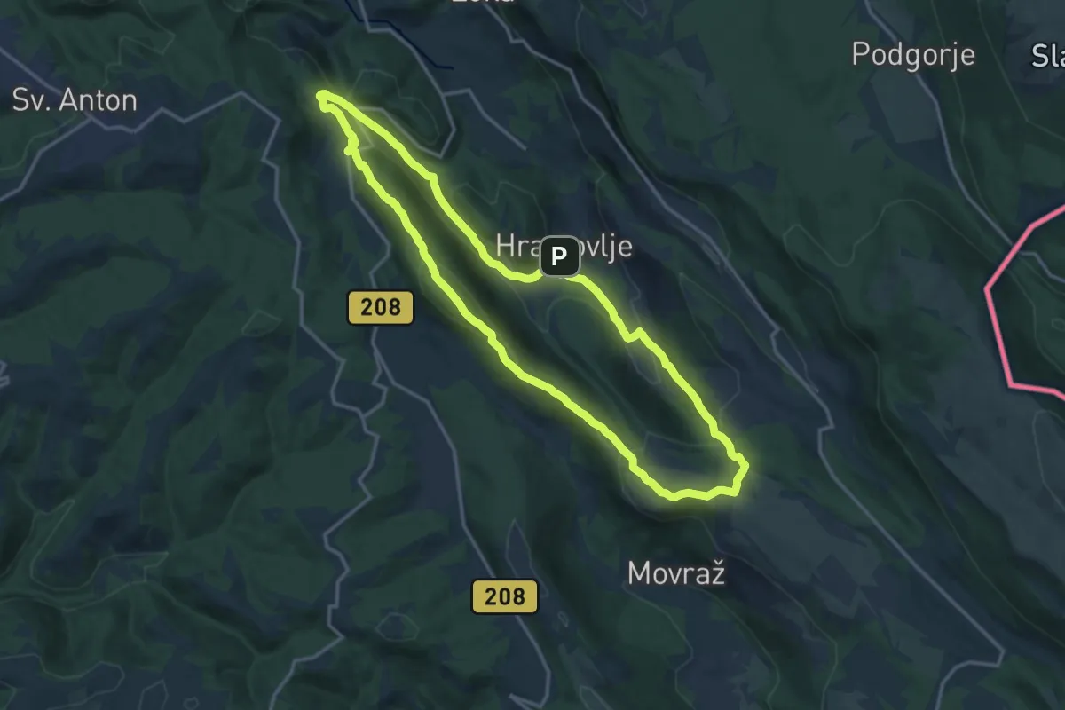
Medium · Summit
P4
14.8 km · ↑ 510 m · 4 h 48 min
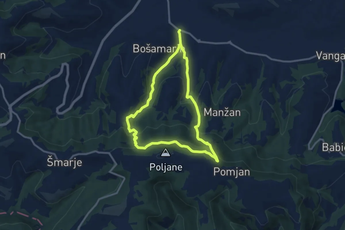
Medium · Trail
P5
6.8 km · ↑ 401 m · 2 h 34 min
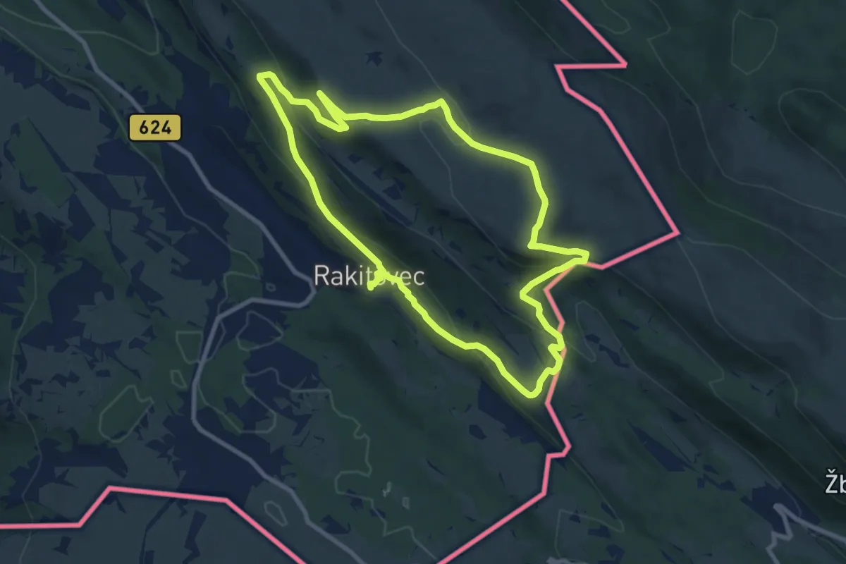
Medium · Summit
P6
8.5 km · ↑ 373 m · 2 h 56 min
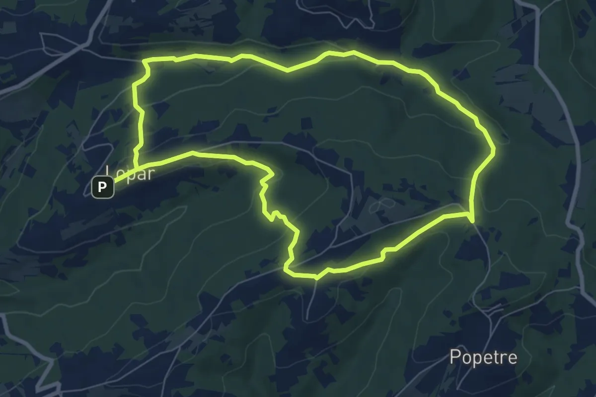
Easy · Trail
P7
7.2 km · ↑ 194 m · 2 h 13 min
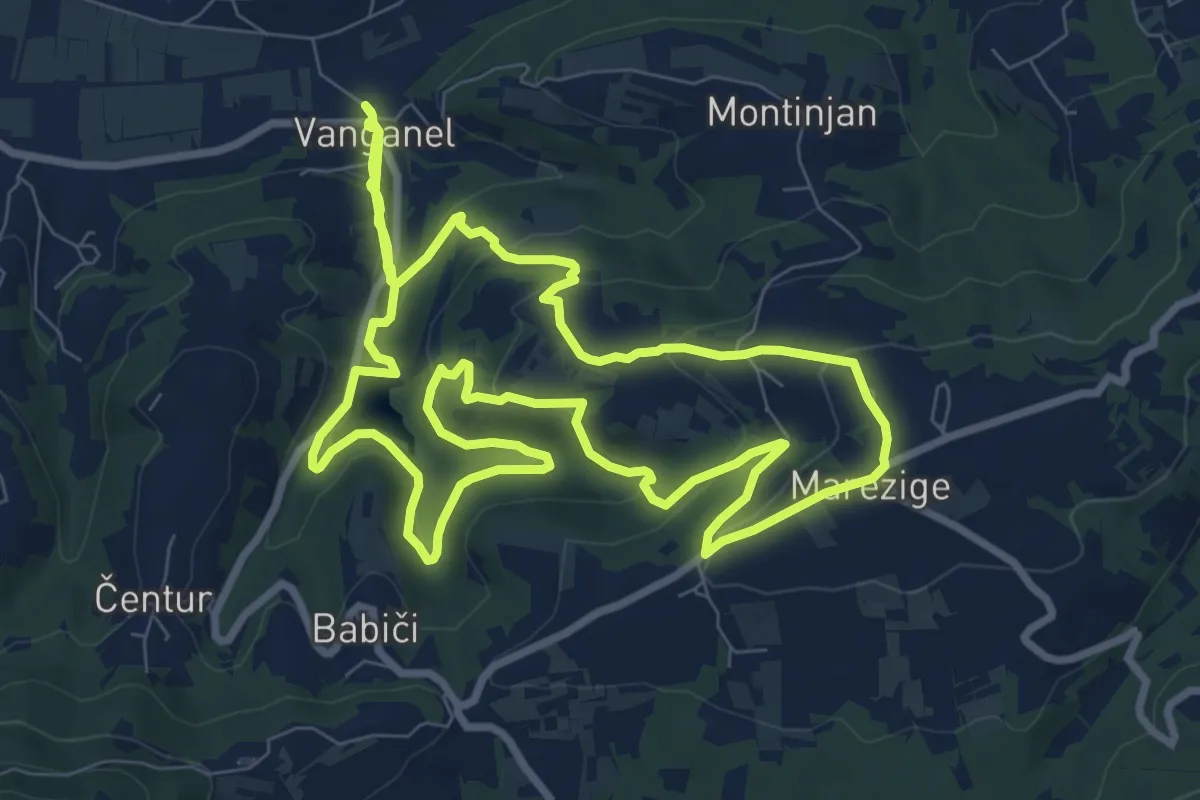
Demanding · Trail
P8
20.0 km · ↑ 752 m · 6 h 21 min
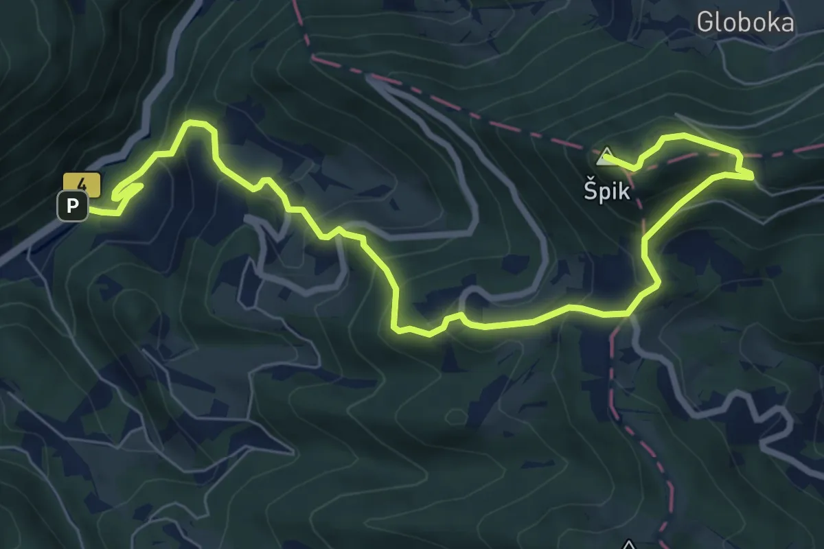
Medium · Summit
Paka - Paški Kozjak - Špik
9.2 km · ↑ 699 m · 3 h 41 min
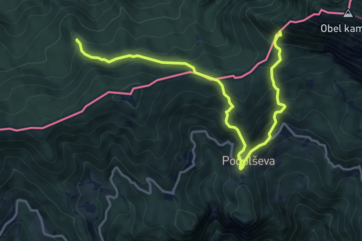
Demanding · Trail
Panoramaweg Südalpen 11
9.8 km · ↑ 972 m · 4 h 25 min
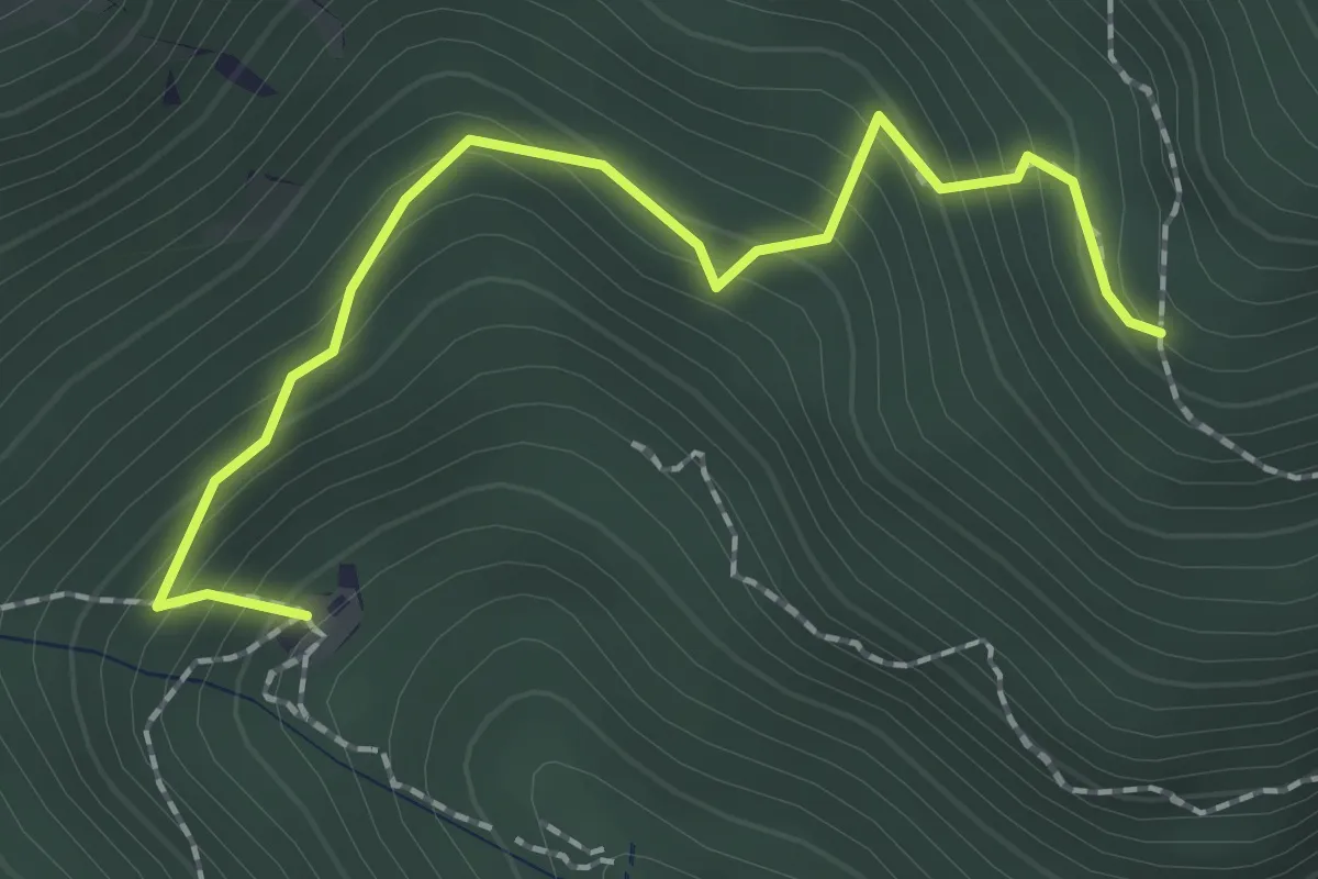
Medium · Cabin
Panoramska pot (čez poseko)
2.1 km · ↑ 224 m · 59 min
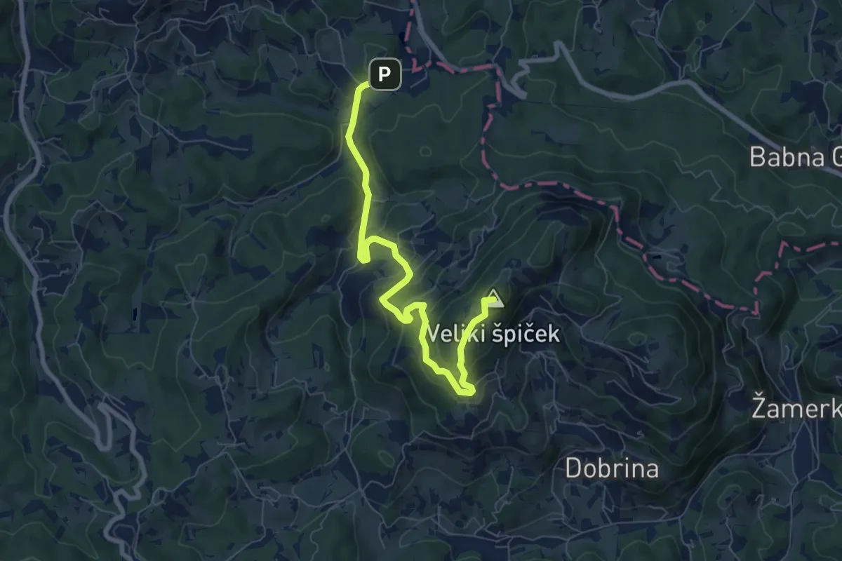
Medium · Summit
Panoramska pot na Stolp ljubezni
7.7 km · ↑ 423 m · 2 h 44 min