Trails in Slovenia
1,594 hiking trails, each with its route, climb, walking time and grade.
All trails, page 16 of 34
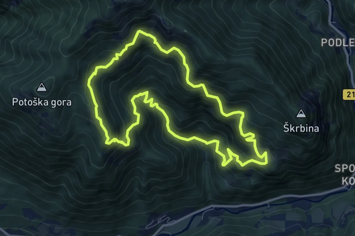
Demanding · Summit
Panoramska pot pod Javorovim vrhom
8.1 km · ↑ 713 m · 3 h 34 min
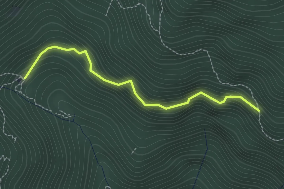
Medium · Cabin
Panoramska pot (var.)
2.3 km · ↑ 241 m · 1 h 4 min
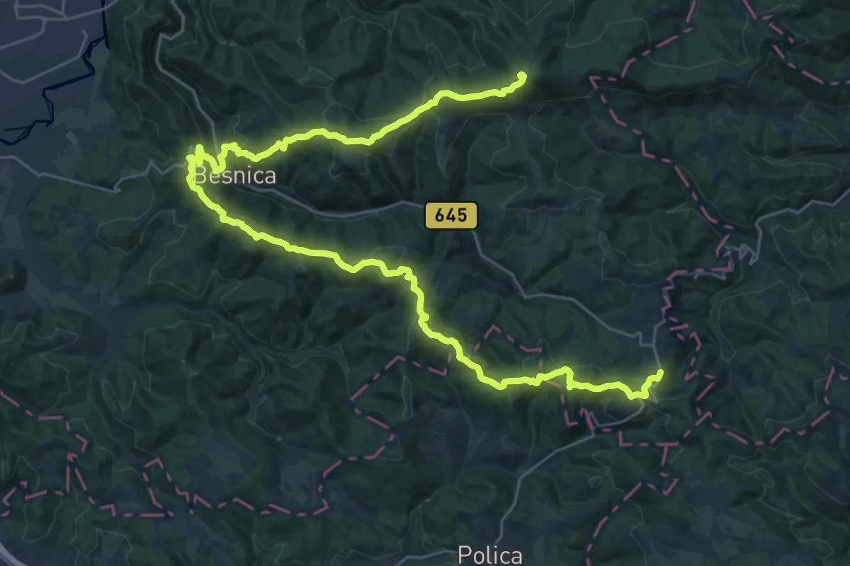
Demanding · Summit
Papirniška pot
37.7 km · ↑ 1729 m · 12 h 39 min
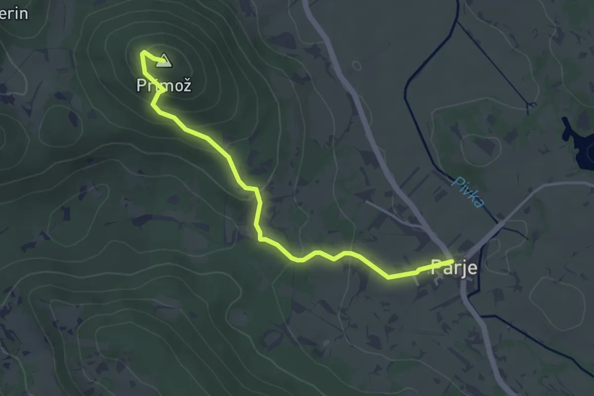
Medium · Summit
Parje–Primož
4.0 km · ↑ 165 m · 1 h 18 min
Medium · Cabin
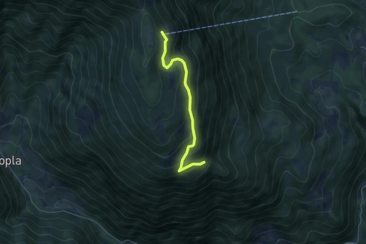
parkirišče-Planinski dom na Peci
4.4 km · ↑ 302 m · 1 h 41 min
Easy · Cabin
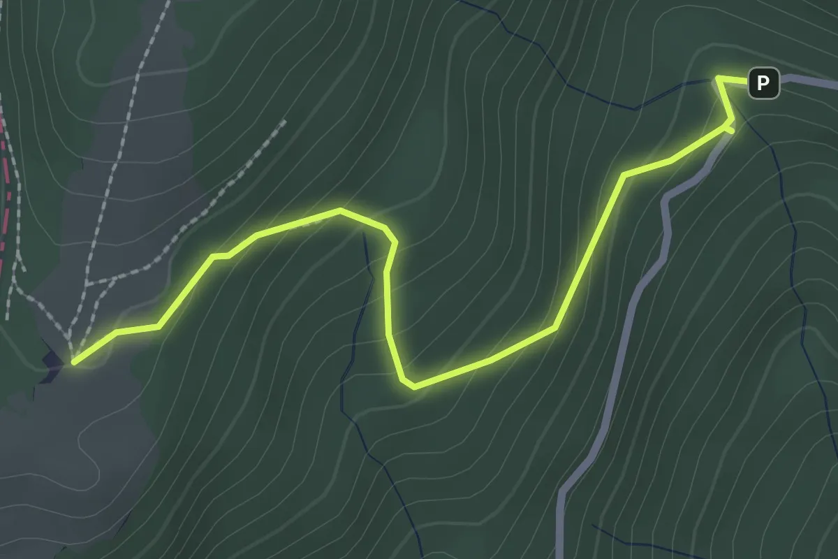
Parkirišče Travnik - Koča na Travniku
2.5 km · ↑ 200 m · 1 h 2 min
Easy · Trail
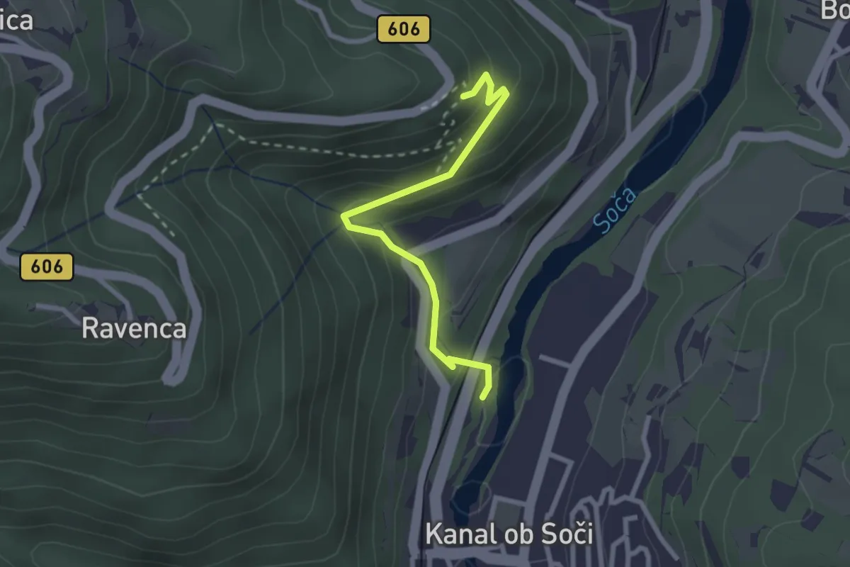
Park Pečno Kanal
2.4 km · ↑ 175 m · 56 min
Easy · Trail
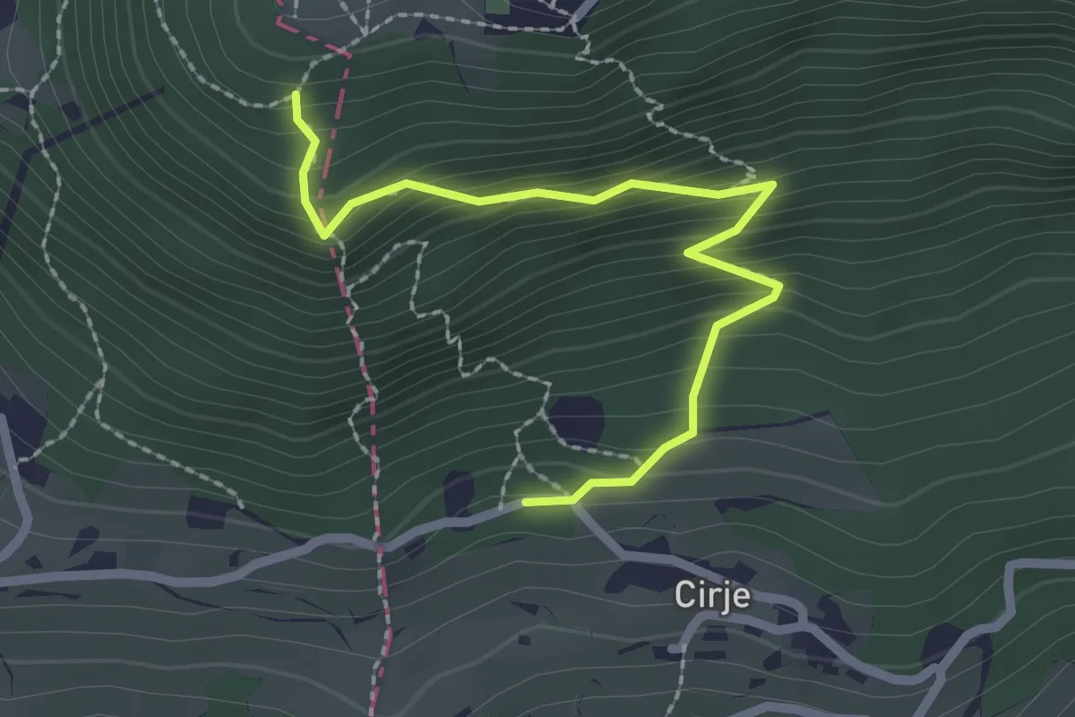
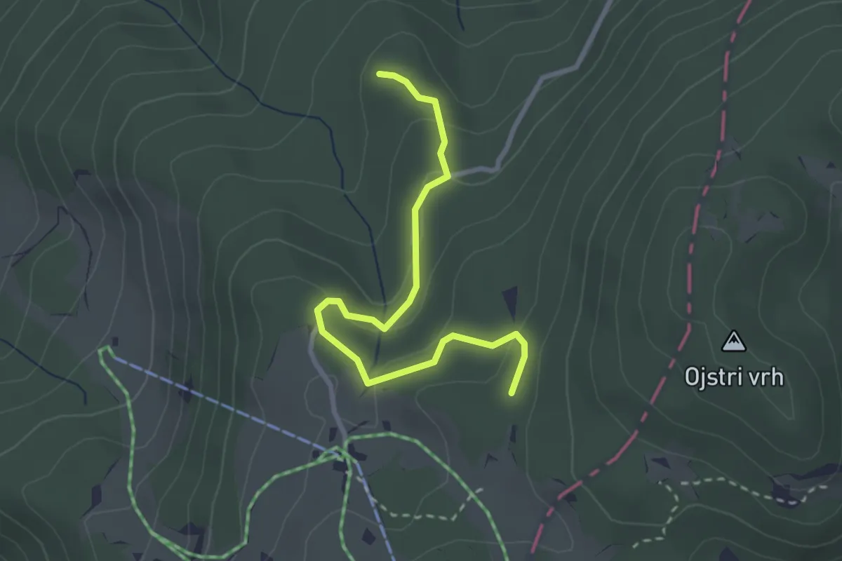
Pastirčkova pot
2.4 km · ↑ 267 m · 1 h 8 min
Easy · Trail
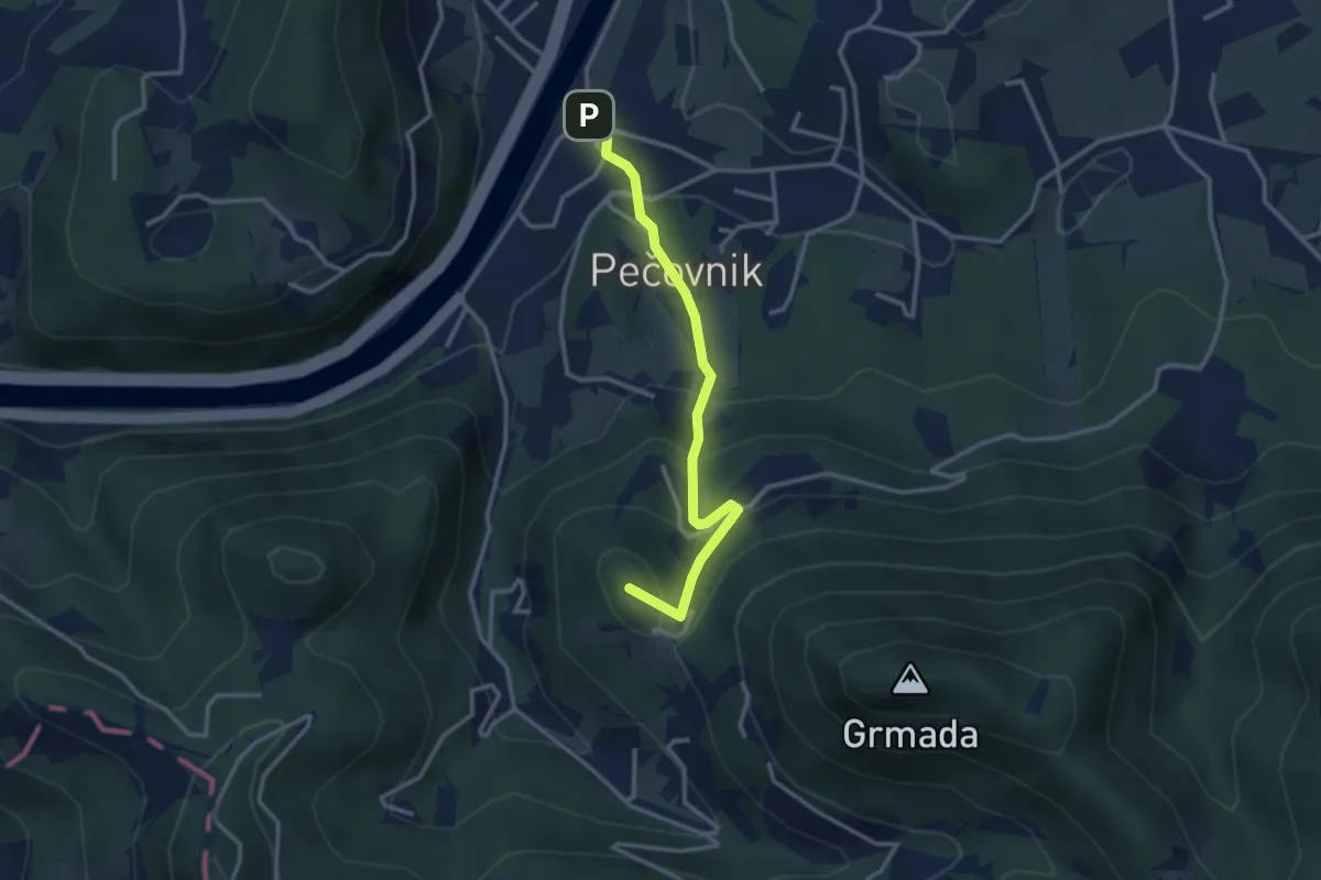
Pastirska pot
2.9 km · ↑ 110 m · 55 min
Easy · Summit
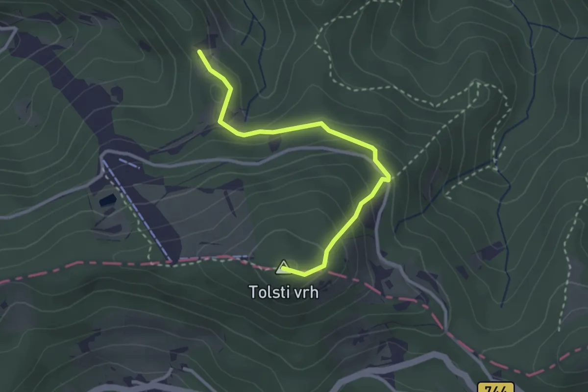
Pečovnik - Celjska koča
3.0 km · ↑ 214 m · 1 h 10 min
Easy · Summit
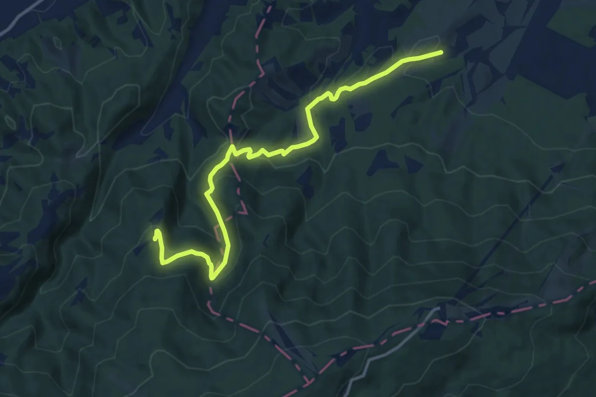
Pečovniška koča - Tolsti vrh
2.8 km · ↑ 201 m · 1 h 5 min
Medium · Summit
Pekre - Pečke
11.5 km · ↑ 567 m · 3 h 57 min
Medium · Summit
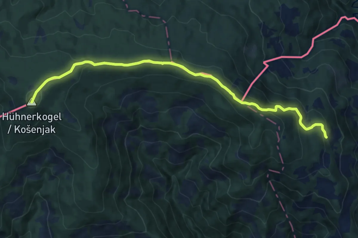
Pernice - Košenjak
13.8 km · ↑ 604 m · 4 h 34 min
Easy · Summit
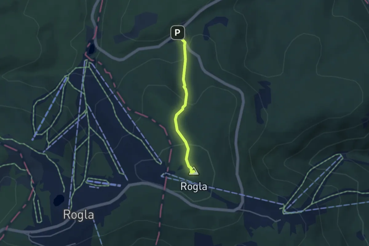
Pesek - Rogla
2.6 km · ↑ 133 m · 55 min
Demanding · Trail
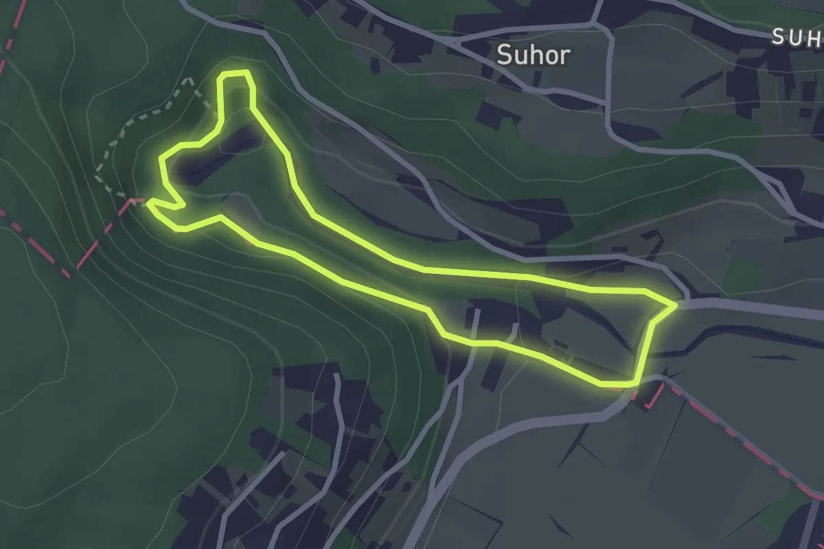
Pešpot Luknja
2.5 km · ↑ 92 m · 50 min
Easy · Summit
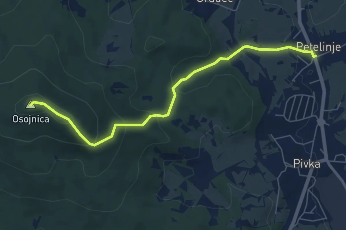
Petelinje - Osojnica
5.6 km · ↑ 275 m · 1 h 56 min
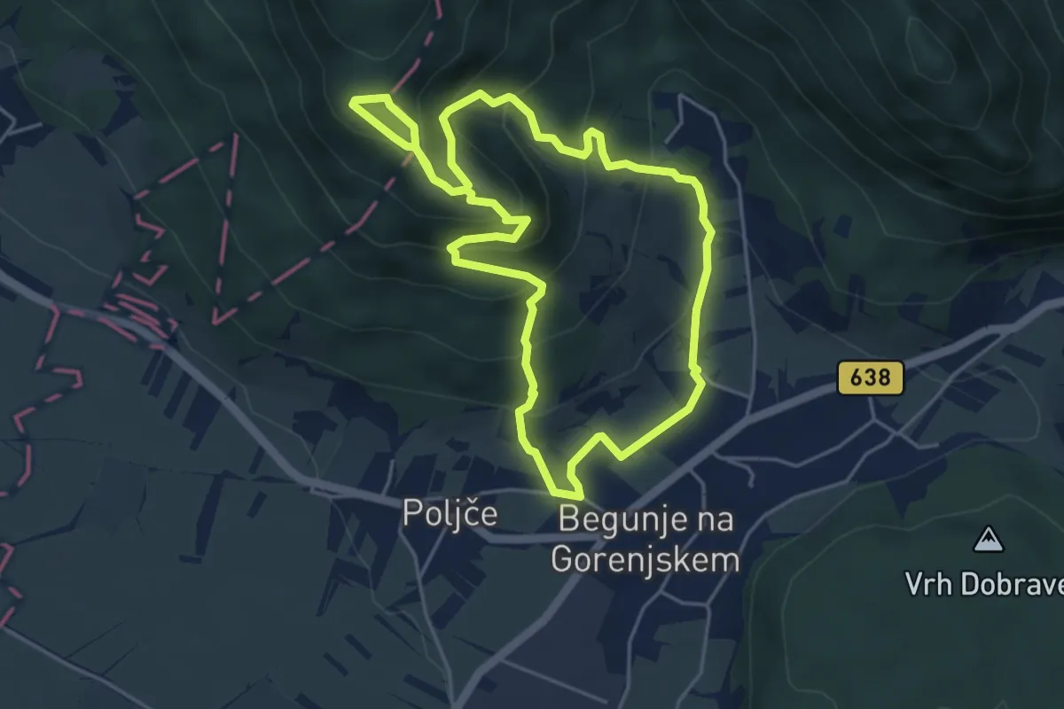
Easy · Trail
Petrova pot
4.6 km · ↑ 319 m · 1 h 50 min
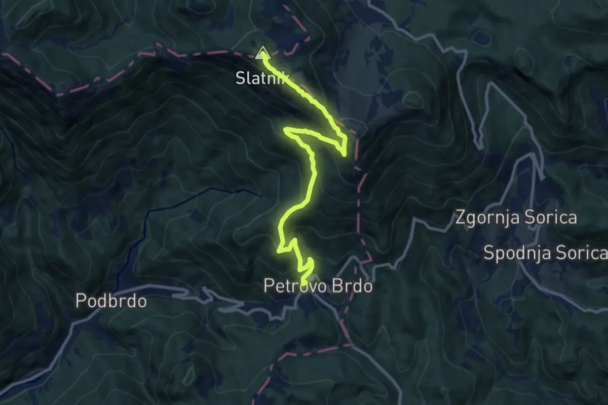
Demanding · Summit
Petrovo Brdo - Možic
9.7 km · ↑ 840 m · 4 h 7 min
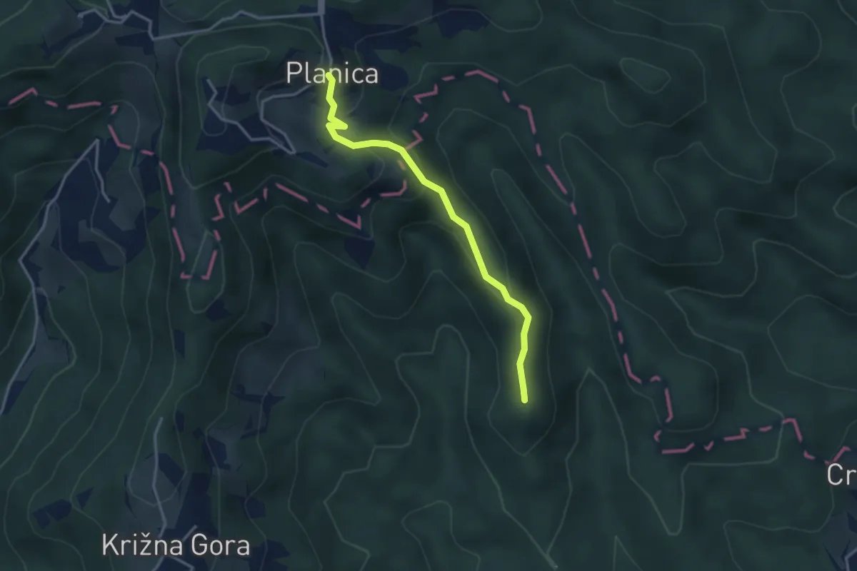
Easy · Summit
Pevno - Planica
3.2 km · ↑ 173 m · 1 h 8 min
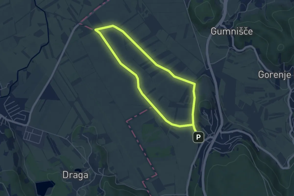
Medium · Trail
Pijavška barjanska pot
9.2 km · ↑ 34 m · 2 h 14 min
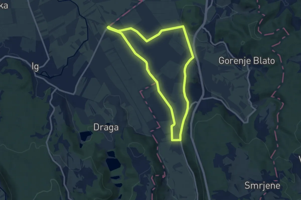
Easy · Trail
Pijavška barjanska pot
7.6 km · ↑ 44 m · 2 h
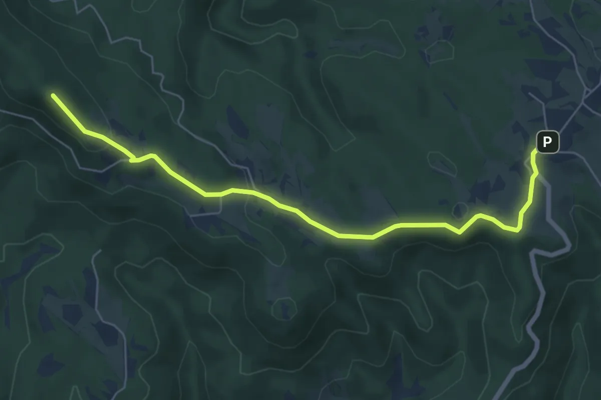
Easy · Summit
Pikovnik - Sv. Vid
6.1 km · ↑ 131 m · 1 h 44 min
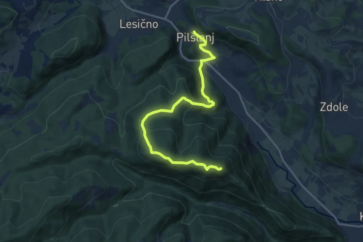
Medium · Summit
Pilštanj - Bredič
9.3 km · ↑ 479 m · 3 h 14 min
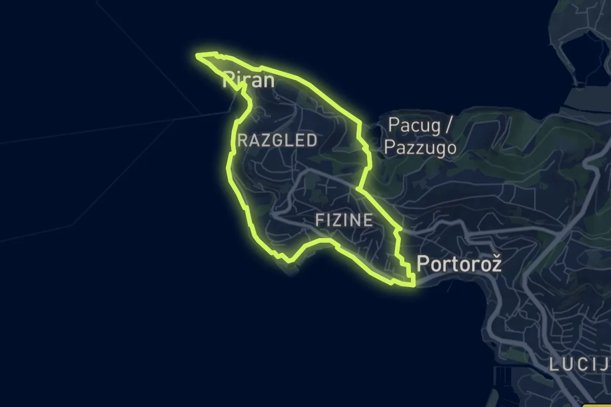
Easy · Trail
Piranska pešpot
6.9 km · ↑ 101 m · 1 h 56 min
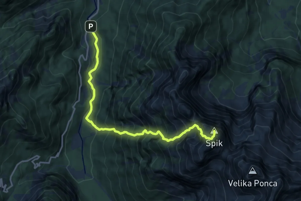
Expert · Summit
Pišnica - Kačji graben - Špik
10.6 km · ↑ 1571 m · 5 h 54 min
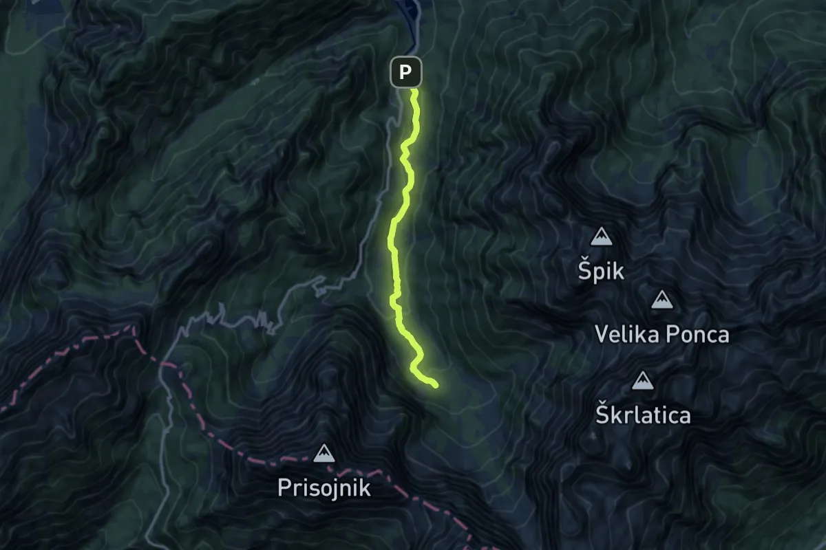
Medium · Cabin
Pišnica - Koča v Krnici
9.1 km · ↑ 335 m · 2 h 52 min
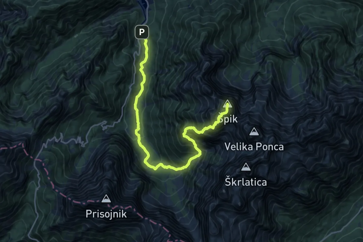
Expert · Summit
Pišnica - Koča v Krnici - Špik
18.0 km · ↑ 1643 m · 7 h 49 min
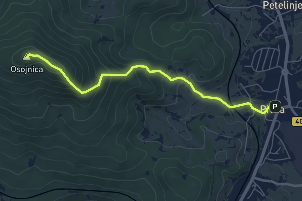
Easy · Summit
Pivka - Osojnica
5.3 km · ↑ 260 m · 1 h 49 min
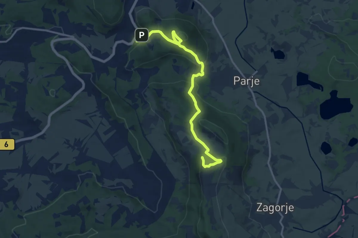
Medium · Summit
Pivka - Šilentabor
10.0 km · ↑ 450 m · 3 h 20 min
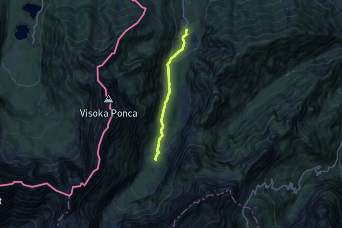
Easy · Cabin
Planica - Dom v Tamarju
7.6 km · ↑ 178 m · 2 h 11 min
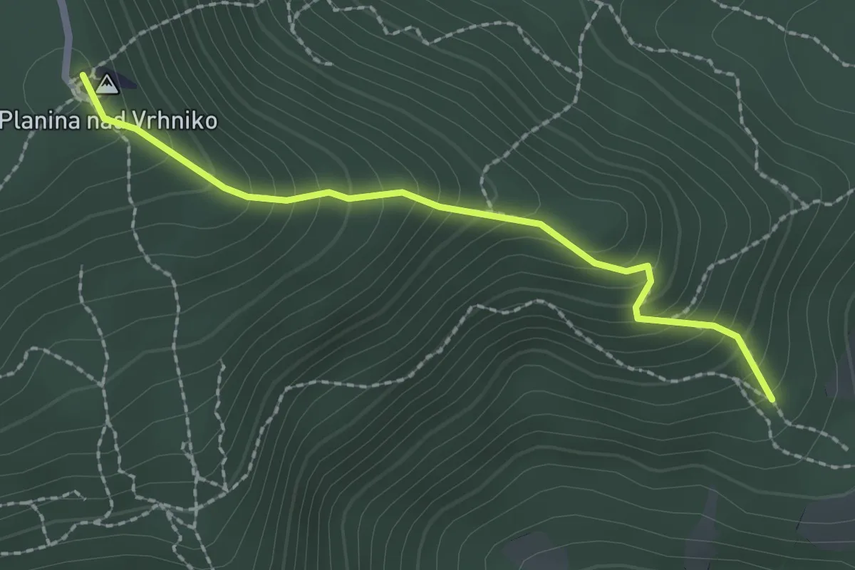
Medium · Summit
Planina čez Špico
2.1 km · ↑ 242 m · 1 h 2 min
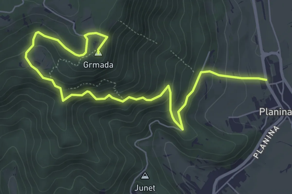
Medium · Summit
Planina - Grmada
7.3 km · ↑ 528 m · 2 h 52 min
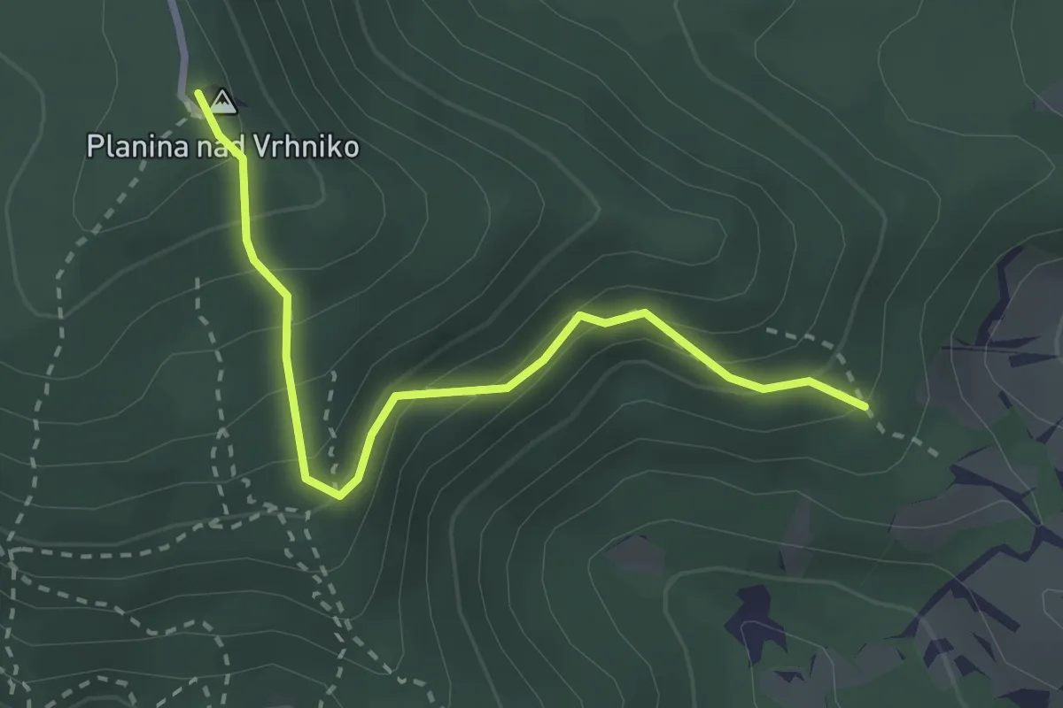
Easy · Summit
Planina mimo bukve
2.8 km · ↑ 284 m · 1 h 17 min
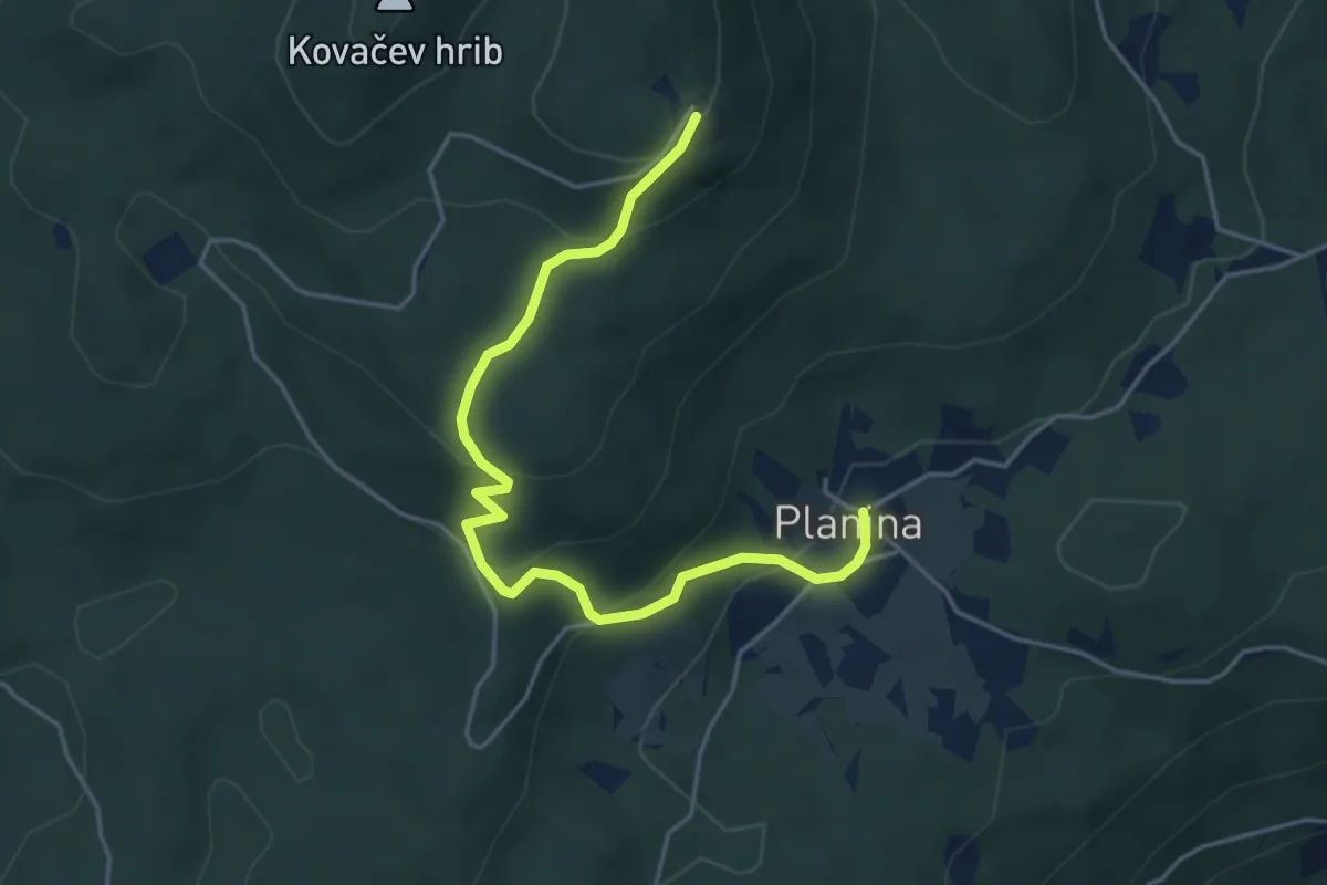
Easy · Cabin
Planina - Mirna gora (po cesti)
4.9 km · ↑ 264 m · 1 h 43 min
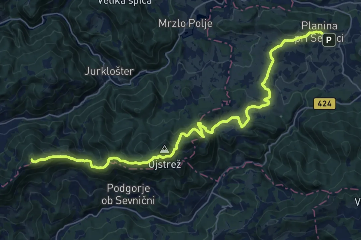
Demanding · Summit
Planina pri Sevnici - Ješivec
24.4 km · ↑ 984 m · 7 h 54 min
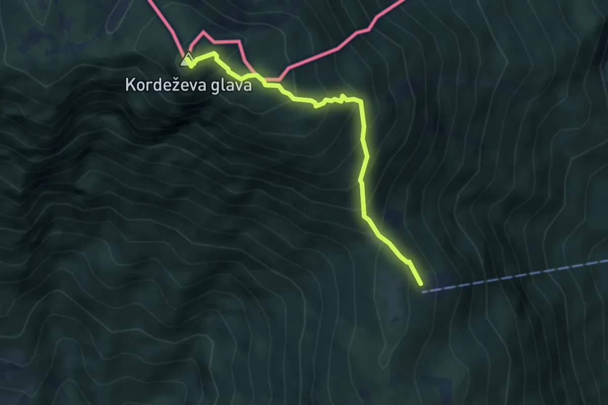
Medium · Summit
Planinski dom na Peci - Knepsovo sedlo
3.9 km · ↑ 469 m · 1 h 56 min
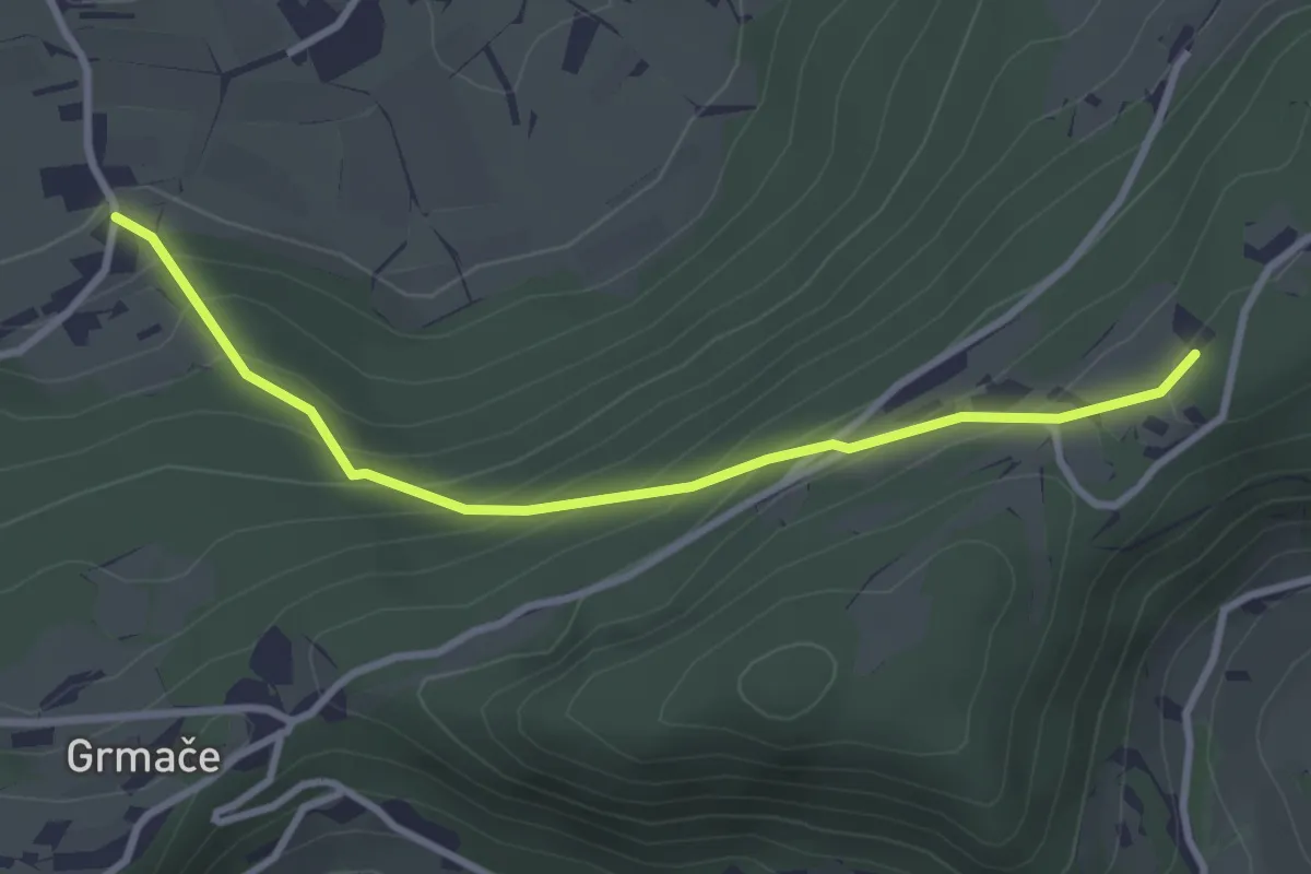
Easy · Cabin
Planinski dom Ušte-Žerenk
3.1 km · ↑ 256 m · 1 h 18 min
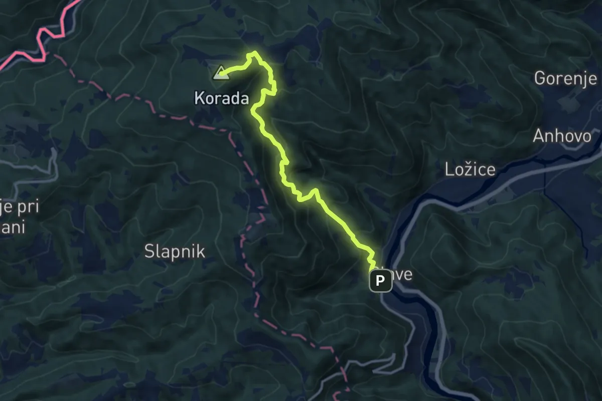
Demanding · Summit
Plave - Korada
10.5 km · ↑ 868 m · 4 h 22 min
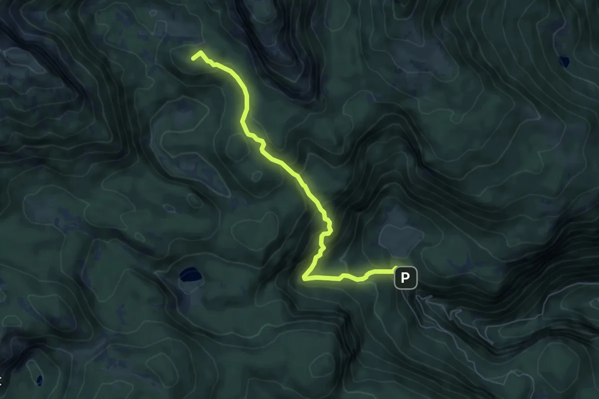
Medium · Summit
Pl. Blato - Pl. v Lazu
6.7 km · ↑ 495 m · 2 h 40 min
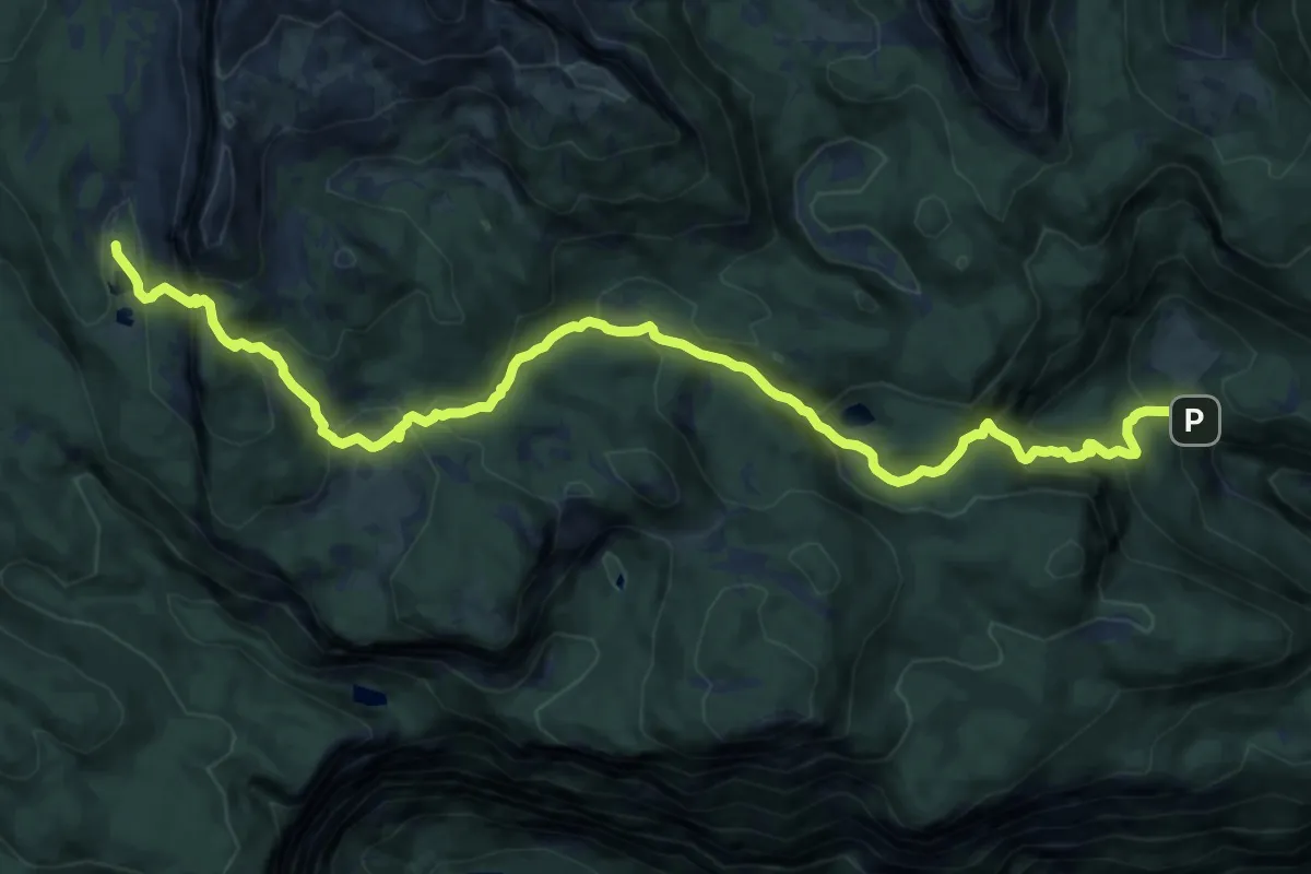
Expert · Cabin
Pl. Blato - Štapce - Triglavska jezera
14.9 km · ↑ 1036 m · 5 h 45 min
Medium · Trail
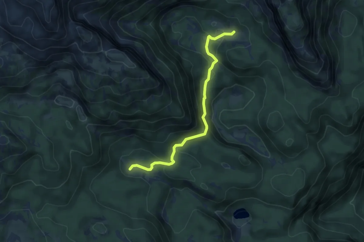
Pl. Dedno polje - Pl. v Lazu
5.2 km · ↑ 229 m · 1 h 43 min
Medium · Summit
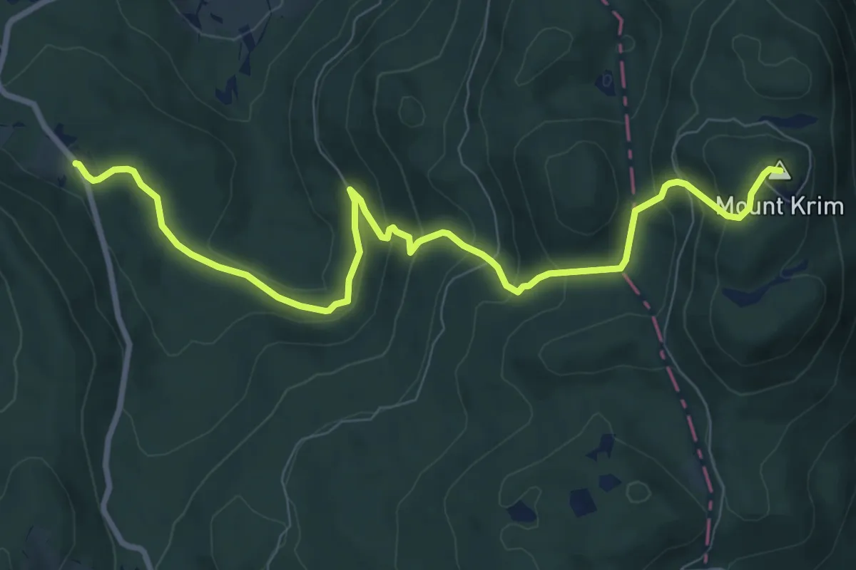
Plehanov laz - Kavc - Krim
9.7 km · ↑ 543 m · 3 h 28 min
Medium · Cabin
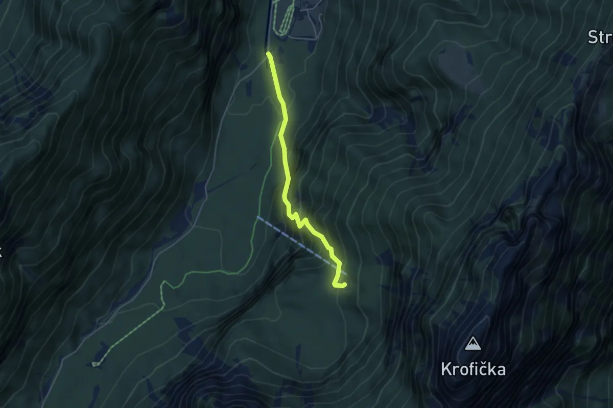
Plesnik - Klemenča jama
3.8 km · ↑ 418 m · 1 h 49 min
Demanding · Summit
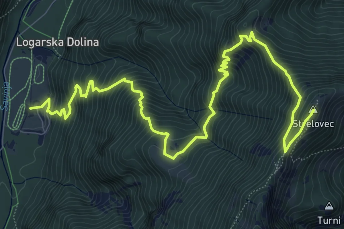
Plesnik - Plesnikova pl. - Strelovec
11.1 km · ↑ 1174 m · 5 h 10 min
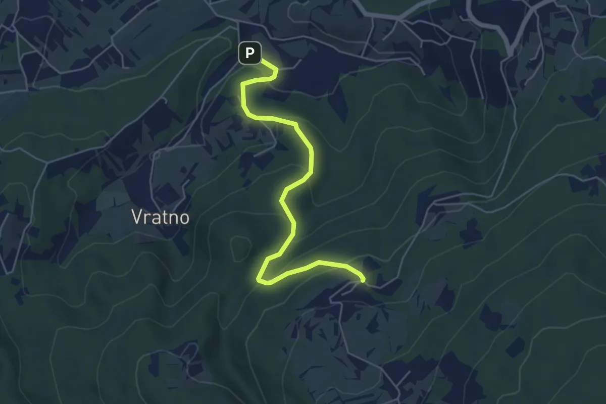
Easy · Trail
Pleterje - Javorovica
5.0 km · ↑ 284 m · 1 h 48 min
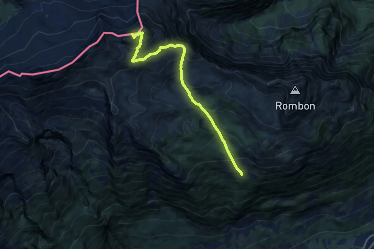
Demanding · Summit
Pl. Goričica - V. Črnelska špica
9.3 km · ↑ 887 m · 4 h 8 min
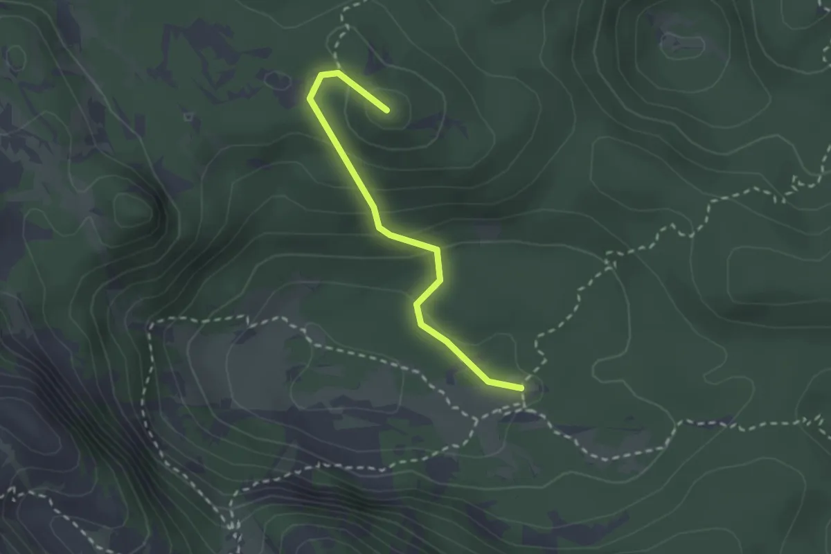
Medium · Summit
Pl. Govnjač - Koča pod Bogatinom
2.3 km · ↑ 139 m · 51 min
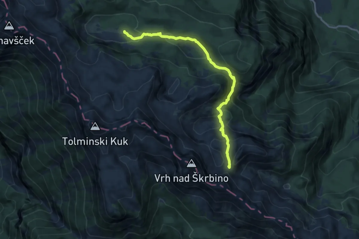
Medium · Trail
Pl. Govnjač - Konjsko sedlo
9.4 km · ↑ 510 m · 3 h 19 min