Trails in Slovenia
1,594 hiking trails, each with its route, climb, walking time and grade.
All trails, page 17 of 34
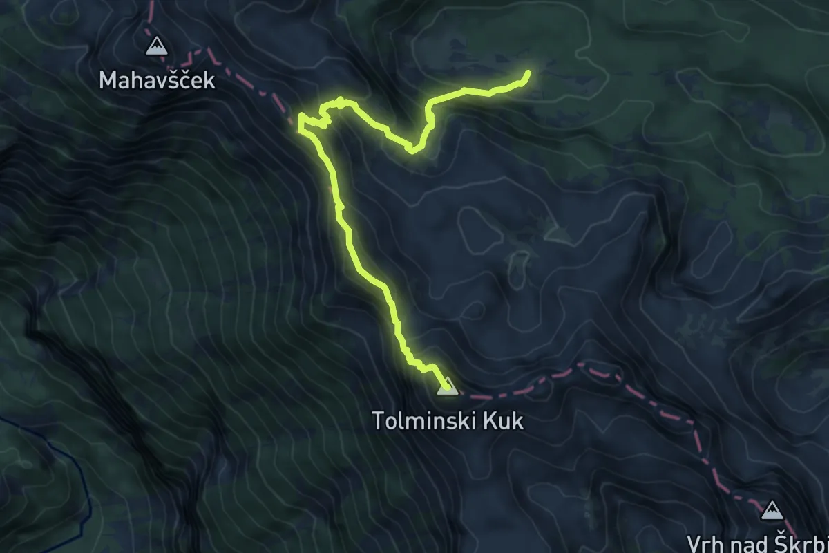
Expert · Summit
Pl. Govnjač - Tolminski Kuk
7.8 km · ↑ 752 m · 3 h 28 min
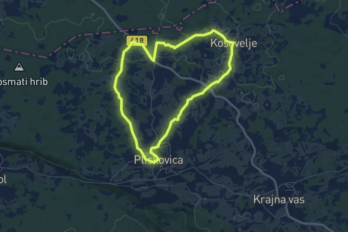
Easy · Trail
Pliskina pot
6.0 km · ↑ 52 m · 1 h 37 min
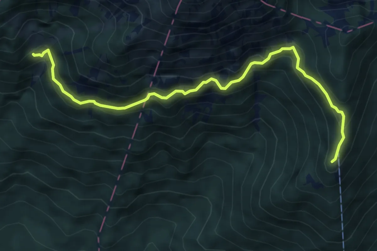
Demanding · Cabin
Pl. Javornik - Kališče
6.9 km · ↑ 633 m · 2 h 59 min
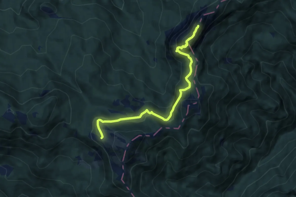
Demanding · Summit
Pl. Javornik - Stegovnik
8.6 km · ↑ 658 m · 3 h 27 min
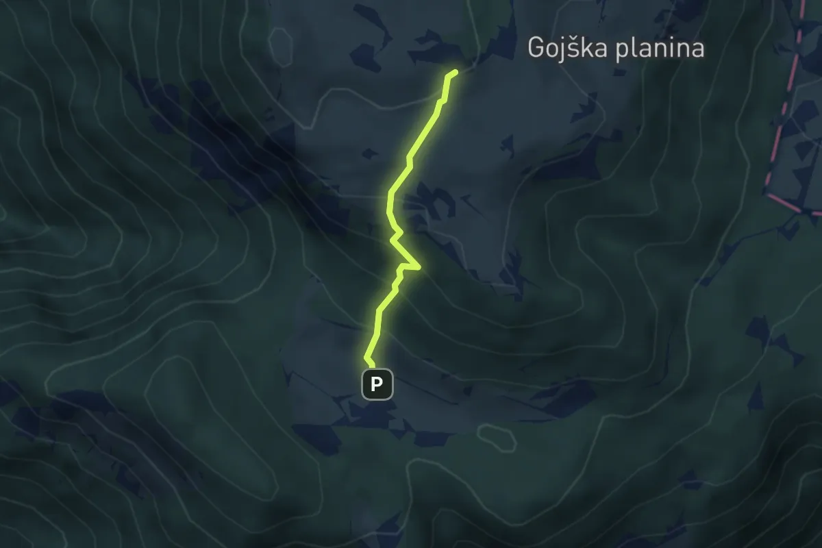
Medium · Cabin
Pl. Kisovec - Jarški dom
2.5 km · ↑ 237 m · 1 h 6 min
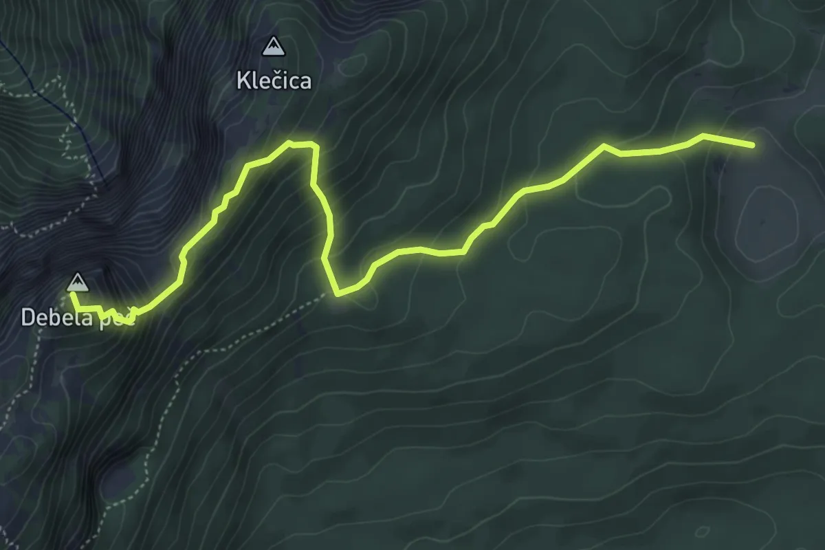
Demanding · Summit
Pl. Klek - Klečica - Debela peč
6.1 km · ↑ 564 m · 2 h 40 min
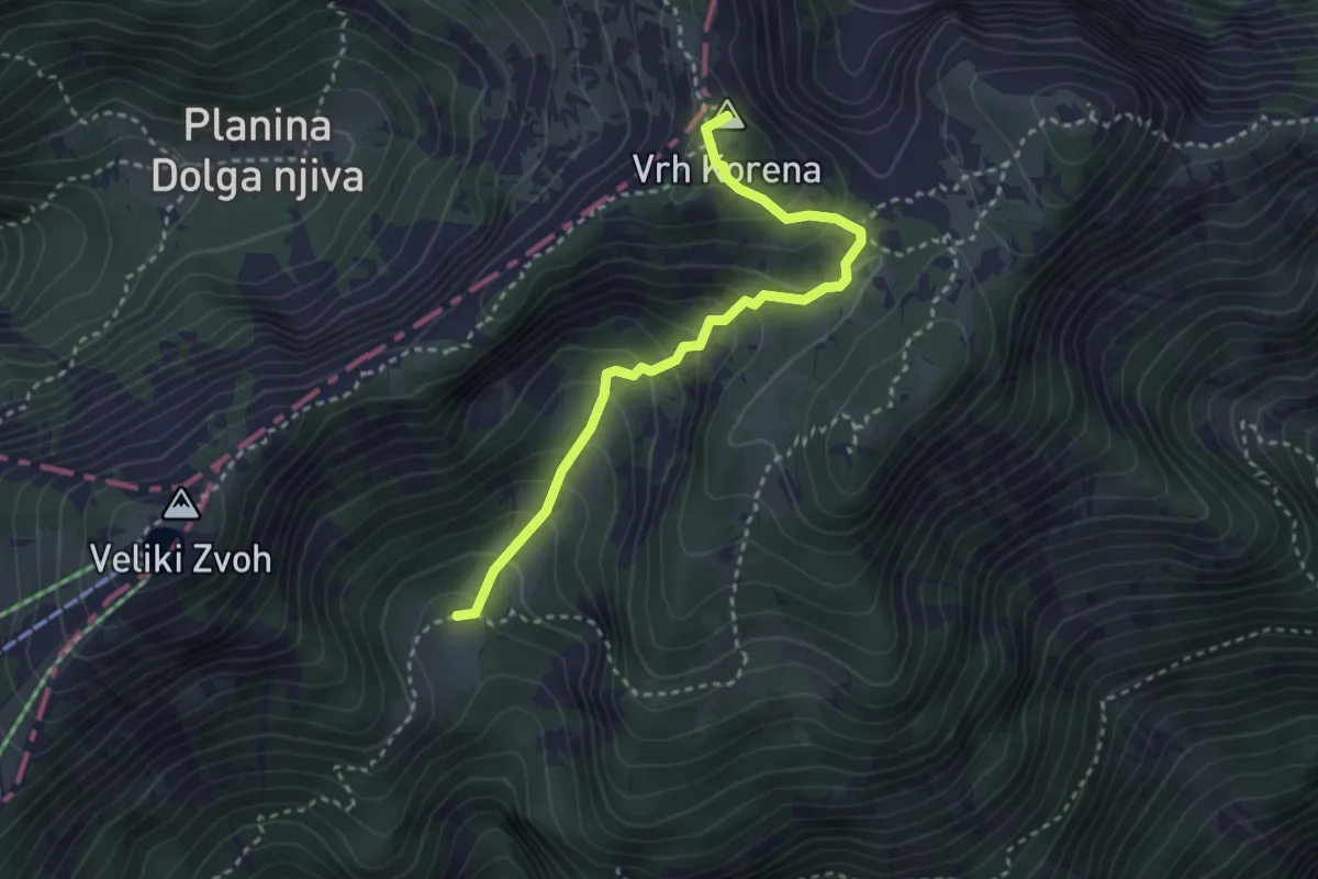
Medium · Summit
Pl. Koren - Vrh Korena
3.1 km · ↑ 288 m · 1 h 21 min
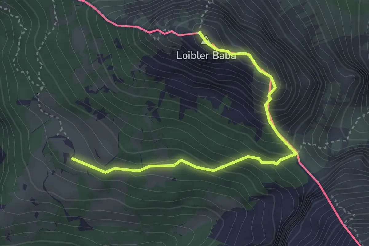
Demanding · Summit
Pl. Korošica - Hajnževo sedlo - Košutica
3.6 km · ↑ 462 m · 1 h 51 min
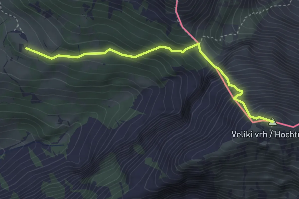
Expert · Summit
Pl. Korošica - Veliki vrh
3.5 km · ↑ 544 m · 2 h
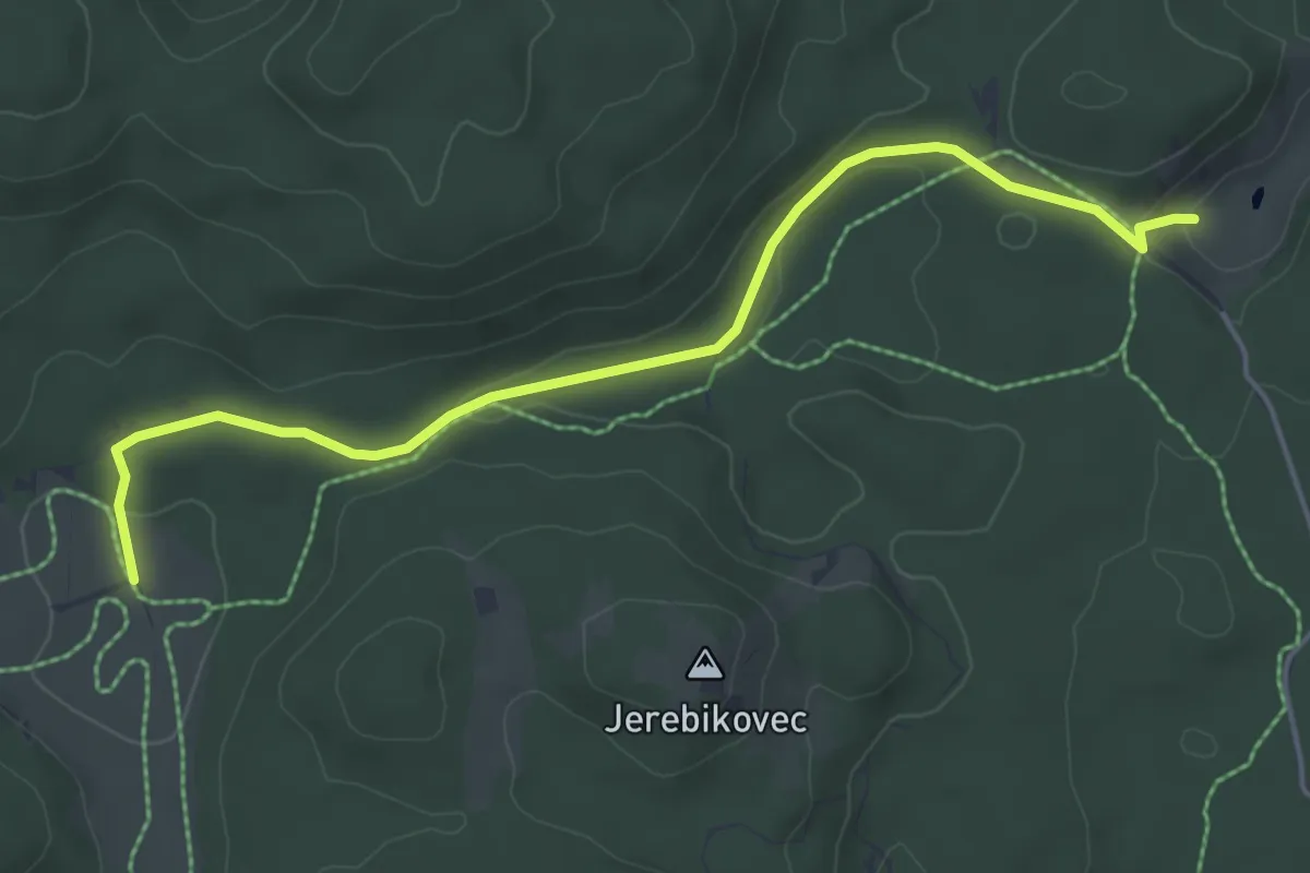
Easy · Trail
Pl. Kranjska dolina - Pl. Zajavornik
5.1 km · ↑ 86 m · 1 h 23 min
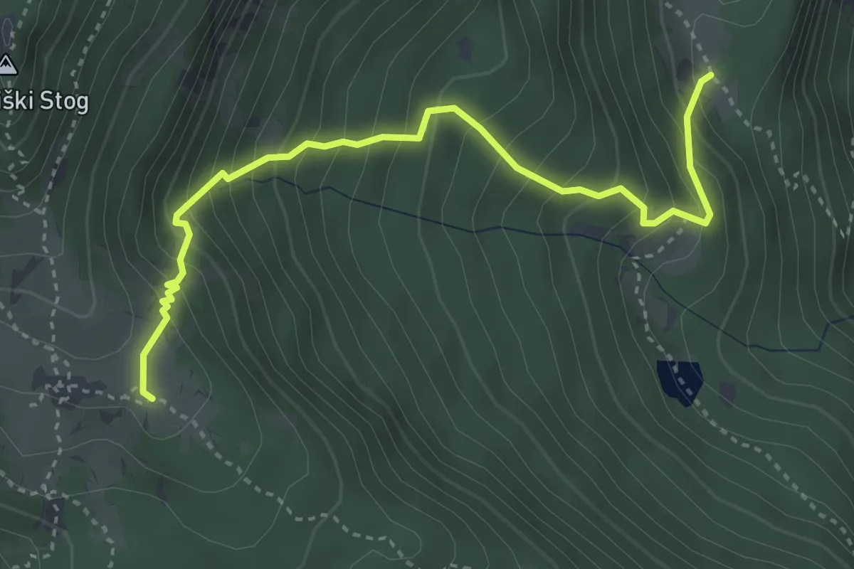
Medium · Trail
Pl. Krstenica - Pl. Spodnja Grintovica
3.9 km · ↑ 522 m · 2 h 4 min
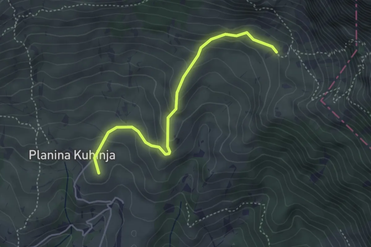
Easy · Summit
Pl. Kuhinja - Pl. Leskovca
3.9 km · ↑ 237 m · 1 h 26 min
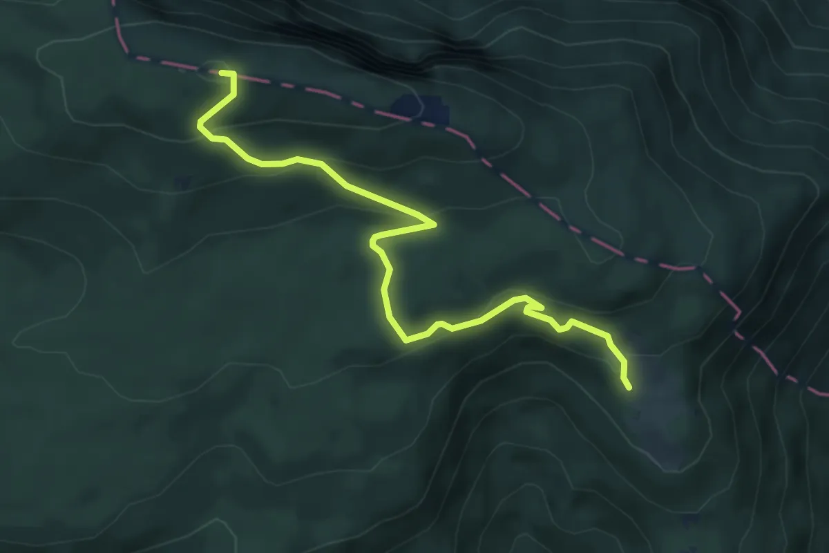
Easy · Summit
Pl. Obranca - Snežna jama - Planski vrh
5.5 km · ↑ 308 m · 1 h 57 min
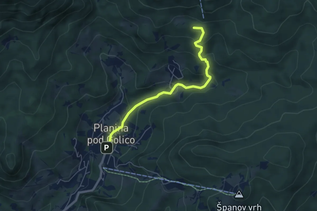
Medium · Summit
Pl. pod Golico - Koča na Golici
5.0 km · ↑ 257 m · 1 h 44 min
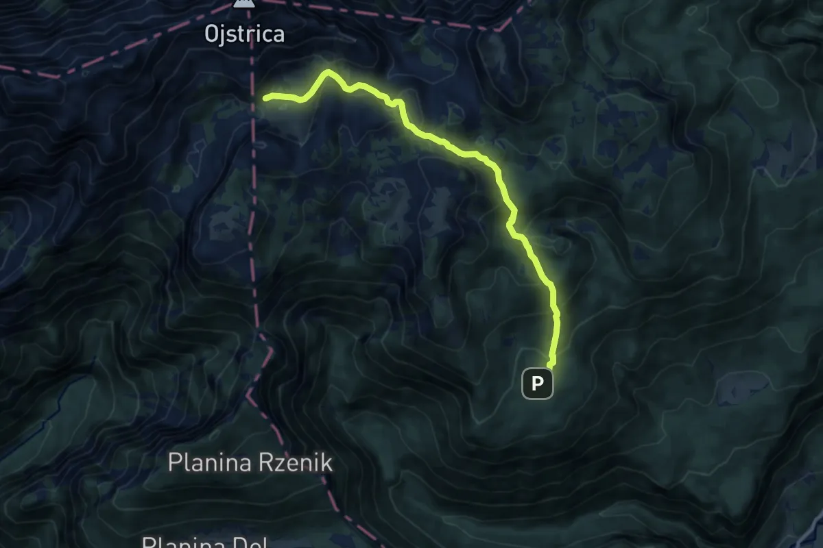
Medium · Trail
Pl. Podvežak - Korošica
10.1 km · ↑ 627 m · 3 h 44 min
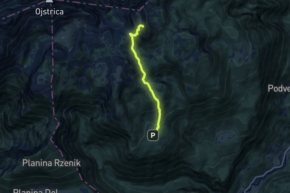
Medium · Summit
Pl. Podvežak - Veliki vrh
7.3 km · ↑ 653 m · 3 h 9 min
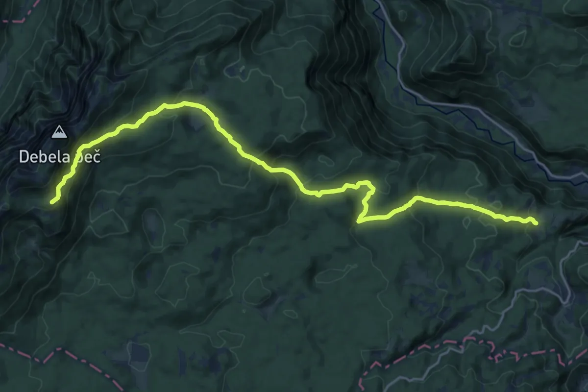
Demanding · Summit
Pl. Pokljuka - Pl. Klek - Blejska koča
20.2 km · ↑ 1085 m · 7 h 7 min
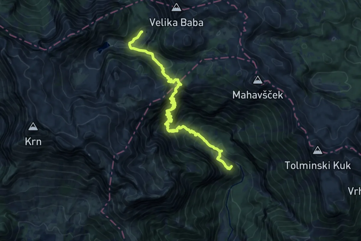
Demanding · Summit
Pl. Polog - Prehodci - Dom pri Krnskih jezerih
17.9 km · ↑ 1777 m · 8 h 5 min
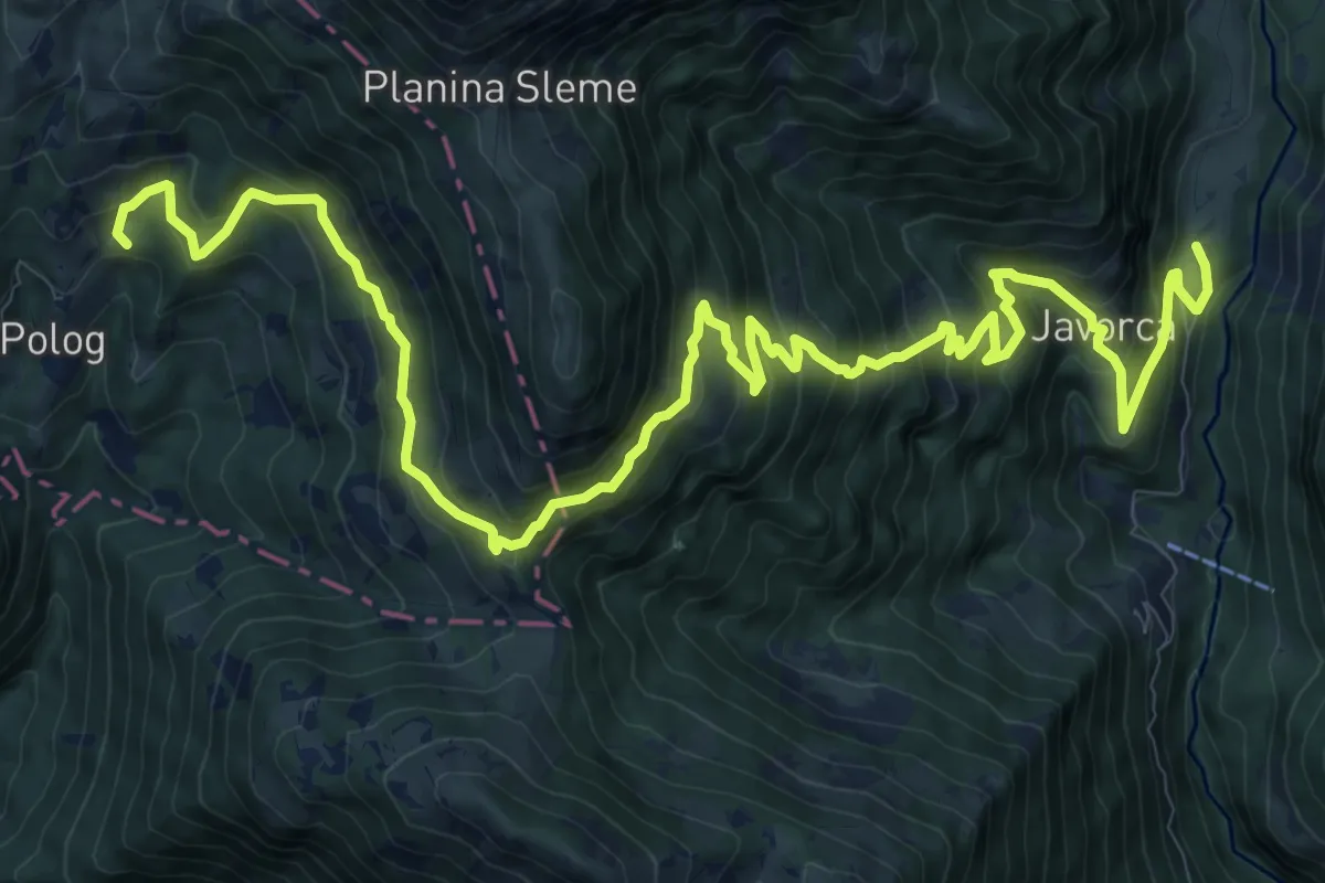
Demanding · Summit
Pl. Polog - Vas Krn
16.6 km · ↑ 1453 m · 7 h 4 min
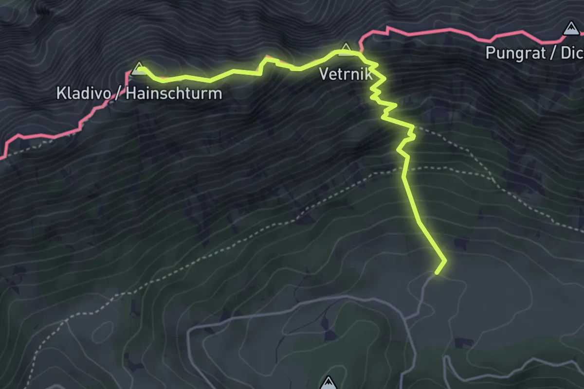
Demanding · Summit
Pl. Pungrat - Škrbina - Kladivo
4.4 km · ↑ 642 m · 2 h 26 min
Demanding · Summit
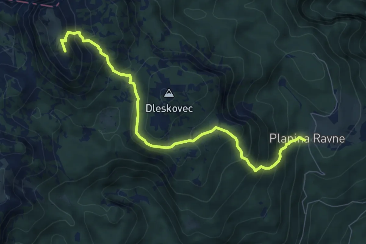
Pl. Ravne - Veliki vrh
7.6 km · ↑ 631 m · 3 h 10 min
Medium · Trail
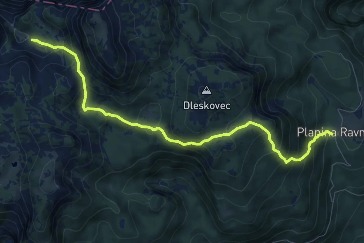
Pl. Ravne - Vrtače - Molička pl.
8.6 km · ↑ 634 m · 3 h 24 min
Demanding · Summit
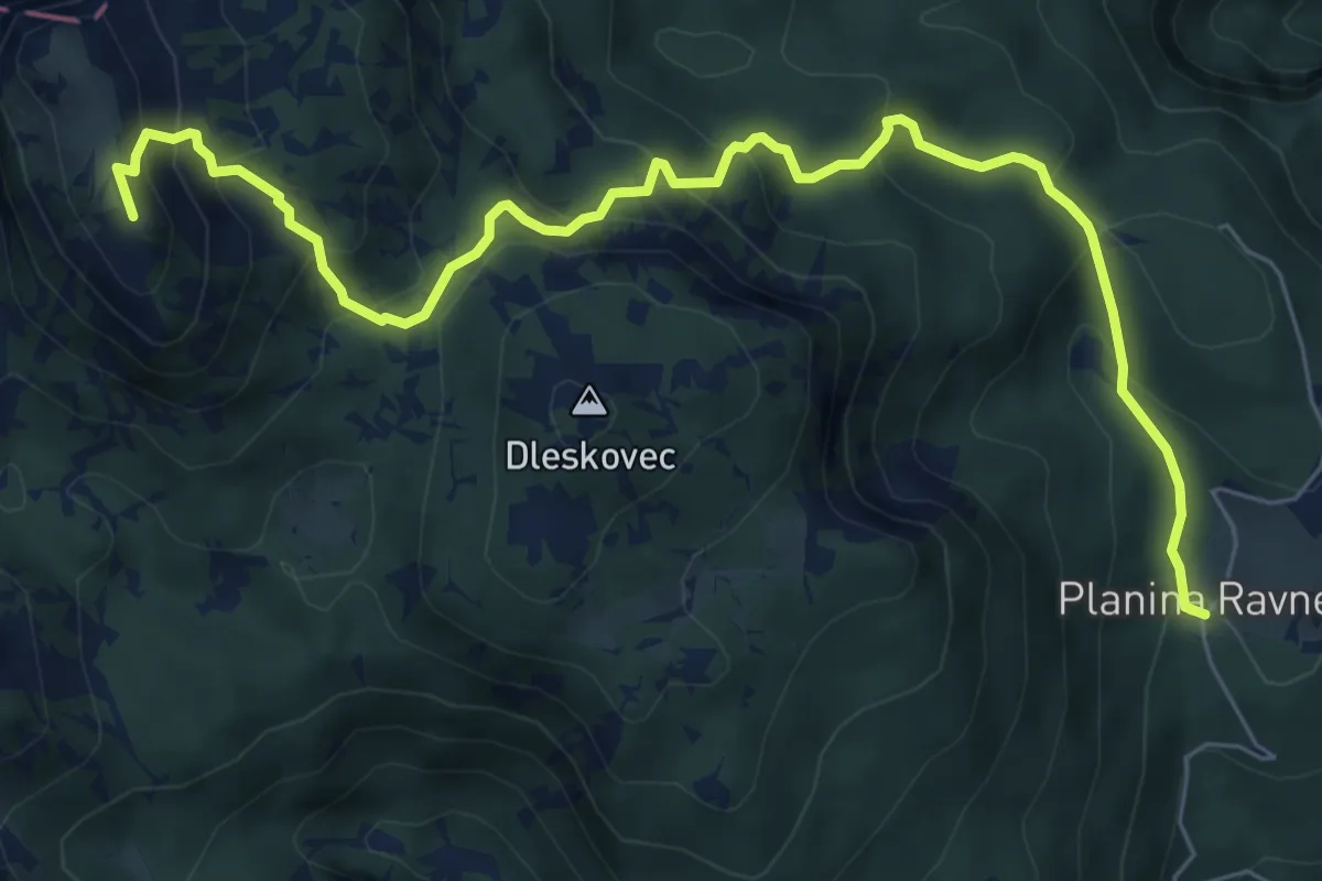
Pl. Ravne - Zelene trate - Veliki vrh
8.1 km · ↑ 614 m · 3 h 14 min
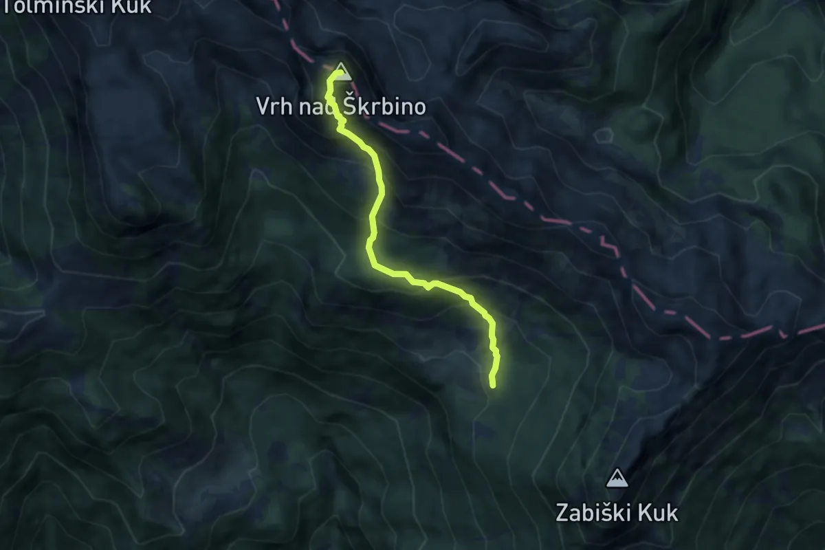
Expert · Summit
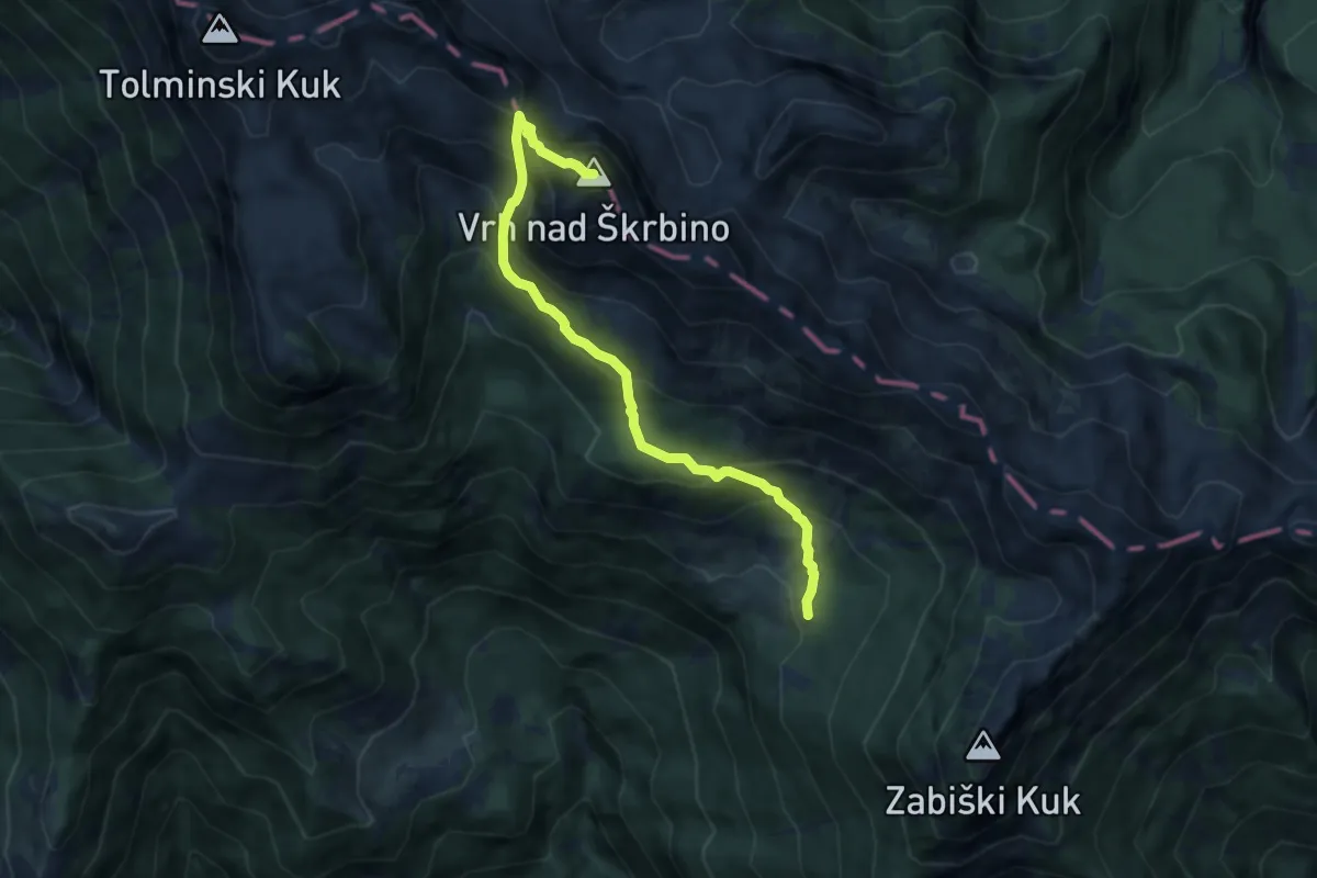
Pl. Razor - Škrbina - Vrh nad Škrbino
7.7 km · ↑ 813 m · 3 h 34 min
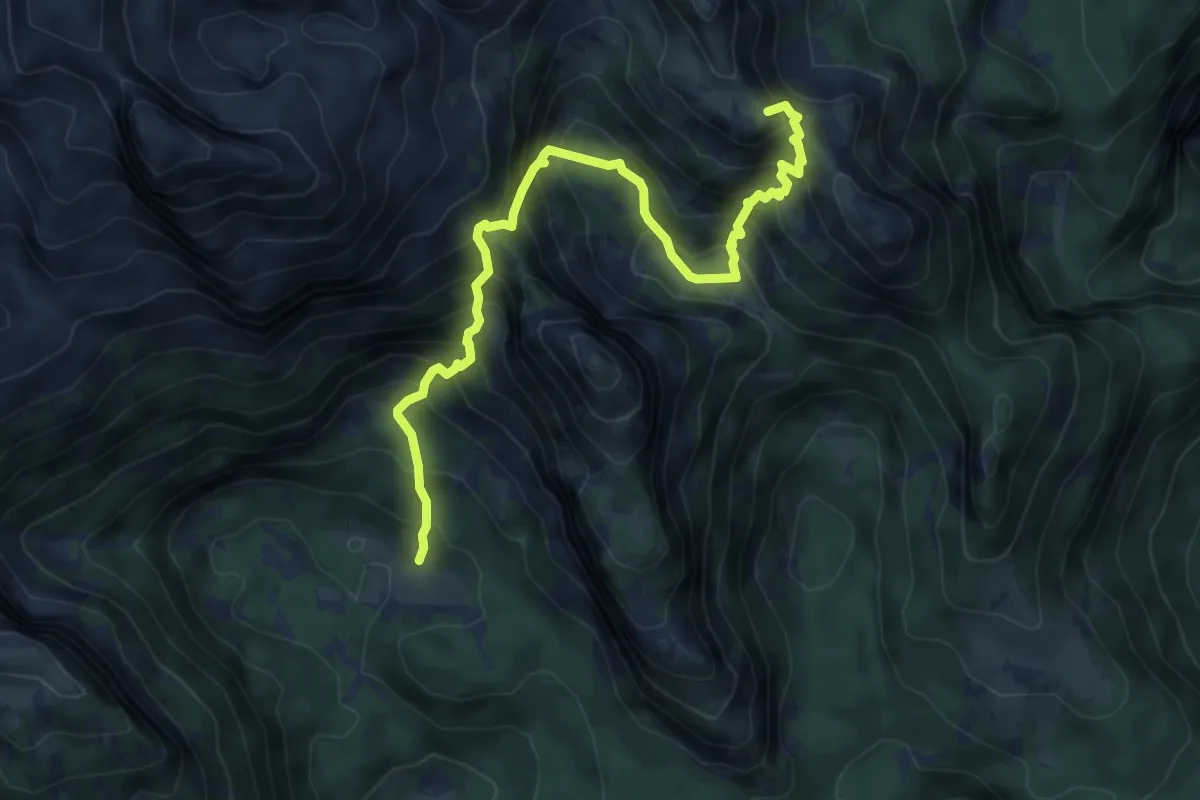
Demanding · Summit
Pl. Razor - Vrh nad Škrbino
6.0 km · ↑ 697 m · 2 h 55 min
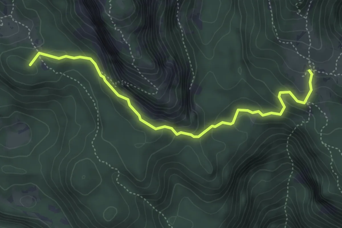
Demanding · Summit
Pl. v Lazu - Jezerski preval - Vodnikov dom
6.8 km · ↑ 850 m · 3 h 27 min
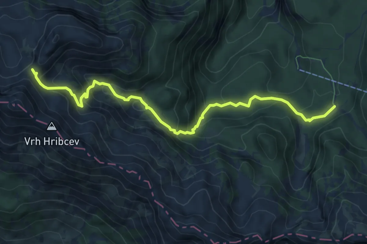
Medium · Summit
Pl. v Lazu - Pl. Krstenica
5.0 km · ↑ 293 m · 1 h 49 min
Medium · Trail
Pl. Zadnji Vogel - Konjsko sedlo
8.3 km · ↑ 562 m · 3 h 10 min
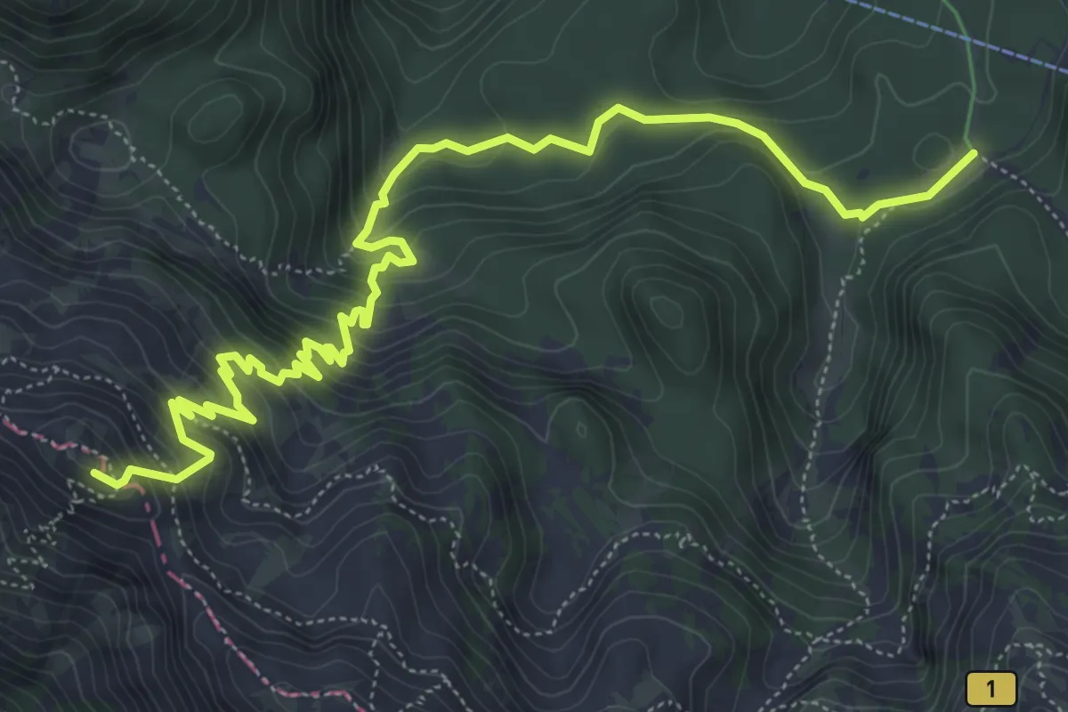
Medium · Summit
Pl. Zadnji Vogel - Preval Globoko
7.8 km · ↑ 611 m · 3 h 10 min
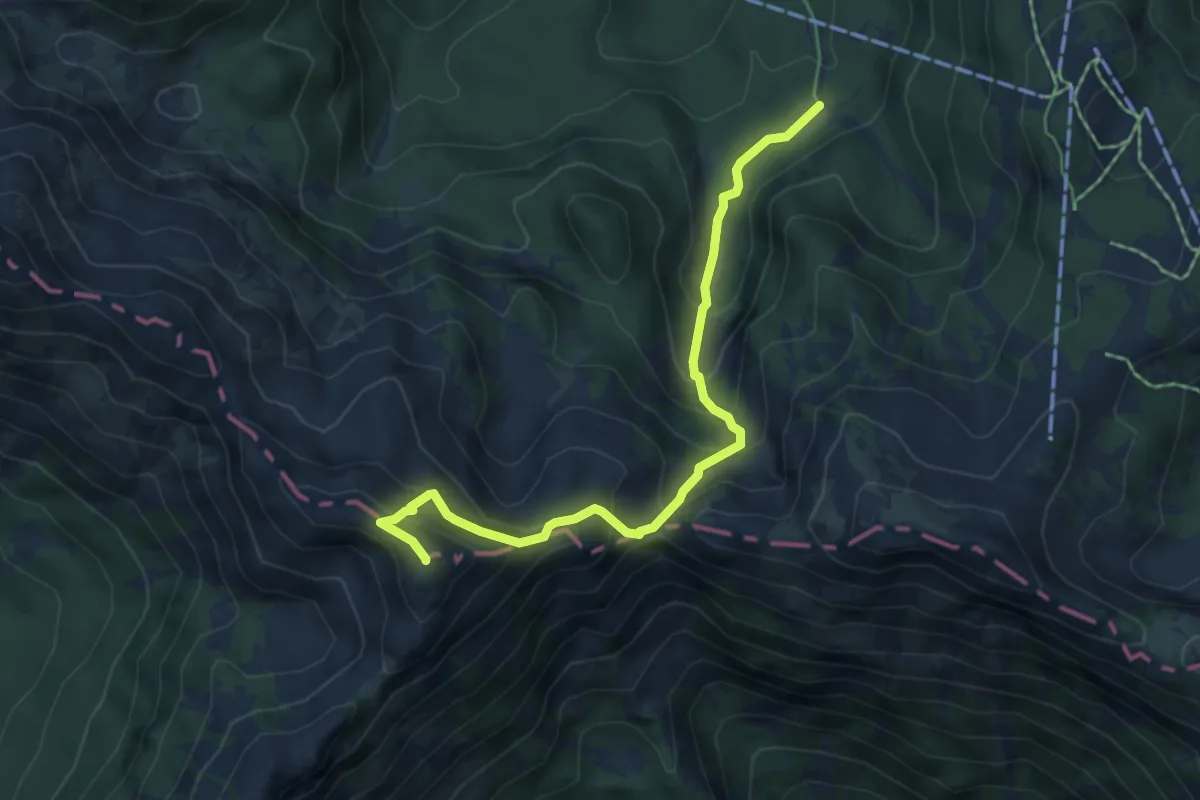
Demanding · Summit
Pl. Zadnji Vogel - Vogel
5.6 km · ↑ 508 m · 2 h 25 min
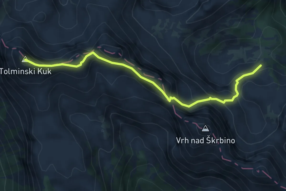
Expert · Summit
Pl. za Migovcem - Škrbina - Tolminski Kuk
5.8 km · ↑ 522 m · 2 h 30 min
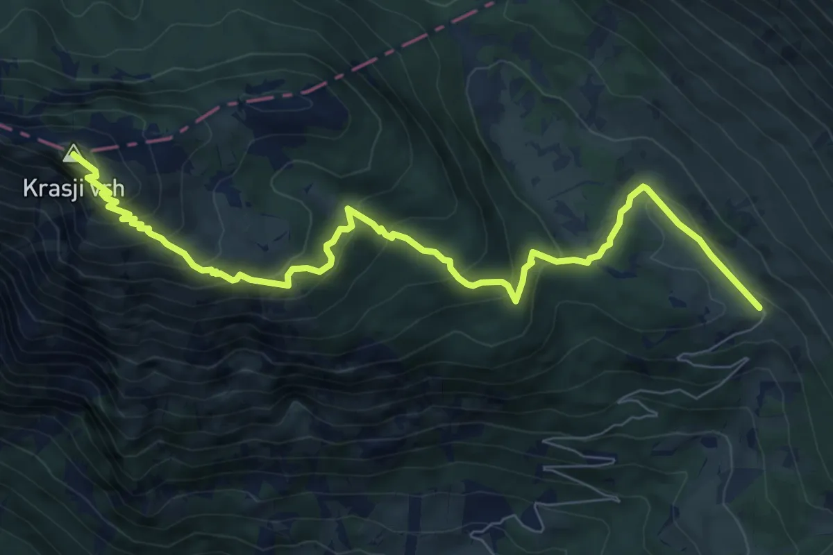
Medium · Summit
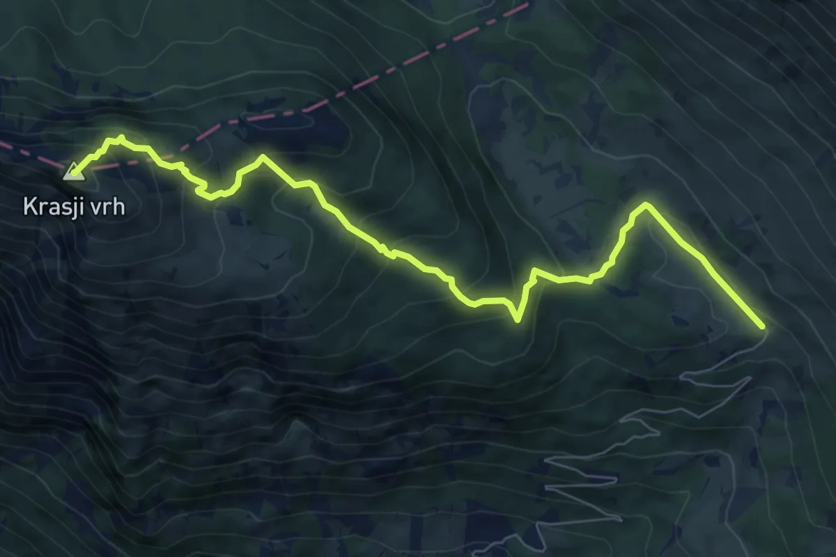
Pl. Zapleč - Koluti - Krasji vrh
9.2 km · ↑ 589 m · 3 h 27 min
Medium · Summit
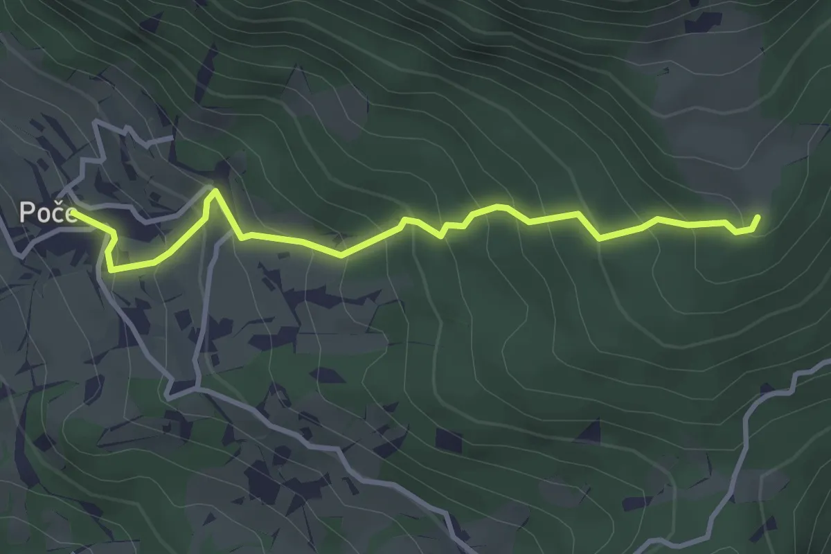
Pl. Zapleč - Snežna jama - Krasji vrh
8.5 km · ↑ 572 m · 3 h 14 min
Easy · Trail
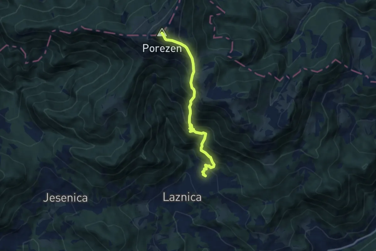
Poče - Labinjske lehe
3.3 km · ↑ 299 m · 1 h 25 min
Demanding · Summit
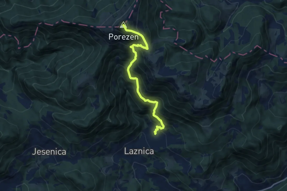
Poče - Medrce - Porezen
7.8 km · ↑ 1005 m · 4 h 2 min
Demanding · Summit
Poče - Porezen
8.9 km · ↑ 1055 m · 4 h 23 min
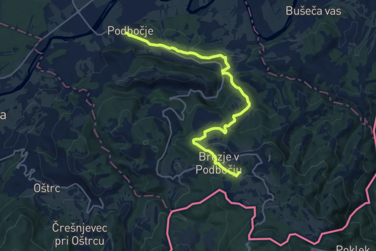
Medium · Summit
Podbočje - Hrastek - Planina
14.4 km · ↑ 618 m · 4 h 45 min
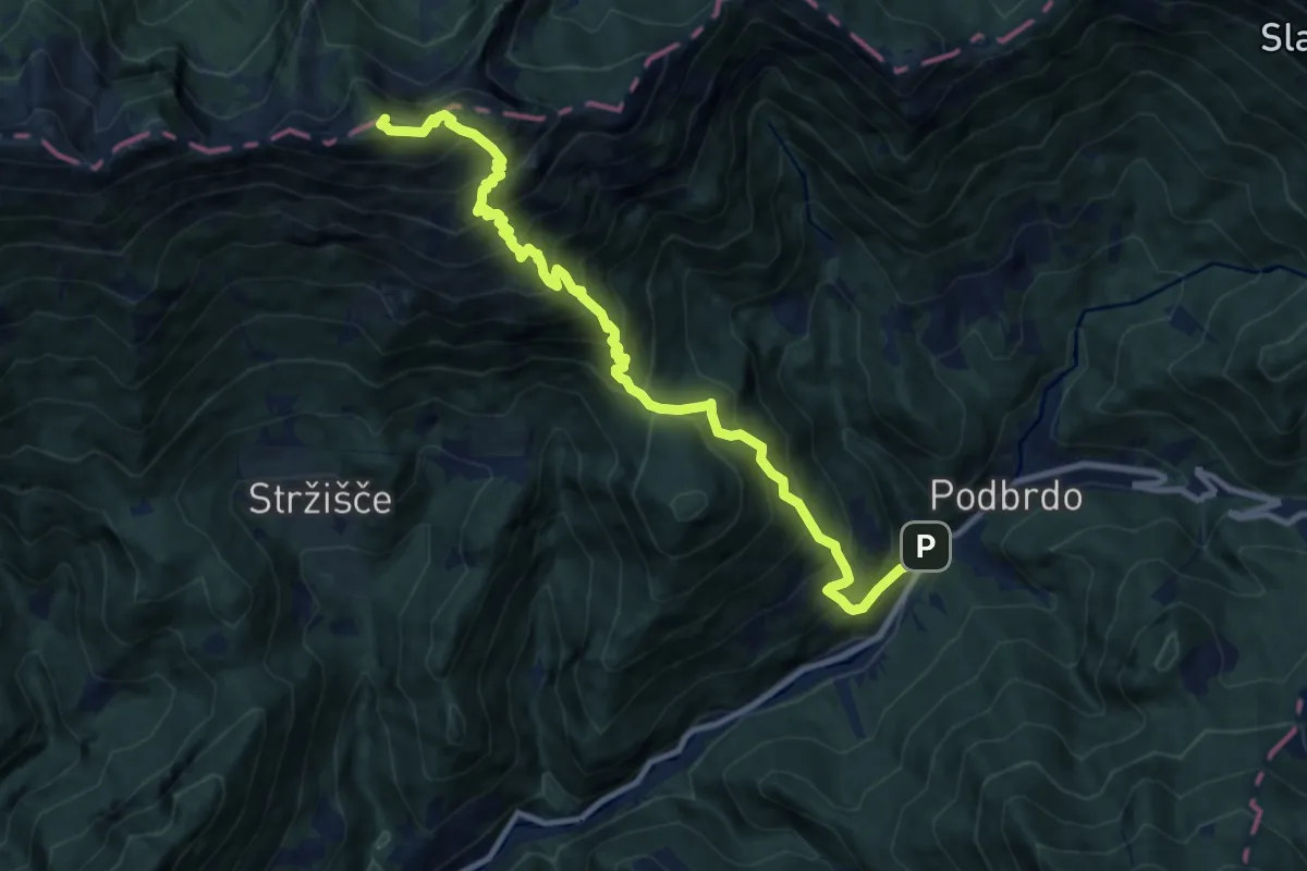
Demanding · Summit
Podbrdo - Črna prst
11.4 km · ↑ 1402 m · 5 h 44 min
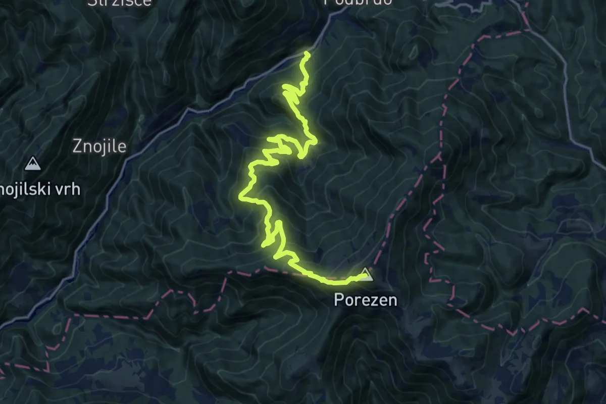
Demanding · Summit
Podbrdo - Porezen
19.2 km · ↑ 1364 m · 7 h 30 min
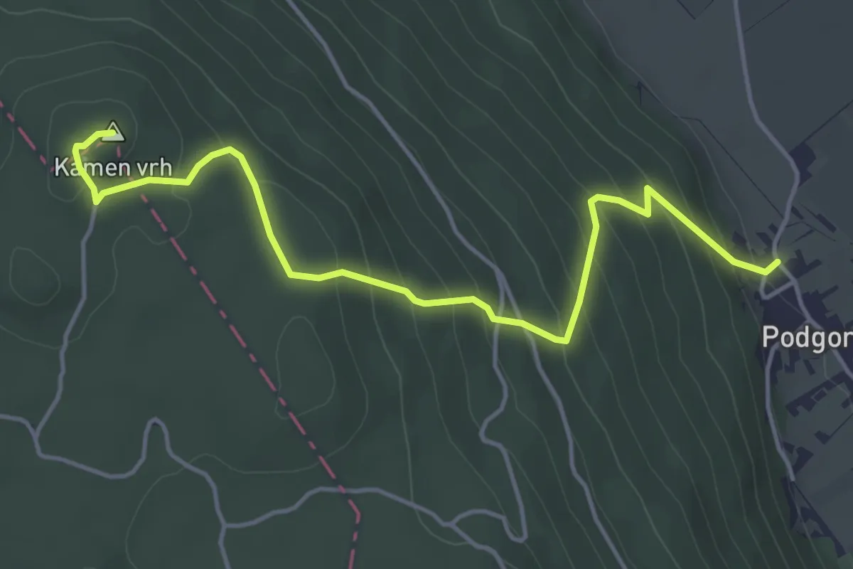
Medium · Summit
Podgora - Kamen vrh
4.9 km · ↑ 339 m · 1 h 54 min
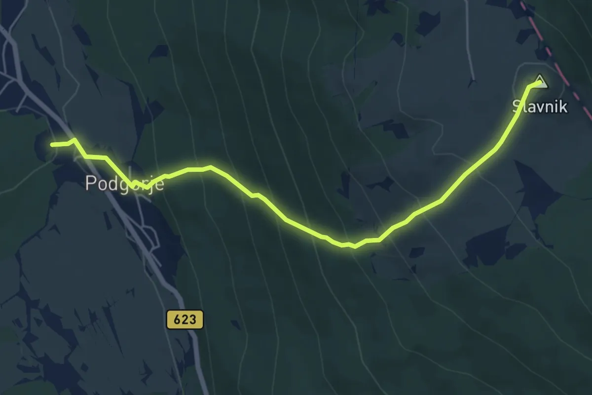
Medium · Summit
Podgorje - Slavnik
5.6 km · ↑ 513 m · 2 h 27 min
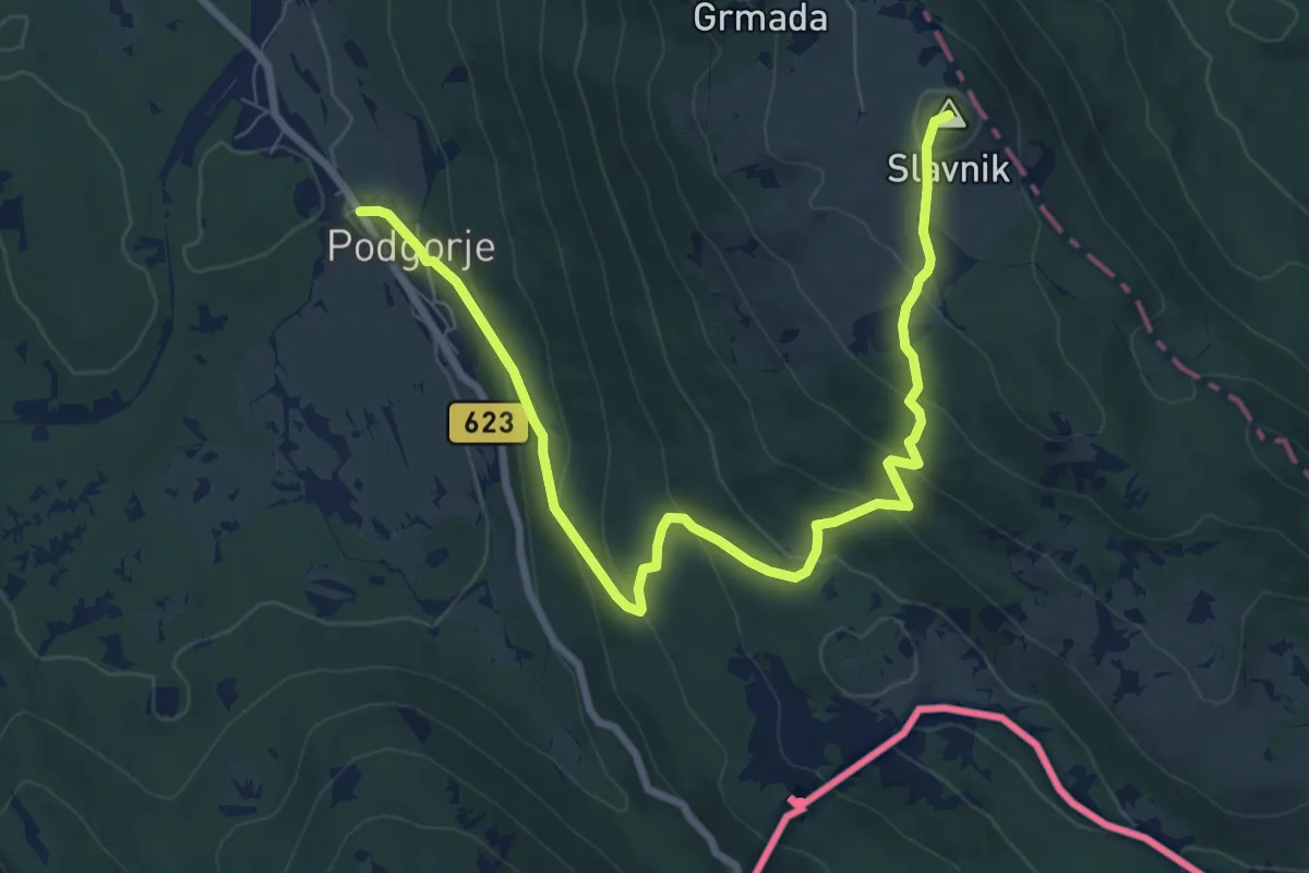
Medium · Summit
Podgorje - Slavnik (lažja)
9.8 km · ↑ 514 m · 3 h 26 min
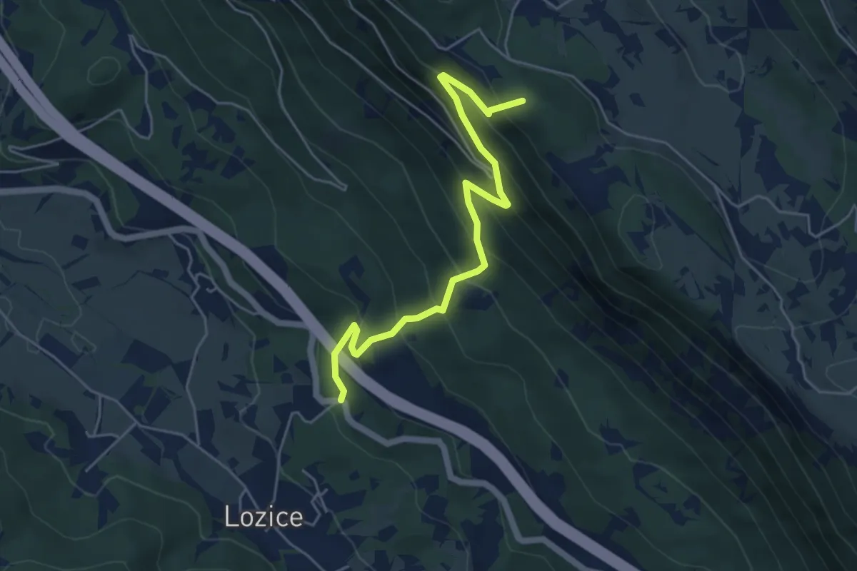
Medium · Summit
Podgrič - Lovska koča Strmec
5.1 km · ↑ 519 m · 2 h 19 min
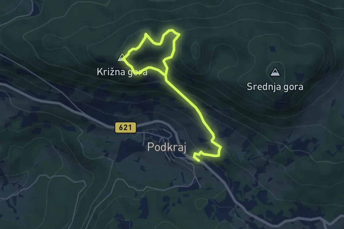
Easy · Summit
Podkraj - Sv. Duh - Križna gora - Podkraj
3.0 km · ↑ 134 m · 1 h 8 min
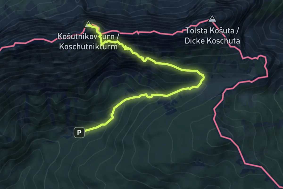
Demanding · Summit
Pod Krnico - Košutnikov turn (vzh. pot)
7.6 km · ↑ 1014 m · 4 h
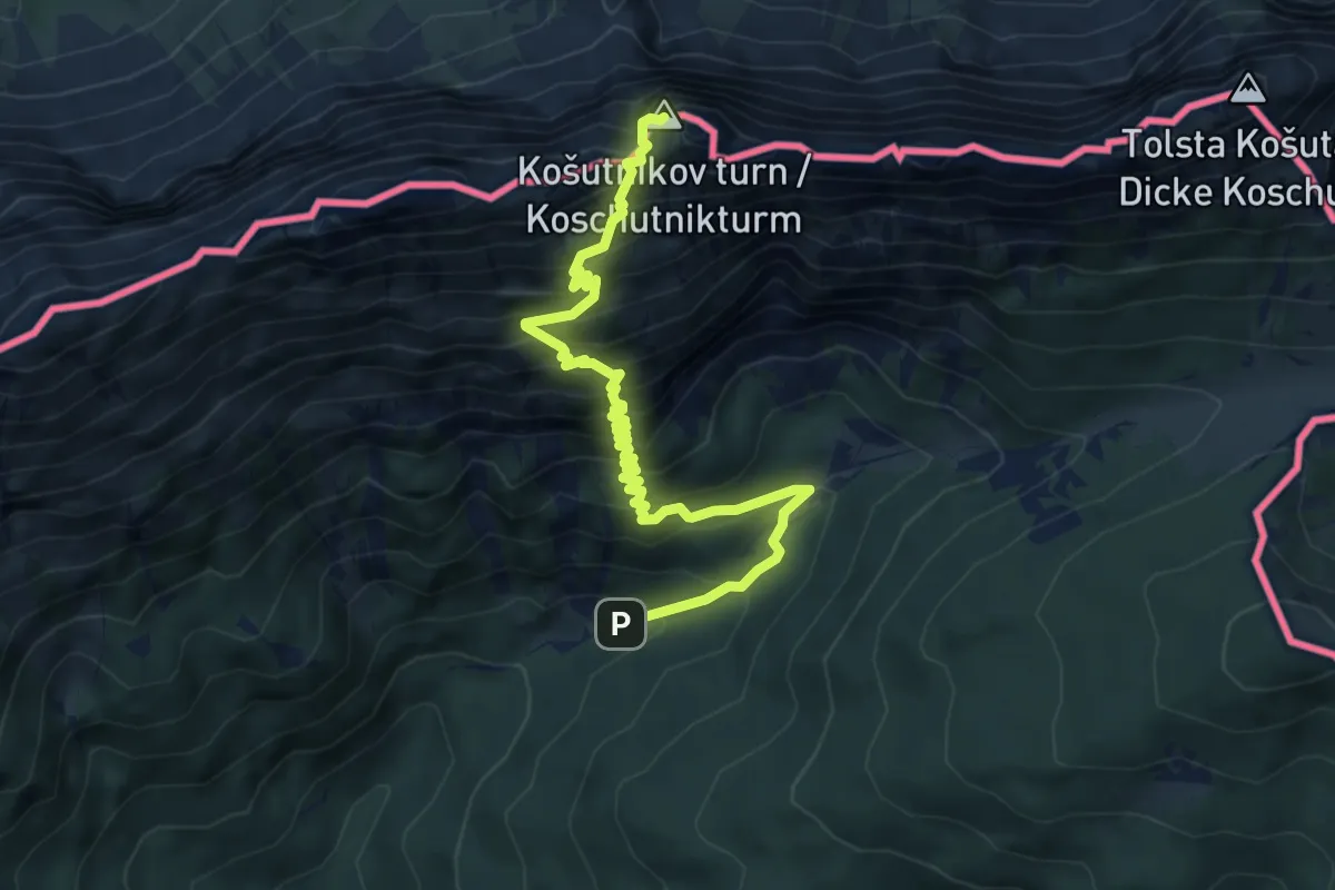
Demanding · Summit
Pod Krnico - Košutnikov turn (zah. pot)
6.7 km · ↑ 903 m · 3 h 32 min
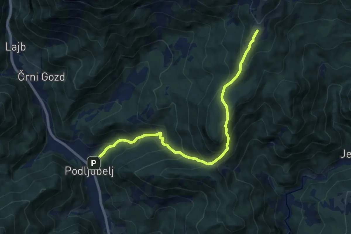
Demanding · Cabin
Podljubelj - Kal - Kofce
10.2 km · ↑ 865 m · 4 h 17 min
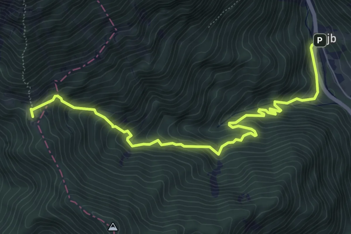
Medium · Cabin
Podljubelj - Koča na Prevalu
7.5 km · ↑ 692 m · 3 h 16 min