Trails in Slovenia
1,594 hiking trails, each with its route, climb, walking time and grade.
All trails, page 18 of 34
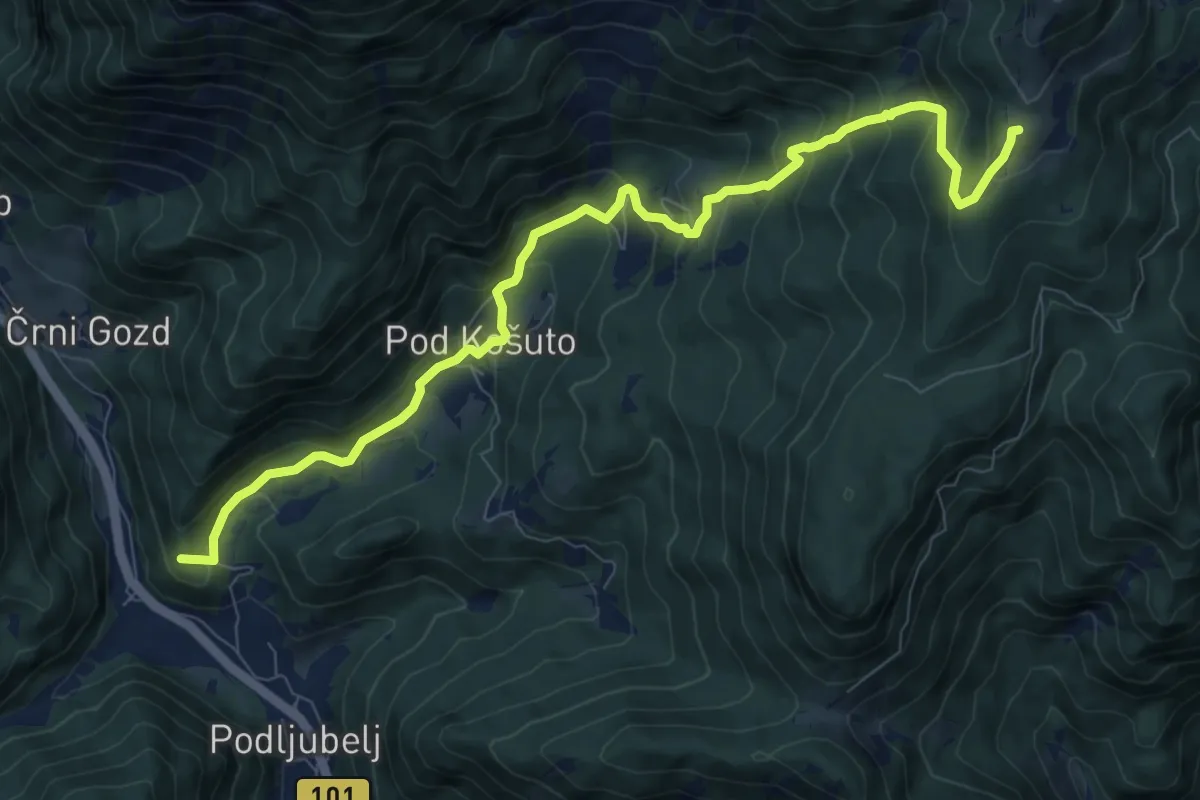
Demanding · Summit
Podljubelj - Matizovec - Kofce
10.1 km · ↑ 818 m · 4 h 9 min
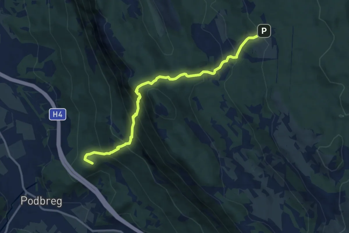
Medium · Summit
Podnanos - Stergar - Abram
8.9 km · ↑ 770 m · 3 h 46 min
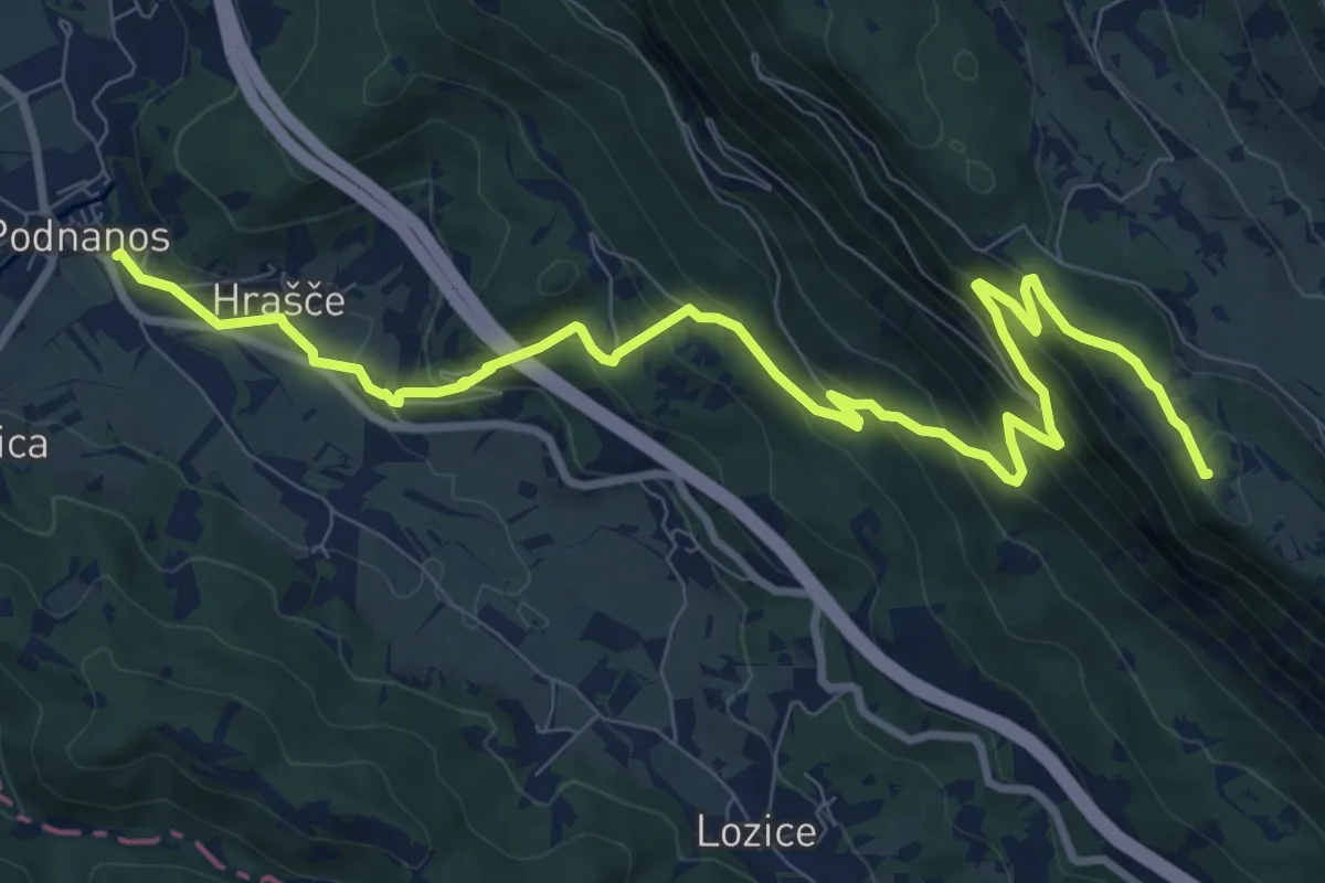
Medium · Summit
Podnanos - Sv. Hieronim
11.7 km · ↑ 714 m · 4 h 18 min
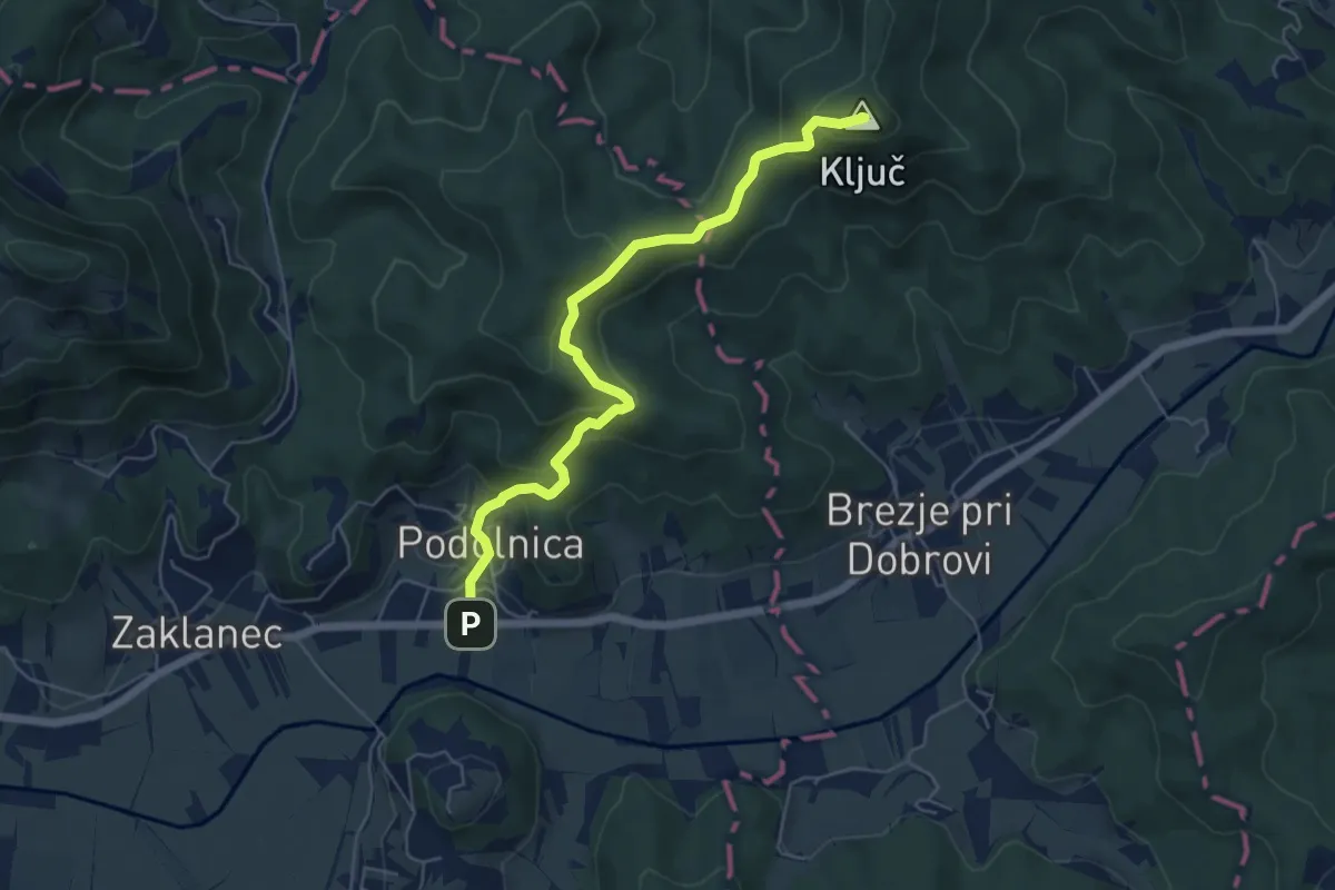
Medium · Summit
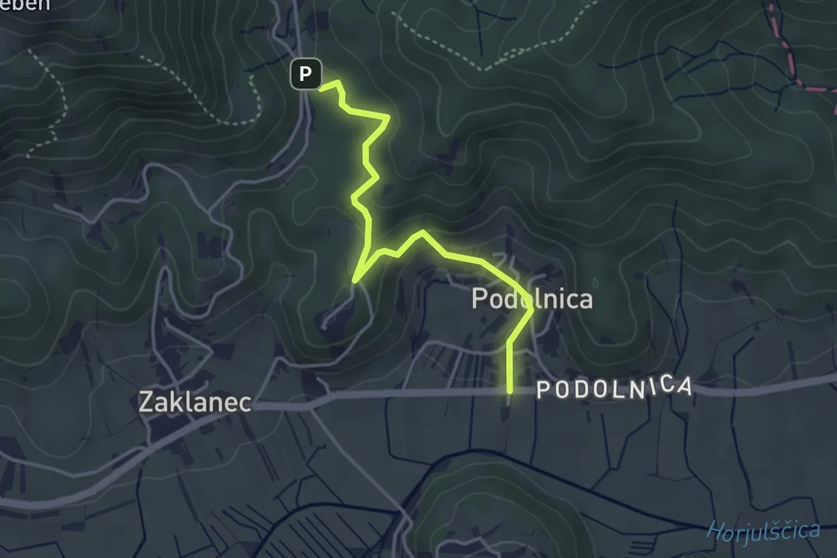
Podolnica - Ključ
5.9 km · ↑ 325 m · 2 h 5 min
Easy · Trail
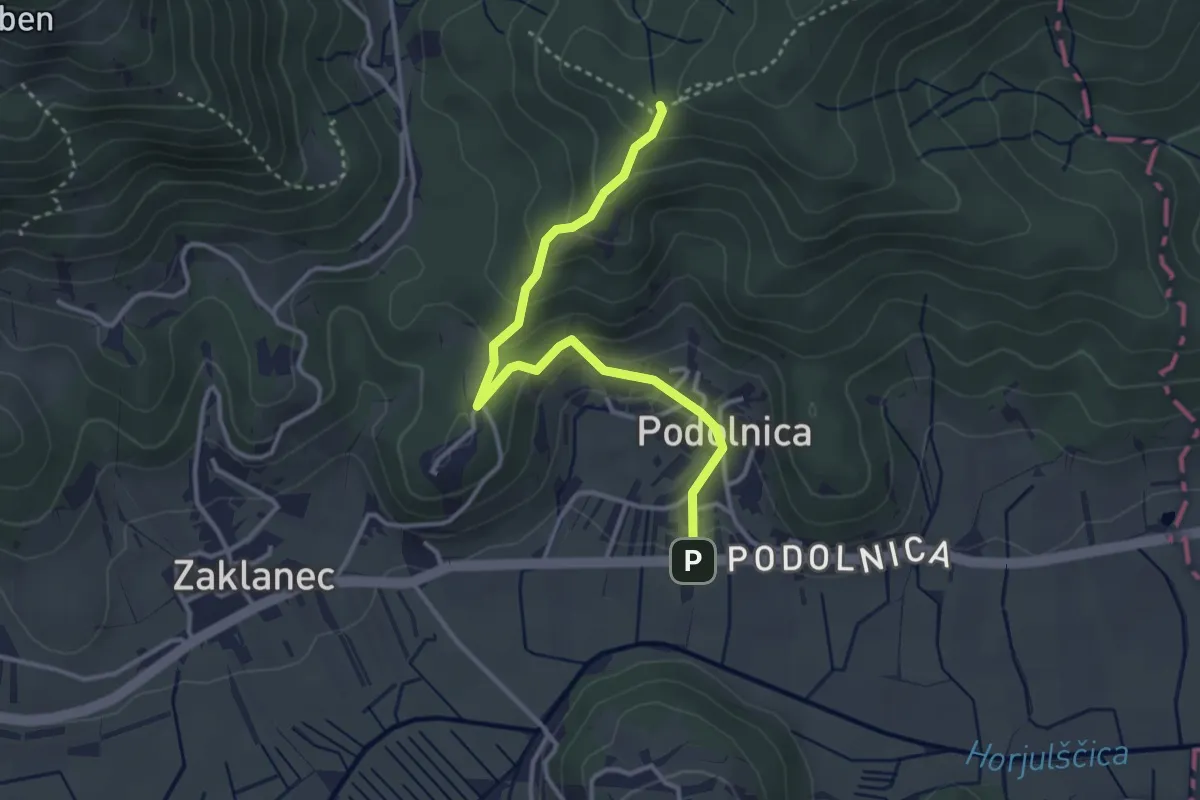
Podolnica - Prosca
3.6 km · ↑ 163 m · 1 h 12 min
Medium · Summit
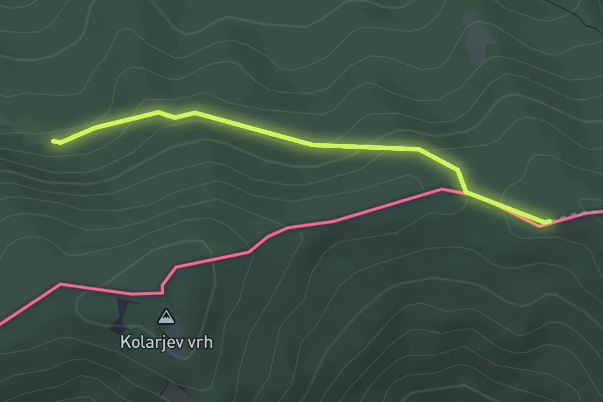
Podolnica - Tičnica
3.4 km · ↑ 217 m · 1 h 17 min
Medium · Trail
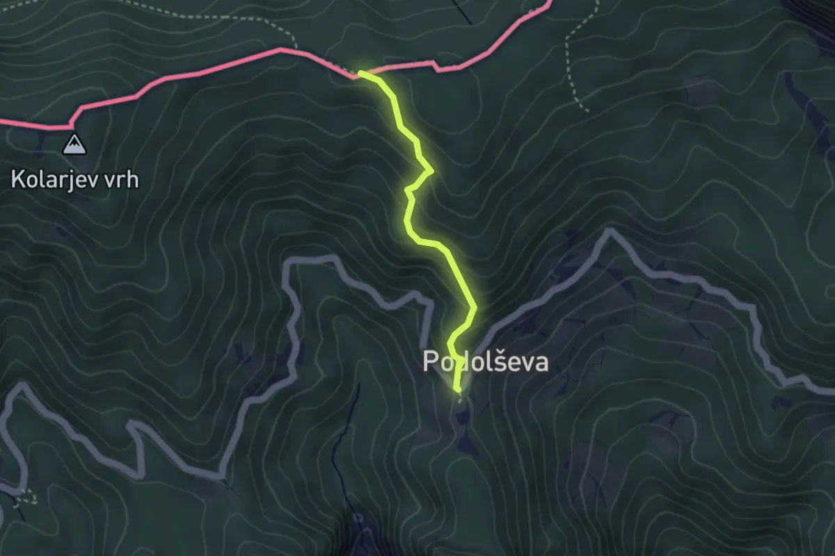
Podolševa (Strevc) - Sv. Lenart
2.5 km · ↑ 116 m · 50 min
Easy · Trail
Podolševa (Strevc) - Sv. Lenart
2.5 km · ↑ 210 m · 1 h 3 min
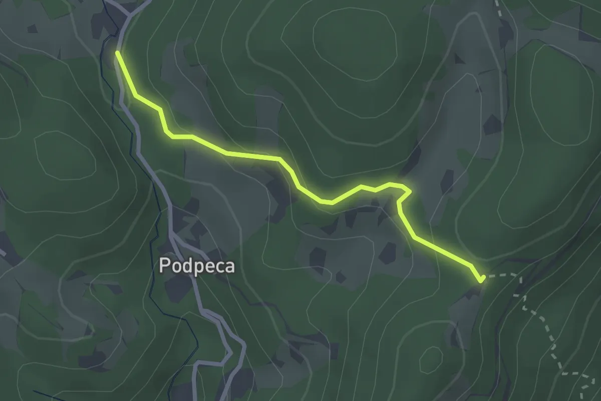
Easy · Cabin
Podpeca-Koča na Pikovem
2.4 km · ↑ 106 m · 47 min
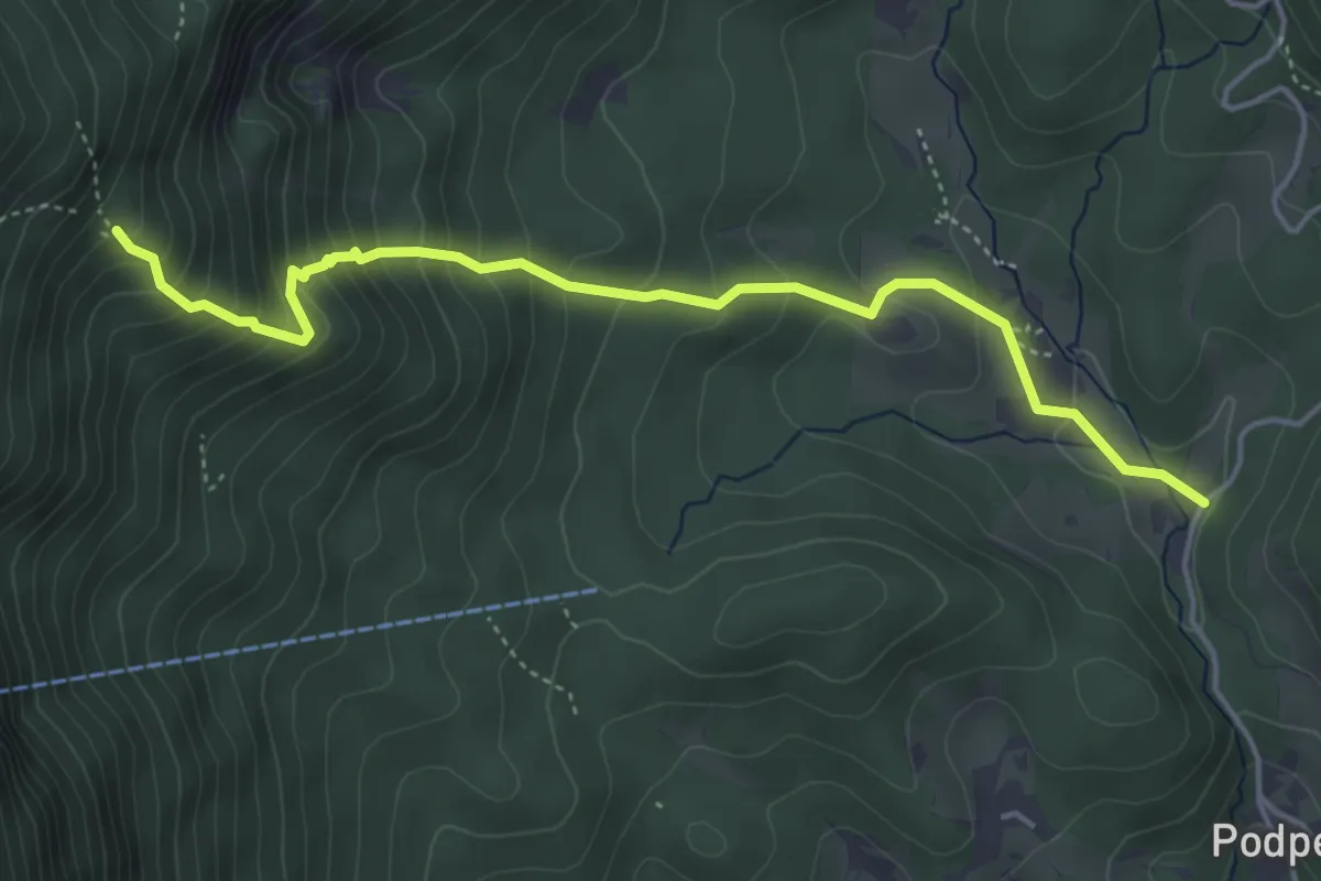
Medium · Trail
Podpeca-Ninotova koča
4.7 km · ↑ 469 m · 2 h 8 min
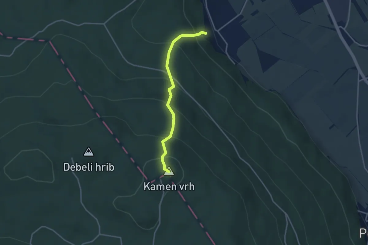
Easy · Summit
Podpeč - Kamen vrh
2.7 km · ↑ 293 m · 1 h 17 min
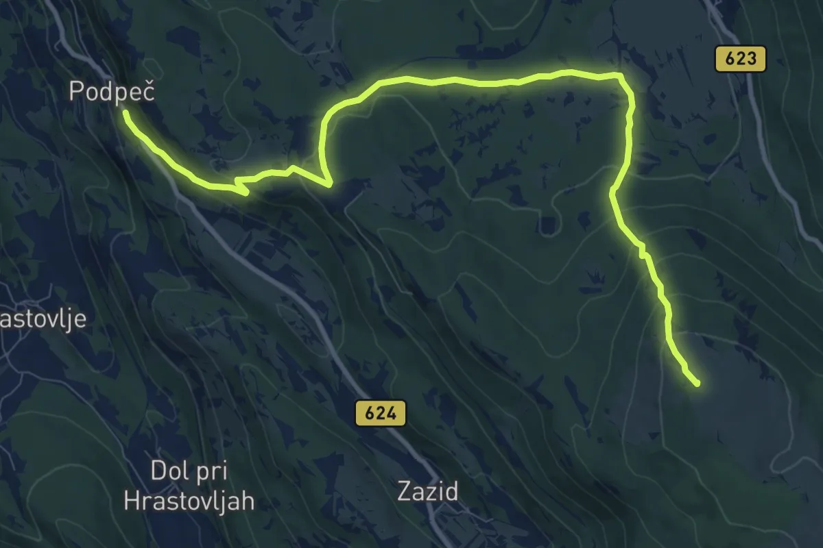
Medium · Summit
Podpeč - Runa - Kojnik
11.7 km · ↑ 551 m · 3 h 58 min
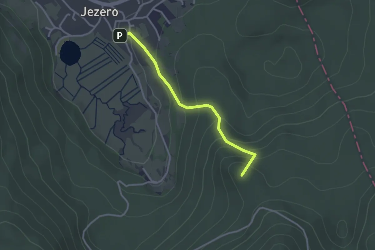
Easy · Summit
Podpeško jezero - Ledenica
2.5 km · ↑ 172 m · 58 min
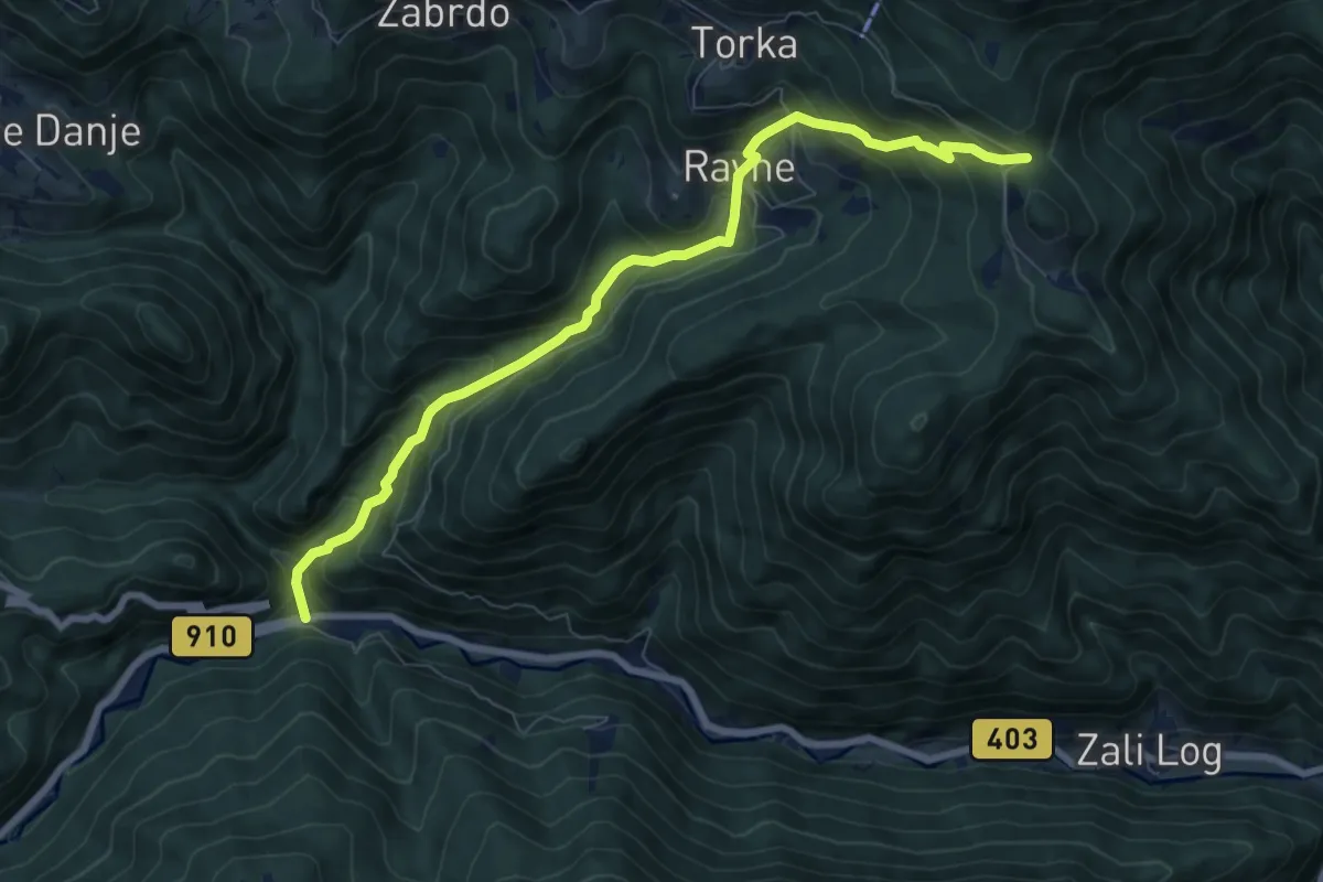
Medium · Trail
Podrošt - Povden
8.0 km · ↑ 718 m · 3 h 26 min
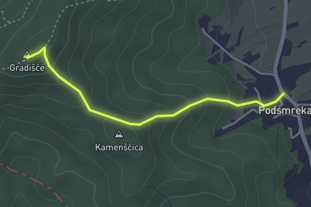
Easy · Summit
Podsmreka - Gradišče
2.9 km · ↑ 201 m · 1 h 7 min
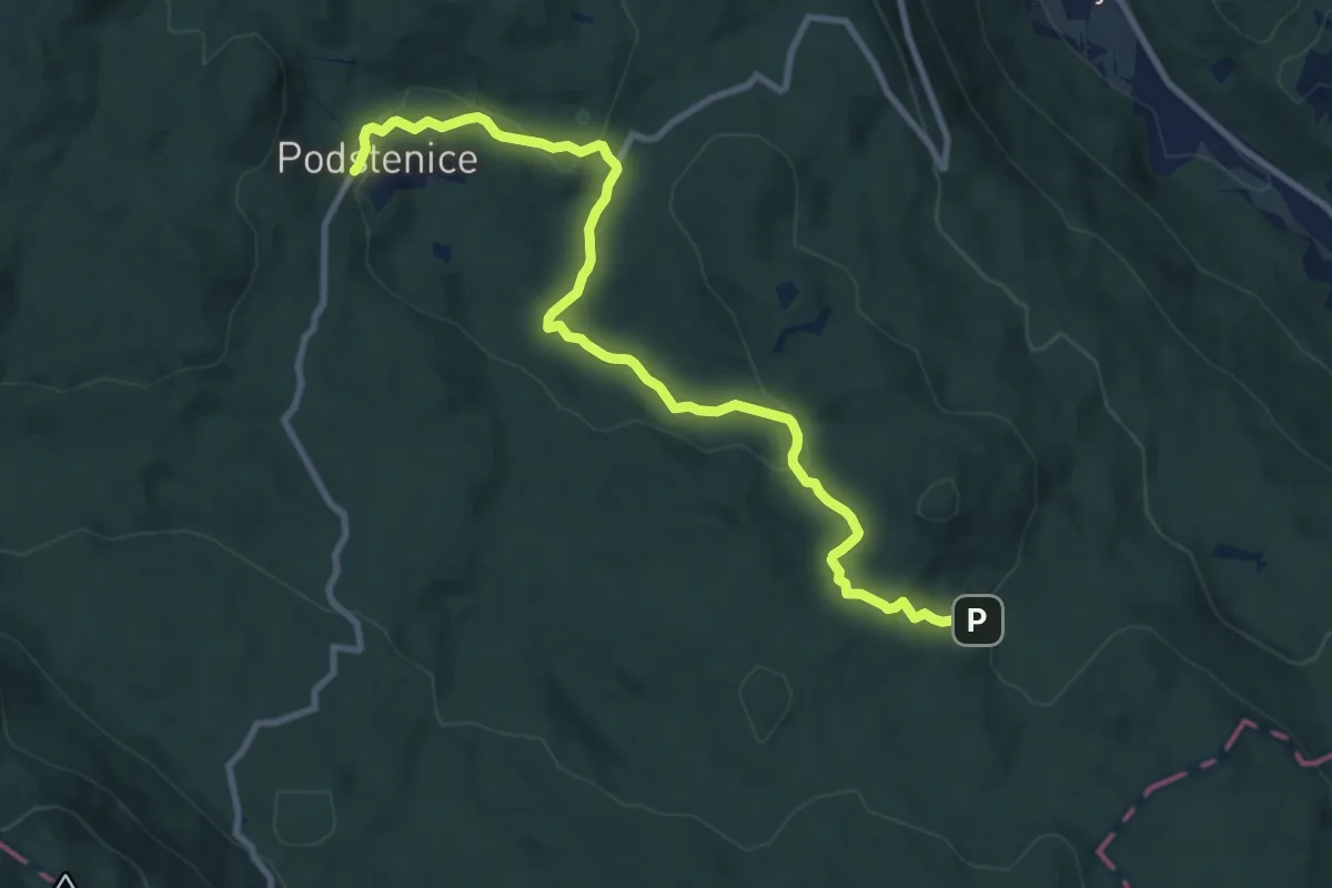
Medium · Trail
Podstenice - Lukov dom
10.7 km · ↑ 250 m · 3 h 4 min
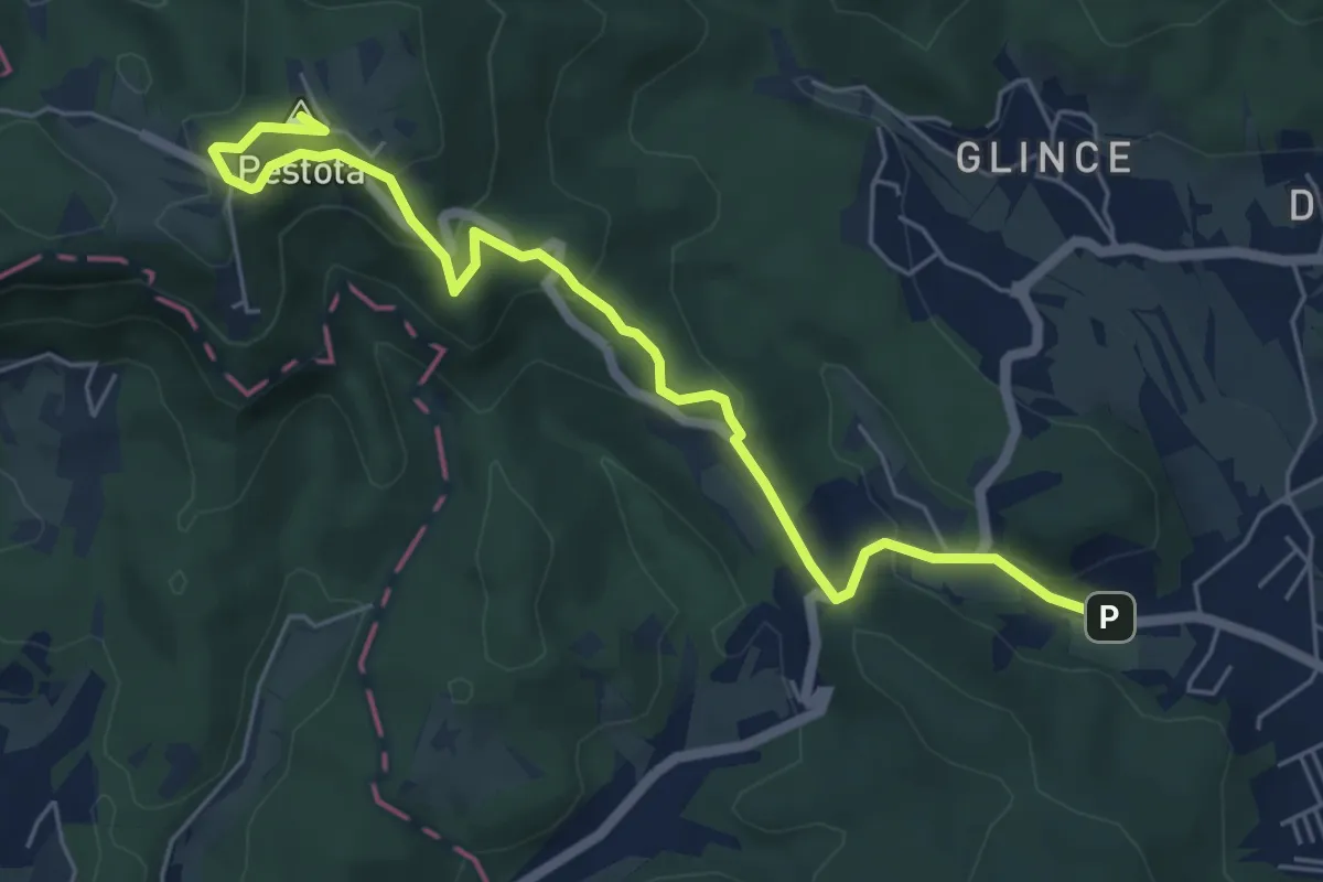
Easy · Summit
Podutik - Toško Čelo
6.5 km · ↑ 317 m · 2 h 13 min
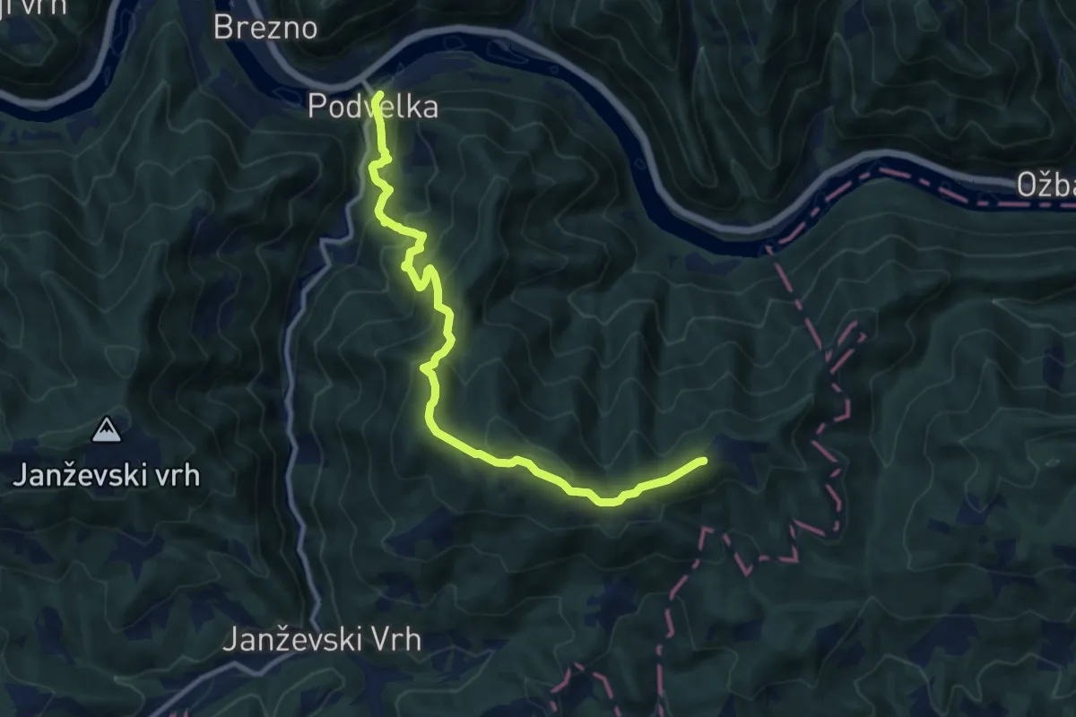
Medium · Trail
Podvelka - Klančnik
10.8 km · ↑ 781 m · 4 h 15 min
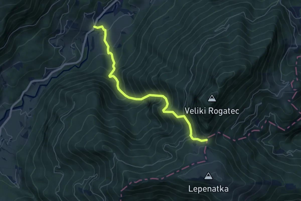
Medium · Trail
Podvolovljek - Bivak na Kalu
6.1 km · ↑ 735 m · 3 h 1 min
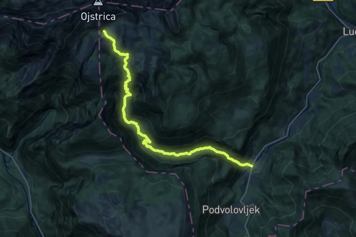
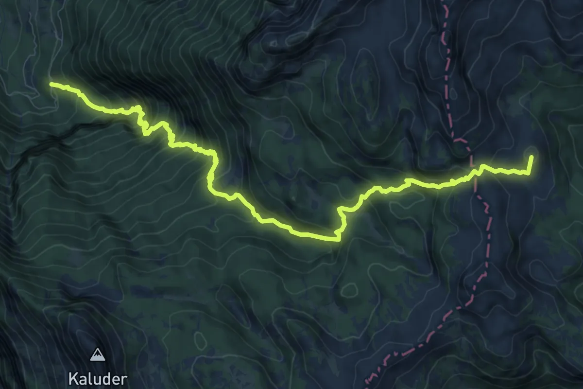
Demanding · Trail
Podvolovljek - Šibje - Korošica
19.2 km · ↑ 1482 m · 7 h 45 min
Expert · Summit
Pod Zjabci - Pl. Za skalo - Pl. Lopučnica
13.0 km · ↑ 1330 m · 5 h 57 min
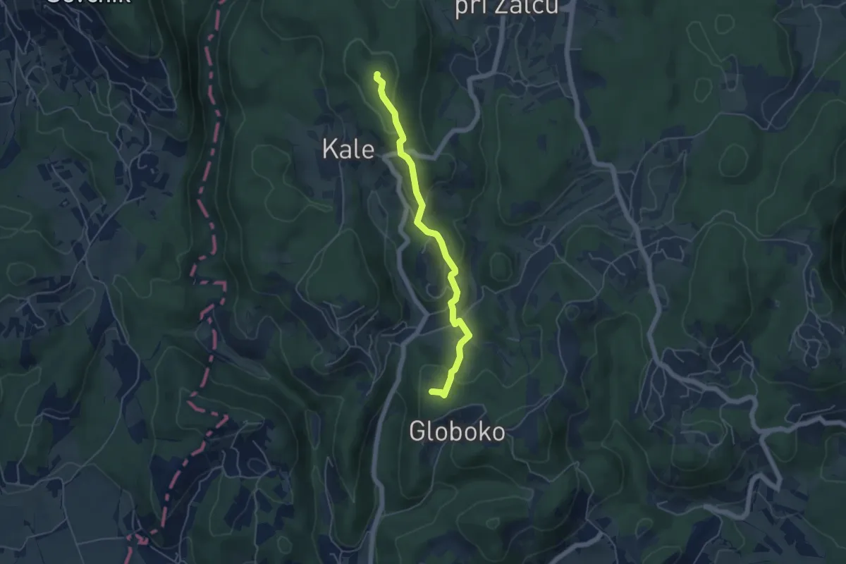
Easy · Summit
Pogorišče - Kale - Apno
4.7 km · ↑ 231 m · 1 h 37 min
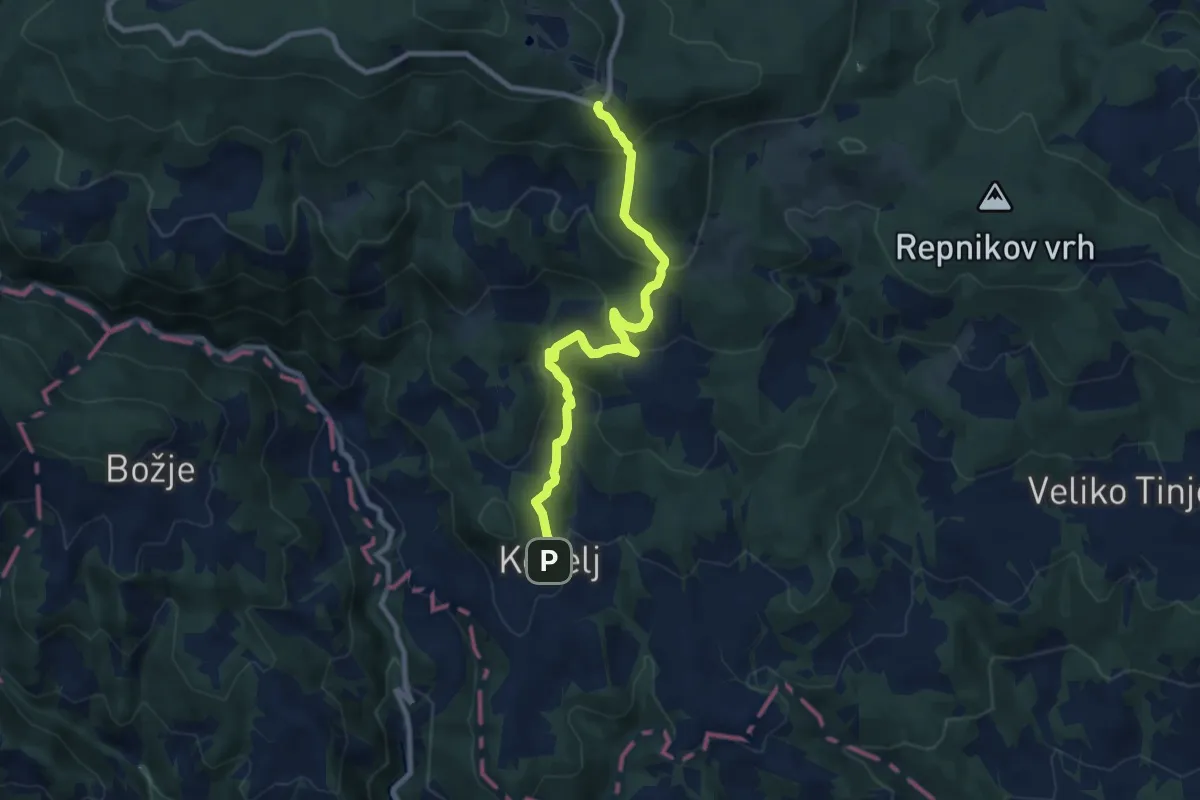
Medium · Cabin
Pohodna pot Kebelj - Trije Kralji
8.8 km · ↑ 495 m · 3 h 8 min
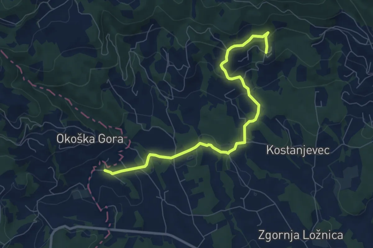
Easy · Trail
Pohodna pot Lovra Stepišnika
7.9 km · ↑ 275 m · 2 h 27 min
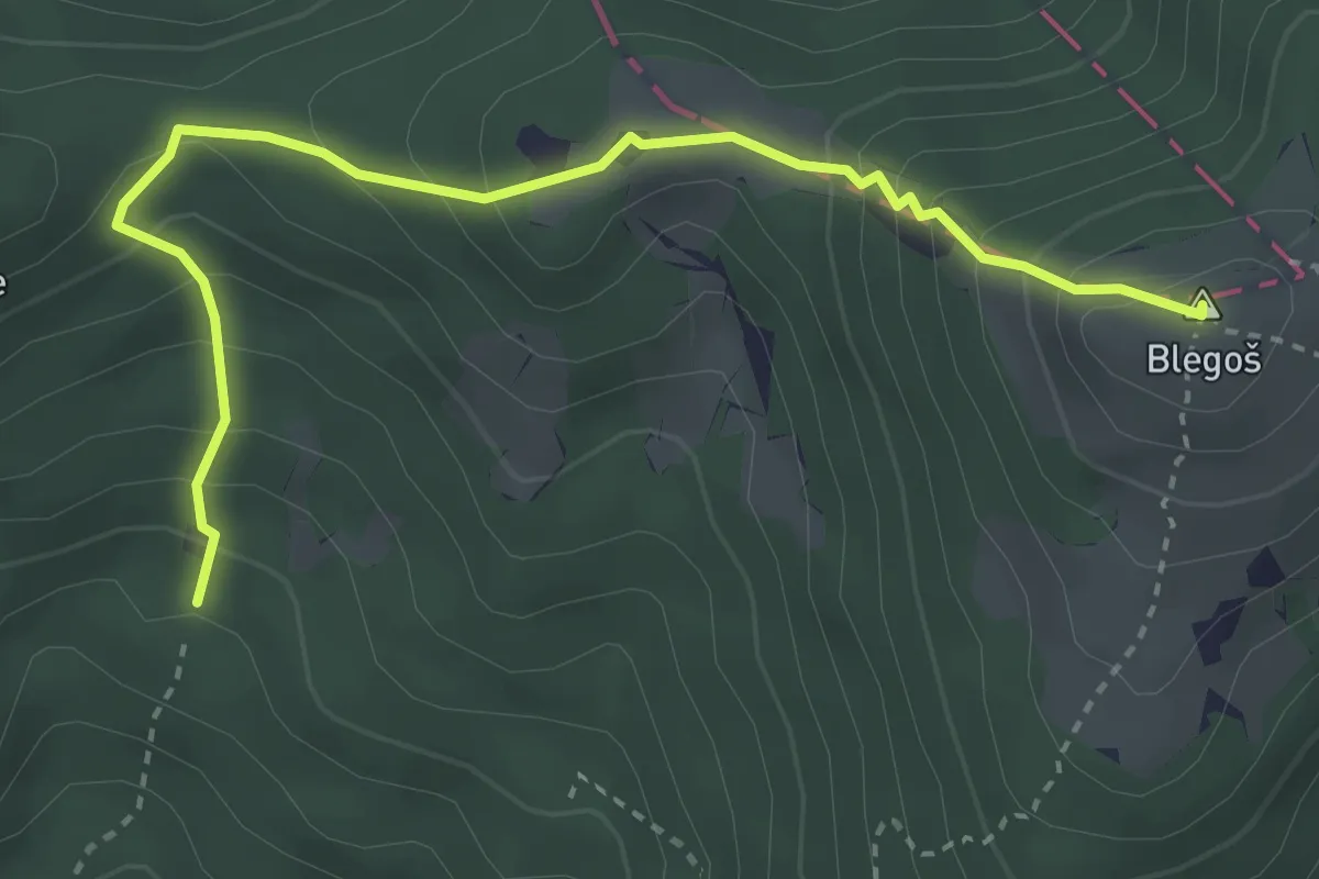
Medium · Summit
Pohodni krog Občine Gorenja Vas - Poljane
3.7 km · ↑ 394 m · 1 h 44 min
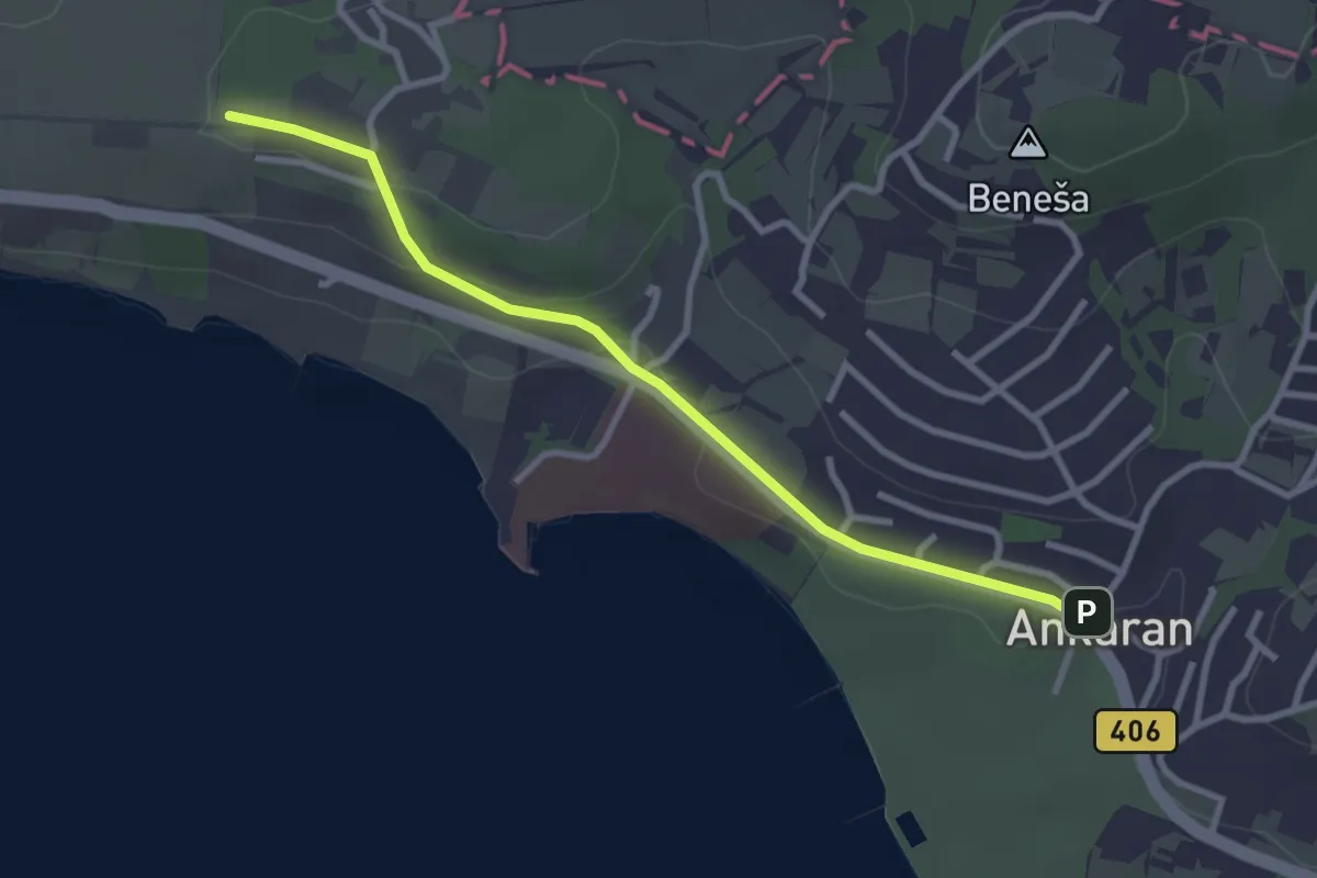
Easy · Summit
pohodniška pot Ankaran - Debeli rtič
3.1 km · ↑ 44 m · 49 min
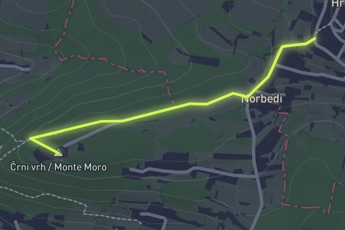
Easy · Summit
pohodniška pot Hrvatini - Ankaran
2.0 km · ↑ 69 m · 37 min
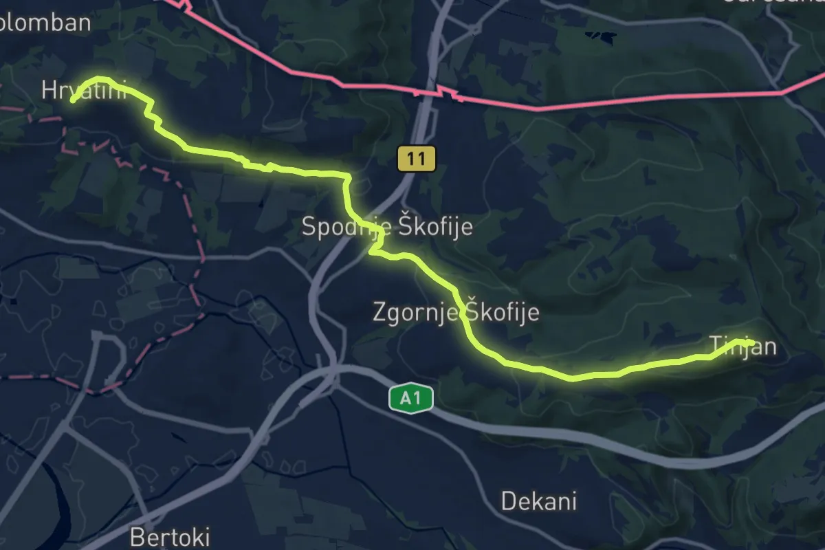
Medium · Summit
pohodniška pot Tinjan - Škofije - Hrvatini
16.5 km · ↑ 421 m · 4 h 49 min
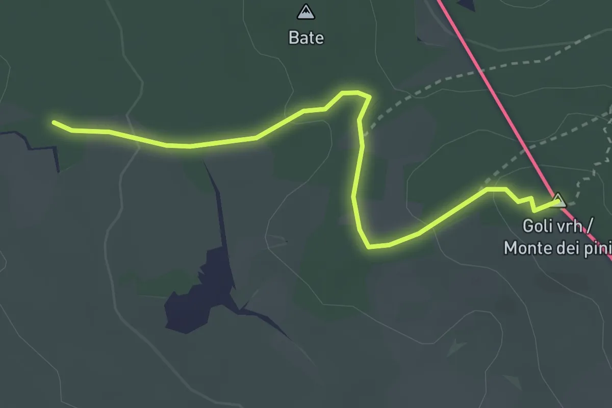
Easy · Summit
Pohod po pečinah
3.2 km · ↑ 79 m · 55 min
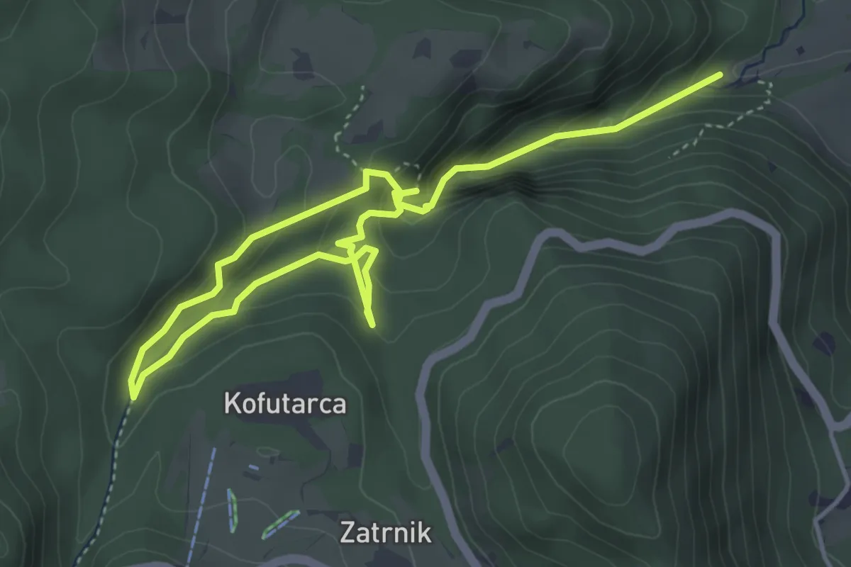
Demanding · Trail
Pokljuška soteska
6.1 km · ↑ 421 m · 2 h 21 min
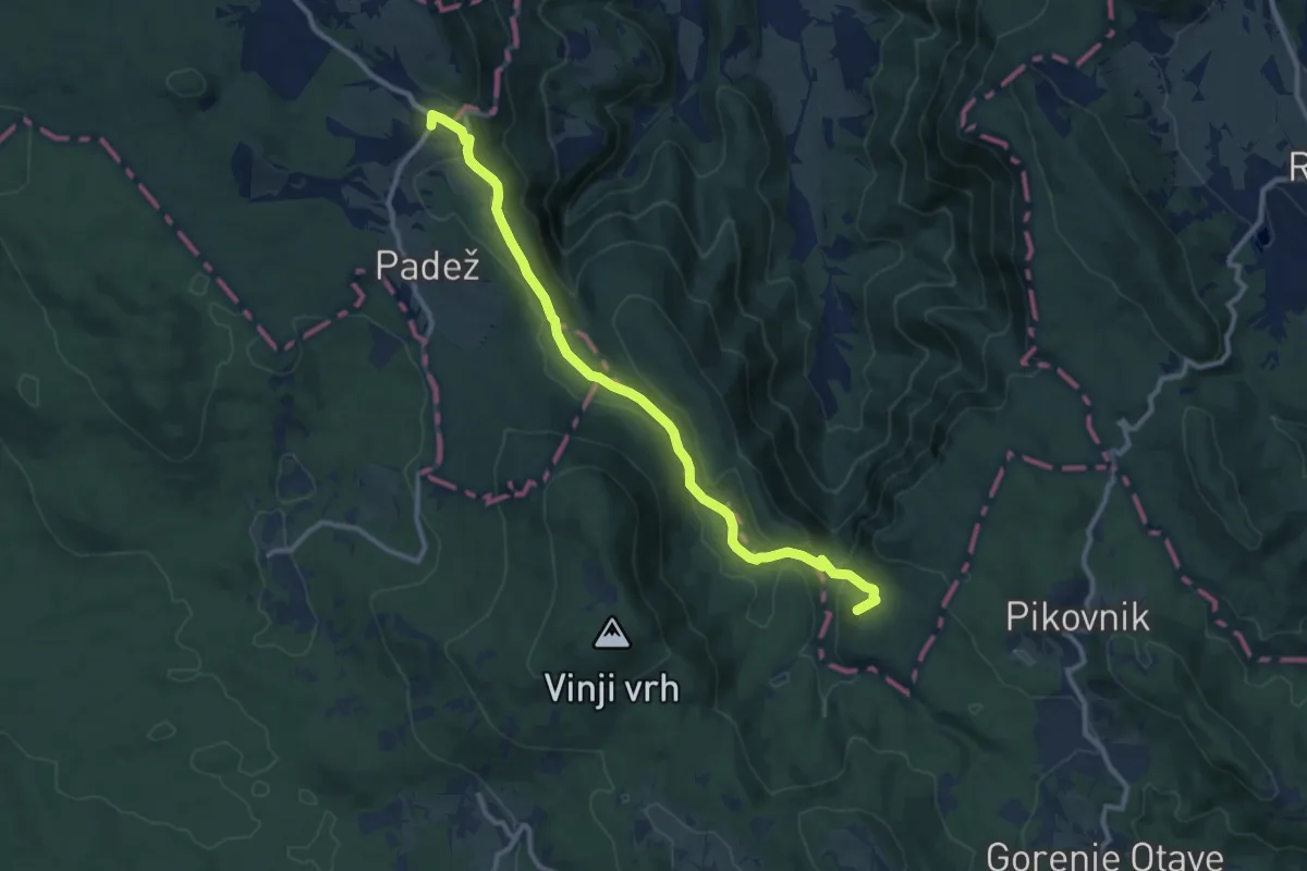
Medium · Summit
Pokojišče - Krimska jama
11.1 km · ↑ 305 m · 3 h 17 min
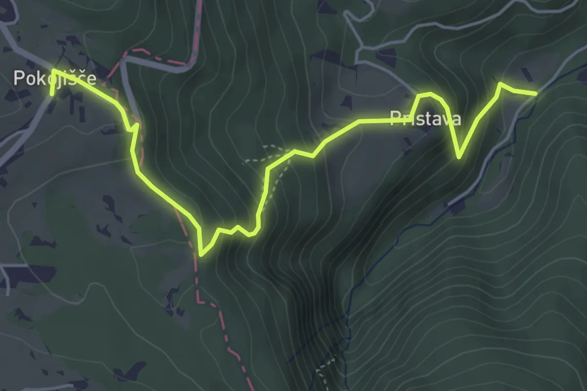
Medium · Trail
Pokojišče - Pekel
5.3 km · ↑ 414 m · 2 h 9 min
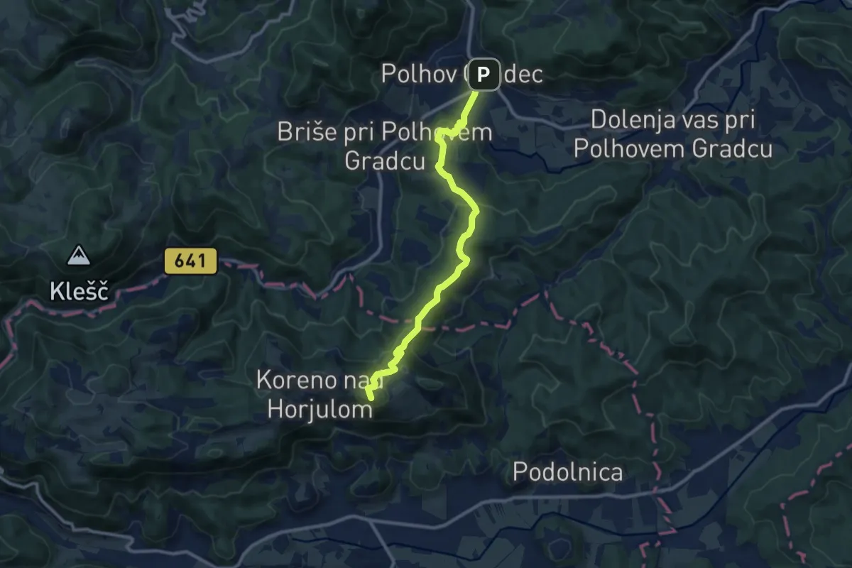
Medium · Summit
Polhov Gradec - Koreno
9.7 km · ↑ 423 m · 3 h 12 min
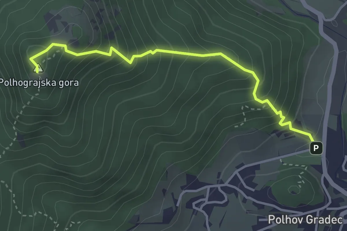
Medium · Summit
Polhov Gradec - Polhograjska gora
3.3 km · ↑ 406 m · 1 h 39 min
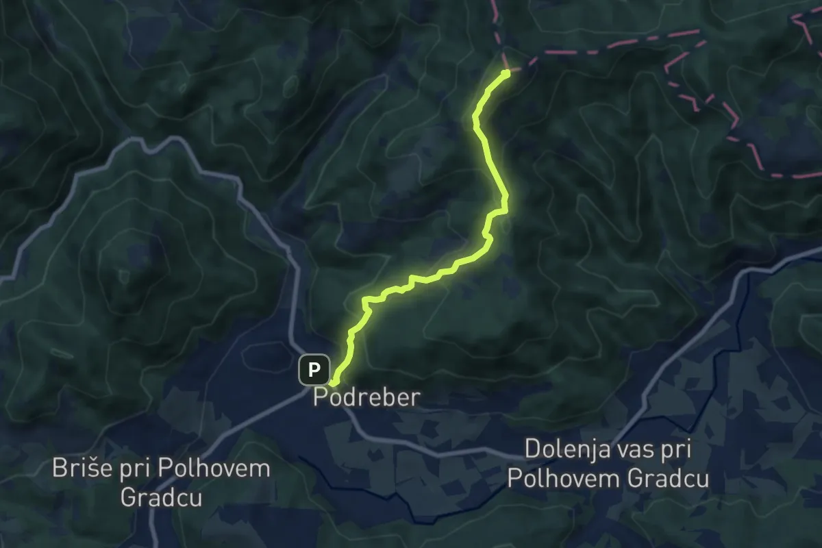
Demanding · Summit
Polhov Gradec - Ravnek - Grmada
6.8 km · ↑ 508 m · 2 h 42 min
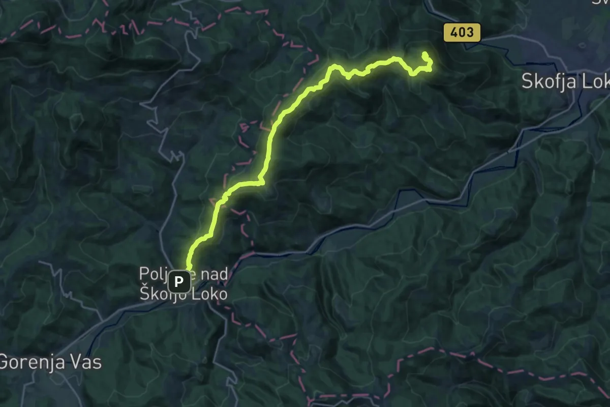
Demanding · Summit
Poljane - Lubnik
22.3 km · ↑ 1201 m · 7 h 53 min
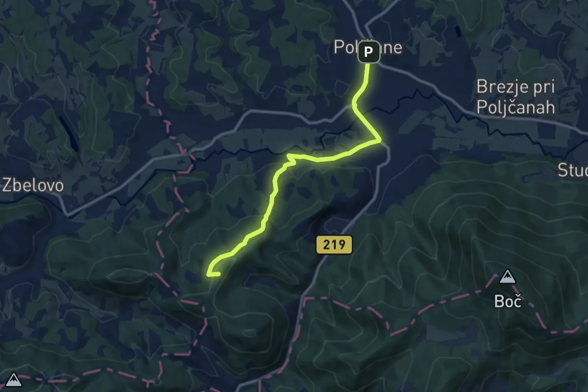
Medium · Summit
Poljčane - Lovnik - Pečica
8.7 km · ↑ 317 m · 2 h 44 min
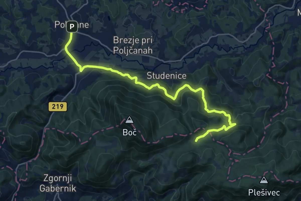
Medium · Trail
Poljčane - Podboč - Formila
17.8 km · ↑ 779 m · 5 h 53 min
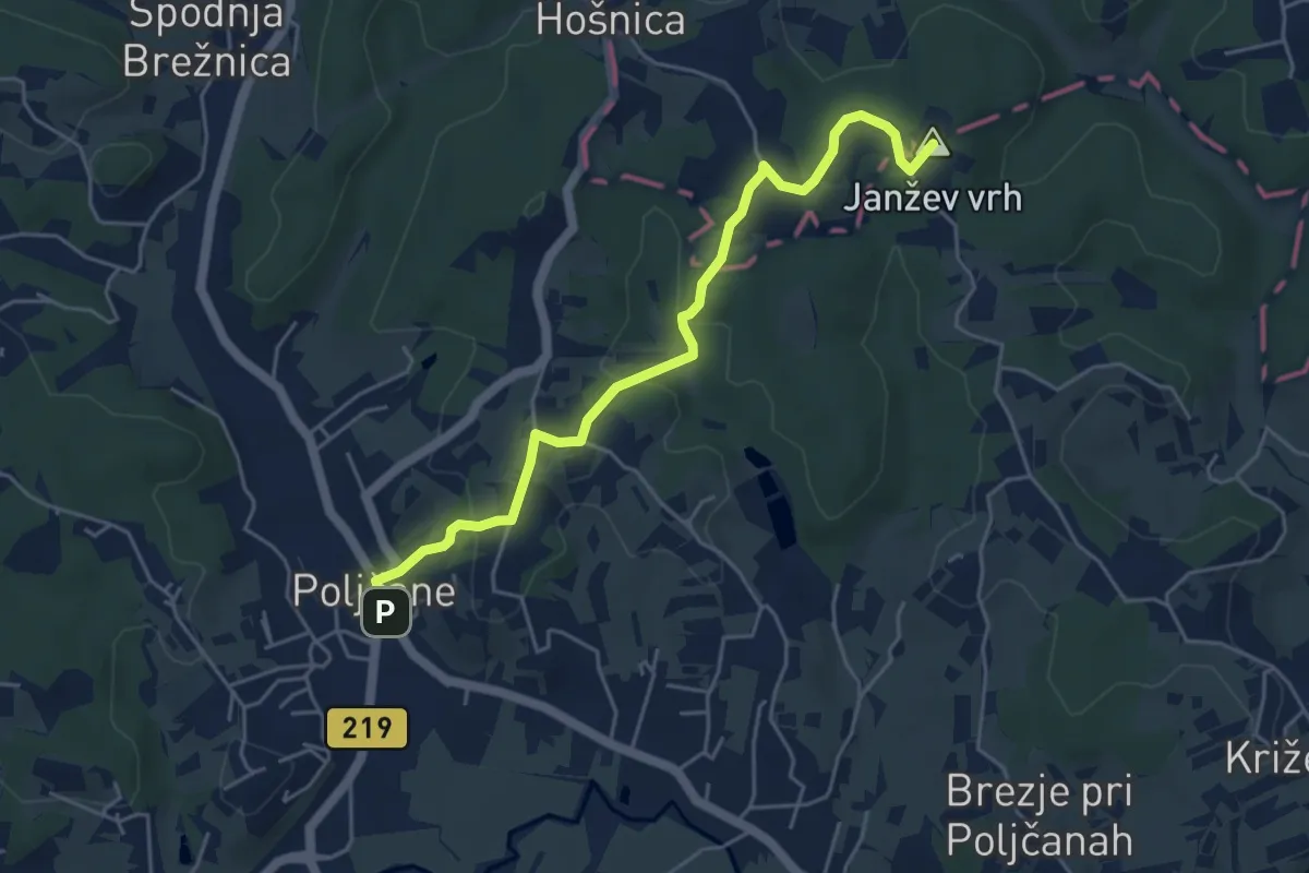
Easy · Summit
Poljčane - Sv. trije kralji
5.0 km · ↑ 182 m · 1 h 35 min
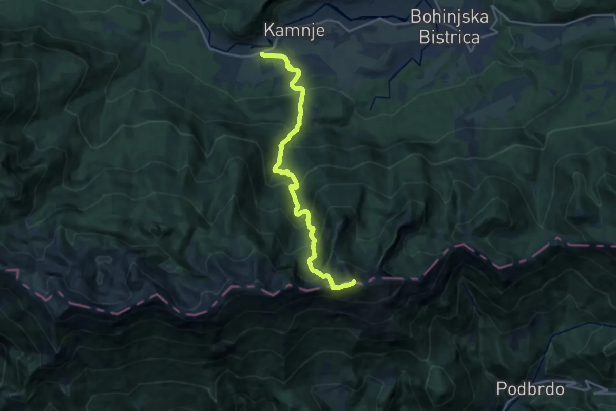
Demanding · Summit
Polje - Črna prst
13.5 km · ↑ 1323 m · 6 h 4 min
Demanding · Cabin
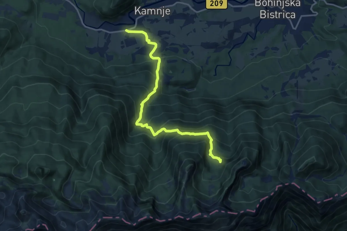
Polje - Orožnova koča
11.6 km · ↑ 892 m · 4 h 40 min
Demanding · Summit
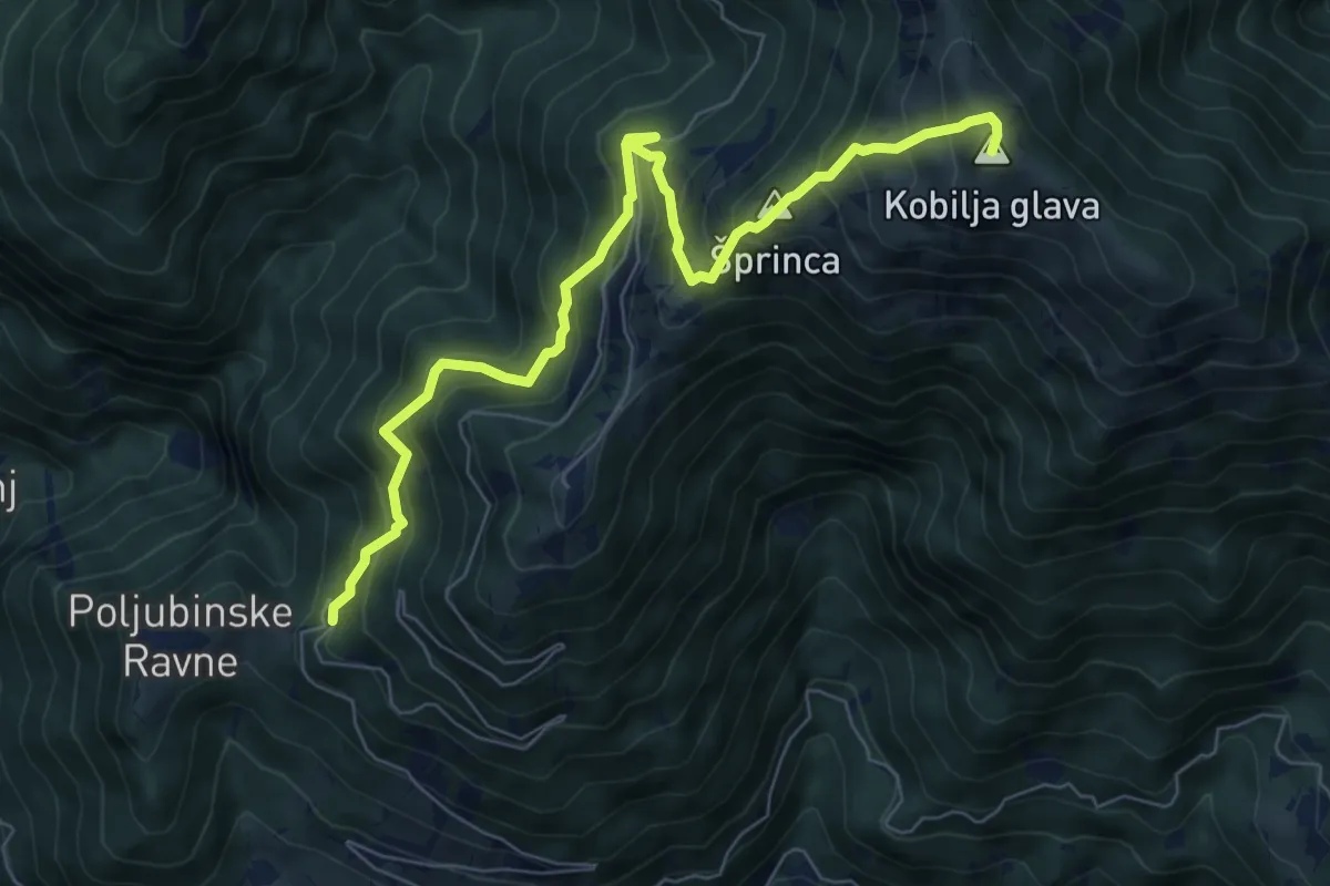
Poljubinske Ravne - Kobilja glava
7.8 km · ↑ 835 m · 3 h 39 min
Medium · Trail
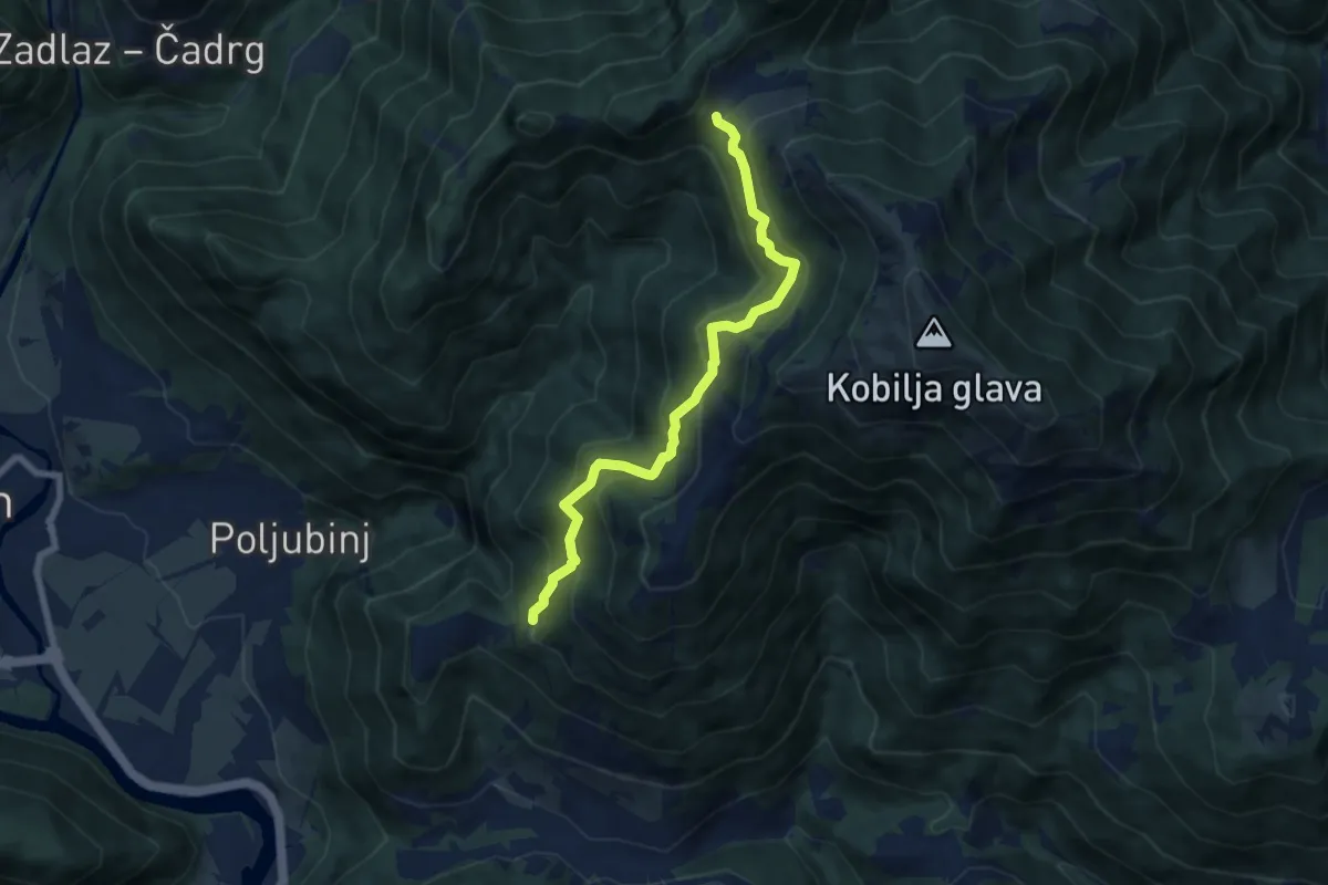
Poljubinske Ravne - Pl. Lom
7.1 km · ↑ 616 m · 3 h
Medium · Summit
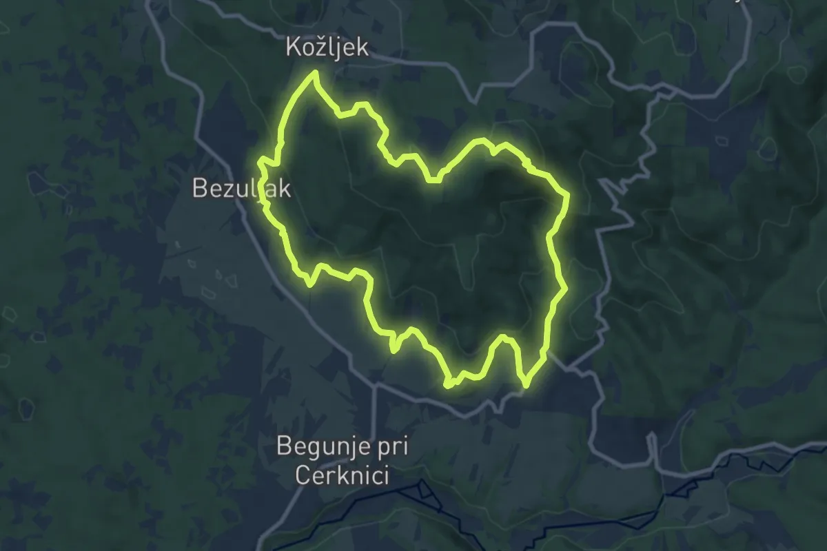
Po medvedovih stopinjah
9.5 km · ↑ 435 m · 3 h 19 min
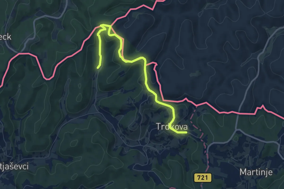
Easy · Summit
Pomurska planinska pot
4.2 km · ↑ 119 m · 1 h 21 min
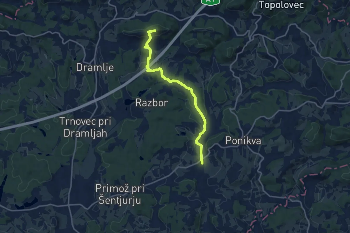
Medium · Summit
Ponikva - Sv. Uršula
10.6 km · ↑ 246 m · 3 h 2 min
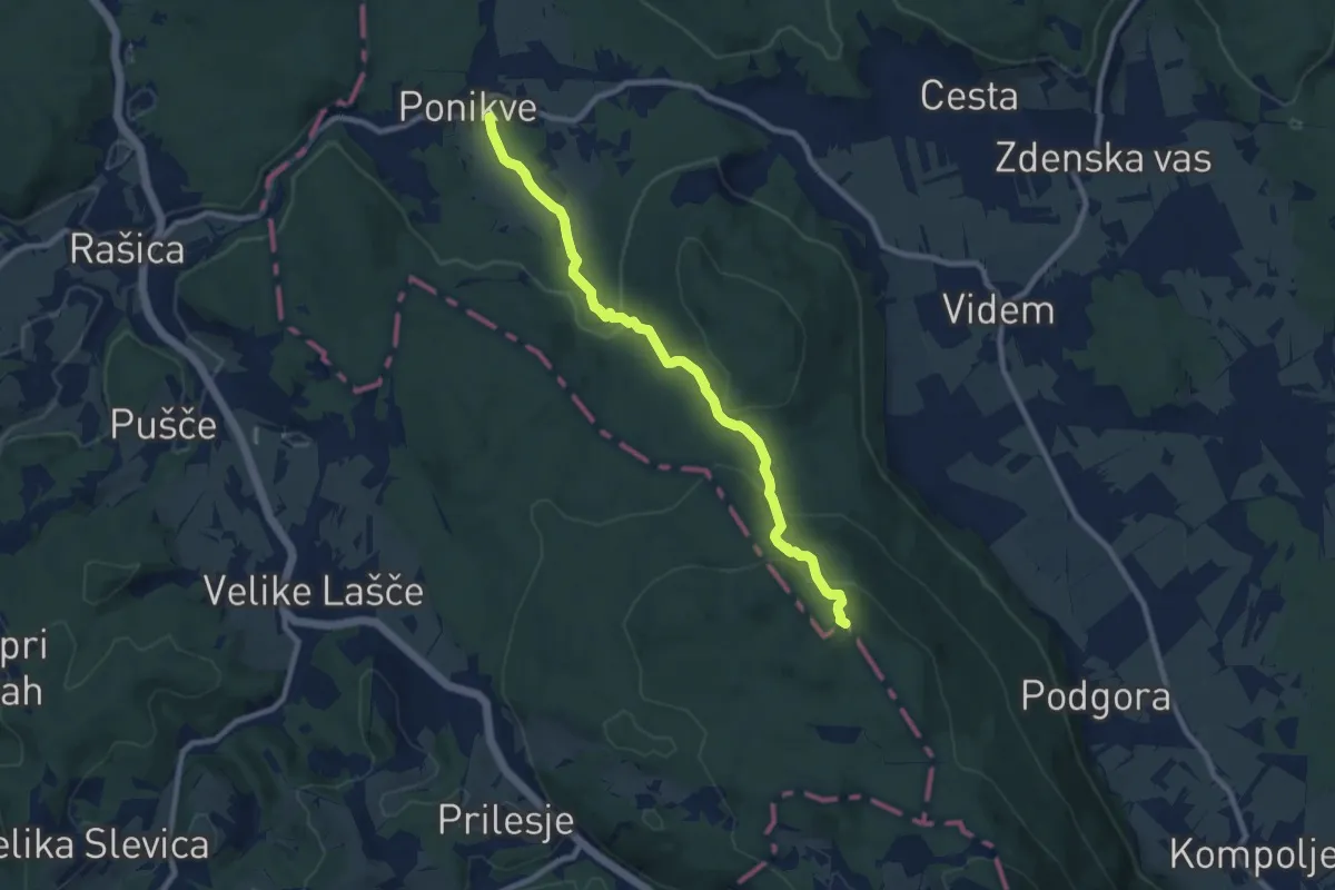
Medium · Summit
Ponikve - Kamen vrh
9.0 km · ↑ 316 m · 2 h 48 min
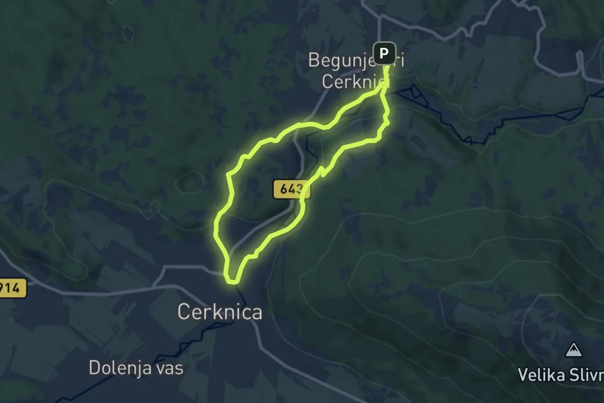
Easy · Trail
Po poteh kartuzijanov
6.6 km · ↑ 103 m · 1 h 53 min