Trails in Slovenia
1,594 hiking trails, each with its route, climb, walking time and grade.
All trails, page 21 of 34
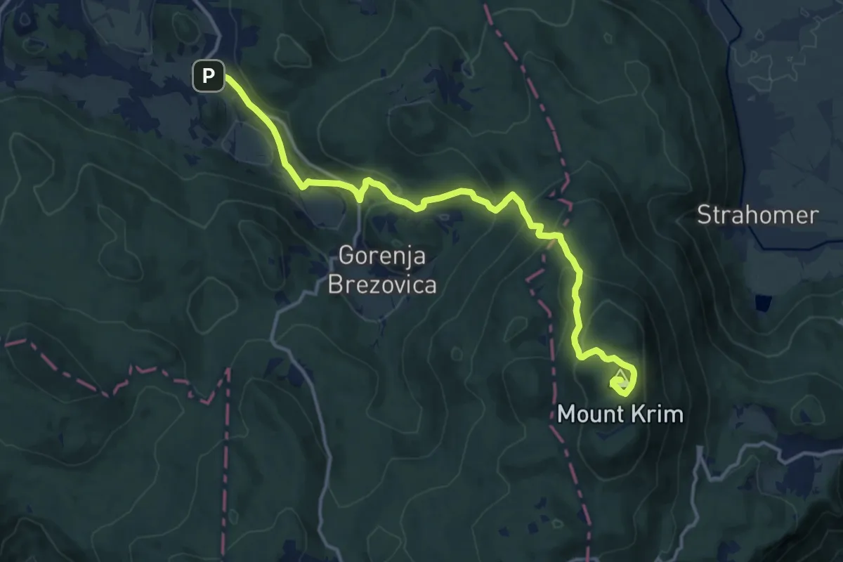
Medium · Summit
Preserje - Krim
14.9 km · ↑ 783 m · 5 h 13 min
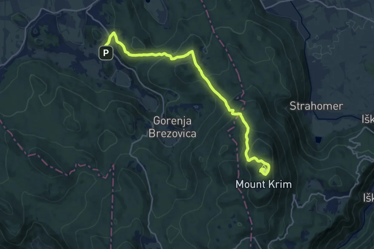
Medium · Summit
Preserje - Planinca - Krim
15.8 km · ↑ 753 m · 5 h 21 min
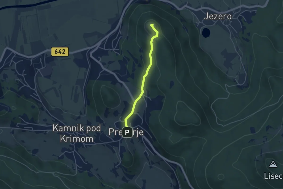
Easy · Summit
Preserje - Sv. Ana
3.4 km · ↑ 116 m · 1 h 4 min
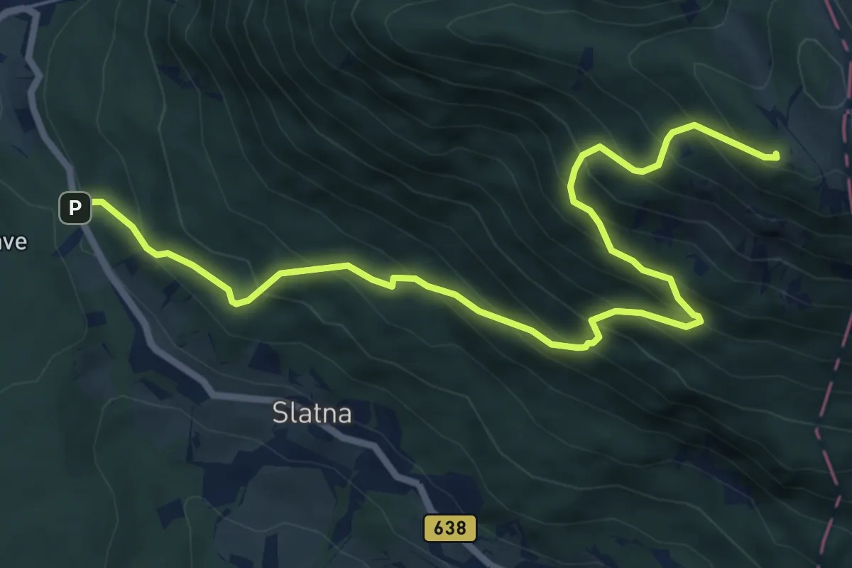
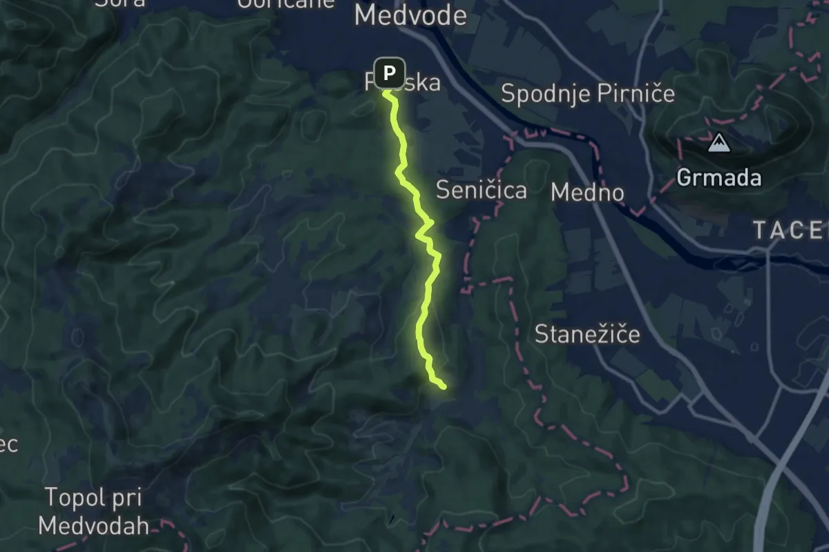
Demanding · Cabin
Preska - Dobrča
7.9 km · ↑ 849 m · 3 h 42 min
Easy · Trail
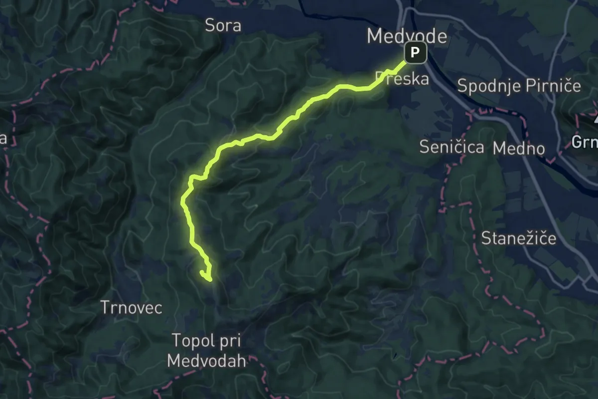
Preska - Slavkov dom
7.9 km · ↑ 317 m · 2 h 33 min
Medium · Summit
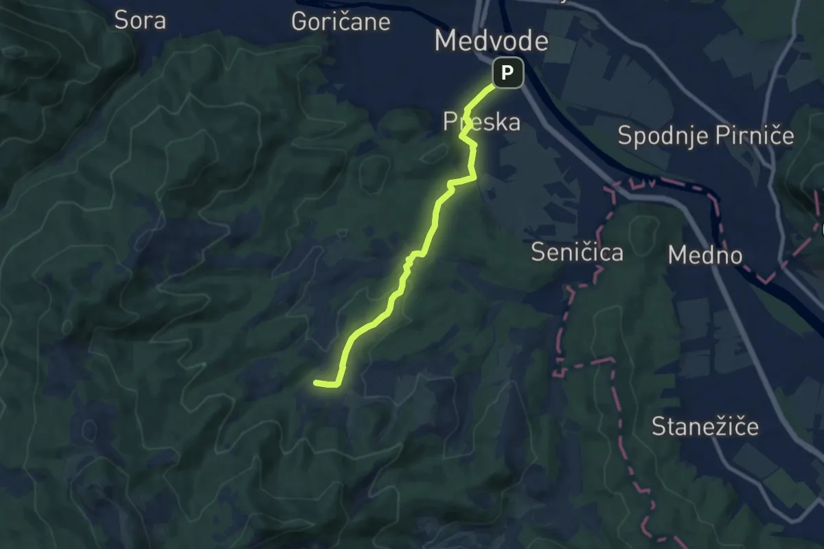
Preska - Sv. Jakob
13.8 km · ↑ 615 m · 4 h 36 min
Easy · Trail
Preska - Žlebe
7.6 km · ↑ 193 m · 2 h 12 min
Demanding · Summit
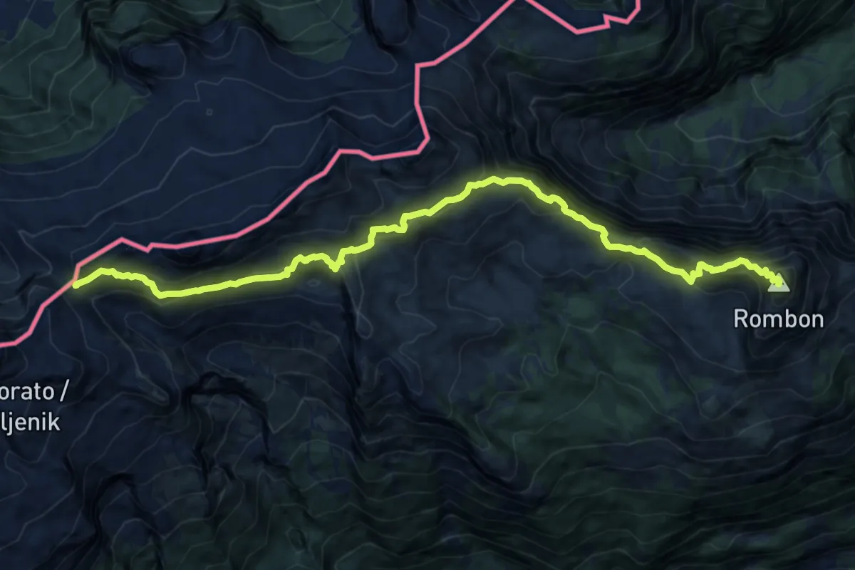
Prevala - Rombon
14.3 km · ↑ 1170 m · 5 h 55 min
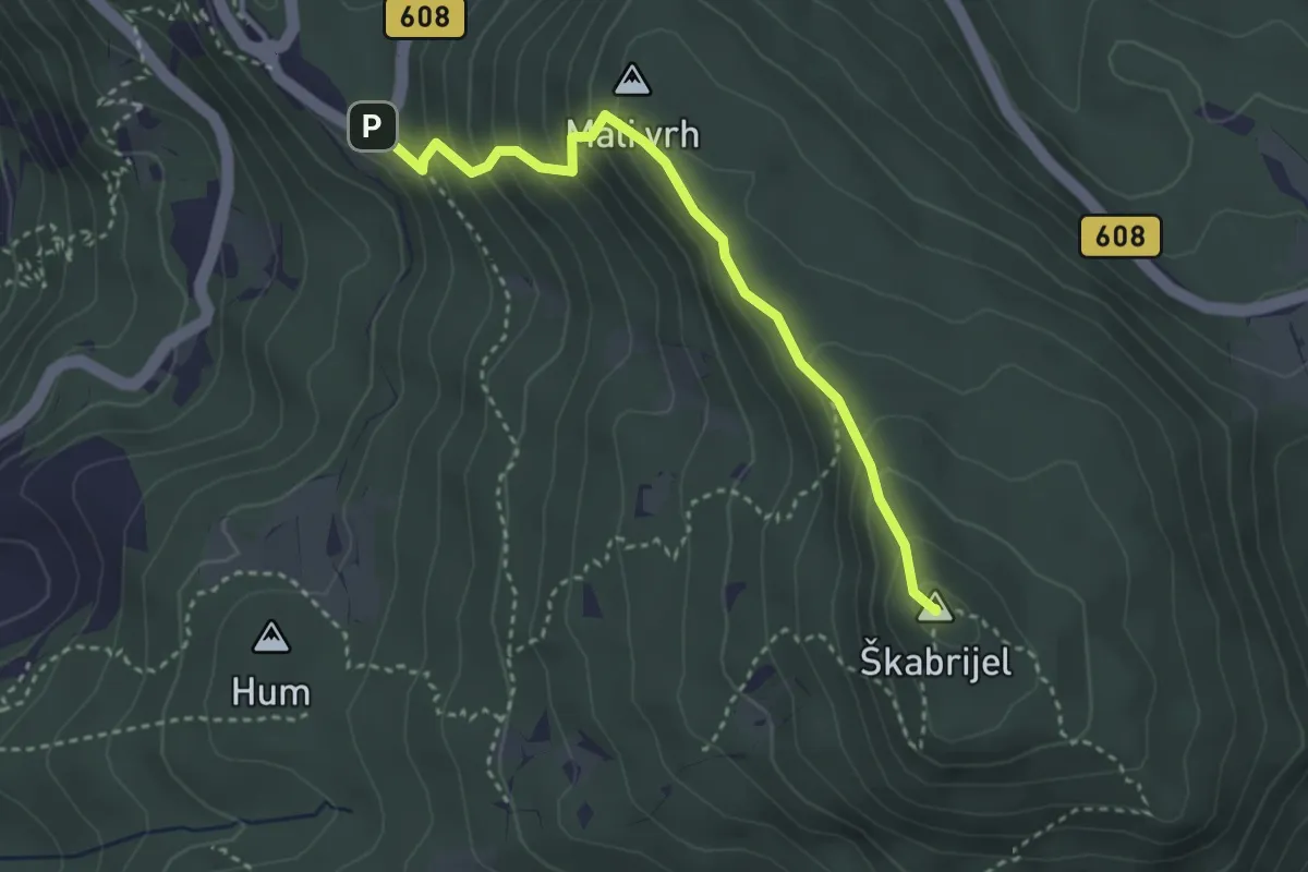
Easy · Summit
Prevala - Škabrijel
3.3 km · ↑ 296 m · 1 h 25 min
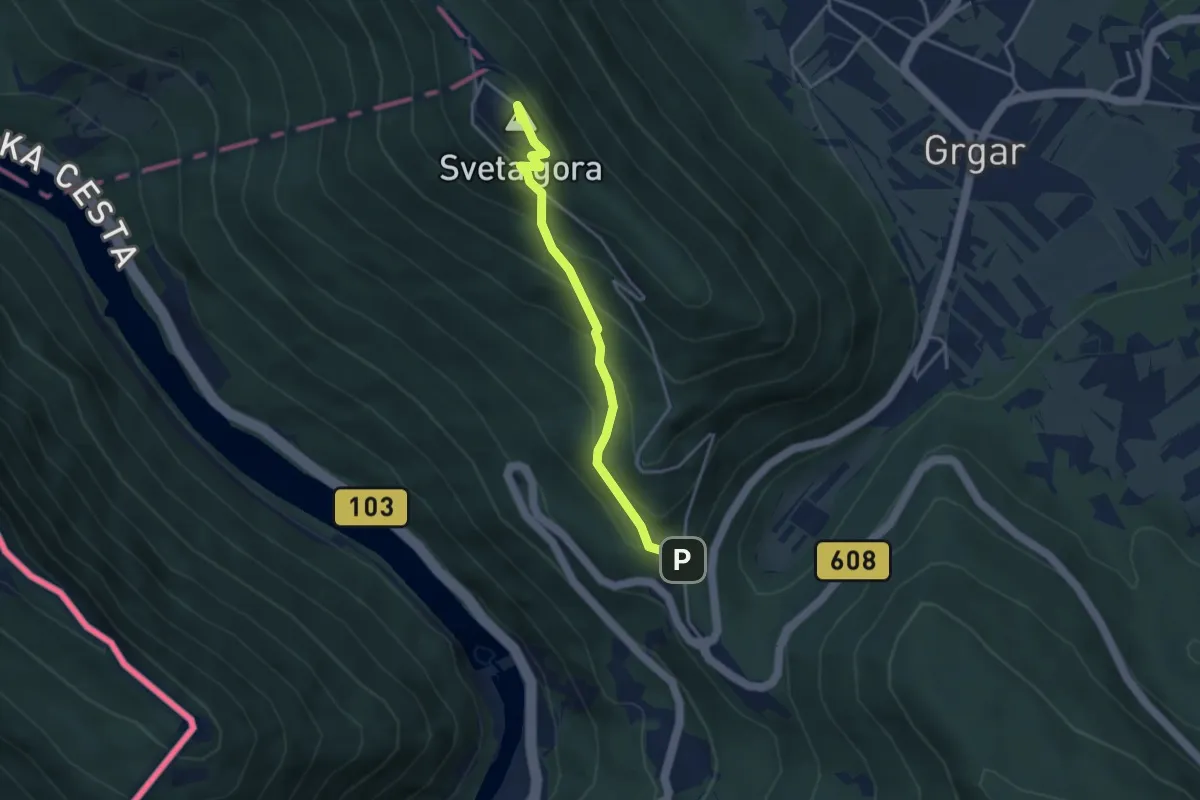
Medium · Summit
Prevala - Sv. Gora
3.5 km · ↑ 324 m · 1 h 31 min
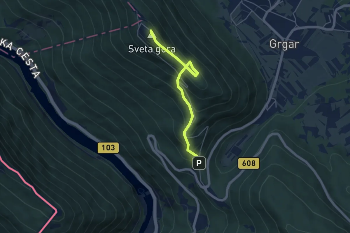
Medium · Summit
Prevala - Sv. Gora (po jarkih)
4.3 km · ↑ 322 m · 1 h 42 min
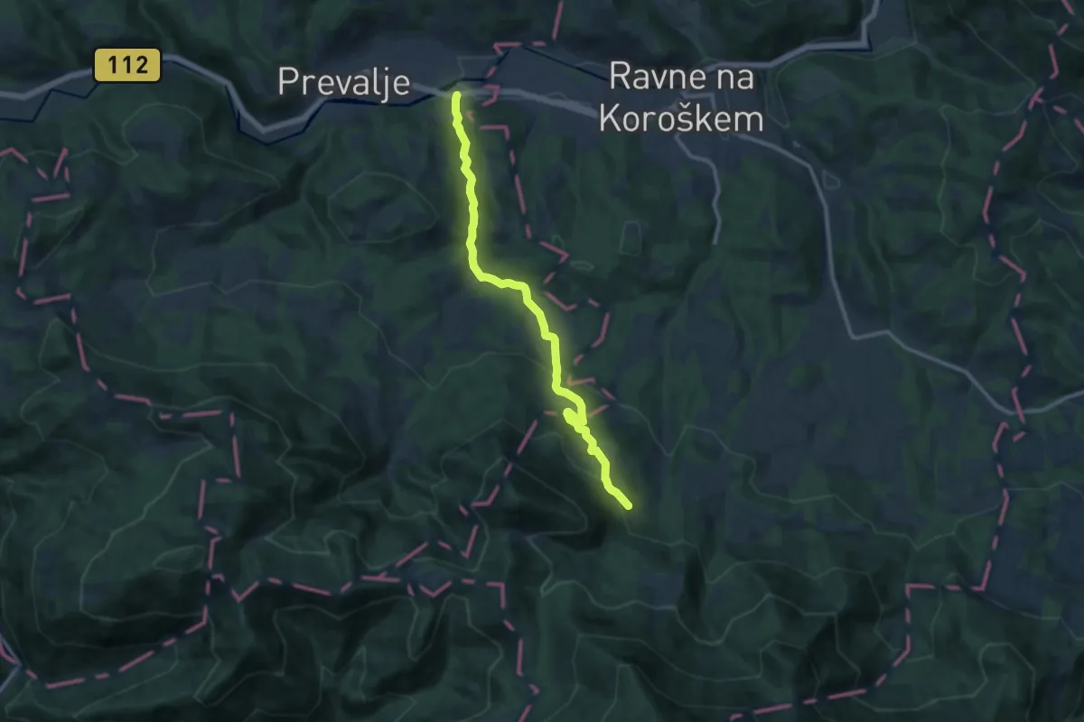
Medium · Cabin
Prevalje - Smučarska koča
11.2 km · ↑ 491 m · 3 h 43 min
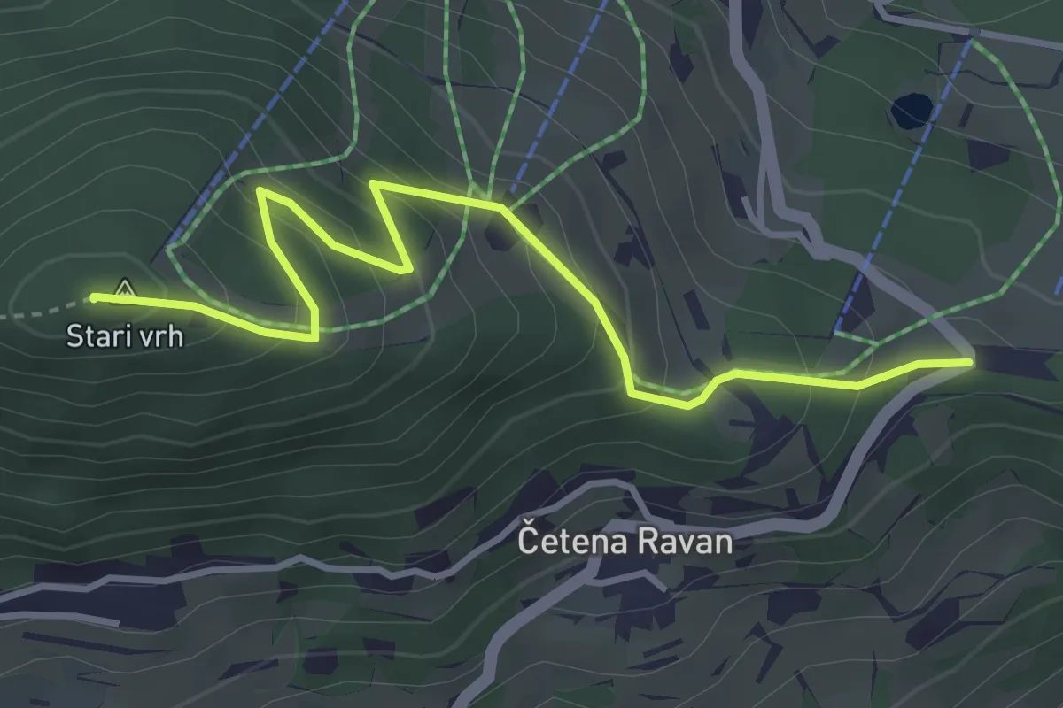
Medium · Summit
Preval - Stari vrh
3.9 km · ↑ 283 m · 1 h 32 min
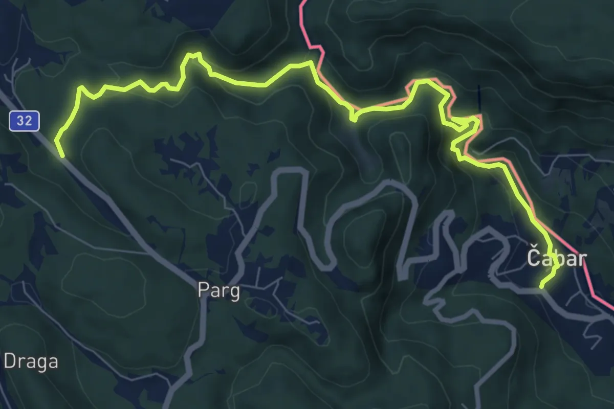
Medium · Trail
Prezid - Čabar - Tršće
9.3 km · ↑ 390 m · 3 h 2 min
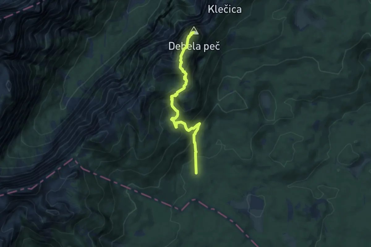
Medium · Summit
Pri Rupah - Debela peč
8.5 km · ↑ 647 m · 3 h 24 min
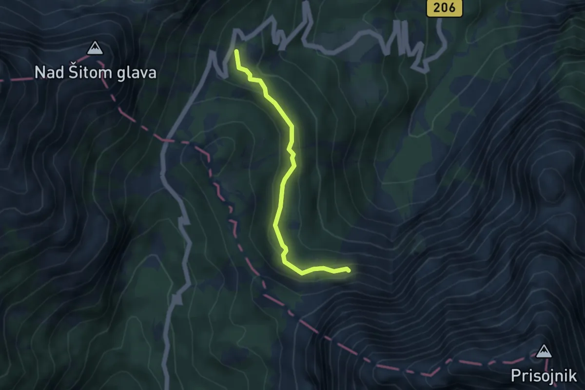
Expert · Cabin
Prisojnik po Kopiščarjevi poti
3.4 km · ↑ 154 m · 1 h 8 min
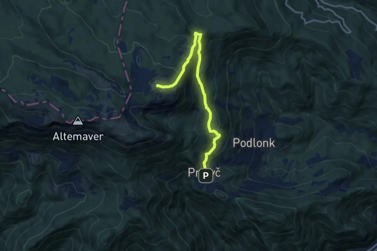
Medium · Summit
Prtovč L. k. Na Toli - Kosmati vrh
8.8 km · ↑ 708 m · 3 h 36 min
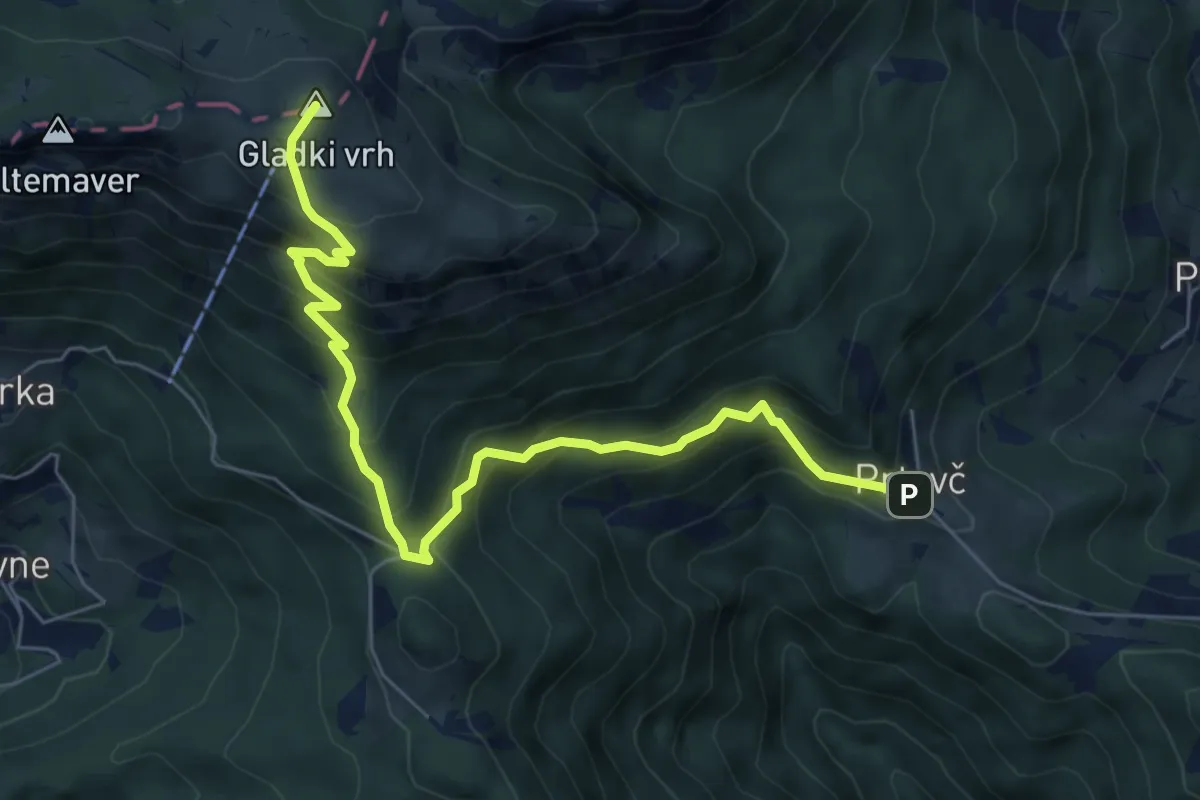
Medium · Summit
Prtovč - Povden - Ratitovec
7.0 km · ↑ 692 m · 3 h 9 min
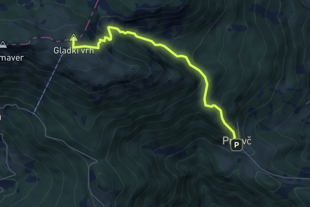
Medium · Summit
Prtovč - Razor - Ratitovec
5.4 km · ↑ 620 m · 2 h 37 min
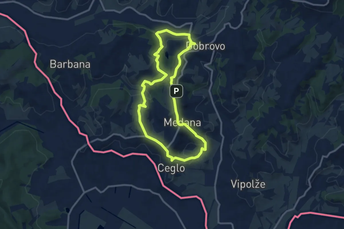
Easy · Summit
Prvač'nca
7.4 km · ↑ 253 m · 2 h 23 min
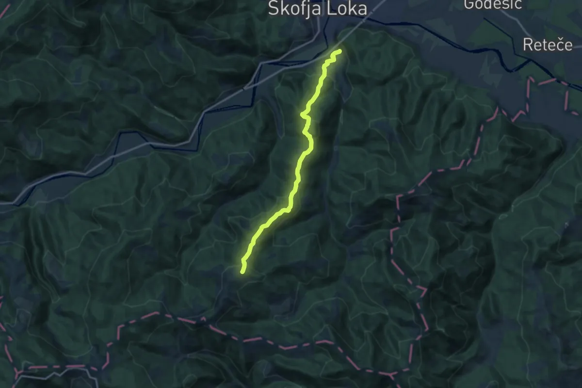
Medium · Summit
Puštal - Sv. Ožbolt
11.7 km · ↑ 602 m · 4 h 4 min
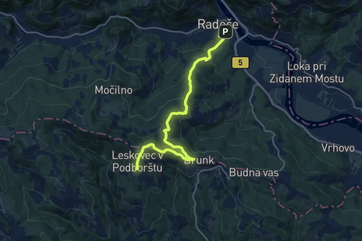
Medium · Summit
Radeče - Leskovec
13.2 km · ↑ 640 m · 4 h 30 min
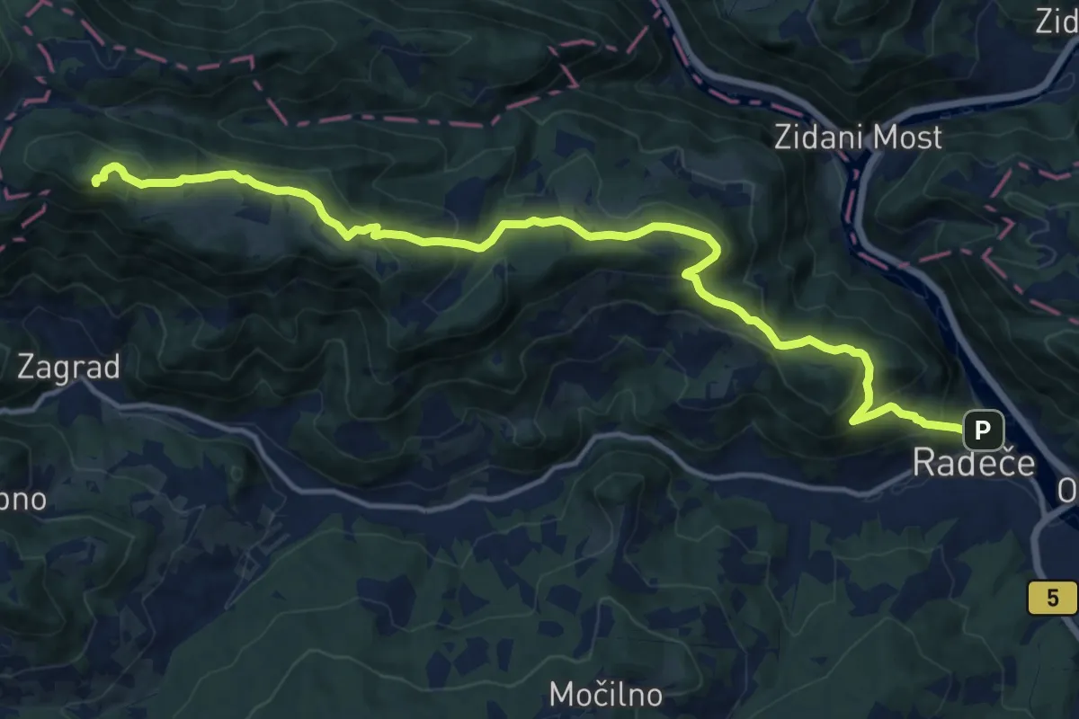
Demanding · Summit
Radeče - Nebeška gora
15.8 km · ↑ 860 m · 5 h 36 min
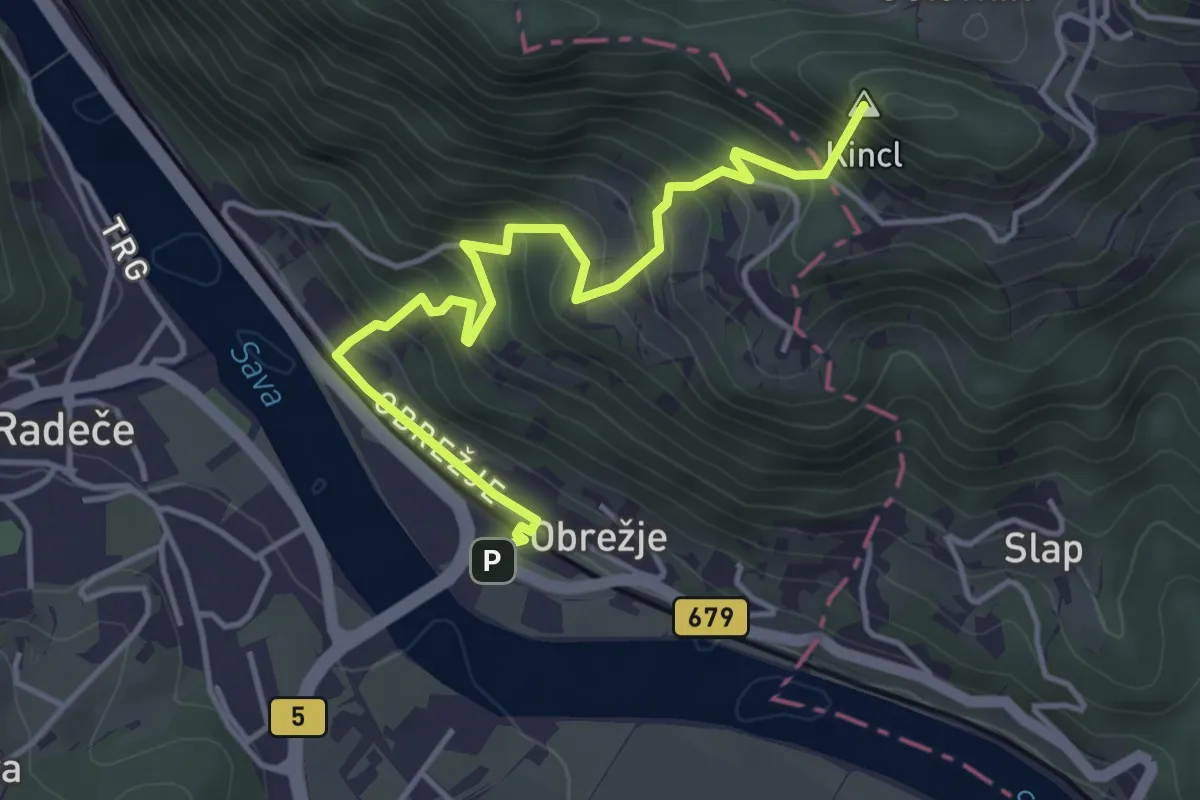
Medium · Summit
Radeče - Veliko Kozje
4.6 km · ↑ 434 m · 2 h 1 min
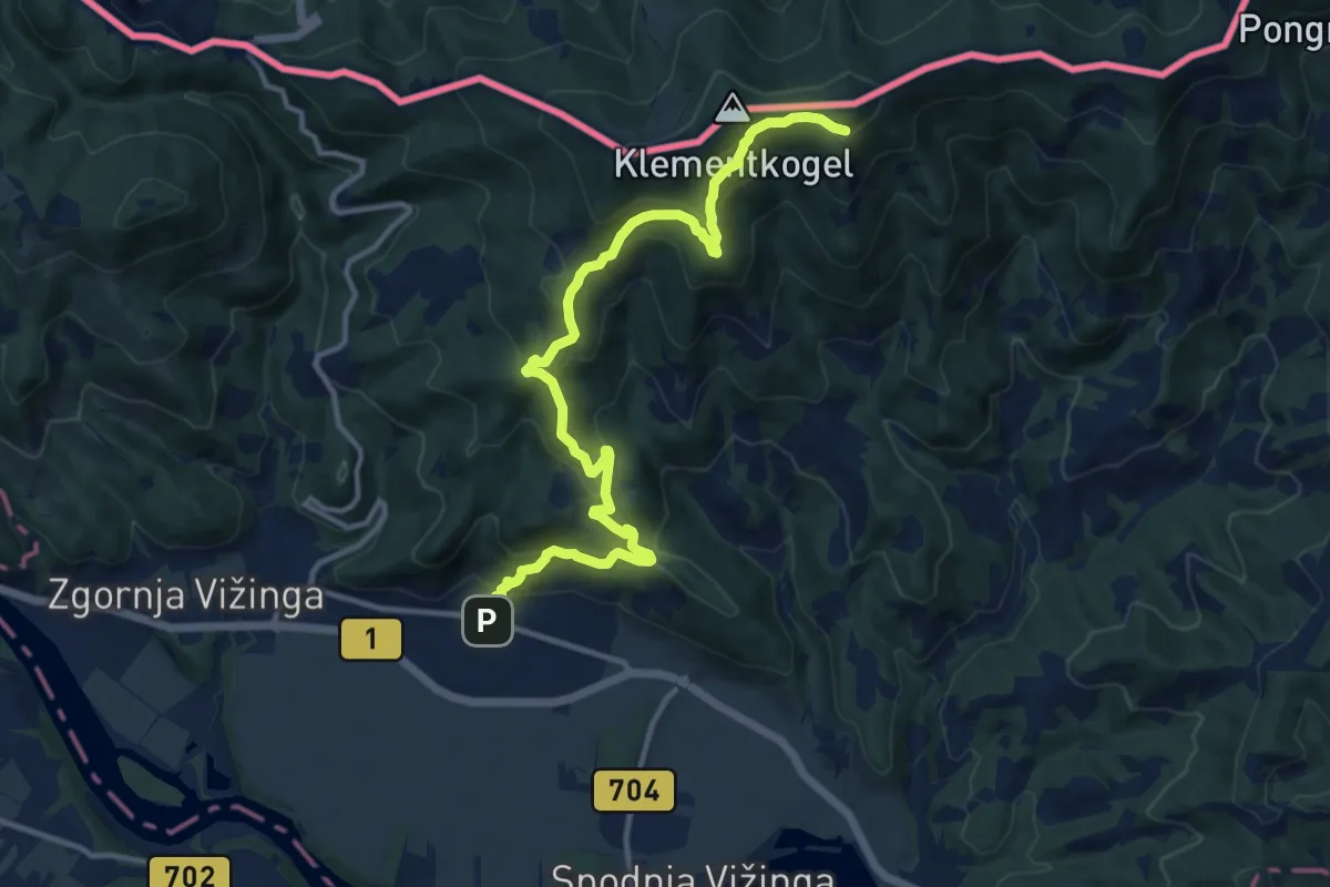
Medium · Trail
Radlje ob Dravi - Kapunar
13.5 km · ↑ 677 m · 4 h 39 min
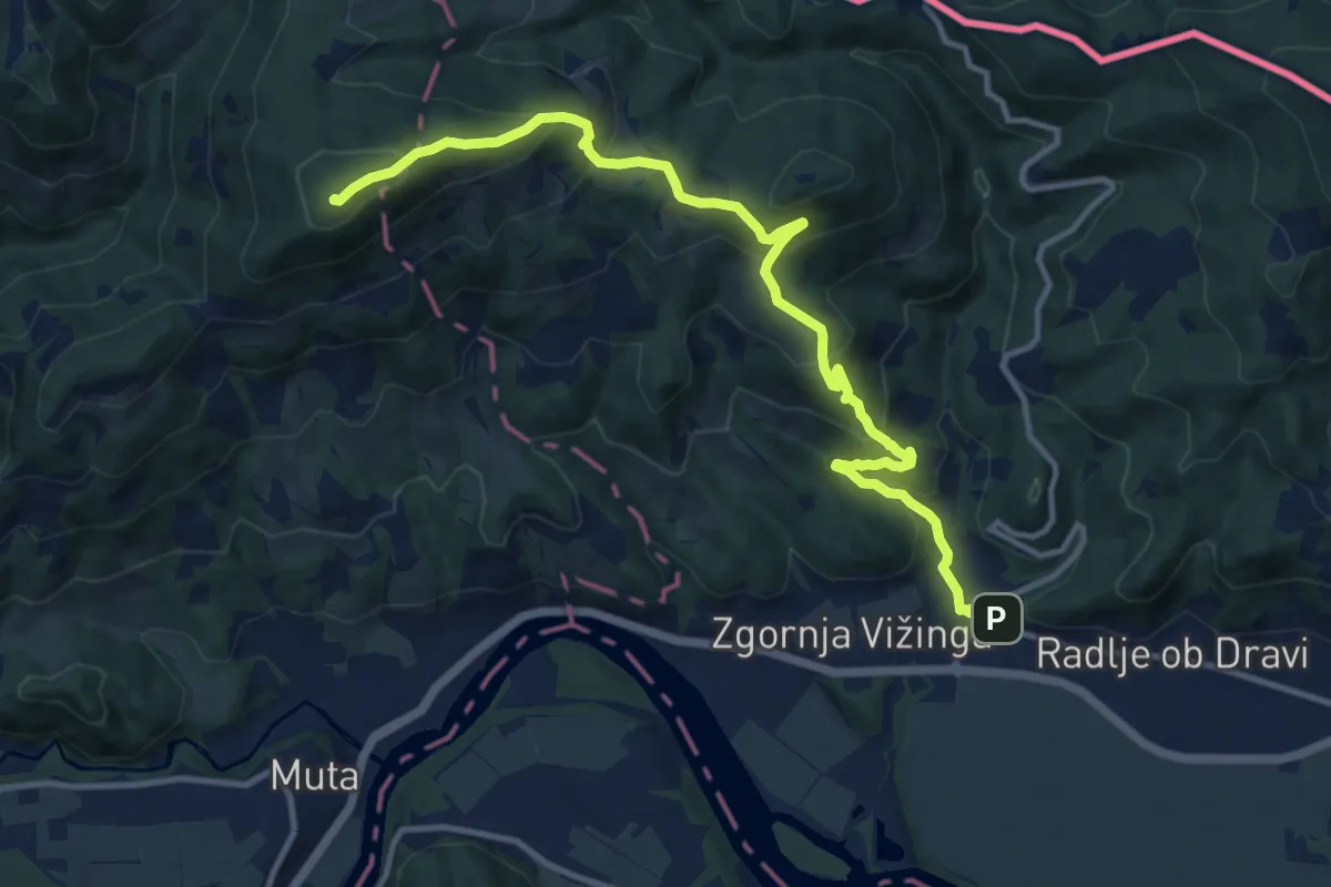
Medium · Summit
Radlje ob Dravi - Vrh Bricnika
13.2 km · ↑ 745 m · 4 h 44 min
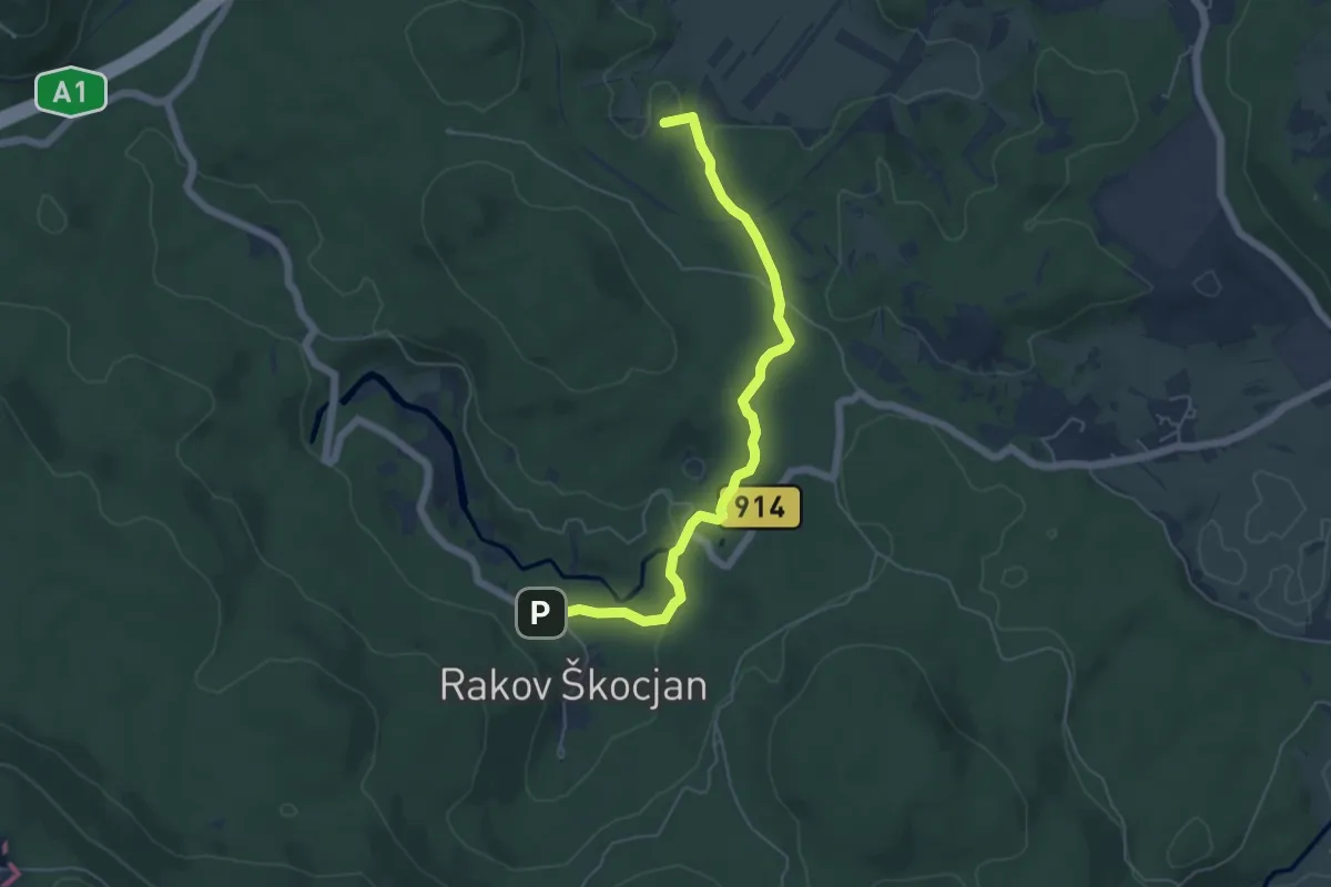
Medium · Summit
Rakek - M. naravni most - Rakov Škocjan
5.6 km · ↑ 112 m · 1 h 34 min
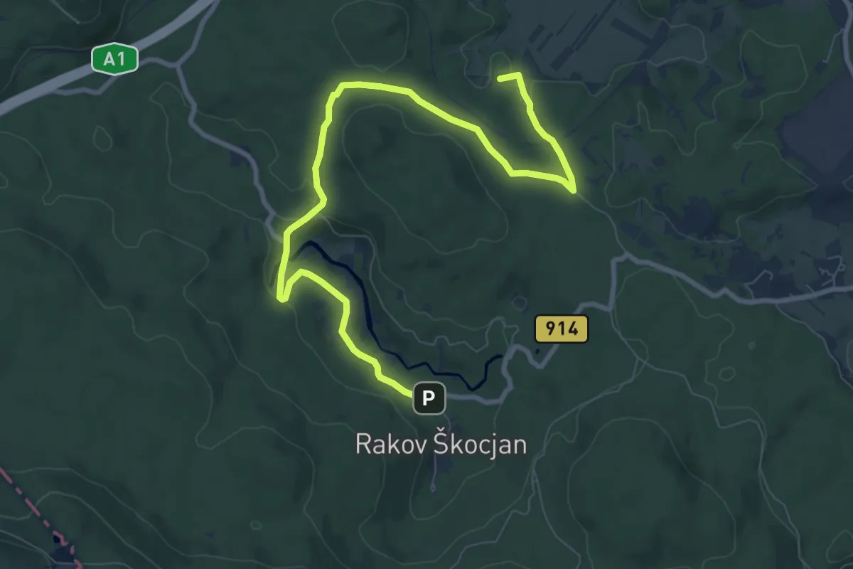
Medium · Summit
Rakek - V. naravni most - Rakov Škocjan
10.1 km · ↑ 169 m · 2 h 45 min
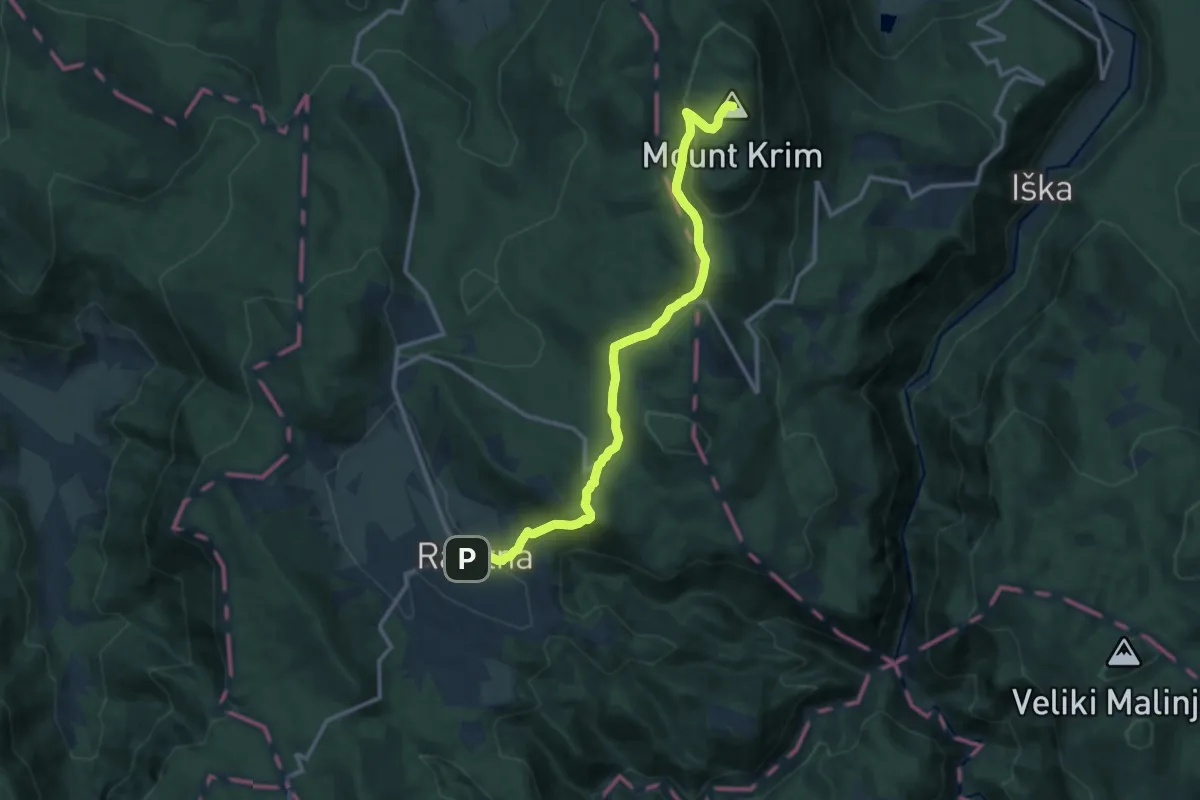
Medium · Summit
Rakitna - Krim
12.8 km · ↑ 467 m · 4 h 3 min
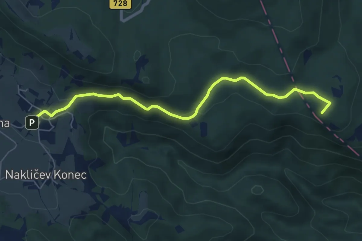
Medium · Summit
Rakitna - Vrbica
5.7 km · ↑ 155 m · 1 h 41 min
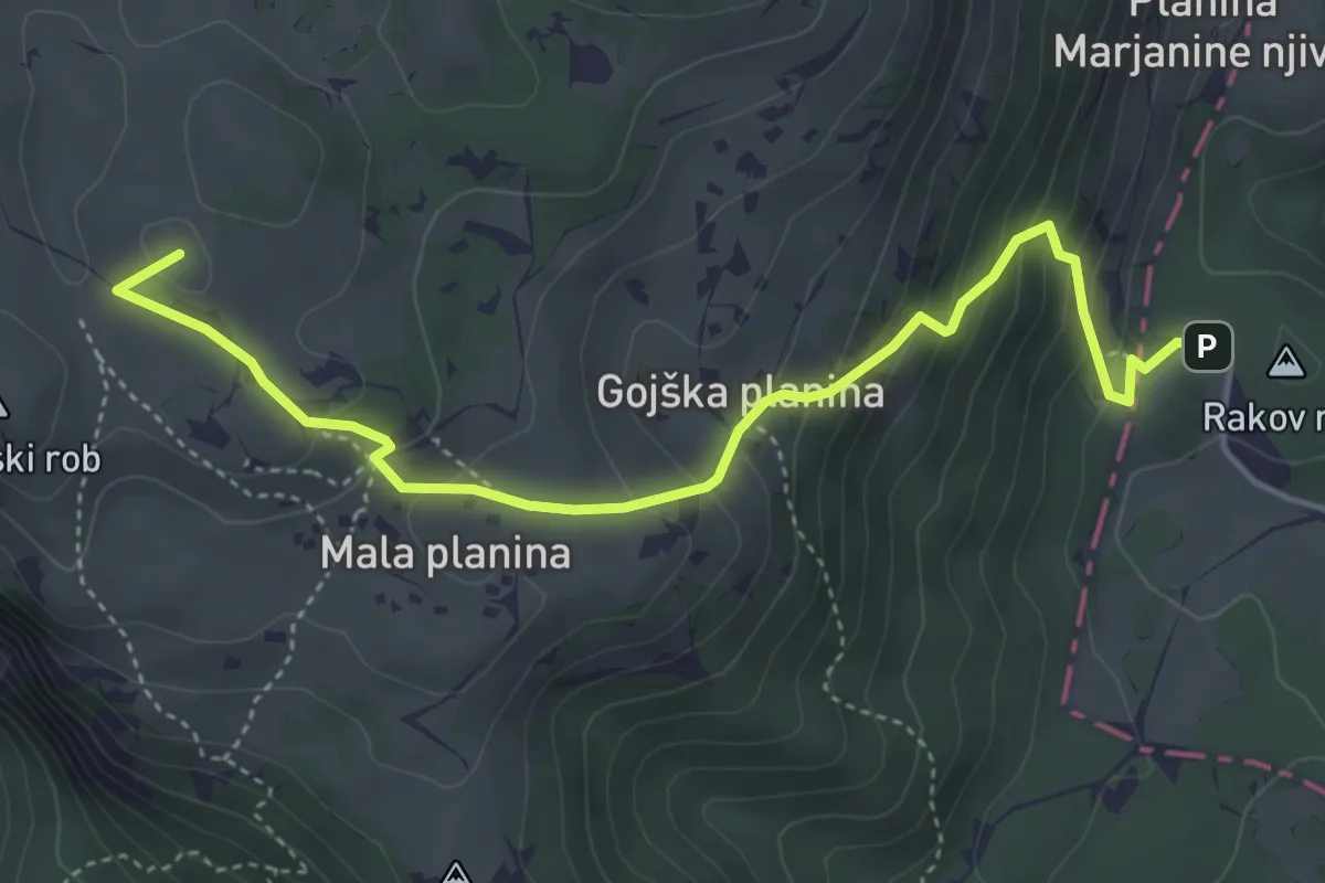
Medium · Summit
Rakove ravni - Velika planina
4.7 km · ↑ 330 m · 1 h 50 min
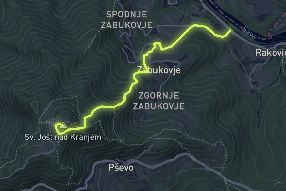
Medium · Summit
Rakovica - Sv. Jošt
5.0 km · ↑ 494 m · 2 h 15 min
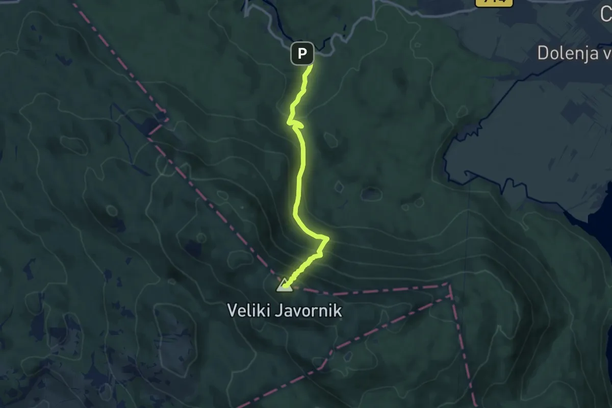
Medium · Summit
Rakov Škocjan - Veliki Javornik
9.1 km · ↑ 747 m · 3 h 46 min
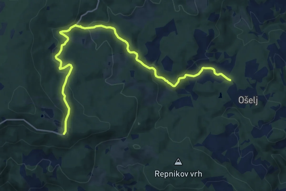
Medium · Cabin
Ramšak - Bolnišnica Jesen - Trije kralji
15.3 km · ↑ 505 m · 4 h 42 min
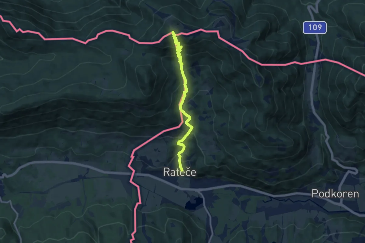
Medium · Summit
Rateče - Peč (Tromeja)
7.9 km · ↑ 644 m · 3 h 15 min
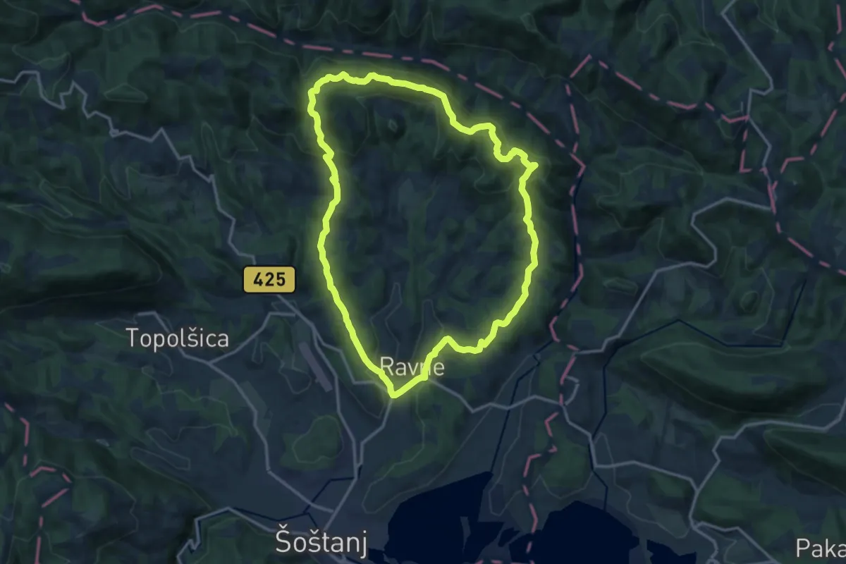
Medium · Summit
Ravenska pot
13.1 km · ↑ 565 m · 4 h 31 min
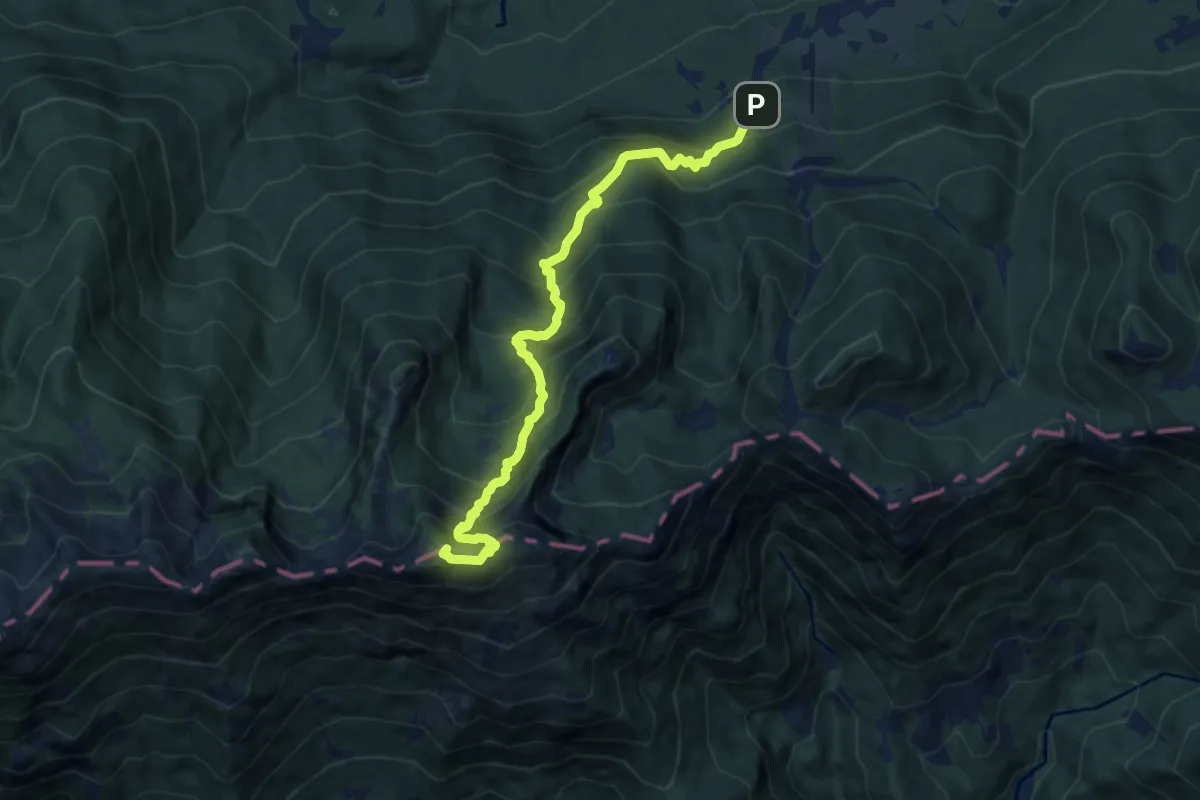
Demanding · Summit
Ravne - Orožnova koča - Črna prst
9.8 km · ↑ 1110 m · 4 h 42 min
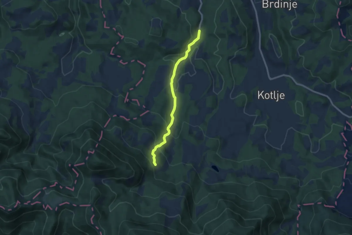
Medium · Cabin
Ravne - Smučarska koča
6.4 km · ↑ 385 m · 2 h 21 min
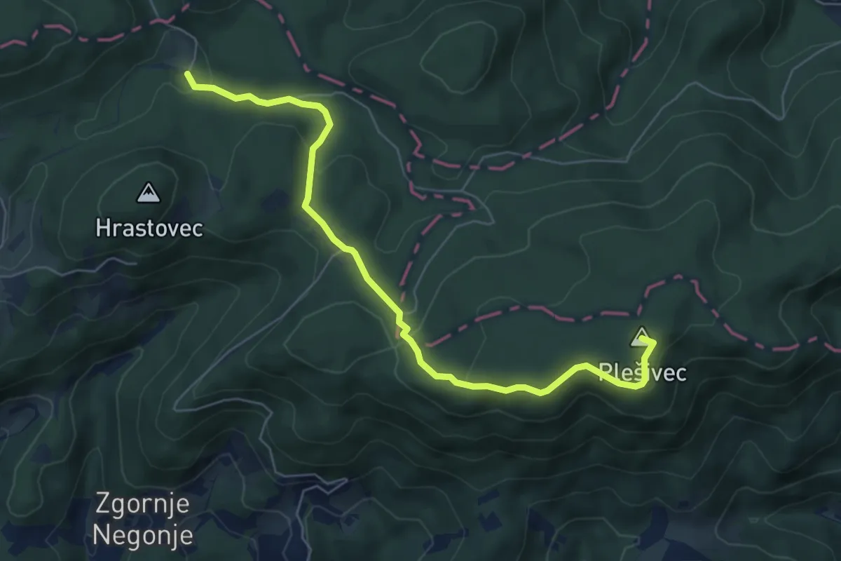
Easy · Summit
Ravnocerje - Formila
6.5 km · ↑ 205 m · 1 h 58 min
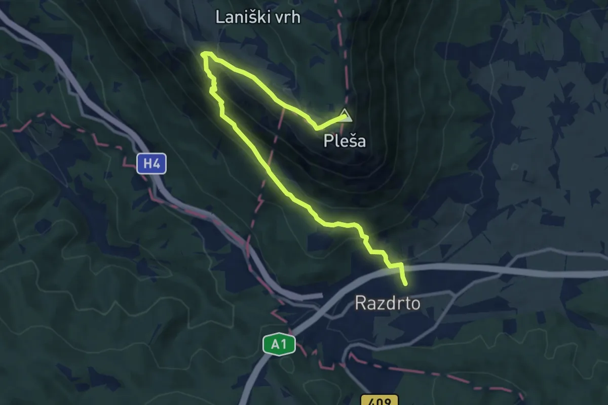
Medium · Summit
Razdrto - Nanos (položna pot)
9.9 km · ↑ 732 m · 3 h 56 min
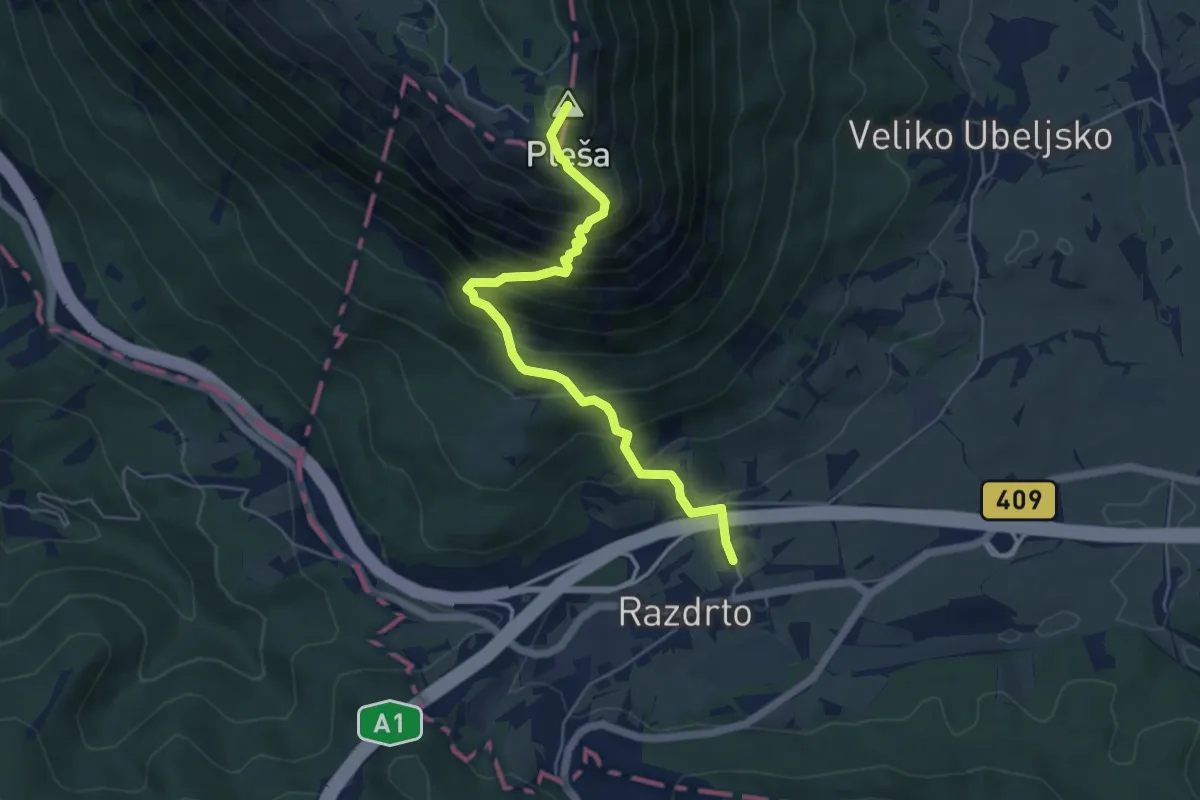
Demanding · Summit
Razdrto - Nanos (strma pot)
5.4 km · ↑ 683 m · 2 h 45 min
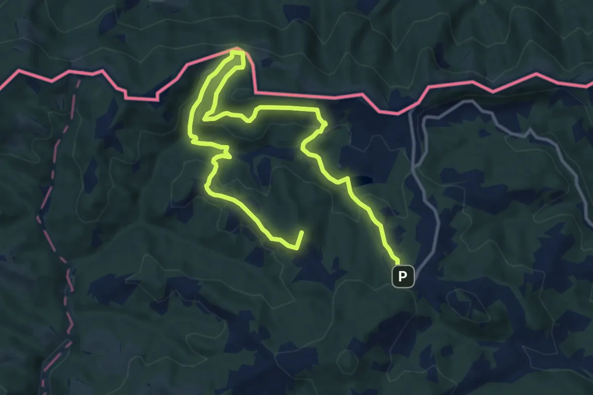
Medium · Summit
Razgledna pot po Kapli
14.0 km · ↑ 575 m · 4 h 34 min
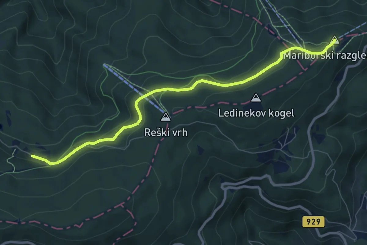
Easy · Summit
Razgledni stolp - Glažuta
7.5 km · ↑ 211 m · 2 h 13 min
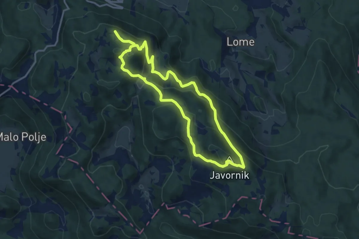
Medium · Summit
Razgledni vrhovi nad Črnim Vrhom
8.8 km · ↑ 491 m · 3 h 15 min
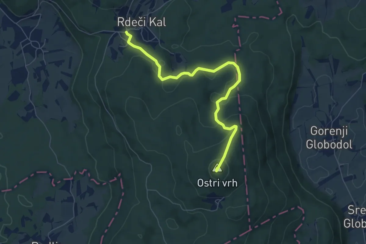
Easy · Summit
Rdeči Kal - Frata
6.9 km · ↑ 272 m · 2 h 13 min
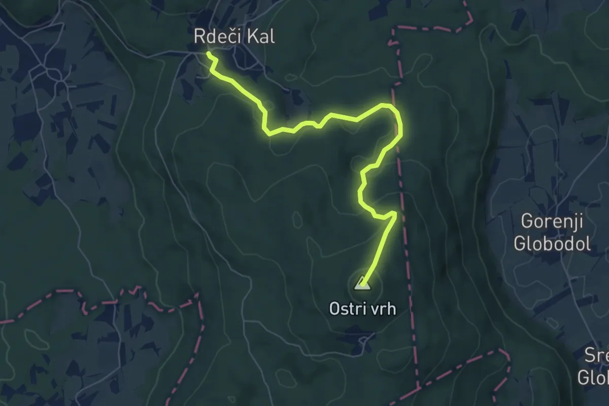
Easy · Summit
Rdeči Kal - Ostri vrh (mimo jam)
6.8 km · ↑ 271 m · 2 h 11 min
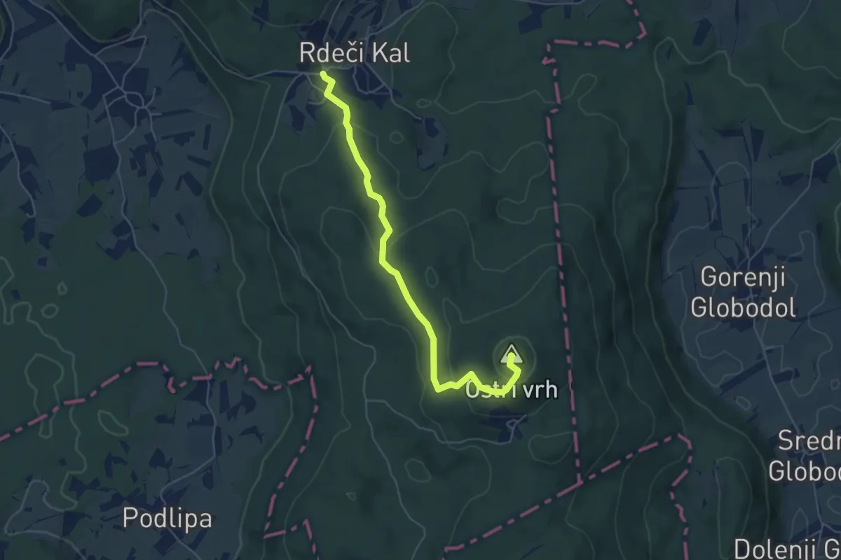
Easy · Summit
Rdeči Kal - Velika raven - Ostri vrh
5.6 km · ↑ 218 m · 1 h 47 min
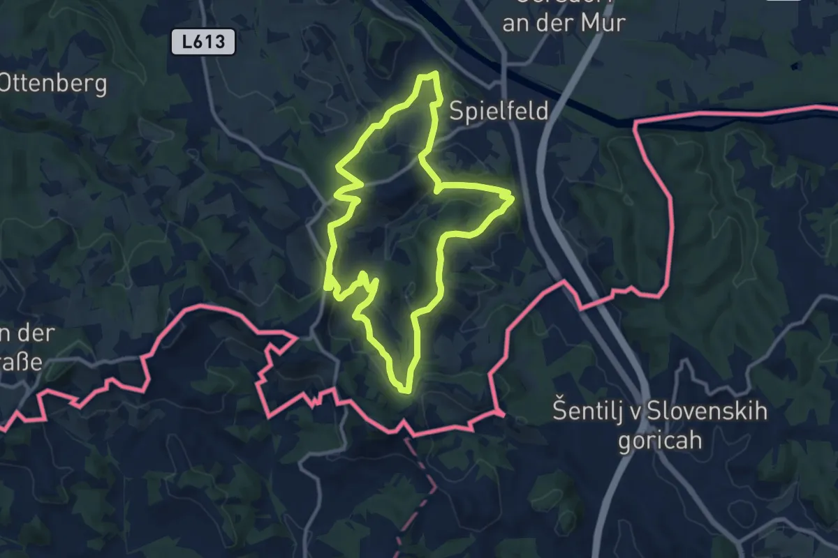
Medium · Trail
Rebenwanderweg Spielfeld
9.8 km · ↑ 359 m · 3 h 13 min