Trails in Slovenia
1,594 hiking trails, each with its route, climb, walking time and grade.
All trails, page 22 of 34
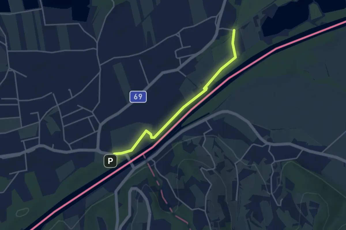
Easy · Trail
Rechte Fußspur
3.3 km · ↑ 0 m · 47 min
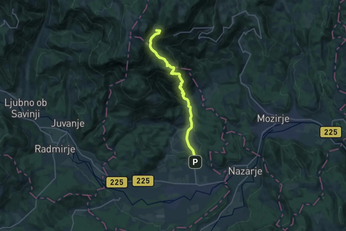
Demanding · Summit
Rečica ob Savinji - Goličnik - Mozirska koča
14.2 km · ↑ 1047 m · 5 h 38 min
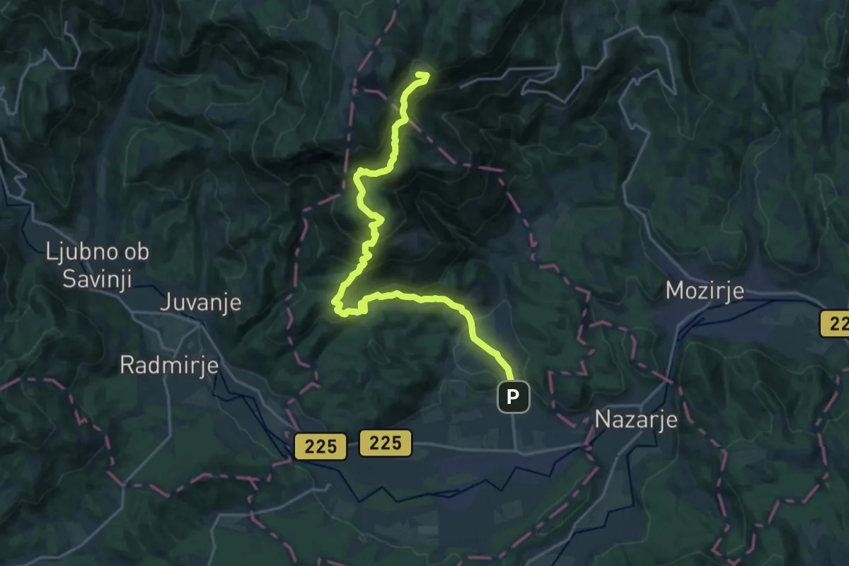
Demanding · Summit
Rečica ob Savinji - Ston - Mozirska koča
20.2 km · ↑ 1284 m · 7 h 34 min
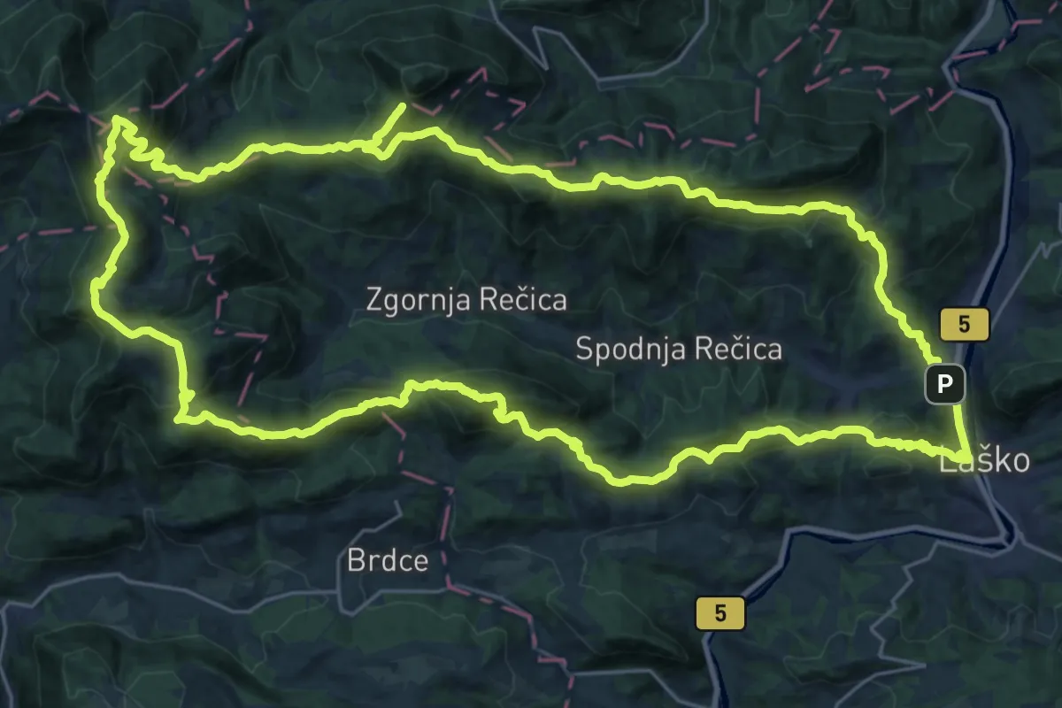
Demanding · Summit
Rečiška planinska pot
31.1 km · ↑ 1840 m · 11 h 46 min
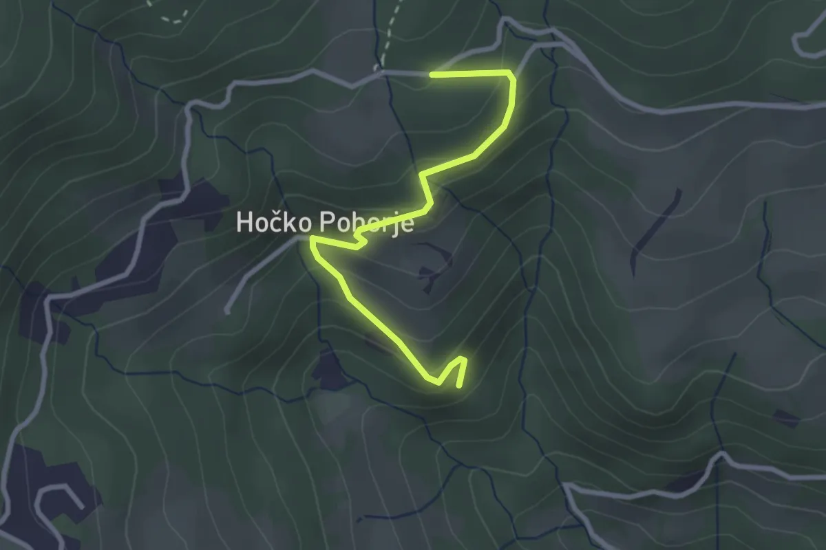
Easy · Trail
Reka - Zarja
2.6 km · ↑ 204 m · 1 h 4 min
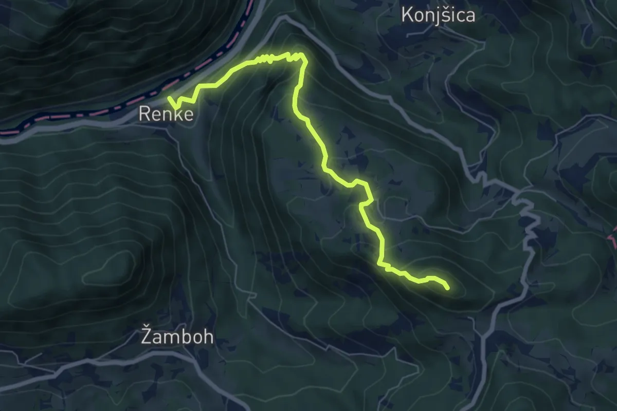
Medium · Summit
Renke - Ostrež
6.7 km · ↑ 600 m · 2 h 53 min
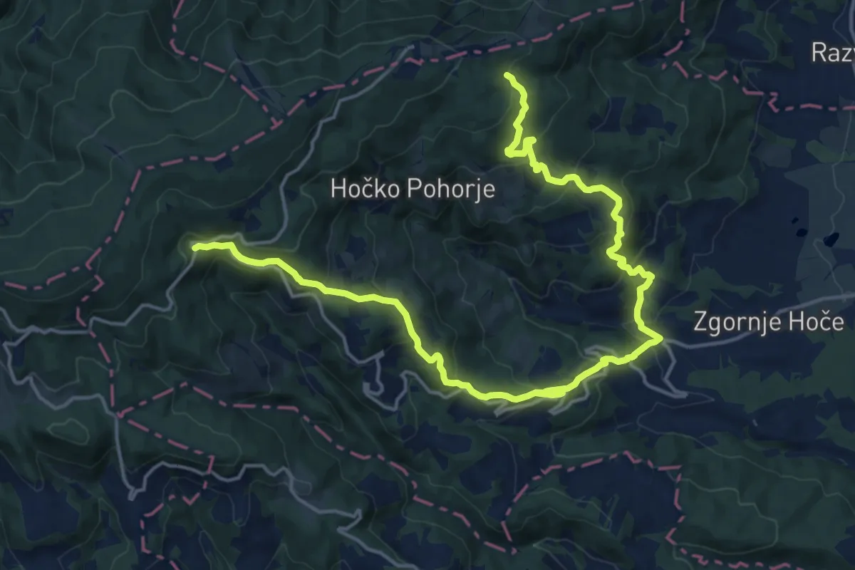
Demanding · Trail
Reška pot
21.7 km · ↑ 1214 m · 7 h 45 min
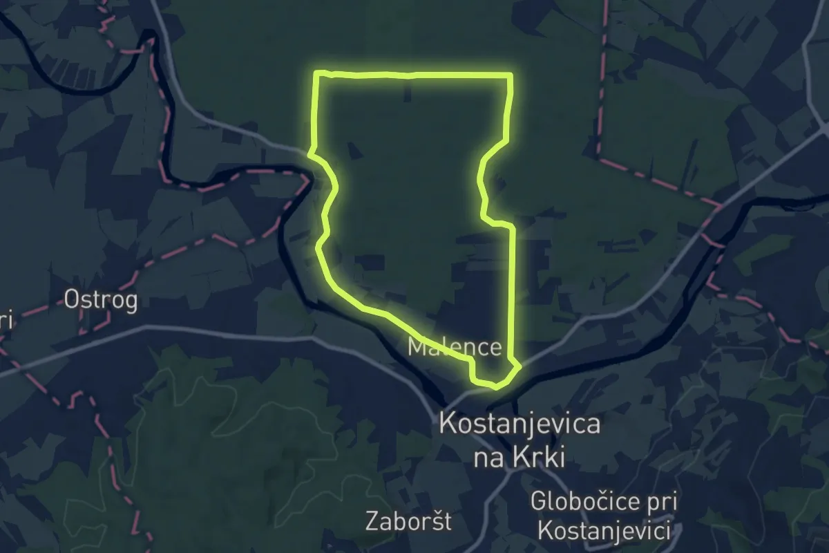
Easy · Trail
Ressljeva gozdna učna pot
7.9 km · ↑ 22 m · 2 h 1 min
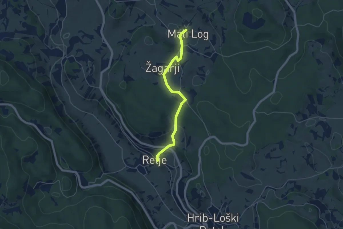
Easy · Trail
Retje - Mali Log
4.4 km · ↑ 148 m · 1 h 21 min
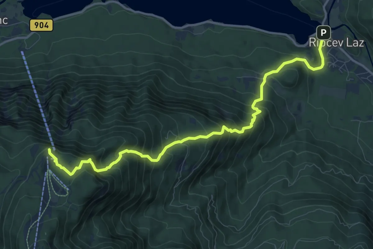
Demanding · Summit
Ribčev Laz - Rjava skala
11.5 km · ↑ 1063 m · 5 h 1 min
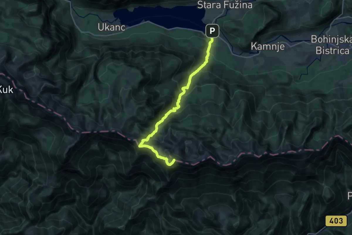
Demanding · Summit
Ribčev Laz - Rodica
17.9 km · ↑ 1483 m · 7 h 27 min
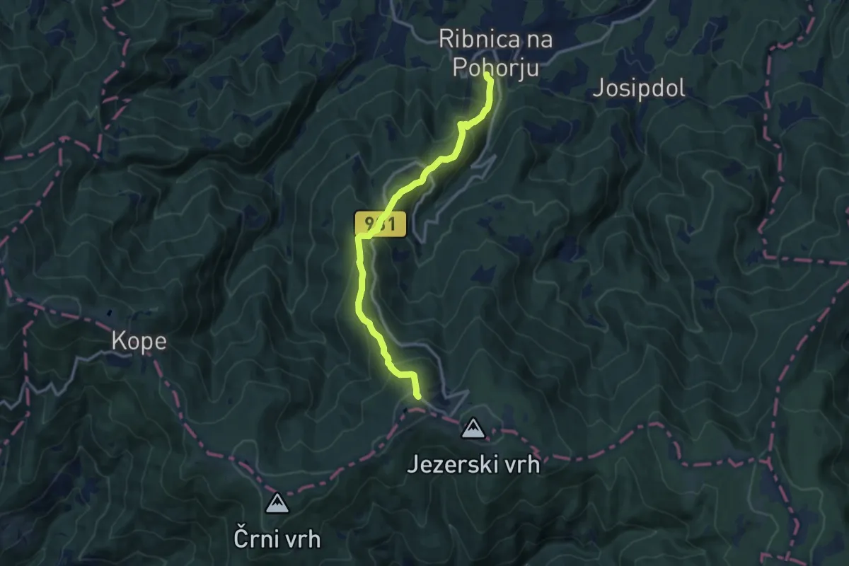
Medium · Cabin
Ribnica na Pohorju - Ribniška koča
10.6 km · ↑ 800 m · 4 h 14 min
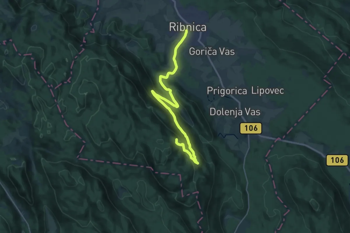
Demanding · Summit
Ribnica - Zadolje - Bele stene
23.8 km · ↑ 775 m · 7 h 17 min
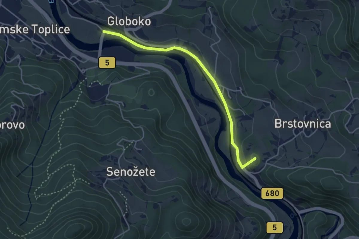
Easy · Summit
Rimske Toplice - Gračnica
3.5 km · ↑ 80 m · 1 h
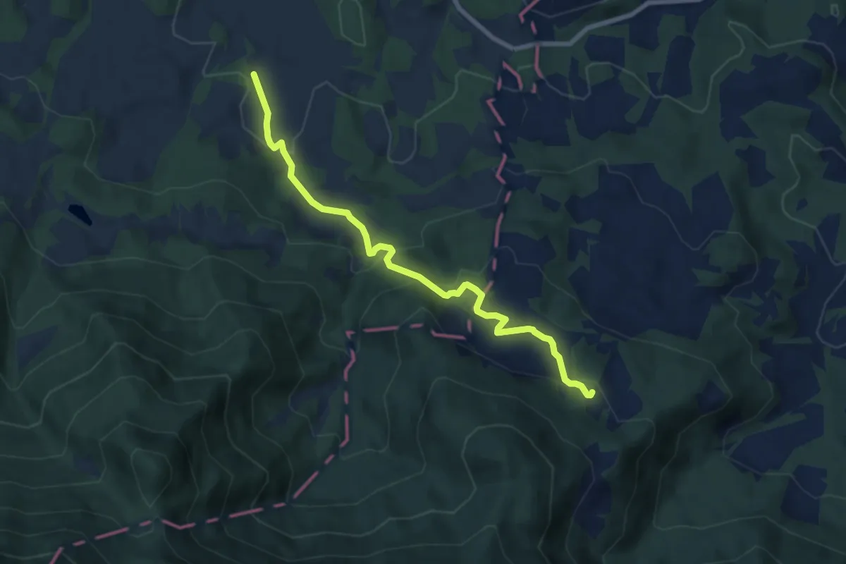
Medium · Cabin
Rimski vrelec - Poštarski dom
7.4 km · ↑ 389 m · 2 h 36 min
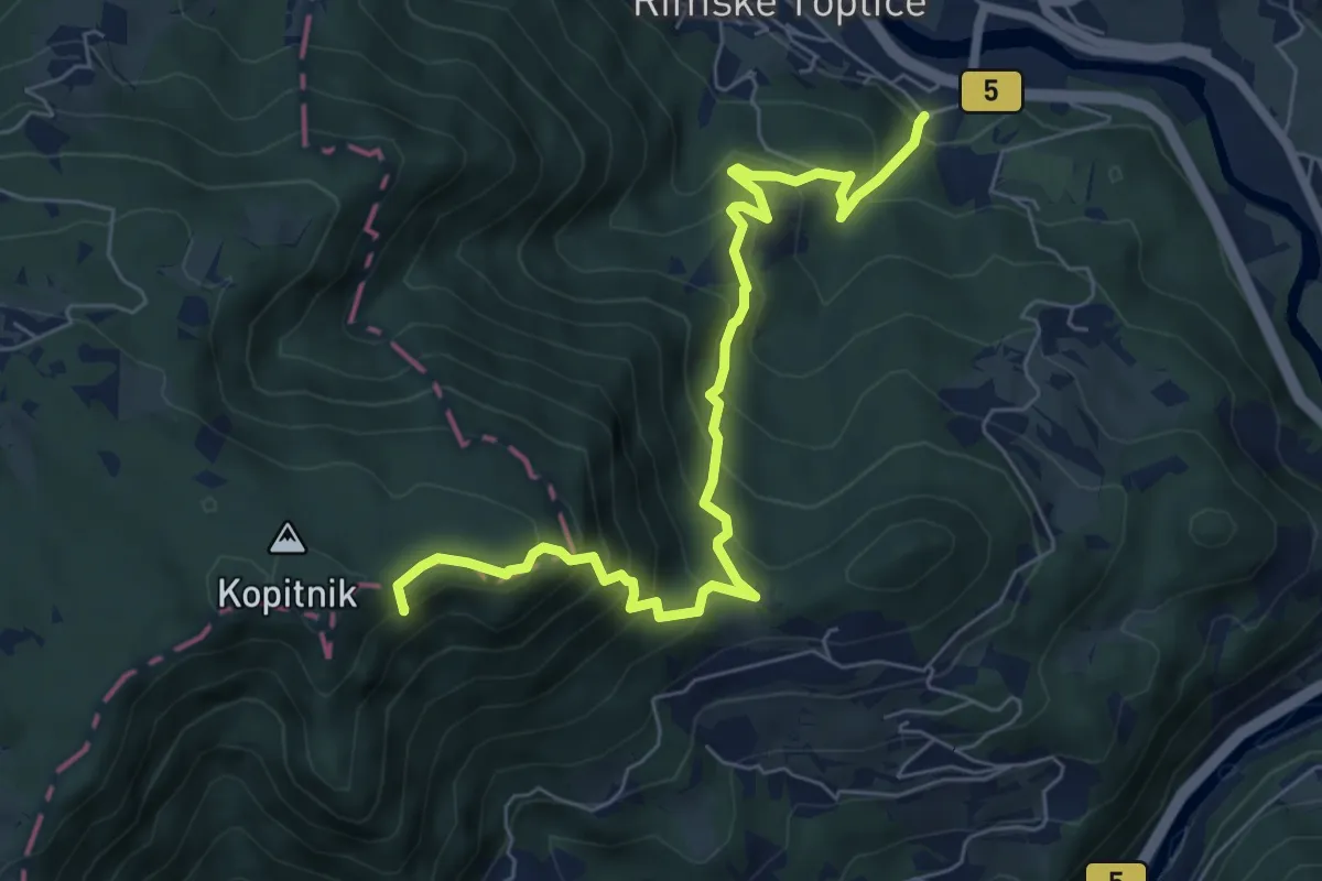
Demanding · Summit
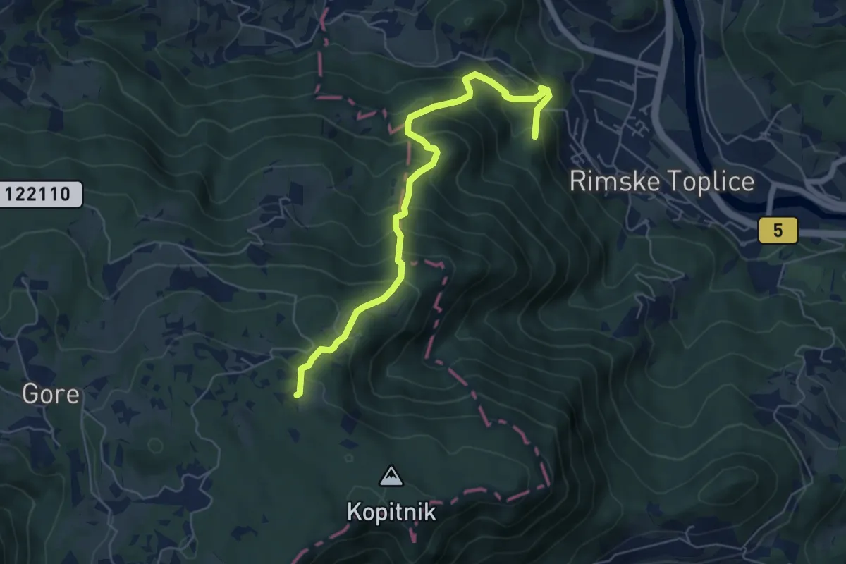
Rim. Toplice - Borovo - Kopitnik
7.2 km · ↑ 684 m · 3 h 11 min
Medium · Summit
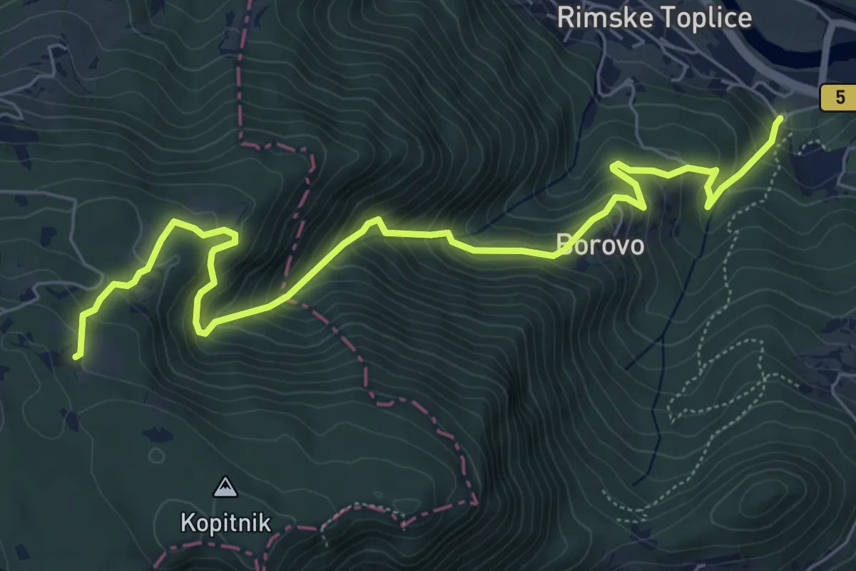
Rim. Toplice - Lurd - Koča na Kopitniku
5.9 km · ↑ 629 m · 2 h 46 min
Medium · Cabin
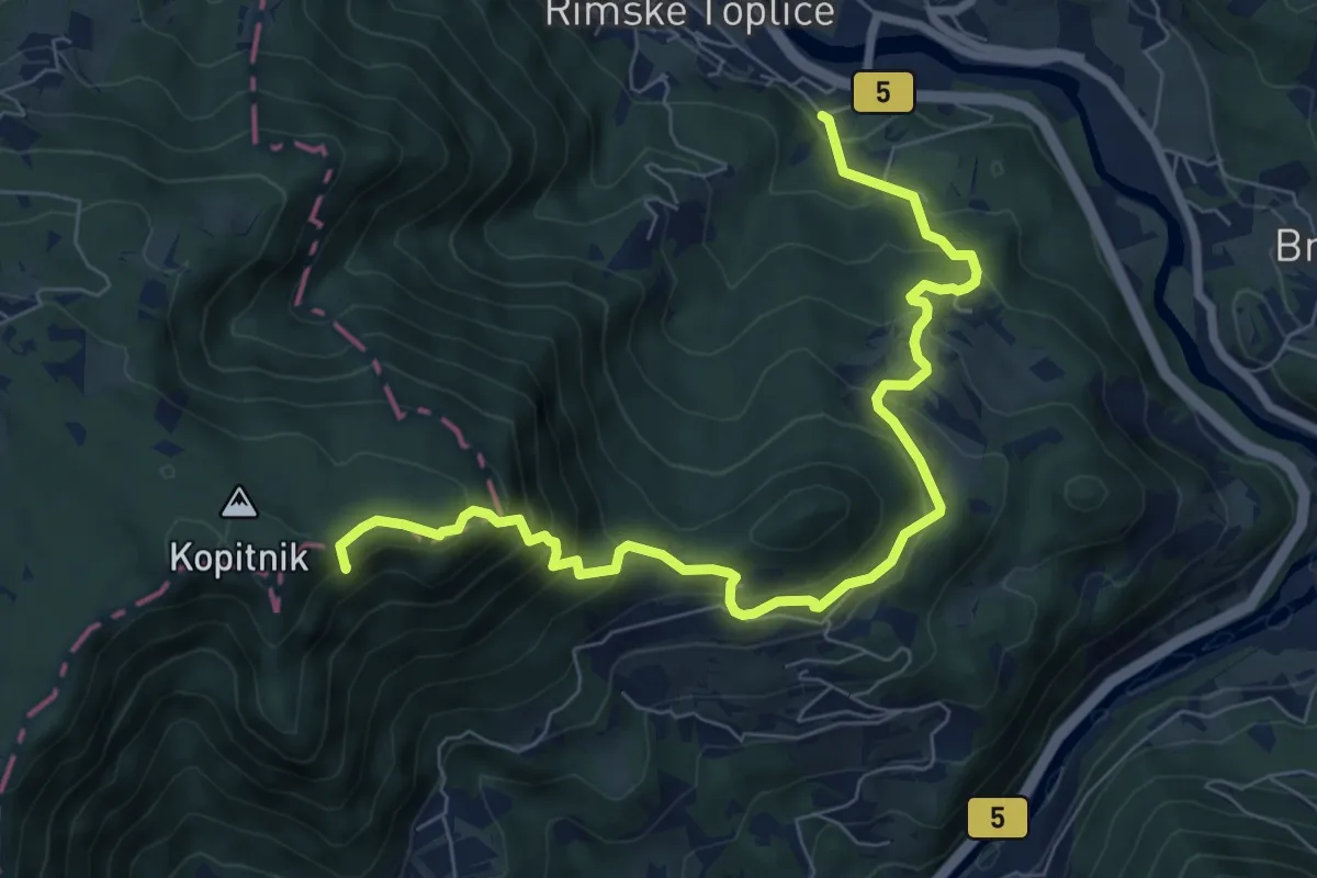
Rim. Toplice - Ogeški p. - Koča na Kopitniku
7.5 km · ↑ 661 m · 3 h 12 min
Demanding · Summit
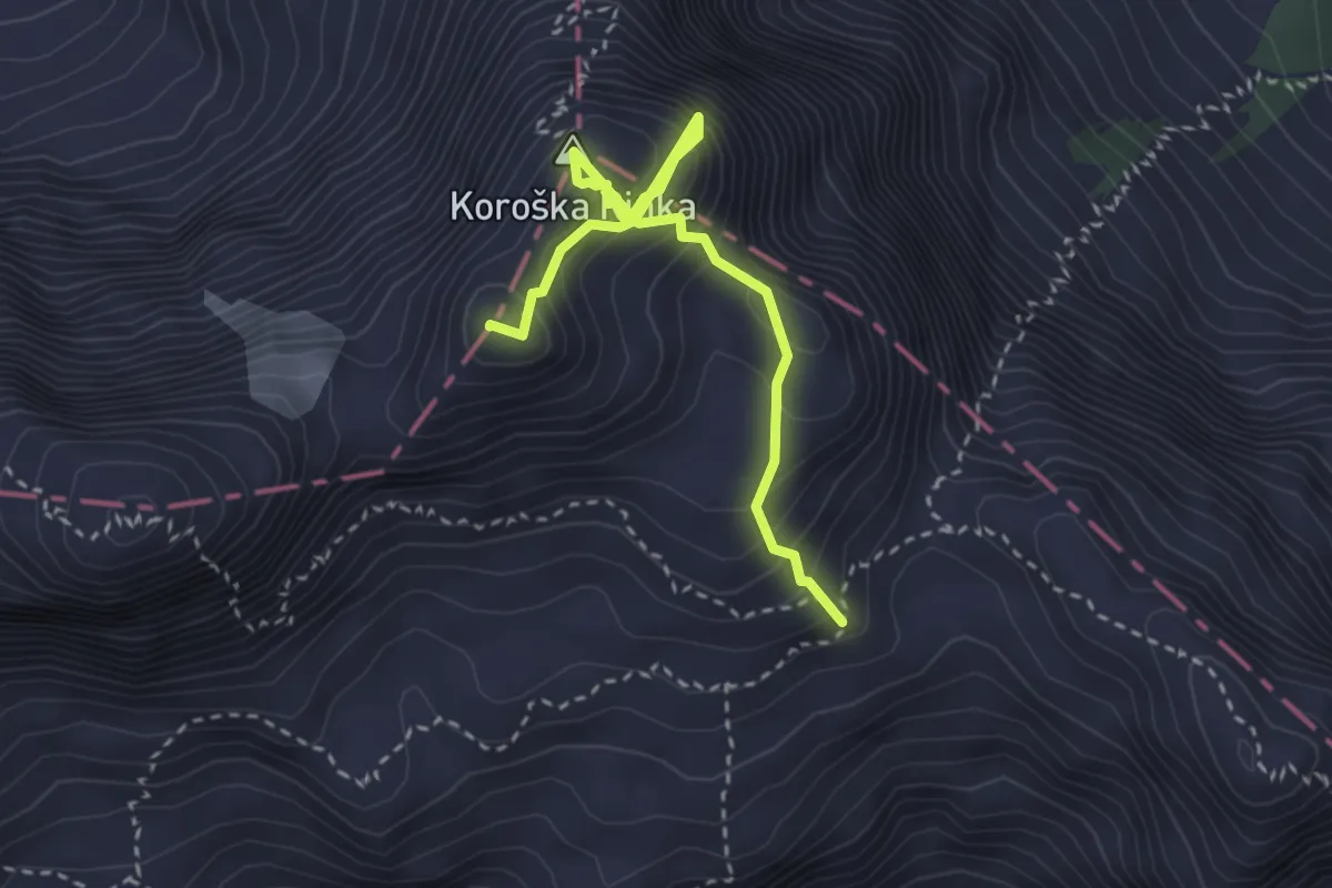
Rim. Toplice - Senožete - Kopitnik
8.4 km · ↑ 656 m · 3 h 25 min
Demanding · Summit
Rinke
3.3 km · ↑ 615 m · 2 h 7 min
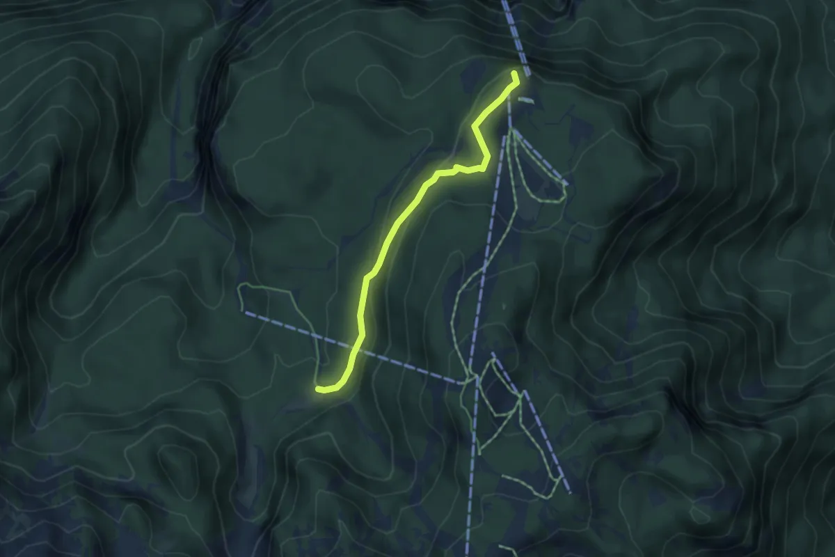
Easy · Summit
Rjava skala - Pl. Zadnji Vogel
4.1 km · ↑ 127 m · 1 h 14 min
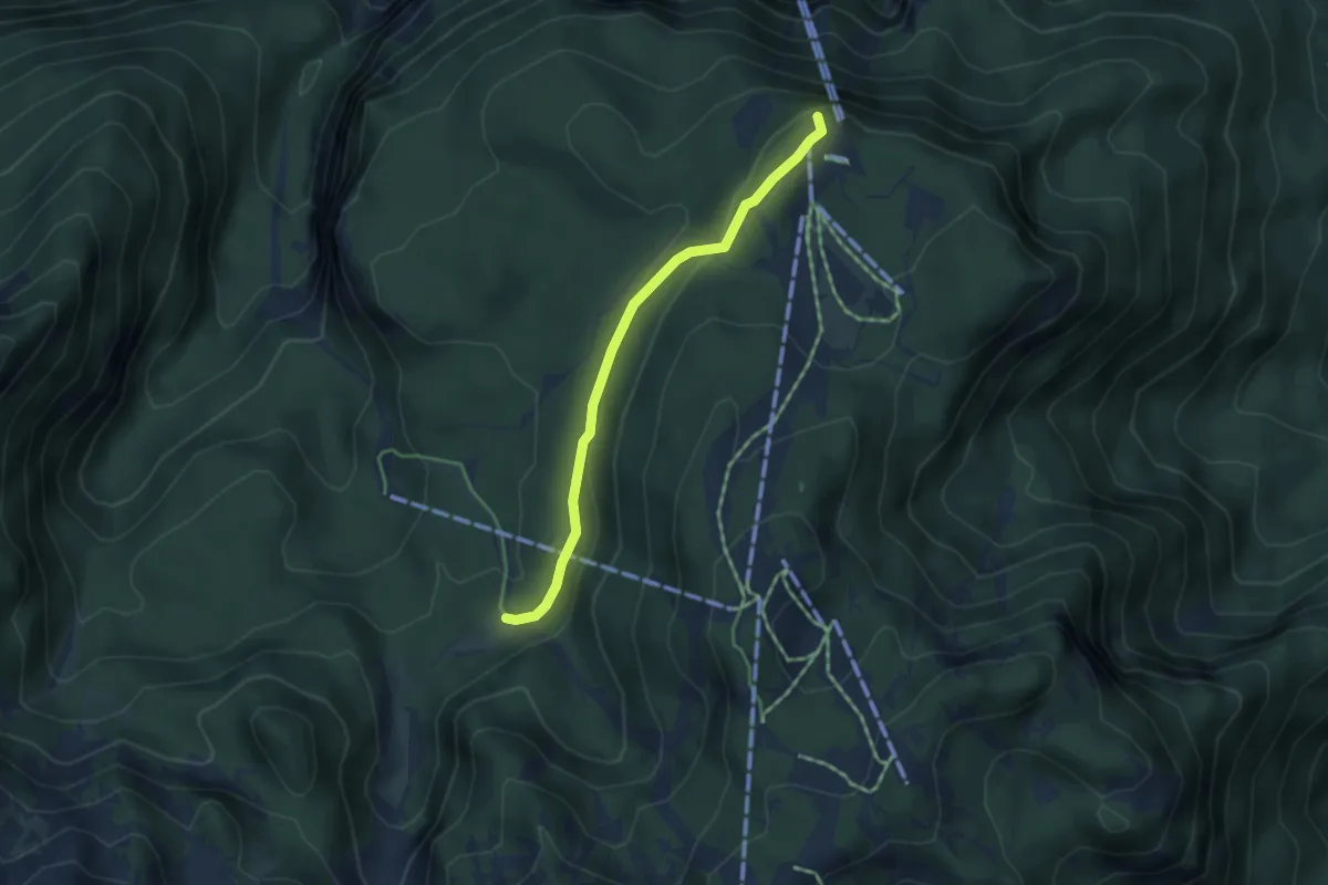
Easy · Summit
Rjava skala - Pl. Zadnji Vogel (tekaška)
3.8 km · ↑ 124 m · 1 h 11 min
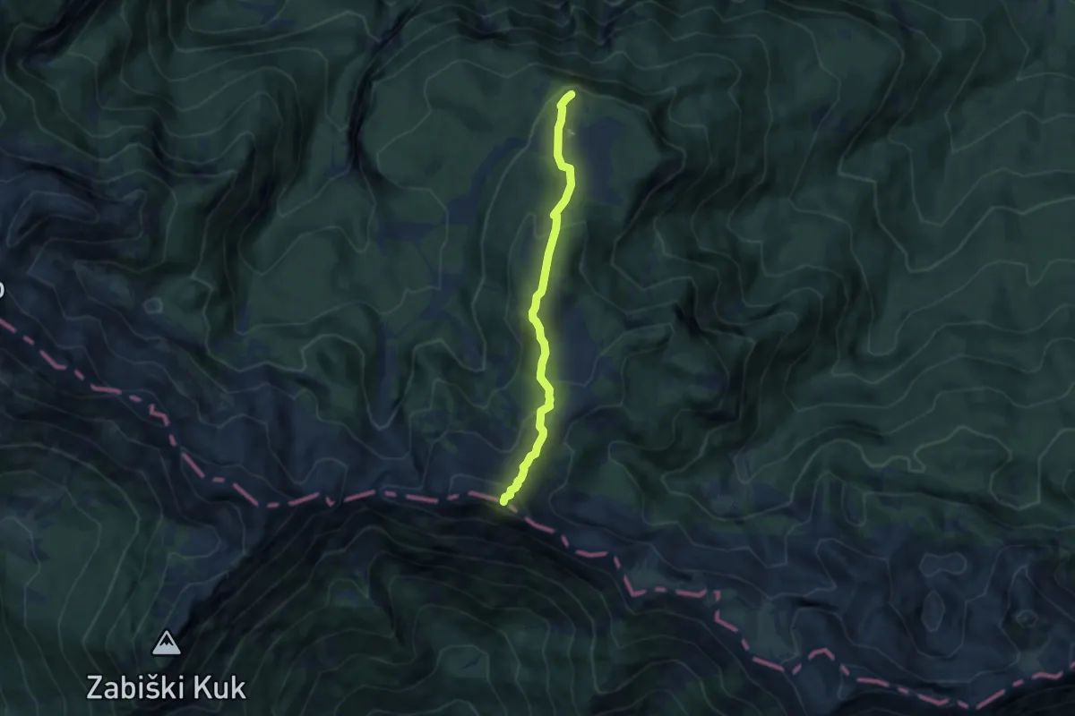
Demanding · Summit
Rjava skala - Šija
6.3 km · ↑ 363 m · 2 h 16 min
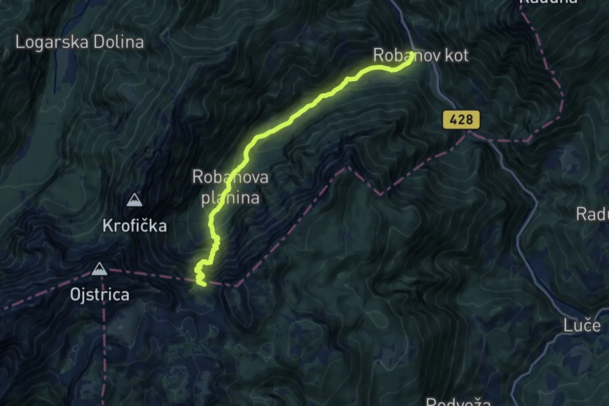
Expert · Summit
Robanov kot - Molička planina
14.1 km · ↑ 1323 m · 6 h 12 min
Expert · Summit
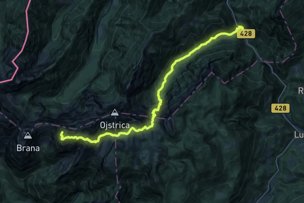
Robanov Kot-Sedelce-Kamniška koča
26.4 km · ↑ 2671 m · 12 h 1 min
Demanding · Summit
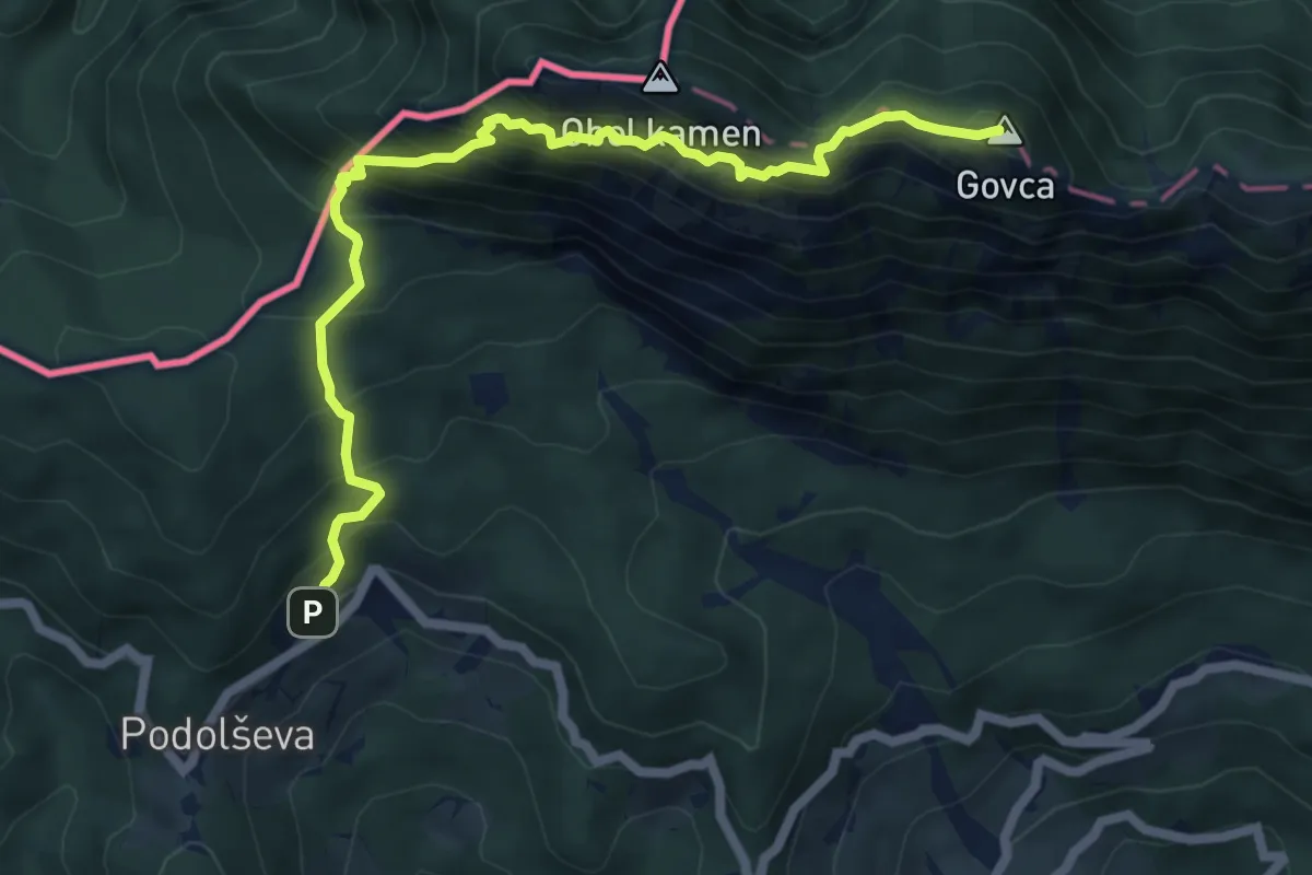
Rogar - Potočka zijalka - Olševa
6.7 km · ↑ 1013 m · 3 h 47 min
Medium · Summit
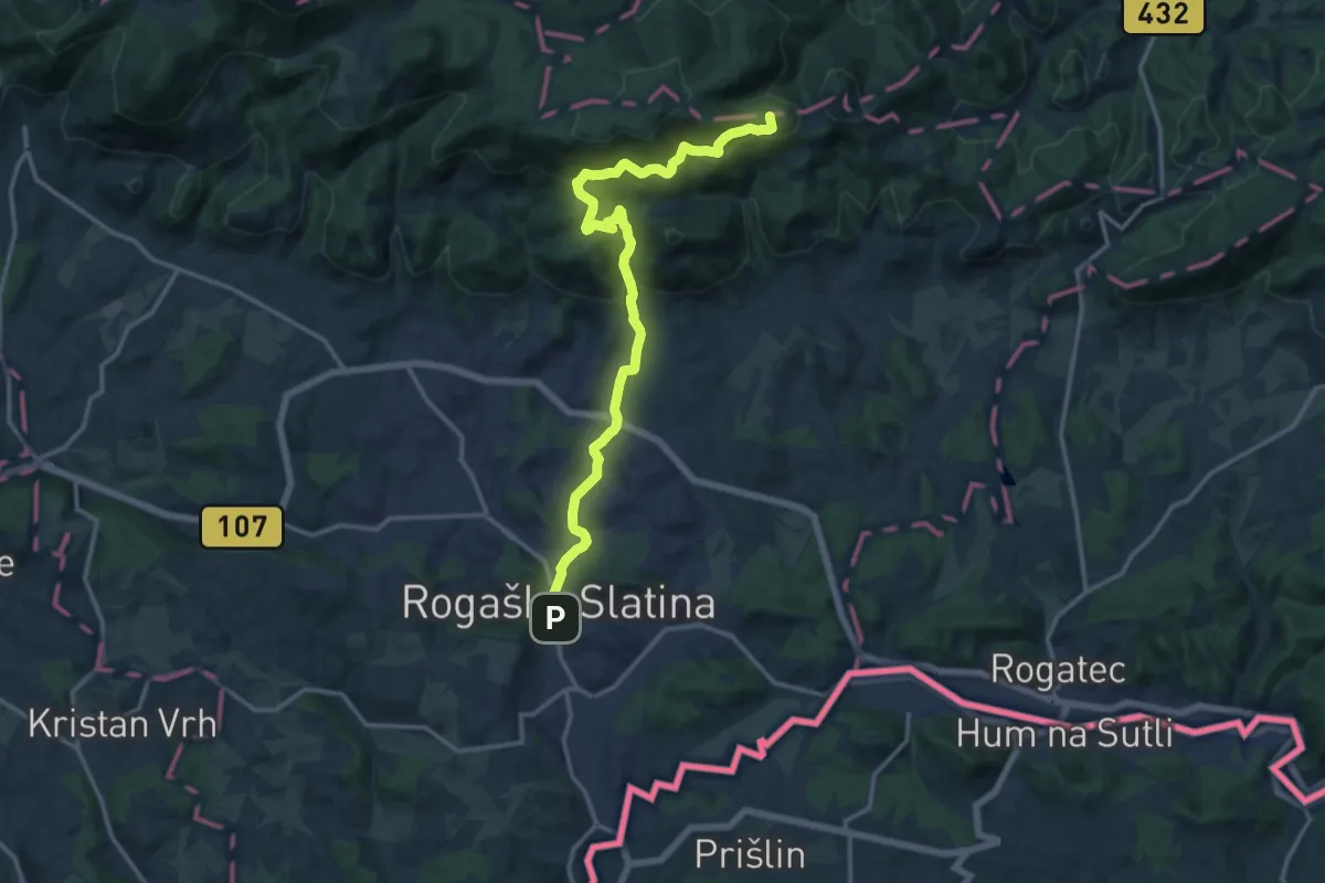
Rogaška Slatina - Ravnocerje
15.8 km · ↑ 698 m · 5 h 15 min
Medium · Cabin
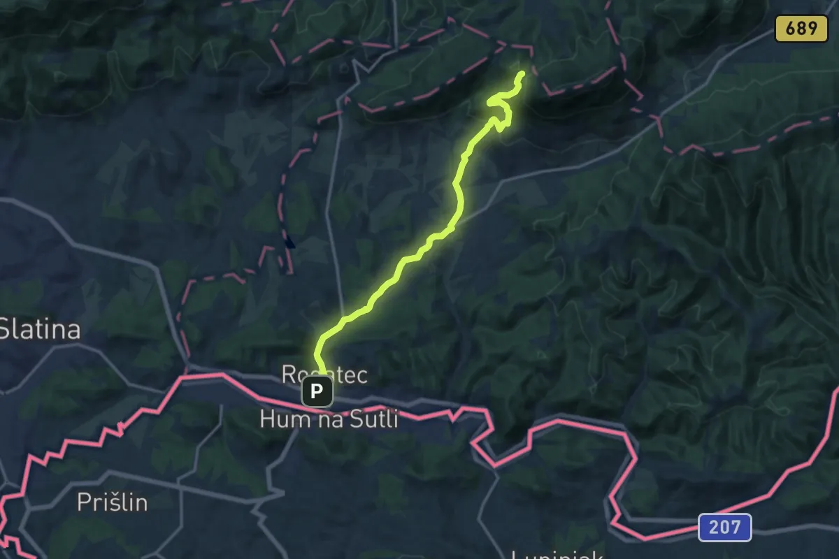
Rogatec - Rudijev dom
13.2 km · ↑ 426 m · 4 h 2 min
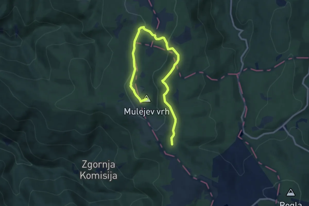
Medium · Summit
Rogla - Lovrenška jezera
8.6 km · ↑ 236 m · 2 h 32 min
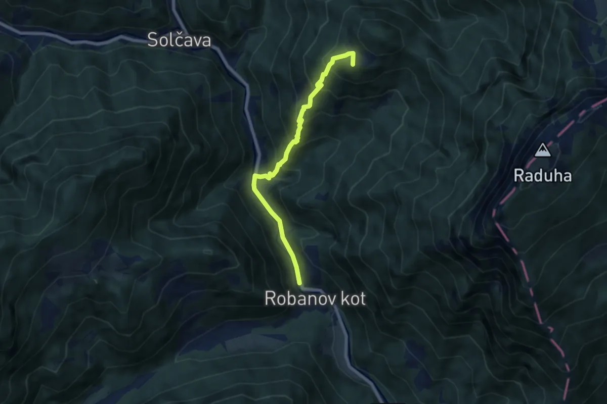
Medium · Summit
Rogovilc - Koča v Grohotu
6.4 km · ↑ 610 m · 2 h 50 min
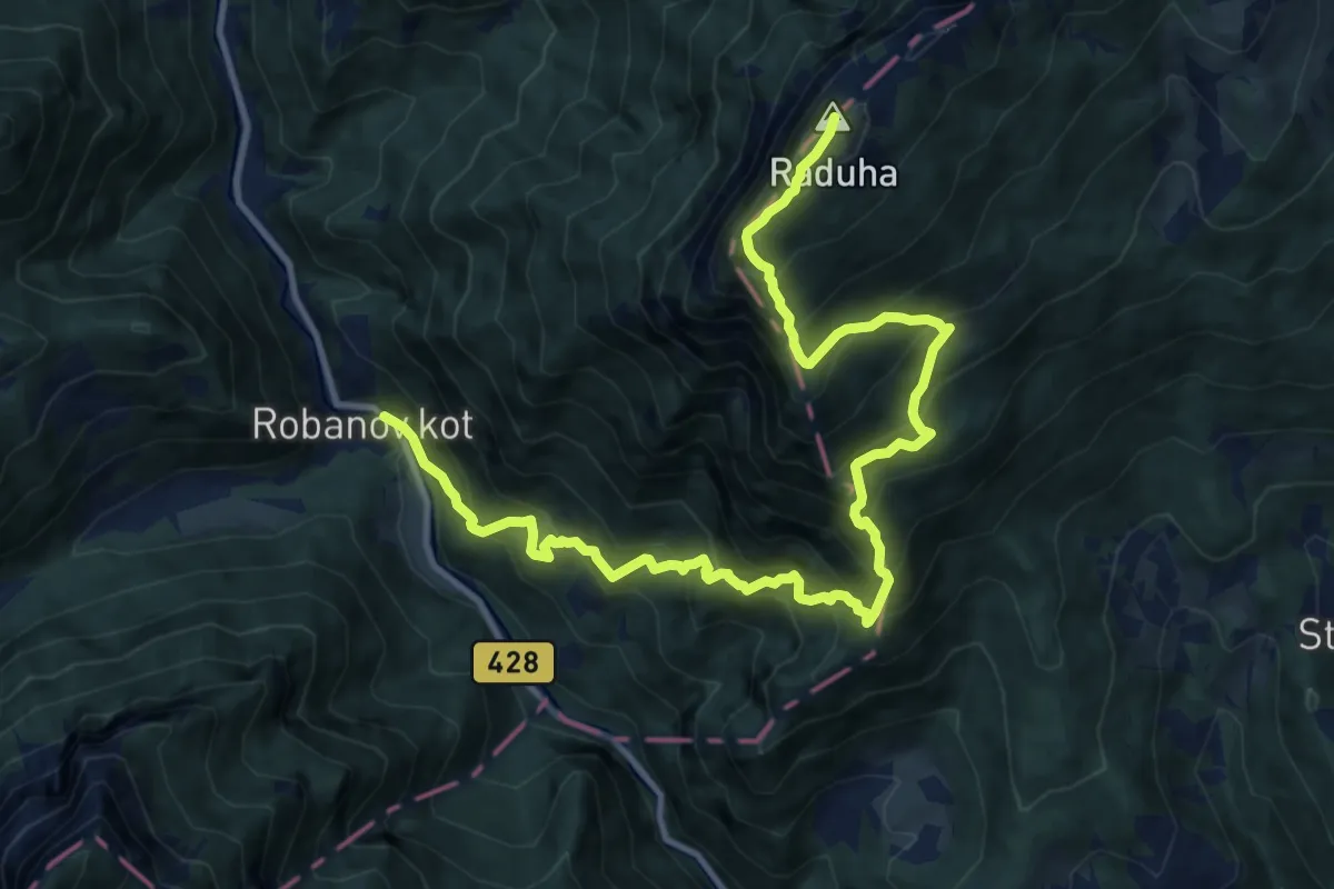
Demanding · Summit
Rogovilc - Raduha
14.7 km · ↑ 1741 m · 7 h 15 min
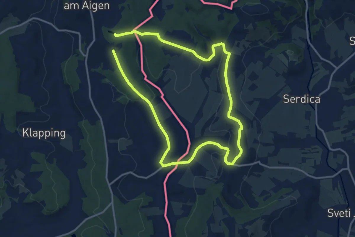
Medium · Summit
ROG-ST.A 1
8.7 km · ↑ 169 m · 2 h 32 min
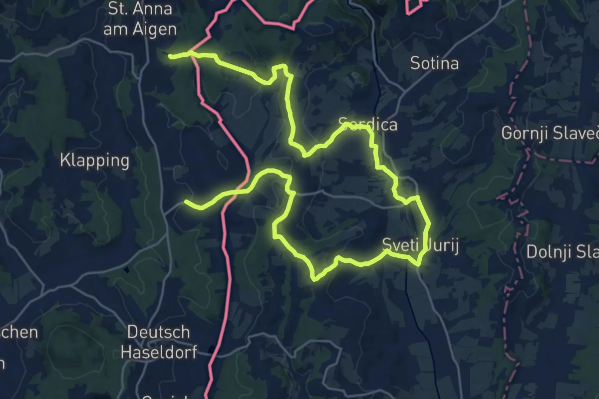
Medium · Summit
ROG-ST.A 2
14.6 km · ↑ 303 m · 4 h 17 min
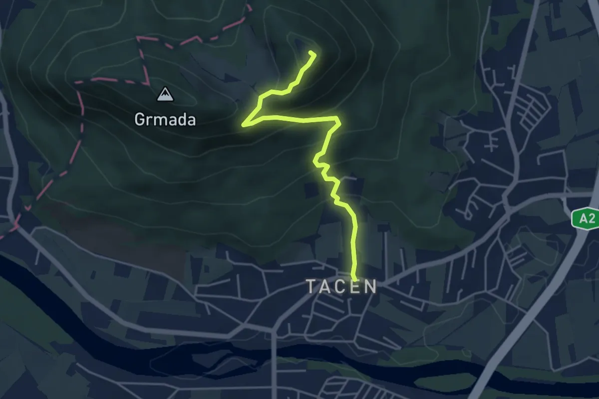
Medium · Summit
Romarska pot
3.9 km · ↑ 343 m · 1 h 40 min
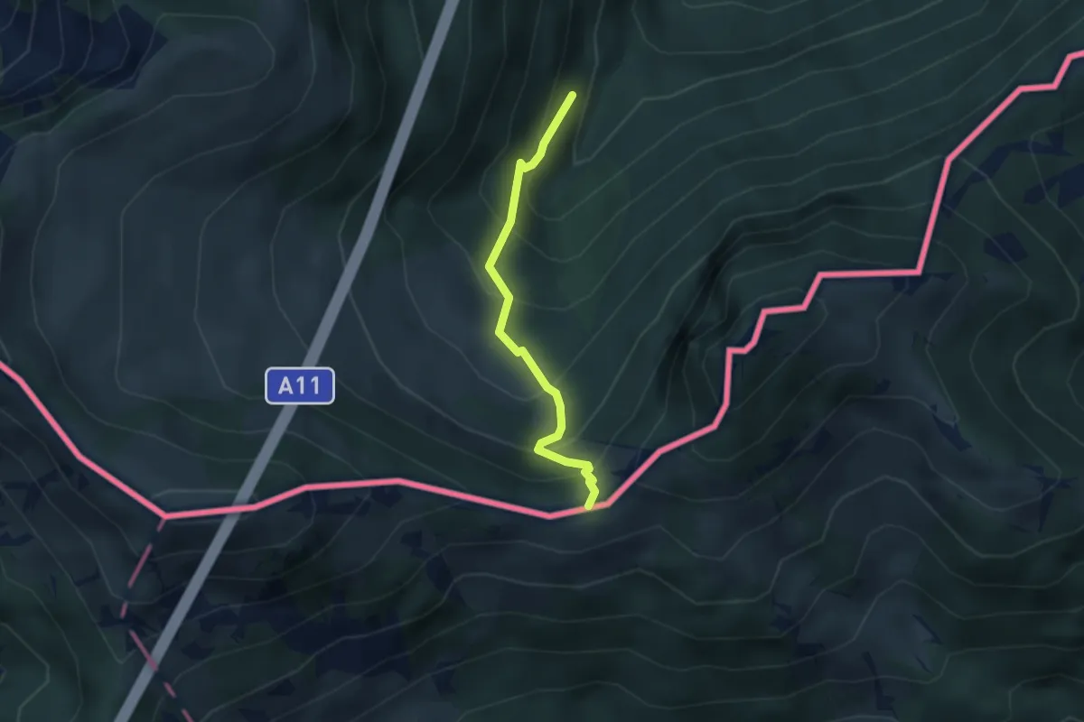
Medium · Trail
Rosenkogel
2.7 km · ↑ 344 m · 1 h 23 min
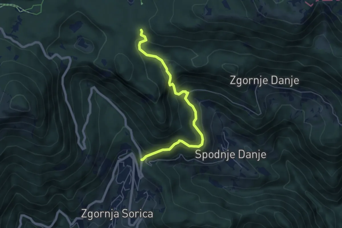
Medium · Trail
Rotek - Mišji grund
5.3 km · ↑ 448 m · 2 h 13 min
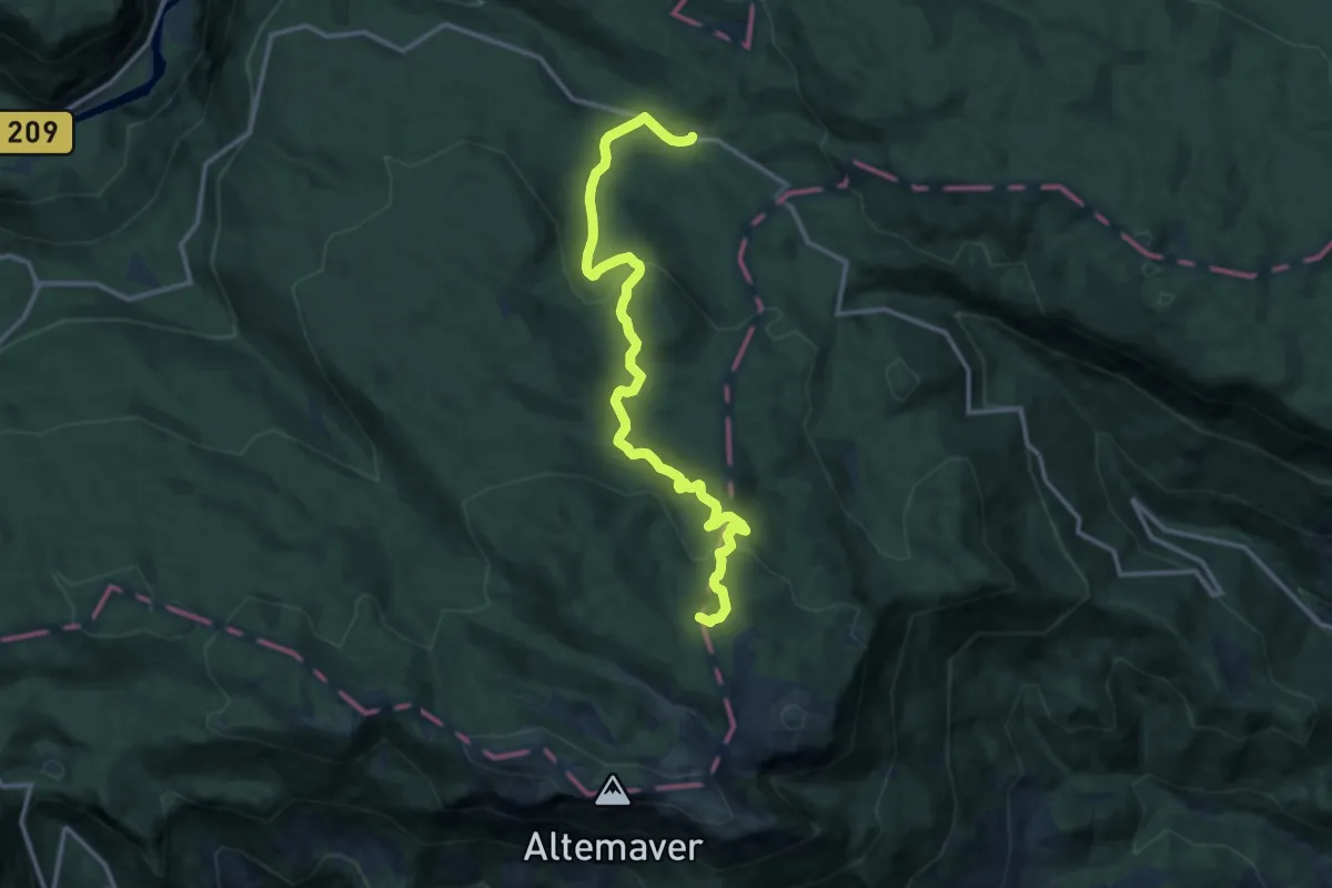
Medium · Summit
Rovtarica - Pl. Klom
14.1 km · ↑ 500 m · 4 h 25 min
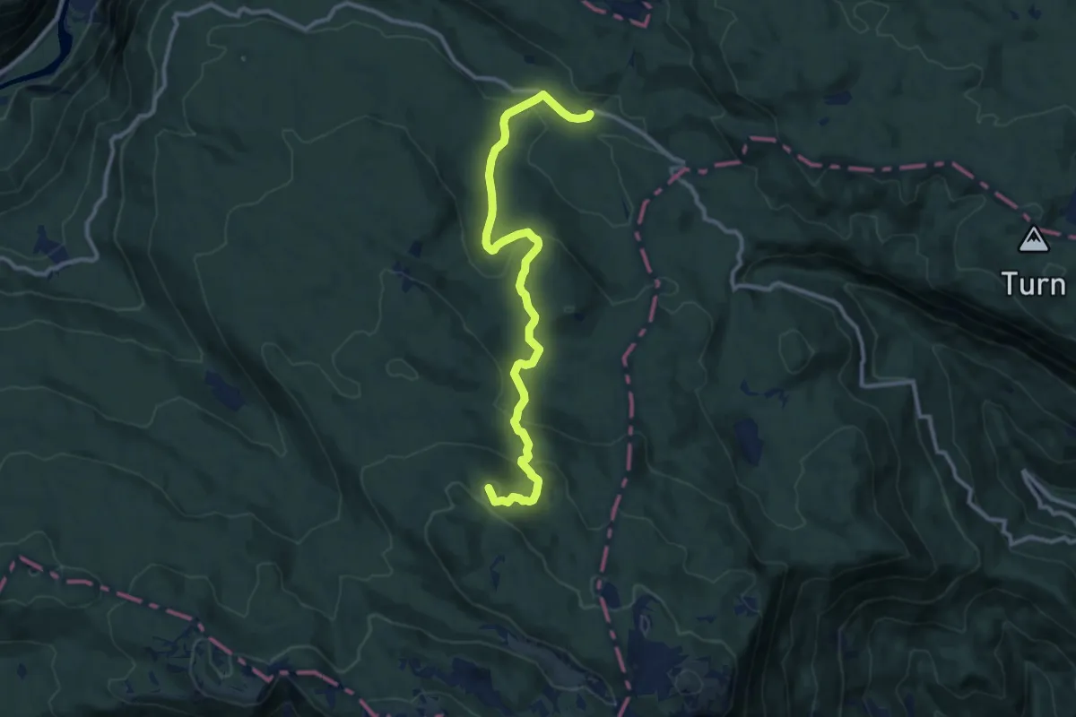
Medium · Summit
Rovtarica - Pl. Pečana
11.1 km · ↑ 436 m · 3 h 34 min
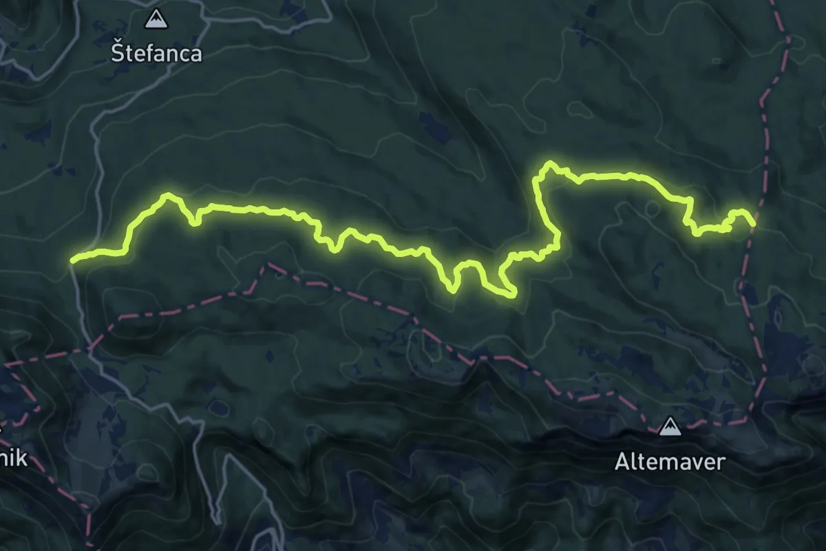
Demanding · Summit
Rovtarica - Soriška pl. (Razglednik)
22.7 km · ↑ 561 m · 6 h 34 min
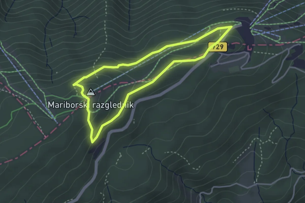
Easy · Summit
Rozkina gozdna učna pot
2.9 km · ↑ 104 m · 58 min
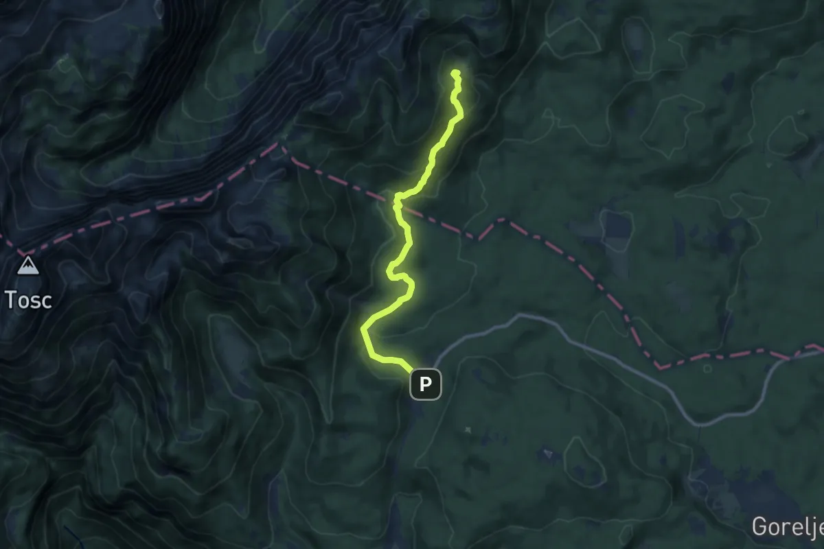
Demanding · Cabin
Rudno polje - Blejska koča
9.5 km · ↑ 478 m · 3 h 17 min
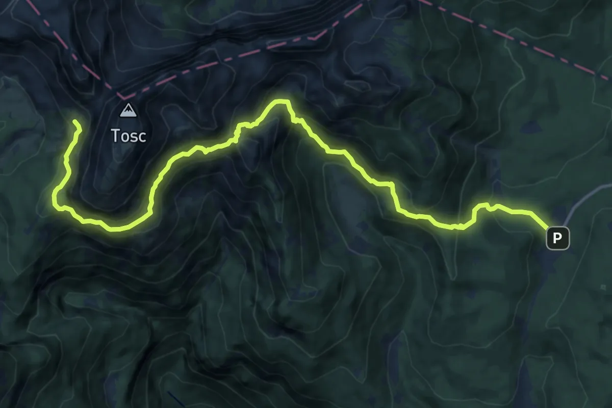
Demanding · Cabin
Rudno polje - Studorski preval - Vodnikov dom
15.6 km · ↑ 1117 m · 6 h 6 min
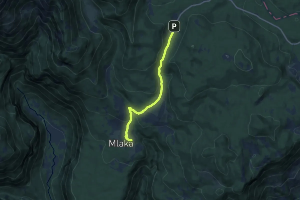
Easy · Cabin
Rudno polje - Uskovnica
7.6 km · ↑ 253 m · 2 h 20 min
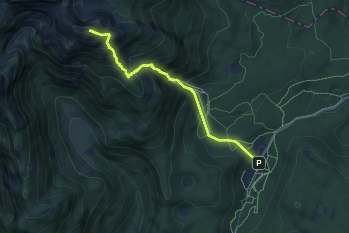
Medium · Summit
Rudno polje - Viševnik
6.0 km · ↑ 675 m · 2 h 53 min
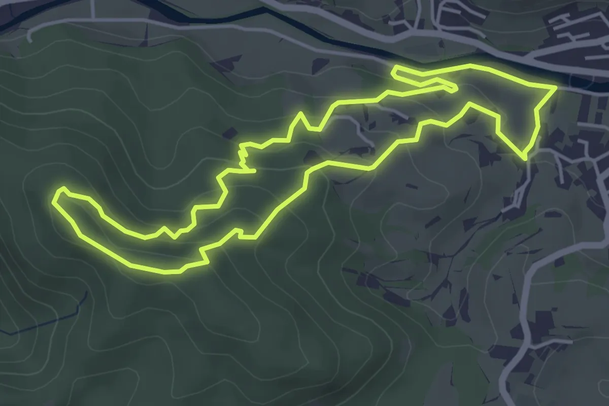
Easy · Summit
Rupnikova linija
4.5 km · ↑ 204 m · 1 h 35 min
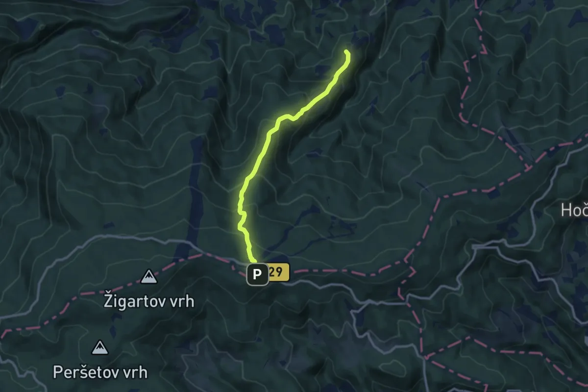
Medium · Summit
Ruše - Ruška koča
8.6 km · ↑ 576 m · 3 h 17 min
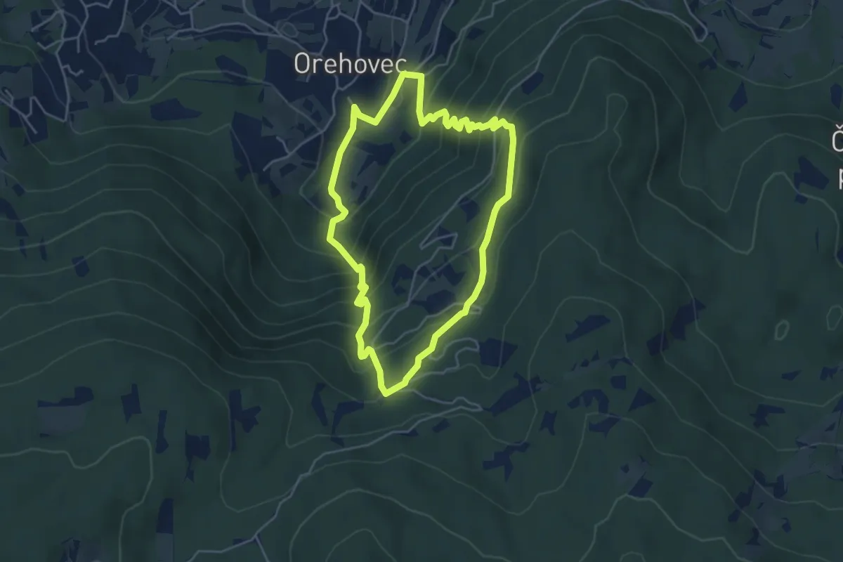
Demanding · Trail
Rutenska pot
4.4 km · ↑ 405 m · 1 h 59 min
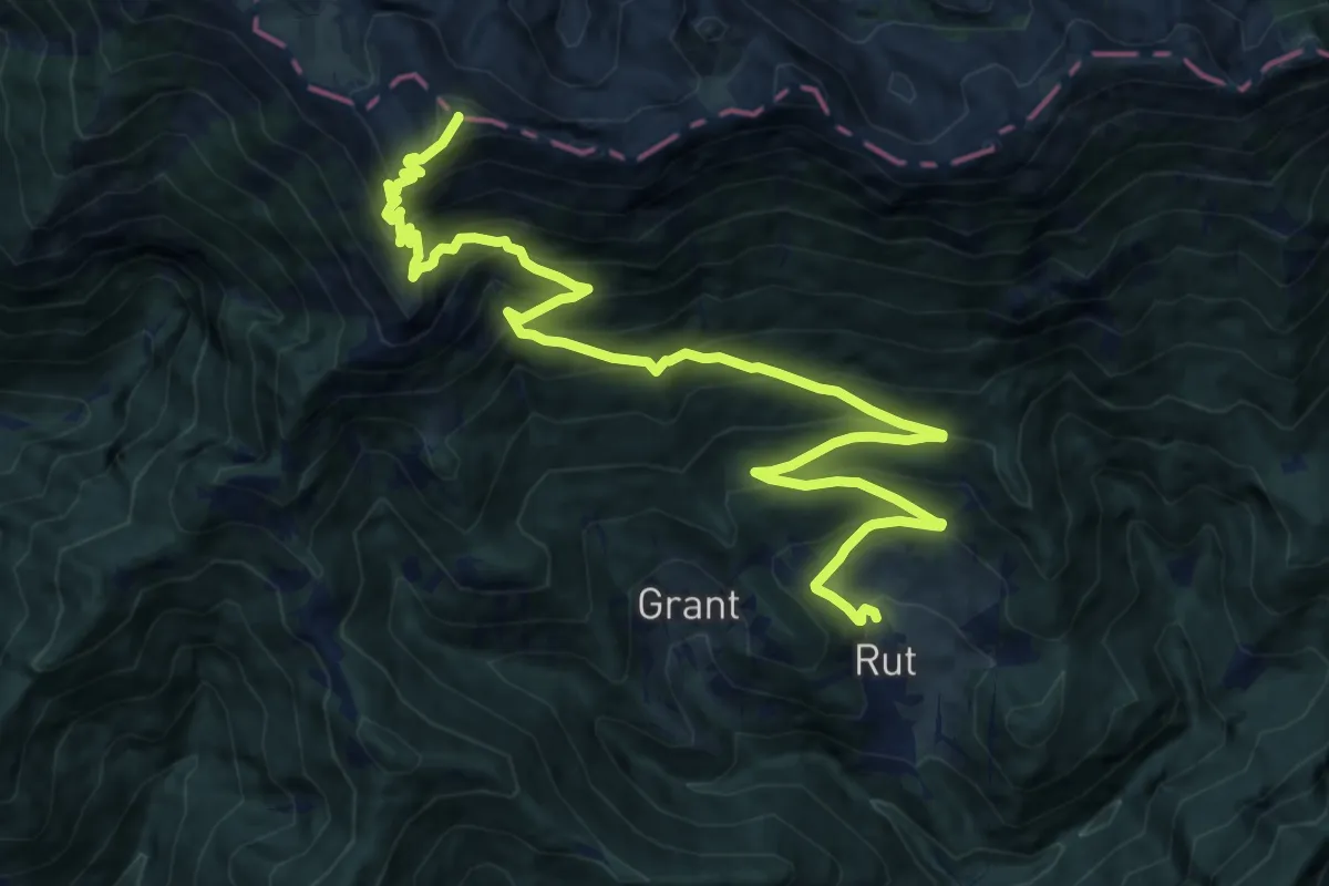
Demanding · Summit
Rut - Rodica
16.2 km · ↑ 1378 m · 6 h 49 min