Trails in Slovenia
1,594 hiking trails, each with its route, climb, walking time and grade.
All trails, page 23 of 34
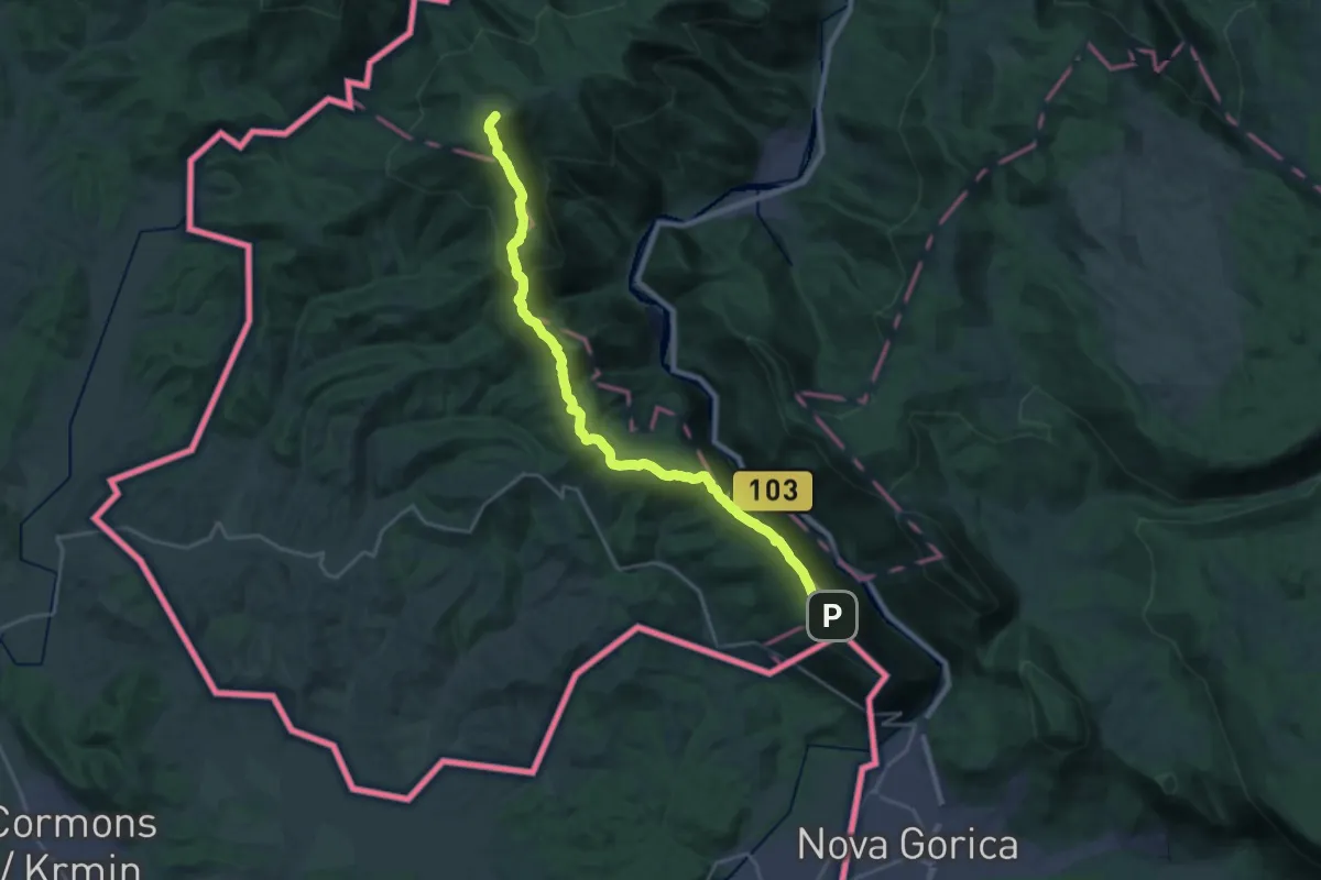
Demanding · Summit
Sabotin - Korada
23.4 km · ↑ 938 m · 7 h 33 min
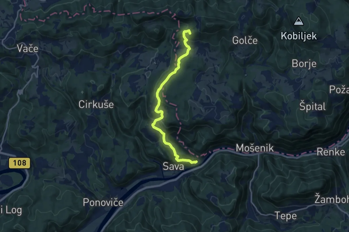
Medium · Summit
Sava - Dom na Zasavski Sv. gori
11.7 km · ↑ 588 m · 4 h 2 min
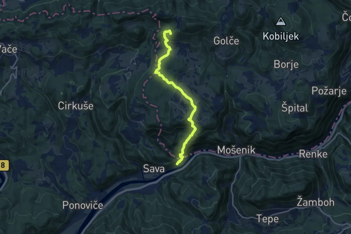
Medium · Summit
Sava - Tirna - Dom na Zasavski Sv. gori
11.0 km · ↑ 592 m · 3 h 52 min
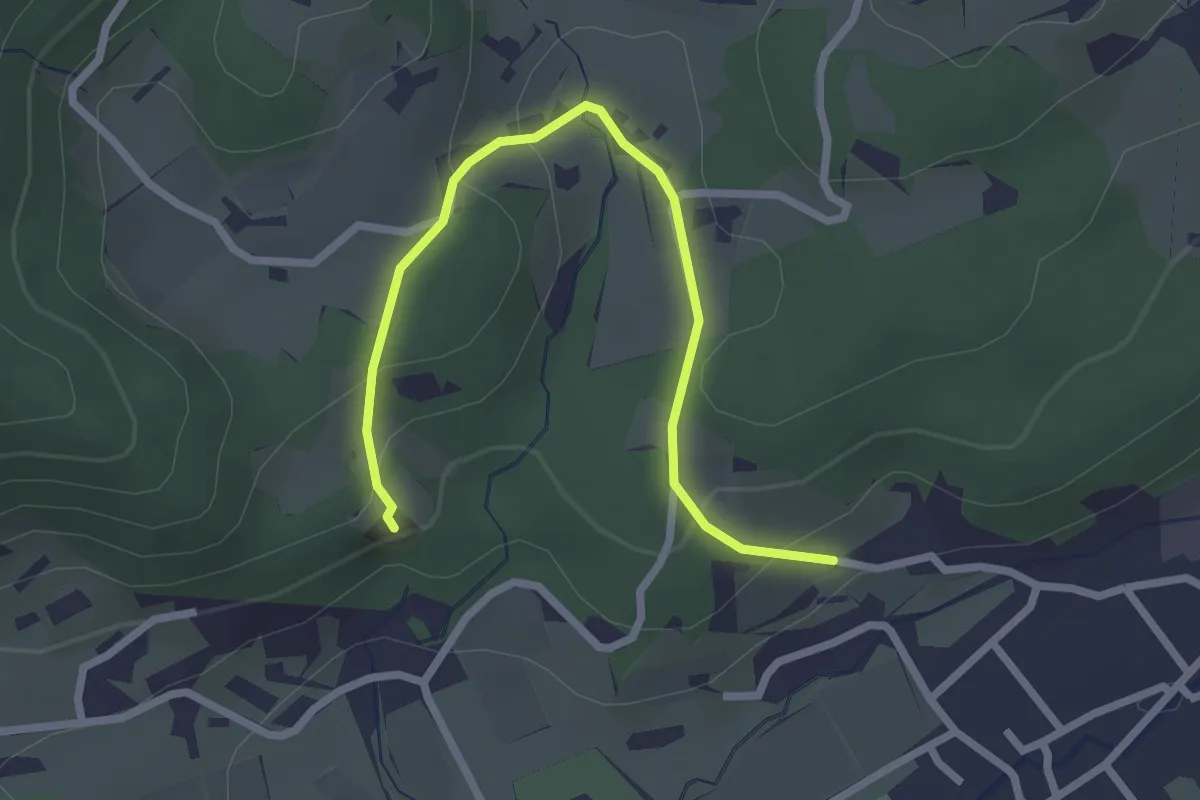
Easy · Summit
Schwentnerjeva sprehajalna pot
2.7 km · ↑ 101 m · 51 min
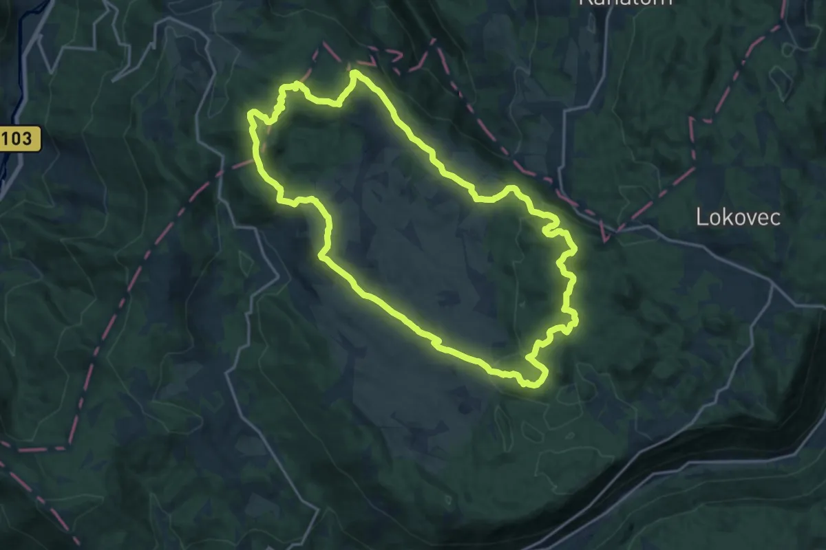
Medium · Summit
Sedevčičeva pot
17.6 km · ↑ 526 m · 5 h 32 min
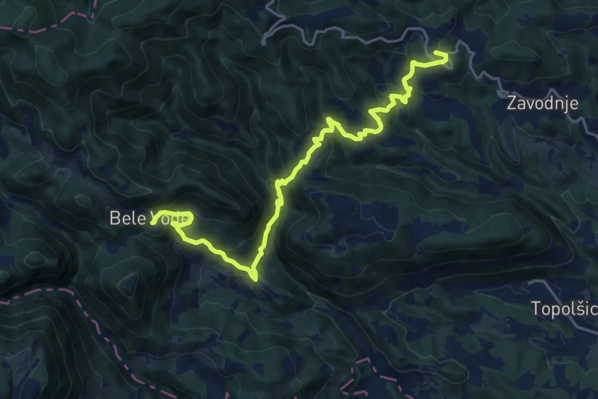
Demanding · Summit
Sedlar - Savinek
16.2 km · ↑ 845 m · 5 h 40 min
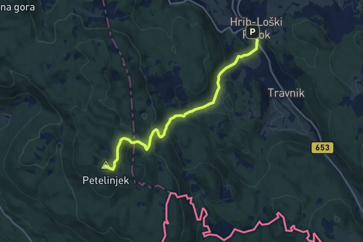
Medium · Summit
Šegova pot
10.5 km · ↑ 642 m · 3 h 53 min
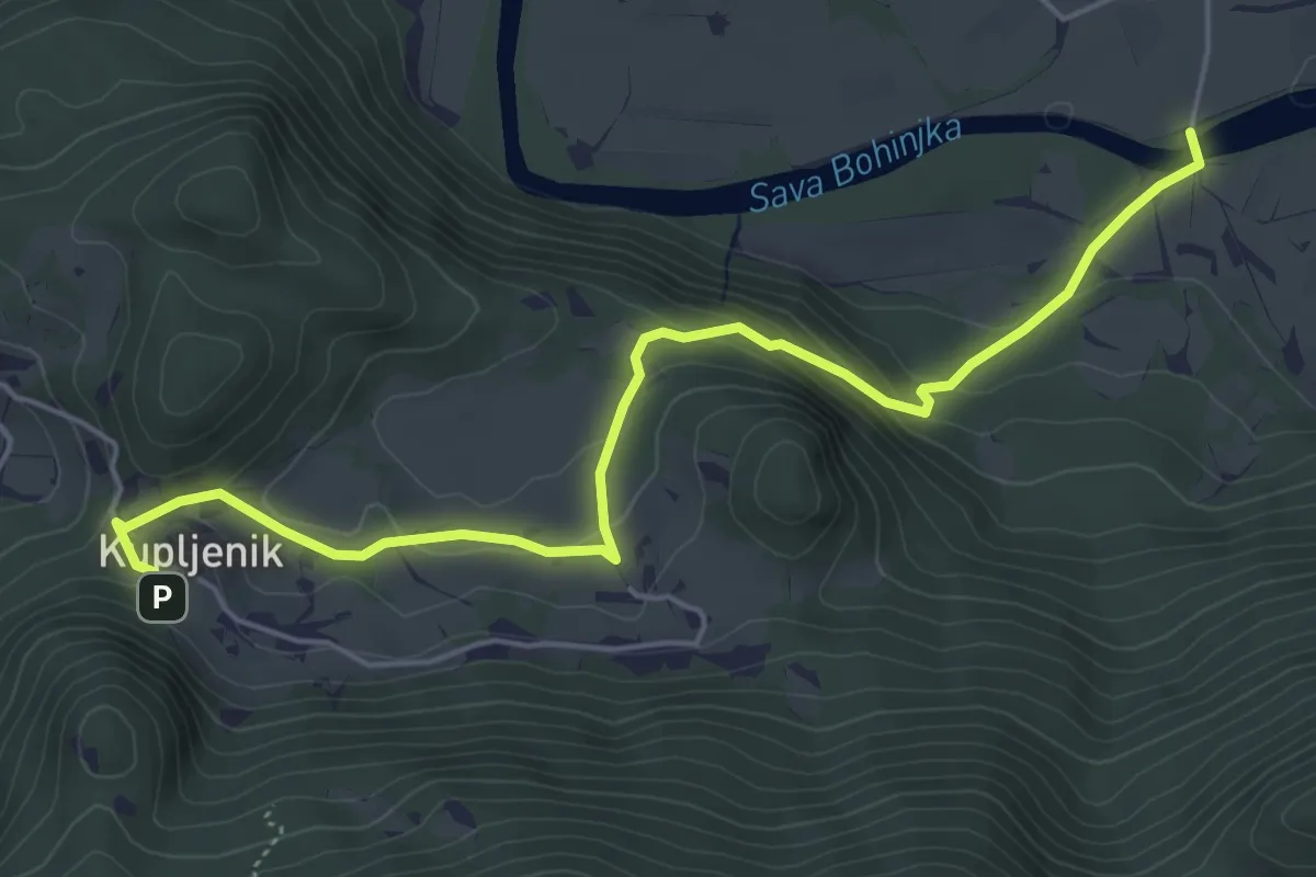
Easy · Trail
Selo - Kupljenik
5.7 km · ↑ 276 m · 1 h 57 min
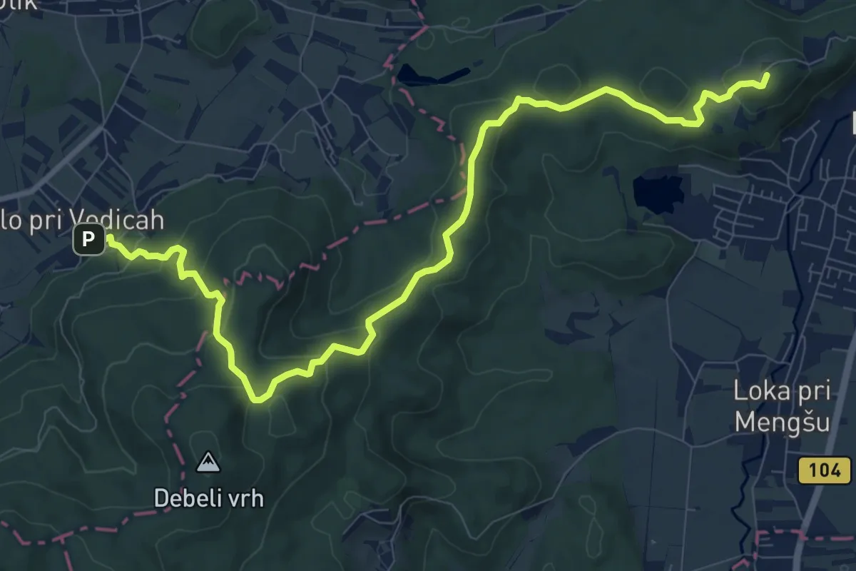
Medium · Summit
Selo pri Vodicah - Mengeška koča
11.4 km · ↑ 481 m · 3 h 44 min
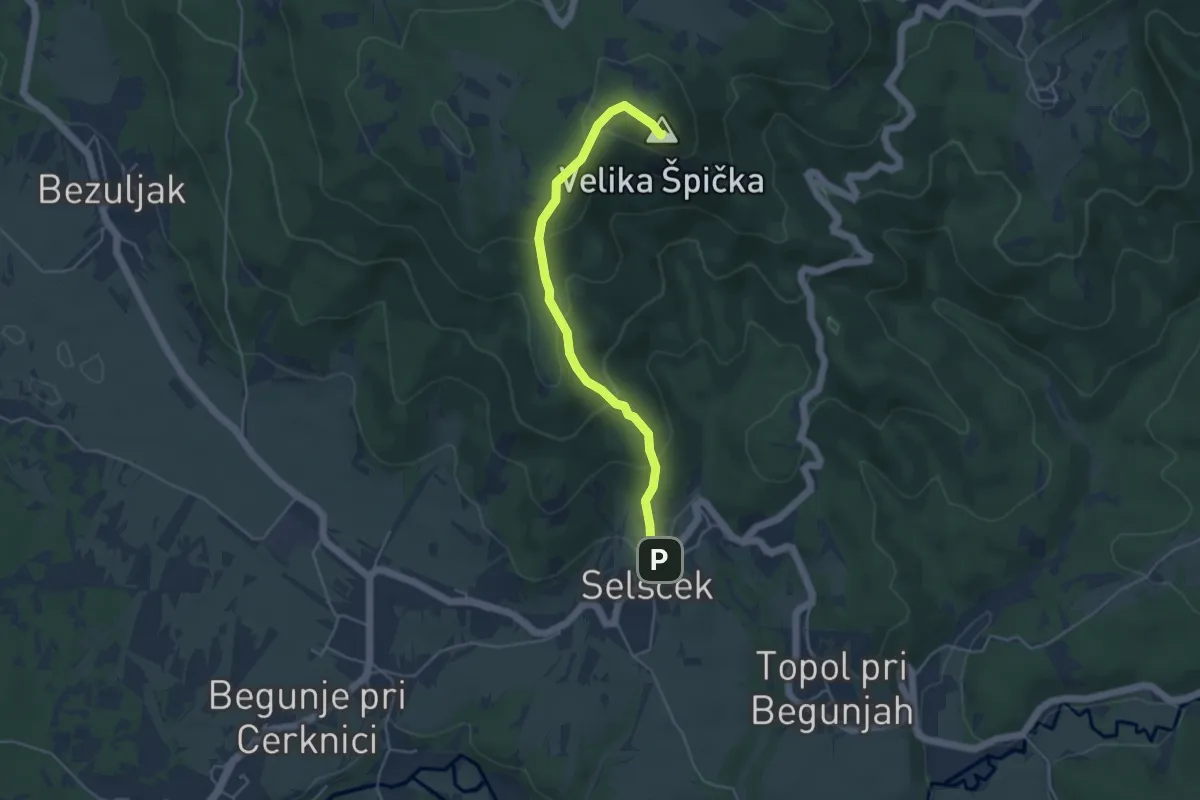
Easy · Summit
Selšček - Velika Špička
4.4 km · ↑ 284 m · 1 h 39 min
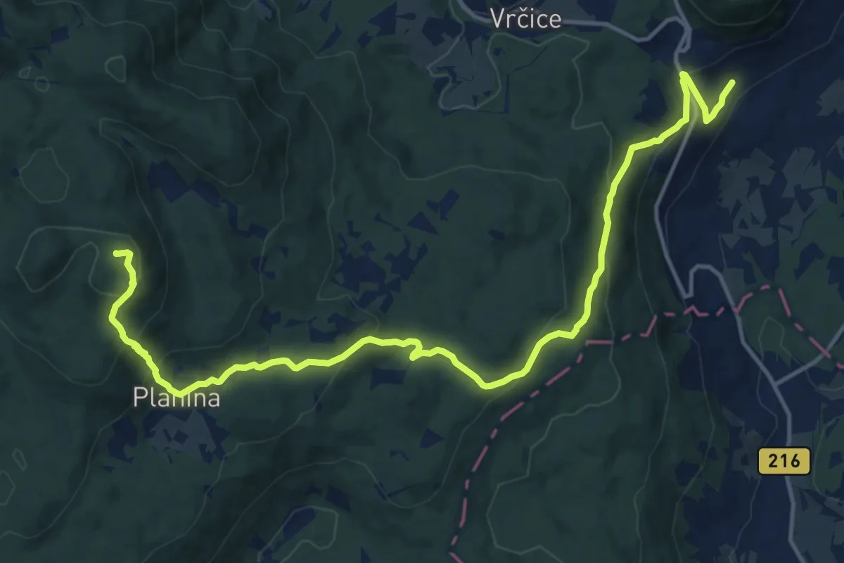
Medium · Summit
Semič - Kurbine drage - Mirna gora
16.7 km · ↑ 764 m · 5 h 35 min
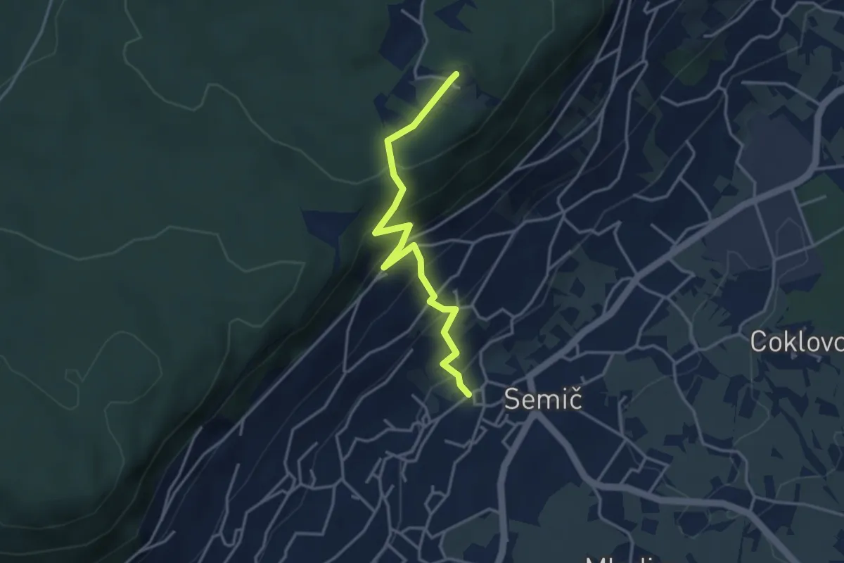
Easy · Summit
Semič - Smuk
3.5 km · ↑ 287 m · 1 h 27 min
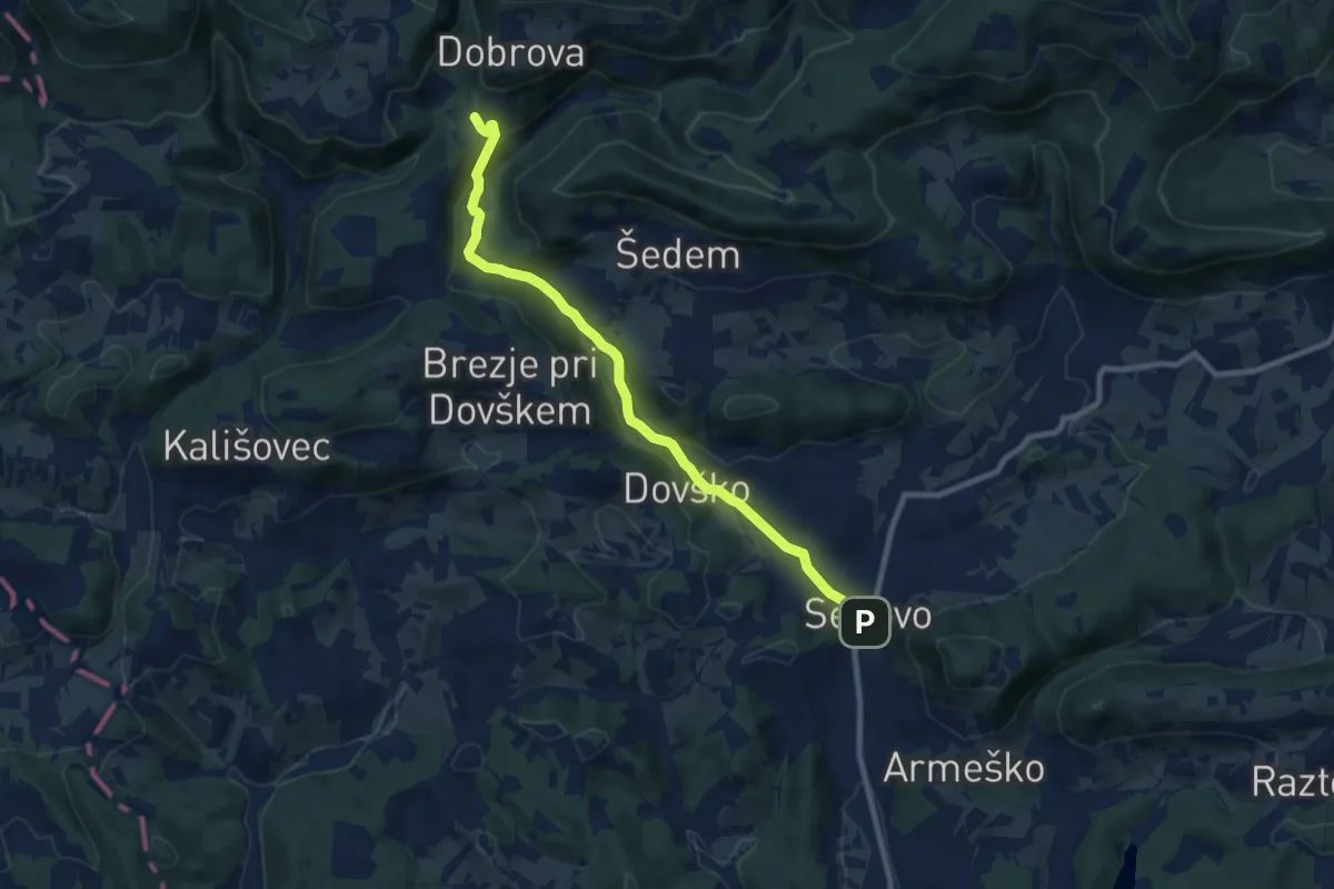
Medium · Trail
Senovo - Jablance
9.0 km · ↑ 272 m · 2 h 43 min
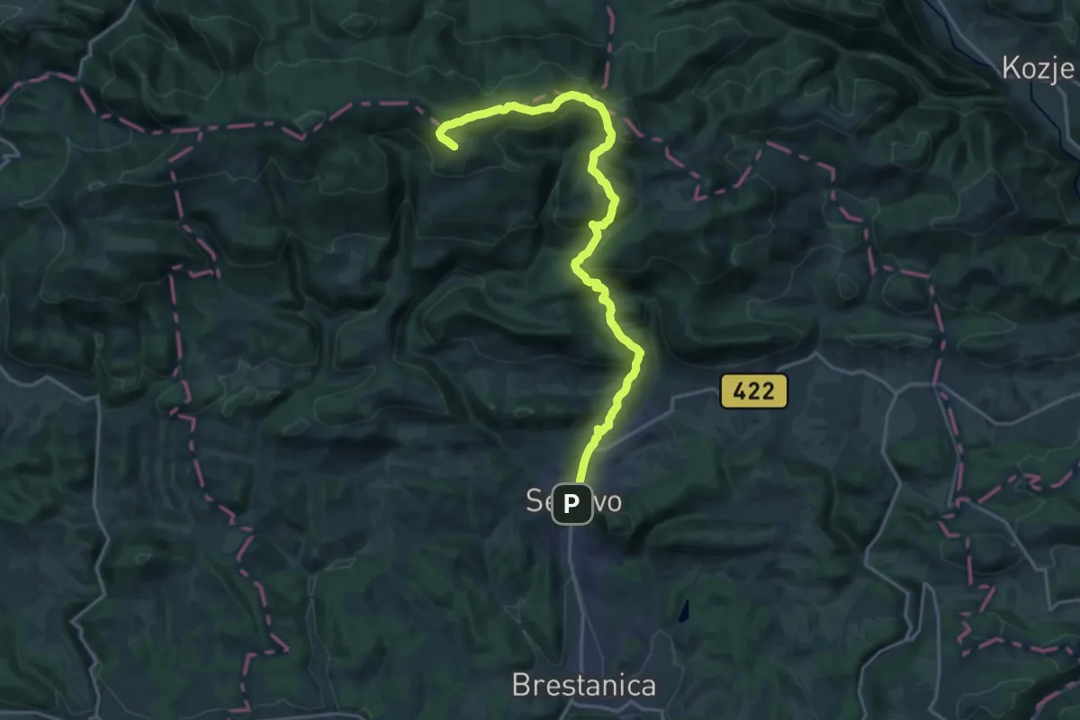
Demanding · Summit
Senovo - Reštanj - Koča na Bohorju
20.0 km · ↑ 878 m · 6 h 38 min
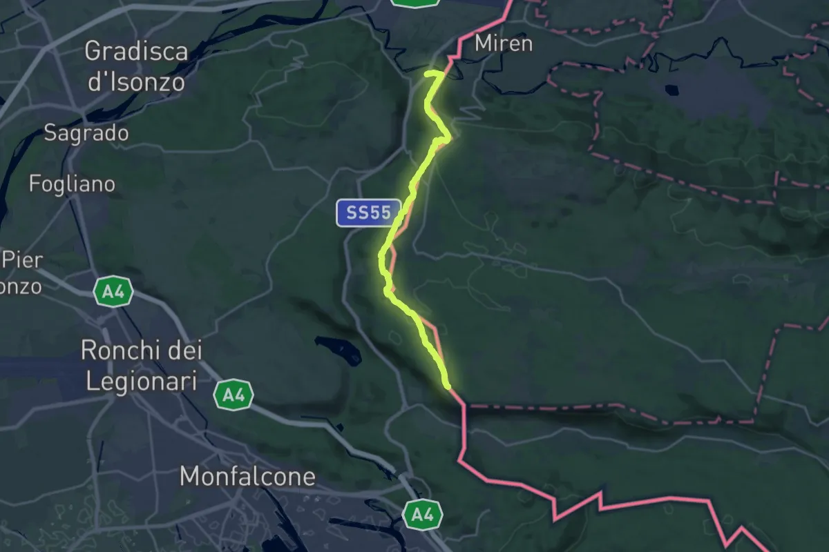
Demanding · Summit
Sentiero Abramo Schmid
18.6 km · ↑ 355 m · 5 h 9 min
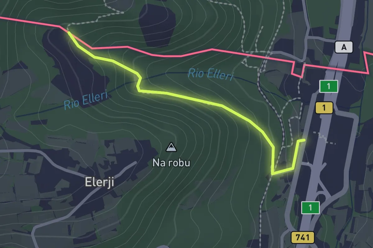
Easy · Trail
Sentiero dei Graničari - Ivan Jug
2.2 km · ↑ 122 m · 47 min
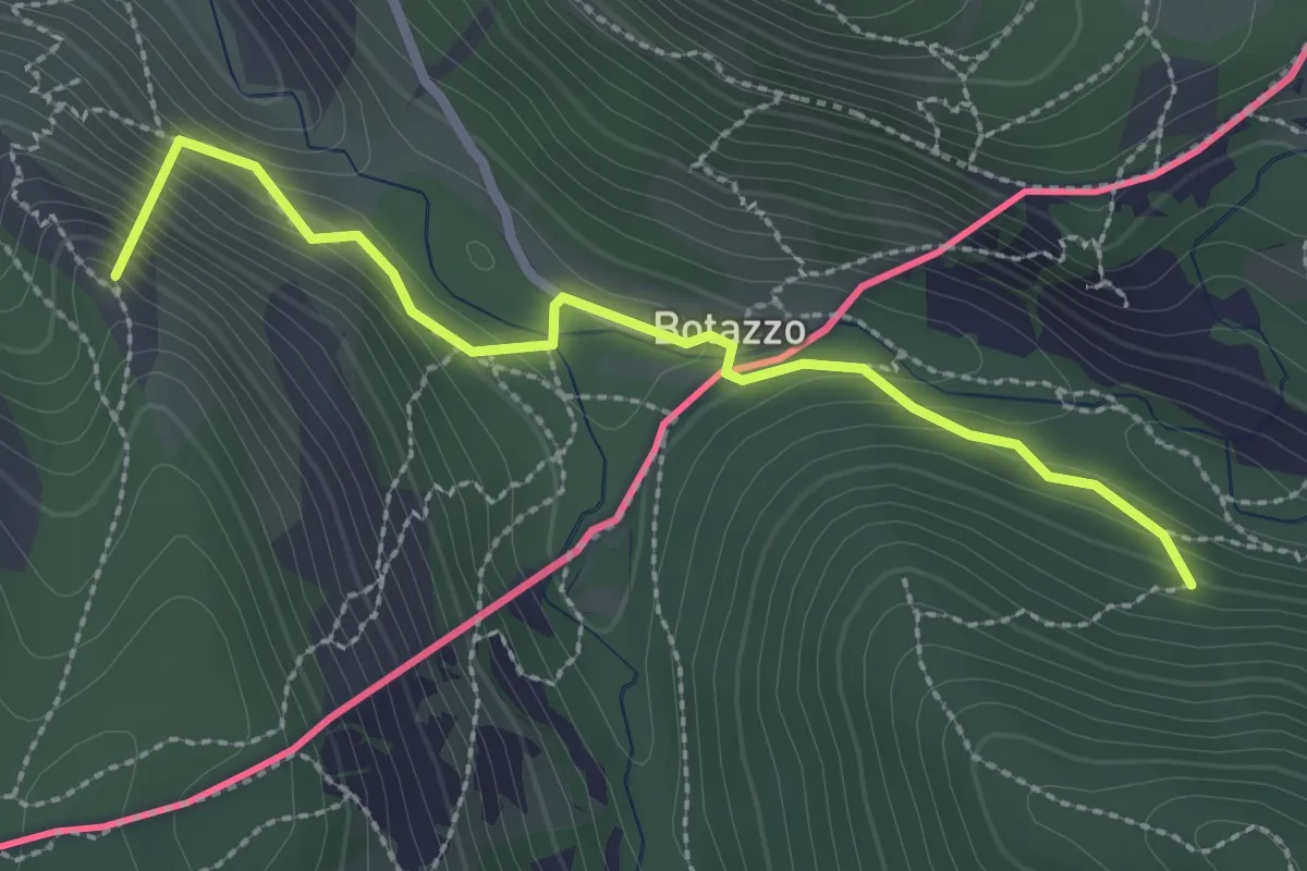
Medium · Summit
Sentiero dell'Amicizia
2.7 km · ↑ 163 m · 59 min
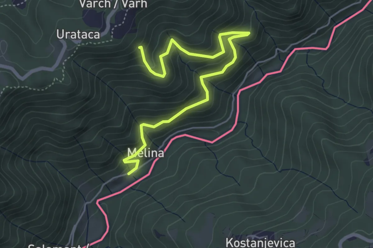
Medium · Trail
Sentiero delle portatrici
5.4 km · ↑ 469 m · 2 h 17 min
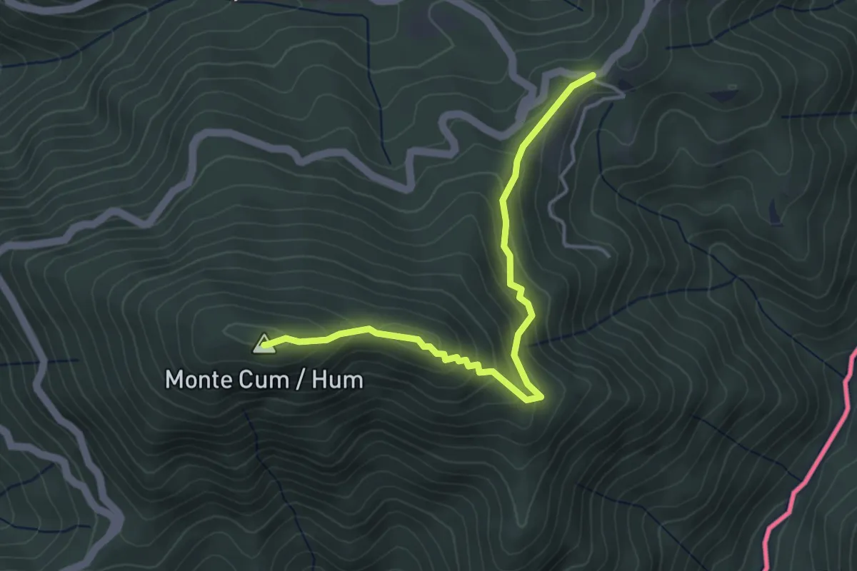
Easy · Summit
Sentiero Hum
4.0 km · ↑ 241 m · 1 h 27 min
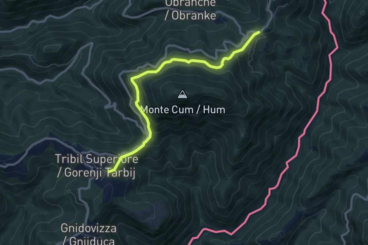
Medium · Trail
Sentiero Hum
6.7 km · ↑ 338 m · 2 h 19 min
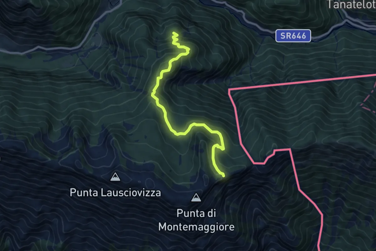
Medium · Trail
Sentiero Naturalistico dello Starmaz
7.5 km · ↑ 530 m · 2 h 54 min
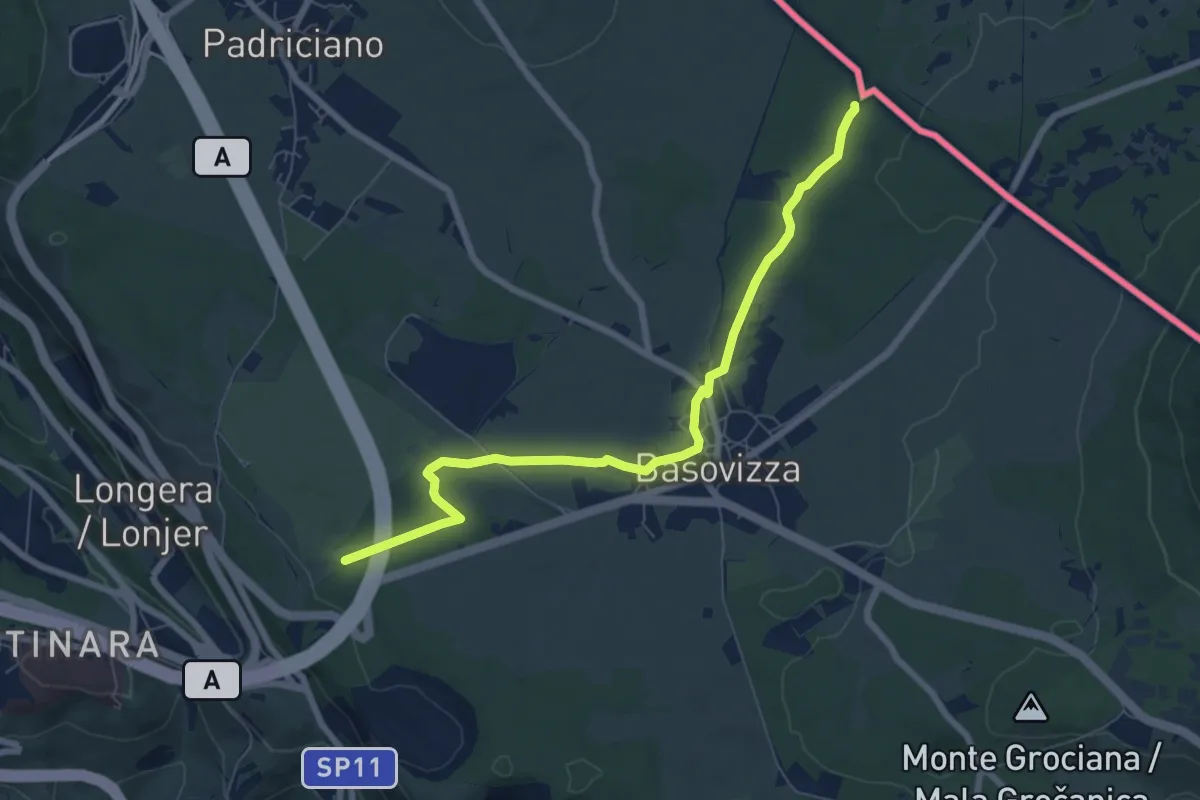
Easy · Trail
Sentiero Ressel
7.5 km · ↑ 48 m · 1 h 53 min
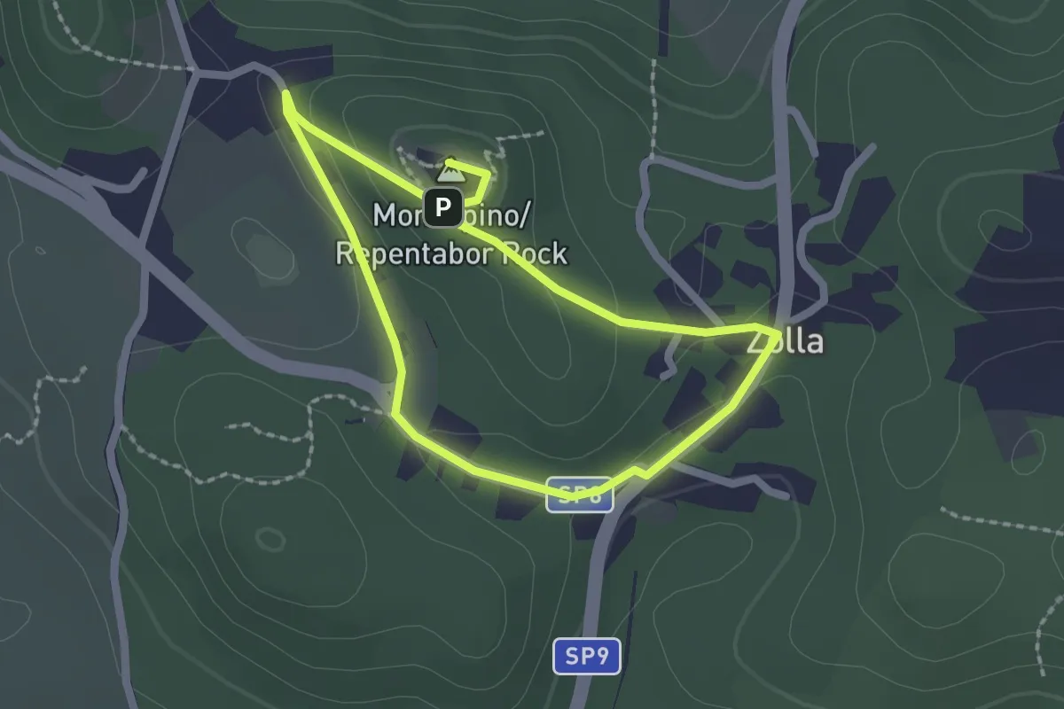
Easy · Summit
Sentiero Tabor / Pešpot Tabor
1.7 km · ↑ 48 m · 32 min
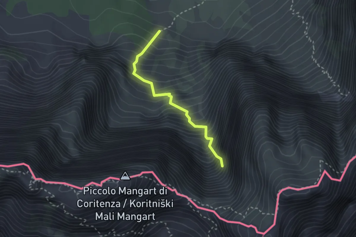
Demanding · Trail
Sentiero “Via della Vita”
2.2 km · ↑ 598 m · 1 h 49 min
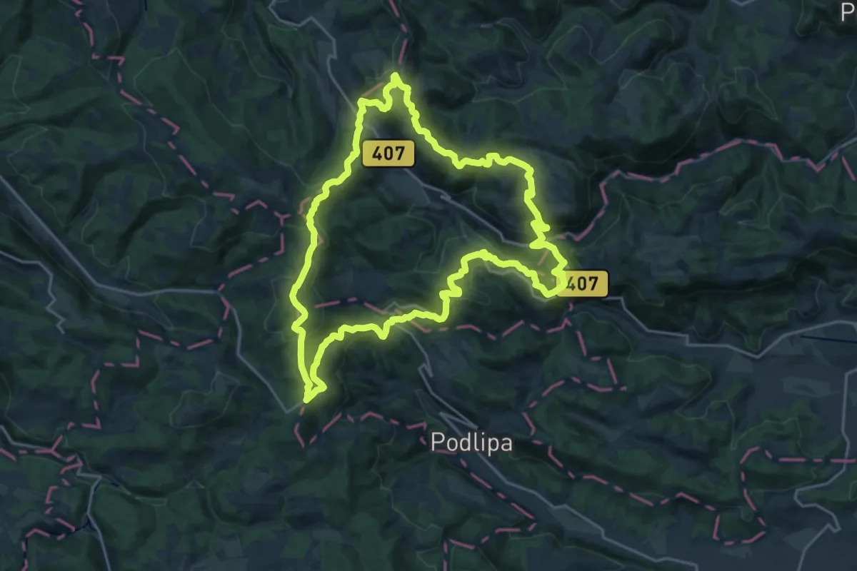
Demanding · Summit
Šentjoška planinska pot
19.9 km · ↑ 875 m · 6 h 52 min
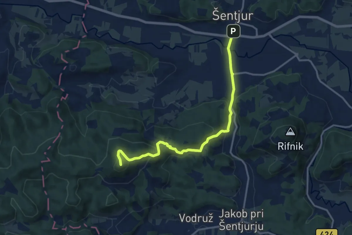
Medium · Summit
Šentjur - Ferležev mlin - Resevna
9.2 km · ↑ 470 m · 3 h 12 min
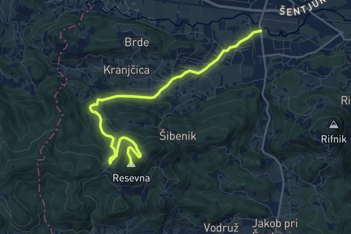
Medium · Summit
Šentjur - Resevna (po cesti)
10.8 km · ↑ 449 m · 3 h 32 min
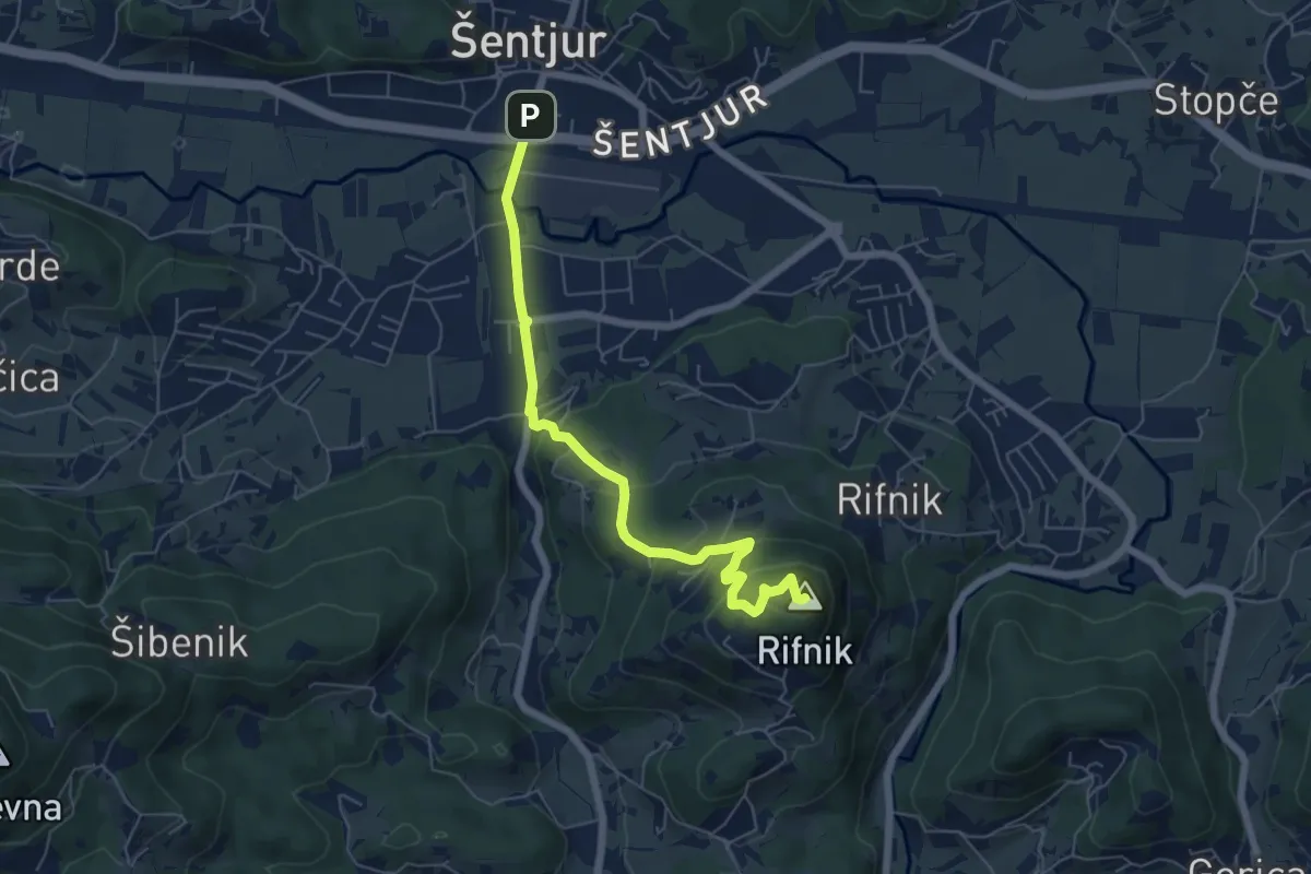
Easy · Summit
Šentjur - Rifnik
6.2 km · ↑ 306 m · 2 h 8 min
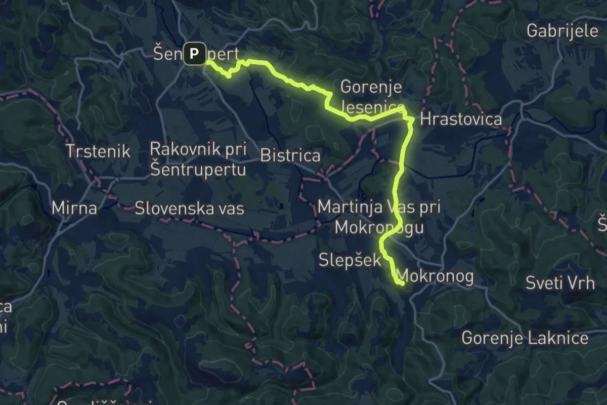
Medium · Summit
Šentrupert - Pugled
16.5 km · ↑ 273 m · 4 h 29 min
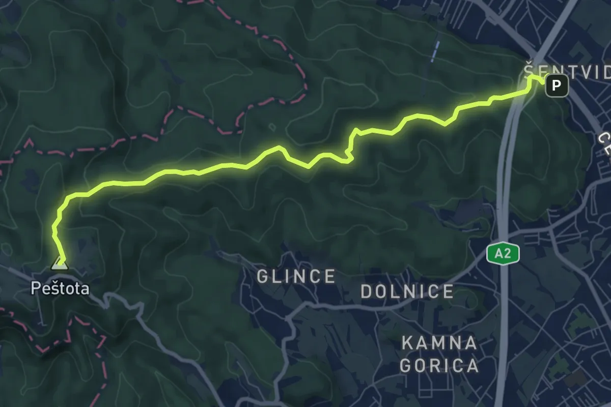
Medium · Summit
Šentvid - Toško Čelo
9.3 km · ↑ 403 m · 3 h 4 min
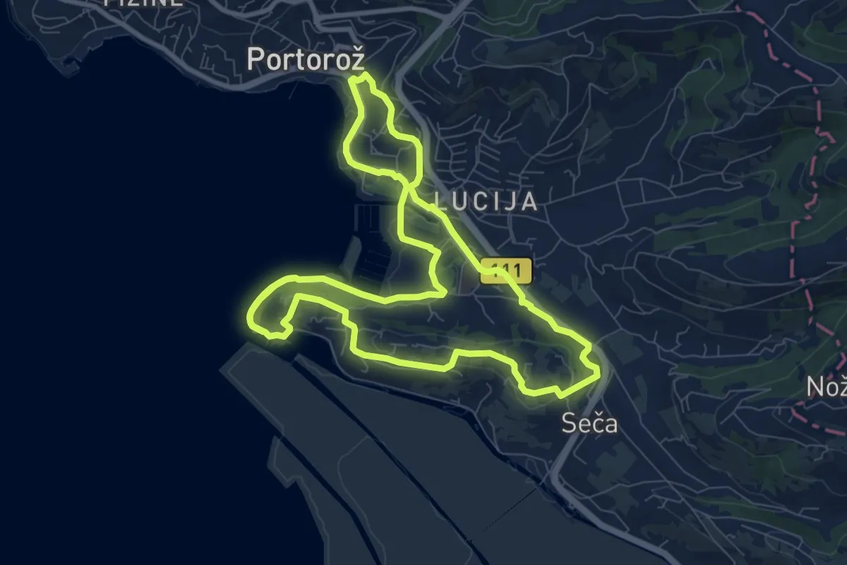
Medium · Trail
Seška pešpot
9.1 km · ↑ 87 m · 2 h 27 min
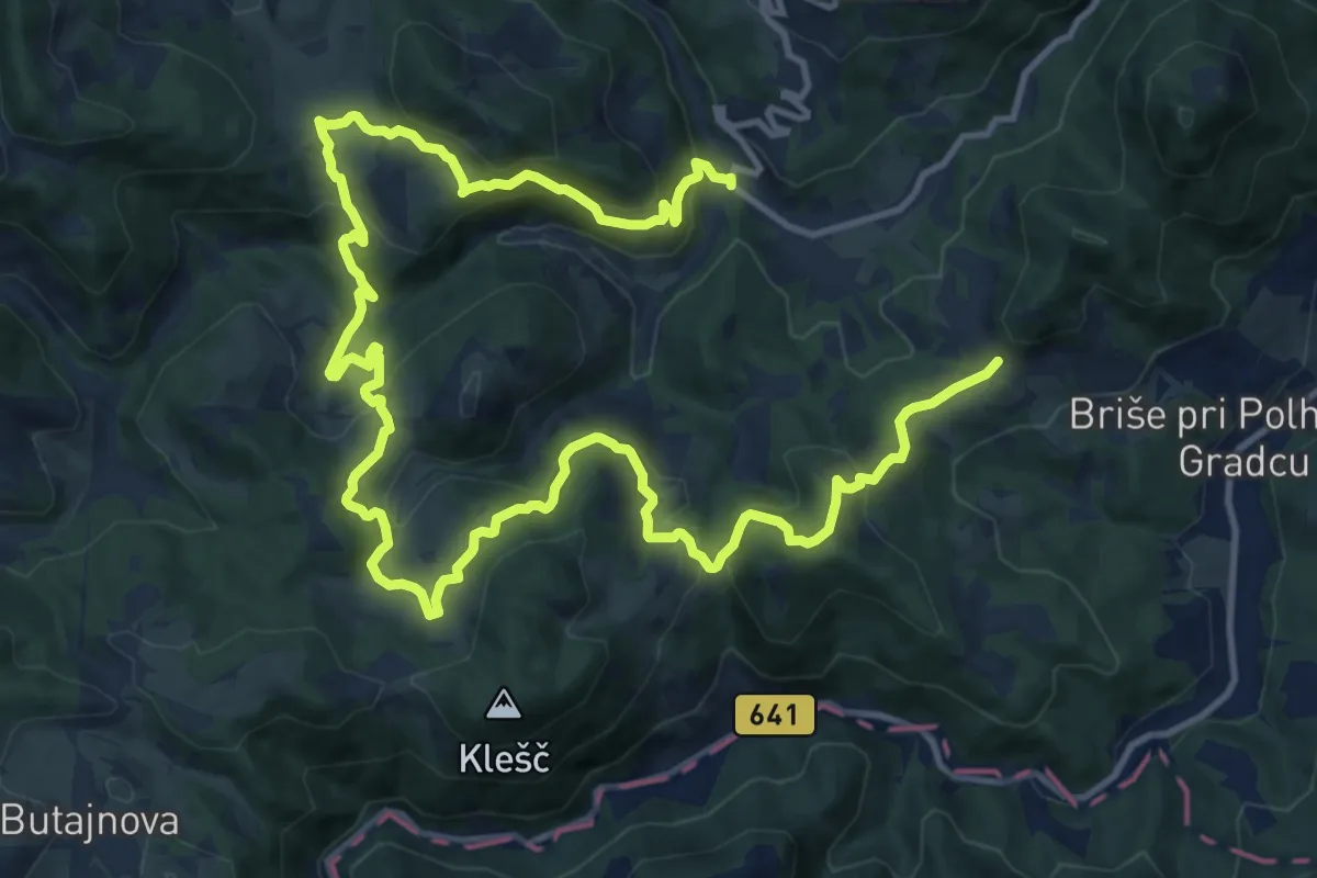
Demanding · Trail
Setnik - Srednji Vrh - Praproče
20.7 km · ↑ 1114 m · 7 h 18 min
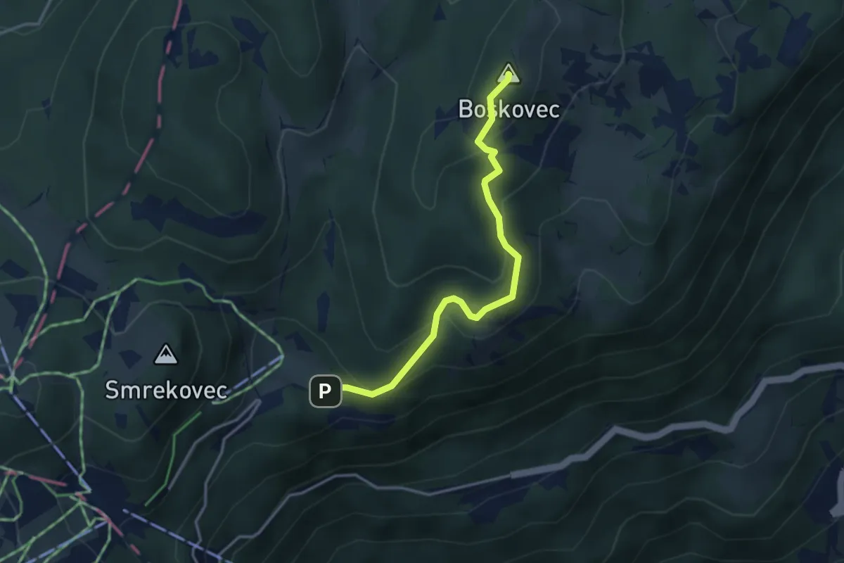
Medium · Summit
Severjeva pot
3.3 km · ↑ 224 m · 1 h 15 min
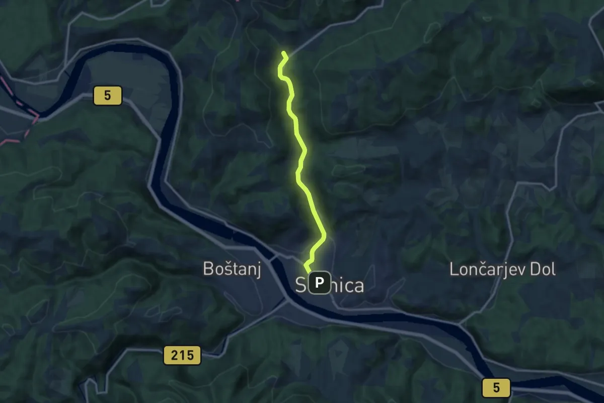
Medium · Trail
Sevnica - Krakovo
9.4 km · ↑ 263 m · 2 h 47 min
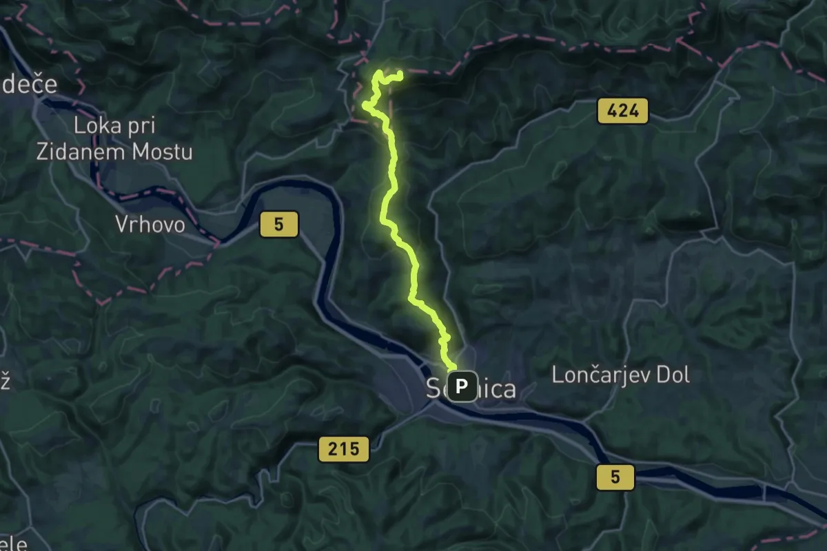
Demanding · Summit
Sevnica - Zajčja Gora - Lisca
18.0 km · ↑ 1006 m · 6 h 25 min
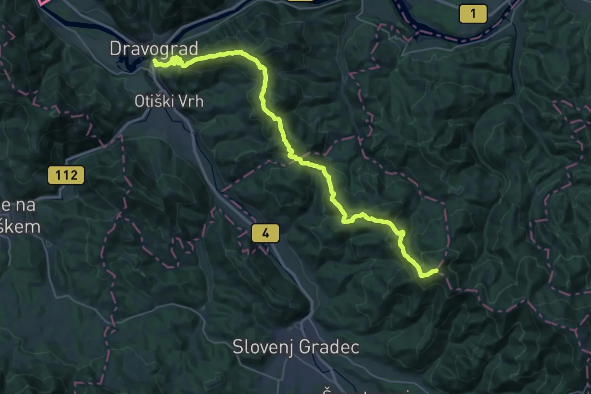
Demanding · Summit
Šisernikova pot
29.9 km · ↑ 1815 m · 10 h 59 min
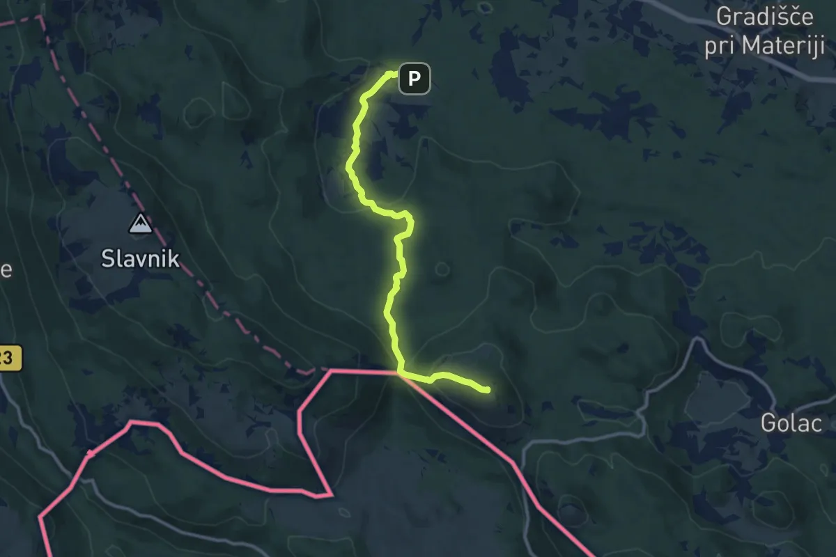
Medium · Summit
Skadanščina - M. vrata - V. Plešivica
10.7 km · ↑ 403 m · 3 h 24 min
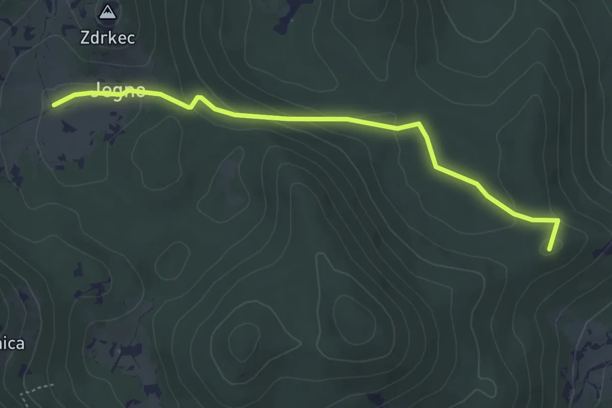
Easy · Summit
Skadanščina - Pl. Jegno
4.7 km · ↑ 115 m · 1 h 21 min
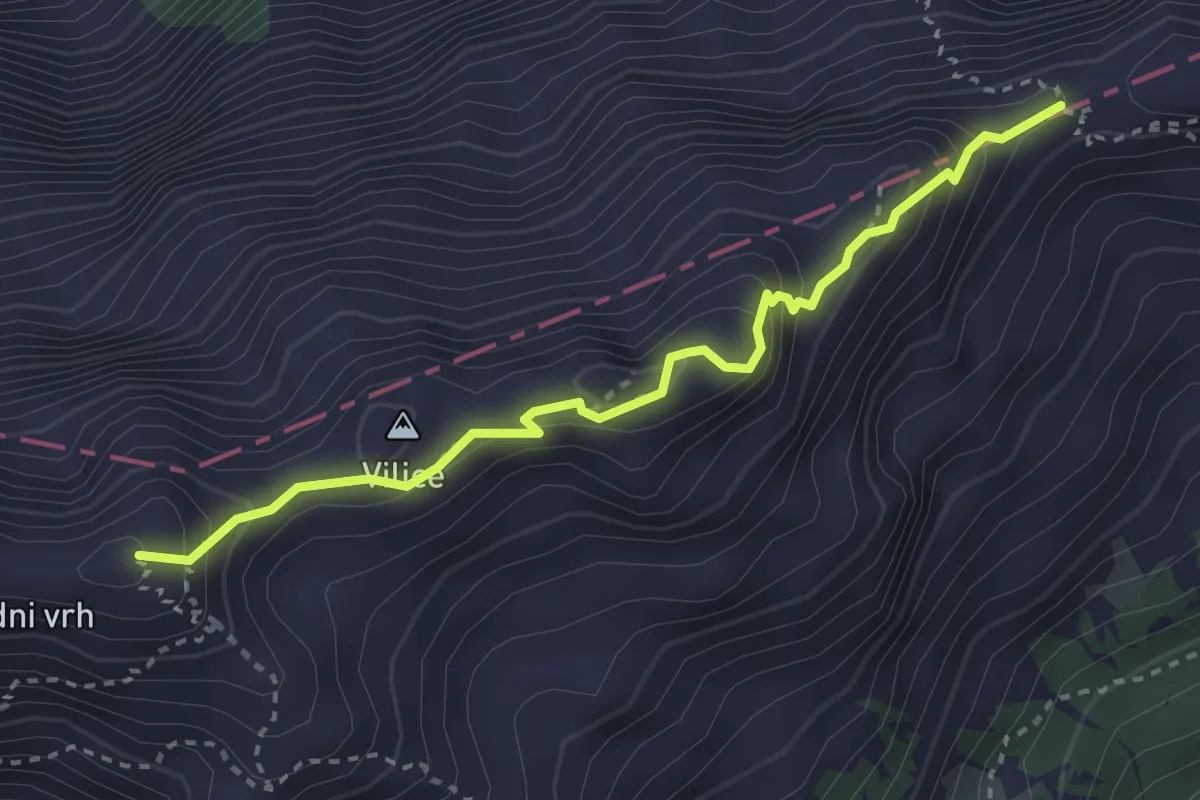
Demanding · Summit
Škarje - Kamniško sedlo
3.2 km · ↑ 373 m · 1 h 34 min
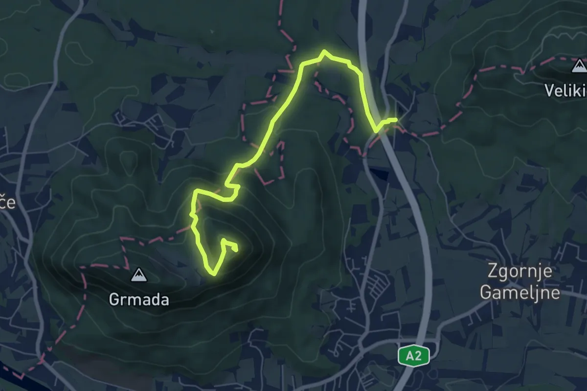
Medium · Summit
Skaručenska pot
7.5 km · ↑ 362 m · 2 h 34 min
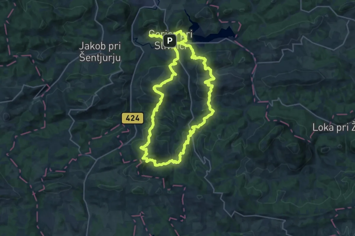
Demanding · Summit
S klopce na klopco
20.1 km · ↑ 980 m · 7 h 9 min
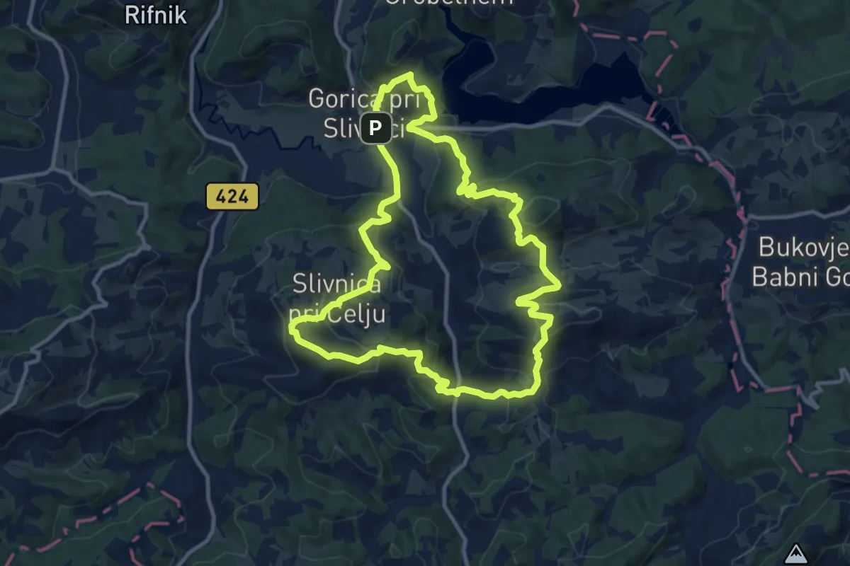
Medium · Summit
S klopce na klopco (krajša)
10.8 km · ↑ 610 m · 4 h 1 min
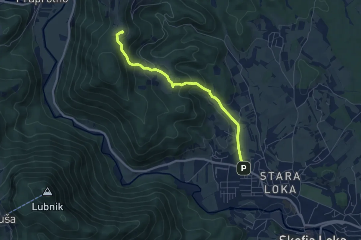
Medium · Trail
Škofja Loka - Križna Gora
6.0 km · ↑ 339 m · 2 h 8 min
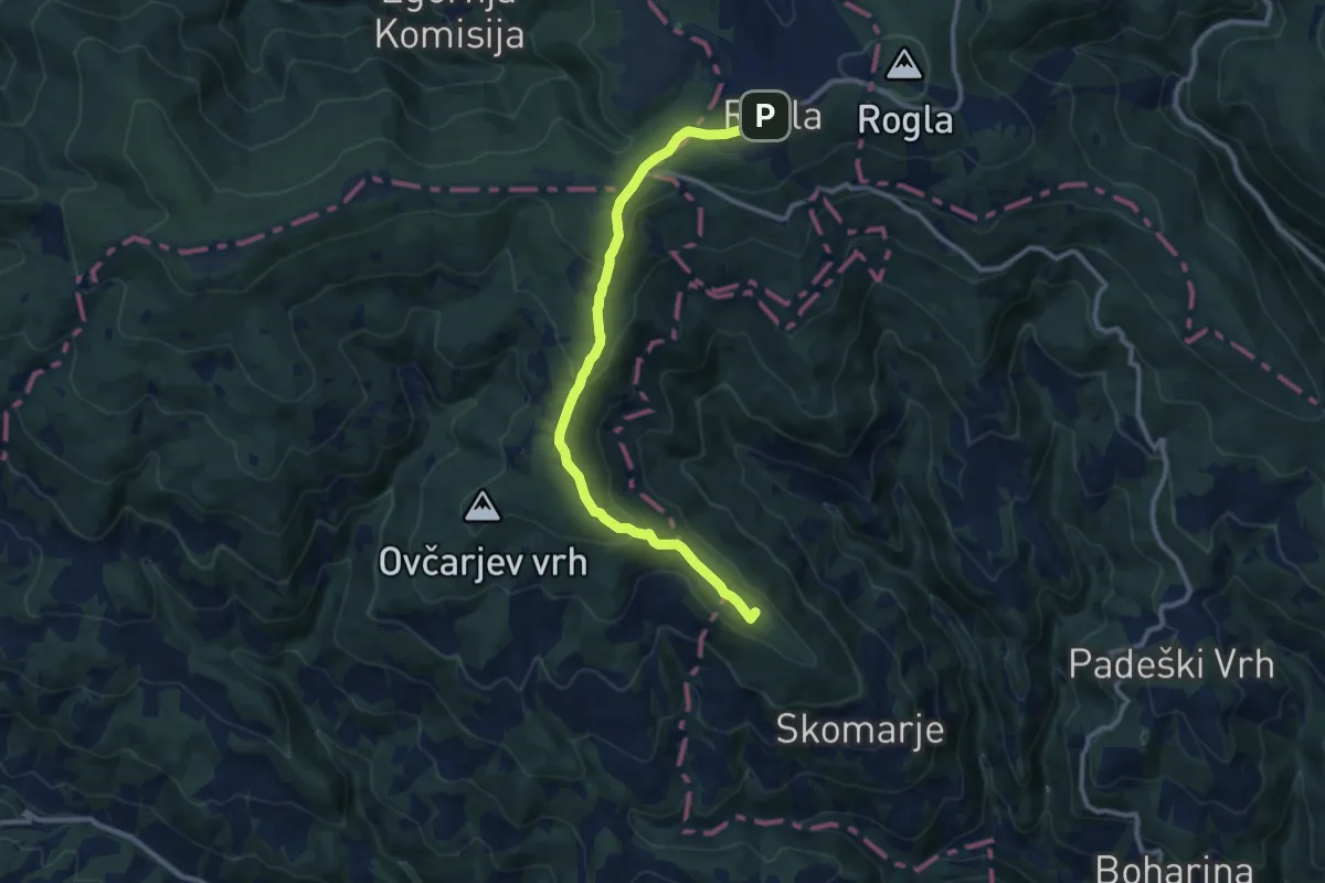
Medium · Summit
Skomarje - Rogla
10.7 km · ↑ 391 m · 3 h 23 min
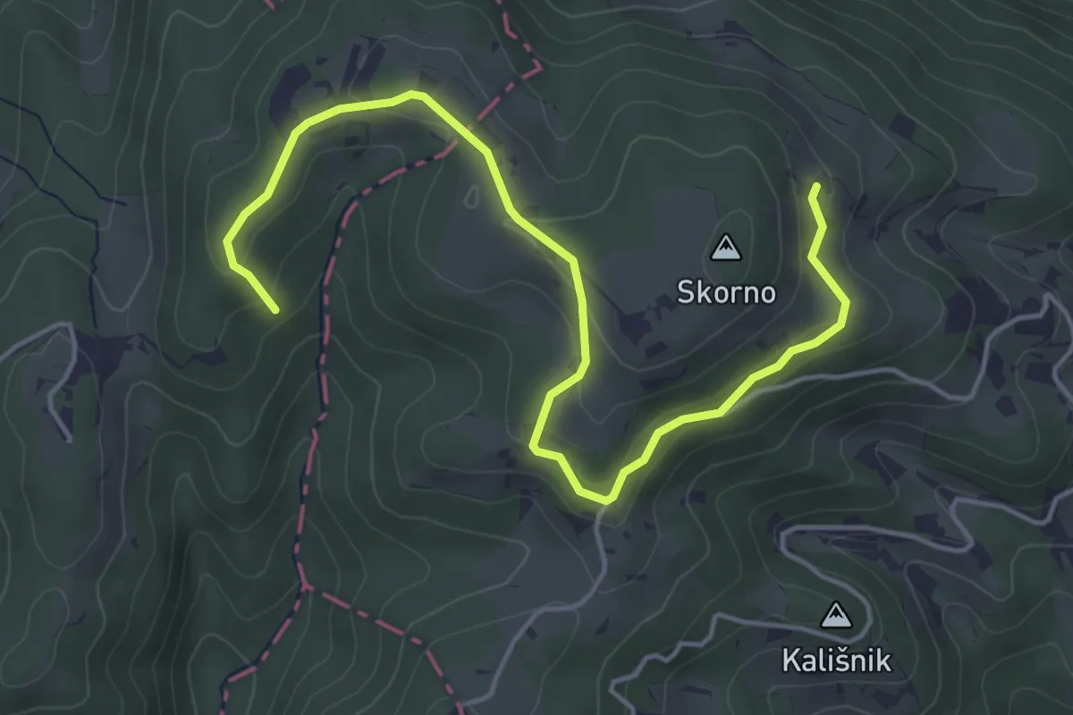
Easy · Trail
Skornska pot
5.3 km · ↑ 199 m · 1 h 42 min
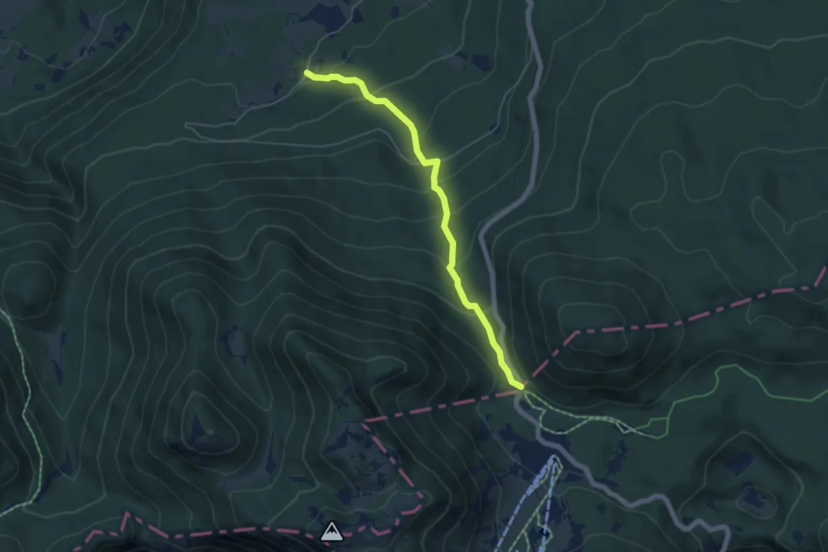
Medium · Trail
Skozi volčje jame
4.8 km · ↑ 344 m · 1 h 52 min
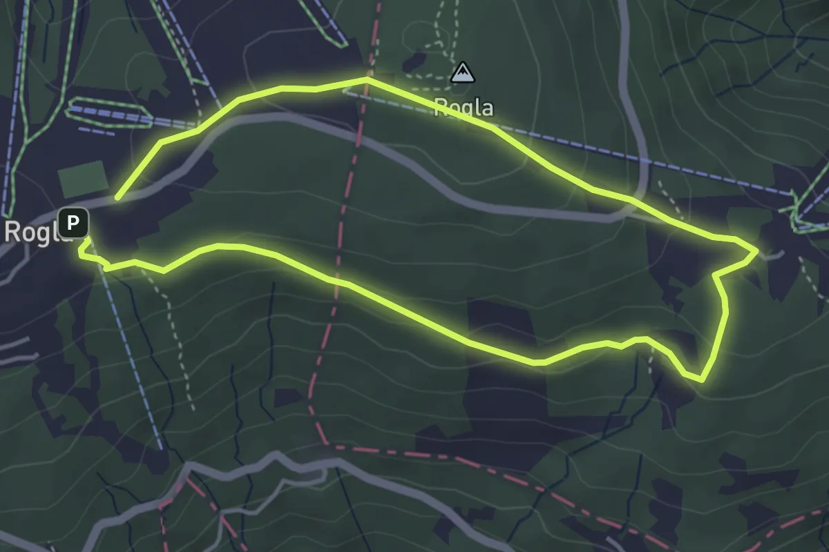
Easy · Summit
Škratova pot
3.7 km · ↑ 125 m · 1 h 12 min
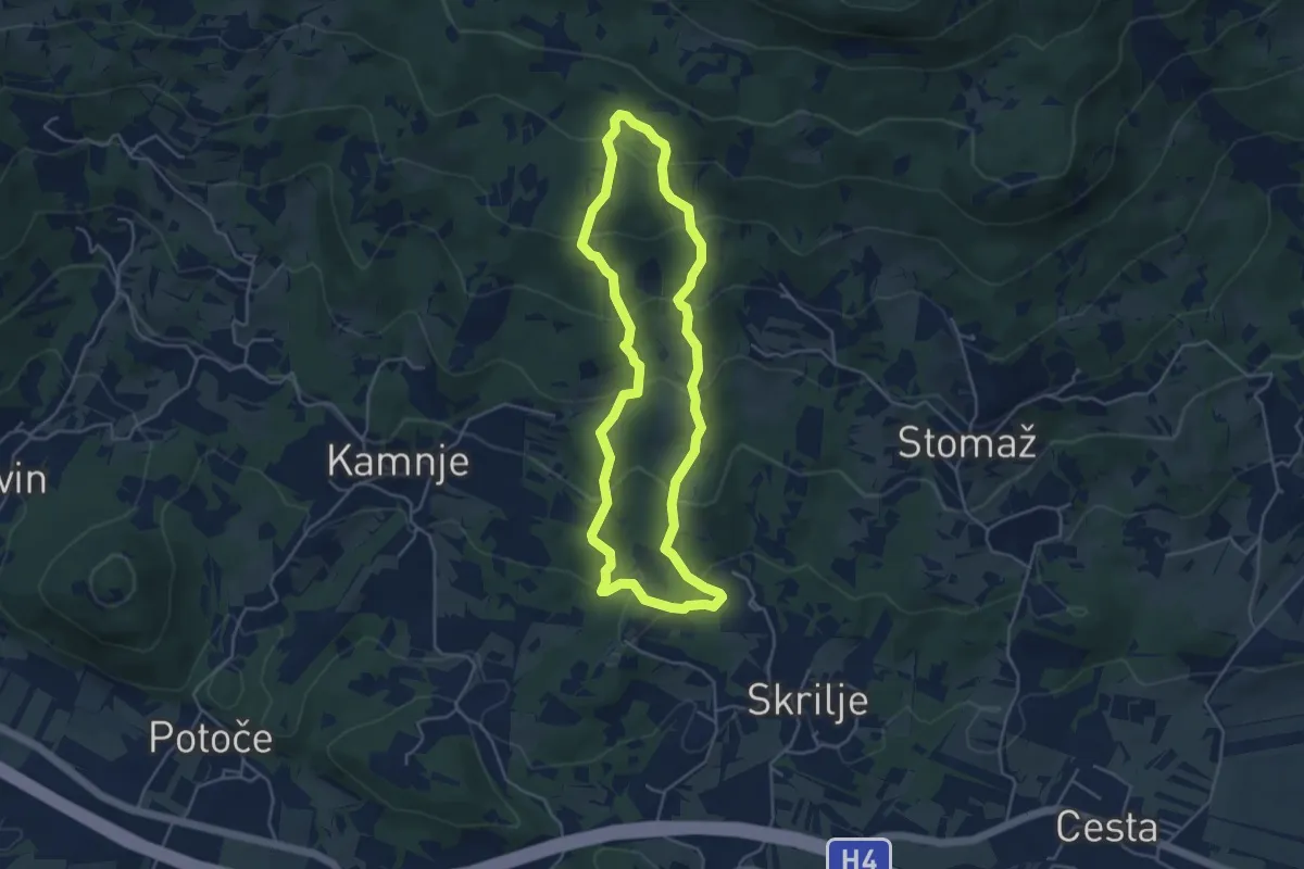
Easy · Trail
Skrlanka
4.4 km · ↑ 283 m · 1 h 43 min