Trails in Slovenia
1,594 hiking trails, each with its route, climb, walking time and grade.
All trails, page 24 of 34
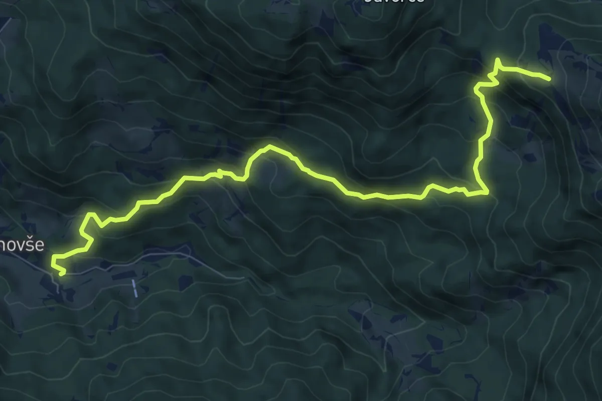
Medium · Trail
Slaparska vas - Pl. Javornik
10.4 km · ↑ 737 m · 4 h 3 min
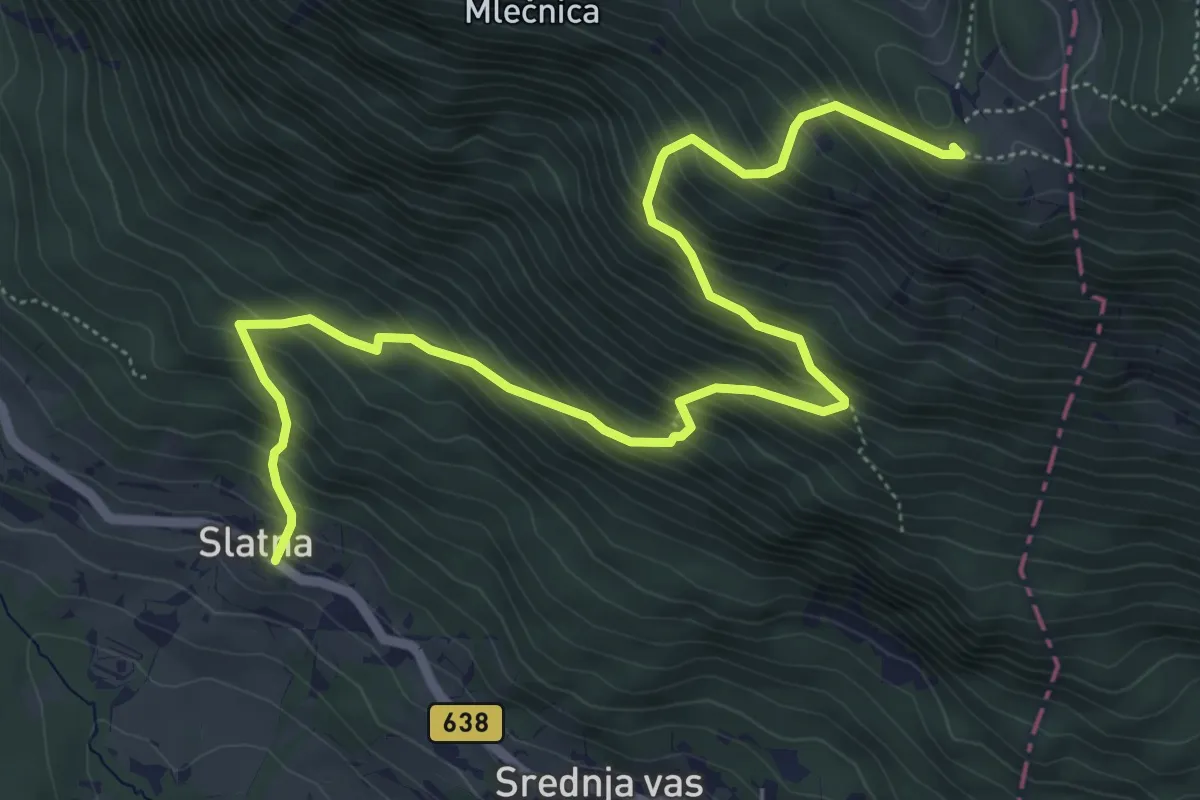
Demanding · Cabin
Slatna - Koča na Dobrči
7.2 km · ↑ 864 m · 3 h 35 min
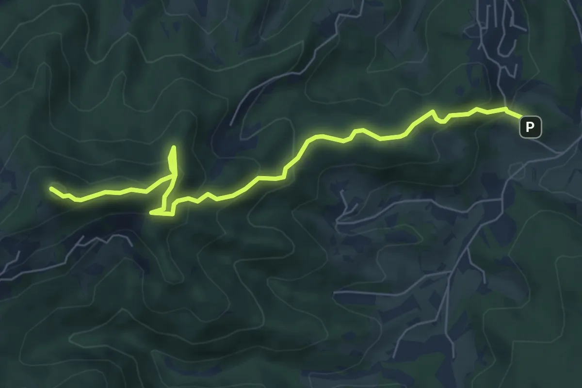
Medium · Summit
Slavkov dom - Petelinc - Jeterbenk
6.8 km · ↑ 470 m · 2 h 38 min
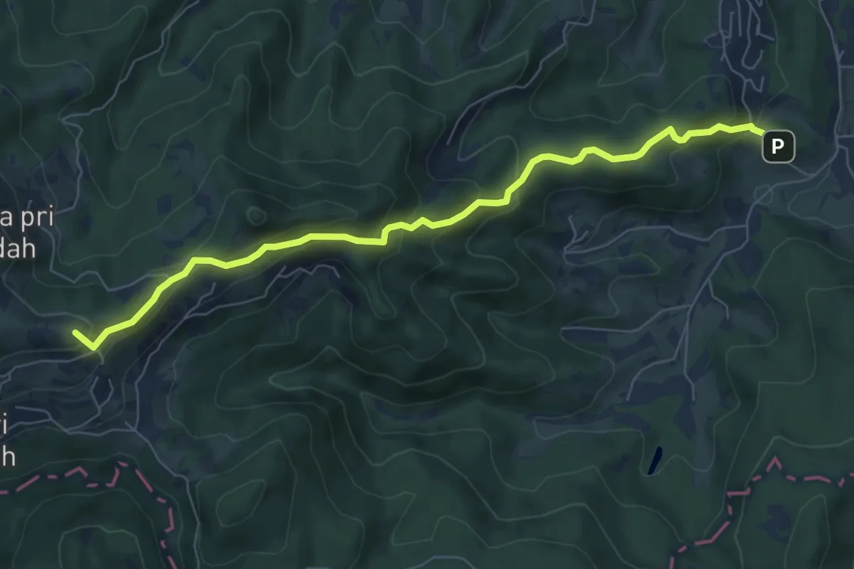
Medium · Summit
Slavkov dom - Sv. Katarina
7.4 km · ↑ 423 m · 2 h 40 min
Medium · Summit
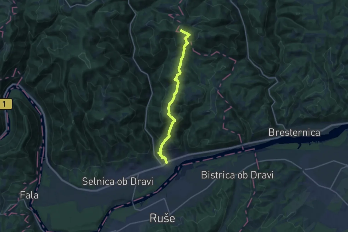
Slemen - Žavcarjev vrh
12.3 km · ↑ 792 m · 4 h 36 min
Medium · Summit
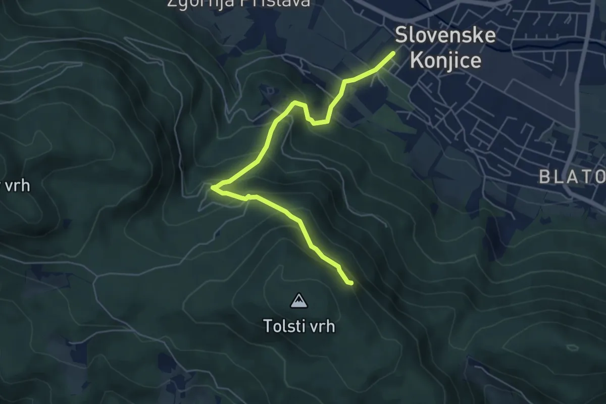
Sl. Konjice - Skala
5.5 km · ↑ 458 m · 2 h 18 min
Expert · Summit
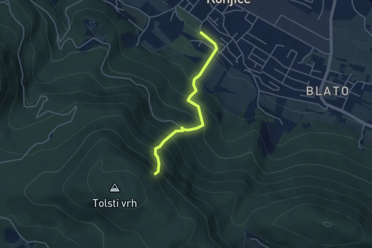
Sl. Konjice - Skala (plezalna)
3.2 km · ↑ 417 m · 1 h 40 min
Medium · Summit
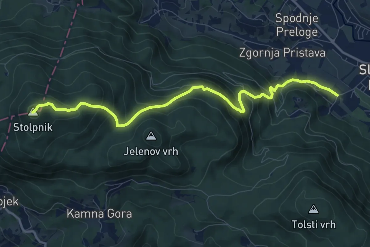
Sl. Konjice - Stolpnik
9.3 km · ↑ 653 m · 3 h 37 min
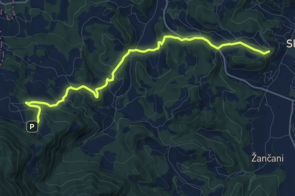
Medium · Summit
Slovenj Gradec - Poštarski dom
12.4 km · ↑ 506 m · 4 h 2 min
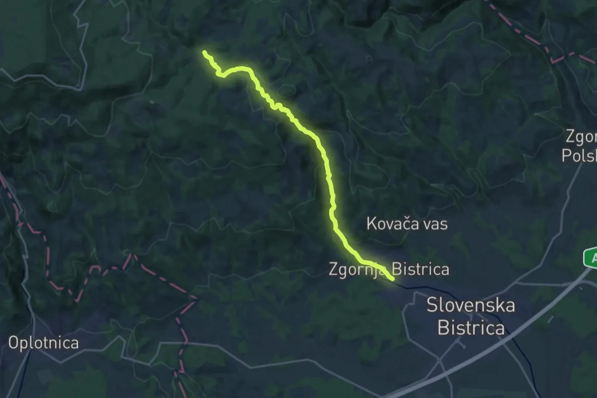
Medium · Trail
Slovenska Bistrica - Bistriški vintgar - Močnik
15.6 km · ↑ 595 m · 4 h 59 min
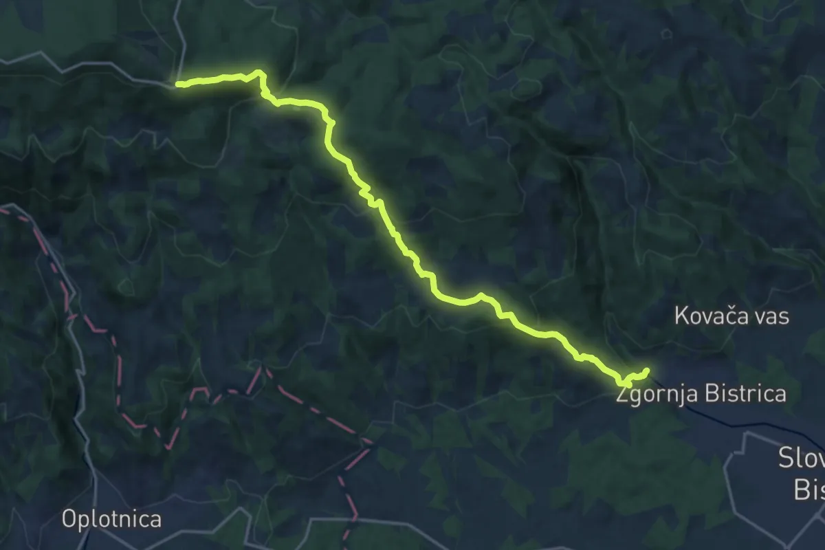
Demanding · Cabin
Slovenska Bistrica - Veliko Tinje - Trije Kralji
18.5 km · ↑ 896 m · 6 h 18 min
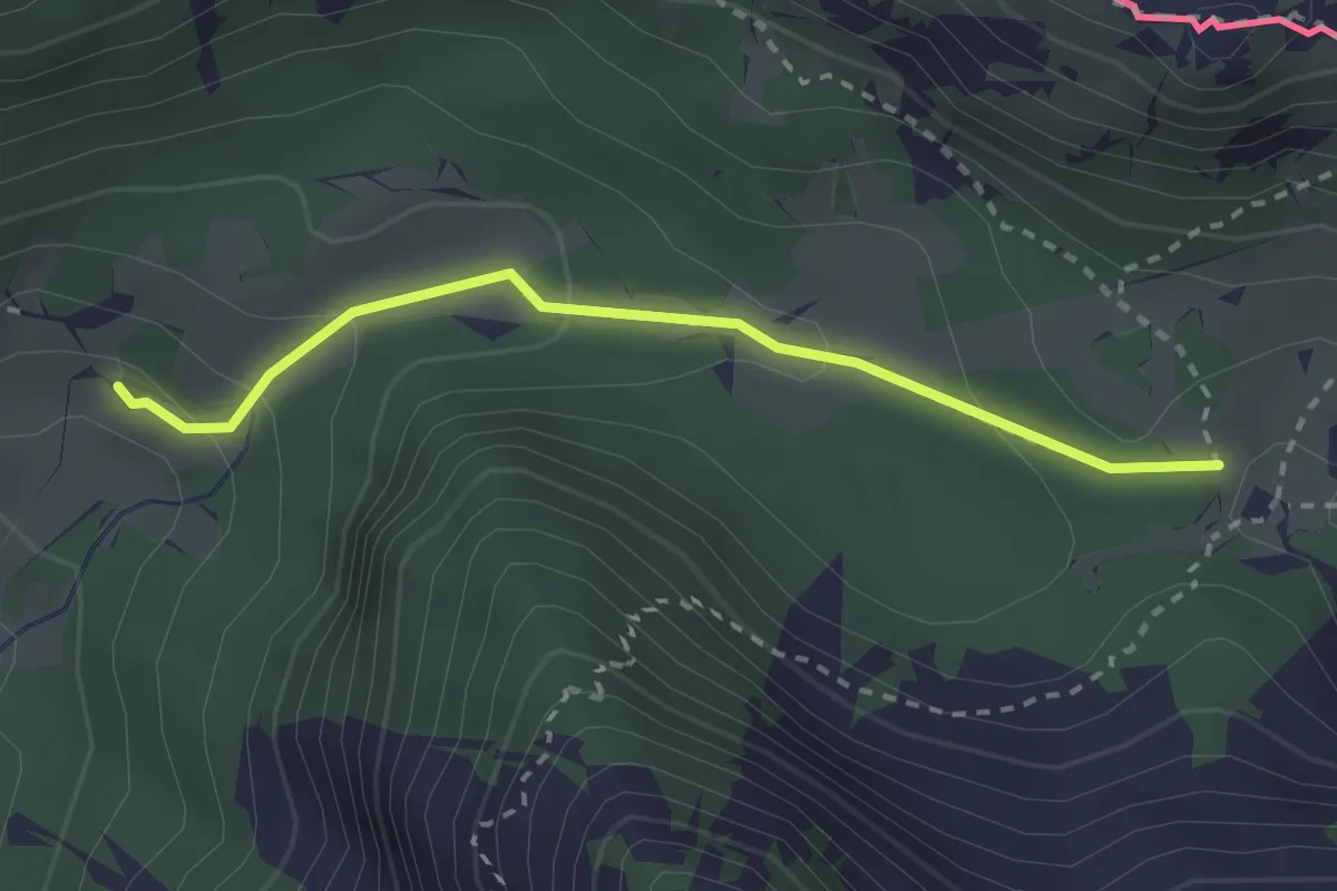
Medium · Trail
Slovenska geološka pot
2.5 km · ↑ 112 m · 50 min
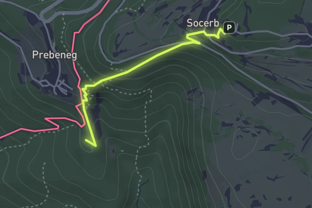
Medium · Summit
Slovenska planinska pot
2.9 km · ↑ 247 m · 1 h 13 min
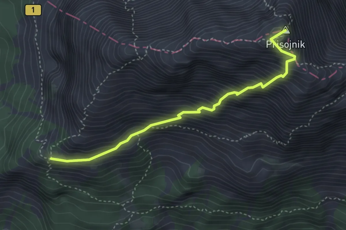
Demanding · Summit
Slovenska pot
3.7 km · ↑ 716 m · 2 h 26 min
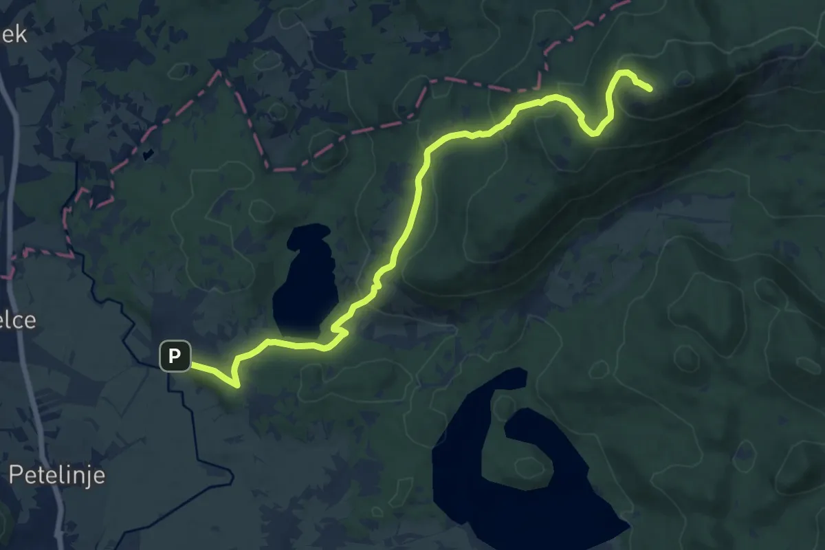
Medium · Summit
Slovenska vas - Sv. Trojica
15.0 km · ↑ 630 m · 4 h 55 min
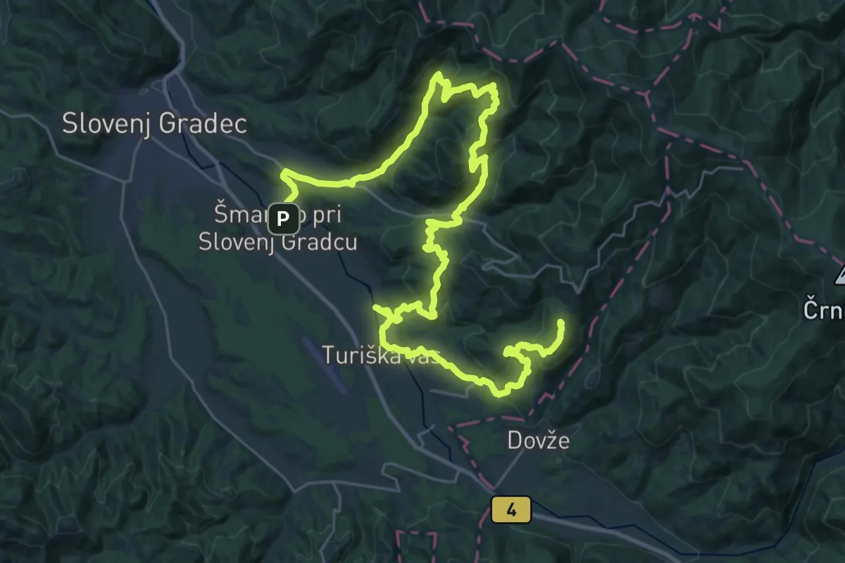
Demanding · Summit
Šmarška farna pot
41.4 km · ↑ 2043 m · 14 h 12 min
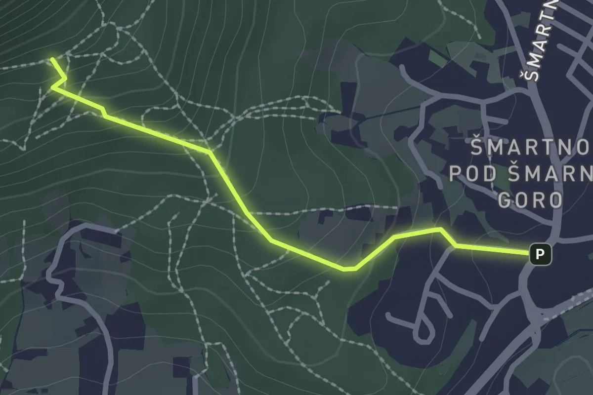
Medium · Trail
Šmartinska pot
2.1 km · ↑ 166 m · 51 min
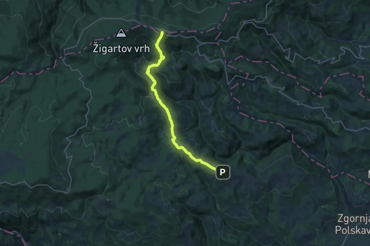
Medium · Cabin
Šmartno - Bojtina - Ruška koča
16.3 km · ↑ 706 m · 5 h 23 min
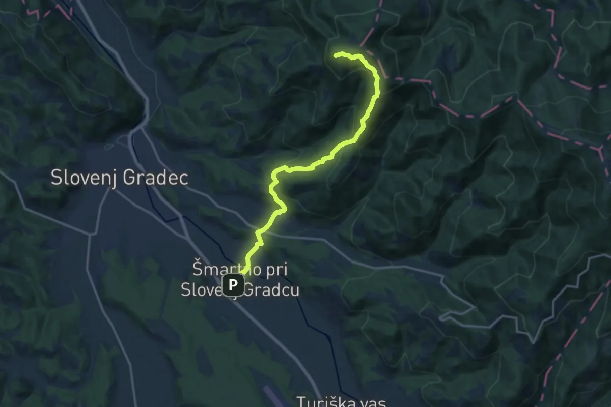
Medium · Cabin
Šmartno - Koča pod Kremžarjevim vrhom
13.0 km · ↑ 746 m · 4 h 41 min
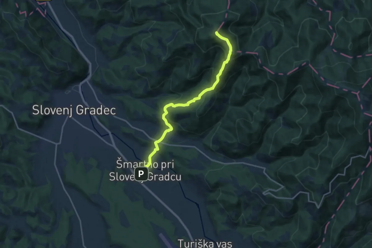
Medium · Summit
Šmartno - Kremžarjev vrh
12.7 km · ↑ 736 m · 4 h 36 min
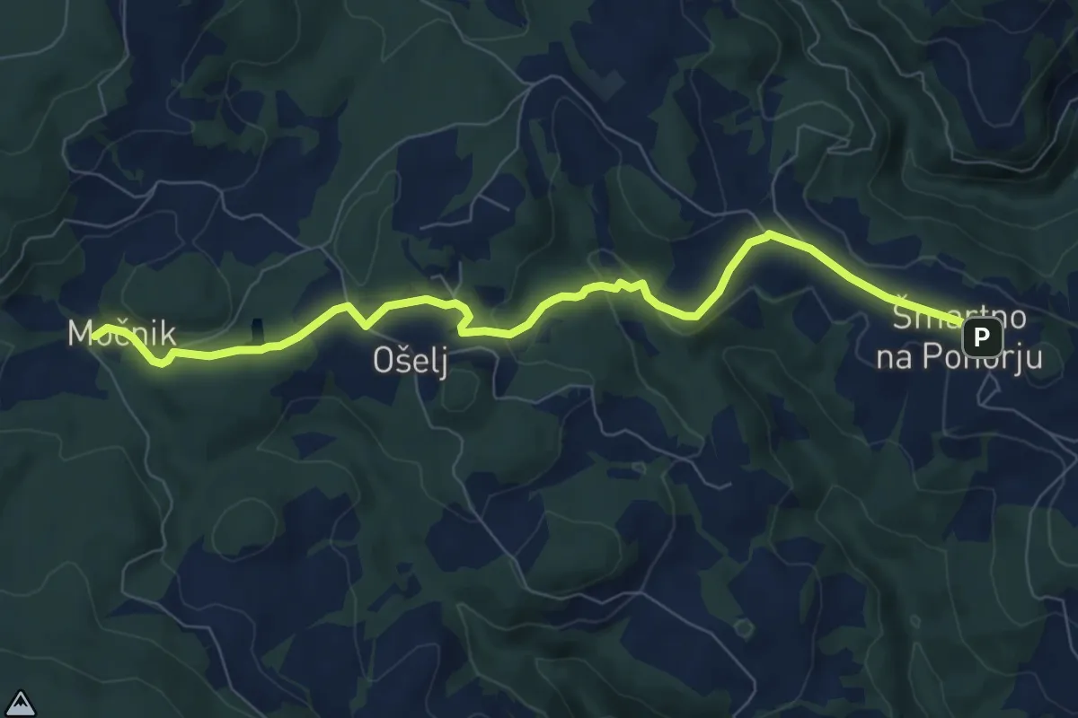
Medium · Trail
Šmartno - Močnik
8.3 km · ↑ 228 m · 2 h 27 min
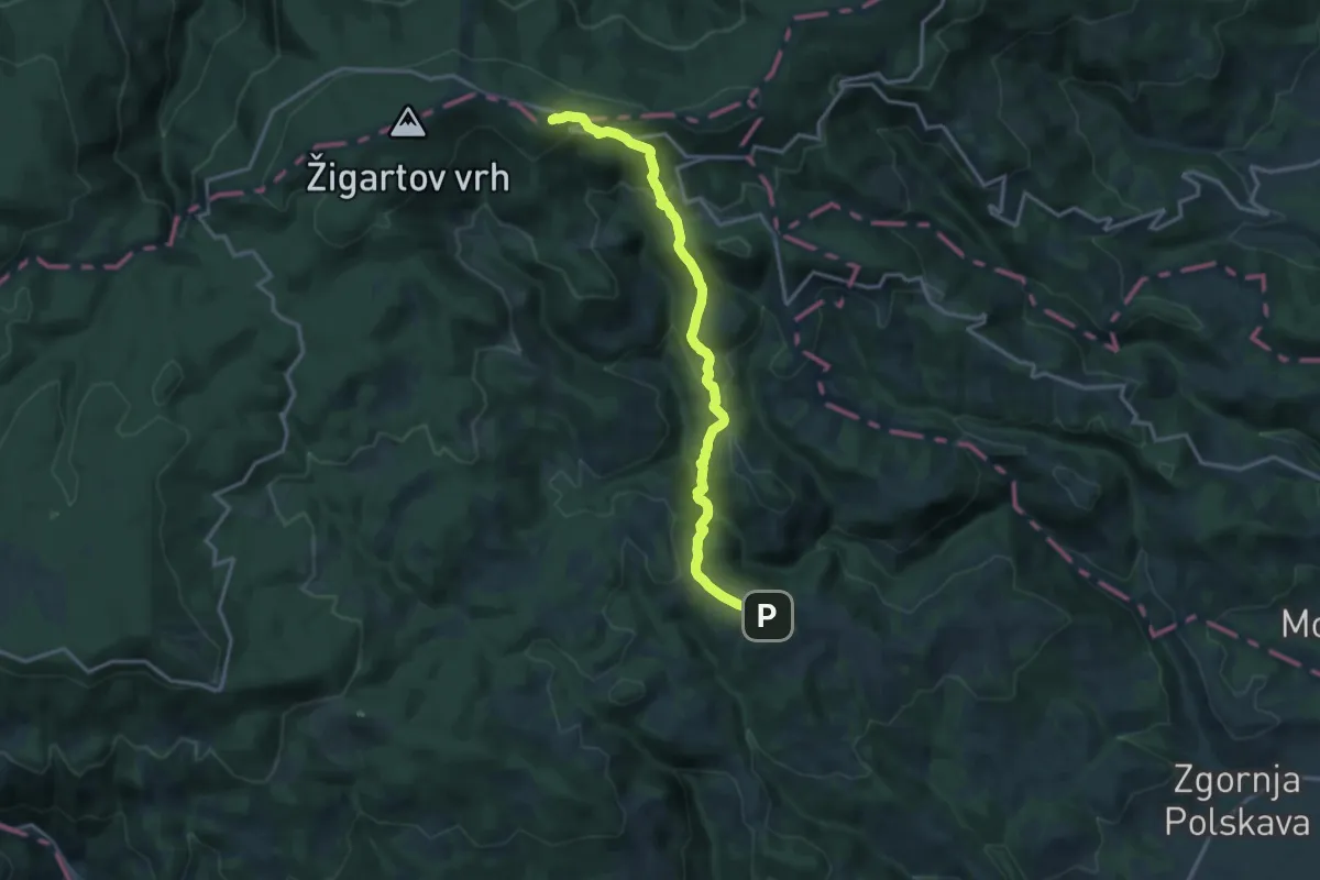
Medium · Cabin
Šmartno - Ruška koča
15.5 km · ↑ 697 m · 5 h 10 min
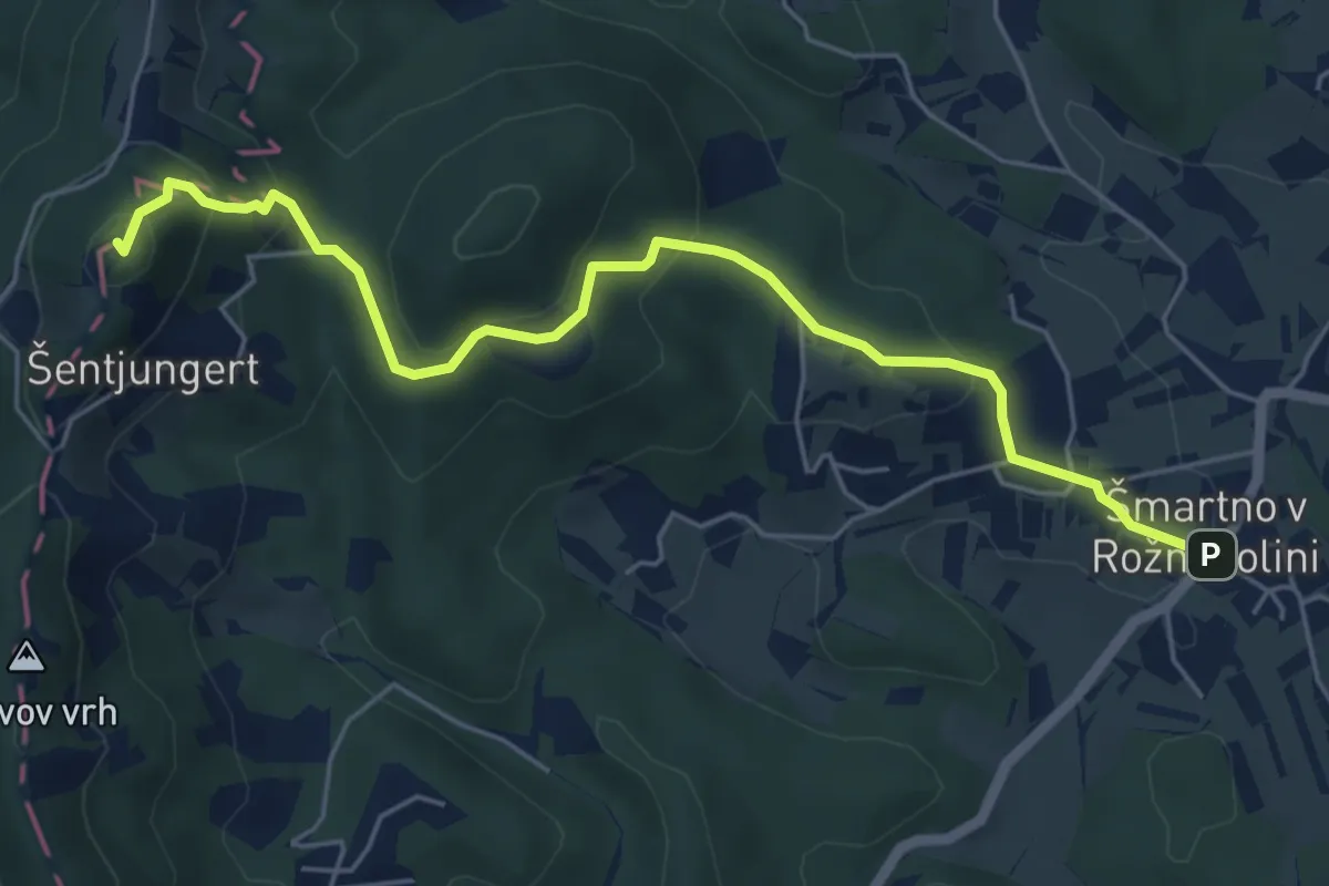
Easy · Summit
Šmartno v Rožni dolini - Pl. dom Šentjugert
5.9 km · ↑ 297 m · 2 h 2 min
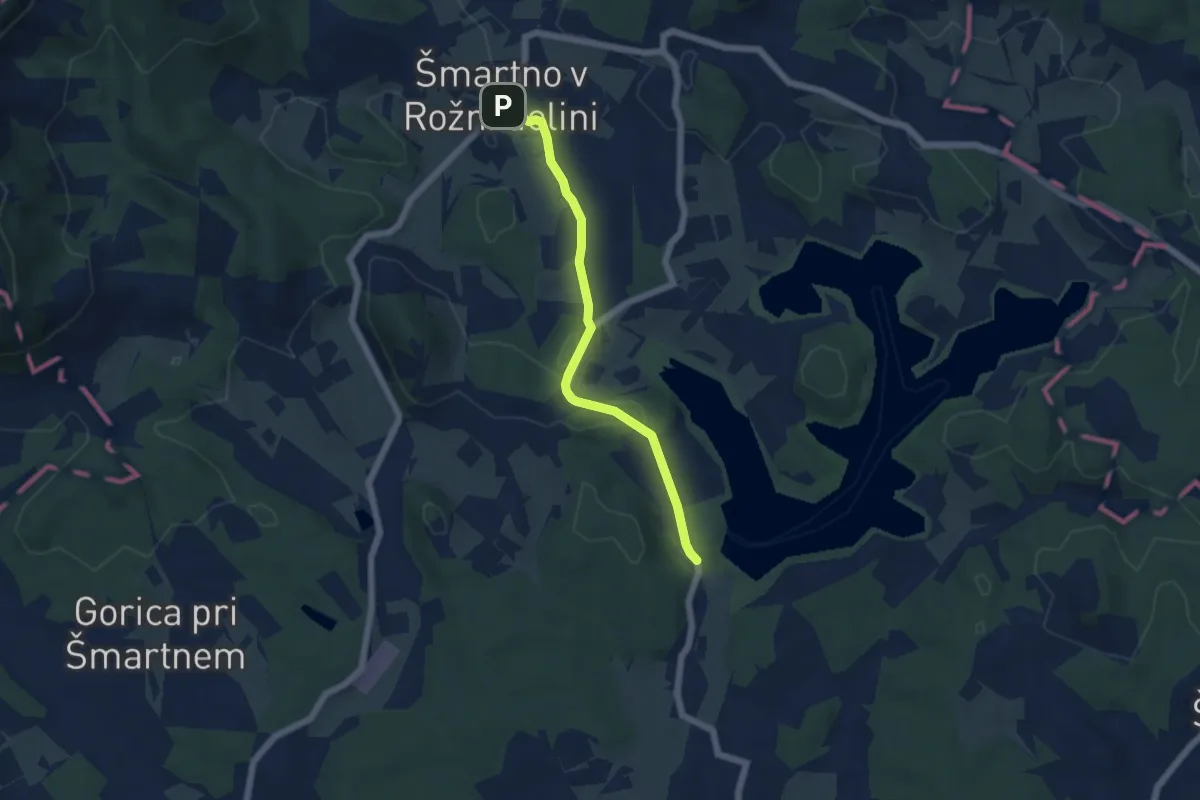
Easy · Trail
Šmartno v Rožni dolini - Šmartinsko jezero
5.0 km · ↑ 118 m · 1 h 26 min
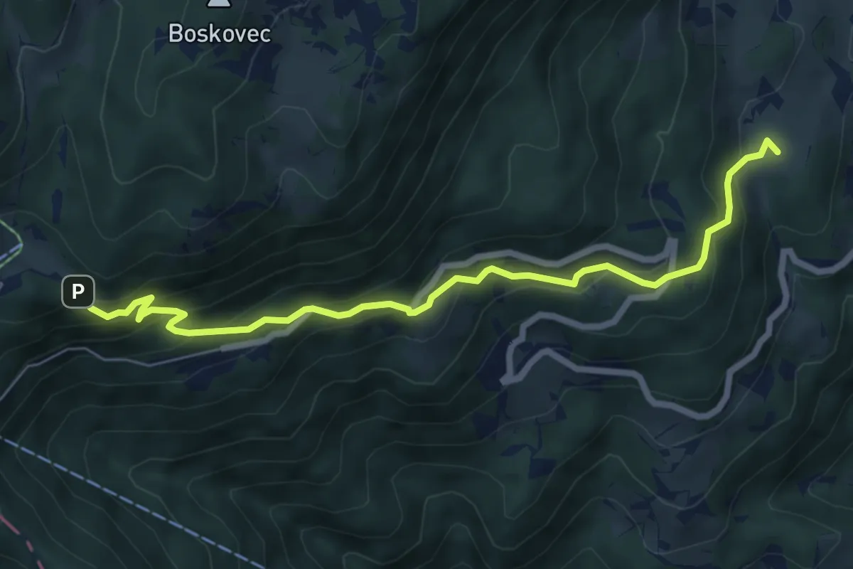
Medium · Summit
Šmihel - Mozirska koča
6.8 km · ↑ 511 m · 2 h 43 min
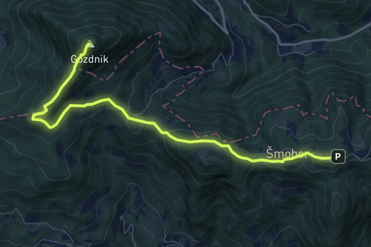
Medium · Summit
Šmohor - Gozdnik
9.4 km · ↑ 516 m · 3 h 20 min
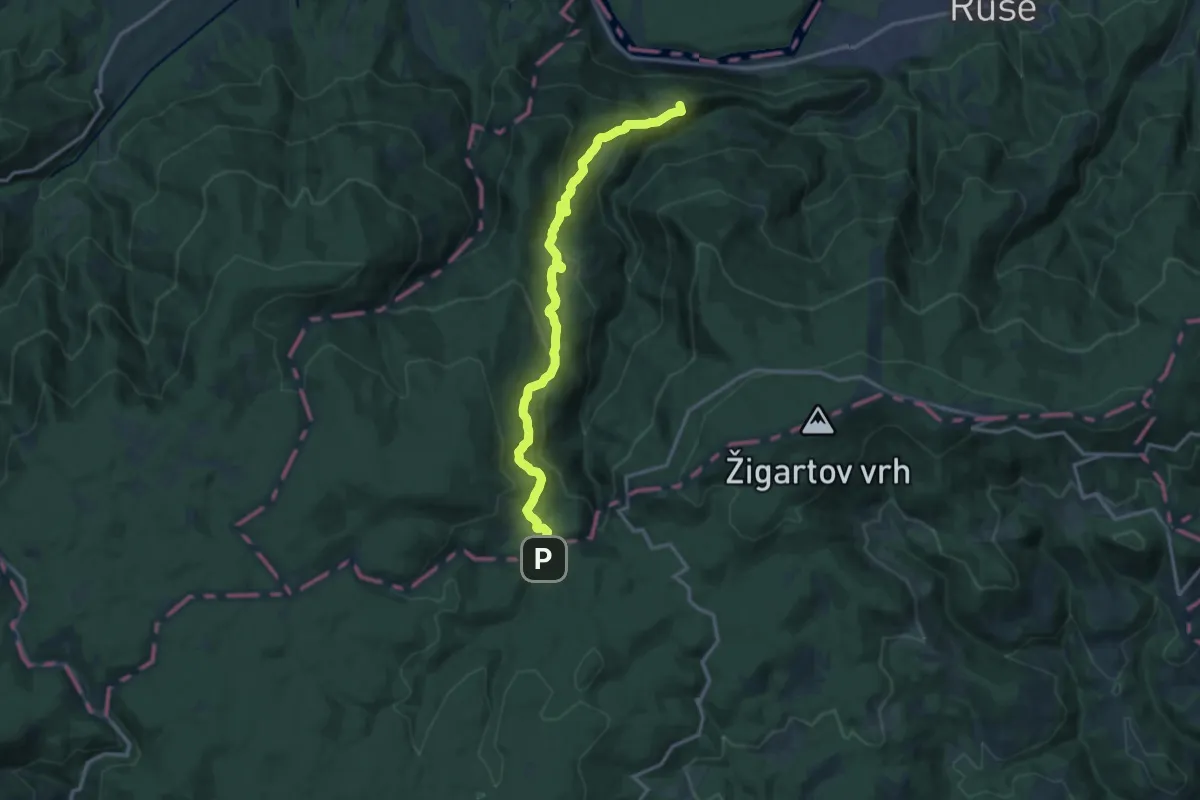
Demanding · Summit
Smolnik - Bajgot
14.9 km · ↑ 806 m · 5 h 16 min
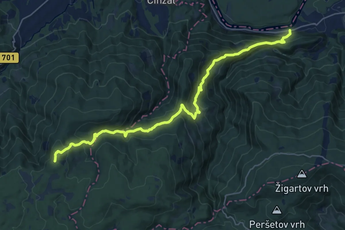
Demanding · Summit
Smolnik - Klopni vrh
21.3 km · ↑ 1233 m · 7 h 43 min
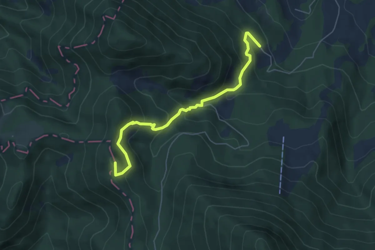
Medium · Summit
Smučarska koča - Koča na Ledinah
5.2 km · ↑ 389 m · 2 h 4 min
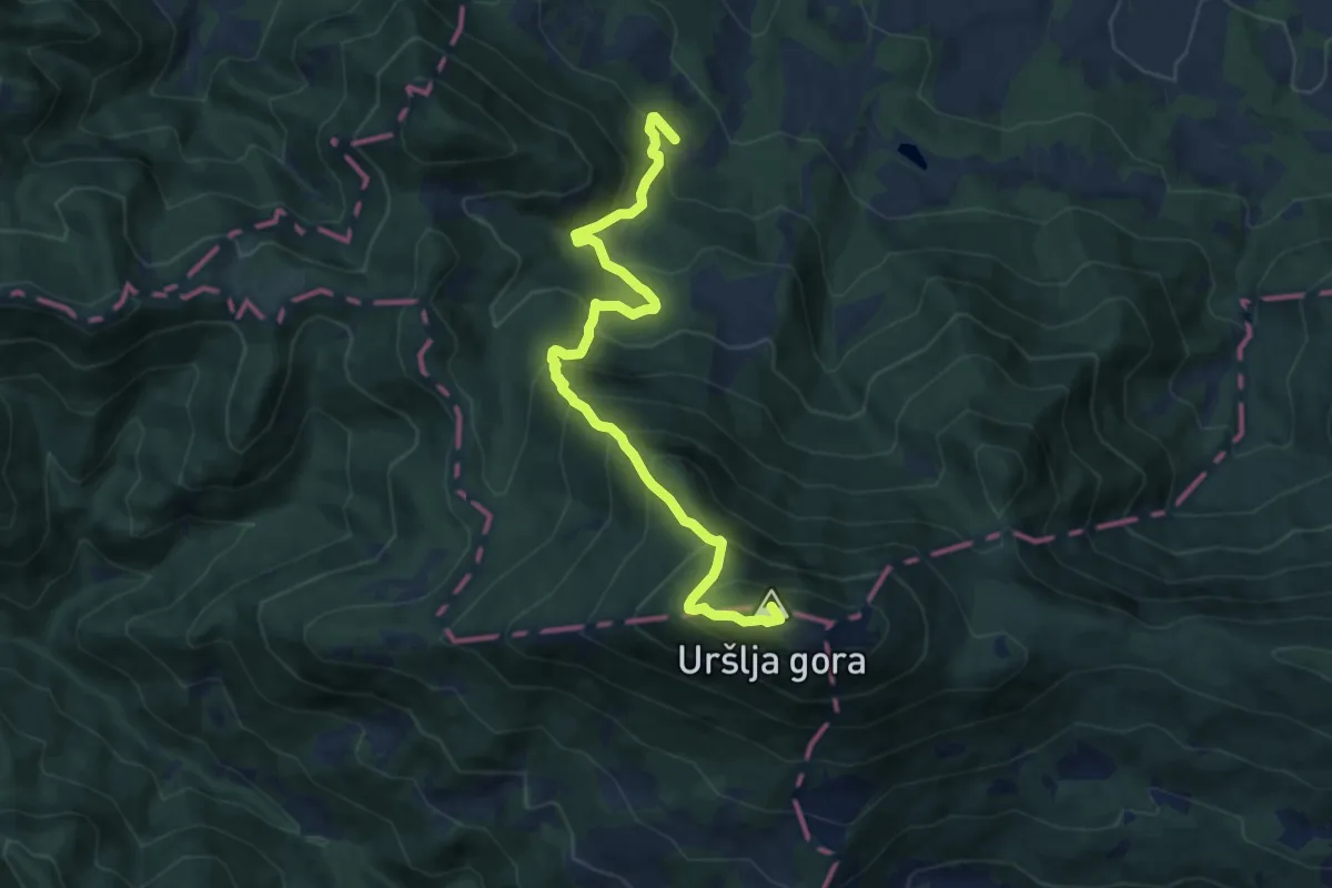
Demanding · Summit
Smučarska koča - Uršlja (čez Kozji hrbet)
9.6 km · ↑ 939 m · 4 h 18 min
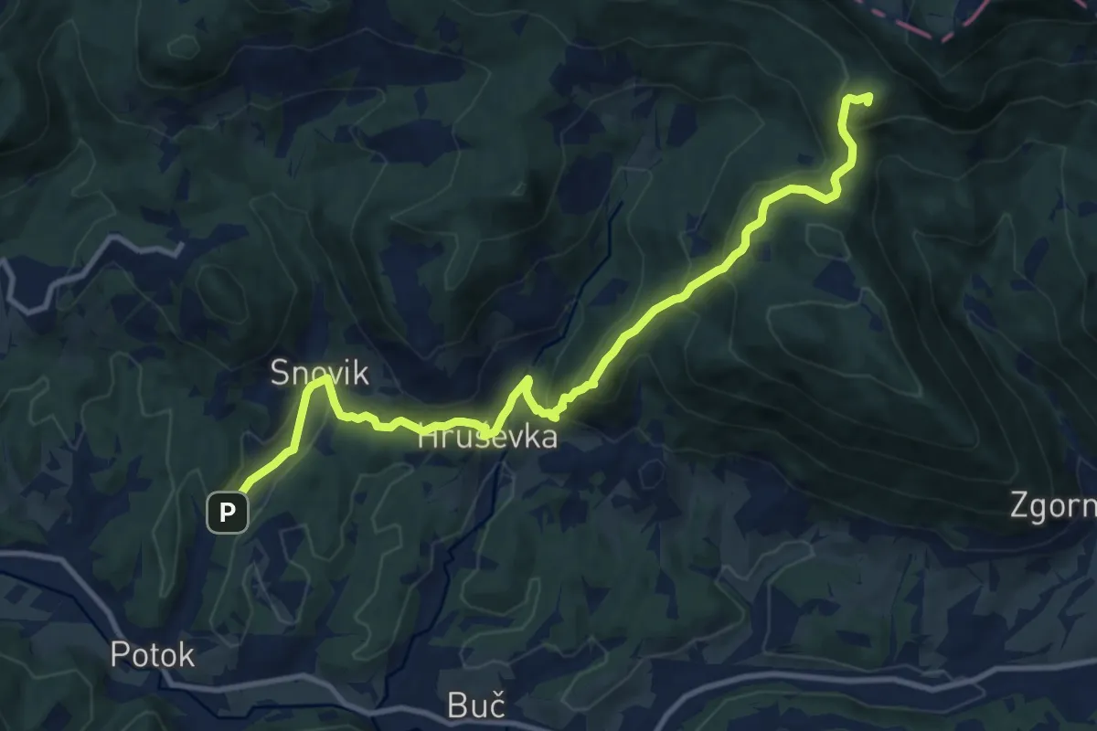
Medium · Summit
Snovik - Sv. Miklavž - Prevala
11.9 km · ↑ 740 m · 4 h 25 min
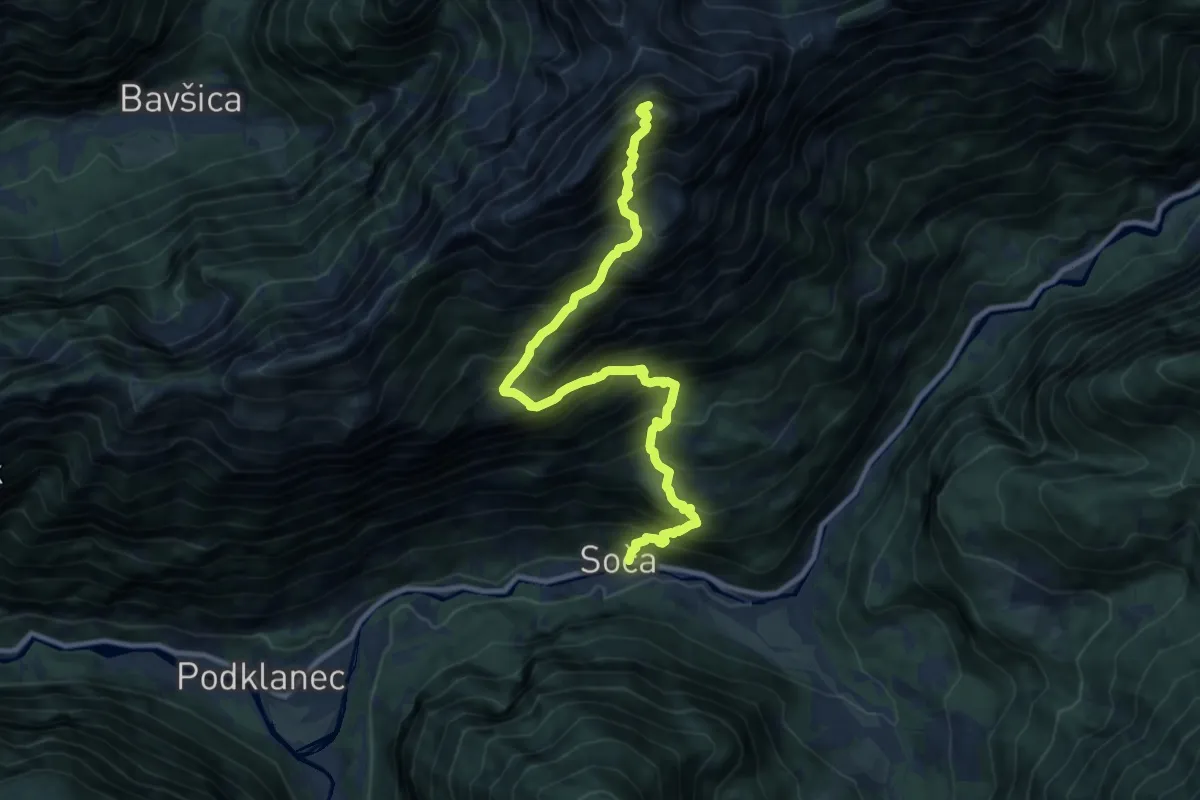
Expert · Summit
Soča - Bavški Grintavec
11.4 km · ↑ 1886 m · 6 h 47 min
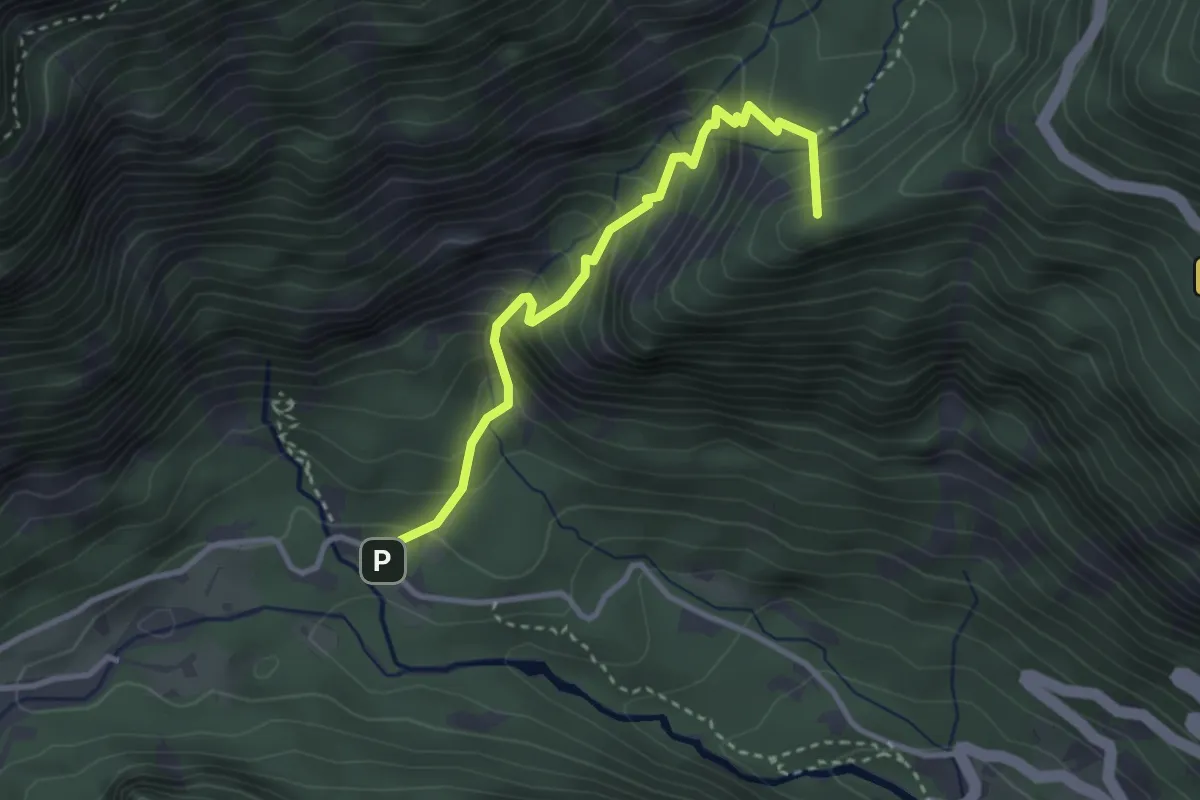
Medium · Summit
Soča - Vršič
3.1 km · ↑ 362 m · 1 h 31 min
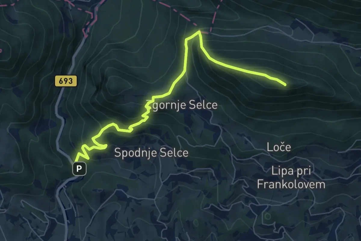
Medium · Summit
Socka - Kislica - Špičasti vrh
7.7 km · ↑ 660 m · 3 h 14 min
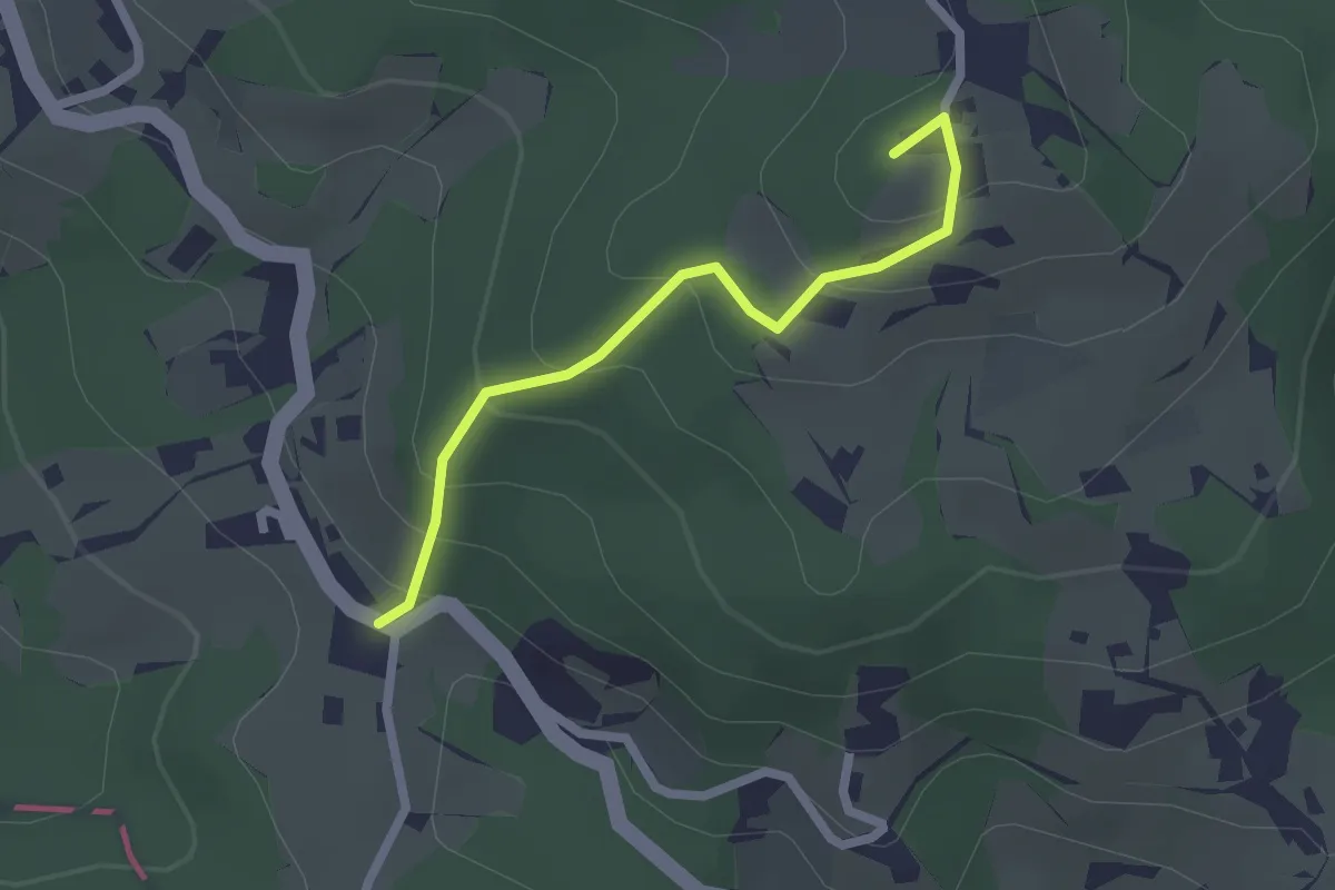
Easy · Summit
Sojek - Kamna Gora
2.0 km · ↑ 152 m · 49 min
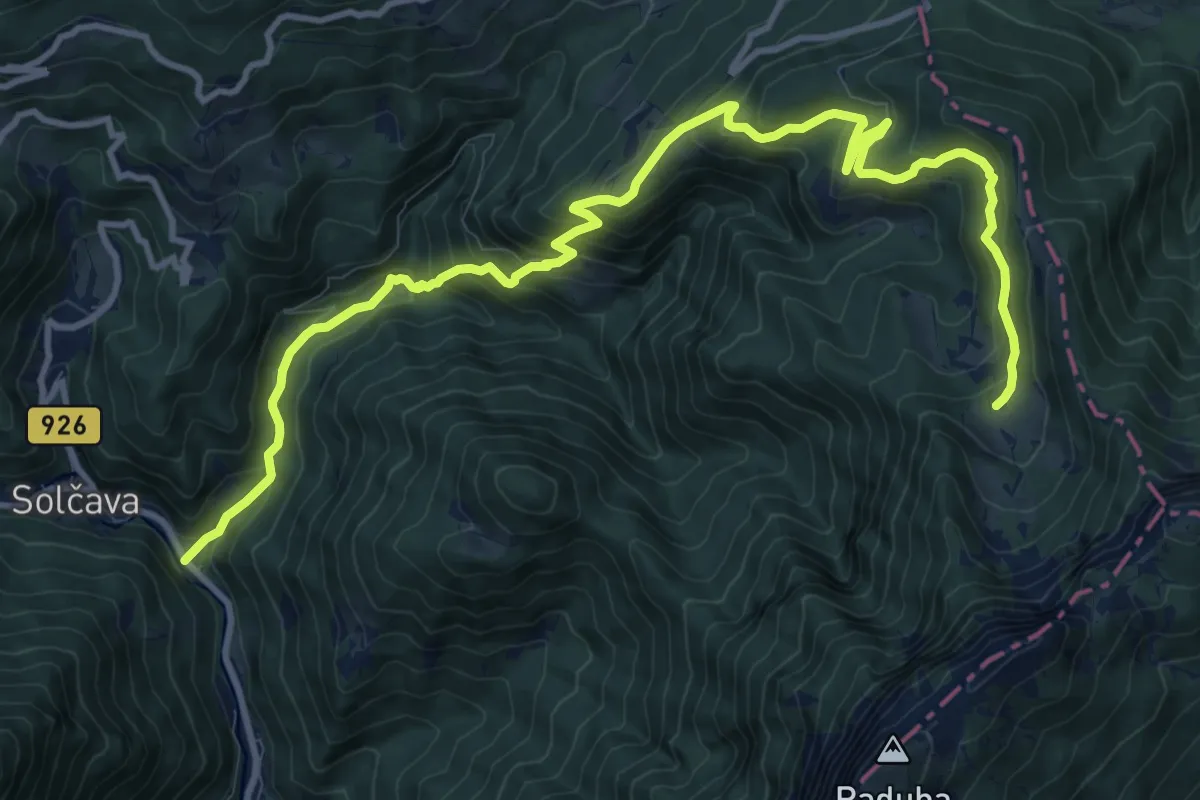
Demanding · Cabin
Solčava - Bukovnik - Koča v Grohotu
14.2 km · ↑ 933 m · 5 h 22 min
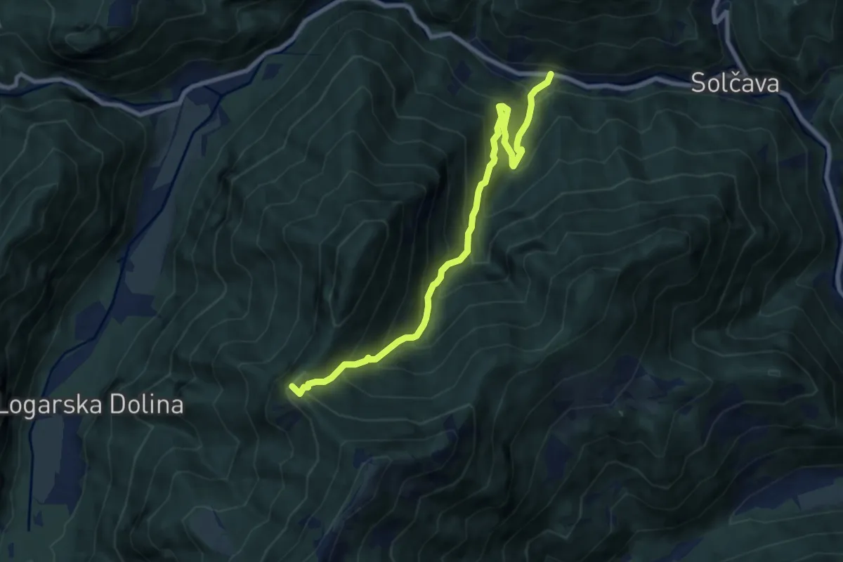
Demanding · Summit
Solčava - Icmanikova pl.
8.3 km · ↑ 857 m · 3 h 50 min
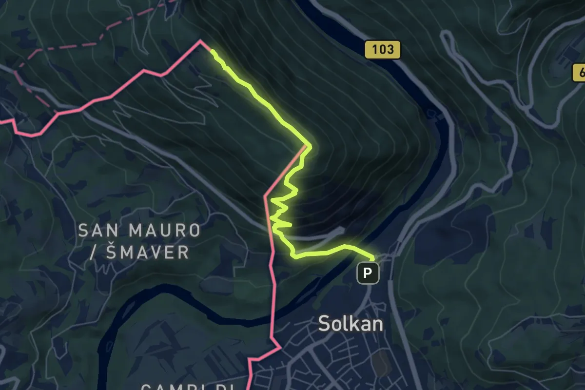
Demanding · Summit
Solkan - Sabotin (juž. pot)
6.1 km · ↑ 561 m · 2 h 39 min
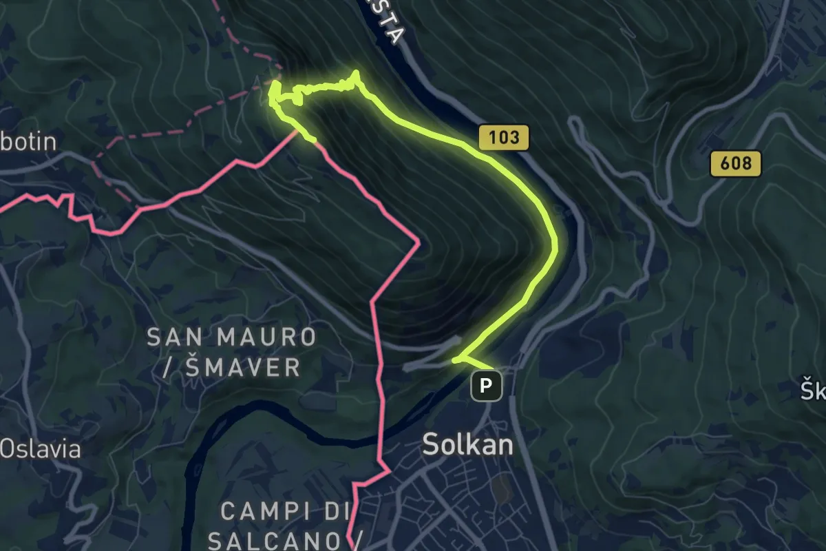
Medium · Summit
Solkan - Sabotin (sev. pot)
9.2 km · ↑ 670 m · 3 h 38 min
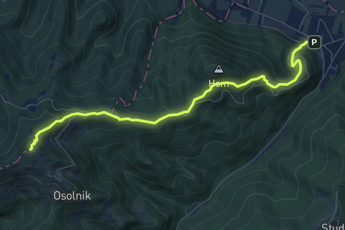
Medium · Summit
Sora - Osolnik
8.1 km · ↑ 558 m · 3 h 7 min
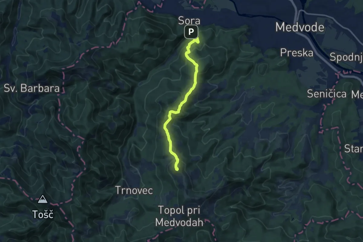
Medium · Summit
Sora - Sv. Jakob
10.2 km · ↑ 667 m · 3 h 51 min
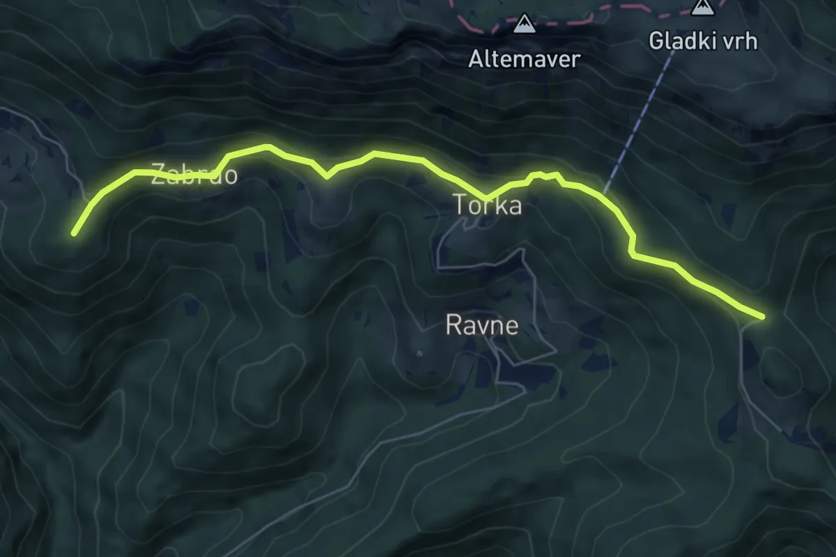
Easy · Summit
Sorica - Povden
6.3 km · ↑ 313 m · 2 h 10 min
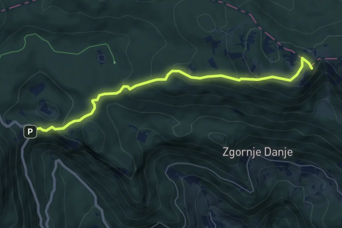
Medium · Summit
Soriška peč - Kačji rob
6.5 km · ↑ 314 m · 2 h 13 min
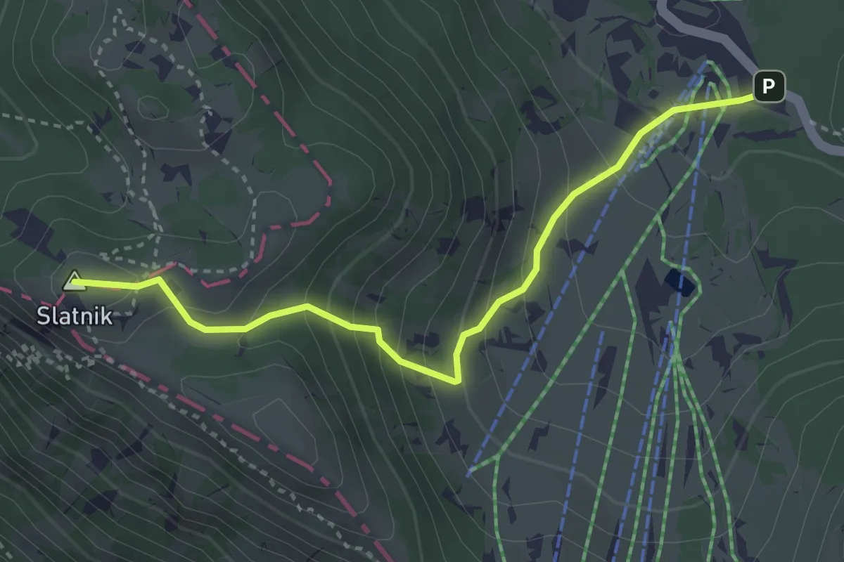
Medium · Summit
Soriška pl. - Možic
3.5 km · ↑ 297 m · 1 h 28 min
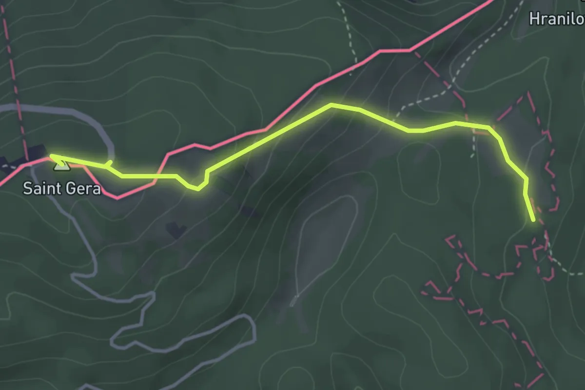
Medium · Summit
Sošice - Boići - Sv. Gera
3.6 km · ↑ 178 m · 1 h 14 min
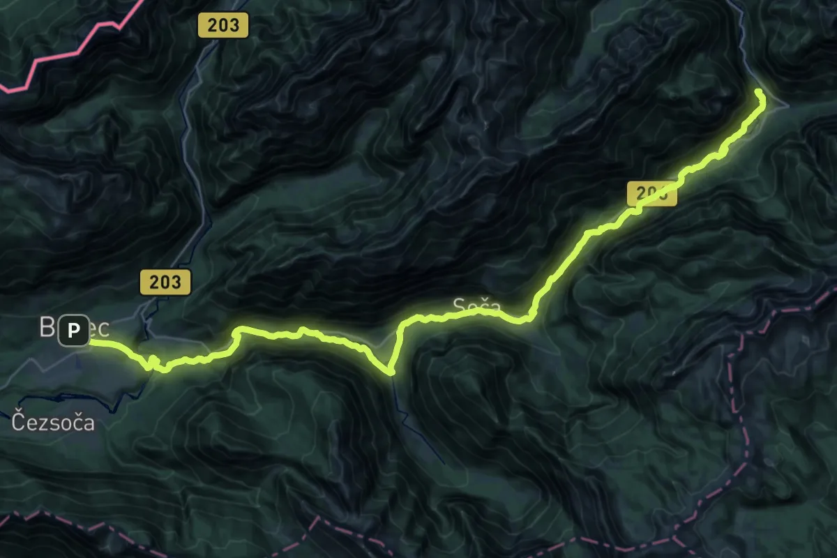
Expert · Summit
Soška pot
43.1 km · ↑ 1107 m · 12 h 34 min
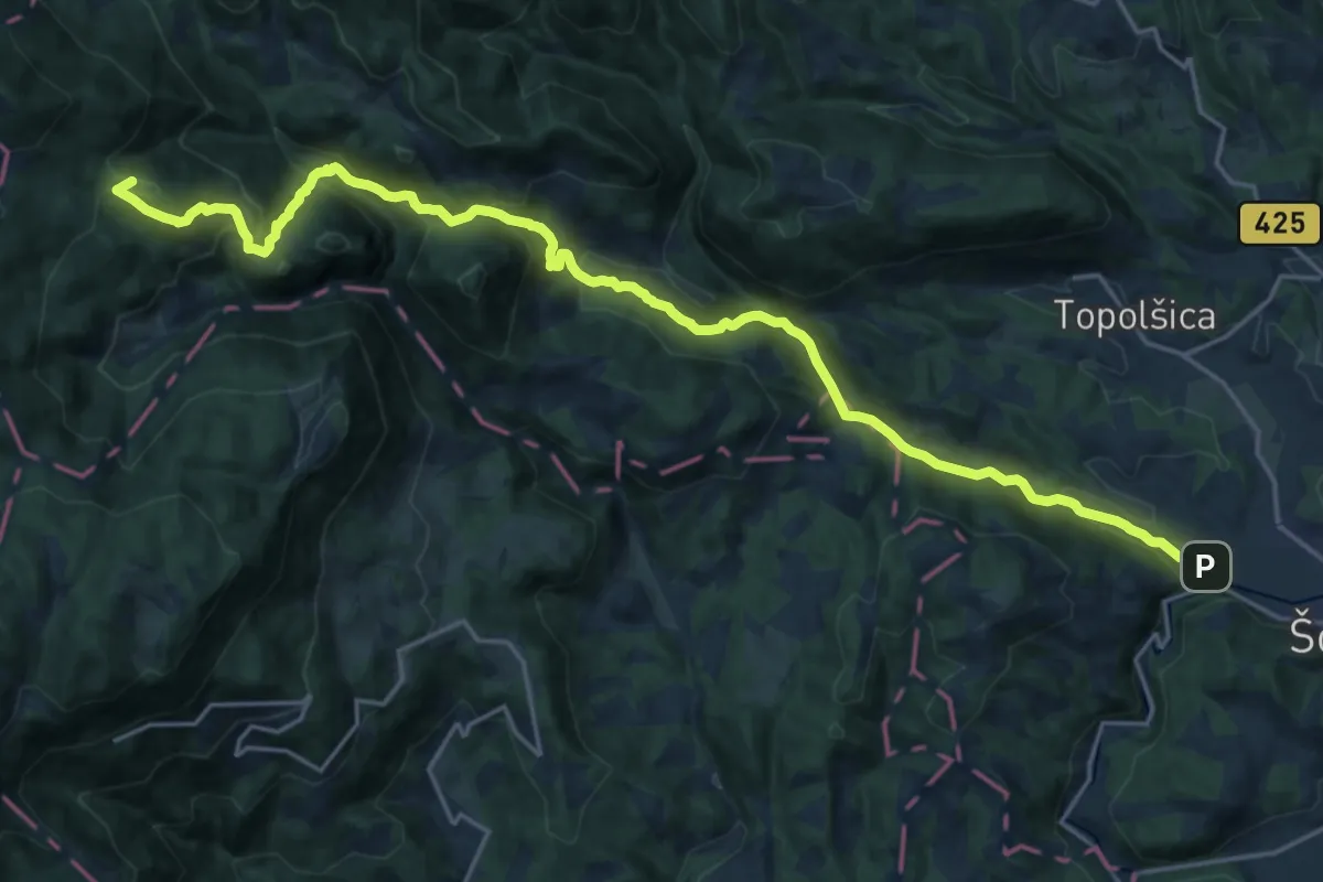
Demanding · Summit
Šoštanj - Dom na Smrekovcu
23.7 km · ↑ 1251 m · 8 h 18 min
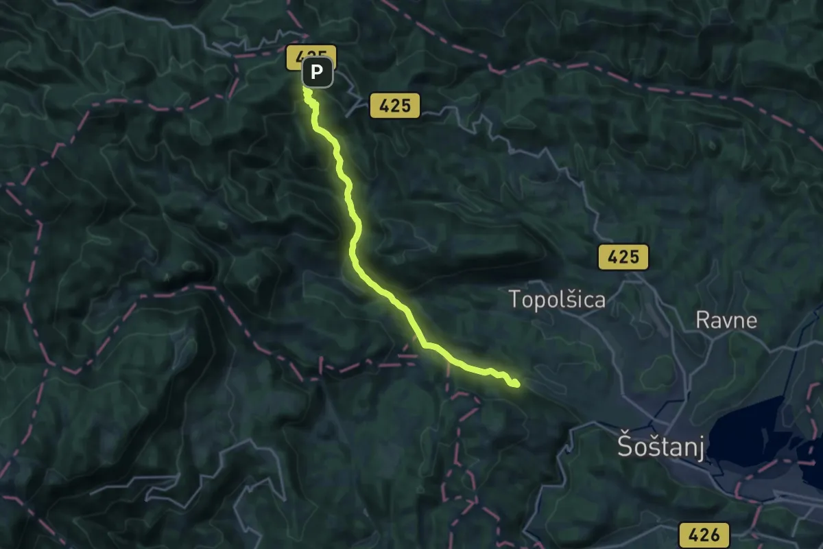
Demanding · Summit
Šoštanj - Sleme
16.5 km · ↑ 852 m · 5 h 45 min