Trails in Slovenia
1,594 hiking trails, each with its route, climb, walking time and grade.
All trails, page 26 of 34
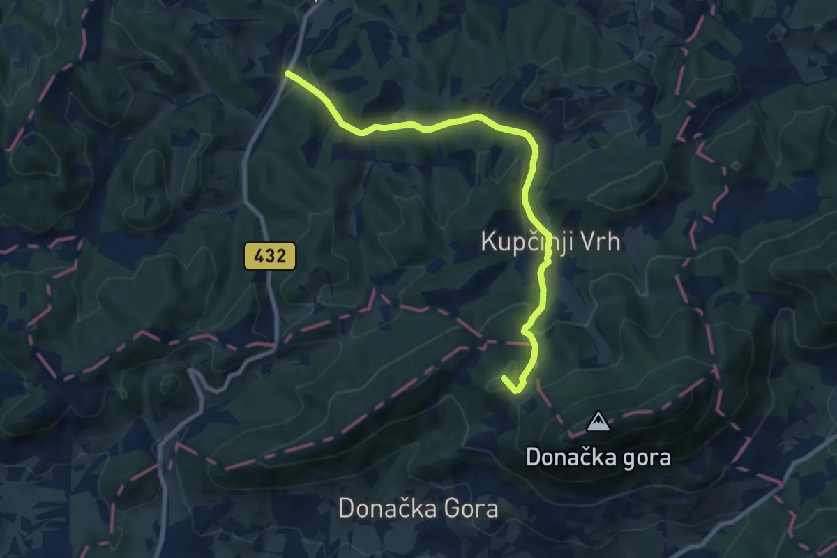
Medium · Summit
Stoperce - Rudijev dom
8.2 km · ↑ 332 m · 2 h 39 min
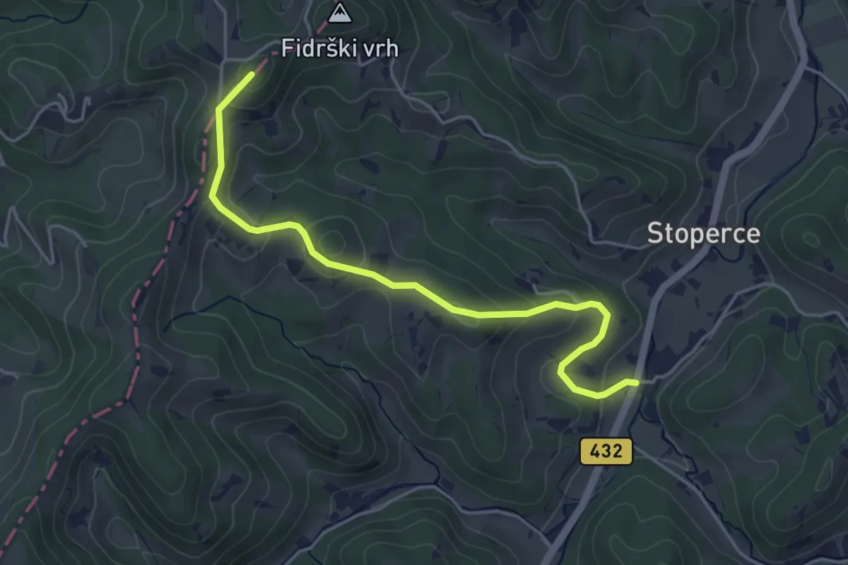
Easy · Summit
Stoperce - Sv. Ana
4.5 km · ↑ 196 m · 1 h 30 min
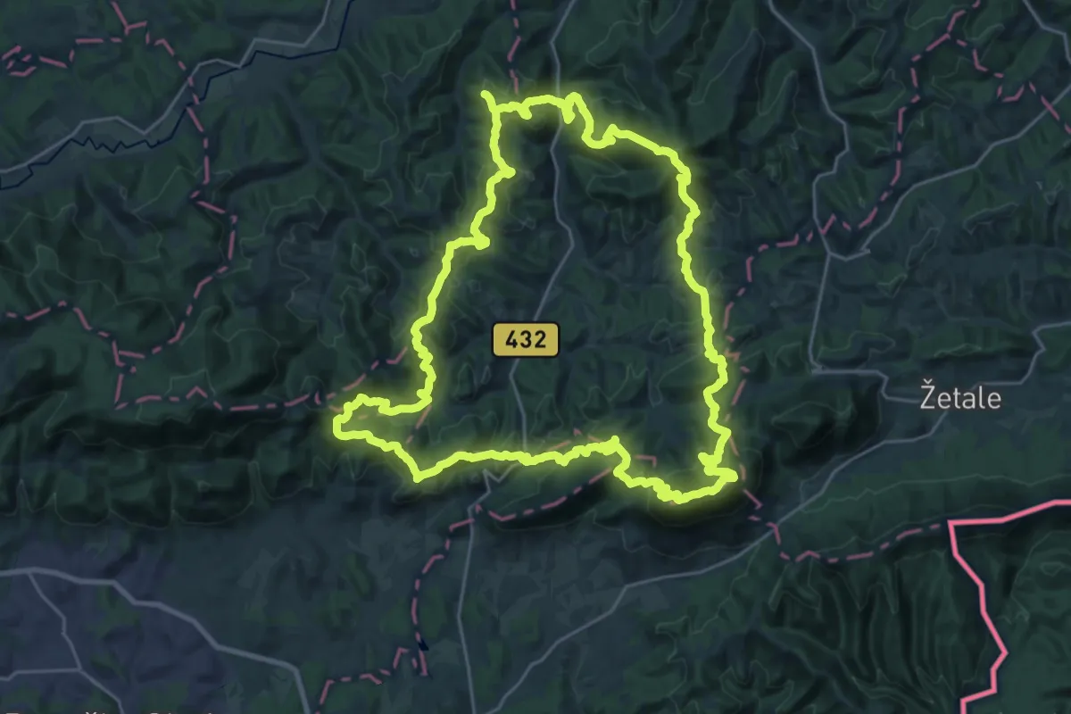
Demanding · Summit
Stoperška planinska pot
28.2 km · ↑ 1655 m · 10 h 39 min
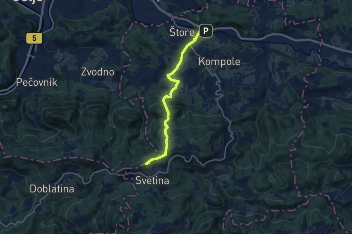
Medium · Summit
Štore - Dom na Svetini
10.1 km · ↑ 563 m · 3 h 36 min
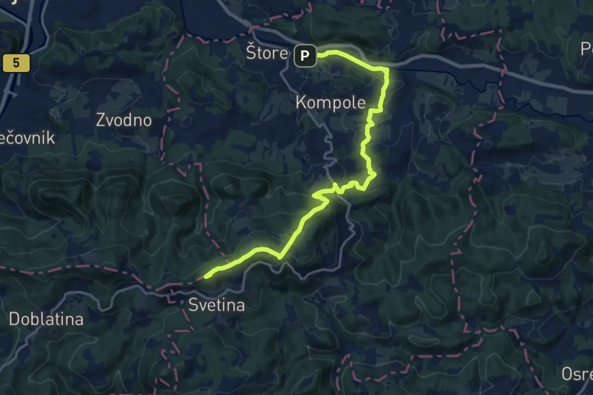
Medium · Summit
Štore - Kompole - Dom na Svetini
14.8 km · ↑ 684 m · 4 h 58 min
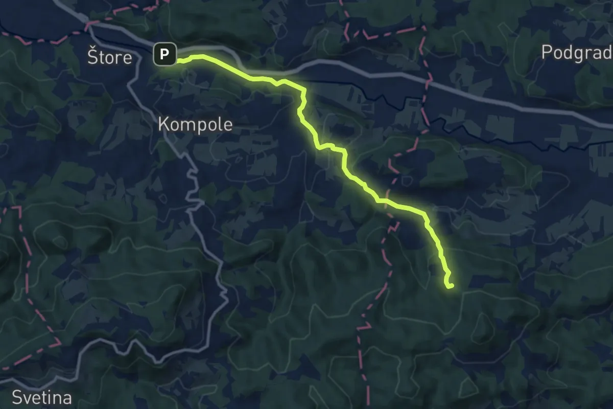
Medium · Summit
Štore - Korošec - Resevna
10.3 km · ↑ 349 m · 3 h 11 min
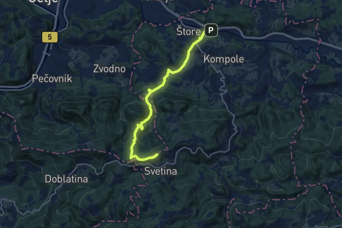
Medium · Summit
Štore - Marija - Dom na Svetini
12.4 km · ↑ 629 m · 4 h 17 min
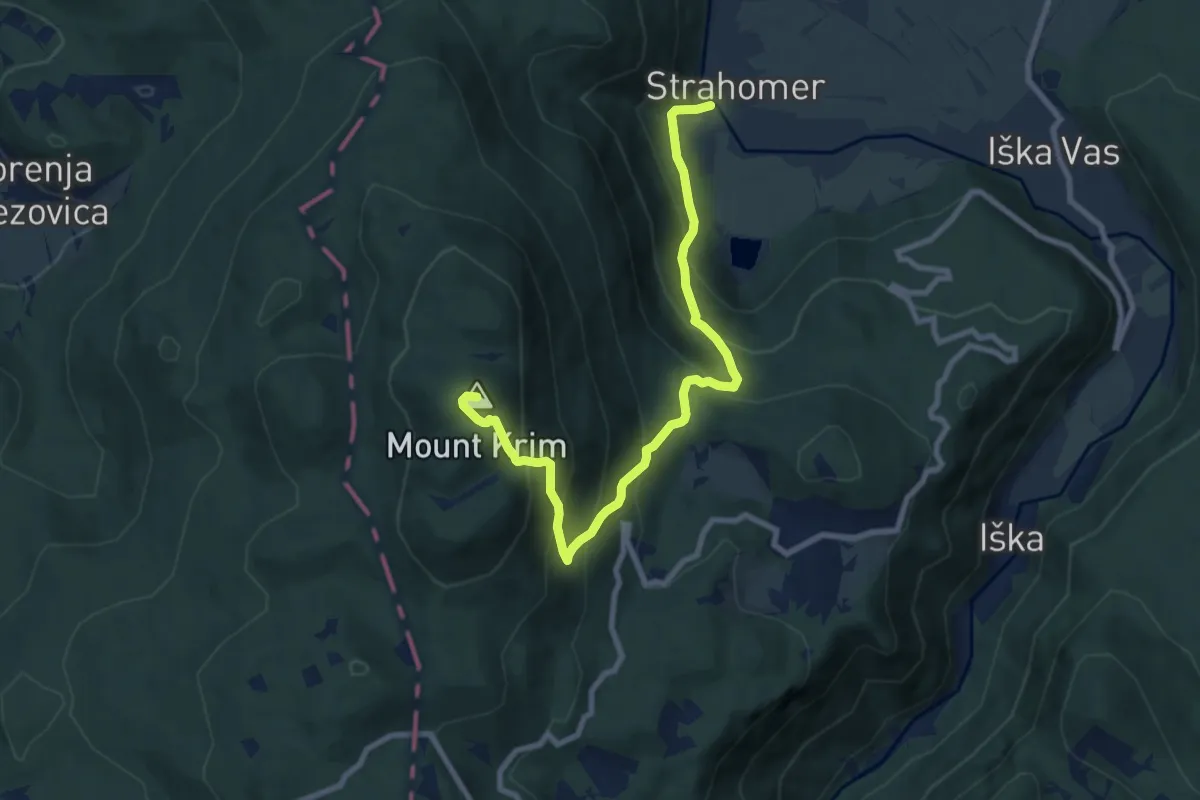
Medium · Summit
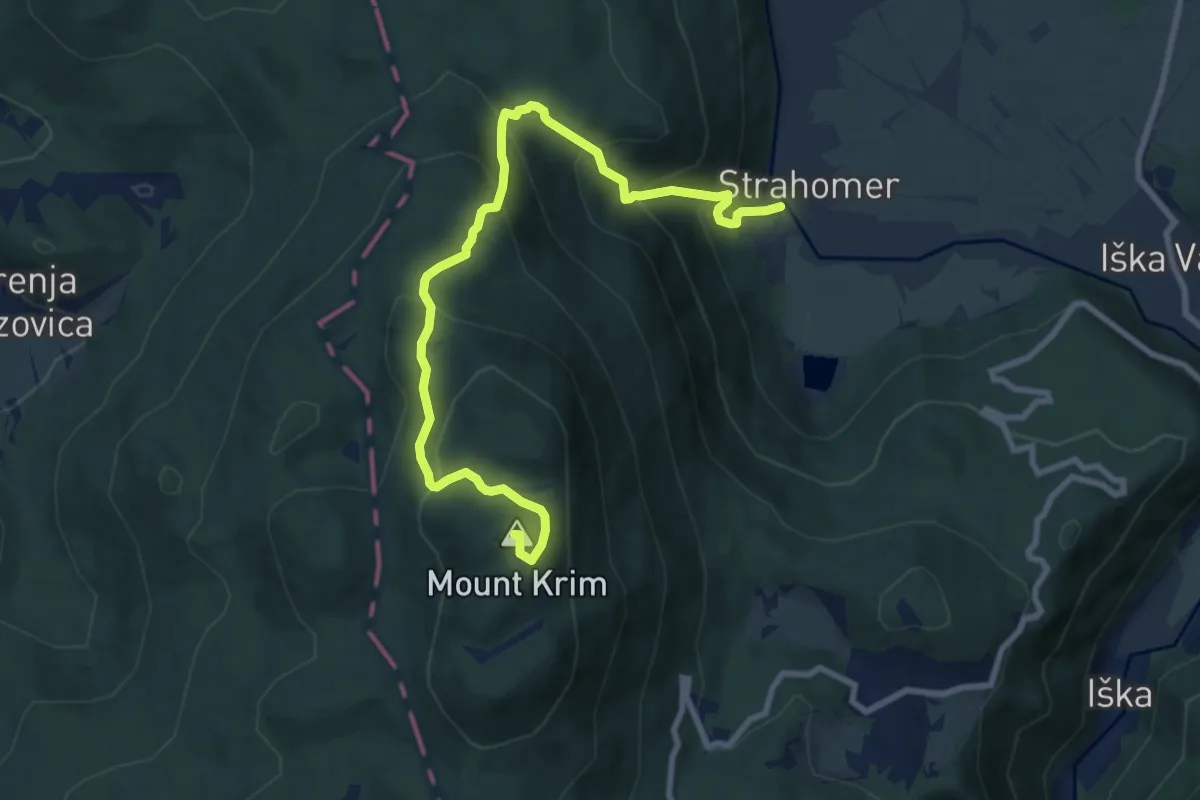
Strahomer - Kramarica - Krim
9.3 km · ↑ 787 m · 3 h 53 min
Medium · Summit
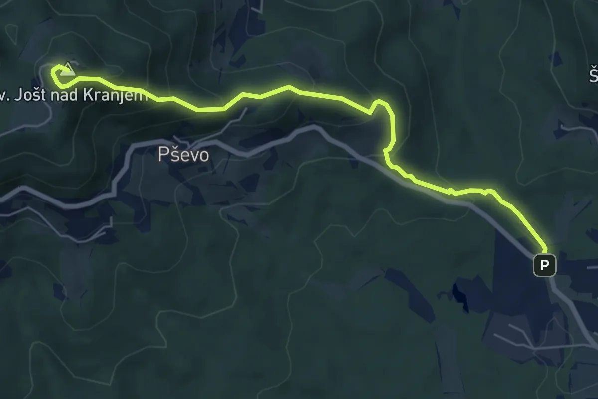
Strahomer - Strmec - Krim
9.8 km · ↑ 779 m · 4 h
Medium · Summit
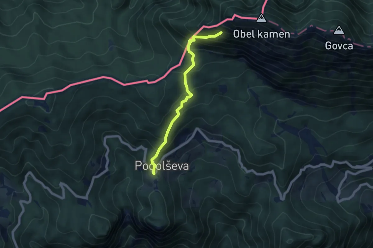
Stražišče - Sv. Jošt
6.0 km · ↑ 429 m · 2 h 20 min
Medium · Trail
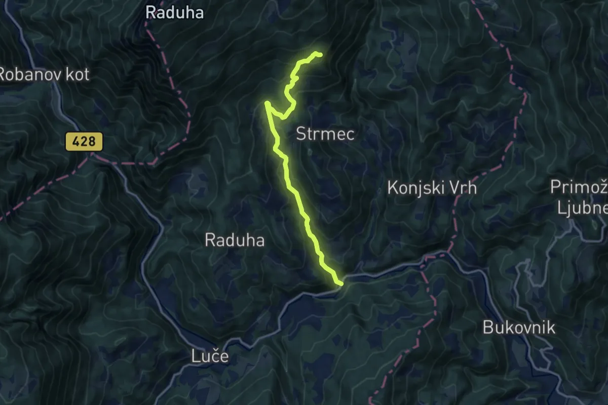
Strevc - Potočka zijalka
4.4 km · ↑ 775 m · 2 h 43 min
Demanding · Summit
Struge - Pl. Cirkovnica - Koča na Loki
10.9 km · ↑ 866 m · 4 h 27 min
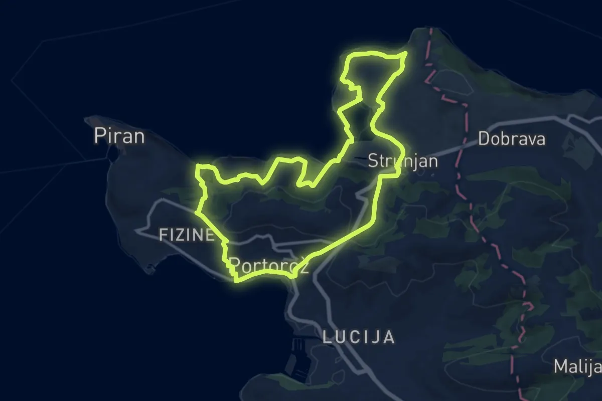
Medium · Summit
Strunjanska pešpot
11.3 km · ↑ 379 m · 3 h 38 min
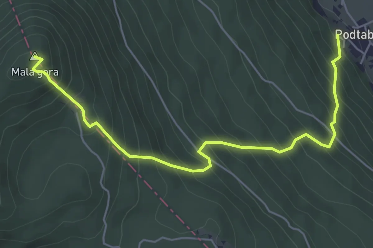
Medium · Summit
Stružka pot na stene sv. Ane
5.4 km · ↑ 518 m · 2 h 24 min
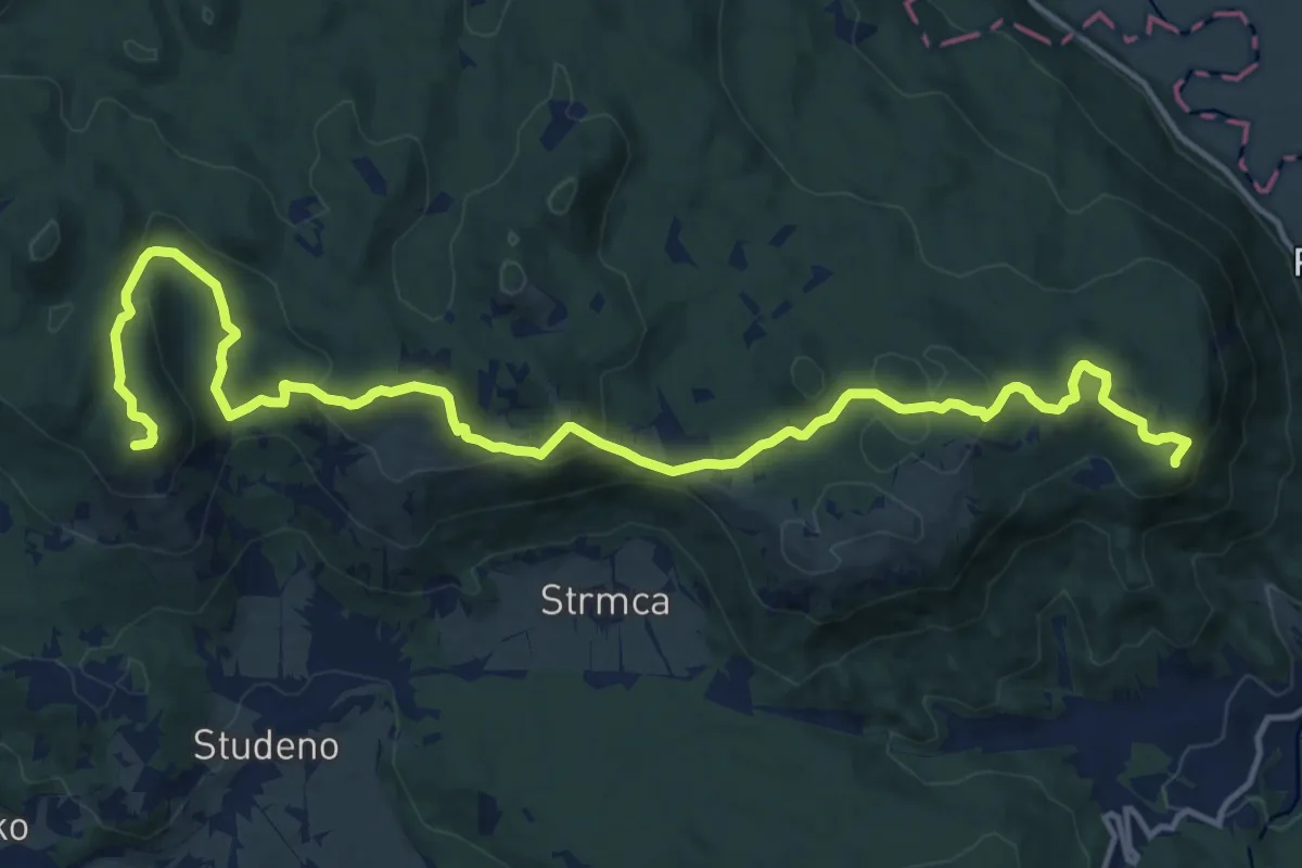
Demanding · Summit
Studeno - Grmada
18.2 km · ↑ 789 m · 6 h
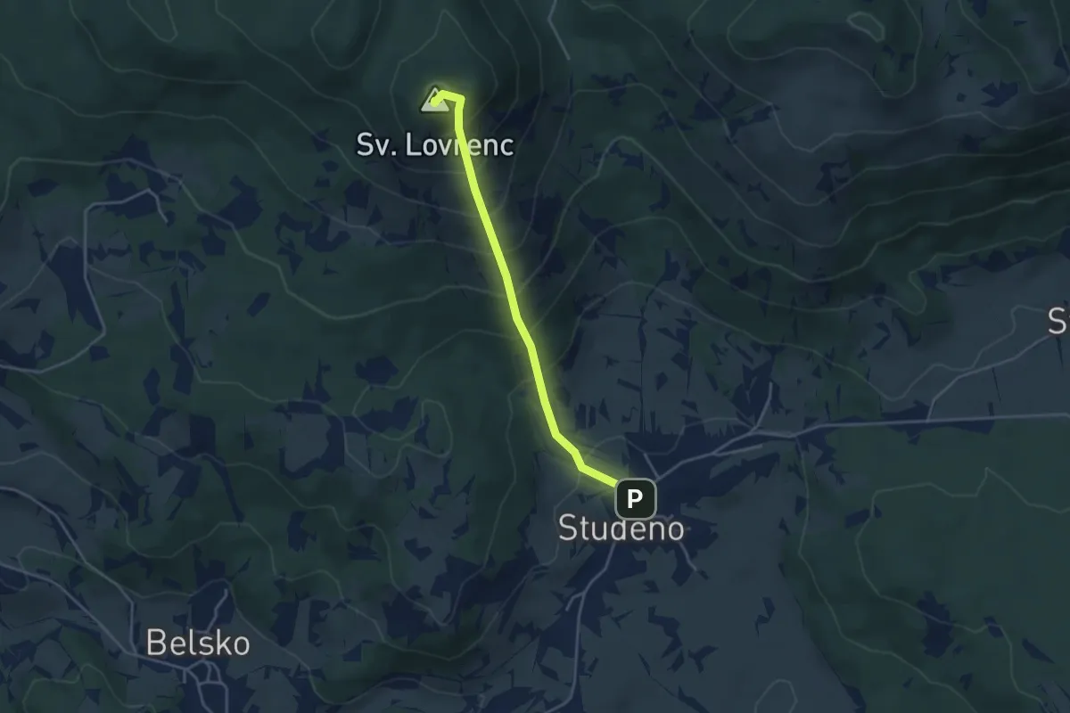
Medium · Summit
Studeno - Sv. Lovrenc
3.7 km · ↑ 394 m · 1 h 44 min
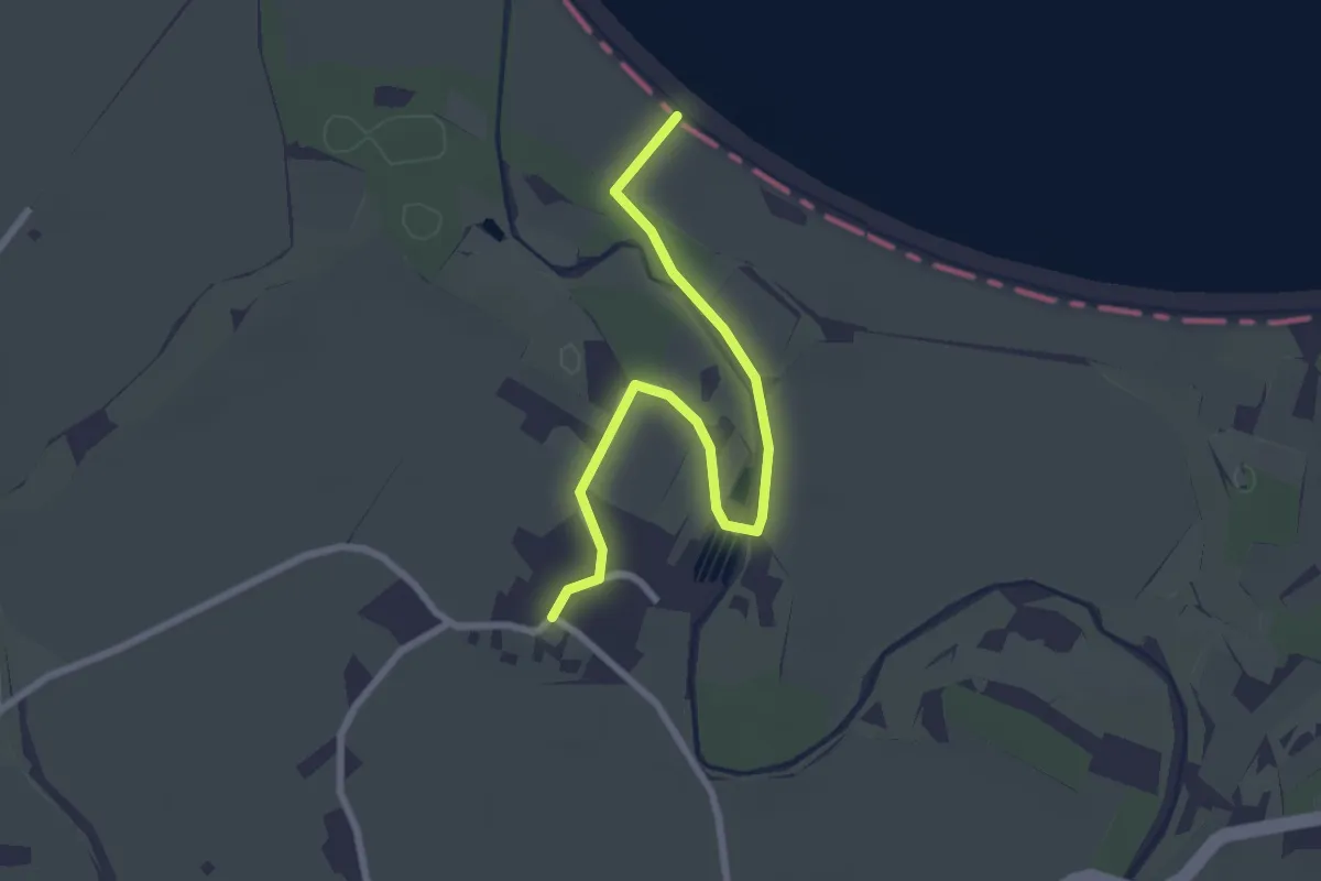
Easy · Trail
Šturmovci - Ptujsko jezero
2.7 km · ↑ 0 m · 39 min
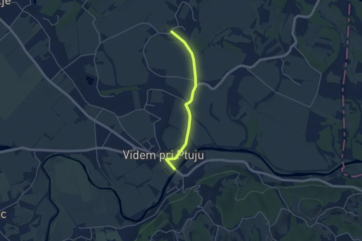
Easy · Trail
Šturmovci - Videm
3.5 km · ↑ 9 m · 51 min
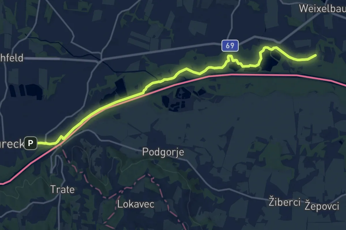
Medium · Trail
Südalpenweg 03 - Etappe 1
16.6 km · ↑ 12 m · 3 h 57 min
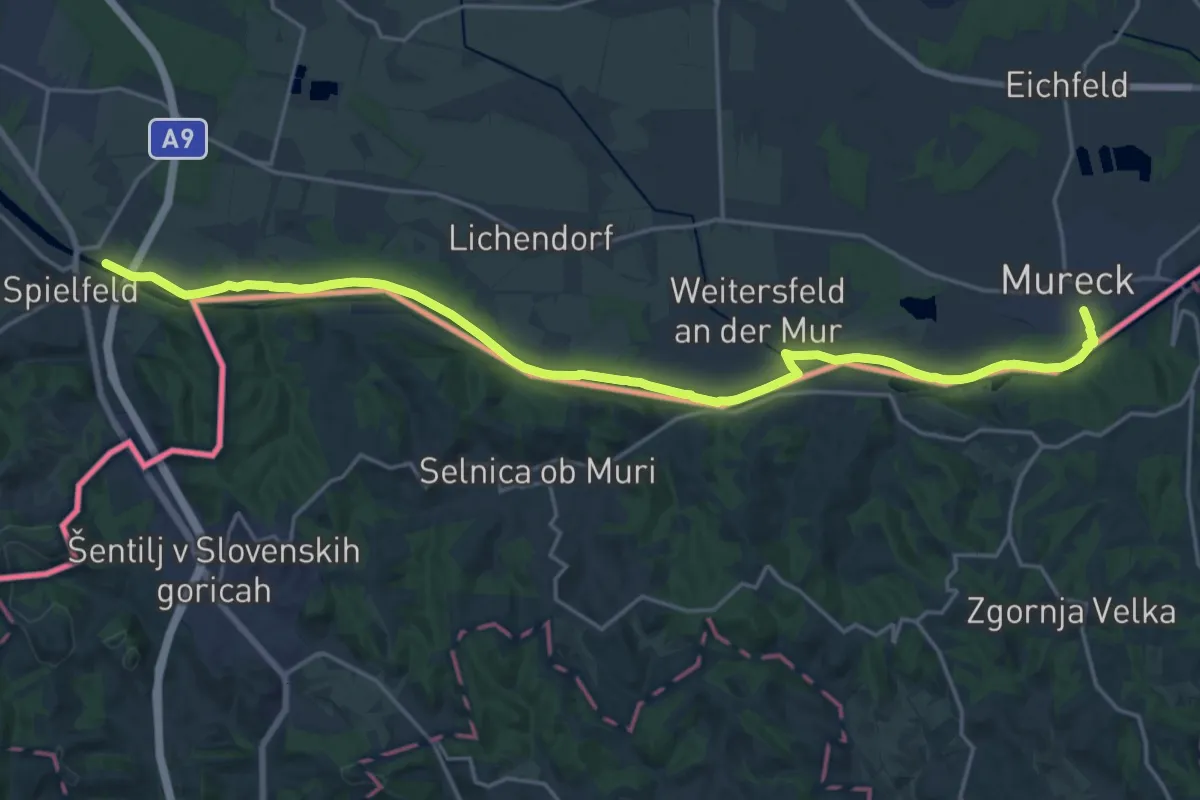
Demanding · Trail
Südalpenweg 03 - Etappe 2
23.5 km · ↑ 16 m · 5 h 35 min
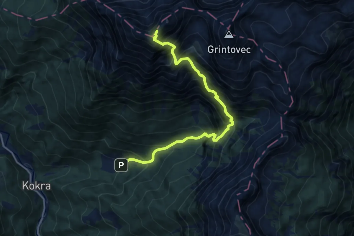
Expert · Summit
Suhadolnik - Kokrska Kočna
10.3 km · ↑ 1634 m · 5 h 58 min
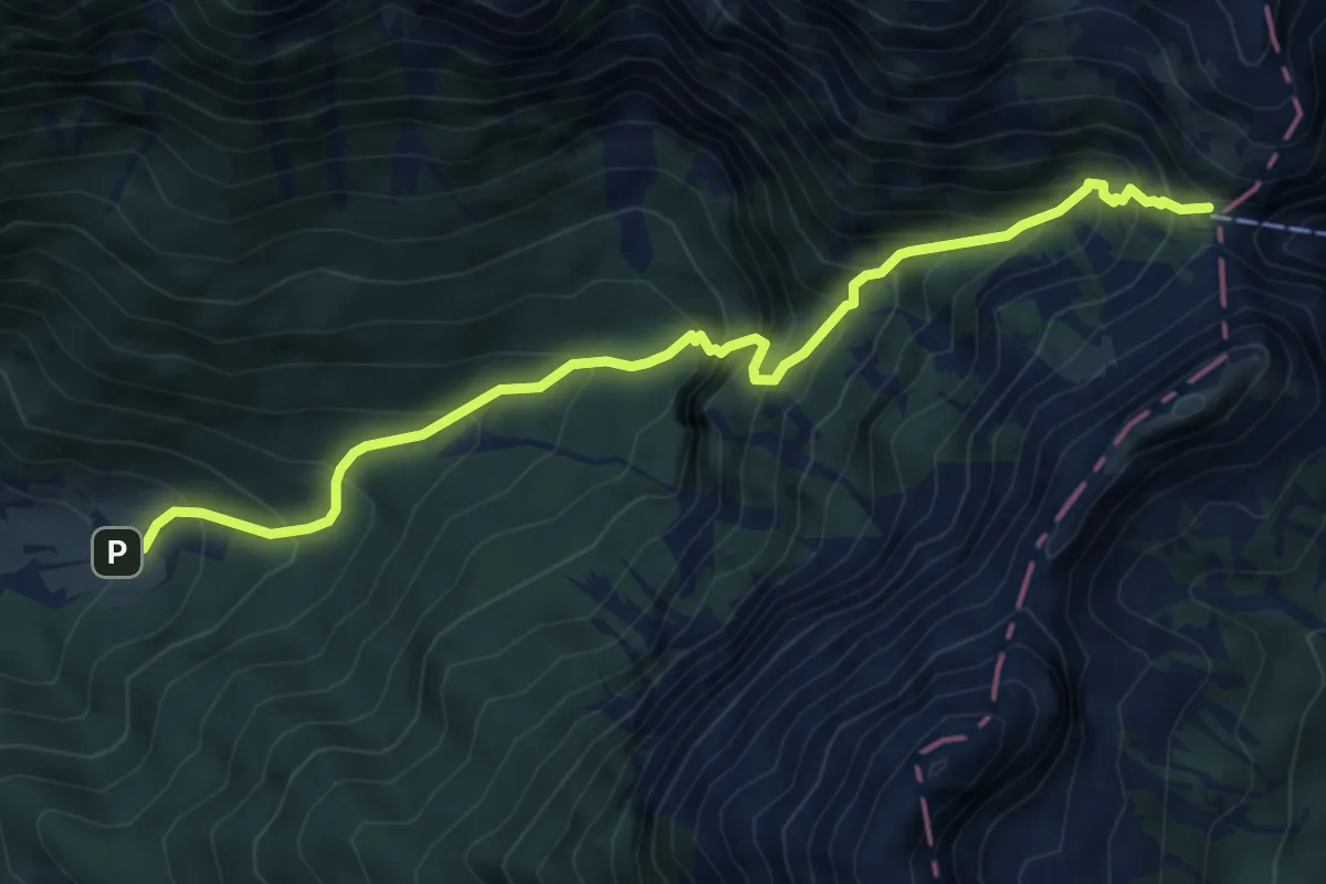
Expert · Cabin
Suhadolnik - Taška - Cojzova koča
6.8 km · ↑ 876 m · 3 h 30 min
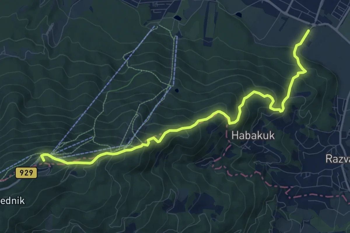
Medium · Summit
Šumljakova pot
12.0 km · ↑ 782 m · 4 h 32 min
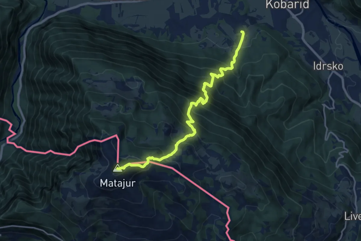
Demanding · Summit
Svino - Matajur
12.9 km · ↑ 1353 m · 5 h 58 min
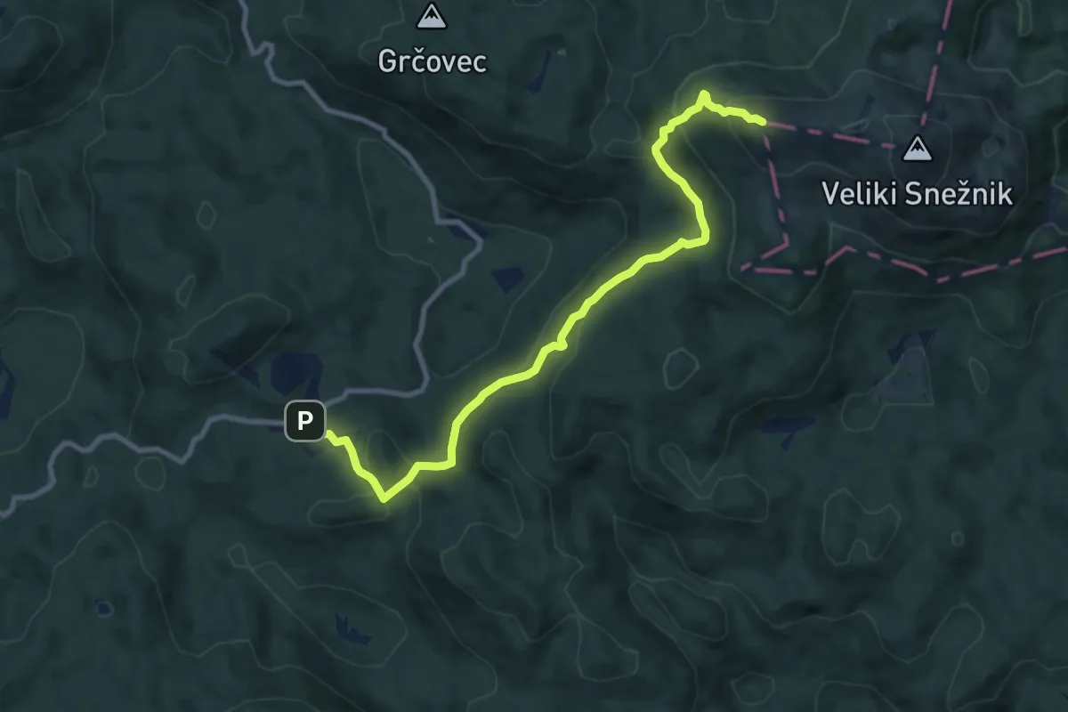
Medium · Summit
Sviščaki - Grda jama - M. Snežnik
9.9 km · ↑ 568 m · 3 h 34 min
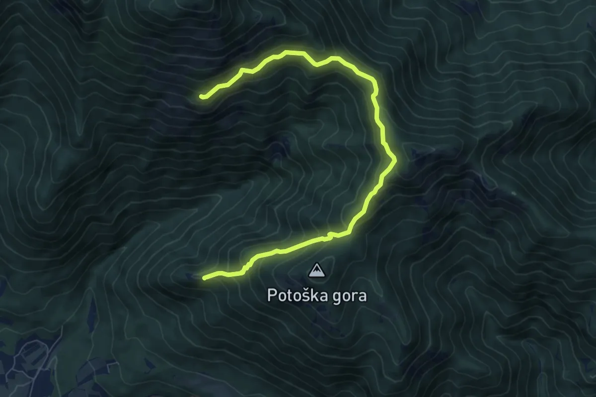
Medium · Summit
Sv. Jakob - Hudičev boršt
8.9 km · ↑ 686 m · 3 h 36 min
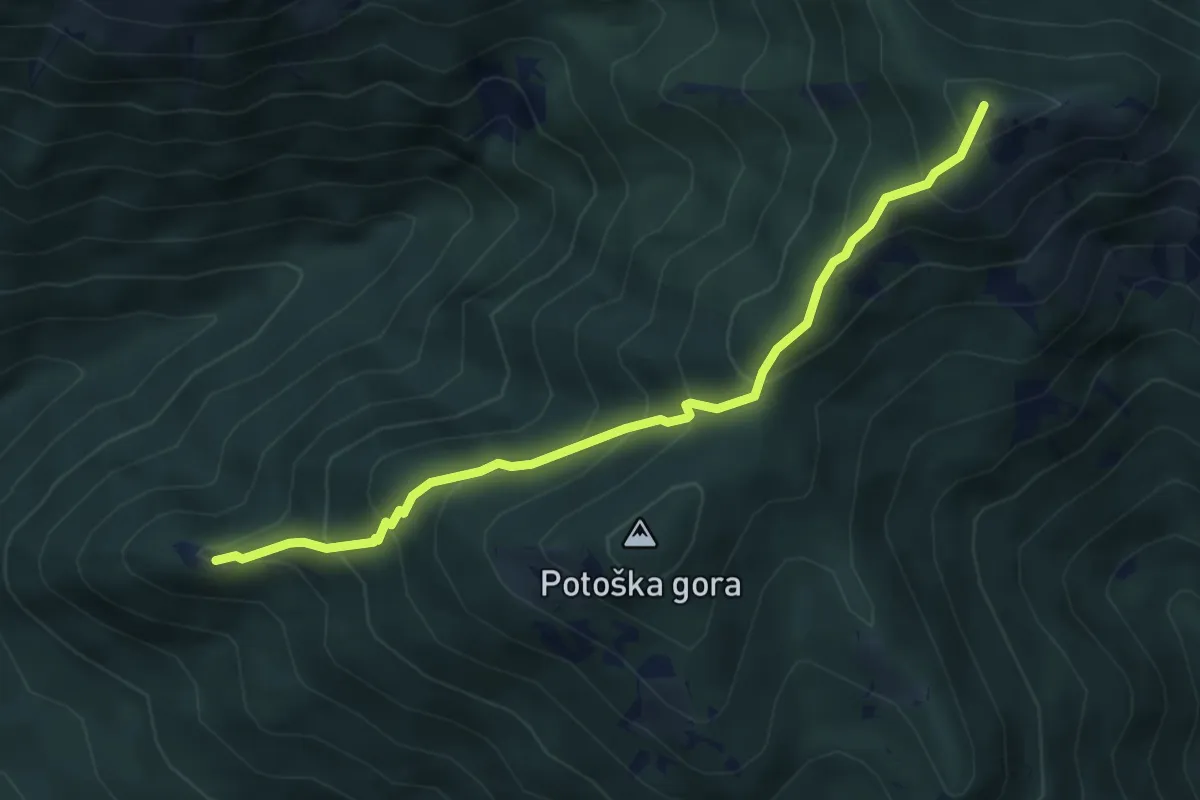
Medium · Summit
Sv. Jakob - Javorov vrh
4.6 km · ↑ 464 m · 2 h 6 min
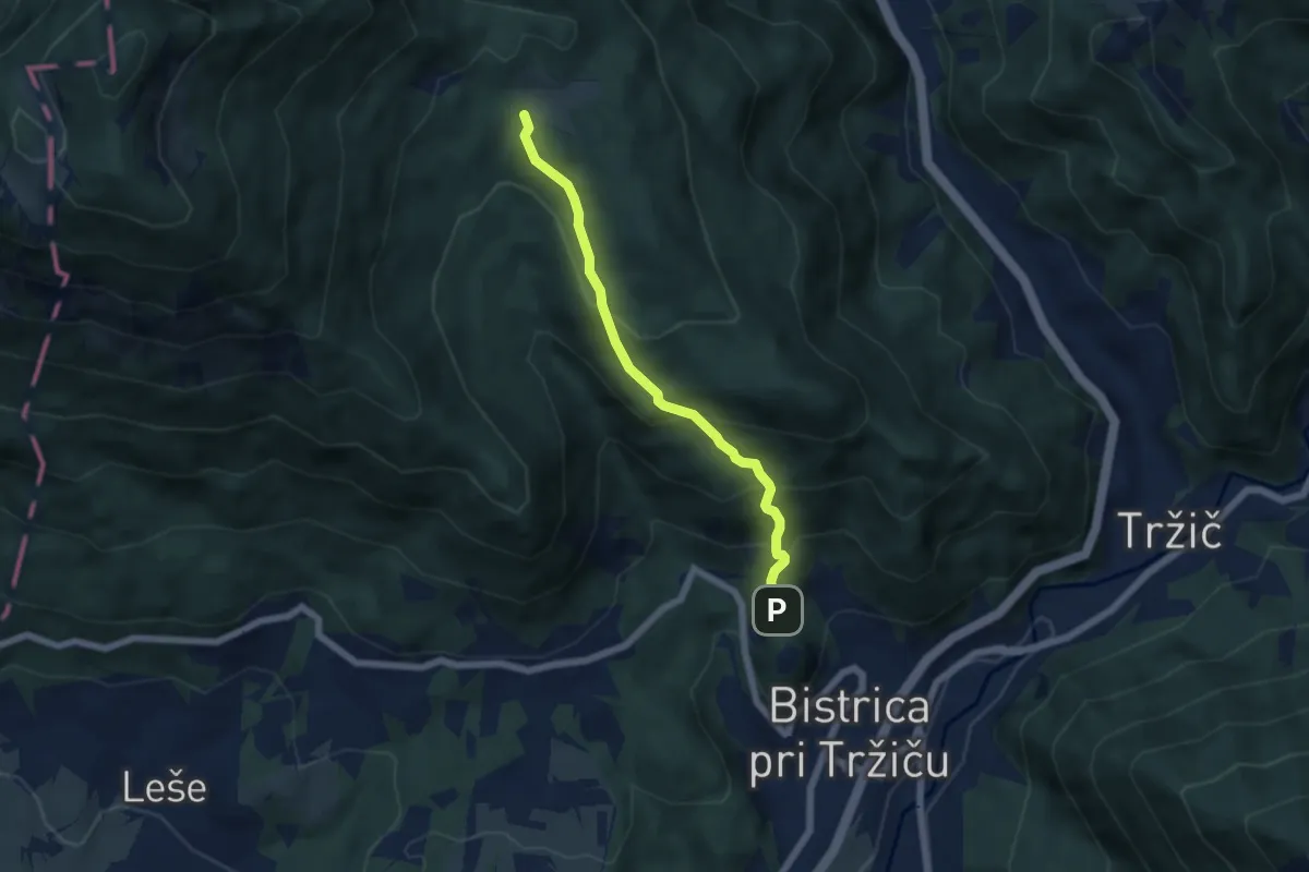
Medium · Trail
Sv. Jurij - Bistriška planina
5.2 km · ↑ 408 m · 2 h 6 min
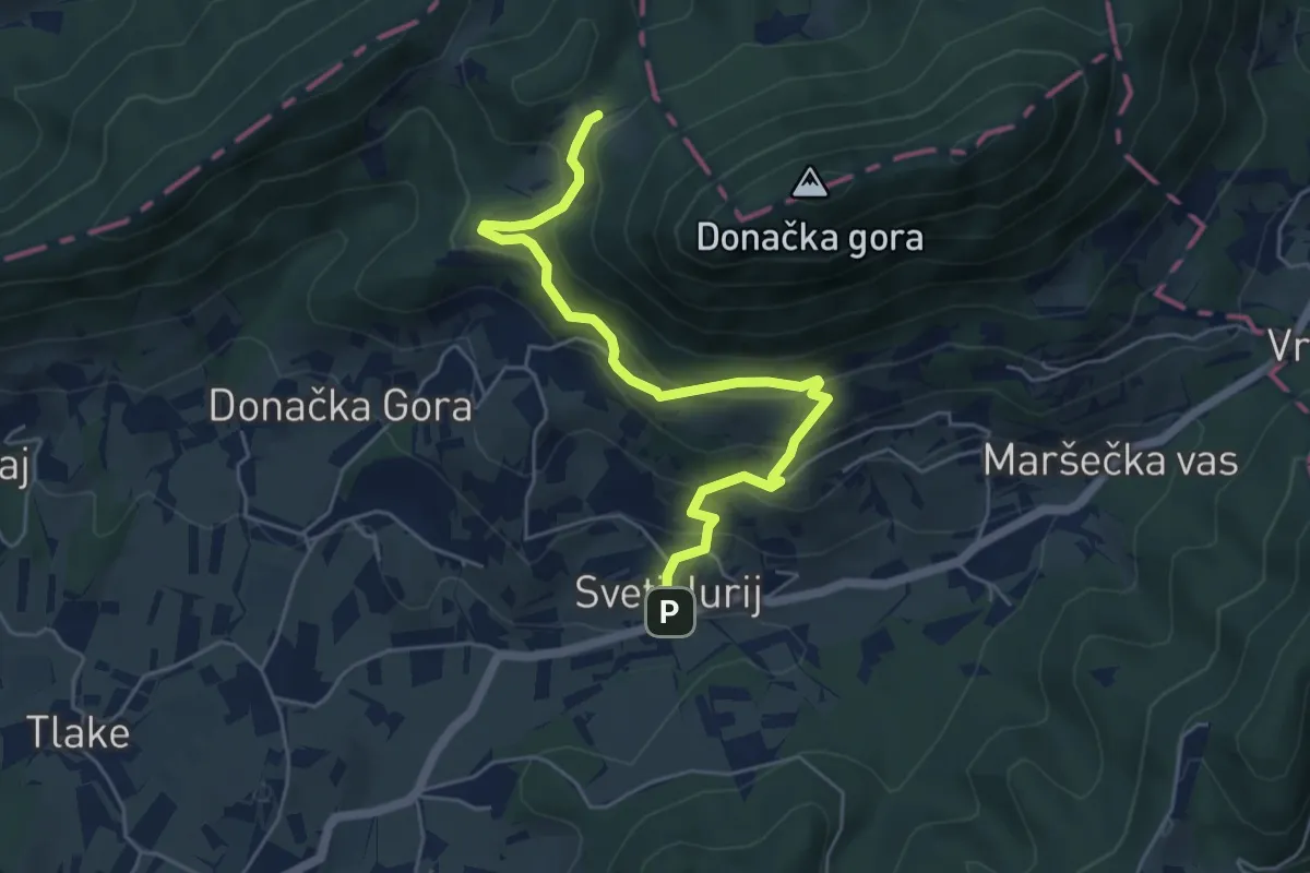
Medium · Cabin
Sv. Jurij - Rudijev dom
5.5 km · ↑ 435 m · 2 h 15 min
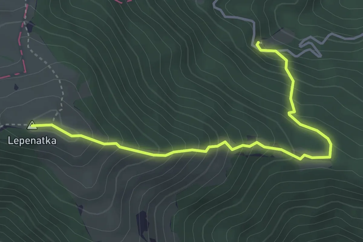
Medium · Summit
Sv. Lenart - Lepenatka
4.0 km · ↑ 501 m · 2 h 2 min
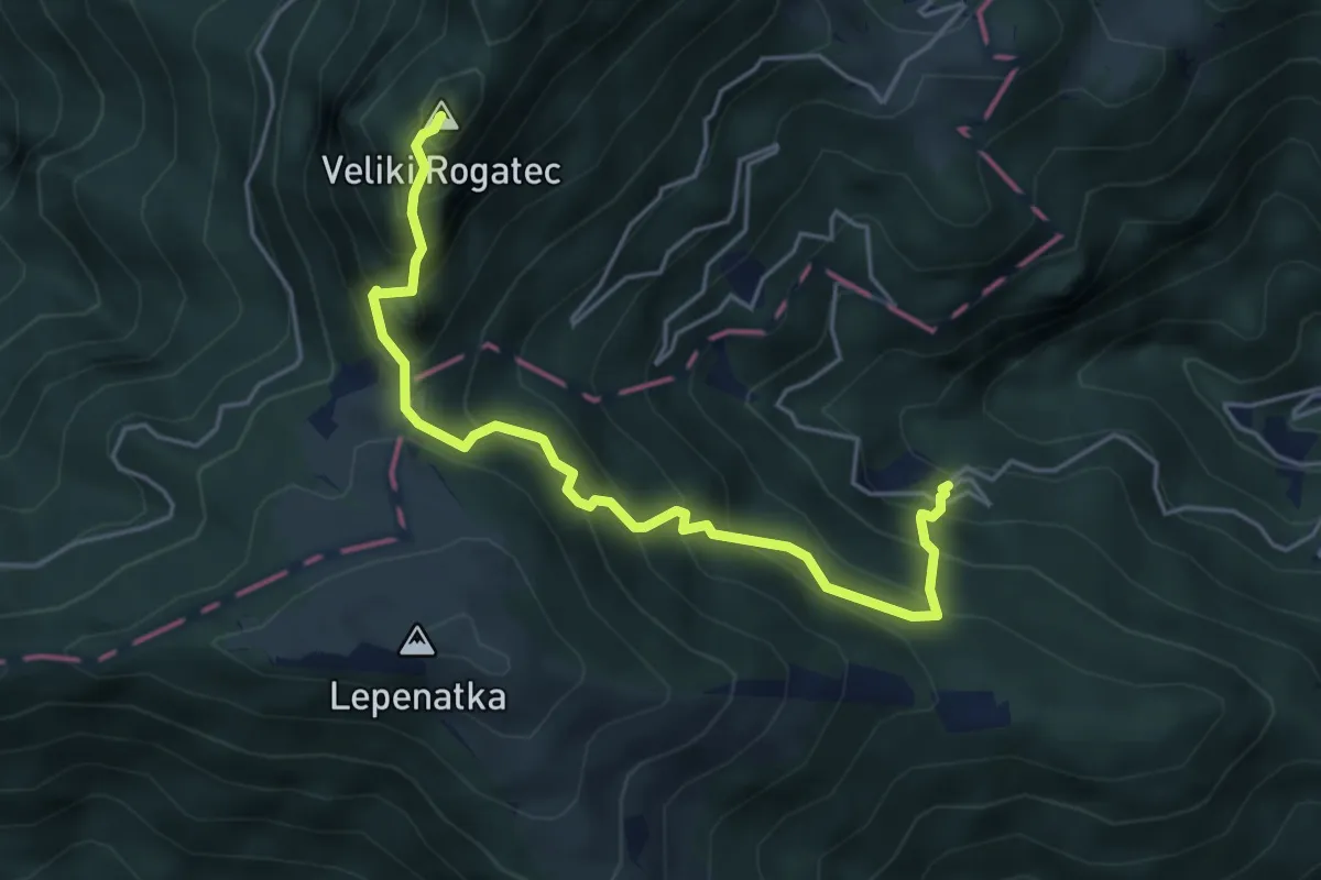
Expert · Summit
Sv. Lenart - V. Rogatec
5.0 km · ↑ 694 m · 2 h 41 min
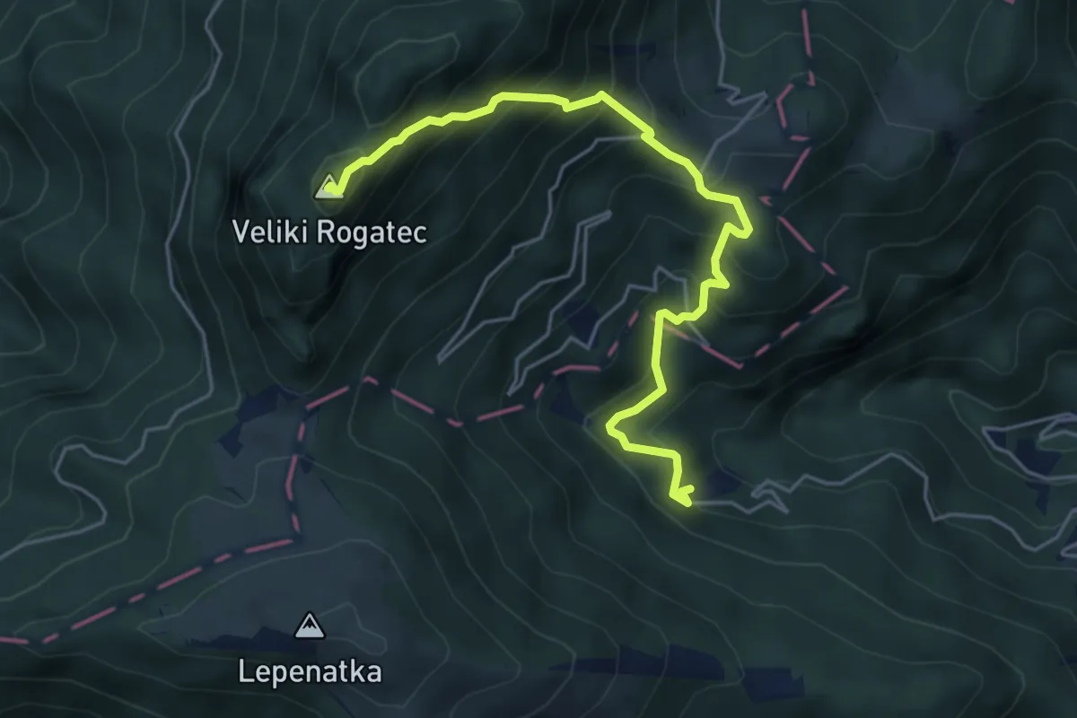
Demanding · Summit
Sv. Lenart - Zg. Špeh - V. Rogatec
5.2 km · ↑ 656 m · 2 h 38 min
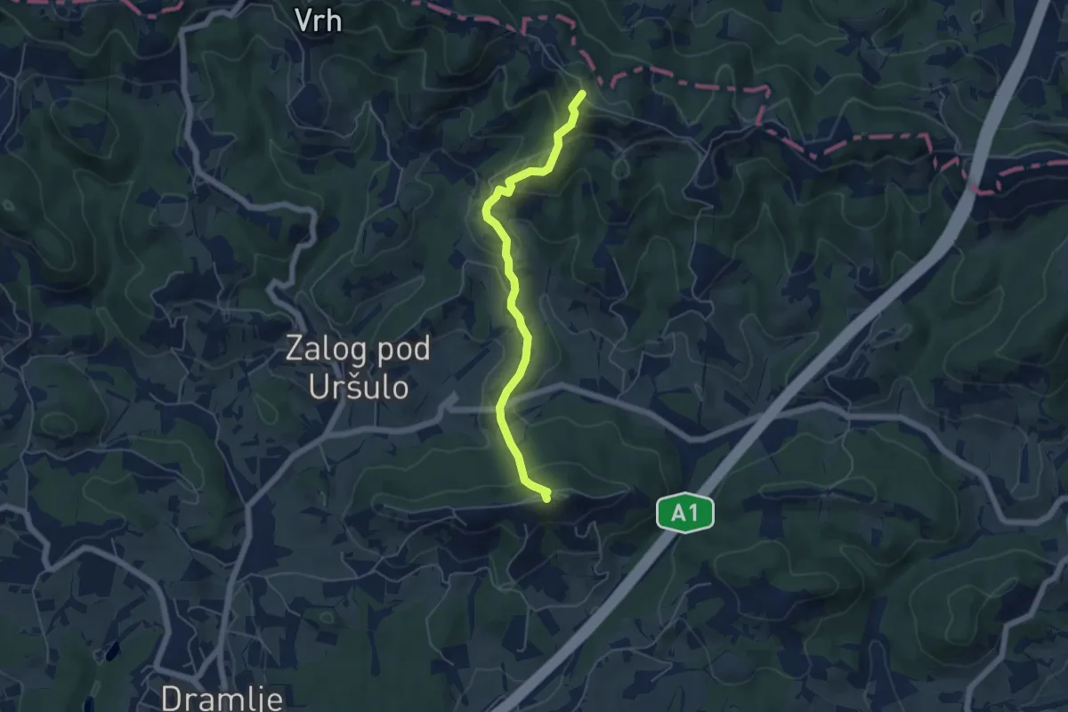
Easy · Summit
Sv. Uršula - Jankar
5.0 km · ↑ 286 m · 1 h 47 min
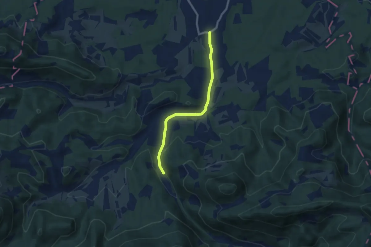
Easy · Trail
Tabor - Loke
5.3 km · ↑ 65 m · 1 h 24 min
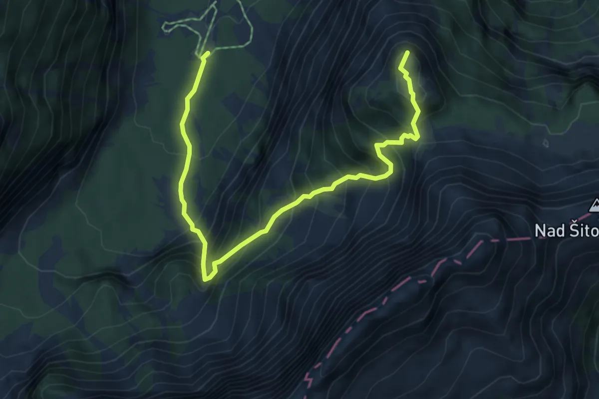
Demanding · Summit
Tamar - Črne vode - Slemenova špica
6.5 km · ↑ 874 m · 3 h 26 min
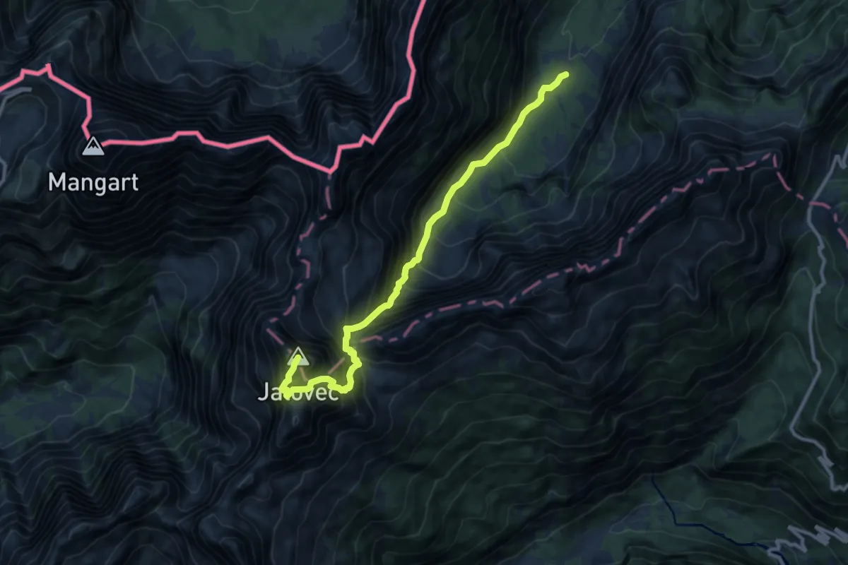
Expert · Summit
Tamar - Jalovška škrbina - Jalovec
10.8 km · ↑ 1602 m · 6 h 1 min
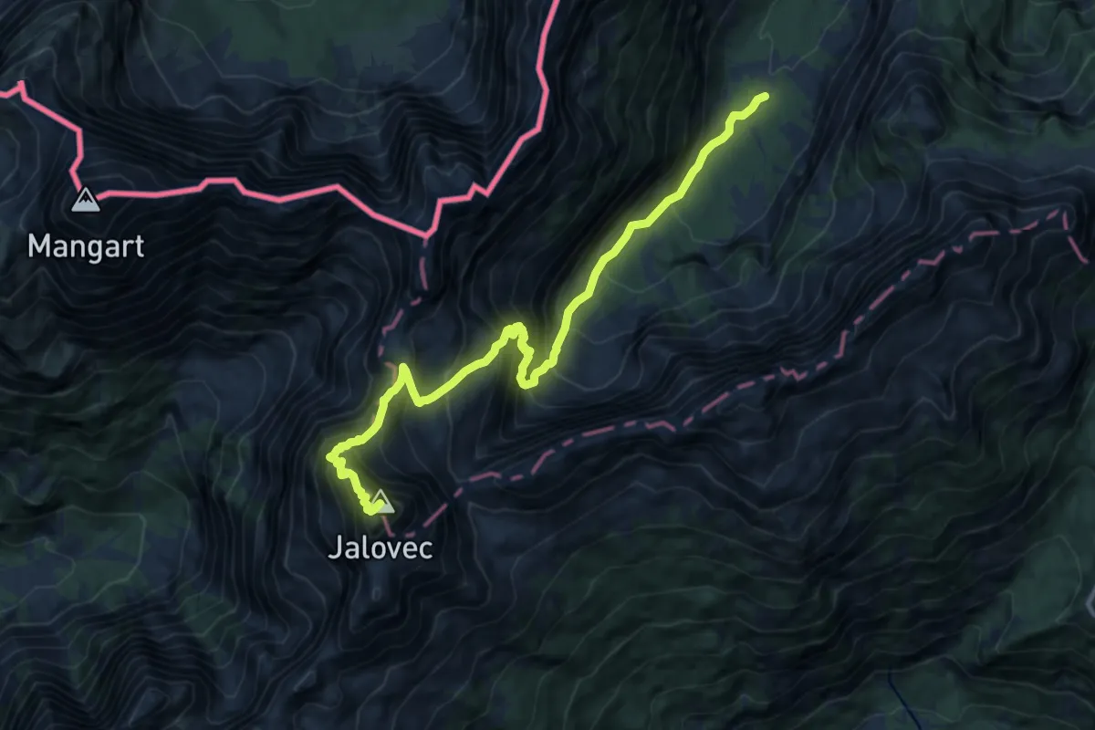
Expert · Summit
Tamar - Kotovo sedlo - Jalovec
11.8 km · ↑ 1659 m · 6 h 23 min
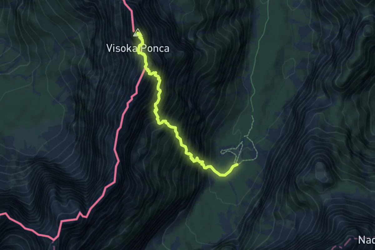
Expert · Summit
Tamar - Srednja Ponca - Visoka Ponca
6.2 km · ↑ 1265 m · 4 h 12 min
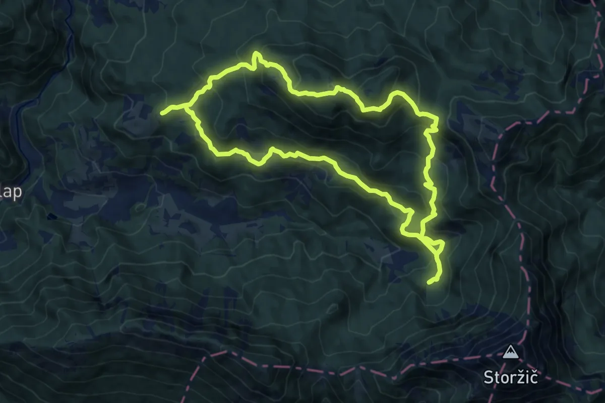
Demanding · Summit
Tematska pot Konšca
13.8 km · ↑ 826 m · 5 h 14 min
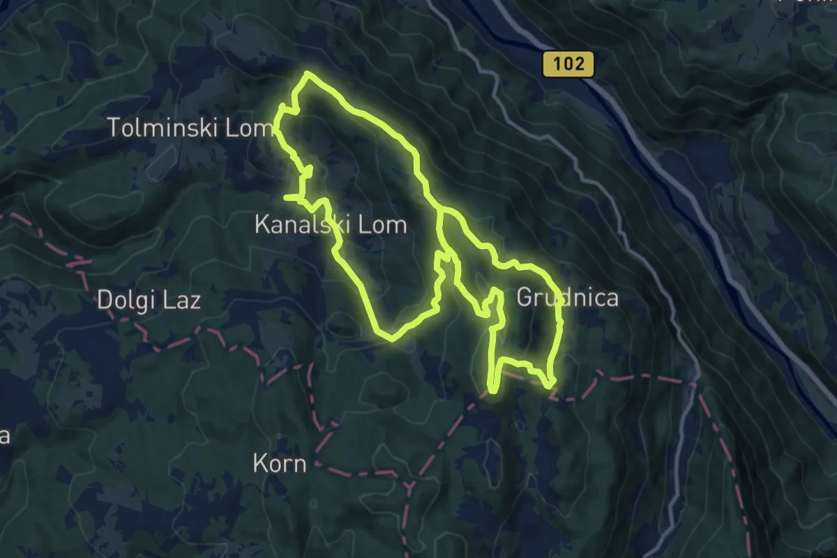
Medium · Summit
Tematska pot Lom je moj dom
12.3 km · ↑ 615 m · 4 h 26 min
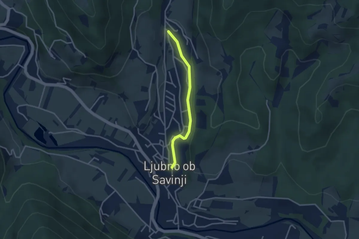
Easy · Trail
Tematska pot ob Ljubnici
2.4 km · ↑ 40 m · 39 min
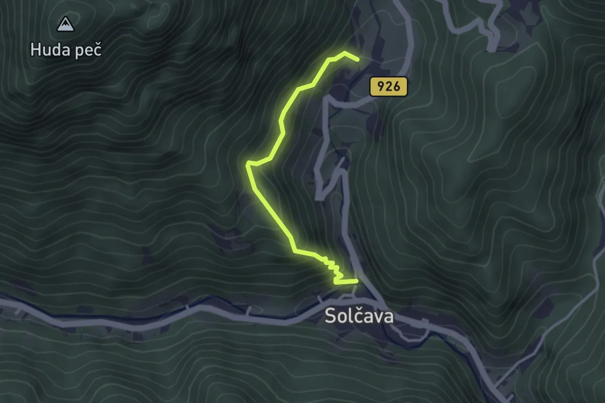
Easy · Trail
Tematska pot Solčavska tisa
2.6 km · ↑ 254 m · 1 h 10 min
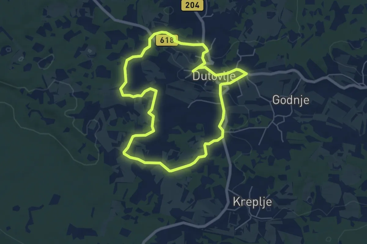
Easy · Trail
Teranova krožna pot Dutovlje
5.2 km · ↑ 64 m · 1 h 26 min
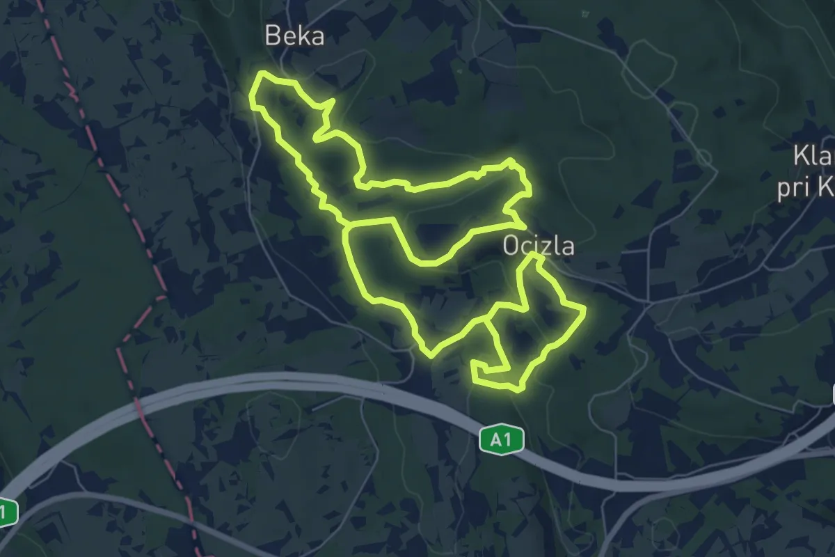
Medium · Trail
Tigrovska pot
14.9 km · ↑ 409 m · 4 h 24 min
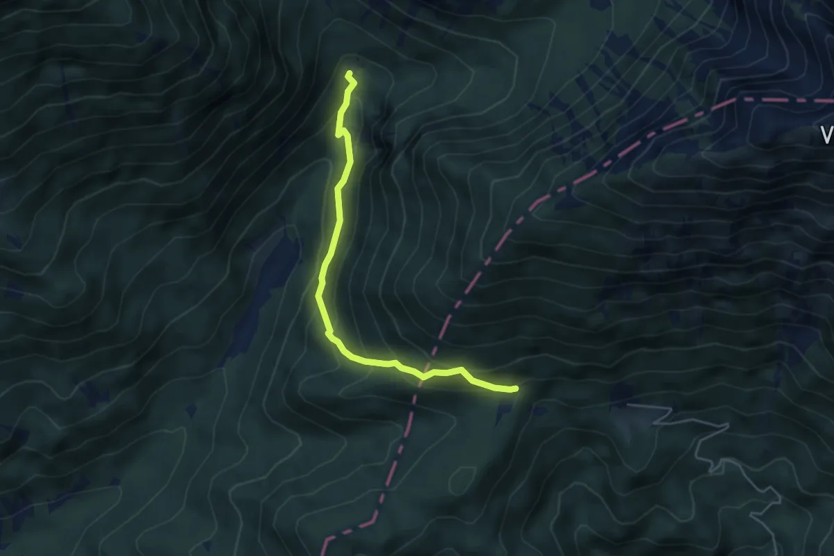
Medium · Cabin
Tinčkova koča - Poljška pl.
4.5 km · ↑ 377 m · 1 h 53 min
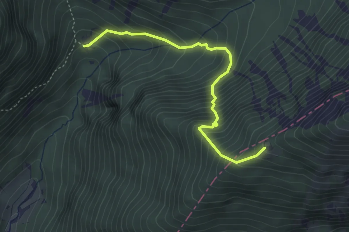
Medium · Cabin
Tinčkova koča - Roblekov dom
3.8 km · ↑ 574 m · 2 h 9 min
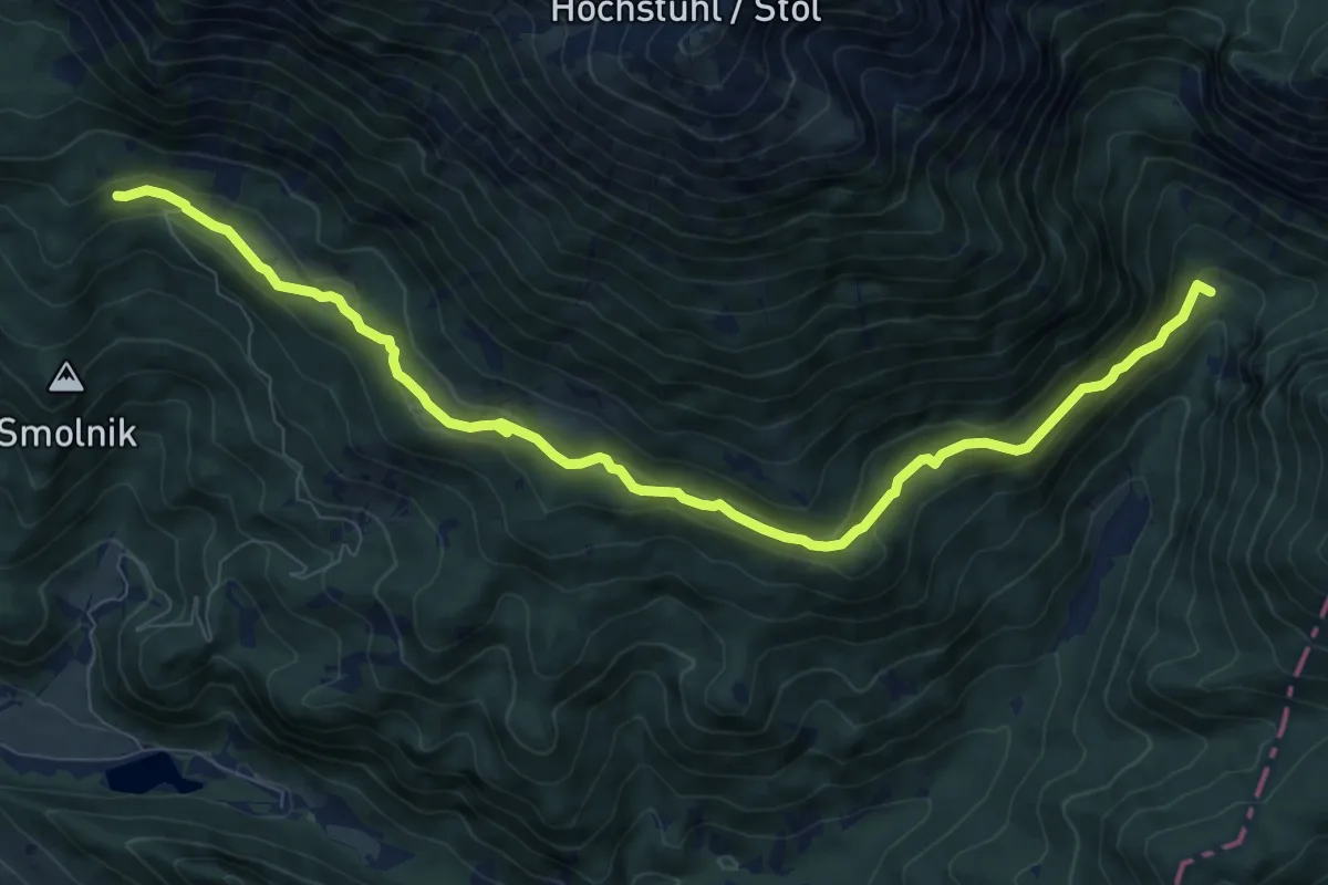
Medium · Cabin
Tinčkova koča - Valvasorjev dom
10.3 km · ↑ 463 m · 3 h 26 min
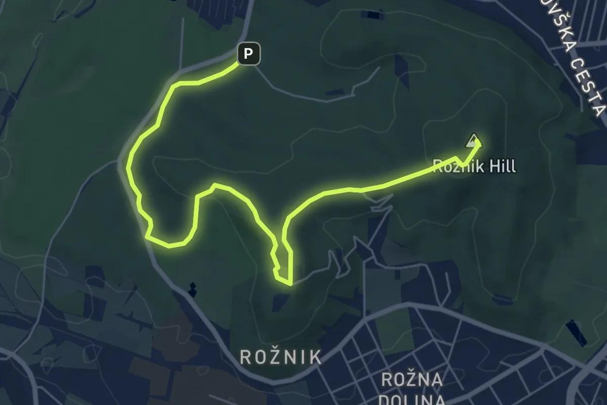
Easy · Summit
Tivoli - Rožnik - Mostec
7.6 km · ↑ 176 m · 2 h 11 min