Trails in Slovenia
1,594 hiking trails, each with its route, climb, walking time and grade.
All trails, page 27 of 34
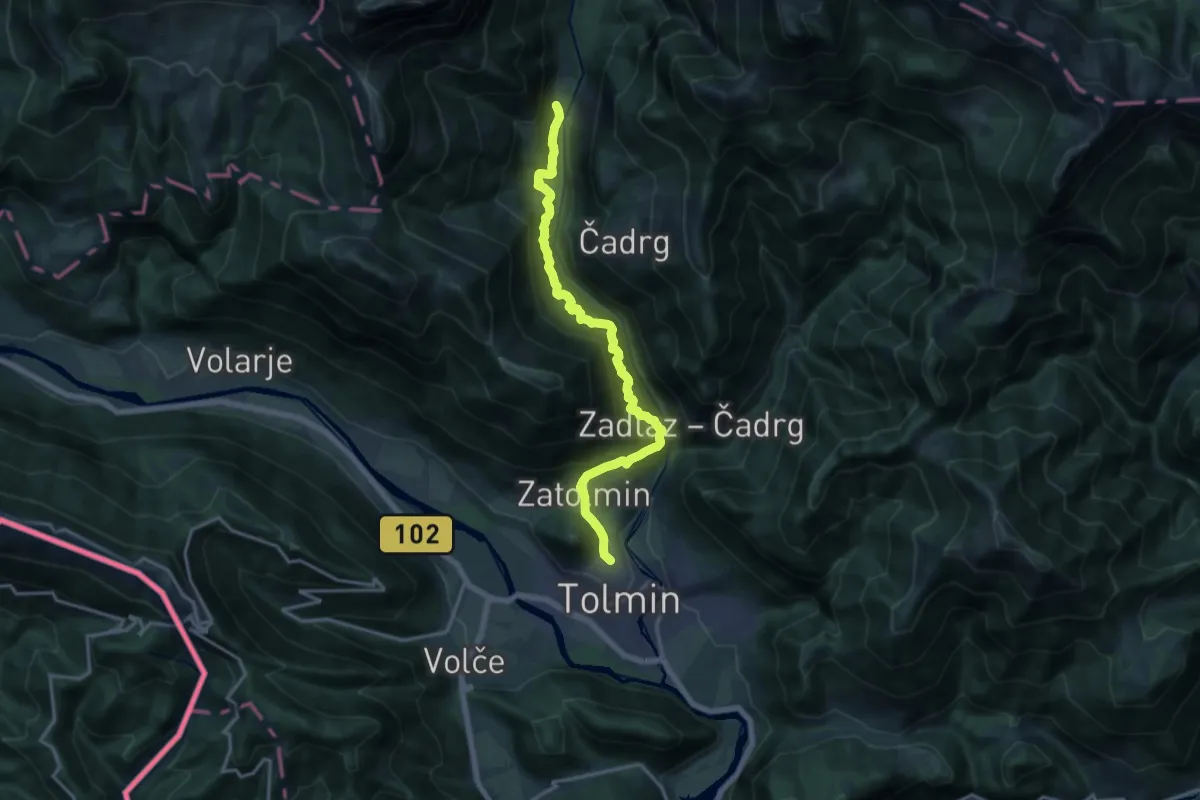
Demanding · Summit
Tolmin - Pl. Polog
15.8 km · ↑ 1299 m · 6 h 32 min
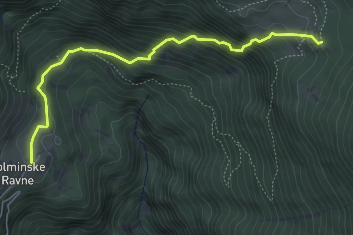
Demanding · Cabin
Tolminske Ravne - Koča na pl. Razor
5.1 km · ↑ 499 m · 2 h 17 min
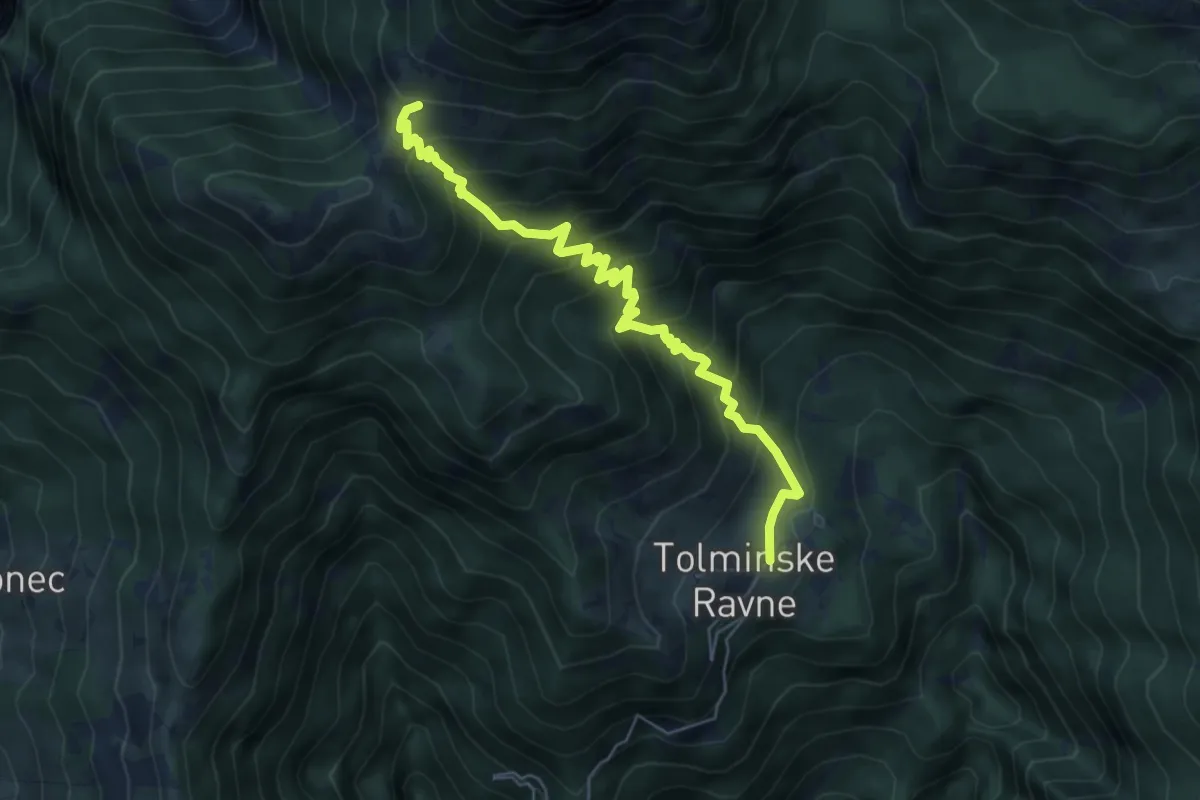
Medium · Trail
Tolminske Ravne - Pl. na Kalu
6.2 km · ↑ 588 m · 2 h 44 min
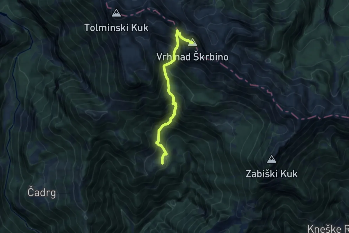
Expert · Summit
Tolminske Ravne - Vrh nad Škrbino
8.8 km · ↑ 1185 m · 4 h 39 min
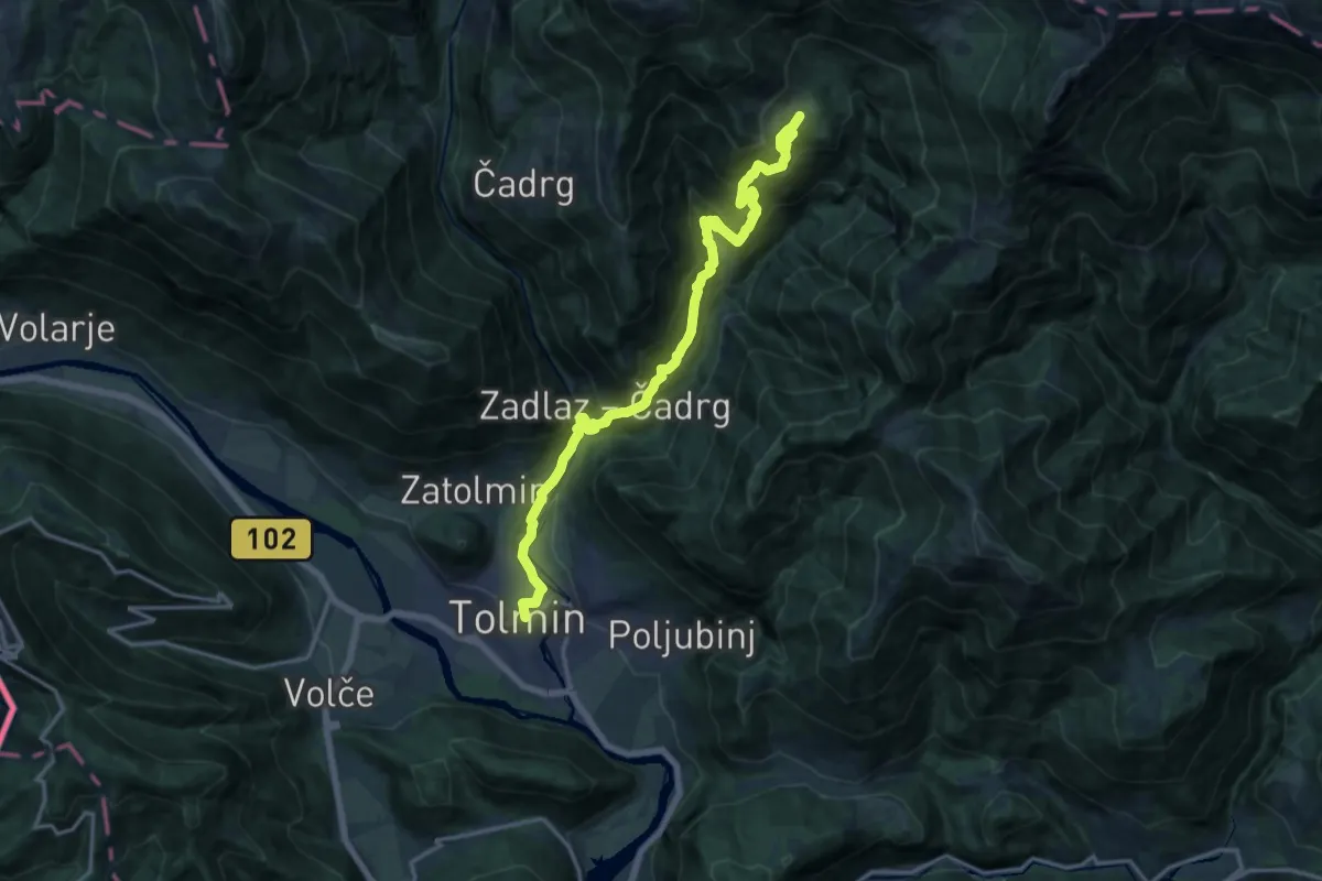
Demanding · Trail
Tolmin - Tolminske Ravne
17.7 km · ↑ 1297 m · 6 h 59 min
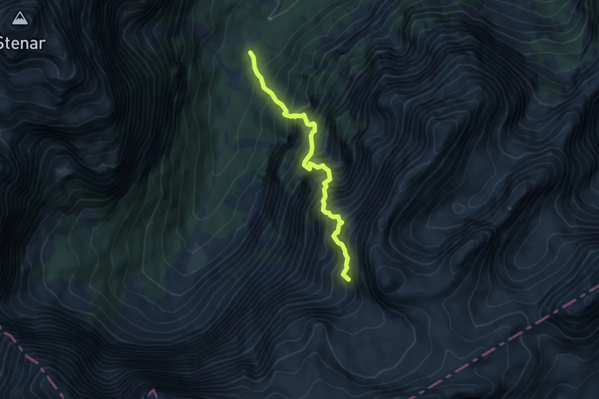
Expert · Trail
Tominškova pot
5.1 km · ↑ 1274 m · 3 h 57 min
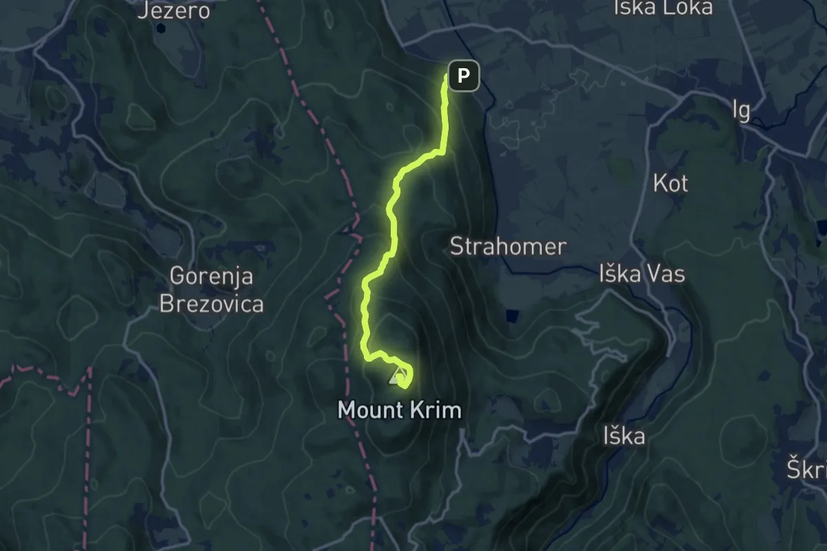
Medium · Summit
Tomišelj - Strmec - Krim
11.2 km · ↑ 775 m · 4 h 19 min
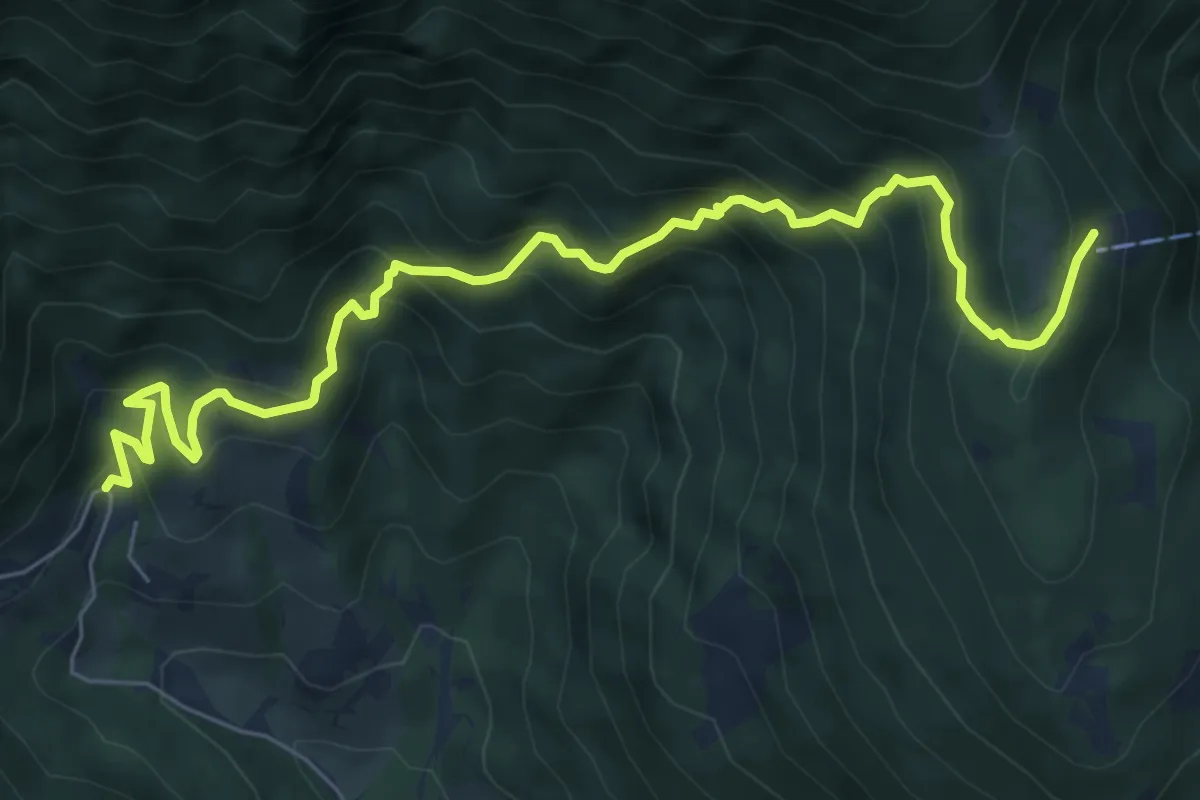
Medium · Cabin
Topla - Dom na Peci
7.9 km · ↑ 783 m · 3 h 33 min
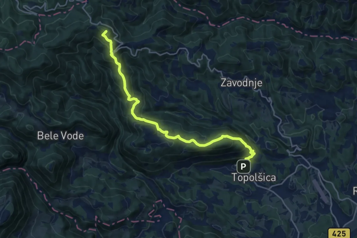
Demanding · Summit
Topolšica - Sleme
15.9 km · ↑ 925 m · 5 h 46 min
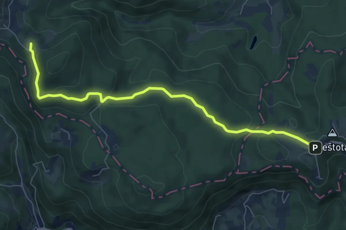
Easy · Summit
Topol - Toško Čelo
7.0 km · ↑ 168 m · 2 h 1 min
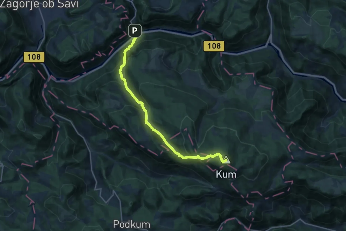
Demanding · Summit
Trbovlje - Čebulova dolina - Kum
14.7 km · ↑ 1141 m · 5 h 56 min
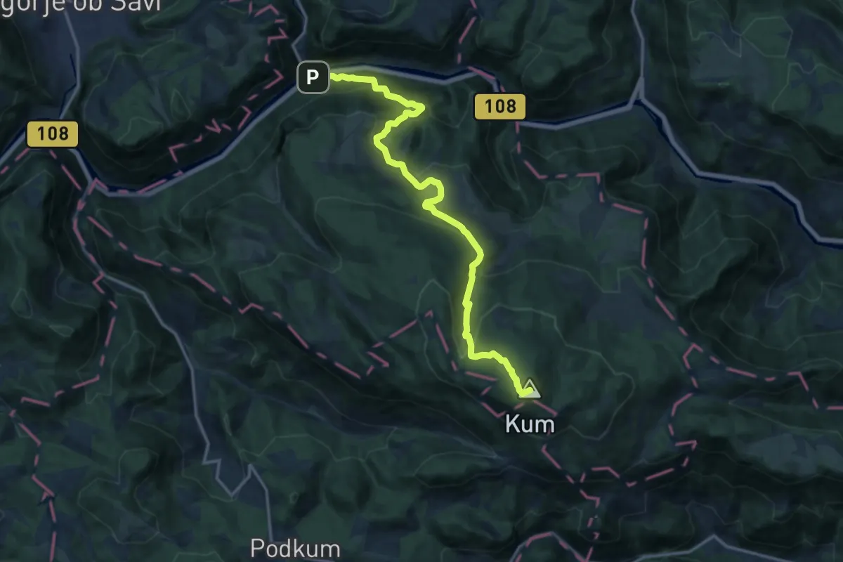
Demanding · Summit
Trbovlje - Dobovec - Kum
15.4 km · ↑ 1143 m · 6 h 7 min
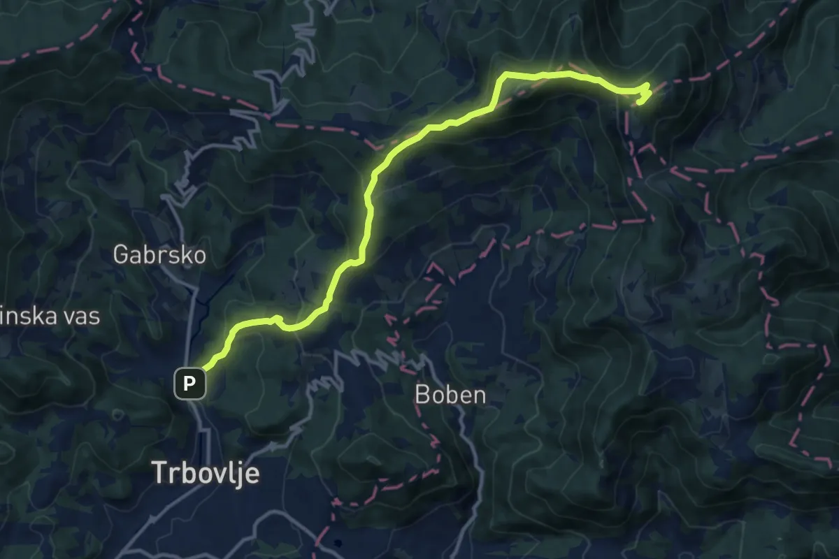
Demanding · Summit
Trbovlje - Mrzlica
13.4 km · ↑ 842 m · 4 h 59 min
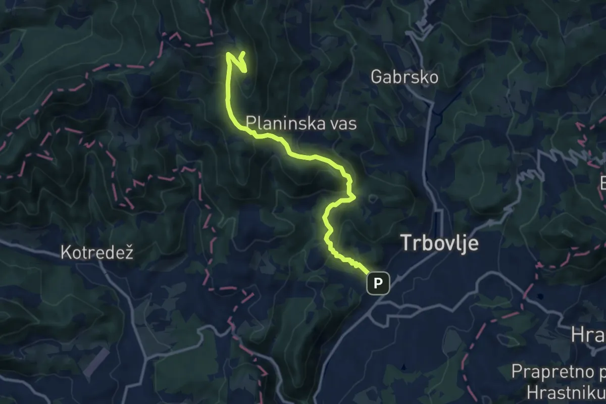
Medium · Summit
Trbovlje - Partizanski vrh
10.4 km · ↑ 689 m · 3 h 57 min
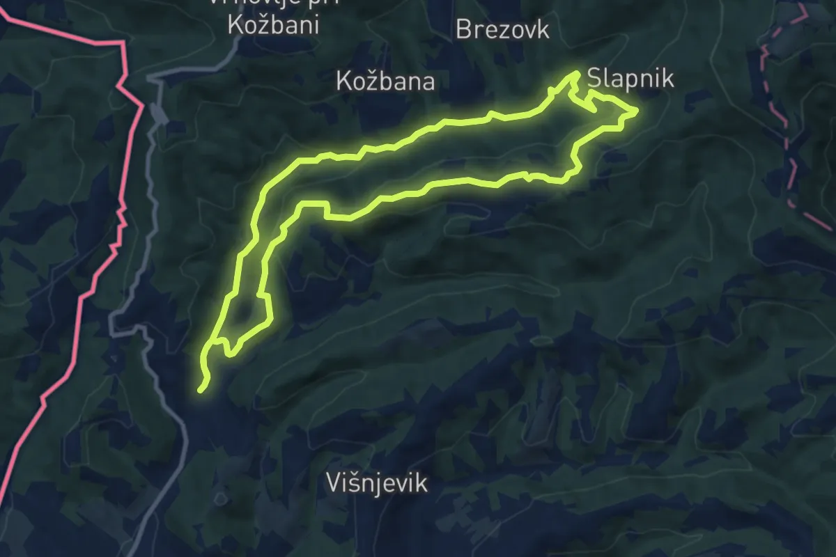
Medium · Summit
Trcinka
9.4 km · ↑ 322 m · 3 h 3 min
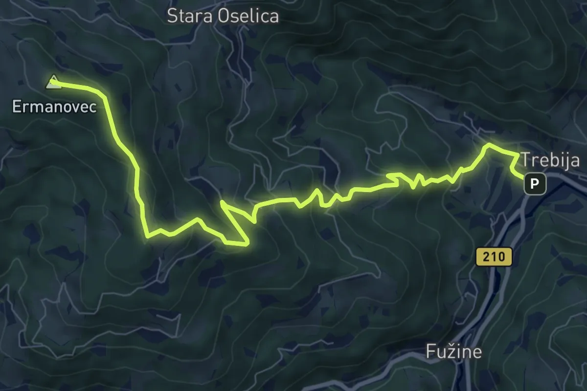
Medium · Summit
Trebija - Ermanovec - Koča na Ermanovcu
10.0 km · ↑ 623 m · 3 h 43 min
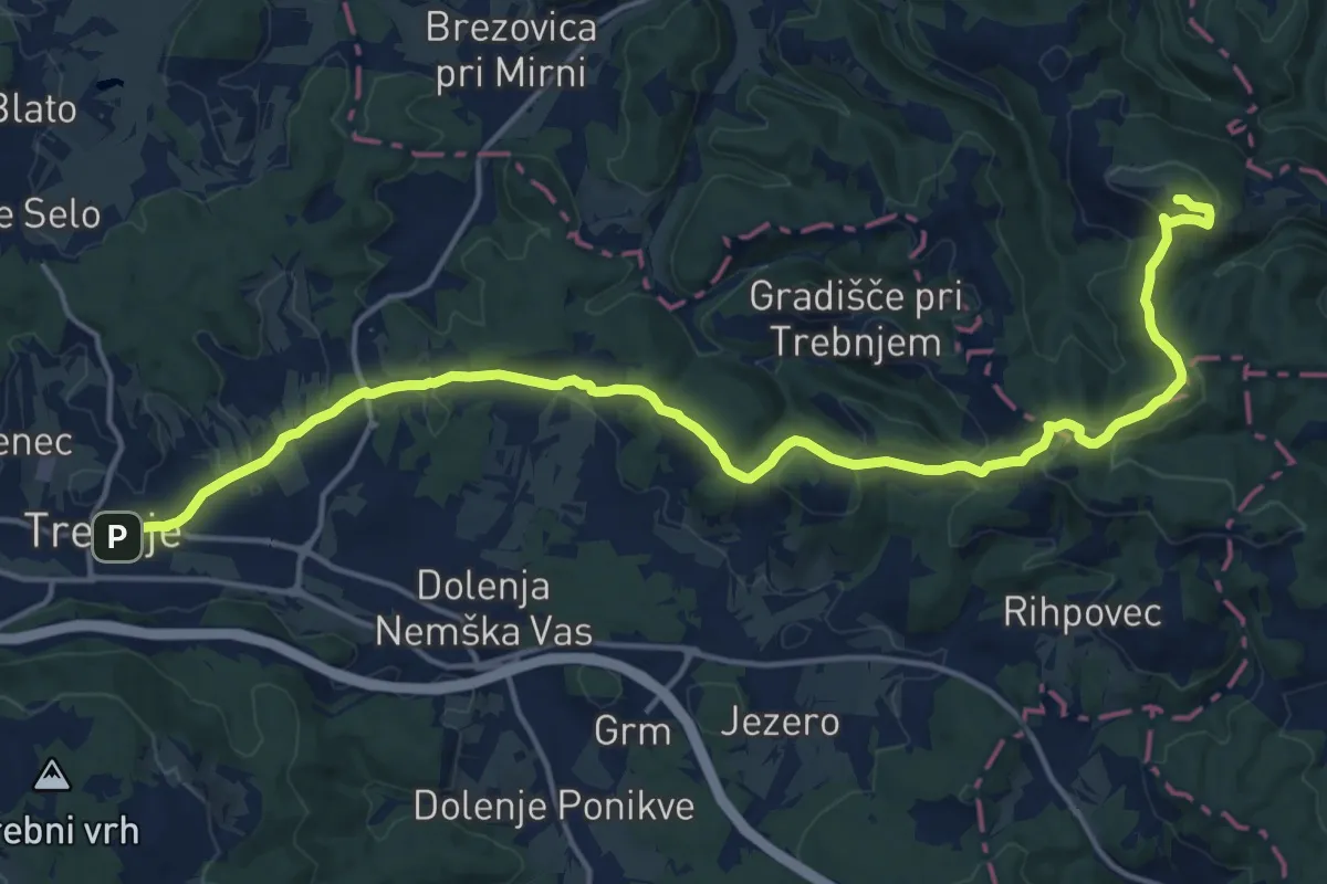
Demanding · Summit
Trebnje - Debenec
20.0 km · ↑ 613 m · 6 h 3 min
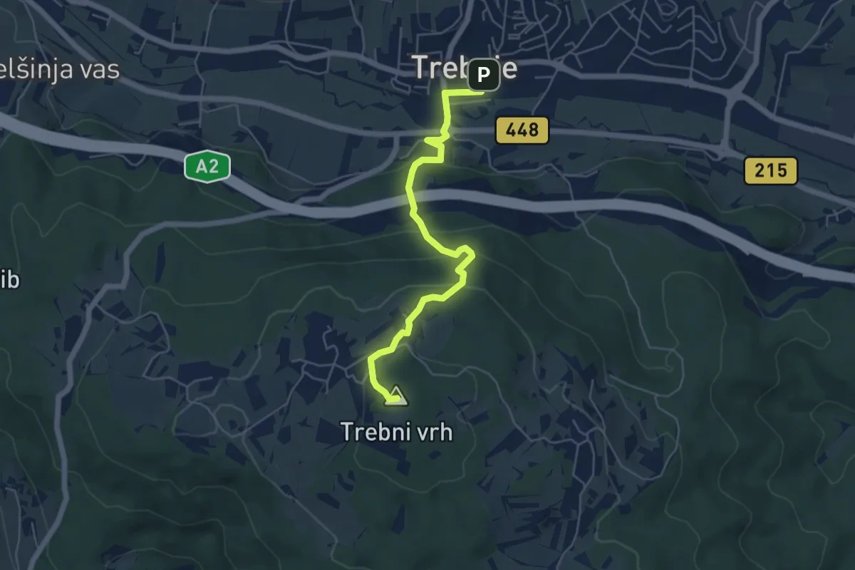
Medium · Summit
Trebnje - Trebni vrh
5.2 km · ↑ 321 m · 1 h 56 min
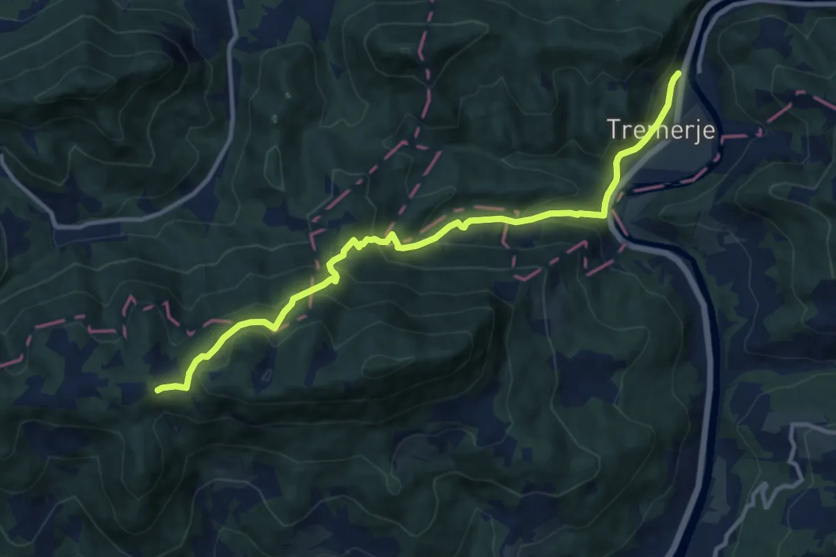
Medium · Cabin
Tremerje - Šmohor
10.6 km · ↑ 672 m · 3 h 58 min
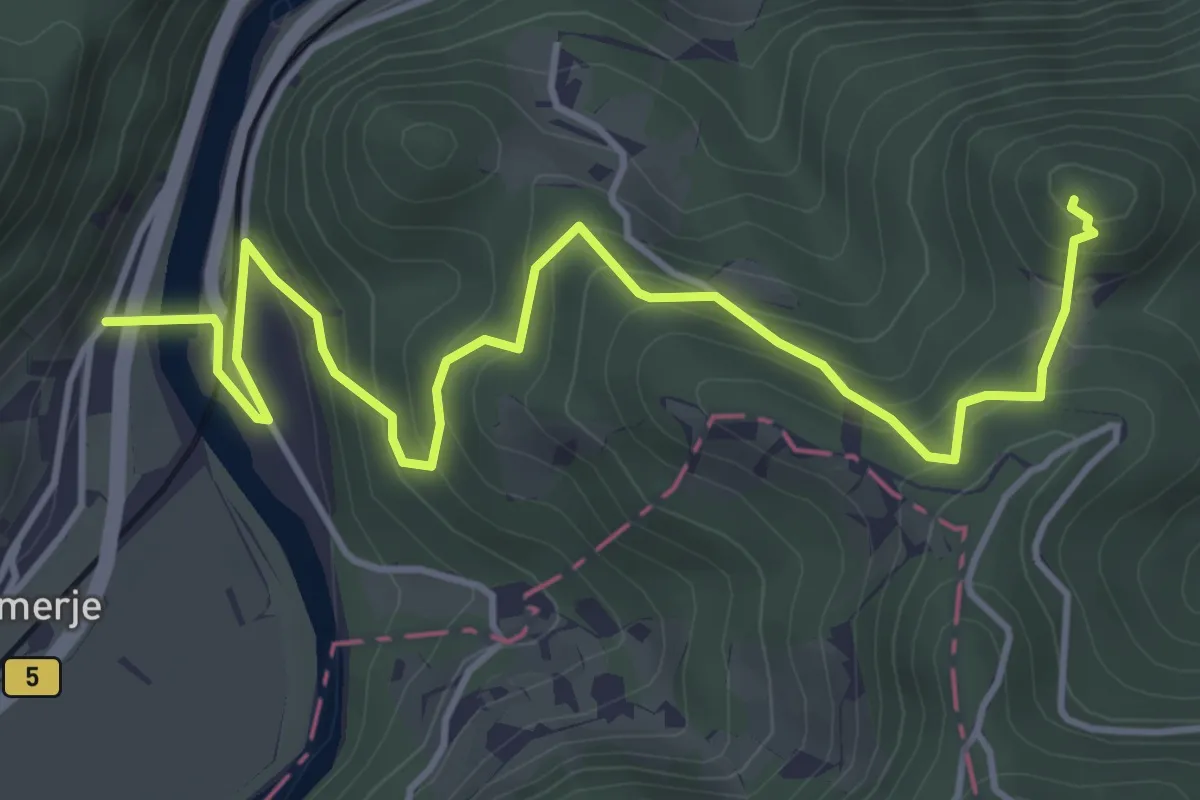
Medium · Summit
Tremerje - Vipota
5.3 km · ↑ 395 m · 2 h 6 min
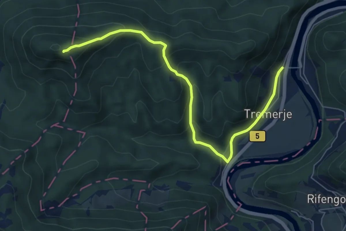
Medium · Summit
Tremerje - V. Slomnik
6.5 km · ↑ 445 m · 2 h 29 min
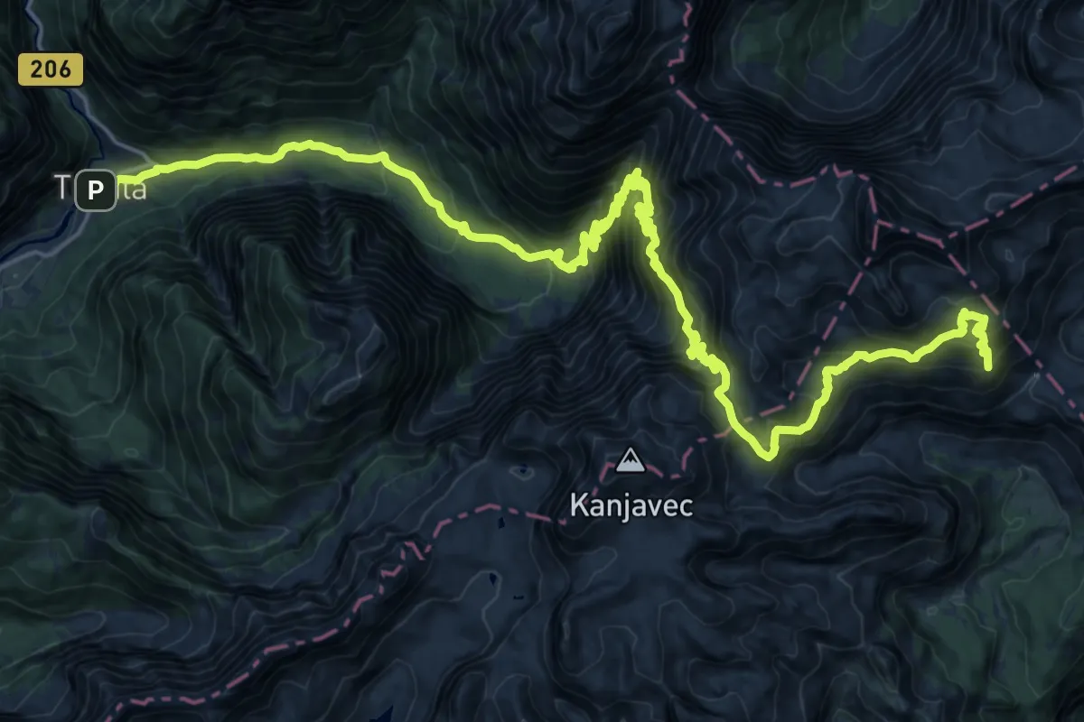
Expert · Summit
Trenta-Sedlo Dolič-Vodnikov dom
30.1 km · ↑ 2900 m · 13 h 24 min
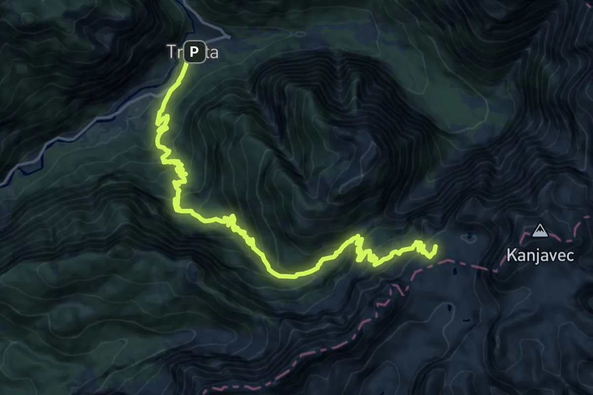
Demanding · Cabin
Trenta - Trebiščina - Prehodavci
10.4 km · ↑ 1471 m · 5 h 5 min
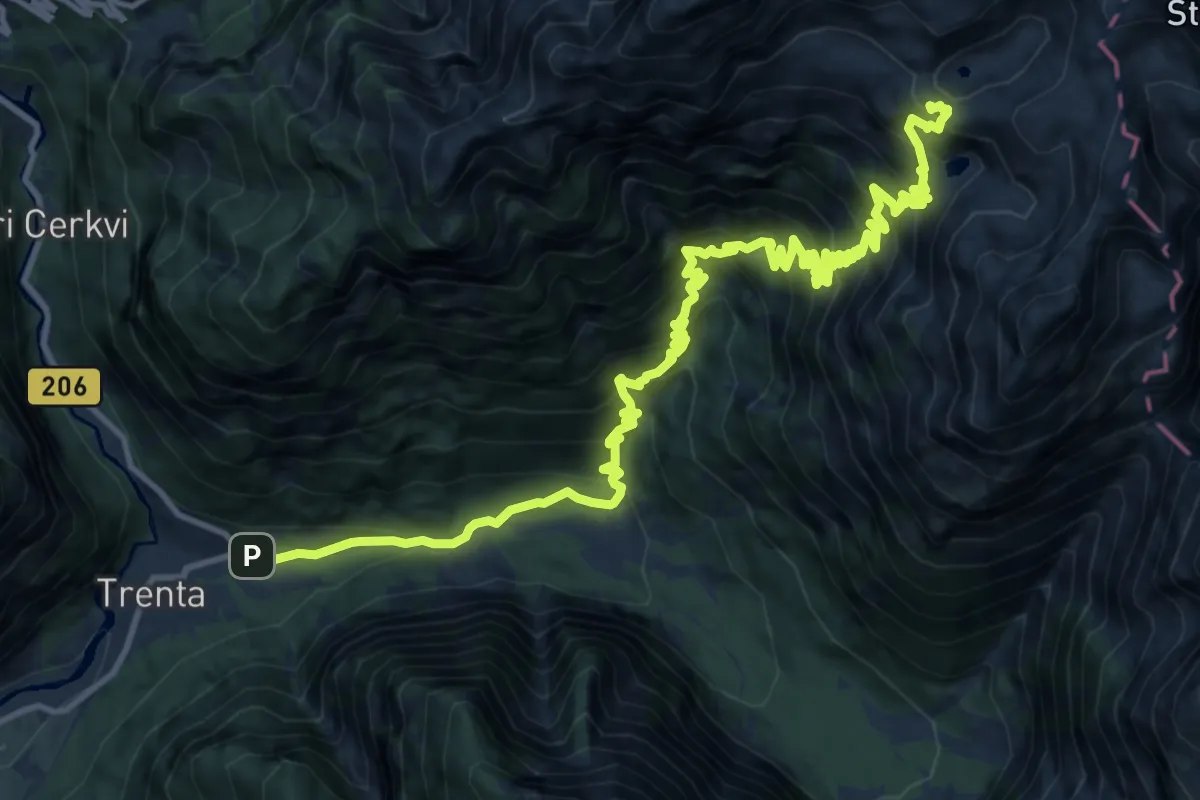
Demanding · Summit
Trenta - Zadnjica - Pogačnikov dom
17.7 km · ↑ 1822 m · 8 h 8 min
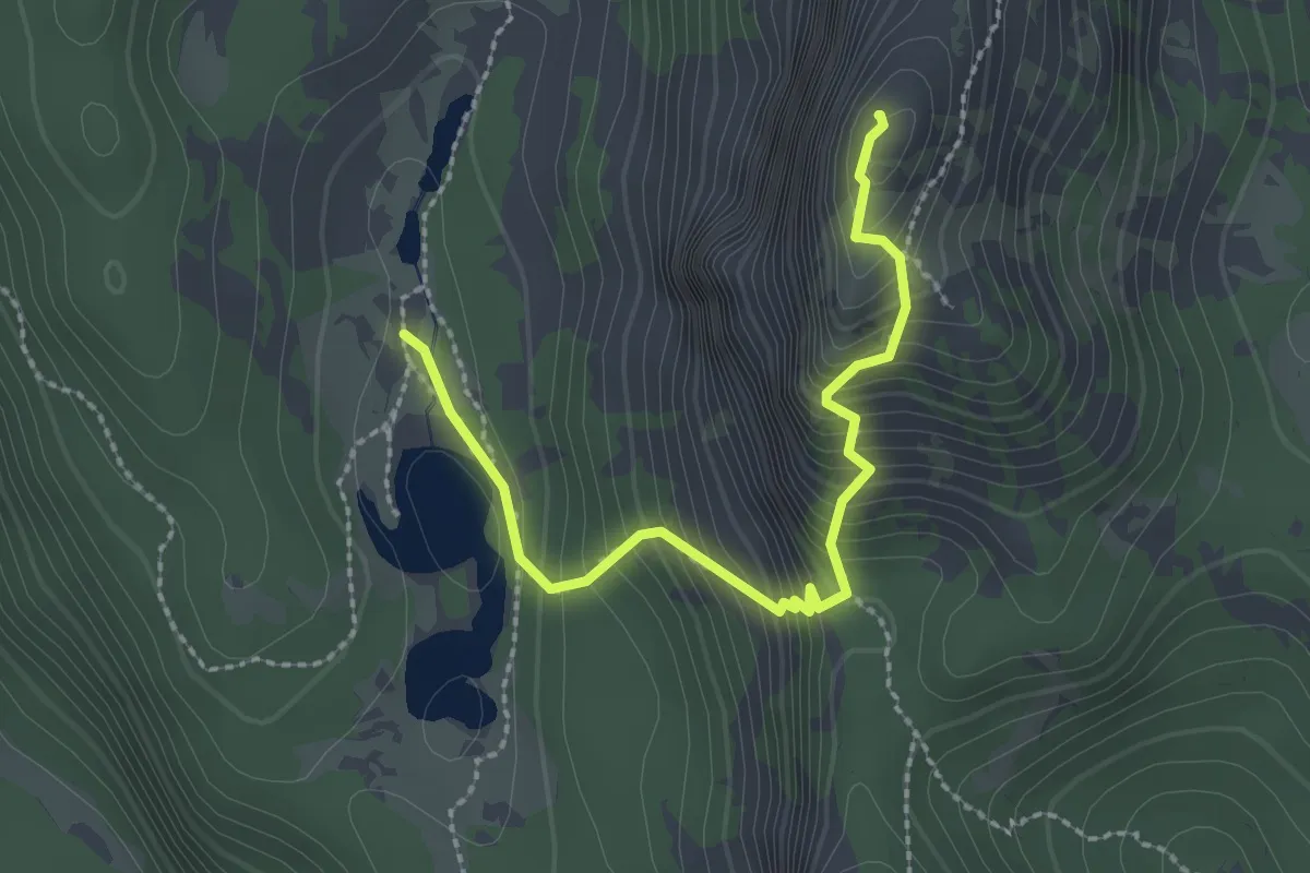
Expert · Summit
Triglavska jezera - Mala Tičarica
2.6 km · ↑ 340 m · 1 h 21 min
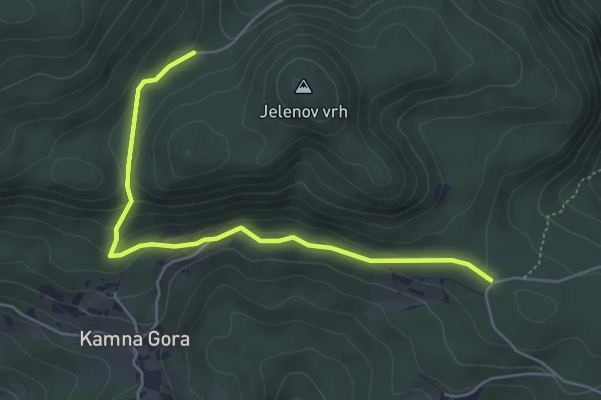
Easy · Trail
Trije križi - Kamna Gora - Grofov štant
4.6 km · ↑ 147 m · 1 h 25 min
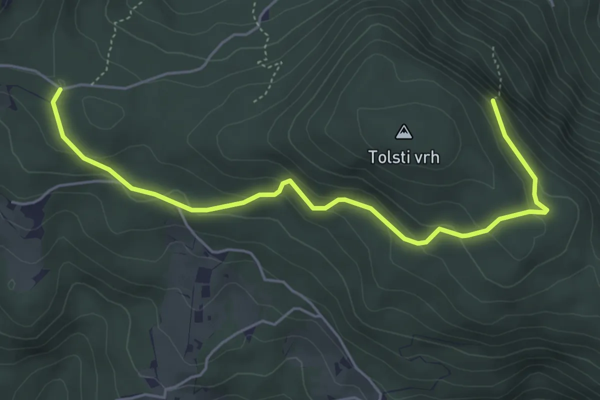
Easy · Summit
Trije križi - Skala
5.3 km · ↑ 258 m · 1 h 48 min
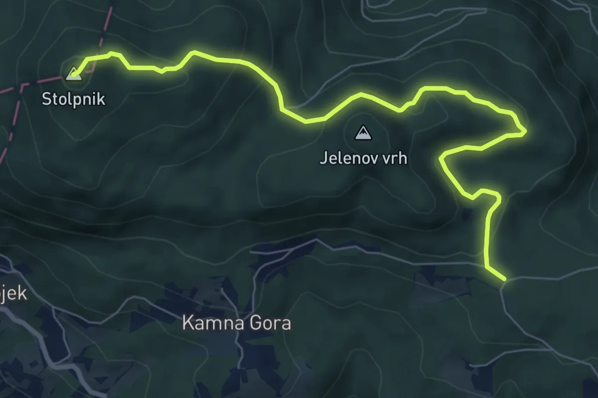
Medium · Summit
Trije križi - Stolpnik
7.8 km · ↑ 420 m · 2 h 45 min
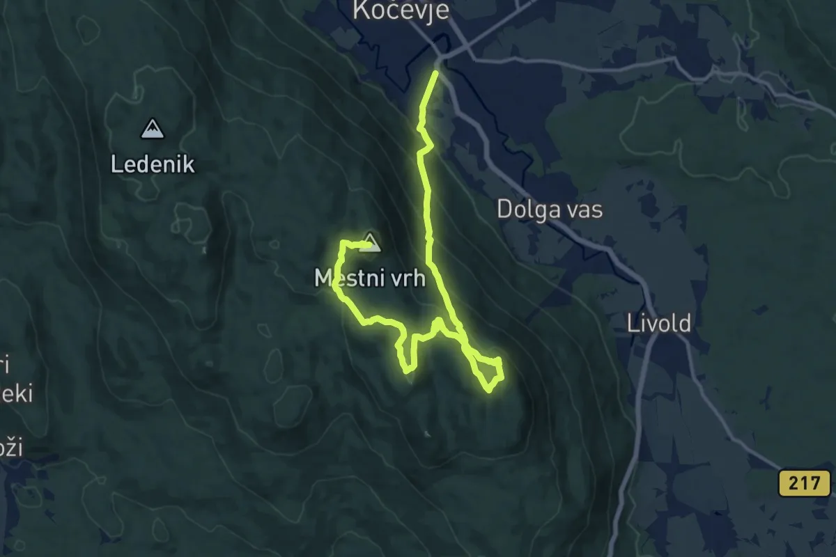
Demanding · Summit
Trimčkova pot
16.6 km · ↑ 1046 m · 6 h 12 min
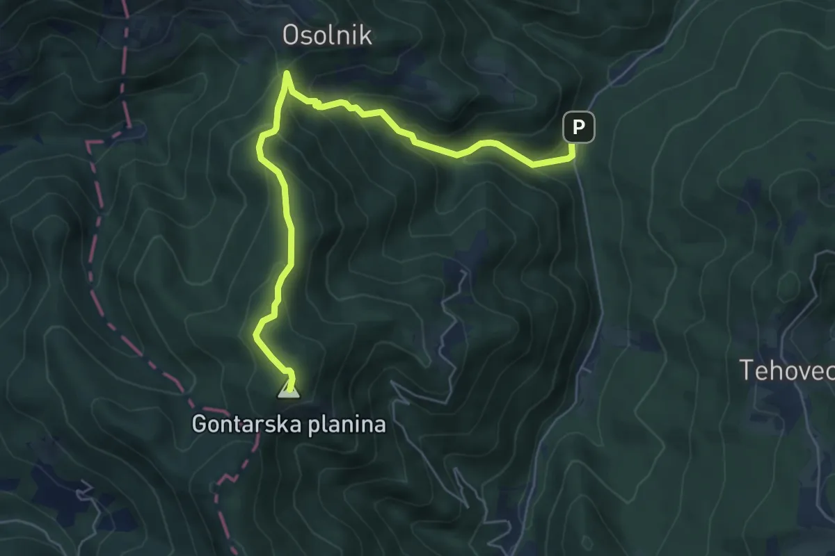
Medium · Summit
Trnovec - Gontarska pl.
6.3 km · ↑ 483 m · 2 h 32 min
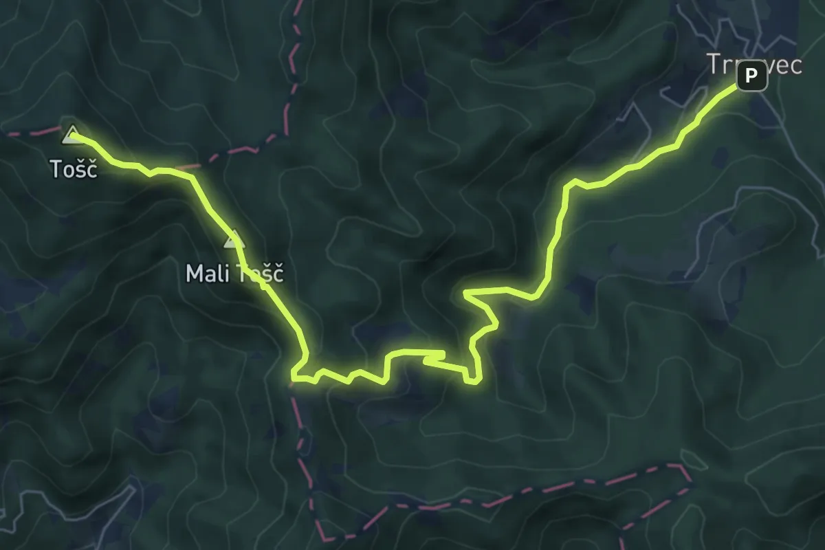
Medium · Summit
Trnovec - Gonte - Tošč
8.7 km · ↑ 629 m · 3 h 25 min
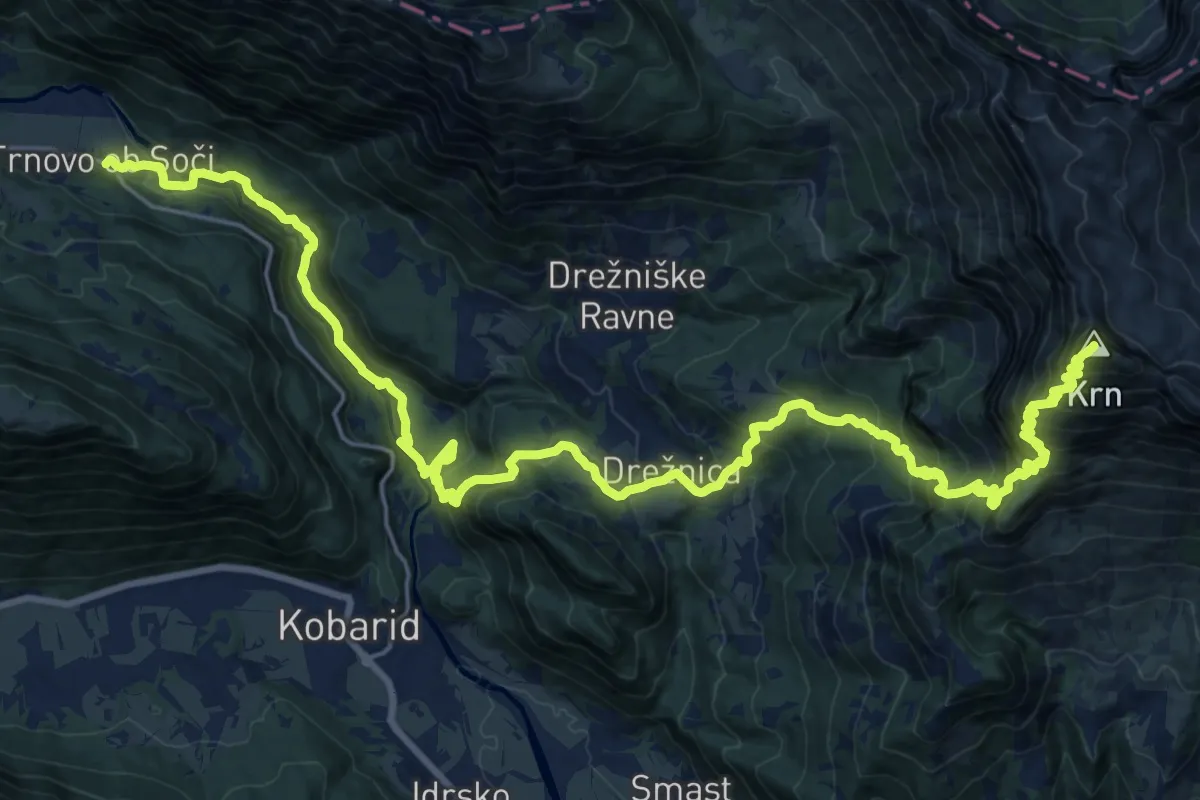
Expert · Summit
Trnovo-Krn
31.9 km · ↑ 2568 m · 13 h 6 min
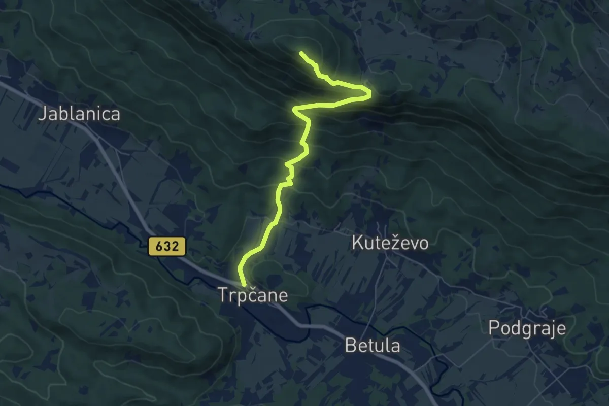
Medium · Summit
Trpčane - Kozlek
6.3 km · ↑ 543 m · 2 h 40 min
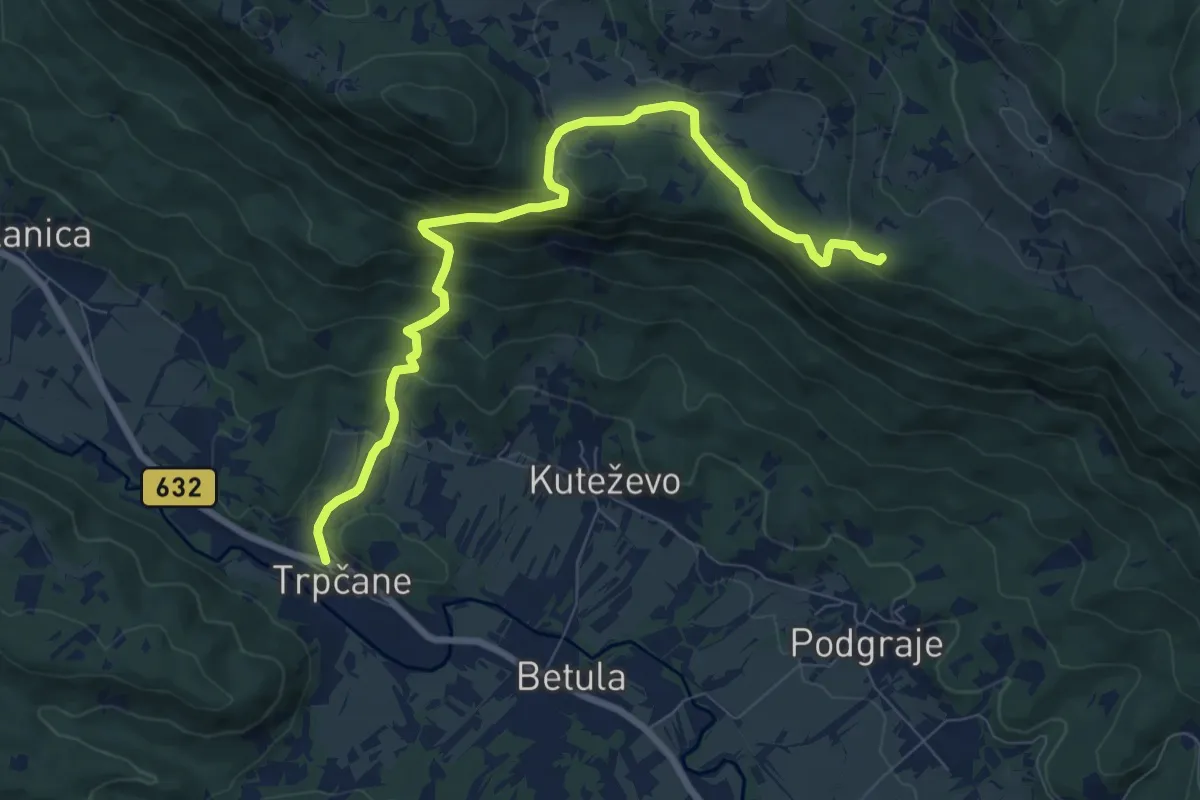
Medium · Summit
Trpčane - Sviščaki
9.2 km · ↑ 542 m · 3 h 21 min
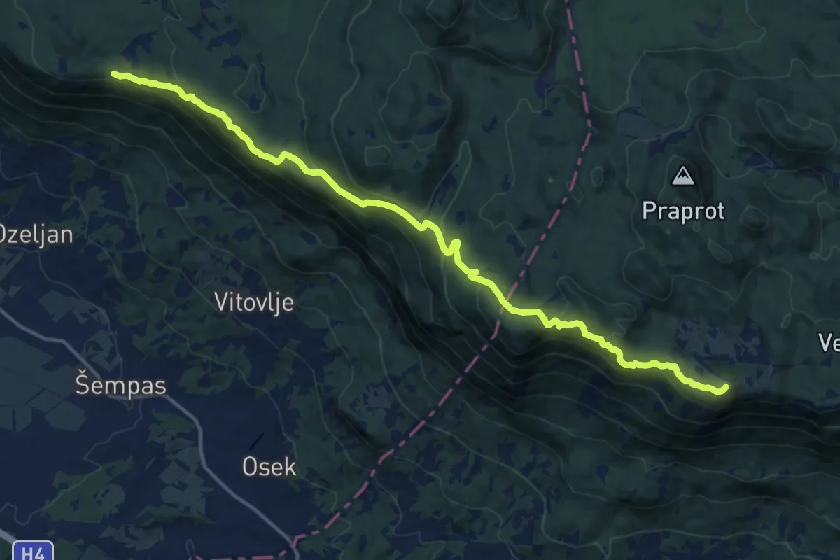
Demanding · Summit
Trpinovšče - Čaven
16.7 km · ↑ 759 m · 5 h 36 min
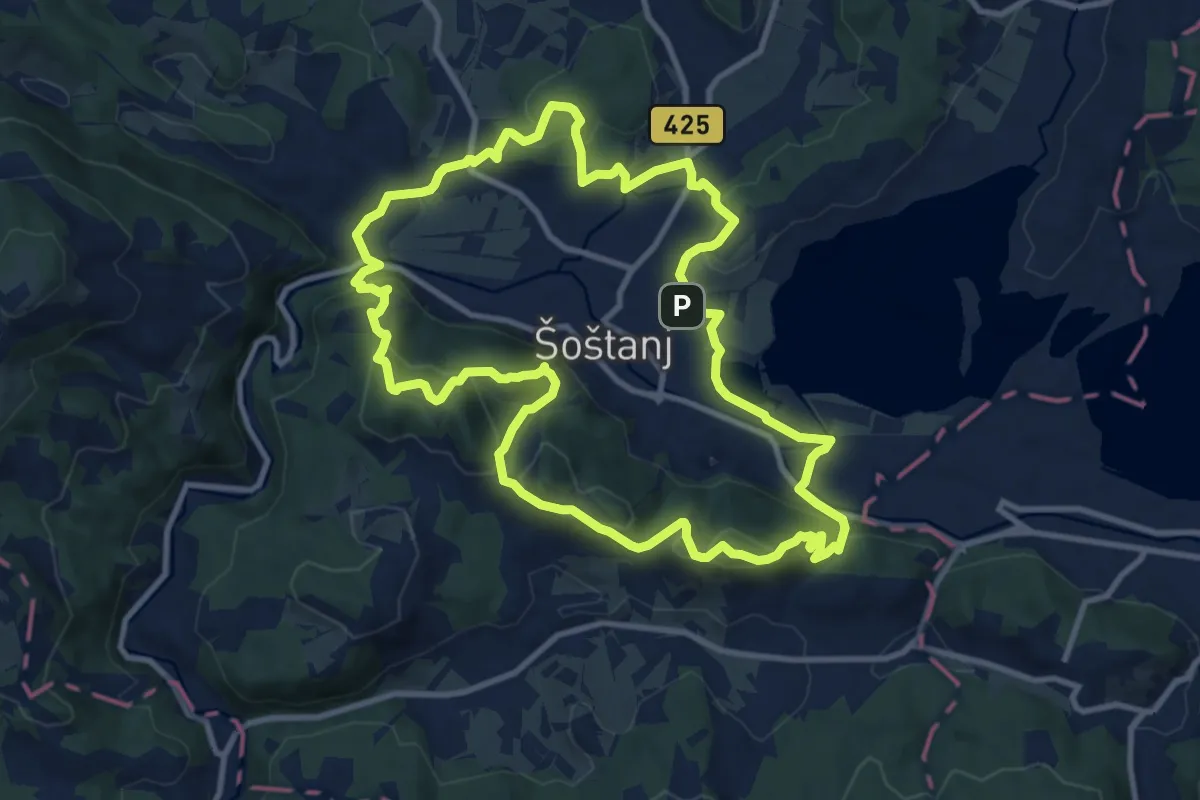
Medium · Summit
Trška pot
11.1 km · ↑ 432 m · 3 h 42 min
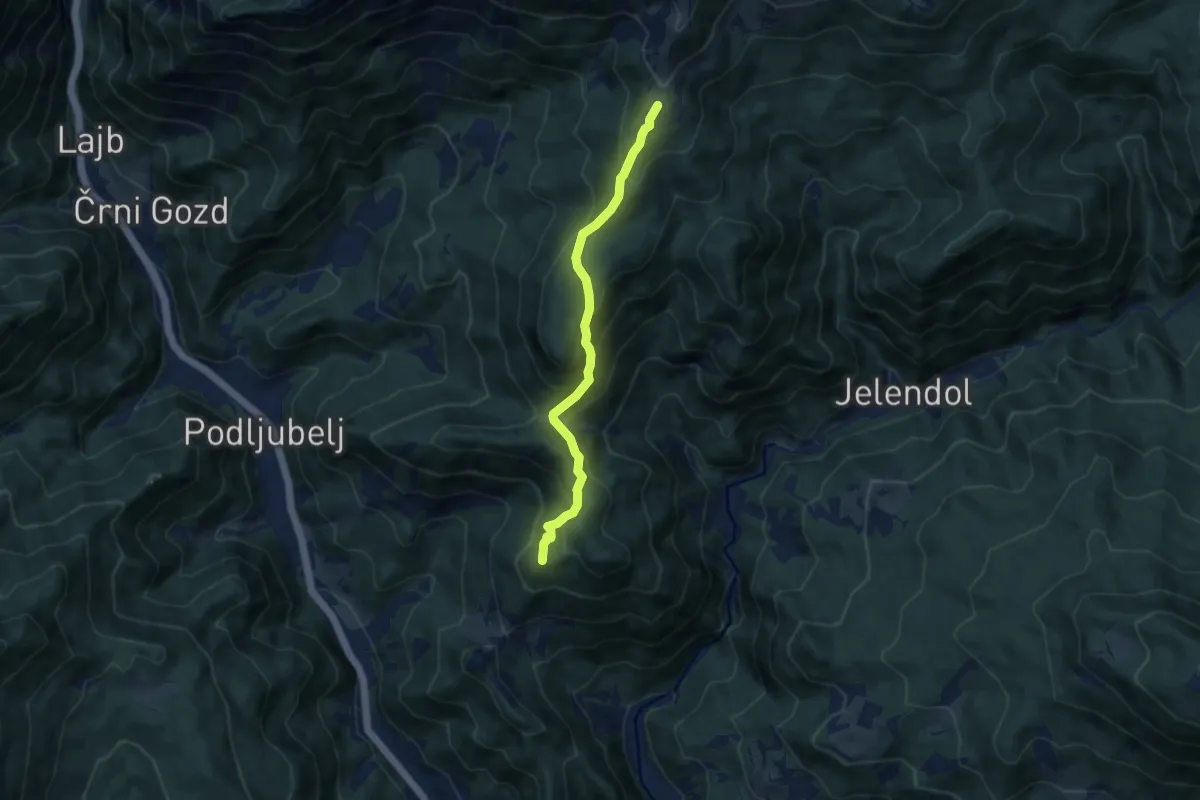
Medium · Summit
Tržič - Kal - Kofce
7.7 km · ↑ 530 m · 2 h 58 min
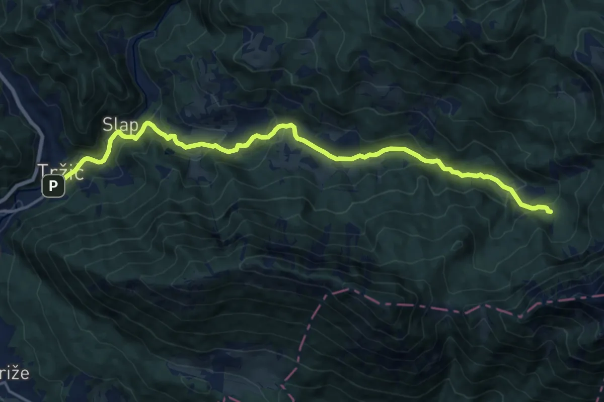
Medium · Cabin
Tržič - Lom - Dom pod Storžičem
15.4 km · ↑ 623 m · 4 h 59 min
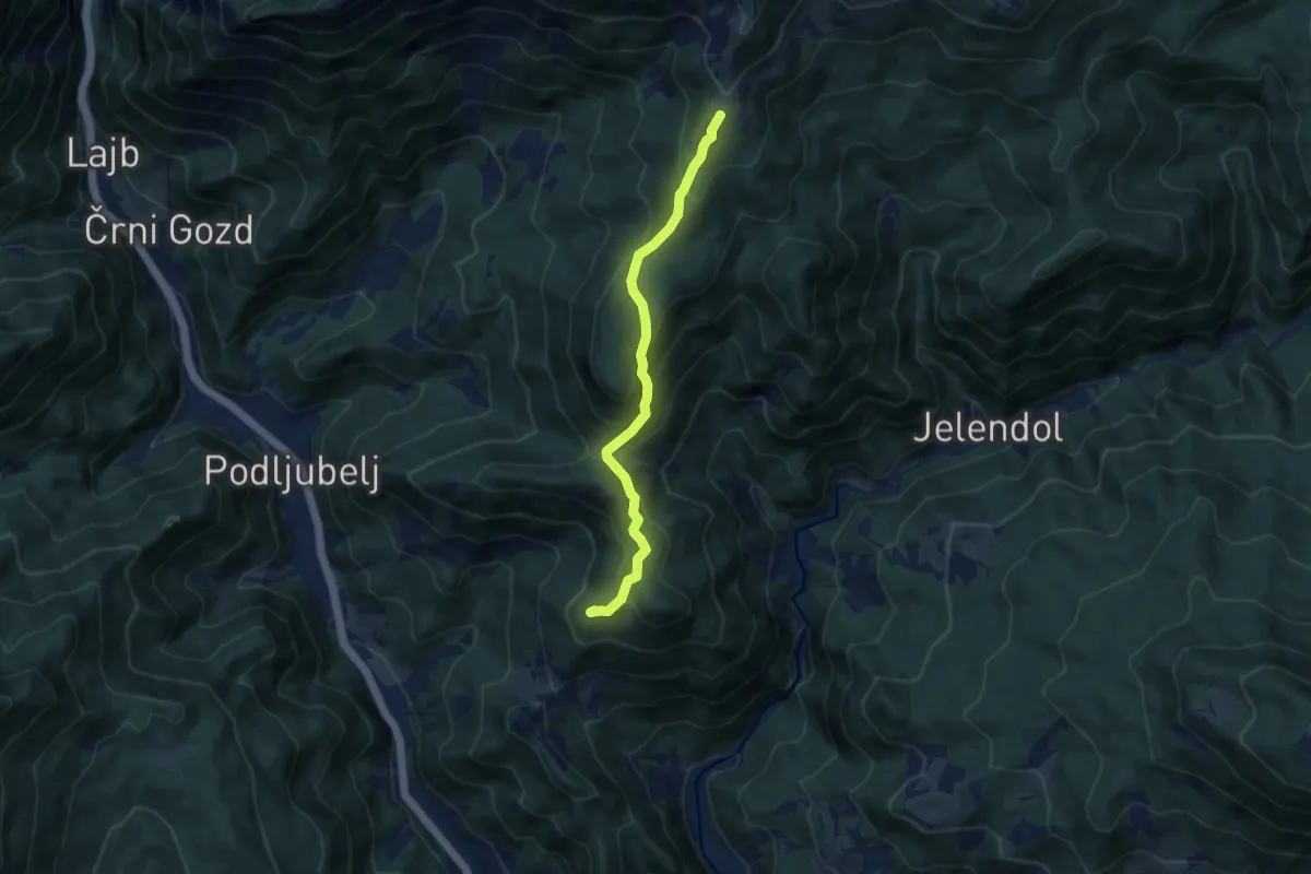
Medium · Summit
Tržič - Pirmance - Kofce
7.9 km · ↑ 494 m · 2 h 56 min
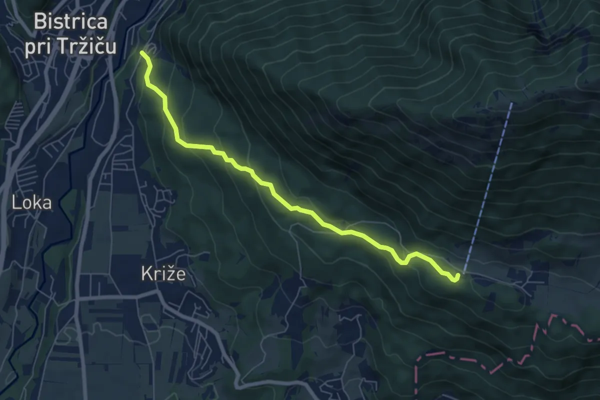
Medium · Cabin
Tržič - Zavetišče v Gozdu
6.3 km · ↑ 371 m · 2 h 18 min
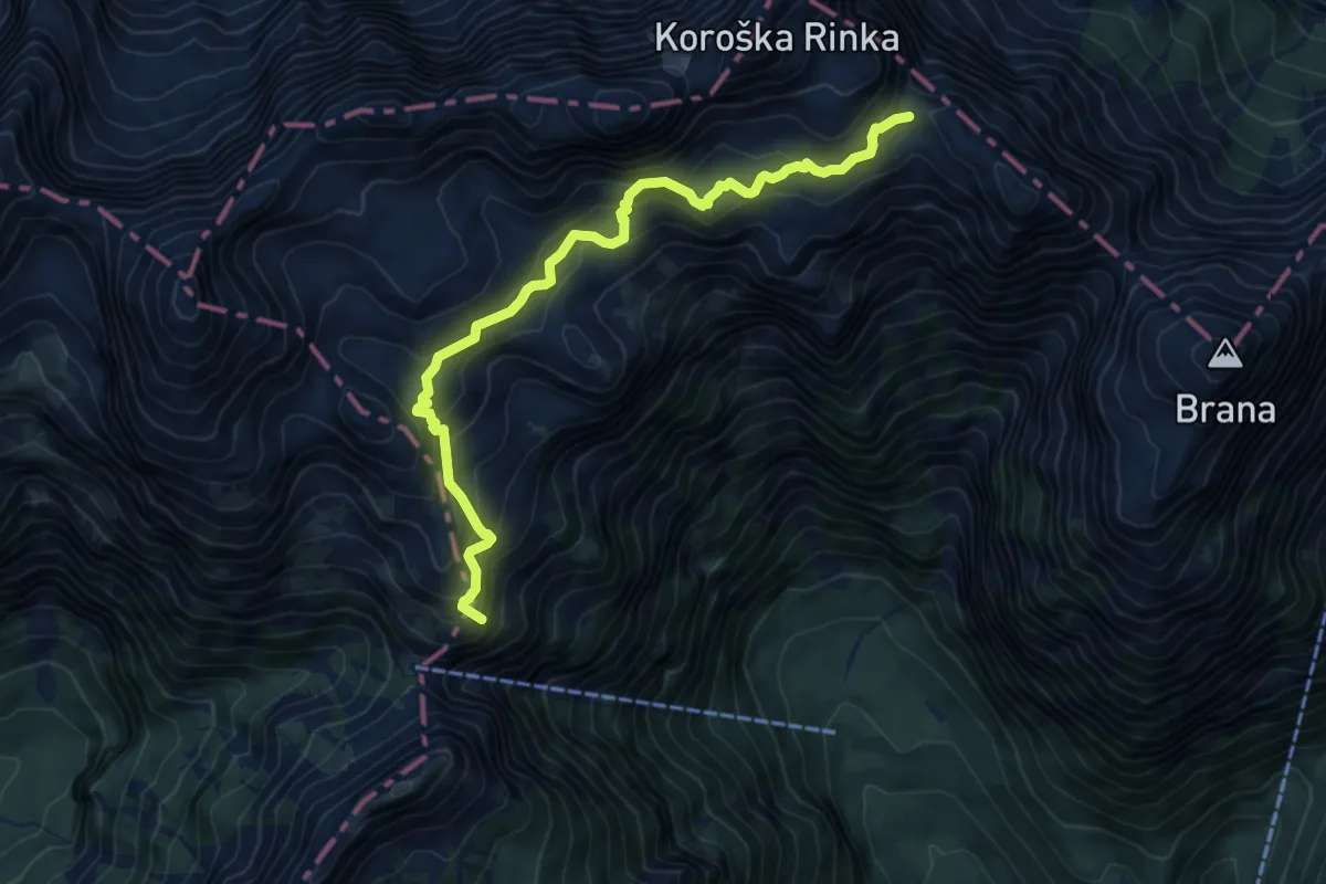
Demanding · Summit
Turski žleb - Cojzova koča (čez Sleme)
7.8 km · ↑ 951 m · 3 h 54 min
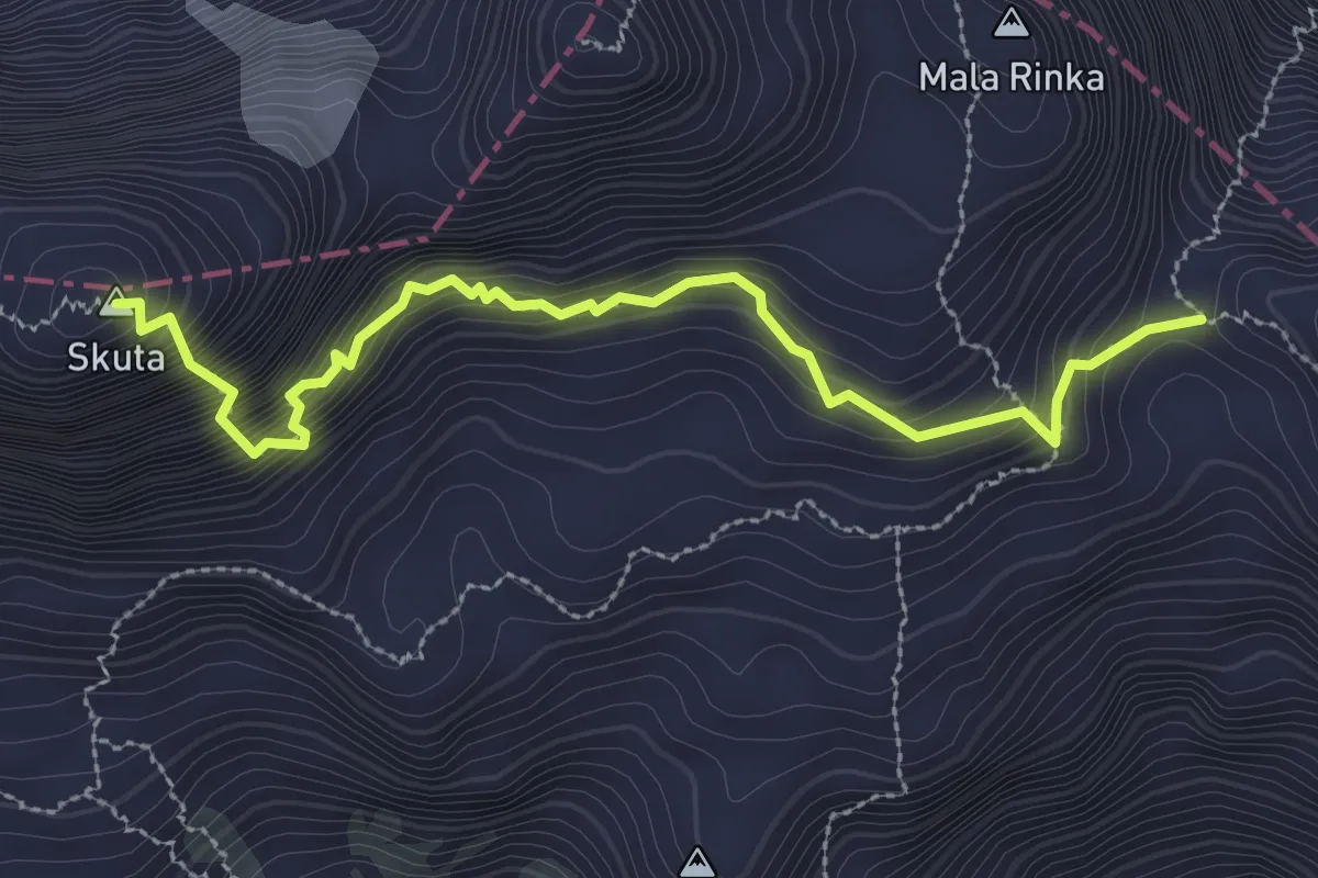
Expert · Summit
Turski žleb - Skuta
3.2 km · ↑ 390 m · 1 h 35 min
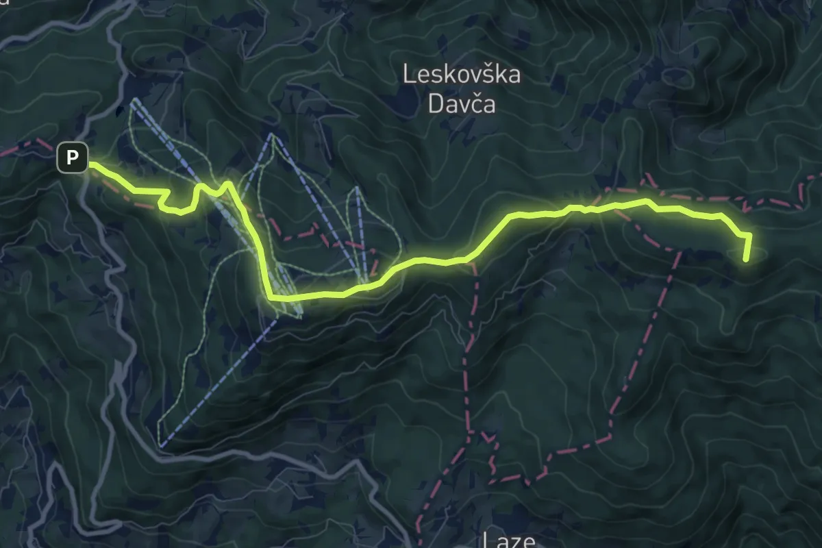
Medium · Summit
Tuškov grič - Blegoš
10.7 km · ↑ 607 m · 3 h 51 min
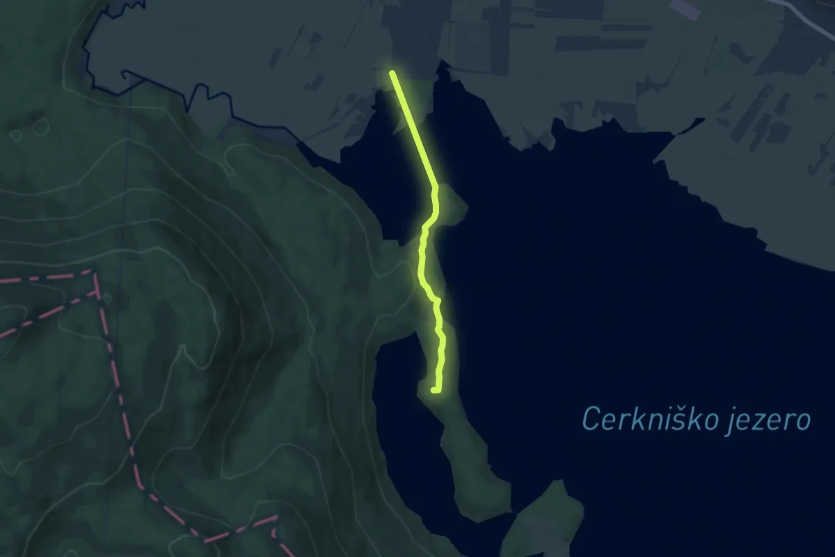
Easy · Summit
Učna pot Drvošec
5.6 km · ↑ 126 m · 1 h 36 min
Medium · Summit
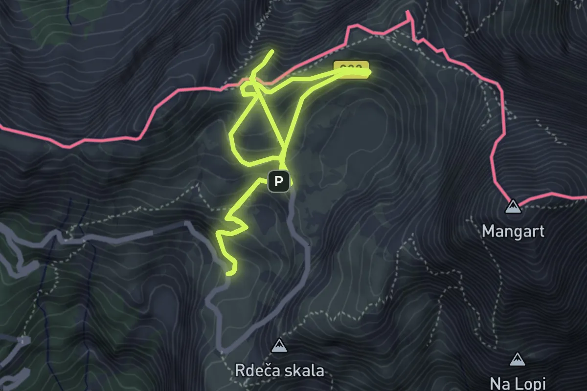
Učna pot Mangrt
4.3 km · ↑ 275 m · 1 h 38 min
Easy · Trail
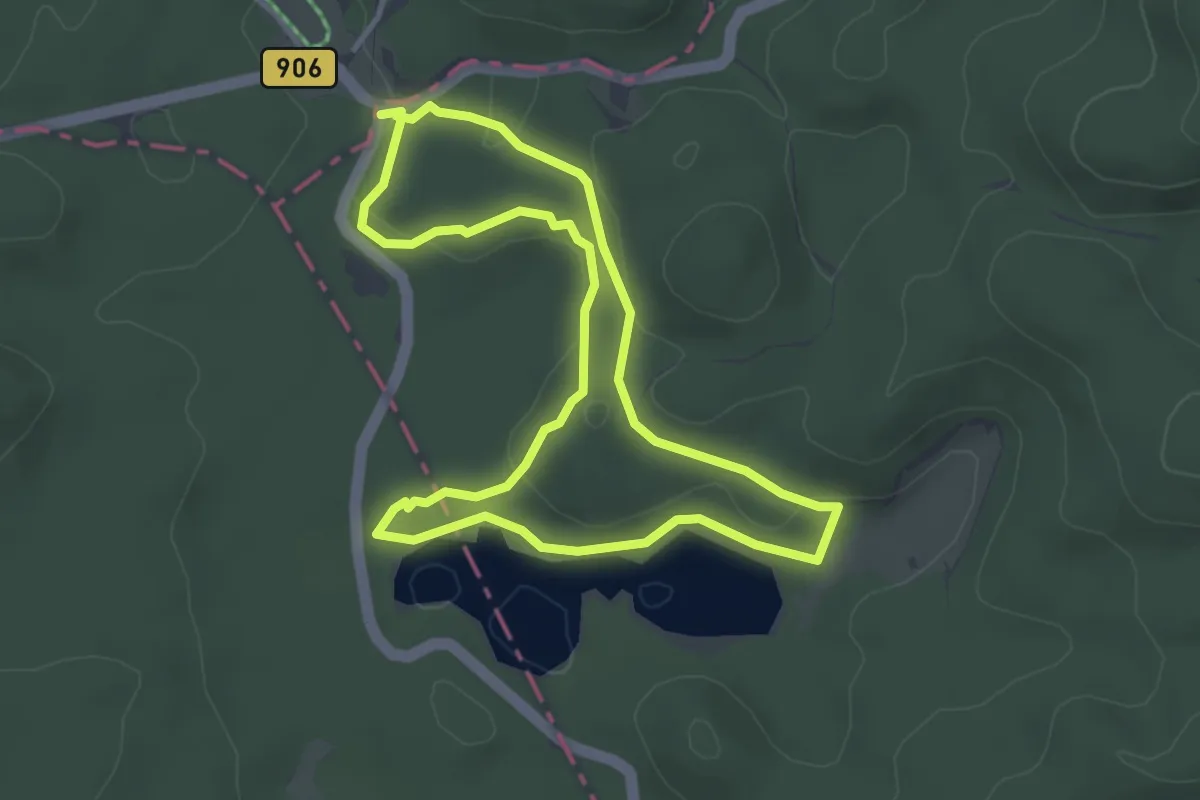
Učna pot Mrzli studenec
3.5 km · ↑ 64 m · 1 h 1 min
Medium · Trail
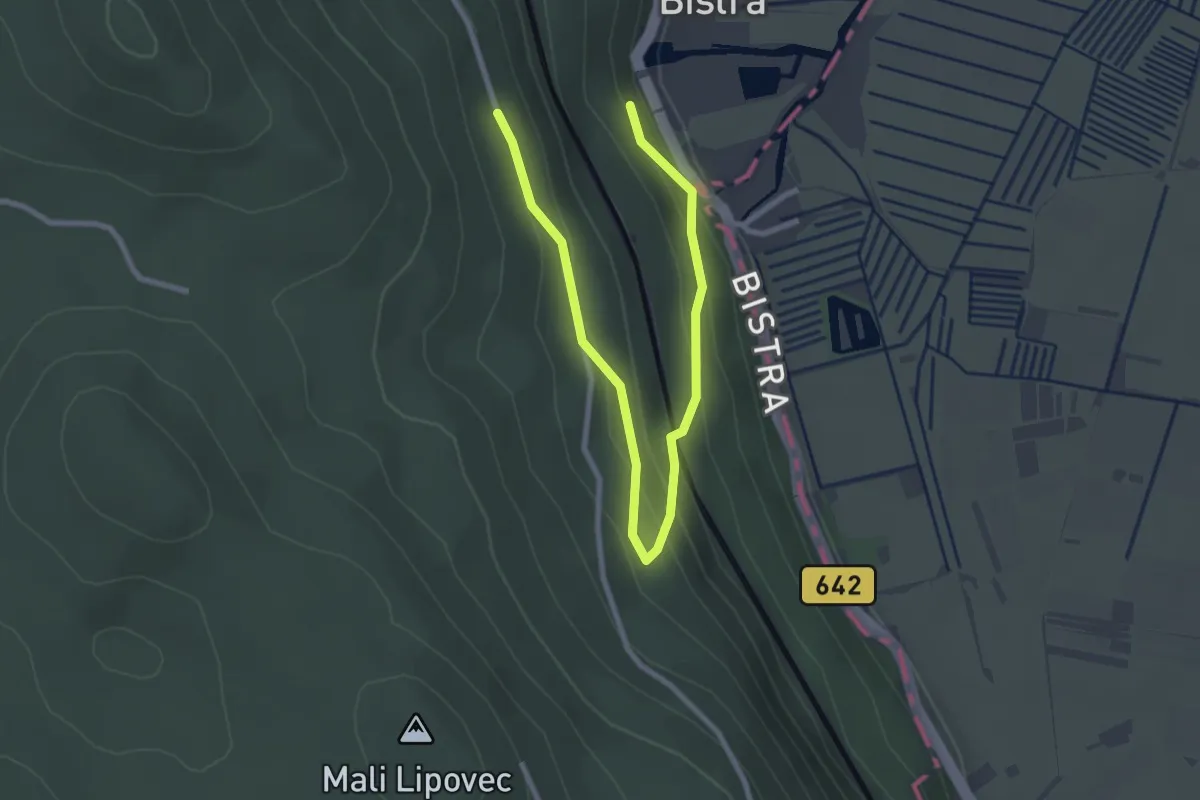
Učna pot po gozdovih Bistre
1.7 km · ↑ 35 m · 33 min
Medium · Summit
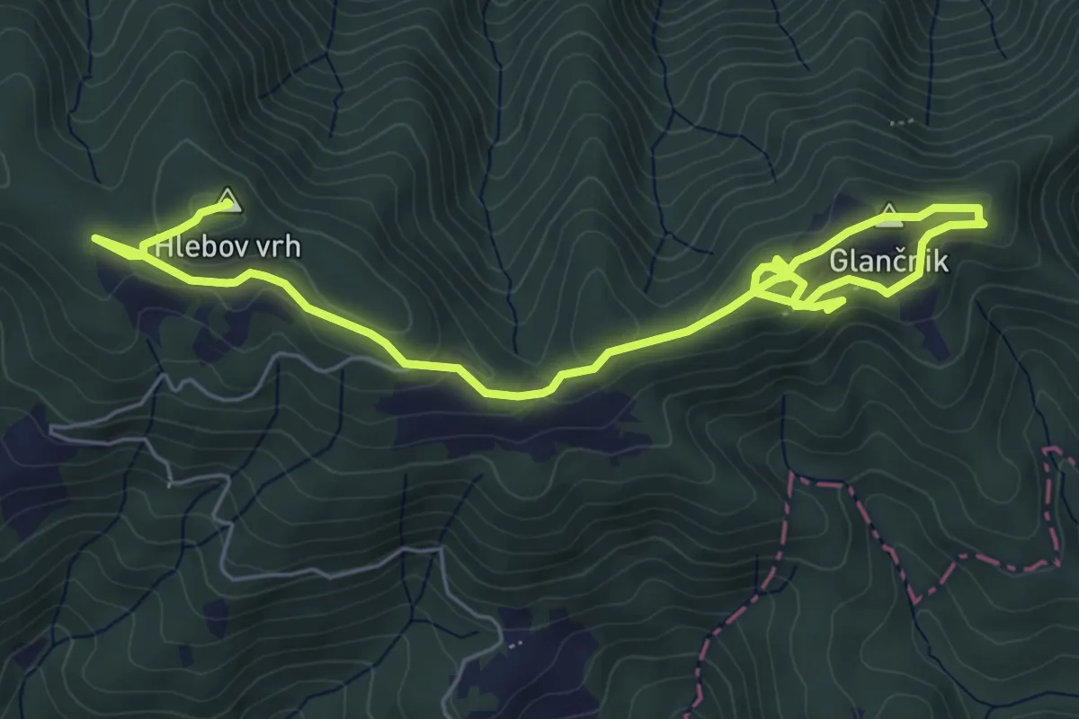
Učna pot Rdeči breg
7.8 km · ↑ 260 m · 2 h 24 min