Trails in Slovenia
1,594 hiking trails, each with its route, climb, walking time and grade.
All trails, page 28 of 34
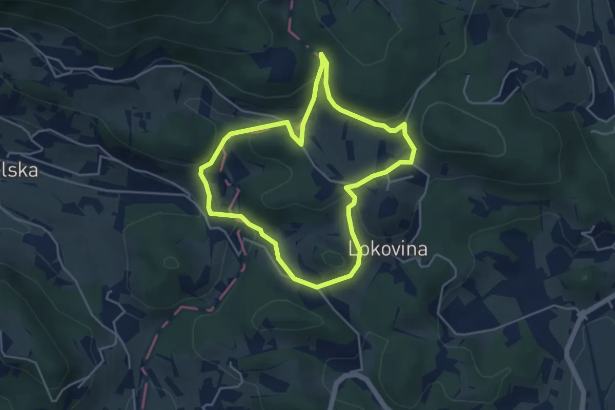
Easy · Summit
Učna pot škrata Bisera
3.5 km · ↑ 134 m · 1 h 10 min
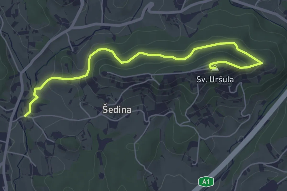
Easy · Summit
Učna pot Uršula
5.6 km · ↑ 238 m · 1 h 51 min
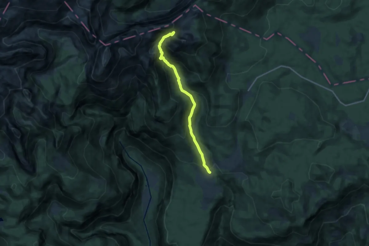
Demanding · Trail
Uskovnica - Pl. Konjščica - Srenjski preval
10.5 km · ↑ 805 m · 4 h 13 min
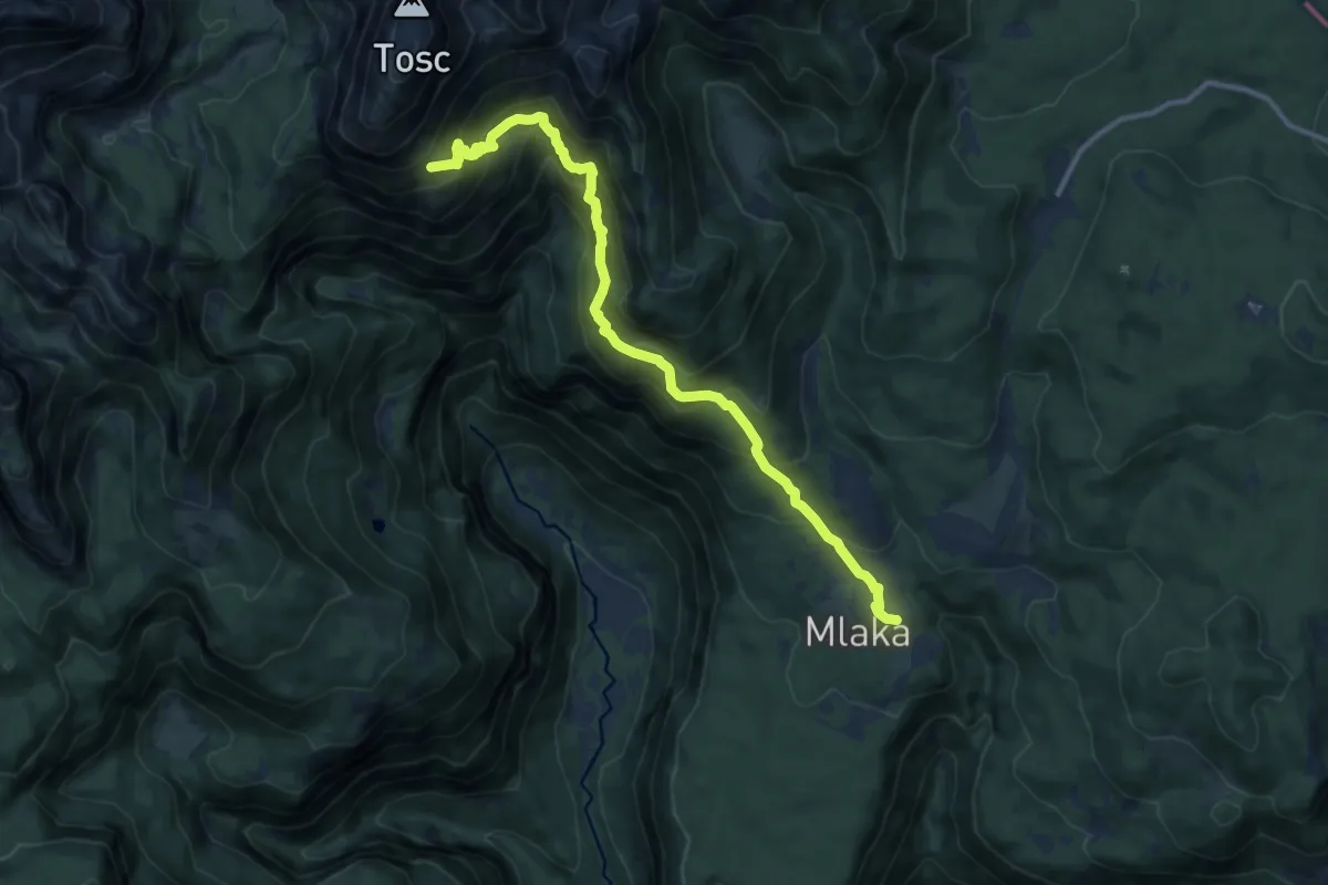
Demanding · Cabin
Uskovnica - Pl. Tosc
11.9 km · ↑ 1025 m · 5 h 2 min
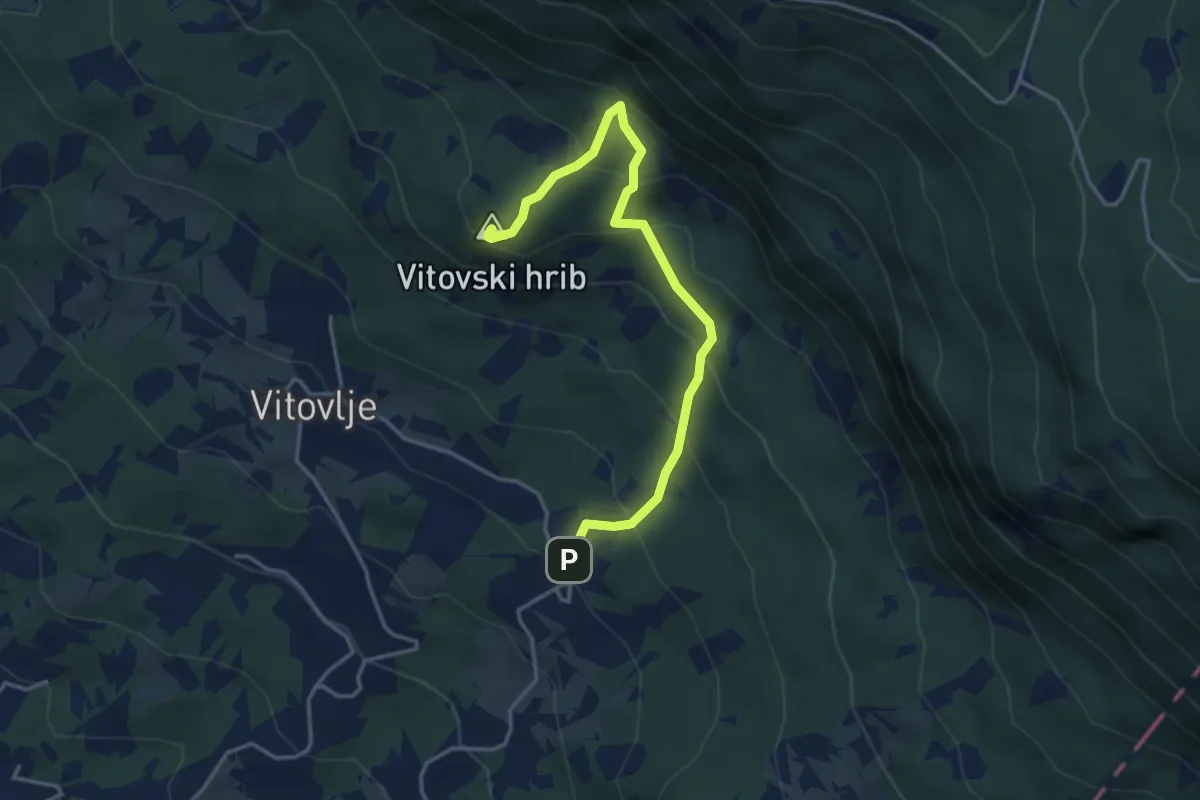
Medium · Summit
Užiče - Vitovska cerkev
4.0 km · ↑ 352 m · 1 h 43 min
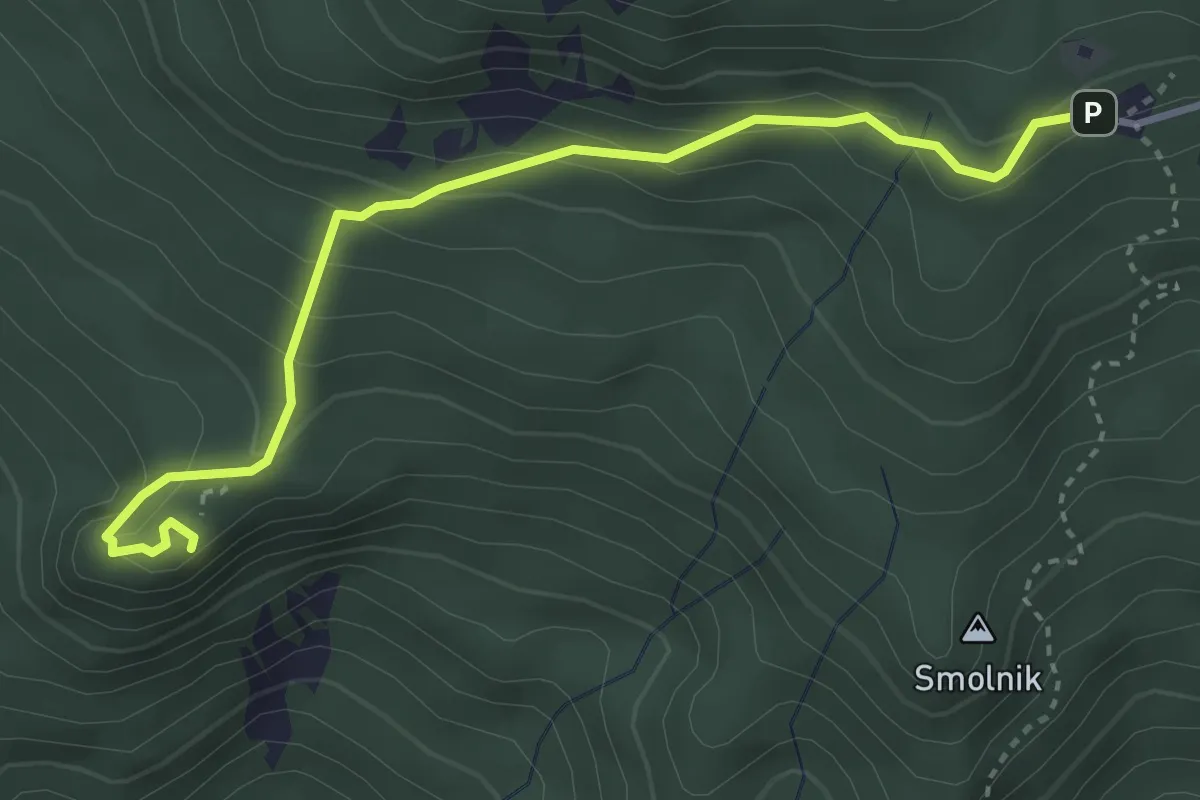
Easy · Summit
Valvasorjev dom - Ajdna
3.8 km · ↑ 253 m · 1 h 26 min
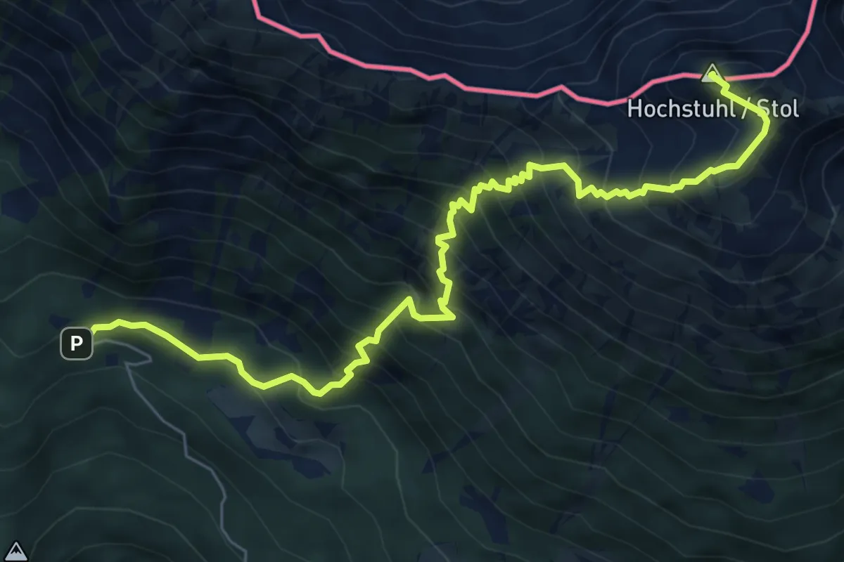
Demanding · Summit
Valvasorjev dom - Stol (Žirovniška pot)
7.8 km · ↑ 1060 m · 4 h 8 min
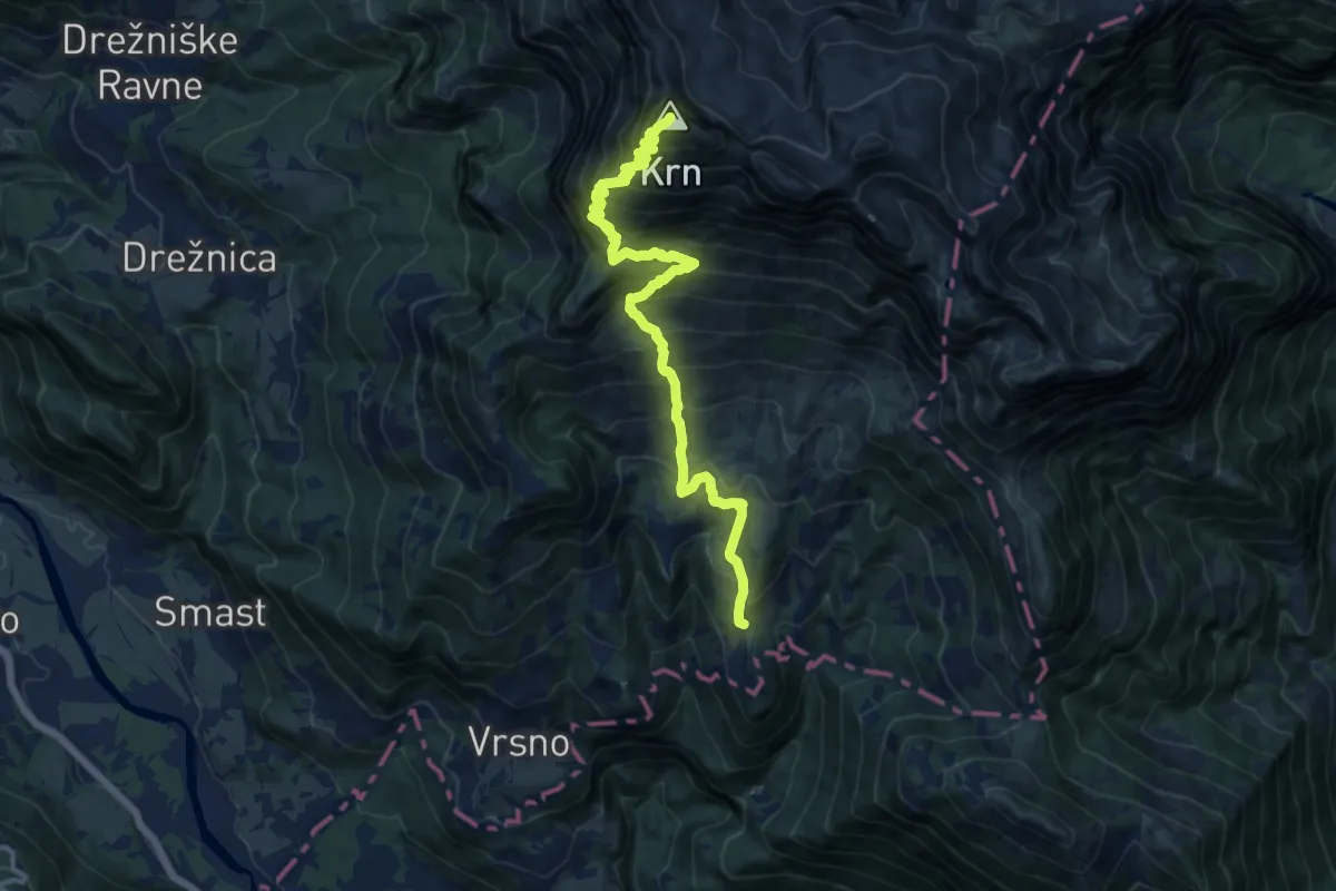
Demanding · Summit
Vas Krn - Krn
13.9 km · ↑ 1549 m · 6 h 38 min
Medium · Trail
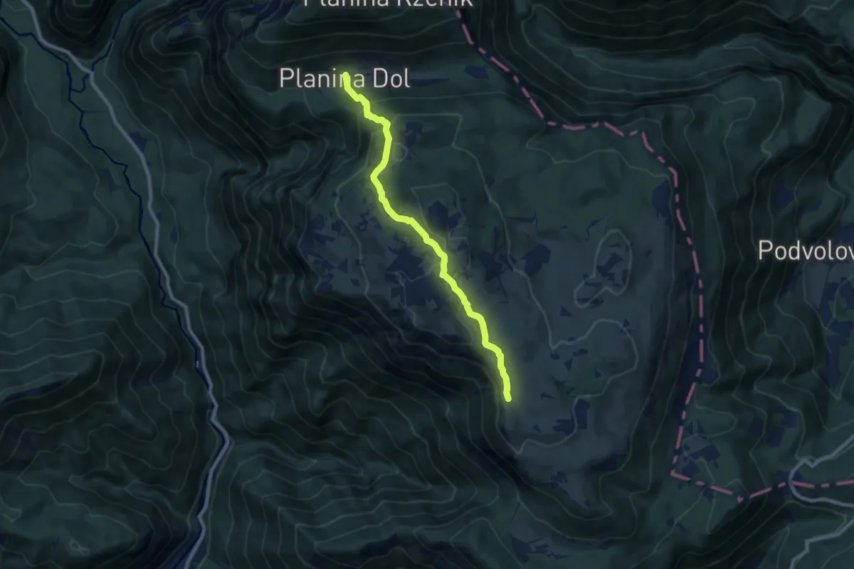
Velika planina - Planina Dol
8.1 km · ↑ 385 m · 2 h 45 min
Medium · Summit
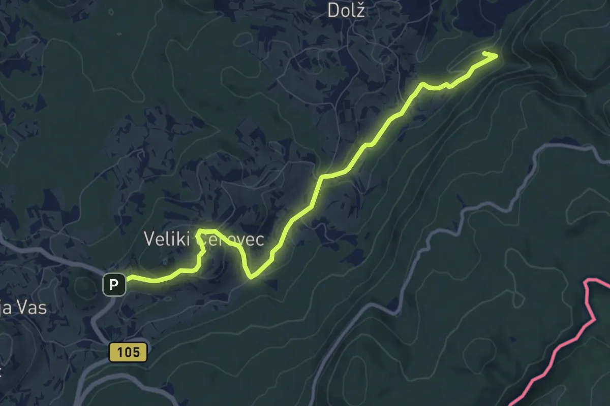
Veliki Cerovec - Jordan
9.8 km · ↑ 300 m · 2 h 58 min
Medium · Summit
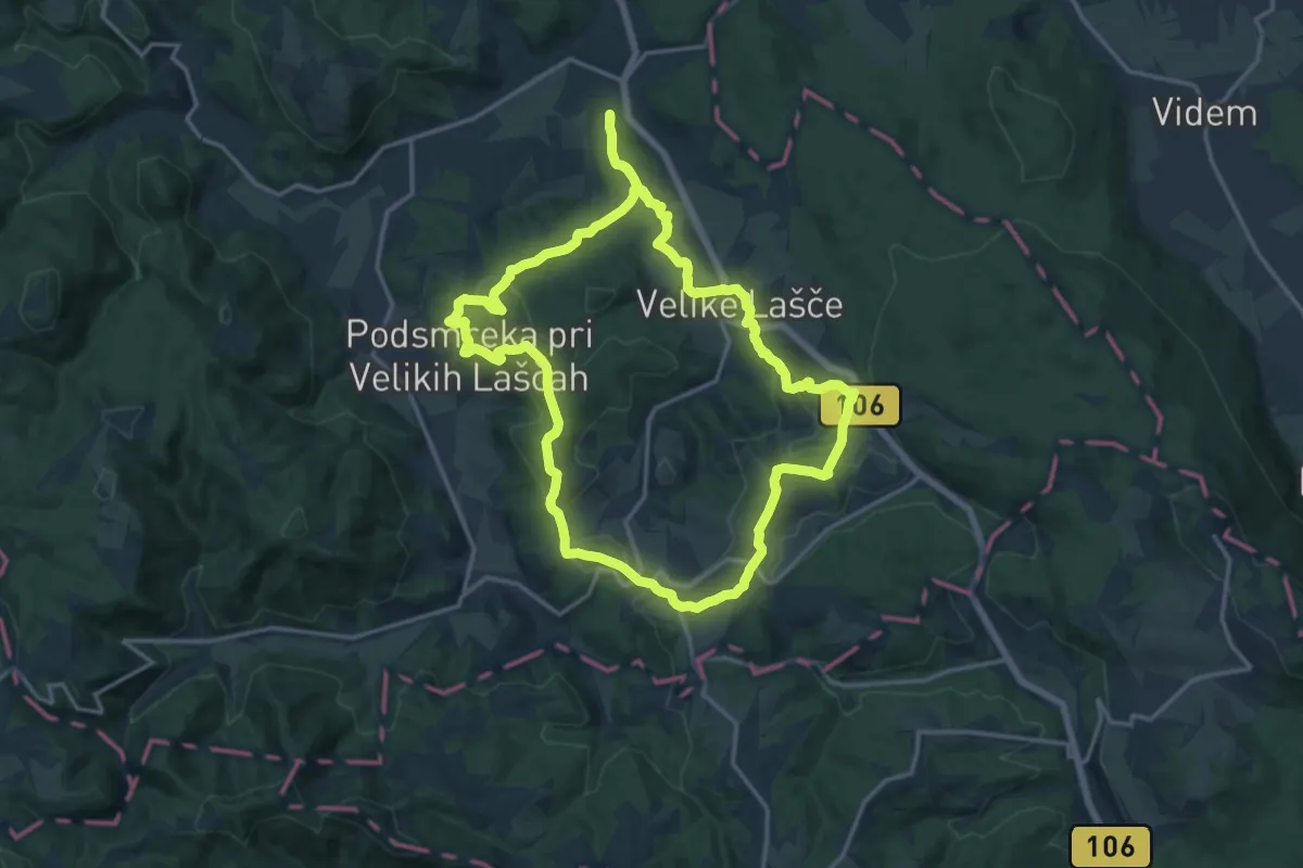
Velikolaška kulturna pot
16.0 km · ↑ 501 m · 5 h 5 min
Medium · Summit
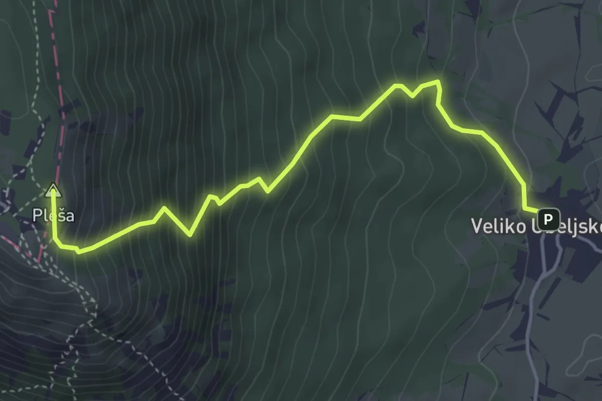
Veliko Ubeljsko - Nanos
4.5 km · ↑ 661 m · 2 h 29 min
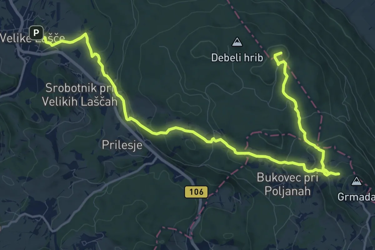
Medium · Summit
Vel. Lašče - Grmada - Kamen vrh
15.7 km · ↑ 505 m · 4 h 48 min
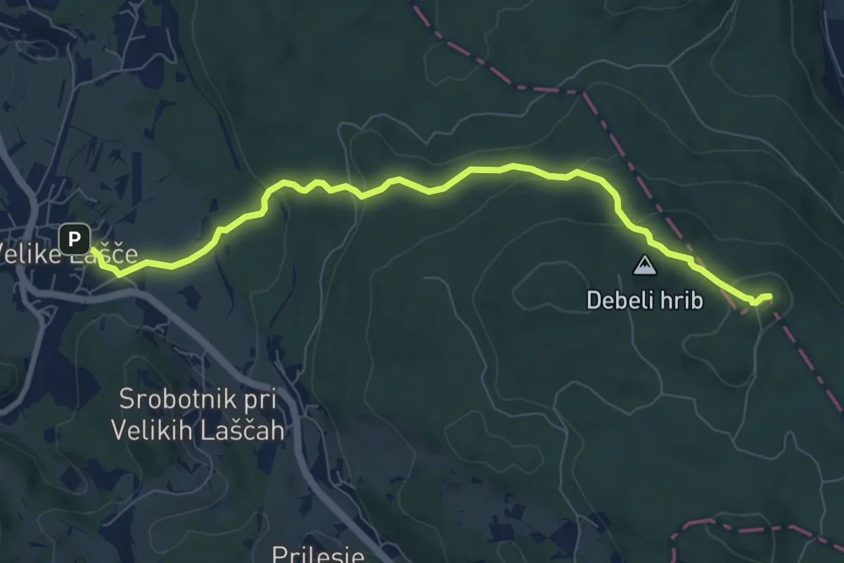
Medium · Summit
Vel. Lašče - Kamen vrh
8.1 km · ↑ 334 m · 2 h 38 min
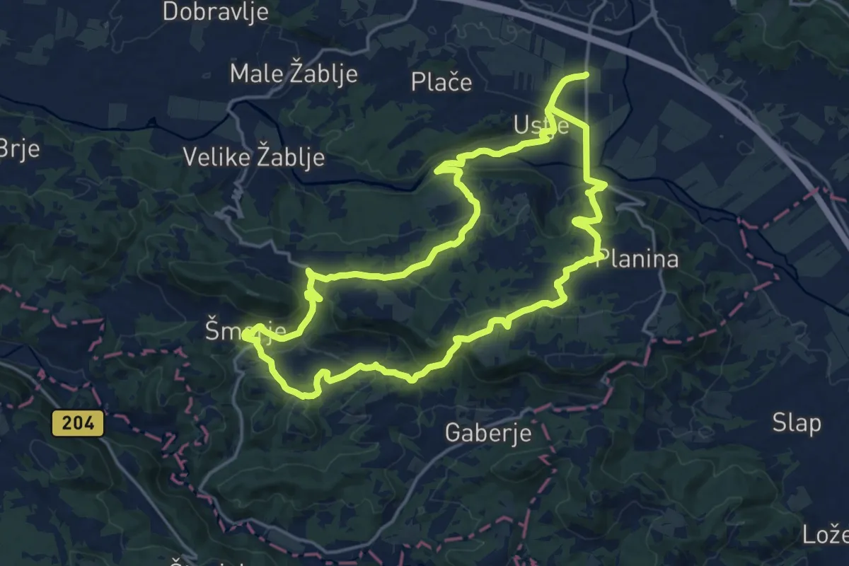
Medium · Trail
Vertovčeva pot
16.5 km · ↑ 485 m · 5 h 11 min
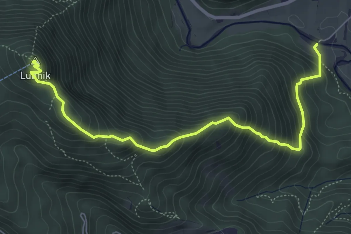
Medium · Summit
Vešter - Lubnik
6.2 km · ↑ 656 m · 2 h 53 min
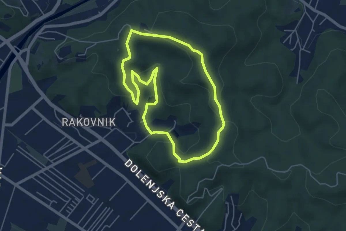
Easy · Summit
V gozd po zdravje
4.0 km · ↑ 167 m · 1 h 22 min
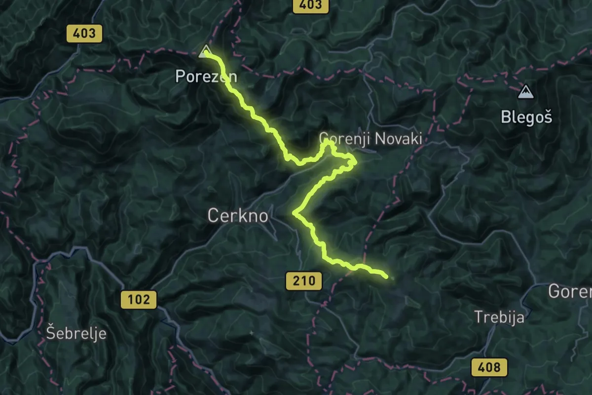
Demanding · Summit
Via Alpina 8
32.8 km · ↑ 2377 m · 12 h 53 min
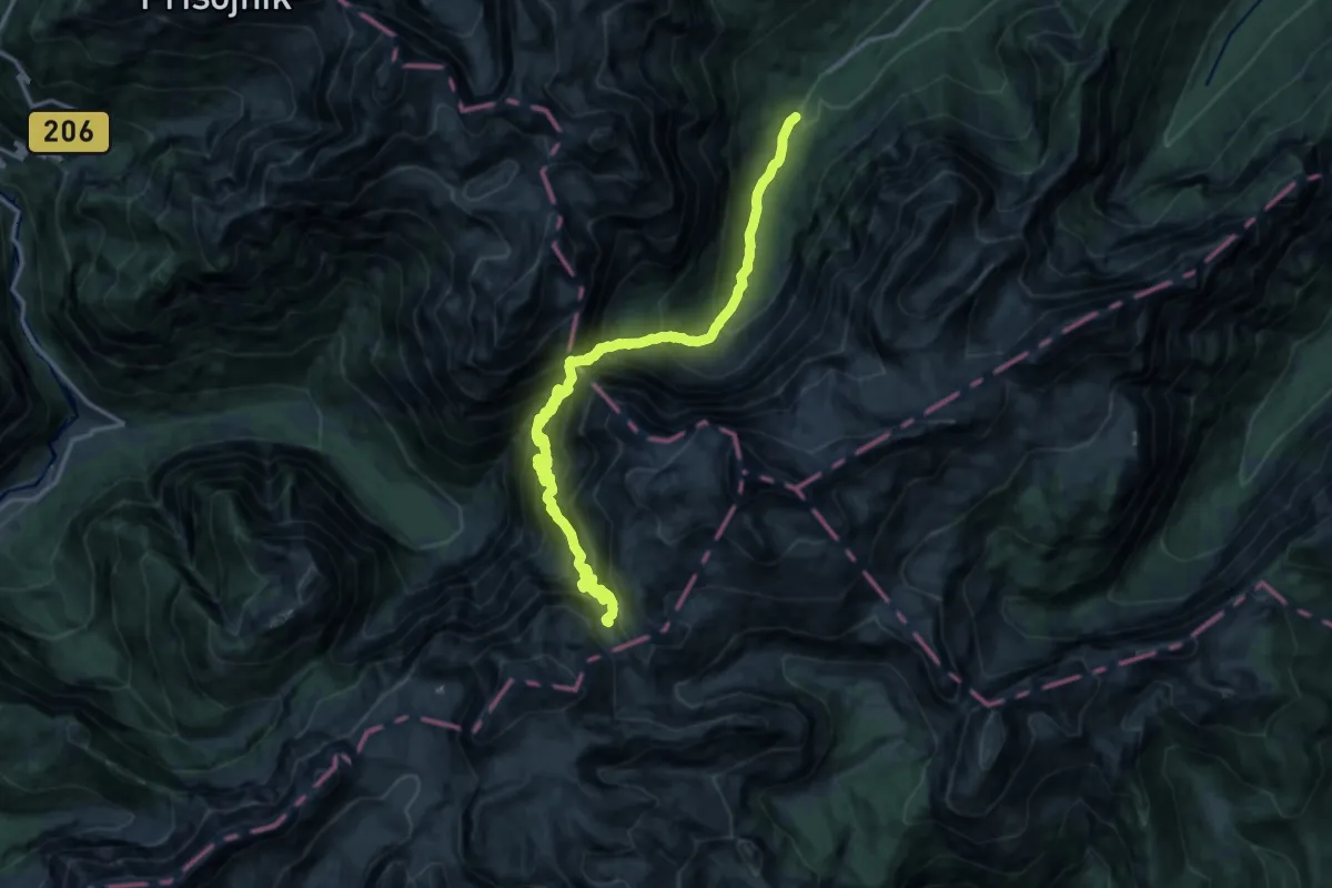
Expert · Cabin
Via Alpina Purple A1
9.1 km · ↑ 655 m · 4 h 16 min
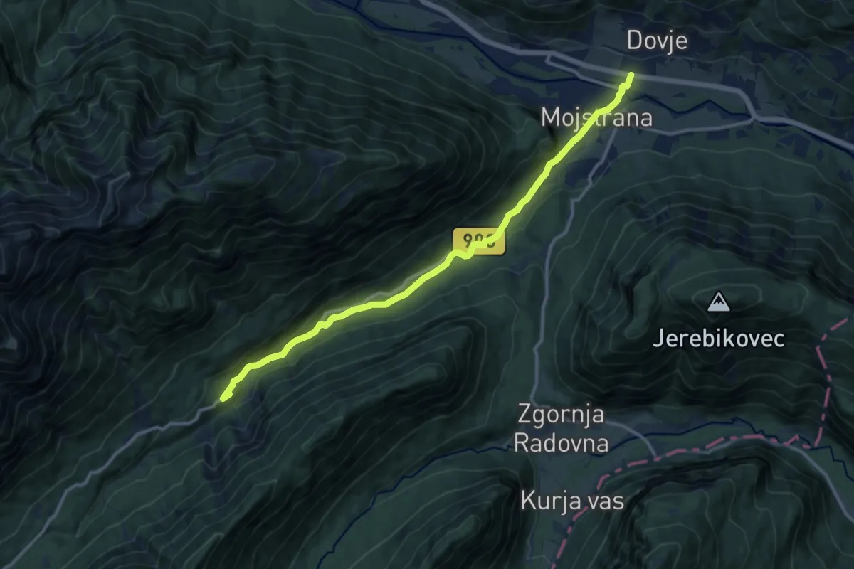
Medium · Summit
Via Alpina Purple A2
12.1 km · ↑ 313 m · 3 h 32 min
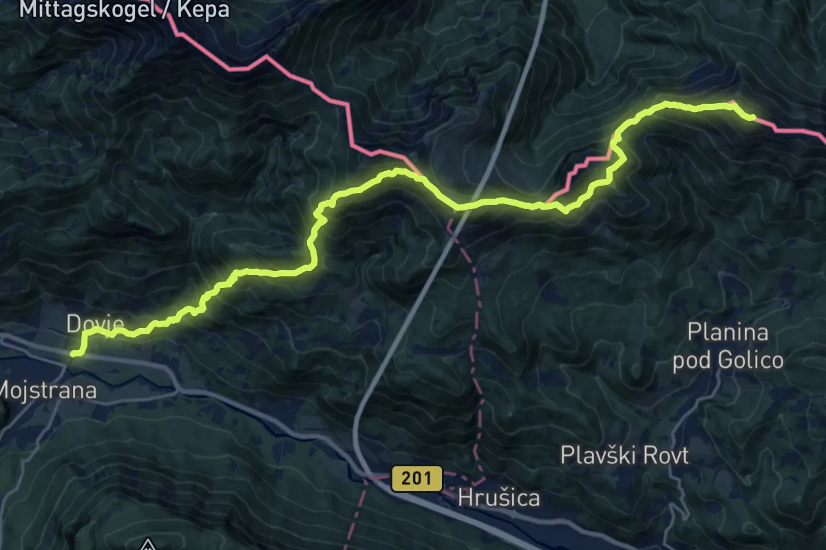
Demanding · Summit
Via Alpina Purple A3
23.4 km · ↑ 1967 m · 9 h 47 min
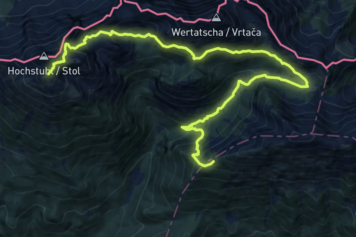
Demanding · Summit
Via Alpina Purple A5
20.1 km · ↑ 1929 m · 8 h 55 min
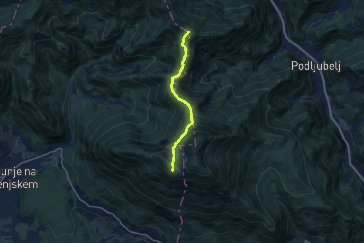
Demanding · Summit
Via Alpina Purple A6
7.2 km · ↑ 585 m · 2 h 58 min
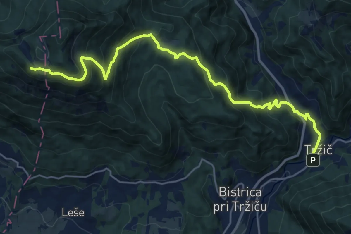
Demanding · Cabin
Via Alpina Purple A7
16.0 km · ↑ 1147 m · 6 h 16 min
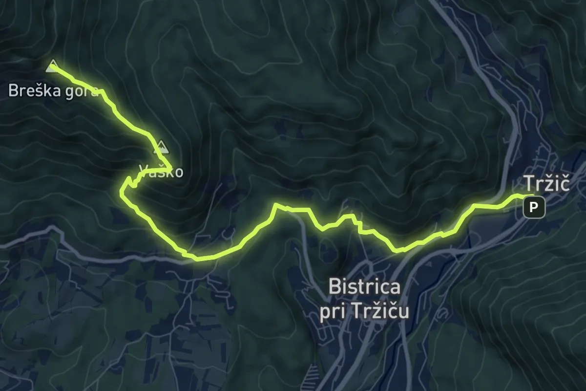
Demanding · Summit
Via Alpina Purple A7 alternative
11.3 km · ↑ 813 m · 4 h 26 min
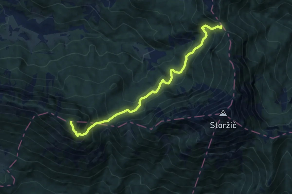
Demanding · Summit
Via Alpina Purple A8
10.2 km · ↑ 1007 m · 4 h 36 min
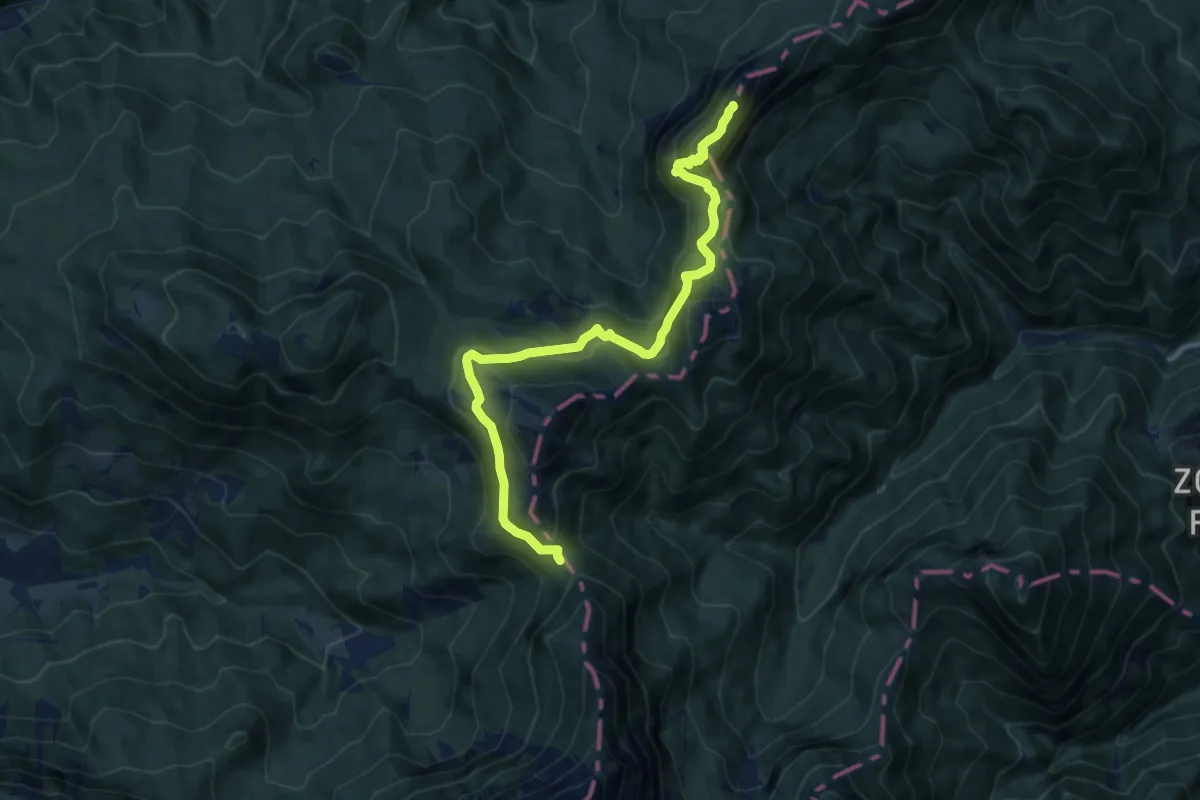
Demanding · Summit
Via Alpina Purple A9
11.4 km · ↑ 754 m · 4 h 20 min
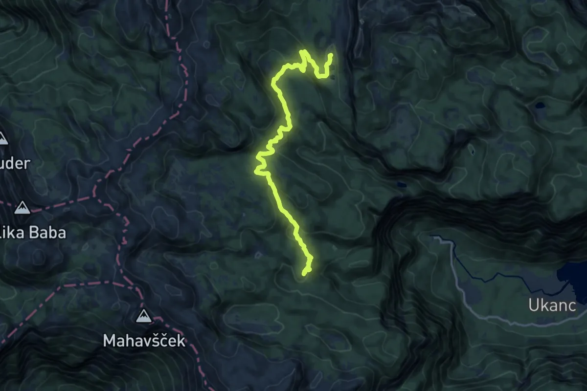
Medium · Cabin
Via Alpina Red R11
14.5 km · ↑ 661 m · 4 h 51 min
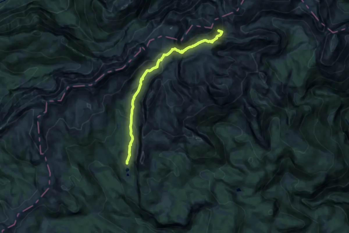
Demanding · Summit
Via Alpina Red R12
13.6 km · ↑ 907 m · 5 h 10 min
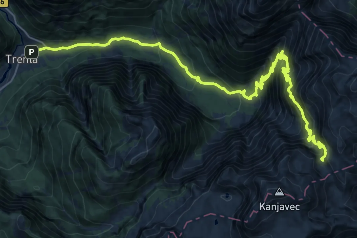
Demanding · Cabin
Via Alpina Red R13
10.7 km · ↑ 1937 m · 6 h 7 min
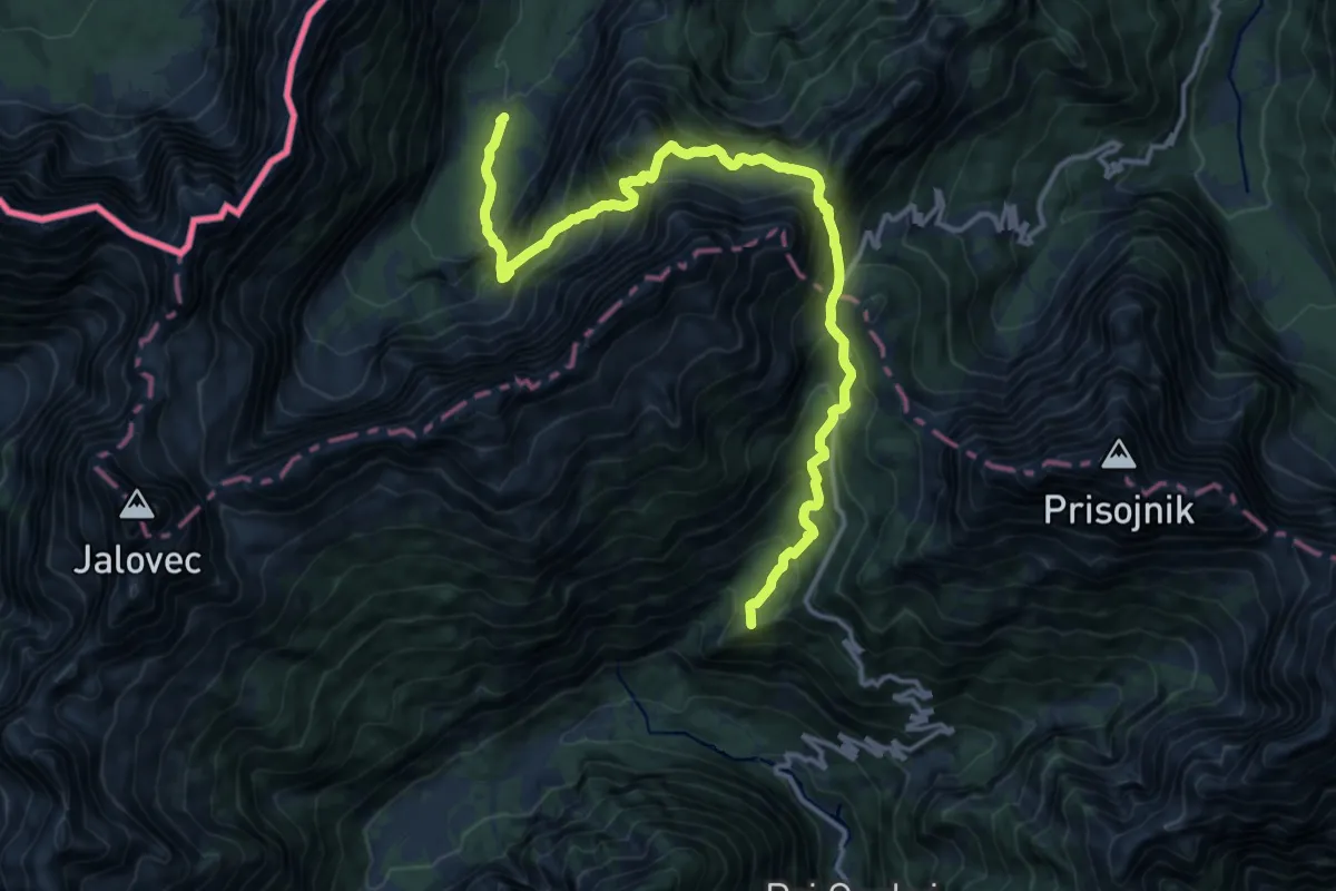
Demanding · Summit
Via Alpina Red R14
16.0 km · ↑ 1659 m · 7 h 22 min
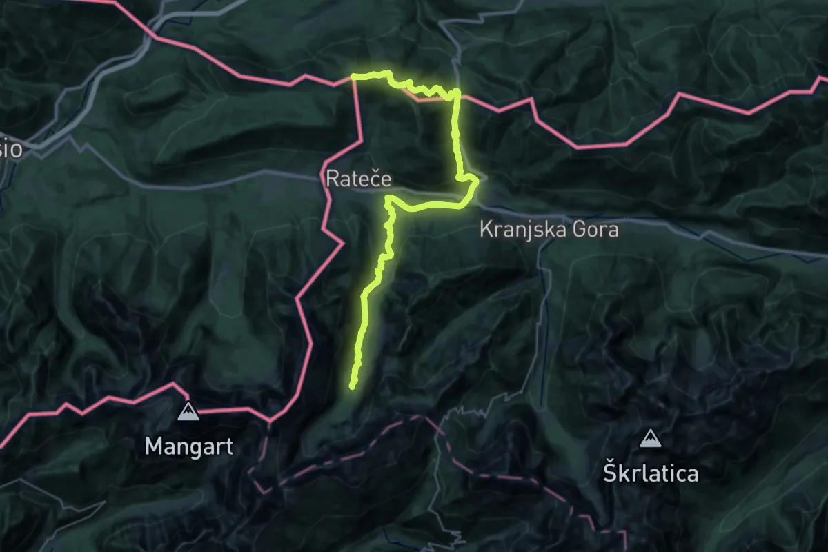
Demanding · Summit
Via Alpina Red R15
32.4 km · ↑ 1168 m · 10 h 10 min
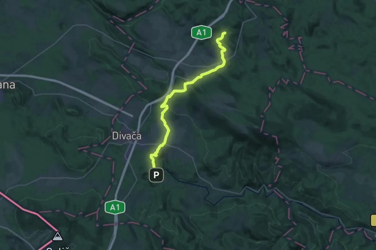
Demanding · Summit
Via Alpina Red R3
24.9 km · ↑ 674 m · 7 h 20 min
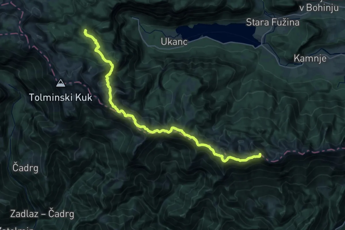
Expert · Summit
Via Alpina Stage 10: Črna prst - Dom na Komni
29.5 km · ↑ 1914 m · 11 h 6 min
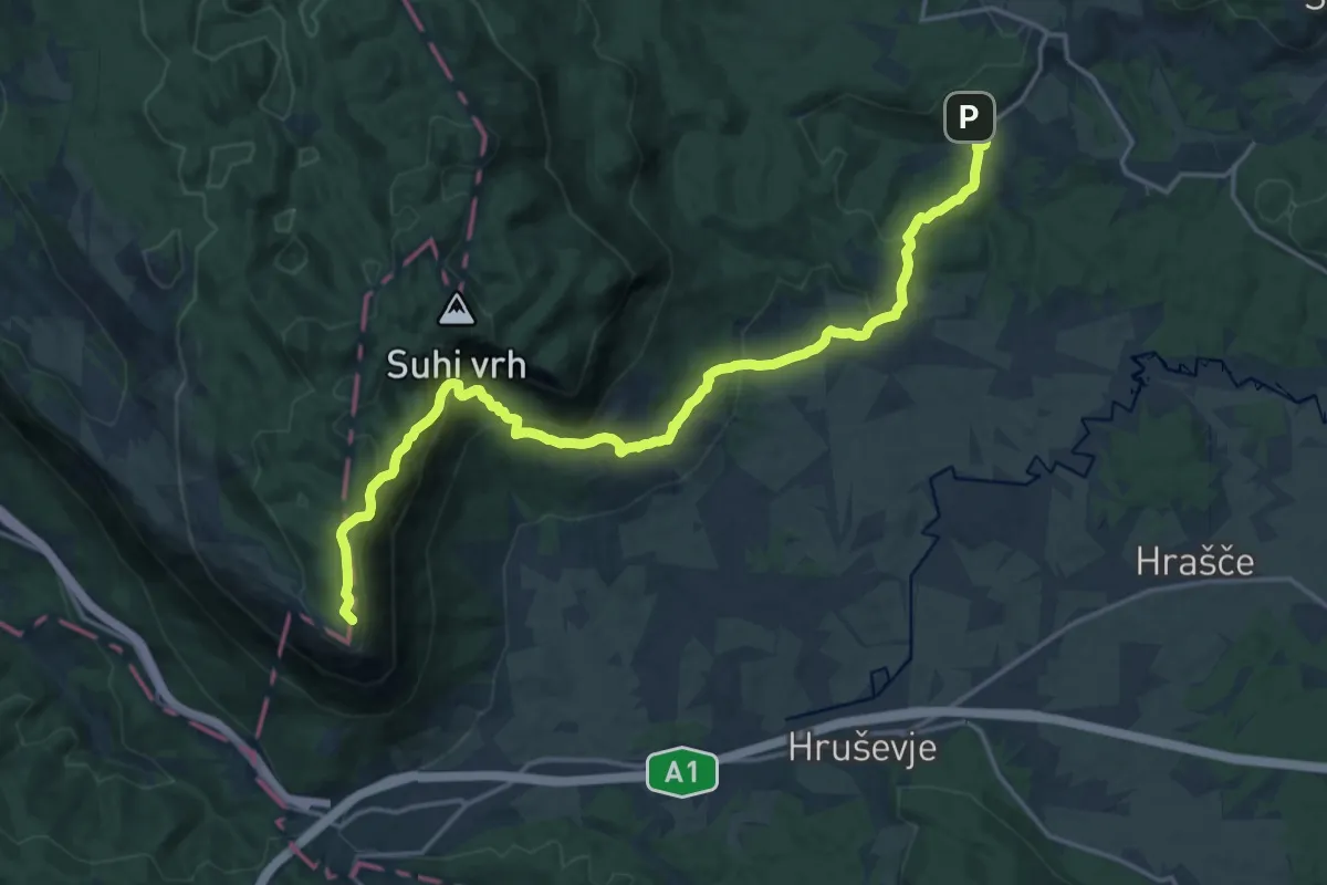
Demanding · Summit
Via Alpina Stage 4: Razdrto - Predjama
20.8 km · ↑ 994 m · 7 h 3 min
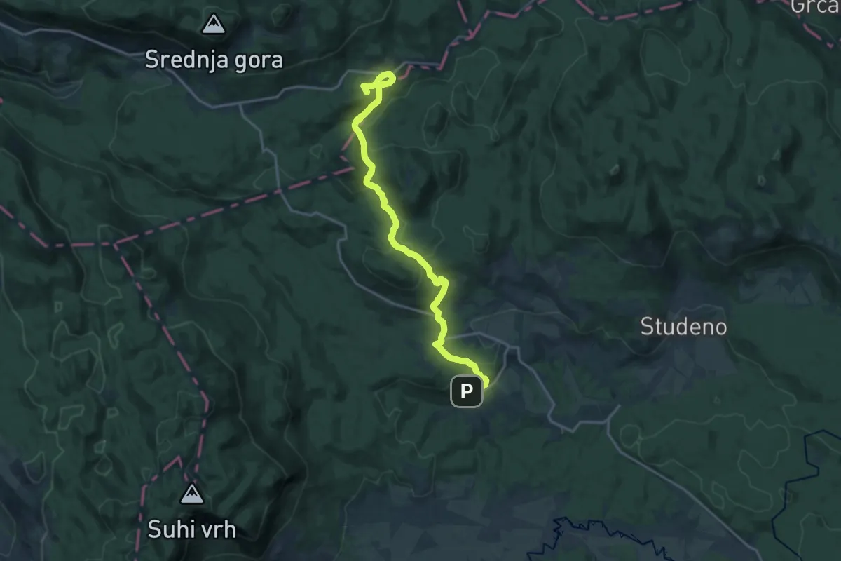
Medium · Summit
Via Alpina Stage 5: Predjama - Črni vrh
17.1 km · ↑ 510 m · 5 h 8 min
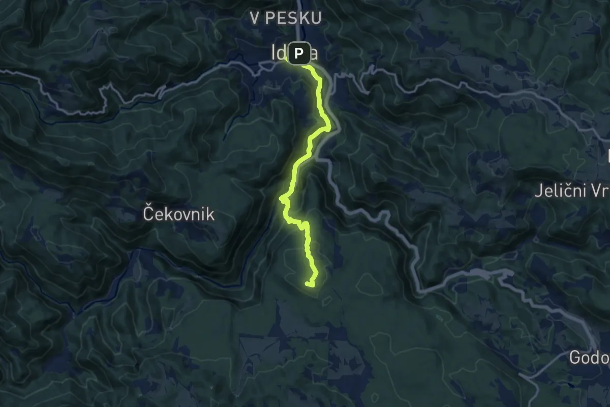
Medium · Summit
Via Alpina Stage 6: Črni vrh - Idrija
11.5 km · ↑ 568 m · 3 h 56 min
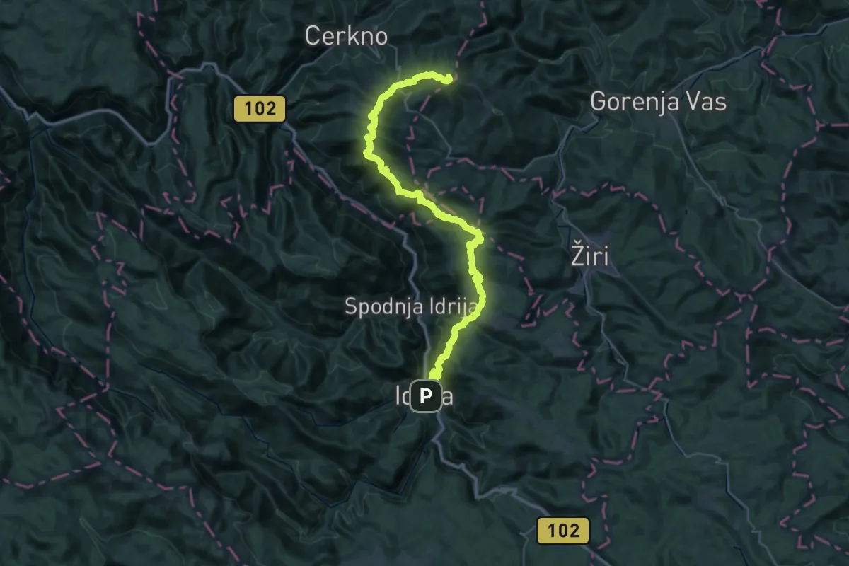
Demanding · Summit
Via Alpina Stage 7: Idrija - Planinska koča na Ermanovcu
44.6 km · ↑ 2345 m · 15 h 36 min
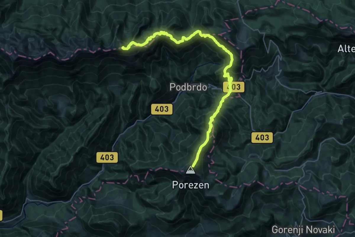
Demanding · Summit
Via Alpina Stage 9: Porezen - Črna Prst
30.6 km · ↑ 2385 m · 12 h 23 min
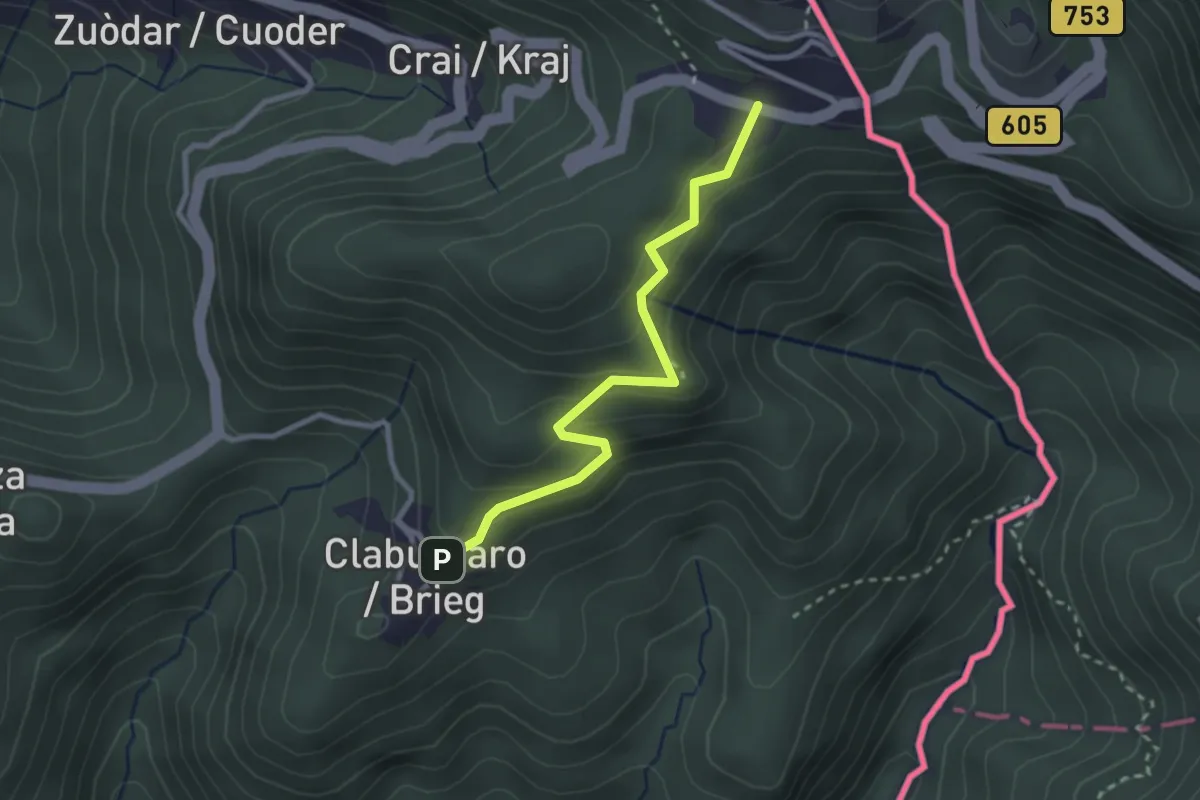
Easy · Cabin
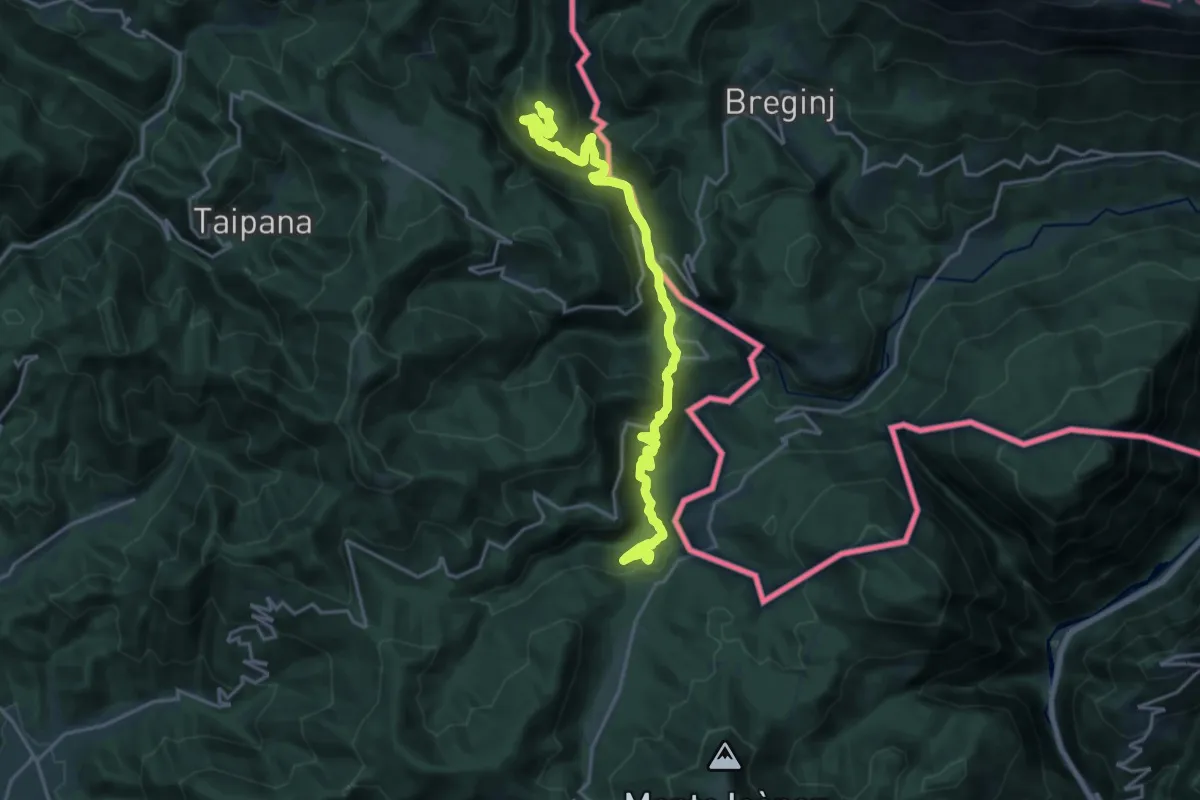
Via Alpina Yellow B6
2.6 km · ↑ 204 m · 1 h 4 min
Demanding · Summit
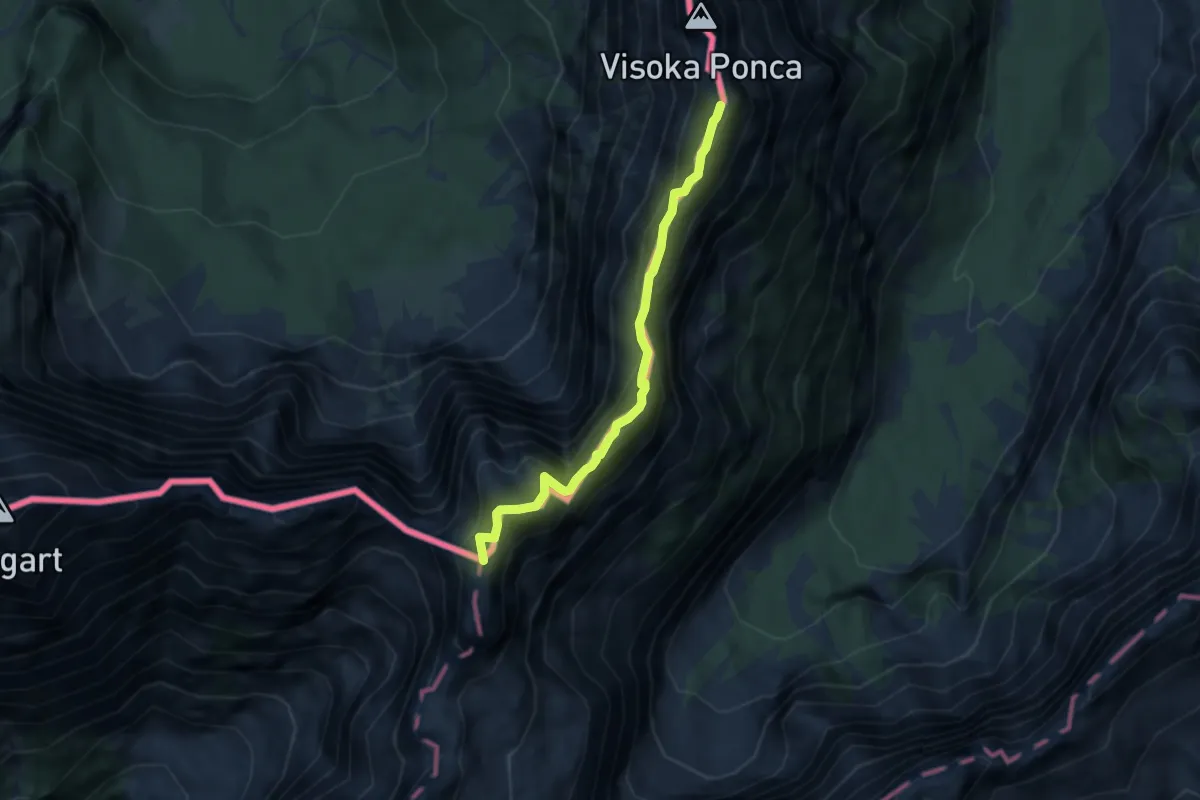
Via Alpina Yellow B8
20.2 km · ↑ 966 m · 6 h 52 min
Expert · Summit
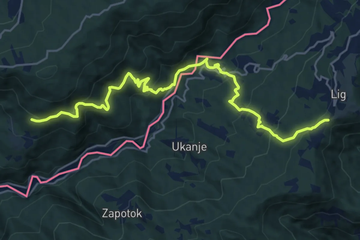
Via degli Alpini
5.7 km · ↑ 429 m · 2 h 17 min
Demanding · Trail
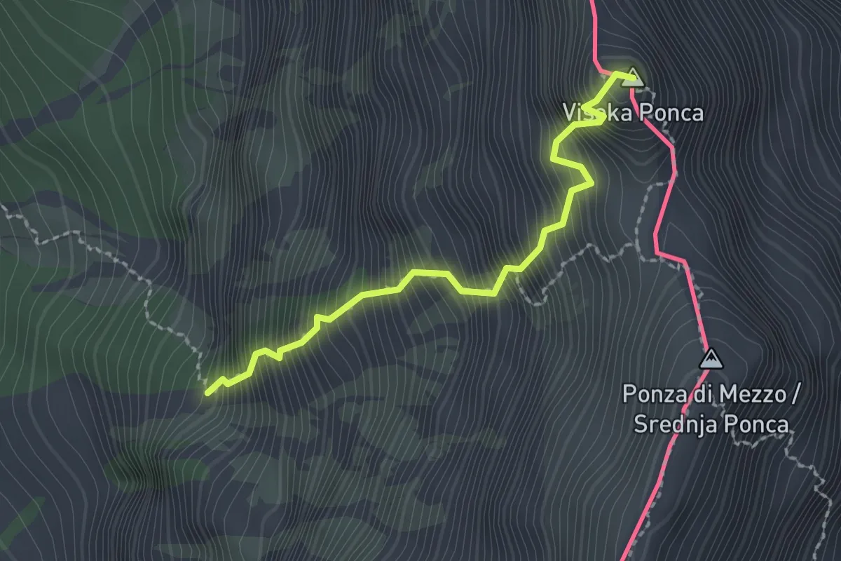
Via dei Monti Sacri
14.9 km · ↑ 947 m · 5 h 34 min
Expert · Summit
via ferrata Ponza Grande
2.0 km · ↑ 666 m · 1 h 55 min
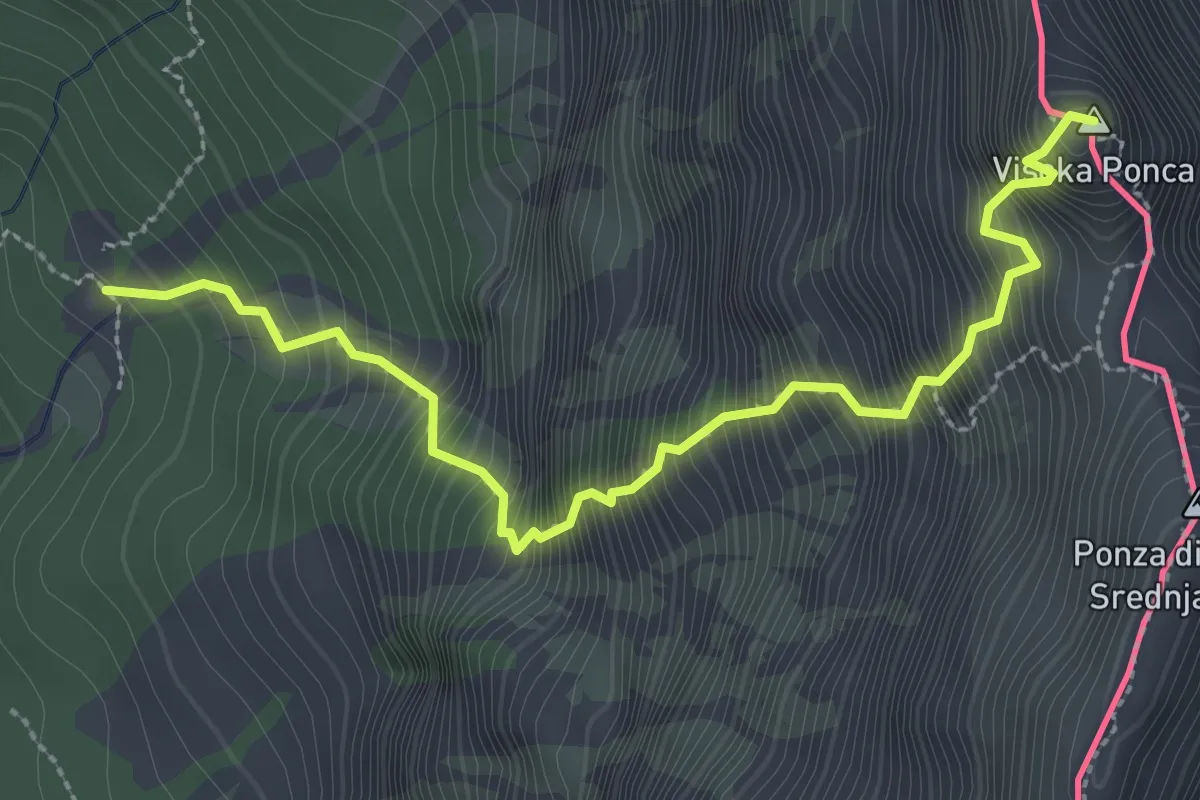
Expert · Summit
Via normale Ponza Grande
3.2 km · ↑ 903 m · 2 h 43 min
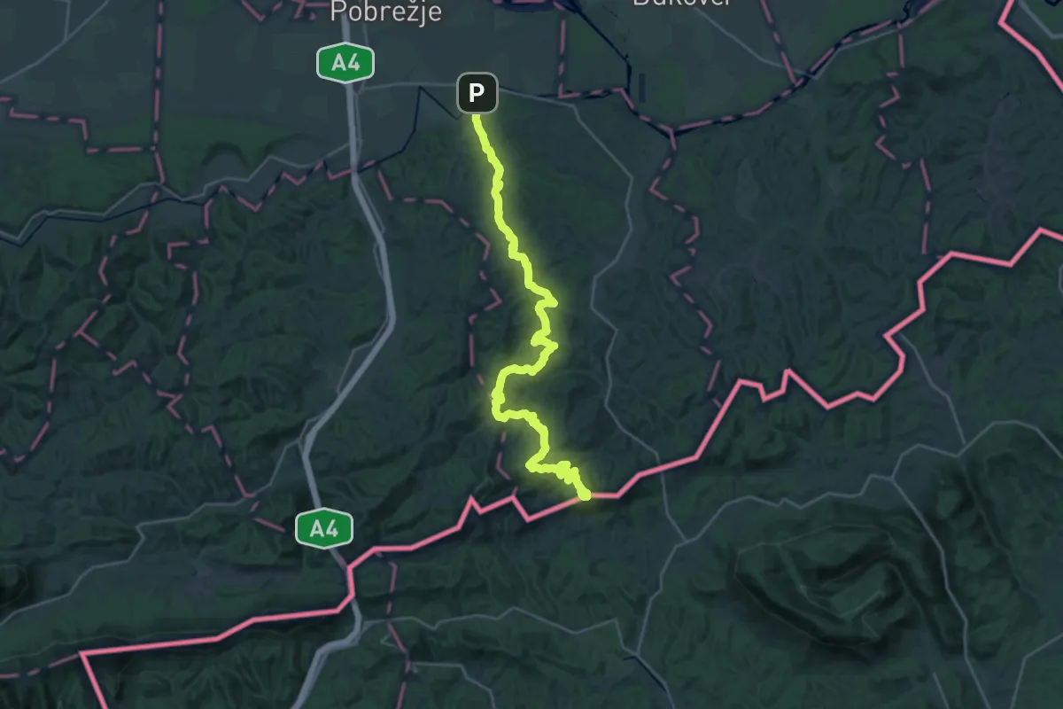
Demanding · Summit
Videmska planinska pot
31.5 km · ↑ 1321 m · 10 h 18 min
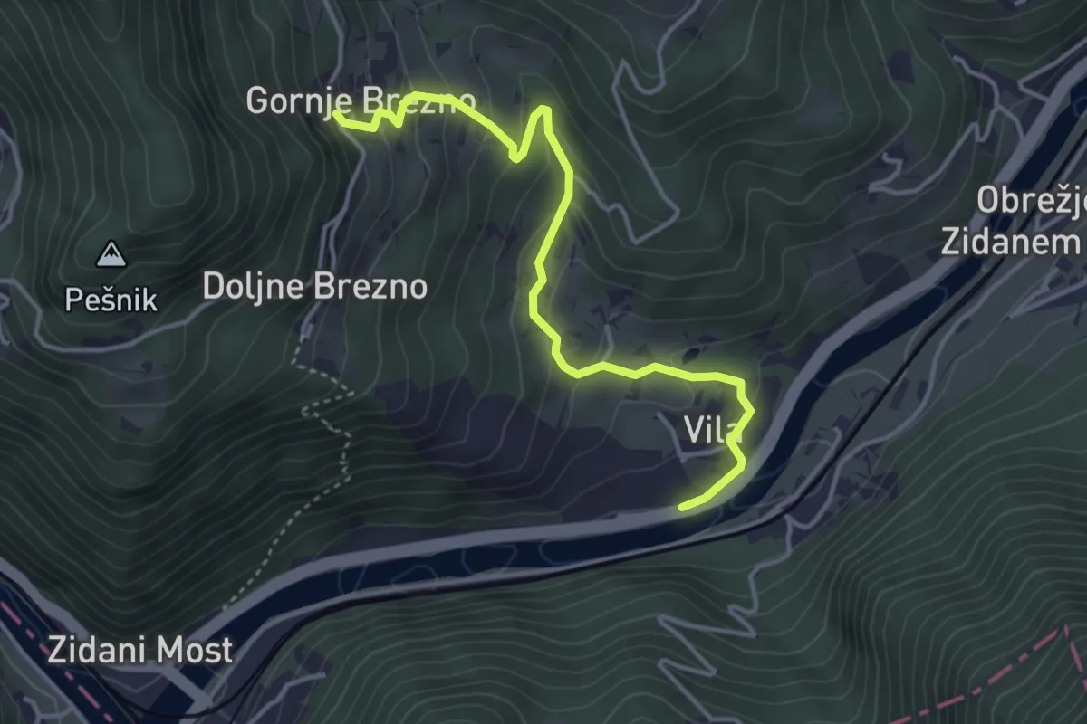
Easy · Trail
Vila - Gornje Brezno
3.9 km · ↑ 268 m · 1 h 31 min
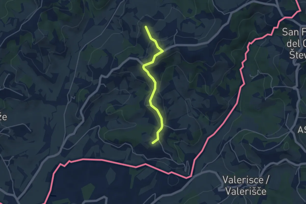
Easy · Summit
Vilinka
3.5 km · ↑ 146 m · 1 h 9 min