Trails in Slovenia
1,594 hiking trails, each with its route, climb, walking time and grade.
All trails, page 29 of 34
Medium · Summit
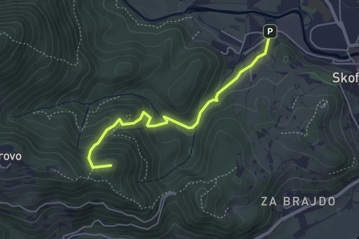
Vincarje - Gabrovo
4.0 km · ↑ 285 m · 1 h 34 min
Medium · Summit
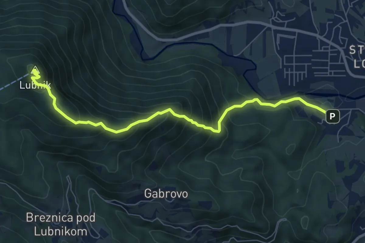
Vincarje - Lubnik
7.2 km · ↑ 648 m · 3 h 6 min
Medium · Summit
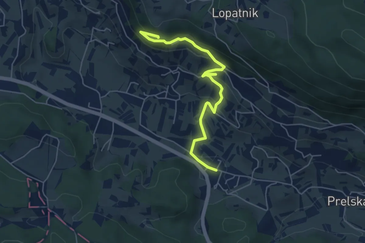
Vinska Gora - Gonžarjeva peč
5.2 km · ↑ 328 m · 1 h 56 min
Medium · Summit
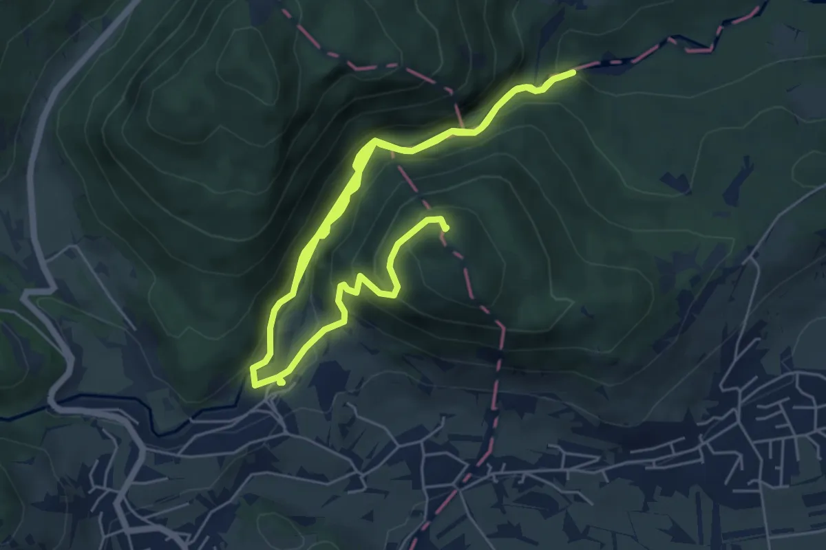
Vintgar - Bled
10.9 km · ↑ 585 m · 3 h 51 min
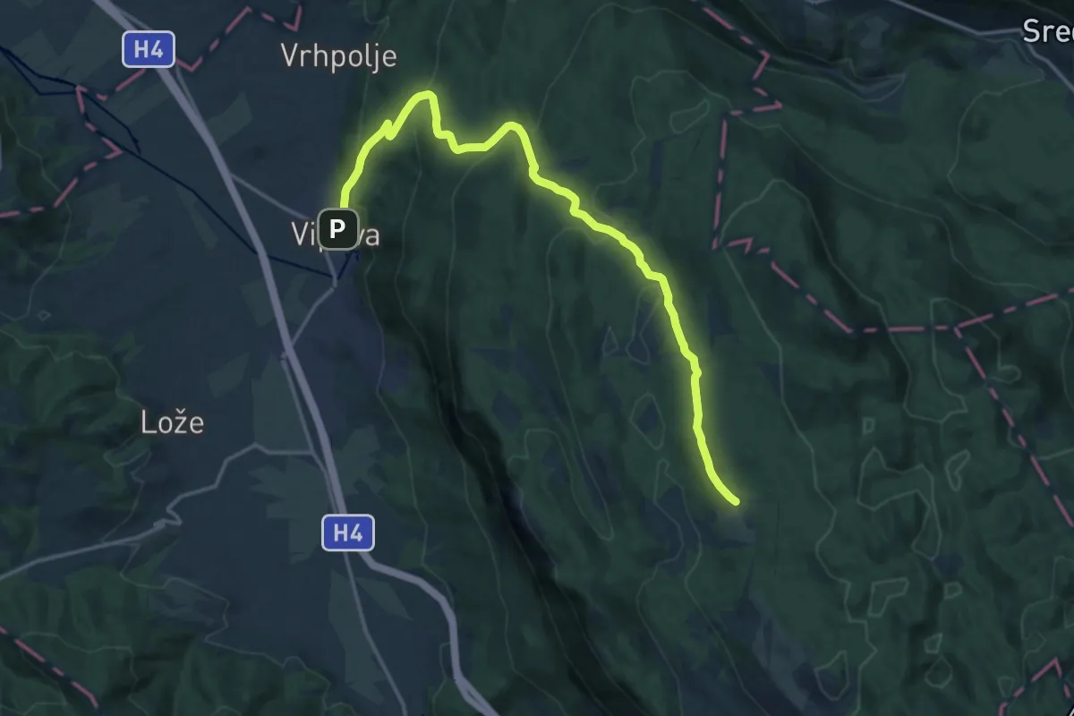
Demanding · Cabin
Vipava - Abram
18.1 km · ↑ 812 m · 6 h 3 min
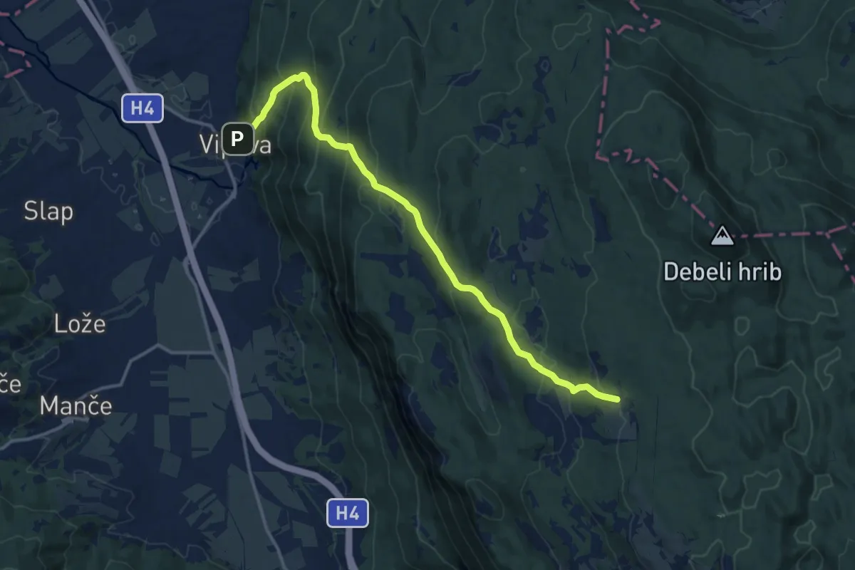
Demanding · Cabin
Vipava - Stari grad - Abram
13.9 km · ↑ 878 m · 5 h 11 min
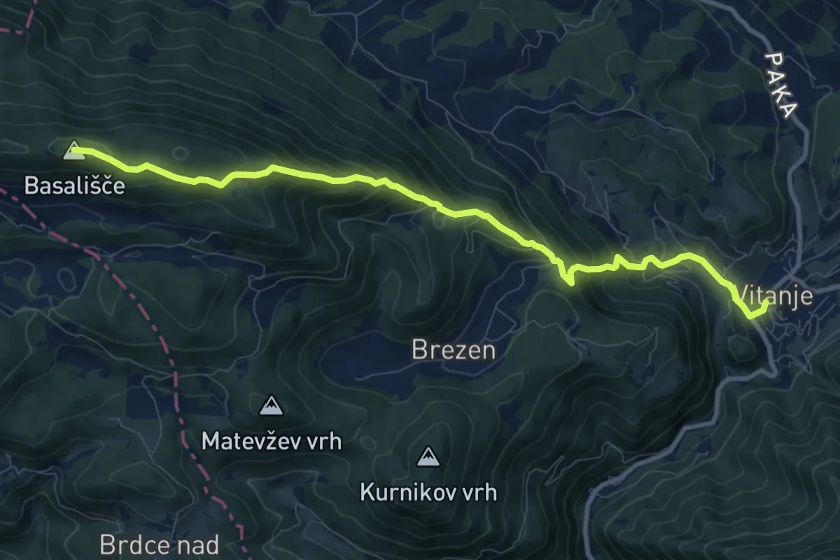
Demanding · Summit
Vitanje - Basališče
10.1 km · ↑ 811 m · 4 h 8 min
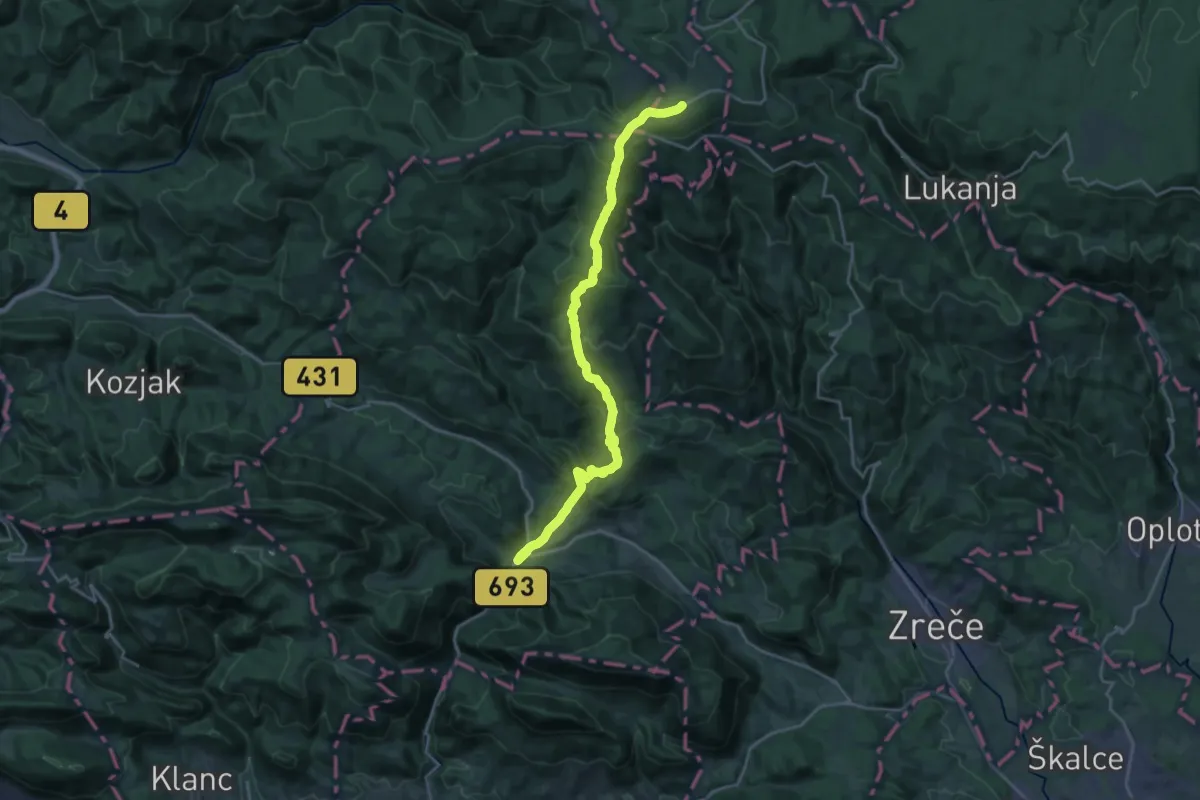
Demanding · Trail
Vitanje - Rogla
22.2 km · ↑ 1183 m · 7 h 49 min
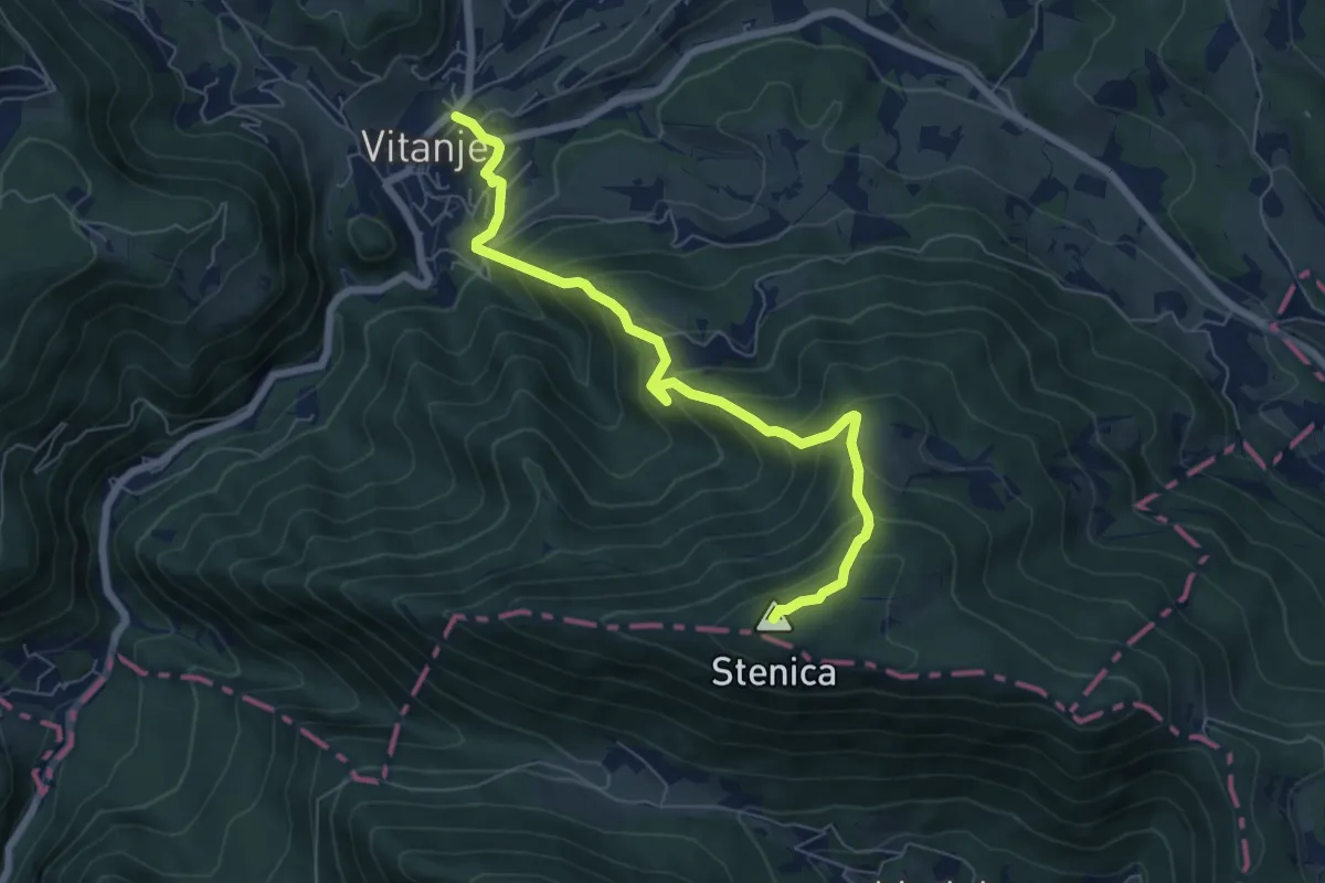
Medium · Summit
Vitanje - Stenica
6.9 km · ↑ 629 m · 3 h
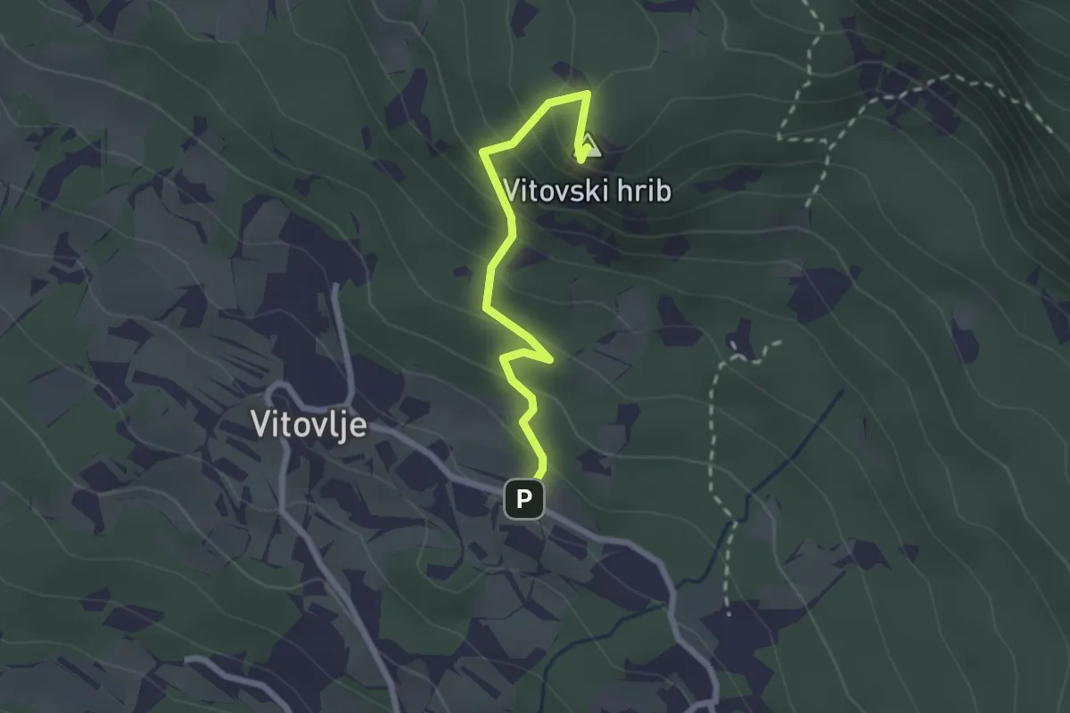
Medium · Summit
Vitovlje - Vitovska cerkev (zahodna pot)
2.2 km · ↑ 216 m · 59 min
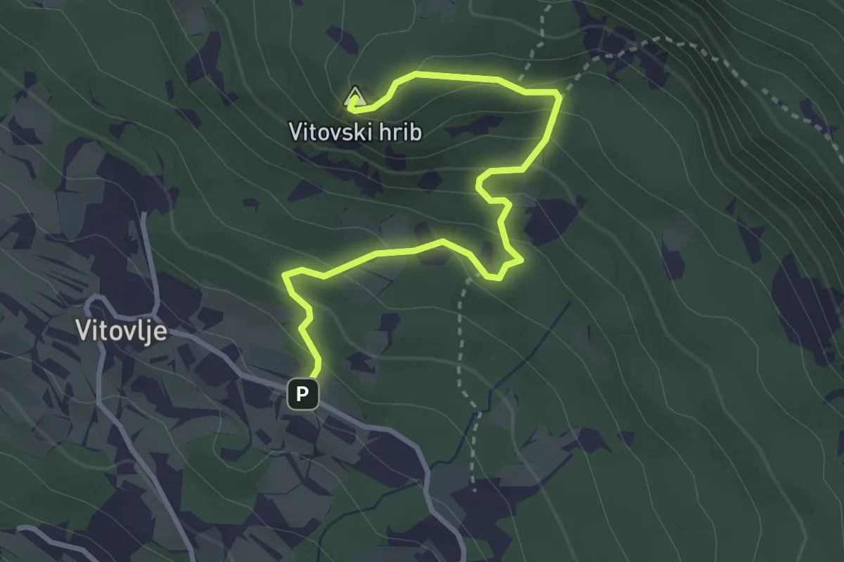
Medium · Summit
Vitovlje - Vitovsko jezero - Vitovska cerkev
3.4 km · ↑ 232 m · 1 h 18 min
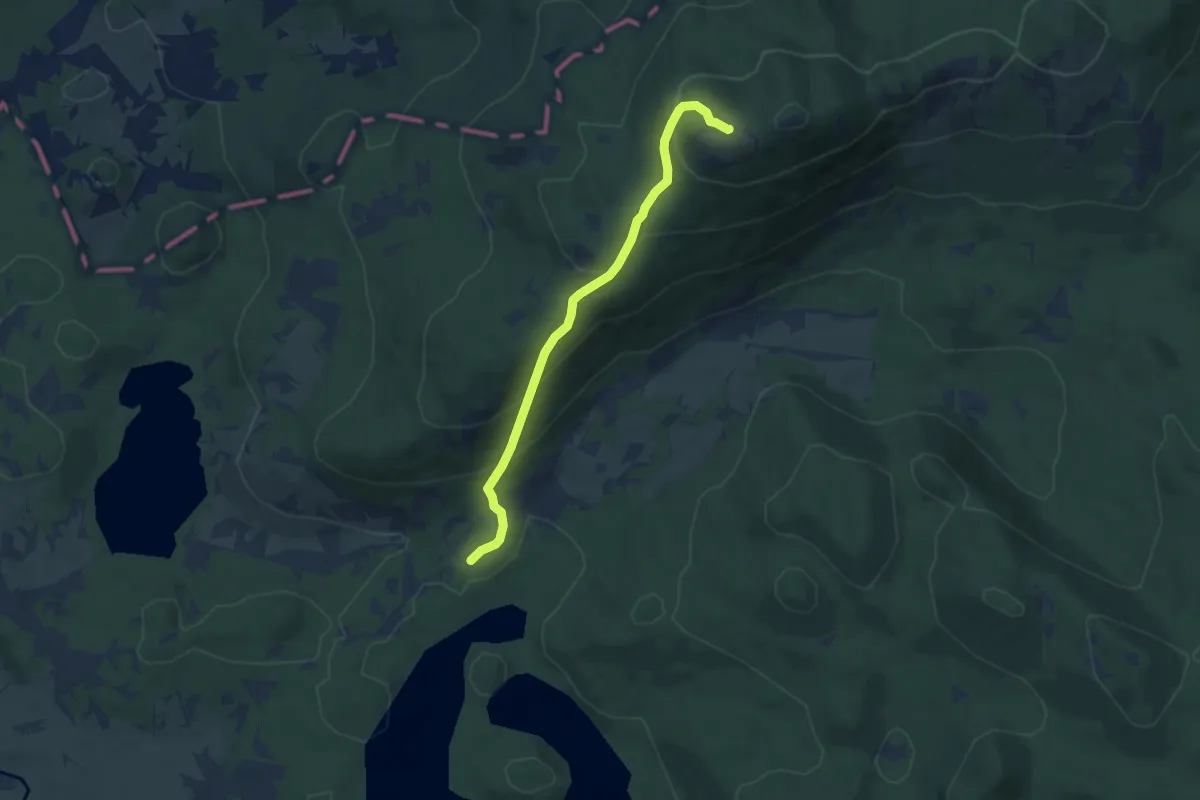
Medium · Summit
Vlačno - Sv. Trojica
6.9 km · ↑ 468 m · 2 h 39 min
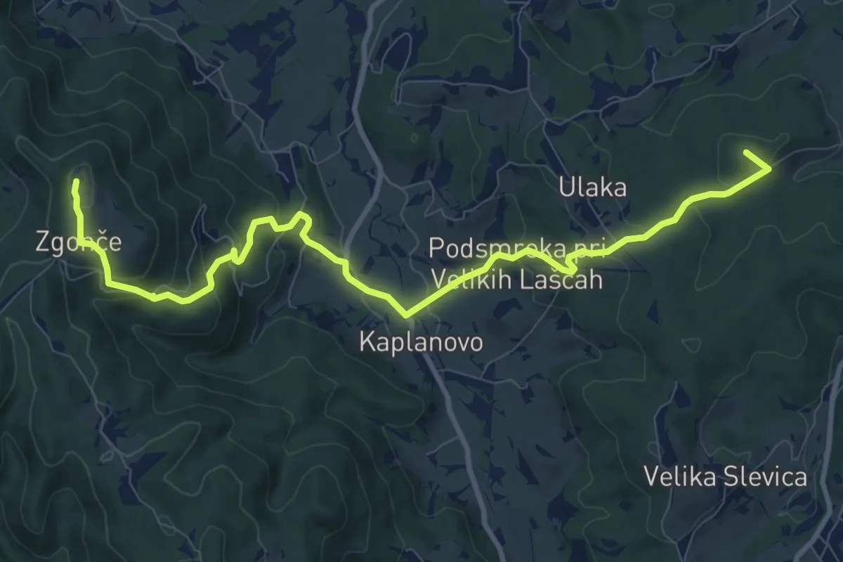
Medium · Summit
V. Lašče - Sv. Primož
10.8 km · ↑ 465 m · 3 h 34 min
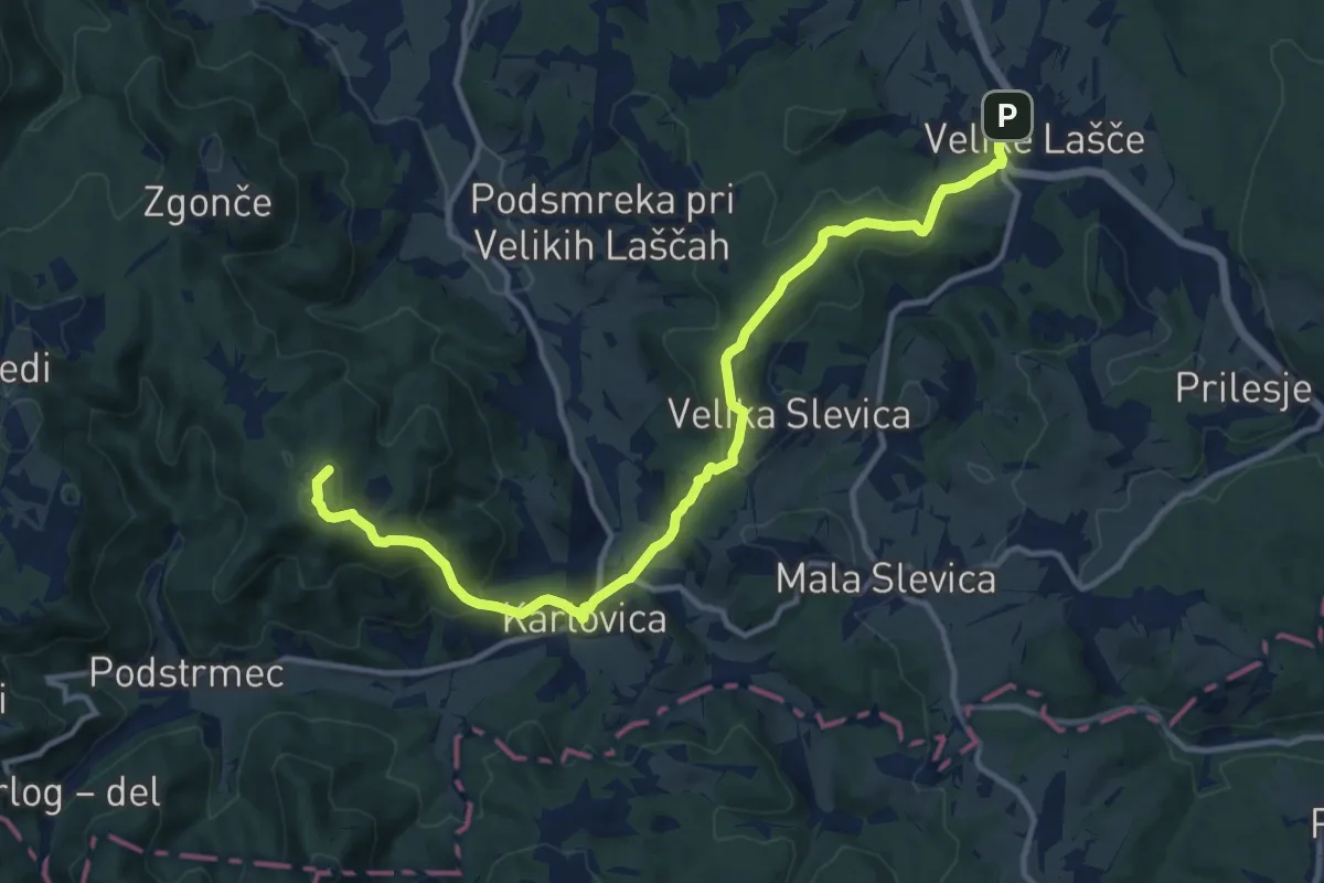
Medium · Summit
V. Lašče - V. Slevica - D. Kališče - Sv. Primož
13.4 km · ↑ 577 m · 4 h 25 min
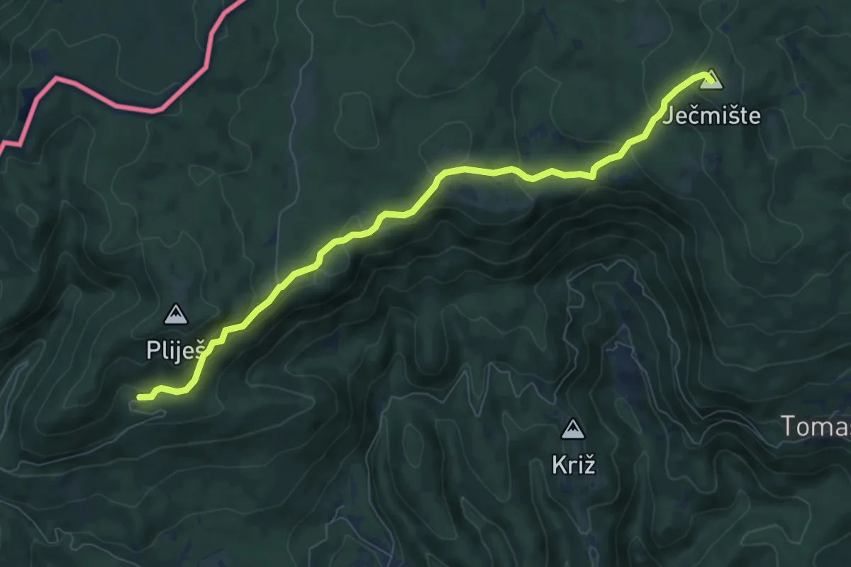
Medium · Summit
Vodice - Ječmište
8.3 km · ↑ 416 m · 2 h 51 min
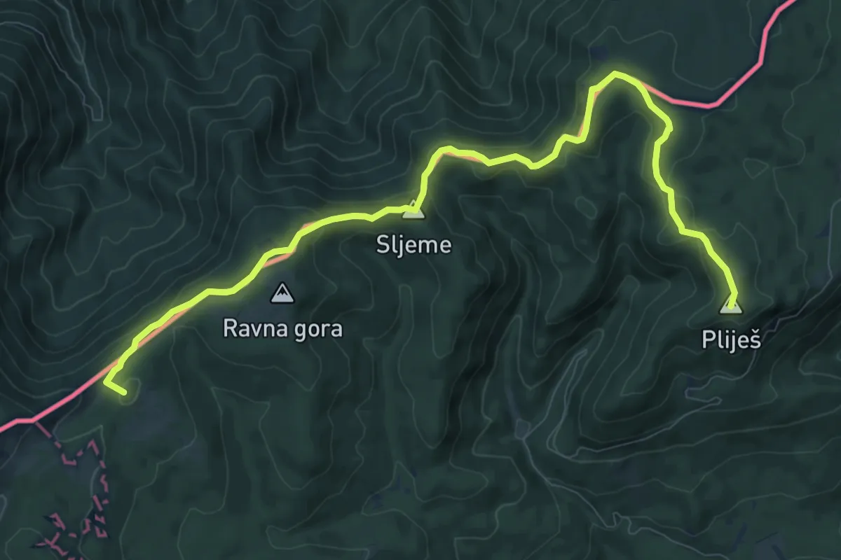
Medium · Summit
Vodice - Maličev krč
11.6 km · ↑ 333 m · 3 h 28 min
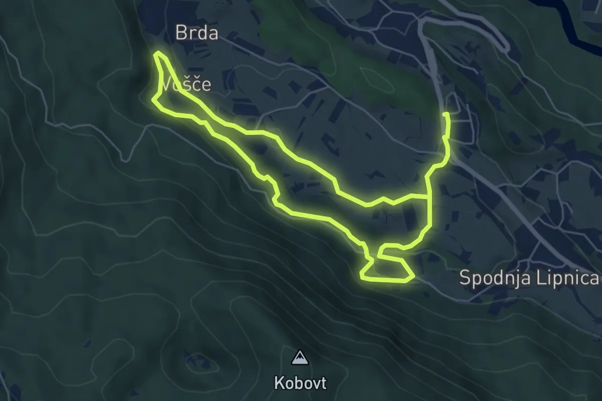
Medium · Trail
Vodna učna pot Grabnarca
10.7 km · ↑ 263 m · 3 h 6 min
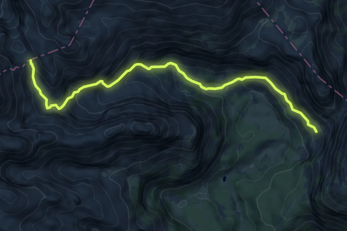
Demanding · Cabin
Vodnikov dom - Dolič
8.4 km · ↑ 606 m · 3 h 18 min
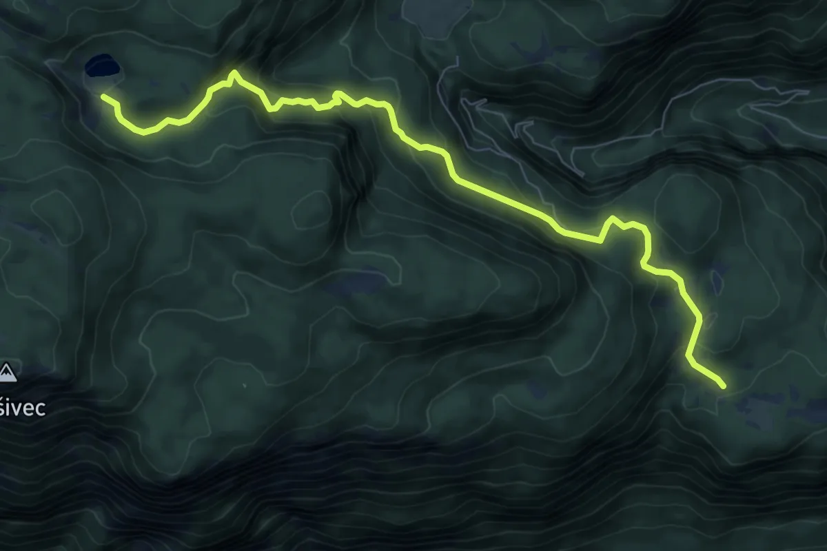
Medium · Cabin
Vogar - Pl. pri Jezeru
9.0 km · ↑ 555 m · 3 h 20 min
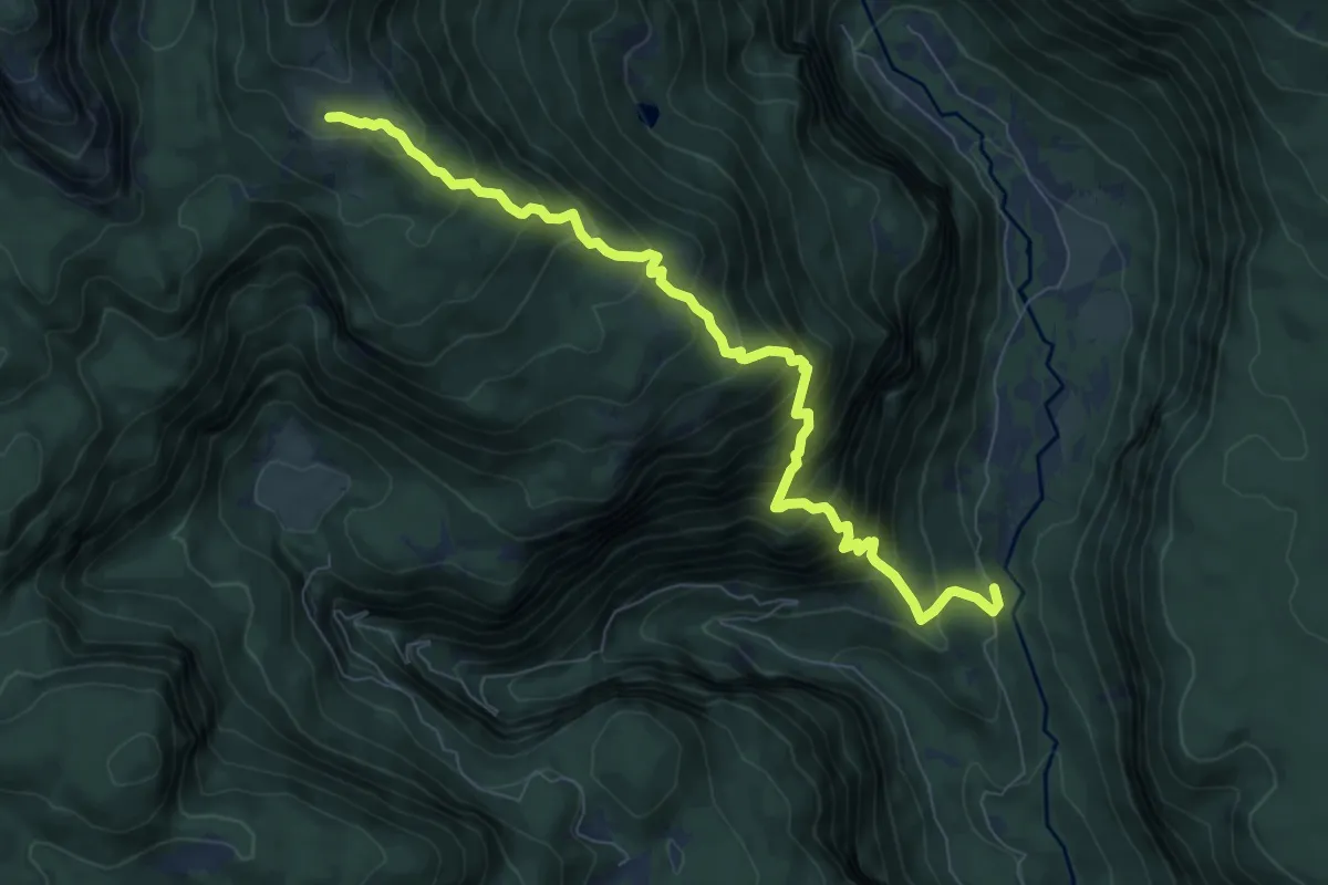
Demanding · Cabin
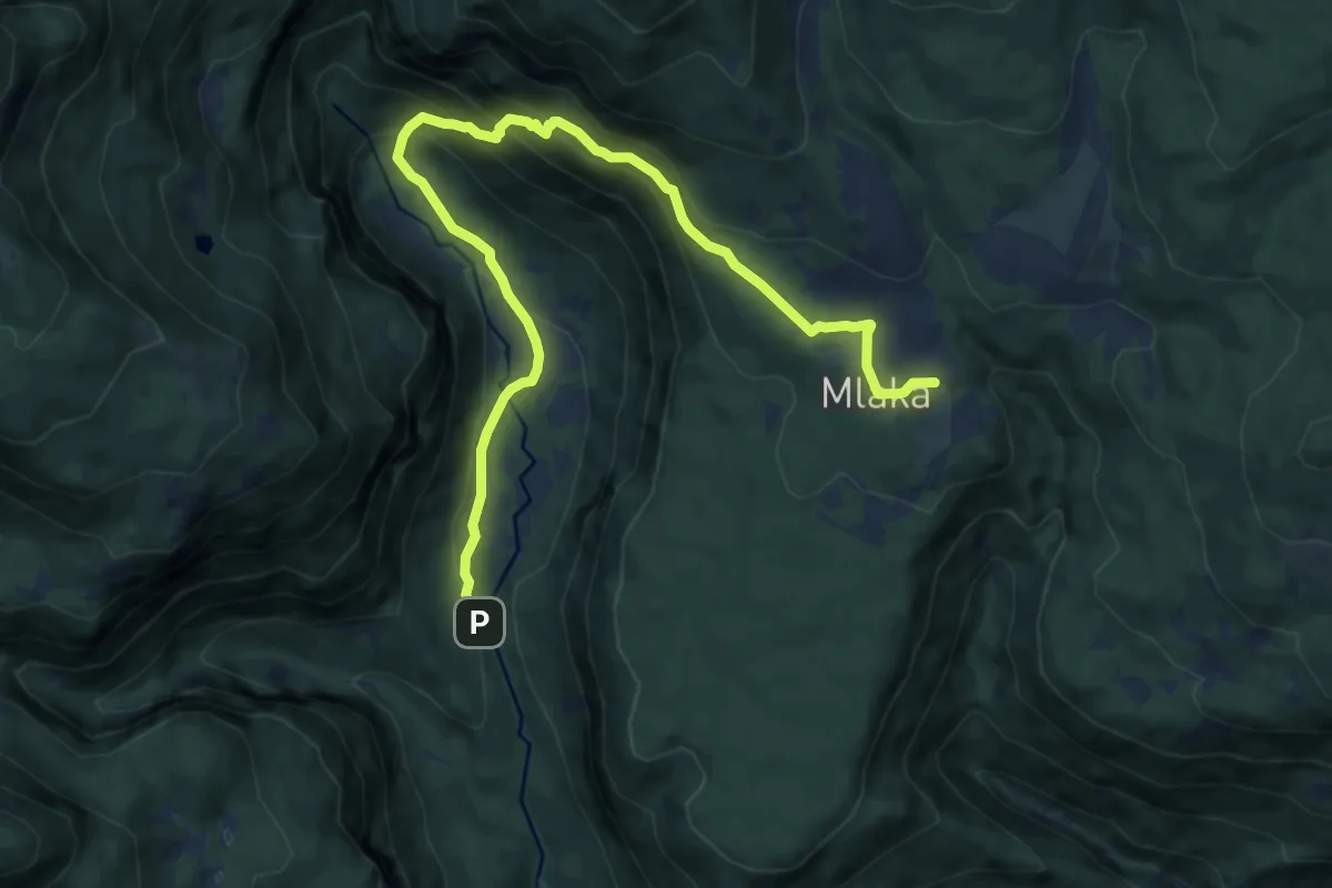
Voje - Pl. Krstenica
8.7 km · ↑ 990 m · 4 h 12 min
Medium · Cabin
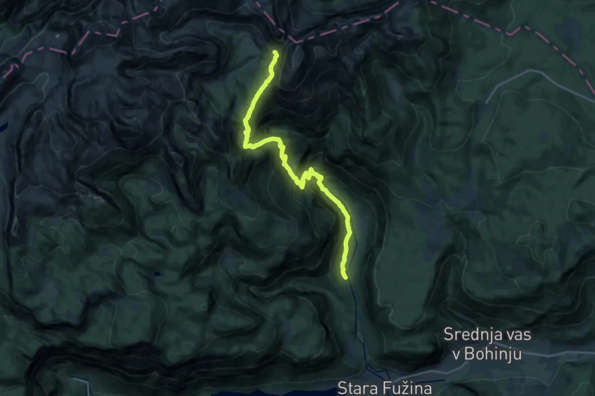
Voje - Uskovnica
12.2 km · ↑ 580 m · 4 h 8 min
Demanding · Cabin
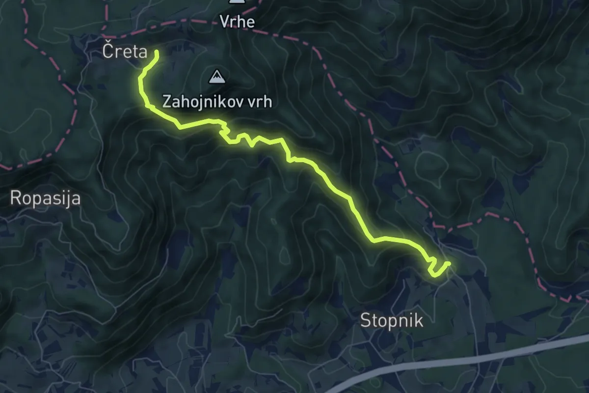
Voje - Vodnikov dom
17.1 km · ↑ 1380 m · 7 h 1 min
Medium · Cabin
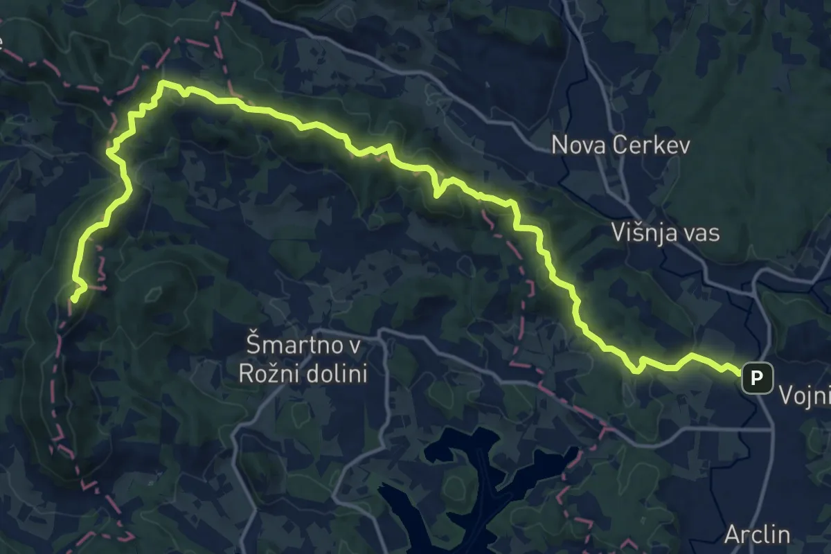
Vojkova pot (Prekopa - Čreta)
7.7 km · ↑ 677 m · 3 h 17 min
Demanding · Summit
Vojnik - Sv. Kunigunda
21.3 km · ↑ 996 m · 7 h 11 min
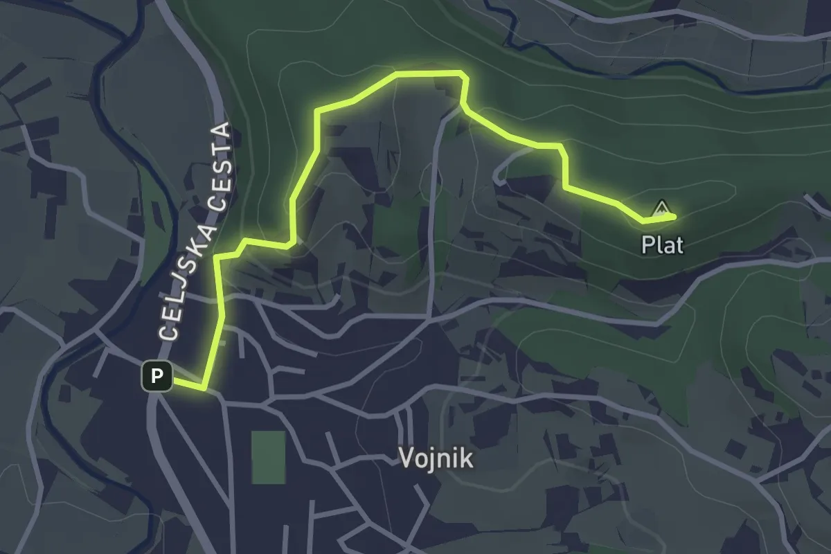
Easy · Summit
Vojnik - Sv. Tomaž
3.2 km · ↑ 164 m · 1 h 7 min
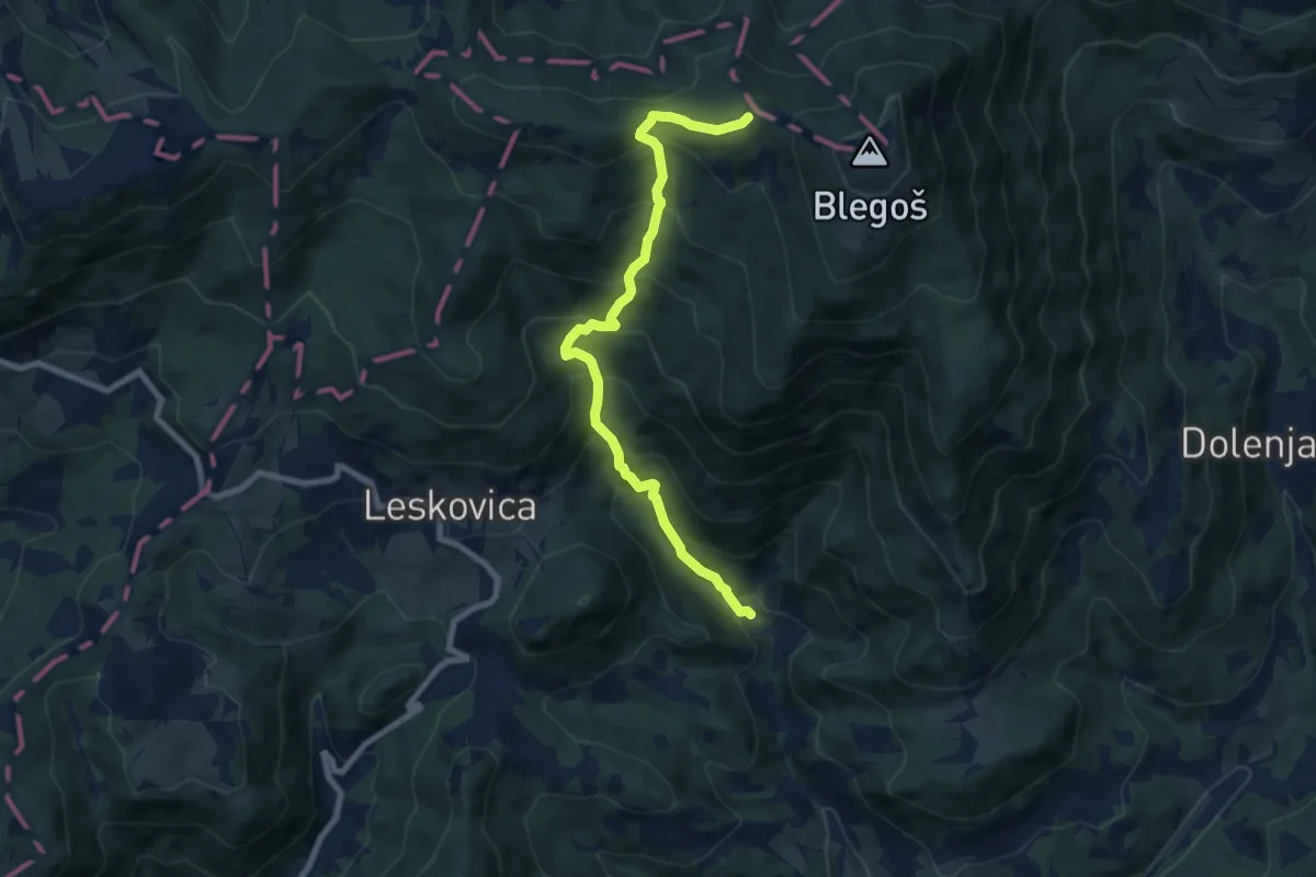
Demanding · Cabin
Volaka - Blegoš
8.1 km · ↑ 847 m · 3 h 45 min
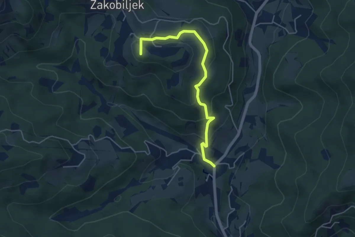
Easy · Summit
Volča - Gora
4.1 km · ↑ 218 m · 1 h 27 min
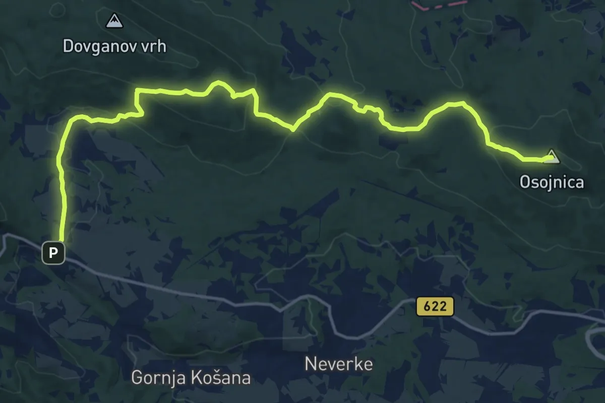
Medium · Summit
Volče - Osojnica
17.3 km · ↑ 588 m · 5 h 22 min
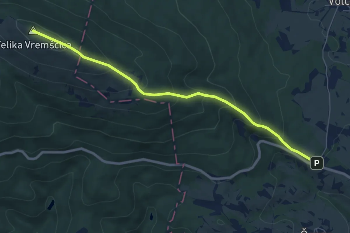
Medium · Summit
Volče - Vremščica
6.1 km · ↑ 413 m · 2 h 21 min
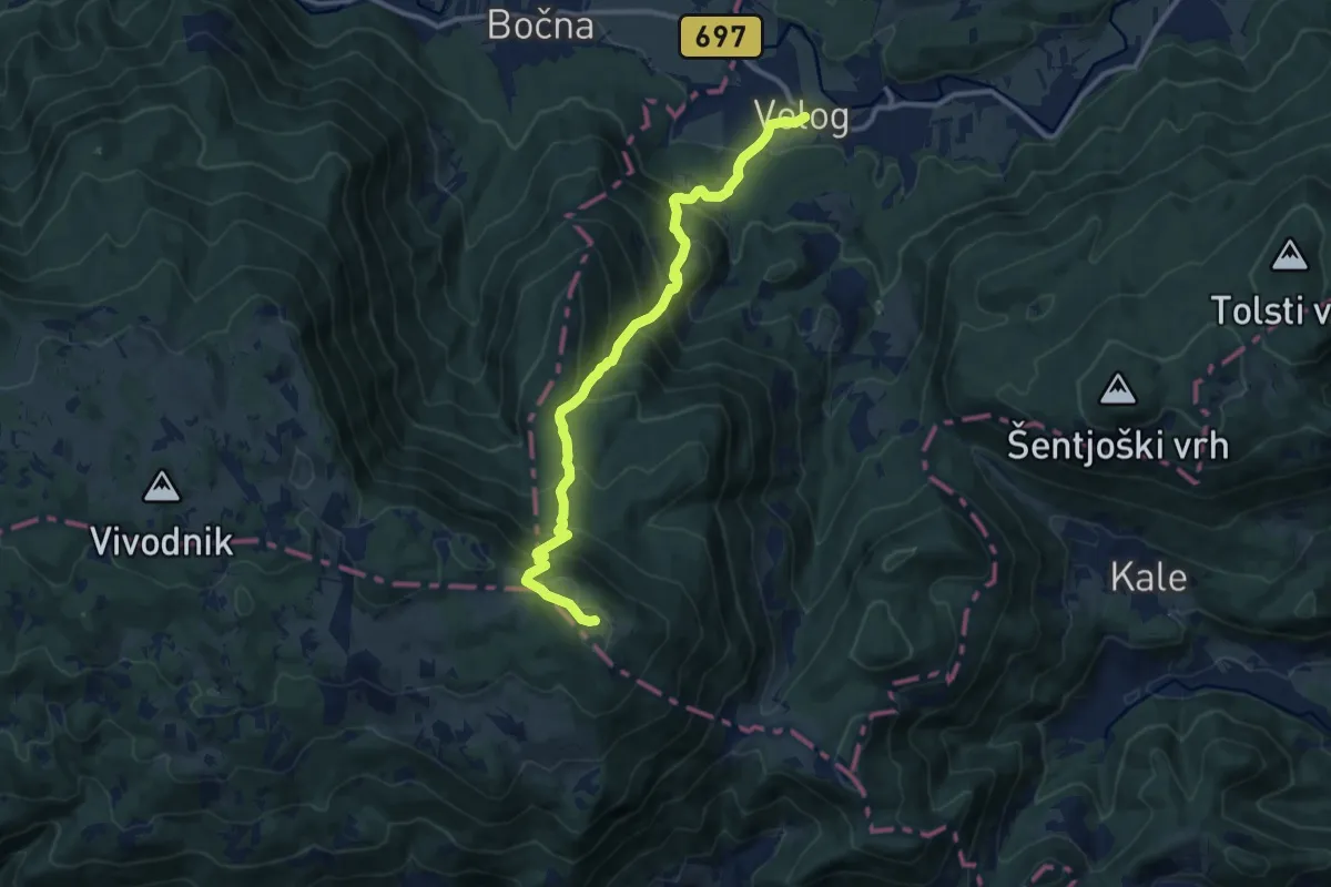
Demanding · Summit
Volog - Goli vrh
11.8 km · ↑ 1058 m · 5 h 5 min
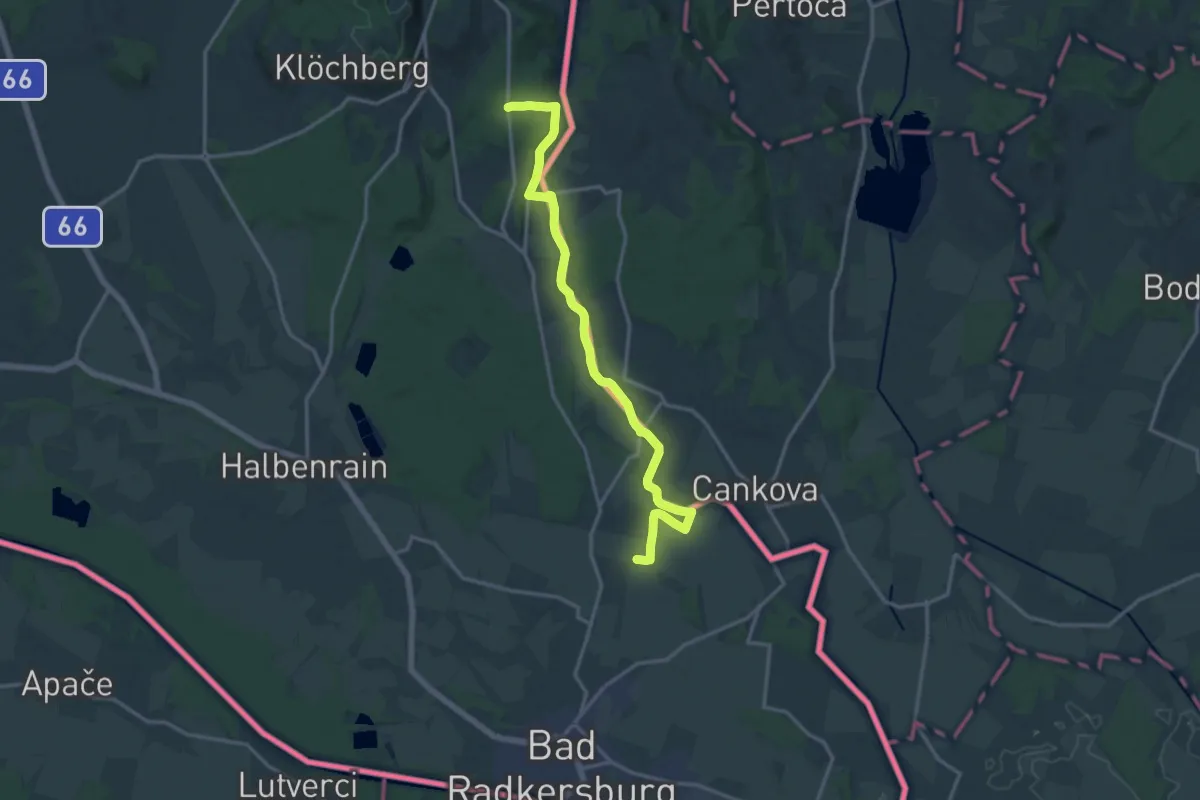
Medium · Trail
Vom Gletscher zum Wein - Nordroute
16.3 km · ↑ 82 m · 4 h 1 min
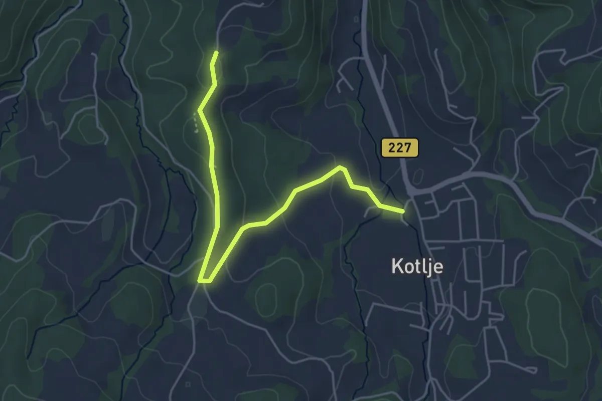
Easy · Trail
Vorančeva pot
4.5 km · ↑ 104 m · 1 h 17 min
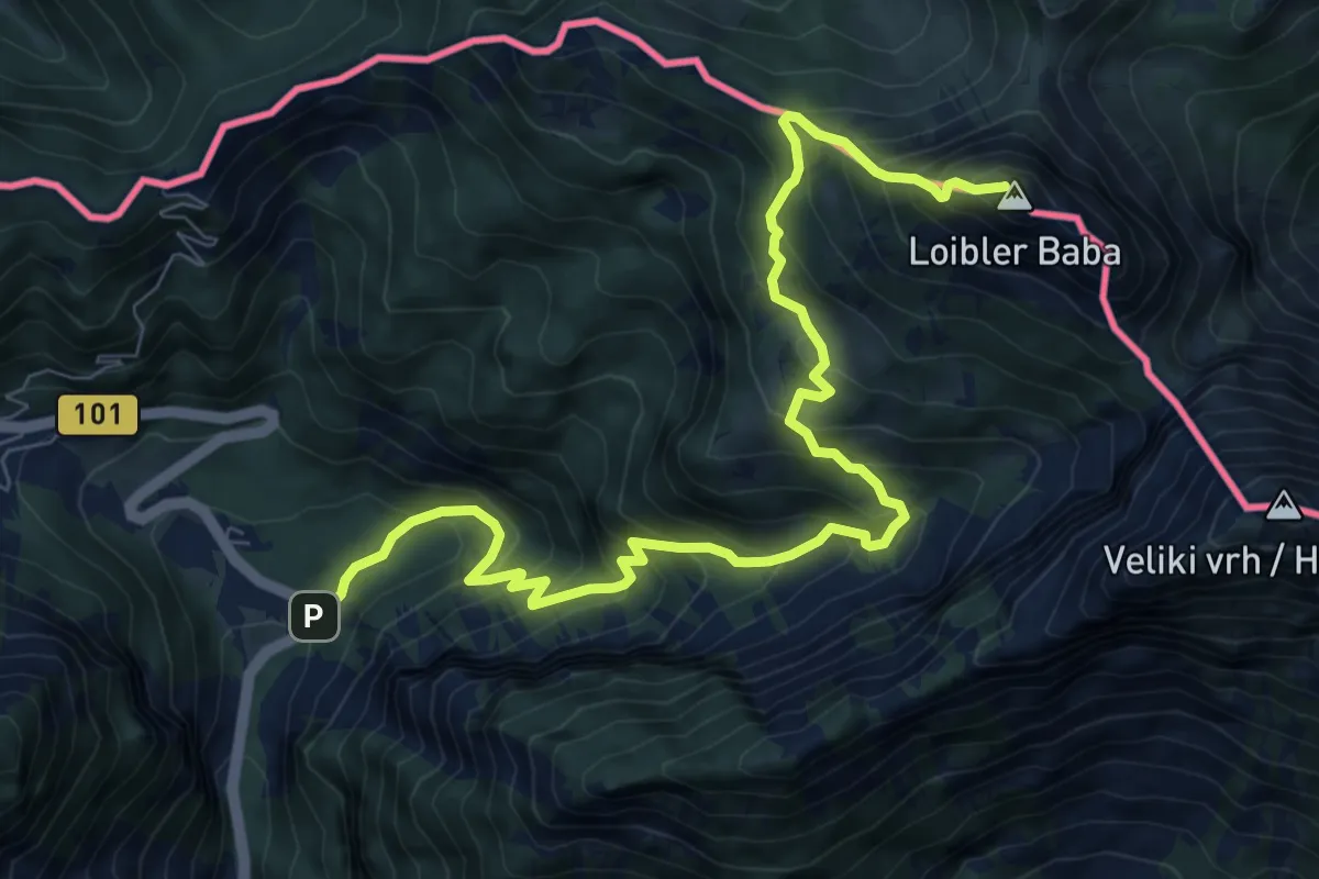
Demanding · Summit
Vranček - Pl. Korošica - Košutica
10.1 km · ↑ 1119 m · 4 h 49 min
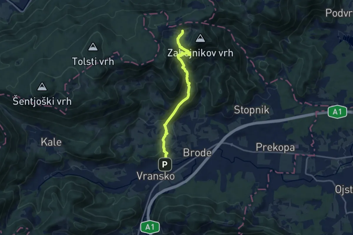
Medium · Cabin
Vransko - Čreta
9.3 km · ↑ 642 m · 3 h 35 min
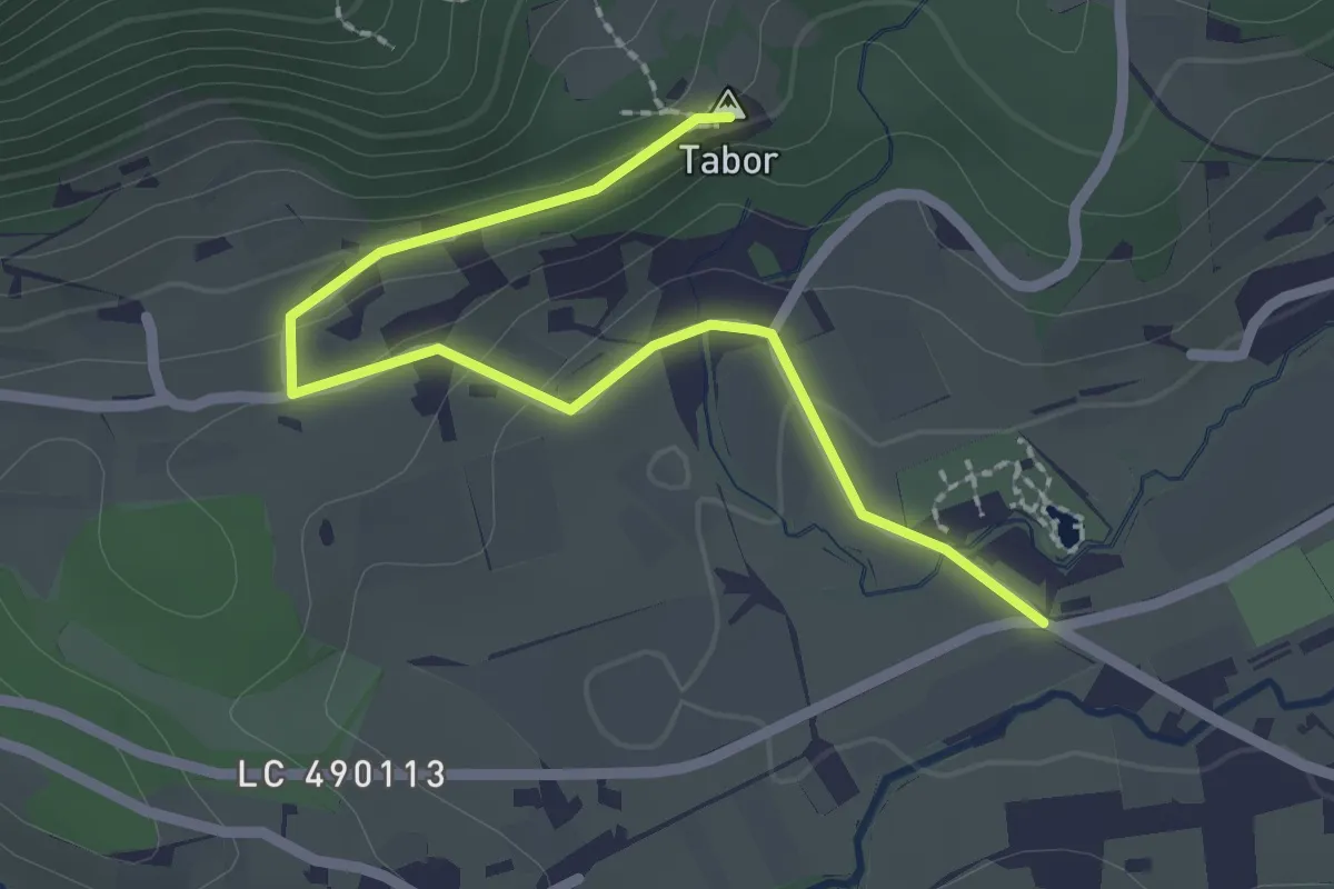
Easy · Summit
Vransko - Jama Škadavnica
2.5 km · ↑ 83 m · 46 min
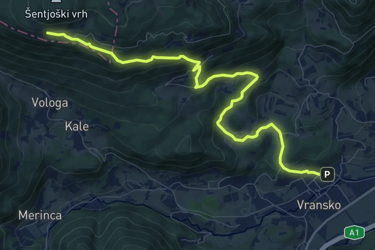
Medium · Trail
Vransko - Sv. Jošt
11.3 km · ↑ 651 m · 4 h 4 min
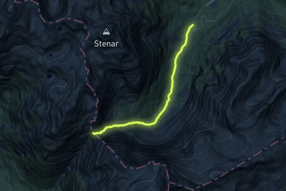
Expert · Cabin
Vrata - Luknja
7.8 km · ↑ 800 m · 3 h 35 min
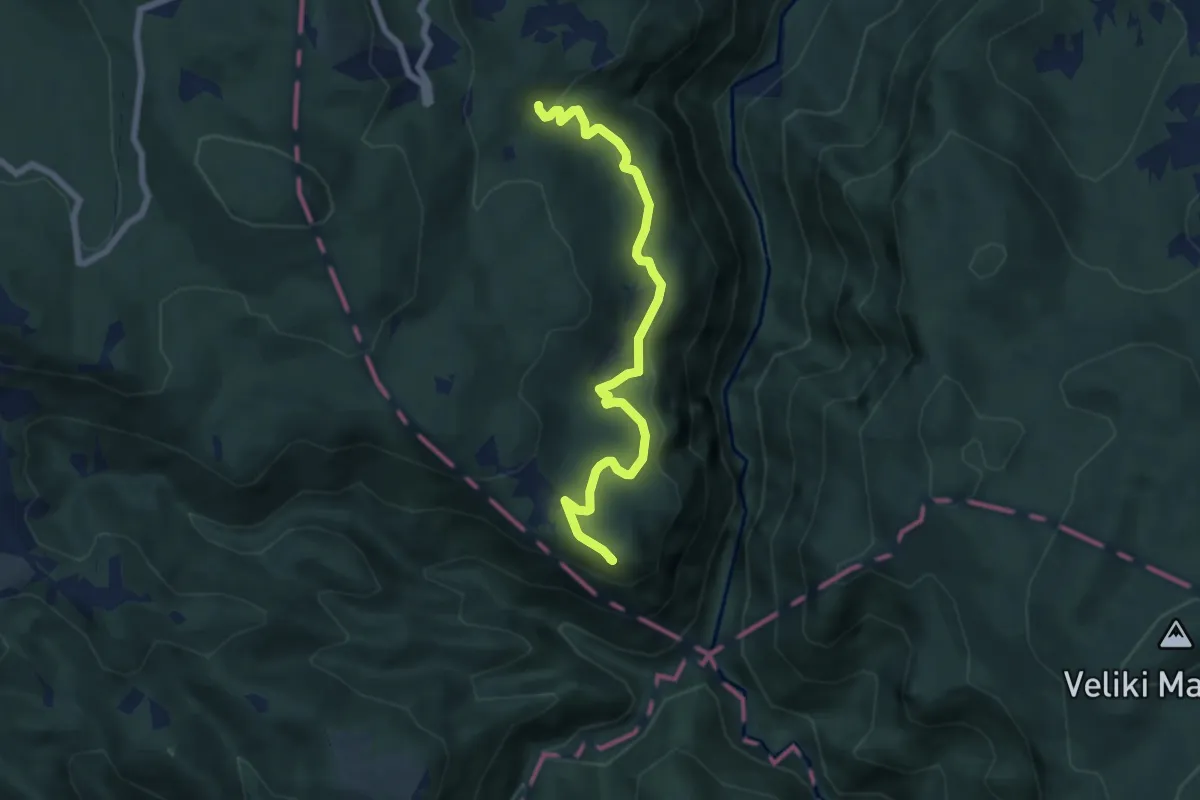
Medium · Summit
Vrbica - Nad Krvavicami
6.8 km · ↑ 188 m · 2 h 1 min
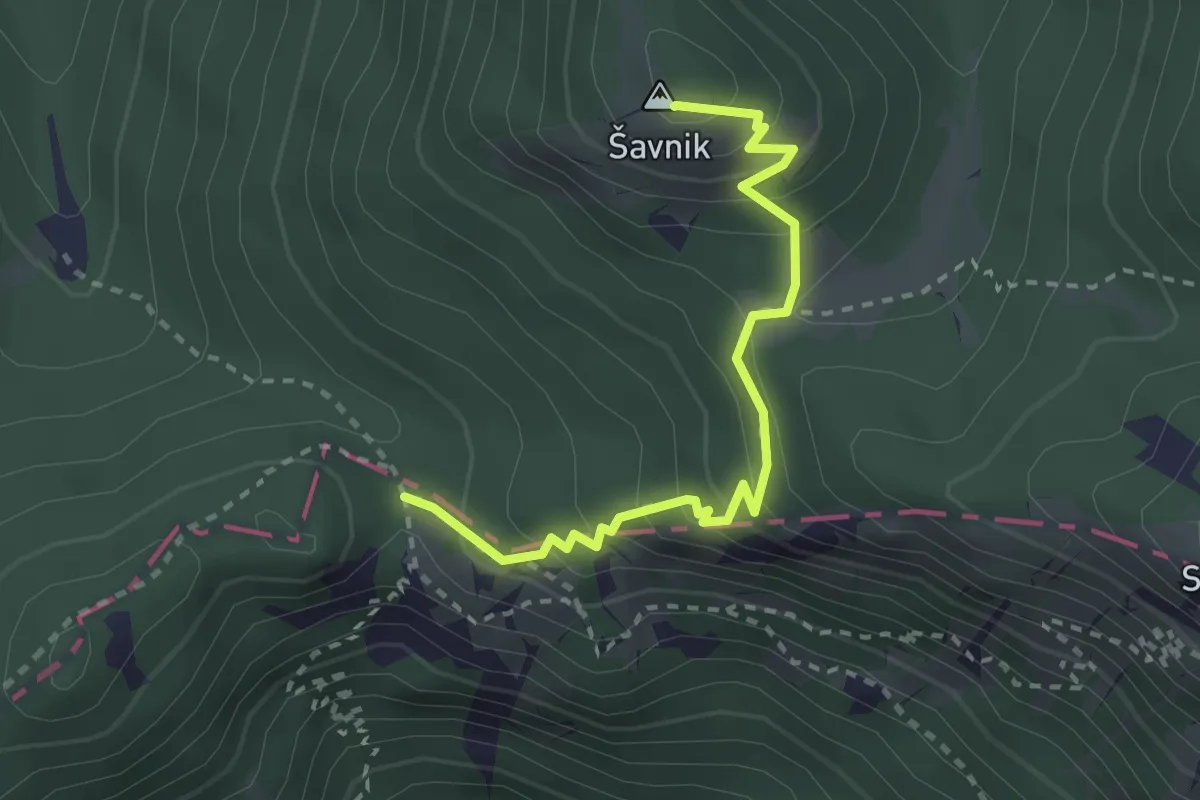
Easy · Summit
Vrh Bače - Šavnik
2.8 km · ↑ 257 m · 1 h 13 min
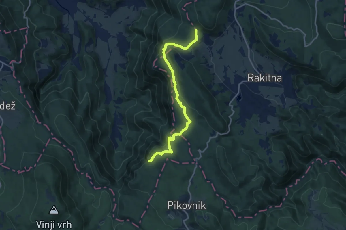
Medium · Summit
Vrh Dola - Krimska jama
10.6 km · ↑ 361 m · 3 h 17 min
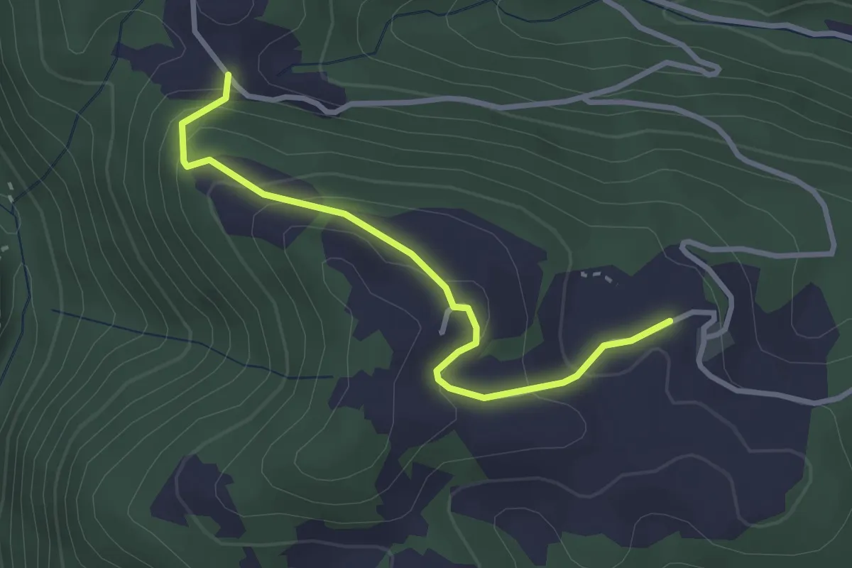
Easy · Trail
vrh Loma
2.9 km · ↑ 169 m · 1 h 3 min
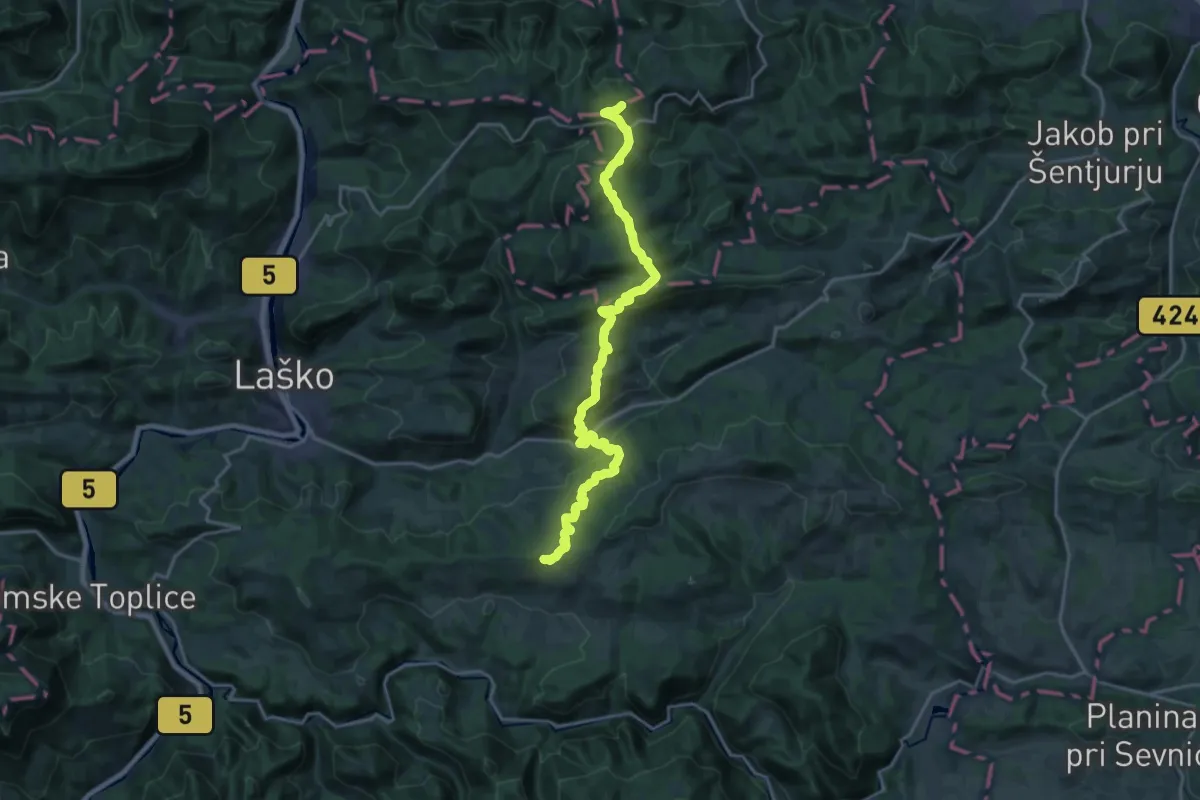
Demanding · Summit
Vrh nad Laškim - Dom na Svetini
21.5 km · ↑ 1157 m · 7 h 35 min
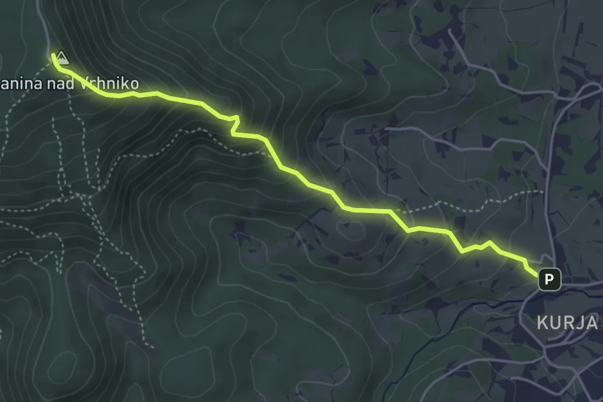
Medium · Summit
Vrhnika - Planina
4.6 km · ↑ 408 m · 1 h 58 min
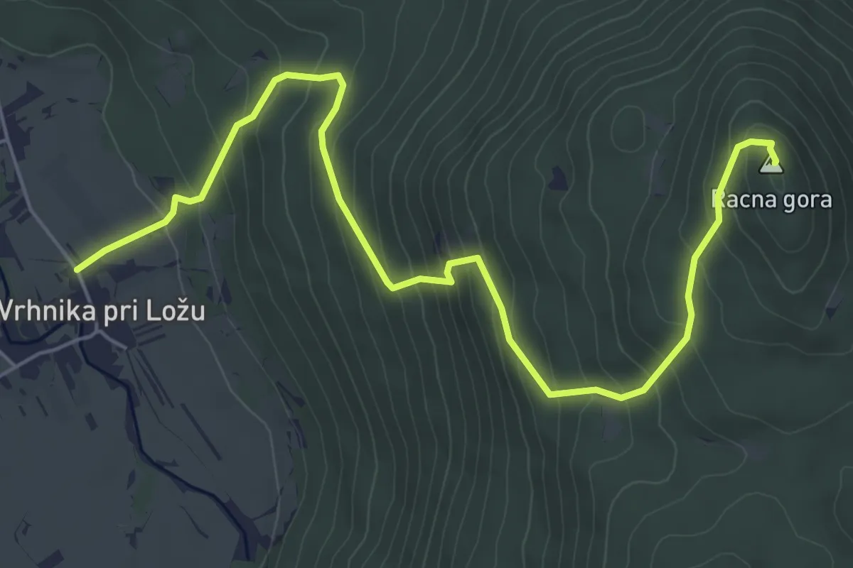
Medium · Summit
Vrhnika pri Ložu - Racna gora
7.0 km · ↑ 532 m · 2 h 48 min
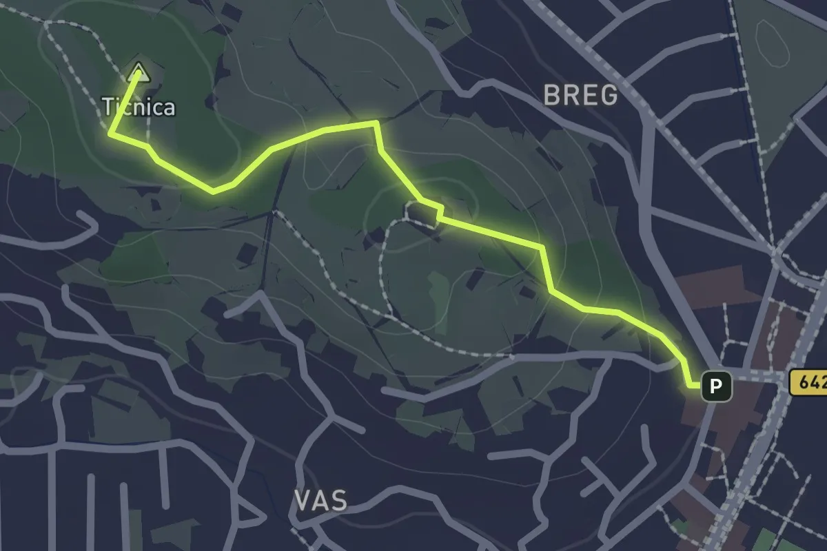
Medium · Summit
Vrhnika - Tankovska cesta - Storžev hrib
2.1 km · ↑ 61 m · 37 min
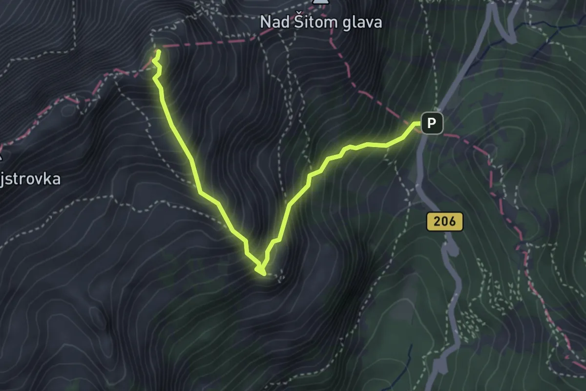
Demanding · Summit
Vršič - Mala Mojstrovka
3.8 km · ↑ 707 m · 2 h 26 min
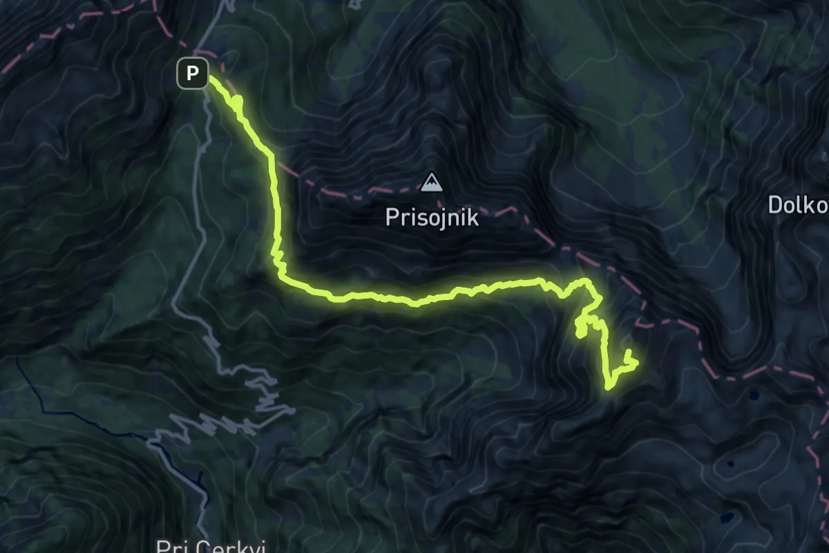
Expert · Summit
Vršič - Razor
15.1 km · ↑ 1914 m · 7 h 43 min
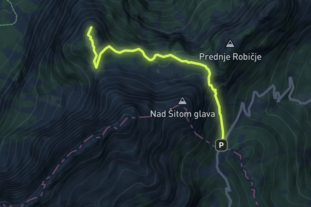
Medium · Summit
Vršič - Slemenova špica
5.5 km · ↑ 514 m · 2 h 25 min