Trails in Slovenia
1,594 hiking trails, each with its route, climb, walking time and grade.
All trails, page 30 of 34
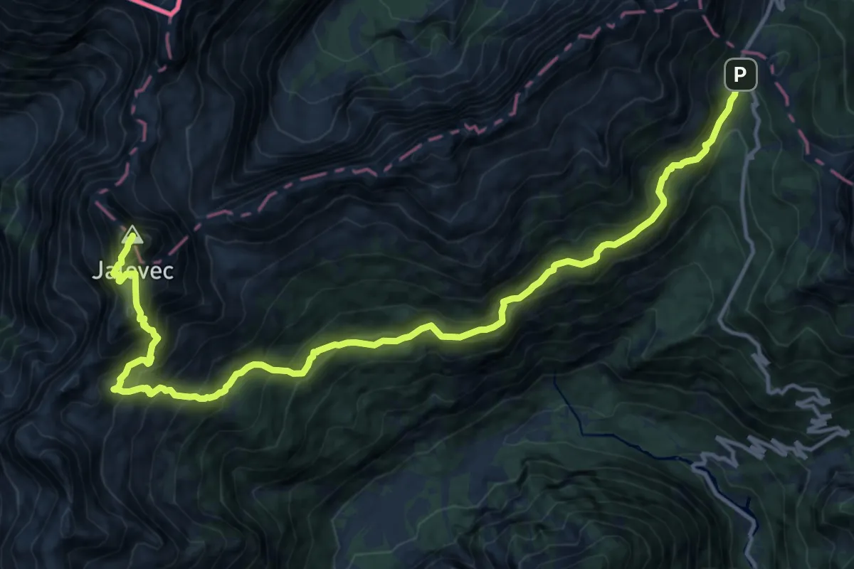
Expert · Summit
Vršič - Zav. pod Špičkom - Jalovec
17.3 km · ↑ 1849 m · 8 h 6 min
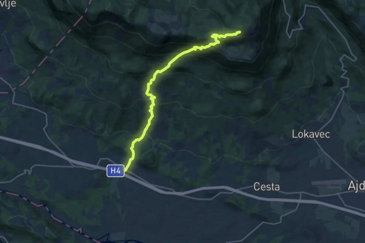
Demanding · Cabin
Vrtovin - Čaven
14.5 km · ↑ 1138 m · 5 h 54 min
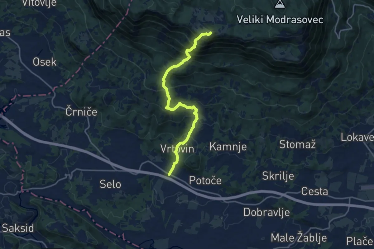
Demanding · Summit
Vrtovin - Sv. Pavel - Kucelj
12.9 km · ↑ 1090 m · 5 h 24 min
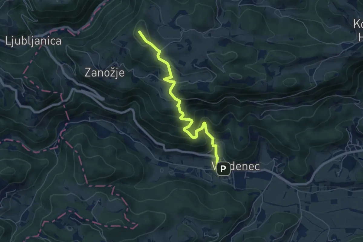
Medium · Summit
Vrzdenec - Samotorica - Kožljek
5.8 km · ↑ 428 m · 2 h 18 min
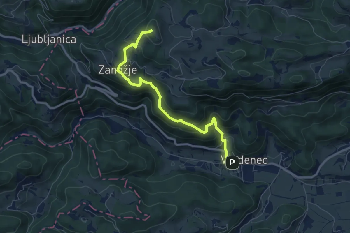
Medium · Summit
Vrzdenec - Zanožje - Kožljek
6.8 km · ↑ 462 m · 2 h 36 min
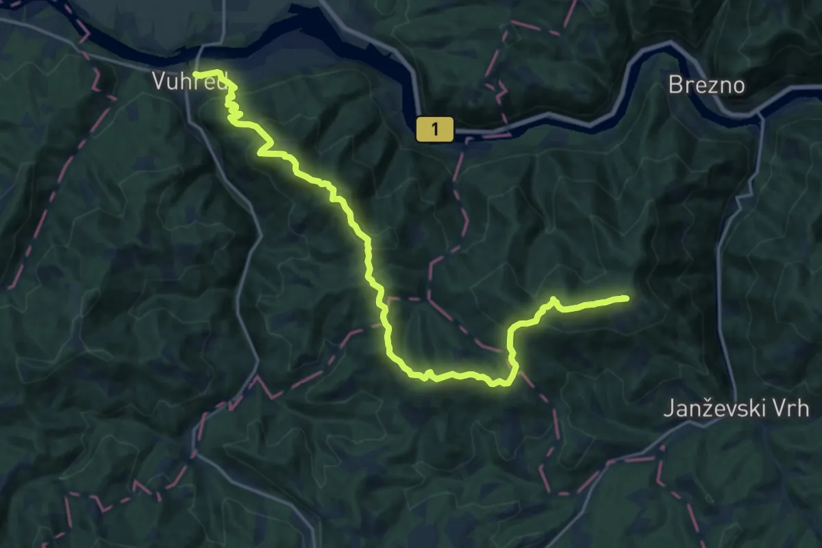
Demanding · Summit
Vuhred - Janževski vrh
20.8 km · ↑ 1025 m · 7 h 9 min
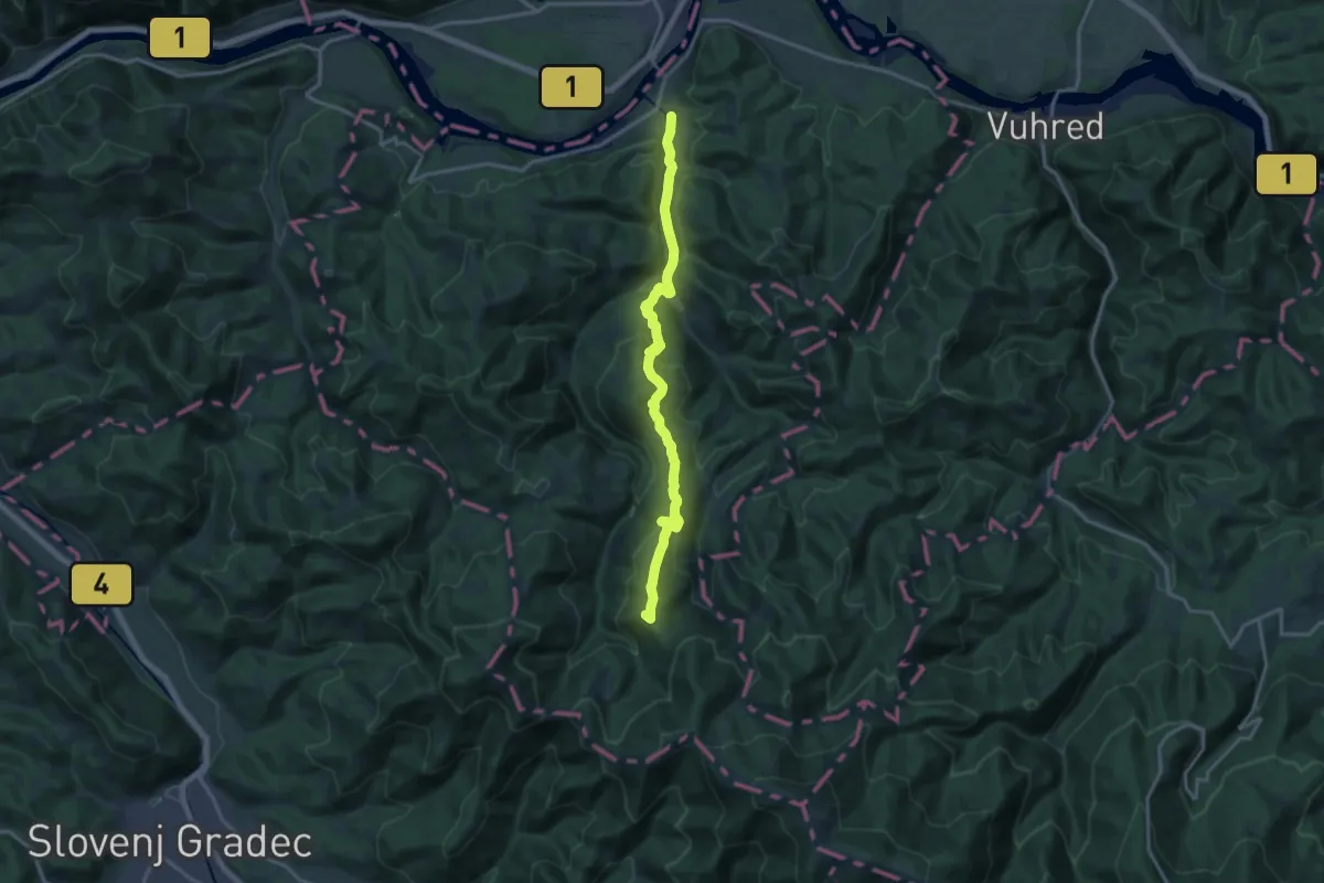
Medium · Summit
Vuzenica - Koča Planinc
16.3 km · ↑ 764 m · 5 h 30 min
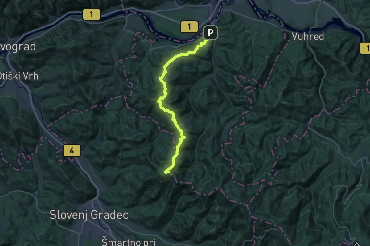
Demanding · Summit
Vuzenica - Kremžarjev vrh
23.1 km · ↑ 1309 m · 8 h 17 min
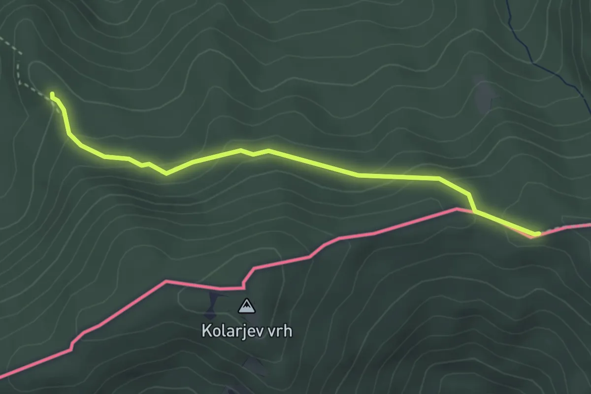
Medium · Trail
Wanderweg 611
3.4 km · ↑ 157 m · 1 h 8 min
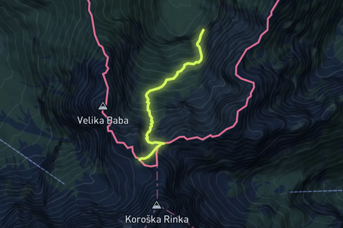
Demanding · Trail
Wanderweg 613
5.4 km · ↑ 800 m · 3 h 1 min
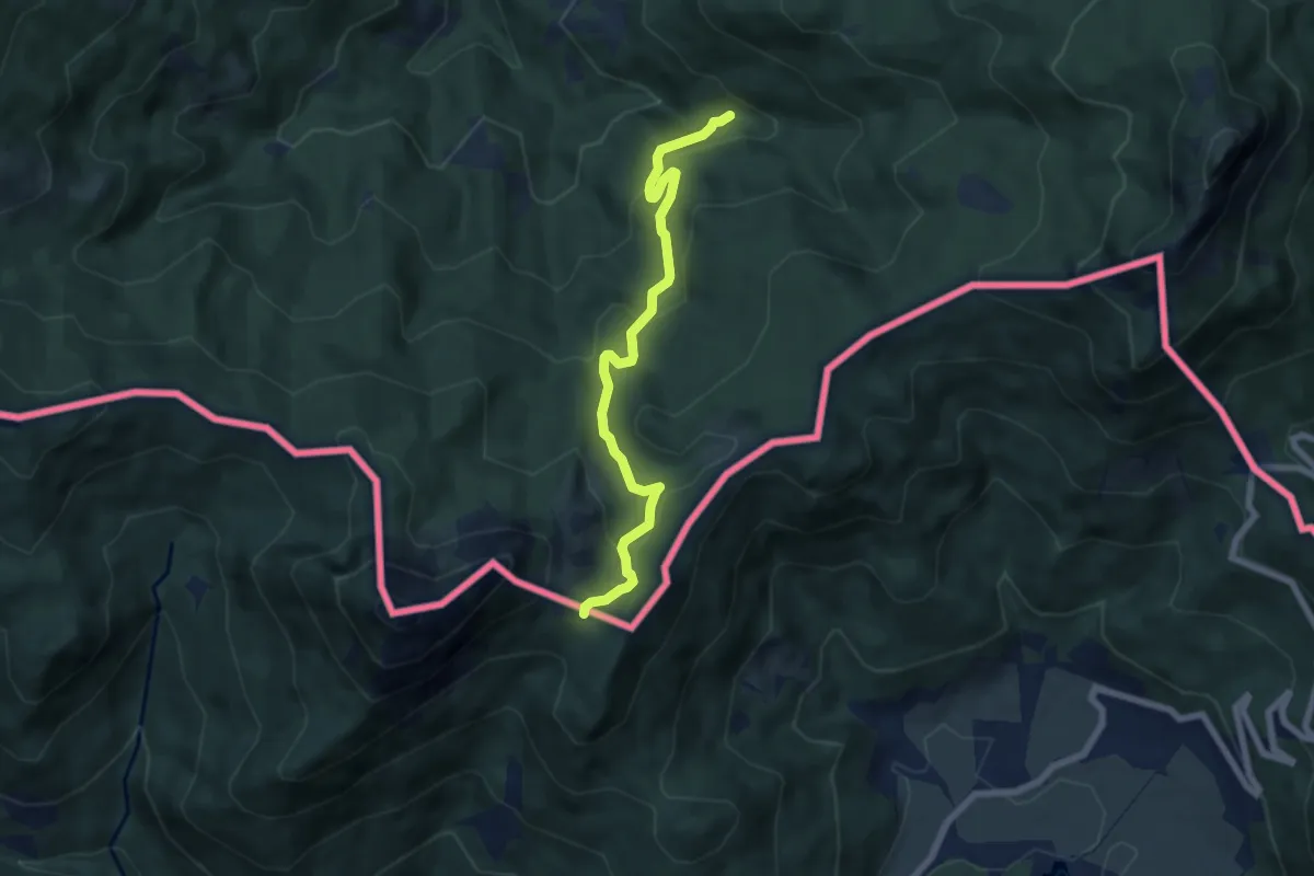
Easy · Trail
Wanderweg 627
6.5 km · ↑ 298 m · 2 h 11 min
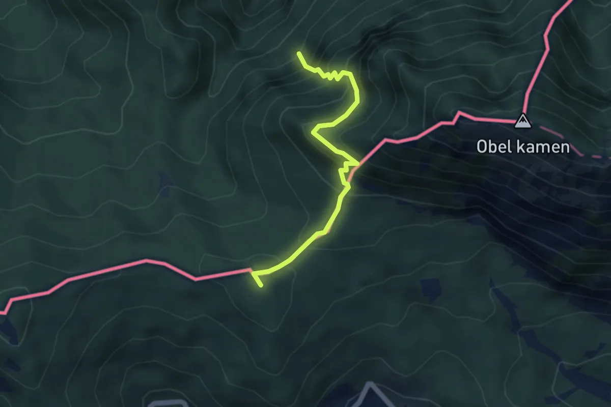
Demanding · Summit
Wanderweg 652
3.7 km · ↑ 487 m · 1 h 56 min
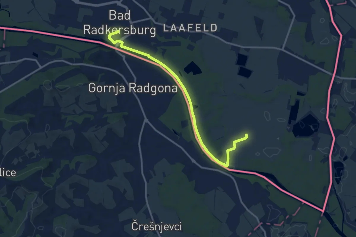
Medium · Trail
Wasserweg Ost
9.3 km · ↑ 4 m · 2 h 13 min
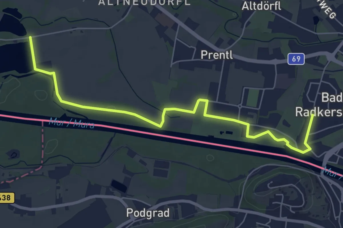
Easy · Trail
Wasserweg West
6.5 km · ↑ 0 m · 1 h 32 min
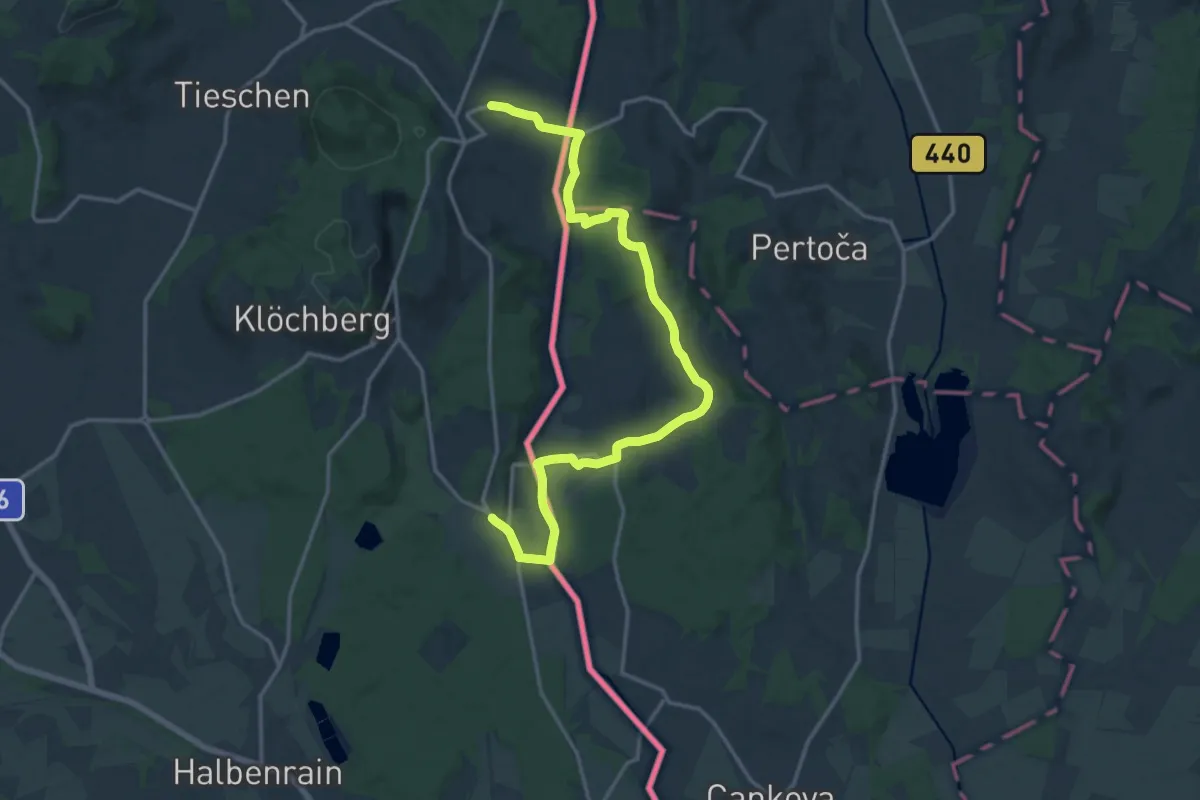
Medium · Trail
Weg der Freundschaft
9.1 km · ↑ 153 m · 2 h 35 min
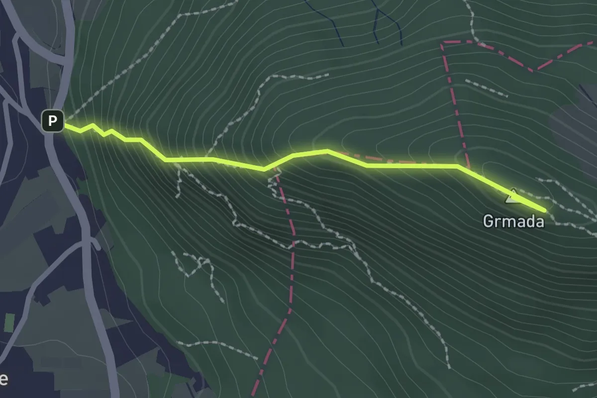
Demanding · Summit
Westrova pot
2.0 km · ↑ 320 m · 1 h 10 min
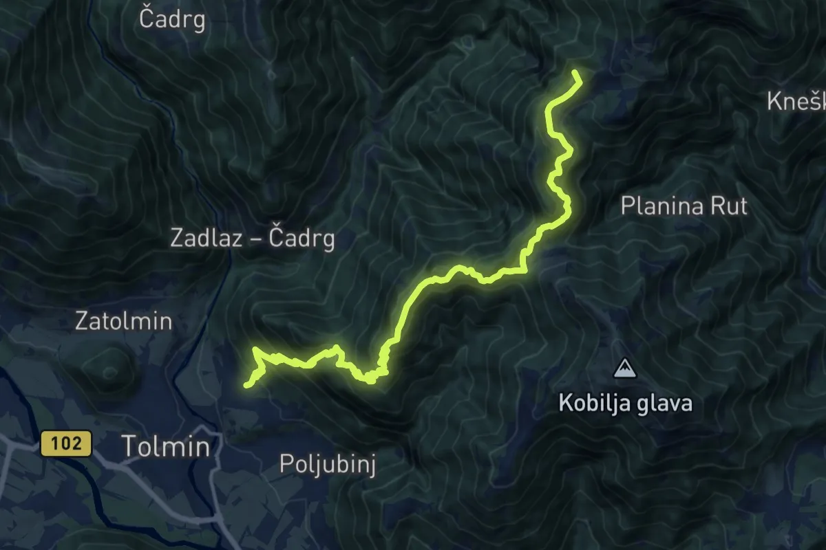
Demanding · Summit
Žabče - Pl. Lom - Koča na pl. Razor
17.7 km · ↑ 1538 m · 7 h 30 min
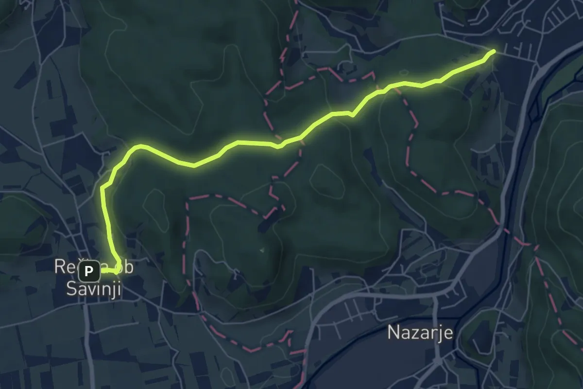
Easy · Trail
Žabja gozdna pot Blate
6.9 km · ↑ 202 m · 2 h 4 min
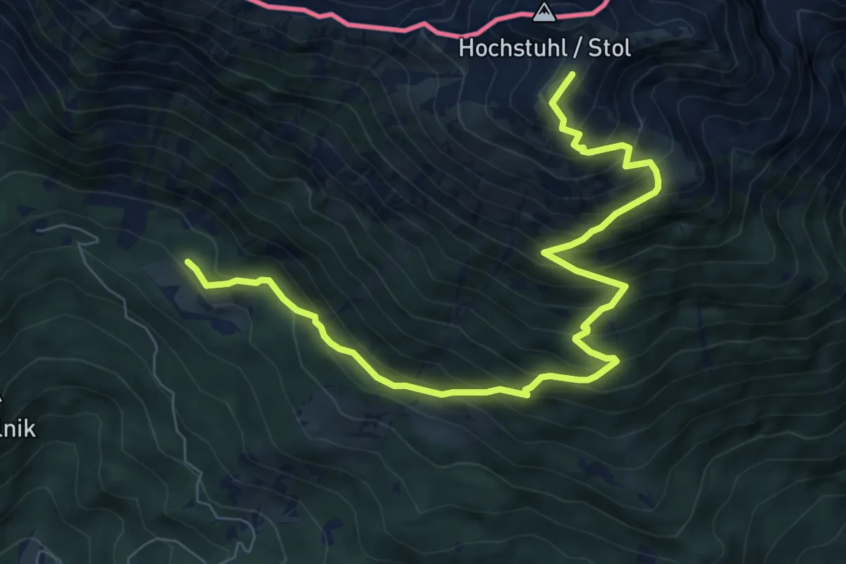
Demanding · Summit
Zabreška pot
9.0 km · ↑ 988 m · 4 h 15 min
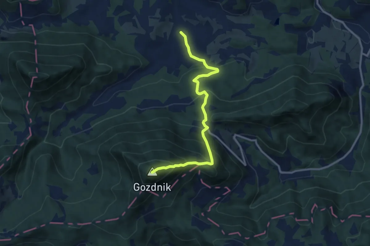
Medium · Summit
Zabukovica - Beškovnik - Gozdnik
7.9 km · ↑ 767 m · 3 h 31 min
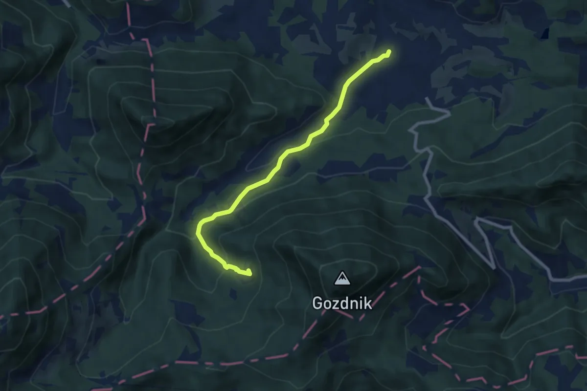
Medium · Trail
Zabukovica - Lovska koča Gozdnik
6.8 km · ↑ 346 m · 2 h 22 min
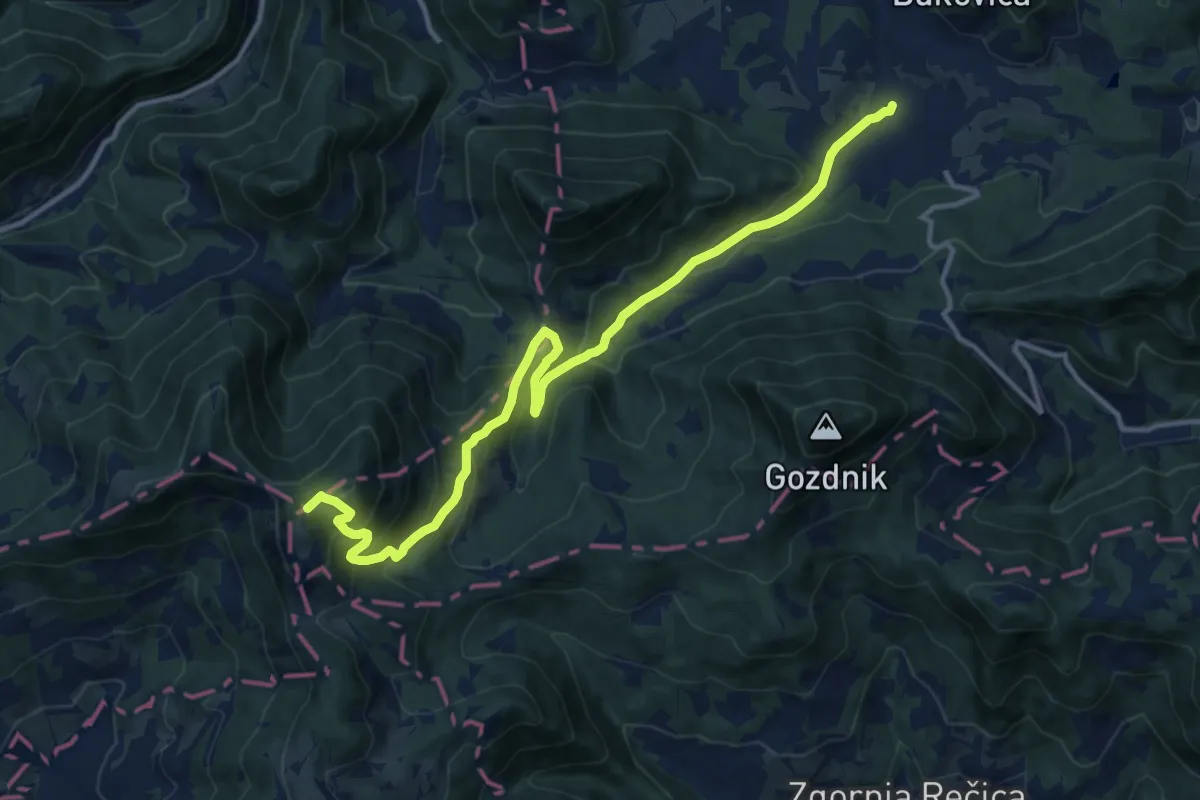
Demanding · Summit
Zabukovica - Mrzlica
14.4 km · ↑ 832 m · 5 h 11 min
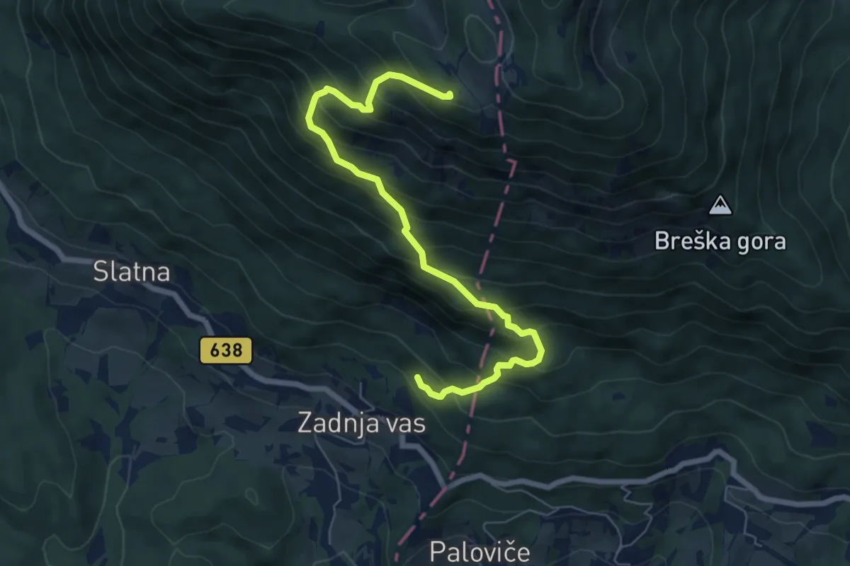
Medium · Cabin
Zadnja vas - Koča na Dobrči
6.8 km · ↑ 780 m · 3 h 18 min
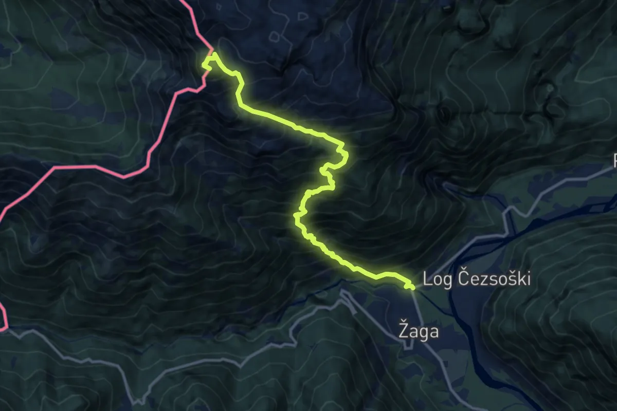
Expert · Summit
Žaga - Velika Baba
12.1 km · ↑ 1811 m · 6 h 46 min
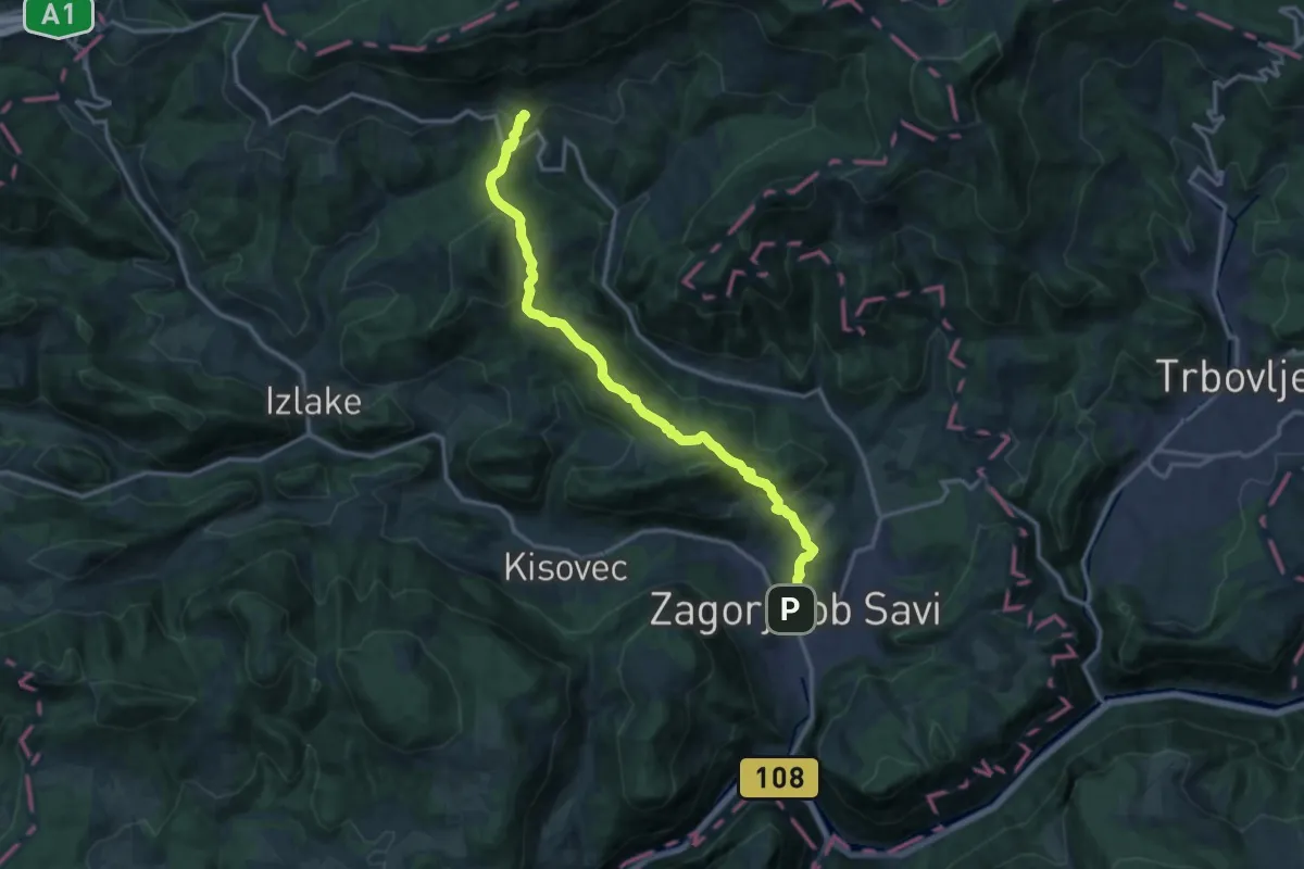
Medium · Summit
Zagorje - Čemšeniška pl.
15.1 km · ↑ 689 m · 5 h 3 min
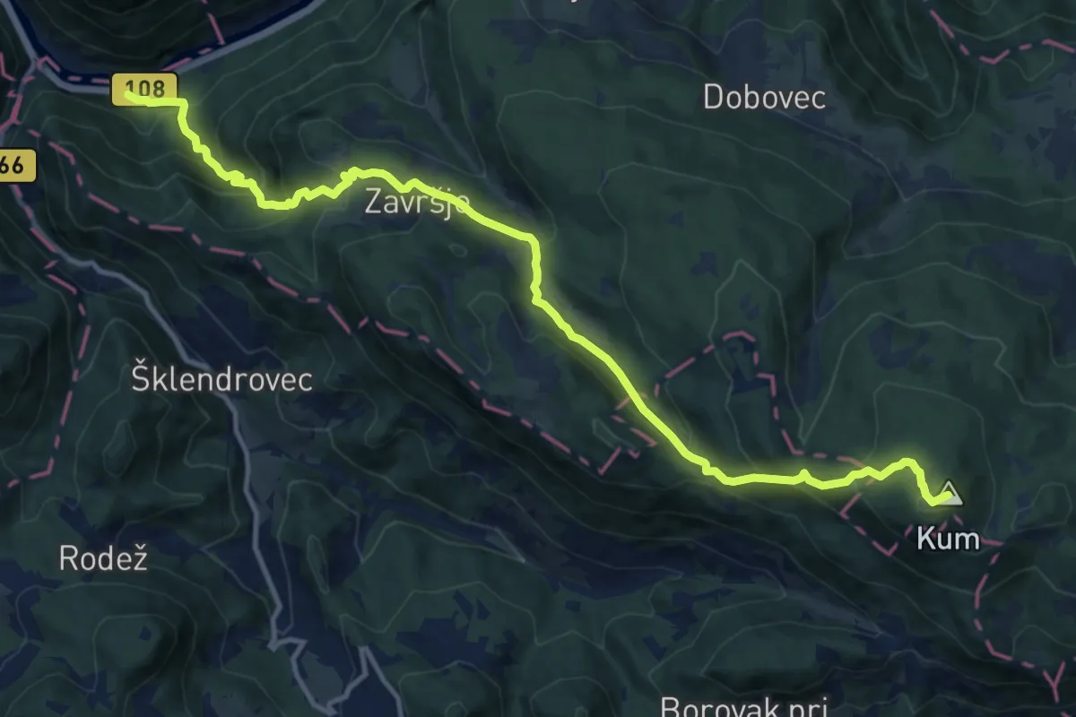
Demanding · Summit
Zagorje - Završje - Kum
14.6 km · ↑ 1059 m · 5 h 44 min
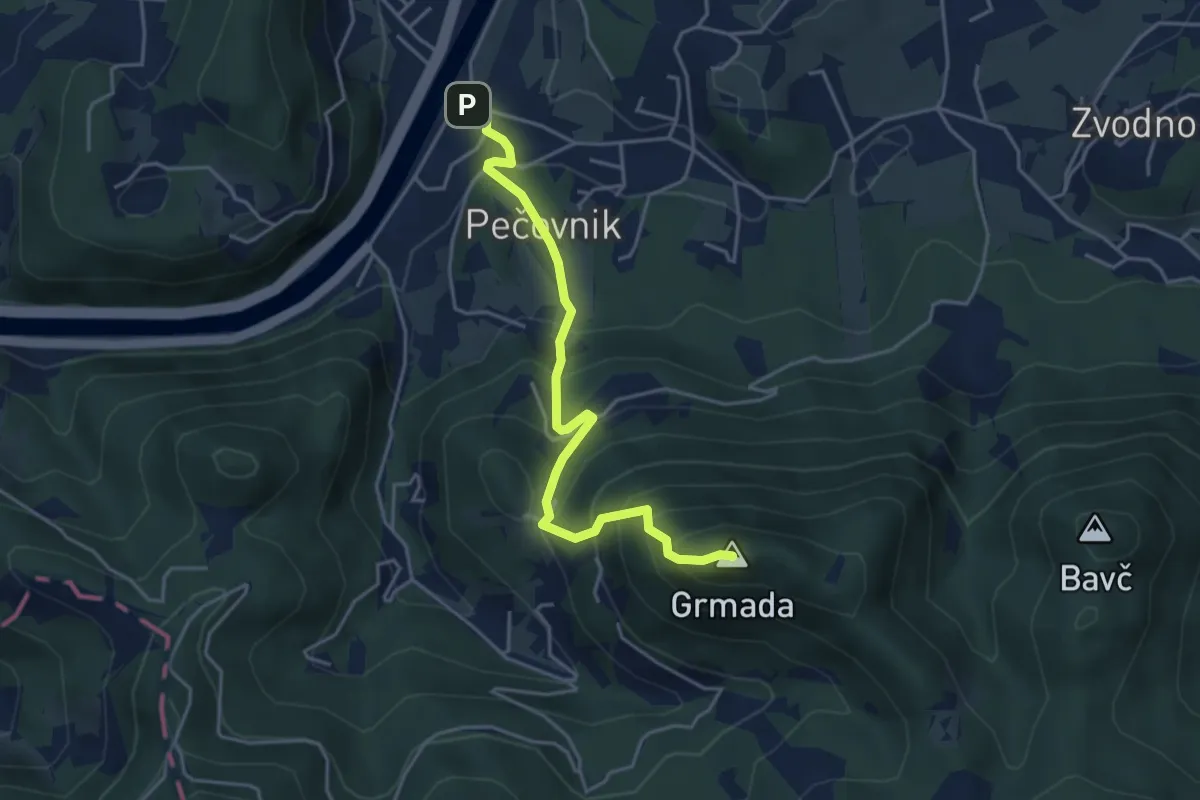
Medium · Summit
Zagrad - Grmada
4.3 km · ↑ 447 m · 1 h 59 min
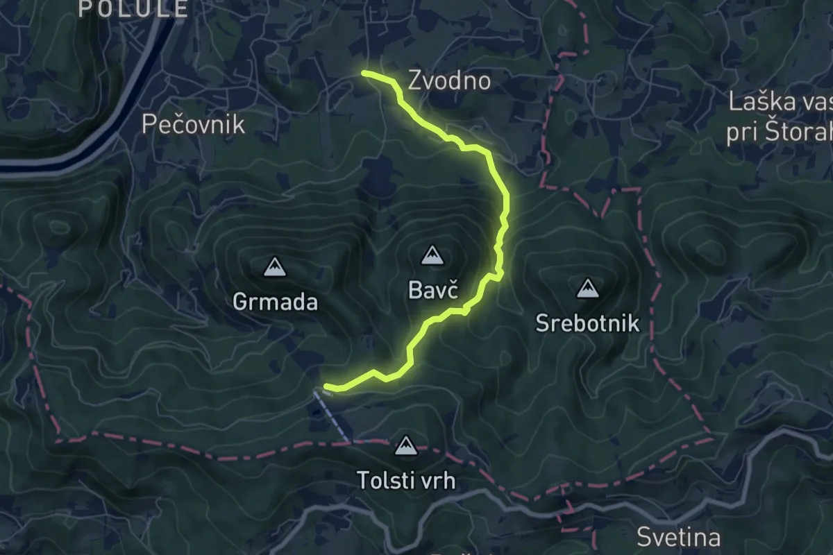
Expert · Trail
Zagrad - Hudičev graben - Celjska koča
6.6 km · ↑ 436 m · 2 h 30 min
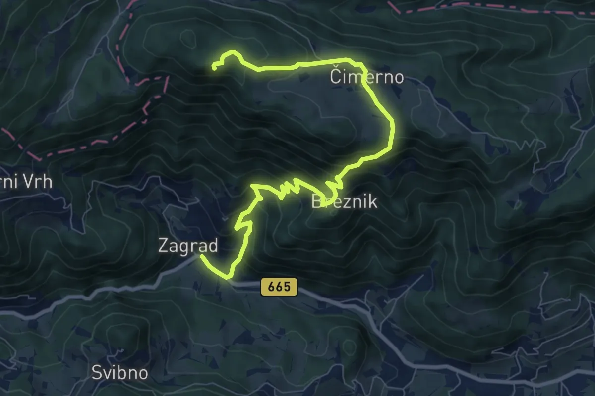
Medium · Summit
Zagrad - Nebeška gora
9.3 km · ↑ 653 m · 3 h 37 min
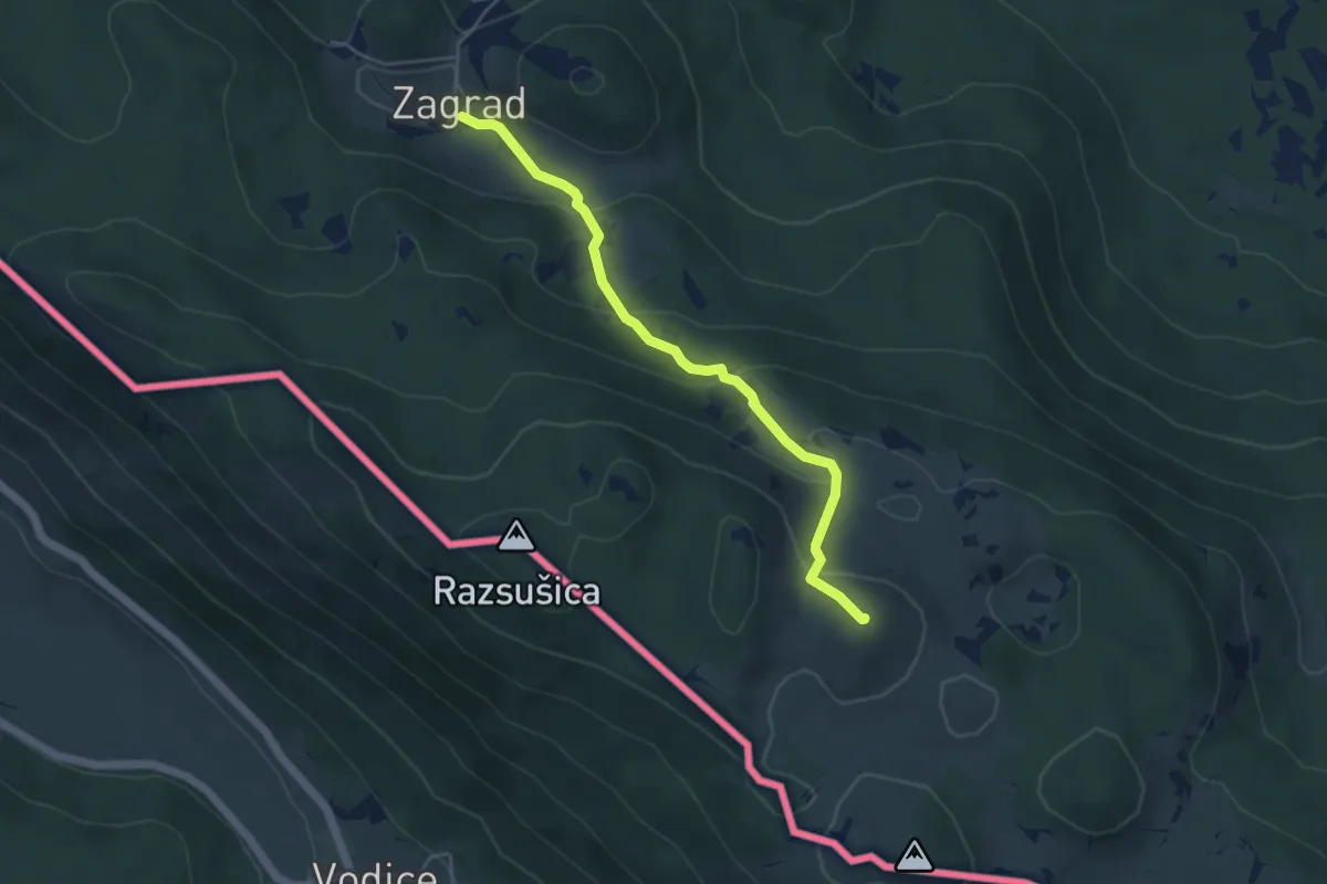
Medium · Summit
Zagrad - Ostrič
4.8 km · ↑ 281 m · 1 h 44 min
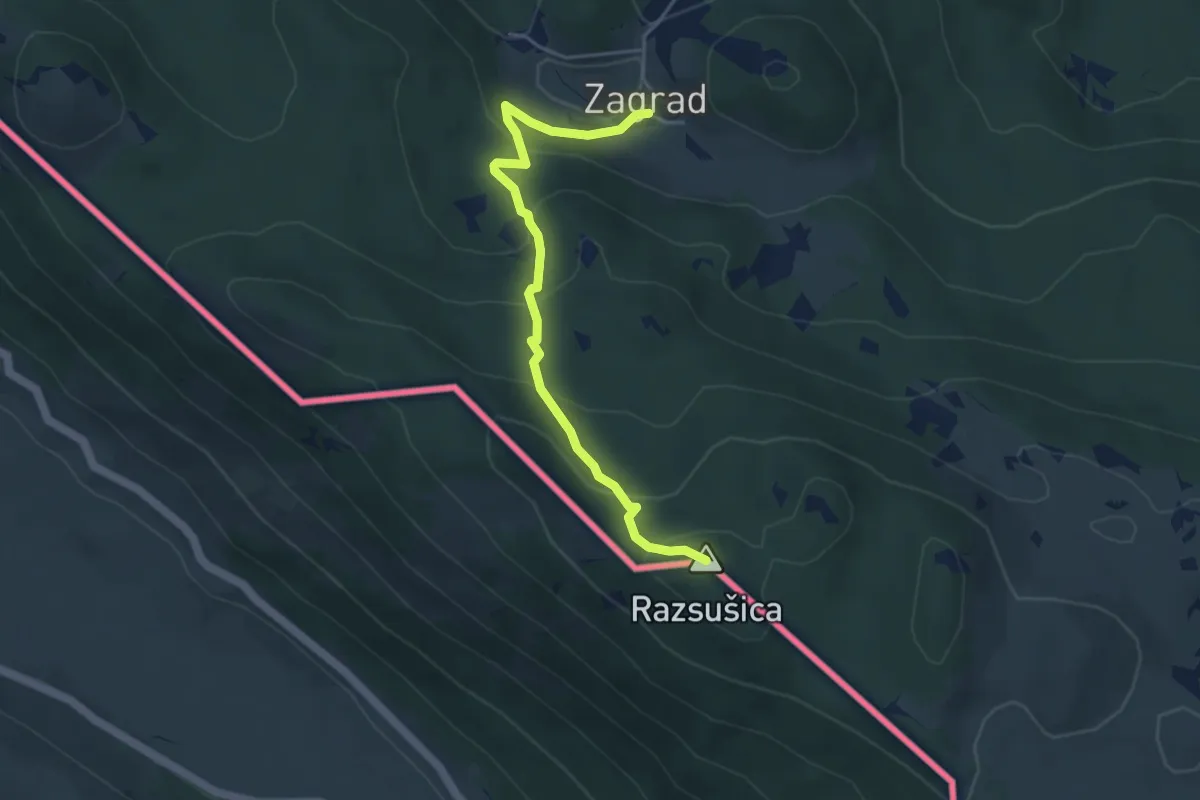
Medium · Summit
Zagrad - Razsušica
4.7 km · ↑ 311 m · 1 h 46 min
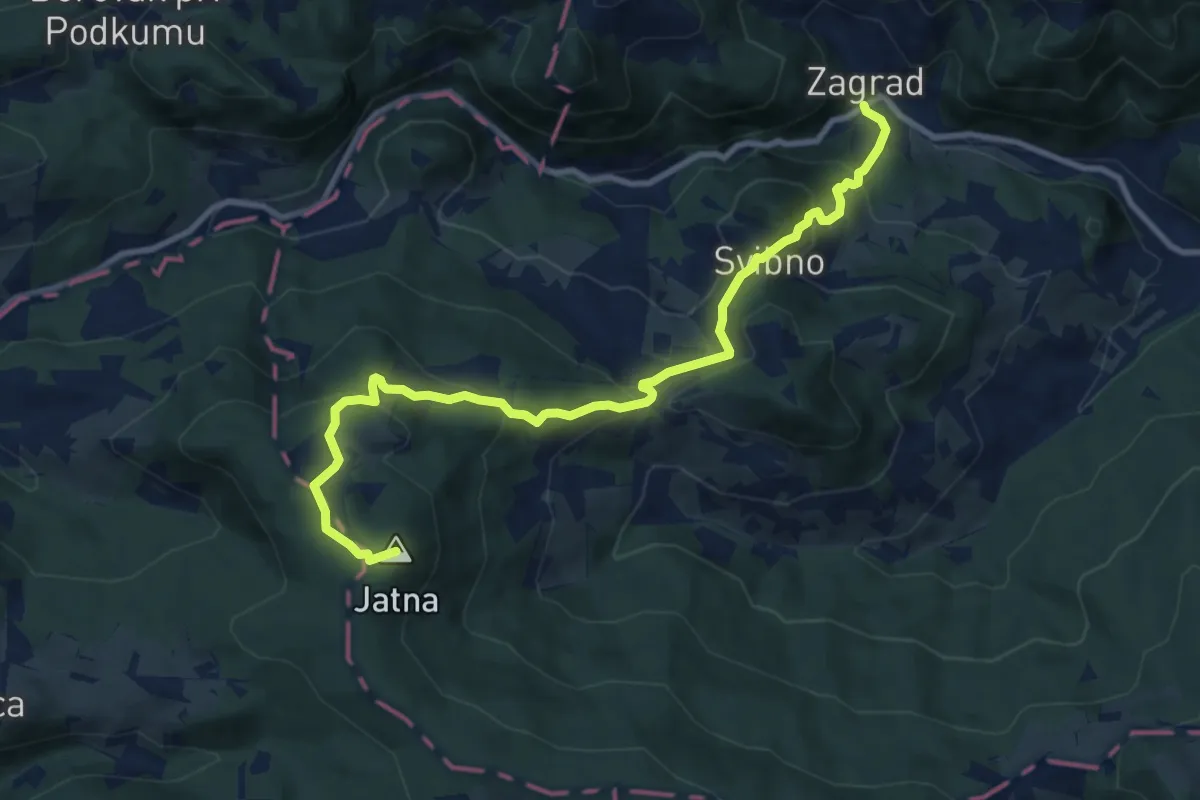
Medium · Summit
Zagrad - Svibno - Leskovec
10.5 km · ↑ 617 m · 3 h 48 min
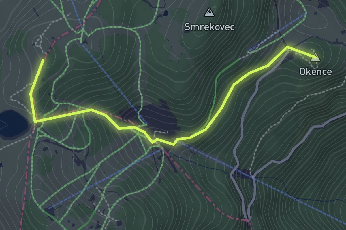
Easy · Summit
Zajčkova pot
3.1 km · ↑ 198 m · 1 h 9 min
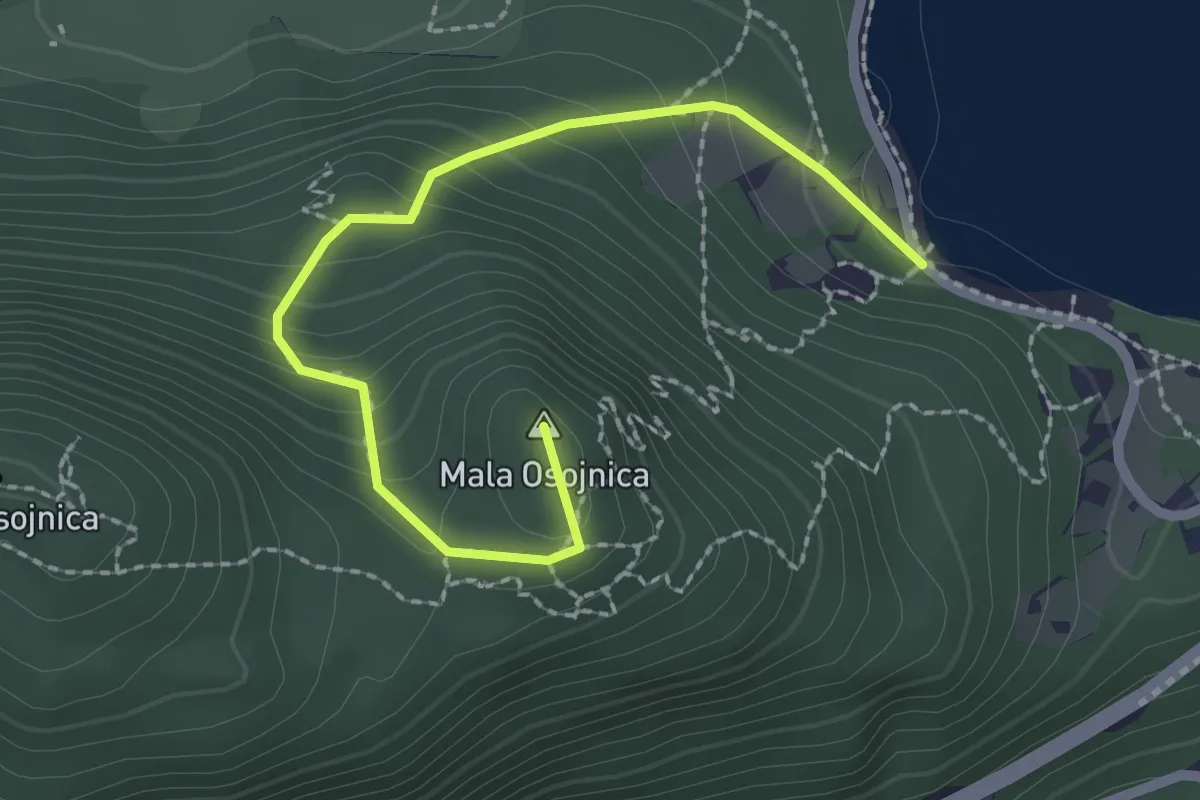
Medium · Summit
Zaka - Ojstrica - Mala Osojnica
2.4 km · ↑ 188 m · 59 min
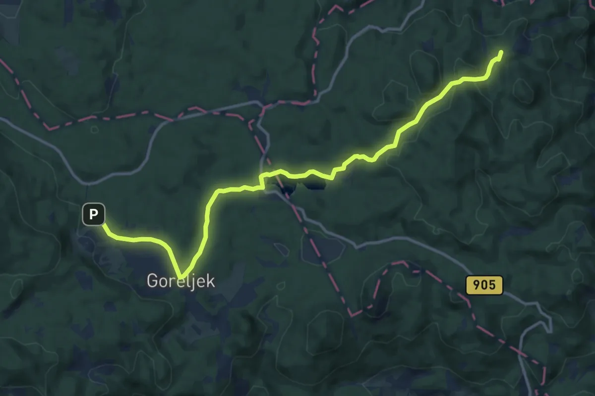
Medium · Summit
Zaka - Šport hotel Pokljuka
13.0 km · ↑ 406 m · 3 h 57 min
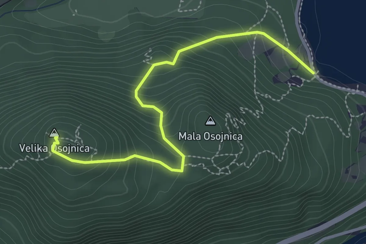
Medium · Summit
Zaka - Velika Osojnica
3.0 km · ↑ 246 m · 1 h 15 min
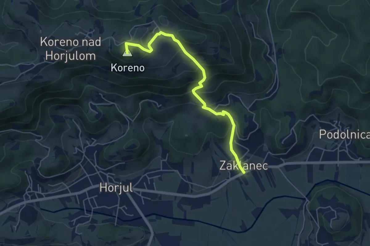
Medium · Summit
Zaklanec - Koreno
5.1 km · ↑ 377 m · 2 h 2 min
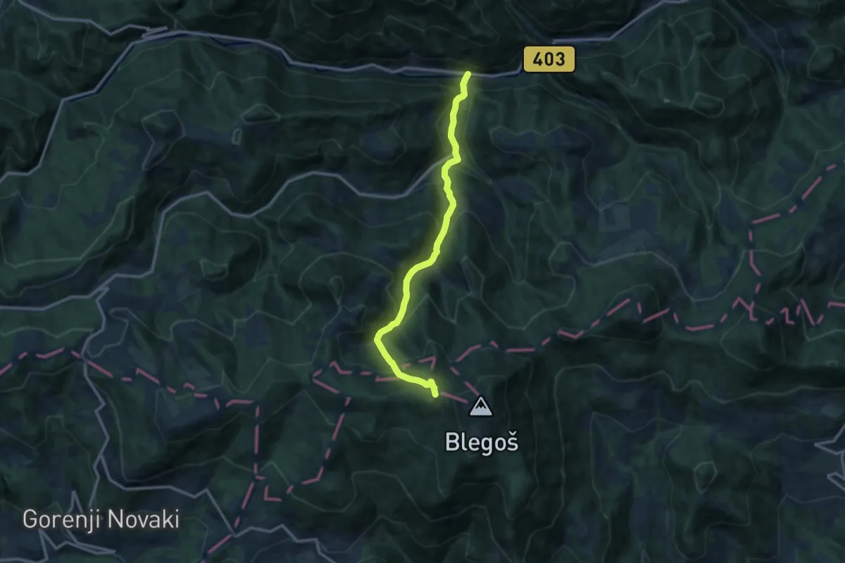
Demanding · Cabin
Zali Log - Blegoš
11.1 km · ↑ 939 m · 4 h 39 min
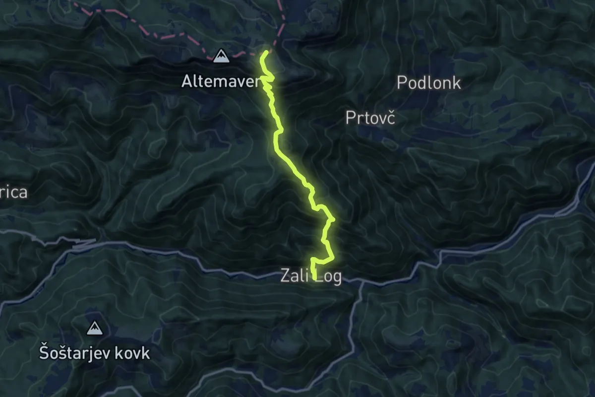
Demanding · Summit
Zali Log - Ratitovec
10.0 km · ↑ 1166 m · 4 h 53 min
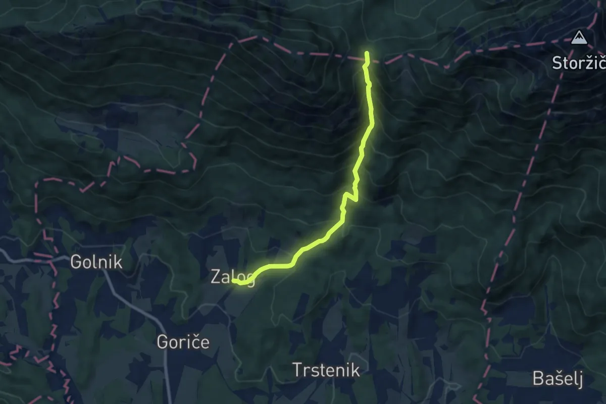
Medium · Cabin
Zalog - Mala Poljana
7.5 km · ↑ 800 m · 3 h 30 min
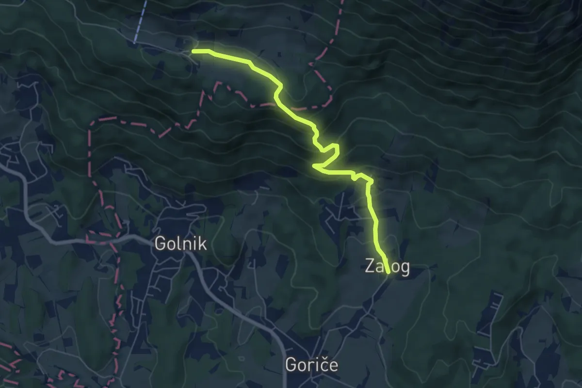
Medium · Trail
Zalog - Svarje - Gozd
6.1 km · ↑ 374 m · 2 h 15 min
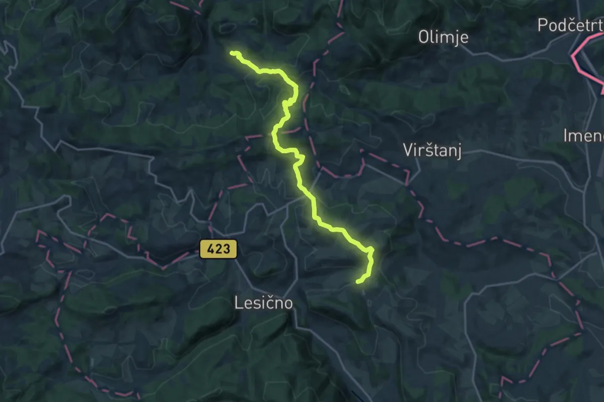
Medium · Summit
Žamerk - Klake
15.4 km · ↑ 499 m · 4 h 44 min
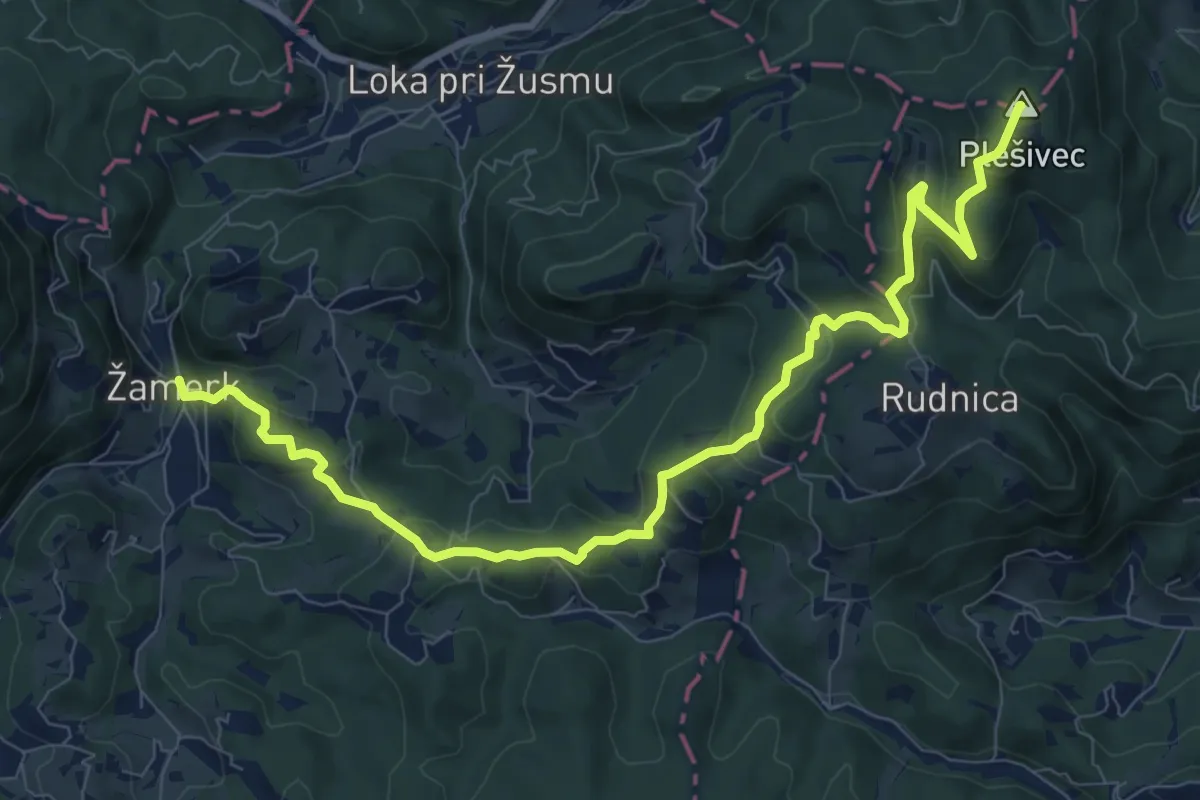
Medium · Summit
Žamerk - Plešivec
10.6 km · ↑ 408 m · 3 h 23 min
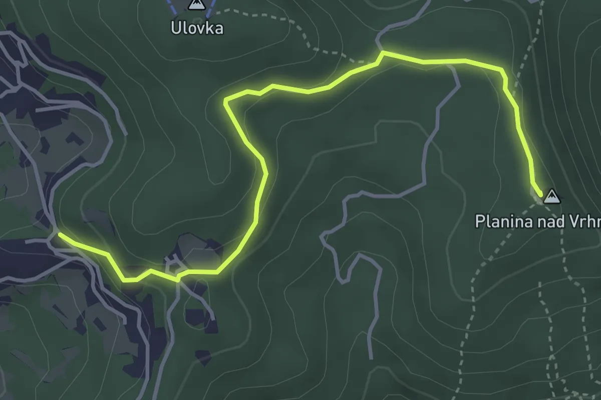
Easy · Summit
Zaplana - Planina
4.2 km · ↑ 123 m · 1 h 16 min
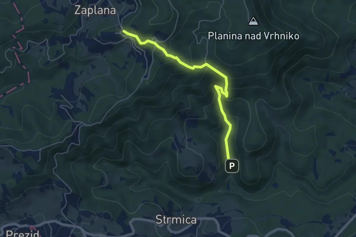
Demanding · Trail
Zaplana - Star maln
4.8 km · ↑ 416 m · 2 h 3 min
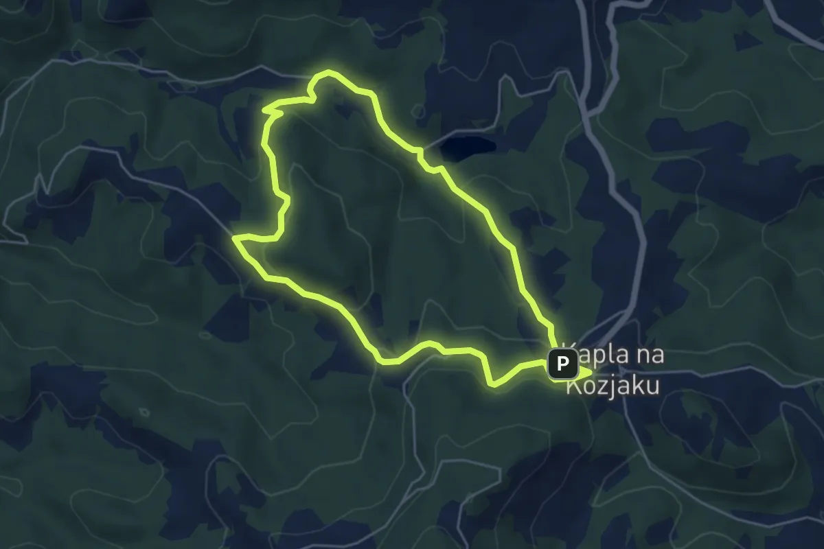
Easy · Summit
Za srce (Kapla)
4.7 km · ↑ 182 m · 1 h 33 min
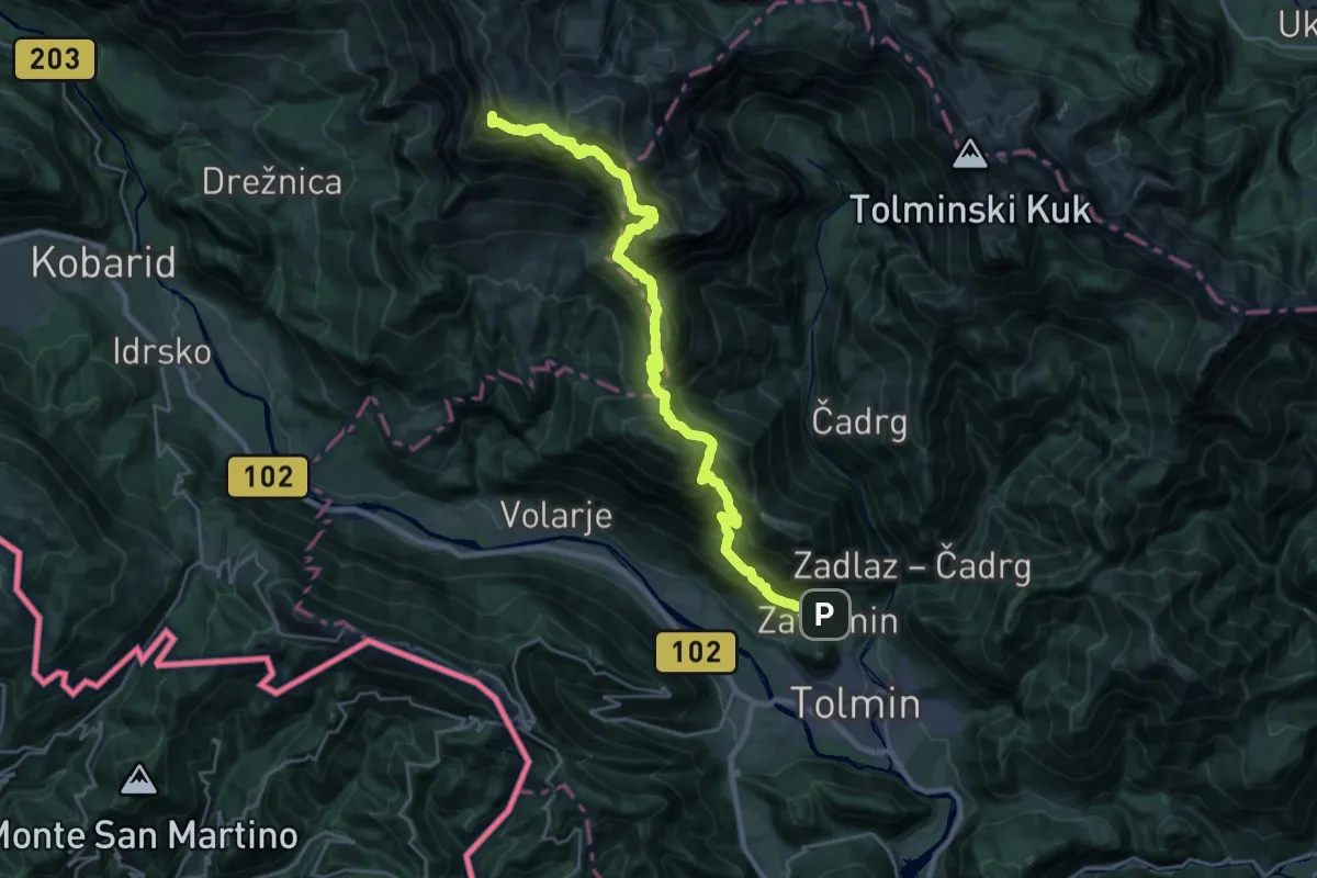
Demanding · Summit
Zatolmin - Pl. Sleme - Krn
28.2 km · ↑ 2448 m · 11 h 58 min
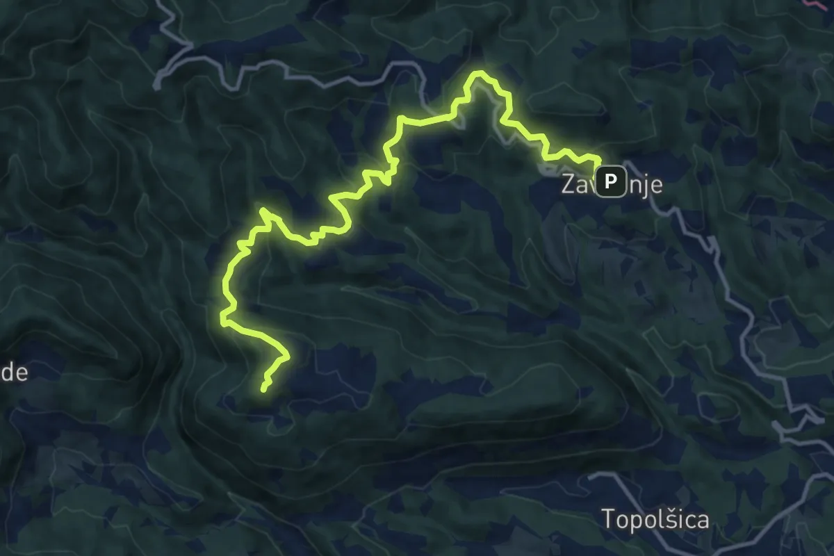
Medium · Summit
Zavodnje - Lomek
14.5 km · ↑ 679 m · 4 h 53 min