Trails in Slovenia
1,594 hiking trails, each with its route, climb, walking time and grade.
All trails, page 31 of 34
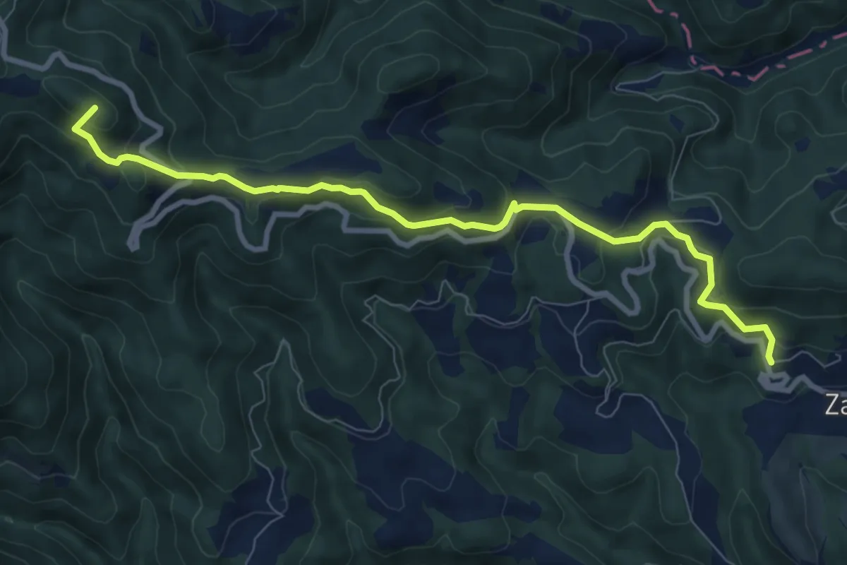
Medium · Summit
Zavodnje - Sleme
8.5 km · ↑ 454 m · 3 h
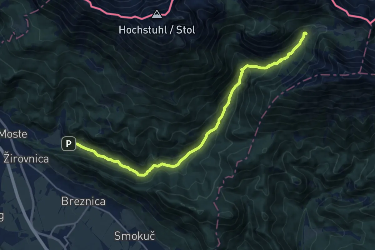
Demanding · Cabin
Završnica - Dom pri izviru Završnice
15.1 km · ↑ 812 m · 5 h 19 min
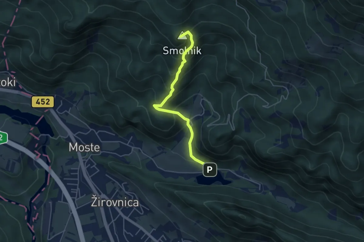
Medium · Summit
Završnica - Valvasorjev dom
4.2 km · ↑ 388 m · 1 h 49 min
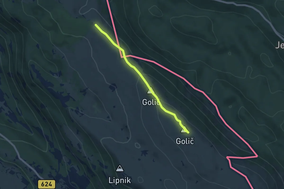
Easy · Summit
Zazid - Kojnik - Lipnik - Zazid
4.6 km · ↑ 130 m · 1 h 22 min
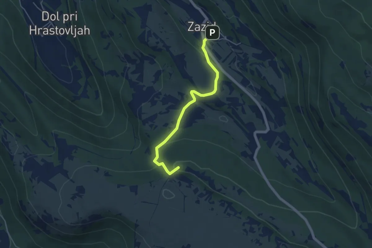
Easy · Summit
Zazid - Kuk
4.2 km · ↑ 153 m · 1 h 19 min
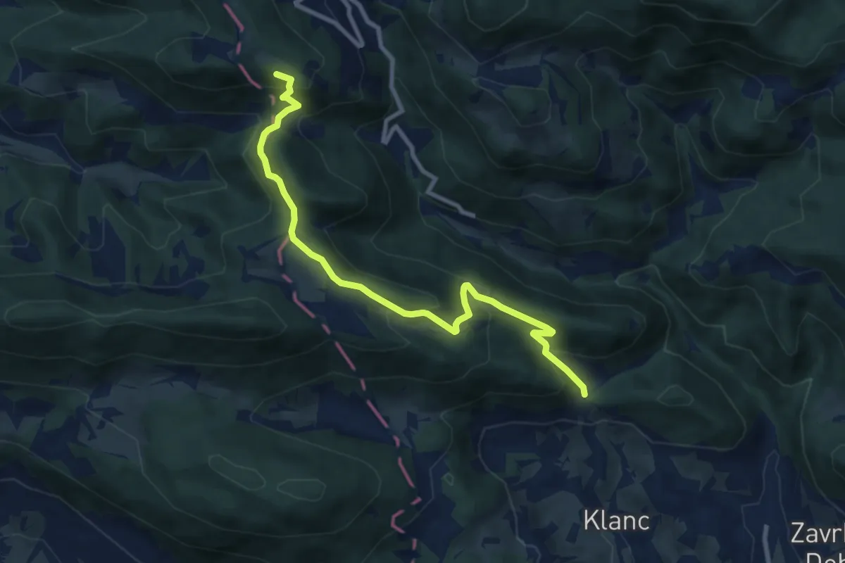
Medium · Summit
Žebljar - Paški Kozjak
8.7 km · ↑ 490 m · 3 h 7 min
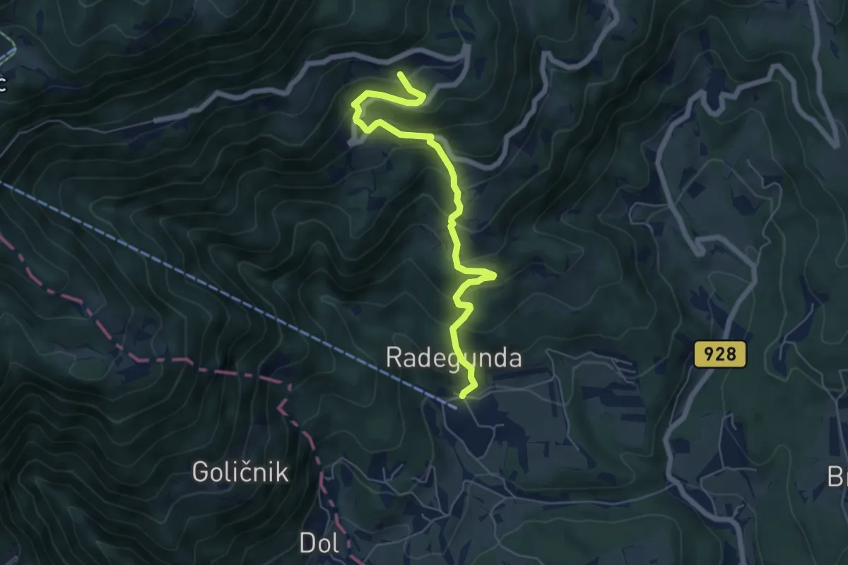
Medium · Trail
Žekovec - Gostečnik
6.0 km · ↑ 530 m · 2 h 33 min
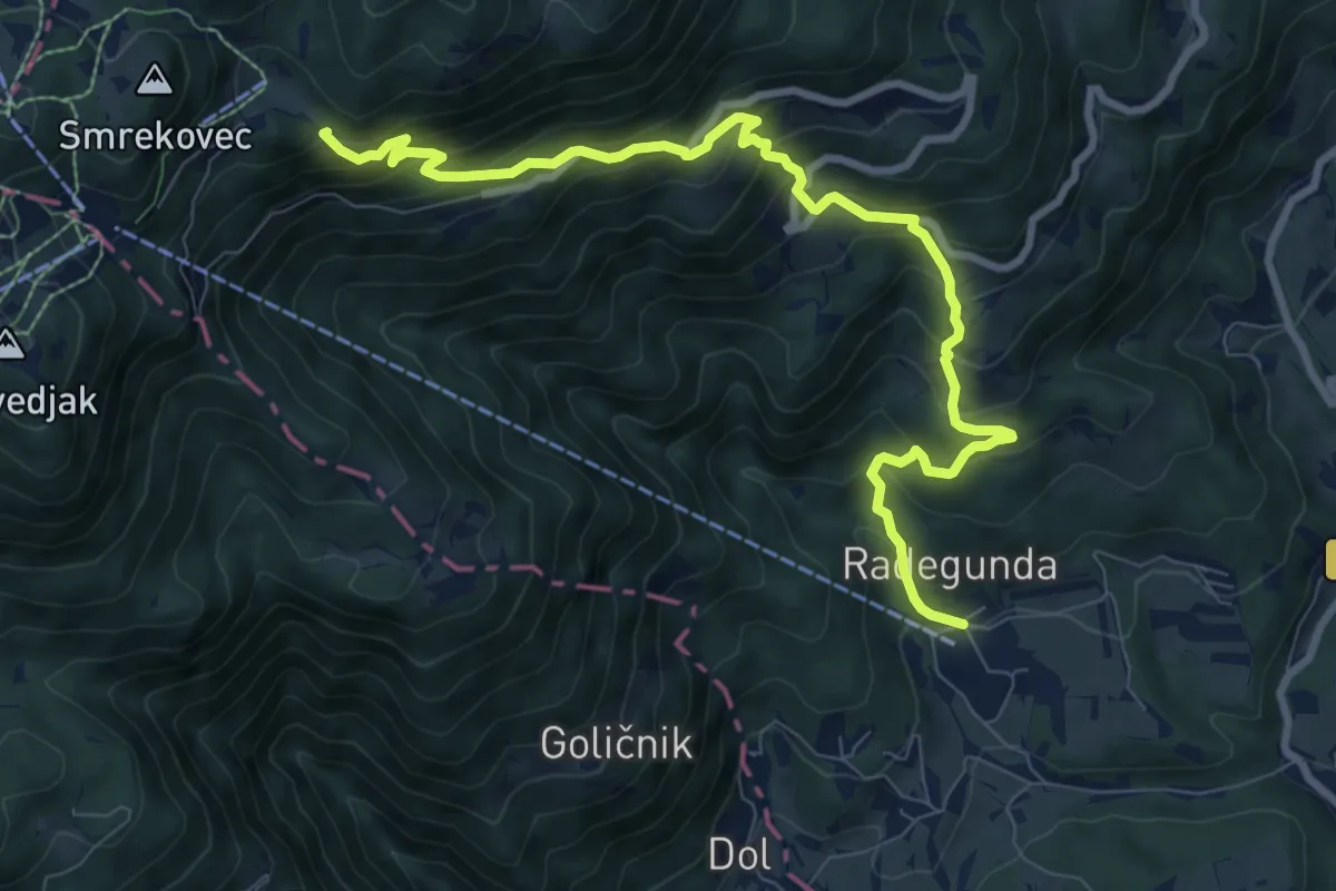
Demanding · Cabin
Žekovec - Mozirska koča
10.0 km · ↑ 879 m · 4 h 15 min
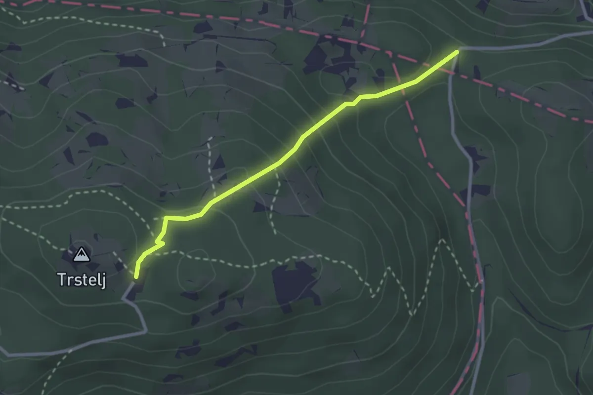
Medium · Cabin
Železna vrata - Trstelj
2.6 km · ↑ 189 m · 1 h 1 min
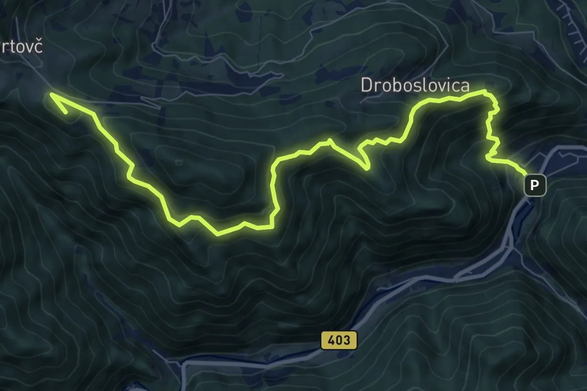
Demanding · Summit
Železniki - Na Lomu - Prtovč
10.9 km · ↑ 866 m · 4 h 26 min
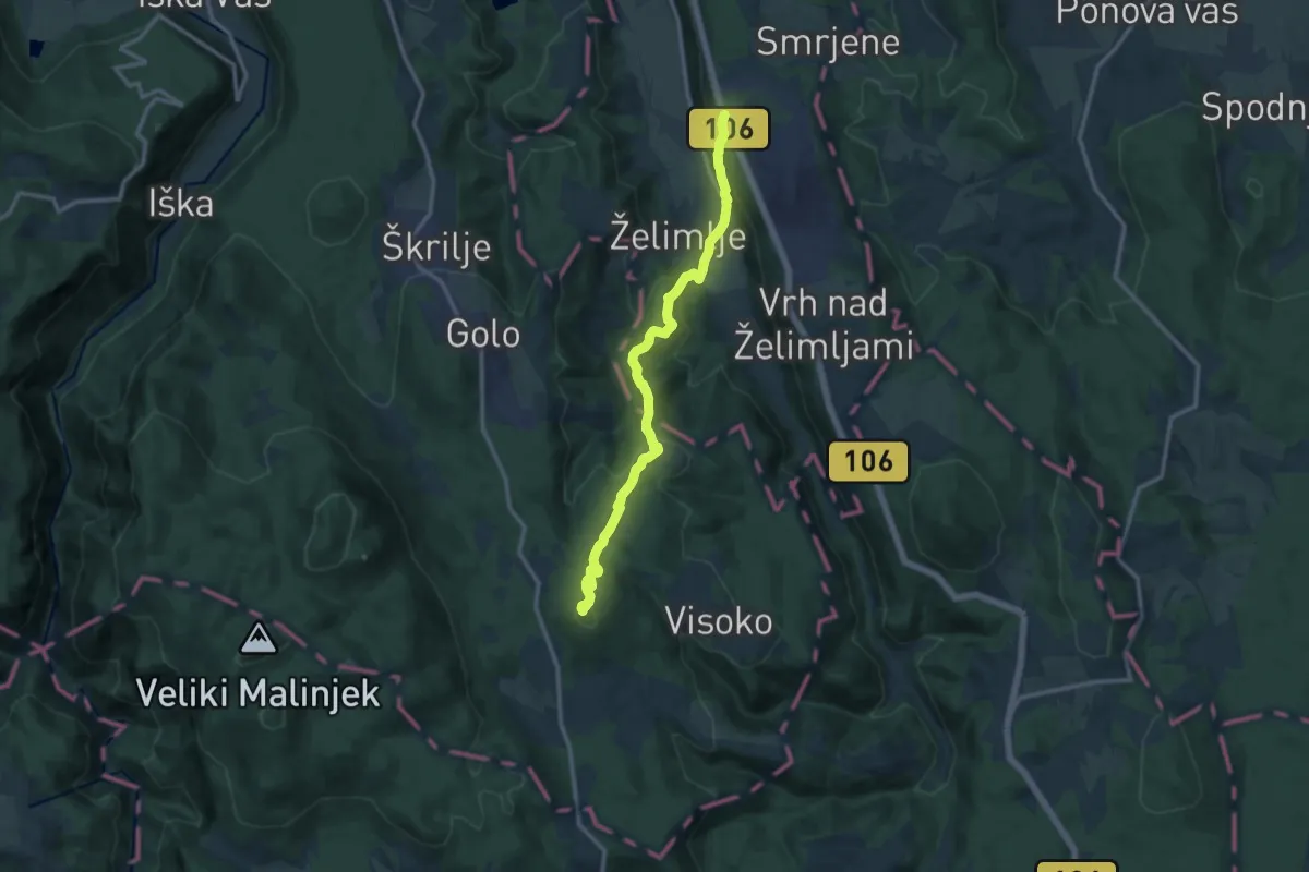
Medium · Summit
Želimlje - Kurešček
12.6 km · ↑ 708 m · 4 h 30 min
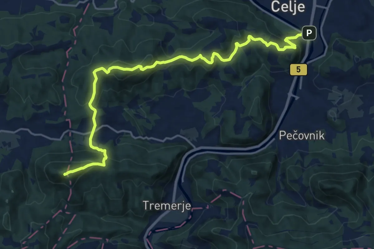
Demanding · Summit
Žerdonerjeva pot
15.9 km · ↑ 1062 m · 6 h 3 min
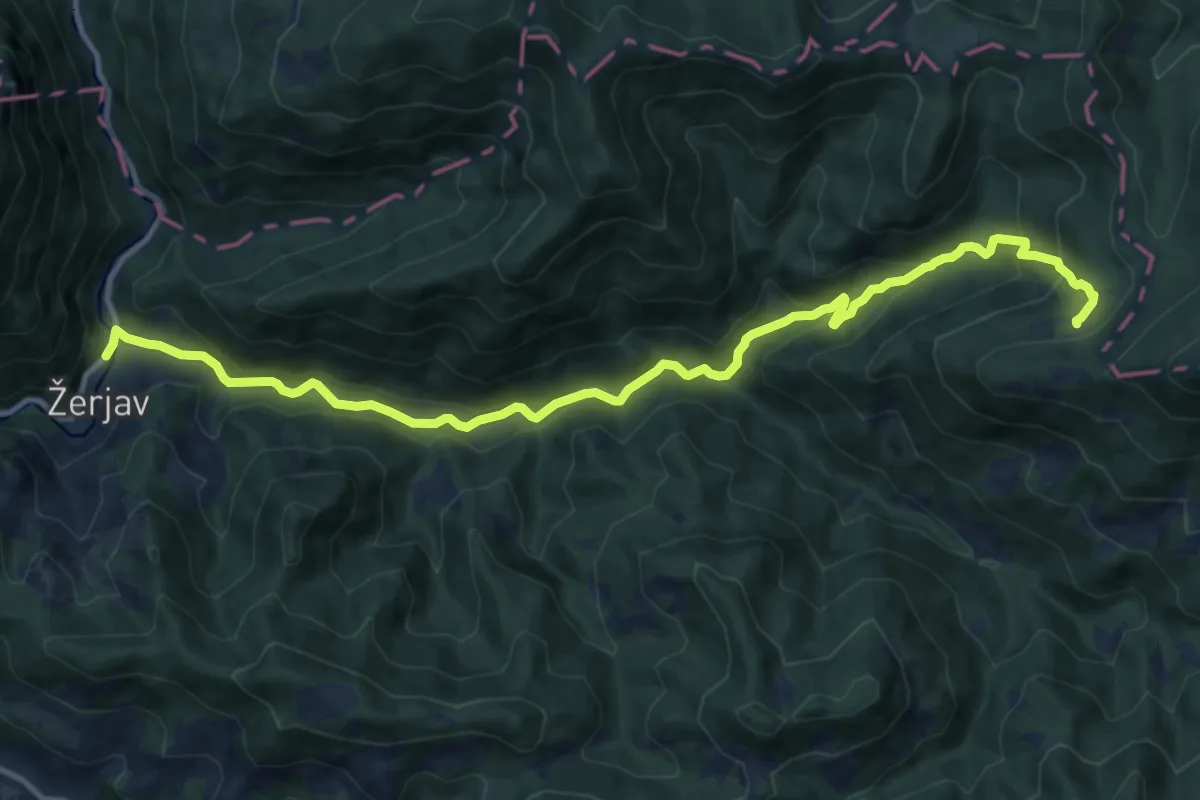
Medium · Cabin
Žerjav - Naravske ledine
13.7 km · ↑ 652 m · 4 h 39 min
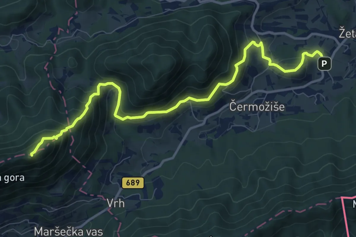
Demanding · Summit
Žetale - Donačka gora
10.0 km · ↑ 762 m · 4 h 1 min
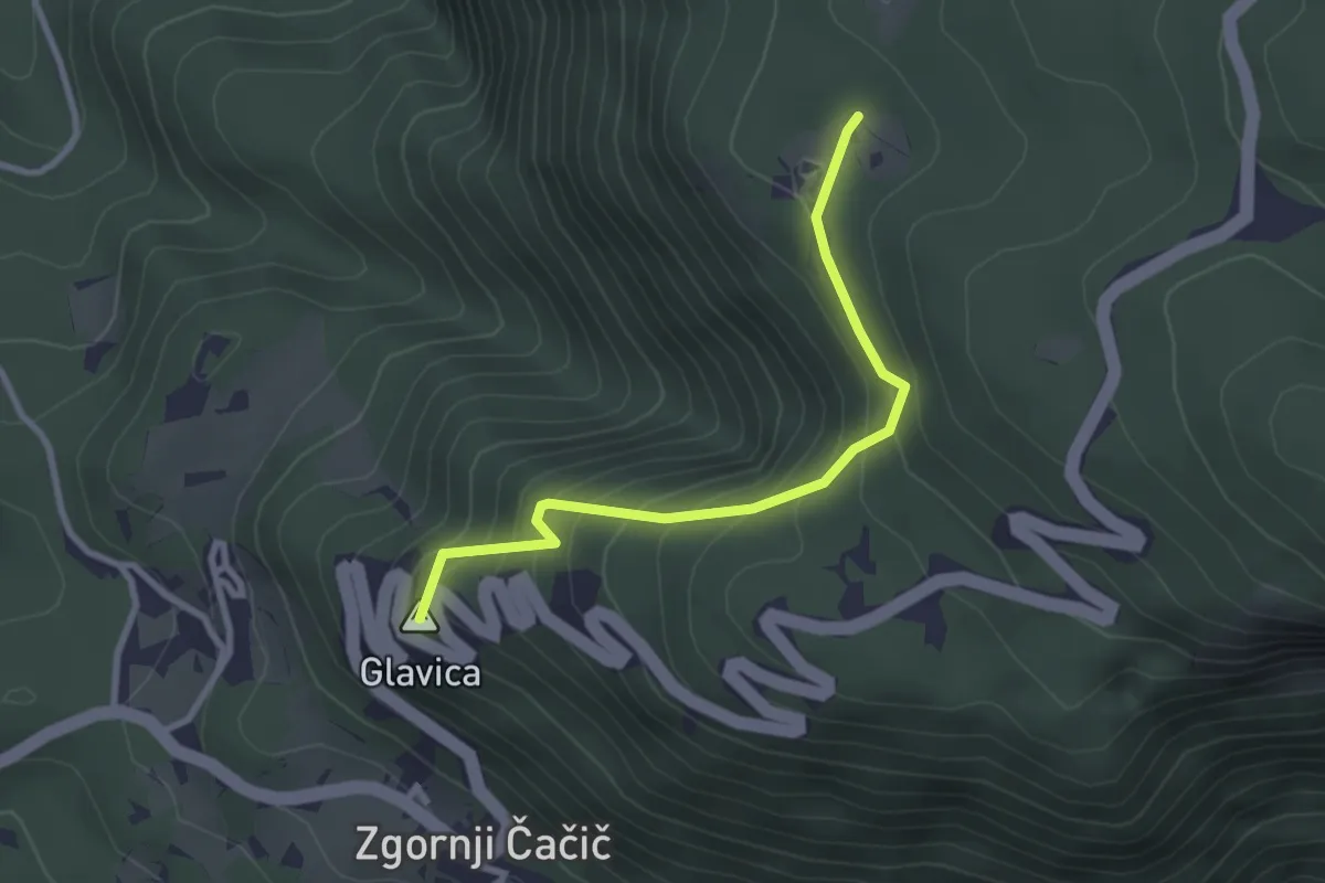
Easy · Summit
Zg. Čačič - Bezgarska pl.
2.8 km · ↑ 301 m · 1 h 19 min
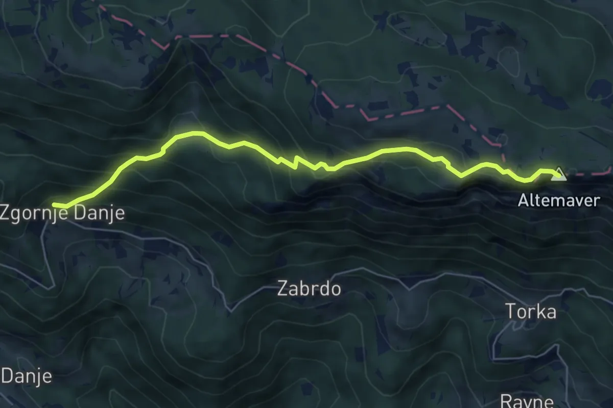
Medium · Summit
Zg. Danje - Altemaver - Ratitovec
6.0 km · ↑ 569 m · 2 h 38 min
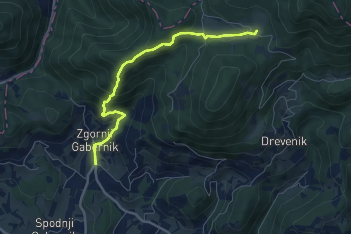
Medium · Cabin
Zg. Gabernik - Dom na Boču
6.0 km · ↑ 466 m · 2 h 25 min
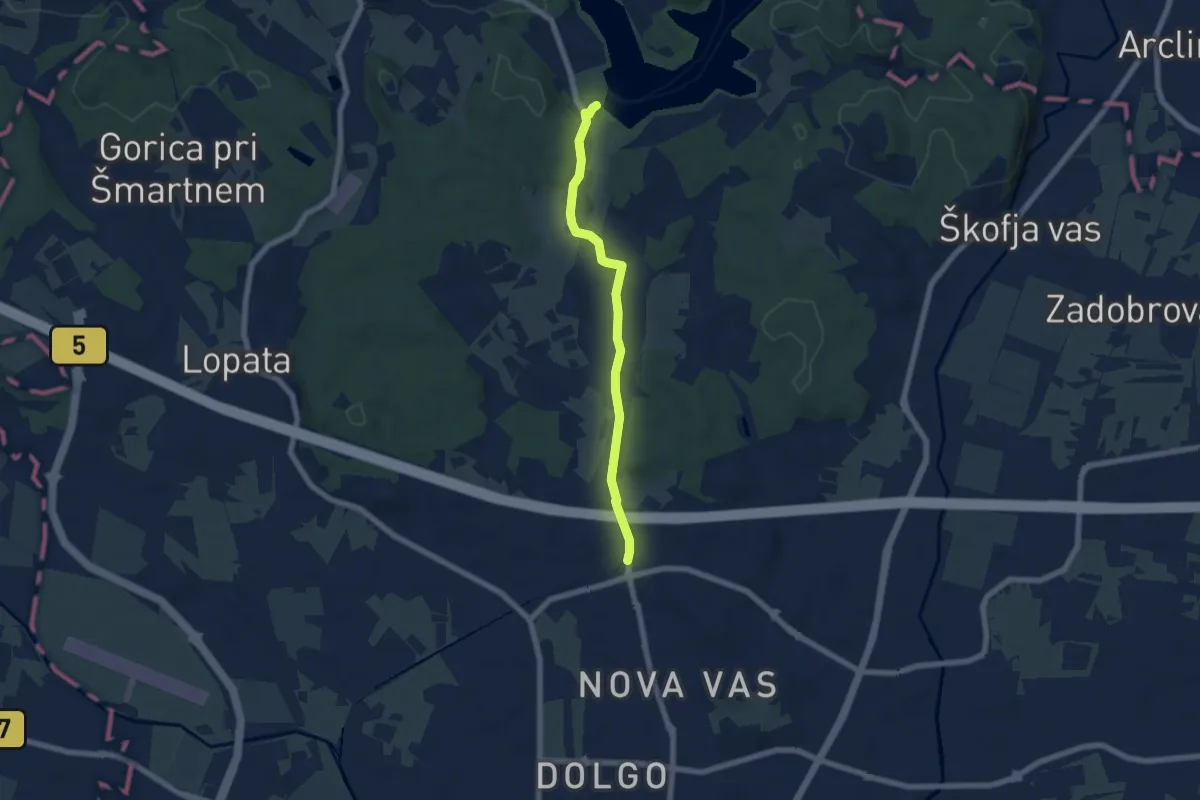
Easy · Trail
Zg. Hudinja - Šmartinsko jezero
6.0 km · ↑ 86 m · 1 h 36 min
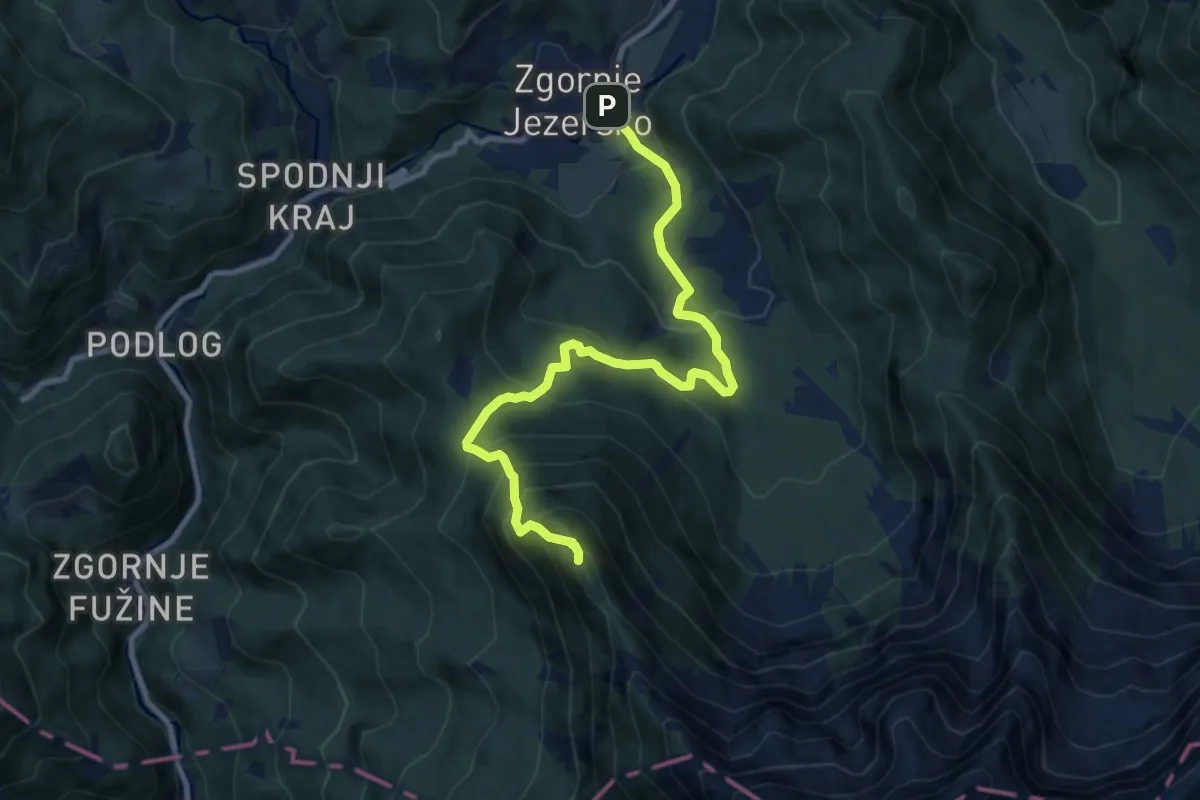
Demanding · Summit
Zg. Jezersko - Veliki vrh
9.8 km · ↑ 834 m · 4 h 7 min
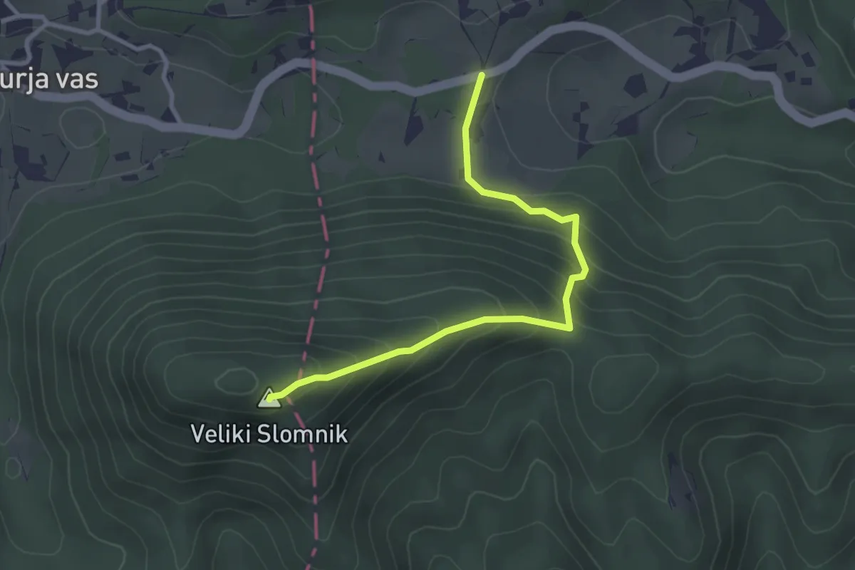
Easy · Summit
Zg. Košnica - V. Slomnik
3.0 km · ↑ 254 m · 1 h 16 min
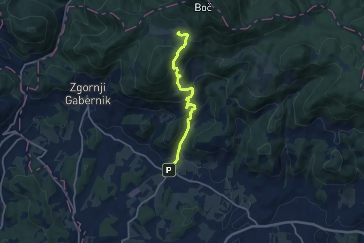
Medium · Cabin
Zg. Kostrivnica - Dom na Boču
7.1 km · ↑ 470 m · 2 h 42 min
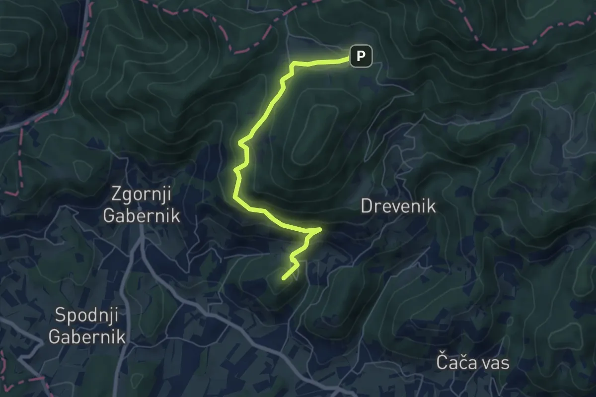
Medium · Summit
Zg. Kostrivnica - Velikonočnica - Dom na Boču
5.9 km · ↑ 369 m · 2 h 12 min
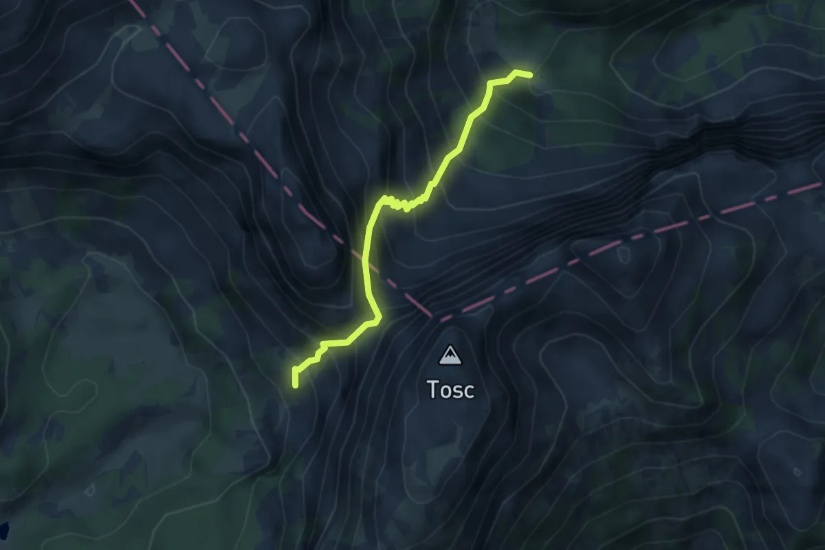
Demanding · Cabin
Zg. Krma - Bohinjska vratca - Vodnikov dom
3.5 km · ↑ 547 m · 2 h
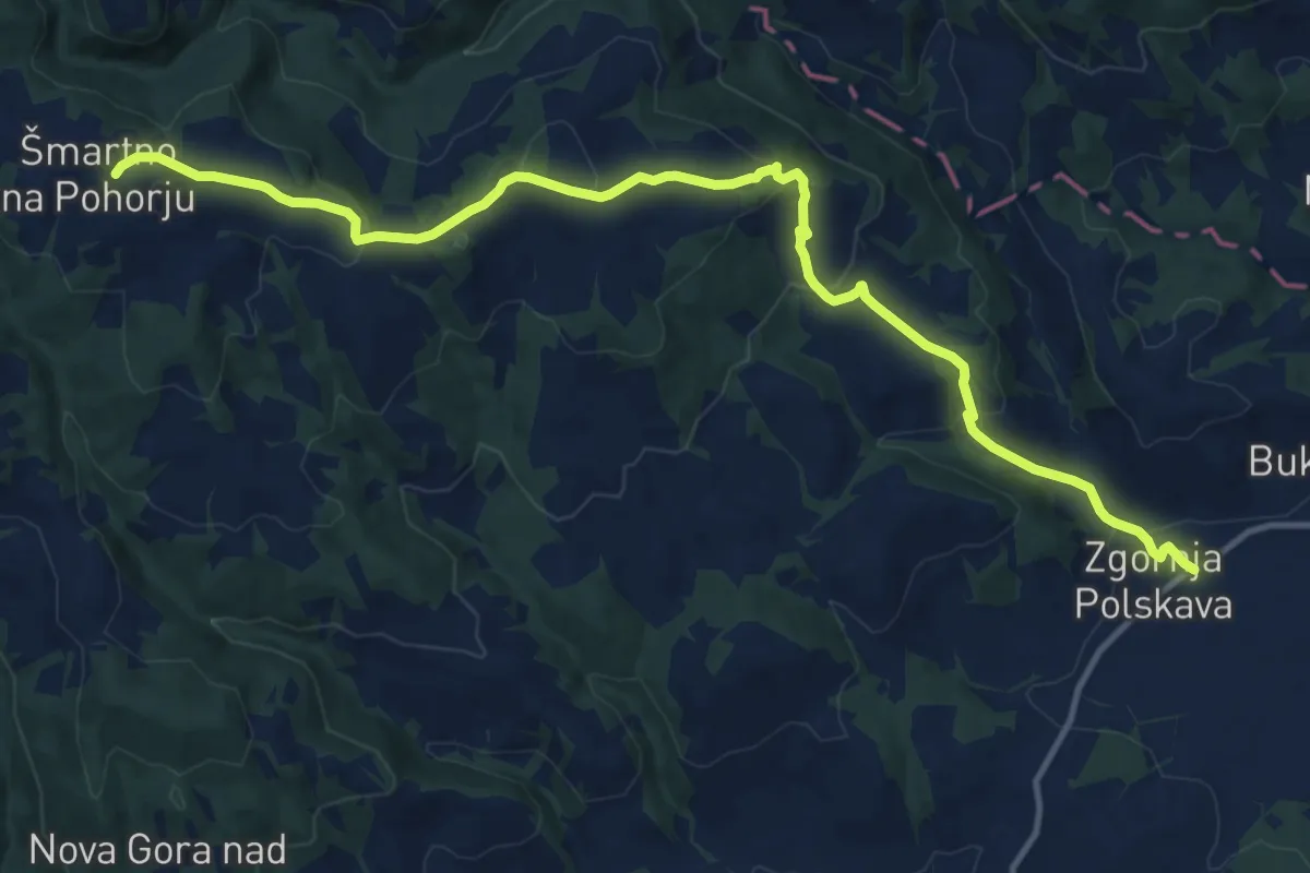
Medium · Trail
Zgornja Polskava - Kočno - Šmartno
14.9 km · ↑ 528 m · 4 h 39 min
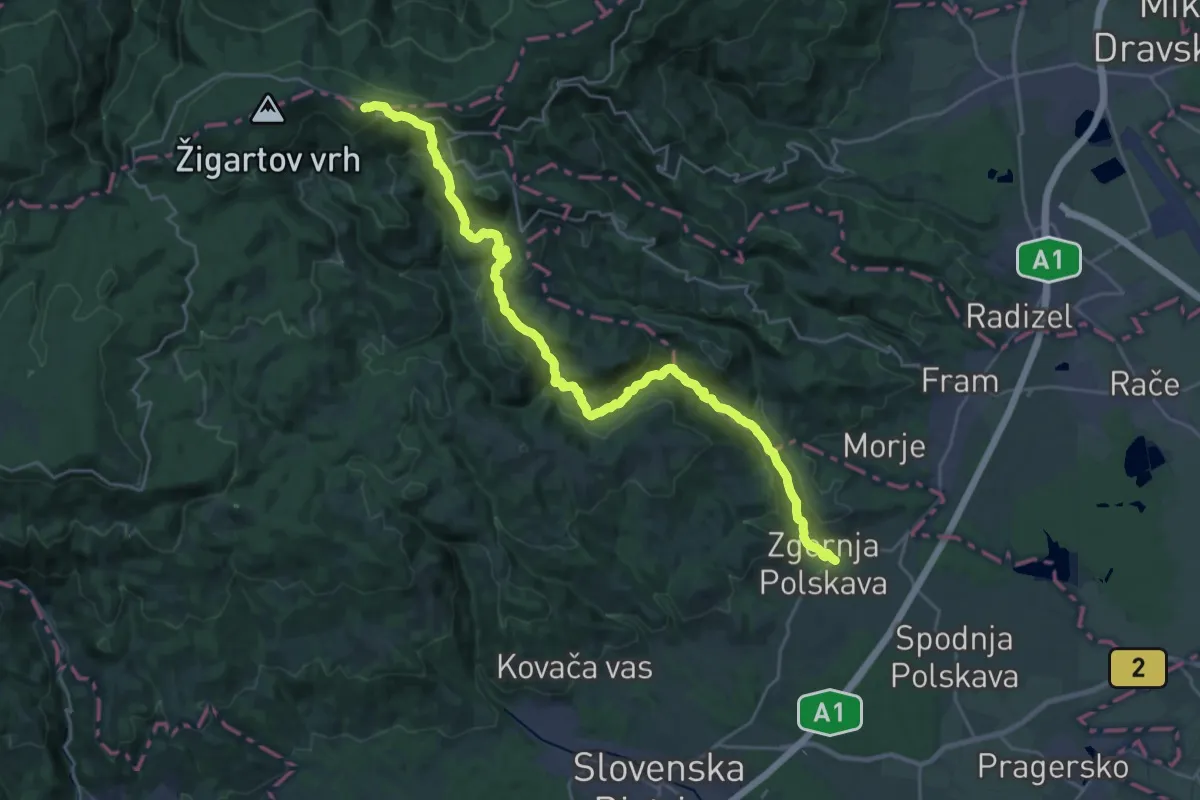
Demanding · Cabin
Zgornja Polskava - Ruška koča
14.6 km · ↑ 1026 m · 5 h 24 min
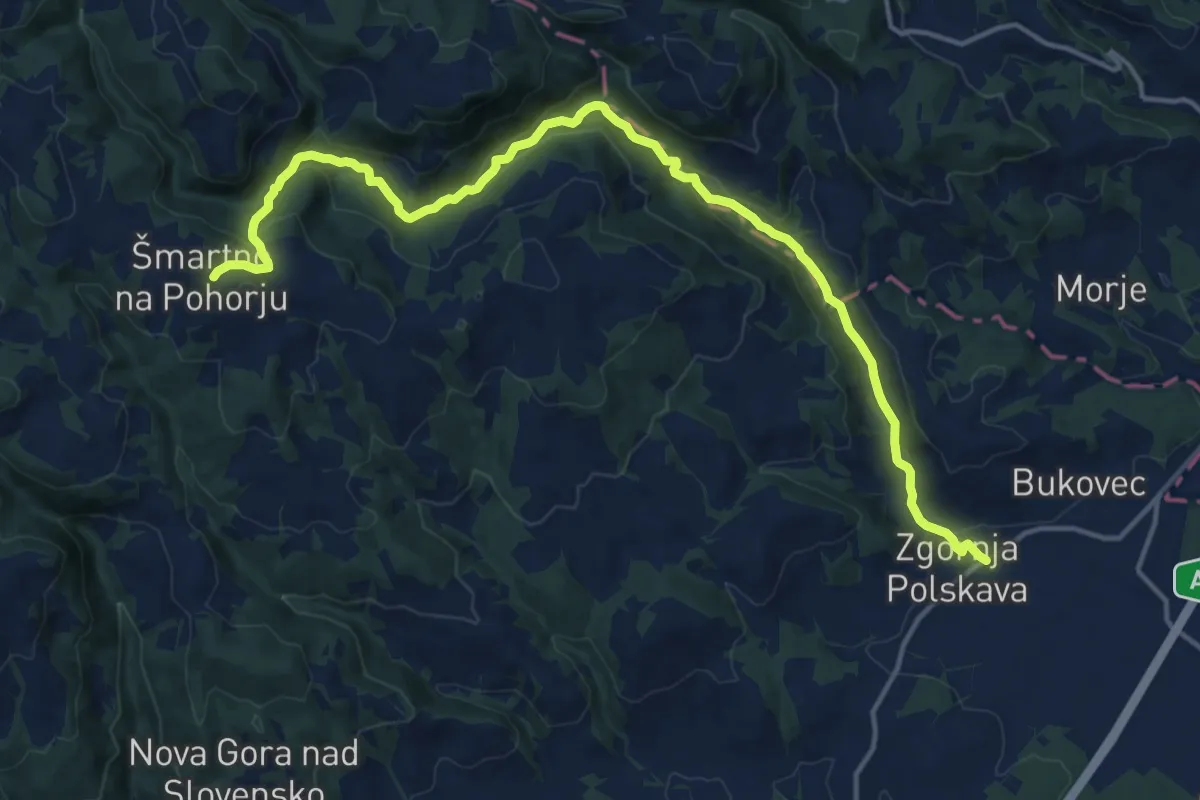
Medium · Trail
Zgornja Polskava - Vintgar - Šmartno
17.6 km · ↑ 562 m · 5 h 23 min
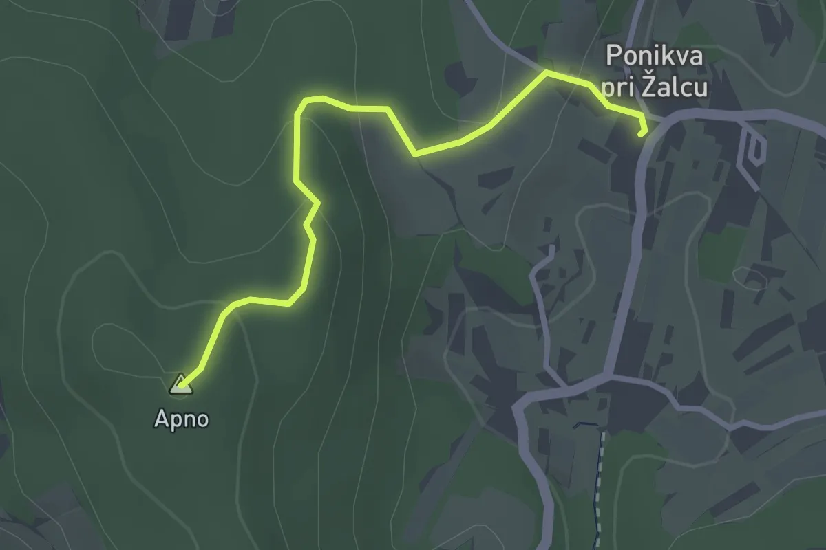
Easy · Summit
Zgornja Ponikva - Apno
2.6 km · ↑ 105 m · 51 min
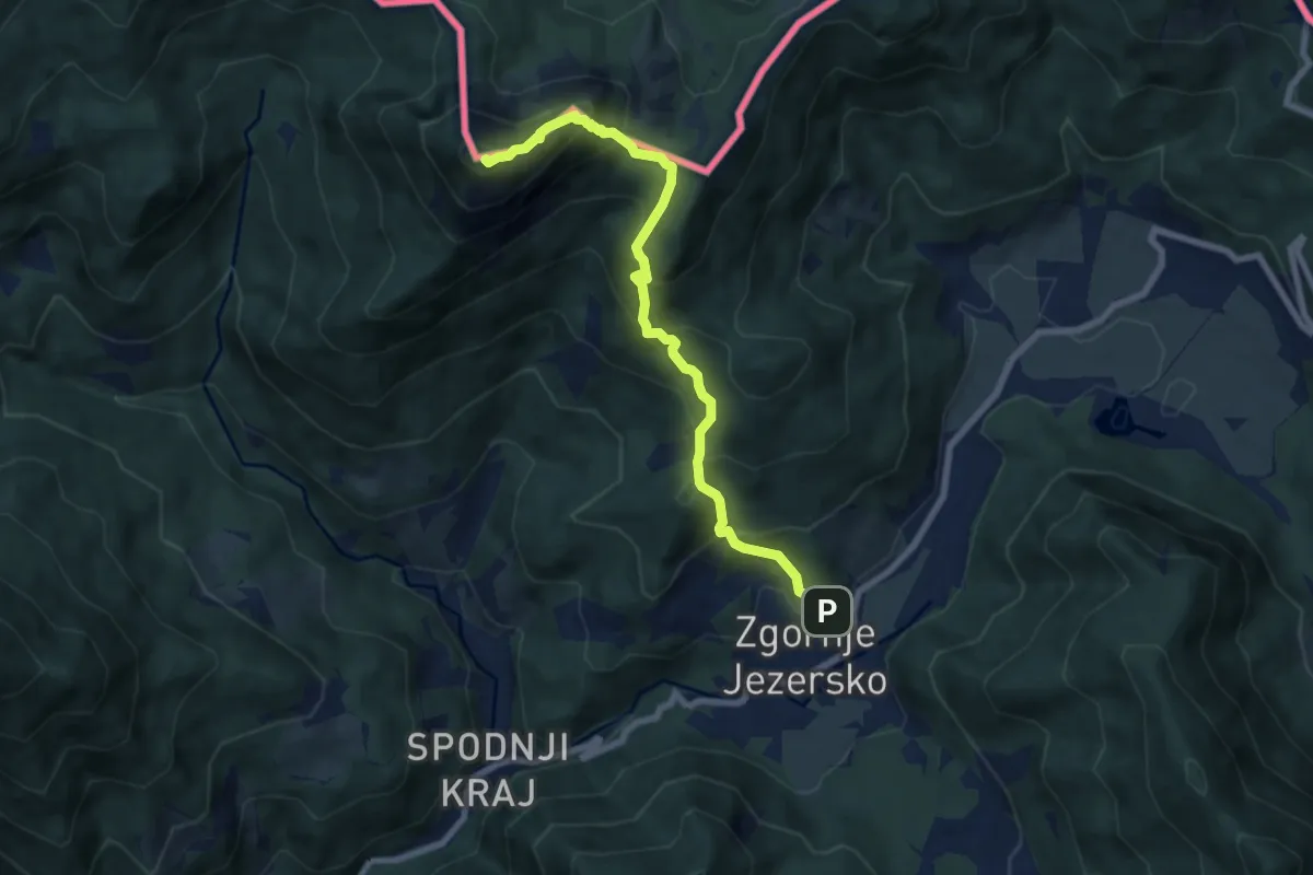
Demanding · Summit
Zgornje Jezersko - Virnikov Grintovec
7.5 km · ↑ 805 m · 3 h 30 min
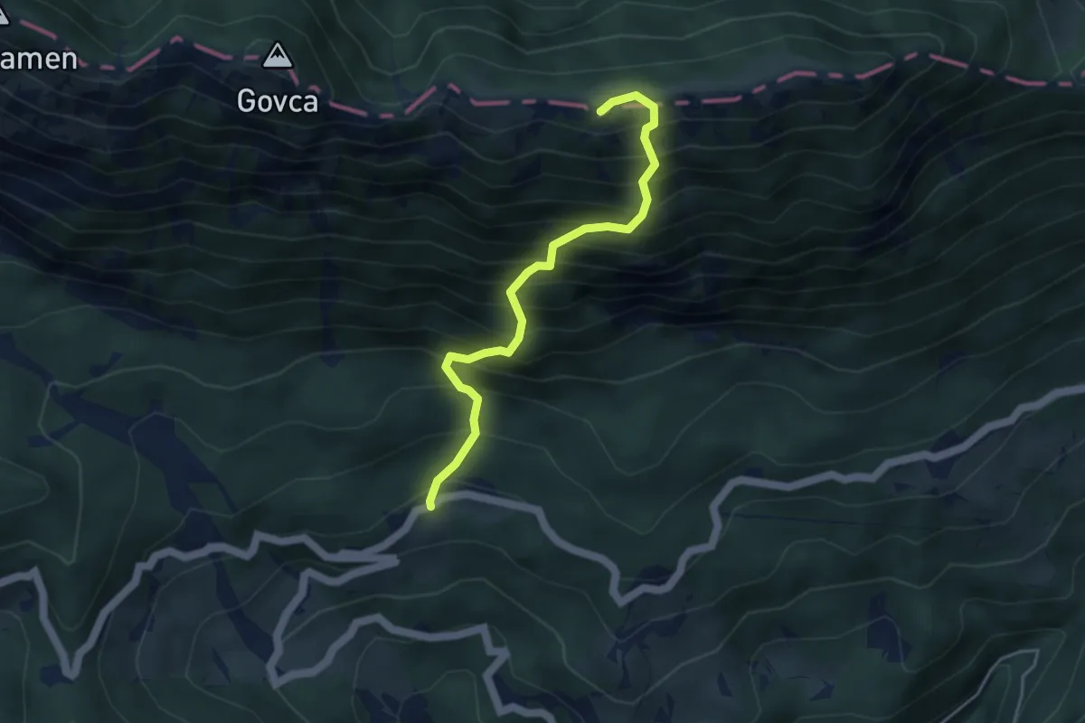
Medium · Summit
Zg. Ošovnik - Gladki vrh
3.9 km · ↑ 738 m · 2 h 32 min
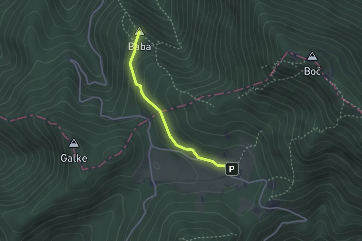
Medium · Summit
Zg. Poljčane - Baba - Dom na Boču
2.3 km · ↑ 85 m · 44 min
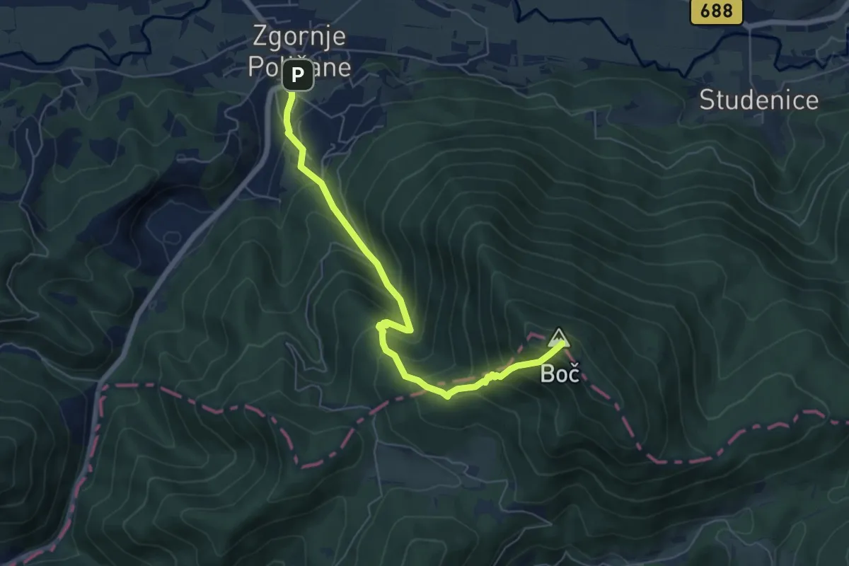
Medium · Summit
Zg. Poljčane - Boč
6.2 km · ↑ 705 m · 3 h
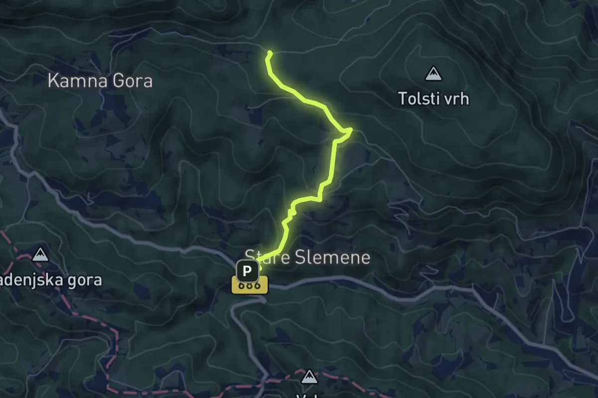
Medium · Trail
Žička kartuzija - Trije križi
5.5 km · ↑ 324 m · 1 h 59 min
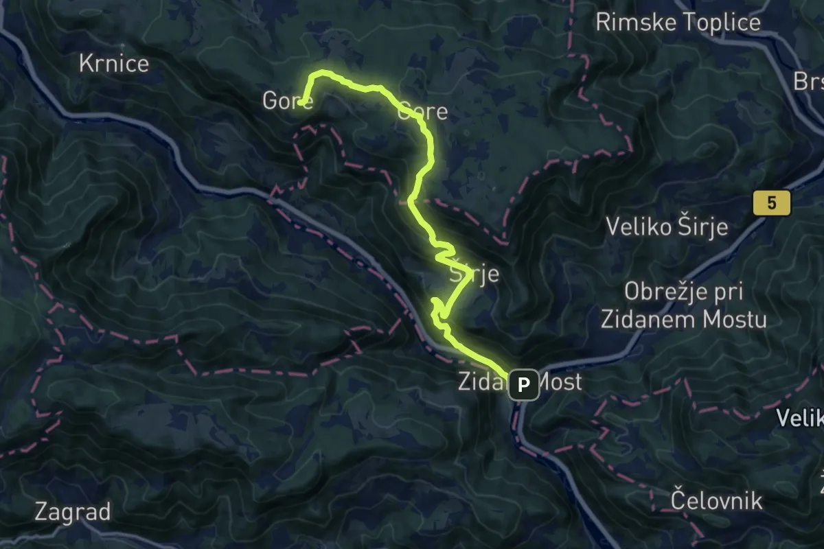
Medium · Cabin
Zidani Most - Dom Gore
13.8 km · ↑ 783 m · 4 h 57 min
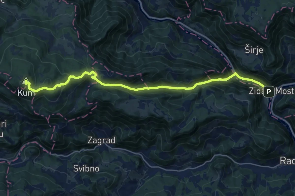
Demanding · Summit
Zidani Most - Škratova dolina - Kum
17.8 km · ↑ 1089 m · 6 h 33 min
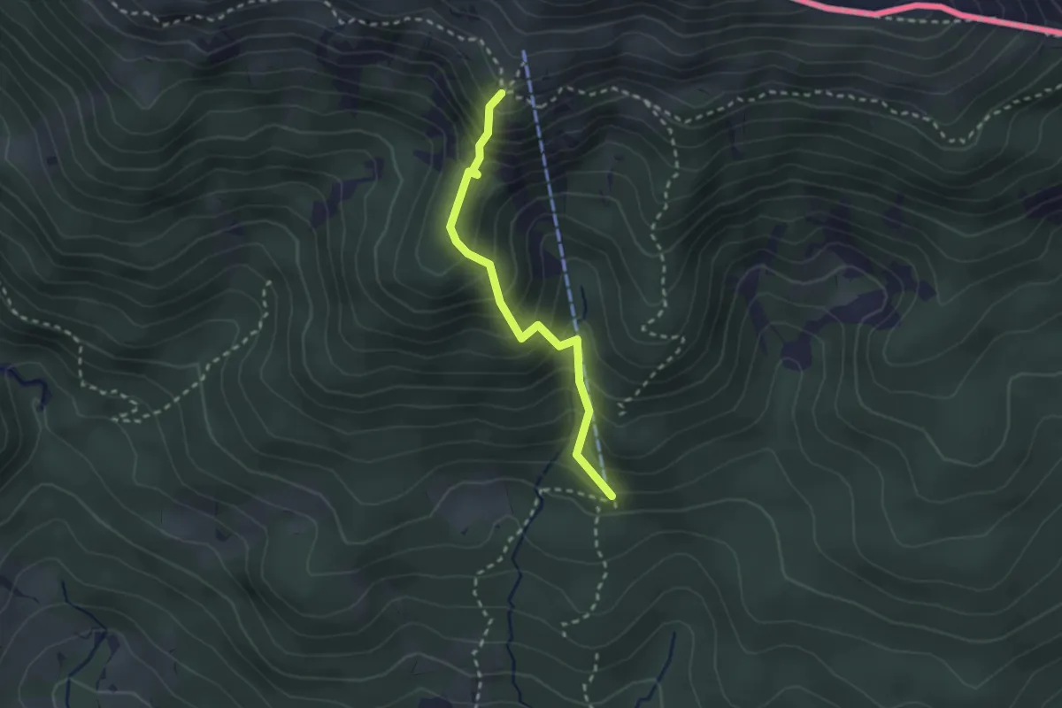
Demanding · Cabin
Zimska pot
2.3 km · ↑ 325 m · 1 h 15 min
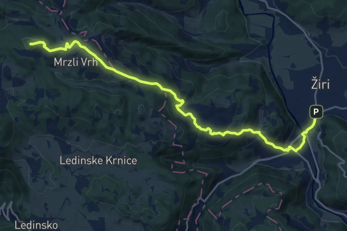
Medium · Summit
Žiri - Breznica - Sivka
13.6 km · ↑ 644 m · 4 h 36 min
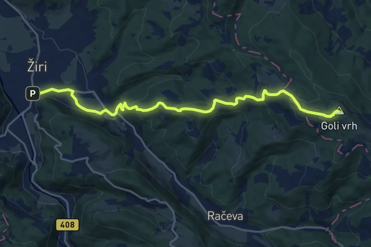
Medium · Summit
Žiri - Goli Vrh
13.0 km · ↑ 574 m · 4 h 19 min
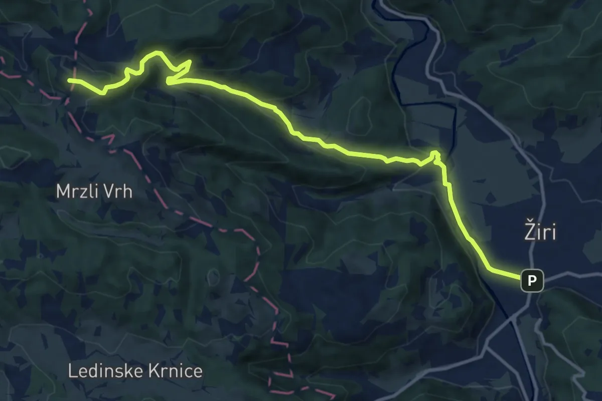
Medium · Summit
Žiri - Jarčja Dolina - Mrzlik
12.4 km · ↑ 570 m · 4 h 10 min
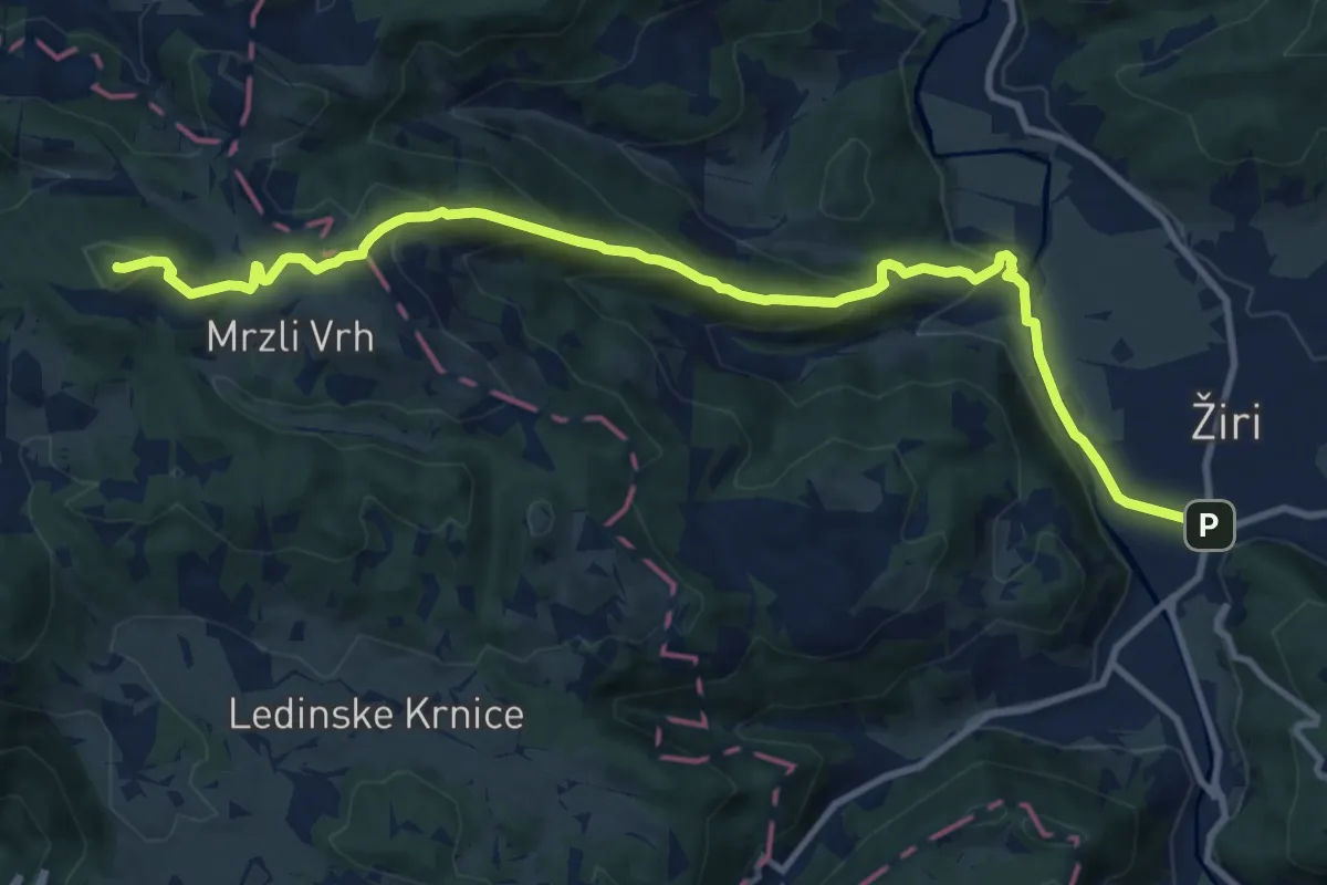
Medium · Summit
Žiri - Ledinica - Sivka
12.4 km · ↑ 557 m · 4 h 9 min
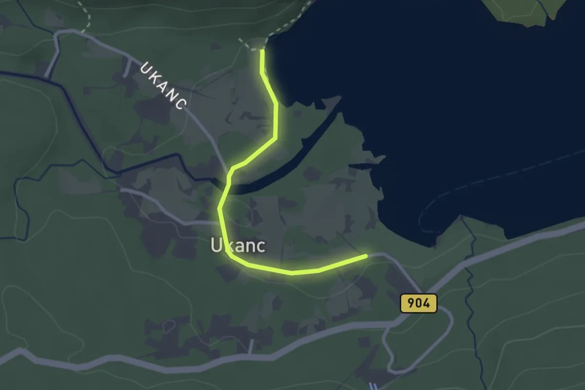
Easy · Trail
Zlatorogova pravljična pot
1.1 km · ↑ 9 m · 18 min
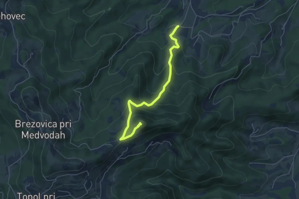
Medium · Summit
Žlebe - Jeterbenk
5.0 km · ↑ 315 m · 1 h 51 min
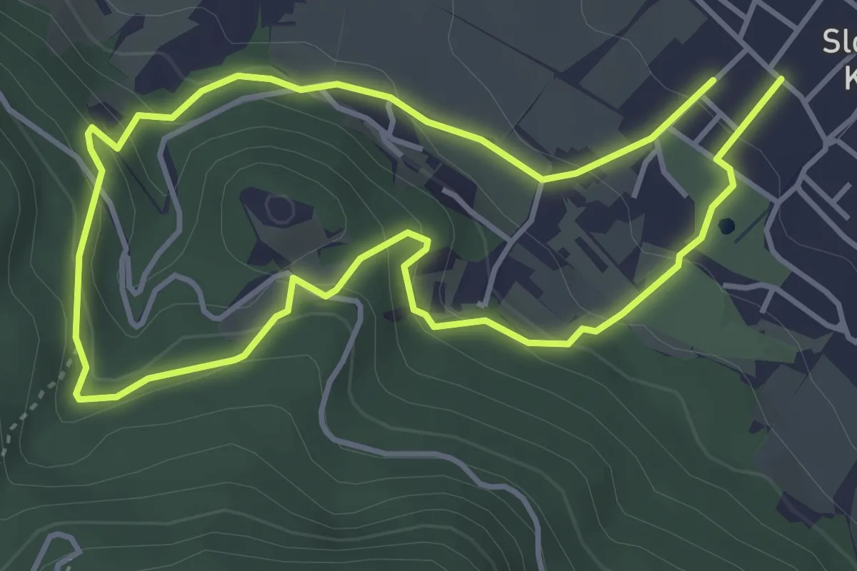
Easy · Trail
Zmajčkova pot
3.6 km · ↑ 205 m · 1 h 21 min
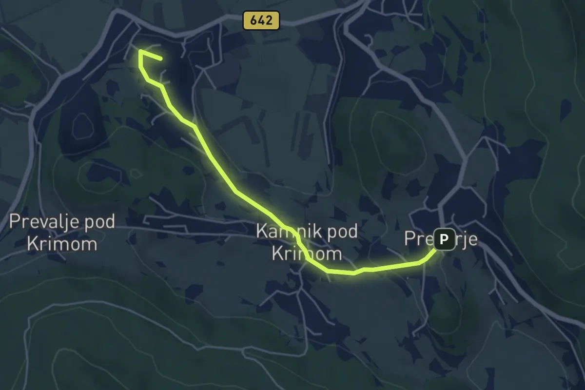
Easy · Summit
ŽP Preserje - Kamnik pod Krimom - Preserje
4.6 km · ↑ 105 m · 1 h 19 min
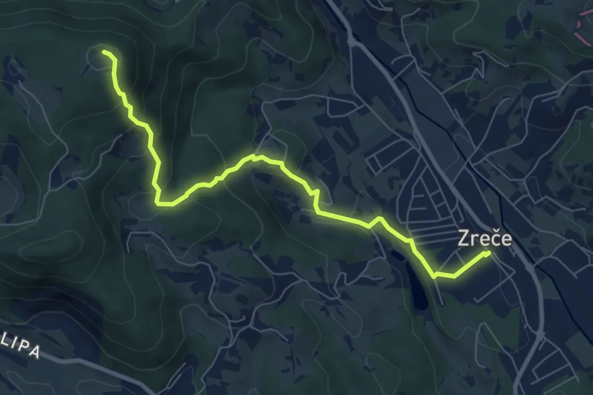
Medium · Summit
Zreče - Ančka - Golek
7.0 km · ↑ 409 m · 2 h 32 min
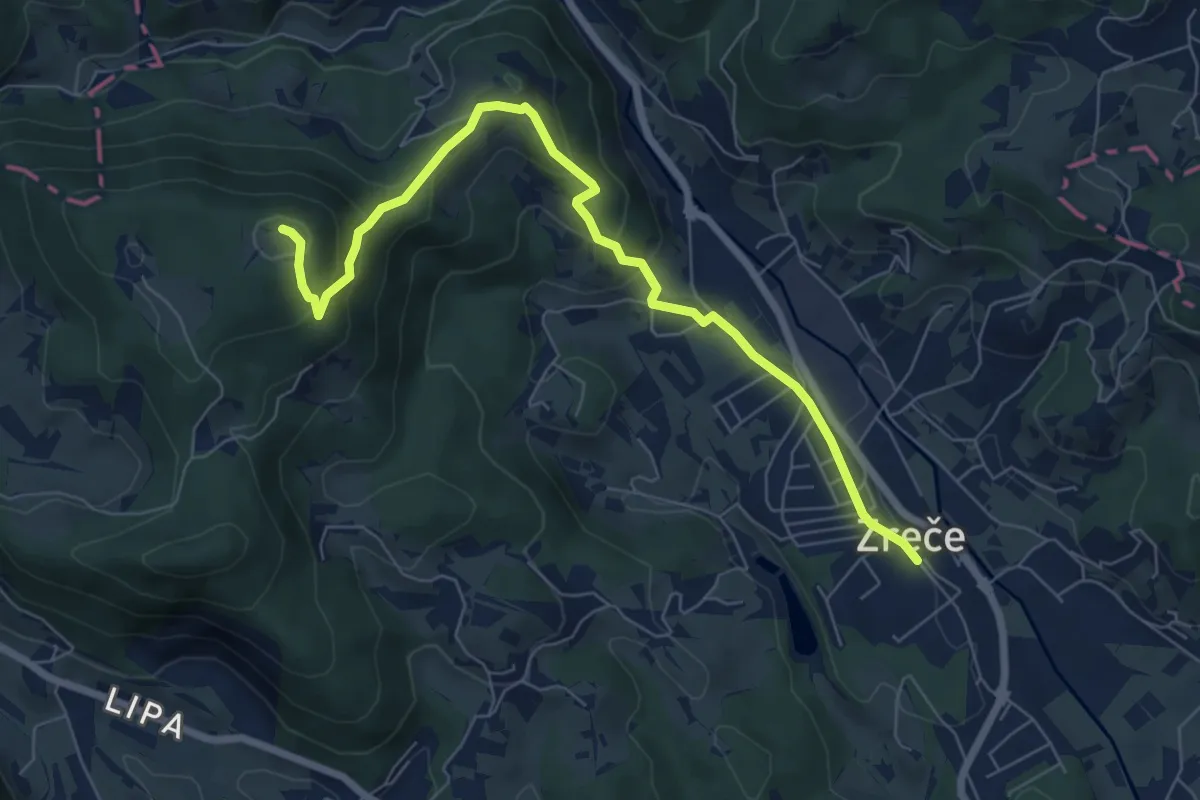
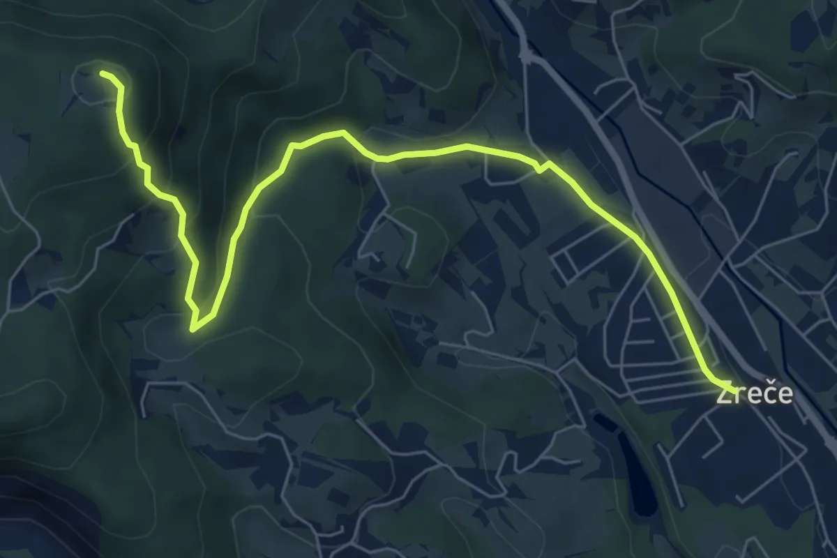
Medium · Summit
Zreče - Bork - Golek
7.6 km · ↑ 382 m · 2 h 37 min
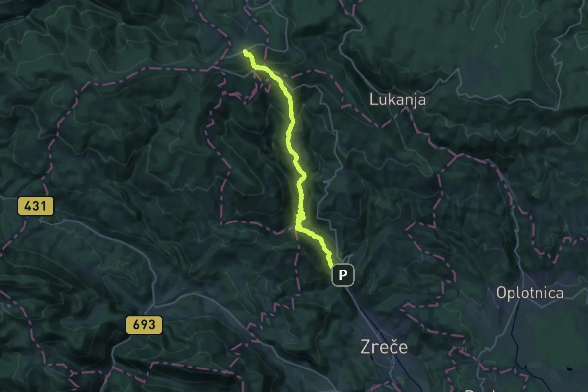
Medium · Summit
Zreče - Golek
7.3 km · ↑ 382 m · 2 h 33 min
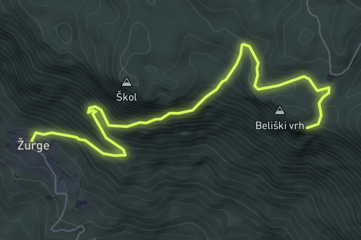
Demanding · Trail
Zreče - Rogla
19.5 km · ↑ 1069 m · 6 h 55 min
Medium · Trail
Žurge - Taborska jama
7.0 km · ↑ 707 m · 3 h 11 min