Trails in South Africa
141 hiking trails, each with its route, climb, walking time and grade.
Near a town
All trails, page 1 of 3
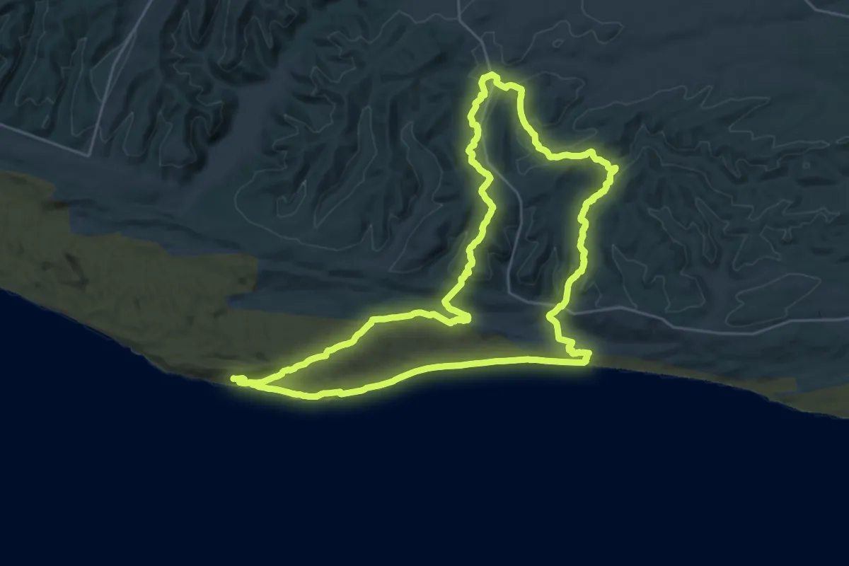
Demanding · Cabin
Alexandria Hiking Trail
33.0 km · ↑ 1154 m · 10 h 44 min
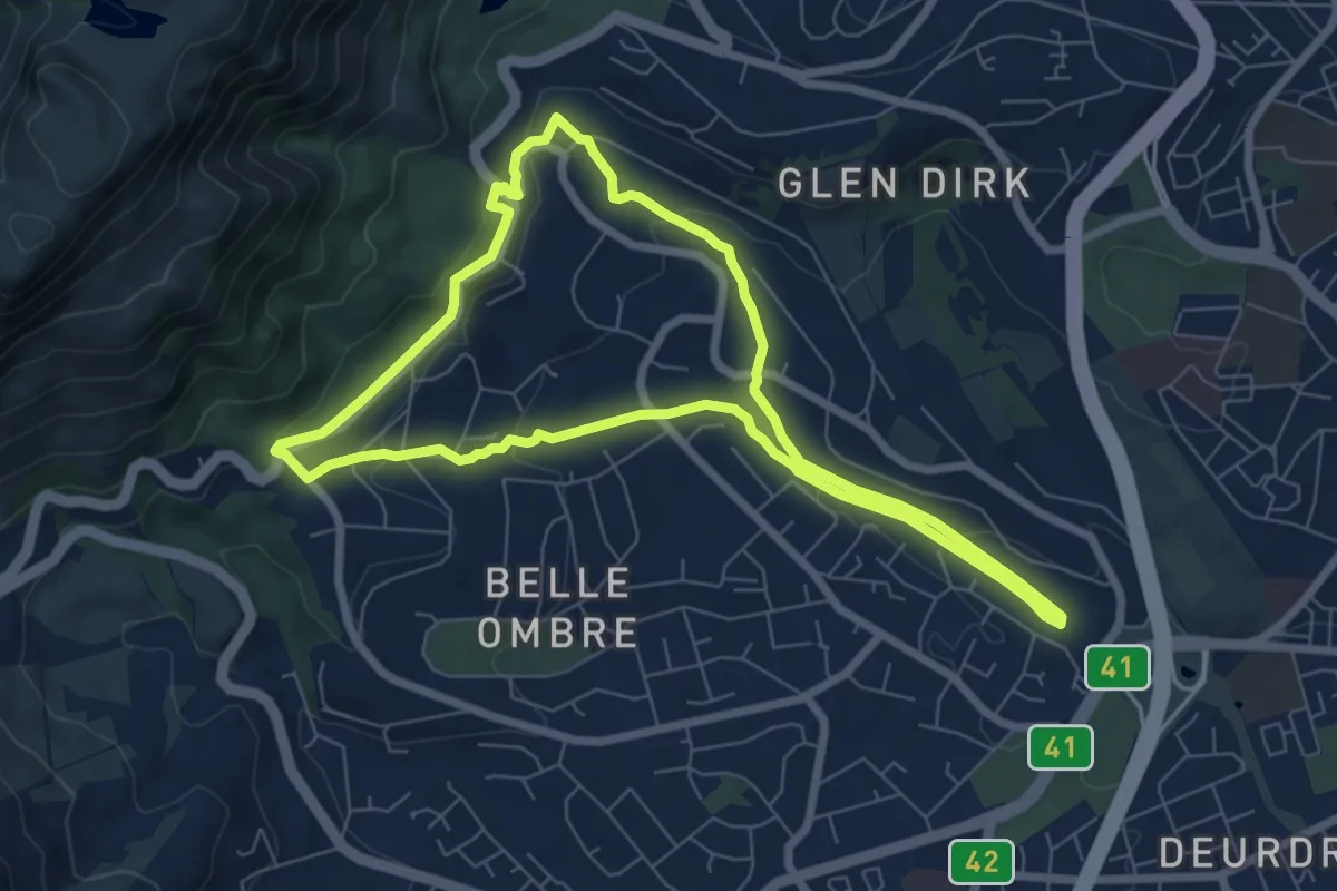
Medium · Trail
Alphen Trail Loop
8.3 km · ↑ 211 m · 2 h 32 min
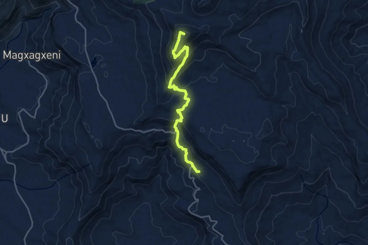
Demanding · Summit
Amatola Hiking Trail Day 6: Zingcuka Hut - Tyume River
13.9 km · ↑ 966 m · 5 h 23 min
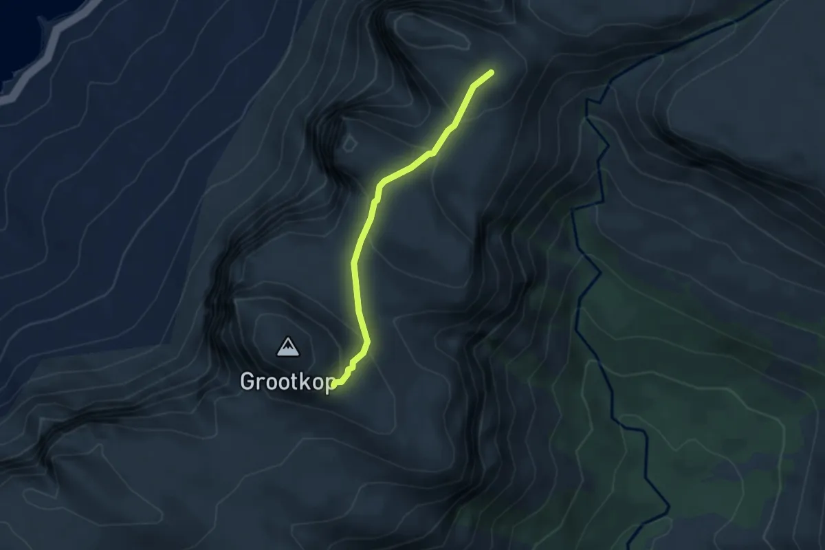
Medium · Trail
Apostles Path
3.4 km · ↑ 191 m · 1 h 13 min
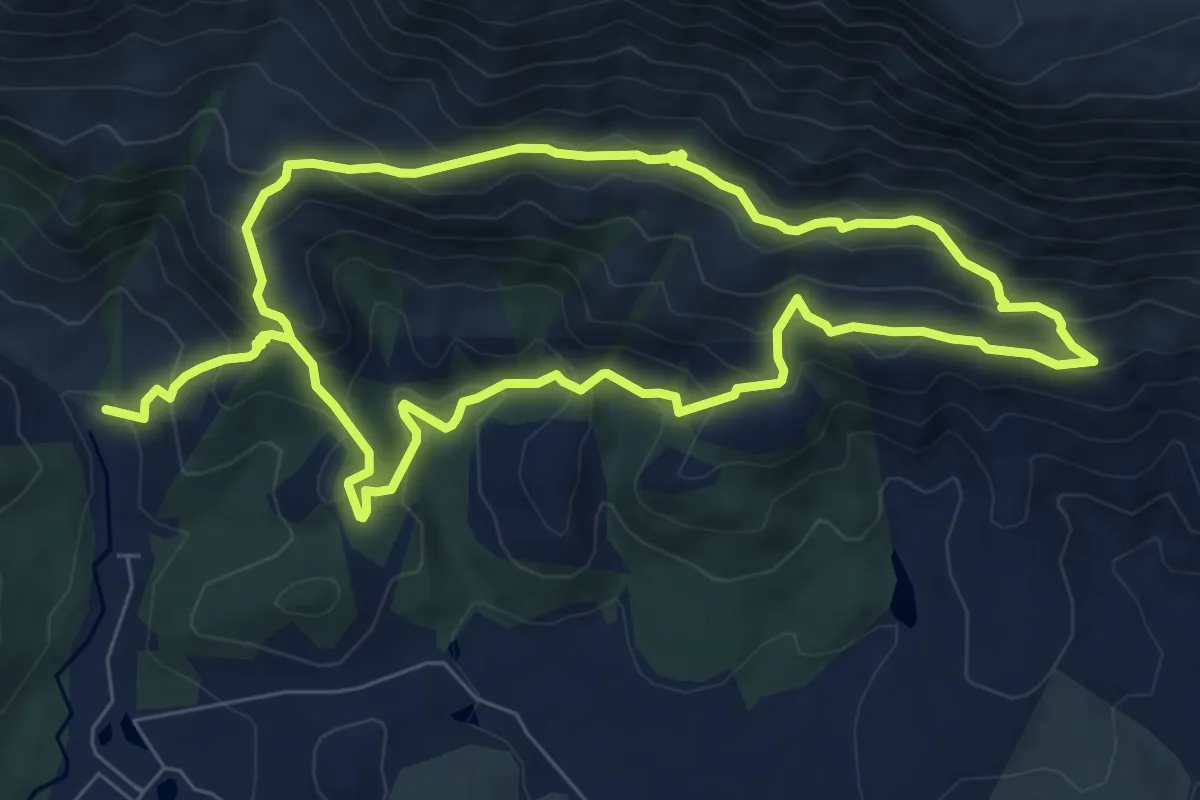
Demanding · Trail
Appelsbos Circle Trail
18.1 km · ↑ 1108 m · 6 h 40 min
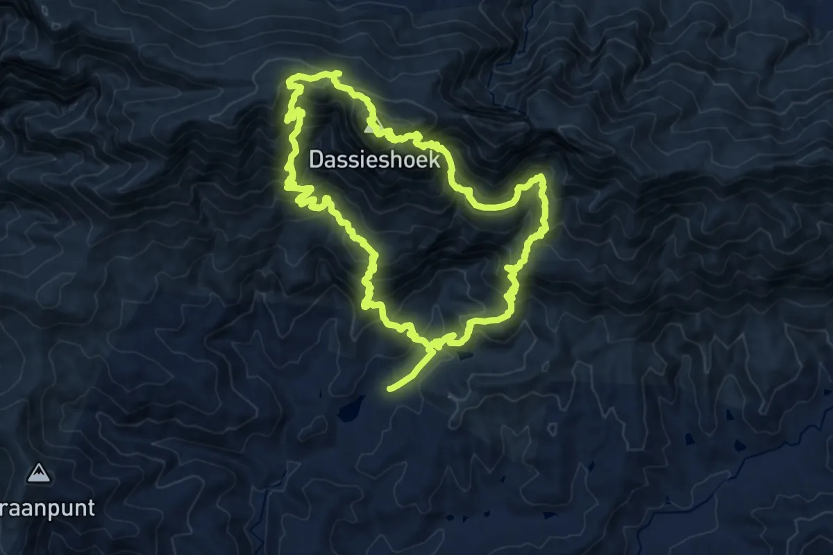
Demanding · Summit
Arangieskop Trail
23.2 km · ↑ 1883 m · 10 h 16 min
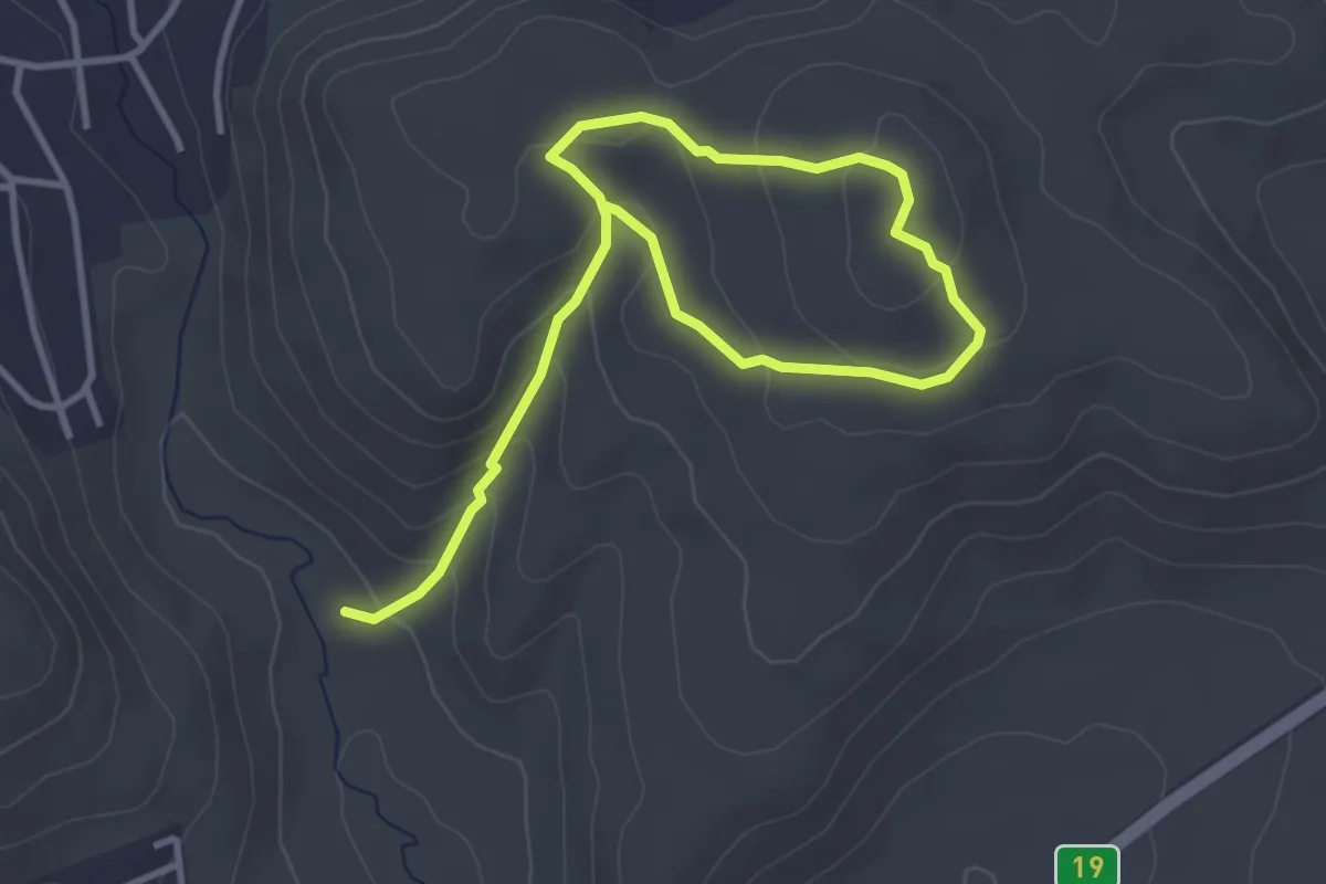
Easy · Trail
Beacon Trail
6.3 km · ↑ 271 m · 2 h 5 min
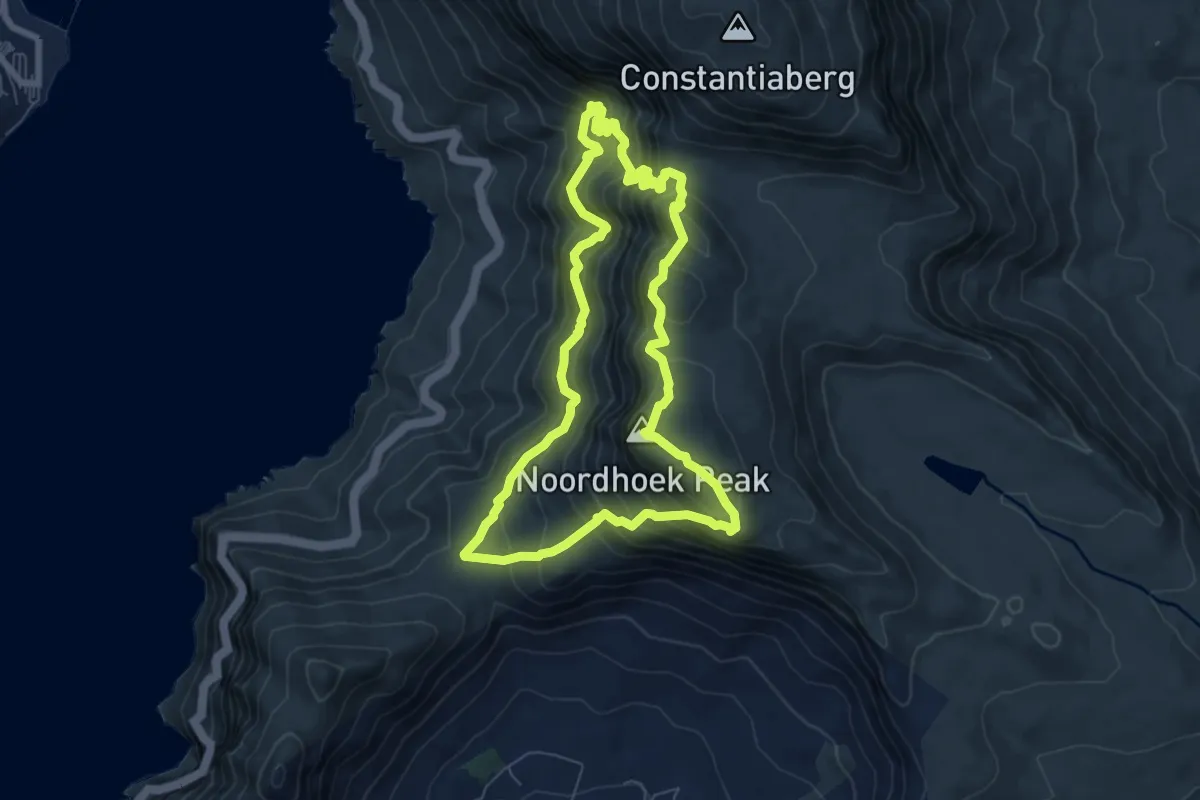
Medium · Summit
Blackburn Ravine (Atlas Pool) - Noordhoek Peak Loop
8.3 km · ↑ 790 m · 3 h 48 min
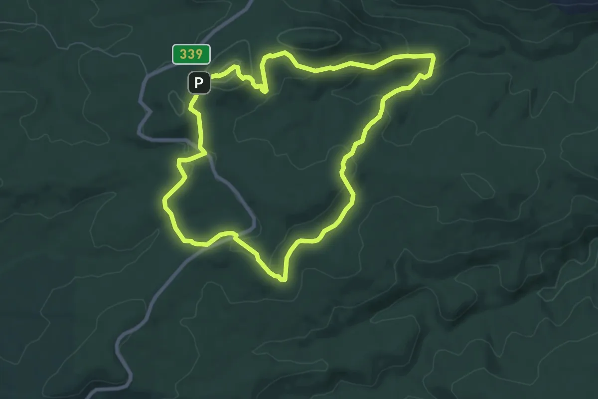
Medium · Trail
Black Elephant Trail
8.4 km · ↑ 300 m · 2 h 45 min
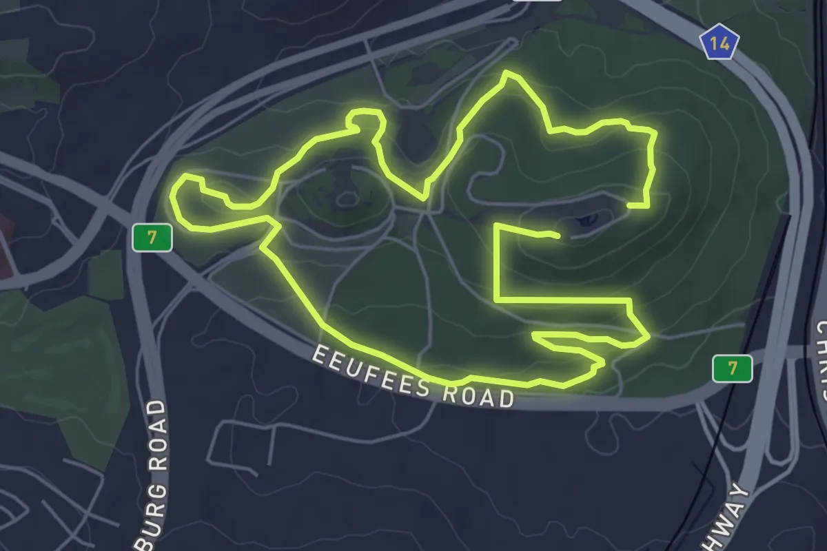
Medium · Trail
Black Route: 3-in-1 Route
14.0 km · ↑ 447 m · 4 h 17 min
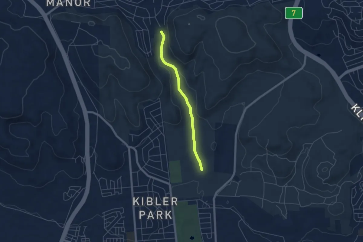
Easy · Trail
Bloubos Trail
5.5 km · ↑ 66 m · 1 h 26 min
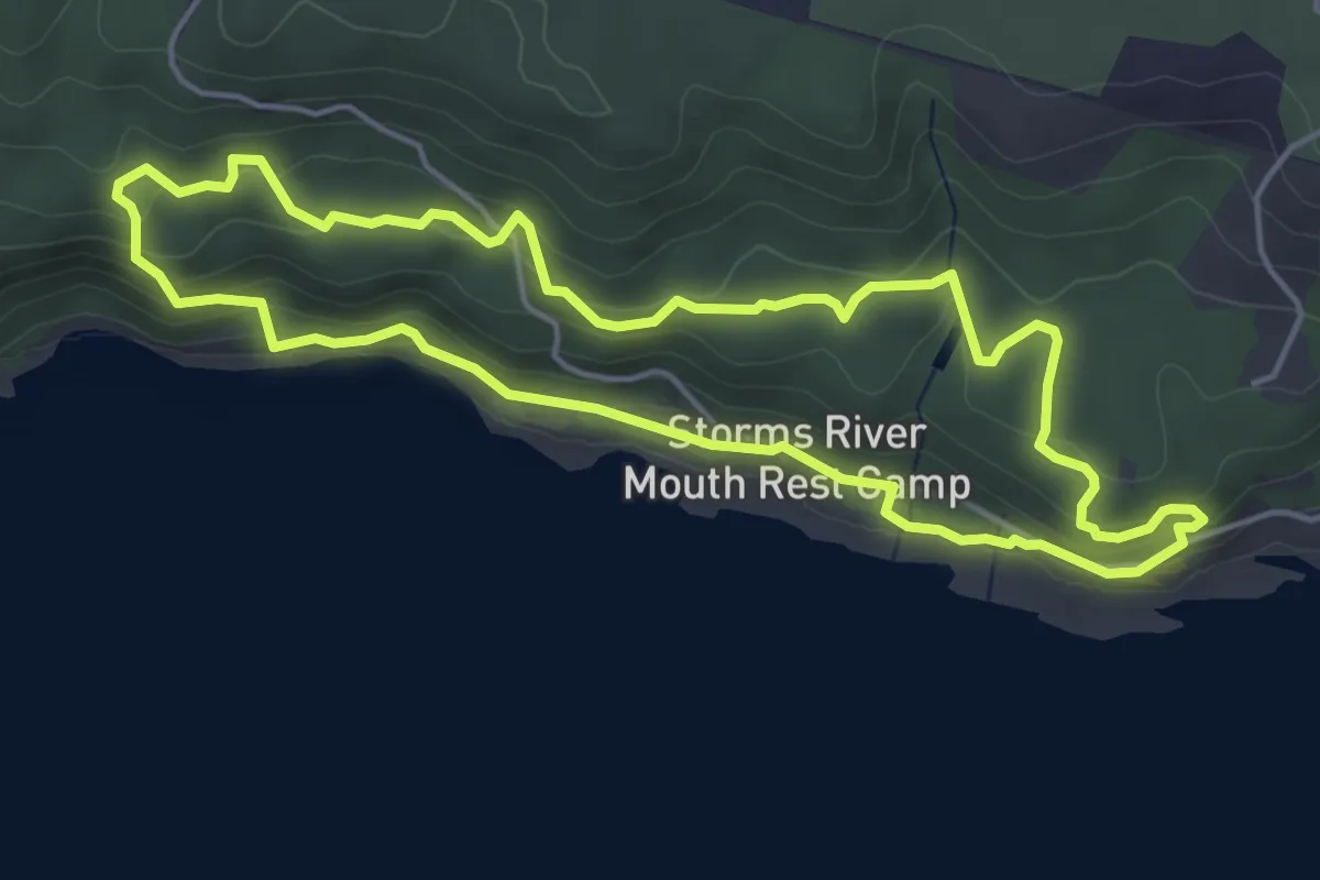
Easy · Trail
Blue Duiker Trail
5.7 km · ↑ 197 m · 1 h 51 min
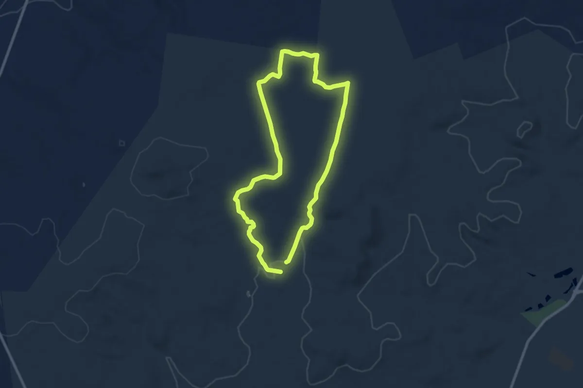
Medium · Trail
Blue Route
9.6 km · ↑ 112 m · 2 h 39 min
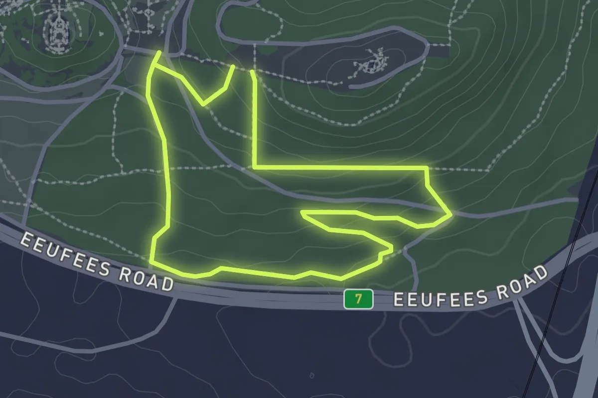
Easy · Trail
Blue Route: Grassland
3.3 km · ↑ 99 m · 1 h 3 min
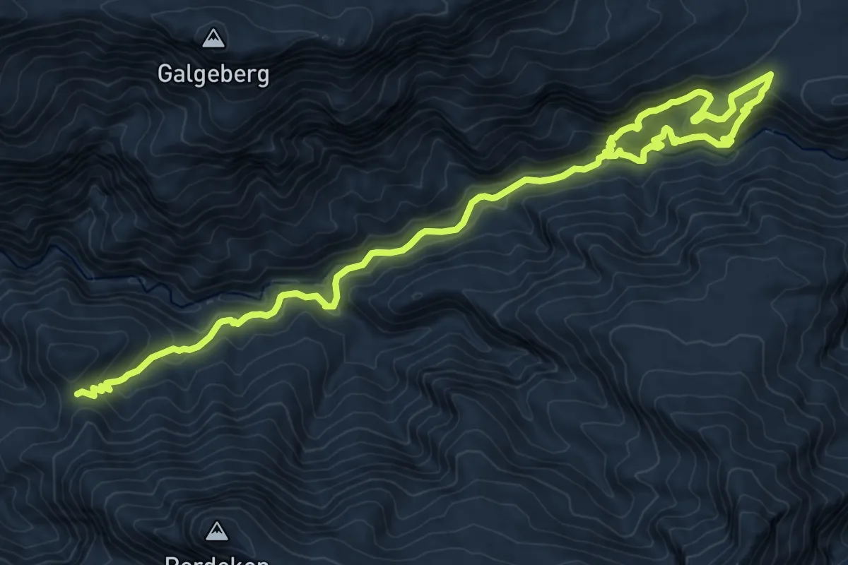
Demanding · Trail
Boesmanskloof Trail
17.4 km · ↑ 1049 m · 6 h 23 min
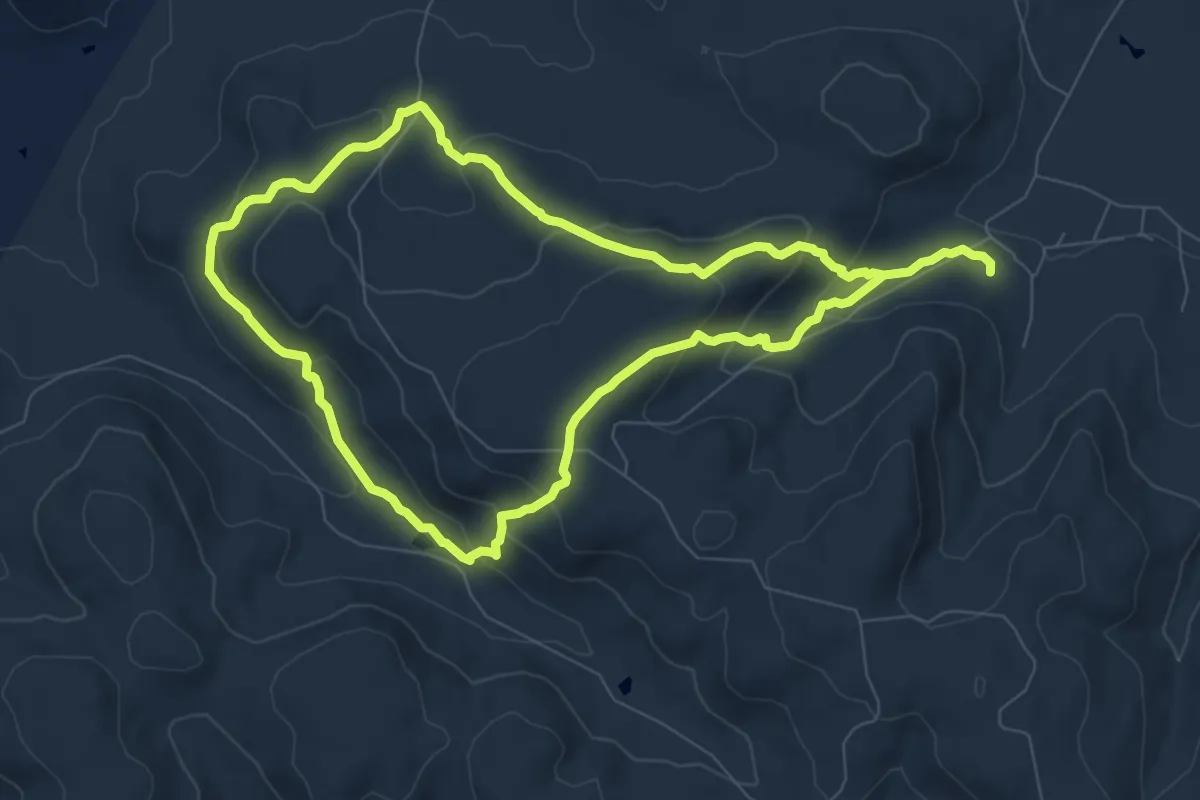
Medium · Trail
Bokmakierie Trail 10 km
9.6 km · ↑ 428 m · 3 h 19 min
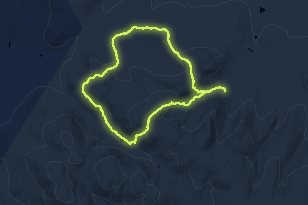
Medium · Trail
Bokmakierie Trail 11.5 km
11.2 km · ↑ 450 m · 3 h 46 min
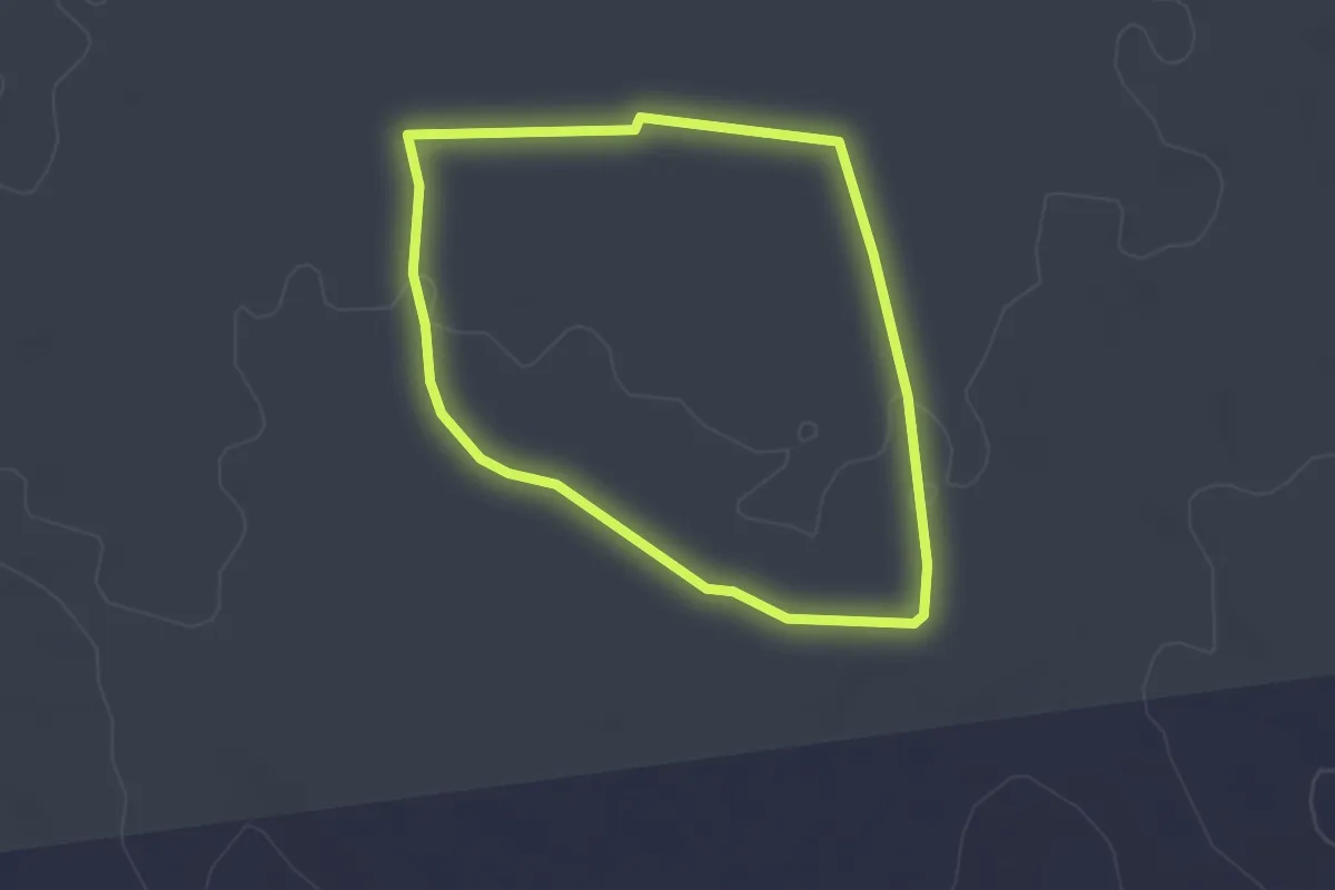
Easy · Trail
Camel Koppie Trail
2.8 km · ↑ 14 m · 44 min
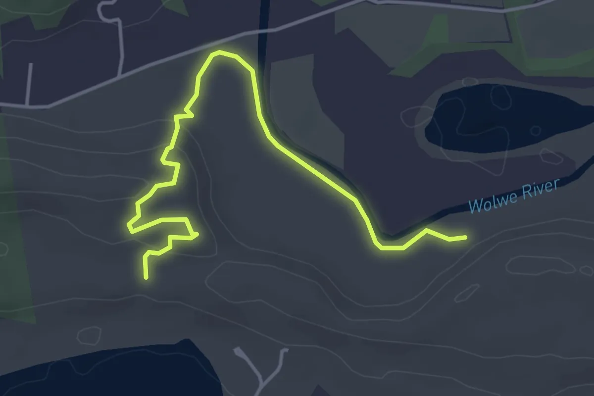
Easy · Trail
Cape Dune Molerat Trail, Route A
5.4 km · ↑ 117 m · 1 h 32 min
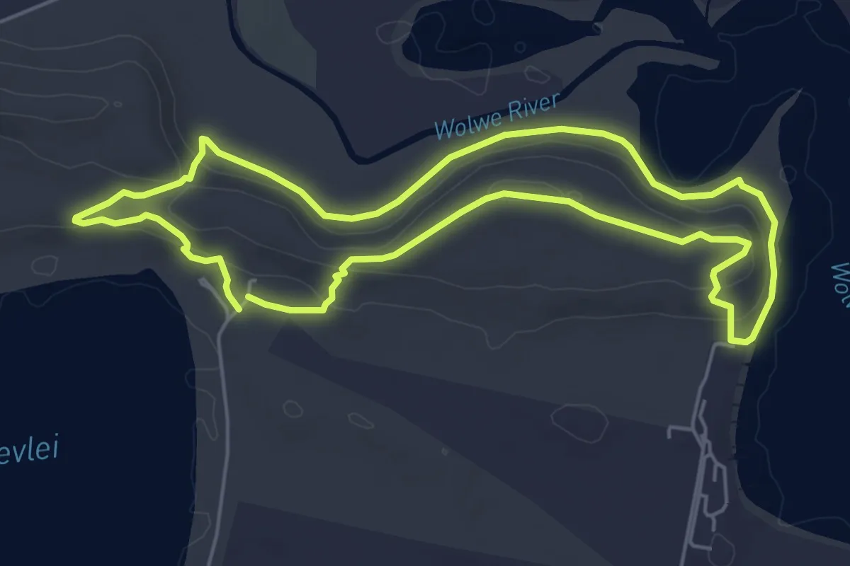
Easy · Trail
Cape Dune Molerat Trail, Route A
6.3 km · ↑ 118 m · 1 h 49 min
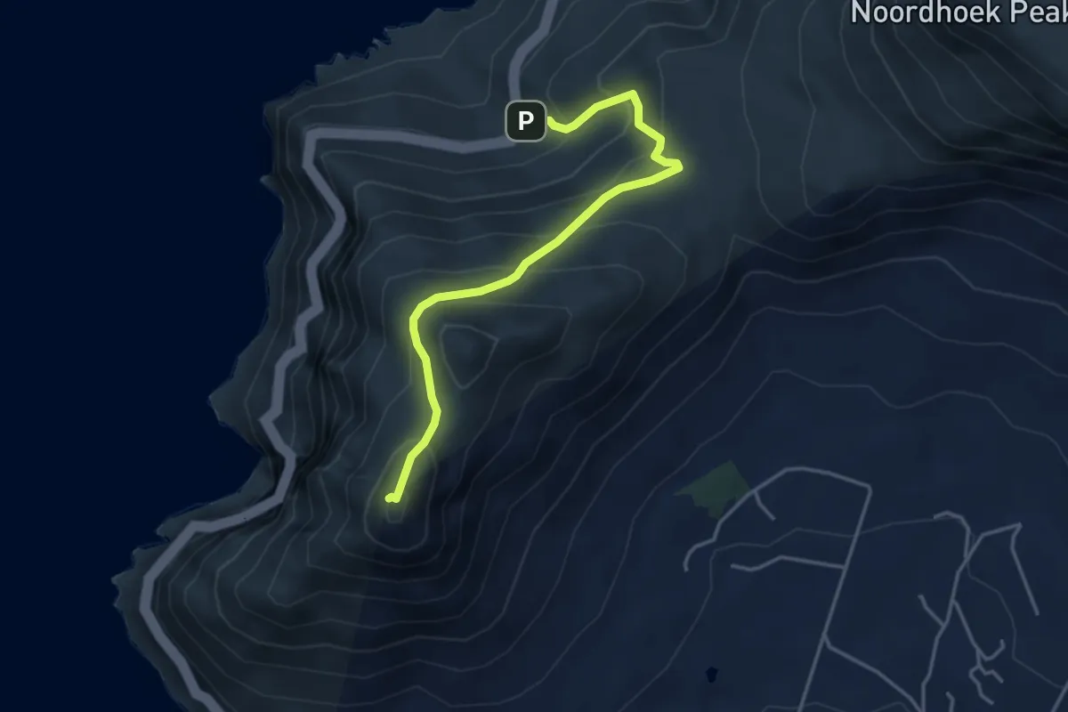
Medium · Summit
Chapman's Peak Summit
2.4 km · ↑ 402 m · 1 h 17 min
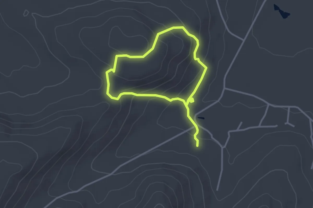
Easy · Trail
Cheetah Trail
3.0 km · ↑ 137 m · 1 h 2 min
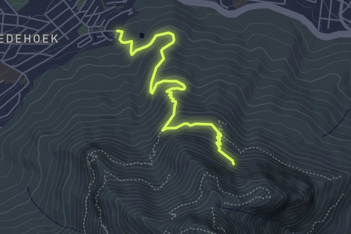
Medium · Trail
Chelmsford Road - Woodstock Cave
6.3 km · ↑ 426 m · 2 h 25 min
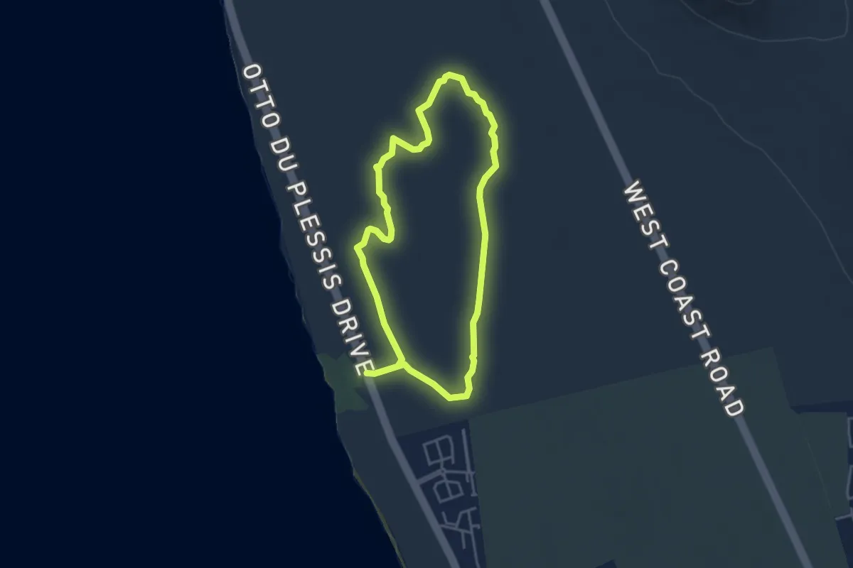
Medium · Trail
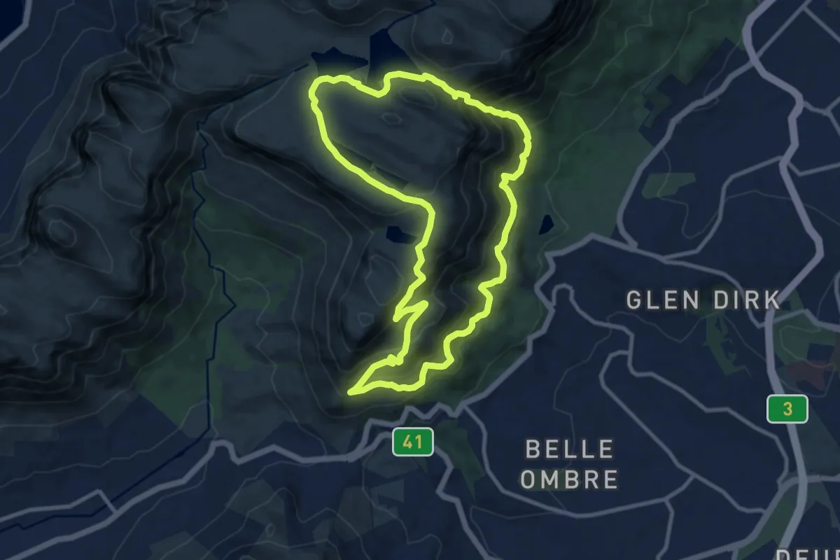
Coastal Dune Hiking Trail
8.2 km · ↑ 30 m · 2 h
Medium · Trail
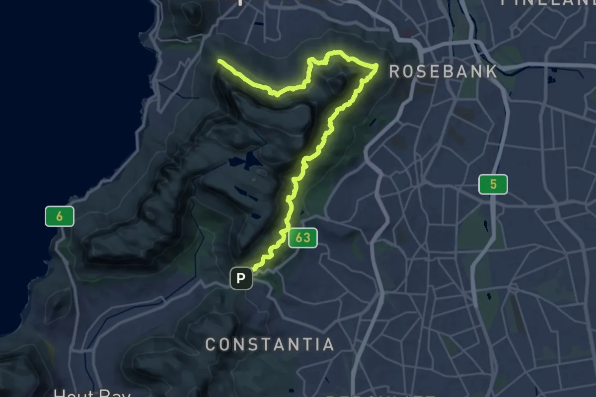
Constantia Nek - Skeleton Gorge - Woodhead, Victoria and Alexandra Reservoir Trail
11.5 km · ↑ 728 m · 4 h 27 min
Demanding · Trail
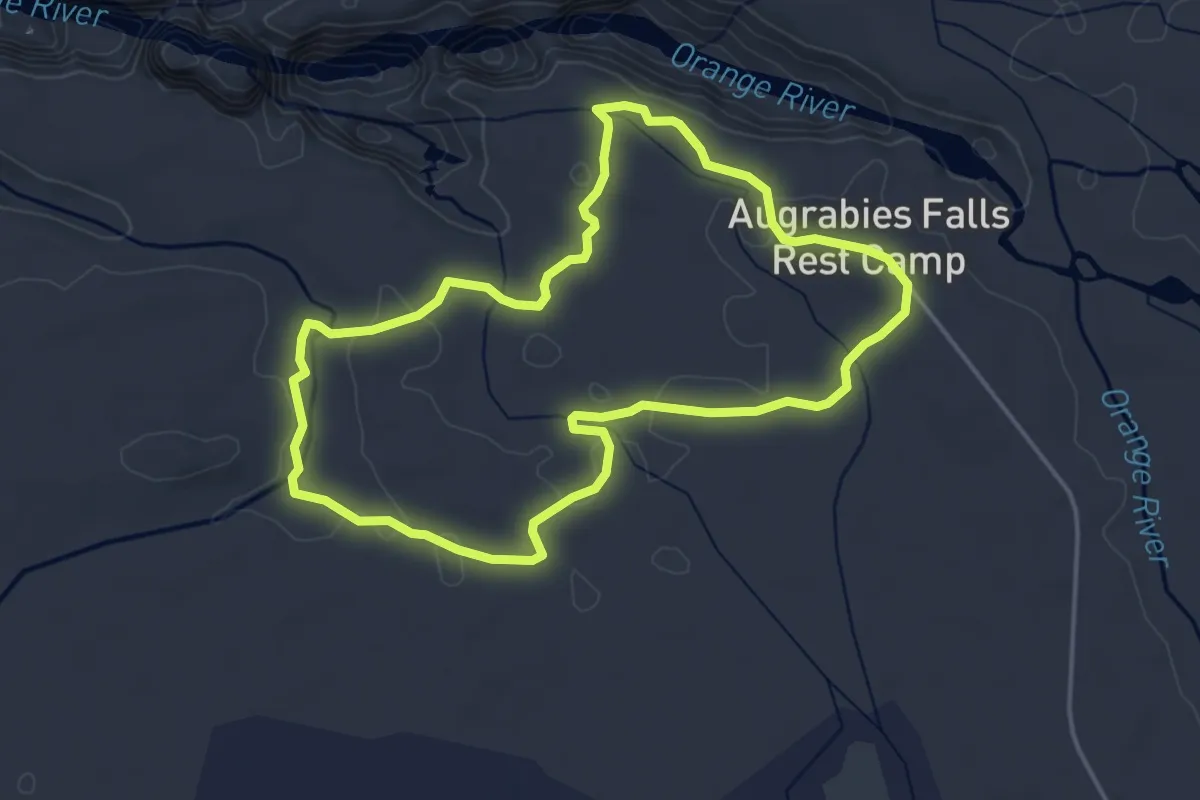
Contour Path
16.5 km · ↑ 1197 m · 6 h 36 min
Easy · Trail
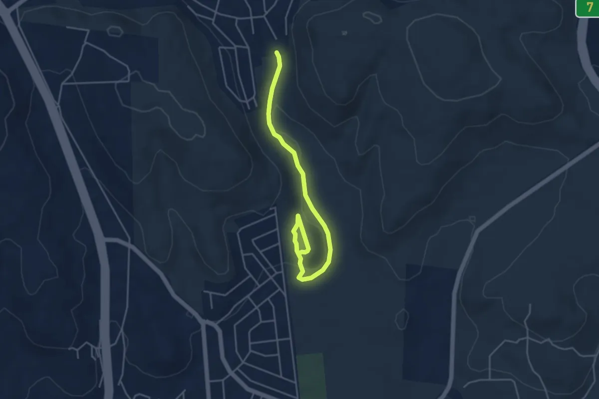
Dassie Interpretive Trail
5.3 km · ↑ 32 m · 1 h 24 min
Easy · Trail
Dassie Trail
5.8 km · ↑ 160 m · 1 h 44 min
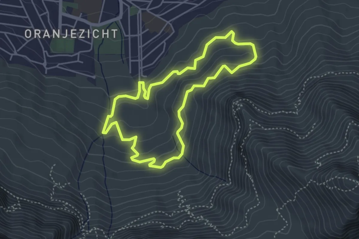
Easy · Trail
Deer Park Loop
4.6 km · ↑ 235 m · 1 h 40 min
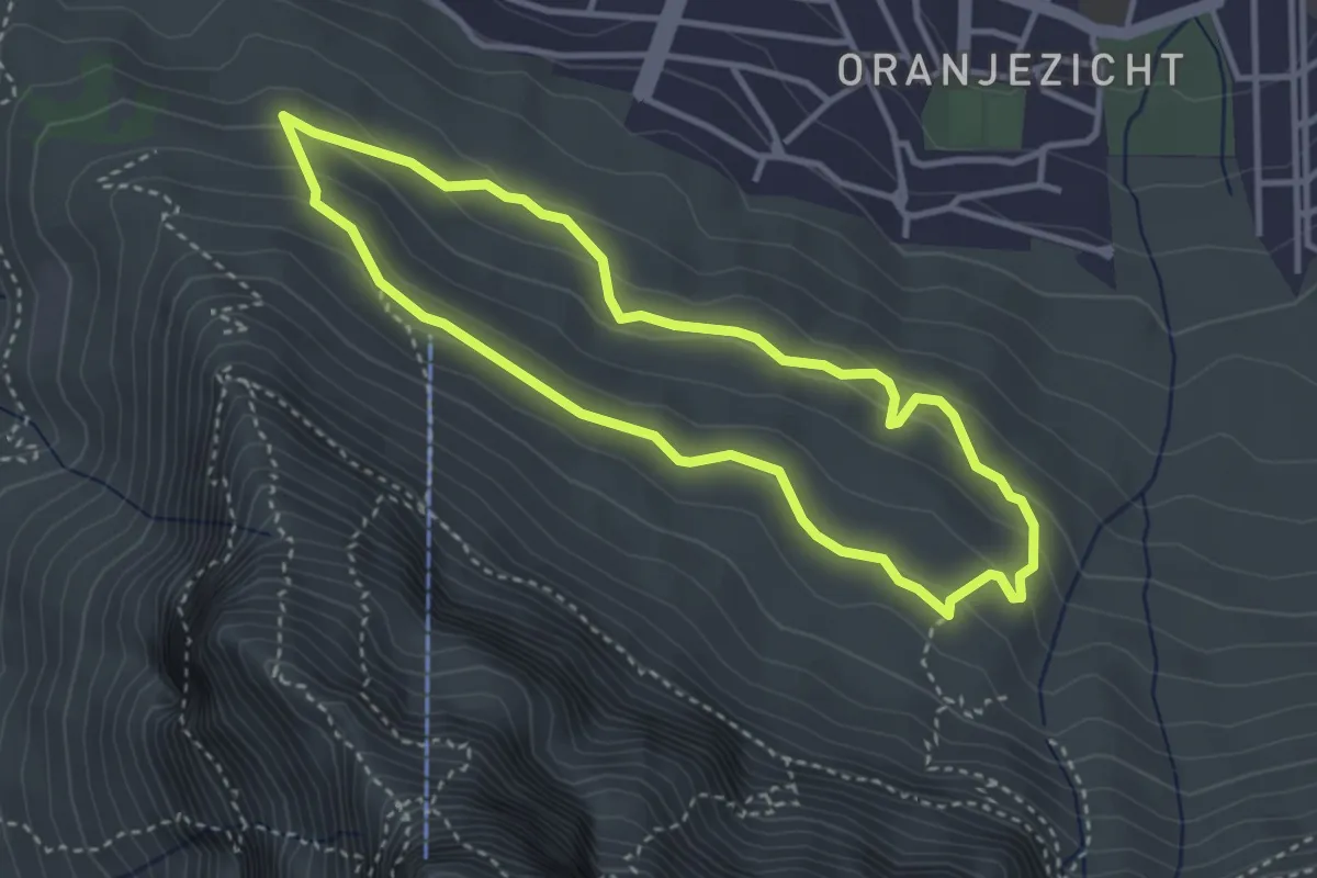
Easy · Trail
Deer Park via Table Mountain Road
3.9 km · ↑ 137 m · 1 h 16 min
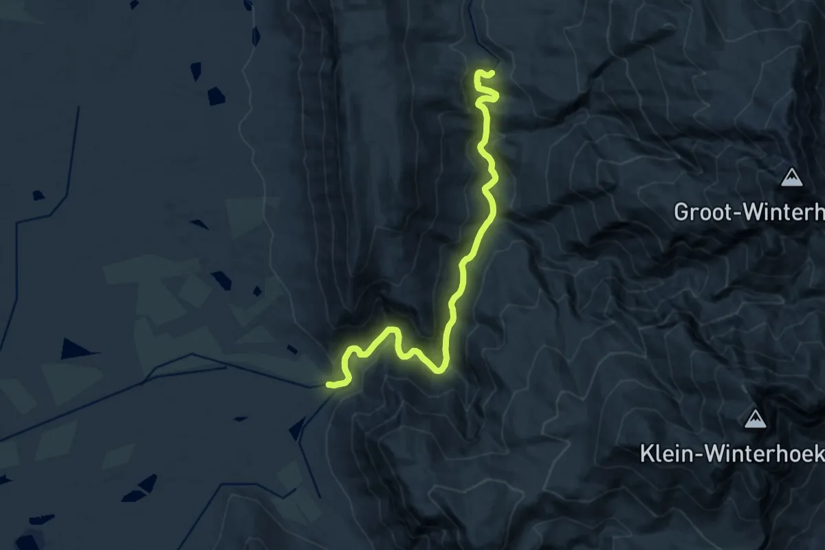
Demanding · Trail
De Hel to De Hoek kloofing
20.7 km · ↑ 765 m · 6 h 33 min
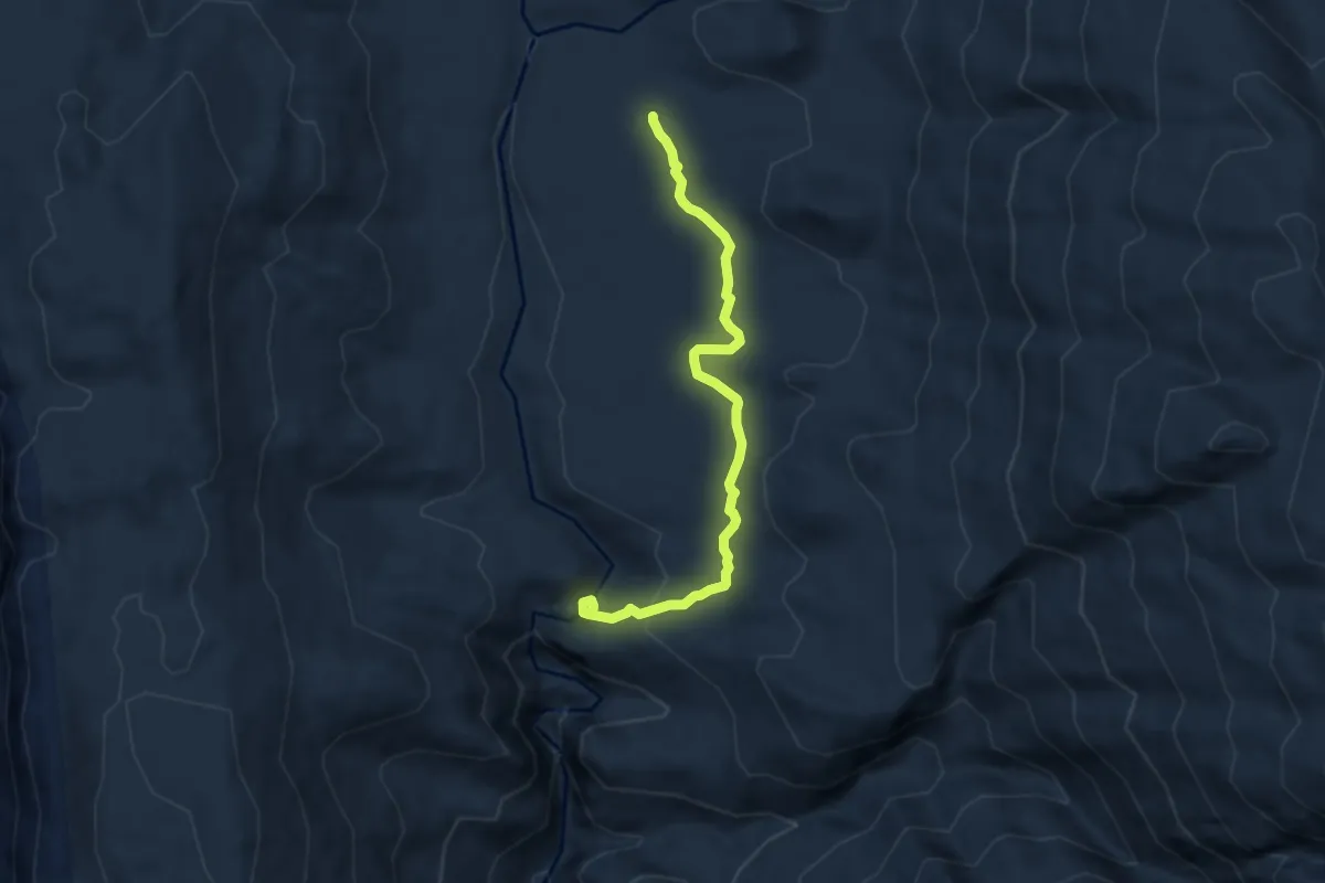
Demanding · Cabin
De Tronk to De Hel
7.7 km · ↑ 224 m · 2 h 19 min
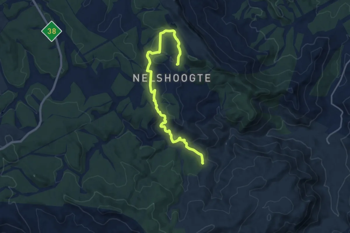
Medium · Trail
Devil's Knuckles Trail
16.3 km · ↑ 503 m · 4 h 56 min
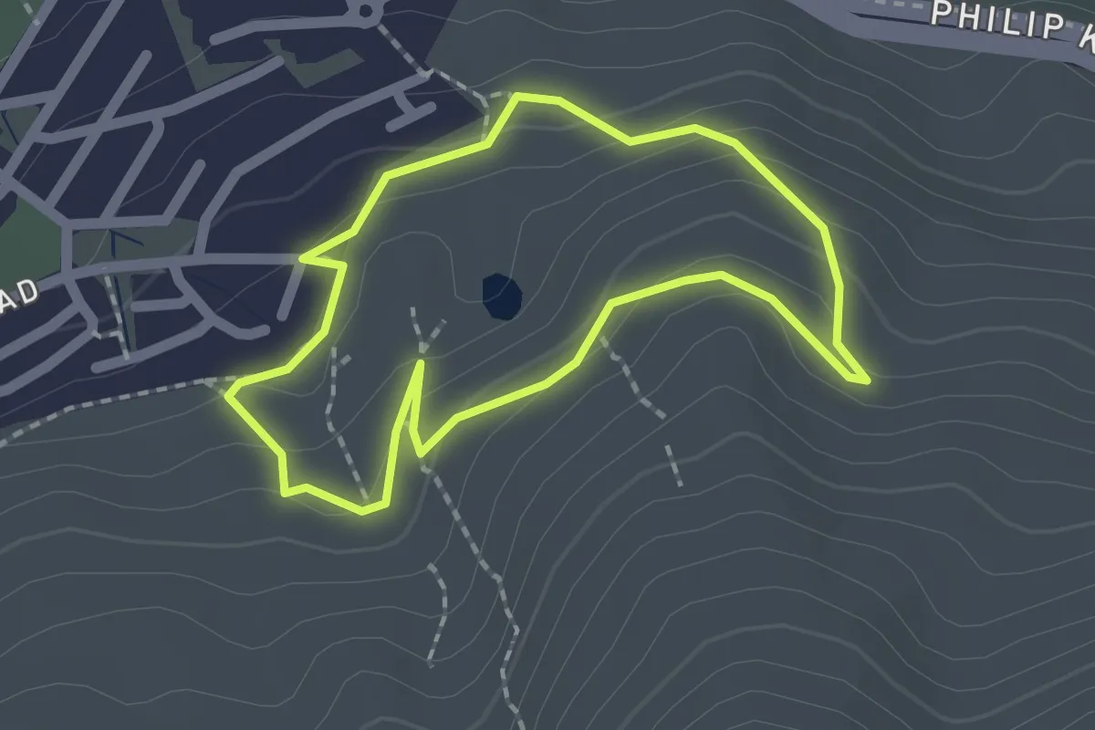
Easy · Trail
Devils Peak Quarry Loop
2.0 km · ↑ 85 m · 41 min
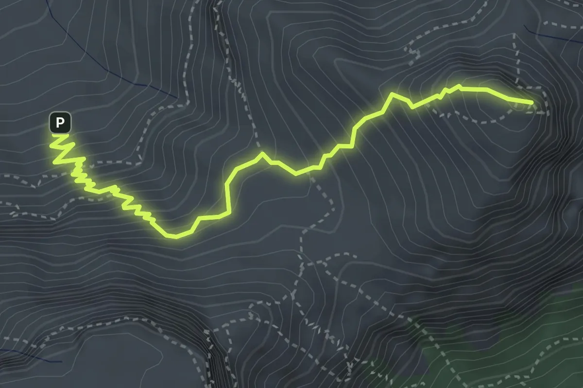
Medium · Summit
Devil's Peak Route
5.3 km · ↑ 646 m · 2 h 39 min
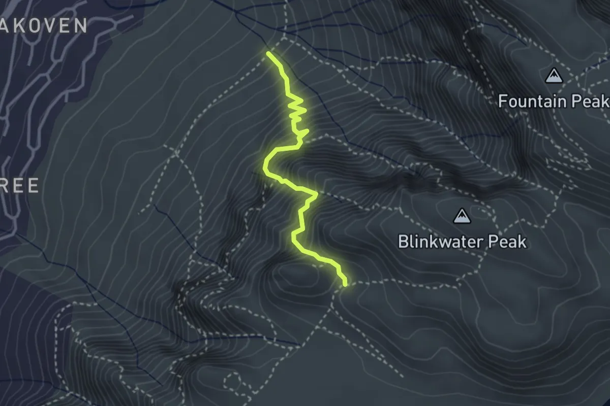
Demanding · Trail
Diagonal Route
3.4 km · ↑ 713 m · 2 h 21 min
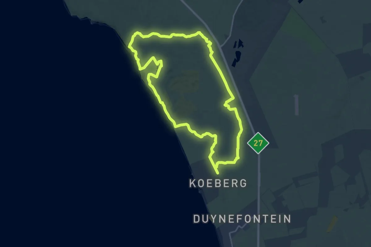
Demanding · Trail
Dikkop Trail
19.9 km · ↑ 104 m · 5 h 12 min
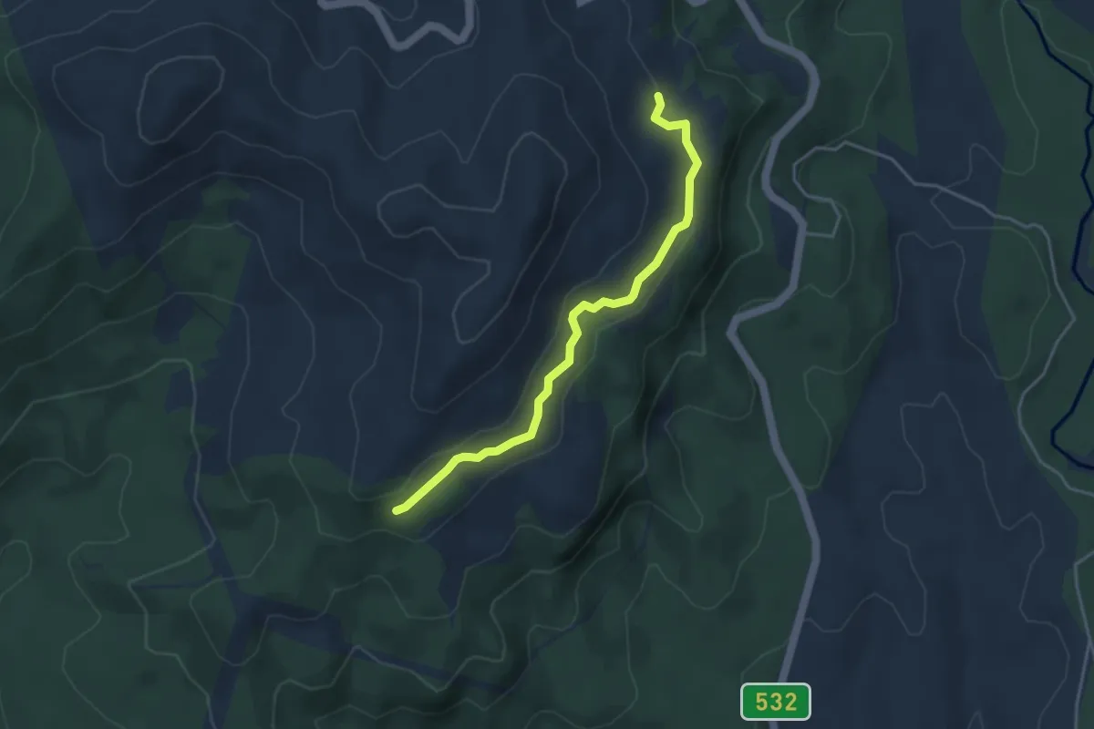
Easy · Trail
Fanie Botha Hiking Trail
5.0 km · ↑ 85 m · 1 h 22 min
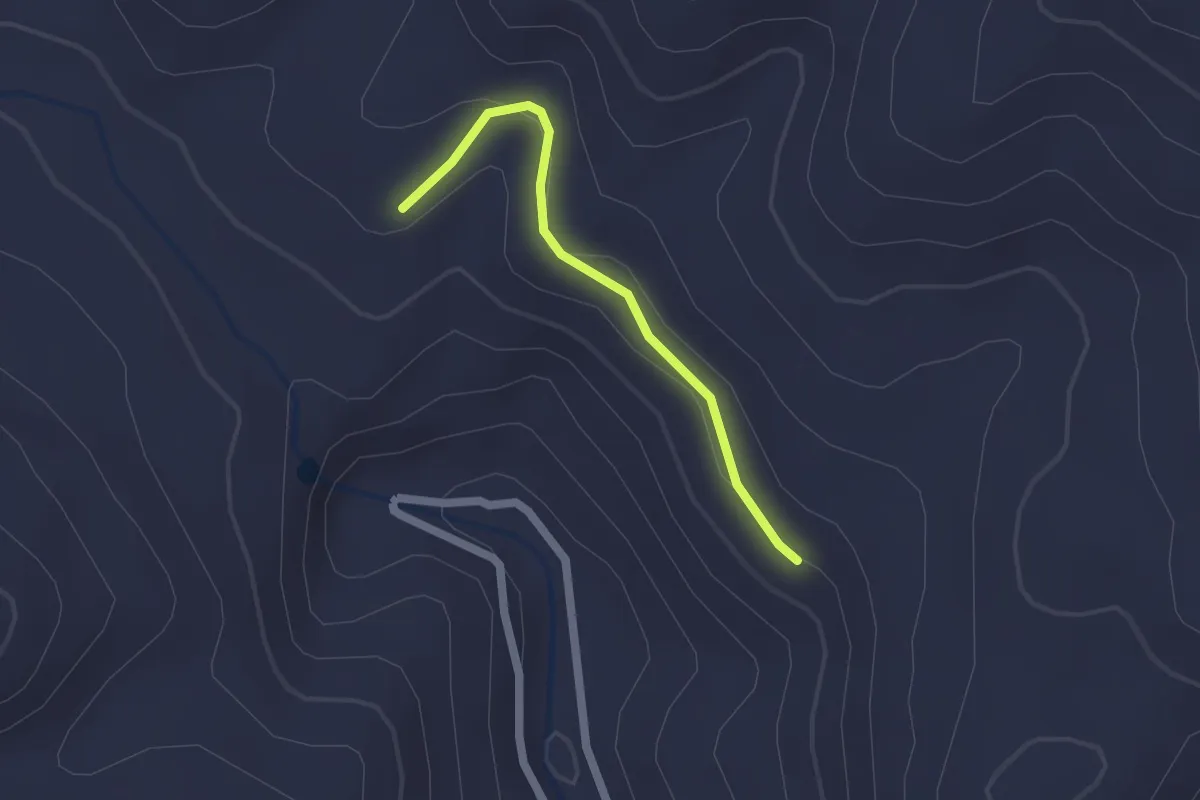
Easy · Trail
Fanie Botha Hiking Trail
2.1 km · ↑ 43 m · 36 min
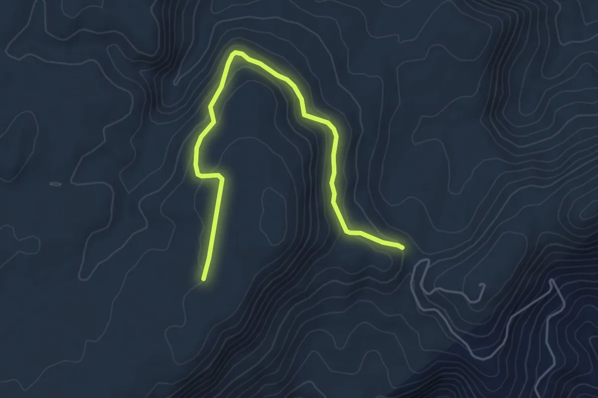
Easy · Trail
Fanie Botha Hiking Trail
6.5 km · ↑ 172 m · 1 h 54 min
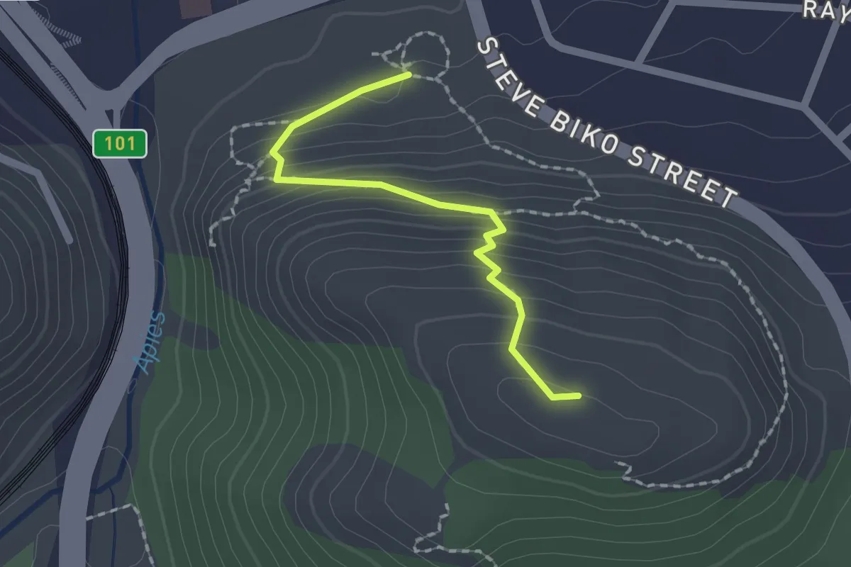
Easy · Trail
Fort towards Waterfall and Cave Trail
2.1 km · ↑ 162 m · 52 min
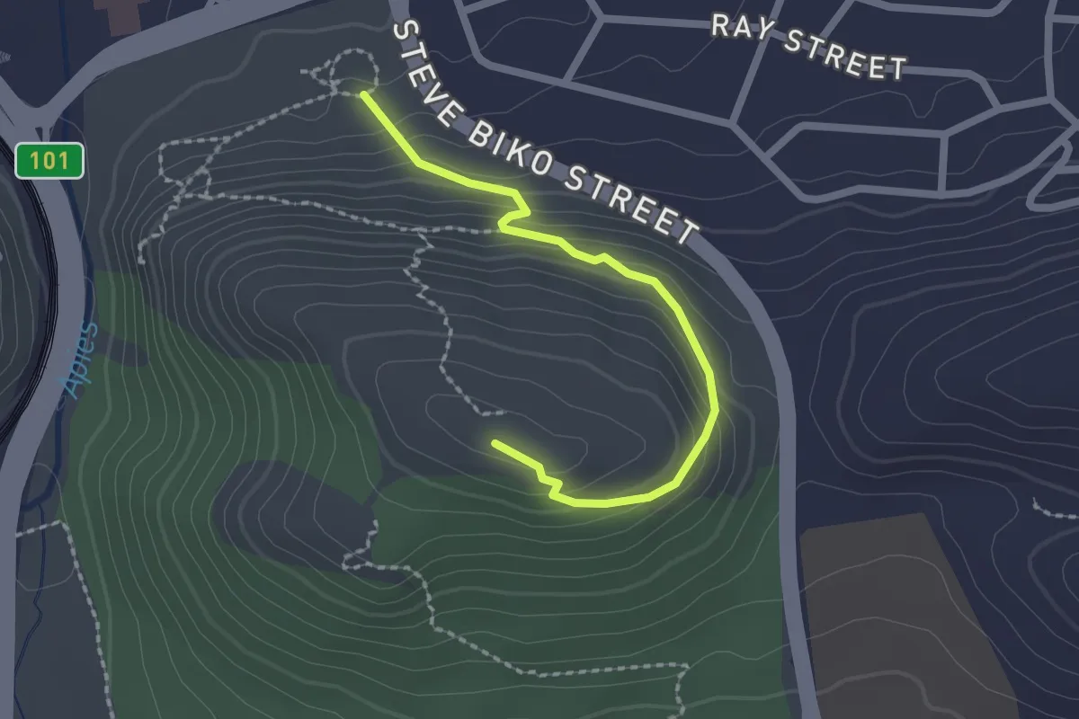
Easy · Trail
Fort Trail
2.7 km · ↑ 159 m · 58 min
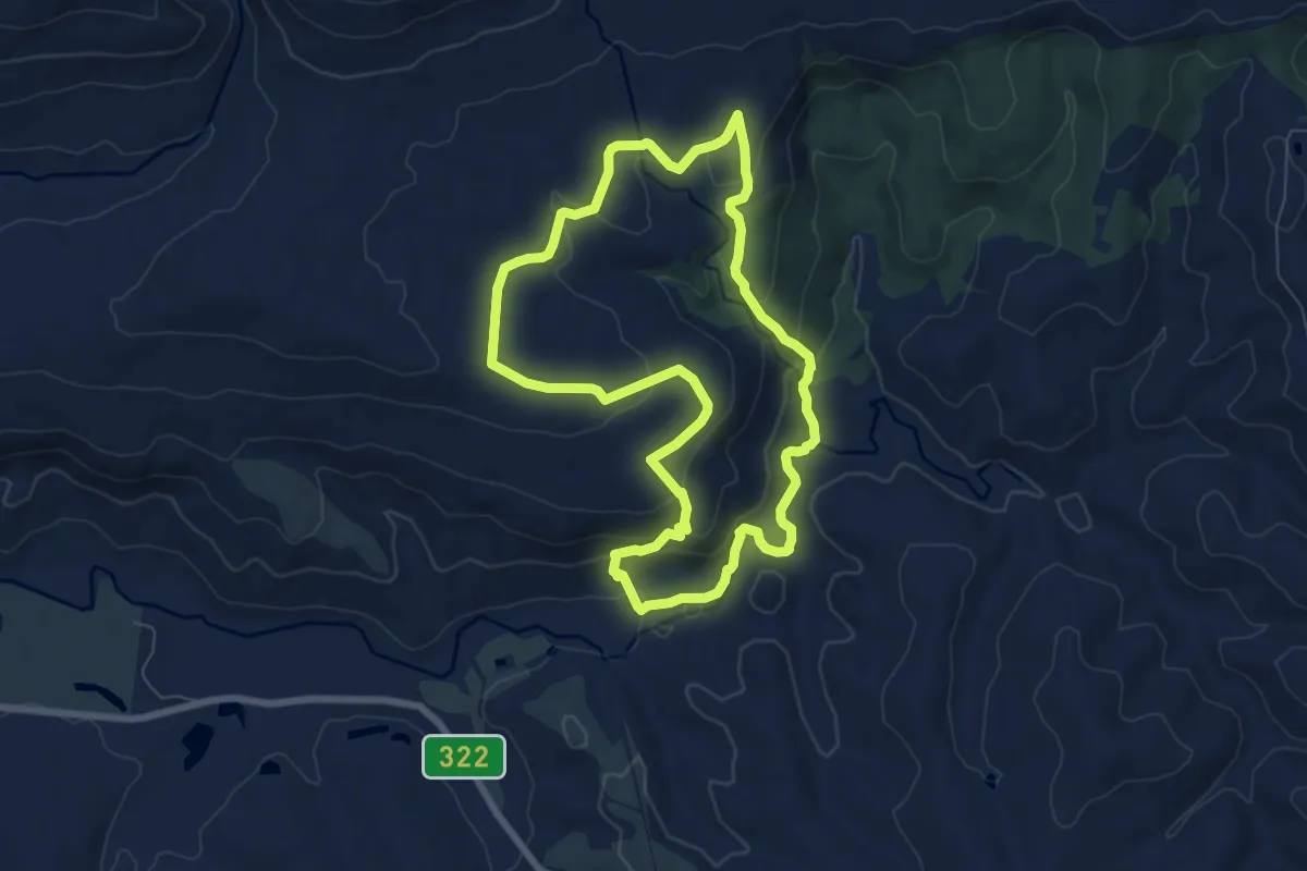
Medium · Trail
Fynbos Trail
8.4 km · ↑ 311 m · 2 h 47 min
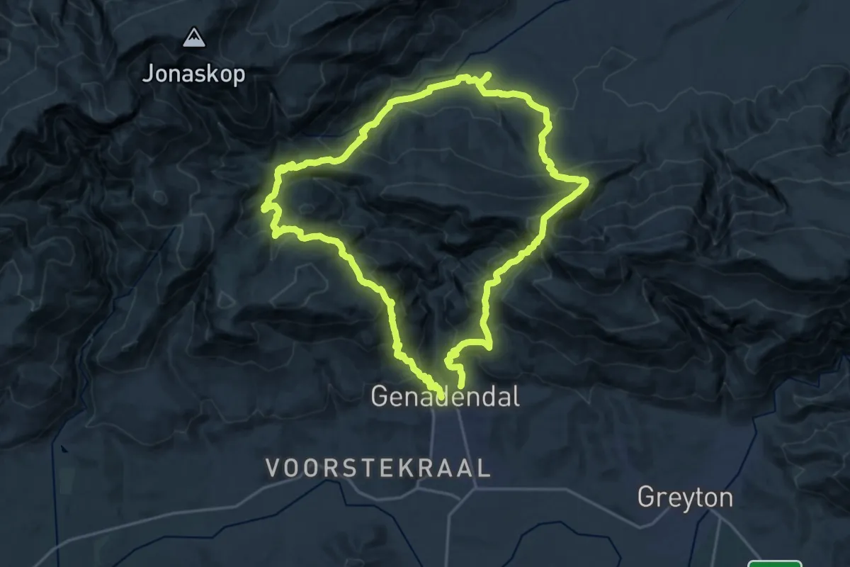
Demanding · Trail
Genadendal Hiking Trail
23.4 km · ↑ 1526 m · 9 h 10 min
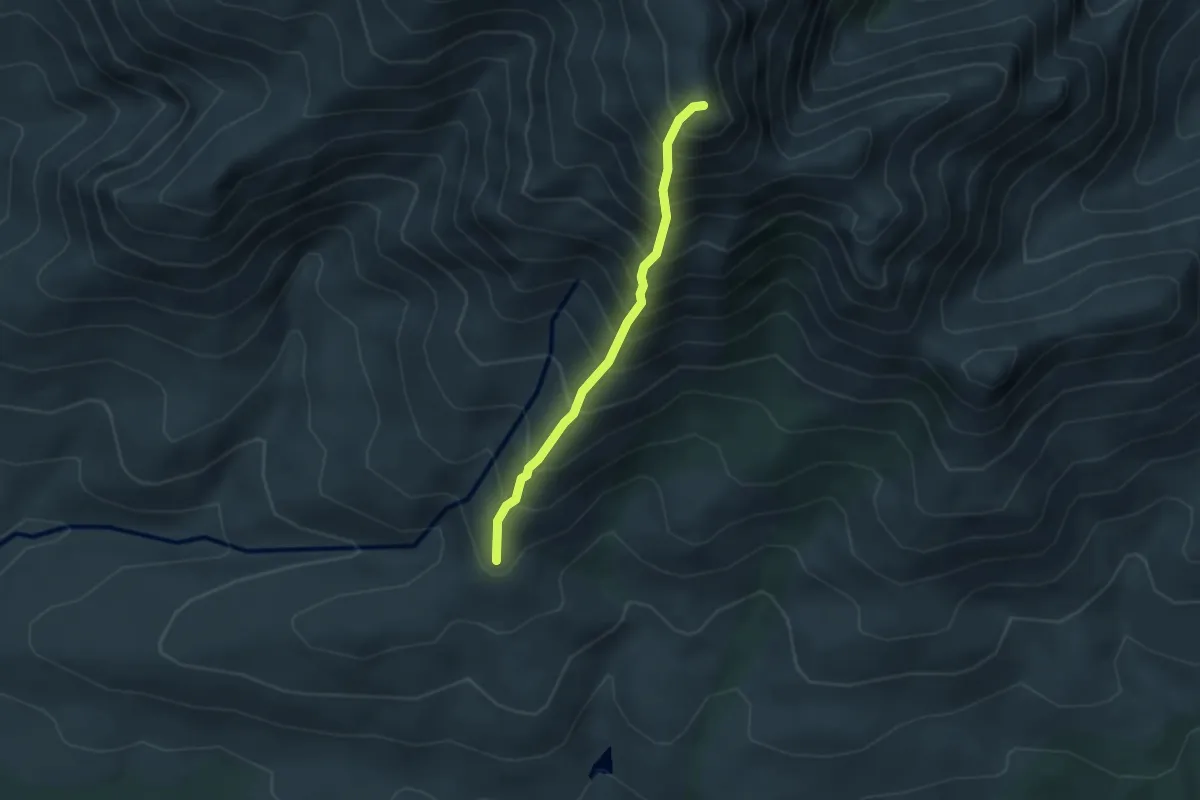
Medium · Summit
George Peak
3.5 km · ↑ 688 m · 2 h 19 min
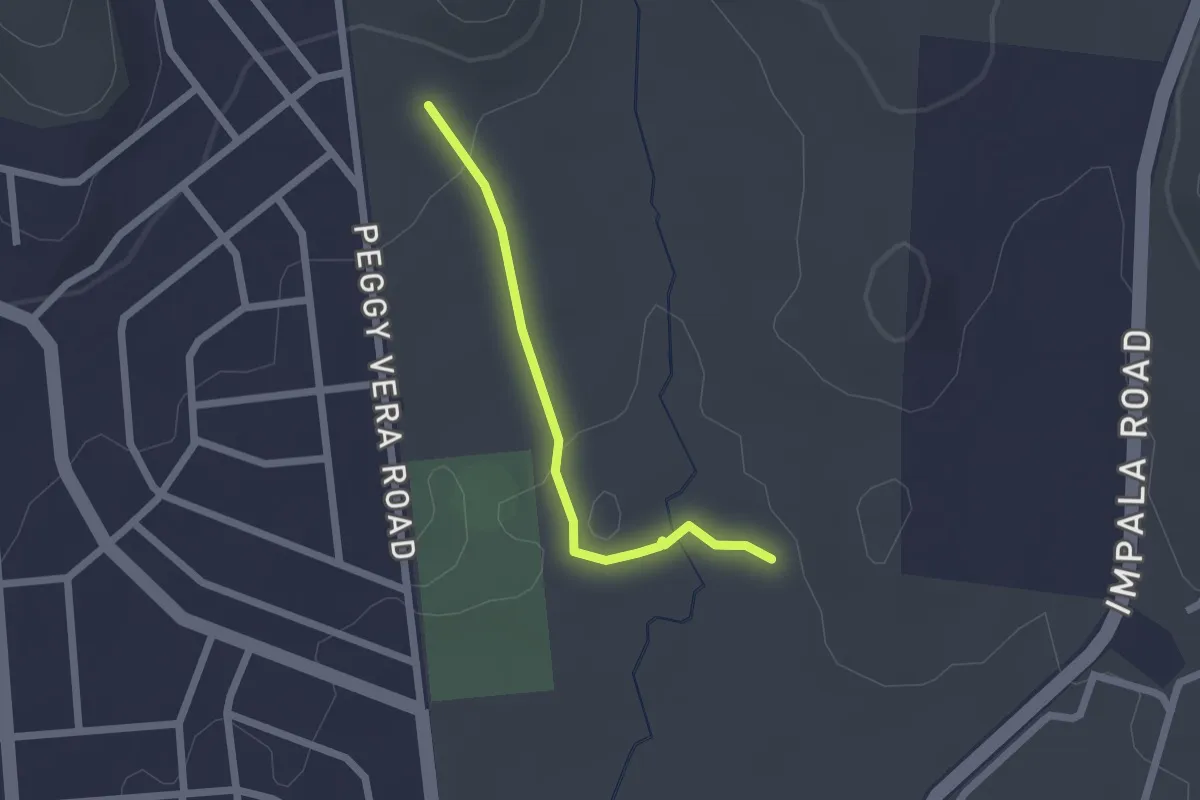
Easy · Trail
Gifbol Trail
2.3 km · ↑ 34 m · 37 min
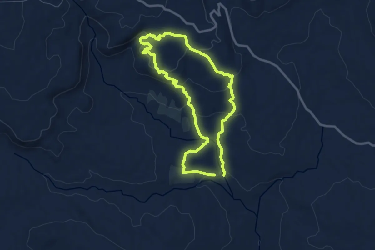
Easy · Trail
Gifboom Trail
7.4 km · ↑ 267 m · 2 h 25 min
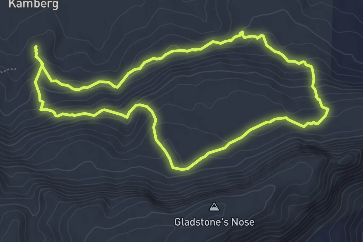
Medium · Trail
Gladstone's Nose Circular Walk
6.9 km · ↑ 300 m · 2 h 22 min