Trails in South Africa
141 hiking trails, each with its route, climb, walking time and grade.
All trails, page 2 of 3
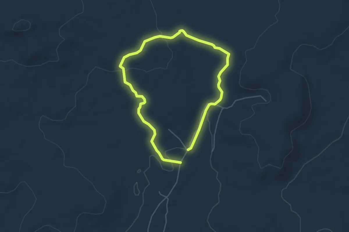
Easy · Trail
Green Route
4.7 km · ↑ 74 m · 1 h 19 min
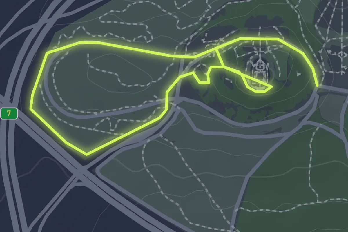
Easy · Trail
Green Route: Gardens and Memorial Walls
4.7 km · ↑ 102 m · 1 h 19 min
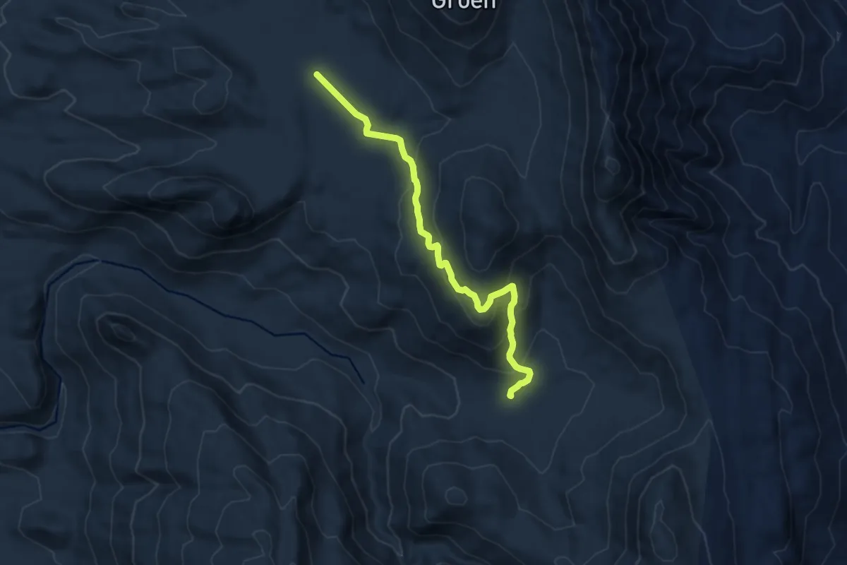
Medium · Cabin
Groot Kliphuis to Perdevlei via Jeep Track
11.1 km · ↑ 516 m · 3 h 44 min
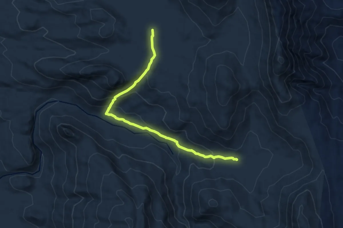
Medium · Cabin
Groot Kliphuis to Perdevlei via River
12.6 km · ↑ 553 m · 4 h 11 min
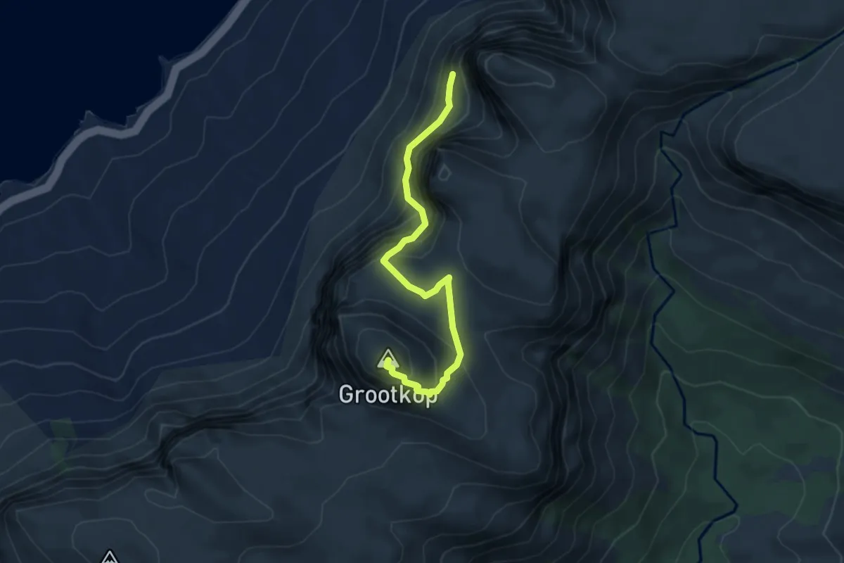
Demanding · Summit
Grootkop Route
5.0 km · ↑ 536 m · 2 h 20 min
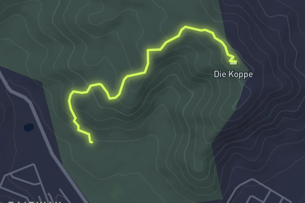
Easy · Summit
Grysbokkie Trail
4.1 km · ↑ 176 m · 1 h 21 min
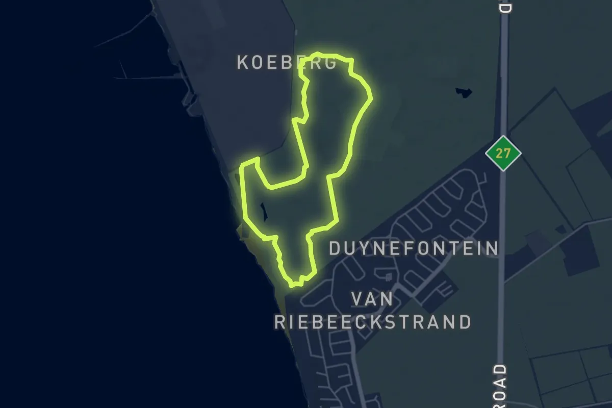
Easy · Trail
Grysbok Trail 2
5.3 km · ↑ 22 m · 1 h 23 min
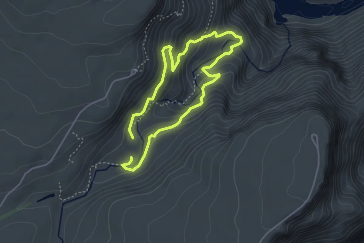
Medium · Trail
Guinea-fowl trail
3.6 km · ↑ 214 m · 1 h 22 min
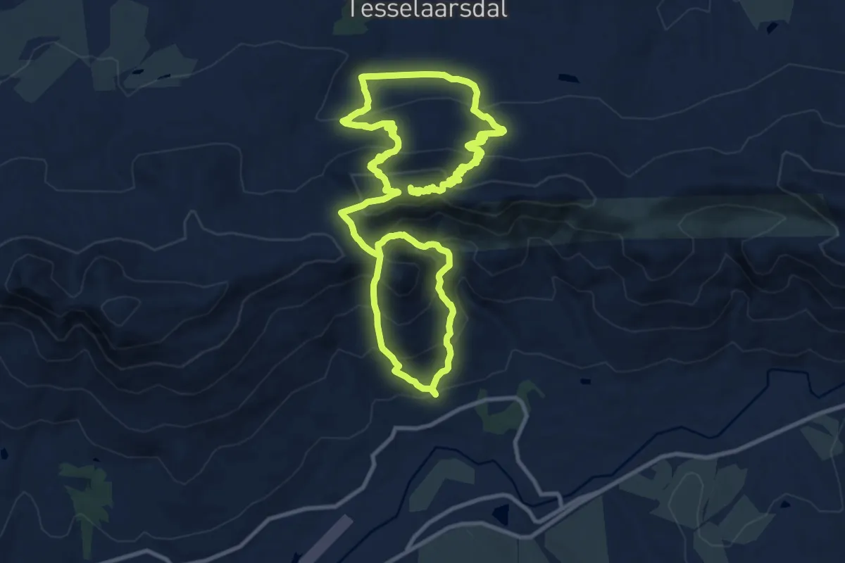
Demanding · Summit
Haarkapper Hiking Trail
22.7 km · ↑ 1446 m · 8 h 30 min
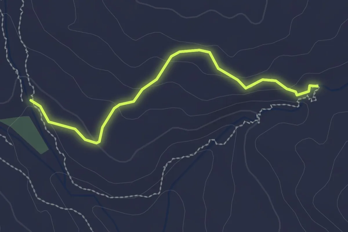
Easy · Trail
Hamerkop Route
2.9 km · ↑ 64 m · 50 min
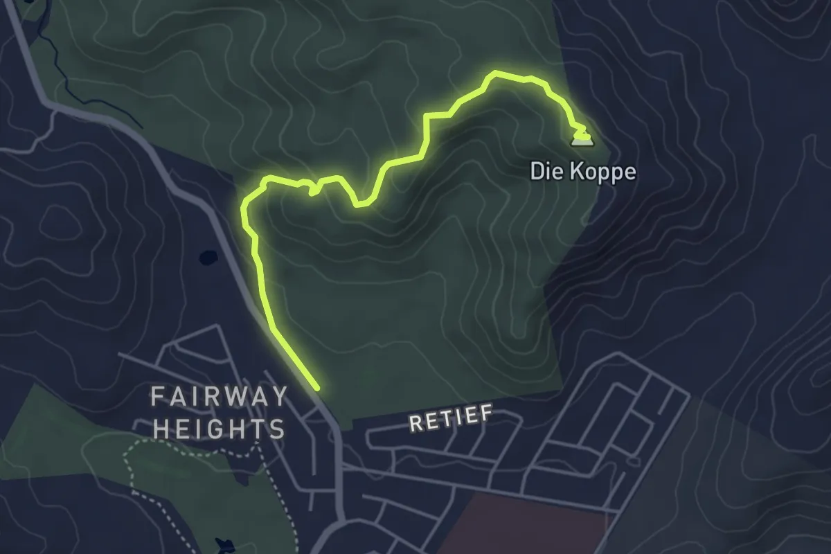
Easy · Summit
Heuweltjie Trail
5.2 km · ↑ 211 m · 1 h 41 min
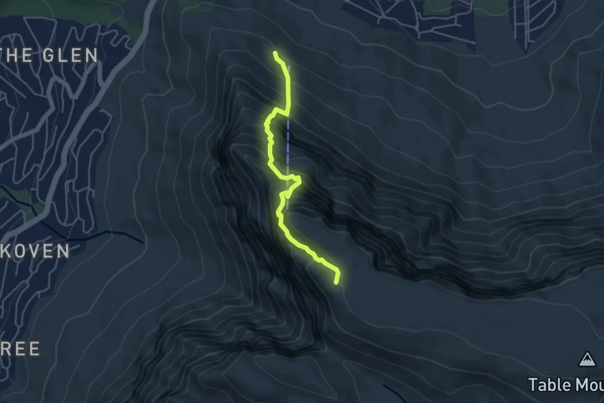
Expert · Summit
India Venster
4.6 km · ↑ 871 m · 2 h 59 min
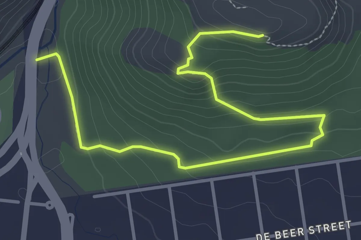
Easy · Trail
Joos Becker Guided Trail
5.0 km · ↑ 204 m · 1 h 37 min
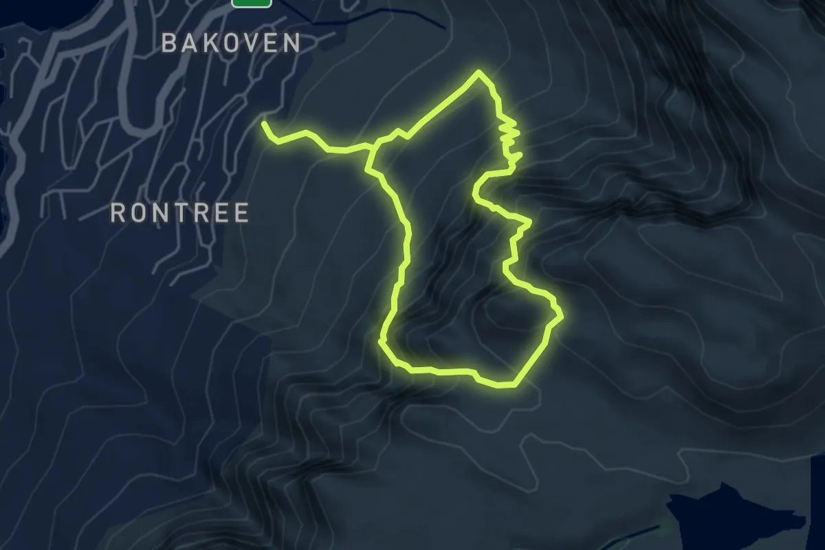
Demanding · Trail
Kasteelpoort - Diagonal Route Trail (with Diving Board excursion)
4.6 km · ↑ 715 m · 2 h 39 min
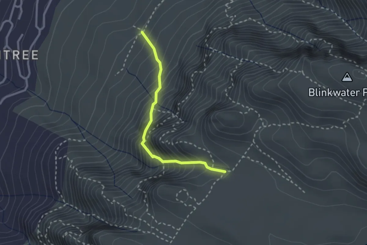
Medium · Trail
Kasteelspoort
2.6 km · ↑ 453 m · 1 h 35 min
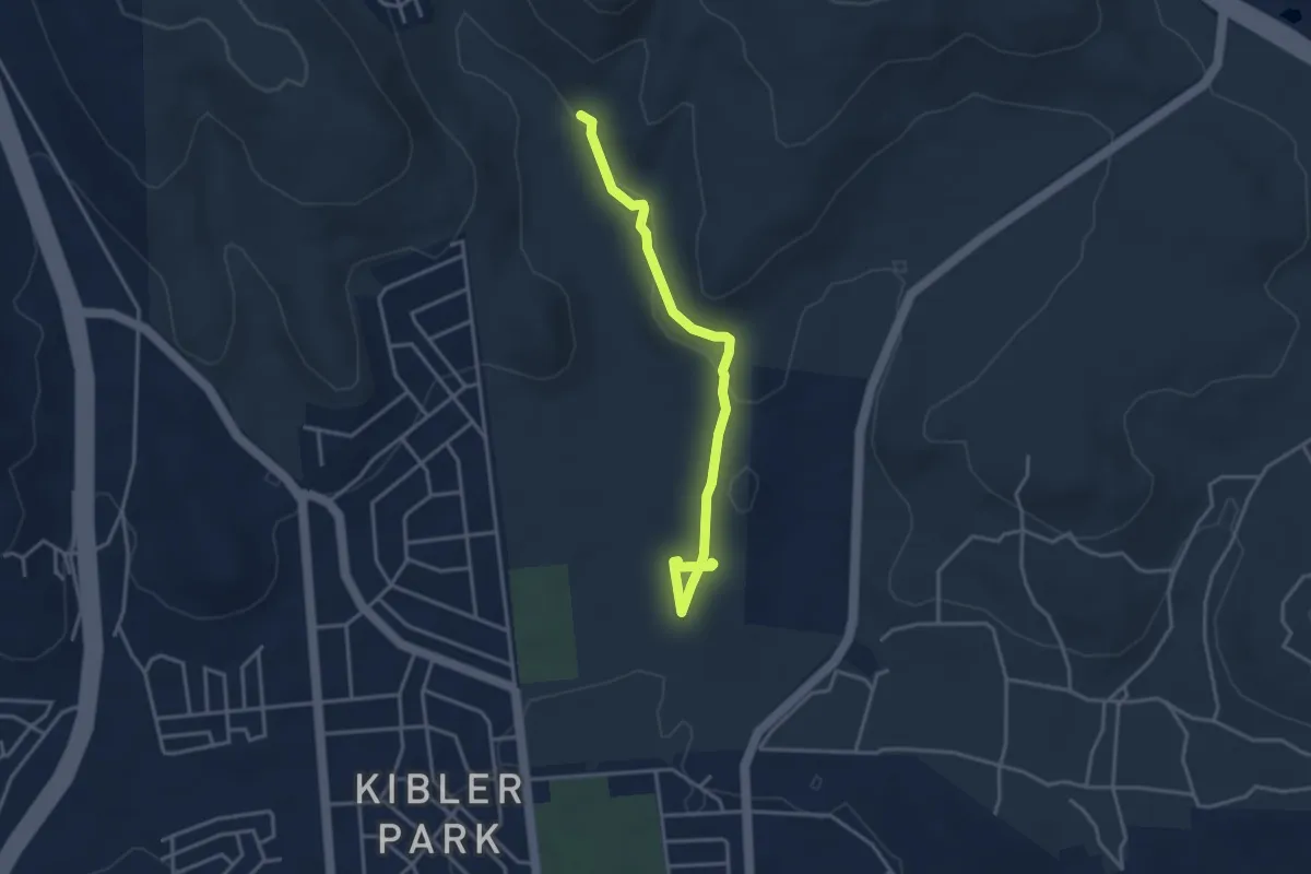
Easy · Trail
Kiepersol Trail
4.8 km · ↑ 108 m · 1 h 22 min
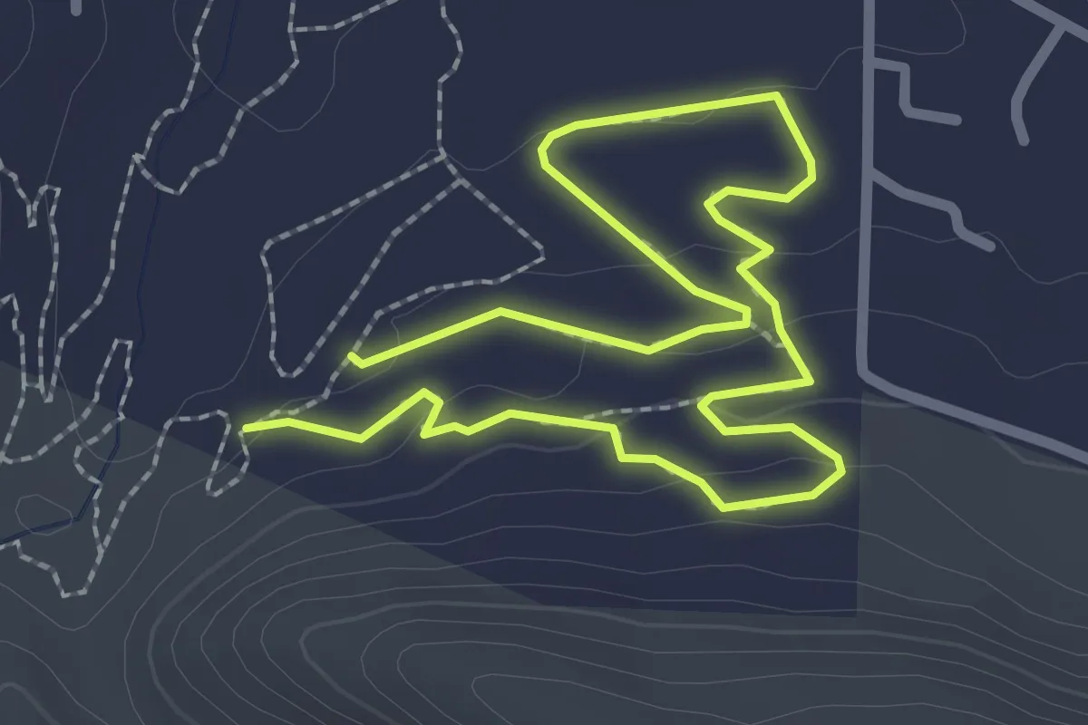
Easy · Trail
Kings Kloof Hiking Trail
2.5 km · ↑ 54 m · 45 min
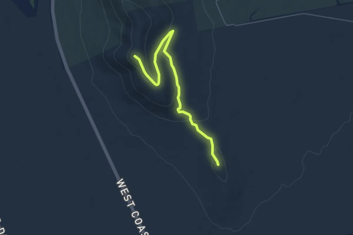
Easy · Summit
Kleinberg Trail
5.9 km · ↑ 165 m · 1 h 45 min
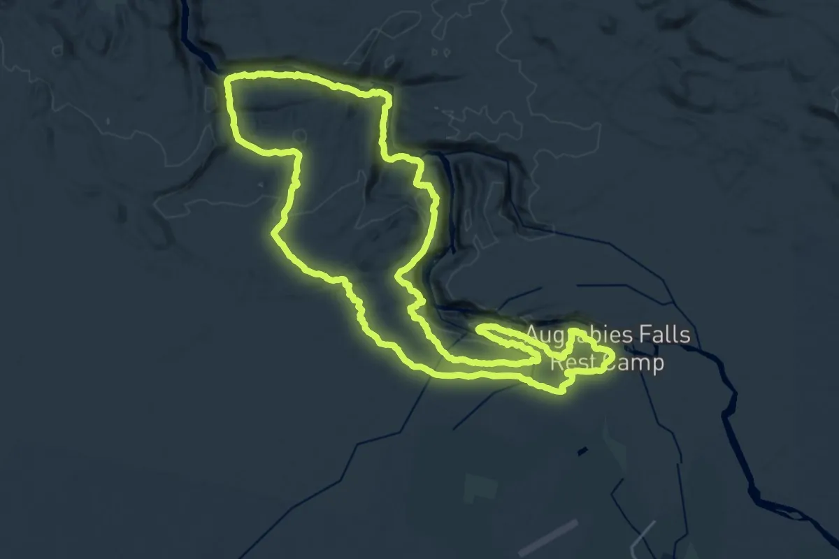
Demanding · Trail
Klipspringer Hiking Trail
32.1 km · ↑ 537 m · 9 h 11 min
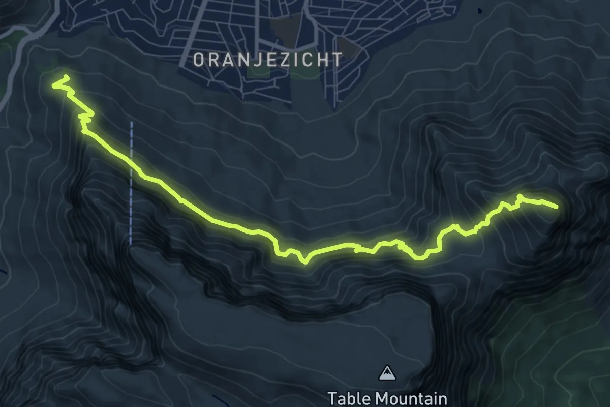
Demanding · Summit
Kloof Corner to Devils Peak Trail
11.9 km · ↑ 1131 m · 5 h 16 min
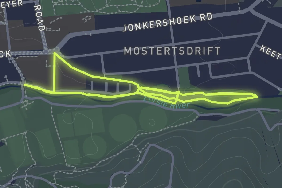
Medium · Trail
Koloniesland Trail
8.2 km · ↑ 36 m · 2 h 1 min
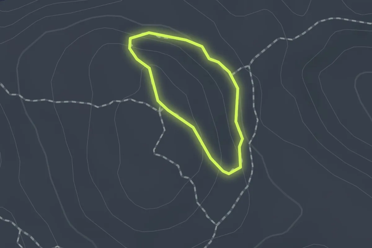
Easy · Trail
Legae Loop
1.0 km · ↑ 30 m · 19 min
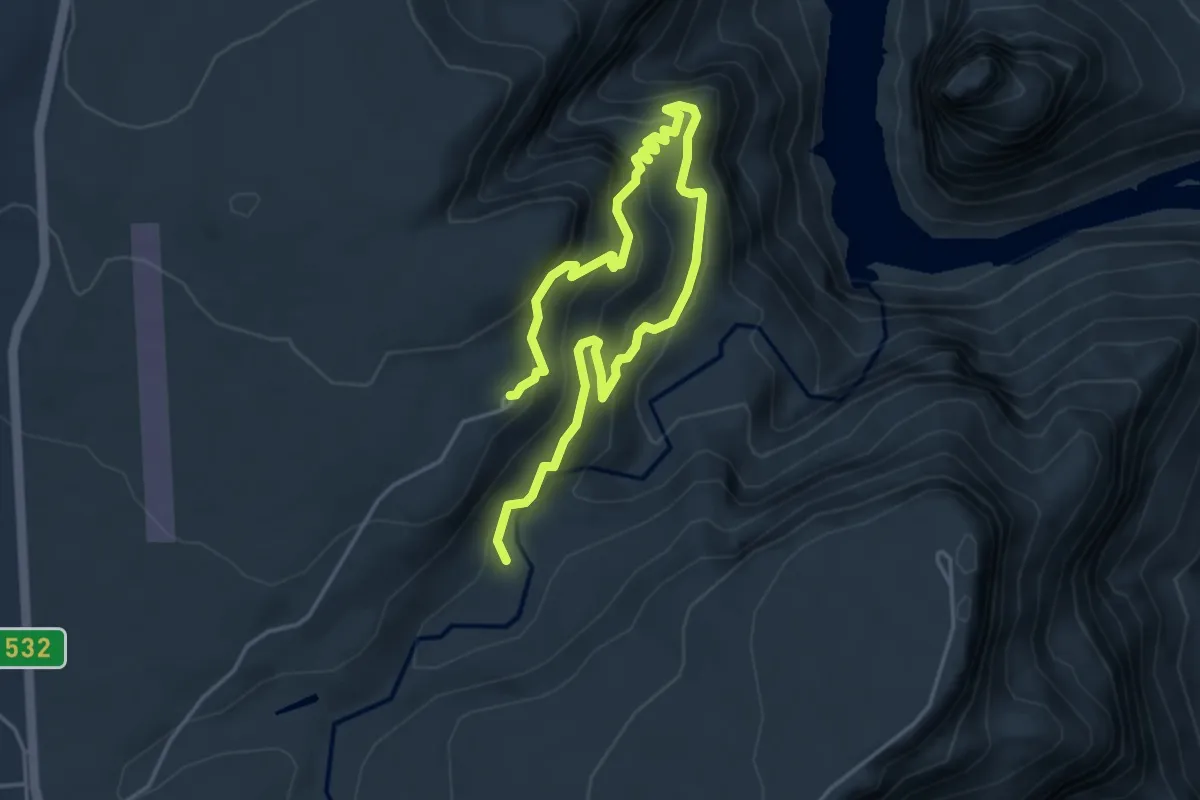
Medium · Trail
Leopard Trail
7.8 km · ↑ 565 m · 3 h 4 min
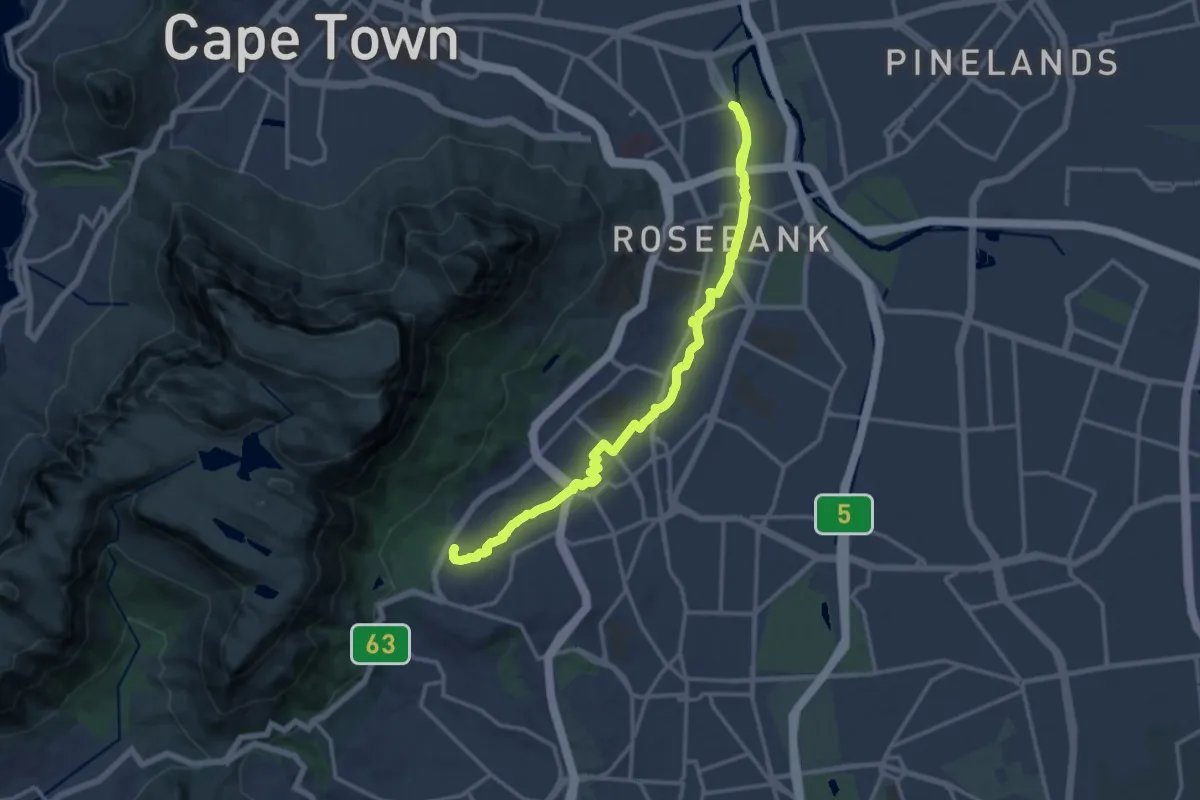
Demanding · Trail
Liesbeek River Urban Walk
18.9 km · ↑ 125 m · 4 h 44 min
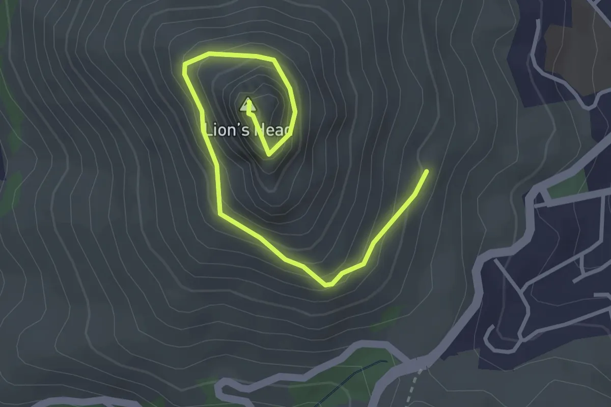
Medium · Summit
Lion's Head Summit
4.2 km · ↑ 358 m · 1 h 46 min
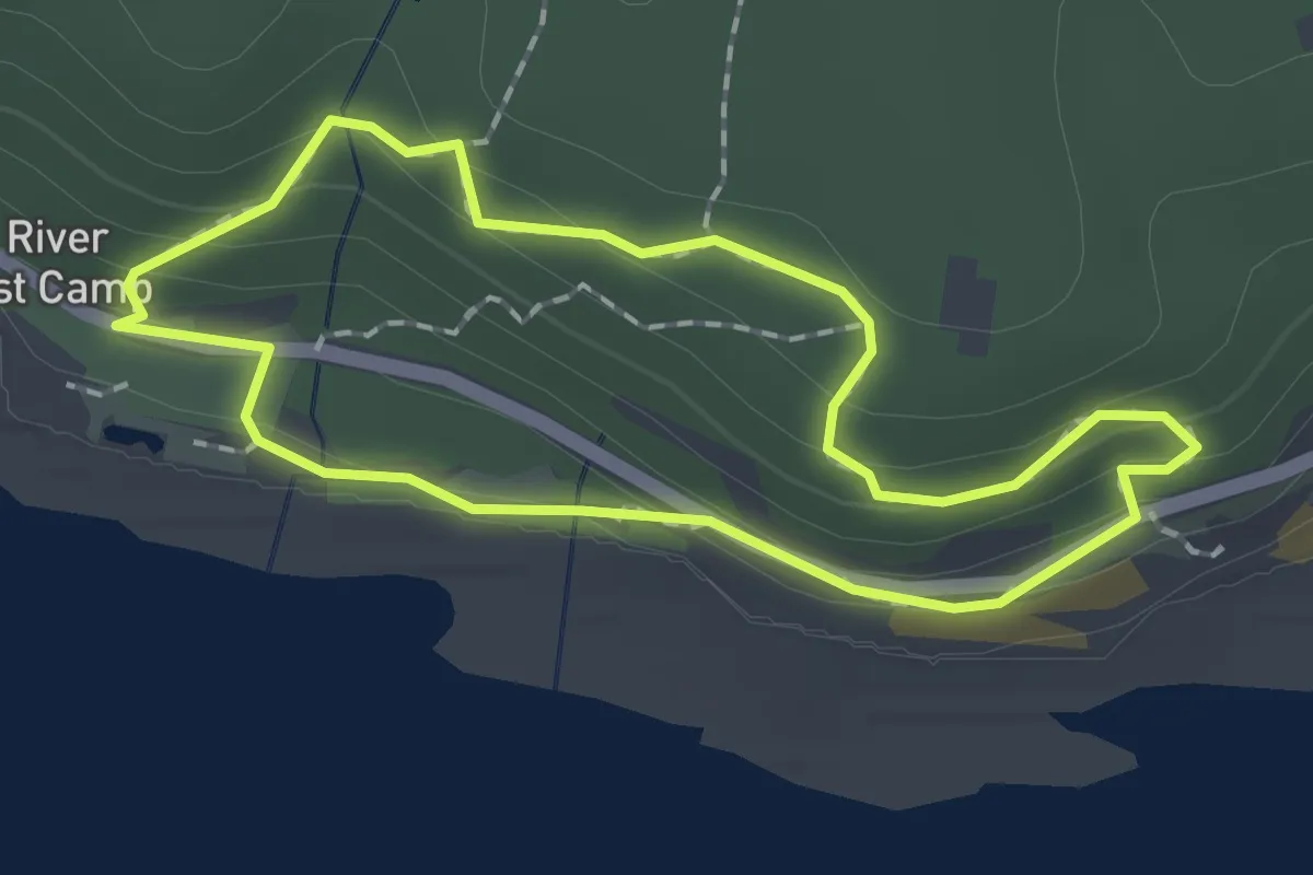
Easy · Trail
Loerie Trail
1.9 km · ↑ 77 m · 38 min
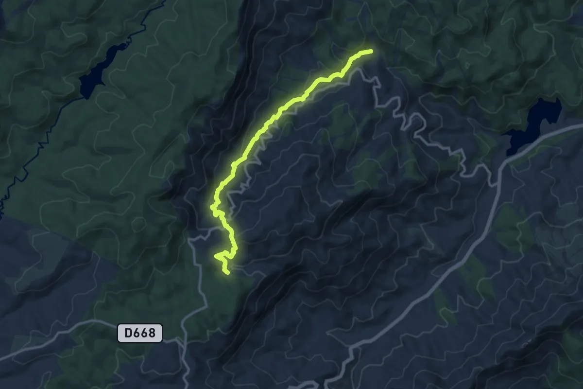
Medium · Cabin
Magoebaskloof Hiking Trail Route 1
14.1 km · ↑ 632 m · 4 h 42 min
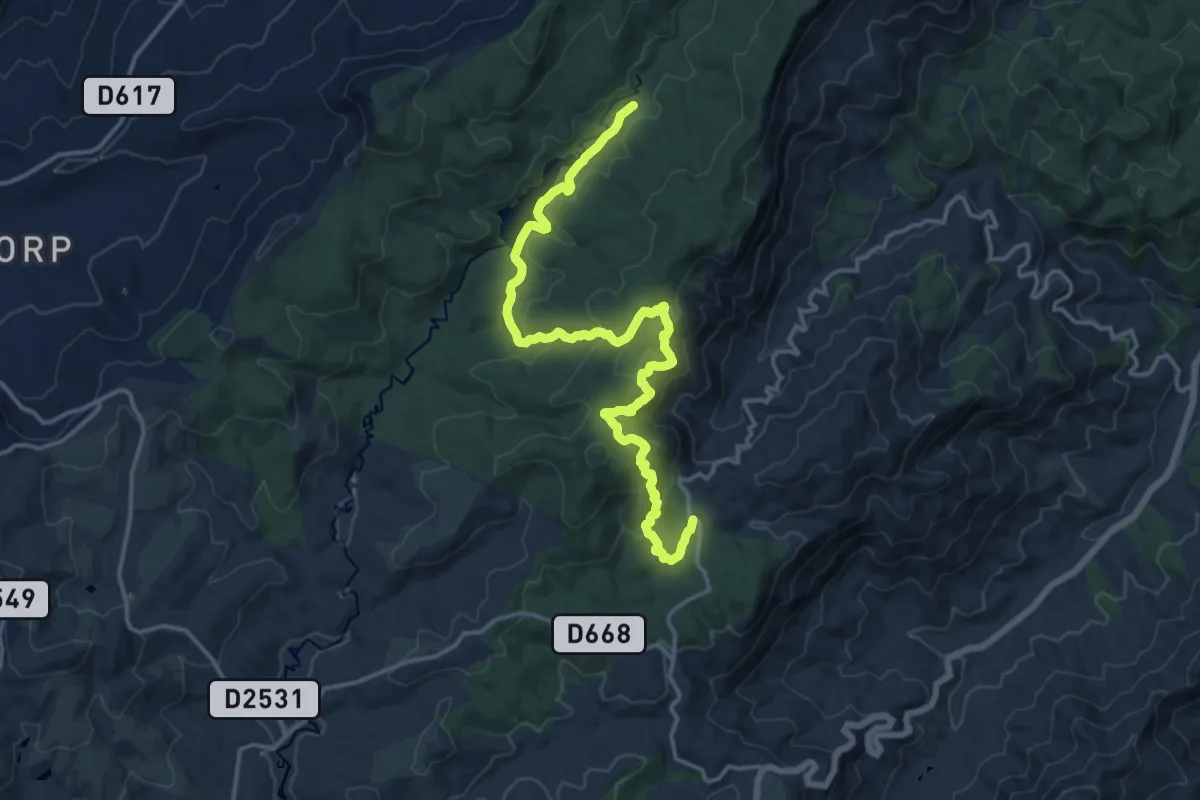
Demanding · Cabin
Magoebaskloof Hiking Trail Route 2
22.2 km · ↑ 895 m · 7 h 10 min
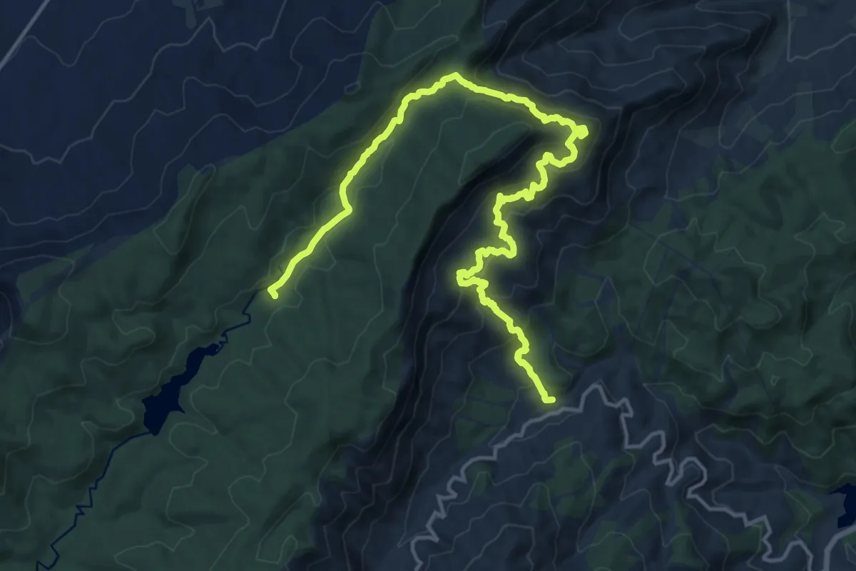
Demanding · Cabin
Magoebaskloof Hiking Trail Route 3
12.2 km · ↑ 845 m · 4 h 40 min
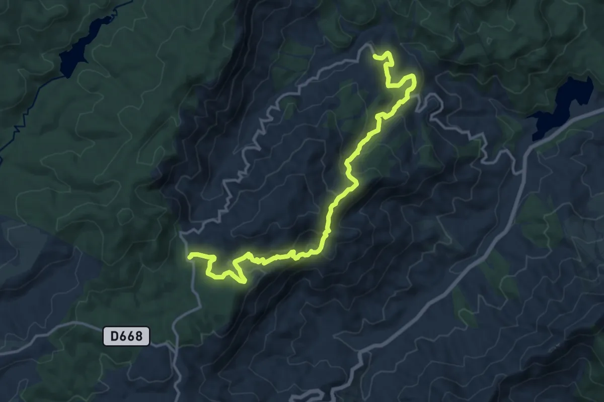
Demanding · Cabin
Magoebaskloof Hiking Trail route 4
19.1 km · ↑ 1093 m · 6 h 53 min
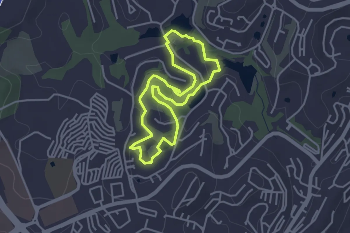
Easy · Trail
Mannie's Farm Trail
3.6 km · ↑ 77 m · 1 h 4 min
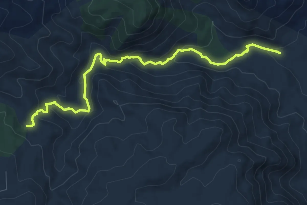
Medium · Trail
Matumi Lane Trail
10.9 km · ↑ 401 m · 3 h 27 min
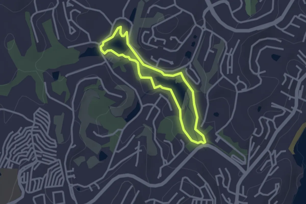
Easy · Trail
Mfuleni Trail
2.7 km · ↑ 37 m · 44 min
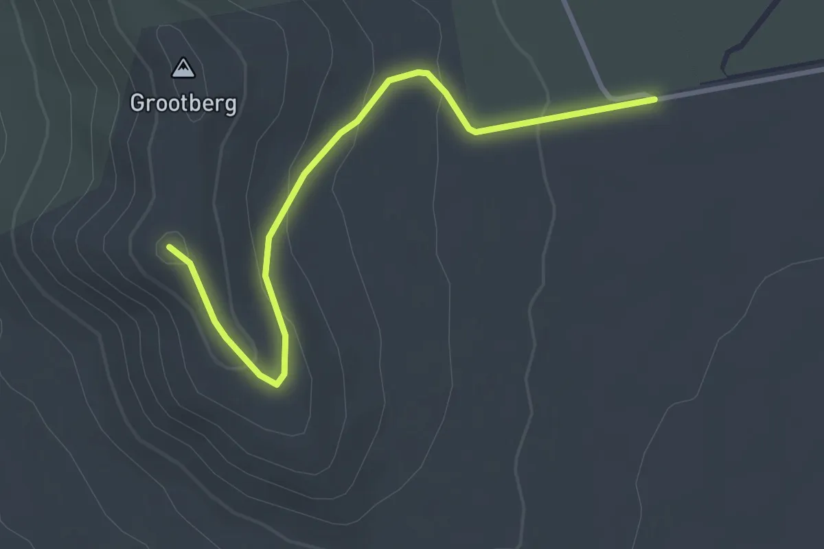
Easy · Trail
Military Road Trail
3.9 km · ↑ 130 m · 1 h 12 min
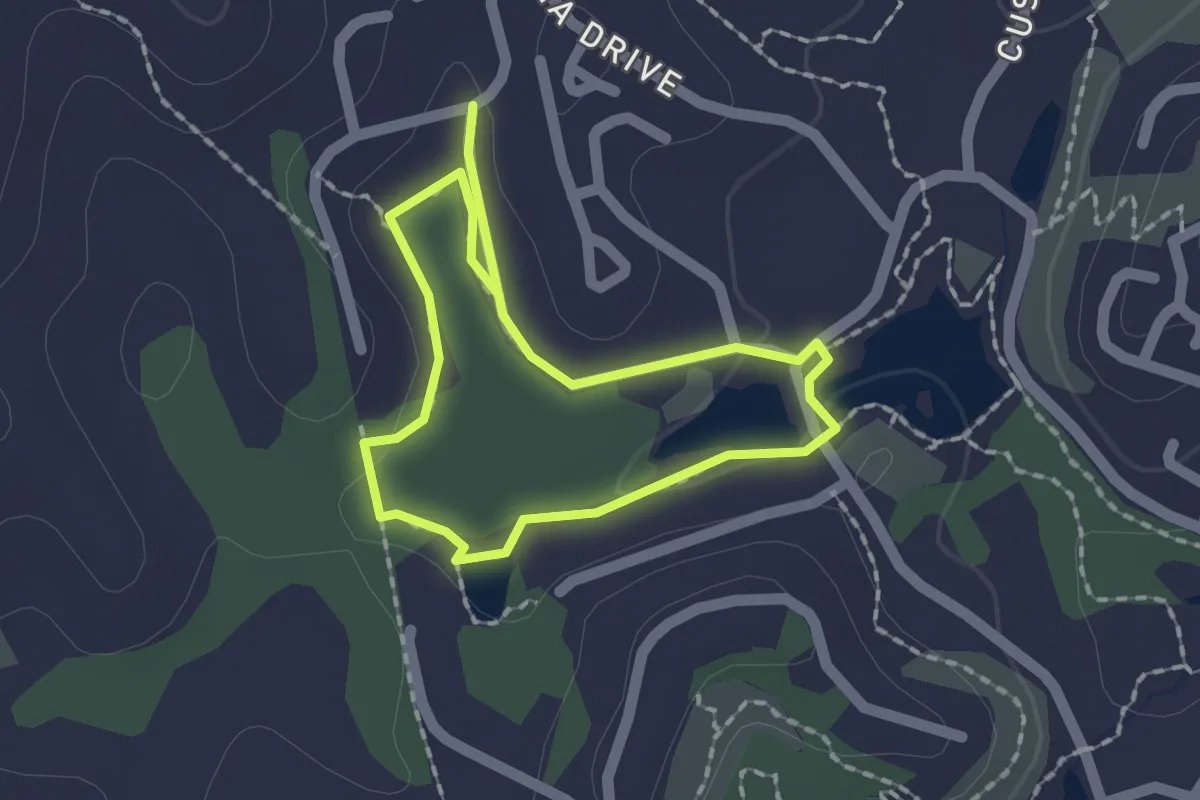
Easy · Trail
Mngeni Trail
3.6 km · ↑ 52 m · 57 min
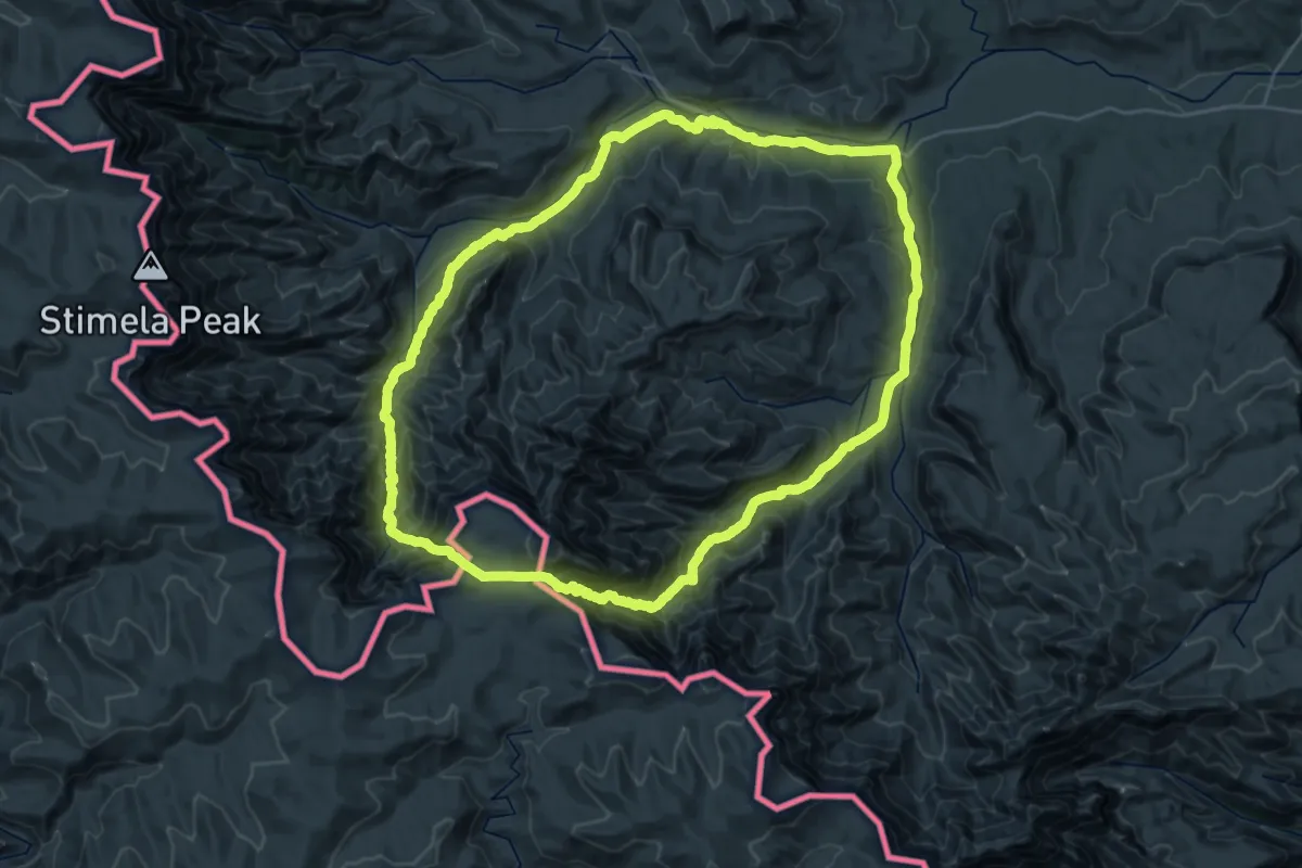
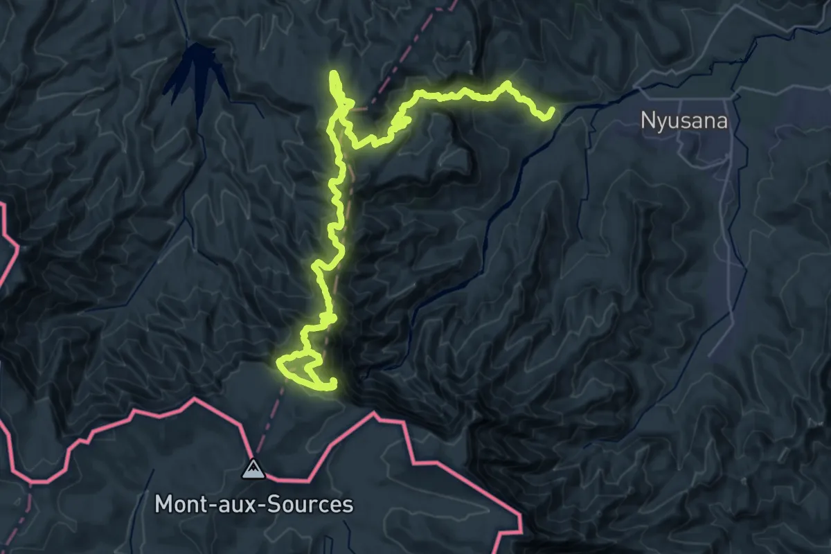
Demanding · Trail
Mnweni Marathon
36.1 km · ↑ 1977 m · 13 h 18 min
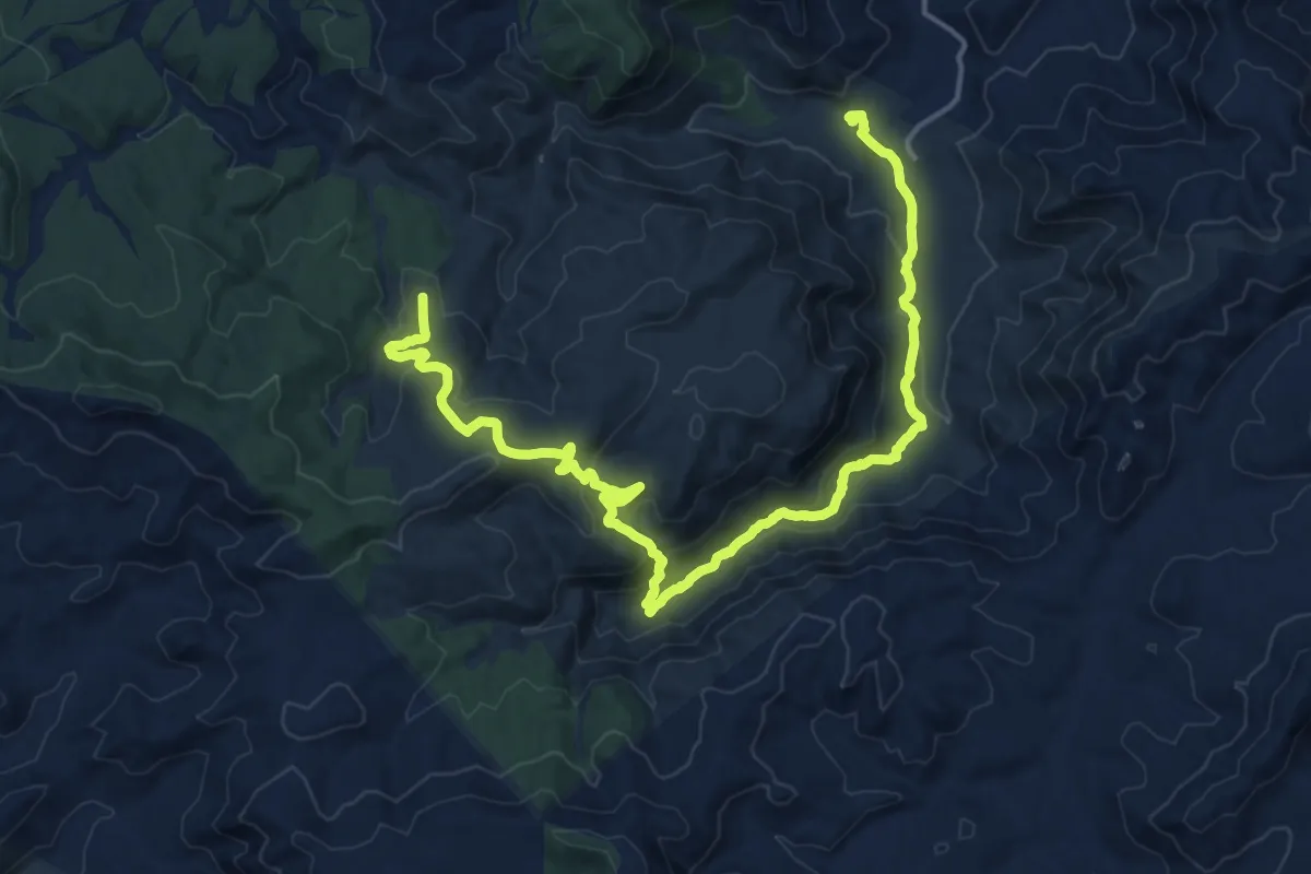
Demanding · Summit
Mont-aux-Sources Challenge
26.5 km · ↑ 2297 m · 10 h 48 min
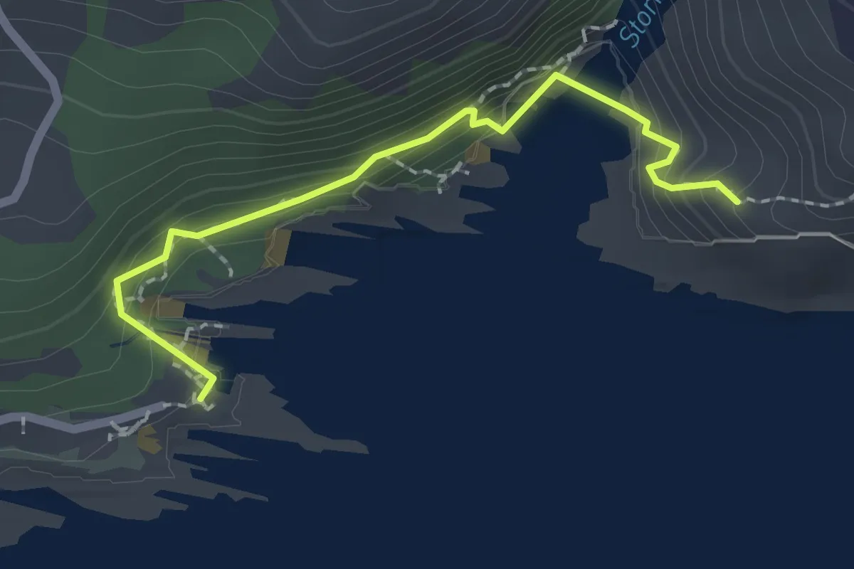
Medium · Trail
Montrose Trail
13.1 km · ↑ 264 m · 4 h 2 min
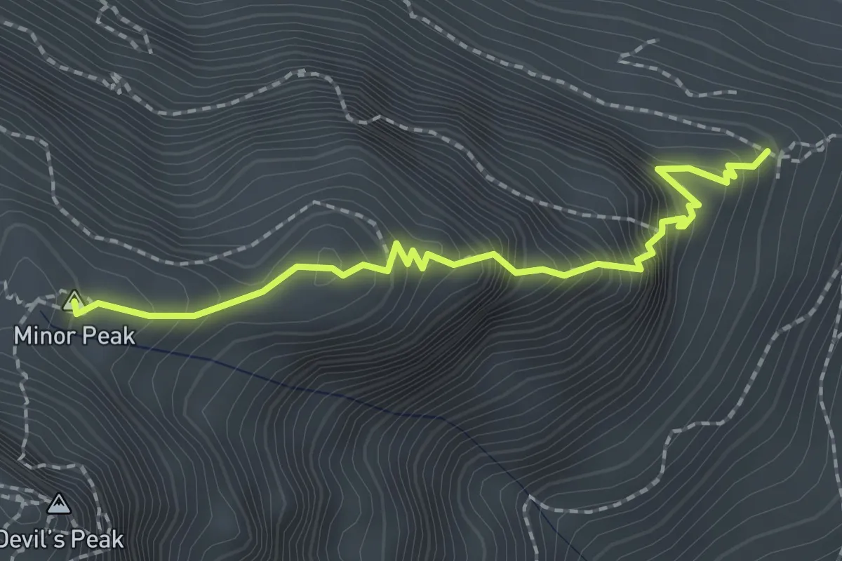
Easy · Trail
Mouth Trail
2.4 km · ↑ 198 m · 1 h
Medium · Summit
Mowbray Ridge
2.5 km · ↑ 382 m · 1 h 25 min
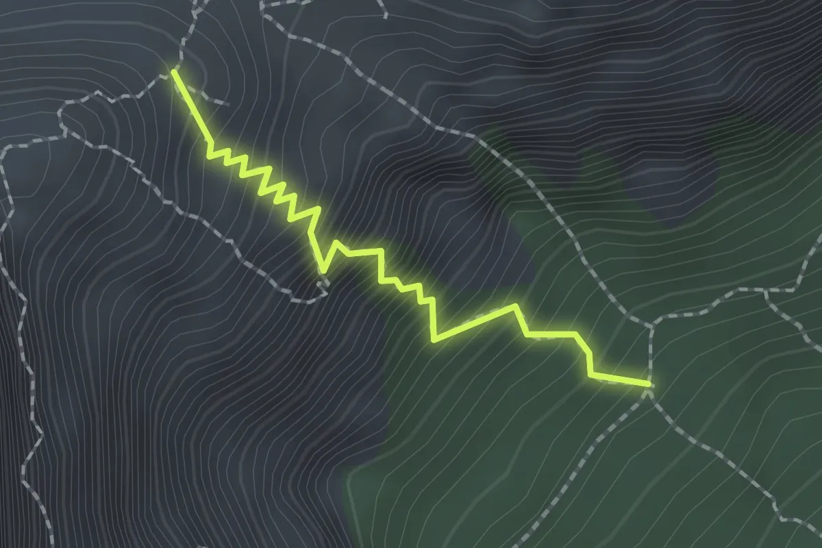
Medium · Trail
Newlands Ravine
2.1 km · ↑ 404 m · 1 h 22 min
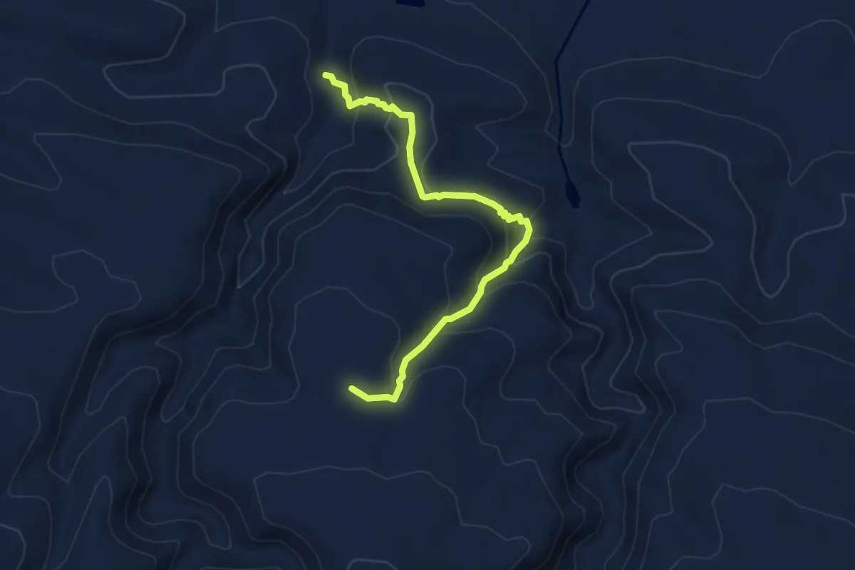
Medium · Trail
Nieshout Trail
6.0 km · ↑ 414 m · 2 h 19 min
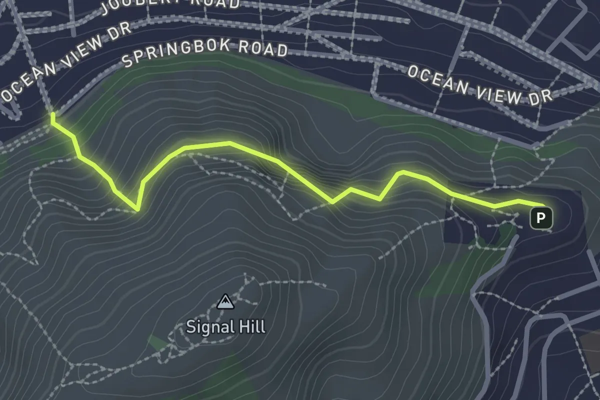
Easy · Trail
Noon Gun - Glengariff Road
1.4 km · ↑ 103 m · 37 min
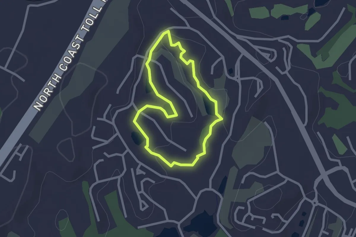
Easy · Trail
Nsimbi Trail
2.4 km · ↑ 33 m · 40 min
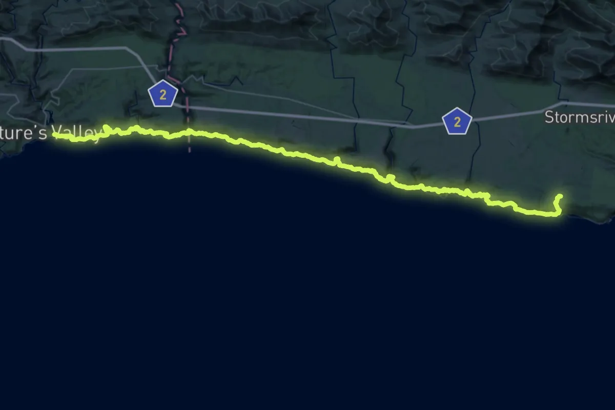
Demanding · Trail
Otter Trail
36.6 km · ↑ 2134 m · 13 h 53 min
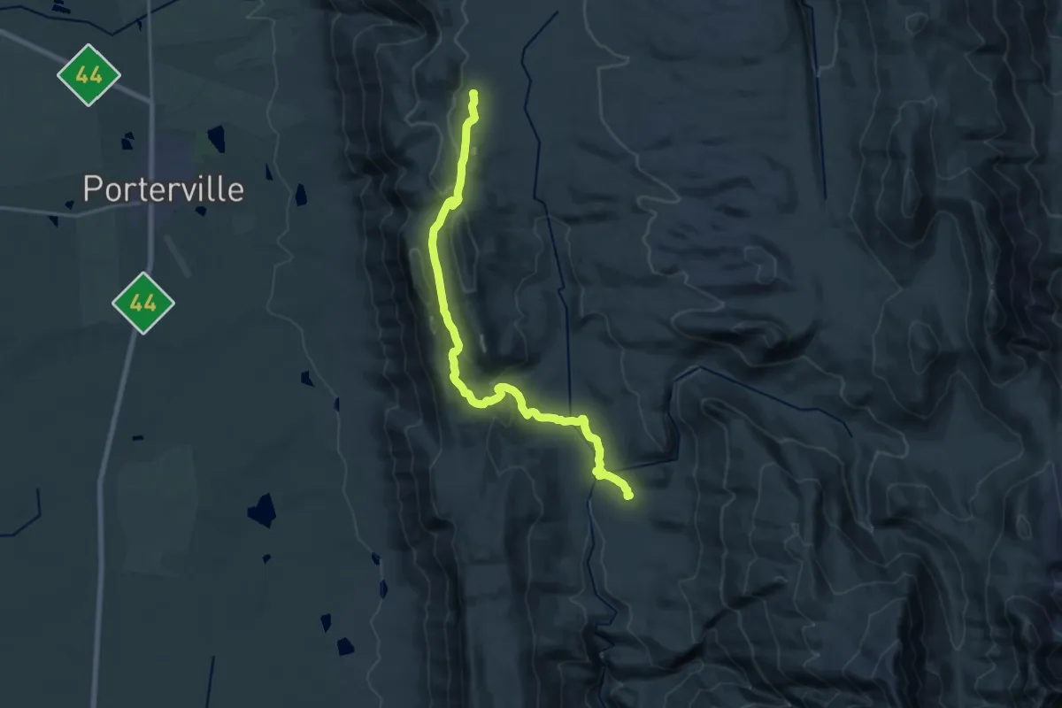
Demanding · Cabin
Parking Area to De Tronk via Jeep Track
23.5 km · ↑ 664 m · 6 h 59 min
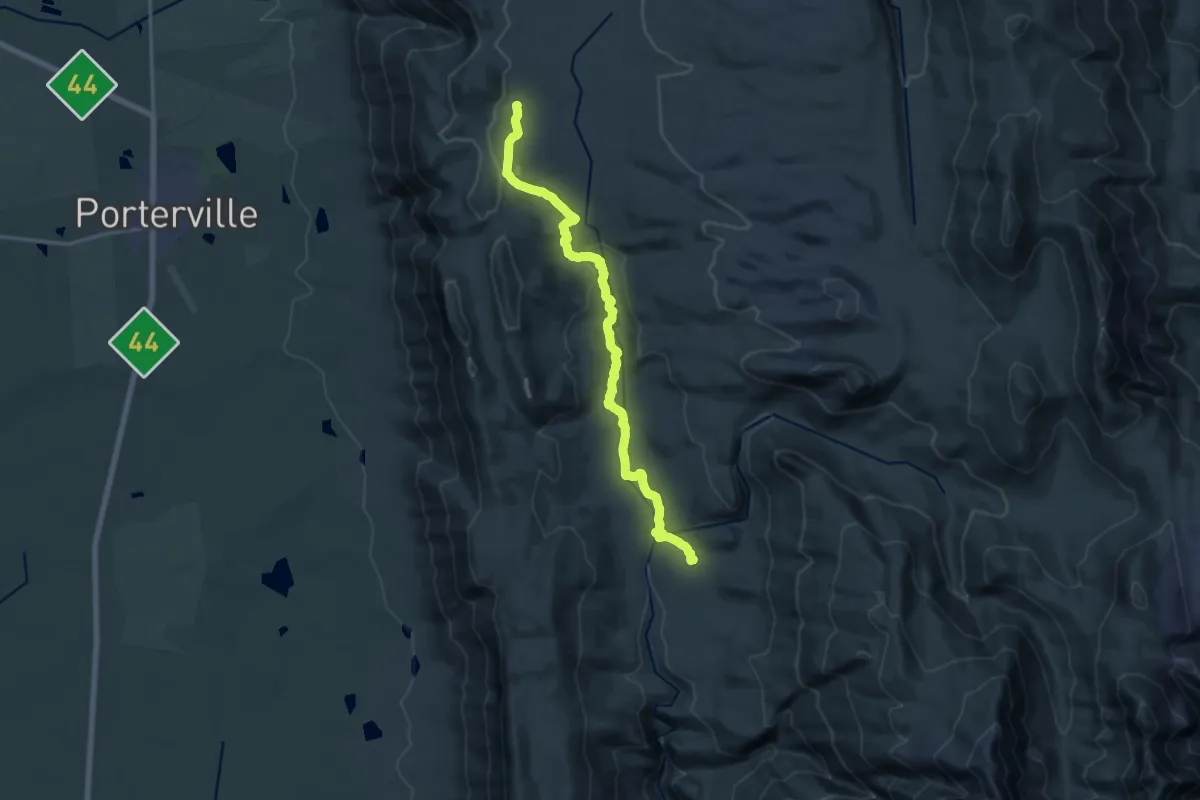
Demanding · Cabin
Parking Area to De Tronk via River
21.6 km · ↑ 549 m · 6 h 18 min
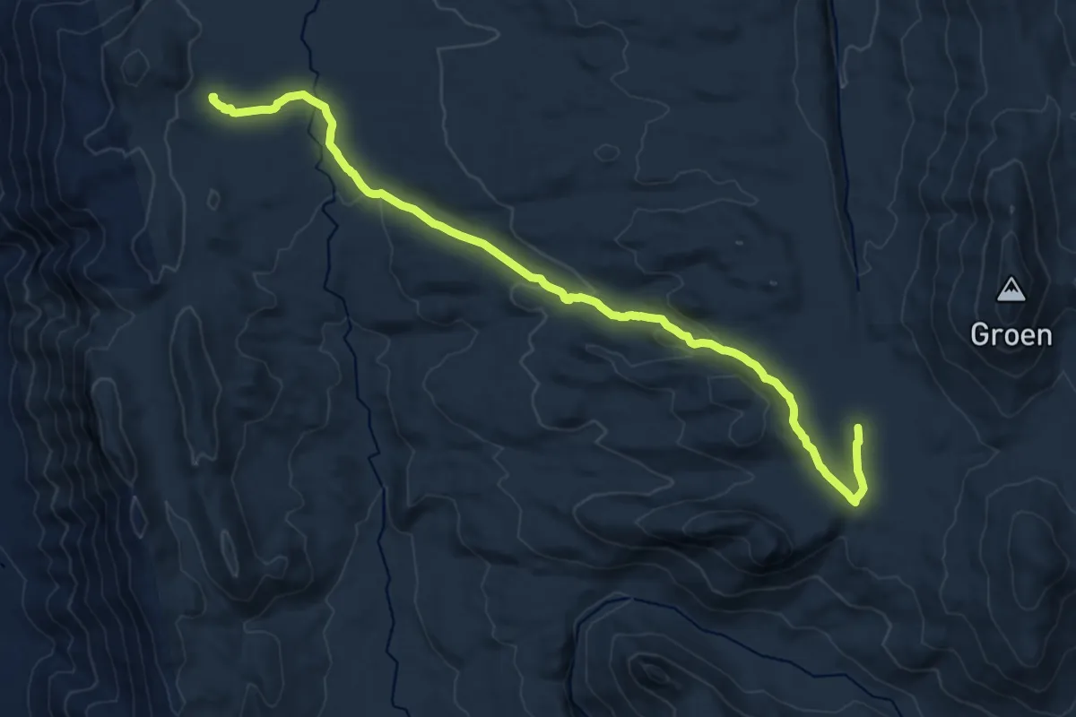
Demanding · Trail
Parking Area to Groot Kliphuis via River
19.6 km · ↑ 456 m · 5 h 36 min