Trails in South Africa
141 hiking trails, each with its route, climb, walking time and grade.
All trails, page 3 of 3
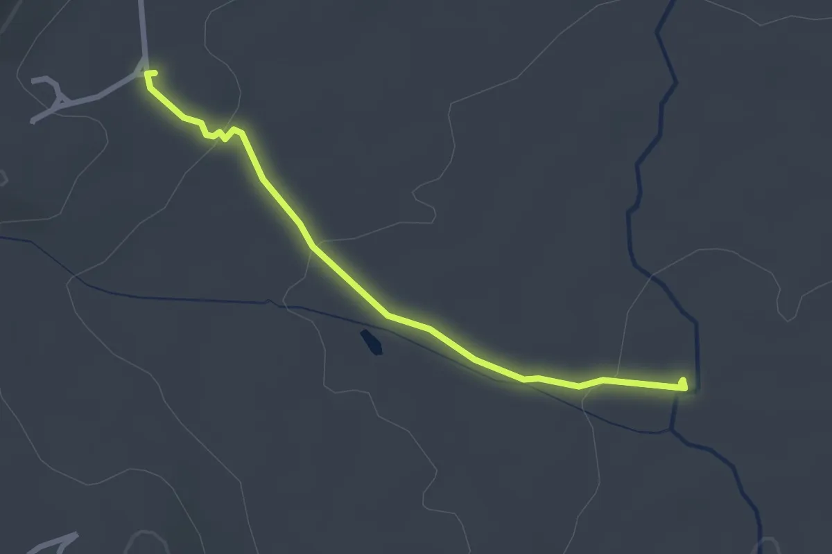
Easy · Trail
Parking Area to Protea Pool
2.9 km · ↑ 50 m · 48 min
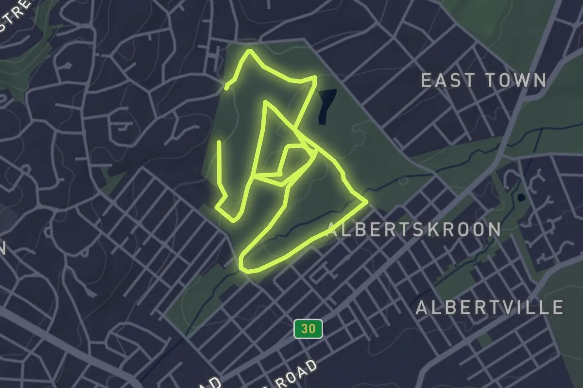
Medium · Trail
Parkrun Albertsfarm
9.9 km · ↑ 194 m · 2 h 45 min
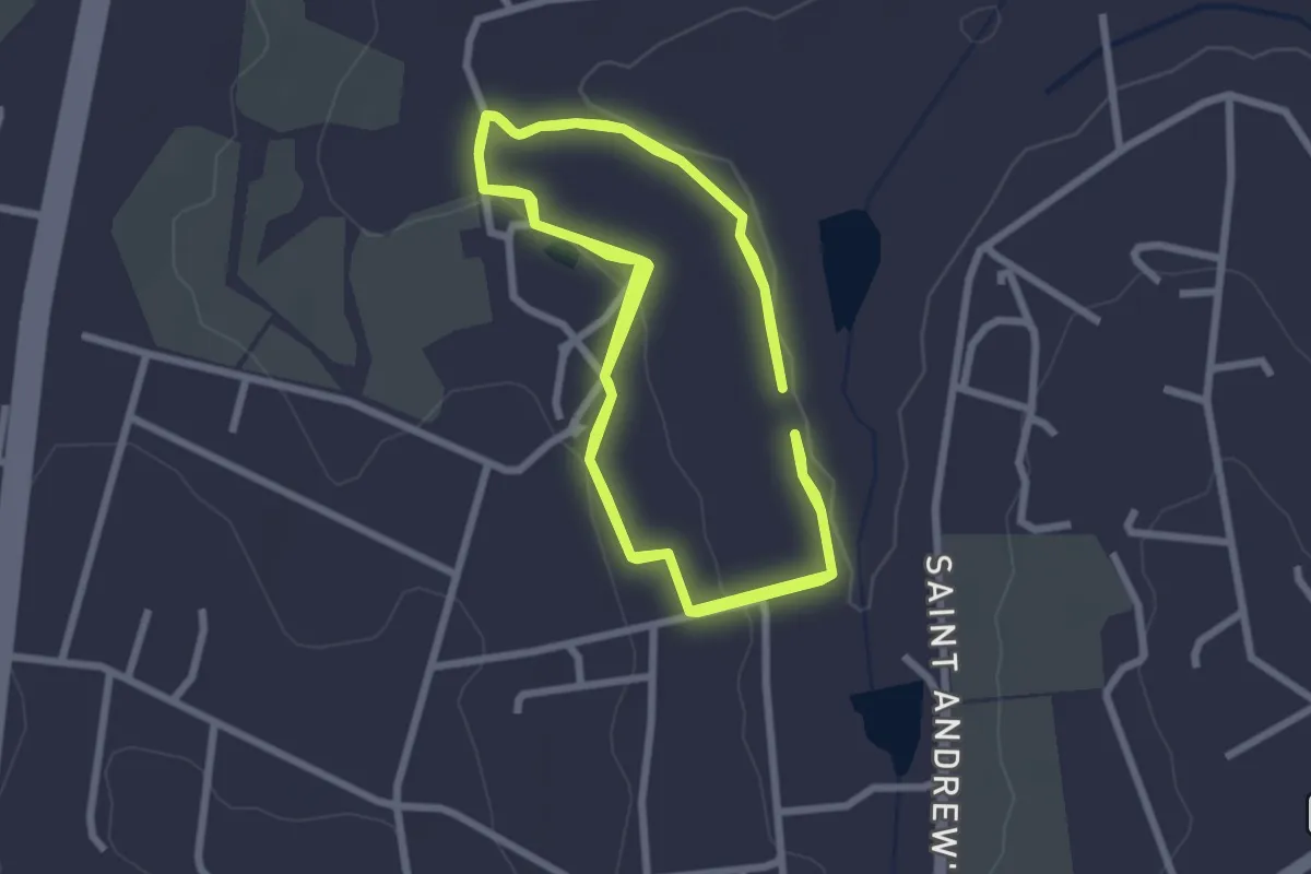
Medium · Trail
Parkrun Whiteriver
10.4 km · ↑ 147 m · 2 h 47 min
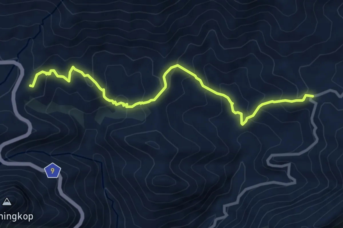
Medium · Trail
Pass-to-Pass Trail
8.6 km · ↑ 742 m · 3 h 38 min
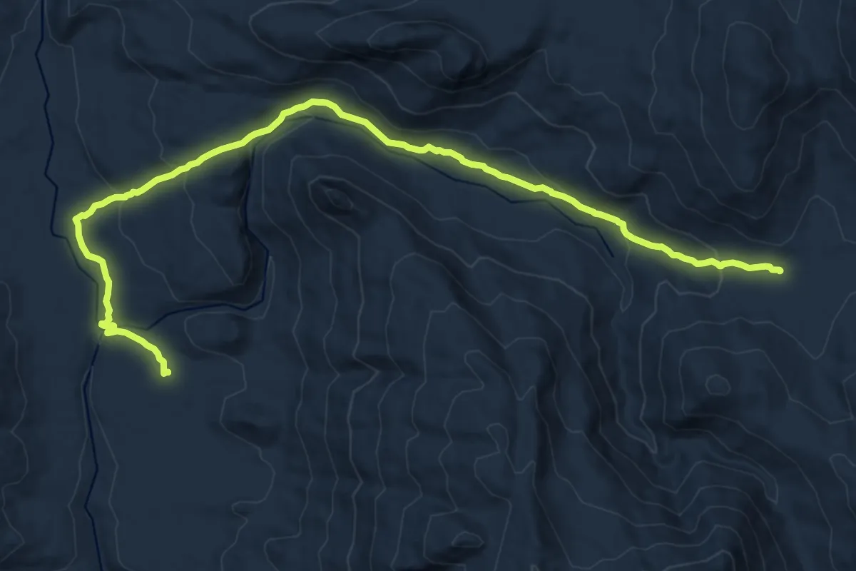
Demanding · Cabin
Perdevlei to De Tronk
19.8 km · ↑ 640 m · 6 h 3 min
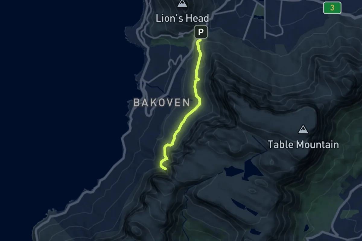
Medium · Trail
Pipe Track
9.3 km · ↑ 440 m · 3 h 9 min
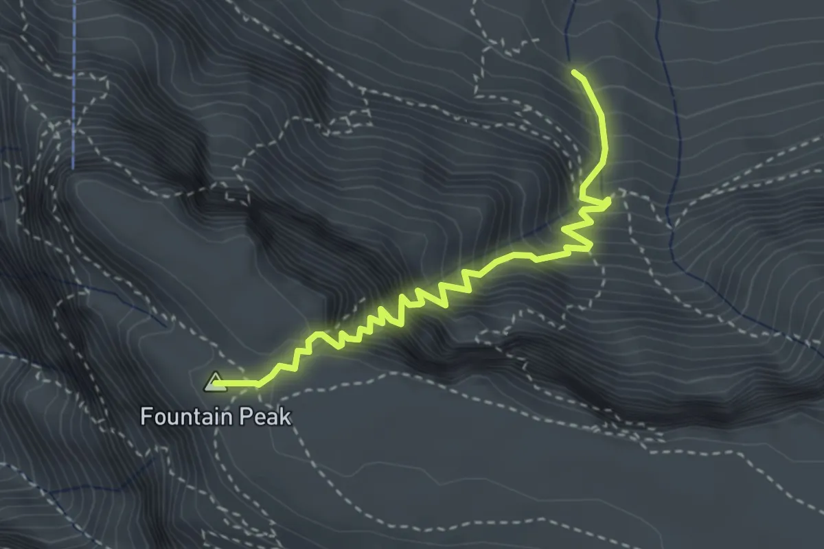
Medium · Summit
Platteklip Gorge
4.1 km · ↑ 720 m · 2 h 32 min
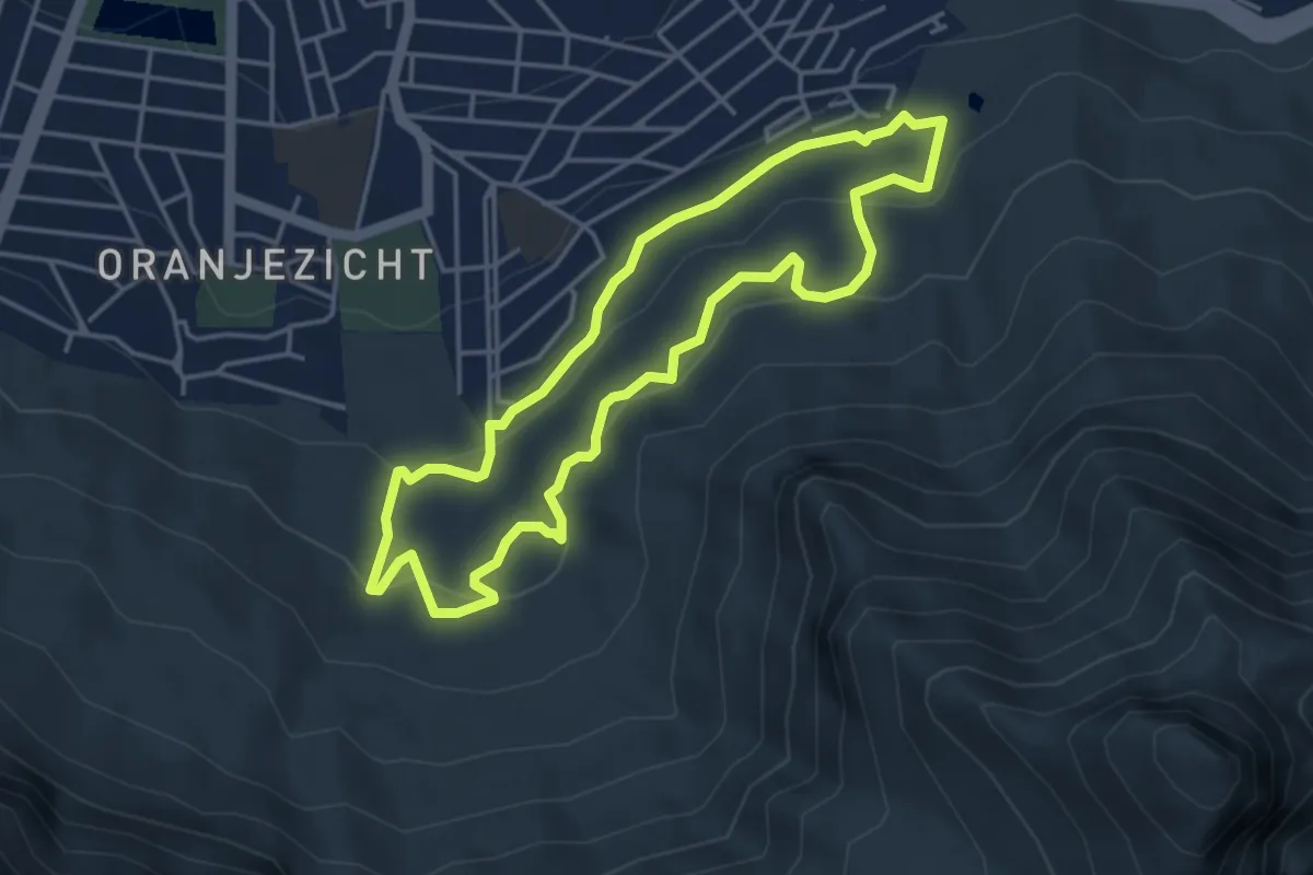
Easy · Trail
Platteklip Stream Trail
4.8 km · ↑ 189 m · 1 h 37 min
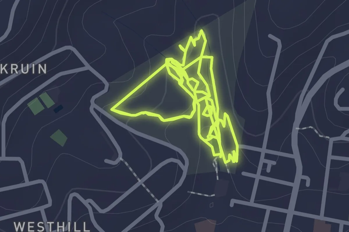
Easy · Trail
Pledge Nature Walk
6.5 km · ↑ 179 m · 1 h 55 min
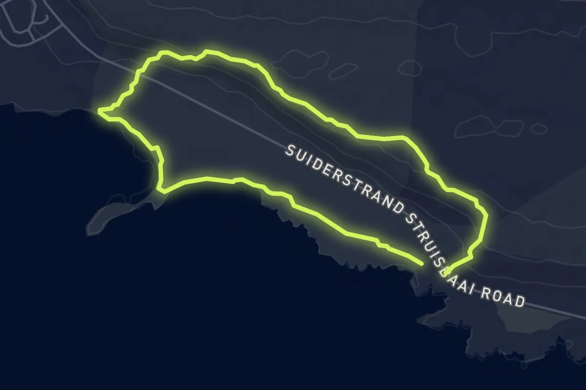
Easy · Trail
Rasperpunt Hiking Trail
5.1 km · ↑ 66 m · 1 h 25 min
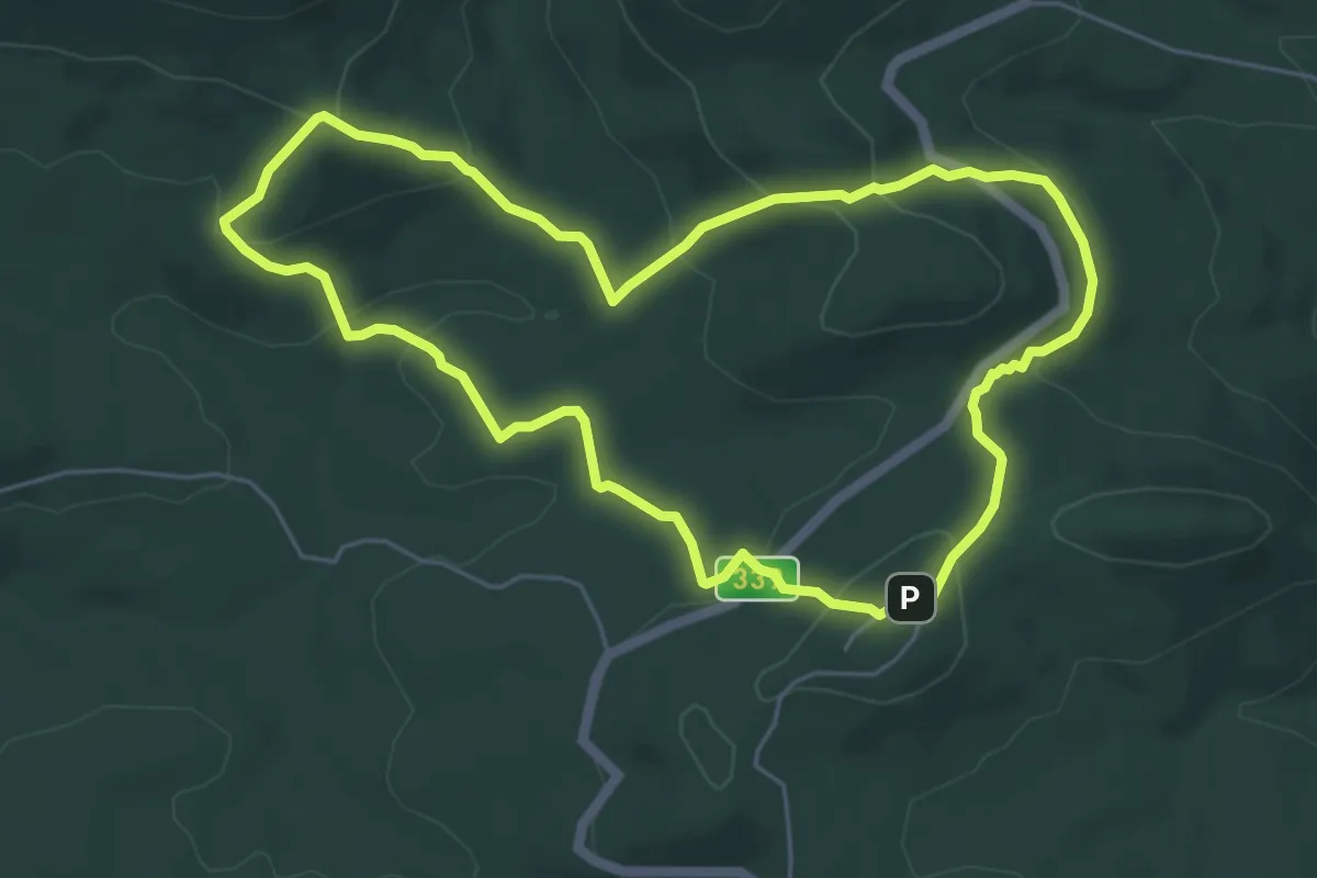
Easy · Cabin
Red Elephant Trail
6.6 km · ↑ 286 m · 2 h 16 min
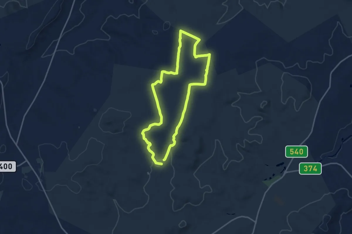
Medium · Trail
Red Route
14.1 km · ↑ 141 m · 3 h 50 min
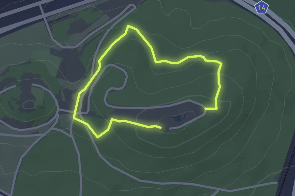
Easy · Trail
Red Route: View Trail
4.6 km · ↑ 164 m · 1 h 27 min
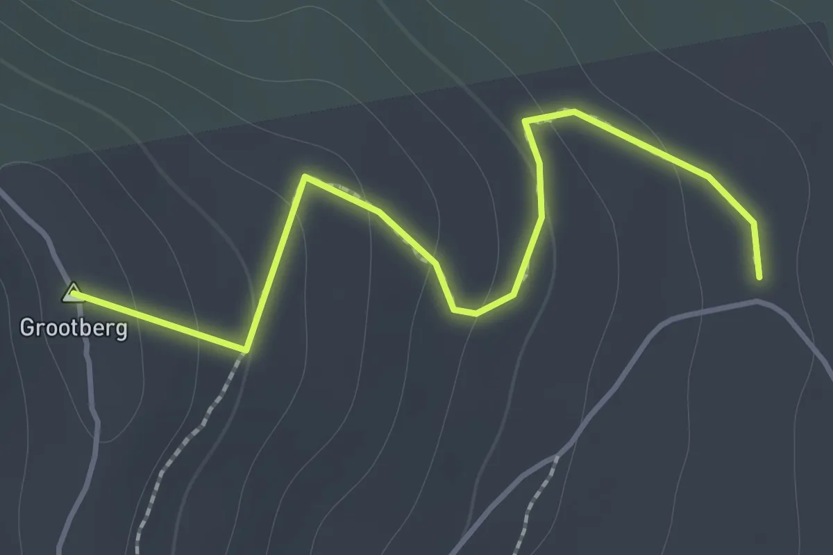
Easy · Summit
Renosterveld Trail
1.9 km · ↑ 98 m · 39 min
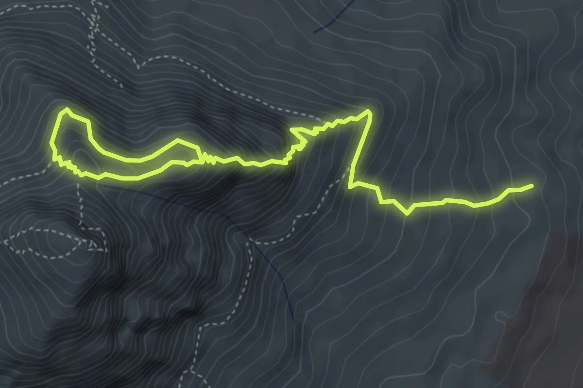
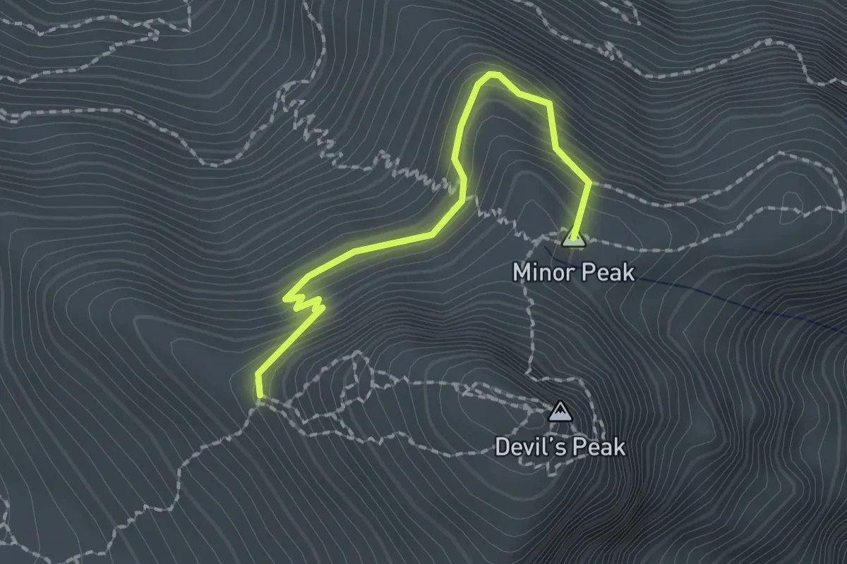
Expert · Summit
Rhodes Memorial - Mowbray Ridge - Knife's Edge - Minor Peak
3.6 km · ↑ 715 m · 2 h 10 min
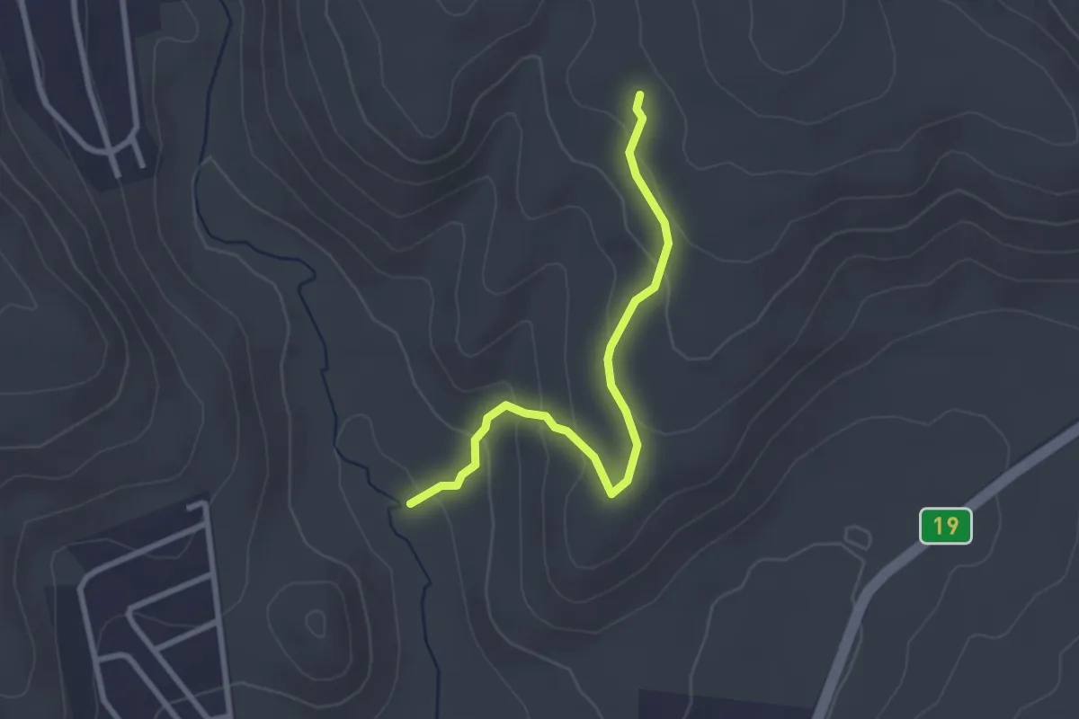
Easy · Trail
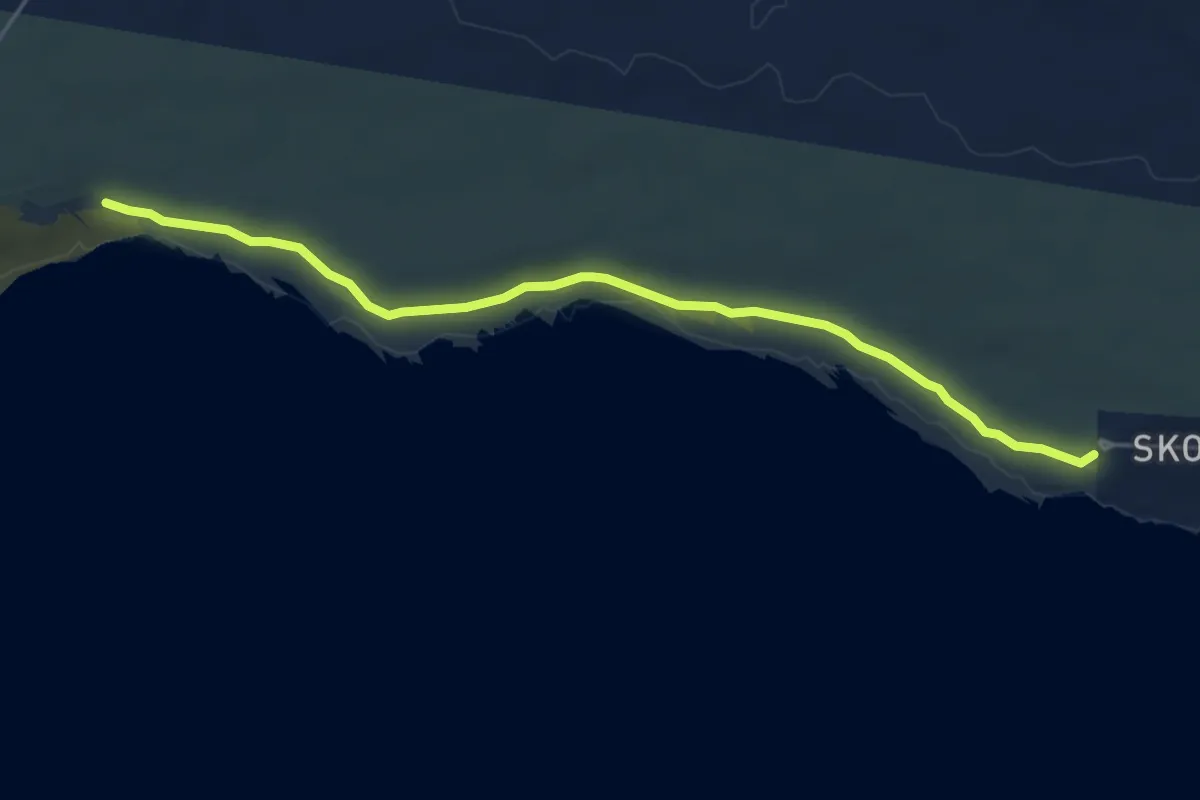
Ruins Trail
3.5 km · ↑ 151 m · 1 h 9 min
Easy · Trail
Sacramento Trail
6.2 km · ↑ 12 m · 1 h 29 min
Easy · Trail
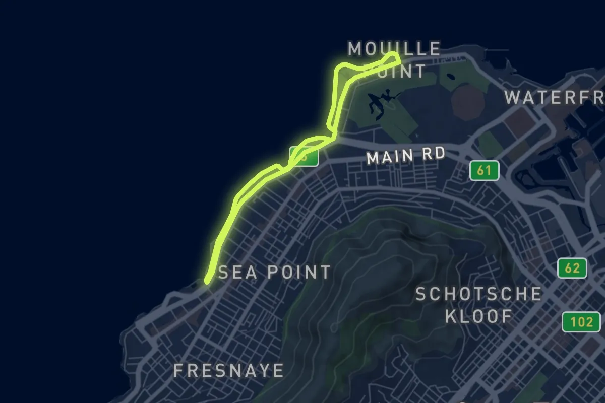
Sea Point Promenade Walk
6.0 km · ↑ 31 m · 1 h 34 min
Easy · Trail
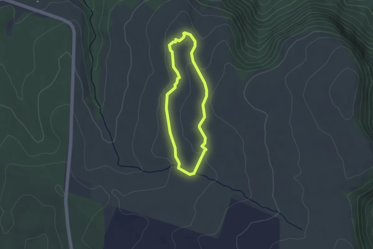
Secretary Bird Day Trail
2.8 km · ↑ 34 m · 47 min
Easy · Trail
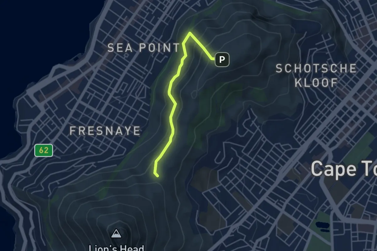
Signal Hill Trail via Lion's Head Path
2.2 km · ↑ 151 m · 53 min
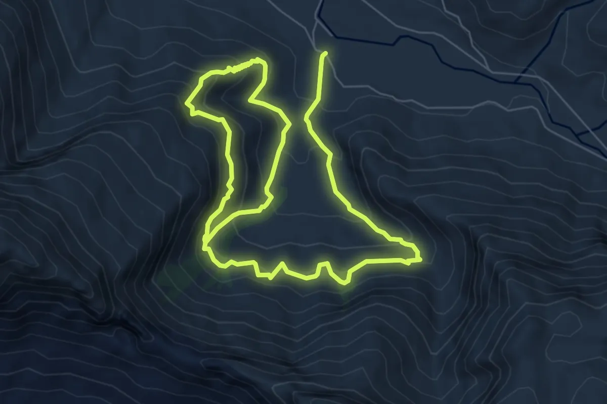
Demanding · Trail
Sosyskloof
13.8 km · ↑ 1007 m · 5 h 27 min
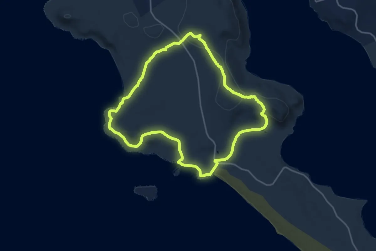
Medium · Trail
Steenbok Day Trail
14.9 km · ↑ 247 m · 4 h 16 min
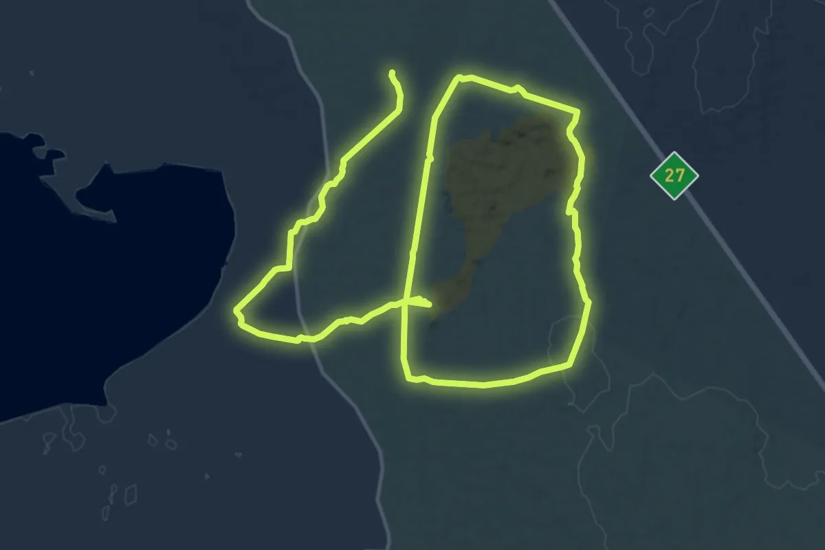
Medium · Trail
Strandveld Trail Two-Day Hike (Day 2)
15.8 km · ↑ 171 m · 4 h 21 min
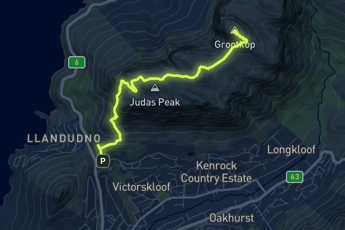
Demanding · Summit
Suikerbossie to Grootkop via Judas Peak
10.3 km · ↑ 959 m · 4 h 30 min
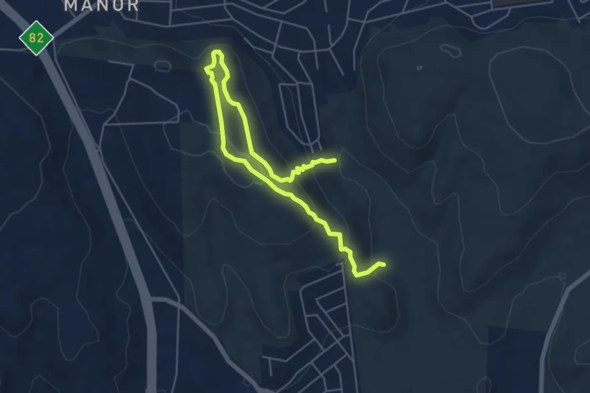
Medium · Trail
Sunbird Trail
7.9 km · ↑ 386 m · 2 h 42 min
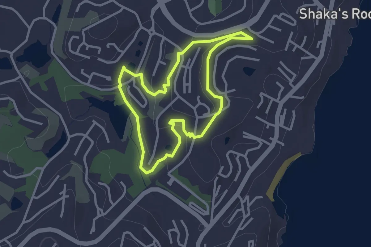
Easy · Trail
Tamboti Trail
3.1 km · ↑ 77 m · 56 min
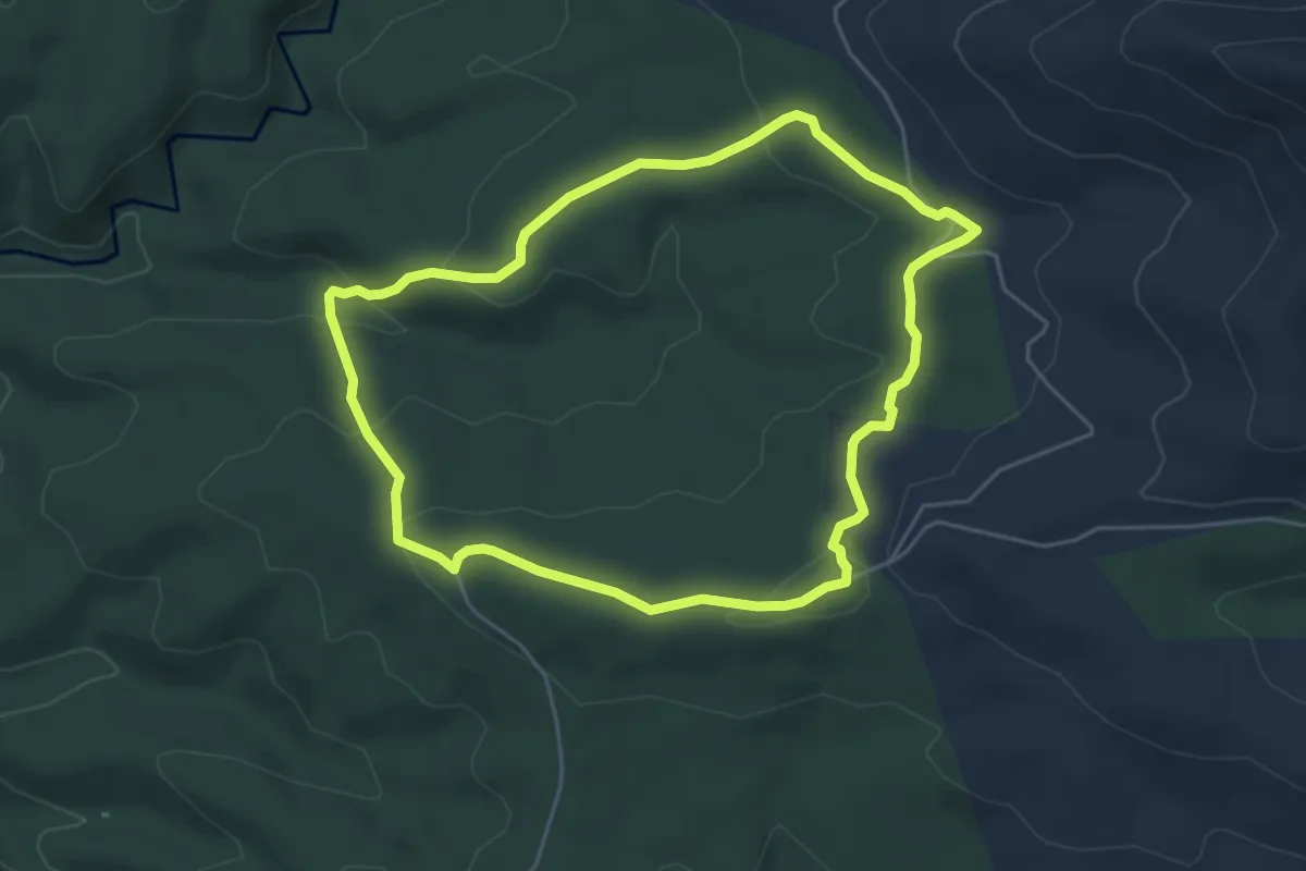
Easy · Trail
Terblans Nature Walk
5.8 km · ↑ 191 m · 1 h 52 min
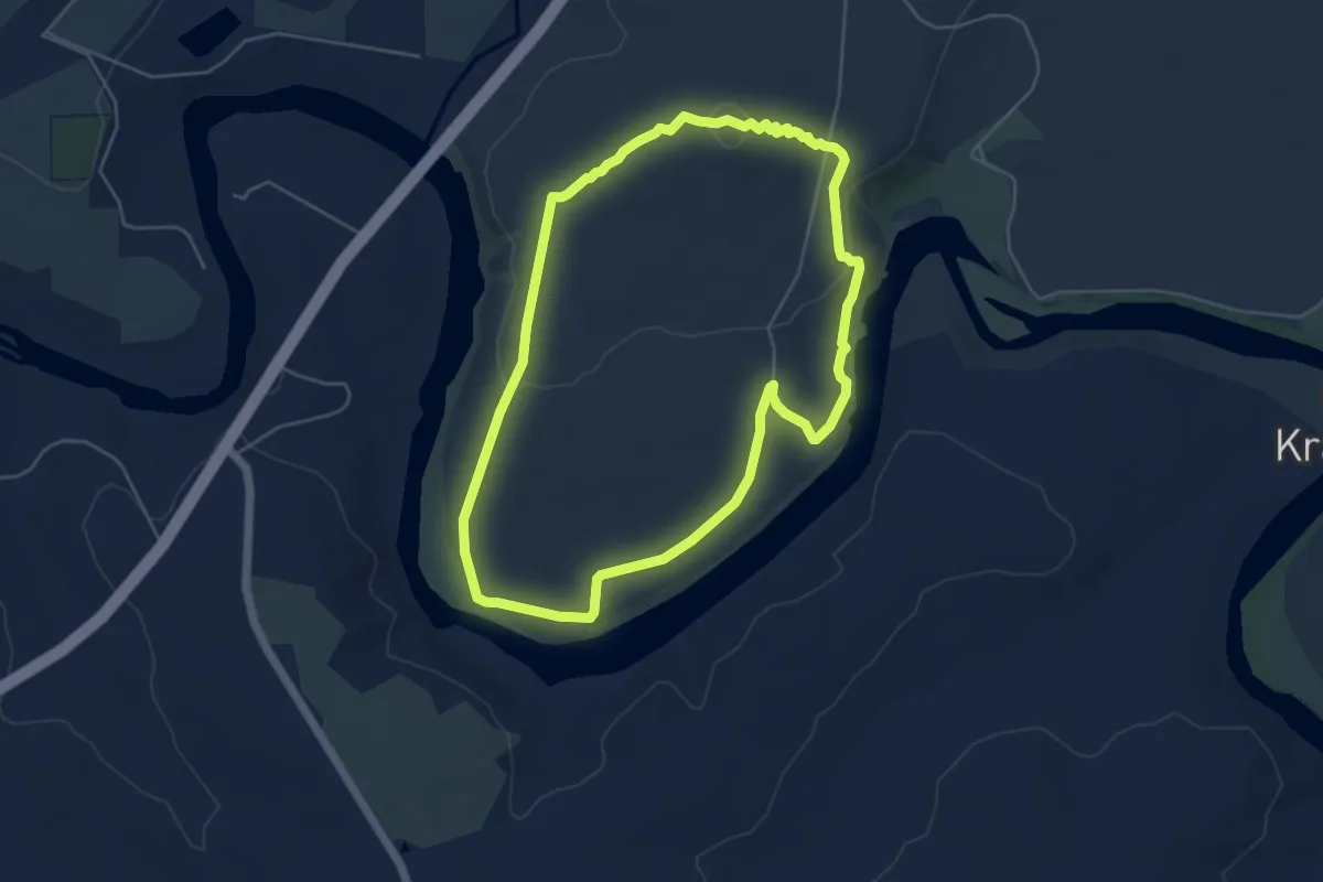
Easy · Trail
Termite Loop
6.1 km · ↑ 115 m · 1 h 46 min
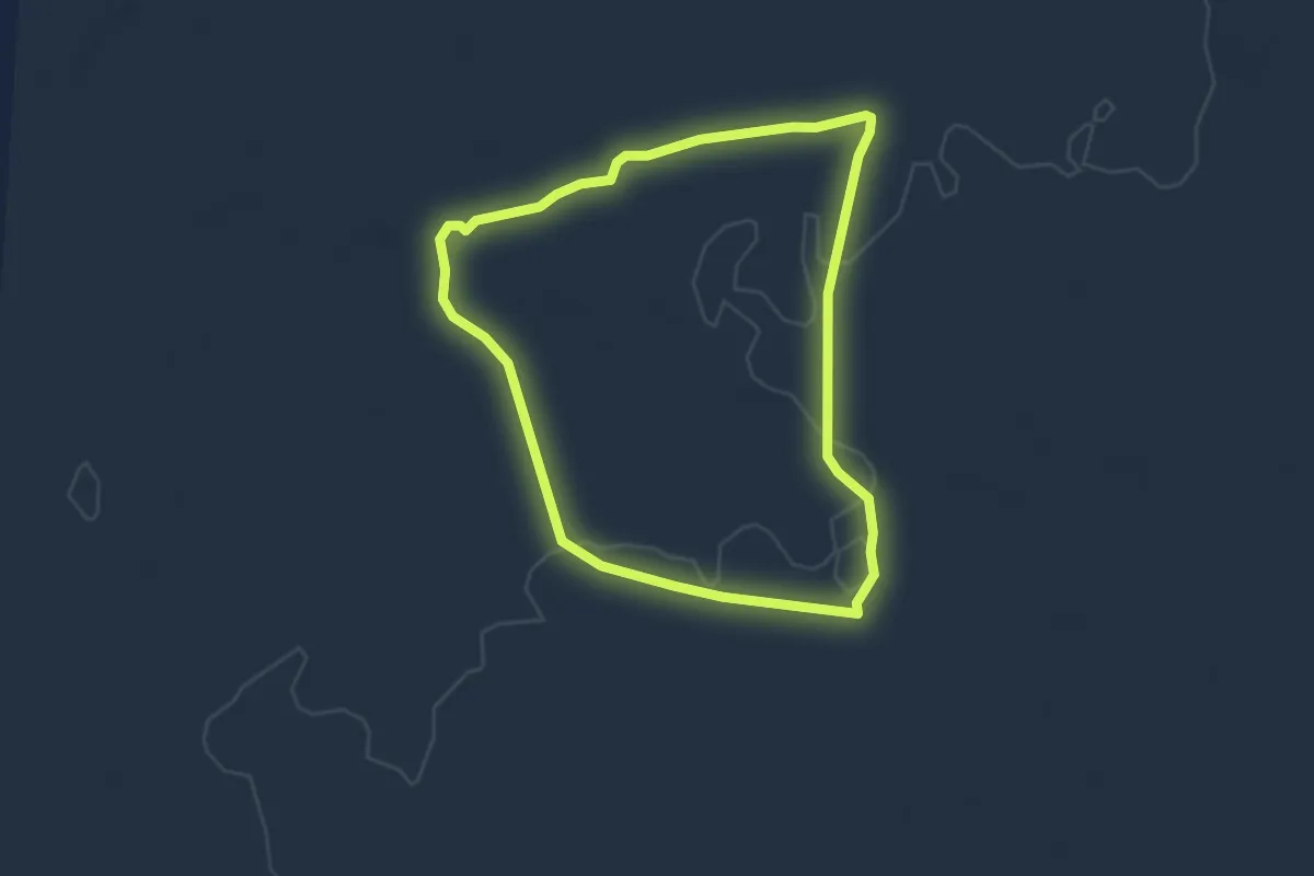
Easy · Trail
Transitional Trail
4.3 km · ↑ 29 m · 1 h 8 min
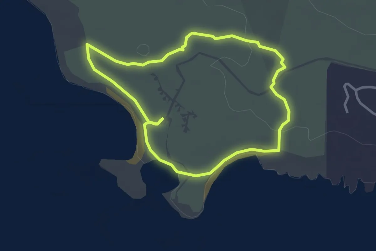
Easy · Trail
Two Oceans Hiking Trail - Blue route
3.0 km · ↑ 26 m · 48 min
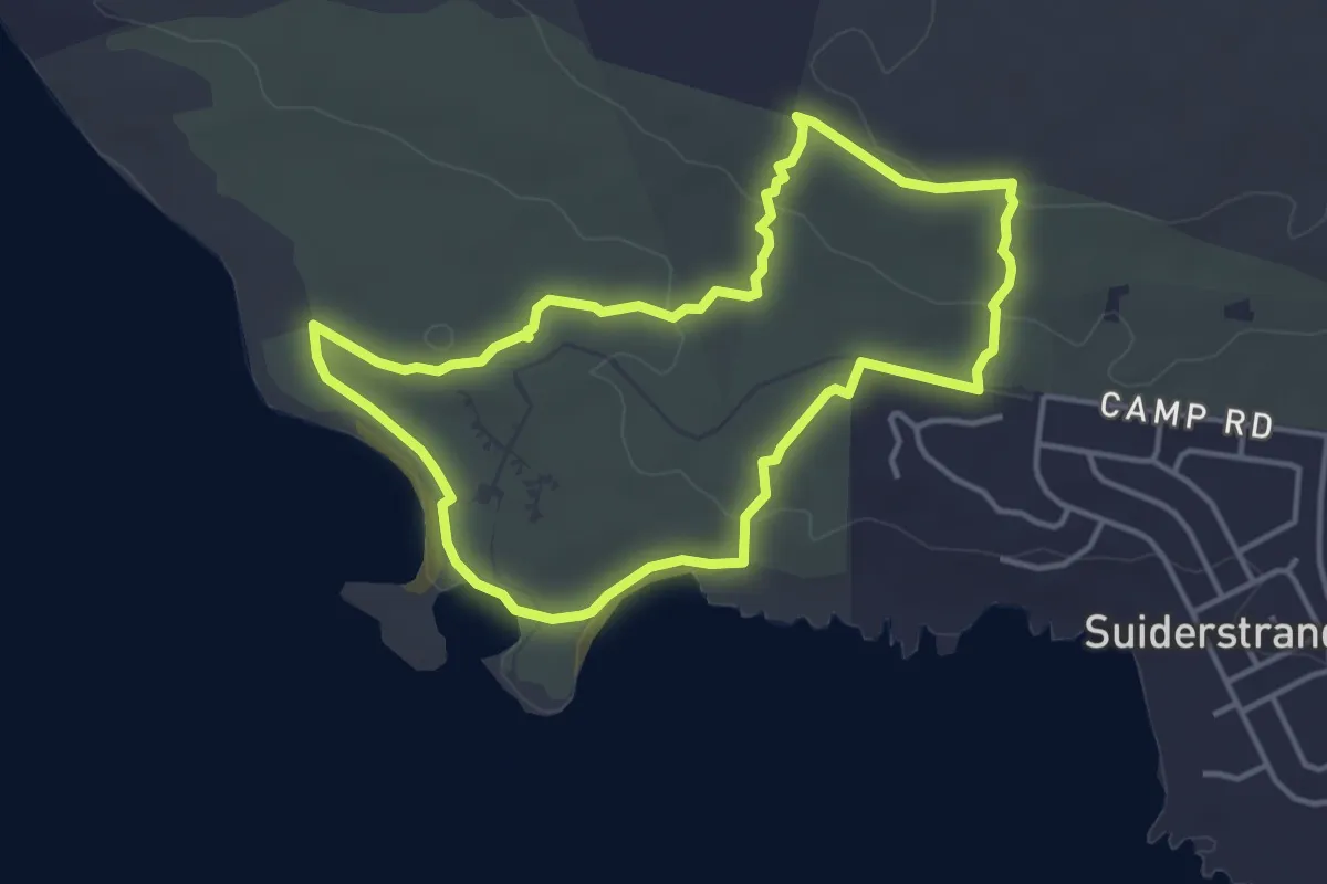
Easy · Trail
Two Oceans Hiking Trail - Red route
4.5 km · ↑ 54 m · 1 h 14 min
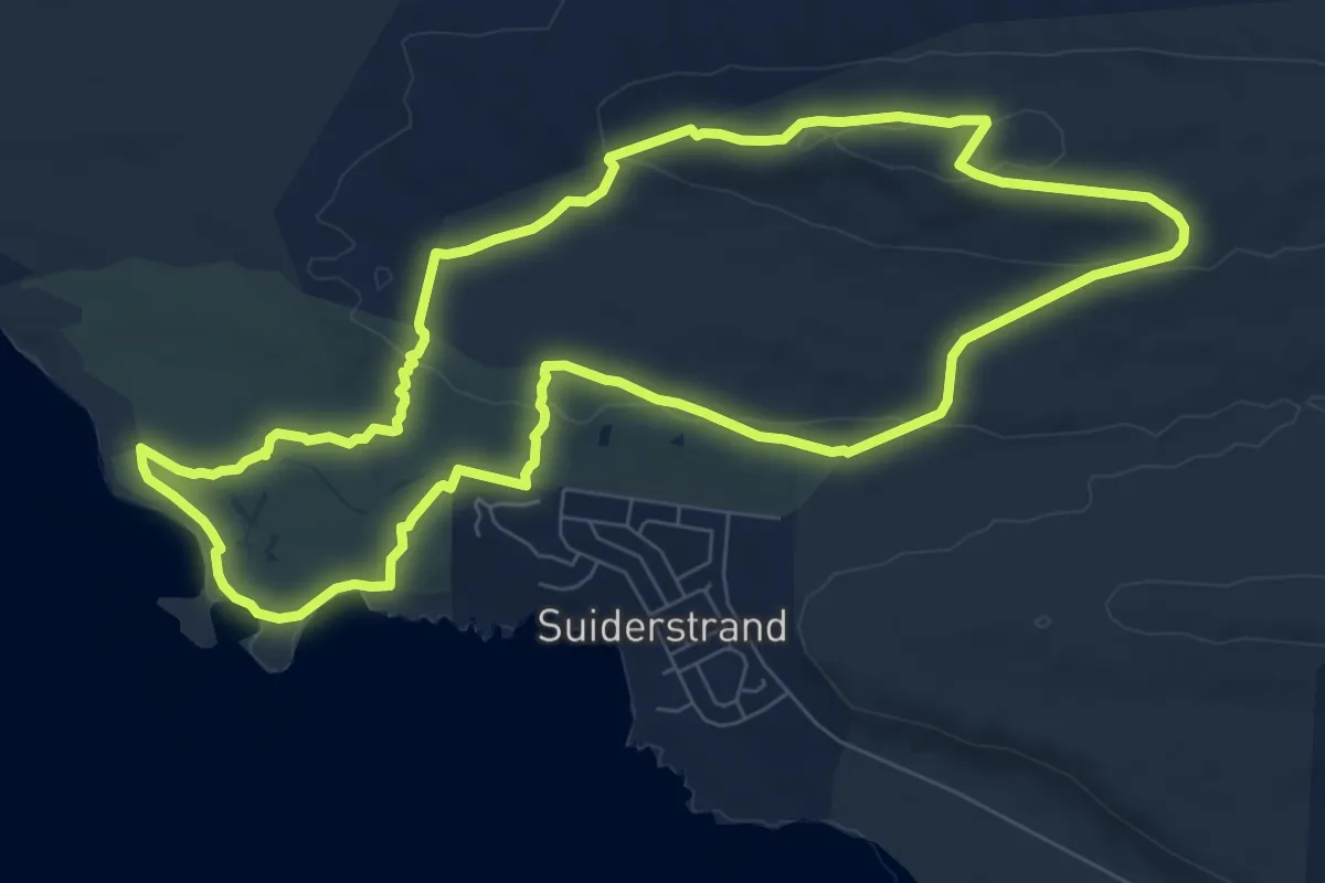
Medium · Trail
Two Oceans Hiking Trail - Yellow route
10.1 km · ↑ 173 m · 2 h 54 min
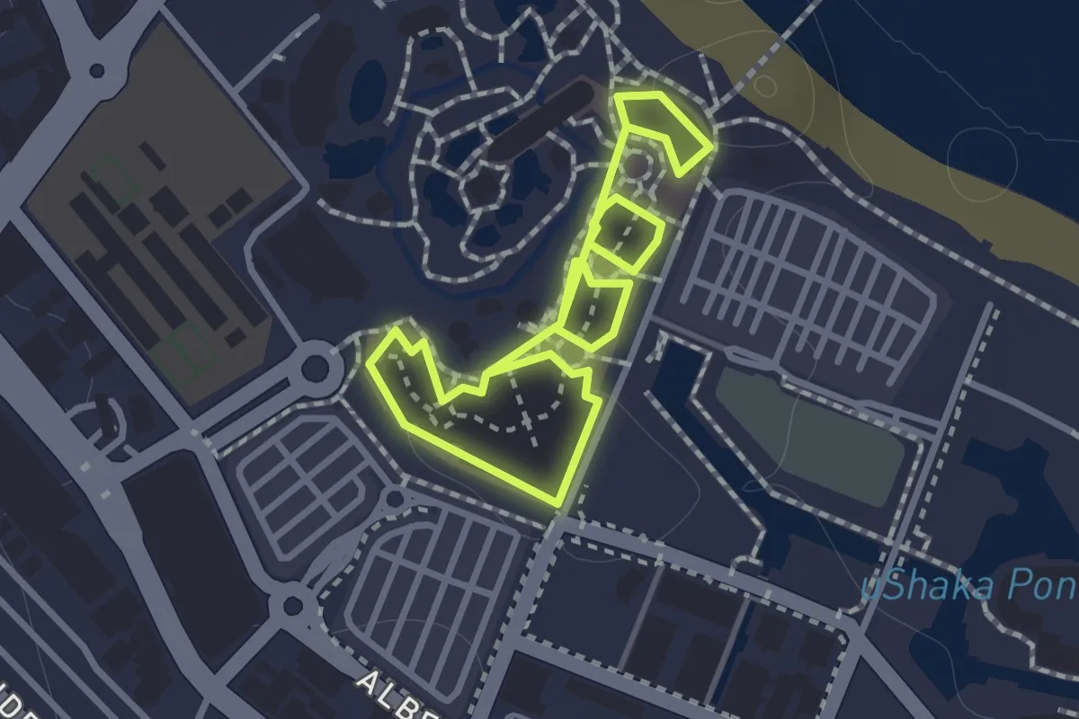
Easy · Trail
uShaka Village Walk
2.3 km · ↑ 18 m · 35 min
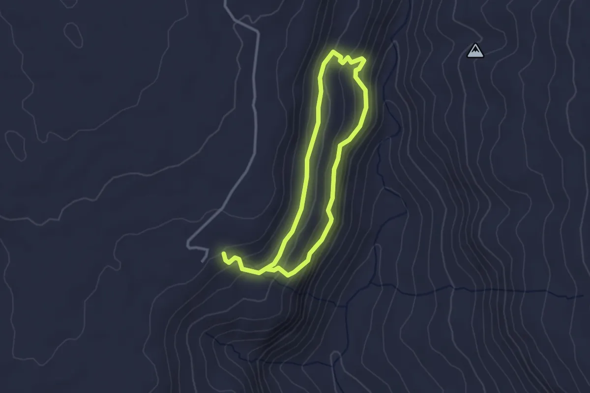
Easy · Trail
Wapad Hiking Trail
6.2 km · ↑ 264 m · 2 h 2 min
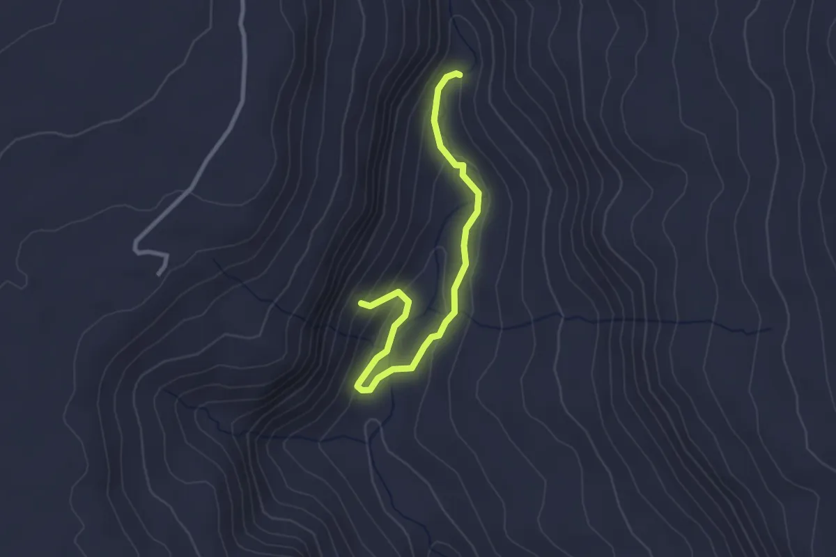
Easy · Trail
Waterfall Alternativ Hiking Route
3.6 km · ↑ 117 m · 1 h 6 min
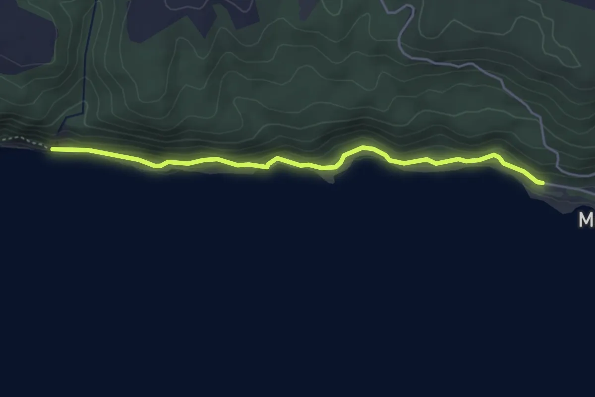
Demanding · Trail
Waterfall Day Trail
4.9 km · ↑ 117 m · 1 h 25 min
Medium · Trail
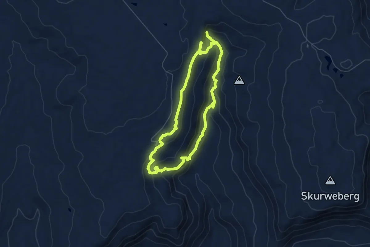
Waterfall Route
13.6 km · ↑ 702 m · 4 h 44 min
Easy · Trail
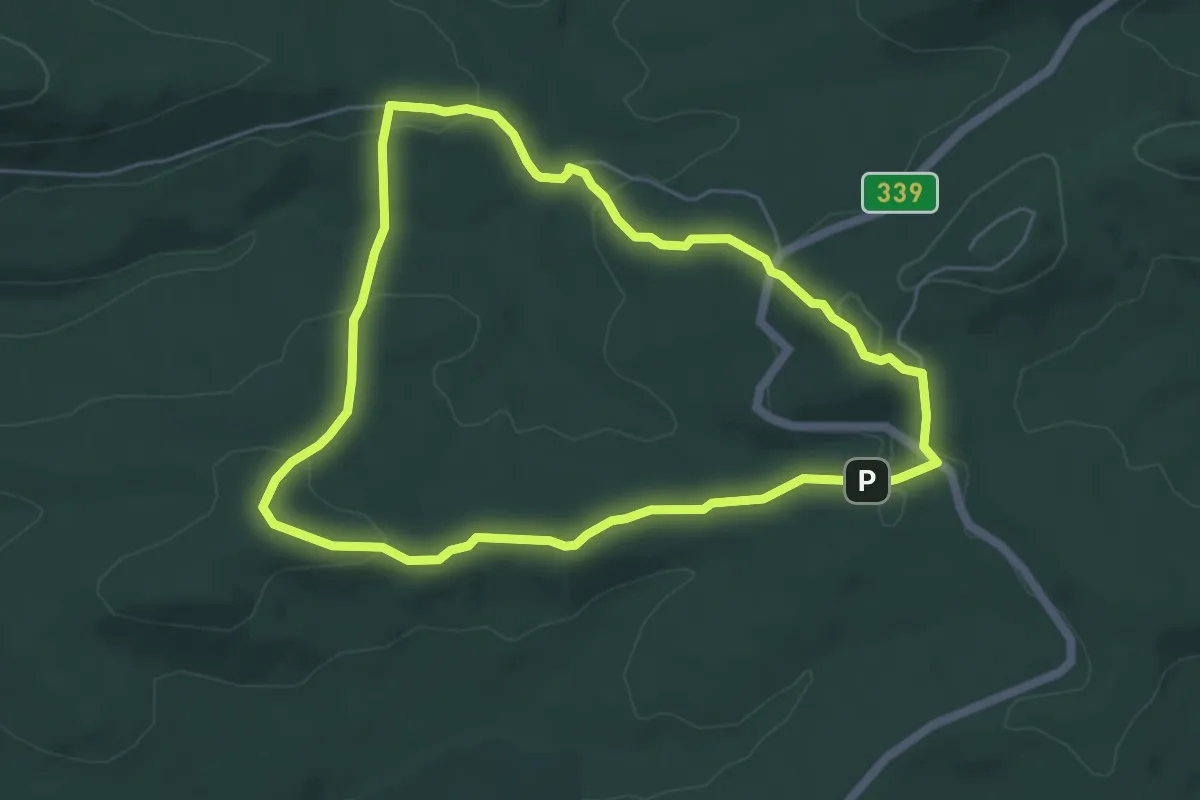
White Elephant Trail
6.3 km · ↑ 229 m · 2 h 4 min
Medium · Trail
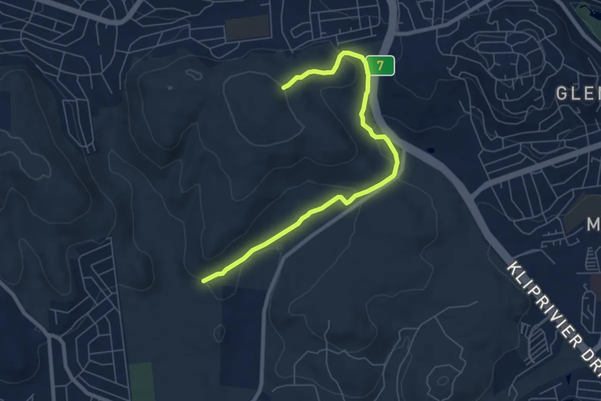
Wildebeest Trail
8.3 km · ↑ 197 m · 2 h 23 min
Demanding · Trail
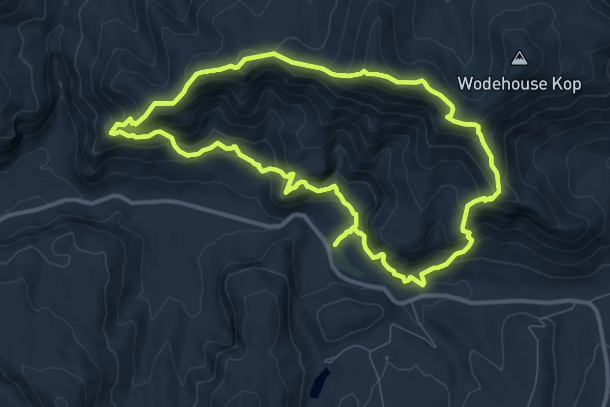
Wodehouse Trail
9.3 km · ↑ 824 m · 4 h 7 min
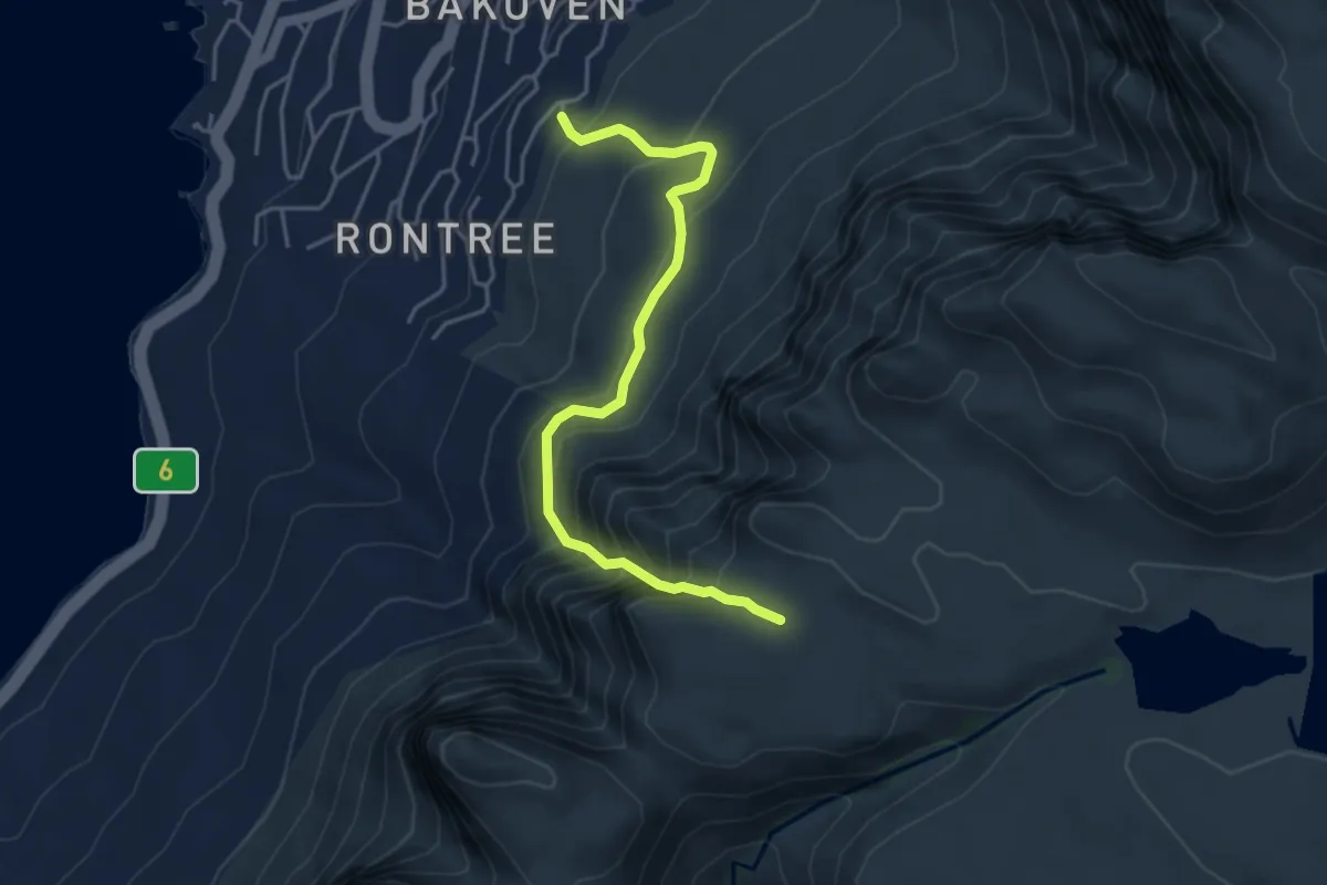
Demanding · Trail
Wood Ravine
5.2 km · ↑ 549 m · 2 h 26 min
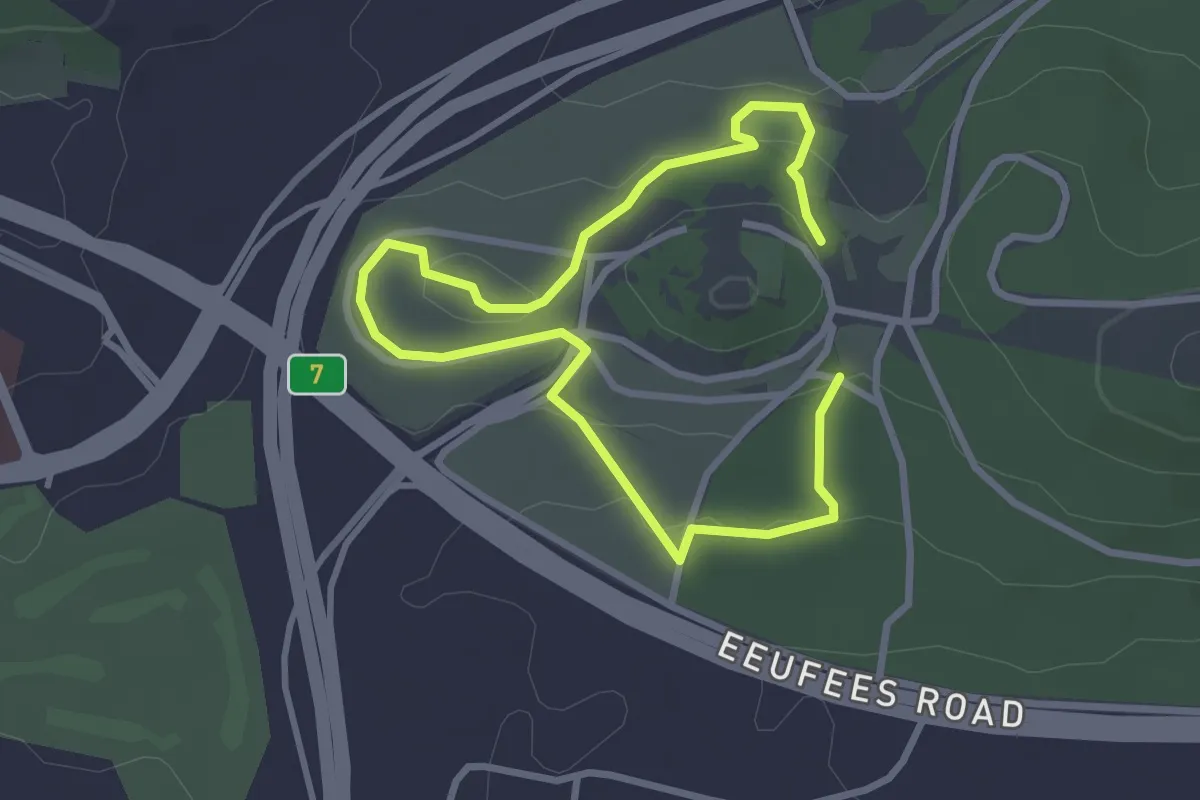
Easy · Trail
Yellow Route: Sugarbush
5.7 km · ↑ 144 m · 1 h 39 min
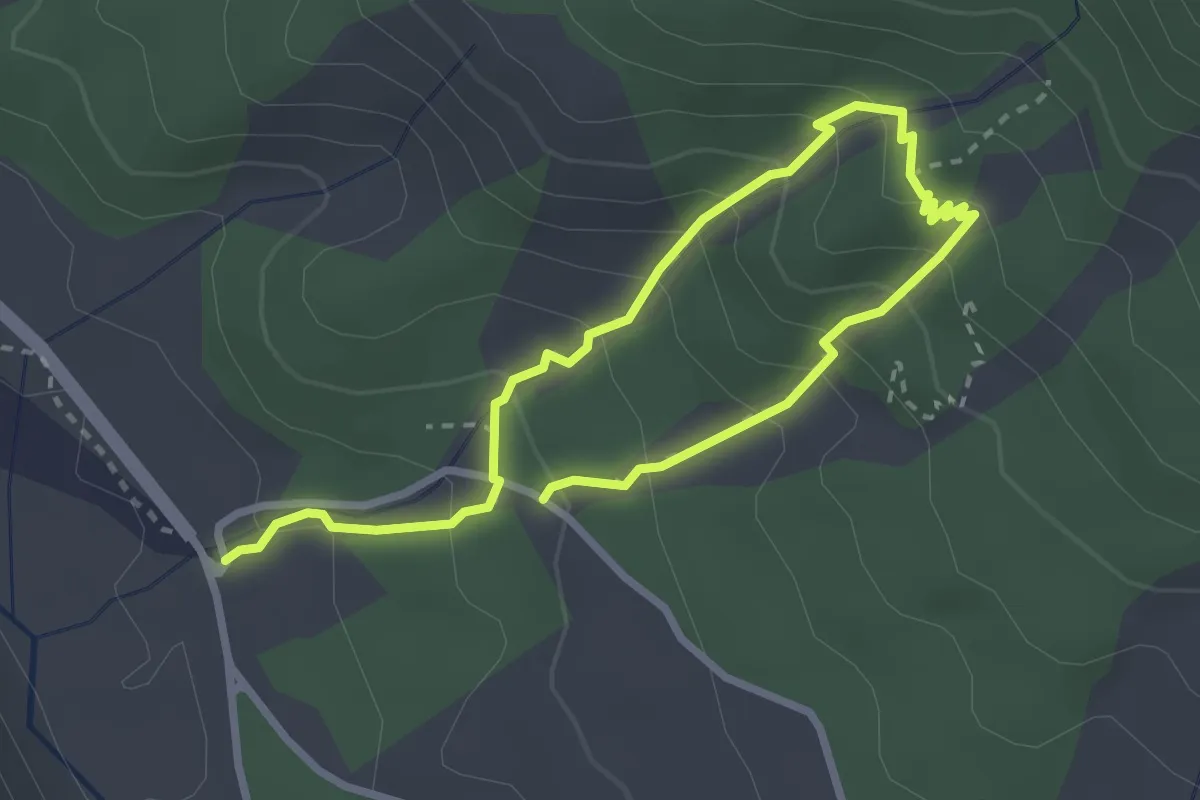
Medium · Trail
Yellowwood Walk
5.0 km · ↑ 363 m · 1 h 58 min
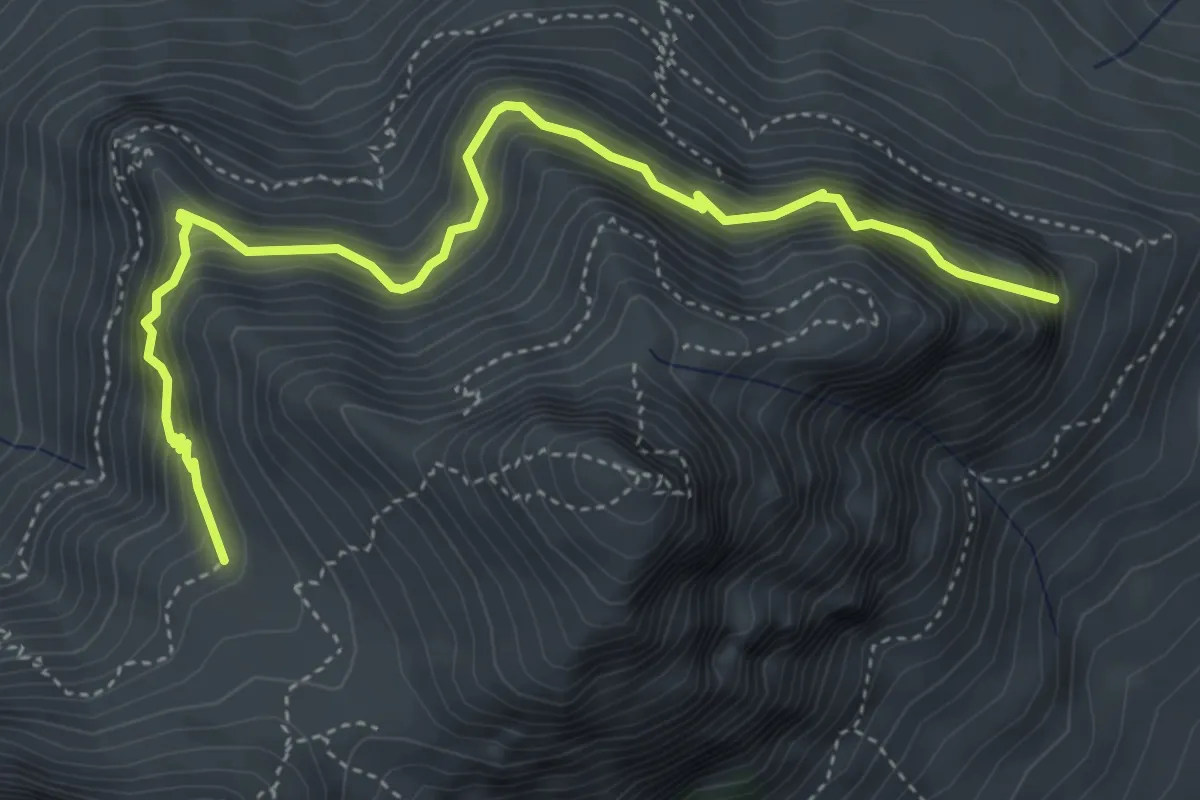
Medium · Trail
580 m Devil's Peak Traverse
6.1 km · ↑ 725 m · 3 h 1 min
Expert · Summit
700 m Devil's Peak Traverse
2.2 km · ↑ 190 m · 56 min