Trails near Hout Bay
30 hikes starting within 15 km, nearest first.
Nearest first
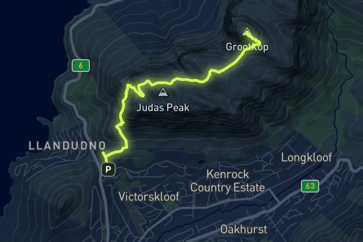
Demanding · Summit
Suikerbossie to Grootkop via Judas Peak
10.3 km · ↑ 959 m · 4 h 30 min · 3 km away
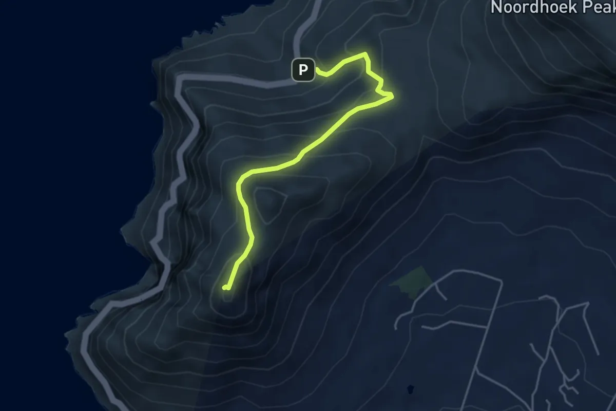
Medium · Summit
Chapman's Peak Summit
2.4 km · ↑ 402 m · 1 h 17 min · 4 km away
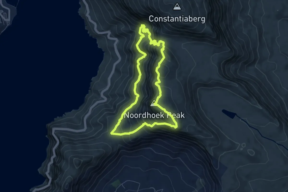
Medium · Summit
Blackburn Ravine (Atlas Pool) - Noordhoek Peak Loop
8.3 km · ↑ 790 m · 3 h 48 min · 5 km away
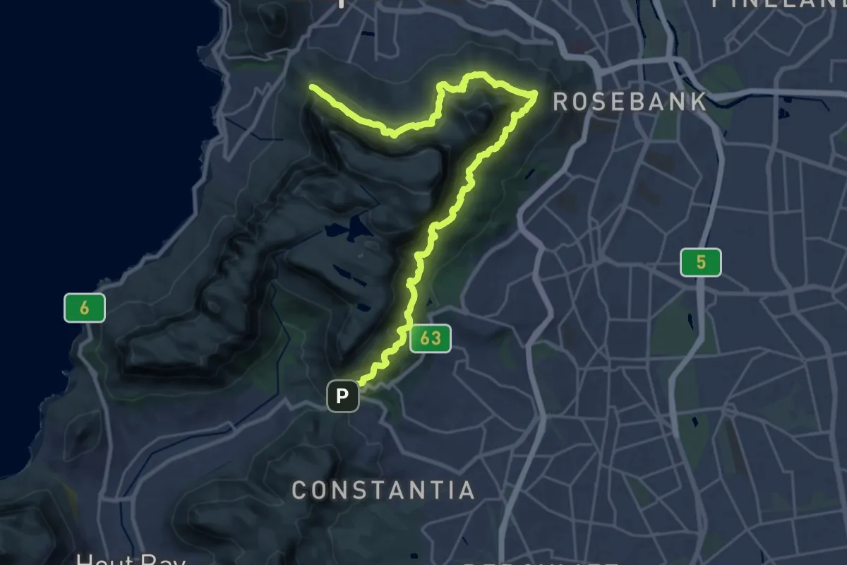
Demanding · Trail
Contour Path
16.5 km · ↑ 1197 m · 6 h 36 min · 6 km away
Medium · Trail
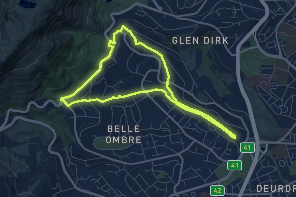
Alphen Trail Loop
8.3 km · ↑ 211 m · 2 h 32 min · 7 km away
Demanding · Summit
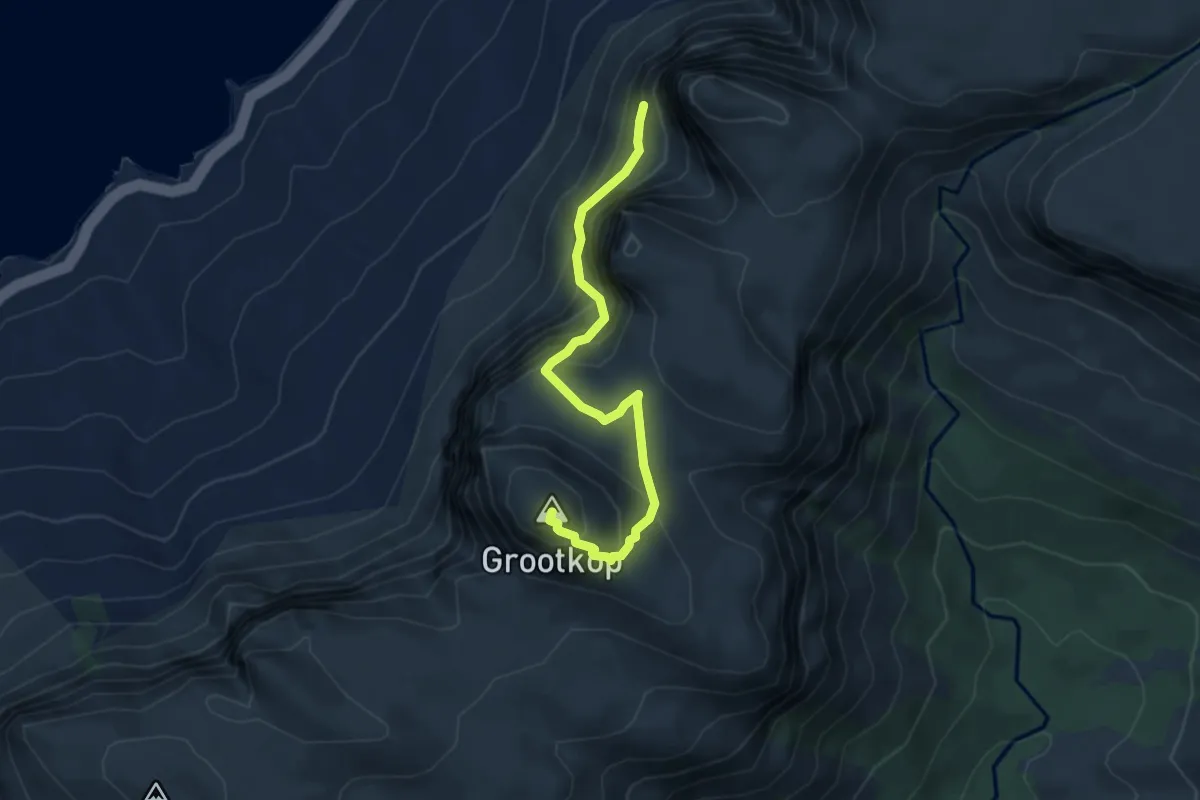
Grootkop Route
5.0 km · ↑ 536 m · 2 h 20 min · 7 km away
Medium · Trail
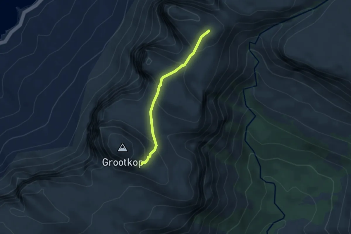
Apostles Path
3.4 km · ↑ 191 m · 1 h 13 min · 7 km away
Medium · Trail
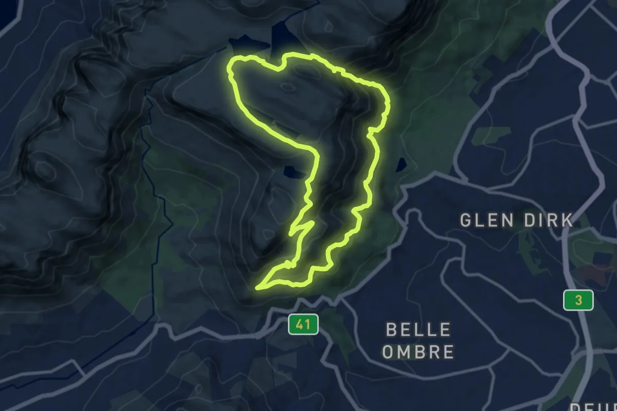
Constantia Nek - Skeleton Gorge - Woodhead, Victoria and Alexandra Reservoir Trail
11.5 km · ↑ 728 m · 4 h 27 min · 8 km away
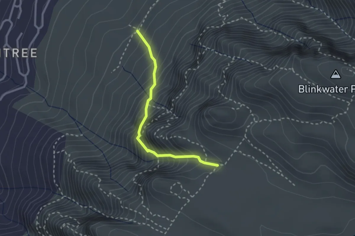
Medium · Trail
Kasteelspoort
2.6 km · ↑ 453 m · 1 h 35 min · 9 km away
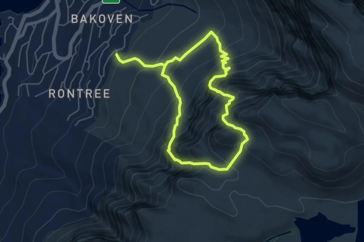
Demanding · Trail
Kasteelpoort - Diagonal Route Trail (with Diving Board excursion)
4.6 km · ↑ 715 m · 2 h 39 min · 9 km away
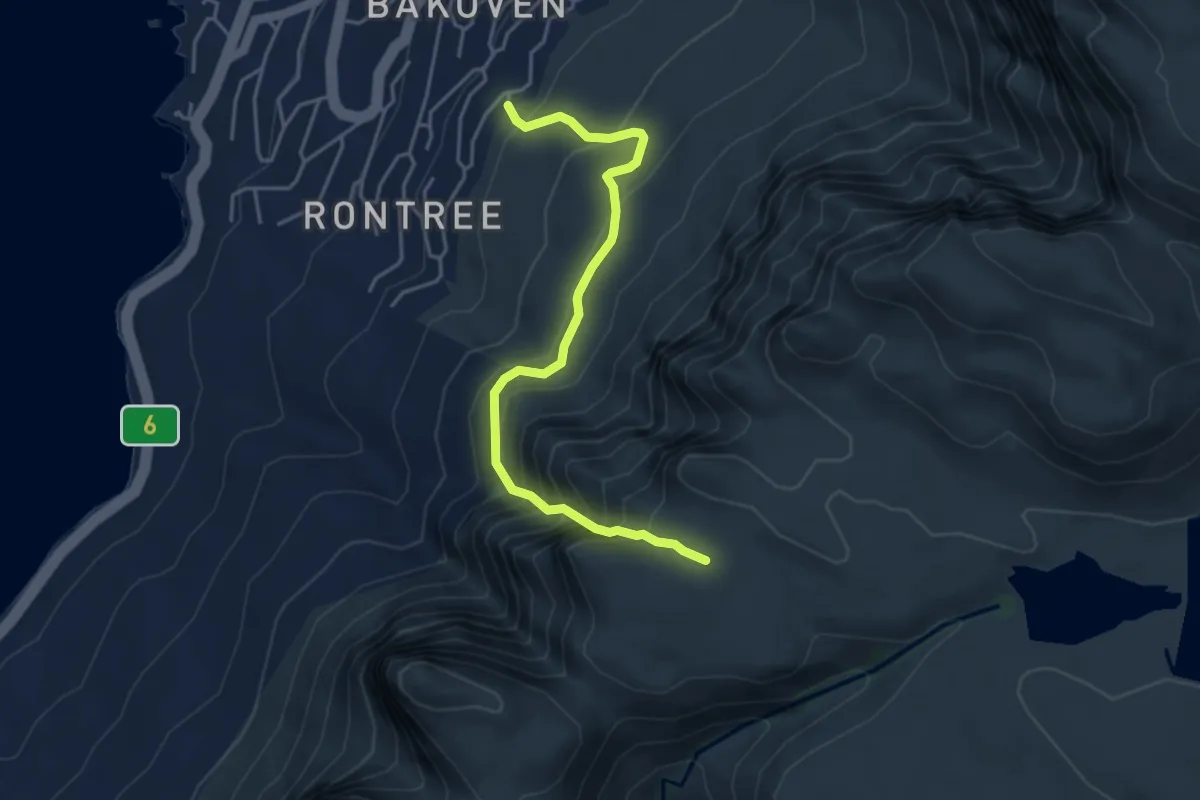
Demanding · Trail
Wood Ravine
5.2 km · ↑ 549 m · 2 h 26 min · 9 km away
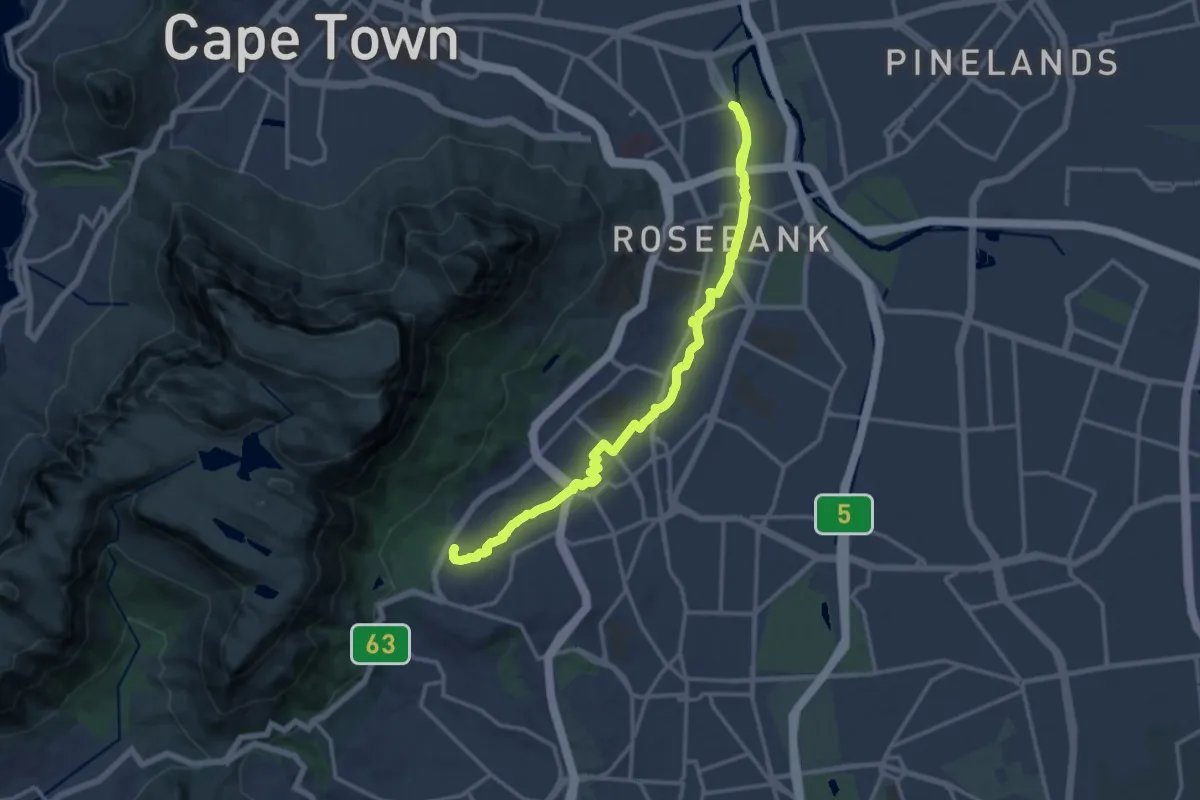
Demanding · Trail
Liesbeek River Urban Walk
18.9 km · ↑ 125 m · 4 h 44 min · 10 km away
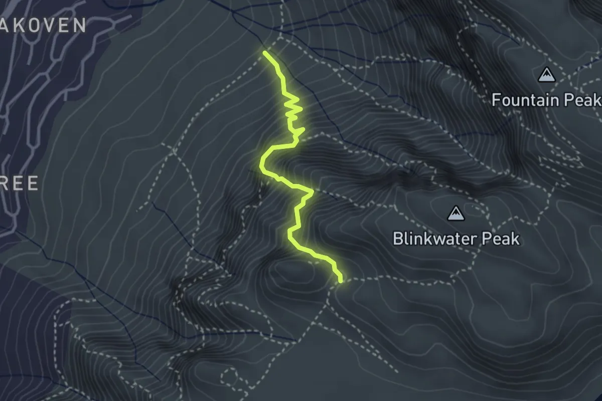
Demanding · Trail
Diagonal Route
3.4 km · ↑ 713 m · 2 h 21 min · 10 km away
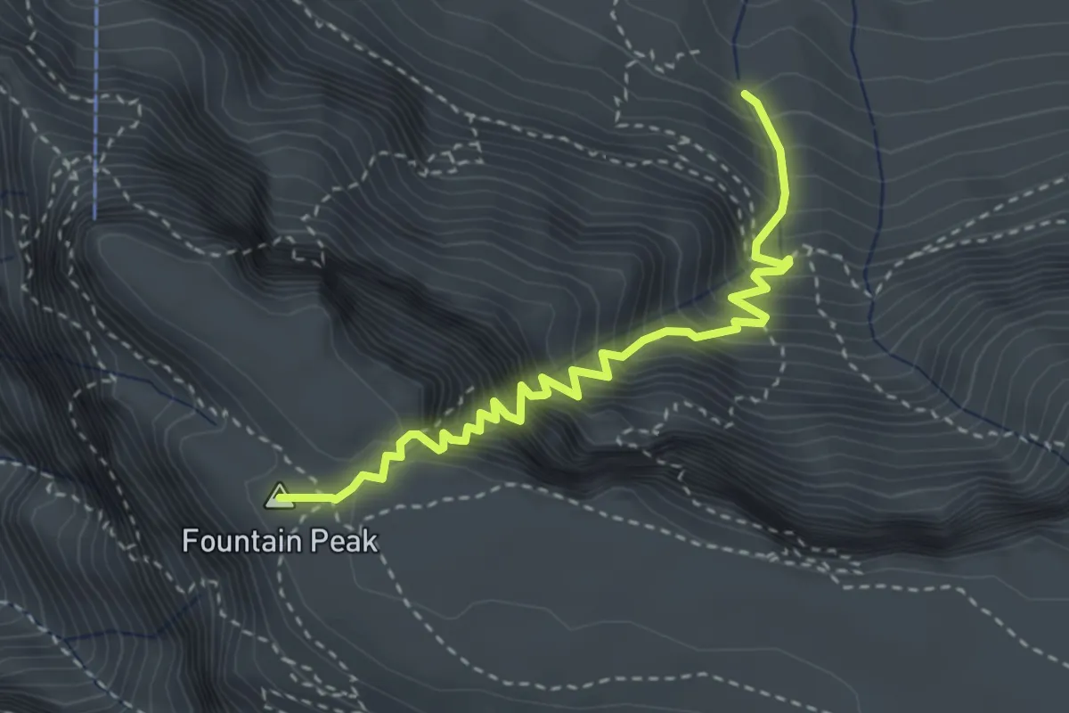
Medium · Summit
Platteklip Gorge
4.1 km · ↑ 720 m · 2 h 32 min · 11 km away
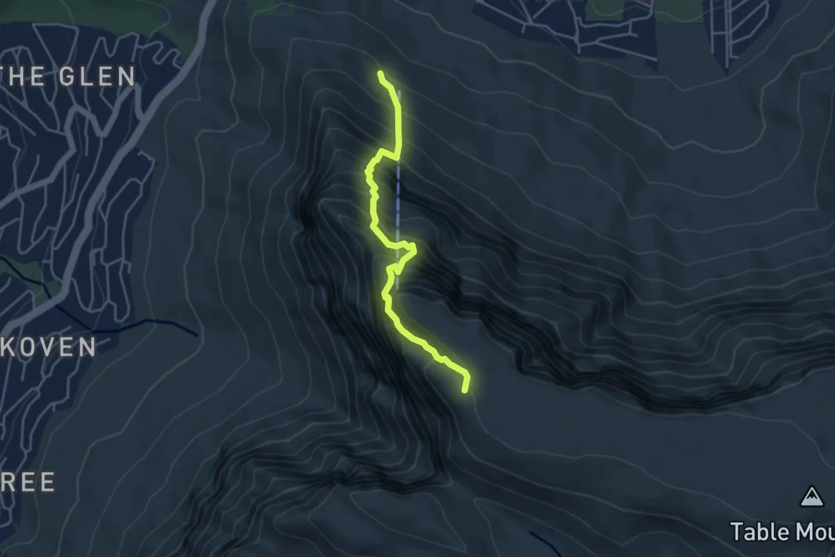
Expert · Summit
India Venster
4.6 km · ↑ 871 m · 2 h 59 min · 11 km away
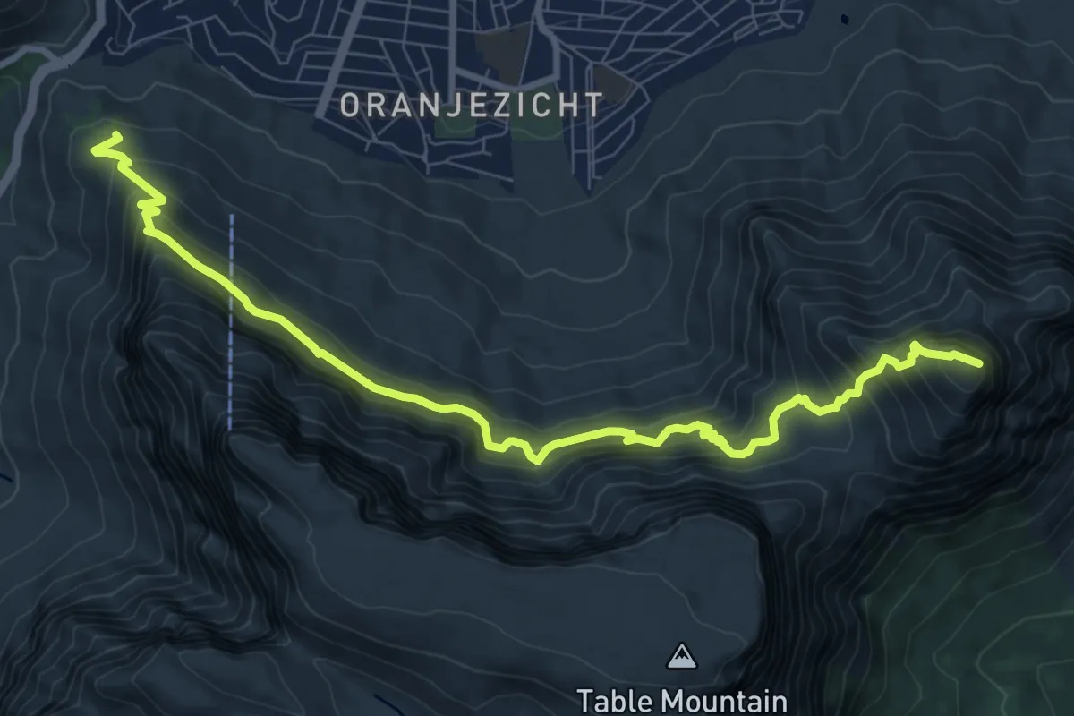
Demanding · Summit
Kloof Corner to Devils Peak Trail
11.9 km · ↑ 1131 m · 5 h 16 min · 12 km away
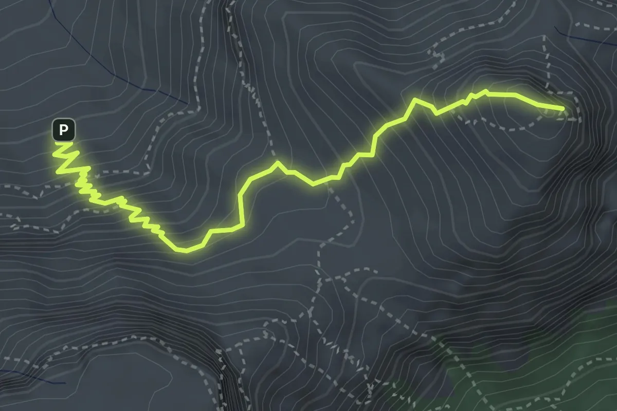
Medium · Summit
Devil's Peak Route
5.3 km · ↑ 646 m · 2 h 39 min · 12 km away
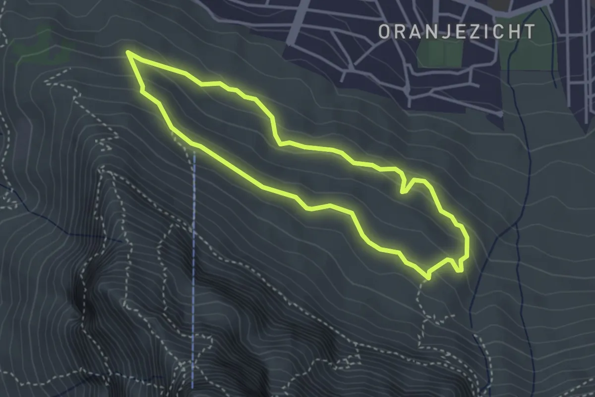
Easy · Trail
Deer Park via Table Mountain Road
3.9 km · ↑ 137 m · 1 h 16 min · 12 km away
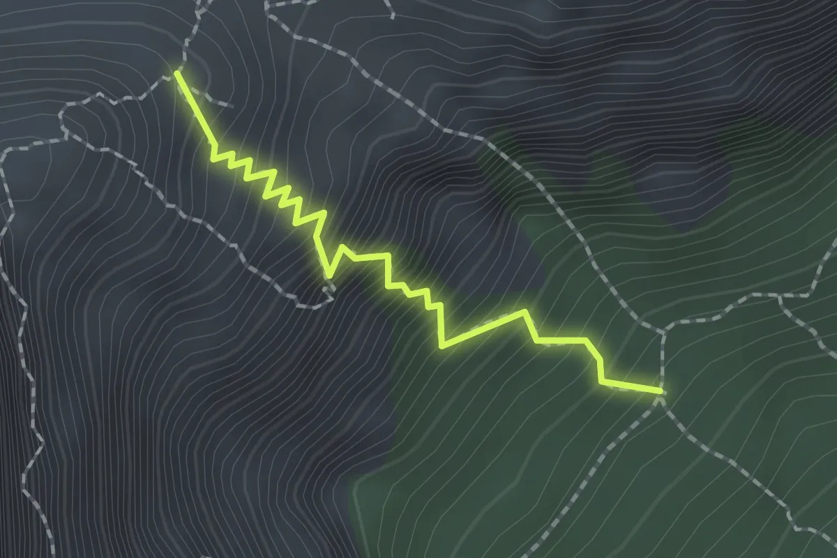
Medium · Trail
Newlands Ravine
2.1 km · ↑ 404 m · 1 h 22 min · 12 km away
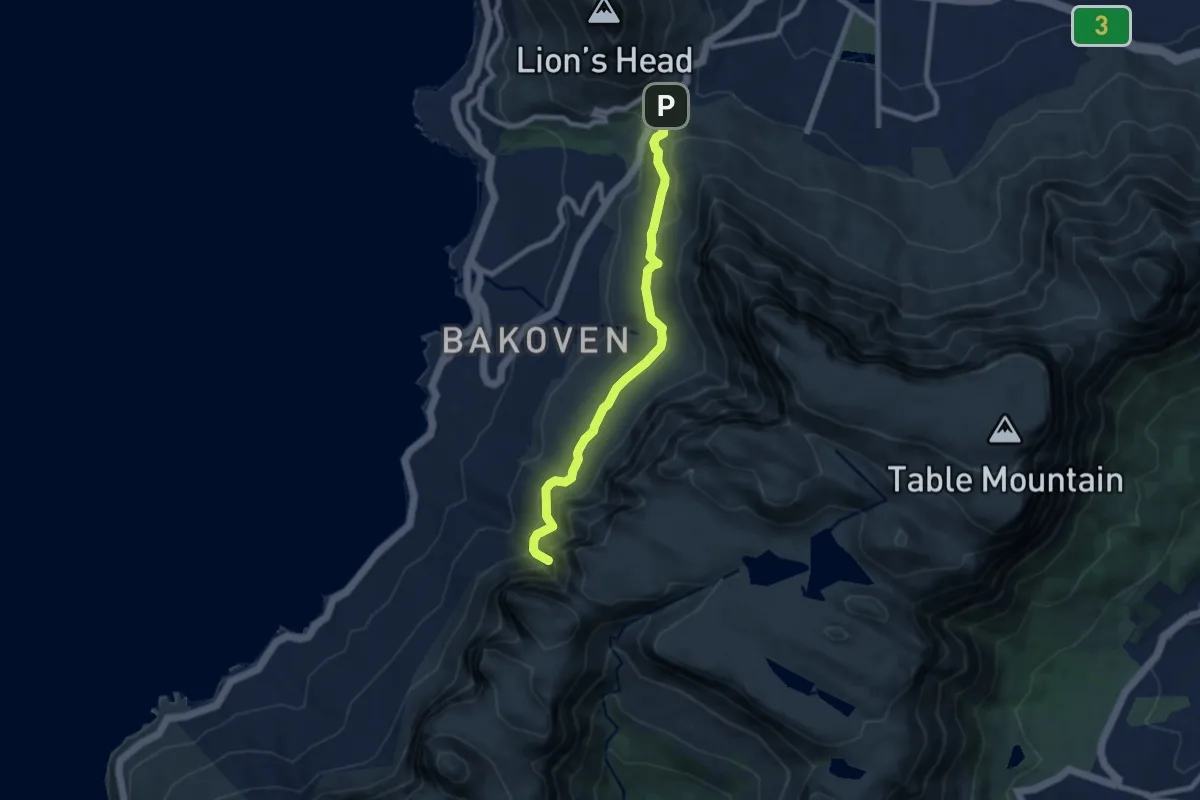
Medium · Trail
Pipe Track
9.3 km · ↑ 440 m · 3 h 9 min · 12 km away
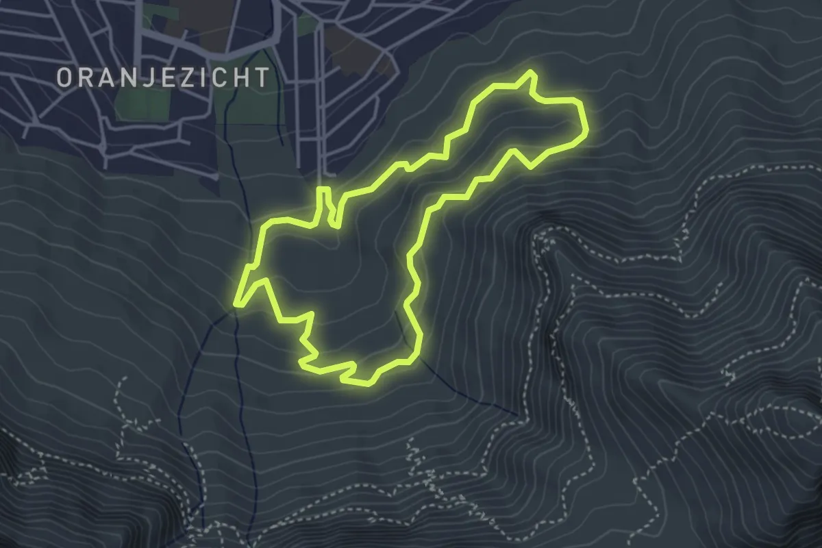
Easy · Trail
Deer Park Loop
4.6 km · ↑ 235 m · 1 h 40 min · 12 km away
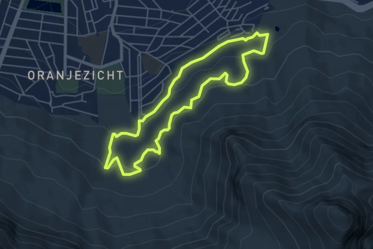
Easy · Trail
Platteklip Stream Trail
4.8 km · ↑ 189 m · 1 h 37 min · 12 km away
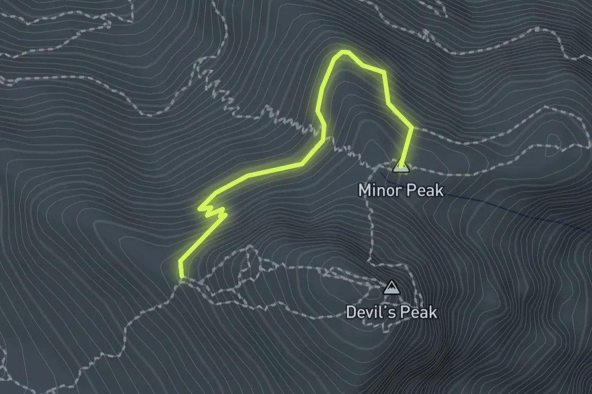
Expert · Summit
700 m Devil's Peak Traverse
2.2 km · ↑ 190 m · 56 min · 12 km away
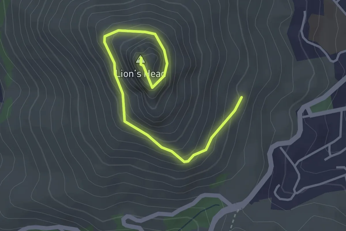
Medium · Summit
Lion's Head Summit
4.2 km · ↑ 358 m · 1 h 46 min · 12 km away
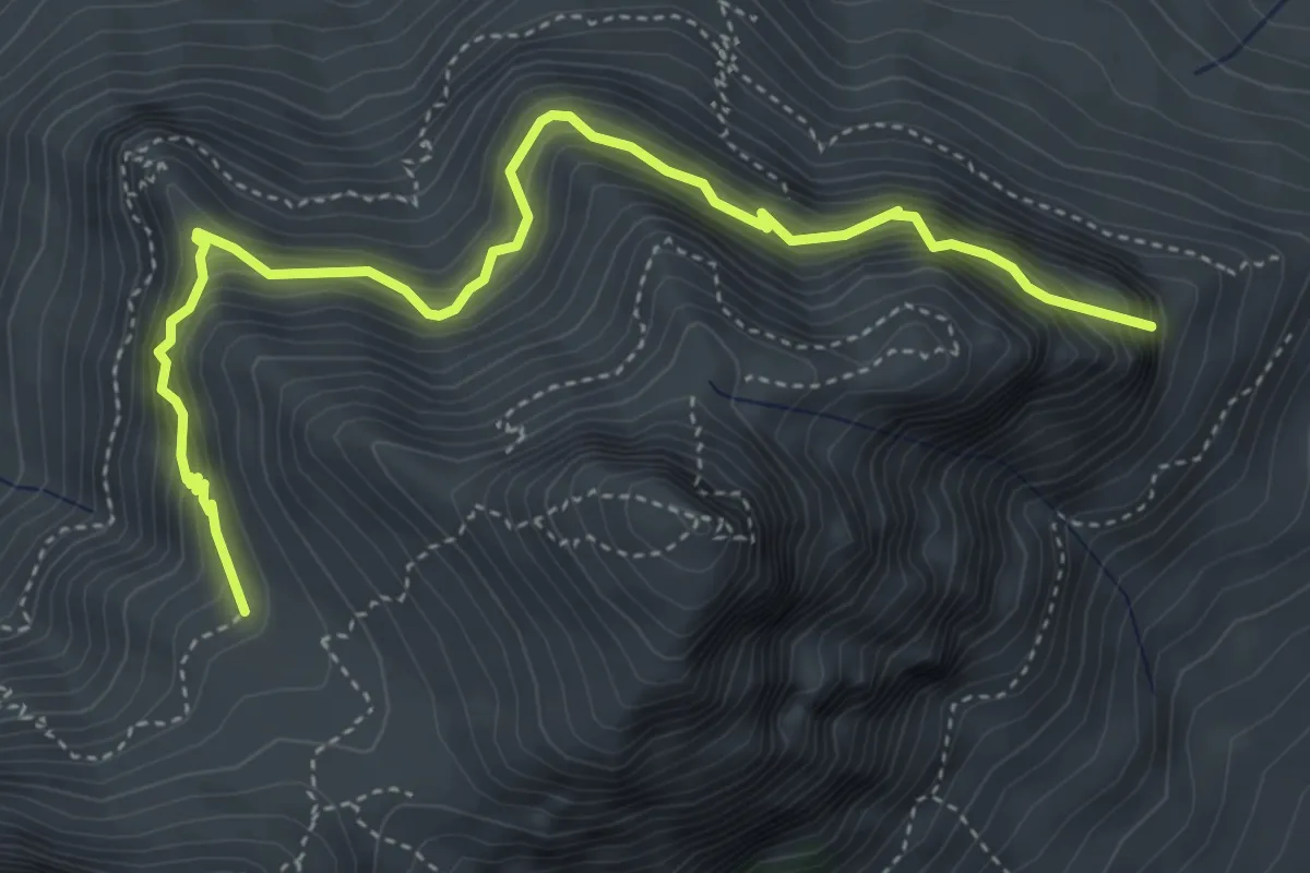
Medium · Trail
580 m Devil's Peak Traverse
6.1 km · ↑ 725 m · 3 h 1 min · 13 km away
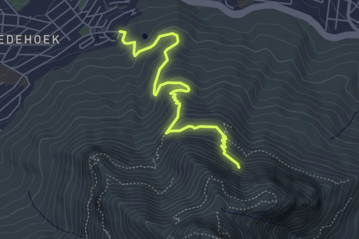
Medium · Trail
Chelmsford Road - Woodstock Cave
6.3 km · ↑ 426 m · 2 h 25 min · 13 km away
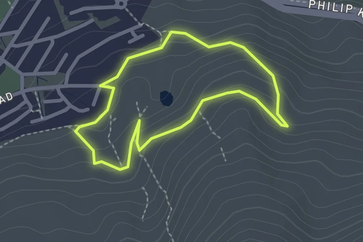
Easy · Trail
Devils Peak Quarry Loop
2.0 km · ↑ 85 m · 41 min · 13 km away
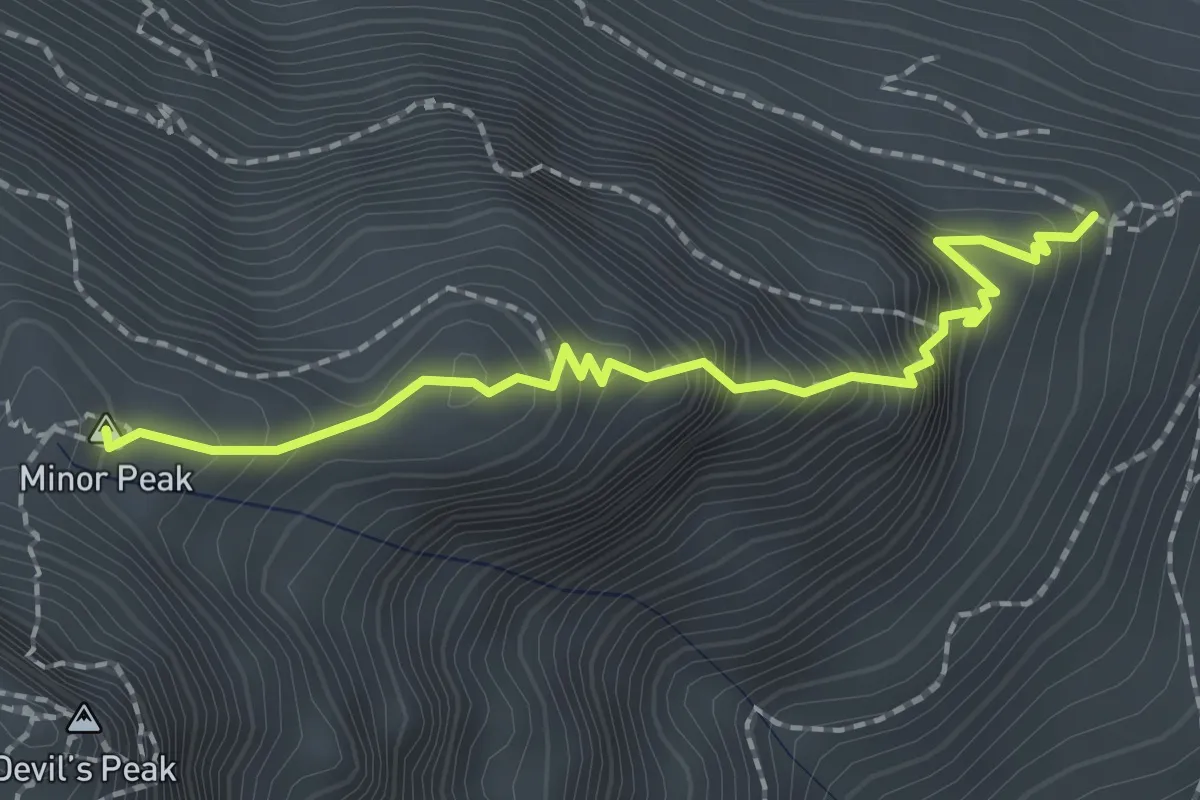
Medium · Summit
Mowbray Ridge
2.5 km · ↑ 382 m · 1 h 25 min · 13 km away
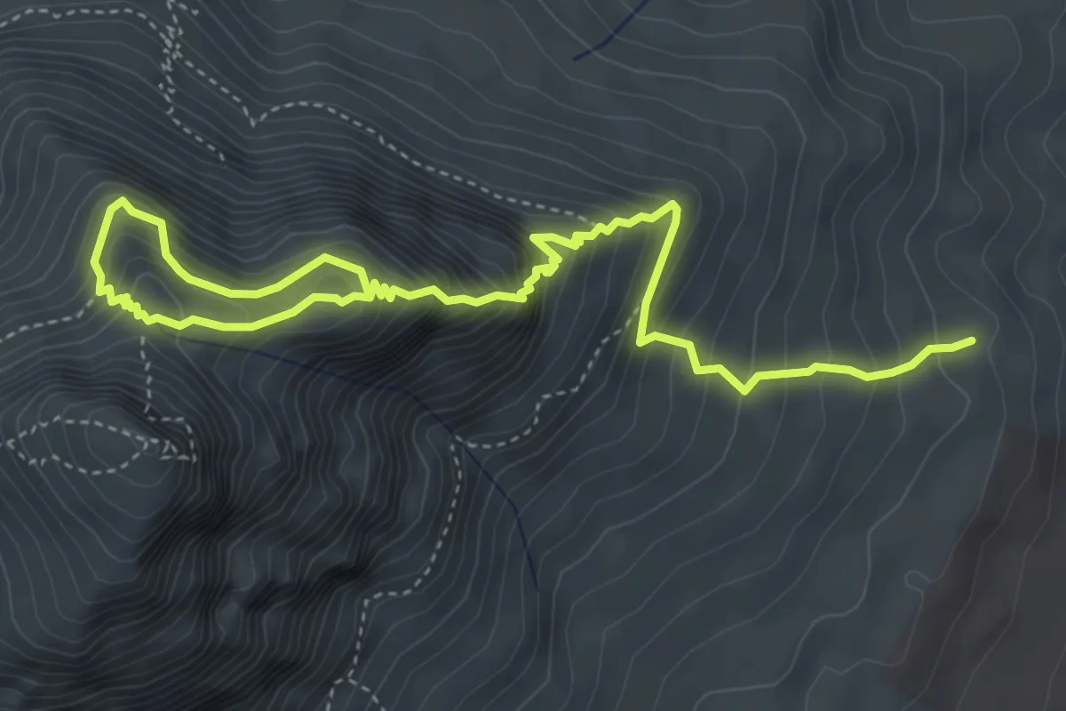
Expert · Summit
Rhodes Memorial - Mowbray Ridge - Knife's Edge - Minor Peak
3.6 km · ↑ 715 m · 2 h 10 min · 14 km away
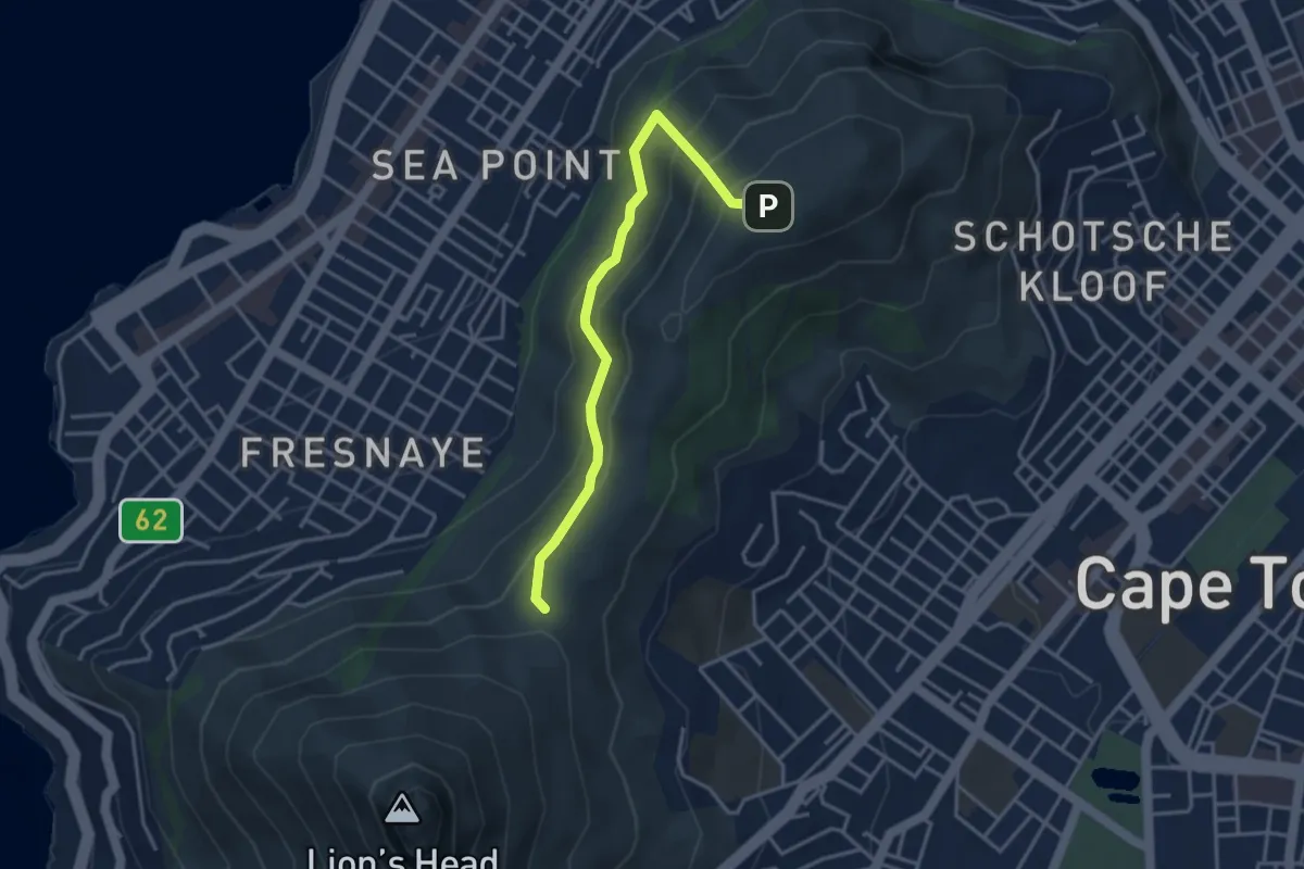
Easy · Trail
Signal Hill Trail via Lion's Head Path
2.2 km · ↑ 151 m · 53 min · 14 km away