Trails in South Korea
165 hiking trails, each with its route, climb, walking time and grade.
Near a town
All trails, page 1 of 4

Easy · Trail
서행길
7.3 km · ↑ 292 m · 2 h 21 min

Demanding · Trail
고바우길
24.5 km · ↑ 350 m · 6 h 33 min

Easy · Trail
송정옛길
2.1 km · ↑ 175 m · 52 min

Medium · Trail
천정코스
5.9 km · ↑ 484 m · 2 h 32 min

Medium · Trail
가마바우길
13.1 km · ↑ 384 m · 3 h 55 min

Demanding · Summit
관음사코스
14.5 km · ↑ 1171 m · 5 h 58 min

Demanding · Trail
성판악코스
18.3 km · ↑ 1154 m · 6 h 49 min

Medium · Summit
안산자락길
6.5 km · ↑ 352 m · 2 h 24 min

Easy · Summit
장산누리길
6.3 km · ↑ 302 m · 2 h 8 min

Medium · Trail
북한산둘레길
7.2 km · ↑ 441 m · 2 h 39 min
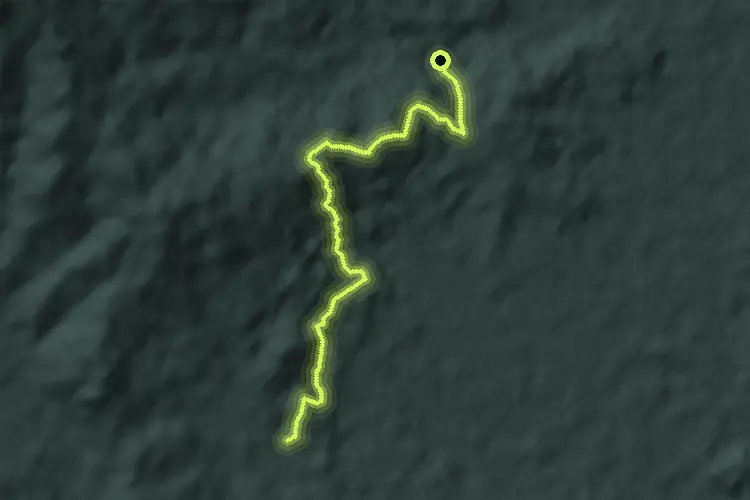
Easy · Trail
북한산둘레길
5.5 km · ↑ 241 m · 1 h 50 min

Demanding · Trail
치악산바람길
22.3 km · ↑ 345 m · 6 h 1 min

Demanding · Summit
회촌달맞이길
32.6 km · ↑ 1460 m · 10 h 52 min

Demanding · Trail
호미반도해안둘레길
25.0 km · ↑ 529 m · 7 h 3 min

Medium · Trail
부산외국어대학교 도보길
15.2 km · ↑ 542 m · 4 h 46 min

Easy · Trail
국립대전현충원 보훈둘레길
6.7 km · ↑ 160 m · 2 h 2 min

Demanding · Trail
지리산둘레길 (삼화실-대축)
16.0 km · ↑ 973 m · 6 h 4 min

Medium · Trail
지리산둘레길 (원부춘-가탄)
11.2 km · ↑ 774 m · 4 h 35 min

Demanding · Trail
지리산둘레길 (성심원-어천-운리)
15.4 km · ↑ 1000 m · 5 h 58 min

Demanding · Trail
지리산둘레길 (하동호–삼화실)
19.3 km · ↑ 713 m · 6 h 6 min

Medium · Trail
지리산둘레길 (하동읍–서당)
13.1 km · ↑ 655 m · 4 h 31 min

Medium · Trail
지리산둘레길 (대축-원부춘)
11.9 km · ↑ 767 m · 4 h 34 min

Medium · Trail
지리산둘레길 (위태-하동호)
10.9 km · ↑ 631 m · 4 h 8 min

Demanding · Trail
지리산둘레길 (가탄-송정)
10.0 km · ↑ 952 m · 4 h 31 min

Demanding · Summit
지리산둘레길 (금계-동강)
23.3 km · ↑ 1439 m · 8 h 37 min

Demanding · Trail
지리산둘레길 (덕산-위태)
22.2 km · ↑ 693 m · 6 h 45 min

Demanding · Trail
지리산둘레길 (동강-수철)
23.2 km · ↑ 1122 m · 7 h 55 min

Medium · Trail
지리산둘레길 (산동-주천)
15.5 km · ↑ 736 m · 5 h 28 min

Demanding · Trail
지리산둘레길 (송정-오미)
20.3 km · ↑ 1162 m · 7 h 19 min

Medium · Summit
지리산둘레길 (오미-방광)
16.6 km · ↑ 631 m · 5 h 17 min

Medium · Trail
지리산둘레길 (운리-덕산)
12.2 km · ↑ 526 m · 4 h 12 min

Demanding · Trail
지리산둘레길 (운봉-인월)
18.2 km · ↑ 349 m · 5 h 3 min

Medium · Summit
지리산둘레길 (주천-운봉)
14.3 km · ↑ 666 m · 4 h 49 min

Medium · Trail
지리산둘레길 (방광–산동)
12.8 km · ↑ 679 m · 4 h 40 min

Medium · Summit
태조왕건 길
16.7 km · ↑ 236 m · 4 h 27 min

Easy · Trail
송정옛길(산책로 구간)
3.3 km · ↑ 165 m · 1 h 8 min

Medium · Summit
계족산 황톳길
12.7 km · ↑ 563 m · 4 h 24 min

Medium · Summit
산성산 등산로
1.7 km · ↑ 106 m · 38 min

Demanding · Trail
차탄천 에움길
19.1 km · ↑ 219 m · 4 h 59 min

Medium · Trail
일광산 테마임도
11.8 km · ↑ 400 m · 3 h 39 min

Easy · Trail
첨단 둘레길
6.5 km · ↑ 33 m · 1 h 36 min

Demanding · Summit
여수 금오도 비렁길
23.8 km · ↑ 1274 m · 8 h 23 min

Medium · Trail
송도 일몰 감상 도보 코스
9.2 km · ↑ 0 m · 2 h 10 min

Demanding · Summit
남령 - 금원산
17.1 km · ↑ 1558 m · 7 h 25 min

Demanding · Summit
내촌 - 단지봉
8.2 km · ↑ 855 m · 3 h 47 min

Demanding · Summit
월성 - 월봉산
15.7 km · ↑ 967 m · 5 h 49 min

Demanding · Summit
부천둘레길 1코스
17.0 km · ↑ 809 m · 5 h 46 min

Medium · Summit
인천둘레길 1코스
4.8 km · ↑ 350 m · 1 h 57 min