Trails in South Korea
165 hiking trails, each with its route, climb, walking time and grade.
All trails, page 2 of 4
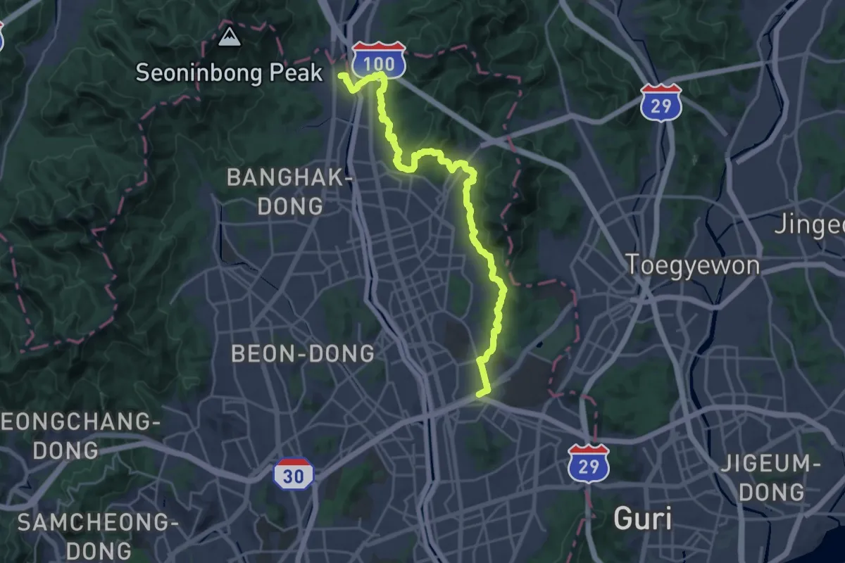
Medium · Trail
서울둘레길 1코스 수락-불암산코스
13.6 km · ↑ 541 m · 4 h 34 min
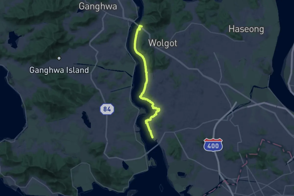
Demanding · Trail
평화누리길1코스
27.4 km · ↑ 352 m · 7 h 13 min
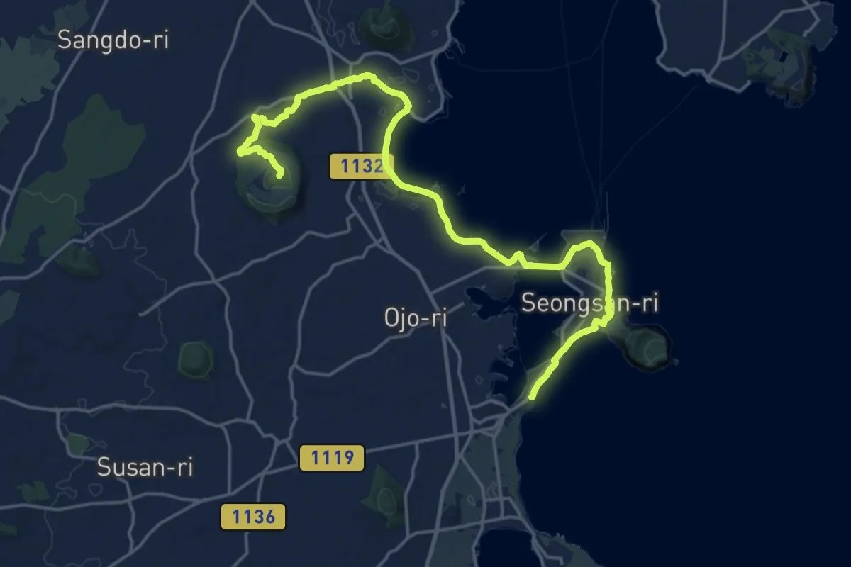
Demanding · Summit
올레길1
24.6 km · ↑ 196 m · 6 h 14 min
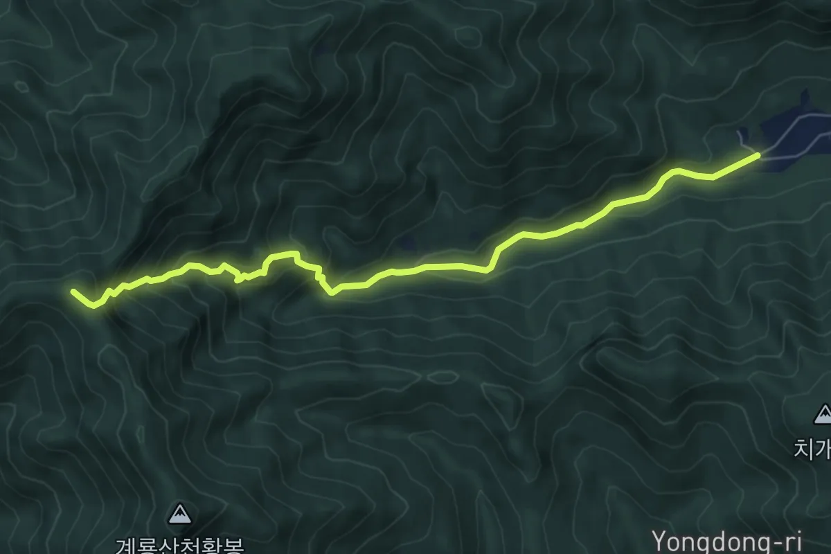
Medium · Summit
동학사1코스
7.8 km · ↑ 684 m · 3 h 19 min
Medium · Summit
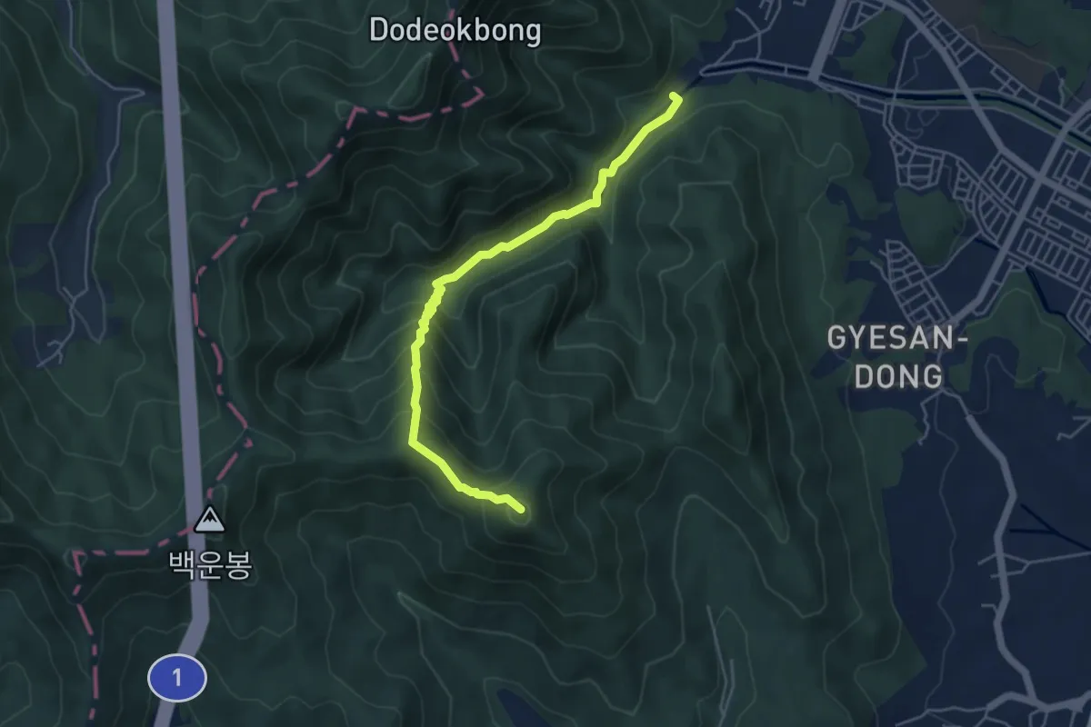
수통골1코스
5.7 km · ↑ 415 m · 2 h 15 min
Medium · Trail
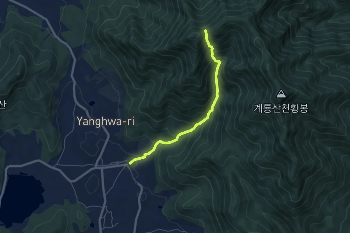
신원사1코스
5.6 km · ↑ 584 m · 2 h 35 min
Medium · Trail
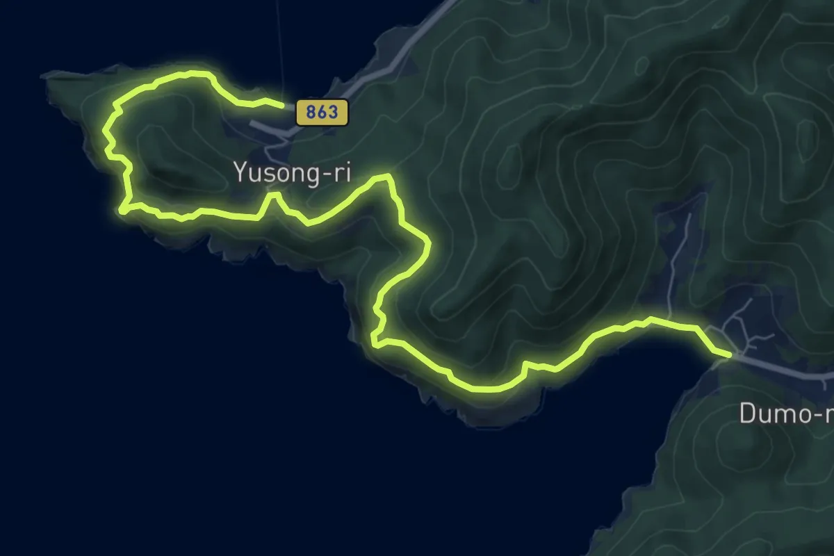
여수 금오도 비렁길 1코스
12.8 km · ↑ 678 m · 4 h 30 min
Medium · Summit
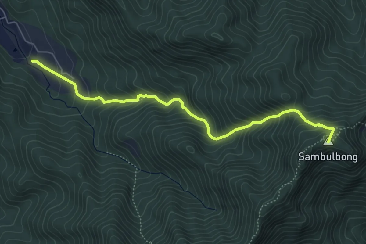
갑사1코스
6.3 km · ↑ 589 m · 2 h 46 min
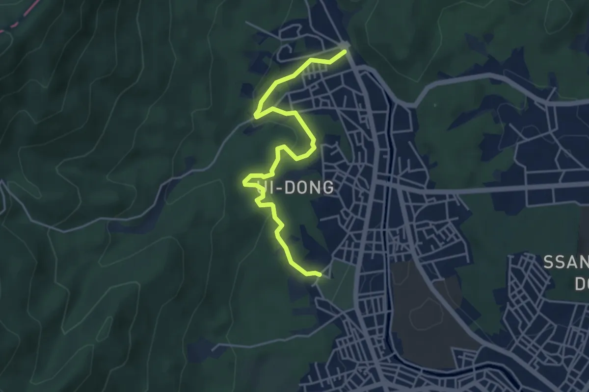
Easy · Trail
[북한산둘레길] 1구간 소나무숲길
4.9 km · ↑ 180 m · 1 h 32 min
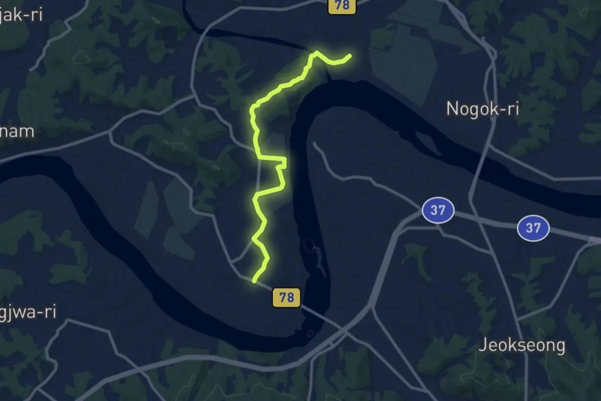
Medium · Trail
평화누리길 10코스(고랑포길)
9.6 km · ↑ 134 m · 2 h 33 min
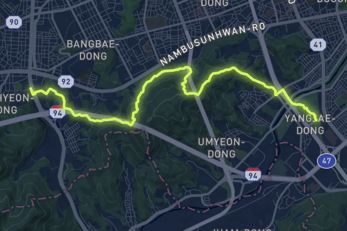
Medium · Trail
[서울둘레길] 10코스
15.0 km · ↑ 784 m · 5 h 15 min
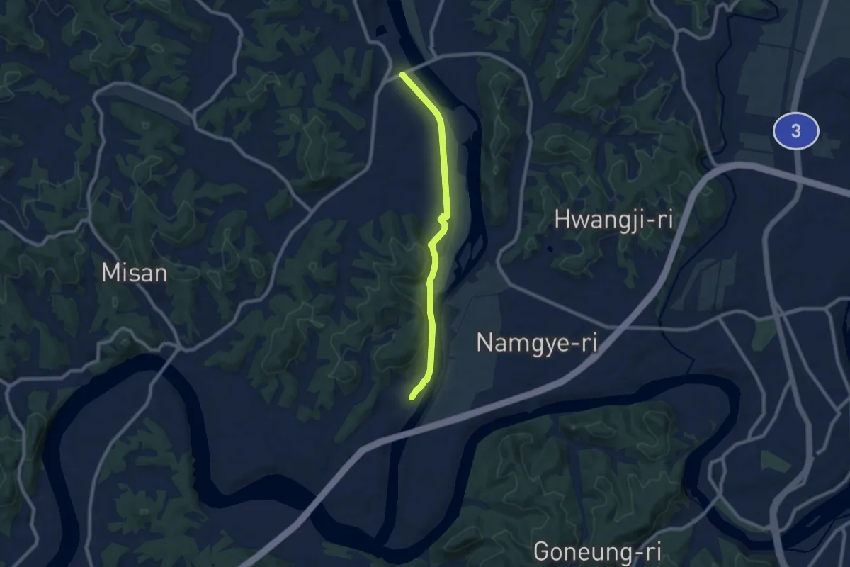
Medium · Trail
평화누리길 11코스(임진적벽길)
8.5 km · ↑ 103 m · 2 h 13 min
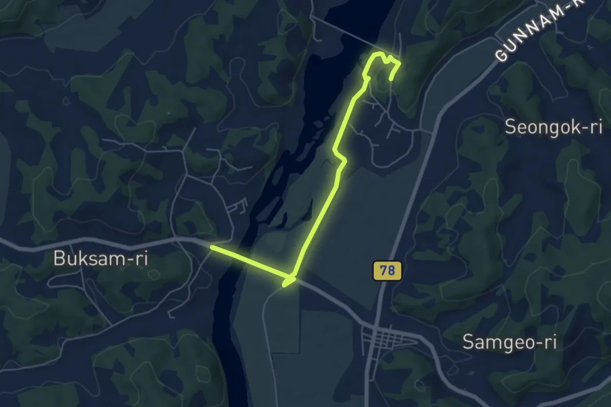
Easy · Trail
평화누리길11코스
6.1 km · ↑ 72 m · 1 h 36 min
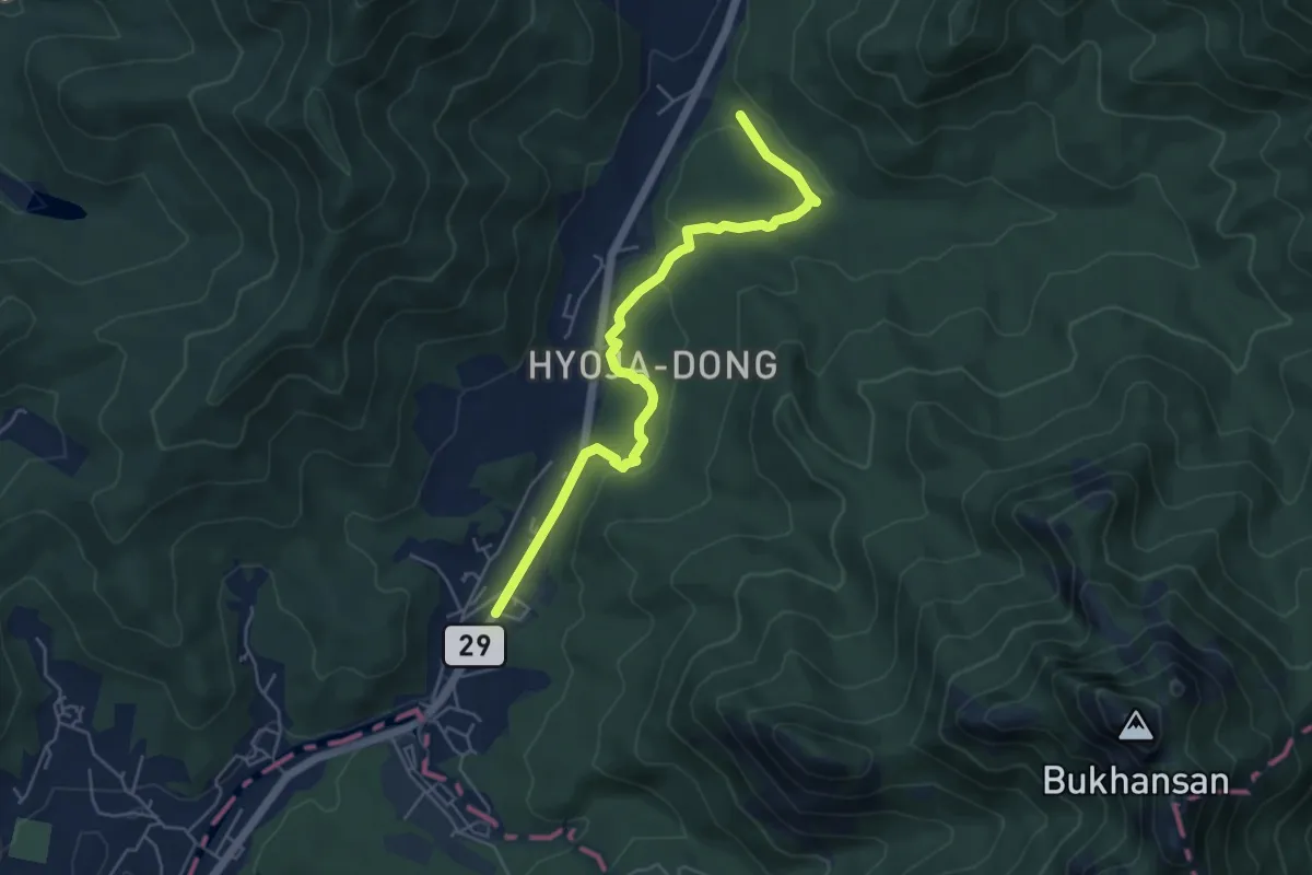
Easy · Trail
[북한산둘레길] 11구간 효자길
6.1 km · ↑ 185 m · 1 h 50 min
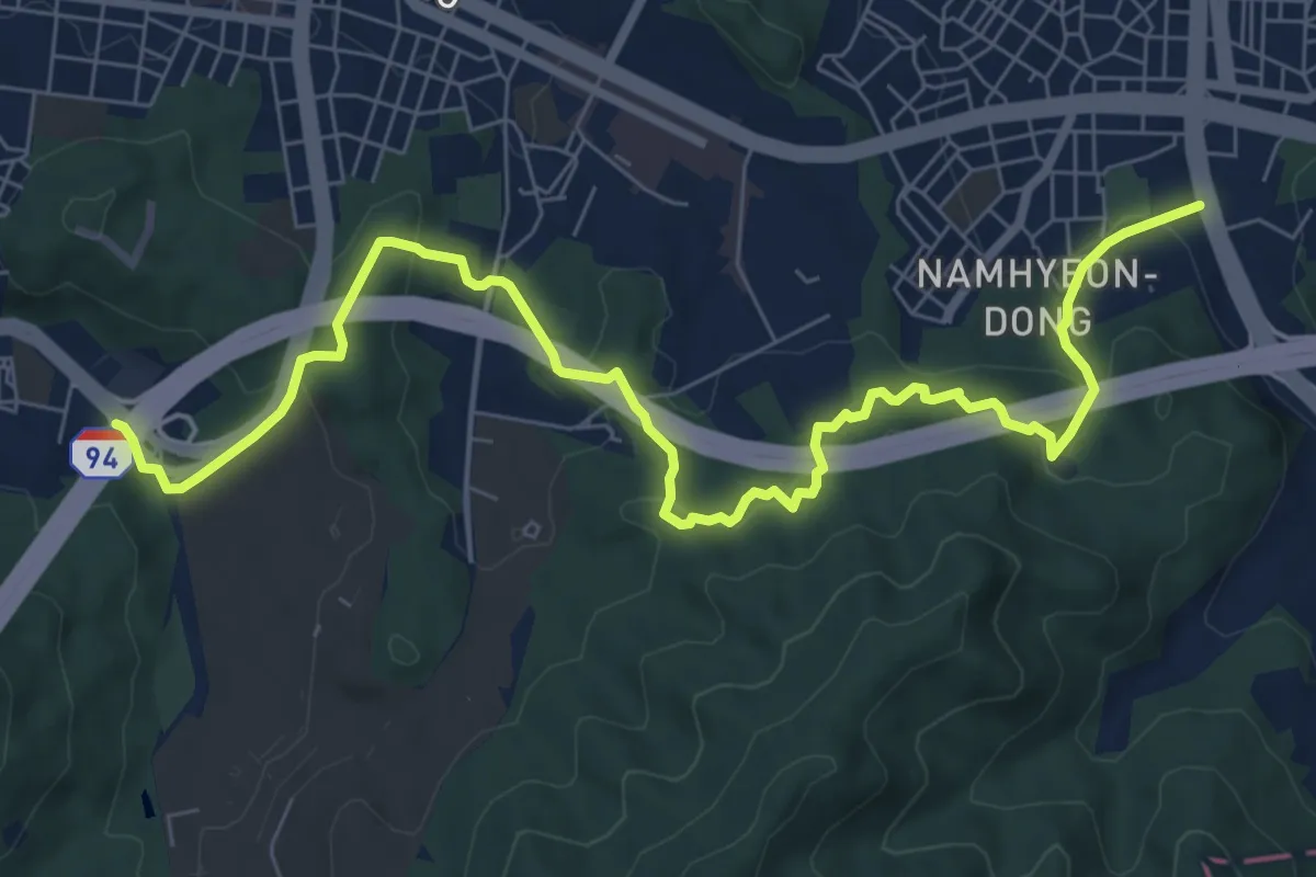
Medium · Trail
[서울둘레길] 11코스
10.8 km · ↑ 545 m · 3 h 44 min
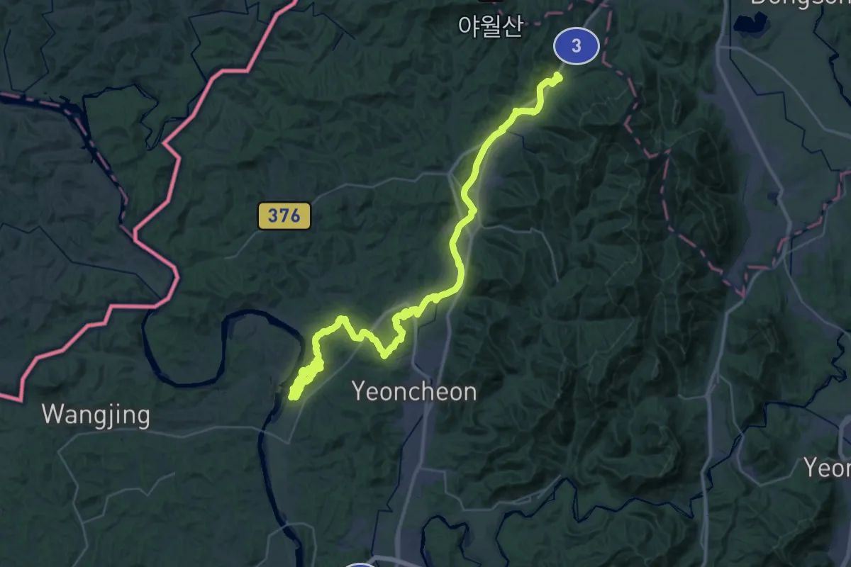
Demanding · Trail
평화누리길 12코스 (통일이음길)
27.8 km · ↑ 490 m · 8 h 1 min
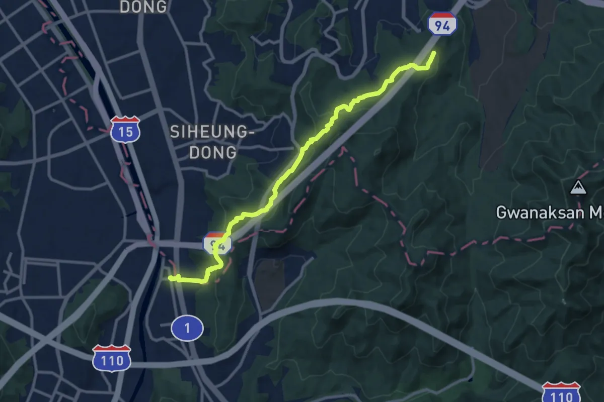
Medium · Summit
[서울둘레길] 12코스
11.6 km · ↑ 505 m · 3 h 50 min
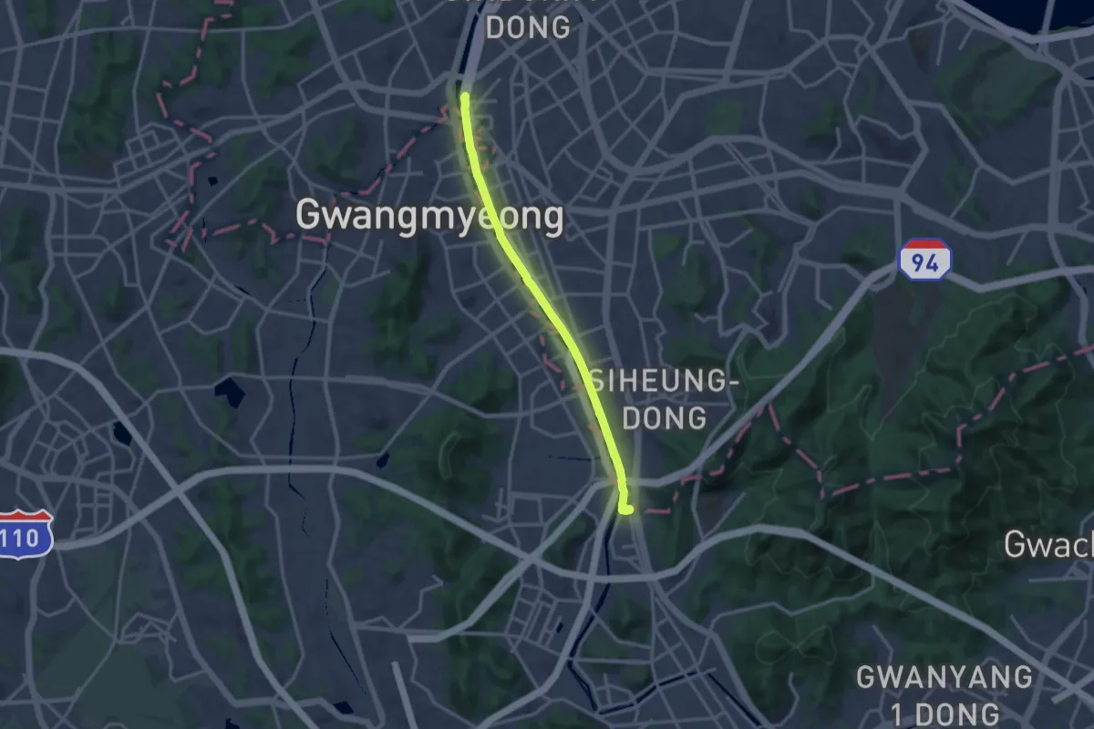
Medium · Trail
[서울둘레길] 13코스
15.5 km · ↑ 141 m · 3 h 58 min
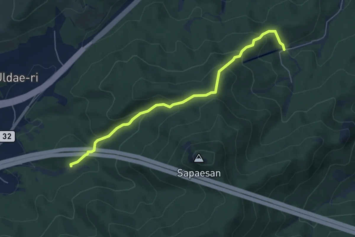
Medium · Trail
[북한산둘레길] 14구간 산너미길
5.5 km · ↑ 379 m · 2 h 7 min
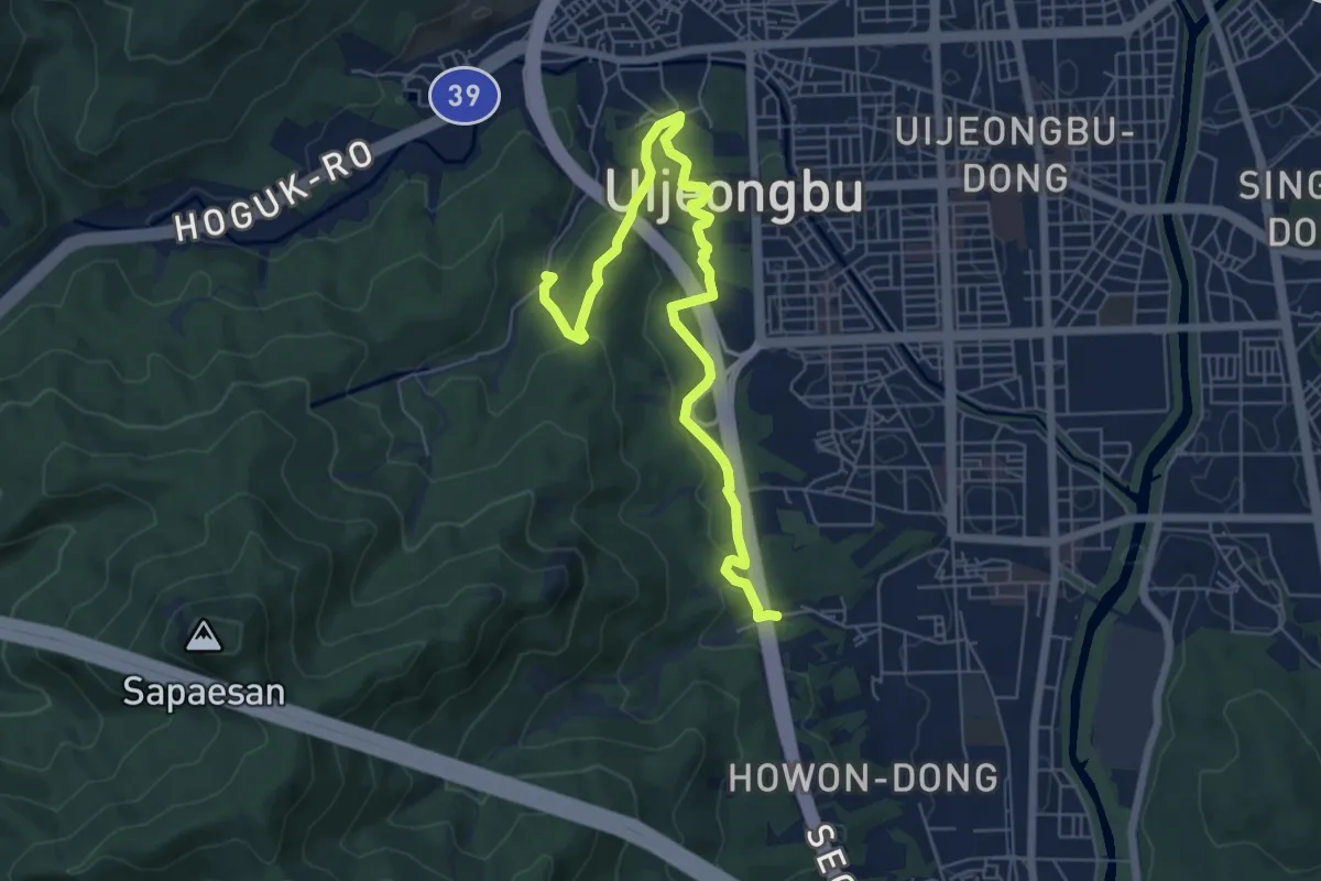
Medium · Trail
[북한산둘레길] 15구간 안골길
8.3 km · ↑ 293 m · 2 h 35 min
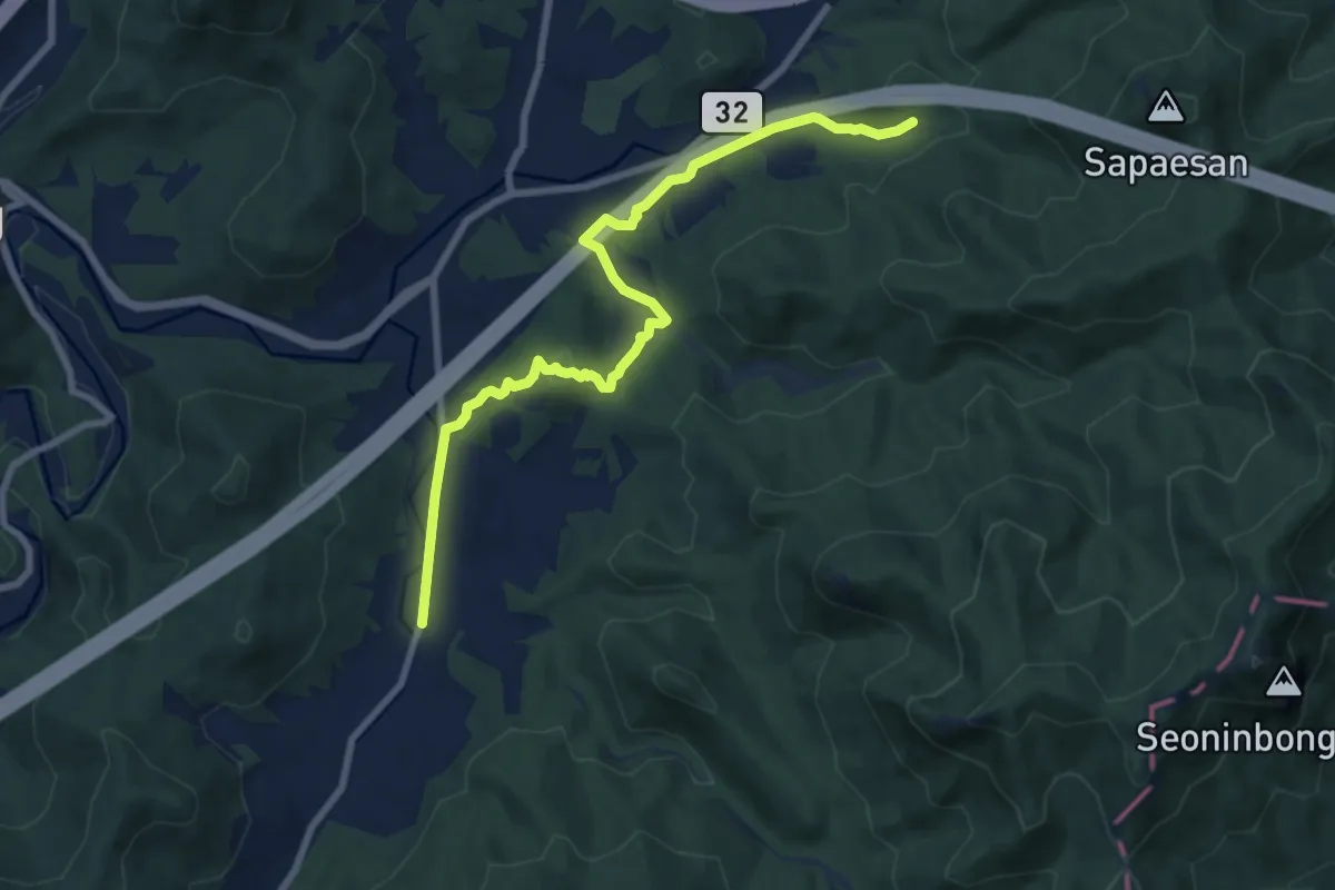
Medium · Trail
[북한산둘레길] 15구간 송추마을길
9.8 km · ↑ 247 m · 2 h 51 min
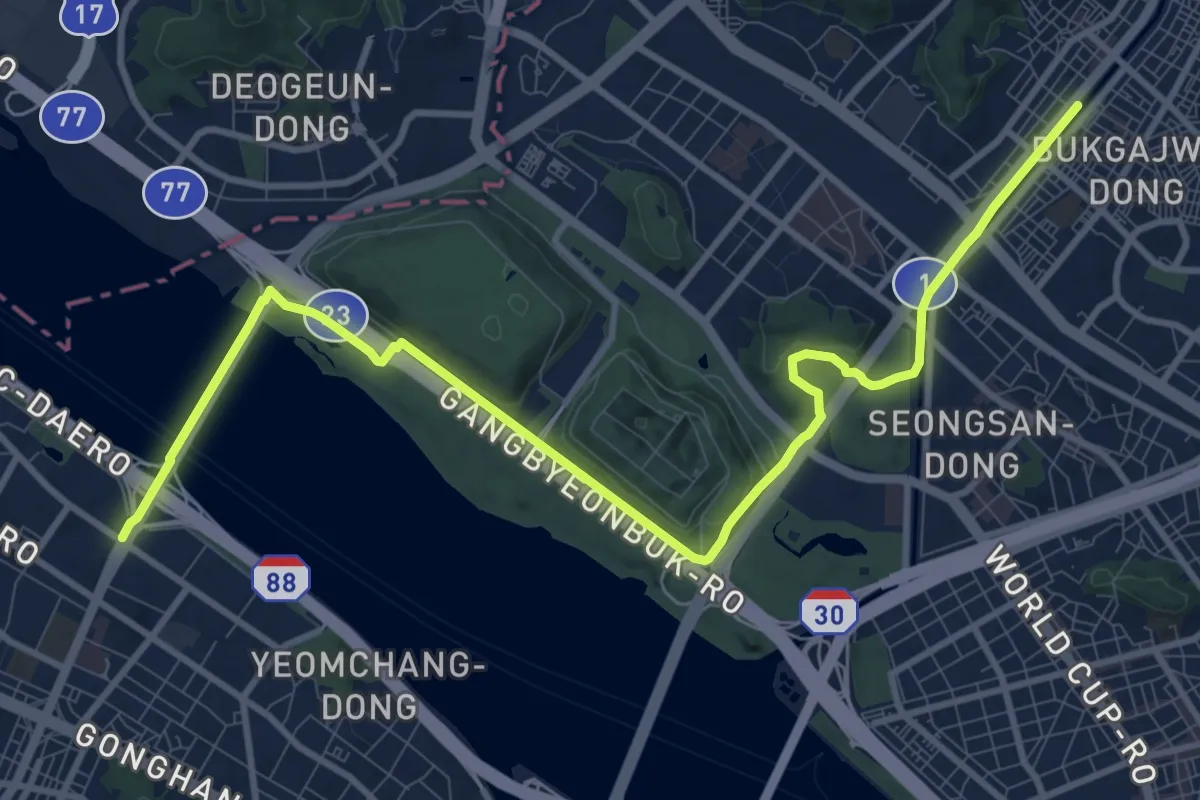
Medium · Trail
[서울둘레길] 15코스
14.9 km · ↑ 226 m · 4 h
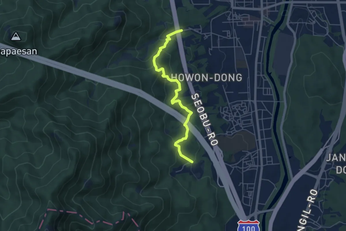
Medium · Trail
[북한산둘레길] 16구간 보루길
5.7 km · ↑ 442 m · 2 h 19 min
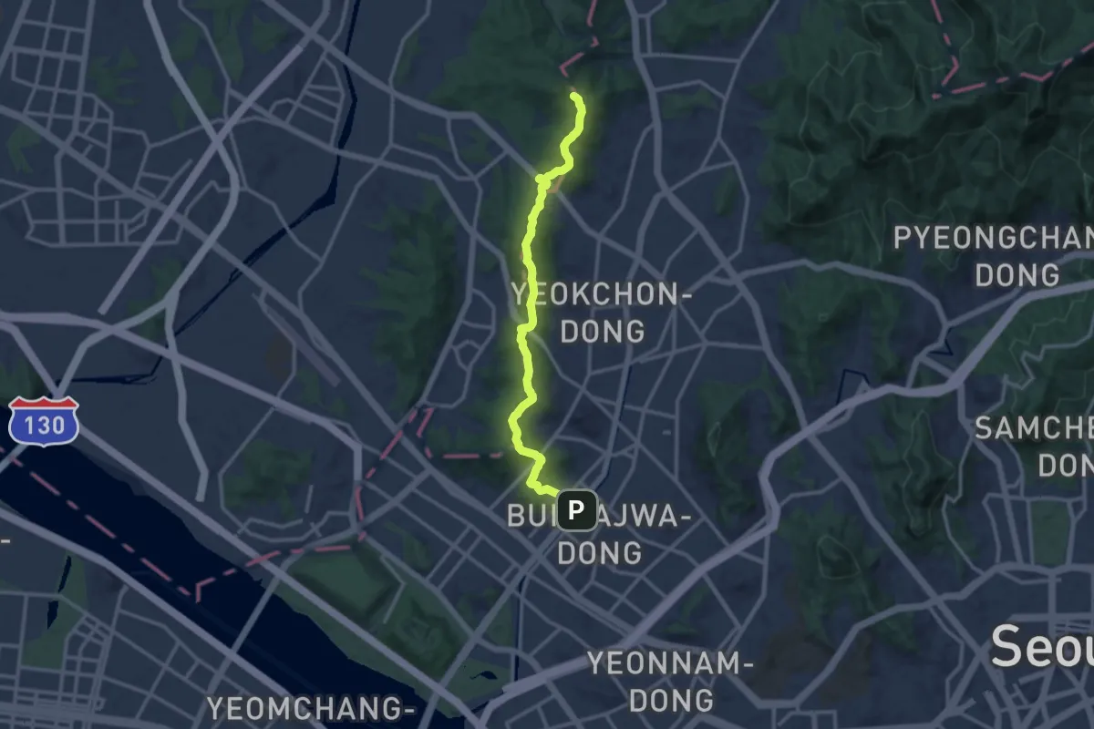
Demanding · Summit
[서울둘레길] 16코스
13.8 km · ↑ 821 m · 5 h 2 min
Easy · Trail
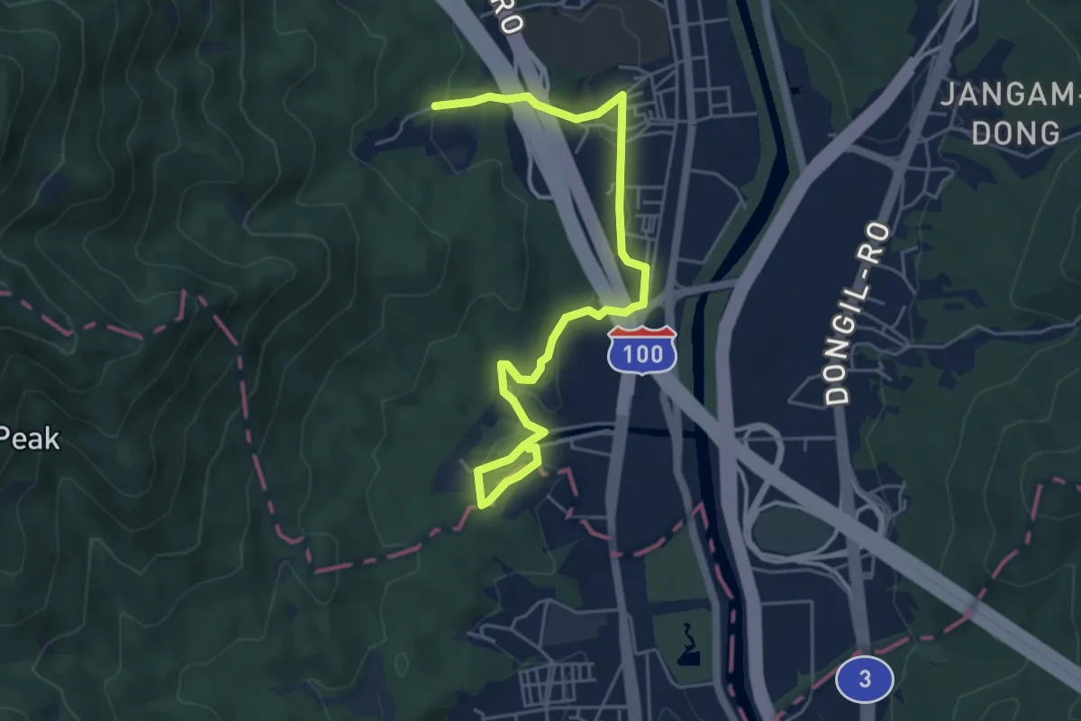
[북한산둘레길] 17구간 다락원길
6.8 km · ↑ 191 m · 2 h 1 min
Medium · Trail
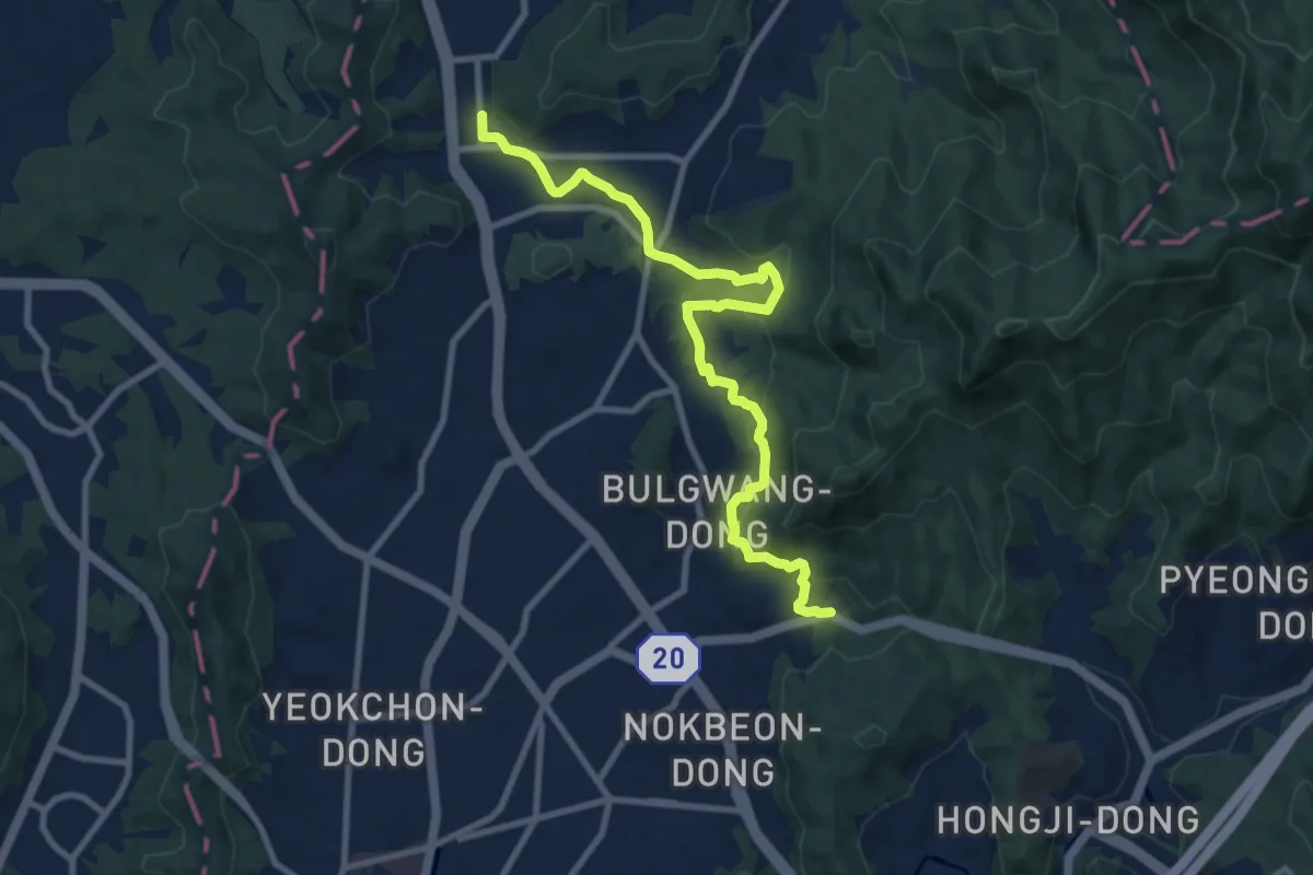
[서울둘레길] 17코스
11.5 km · ↑ 384 m · 3 h 32 min
Demanding · Summit
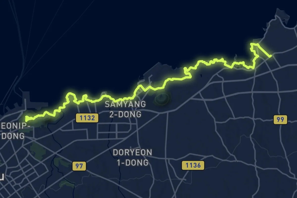
올레길 18코스
31.2 km · ↑ 402 m · 8 h 15 min
Easy · Trail
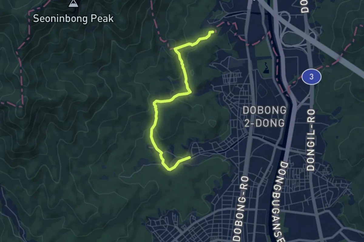
[북한산둘레길] 18구간 도봉옛길
6.6 km · ↑ 303 m · 2 h 13 min
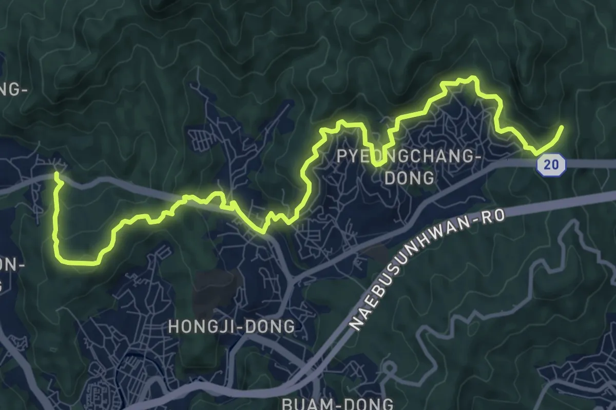
Medium · Trail
[서울둘레길] 18코스
14.9 km · ↑ 785 m · 5 h 13 min
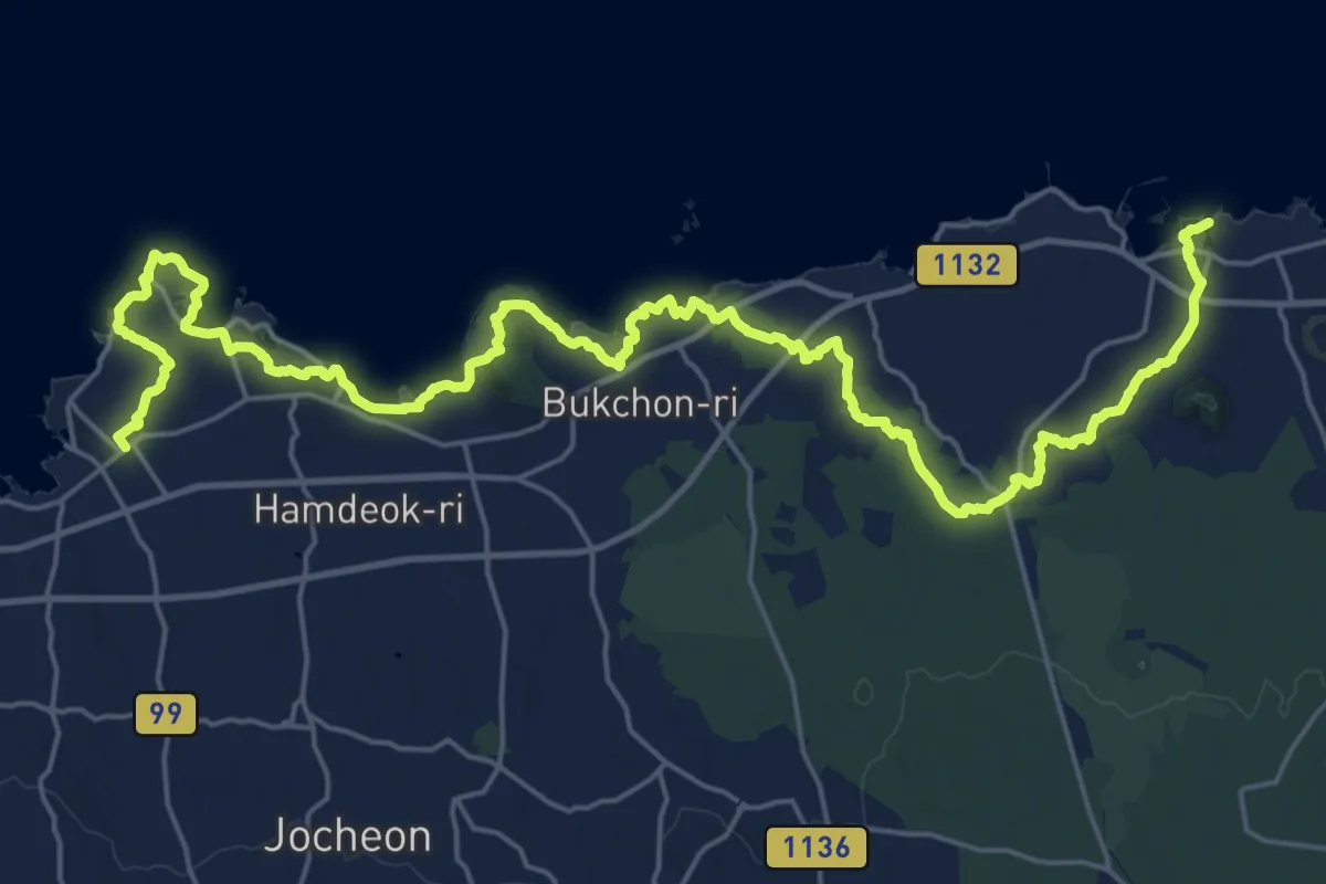
Demanding · Trail
올레길 19코스
18.7 km · ↑ 190 m · 5 h 5 min
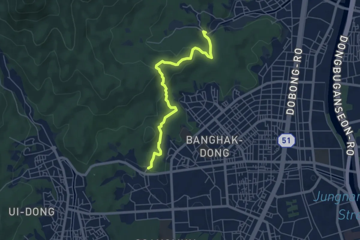
Easy · Trail
[북한산둘레길] 19구간 방학동길
5.6 km · ↑ 240 m · 1 h 50 min
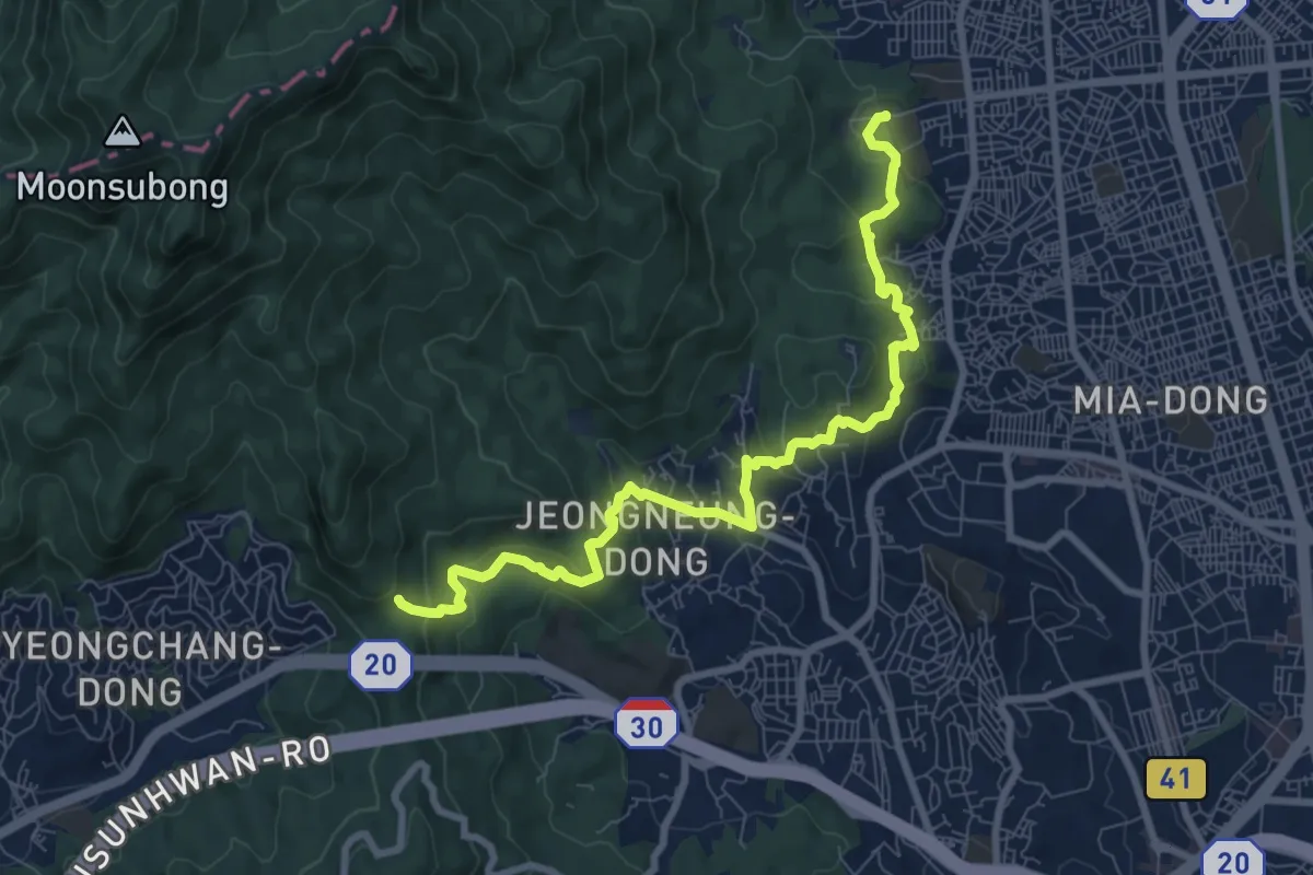
Medium · Trail
[서울둘레길] 19코스
10.5 km · ↑ 591 m · 3 h 45 min
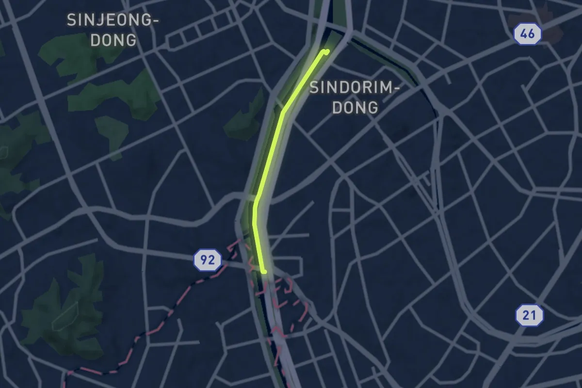
Easy · Trail
구로올레길 하천형 2코스
5.5 km · ↑ 0 m · 1 h 18 min
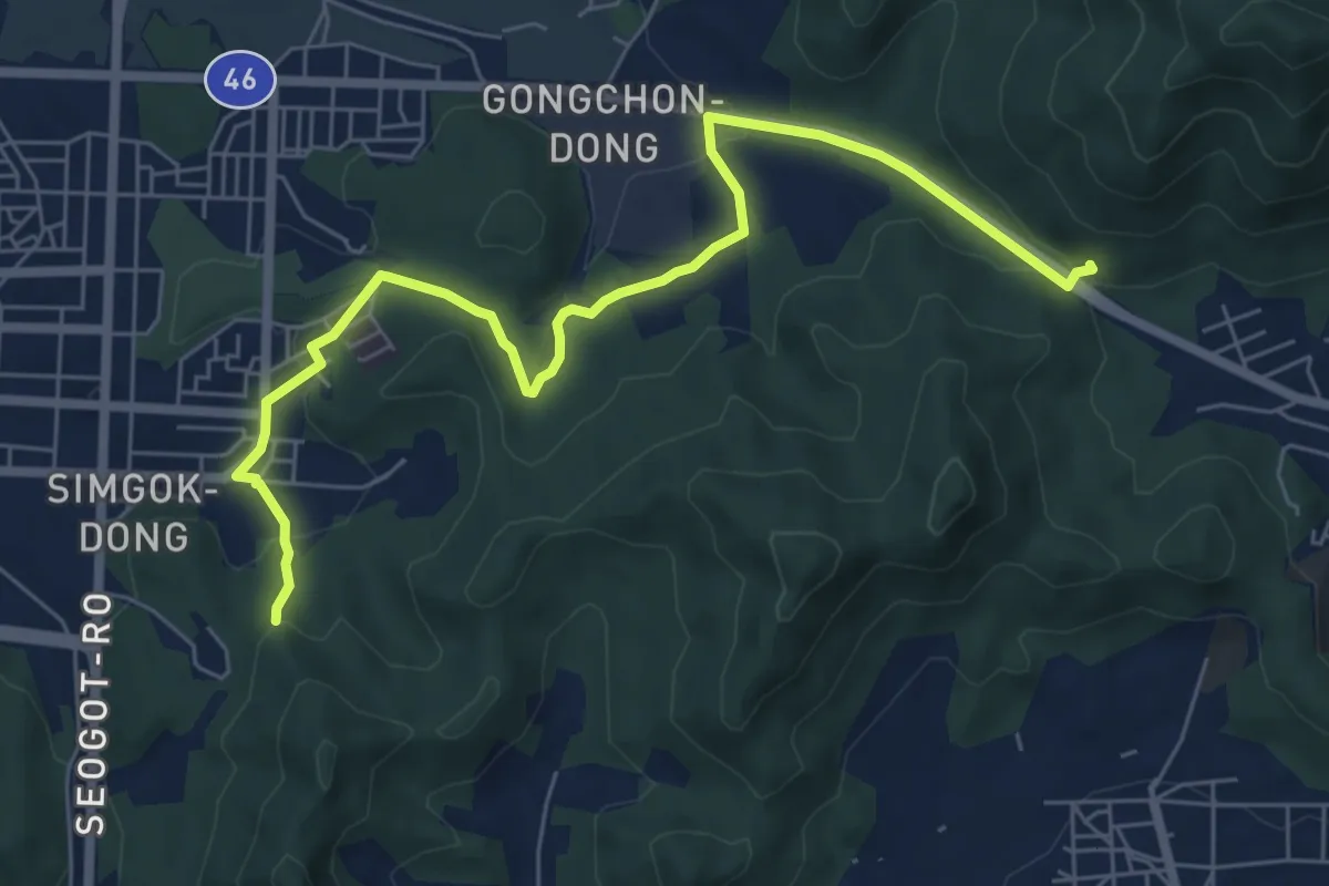
Medium · Trail
인천둘레길 2코스
8.5 km · ↑ 254 m · 2 h 34 min
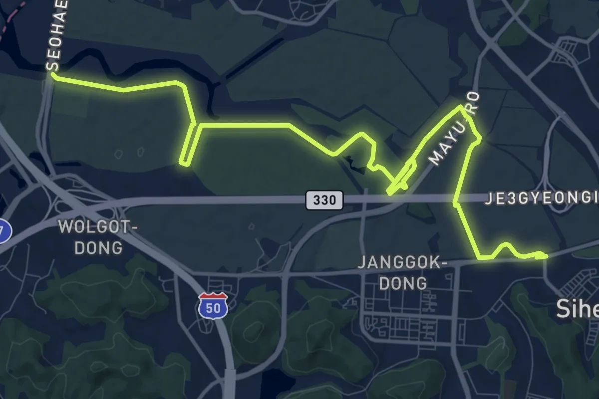
Medium · Trail
늠내길 2코스 갯골길
16.8 km · ↑ 274 m · 4 h 33 min
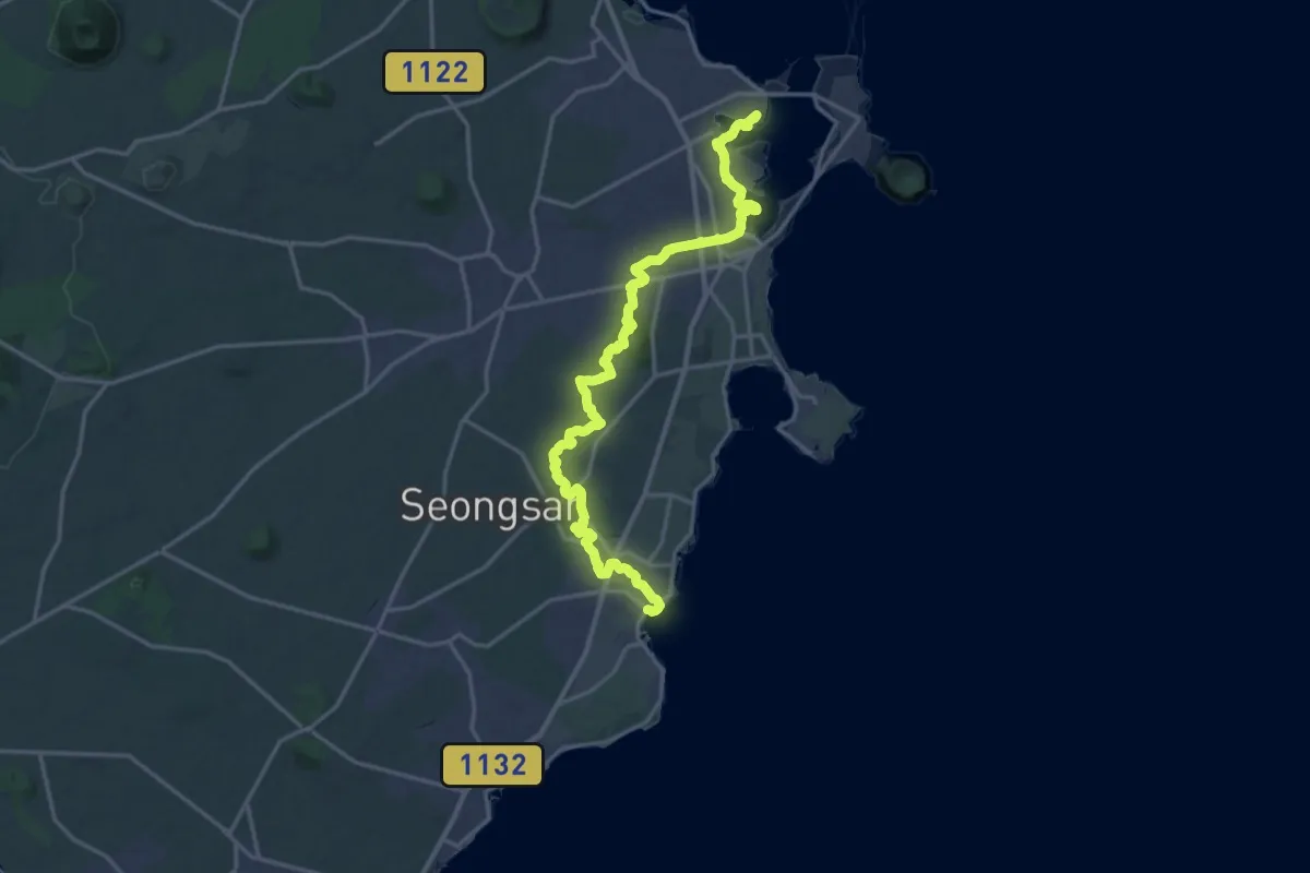
Demanding · Summit
올레길2
24.7 km · ↑ 369 m · 6 h 38 min
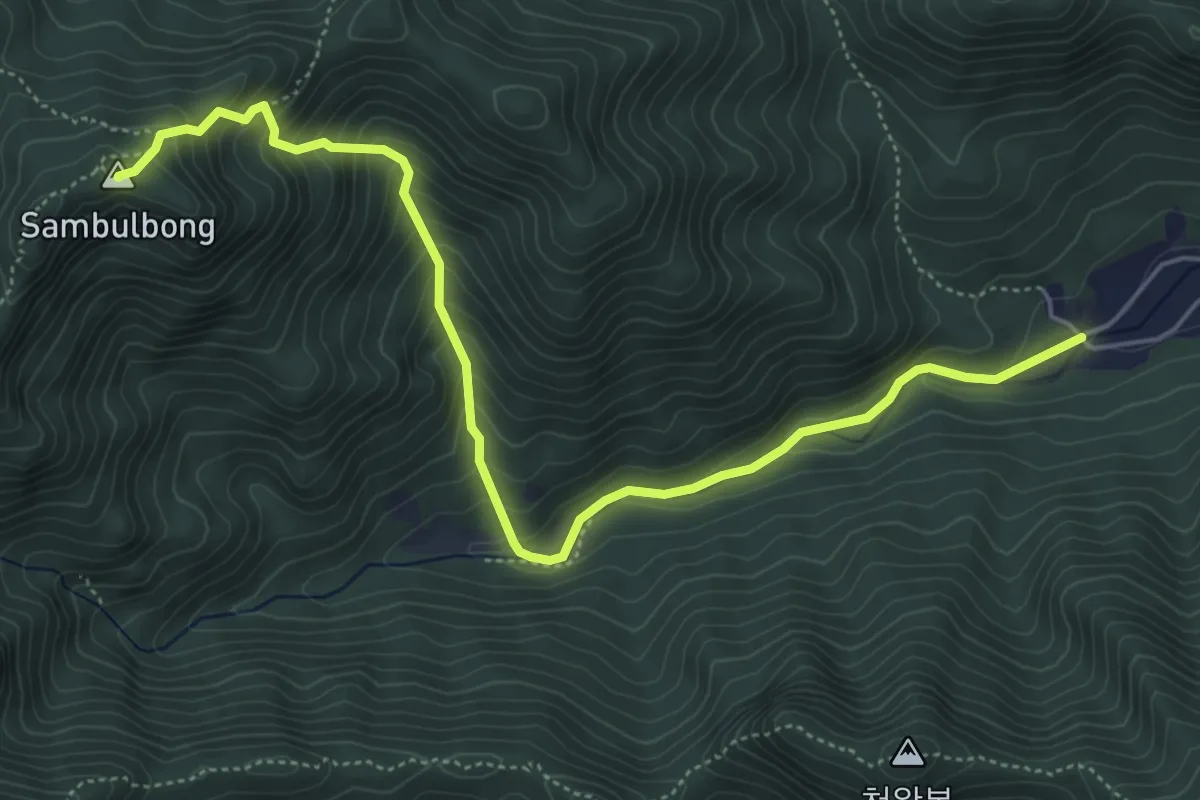
Medium · Summit
동학사2코스
7.1 km · ↑ 585 m · 2 h 56 min
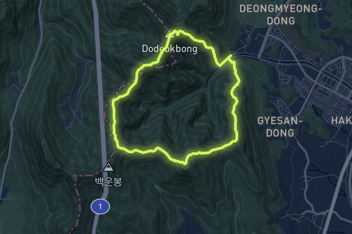
Medium · Summit
수통골2코스
8.0 km · ↑ 714 m · 3 h 33 min
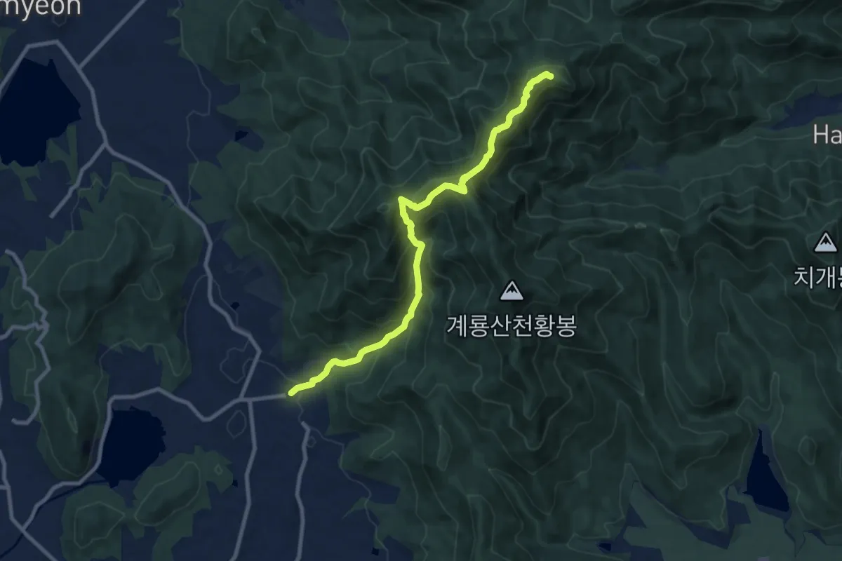
Demanding · Summit
신원사2코스
10.4 km · ↑ 887 m · 4 h 23 min
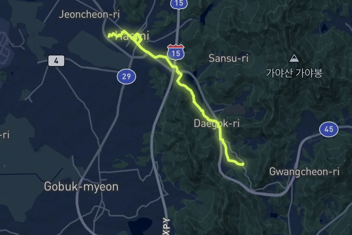
Demanding · Trail
서산 아라메길2코스 (한티고개 천주교 성지순례길)
19.8 km · ↑ 308 m · 5 h 21 min
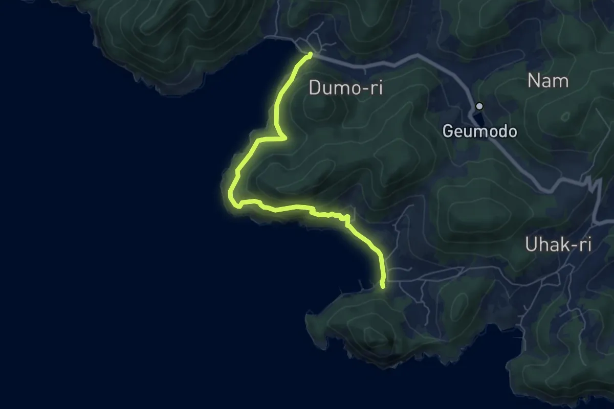
Medium · Trail
여수 금오도 비렁길 2코스
7.4 km · ↑ 327 m · 2 h 27 min
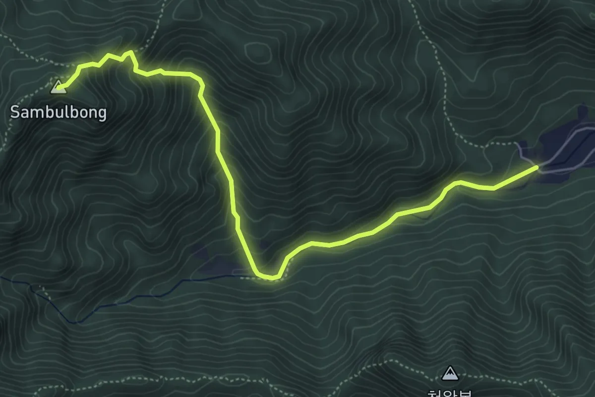
Medium · Summit
갑사2코스
7.1 km · ↑ 585 m · 2 h 56 min
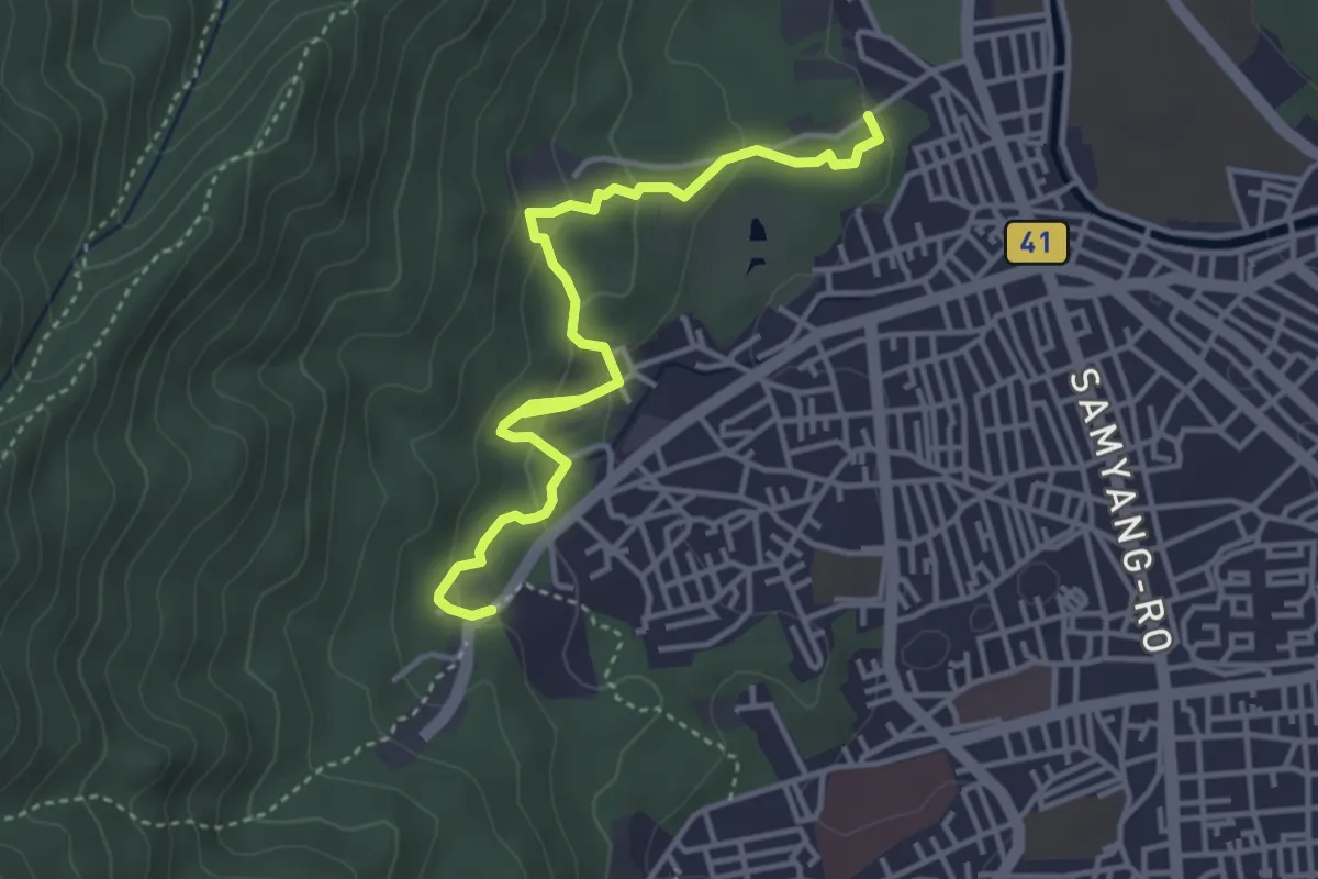
Easy · Trail
[북한산둘레길] 2구간 순례길
4.8 km · ↑ 237 m · 1 h 39 min
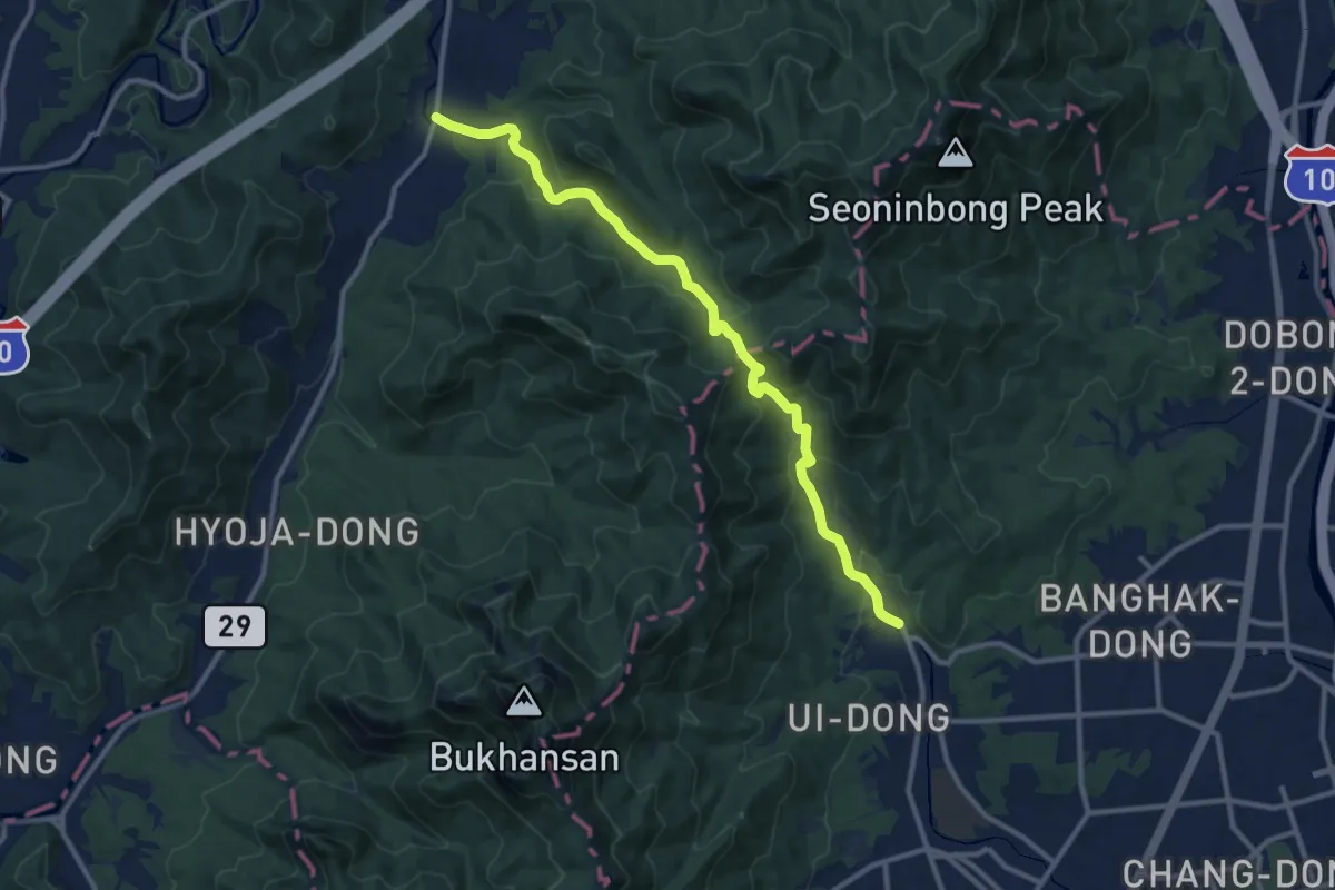
Medium · Trail
[북한산둘레길] 21구간 우이령길
13.2 km · ↑ 541 m · 4 h 17 min
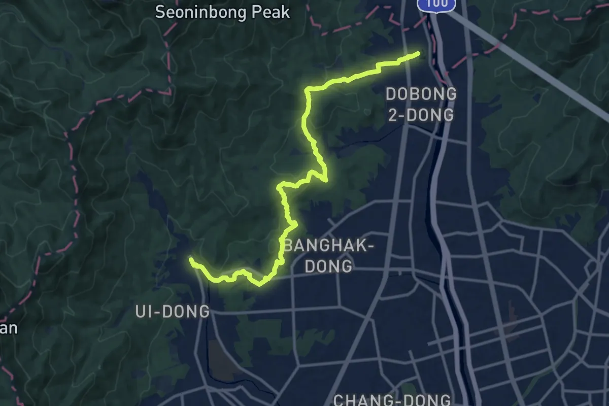
Medium · Trail
[서울둘레길] 21코스 / 북한산 도봉코스
14.4 km · ↑ 529 m · 4 h 33 min
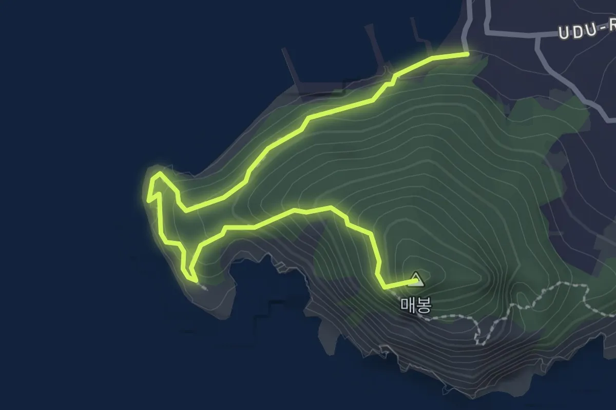
Easy · Summit
여수 금오도 비렁길 3코스
3.6 km · ↑ 271 m · 1 h 27 min
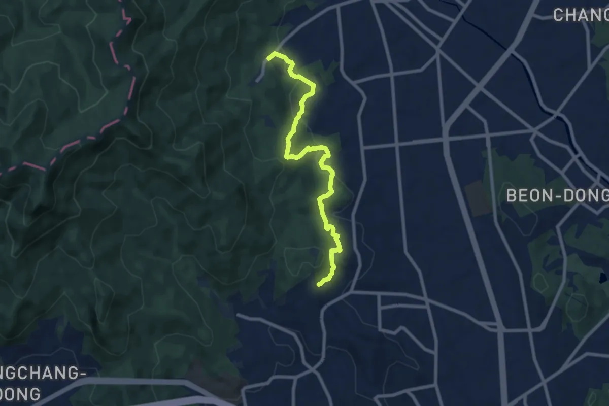
Medium · Trail
[북한산둘레길] 3구간 흰구름길
8.1 km · ↑ 488 m · 2 h 58 min
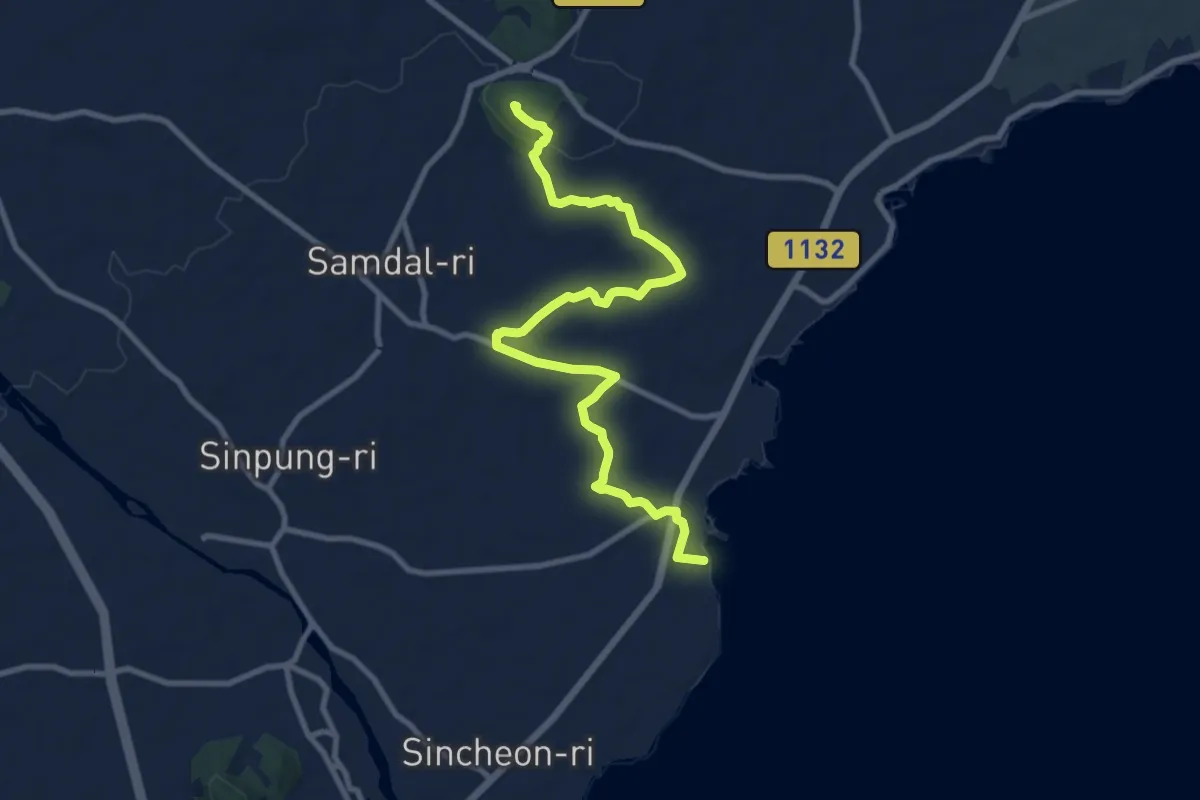
Medium · Summit
올레길3A
13.3 km · ↑ 192 m · 3 h 33 min