Trails in South Korea
165 hiking trails, each with its route, climb, walking time and grade.
All trails, page 3 of 4
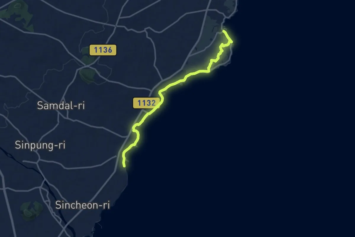
Medium · Trail
올레길3B
14.8 km · ↑ 37 m · 3 h 34 min
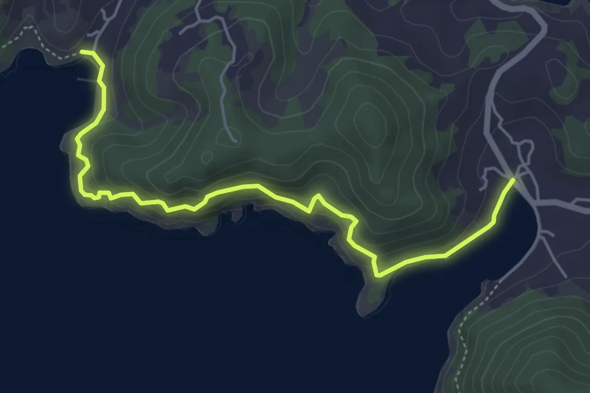
Medium · Trail
여수 금오도 비렁길 4코스
6.1 km · ↑ 360 m · 2 h 12 min
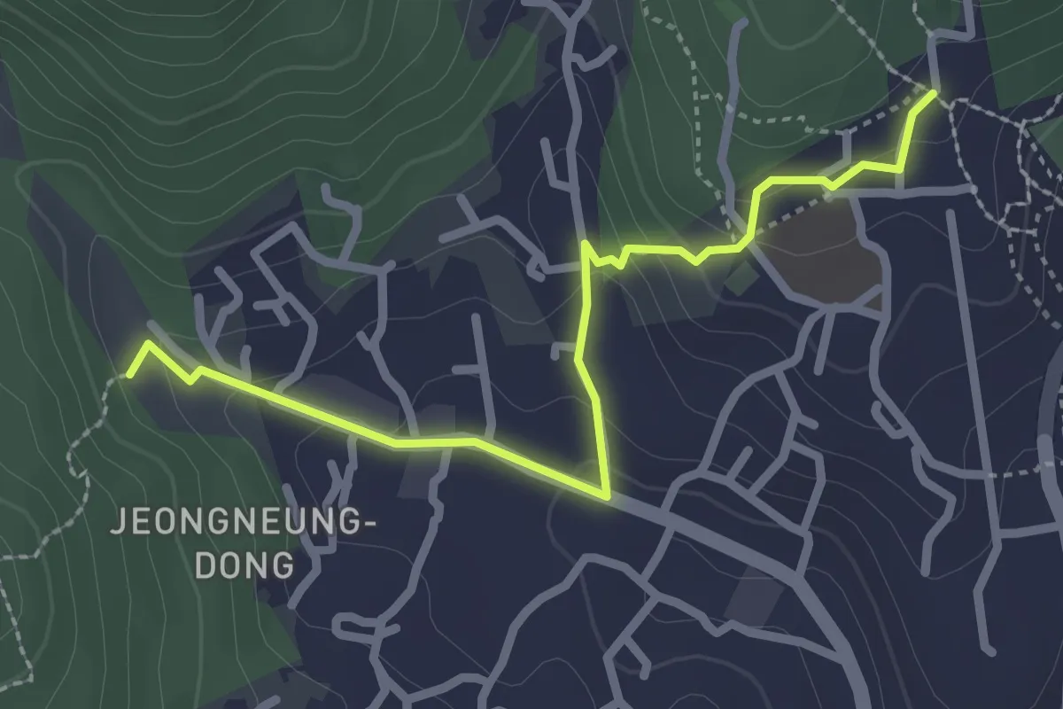
Easy · Trail
[북한산둘레길] 4구간 솔샘길
3.0 km · ↑ 115 m · 57 min
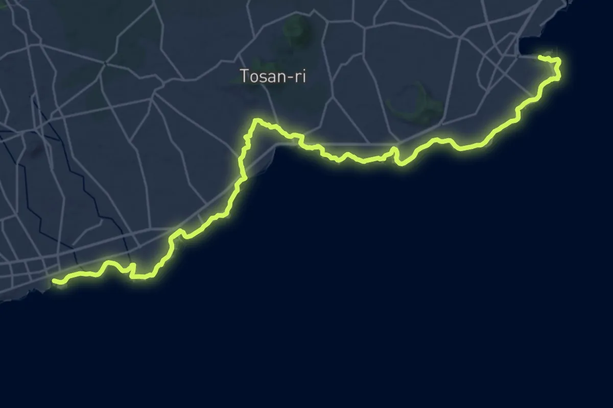
Demanding · Trail
올레길4 (Ollegil 4)
19.2 km · ↑ 97 m · 5 h 1 min
Medium · Trail
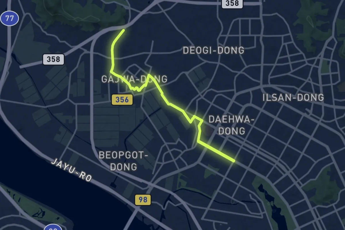
평화누리길 5코스 (킨텍스길)
15.5 km · ↑ 154 m · 3 h 59 min
Easy · Summit
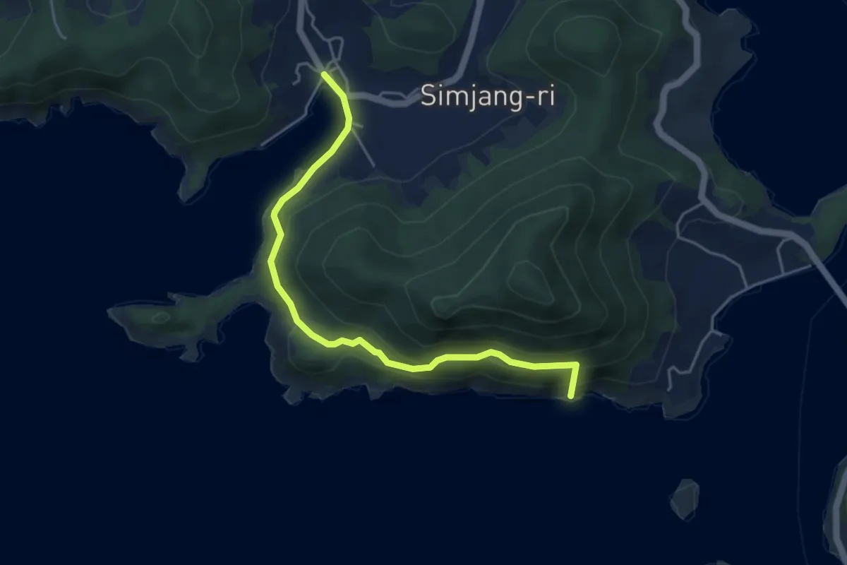
여수 금오도 비렁길 5코스
5.4 km · ↑ 295 m · 1 h 55 min
Medium · Trail
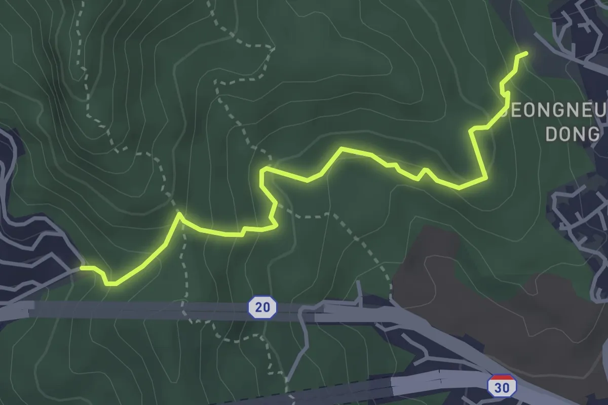
[북한산둘레길] 5구간 명상길
4.2 km · ↑ 331 m · 1 h 42 min
Medium · Summit
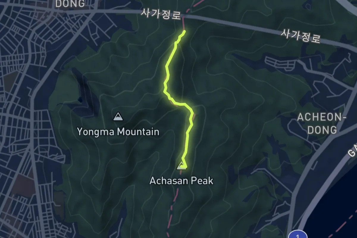
[서울둘레길] 5코스 / 아차산 코스
3.3 km · ↑ 211 m · 1 h 14 min
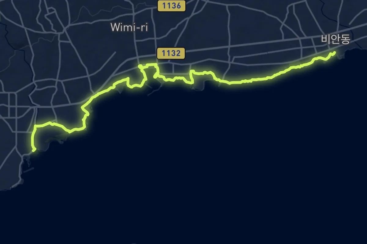
Demanding · Trail
올레길5 (Ollegil 5)
28.0 km · ↑ 168 m · 6 h 58 min
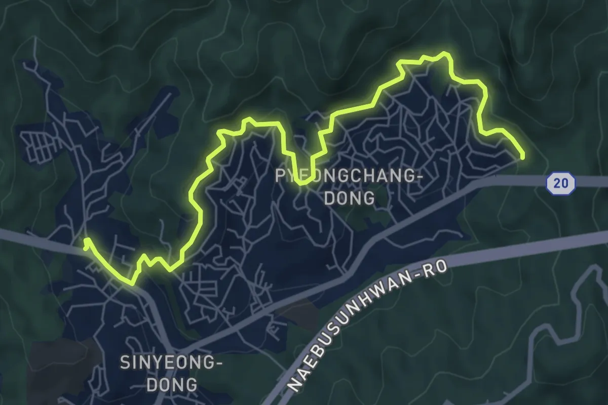
Medium · Trail
[북한산둘레길] 6구간 평창마을길
8.9 km · ↑ 373 m · 2 h 55 min
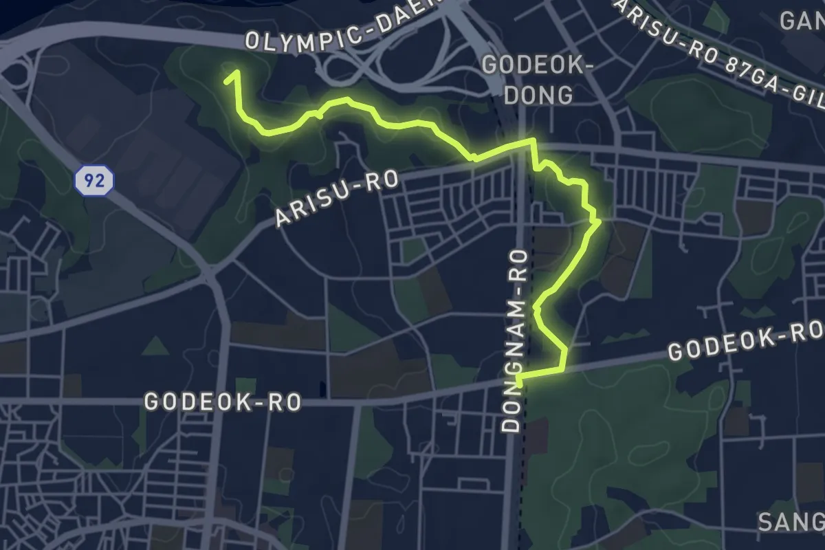
Easy · Summit
[서울둘레길] 6코스
5.6 km · ↑ 152 m · 1 h 40 min
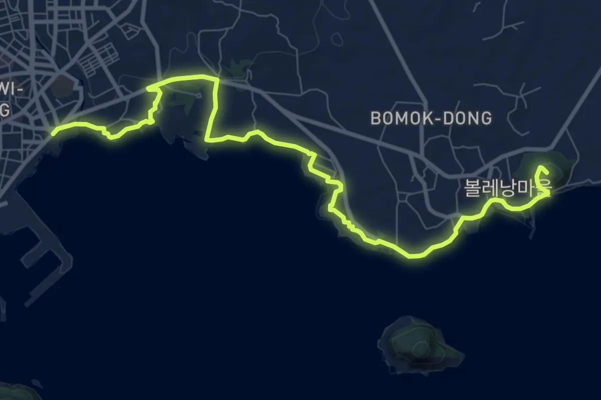
Medium · Summit
올레길6 (Ollegil 6)
12.2 km · ↑ 215 m · 3 h 21 min
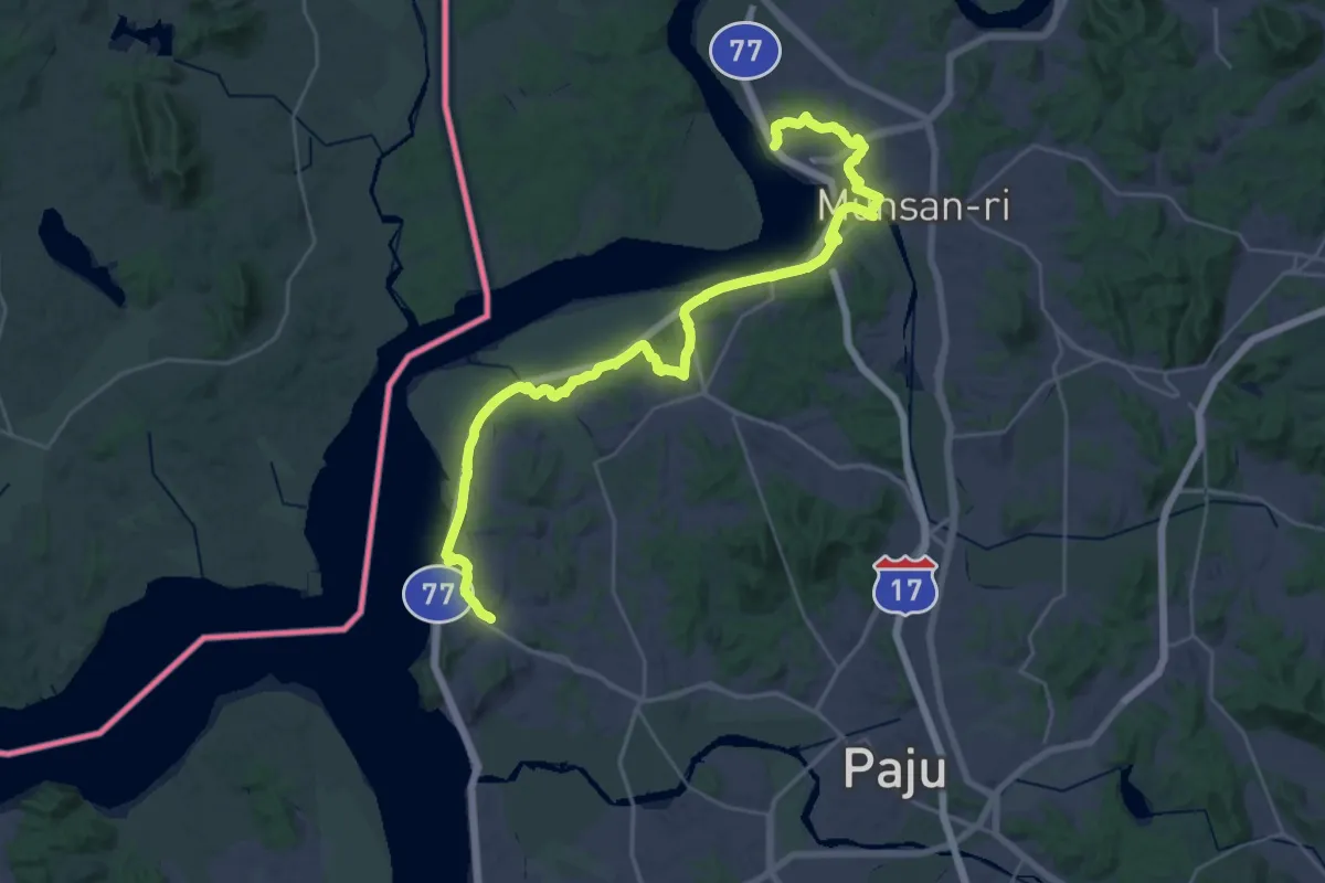
Demanding · Trail
평화누리길 7코스 (헤이리길)
20.9 km · ↑ 331 m · 5 h 57 min
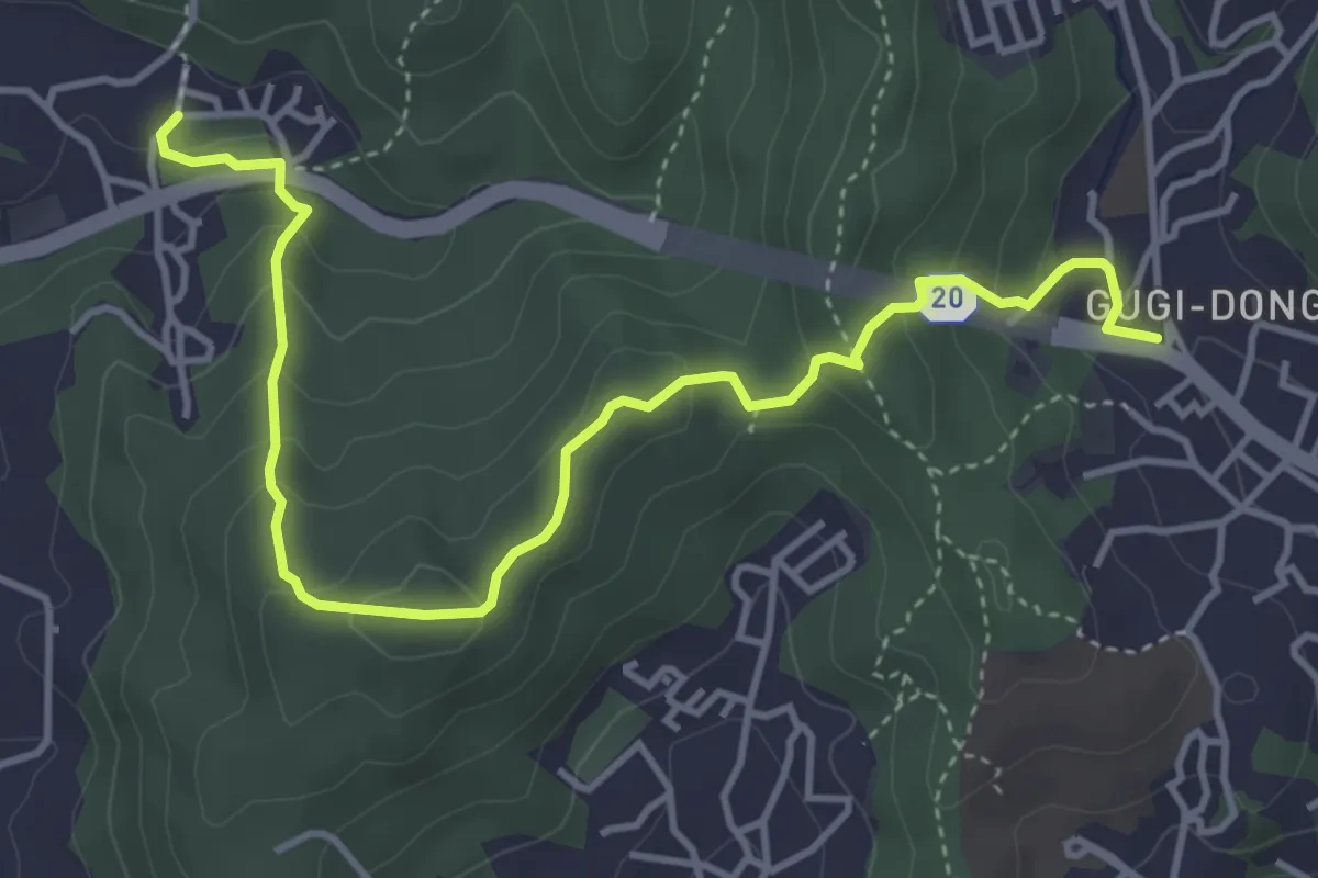
Medium · Trail
[북한산둘레길] 7구간 옛성길
5.6 km · ↑ 363 m · 2 h 7 min
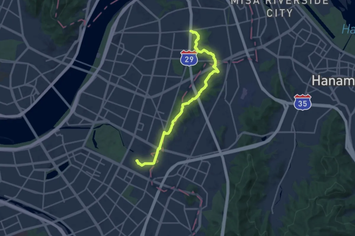
Medium · Trail
[서울둘레길] 7코스 / 일자산 코스
15.5 km · ↑ 363 m · 4 h 27 min
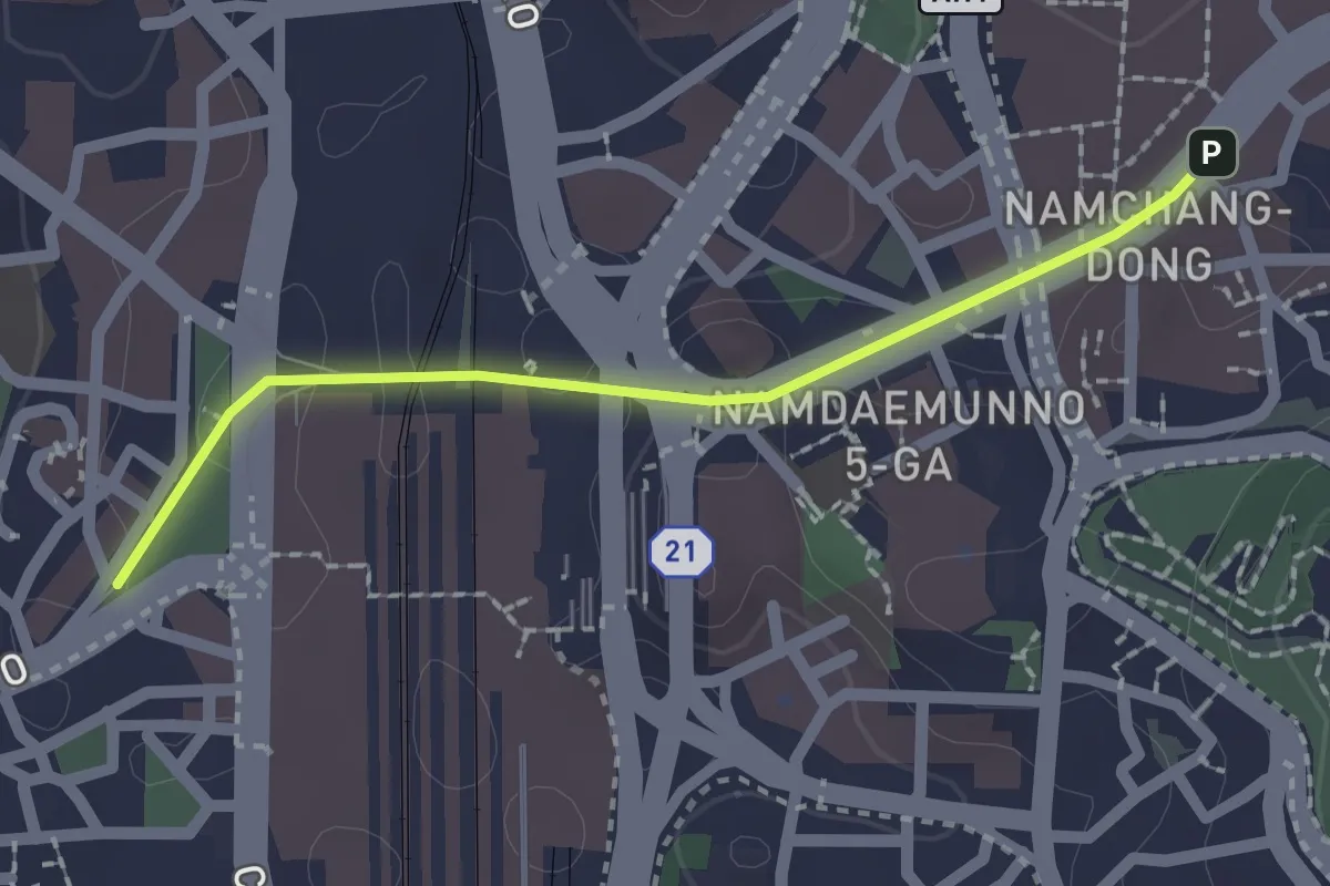
Easy · Trail
서울로 7017
2.1 km · ↑ 83 m · 41 min
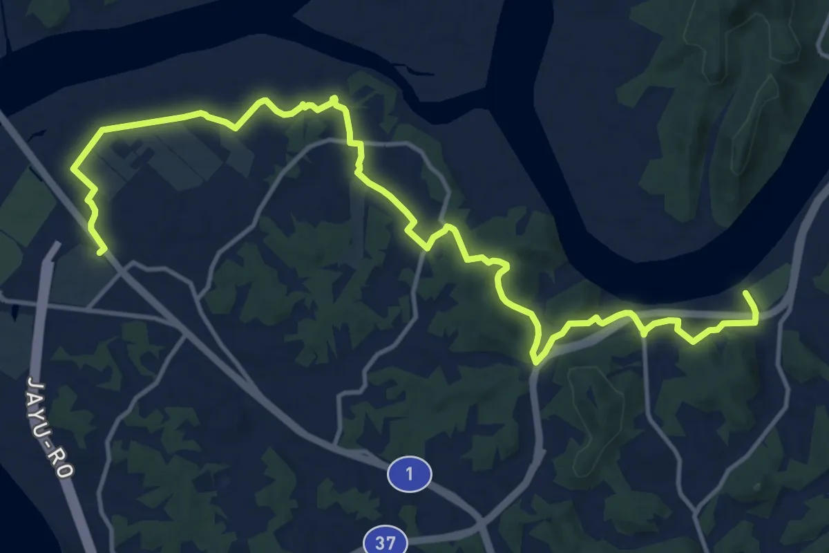
Demanding · Trail
평화누리길 8코스 (반구정길)
18.8 km · ↑ 312 m · 5 h 6 min
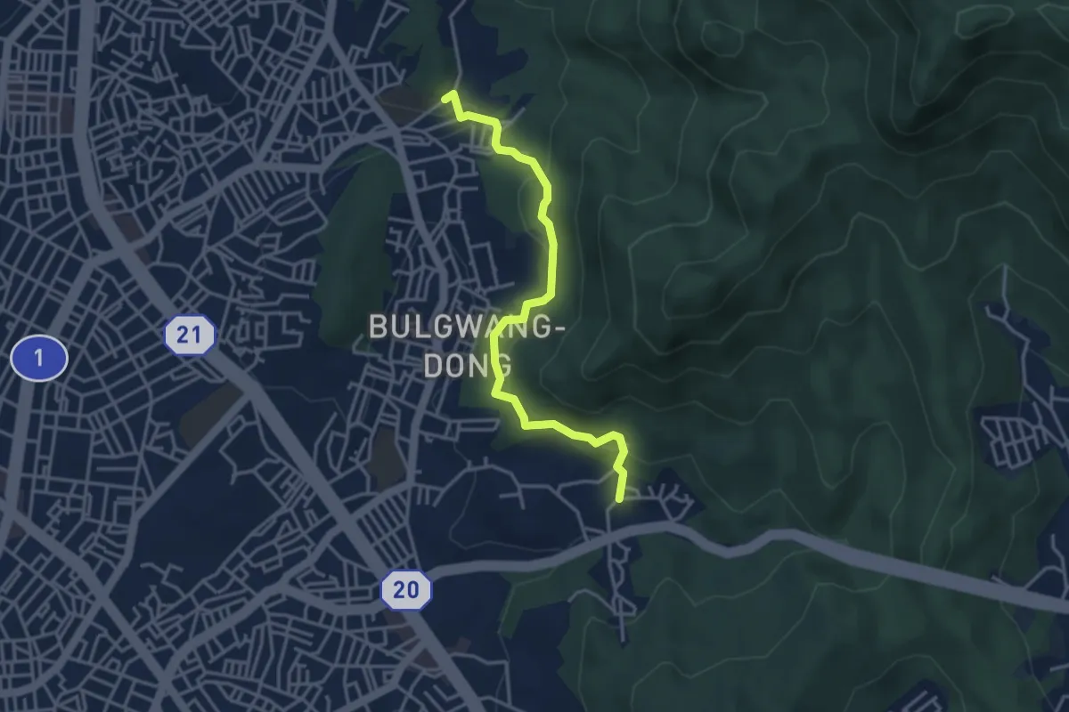
Easy · Trail
[북한산둘레길] 8구간 구름정원길
4.1 km · ↑ 237 m · 1 h 29 min
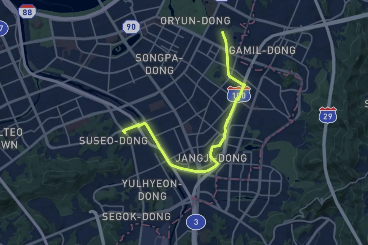
Medium · Trail
[서울둘레길] 8코스 / 장지 • 탄천 코스
17.3 km · ↑ 285 m · 4 h 42 min
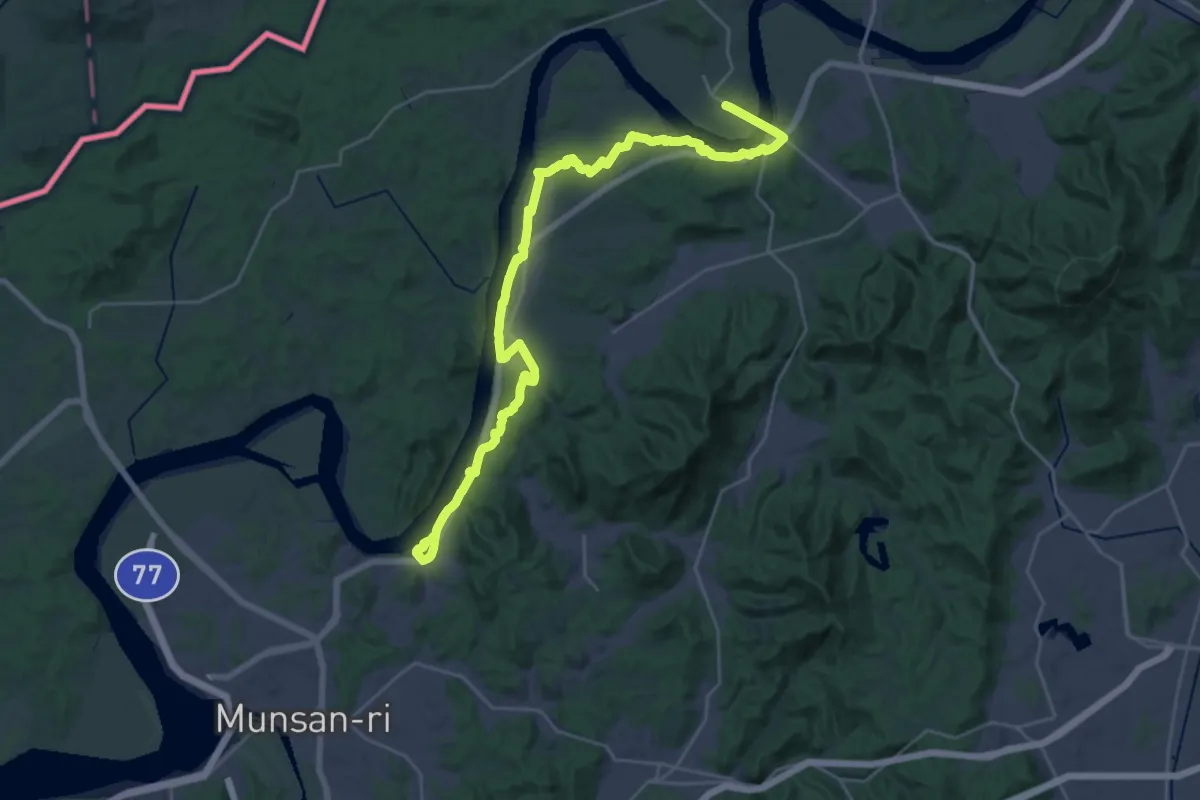
Demanding · Trail
평화누리길 9코스(율곡길)
19.5 km · ↑ 296 m · 5 h 31 min
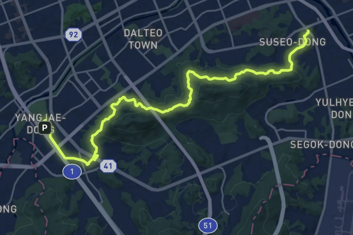
Demanding · Trail
[서울둘레길] 9코스
20.7 km · ↑ 822 m · 6 h 39 min
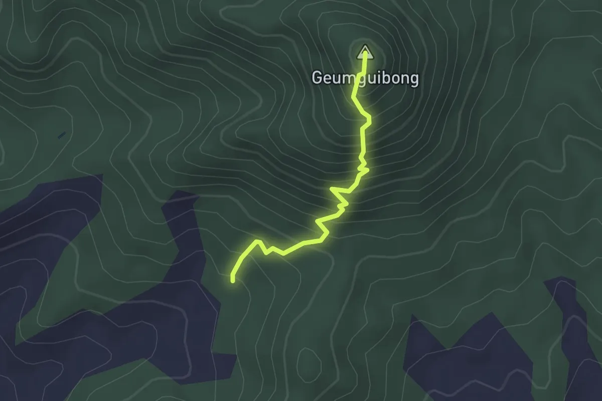
Medium · Summit
당동 - 금귀봉 (Dangdong - Geumguibong)
2.4 km · ↑ 380 m · 1 h 23 min
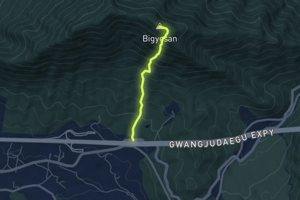
Medium · Summit
도리 - 비계산 (Dori - Bigyesan)
4.0 km · ↑ 672 m · 2 h 24 min
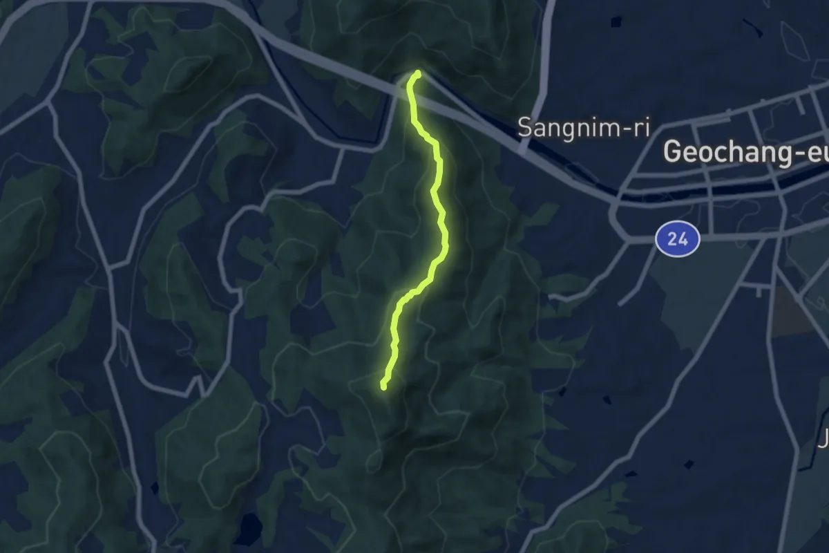
Medium · Summit
건계정 - 망실봉 (Geongyejeong - Mangsilbong)
5.8 km · ↑ 487 m · 2 h 25 min
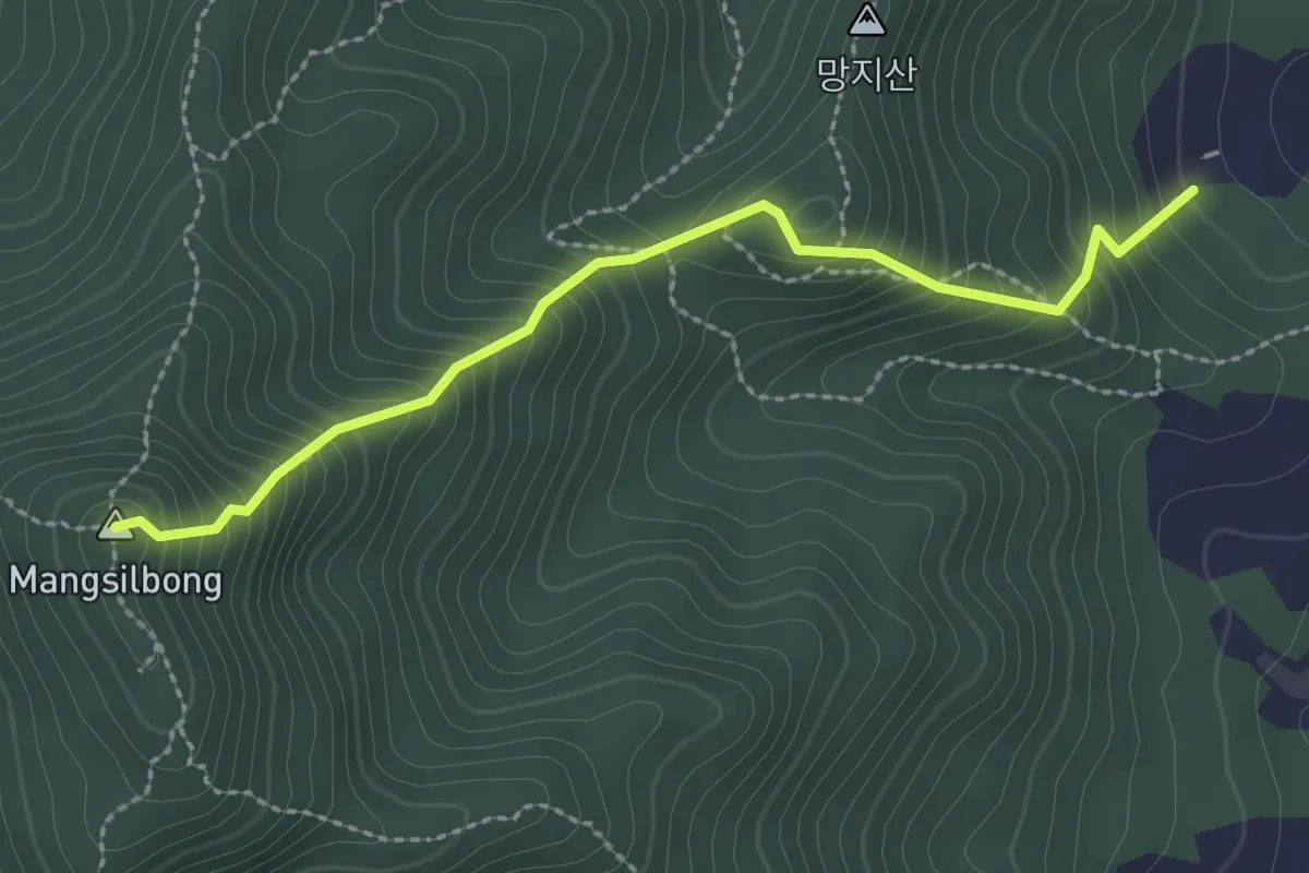
Medium · Summit
금강도 - 망실봉 (Geumgangdo - Mangsilbong)
3.0 km · ↑ 392 m · 1 h 33 min
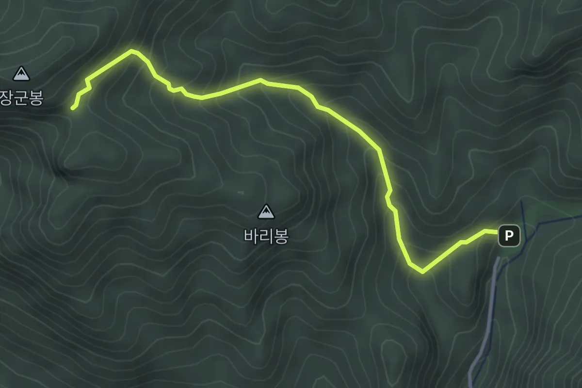
Medium · Trail
거창항노화힐링랜드 주차장 - 장군봉 (Gogyeon Temple Car Park - Jangunbong)
4.2 km · ↑ 402 m · 1 h 52 min
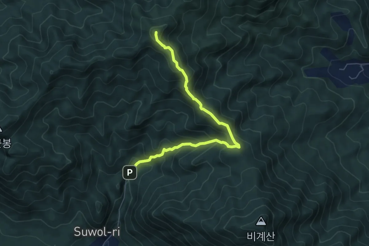
Medium · Summit
거창항노화힐링랜드 주차장 - 의상봉 (Gogyeon Temple Car Park - Uisangbong)
7.0 km · ↑ 638 m · 3 h 2 min
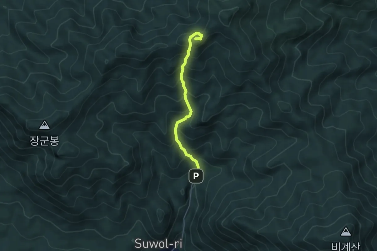
Medium · Summit
거창항노화힐링랜드 주차장 - 의상봉 (Gogyeon Temple Car Park - Uisangbong)
4.0 km · ↑ 500 m · 2 h 2 min
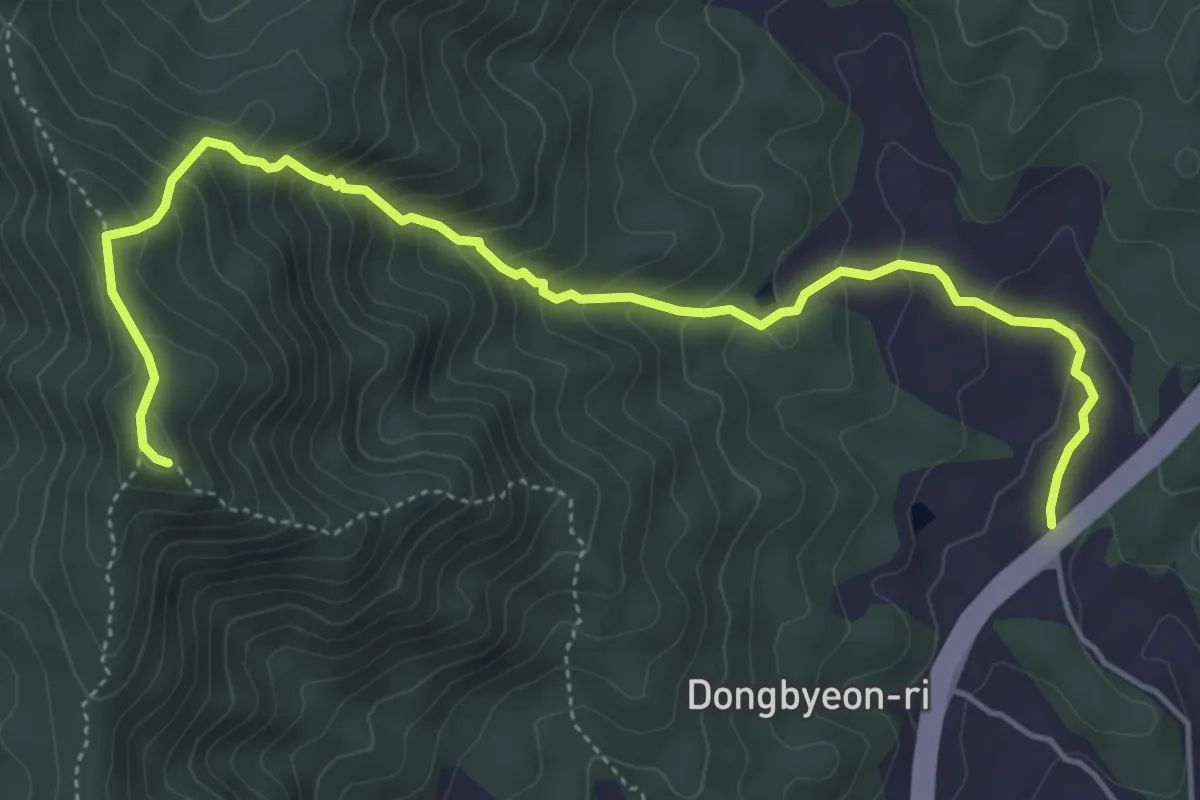
Medium · Trail
구산 - 취우령 (Gusan - Chuiuryeong)
6.8 km · ↑ 517 m · 2 h 43 min
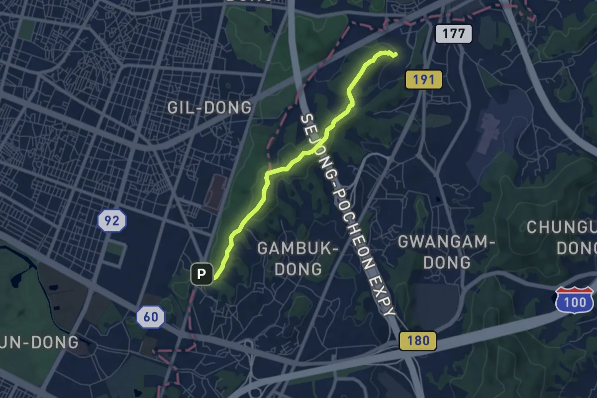
Easy · Trail
Iljasan Mountain Forest Trail
6.7 km · ↑ 200 m · 2 h 1 min
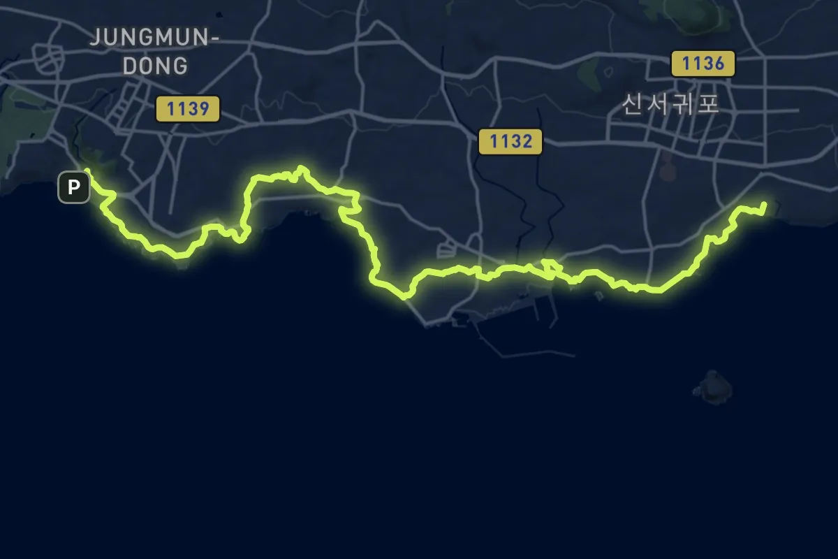
Demanding · Summit
Jeju Olle trail 7
33.9 km · ↑ 451 m · 8 h 58 min
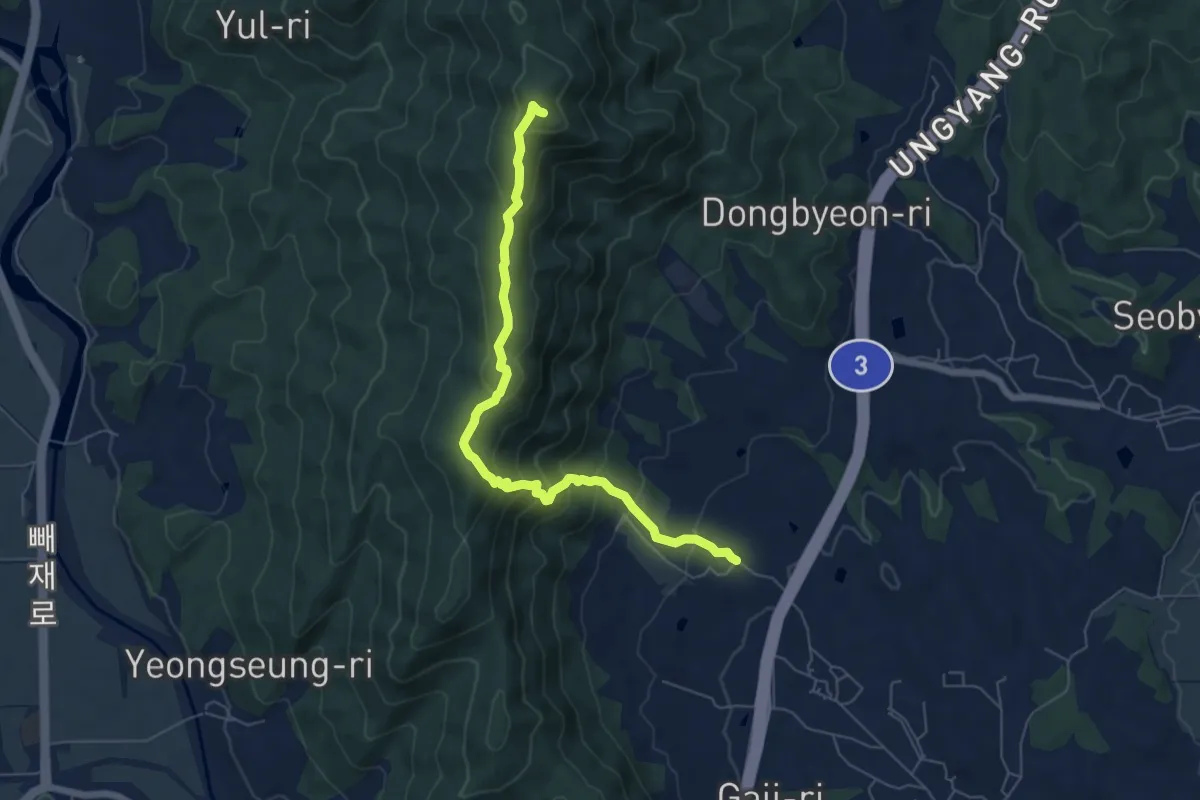
Medium · Trail
지내 - 취우령 (Jinae - Chuiuryeong)
7.4 km · ↑ 555 m · 2 h 57 min
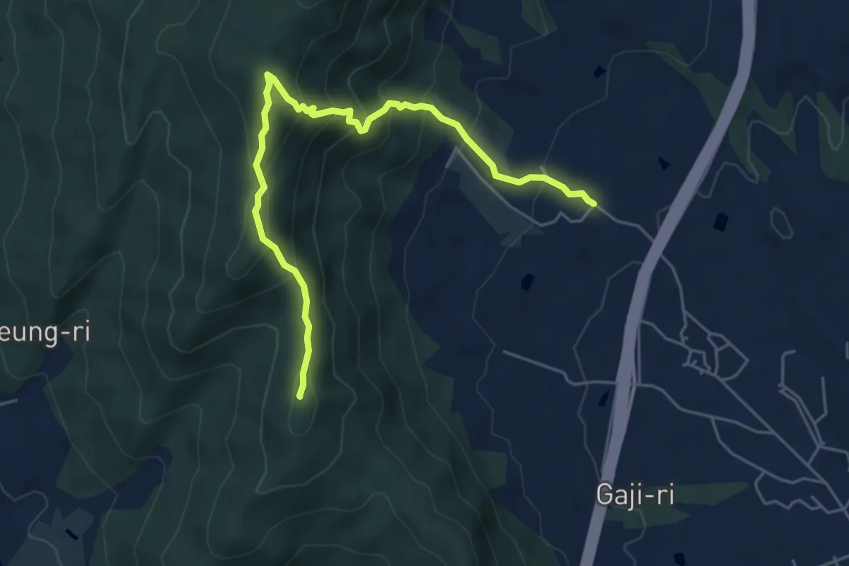
Medium · Summit
지내 - 건흥산 (Jinae - Geonheungsan)
6.3 km · ↑ 526 m · 2 h 38 min
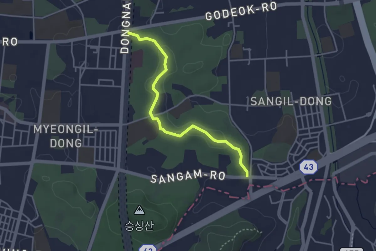
Easy · Trail
명일산책길 (Myeongil Walkway)
3.8 km · ↑ 64 m · 1 h 1 min
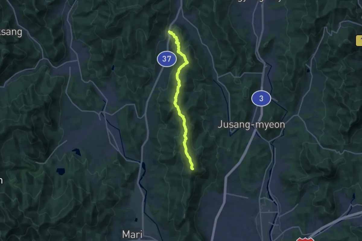
Demanding · Trail
넘터 - 취우령 (Neomteo - Chuiuryeong)
16.7 km · ↑ 885 m · 5 h 51 min
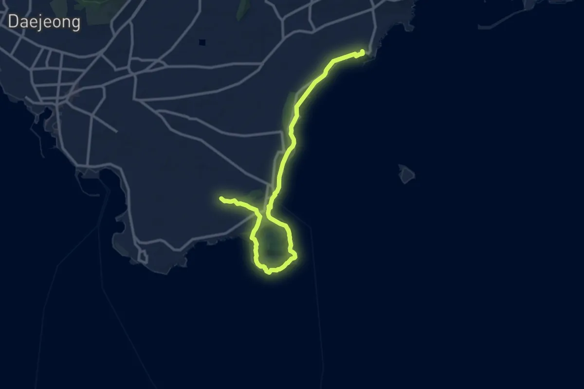
Medium · Summit
Ollegil 10
13.9 km · ↑ 254 m · 3 h 50 min
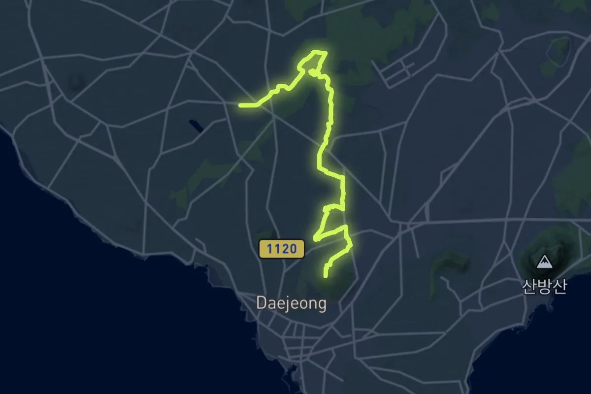
Demanding · Summit
Ollegil 11
22.8 km · ↑ 293 m · 6 h 1 min
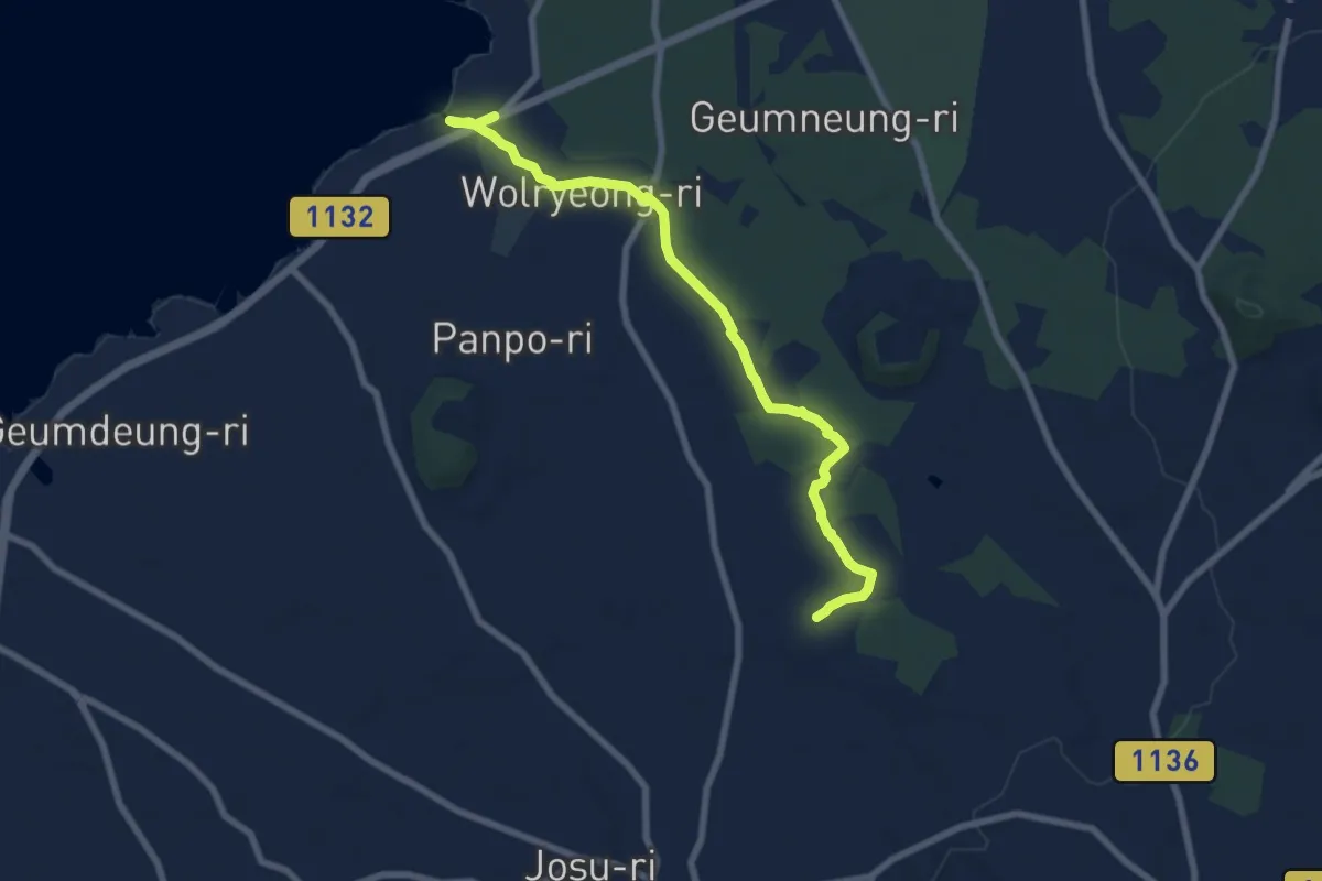
Medium · Trail
Ollegil 14
9.7 km · ↑ 65 m · 2 h 25 min
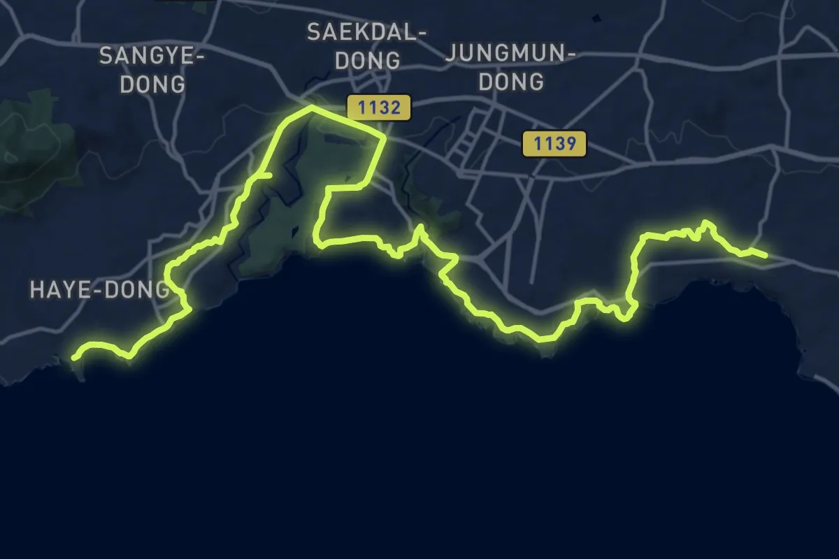
Medium · Trail
Ollegil 8
15.3 km · ↑ 277 m · 4 h 24 min
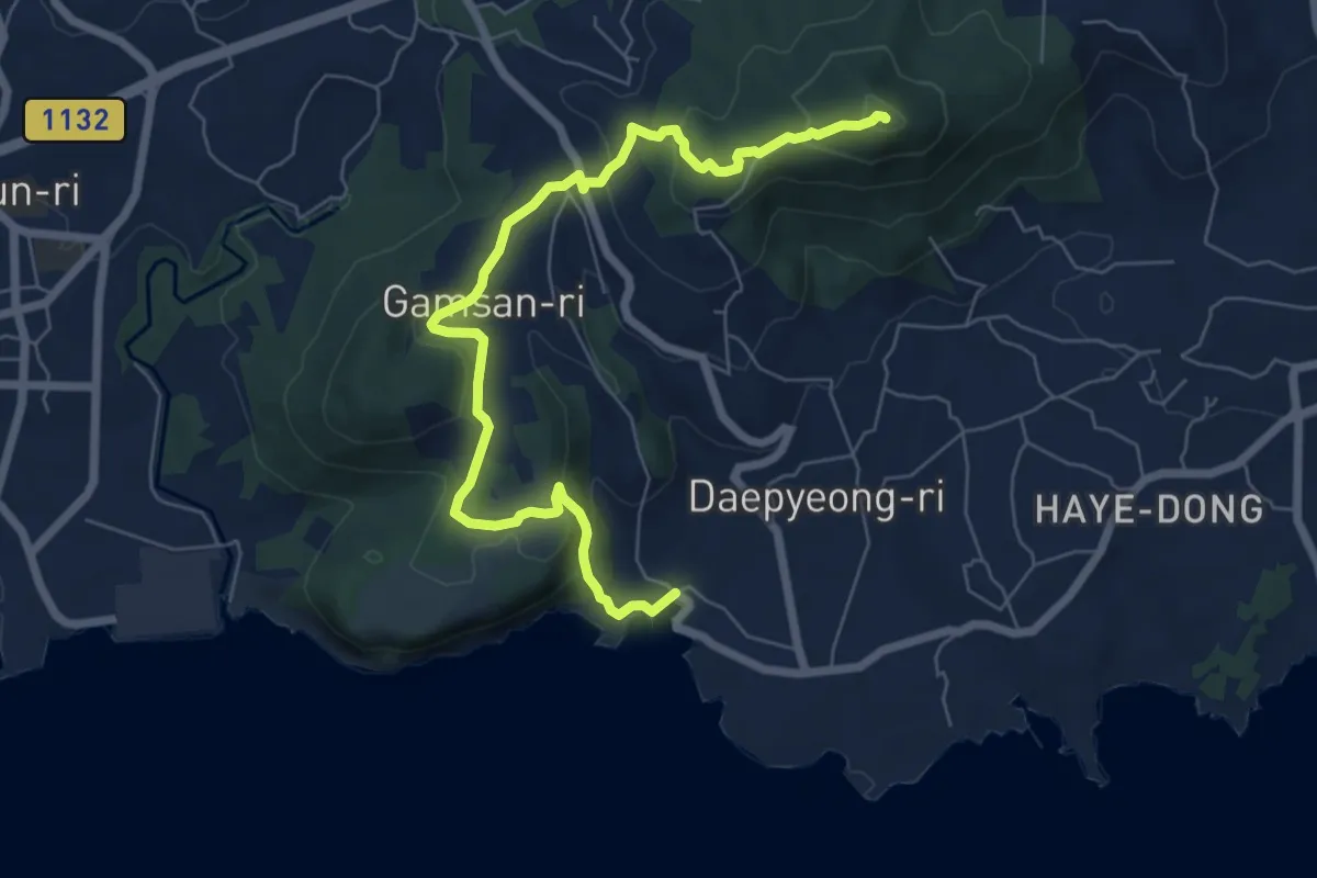
Medium · Summit
Ollegil 9
9.1 km · ↑ 374 m · 2 h 58 min
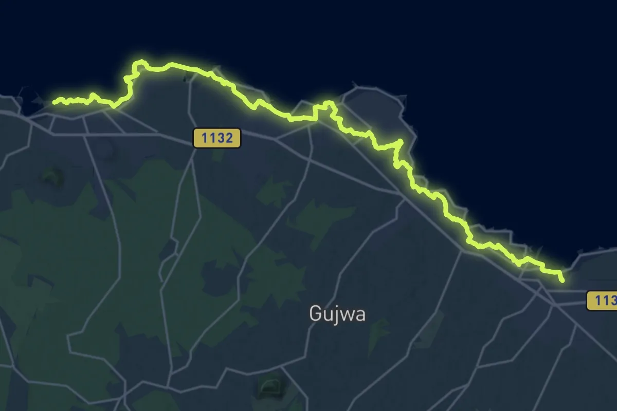
Medium · Trail
Olle trail 20
17.4 km · ↑ 59 m · 4 h 29 min
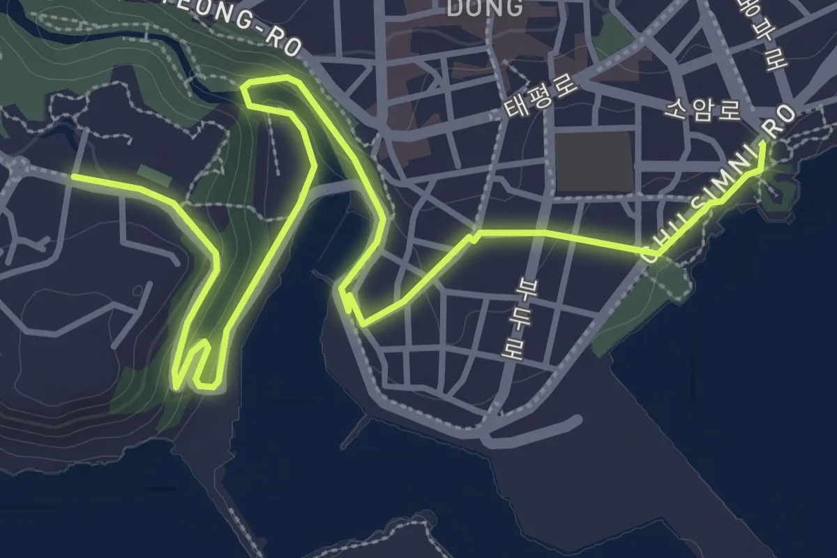
Easy · Trail
Olle trail 6(B)
6.0 km · ↑ 121 m · 1 h 41 min
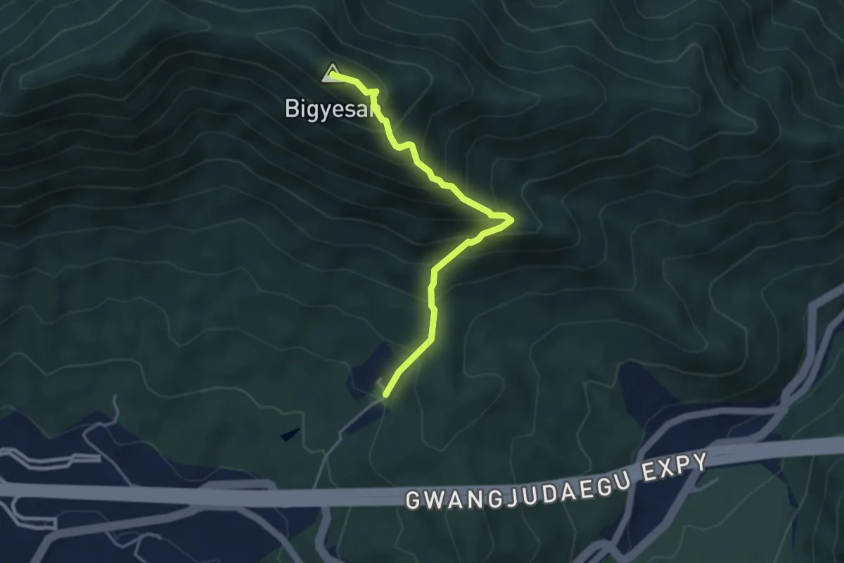
Medium · Summit
산재치 - 비계산 (Sanjaechi - Bigyesan)
4.0 km · ↑ 554 m · 2 h 9 min
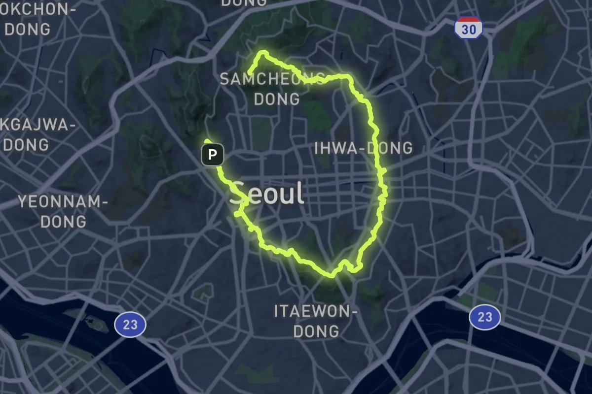
Demanding · Summit
Seoul City Trail
37.9 km · ↑ 1512 m · 12 h 14 min
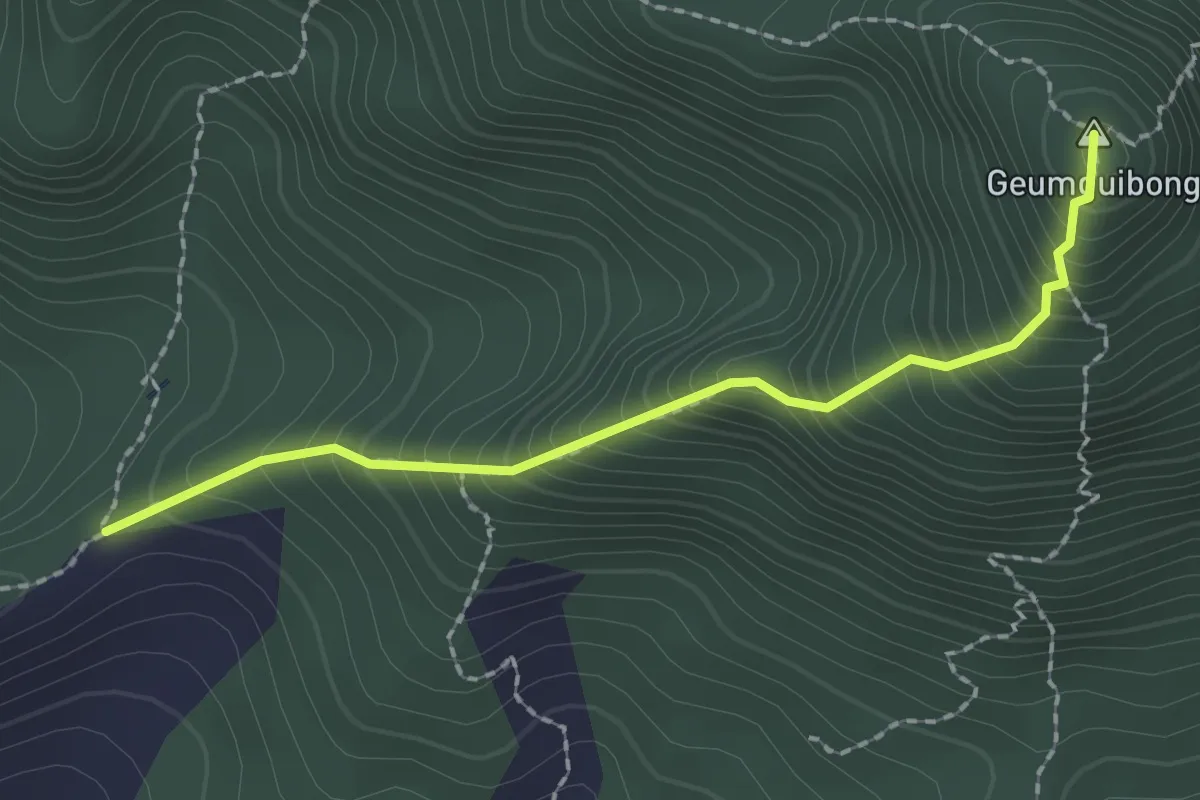
Medium · Summit
위동 - 금귀봉 (Uidong - Geumguibong)
2.4 km · ↑ 367 m · 1 h 21 min
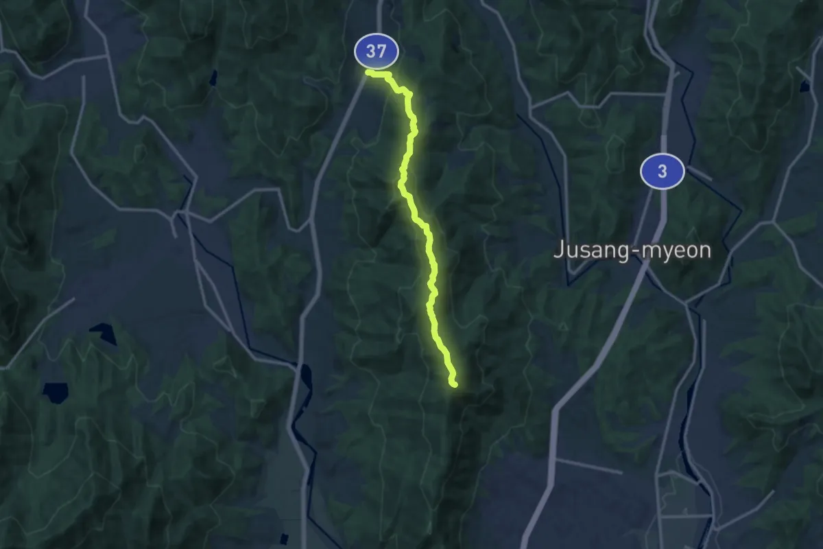
Medium · Trail
원당 - 취우령 (Wondang - Chuiuryeong)
12.6 km · ↑ 701 m · 4 h 30 min
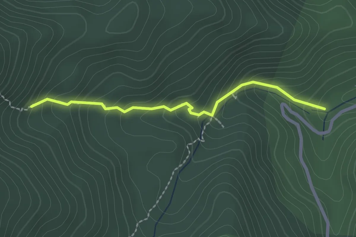
Easy · Trail
유안청폭포 (Yuanchang Waterfall)
2.2 km · ↑ 202 m · 58 min
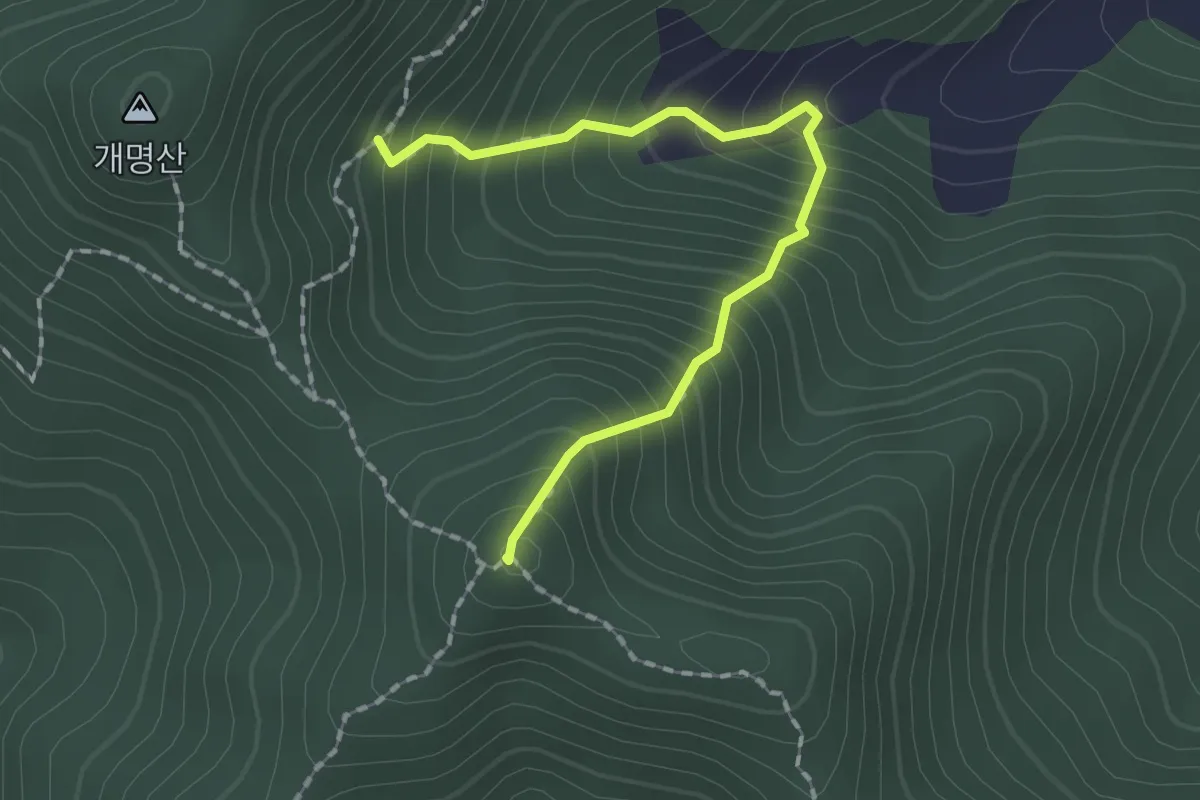
Medium · Summit
1.631 km
2.0 km · ↑ 338 m · 1 h 12 min