Trails in Spain
5,963 hiking trails, each with its route, climb, walking time and grade.
All trails, page 10 of 125
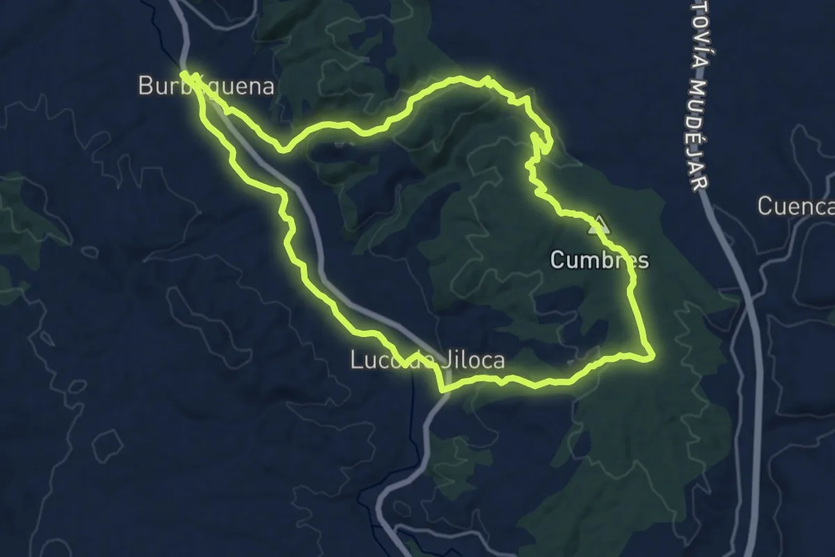
Demanding · Summit
Burbáguena - Luco de Jiloca
18.4 km · ↑ 362 m · 5 h 23 min
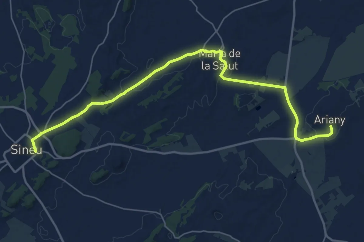
Demanding · Trail
Bus 441: Ariany => Maria => Sineu
23.8 km · ↑ 238 m · 6 h 9 min
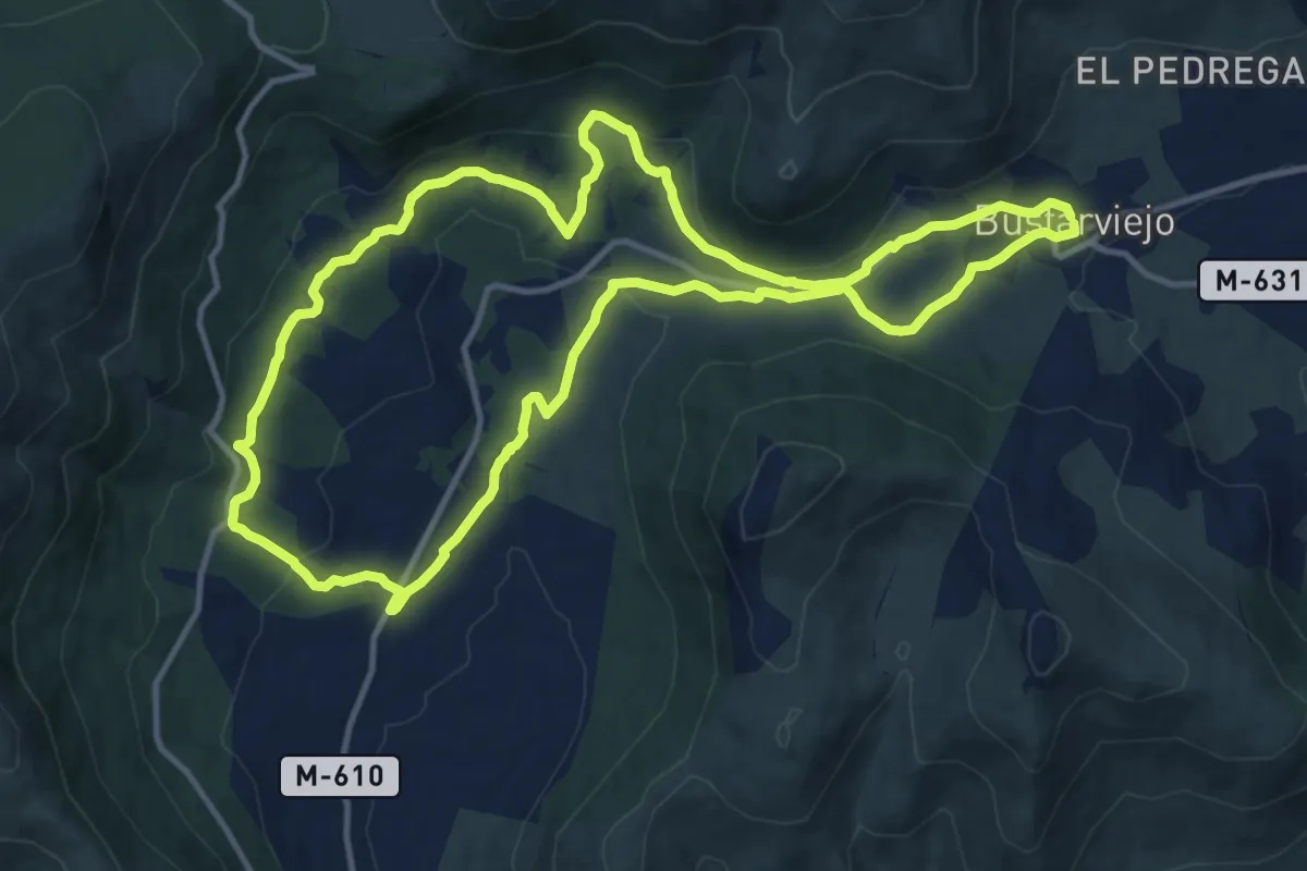
Medium · Trail
Bustarviejo Valle Hermoso
14.2 km · ↑ 352 m · 4 h 19 min
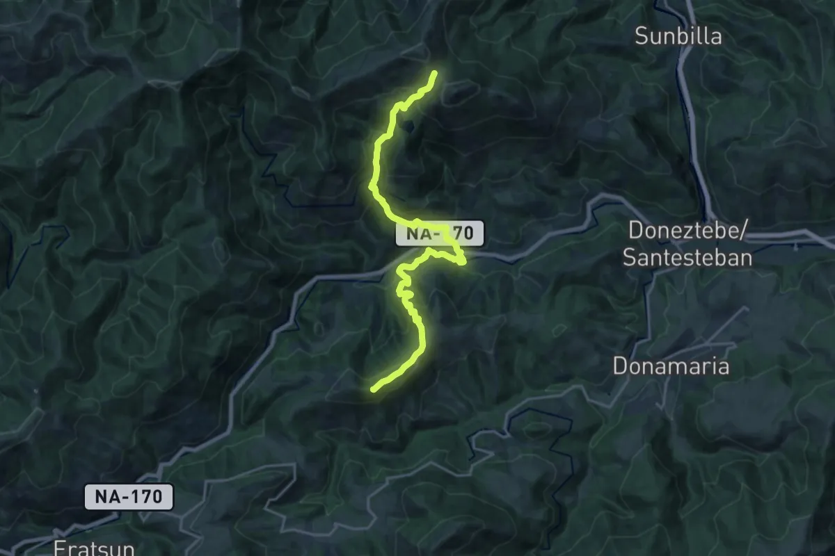
Demanding · Summit
Bustitza - Uztakorta
19.8 km · ↑ 1457 m · 7 h 49 min
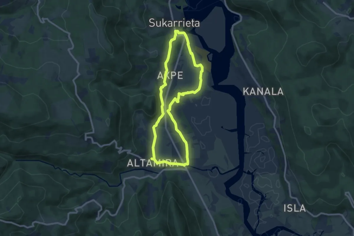
Easy · Trail
Busturia. Txakolinaren itzalpean ibilian ibiliz
7.5 km · ↑ 136 m · 2 h 10 min
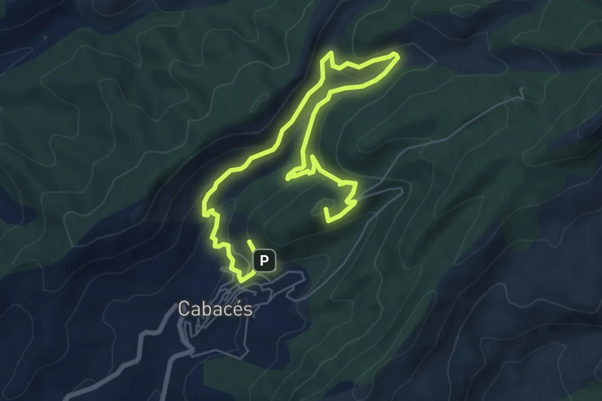
Medium · Summit
Cabacés. Ruta de les aigües
9.9 km · ↑ 580 m · 3 h 35 min
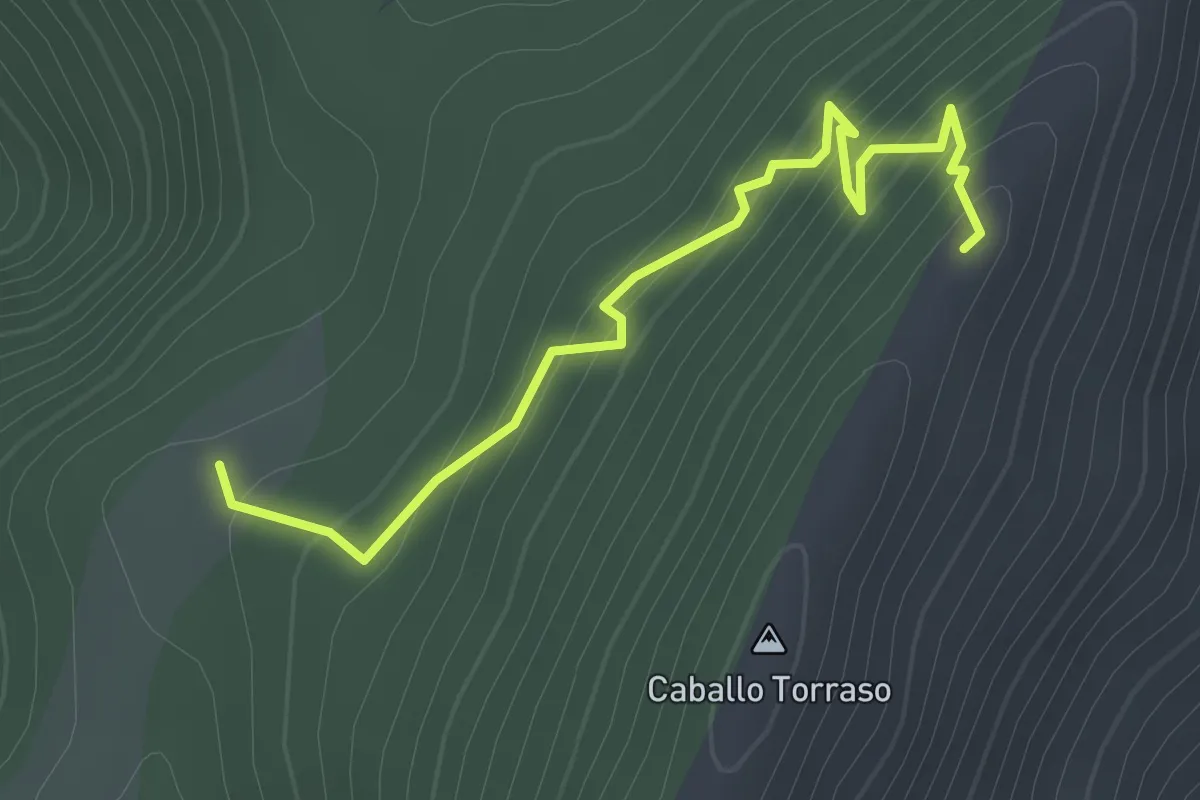
Easy · Cabin
Caballo Torraso
2.3 km · ↑ 271 m · 1 h 7 min
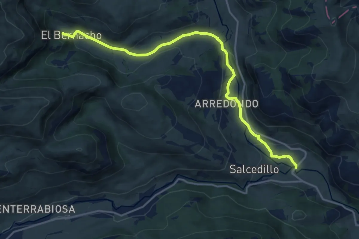
Medium · Trail
Cabañas de el Bernacho
12.2 km · ↑ 313 m · 3 h 34 min
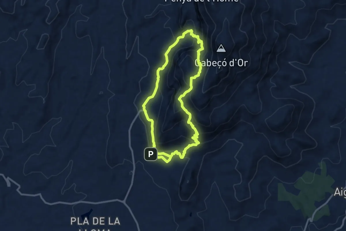
Demanding · Trail
Cabeçó d'Or
9.1 km · ↑ 637 m · 3 h 39 min
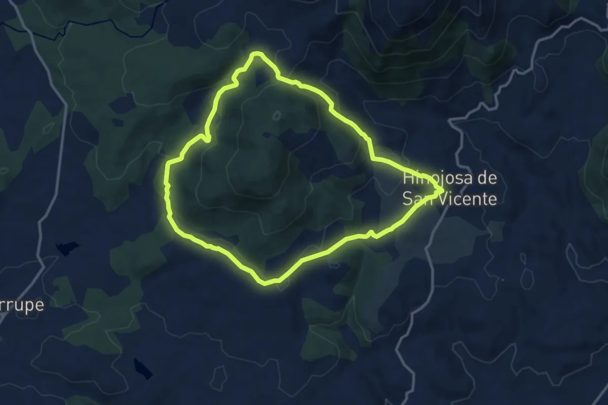
Medium · Trail
Cabeza Bermeja Hinojosa de San Vicente
11.2 km · ↑ 347 m · 3 h 33 min
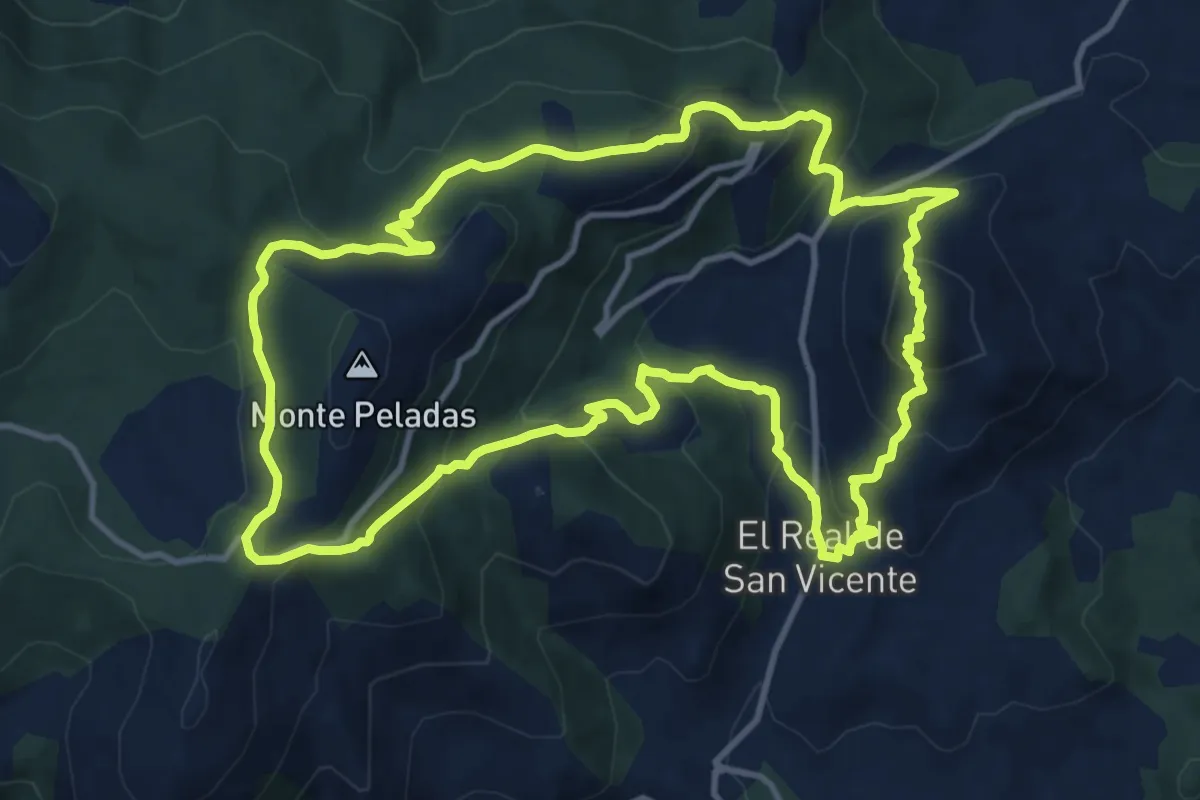
Medium · Trail
Cabeza del Oso y Pelados
14.0 km · ↑ 718 m · 5 h 3 min
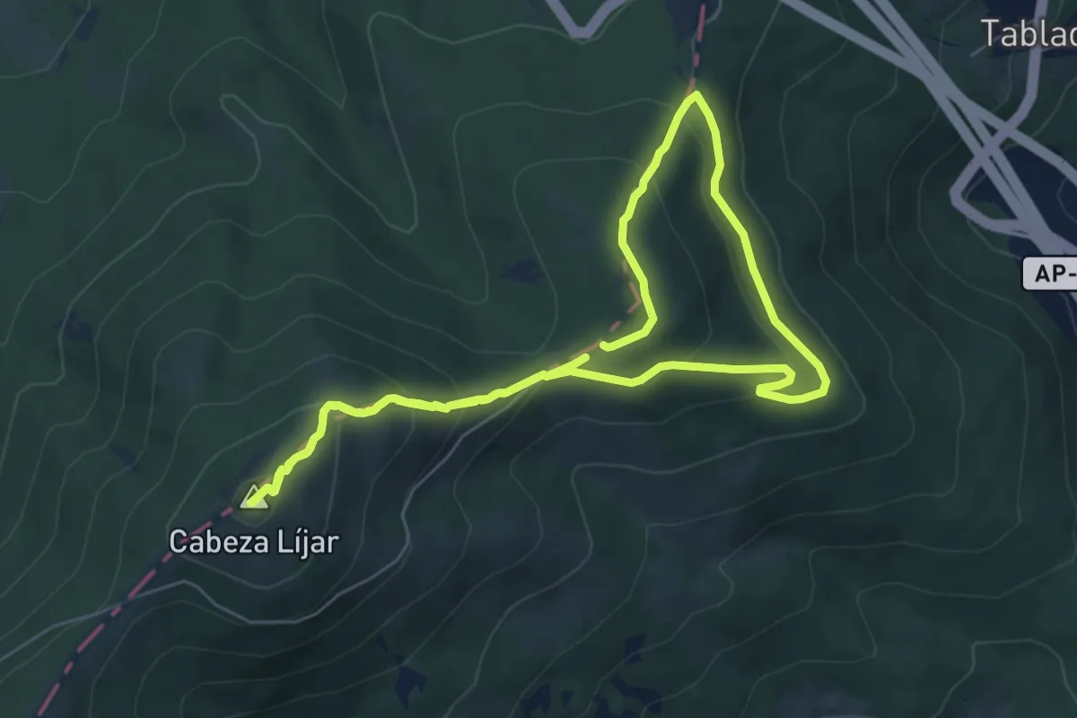
Medium · Summit
Cabeza Líjar
6.3 km · ↑ 326 m · 2 h 17 min
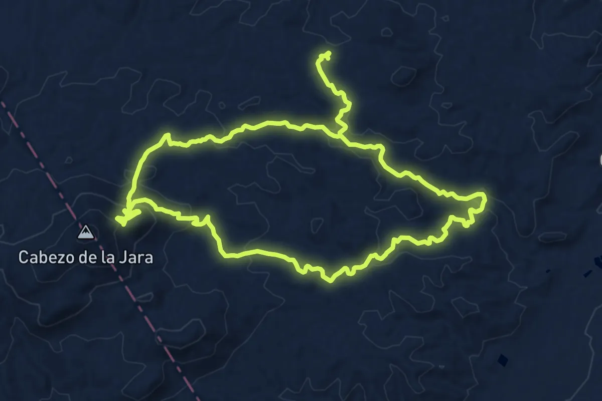
Medium · Trail
Cabezo de la Jara
16.5 km · ↑ 519 m · 5 h 17 min
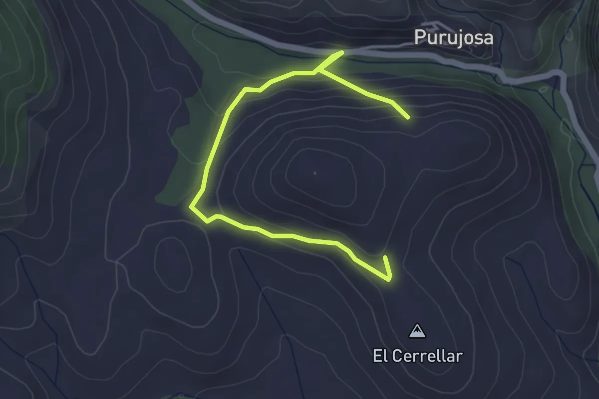
Easy · Trail
Cabezo de Purujosa
4.6 km · ↑ 170 m · 1 h 27 min
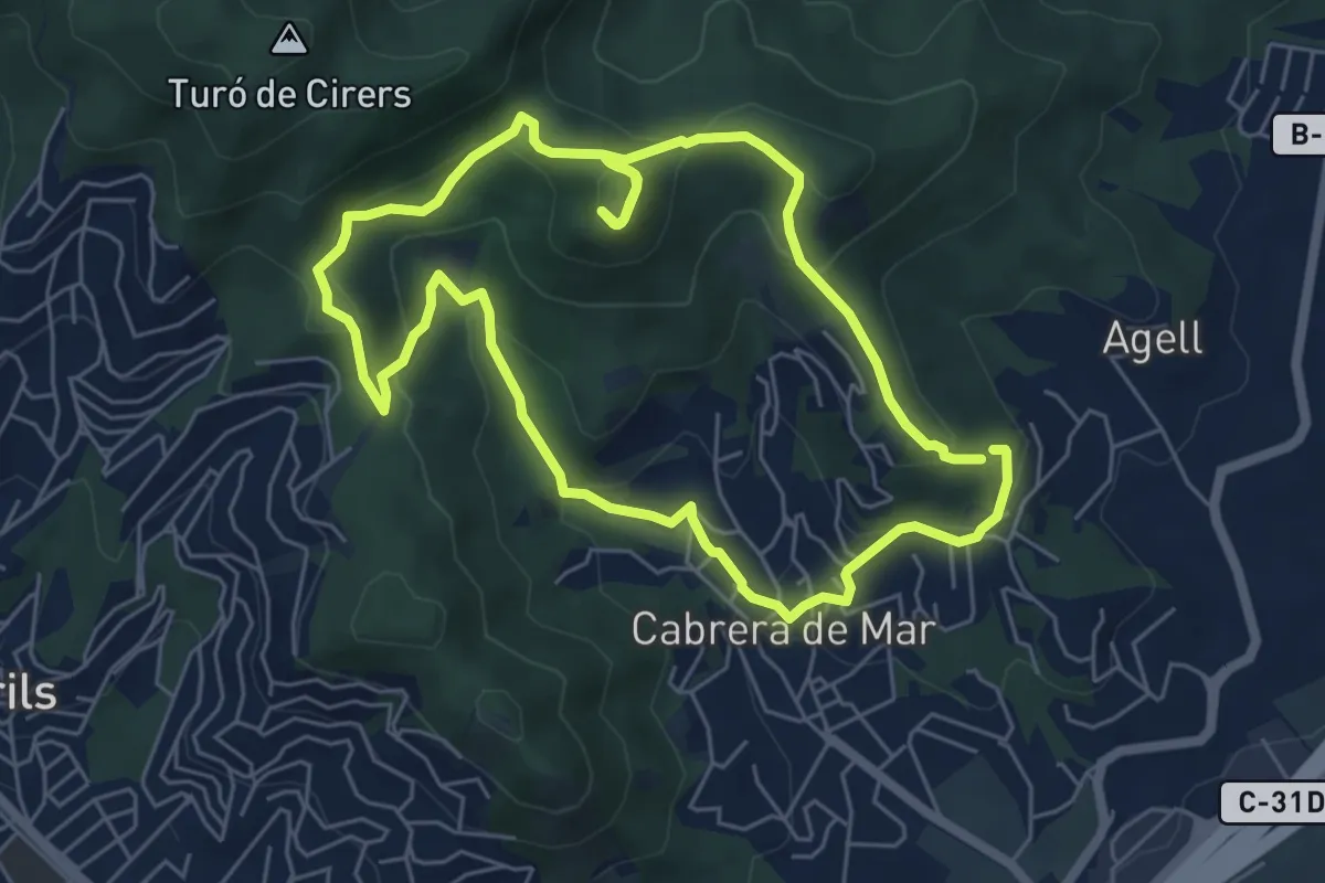
Easy · Summit
Cabrera de Mar-Castell de Burriac
6.3 km · ↑ 294 m · 2 h 13 min
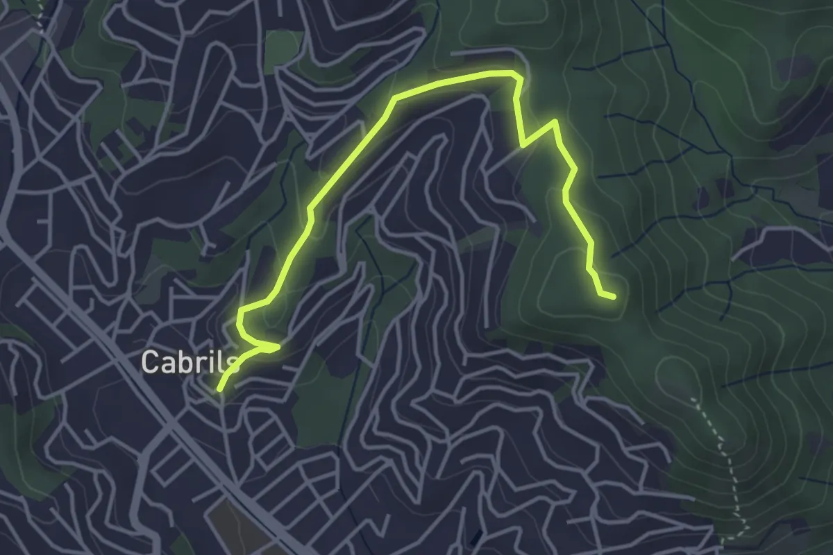
Easy · Summit
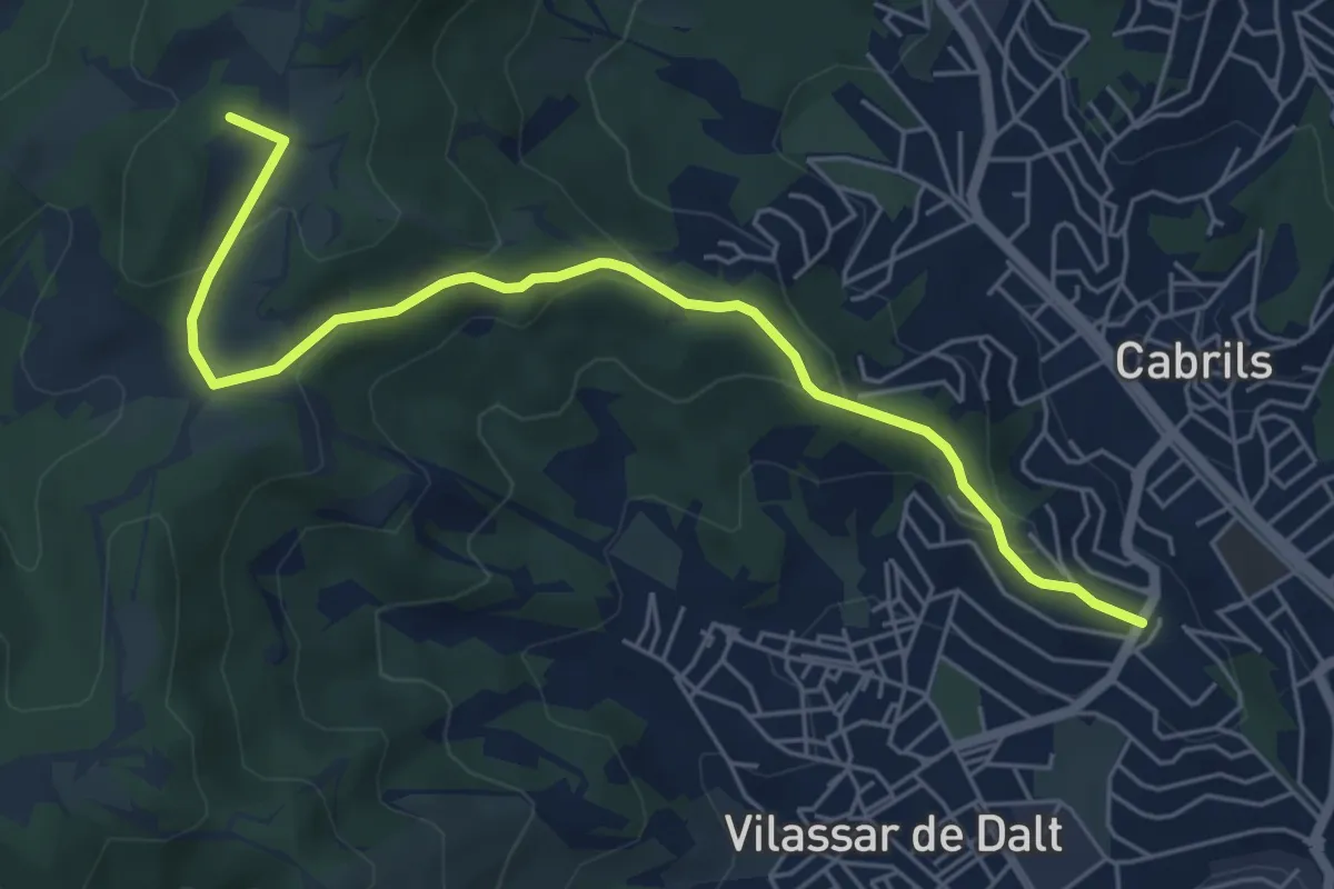
Cabrils-Creu de Montcabrer
4.7 km · ↑ 168 m · 1 h 28 min
Easy · Summit
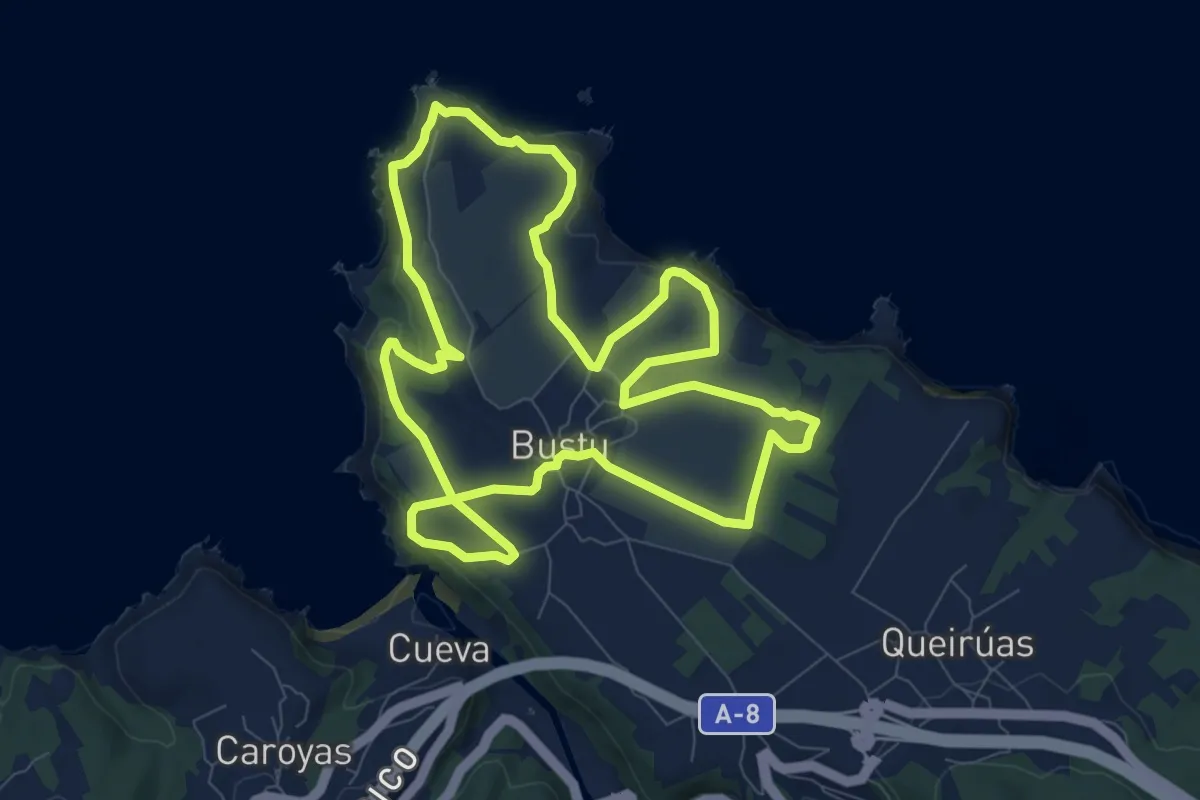
Cabrils-Les Artigasses
6.7 km · ↑ 258 m · 2 h 9 min
Medium · Trail
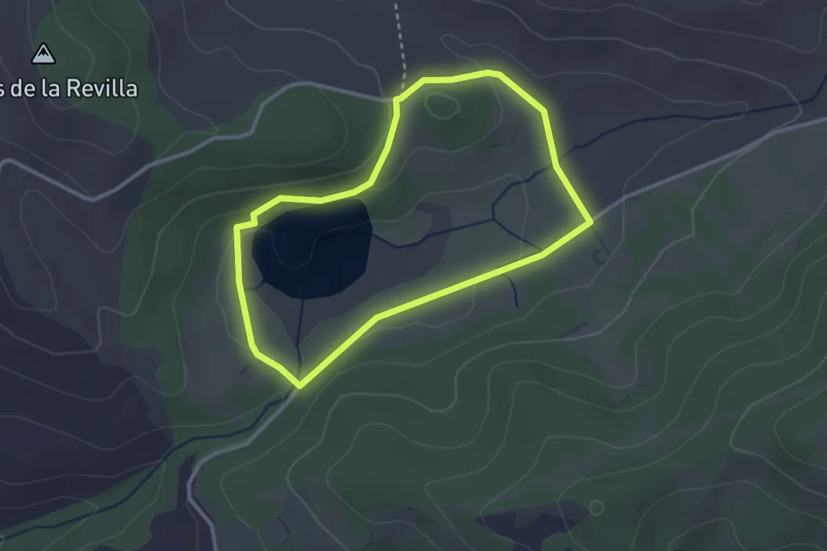
Cabu Bustu
9.7 km · ↑ 194 m · 2 h 51 min
Medium · Trail
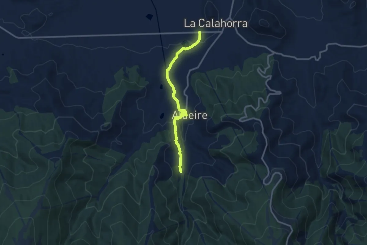
Caicedo-Yusoko Aintzirako ibilbide zirkularra
2.8 km · ↑ 63 m · 50 min
Medium · Trail
Calahorra - Aldeire - A.R. La Rosandrá
9.8 km · ↑ 220 m · 2 h 48 min
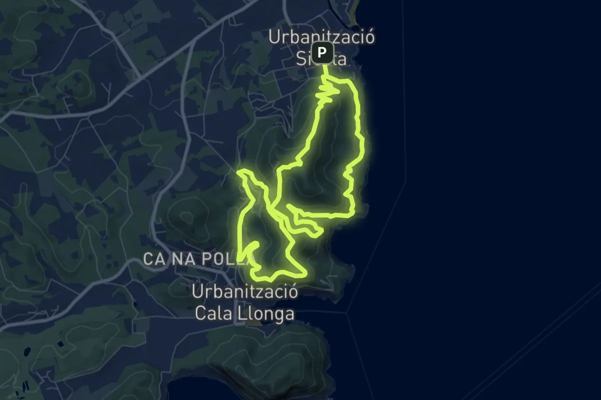
Medium · Summit
Cala Llonga
9.7 km · ↑ 544 m · 3 h 35 min
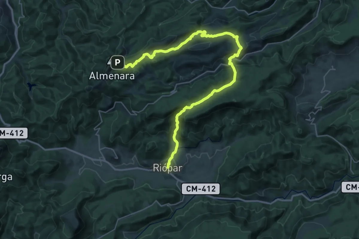
Medium · Trail
Calar del Rio Mundo
17.0 km · ↑ 270 m · 5 h 10 min
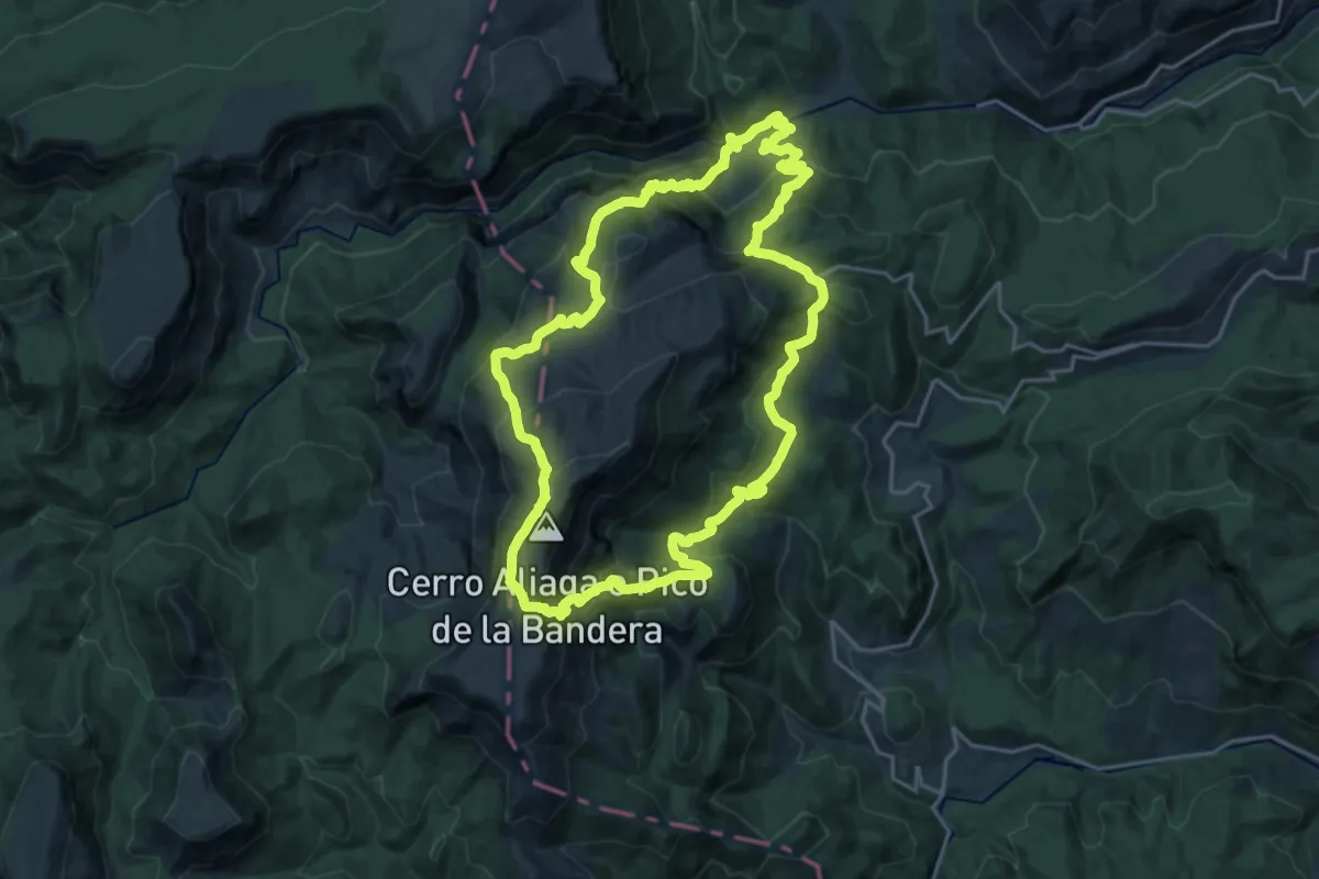
Demanding · Summit
Calar del Rio Mundo
23.1 km · ↑ 1306 m · 8 h 36 min
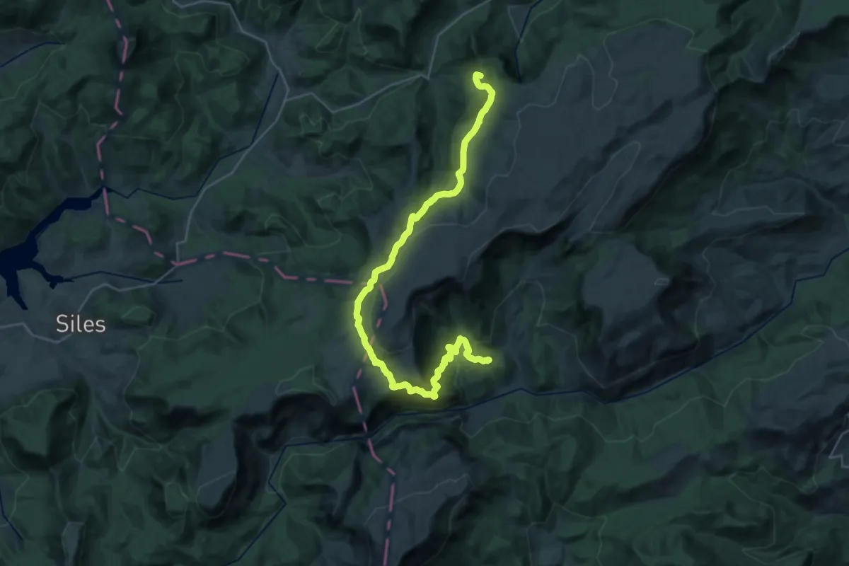
Demanding · Summit
Calar del Río Mundo
34.6 km · ↑ 1512 m · 11 h 27 min
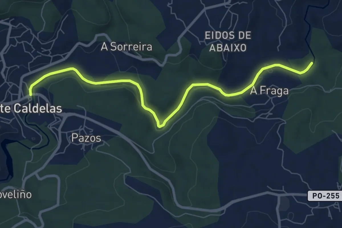
Easy · Trail
Caldas de Reis - Ruta
7.8 km · ↑ 86 m · 2 h 2 min
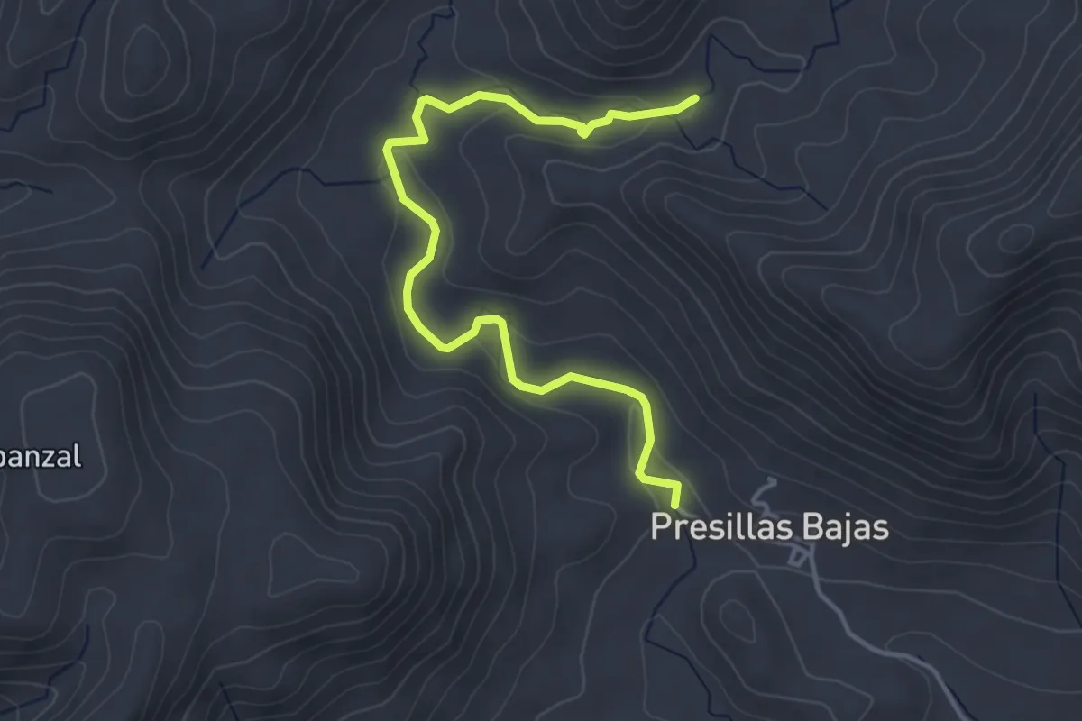
Easy · Trail
Caldera de Majada Redonda
5.0 km · ↑ 106 m · 1 h 24 min
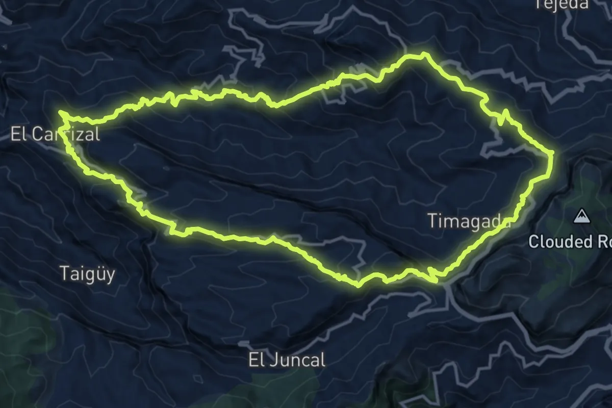
Demanding · Summit
Caldera de Tejeda
19.0 km · ↑ 1271 m · 7 h 31 min
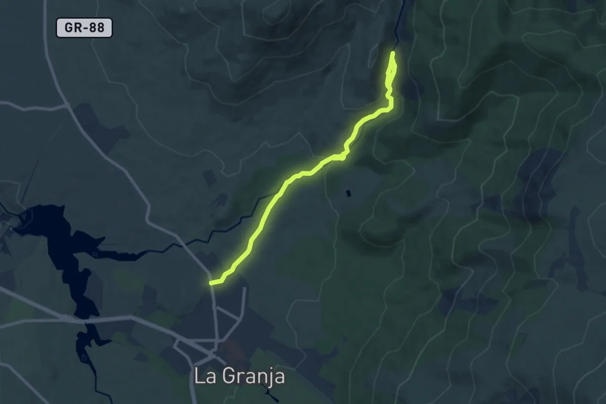
Expert · Trail
Calderas del Río Cambrones
9.4 km · ↑ 260 m · 2 h 48 min
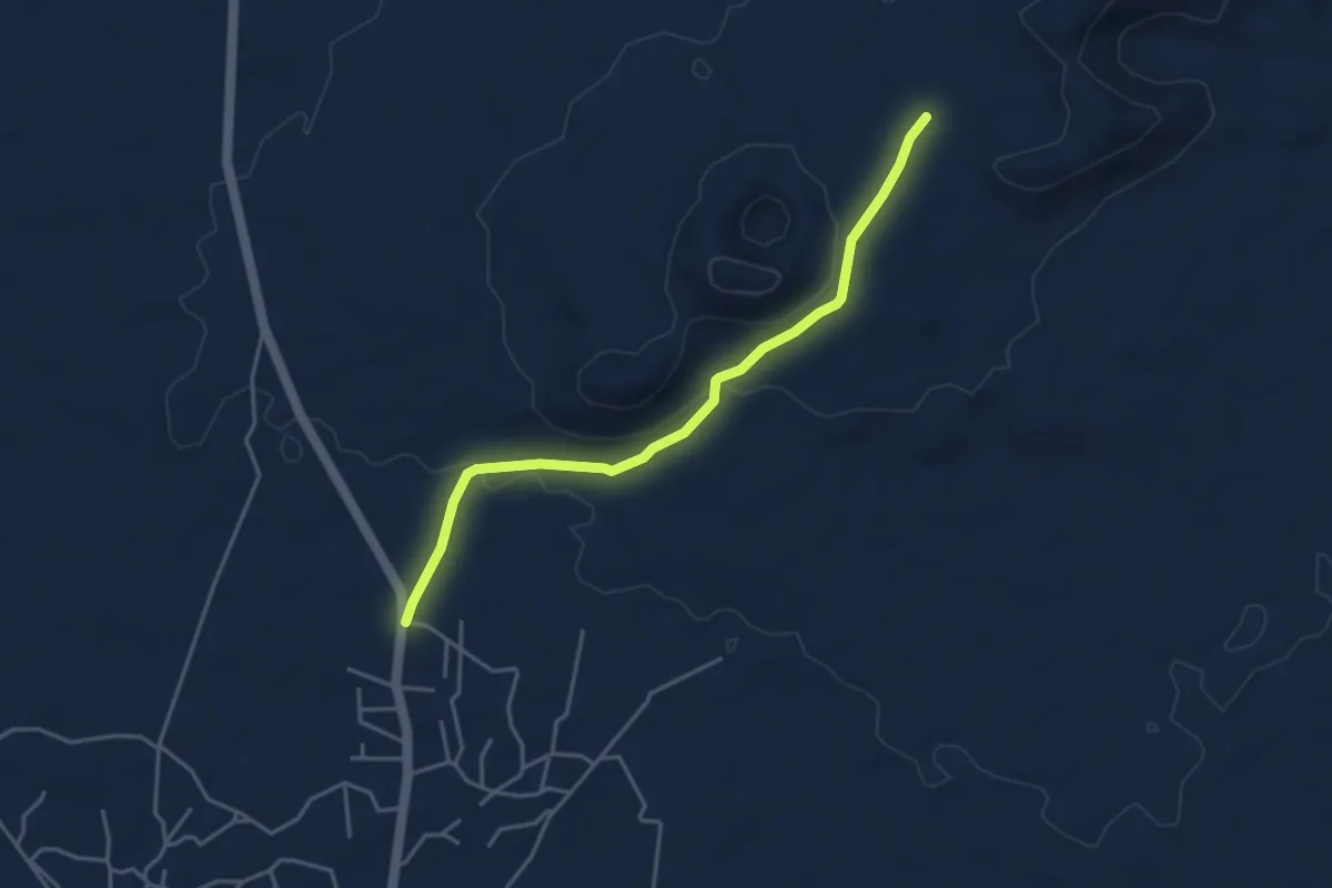
Easy · Trail
Calderón Hondo - Lajares
5.1 km · ↑ 124 m · 1 h 28 min
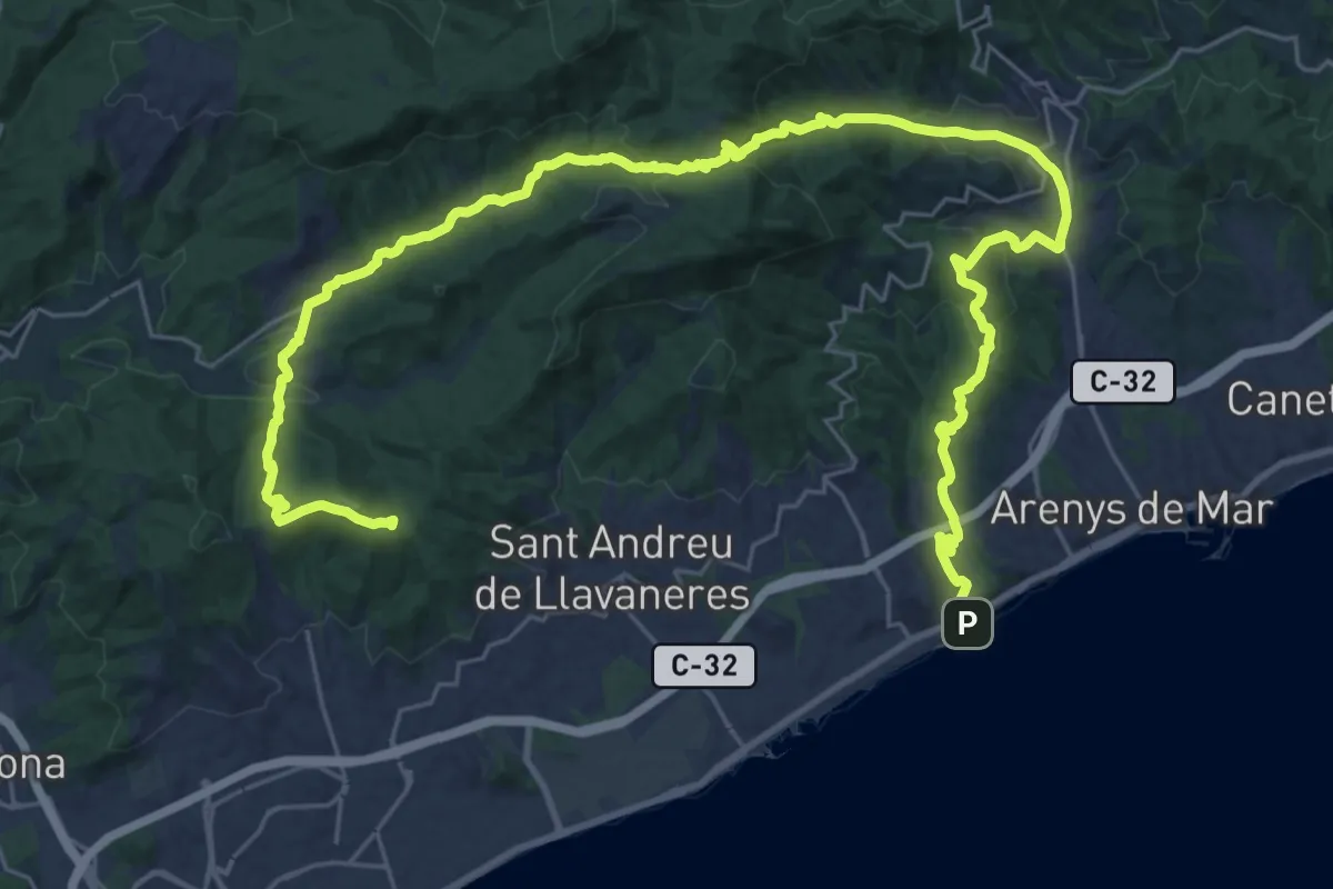
Demanding · Summit
Caldes-Arenys de Munt-Dosrius
42.9 km · ↑ 1299 m · 12 h 57 min
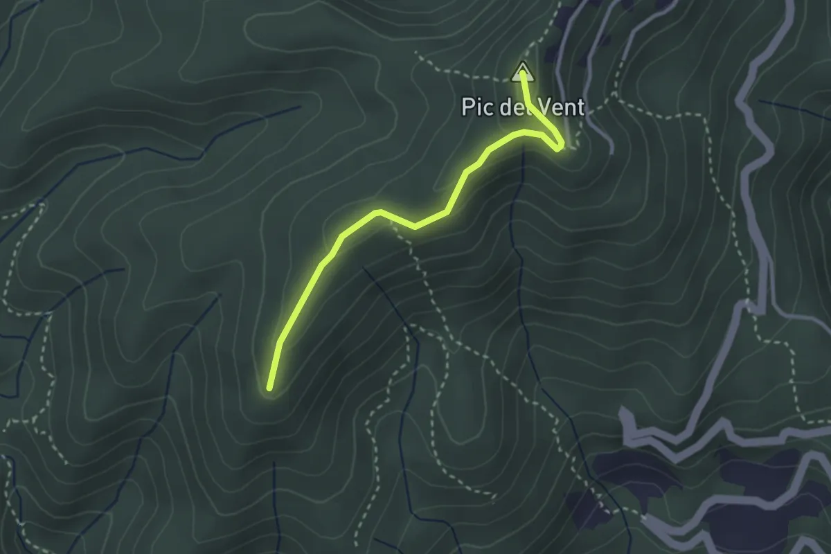
Medium · Summit
Caldes de Montbui
2.9 km · ↑ 126 m · 57 min
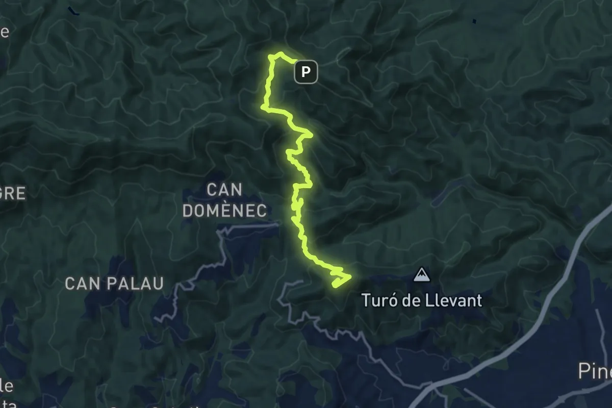
Demanding · Summit
Calella-Hortsavinyà
13.9 km · ↑ 821 m · 5 h 4 min
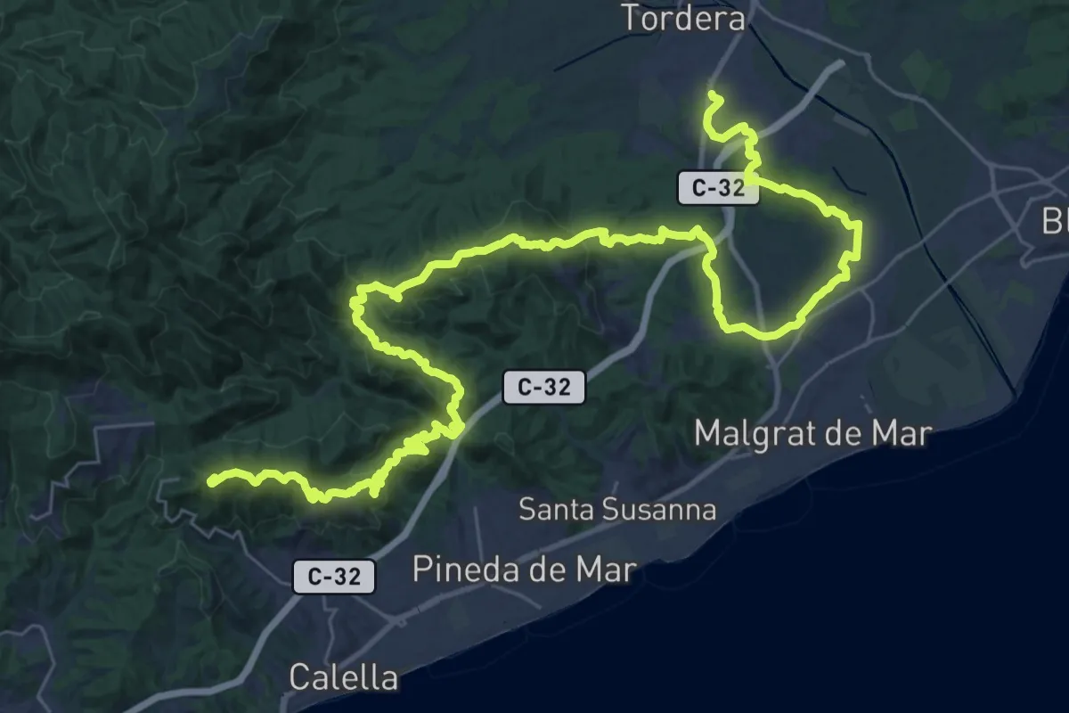
Demanding · Summit
Calella-Tordera
52.0 km · ↑ 1754 m · 16 h 4 min
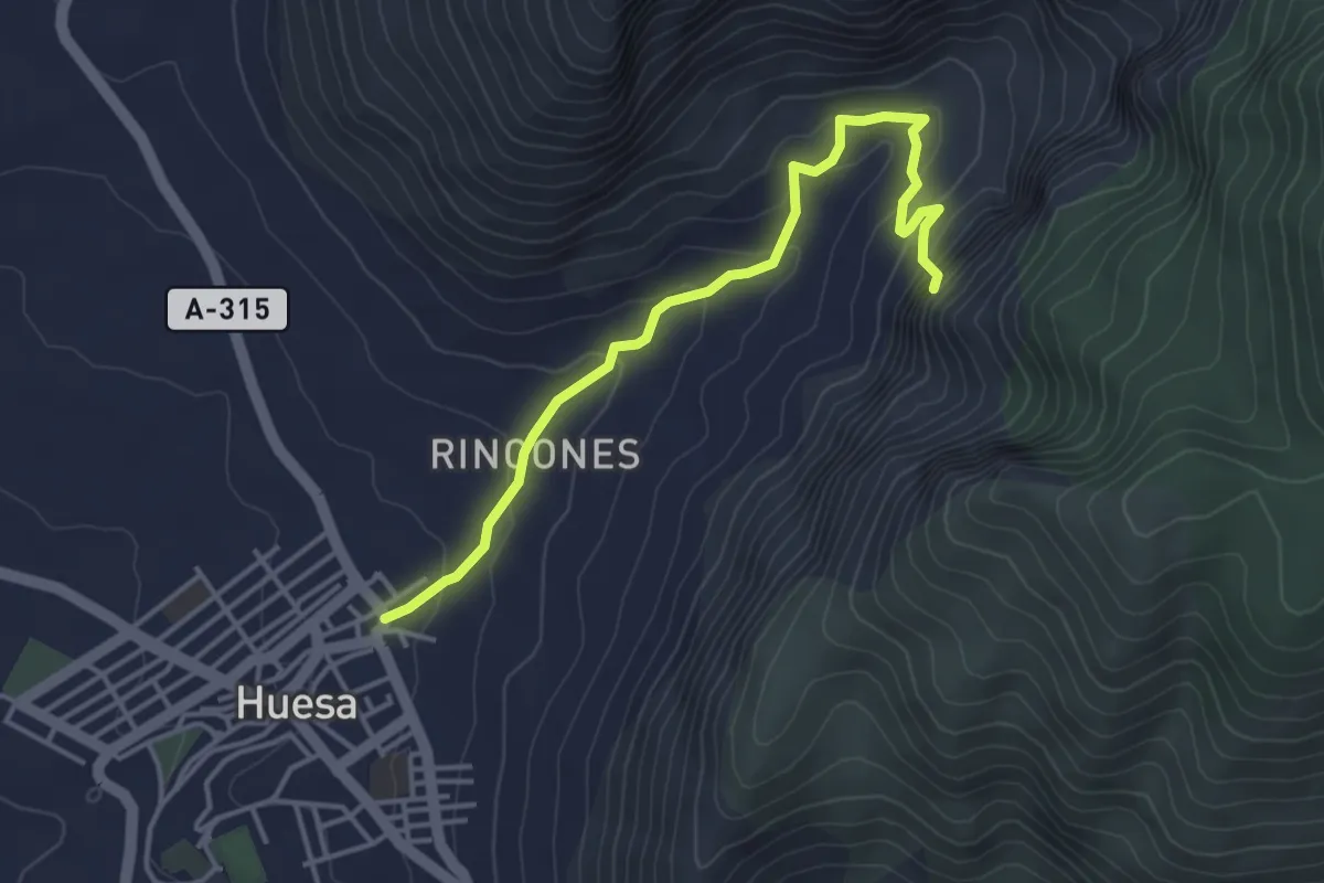
Easy · Trail
Calle de los Moros
4.7 km · ↑ 224 m · 1 h 36 min
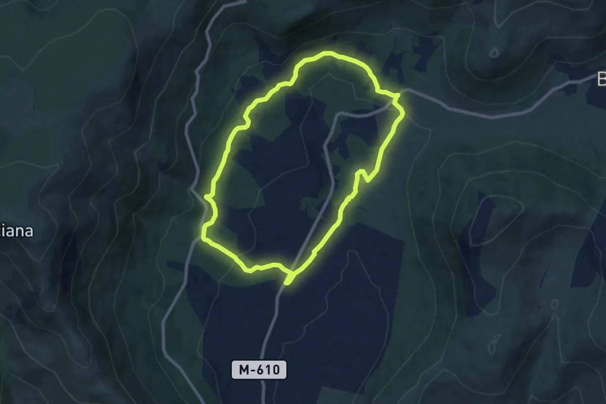
Easy · Trail
Callejas de Vallehermoso
7.6 km · ↑ 190 m · 2 h 19 min
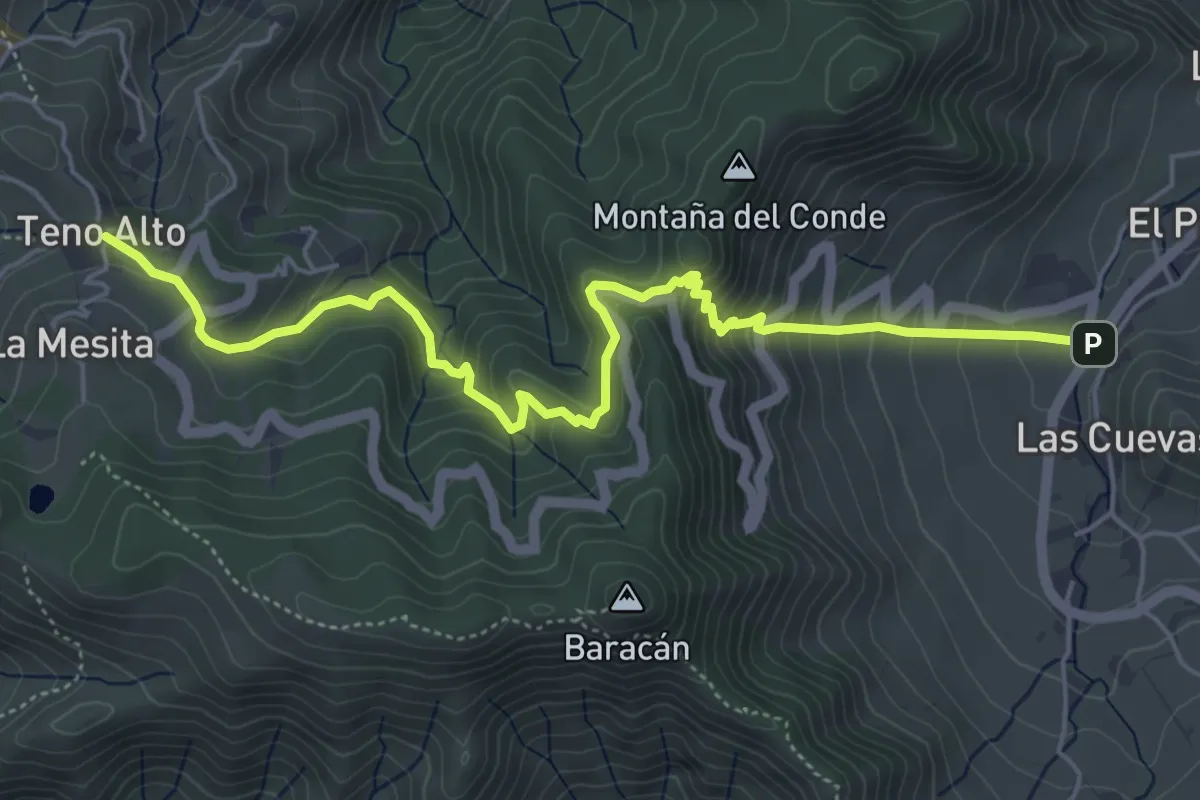
Medium · Trail
Callejón de Teno
7.7 km · ↑ 542 m · 2 h 59 min
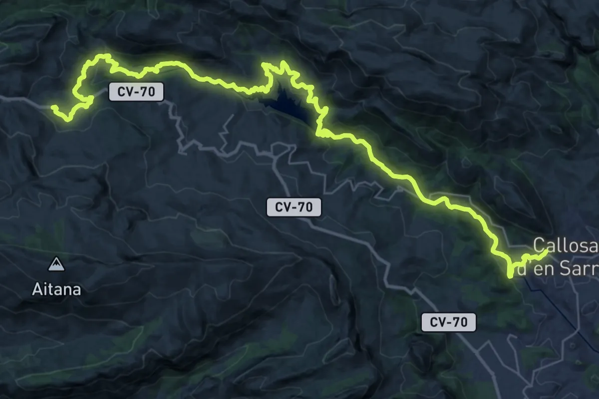
Demanding · Trail
Callosa d'En Sarrià - Confrides pel riu
22.6 km · ↑ 519 m · 7 h 1 min
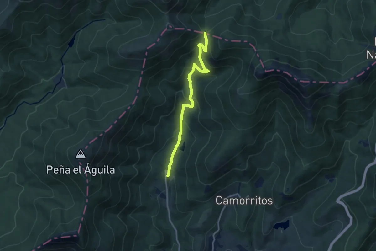
Medium · Trail
Calzada romana de la Fuenfría
10.0 km · ↑ 489 m · 3 h 25 min
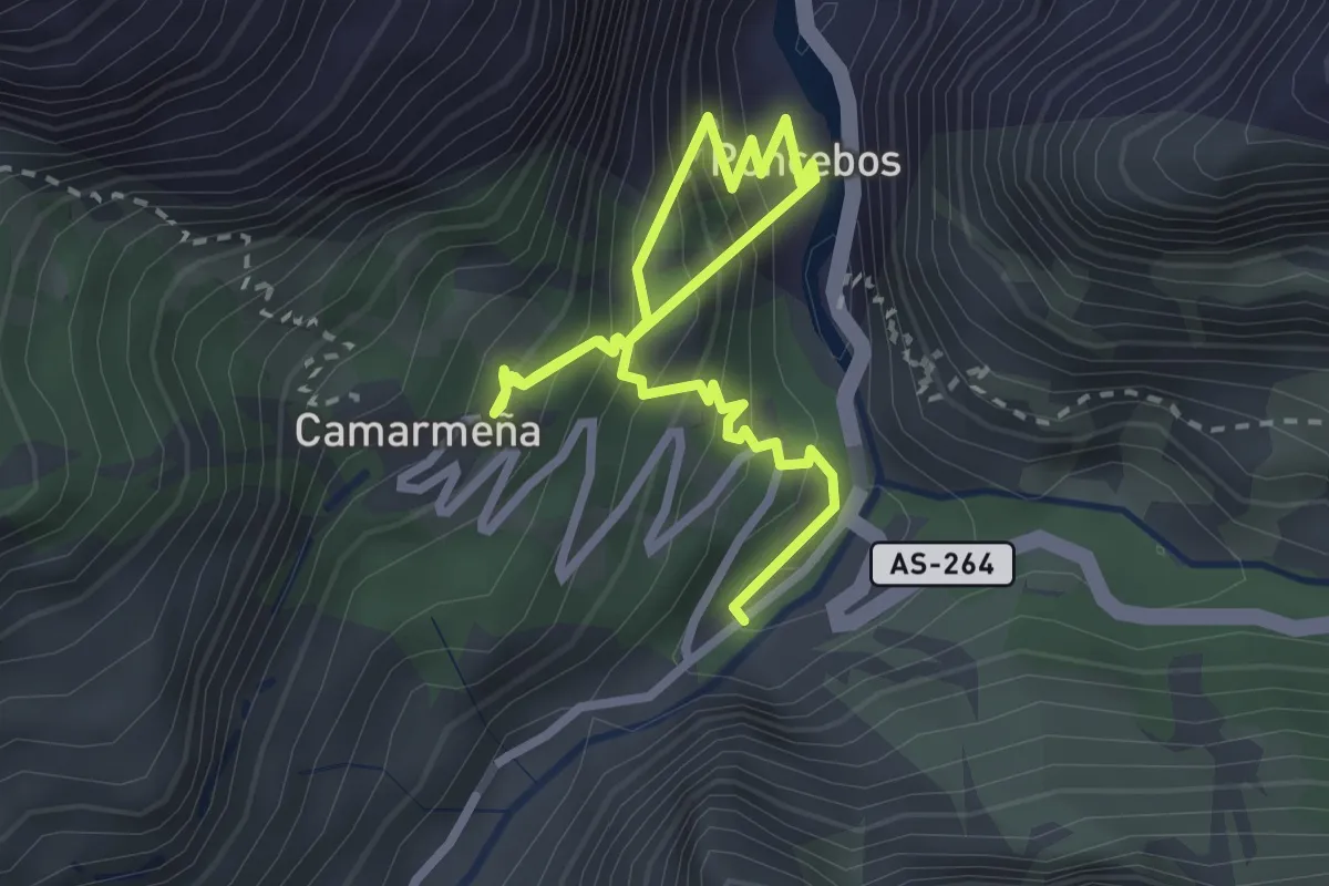
Medium · Trail
Camarmeña
4.0 km · ↑ 637 m · 2 h 20 min
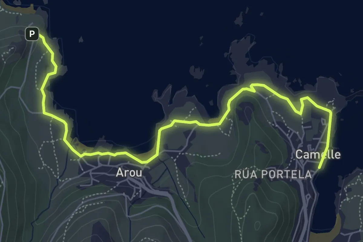
Easy · Summit
Camelle - Miradoiro de Lobeiras
3.9 km · ↑ 10 m · 1 h 1 min
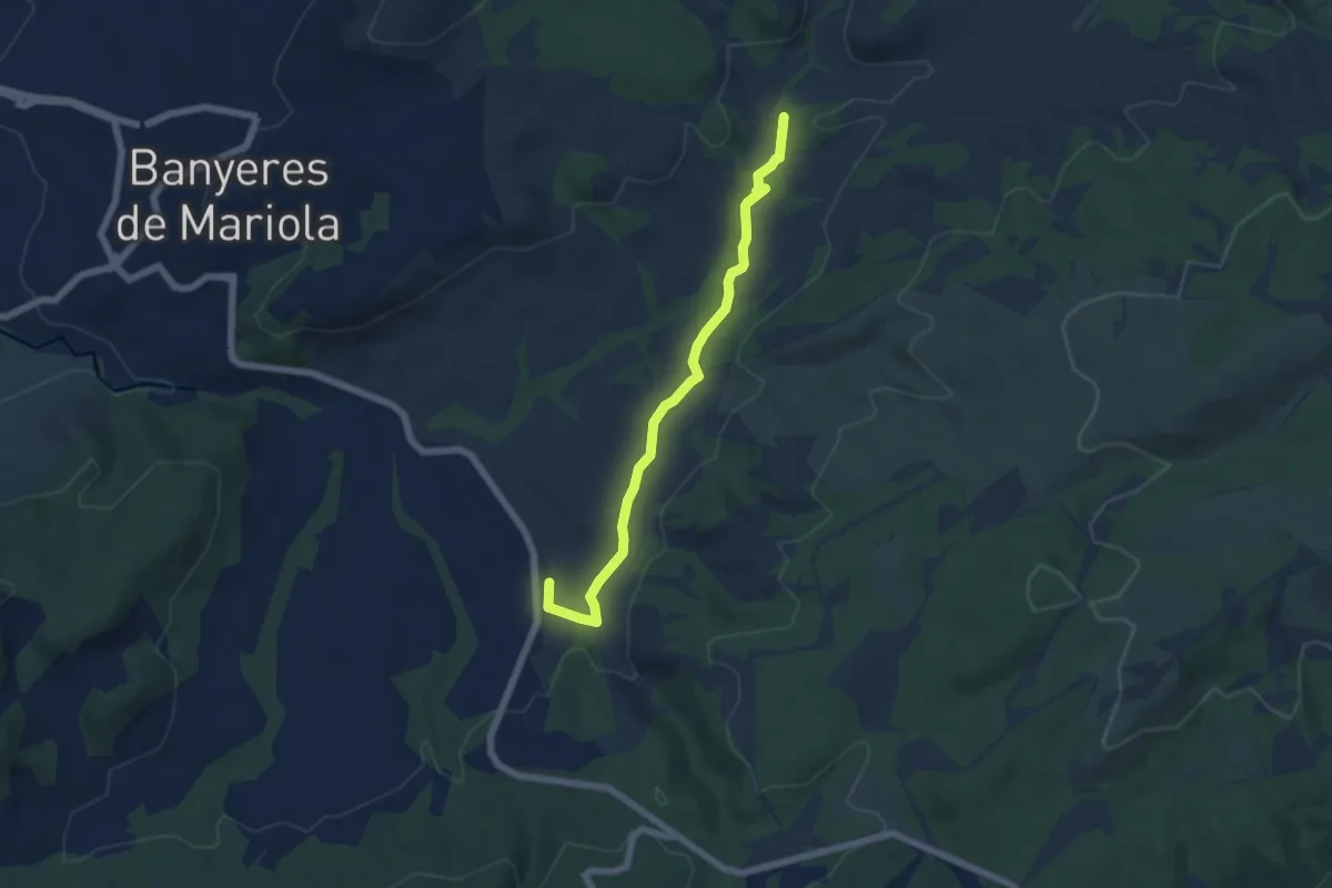
Easy · Trail
Camí d'aigues
6.7 km · ↑ 52 m · 1 h 41 min
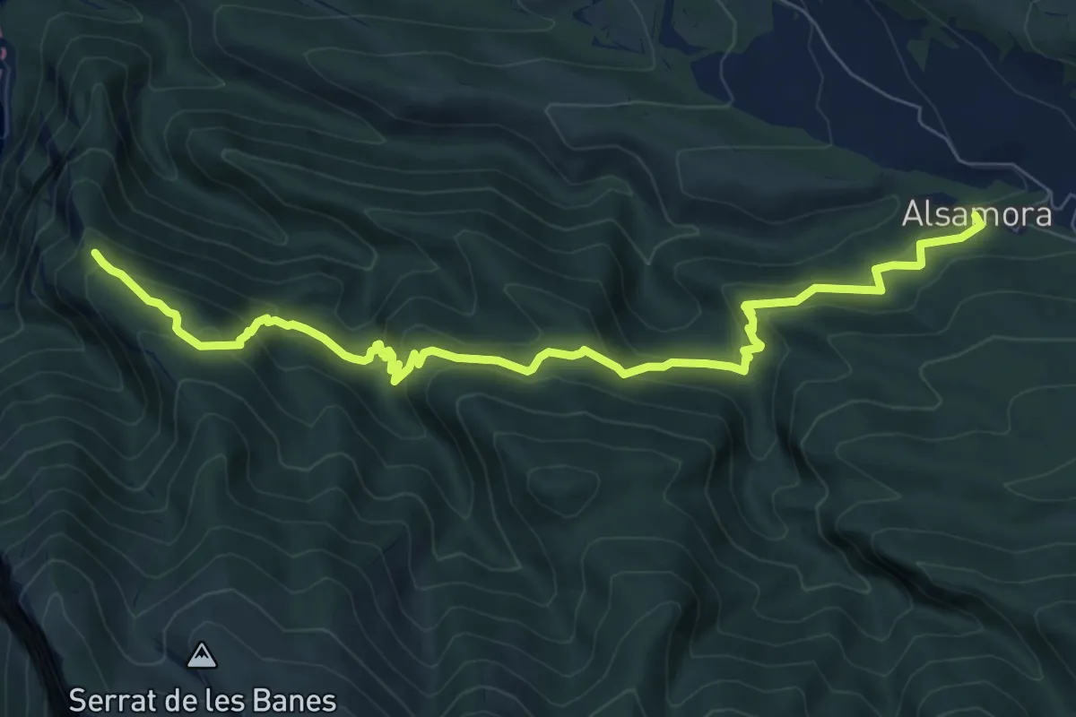
Medium · Trail
Camí d'Alsamora
9.5 km · ↑ 598 m · 3 h 32 min
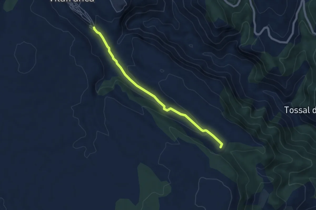
Easy · Trail
Camí de Benassal i Culla
5.5 km · ↑ 132 m · 1 h 35 min
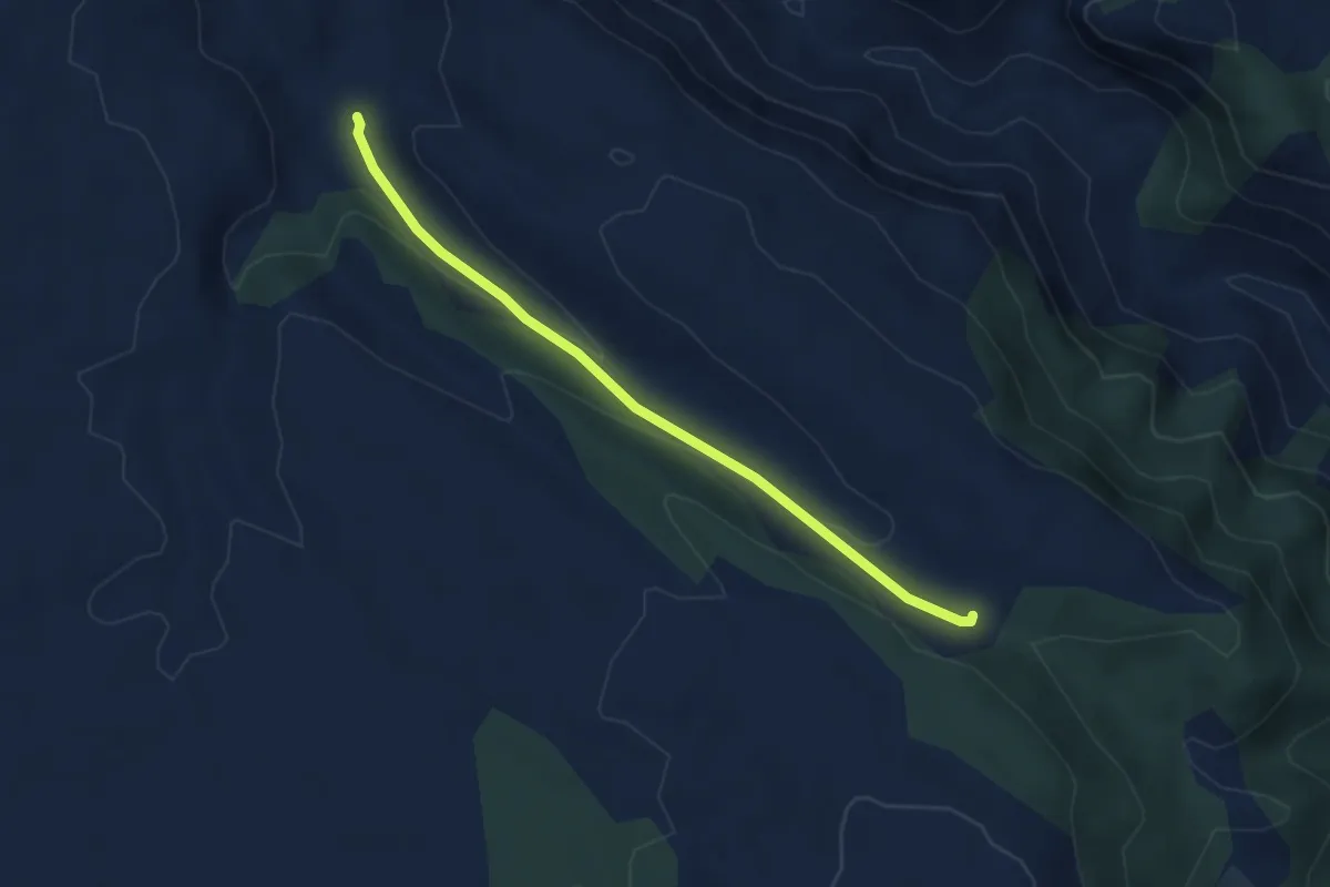
Easy · Trail
Camí de Benassal i Culla (Sender)
4.1 km · ↑ 119 m · 1 h 13 min
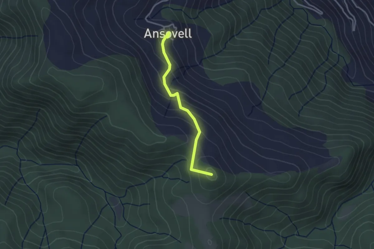
Easy · Summit
Camí de Boscalt
2.7 km · ↑ 147 m · 57 min
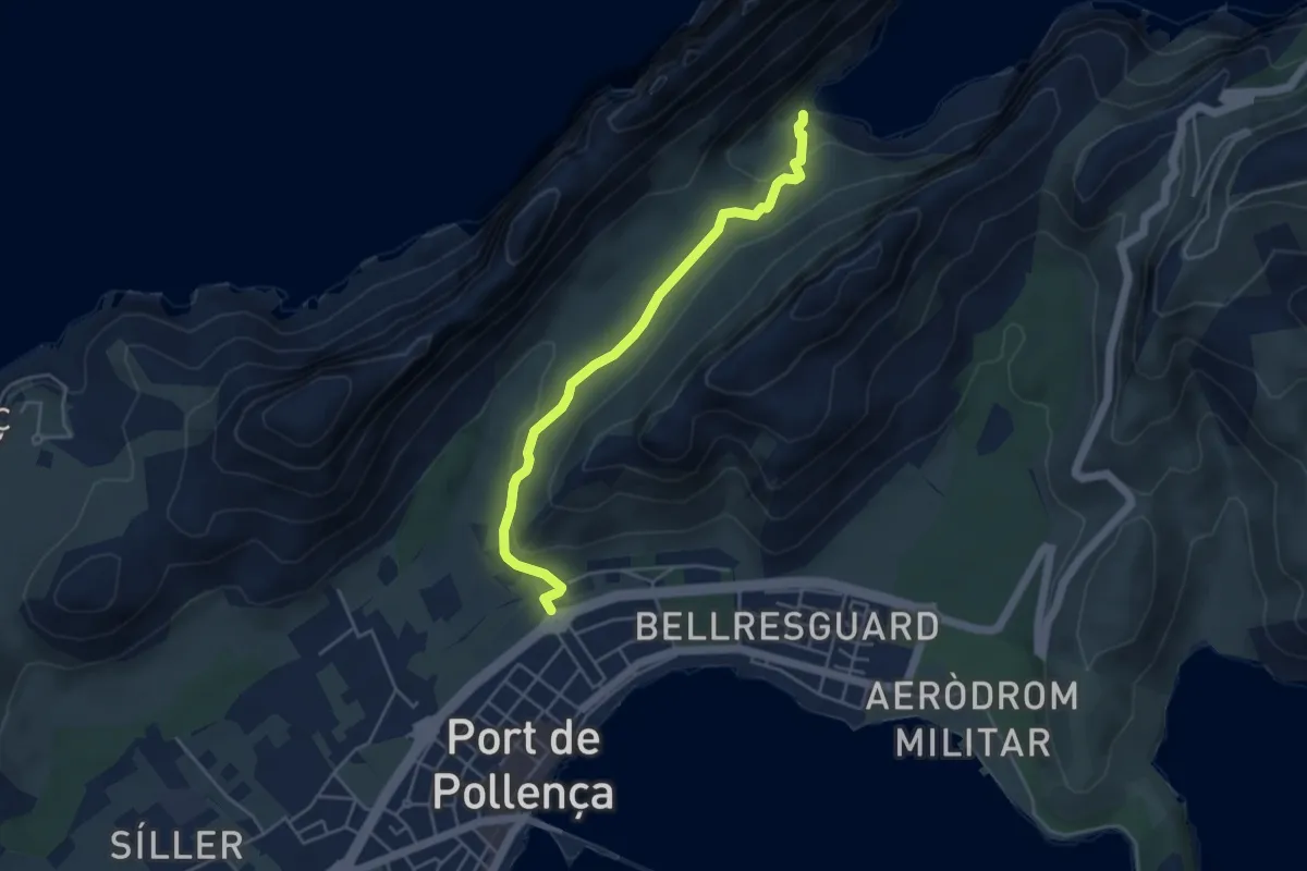
Medium · Trail
Camí de Cala Bóquer
4.9 km · ↑ 138 m · 1 h 28 min
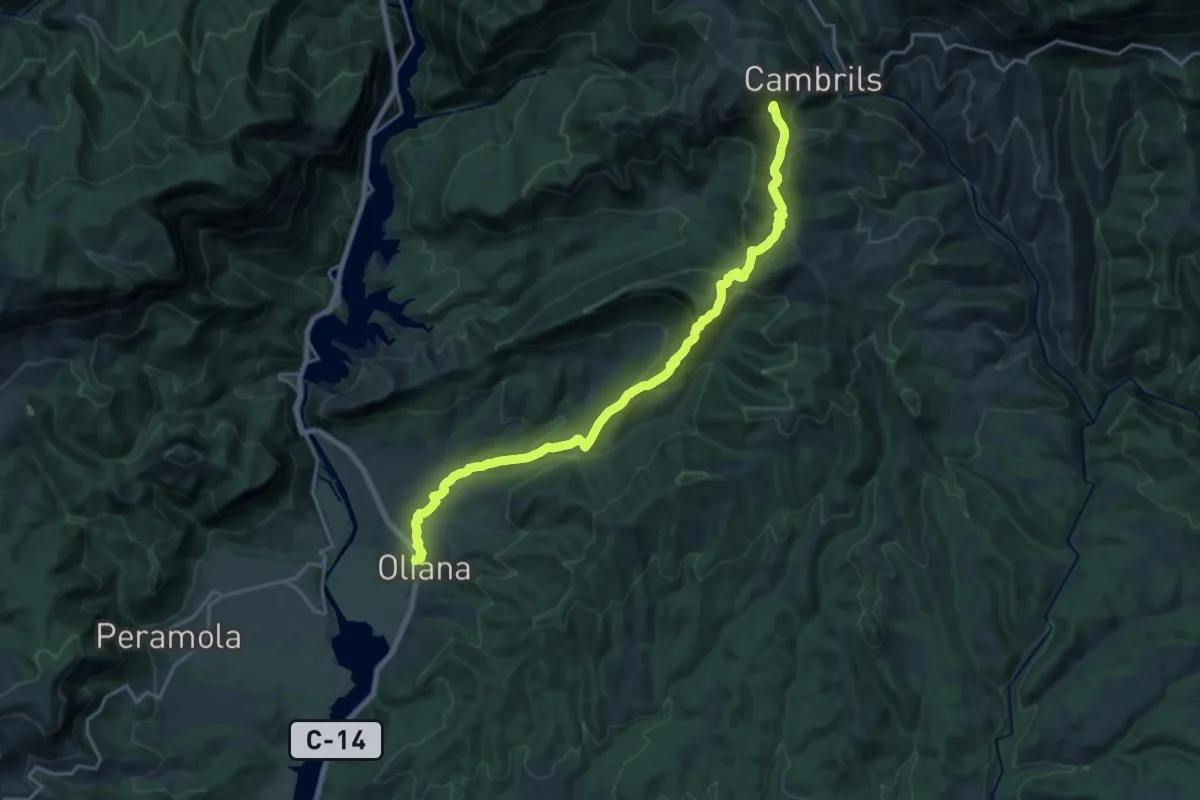
Demanding · Summit
Camí de Cambrils a Oliana
22.6 km · ↑ 1093 m · 7 h 43 min
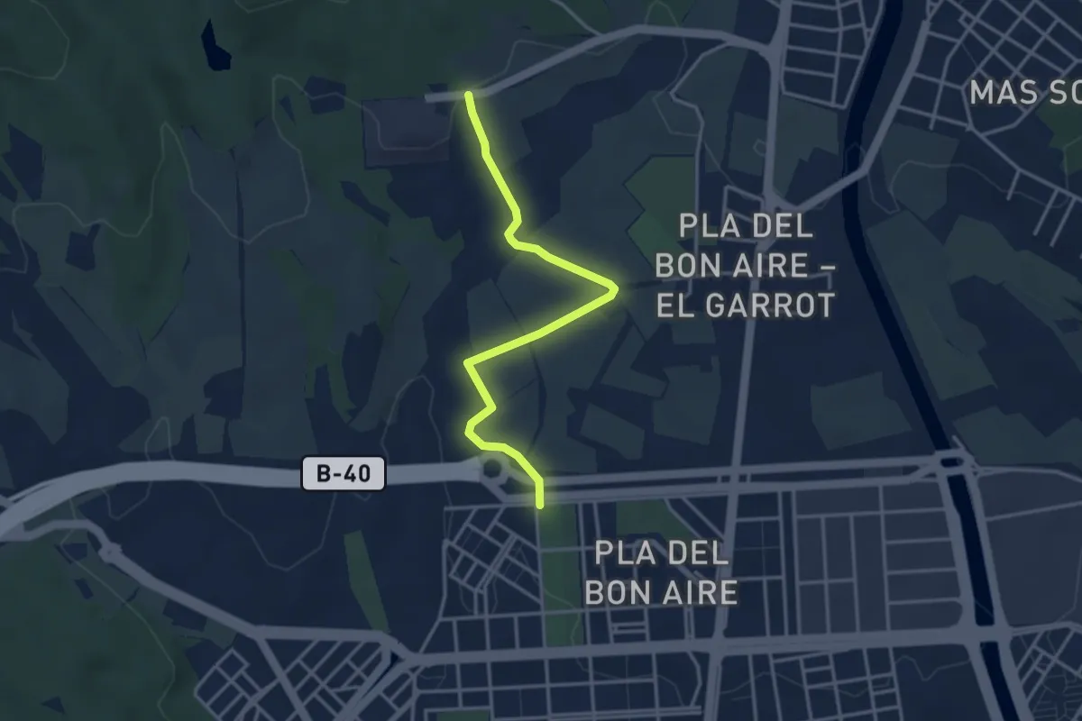
Easy · Trail
Camí de Can Carbonell
3.8 km · ↑ 57 m · 1 h 1 min