Trails in Spain
5,963 hiking trails, each with its route, climb, walking time and grade.
All trails, page 9 of 125
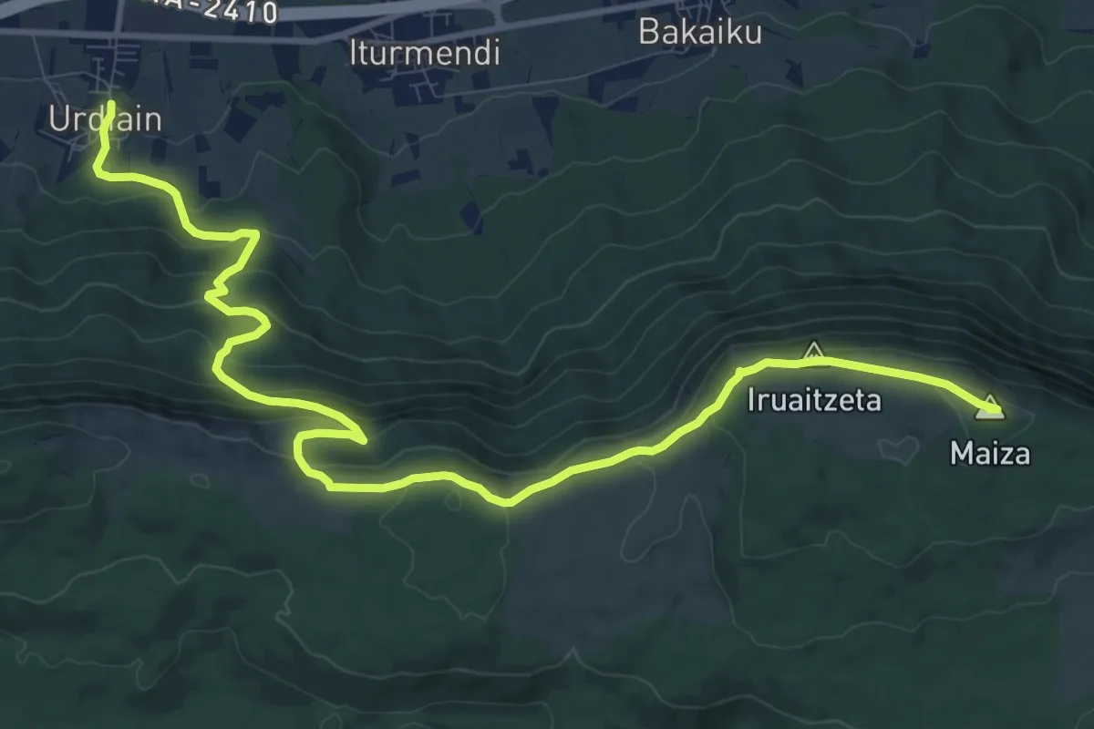
Medium · Summit
Bernoako Galtzada: Urdiain - Etxarri Aranatz
14.6 km · ↑ 719 m · 5 h
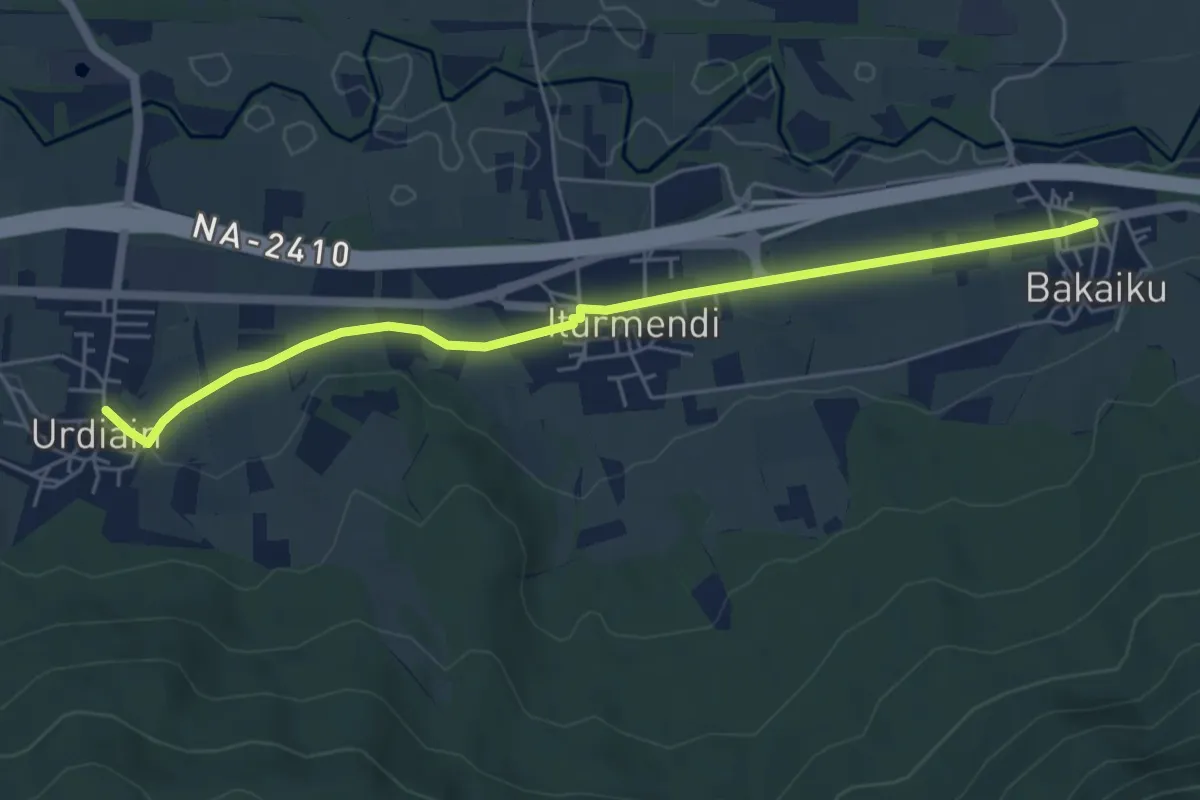
Easy · Trail
Bernoako Galtzada: Urdiain - Iturmendi - Bakaiku
6.0 km · ↑ 54 m · 1 h 32 min
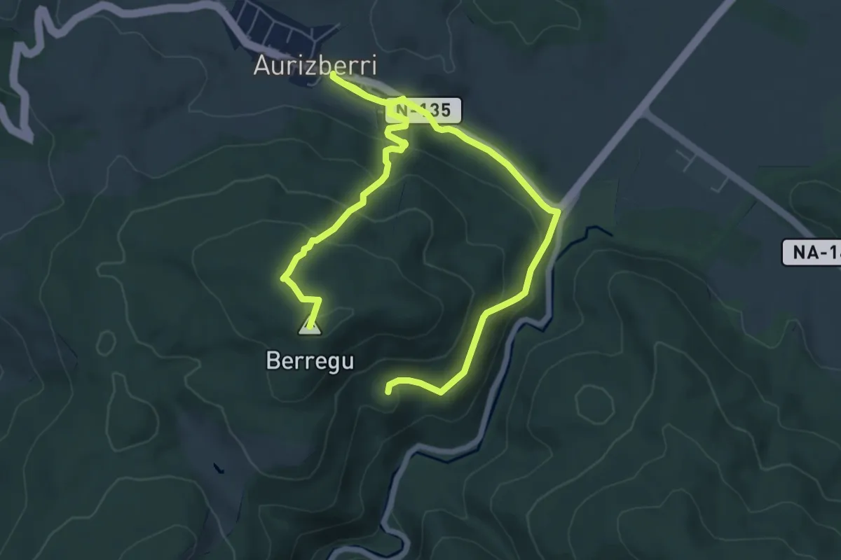
Medium · Summit
Berraguko bidea
10.5 km · ↑ 405 m · 3 h 21 min
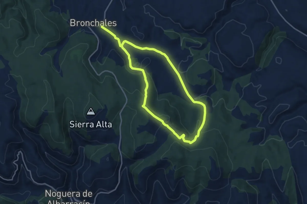
Demanding · Trail
Berrocal
20.9 km · ↑ 560 m · 6 h 8 min
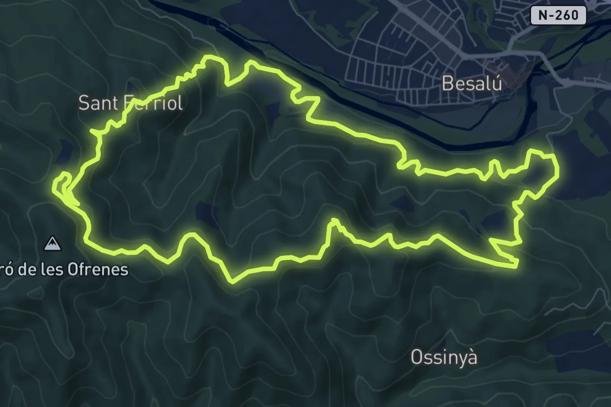
Medium · Summit
Besalú al Puig Cornador i el Santuari de Sant Ferriol
11.3 km · ↑ 525 m · 3 h 57 min
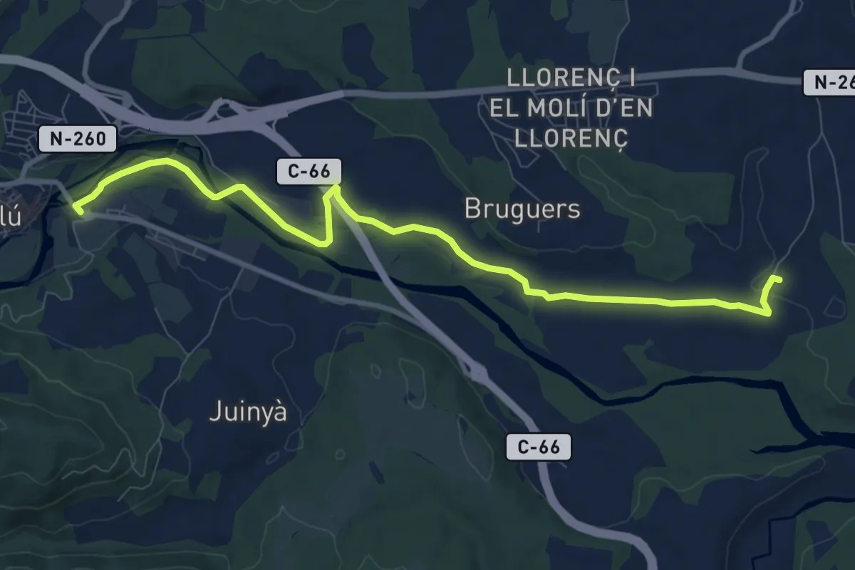
Medium · Trail
Besalú-Dosquers
10.6 km · ↑ 54 m · 2 h 37 min
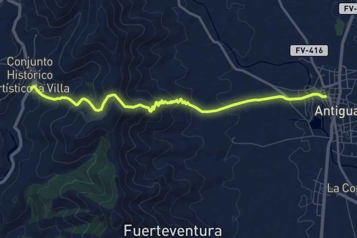
Medium · Trail
Betancuria - Degollada Vieja - Antigua
10.2 km · ↑ 516 m · 3 h 32 min
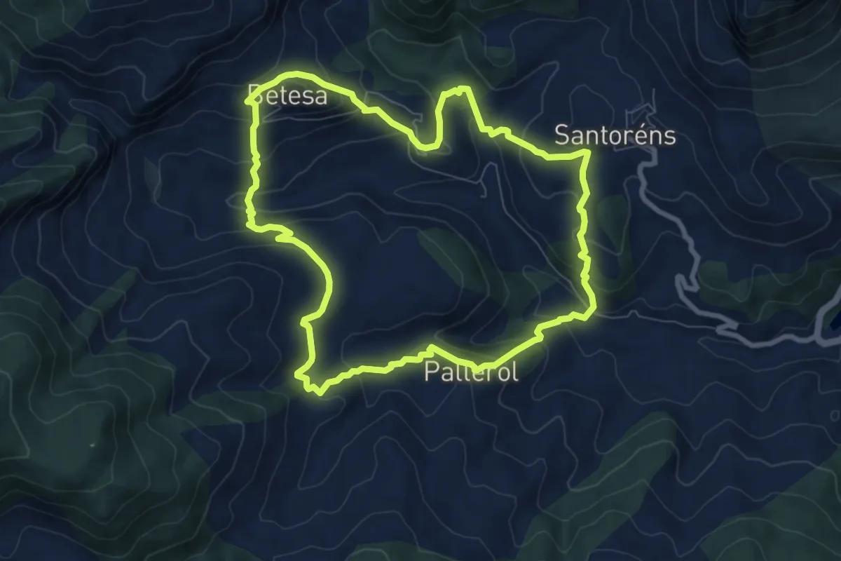
Medium · Trail
Betesa - Santorens - Pallerol - Betesa
8.3 km · ↑ 490 m · 3 h 8 min
Easy · Trail
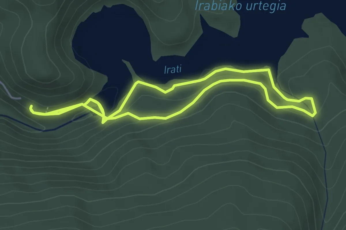
Beuntza Plazako bidea
4.5 km · ↑ 184 m · 1 h 31 min
Demanding · Summit
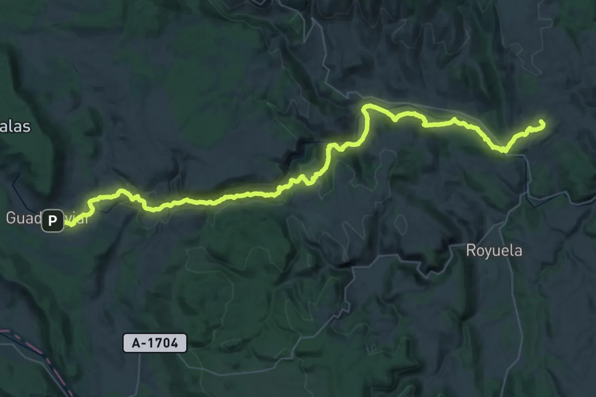
Bezas - Guadalaviar
54.2 km · ↑ 1426 m · 15 h 53 min
Demanding · Trail
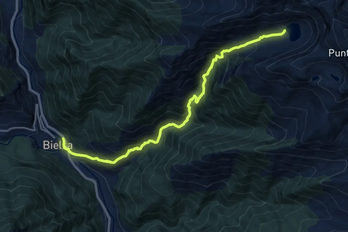
Bielsa - Ibón del Cau
13.2 km · ↑ 1478 m · 6 h 20 min
Medium · Trail
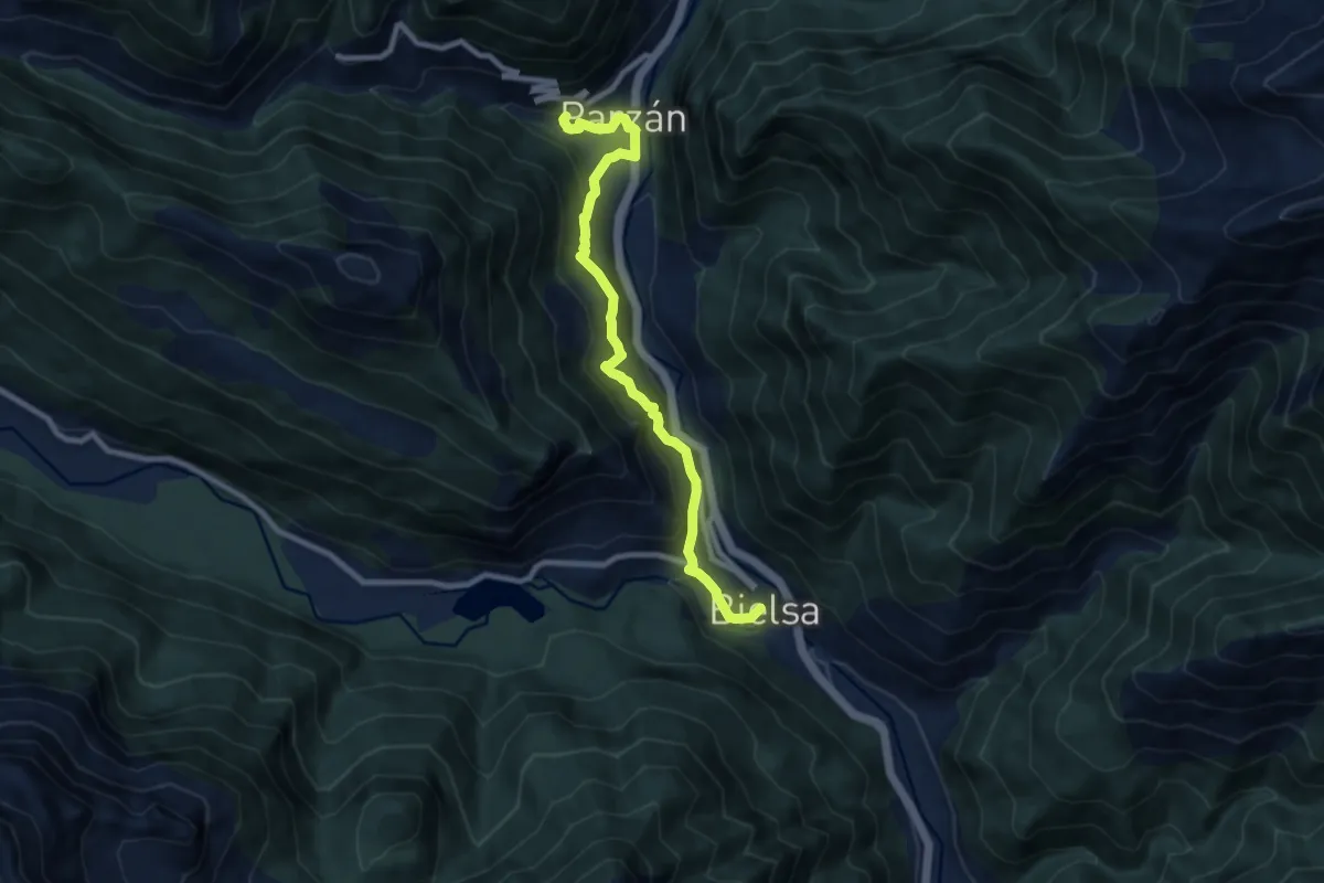
Bielsa - Javierre - Parzán - Enlace
9.2 km · ↑ 675 m · 3 h 38 min
Demanding · Cabin
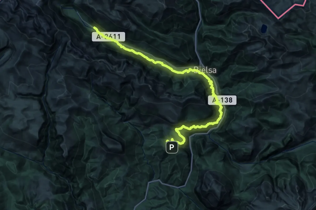
Bielsa - Refugio de Ronatiza | Bielsa - Tella
26.1 km · ↑ 1667 m · 10 h 10 min
Medium · Trail
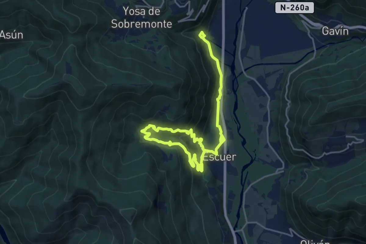
Biescas-Escuer Alto-La Torraza
9.8 km · ↑ 418 m · 3 h 23 min
Demanding · Trail
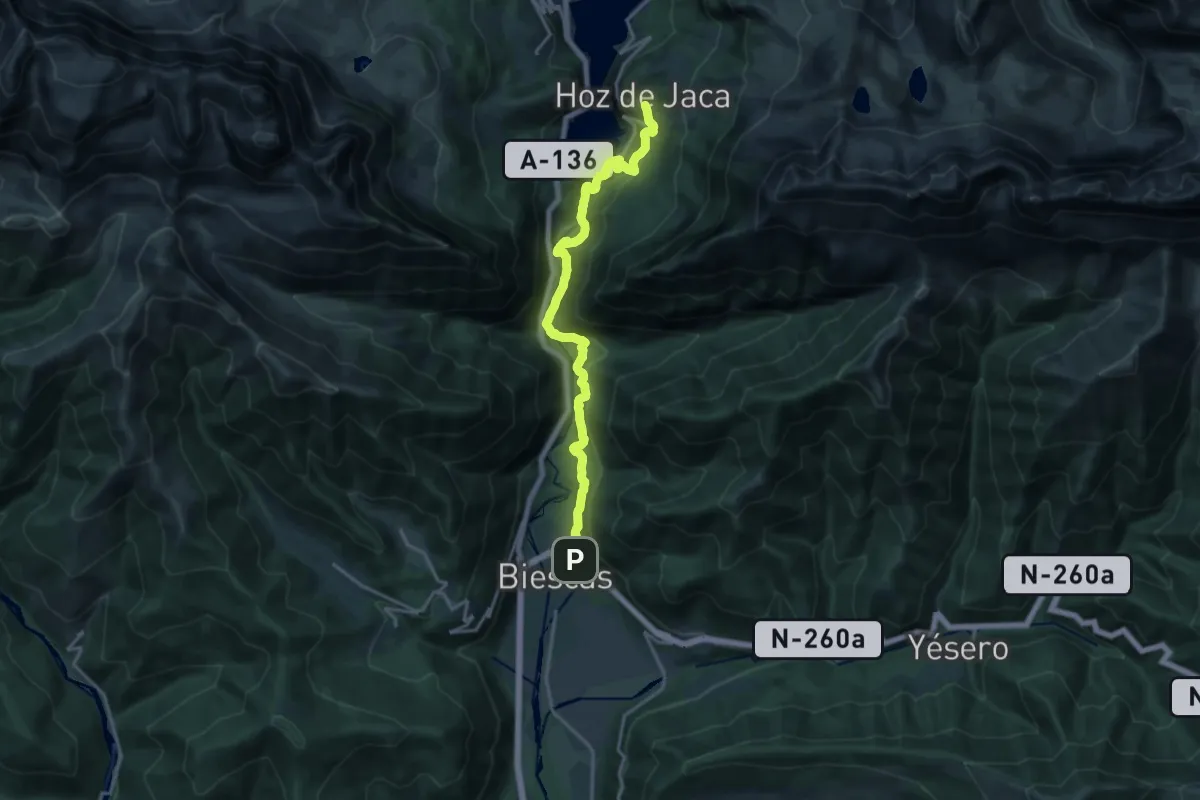
Biescas - Hoz de Jaca
18.6 km · ↑ 758 m · 6 h 1 min
Demanding · Summit
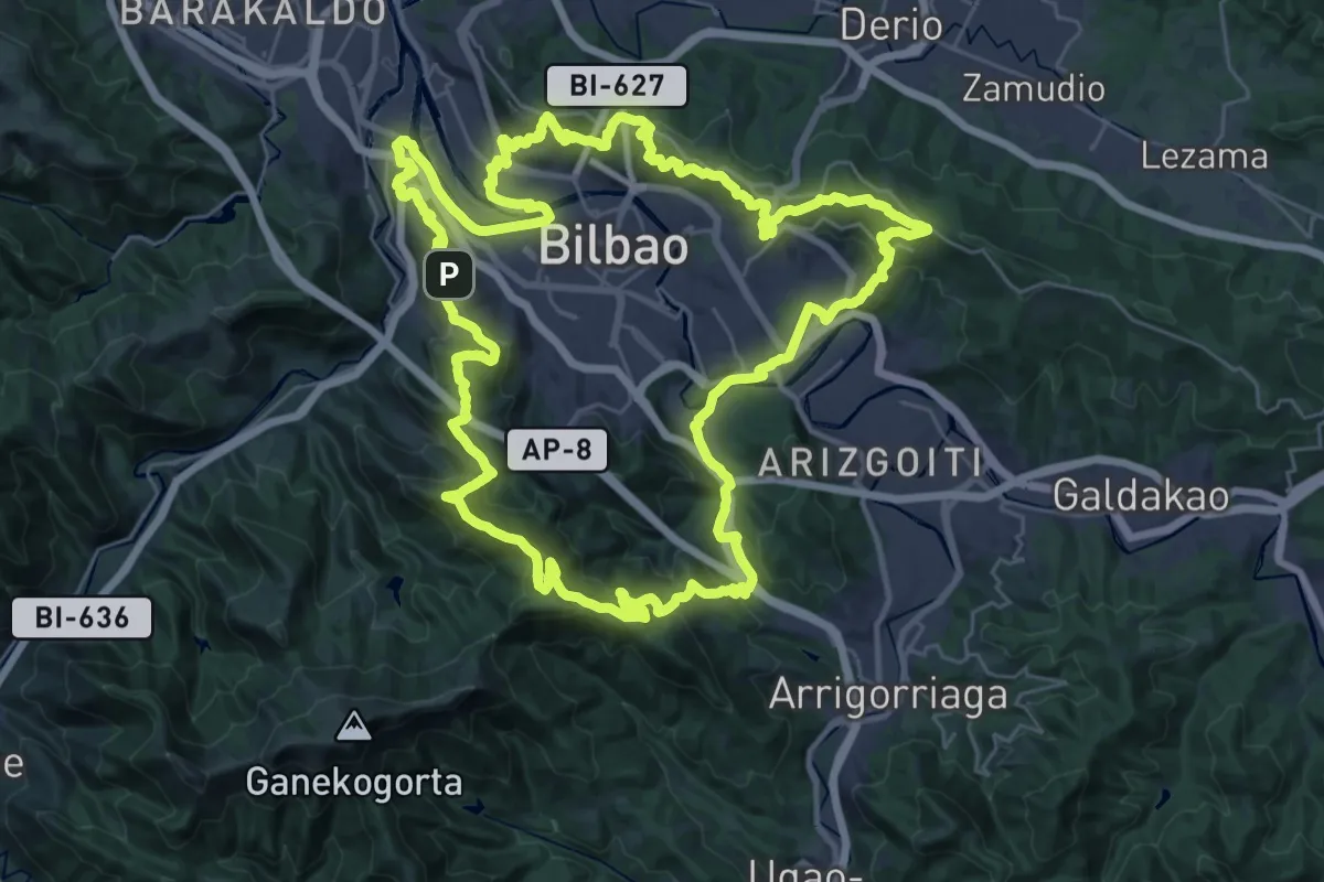
Bilboko Inguruko Berdegunea
38.5 km · ↑ 1485 m · 12 h 50 min
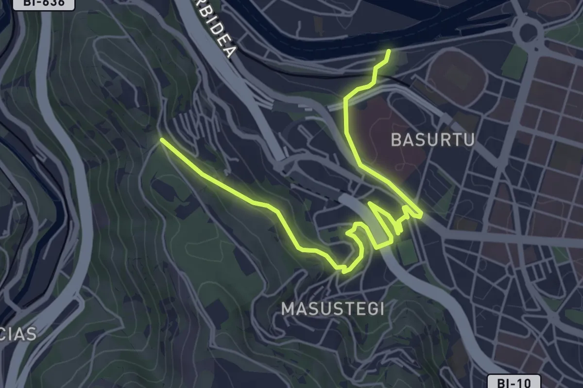
Easy · Trail
Bilboko Inguruko Berdegunea: Olabeaga - Parque Kobetas sahiesbidea
6.3 km · ↑ 163 m · 1 h 51 min
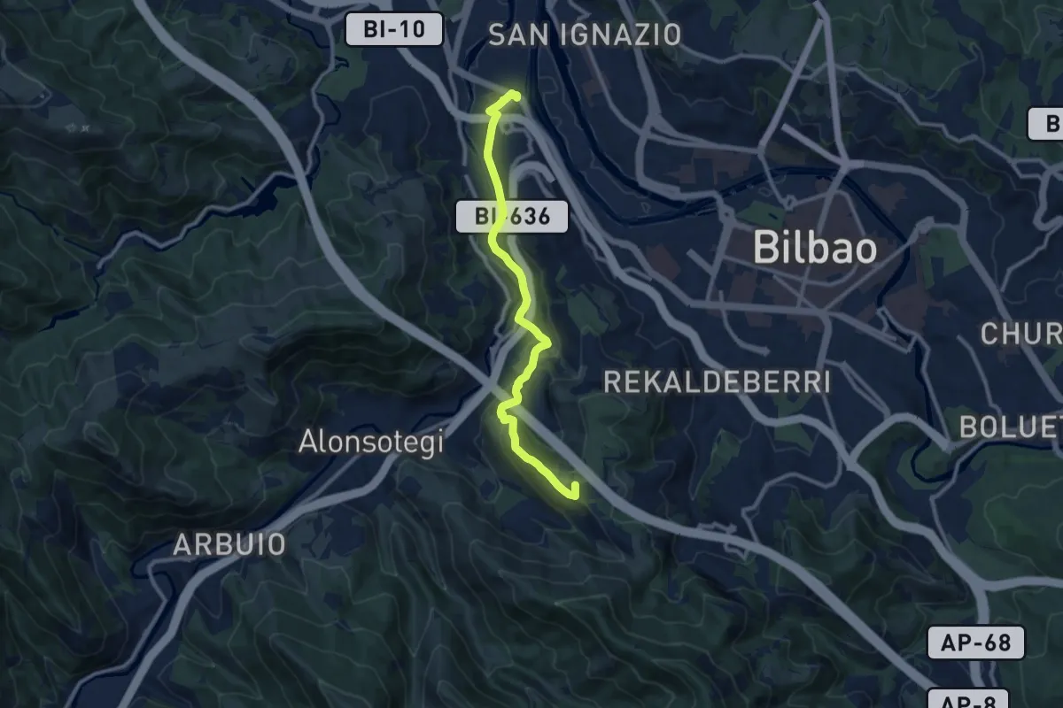
Medium · Summit
Bilboko Inguruko Berdegunea: Zorrotza - Pozo de los Caballos sahiesbidea
10.6 km · ↑ 389 m · 3 h 20 min
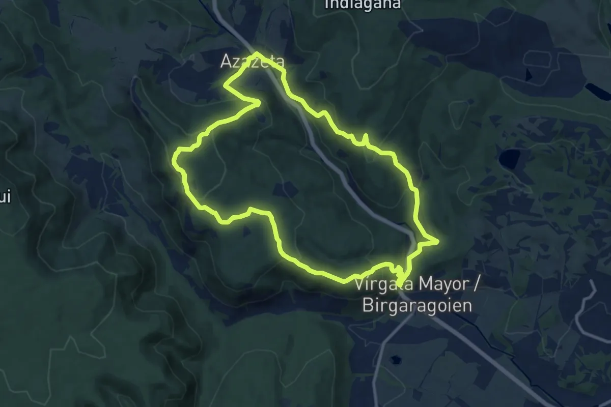
Medium · Summit
Birgaragoien-Arraialde-Azazeta
10.7 km · ↑ 441 m · 3 h 37 min
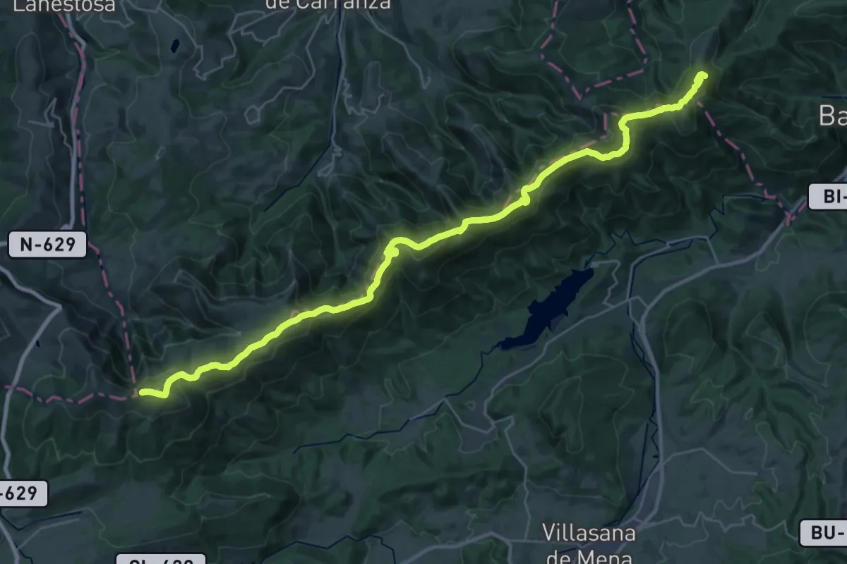
Demanding · Summit
Bizkaiko bira
37.7 km · ↑ 1863 m · 12 h 57 min
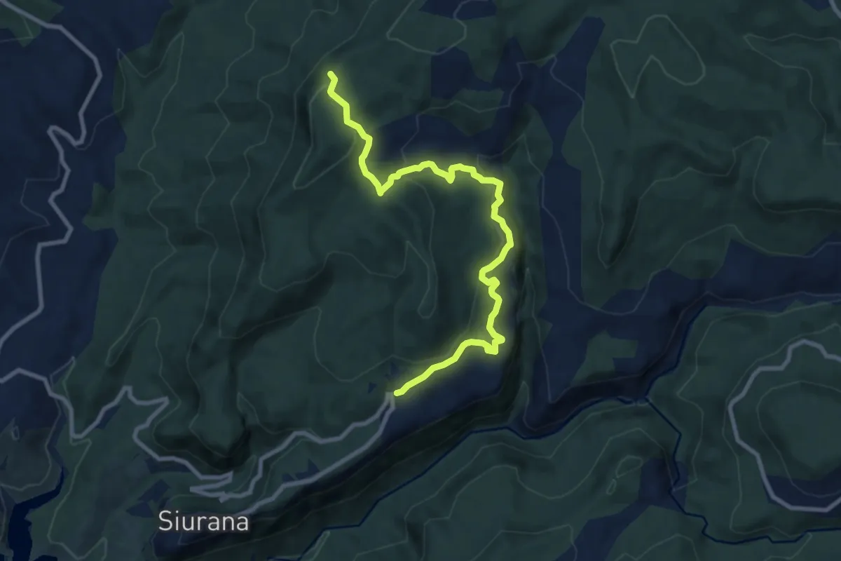
Medium · Summit
Blue-Yellow
10.0 km · ↑ 465 m · 3 h 22 min
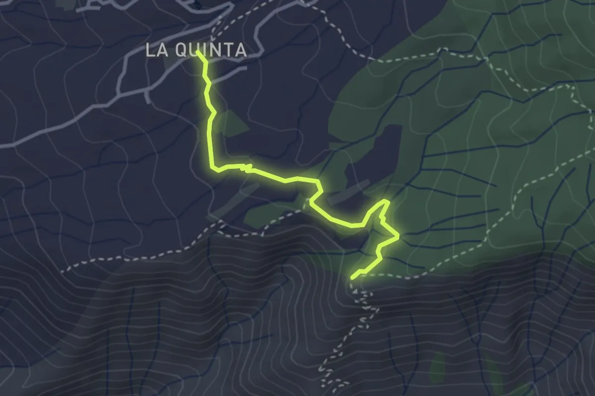
Medium · Trail
Boca del Paso-La Quinta
3.5 km · ↑ 83 m · 1 h
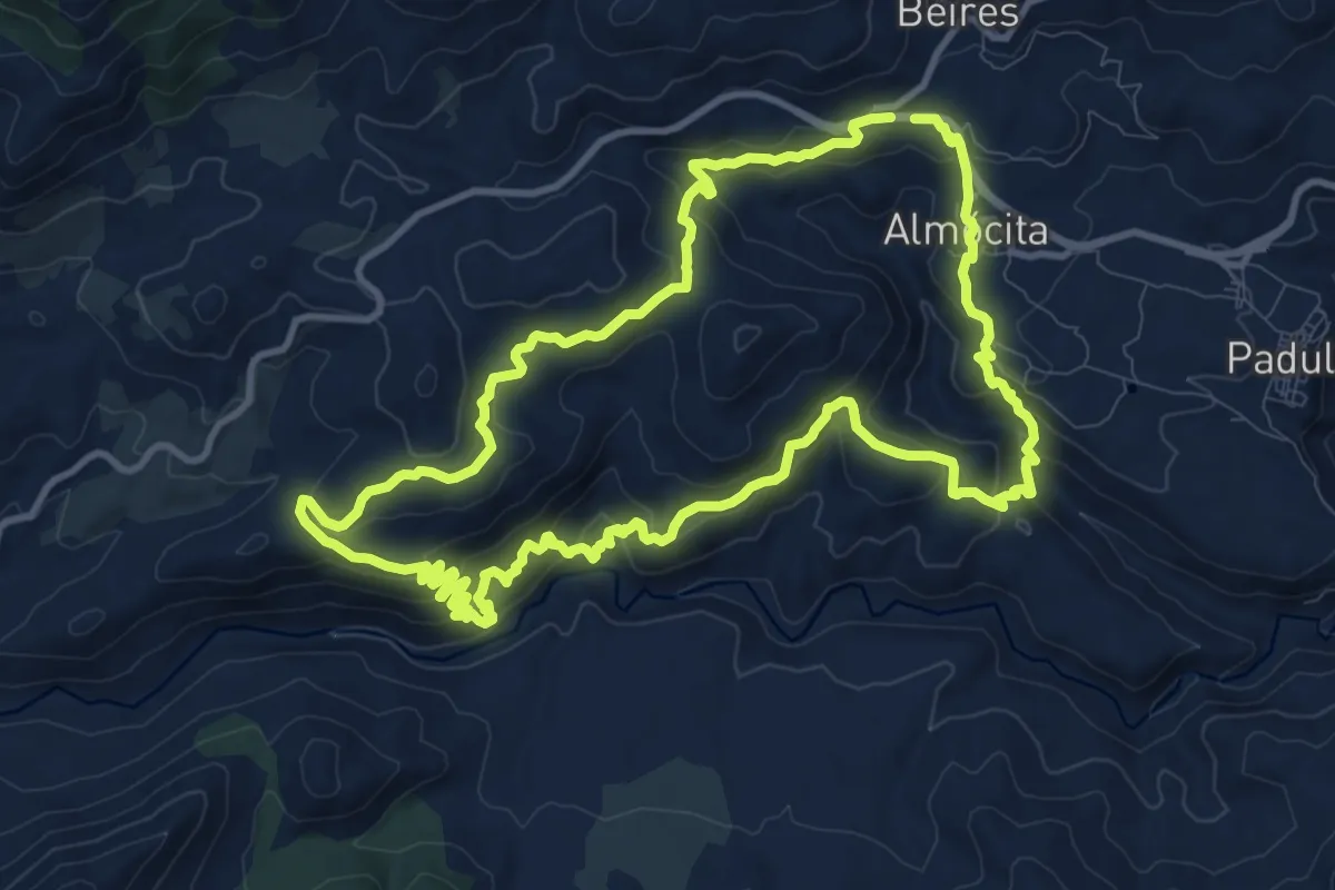
Medium · Summit
Bogaraya - Cacín - Minas de la Solana
12.7 km · ↑ 589 m · 4 h 28 min
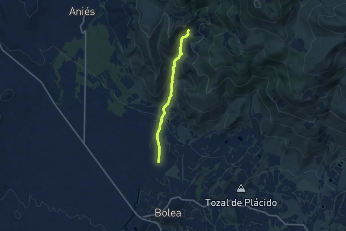
Easy · Trail
Bolea - Ermita de Santa Quiteria - Ermita de San Cristóbal
7.2 km · ↑ 309 m · 2 h 22 min
Medium · Trail
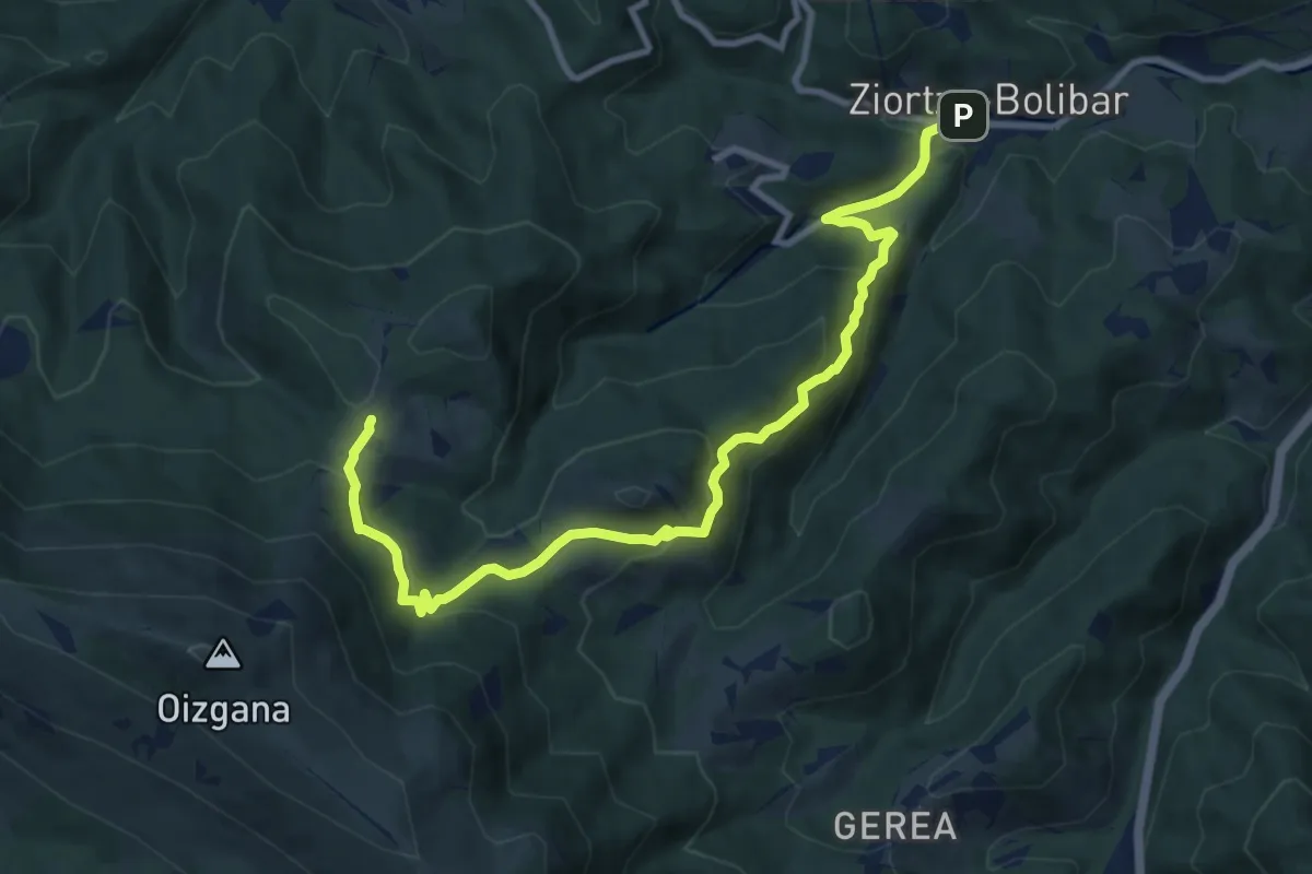
Bolibar - Kortaguren baserria
11.6 km · ↑ 681 m · 4 h 13 min
Demanding · Trail
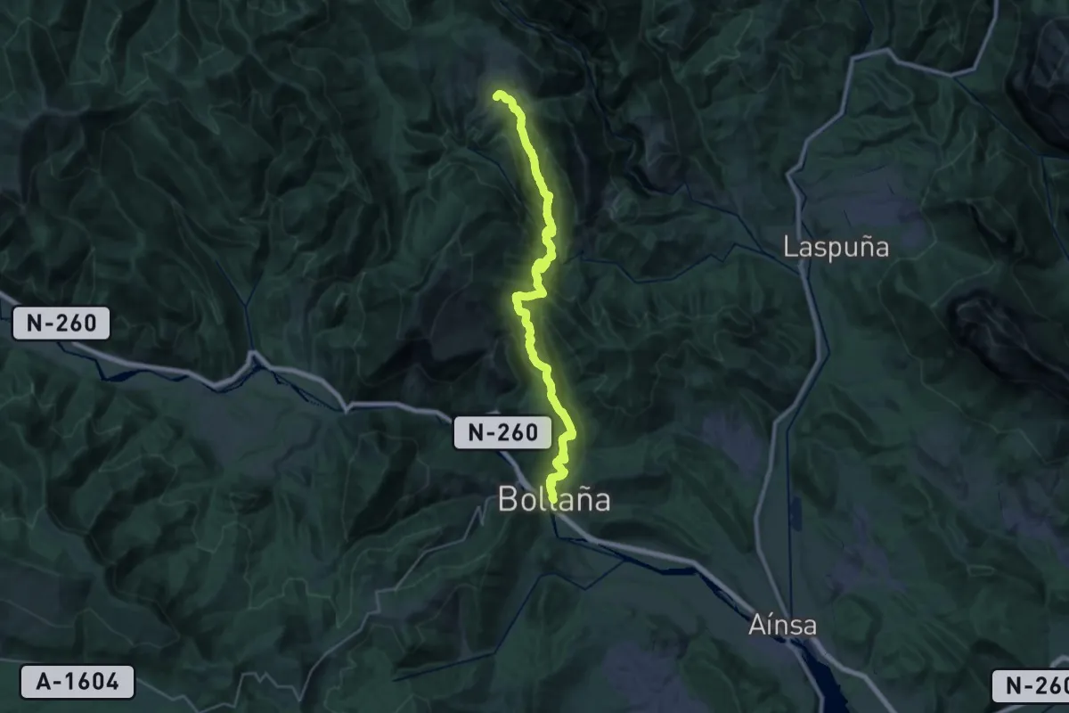
Boltaña- Buerba
14.5 km · ↑ 1009 m · 5 h 33 min
Medium · Trail
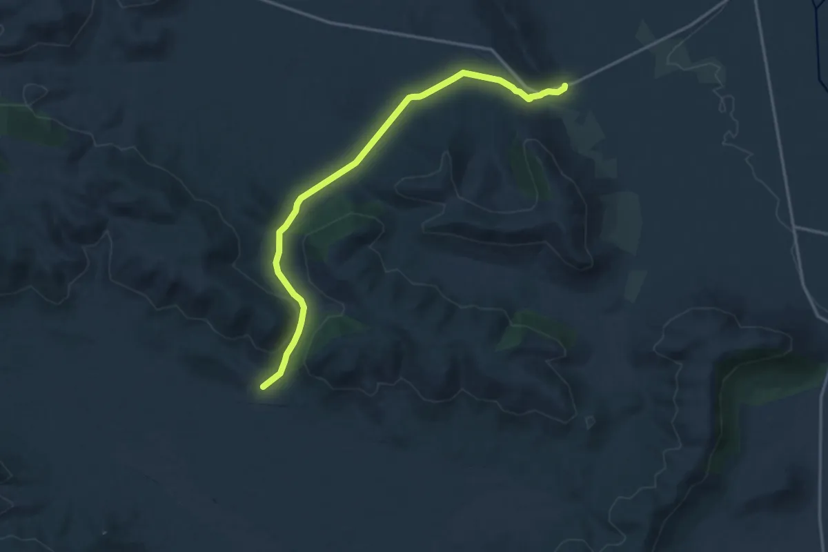
Bonal del Morro de la Parilla
16.8 km · ↑ 290 m · 4 h 36 min
Medium · Trail
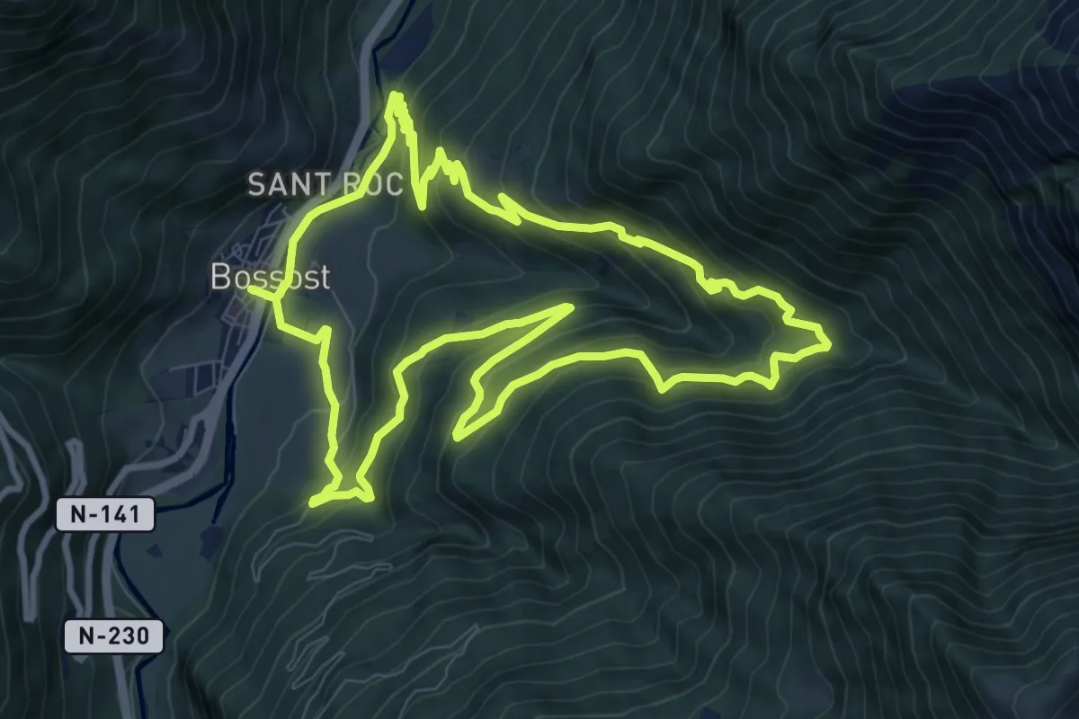
Bordes de Bossòst
10.6 km · ↑ 613 m · 4 h
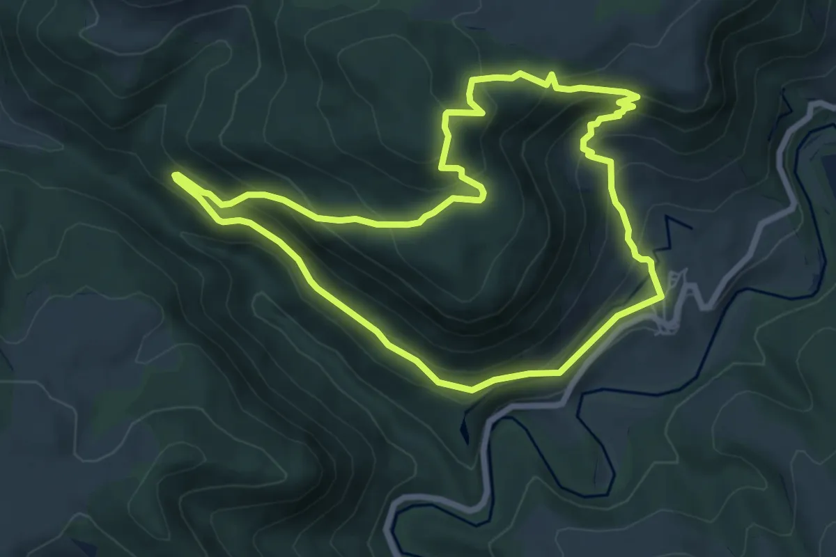
Medium · Summit
Bordetako Bidea
6.8 km · ↑ 435 m · 2 h 39 min
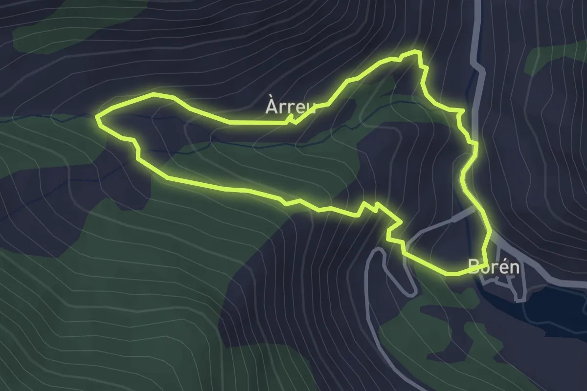
Easy · Trail
Borén-Àrreu
3.3 km · ↑ 250 m · 1 h 22 min
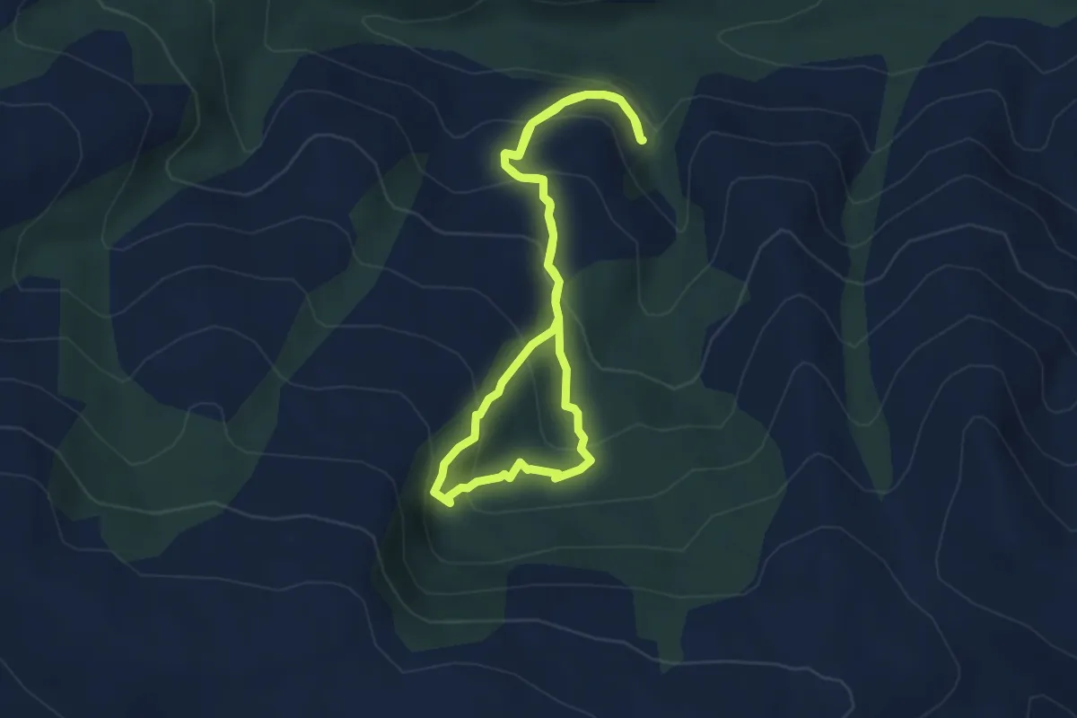
Easy · Trail
Bosque El Tejedelo
4.2 km · ↑ 307 m · 1 h 44 min
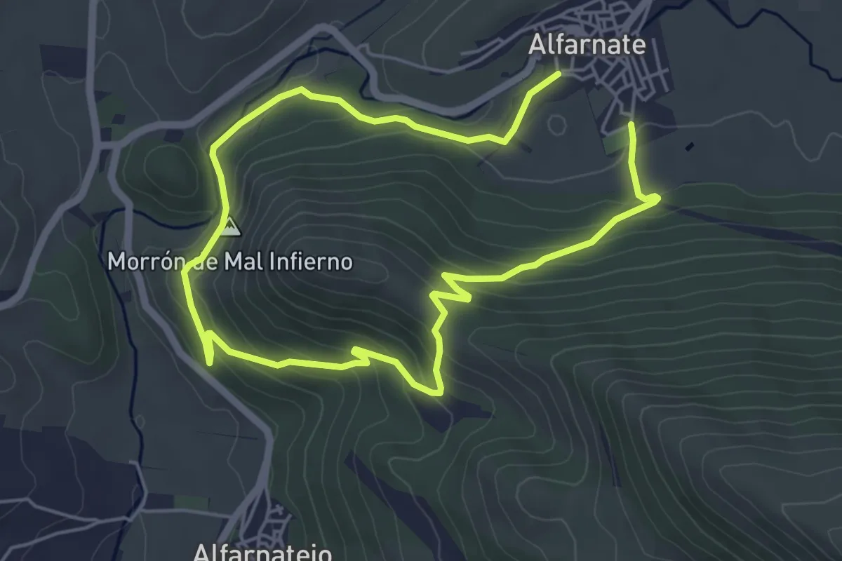
Easy · Summit
Bosque Las Morillas
4.9 km · ↑ 206 m · 1 h 40 min
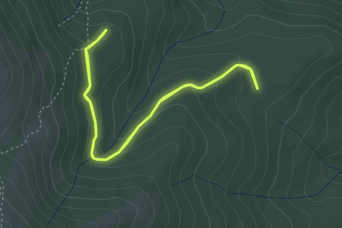
Medium · Trail
Bosque plateado
3.6 km · ↑ 143 m · 1 h 12 min
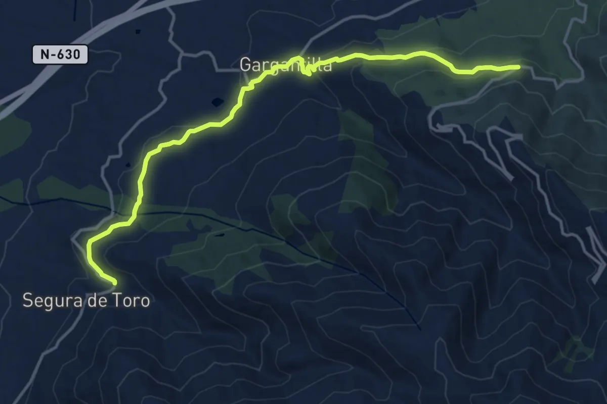
Medium · Trail
Bosques del Ambroz
14.8 km · ↑ 468 m · 4 h 30 min
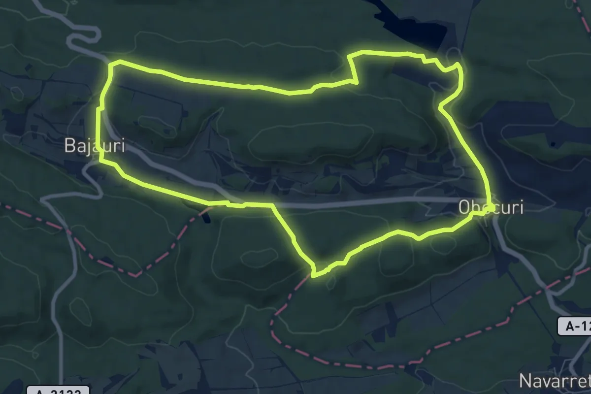
Medium · Trail
Bosques de Obécuri y Bajauri
8.9 km · ↑ 164 m · 2 h 35 min
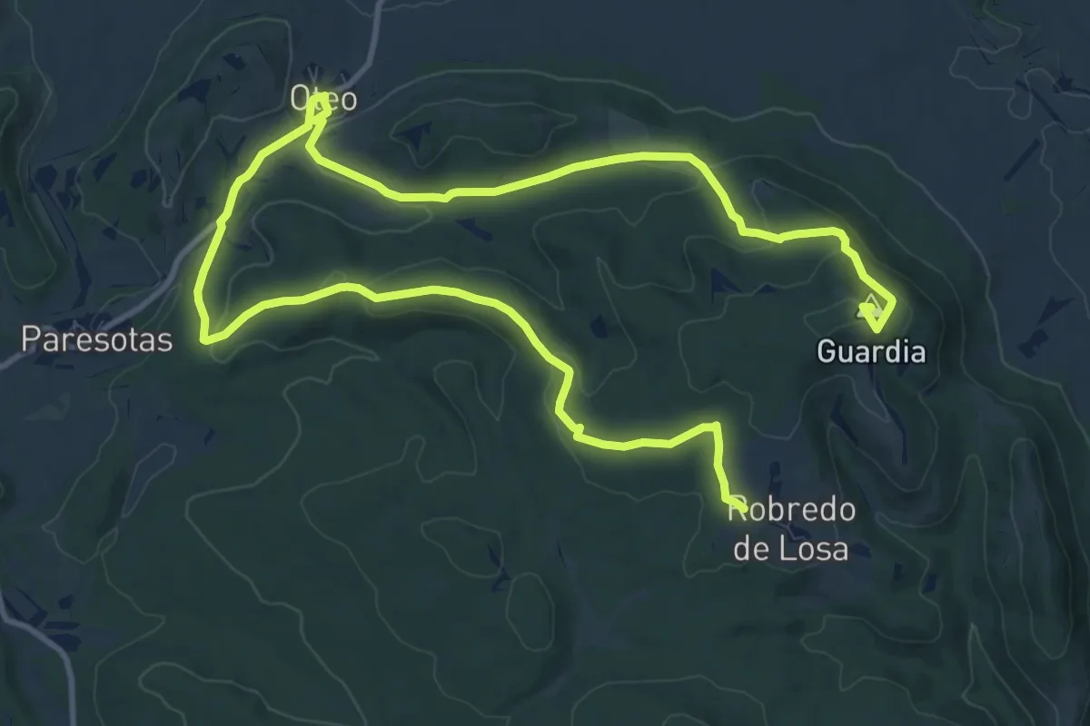
Demanding · Summit
Bosques de Oteo y Alto de Guardia
19.0 km · ↑ 441 m · 5 h 27 min
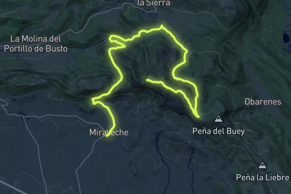
Demanding · Summit
Bosques y Cumbres de Miraveche
31.2 km · ↑ 1157 m · 9 h 52 min
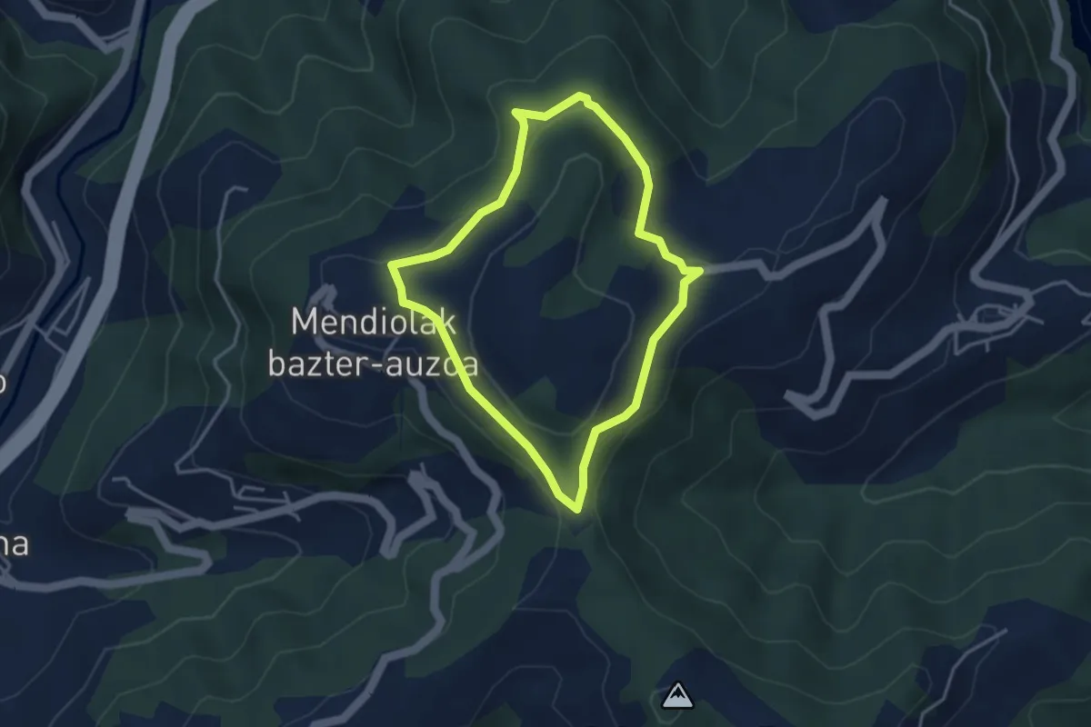
Easy · Trail
Bostaitzetako ibialdia
3.4 km · ↑ 108 m · 1 h 6 min
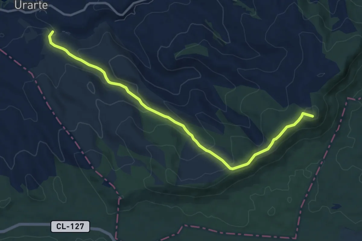
Medium · Summit
Botondela
9.6 km · ↑ 357 m · 3 h 3 min
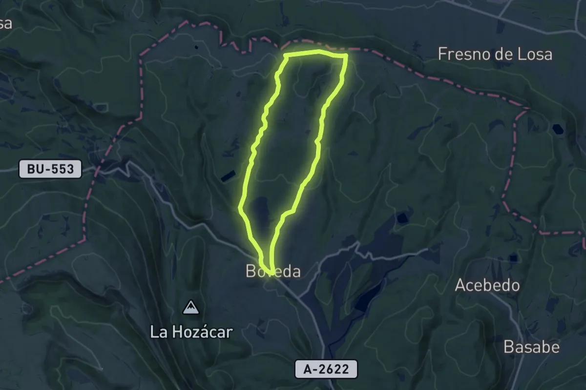
Medium · Trail
Boveda-La Granja
10.5 km · ↑ 224 m · 3 h 6 min
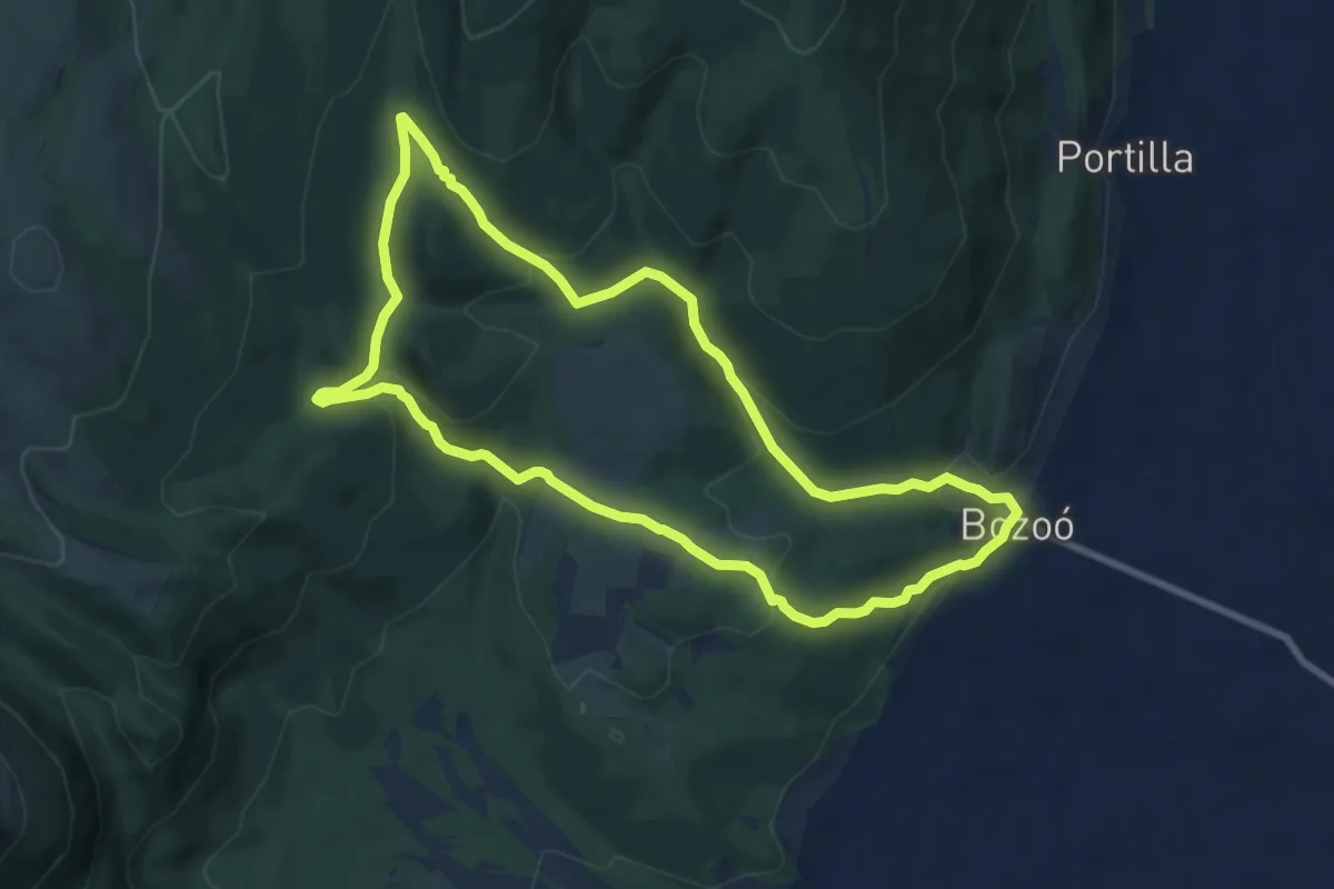
Medium · Trail
Bozoo
8.8 km · ↑ 312 m · 2 h 52 min
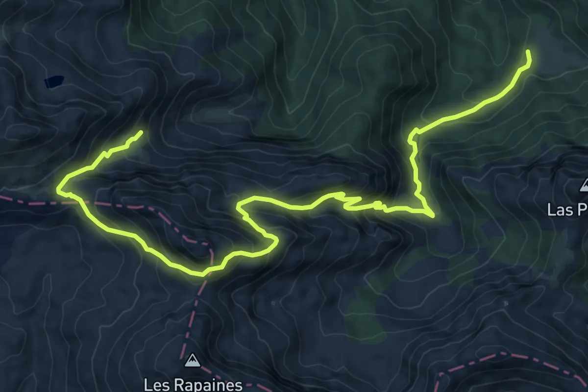
Demanding · Trail
Brañagallones - La Peña'l Vientu
14.4 km · ↑ 1115 m · 5 h 49 min
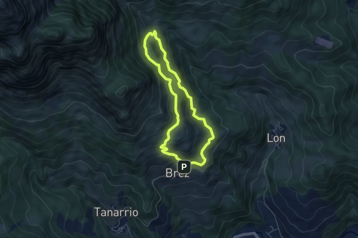
Easy · Trail
Brez - Canal de las Arredondas
4.9 km · ↑ 313 m · 1 h 54 min
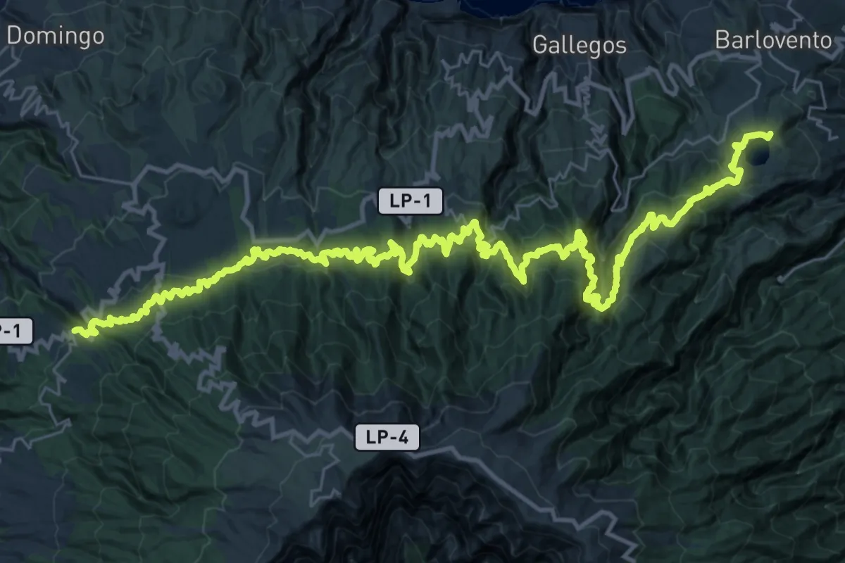
Demanding · Summit
Briesta - Barlovento
55.3 km · ↑ 4467 m · 22 h 44 min
Easy · Trail
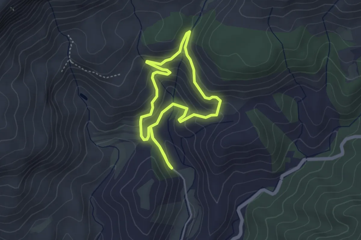
Brolles i vinyes. Scaladei
3.5 km · ↑ 230 m · 1 h 22 min
Medium · Trail
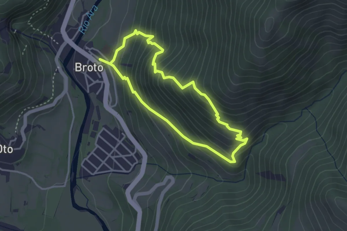
Broto - Ermita de Murillo - Broto
3.1 km · ↑ 326 m · 1 h 28 min
Medium · Trail
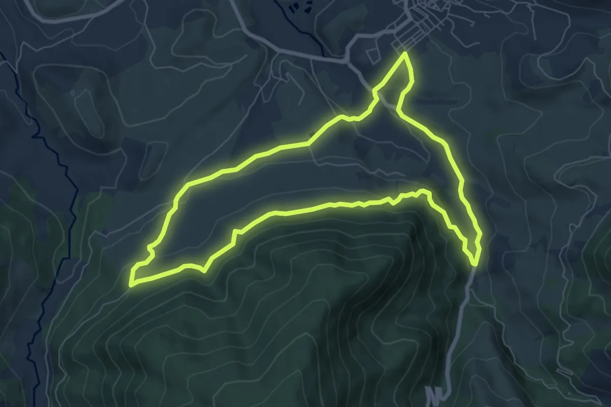
Bucentaina
8.2 km · ↑ 267 m · 2 h 38 min
Medium · Summit
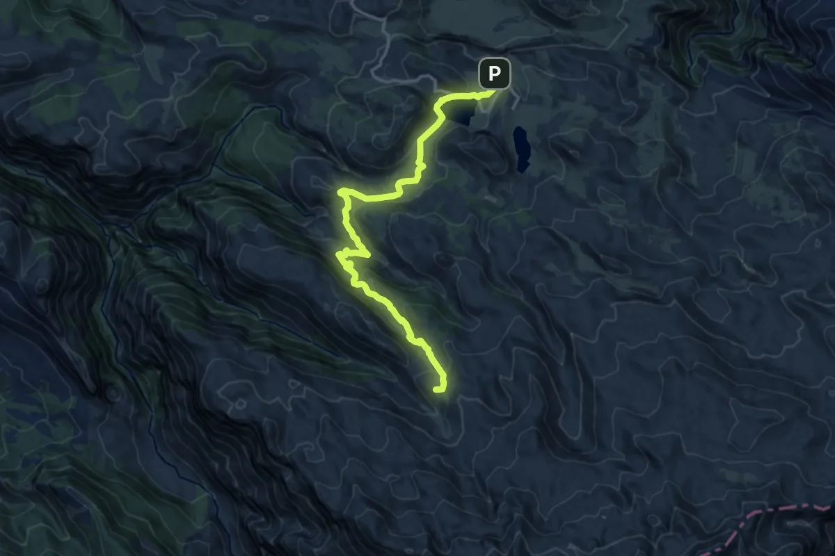
Buferrera-Ordiales
15.4 km · ↑ 602 m · 4 h 56 min