Trails in Spain
5,960 hiking trails, each with its route, climb, walking time and grade.
All trails, page 110 of 125
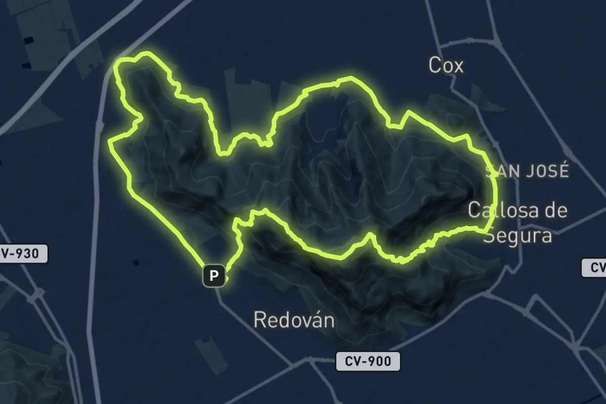
Demanding · Summit
Sierra de Callosa de Segura
15.7 km · ↑ 880 m · 5 h 49 min
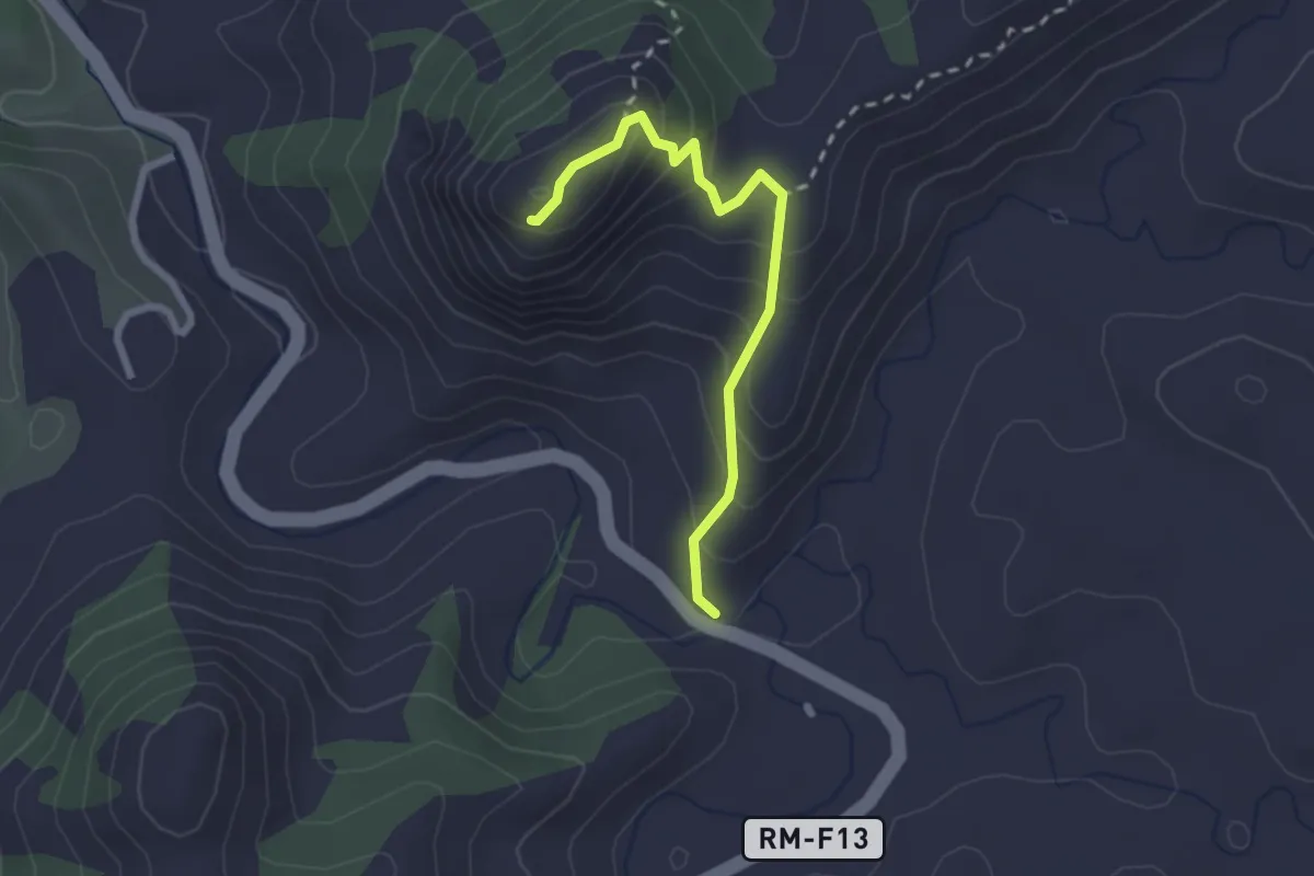
Medium · Summit
Sierra de Canisola
2.6 km · ↑ 238 m · 1 h 8 min
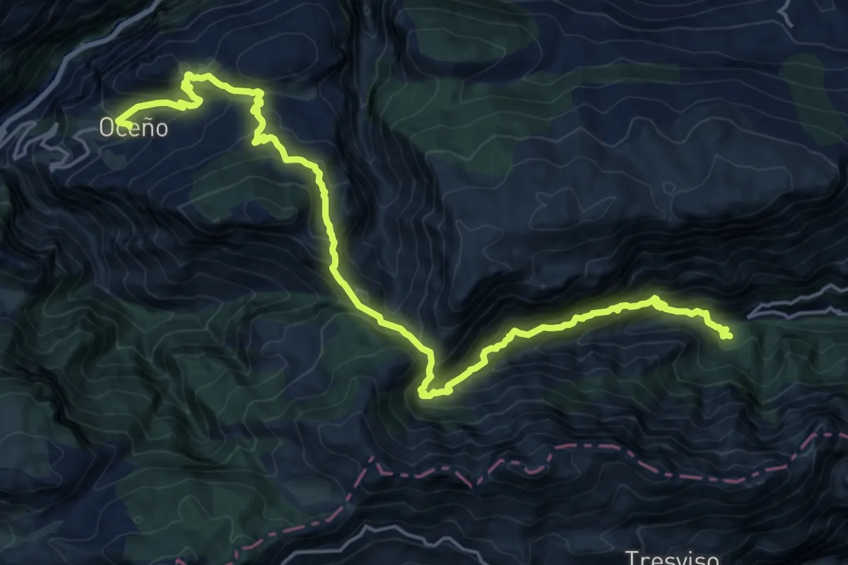
Demanding · Trail
Sierra de Cocón (Oceño - San Esteban)
11.3 km · ↑ 836 m · 4 h 46 min
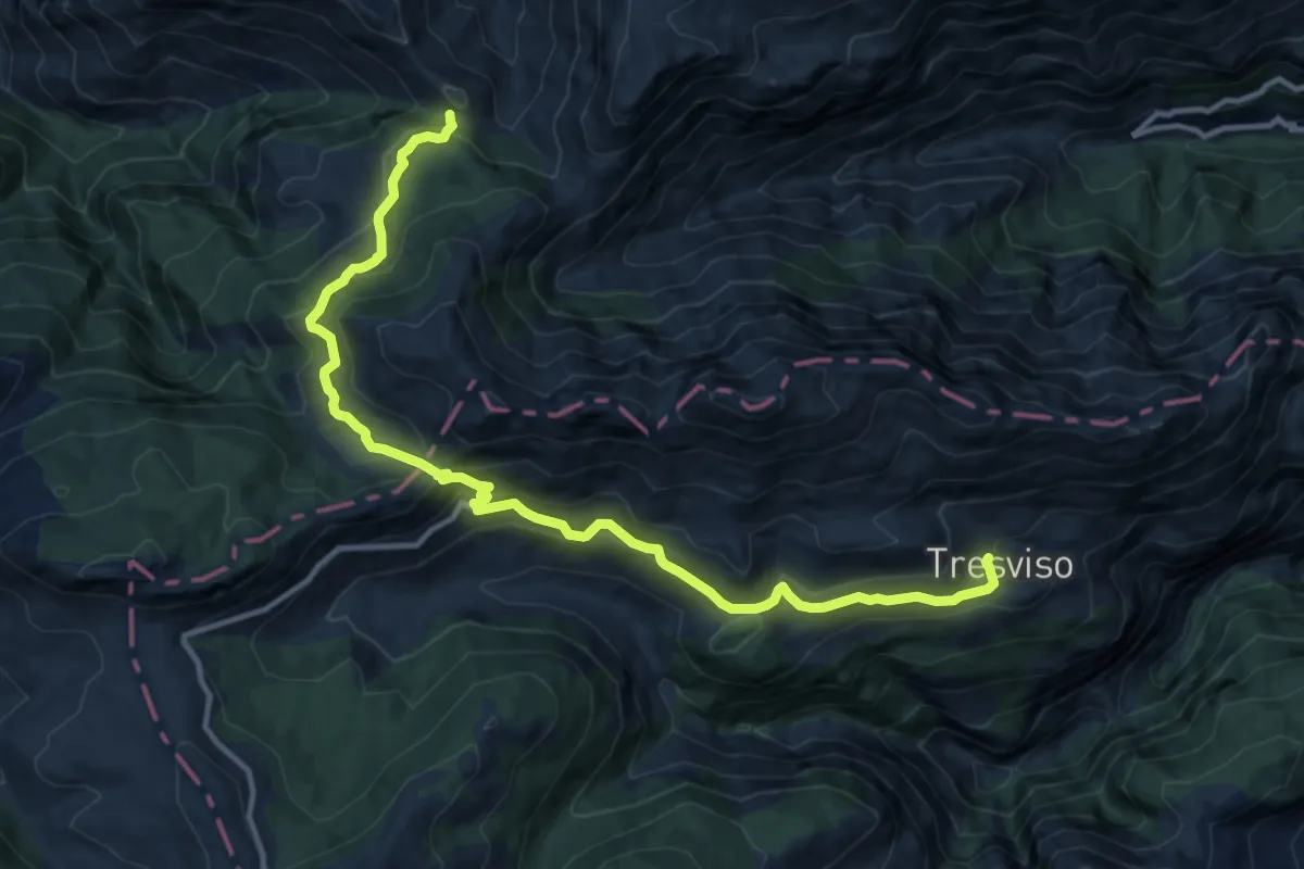
Demanding · Trail
Sierra de Cocón (Oceño - Tresviso)
14.9 km · ↑ 951 m · 5 h 35 min
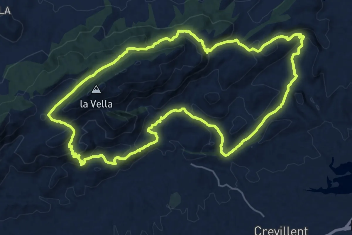
Demanding · Trail
Sierra de Crevillent
18.2 km · ↑ 729 m · 6 h 8 min
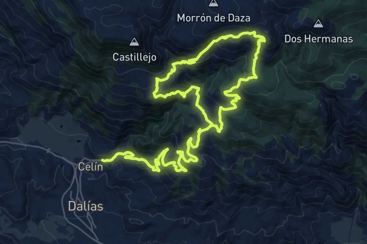
Demanding · Trail
Sierra de Gádor
22.7 km · ↑ 1421 m · 8 h 25 min
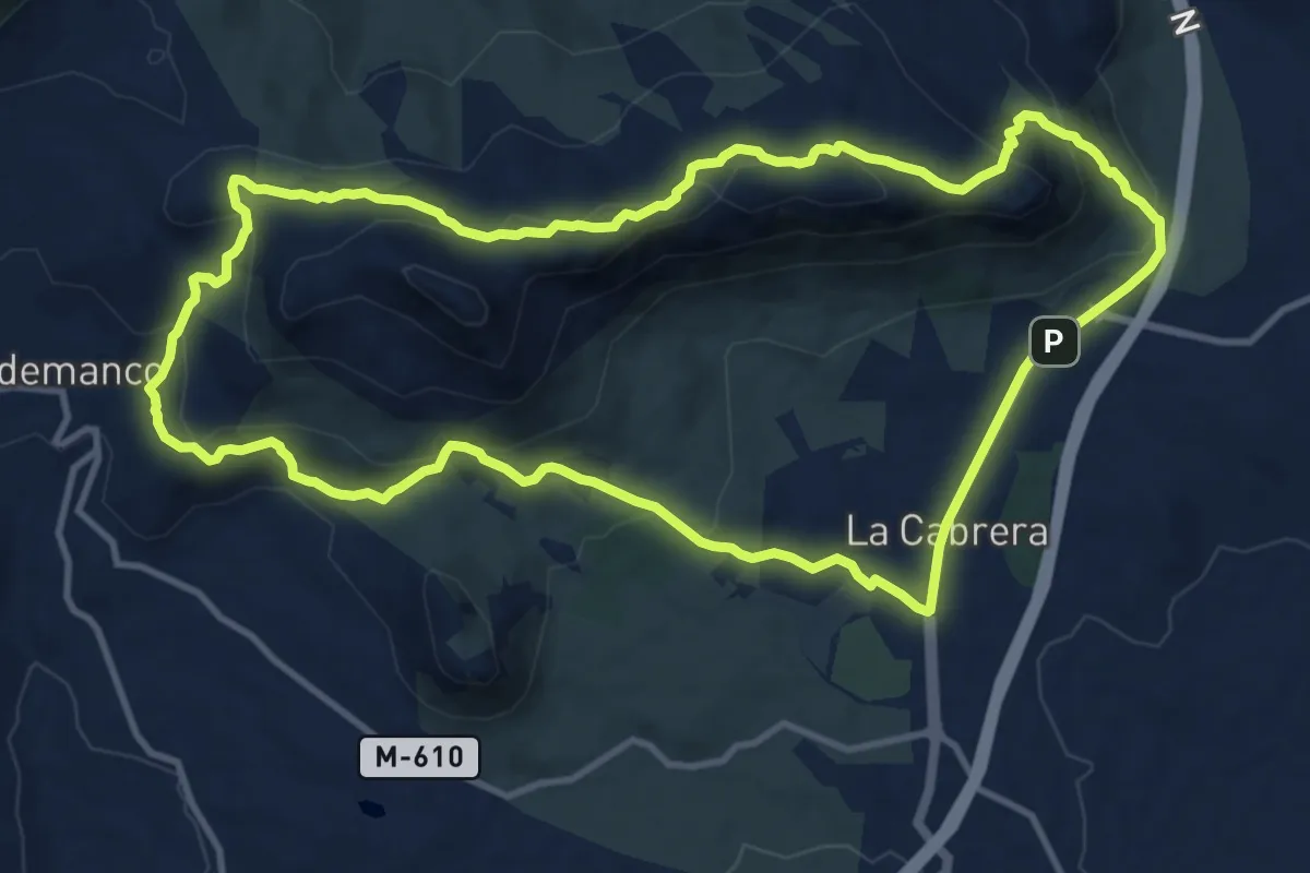
Medium · Summit
Sierra de La Cabrera
13.3 km · ↑ 538 m · 4 h 29 min
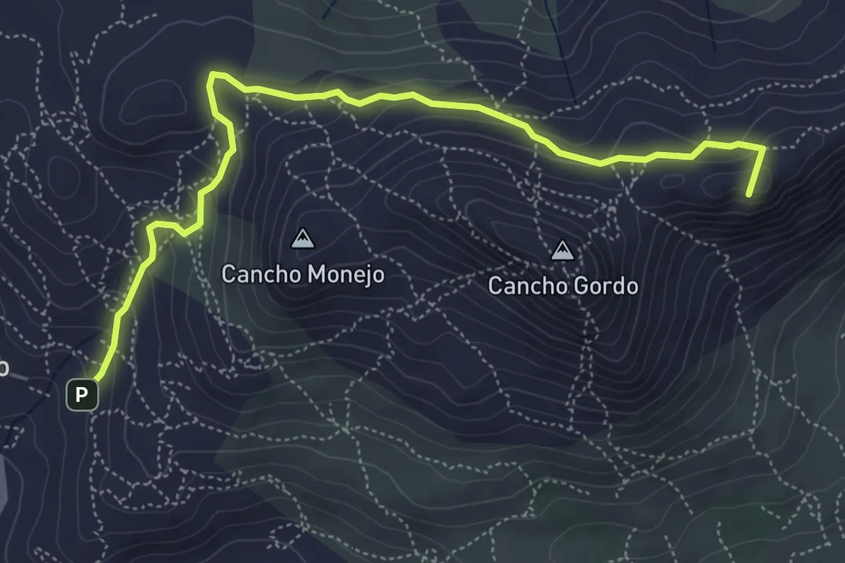
Medium · Summit
Sierra de La Cabrera
6.5 km · ↑ 331 m · 2 h 15 min
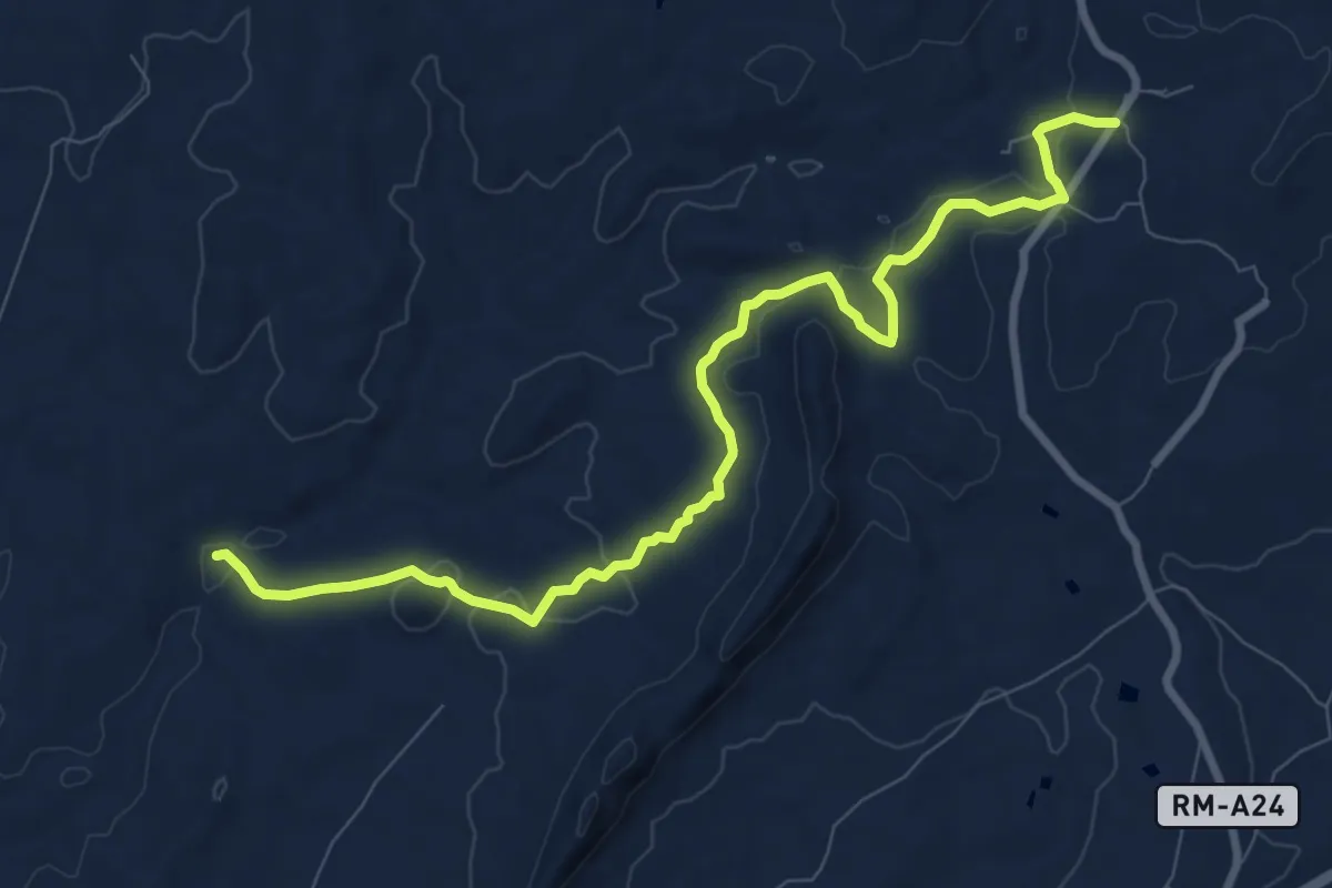
Medium · Trail
Sierra de la Espada
11.0 km · ↑ 208 m · 3 h 3 min
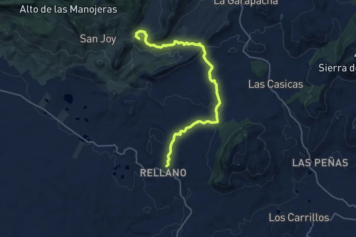
Medium · Summit
Sierra del Águila
16.1 km · ↑ 423 m · 4 h 44 min
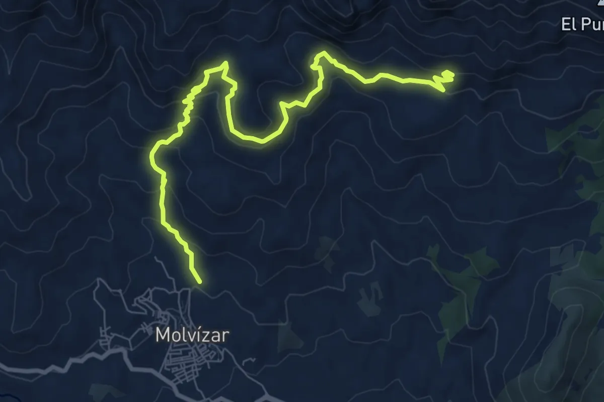
Easy · Trail
Sierra del Chaparral
5.3 km · ↑ 169 m · 1 h 50 min
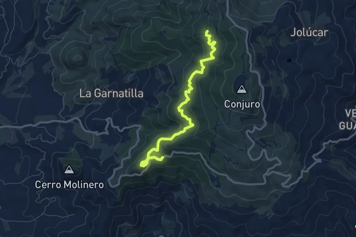
Medium · Trail
Sierra del Conjuro
8.9 km · ↑ 494 m · 3 h 10 min
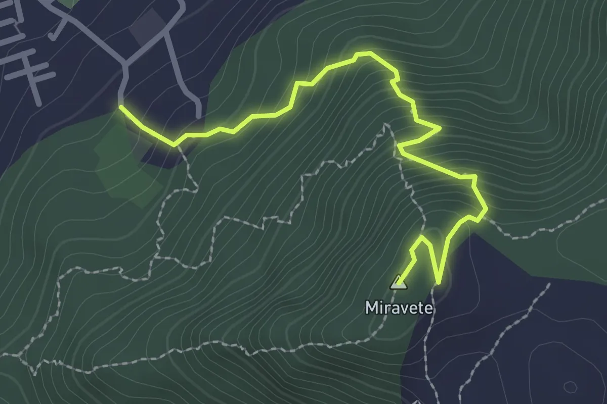
Medium · Summit
Sierra del Miravete
2.8 km · ↑ 342 m · 1 h 25 min
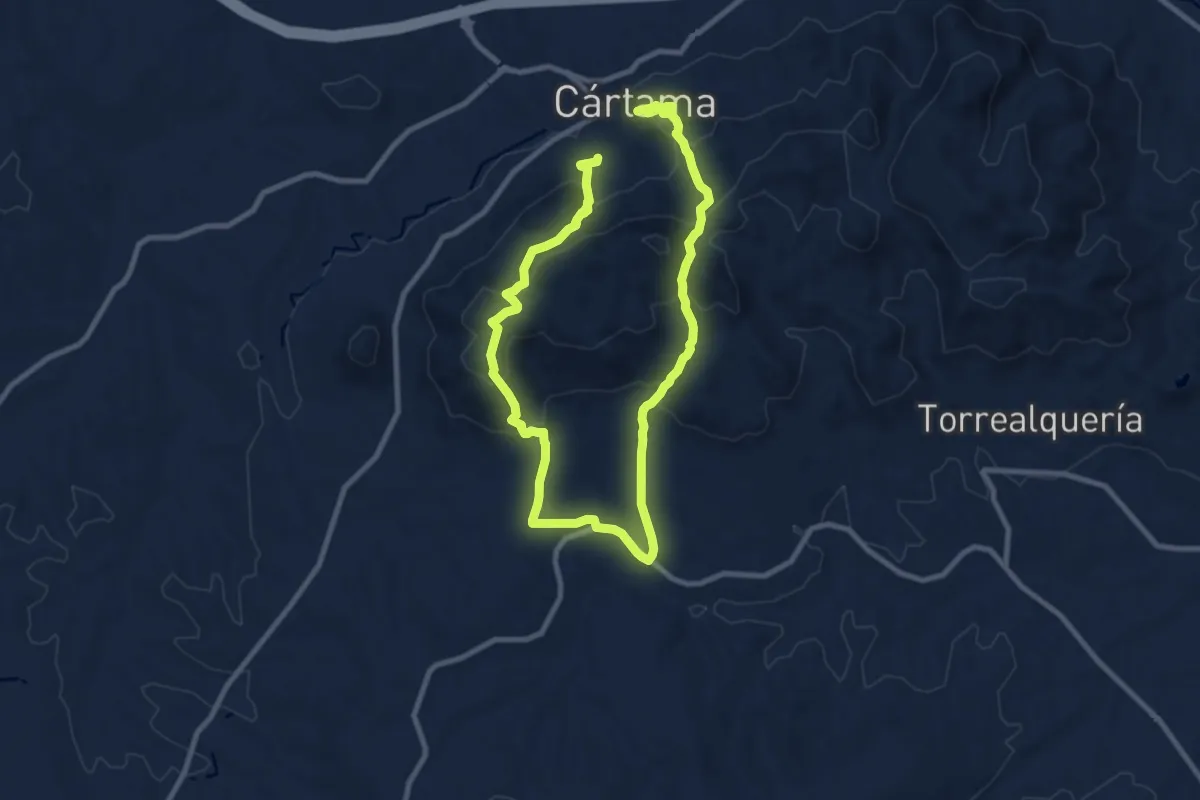
Medium · Trail
Sierra de los Espartales
8.8 km · ↑ 432 m · 3 h 9 min
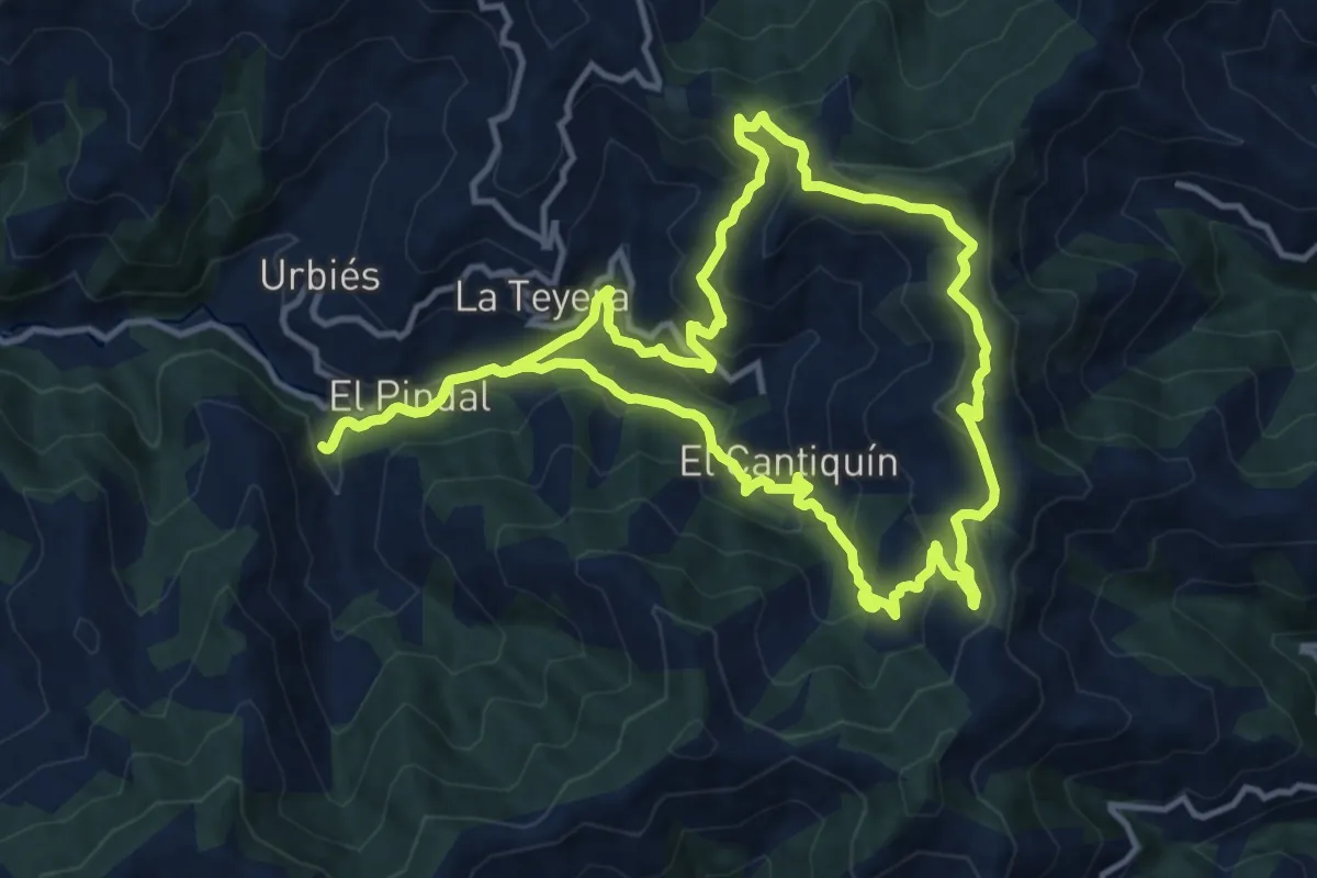
Medium · Trail
Sierra de Navaliego
13.5 km · ↑ 688 m · 4 h 53 min
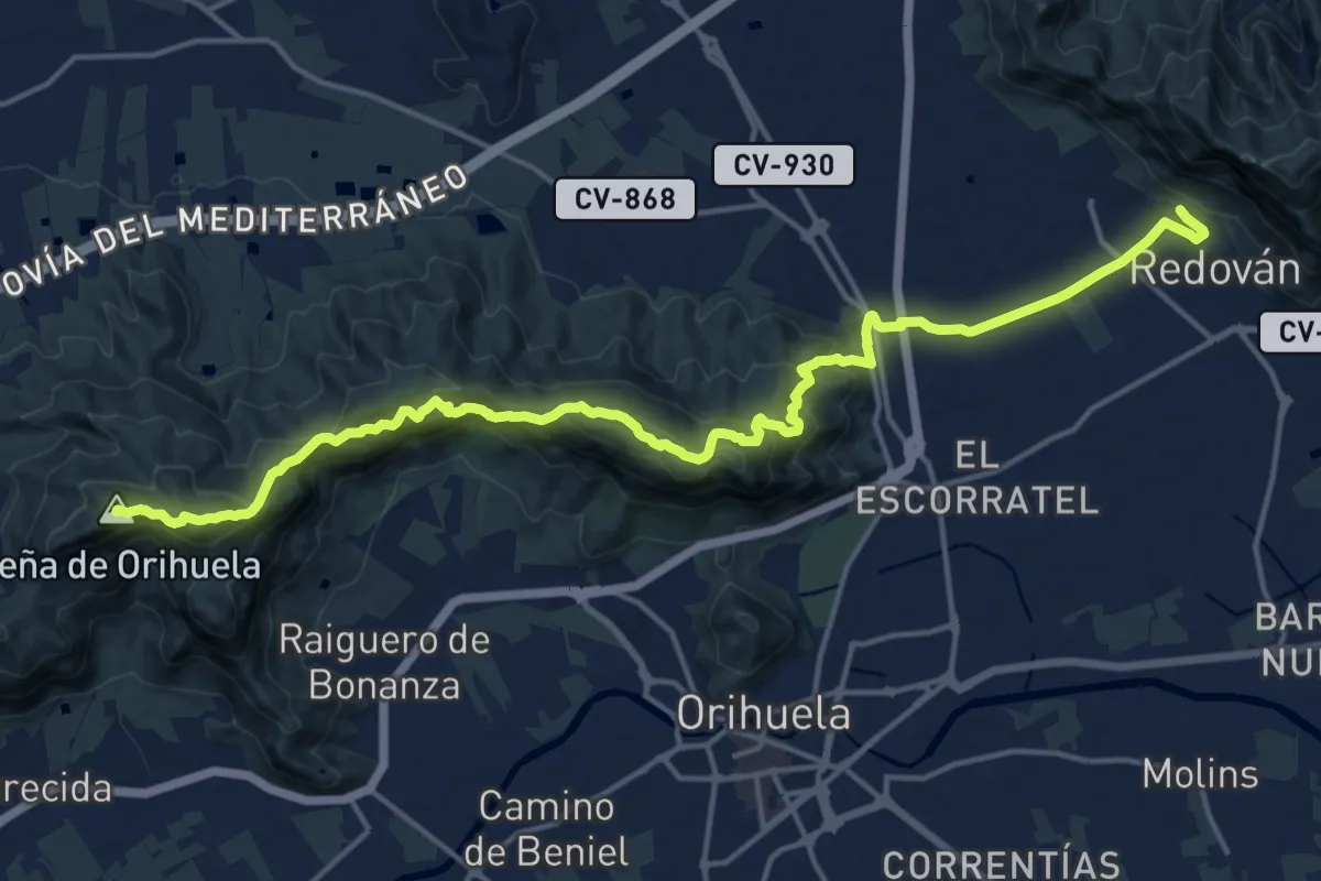
Demanding · Summit
Sierra de Orihuela
21.6 km · ↑ 1195 m · 7 h 41 min
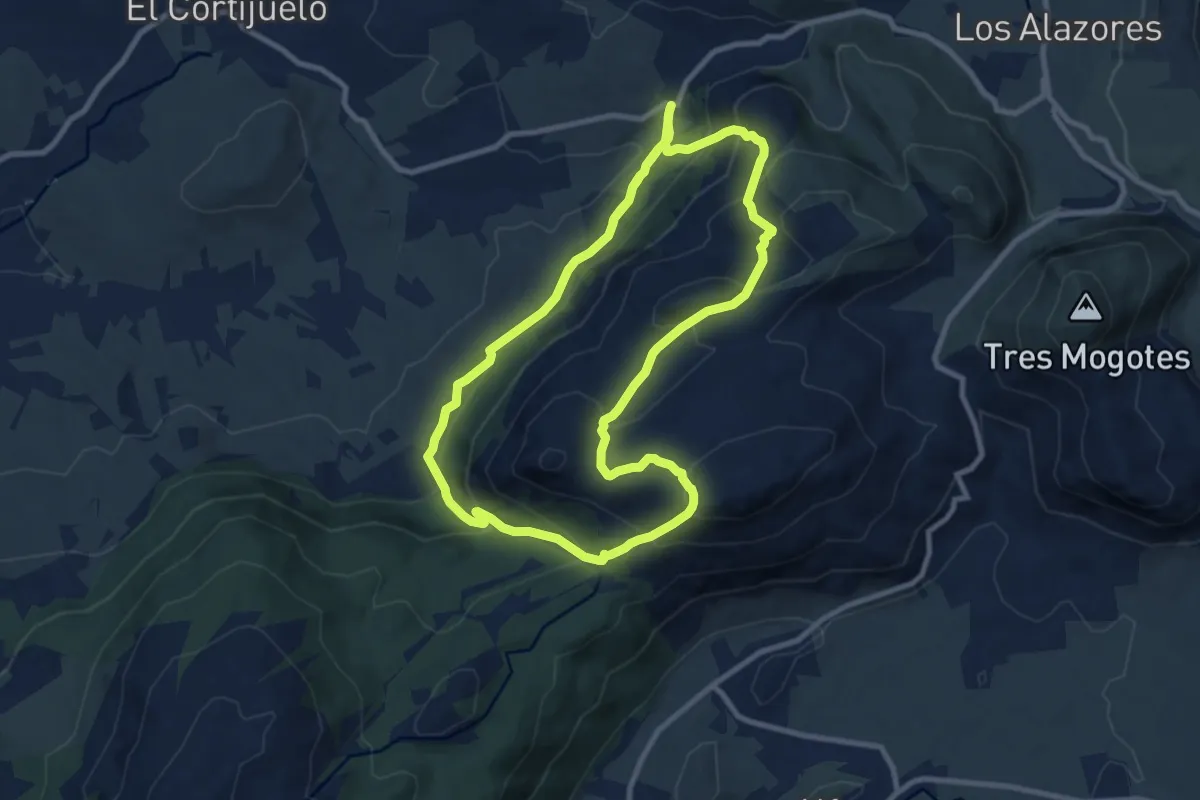
Medium · Trail
Sierra de San Jorge
11.2 km · ↑ 667 m · 4 h 15 min
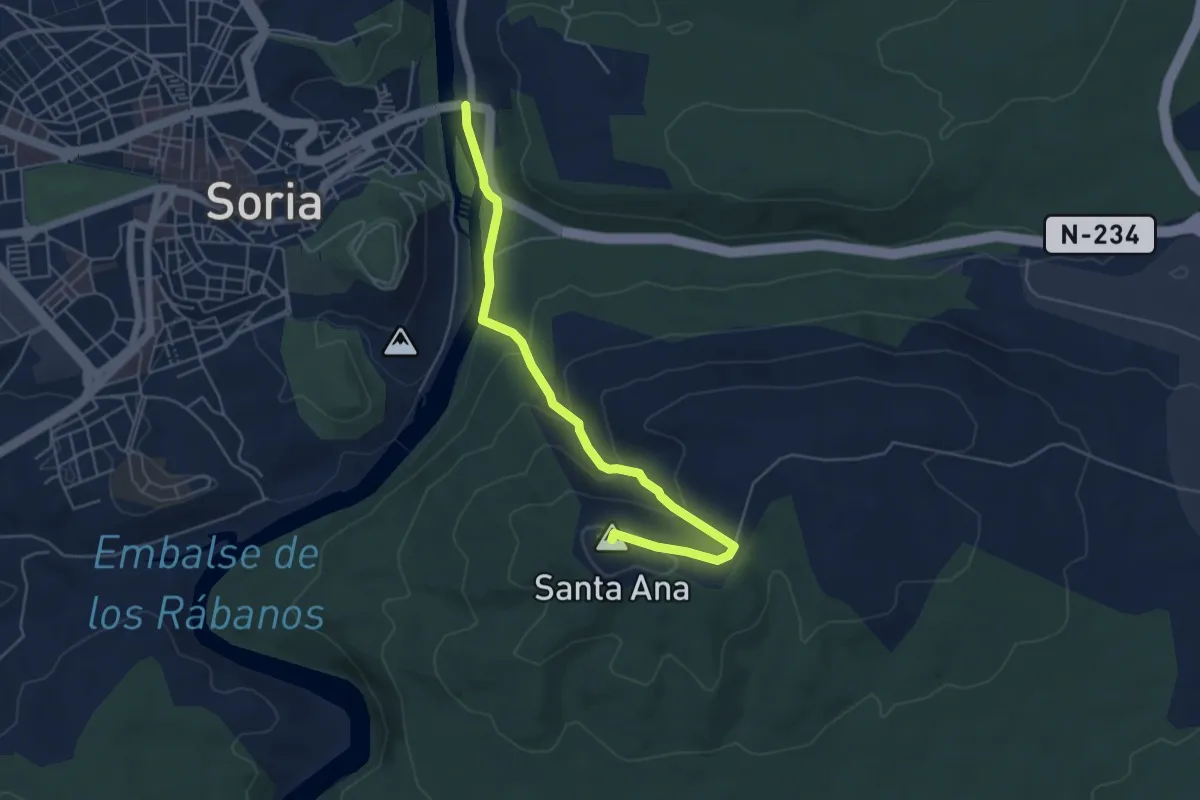
Easy · Summit
Sierra de Santa Ana
5.9 km · ↑ 271 m · 1 h 59 min
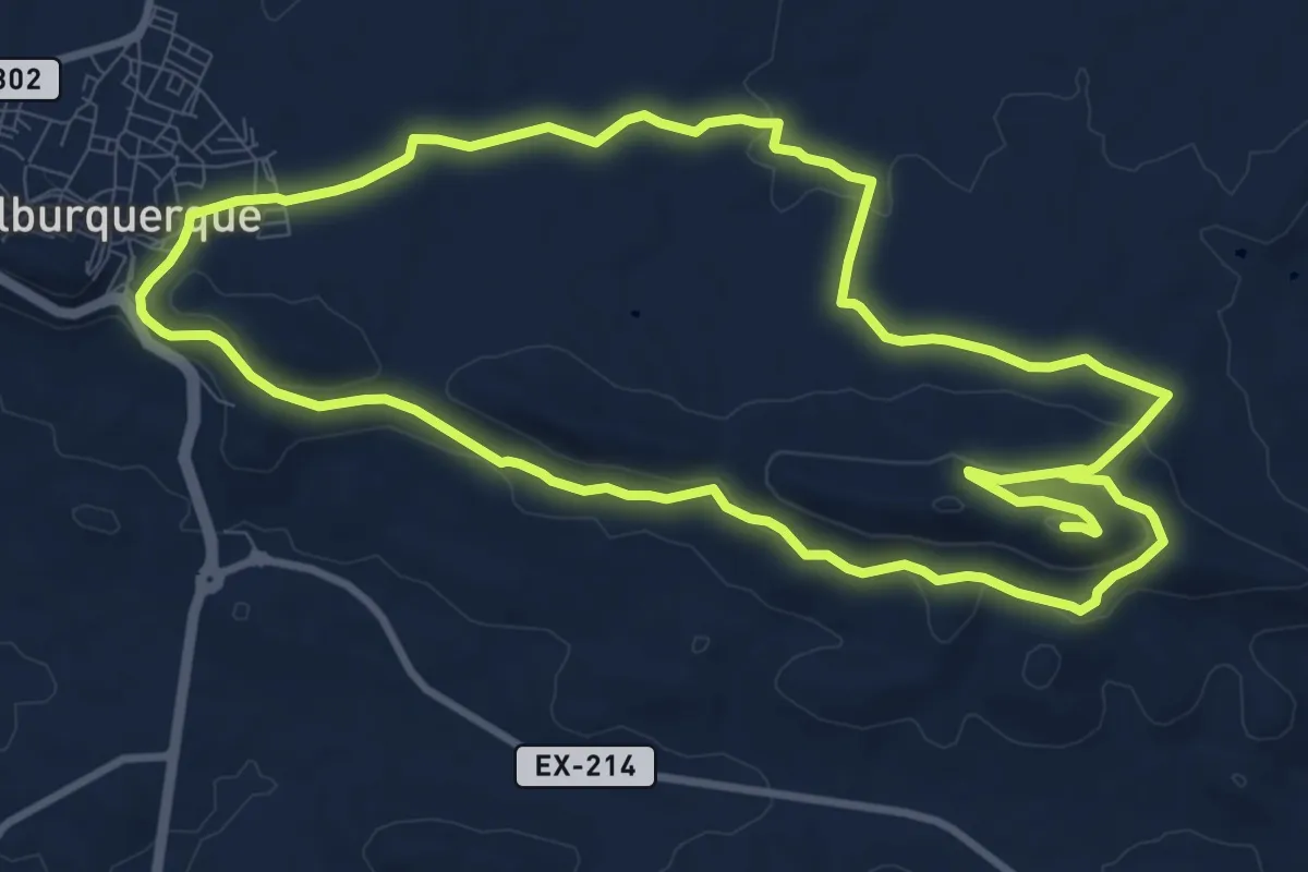
Medium · Trail
Sierra de Santa Lucía
11.7 km · ↑ 250 m · 3 h 26 min
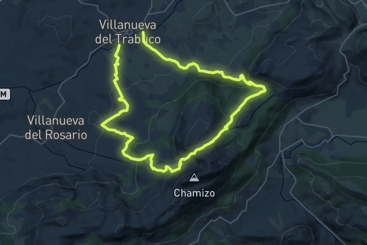
Demanding · Trail
Sierra Gorda
18.9 km · ↑ 872 m · 6 h 36 min
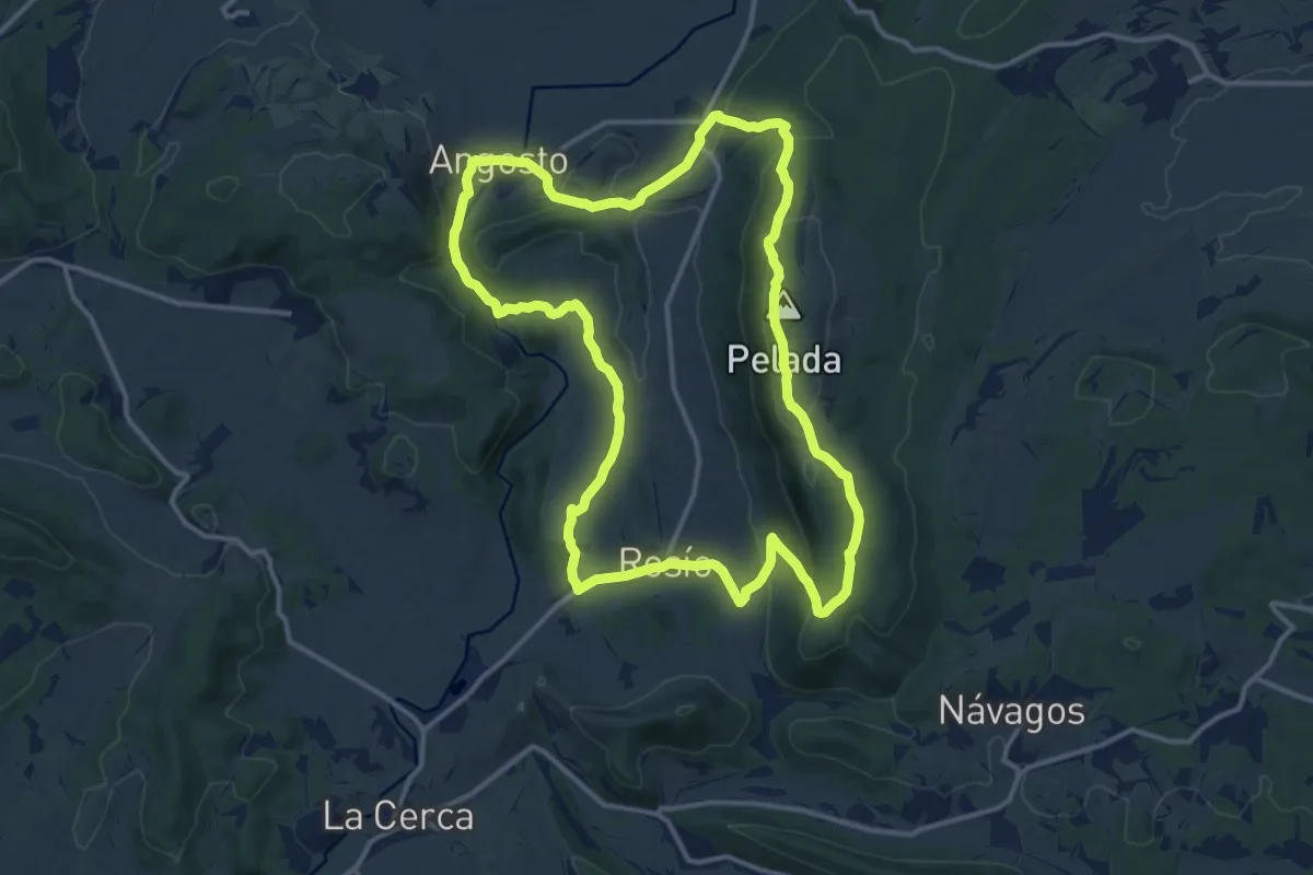
Medium · Summit
Sierra Pelada y Villarmil
14.3 km · ↑ 417 m · 4 h 29 min
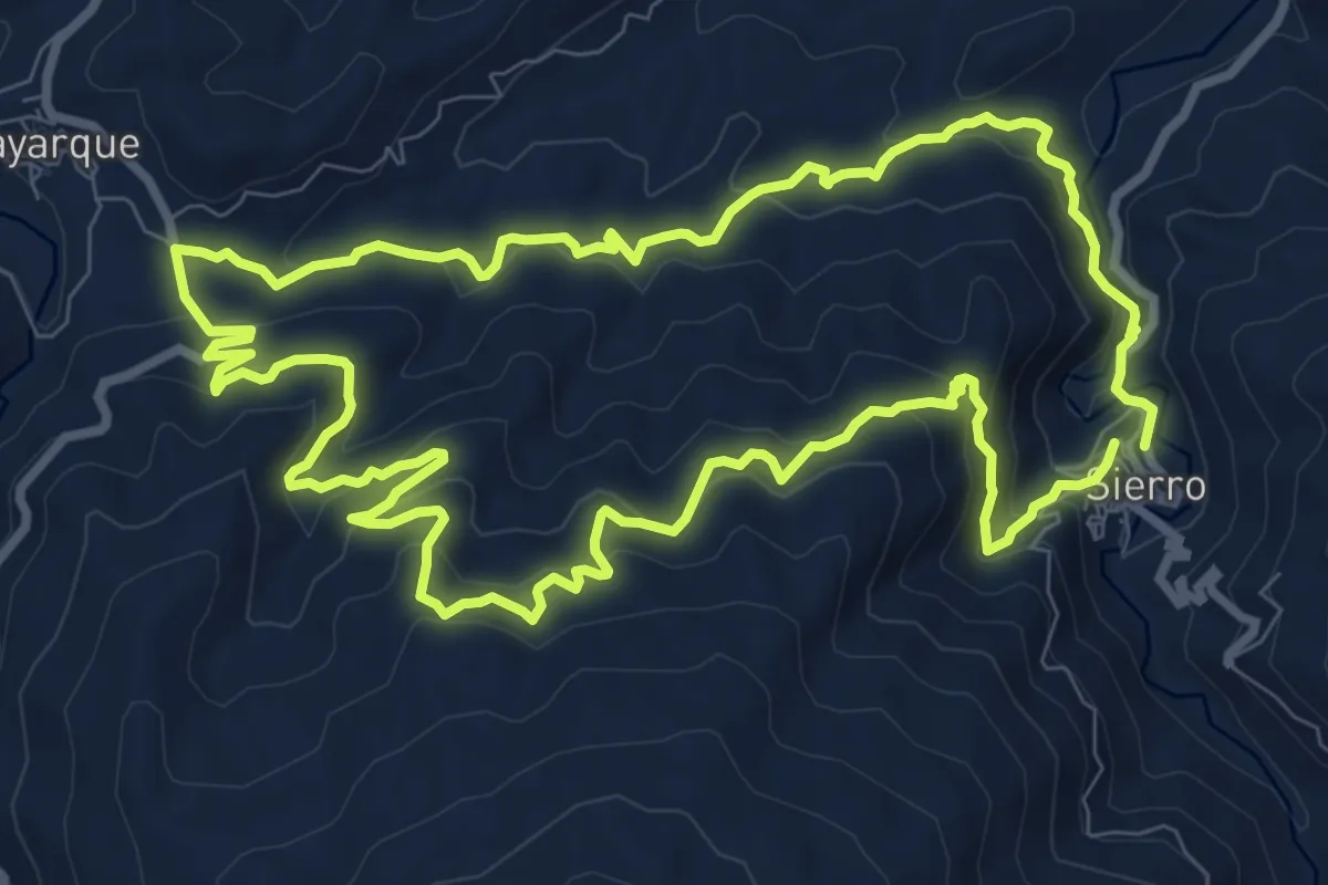
Medium · Trail
Sierro por Boyarque
11.2 km · ↑ 529 m · 3 h 57 min
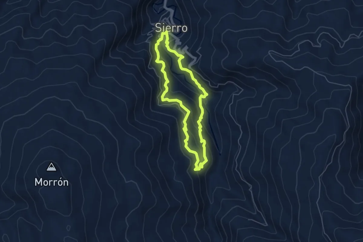
Medium · Trail
Sierro por la Era del Violín
5.3 km · ↑ 349 m · 2 h 4 min
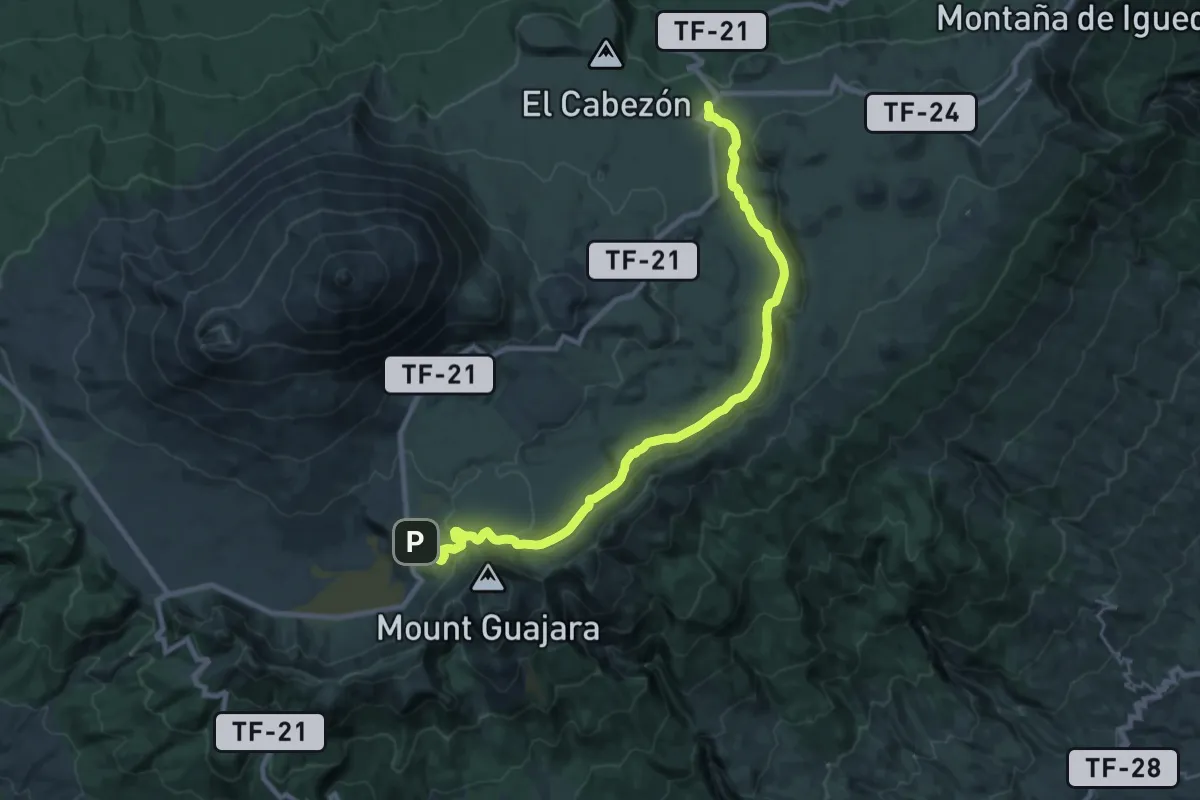
Medium · Trail
Siete Cañadas
16.3 km · ↑ 242 m · 4 h 39 min
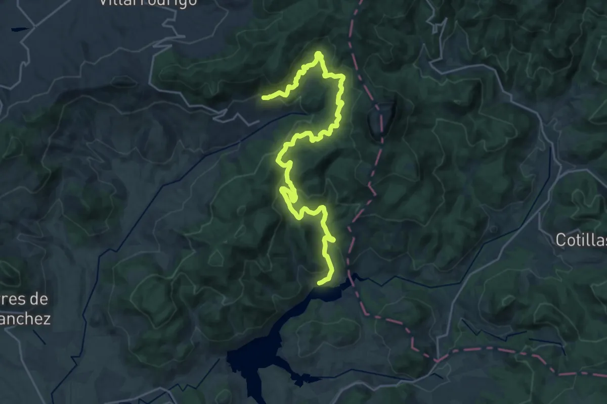
Medium · Trail
Siles - Villarrodrigo
13.9 km · ↑ 538 m · 4 h 30 min
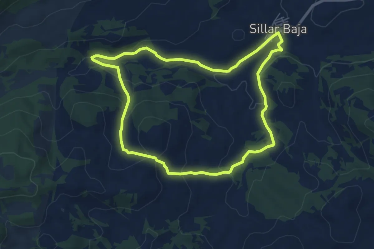
Easy · Trail
Sillar Baja-Cerro Gallarín
6.3 km · ↑ 174 m · 1 h 57 min
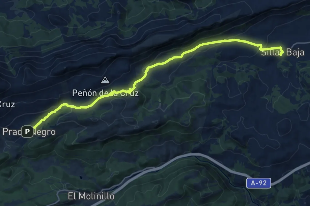
Demanding · Trail
Sillar Baja-Prado Negro
20.1 km · ↑ 493 m · 5 h 49 min
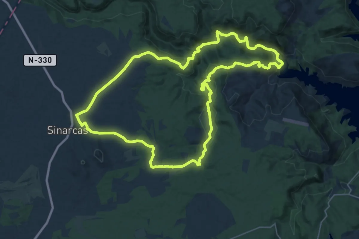
Demanding · Summit
Sinarcas El Charco negro
23.4 km · ↑ 613 m · 7 h 10 min
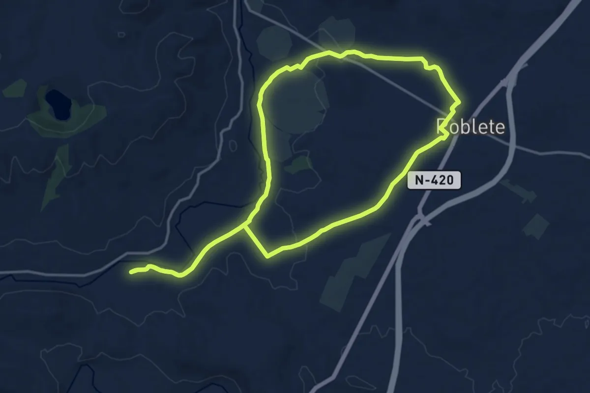
Medium · Trail
Sitio Histórico de Albalá
14.7 km · ↑ 76 m · 3 h 51 min
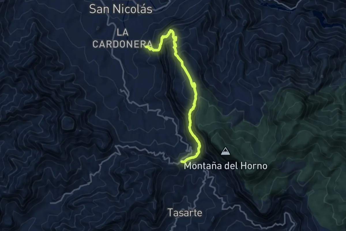
Demanding · Trail
SL-1, Dgda. Tasarte - El Viso - Hoya des Mediodia - El Pinillo - La Aldea de San Nicolas
13.3 km · ↑ 1325 m · 6 h 1 min
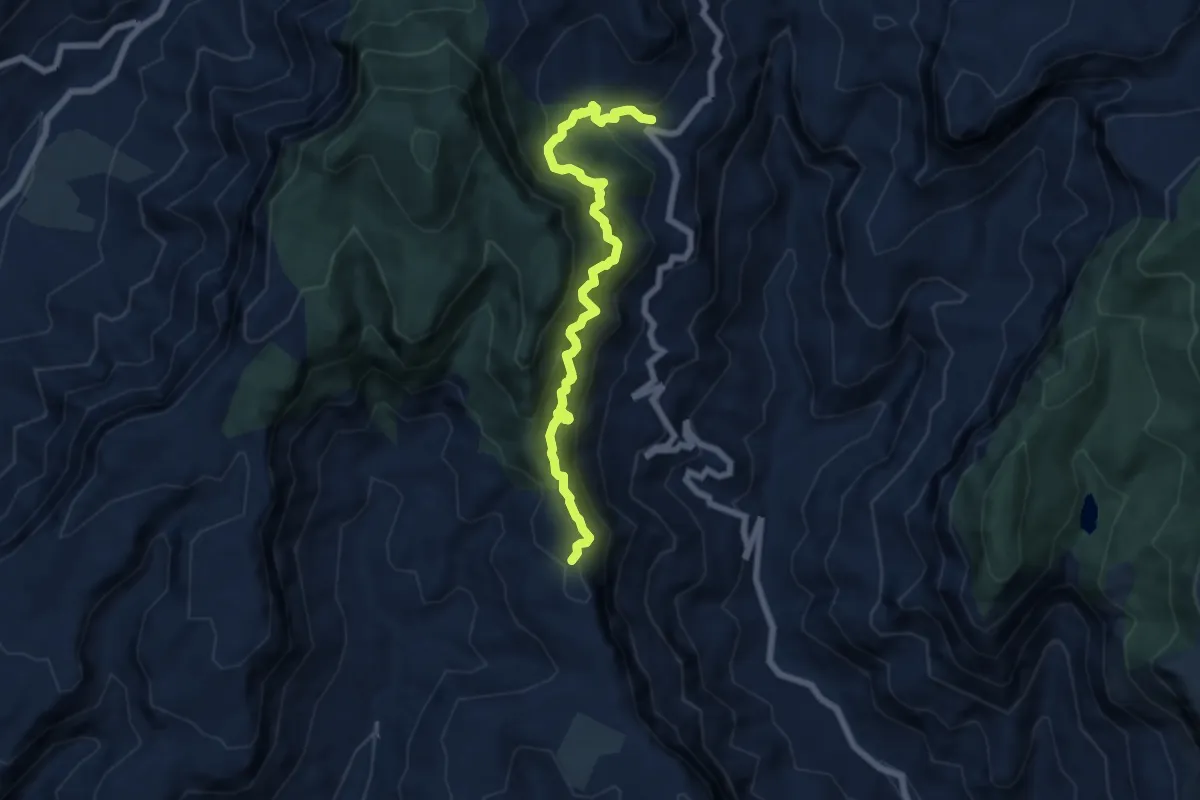
Demanding · Trail
SL-1 Mogan - Dgda. Las Yeguas - Bllo. Andres
8.6 km · ↑ 1265 m · 4 h 47 min
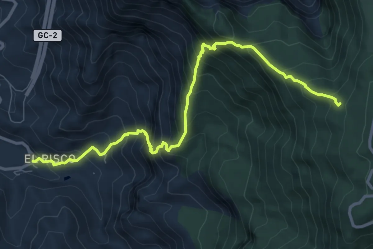
Expert · Trail
SL-3, El Risco - El Canalizo - Morro de las lechugas
9.2 km · ↑ 1102 m · 4 h 34 min
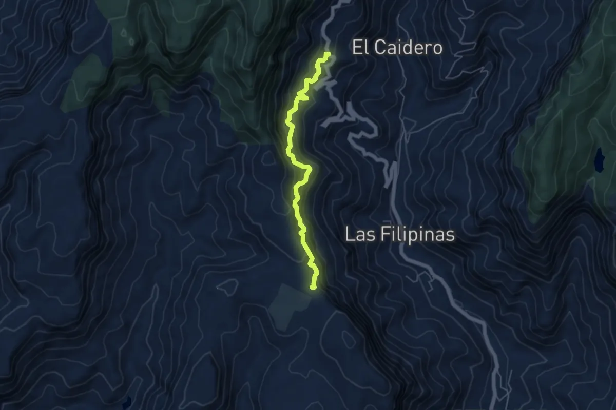
Medium · Trail
SL-4 green, Ruta 7
5.9 km · ↑ 743 m · 3 h
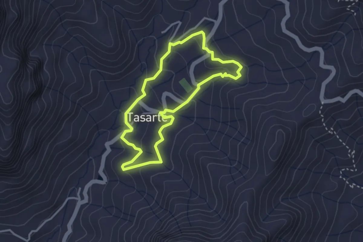
Easy · Trail
SL-6, Ruta circular en Tarsarte
3.3 km · ↑ 136 m · 1 h 8 min
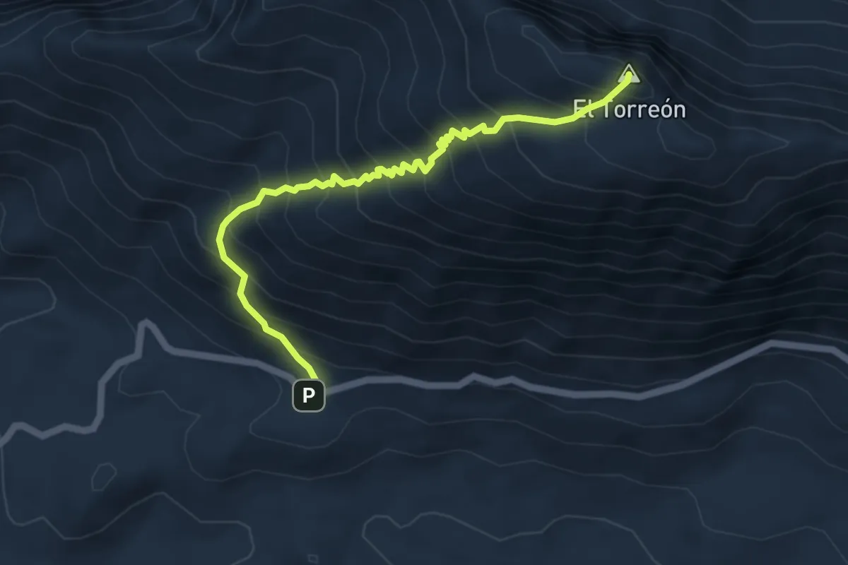
Demanding · Summit
SL-A 117 El Torreón
5.7 km · ↑ 739 m · 2 h 57 min
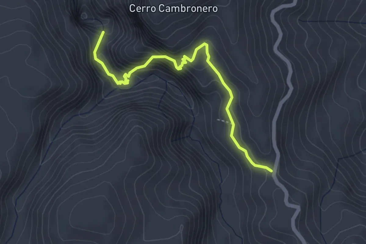
Demanding · Trail
SL-A 118 La Garganta Verde
4.7 km · ↑ 450 m · 2 h 5 min
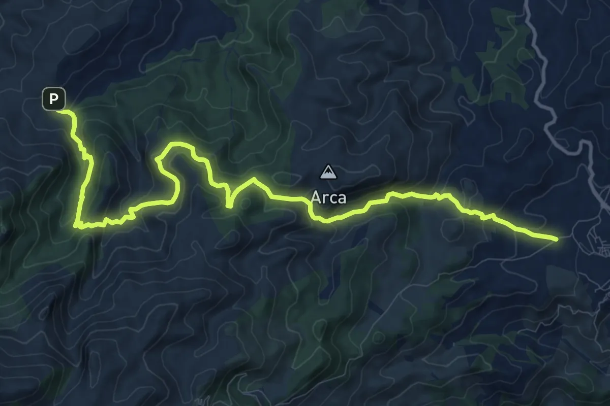
Demanding · Trail
SL-A 141 Yunquera - Los Sauces
16.0 km · ↑ 947 m · 5 h 49 min
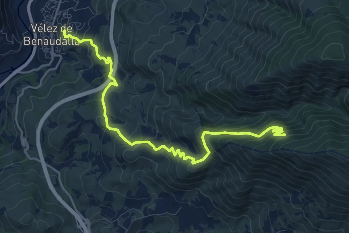
Medium · Trail
SL-A 285 Mina de la Raja
14.0 km · ↑ 795 m · 5 h 2 min
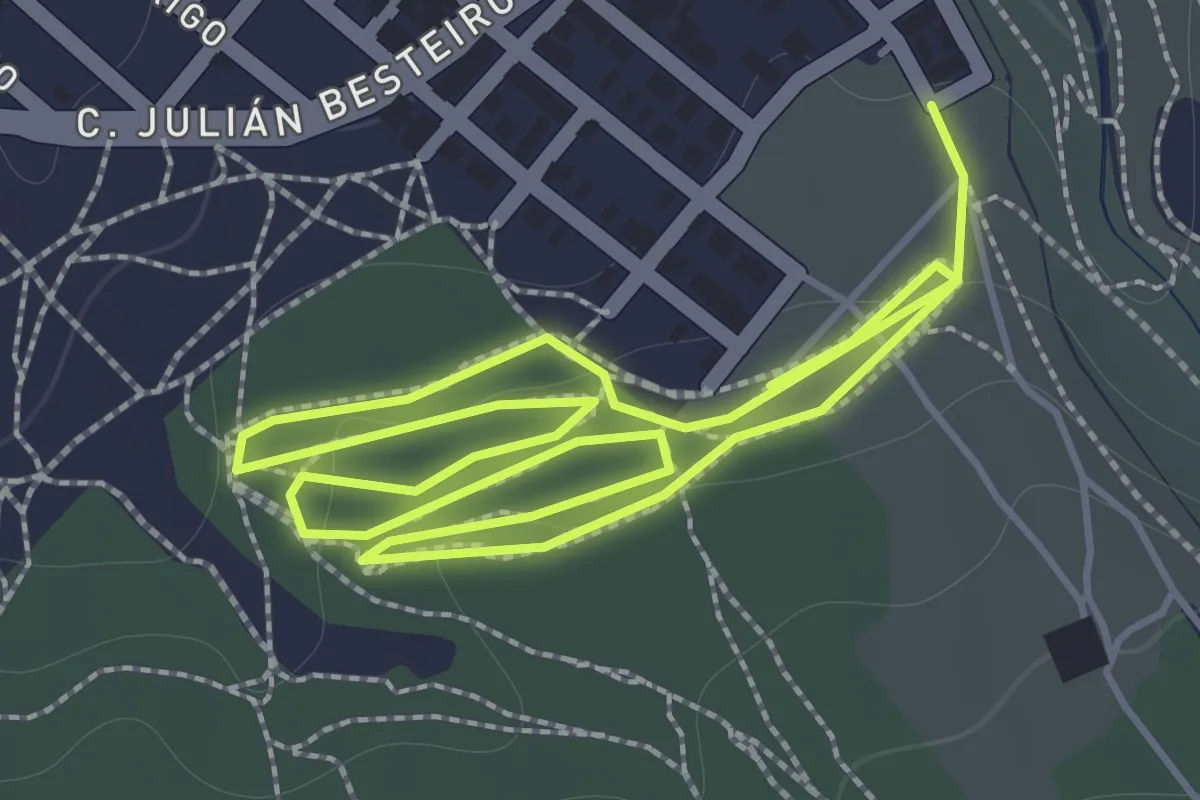
Easy · Trail
SL-A 324 Cantina de Rute
2.0 km · ↑ 34 m · 34 min
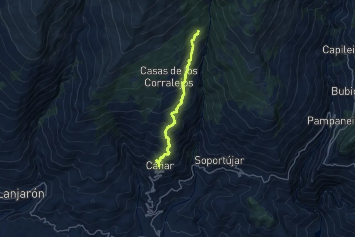
Demanding · Trail
SL-A 387 Acequia de Barjas - A.R. Puente Palo
11.8 km · ↑ 830 m · 4 h 36 min
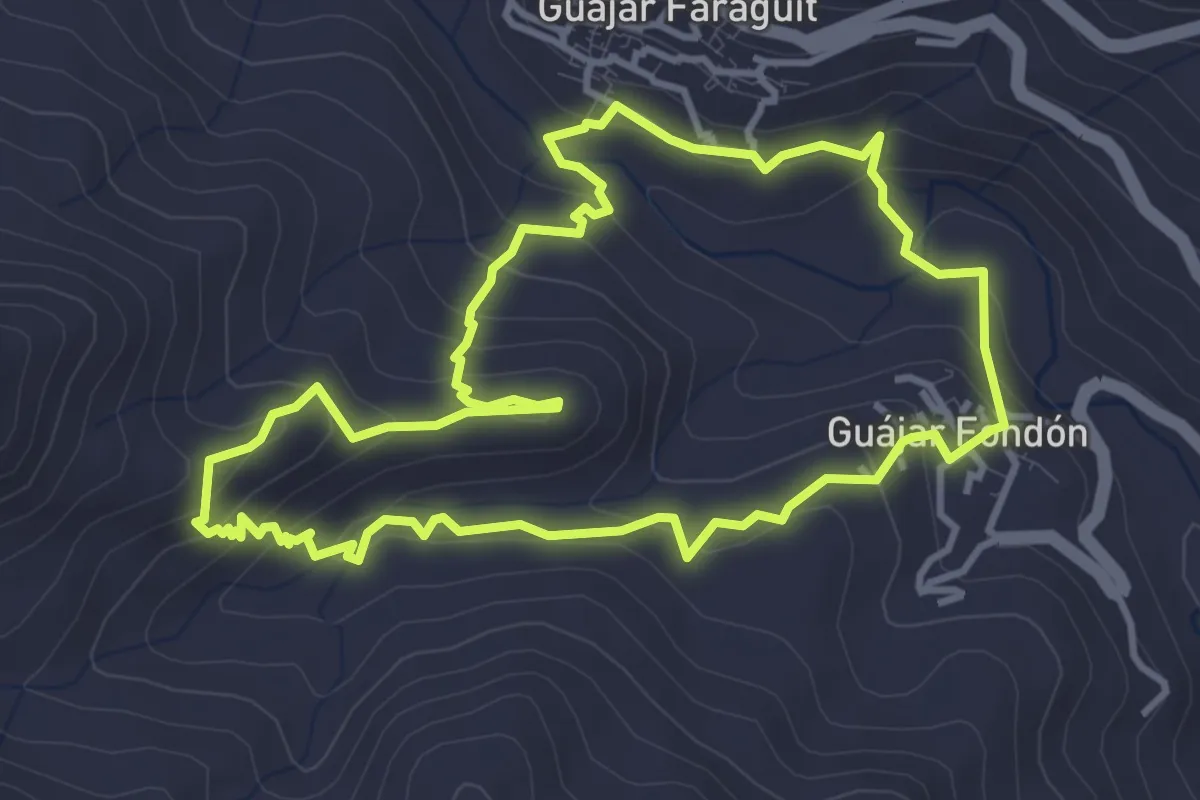
Easy · Trail
SL-A 52 Sendero "El Castillejo"
4.5 km · ↑ 288 m · 1 h 45 min
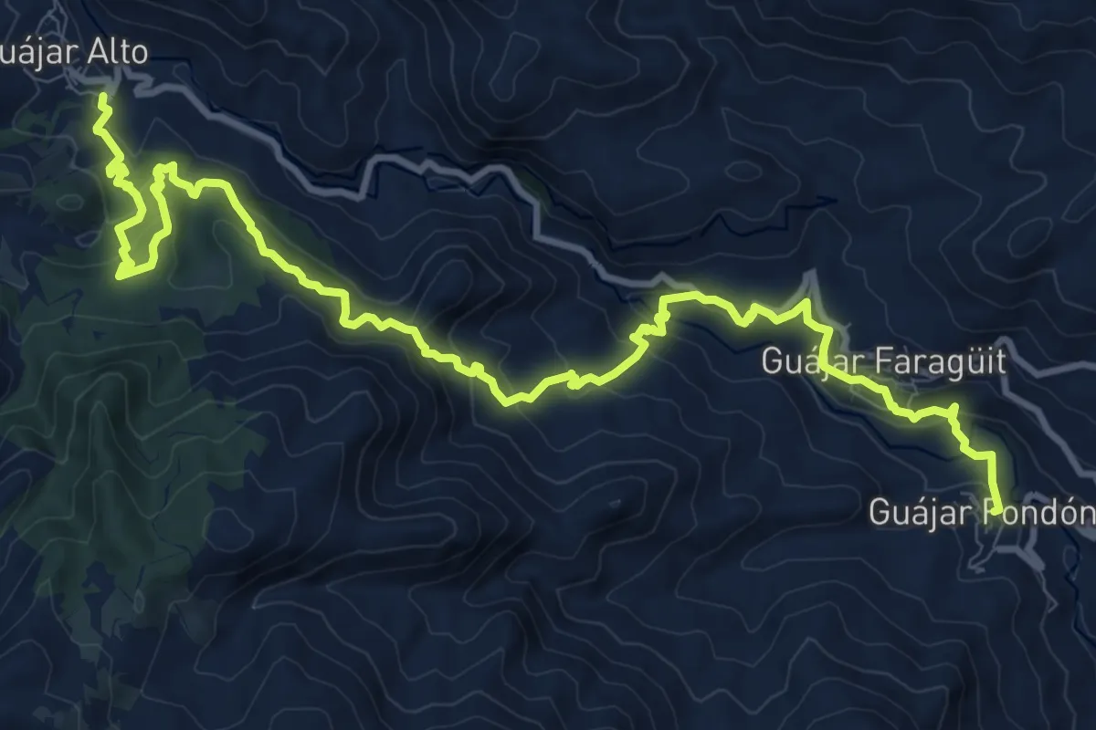
Demanding · Trail
SL-A 53 Río de la Toba
15.9 km · ↑ 1028 m · 5 h 59 min
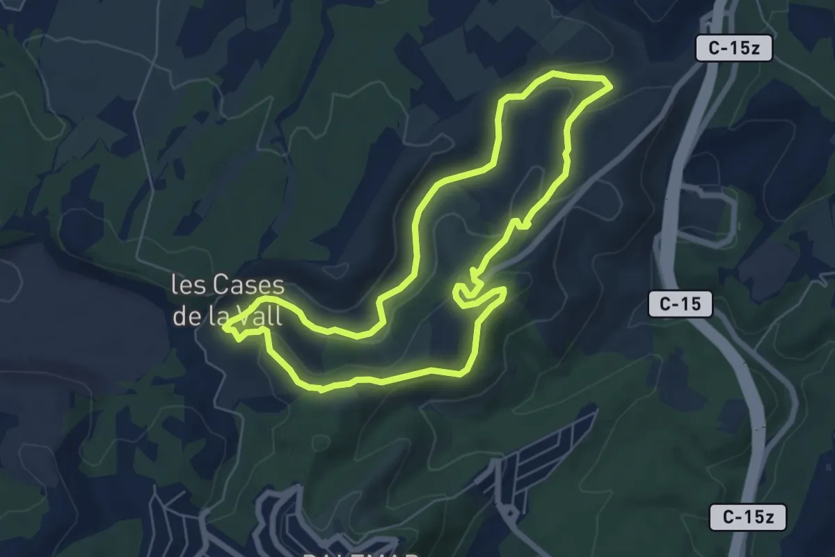
Easy · Trail
SL-C 131 Ruta de les Fonts i els Forns
6.5 km · ↑ 177 m · 2 h
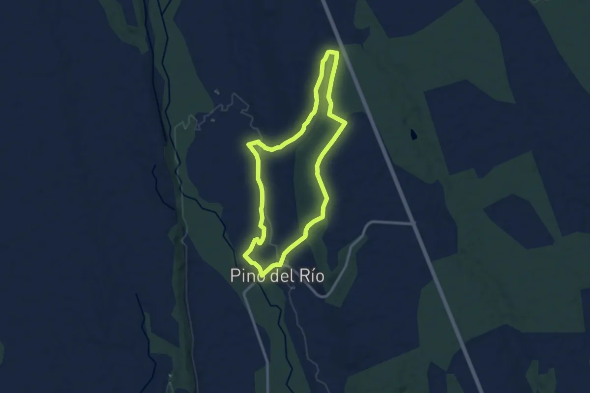
Easy · Trail
SLC-P 2 Senda de Monte Palacios
7.8 km · ↑ 128 m · 2 h 14 min
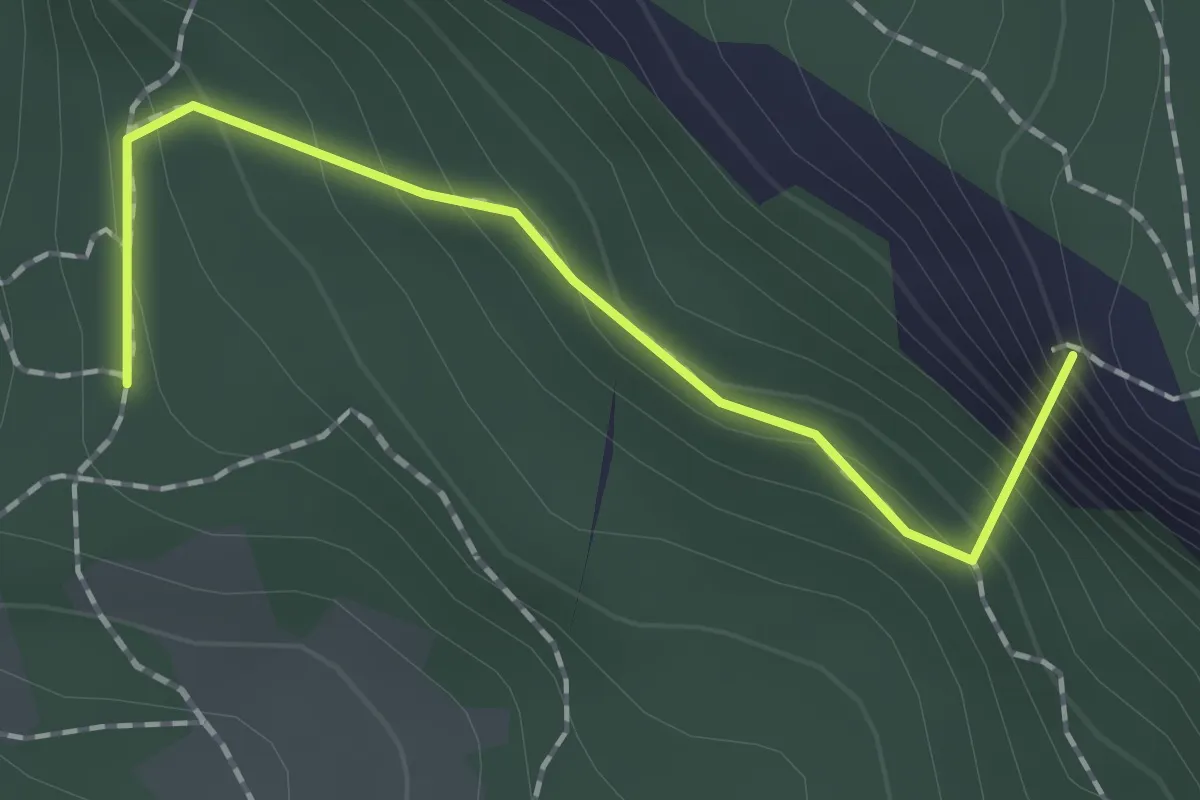
Easy · Summit
SL NA-138
1.7 km · ↑ 165 m · 46 min
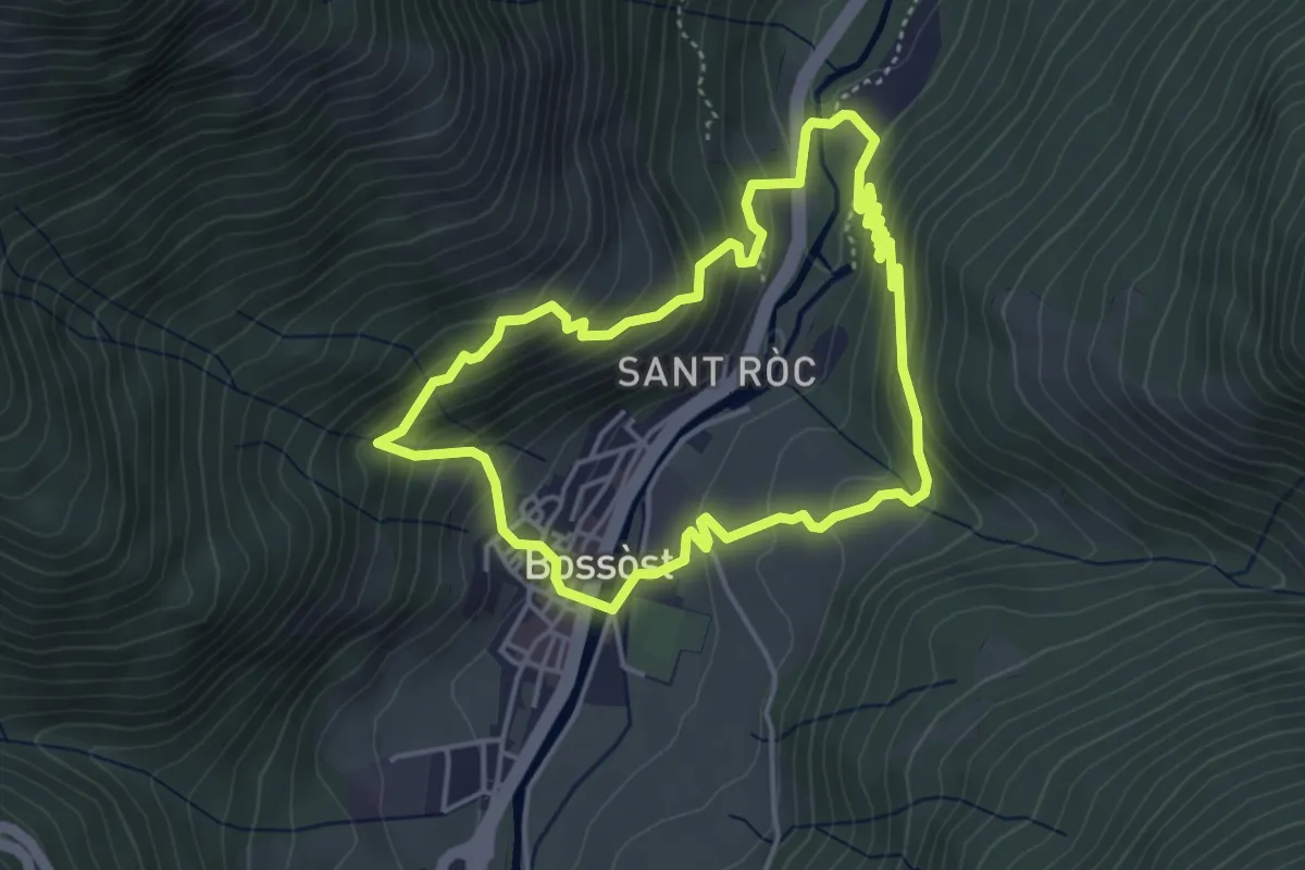
Medium · Trail
Soalas deth Casteràs
4.3 km · ↑ 310 m · 1 h 45 min
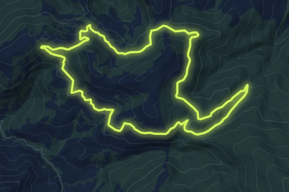
Medium · Trail
Solana del Gato
11.6 km · ↑ 429 m · 3 h 49 min
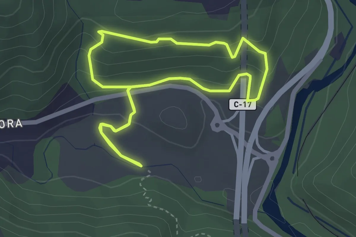
Easy · Trail
Solell de les Coines
3.3 km · ↑ 169 m · 1 h 11 min