Trails in Spain
5,960 hiking trails, each with its route, climb, walking time and grade.
All trails, page 111 of 125
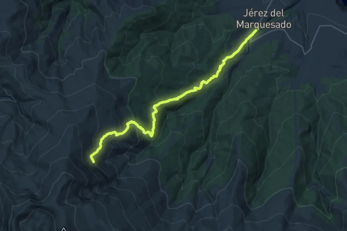
Demanding · Trail
Solidario El Avión
11.8 km · ↑ 1251 m · 5 h 6 min
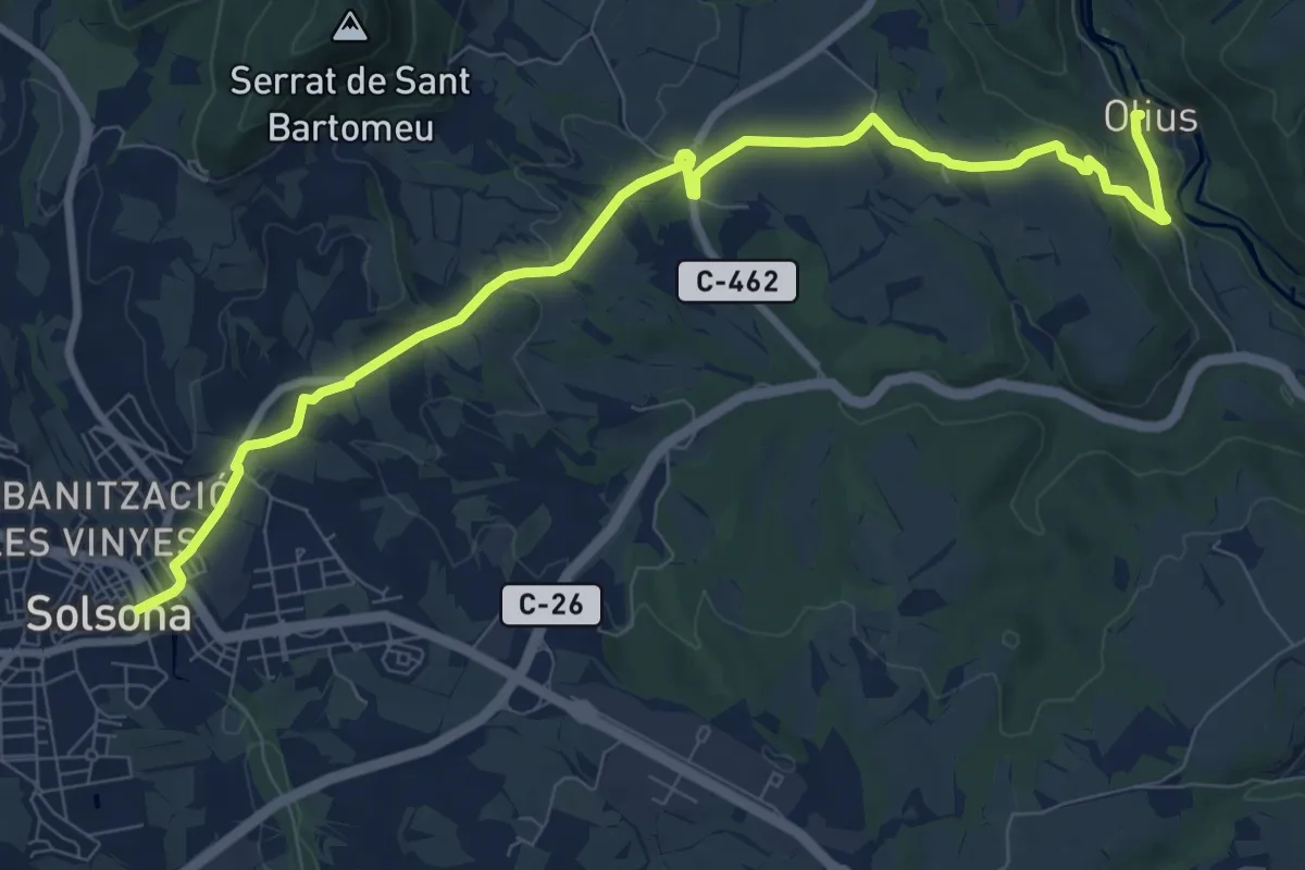
Medium · Trail
Solsona-Sant Esteve d'Olius
11.1 km · ↑ 182 m · 3 h 1 min
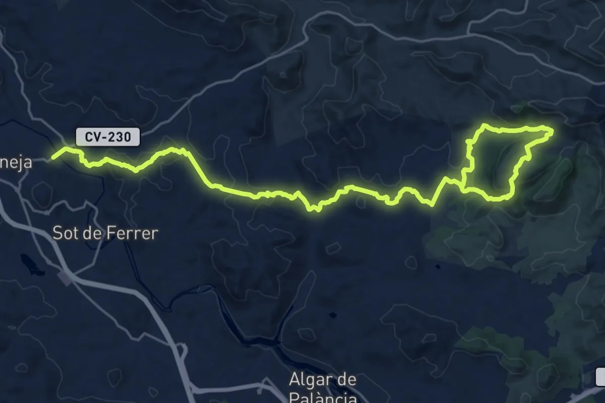
Medium · Summit
Soneja - La Dehesa
14.4 km · ↑ 347 m · 4 h 22 min
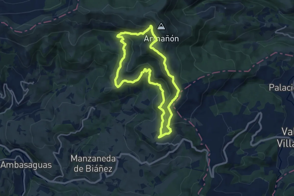
Medium · Summit
Sopeñako artadia
10.8 km · ↑ 561 m · 3 h 54 min
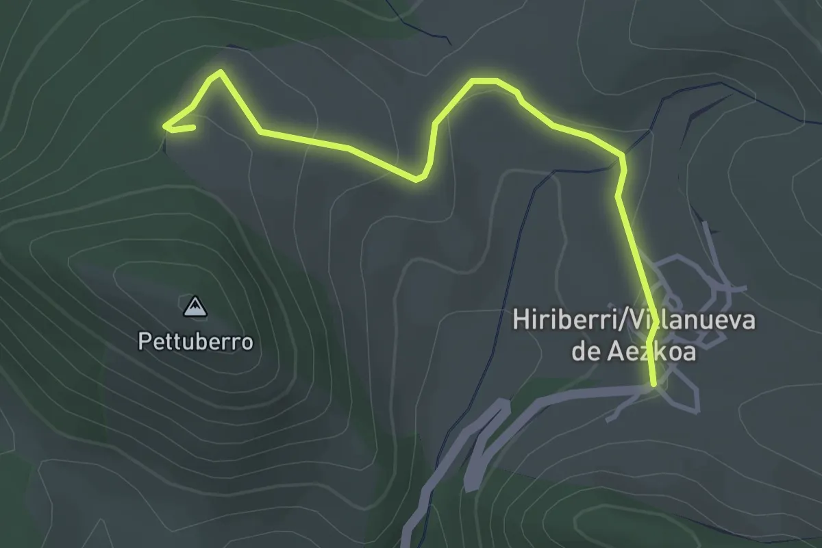
Easy · Trail
Sorginen bidea
3.6 km · ↑ 72 m · 1 h
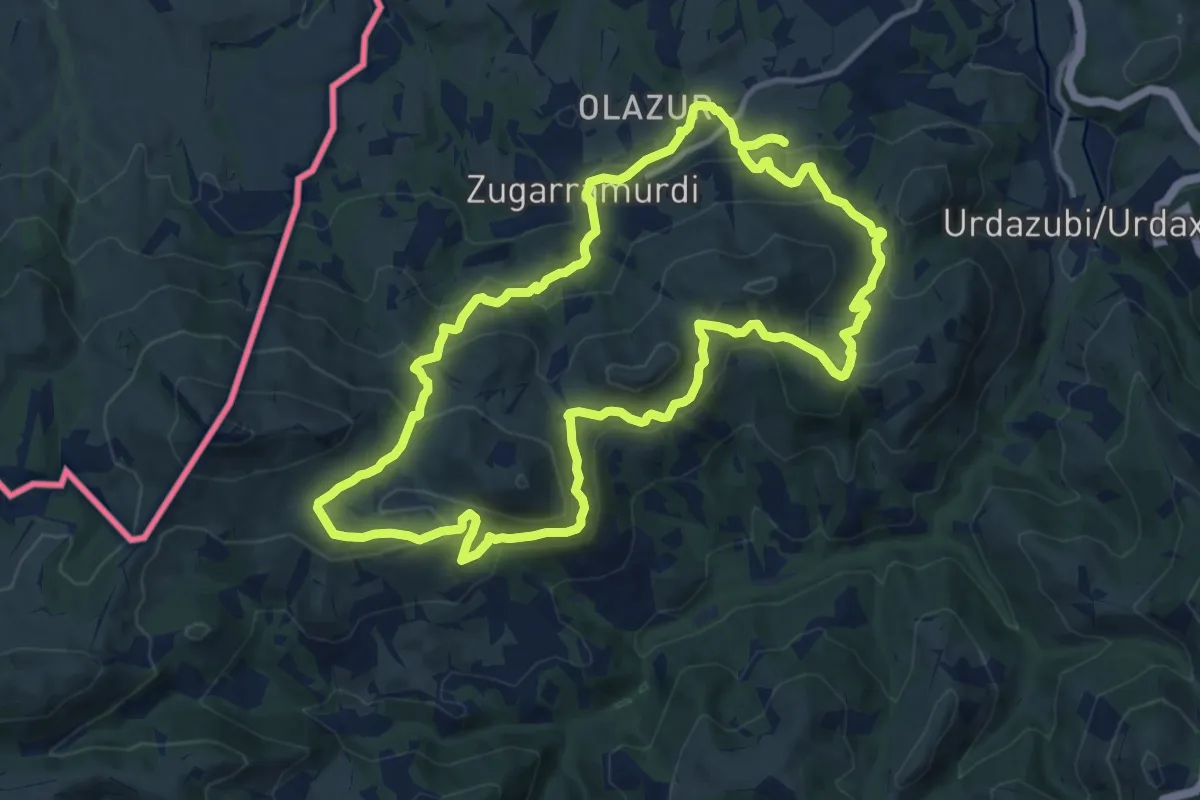
Medium · Summit
Sorginen bidea
12.8 km · ↑ 526 m · 4 h 20 min
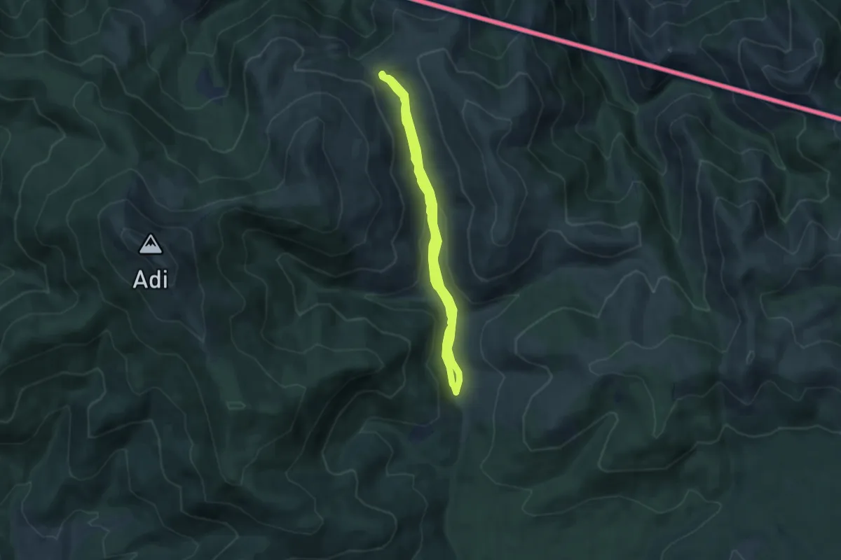
Medium · Trail
Sorogaingo ibilbide megalitikoa
6.6 km · ↑ 159 m · 2 h
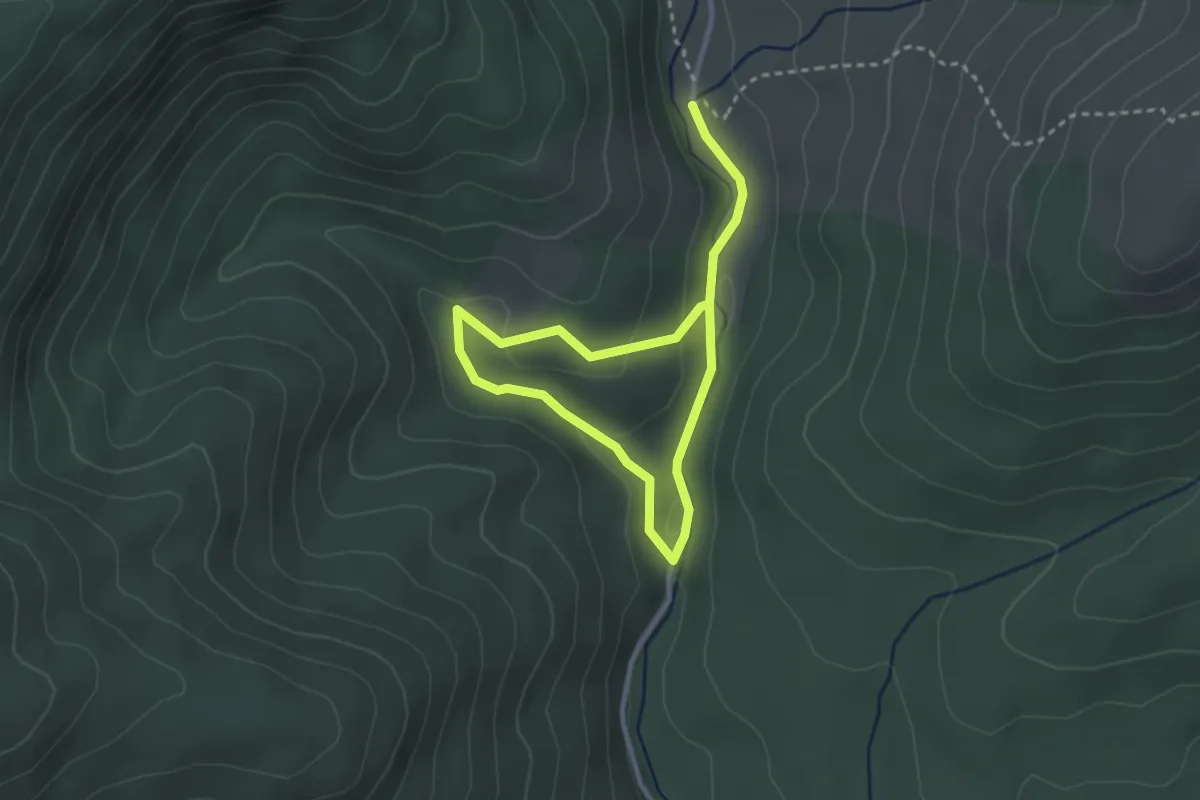
Easy · Trail
Sorogaingo pagadiaren bidexka
4.6 km · ↑ 150 m · 1 h 25 min
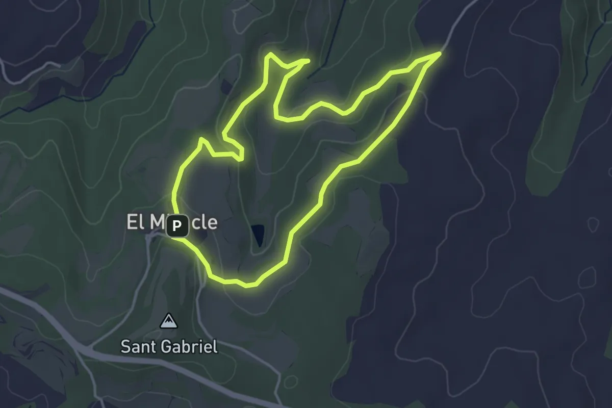
Easy · Trail
Sota la Cirosa
4.2 km · ↑ 95 m · 1 h 15 min
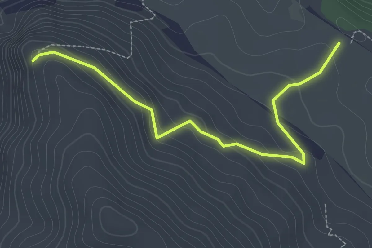
Easy · Trail
Sot de Chera - El Justal
3.2 km · ↑ 119 m · 1 h 1 min
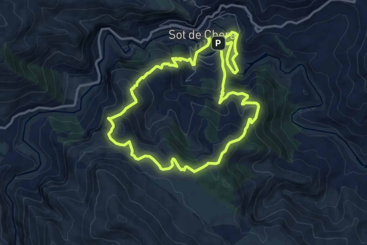
Medium · Trail
Sot de Chera - El Justal
8.3 km · ↑ 419 m · 2 h 58 min
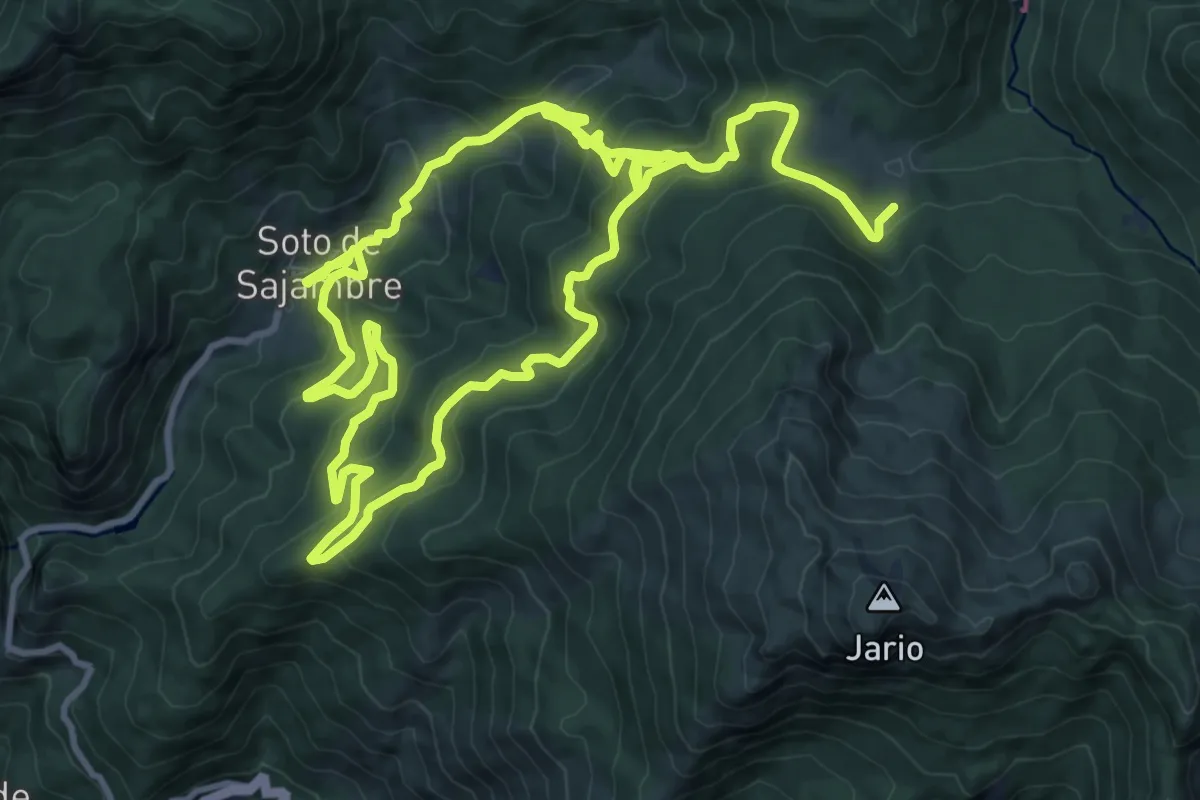
Demanding · Trail
Soto de Sajambre-Vegabaño
12.4 km · ↑ 807 m · 4 h 43 min
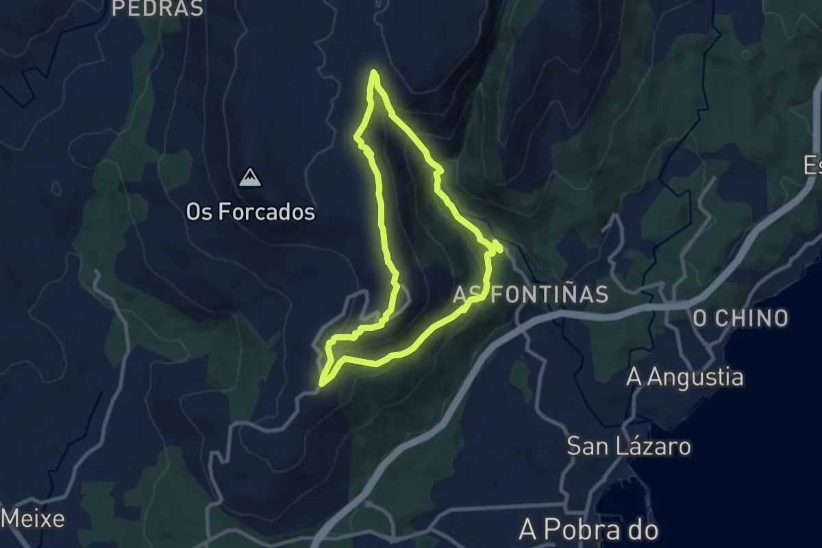
Medium · Summit
Subida á Curota polo Río das Pedras
8.6 km · ↑ 384 m · 2 h 59 min
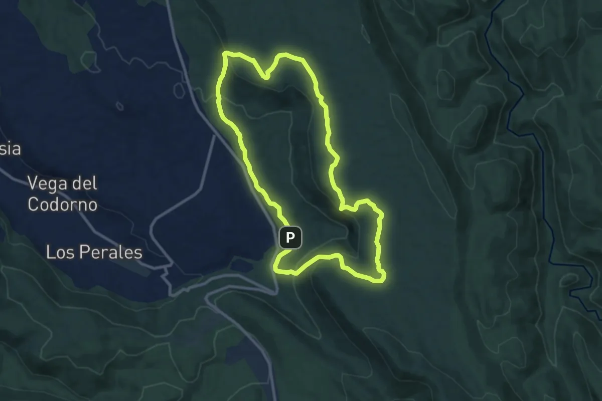
Medium · Trail
Subida a la Muela
9.8 km · ↑ 253 m · 3 h
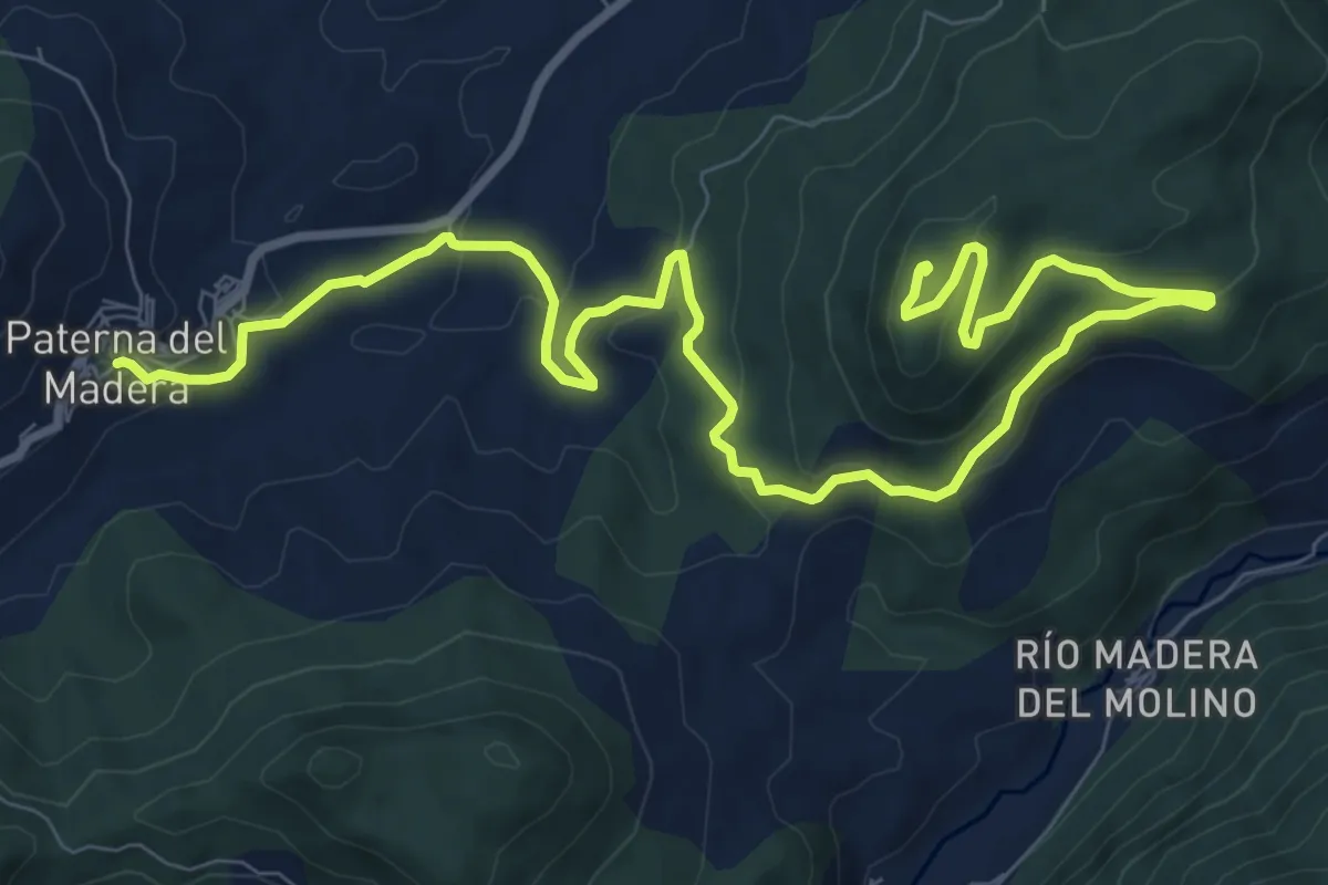
Medium · Trail
Subida al Bañadero
14.0 km · ↑ 482 m · 4 h 21 min
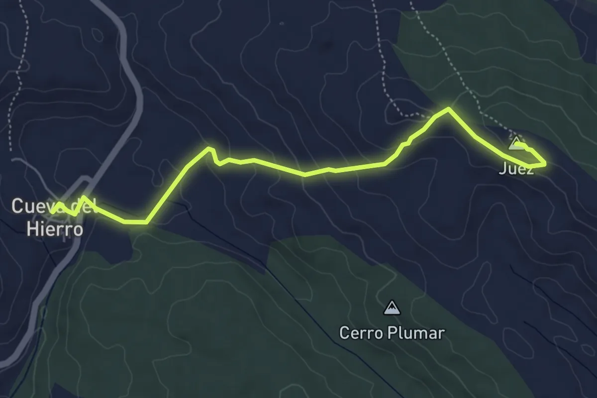
Easy · Summit
Subida al cerro Juez
6.1 km · ↑ 241 m · 1 h 58 min
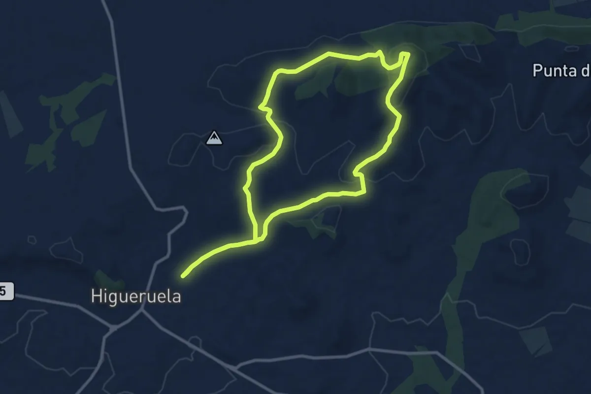
Medium · Trail
Subida al Mojinete
10.0 km · ↑ 215 m · 2 h 58 min
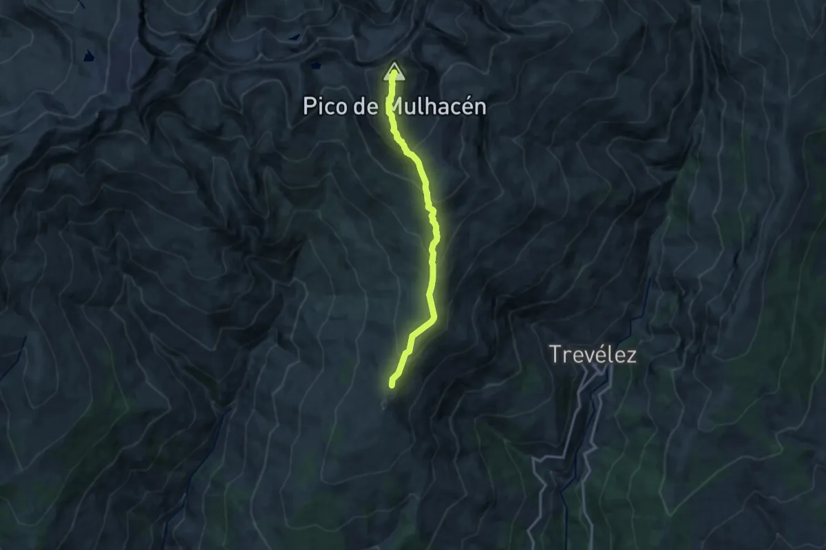
Expert · Summit
Subida al Mulhacén
14.3 km · ↑ 875 m · 5 h 16 min
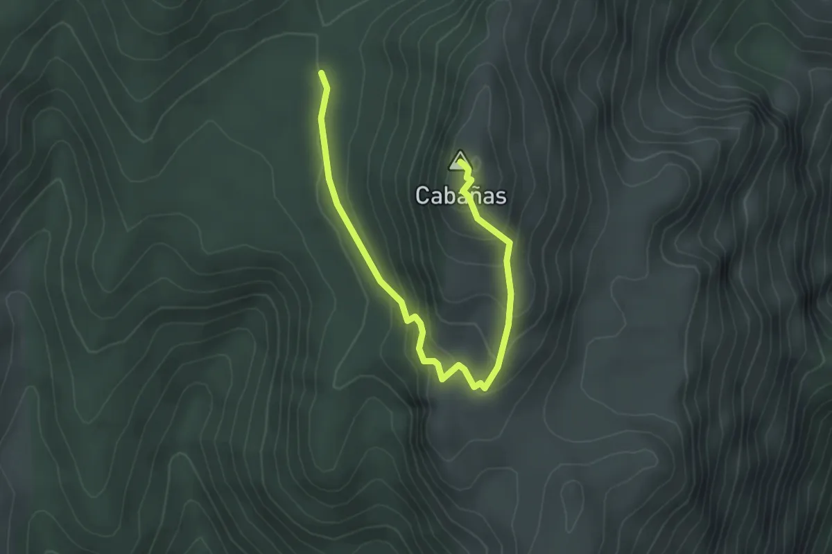
Easy · Summit
Subida al Pico Cabañas
4.0 km · ↑ 196 m · 1 h 22 min
Medium · Summit
Subida al Pico del Águila
4.3 km · ↑ 325 m · 1 h 43 min
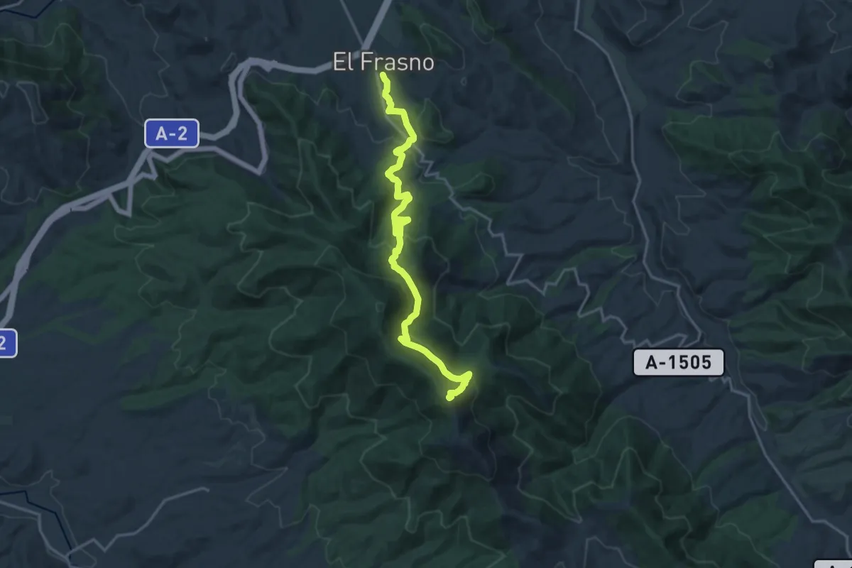
Demanding · Summit
Subida al pico del Rayo
18.3 km · ↑ 1024 m · 6 h 32 min
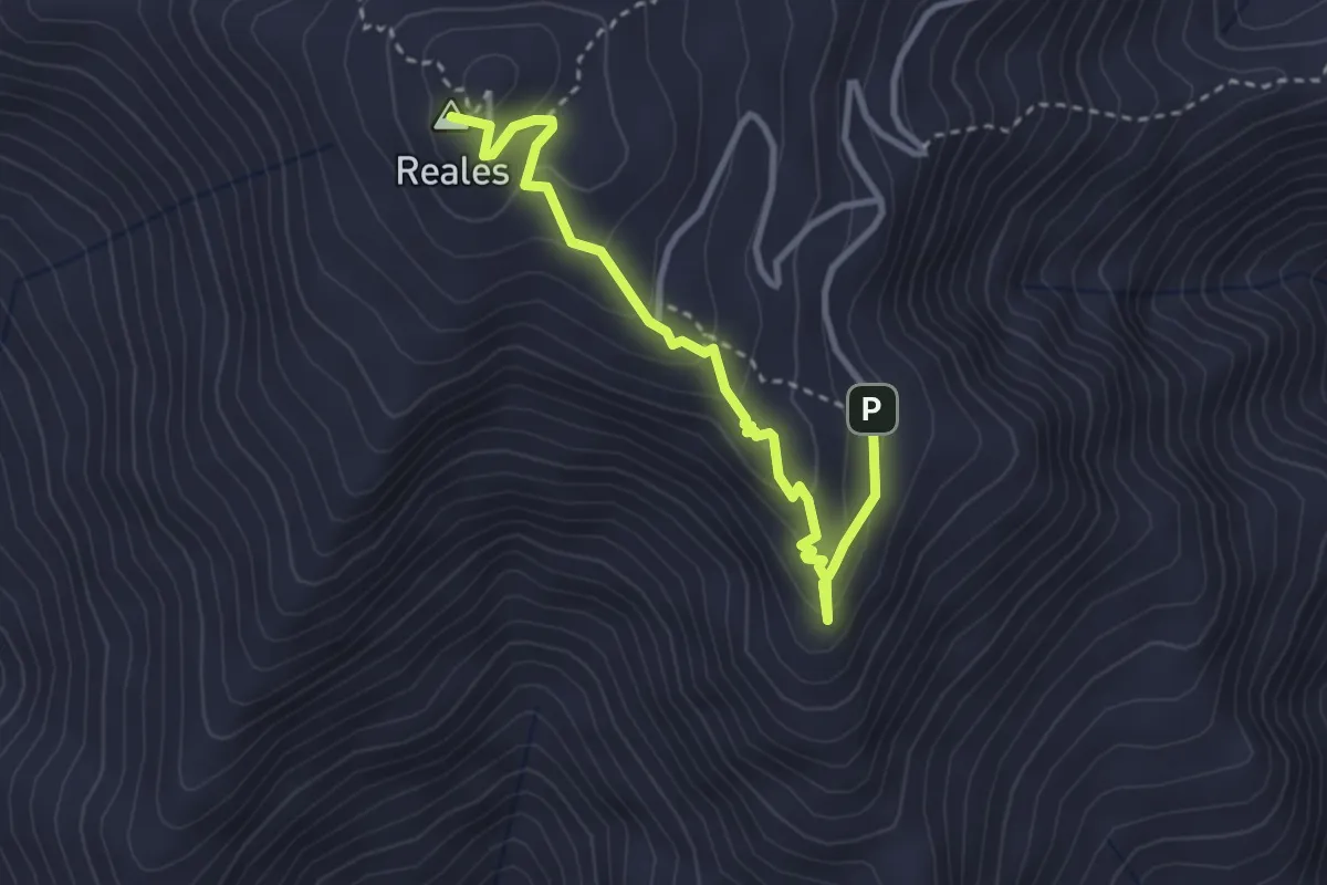
Medium · Summit
Subida al Pico Los Reales
3.9 km · ↑ 226 m · 1 h 24 min
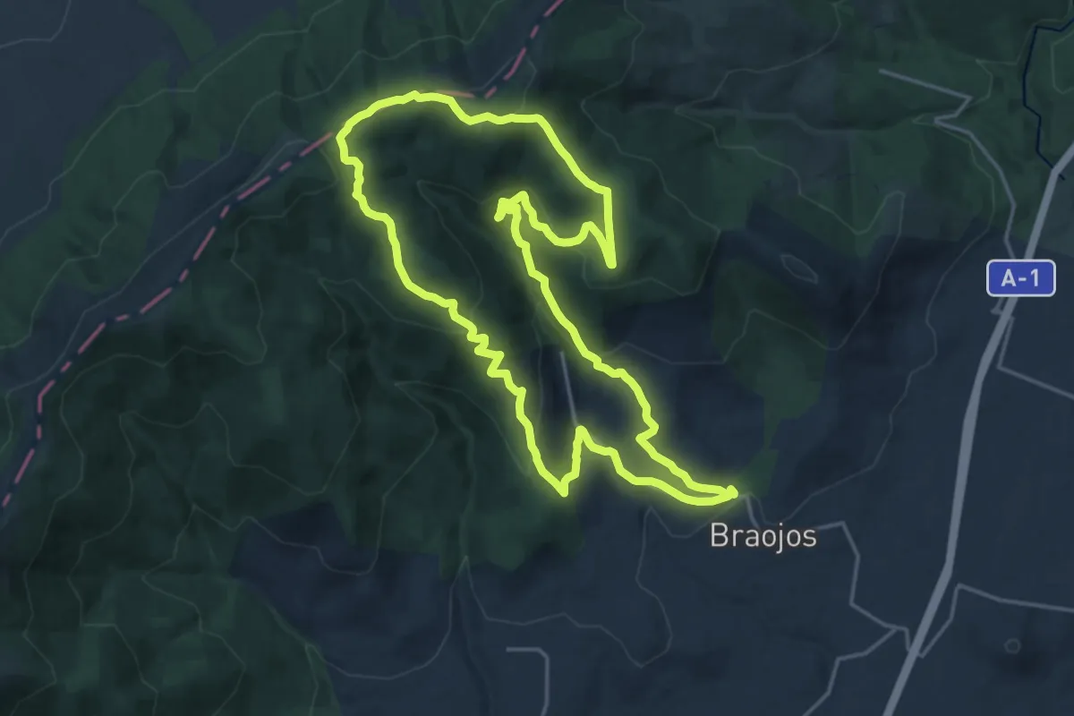
Demanding · Summit
Subida al Puerto de Peñaquemada
20.4 km · ↑ 675 m · 6 h 33 min
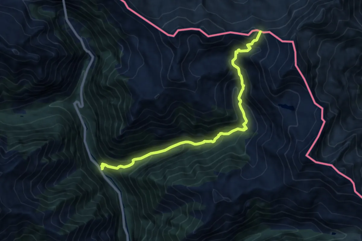
Demanding · Trail
Subida al Puerto Trigoniero
13.6 km · ↑ 1191 m · 5 h 47 min
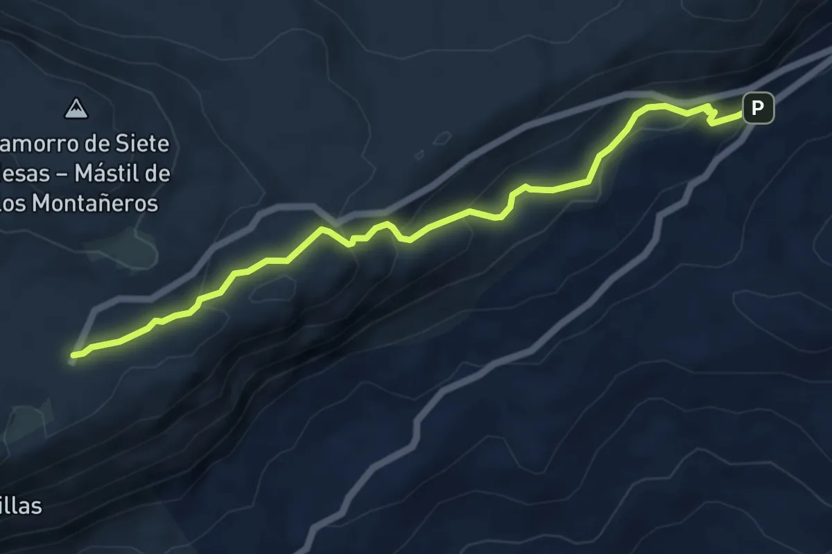
Easy · Trail
Subida al Torcal Alto
6.4 km · ↑ 301 m · 2 h 9 min
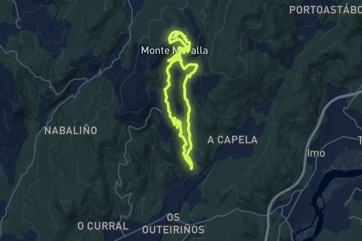
Medium · Summit
Subida ao Monte da Muralla
14.0 km · ↑ 624 m · 4 h 46 min
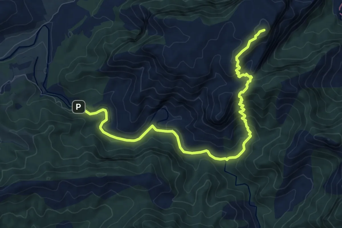
Medium · Summit
Subida a Peñagalera
11.8 km · ↑ 543 m · 3 h 58 min
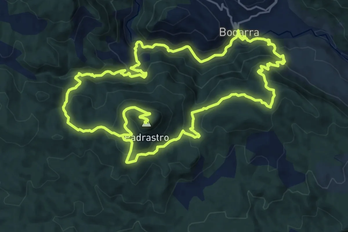
Demanding · Summit
Subida Picayo-Padrastro
19.3 km · ↑ 890 m · 6 h 45 min
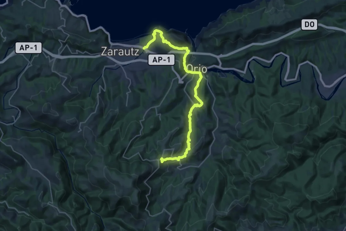
Demanding · Trail
Sustraia ibilbidea
23.9 km · ↑ 937 m · 7 h 40 min
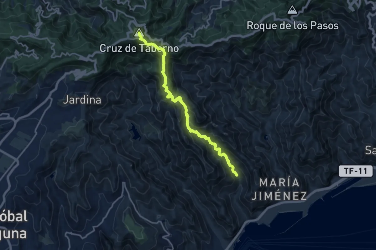
Demanding · Summit
Taborno-Pico del Inglés-Valleseco
14.3 km · ↑ 1080 m · 5 h 43 min
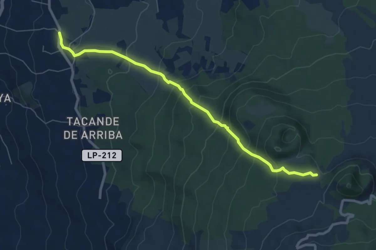
Medium · Trail
Tacande - Llanos del Jable
8.2 km · ↑ 535 m · 3 h 6 min
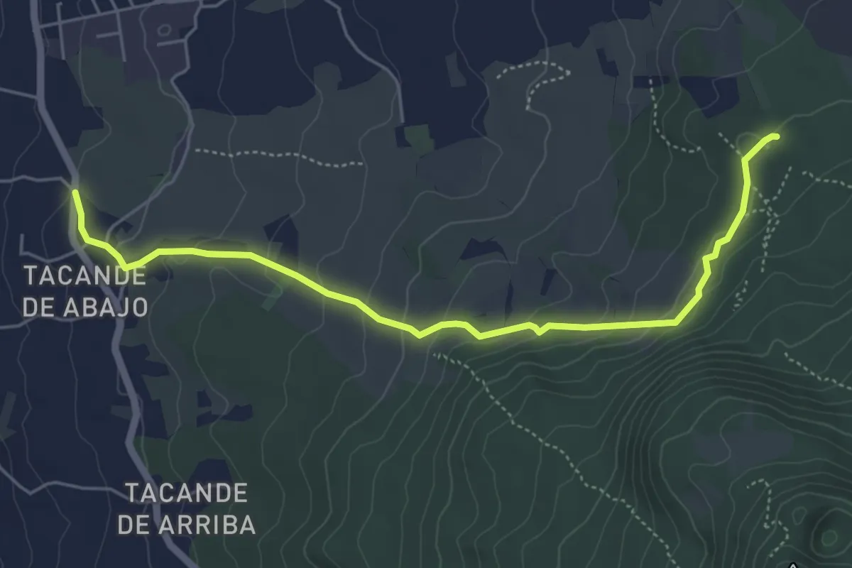
Easy · Trail
Tacande - Pista de Piedras Blancas
7.0 km · ↑ 246 m · 2 h 11 min
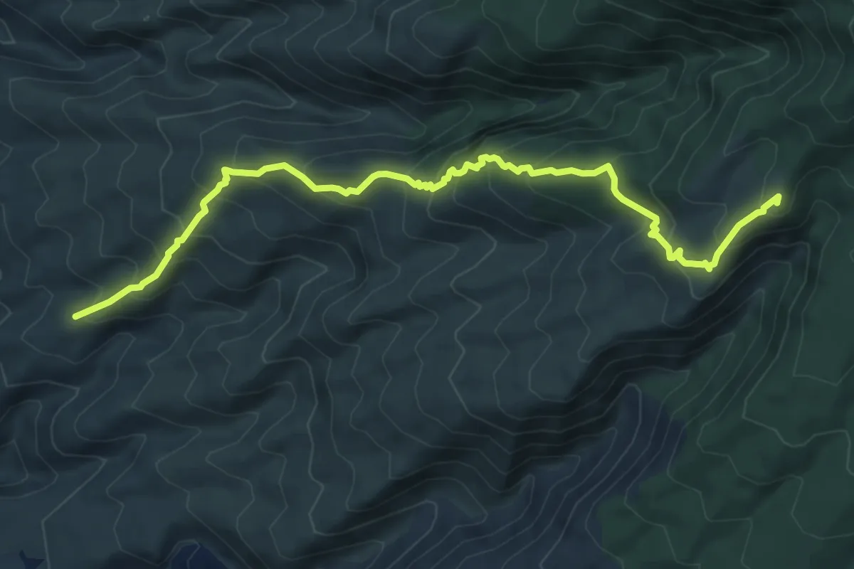
Demanding · Summit
Tágara - El Jaral
9.2 km · ↑ 824 m · 3 h 58 min
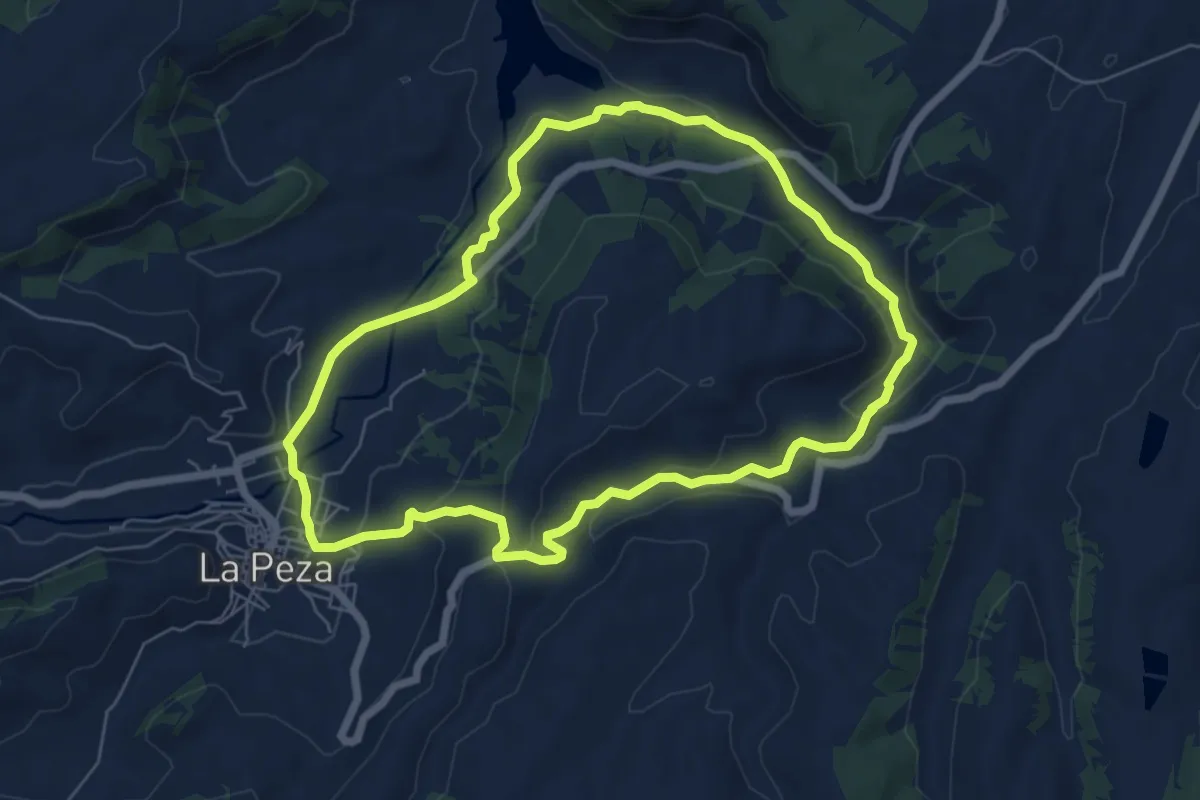
Easy · Trail
Tajo Burraco
7.2 km · ↑ 191 m · 2 h 13 min
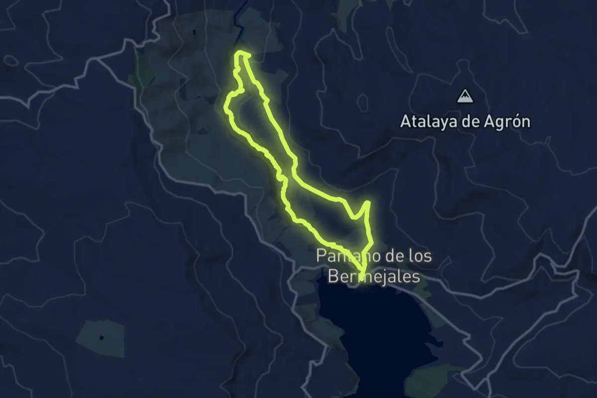
Medium · Trail
Tajos de los Bermejales
11.1 km · ↑ 322 m · 3 h 29 min
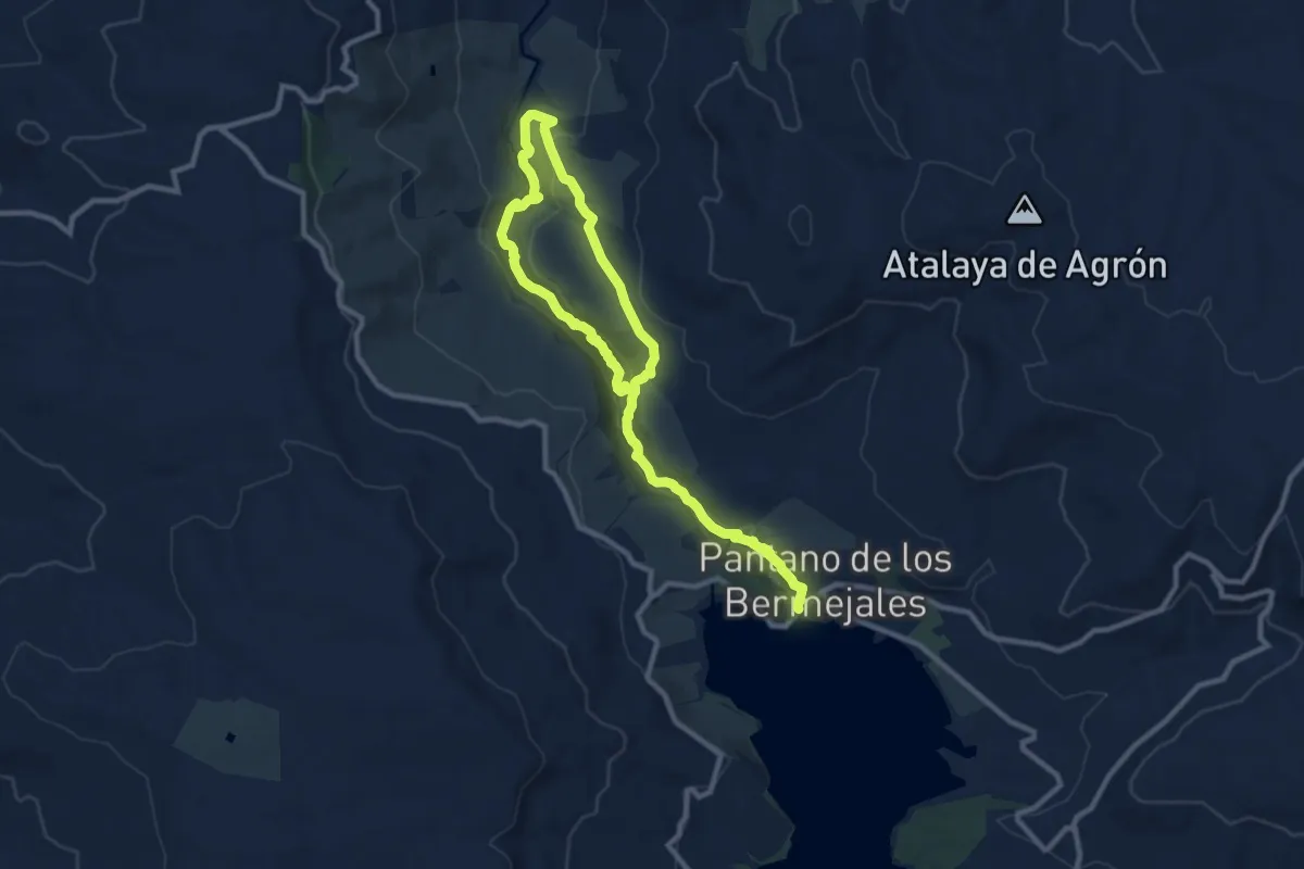
Medium · Trail
Tajos de los Bermejales
16.8 km · ↑ 561 m · 5 h 11 min
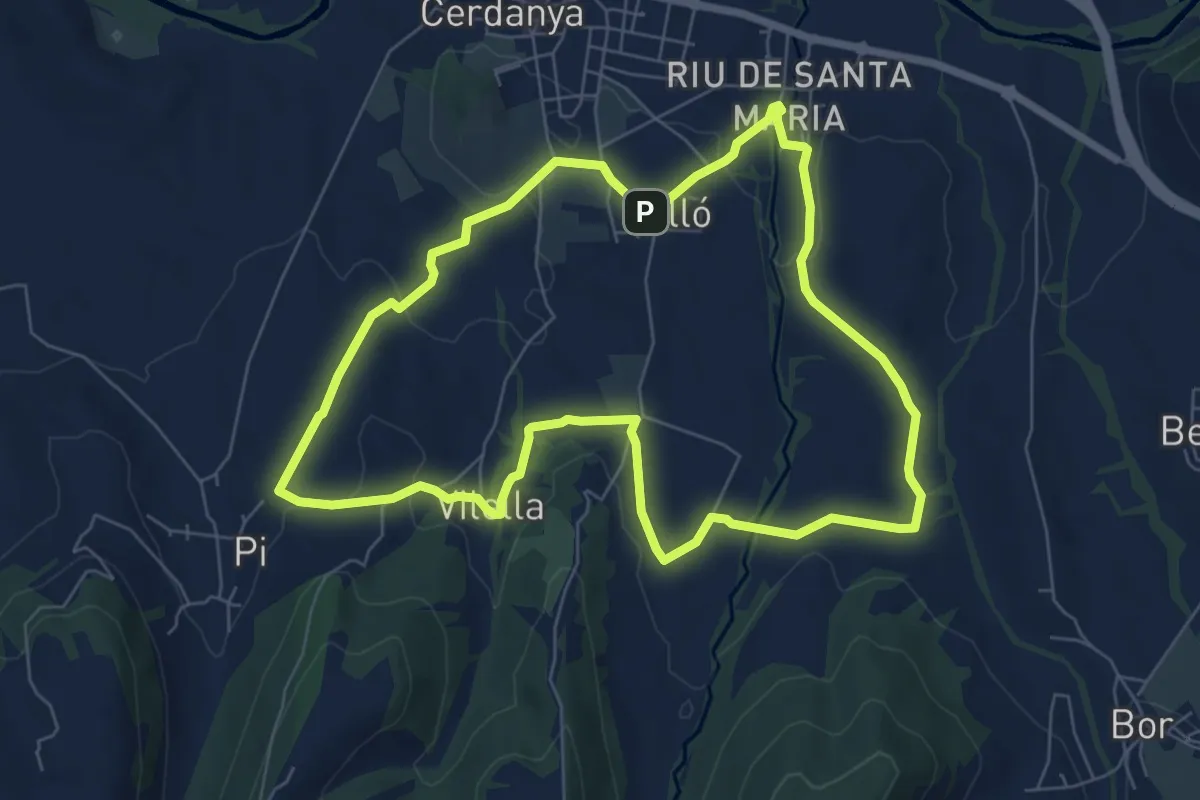
Easy · Trail
Talló Pi Vilella Coborriu Riu
7.6 km · ↑ 130 m · 2 h 10 min
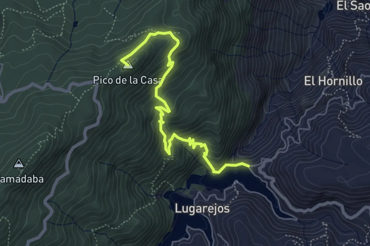
Medium · Summit
Tamadaba - Presa los Pérez
6.8 km · ↑ 510 m · 2 h 42 min
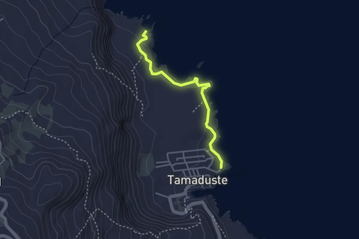
Easy · Trail
(Tamaduste - La Fortaleza)
3.7 km · ↑ 82 m · 1 h 3 min
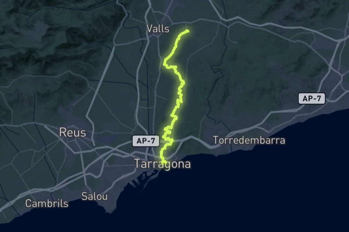
Demanding · Trail
Tarragona-Puigpelat
32.4 km · ↑ 482 m · 9 h 3 min
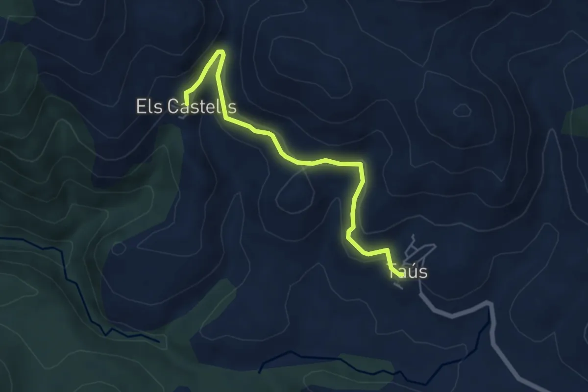
Easy · Trail
Taús-Els Castells
4.9 km · ↑ 192 m · 1 h 35 min
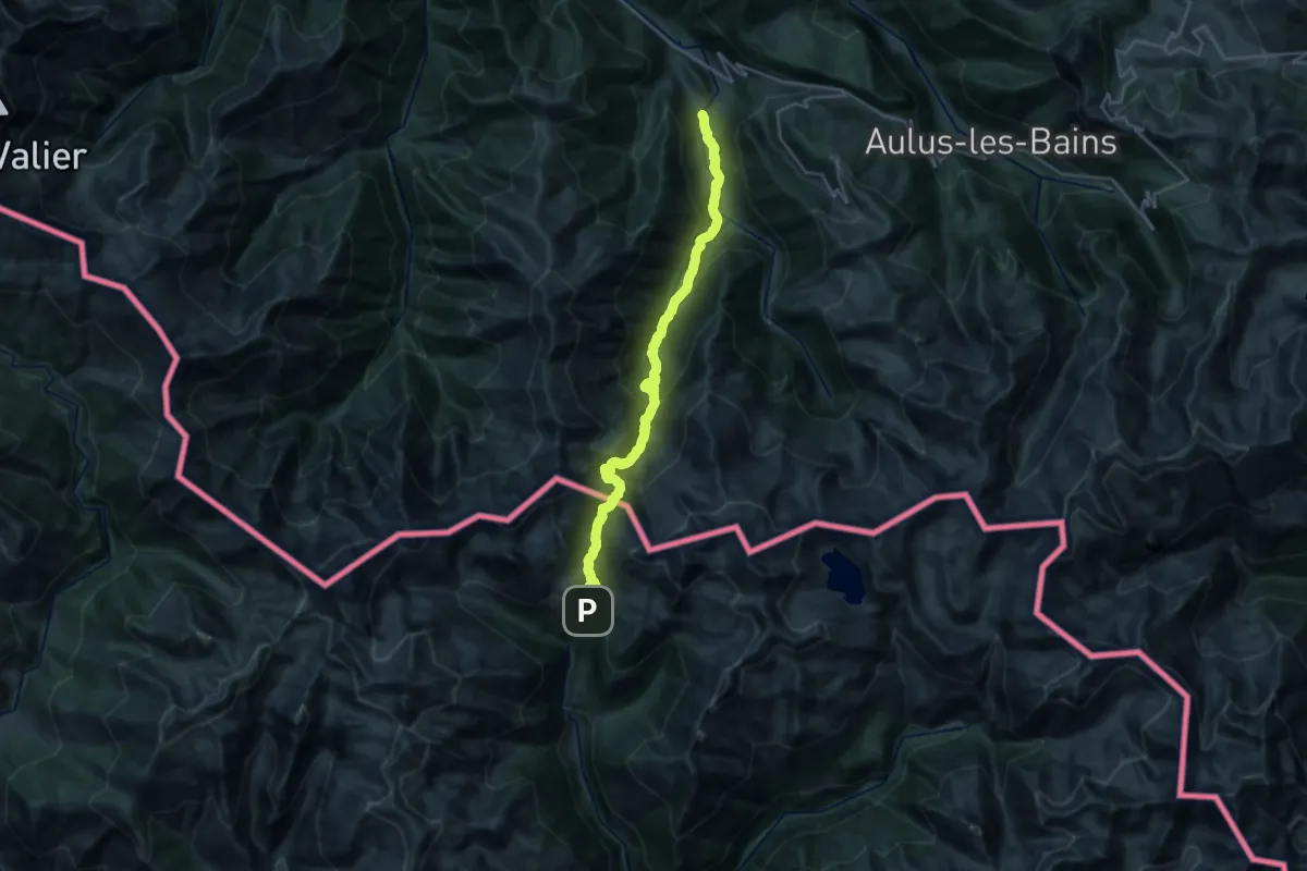
Medium · Trail
Tavascan - Saint-Lizier-d'Ustou
13.4 km · ↑ 510 m · 5 h
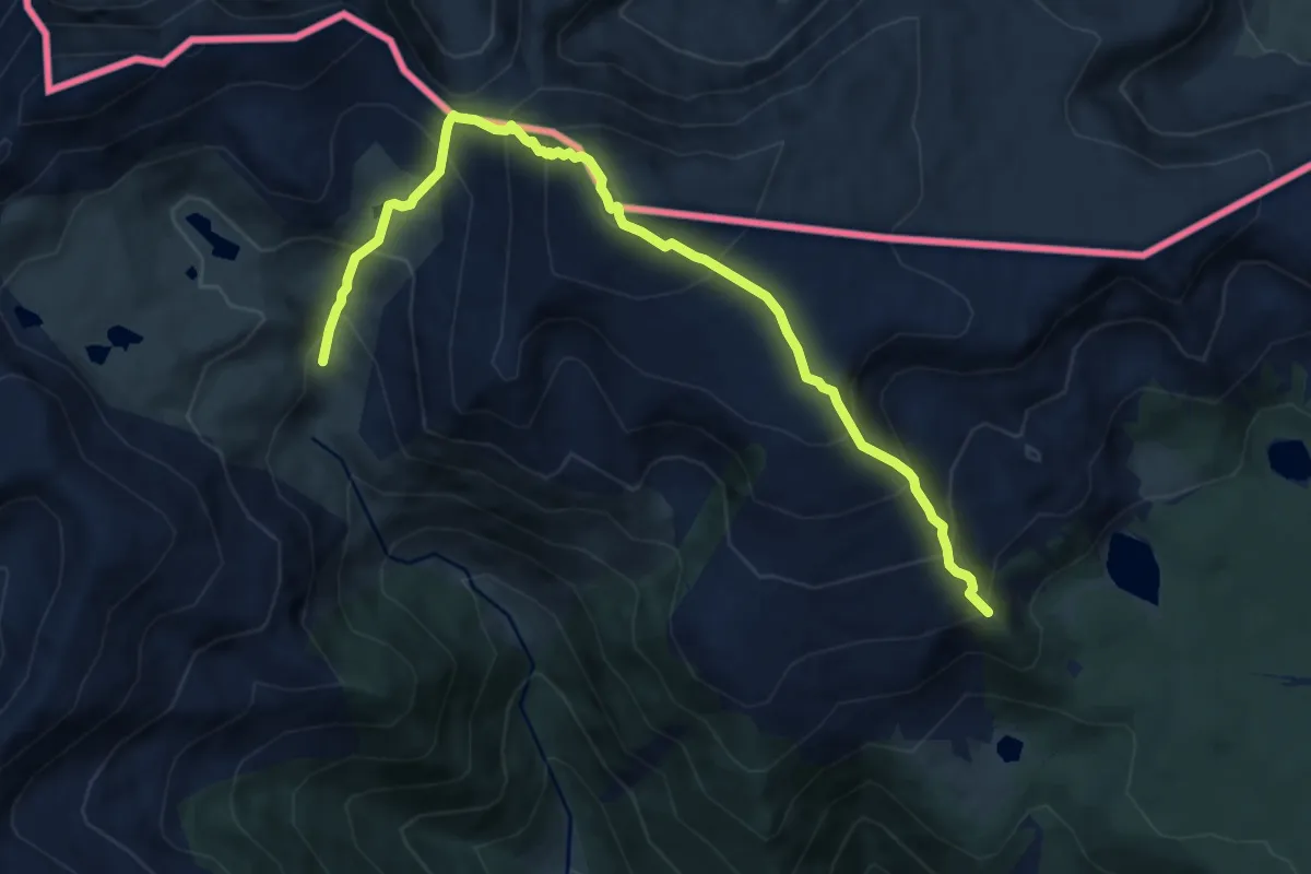
Demanding · Summit
TC066 Malniu Puigpedrós Molleres d'Engorgs
5.2 km · ↑ 513 m · 2 h 24 min
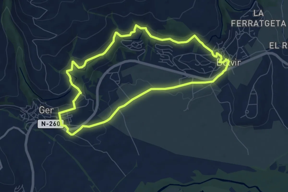
Easy · Trail
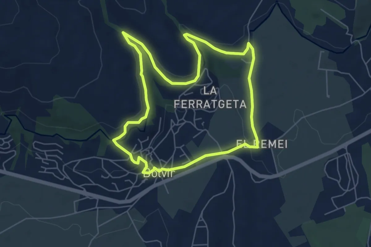
TC067 Ger Bolvir
7.4 km · ↑ 158 m · 2 h 12 min
Easy · Trail
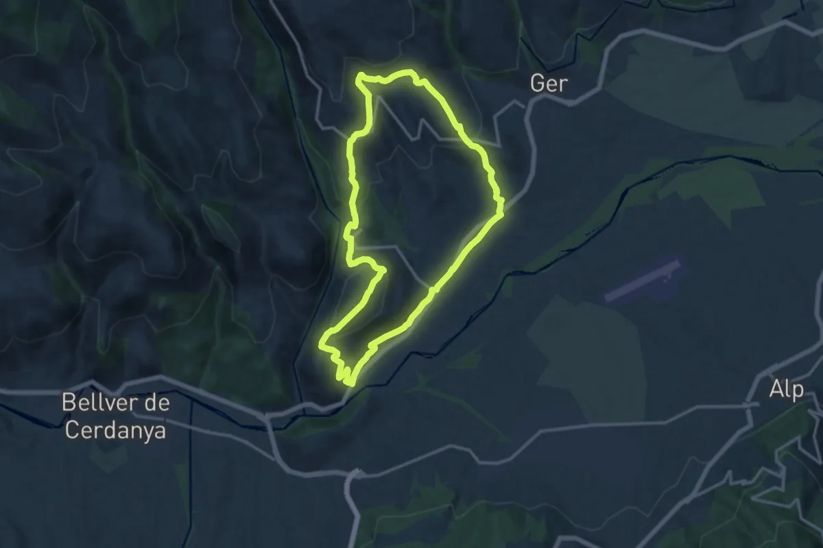
TC077 Camí de l'aigua de Bolvir
5.6 km · ↑ 104 m · 1 h 38 min
Medium · Summit
TC088 Isòvol Olopte Gréixer All Isòvol
12.8 km · ↑ 463 m · 4 h 12 min
Medium · Trail
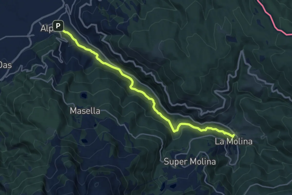
TC092 Alp el camí de la Ribera
14.8 km · ↑ 680 m · 4 h 58 min
Medium · Trail
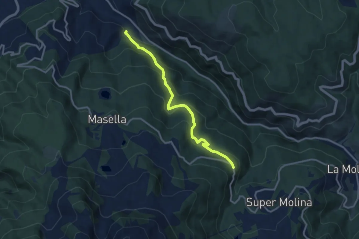
TC093 Alp camí del Carboner Mort
8.1 km · ↑ 502 m · 3 h