Trails in Spain
5,960 hiking trails, each with its route, climb, walking time and grade.
All trails, page 112 of 125
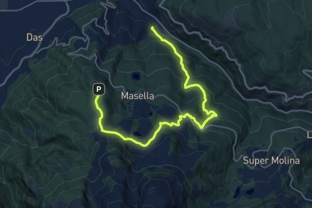
Demanding · Trail
TC094 Alp Bosc de Masella Pleta de Das
16.2 km · ↑ 920 m · 5 h 49 min
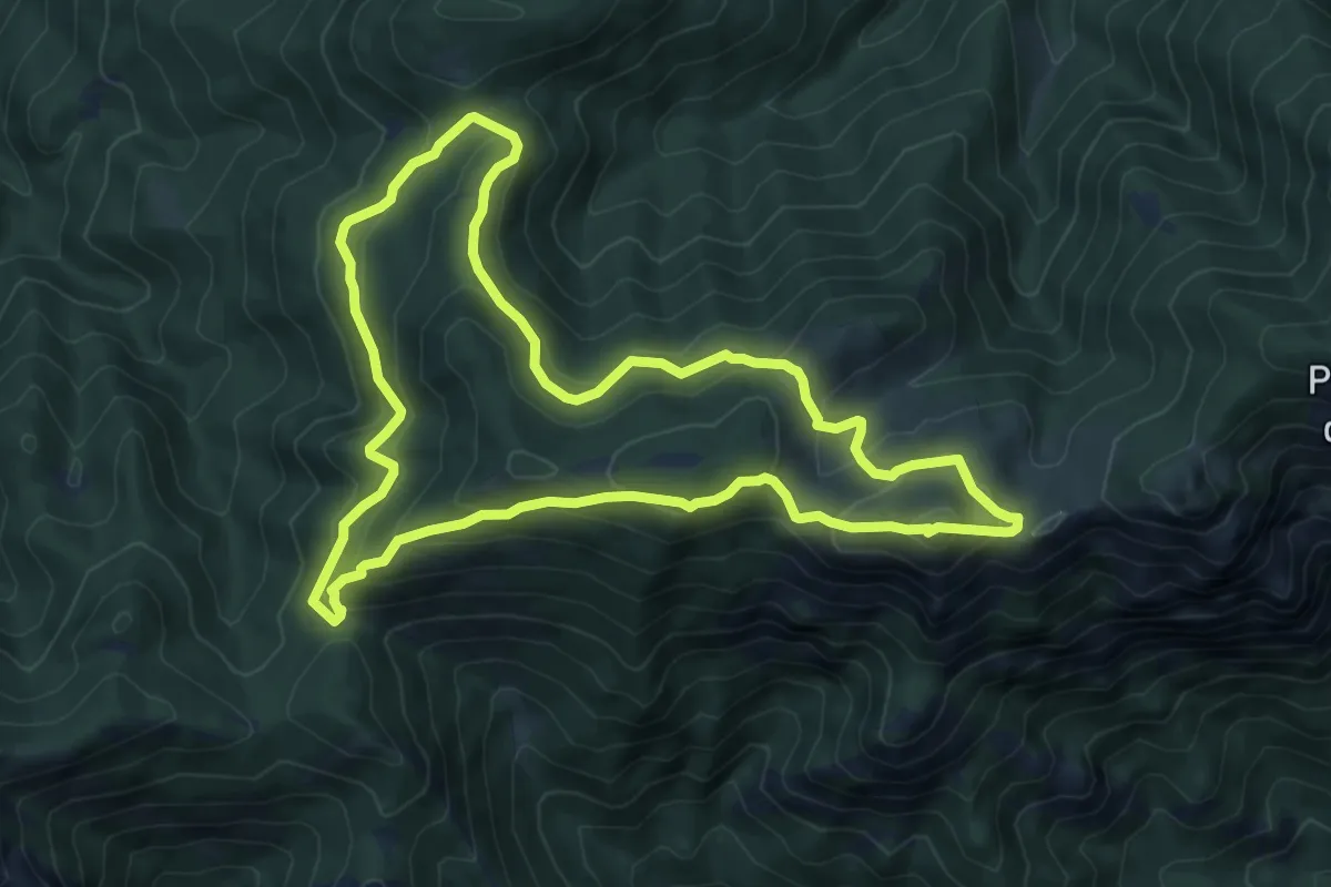
Demanding · Summit
TC114 Coll de Pendís Moixeró
8.3 km · ↑ 447 m · 3 h 3 min
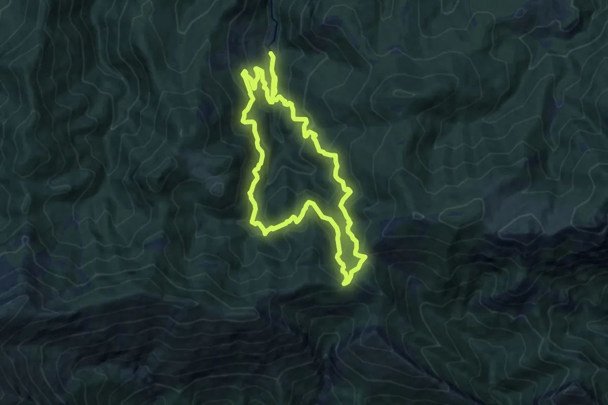
Medium · Trail
TC123 Font de l'Ingla Fageda de la Mena
11.2 km · ↑ 780 m · 4 h 28 min
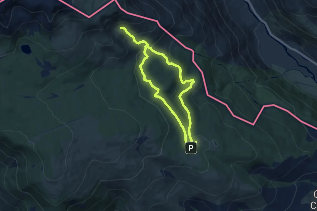
Medium · Trail
TC129 Guils Fontanera Font Negra Els Clots
7.8 km · ↑ 370 m · 2 h 46 min
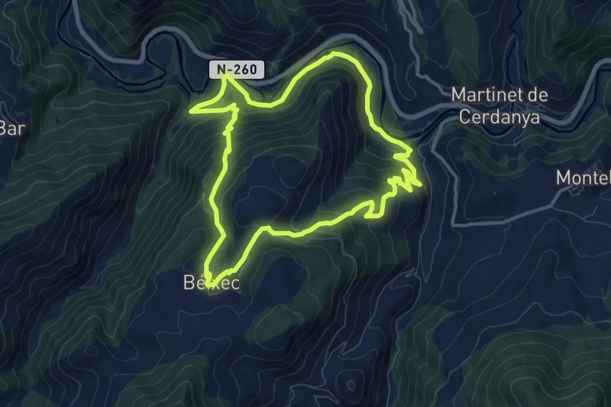
Medium · Trail
TC165 Búnquers de Martinet Béixec
10.0 km · ↑ 455 m · 3 h 29 min
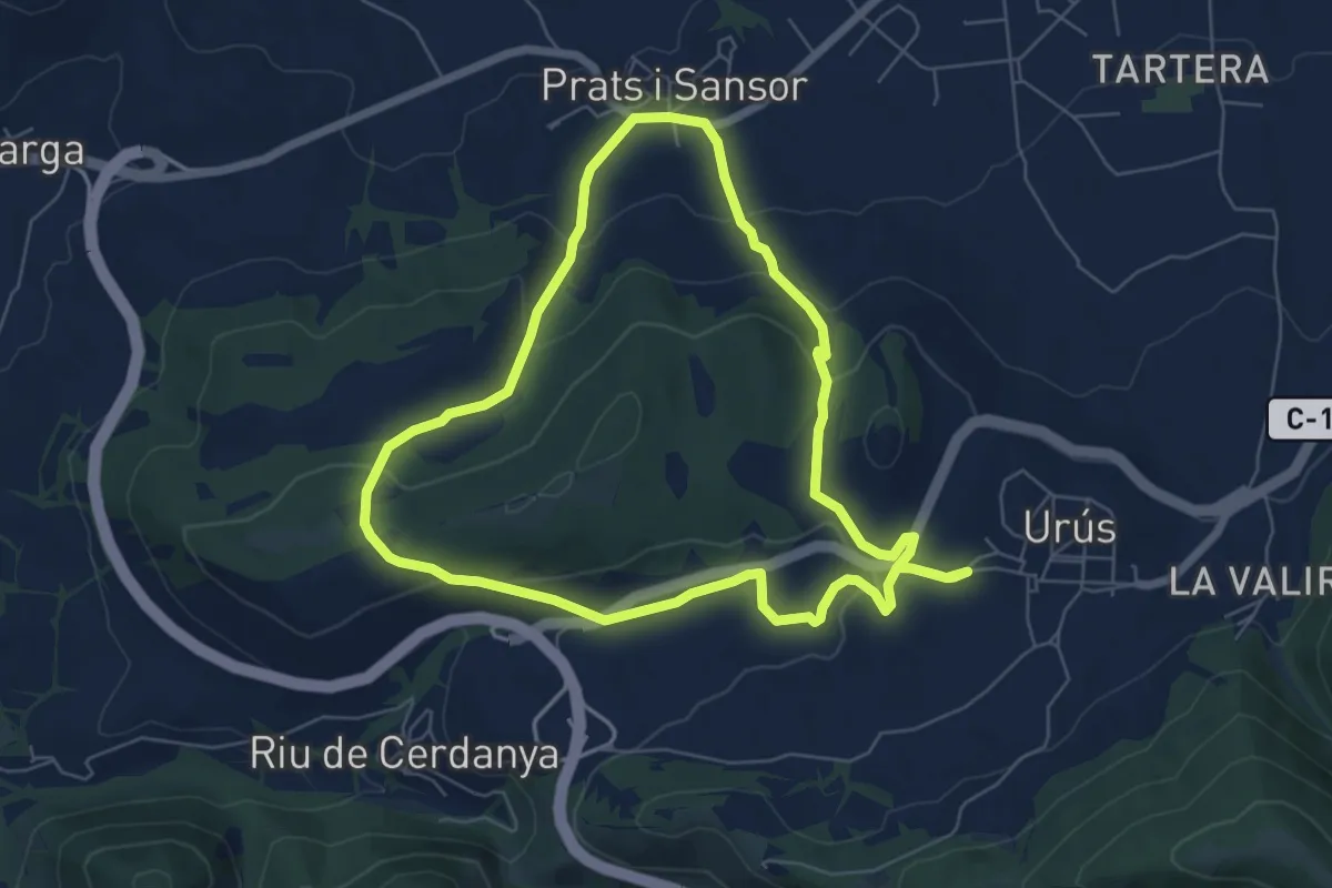
Easy · Trail
TC176 Urús Prats
6.8 km · ↑ 221 m · 2 h 11 min
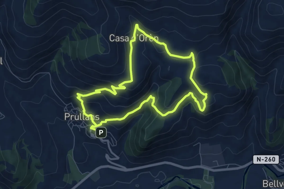
Medium · Trail
TC180 Prullans Cova d'Anes
8.0 km · ↑ 333 m · 2 h 43 min
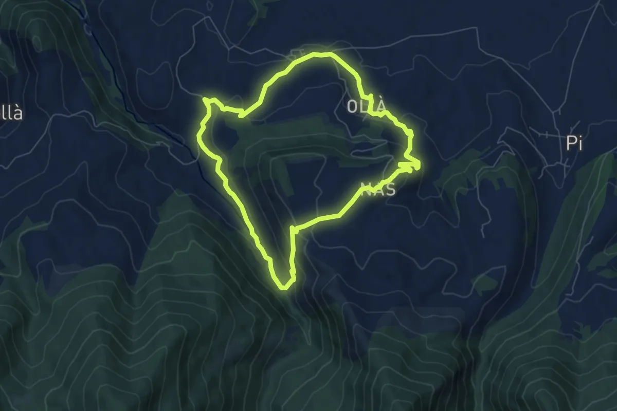
Easy · Trail
TC181 Olià Ridolaina Nas
6.8 km · ↑ 255 m · 2 h 15 min
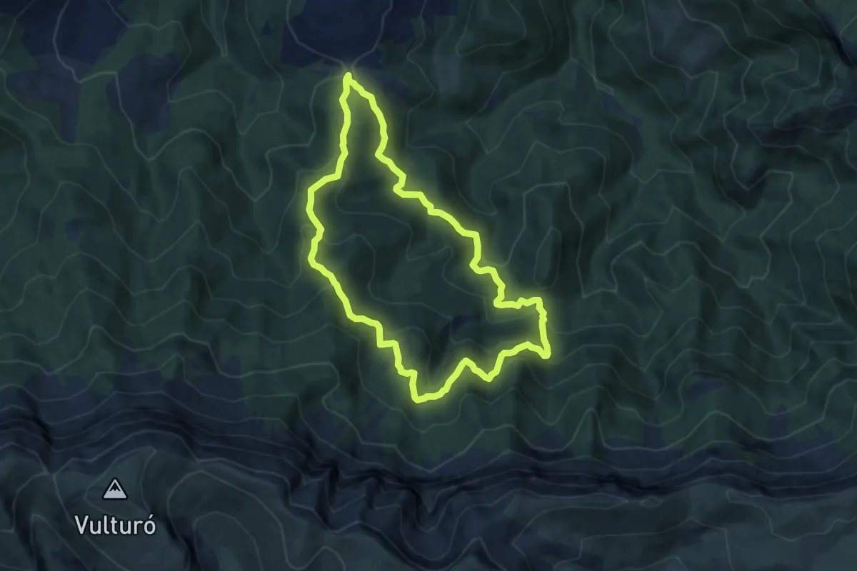
Medium · Trail
TC182 Prat de Cadí Collet de l'Orri
8.2 km · ↑ 484 m · 3 h 7 min
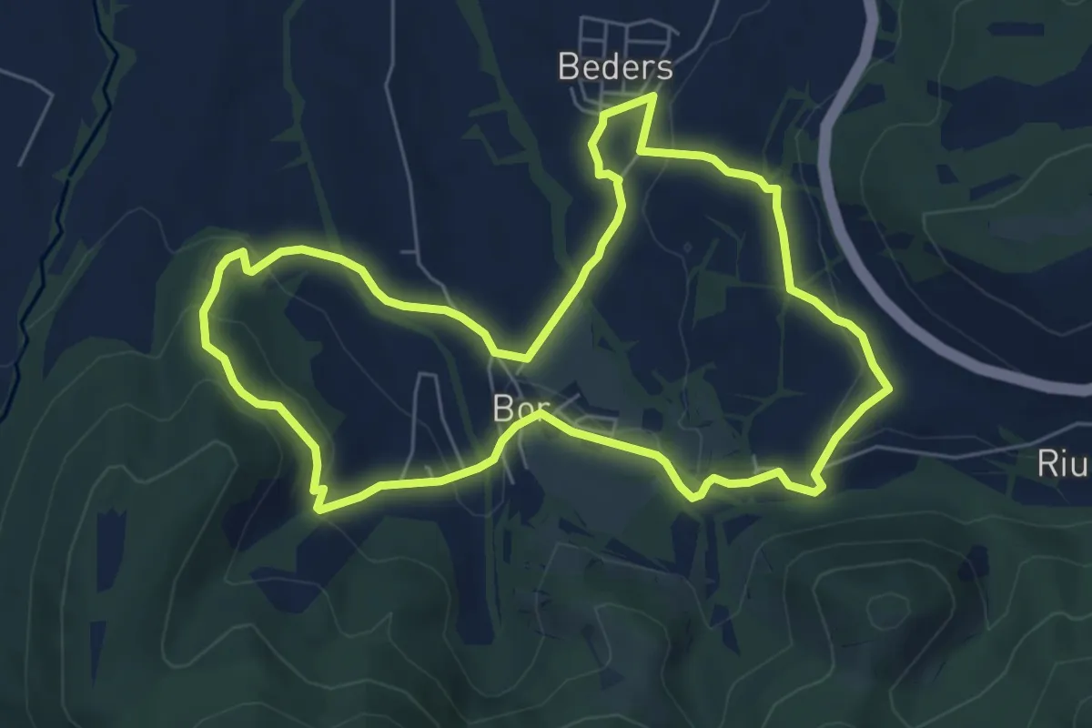
Easy · Trail
TC186 Bor Pedra Beders
6.7 km · ↑ 188 m · 2 h 5 min
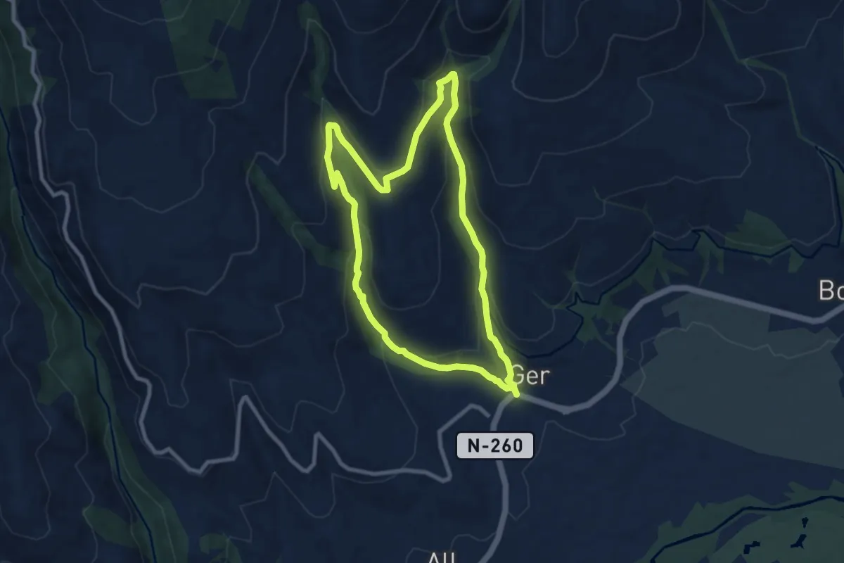
Medium · Trail
TC199 Ger El Coforn
8.2 km · ↑ 300 m · 2 h 42 min
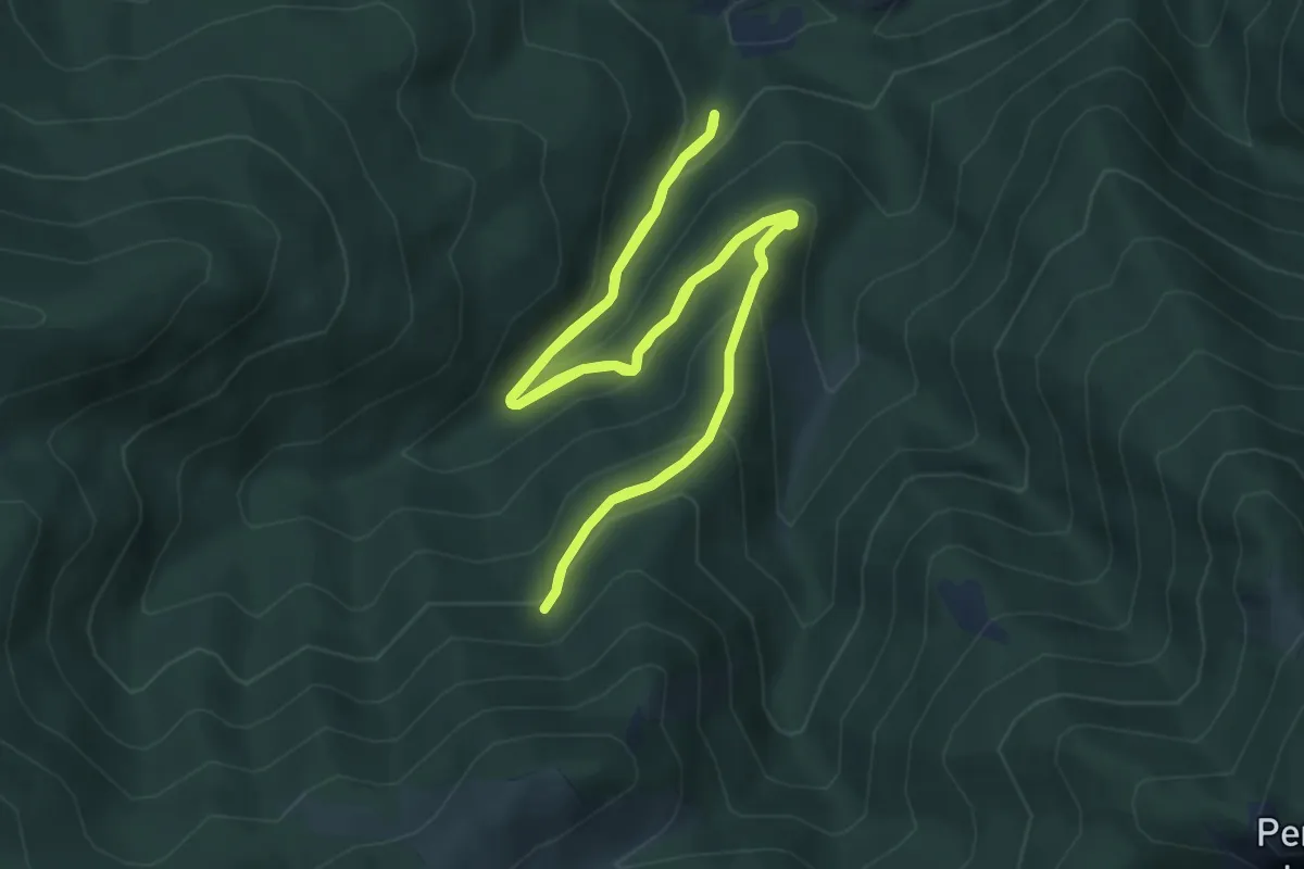
Medium · Trail
TC200 Riu de Cerdanya l'Avetosa
5.8 km · ↑ 305 m · 2 h 6 min
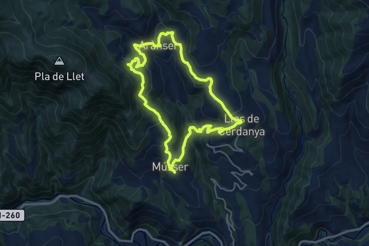
Medium · Trail
TC201 Músser Aransa Lles de Cerdanya
13.1 km · ↑ 598 m · 4 h 34 min
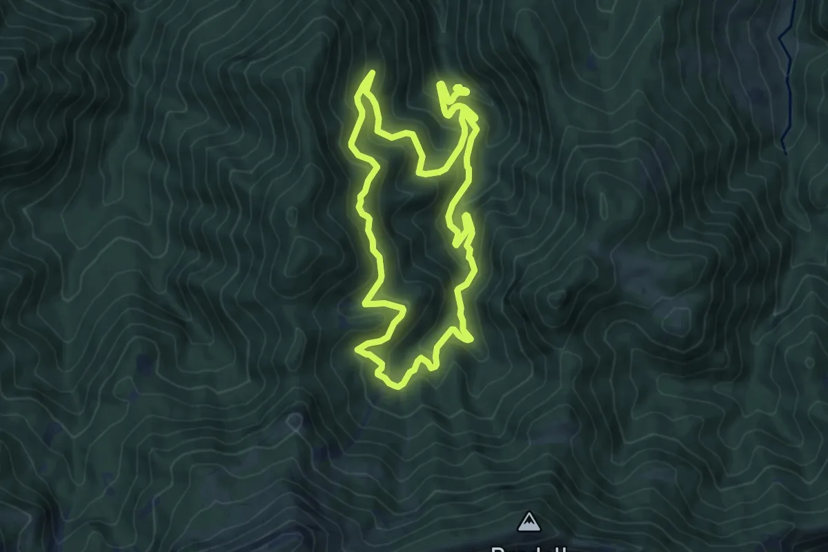
Medium · Cabin
TC202 Pi Roca Foradada refugi Gonec
9.2 km · ↑ 626 m · 3 h 39 min
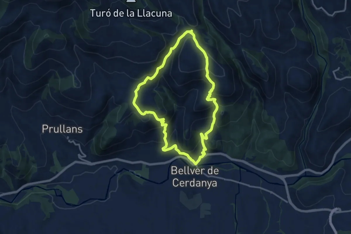
Medium · Summit
TC207 Bellver Cova d'Anes Ordèn
9.8 km · ↑ 552 m · 3 h 39 min
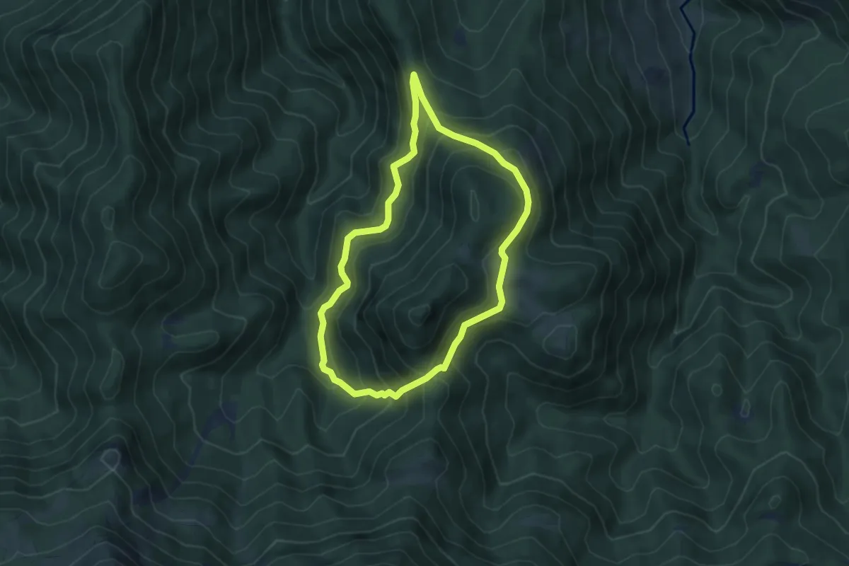
Medium · Summit
TC211 Prats de Gavarret Roca Foradada
4.9 km · ↑ 378 m · 2 h 2 min
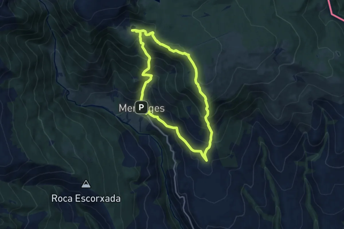
Medium · Summit
TC229 Meranges Refugi de Malniu
10.2 km · ↑ 719 m · 4 h 6 min
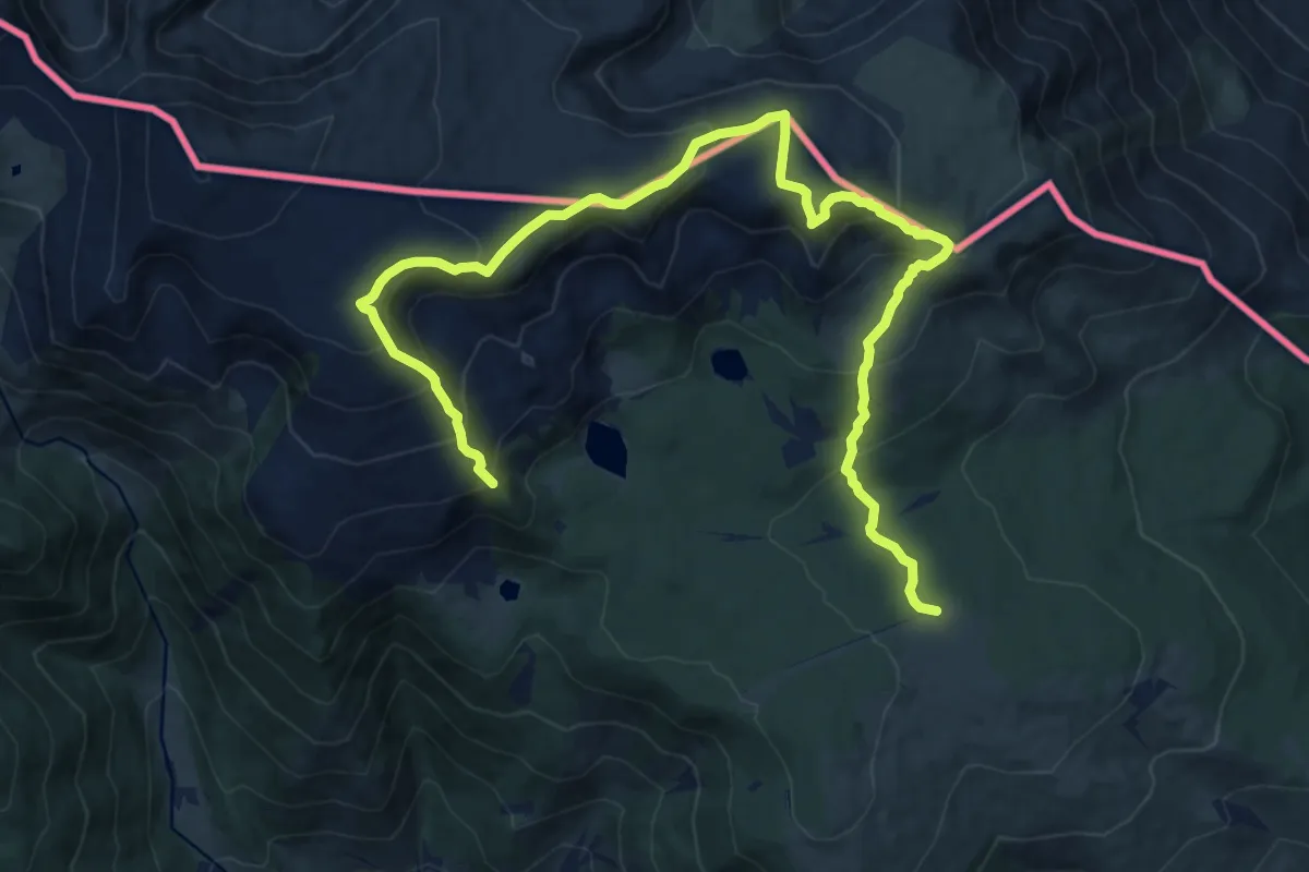
Demanding · Summit
TC230 Refugi de la Feixa Puig Farinós Estany de Malniu
9.0 km · ↑ 691 m · 3 h 37 min
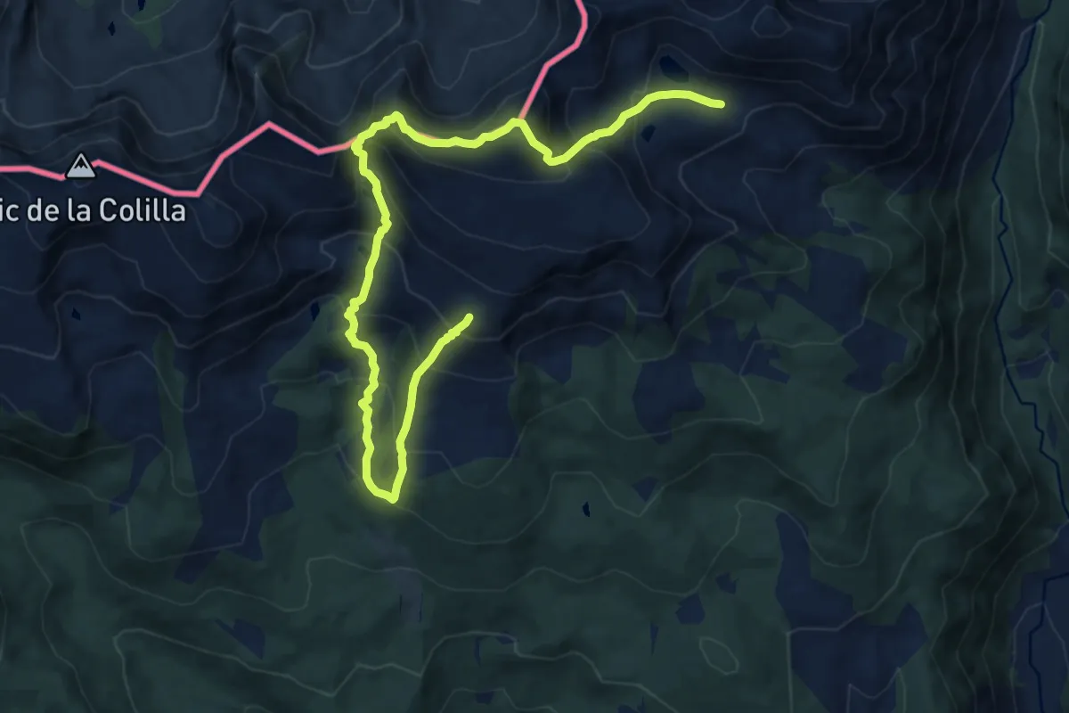
Demanding · Summit
TC231 Refugi del Pradell Tossa Plana de Lles
7.5 km · ↑ 708 m · 3 h 25 min
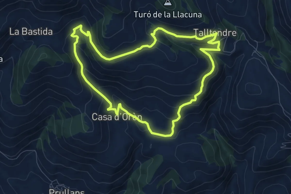
Medium · Cabin
TC237 Talltendre Sant Mamet Casa d'Orèn
8.9 km · ↑ 394 m · 3 h 4 min
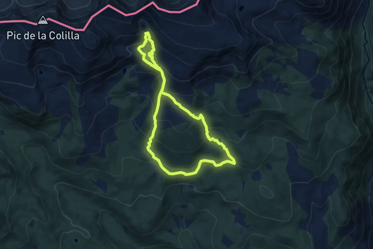
Medium · Trail
TC238 Refugi del Pradell Estanys de Setut Estany de l'Orri
8.7 km · ↑ 551 m · 3 h 22 min
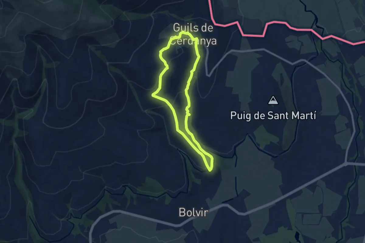
Easy · Summit
TC245 Guils Bolvir
6.6 km · ↑ 231 m · 2 h 10 min
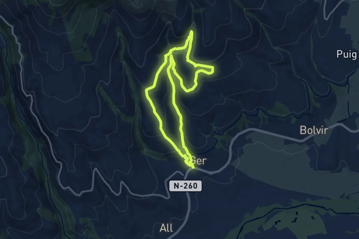
Medium · Trail
TC246 Ger Niula
10.5 km · ↑ 469 m · 3 h 39 min
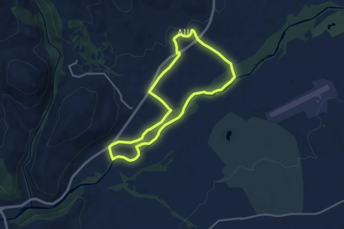
Easy · Trail
TC249 Isòvol riu Segre All
7.7 km · ↑ 51 m · 2 h 2 min
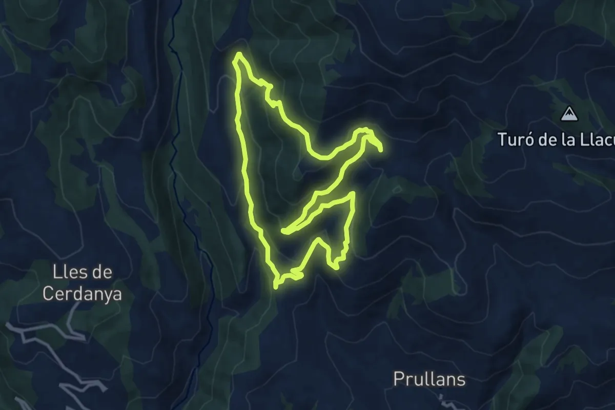
Medium · Trail
TC256 Ardòvol Sant Quintí La Bastida Coborriu
11.0 km · ↑ 515 m · 3 h 52 min
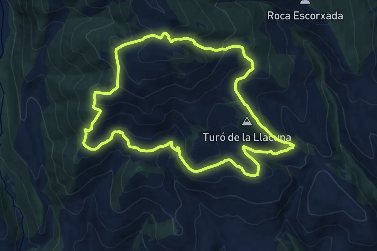
Medium · Summit
TC257 Talltendre la Bastifa Font del Ferro
13.5 km · ↑ 727 m · 4 h 57 min
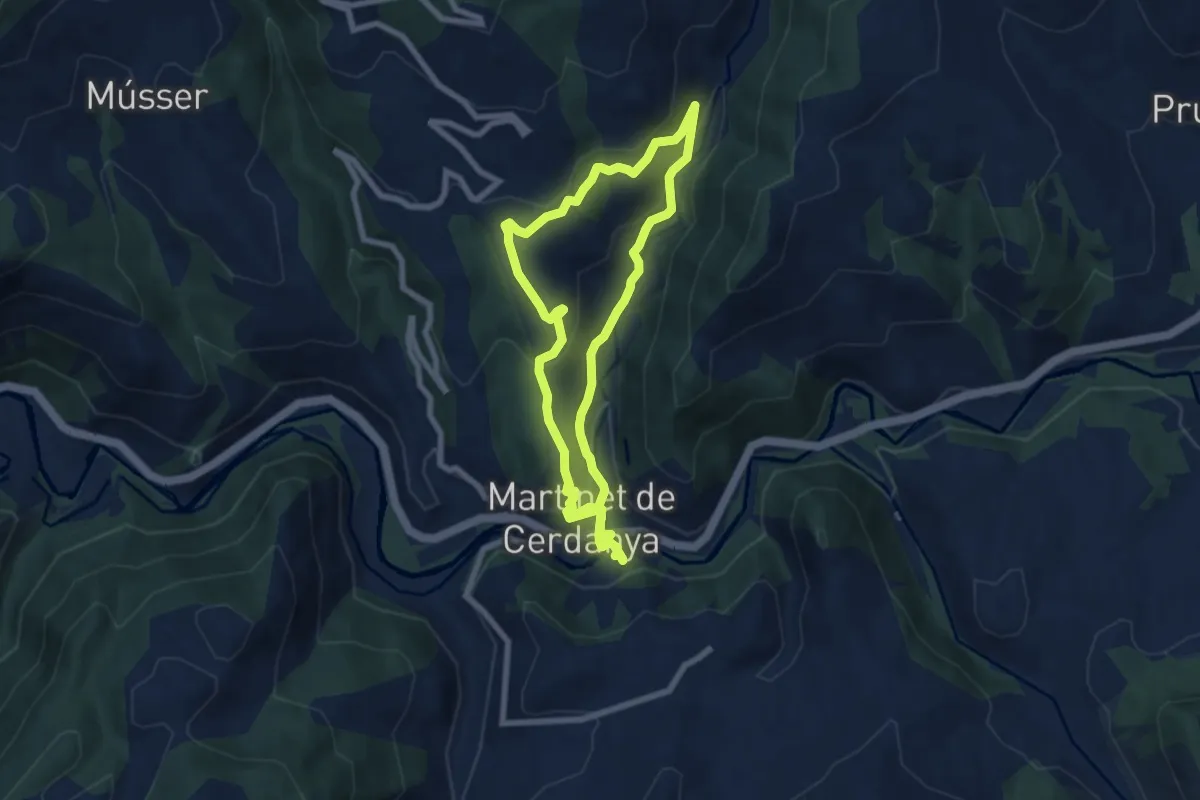
Easy · Trail
TC259 Martinet Travesseres
7.5 km · ↑ 236 m · 2 h 23 min
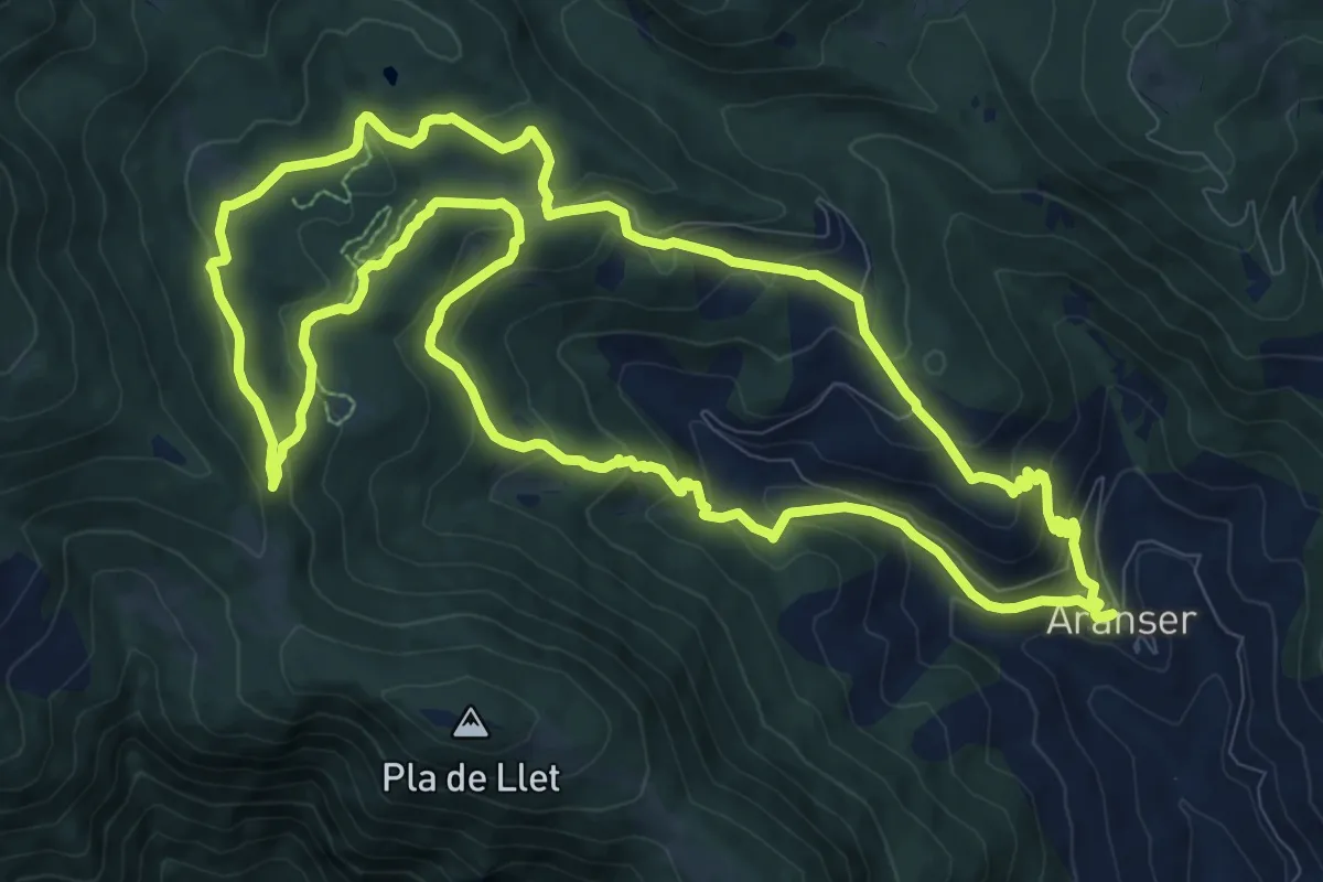
Medium · Trail
TC261 Aransa Mirador del Pla de la Llet
12.2 km · ↑ 579 m · 4 h 18 min
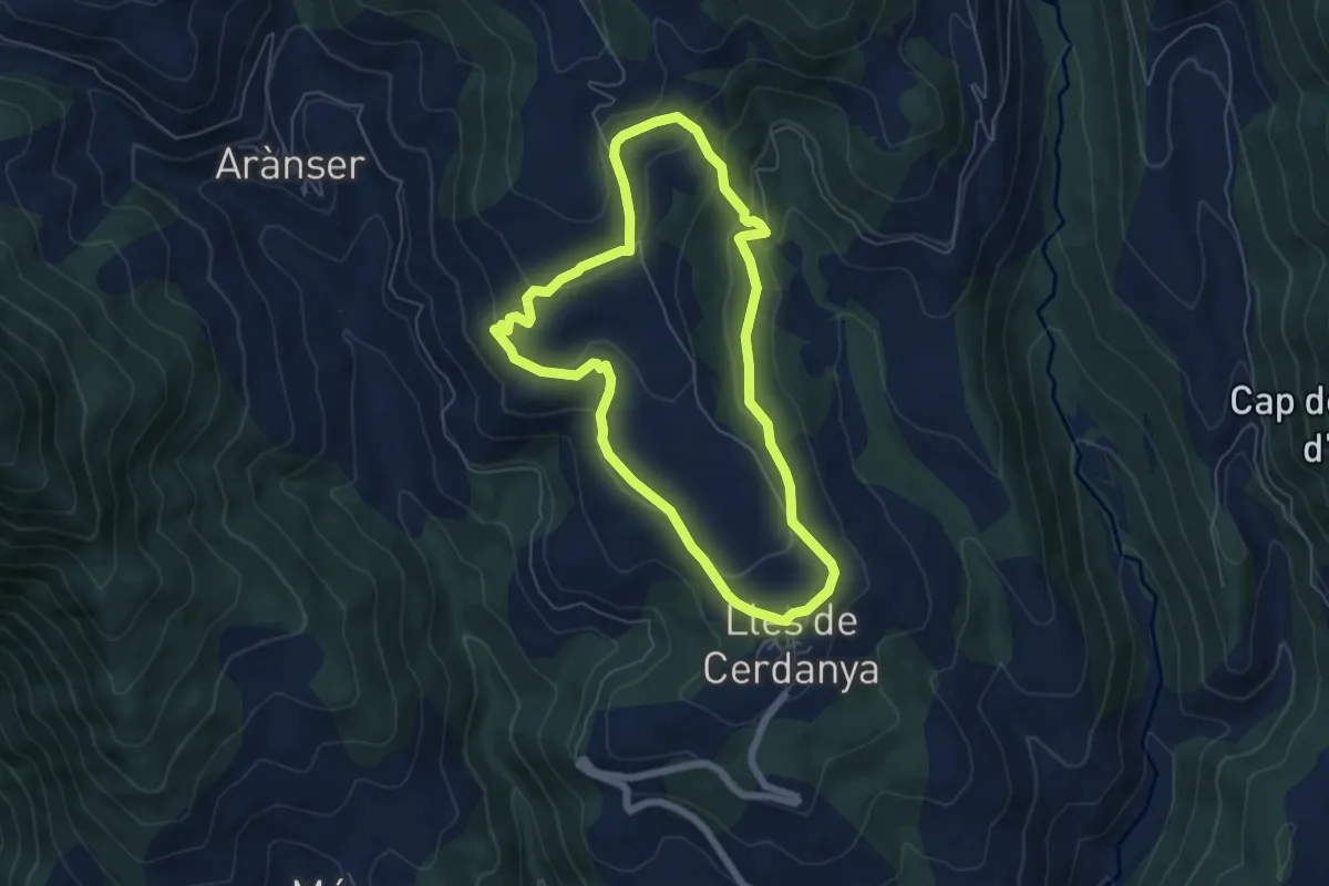
Easy · Trail
TC261 Voltants de Lles de Cerdanya
6.1 km · ↑ 239 m · 2 h 3 min
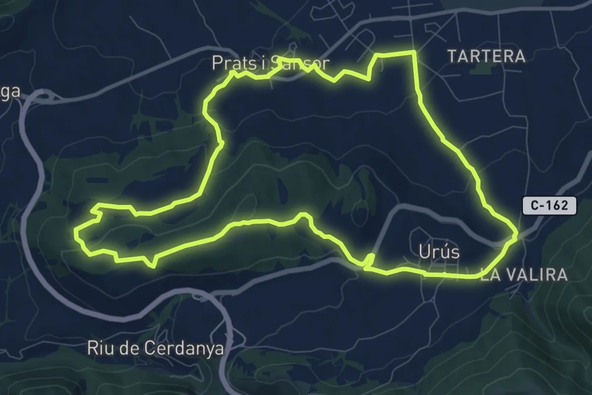
Medium · Summit
TC269 Prats Urús
10.5 km · ↑ 222 m · 3 h 6 min
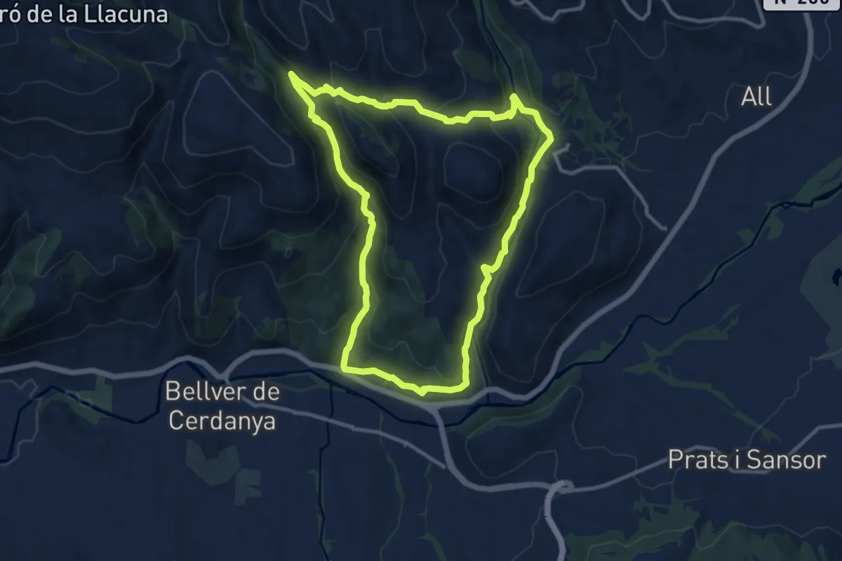
Medium · Trail
TC273 Dolmen d'en Josepó Olopte
10.9 km · ↑ 450 m · 3 h 42 min
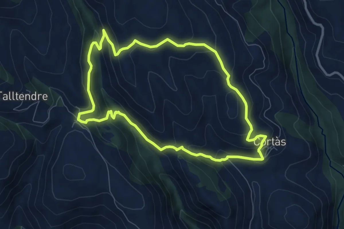
Medium · Trail
TC277 Cortàs Ordèn
7.6 km · ↑ 371 m · 2 h 41 min
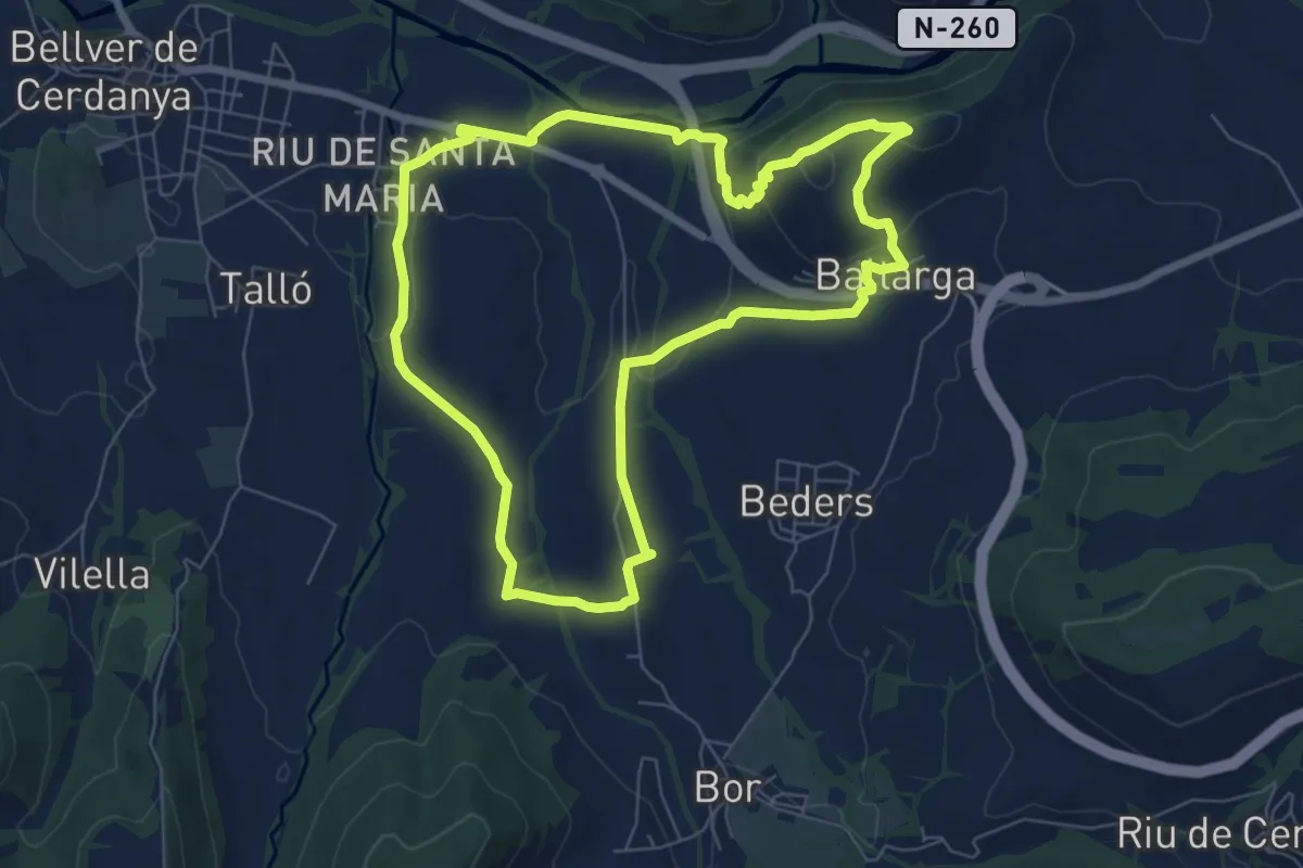
Easy · Summit
TC278 Baltarga Riu de Santa Maria
7.6 km · ↑ 187 m · 2 h 18 min
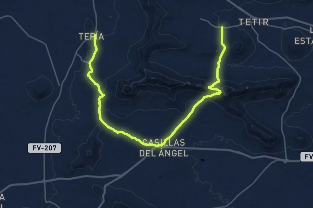
Demanding · Trail
Tefía - Casillas - Tefía
23.1 km · ↑ 789 m · 7 h 10 min
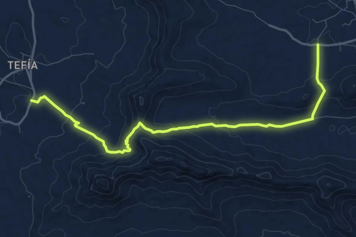
Medium · Trail
Tefía - Valle de Tetir - Tetir
13.0 km · ↑ 517 m · 4 h 11 min
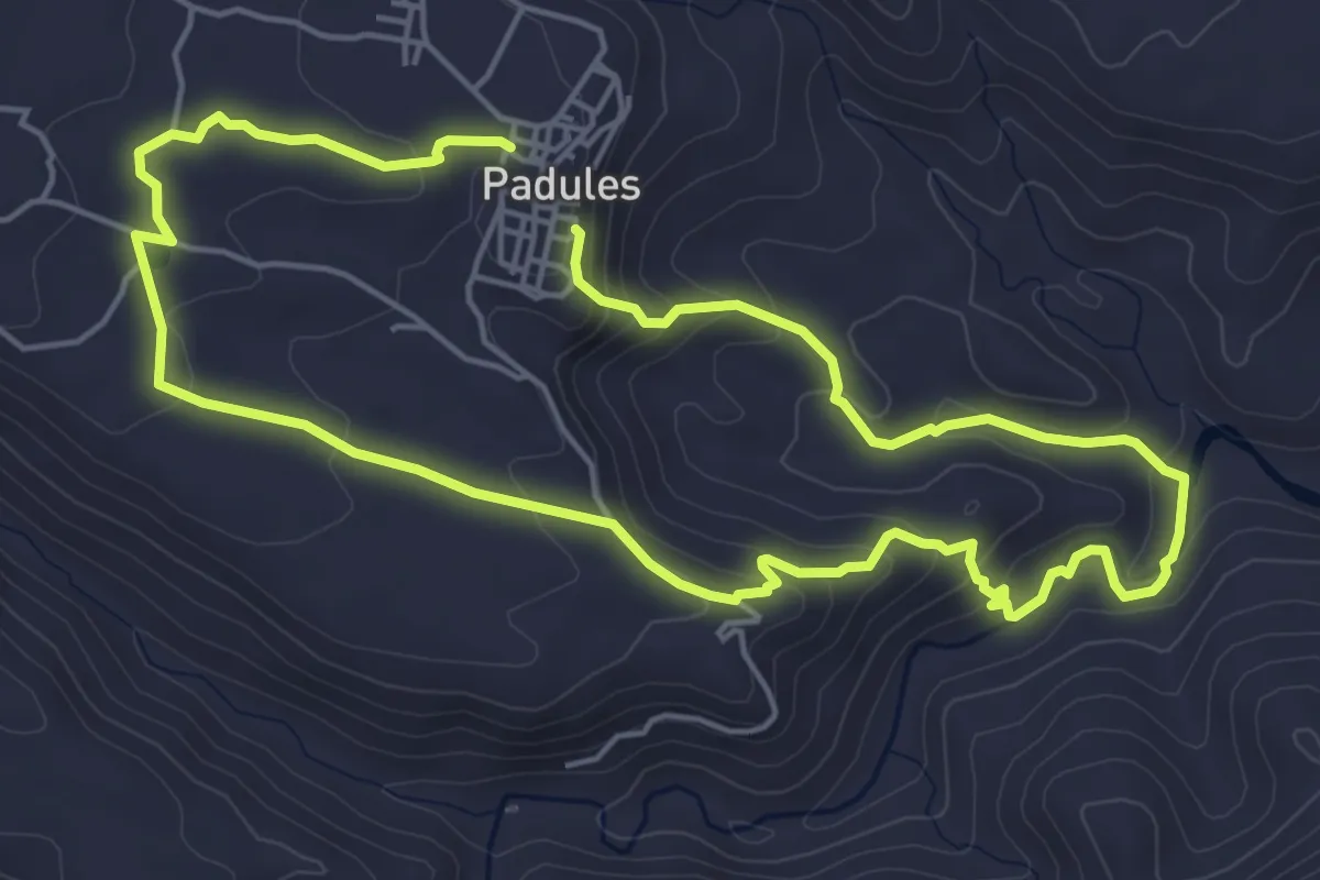
Easy · Trail
Tejar - Llanillo del Majuelo
5.6 km · ↑ 217 m · 1 h 51 min
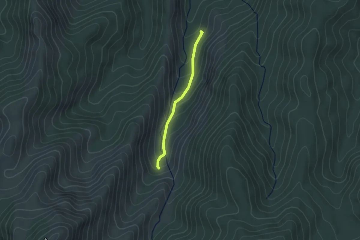
Easy · Trail
Tejos Milenarios
2.5 km · ↑ 135 m · 52 min
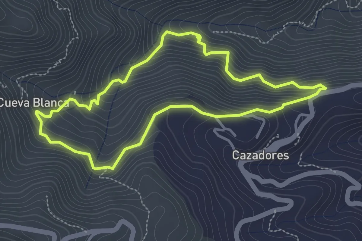
Easy · Trail
Telde
3.4 km · ↑ 284 m · 1 h 28 min
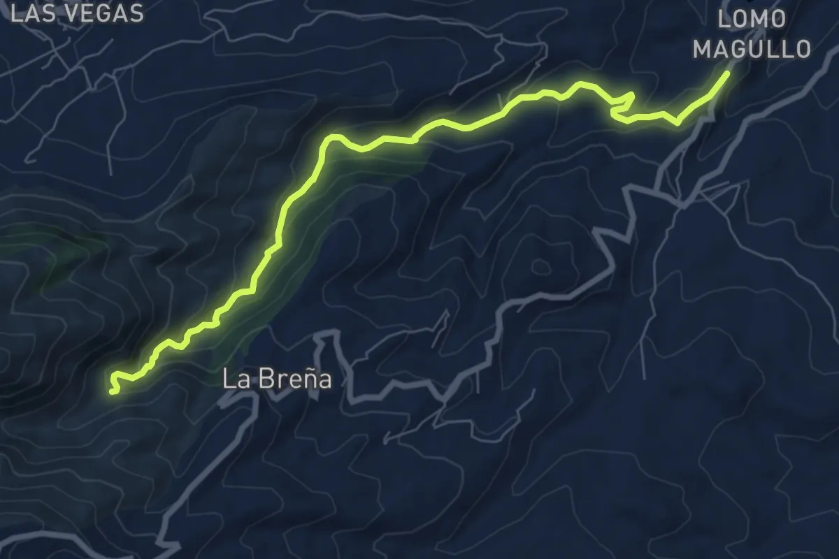
Demanding · Trail
Telde
10.1 km · ↑ 434 m · 3 h 19 min
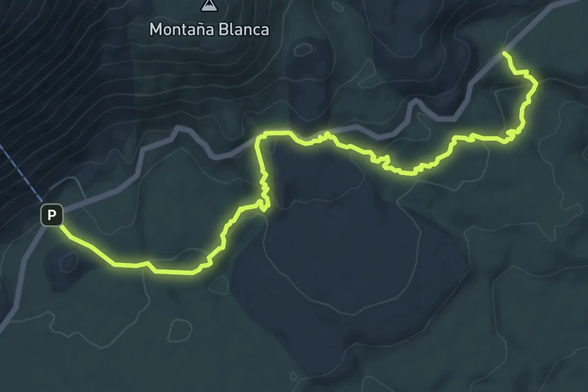
Medium · Trail
Teleférico-Montaña Blanca-Minas de San José
13.0 km · ↑ 517 m · 4 h 11 min
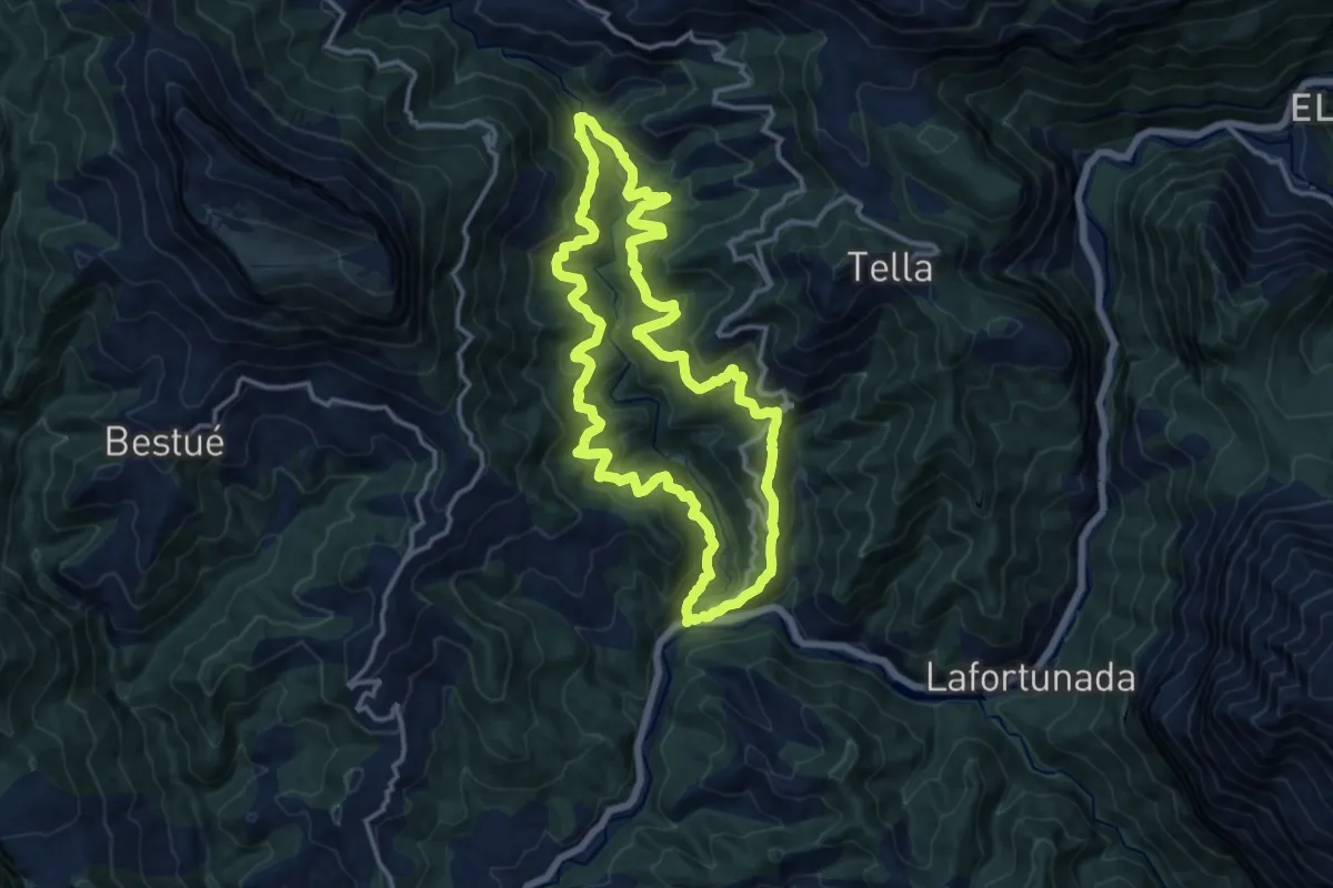
Demanding · Trail
Tella - Cortalaviña - Hospital de Tella - Mirabal - Estaroniello
14.1 km · ↑ 860 m · 5 h 23 min
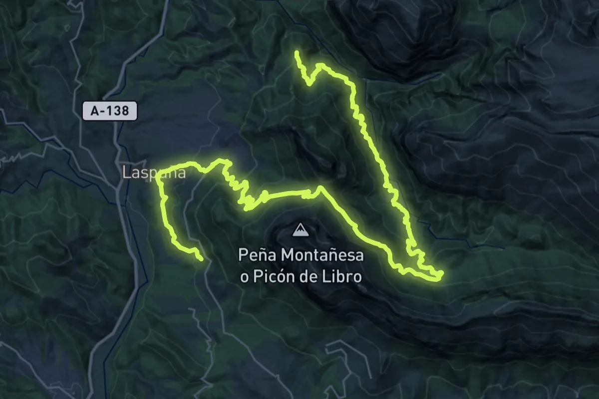
Demanding · Summit
Tella - Lafortunada - Ceresa - Laspuña - Ermita La Fuensanta
50.3 km · ↑ 2703 m · 17 h 44 min
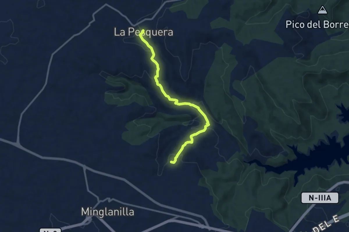
Medium · Trail
Tematico de las Minas de Sal
9.4 km · ↑ 298 m · 2 h 51 min
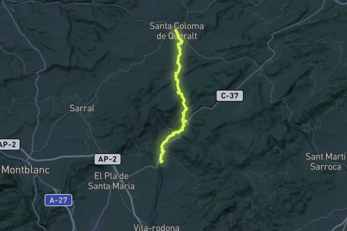
Demanding · Trail
Terres del Gaià
23.5 km · ↑ 703 m · 7 h 16 min
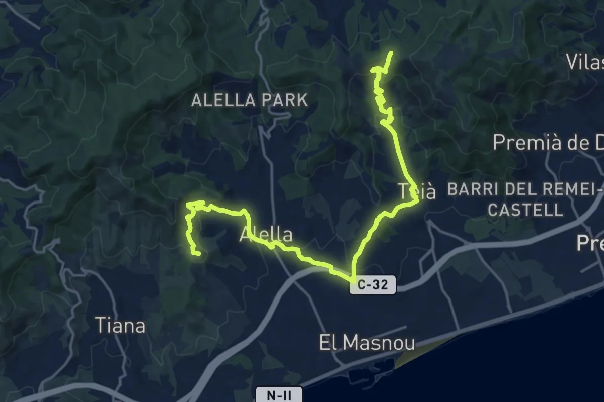
Demanding · Summit
Tiana-Teià
18.8 km · ↑ 713 m · 5 h 58 min
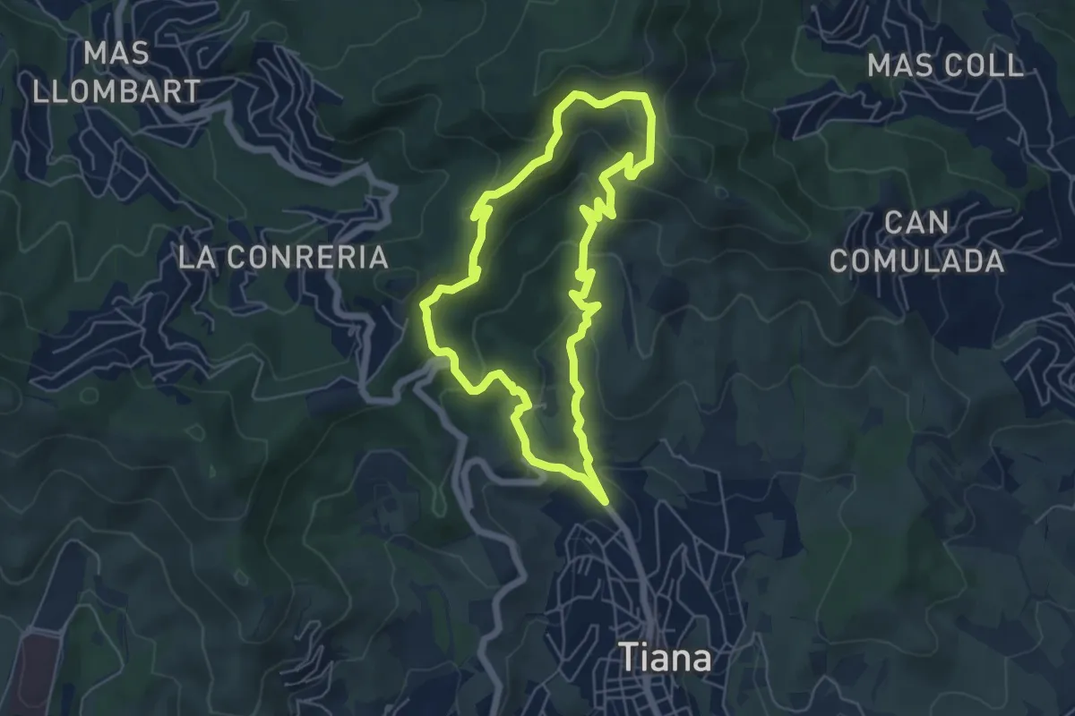
Medium · Trail
Tiana-Turó d'en Galzeran
5.7 km · ↑ 315 m · 2 h 6 min
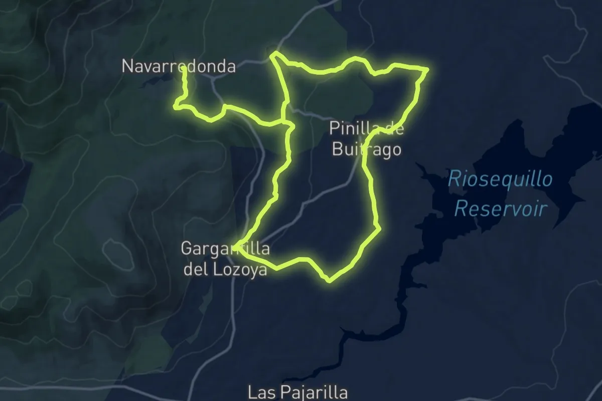
Medium · Trail
Tierra de Colonos
14.8 km · ↑ 257 m · 4 h 12 min
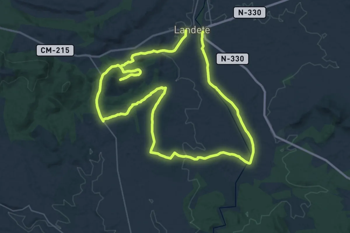
Demanding · Trail
Tierra de Landete
25.0 km · ↑ 355 m · 7 h 2 min