Trails in Spain
5,960 hiking trails, each with its route, climb, walking time and grade.
All trails, page 113 of 125
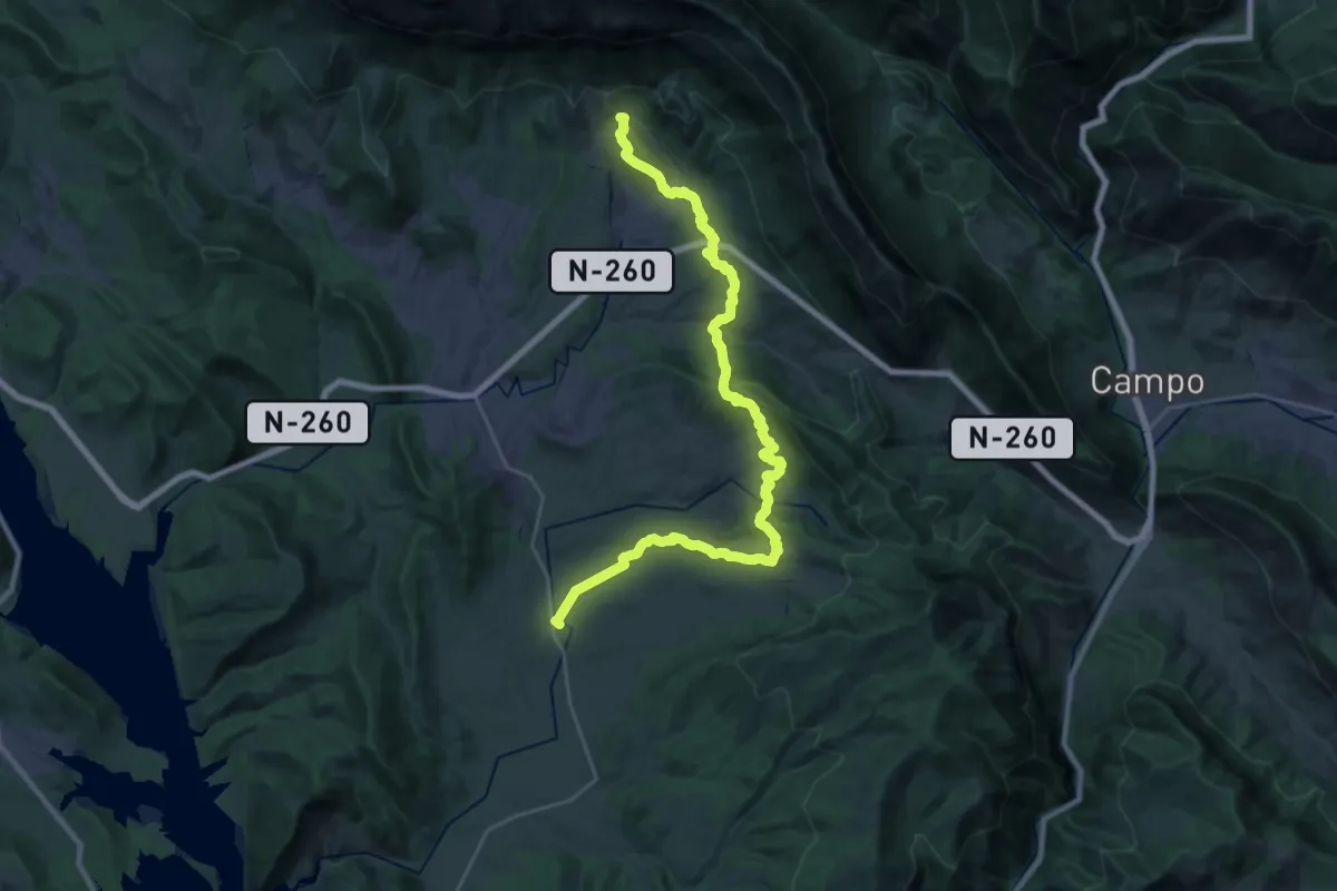
Medium · Trail
Tierrantona - San Juan de Toledo de la Nata
16.0 km · ↑ 745 m · 5 h 29 min
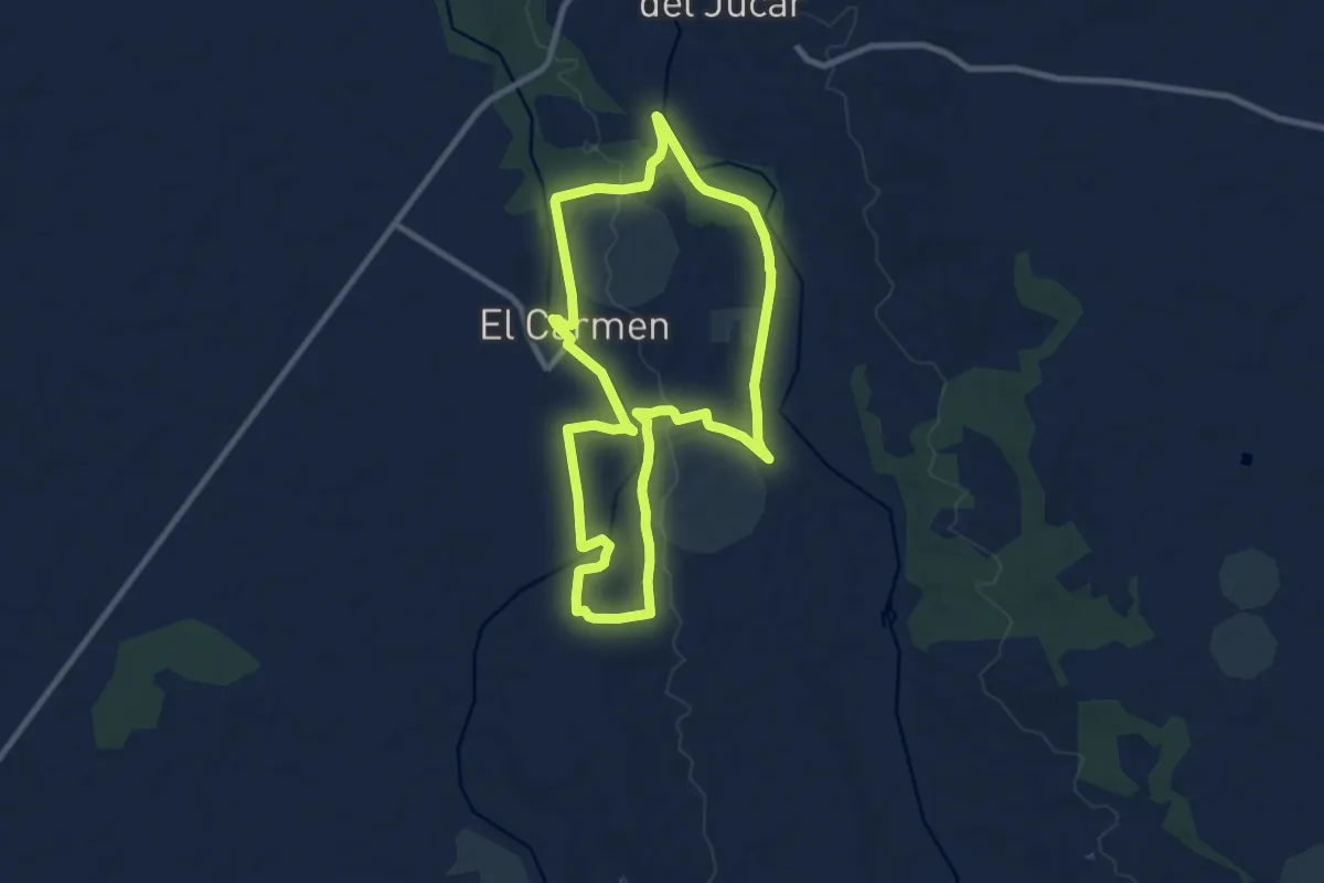
Medium · Trail
Tierras de Catalina de Cardona - Aldea del Carmen (Casas de Benítez)
10.1 km · ↑ 94 m · 2 h 44 min
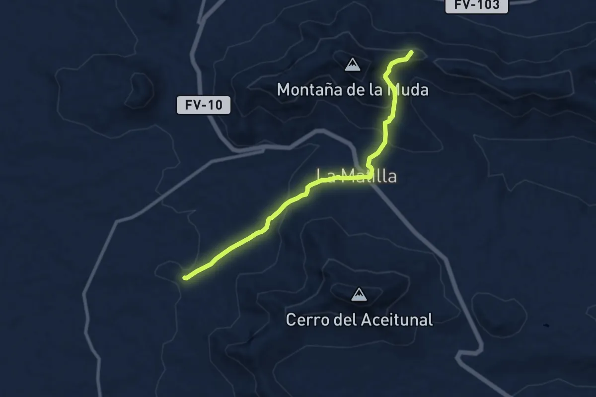
Medium · Summit
Tindaya - Vallebrón - Tefía
9.1 km · ↑ 333 m · 2 h 53 min
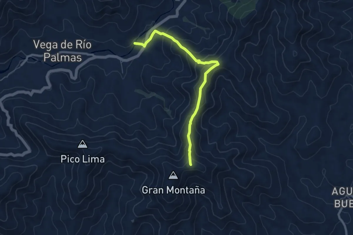
Medium · Summit
Tiscamanita - Vega del Río Palmas
7.4 km · ↑ 405 m · 2 h 37 min
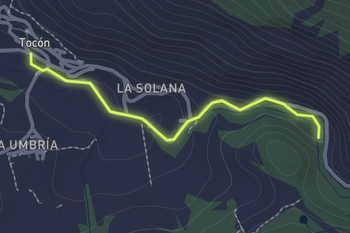
Easy · Trail
Tocón - Vado Muchacho
2.1 km · ↑ 57 m · 37 min
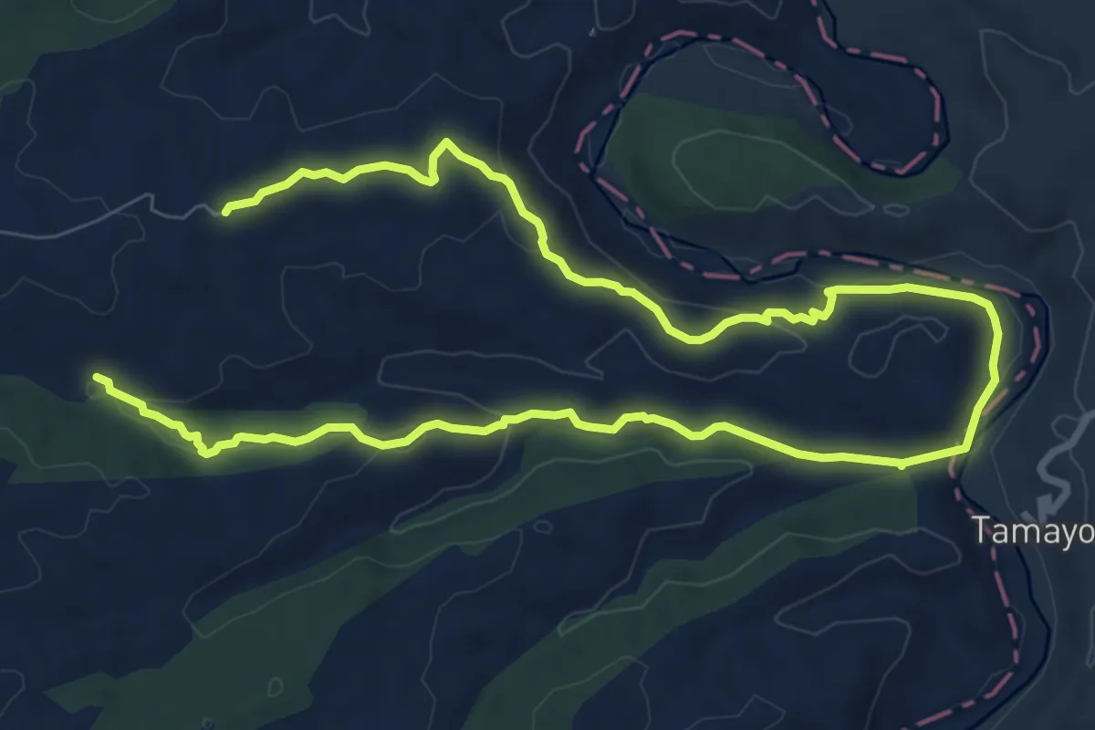
Easy · Trail
Tollo de la Tortuga-Tamayo (Villamalea)
7.7 km · ↑ 189 m · 2 h 20 min
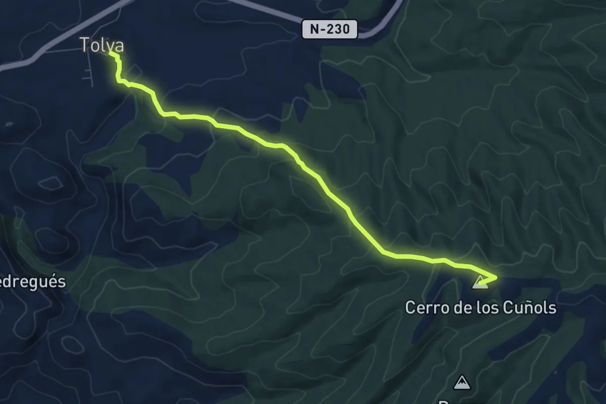
Medium · Summit
Tolva - Mas de Quintillà
8.5 km · ↑ 402 m · 2 h 52 min
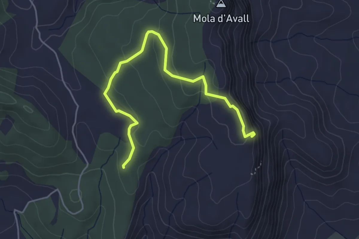
Easy · Summit
Tomb de los Rases
5.0 km · ↑ 155 m · 1 h 31 min
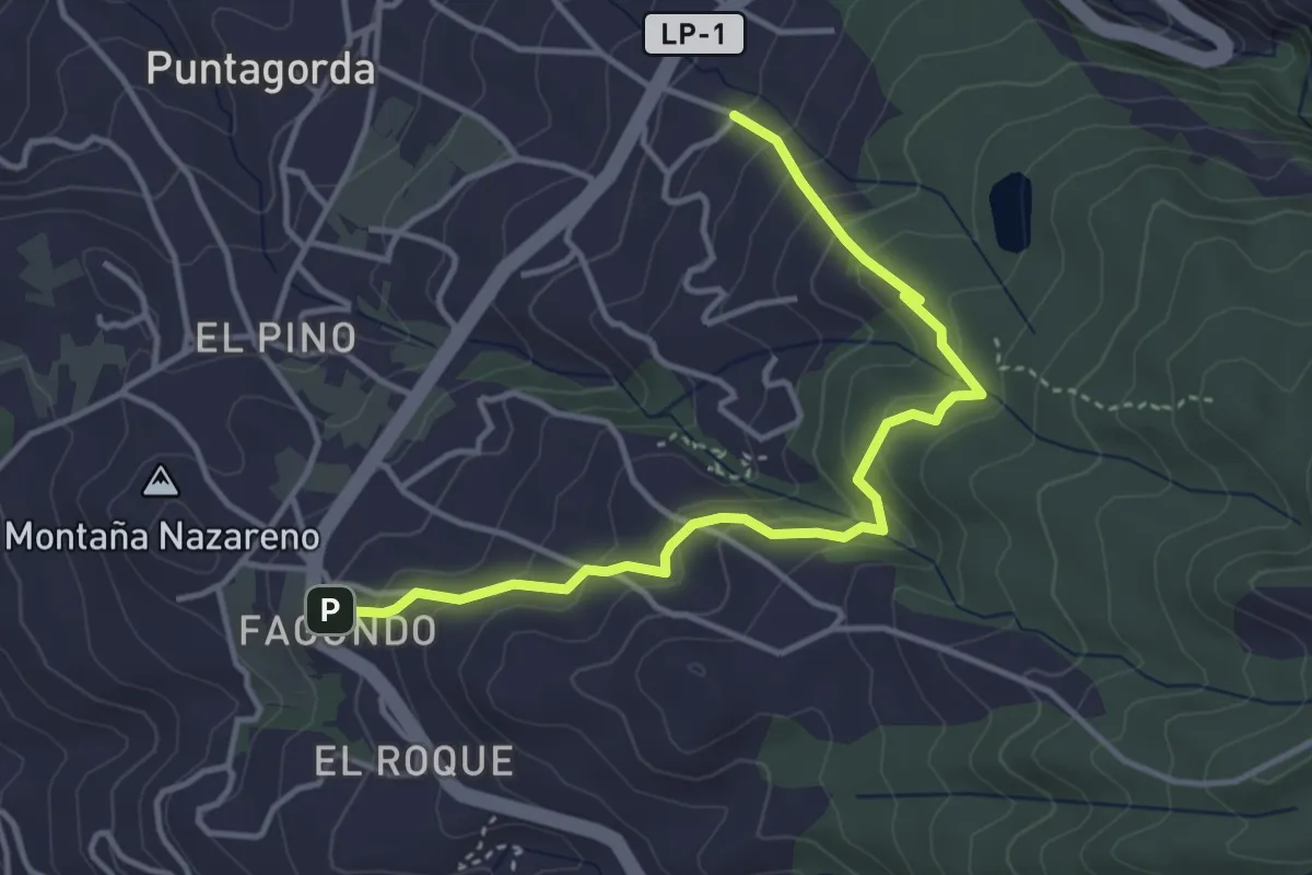
Easy · Trail
Topo del Drago – Molino de los Venteros
5.2 km · ↑ 264 m · 1 h 48 min
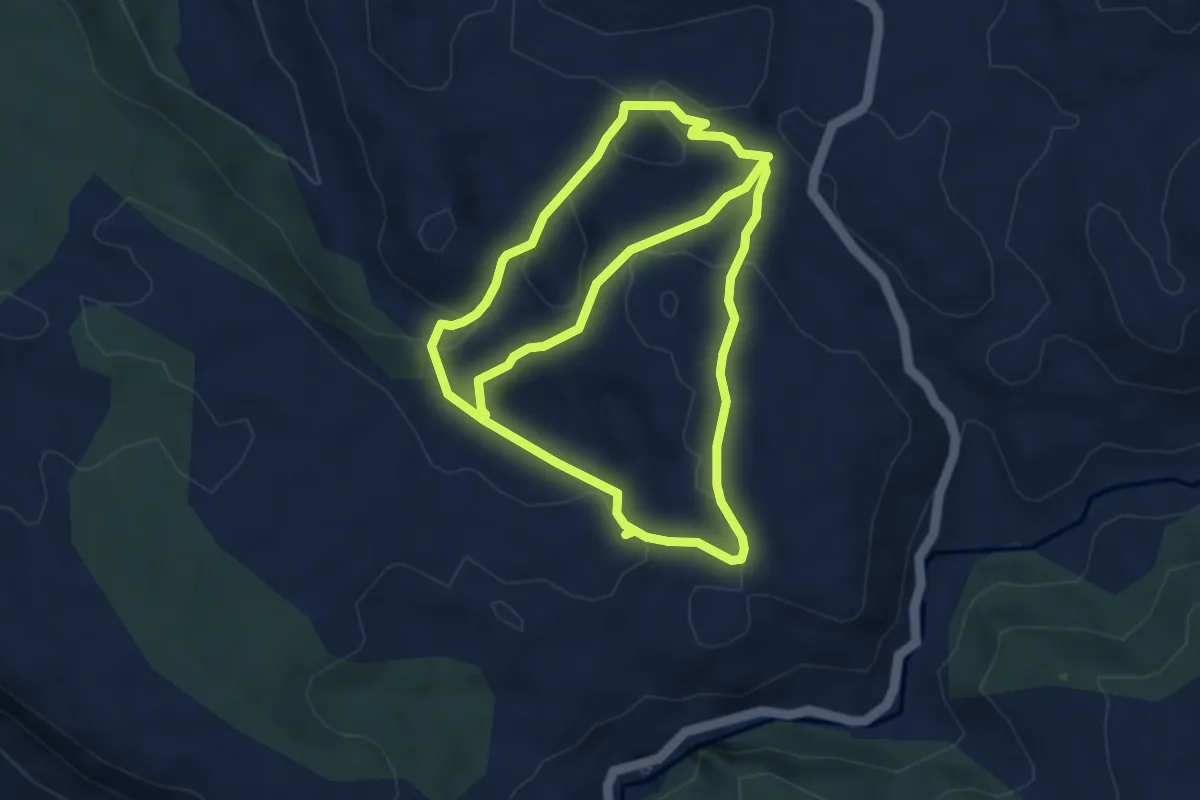
Easy · Trail
Torcal de la Lagunaseca
4.6 km · ↑ 113 m · 1 h 24 min
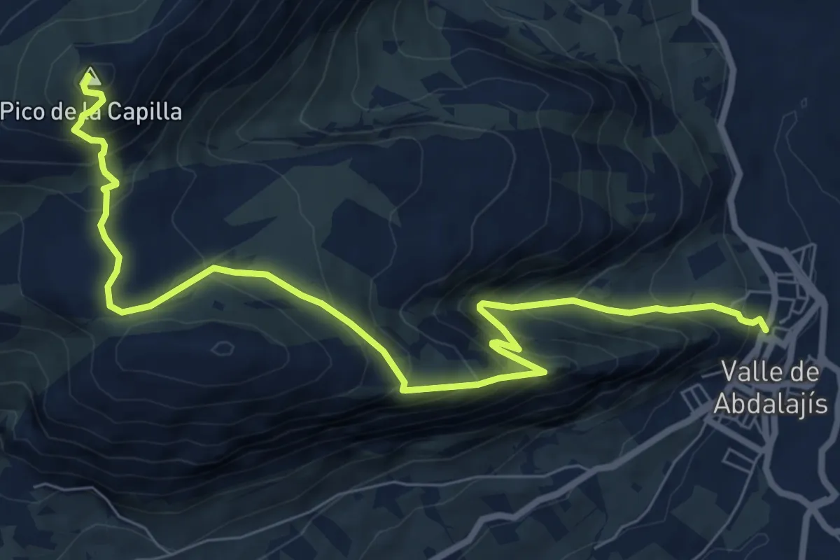
Demanding · Summit
Torcal del Charcón
10.3 km · ↑ 818 m · 4 h 13 min
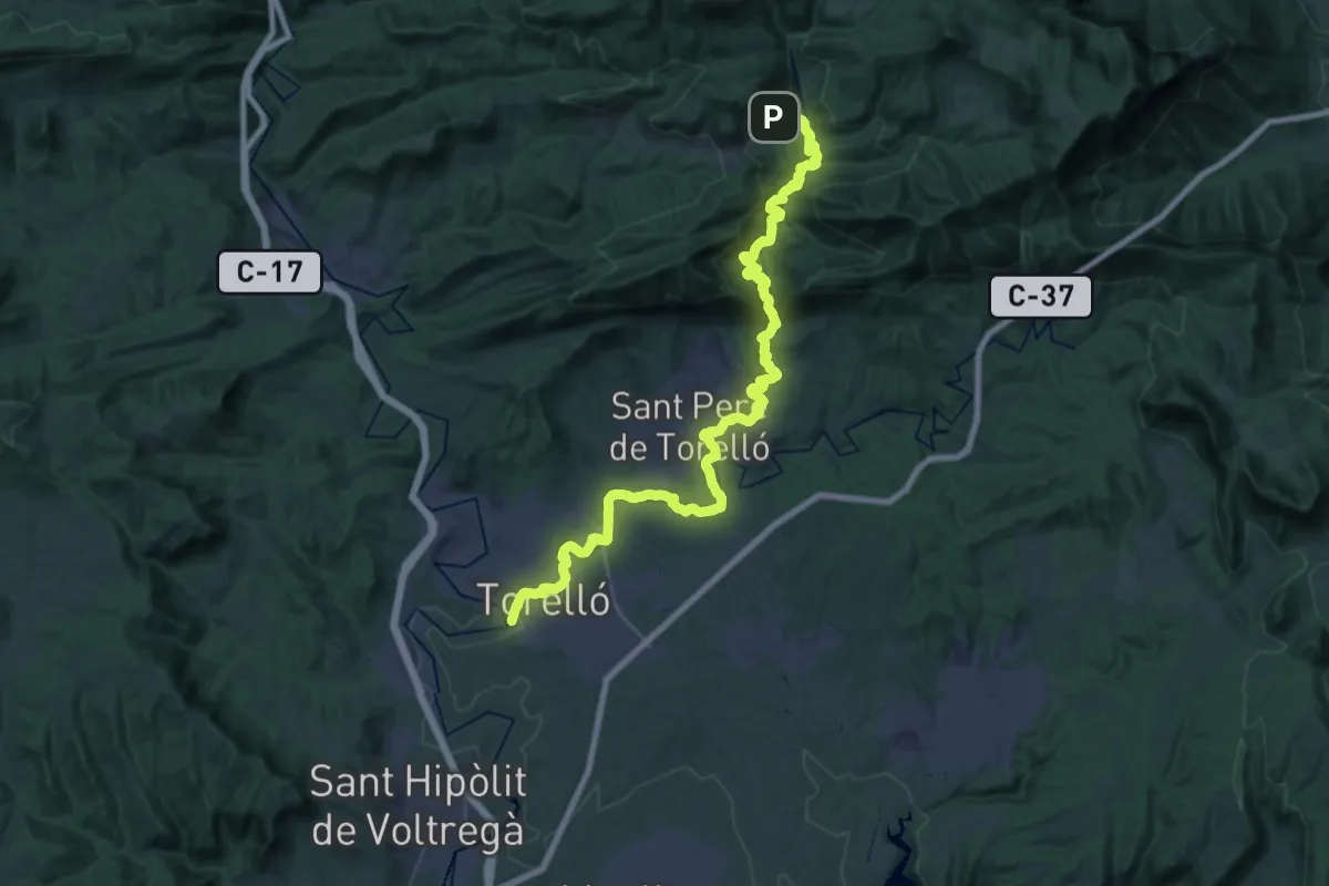
Medium · Trail
Torelló-Vidrà
17.9 km · ↑ 745 m · 5 h 52 min
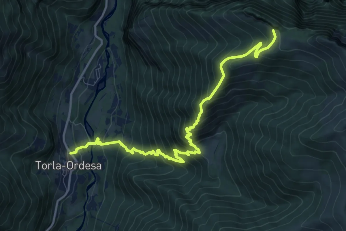
Demanding · Trail
Torla - Miradores d'o Molar
11.7 km · ↑ 1090 m · 5 h 7 min
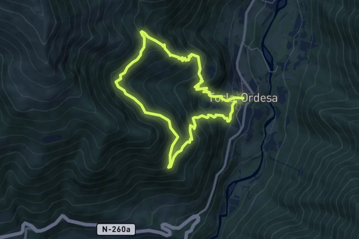
Medium · Trail
Torla - Torla por los caminos de Laor y Teraturio
5.8 km · ↑ 494 m · 2 h 31 min
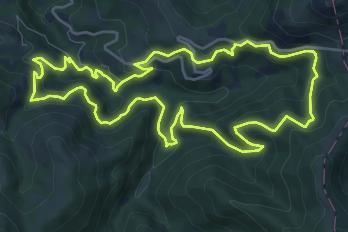
Medium · Trail
Tornola errekako iturburua
8.6 km · ↑ 557 m · 3 h 21 min
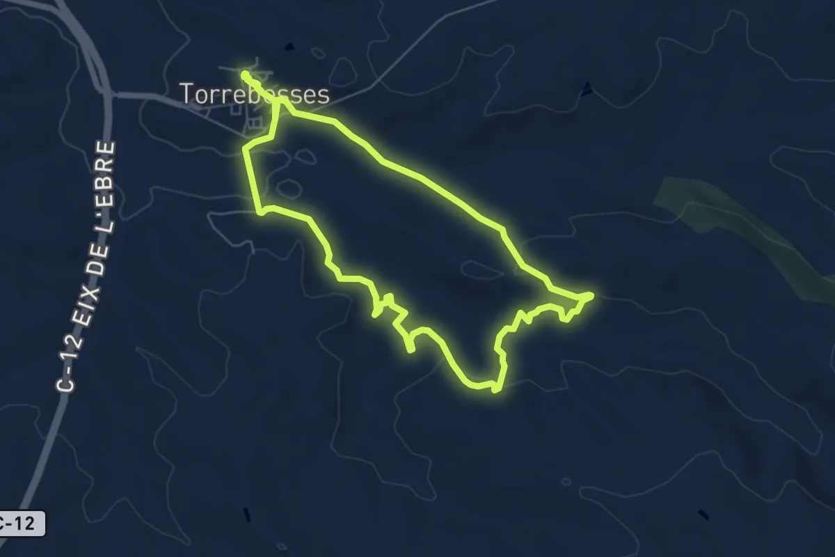
Easy · Trail
Torrebesses, ruta de la pedra seca
6.4 km · ↑ 117 m · 1 h 51 min
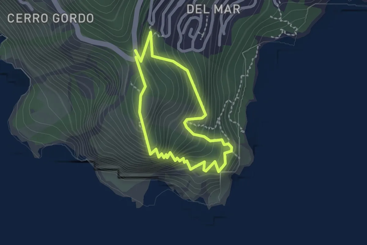
Medium · Trail
Torre de Cerro Gordo
1.9 km · ↑ 225 m · 58 min
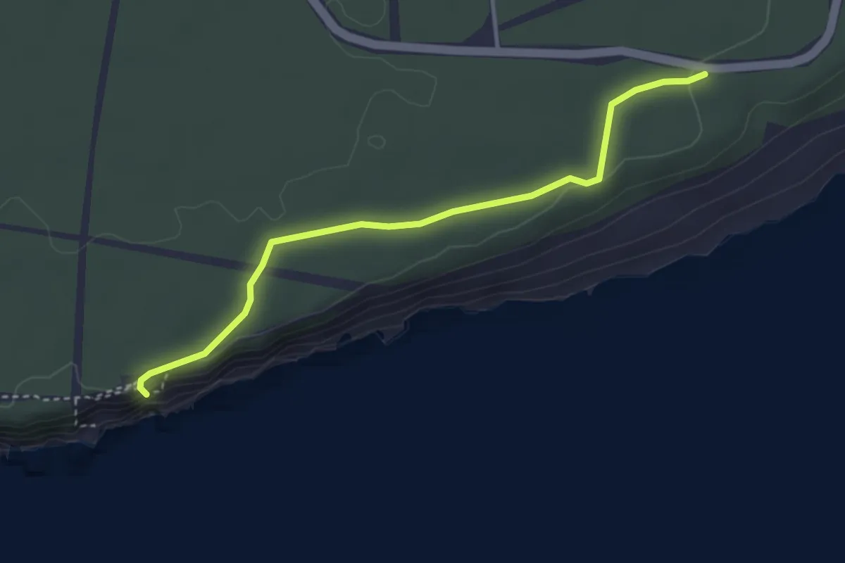
Easy · Trail
Torre del Tajo
4.1 km · ↑ 51 m · 1 h 5 min
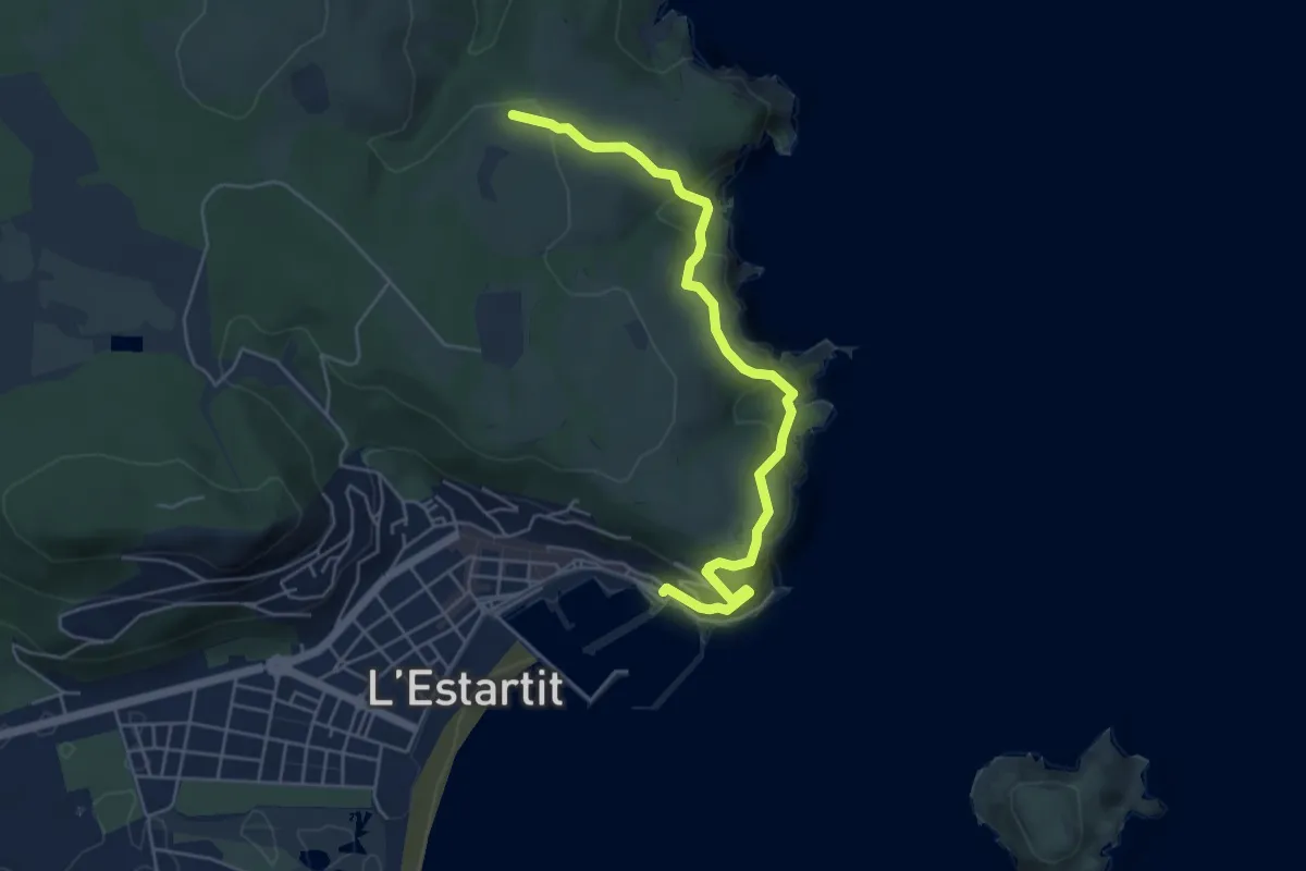
Demanding · Trail
Torre del Vent
5.7 km · ↑ 437 m · 2 h 18 min
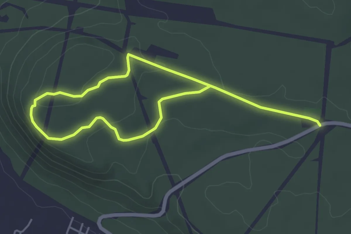
Easy · Trail
Torre de Meca
3.7 km · ↑ 53 m · 1 h 3 min
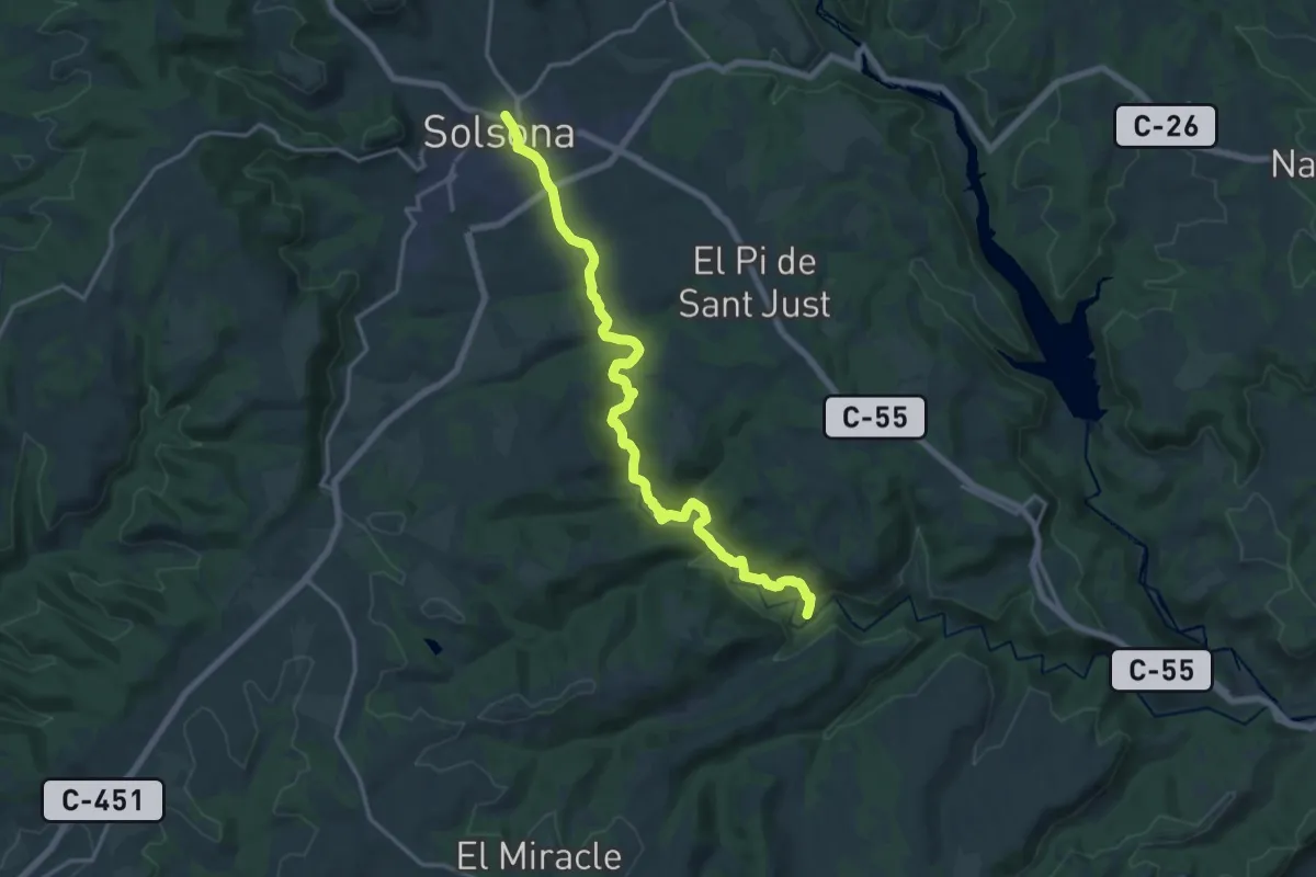
Demanding · Trail
Torre de Riner
19.6 km · ↑ 204 m · 5 h 4 min
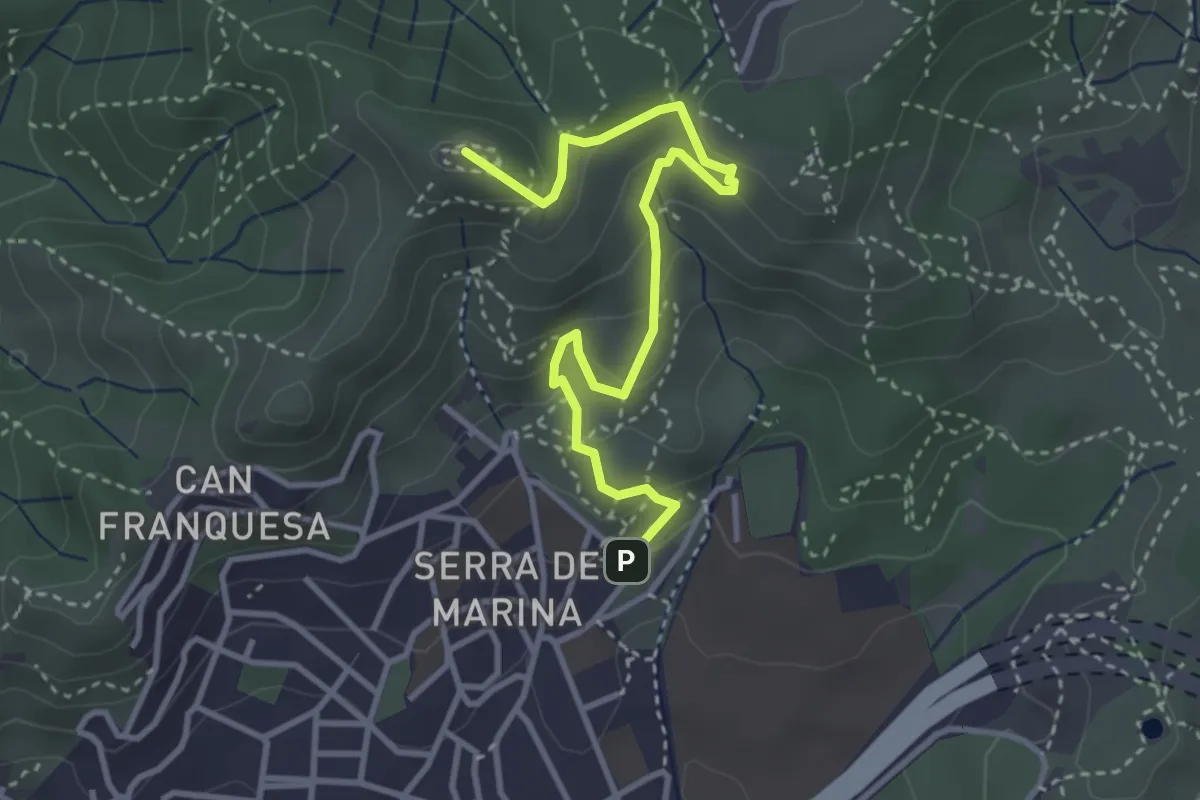
Demanding · Summit
Torrent de les Bruixes. Itinerari pedagògic
4.1 km · ↑ 238 m · 1 h 29 min
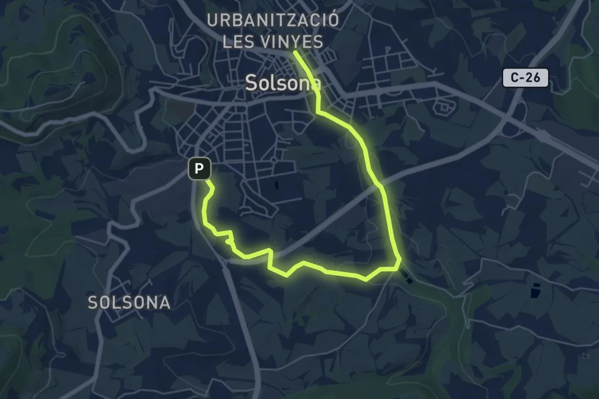
Easy · Trail
Torrent Ribalta
7.5 km · ↑ 74 m · 1 h 55 min
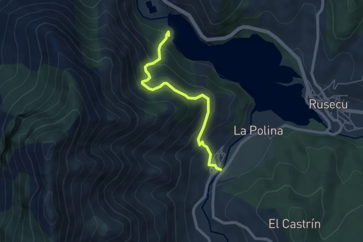
Medium · Trail
Torreon de Villamoréi
4.3 km · ↑ 444 m · 1 h 58 min
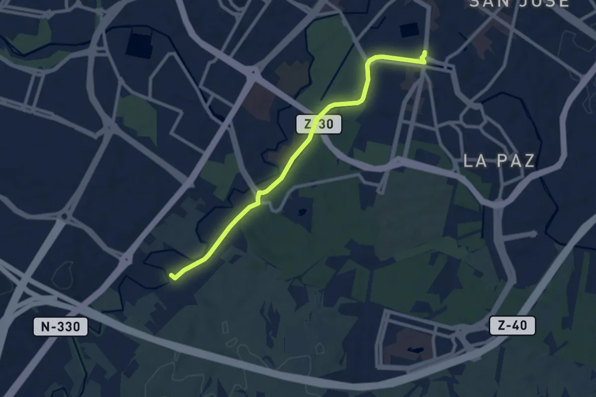
Easy · Trail
Torrero-Fuente de La Junquera
7.5 km · ↑ 51 m · 1 h 53 min
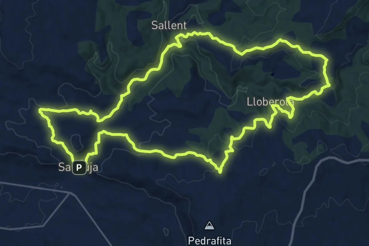
Demanding · Trail
Torres de guaita de la Segarra
20.7 km · ↑ 497 m · 6 h 15 min
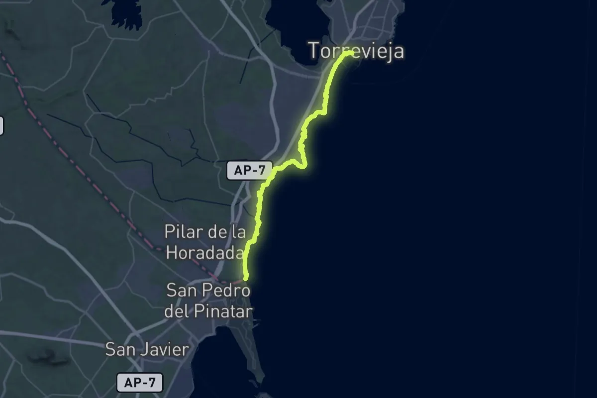
Demanding · Trail
Torrevieja - Pilar de la Horadada
21.3 km · ↑ 96 m · 5 h 32 min
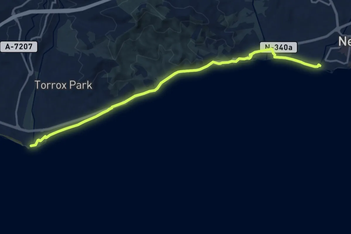
Medium · Trail
Torrox - Nerja
14.4 km · ↑ 150 m · 3 h 43 min
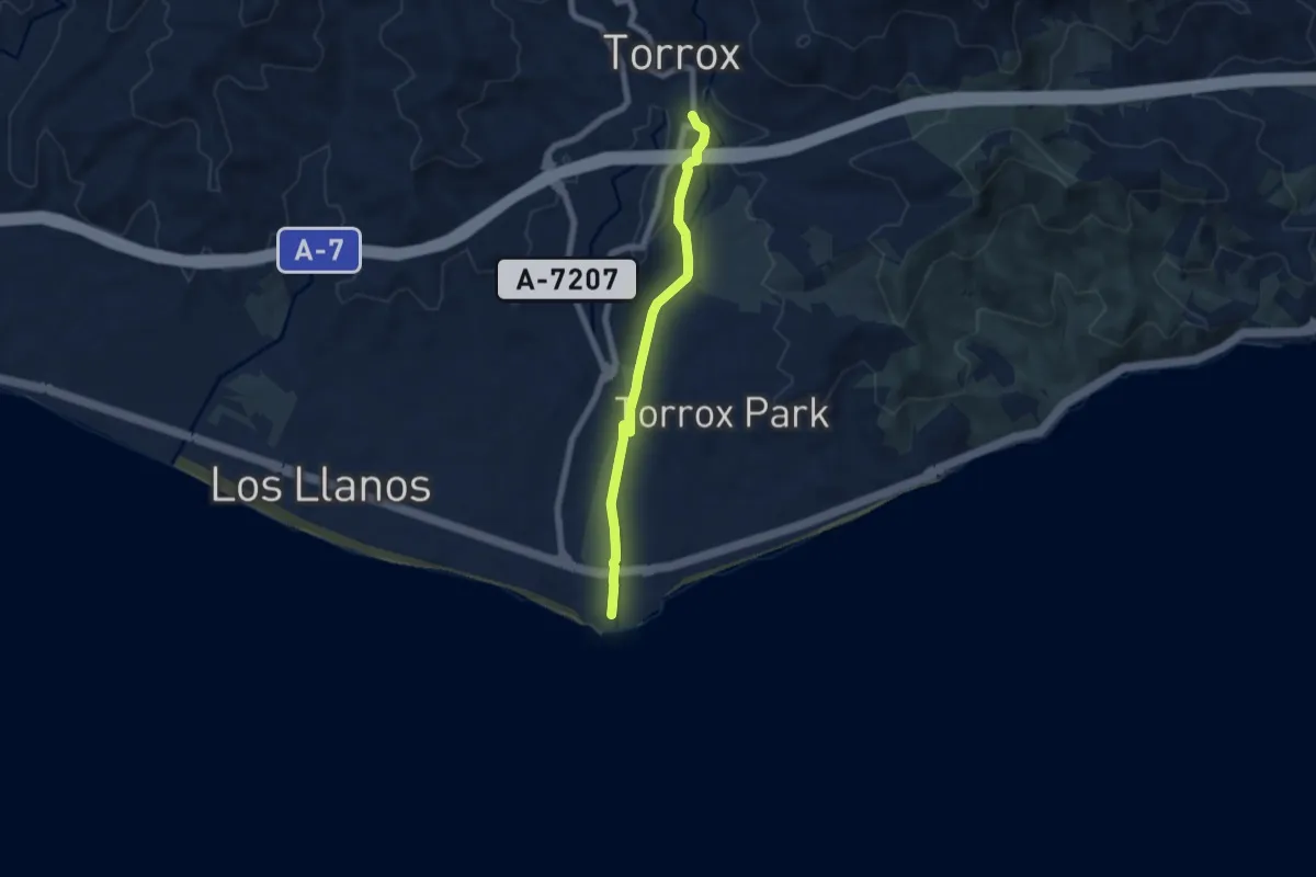
Easy · Trail
Torrox - Torrox Costa
6.8 km · ↑ 114 m · 1 h 52 min
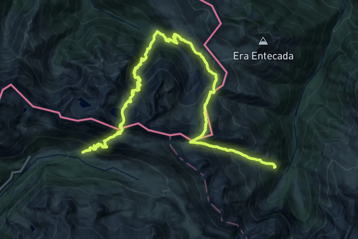
Demanding · Summit
Tour de l'Aneto
18.2 km · ↑ 1875 m · 8 h 29 min
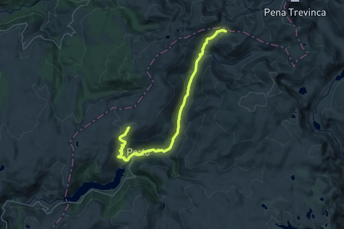
Medium · Trail
Trail Running Porto de Sanabria
13.7 km · ↑ 444 m · 4 h 25 min
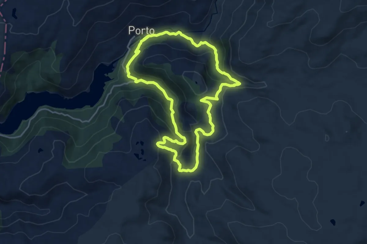
Medium · Trail
Trail Running Porto de Sanabria
14.1 km · ↑ 556 m · 4 h 43 min
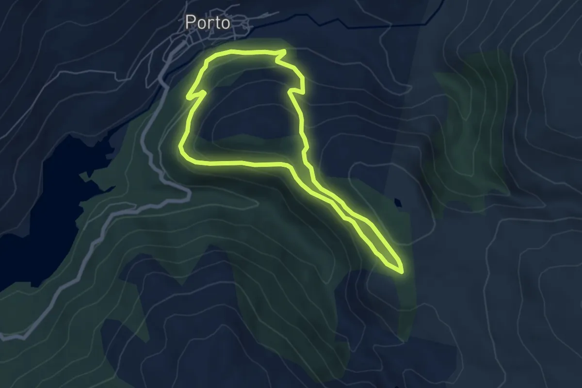
Easy · Trail
Trail Running Porto de Sanabria
5.8 km · ↑ 275 m · 2 h 3 min
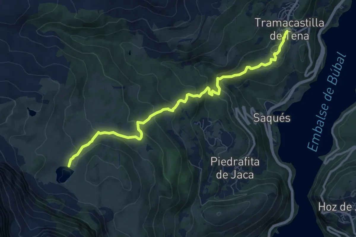
Medium · Trail
Tramacastilla de Tena - Ibón de Piedrafita
9.7 km · ↑ 478 m · 3 h 19 min
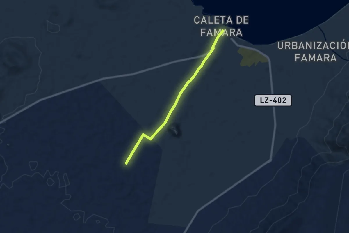
Easy · Trail
Tramo01 - Caleta de Famara - Acuche
6.7 km · ↑ 63 m · 1 h 44 min
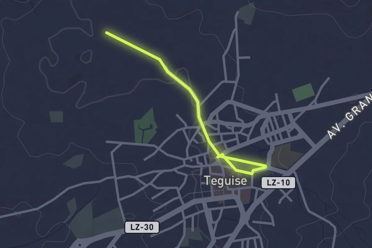
Easy · Trail
Tramo01 - Teguise - Ermita de San Rafael
3.0 km · ↑ 27 m · 46 min
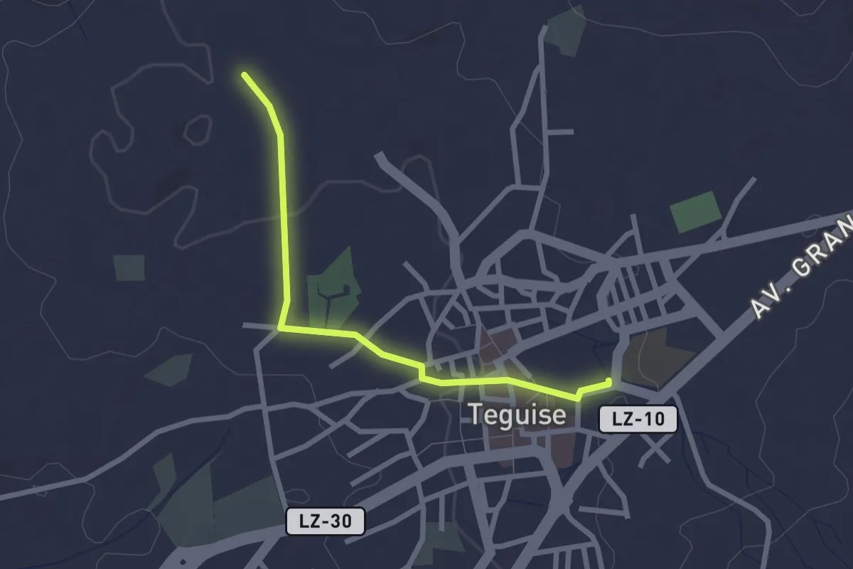
Easy · Trail
Tramo01 - Teguise - Ermita de San Rafael Va
2.9 km · ↑ 40 m · 46 min
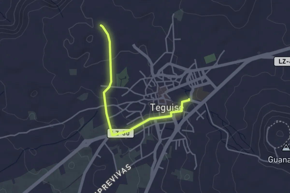
Easy · Trail
Tramo01 - Teguise - Ermita de San Rafael Vb
4.0 km · ↑ 67 m · 1 h 5 min
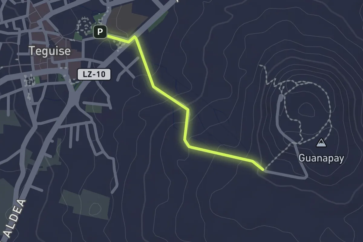
Easy · Trail
Tramo01 - Teguise - Guanapay
2.1 km · ↑ 79 m · 40 min
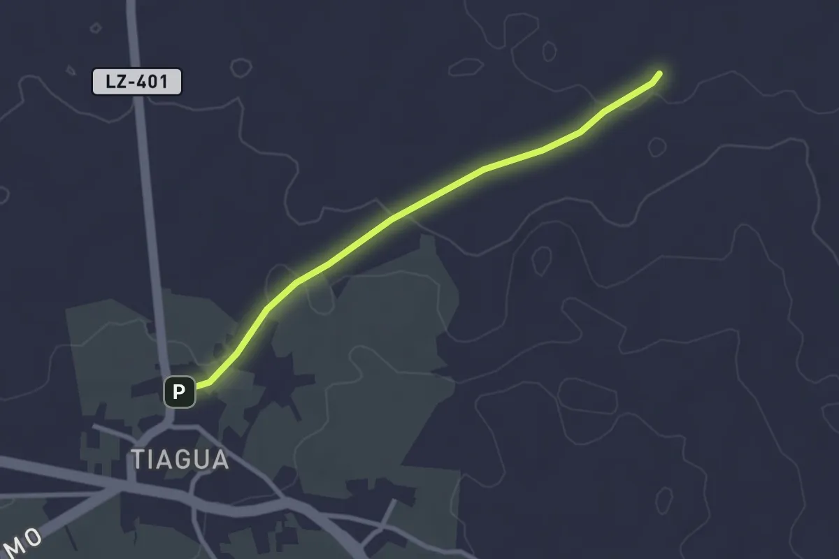
Easy · Trail
Tramo01 - Tiagua - Camino Teguise a Muñique
3.2 km · ↑ 48 m · 51 min
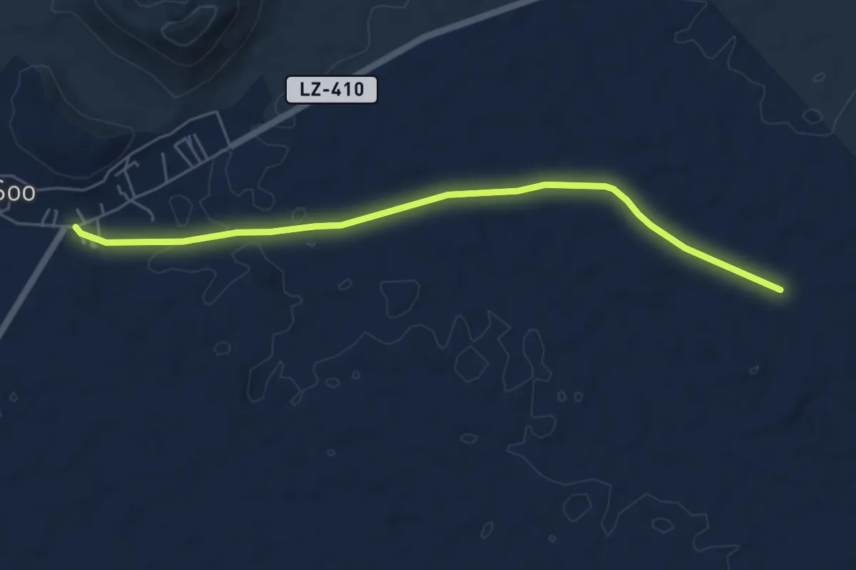
Easy · Trail
Tramo02 - Acuche - Soo
7.1 km · ↑ 45 m · 1 h 46 min
Easy · Trail
Tramo02 - Cruce Camino de Teguise a Muñique - Camino de Teguise a Soo
3.2 km · ↑ 35 m · 49 min
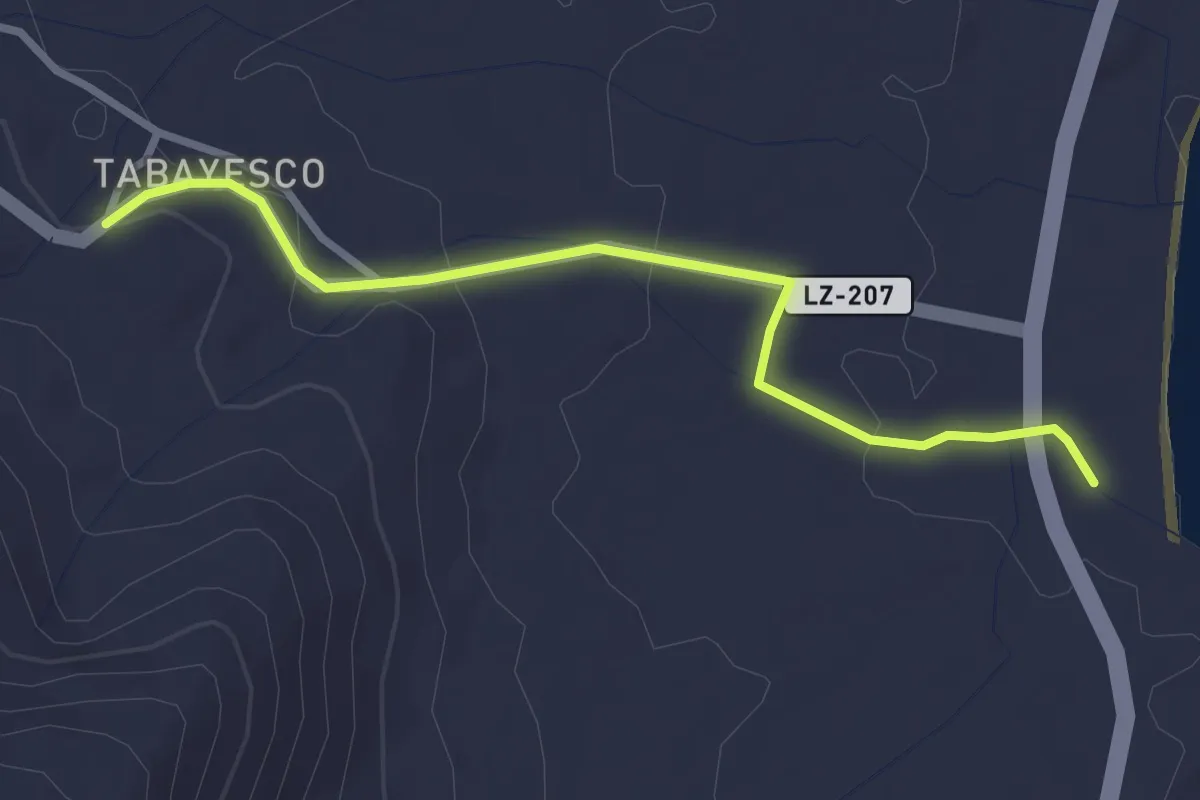
Easy · Trail
Tramo02 - El Lajero - Tabayesco
3.7 km · ↑ 83 m · 1 h 3 min
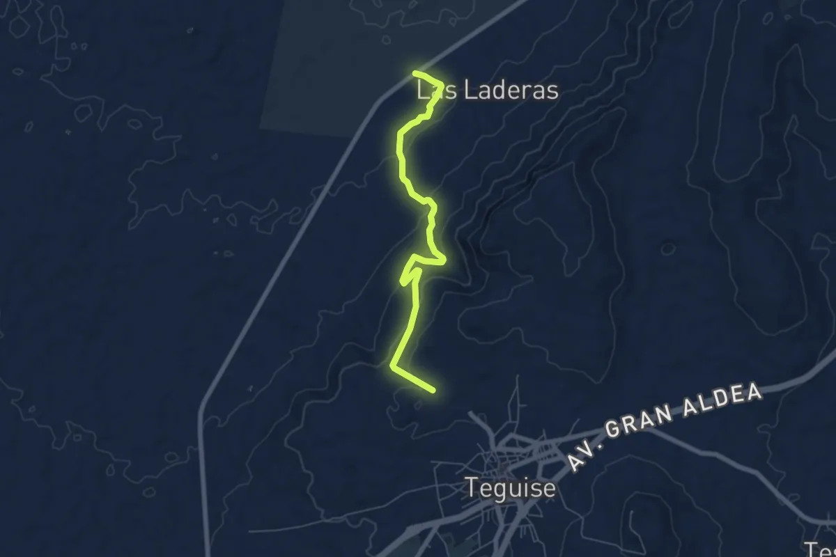
Easy · Trail
Tramo02 - Ermita de San Rafael - Las Laderas
7.5 km · ↑ 263 m · 2 h 21 min
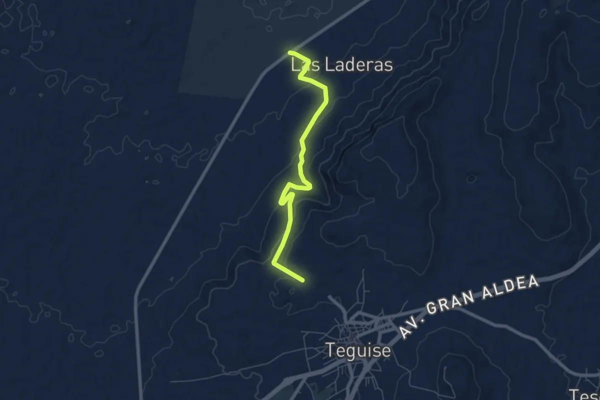
Easy · Trail
Tramo02 - Ermita de San Rafael - Las Laderas Va
7.5 km · ↑ 264 m · 2 h 21 min
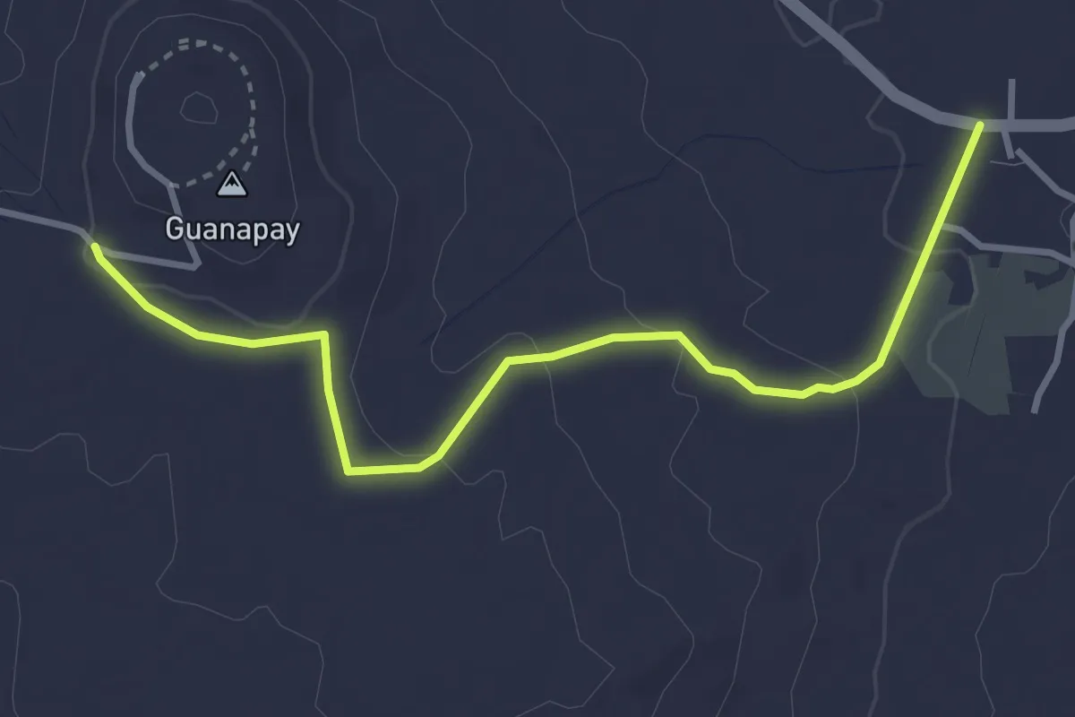
Easy · Trail
Tramo02 - Guanapay - Teseguite
4.5 km · ↑ 99 m · 1 h 17 min
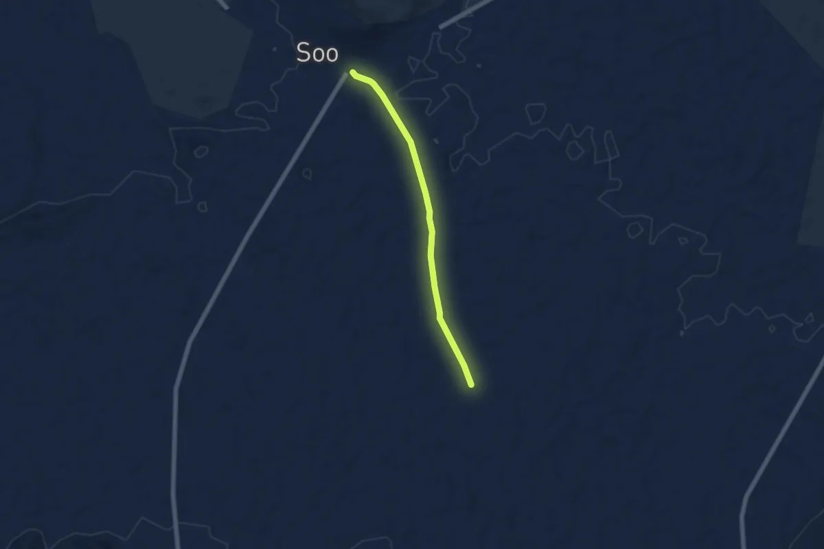
Easy · Trail
Tramo03 - Camino San Bartolome a Soo - Soo
5.9 km · ↑ 35 m · 1 h 28 min
Easy · Trail
Tramo03 - Las Laderas - Acuche (urb. Vista Graciosa)
3.6 km · ↑ 28 m · 55 min