Trails in Spain
5,960 hiking trails, each with its route, climb, walking time and grade.
All trails, page 114 of 125
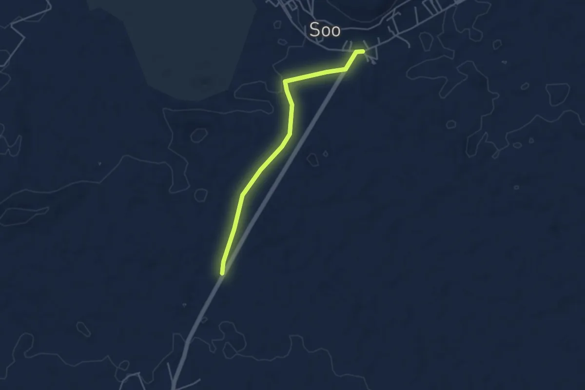
Easy · Trail
Tramo03 - Soo - Las Melianas
4.8 km · ↑ 21 m · 1 h 10 min
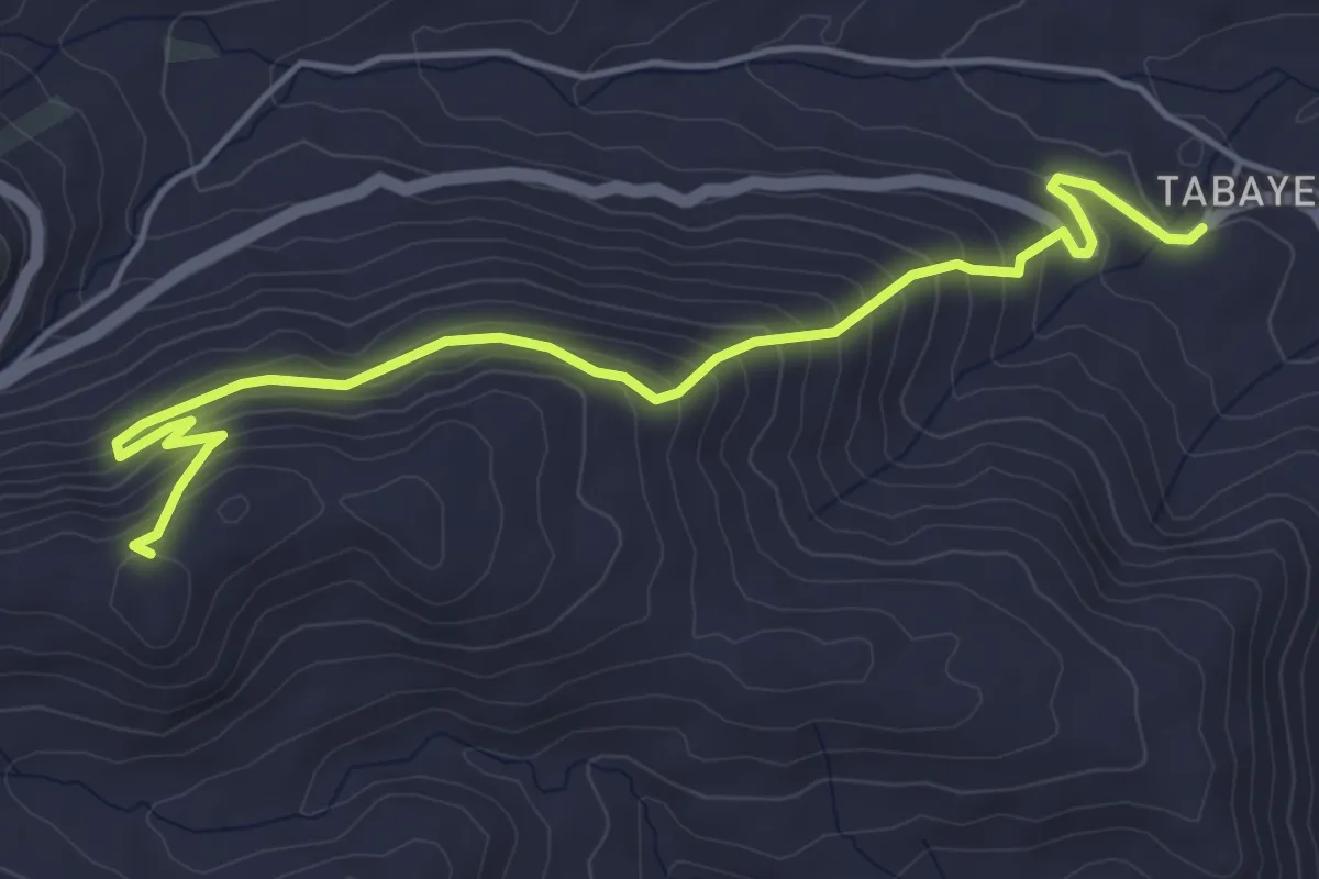
Medium · Trail
Tramo03 - Tabayesco - Peña de La Pequena
6.8 km · ↑ 456 m · 2 h 36 min
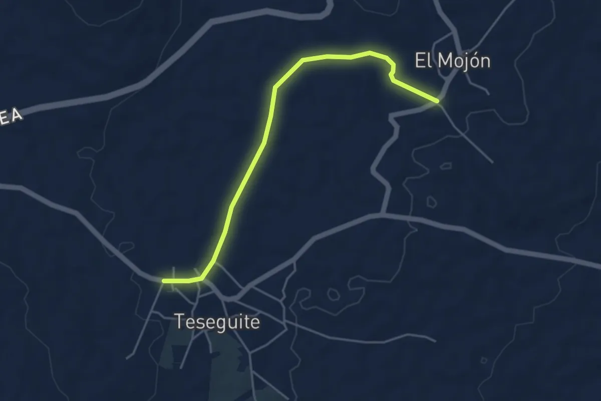
Easy · Trail
Tramo03 - Teseguite - El Mojon
5.1 km · ↑ 47 m · 1 h 19 min
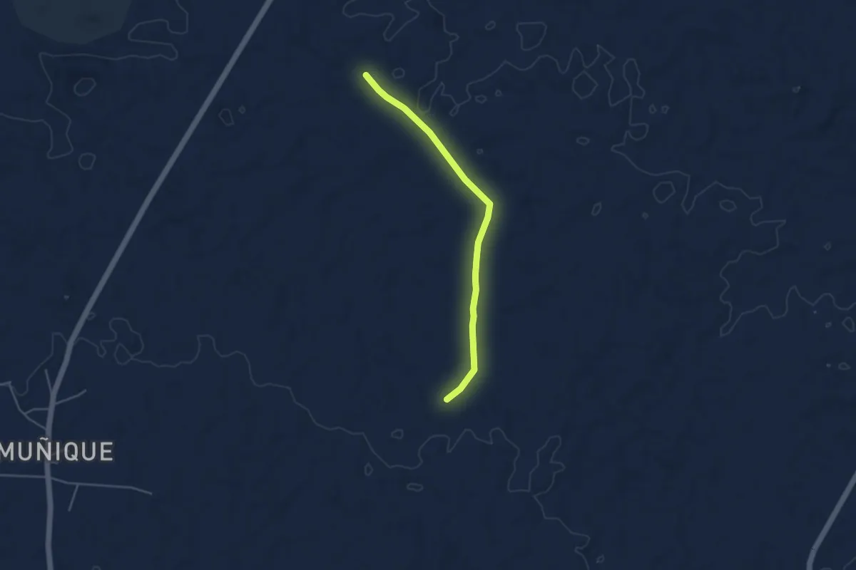
Easy · Trail
Tramo03 - Variantea
4.9 km · ↑ 32 m · 1 h 14 min
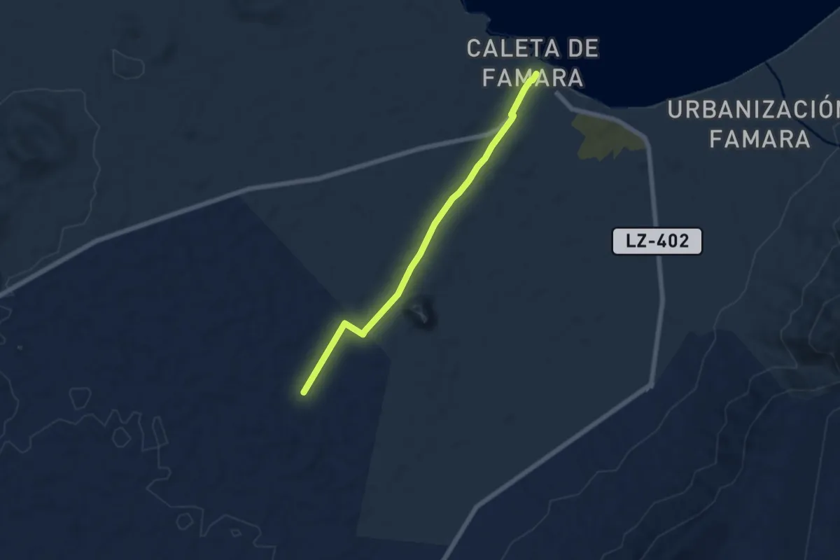
Easy · Trail
Tramo04 - Acuche (urb. Vista Graciosa) - Caleta de Famara
6.7 km · ↑ 63 m · 1 h 44 min
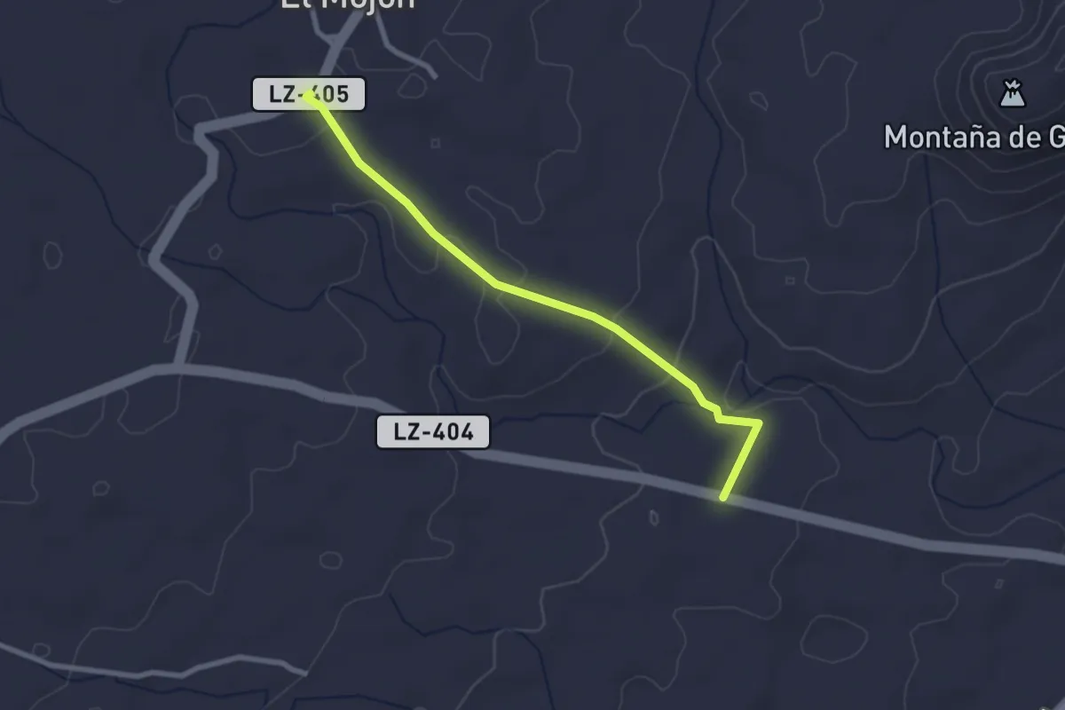
Easy · Trail
Tramo04 - El Mojon - Los Roferos
3.2 km · ↑ 81 m · 56 min
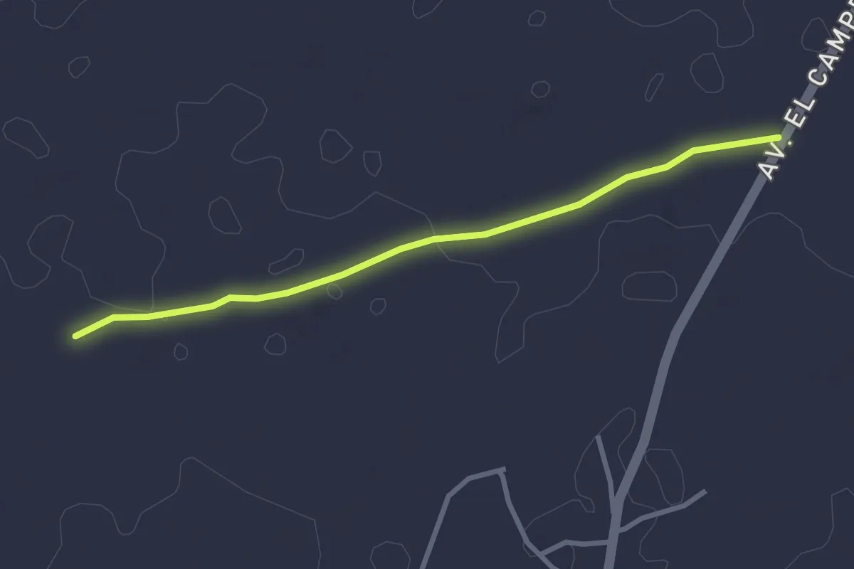
Easy · Trail
Tramo04 - Las Melianas - Las Vegas
3.5 km · ↑ 23 m · 53 min
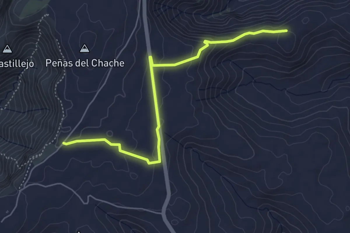
Easy · Trail
Tramo04 - Peña de La Pequena - Peñas Del Chache
6.5 km · ↑ 196 m · 1 h 58 min
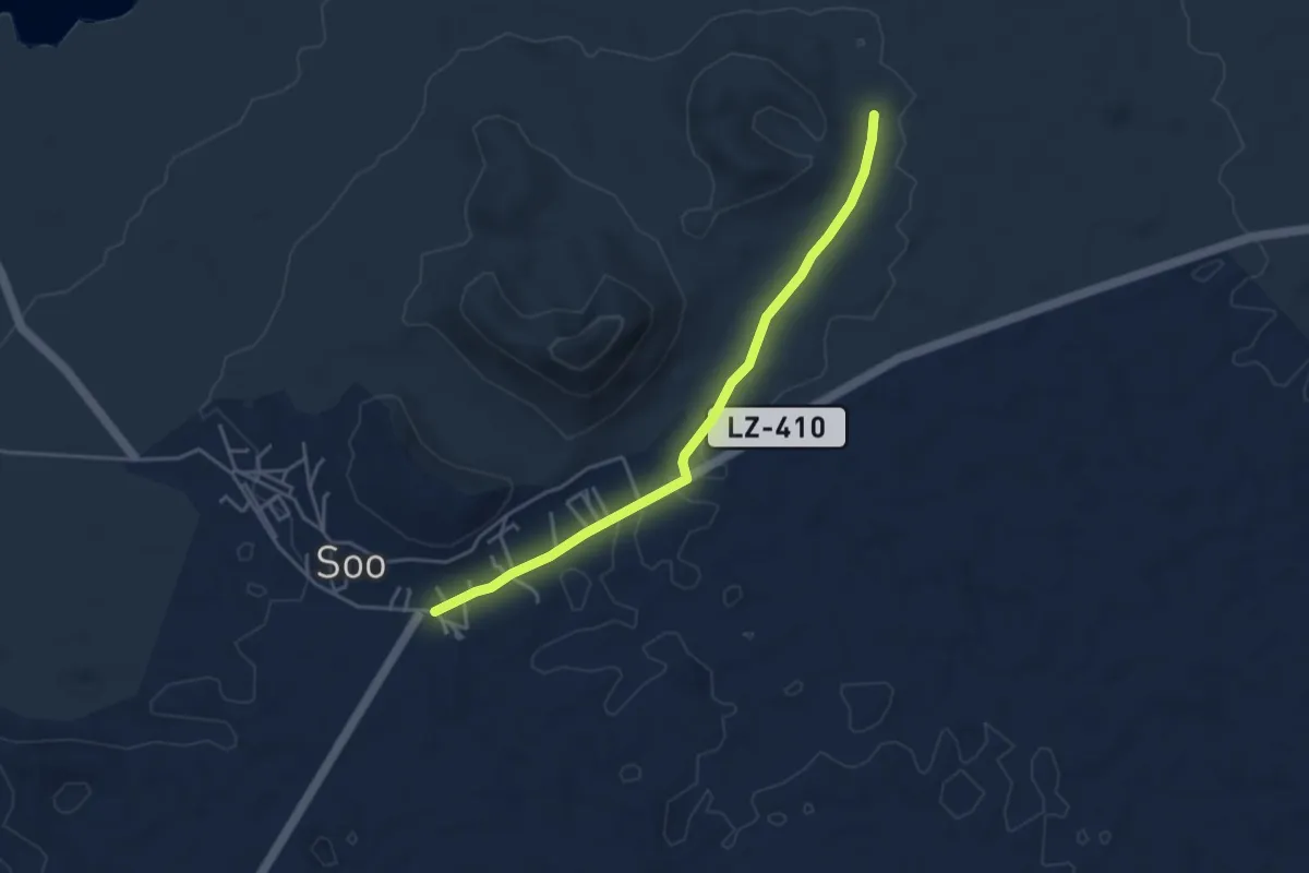
Easy · Trail
Tramo04 - Soo - Los Cañones
5.0 km · ↑ 33 m · 1 h 16 min
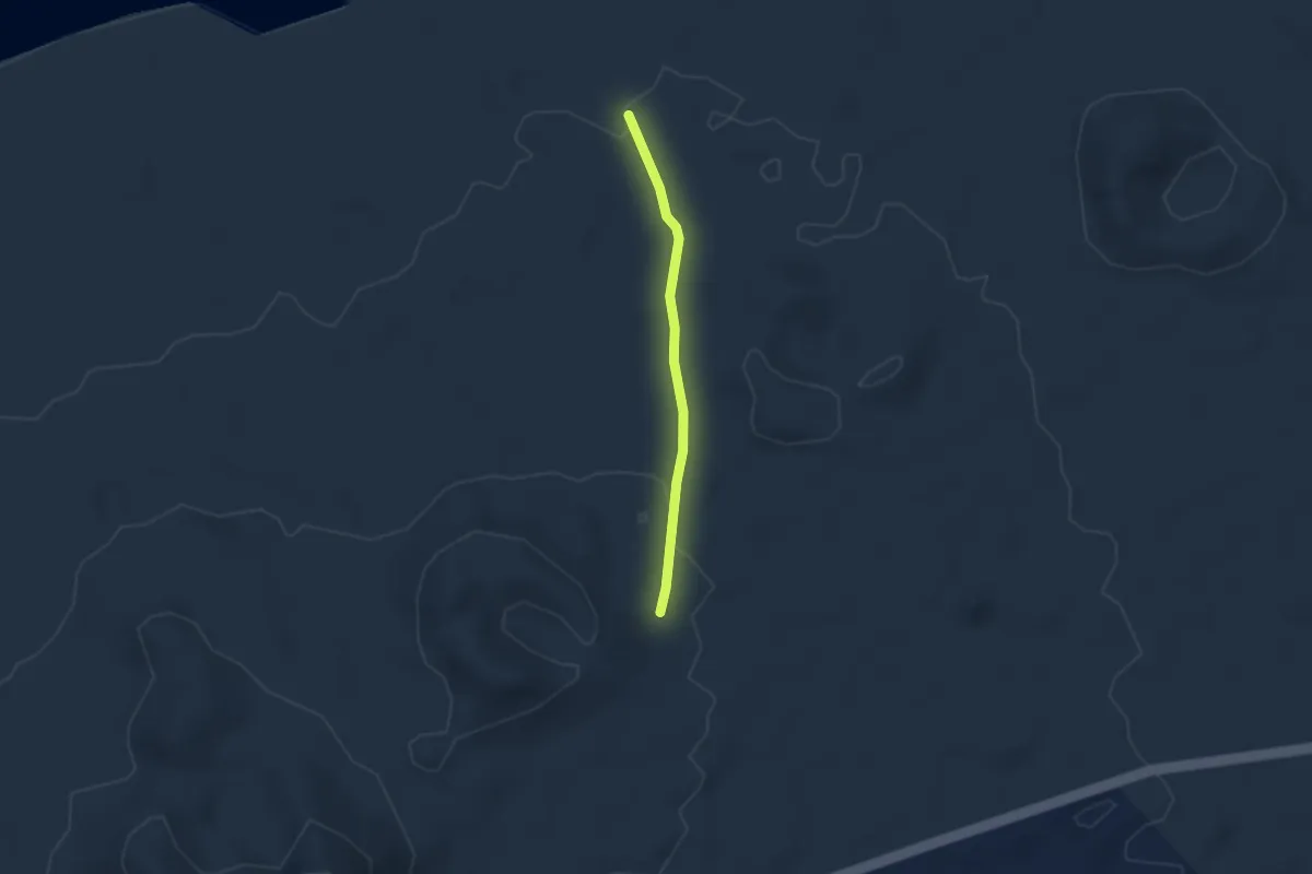
Easy · Trail
Tramo05 - La Peraza - Bebedero Del Espino
2.8 km · ↑ 55 m · 47 min
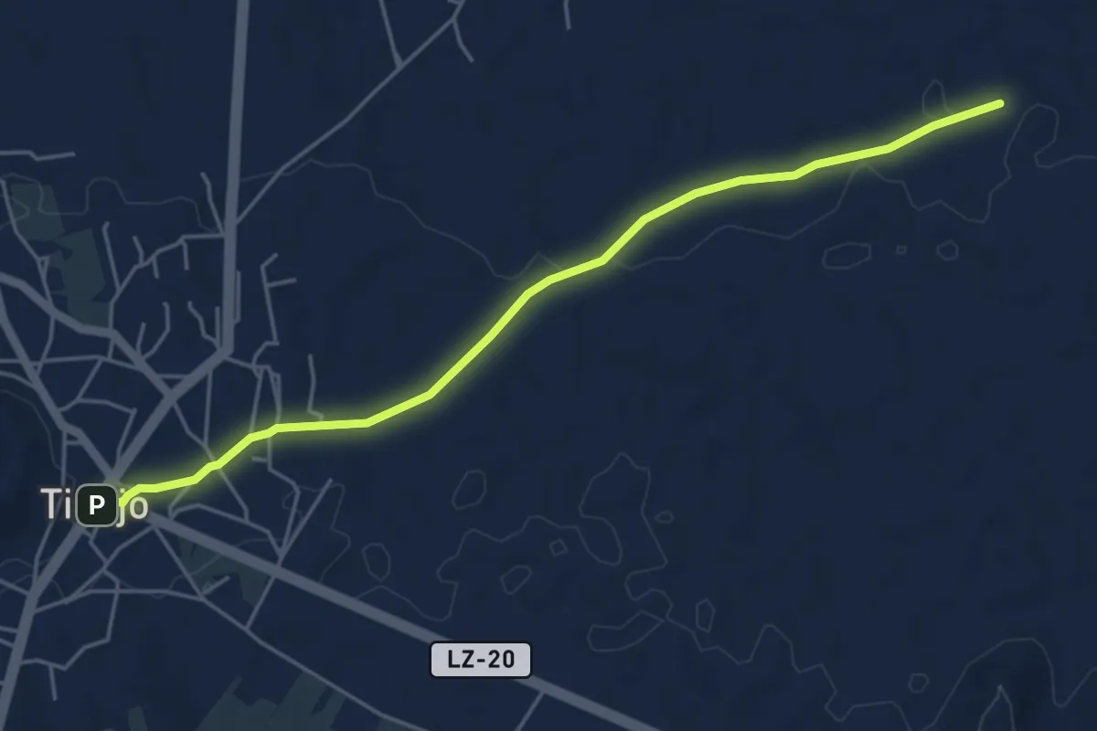
Easy · Trail
Tramo05 - Las Vegas - Tinajo
6.3 km · ↑ 61 m · 1 h 37 min
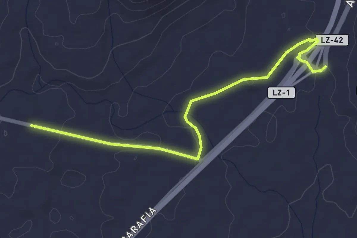
Easy · Trail
Tramo05 - Los Roferos - Los Cascajos
5.7 km · ↑ 66 m · 1 h 30 min
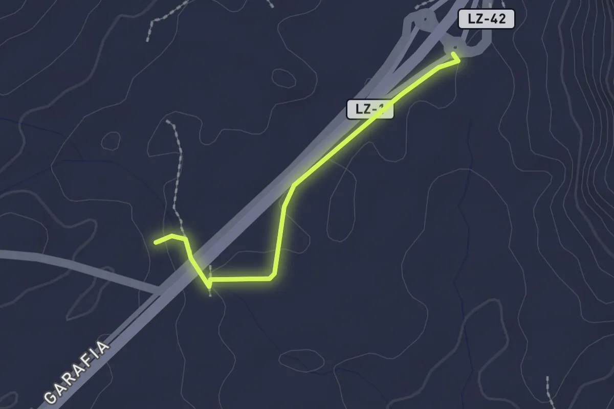
Easy · Trail
Tramo05 - Los Roferos - Los Cascajos Va
2.2 km · ↑ 17 m · 34 min
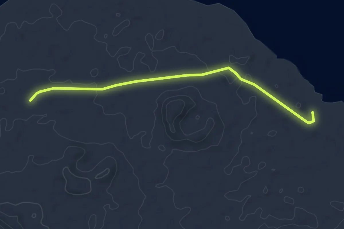
Easy · Trail
Tramo06 - Bebbedero Del Espino - Playa de San Juan
6.0 km · ↑ 40 m · 1 h 30 min
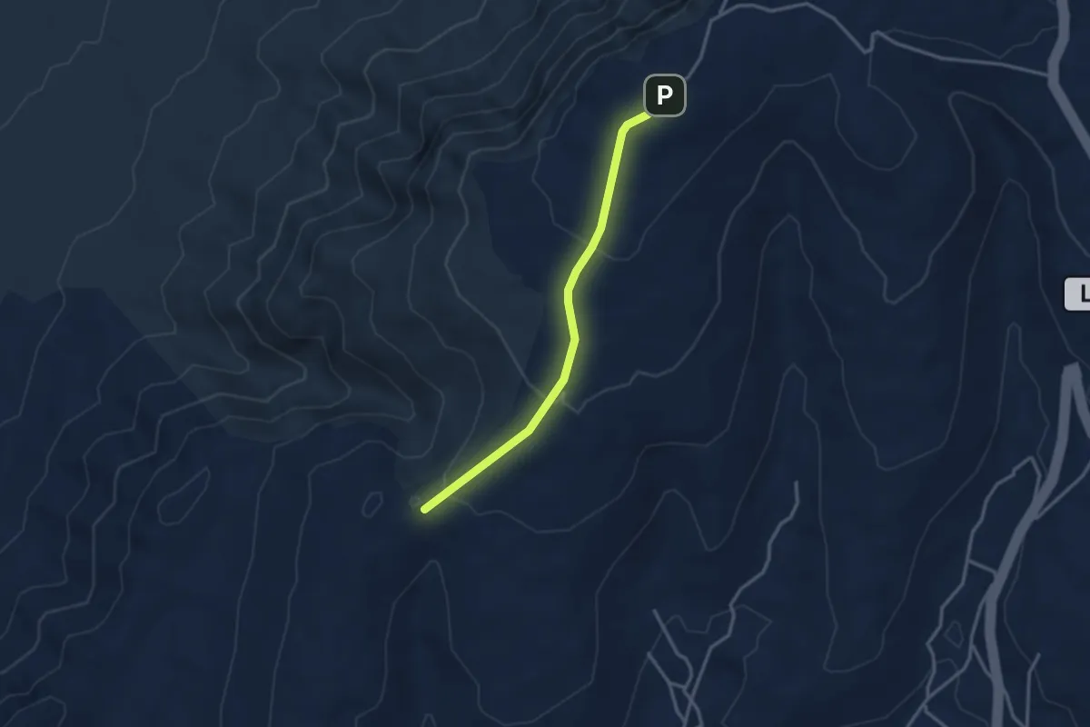
Easy · Trail
Tramo06 - Ermita de Las Nieves - Pico de Maramajo
3.7 km · ↑ 148 m · 1 h 12 min
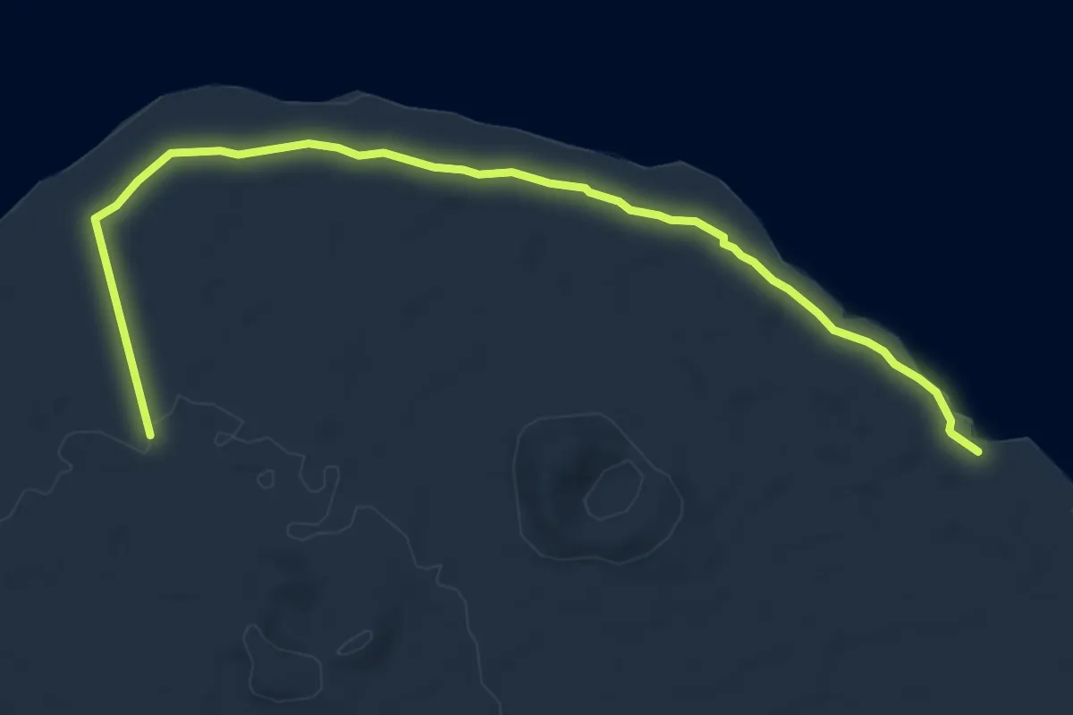
Medium · Trail
Tramo06 - Variante Bebbedero Del Espino - Playa de San Juan
8.4 km · ↑ 46 m · 2 h 5 min
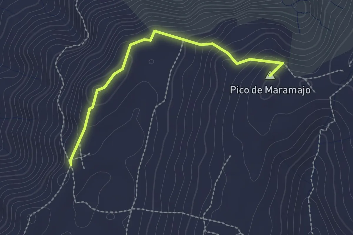
Easy · Summit
Tramo07 - Pico Del Maramajo - Morro Alto
2.8 km · ↑ 139 m · 58 min
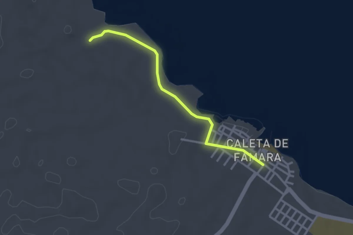
Easy · Trail
Tramo07 - Playa de San Juan - Caleta de Famara
3.1 km · ↑ 8 m · 46 min
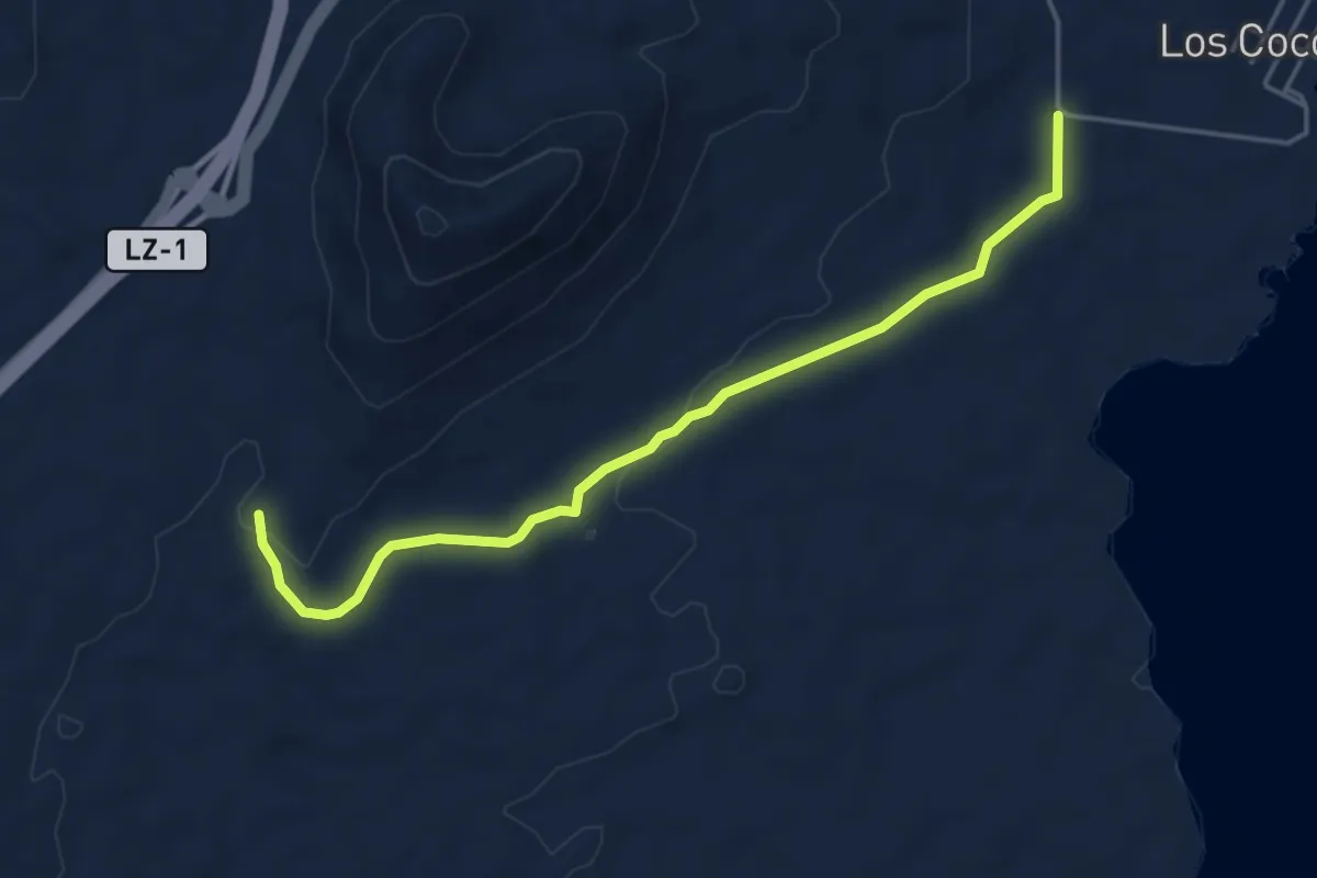
Easy · Trail
Tramo07 - Tinamala - Vegueta Del Espino
5.8 km · ↑ 81 m · 1 h 33 min
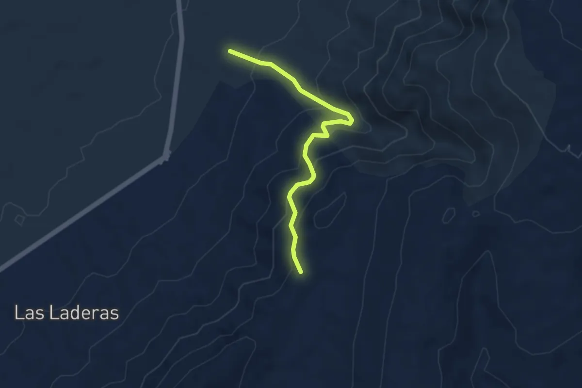
Easy · Trail
Tramo08 - Morro Alto - Las Laderas
4.2 km · ↑ 303 m · 1 h 38 min
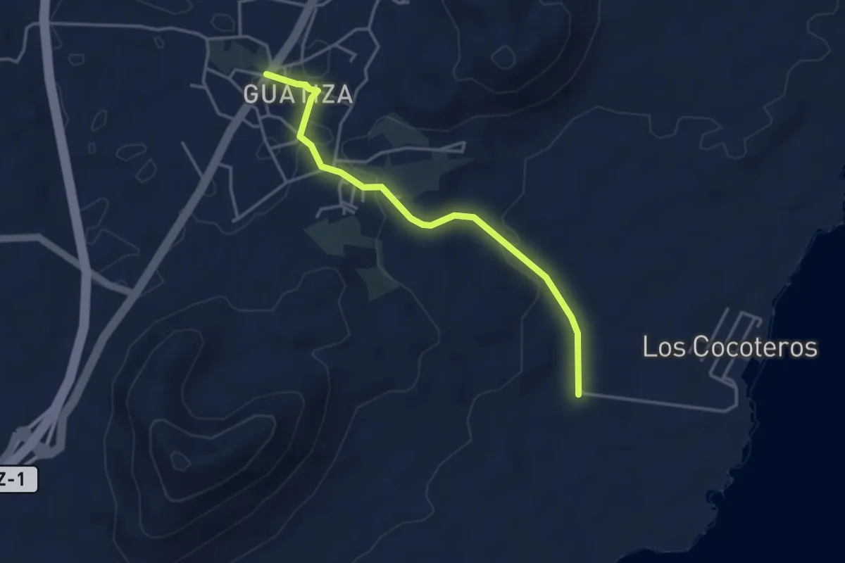
Easy · Trail
Tramo08 - Vegueta Del Espino - Guatiza
4.4 km · ↑ 84 m · 1 h 14 min
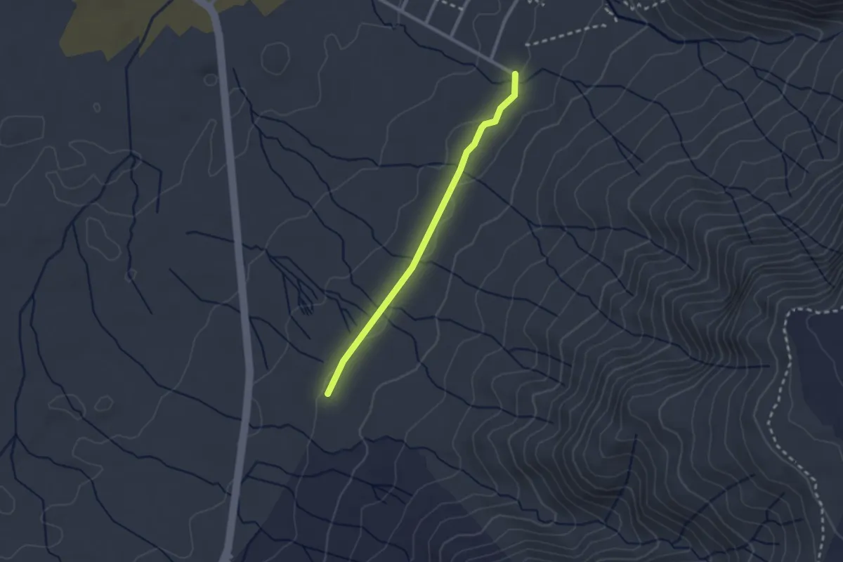
Easy · Trail
Tramo09 - Las Laderas - Urbanizacion de Famara
2.7 km · ↑ 29 m · 42 min
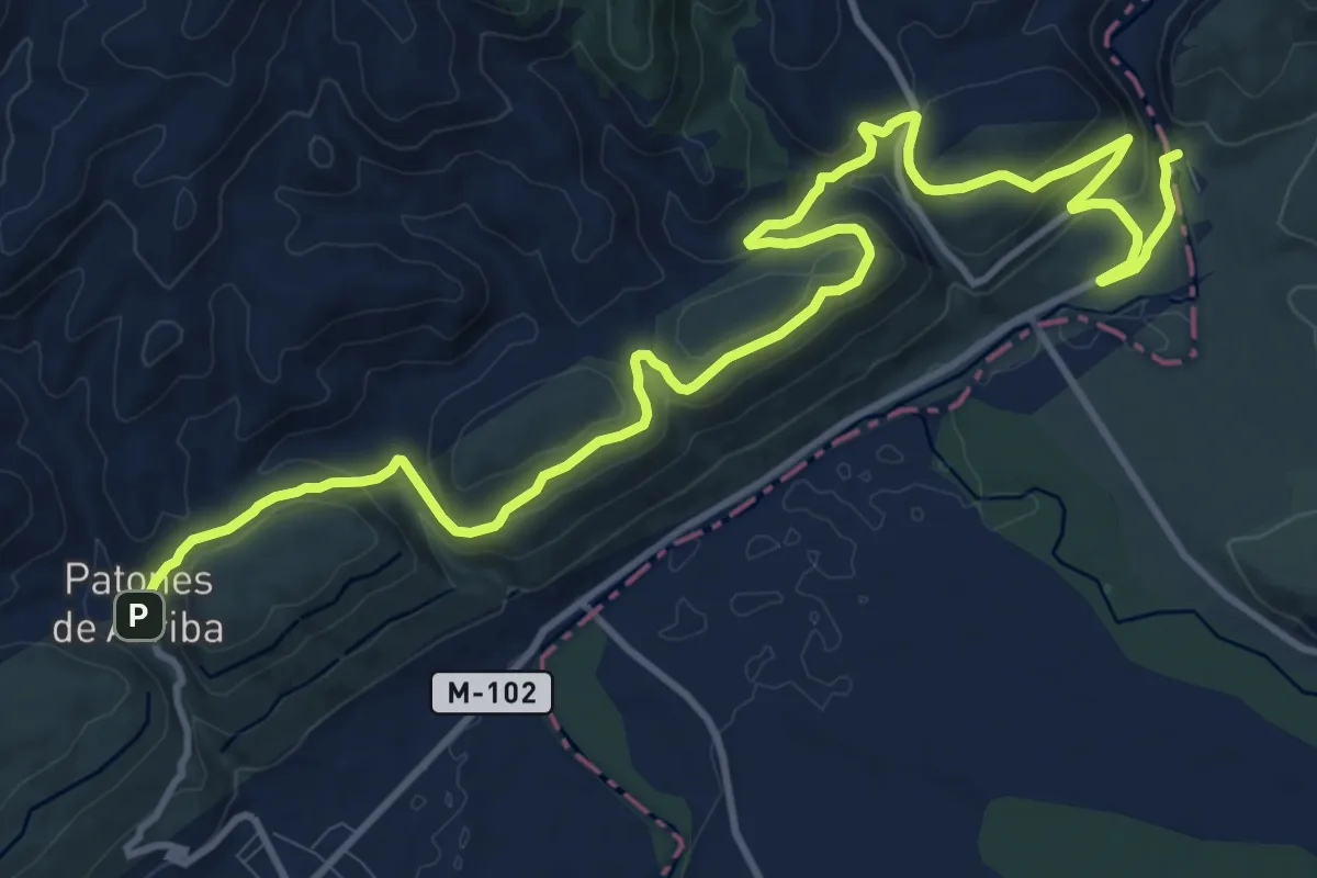
Medium · Trail
Tramo 10. Patones de Arriba al Pontón de la Oliva
17.6 km · ↑ 568 m · 5 h 23 min
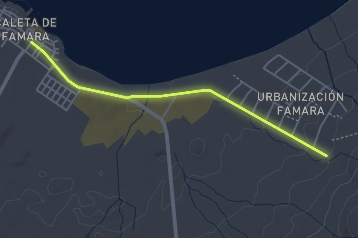
Easy · Trail
Tramo10 - Urbanizacion de Famara - Caleta de Famara
4.4 km · ↑ 44 m · 1 h 8 min
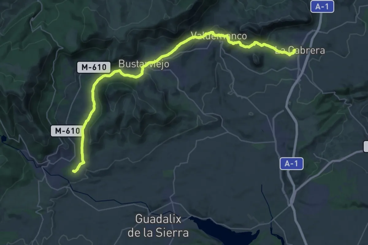
Demanding · Trail
Tramo 8. Miraflores de la Sierra a La Cabrera
18.2 km · ↑ 483 m · 5 h 36 min
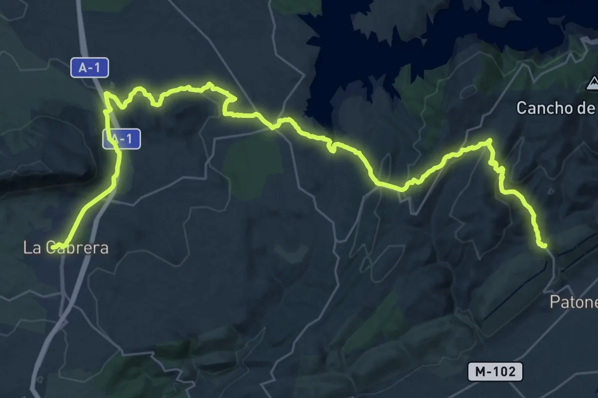
Demanding · Trail
Tramo 9. La Cabrera a Patones de Arriba
19.0 km · ↑ 409 m · 5 h 44 min
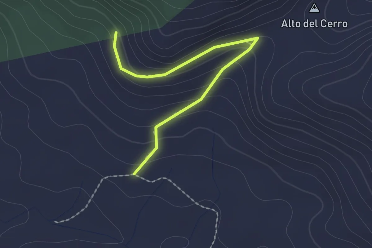
Easy · Trail
Trans- Espadan
2.2 km · ↑ 104 m · 44 min
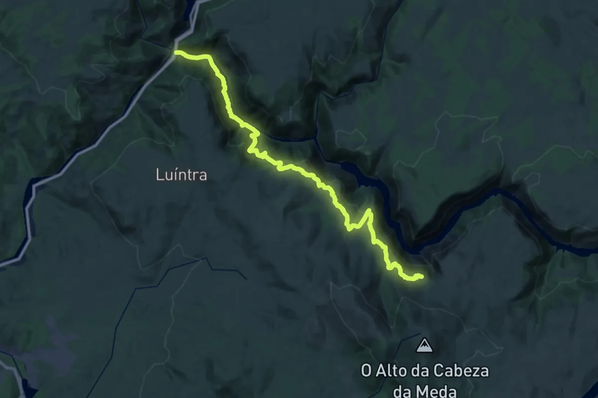
Demanding · Trail
Transourensán
18.9 km · ↑ 1119 m · 6 h 49 min
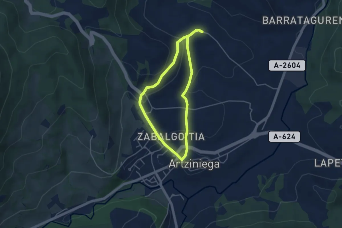
Easy · Trail
Tras las huellas de los arrieros
3.3 km · ↑ 106 m · 1 h 3 min
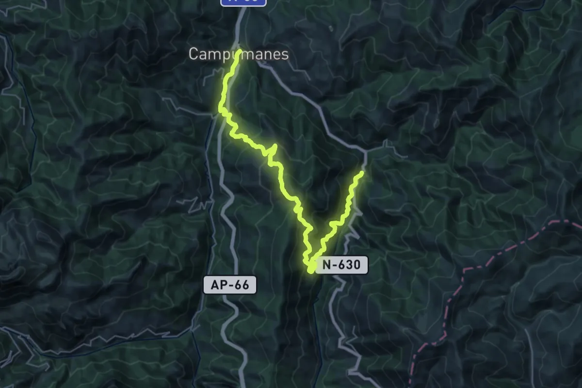
Demanding · Trail
Travesía del Curuchu Braña
15.7 km · ↑ 1060 m · 6 h 9 min
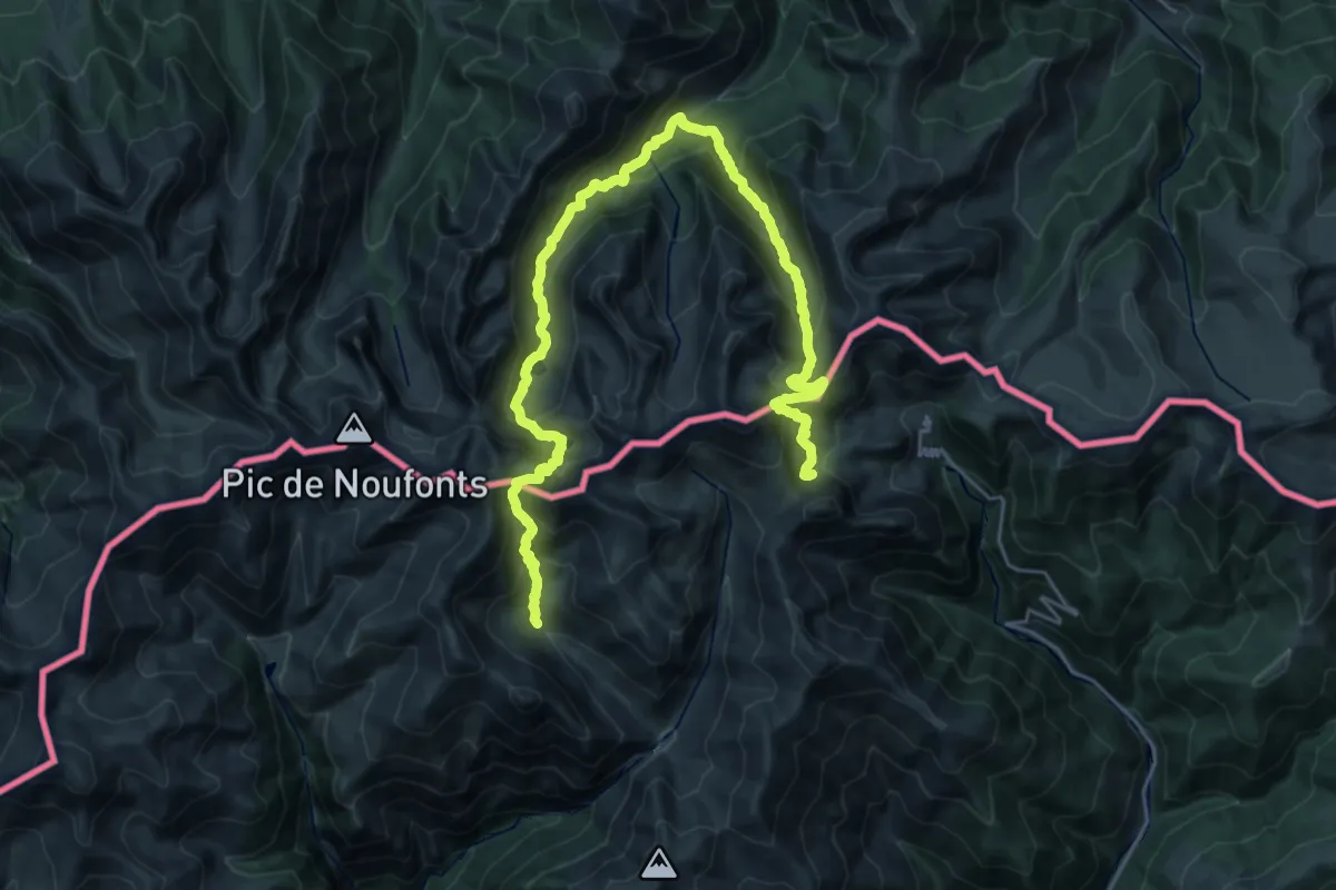
Demanding · Trail
Travessa dels 3 refugis
17.7 km · ↑ 1365 m · 7 h 17 min
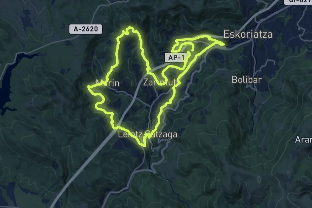
Demanding · Trail
Trenbide
20.5 km · ↑ 725 m · 6 h 43 min
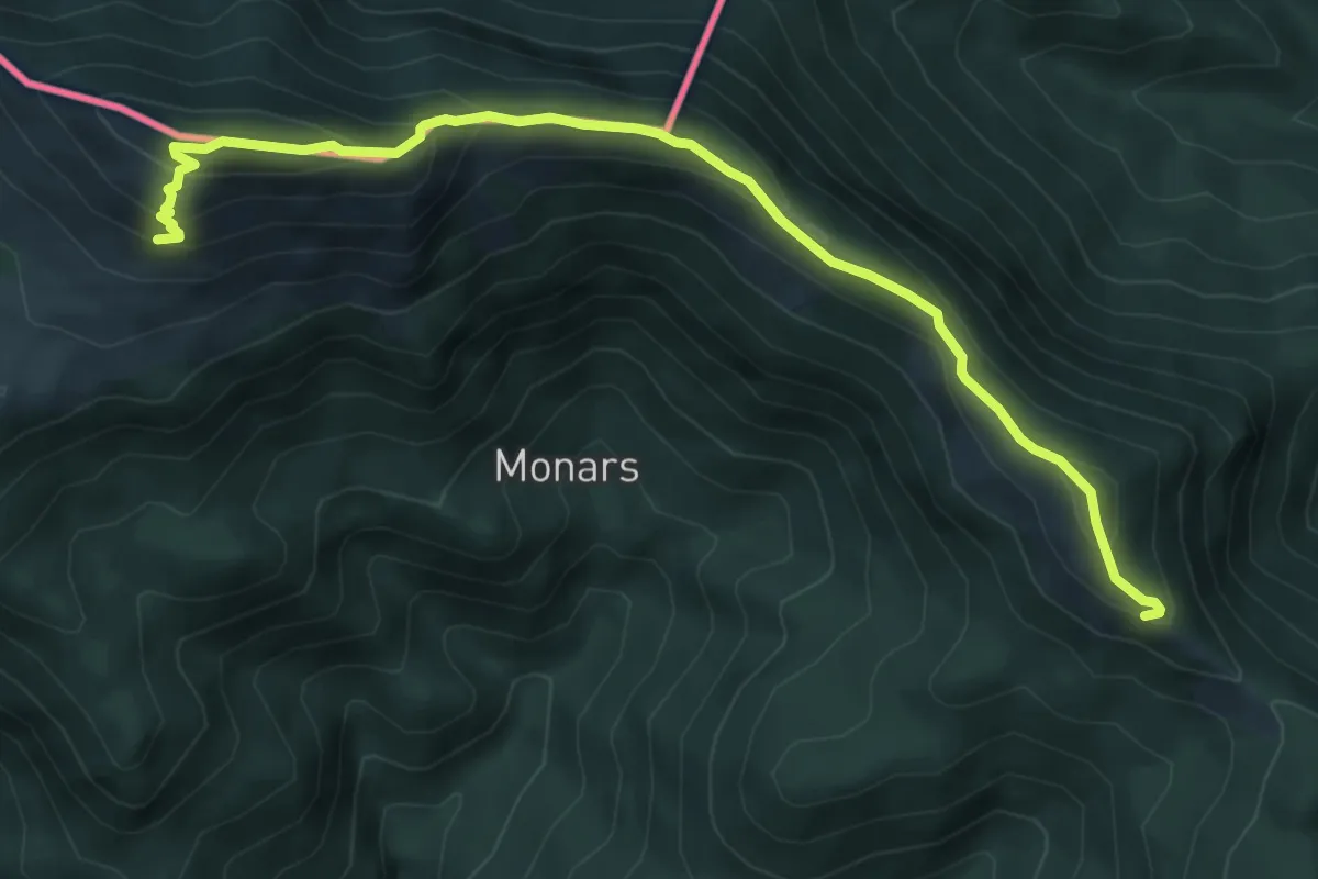
Medium · Summit
Trepitja Garrotxa
3.7 km · ↑ 284 m · 1 h 30 min
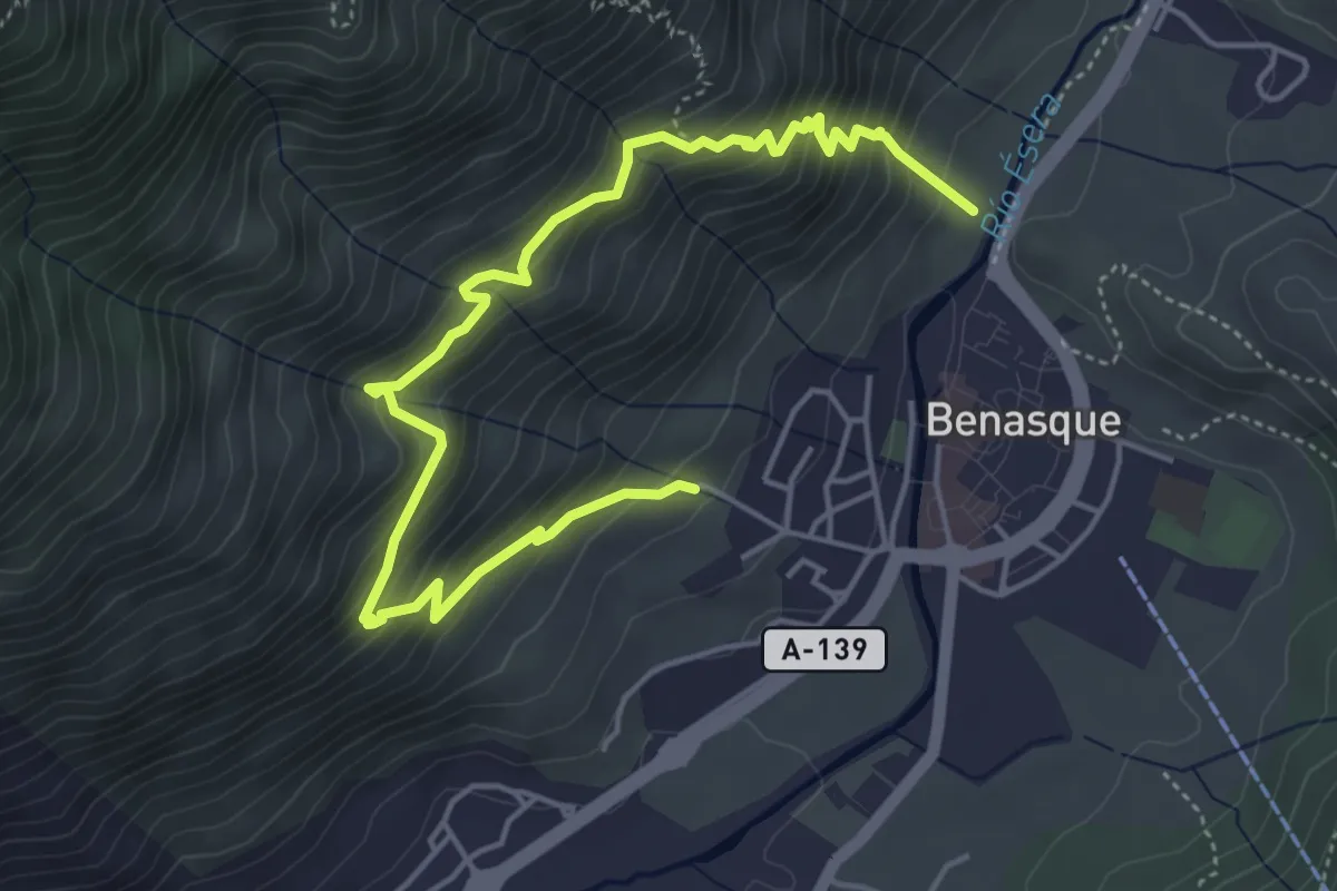
Medium · Trail
Tres Barrancos
6.2 km · ↑ 637 m · 2 h 50 min
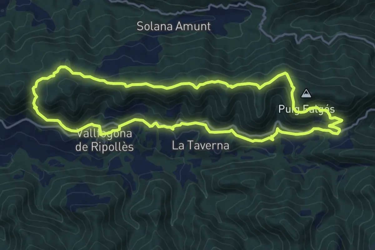
Medium · Summit
Trescant per la Serra de Puig d'Estela
11.9 km · ↑ 445 m · 3 h 56 min
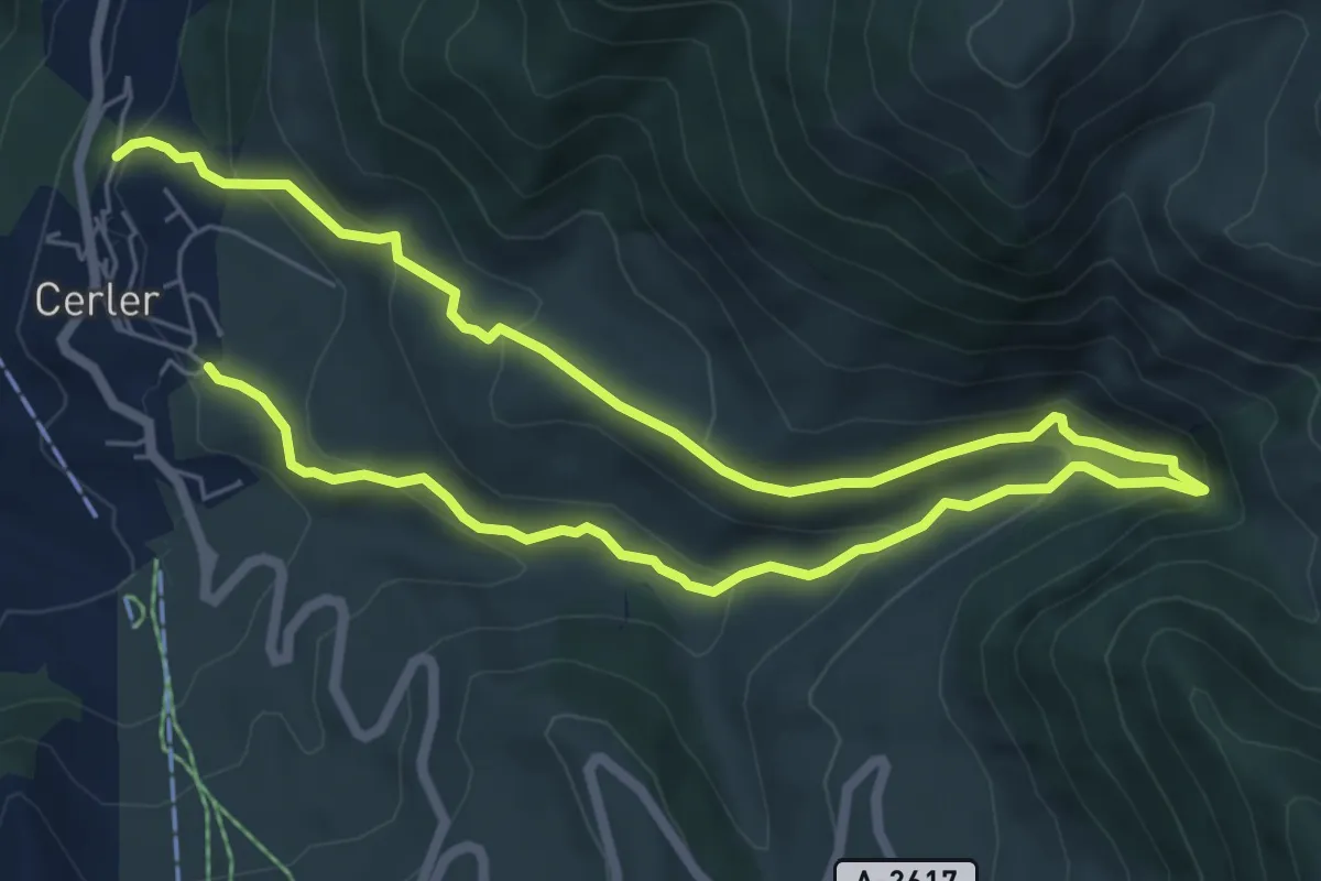
Medium · Trail
Tres Cascadas
11.6 km · ↑ 671 m · 4 h 11 min
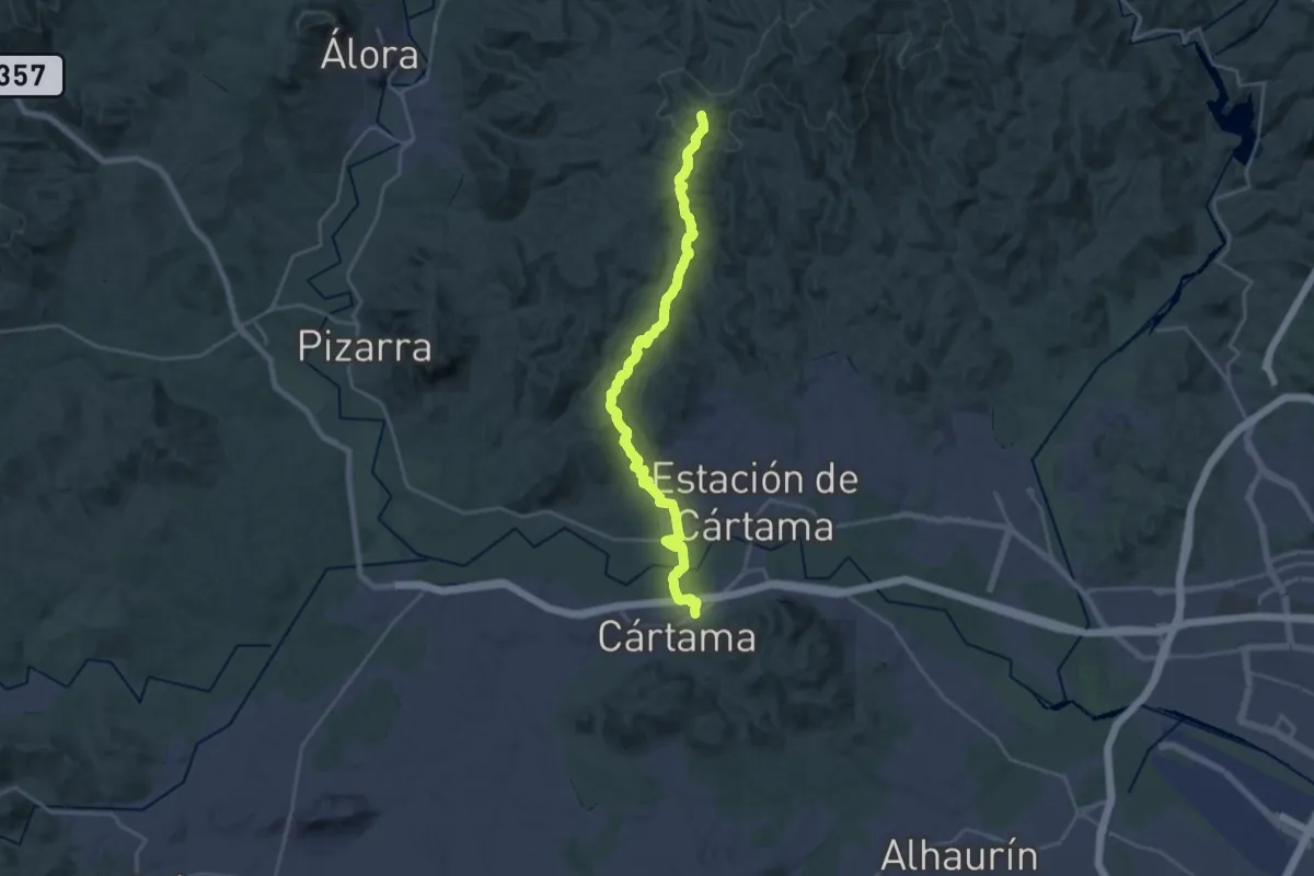
Medium · Trail
Tres Cruces
14.4 km · ↑ 716 m · 4 h 53 min
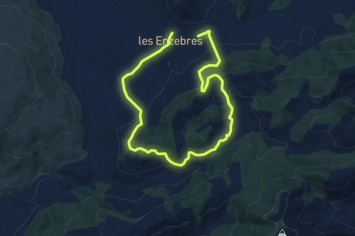
Easy · Trail
tres fonts - enzebres - tres fonts
7.8 km · ↑ 245 m · 2 h 29 min
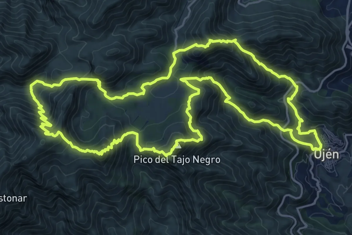
Expert · Summit
Tres Picos
17.5 km · ↑ 1496 m · 7 h 37 min
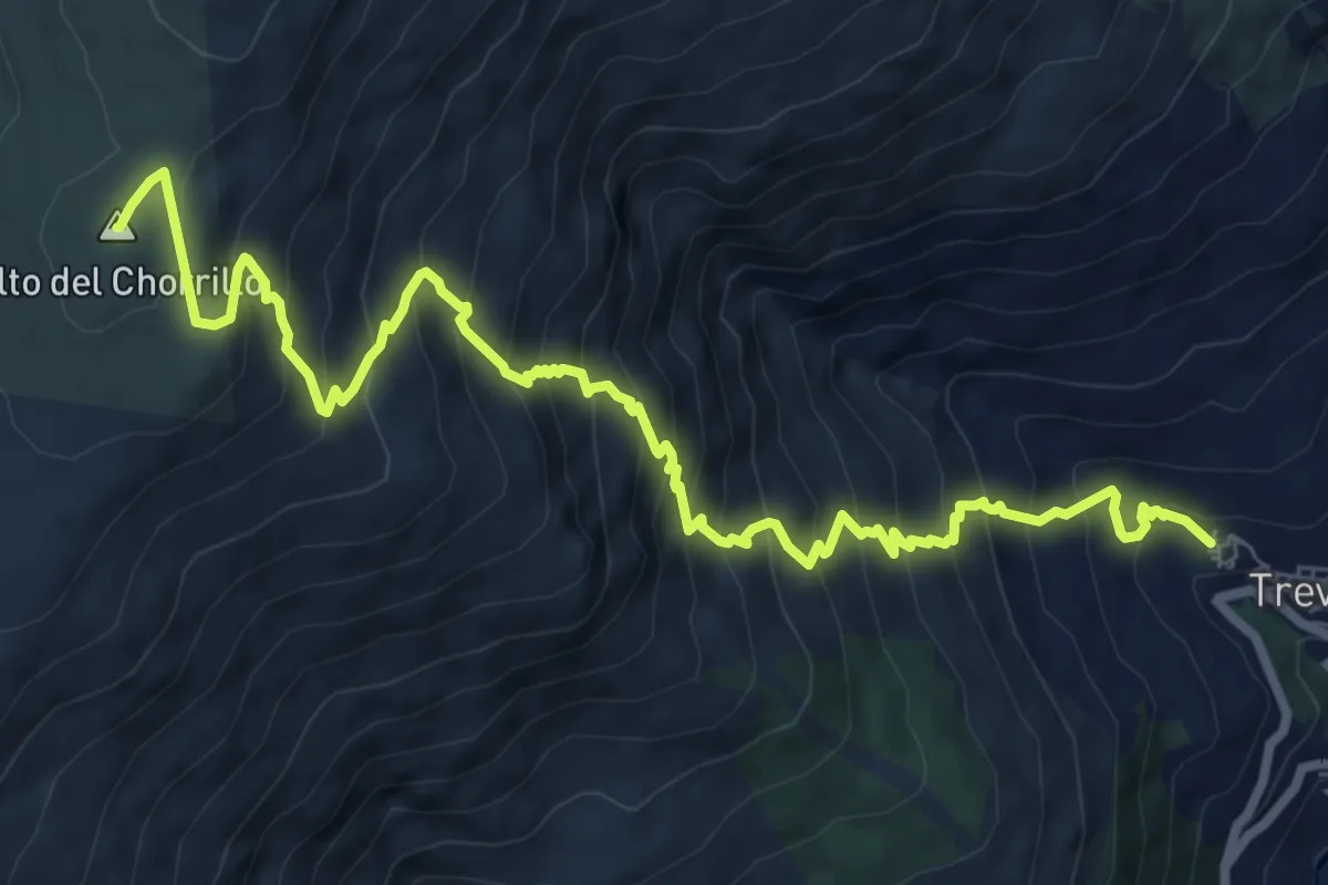
Demanding · Summit
Trevelez-Alto de Chorrillo
11.5 km · ↑ 1160 m · 5 h 14 min
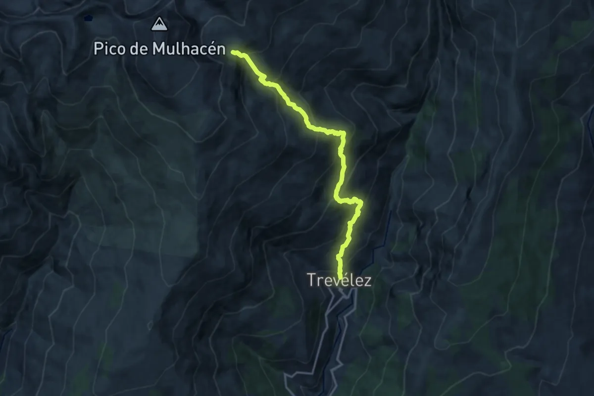
Demanding · Trail
Trevélez-Siete Lagunas
15.8 km · ↑ 1323 m · 6 h 35 min
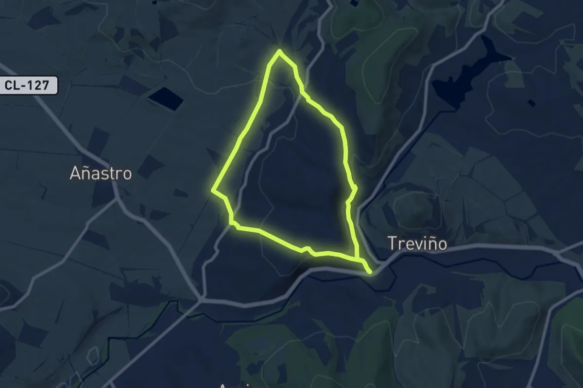
Easy · Trail
Treviño-Busto de Treviño-Cucho
6.9 km · ↑ 225 m · 2 h 12 min
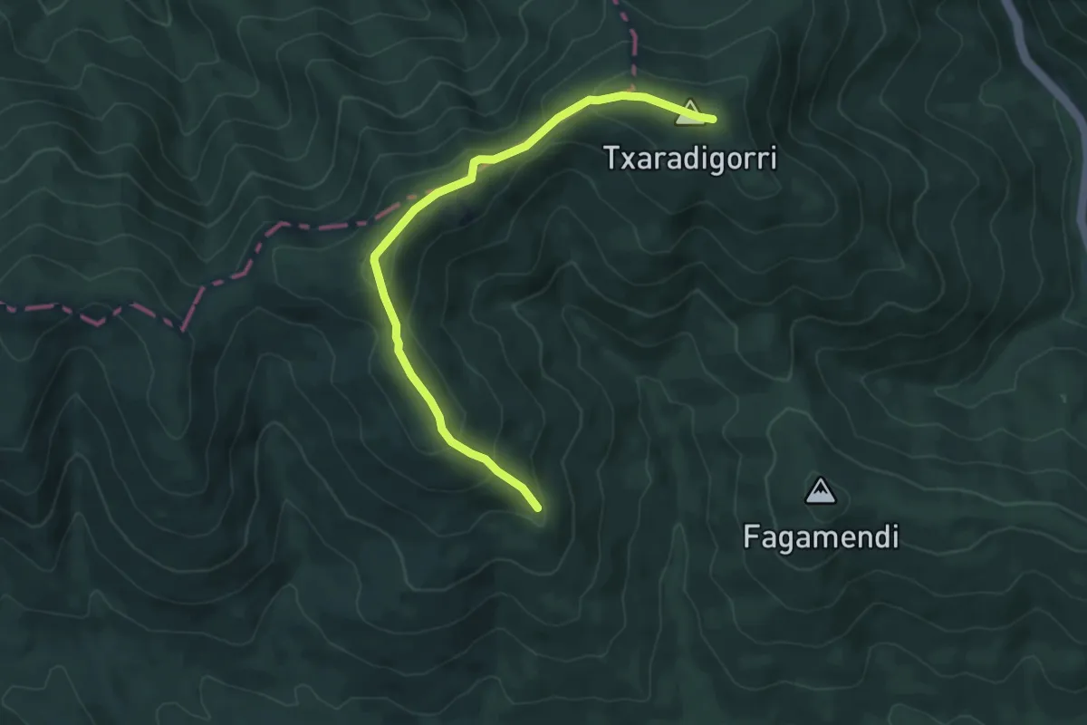
Medium · Summit
Trikuharrien ibilbidea
3.2 km · ↑ 242 m · 1 h 13 min
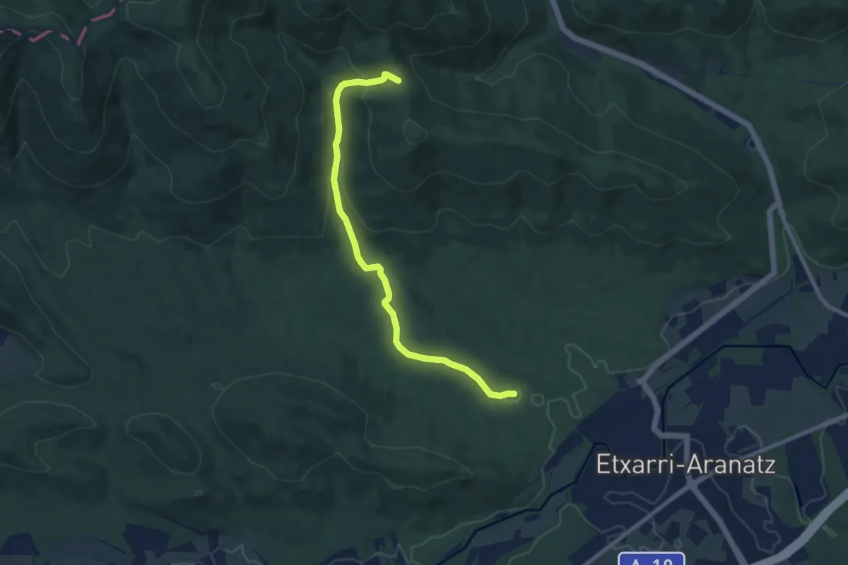
Medium · Trail
Trikuharrien ibilbidea - bariantea
8.2 km · ↑ 243 m · 2 h 28 min
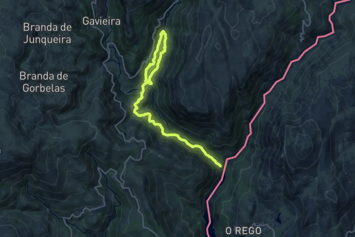
Medium · Trail
Trilho da Mistura das Águas
16.8 km · ↑ 791 m · 5 h 41 min
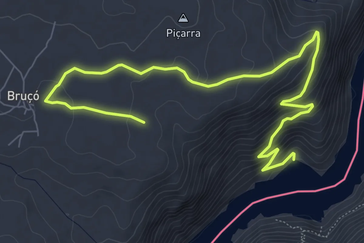
Medium · Trail
Trilho do Azeite
9.8 km · ↑ 419 m · 3 h 14 min
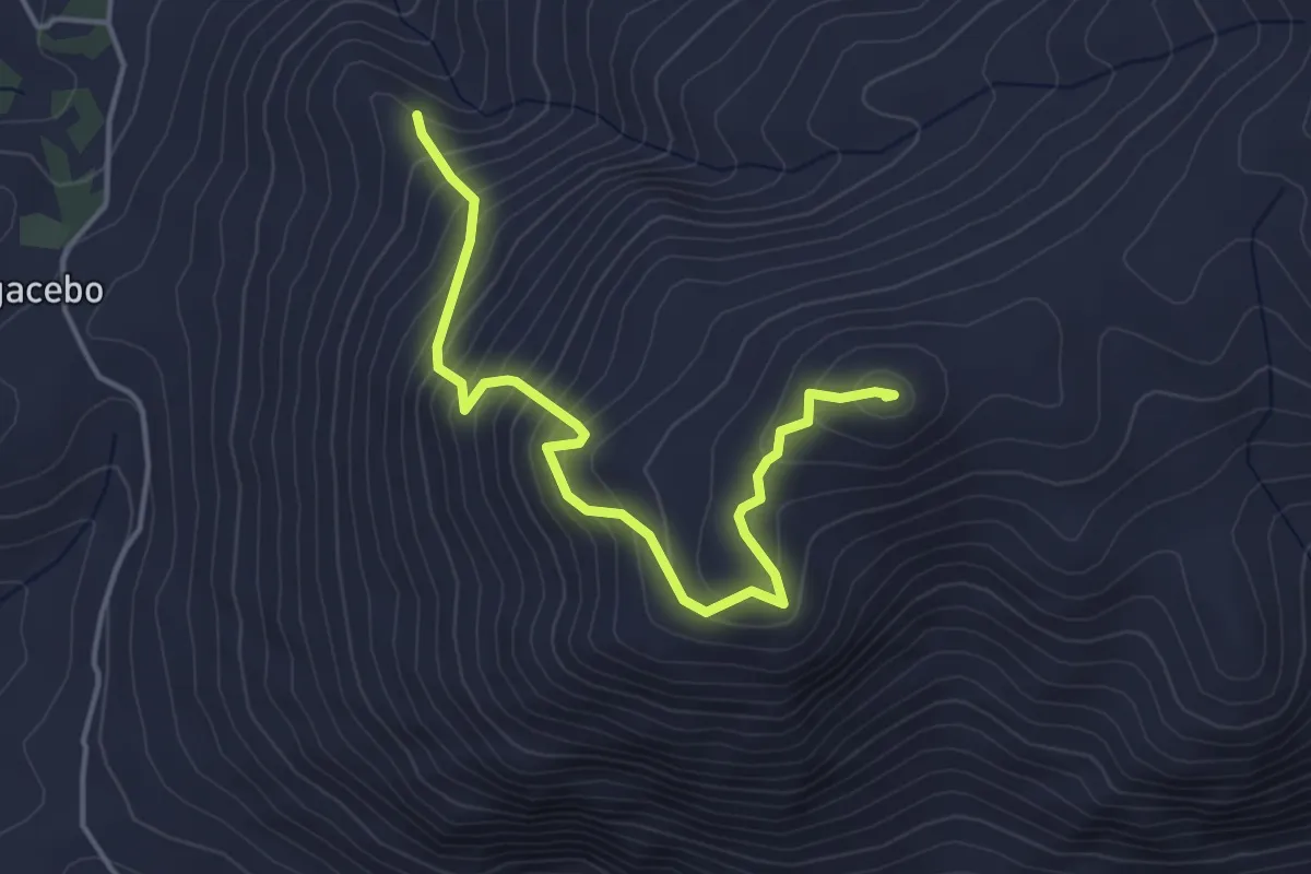
Medium · Summit
Trincheras de Cerro Gordo
5.1 km · ↑ 462 m · 2 h 12 min
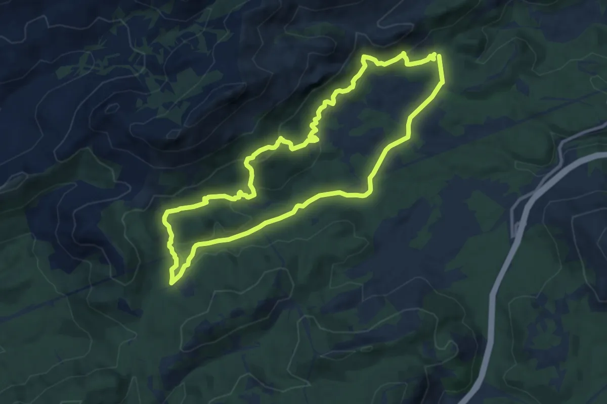
Medium · Summit
Trincheras del Cerro Tamboril
10.8 km · ↑ 389 m · 3 h 33 min