Trails in Spain
5,960 hiking trails, each with its route, climb, walking time and grade.
All trails, page 115 of 125
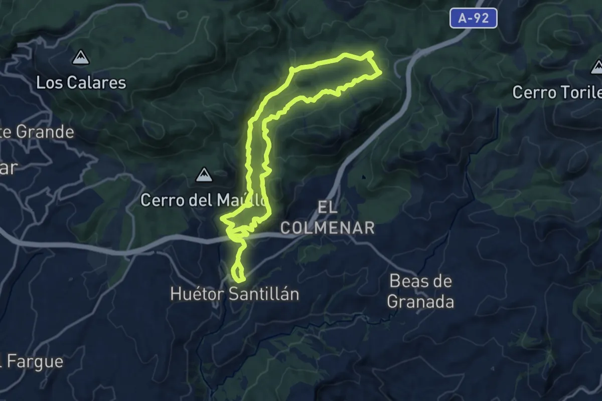
Medium · Trail
Trincheras de los Atajuelos
13.2 km · ↑ 421 m · 4 h 15 min
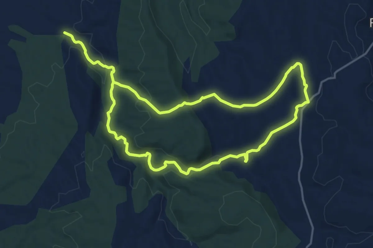
Demanding · Trail
Trincheras de Rubielos - Caño del Gato
24.0 km · ↑ 619 m · 7 h
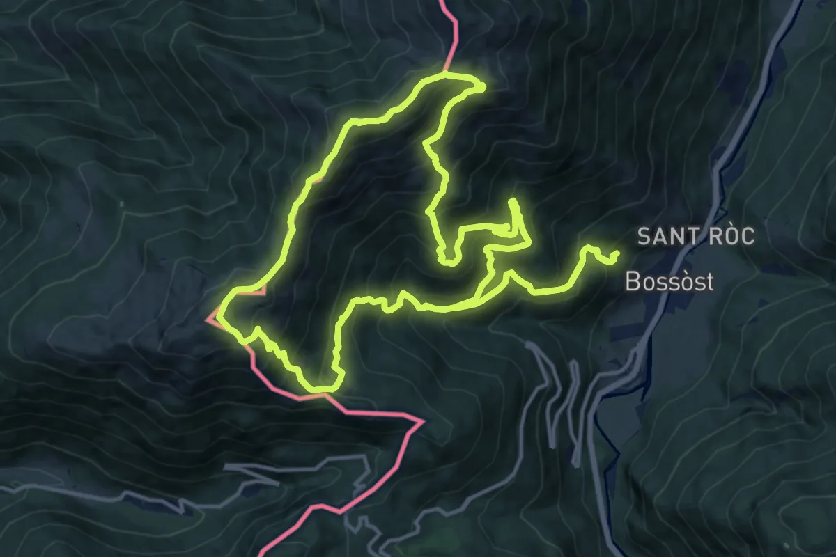
Demanding · Summit
Tuc de Tujastó
15.8 km · ↑ 1415 m · 7 h
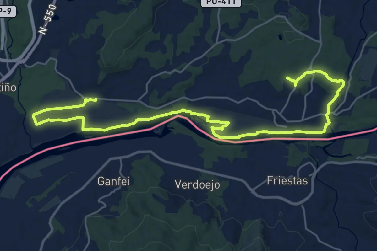
Demanding · Trail
Tui - Caldelas - Tui
23.8 km · ↑ 174 m · 6 h
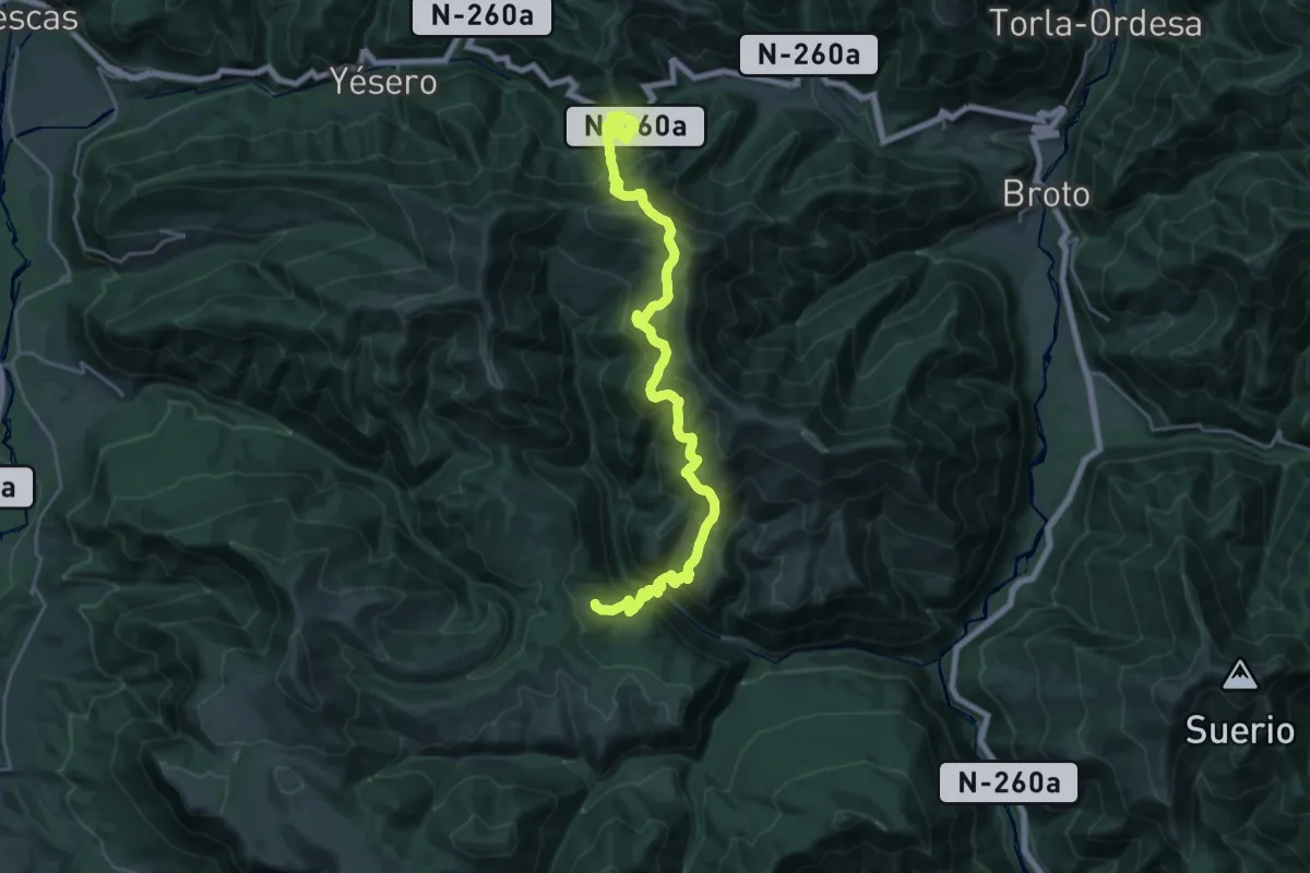
Demanding · Trail
Túnel de Cotefablo - Escartín - Basarán
14.7 km · ↑ 1248 m · 6 h 15 min
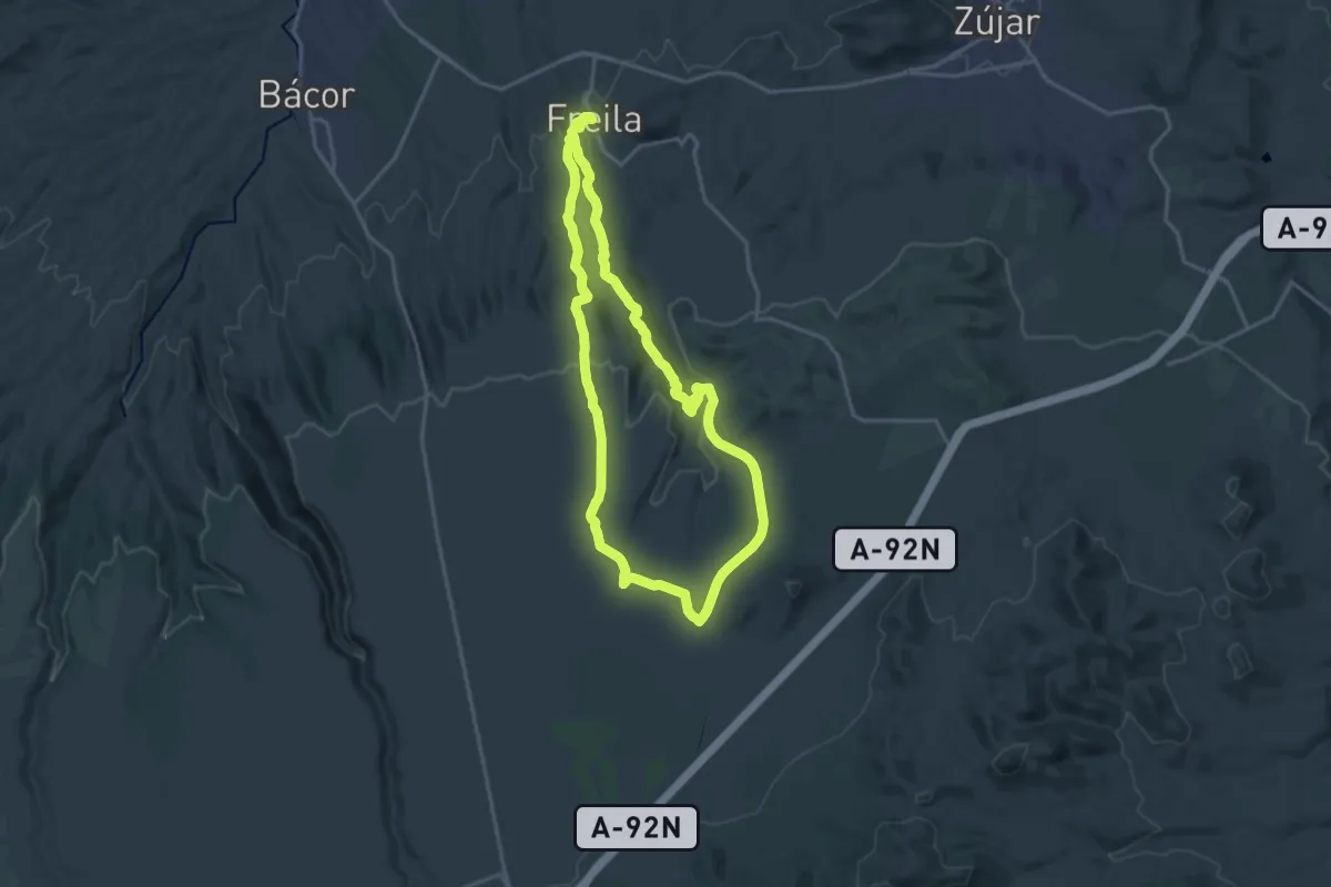
Demanding · Trail
Túnel Ferroviario
18.5 km · ↑ 325 m · 5 h 21 min
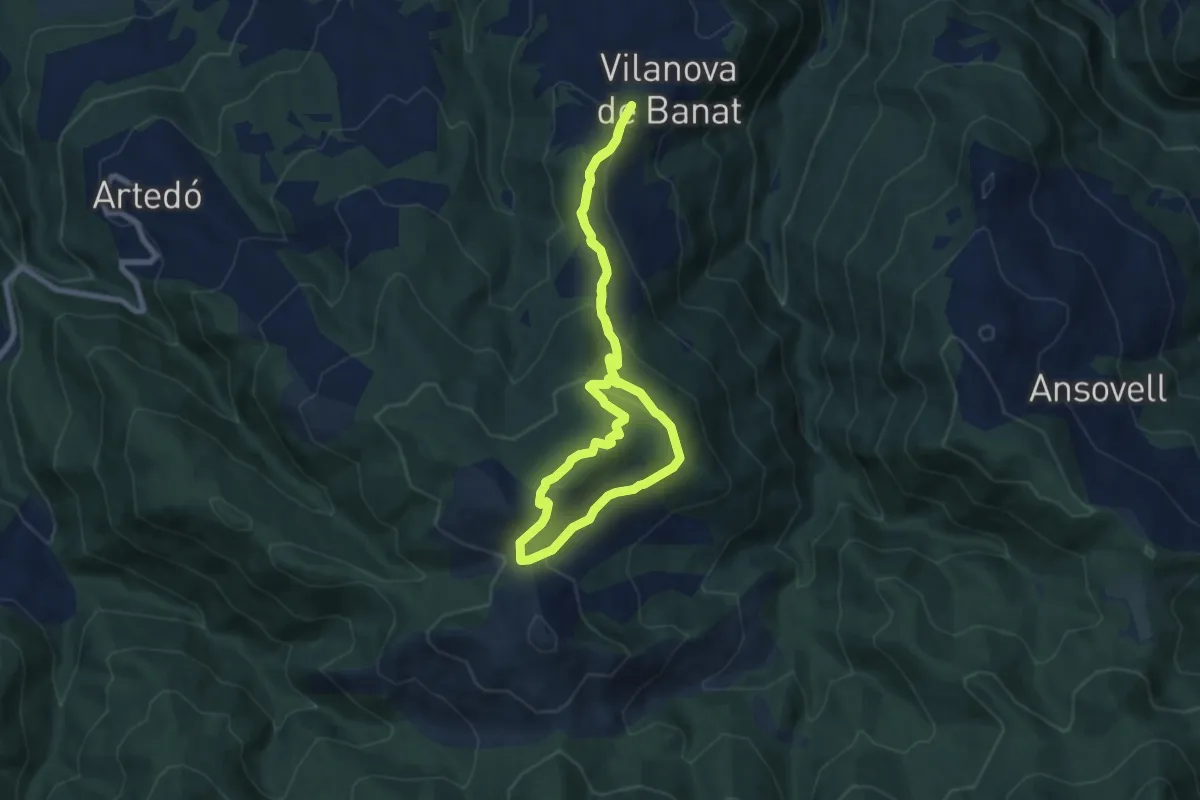
Medium · Summit
Turó Galliner
7.7 km · ↑ 326 m · 2 h 37 min
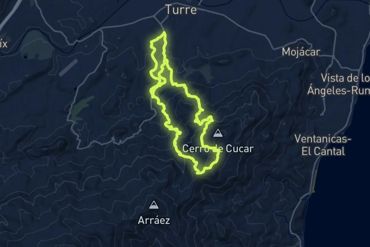
Medium · Summit
Turre - El Jalí
16.4 km · ↑ 714 m · 5 h 38 min
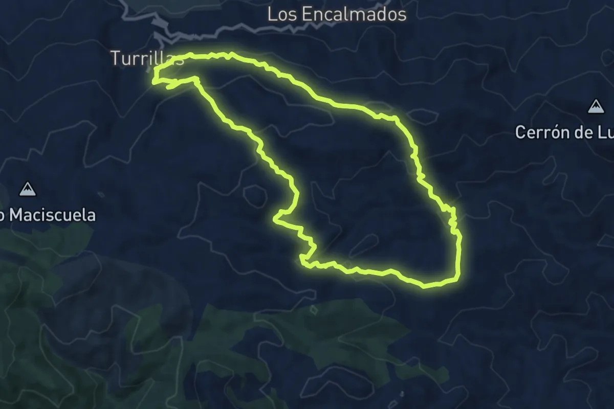
Medium · Trail
Turrillas - Las Cucas
11.6 km · ↑ 468 m · 3 h 54 min
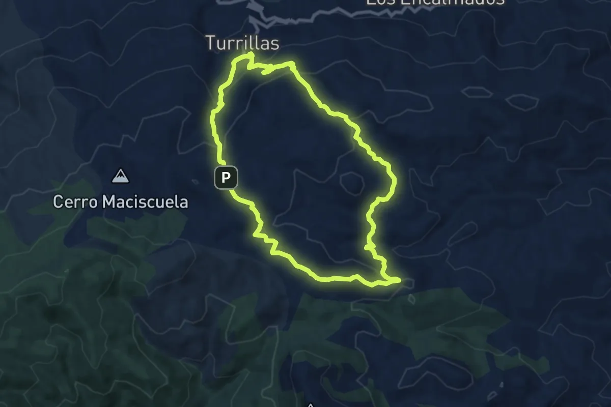
Medium · Trail
Turrillas - Loma del Perro
9.0 km · ↑ 422 m · 3 h 10 min
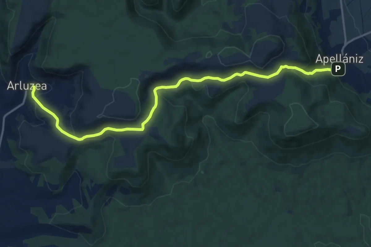
Medium · Trail
Txarabitana
12.6 km · ↑ 529 m · 4 h 7 min
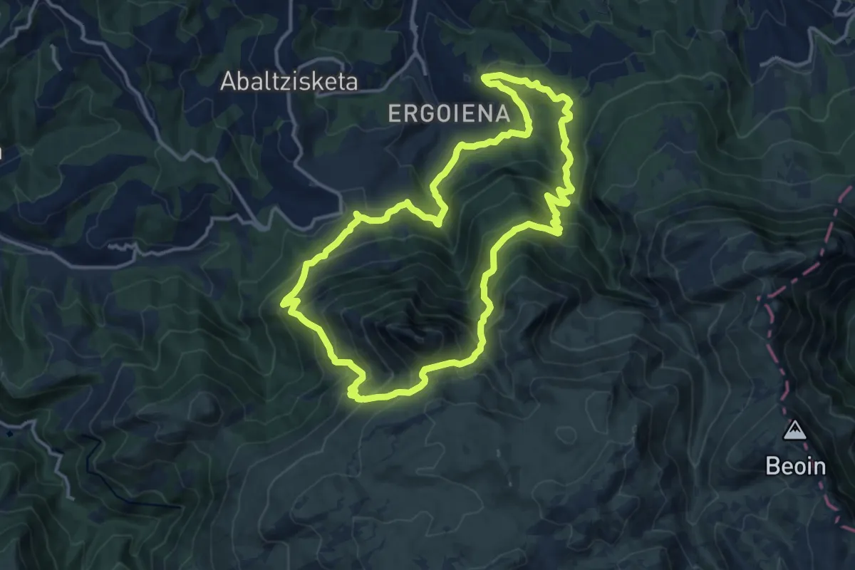
Demanding · Trail
Txindoki ibilbidea
14.1 km · ↑ 1025 m · 5 h 45 min
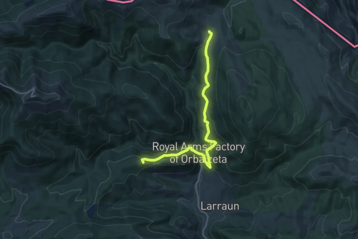
Medium · Summit
Txutxurieta (GR11) - Azpegi (GR12)
11.8 km · ↑ 531 m · 3 h 56 min
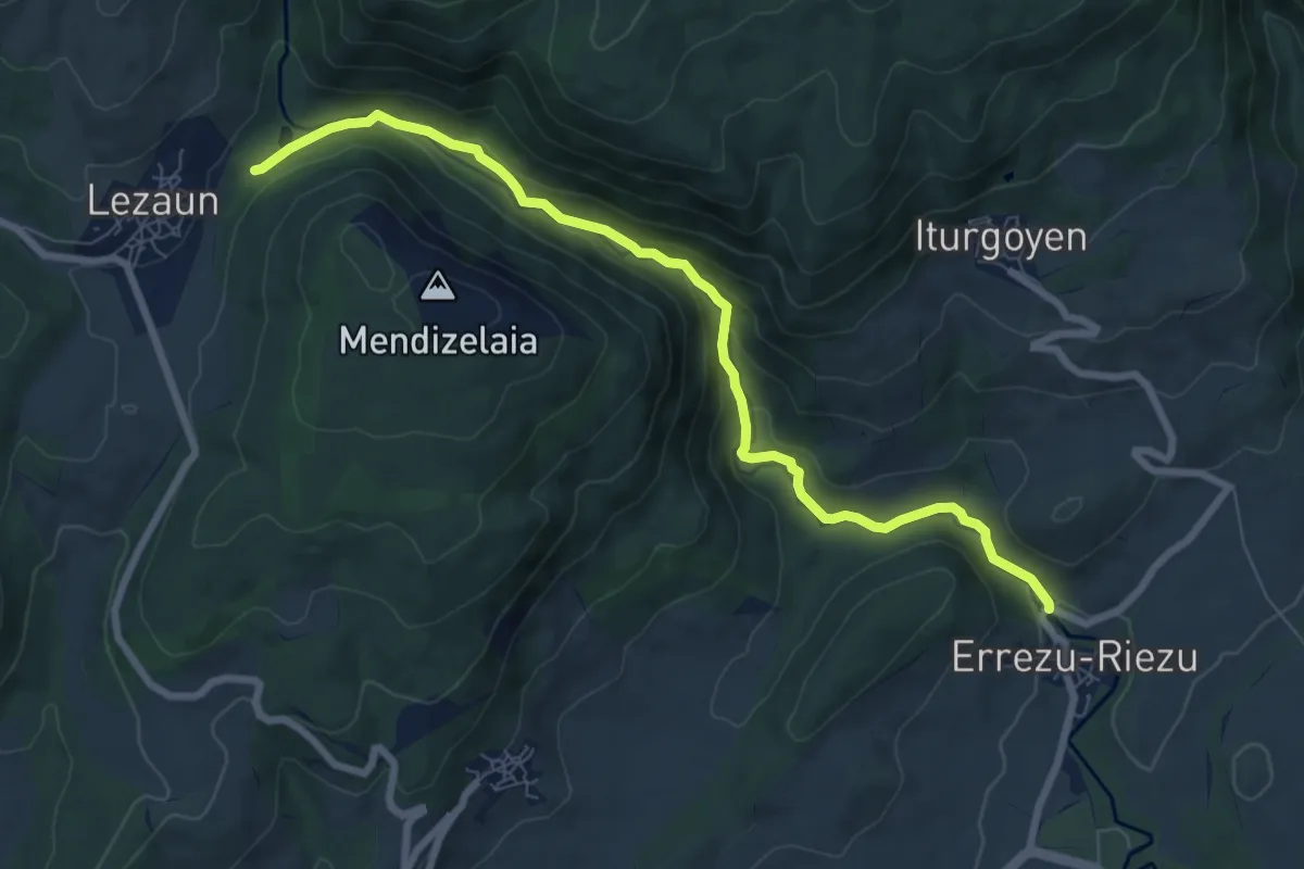
Medium · Trail
Ubagua ibaiaren arroila
8.6 km · ↑ 350 m · 2 h 48 min
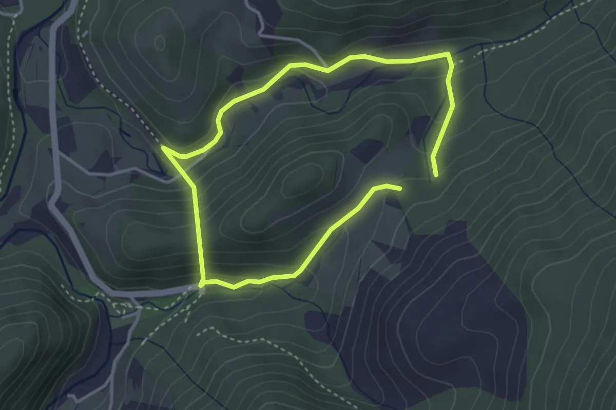
Medium · Trail
Ubaranen bidetik
2.9 km · ↑ 159 m · 1 h 4 min
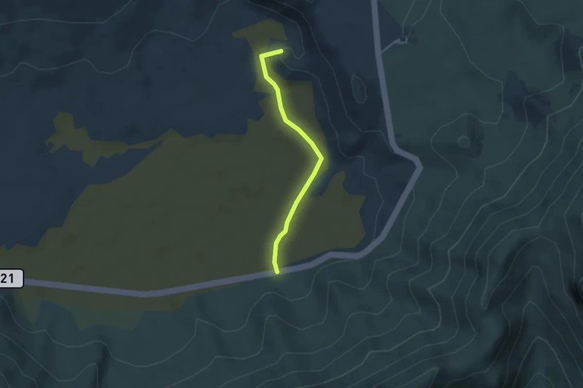
Easy · Summit
Ucanca
3.3 km · ↑ 22 m · 50 min
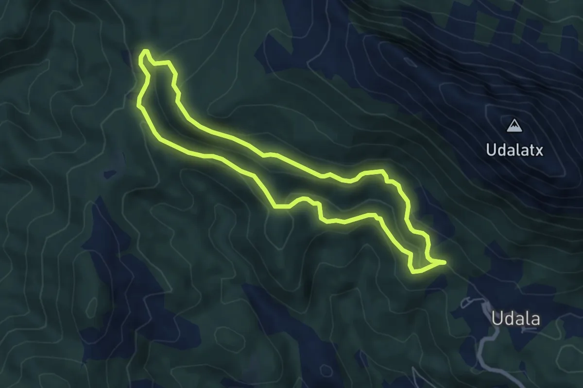
Easy · Summit
Udala-Besaide-Udala
6.1 km · ↑ 210 m · 1 h 58 min
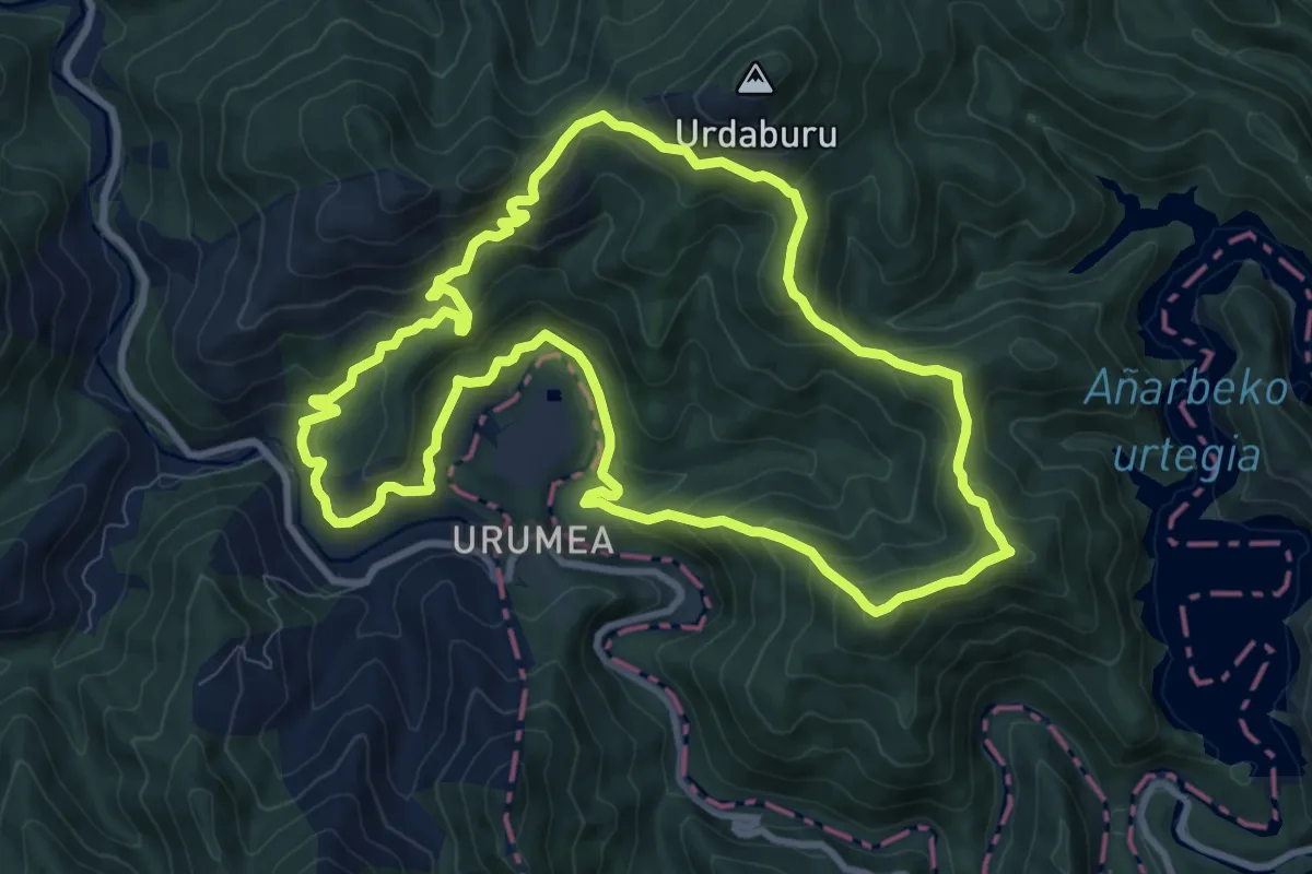
Medium · Summit
Ugaldetxoko basoak
10.2 km · ↑ 644 m · 3 h 56 min
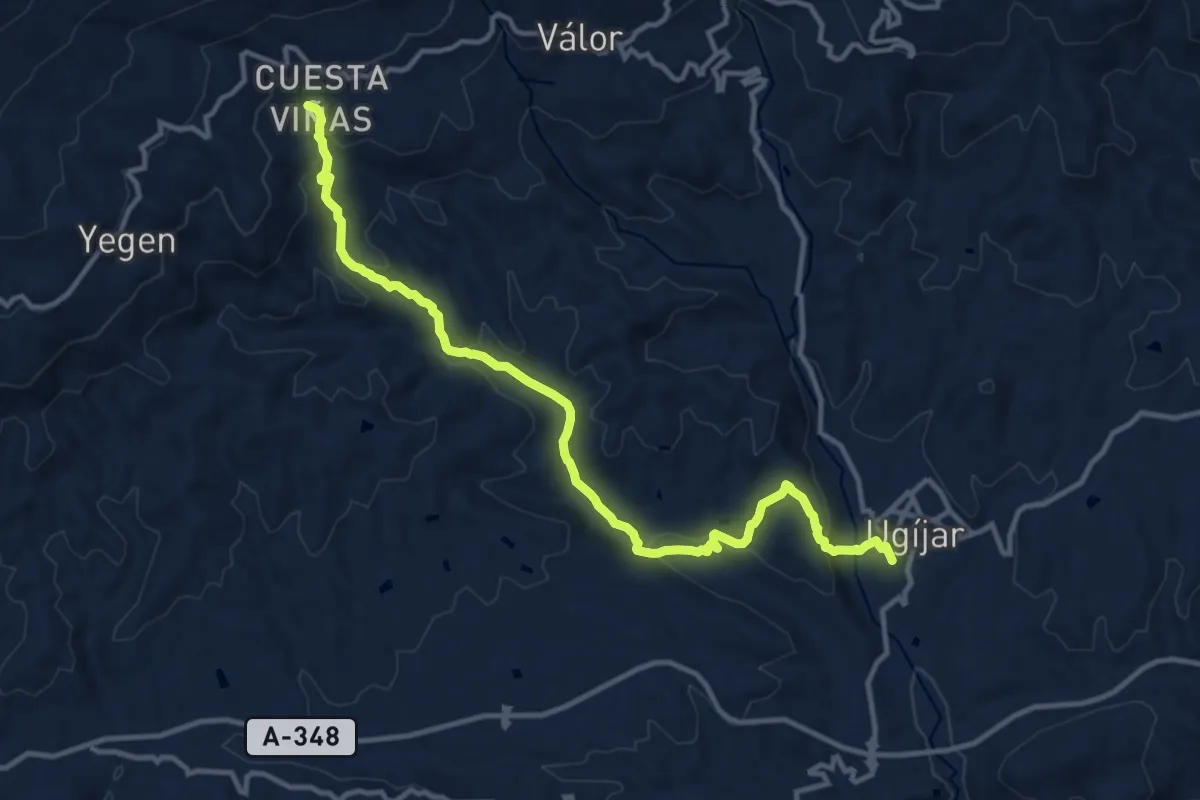
Medium · Trail
Ugíjar-Cuesta Viñas
15.3 km · ↑ 553 m · 4 h 49 min
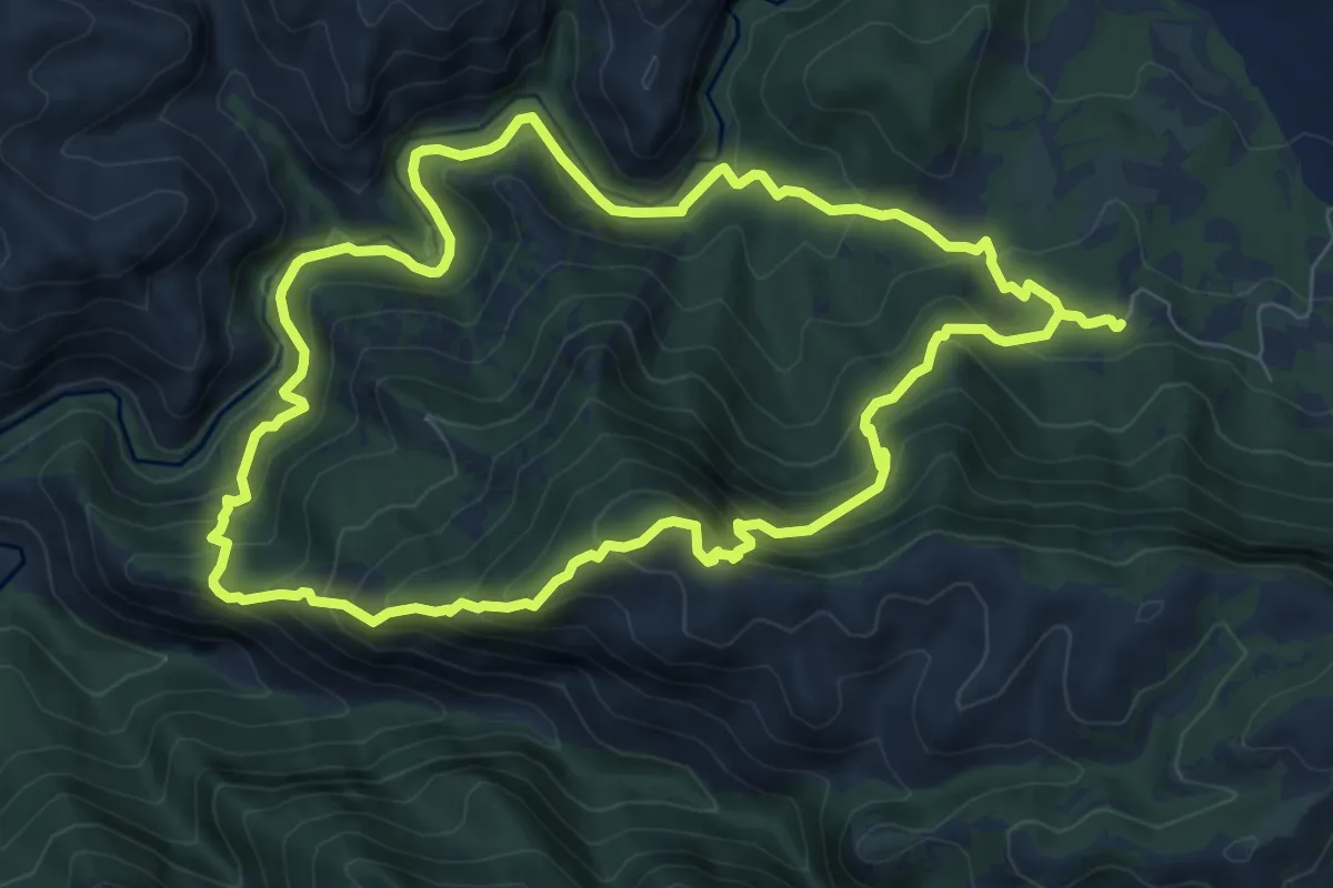
Demanding · Summit
Ulldemolins
8.8 km · ↑ 648 m · 3 h 36 min
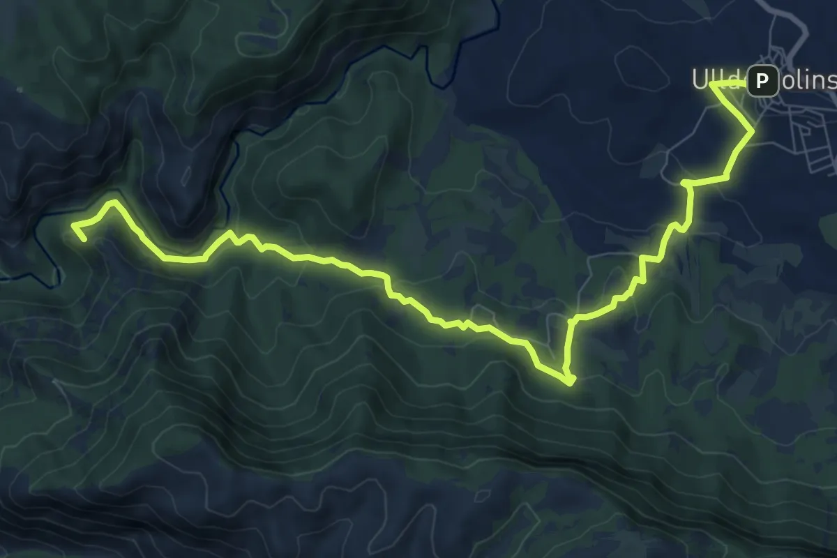
Medium · Summit
Ulldemolins - Venda de la Serra la Llena
11.9 km · ↑ 459 m · 3 h 48 min
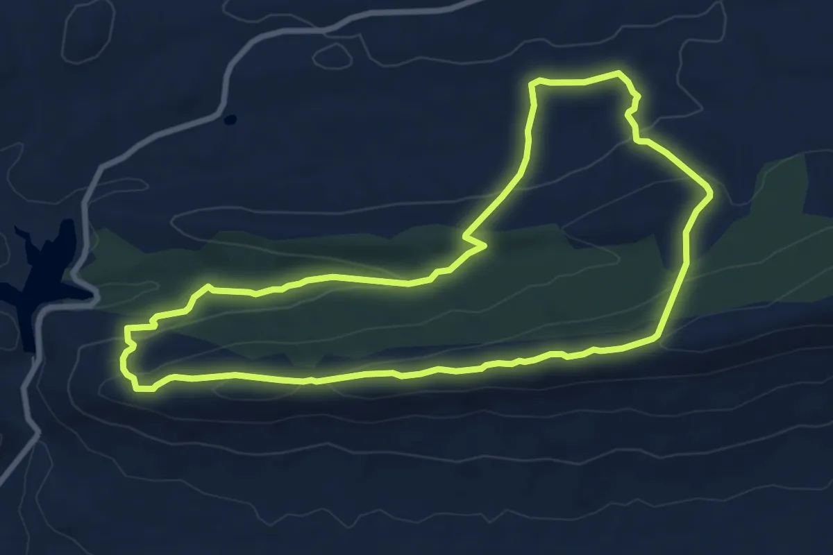
Medium · Trail
Umbría del Barbechoso
8.2 km · ↑ 234 m · 2 h 34 min
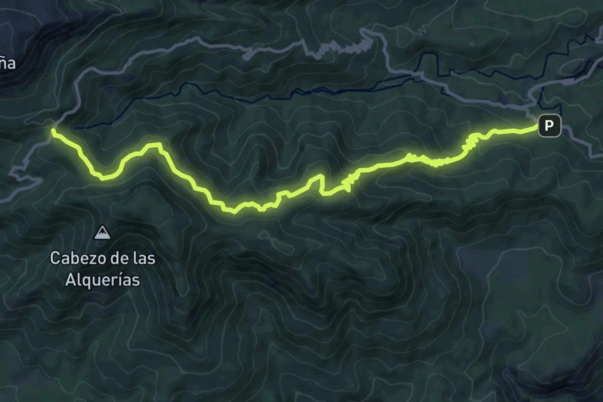
Medium · Trail
Umbría de Peña Apartada
14.9 km · ↑ 753 m · 5 h 10 min
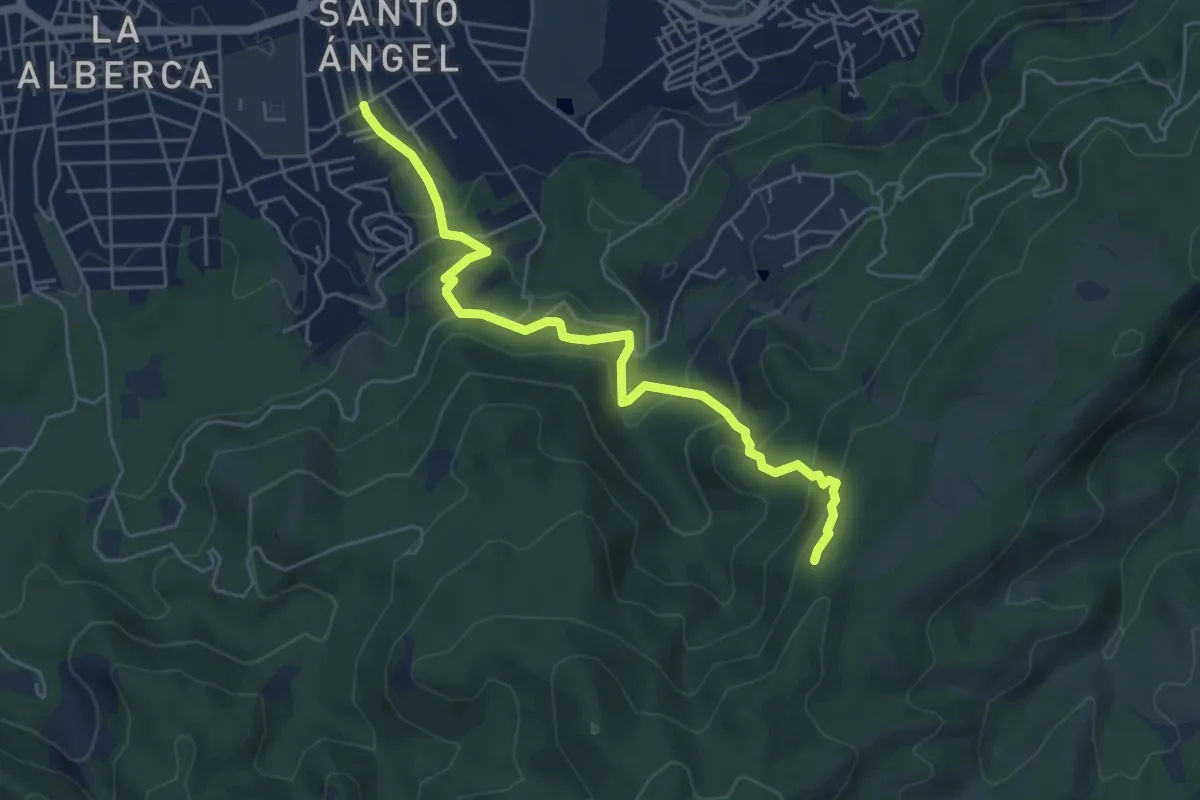
Medium · Trail
Umbrías de Santo Ángel
6.4 km · ↑ 451 m · 2 h 29 min
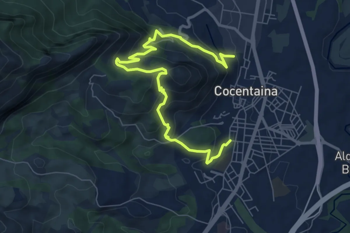
Medium · Trail
Una cita amb la història
8.9 km · ↑ 530 m · 3 h 16 min
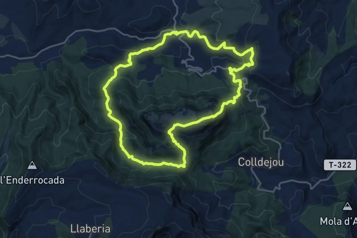
Demanding · Summit
Una fortalesa de pedra i roca
13.1 km · ↑ 760 m · 4 h 55 min
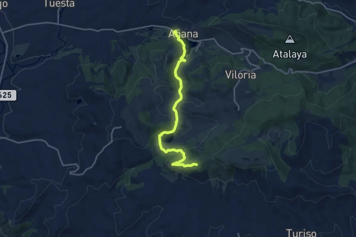
Medium · Summit
Uña Haitza eta Aintzirako ibilbidea
11.3 km · ↑ 346 m · 3 h 25 min
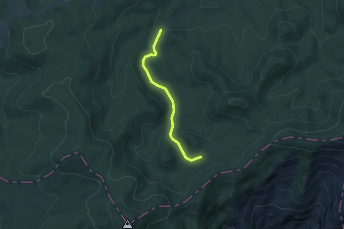
Medium · Trail
Unió GR 7 i GR 8
3.7 km · ↑ 69 m · 1 h 2 min
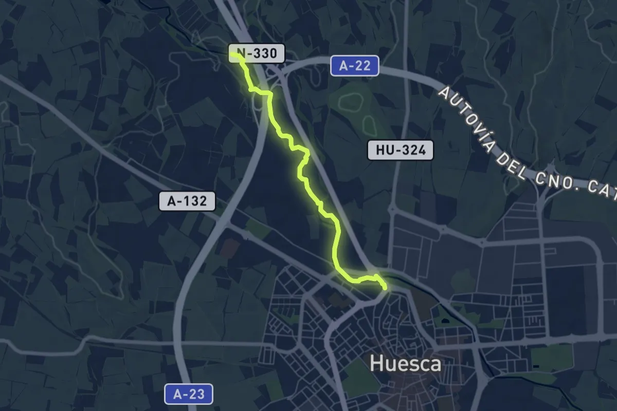
Easy · Trail
Un paseo hasta las Fuentes de Marcelo
5.9 km · ↑ 22 m · 1 h 27 min
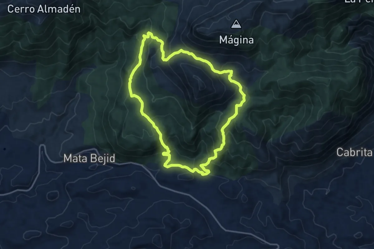
Medium · Trail
Un paseo por el Karst de Sierra Mágina
13.9 km · ↑ 773 m · 5 h 8 min
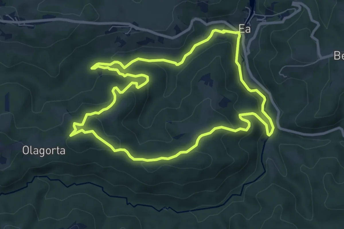
Easy · Summit
Ura jarraituz
7.7 km · ↑ 267 m · 2 h 30 min
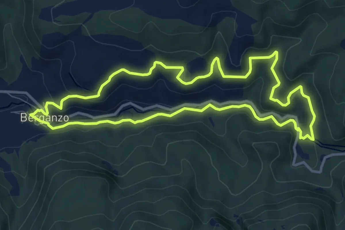
Medium · Trail
Uraren bidea
8.6 km · ↑ 343 m · 2 h 53 min
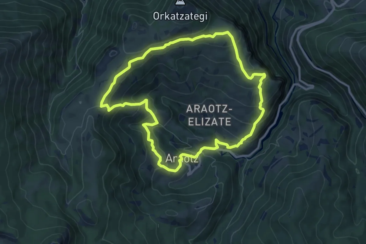
Medium · Summit
Uraren bidea
8.0 km · ↑ 377 m · 2 h 49 min
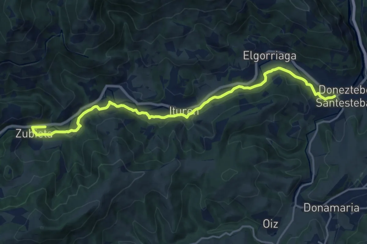
Medium · Trail
Uraren bidea
14.8 km · ↑ 353 m · 4 h 16 min
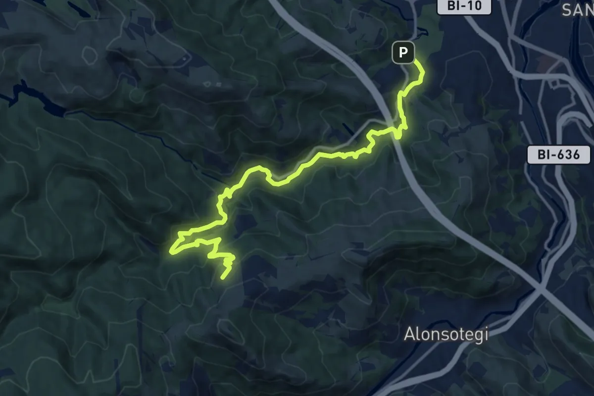
Medium · Summit
Uraren ibilbidea: Barakaldoko urtegiak
15.1 km · ↑ 593 m · 4 h 52 min
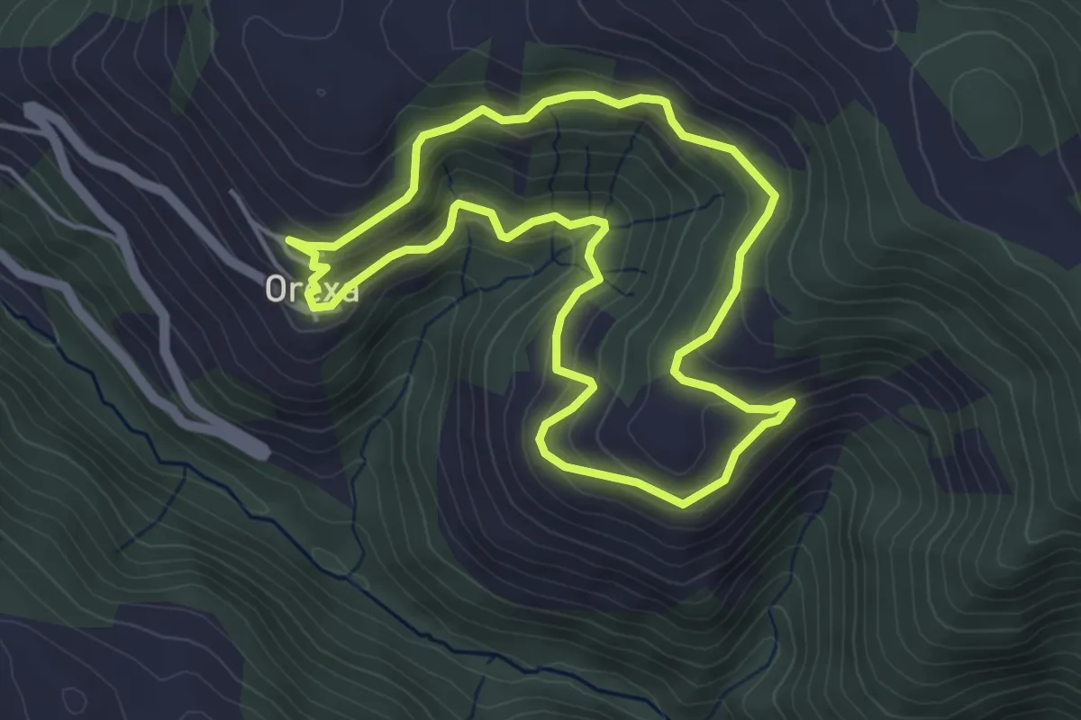
Easy · Trail
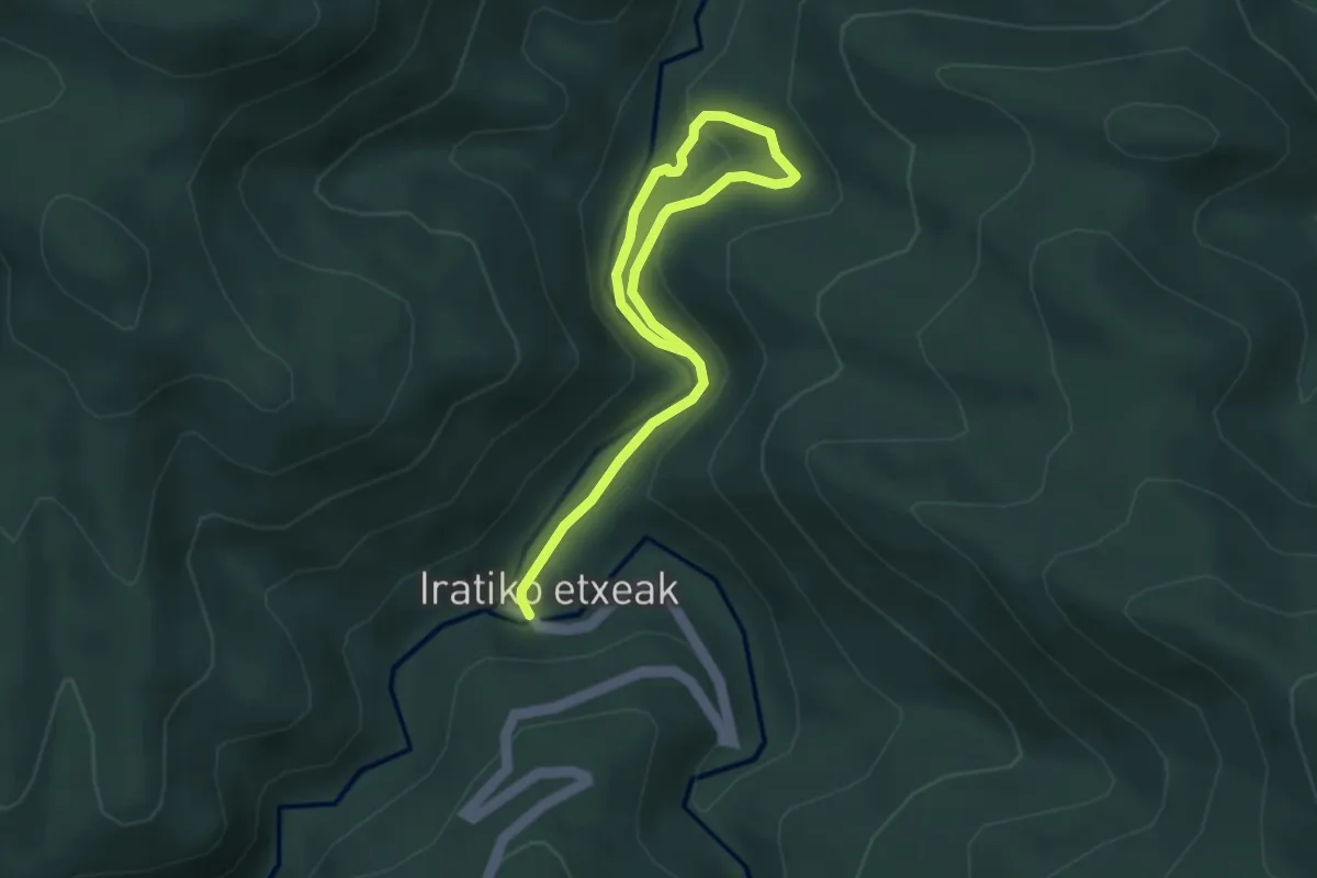
Urbainuko itzulia
4.4 km · ↑ 272 m · 1 h 42 min
Easy · Trail
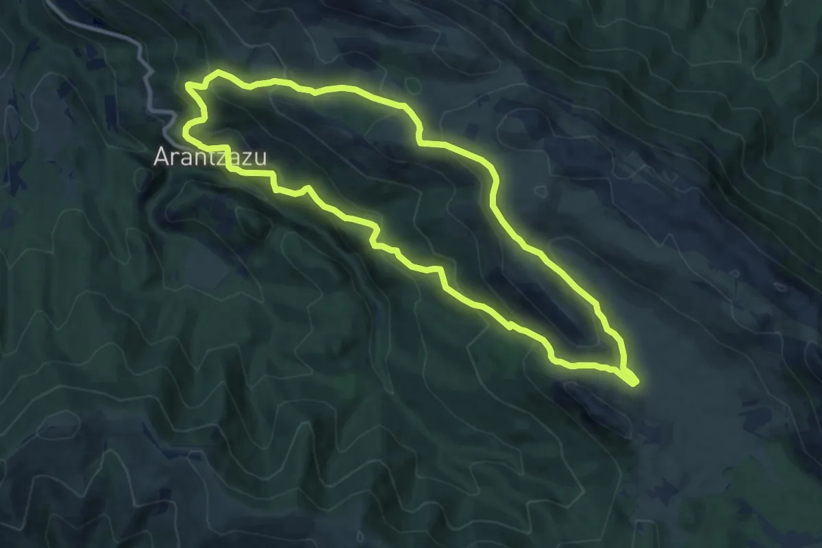
Urbeltza ibaiaren bide-zidorra
4.7 km · ↑ 193 m · 1 h 32 min
Medium · Summit
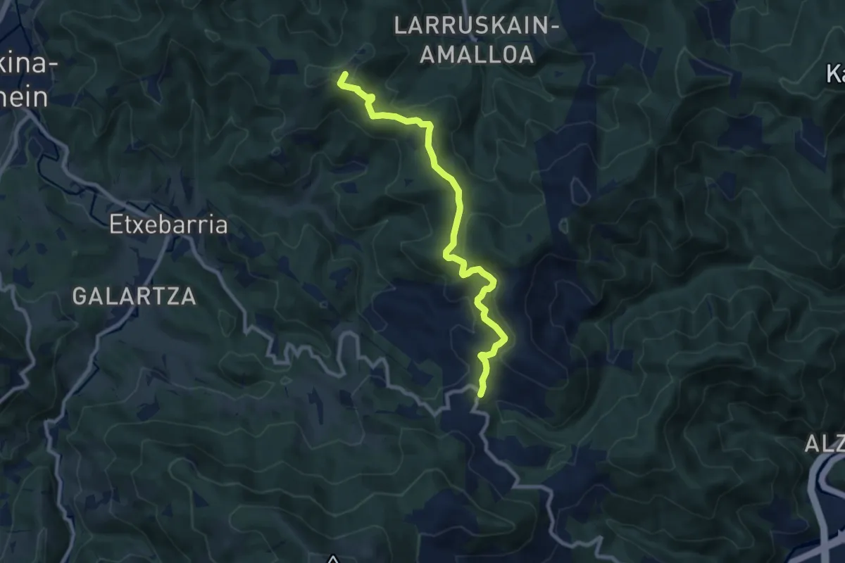
Urbiako xenda
10.7 km · ↑ 625 m · 4 h 2 min
Medium · Summit
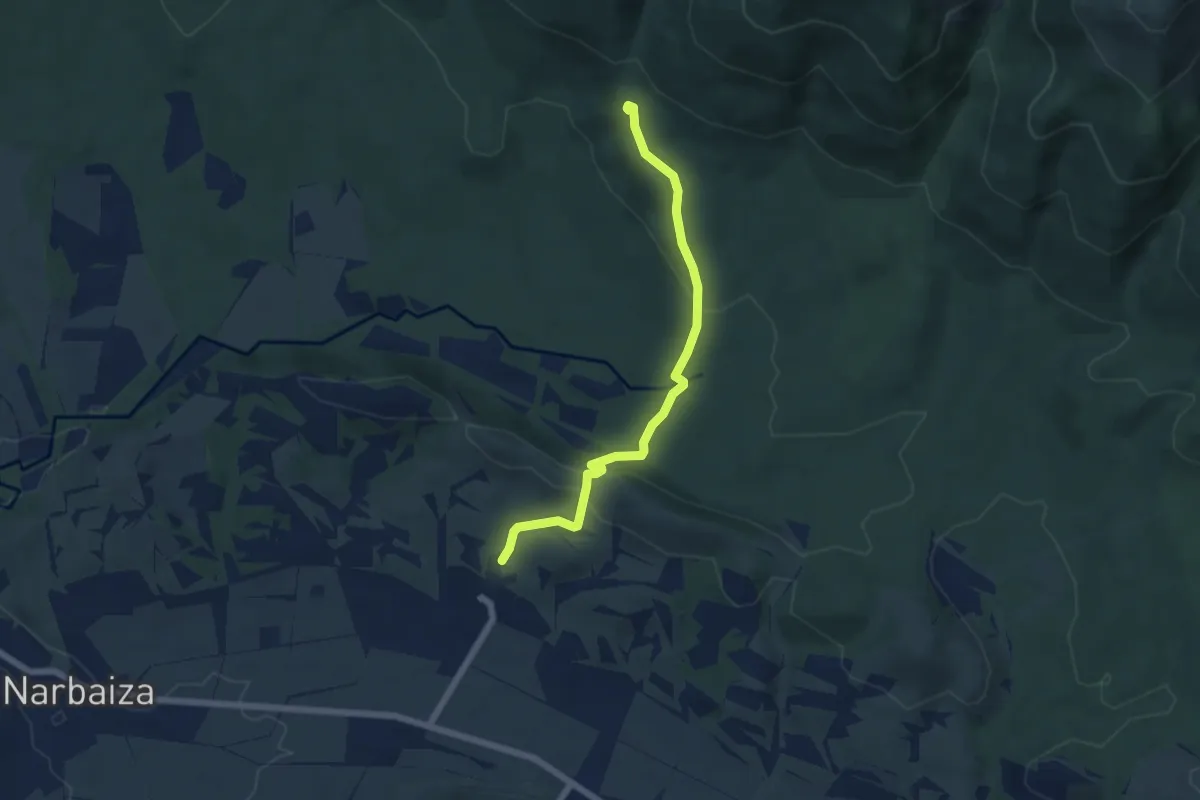
Urkaregiko bidezidorra
9.3 km · ↑ 340 m · 2 h 56 min
Easy · Trail
Urkate ur-jauzia
6.0 km · ↑ 197 m · 1 h 51 min
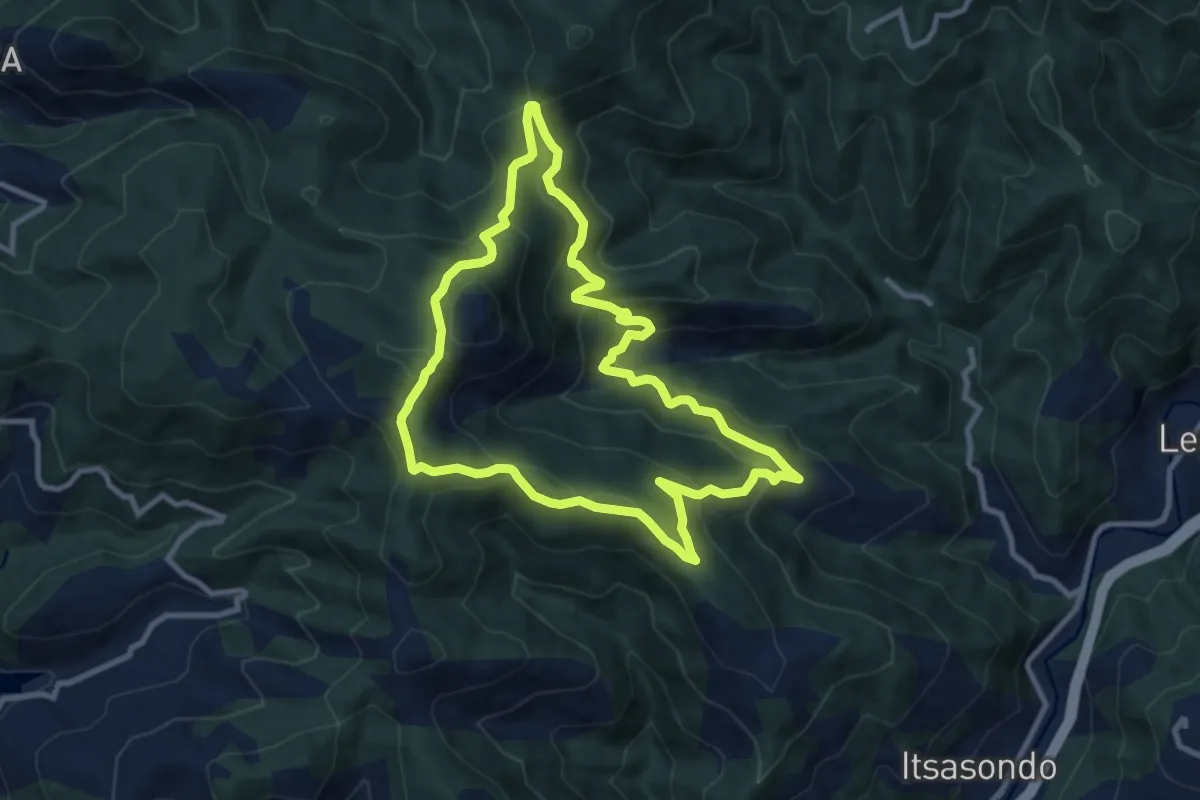
Medium · Summit
Urkia - Domingoko mugarria - Urkia
9.8 km · ↑ 513 m · 3 h 34 min
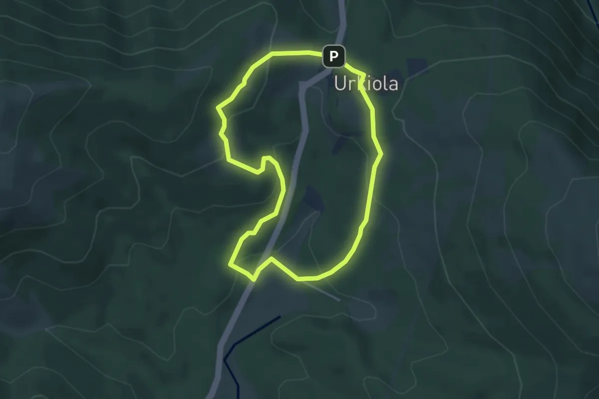
Easy · Trail
Urkiolako ingurunea ezagutzen
3.8 km · ↑ 148 m · 1 h 16 min
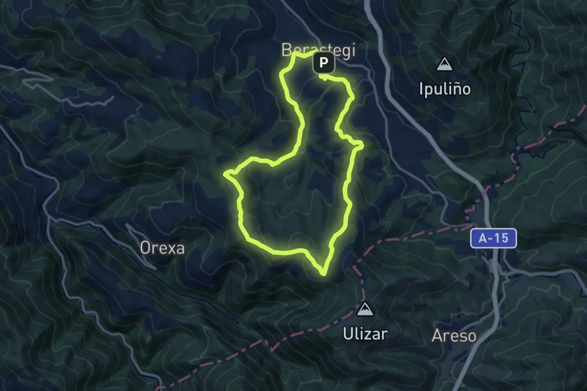
Medium · Summit
Urko bidea
11.4 km · ↑ 394 m · 3 h 42 min
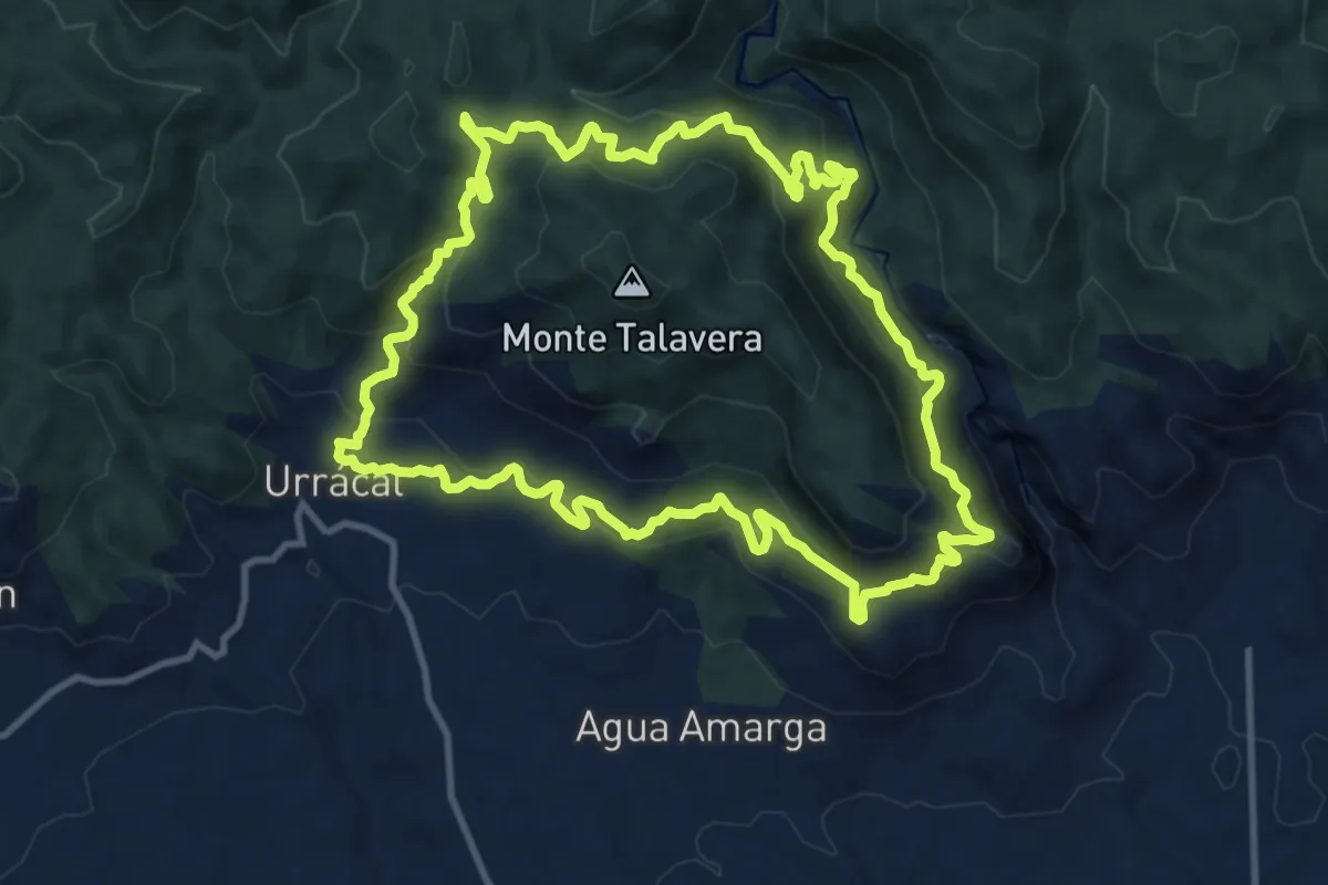
Medium · Trail
Urrácal - La Escarihuela
13.4 km · ↑ 646 m · 4 h 45 min
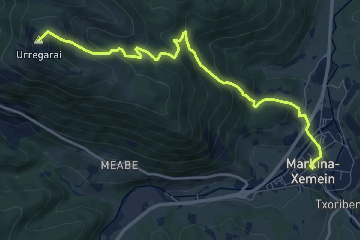
Medium · Summit
Urregarai eta Santa Eufemiarako bidezidorra
8.8 km · ↑ 573 m · 3 h 19 min
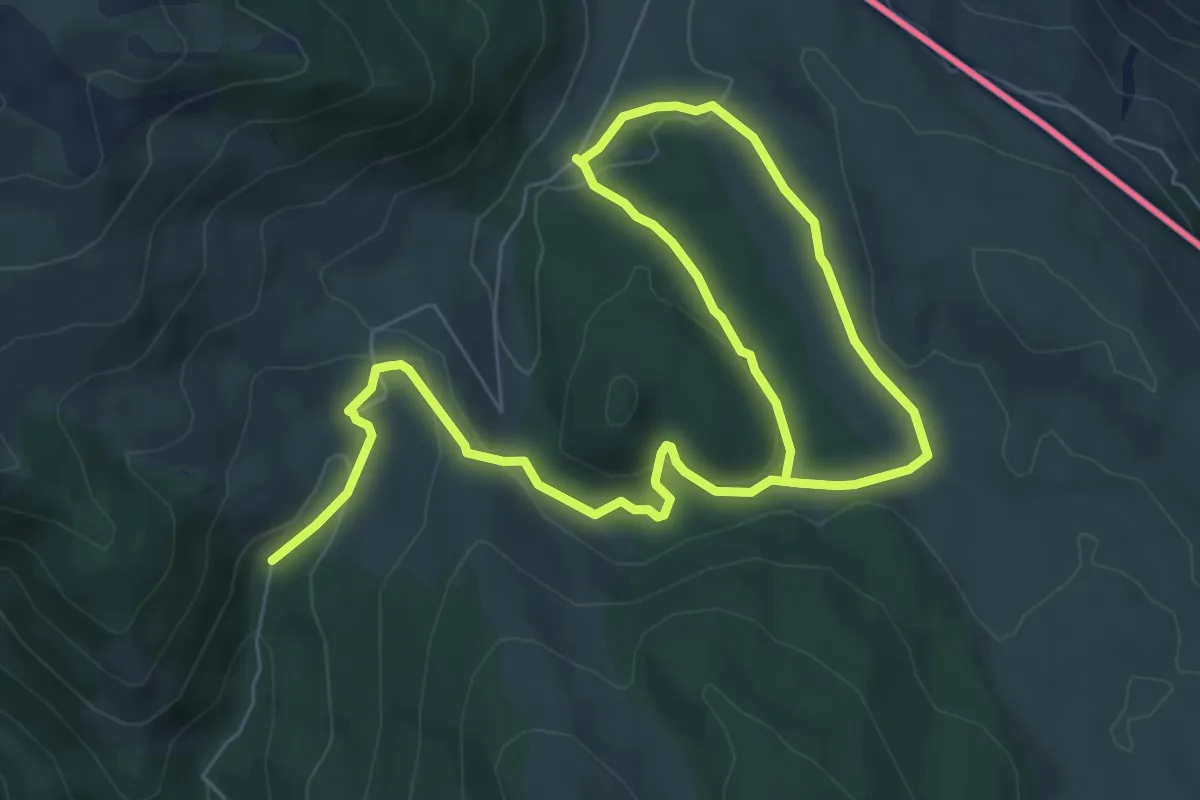
Medium · Cabin
Ursarioko Basoa
11.4 km · ↑ 276 m · 3 h 17 min
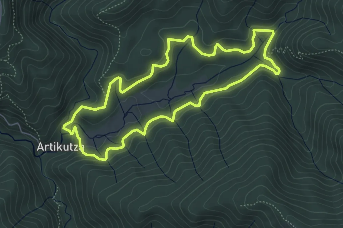
Medium · Trail
Urtegiari Bira (Artikutza)
5.4 km · ↑ 245 m · 1 h 53 min
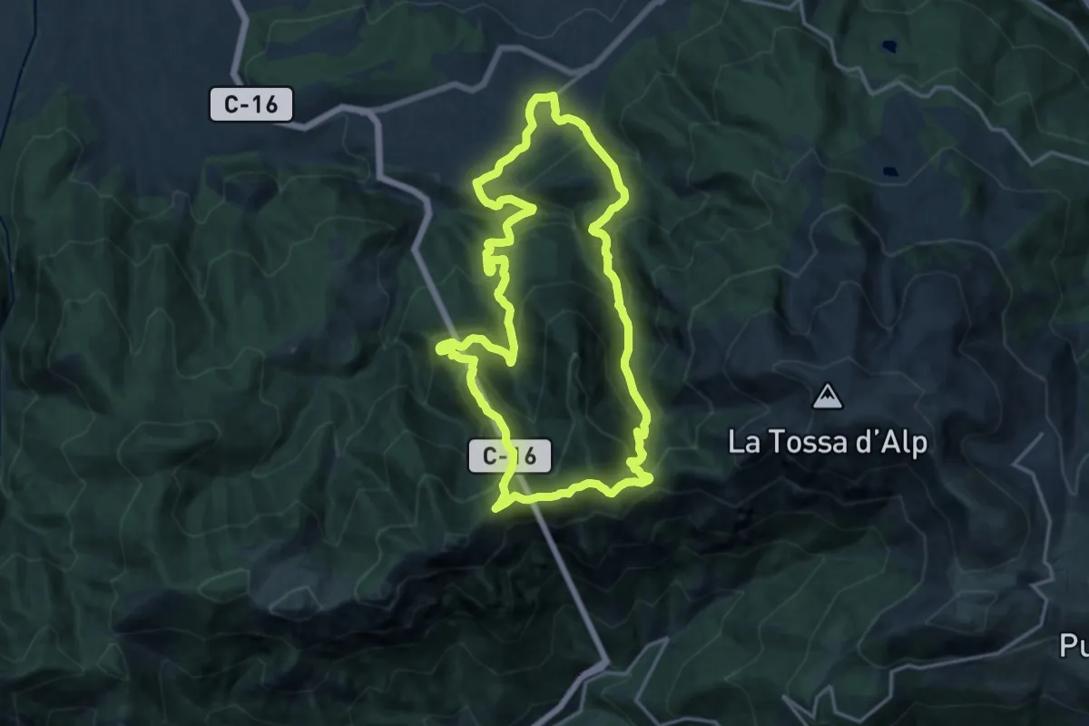
Demanding · Summit
Urus Penyes Altes del Moixeró
15.5 km · ↑ 1104 m · 6 h 17 min