Trails in Spain
5,960 hiking trails, each with its route, climb, walking time and grade.
All trails, page 116 of 125
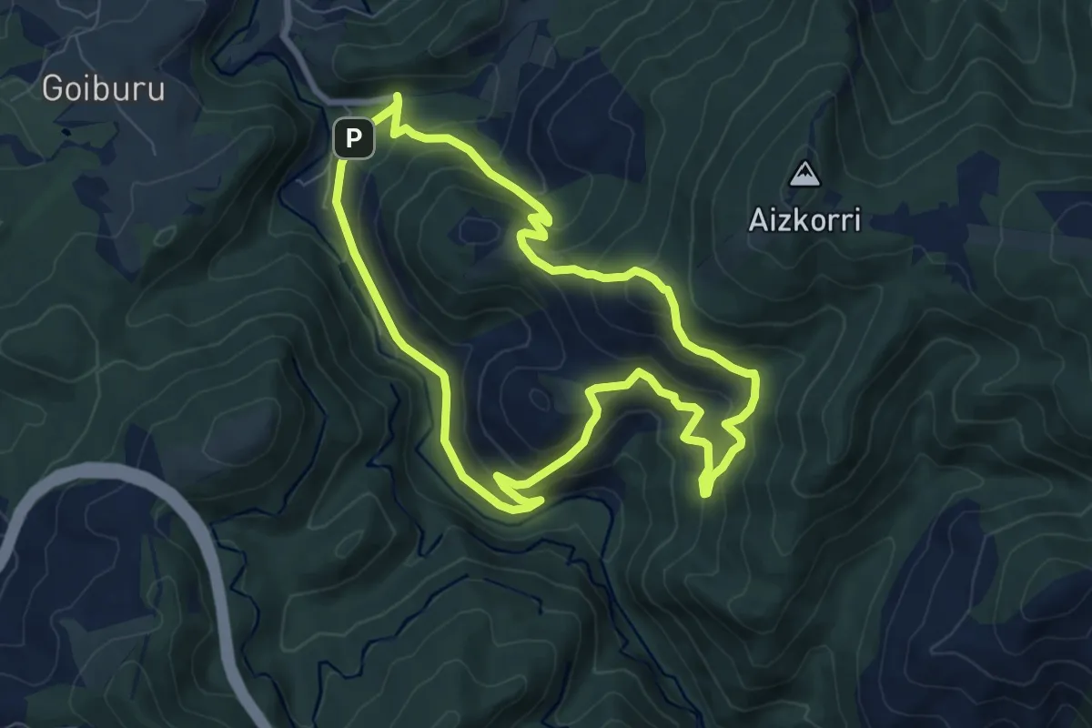
Medium · Summit
Usabelartzara bidea
8.0 km · ↑ 491 m · 3 h 4 min
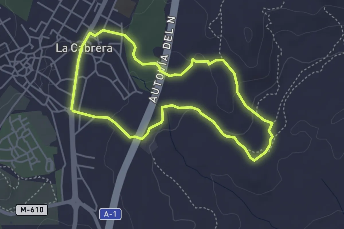
Easy · Trail
Usos tradicionales
3.9 km · ↑ 63 m · 1 h 6 min
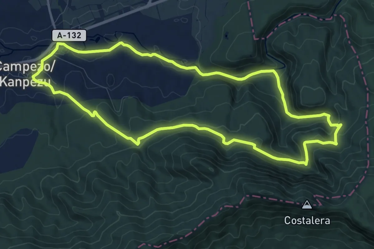
Medium · Trail
Uxerrirako ibilbidea
11.9 km · ↑ 399 m · 3 h 50 min
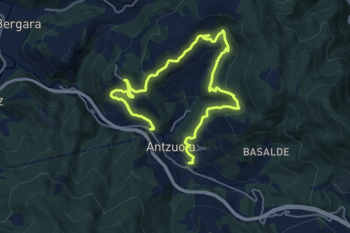
Demanding · Trail
Uzarraga-Galartza-Lizarraga-Irimoegi
16.9 km · ↑ 1031 m · 6 h 14 min
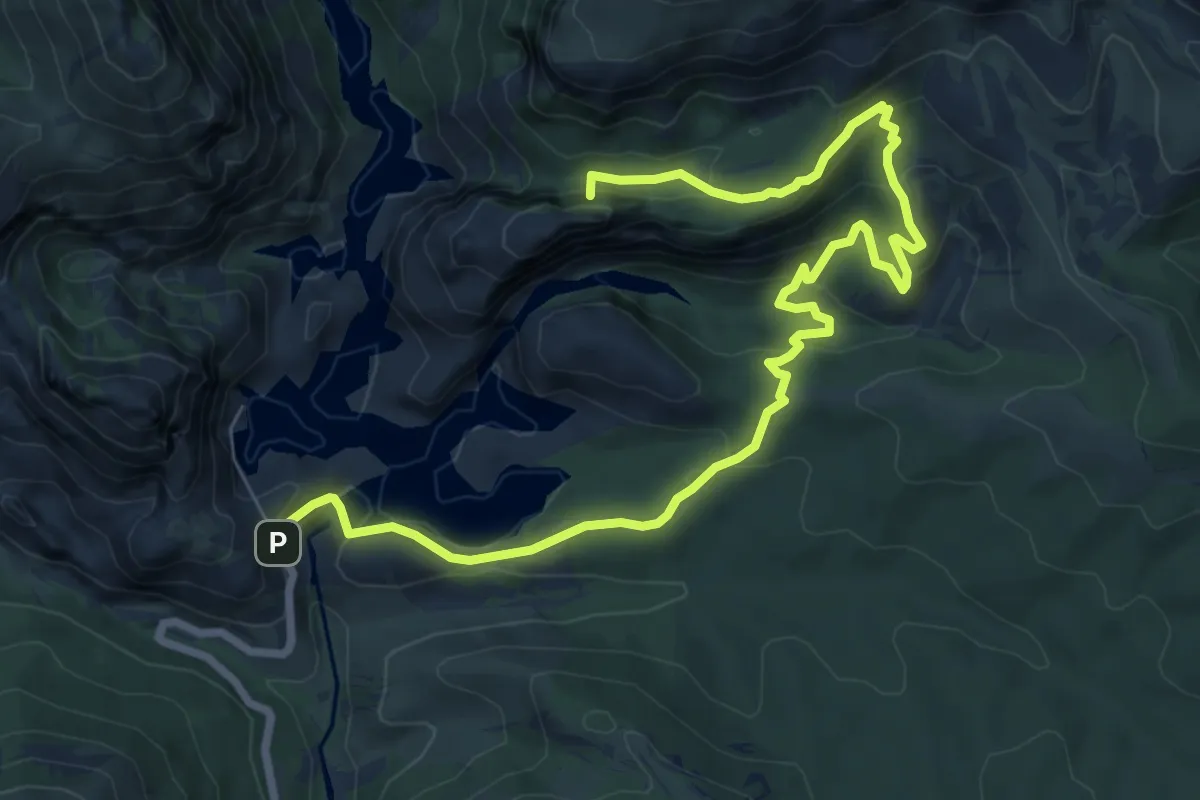
Medium · Summit
Vadiello, San Cosme y San Damián - El Huevo de San Cosme
10.6 km · ↑ 469 m · 3 h 32 min
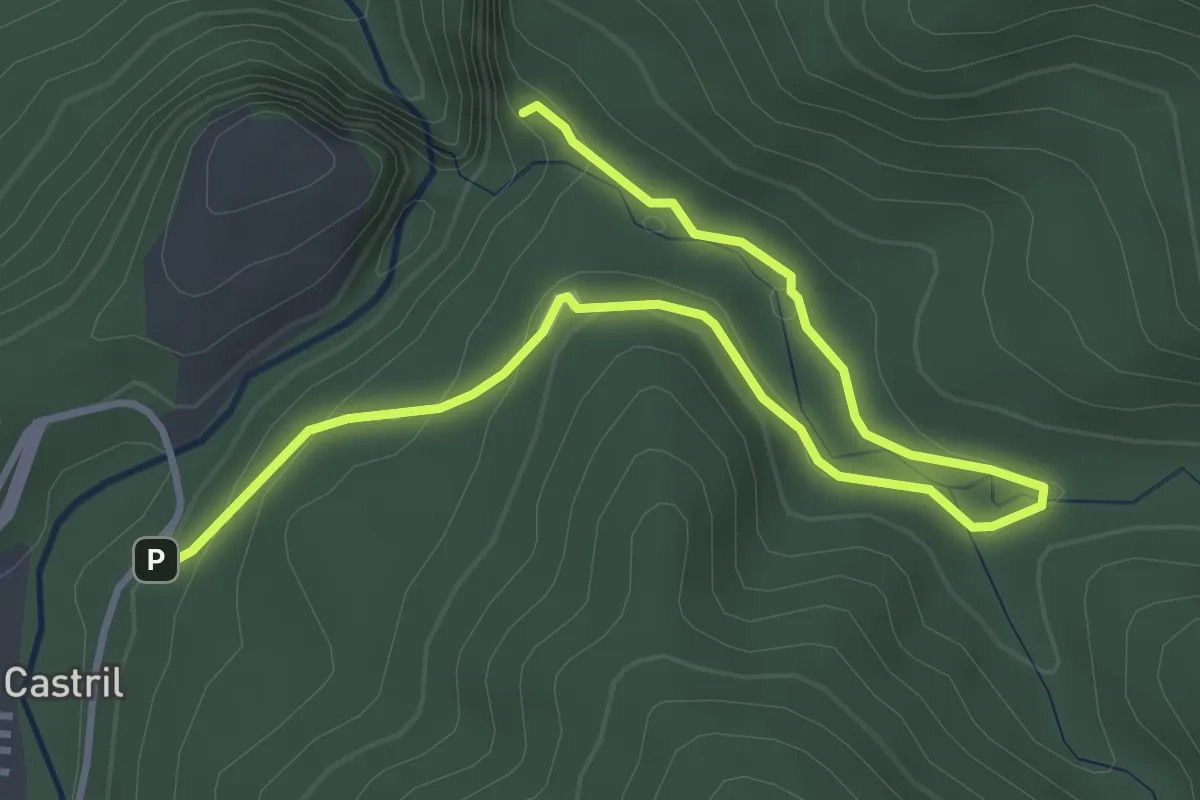
Easy · Trail
Vadillo-Castril - Mirador de Linarejos
5.5 km · ↑ 160 m · 1 h 38 min
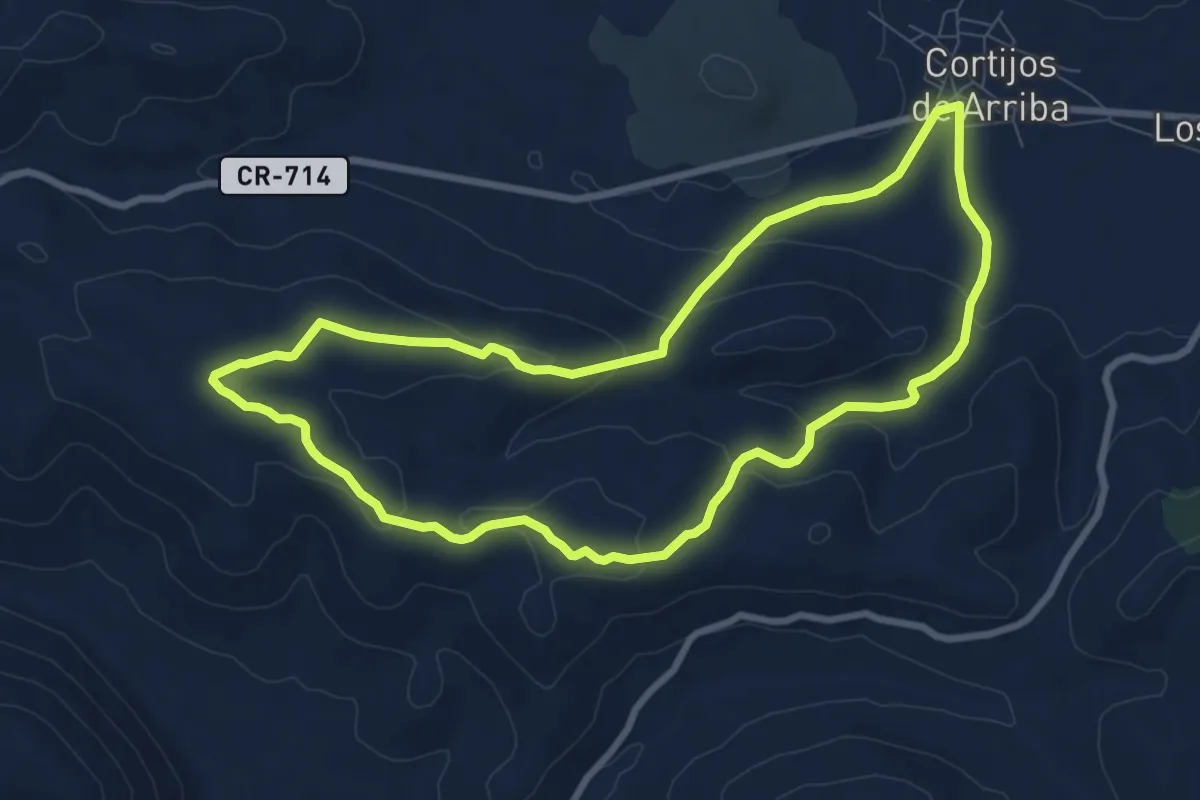
Medium · Trail
Valdegutierrez - El Jaroso
9.3 km · ↑ 224 m · 2 h 48 min
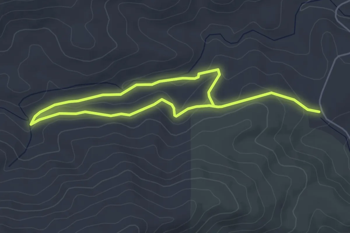
Medium · Trail
Valdeinfierno
8.4 km · ↑ 164 m · 2 h 20 min
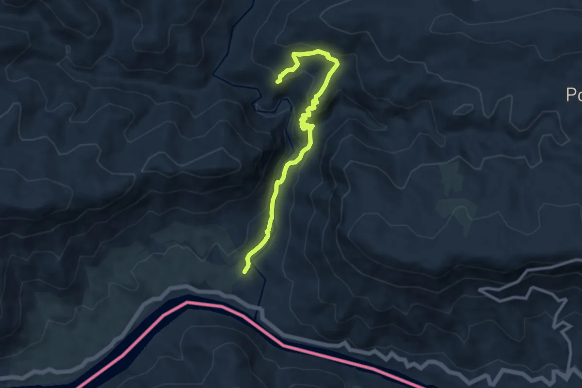
Easy · Trail
Vale da Ribeira do Mosteiro
4.2 km · ↑ 275 m · 1 h 35 min
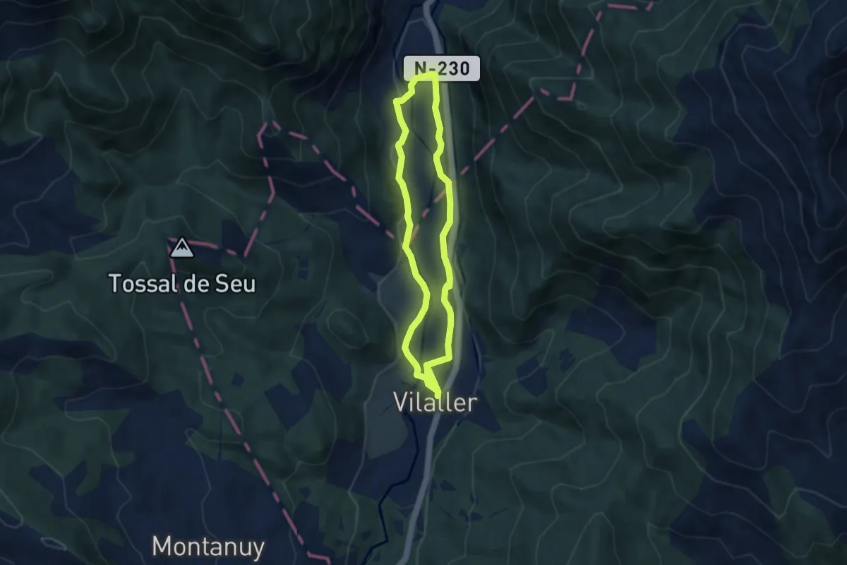
Easy · Trail
Vall de Barravés
6.2 km · ↑ 81 m · 1 h 42 min
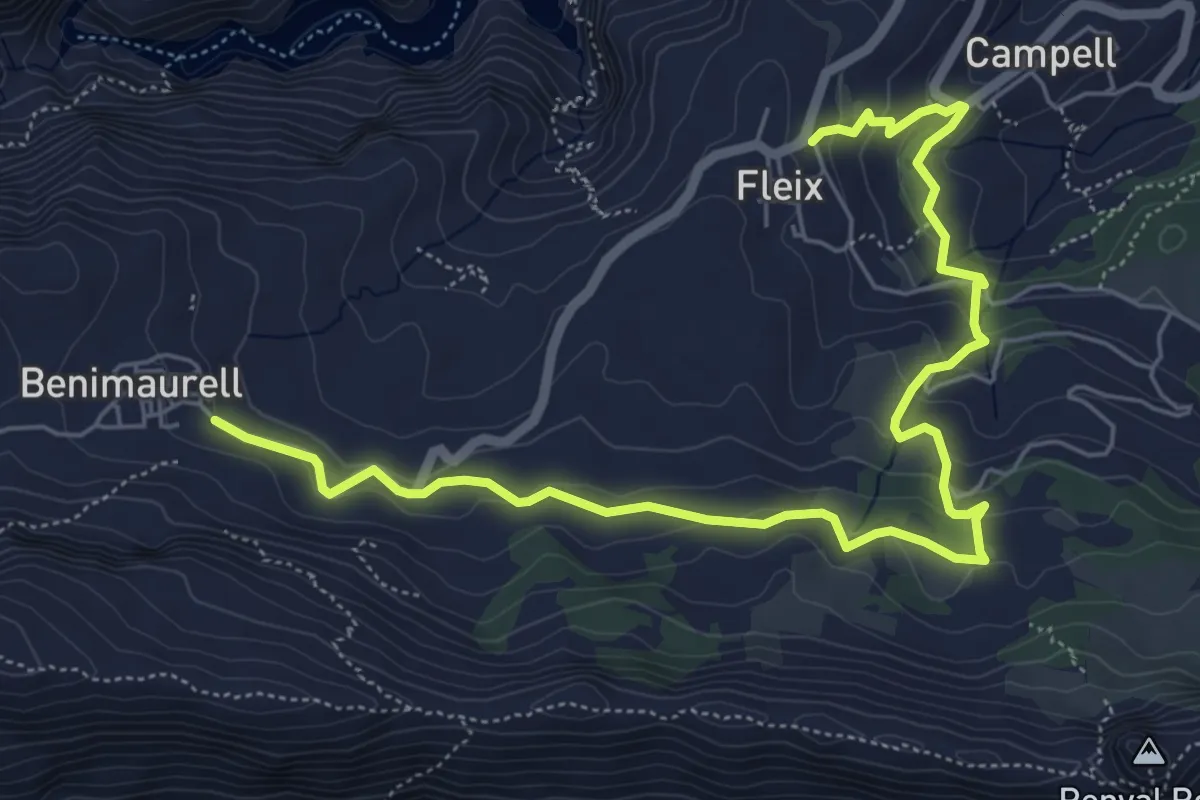
Medium · Trail
Vall de Laguar - Serra del Penyó Roig
8.5 km · ↑ 398 m · 2 h 52 min
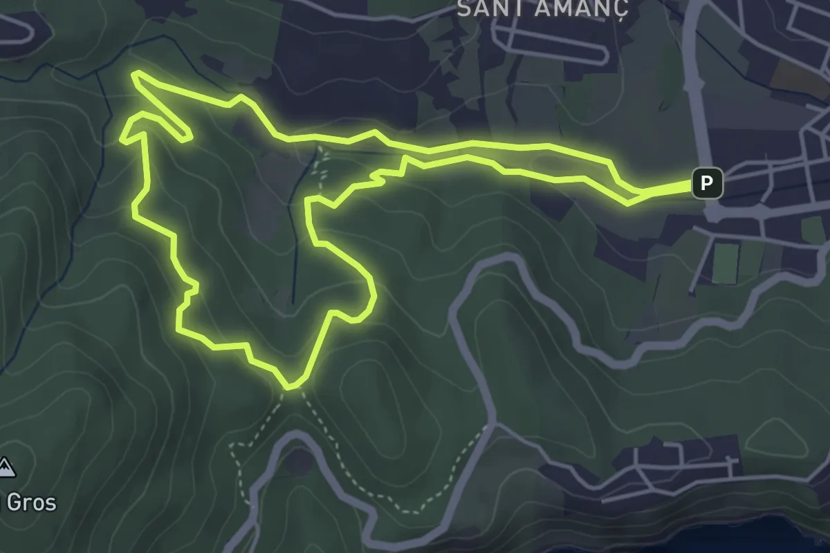
Easy · Summit
Vall de la Mascanada
5.1 km · ↑ 172 m · 1 h 39 min
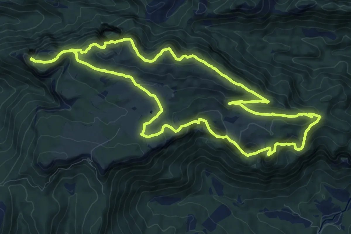
Medium · Summit
Vall d'Ora-Pla de Busa-Capolatell
13.0 km · ↑ 743 m · 4 h 52 min
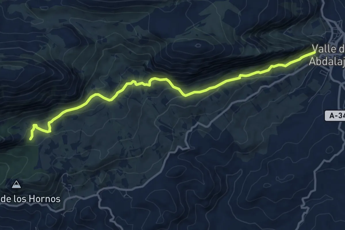
Medium · Trail
Valle de Abdalajís - Sillón del Rey
11.9 km · ↑ 549 m · 4 h
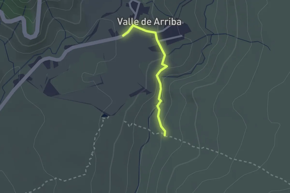
Easy · Trail
Valle de Arriba
2.0 km · ↑ 77 m · 38 min
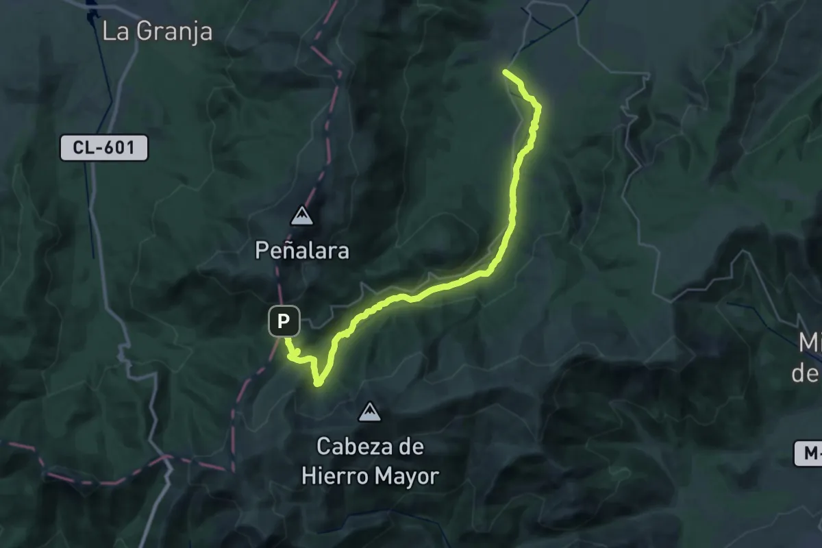
Medium · Trail
Valle de la Angostura
16.3 km · ↑ 108 m · 4 h 40 min
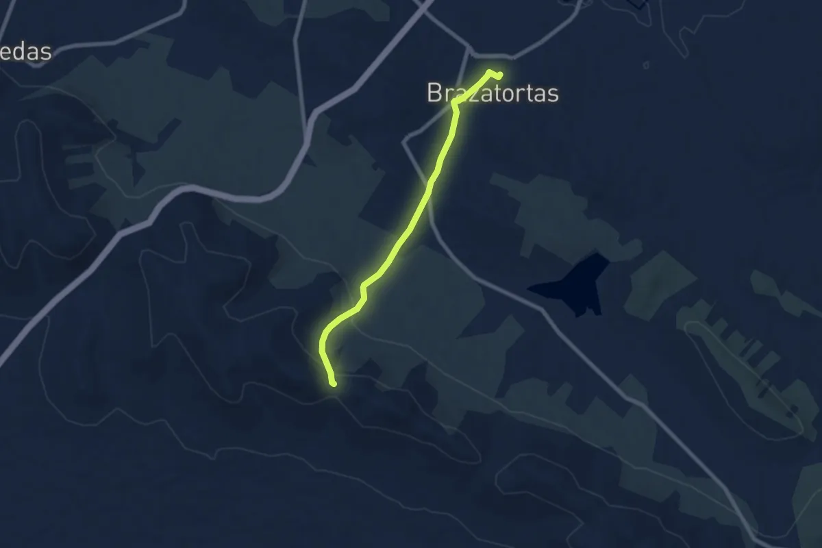
Easy · Trail
Valle del Alcudia
7.1 km · ↑ 200 m · 2 h 7 min
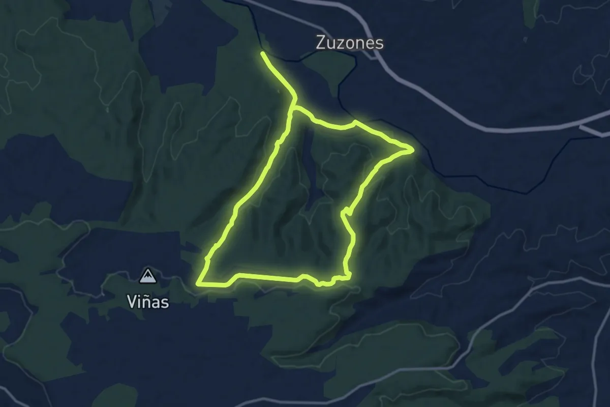
Medium · Trail
Valle de la Virgen del Monte
12.0 km · ↑ 199 m · 3 h 26 min
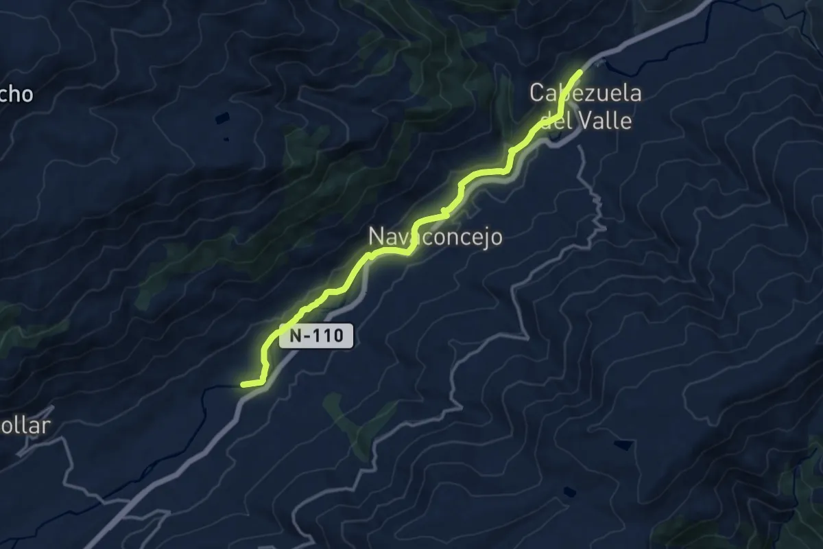
Medium · Trail
Valle del Jerte
14.4 km · ↑ 336 m · 4 h 7 min
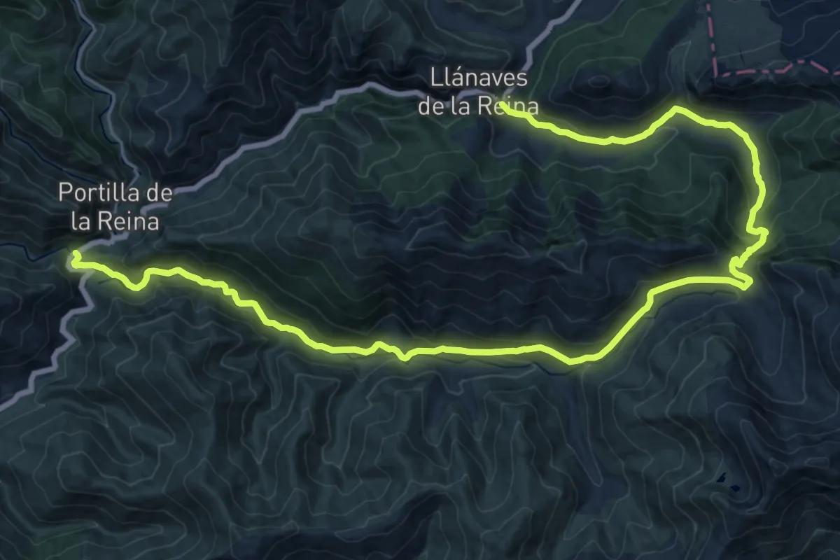
Medium · Trail
Valle del Naranco-Lechada
14.8 km · ↑ 532 m · 4 h 56 min
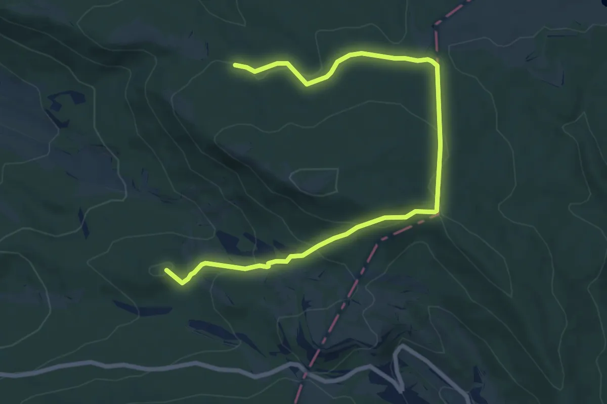
Medium · Summit
Valle de Losa
8.5 km · ↑ 282 m · 2 h 37 min
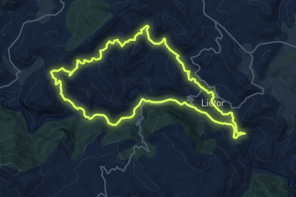
Medium · Summit
Valle del Rio Mundo
15.0 km · ↑ 480 m · 4 h 48 min
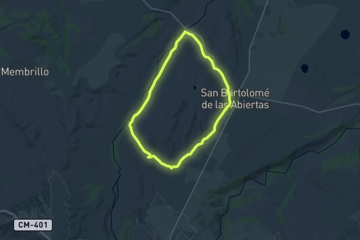
Medium · Trail
Valle del Río Sangrera
15.2 km · ↑ 192 m · 4 h 13 min
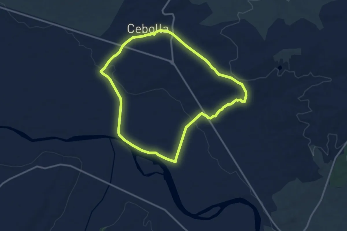
Medium · Trail
Valle del Tajo Cebolla
9.1 km · ↑ 107 m · 2 h 31 min
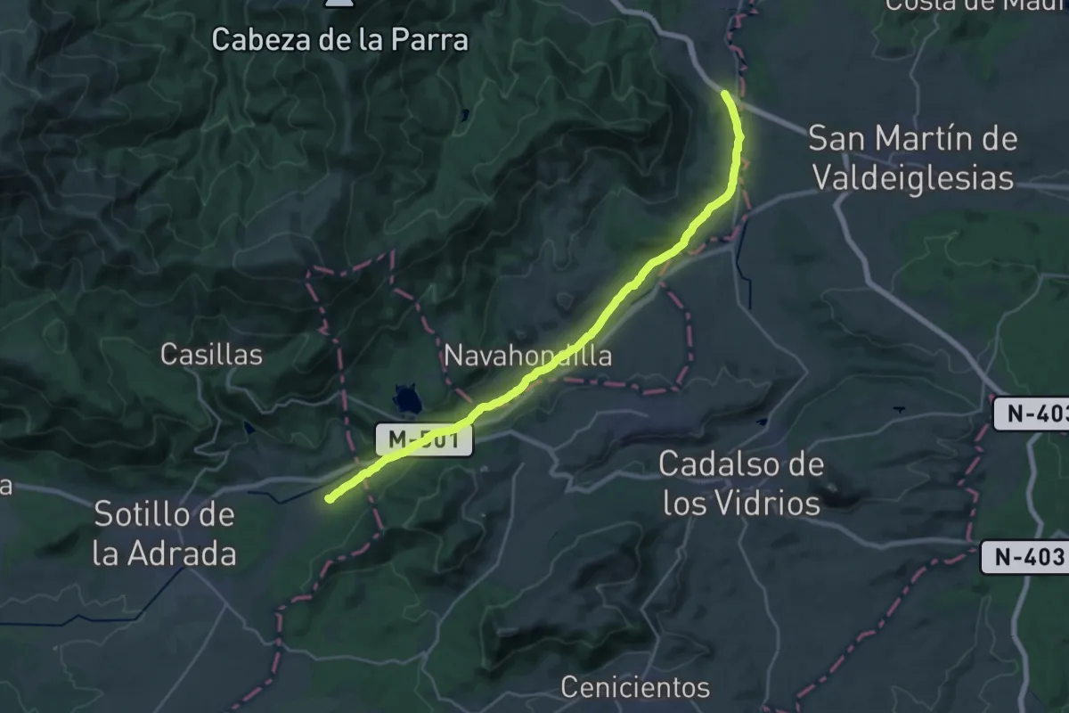
Demanding · Trail
Valle del Tiétar
26.3 km · ↑ 293 m · 6 h 50 min
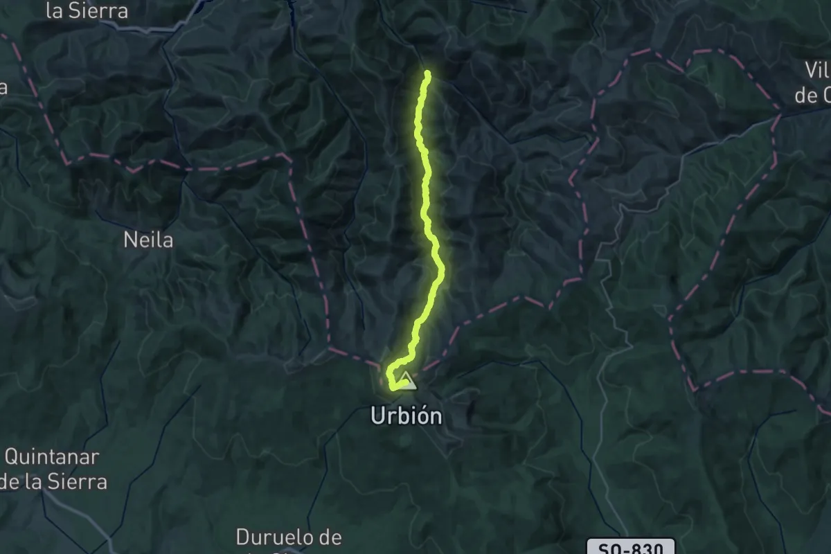
Demanding · Summit
Valle de Urbión
29.2 km · ↑ 1233 m · 9 h 33 min
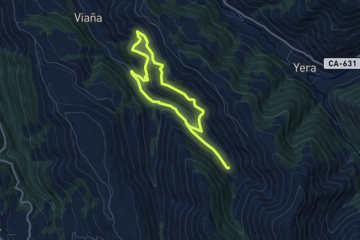
Demanding · Trail
Valle de Viaña
11.7 km · ↑ 831 m · 4 h 34 min
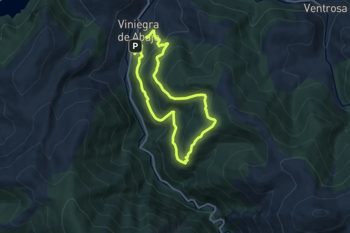
Medium · Trail
Vallejoco y Ninollas
6.8 km · ↑ 498 m · 2 h 46 min
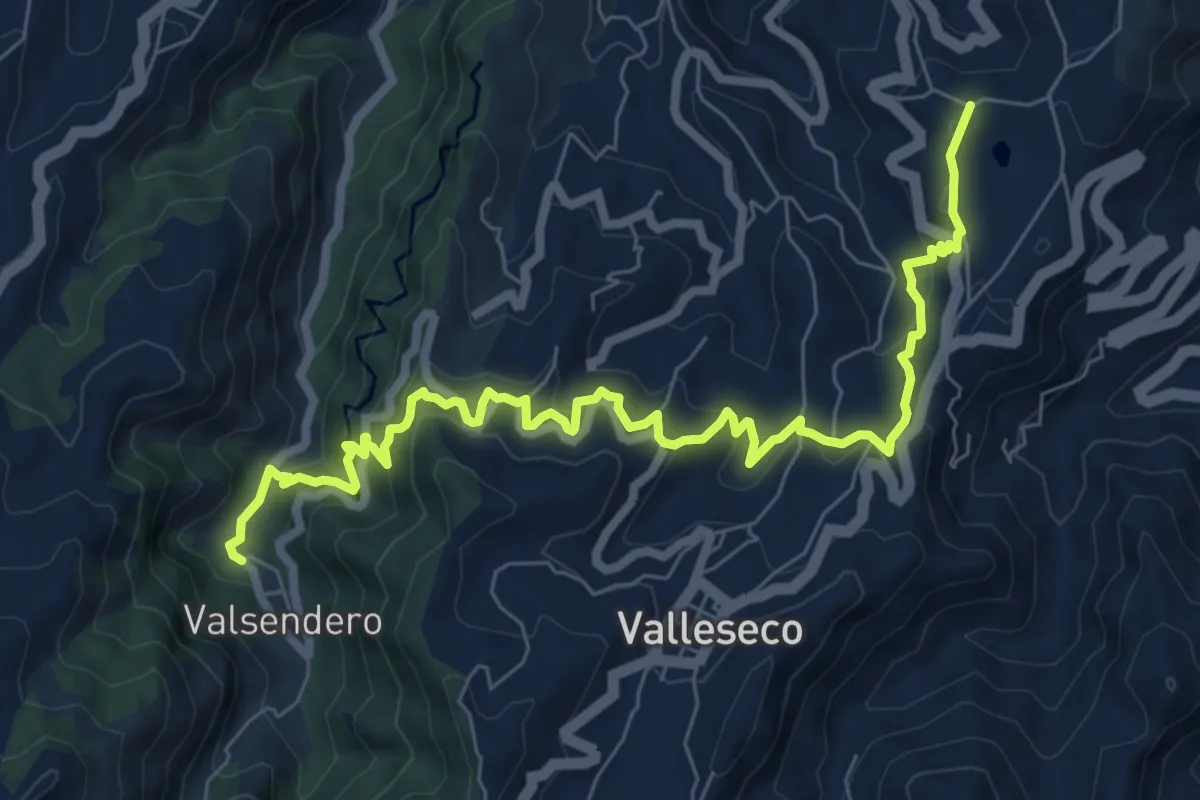
Medium · Trail
Valleseco
11.2 km · ↑ 718 m · 4 h 12 min
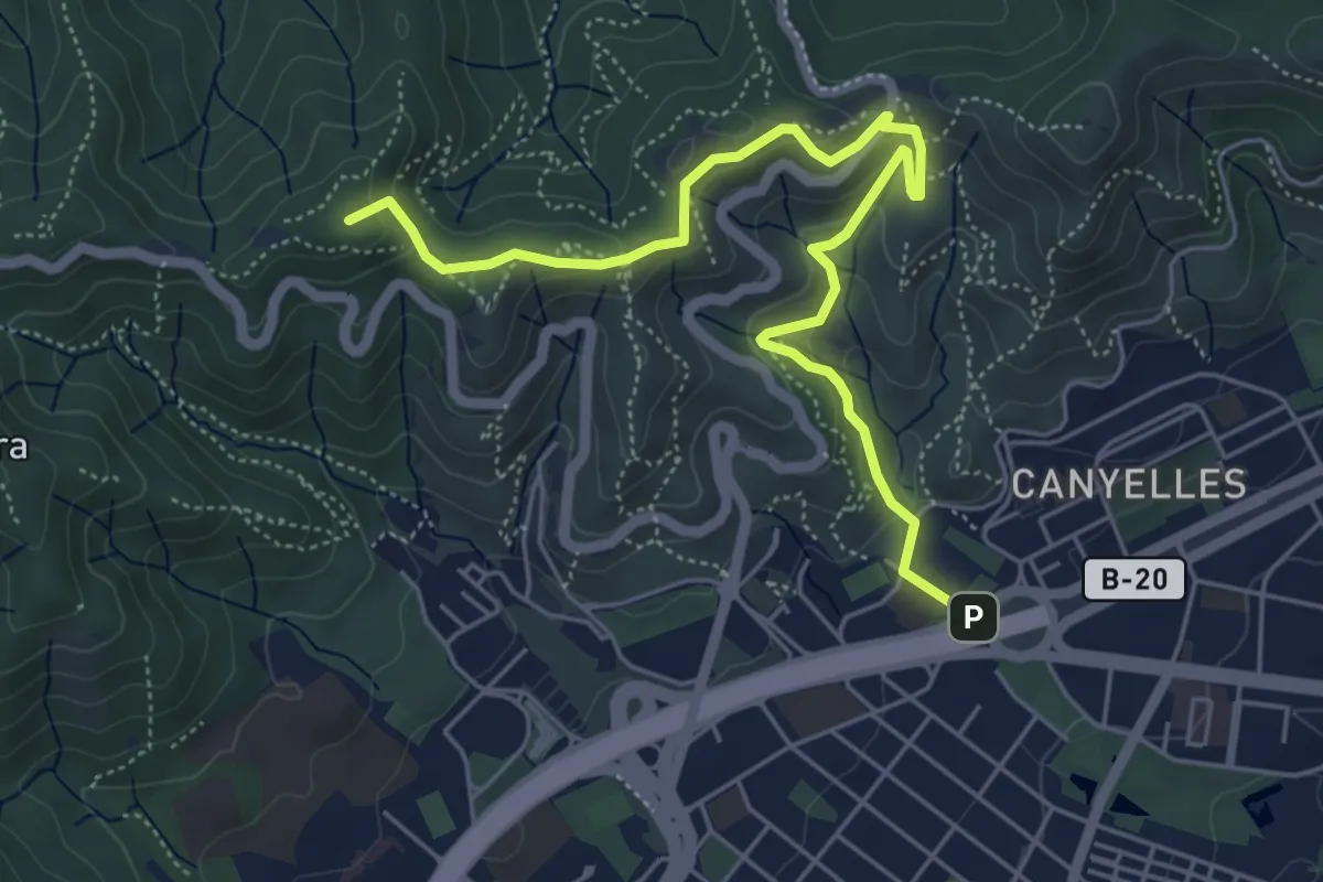
Easy · Summit
Vallès Natural. Variant Can Canaletes - Barcelona
6.6 km · ↑ 320 m · 2 h 15 min
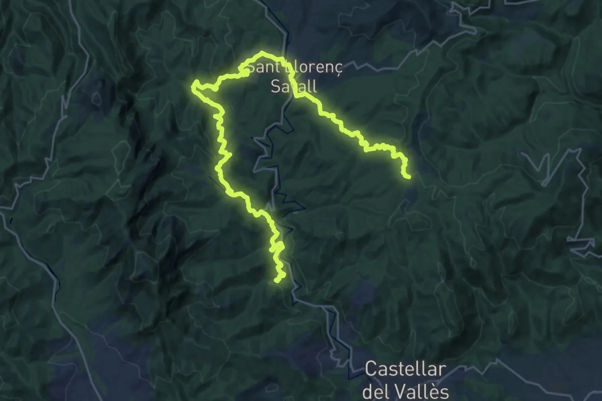
Demanding · Summit
Vallès Natural. Variant de Sant Llorenç Savall
31.9 km · ↑ 1040 m · 9 h 47 min
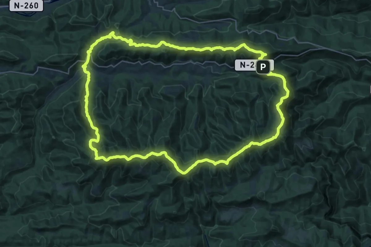
Demanding · Summit
Vallgofona de Ripollès - Vallfogona de Ripollès
28.8 km · ↑ 1289 m · 9 h 59 min
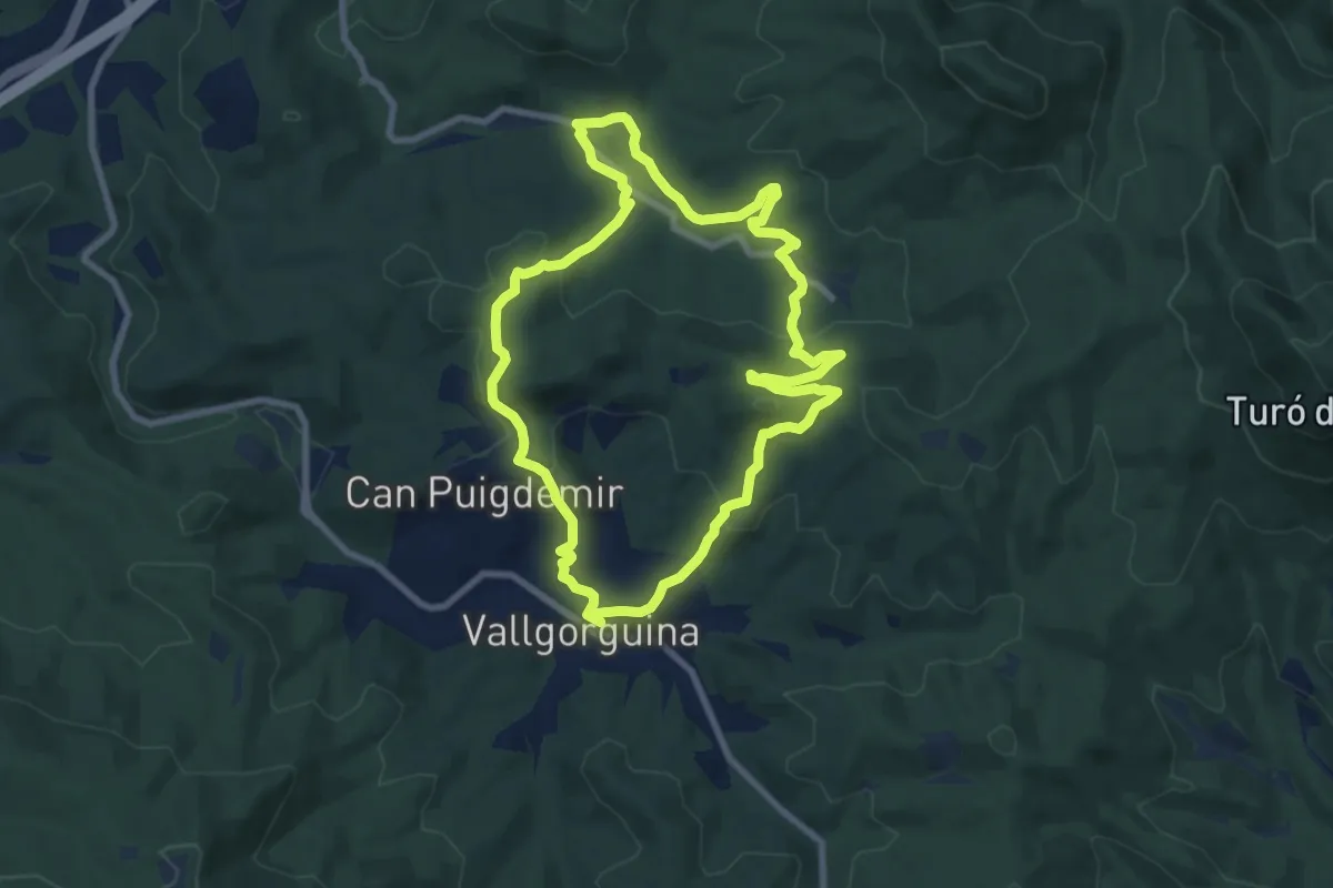
Medium · Summit
Vallgorguna-Olzinelles
8.9 km · ↑ 293 m · 2 h 52 min
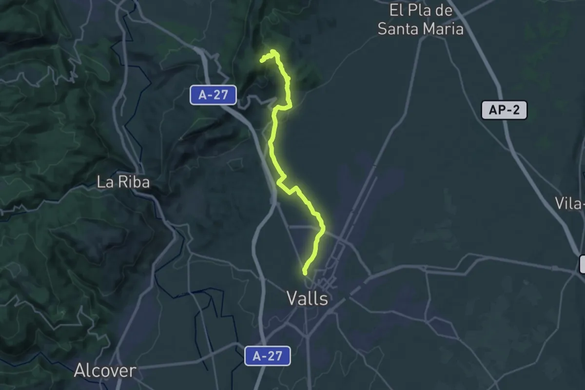
Demanding · Trail
Valls - Serra de Miramar
19.7 km · ↑ 495 m · 5 h 43 min
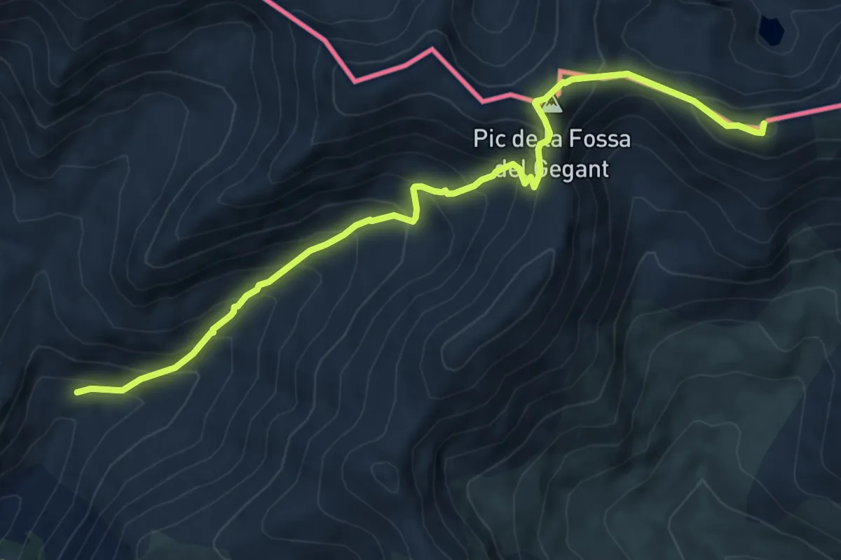
Demanding · Summit
Vallter-Núria
8.1 km · ↑ 771 m · 3 h 35 min
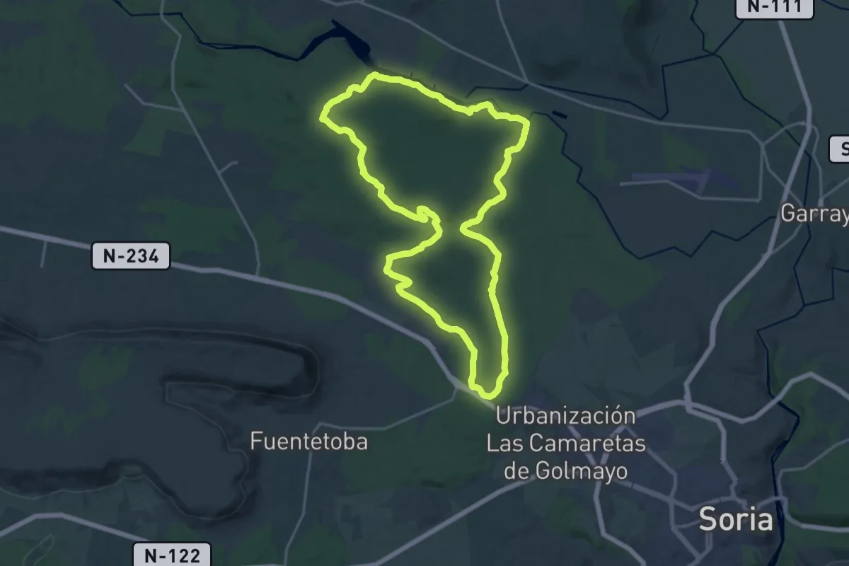
Demanding · Trail
Valonsadero
20.3 km · ↑ 207 m · 5 h 31 min
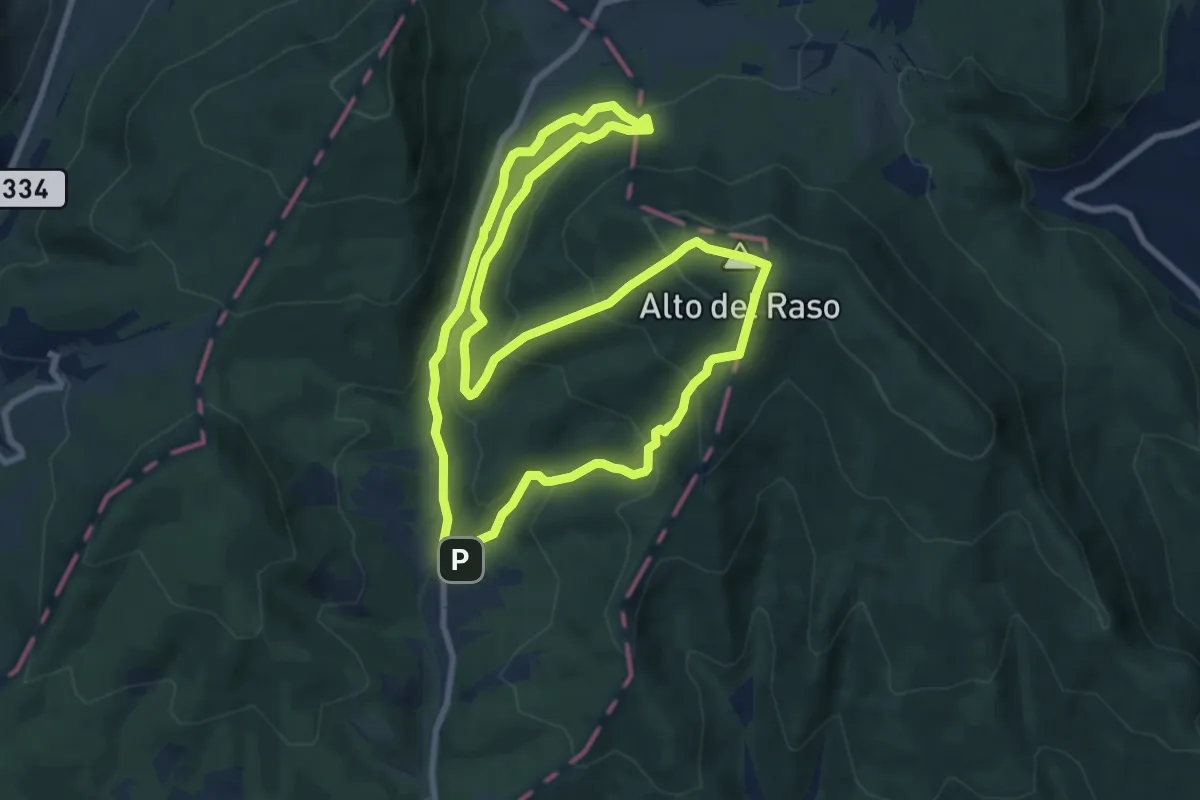
Medium · Summit
Valpuesta
9.1 km · ↑ 520 m · 3 h 24 min
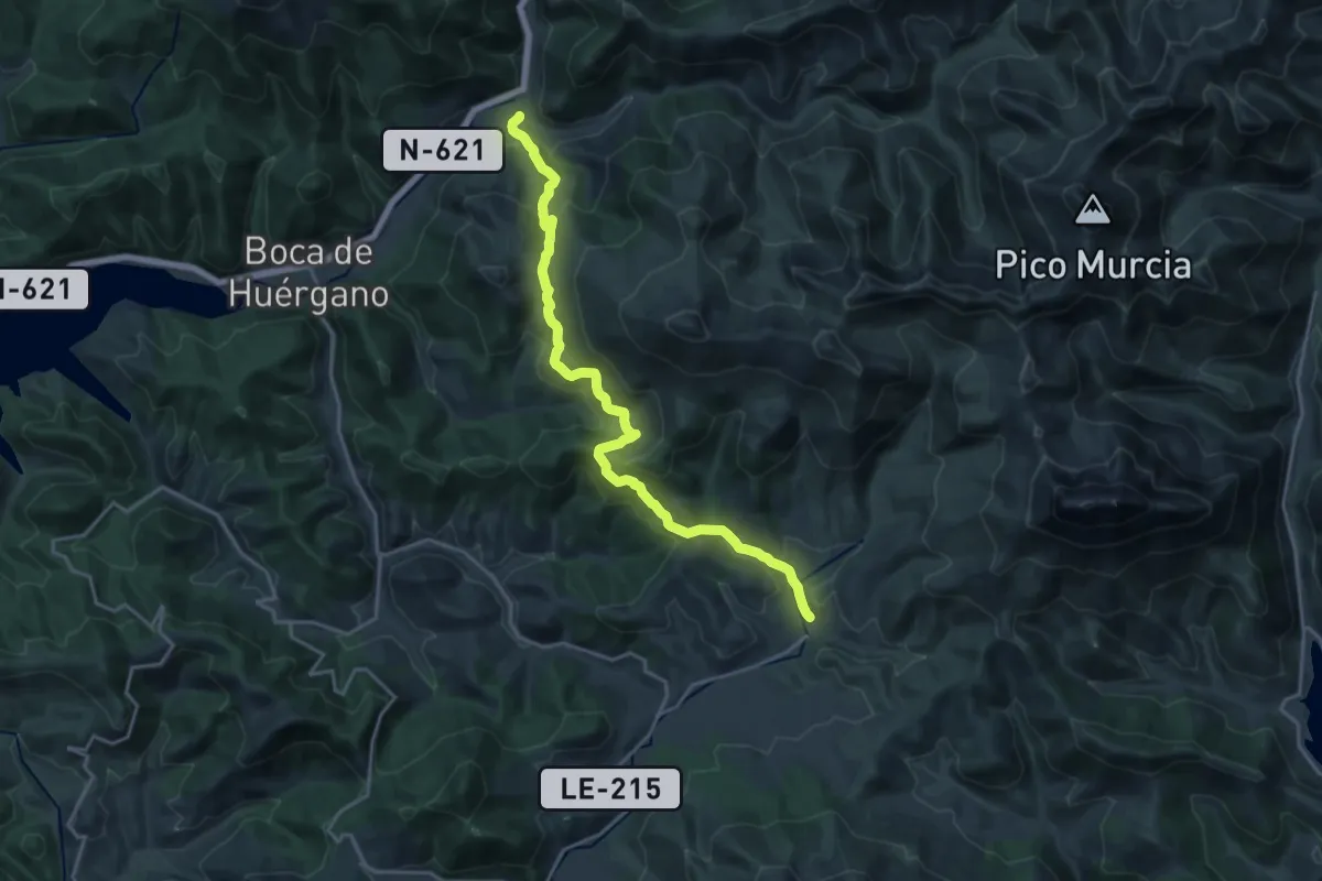
Demanding · Trail
Valverde de la Sierra - Barniedo de la Reina
20.9 km · ↑ 867 m · 6 h 49 min
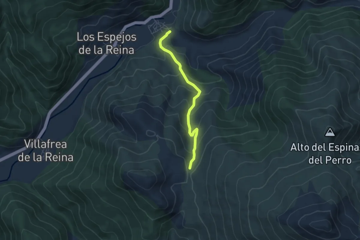
Medium · Trail
Valverde de la Sierra-Barniedo de la Reina
5.3 km · ↑ 349 m · 2 h
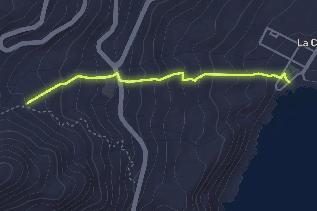
Medium · Trail
Valverde - La Caleta
3.4 km · ↑ 320 m · 1 h 30 min
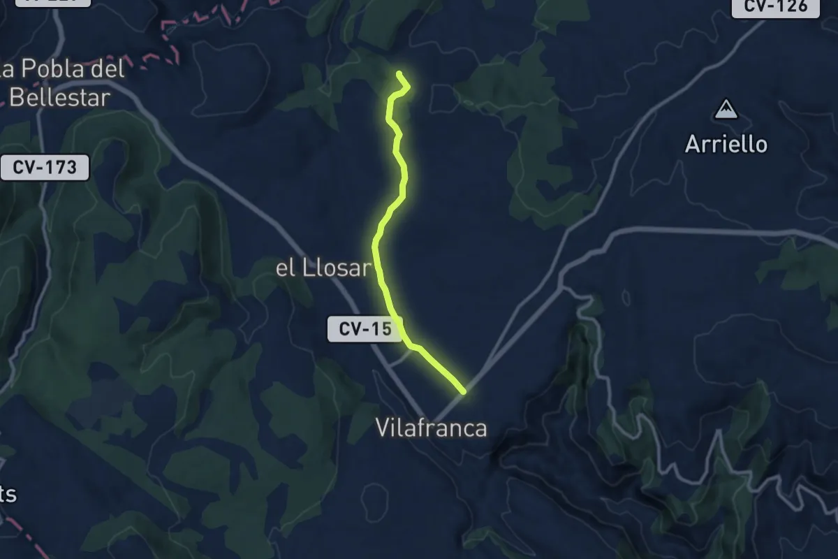
Medium · Trail
Variant
9.0 km · ↑ 86 m · 2 h 18 min
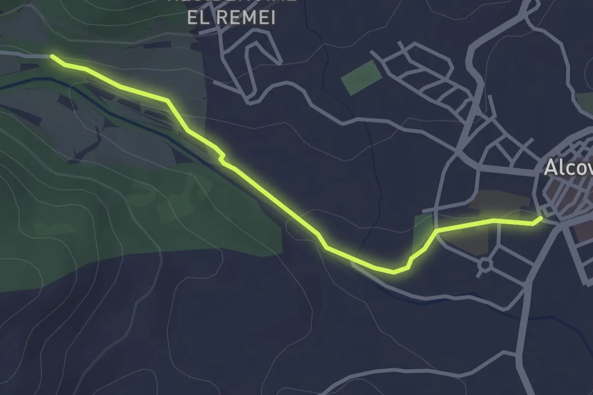
Easy · Trail
Variant Alcover - Gorg de la Peixera
3.3 km · ↑ 52 m · 53 min
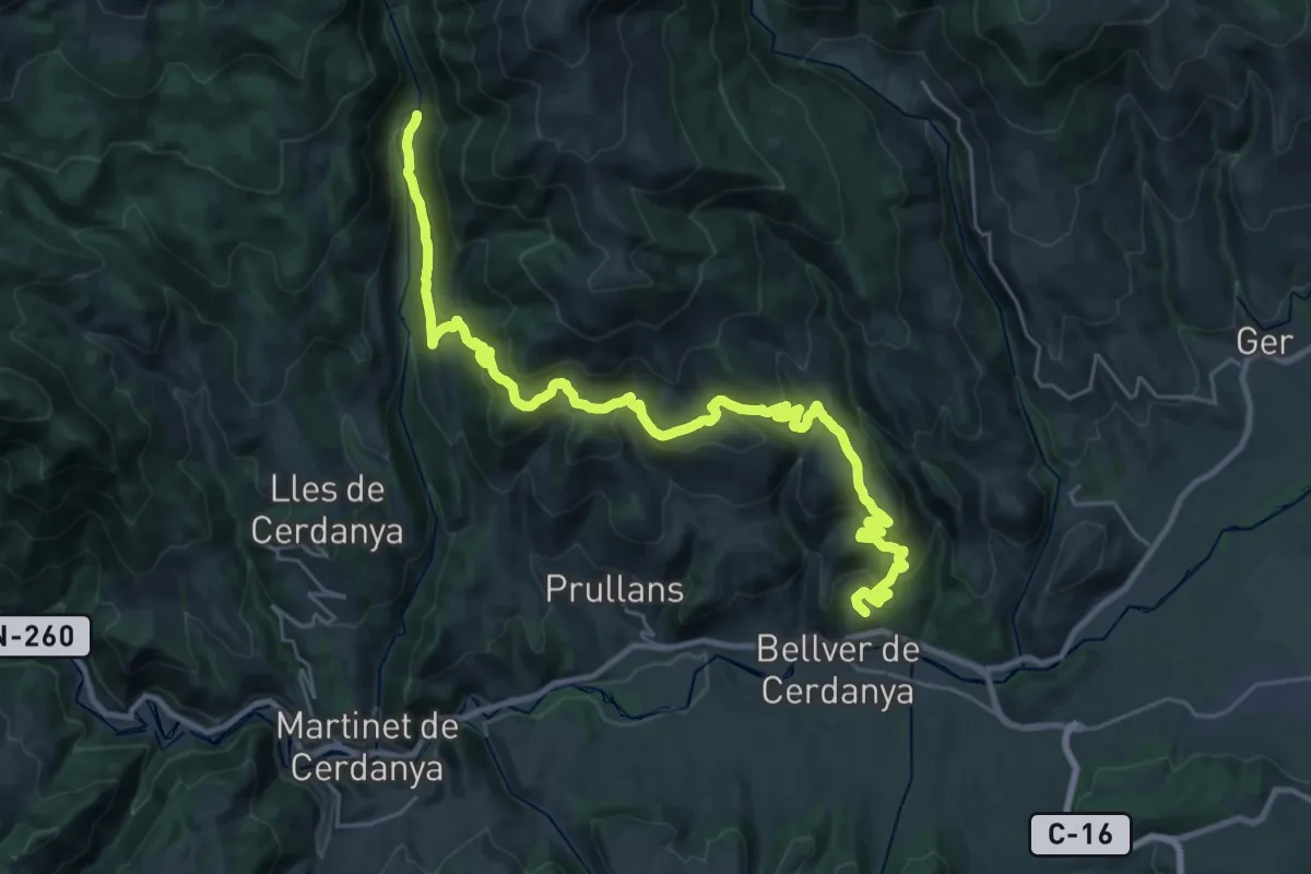
Demanding · Summit
Variant: Bellver de Cerdanya - Cal Jan de la Llosa
35.4 km · ↑ 1325 m · 11 h 14 min
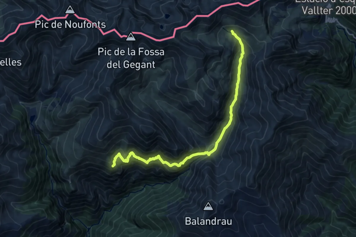
Demanding · Summit
Variant Coma de Vaca
17.2 km · ↑ 1348 m · 7 h
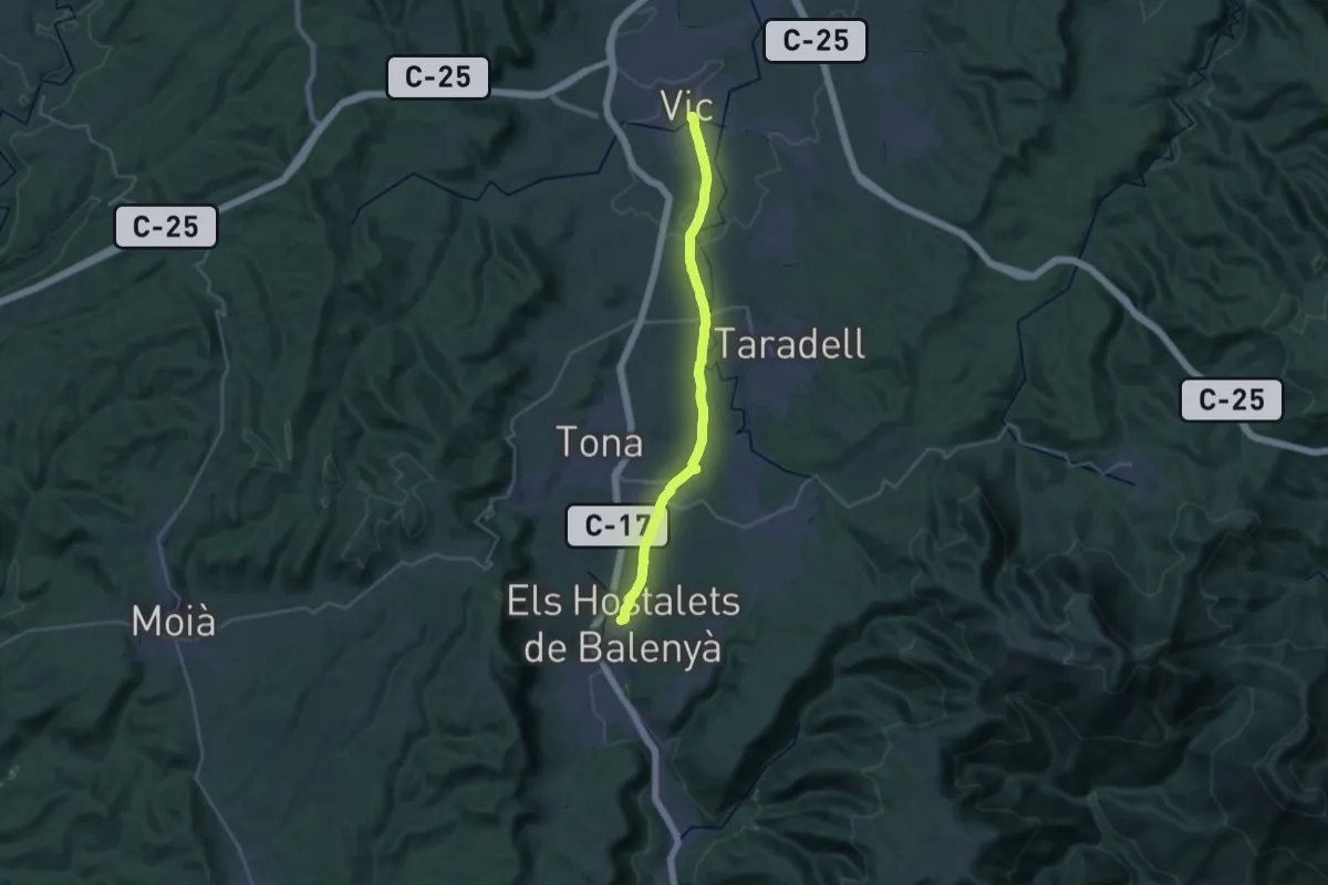
Demanding · Trail
Variant del Camí Ral de Barcelona a Vic
27.7 km · ↑ 169 m · 6 h 55 min
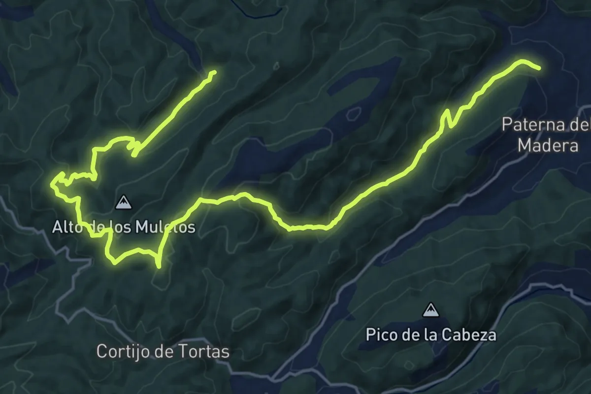
Medium · Trail
Variante 1
13.3 km · ↑ 496 m · 4 h 20 min
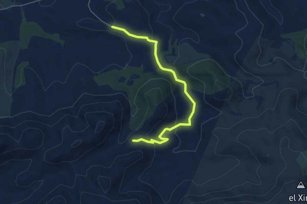
Easy · Trail
Variante 1.1
5.0 km · ↑ 121 m · 1 h 27 min
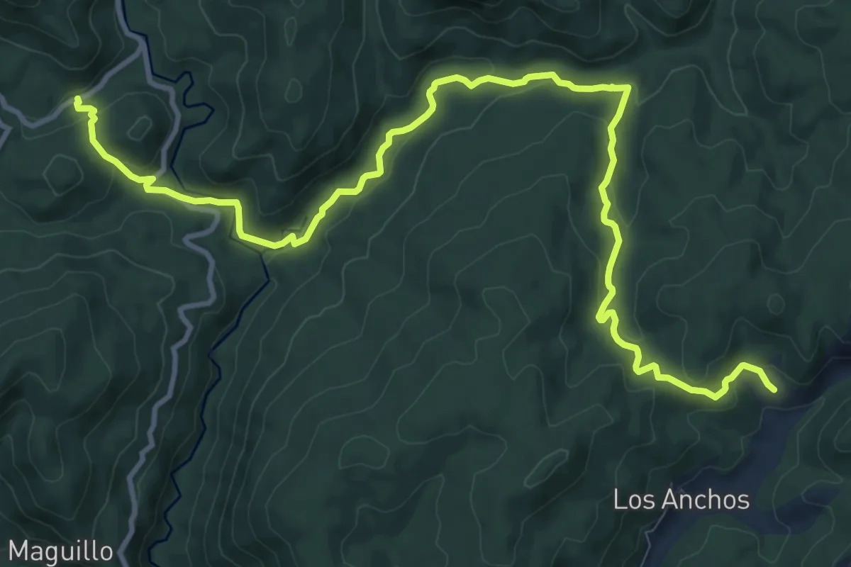
Medium · Trail
Variante 1 (1/2)
15.2 km · ↑ 496 m · 4 h 40 min