Trails in Spain
5,960 hiking trails, each with its route, climb, walking time and grade.
All trails, page 117 of 125
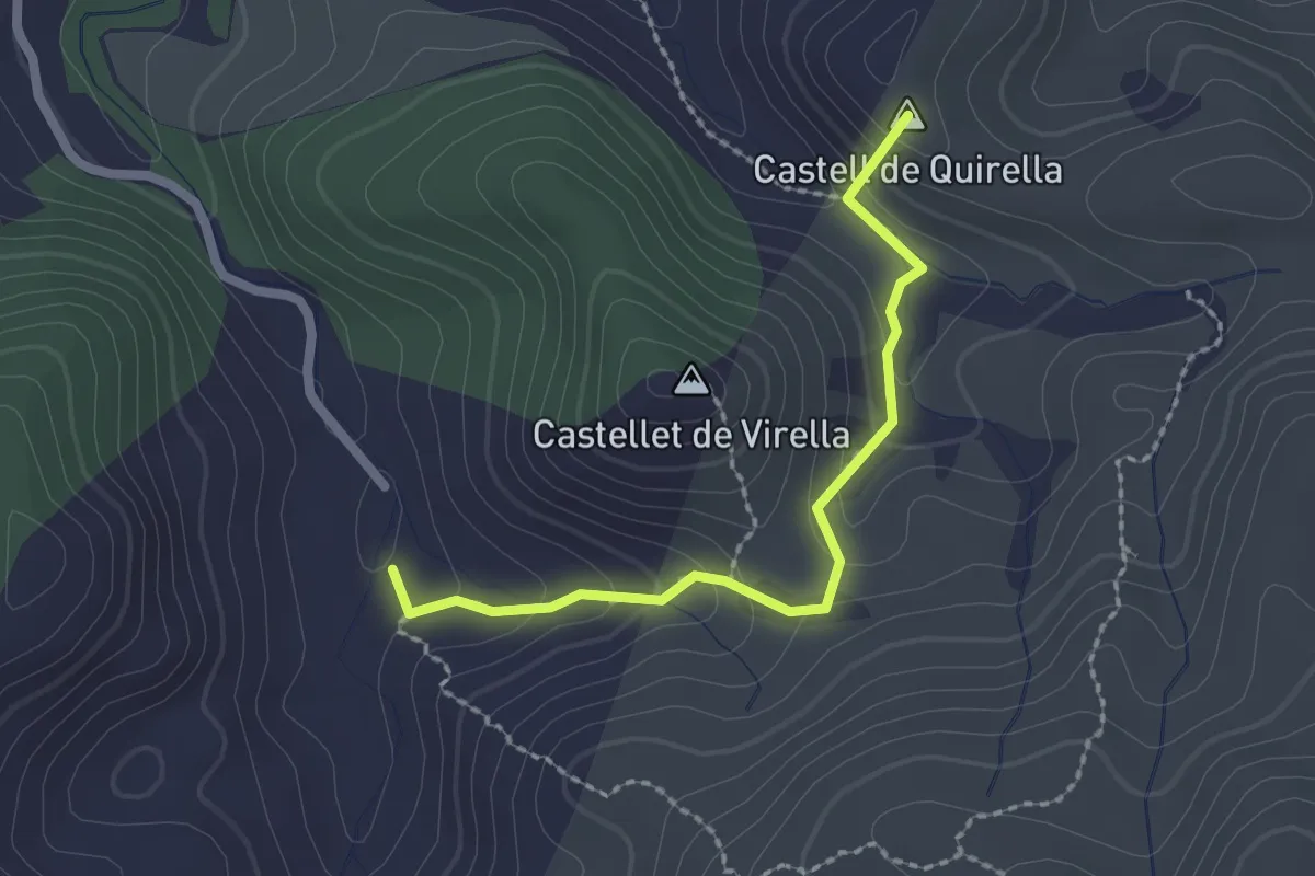
Medium · Summit
Variante 1.2
2.3 km · ↑ 164 m · 55 min
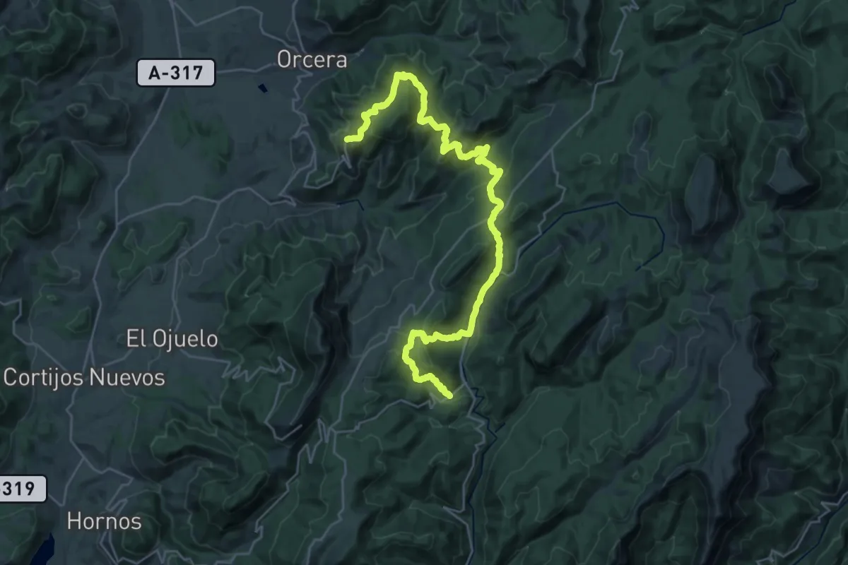
Medium · Trail
Variante 1 (2/2)
17.2 km · ↑ 773 m · 6 h 1 min
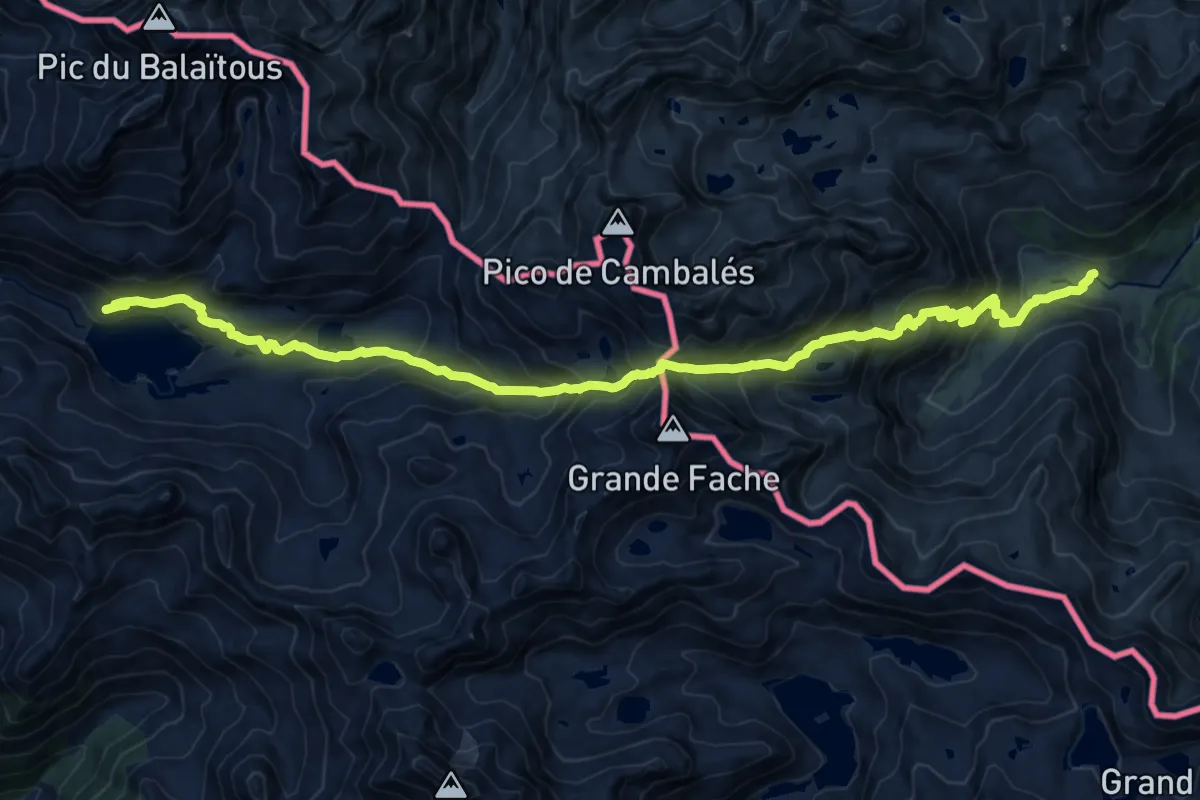
Demanding · Cabin
Variante 13.1
10.2 km · ↑ 648 m · 4 h 5 min
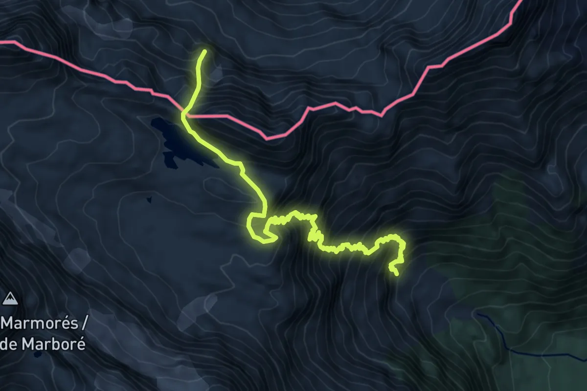
Expert · Summit
Variante 16.2
10.3 km · ↑ 1440 m · 5 h 34 min
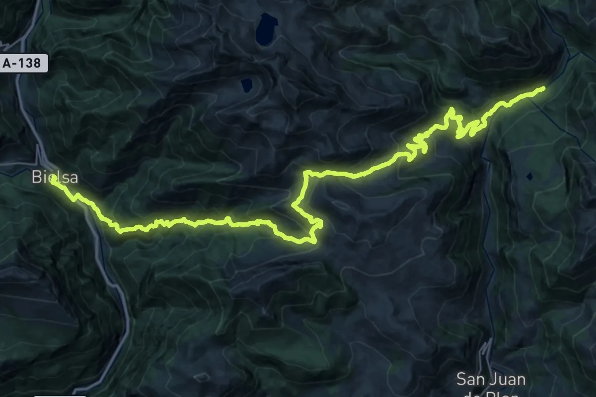
Demanding · Trail
Variante 18.1
20.9 km · ↑ 1600 m · 8 h 27 min
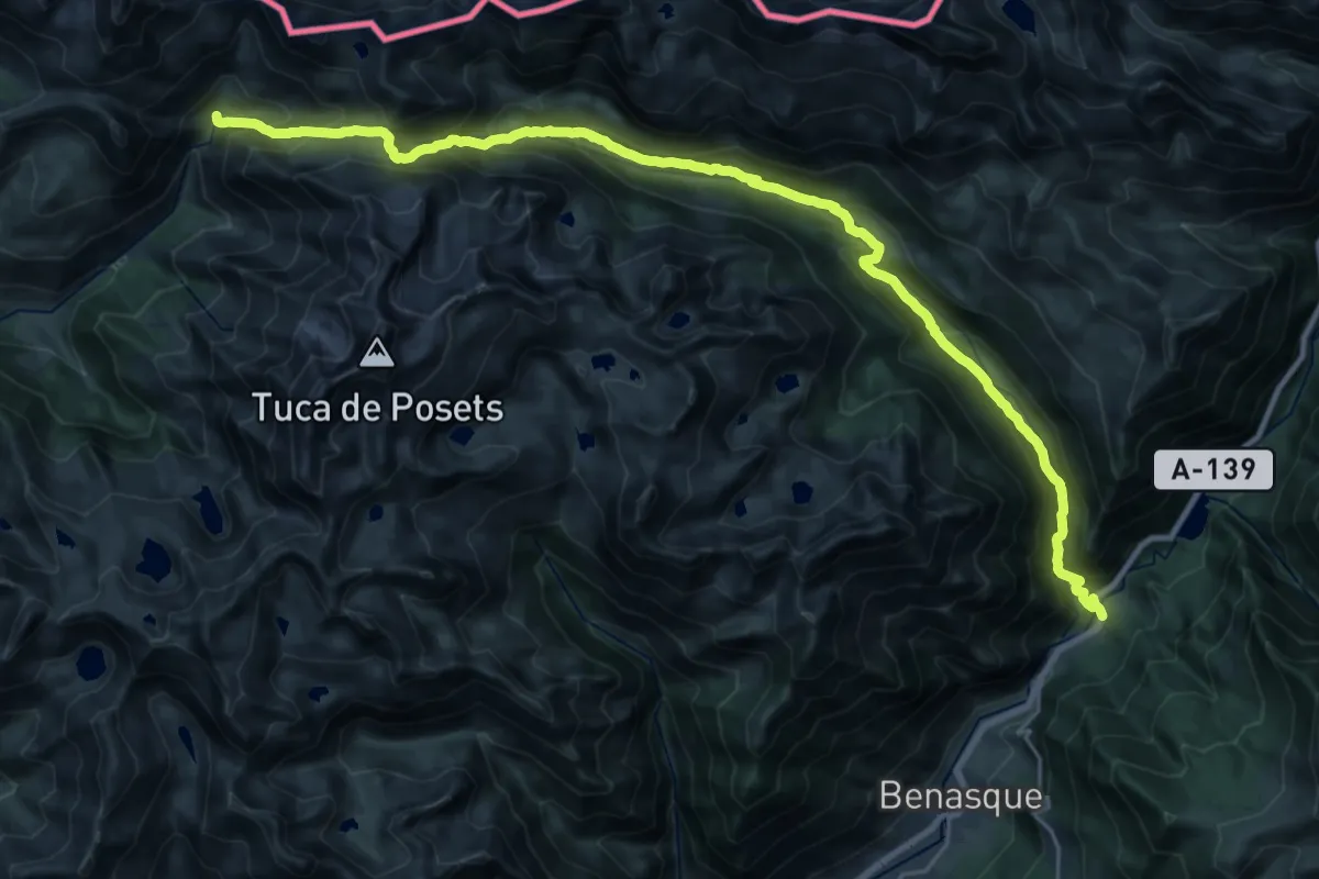
Demanding · Trail
Variante 19.1
15.8 km · ↑ 1374 m · 6 h 31 min
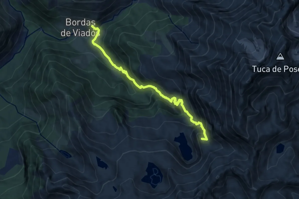
Demanding · Summit
Variante 19.2
9.9 km · ↑ 874 m · 4 h 13 min
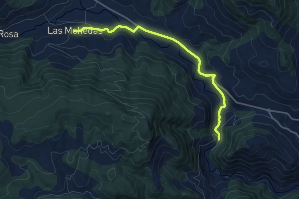
Medium · Trail
Variante 2
9.3 km · ↑ 224 m · 2 h 40 min
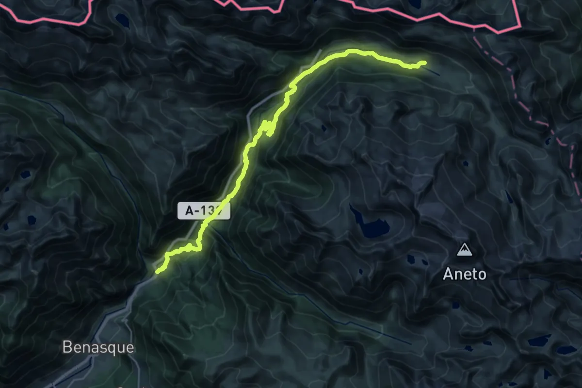
Medium · Cabin
Variante 20.1
14.1 km · ↑ 769 m · 4 h 53 min
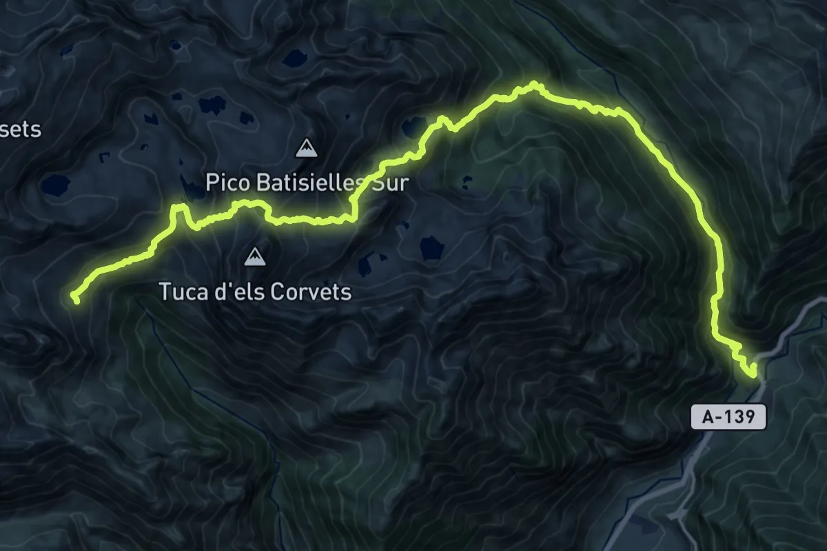
Demanding · Trail
Variante 20.2
13.0 km · ↑ 1496 m · 5 h 57 min
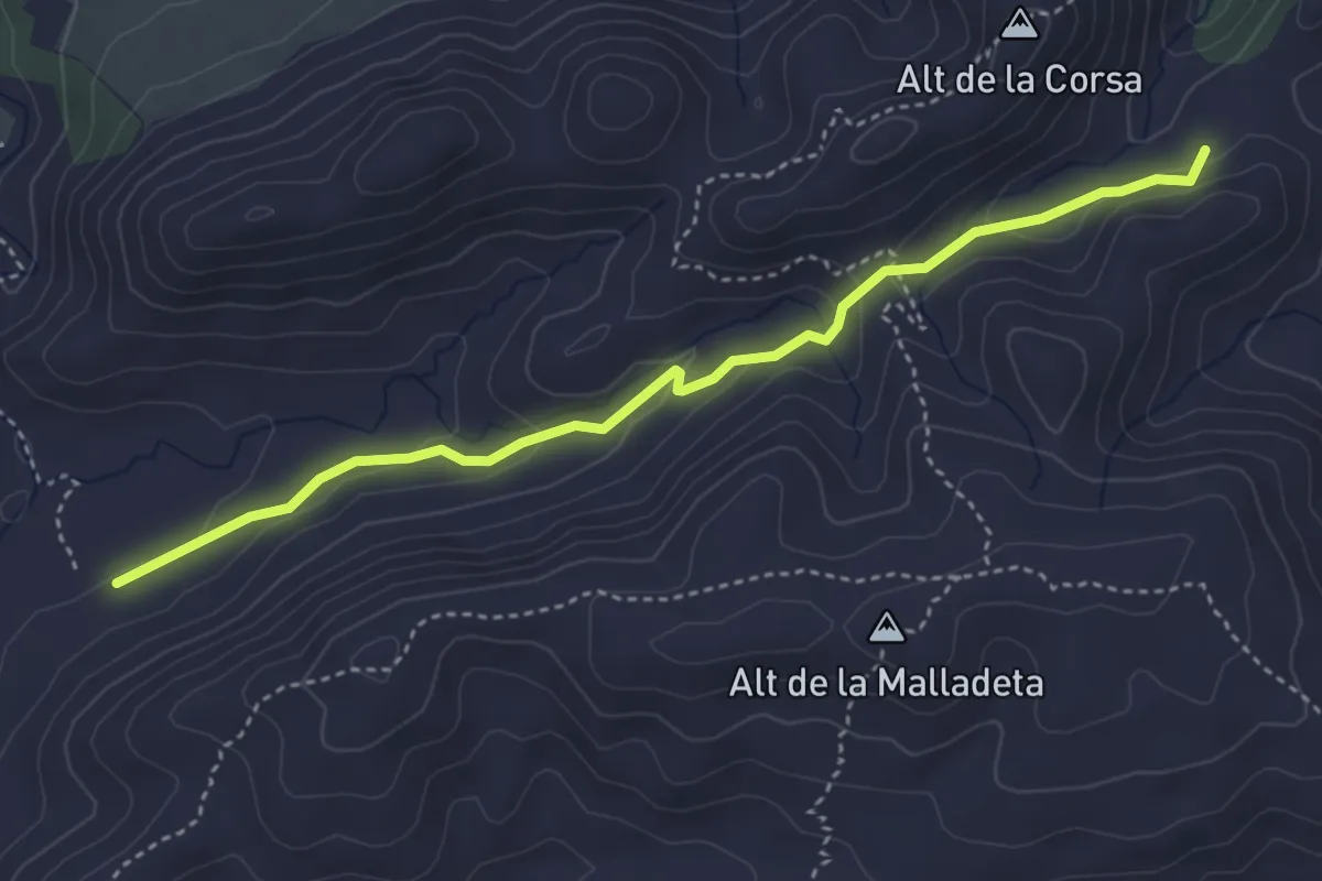
Easy · Trail
Variante 2.1
4.6 km · ↑ 126 m · 1 h 21 min
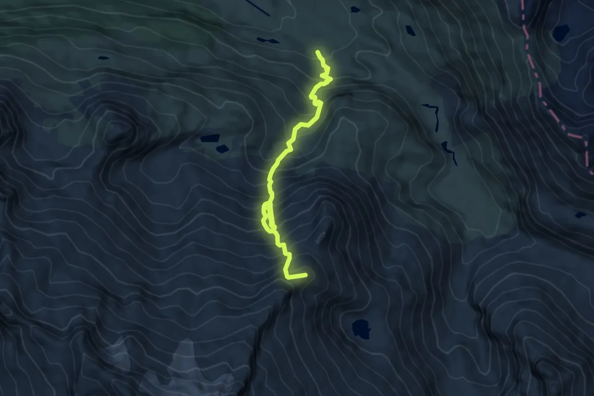
Expert · Summit
Variante 21.1
6.6 km · ↑ 1021 m · 3 h 47 min
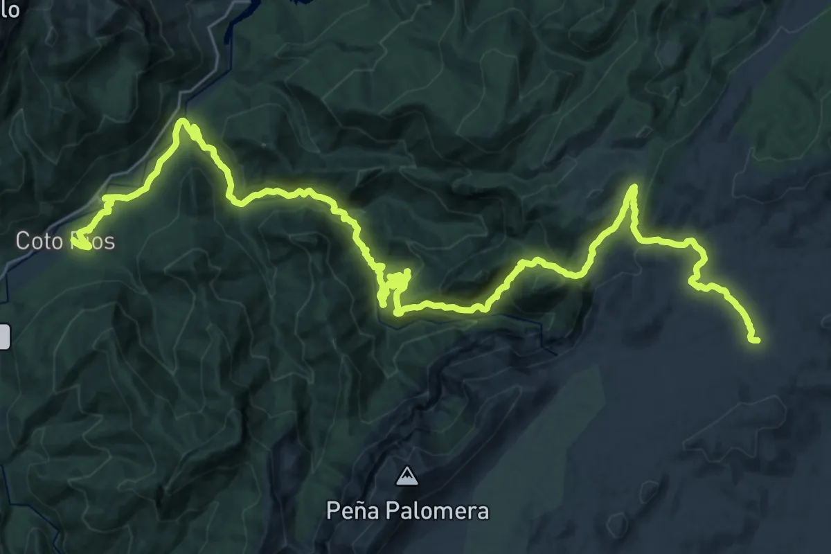
Demanding · Cabin
Variante 2 (1/2)
21.7 km · ↑ 1392 m · 7 h 55 min
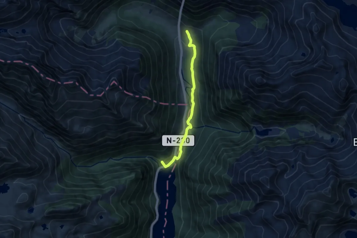
Medium · Summit
Variante 21.2
8.1 km · ↑ 278 m · 2 h 31 min
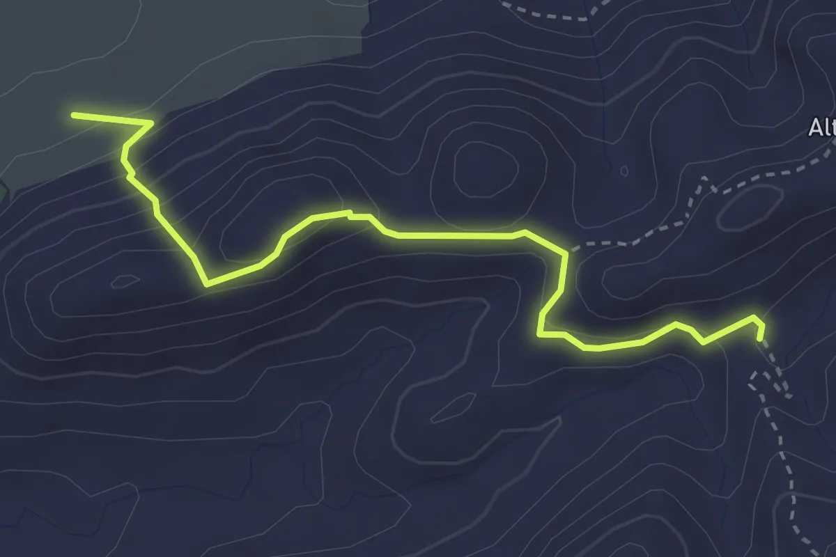
Medium · Trail
Variante 2.2
3.7 km · ↑ 267 m · 1 h 27 min
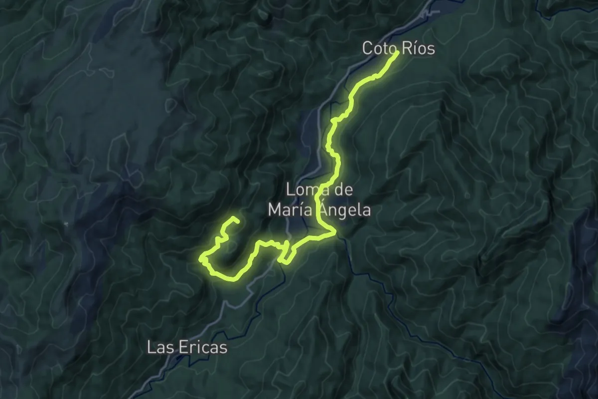
Demanding · Summit
Variante 2 (2/2)
20.3 km · ↑ 652 m · 6 h 12 min
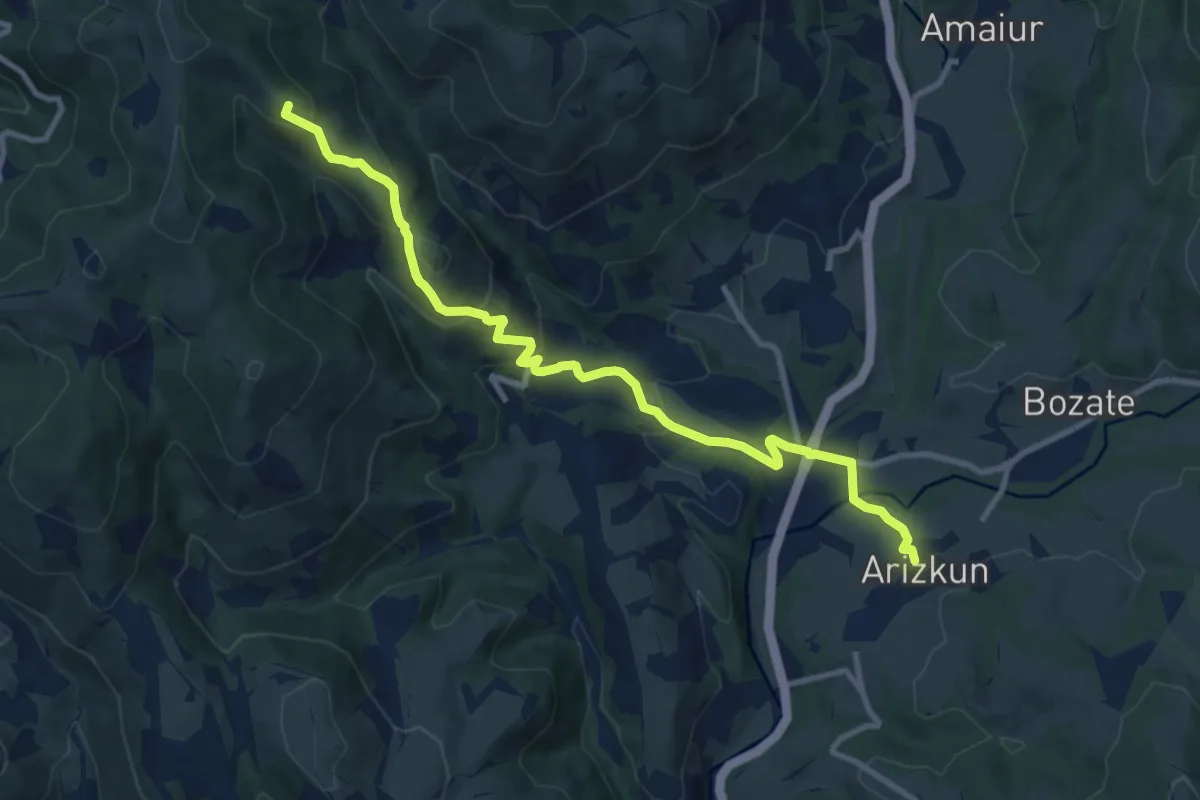
Medium · Summit
Variante 2.3
11.0 km · ↑ 526 m · 3 h 44 min
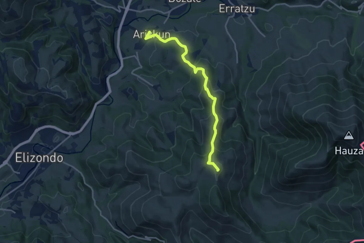
Medium · Summit
Variante 3.1
11.1 km · ↑ 547 m · 3 h 48 min
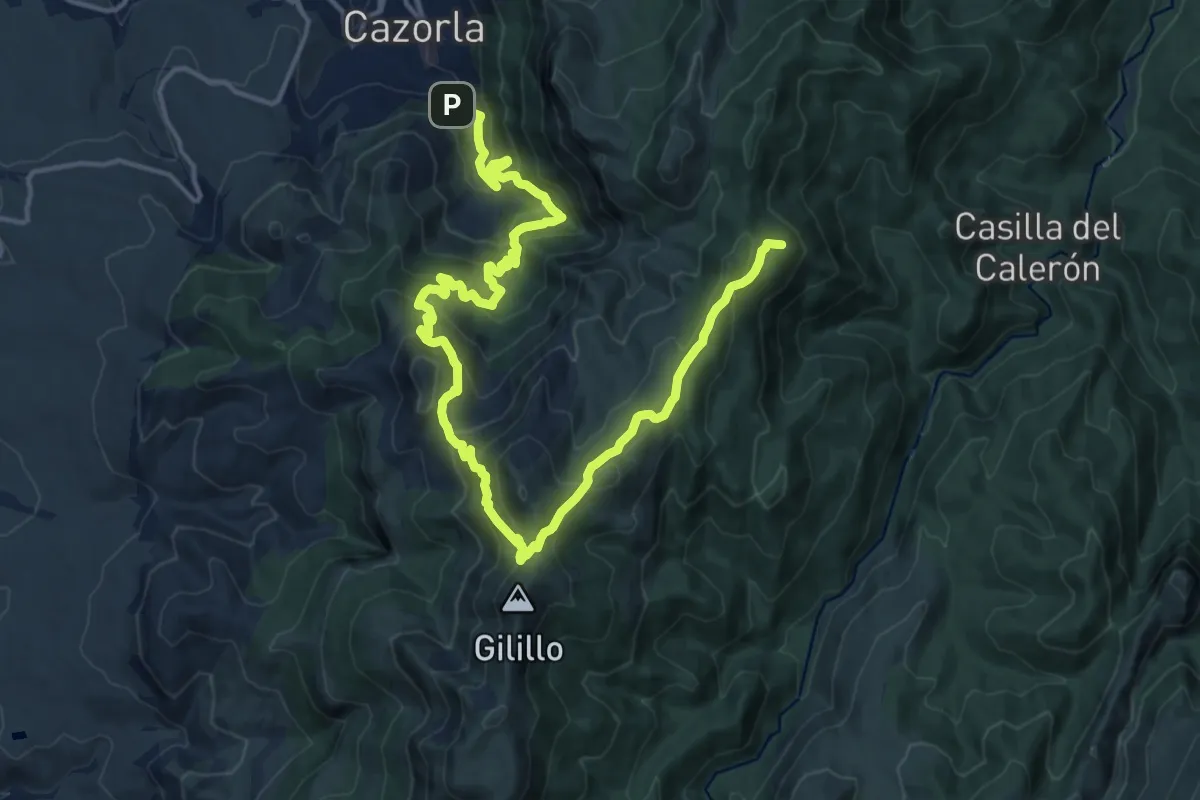
Demanding · Summit
Variante 3 (1/2)
23.7 km · ↑ 1399 m · 8 h 38 min
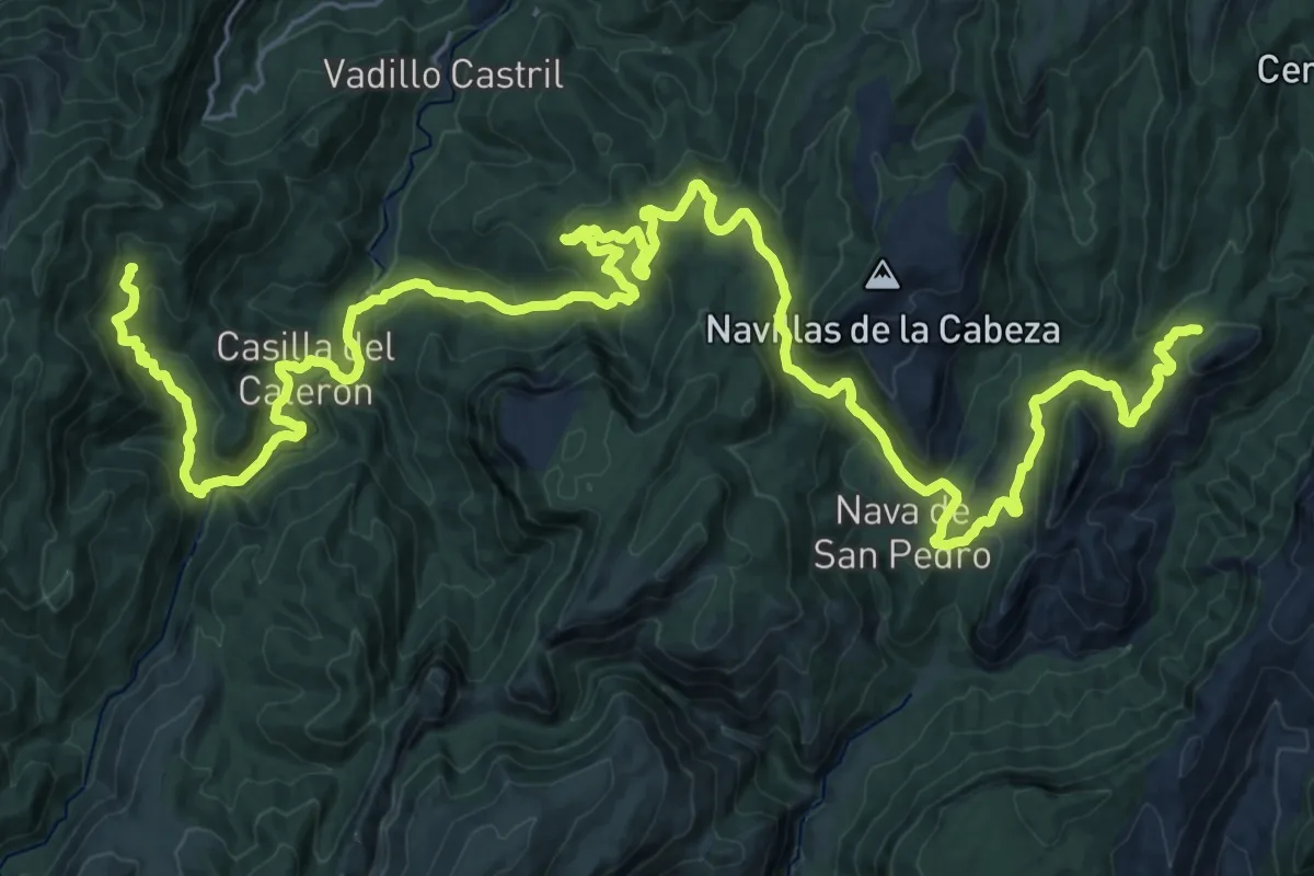
Demanding · Cabin
Variante 3 (2/2)
23.0 km · ↑ 766 m · 7 h 28 min
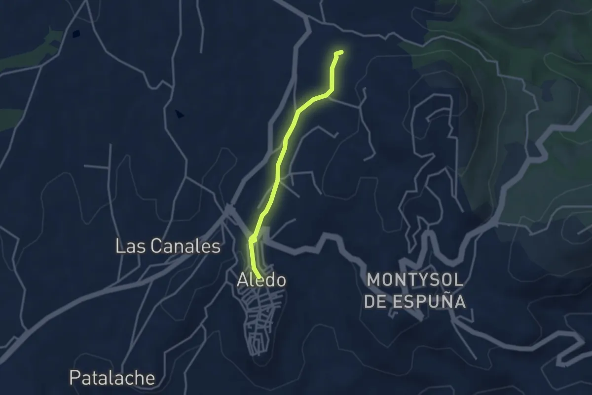
Easy · Trail
Variante a Aledo
3.0 km · ↑ 43 m · 48 min
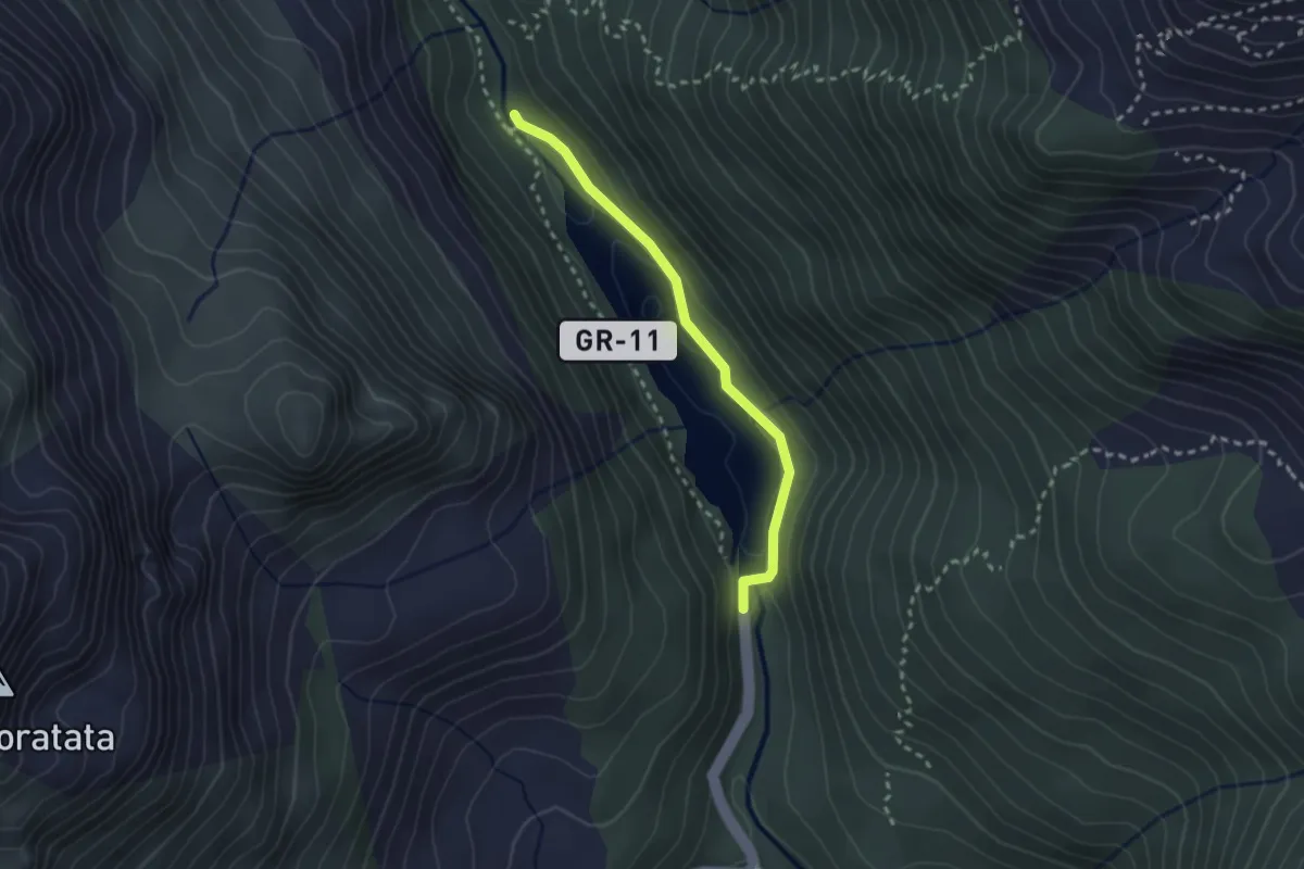
Easy · Trail
Variante a La Sarra
2.5 km · ↑ 36 m · 40 min
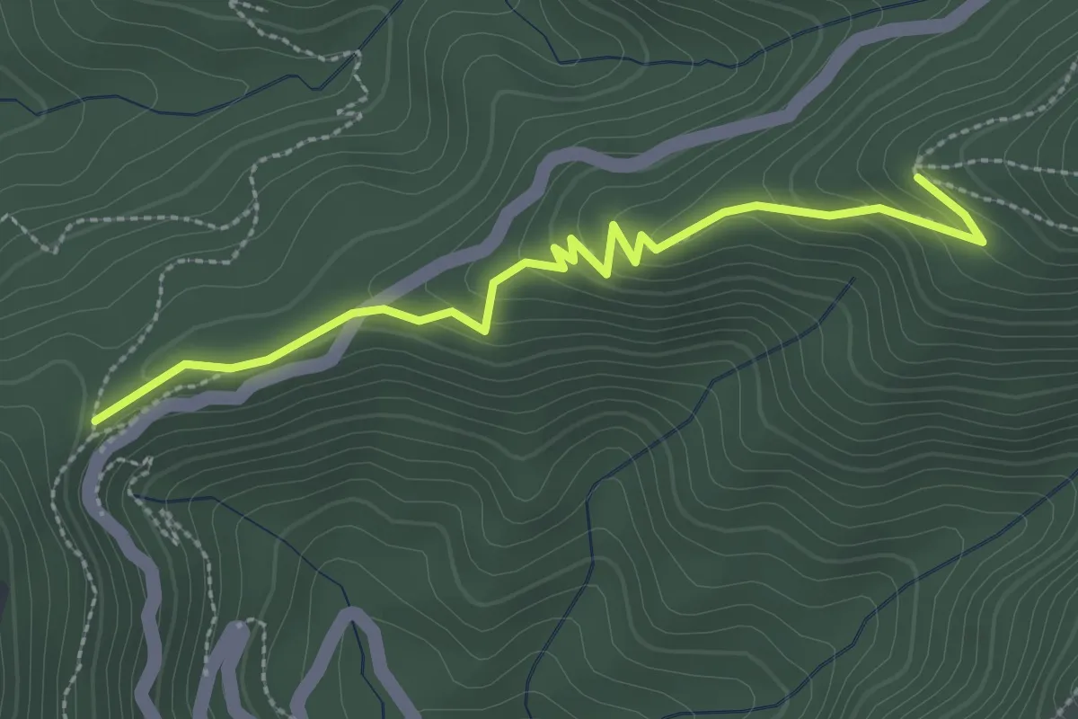
Easy · Trail
Variante al Collado del Pilón
3.3 km · ↑ 145 m · 1 h 5 min
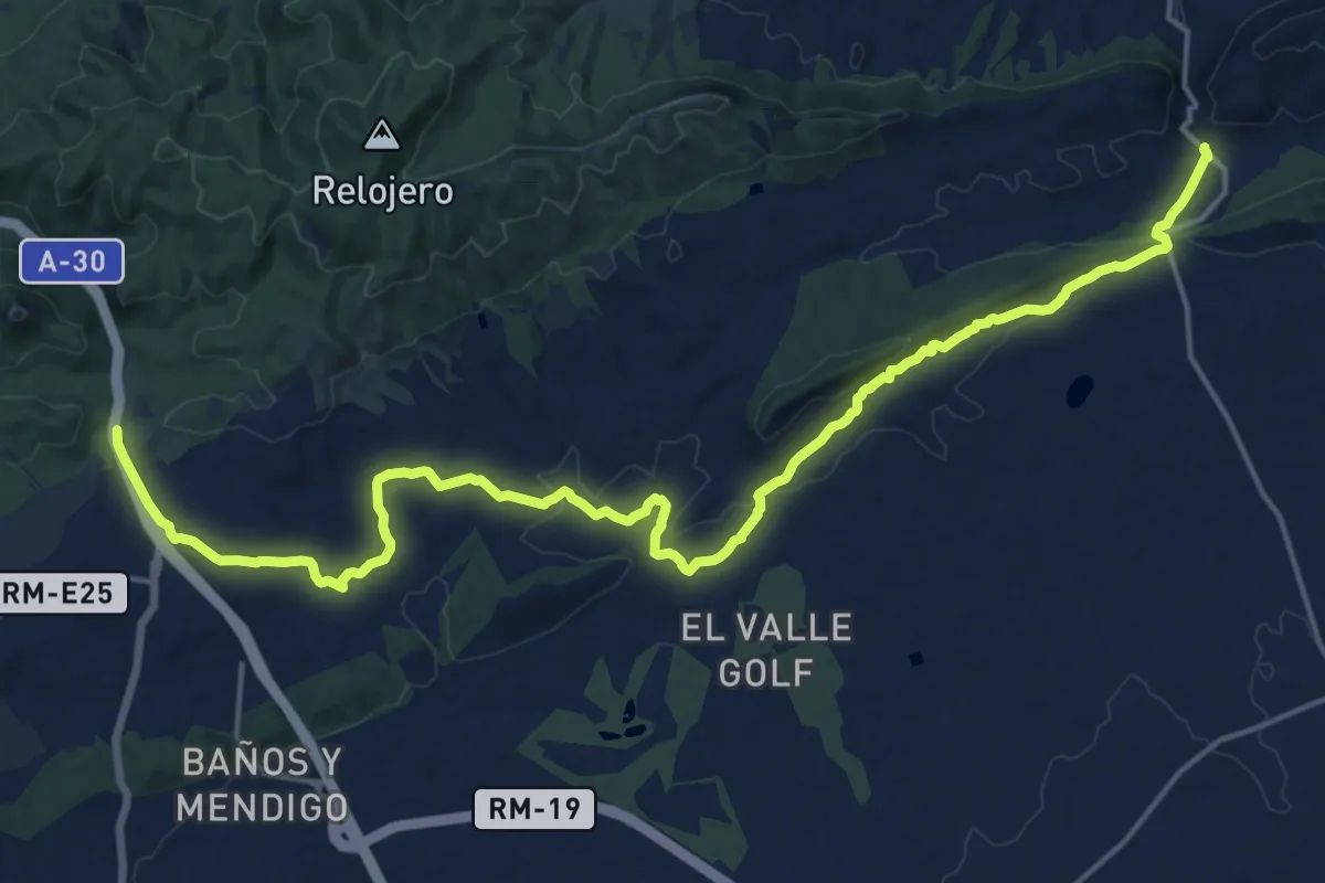
Demanding · Trail
Variante Antonio Pérez Nortes
24.8 km · ↑ 409 m · 6 h 44 min
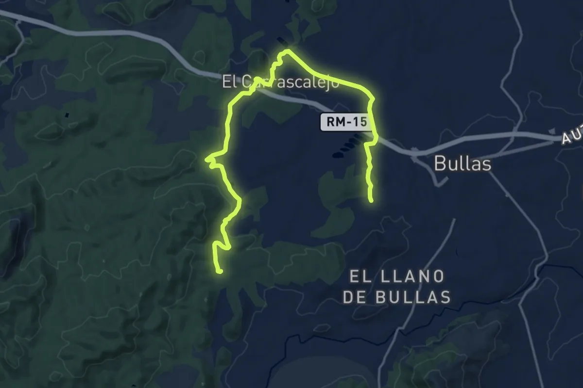
Demanding · Trail
Variante Asomadilla - Carrascalejo
20.2 km · ↑ 250 m · 5 h 19 min
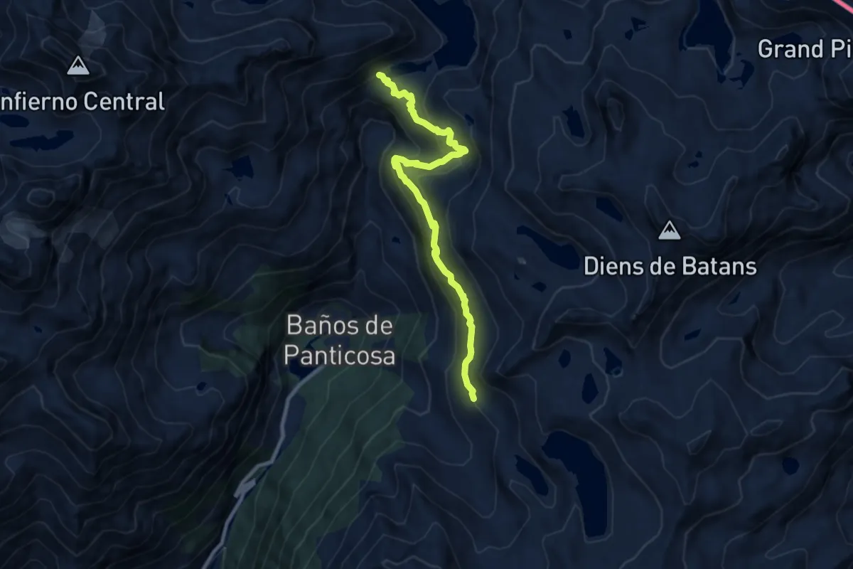
Medium · Trail
Variante Bachimaña - Ibon de Brazatos
8.9 km · ↑ 670 m · 3 h 33 min
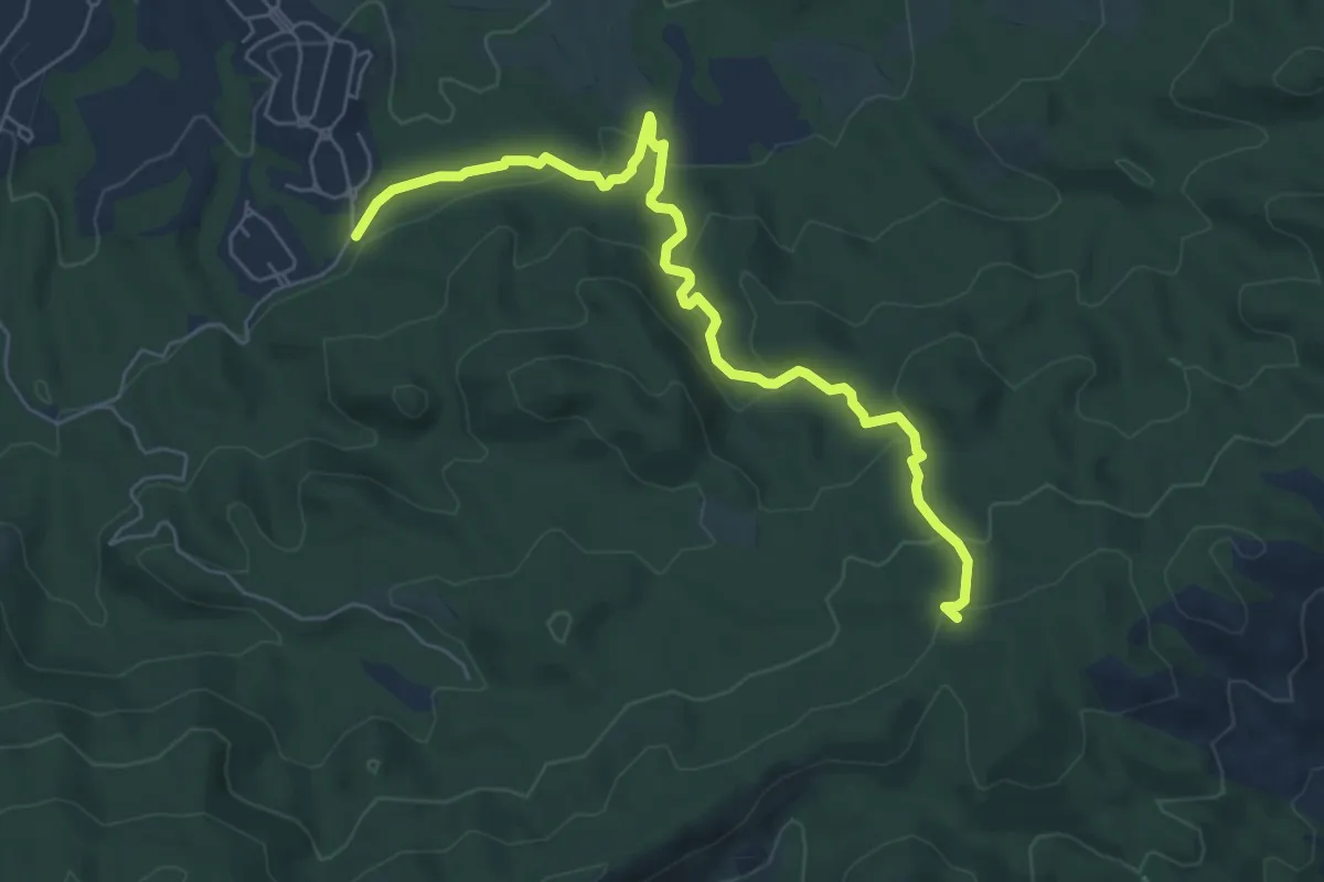
Medium · Trail
Variante Camino de los Arejos
7.5 km · ↑ 338 m · 2 h 30 min
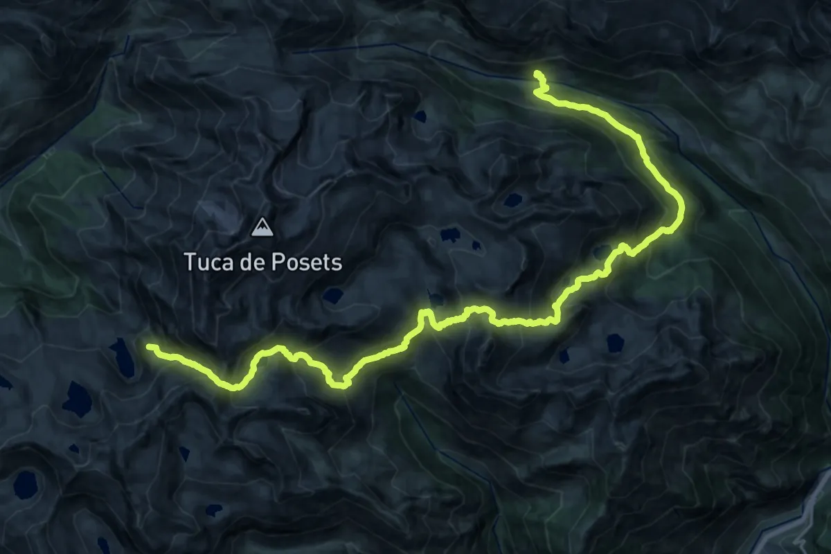
Demanding · Summit
Variante Circuito de los tres Refugios
30.6 km · ↑ 2472 m · 12 h 34 min
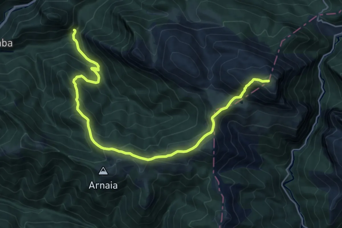
Demanding · Summit
Variante de Ezkaurre
18.7 km · ↑ 1259 m · 7 h 8 min
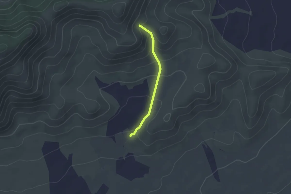
Easy · Trail
Variante de la Artesica
2.2 km · ↑ 122 m · 47 min
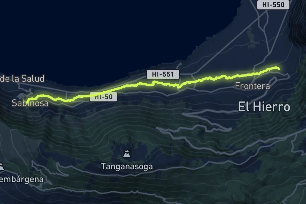
Demanding · Trail
Variante del Canal, La Frontera-Sabinosa
21.8 km · ↑ 521 m · 6 h 16 min
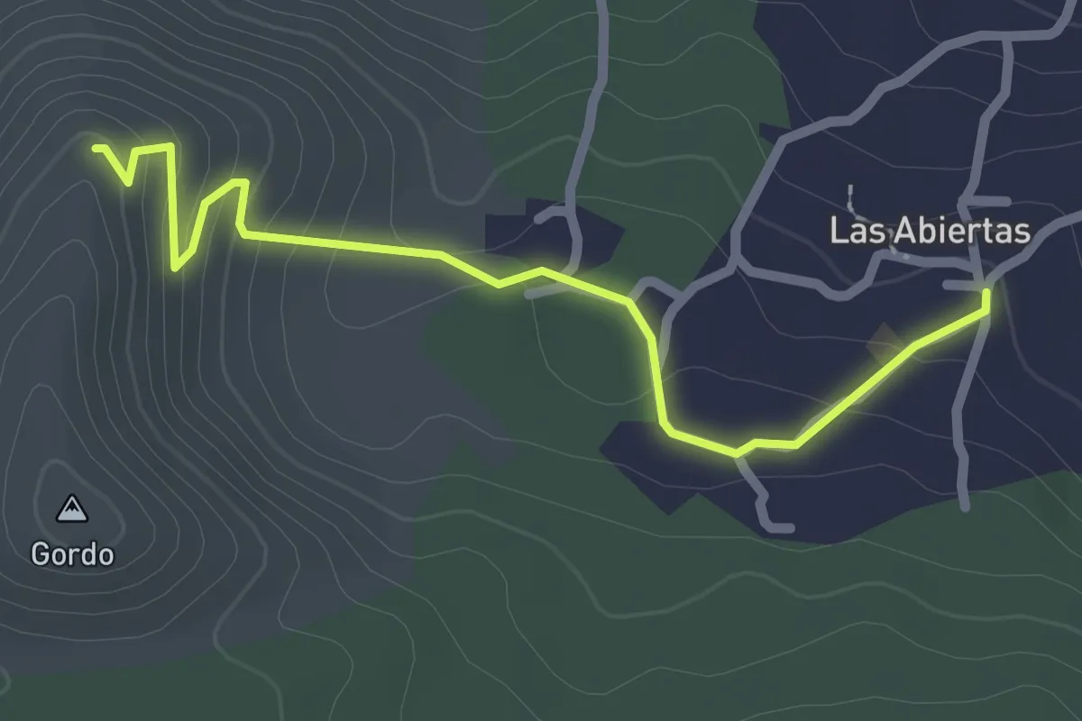
Easy · Trail
Variante del Cerro Gordo
3.0 km · ↑ 118 m · 58 min
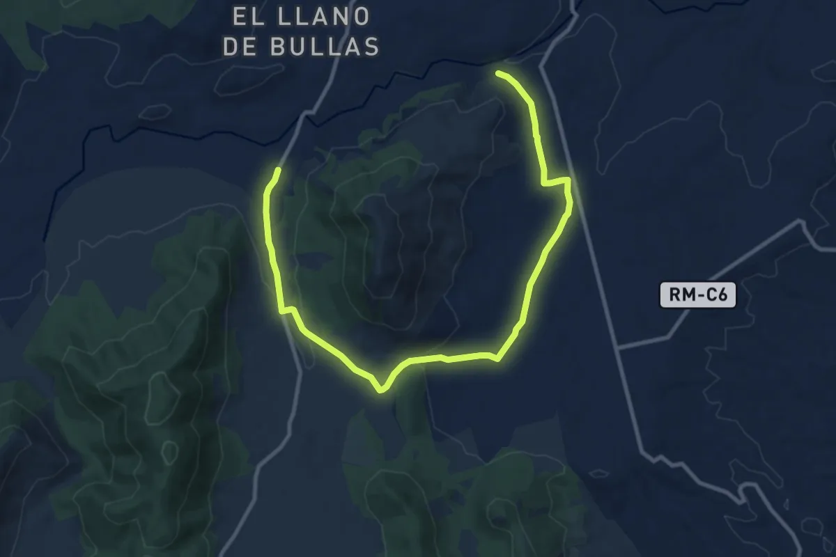
Medium · Trail
Variante del estrecho del Capitán
14.0 km · ↑ 235 m · 3 h 48 min
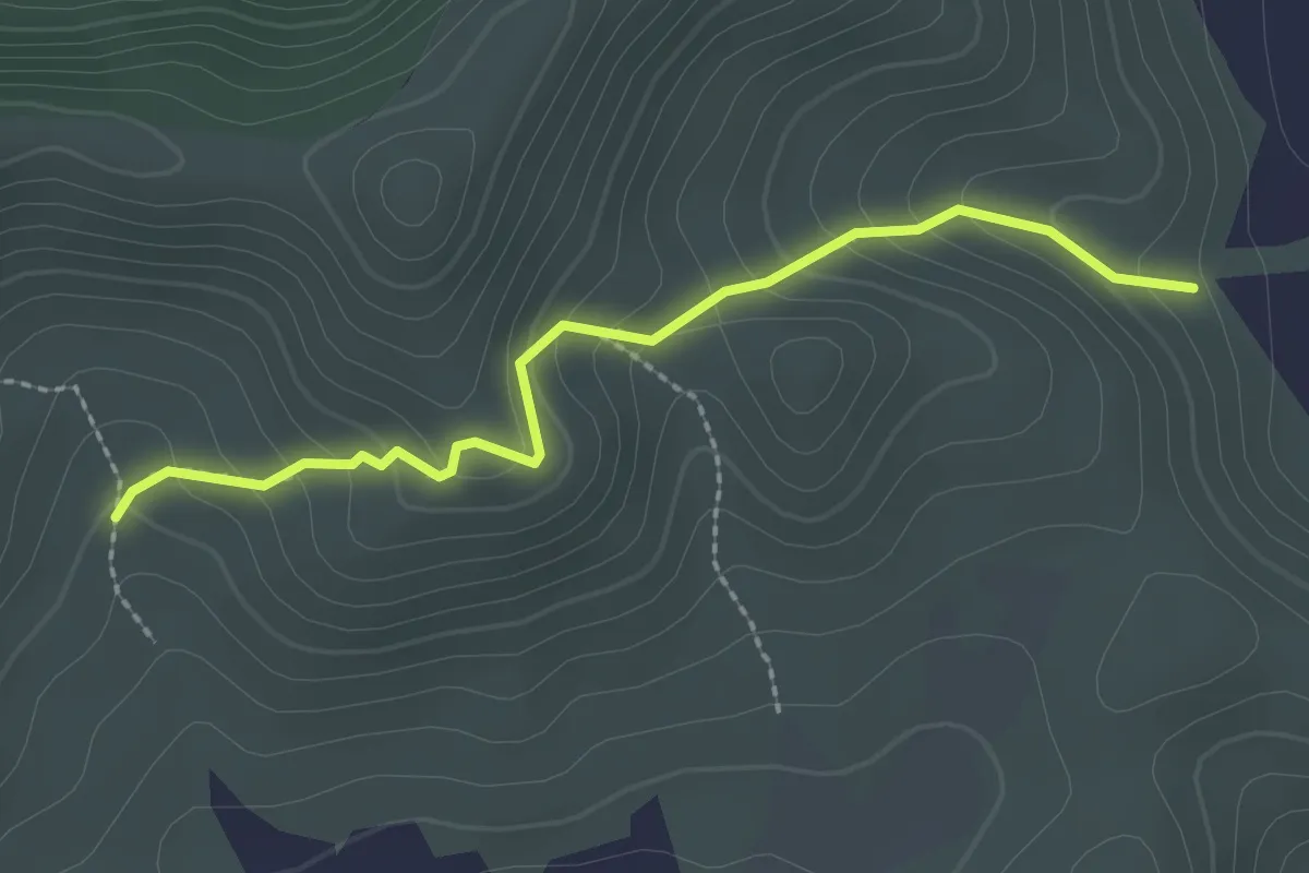
Easy · Trail
Variante de los Cuchillos
2.6 km · ↑ 169 m · 59 min
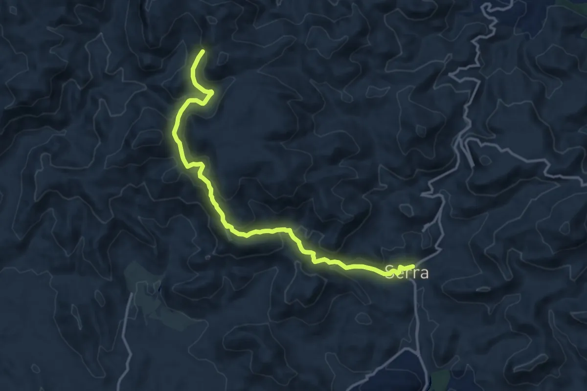
Medium · Trail
Variante de Serra
14.3 km · ↑ 628 m · 4 h 44 min
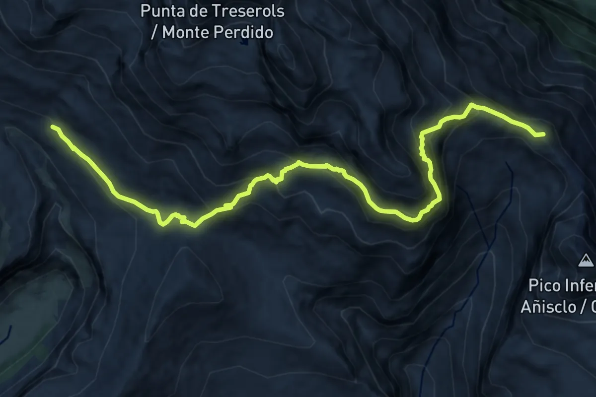
Expert · Summit
Variante Faja de las Olas
14.6 km · ↑ 1132 m · 5 h 54 min
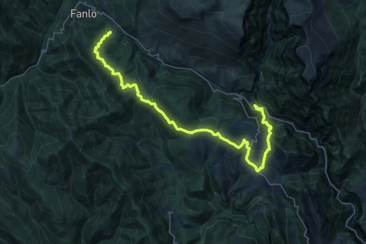
Medium · Trail
Variante GR 15.1: San Úrbez – Vió – Buerba – Buisán
13.4 km · ↑ 782 m · 4 h 53 min
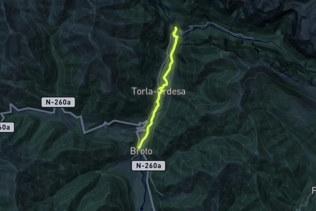
Medium · Trail
Variante GR 15.2: Broto - Torla - Puente de los Navarros
13.2 km · ↑ 548 m · 4 h 19 min
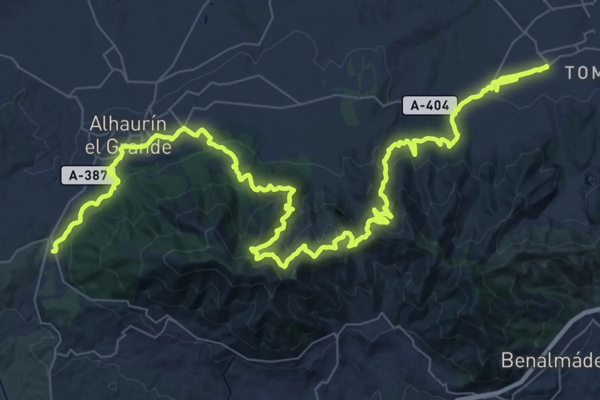
Demanding · Trail
Variante GR 249.2 Puerto de los Pescadores - Alhaurín de la Torre
27.3 km · ↑ 1301 m · 9 h 34 min
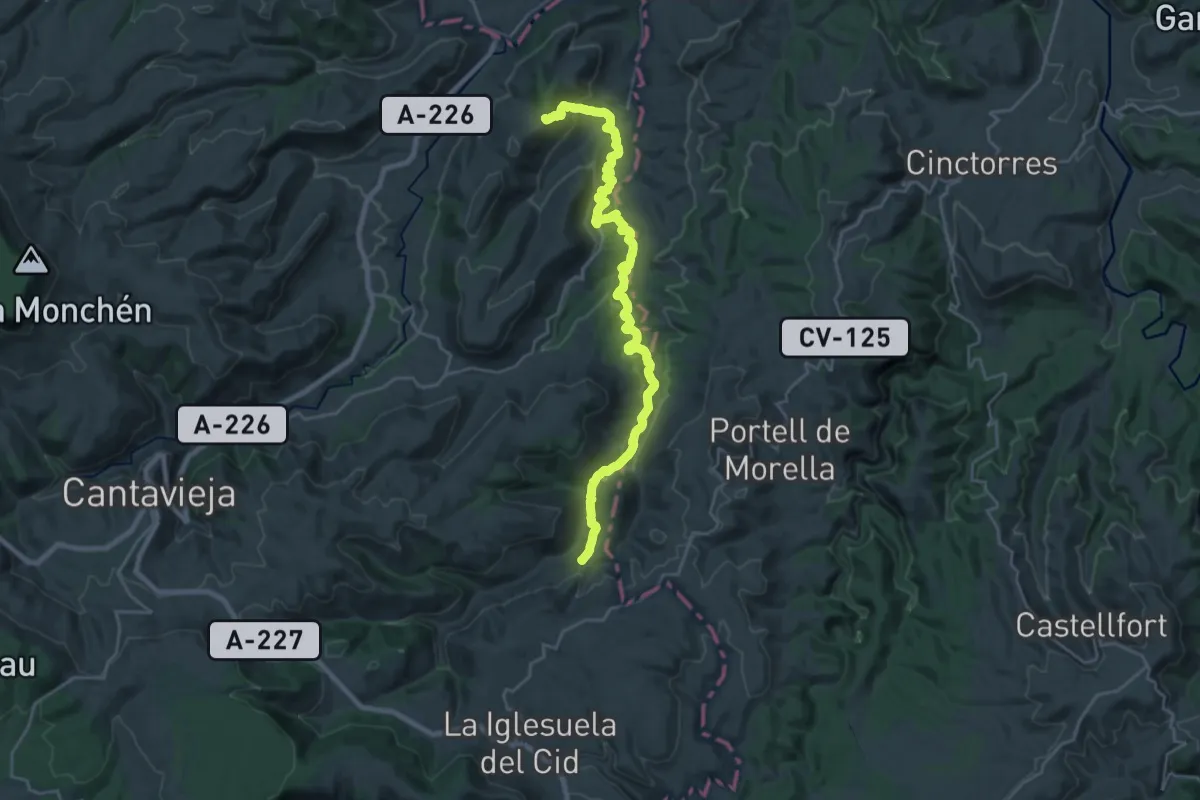
Medium · Trail
Variante GR 8.2
13.9 km · ↑ 483 m · 4 h 31 min
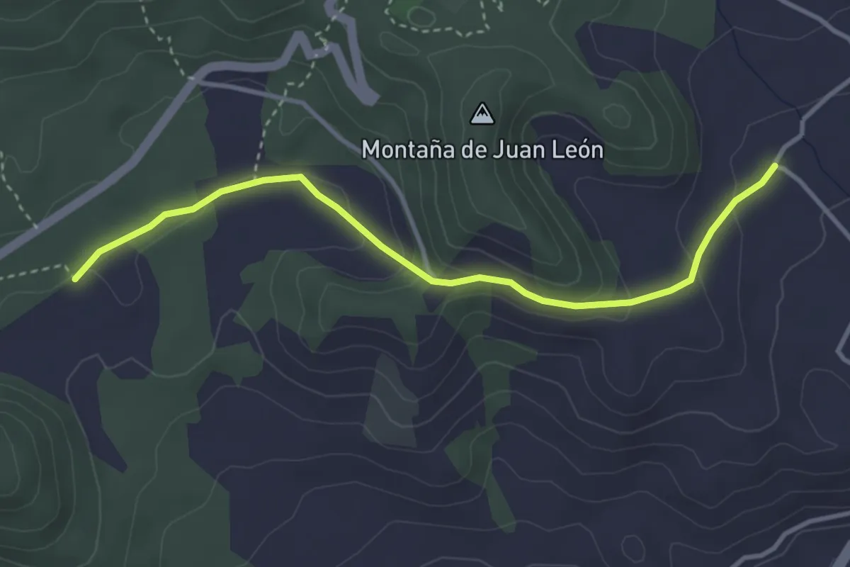
Easy · Trail
Variante Hoya del Gallego a Hoya del Morcillo
4.6 km · ↑ 160 m · 1 h 25 min
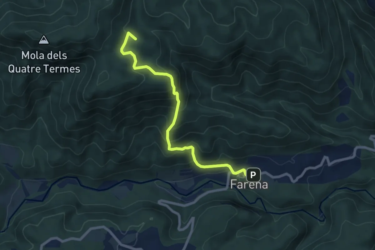
Medium · Summit
Variant Els Cogullons - Farena
6.4 km · ↑ 440 m · 2 h 27 min
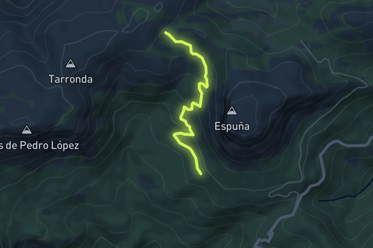
Medium · Trail
Variante Pedro López
4.7 km · ↑ 237 m · 1 h 37 min
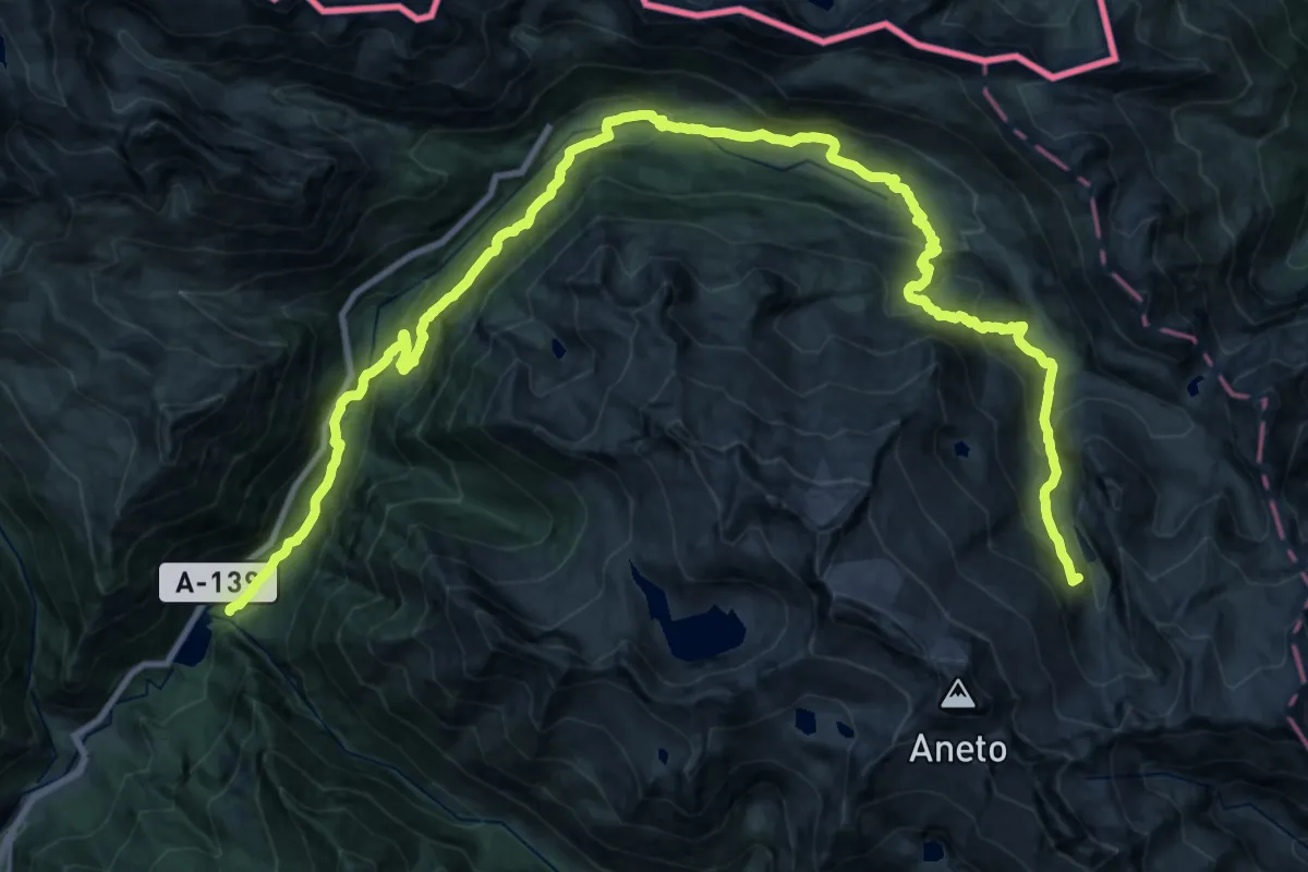
Expert · Summit
Variante Plan de Senarta - Refugio cap de Llauset
36.0 km · ↑ 2112 m · 13 h 5 min
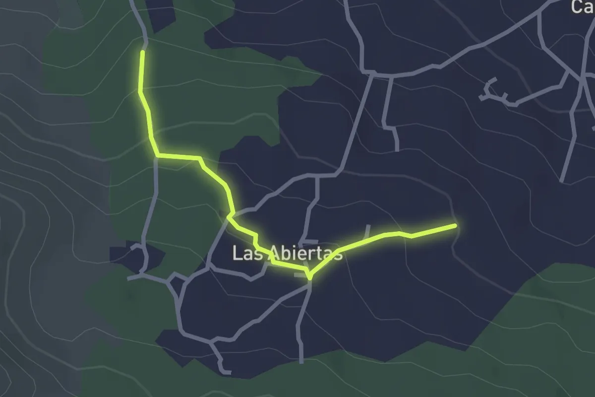
Easy · Trail
Variante por las Abiertas
2.8 km · ↑ 131 m · 57 min
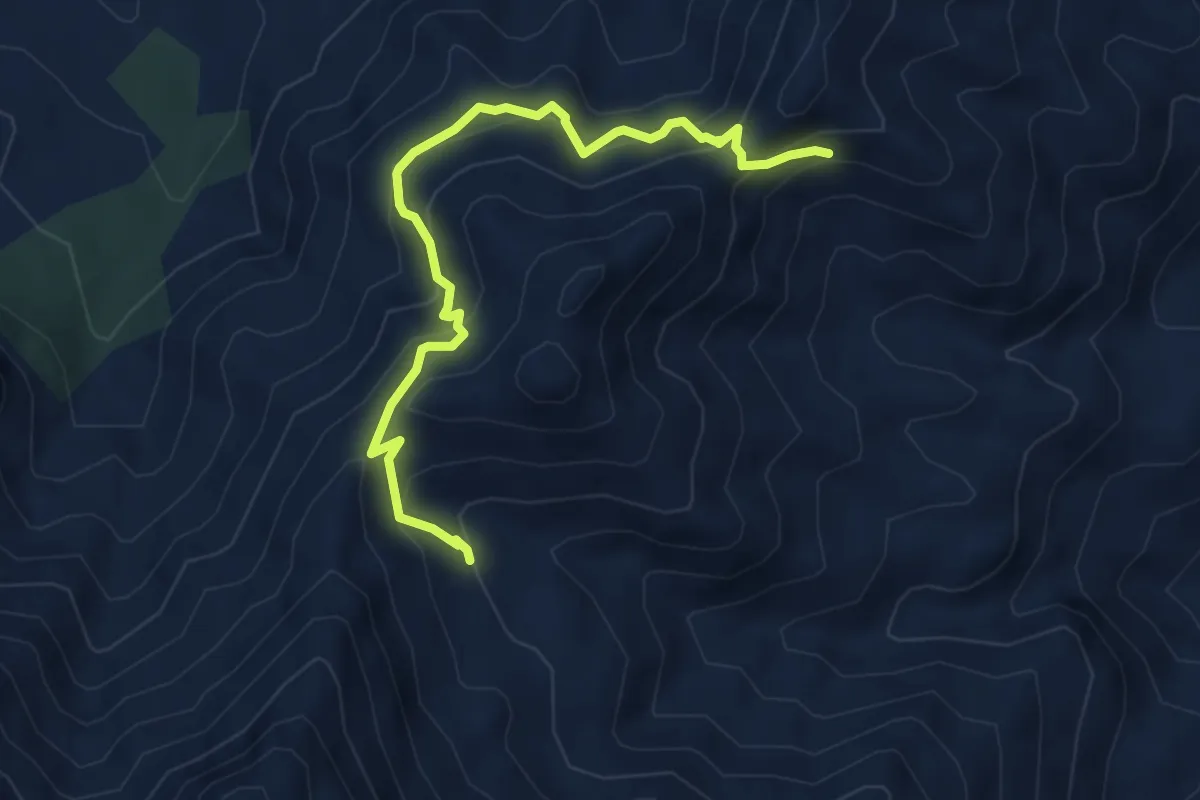
Medium · Trail
Variante PR-A 270
6.1 km · ↑ 556 m · 2 h 39 min
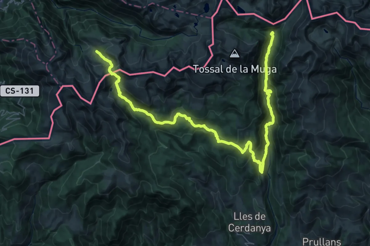
Expert · Trail
Variant Estanys de la Pera
24.9 km · ↑ 1141 m · 8 h 37 min
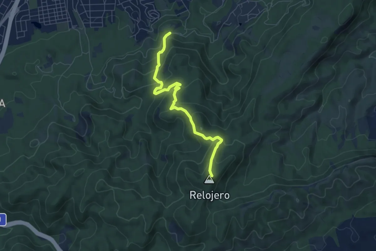
Medium · Summit
Variante Umbrías de Santo Ángel
7.5 km · ↑ 414 m · 2 h 40 min