Trails in Spain
5,960 hiking trails, each with its route, climb, walking time and grade.
All trails, page 118 of 125
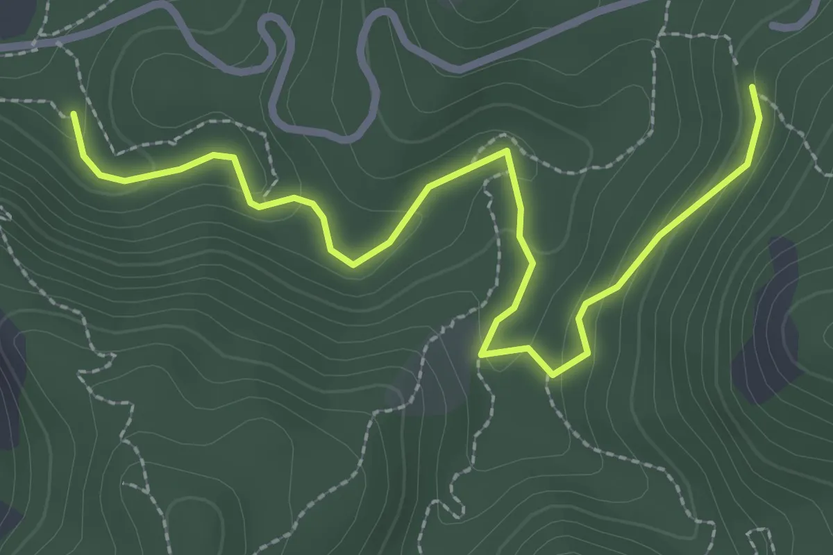
Easy · Trail
Variante Veteranos 92
3.4 km · ↑ 151 m · 1 h 8 min
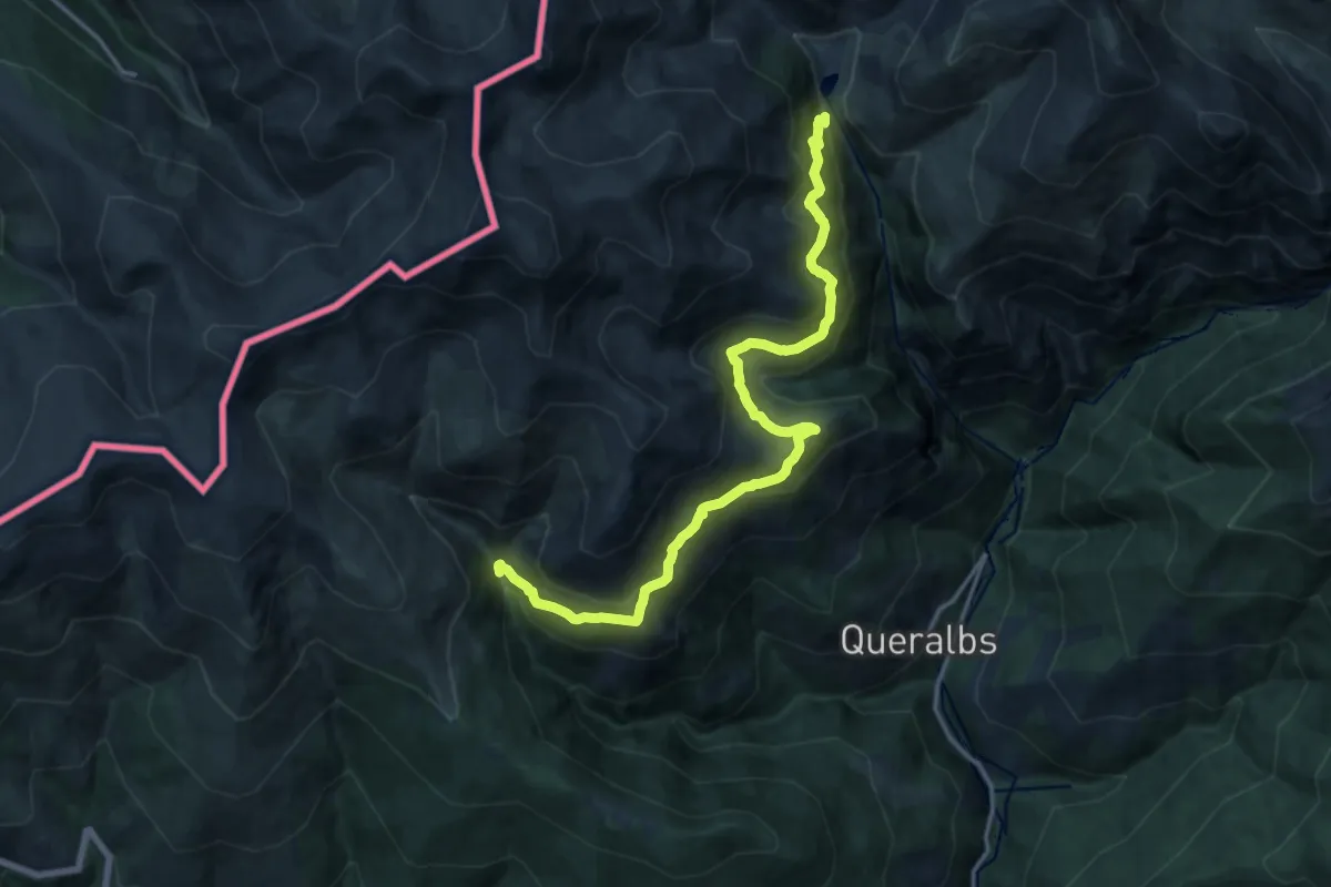
Medium · Trail
Variant Fontalba
17.6 km · ↑ 797 m · 5 h 53 min
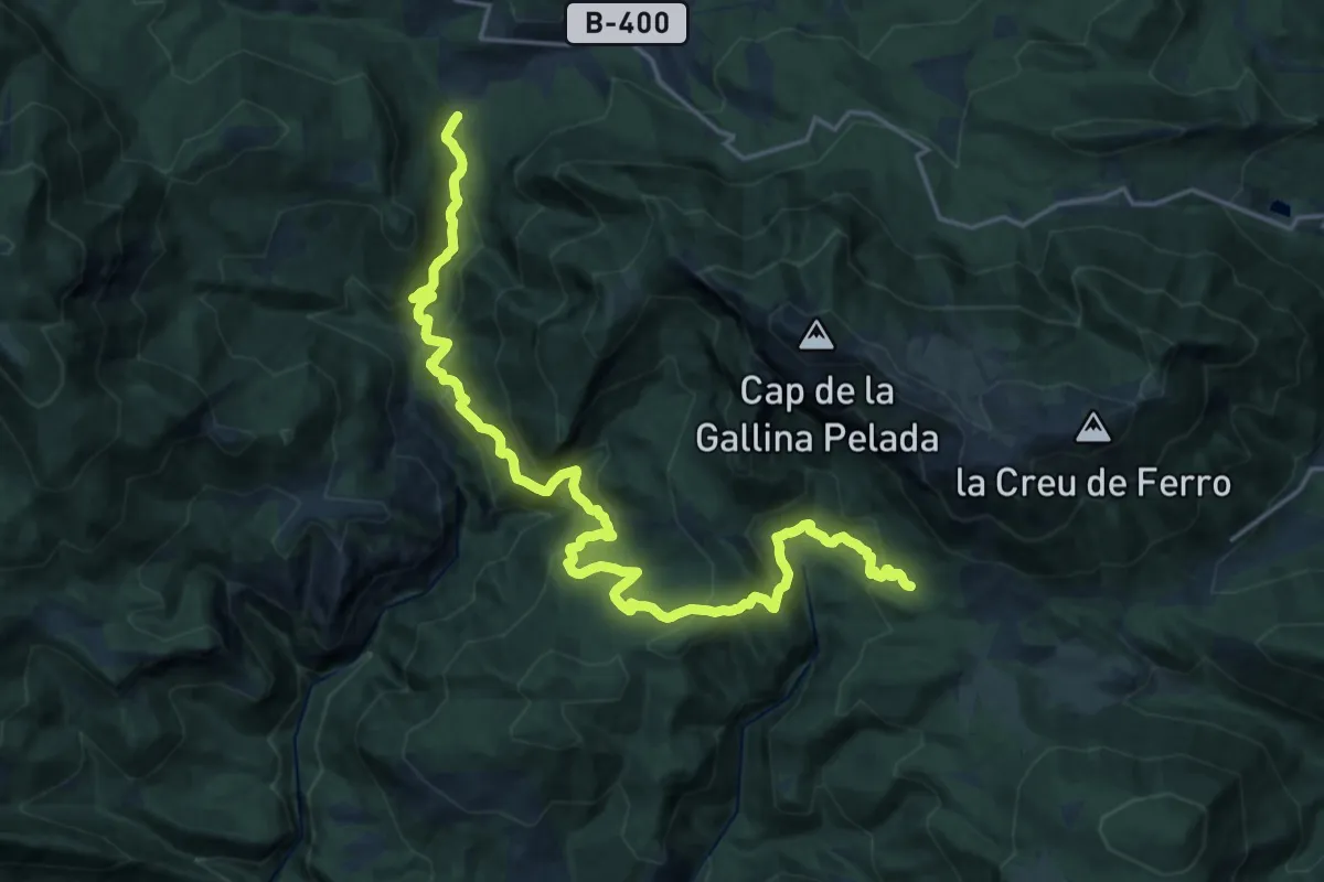
Medium · Trail
Variant: Font de la Bruixa - Molí de Feners
12.2 km · ↑ 362 m · 4 h 4 min
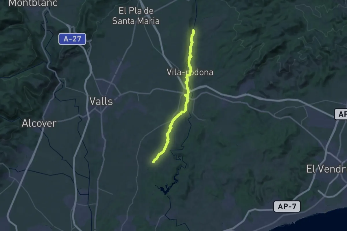
Medium · Trail
Variant GR 172: Renau - Monestir Santes Creus
17.3 km · ↑ 92 m · 4 h 36 min
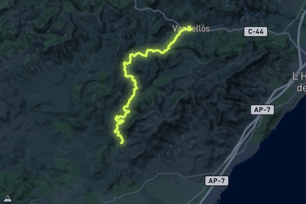
Demanding · Summit
Variant GR 192 Camí del Vent: Ermita de Santa Marina - Barranc de Senén
28.6 km · ↑ 877 m · 8 h 39 min
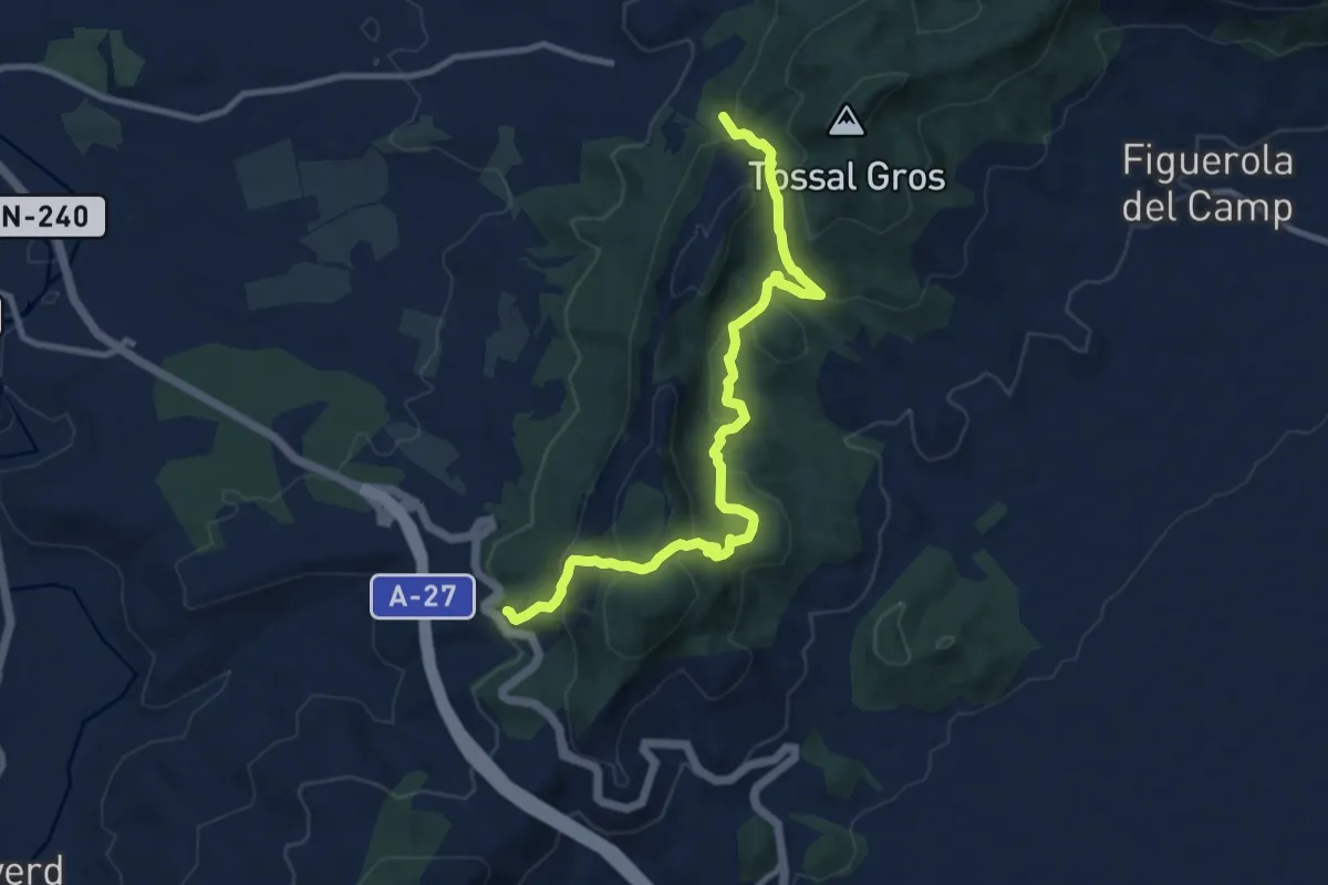
Medium · Trail
Variant GR 7: Conca de Barberà
11.5 km · ↑ 618 m · 4 h 3 min
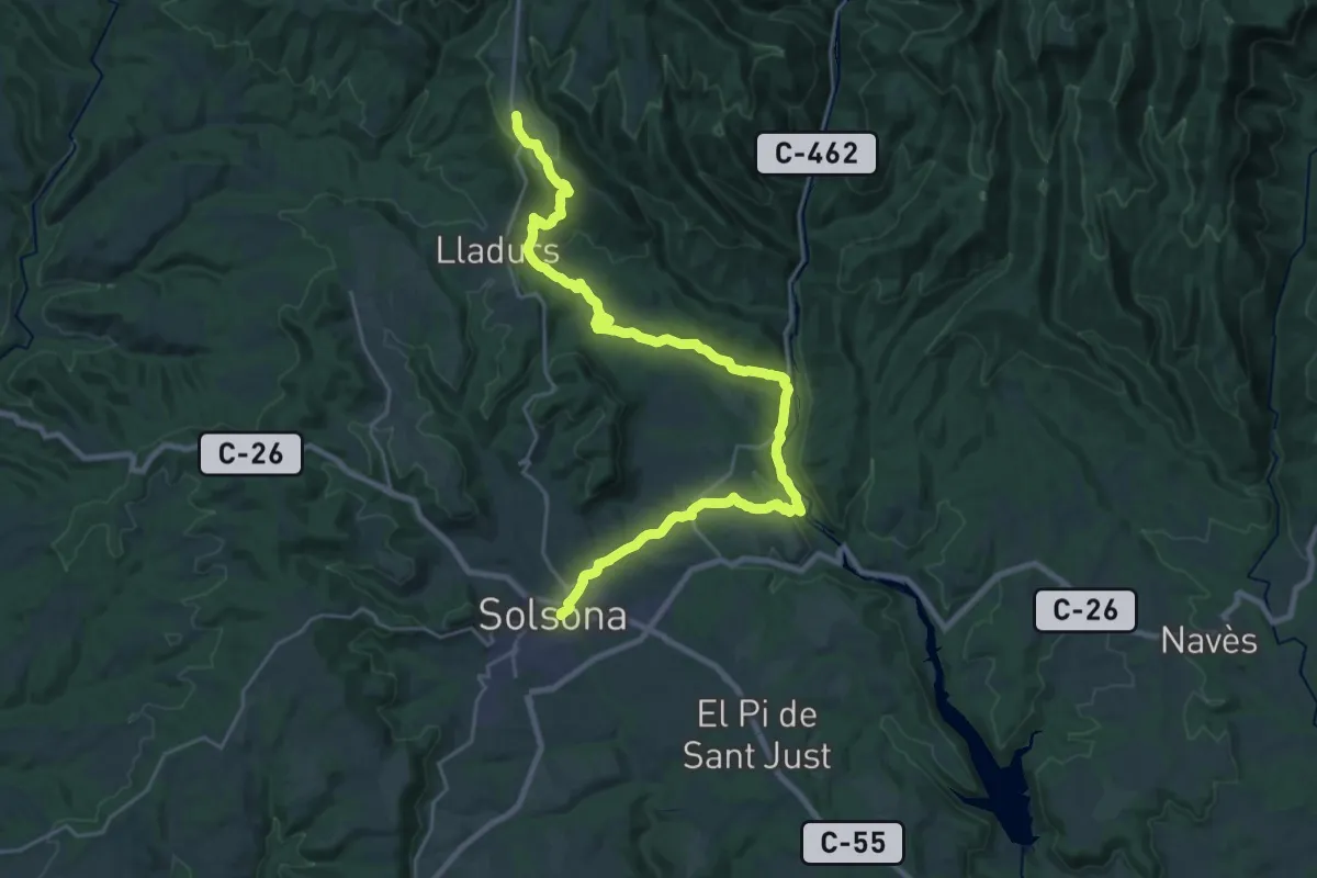
Medium · Trail
Variant GR 7: Olius
15.5 km · ↑ 536 m · 4 h 52 min
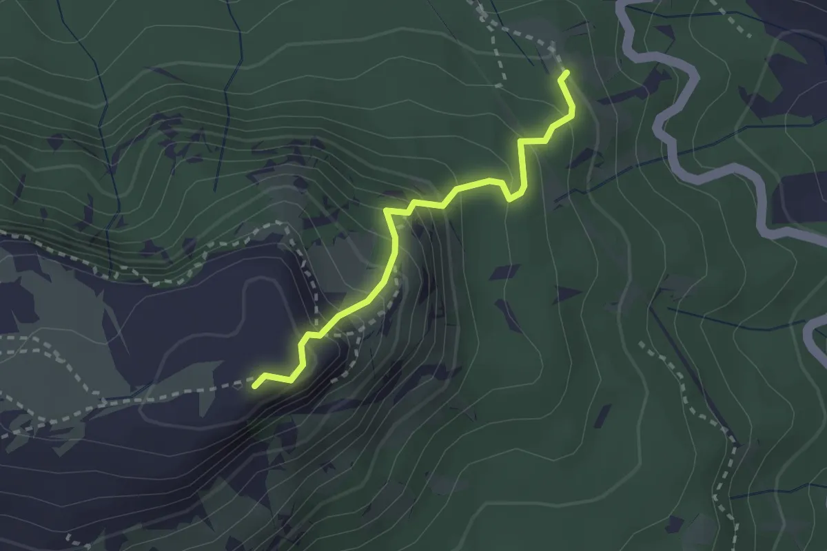
Demanding · Summit
Variant GR 7: Serra de l'Argentera - Coll del Guix
2.5 km · ↑ 305 m · 1 h 15 min
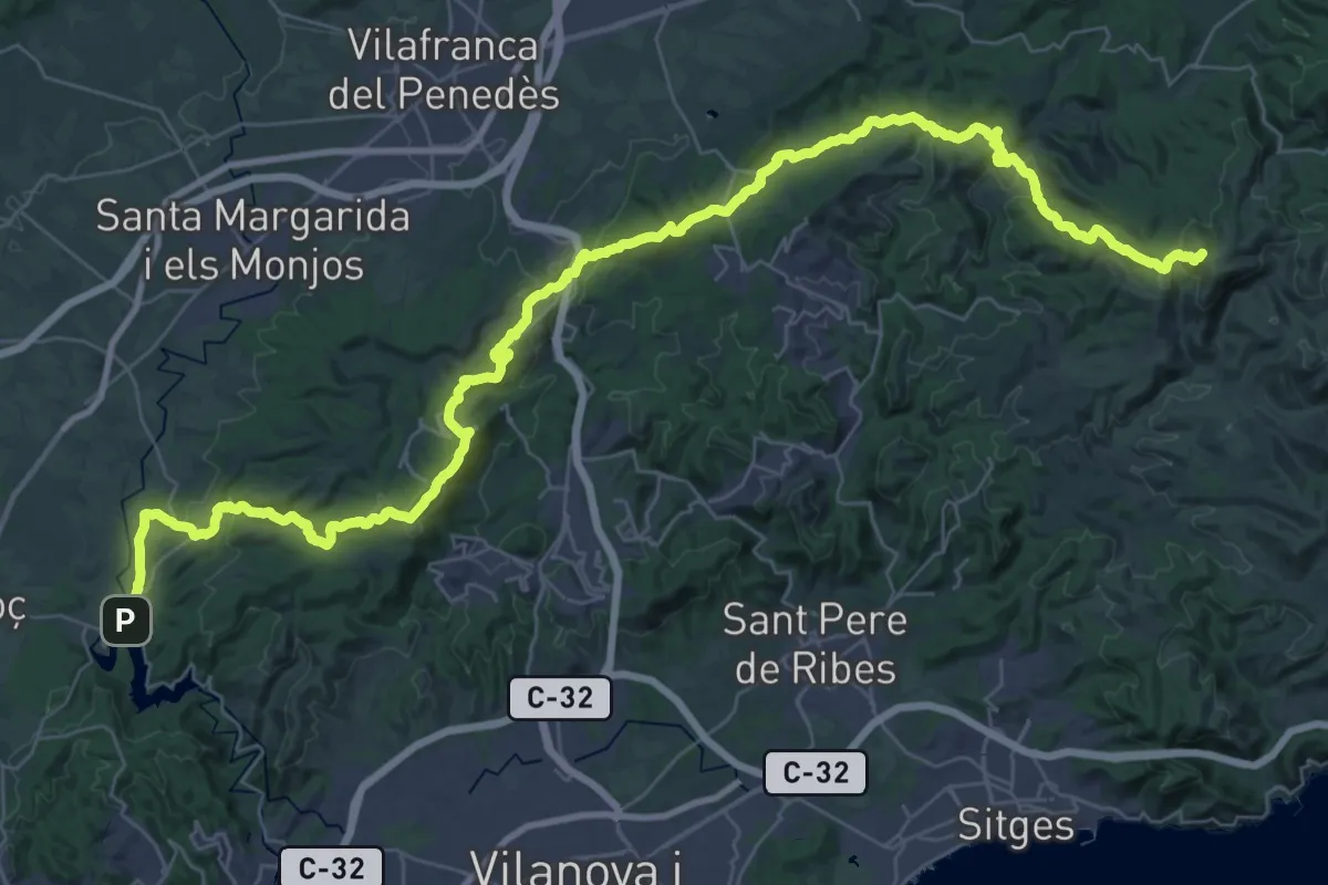
Demanding · Summit
Variant: La Clota - Castellet
56.9 km · ↑ 1829 m · 17 h 24 min
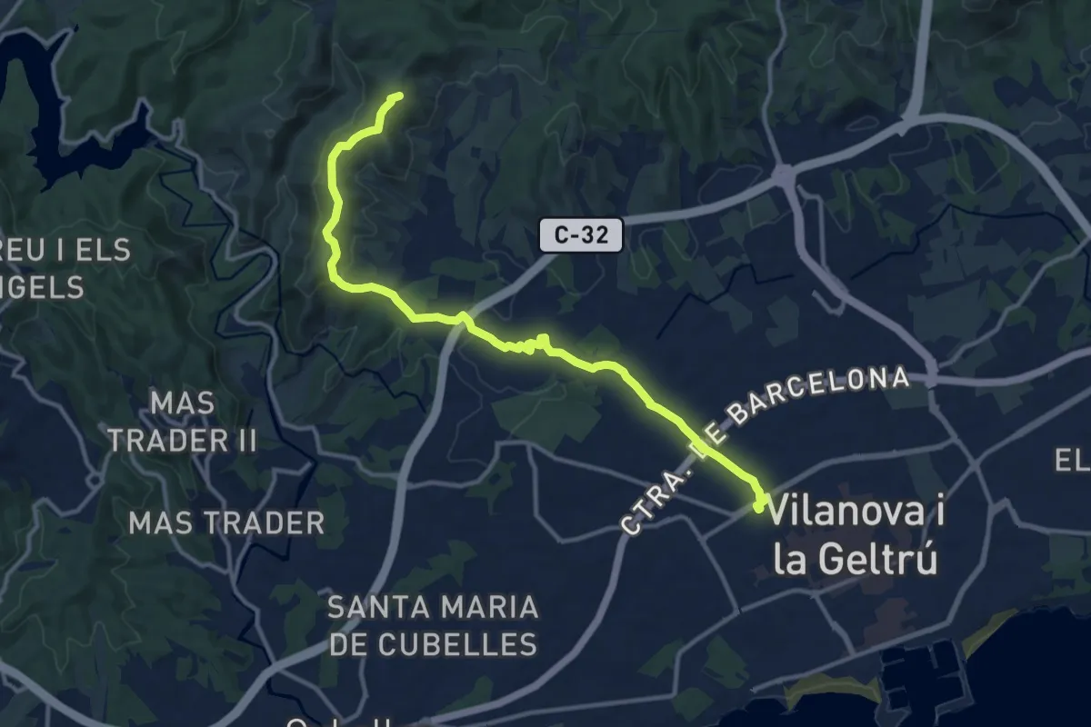
Medium · Summit
Variant Les Palmeres
14.3 km · ↑ 336 m · 4 h 6 min
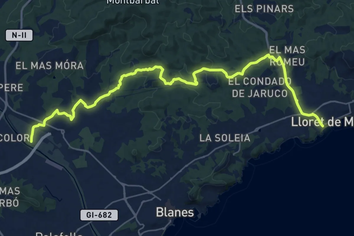
Demanding · Trail
Variant: Lloret de Mar - Tordera
27.5 km · ↑ 424 m · 7 h 25 min
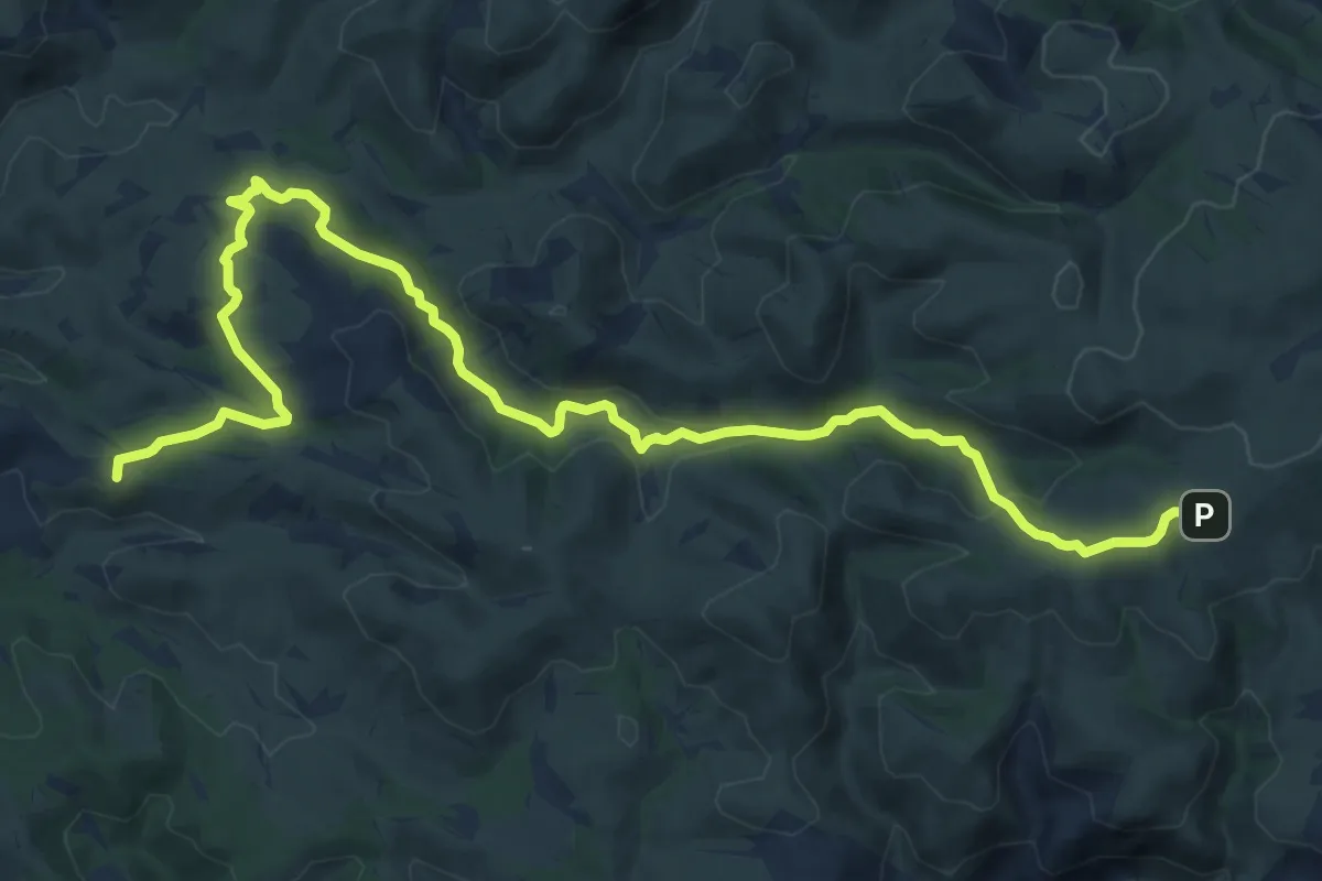
Medium · Summit
Variant: Pla de Querol - Camí del Mas de l'Artís
16.8 km · ↑ 395 m · 4 h 49 min
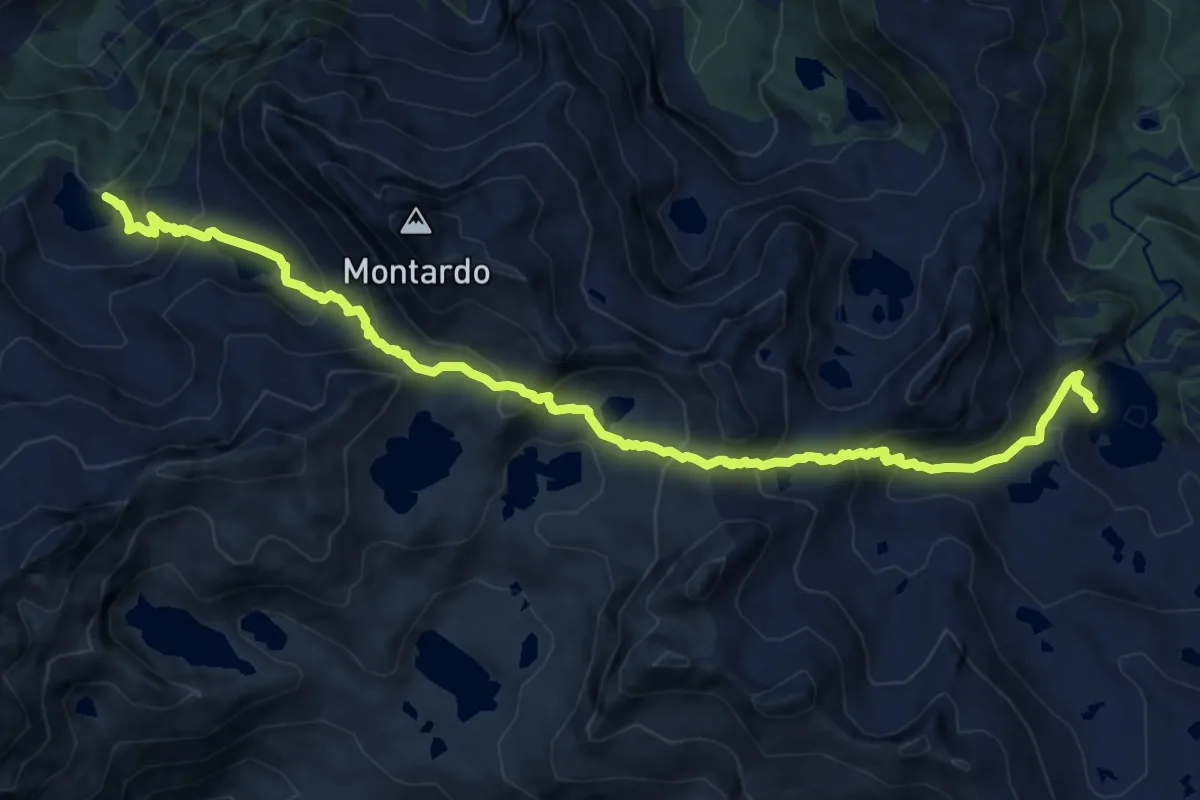
Demanding · Cabin
Variant Port de Caldes
14.4 km · ↑ 1204 m · 6 h
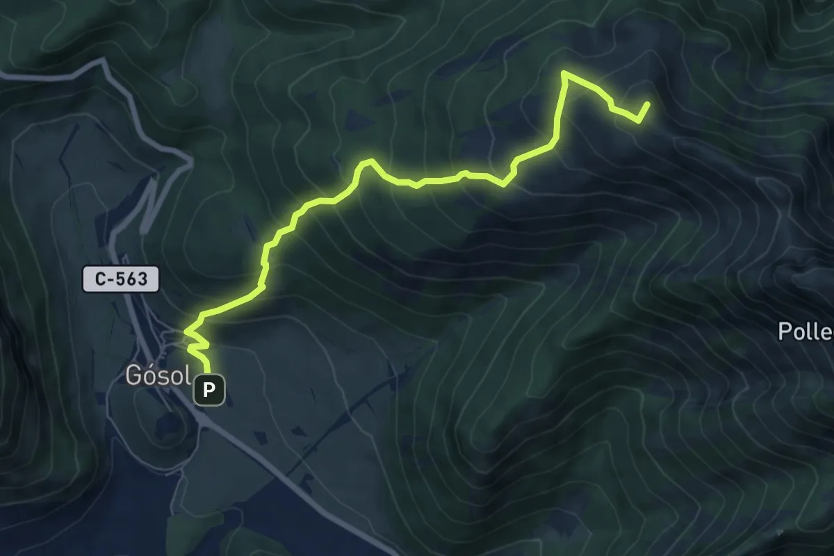
Medium · Summit
Variant PR-C 123 Volta al Pedraforca: Coll de Setfons
7.6 km · ↑ 785 m · 3 h 30 min
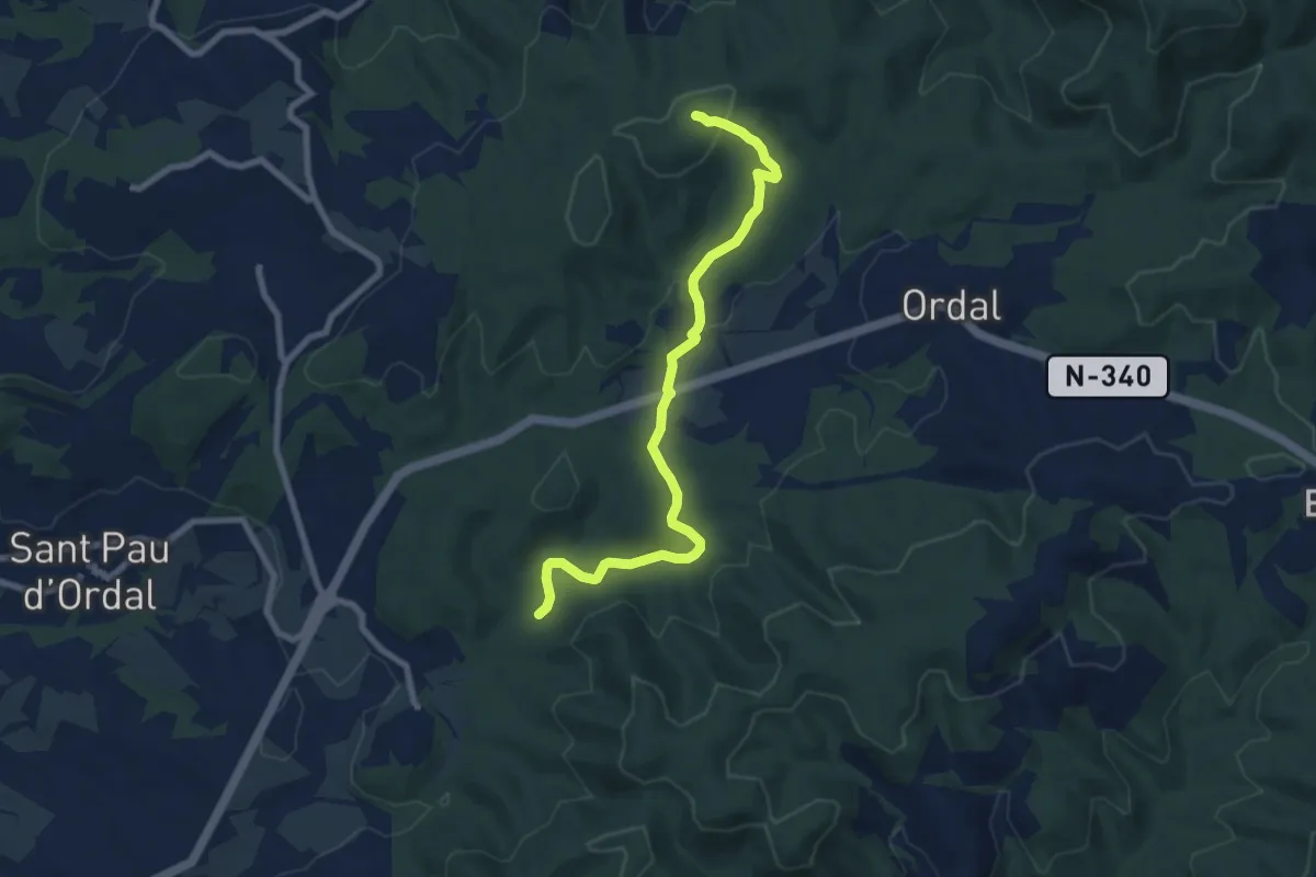
Medium · Trail
Variant PR-C 156 Garnatxa: Camí dels Vidriers - La Creueta
8.8 km · ↑ 239 m · 2 h 35 min
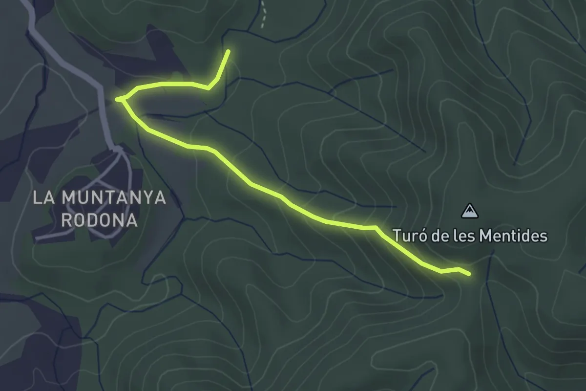
Easy · Trail
Variant PR-C 156 Garnatxa: Coll d'Esteles - Muntanya del Rovira
3.9 km · ↑ 212 m · 1 h 22 min
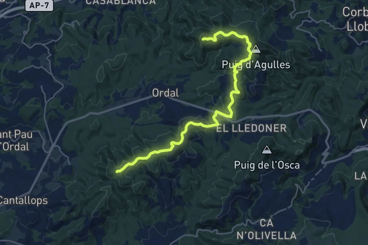
Demanding · Summit
Variant PR-C 156 Garnatxa: Turó de les Mentides - La Creueta
19.8 km · ↑ 645 m · 6 h 4 min
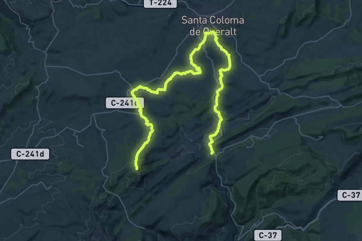
Demanding · Trail
Variant PR-C 21 Pontils - Sarral: Pontils - Biure
19.7 km · ↑ 175 m · 5 h 28 min
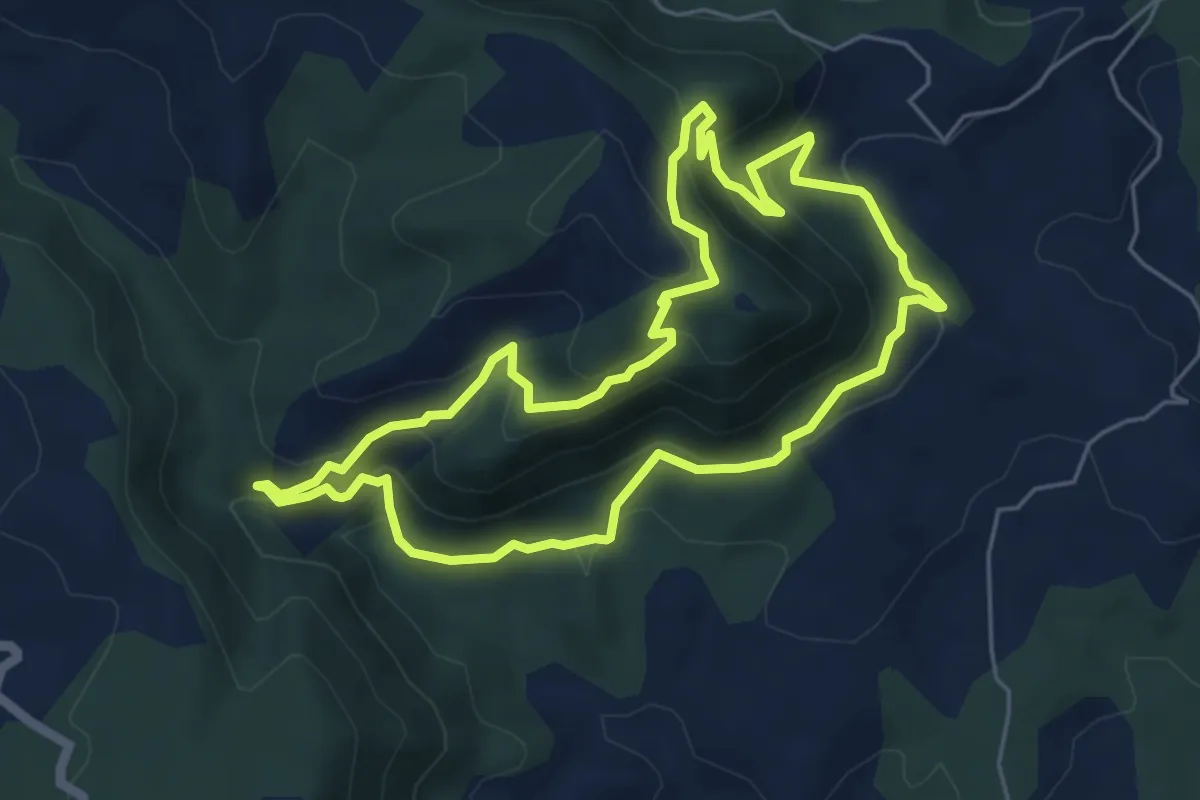
Medium · Summit
Variant PR-C 54.1 Sender d'Orís
5.9 km · ↑ 384 m · 2 h 18 min
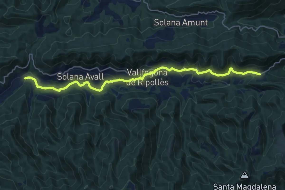
Medium · Trail
Variant PR-C 59: Molí de la Tolosa - Coll de Canes
17.4 km · ↑ 461 m · 5 h 6 min
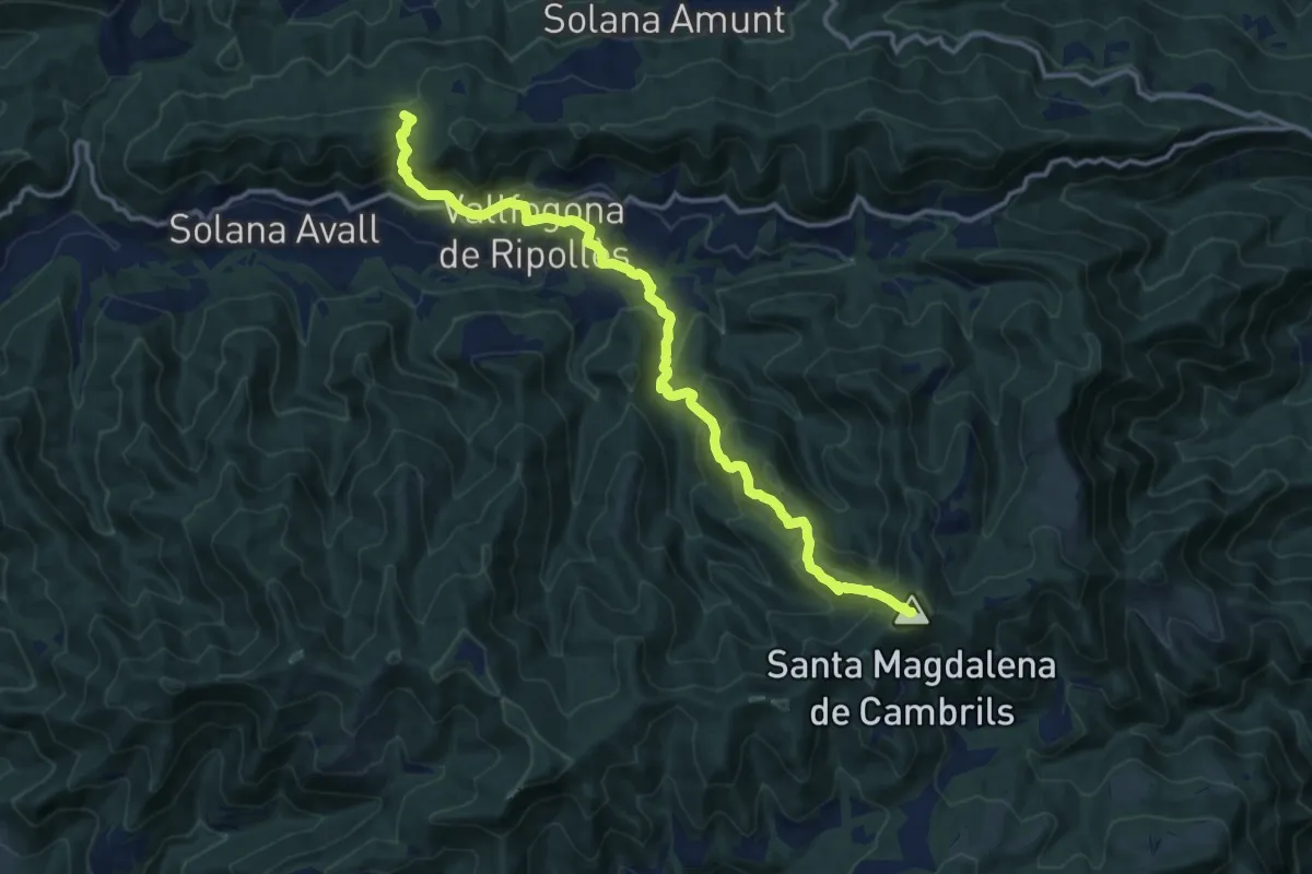
Demanding · Summit
Variant PR-C 59: Santa Magdalena de Cambrils - Coll de les Fonts de l'Orri
14.9 km · ↑ 868 m · 5 h 24 min
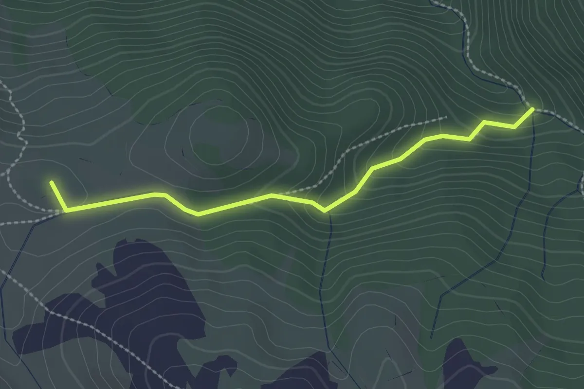
Easy · Summit
Variant PR-C 79 La Gallina Pelada: Barranc d'Ensija
2.6 km · ↑ 133 m · 54 min
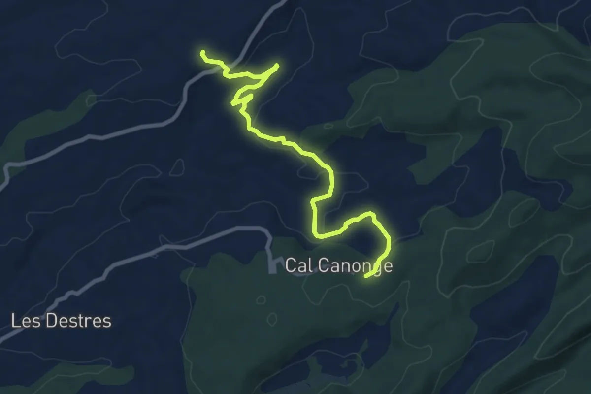
Easy · Trail
Variant PR-C 8.1: Sender de Santes Creus
7.5 km · ↑ 170 m · 2 h 8 min
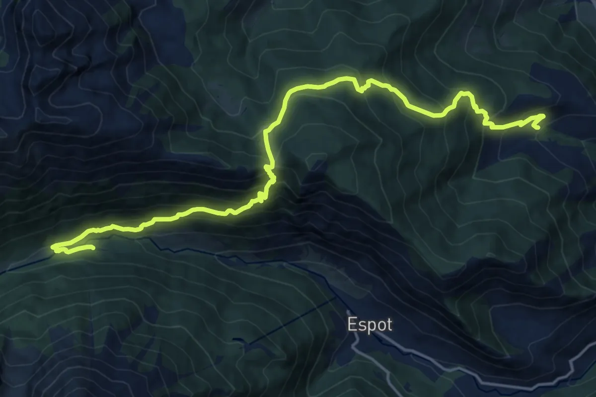
Demanding · Trail
Variant Refugi del Pla de la Font
19.1 km · ↑ 1475 m · 7 h 43 min
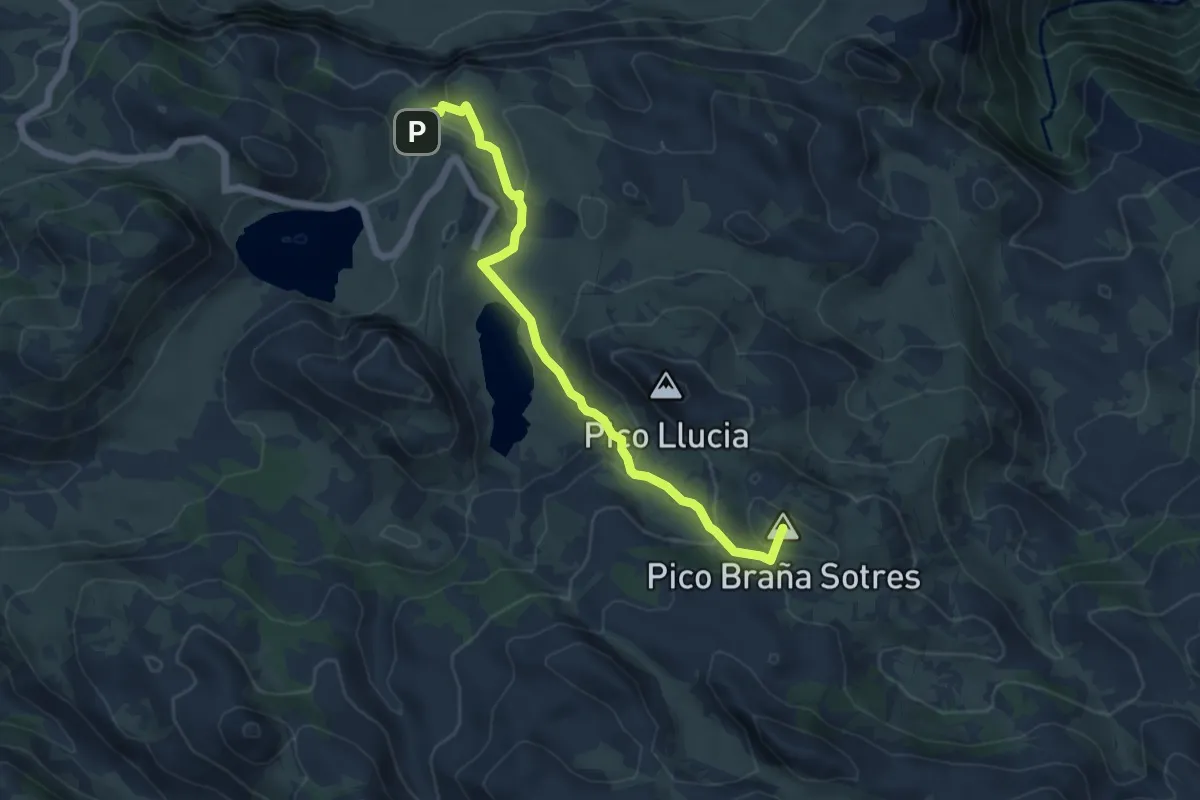
Medium · Summit
Vega de Ario
6.1 km · ↑ 311 m · 2 h 7 min
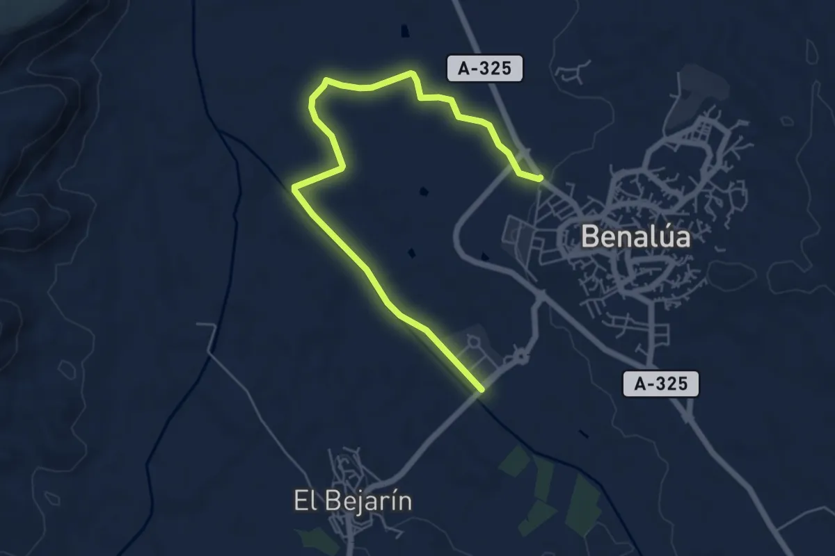
Easy · Trail
Vega de Benalúa
7.3 km · ↑ 43 m · 1 h 49 min
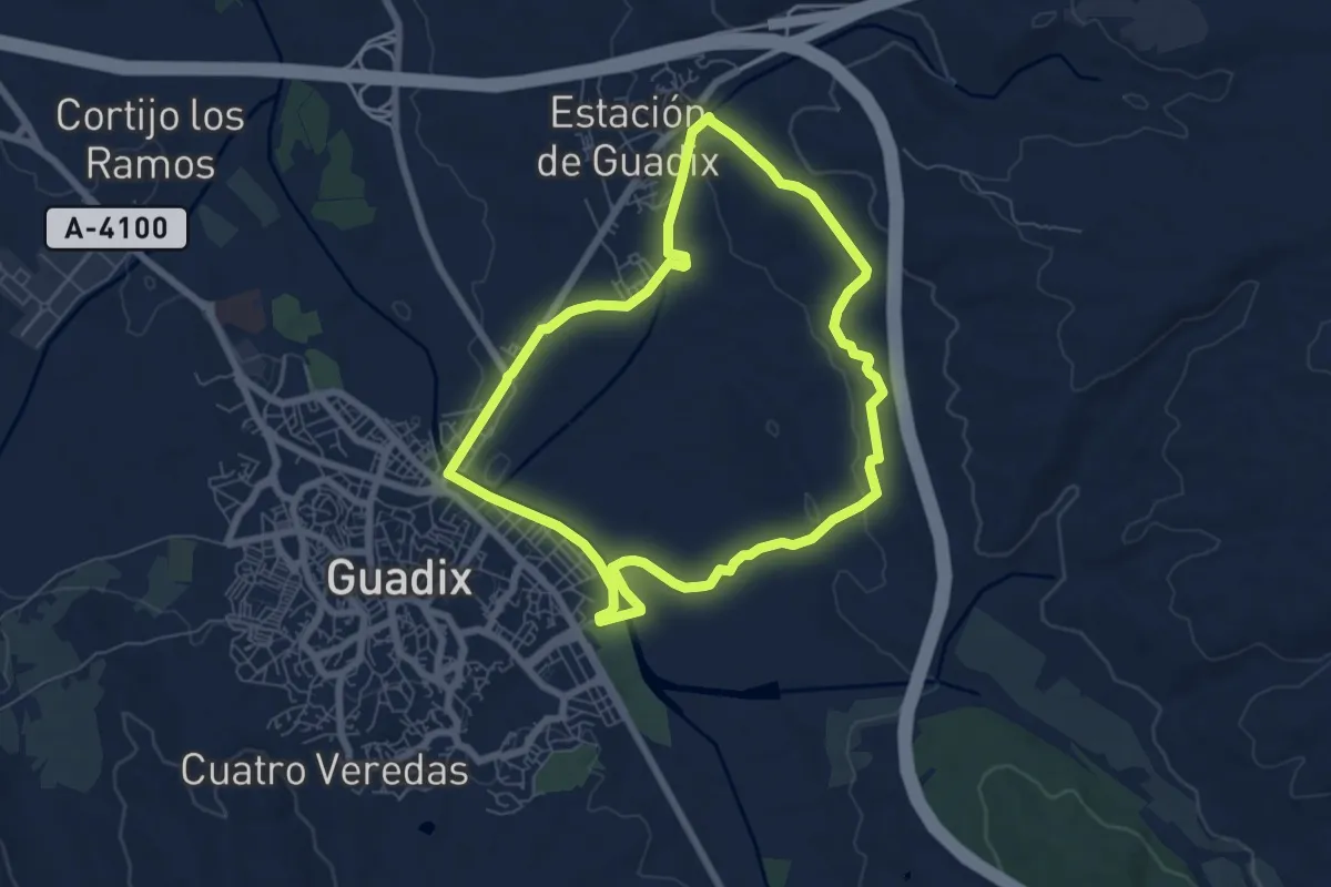
Easy · Trail
Vega de Guadix y Cerro del Humilladero
7.5 km · ↑ 86 m · 2 h 3 min
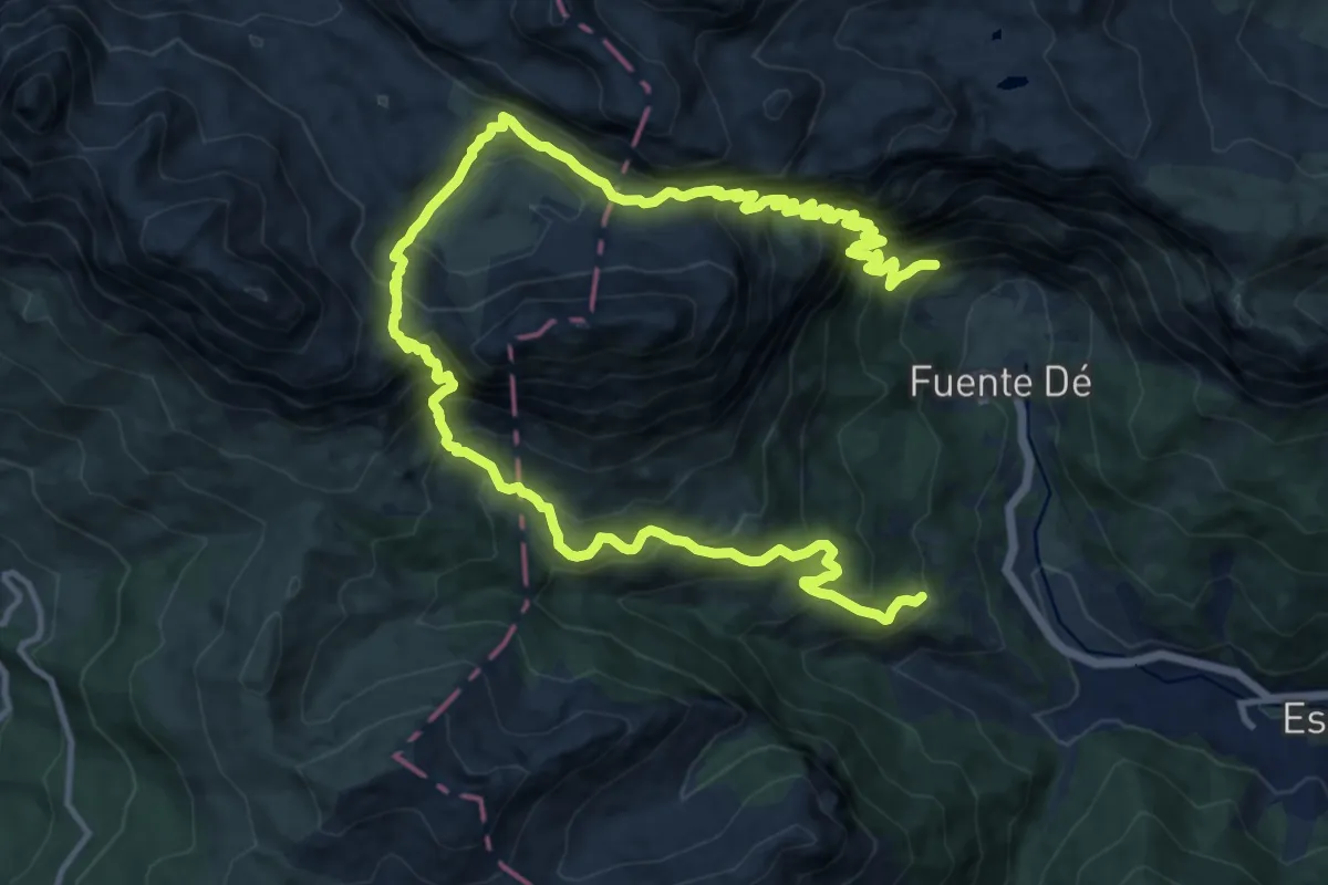
Demanding · Summit
Vega de Liordes
10.6 km · ↑ 1154 m · 5 h 9 min
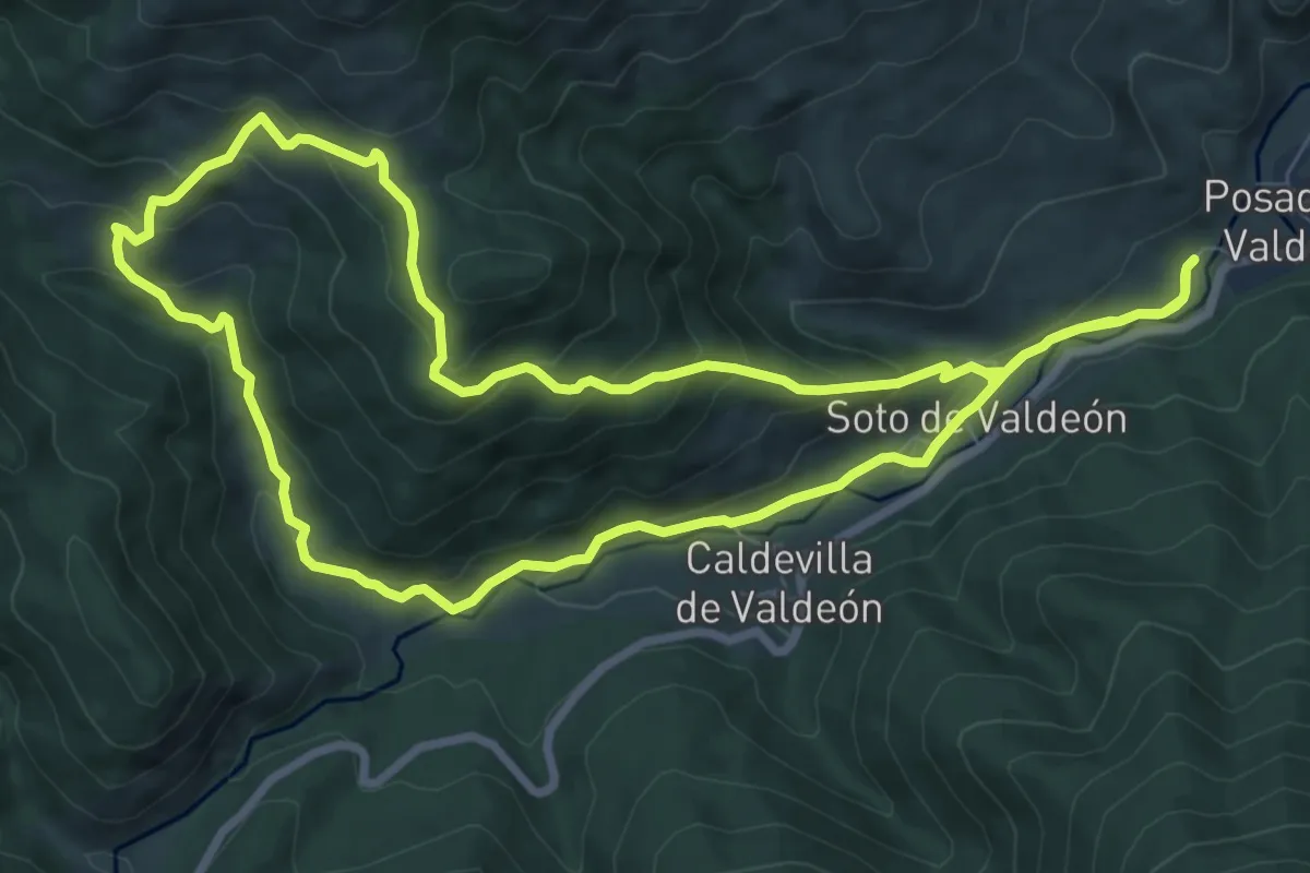
Medium · Trail
Vega de Llós
9.0 km · ↑ 467 m · 3 h 16 min
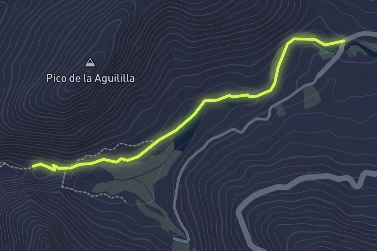
Easy · Trail
Vega del Río Palmas - Presa de las Peñitas
3.3 km · ↑ 69 m · 56 min
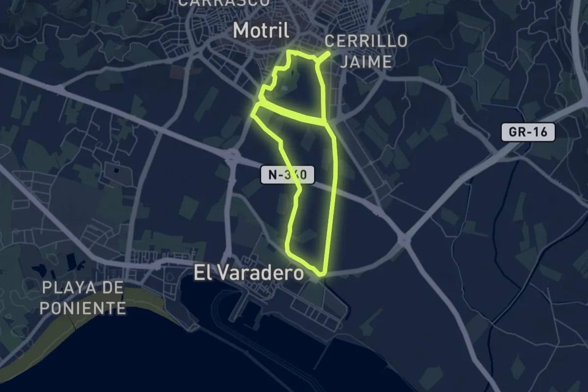
Easy · Trail
Vega de Motril
6.7 km · ↑ 22 m · 1 h 43 min
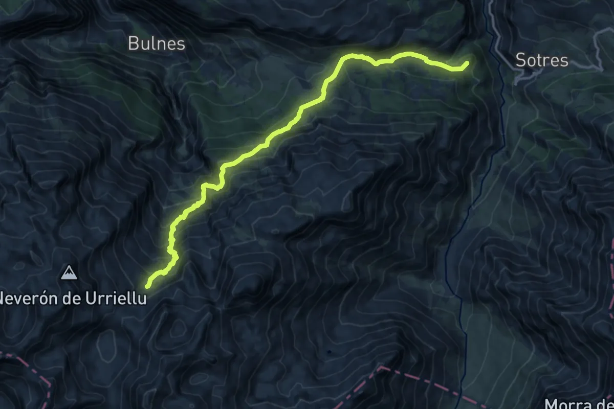
Demanding · Summit
Vega de Urriellu
15.2 km · ↑ 1124 m · 6 h 1 min
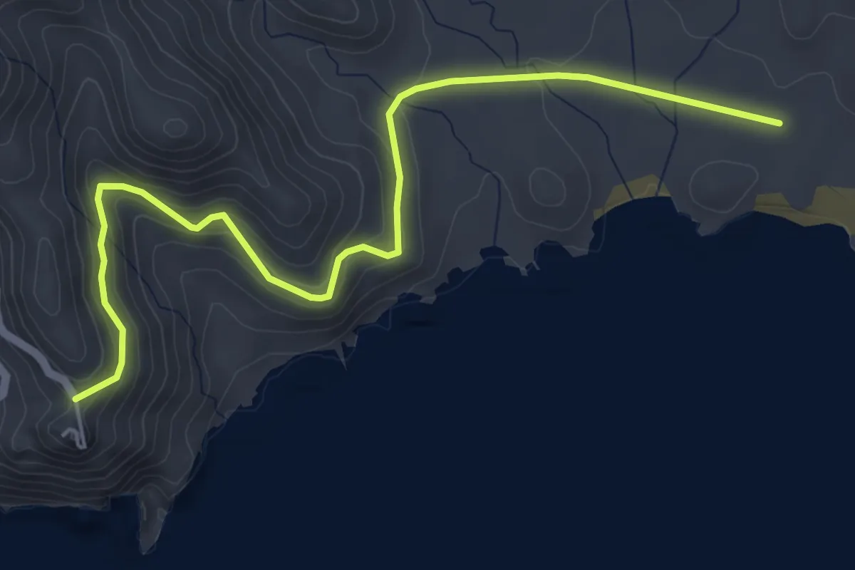
Easy · Trail
Vela Blanca
6.7 km · ↑ 309 m · 2 h 15 min
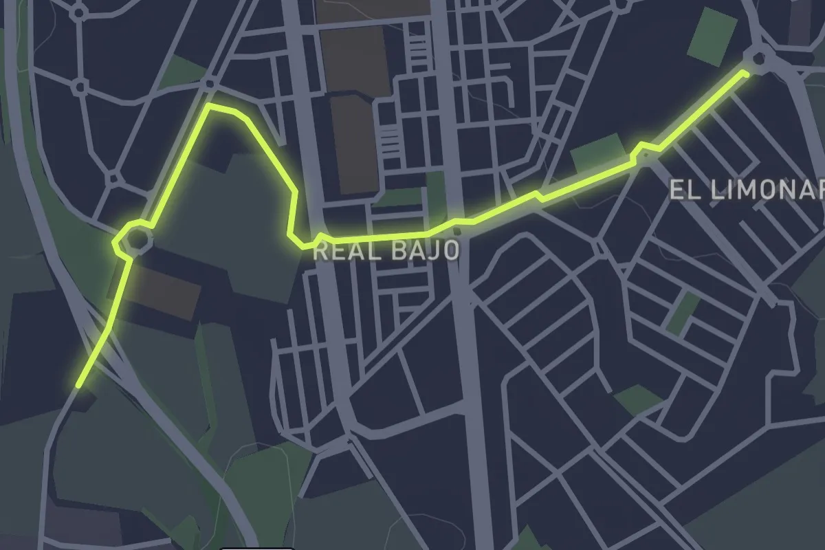
Easy · Trail
Vélez-Málaga (Connection)
4.1 km · ↑ 23 m · 1 h 1 min
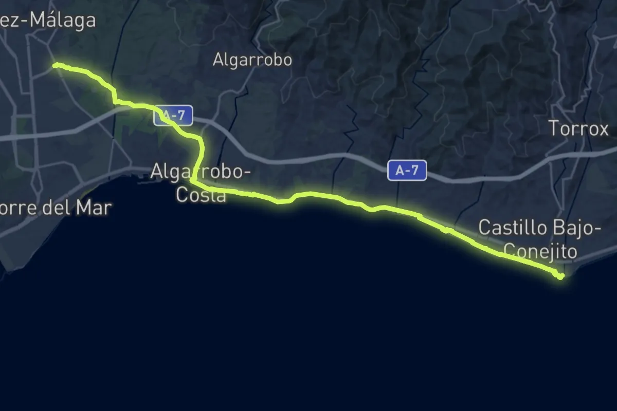
Demanding · Trail
Vélez-Málaga - Torrox
30.7 km · ↑ 224 m · 7 h 43 min
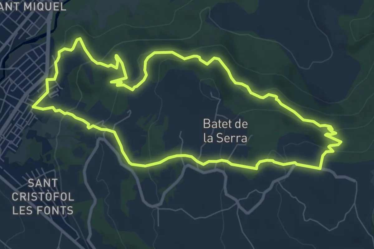
Medium · Summit
Vells camins de Batet
8.1 km · ↑ 328 m · 2 h 44 min
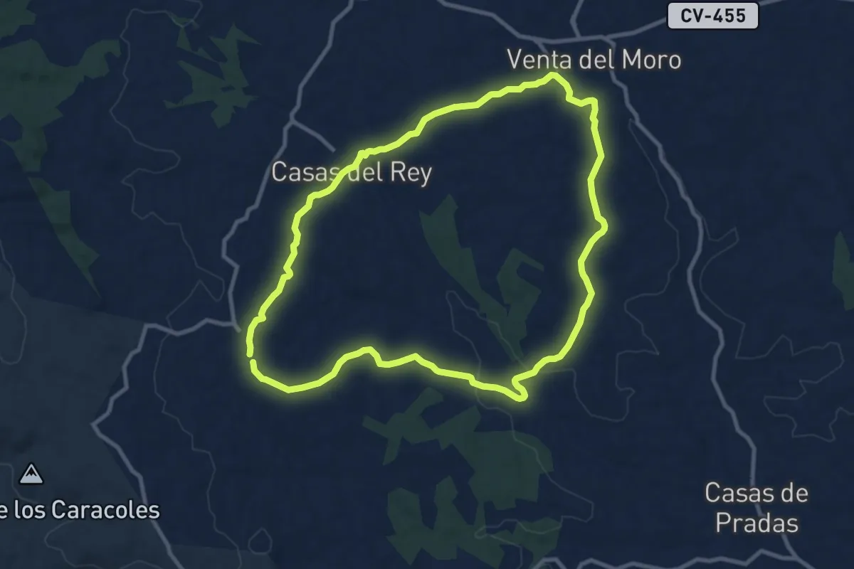
Medium · Trail
Venta del Moro
10.5 km · ↑ 171 m · 3 h
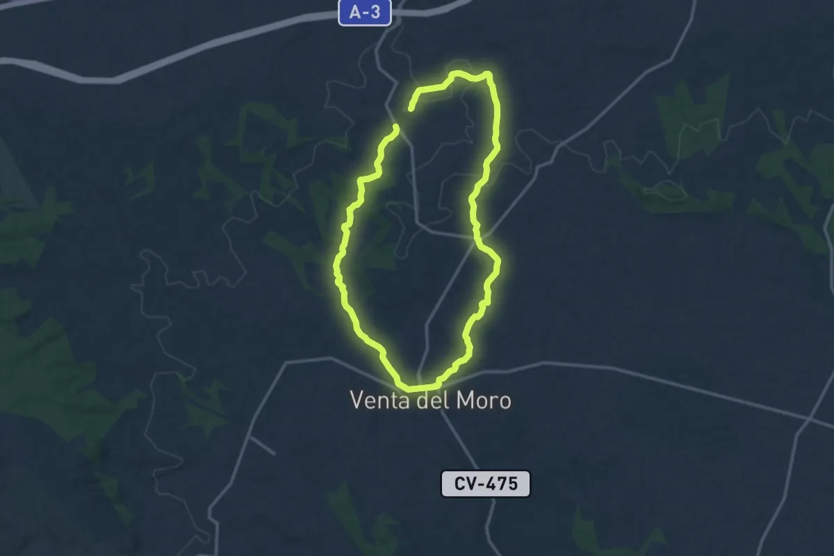
Demanding · Trail
Venta del Moro - Jaraguas
24.2 km · ↑ 297 m · 6 h 21 min
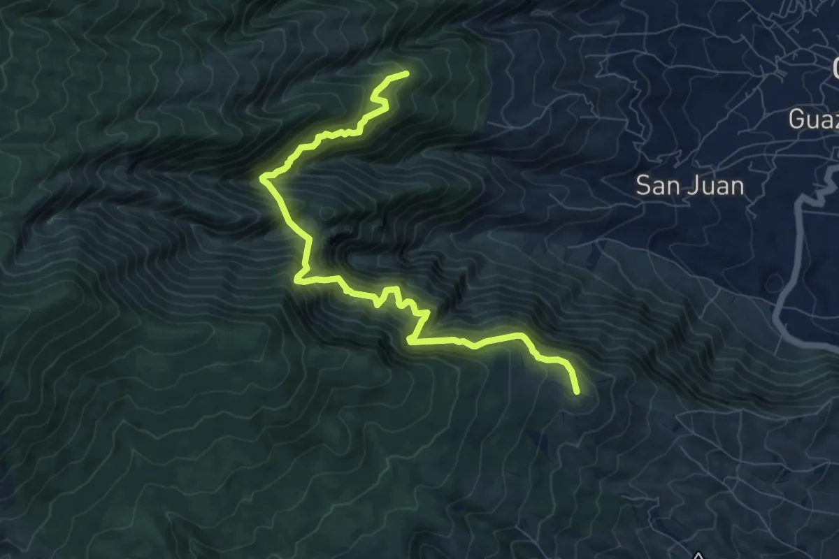
Demanding · Trail
Ventanas de Güímar
11.4 km · ↑ 1804 m · 6 h 36 min
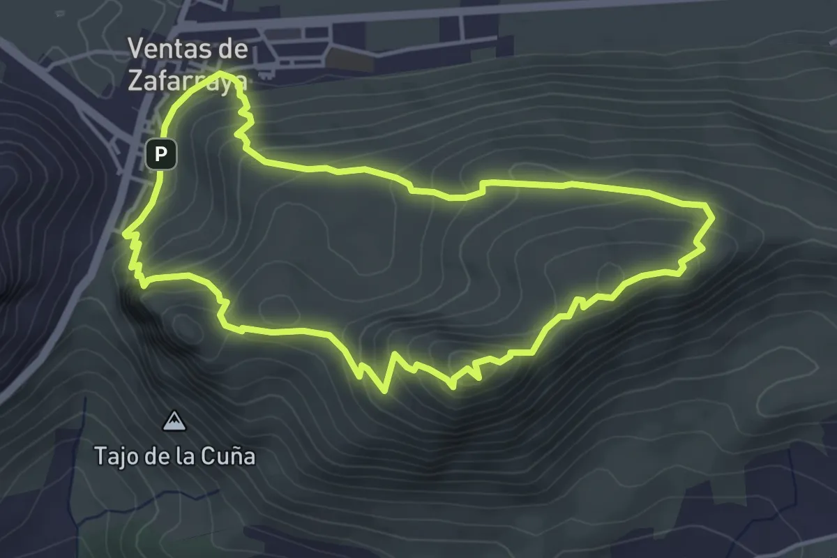
Medium · Summit
Ventas de Zafarraya-Sendero de la Cuna.
5.0 km · ↑ 318 m · 1 h 56 min
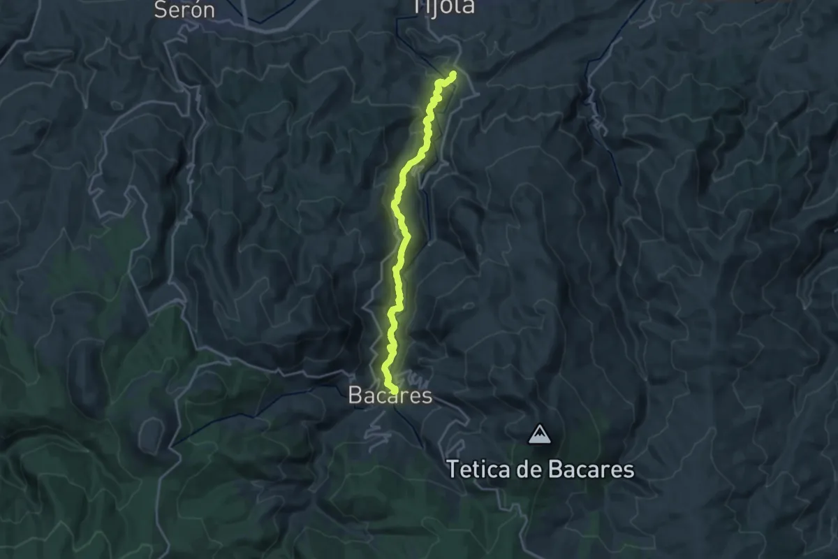
Demanding · Trail
Vereda Bayarque
19.4 km · ↑ 879 m · 6 h 29 min
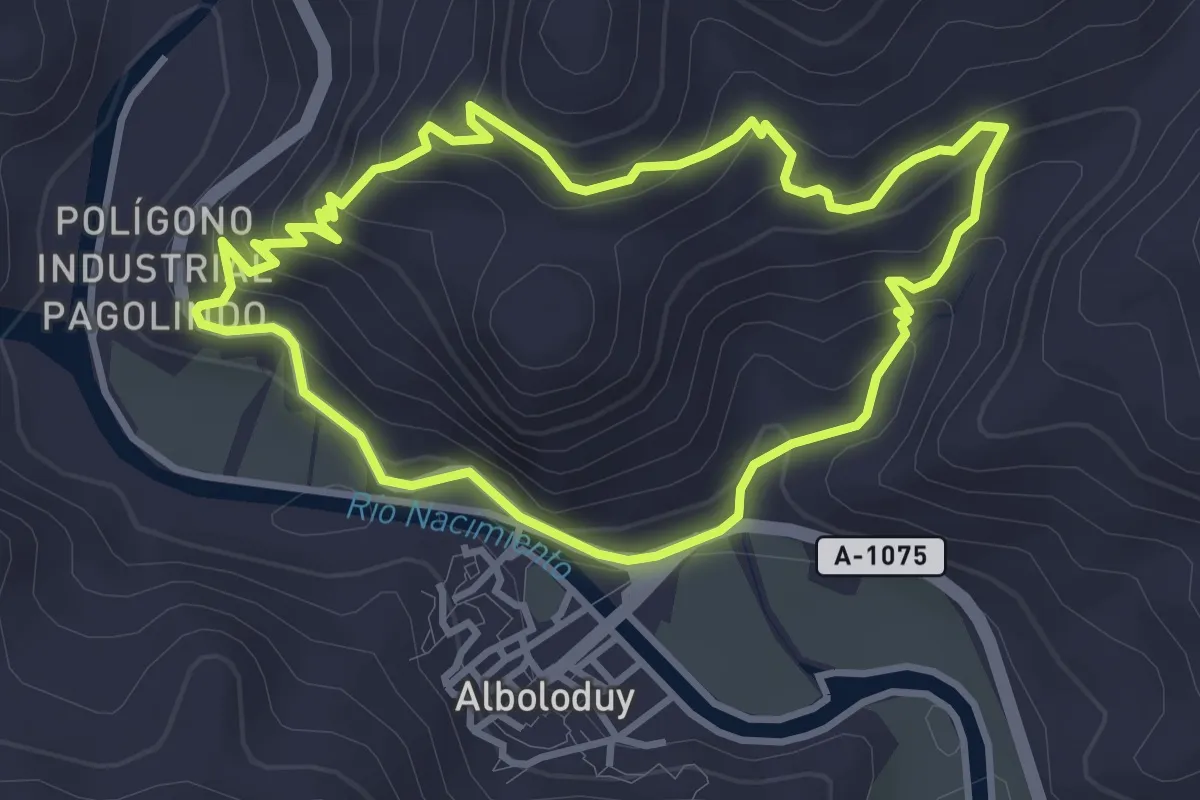
Easy · Trail
Vereda de Alcozayar
4.0 km · ↑ 218 m · 1 h 28 min
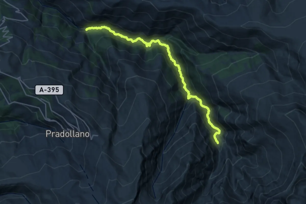
Demanding · Trail
Vereda de la Estrella
20.4 km · ↑ 1411 m · 7 h 53 min
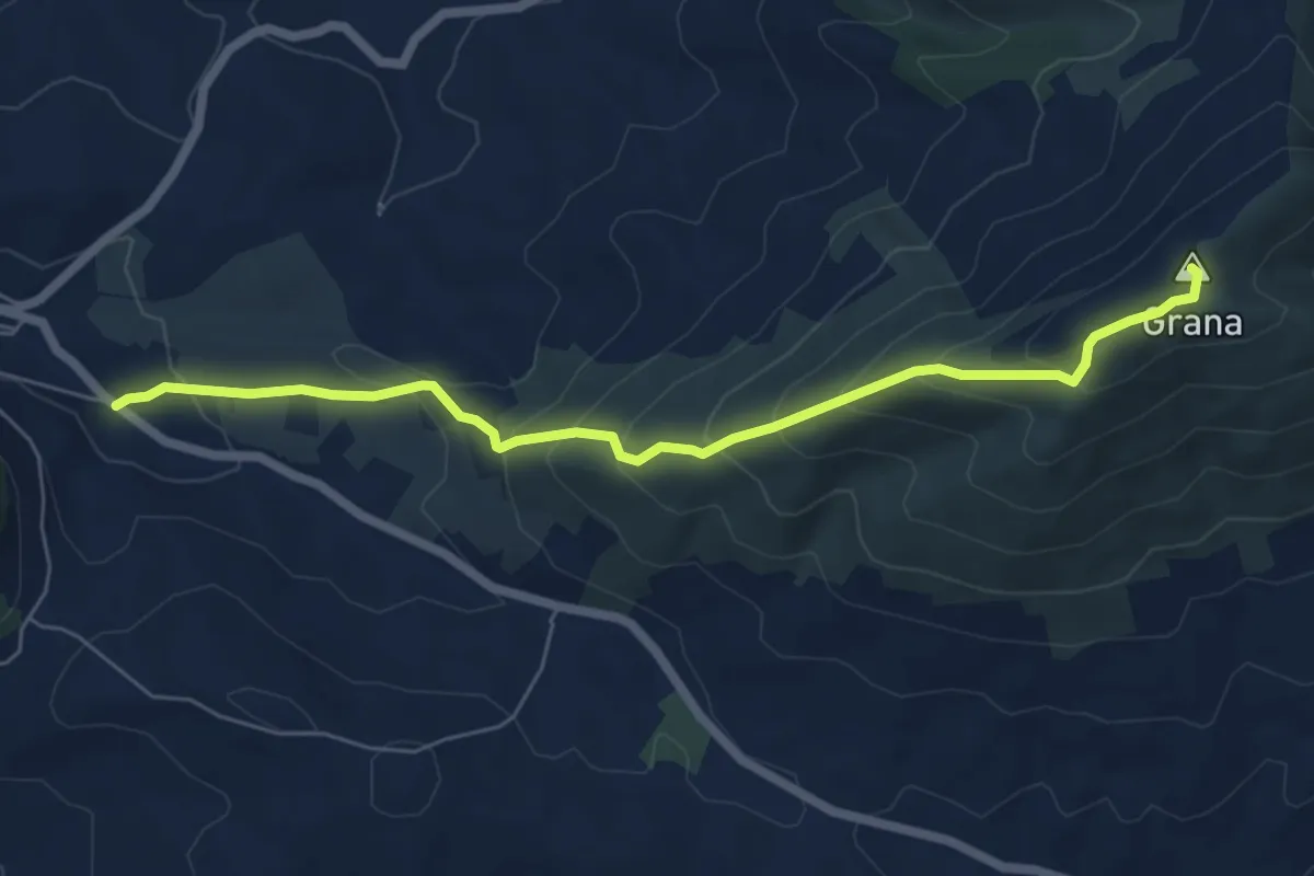
Medium · Summit
Vereda de la Raspa - Sierra de la Grana
7.4 km · ↑ 505 m · 2 h 50 min
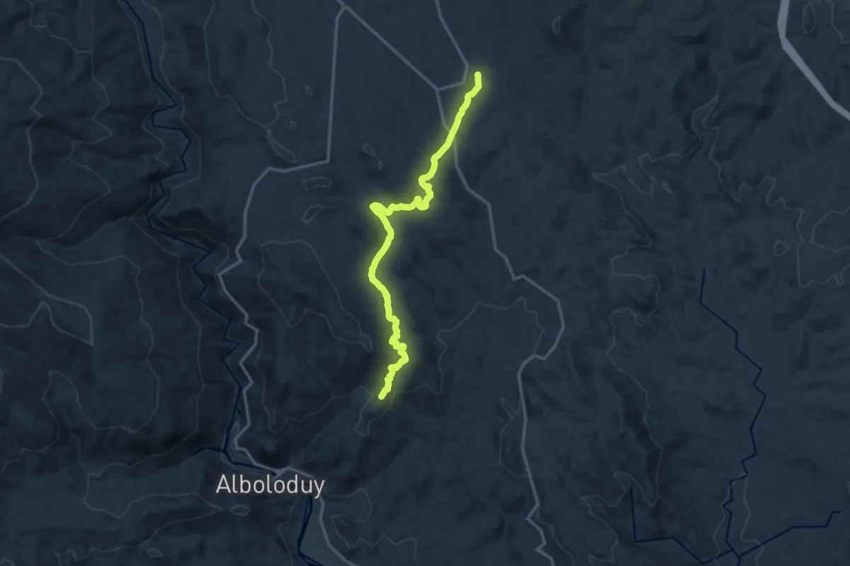
Medium · Summit
Vereda de las Alcubillas Altas
15.4 km · ↑ 417 m · 4 h 32 min
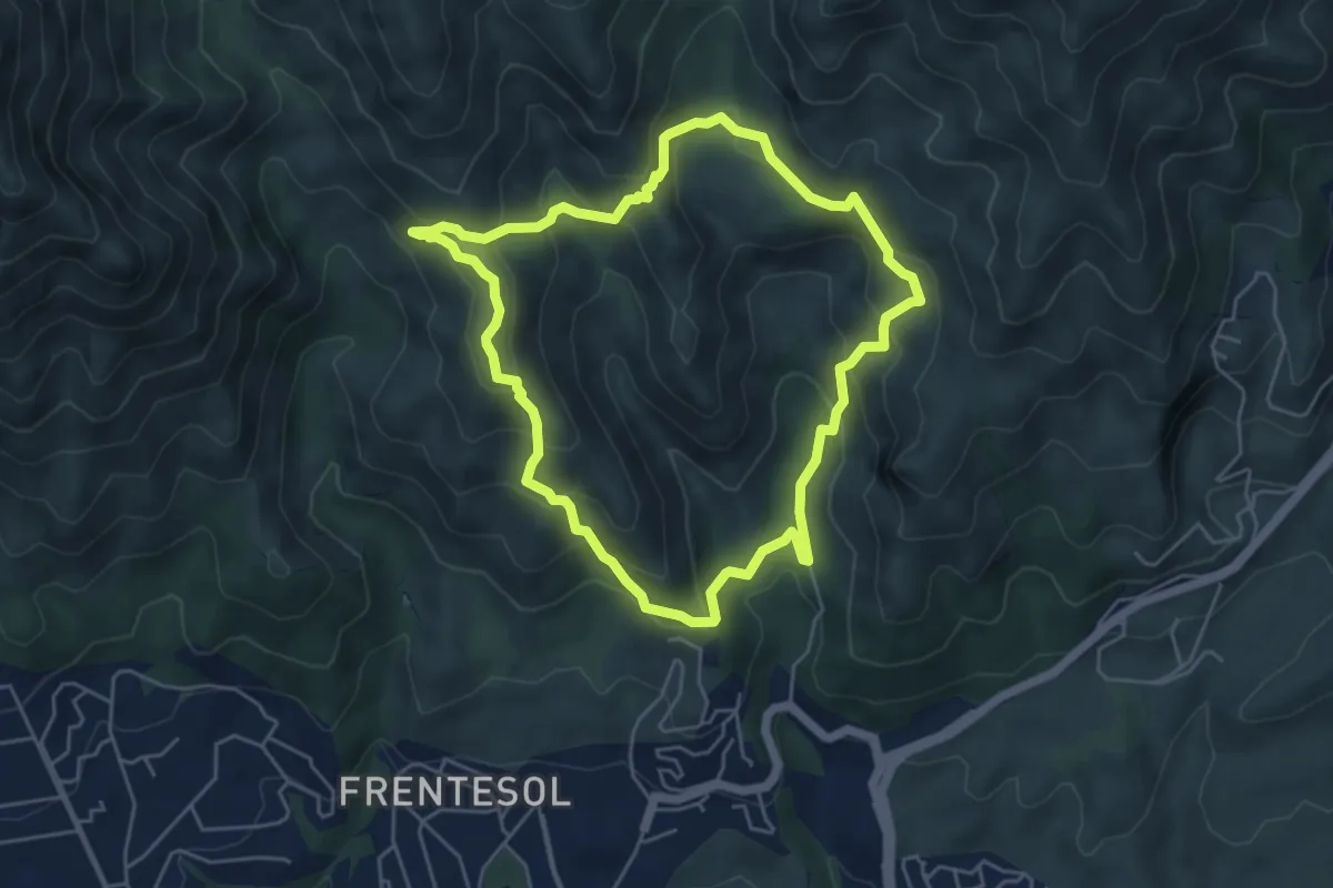
Medium · Trail
Vereda del Faro
5.7 km · ↑ 333 m · 2 h 9 min
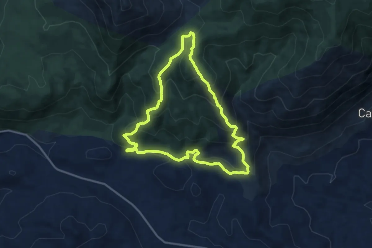
Medium · Trail
Vereda de Mágina
9.0 km · ↑ 533 m · 3 h 24 min
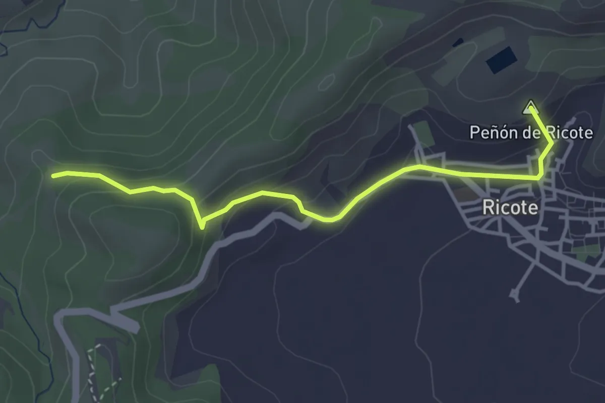
Easy · Summit
Vereda de Ojós
3.9 km · ↑ 183 m · 1 h 19 min