Trails in Spain
5,960 hiking trails, each with its route, climb, walking time and grade.
All trails, page 119 of 125
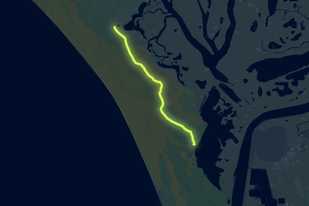
Demanding · Summit
Vereda de San Lúcar de Barrameda
22.2 km · ↑ 13 m · 5 h 15 min
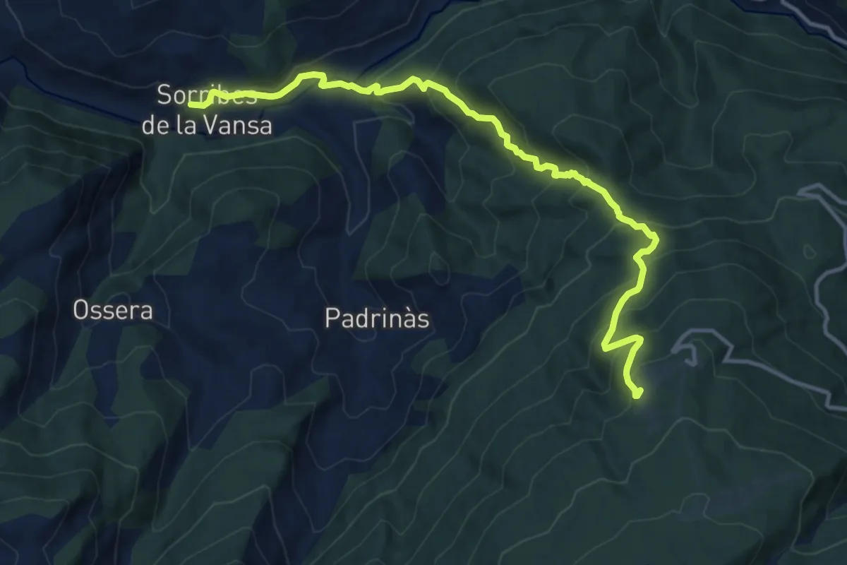
Demanding · Cabin
Vertical Arp
13.5 km · ↑ 1122 m · 5 h 37 min
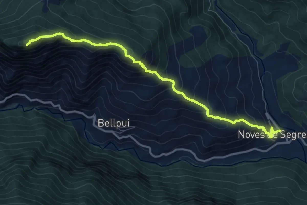
Demanding · Summit
Vertical de Sant Quiri
9.1 km · ↑ 877 m · 4 h 3 min
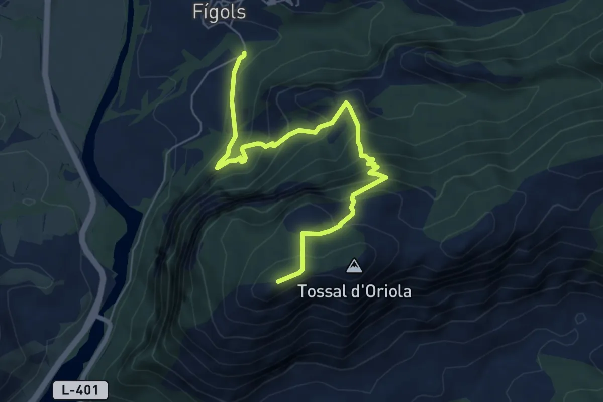
Medium · Summit
Vertical Narieda
6.8 km · ↑ 680 m · 3 h 5 min
Medium · Summit
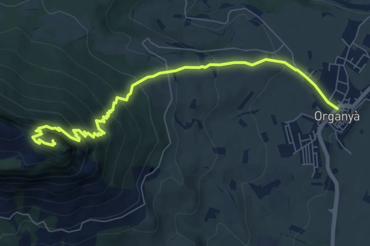
Vertical Santa Fe
7.6 km · ↑ 624 m · 3 h 9 min
Medium · Summit
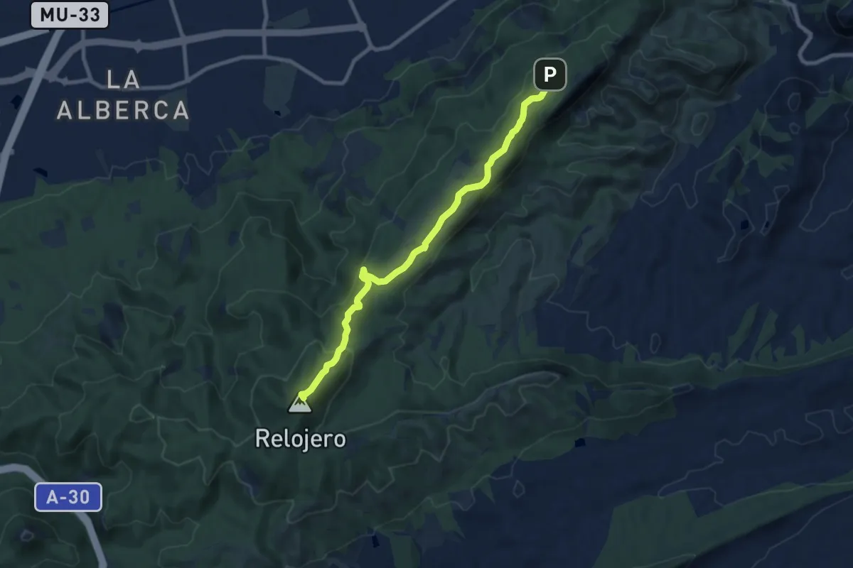
Veteranos 92
9.6 km · ↑ 270 m · 2 h 51 min
Medium · Trail
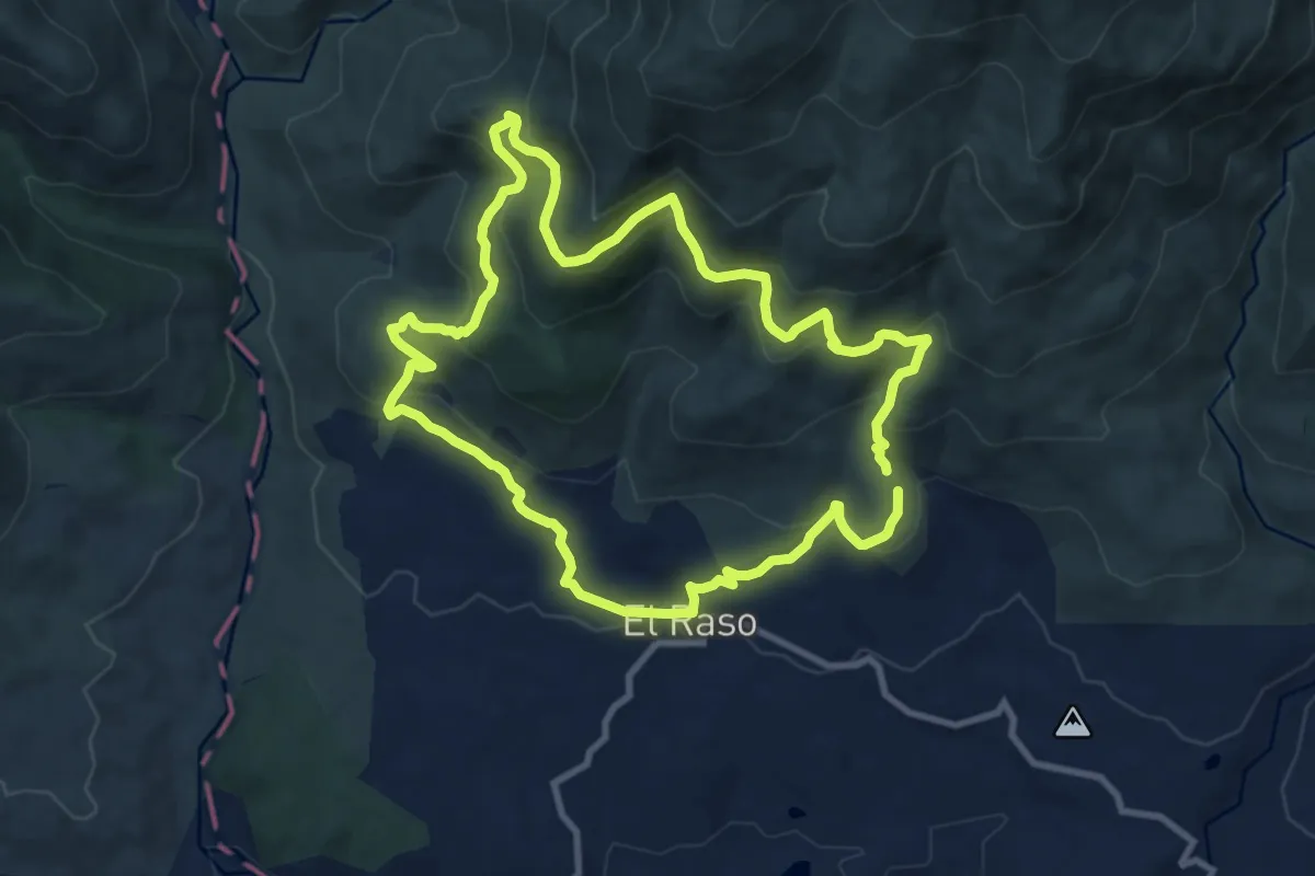
Vetones y Pastores
10.7 km · ↑ 511 m · 3 h 47 min
Demanding · Cabin
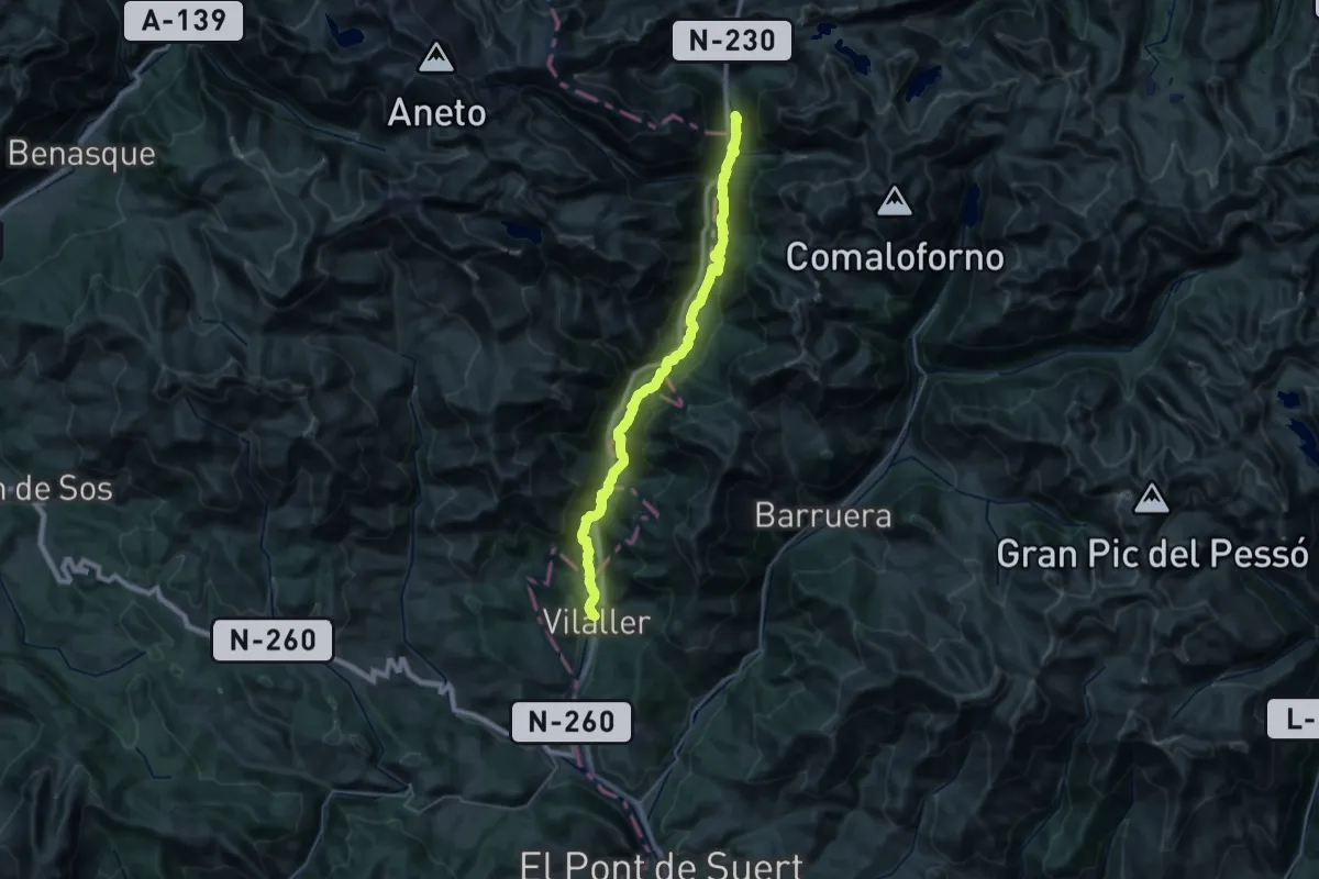
Via Aran - Pirineus
19.1 km · ↑ 881 m · 6 h 23 min
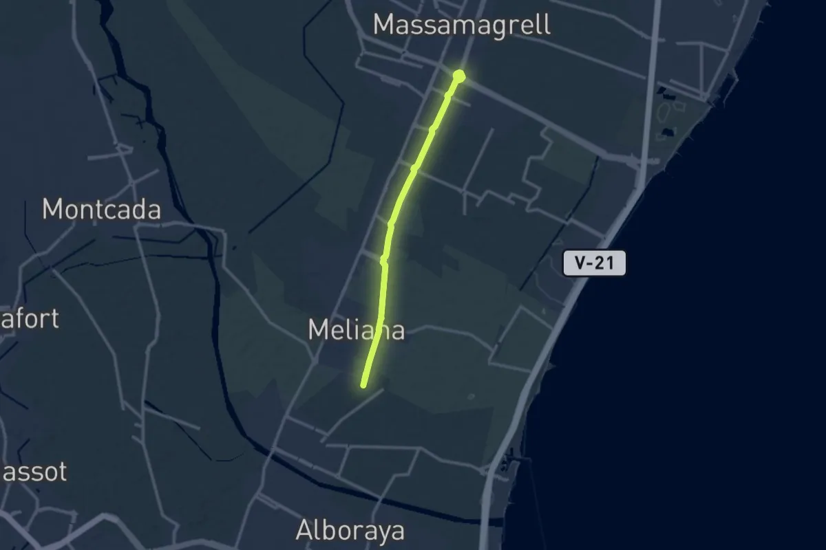
Medium · Trail
Vía Augusta
11.1 km · ↑ 12 m · 2 h 39 min
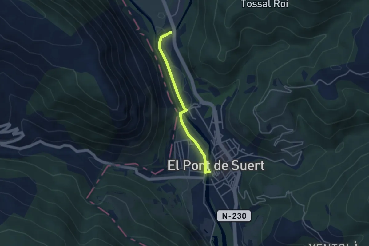
Easy · Trail
Via Calda
3.0 km · ↑ 22 m · 46 min
Easy · Trail
Via Crucis do Monte Castelo
2.0 km · ↑ 216 m · 57 min
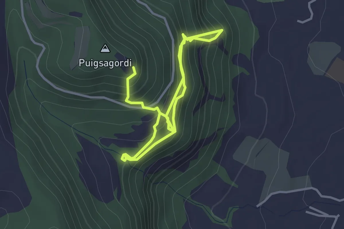
Easy · Trail
Via ferrada de les Baumes Corcades
2.5 km · ↑ 317 m · 1 h 16 min
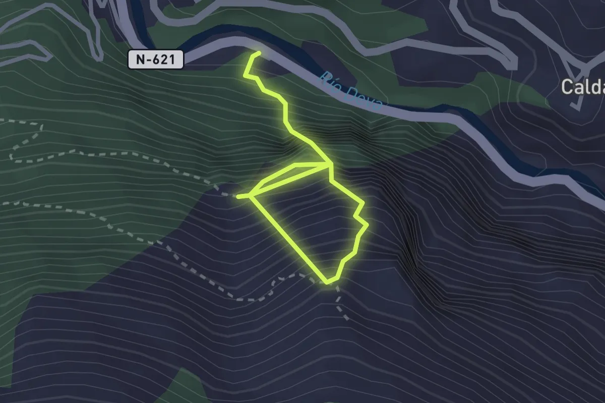
Demanding · Trail
Vía ferrata de La Hermida
3.0 km · ↑ 1048 m · 2 h 58 min
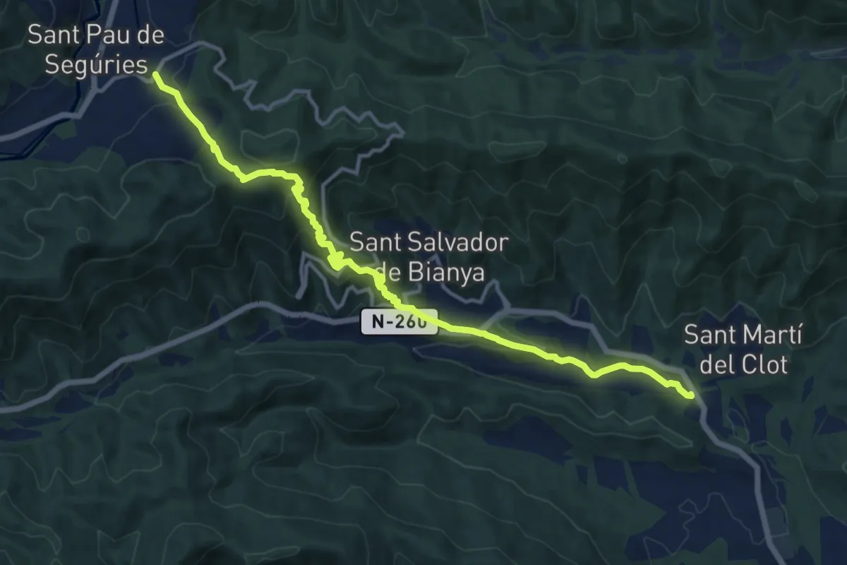
Medium · Trail
Via Romana del Capsacosta des del Pas dels Traginets
14.3 km · ↑ 729 m · 4 h 57 min
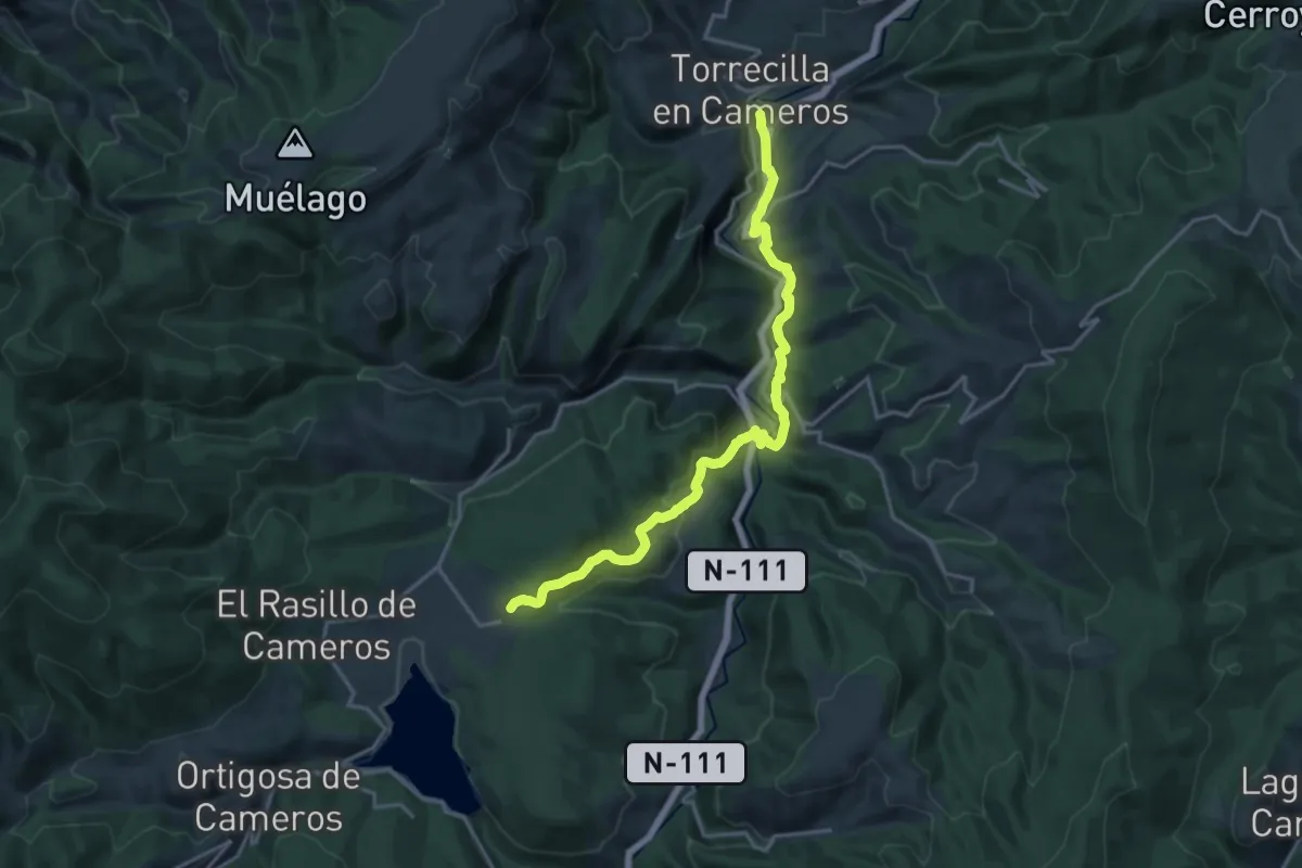
Demanding · Trail
Vía Romana del Iregua Tramo 2
20.4 km · ↑ 749 m · 6 h 26 min
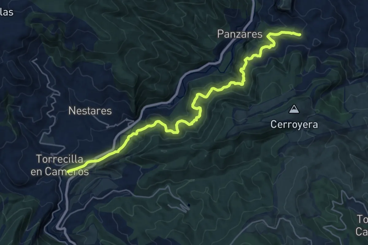
Demanding · Trail
Vía Romana del Iregua Tramo I
21.8 km · ↑ 1073 m · 7 h 29 min
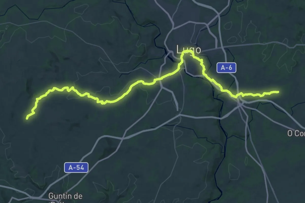
Demanding · Trail
Vía Romana XIX
33.3 km · ↑ 458 m · 9 h 23 min
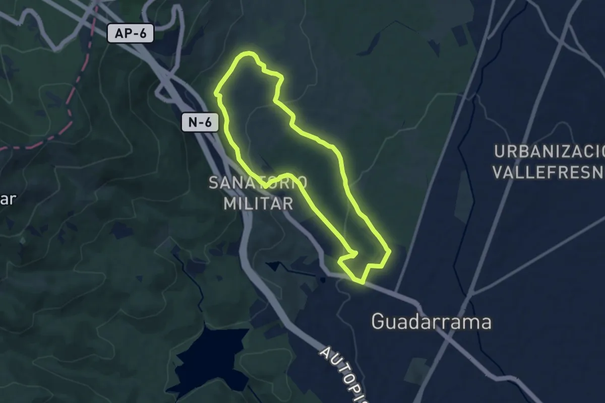
Medium · Trail
Vías Pecuarias
8.7 km · ↑ 207 m · 2 h 37 min
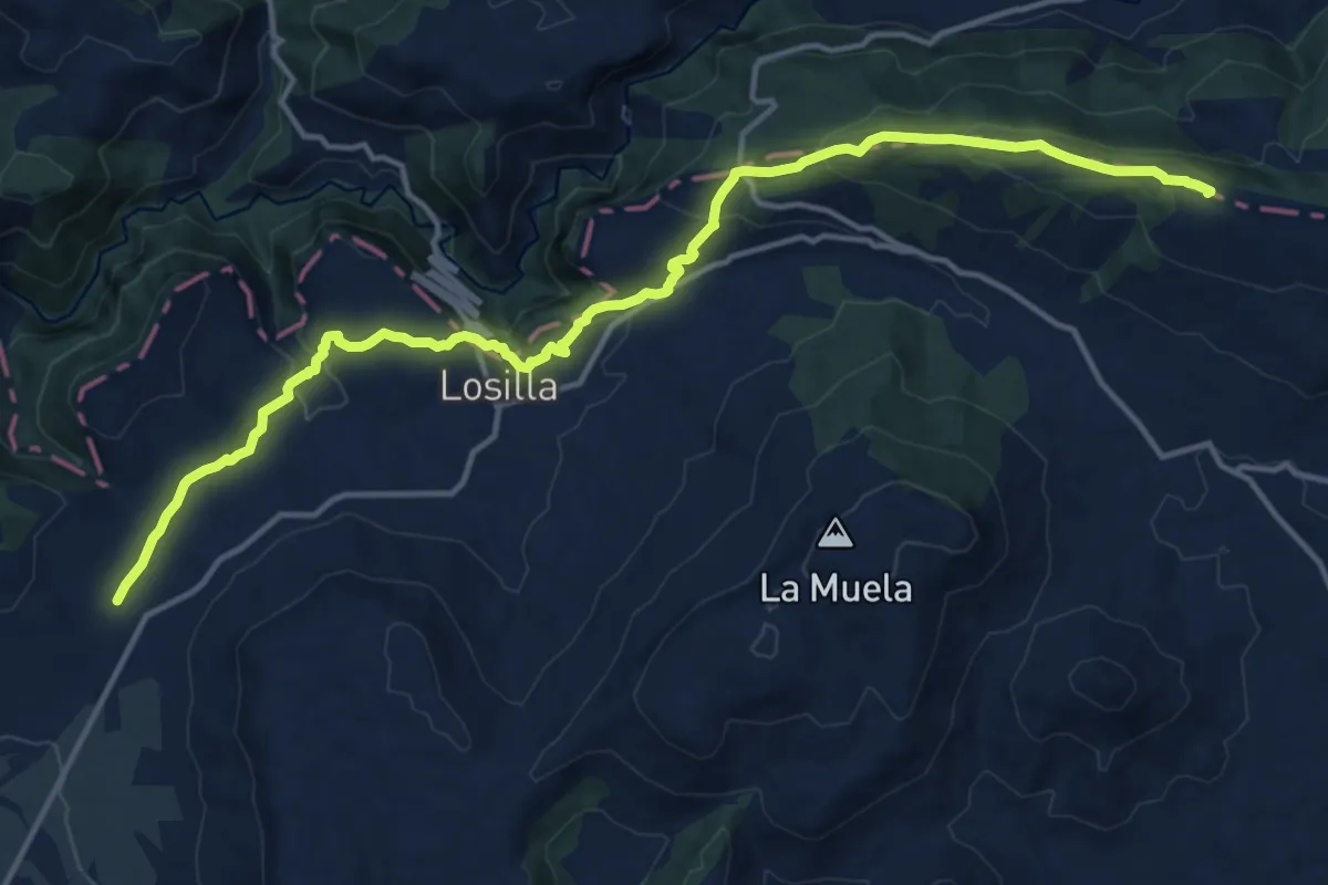
Demanding · Summit
Vías Pecuarias - La Serranía
18.1 km · ↑ 656 m · 5 h 42 min
Medium · Trail
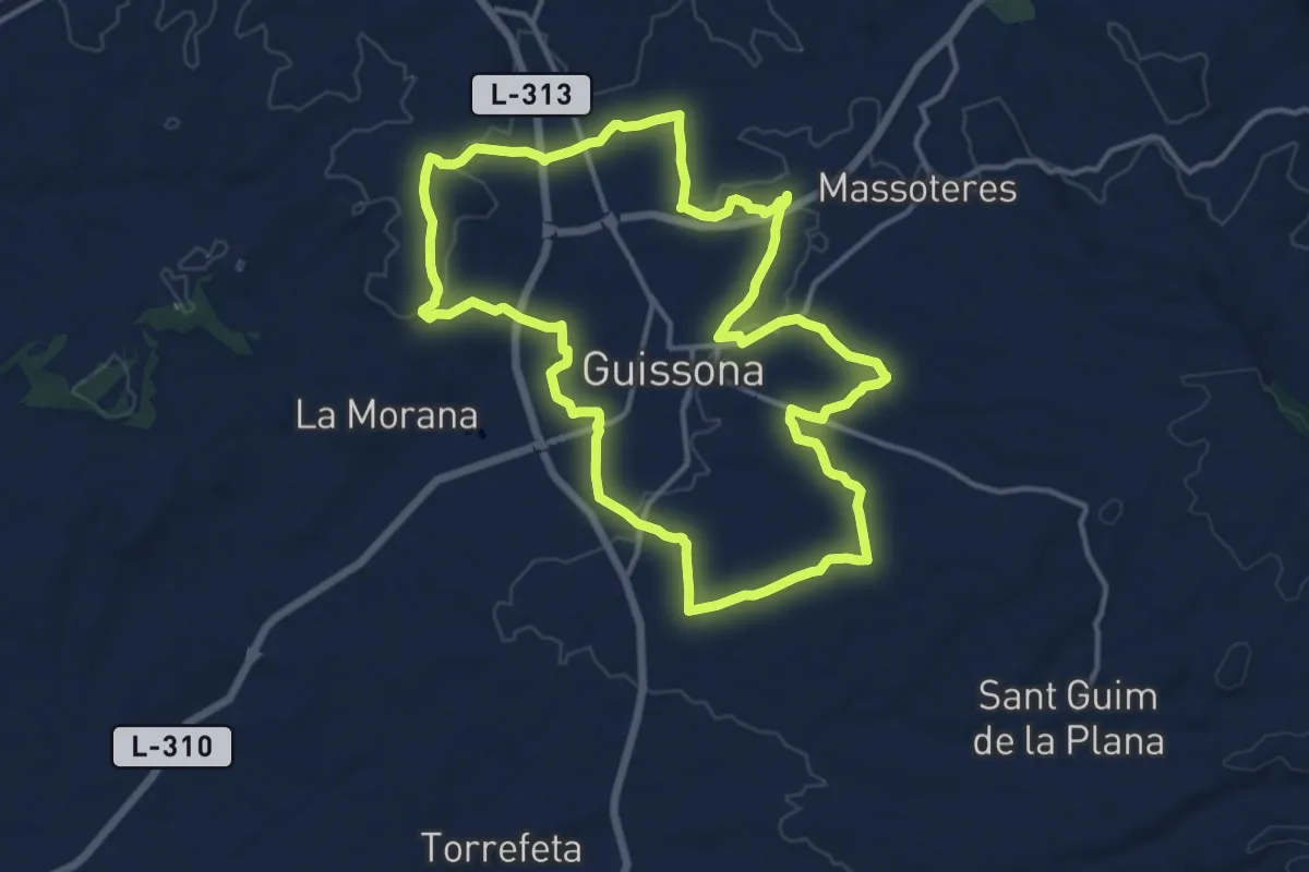
Via verda de Guissona
15.0 km · ↑ 142 m · 4 h 4 min
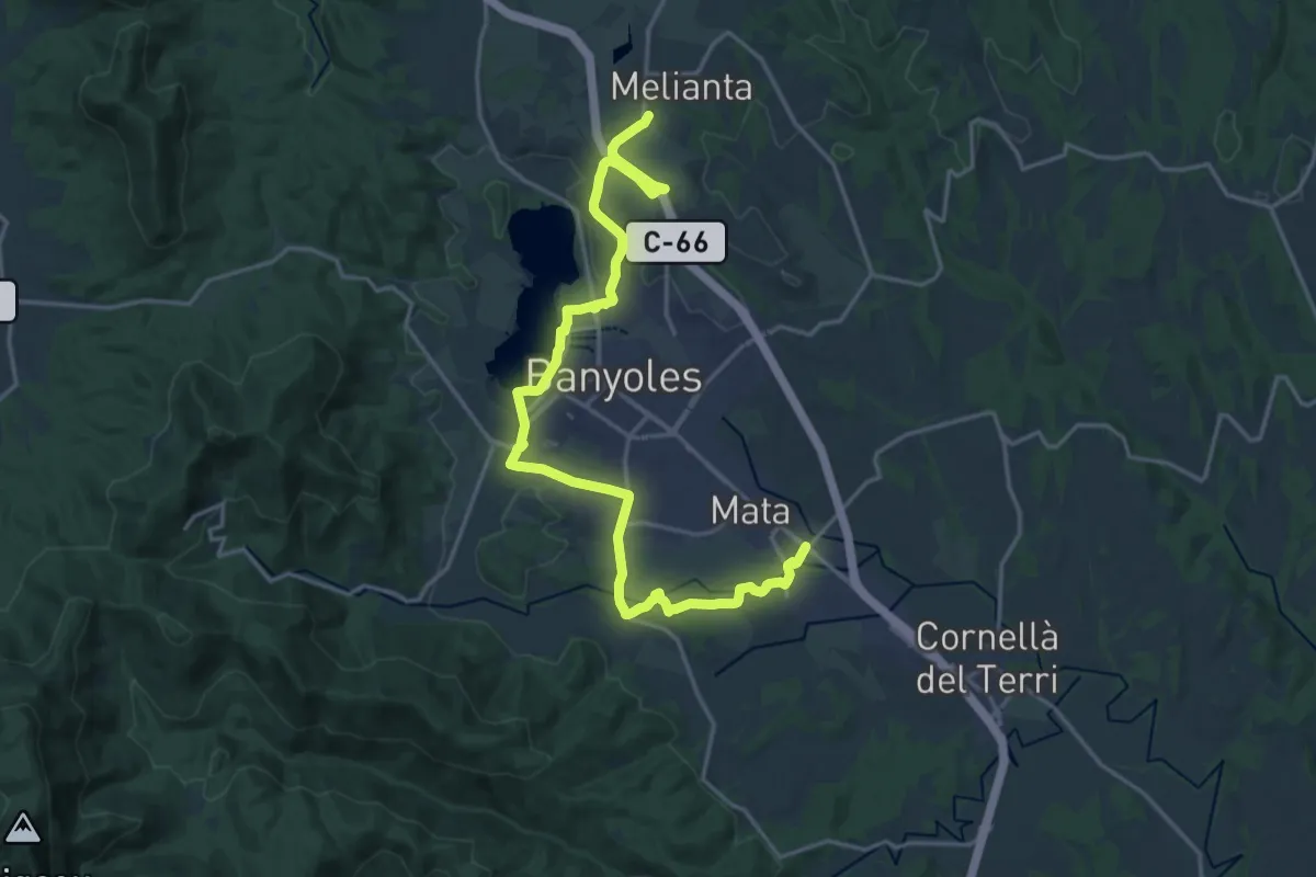
Demanding · Trail
Via Verda del Pla de l'Estany
24.2 km · ↑ 166 m · 6 h 5 min
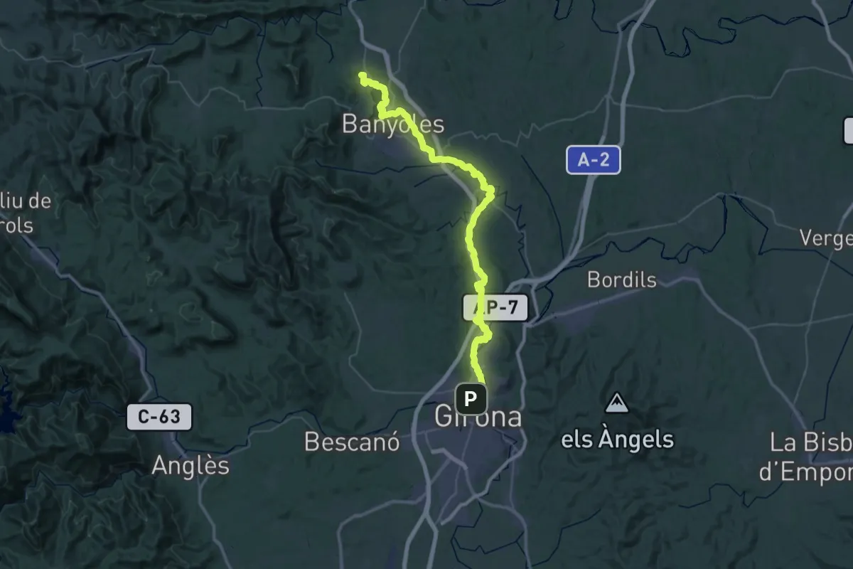
Demanding · Summit
Via Verda del Tren Pinxo
55.5 km · ↑ 357 m · 13 h 52 min
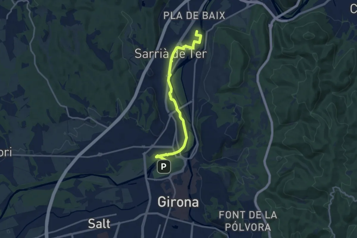
Medium · Trail
Via Verda del Tren Pinxo - Tram Girona-Sarrià
10.9 km · ↑ 44 m · 2 h 40 min
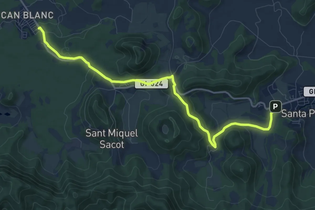
Medium · Trail
Via verda Santa Pau
12.4 km · ↑ 265 m · 3 h 30 min
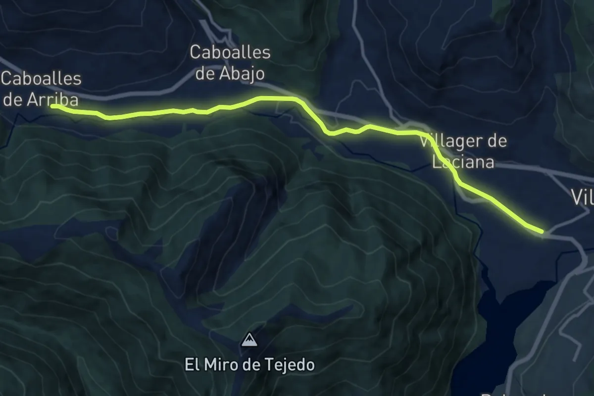
Medium · Trail
Vía Verde de Laciana
12.5 km · ↑ 91 m · 3 h 9 min
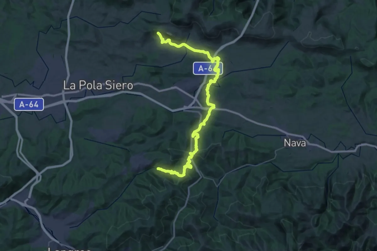
Demanding · Trail
Vía Verde de la Viona
19.7 km · ↑ 634 m · 6 h 18 min
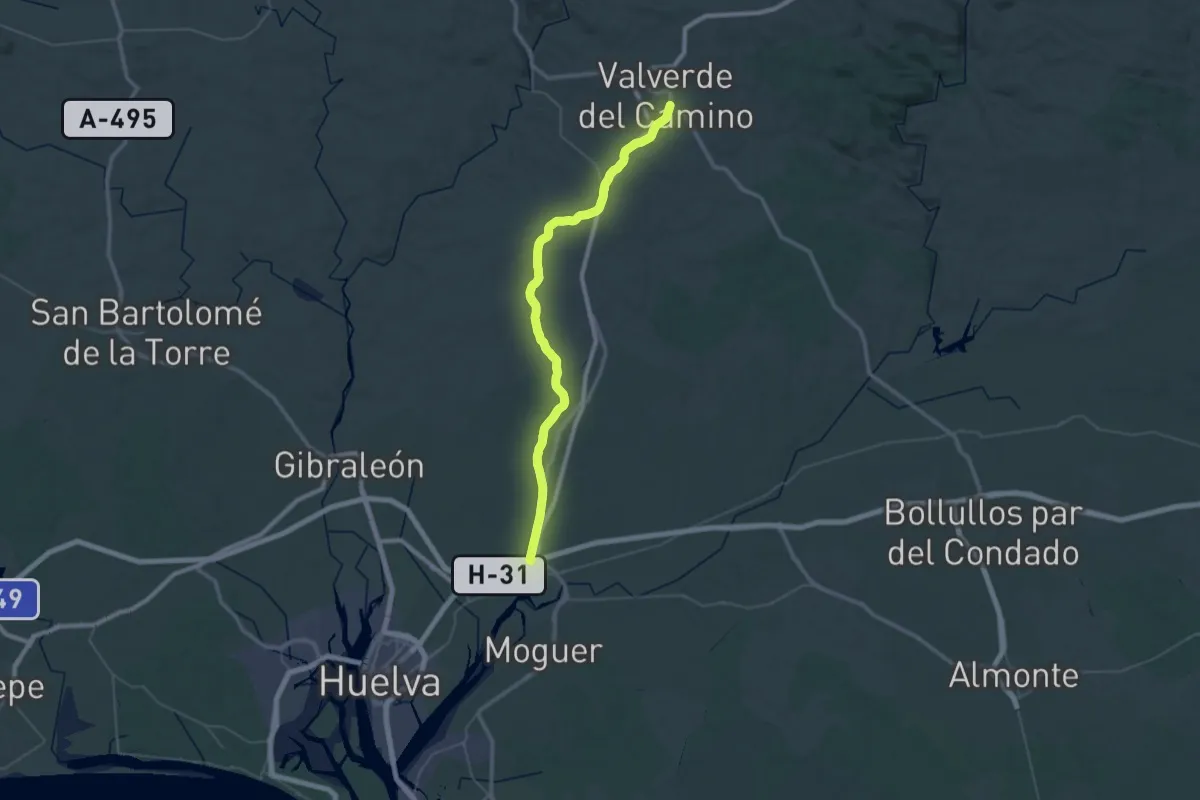
Demanding · Trail
Vía Verde de los Molinos del Agua
33.2 km · ↑ 374 m · 8 h 59 min
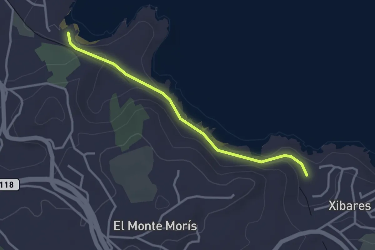
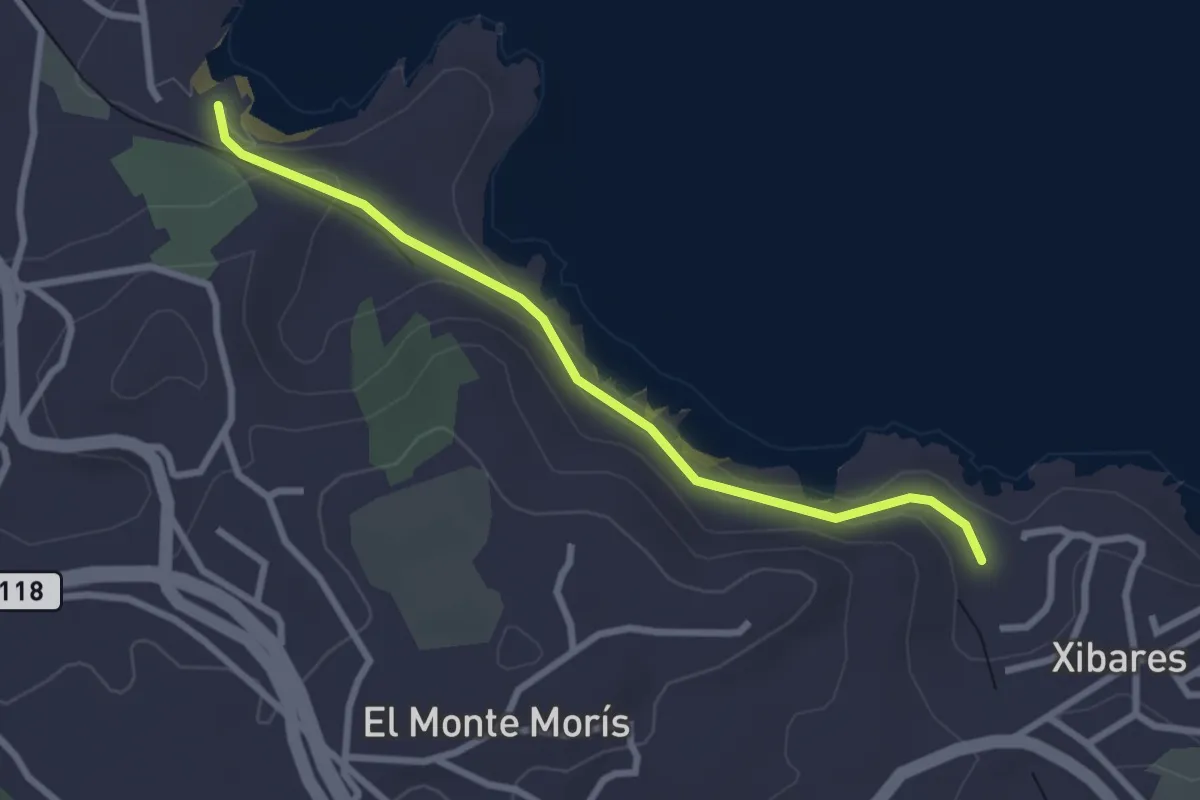
Easy · Trail
Vía Verde del Tranqueru
2.9 km · ↑ 161 m · 1 h 2 min
Easy · Trail
Vía Verde del Tranqueru (senderismo)
2.9 km · ↑ 145 m · 1 h
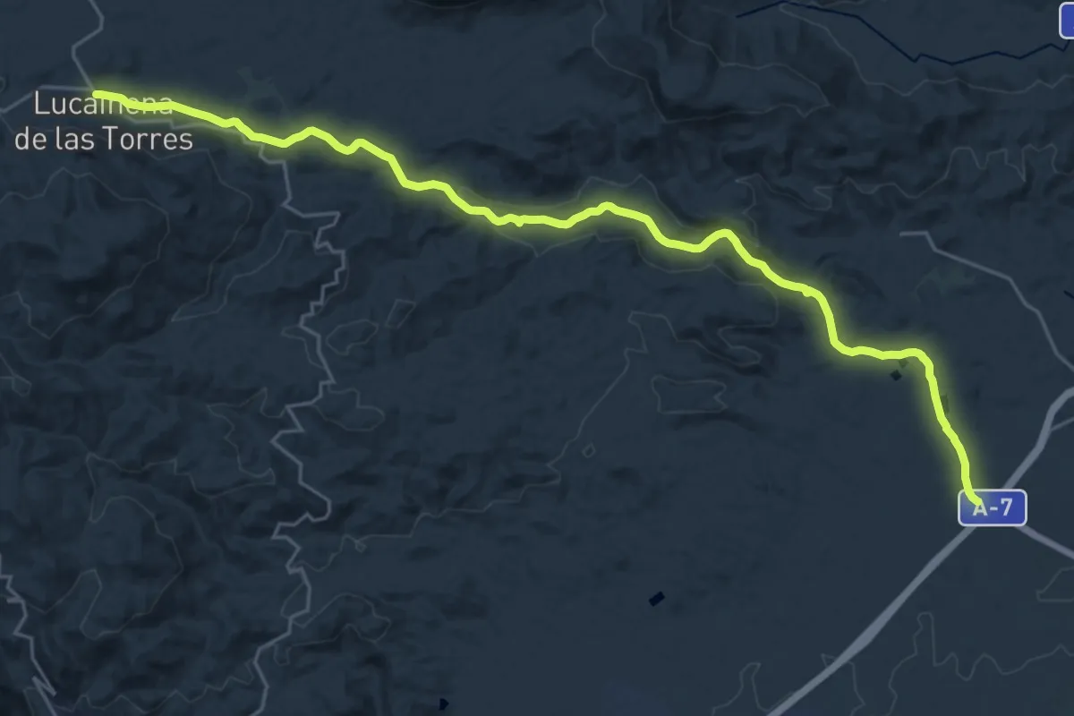
Medium · Trail
Vía Verde de Lucainena de las Torres a Agua Amarga
15.4 km · ↑ 78 m · 4 h 10 min
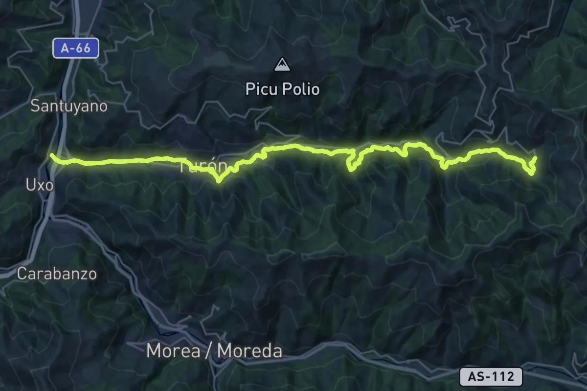
Demanding · Trail
Vía Verde del Valle de Turón
15.6 km · ↑ 805 m · 5 h 27 min
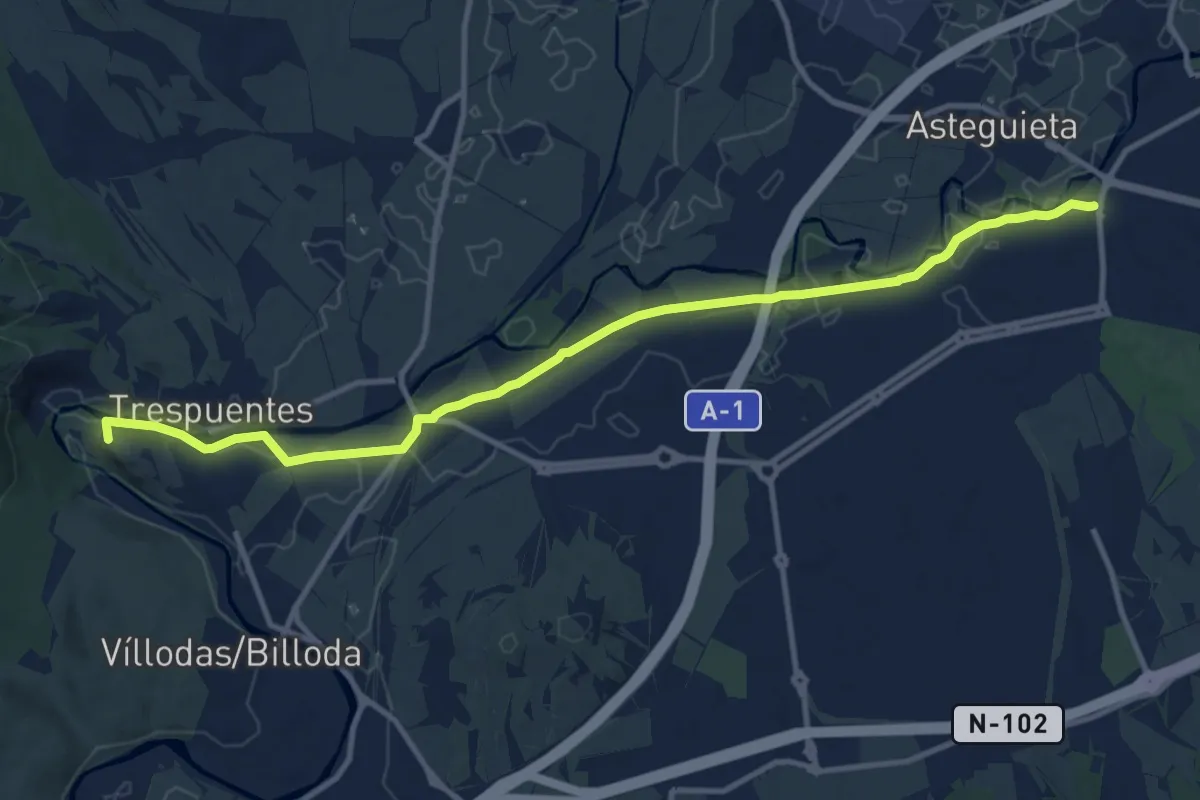
Medium · Summit
Vía Verde del Zadorra
13.2 km · ↑ 33 m · 3 h 12 min
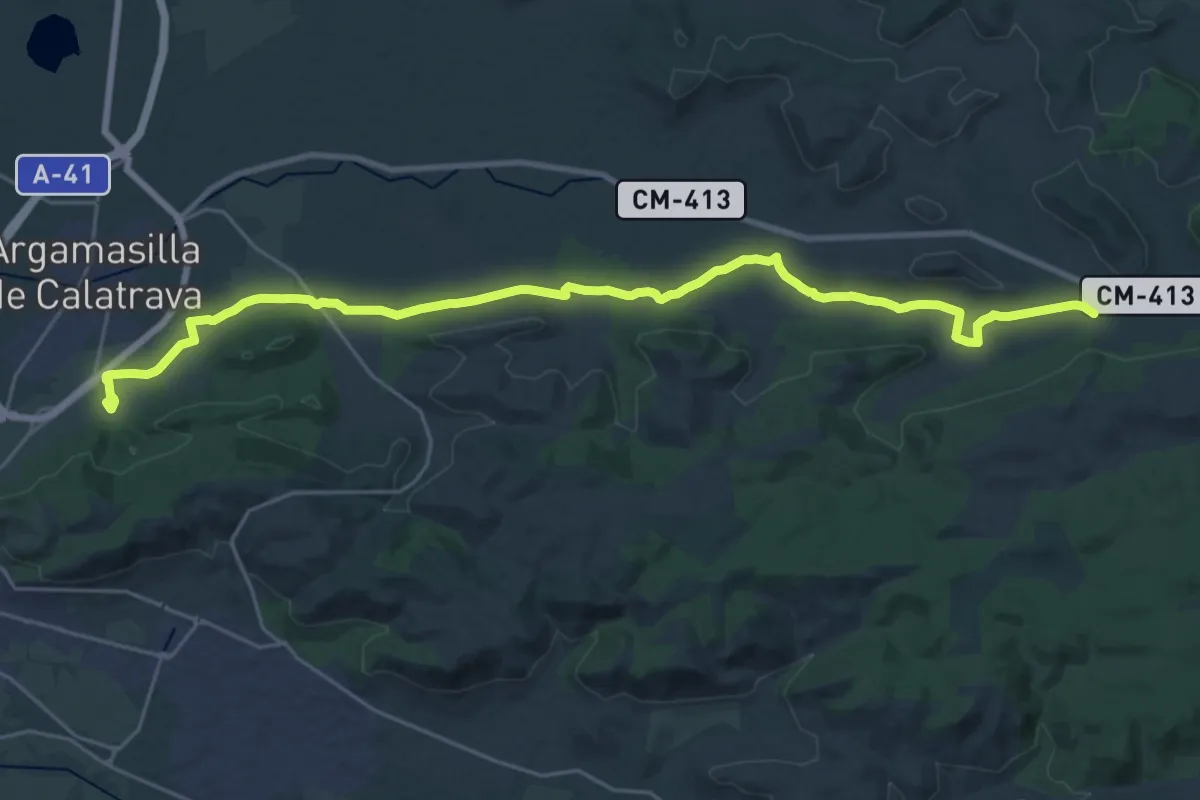
Demanding · Trail
Via Verde El Trenillo
32.4 km · ↑ 136 m · 7 h 57 min
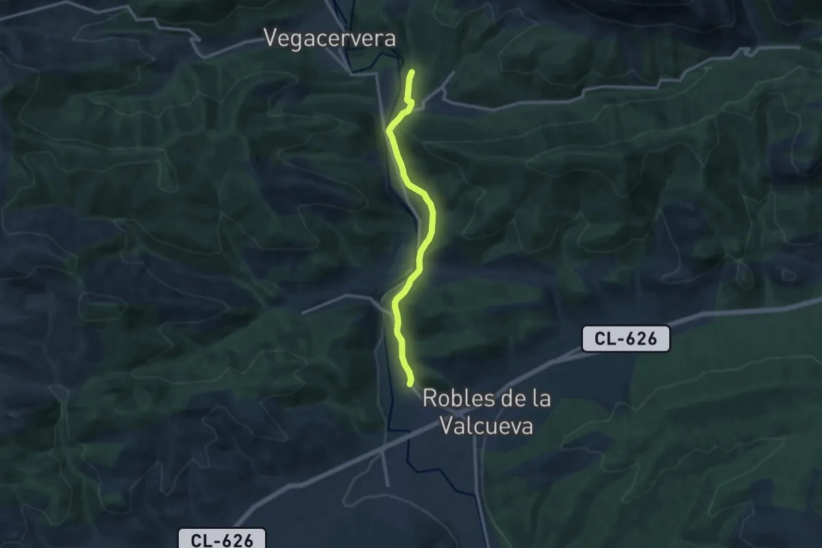
Medium · Trail
Vía Verde Mina Bardaya
10.0 km · ↑ 126 m · 2 h 39 min
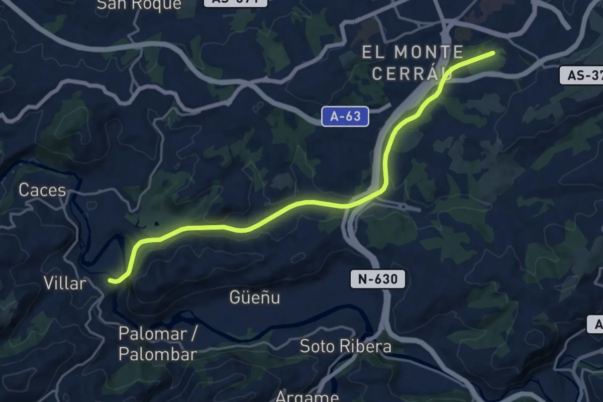
Medium · Trail
Vía Verde Oviedo - Fuso de la Reina (peatonal)
16.5 km · ↑ 225 m · 4 h 22 min
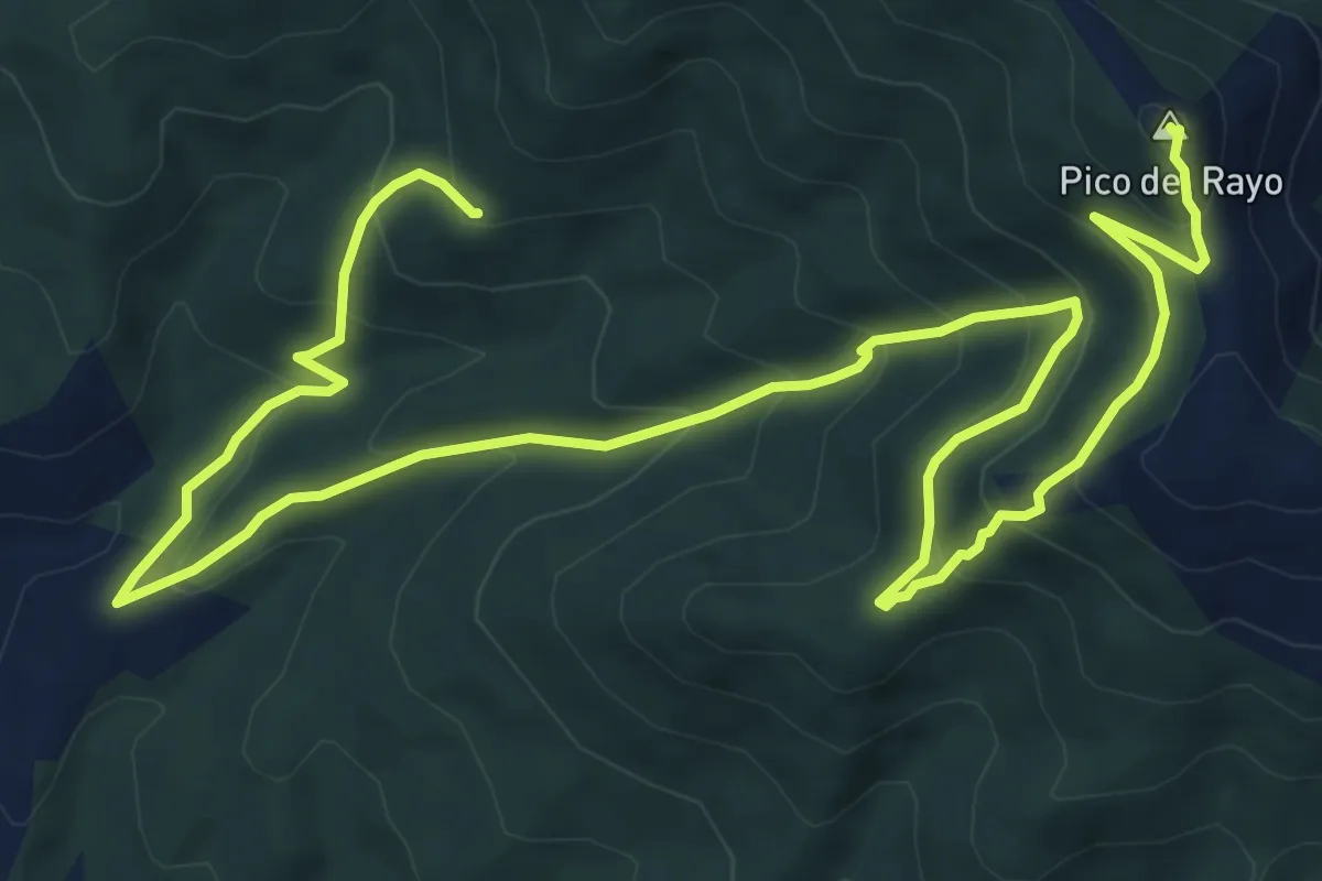
Demanding · Summit
Vicorada ruta corta
13.6 km · ↑ 813 m · 4 h 58 min
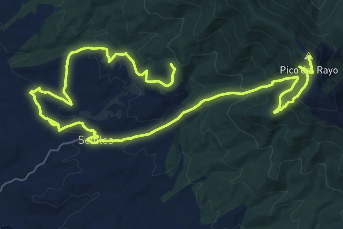
Demanding · Summit
Vicorada ruta larga
21.3 km · ↑ 918 m · 7 h 19 min
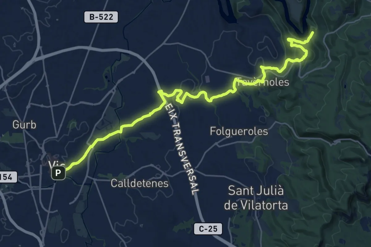
Demanding · Summit
Vic-Sant Pere de Casserres
25.8 km · ↑ 546 m · 7 h 17 min
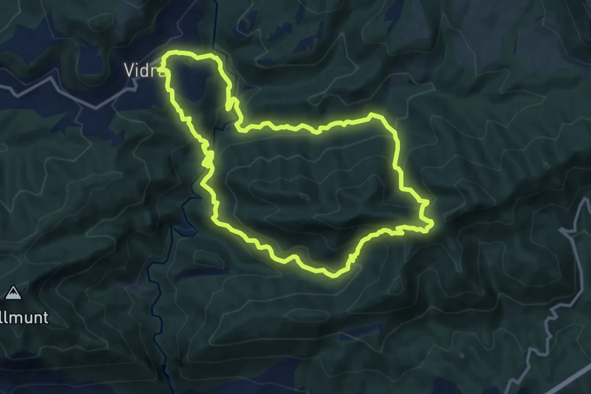
Expert · Summit
Vidrà-Puig de les Àligues
11.0 km · ↑ 653 m · 4 h 9 min
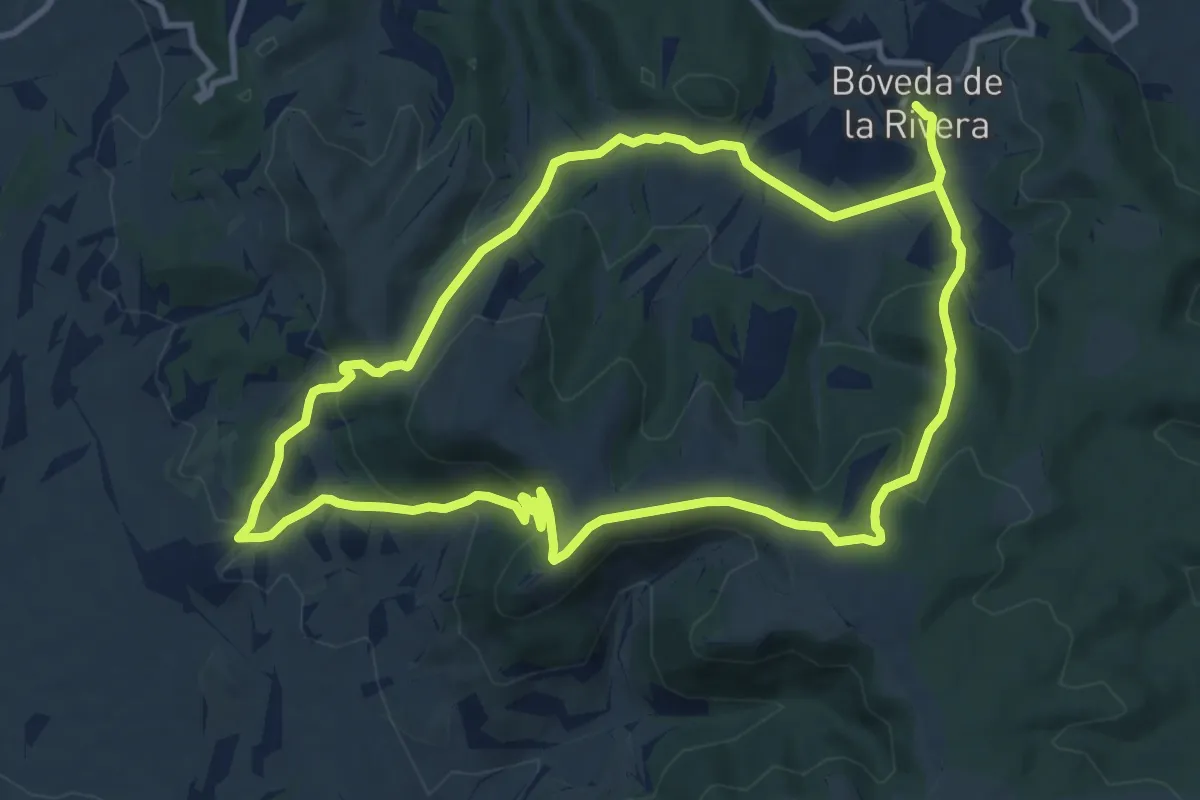
Demanding · Trail
Viejos caminos y despoblados
22.6 km · ↑ 888 m · 7 h 15 min
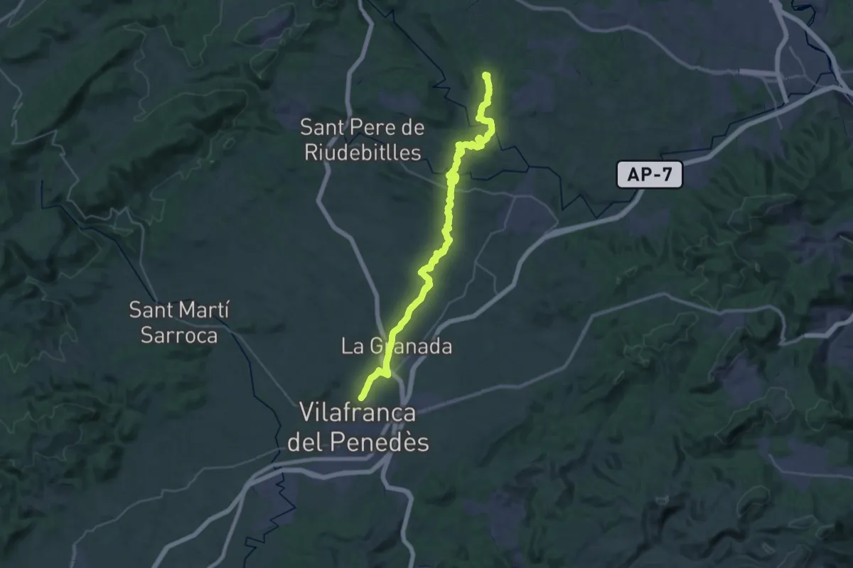
Demanding · Summit
Vilafranca del Penedès a Piera
40.3 km · ↑ 781 m · 11 h 12 min
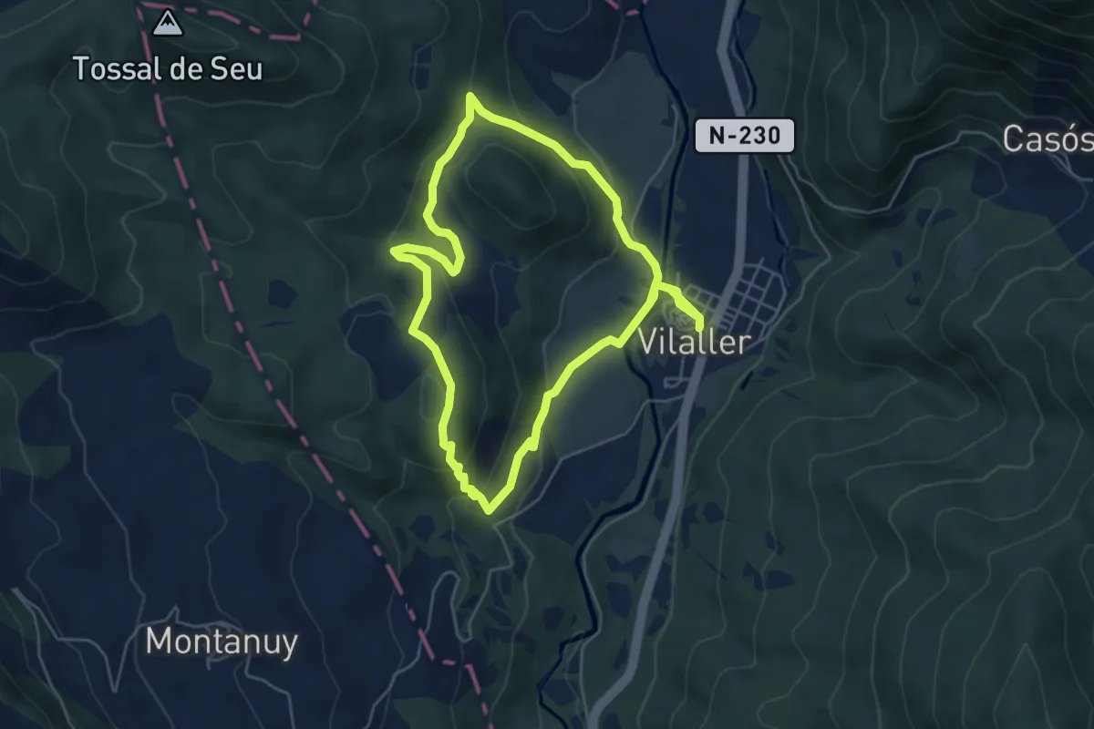
Easy · Trail
Vilaller, ruta gormanda
5.5 km · ↑ 238 m · 1 h 52 min
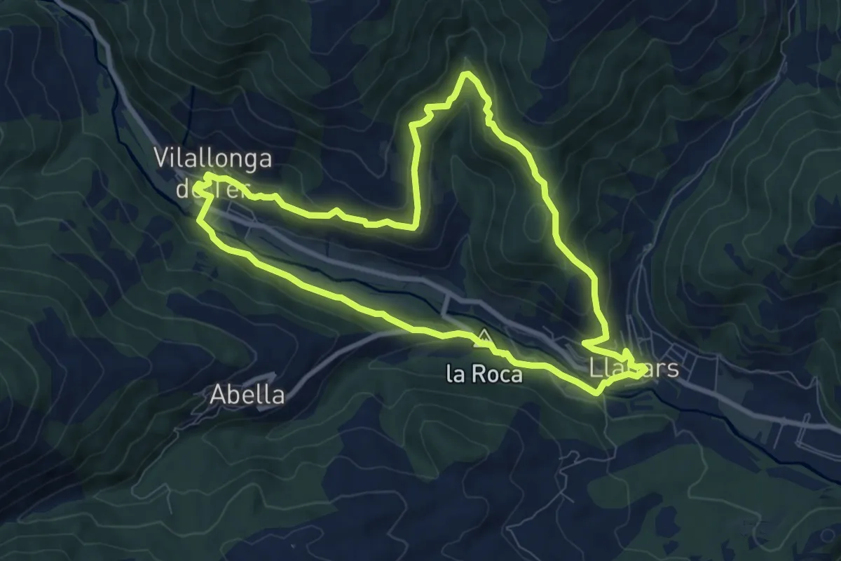
Medium · Summit
Vilallonga de Ter-Llanars
8.8 km · ↑ 339 m · 2 h 56 min
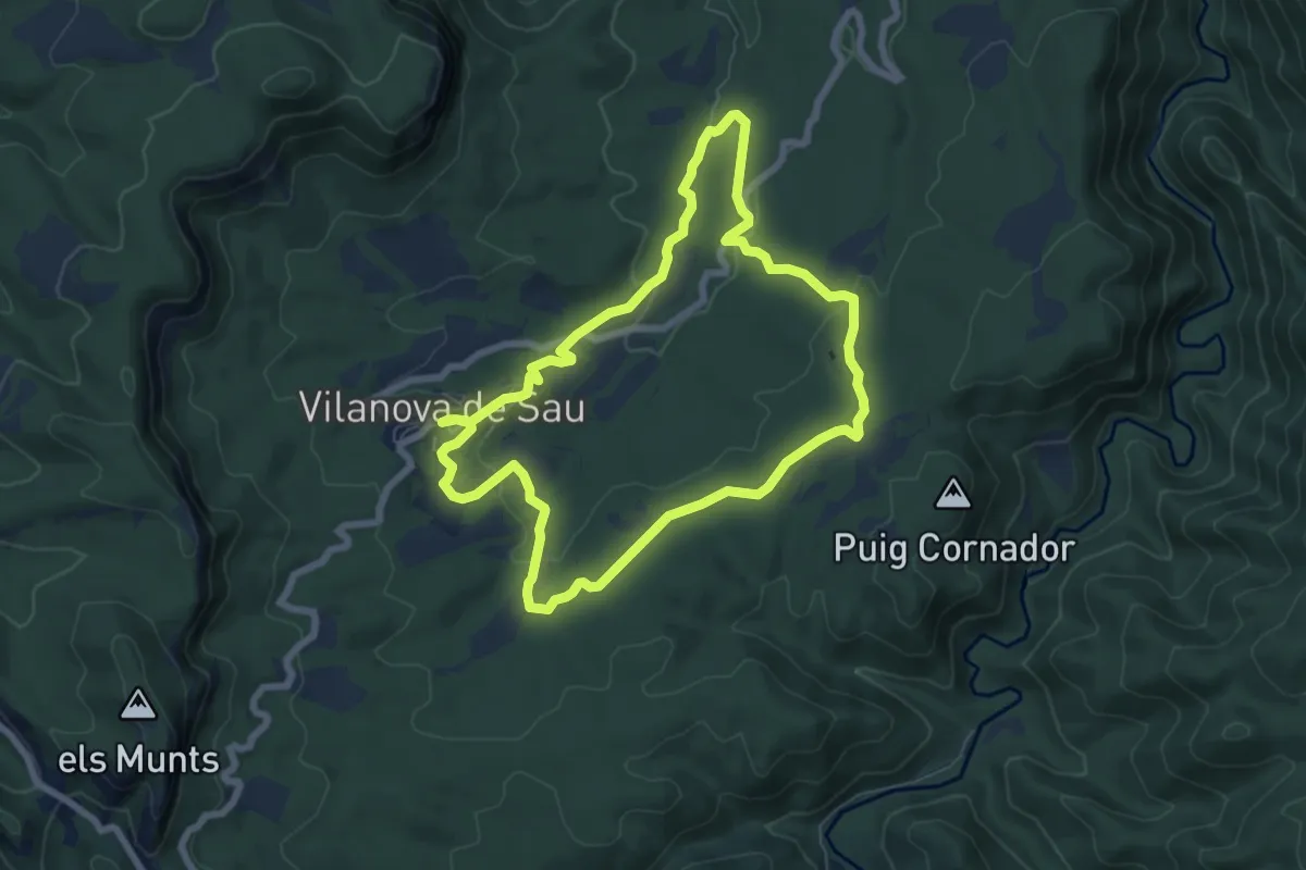
Easy · Trail
Vilanova de Sau-La Coromina
7.3 km · ↑ 146 m · 2 h 8 min
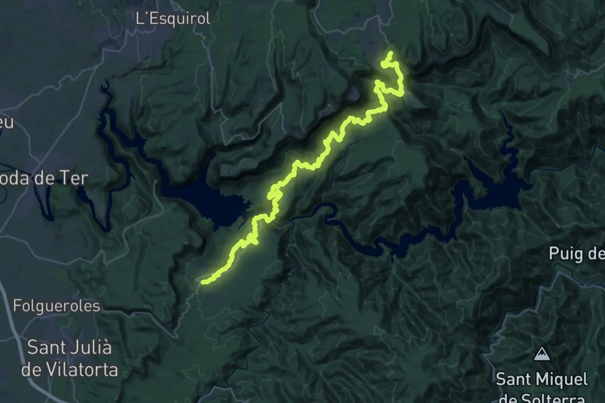
Demanding · Summit
Vilanova de Sau-Rupit
40.6 km · ↑ 1378 m · 12 h 35 min
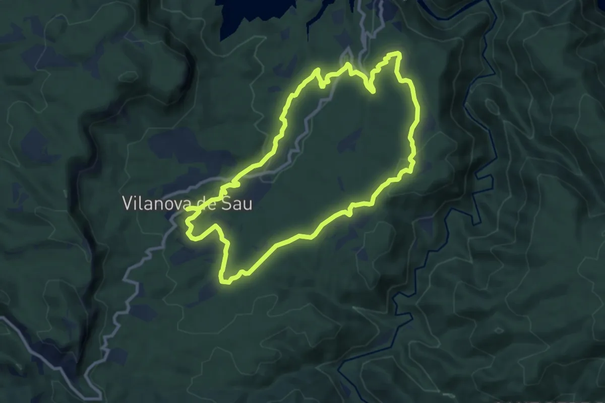
Medium · Trail
Vilanova de Sau-Sant Romà de Sau
9.8 km · ↑ 184 m · 2 h 51 min
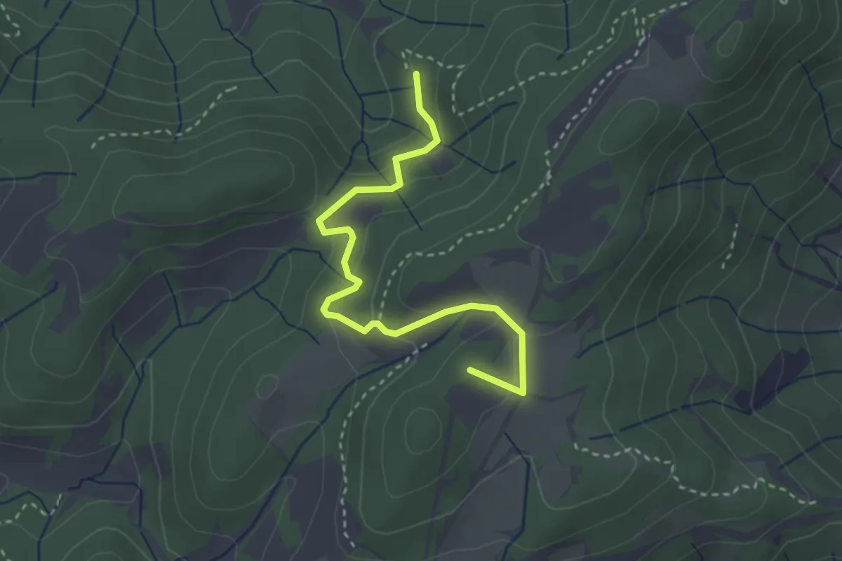
Easy · Summit
Vilasar de Dalt-Roca d'en Toni
3.5 km · ↑ 161 m · 1 h 10 min
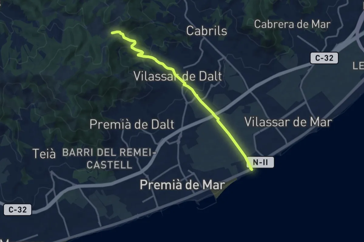
Medium · Trail
Vilassar de Mar-Vilassar de Dalt
10.8 km · ↑ 384 m · 3 h 23 min