Trails in Spain
5,960 hiking trails, each with its route, climb, walking time and grade.
All trails, page 120 of 125
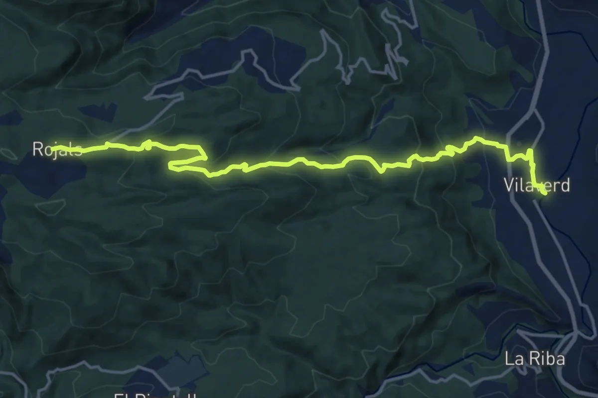
Medium · Trail
Vilaverd-Rojals
16.2 km · ↑ 780 m · 5 h 31 min
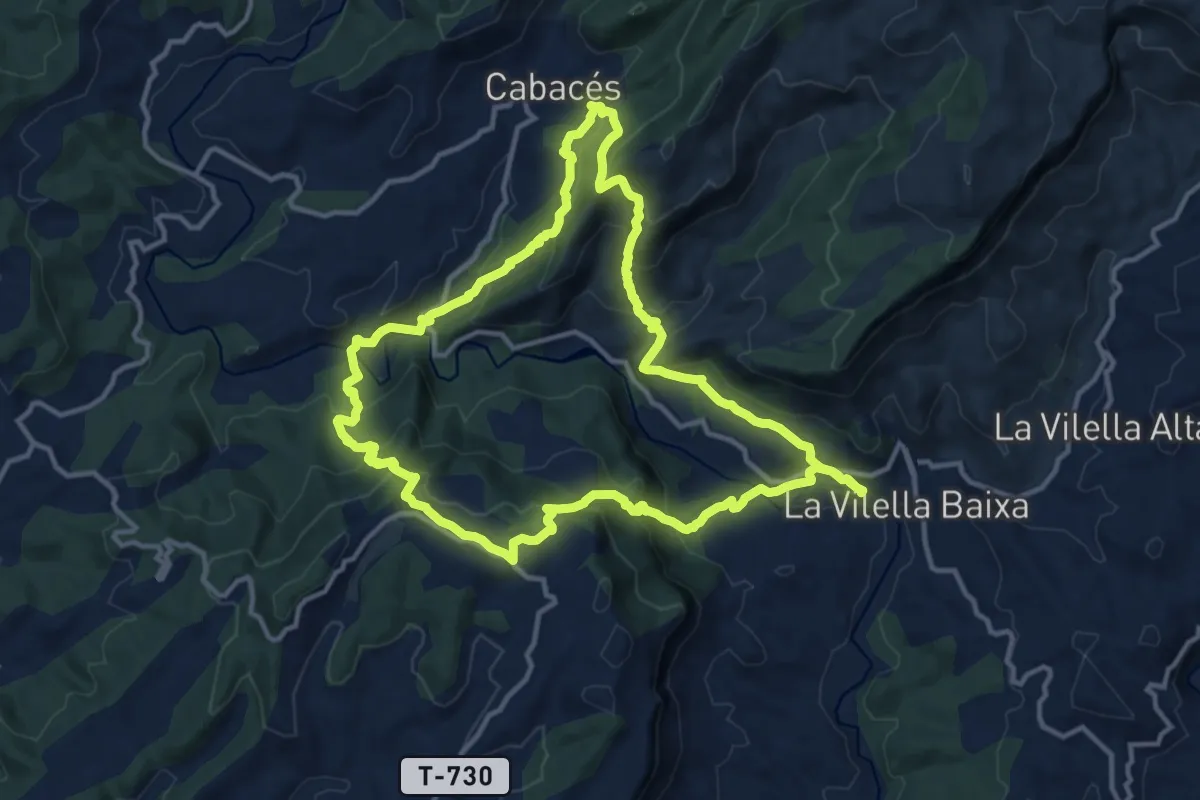
Demanding · Summit
Vilella Baixa-La Figuera-Cabacés. El vi i l'oli del Bisbe
14.2 km · ↑ 820 m · 5 h 19 min
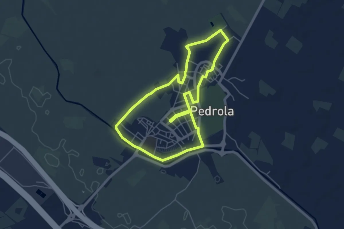
Easy · Trail
Villa de Pedrola 2017
5.0 km · ↑ 17 m · 1 h 17 min
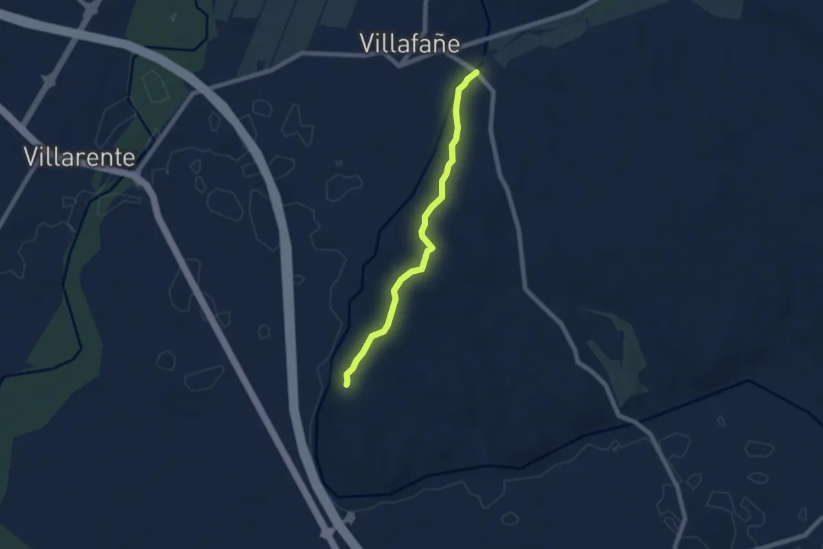
Easy · Trail
Villafañe Lancia
5.2 km · ↑ 105 m · 1 h 27 min
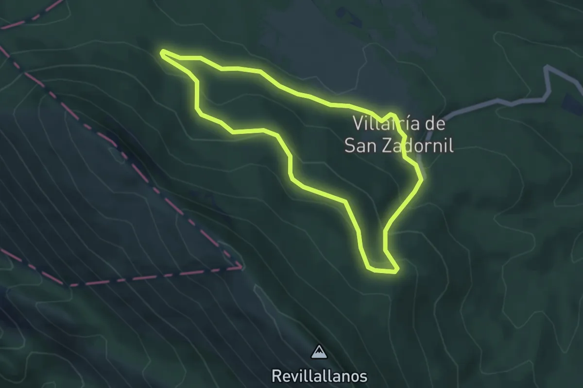
Easy · Trail
Villafría de San Zadornil
4.3 km · ↑ 178 m · 1 h 27 min
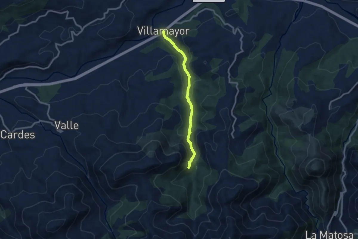
Medium · Trail
Villamayor - El Chorron - La Cueva
6.8 km · ↑ 277 m · 2 h 13 min
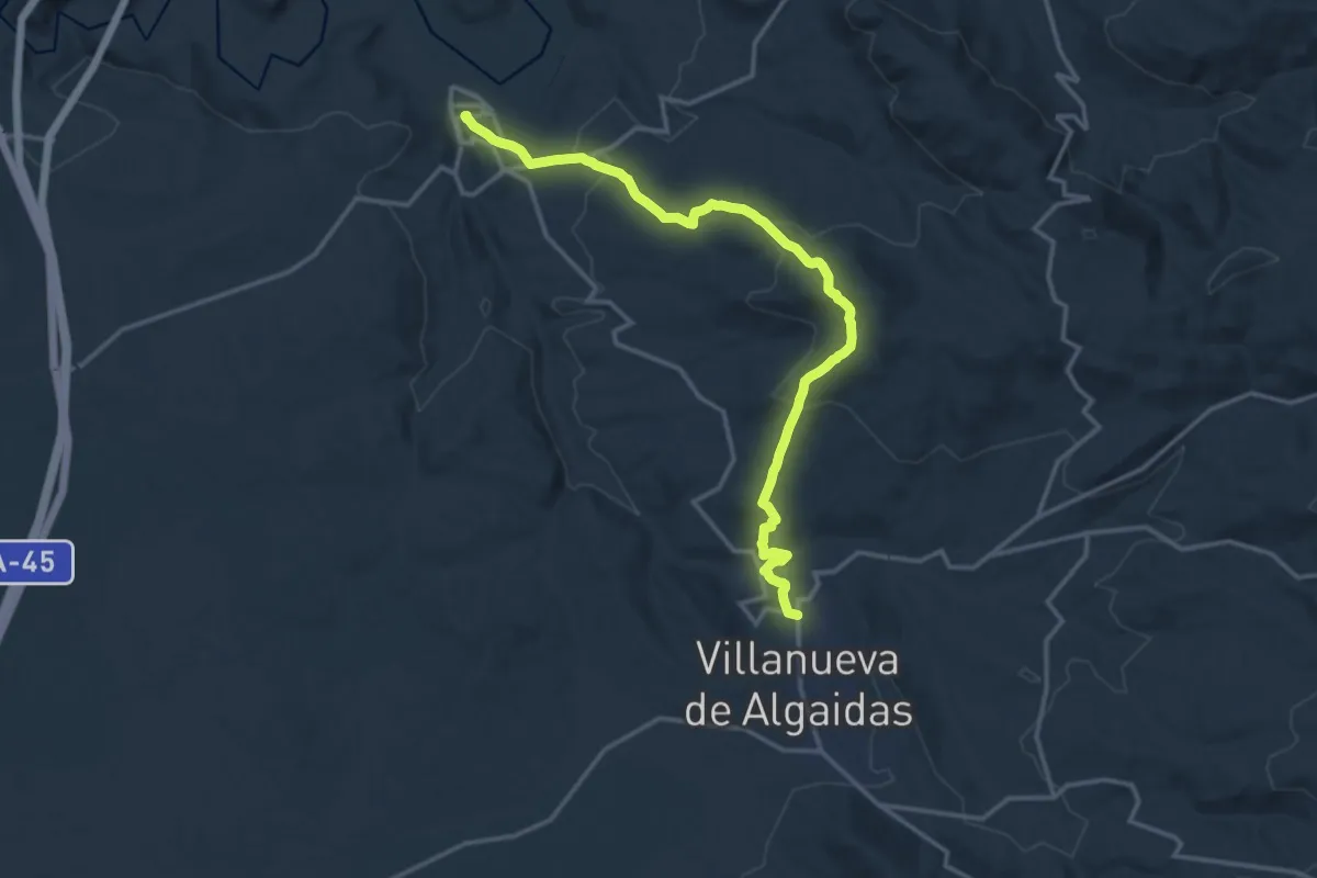
Demanding · Trail
Villanueva de Algaidas - Cuevas Bajas
18.6 km · ↑ 714 m · 5 h 56 min
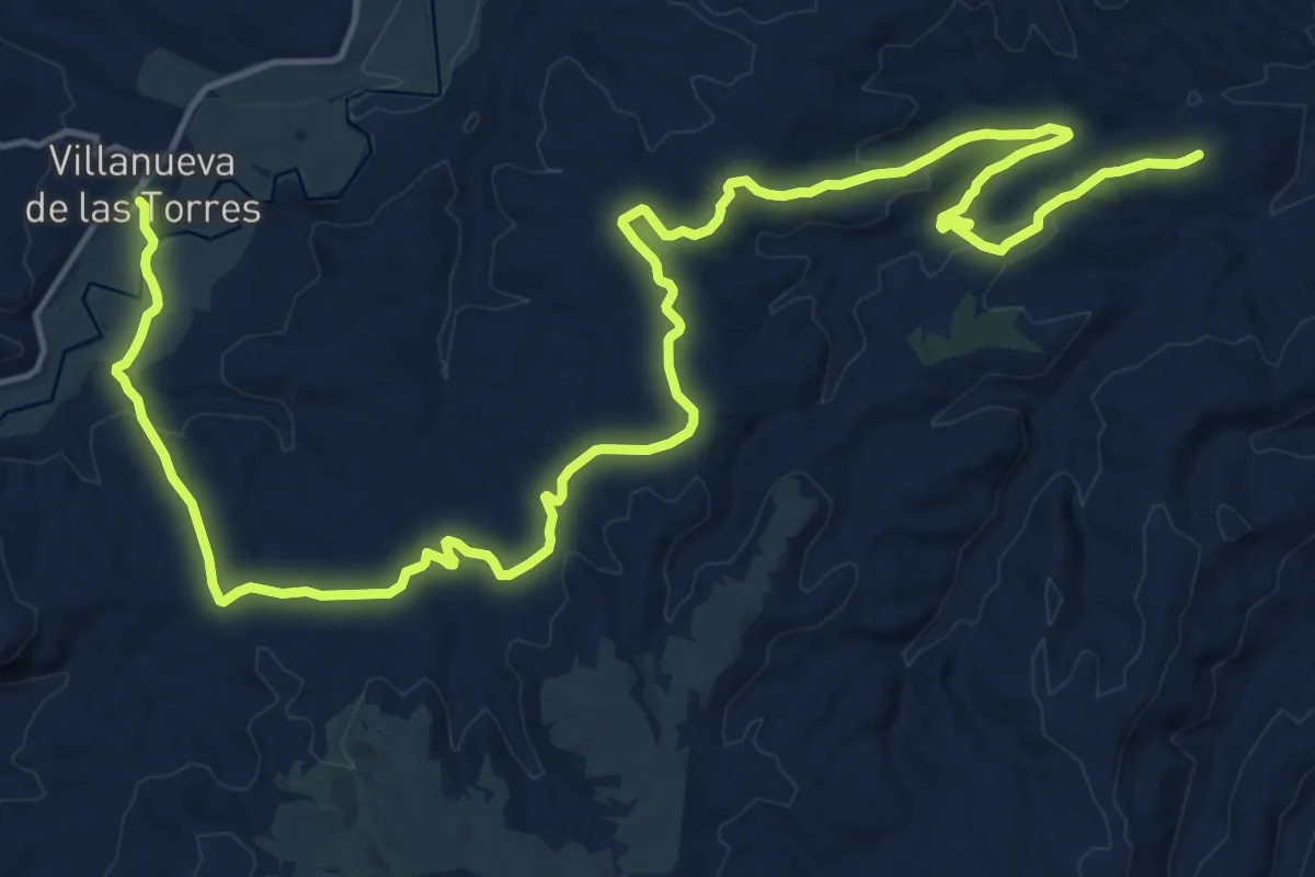
Demanding · Trail
Villanueva de las Torres - Los Coloraos
26.4 km · ↑ 701 m · 7 h 46 min
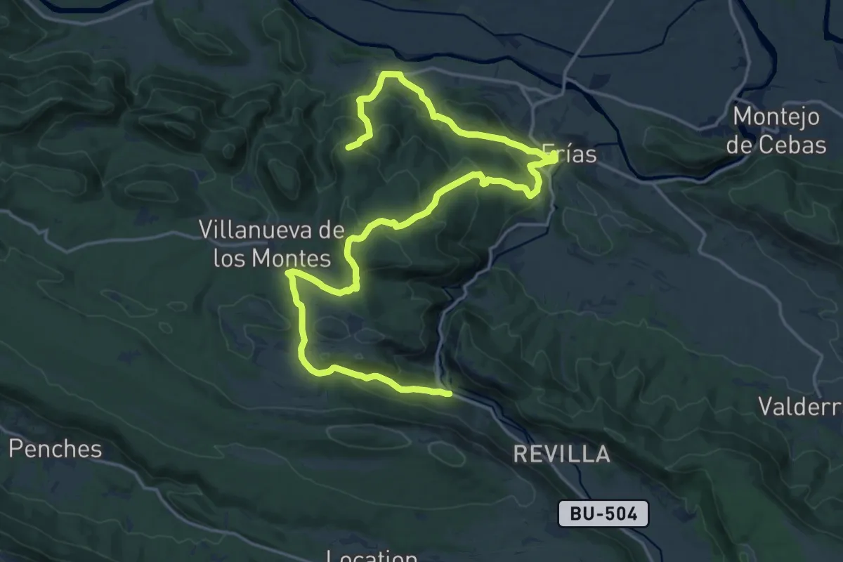
Demanding · Summit
Villanueva de los Montes
25.3 km · ↑ 1179 m · 8 h 32 min
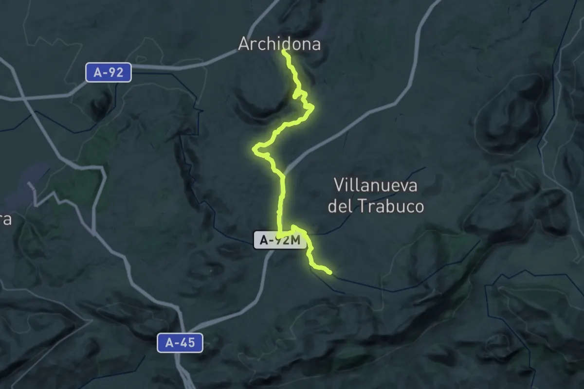
Demanding · Trail
Villanueva del Rosario - Archidona
18.4 km · ↑ 404 m · 5 h 28 min
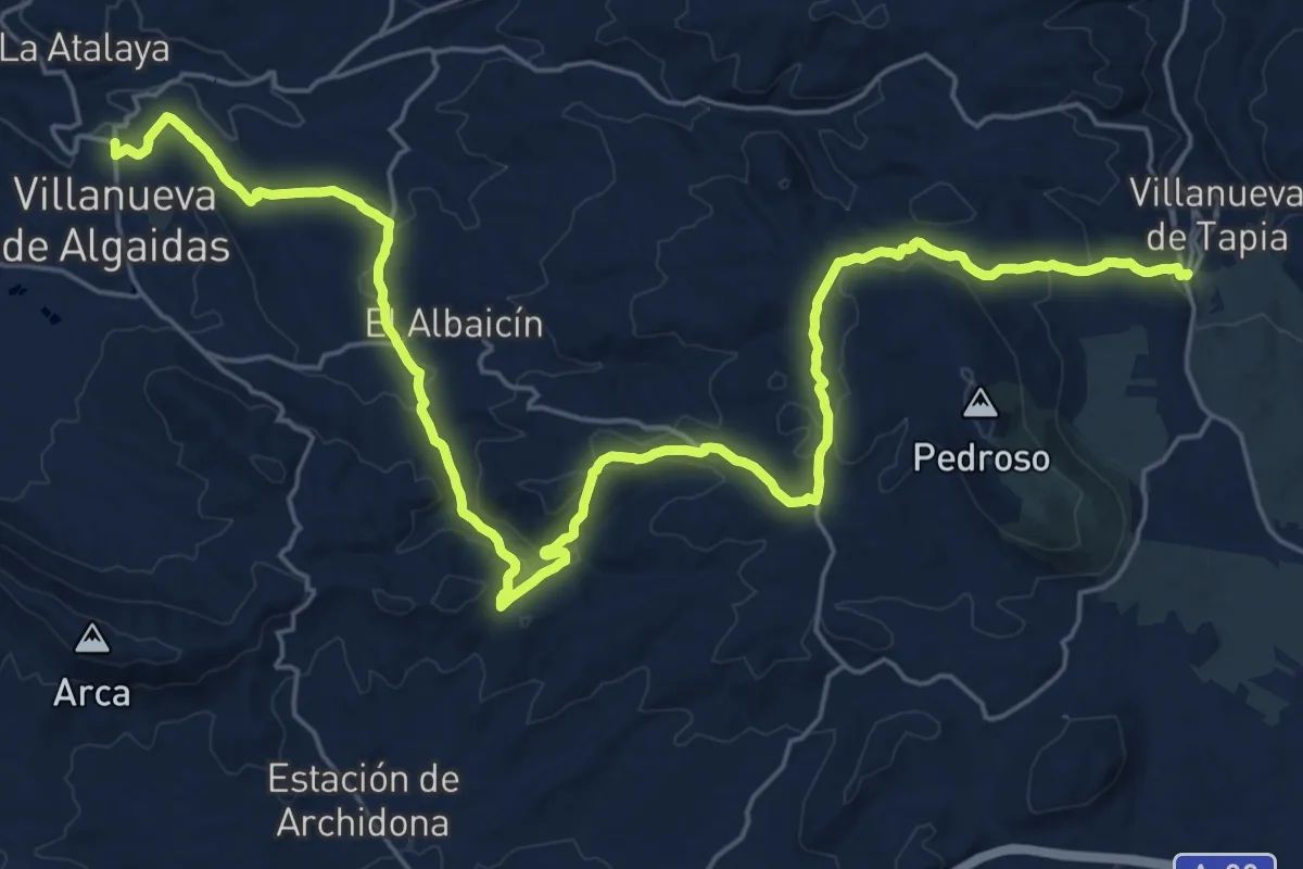
Medium · Trail
Villanueva de Tapia - Villanueva de Algaidas
17.9 km · ↑ 431 m · 5 h 29 min
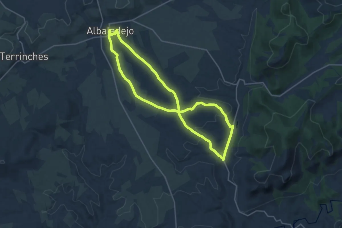
Medium · Trail
Villa Romana, Puente de la Olmilla / Hornilla, rio Villanueva
14.9 km · ↑ 209 m · 4 h 11 min
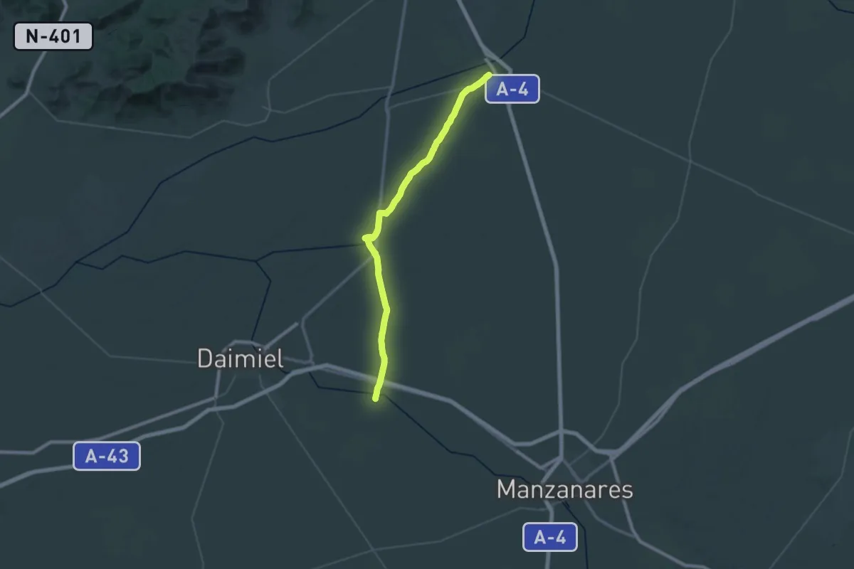
Demanding · Trail
Villarta de San Juan - Motilla del Azuer
25.2 km · ↑ 57 m · 6 h 25 min
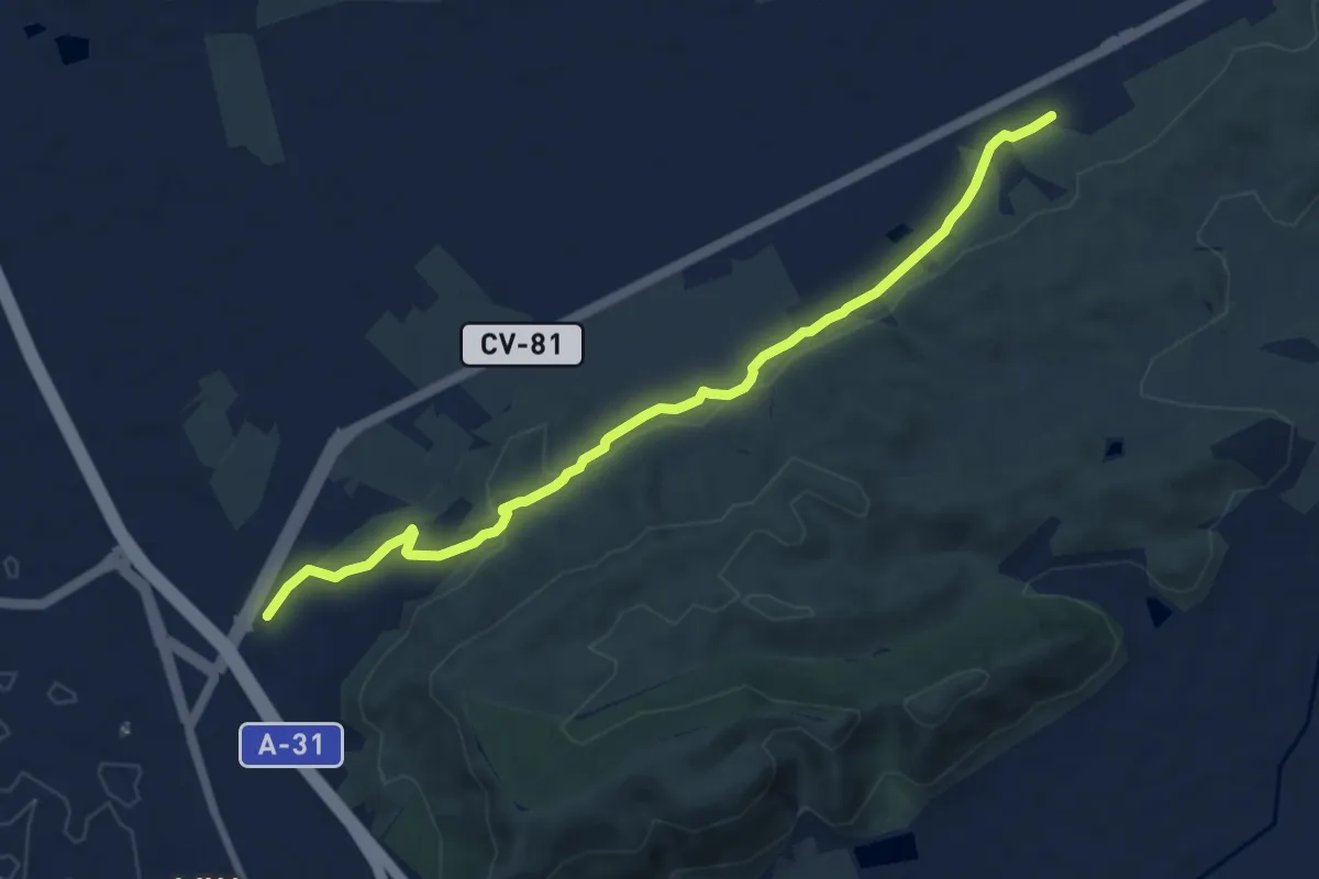
Medium · Trail
Villena - Canyada
9.5 km · ↑ 153 m · 2 h 35 min
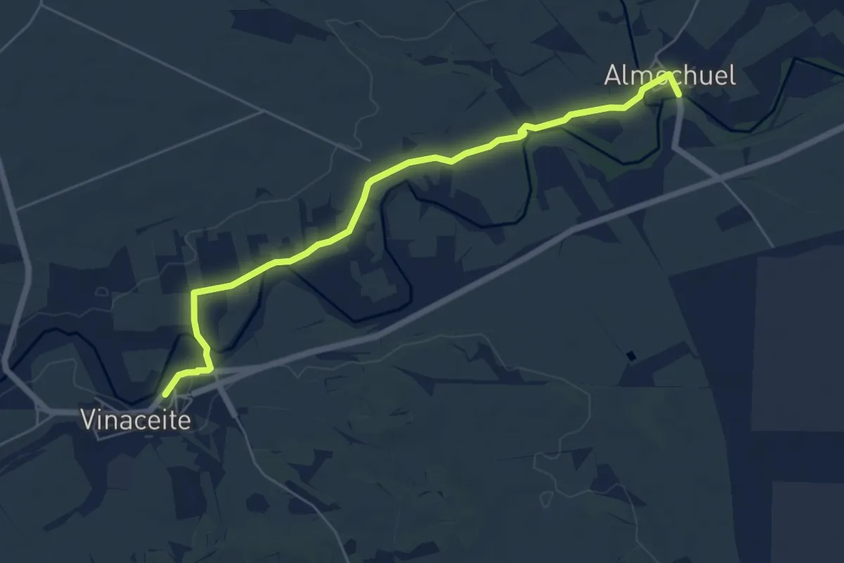
Easy · Trail
Vinaceite-Almochuel
6.5 km · ↑ 40 m · 1 h 38 min
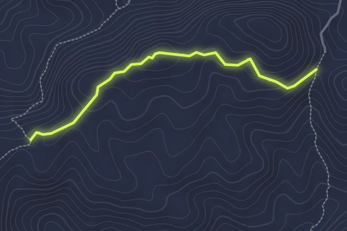
Medium · Trail
Viñas Viejas
3.0 km · ↑ 121 m · 59 min
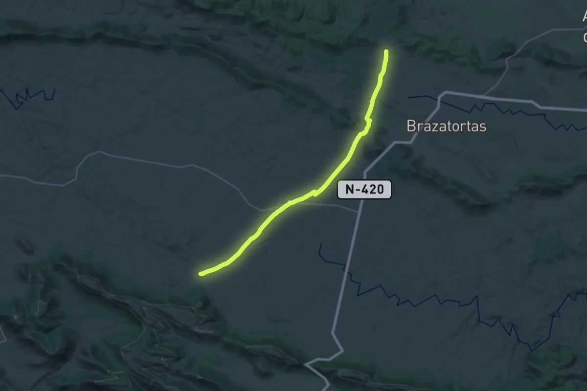
Demanding · Trail
Viñuela - Veredas - Puente de Alcudia
18.0 km · ↑ 203 m · 4 h 57 min
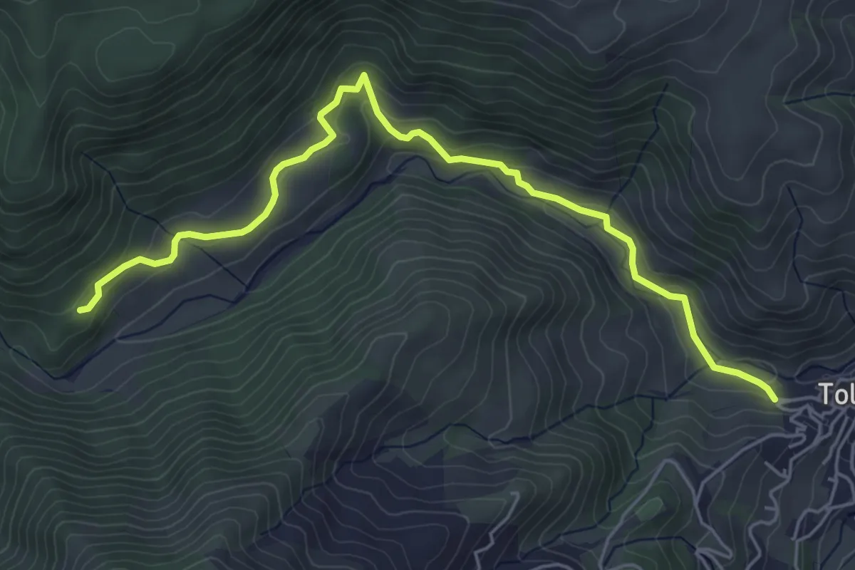
Easy · Trail
Virgen de las Nieves
6.8 km · ↑ 227 m · 2 h 6 min
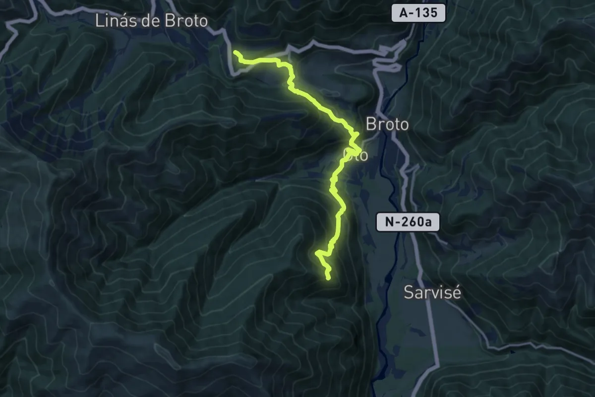
Demanding · Trail
Viú - Fragén - Oto - Ermita de la Asunción
13.6 km · ↑ 919 m · 5 h 12 min
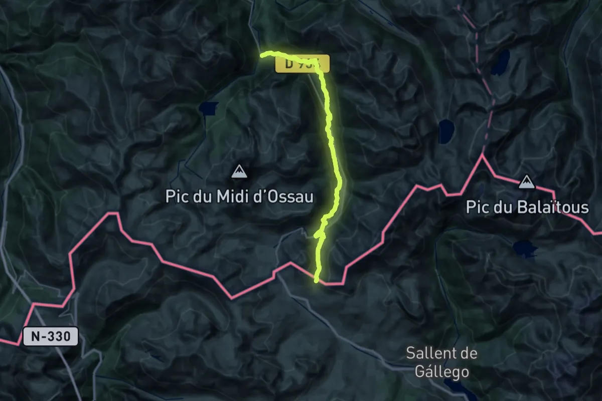
Medium · Trail
Voie d'Ossau Est
14.0 km · ↑ 299 m · 4 h 33 min
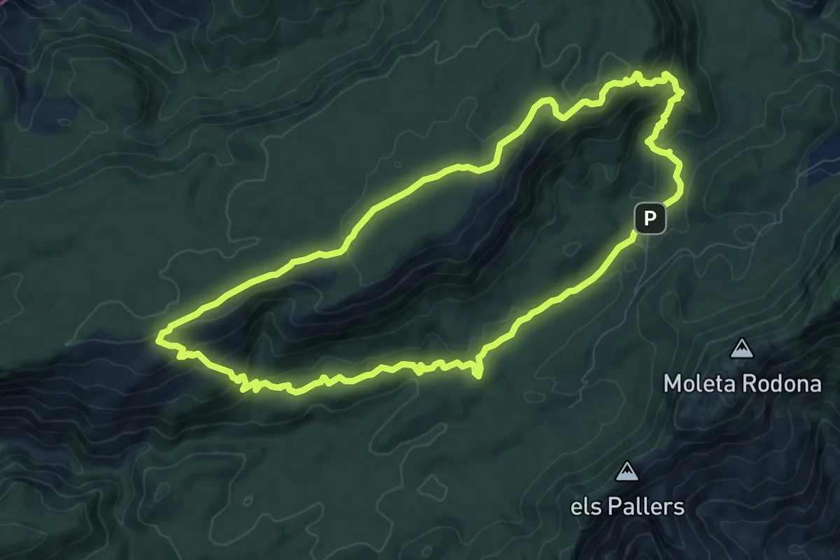
Medium · Trail
Vola a la Mola de Cati passant per Cova Cambra
10.2 km · ↑ 346 m · 3 h 17 min
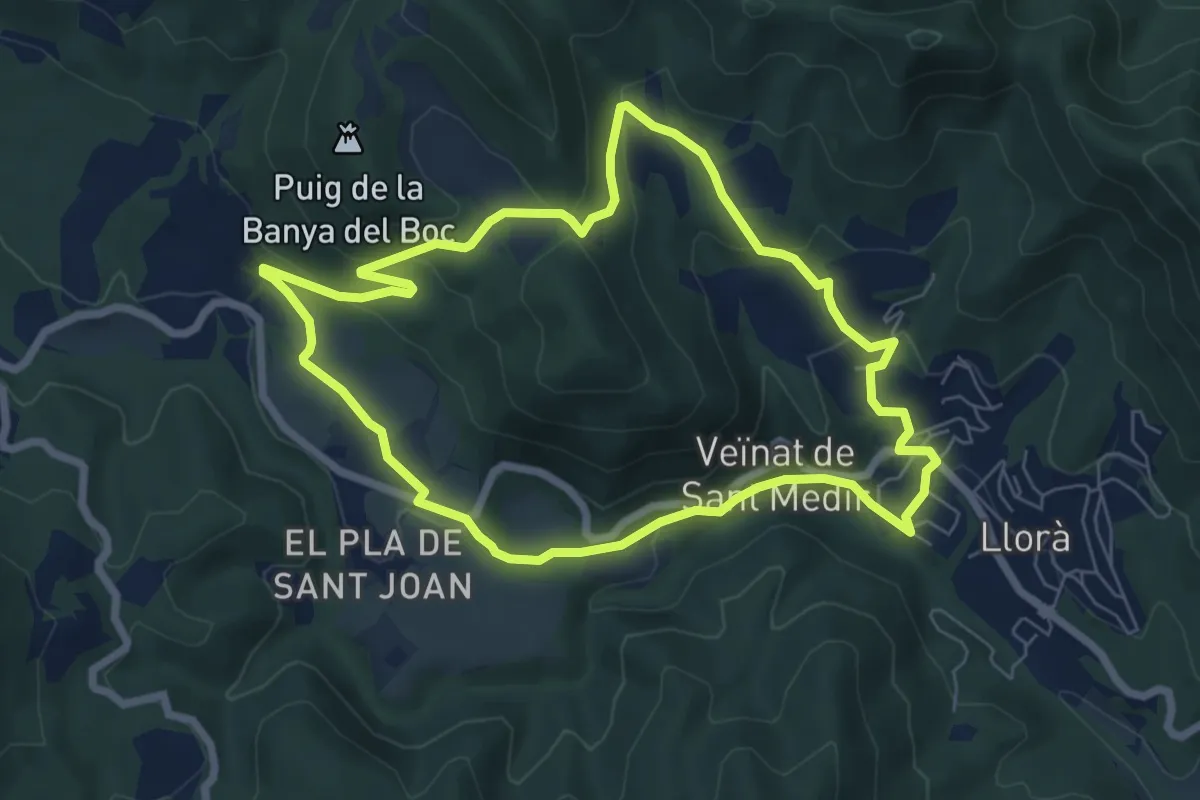
Easy · Trail
Volcà de la Banya del Boc
7.2 km · ↑ 221 m · 2 h 17 min
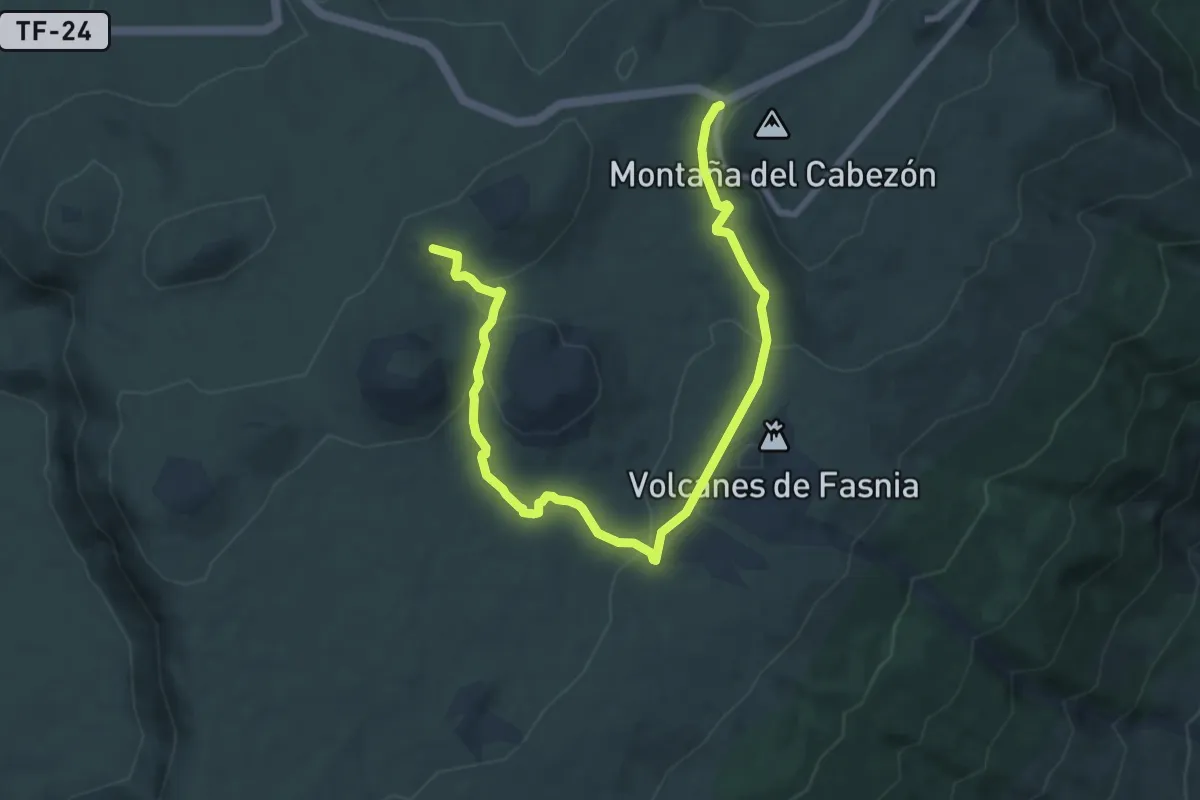
Medium · Summit
Volcán de Fasnia
12.1 km · ↑ 314 m · 3 h 32 min
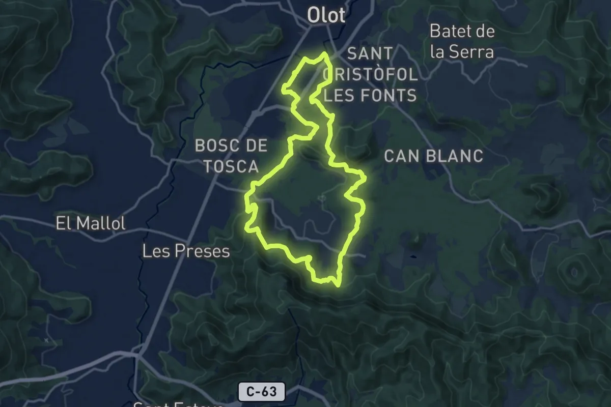
Medium · Summit
Volcà Racó i Parc Nou
13.3 km · ↑ 359 m · 4 h 6 min
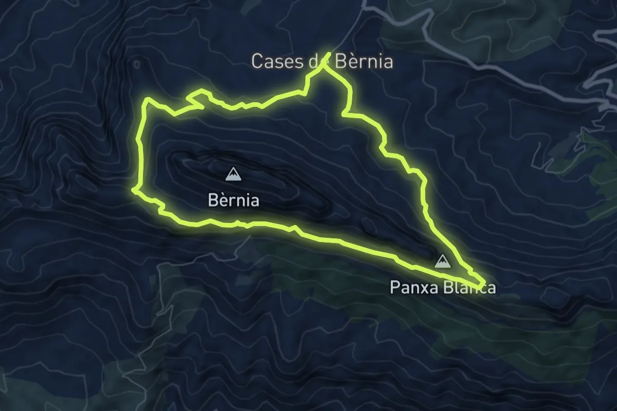
Demanding · Summit
Volta a Bèrnia
8.5 km · ↑ 381 m · 2 h 58 min
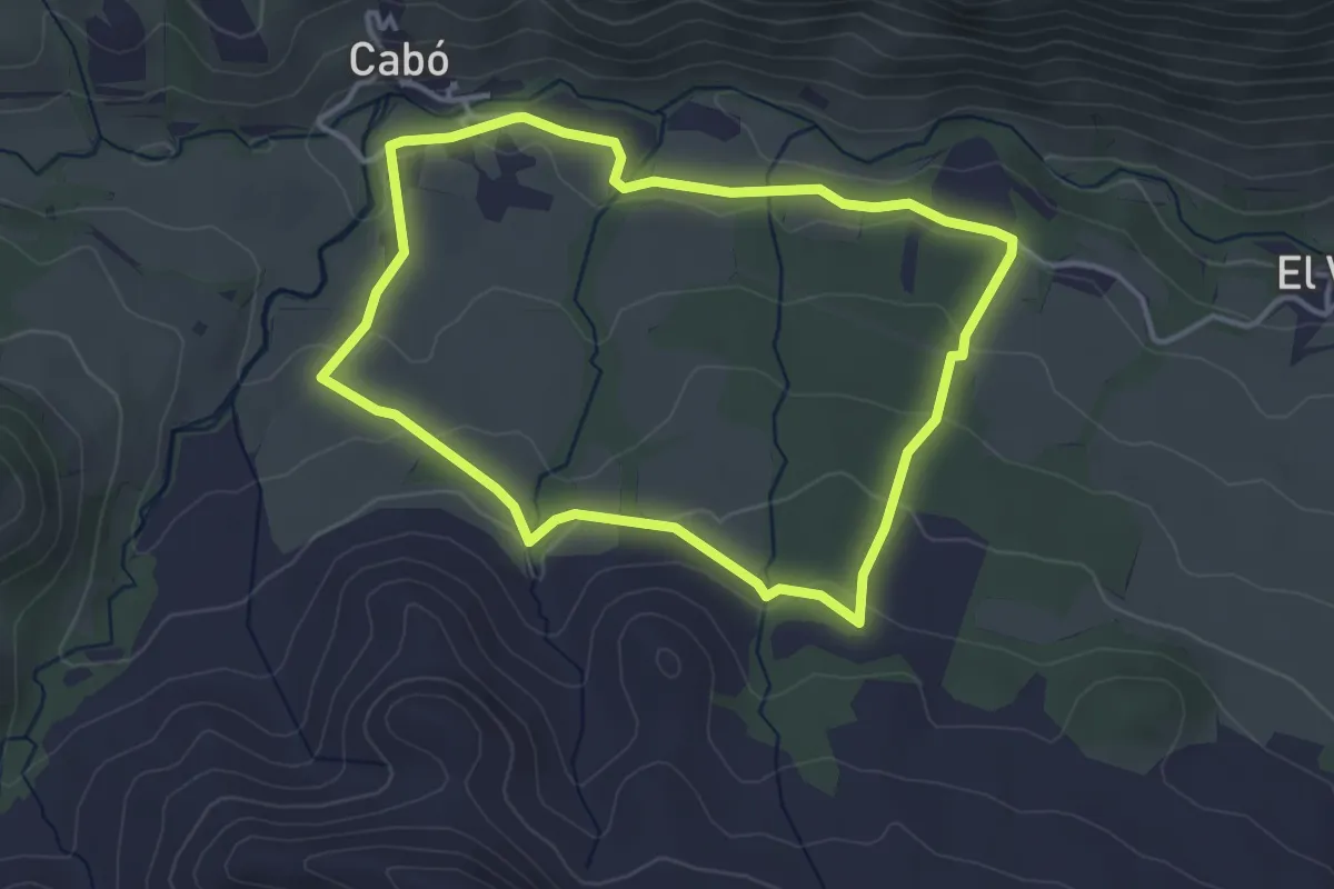
Easy · Summit
Volta a Cabó per la Borda
3.8 km · ↑ 110 m · 1 h 11 min
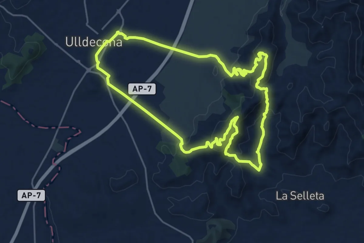
Medium · Summit
Volta a la Cogula
16.3 km · ↑ 586 m · 5 h 20 min
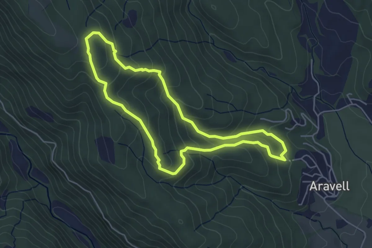
Easy · Trail
Volta a la Serra del Morral
4.5 km · ↑ 232 m · 1 h 37 min
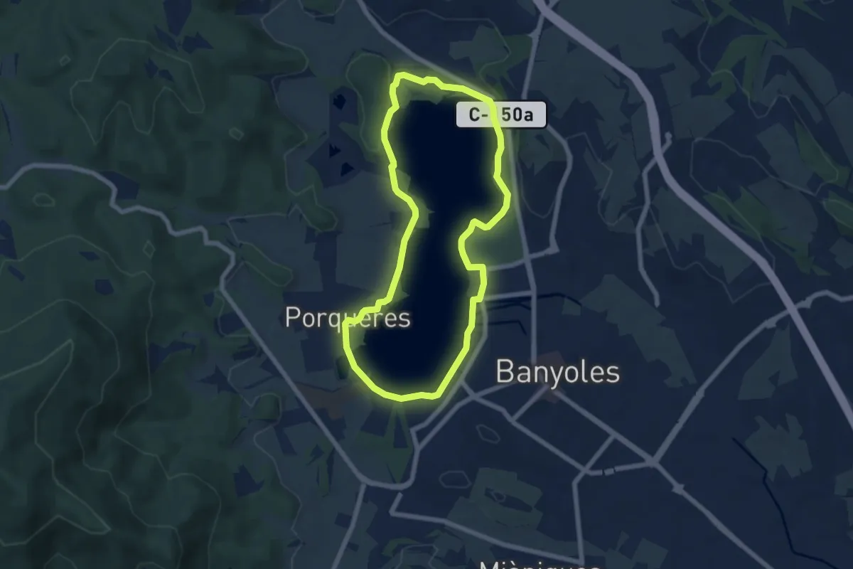
Easy · Summit
Volta a l'Estany
6.2 km · ↑ 37 m · 1 h 38 min
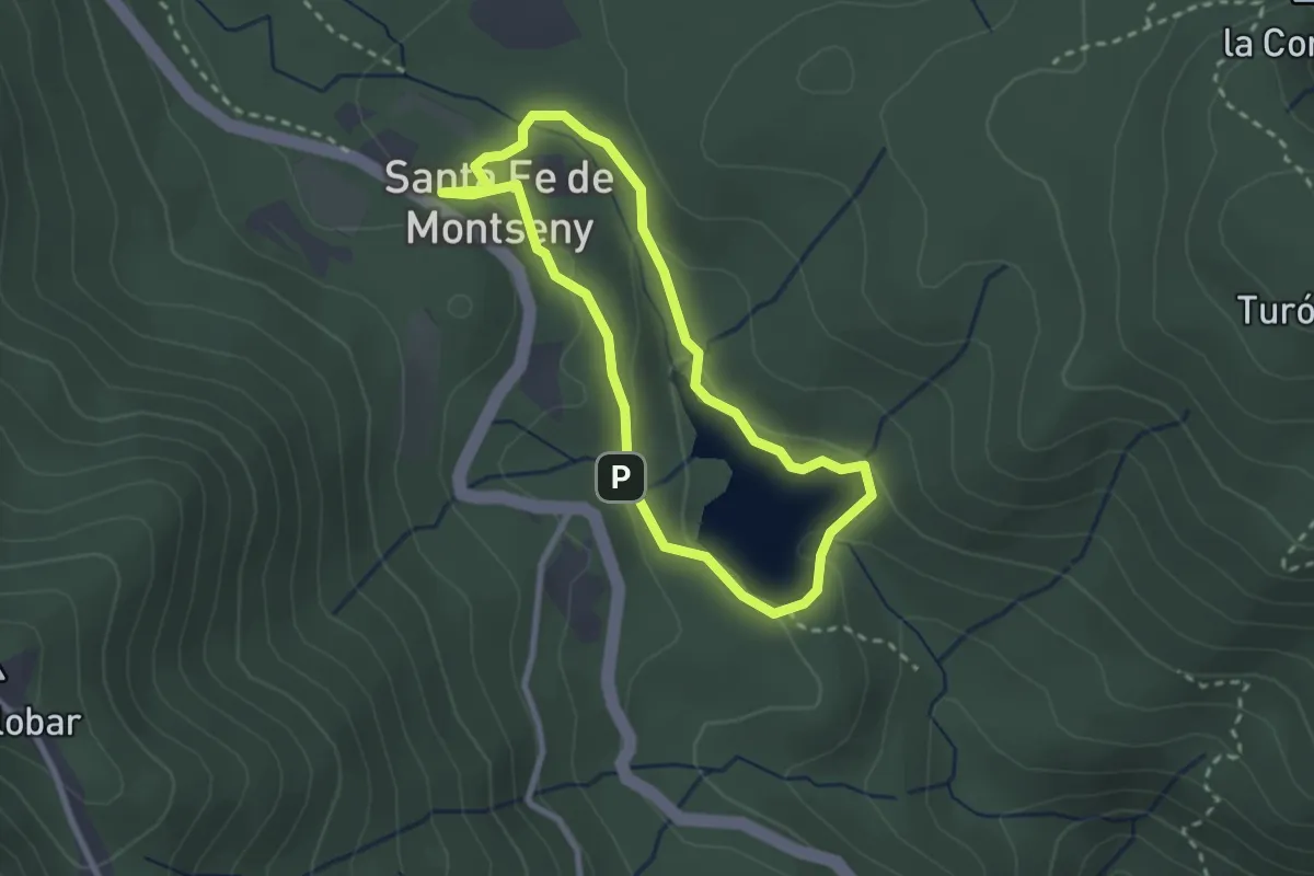
Easy · Trail
Volta al Pantà de Santa Fe
2.5 km · ↑ 78 m · 48 min
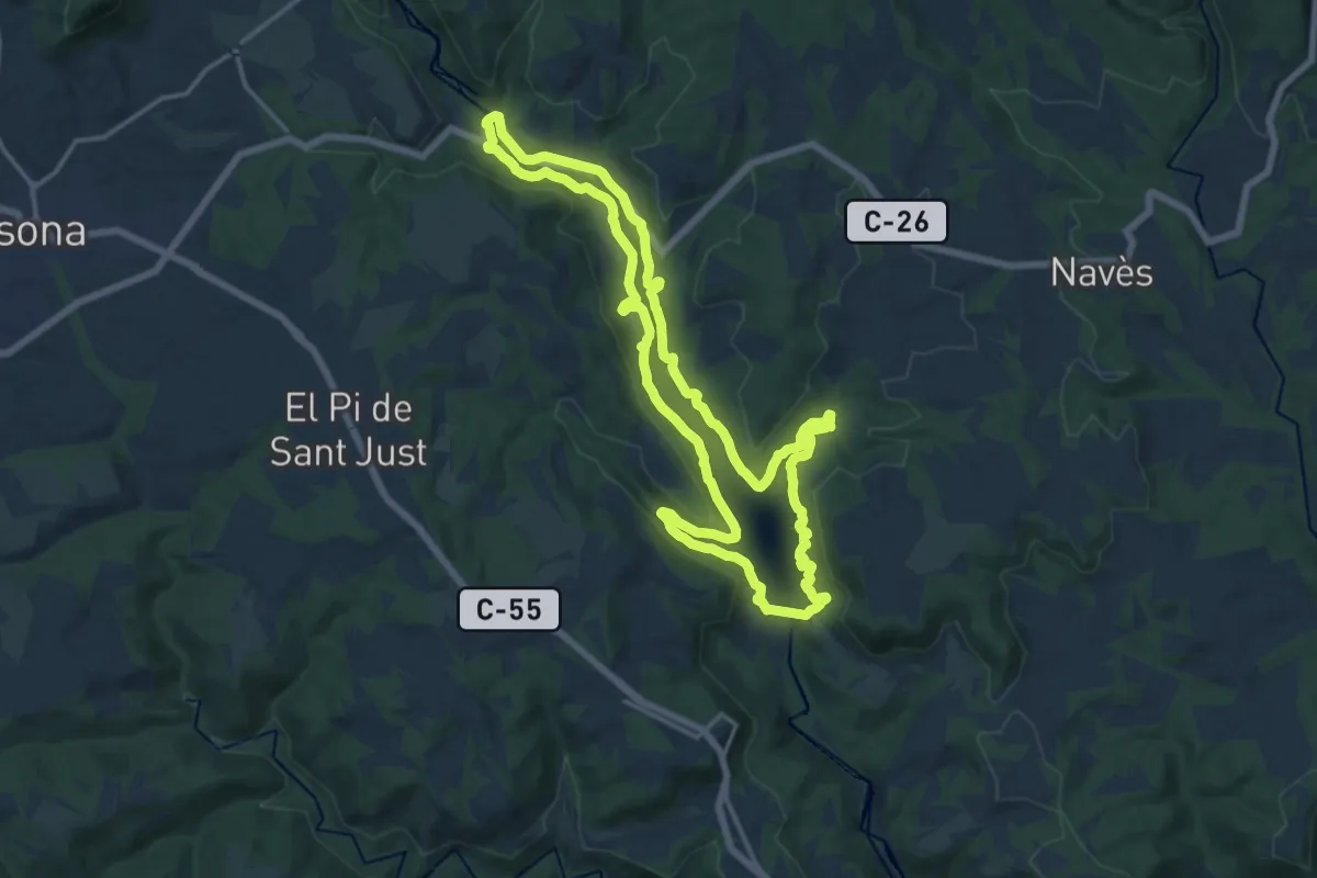
Medium · Trail
Volta al Pantà de Sant Ponç
16.7 km · ↑ 256 m · 4 h 43 min
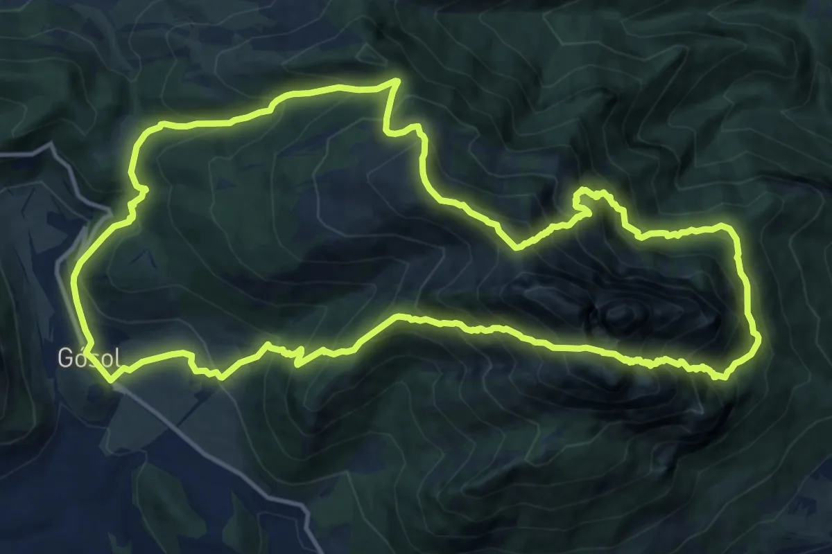
Expert · Summit
Volta al Pedraforca
15.1 km · ↑ 1628 m · 7 h 18 min
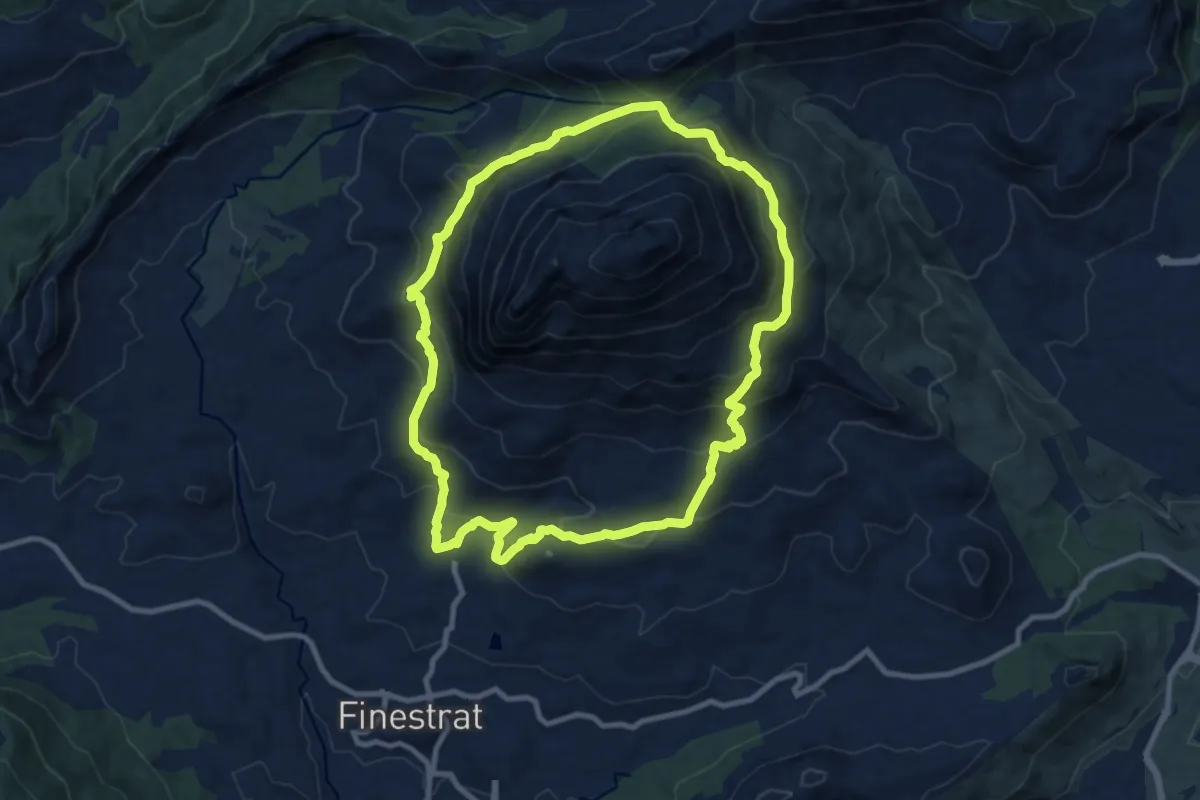
Medium · Summit
Volta al Puigcampana
10.7 km · ↑ 663 m · 4 h 7 min
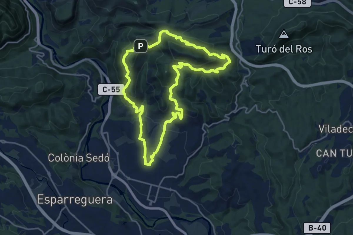
Medium · Summit
Volta al Puig Ventós
13.0 km · ↑ 687 m · 4 h 44 min
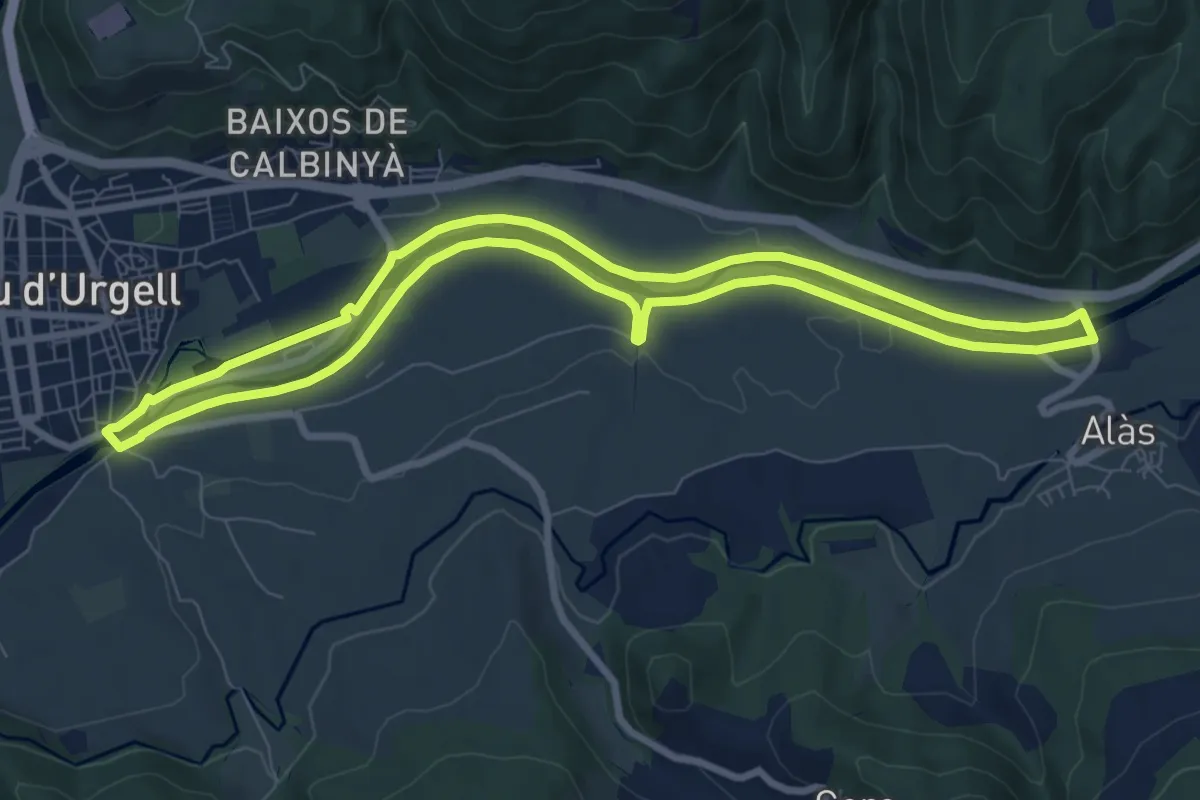
Medium · Trail
Volta al Segre
8.8 km · ↑ 40 m · 2 h 17 min
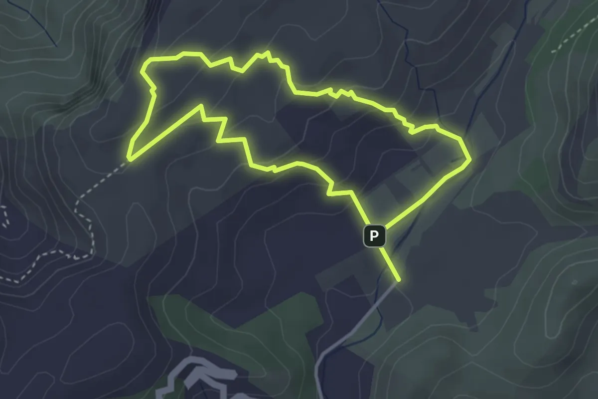
Medium · Summit
Volta als Establits de s’Alqueria Vella
3.7 km · ↑ 152 m · 1 h 15 min
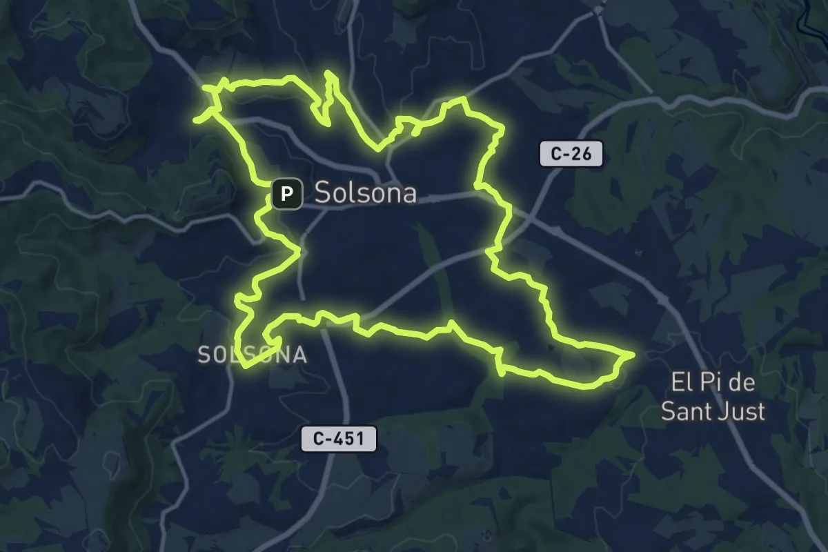
Medium · Trail
Volta al Vinyet
17.3 km · ↑ 290 m · 4 h 57 min
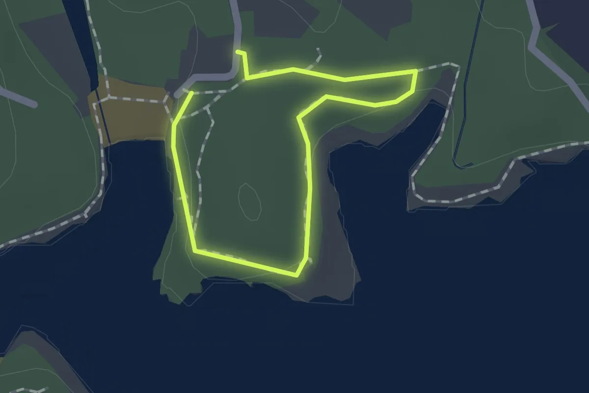
Medium · Trail
Volta a sa Guàrdia d'en Garrot
1.0 km · ↑ 0 m · 15 min
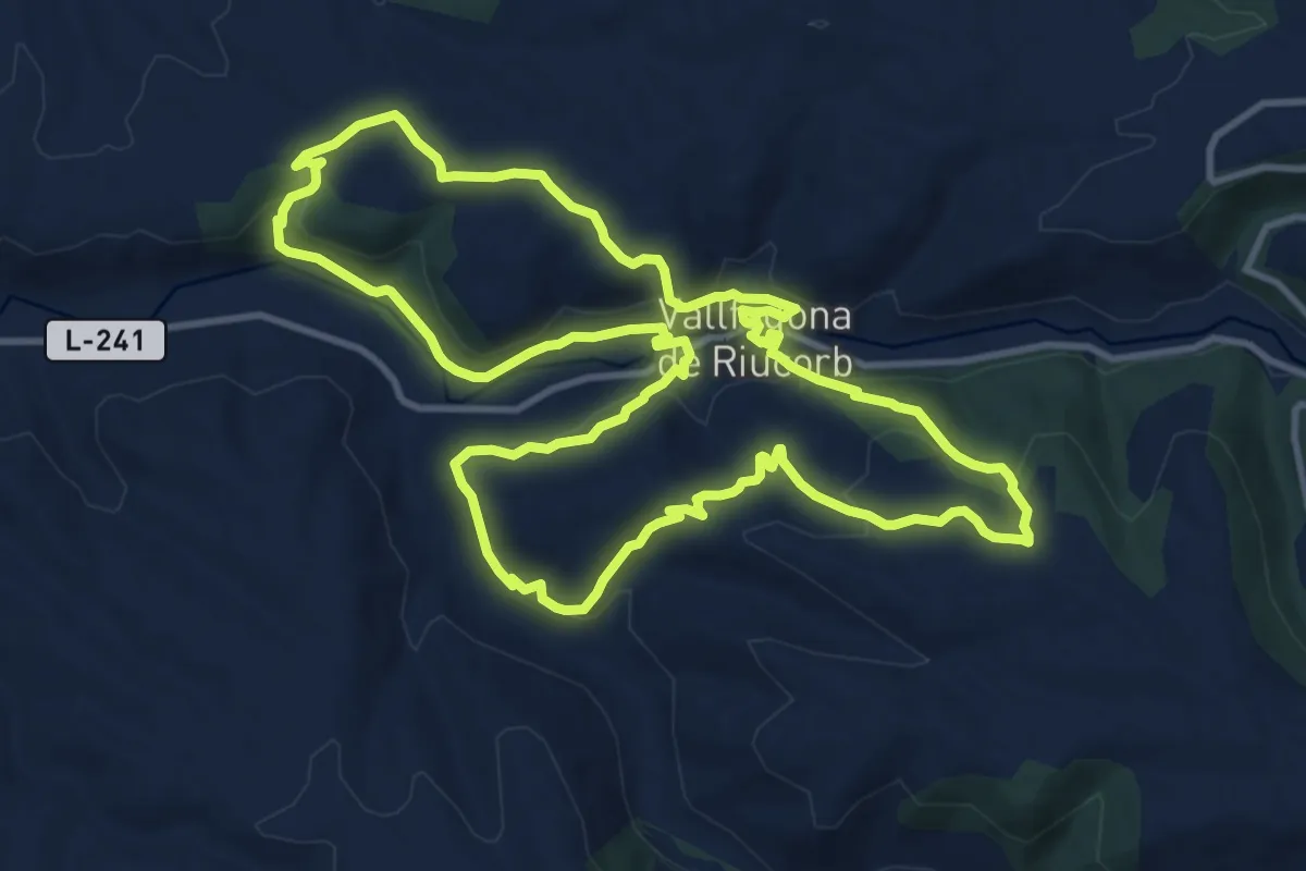
Medium · Trail
Volta a Vallfogona de Riucord, tribut a Johan Cruiff
13.2 km · ↑ 427 m · 4 h 13 min
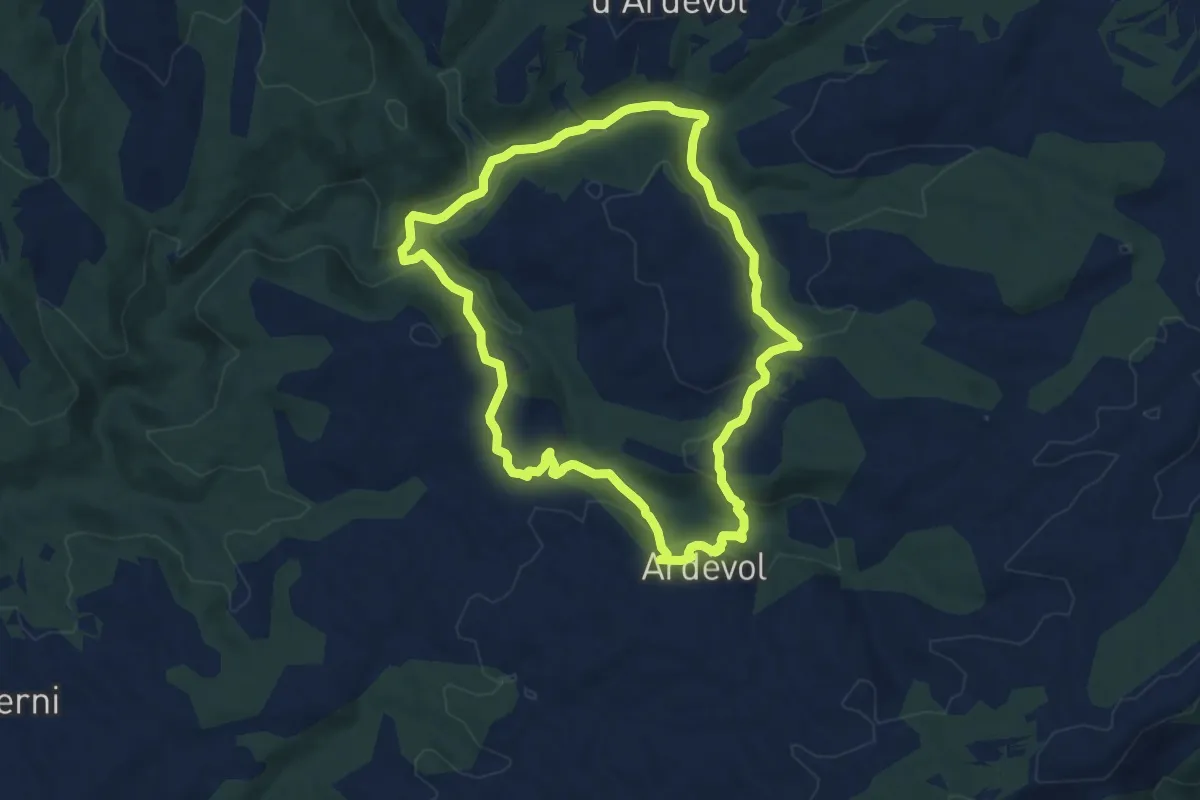
Medium · Trail
Voltans d'Ardevol
9.4 km · ↑ 277 m · 2 h 57 min
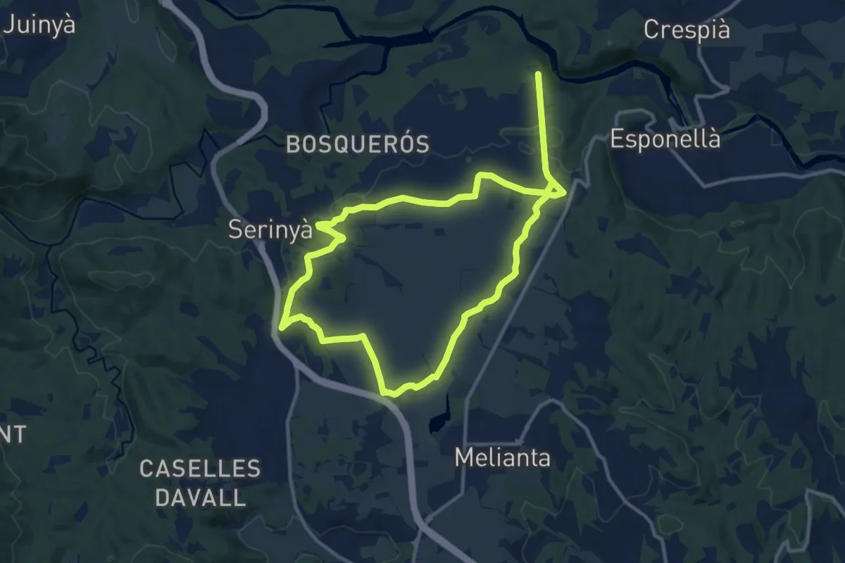
Demanding · Trail
Volta pel Pla de Martís
21.4 km · ↑ 80 m · 5 h 14 min
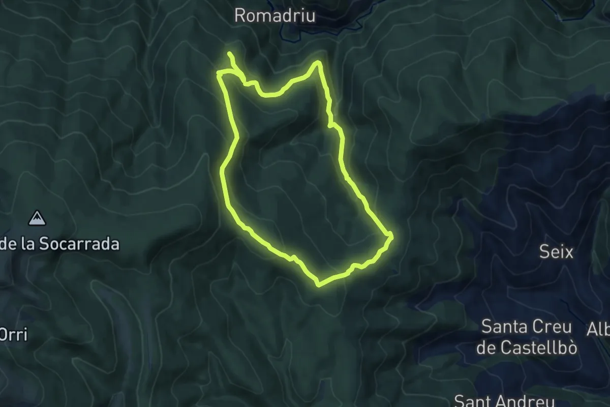
Medium · Summit
Volta pels boscos de Sant Joan de l'Erm
10.2 km · ↑ 485 m · 3 h 36 min
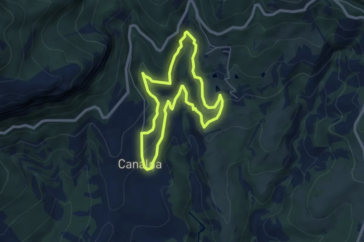
Medium · Trail
Volta per Canalda
4.9 km · ↑ 232 m · 1 h 44 min
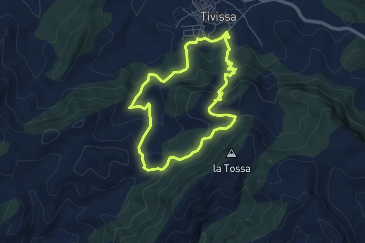
Medium · Summit
Voltes de la Llena
5.5 km · ↑ 328 m · 2 h 5 min
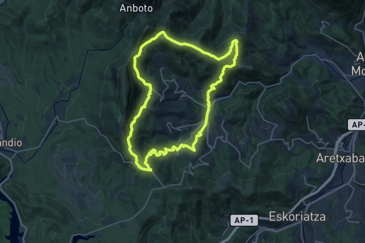
Demanding · Summit
Vuelta a Aramaio
18.3 km · ↑ 1086 m · 6 h 55 min
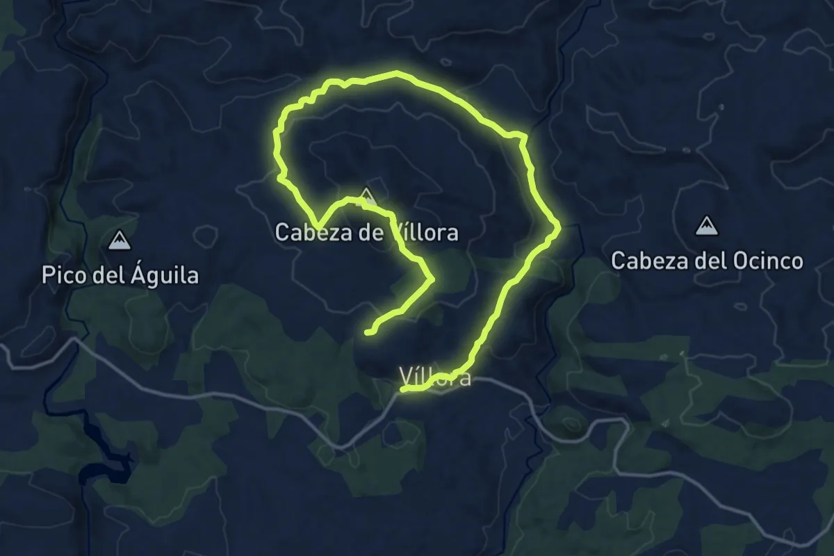
Medium · Summit
Vuelta a Cabeza de Villora
12.1 km · ↑ 458 m · 3 h 58 min
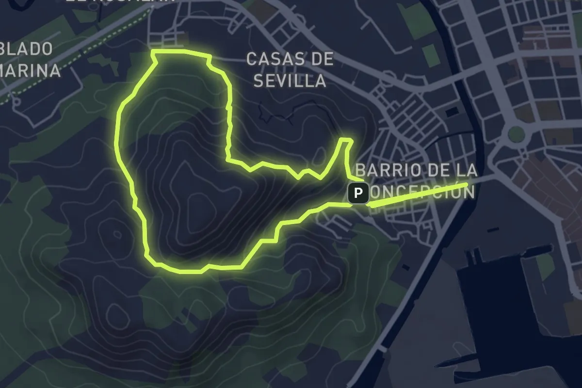
Medium · Trail
Vuelta a la Atalaya
5.7 km · ↑ 262 m · 2 h
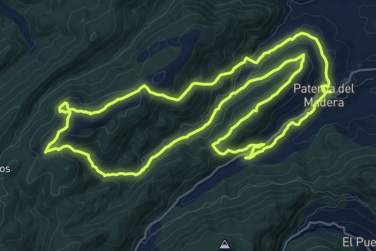
Medium · Trail
Vuelta a la Atalaya y al Nevacico
16.8 km · ↑ 690 m · 5 h 42 min