Trails in Spain
5,960 hiking trails, each with its route, climb, walking time and grade.
All trails, page 122 of 125
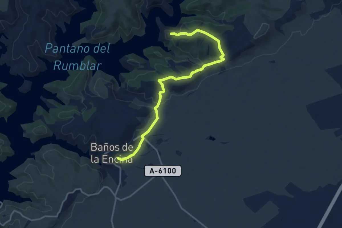
Medium · Trail
Yacimiento Verónica
12.2 km · ↑ 341 m · 3 h 37 min
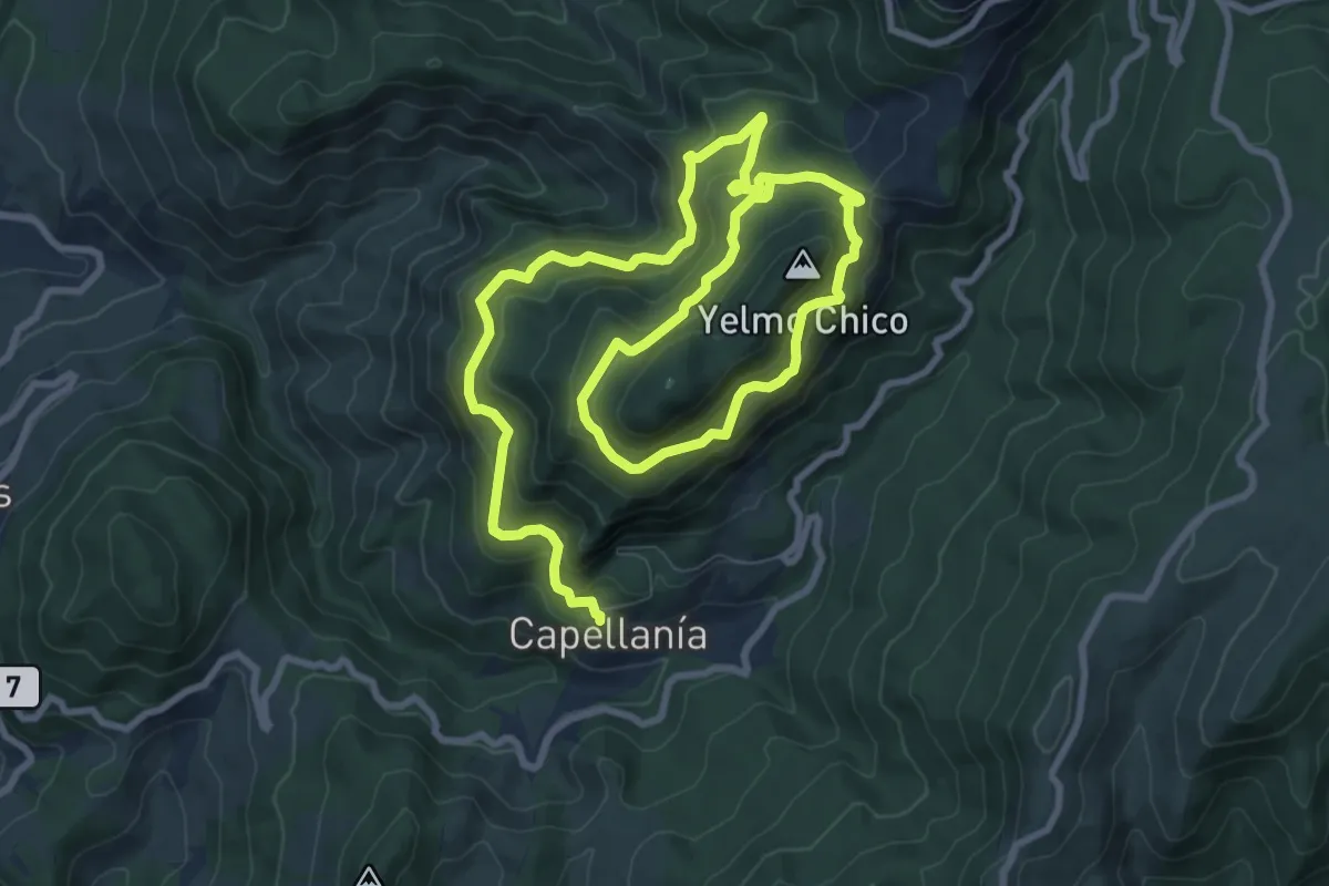
Medium · Summit
Yelmo Chico
8.6 km · ↑ 434 m · 3 h 14 min
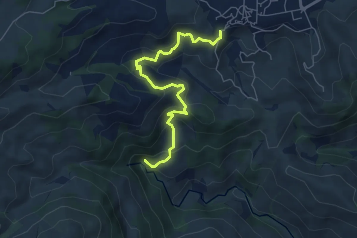
Medium · Trail
Yunquera - Río Grande
6.0 km · ↑ 383 m · 2 h 15 min
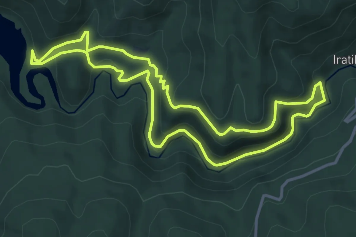
Easy · Summit
Zabaletako oihaneko bide-zaharra
7.2 km · ↑ 309 m · 2 h 28 min
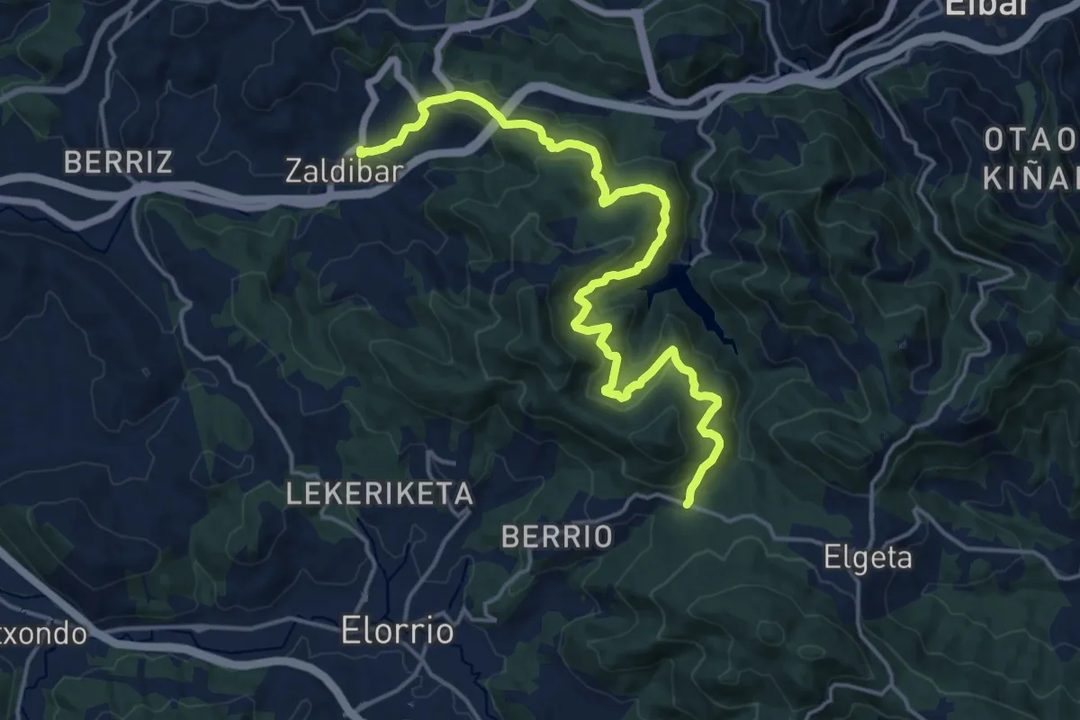
Demanding · Trail
Zaldibar - Santruan
19.7 km · ↑ 847 m · 6 h 29 min
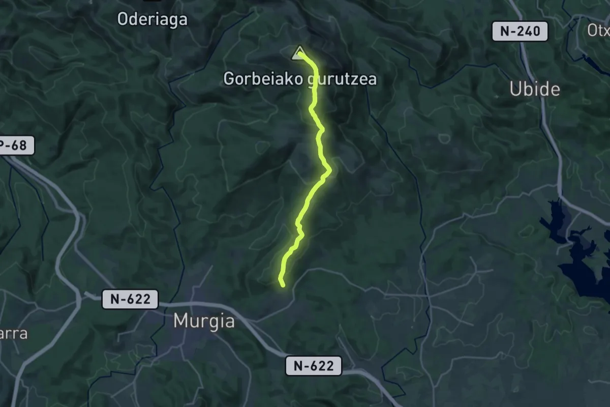
Medium · Summit
Zarate-Gorbeia
17.4 km · ↑ 756 m · 5 h 45 min
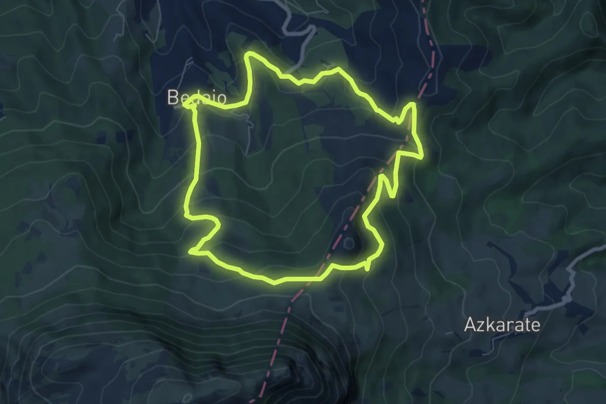
Medium · Summit
Zarateko bira
7.4 km · ↑ 400 m · 2 h 43 min
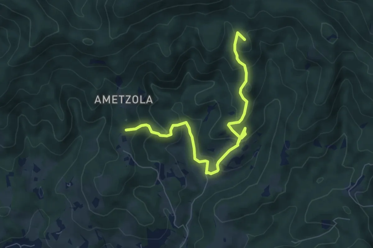
Medium · Summit
Zeberiogana – Gorozitu – Etxazo – lotura
8.0 km · ↑ 448 m · 2 h 52 min
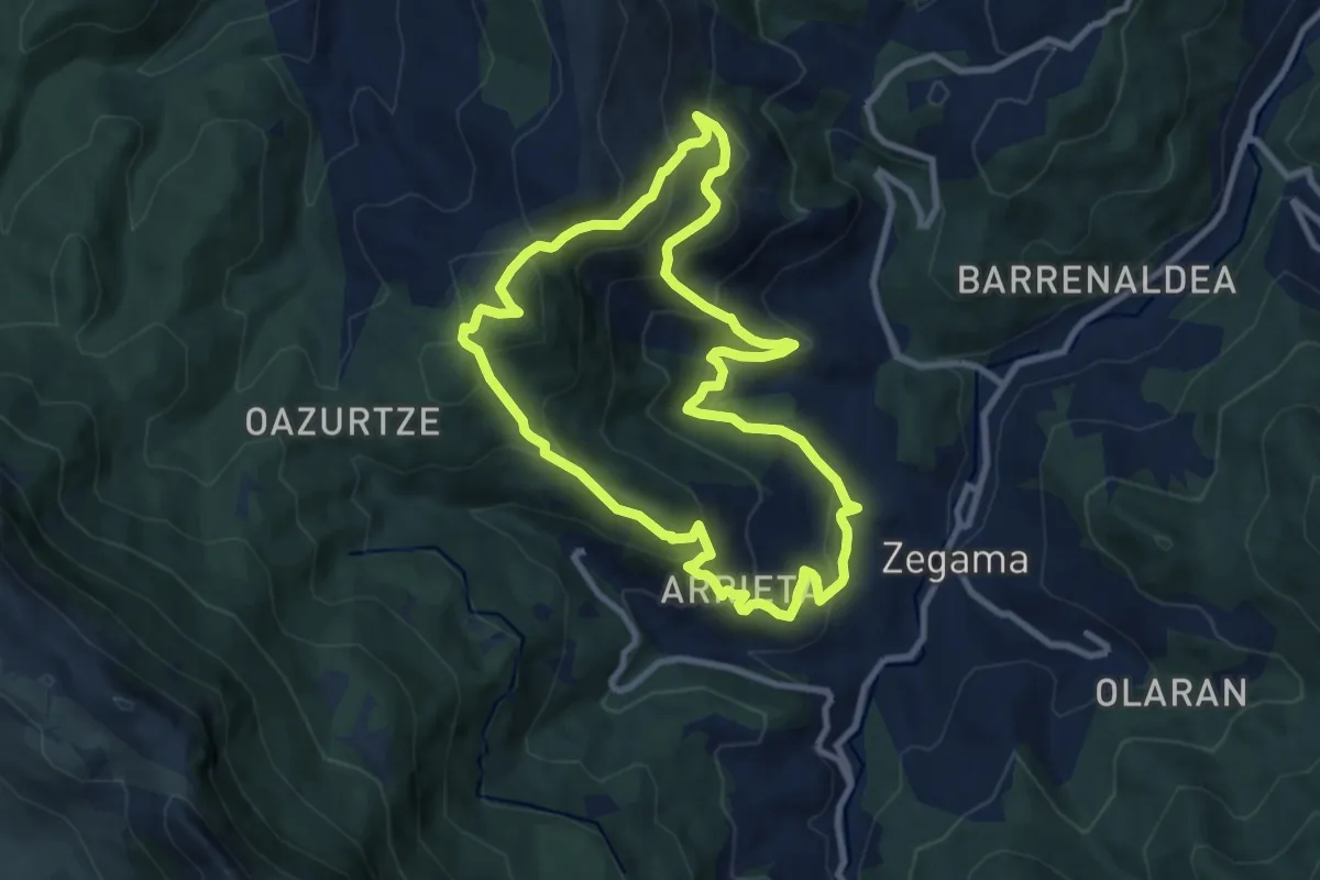
Medium · Summit
Zegama-Arranoaitz
9.4 km · ↑ 574 m · 3 h 35 min
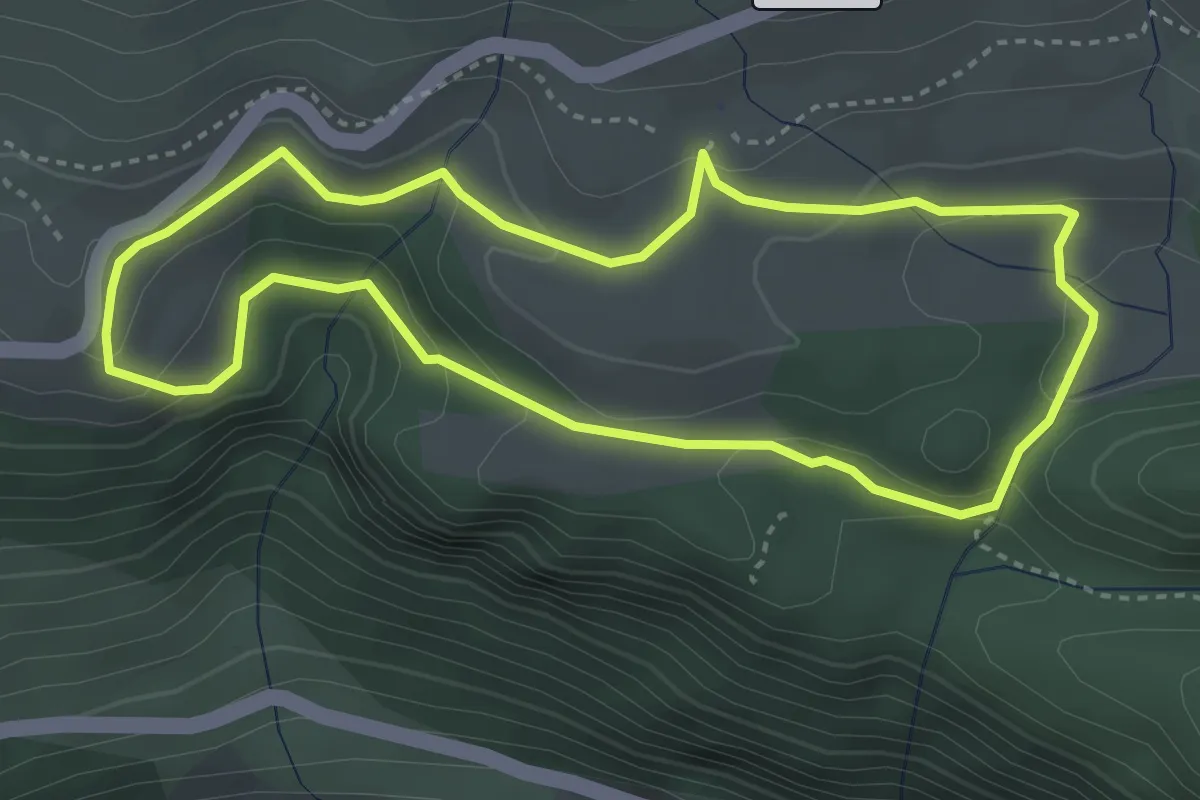
Medium · Summit
Zemeto
3.7 km · ↑ 167 m · 1 h 17 min
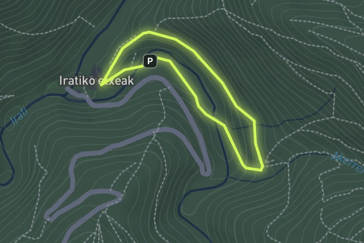
Easy · Trail
Zentzumenen ibilbidea
1.8 km · ↑ 59 m · 34 min
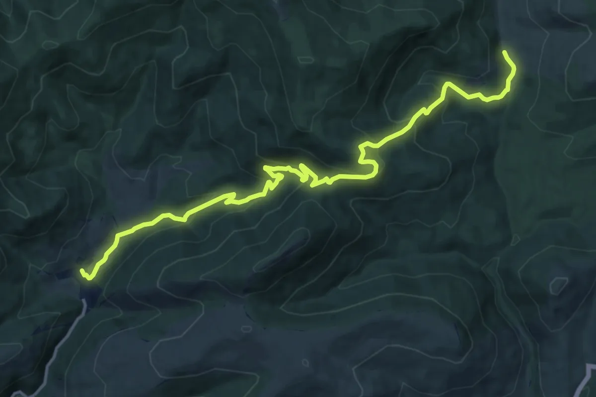
Demanding · Trail
Zilbeti - Sorogain
15.7 km · ↑ 805 m · 5 h 26 min
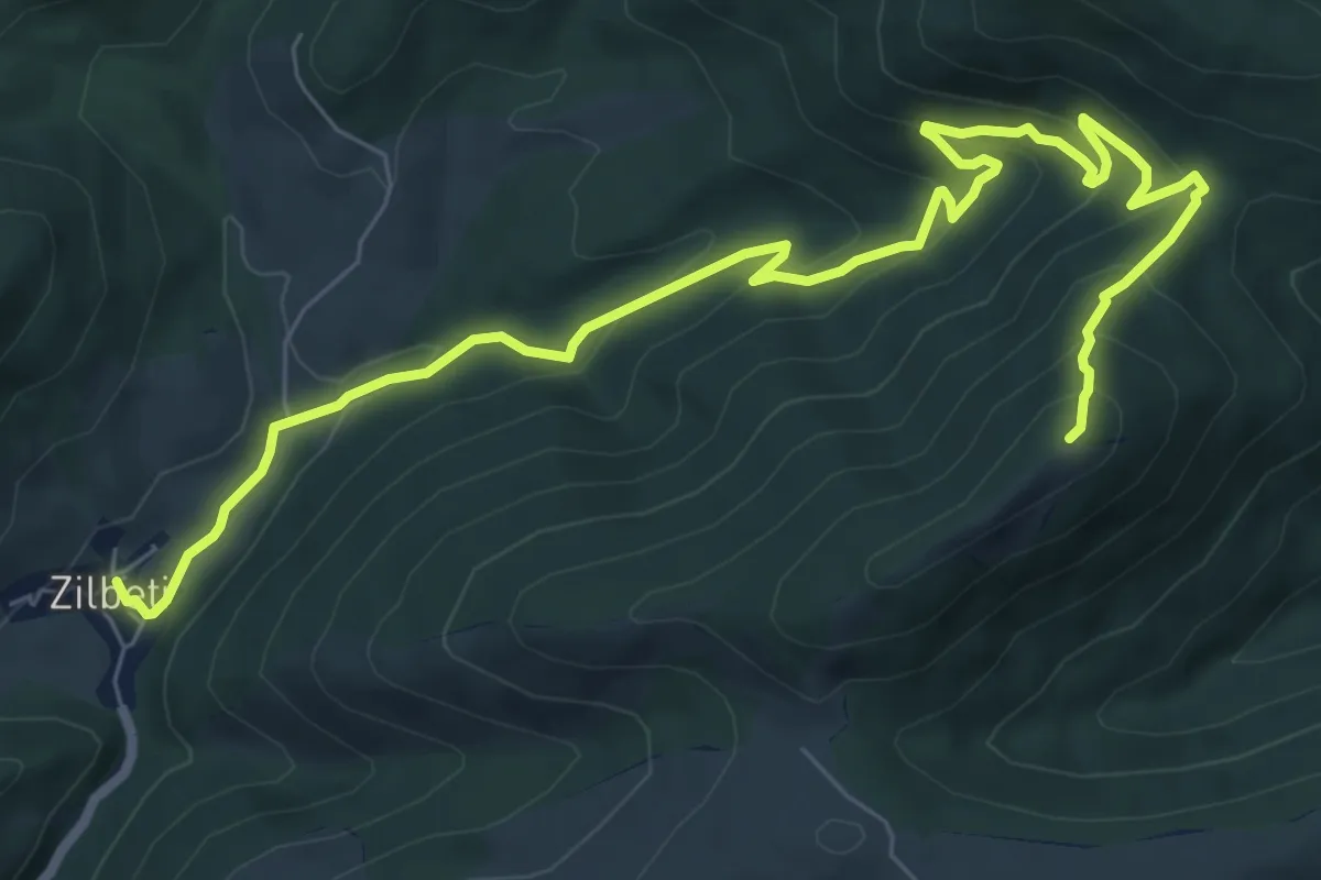
Medium · Summit
Zilbeti - Tiratun
10.3 km · ↑ 521 m · 3 h 33 min
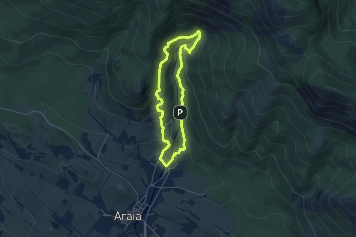
Medium · Trail
Zirauntza ibaiaren iturburua
4.0 km · ↑ 223 m · 1 h 29 min
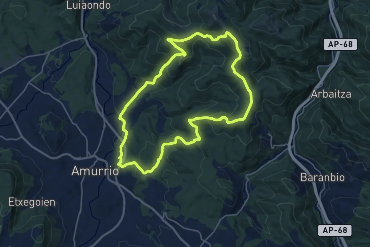
Medium · Summit
Zirkular Aspaltza
15.4 km · ↑ 609 m · 5 h 10 min
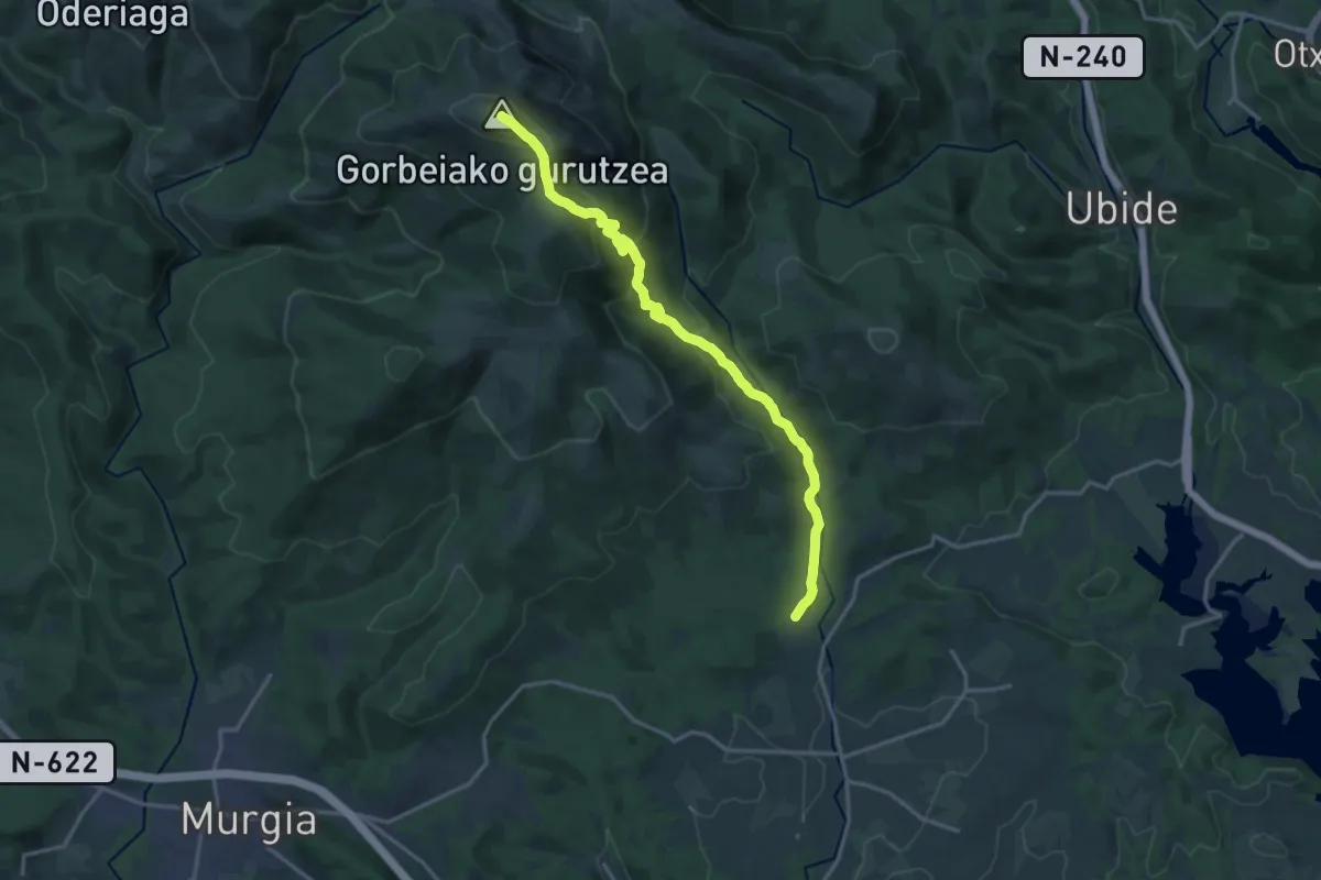
Demanding · Summit
Zubialde-Egillolarra
17.6 km · ↑ 871 m · 6 h 3 min
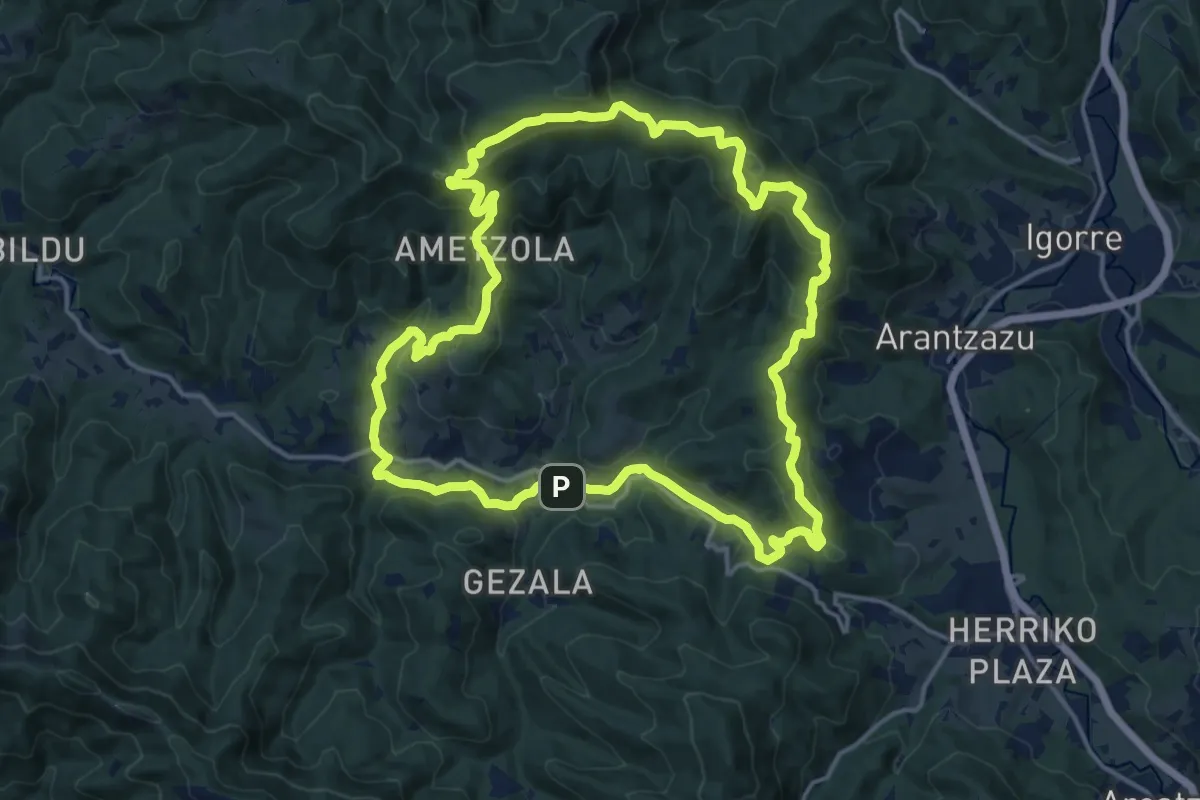
Medium · Summit
Zubialde – Irumugarrieta – Argiñao – Zubialde
16.9 km · ↑ 665 m · 5 h 40 min
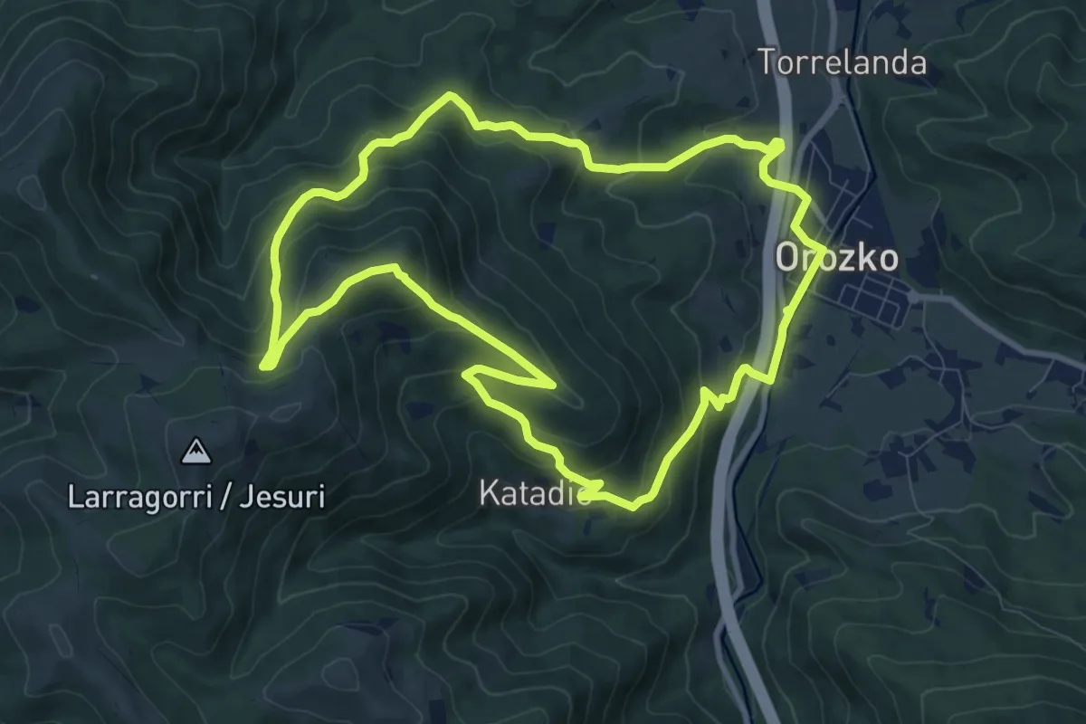
Medium · Summit
Zubiaur - Santa Marina
10.1 km · ↑ 513 m · 3 h 38 min
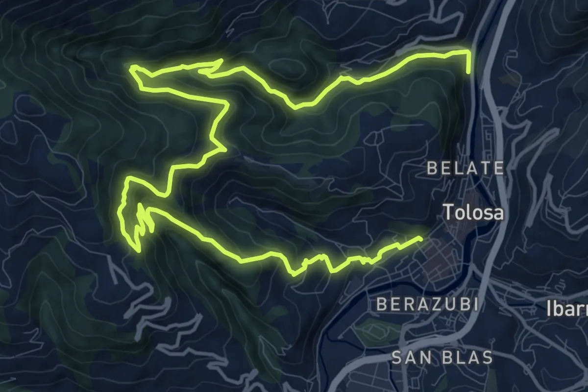
Demanding · Trail
Zuloagatik Urkizura (Tolosa)
20.8 km · ↑ 1213 m · 7 h 32 min
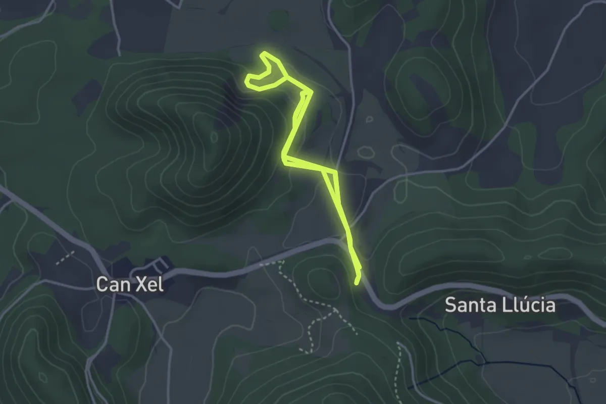
Easy · Trail
15 Grederes del volcà Croscat
7.8 km · ↑ 208 m · 2 h 18 min
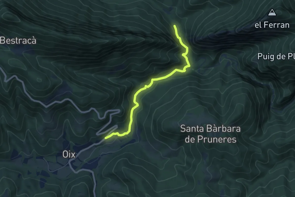
Easy · Trail
186
6.7 km · ↑ 256 m · 2 h 8 min
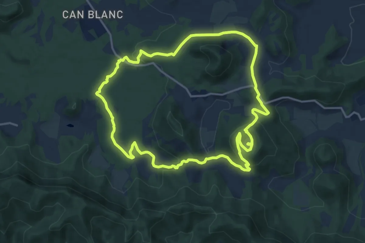
Medium · Summit
1 Fageda d'en Jordà - Volcà de Santa Margarida - Volcà del Croscat
10.8 km · ↑ 293 m · 3 h 21 min
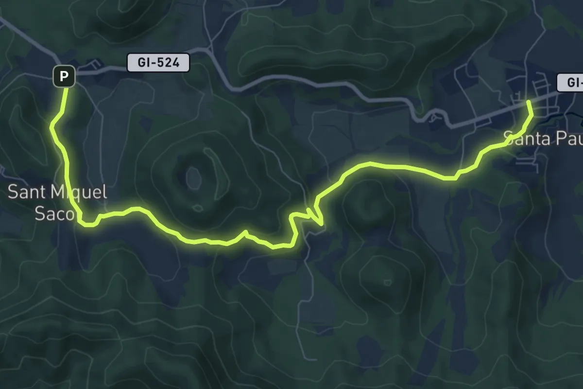
Medium · Trail
3 Tram Santa Pau - Volcà de Santa Margarida - Can Xel
10.8 km · ↑ 394 m · 3 h 24 min
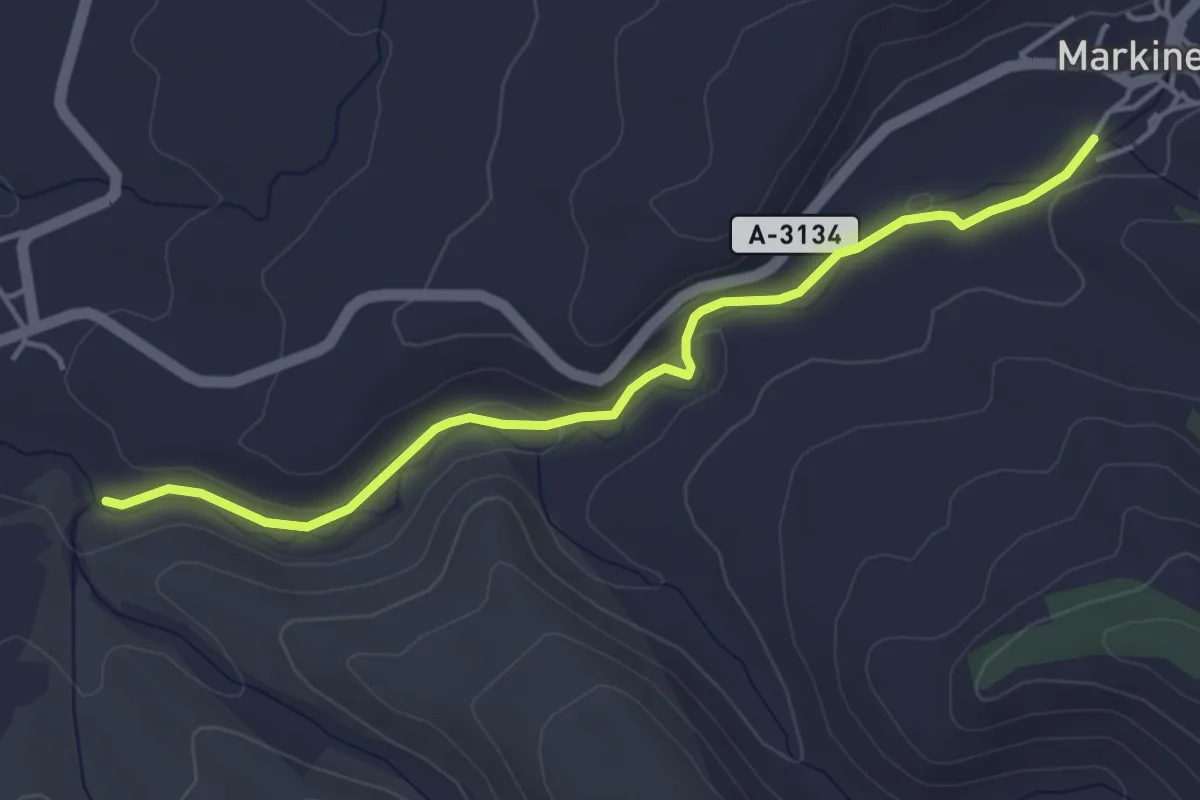
Easy · Trail
9 Los Molinos
4.6 km · ↑ 65 m · 1 h 14 min
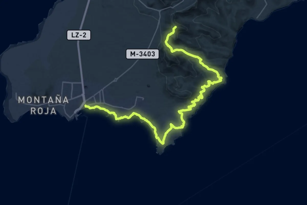
Demanding · Summit
Femés – Playa Blanca
40.0 km · ↑ 1048 m · 11 h 43 min
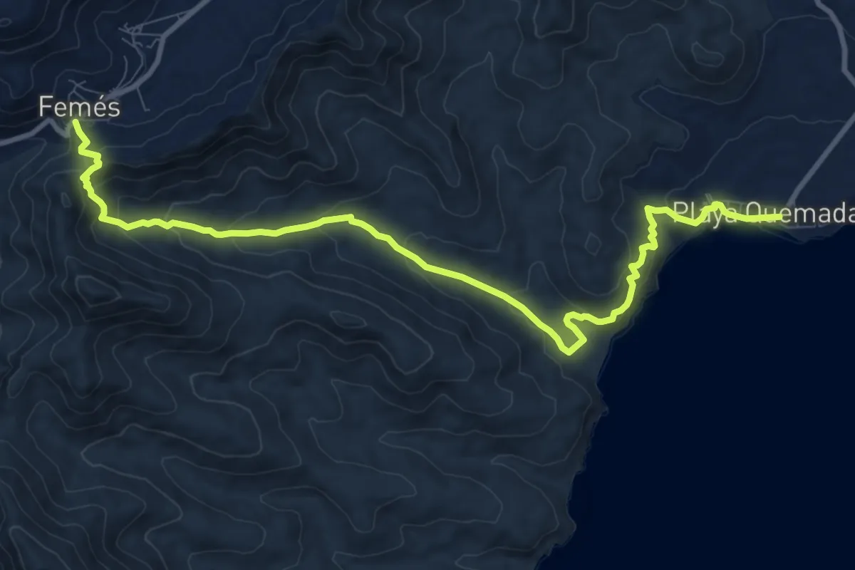
Medium · Trail
Femés – Playa Quemada
14.0 km · ↑ 576 m · 4 h 34 min
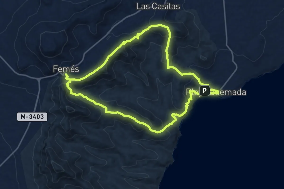
Medium · Summit
Femés – Femes
14.6 km · ↑ 671 m · 5 h 6 min
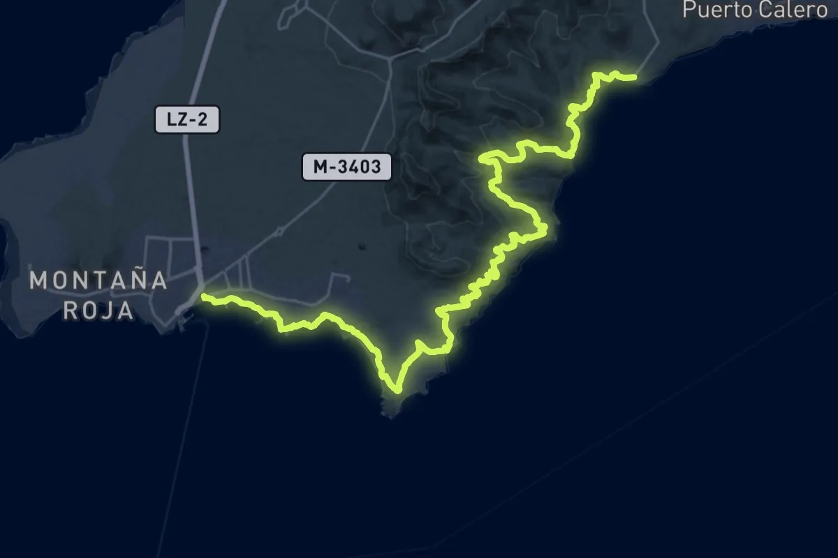
Demanding · Trail
Playa Quemada – Playa Blanca
23.7 km · ↑ 555 m · 7 h 7 min
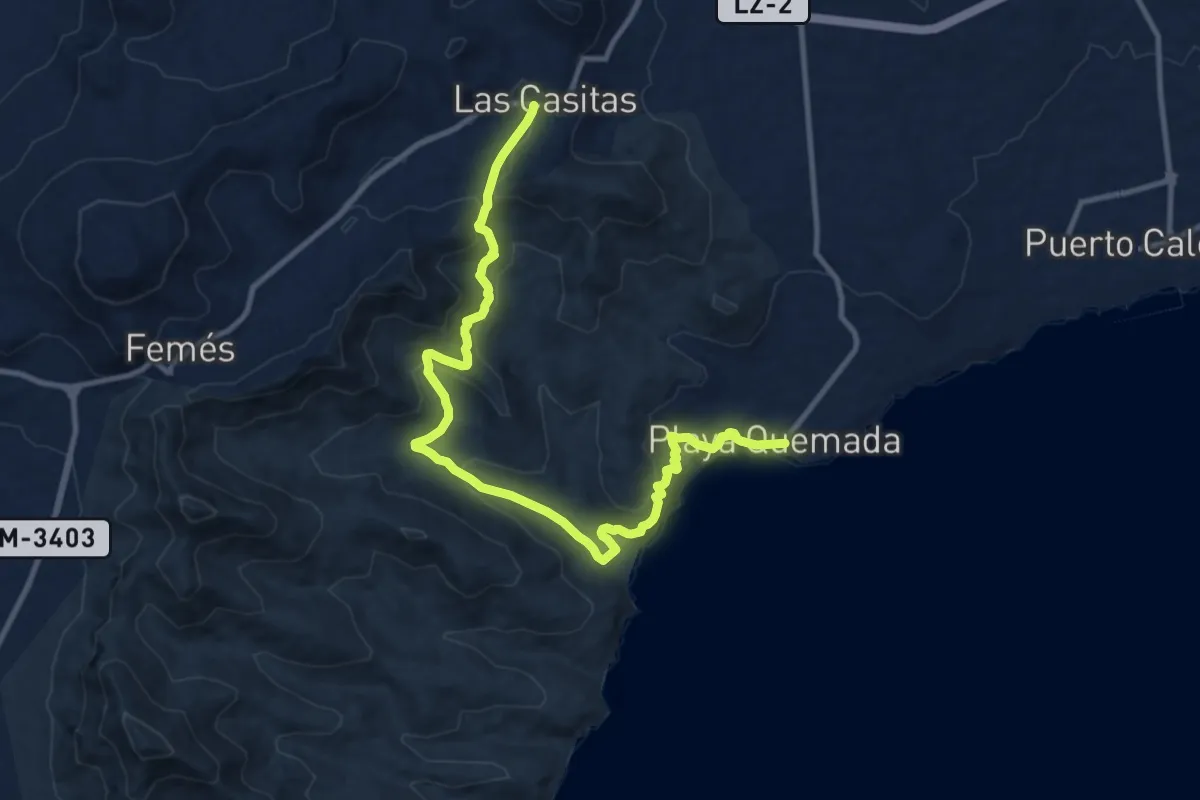
Medium · Trail
Las Casitas – Playa Quemada
15.9 km · ↑ 533 m · 4 h 55 min
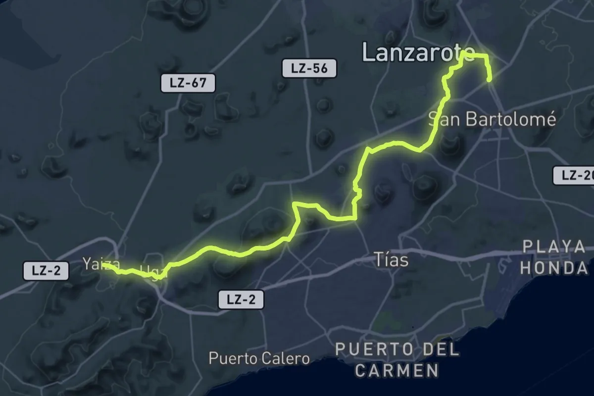
Demanding · Trail
Mozaga – Yaiza
23.2 km · ↑ 300 m · 6 h 30 min
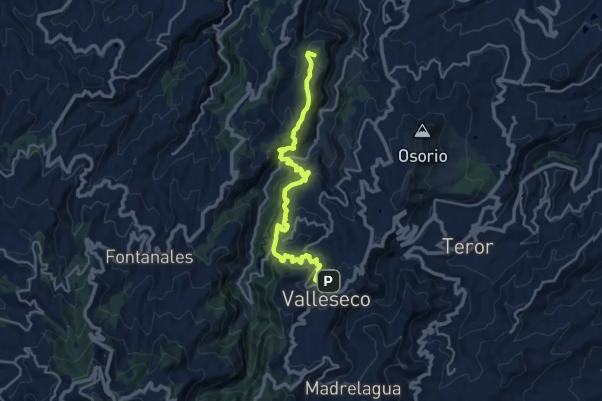
Demanding · Summit
Valleseco – Moya
15.6 km · ↑ 1193 m · 6 h 17 min
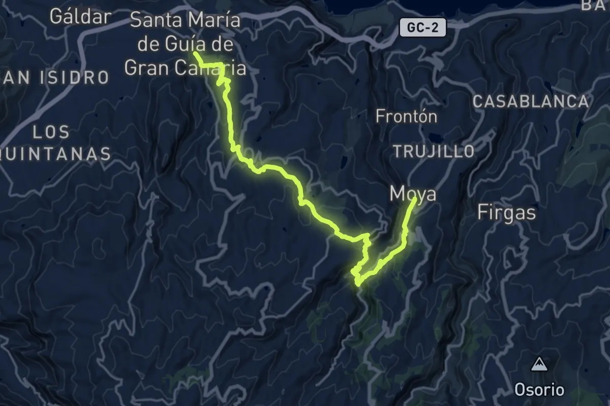
Medium · Trail
Santa Maria de Guia – Moya
11.6 km · ↑ 729 m · 4 h 20 min
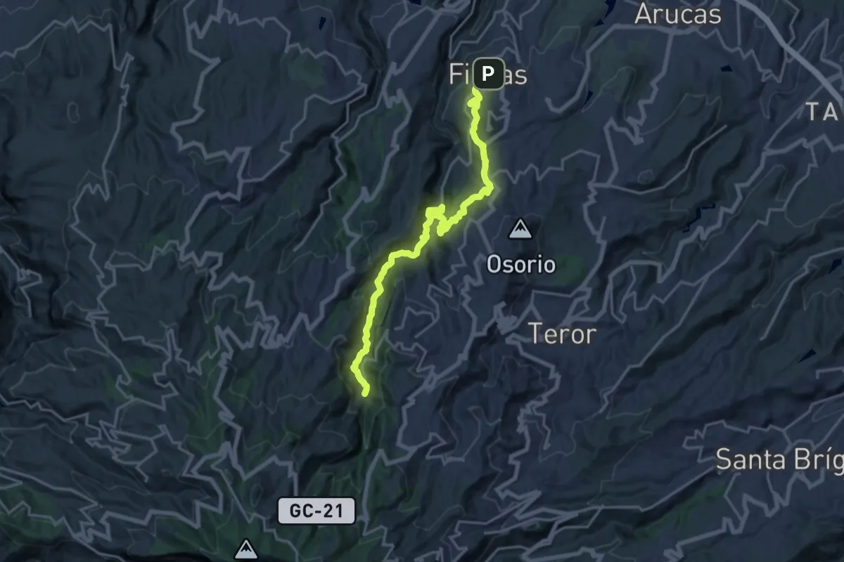
Demanding · Trail
Valsandero – Firgas
21.7 km · ↑ 907 m · 7 h 5 min
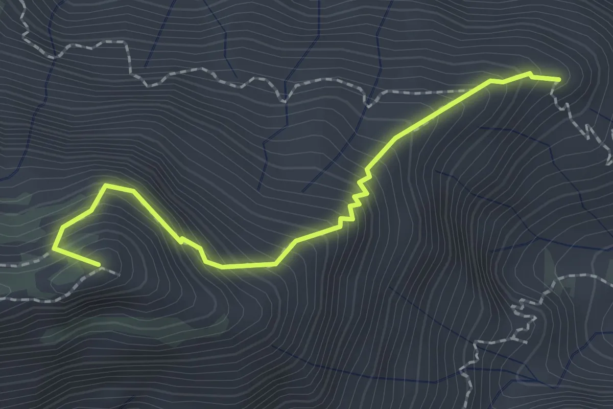
Demanding · Summit
Chamorga – Faro de Punta Anaga
2.6 km · ↑ 358 m · 1 h 24 min
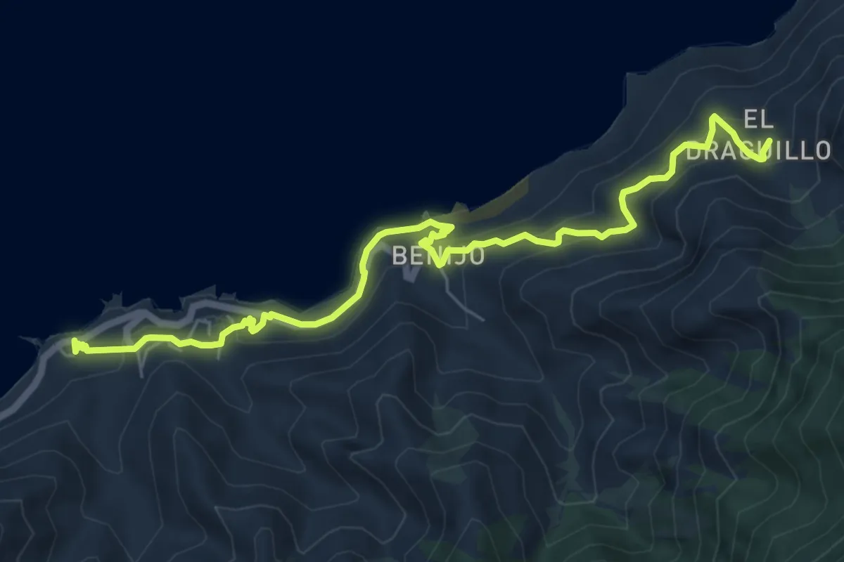
Medium · Trail
Playa del Roque – El Draguillo
8.7 km · ↑ 608 m · 3 h 22 min
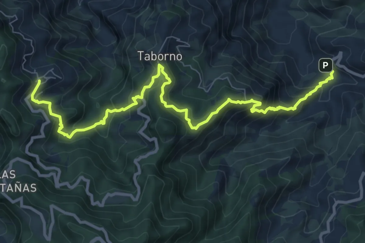
Demanding · Trail
Afur – Las Carboneras
11.3 km · ↑ 935 m · 4 h 42 min
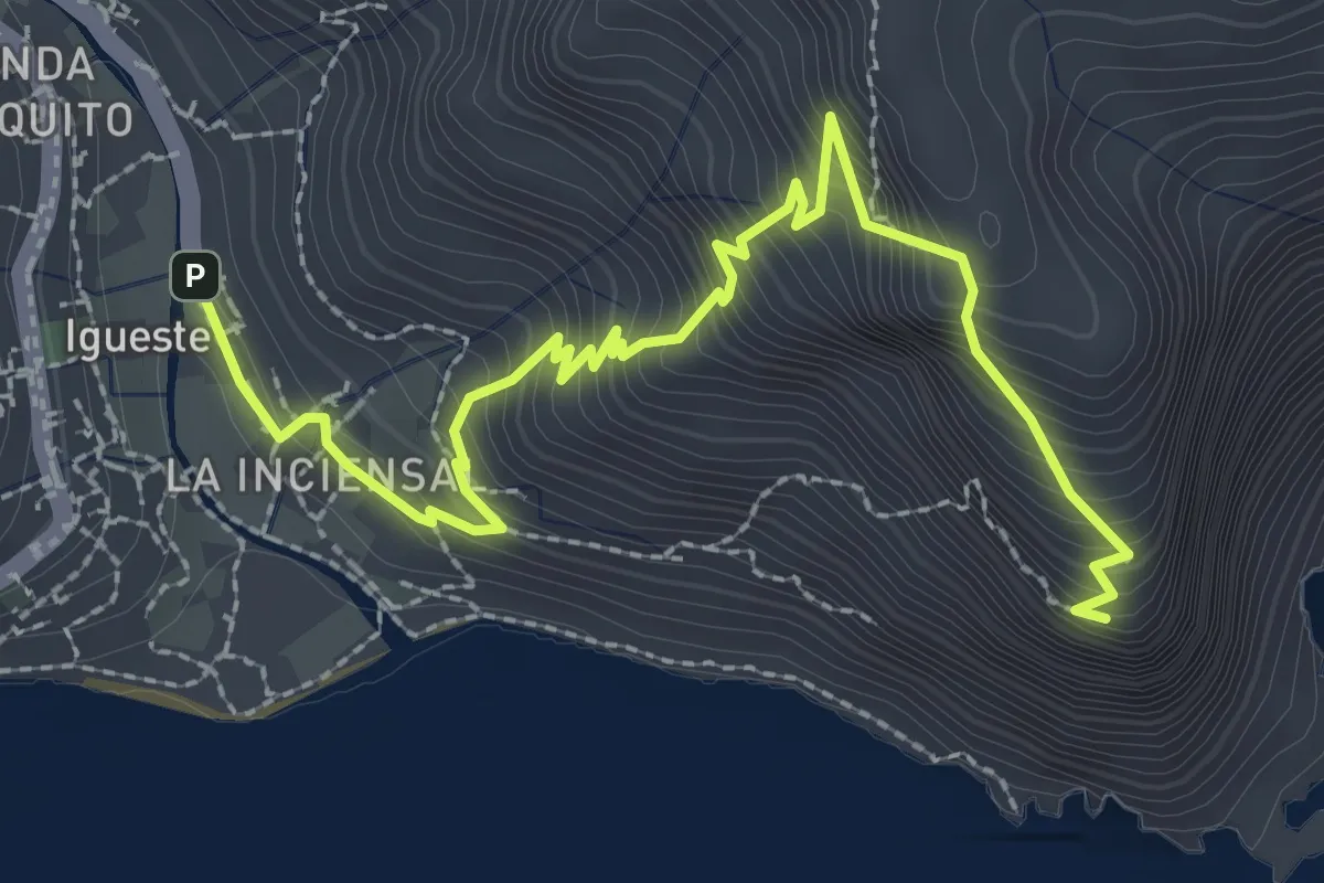
Medium · Trail
Igueste de San Andrés – El Semáforo
4.1 km · ↑ 487 m · 2 h 1 min
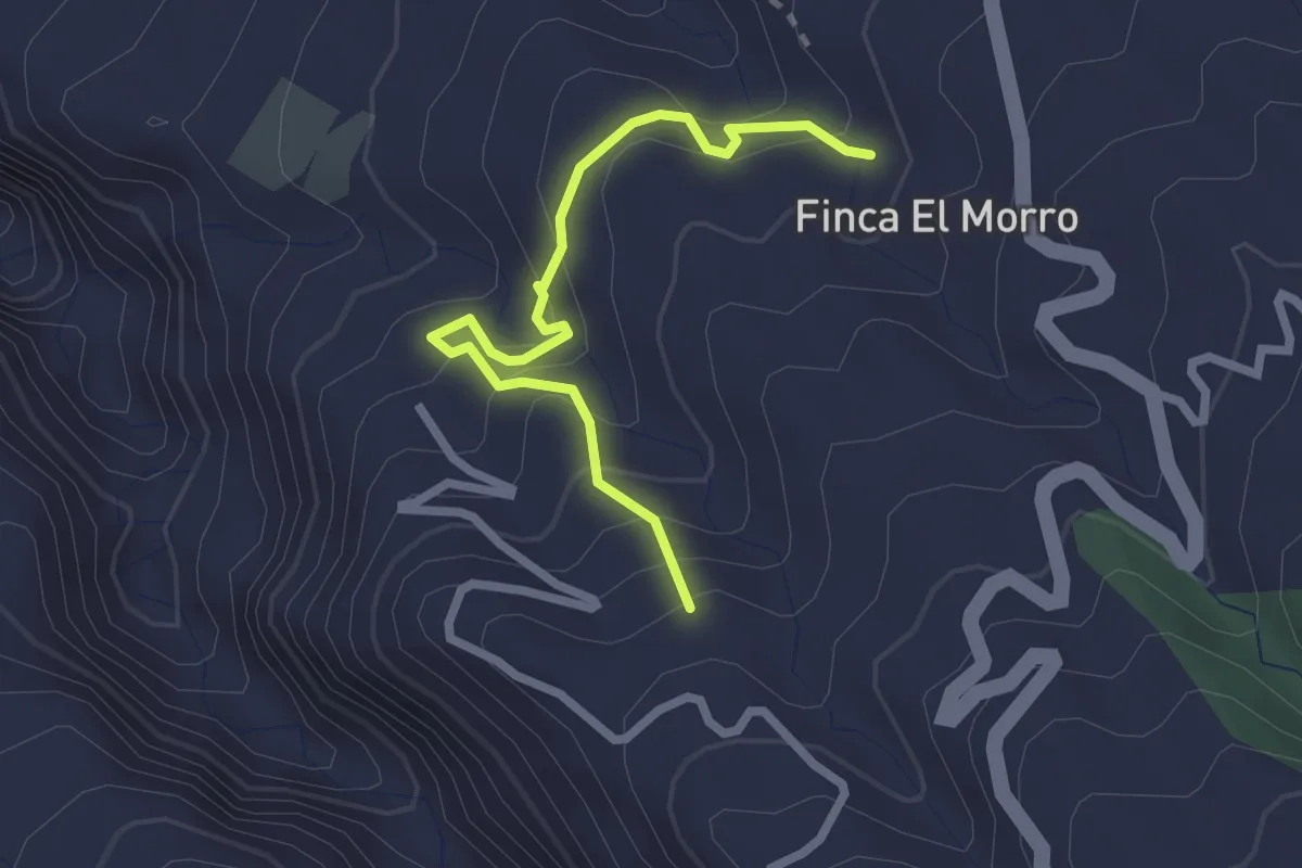
Easy · Trail
Las Tricias – Nach Wanderweg GR 130
3.1 km · ↑ 263 m · 1 h 18 min
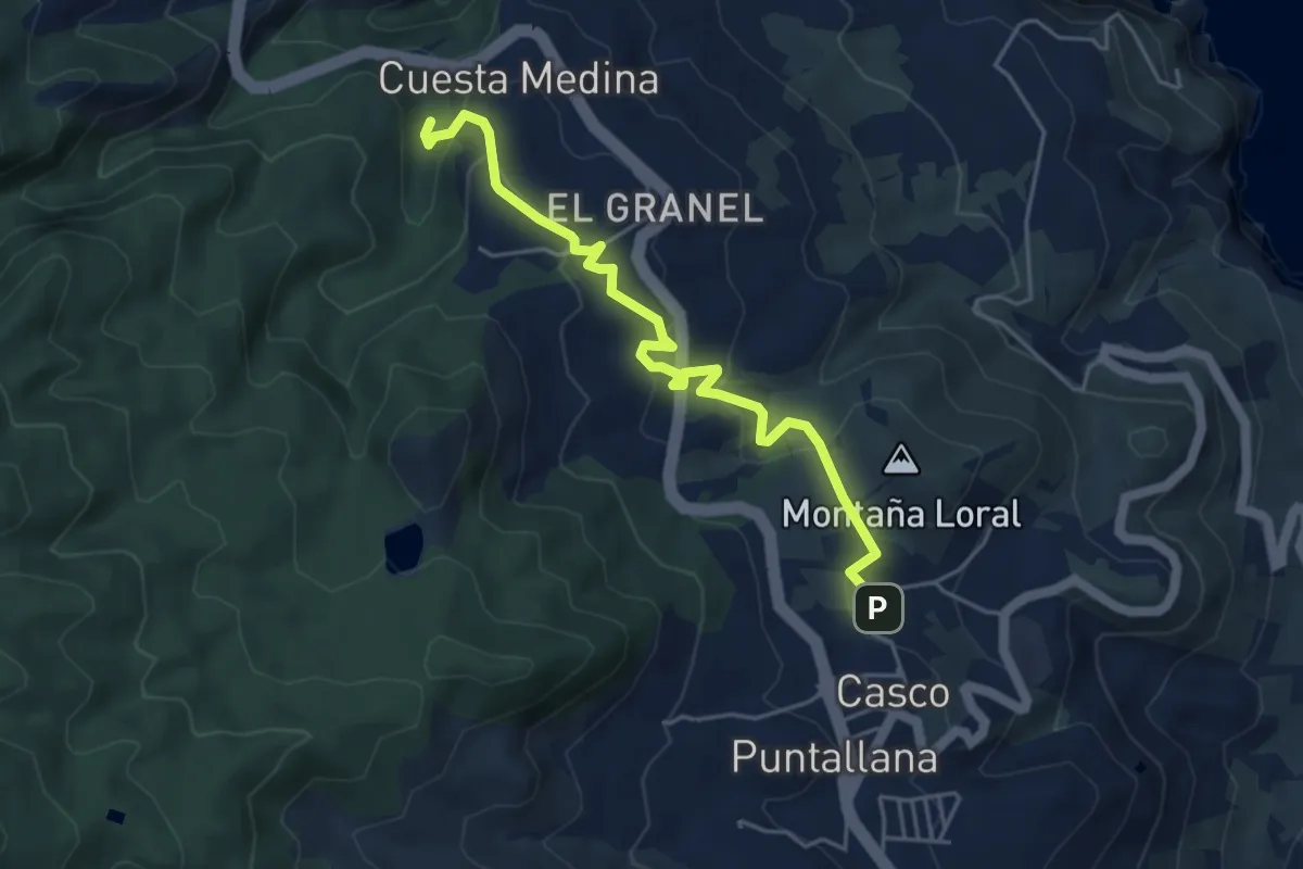
Medium · Trail
Puntallana – Fuente de Cortcho
6.2 km · ↑ 334 m · 2 h 11 min
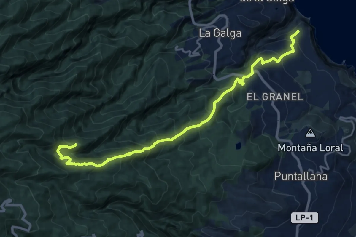
Demanding · Trail
Cruz de Nogales – Wanderweg PR LP 5
15.9 km · ↑ 1514 m · 7 h 2 min
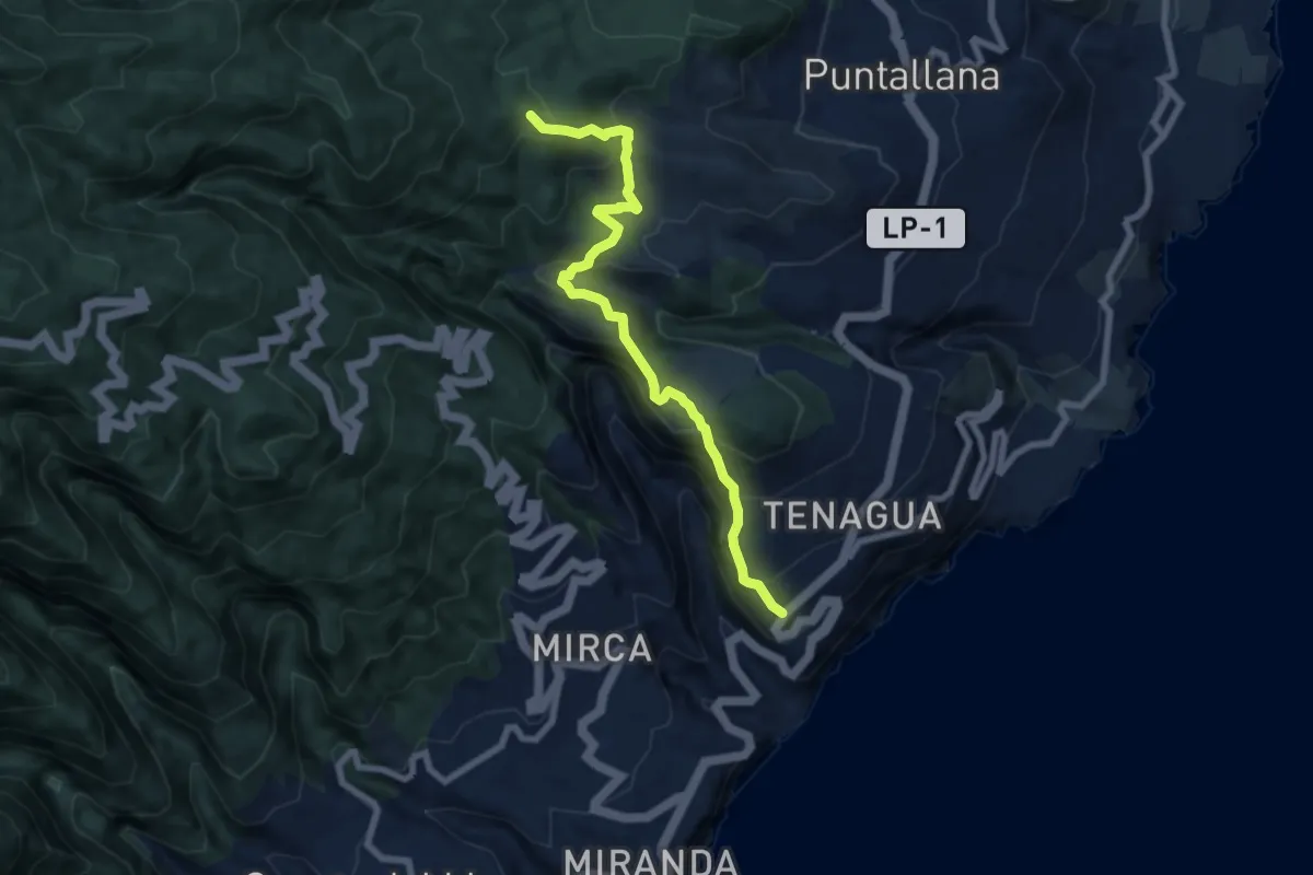
Medium · Trail
Tenagua – Wanderweg PR LP 4
9.2 km · ↑ 715 m · 3 h 43 min
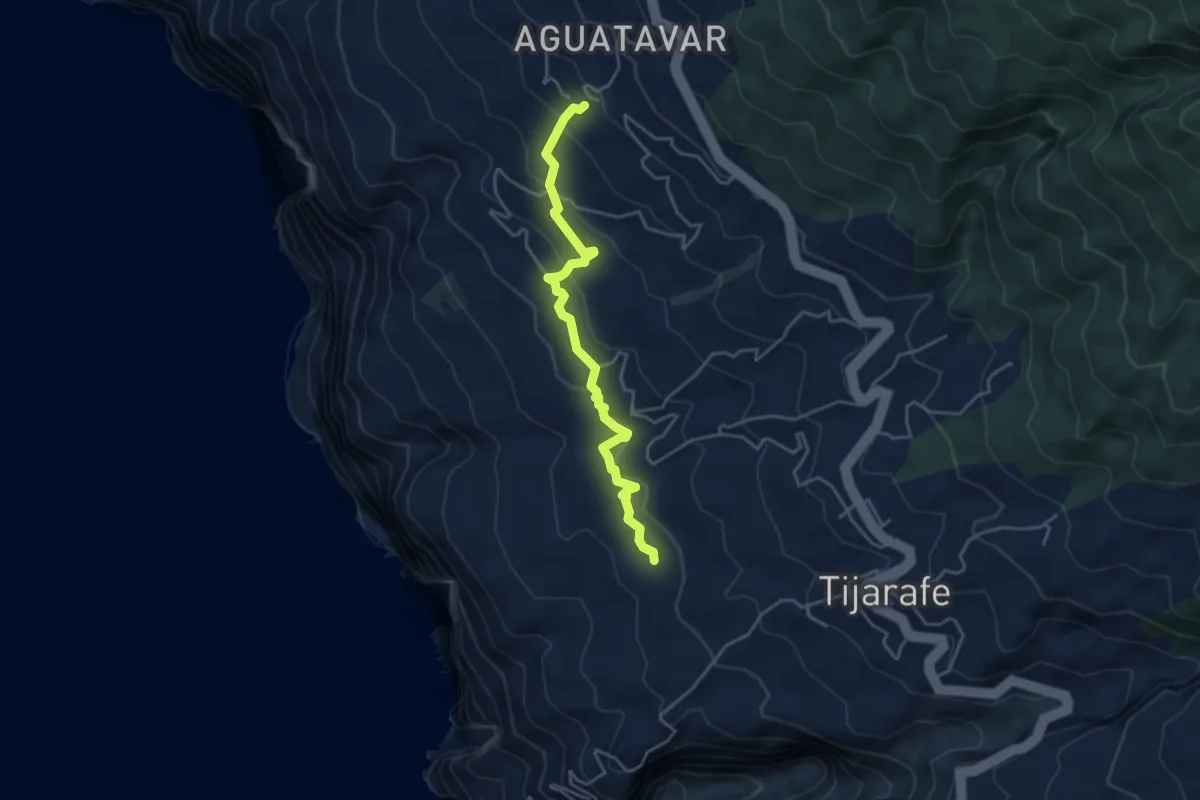
Easy · Trail
Wanderweg GR130 – Wanderweg PR LP 12.2
5.3 km · ↑ 281 m · 1 h 52 min
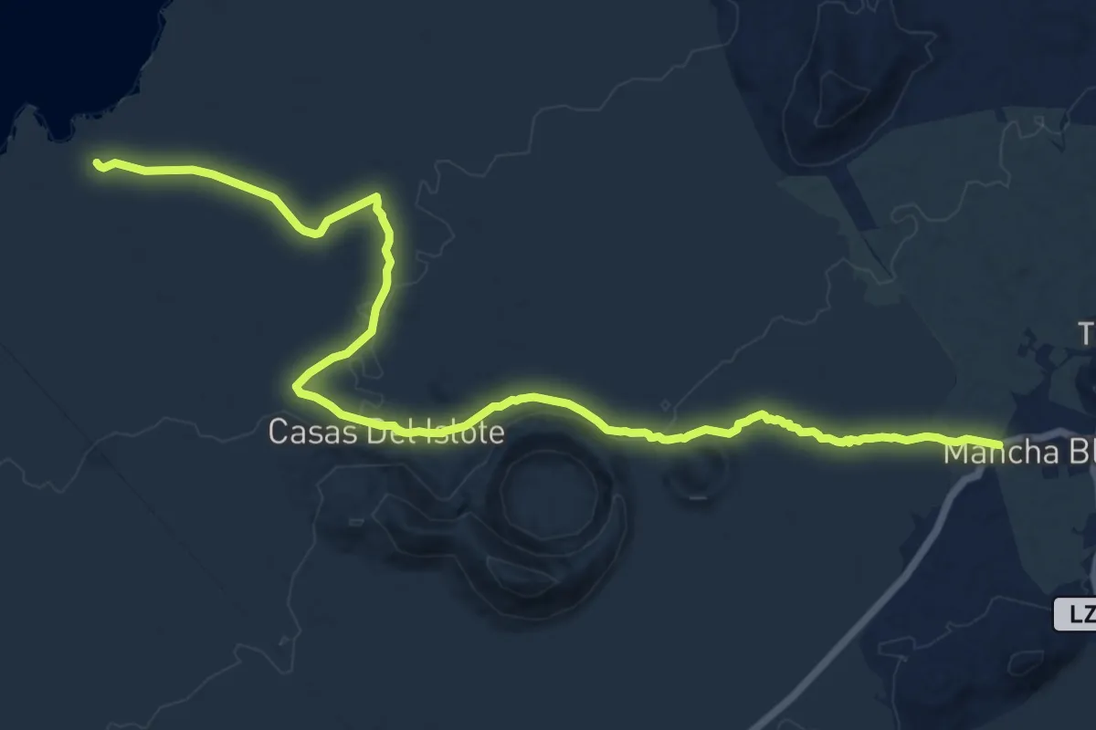
Demanding · Trail
Mancha Blanca – Playa de las Malvas
20.0 km · ↑ 310 m · 5 h 23 min
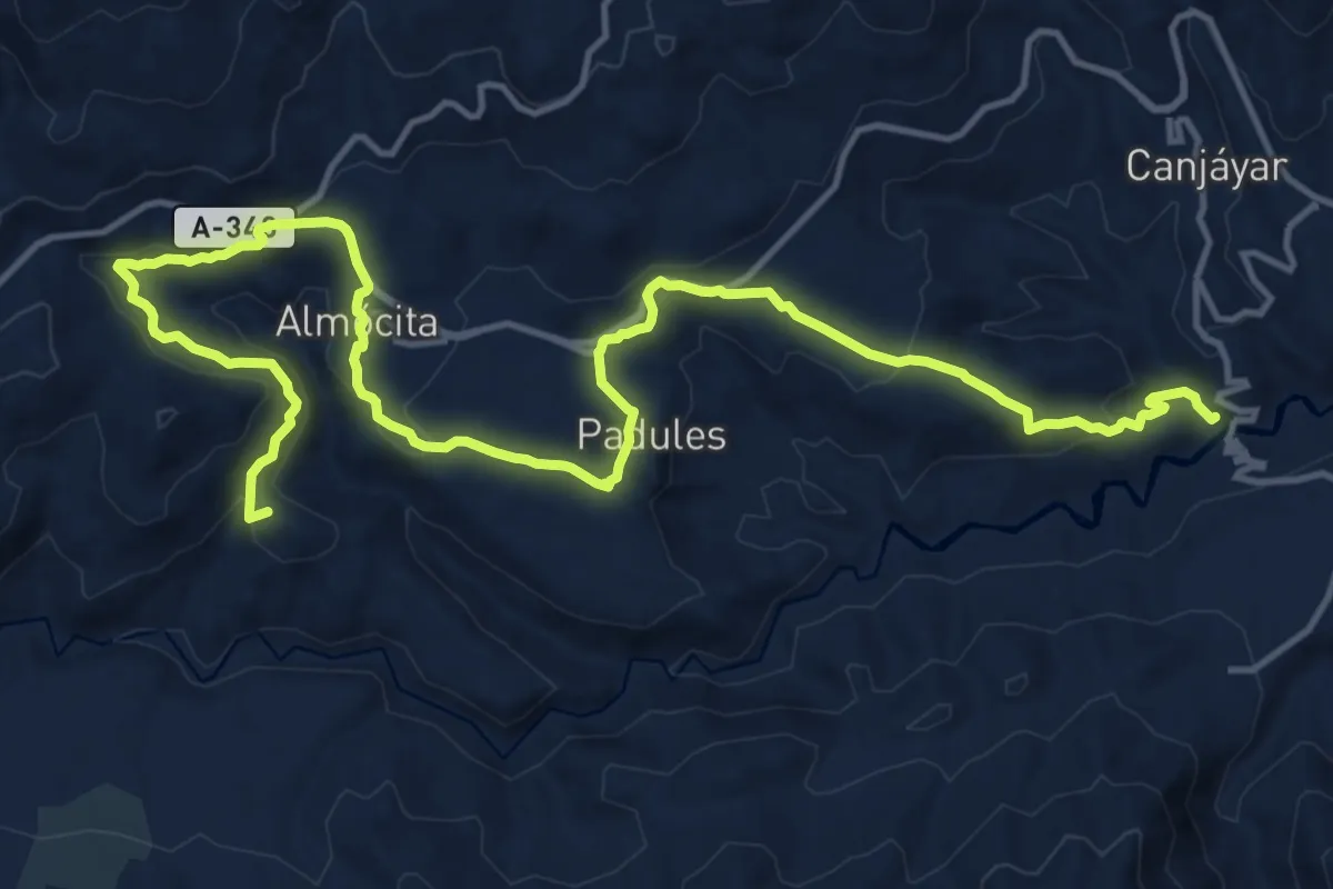
Demanding · Summit
Laujar de Andarax – Canjáyar
21.8 km · ↑ 704 m · 6 h 41 min
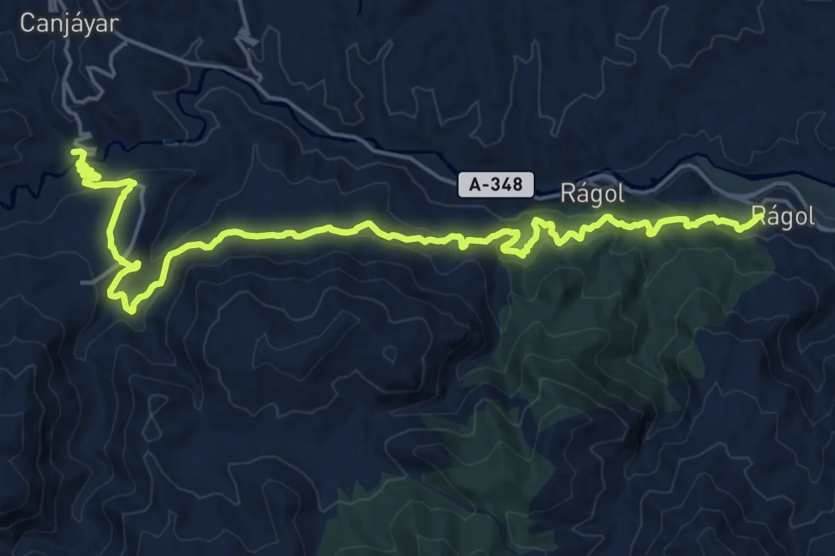
Medium · Trail
Canjayar – Instinción
12.0 km · ↑ 580 m · 4 h 18 min
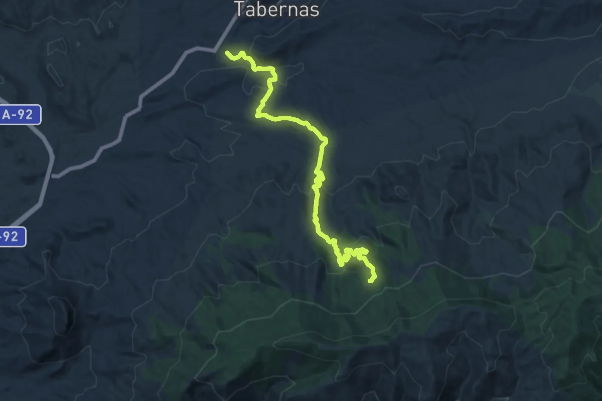
Demanding · Trail
Tabernas – Cortijo Los Góngoras
19.5 km · ↑ 705 m · 6 h 7 min
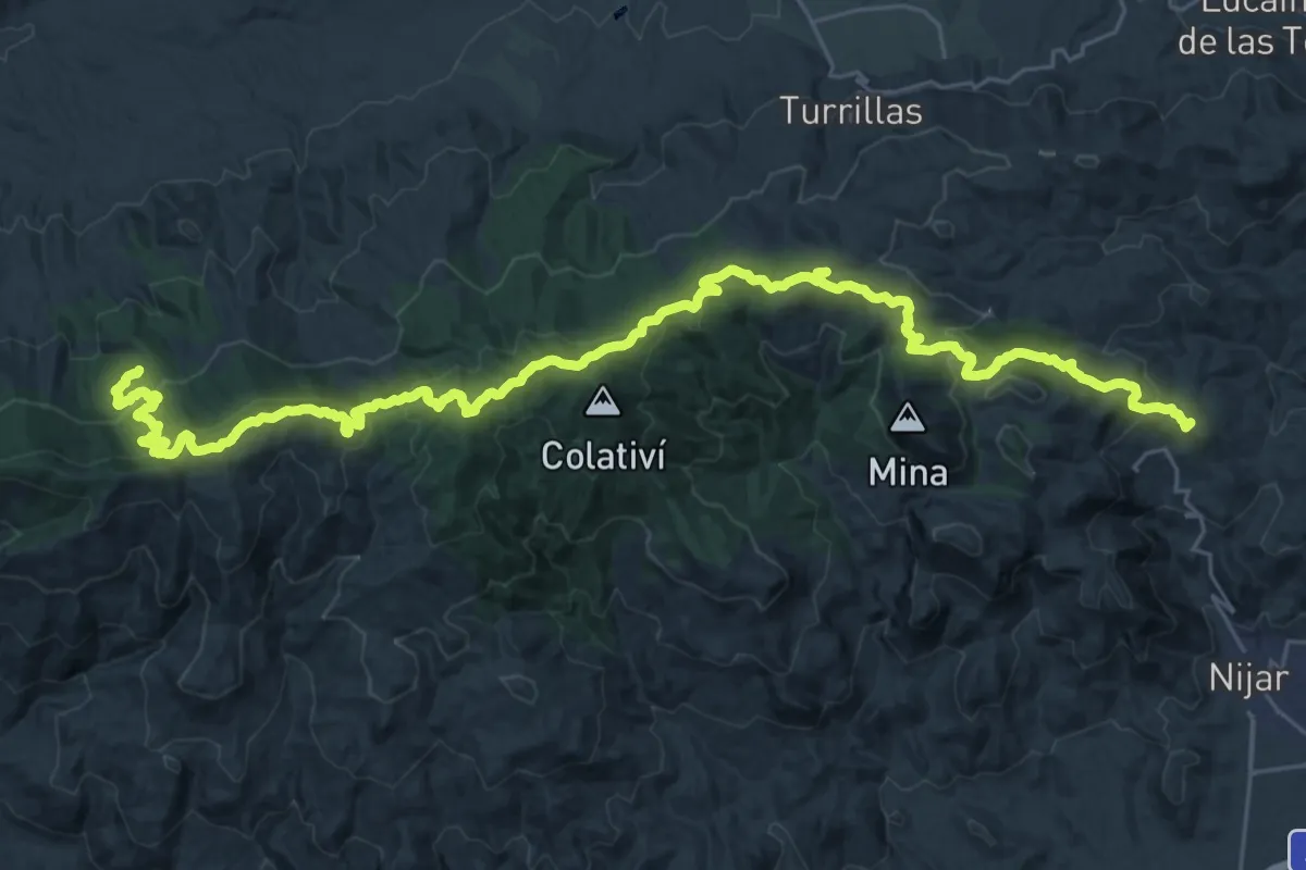
Demanding · Summit
Cortijo Los Góngoras – Níjar
44.2 km · ↑ 1965 m · 14 h 42 min
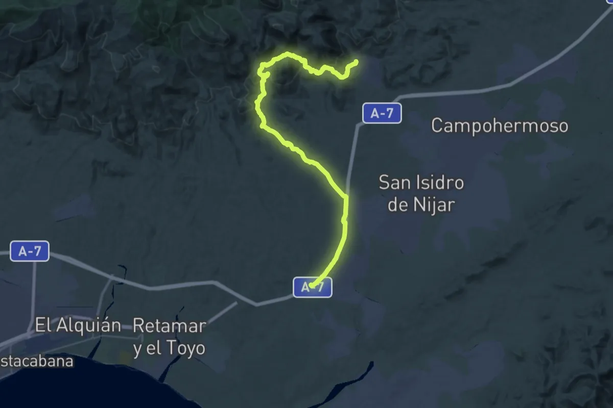
Demanding · Trail
Níjar – Área de descanso, km 21
20.9 km · ↑ 449 m · 6 h 19 min