Trails in Spain
5,960 hiking trails, each with its route, climb, walking time and grade.
All trails, page 123 of 125
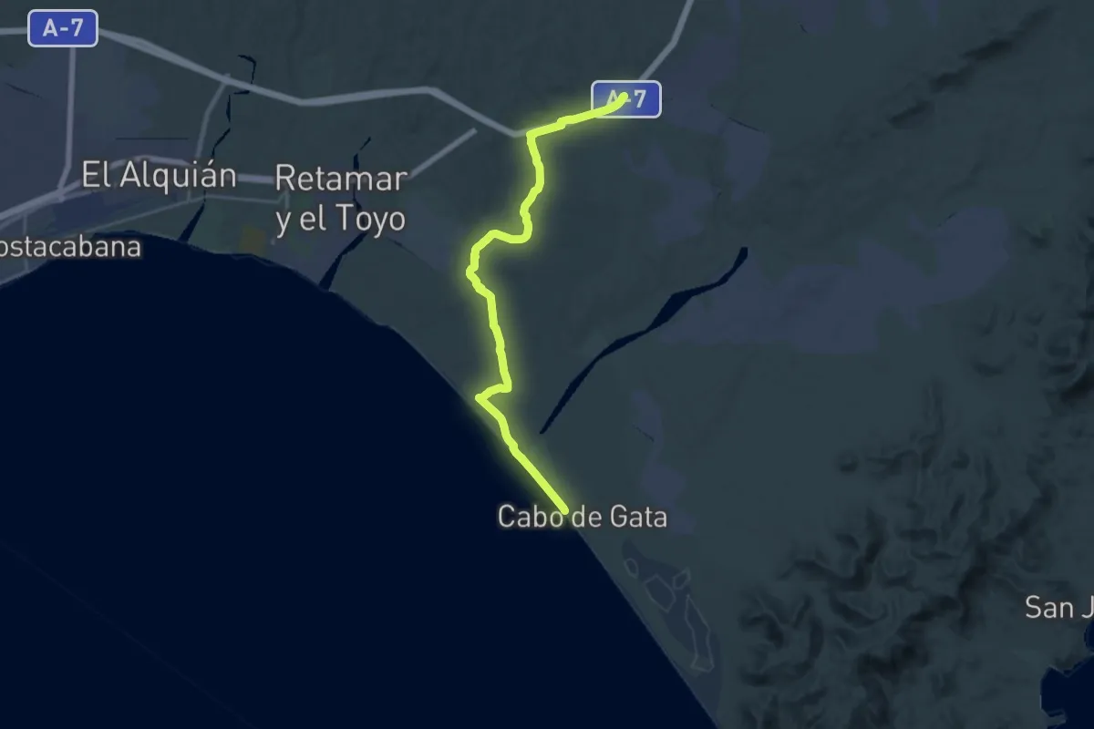
Demanding · Trail
Área de descanso, km 21 – Cabo de Gata
28.7 km · ↑ 130 m · 7 h 4 min
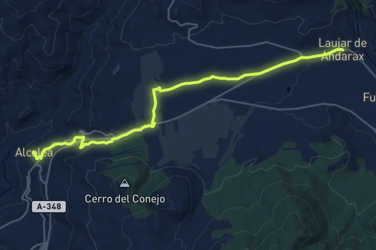
Medium · Trail
Alcolea – Laujar de Andarax
16.7 km · ↑ 277 m · 4 h 33 min
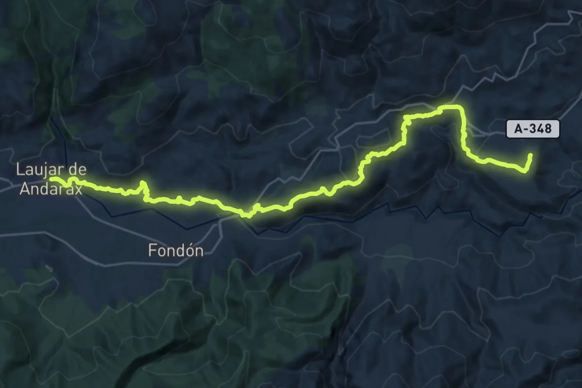
Medium · Trail
Laujar de Andarax – Padules
15.2 km · ↑ 353 m · 4 h 38 min
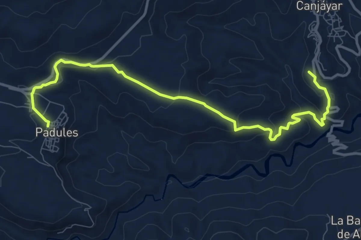
Medium · Summit
Padules – Ohanes
10.9 km · ↑ 371 m · 3 h 23 min
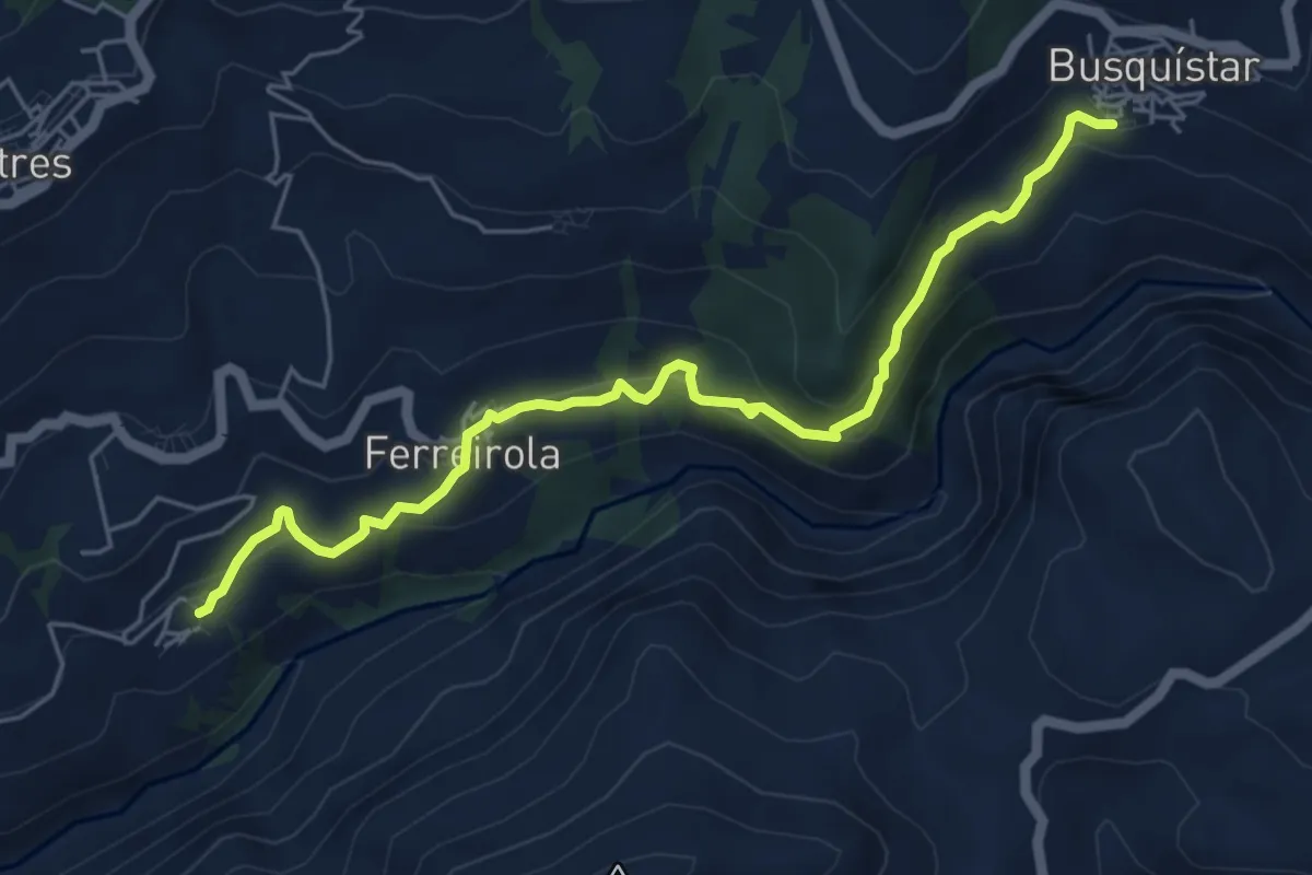
Medium · Trail
Mecina Fondales – Busquístar
6.8 km · ↑ 385 m · 2 h 26 min
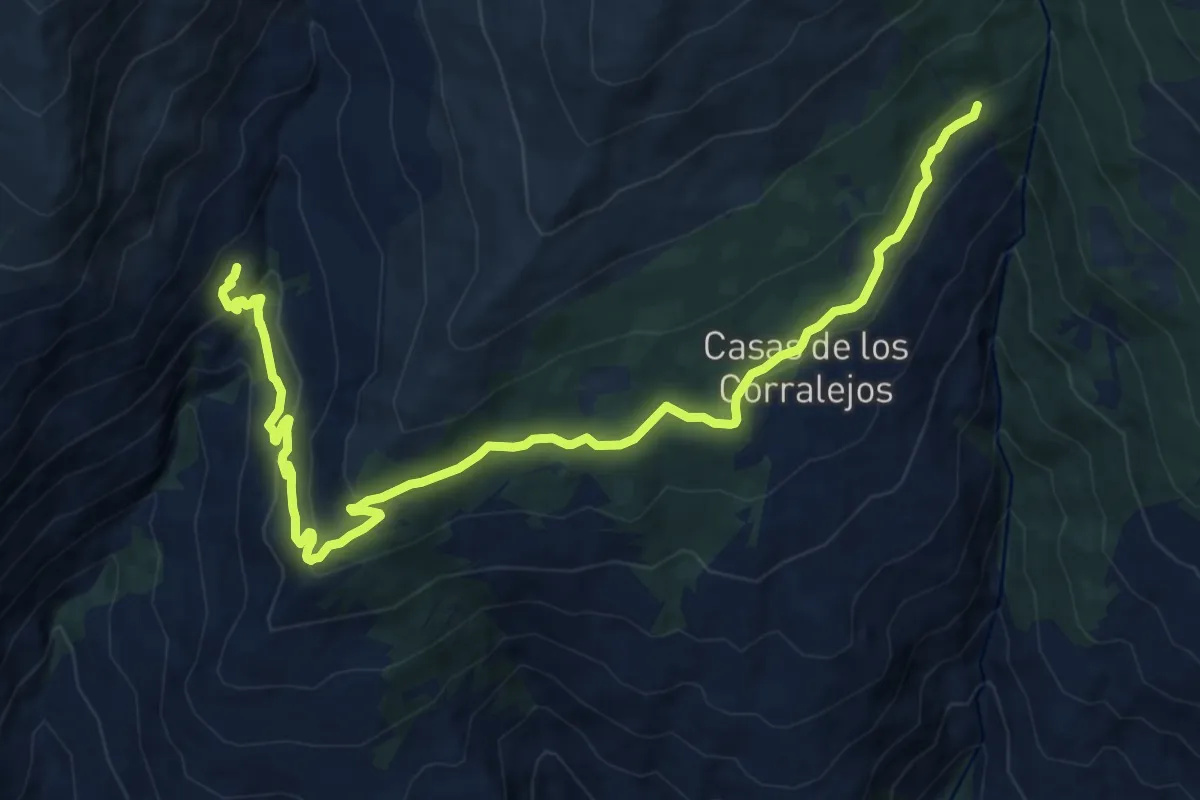
Medium · Cabin
Tello – Puente Palo
16.9 km · ↑ 619 m · 5 h 19 min
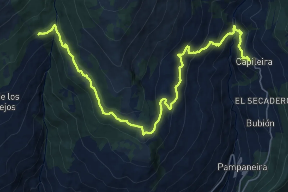
Demanding · Trail
Puente Palo – Capileira
20.7 km · ↑ 1179 m · 7 h 26 min
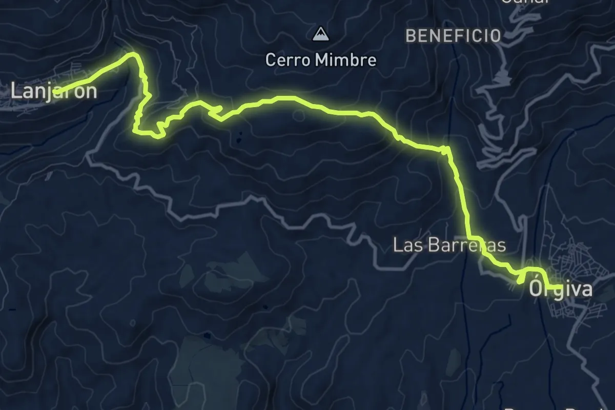
Medium · Trail
Lanjarón – Órgiva
16.3 km · ↑ 773 m · 5 h 32 min
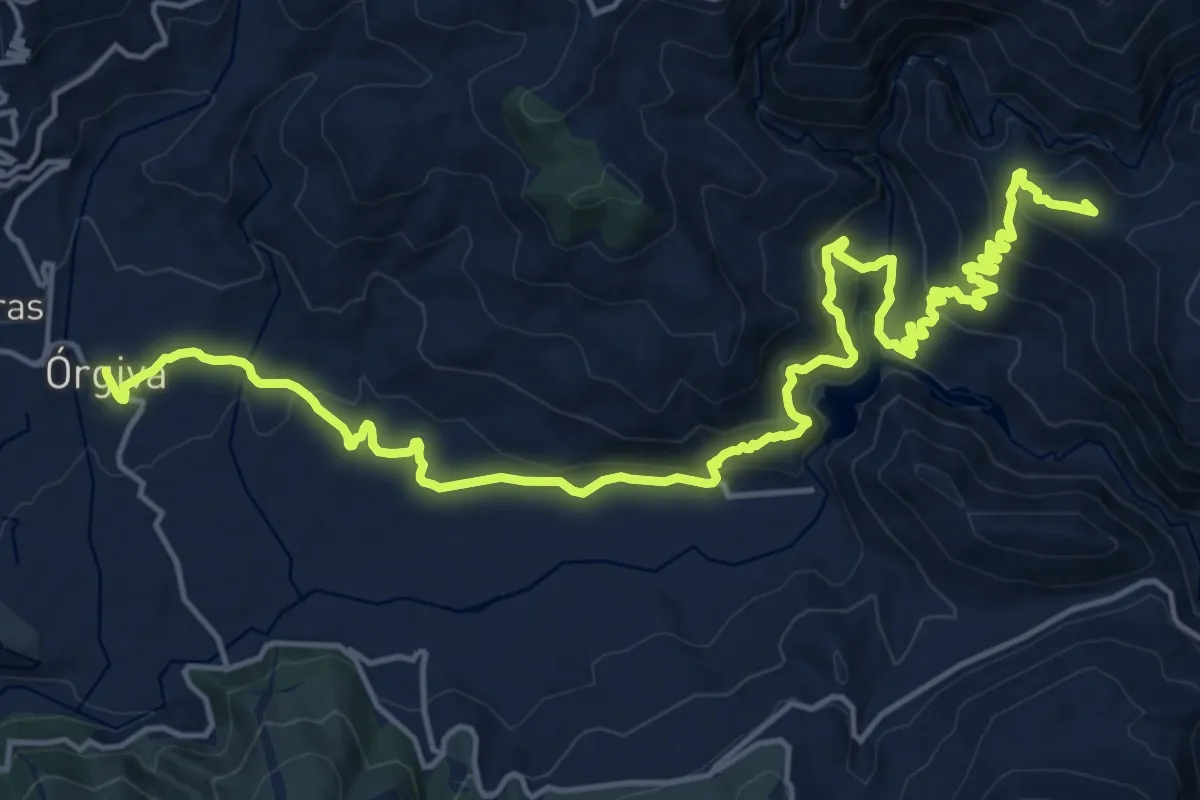
Demanding · Summit
Órgiva – Mecina Fondales
25.6 km · ↑ 1083 m · 8 h 23 min
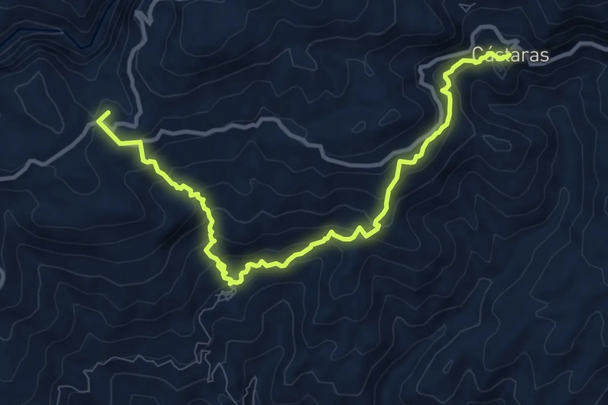
Demanding · Summit
Busquístar – Cástaras
11.5 km · ↑ 868 m · 4 h 35 min
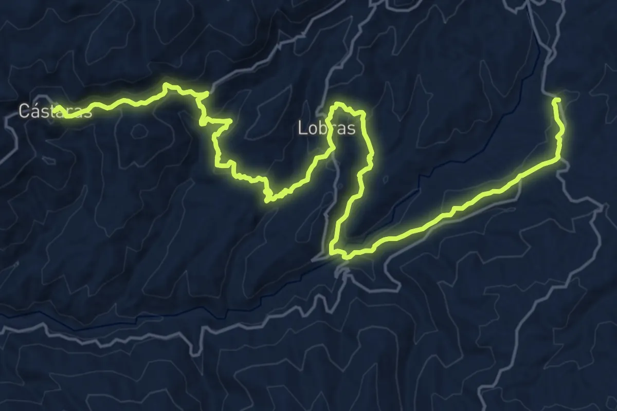
Medium · Trail
Cástaras – Cádiar
14.8 km · ↑ 580 m · 5 h 1 min
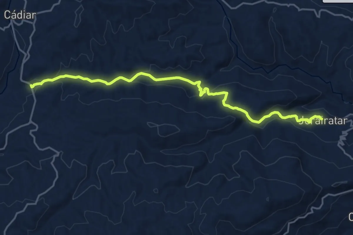
Medium · Trail
Cádiar – Jorairátar
15.6 km · ↑ 520 m · 4 h 49 min
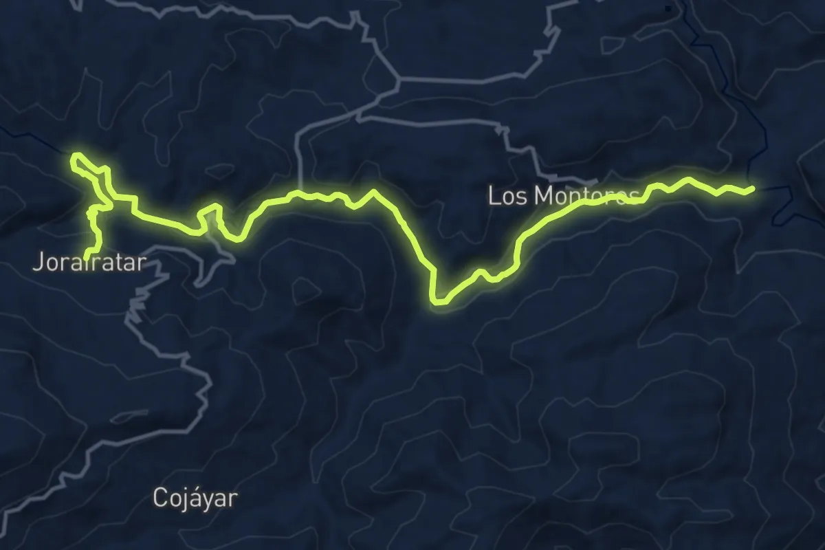
Demanding · Trail
Jorairátar – Las Canteras
19.4 km · ↑ 460 m · 5 h 35 min
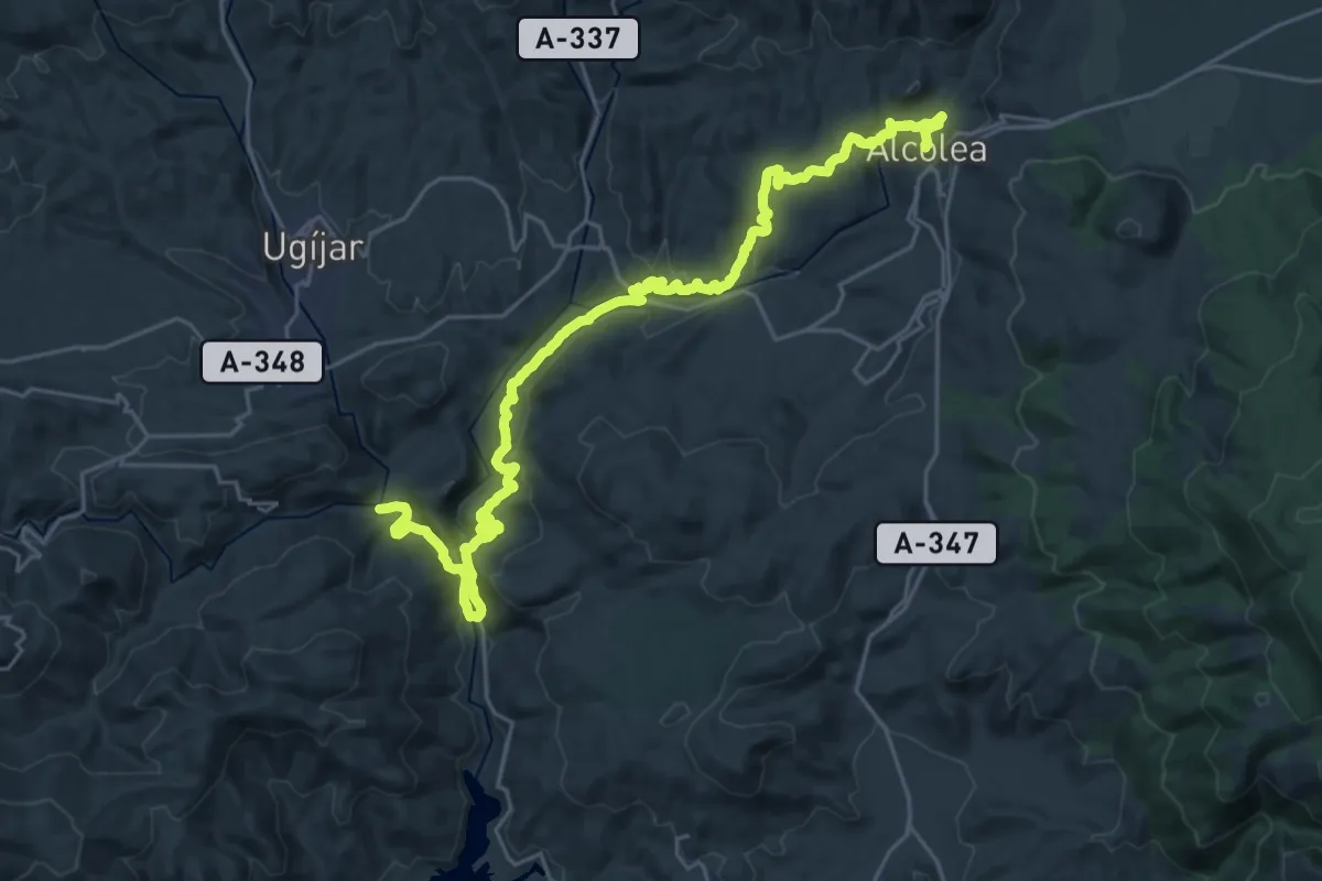
Medium · Trail
Las Canteras – Alcolea
17.7 km · ↑ 723 m · 5 h 50 min
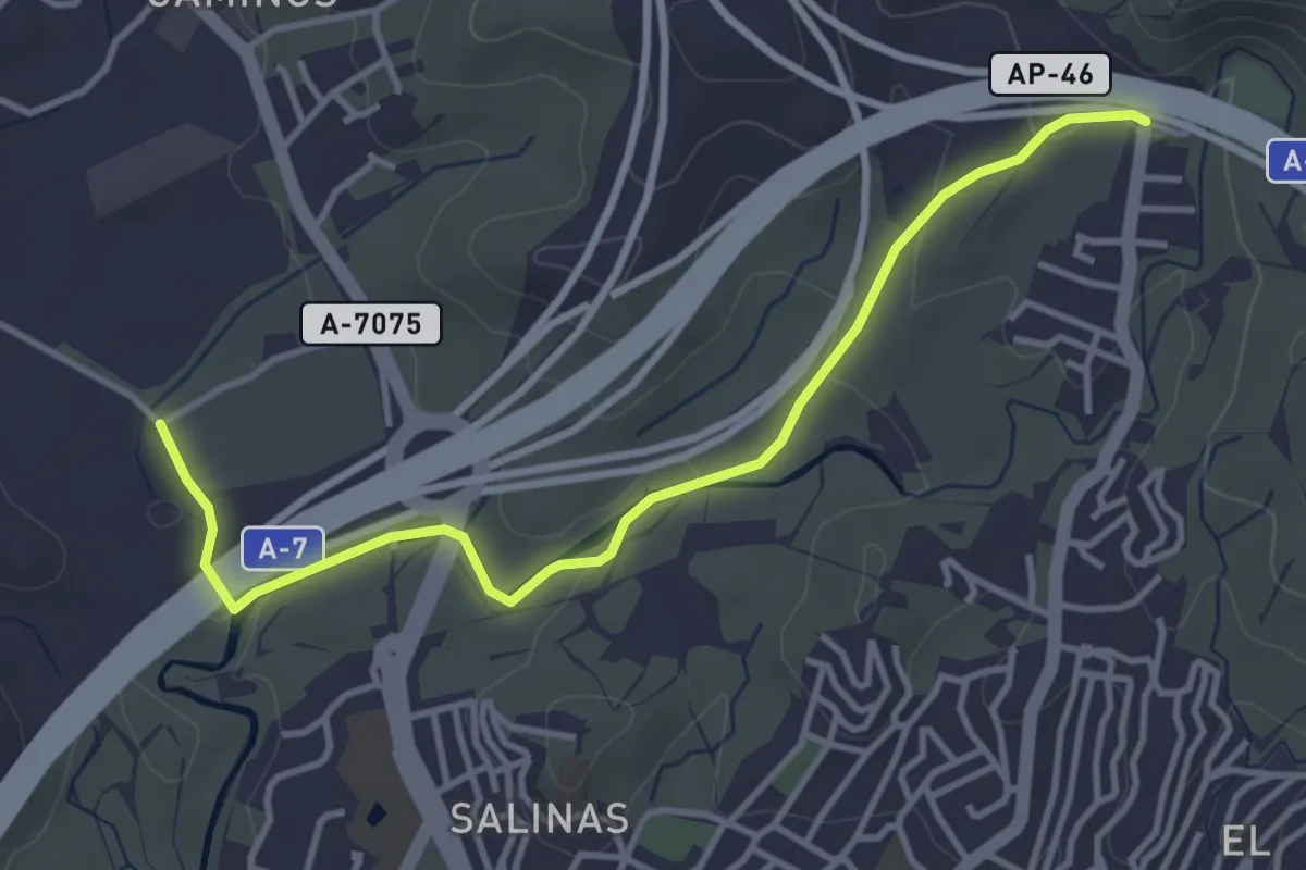
Easy · Trail
Sendero Puerto de la Torre - Campanillas – Sendero Ciudad Jardín - Puerto de la Torre
4.6 km · ↑ 86 m · 1 h 17 min
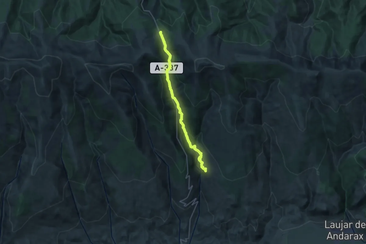
Demanding · Cabin
Puerto de la Ragua – Bayárcal
23.4 km · ↑ 1131 m · 7 h 59 min
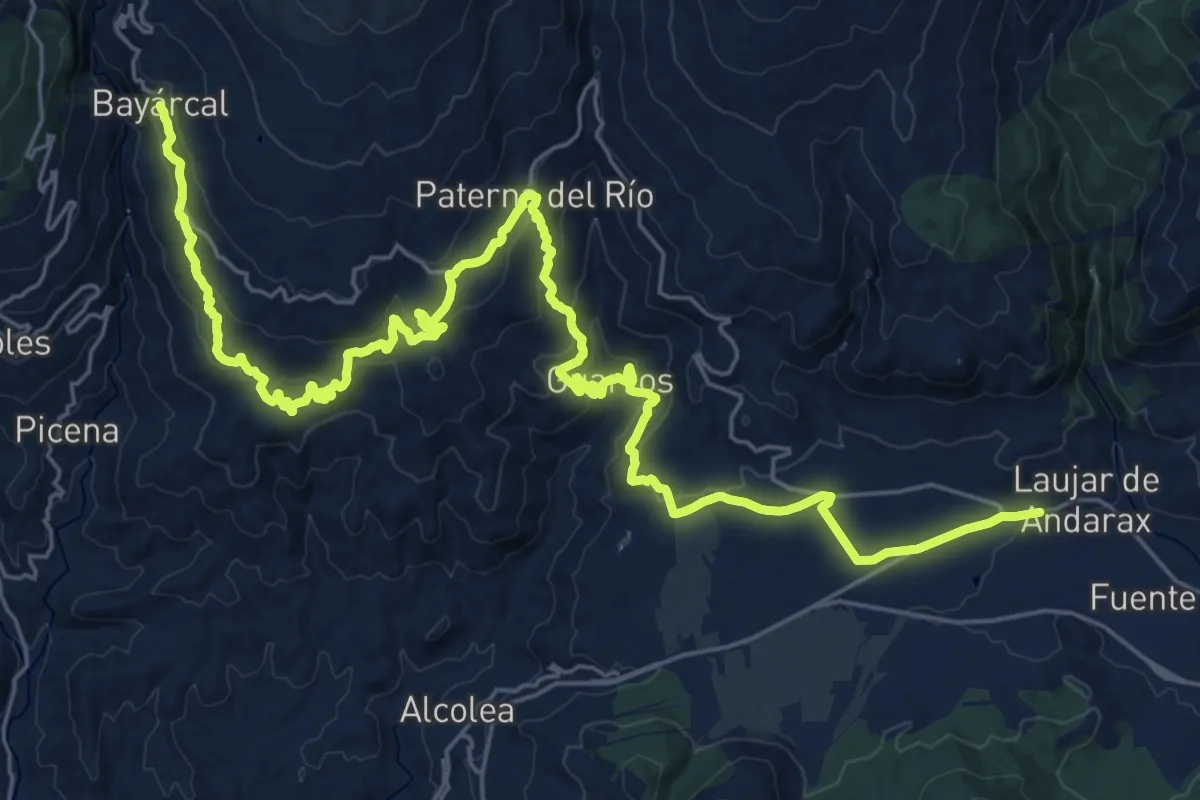
Demanding · Trail
Bayárcal – Láujar de Andarax
19.8 km · ↑ 514 m · 6 h 15 min
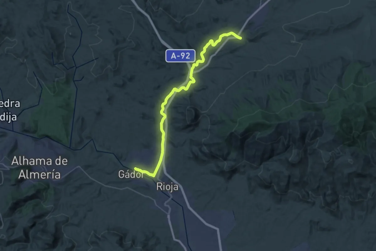
Medium · Trail
Gádor – Tabernas
17.3 km · ↑ 301 m · 4 h 54 min
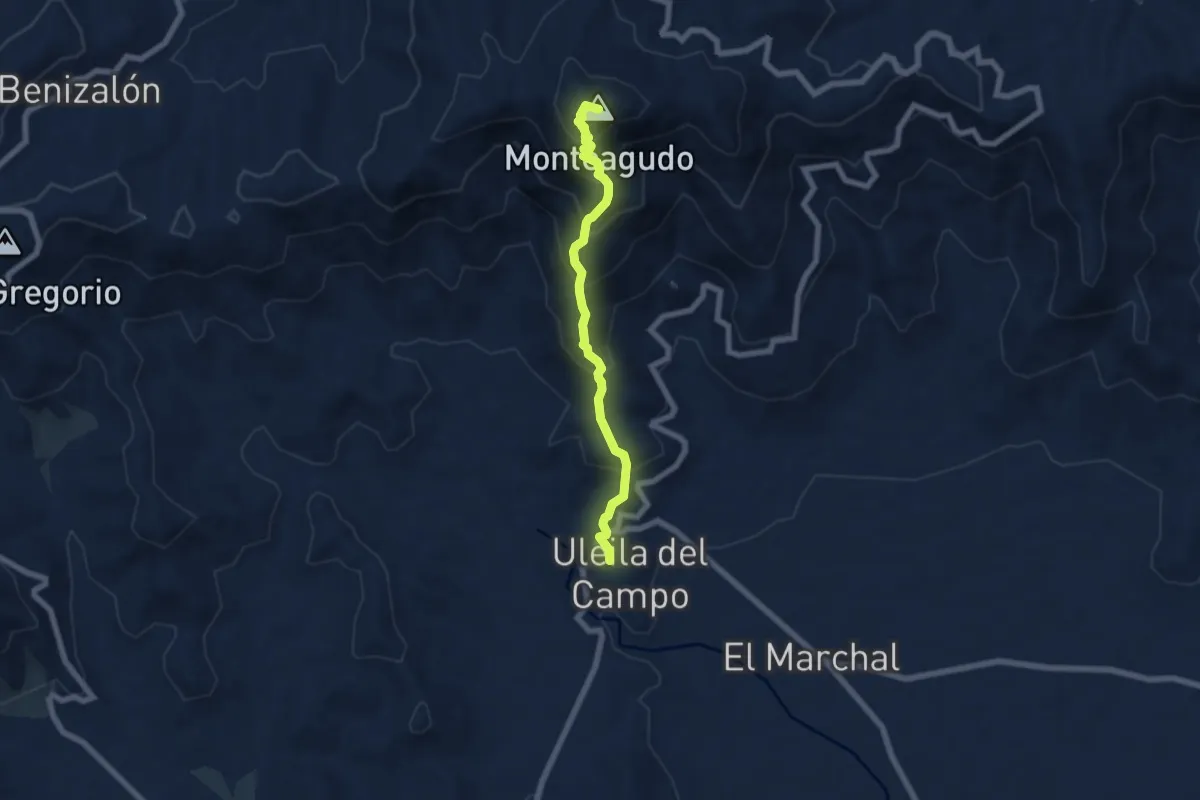
Medium · Summit
Uleila del Campo – Benizalón
7.0 km · ↑ 658 m · 3 h 4 min
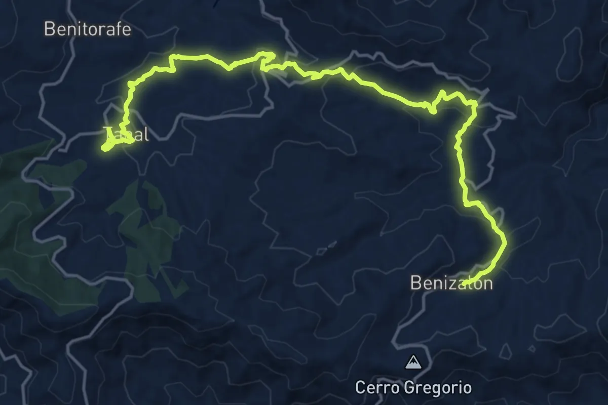
Demanding · Trail
Benizalón – Tahal
20.6 km · ↑ 732 m · 6 h 27 min
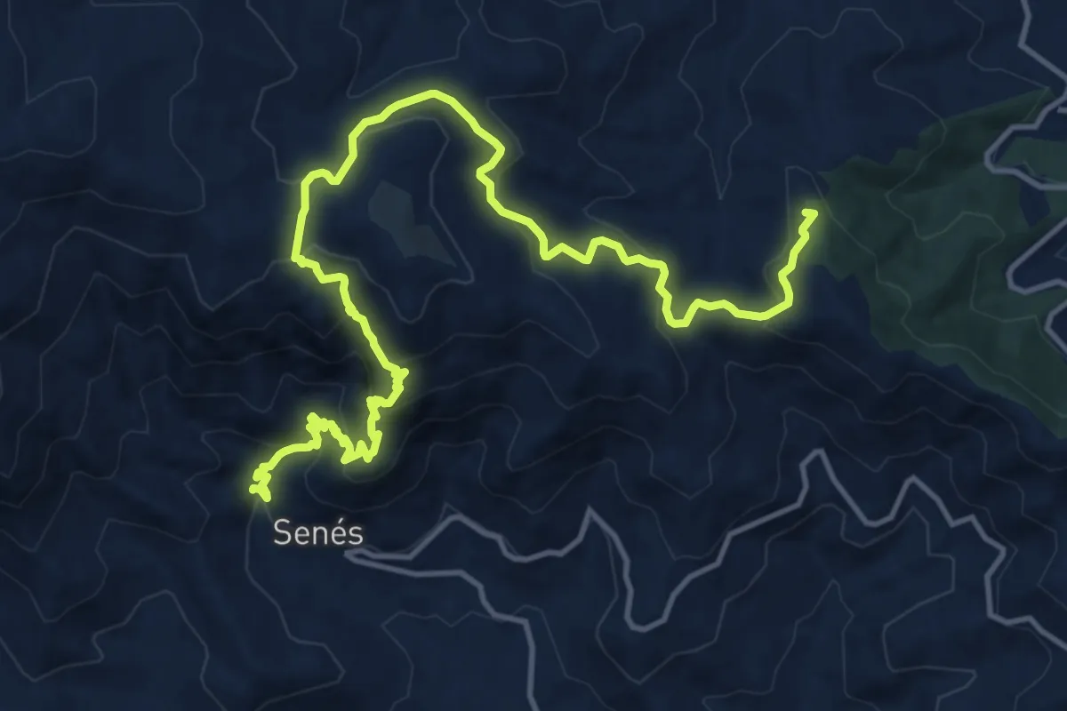
Demanding · Summit
Tahal – Senes
19.5 km · ↑ 925 m · 6 h 37 min
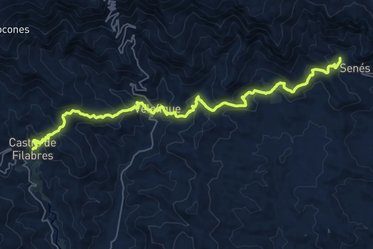
Medium · Trail
Senes – Castro de Filabres
12.8 km · ↑ 588 m · 4 h 31 min
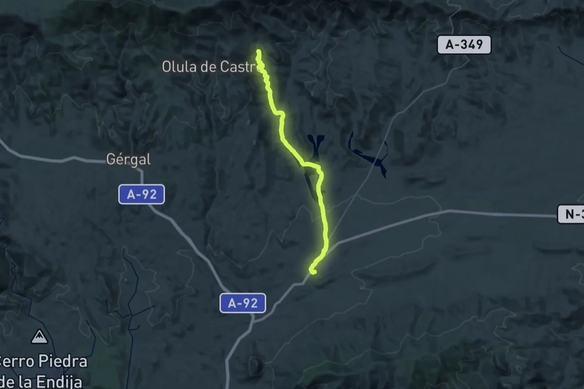
Demanding · Trail
Castro de Filabres – Tabernas
19.3 km · ↑ 65 m · 5 h 14 min
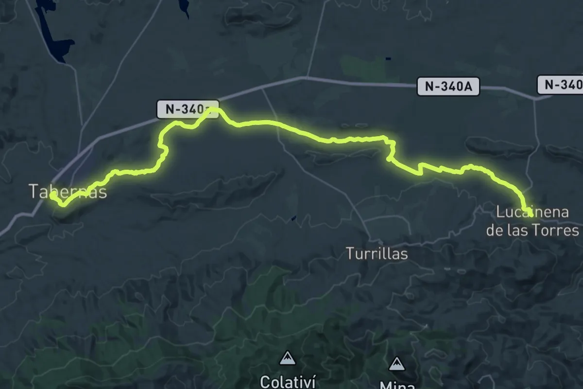
Demanding · Trail
Tabernas – Lucainena de las Torres
23.8 km · ↑ 323 m · 6 h 34 min
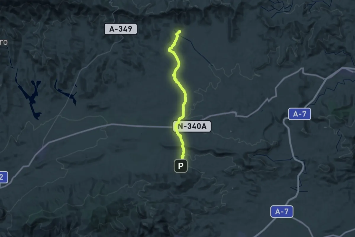
Demanding · Trail
Lucainena de las Torres – Uleila del Campo
19.7 km · ↑ 323 m · 5 h 35 min
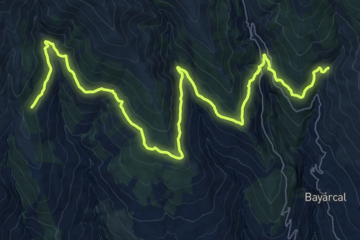
Demanding · Cabin
Fuente del Espino – Barranco Riachuelo
20.4 km · ↑ 838 m · 6 h 52 min
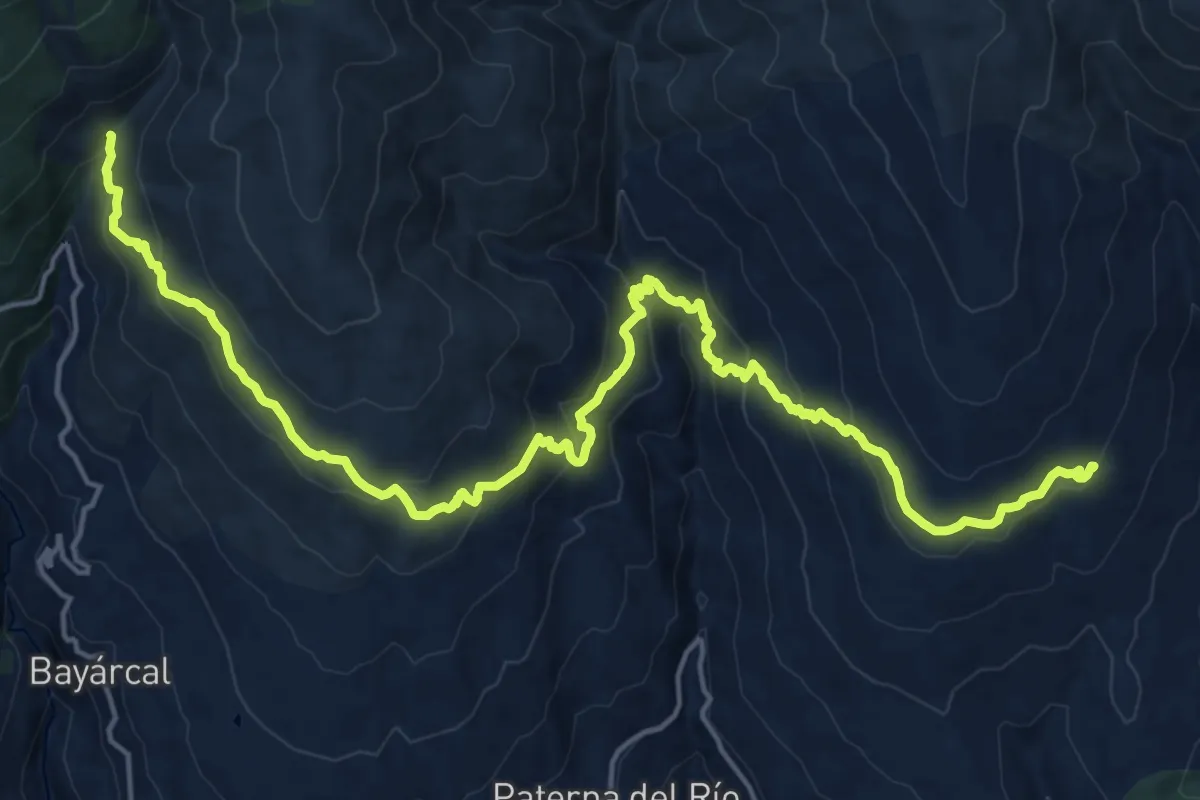
Medium · Trail
Barranco Riachuelo – El Cerecillo
13.1 km · ↑ 653 m · 4 h 42 min
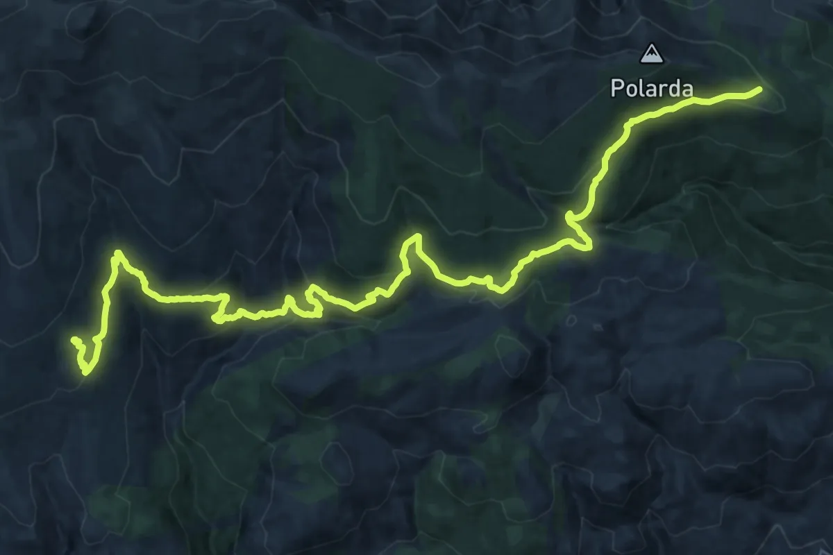
Demanding · Trail
El Cerecillo – La Polarda
19.5 km · ↑ 689 m · 6 h 31 min
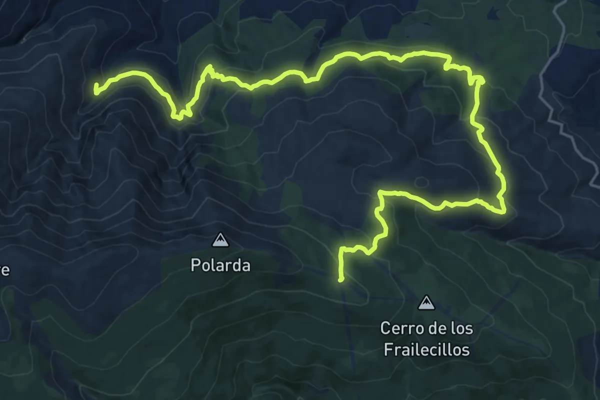
Medium · Trail
La Polarda – La Roza
13.8 km · ↑ 306 m · 4 h 27 min
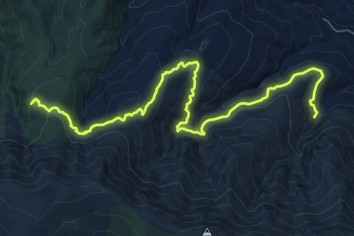
Demanding · Trail
La Roza – Piedra Negra
22.1 km · ↑ 1155 m · 7 h 43 min
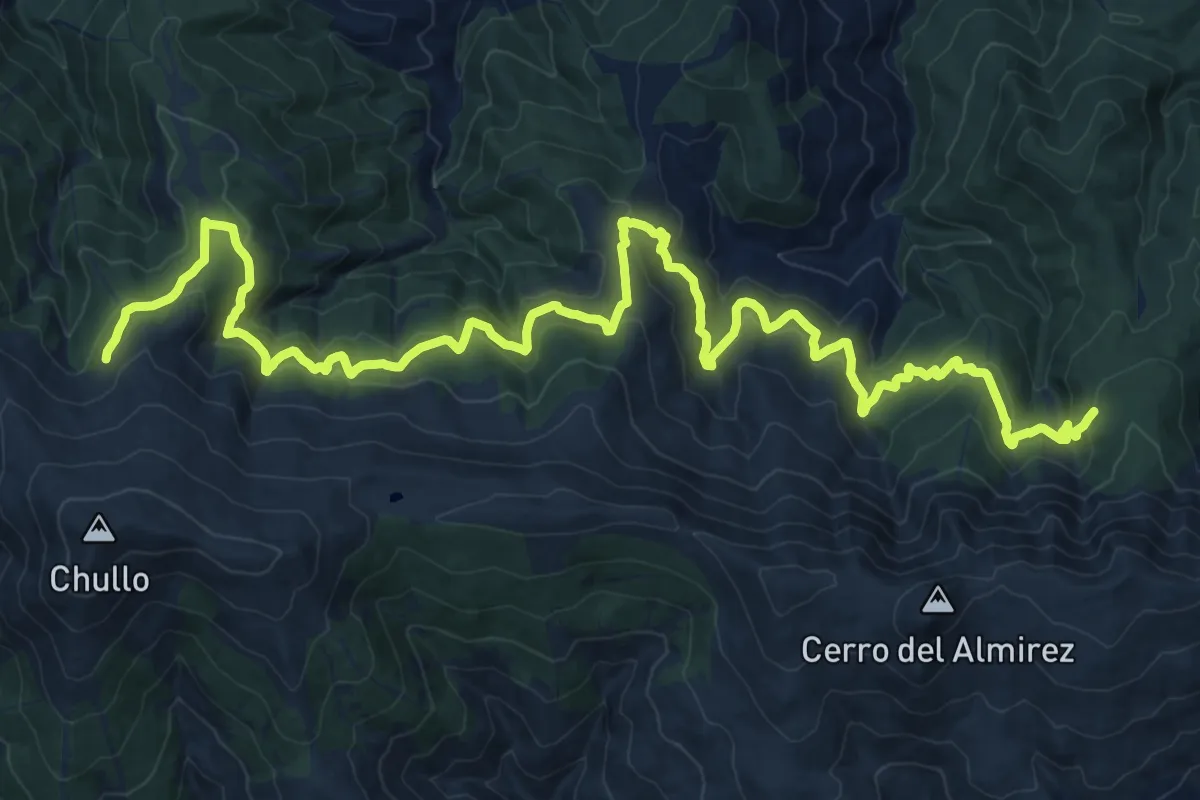
Demanding · Cabin
Piedra Negra – El Toril
18.2 km · ↑ 931 m · 6 h 27 min
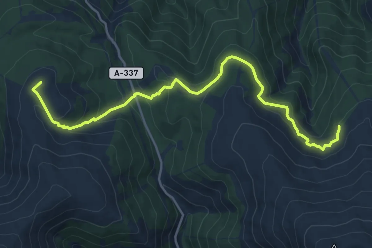
Expert · Summit
El Toril – Las Chorreras
12.4 km · ↑ 491 m · 4 h
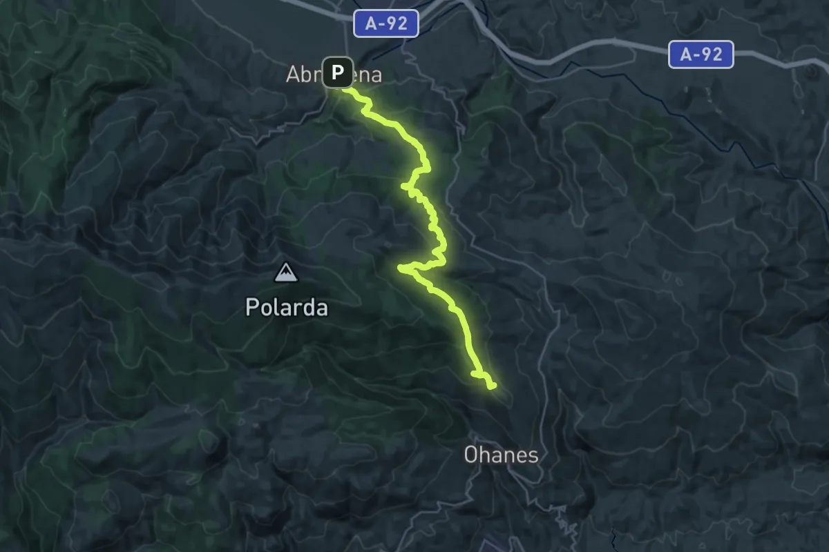
Demanding · Summit
Ohanes – Abrucena
31.2 km · ↑ 1353 m · 10 h 19 min
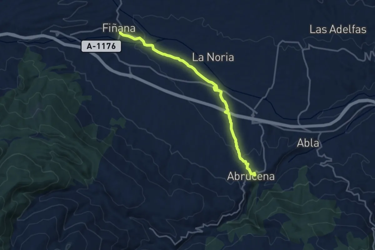
Medium · Trail
Abrucena – Fiñana
13.3 km · ↑ 193 m · 3 h 33 min
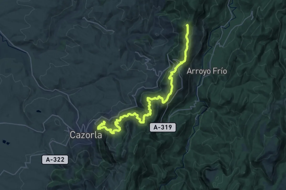
Demanding · Summit
Refugio C.F. La Zarza – La Iruela
30.5 km · ↑ 1838 m · 11 h 10 min
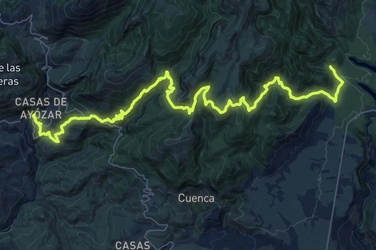
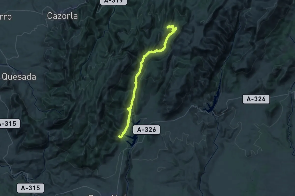
Demanding · Trail
Belerda – Aula de la Naturaleza El Hornico
19.7 km · ↑ 1192 m · 7 h 19 min
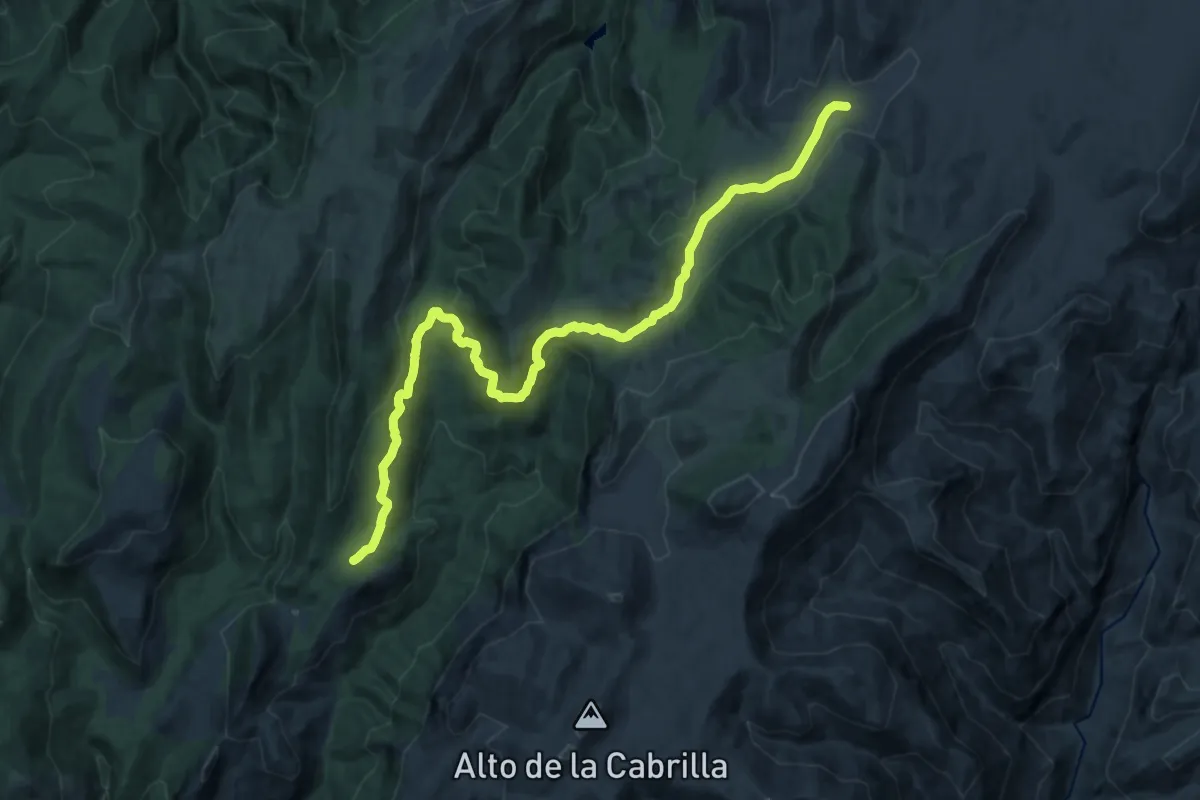
Demanding · Trail
Aula de la Naturaleza El Hornico – Refugio C.F. Fuente Acero
21.1 km · ↑ 787 m · 6 h 45 min
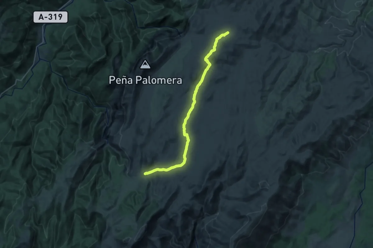
Demanding · Cabin
Refugio C.F. Fuente Acero – Refugio de Rambla Seca
22.0 km · ↑ 496 m · 6 h 17 min
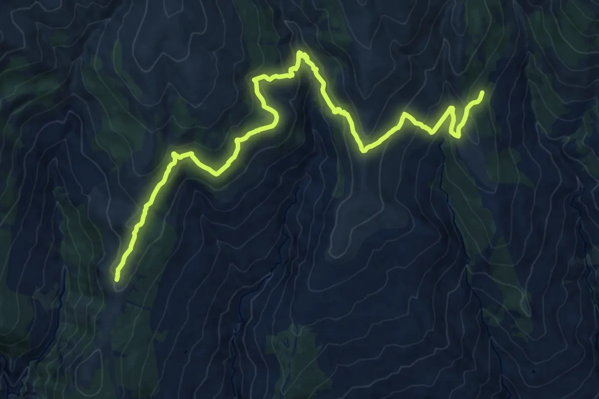
Demanding · Cabin
Refugio de Rambla Seca – Refugio del Campo del Espino
27.1 km · ↑ 307 m · 7 h 3 min
Medium · Cabin
Lastonar – Fuente del Espino
14.2 km · ↑ 542 m · 4 h 48 min
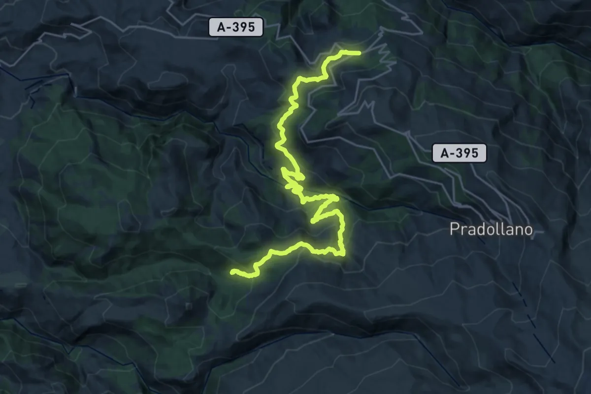
Medium · Trail
Centro de visitantes "El Dornajo" – Casa forestal "La Cortijuela"
15.0 km · ↑ 720 m · 5 h 19 min
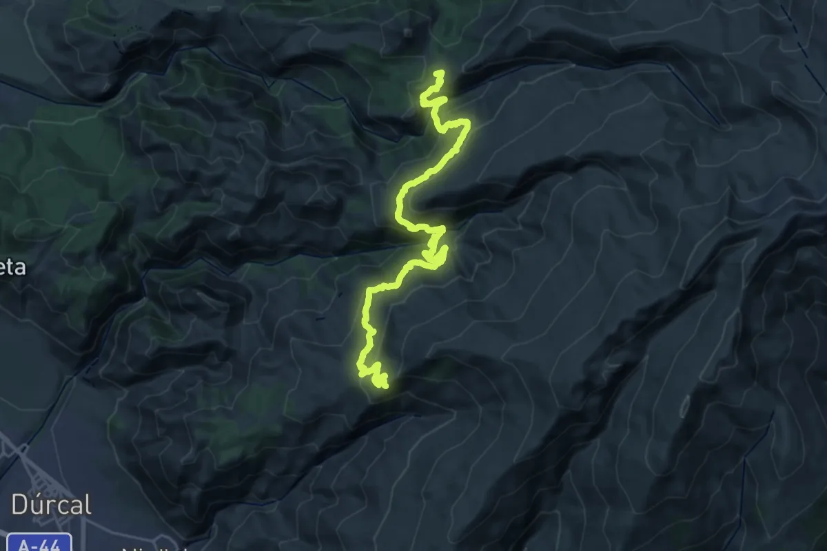
Demanding · Summit
Casa forestal "La Cortijuela" – Rinconada de Nigüelas
29.6 km · ↑ 1684 m · 10 h 38 min
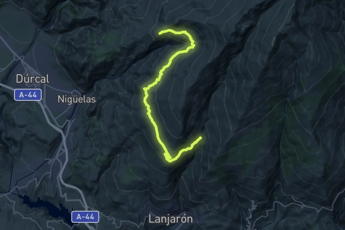
Medium · Cabin
Rinconada de Nigüelas – Tello
14.5 km · ↑ 290 m · 4 h 32 min
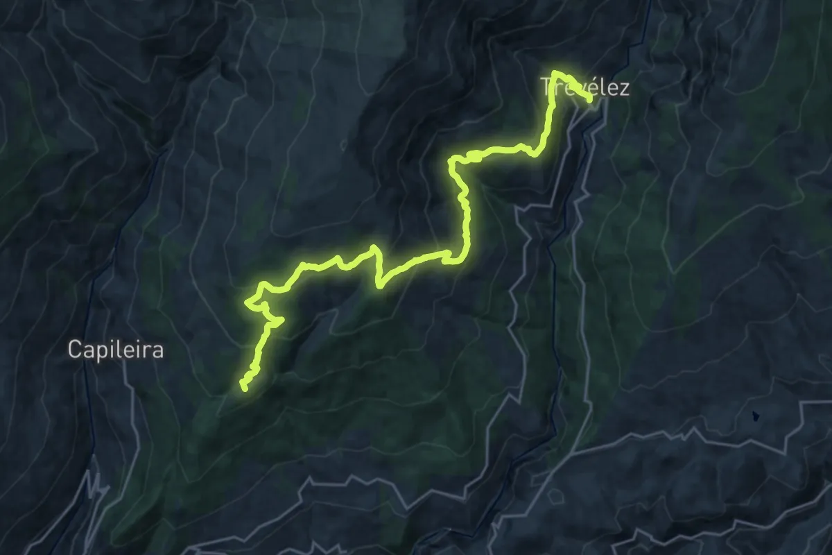
Demanding · Summit
Capileira – Trevélez
29.8 km · ↑ 1629 m · 10 h 34 min
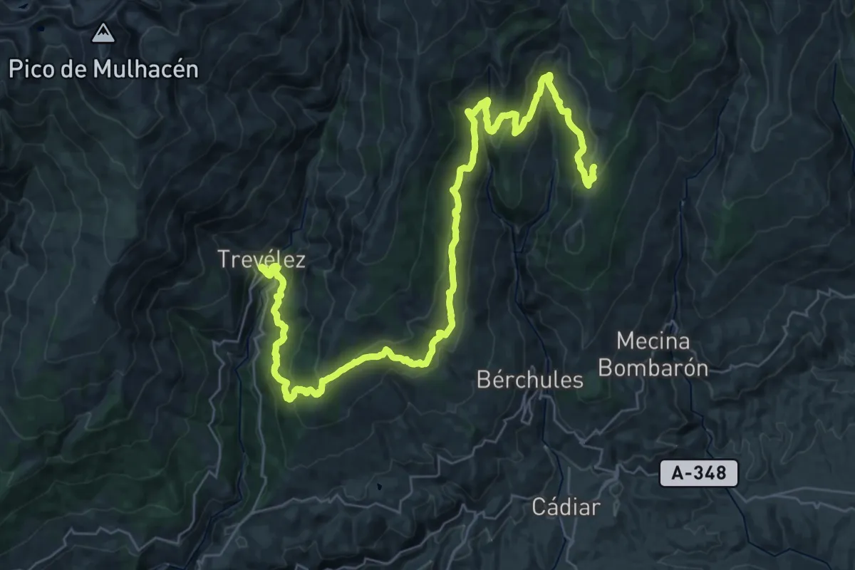
Demanding · Trail
Trevélez – Lastonar
25.7 km · ↑ 1405 m · 9 h 12 min
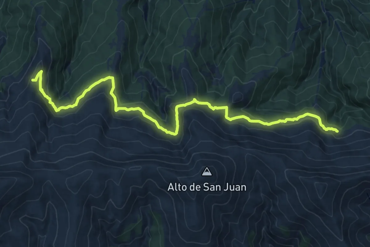
Demanding · Summit
Las Chorreras – Postero Alto
28.2 km · ↑ 887 m · 8 h 35 min
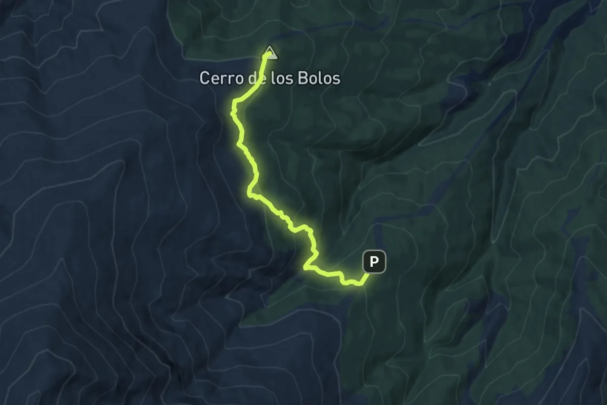
Demanding · Summit
Postero Alto – Peña Partida
10.7 km · ↑ 590 m · 3 h 48 min
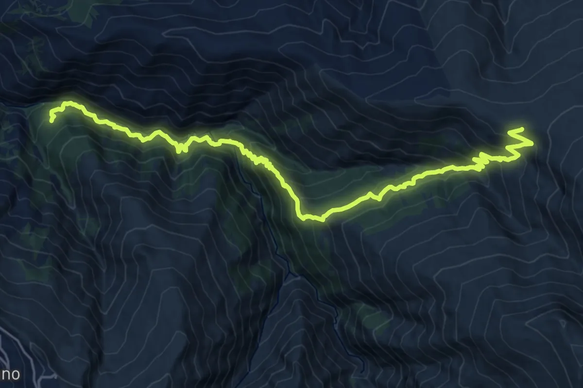
Demanding · Cabin
Piedra Partida – La Hortichuela
12.8 km · ↑ 1580 m · 6 h 3 min