Trails in Spain
5,960 hiking trails, each with its route, climb, walking time and grade.
All trails, page 124 of 125
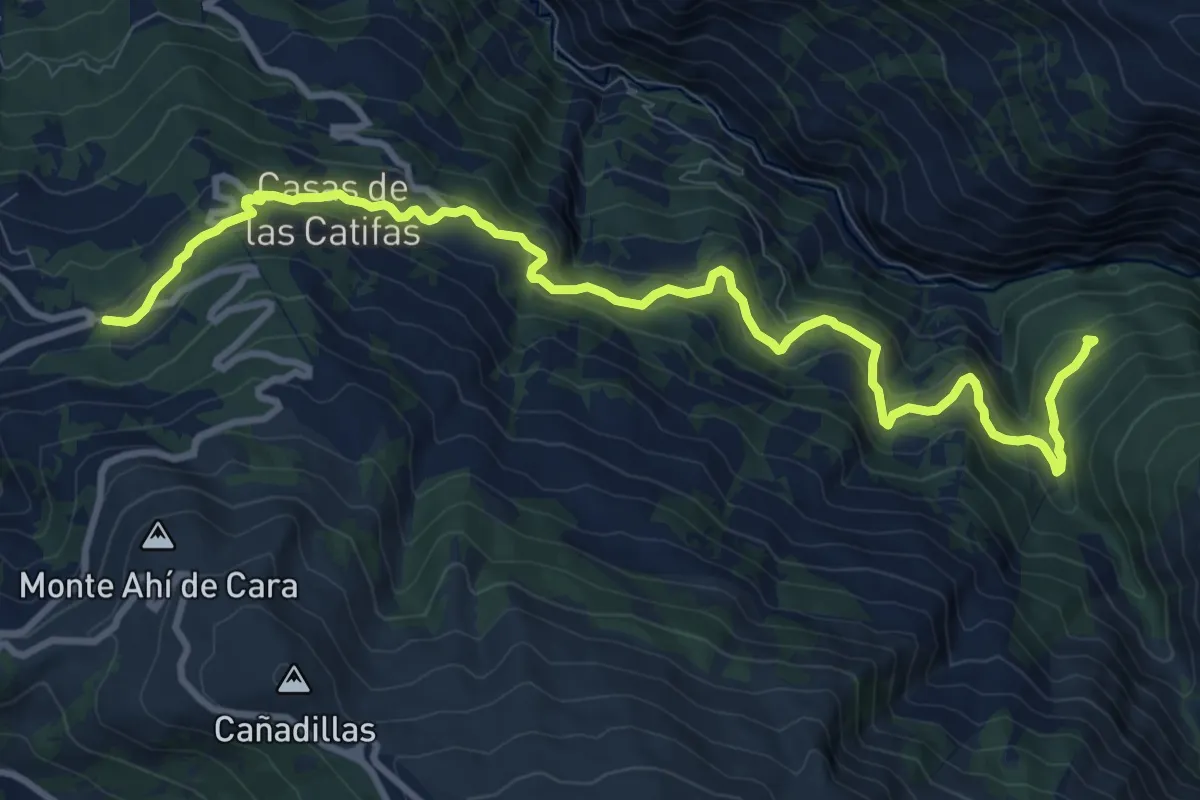
Medium · Trail
La Hortichuela – Centro de visitantes "El Dornajo"
13.7 km · ↑ 745 m · 4 h 51 min
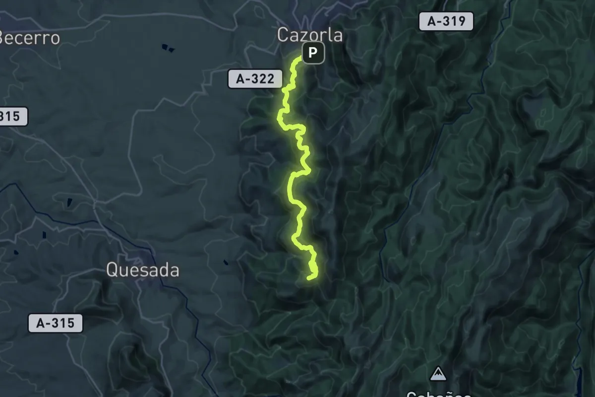
Demanding · Summit
Cazorla – Refugio C.F. Collado Zamora
25.3 km · ↑ 1199 m · 8 h 34 min
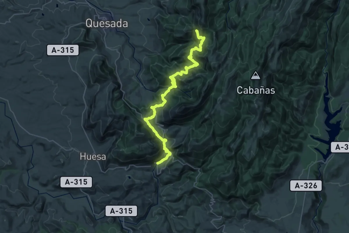
Demanding · Cabin
Refugio C.F. Collado Zamora – Belerda
17.7 km · ↑ 1411 m · 7 h 5 min
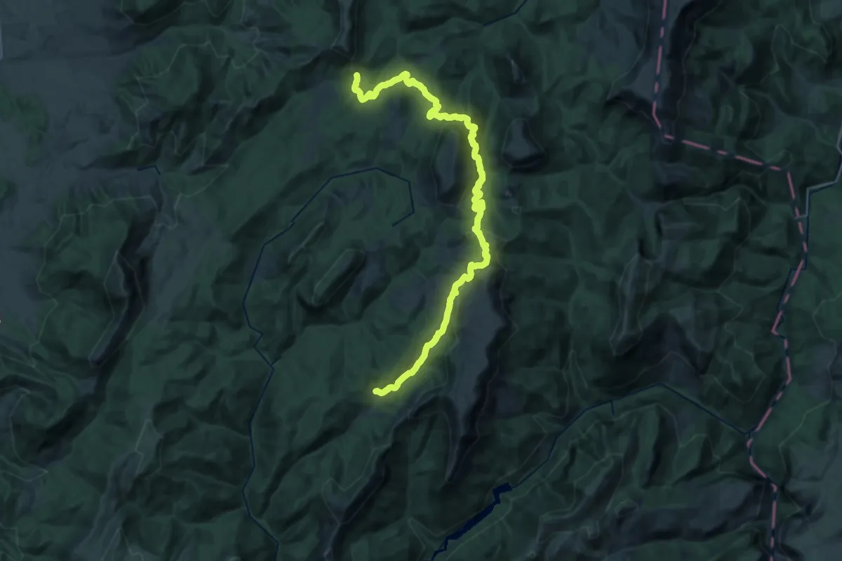
Medium · Cabin
Prado Maguillo – Refugio Era del Fustal
17.1 km · ↑ 504 m · 5 h 21 min
Demanding · Summit
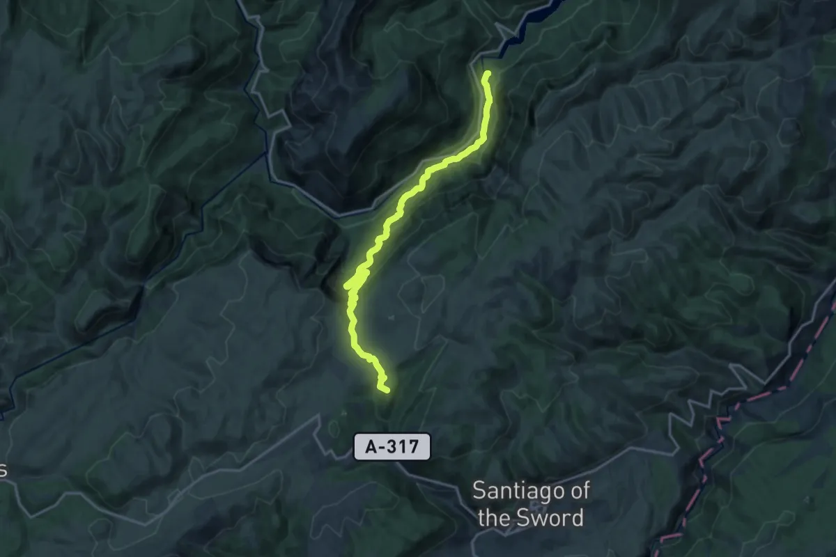
Santiago de la Espada – La Toba
18.1 km · ↑ 884 m · 6 h 12 min
Demanding · Trail
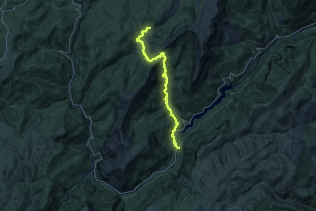
La Toba – Prado Maguillo
18.6 km · ↑ 1118 m · 6 h 49 min
Demanding · Trail
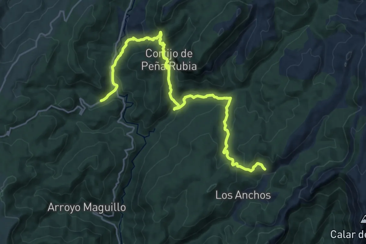
Prado Maguillo – Río Madera
20.3 km · ↑ 814 m · 6 h 33 min
Demanding · Trail
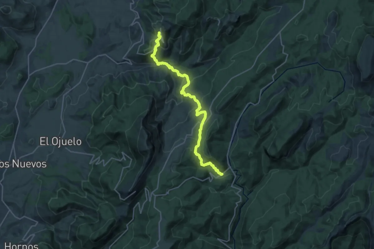
Río Madera – Segura de la Sierra
20.2 km · ↑ 1217 m · 7 h 25 min
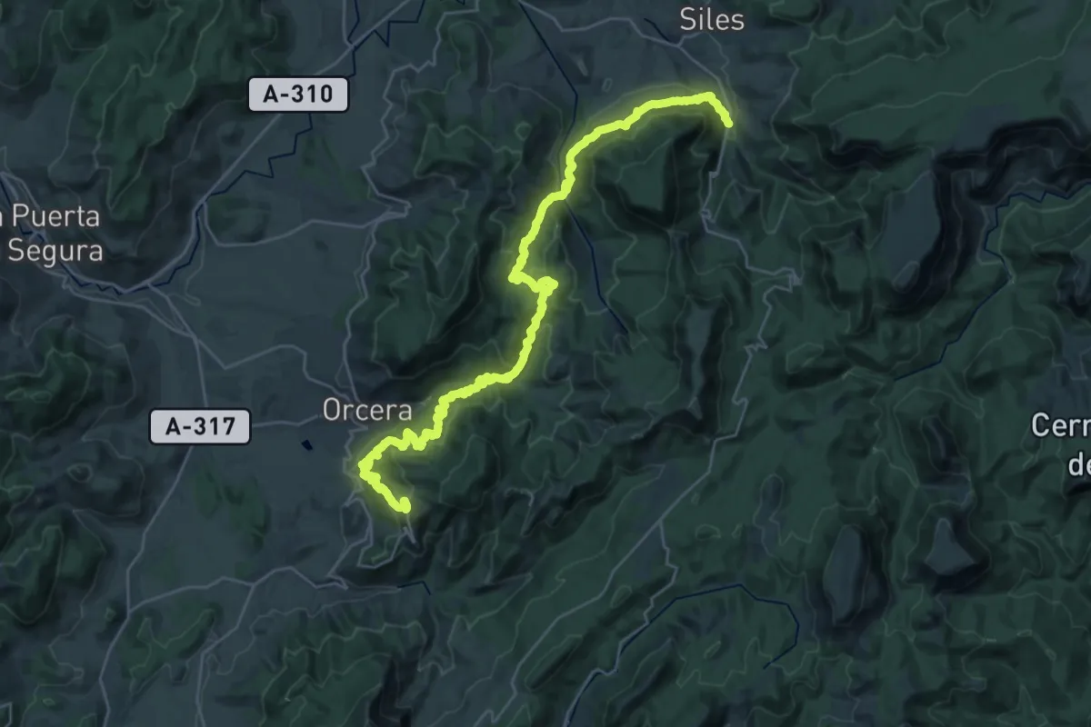
Demanding · Trail
Área Recreativa Peña del Olivar – Segura de la Sierra
18.8 km · ↑ 1152 m · 7 h 4 min
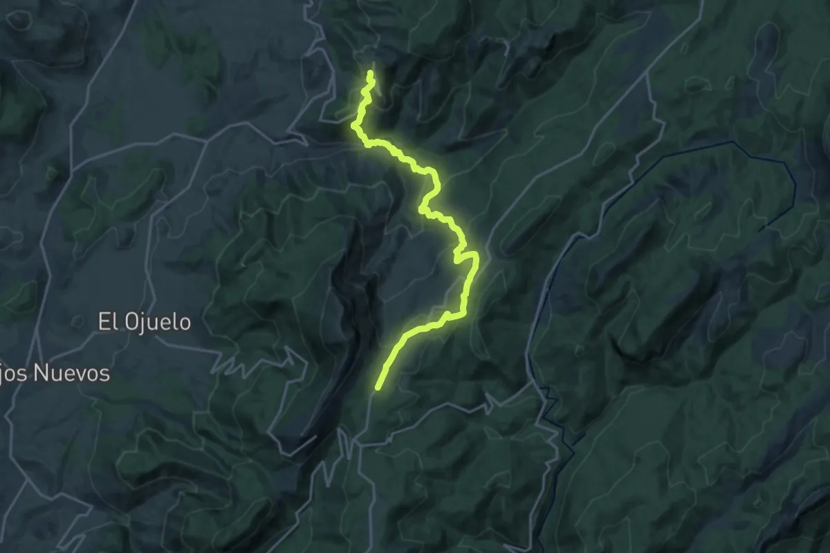
Demanding · Cabin
Segura de la Sierra – Refugio C.F. El Campillo
20.0 km · ↑ 1030 m · 6 h 56 min
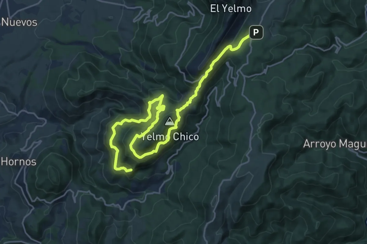
Demanding · Summit
Refugio C.F. El Campillo – Hornos de Segura
22.0 km · ↑ 1330 m · 8 h 4 min
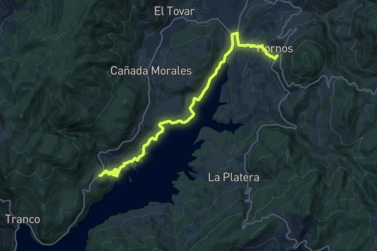
Medium · Trail
Hornos de Segura – Área Recreativa Los Parrales
17.7 km · ↑ 699 m · 5 h 41 min
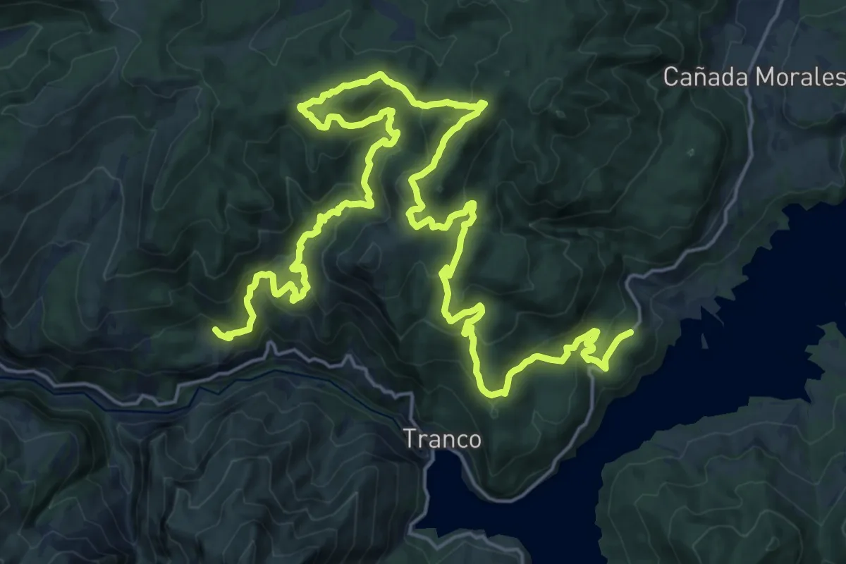
Medium · Trail
Área Recreativa Los Parrales – C. F. Hoya de los Trevejiles
17.7 km · ↑ 777 m · 6 h 7 min
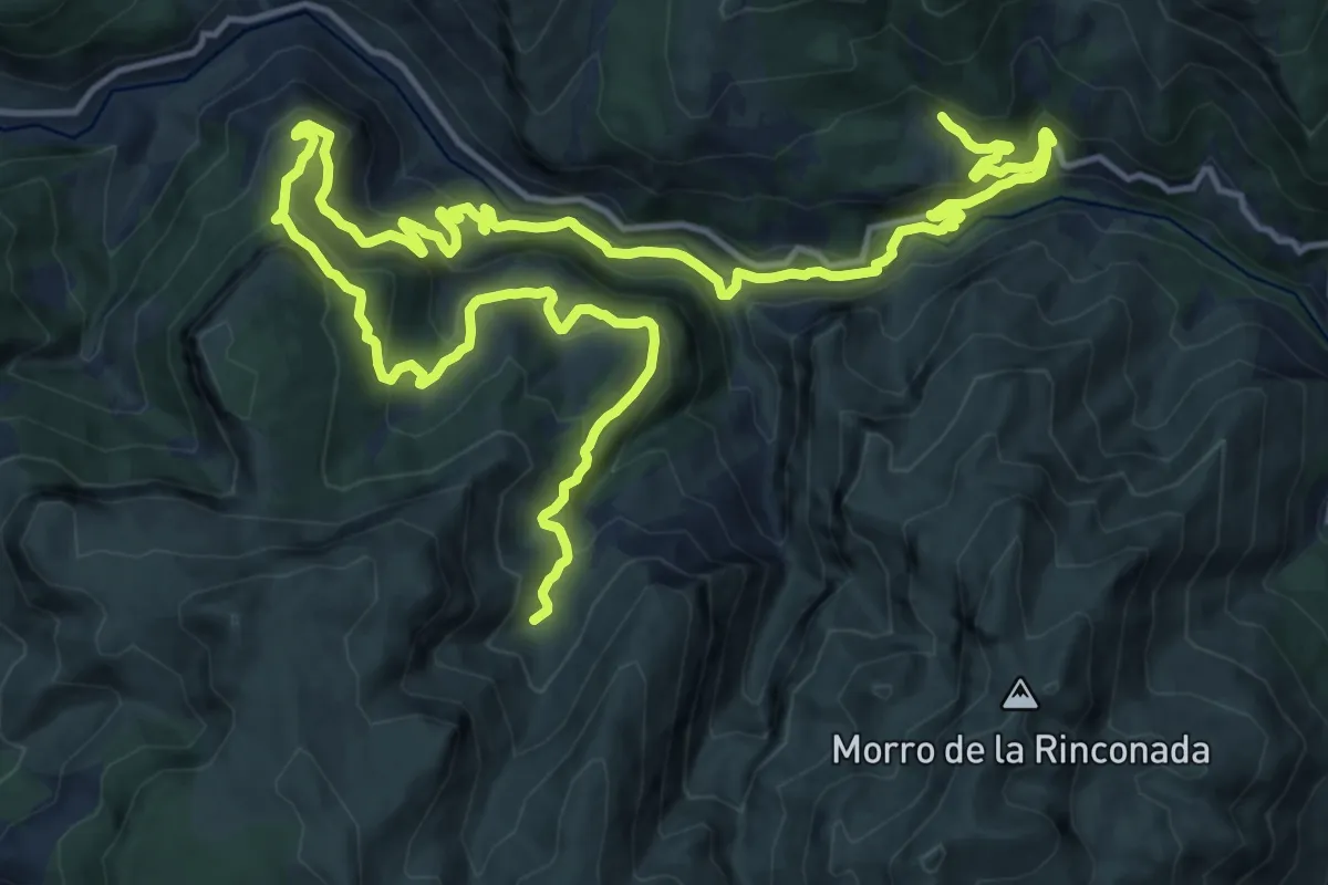
Demanding · Trail
C.F. Hoya de los Trevejiles – Fuente de los Cerezos
14.2 km · ↑ 912 m · 5 h 26 min
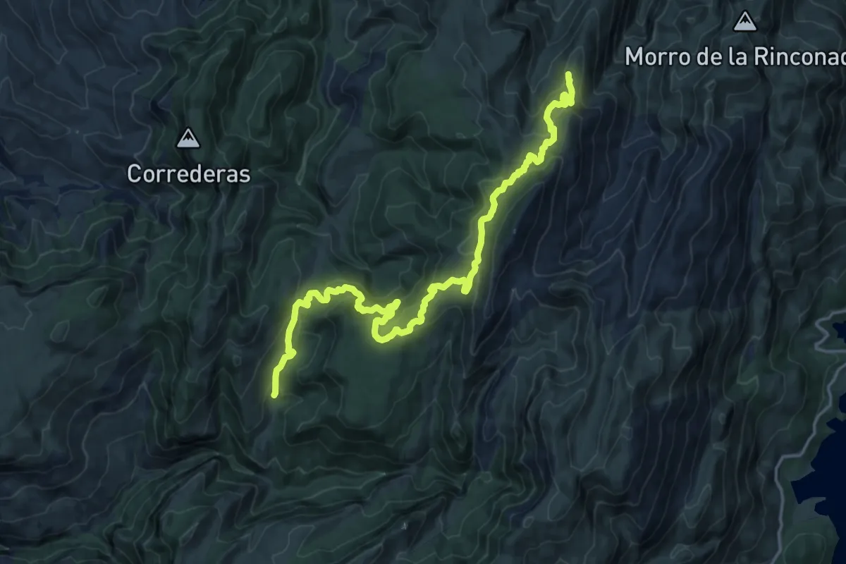
Demanding · Summit
Fuente de los Cerezos – Refugio C.F. La Parra
21.8 km · ↑ 1052 m · 7 h 26 min
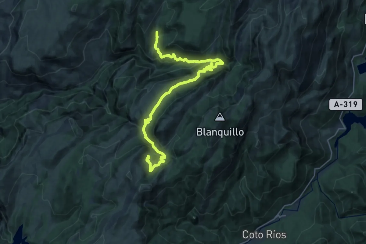
Demanding · Cabin
Refugio C.F. La Parra – Refugio de Majalserbal
23.6 km · ↑ 1073 m · 7 h 53 min
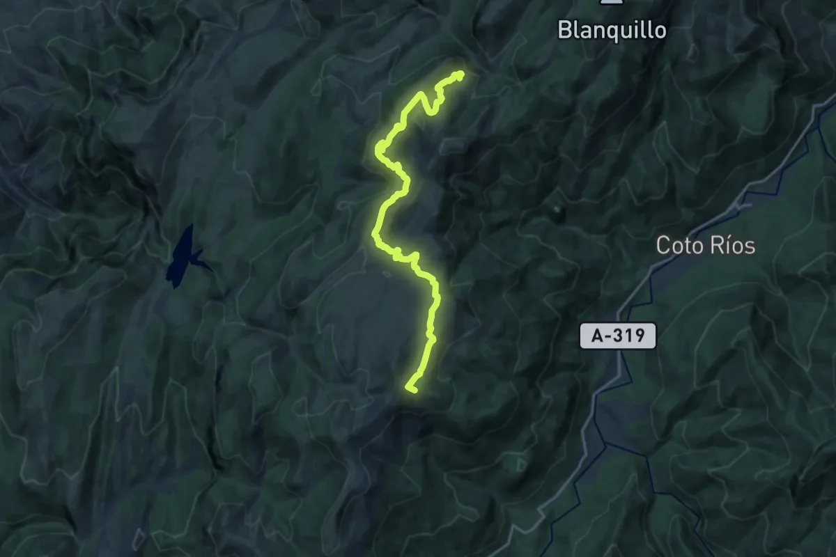
Demanding · Summit
Refugio de Majalserbal – Refugio C.F. de La Zarza
18.3 km · ↑ 459 m · 5 h 18 min
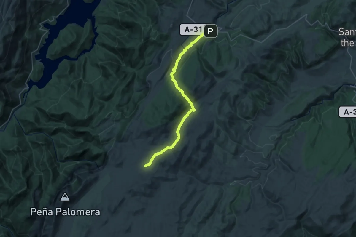
Demanding · Cabin
Refugio del Campo del Espino – Pontones
27.5 km · ↑ 594 m · 7 h 46 min
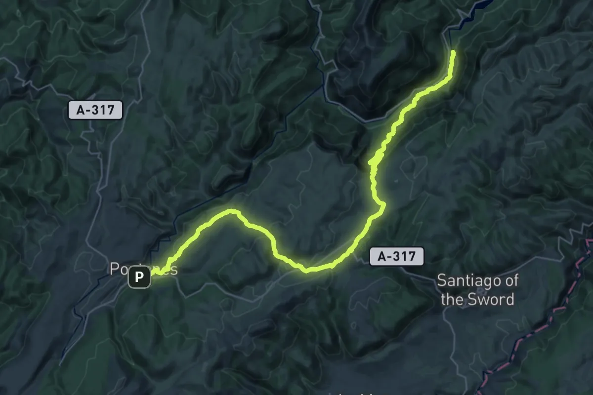
Demanding · Trail
Pontones – La Toba
18.6 km · ↑ 449 m · 5 h 49 min
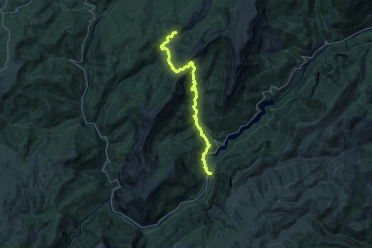
Demanding · Trail
La Toba – Prado Maguillo
18.8 km · ↑ 1118 m · 6 h 51 min
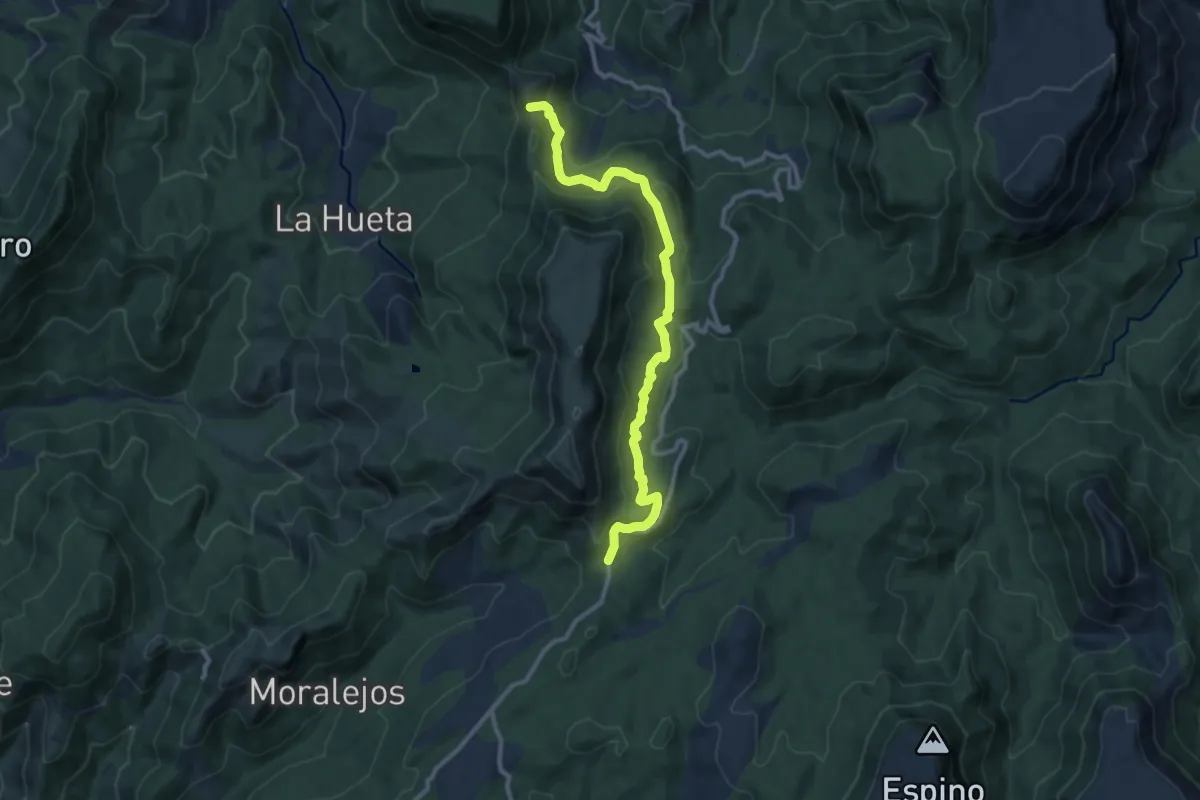
Medium · Summit
Refugio Era del Fustal – Área Recreativa Peña del Olivar
12.0 km · ↑ 453 m · 3 h 49 min
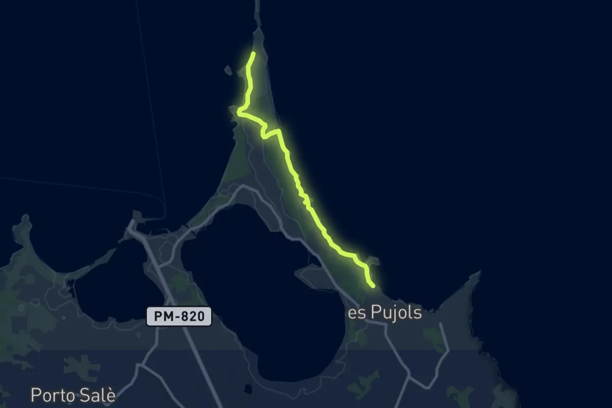
Medium · Trail
Es Pujols – Ses Illetes
9.4 km · ↑ 0 m · 2 h 13 min
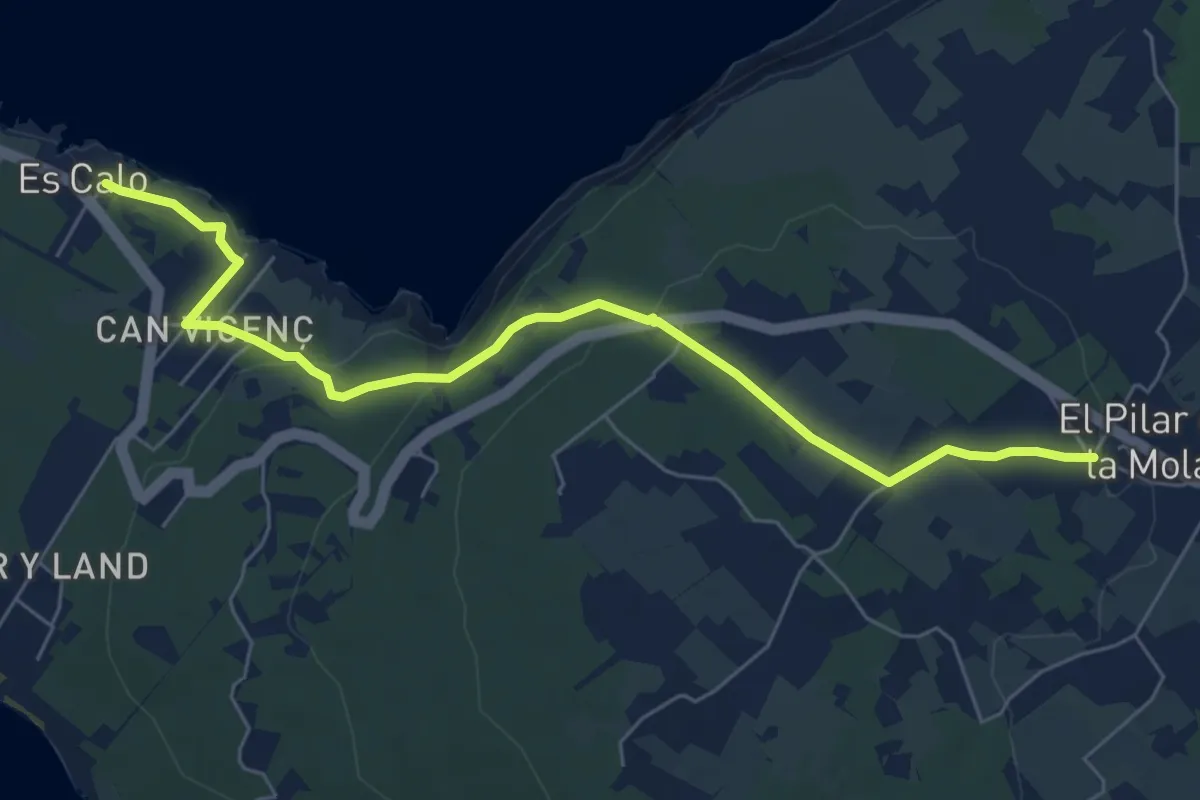
Medium · Trail
Es Calo – El Pilar De La Mola
7.9 km · ↑ 166 m · 2 h 13 min
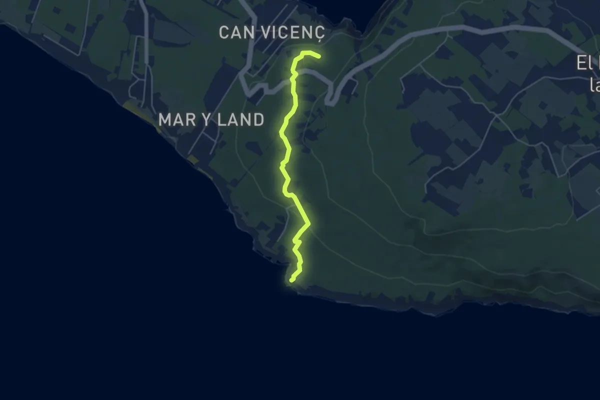
Easy · Trail
Raco De Sa Pujada – Es Ram
4.8 km · ↑ 114 m · 1 h 23 min
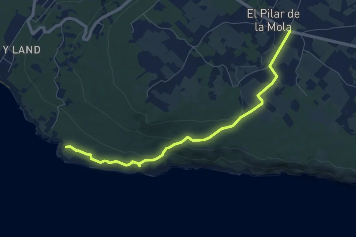
Medium · Trail
El Pilar De La Mola – Es Ram
8.3 km · ↑ 155 m · 2 h 18 min
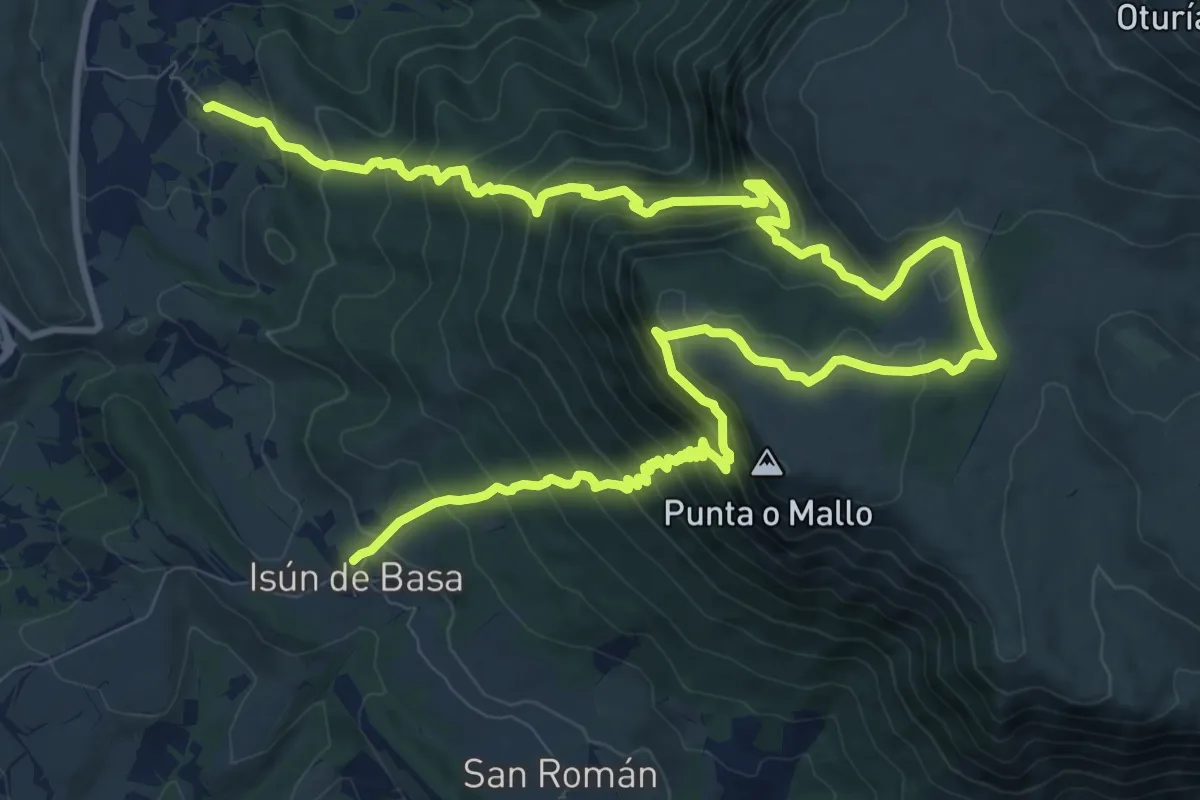
Demanding · Trail
Isún de Basa – Satué
9.6 km · ↑ 809 m · 4 h 11 min
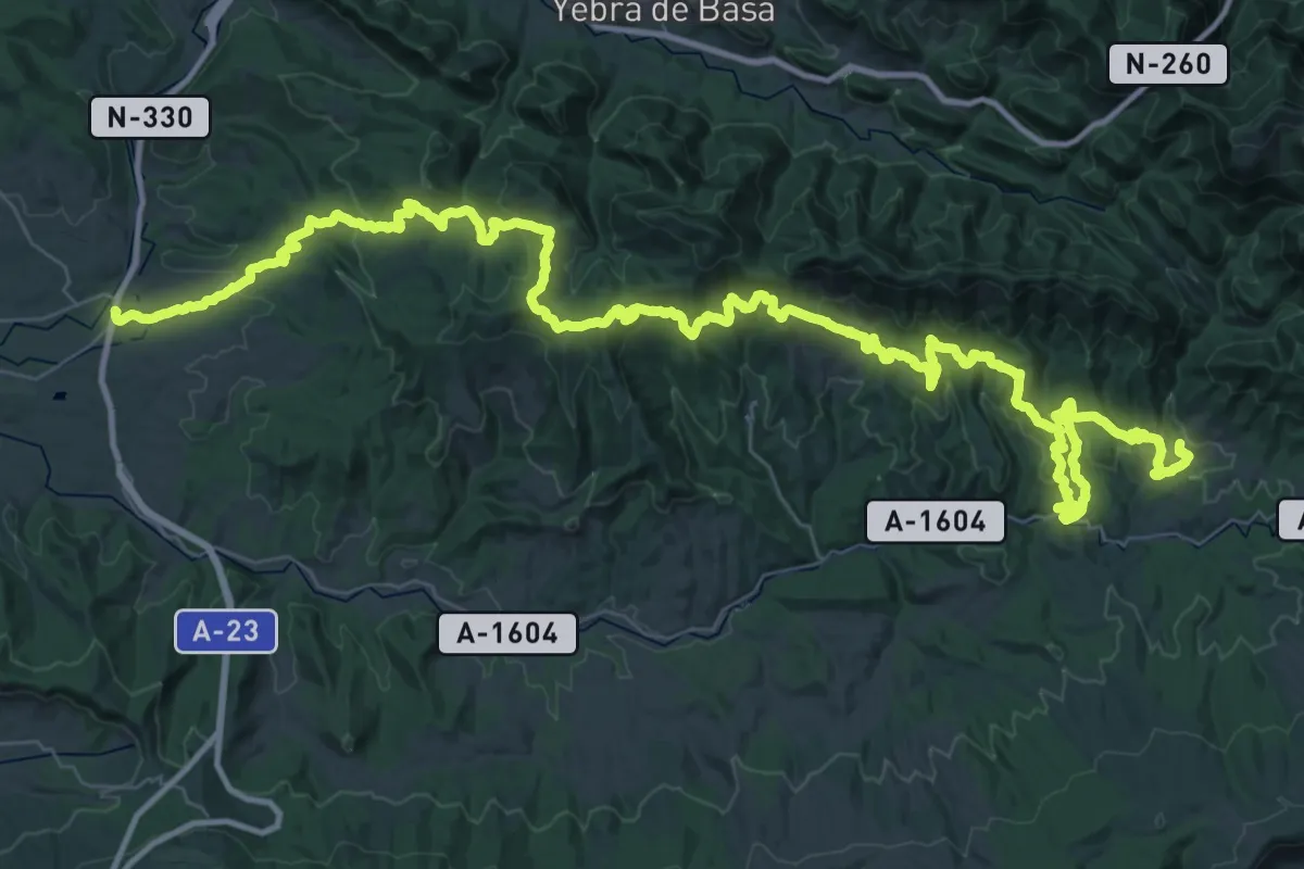
Demanding · Trail
Hostal de Ipiés – Gillué
36.5 km · ↑ 1454 m · 12 h 8 min
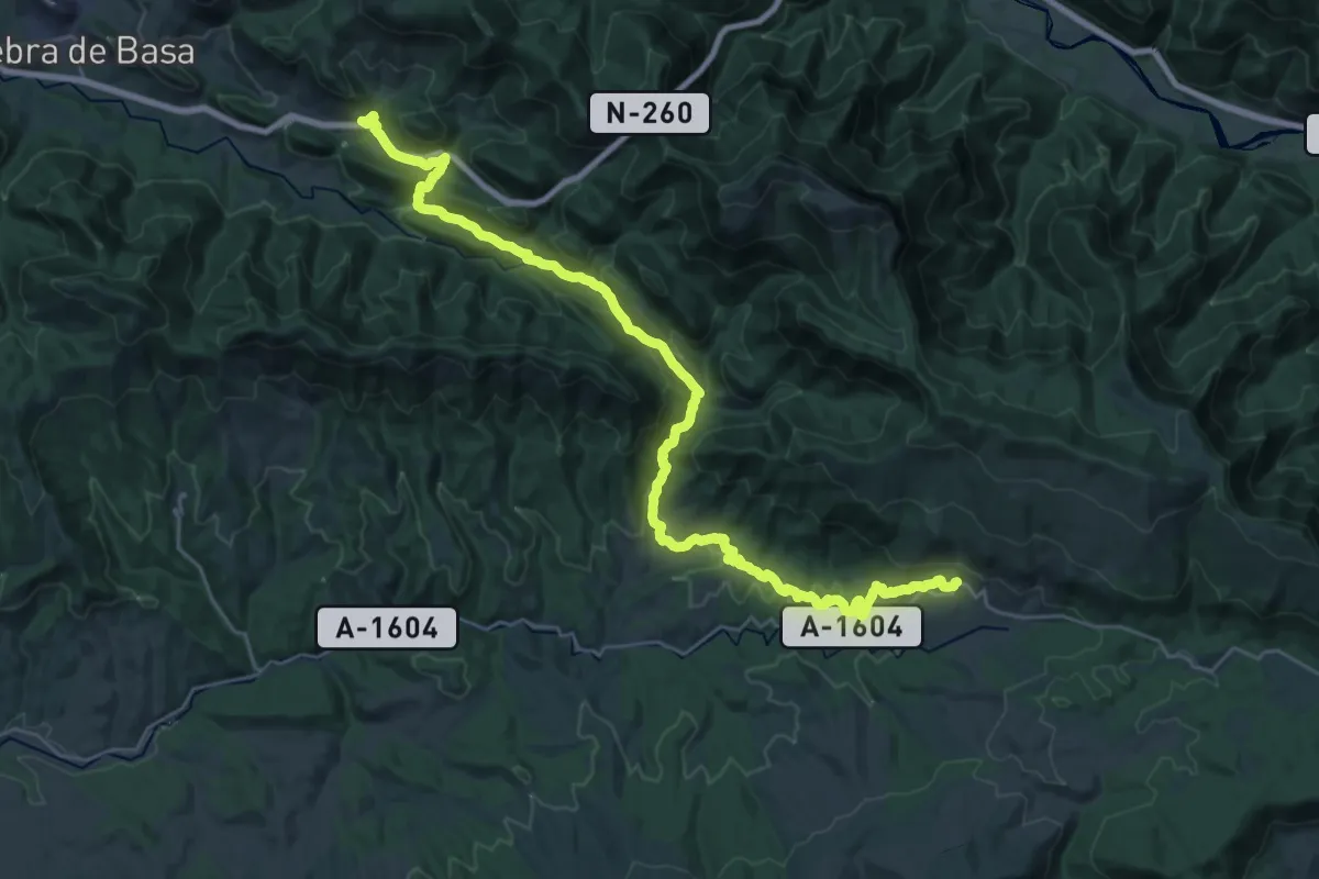
Medium · Trail
Fanlillo – Laguarta
17.4 km · ↑ 627 m · 5 h 40 min
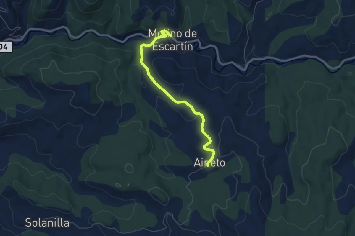
Easy · Trail
Aineto – Molino Escartín
6.0 km · ↑ 136 m · 1 h 43 min
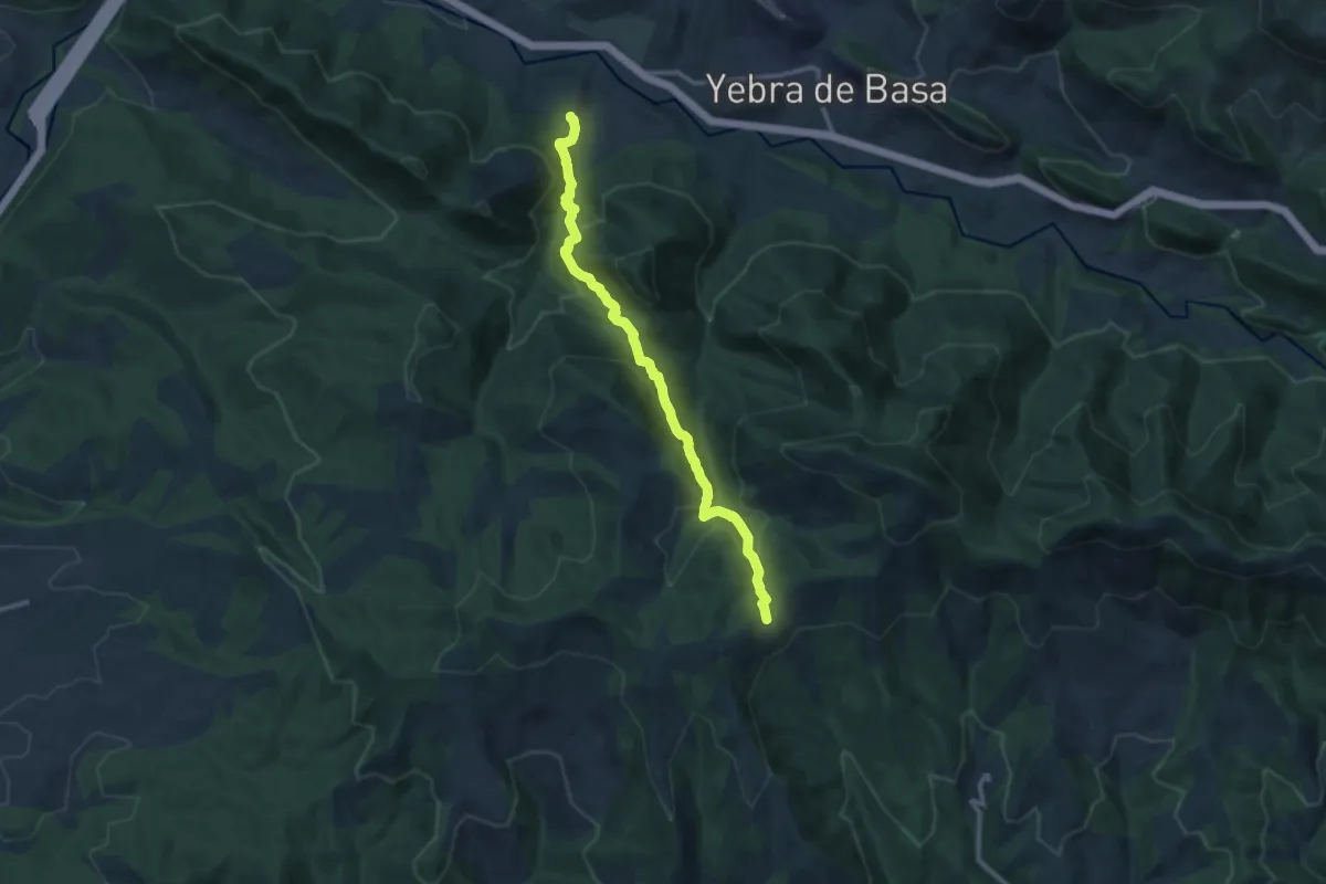
Medium · Trail
Allué – Sandías
12.6 km · ↑ 635 m · 4 h 22 min
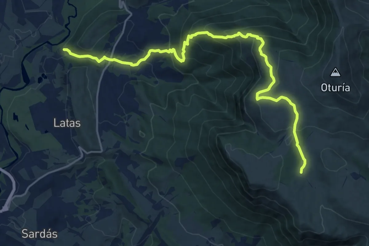
Demanding · Cabin
GR 16 – Santa Orosia
17.4 km · ↑ 1002 m · 6 h 17 min
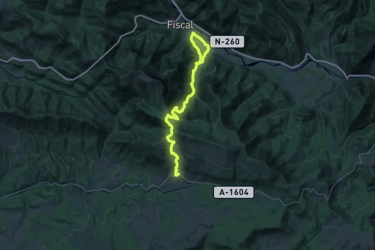
Demanding · Trail
Fiscal – Laguarta
15.7 km · ↑ 1009 m · 5 h 58 min
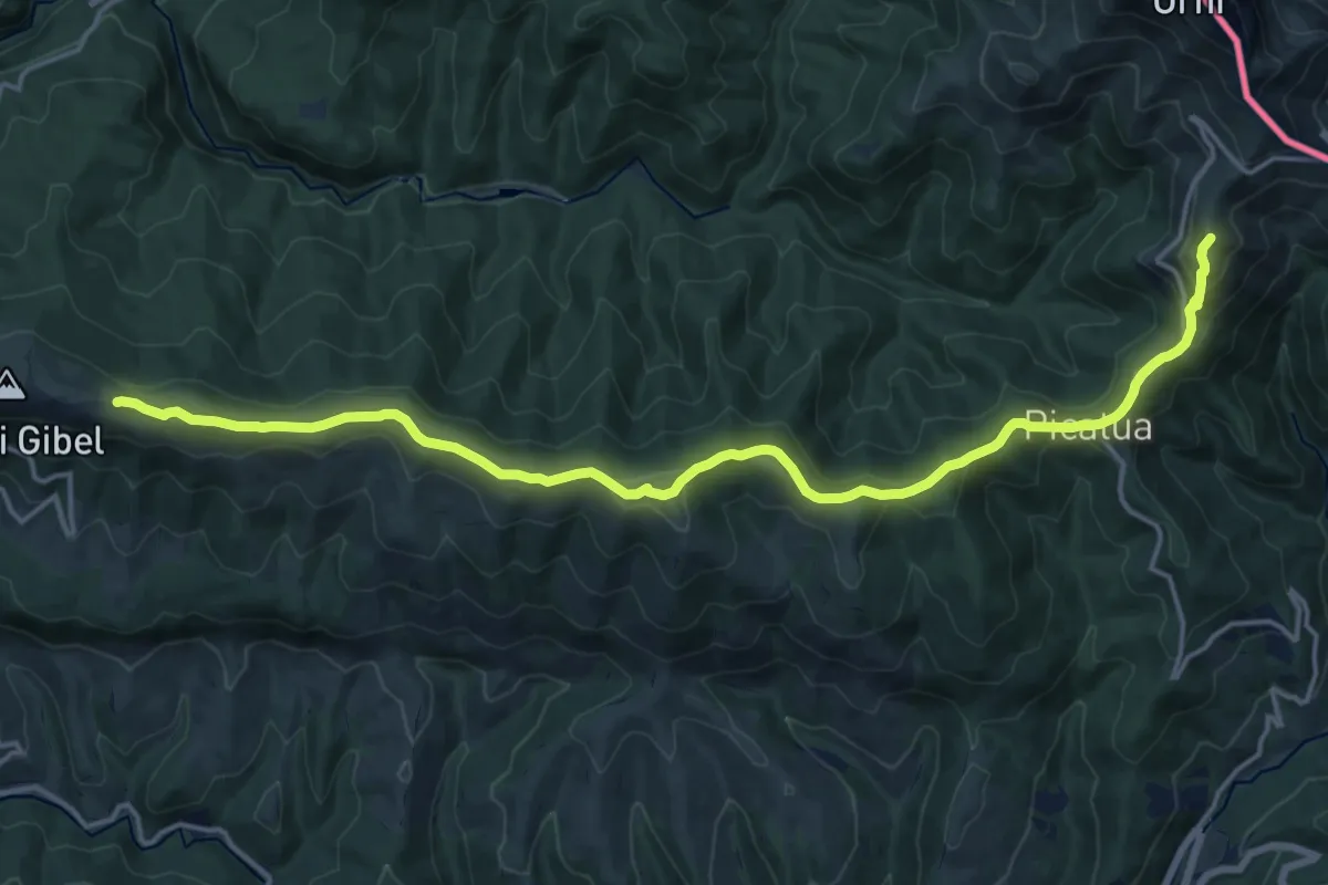
Demanding · Summit
Larrau/Tunel del Ori (GR12) – Paso de las Alforjas (GR11)
20.0 km · ↑ 691 m · 6 h 14 min
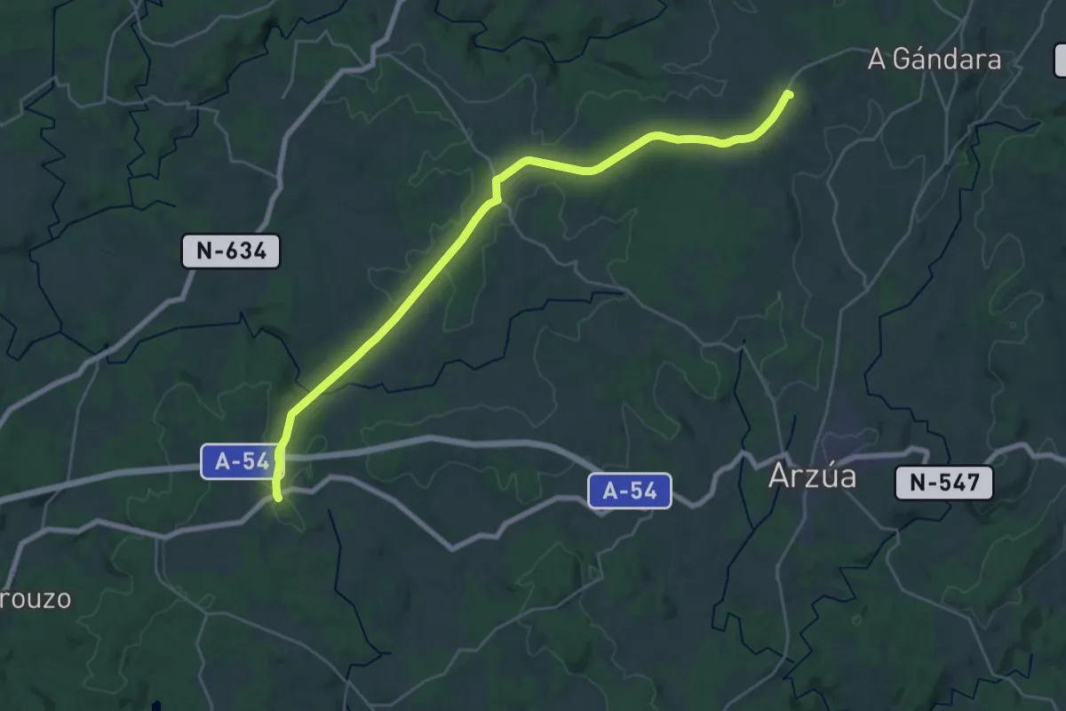
Medium · Summit
A Gándara – Oxén
14.7 km · ↑ 246 m · 4 h 10 min
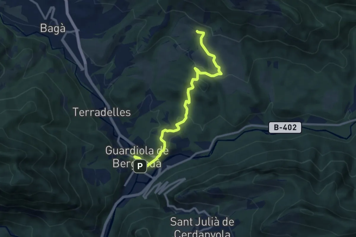
Medium · Trail
Guardiola de Bergadà – Sant Martí de Brocà
8.4 km · ↑ 276 m · 2 h 35 min
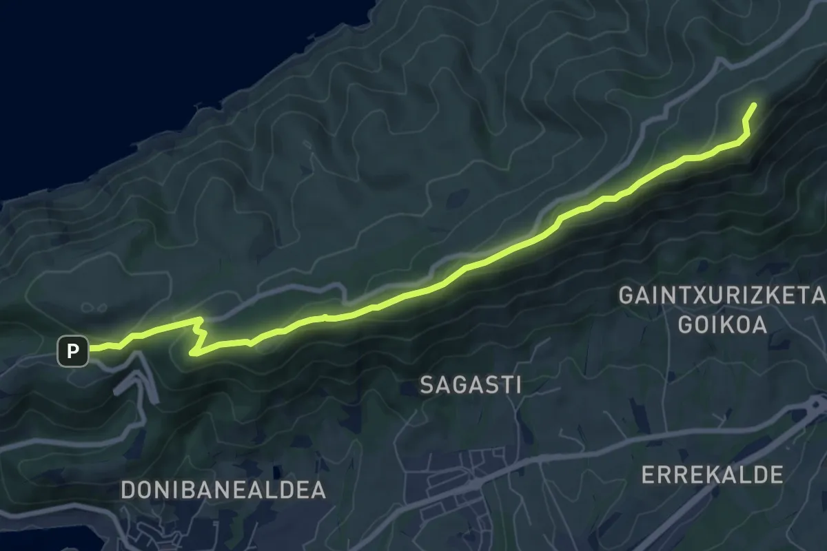
Medium · Summit
Gornutz (Montaña) – Pasaia
4.7 km · ↑ 314 m · 1 h 42 min
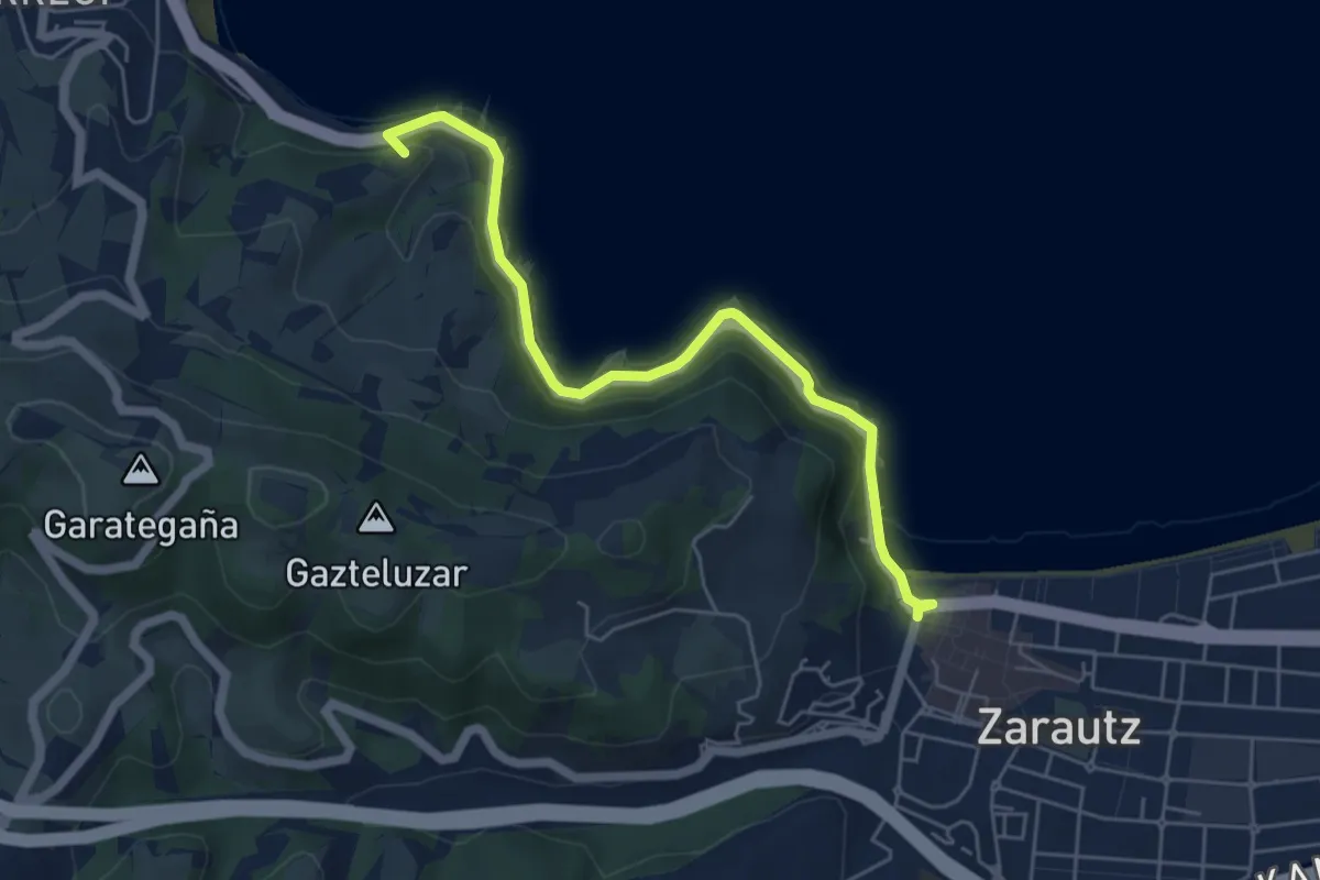
Easy · Summit
Zarautz – Getaria
2.9 km · ↑ 79 m · 55 min
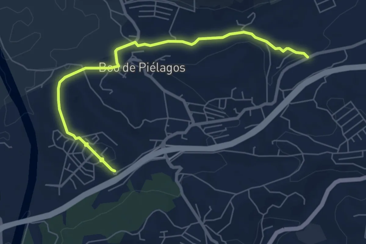
Easy · Pilgrim path
Bojar – Barrio El Escobal
3.3 km · ↑ 62 m · 58 min
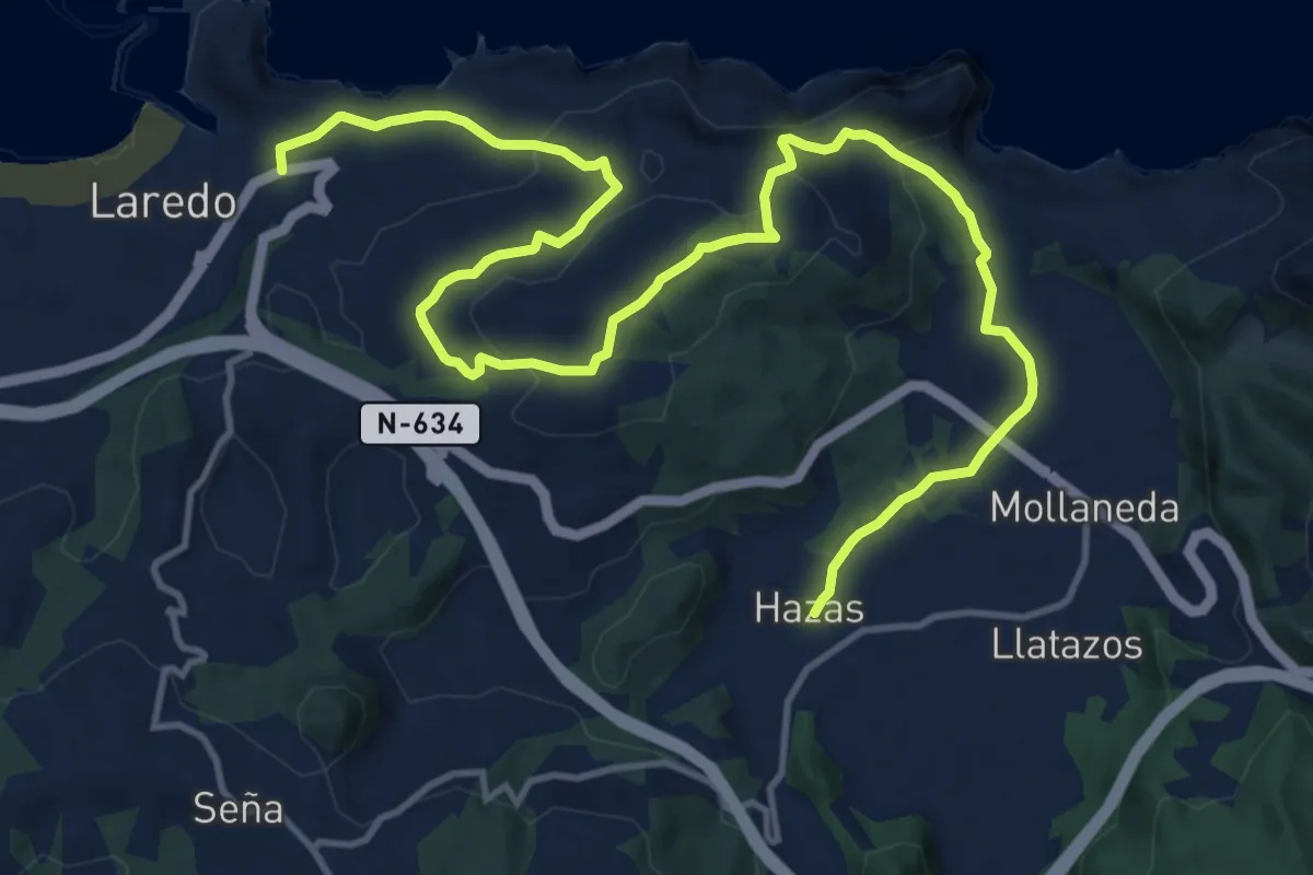
Medium · Pilgrim path
Hazas – Laredo
9.3 km · ↑ 264 m · 2 h 54 min
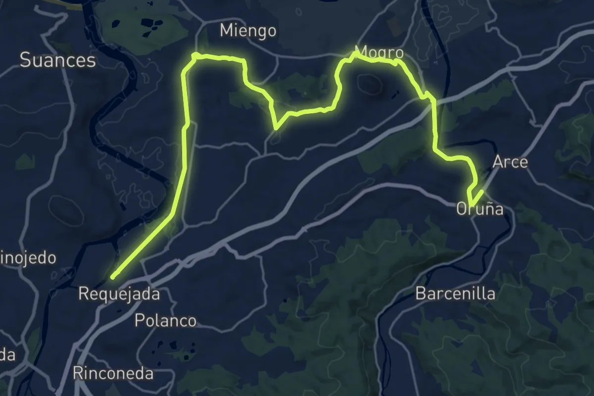
Medium · Pilgrim path
Oruña – Requejada
14.0 km · ↑ 151 m · 3 h 50 min
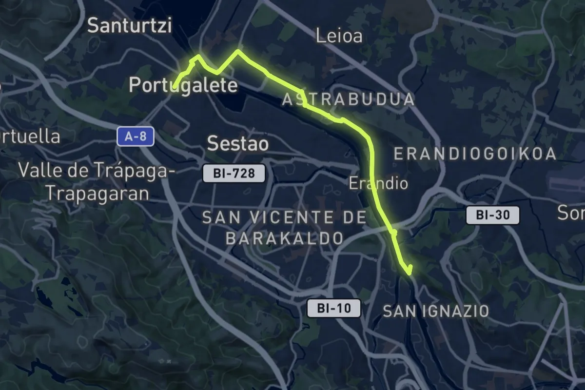
Easy · Summit
Bilbao – Portugalete
7.7 km · ↑ 35 m · 2 h 2 min
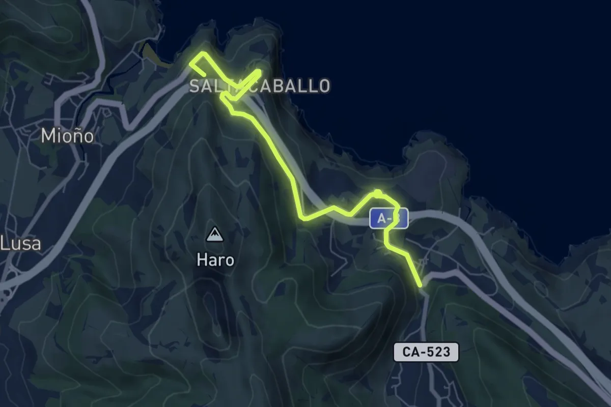
Easy · Summit
Ontón – Miono
3.6 km · ↑ 218 m · 1 h 20 min
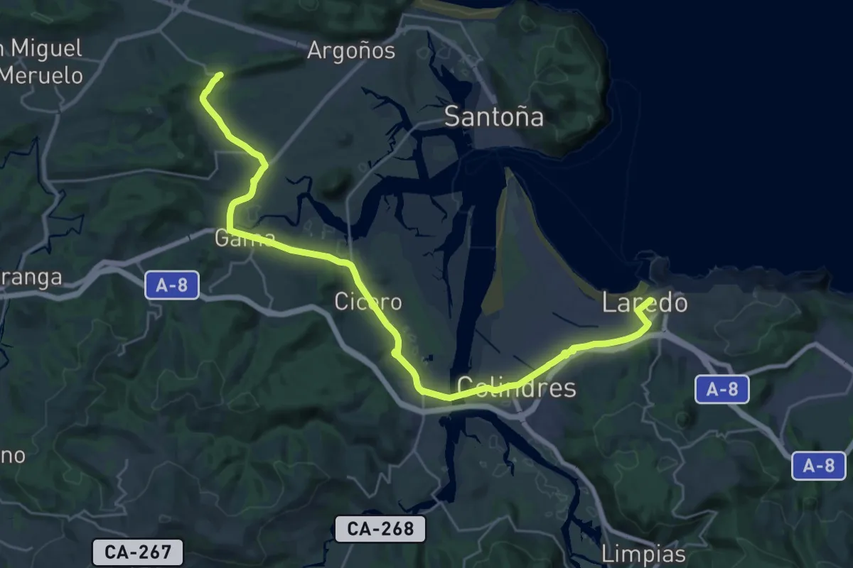
Medium · Summit
Laredo – San Miguel de Merueto
16.3 km · ↑ 128 m · 4 h 20 min
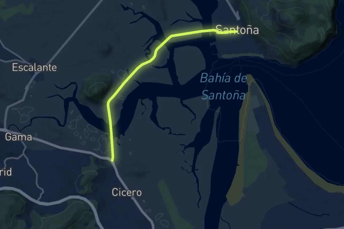
Easy · Pilgrim path
Santoña – Cicero
5.1 km · ↑ 18 m · 1 h 18 min
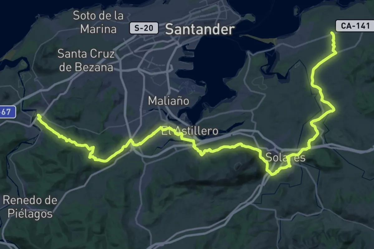
Demanding · Pilgrim path
Baceña – Arce
38.5 km · ↑ 669 m · 11 h 5 min
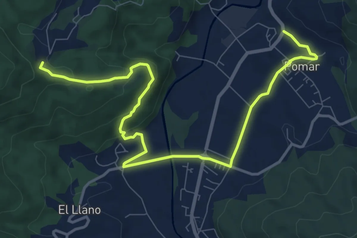
Easy · Pilgrim path
Riosco – Llosa Del Llano
5.4 km · ↑ 52 m · 1 h 34 min
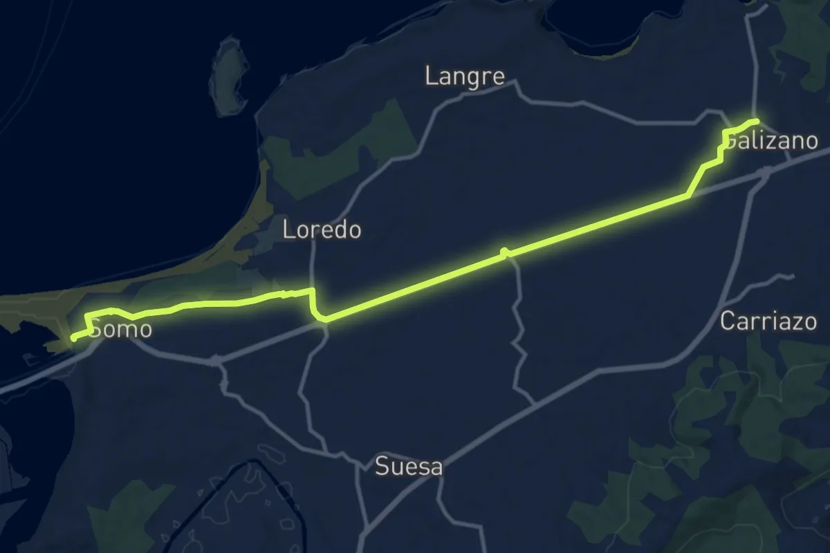
Easy · Pilgrim path
Galizano – Somo
7.1 km · ↑ 51 m · 1 h 54 min
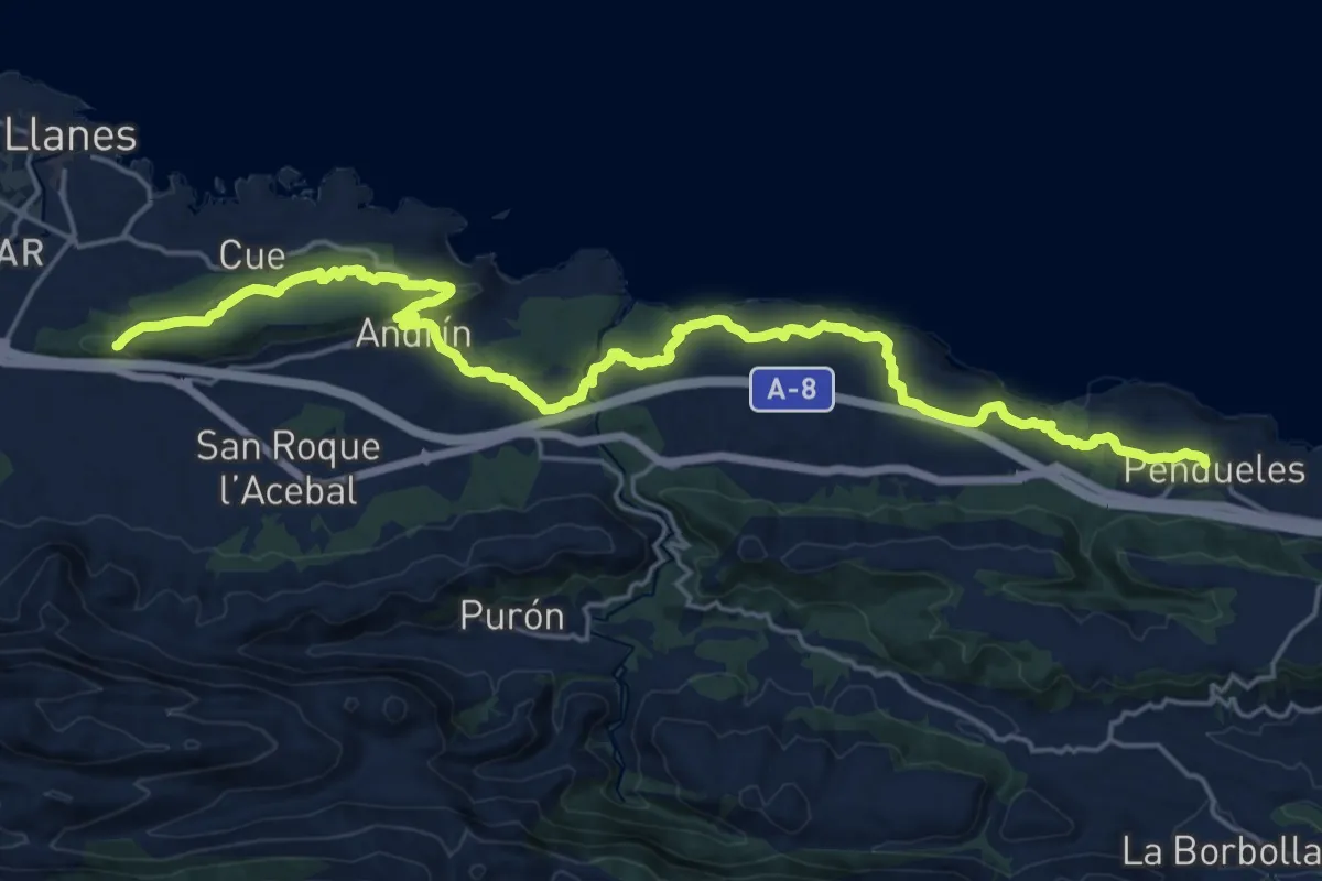
Medium · Pilgrim path
Pendueles – Ermita del Cristo del Camino
12.6 km · ↑ 269 m · 3 h 42 min