Trails in Spain
5,963 hiking trails, each with its route, climb, walking time and grade.
All trails, page 25 of 125
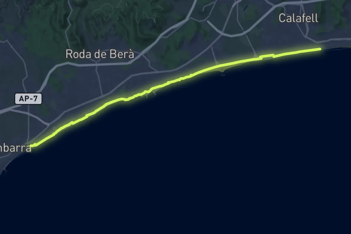
Demanding · Trail
Catalunya E24
30.4 km · ↑ 53 m · 7 h 18 min
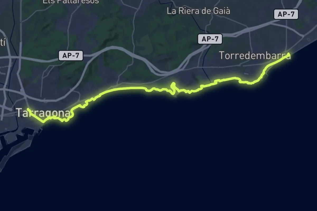
Demanding · Trail
Catalunya E25
19.9 km · ↑ 165 m · 5 h 19 min
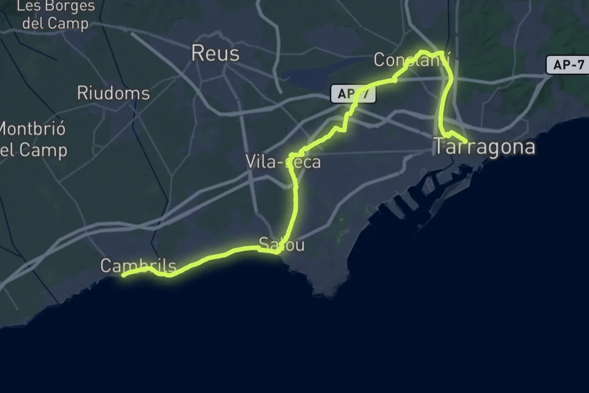
Demanding · Trail
Catalunya E26
28.4 km · ↑ 94 m · 7 h 19 min
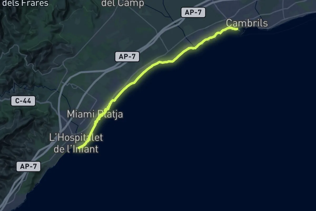
Demanding · Trail
Catalunya E27
32.2 km · ↑ 109 m · 7 h 51 min
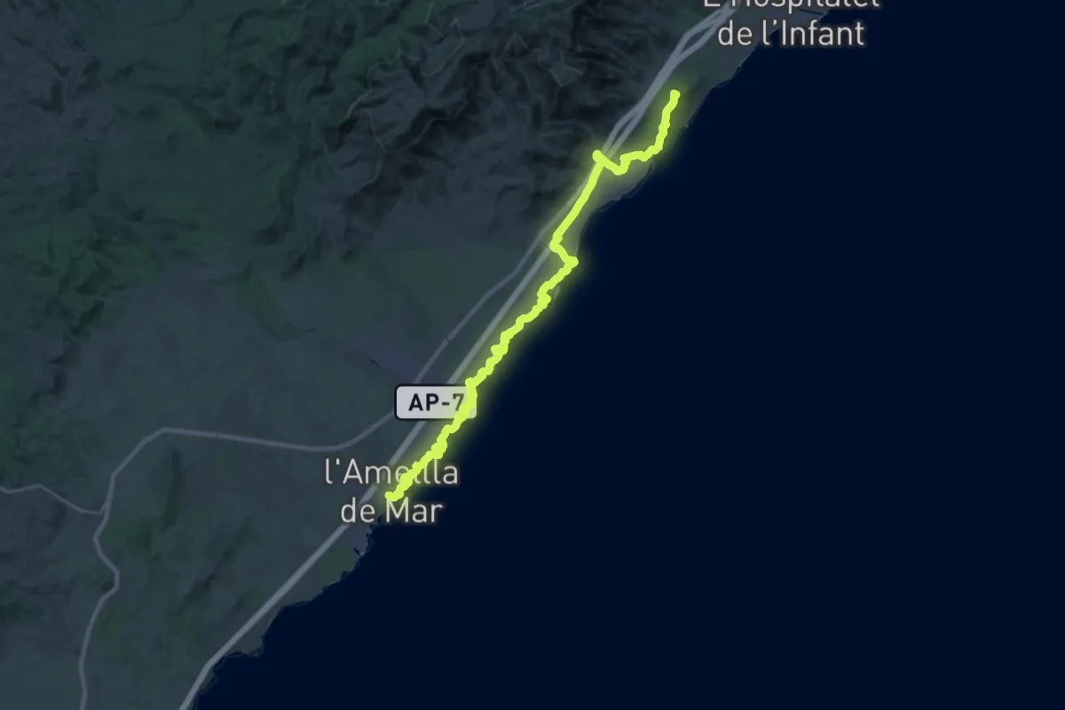
Demanding · Summit
Catalunya E28
36.6 km · ↑ 519 m · 9 h 46 min
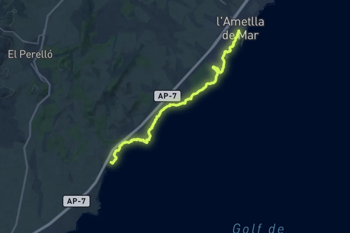
Demanding · Summit
Catalunya E29
18.4 km · ↑ 146 m · 4 h 39 min
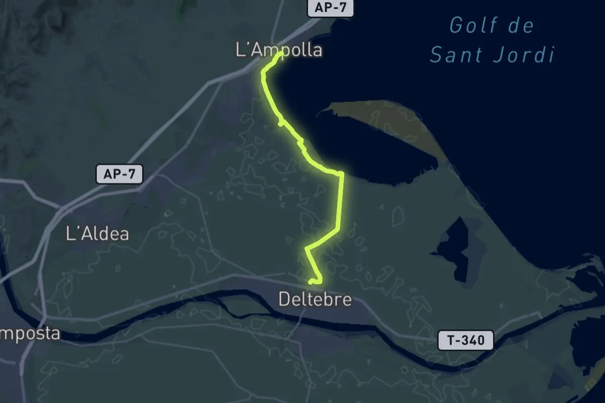
Demanding · Trail
Catalunya E30
26.0 km · ↑ 13 m · 6 h 10 min
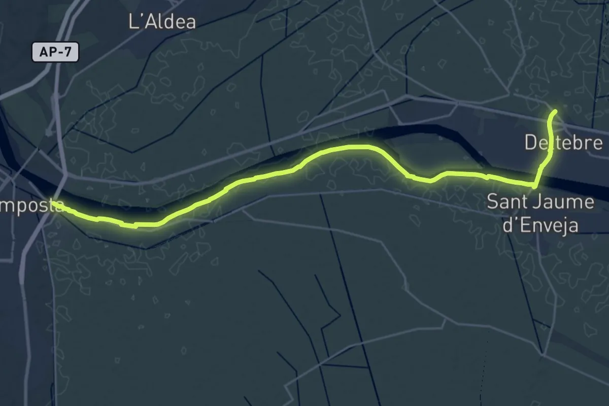
Demanding · Trail
Catalunya E31
27.1 km · ↑ 0 m · 6 h 24 min
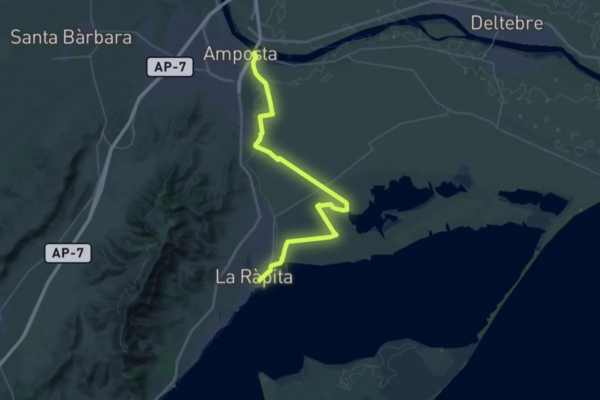
Medium · Trail
Catalunya E32
18.0 km · ↑ 13 m · 4 h 31 min
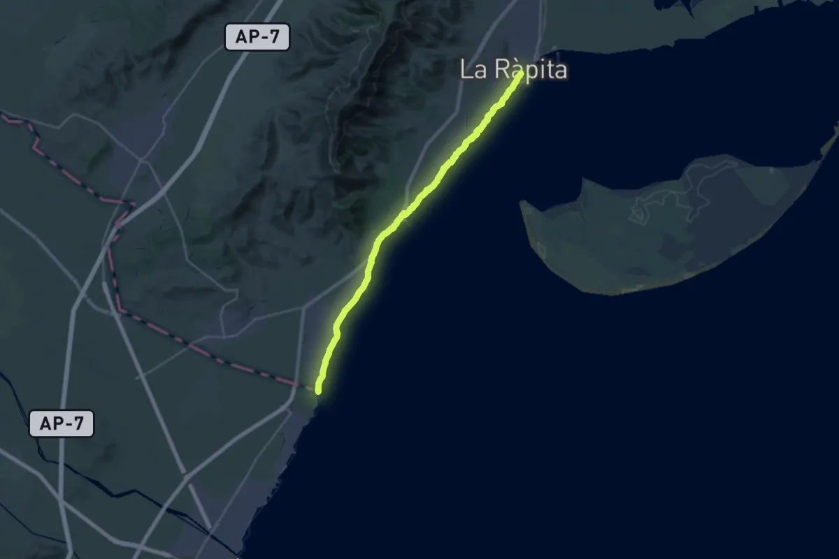
Demanding · Trail
Catalunya E33
26.7 km · ↑ 30 m · 6 h 22 min
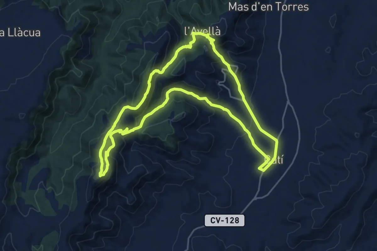
Medium · Summit
Catí - Neveres - Balneari de l'Avellà
17.9 km · ↑ 763 m · 6 h 7 min
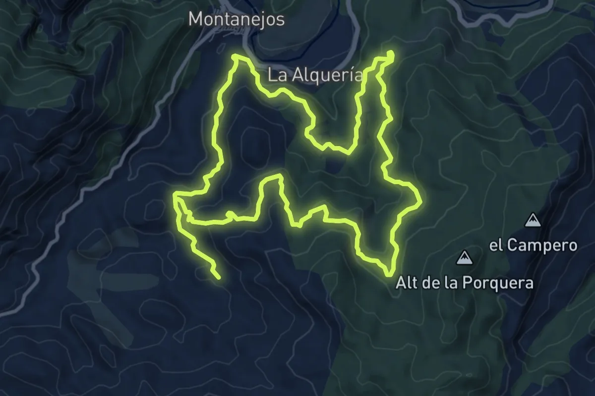
Demanding · Trail
Caturro-Canalica (BTT)
22.4 km · ↑ 729 m · 6 h 52 min
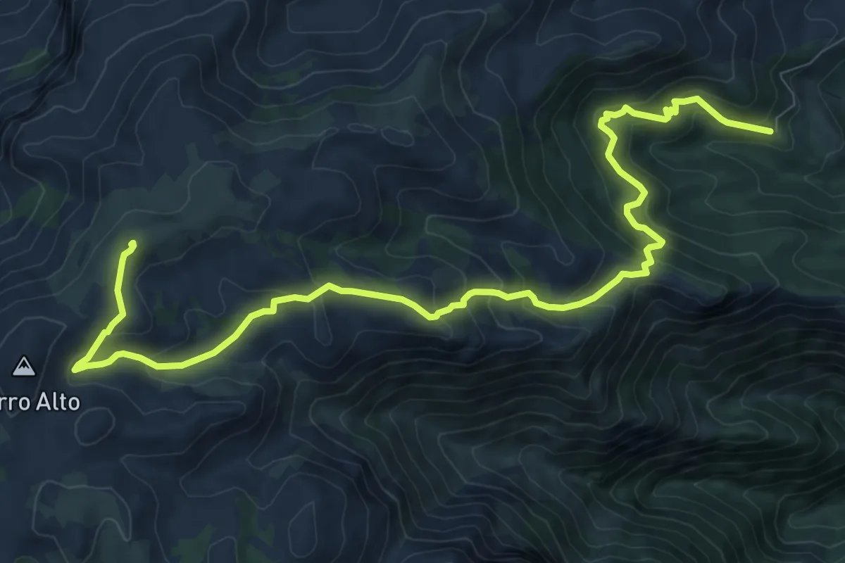
Demanding · Summit
Caucón - Peñón de los Enamorados
13.7 km · ↑ 803 m · 4 h 58 min
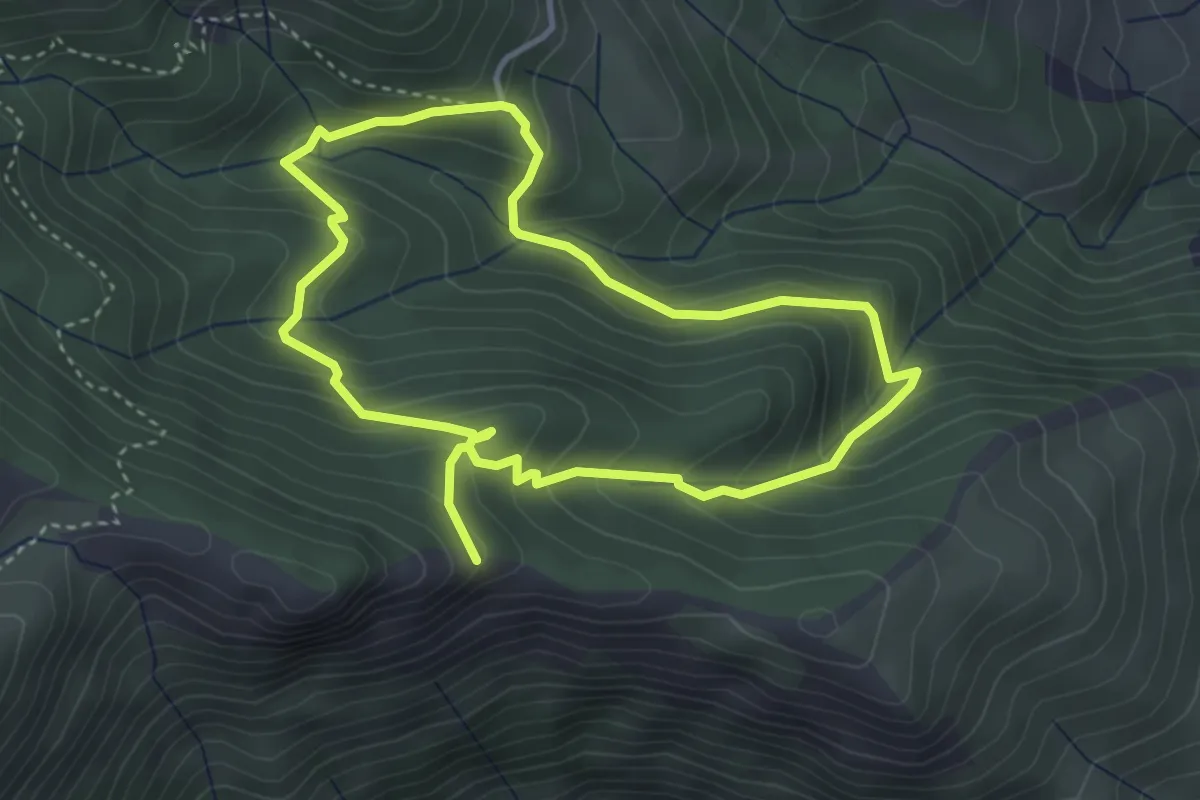
Medium · Trail
Caucón - Tajo de la Caína
3.9 km · ↑ 225 m · 1 h 29 min
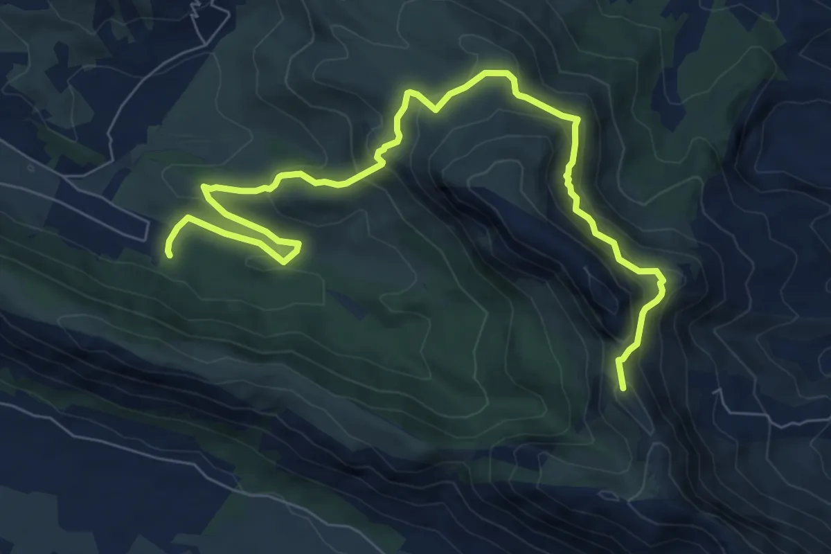
Medium · Summit
Cavall Bernat - Itinerari panoràmic
10.4 km · ↑ 699 m · 3 h 58 min
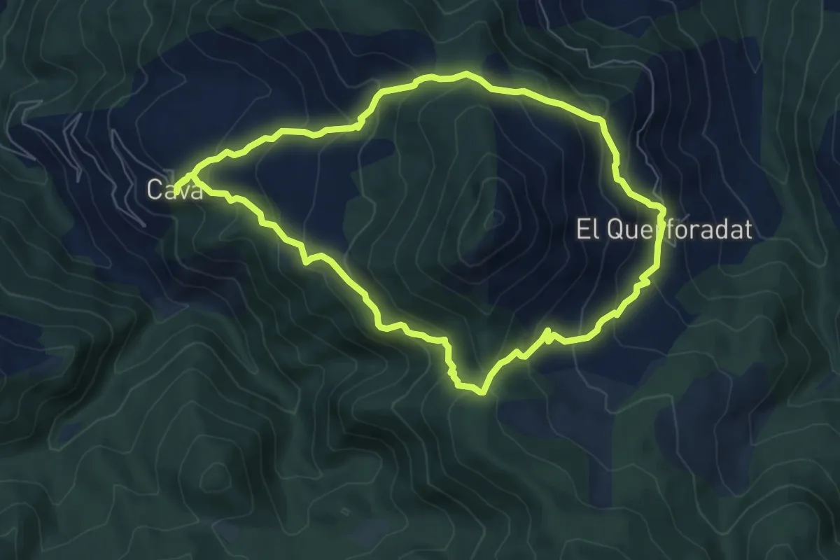
Medium · Summit
Cava Tossal de Bades Querforadat
7.1 km · ↑ 533 m · 2 h 56 min
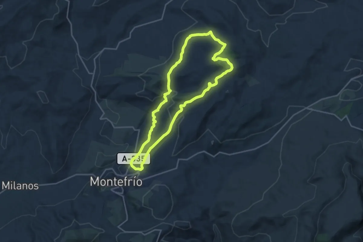
Medium · Trail
Cazuela - Atalaya
13.9 km · ↑ 457 m · 4 h 28 min
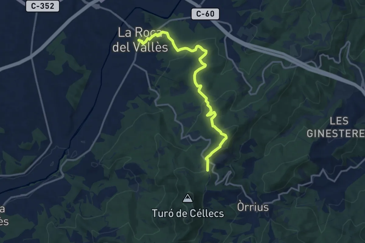
Medium · Trail
Cèllecs-Sant Bartmeu de Cabanyes
11.2 km · ↑ 368 m · 3 h 26 min
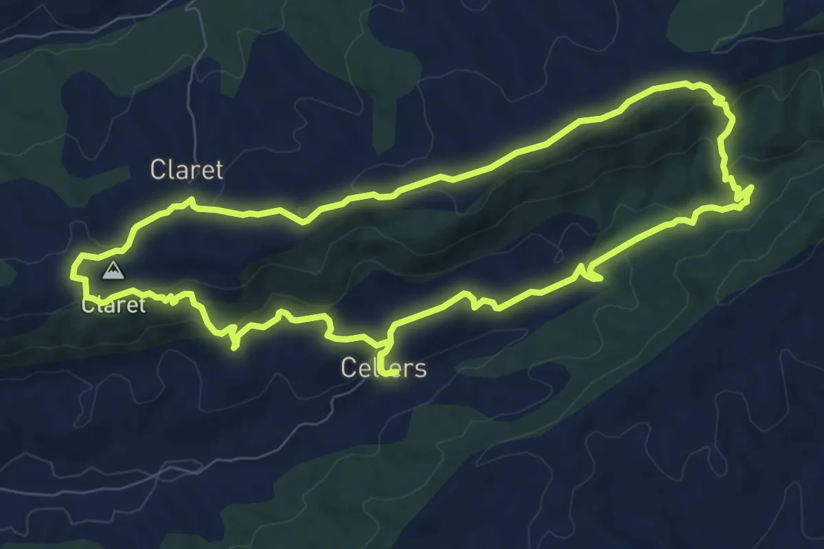
Medium · Summit
Cellers - Monestir - Claret - Cellers
9.5 km · ↑ 242 m · 2 h 54 min
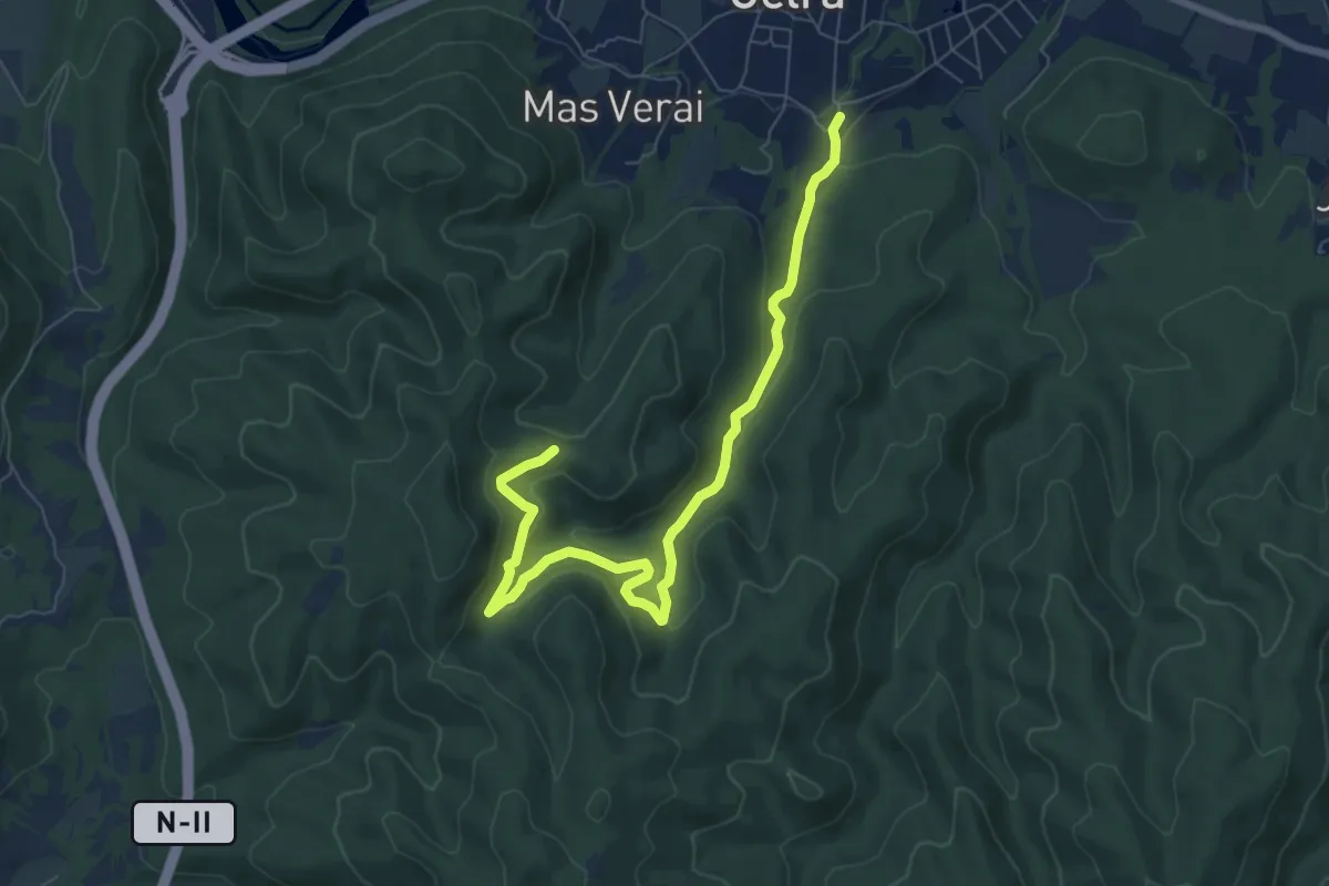
Medium · Trail
Celrà mina del nen Jesús
8.7 km · ↑ 300 m · 2 h 42 min
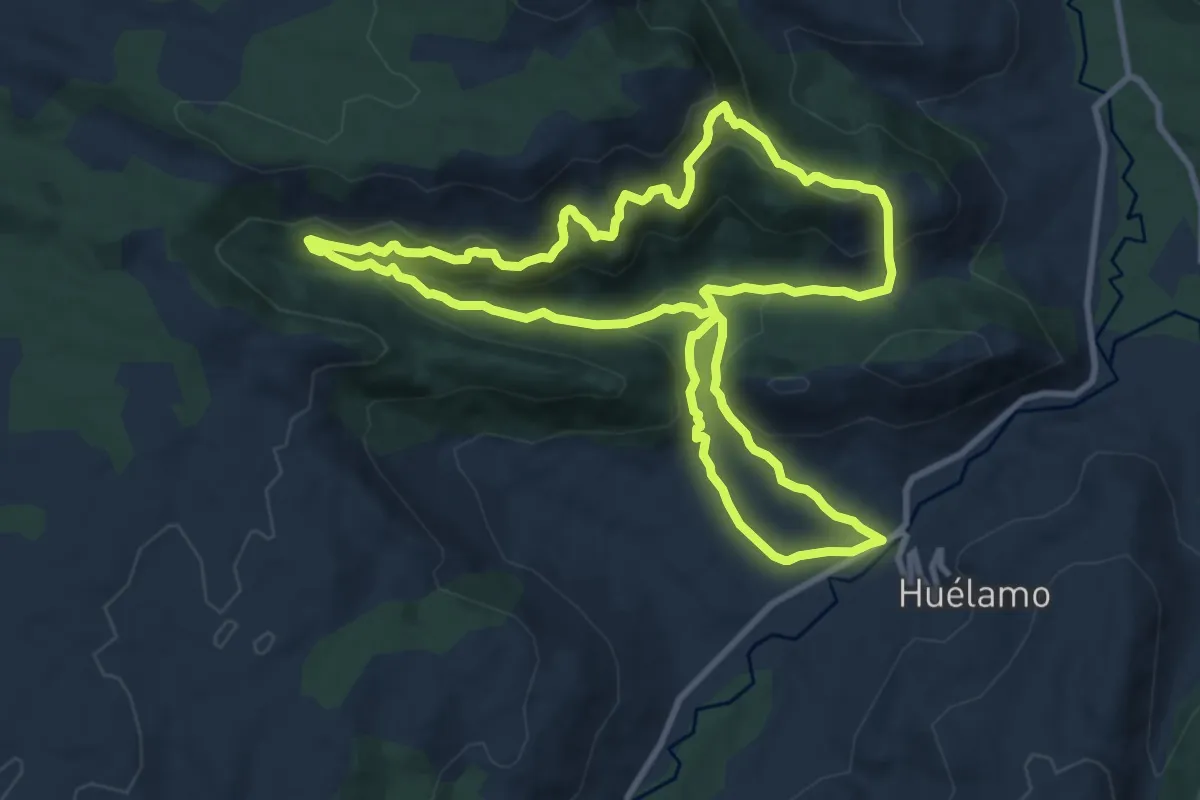
Medium · Trail
Ceñajos de los Calatrava, Peña Rubia y las Torcas
11.4 km · ↑ 566 m · 4 h 5 min
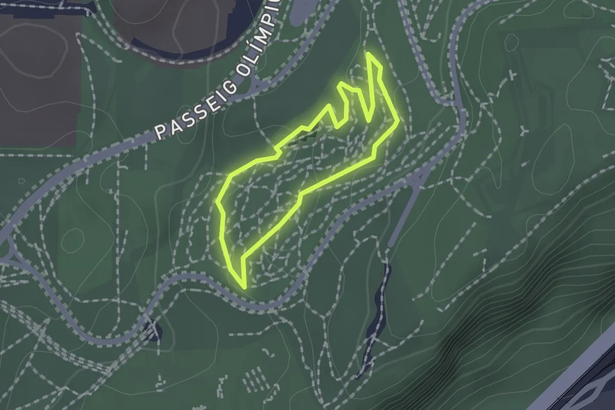
Easy · Trail
Central
1.3 km · ↑ 27 m · 23 min
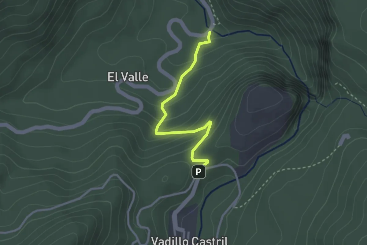
Easy · Trail
Central Eléctrica
2.8 km · ↑ 190 m · 1 h 5 min
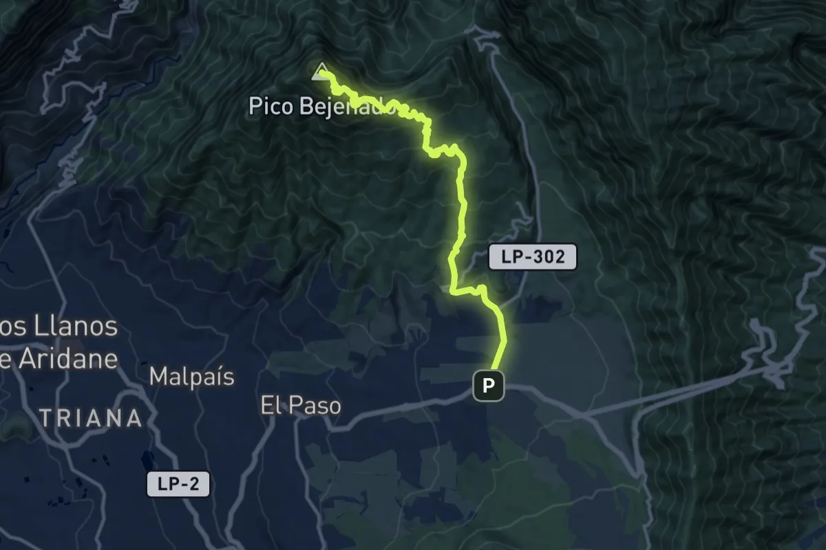
Demanding · Summit
Centro Visitantes Parque Nacional - Pico Bejenado
16.2 km · ↑ 1242 m · 6 h 31 min
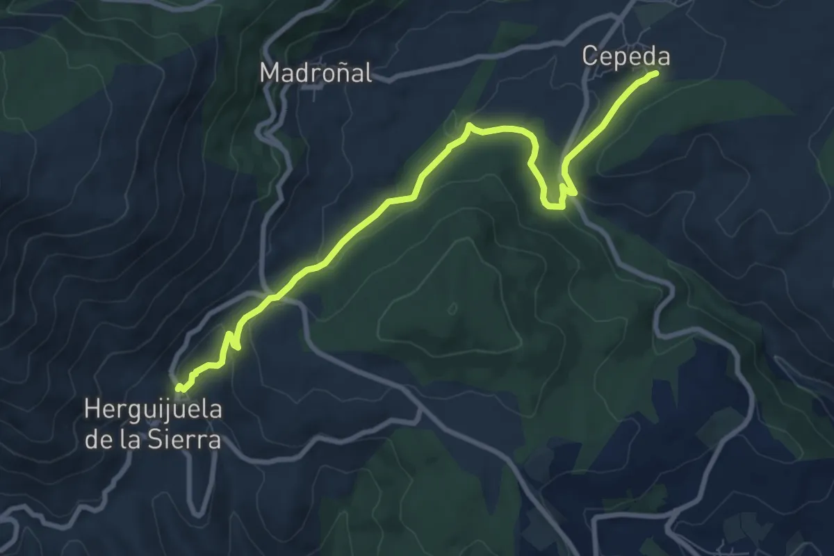
Medium · Trail
Cepeda - Herguijuela
9.7 km · ↑ 267 m · 2 h 52 min
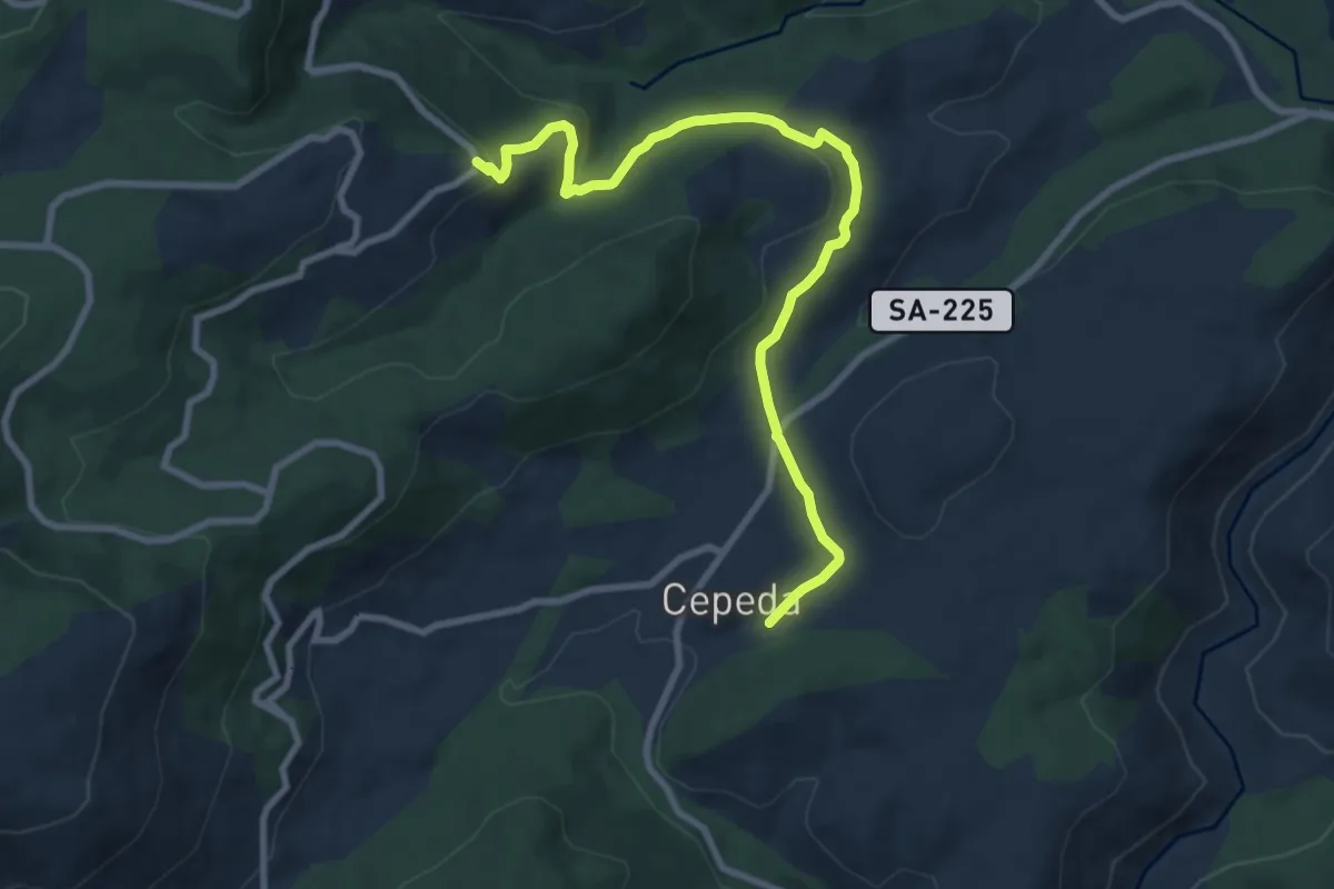
Medium · Trail
Cepeda - Monforte de la Sierra
10.3 km · ↑ 258 m · 2 h 59 min
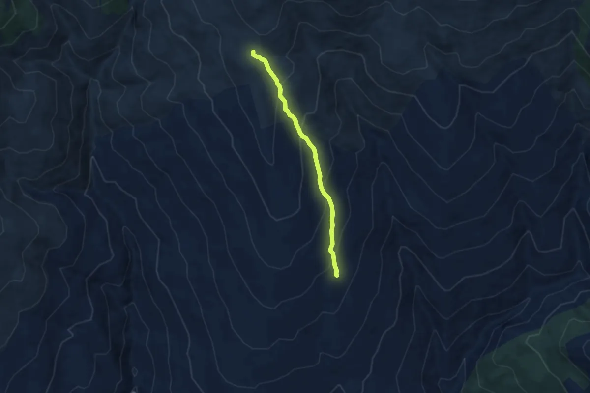
Medium · Trail
Cerecillo - La Gabiarra
7.1 km · ↑ 414 m · 2 h 35 min
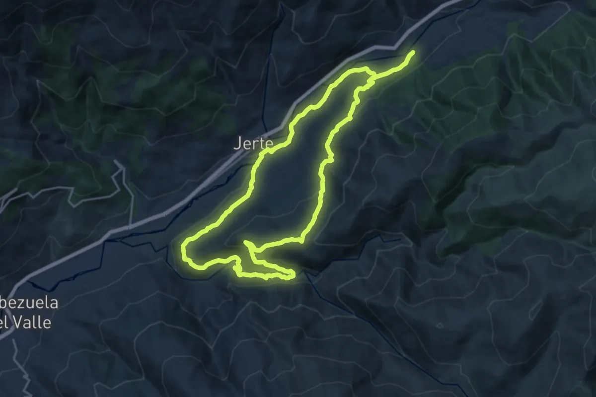
Medium · Trail
Cerezo en Flor
17.6 km · ↑ 543 m · 5 h 34 min
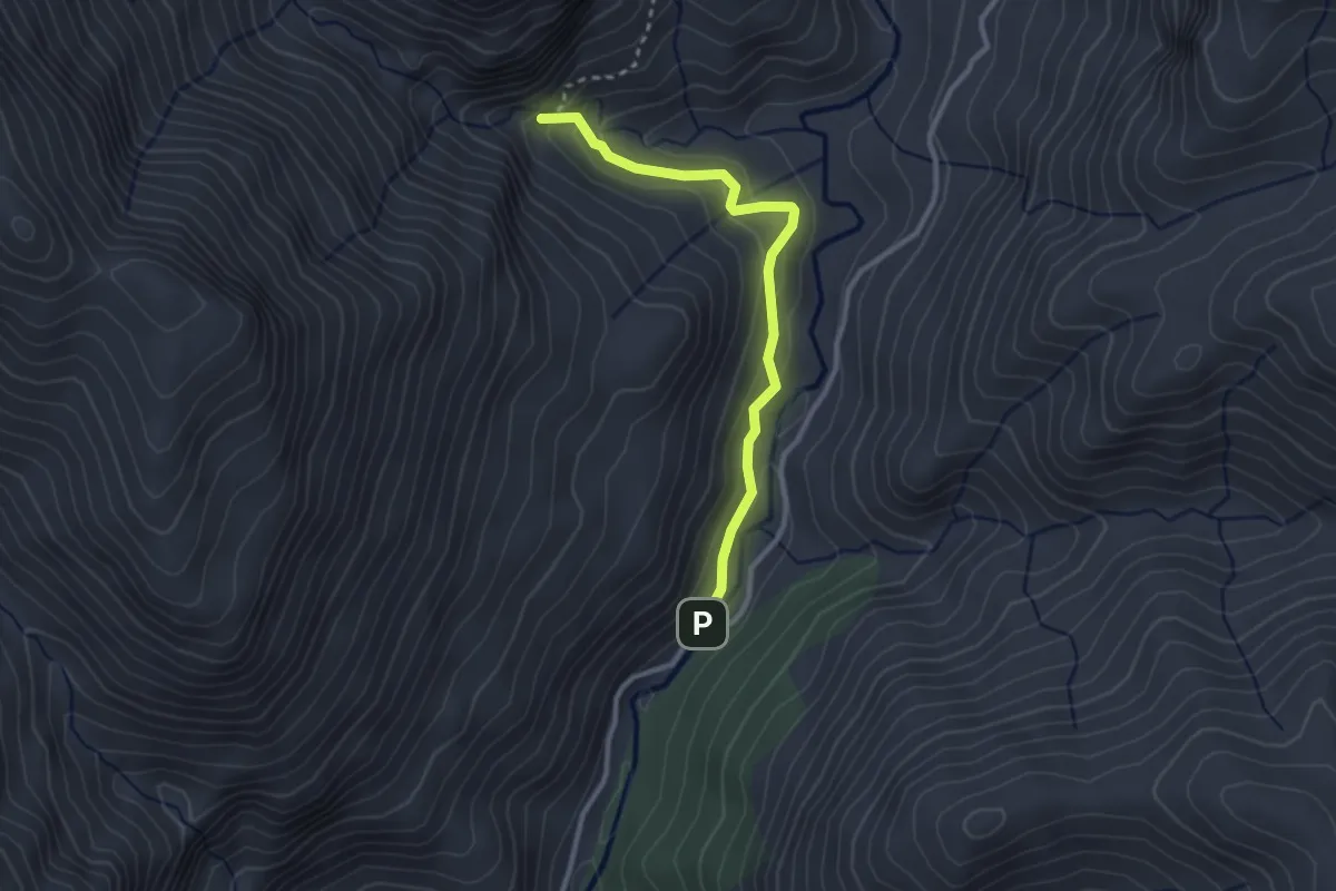
Medium · Trail
Cerrada de la Magdalena
3.1 km · ↑ 187 m · 1 h 8 min
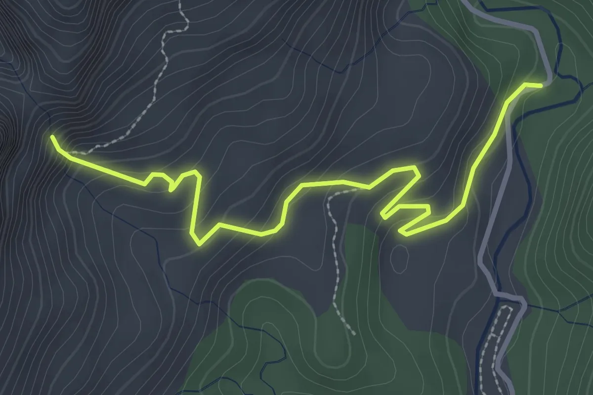
Easy · Trail
Cerrada de Lézar
3.7 km · ↑ 233 m · 1 h 23 min
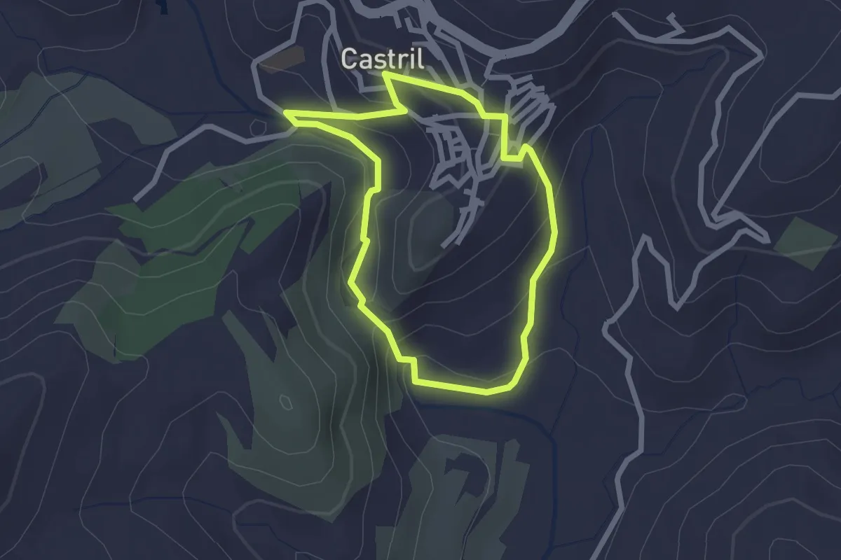
Easy · Trail
Cerrada del río Castril
2.2 km · ↑ 113 m · 48 min
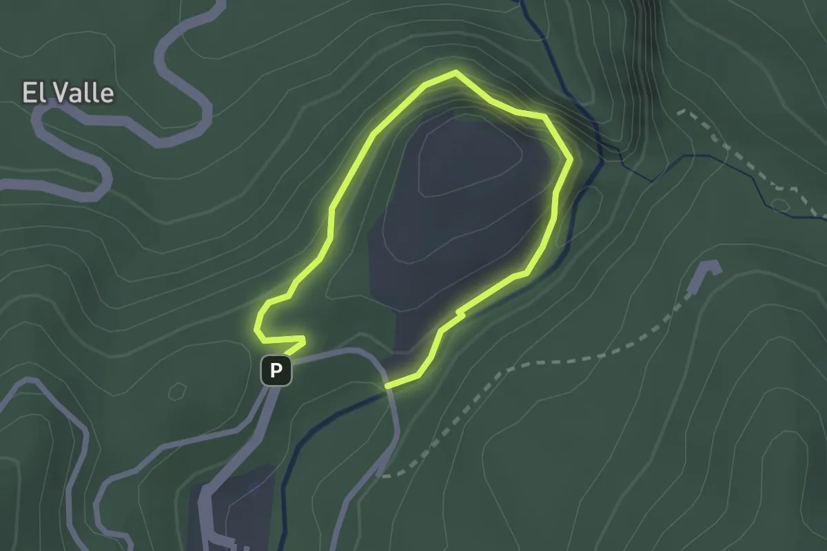
Easy · Trail
Cerrada del Utrero
1.7 km · ↑ 82 m · 36 min
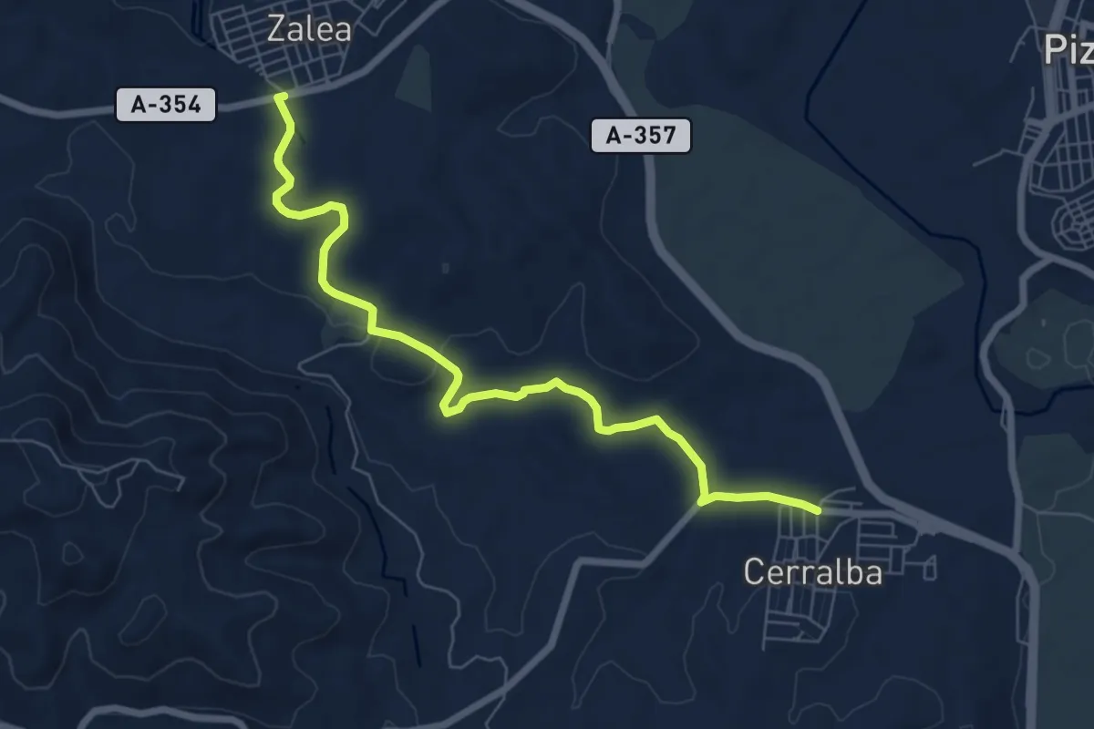
Medium · Trail
Cerralba - Zalea
8.4 km · ↑ 103 m · 2 h 12 min
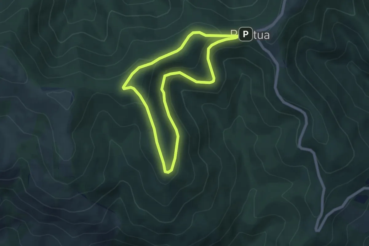
Easy · Trail
Cerrillar
4.6 km · ↑ 155 m · 1 h 29 min
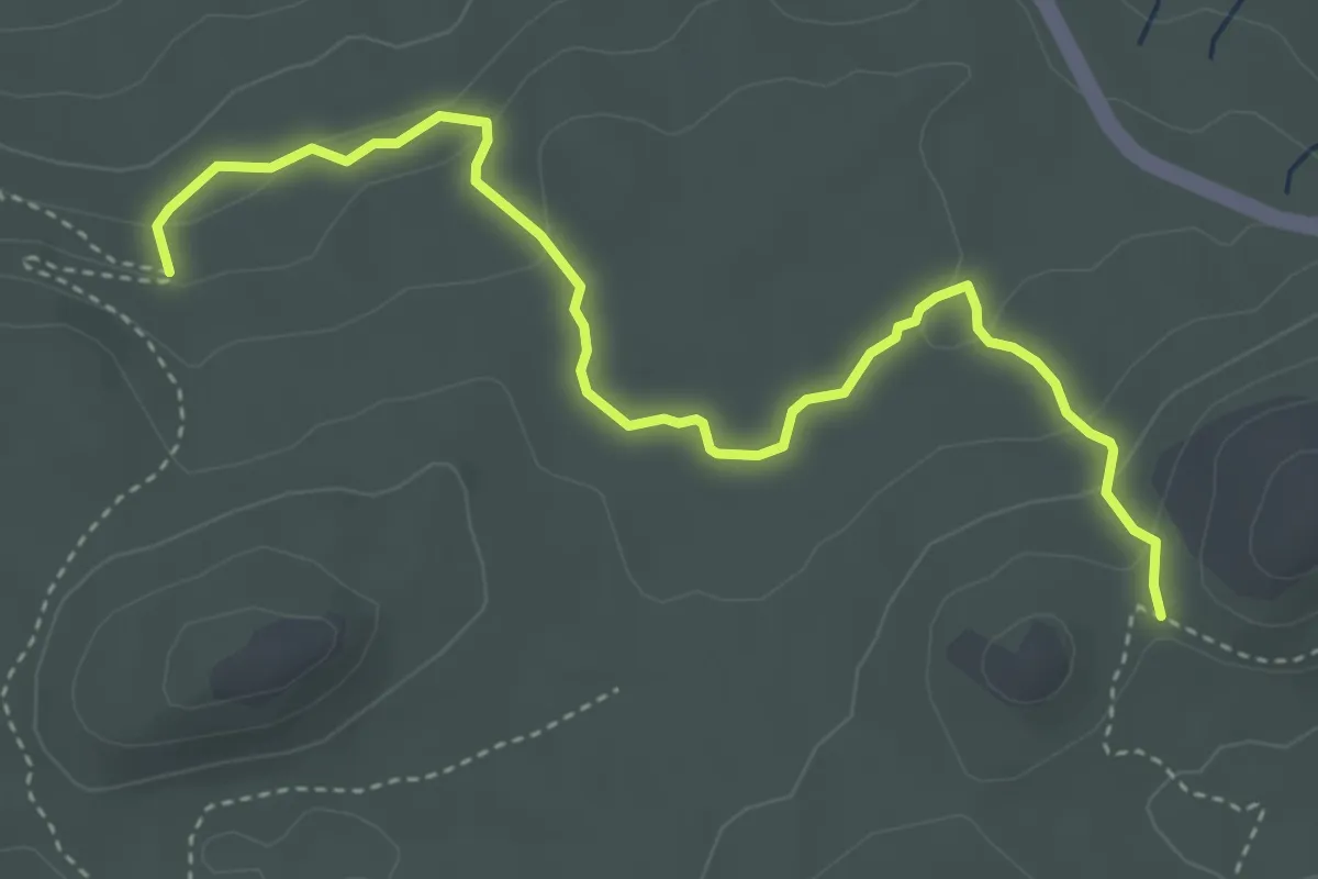
Medium · Trail
Cerrillar - Carnicería
5.6 km · ↑ 159 m · 1 h 40 min
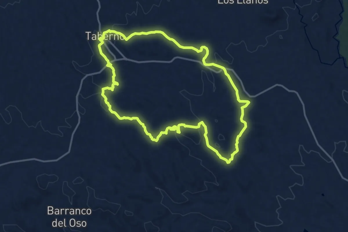
Medium · Summit
Cerro Alto
13.3 km · ↑ 332 m · 4 h 3 min
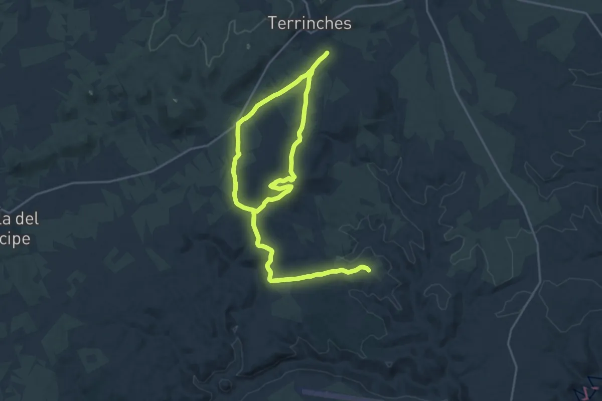
Demanding · Trail
Cerro Conejero y Ramal Taurino
19.3 km · ↑ 288 m · 5 h 26 min
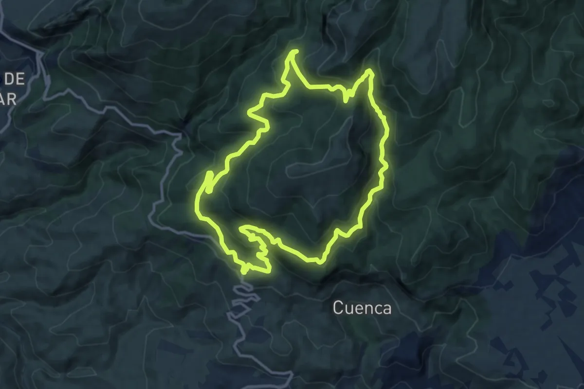
Medium · Trail
Cerro de Hinojares
12.6 km · ↑ 589 m · 4 h 26 min
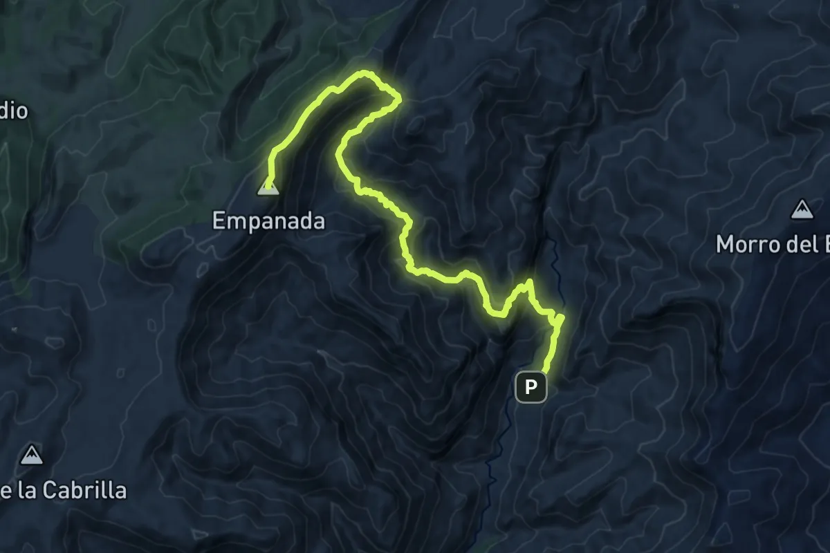
Demanding · Summit
Cerro de la Empanada
19.9 km · ↑ 1398 m · 7 h 44 min
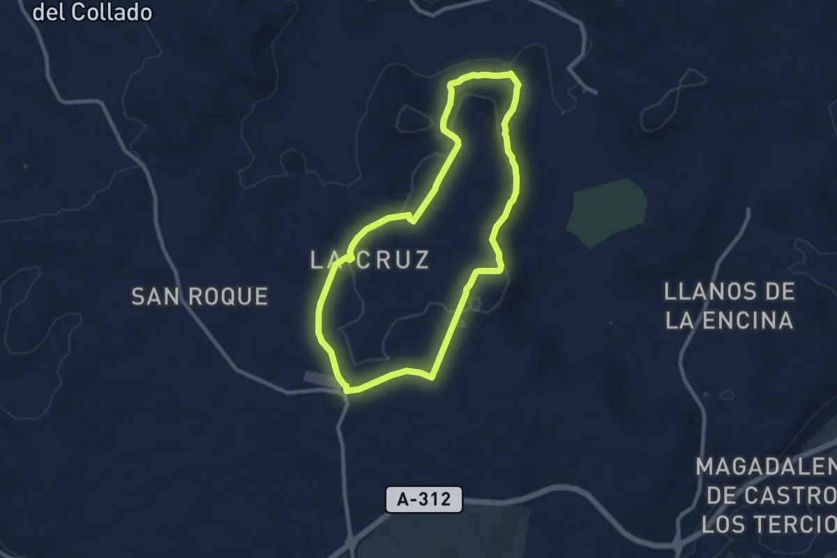
Medium · Trail
Cerro de Las Mancebas
9.1 km · ↑ 186 m · 2 h 40 min
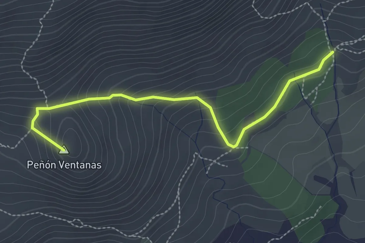
Medium · Summit
Cerro de las Ventanas
3.3 km · ↑ 211 m · 1 h 13 min
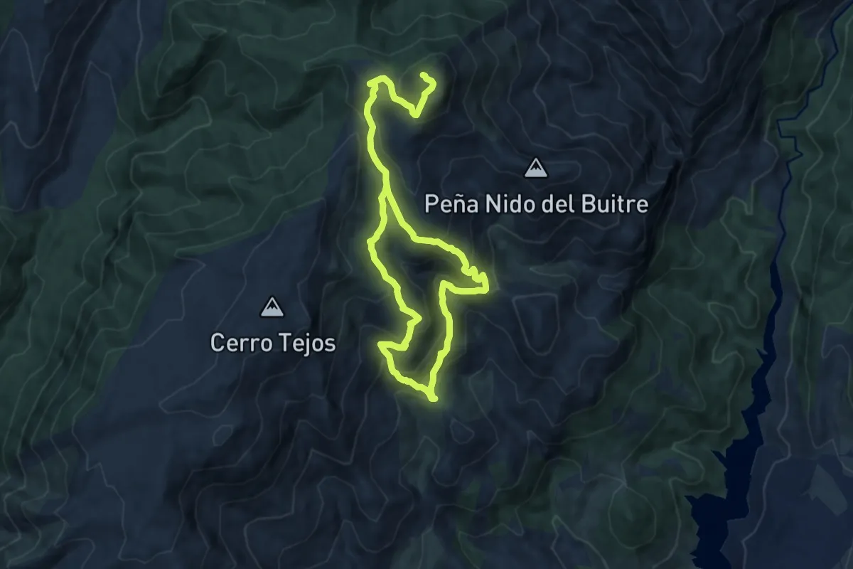
Demanding · Summit
Cerro del Buitre
16.7 km · ↑ 1097 m · 6 h 20 min
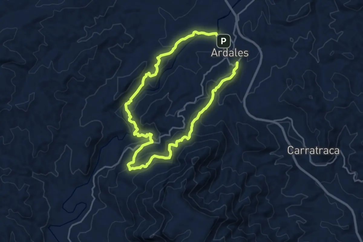
Medium · Trail
Cerro del Calvario - Capellán - Turón
12.3 km · ↑ 625 m · 4 h 24 min
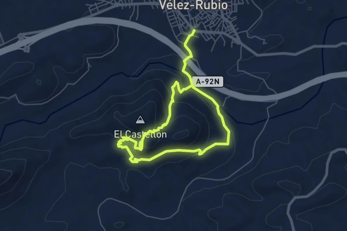
Easy · Summit
Cerro del Castellón
4.8 km · ↑ 230 m · 1 h 44 min
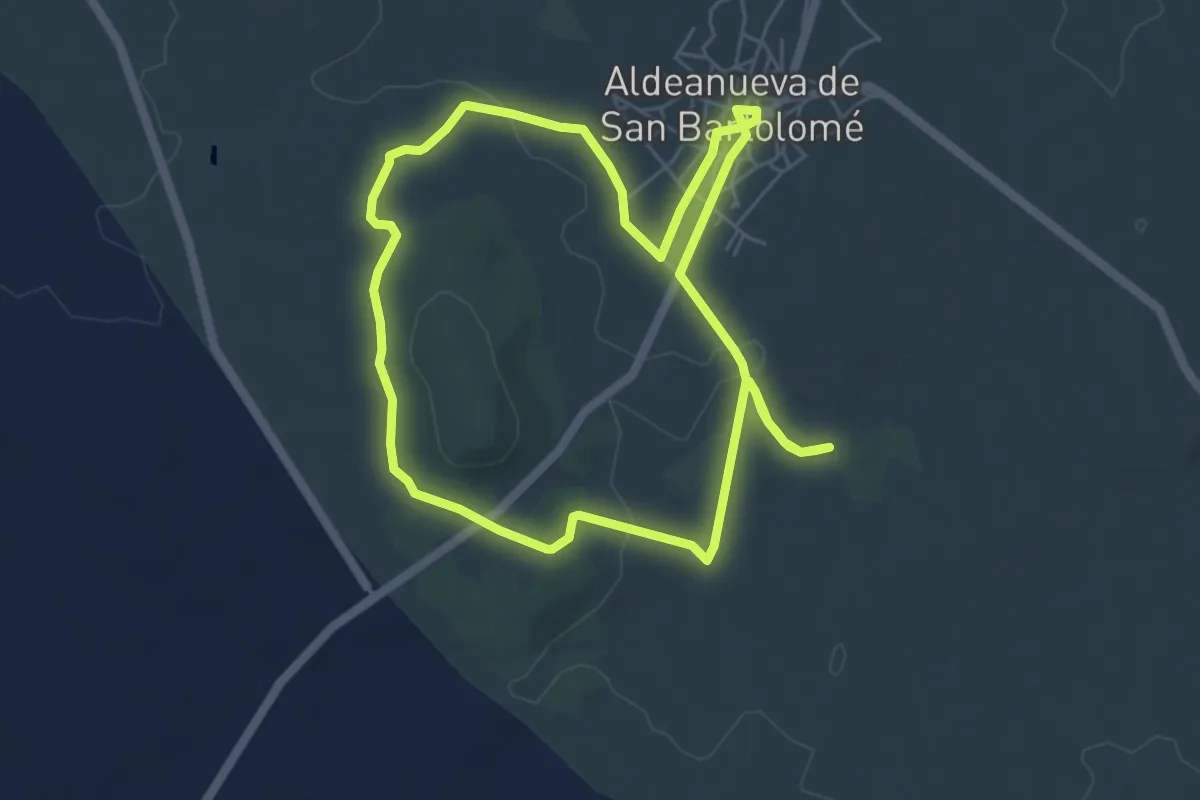
Easy · Trail
Cerro del Castrejón
6.2 km · ↑ 77 m · 1 h 42 min
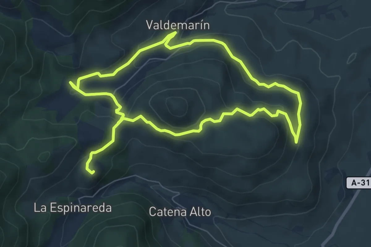
Easy · Trail
Cerro del Pavo
6.7 km · ↑ 255 m · 2 h 14 min
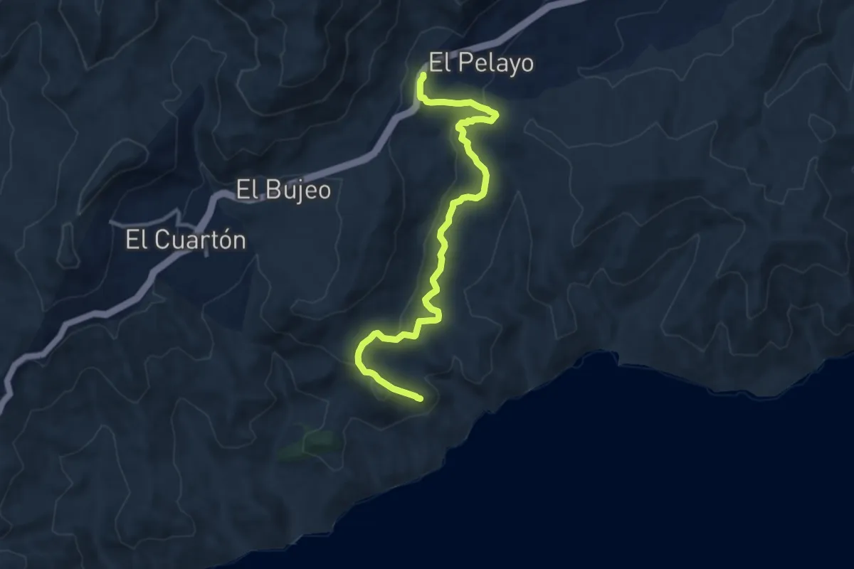
Medium · Trail
Cerro del Tambor
12.4 km · ↑ 325 m · 3 h 38 min
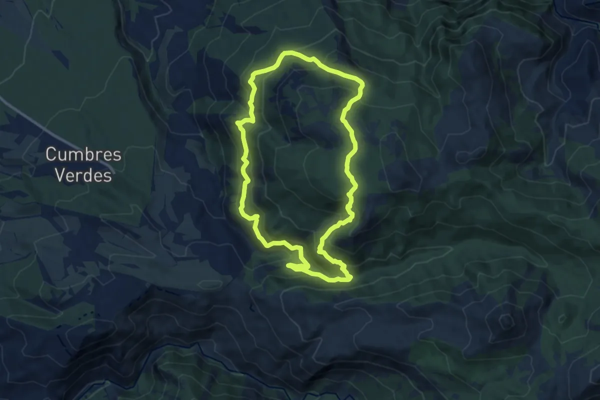
Medium · Trail
Cerro Huenes
10.4 km · ↑ 711 m · 4 h 8 min