Trails in Spain
5,963 hiking trails, each with its route, climb, walking time and grade.
All trails, page 26 of 125
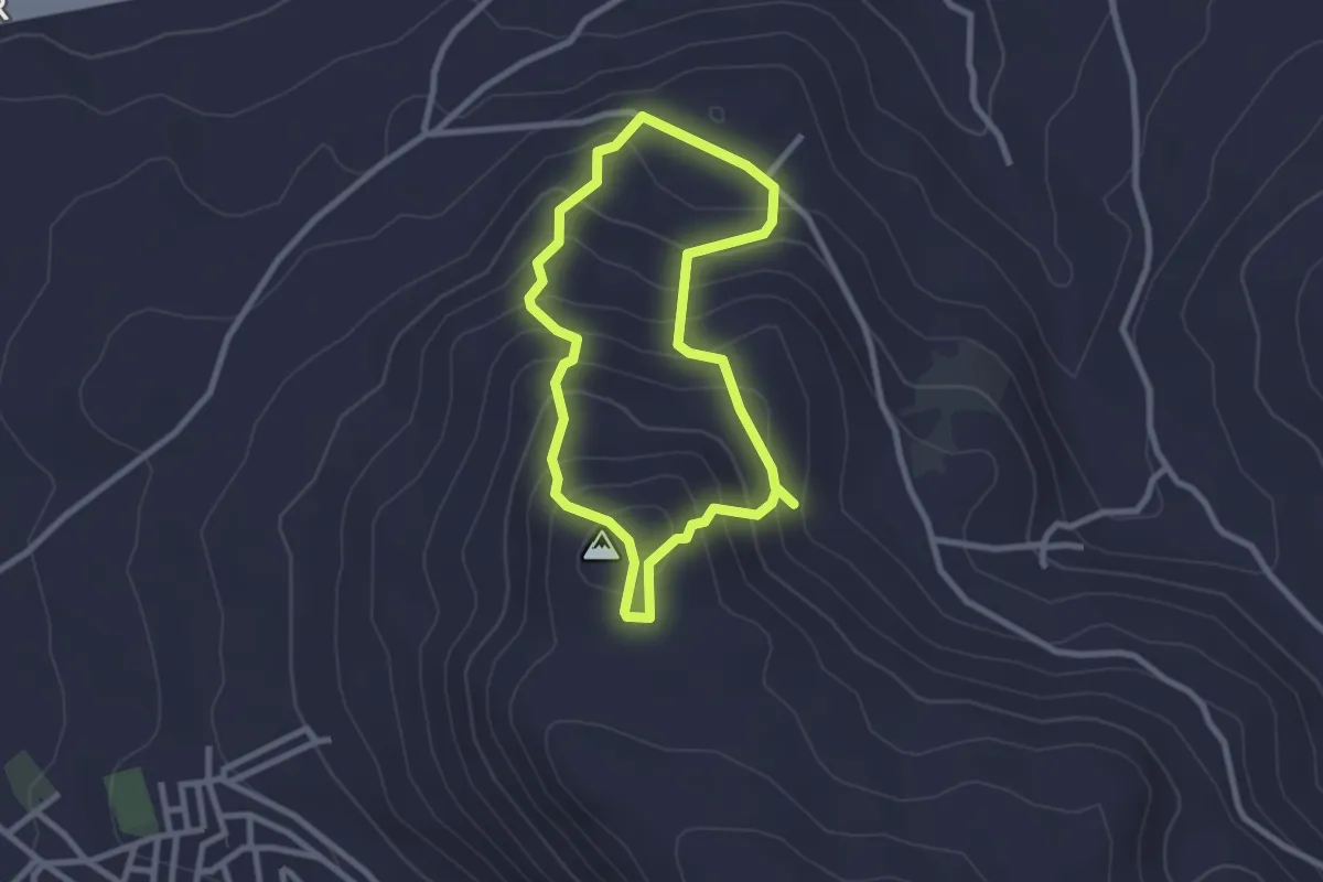
Easy · Trail
Cerro Miguelico
2.7 km · ↑ 208 m · 1 h 7 min
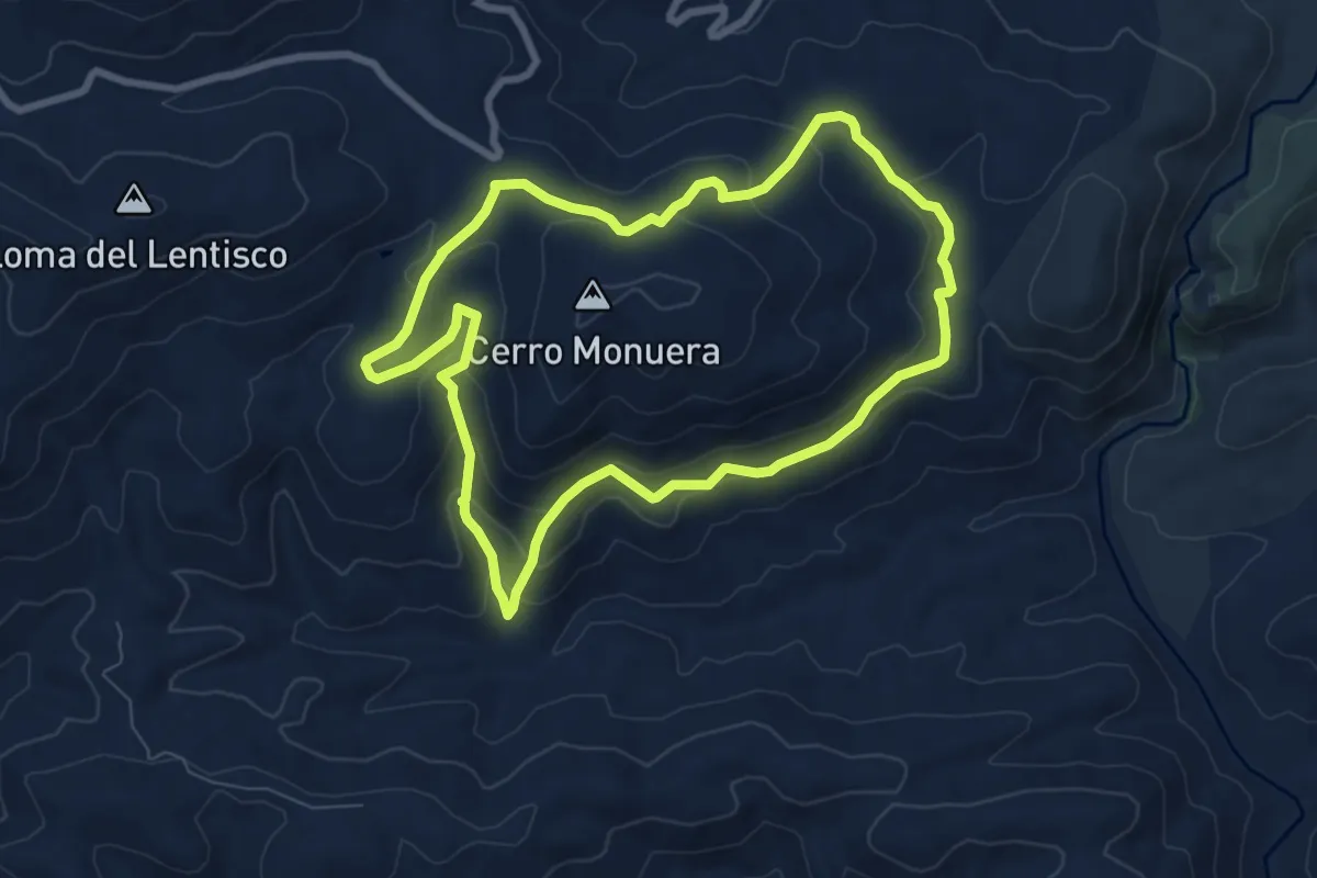
Medium · Trail
Cerro Monuera
8.6 km · ↑ 348 m · 2 h 54 min
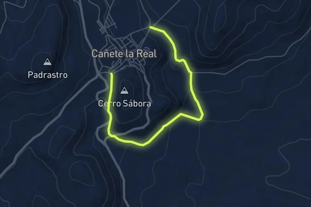
Easy · Trail
Cerro Sábora
3.4 km · ↑ 221 m · 1 h 18 min
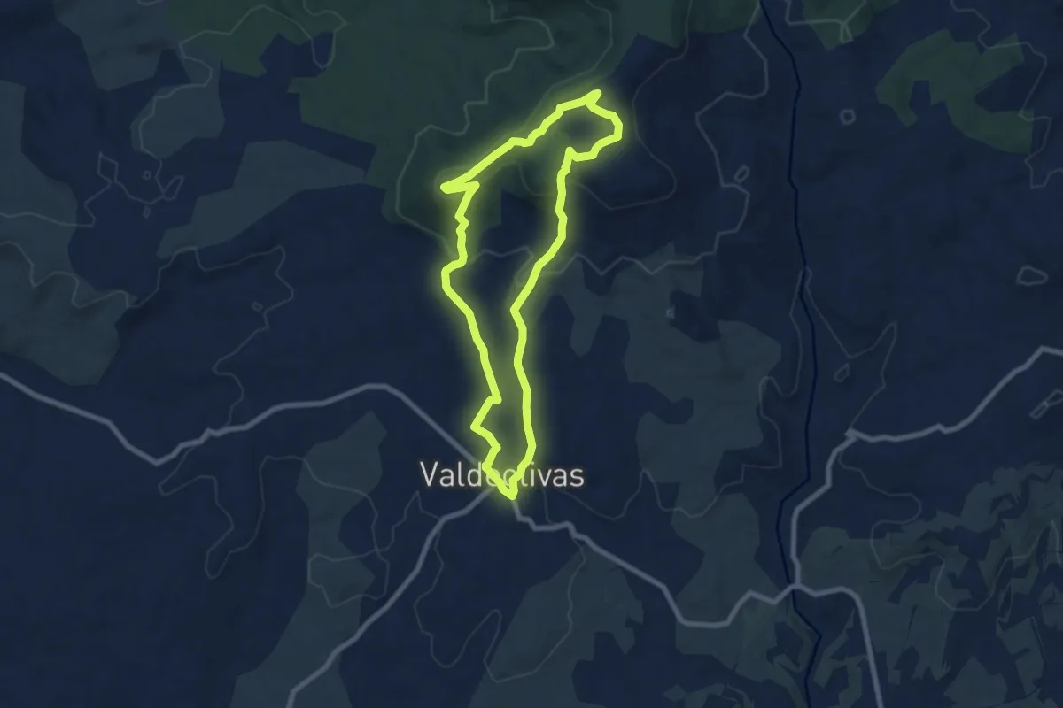
Easy · Trail
Cerro San Quilez y Piedra Molón
7.7 km · ↑ 227 m · 2 h 24 min
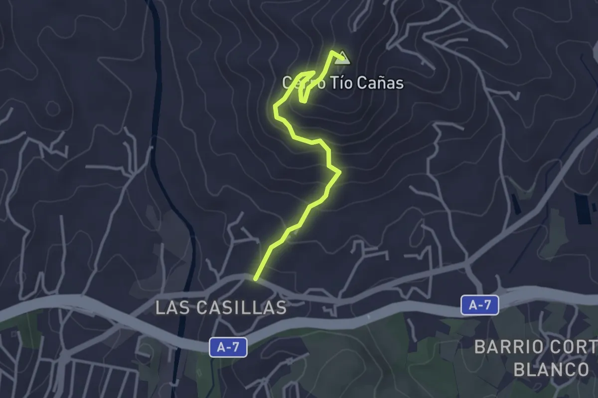
Easy · Summit
Cerro Tío Caña - Cerro Benagalbón
3.4 km · ↑ 247 m · 1 h 20 min
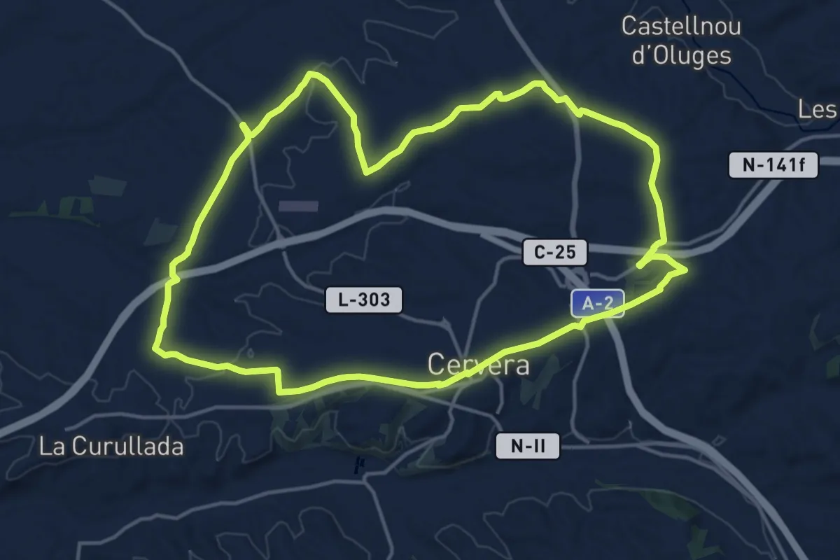
Medium · Summit
Cervera Nord
16.6 km · ↑ 141 m · 4 h 28 min
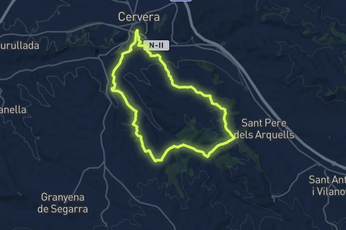
Medium · Trail
Cervera Sud
13.2 km · ↑ 306 m · 3 h 58 min
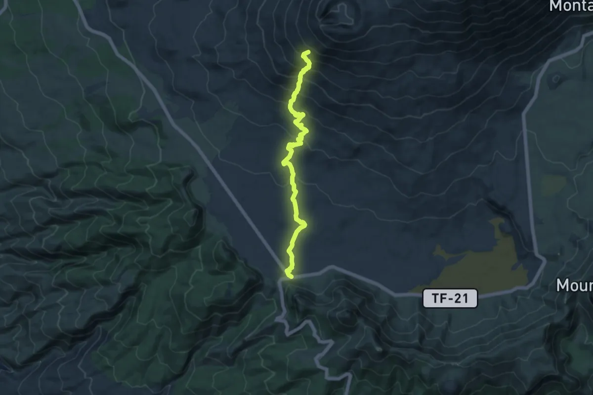
Medium · Trail
Chafari
13.0 km · ↑ 734 m · 4 h 39 min
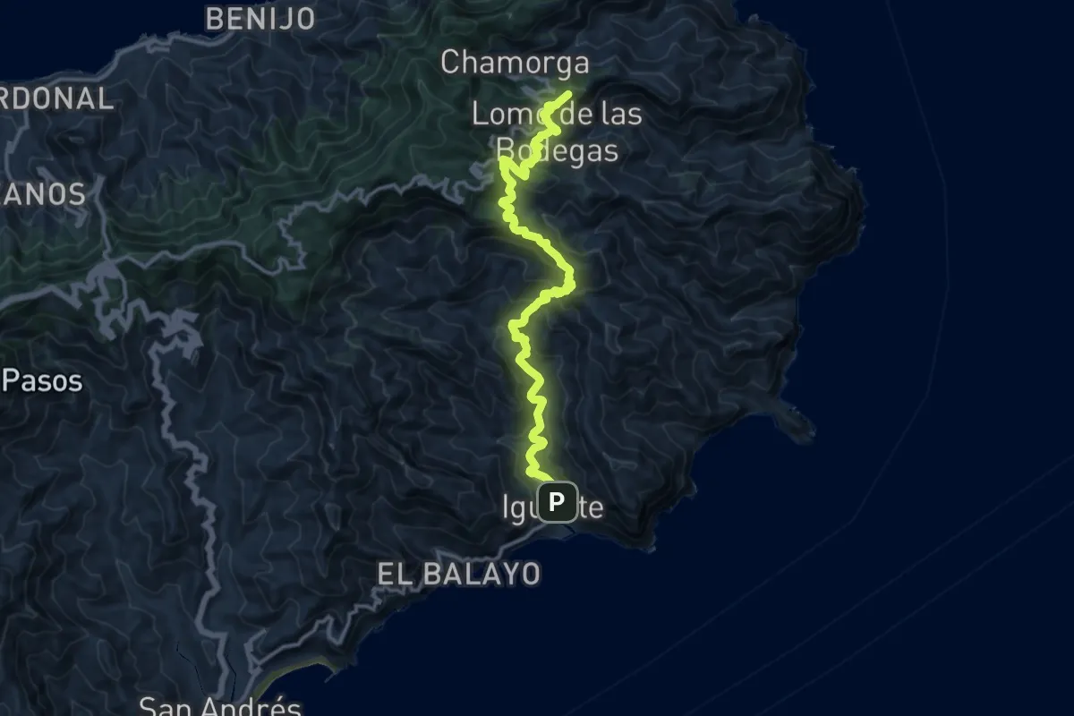
Demanding · Summit
Chamorga - Igueste de San Andrés
16.1 km · ↑ 1060 m · 6 h 6 min
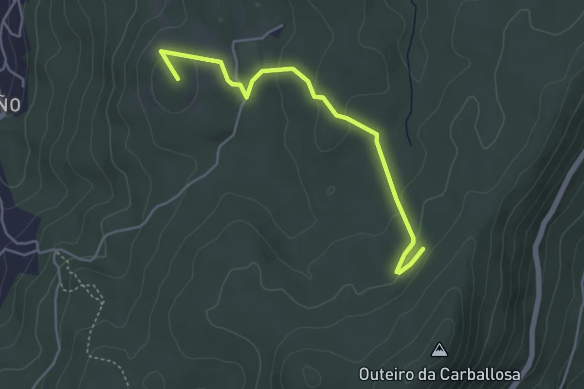
Easy · Summit
Chans de Cela
4.2 km · ↑ 117 m · 1 h 14 min
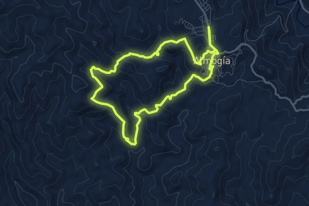
Medium · Trail
Charamuza - Lo Bernabé
8.9 km · ↑ 374 m · 3 h 3 min
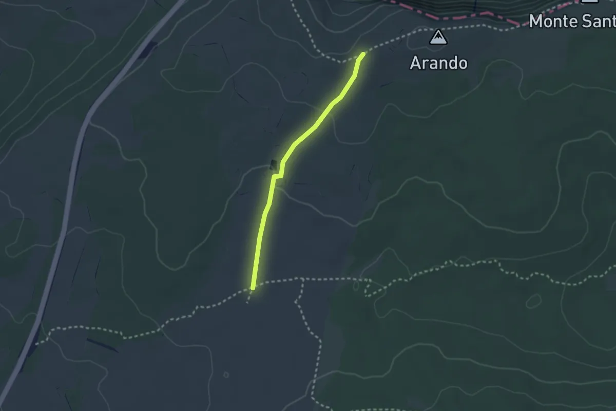
Easy · Trail
Charca del Cortón
2.4 km · ↑ 45 m · 40 min
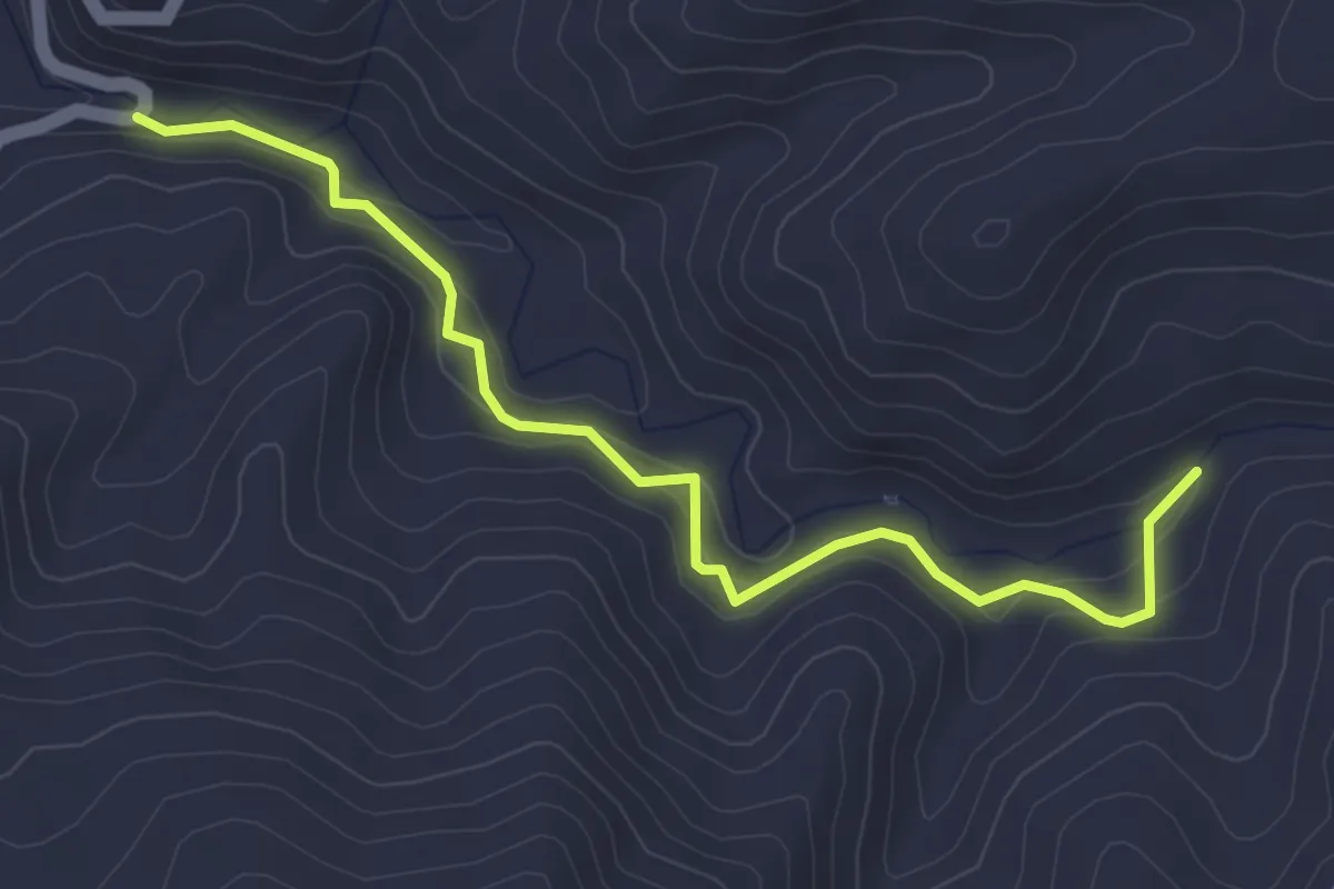
Easy · Trail
Charco de la Cal
4.9 km · ↑ 189 m · 1 h 33 min
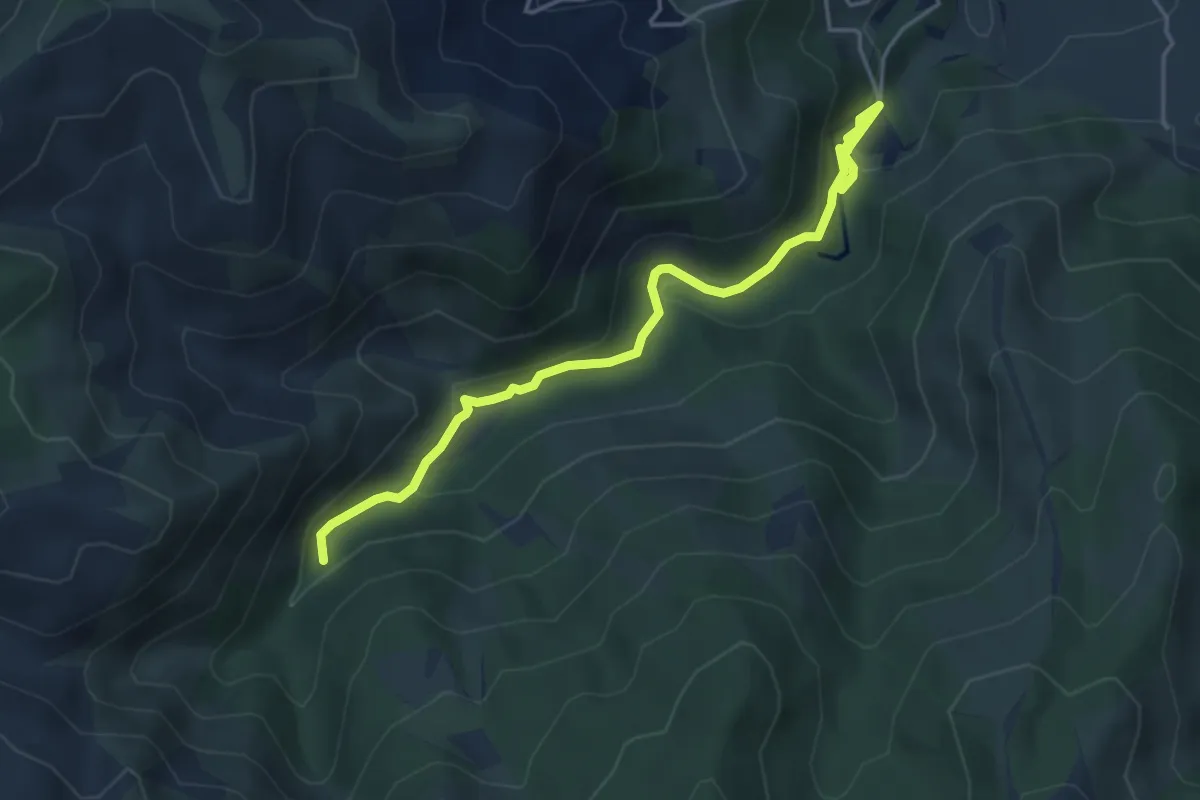
Easy · Trail
Charco de la Virgen
5.1 km · ↑ 230 m · 1 h 43 min
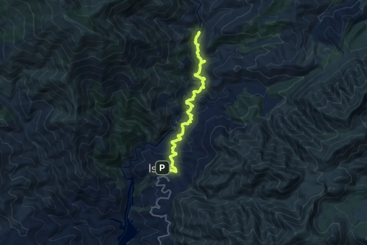
Medium · Trail
Charco del Canalón
12.6 km · ↑ 588 m · 4 h 15 min
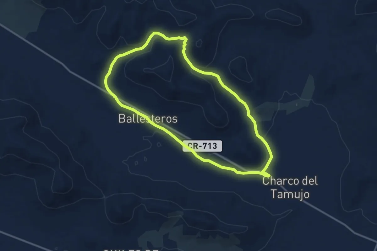
Medium · Trail
Charco del Tamujo
9.7 km · ↑ 165 m · 2 h 47 min
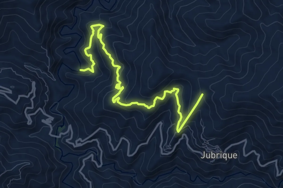
Demanding · Trail
Charco Esteban
13.3 km · ↑ 857 m · 4 h 59 min
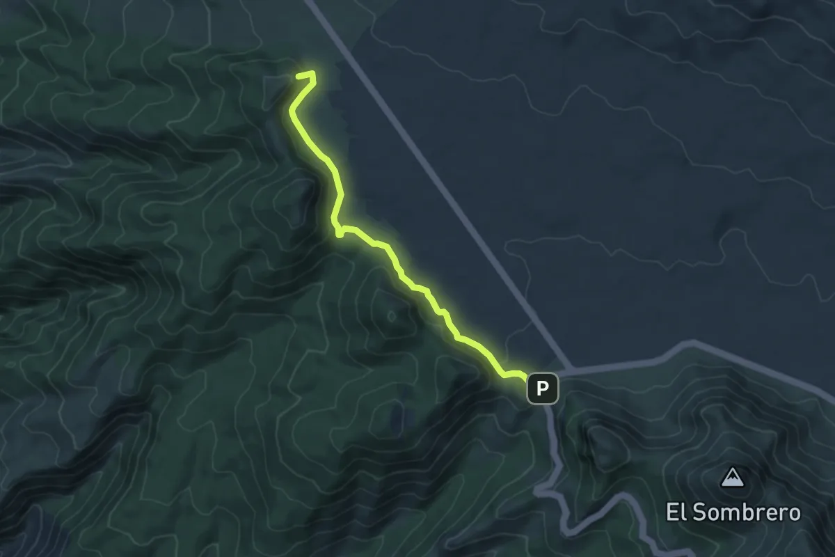
Easy · Summit
Chavao
7.1 km · ↑ 189 m · 2 h 5 min
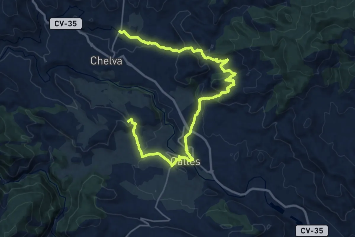
Demanding · Summit
Chelva - Peña Cortada
21.4 km · ↑ 669 m · 6 h 29 min
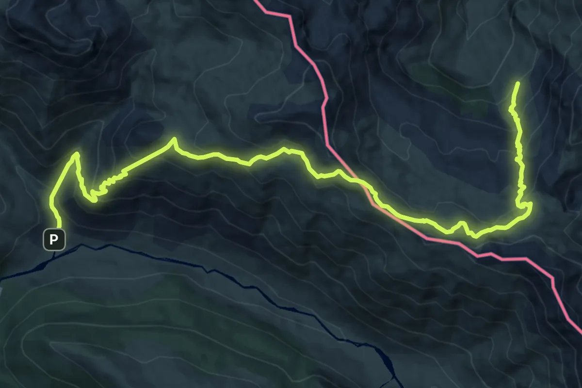
Demanding · Trail
Chemin de la Liberté par la Cuarde asp121
19.0 km · ↑ 1234 m · 7 h 10 min
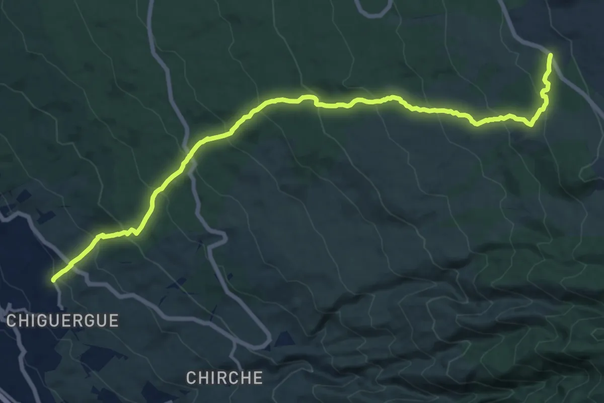
Demanding · Trail
Chiguergue - Chasogo
18.2 km · ↑ 1154 m · 6 h 48 min
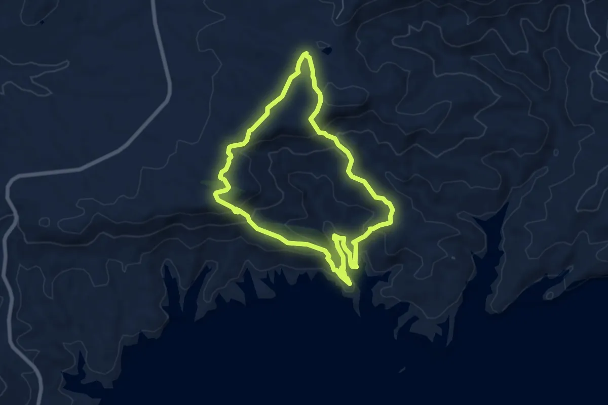
Easy · Trail
Chimeneas del Negratín
6.5 km · ↑ 254 m · 2 h 11 min
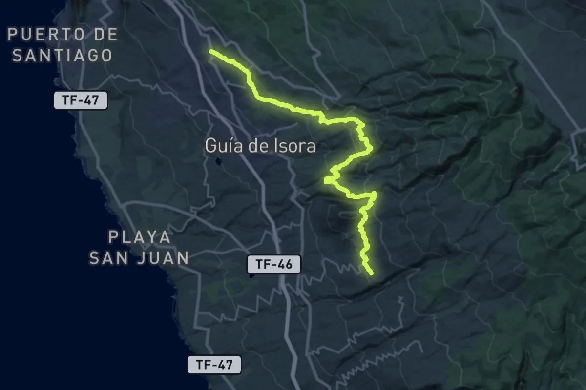
Demanding · Trail
Chío - Vera de Erques
15.0 km · ↑ 967 m · 5 h 46 min
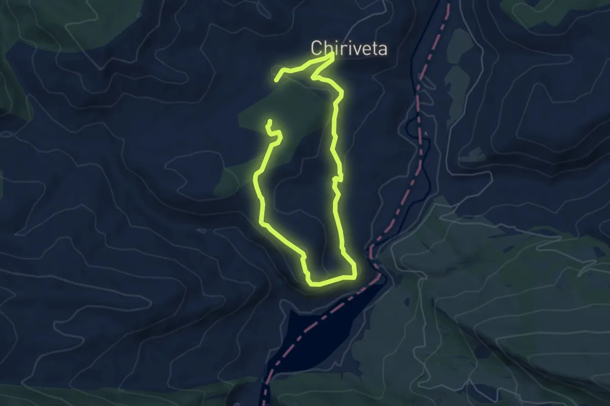
Medium · Trail
Chiriveta - Ermita del Congost - Castillo de Chiriveta
9.3 km · ↑ 333 m · 2 h 55 min
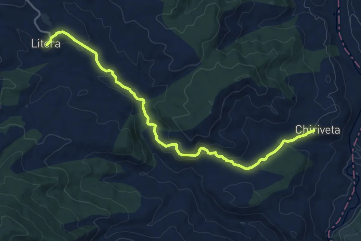
Medium · Trail
Chiriveta - Litera
11.6 km · ↑ 319 m · 3 h 25 min
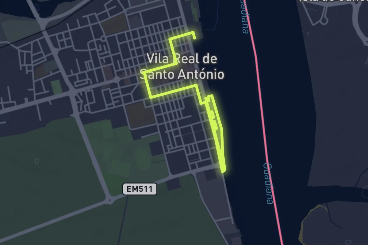
Easy · Trail
Cidade Pombalina
3.6 km · ↑ 9 m · 54 min
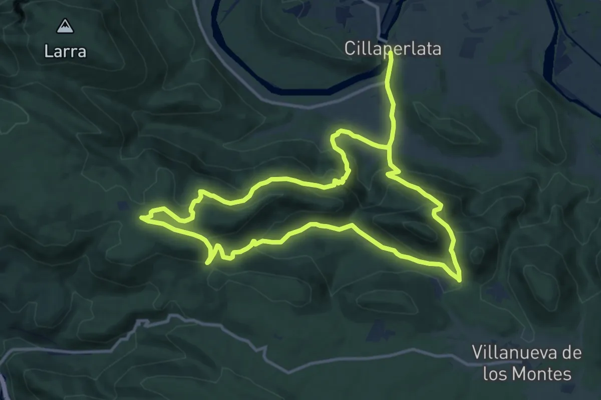
Medium · Trail
Cillaperlata
11.6 km · ↑ 591 m · 4 h 10 min
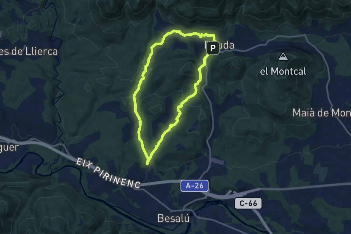
Medium · Trail
Circuit de Besalú
9.3 km · ↑ 258 m · 2 h 53 min
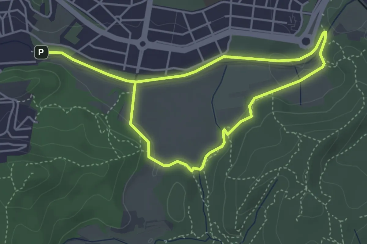
Easy · Trail
Circuit inclusiu de Cerdanyola del Vallès
3.6 km · ↑ 30 m · 58 min
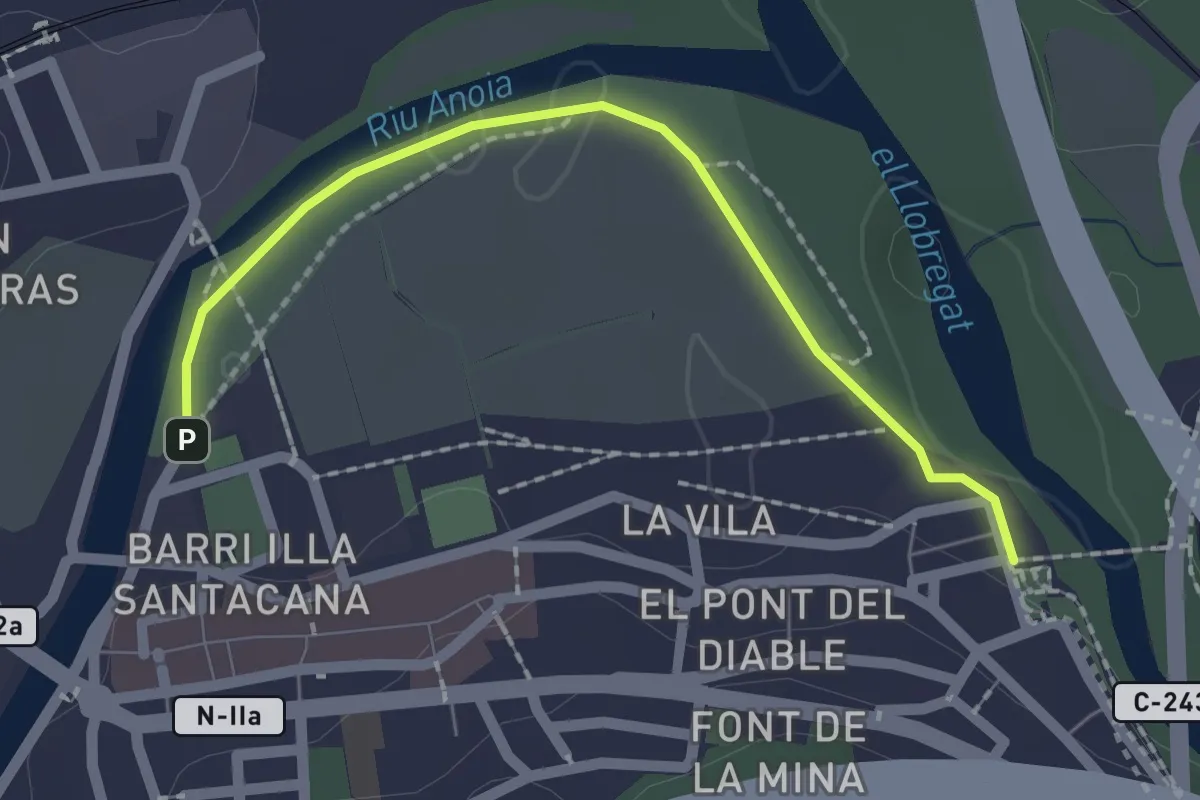
Easy · Trail
Circuit inclusiu de Martorell
2.2 km · ↑ 8 m · 32 min
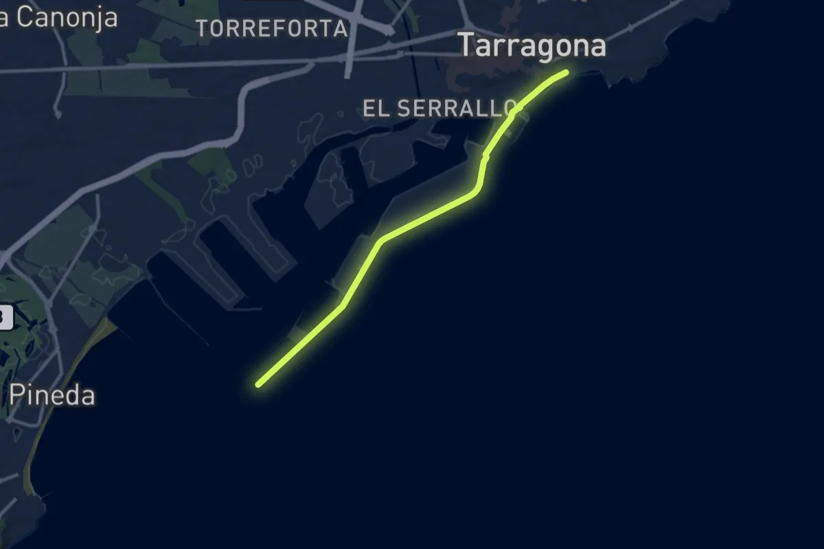
Medium · Trail
Circuit inclusiu de Tarragona
11.5 km · ↑ 18 m · 2 h 45 min
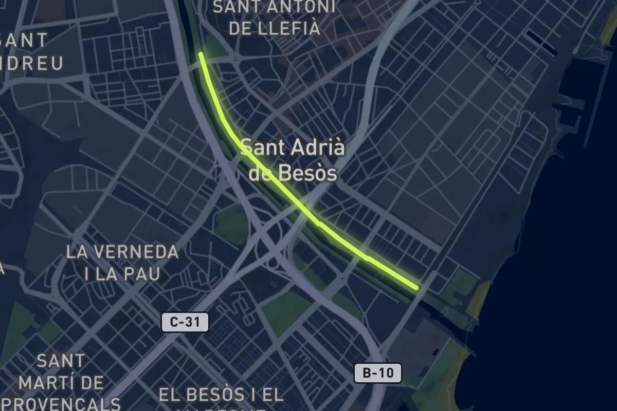
Easy · Trail
Circuit inclusiu Sant Adrià de Besòs
4.6 km · ↑ 8 m · 1 h 6 min
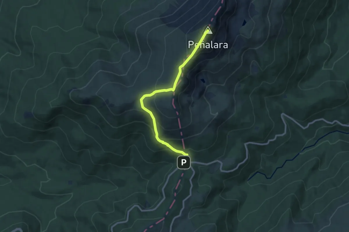
Medium · Summit
Circuito Peñalara
8.9 km · ↑ 588 m · 3 h 22 min
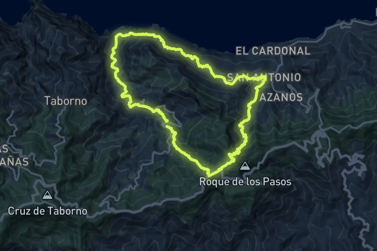
Demanding · Summit
Circular Afur - Taganana
14.1 km · ↑ 1223 m · 6 h 9 min
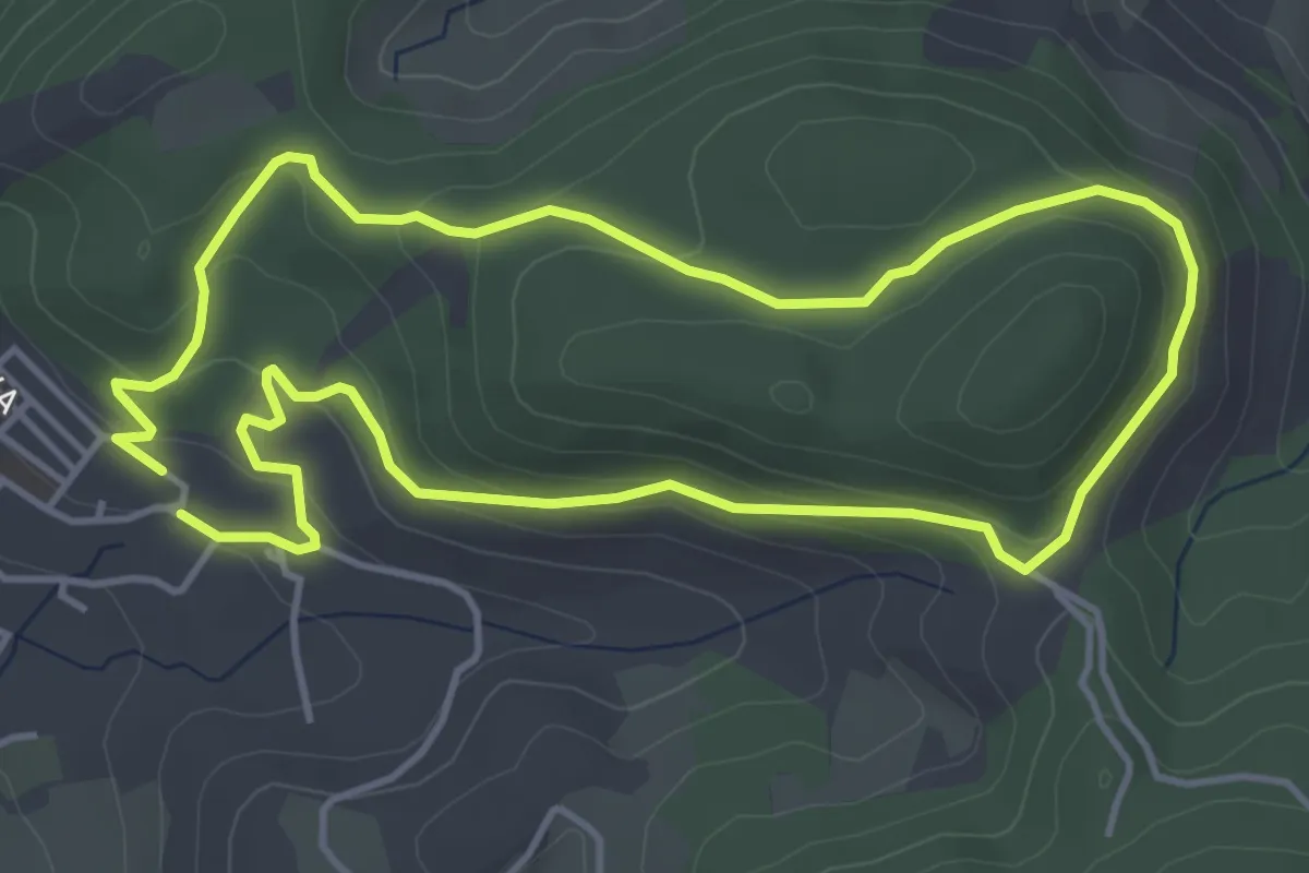
Easy · Trail
Circular al Portichuelo
4.8 km · ↑ 179 m · 1 h 36 min
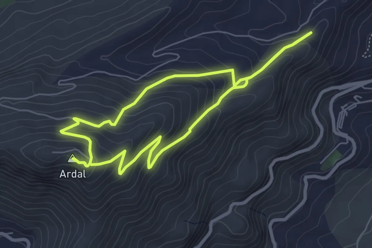
Medium · Summit
Circular Ardal
5.8 km · ↑ 323 m · 2 h 8 min
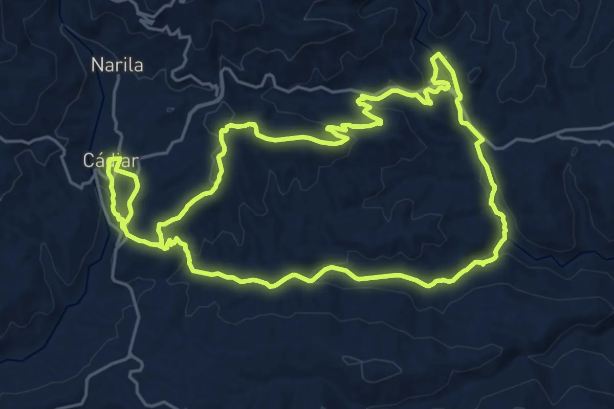
Medium · Trail
Circular Cádiar-Yátor
17.2 km · ↑ 458 m · 5 h 16 min
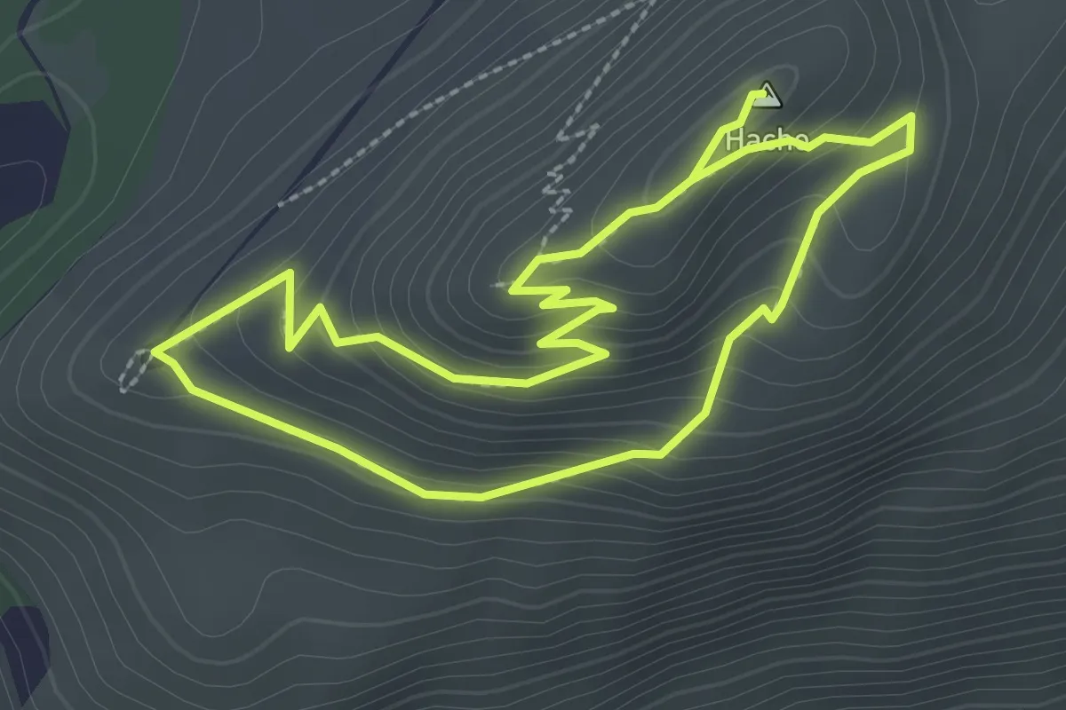
Easy · Summit
Circular Cima del Hacho
2.7 km · ↑ 149 m · 1 h
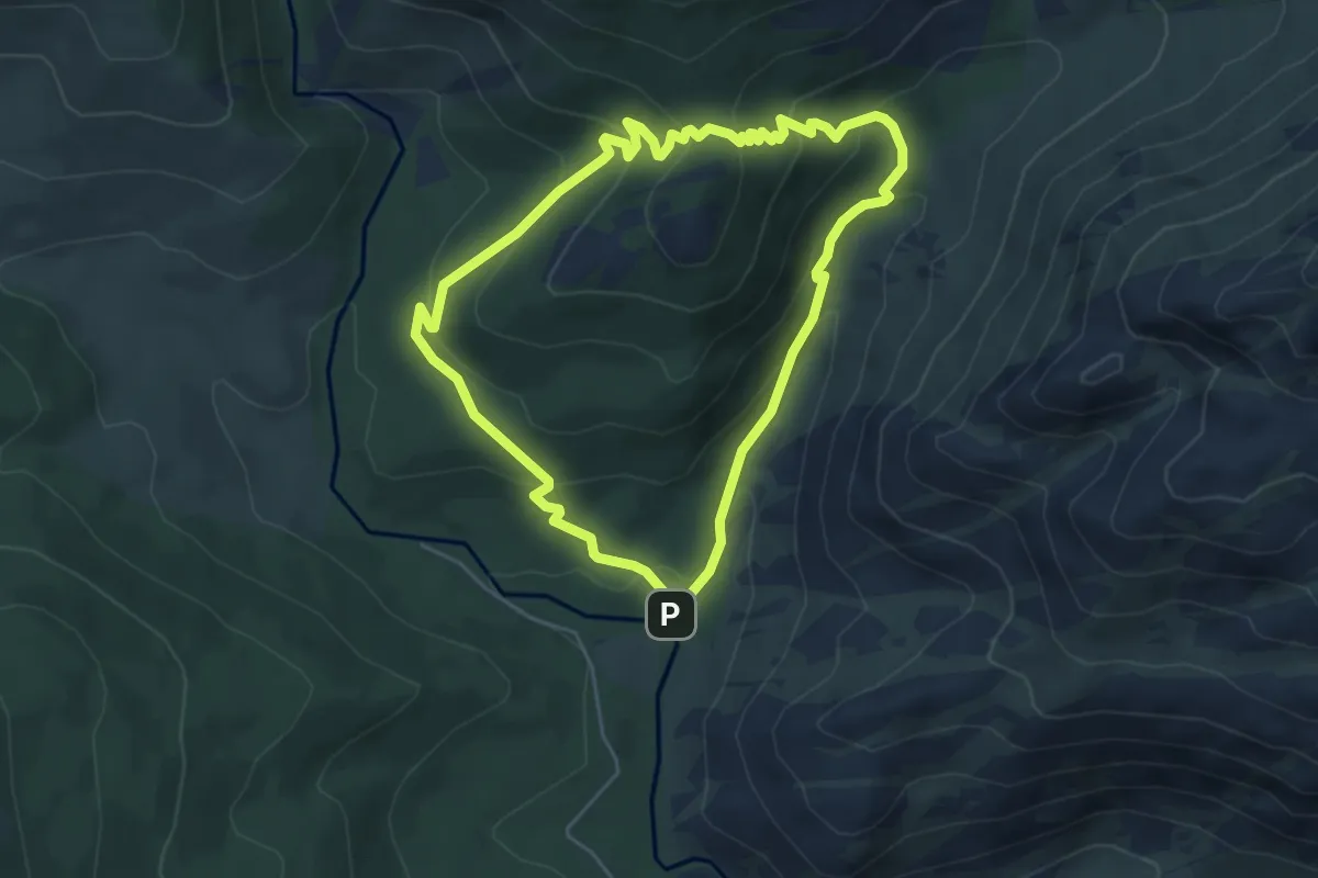
Medium · Trail
Circular Collado Cabrón
5.4 km · ↑ 275 m · 1 h 56 min
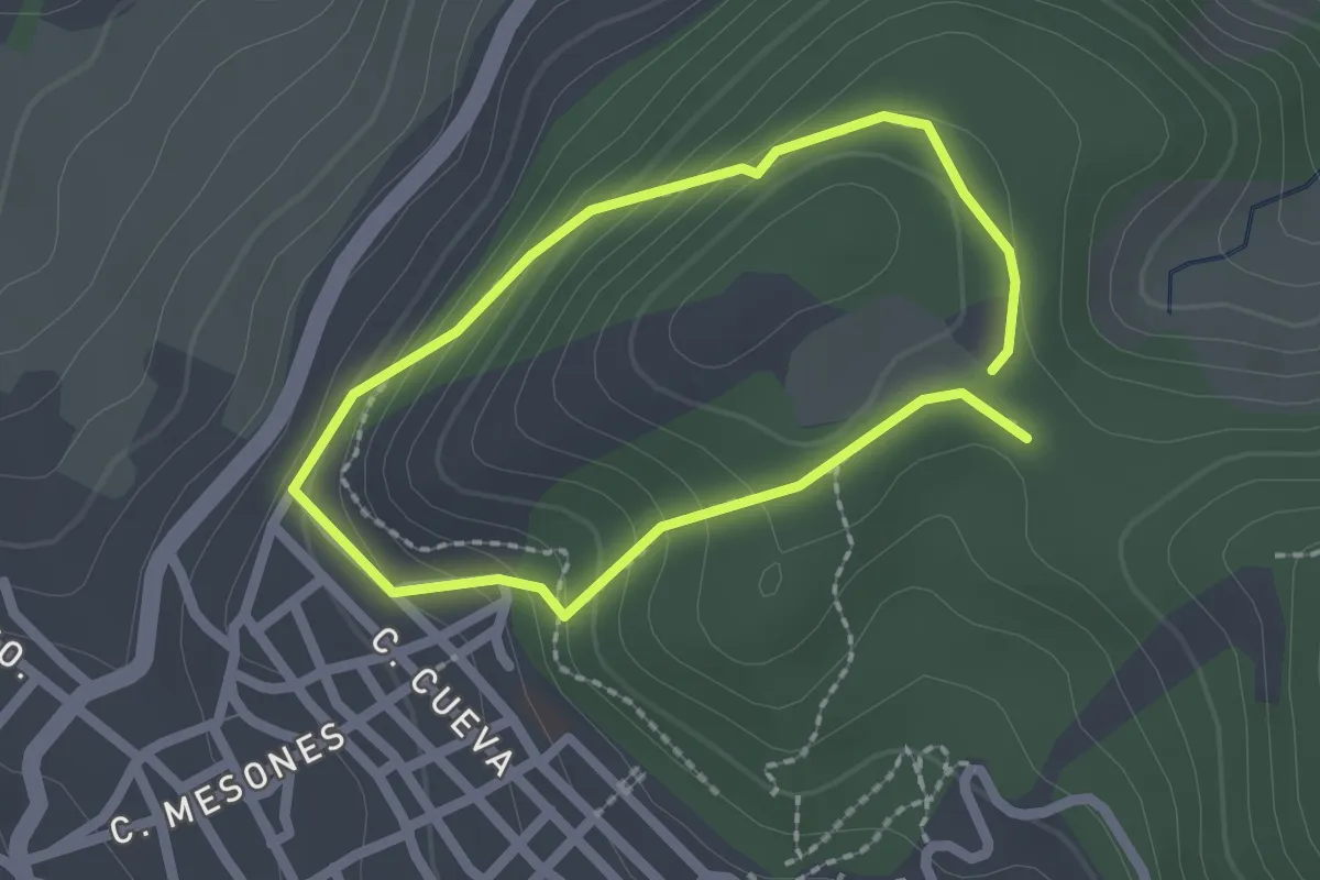
Easy · Trail
Circular Cueva de Santa Quiteria
1.9 km · ↑ 110 m · 43 min
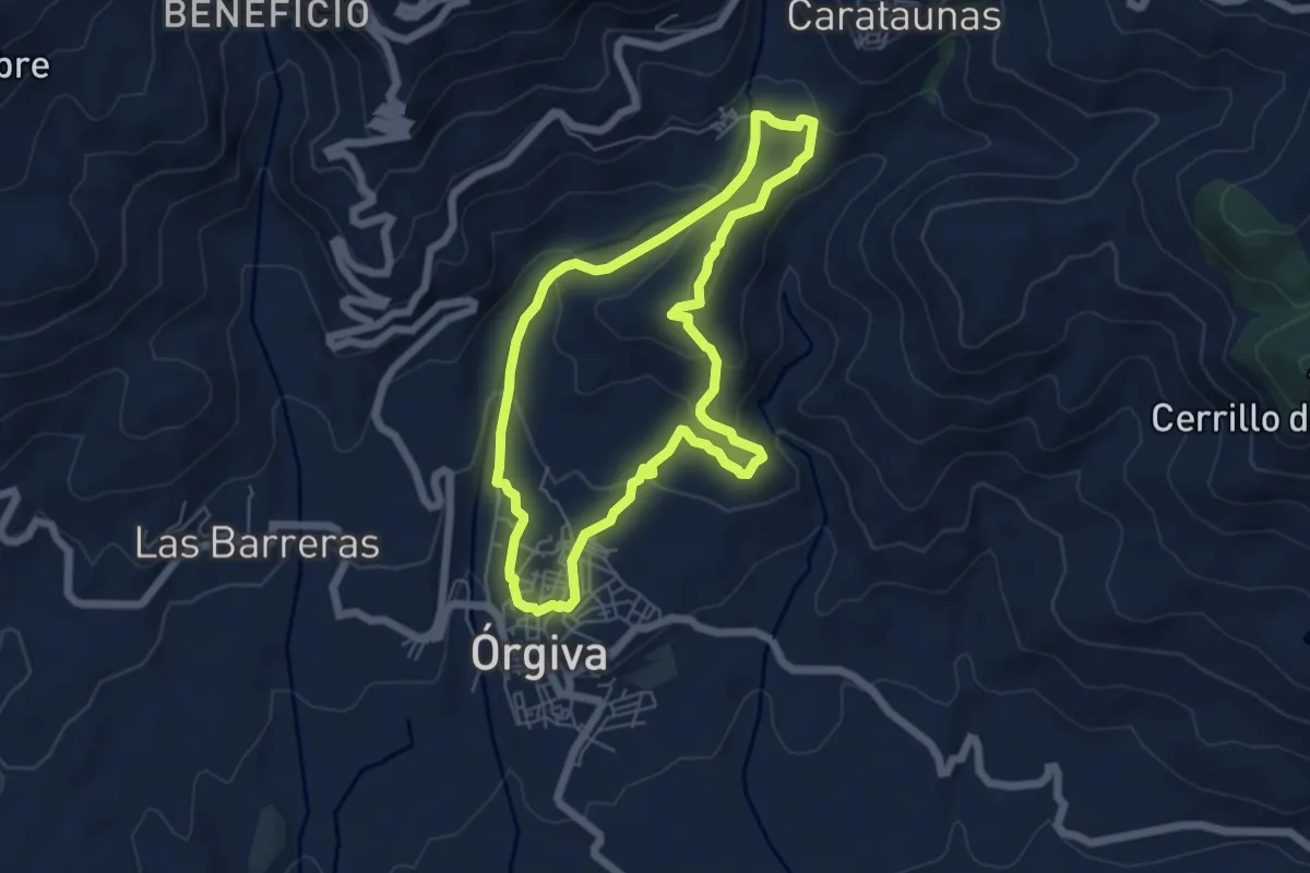
Easy · Trail
Circular de Bayacas
6.2 km · ↑ 240 m · 2 h 4 min
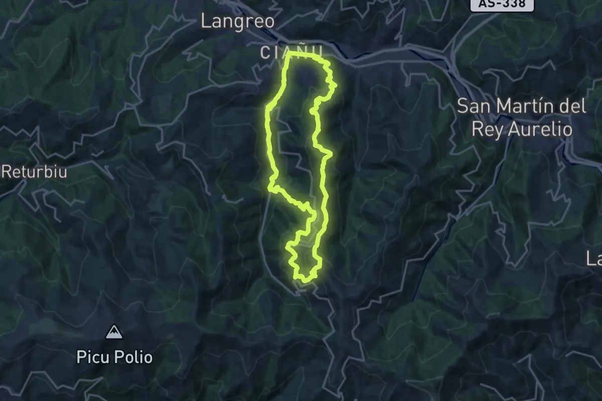
Demanding · Trail
Circular de Ciaño
15.9 km · ↑ 803 m · 5 h 42 min
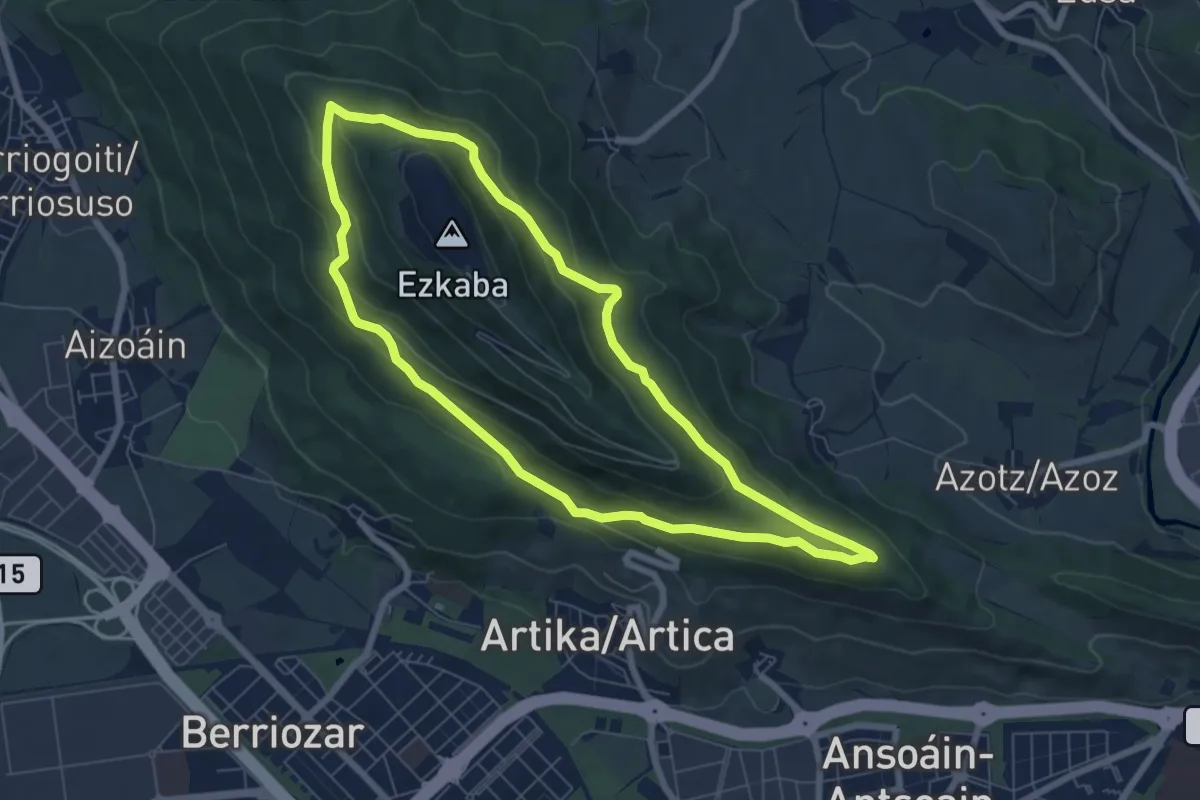
Easy · Trail
Circular de Ezkaba
7.2 km · ↑ 316 m · 2 h 29 min
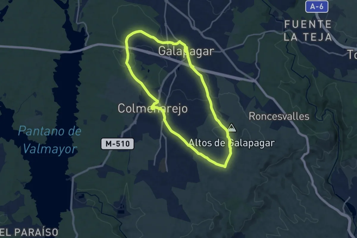
Medium · Trail
Circular de Galapagar y Colmenarejo
13.5 km · ↑ 152 m · 3 h 42 min
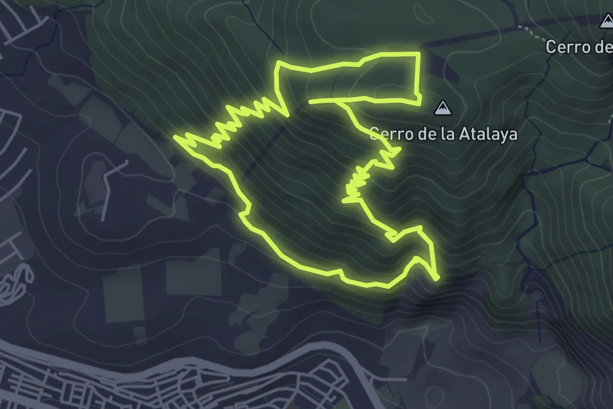
Medium · Summit
Circular de la Atalaya (Padre Ferrer)
5.8 km · ↑ 433 m · 2 h 24 min
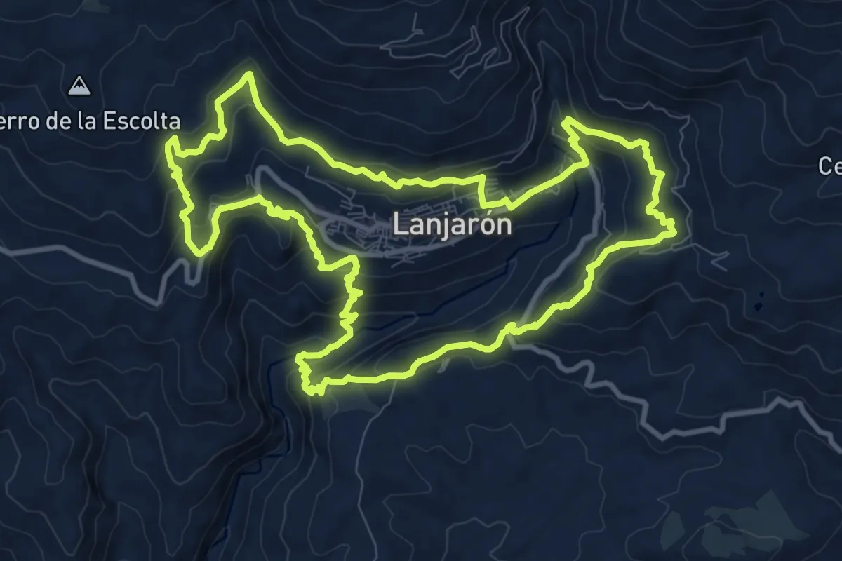
Medium · Trail
Circular de Lanjaón
12.0 km · ↑ 676 m · 4 h 28 min
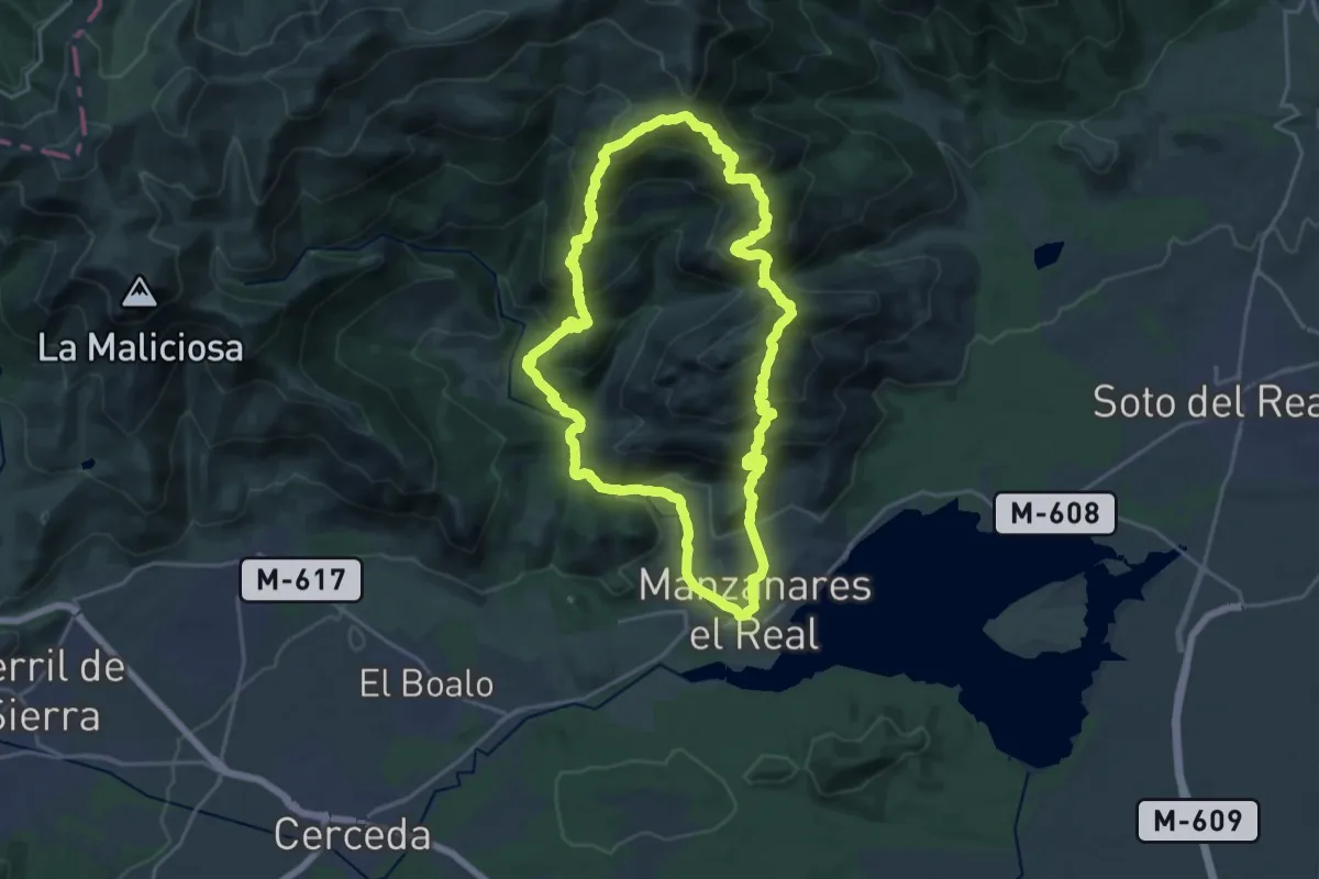
Demanding · Summit
Circular de la Pedriza
22.3 km · ↑ 1342 m · 8 h 28 min
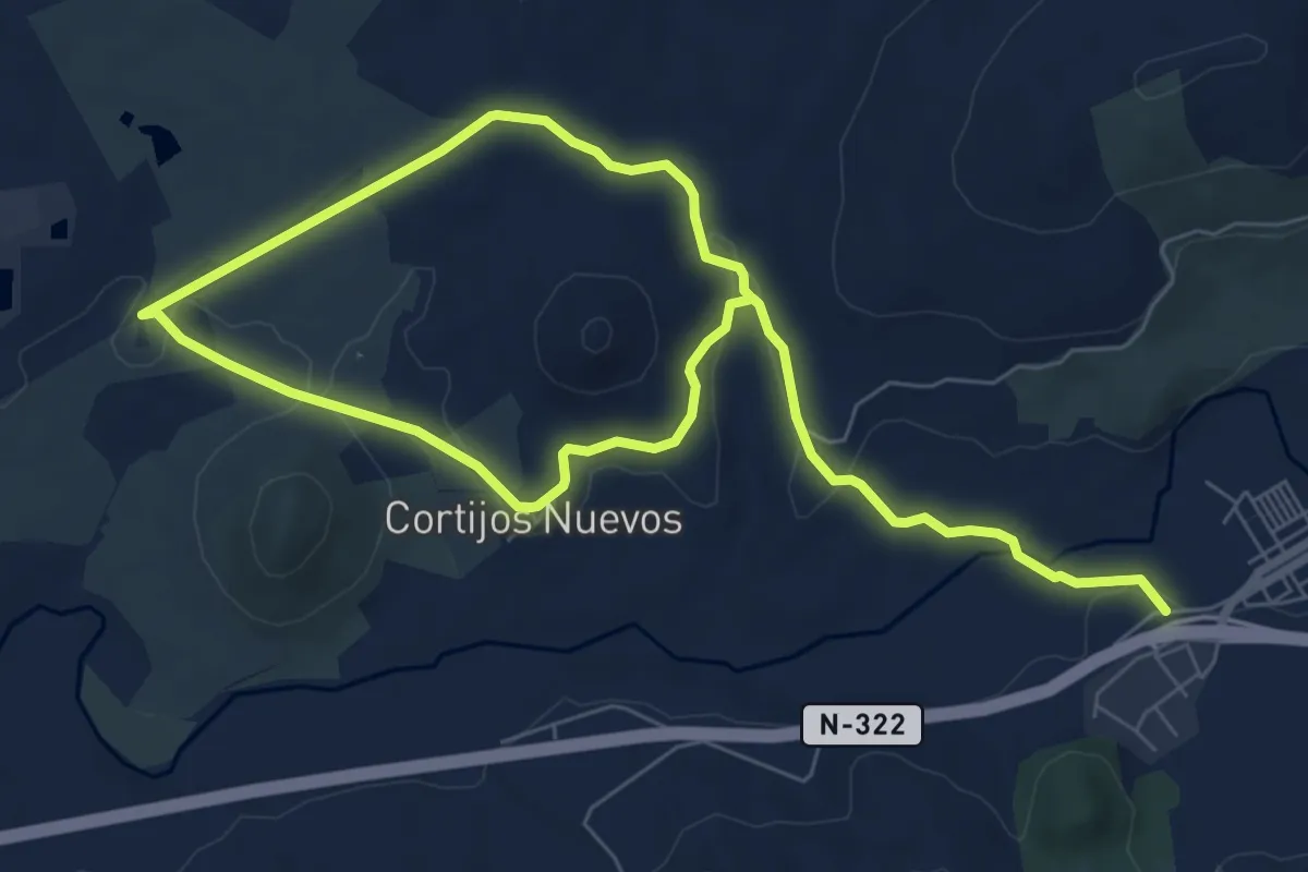
Easy · Trail
Circular de las Hermanillas
6.5 km · ↑ 71 m · 1 h 46 min