Trails in Spain
5,963 hiking trails, each with its route, climb, walking time and grade.
All trails, page 27 of 125
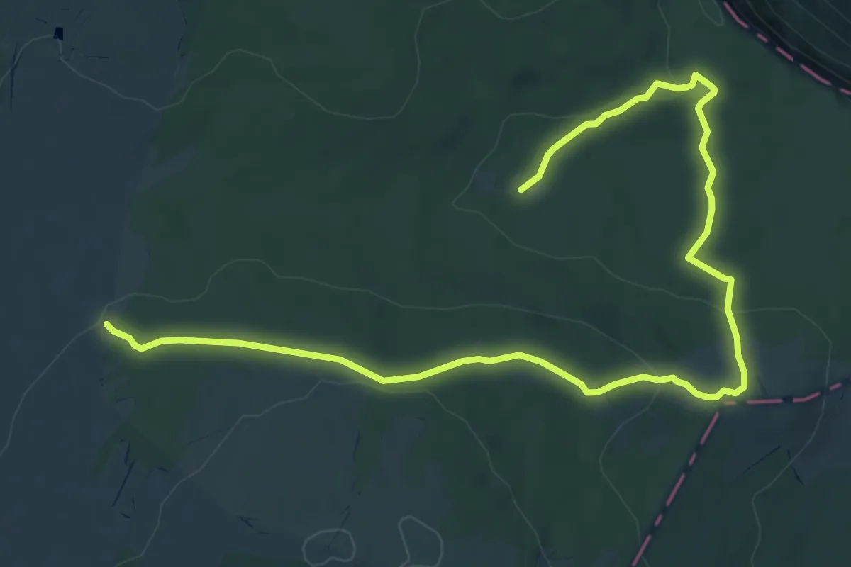
Easy · Trail
Circular del Bosque
4.6 km · ↑ 122 m · 1 h 23 min
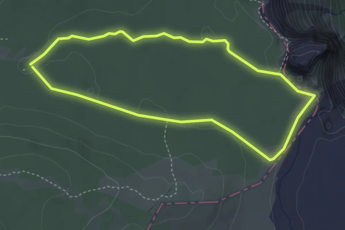
Easy · Trail
Circular del Karst
3.6 km · ↑ 41 m · 59 min
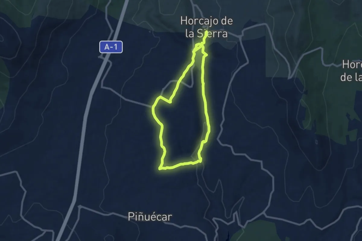
Easy · Trail
Circular del Madarquillos
7.3 km · ↑ 111 m · 2 h 6 min
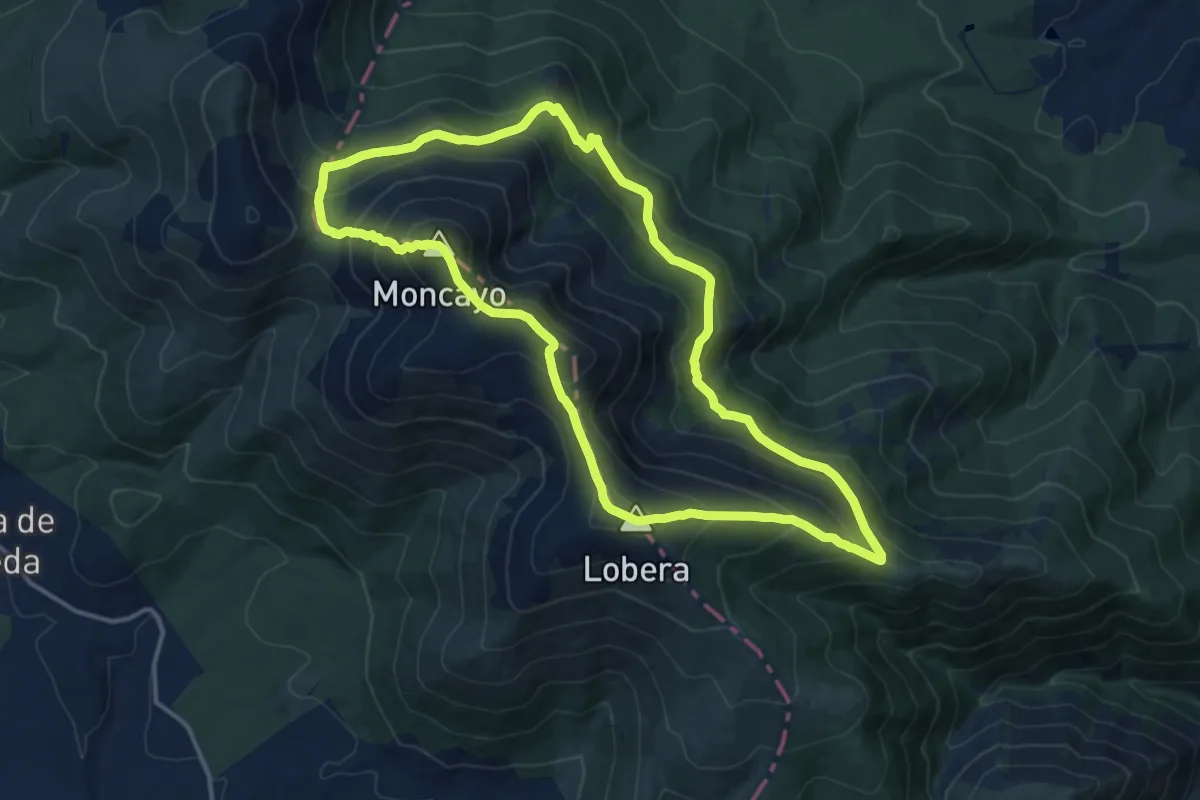
Demanding · Summit
Circular del Moncayo
15.2 km · ↑ 961 m · 5 h 53 min
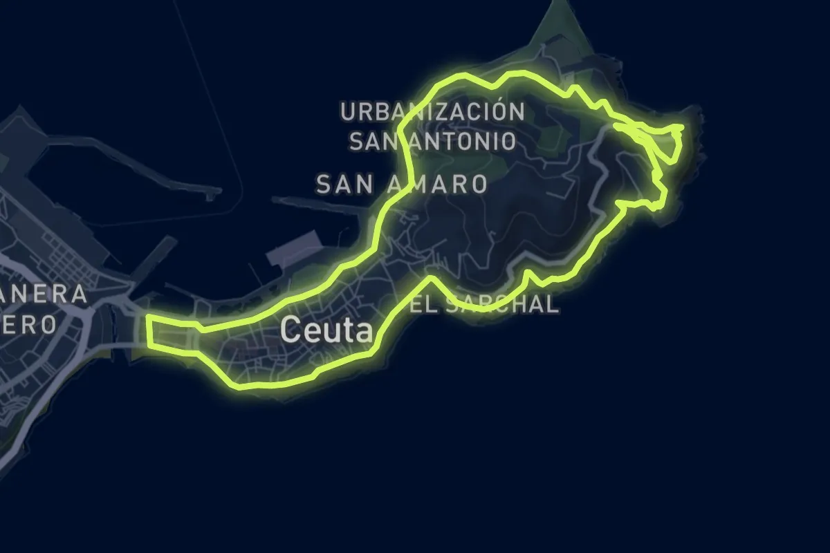
Medium · Trail
Circular del Monte Hacho
10.2 km · ↑ 277 m · 3 h 9 min
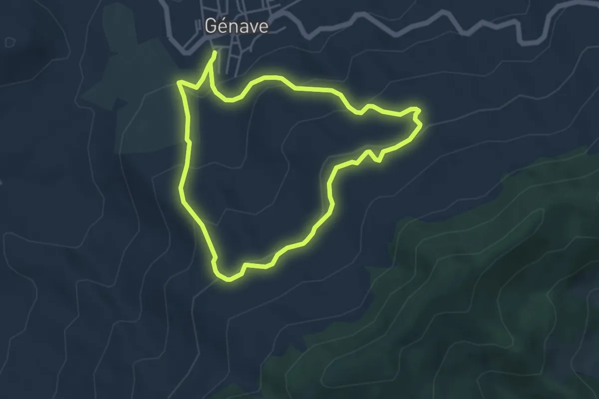
Easy · Trail
Circular del Olivar Ecológico
4.3 km · ↑ 206 m · 1 h 31 min
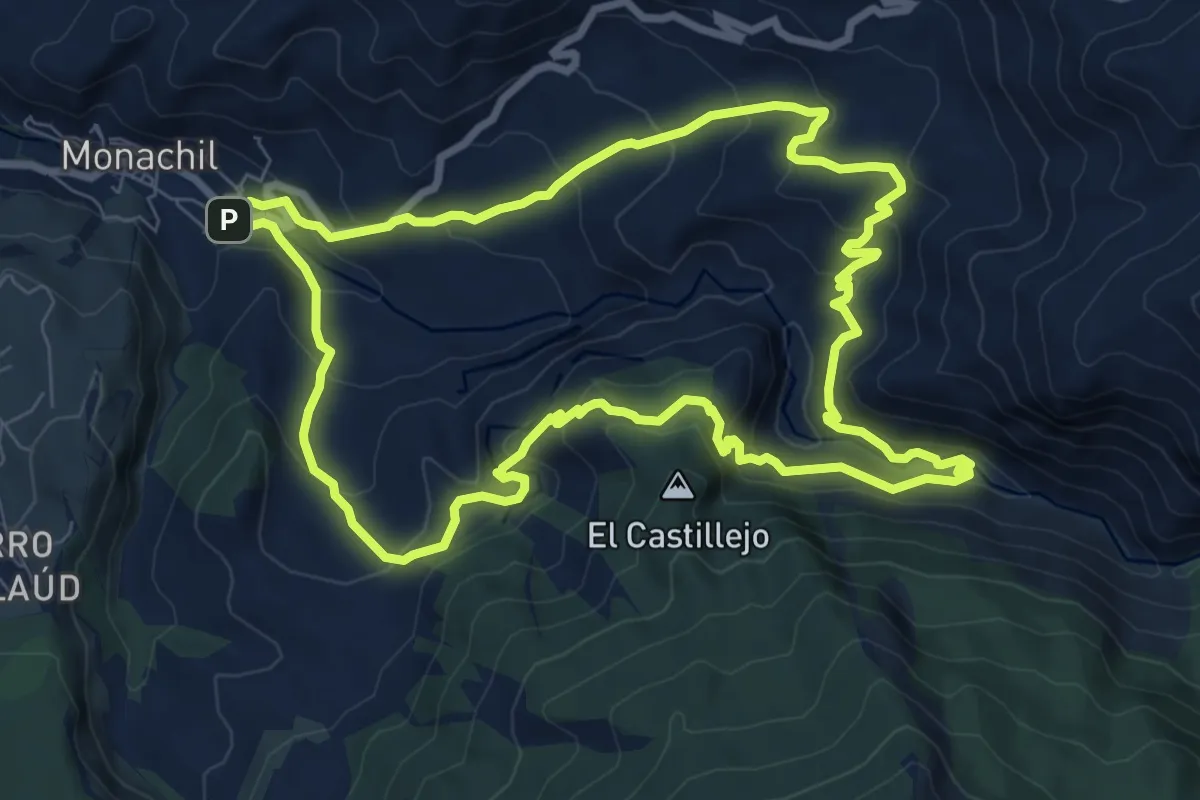
Medium · Trail
Circular de los Cahorros
9.9 km · ↑ 530 m · 3 h 37 min
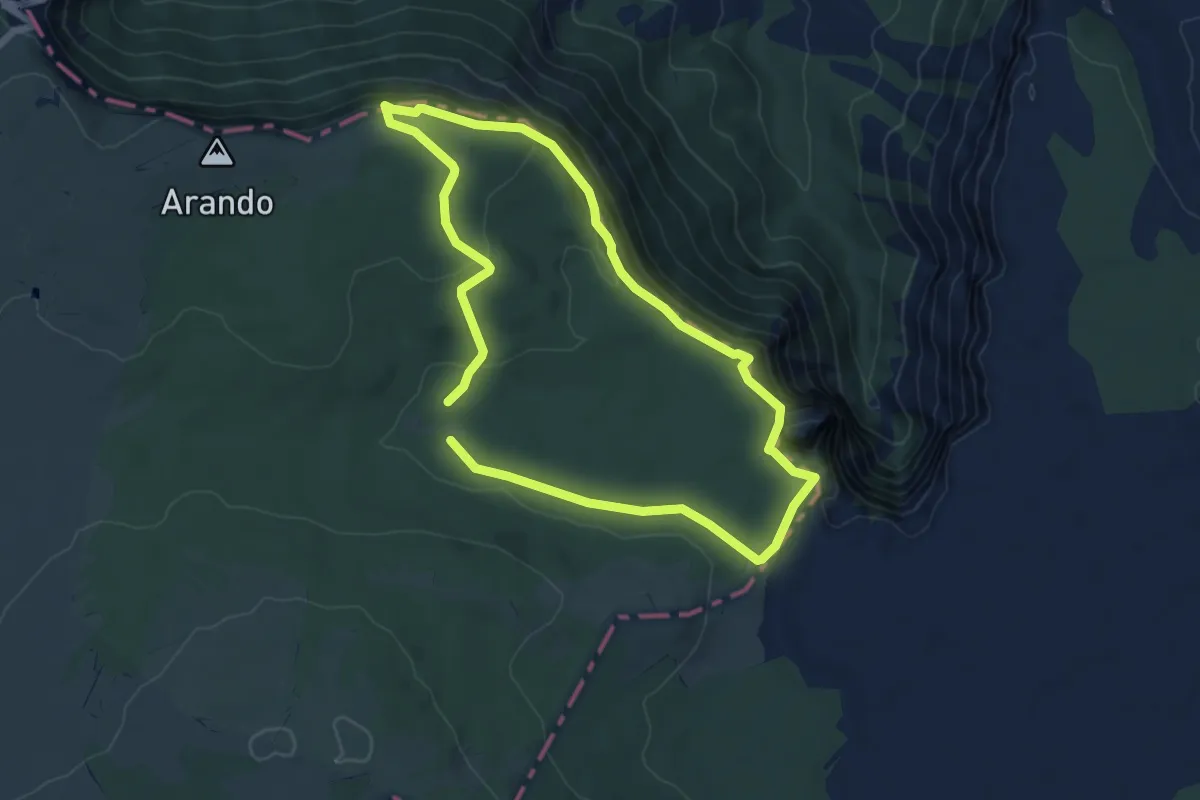
Easy · Summit
Circular de los Miradores
6.1 km · ↑ 229 m · 2 h 1 min
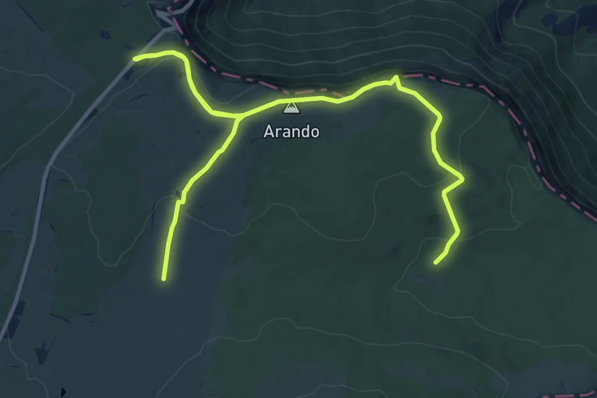
Easy · Summit
Circular de los usos humanos
5.8 km · ↑ 211 m · 1 h 54 min
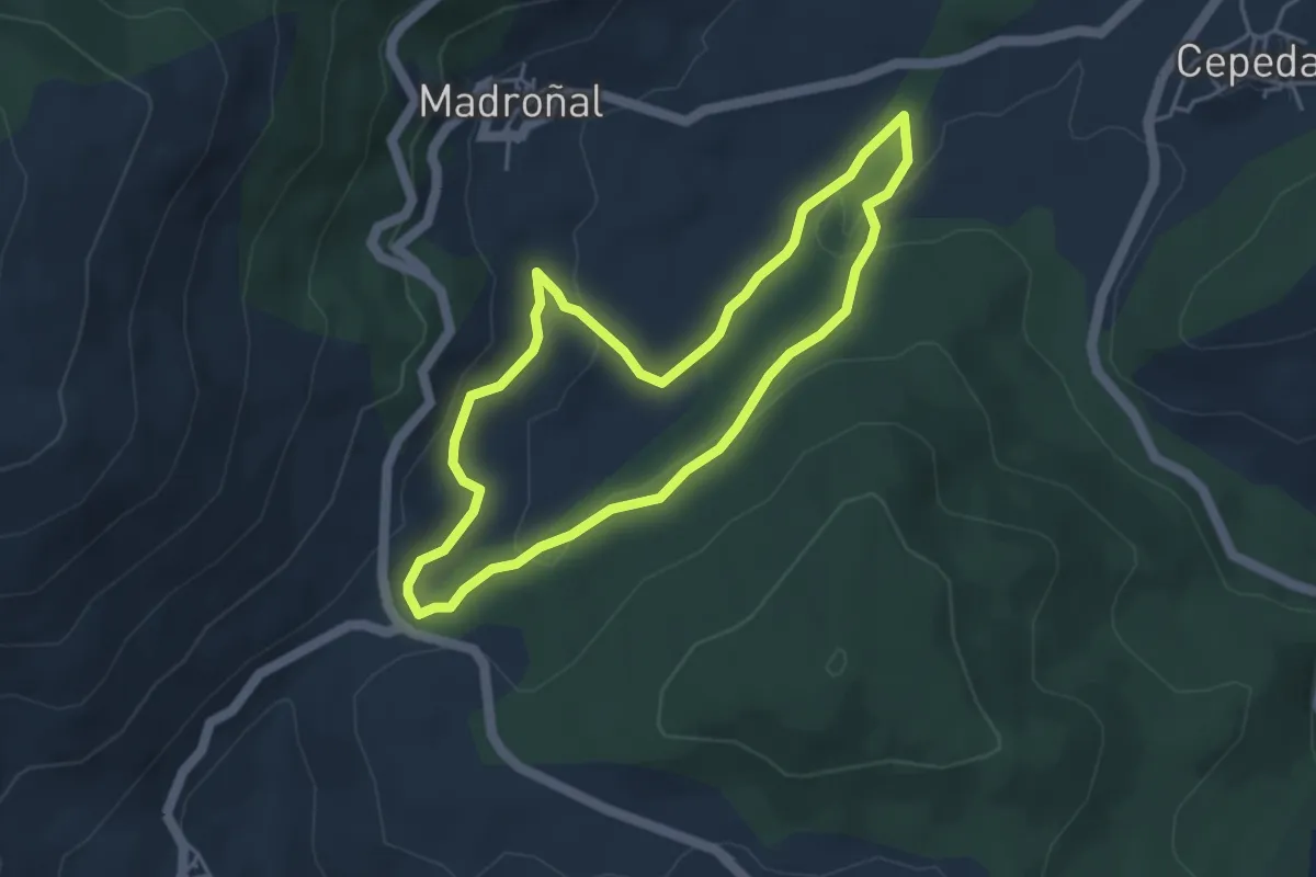
Easy · Trail
Circular de Madroñal
4.4 km · ↑ 127 m · 1 h 22 min
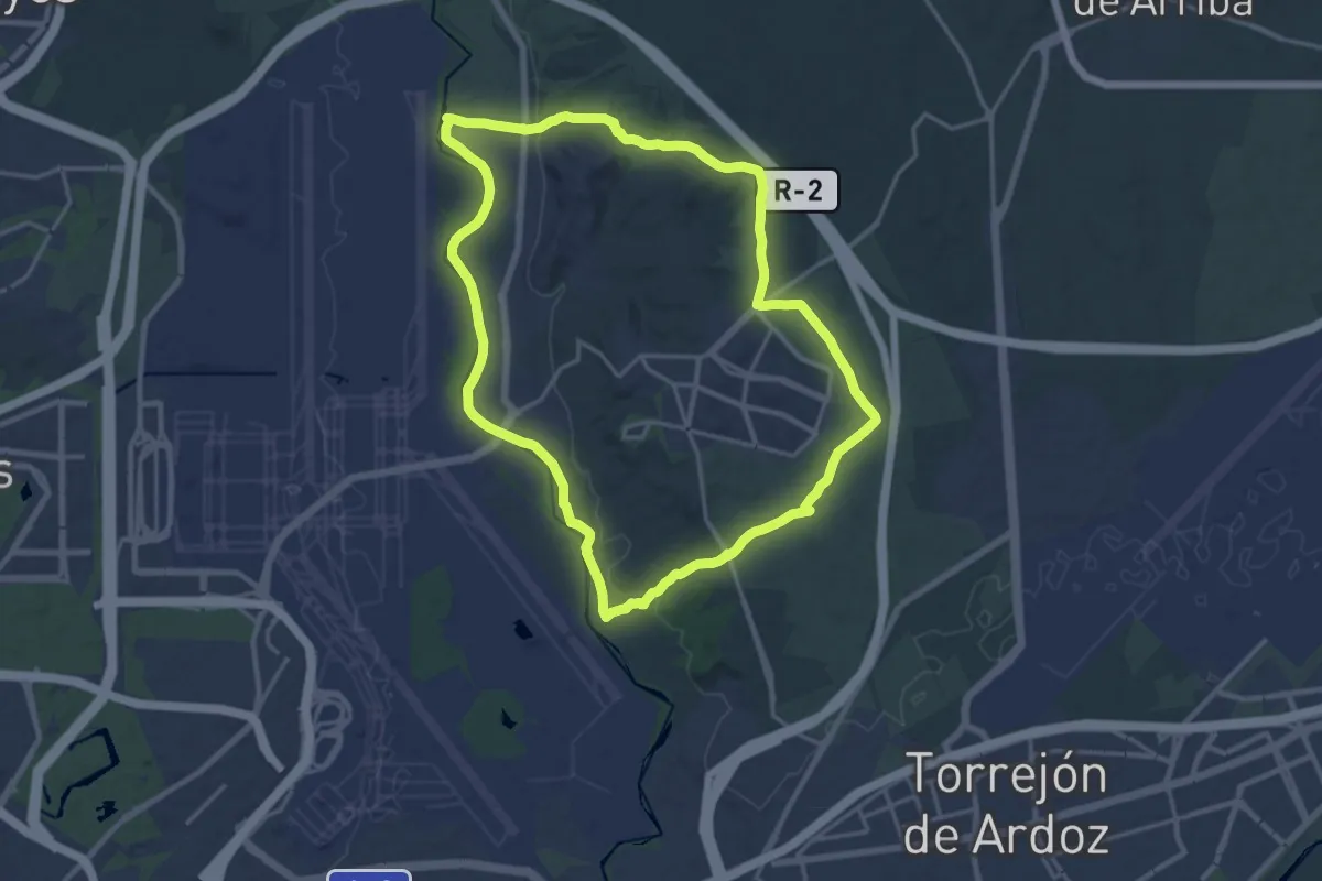
Demanding · Trail
Circular de Paracuellos de Jarama
18.9 km · ↑ 163 m · 5 h 5 min
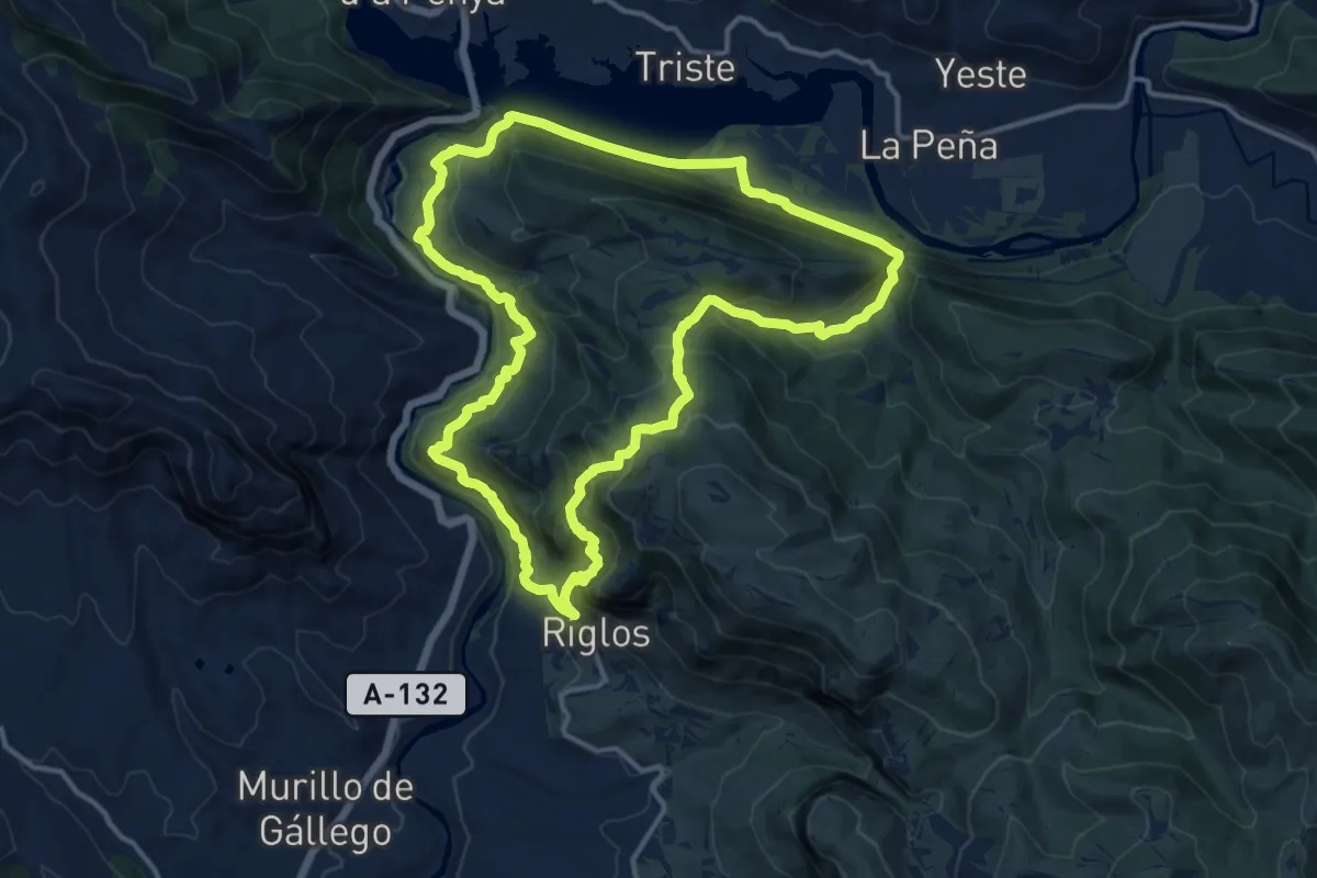
Demanding · Summit
Circular de Riglos
14.7 km · ↑ 955 m · 5 h 45 min
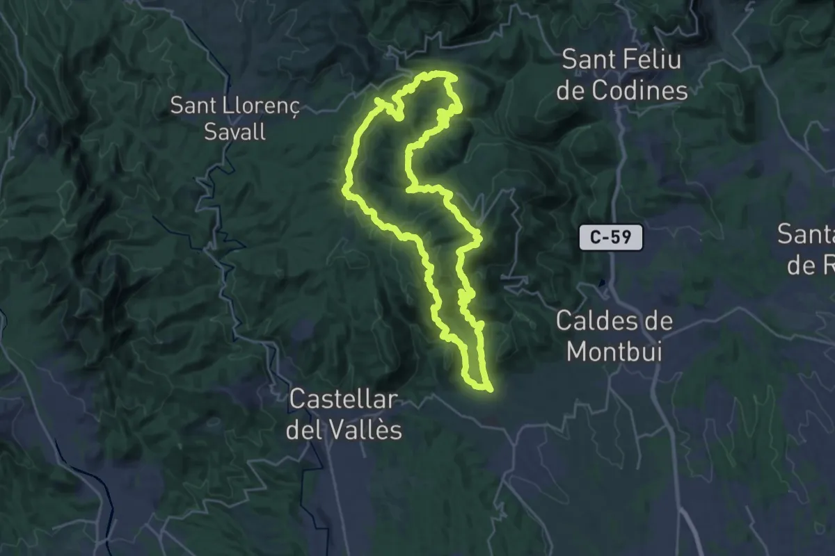
Demanding · Summit
Circular de Sentmenat
25.5 km · ↑ 1053 m · 8 h 39 min
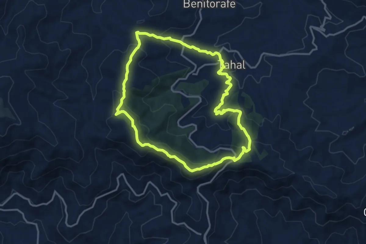
Medium · Summit
Circular de Tahal
10.9 km · ↑ 434 m · 3 h 40 min
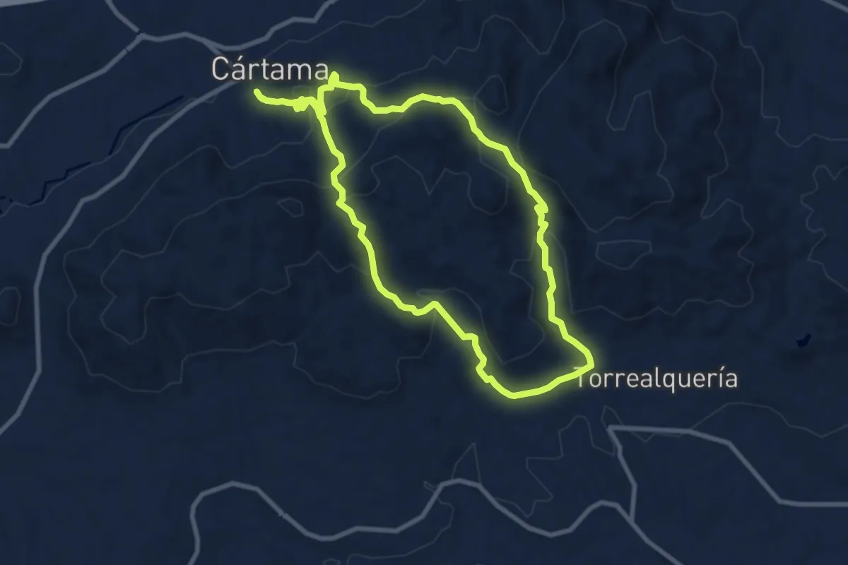
Medium · Trail
Circular de Torrealquería
9.4 km · ↑ 417 m · 3 h 16 min
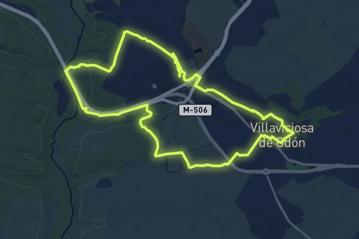
Medium · Trail
Circular de Villaviciosa de Odón y El Sotillo
13.4 km · ↑ 163 m · 3 h 41 min
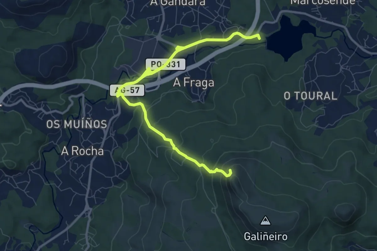
Medium · Summit
Circular do Galiñeiro
11.6 km · ↑ 467 m · 3 h 45 min
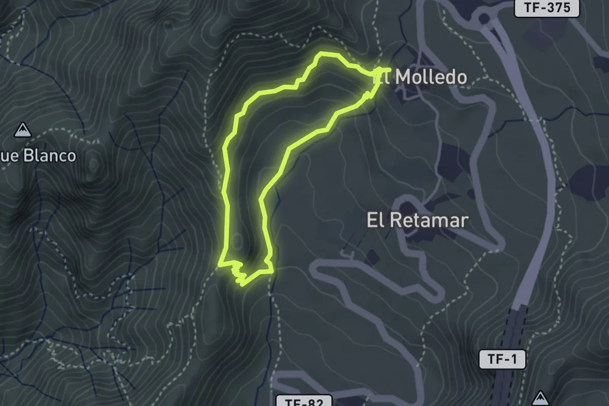
Medium · Summit
Circular El Molledo
3.4 km · ↑ 214 m · 1 h 19 min
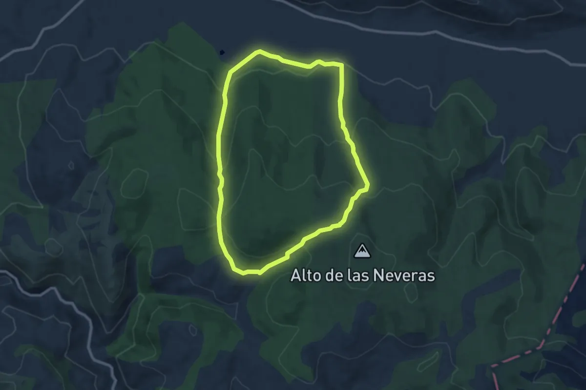
Medium · Trail
Circular entre El Endrino y El Angosto
8.2 km · ↑ 369 m · 2 h 51 min
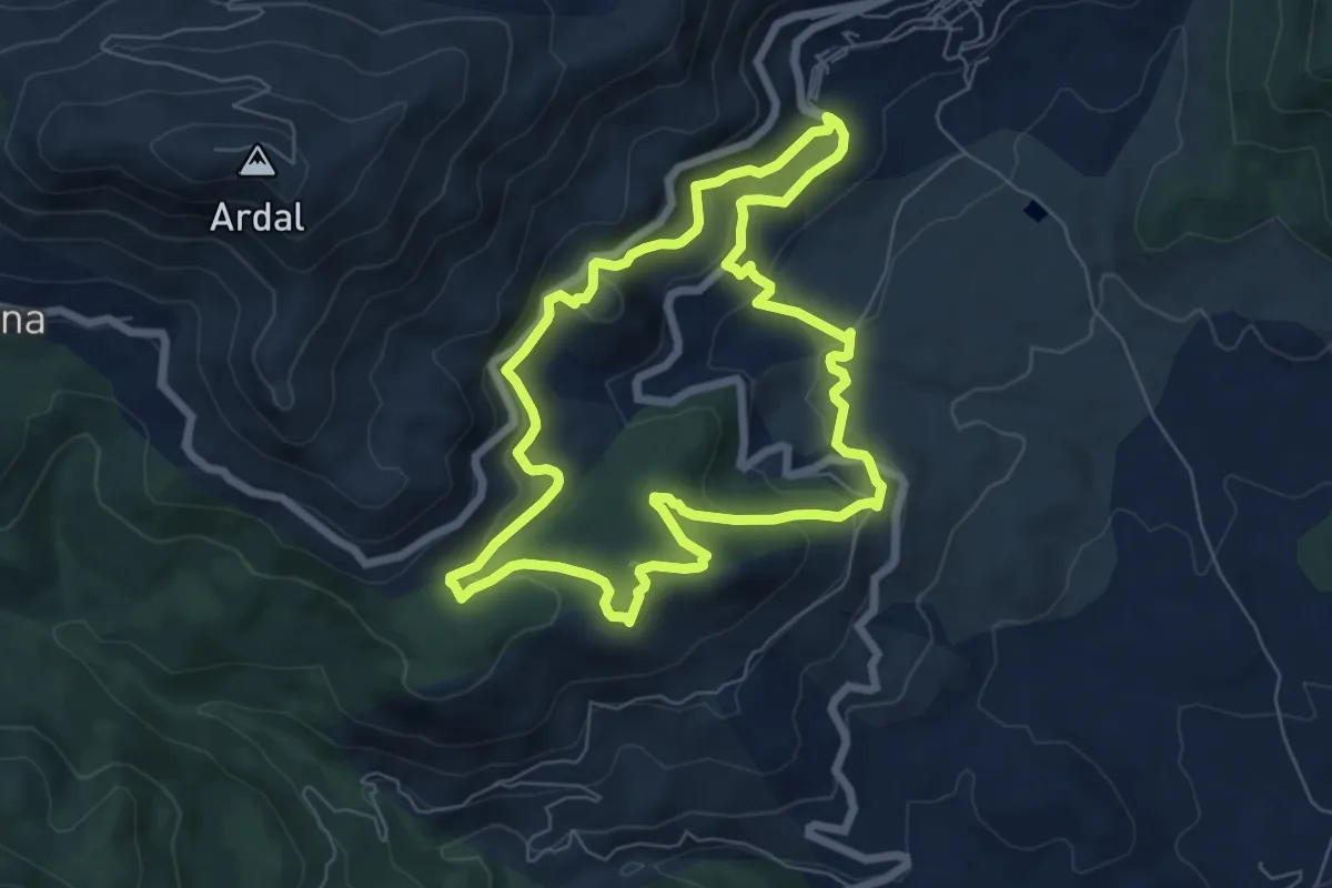
Medium · Trail
Circular Fuensanta
7.5 km · ↑ 364 m · 2 h 41 min
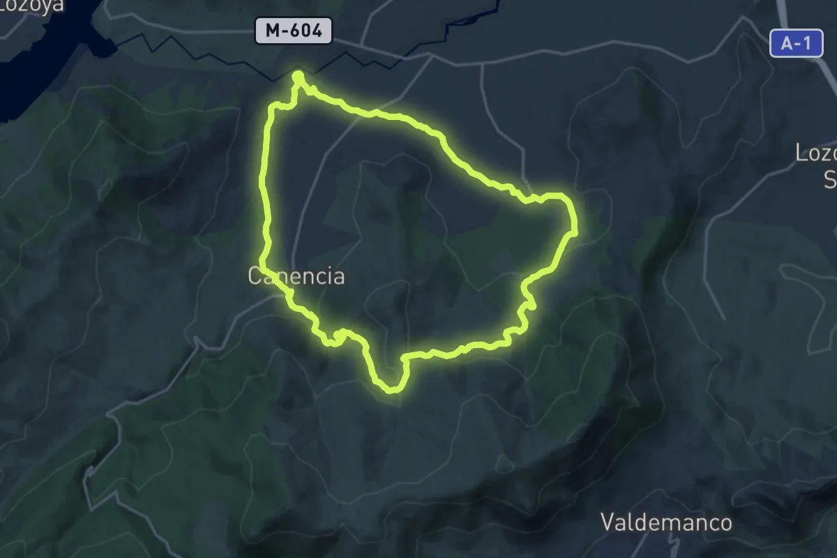
Demanding · Trail
Circular Garganta Montes a Canencia
19.8 km · ↑ 463 m · 5 h 57 min
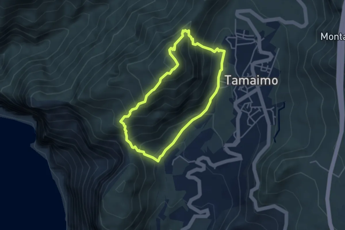
Demanding · Summit
Circular Guama-Tamaimo
3.9 km · ↑ 414 m · 1 h 52 min
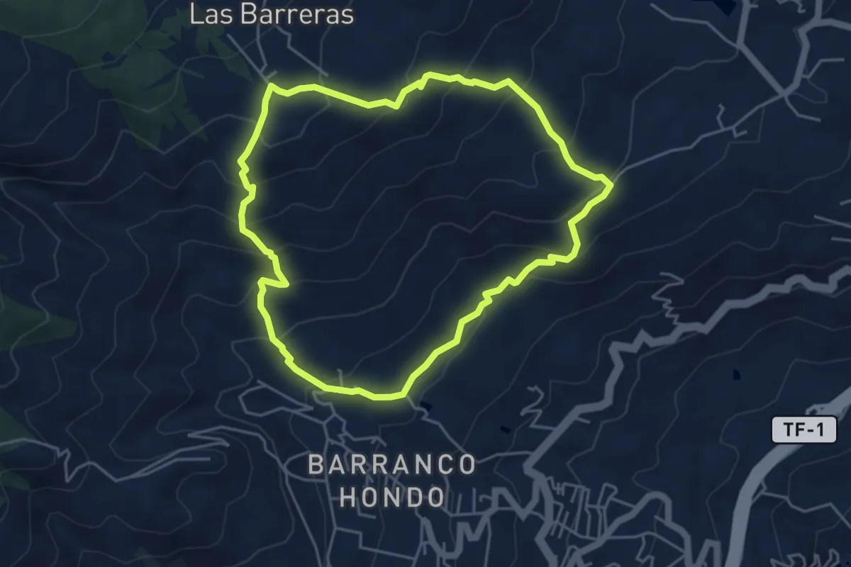
Medium · Trail
Circular Las Barreras
5.5 km · ↑ 381 m · 2 h 13 min
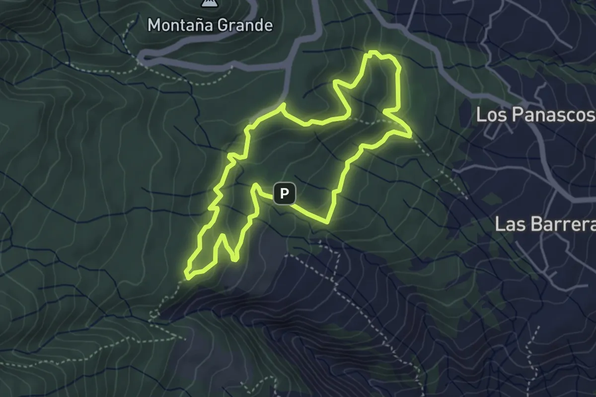
Easy · Summit
Circular Las Raíces
5.1 km · ↑ 223 m · 1 h 46 min
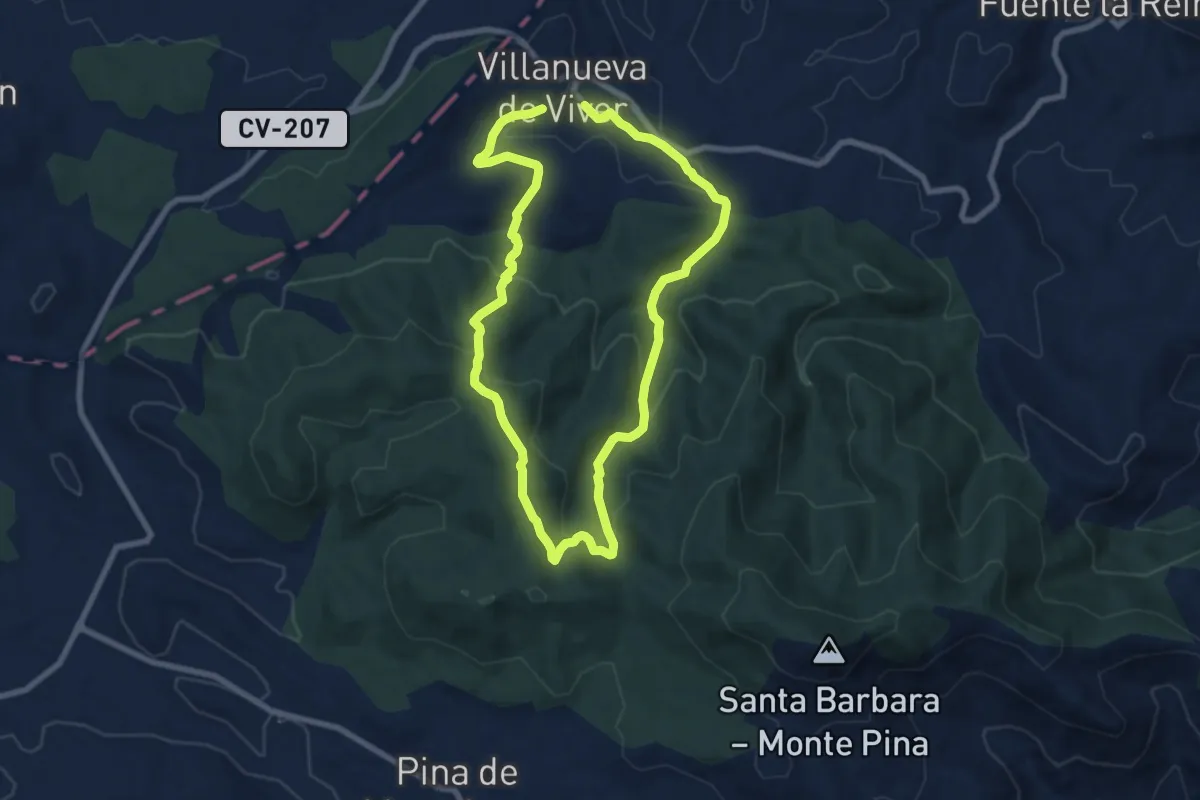
Medium · Trail
Circular las Rozas
15.8 km · ↑ 587 m · 5 h
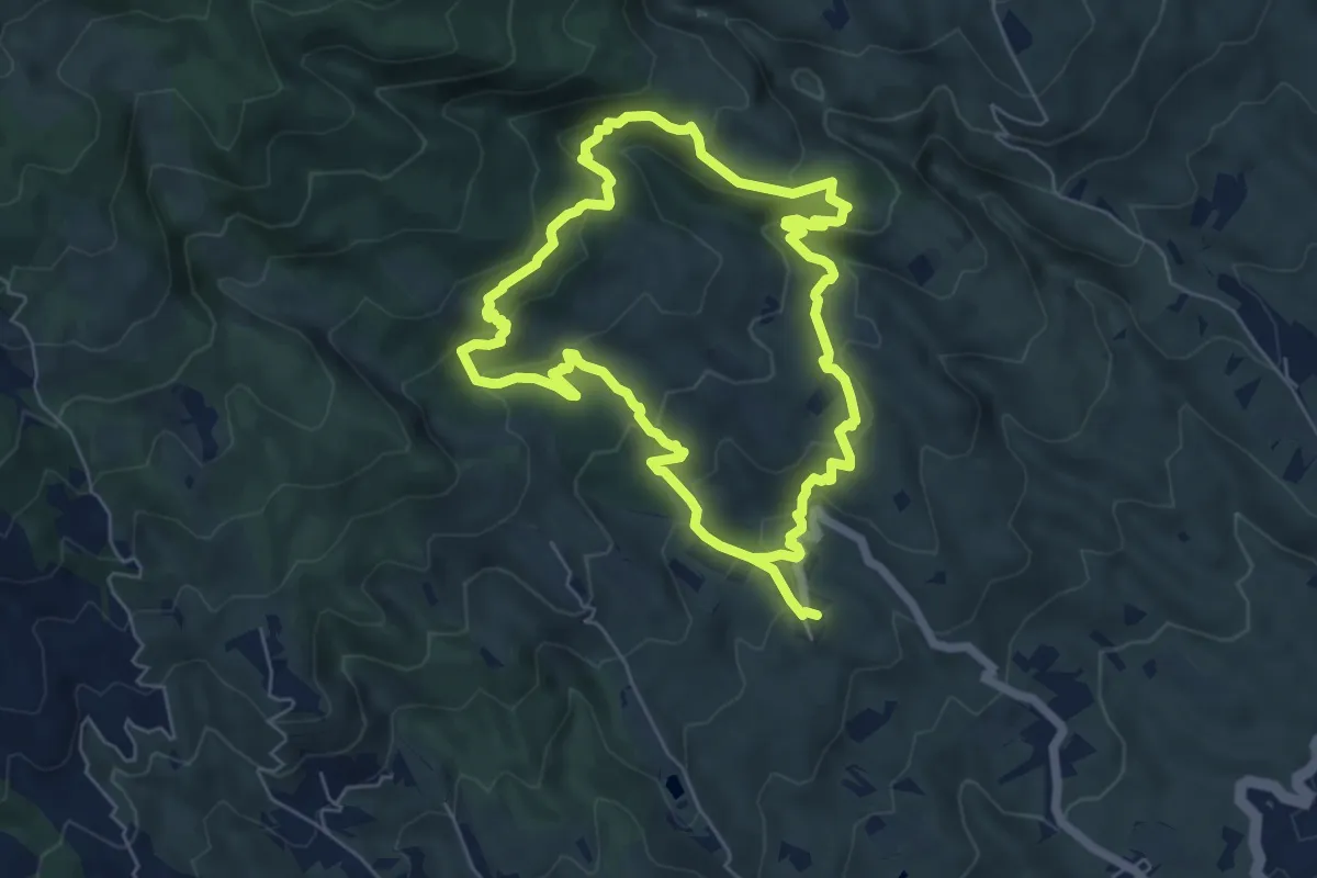
Medium · Trail
Circular Las Vegas
14.7 km · ↑ 758 m · 5 h 6 min
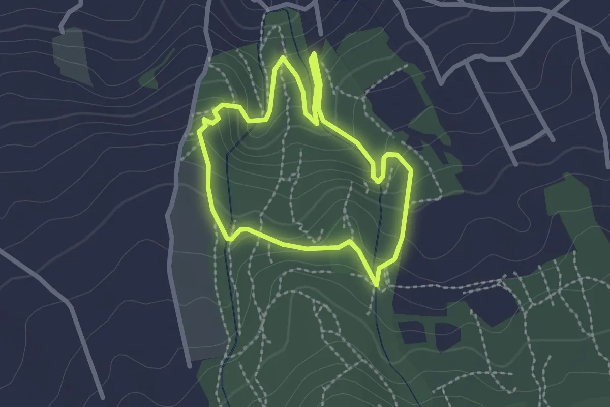
Easy · Trail
Circular Lomo de la Jara
2.4 km · ↑ 143 m · 55 min
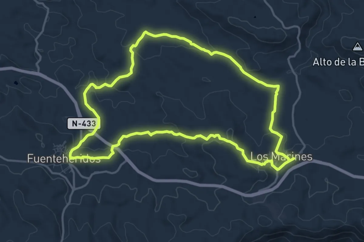
Medium · Trail
Circular Los Marines - Fuenteheridos
11.6 km · ↑ 244 m · 3 h 26 min
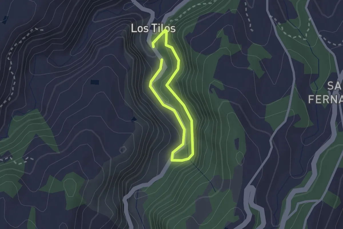
Easy · Trail
Circular Los Tilos de Moya
1.8 km · ↑ 89 m · 38 min
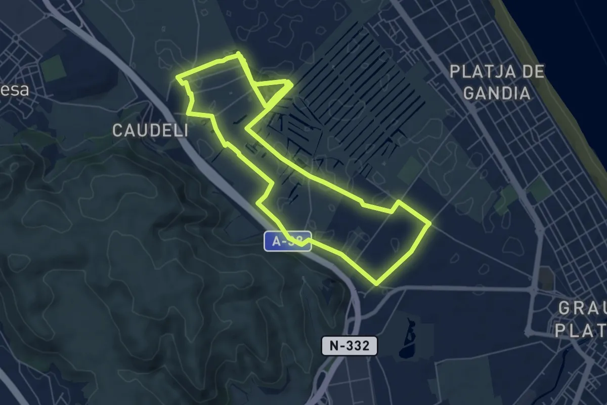
Easy · Trail
Circular Marjal de Gandia Entre Senill i Borro
7.5 km · ↑ 9 m · 1 h 54 min
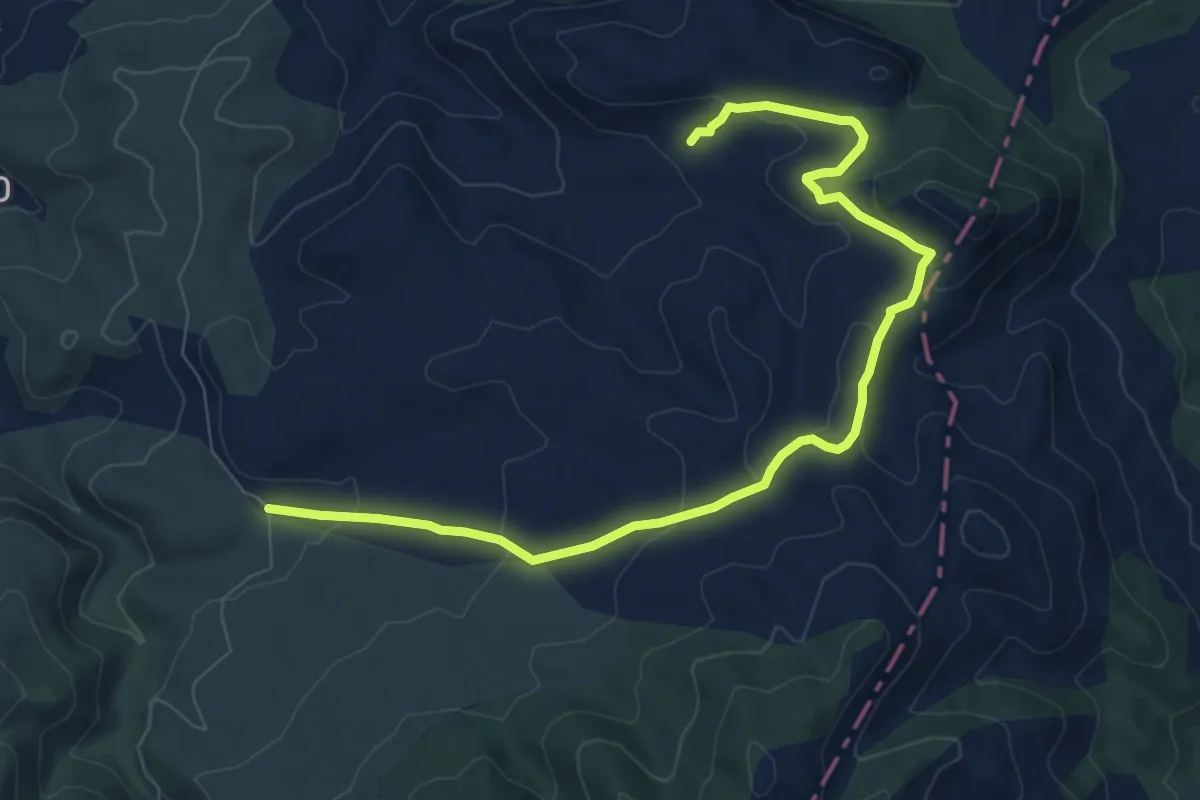
Easy · Trail
Circular Nerpio - Peña Jarota
5.3 km · ↑ 105 m · 1 h 34 min
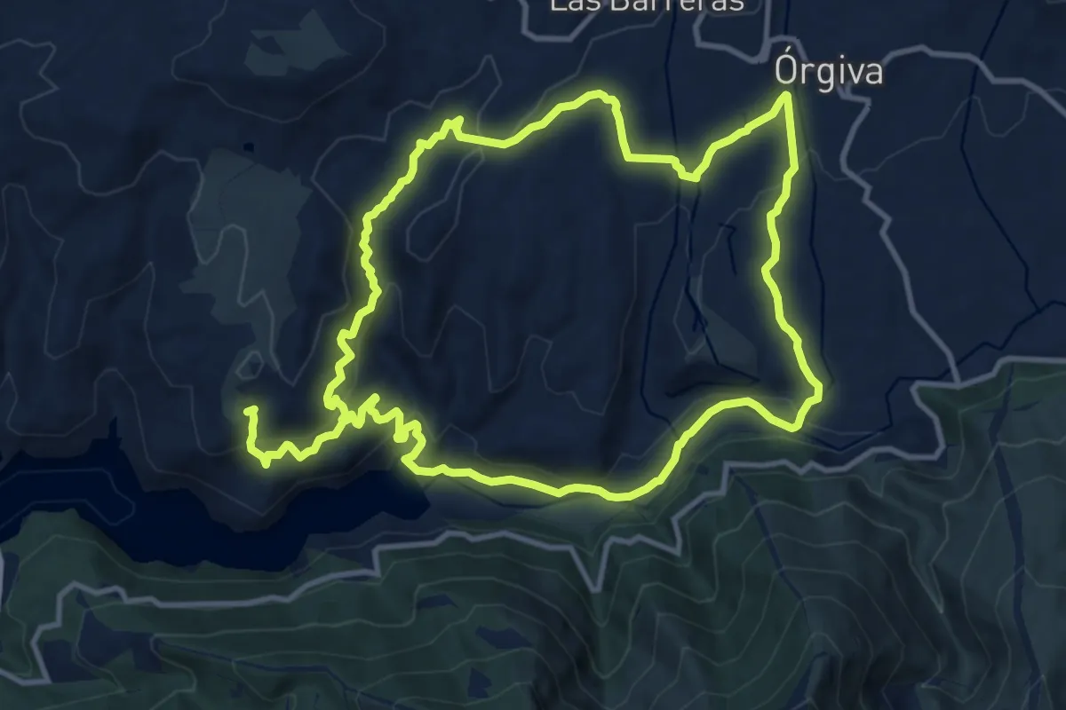
Medium · Trail
Circular Órgiva-La Chuca-Rio Guadalfeo-Órgiva
12.7 km · ↑ 418 m · 4 h 3 min
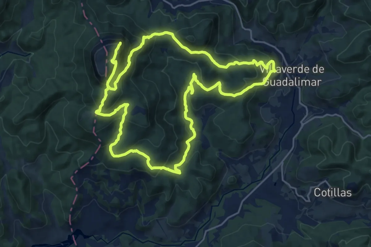
Demanding · Trail
Circular Piedra del Cambrón
17.5 km · ↑ 900 m · 6 h 17 min
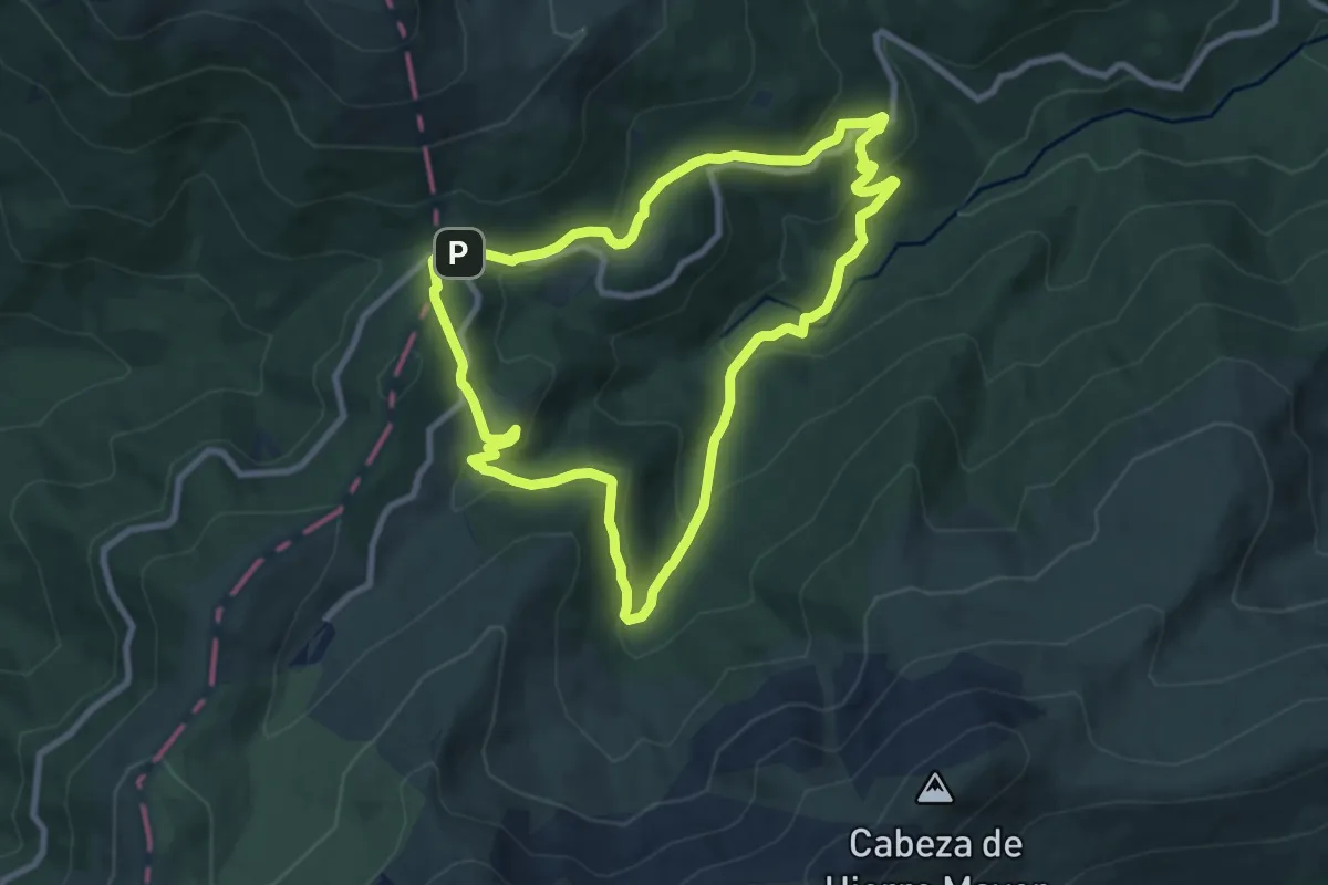
Medium · Trail
Circular Pingarrón - Camino las Vueltas
8.9 km · ↑ 382 m · 3 h 4 min
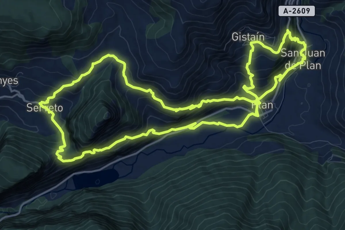
Demanding · Trail
Circular Plan - Serveto
14.8 km · ↑ 1049 m · 5 h 57 min
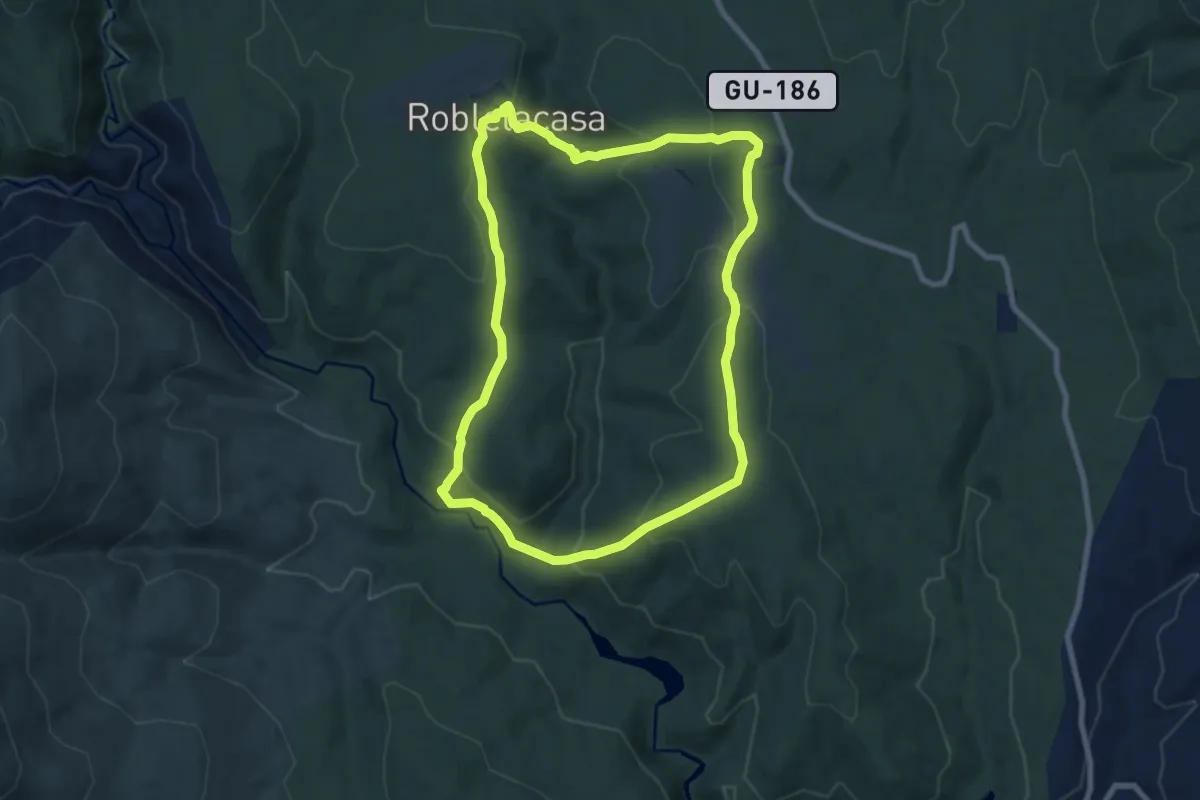
Medium · Trail
Circular Pozas del Aljibe
8.5 km · ↑ 304 m · 2 h 47 min
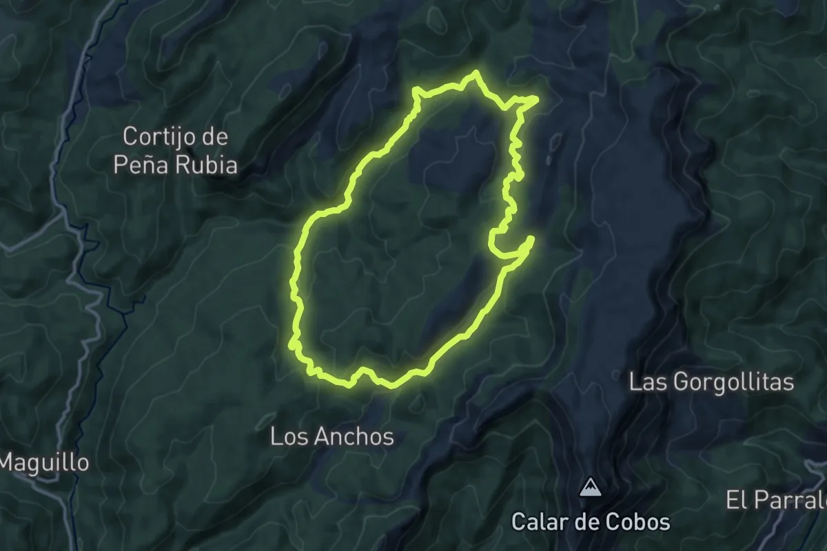
Medium · Trail
Circular Prado Maguillo
13.1 km · ↑ 419 m · 4 h 11 min
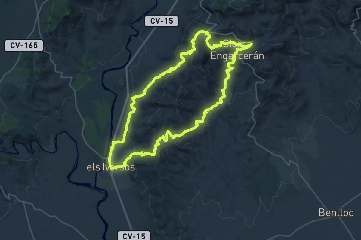
Demanding · Summit
Circular Serra d'en Galceran - els Ivarsos
22.7 km · ↑ 848 m · 7 h 31 min
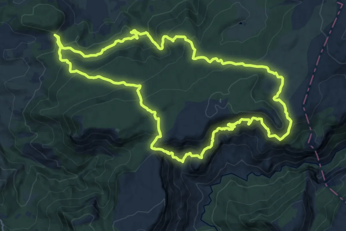
Demanding · Trail
Circular Sierra Alta de Siles
19.4 km · ↑ 1258 m · 7 h 34 min
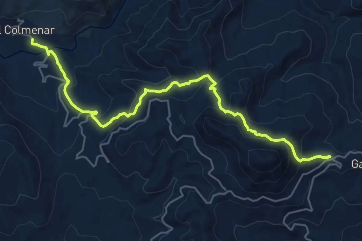
Demanding · Trail
Circular Sierra del Hacho
16.5 km · ↑ 811 m · 5 h 40 min
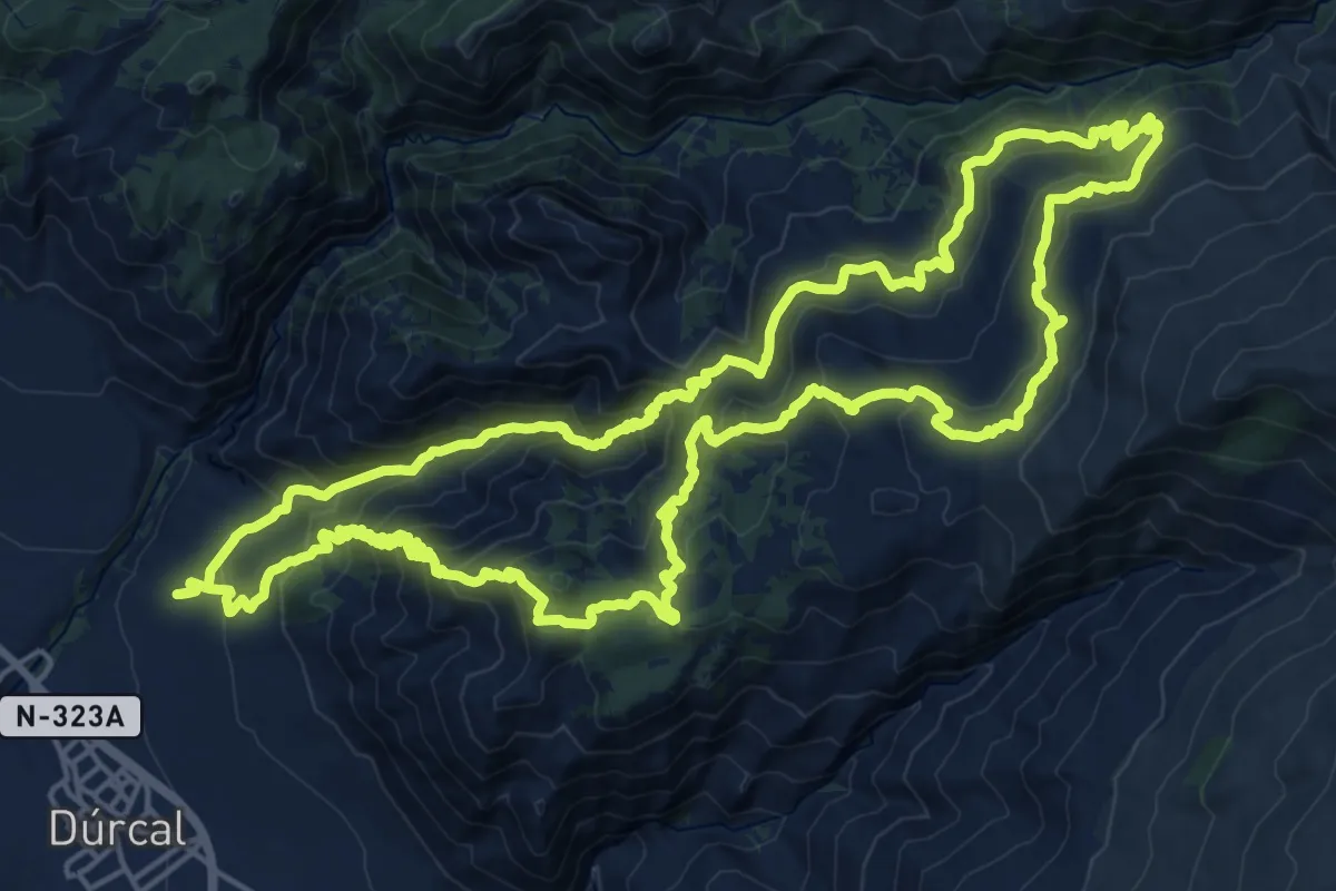
Demanding · Summit
Circular Sierra Dúrcal - La Esperanza
25.7 km · ↑ 1597 m · 9 h 53 min
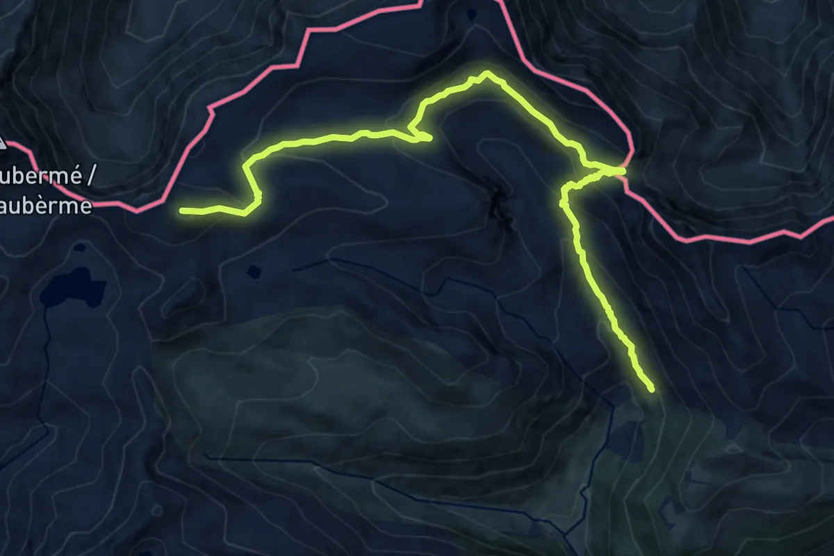
Demanding · Summit
Circular Val d'Aran
14.8 km · ↑ 888 m · 5 h 25 min
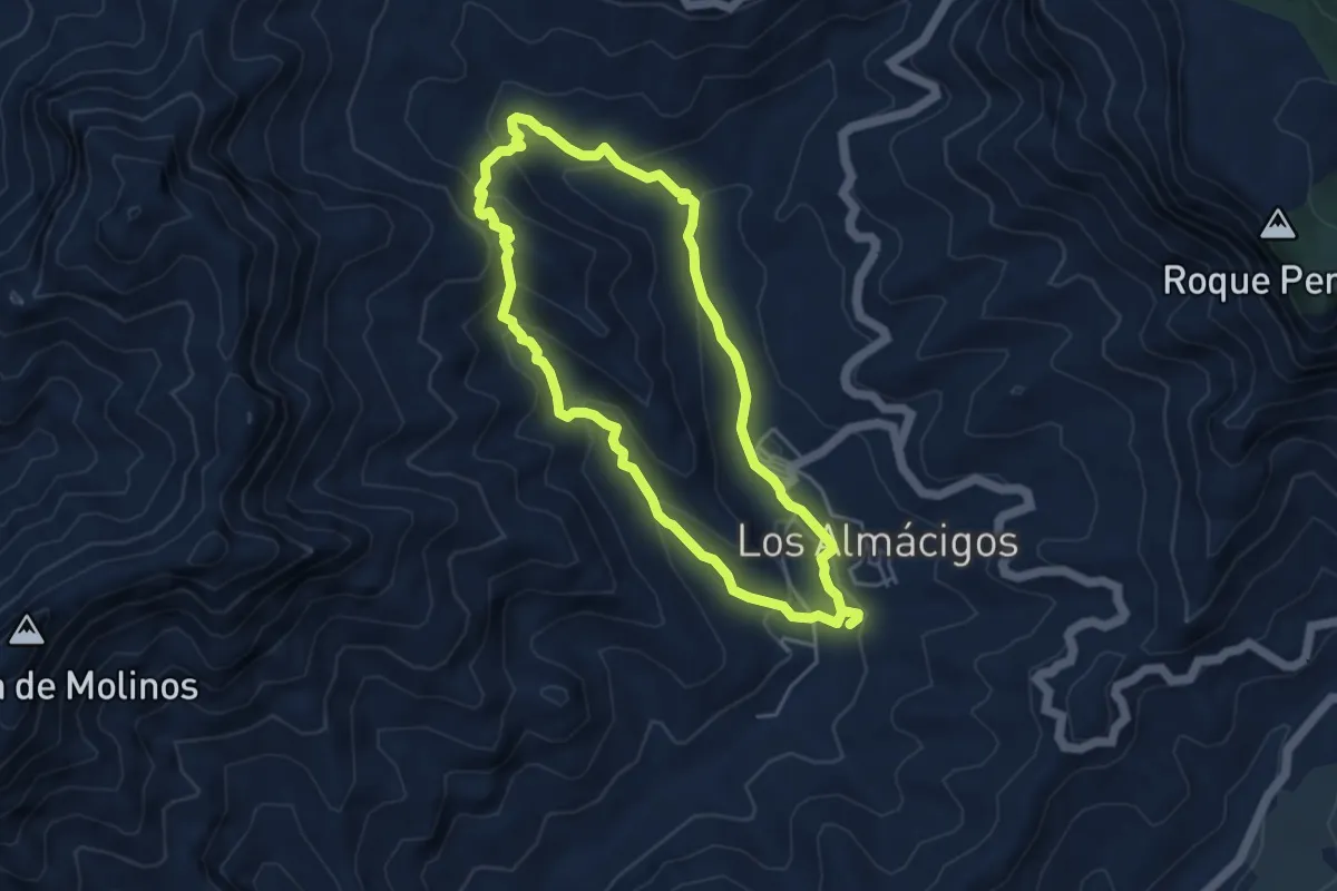
Easy · Trail
Circular Venguera
5.4 km · ↑ 245 m · 1 h 53 min
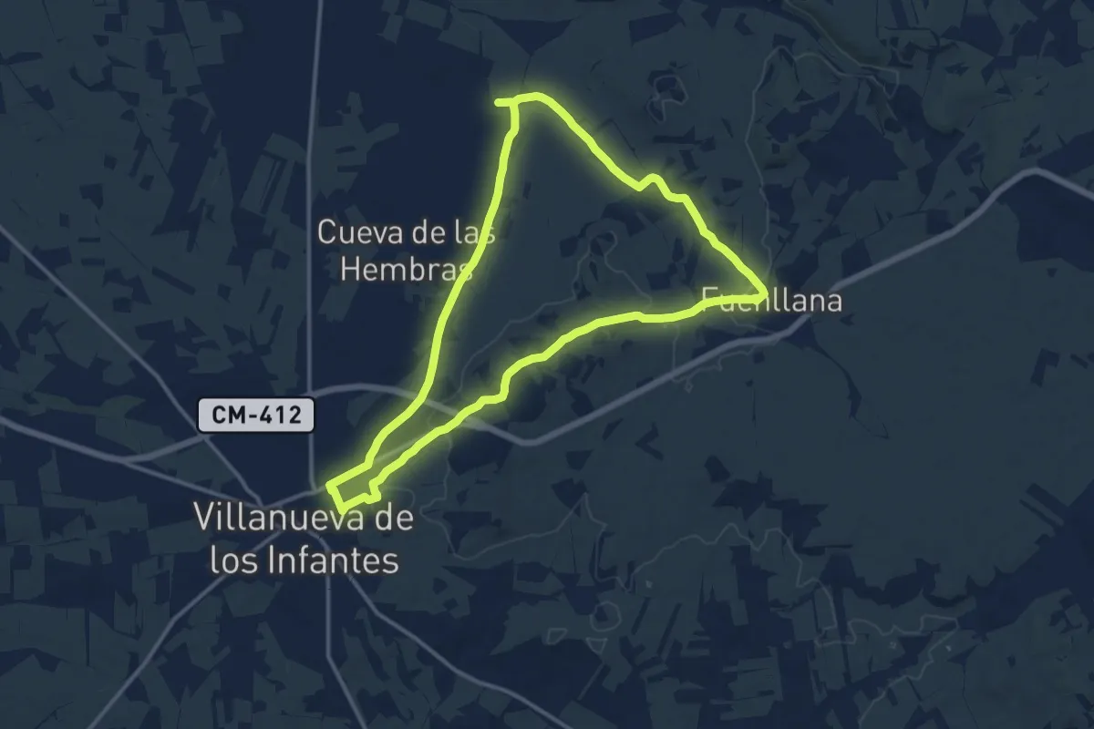
Medium · Trail
Circular Villanueva de los Infantes - Fuenllana
14.1 km · ↑ 125 m · 3 h 48 min
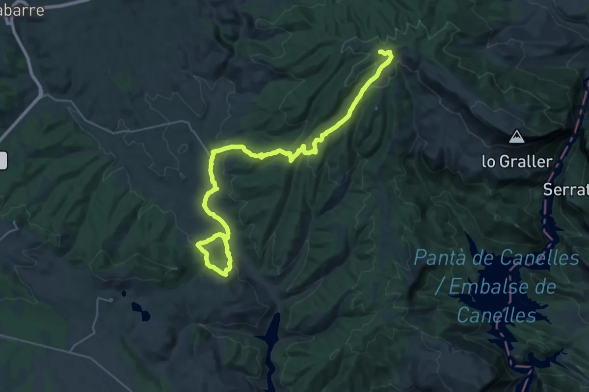
Medium · Trail
Ciscar - Anteza - Caserras del Castillo
14.8 km · ↑ 748 m · 5 h 4 min
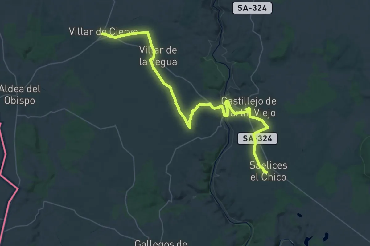
Demanding · Trail
Ciudades Amuralladas 2: Villar de Ciervo-Saelices el Chico
19.7 km · ↑ 240 m · 5 h 27 min
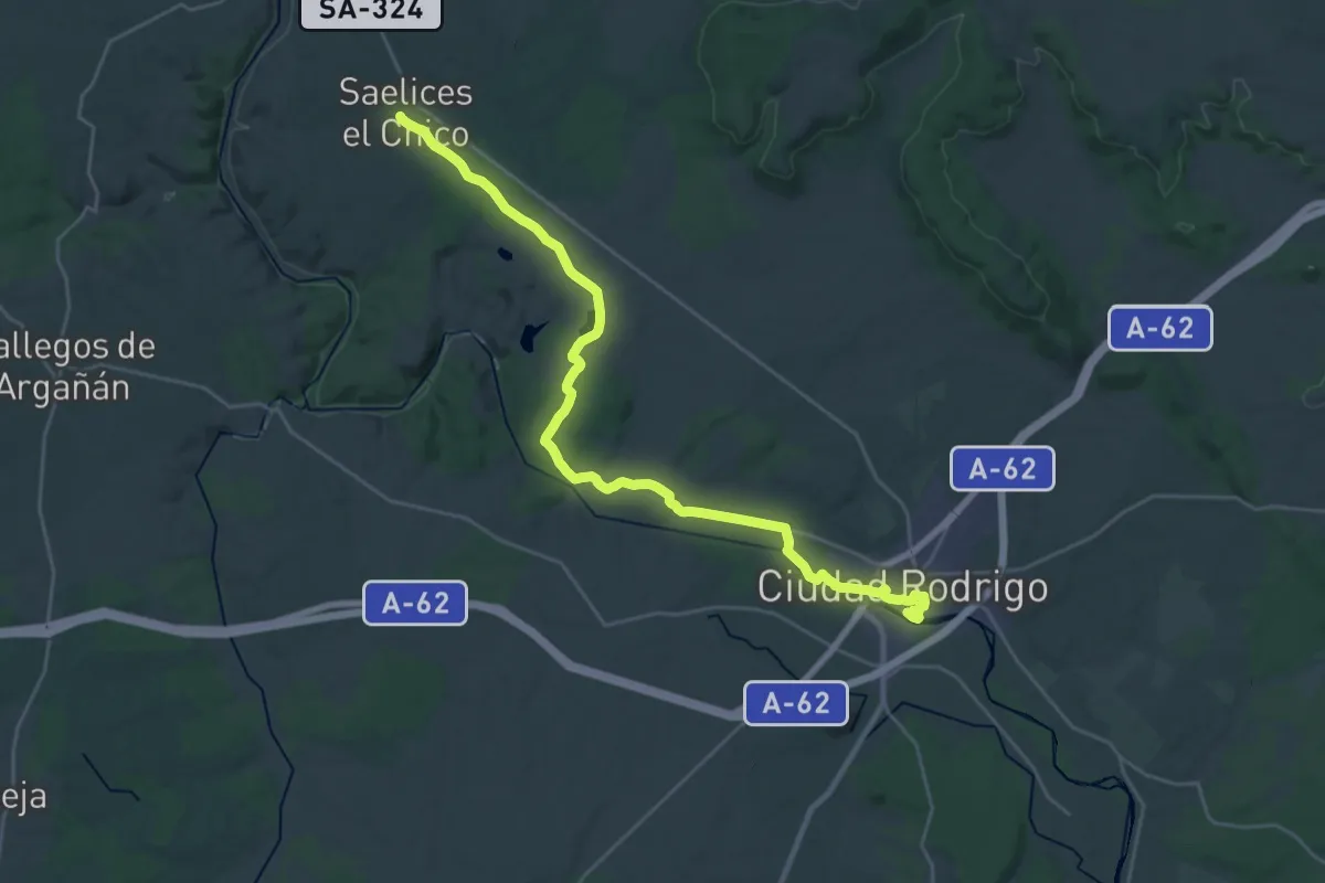
Medium · Trail
Ciudades Amuralladas 3: Saelices el Chico-Ciudad Rodrigo
16.5 km · ↑ 209 m · 4 h 34 min
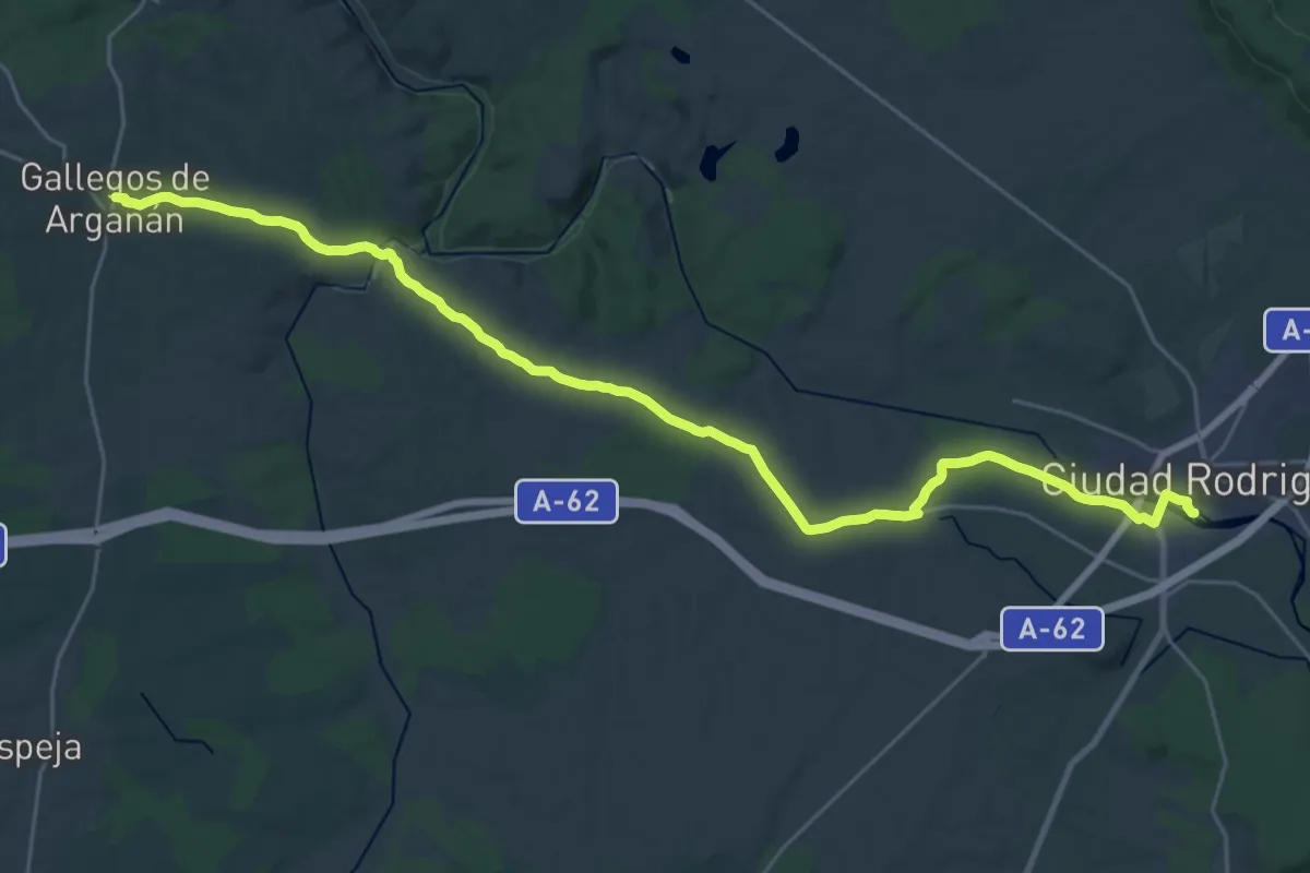
Medium · Trail
Ciudades Amuralladas 4: Ciudad Rodrigo-Gallegos de Argañán
17.3 km · ↑ 250 m · 4 h 50 min