Trails in Spain
5,963 hiking trails, each with its route, climb, walking time and grade.
All trails, page 28 of 125
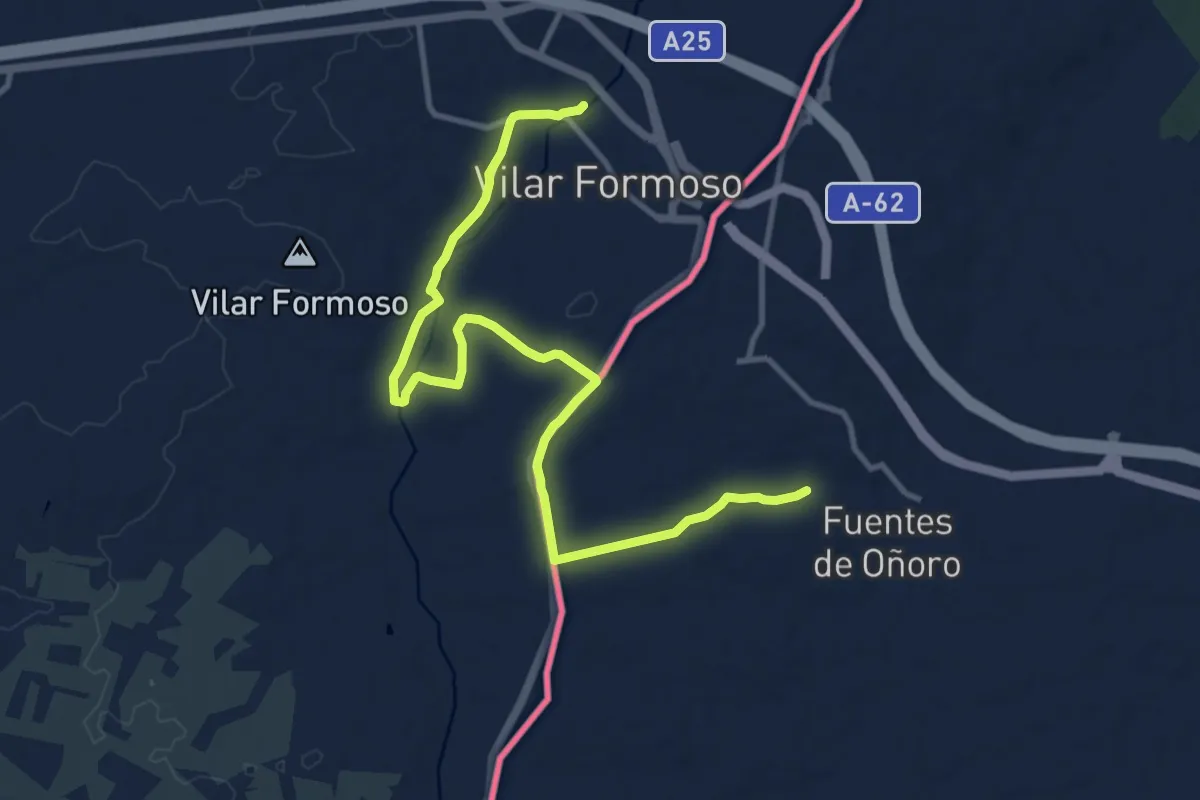
Medium · Trail
Ciudades Amuralladas 5: Gallegos de Argañán-Vilar Formoso
14.4 km · ↑ 93 m · 3 h 37 min
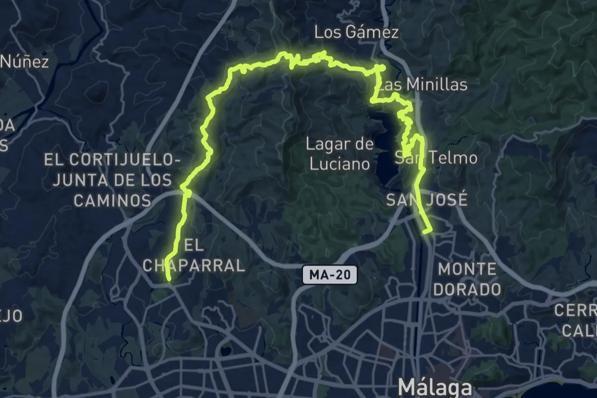
Medium · Trail
Ciudad Jardín - Puerto de La Torre
17.0 km · ↑ 718 m · 5 h 46 min
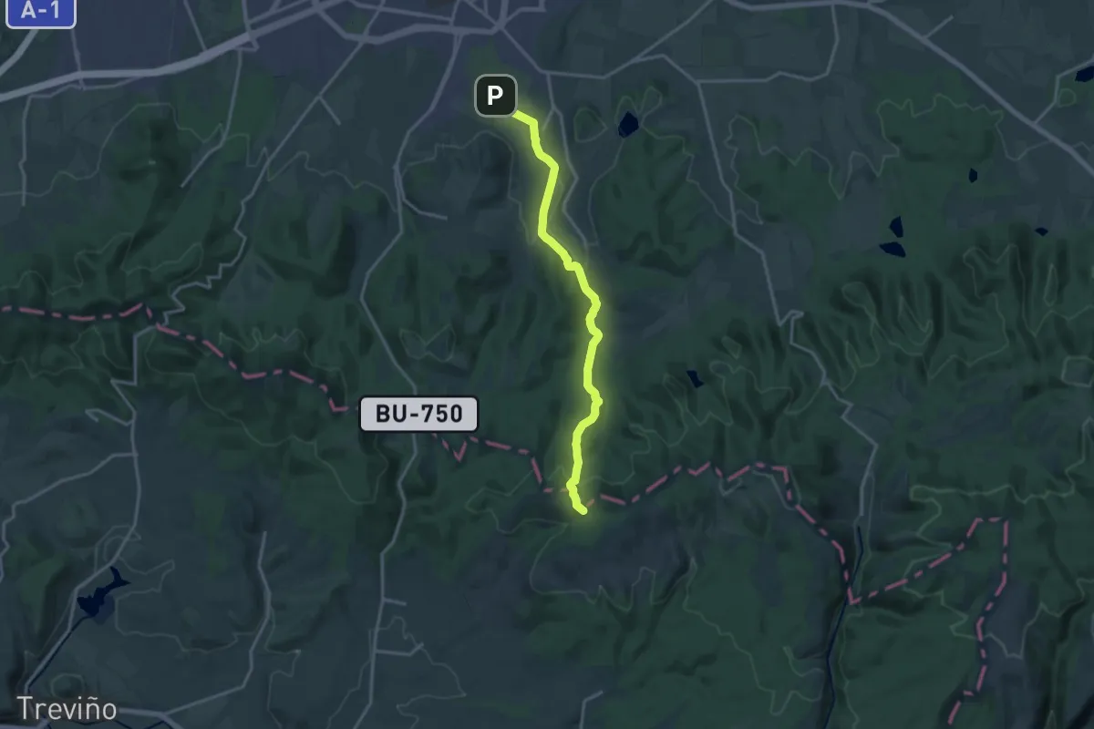
Medium · Trail
Colada de Peña Betoño
16.5 km · ↑ 378 m · 4 h 42 min
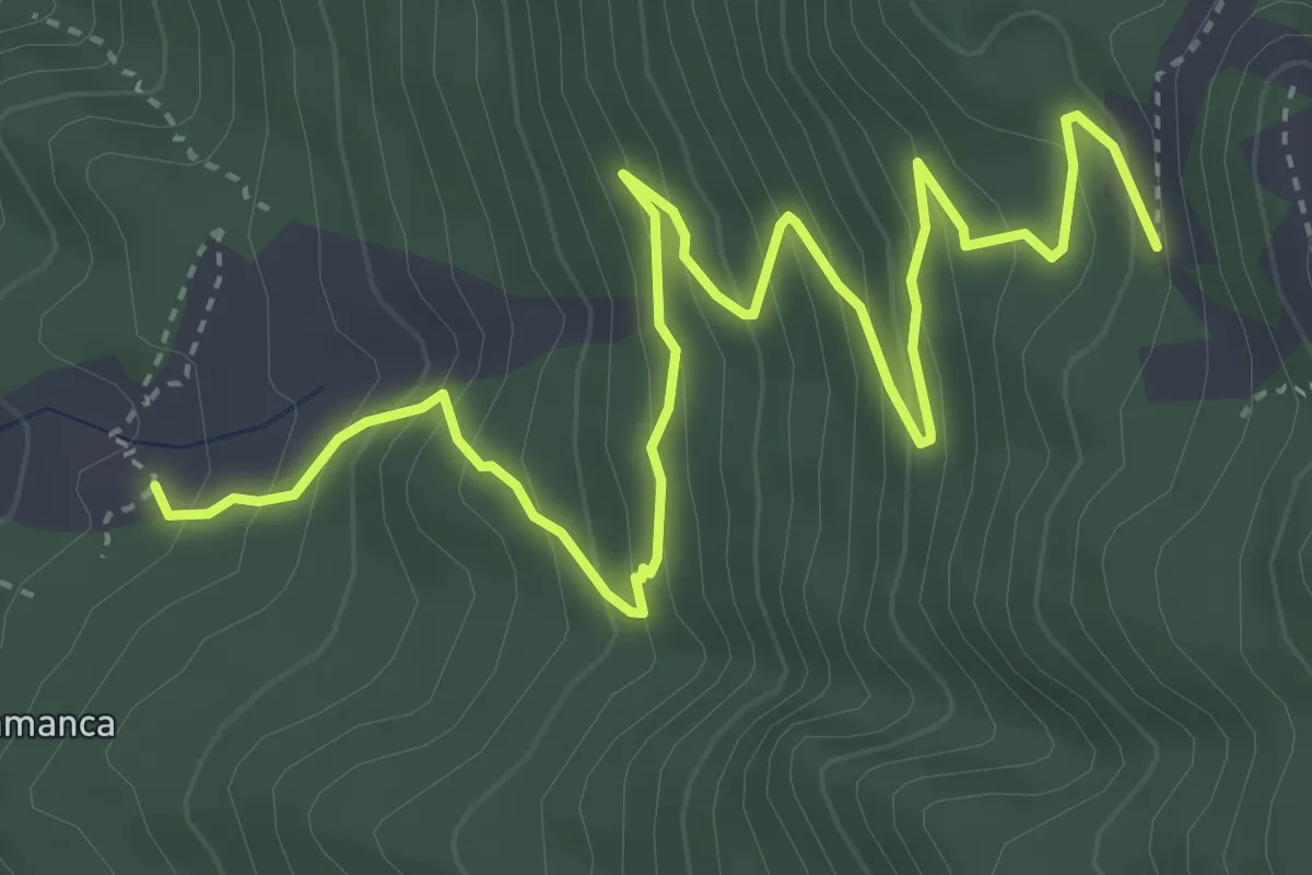
Medium · Trail
Coladas de San Juan-Camino Barquito
6.8 km · ↑ 526 m · 2 h 45 min
Easy · Summit
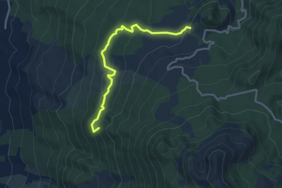
Coladas de San Juan-Llano de Jable
7.0 km · ↑ 268 m · 2 h 14 min
Medium · Trail
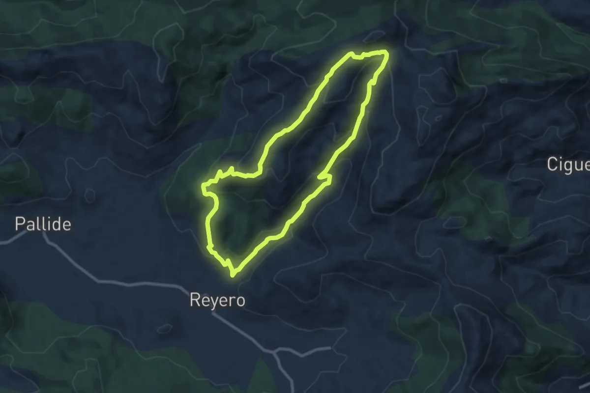
Collada de Lois
8.1 km · ↑ 457 m · 3 h 1 min
Medium · Trail
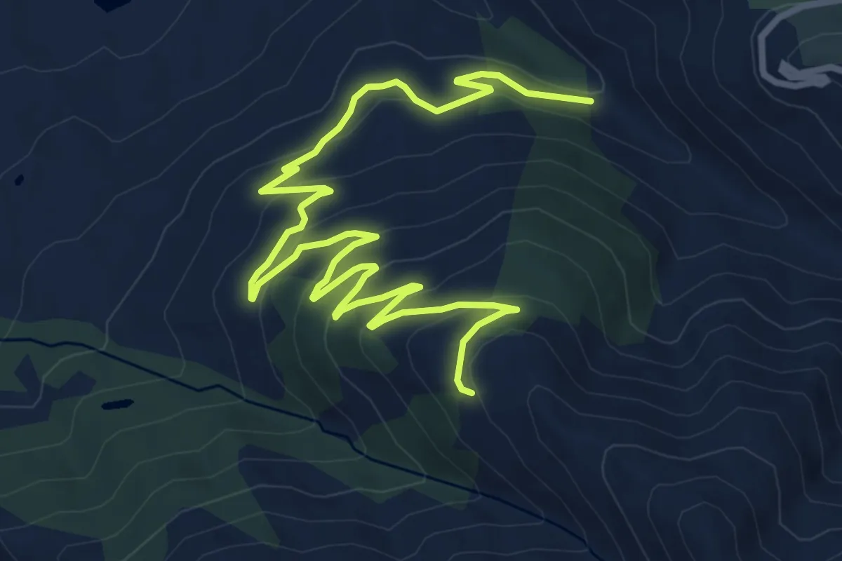
Collado de Enmedio
11.7 km · ↑ 489 m · 3 h 50 min
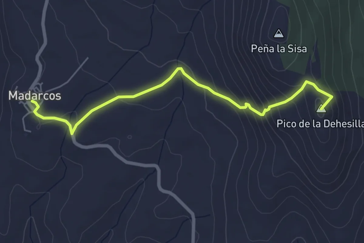
Medium · Summit
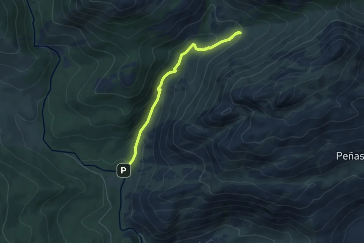
Collado de la Dehesilla
5.3 km · ↑ 229 m · 1 h 45 min
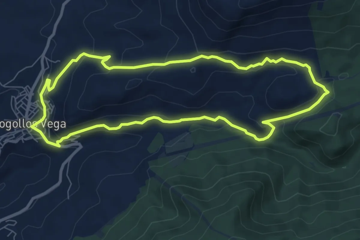
Easy · Summit
Collado de la Dehesilla
5.6 km · ↑ 254 m · 1 h 52 min
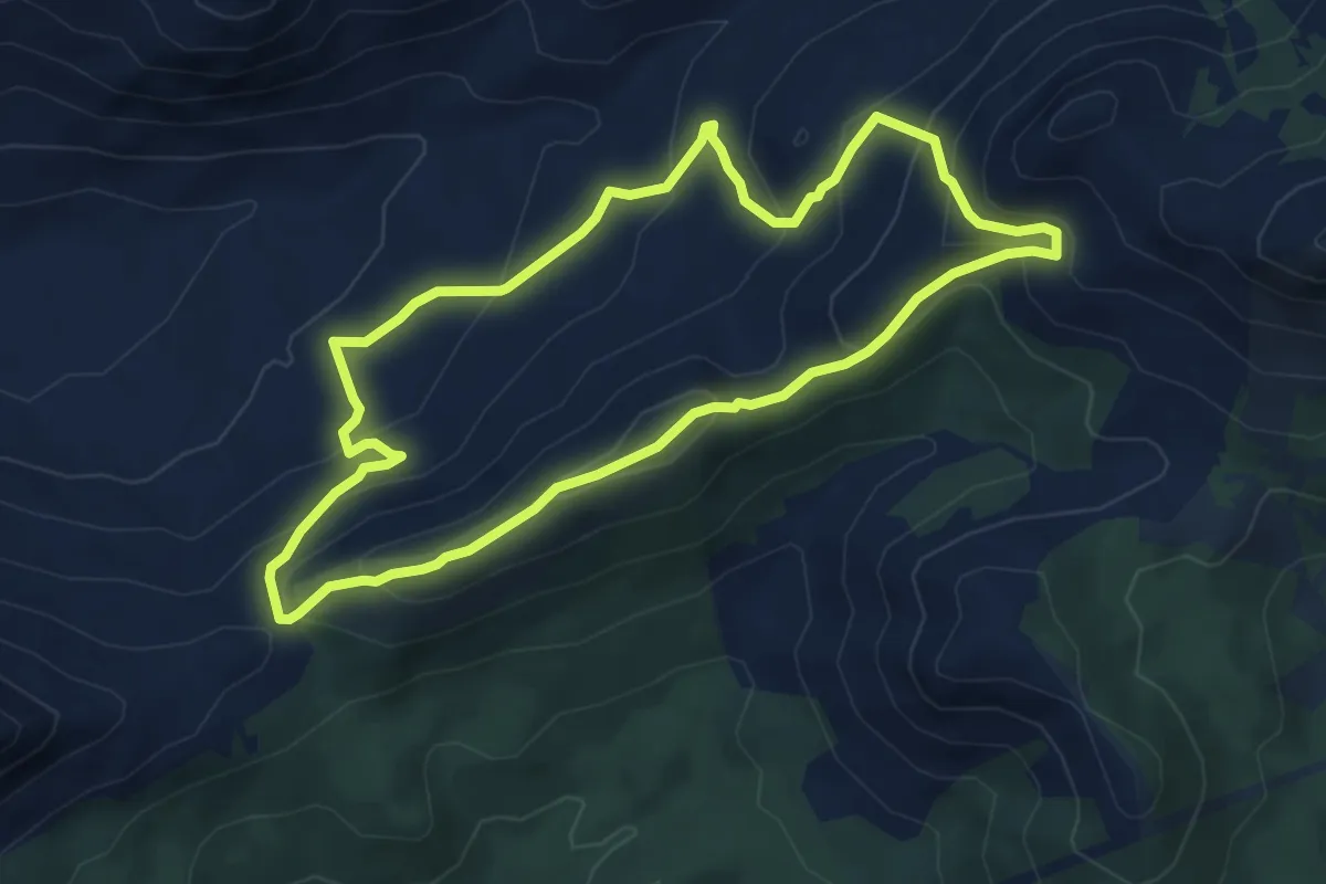
Easy · Summit
Collado de los Prados del Rey
7.4 km · ↑ 259 m · 2 h 25 min
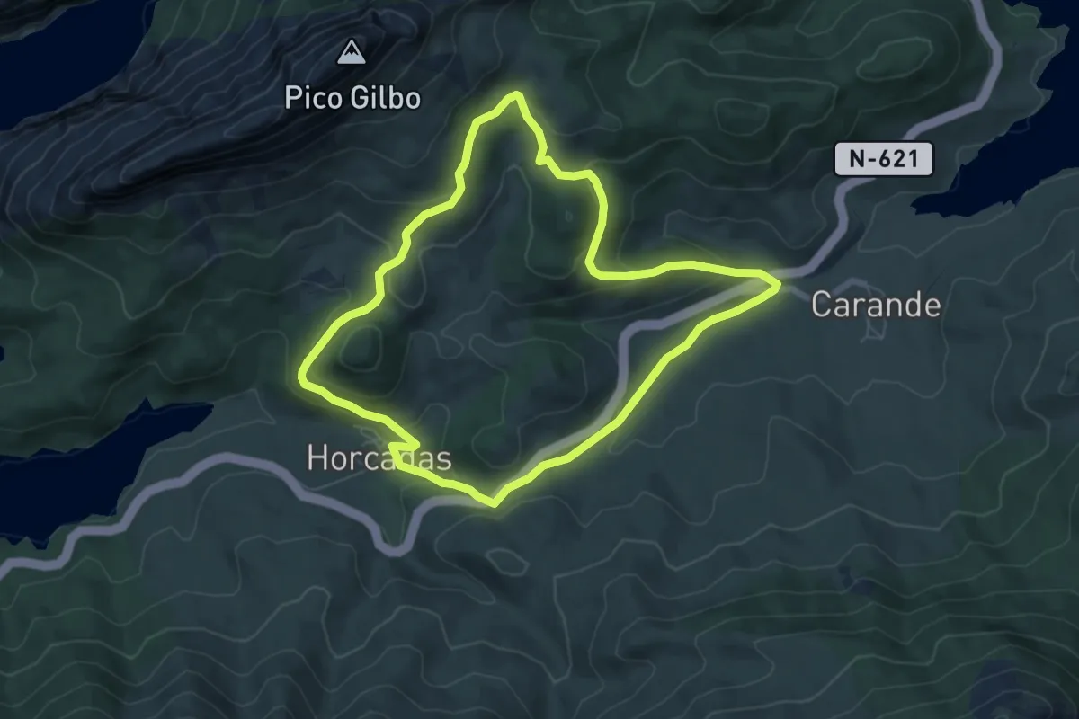
Medium · Trail
Collado de San Agustín - Majalijar
6.1 km · ↑ 383 m · 2 h 22 min
Easy · Summit
Collado El Baile
6.6 km · ↑ 282 m · 2 h 15 min
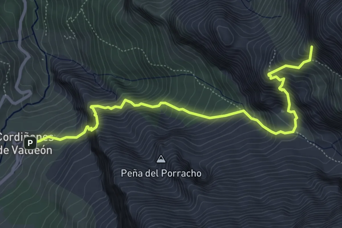
Expert · Summit
Collado Jermoso
7.2 km · ↑ 1245 m · 4 h 23 min
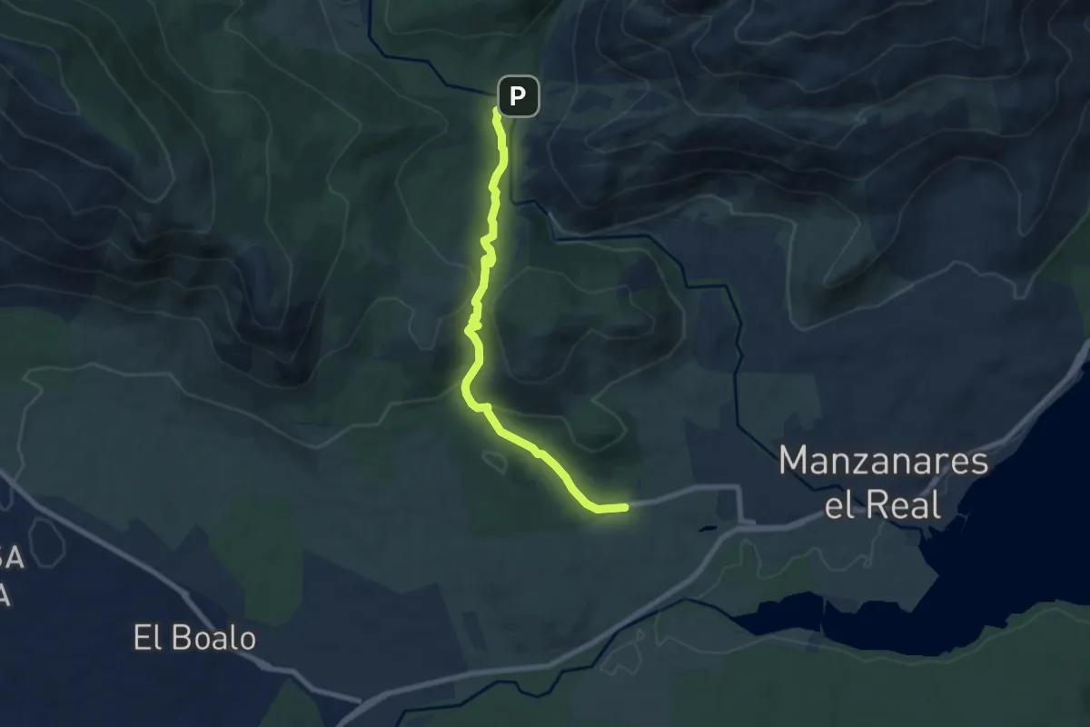
Medium · Trail
Collado Quebrantahuesos
7.8 km · ↑ 286 m · 2 h 28 min
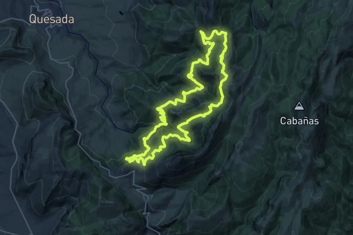
Demanding · Cabin
Collado Zamora - Los Picones
23.6 km · ↑ 1515 m · 9 h 10 min
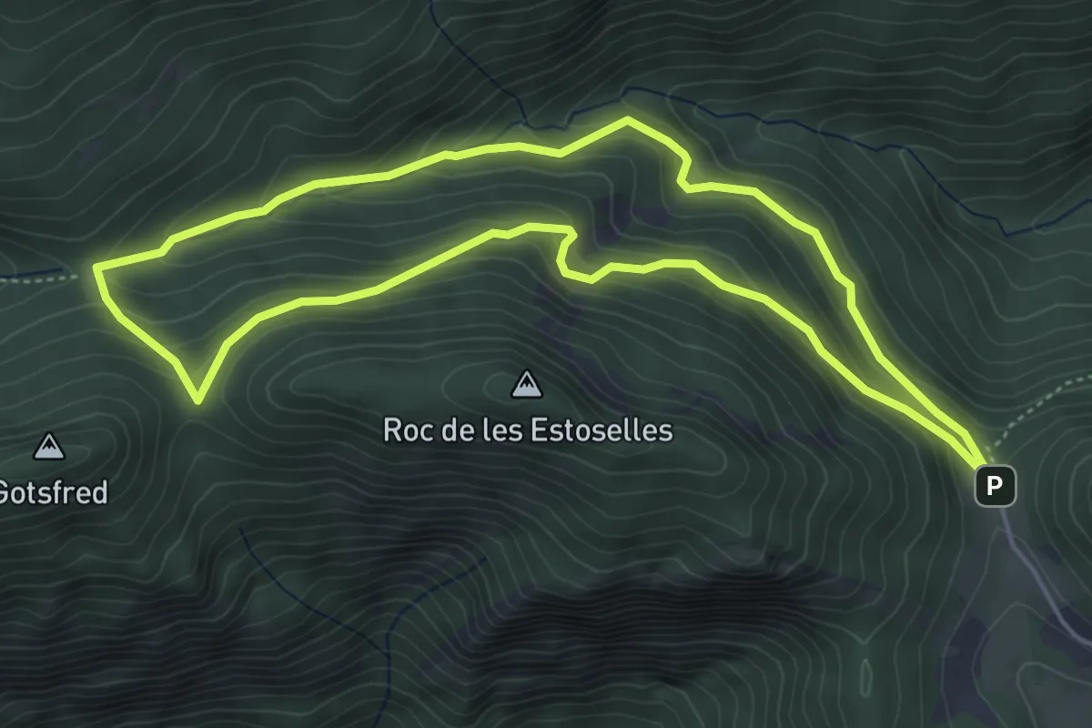
Medium · Trail
Coll de Bauma
5.2 km · ↑ 297 m · 1 h 56 min
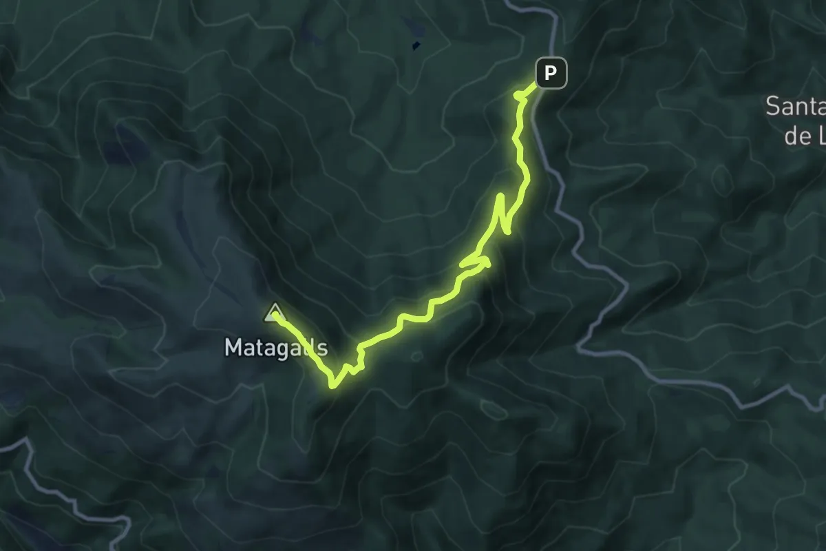
Medium · Summit
Coll de Bordoriol-Coll Pregon
10.8 km · ↑ 660 m · 3 h 59 min
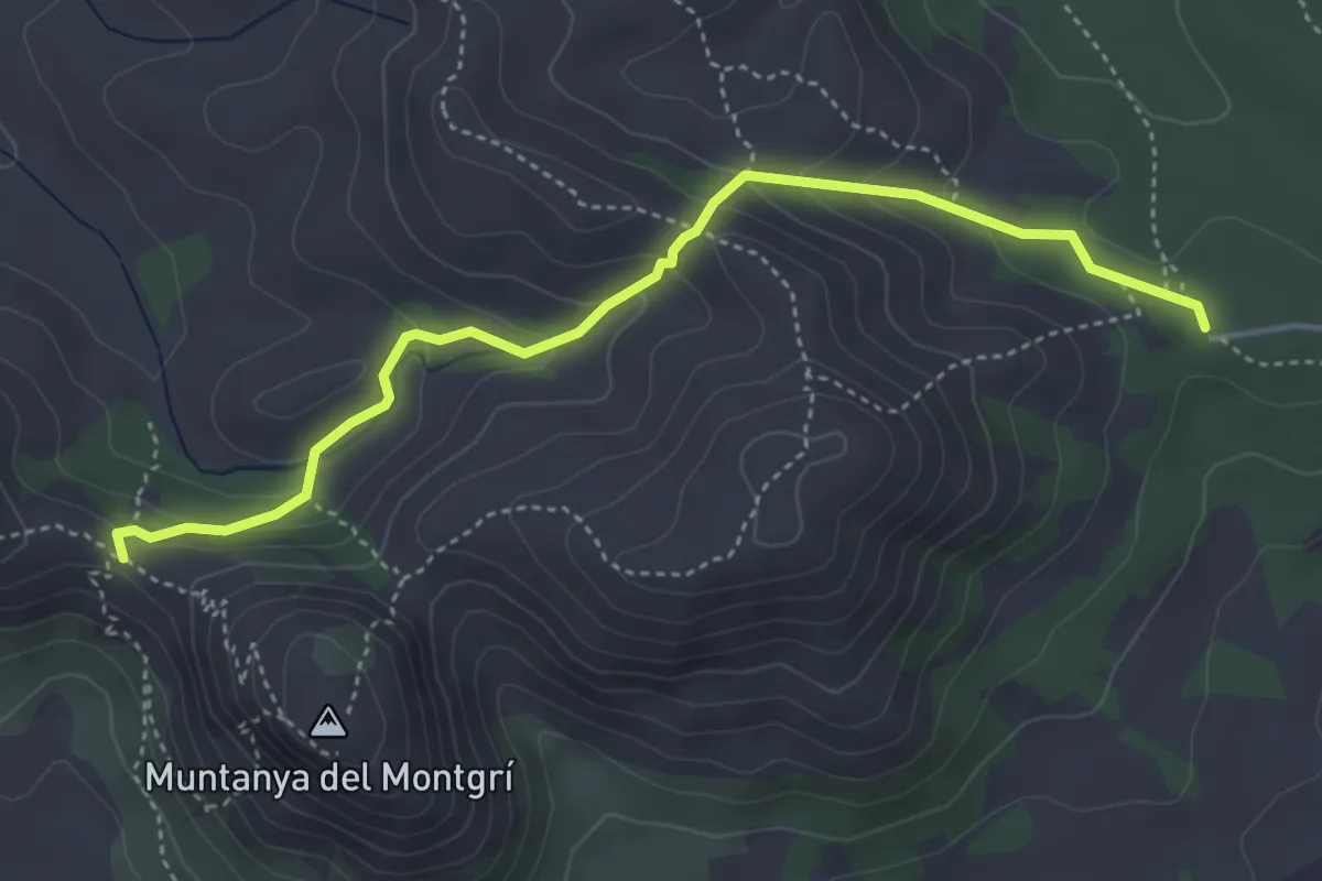
Medium · Trail
Coll de la Creu
4.8 km · ↑ 254 m · 1 h 41 min
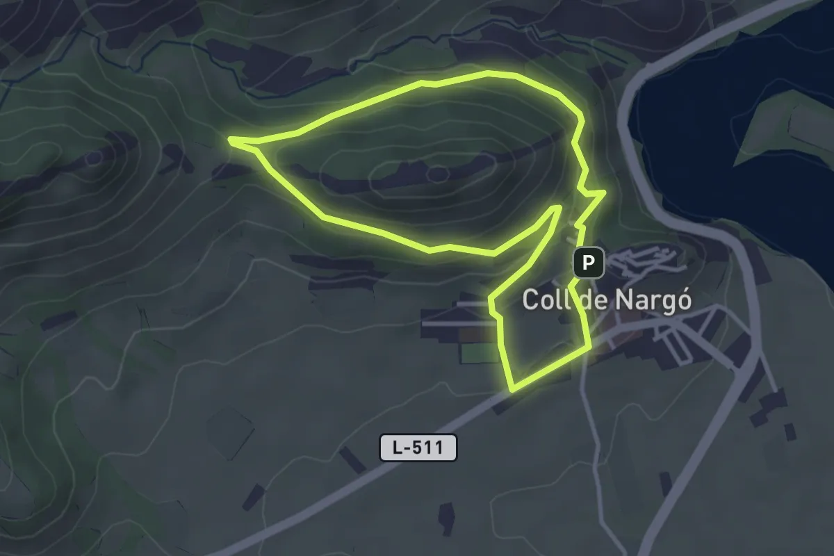
Easy · Summit
Coll de Nargó, passeig de Coll Piquer
3.4 km · ↑ 147 m · 1 h 9 min
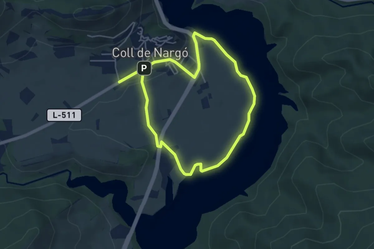
Easy · Trail
Coll de Nargó, volta pel pantà
3.9 km · ↑ 52 m · 1 h 6 min
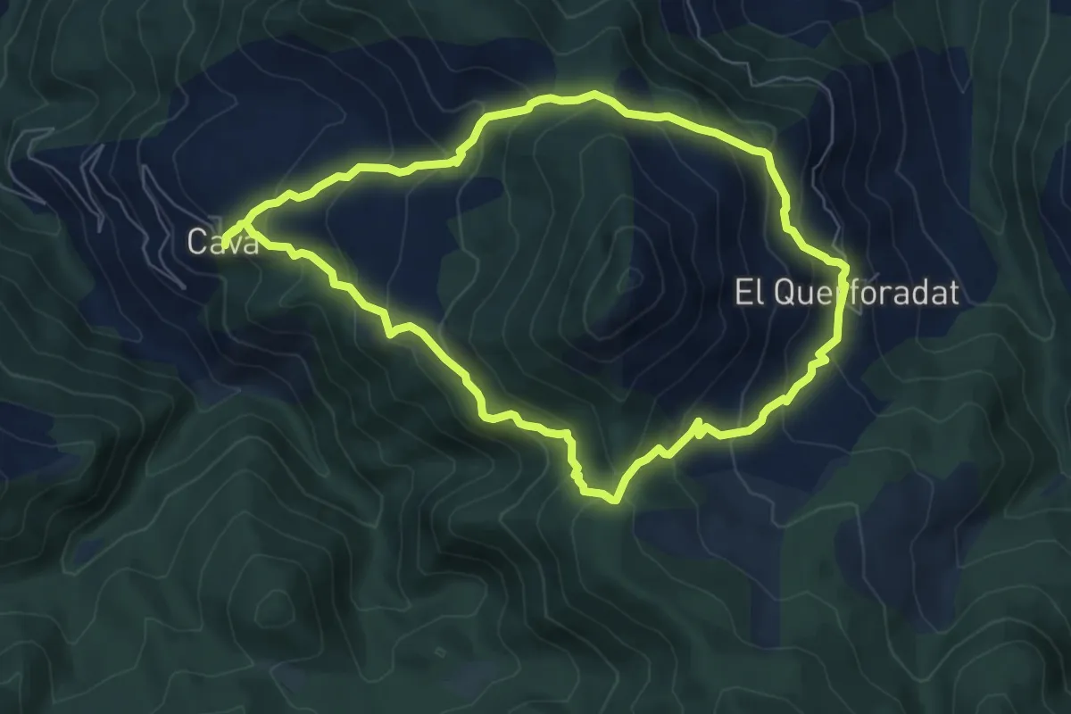
Medium · Summit
Coll d'Eruga - Coll de Cristià
7.1 km · ↑ 533 m · 2 h 56 min
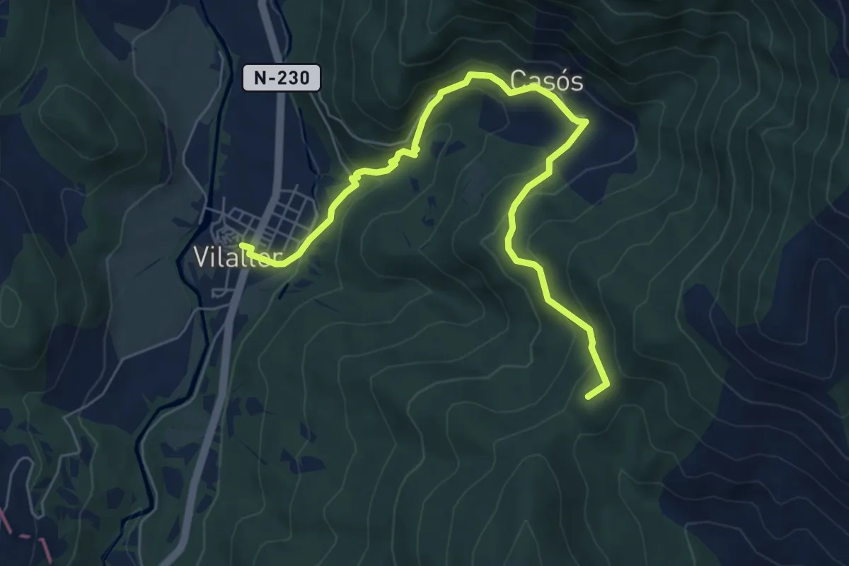
Medium · Summit
Coll de Serreres, Vilaller
7.6 km · ↑ 505 m · 2 h 54 min
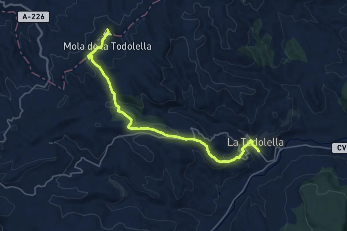
Medium · Summit
Collet dels Castellans
15.7 km · ↑ 534 m · 4 h 51 min
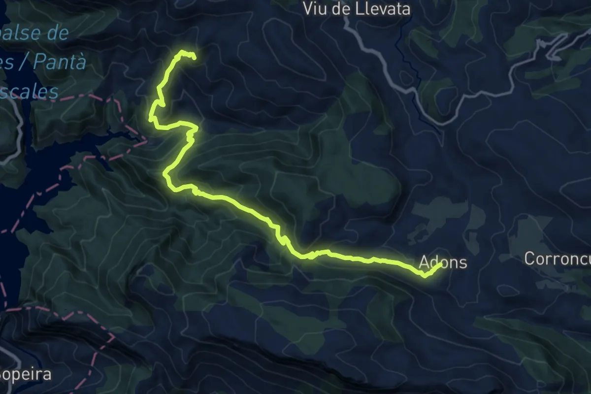
Demanding · Summit
Colls de Sant Roc. Adons
19.0 km · ↑ 1236 m · 7 h 10 min
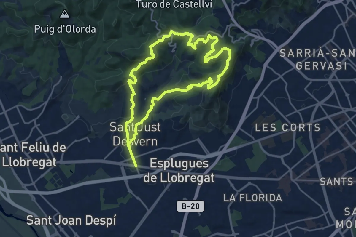
Medium · Summit
Collserola des de Sant Just
13.5 km · ↑ 577 m · 4 h 37 min
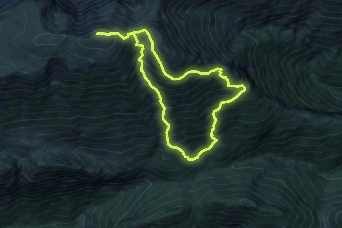
Demanding · Summit
Comabona des del Coll de Bauma per la Pleta de Guilla
7.5 km · ↑ 918 m · 3 h 51 min
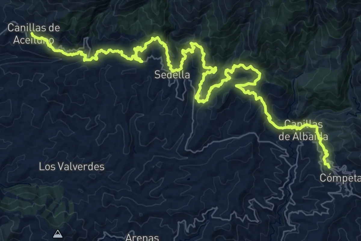
Demanding · Summit
Cómpeta - Canillas de Aceituno
23.9 km · ↑ 1270 m · 8 h 43 min
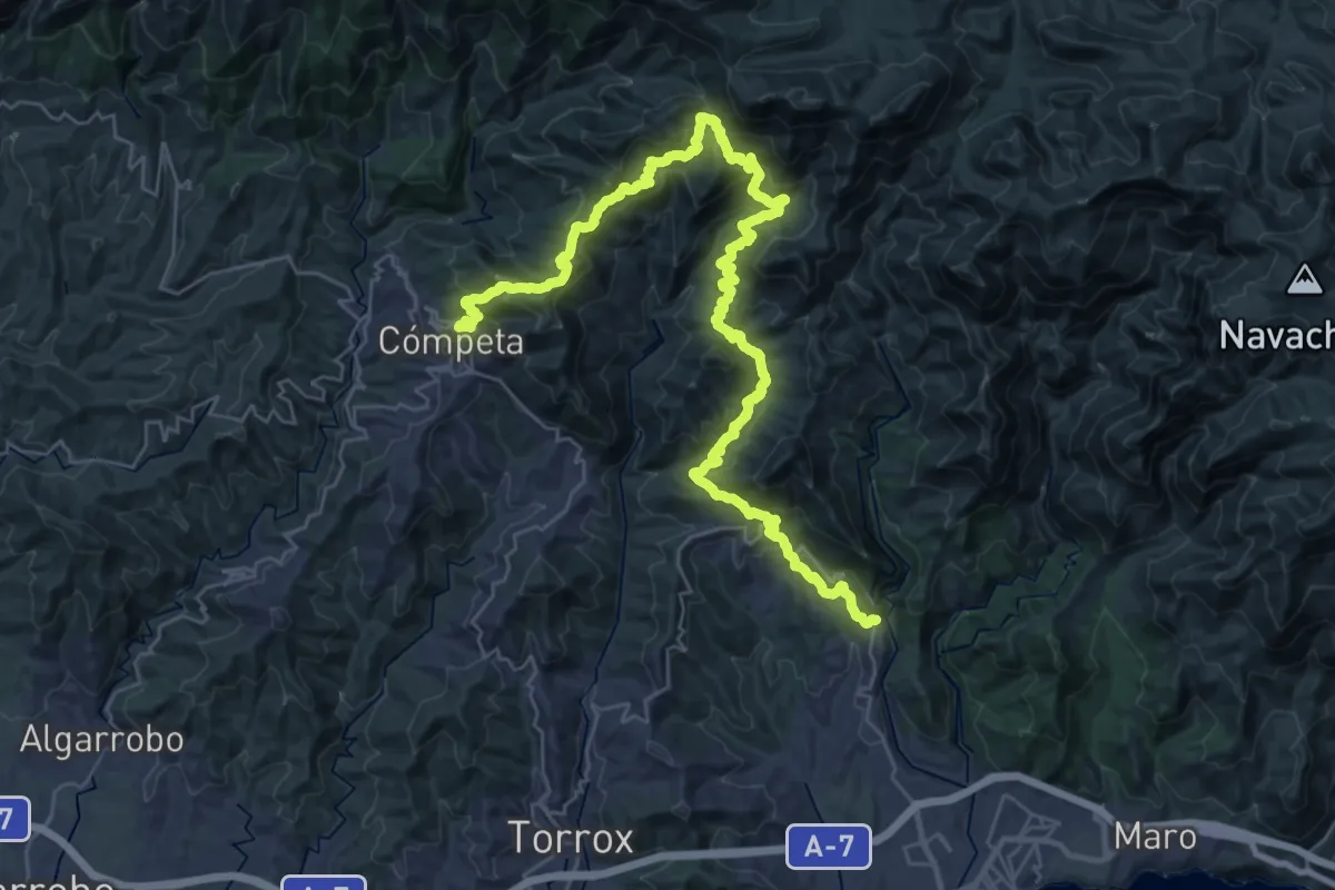
Demanding · Summit
Cómpeta - Frigiliana
23.5 km · ↑ 1468 m · 8 h 52 min
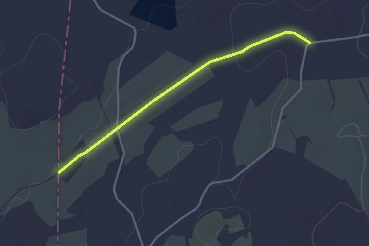
Easy · Trail
Comunitat Valenciana. Fredes - el Pinós
3.2 km · ↑ 30 m · 50 min
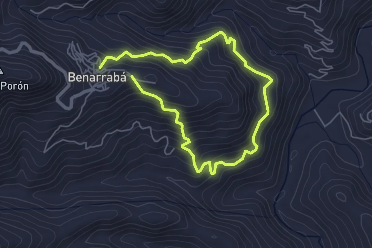
Medium · Trail
Concoste - La Portá
4.0 km · ↑ 317 m · 1 h 40 min
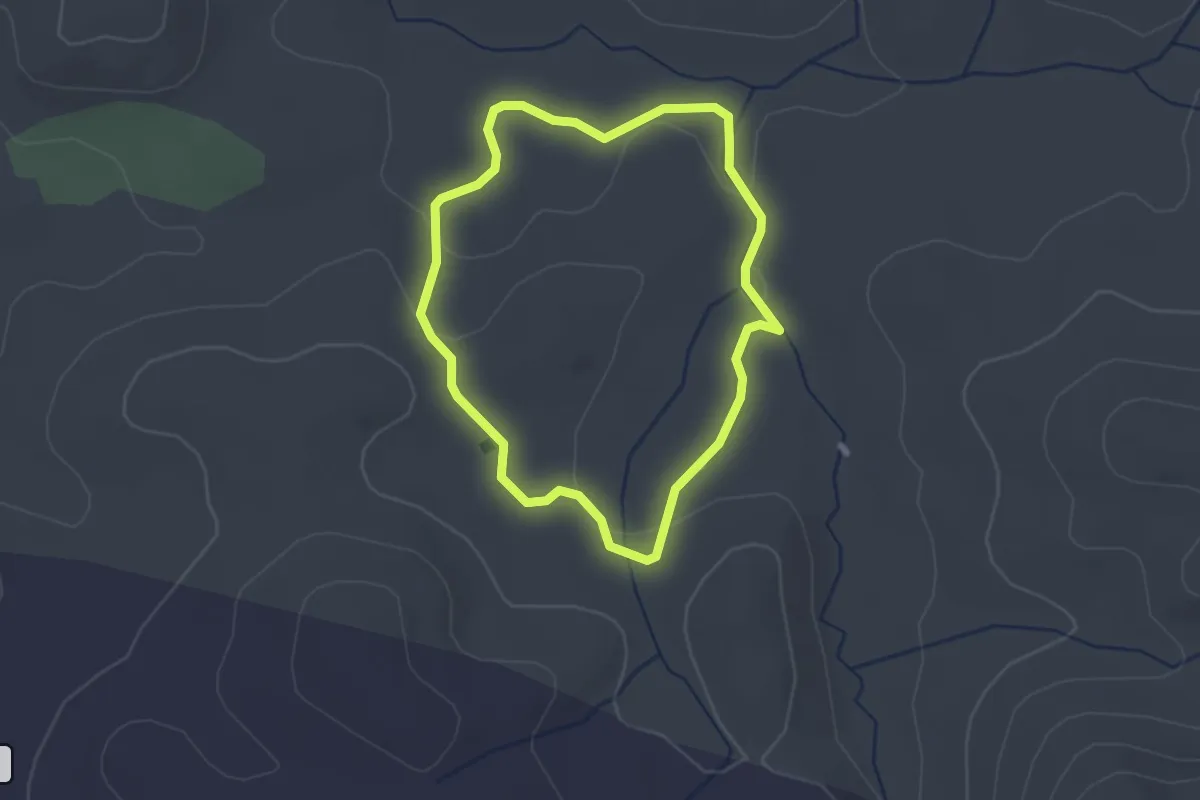
Easy · Trail
Conejeras
2.4 km · ↑ 30 m · 40 min
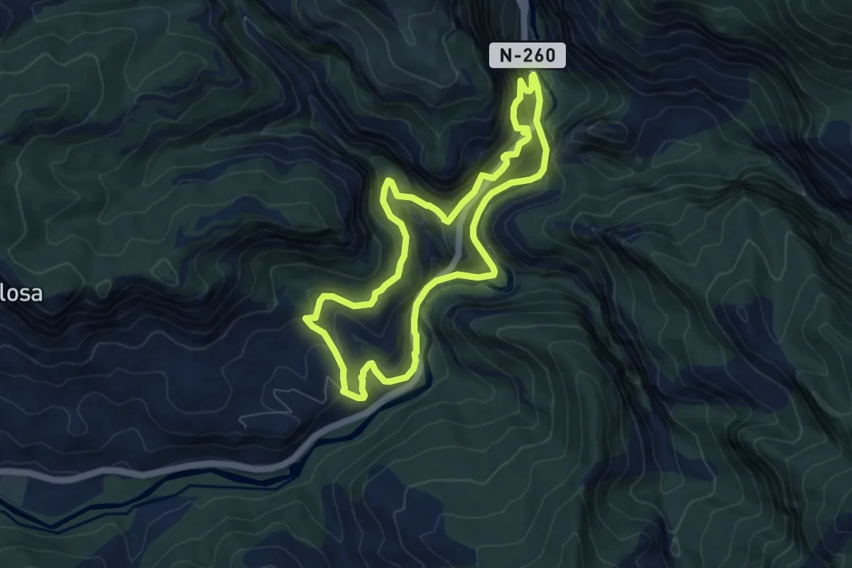
Medium · Trail
Congost de Collegats
7.4 km · ↑ 594 m · 3 h 8 min
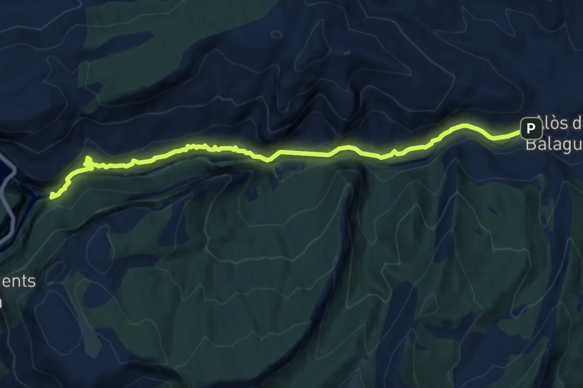
Medium · Trail
Congost del Mu
12.8 km · ↑ 506 m · 4 h 8 min
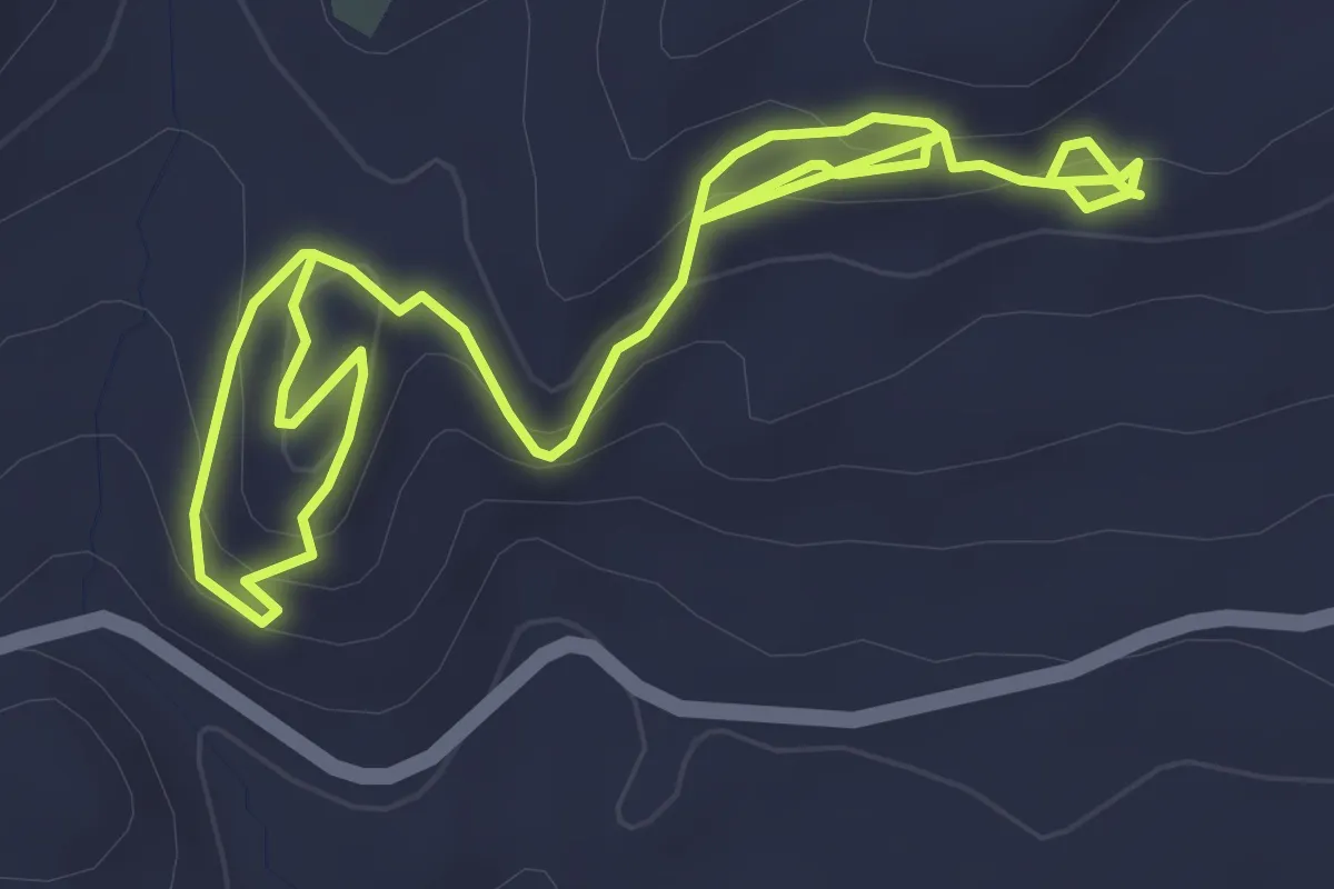
Easy · Trail
Conjunto arqueológico Peña de los Gitanos
3.5 km · ↑ 193 m · 1 h 17 min
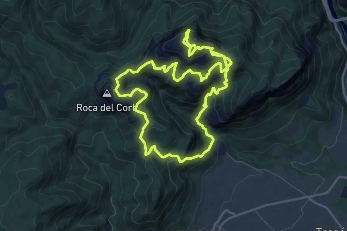
Expert · Summit
Corb i Sant Honorat
9.1 km · ↑ 950 m · 4 h 19 min
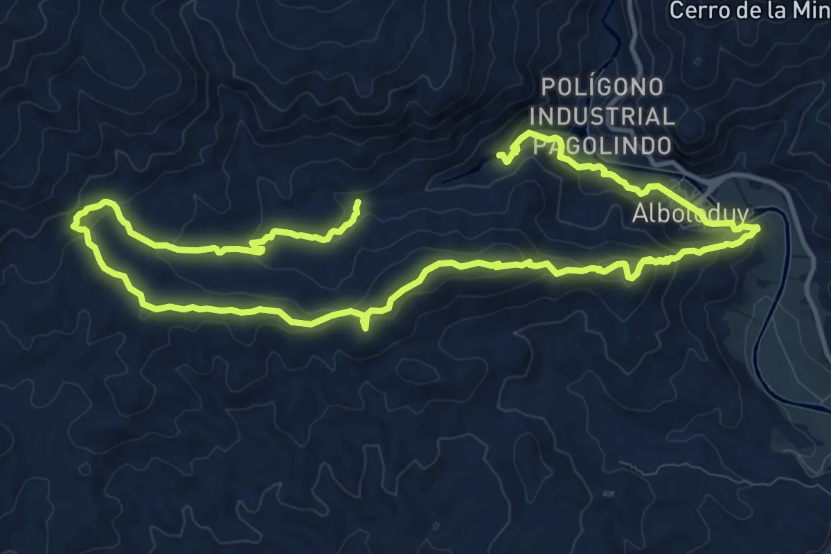
Medium · Summit
Cordel de la Solana
10.8 km · ↑ 424 m · 3 h 40 min
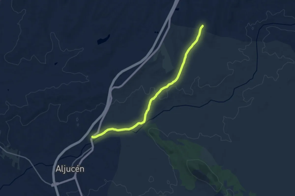
Medium · Trail
Cordel del Cerro del Gato
13.8 km · ↑ 76 m · 3 h 25 min
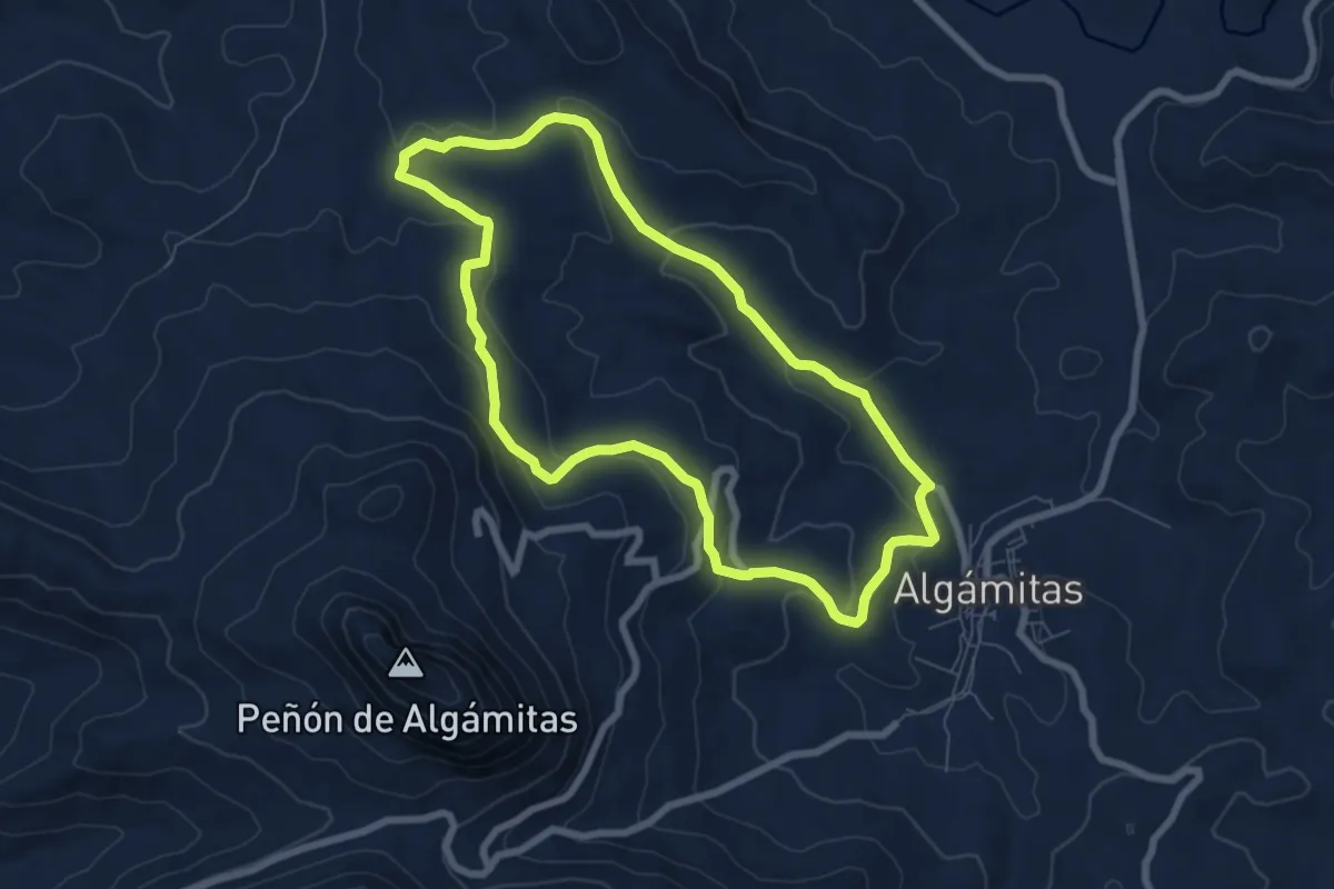
Easy · Trail
Cordel de Morón
7.9 km · ↑ 245 m · 2 h 31 min
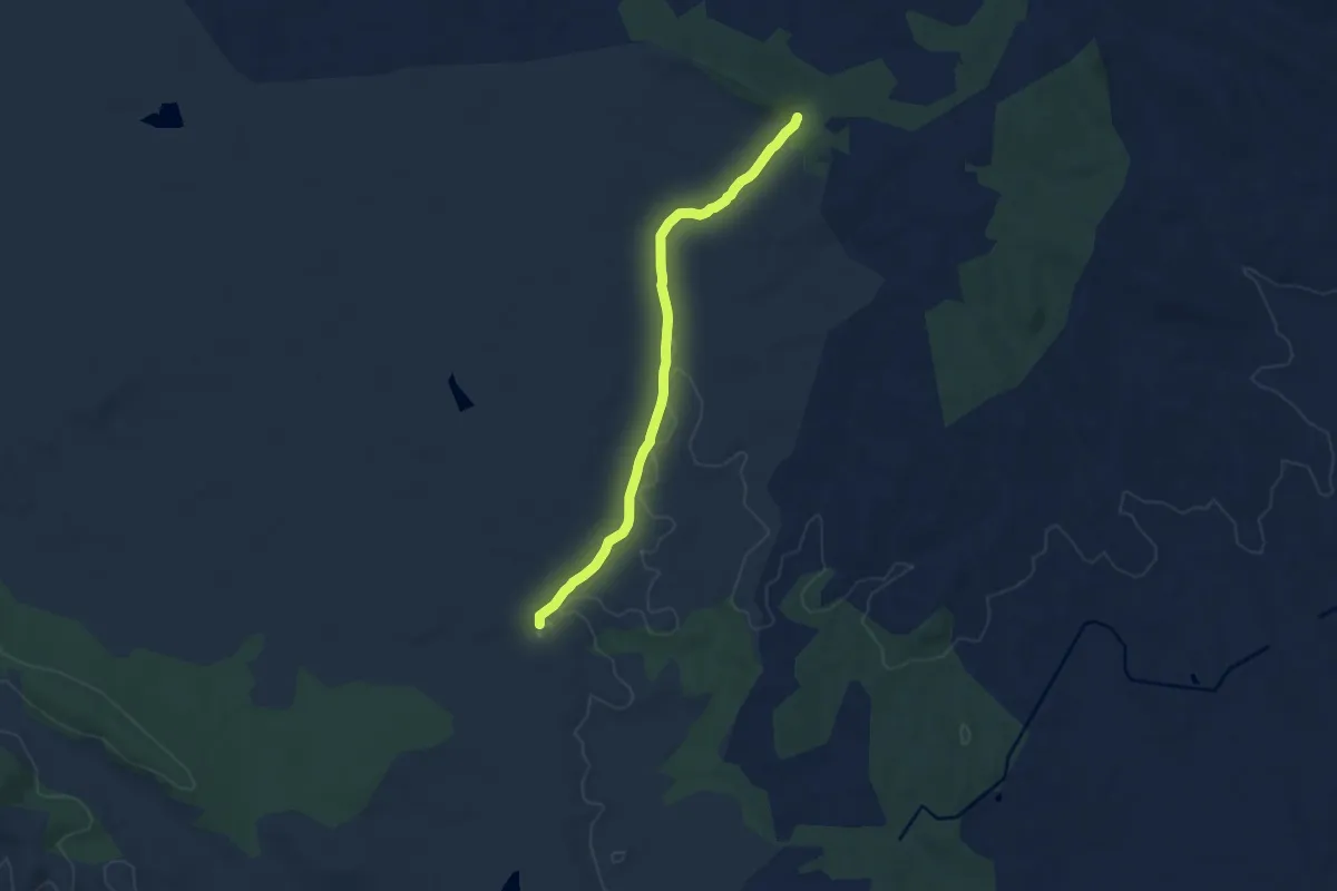
Medium · Trail
Cordel de Santa María de Araya
9.5 km · ↑ 47 m · 2 h 21 min
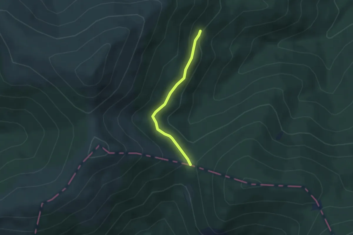
Easy · Trail
Cordel de Santillana
3.1 km · ↑ 71 m · 54 min
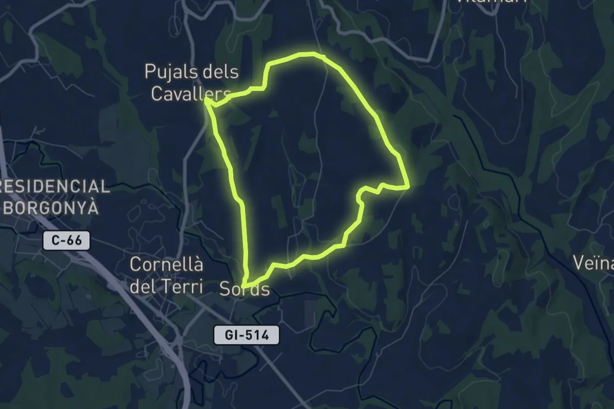
Easy · Trail
Cornellà de Terri, per la Plana de Sords i Pujals
6.7 km · ↑ 70 m · 1 h 50 min
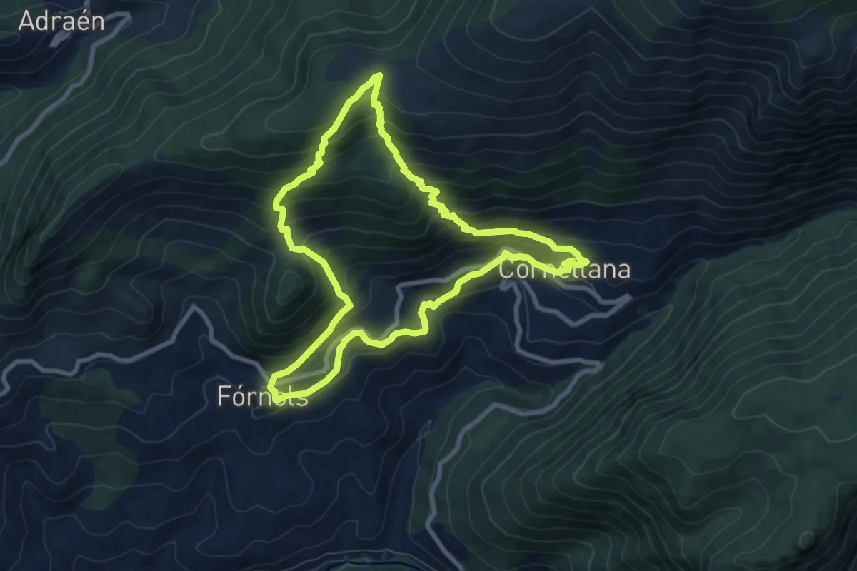
Medium · Trail
Cornellana
8.1 km · ↑ 639 m · 3 h 25 min
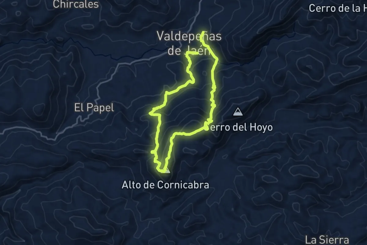
Medium · Summit
Cornicabra
12.4 km · ↑ 720 m · 4 h 38 min
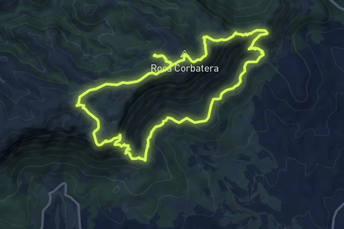
Medium · Summit
Cornudella de Montsant
8.8 km · ↑ 557 m · 3 h 24 min
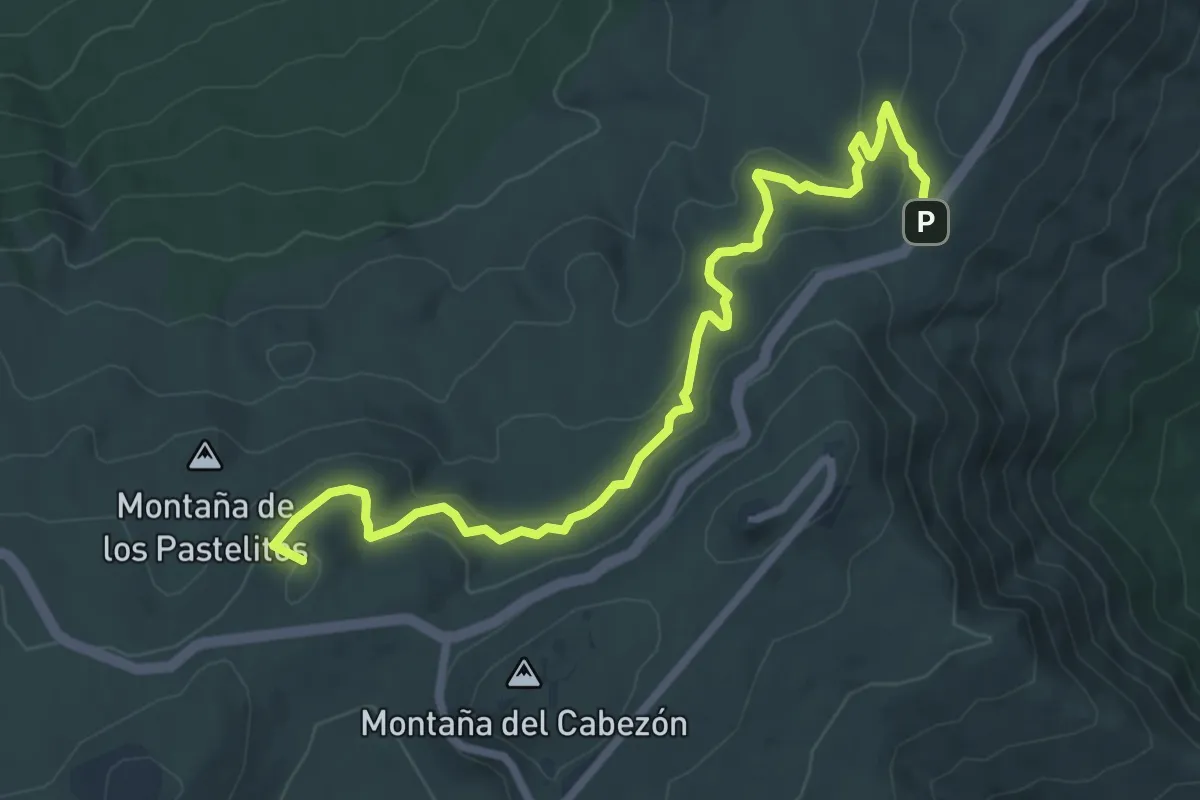
Medium · Summit
Corral del Niño-Mal Abrigo
9.9 km · ↑ 396 m · 3 h 12 min
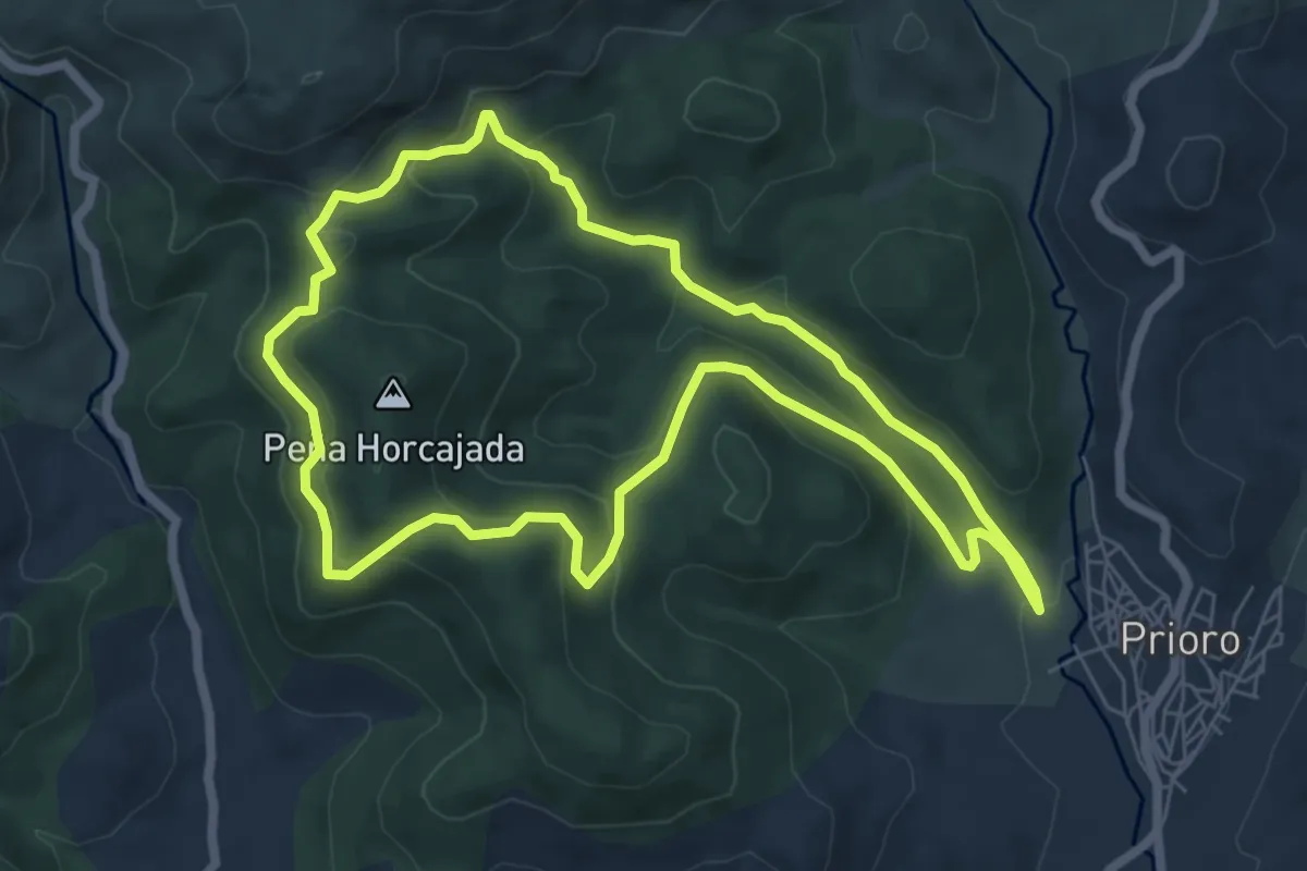
Easy · Trail
Corral de los Lobos
7.0 km · ↑ 319 m · 2 h 27 min
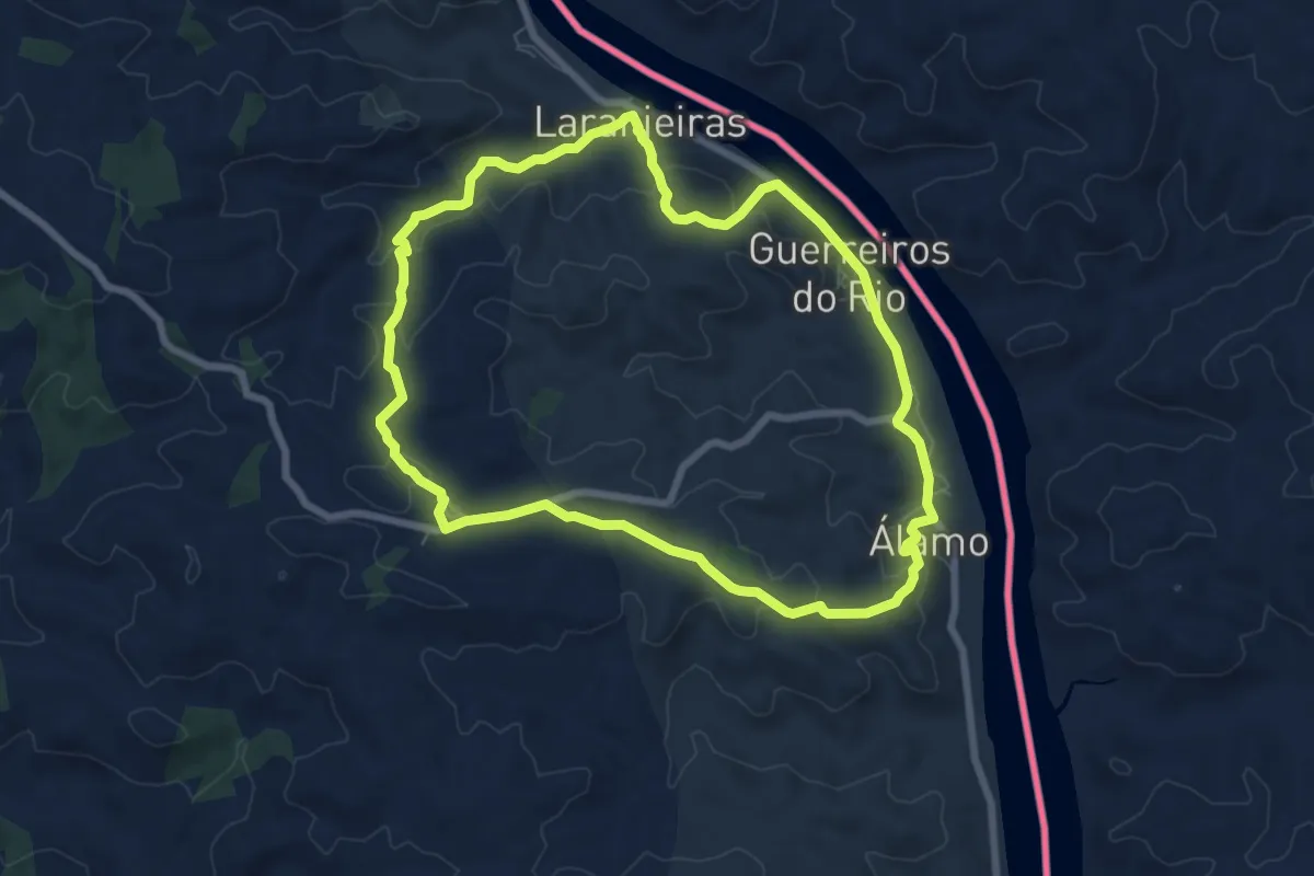
Medium · Trail
Corre, corre... Guadiana
8.3 km · ↑ 231 m · 2 h 34 min
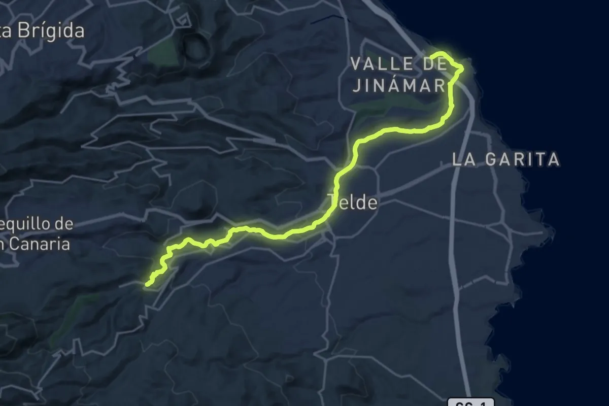
Demanding · Trail
Corredor Paisajistico Litoral de Telde
25.1 km · ↑ 454 m · 6 h 55 min