Trails in Spain
5,963 hiking trails, each with its route, climb, walking time and grade.
All trails, page 30 of 125
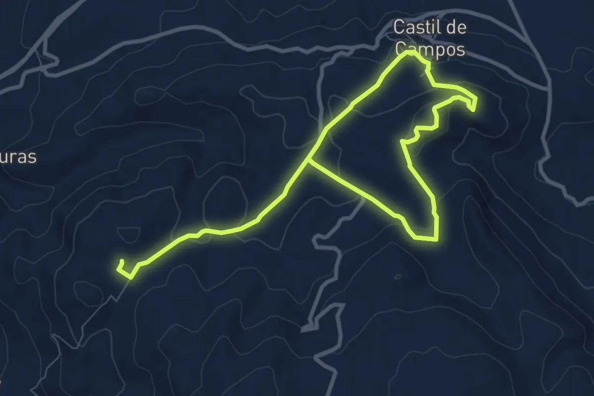
Easy · Trail
Cueva Honda
6.8 km · ↑ 220 m · 2 h 10 min
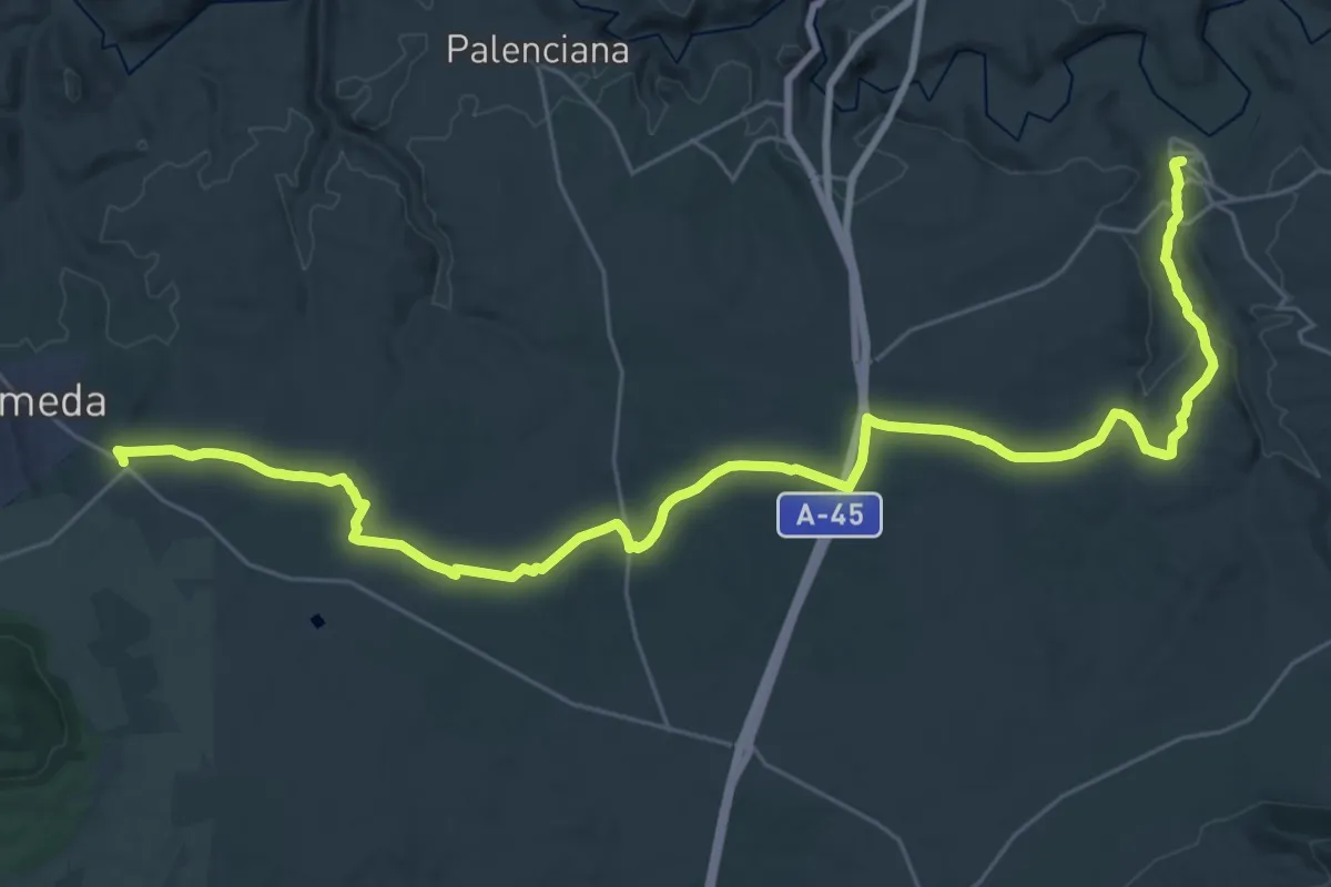
Demanding · Trail
Cuevas Bajas - Alameda
21.6 km · ↑ 345 m · 6 h 4 min
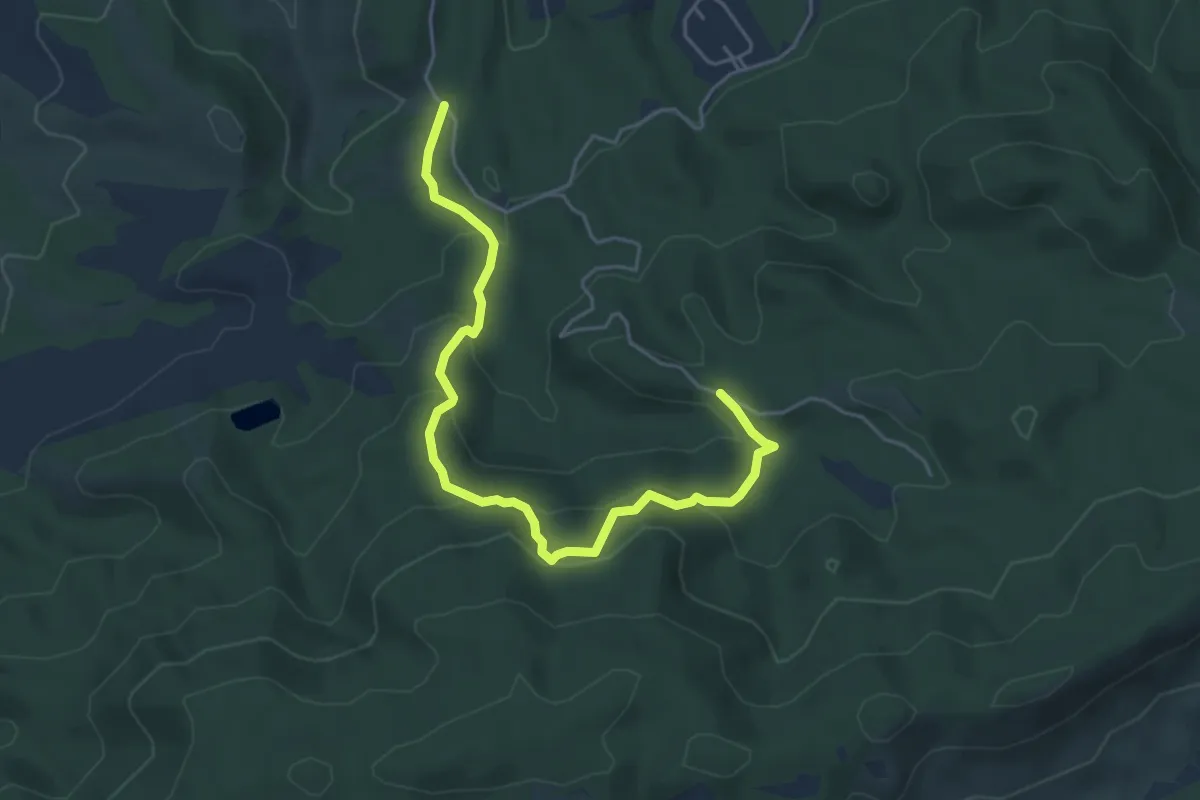
Medium · Trail
Cuevas del Buitre
6.0 km · ↑ 344 m · 2 h 9 min
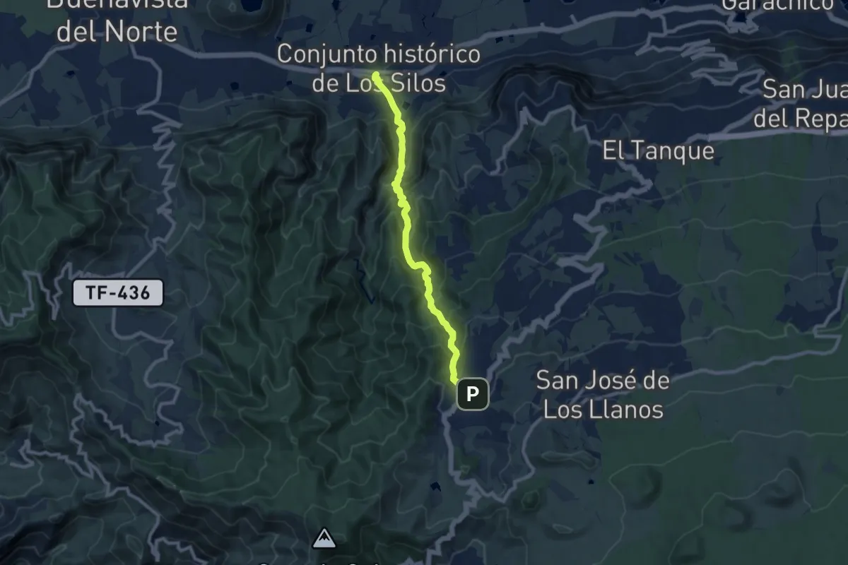
Demanding · Trail
Cuevas Negras
10.6 km · ↑ 887 m · 4 h 25 min
Medium · Trail
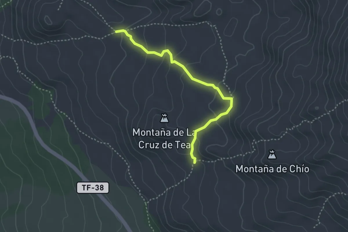
Cuevas Negras
4.4 km · ↑ 197 m · 1 h 27 min
Medium · Trail
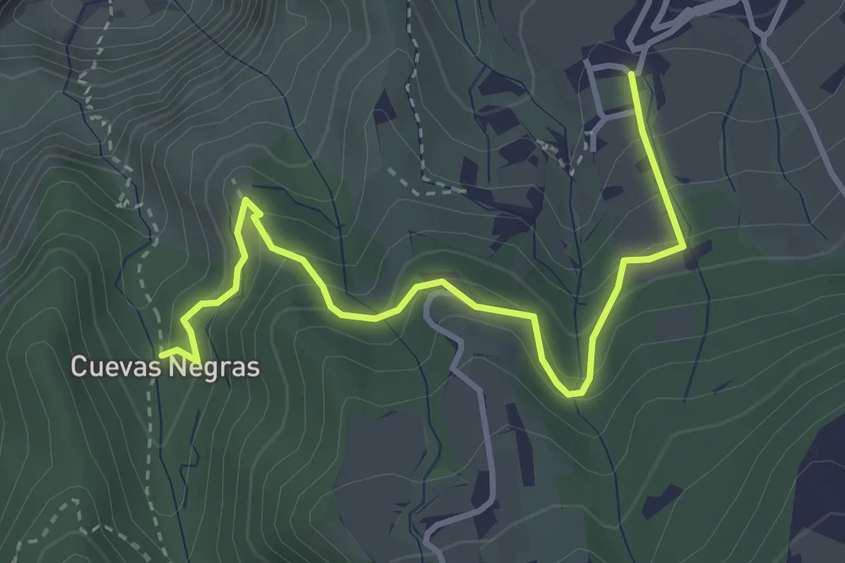
Cuevas Negras - Tierra del Trigo
4.4 km · ↑ 335 m · 1 h 46 min
Demanding · Summit
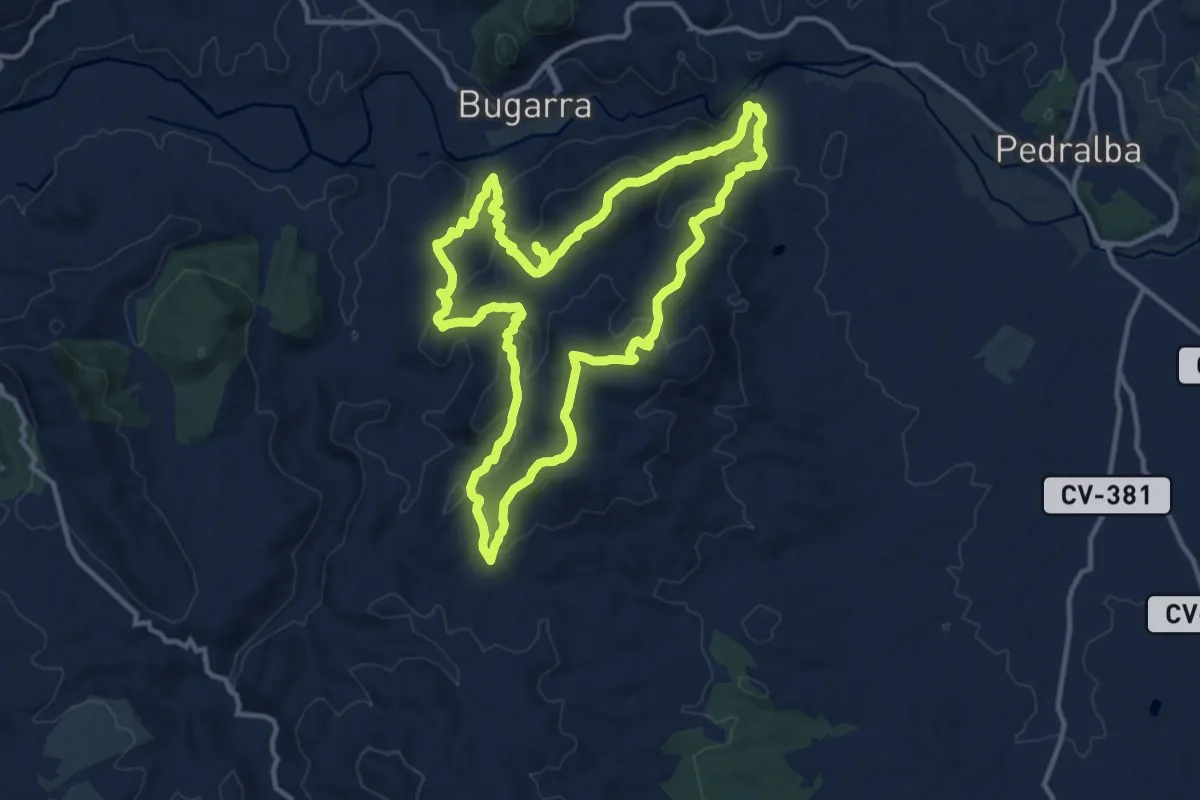
Cuevas y cimas de Bugarra
13.8 km · ↑ 706 m · 4 h 59 min
Demanding · Summit
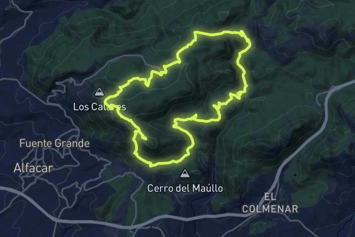
Cuevas y cruces de la Sierra de la Alfaguara
16.2 km · ↑ 689 m · 5 h 32 min
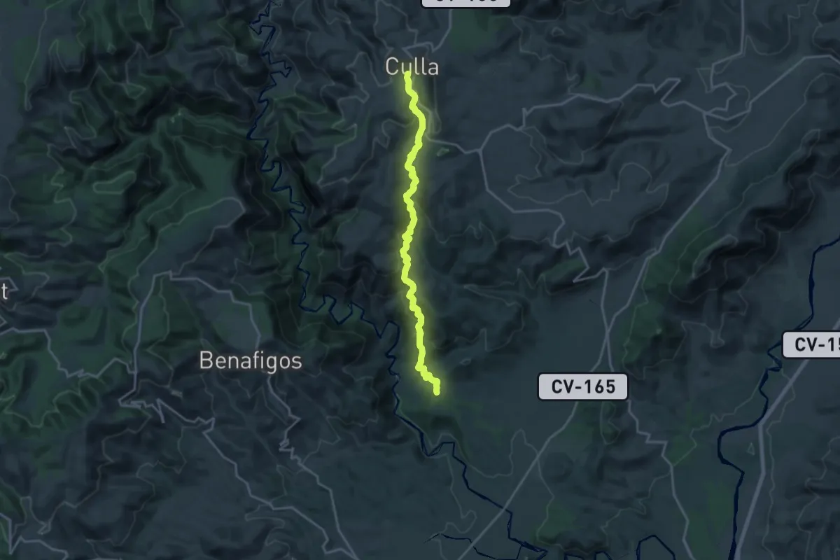
Demanding · Trail
Culla - Molins de Vent
18.6 km · ↑ 939 m · 6 h 25 min
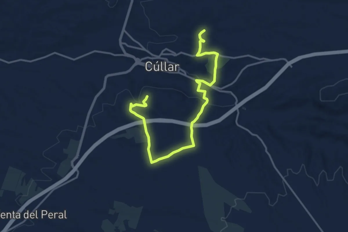
Medium · Summit
Cúllar histórica y geológica
13.5 km · ↑ 225 m · 3 h 41 min
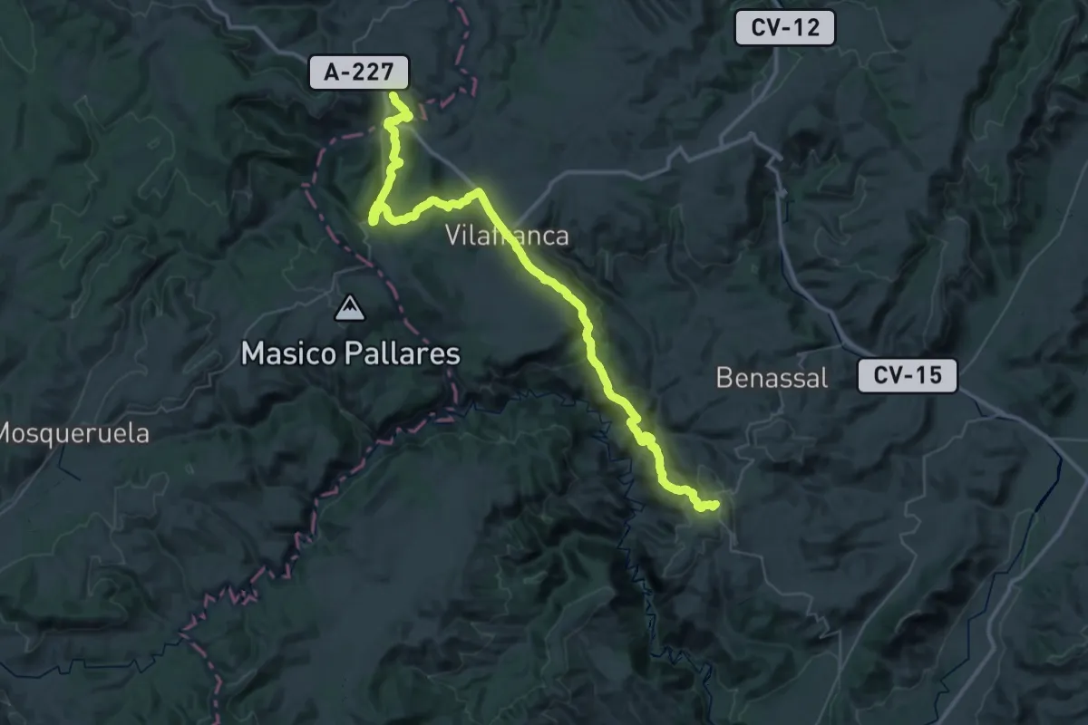
Demanding · Summit
Culla - Vilafranca - la Pobla del Bellestar - La Iglesuela del Cid
59.1 km · ↑ 2078 m · 18 h 27 min
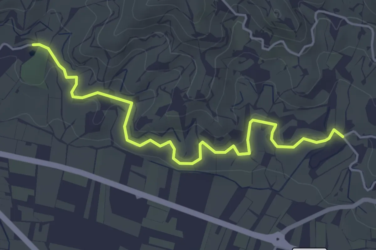
Easy · Trail
Cultivos Subtropicales
5.3 km · ↑ 173 m · 1 h 38 min
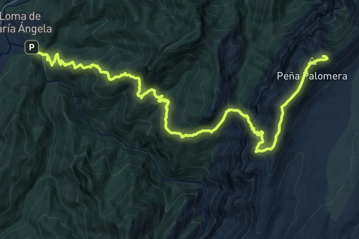
Demanding · Summit
Cumbre del Banderillas
27.7 km · ↑ 1816 m · 10 h 29 min
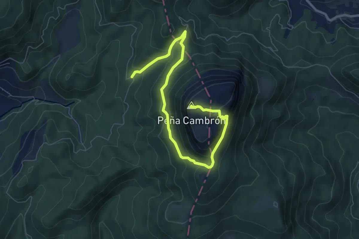
Medium · Summit
Cumbre del Cambrón
9.1 km · ↑ 447 m · 3 h 7 min
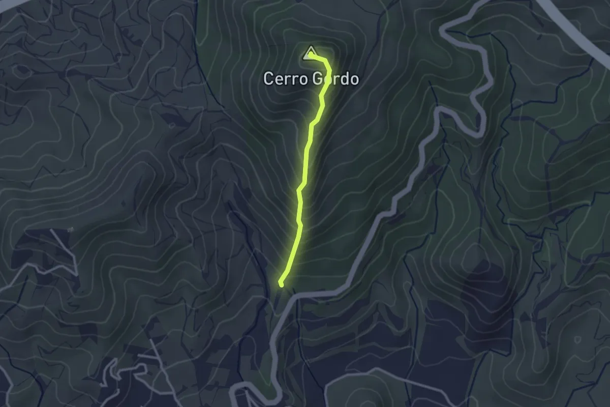
Easy · Summit
Cumbre del Cerro Gordo
2.4 km · ↑ 262 m · 1 h 8 min
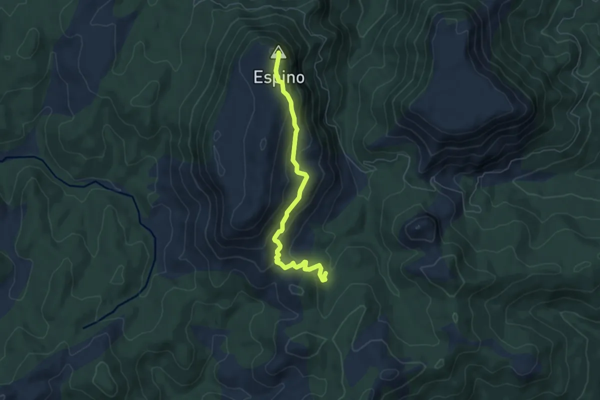
Medium · Summit
Cumbre del Espino
6.4 km · ↑ 343 m · 2 h 15 min
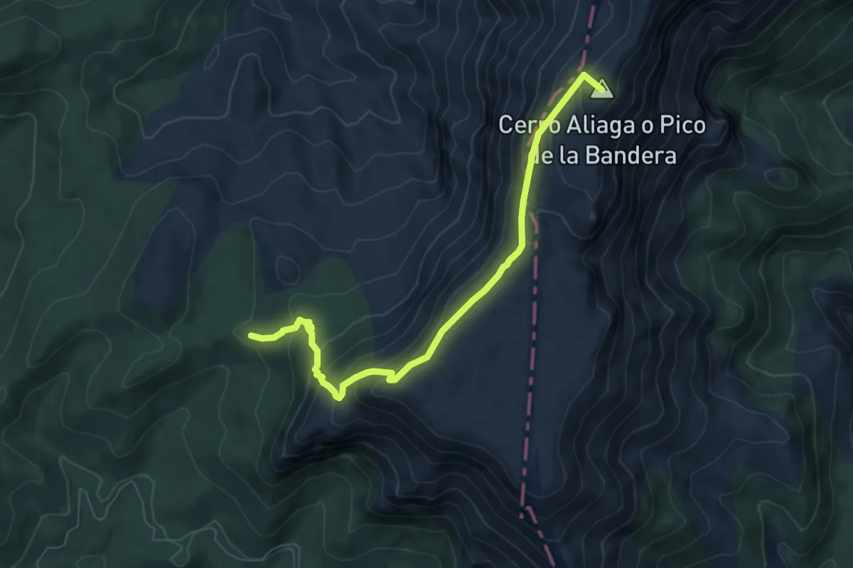
Medium · Summit
Cumbre del Mentiras
7.6 km · ↑ 509 m · 2 h 54 min
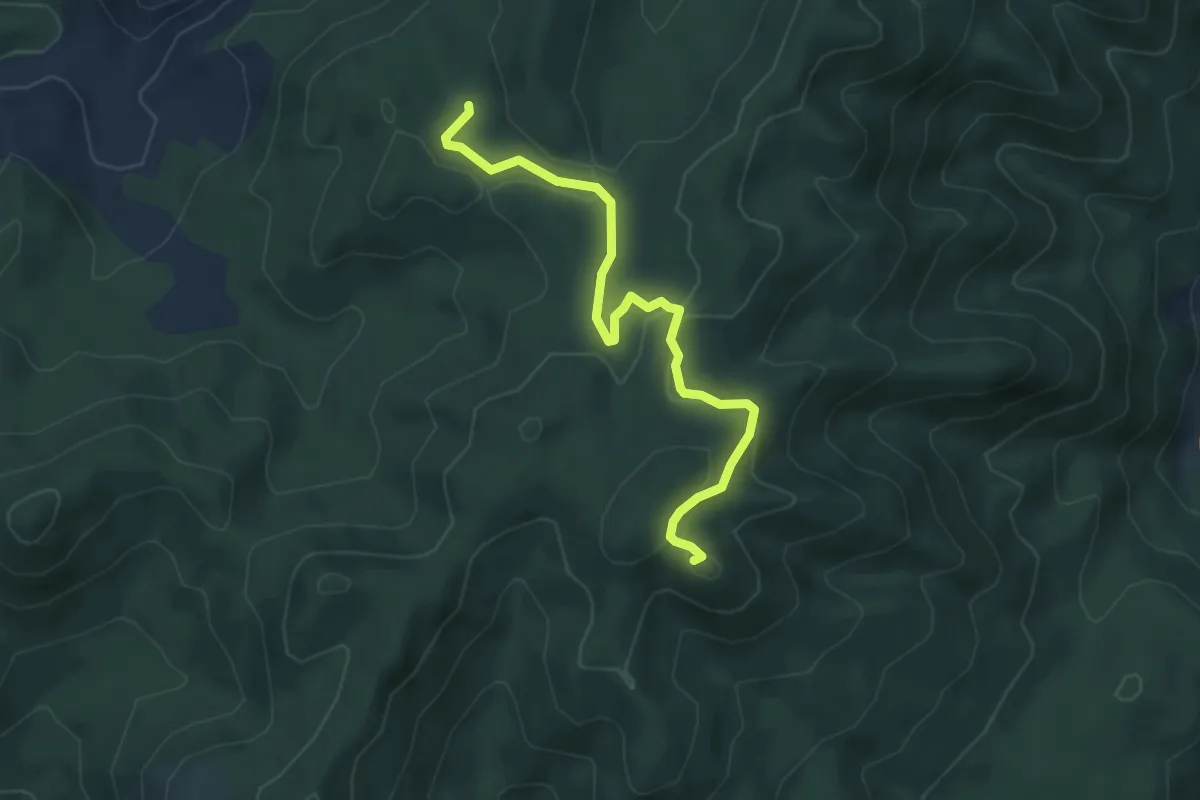
Easy · Summit
Cumbre del Peguera
5.7 km · ↑ 170 m · 1 h 43 min
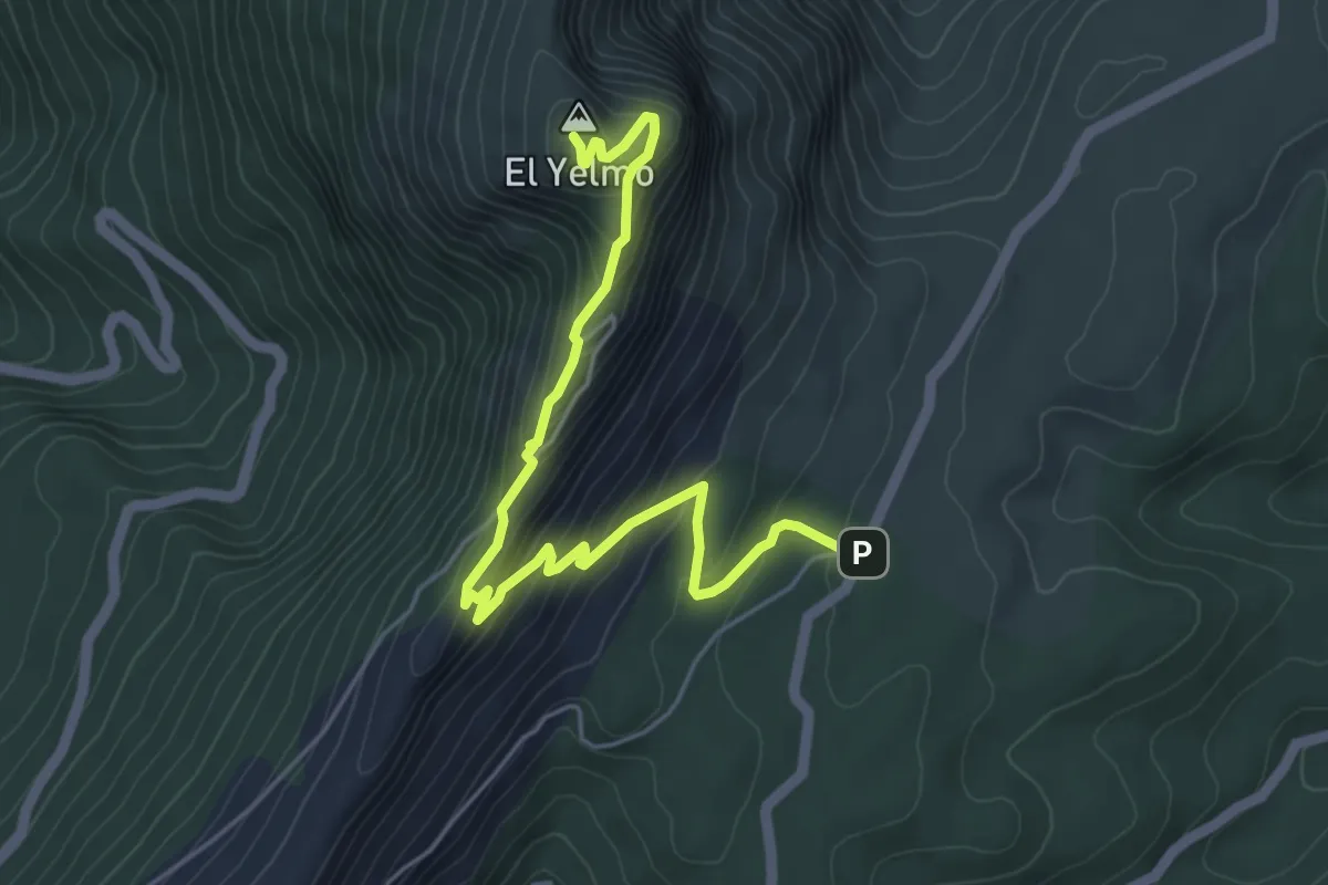
Medium · Summit
Cumbre del Yelmo
3.2 km · ↑ 371 m · 1 h 26 min
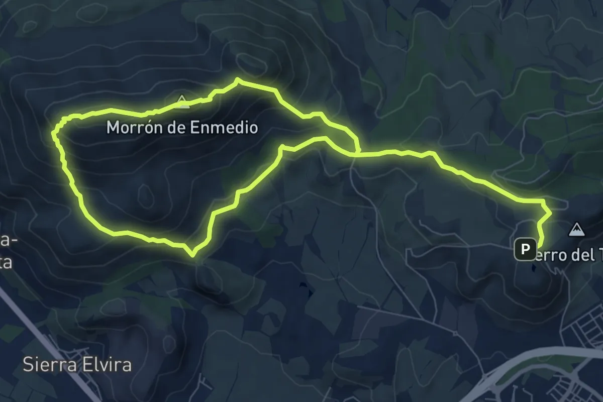
Demanding · Summit
Cumbres de Sierra Elvira
7.9 km · ↑ 435 m · 2 h 57 min
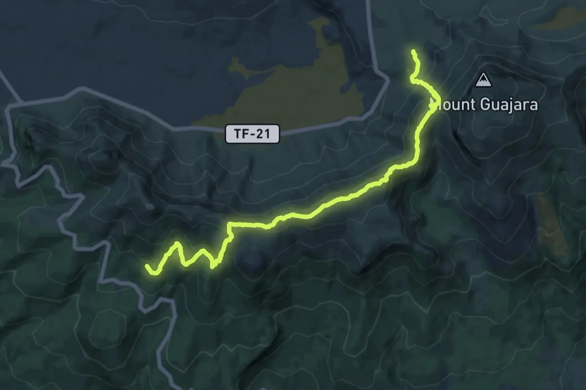
Demanding · Trail
Cumbres de Ucanca
15.5 km · ↑ 938 m · 5 h 42 min
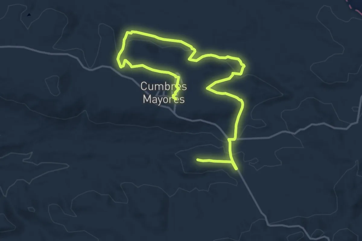
Demanding · Summit
Cumbres Mayores - Calidad por Naturaleza
19.0 km · ↑ 406 m · 5 h 22 min
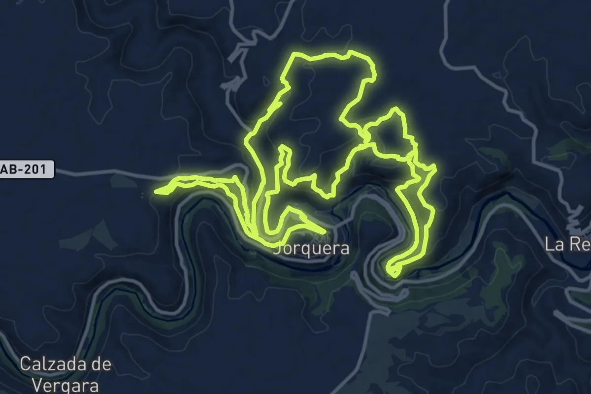
Medium · Trail
Cumbres y barrancos Hoz del Júcar
15.3 km · ↑ 565 m · 5 h 3 min
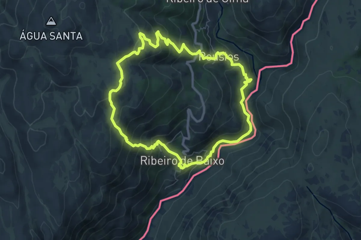
Medium · Trail
Curro da Velha
7.1 km · ↑ 472 m · 2 h 48 min
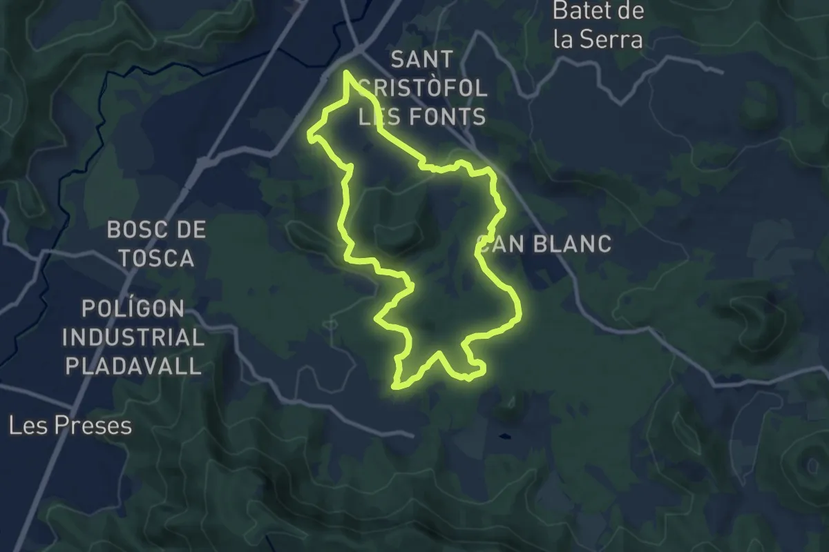
Medium · Summit
Cursa de la Moixina
9.9 km · ↑ 214 m · 2 h 57 min
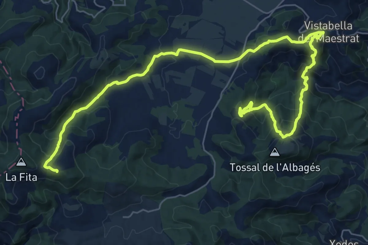
Demanding · Summit
Cursa Vistabella
32.1 km · ↑ 1767 m · 11 h 24 min
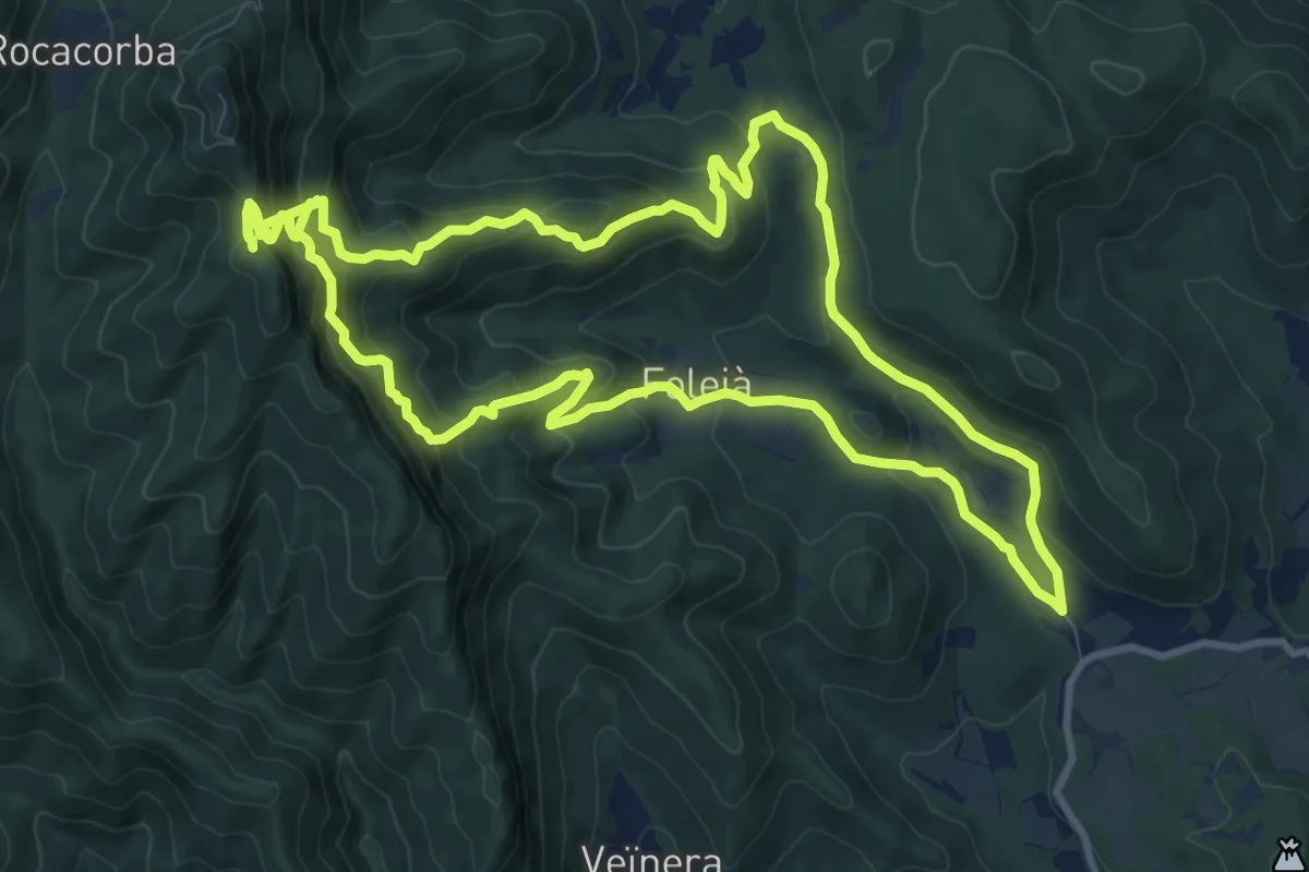
Demanding · Summit
D'Adri al Santuari de Rocacorba
12.1 km · ↑ 844 m · 4 h 46 min
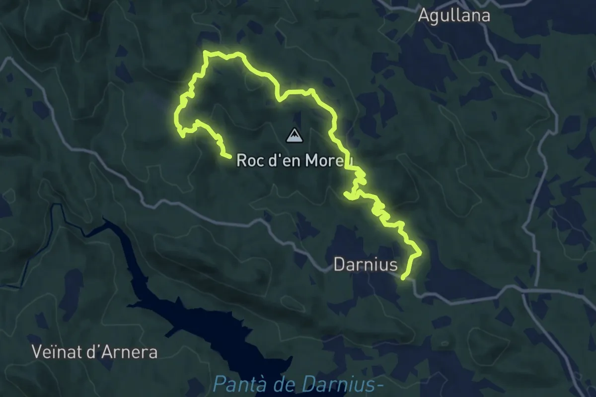
Medium · Summit
Darnius
17.3 km · ↑ 506 m · 5 h 11 min
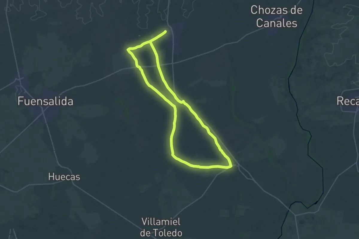
Demanding · Trail
De Ayuso a Suso por Arcicóllar: hacia el Camino Real de Guadalupe
24.5 km · ↑ 126 m · 6 h 24 min
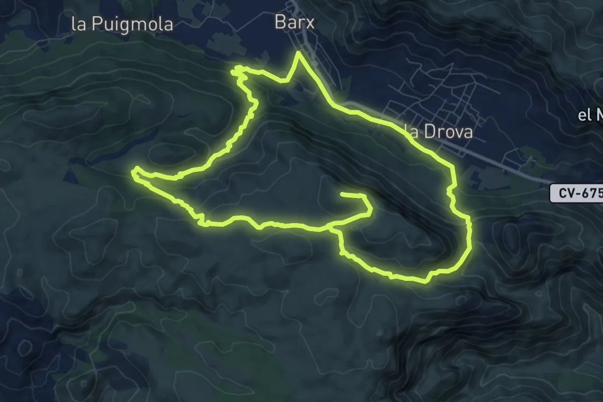
Demanding · Summit
De Barx a la Drova
21.4 km · ↑ 885 m · 6 h 59 min
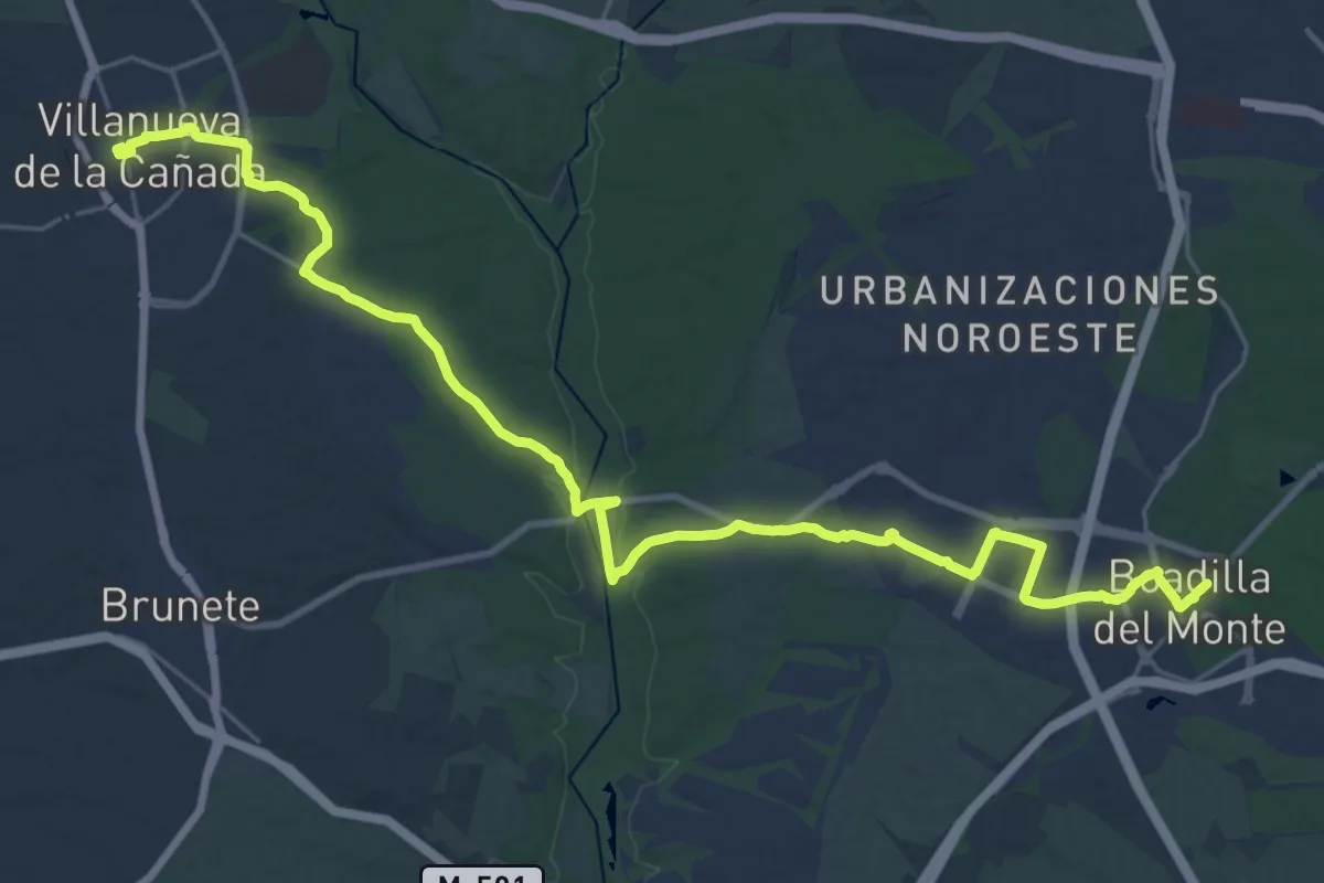
Medium · Trail
De Boadilla del Monte a Villanueva de la Cañada
17.4 km · ↑ 189 m · 4 h 44 min
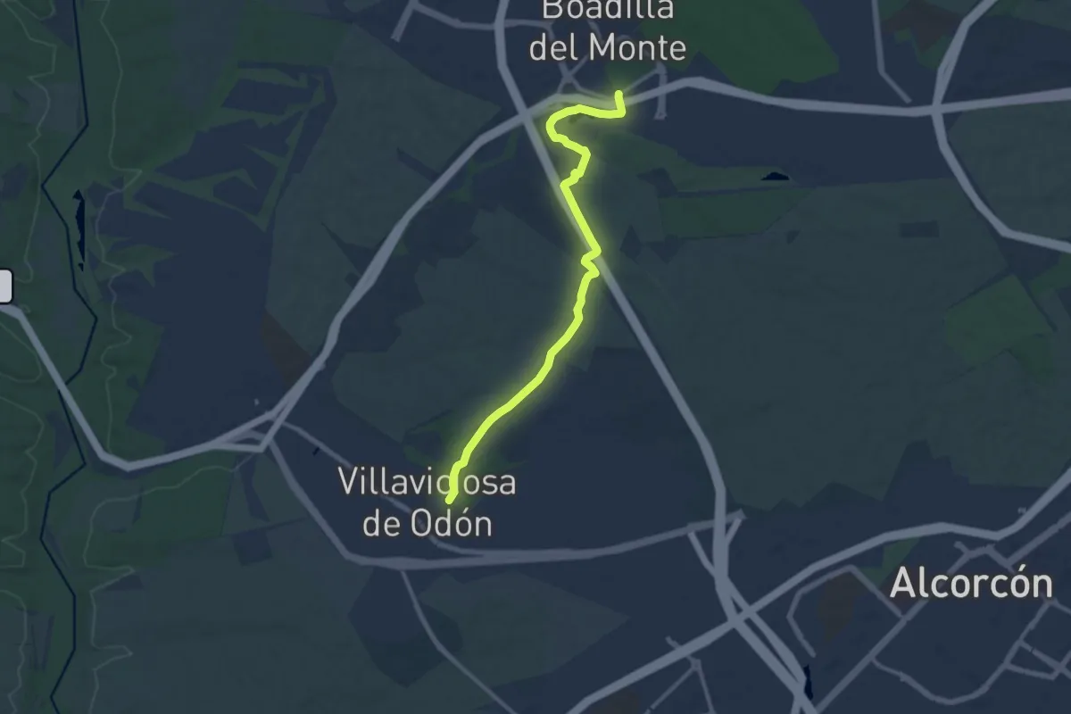
Medium · Trail
De Boadilla del Monte a Villaviciosa de Odón
13.1 km · ↑ 178 m · 3 h 29 min
Medium · Trail
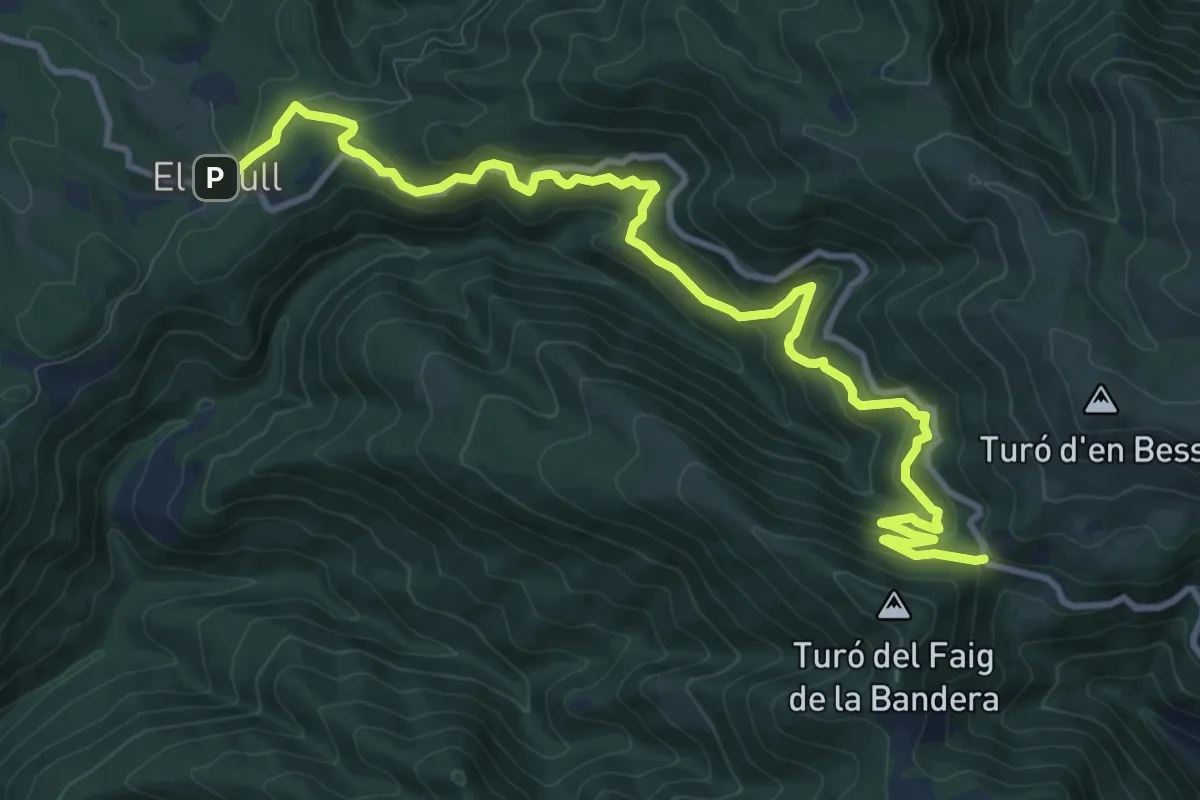
De Brull a Collformic
13.8 km · ↑ 722 m · 4 h 49 min
Demanding · Trail
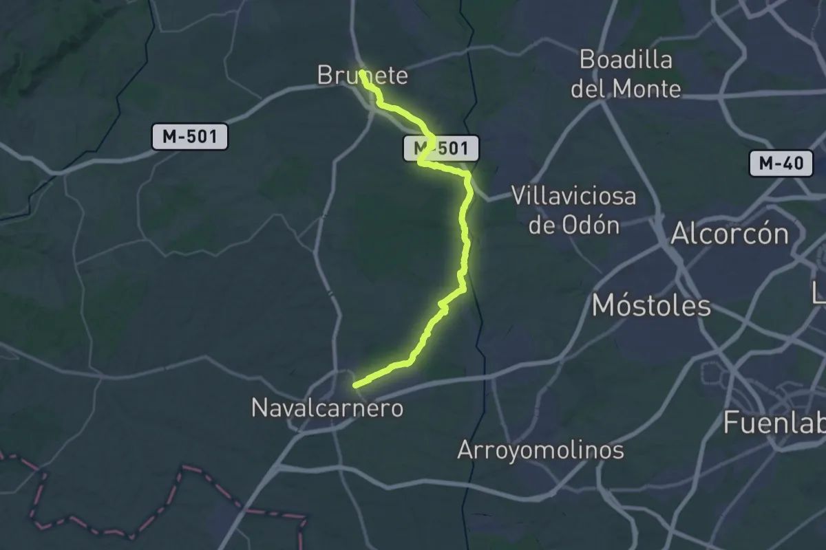
De Brunete a Navalcarnero por el río Guadarrama
19.3 km · ↑ 172 m · 5 h 11 min
Demanding · Trail
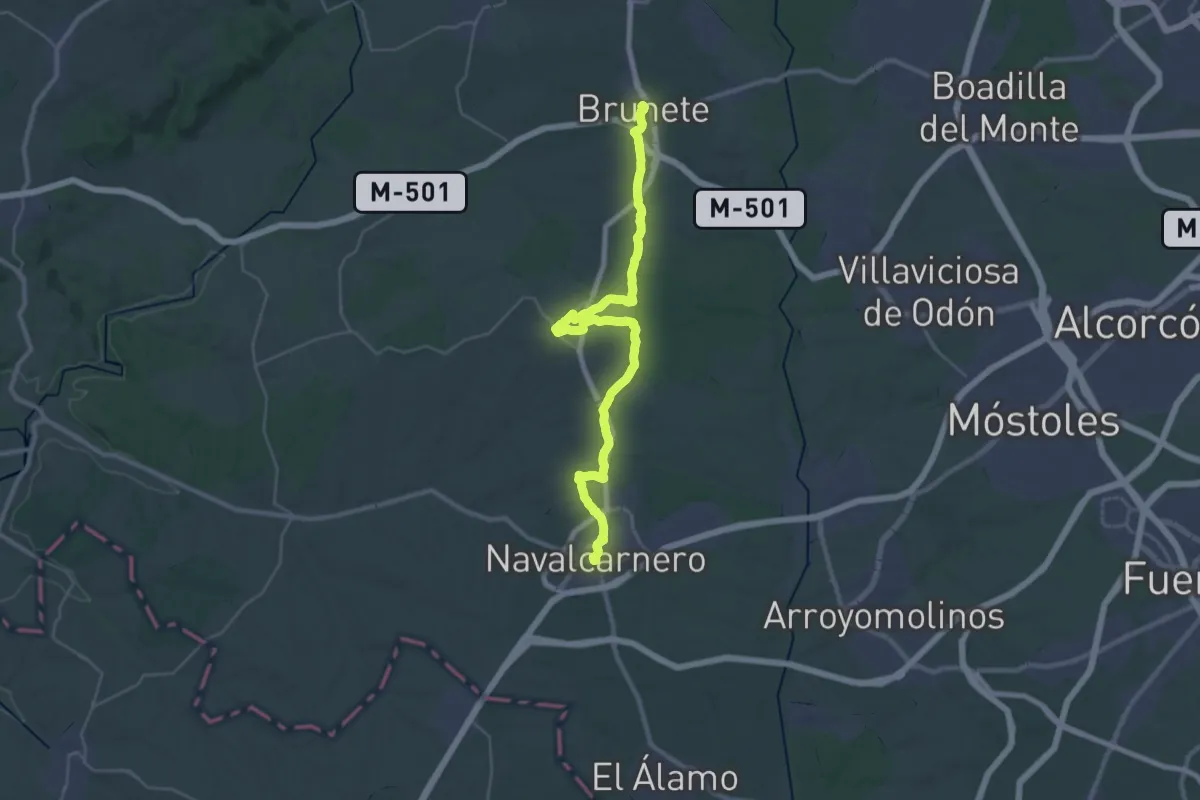
De Brunete a Navalcarnero por Sevilla la Nueva
21.2 km · ↑ 135 m · 5 h 36 min
Medium · Summit
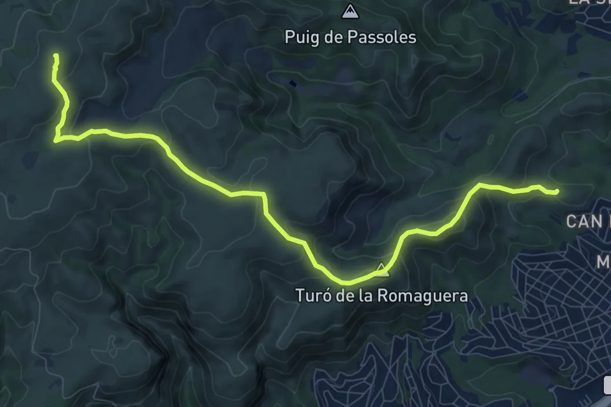
De Cal Ganxo a la Morella
11.8 km · ↑ 592 m · 4 h 4 min
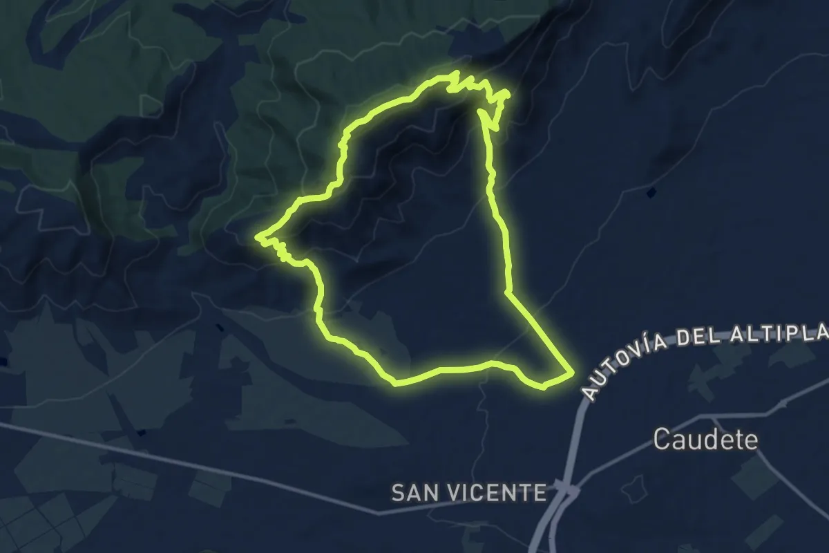
Medium · Trail
De Caudete a Sierra Oliva
13.5 km · ↑ 633 m · 4 h 45 min
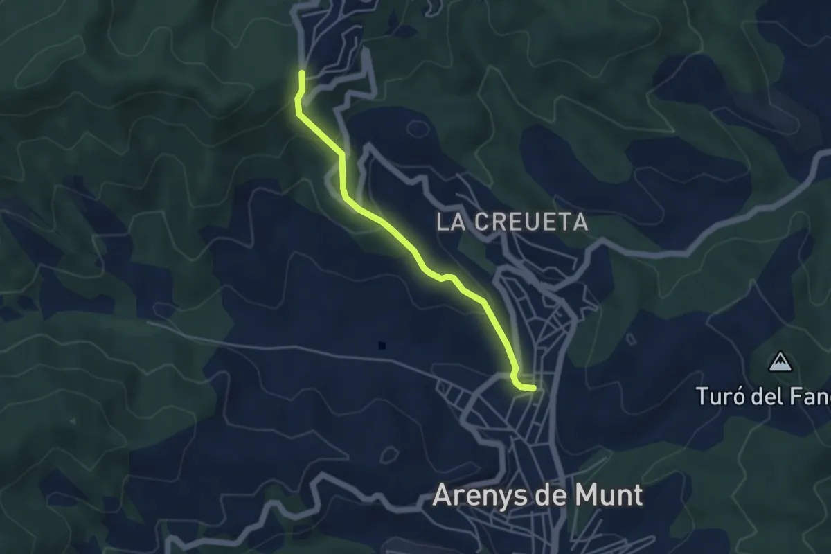
Easy · Trail
De Collsacreu a Arenys de Munt
3.9 km · ↑ 218 m · 1 h 24 min
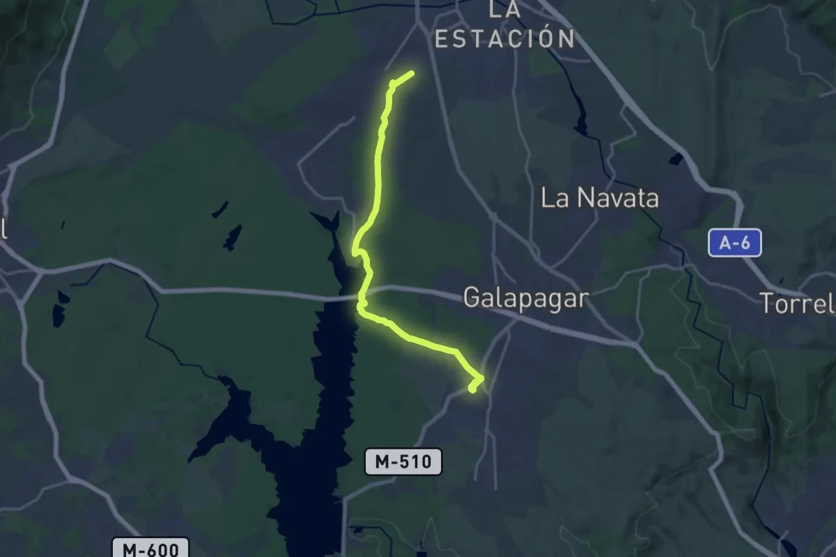
Demanding · Trail
De Colmenarejo a Las Zorreras y San Yago
18.7 km · ↑ 208 m · 4 h 52 min
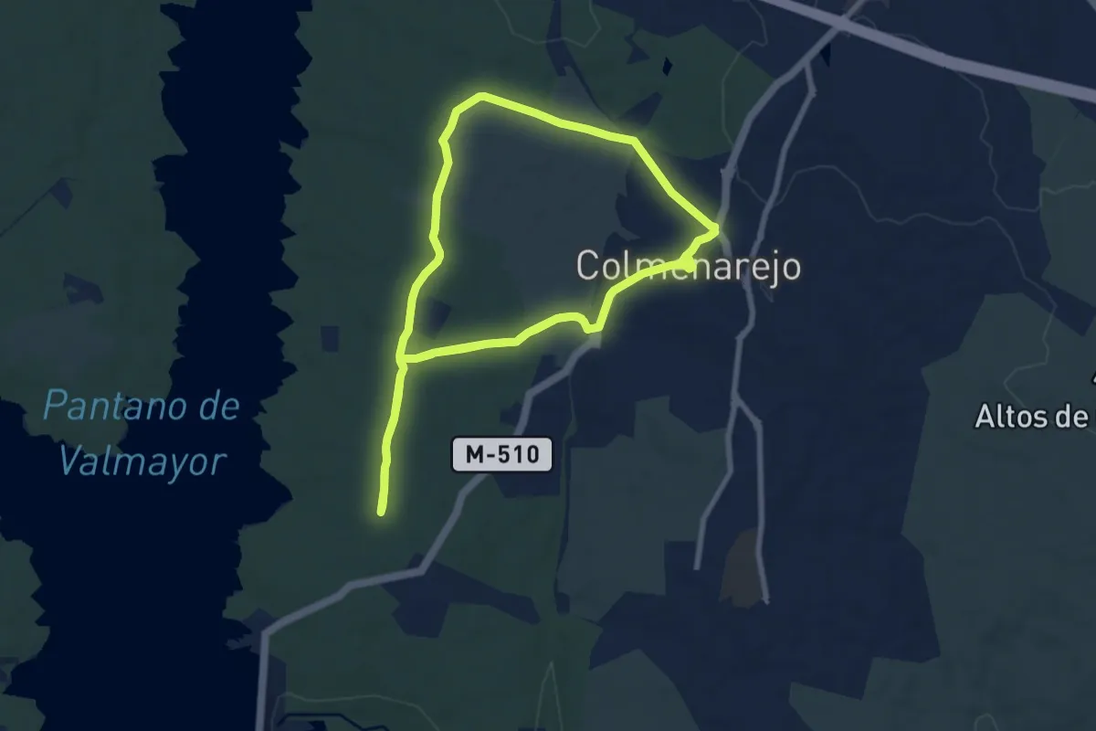
Demanding · Trail
De Colmenarejo a San Blas
18.1 km · ↑ 186 m · 4 h 41 min
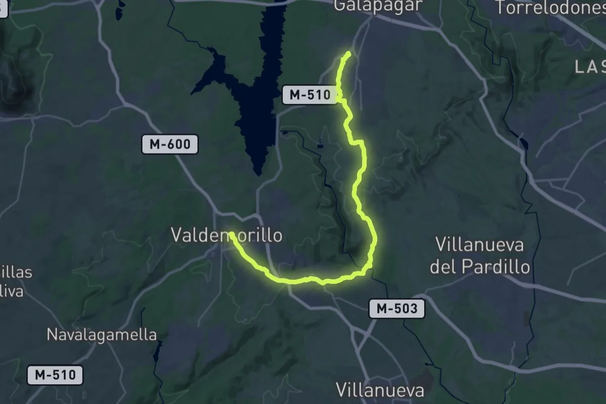
Medium · Trail
De Colmenarejo a Valdemorillo
16.0 km · ↑ 328 m · 4 h 42 min
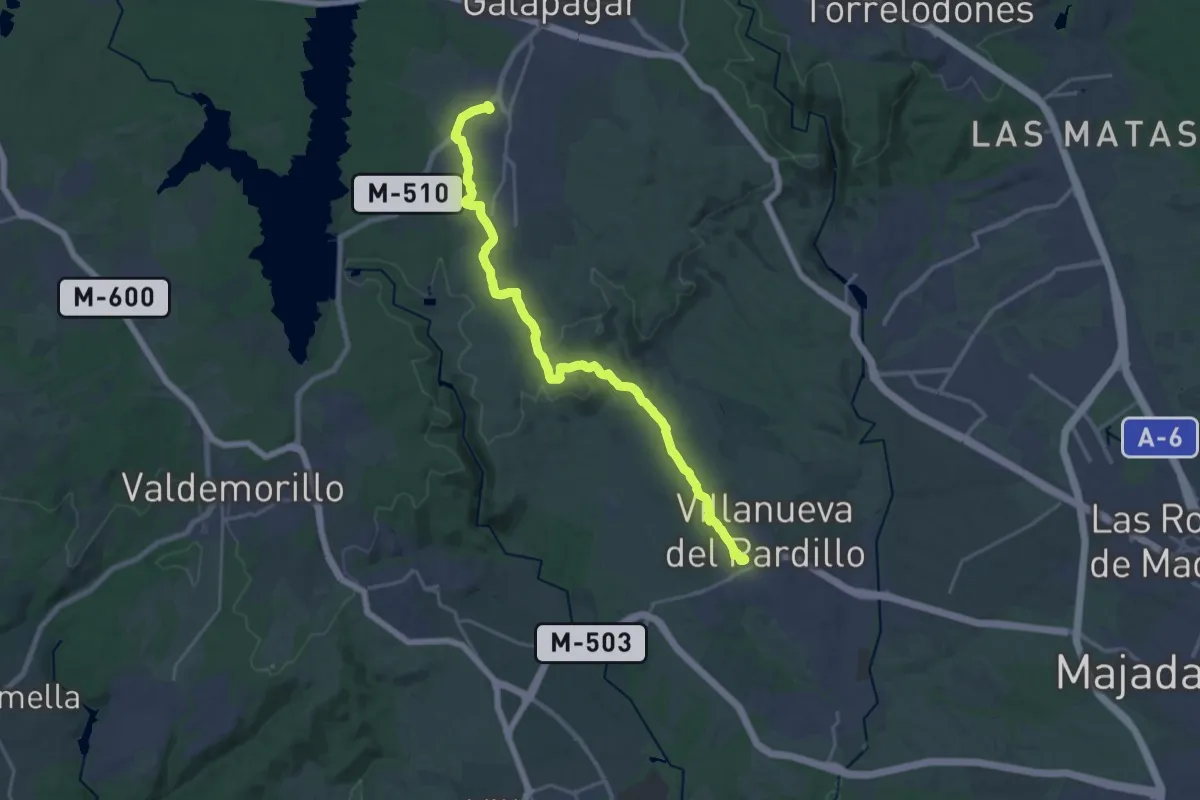
Demanding · Trail
De Colmenarejo a Villanueva del Pardillo
24.6 km · ↑ 361 m · 6 h 36 min
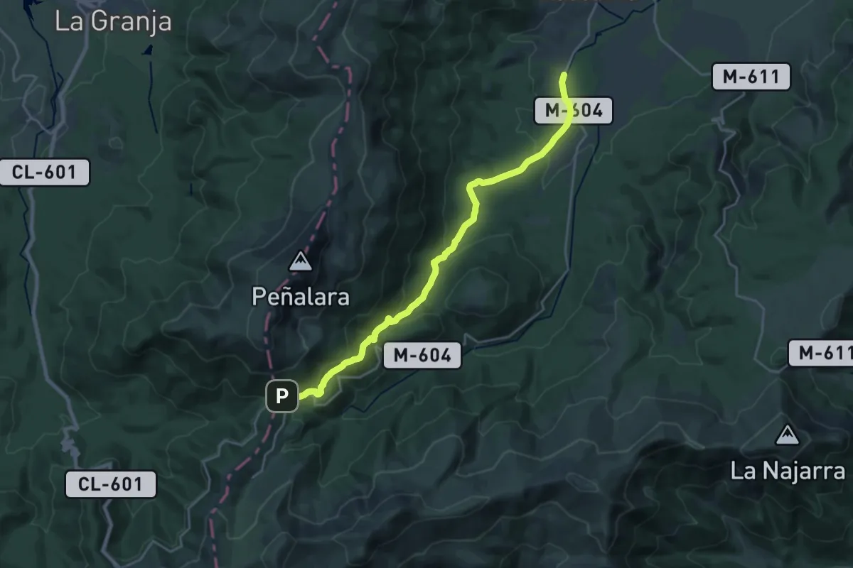
Demanding · Trail
De Cotos a El Paular
22.5 km · ↑ 893 m · 7 h 16 min
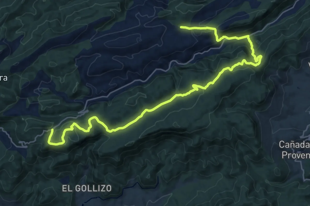
Medium · Trail
De Crucetillas al Encebrico
13.7 km · ↑ 403 m · 4 h 19 min
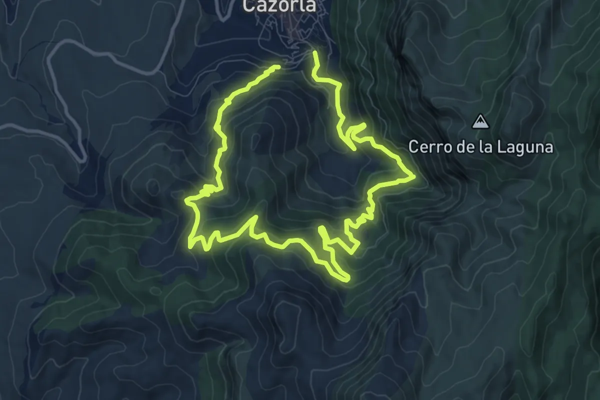
Medium · Trail
De Ermitas y Monasterios
10.1 km · ↑ 617 m · 3 h 52 min
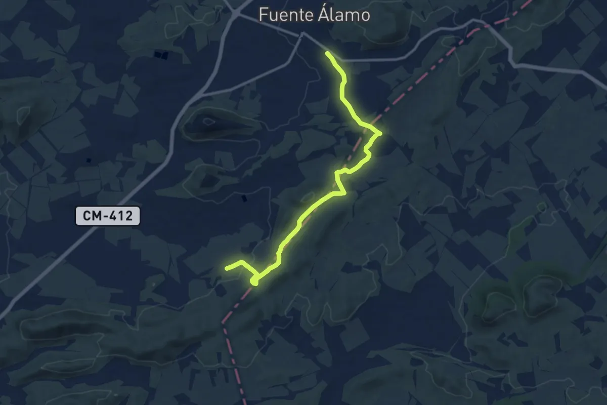
Easy · Trail
De Fortaleza al Mainetón
6.0 km · ↑ 124 m · 1 h 46 min
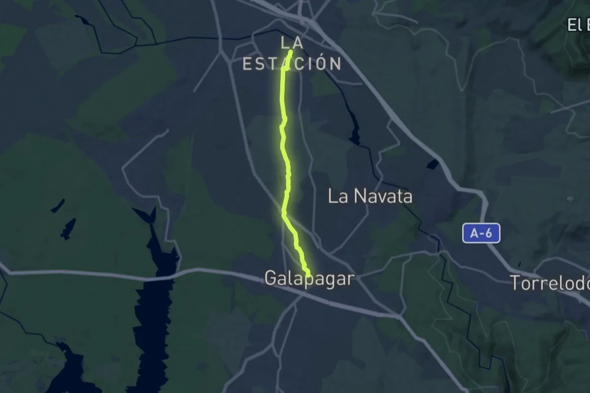
Medium · Trail
De Galapagar a Collado Villalba
11.9 km · ↑ 143 m · 3 h 7 min
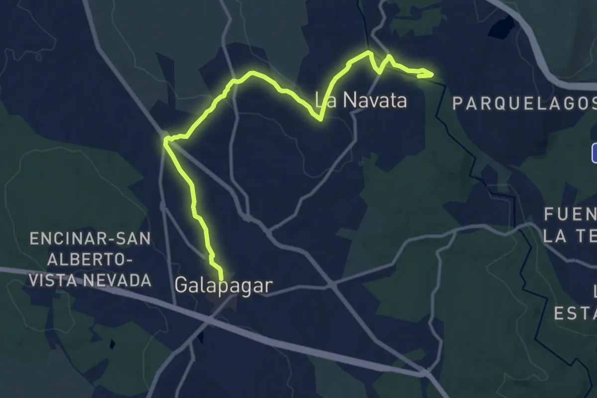
Medium · Trail
De Galapagar a La Navata
12.2 km · ↑ 164 m · 3 h 13 min