Trails in Spain
5,963 hiking trails, each with its route, climb, walking time and grade.
All trails, page 31 of 125
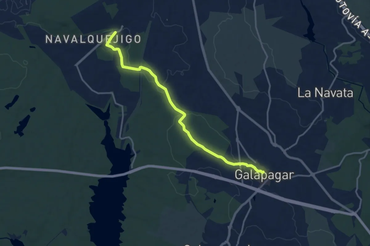
Medium · Trail
De Galapagar a Las Zorreras y San Yago
12.2 km · ↑ 133 m · 3 h 10 min
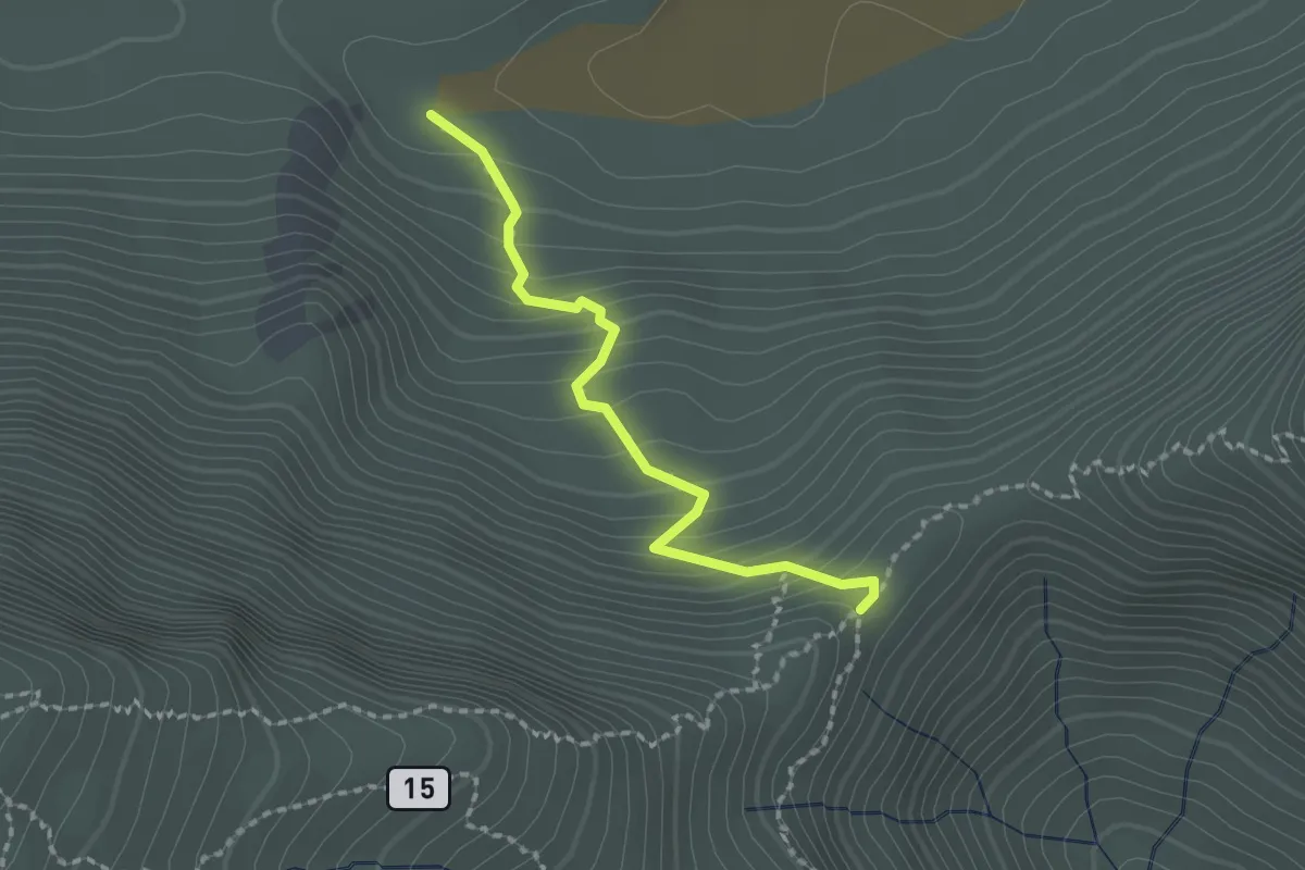
Medium · Trail
Degollada de Guajara
2.3 km · ↑ 191 m · 57 min
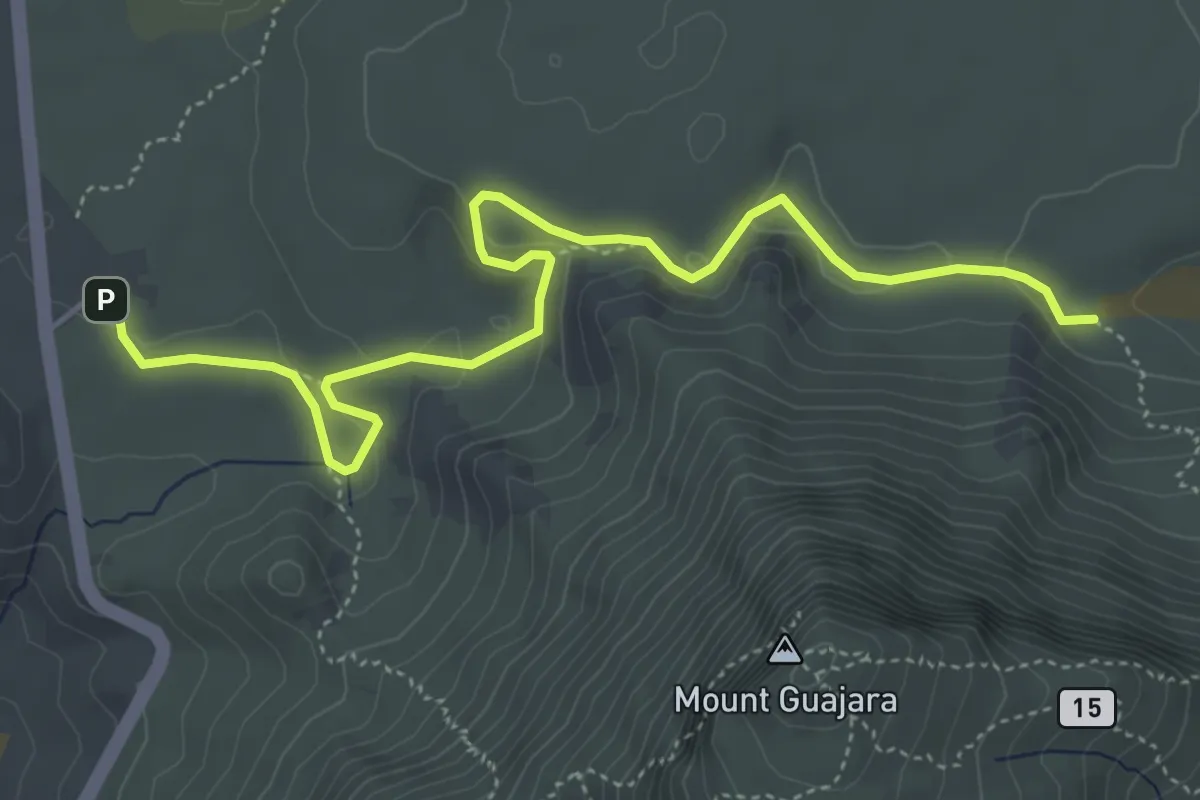
Medium · Trail
Degollada de Guajara - Parador de las Cañadas del Teide
7.1 km · ↑ 208 m · 2 h 8 min
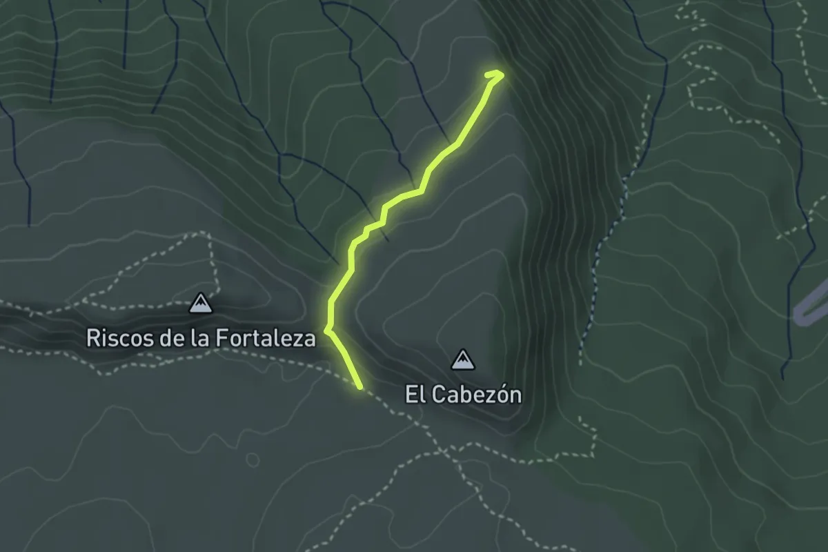
Easy · Trail
Degollada del Cedro
2.8 km · ↑ 100 m · 52 min
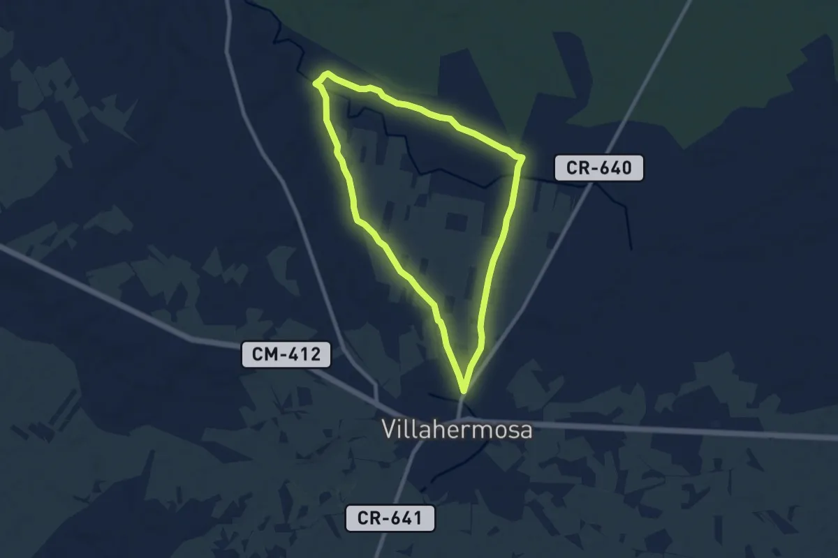
Medium · Trail
Dehesa Cortada - Fuente Blanca - Villahermosa
8.3 km · ↑ 43 m · 2 h 10 min
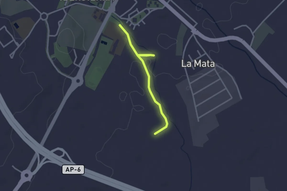
Easy · Trail
Dehesa de Abajo
2.6 km · ↑ 8 m · 37 min
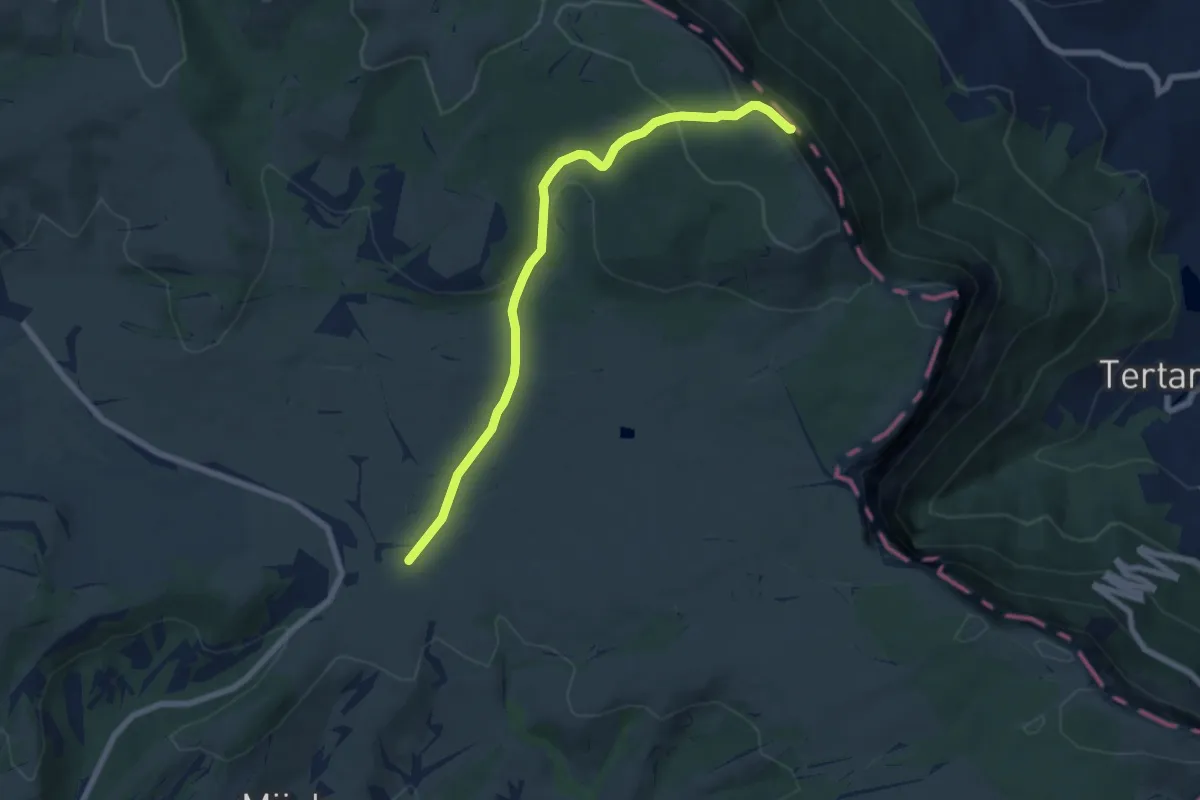
Medium · Summit
Dehesa del agua
7.6 km · ↑ 238 m · 2 h 19 min
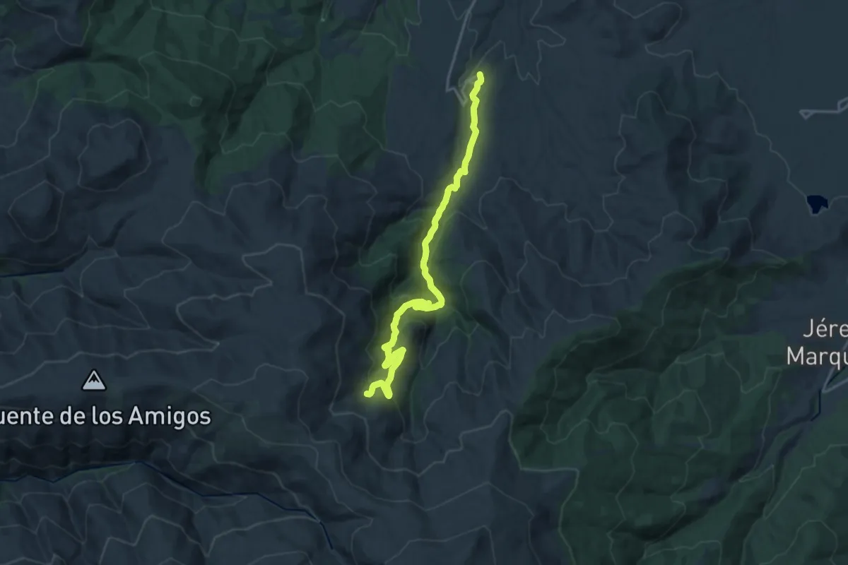
Demanding · Trail
Dehesa del Camarate
20.0 km · ↑ 828 m · 6 h 31 min
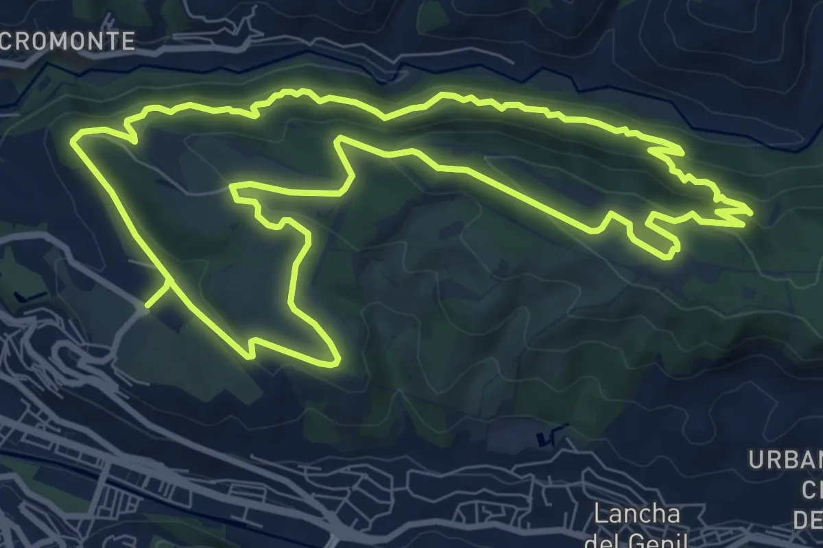
Medium · Trail
Dehesa del Generalife
10.2 km · ↑ 449 m · 3 h 31 min
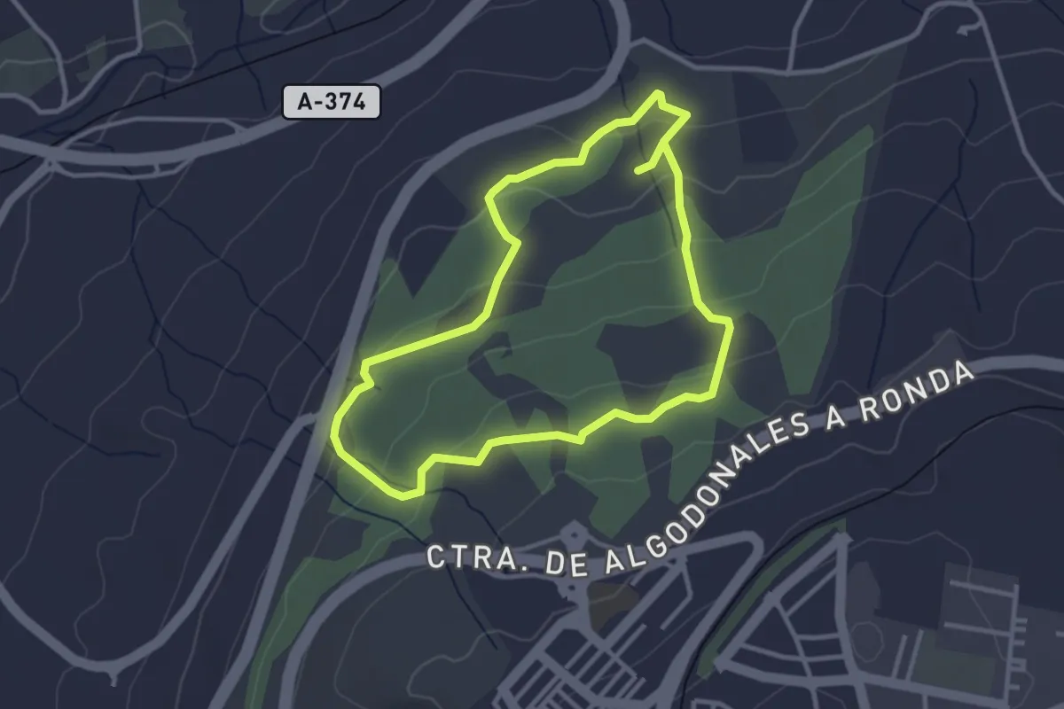
Easy · Trail
Dehesa del Mercadillo
3.4 km · ↑ 109 m · 1 h 5 min
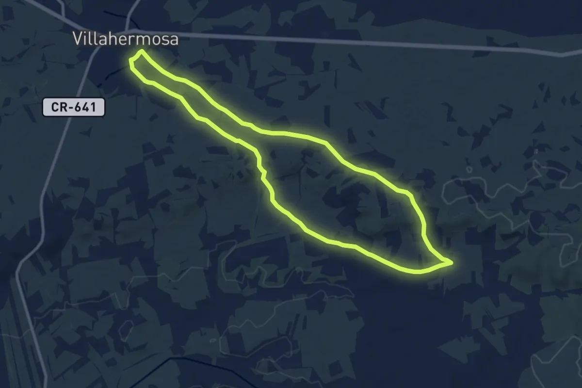
Medium · Trail
Dehesa de Villahermosa
10.7 km · ↑ 83 m · 2 h 51 min
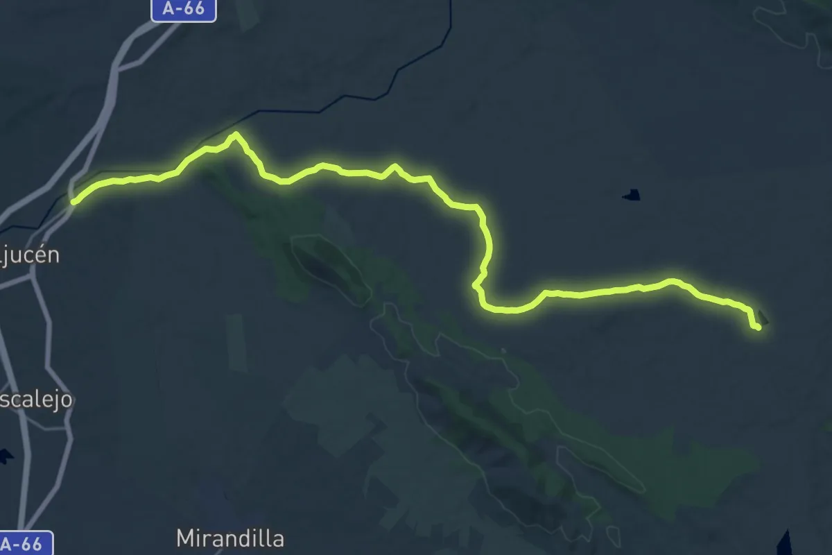
Demanding · Trail
Dehesas de Cornalvo
30.6 km · ↑ 264 m · 7 h 47 min
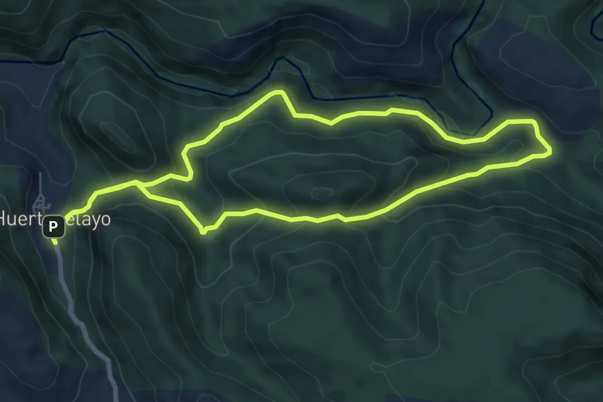
Medium · Trail
De Huertapelayo al Tajo
6.4 km · ↑ 382 m · 2 h 26 min
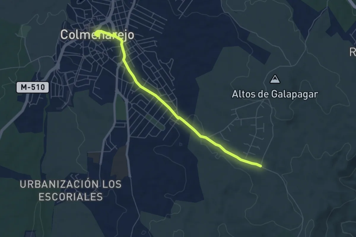
Easy · Trail
De la Cañada de Retamar a Colmenarejo
6.9 km · ↑ 88 m · 1 h 49 min
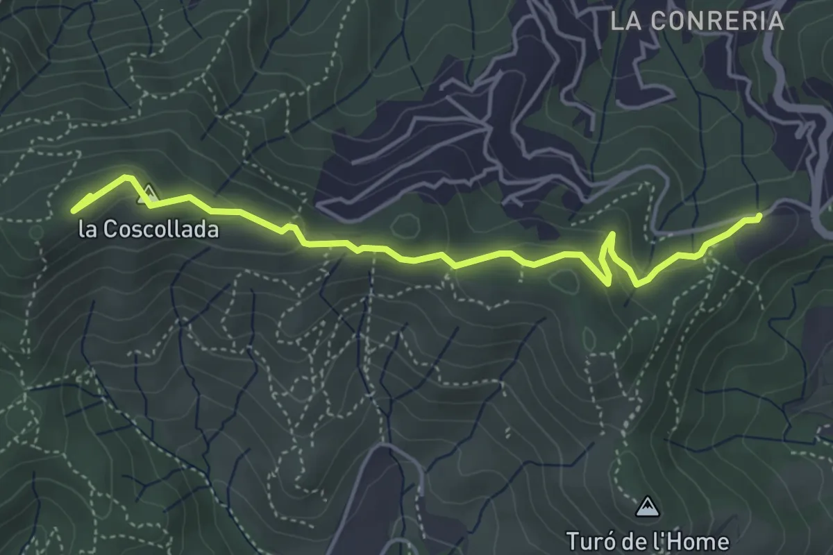
Easy · Summit
De la Conreria al turó de les Maleses
4.9 km · ↑ 175 m · 1 h 33 min
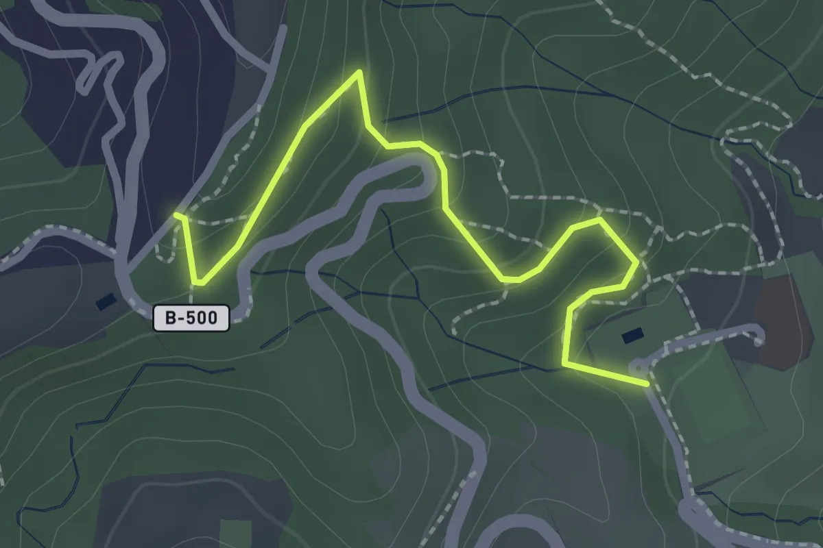
Medium · Trail
De la font d'Alba a la Conreria
2.5 km · ↑ 124 m · 51 min
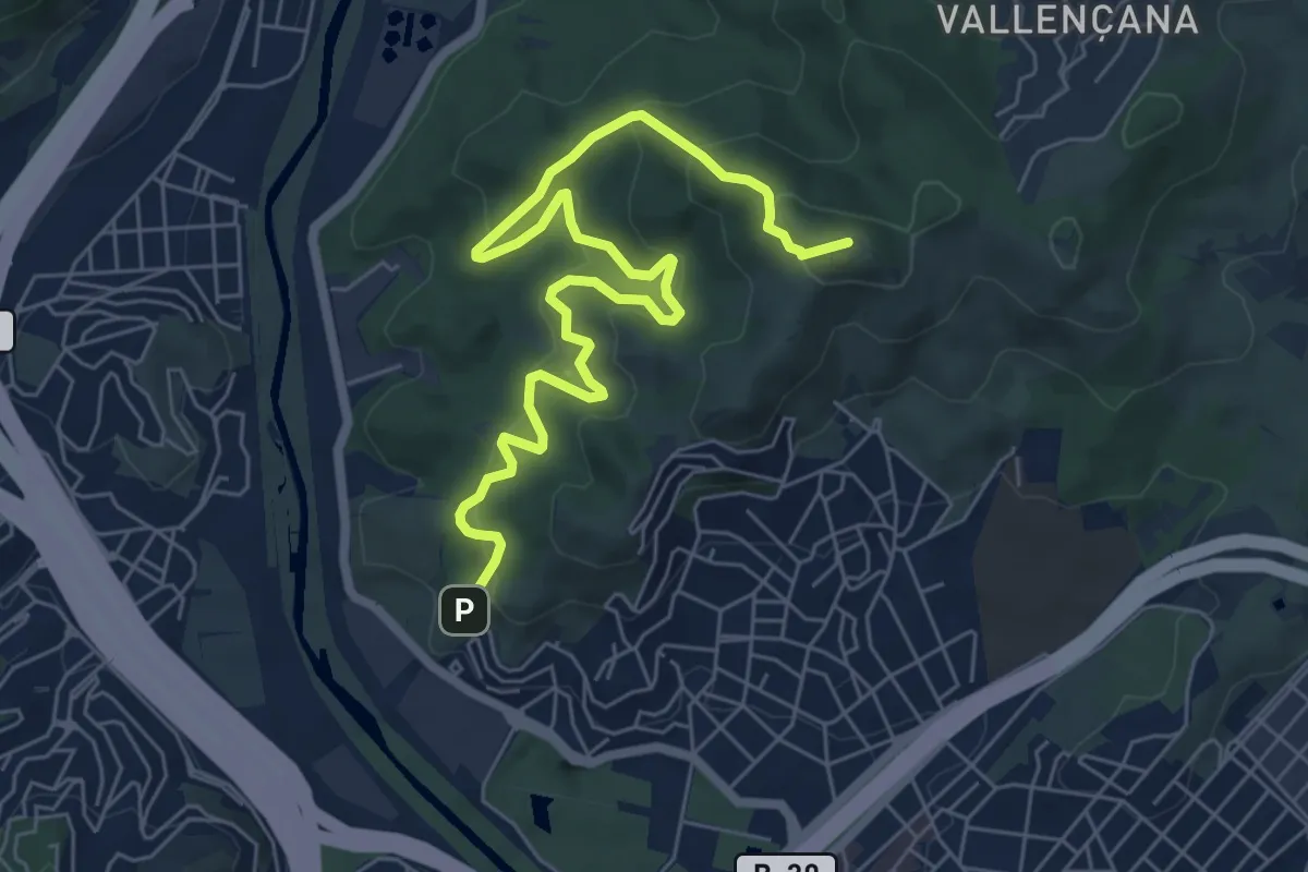
Medium · Summit
De la font de l'Alzina al Puig Castellar
8.6 km · ↑ 570 m · 3 h 16 min
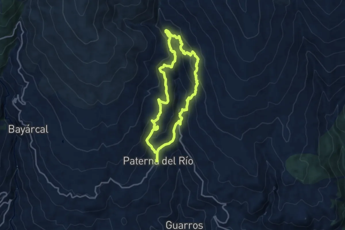
Expert · Trail
Del Agua - Castañar
11.3 km · ↑ 611 m · 4 h 9 min
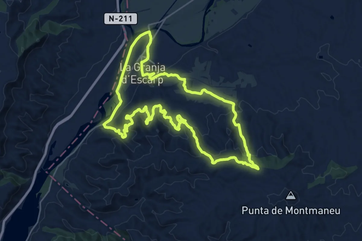
Demanding · Summit
De l'Aiguabarreig a Montmaneu
19.0 km · ↑ 495 m · 5 h 50 min
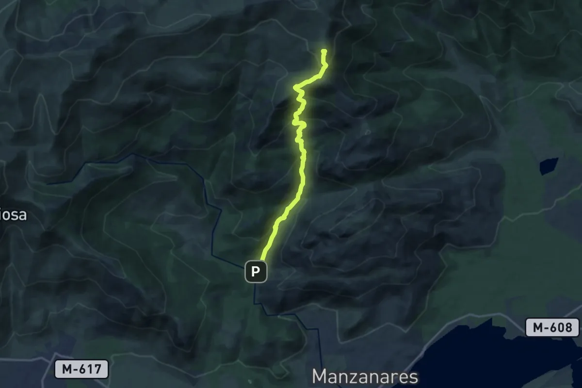
Demanding · Summit
De la Pedriza a Cuerda Larga
13.7 km · ↑ 1053 m · 5 h 31 min
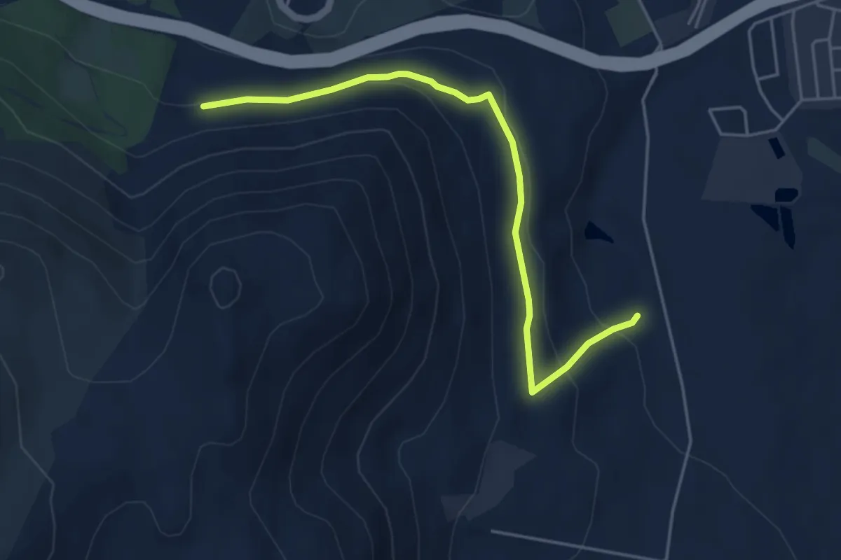
Easy · Trail
De las Pasaderas hacia los Pinos de Loja
5.4 km · ↑ 179 m · 1 h 39 min
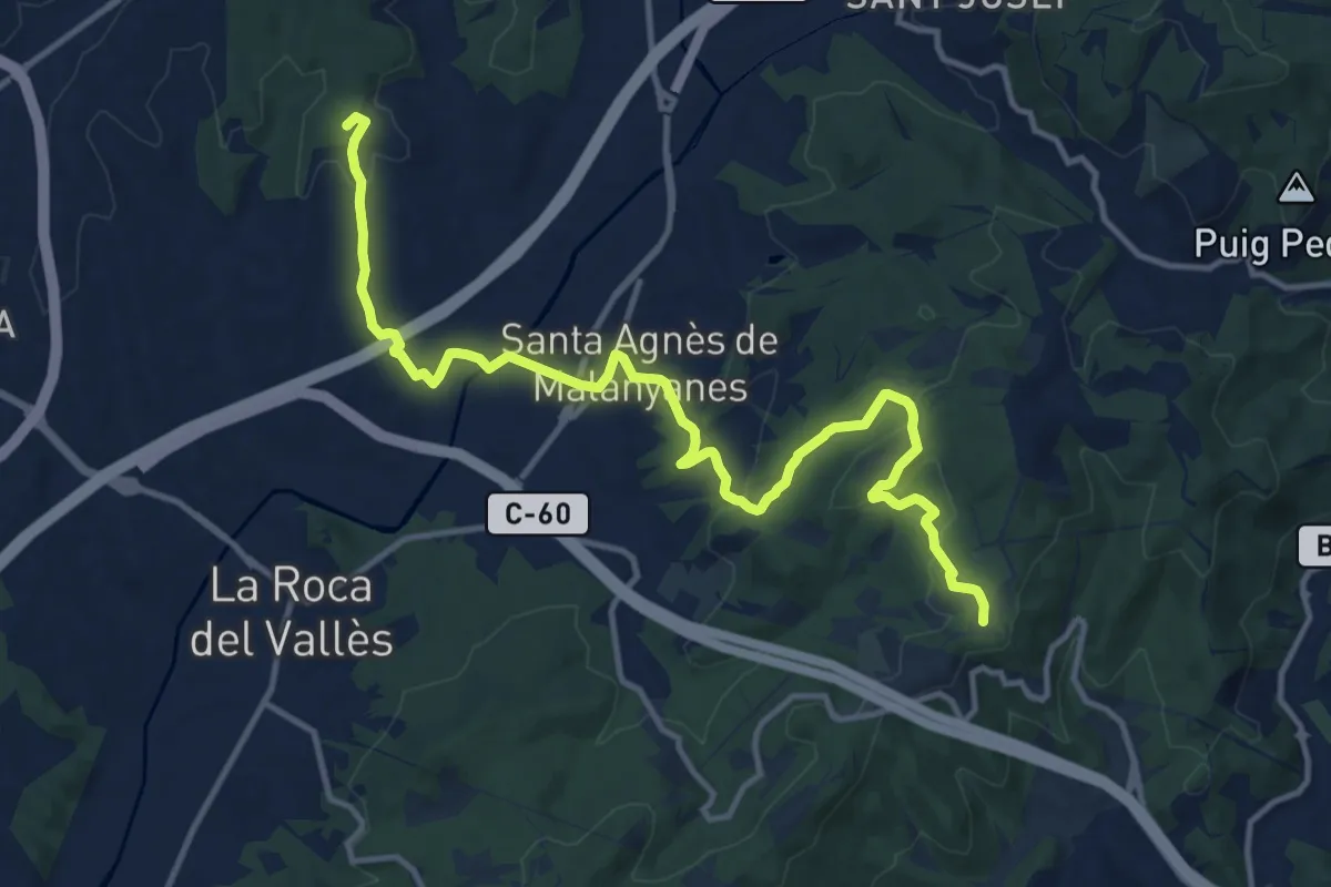
Medium · Summit
De la Tordera al Llobregat. Variant Marata - Pla de l'Espinal
15.7 km · ↑ 405 m · 4 h 35 min
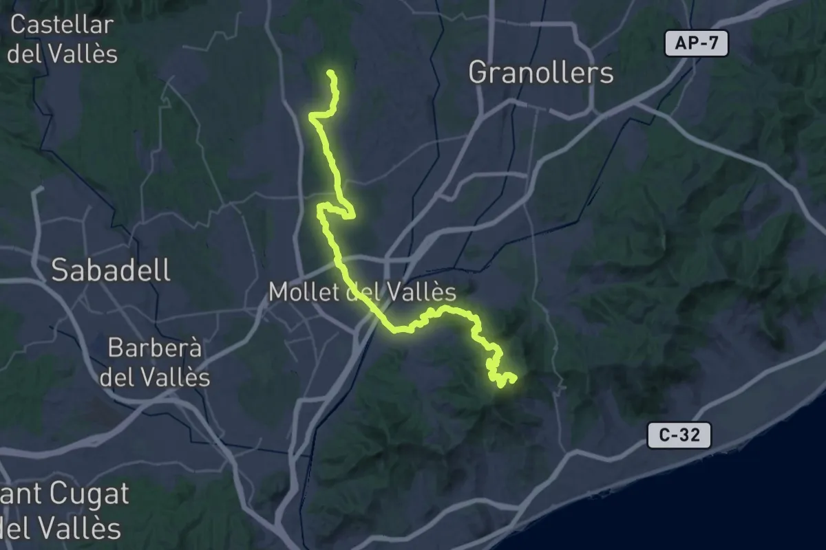
Demanding · Summit
De la Tordera al Llobregat. Variant Palaudaries - Alella
45.5 km · ↑ 1125 m · 13 h 11 min
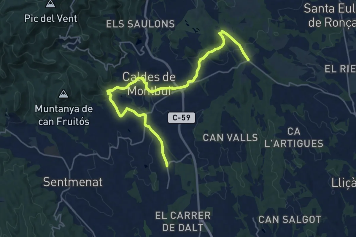
Demanding · Trail
De la Tordera al Llobregat. Variant Torre Marimon
19.6 km · ↑ 405 m · 5 h 31 min
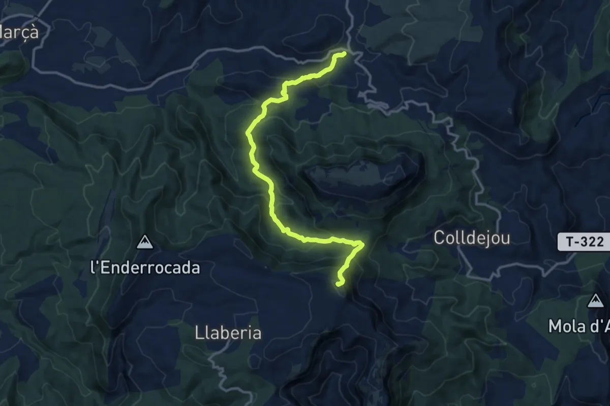
Medium · Summit
De la Torre de Fontaubella a Llaberia
12.8 km · ↑ 784 m · 4 h 43 min
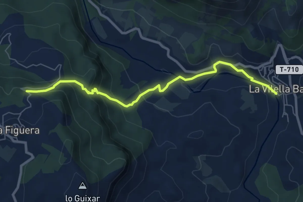
Medium · Trail
De la Vilella Baixa a la Figuera
6.3 km · ↑ 391 m · 2 h 20 min
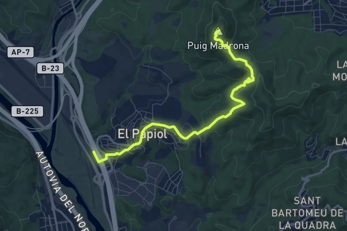
Medium · Summit
Del Baix Llobregat al Vallès, pel Puig Madrona
9.5 km · ↑ 391 m · 3 h 6 min
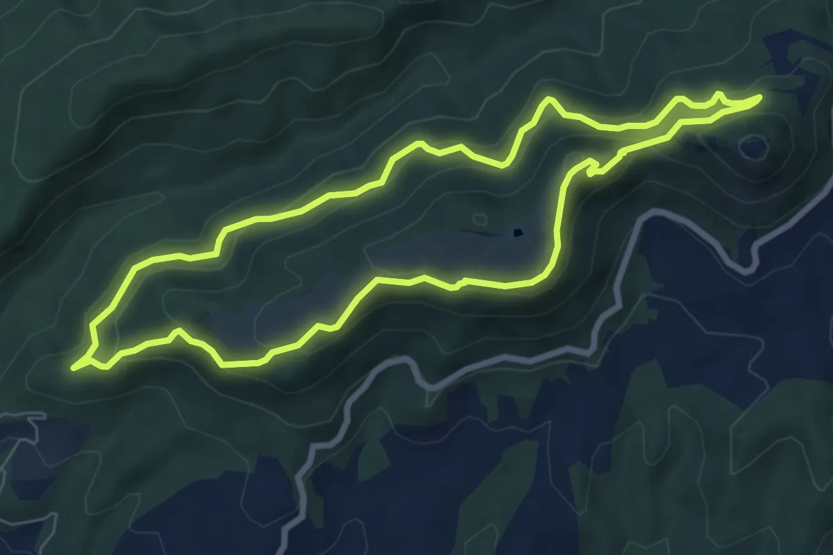
Medium · Summit
Del Castell de Montesqui al Castell de Besora
7.1 km · ↑ 355 m · 2 h 32 min
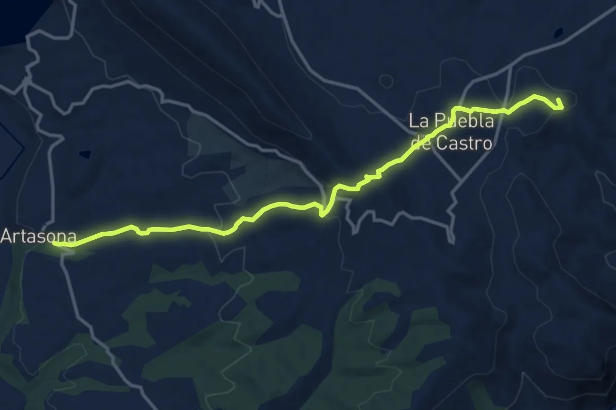
Medium · Summit
Del Cinca al Ésera
11.5 km · ↑ 434 m · 3 h 40 min
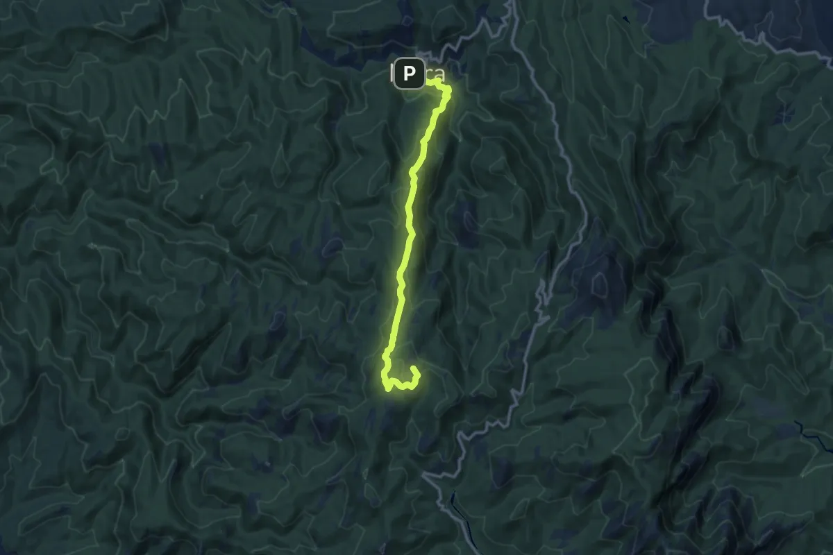
Medium · Summit
Del Coll d'Estenalles a Mura
11.6 km · ↑ 546 m · 3 h 55 min
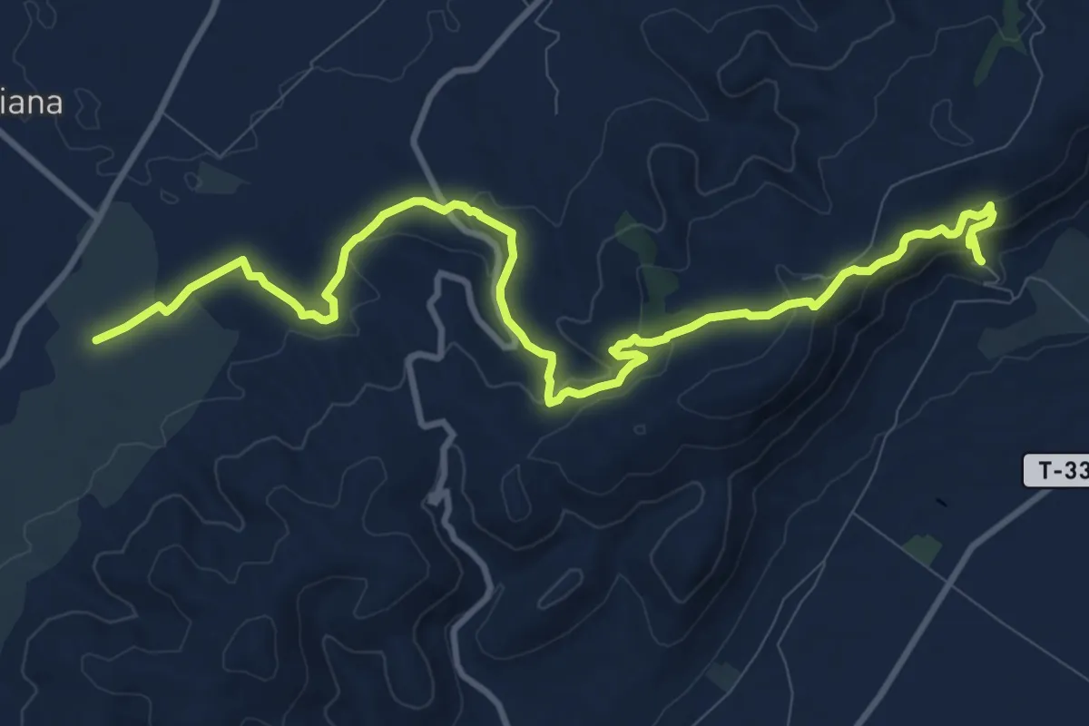
Medium · Trail
de l'Ermita de la Pietat a la Farga de l'Arion
13.8 km · ↑ 452 m · 4 h 14 min
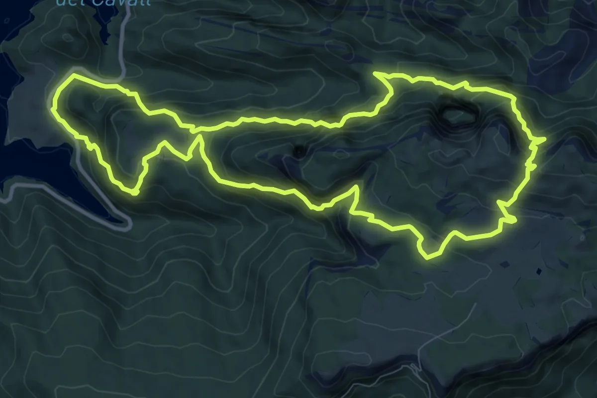
Demanding · Trail
De les Cases de Posada a Busa pel Grau de l'Areny
11.1 km · ↑ 930 m · 4 h 47 min
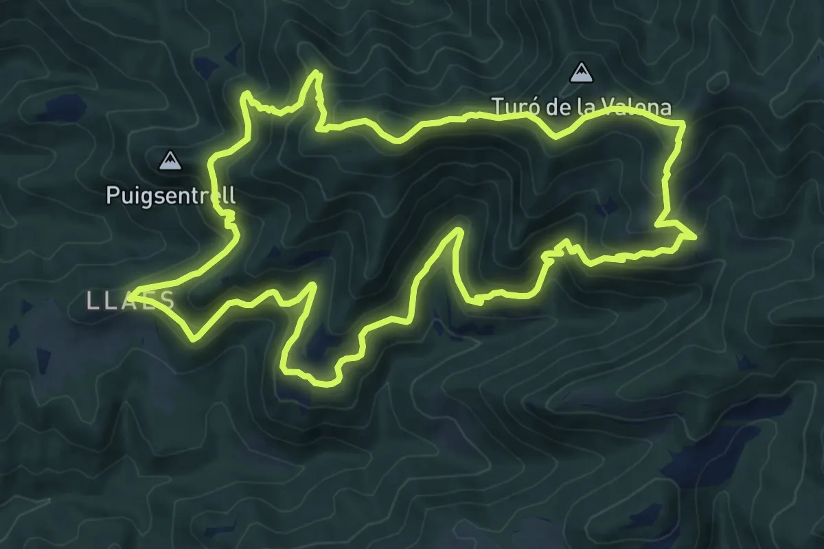
Medium · Trail
De Llaés al Castell de Milany
11.4 km · ↑ 774 m · 4 h 31 min
Medium · Trail
Del Llano al Valhondo
13.0 km · ↑ 252 m · 3 h 37 min
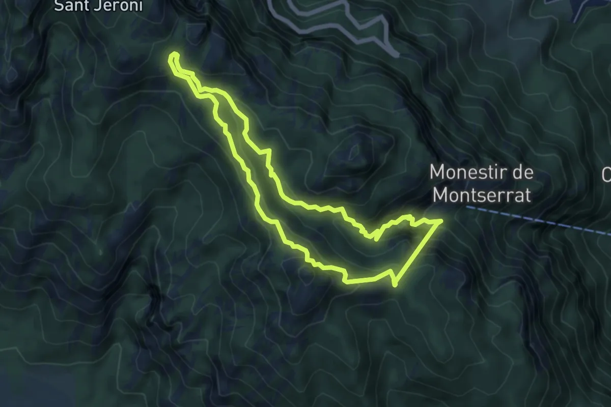
Medium · Summit
Del Monestir a Sant Jeroni
5.5 km · ↑ 477 m · 2 h 25 min
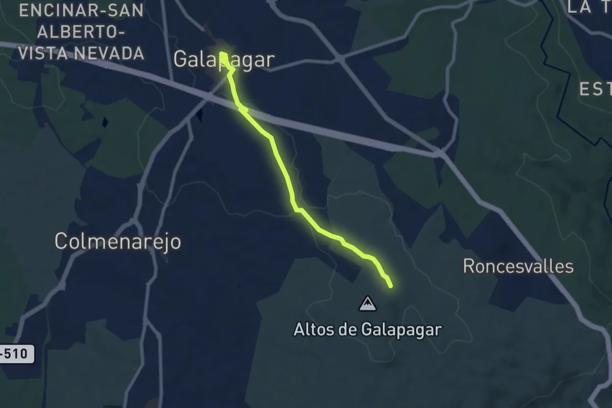
Easy · Trail
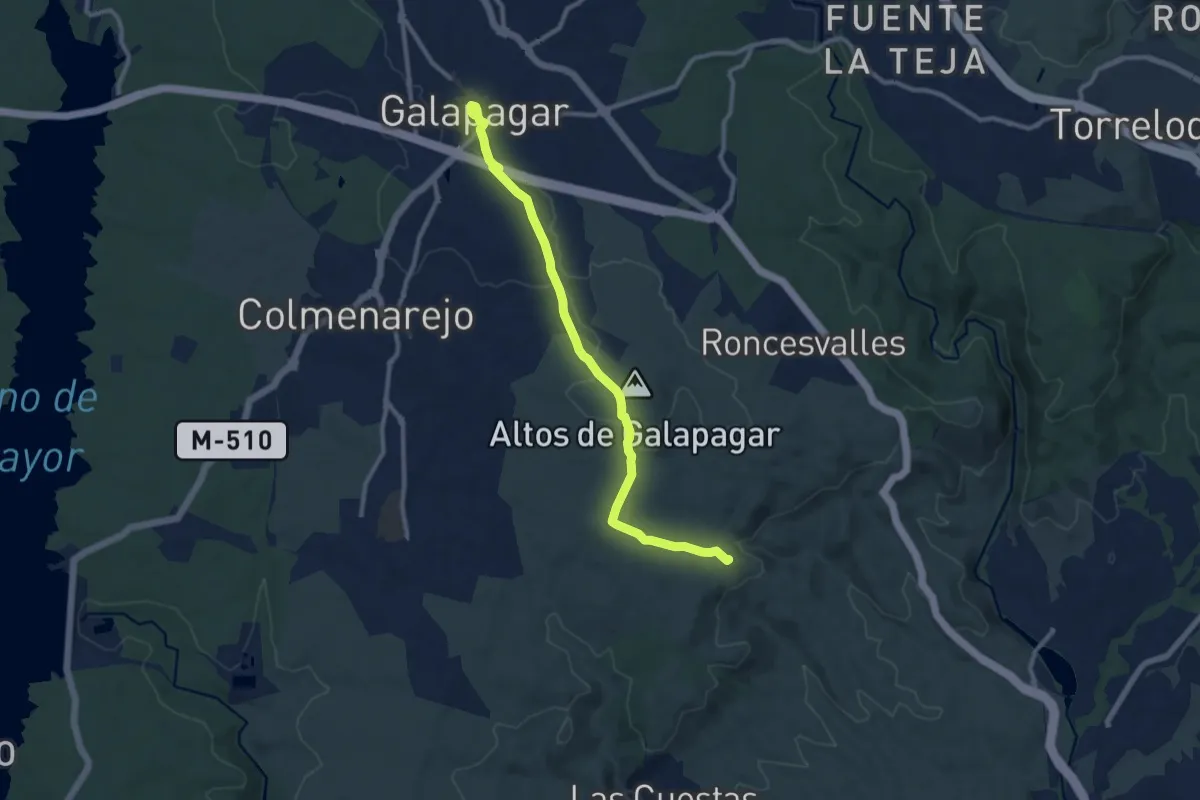
De los Altos de Galapagar a Galapagar
7.0 km · ↑ 50 m · 1 h 46 min
Medium · Trail
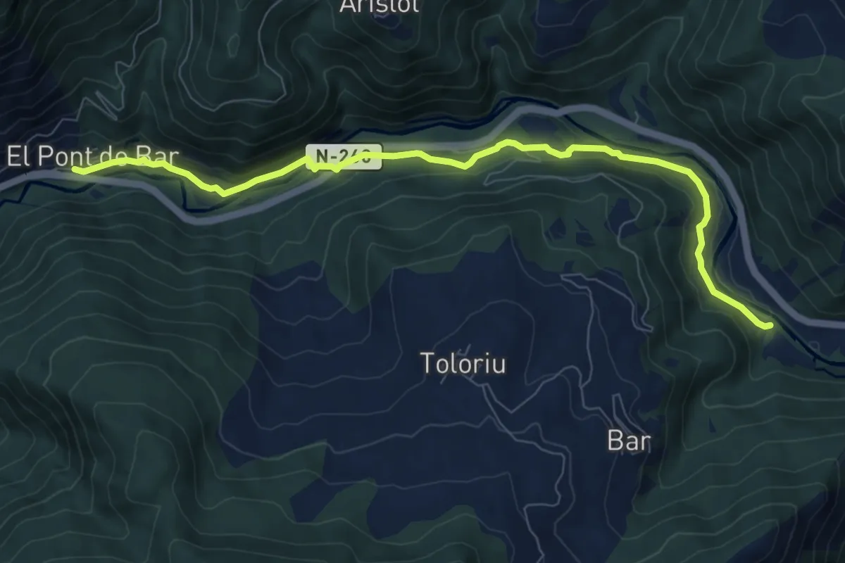
Del Pont de Bar Nou als Arenys
9.2 km · ↑ 197 m · 2 h 37 min
Medium · Summit
Del Puente del Retamar a Colmenarejo y Galapagar
11.7 km · ↑ 156 m · 3 h 6 min
Medium · Trail
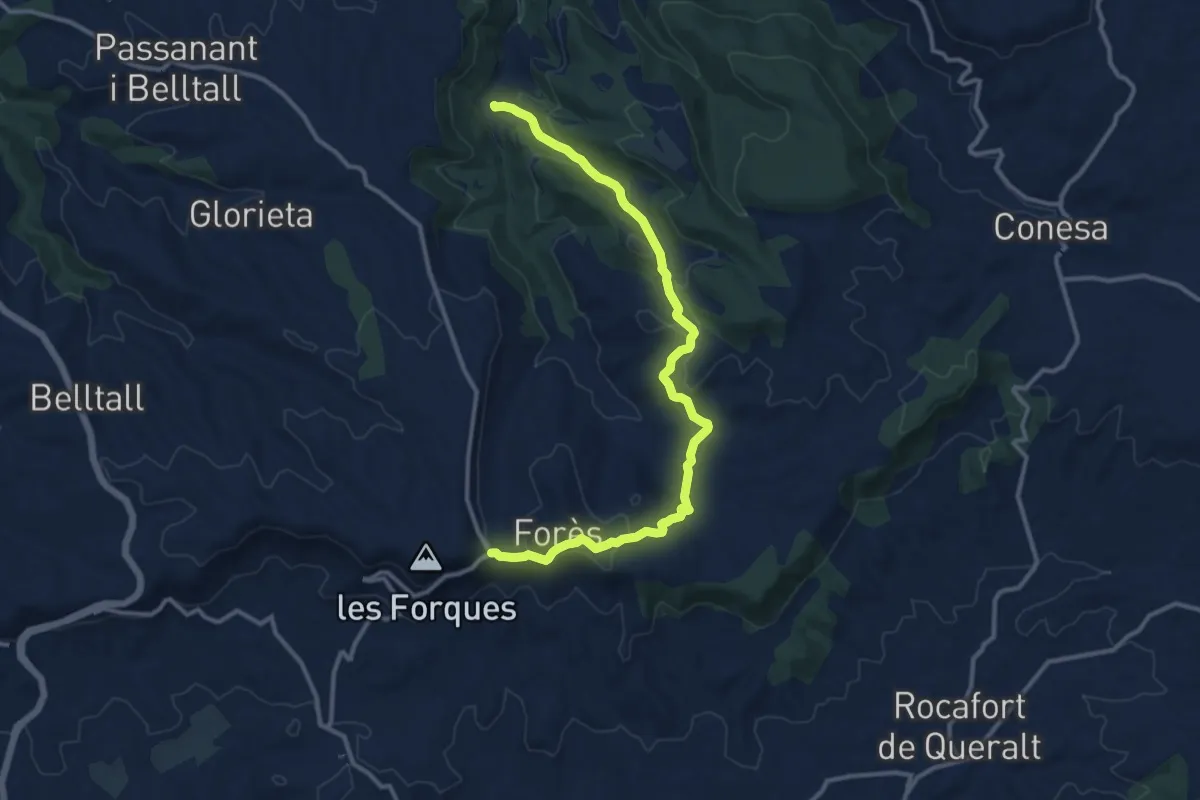
Del Santuari de Pinós als Ports. Variant Fonoll - Coll de Forès
14.2 km · ↑ 408 m · 4 h 14 min
Demanding · Summit
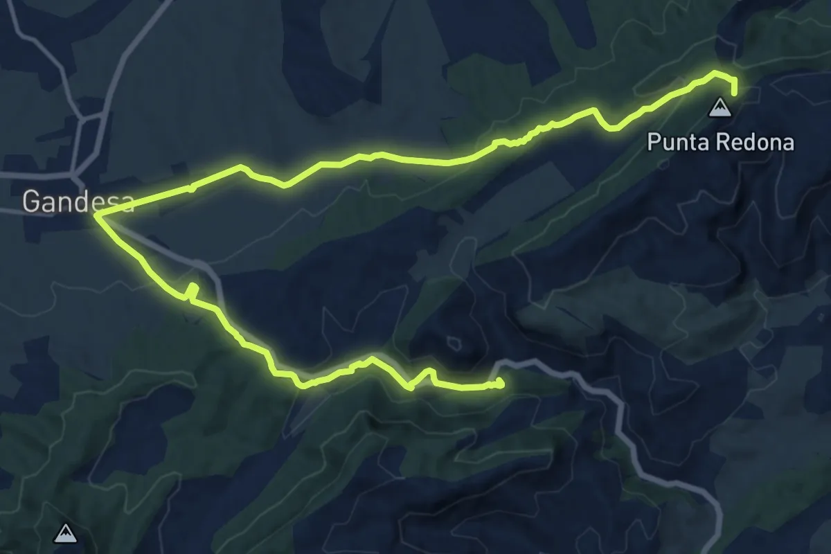
Del Santuari de Pinós als Ports. Variant Gandesa
20.7 km · ↑ 491 m · 5 h 57 min
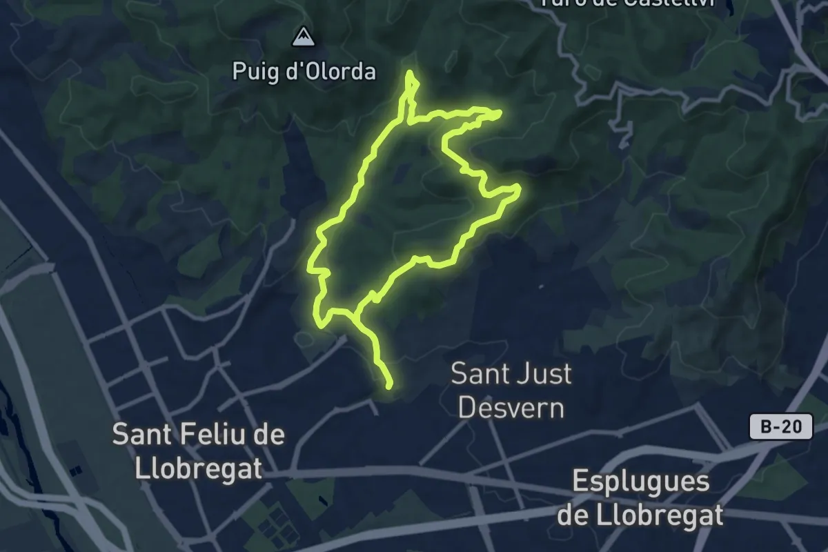
Medium · Summit
Del solell a l'obaga. Collserola
9.3 km · ↑ 308 m · 2 h 59 min
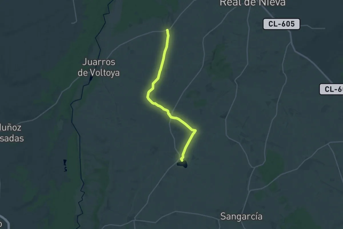
Demanding · Trail
De Melque a Laguna Rodrigo
20.8 km · ↑ 94 m · 5 h 7 min
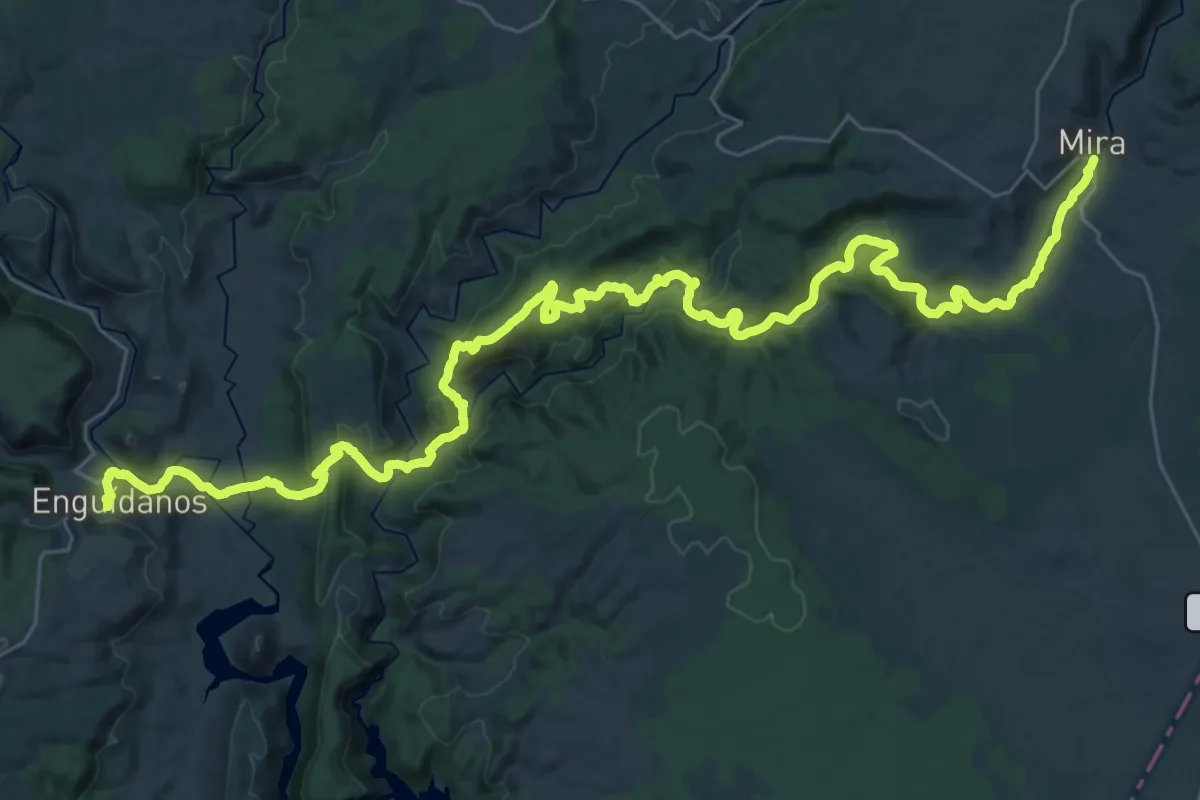
Demanding · Trail
De Mira a Enguidanos
25.8 km · ↑ 720 m · 8 h 3 min
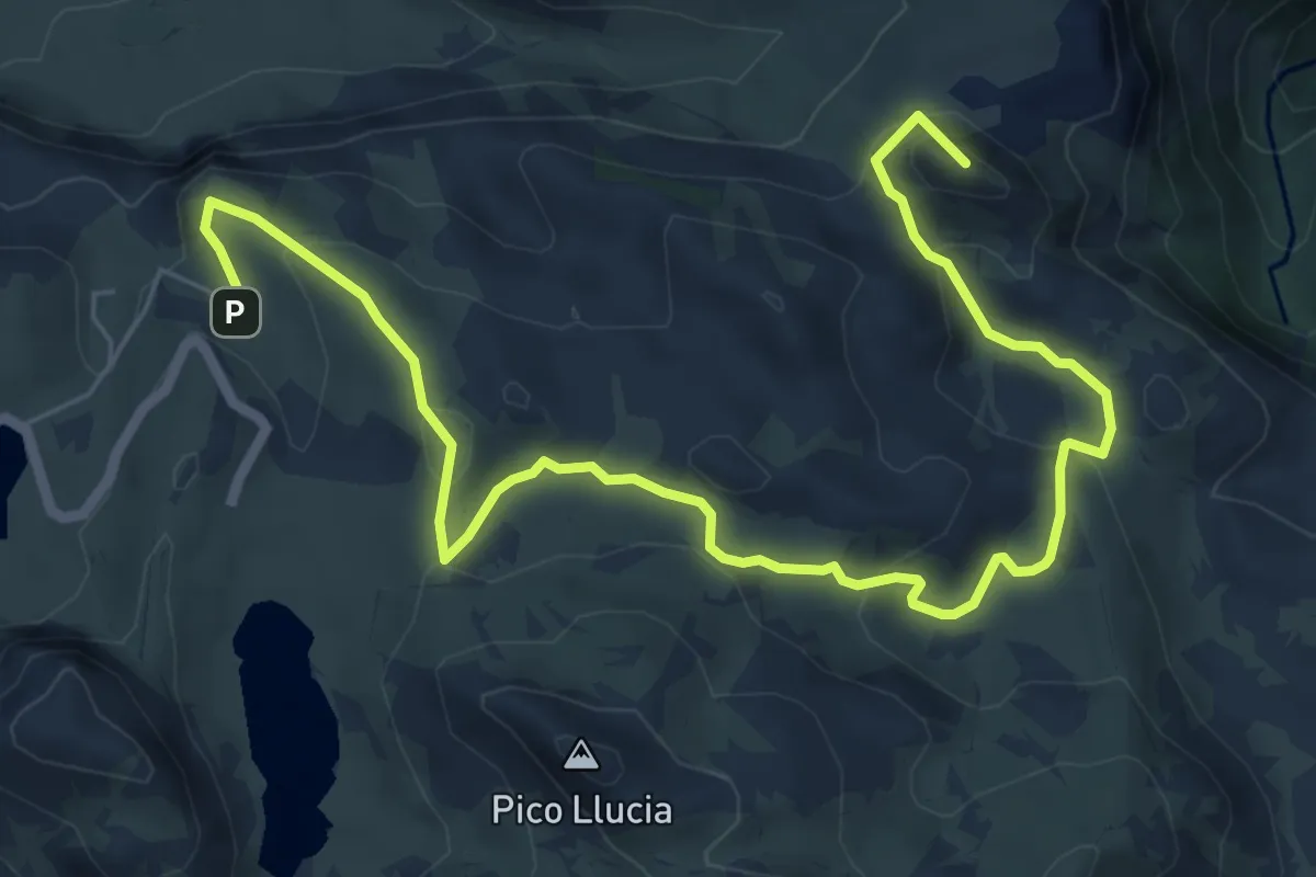
Medium · Summit
Demués - Los Lagos
9.3 km · ↑ 364 m · 2 h 58 min
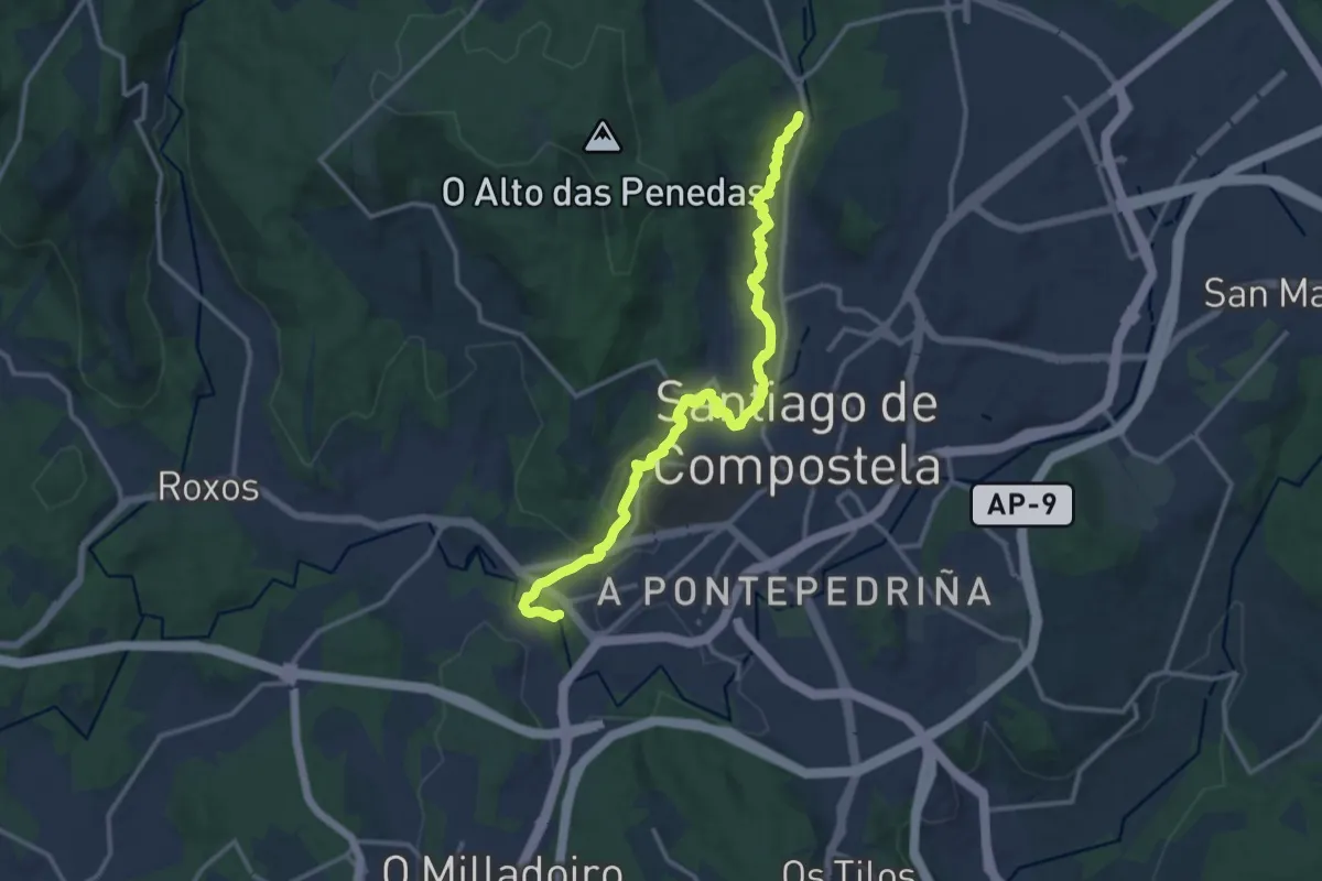
Medium · Trail
De ponte a ponte polo río Sarela
14.8 km · ↑ 156 m · 3 h 50 min
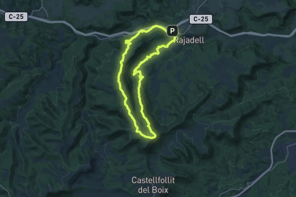
Demanding · Summit
De Rajadell al Cogulló de la Torre circular
18.3 km · ↑ 567 m · 5 h 49 min
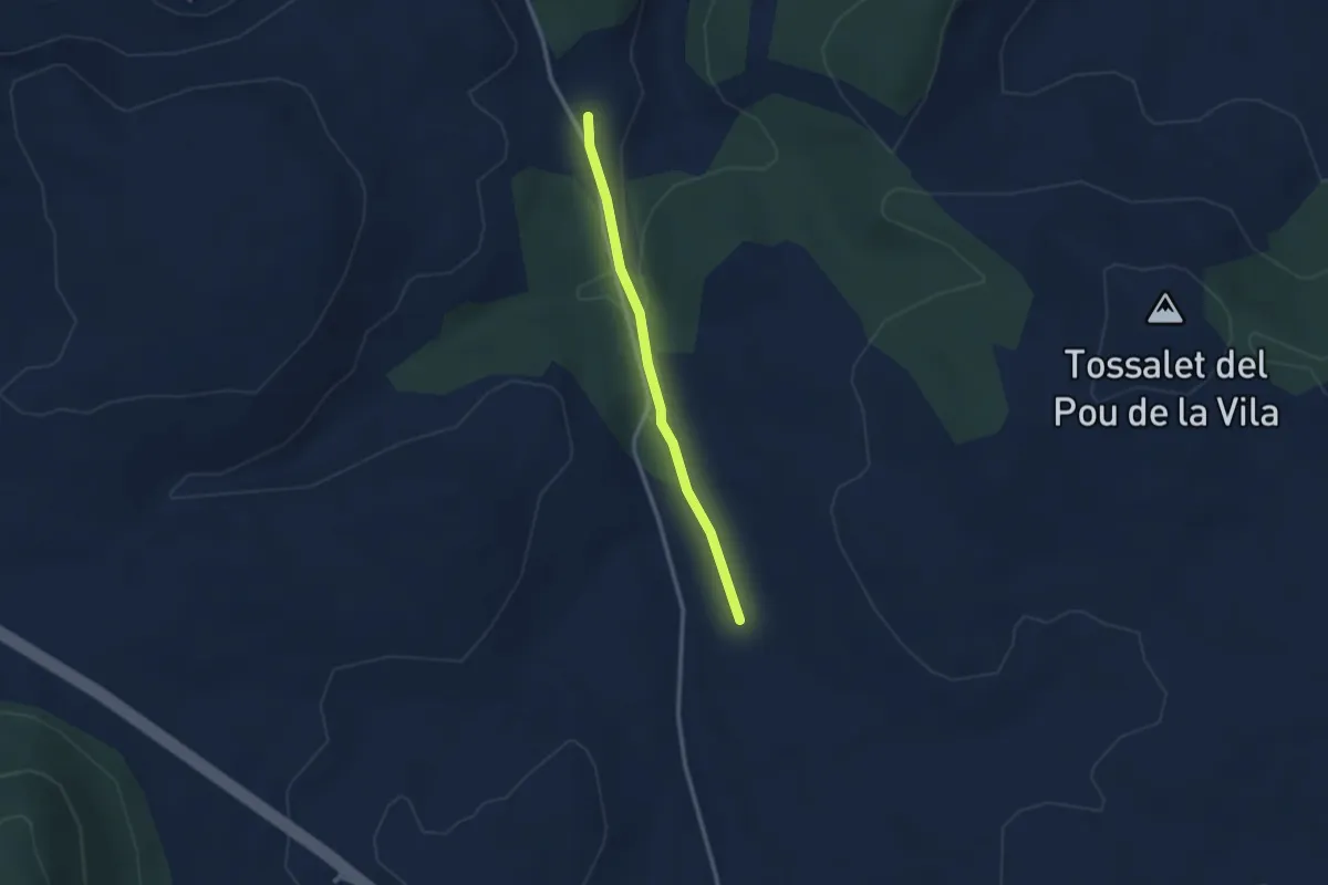
Medium · Trail
Derivació
2.8 km · ↑ 28 m · 43 min
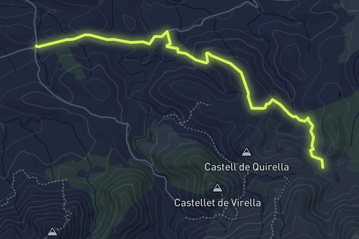
Easy · Trail
Derivació 3.1
6.8 km · ↑ 258 m · 2 h 10 min