Trails in Spain
5,963 hiking trails, each with its route, climb, walking time and grade.
All trails, page 32 of 125
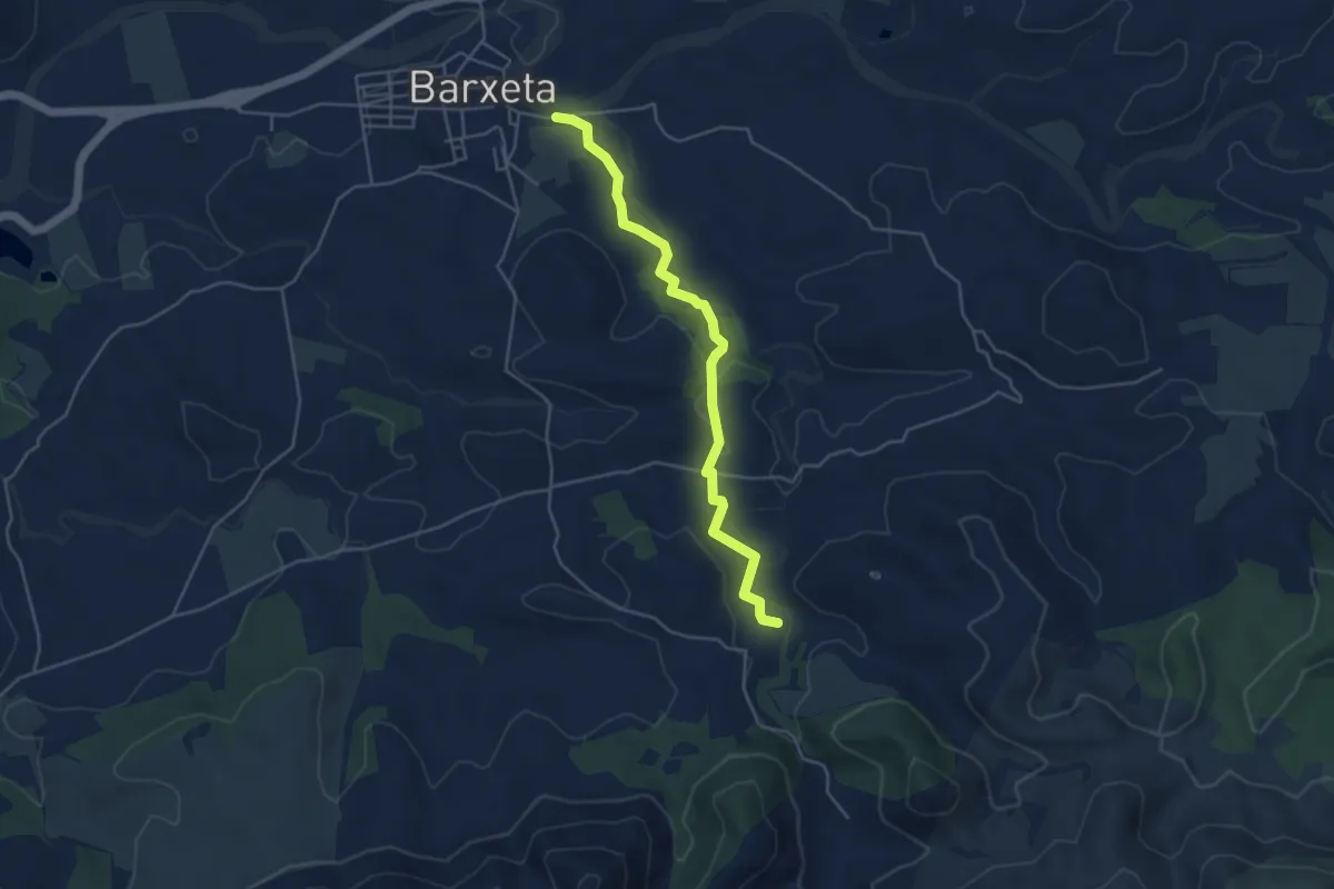
Easy · Trail
Derivació 3.3
5.1 km · ↑ 105 m · 1 h 26 min
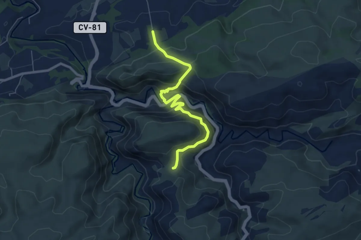
Medium · Trail
Derivació a Ontinyent
3.3 km · ↑ 262 m · 1 h 20 min
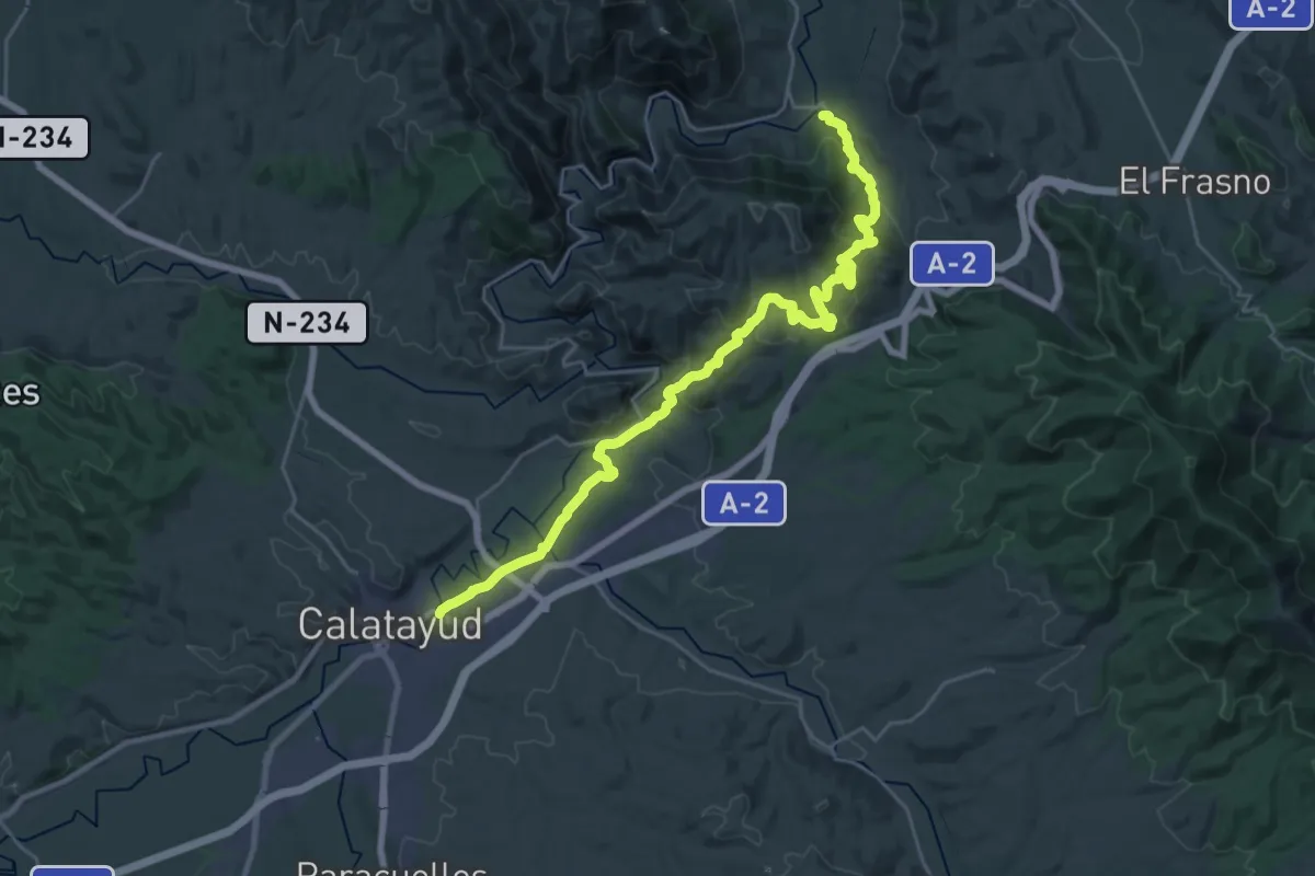
Medium · Trail
Derivación 1: Paracuellos de la Ribera - Calatayud
15.0 km · ↑ 491 m · 4 h 49 min
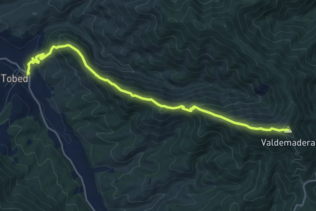
Medium · Summit
Derivación 2: Tobed - Cariñena
11.7 km · ↑ 745 m · 4 h 23 min
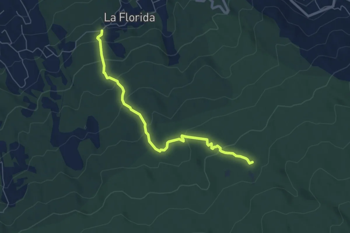
Medium · Trail
Derivación a Area Recreativa el Lagar
7.3 km · ↑ 369 m · 2 h 32 min
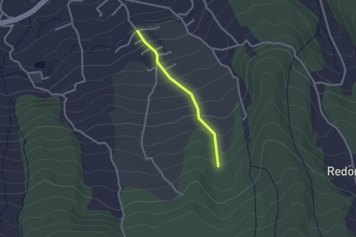
Easy · Trail
Derivacion a Cueva del Viento
2.2 km · ↑ 179 m · 54 min
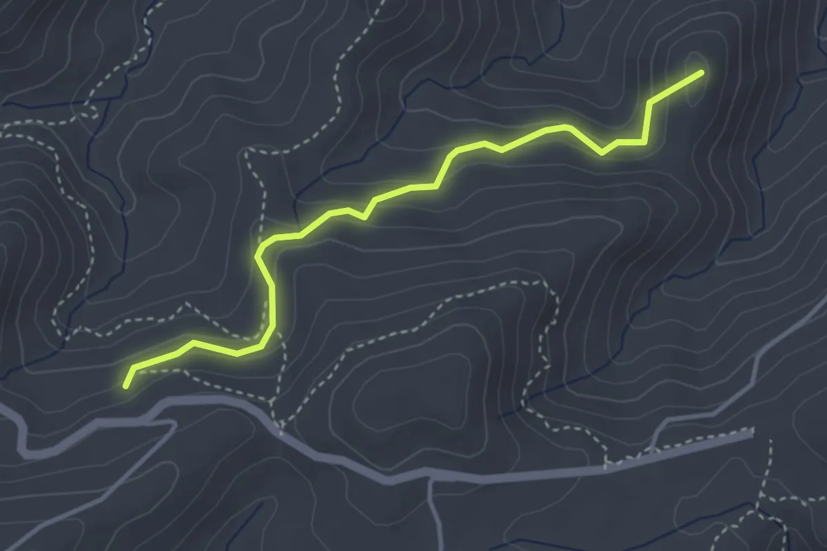
Easy · Summit
Derivación a Estivella
3.9 km · ↑ 202 m · 1 h 22 min
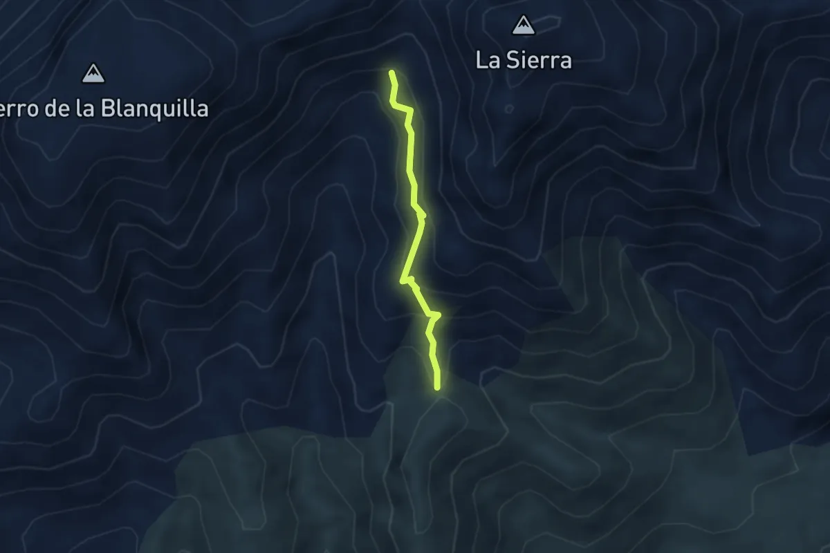
Easy · Trail
Derivación a Fuente de la Sierra Prieta
2.9 km · ↑ 226 m · 1 h 11 min
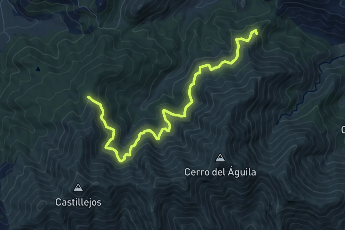
Medium · Trail
Derivación al Cerro del Águila
11.7 km · ↑ 750 m · 4 h 24 min
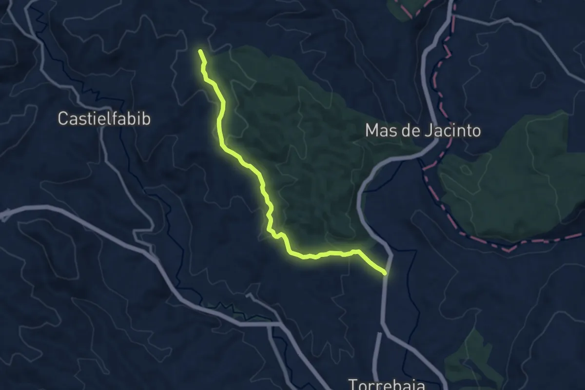
Medium · Trail
Derivación al Mas de los Mudos
10.1 km · ↑ 310 m · 3 h 4 min
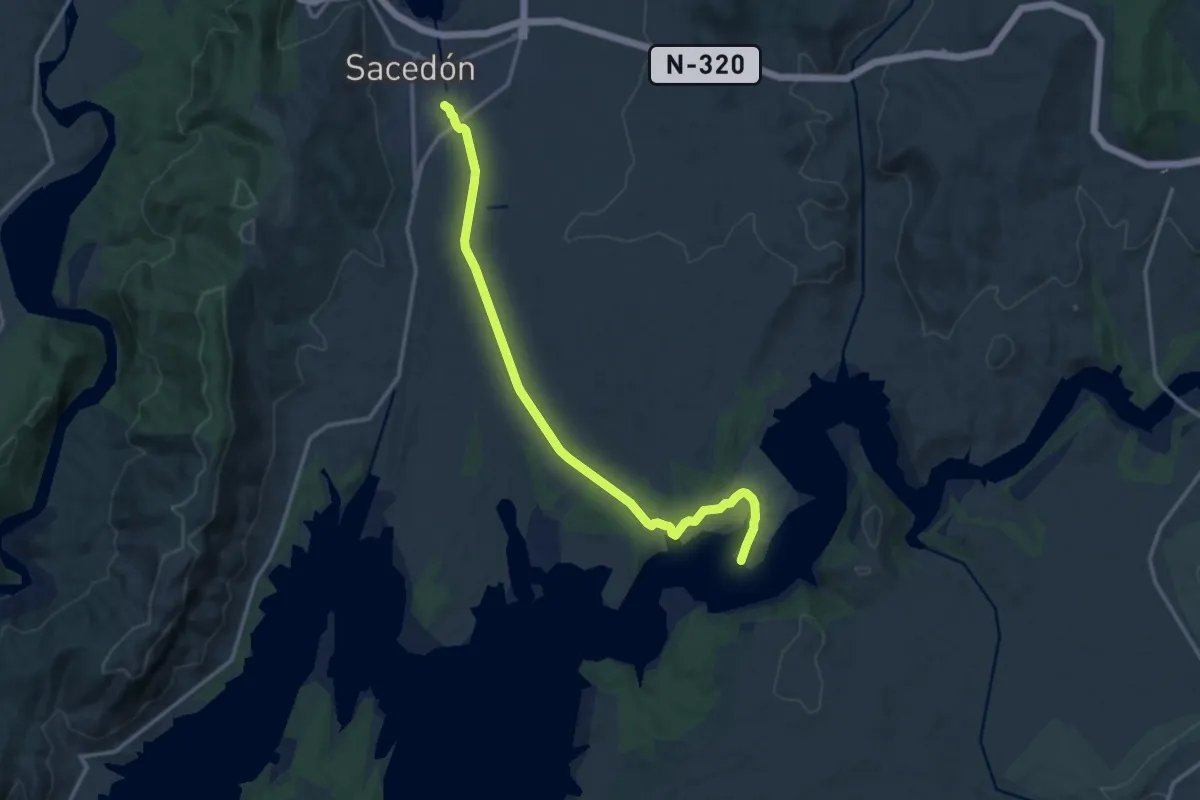
Medium · Trail
De Sacedón al Real Sitio de La Isabela
16.1 km · ↑ 148 m · 4 h 7 min
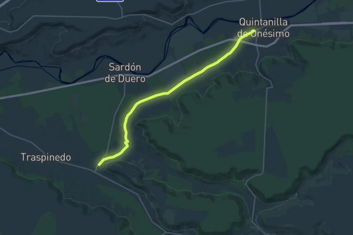
Demanding · Trail
De Santibáñez de Valcorba a Quintanilla
19.3 km · ↑ 119 m · 4 h 48 min
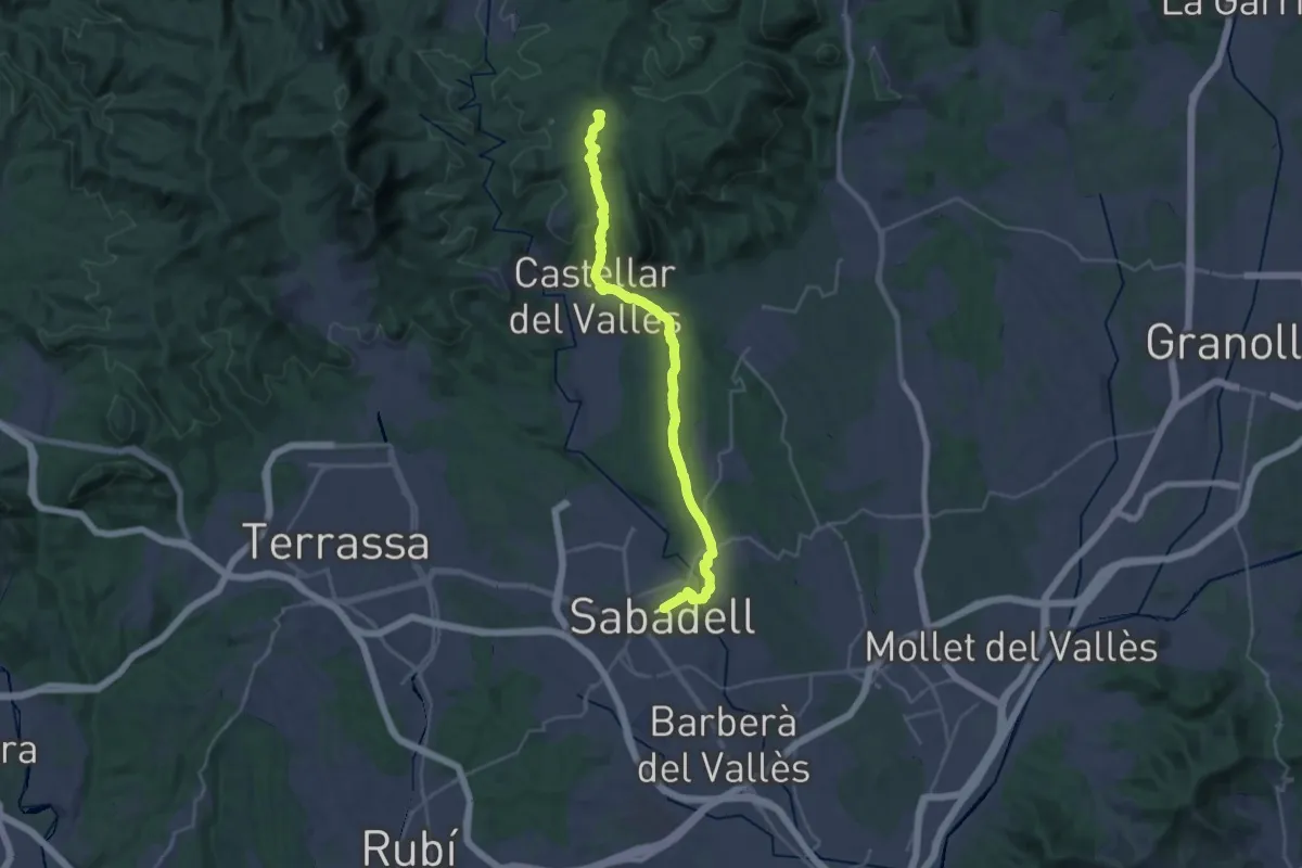
Demanding · Summit
de Sant Nicolau a Sant Llorenç Savall
32.3 km · ↑ 700 m · 9 h 9 min
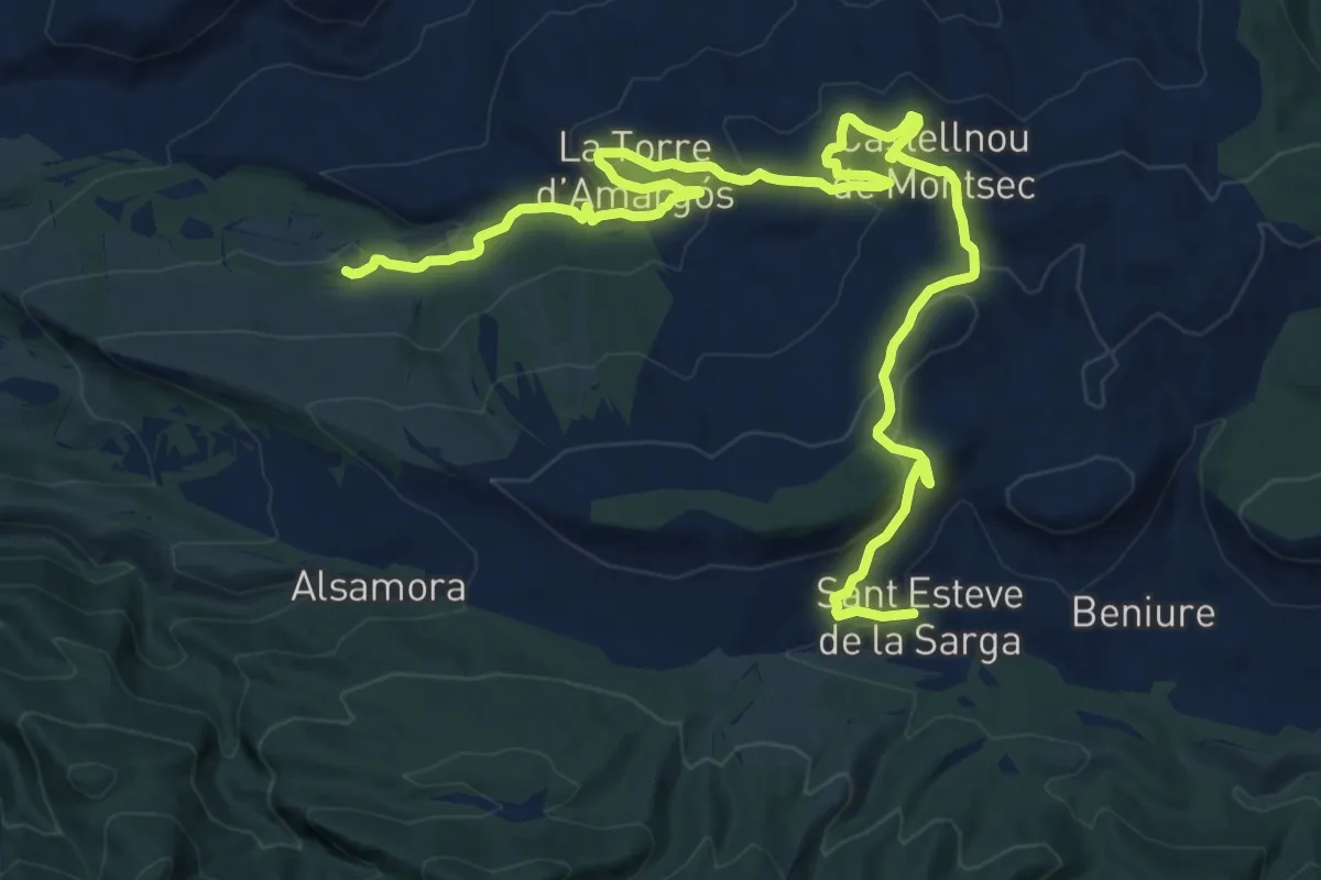
Demanding · Trail
Desde la Clua fins a Sant Esteve de la Sarga
20.3 km · ↑ 578 m · 6 h 2 min
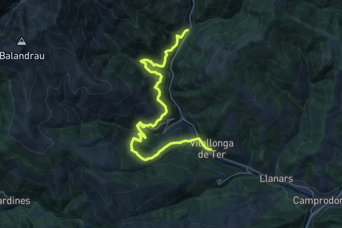
Demanding · Trail
De Setcases a Vilallonga de Ter
14.1 km · ↑ 1040 m · 5 h 40 min
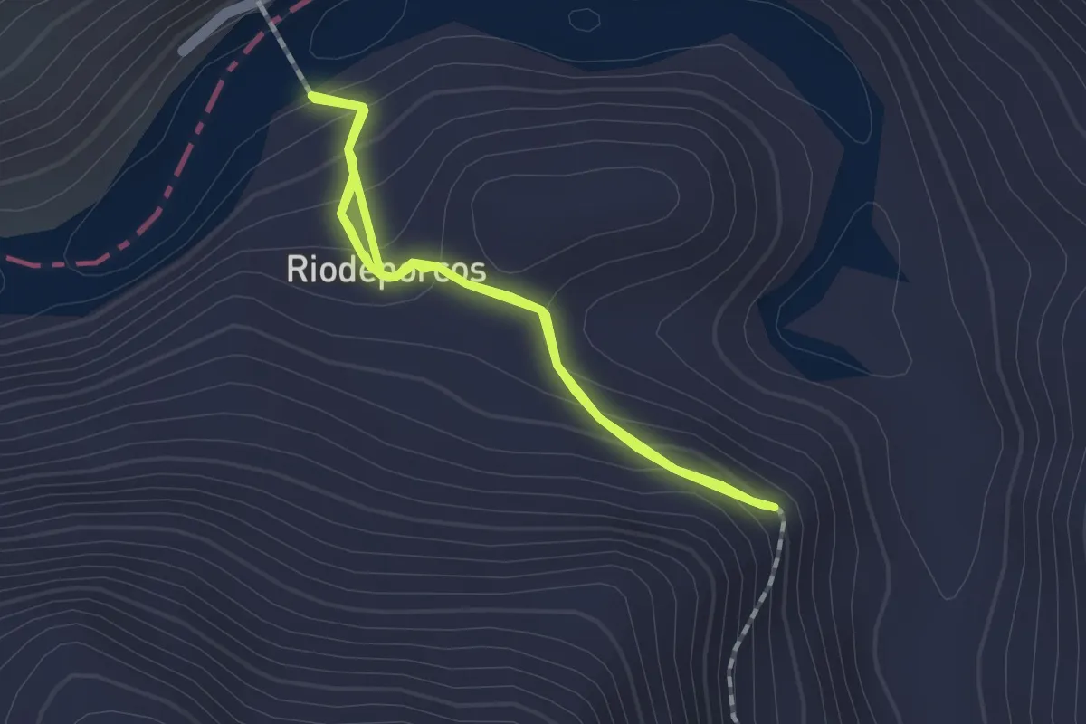
Easy · Trail
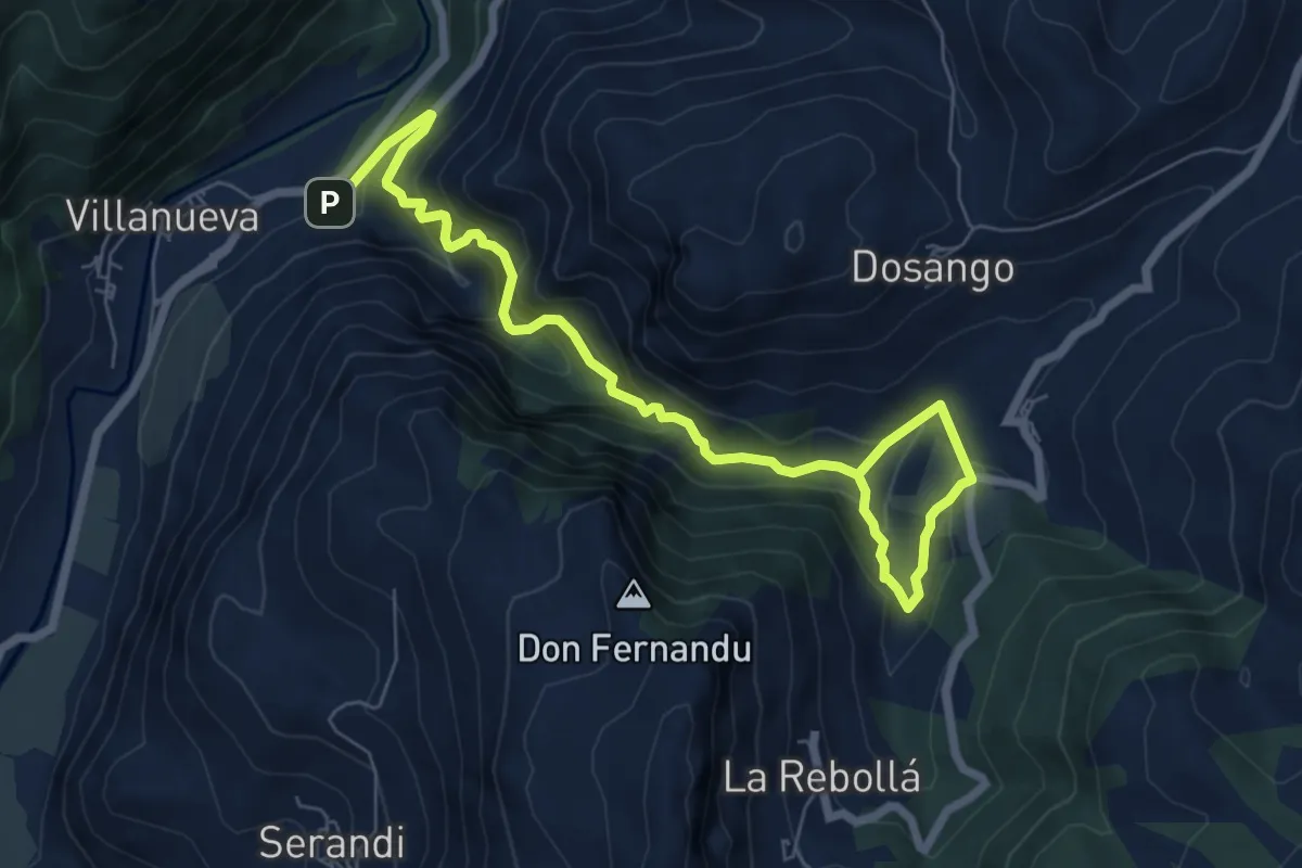
Desfiladero de Bustelín
1.4 km · ↑ 115 m · 35 min
Medium · Trail
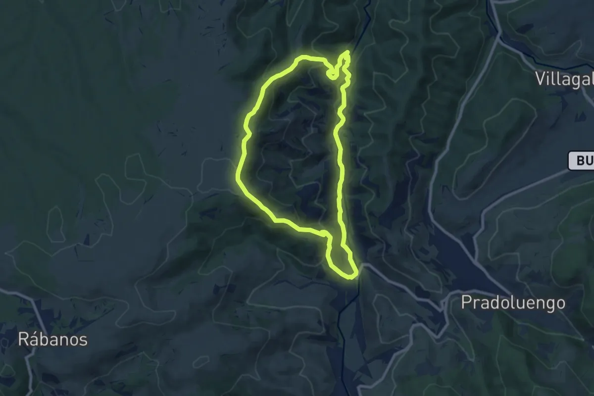
Desfiladero de las Xanas
8.8 km · ↑ 759 m · 3 h 44 min
Medium · Trail
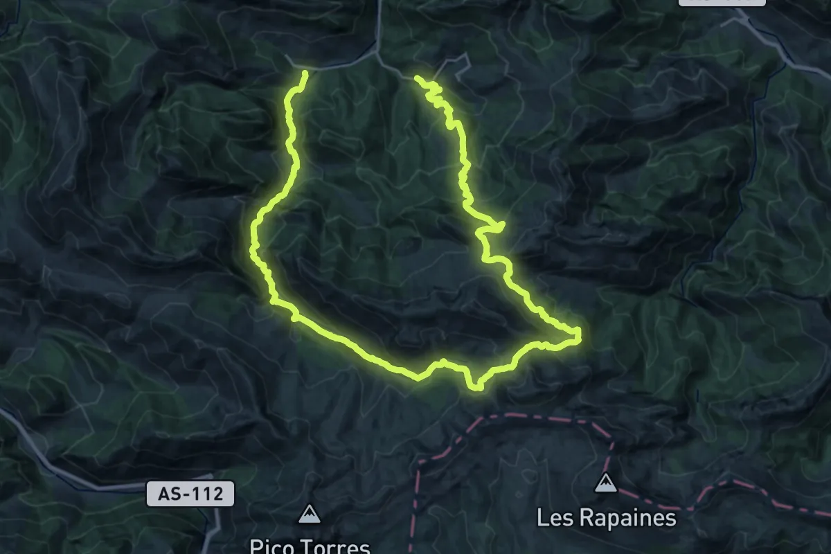
Desfiladero del Garganchón
8.2 km · ↑ 363 m · 2 h 50 min
Demanding · Trail
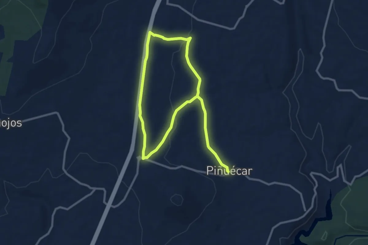
Desfiladero de los Arrudos
21.6 km · ↑ 1392 m · 8 h 24 min
Easy · Trail
Despoblado de Bellidas y espadaña de Sto. Domingo
6.5 km · ↑ 65 m · 1 h 46 min
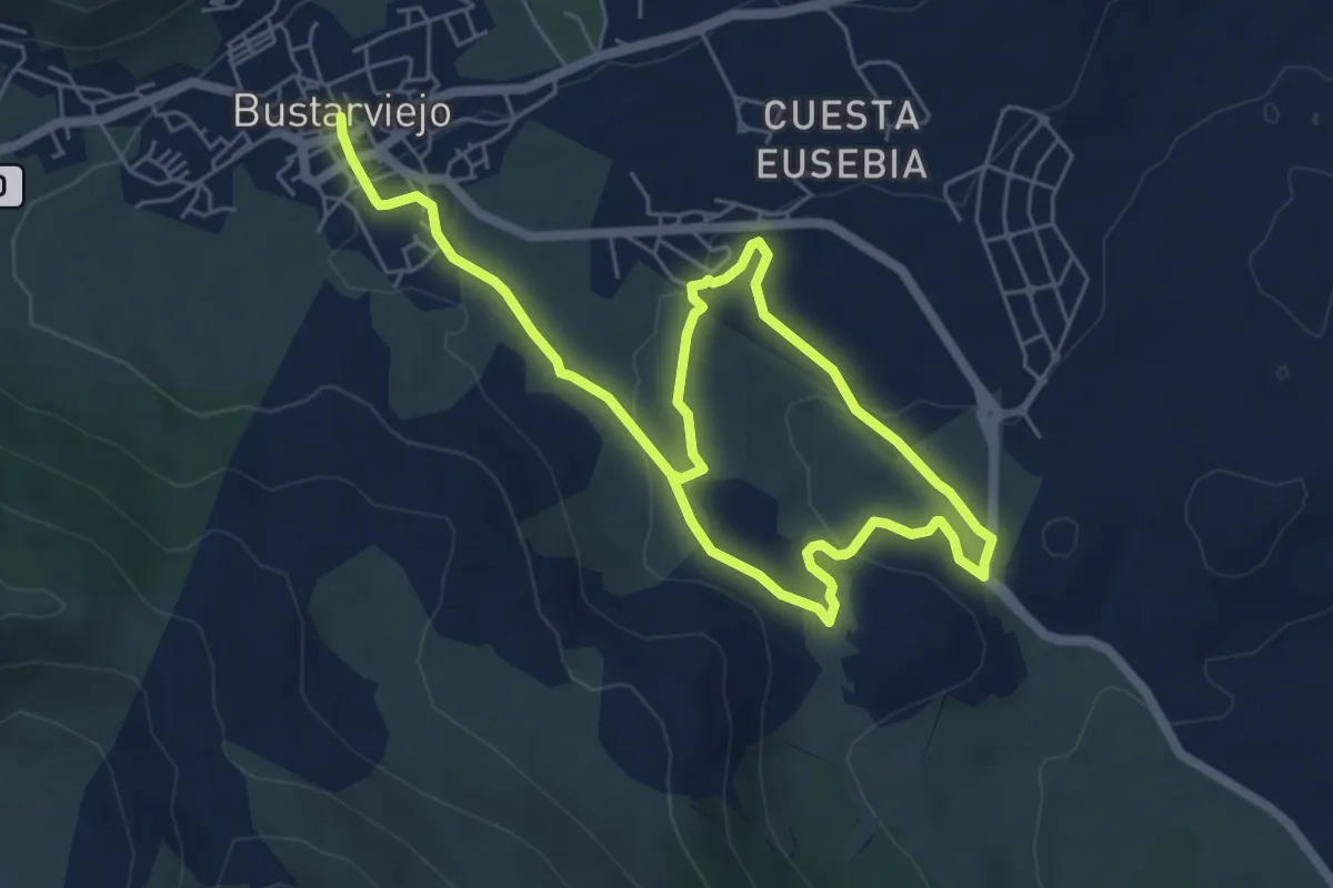
Easy · Trail
Destacamento penal y viaducto
5.1 km · ↑ 76 m · 1 h 29 min
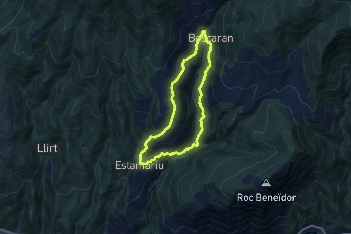
Medium · Trail
D'Estamariu a Bescaran
8.7 km · ↑ 478 m · 3 h 12 min
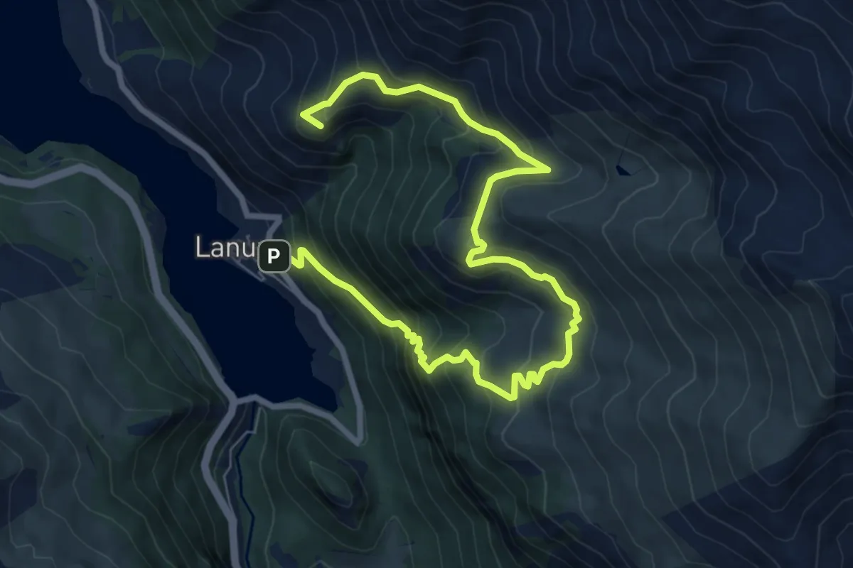
Demanding · Summit
Desvío - Mirador de Sierra Plana - Lanuza
10.0 km · ↑ 930 m · 4 h 23 min
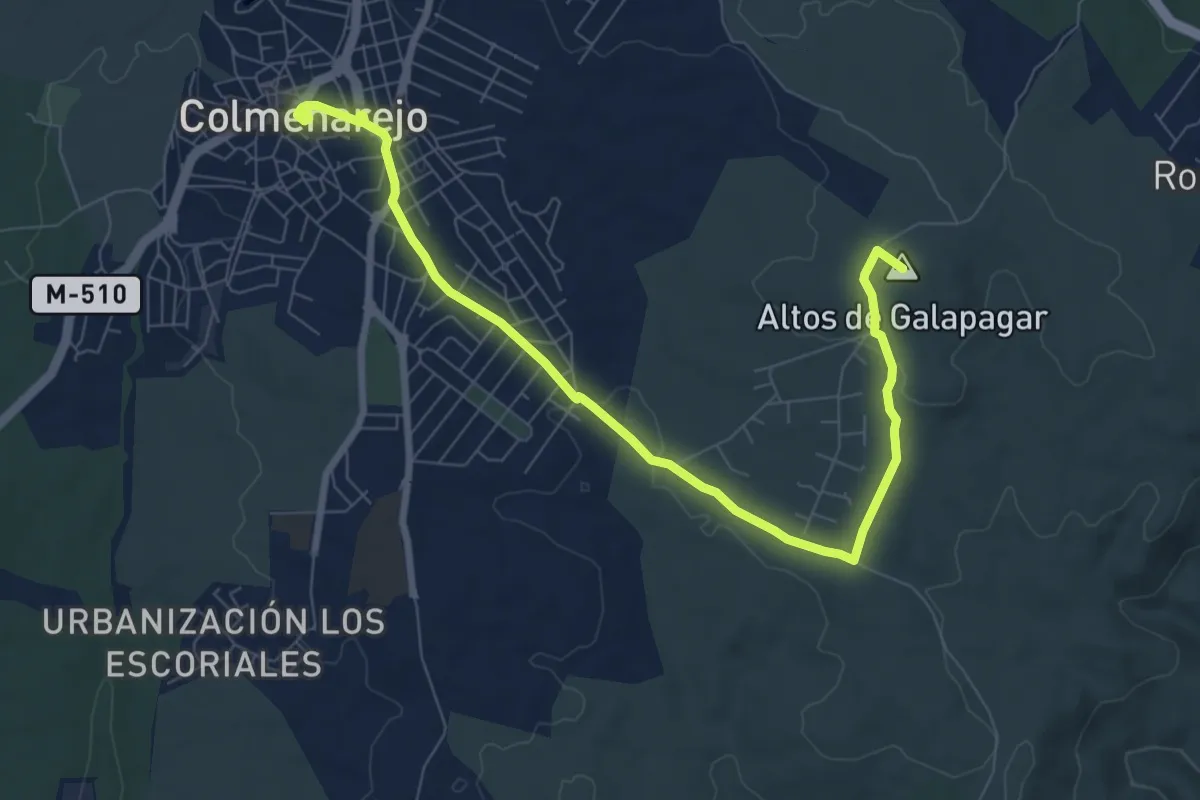
Medium · Summit
De Torrelodones a Colmenarejo y Galapagar
10.0 km · ↑ 161 m · 2 h 42 min
Easy · Trail
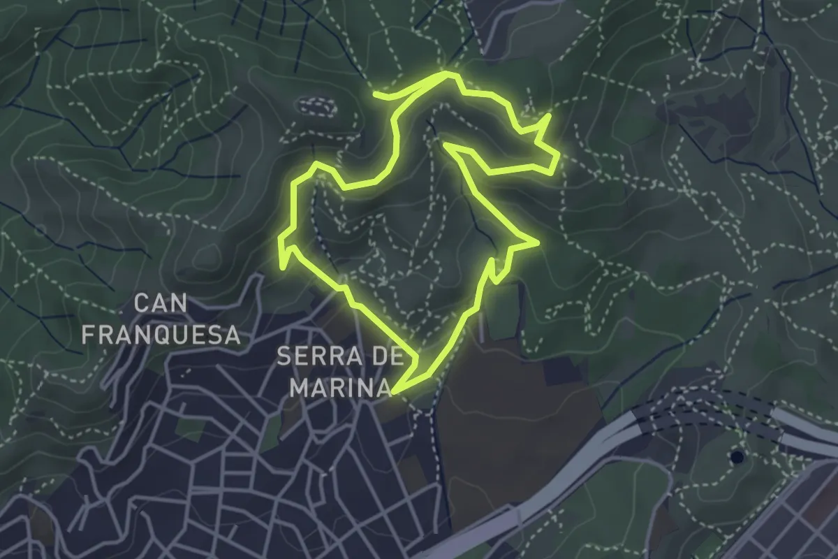
De Torribera al Puig Castellar
4.1 km · ↑ 187 m · 1 h 25 min
Demanding · Trail
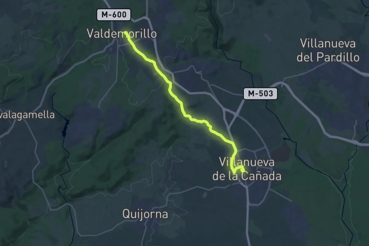
De Valdemorillo a Villanueva de la Cañada
20.2 km · ↑ 323 m · 5 h 28 min
Demanding · Summit
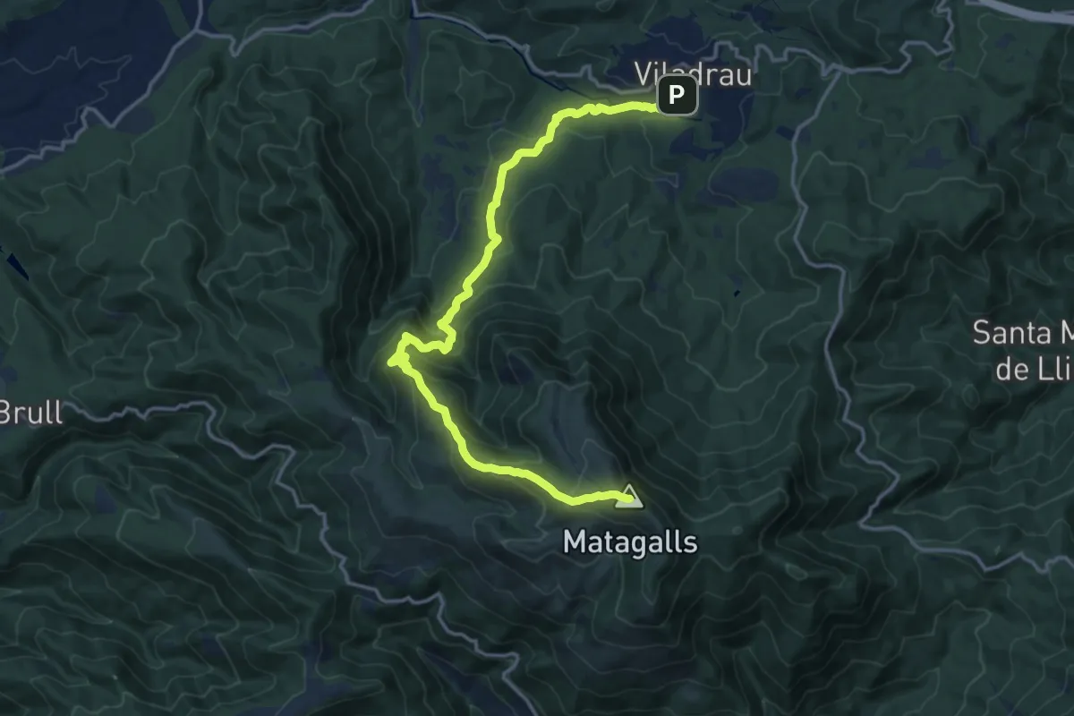
De Viladrau a Matagalls
18.0 km · ↑ 1160 m · 6 h 45 min
Medium · Trail
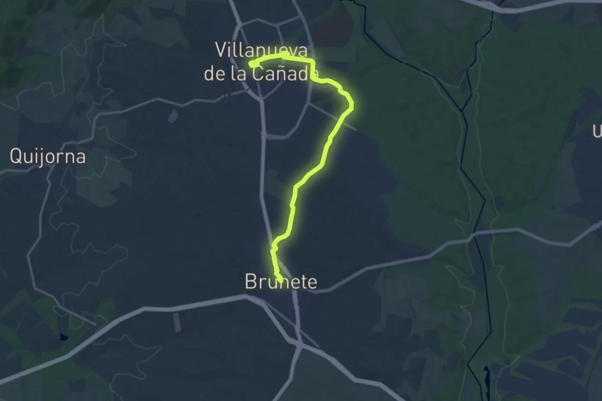
De Villanueva de la Cañada a Brunete
16.5 km · ↑ 78 m · 4 h 4 min
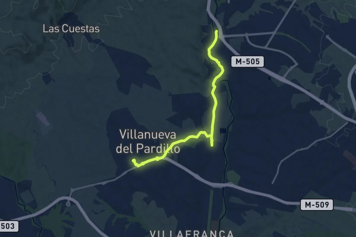
Medium · Trail
De Villanueva del Pardillo al Puente de Retamar
12.9 km · ↑ 109 m · 3 h 16 min
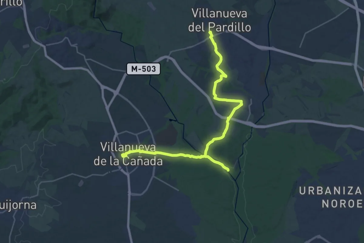
Demanding · Trail
De Villanueva del Pardillo a Villanueva de la Cañada
28.0 km · ↑ 296 m · 7 h 15 min
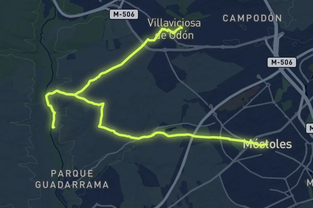
Medium · Trail
De Villaviciosa de Odón a Móstoles
16.4 km · ↑ 172 m · 4 h 28 min
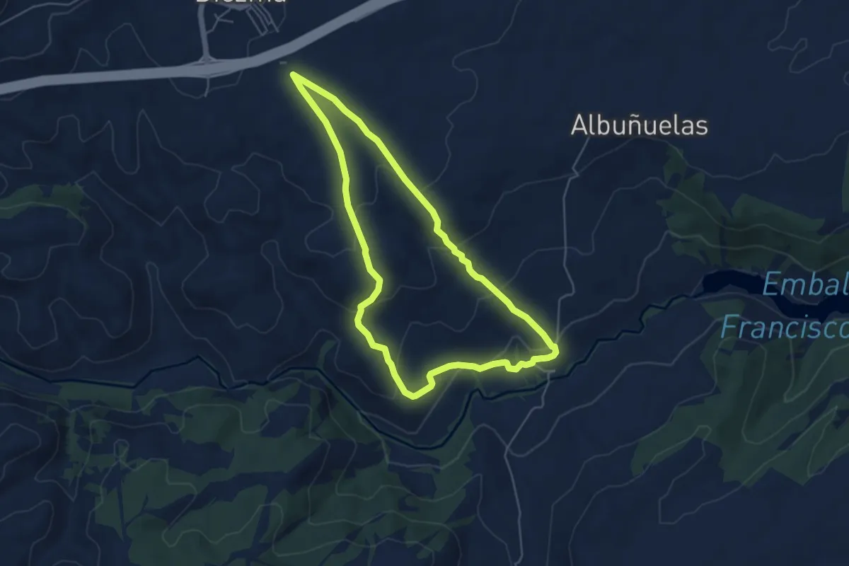
Easy · Trail
Diezma-Río Fardes
5.5 km · ↑ 199 m · 1 h 49 min
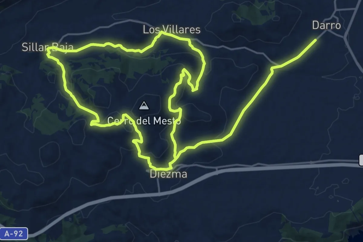
Medium · Summit
Diezma-Sillar Baja-Diezma
18.0 km · ↑ 391 m · 5 h 23 min
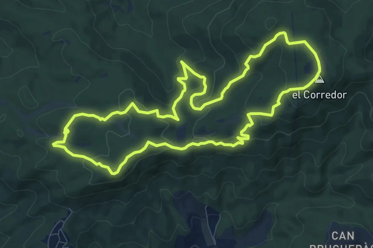
Demanding · Summit
Dolmen de Ca l'Arenes
9.8 km · ↑ 373 m · 3 h 15 min
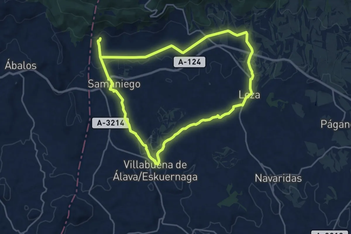
Medium · Trail
Dolmen de Layaza
14.5 km · ↑ 282 m · 4 h 14 min
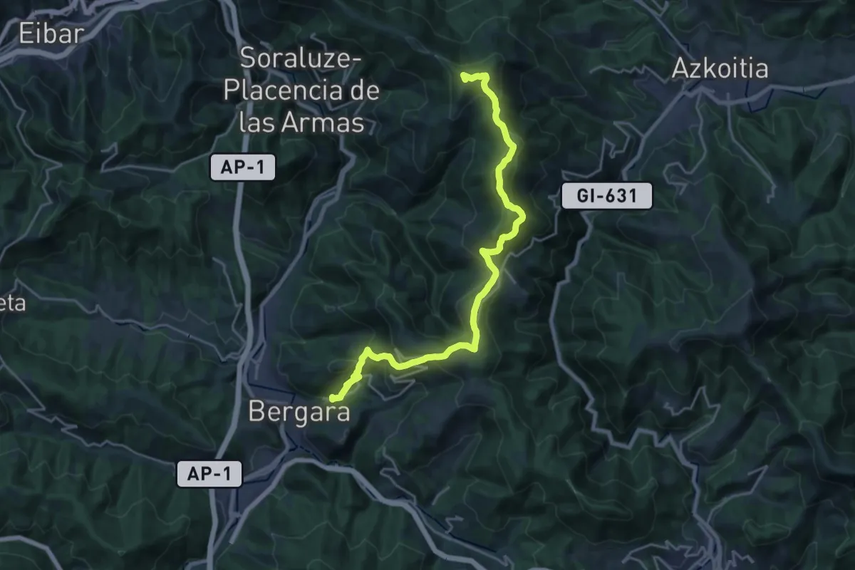
Demanding · Summit
Dolmenen ibilbidea
22.6 km · ↑ 1104 m · 7 h 43 min
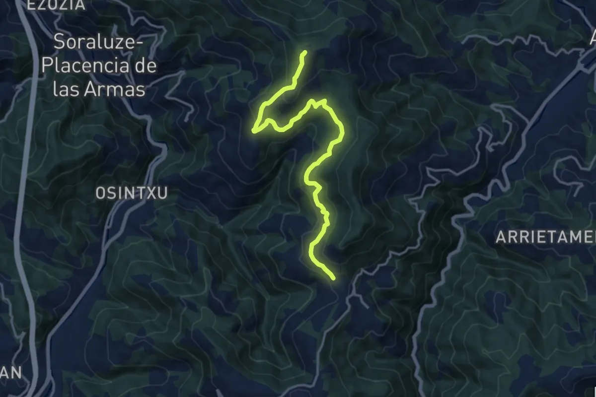
Medium · Summit
Dolmenen ibilbidea - bariante
13.6 km · ↑ 587 m · 4 h 29 min
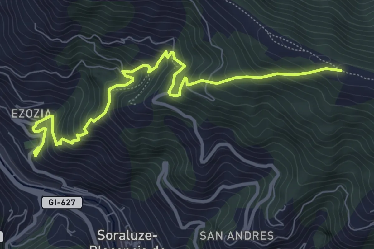
Medium · Trail
Dolmenen ibilbidea Soraluze-Gizaburuaga bariantea
8.0 km · ↑ 726 m · 3 h 28 min
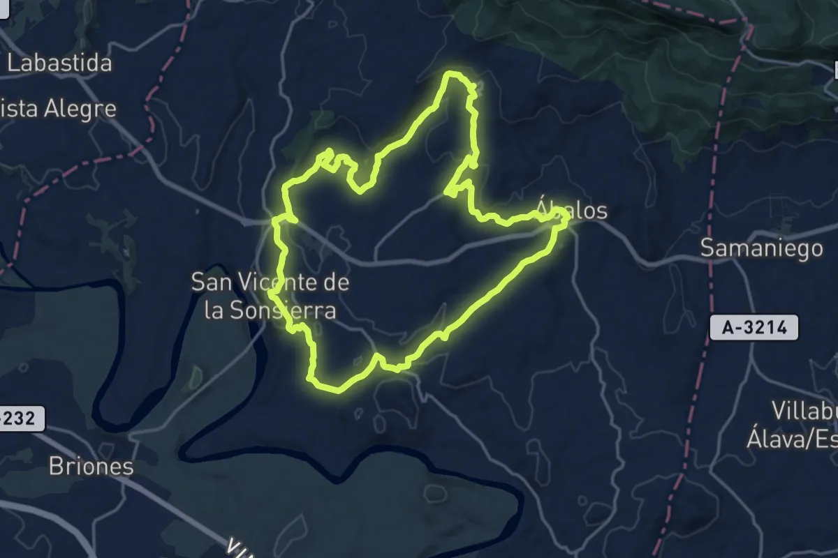
Medium · Trail
Dólmenes y Ermitas
17.3 km · ↑ 318 m · 5 h 1 min
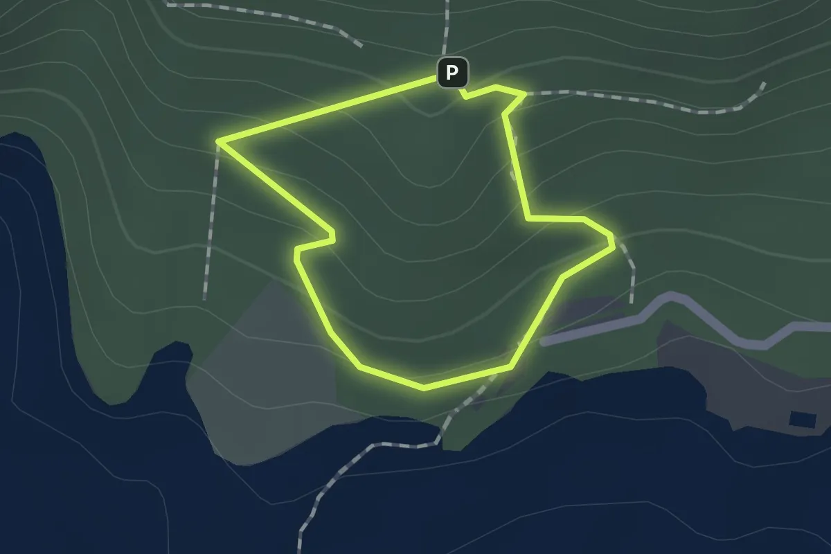
Easy · Trail
Domus del Pi
1.1 km · ↑ 56 m · 24 min
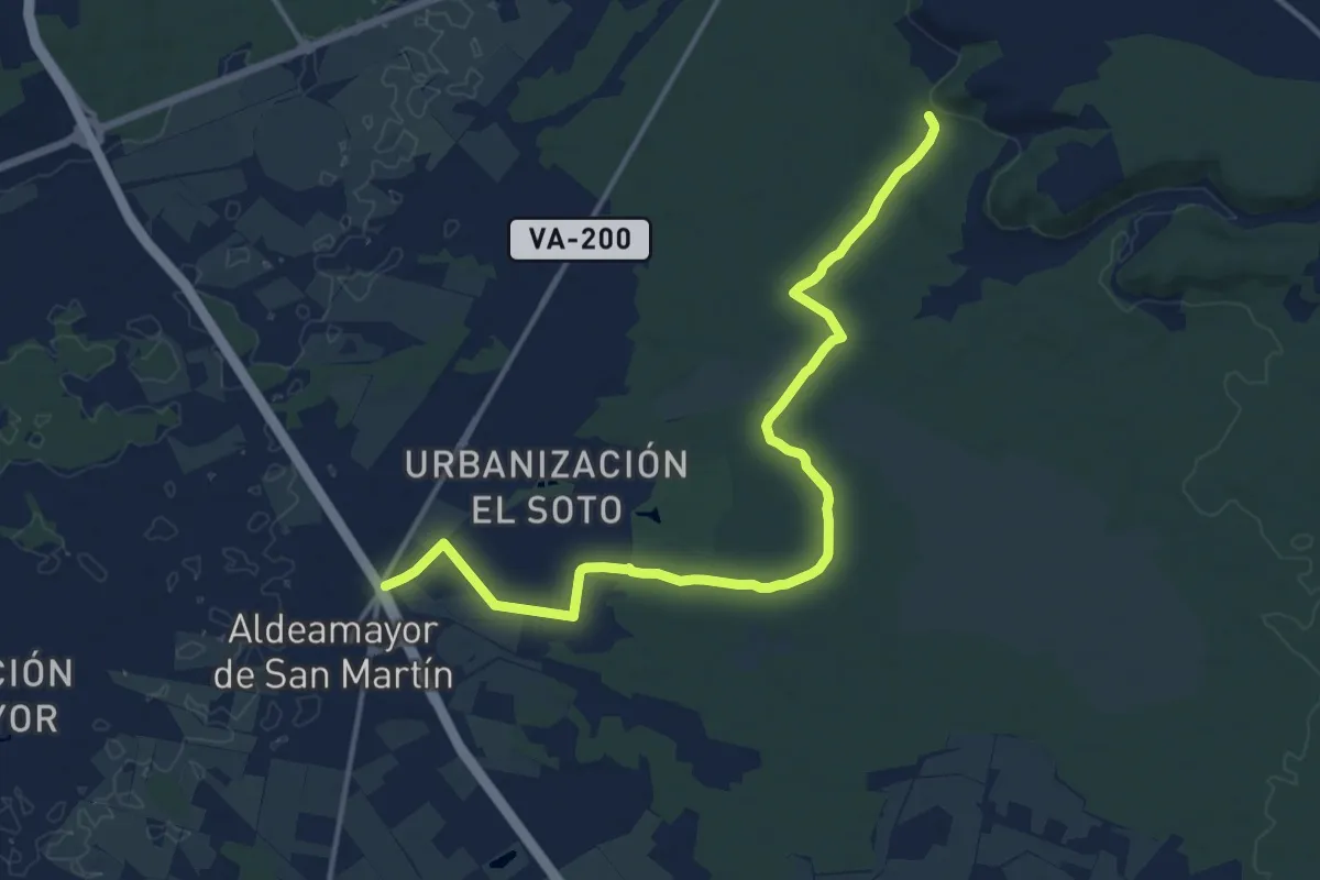
Medium · Trail
Donde los Pinos Sueñan
17.2 km · ↑ 97 m · 4 h 17 min
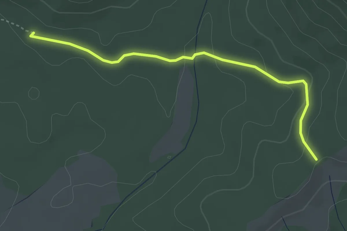
Easy · Trail
Donsimonmendia (GRT7) - Nabala (GR11)
3.7 km · ↑ 84 m · 1 h 3 min
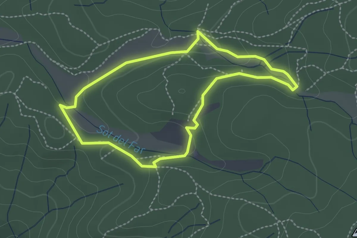
Easy · Summit
Dosrius 7 ( Circuit inclusiu esportiu "suma Capacitats" )
2.4 km · ↑ 48 m · 42 min
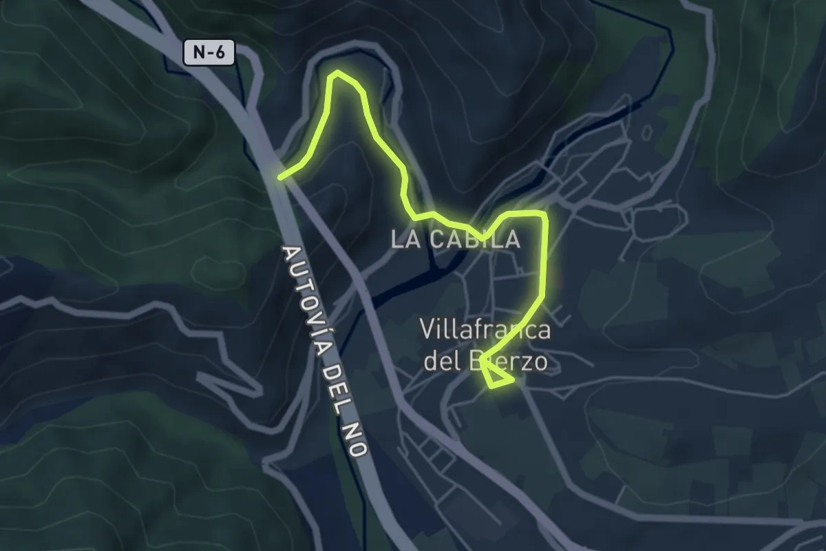
Easy · Trail
DragonTrail
5.0 km · ↑ 109 m · 1 h 25 min
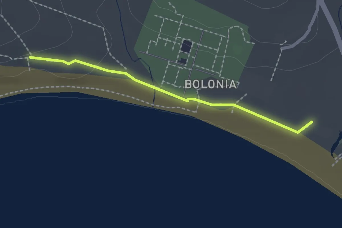
Easy · Trail
Duna de Bolonia
2.1 km · ↑ 9 m · 31 min
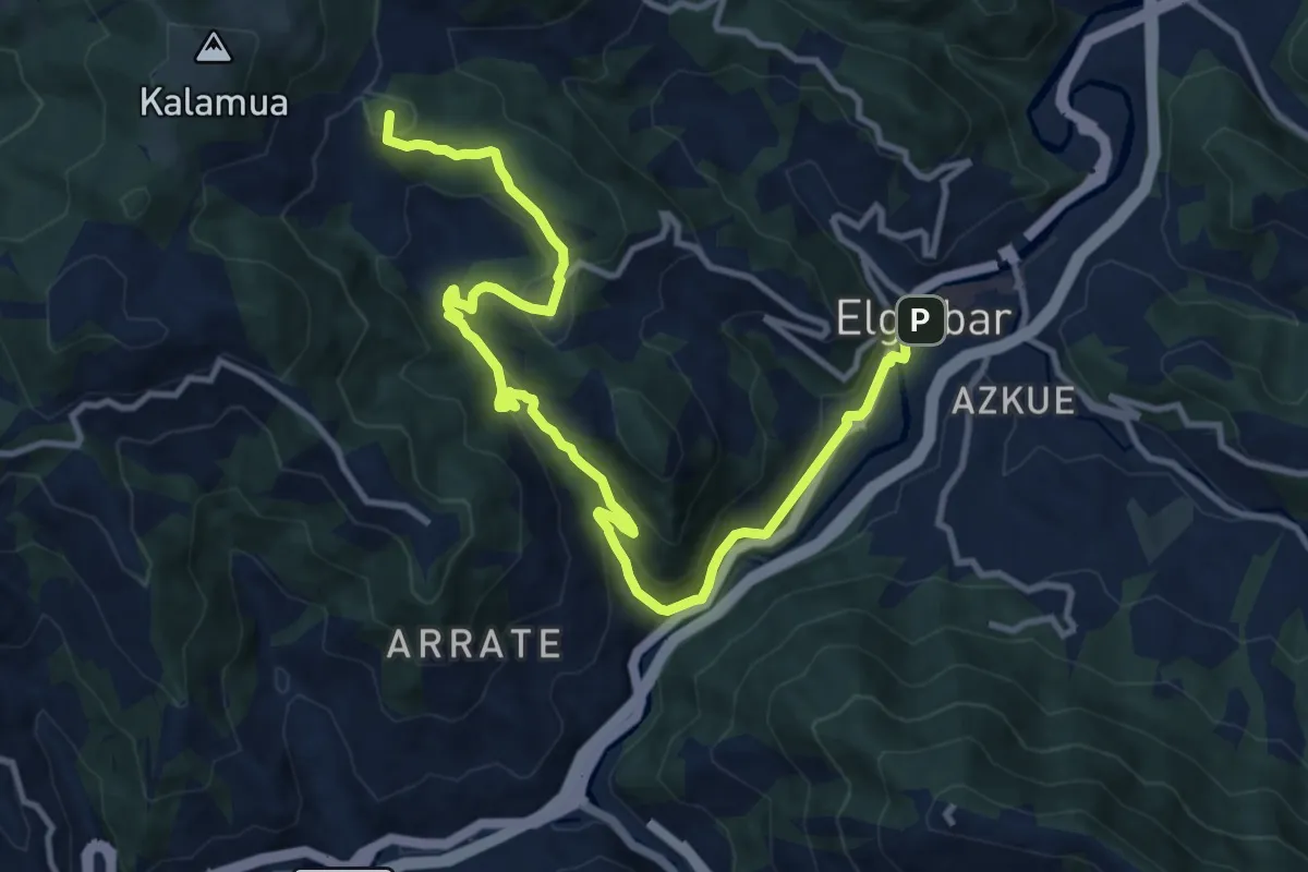
Medium · Summit
E00 Mendibai ibilbidea: Kalamua - Elgoibar
14.2 km · ↑ 597 m · 4 h 38 min
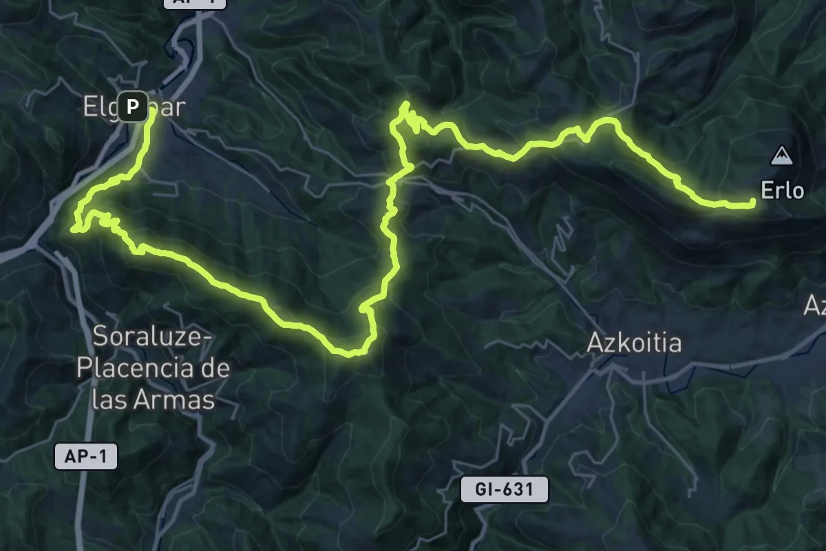
Demanding · Summit
E01 Mendibai ibilbidea: Elgoibar - Azpeitia
48.6 km · ↑ 2504 m · 16 h 54 min
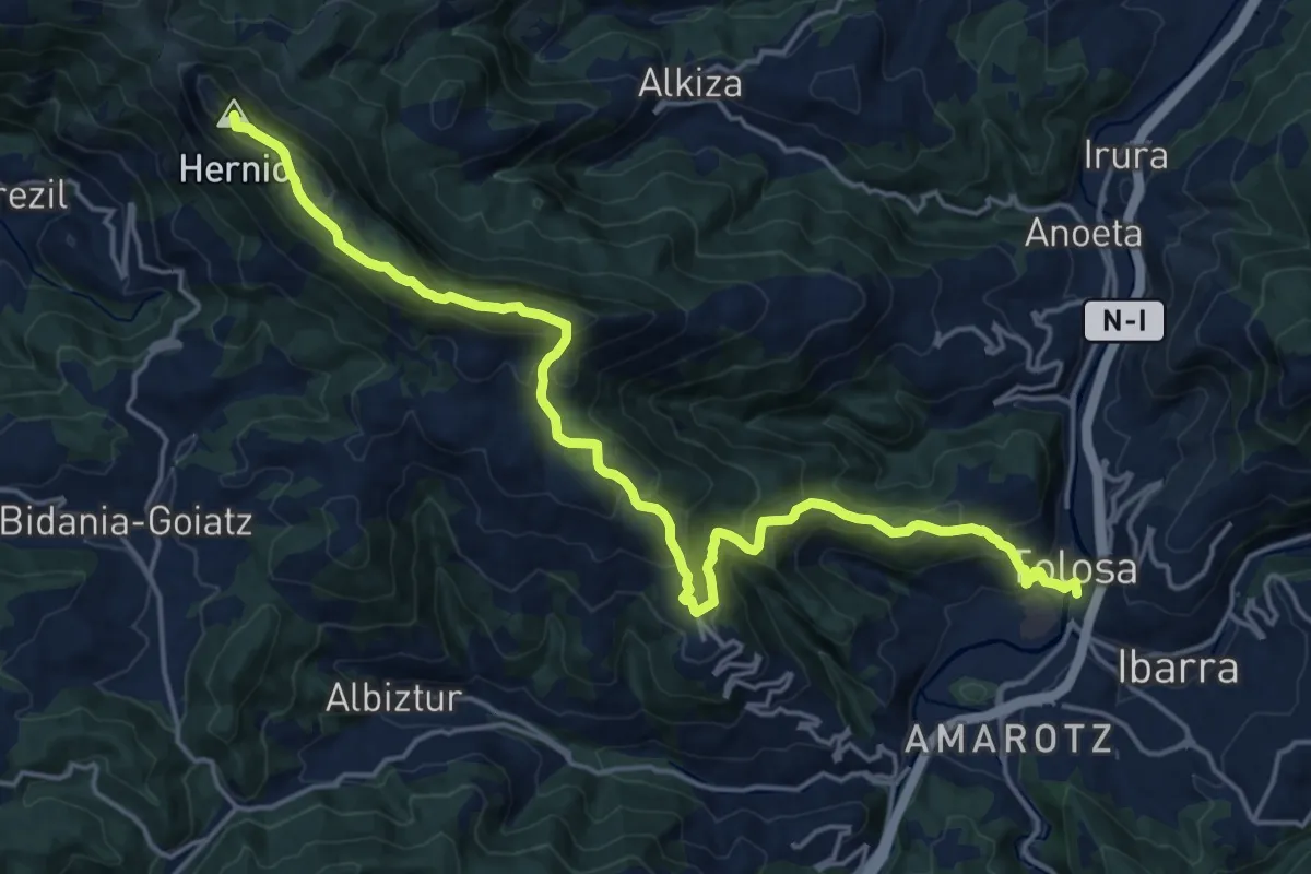
Demanding · Summit
E02 Mendibai ibilbidea: Azpeitia - Tolosa
21.4 km · ↑ 1269 m · 7 h 48 min