Trails in Spain
5,963 hiking trails, each with its route, climb, walking time and grade.
All trails, page 34 of 125
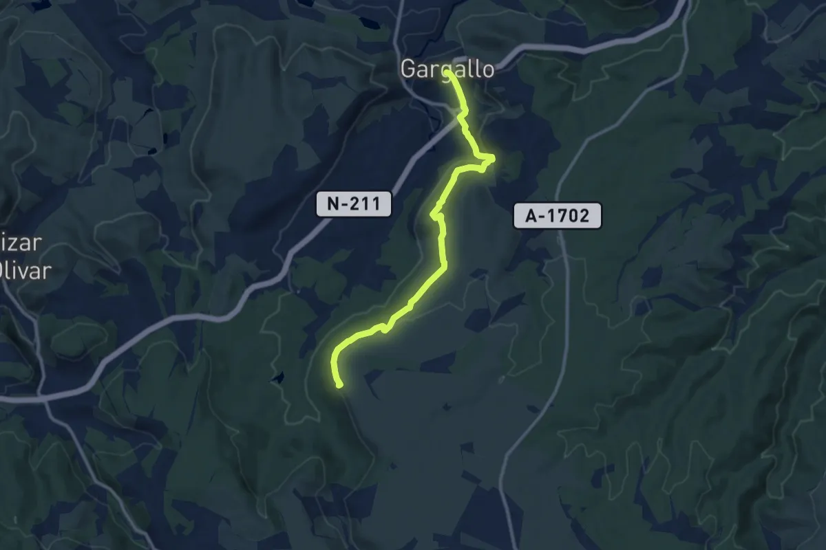
Medium · Summit
Ejulve - Gargallo - Las Calderas
10.5 km · ↑ 285 m · 3 h 6 min
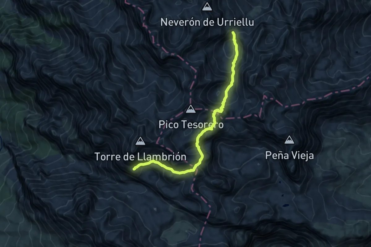
Expert · Trail
El Anillo de Picos (Anillo Extrem)
6.2 km · ↑ 496 m · 2 h 40 min
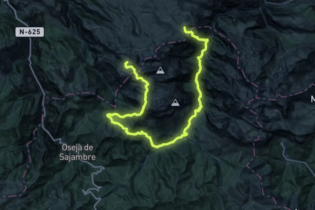
Expert · Summit
El Anillo Vindio
35.1 km · ↑ 2780 m · 14 h 34 min
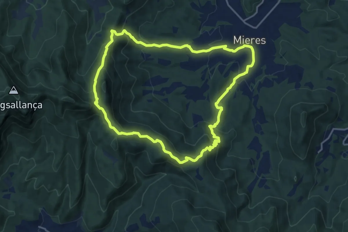
Medium · Trail
El Balcó de Mieres
11.5 km · ↑ 500 m · 3 h 58 min
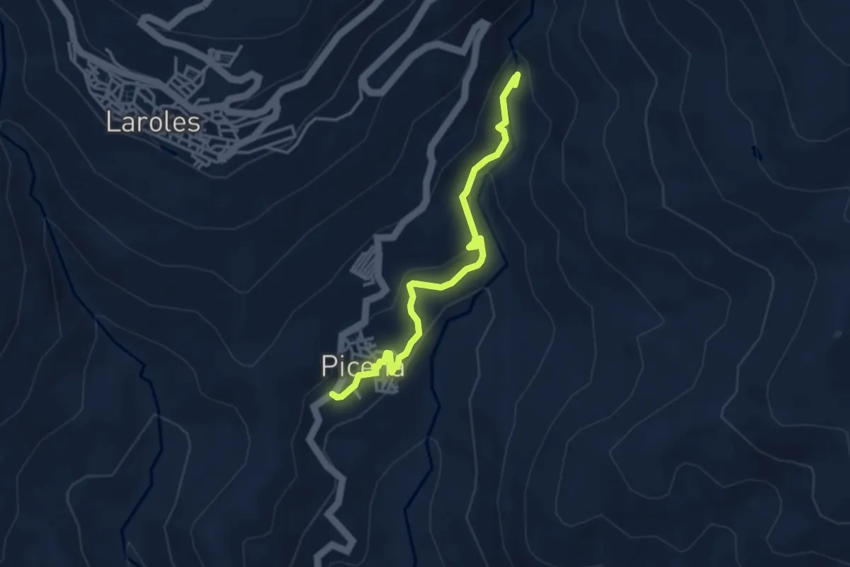
Easy · Trail
El Balsón
4.0 km · ↑ 140 m · 1 h 14 min
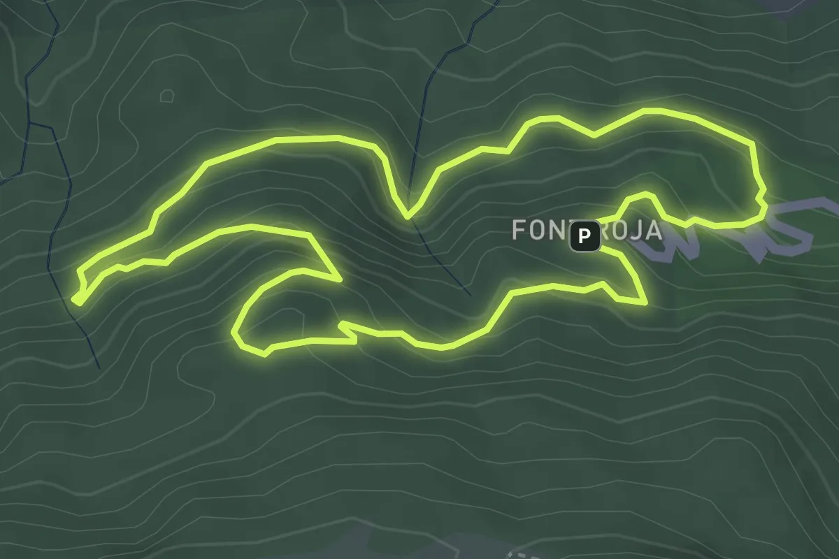
Easy · Trail
El barranc de l'infern
4.5 km · ↑ 292 m · 1 h 45 min
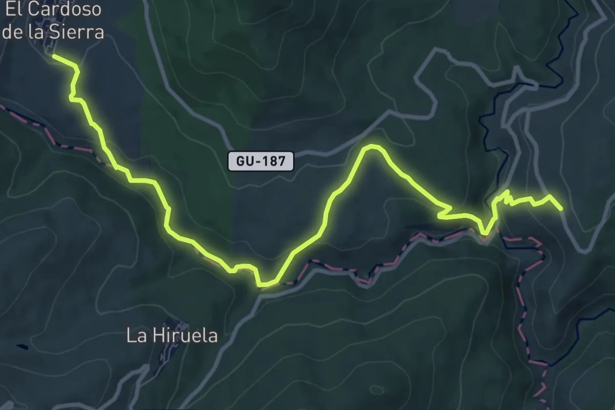
Medium · Trail
El Barranco de El Jarama
11.5 km · ↑ 366 m · 3 h 31 min
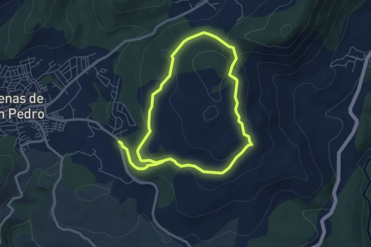
Easy · Trail
El Berrocal - Arroyo Higuera
5.6 km · ↑ 172 m · 1 h 45 min
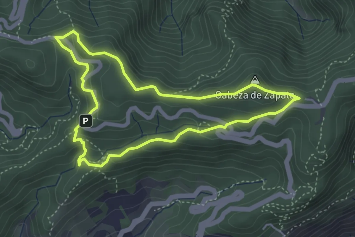
Easy · Summit
El bosque de los enigmas
4.5 km · ↑ 210 m · 1 h 35 min
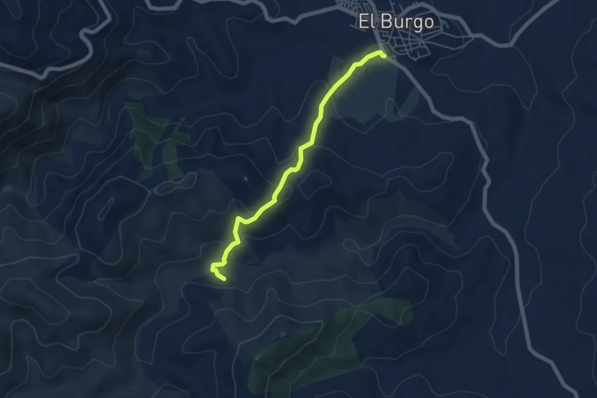
Easy · Trail
El Burgo - La Fuensanta
5.0 km · ↑ 251 m · 1 h 44 min
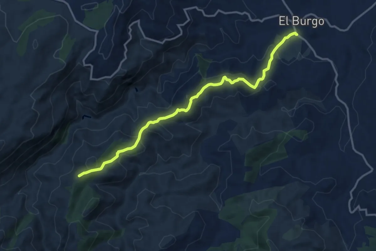
Medium · Trail
El Burgo - Puerto de la Mujer
11.8 km · ↑ 521 m · 3 h 55 min
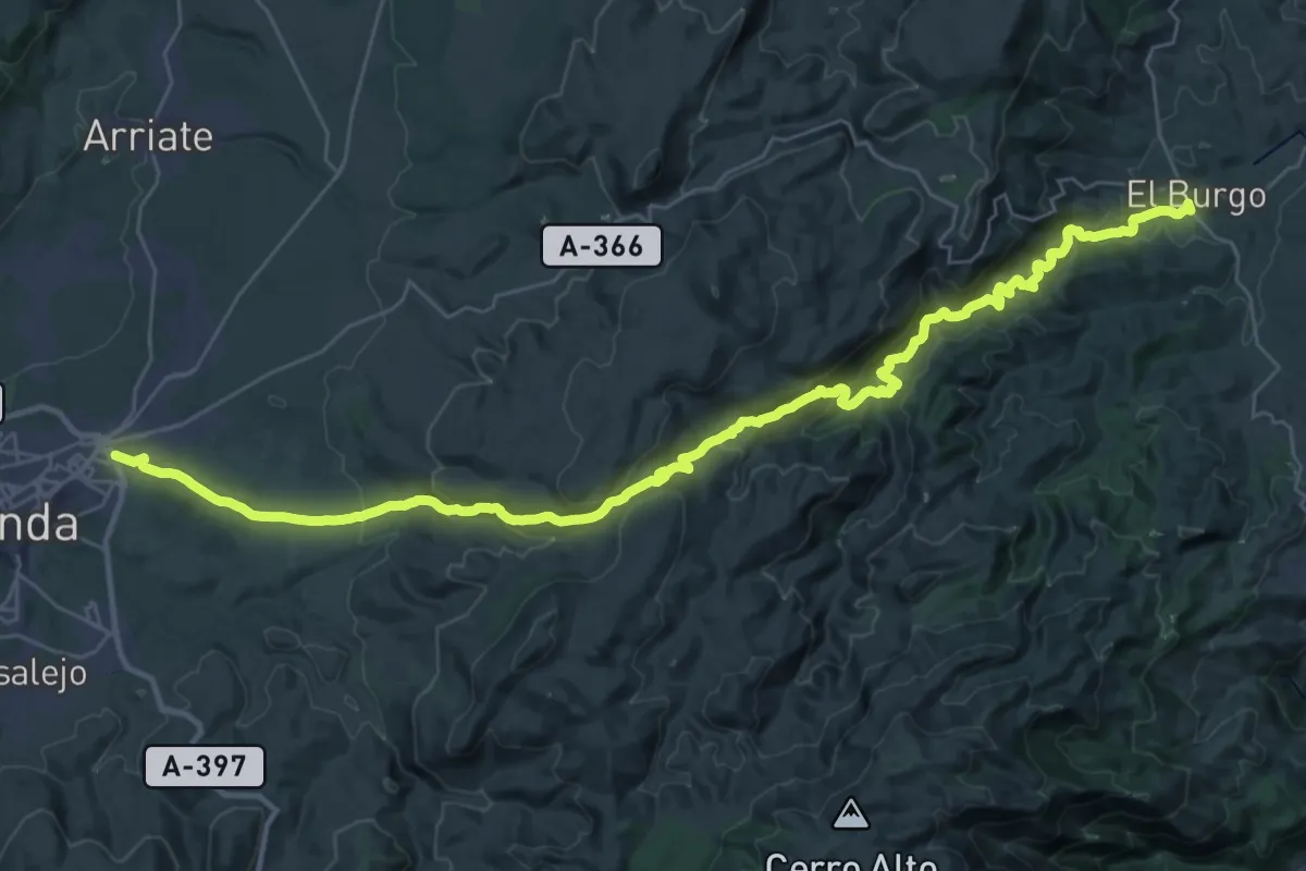
Demanding · Trail
El Burgo - Ronda
23.4 km · ↑ 647 m · 7 h 20 min
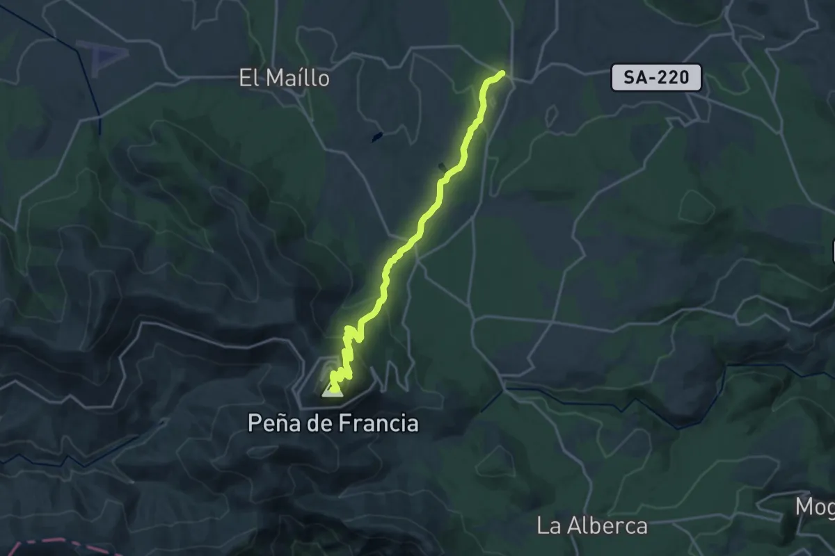
Demanding · Summit
El Cabaco - Peña de Francia
18.8 km · ↑ 740 m · 6 h 3 min
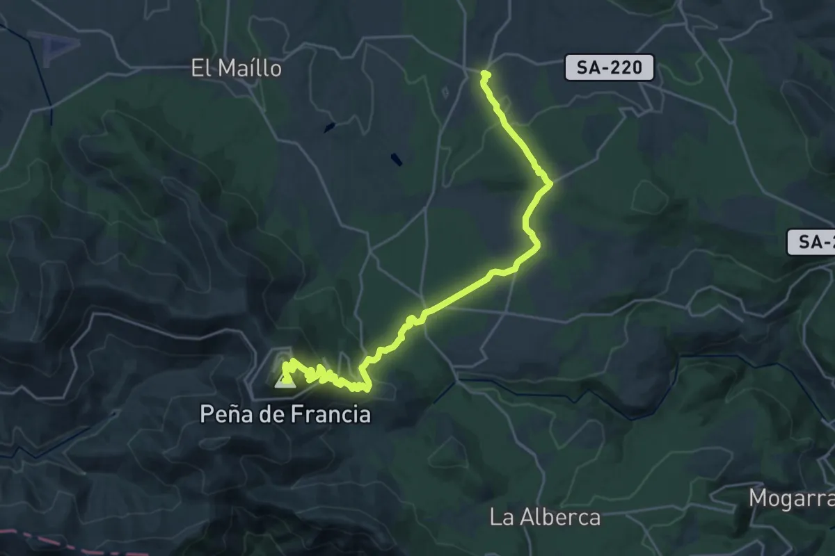
Demanding · Summit
El Cabaco - Peña de Francia
25.9 km · ↑ 831 m · 7 h 55 min
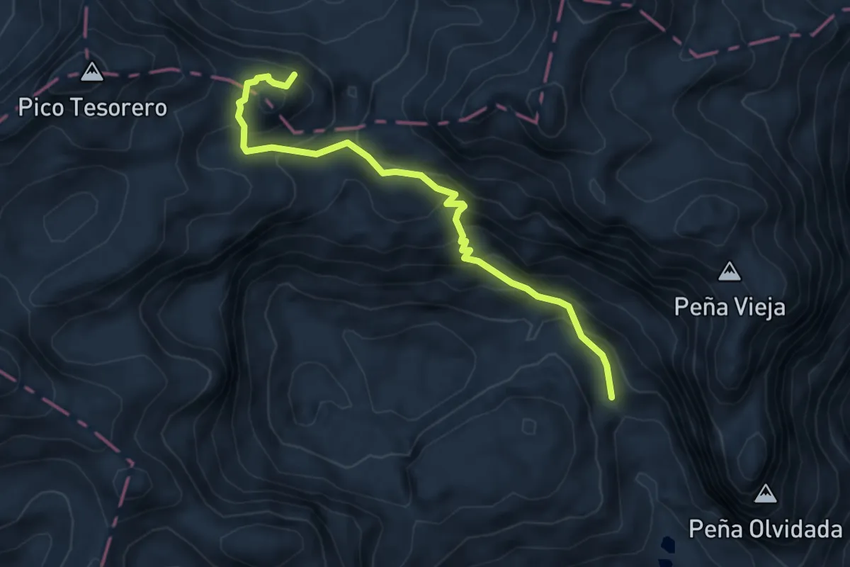
Demanding · Trail
El Cable - Refugio de Vega Urriellu
5.5 km · ↑ 729 m · 2 h 52 min
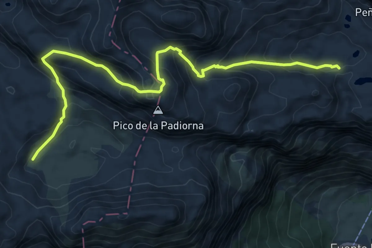
Expert · Trail
El Cable - Vega de Liordes
9.7 km · ↑ 821 m · 4 h 5 min
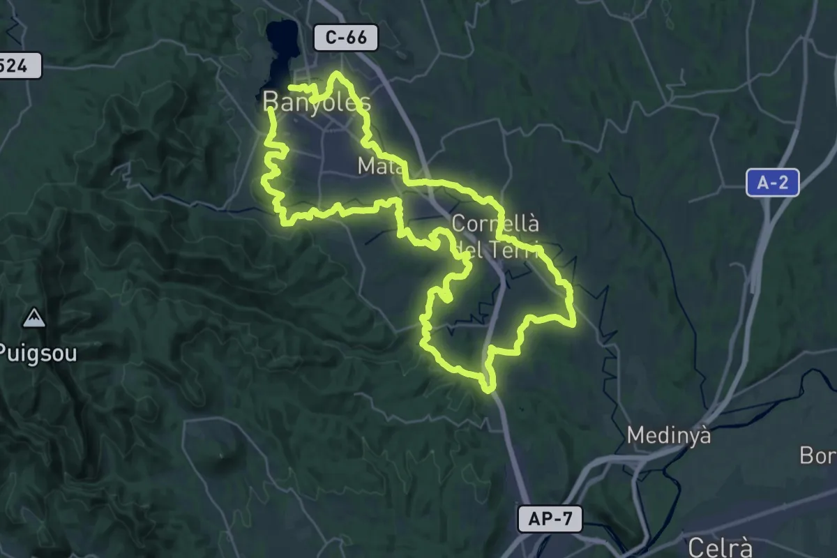
Demanding · Trail
El Camí: Brancal del Pla de l'Estany
33.2 km · ↑ 360 m · 9 h 5 min
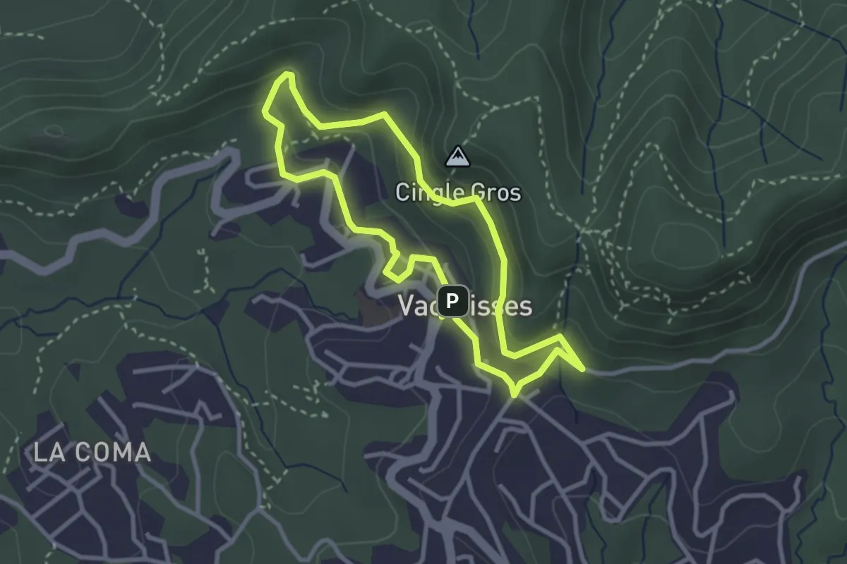
Medium · Summit
el Camí de l'Aigua
2.9 km · ↑ 151 m · 1 h 3 min
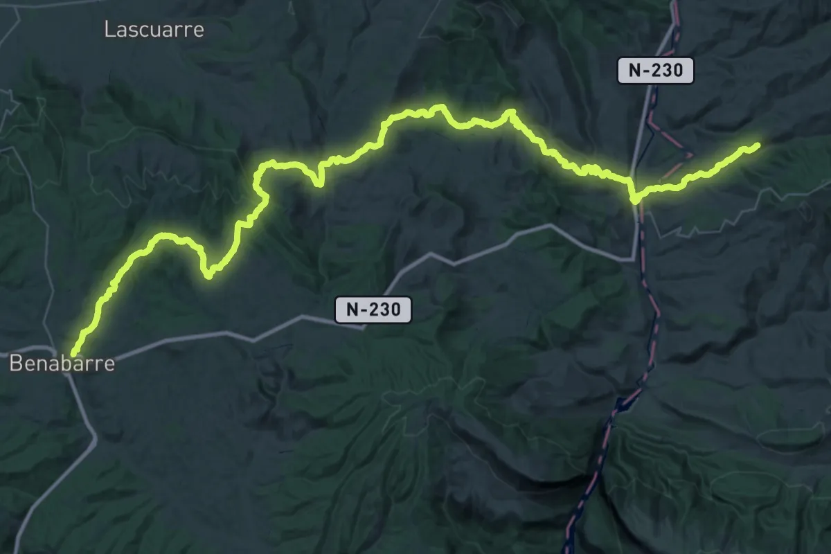
Demanding · Trail
El Camí IT1TR7 El Camí Capçaler: de Salzes a Balaguer
34.3 km · ↑ 989 m · 10 h 44 min
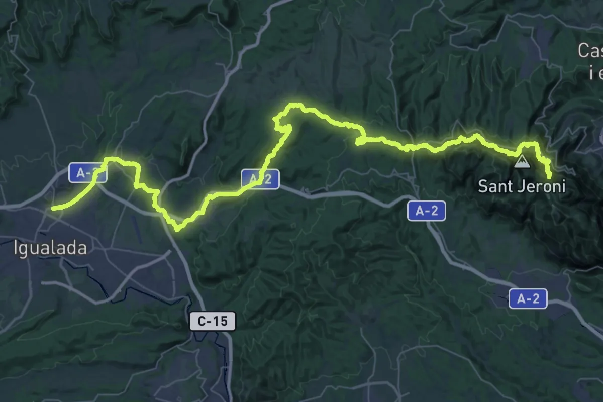
Demanding · Summit
El Camí IT6TR7 El Camí Central: de Castelló de la Plana a Montserrat
56.8 km · ↑ 2621 m · 19 h 5 min
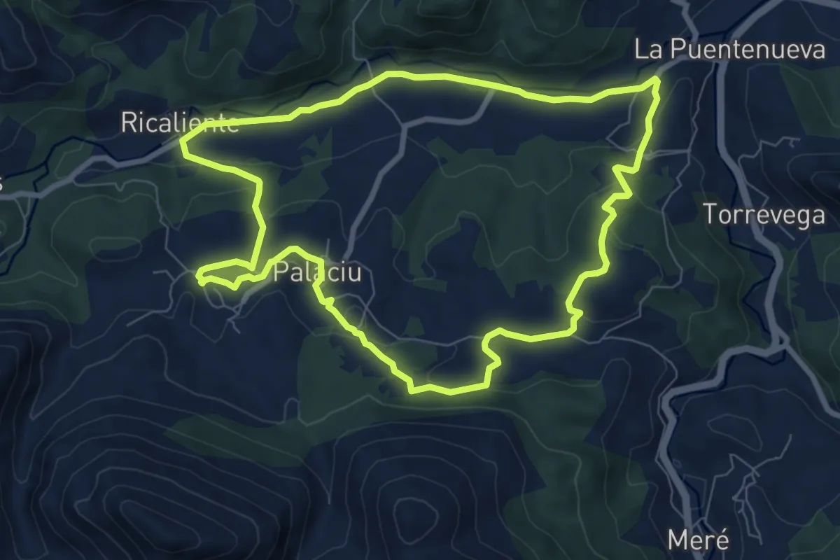
Medium · Trail
El Camin Encantau
8.2 km · ↑ 236 m · 2 h 33 min
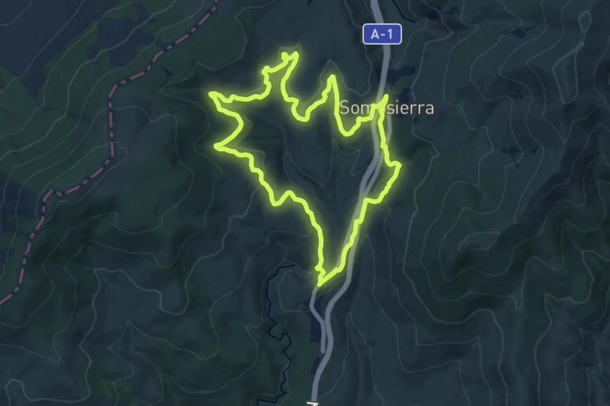
Medium · Trail
El Camino de los Botánicos
15.4 km · ↑ 398 m · 4 h 42 min
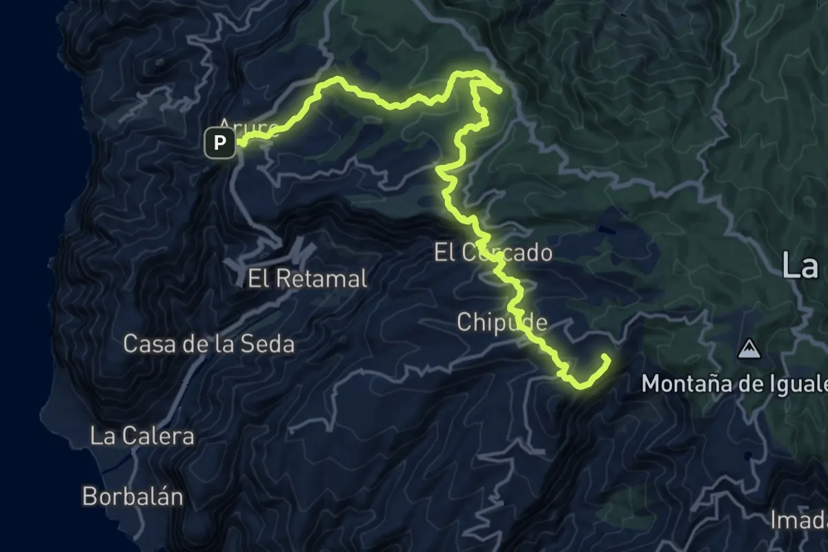
Demanding · Summit
El Camino de Santiago entre Volcanes
26.6 km · ↑ 1120 m · 8 h 43 min
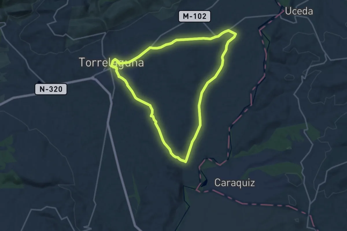
Medium · Trail
El Canal de Cabarrús
13.9 km · ↑ 123 m · 3 h 45 min
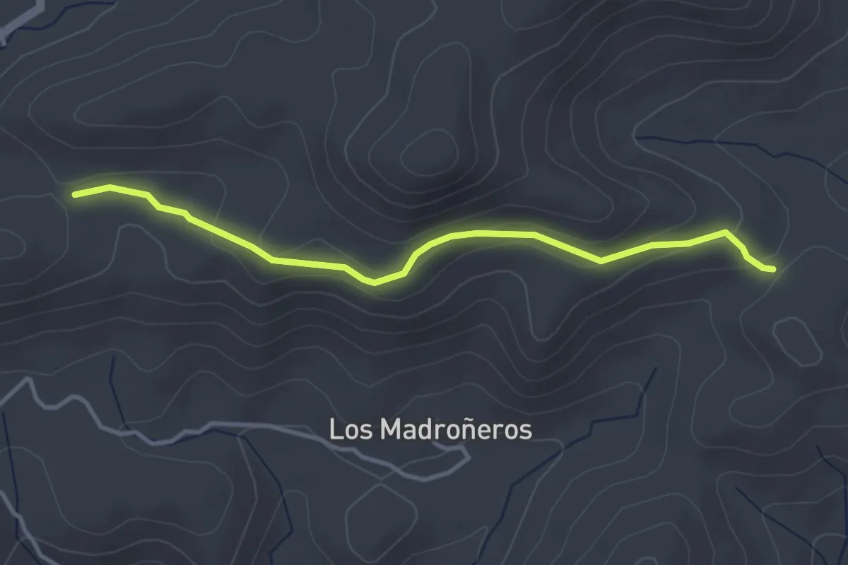
Easy · Trail
El Caracol
4.0 km · ↑ 110 m · 1 h 10 min
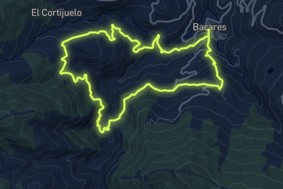
Medium · Trail
El Carrascal
10.1 km · ↑ 499 m · 3 h 36 min
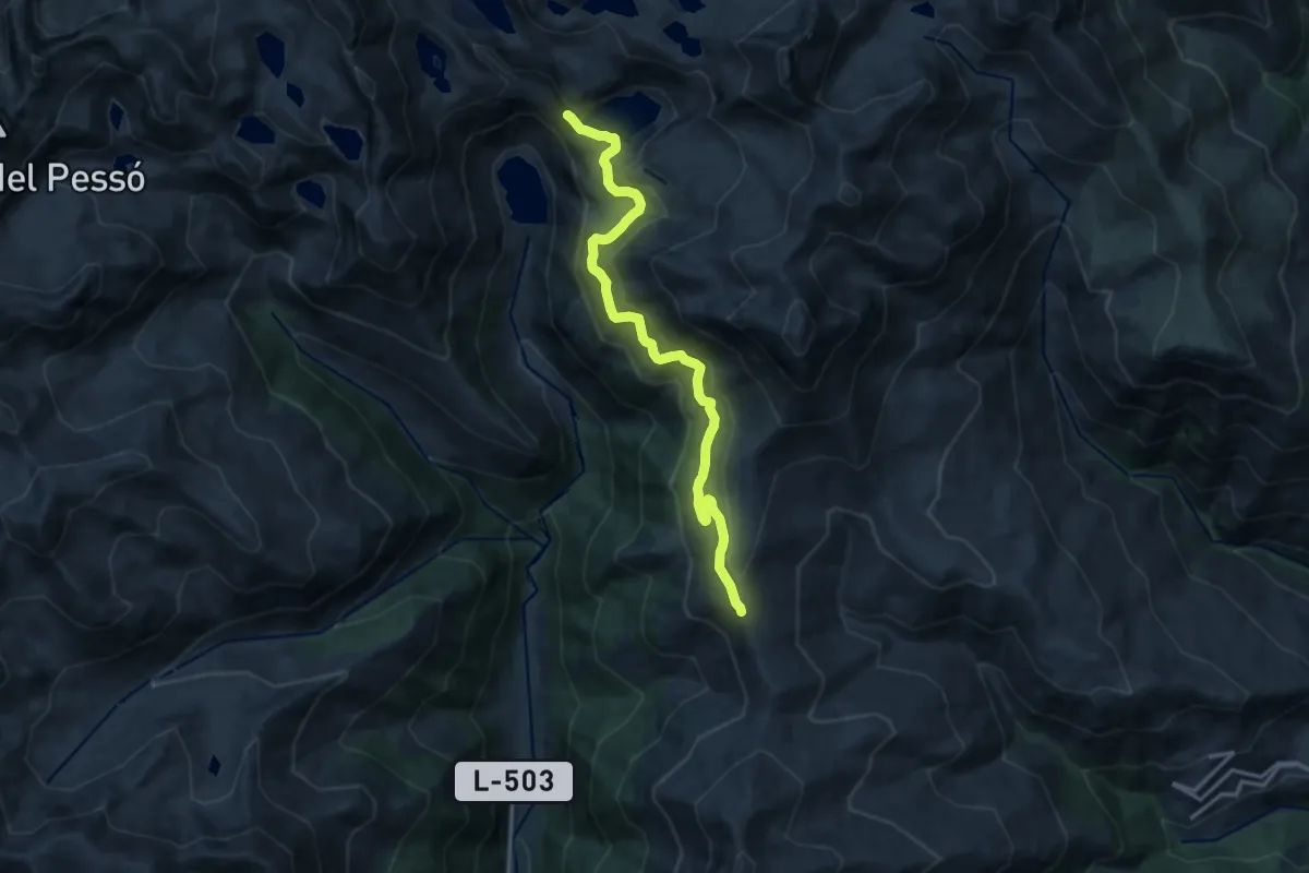
Medium · Cabin
El Carrilet d'Estany Gento
15.0 km · ↑ 651 m · 4 h 57 min
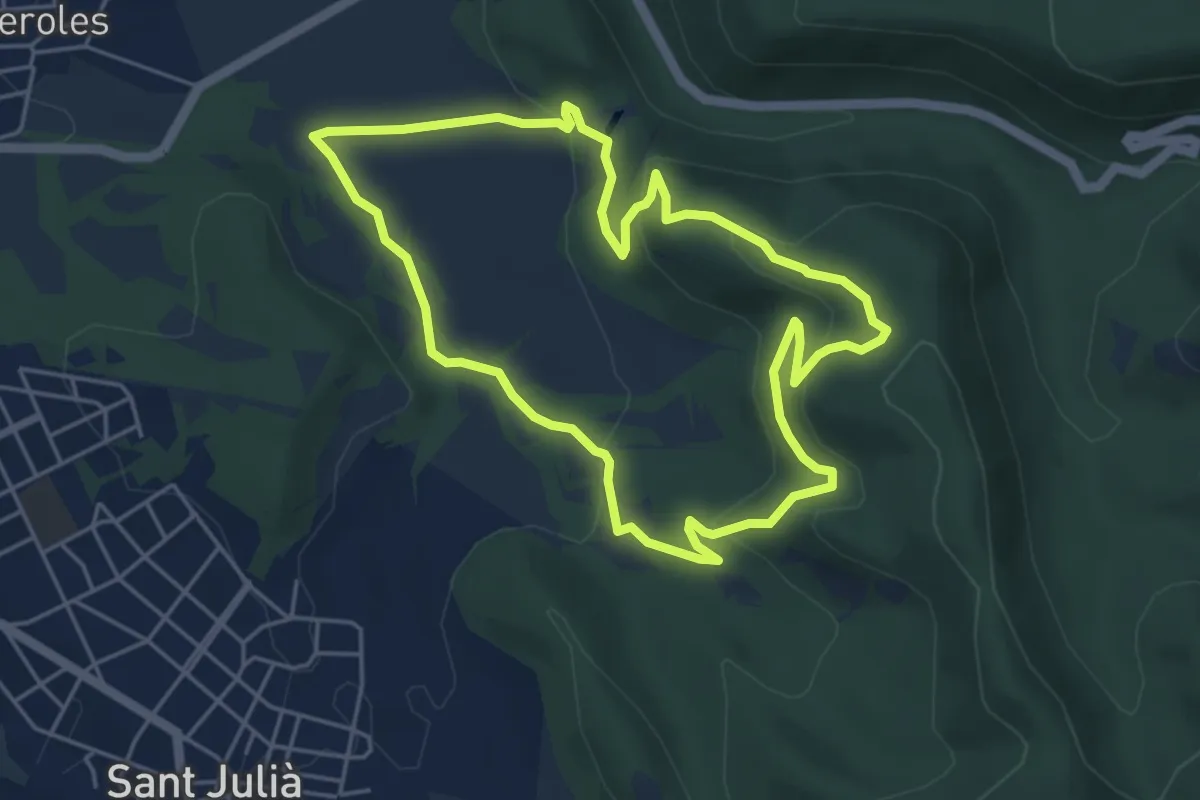
Easy · Trail
El Casol de Puigcastellet
5.2 km · ↑ 214 m · 1 h 46 min
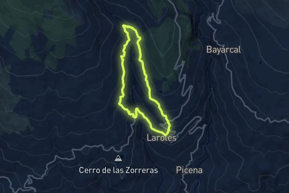
Medium · Trail
El Castaño Milenario
8.4 km · ↑ 494 m · 3 h 10 min
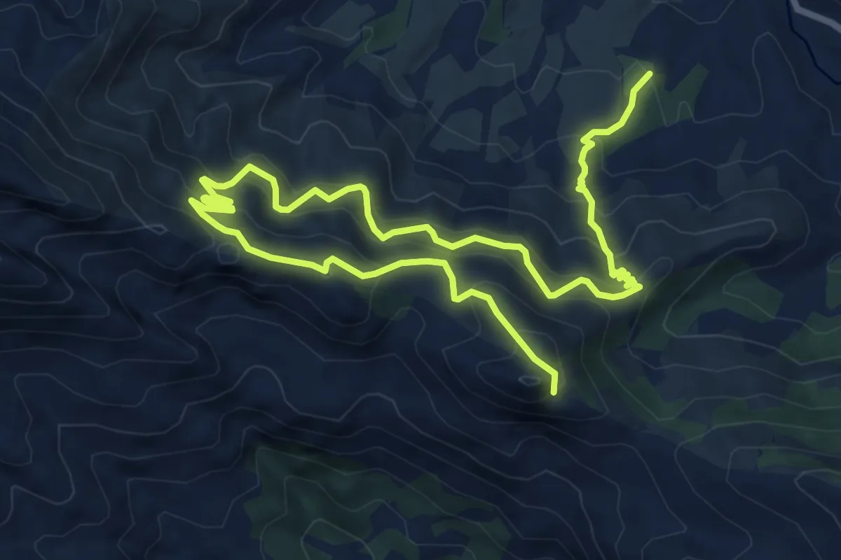
Demanding · Summit
El Castellet
12.6 km · ↑ 822 m · 4 h 46 min
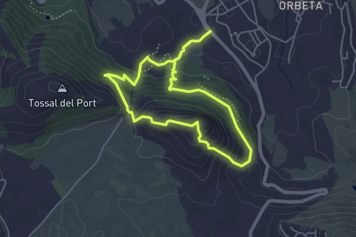
Demanding · Summit
El castellet d'Orba
4.0 km · ↑ 288 m · 1 h 38 min
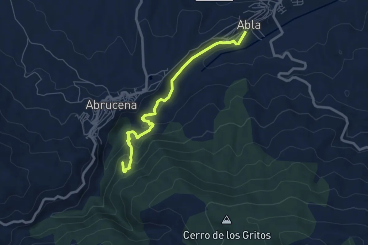
Medium · Summit
El Castillejo de Abrucena
6.2 km · ↑ 338 m · 2 h 12 min
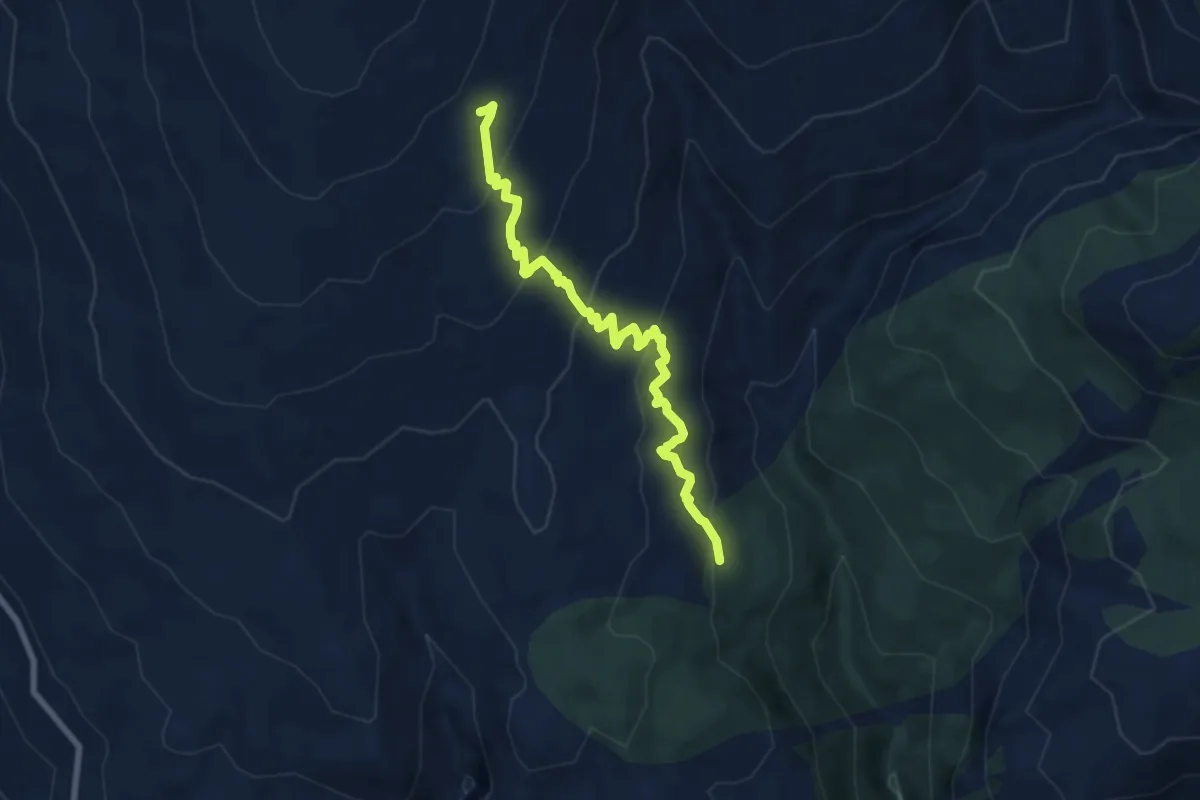
Medium · Trail
El Cerecillo
8.5 km · ↑ 501 m · 3 h 6 min
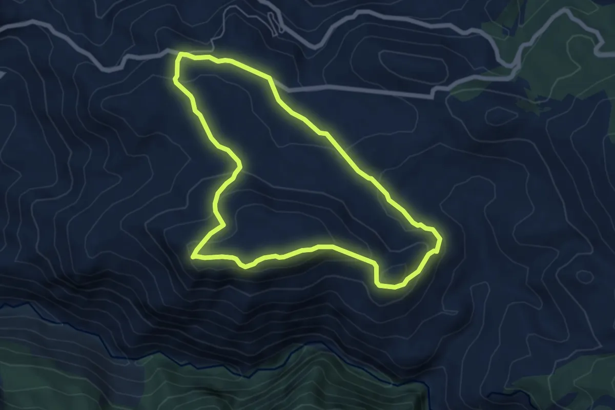
Medium · Summit
El Cerrajón
6.3 km · ↑ 251 m · 2 h 7 min
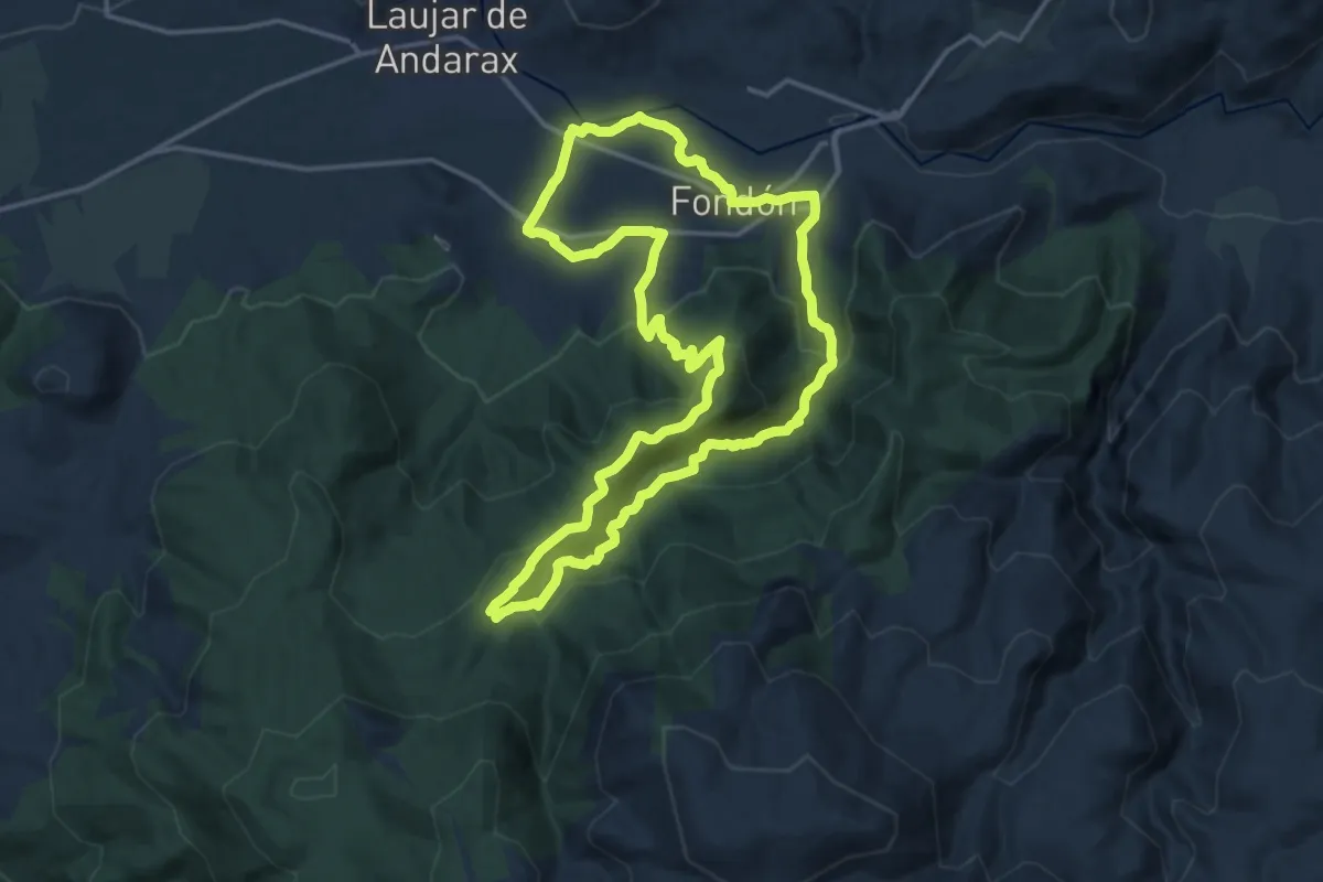
Demanding · Trail
El Chaparral - Acequia del Lugar
18.1 km · ↑ 692 m · 6 h 2 min
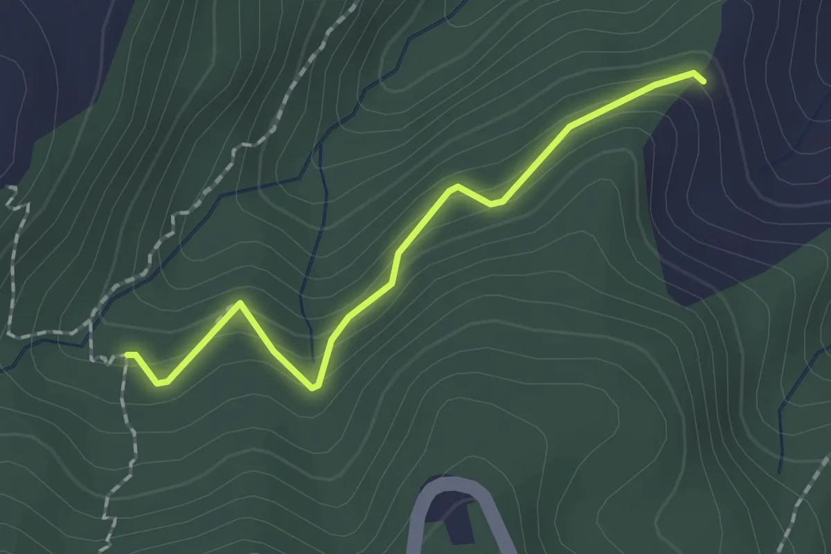
Easy · Trail
El Charquillo - Peñones
2.0 km · ↑ 119 m · 44 min
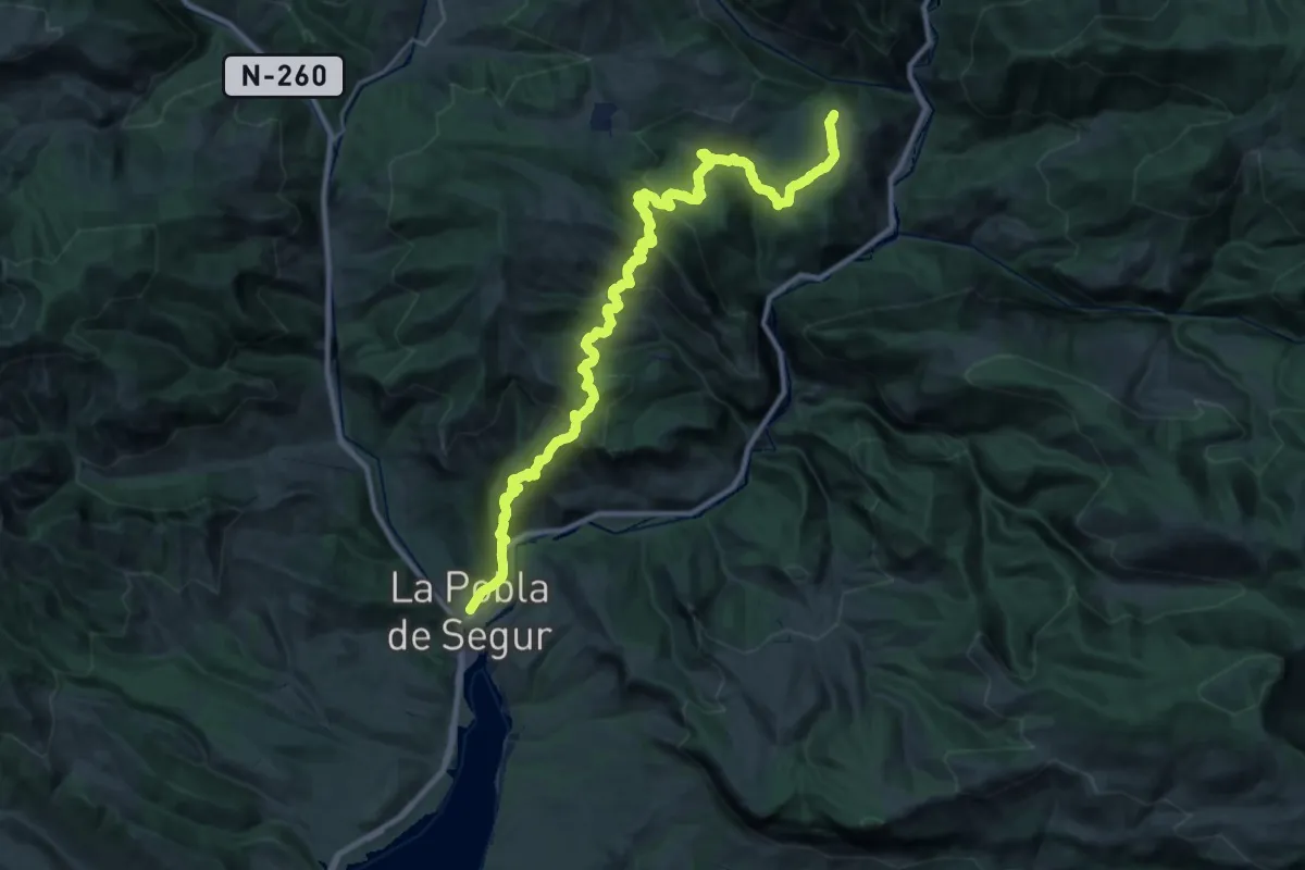
Demanding · Trail
El Cinquè Llac. Etapa 1 : La Pobla de Segur => Peramea
18.8 km · ↑ 1017 m · 6 h 43 min
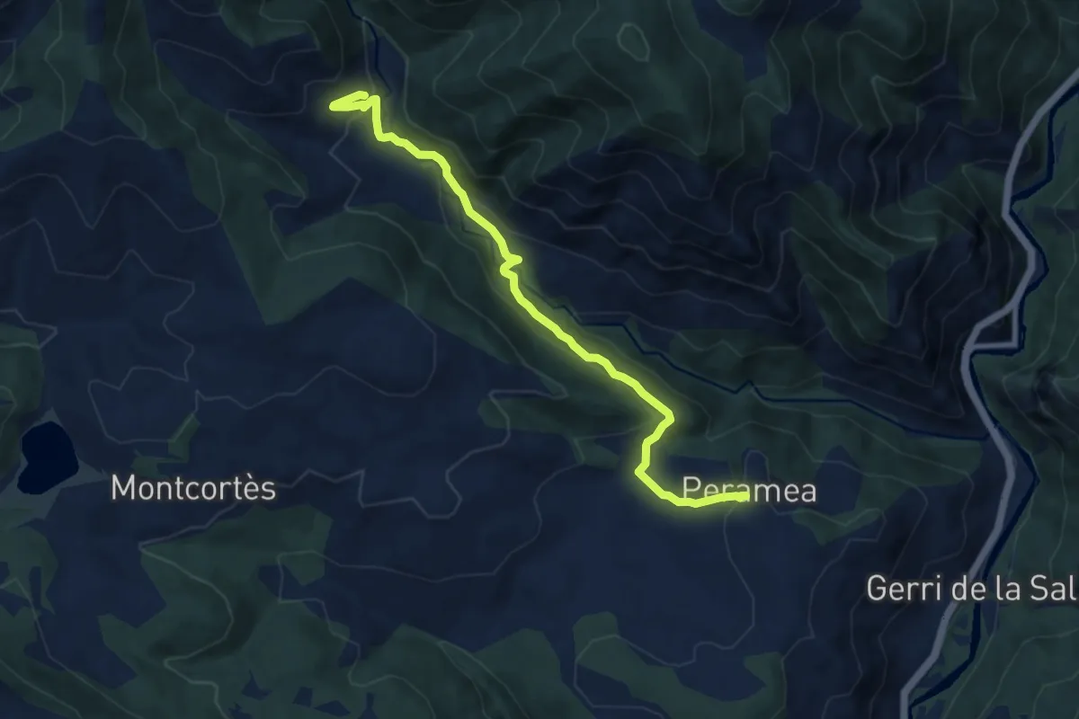
Medium · Summit
El Cinquè Llac. Etapa 2 : Peramea => Beranui
9.6 km · ↑ 494 m · 3 h 19 min
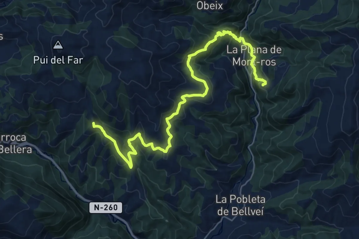
Demanding · Summit
El Cinquè Llac. Etapa 3 : Beranui => Les Esglésies
24.9 km · ↑ 1137 m · 8 h 20 min
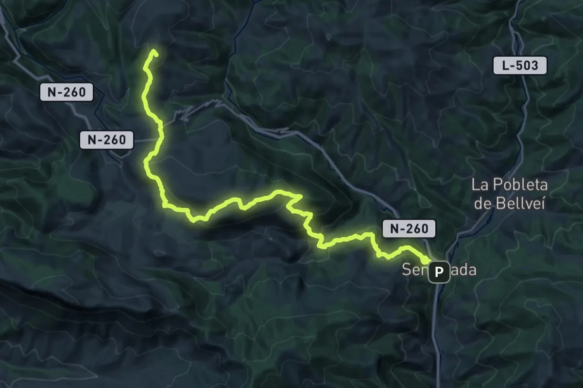
Demanding · Summit
El Cinquè Llac. Etapa 4 : Les Esglésies => Senterada
34.7 km · ↑ 1765 m · 12 h 1 min
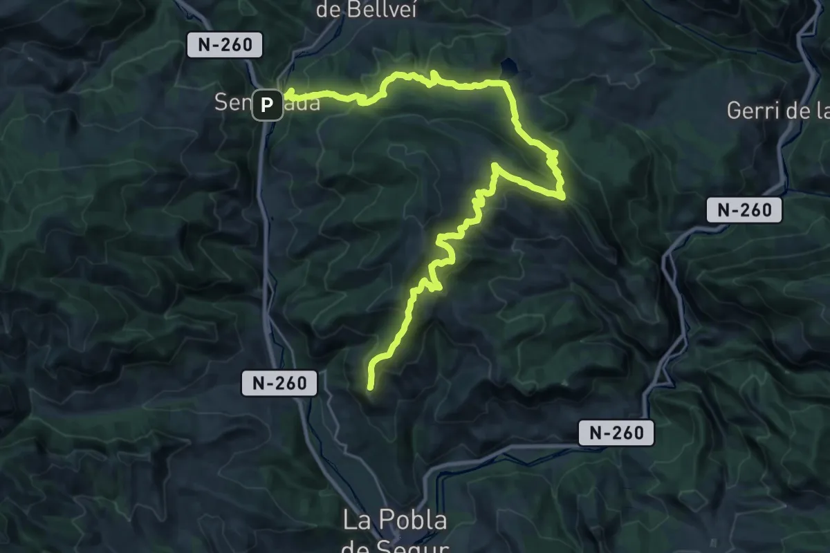
Demanding · Summit
El Cinquè Llac. Etapa 5 : Senterada => La Pobla de Segur
36.8 km · ↑ 1565 m · 12 h 4 min
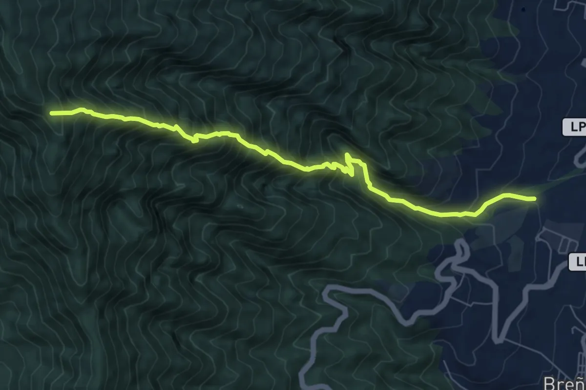
Demanding · Trail
El Corchete
9.4 km · ↑ 1435 m · 5 h 20 min
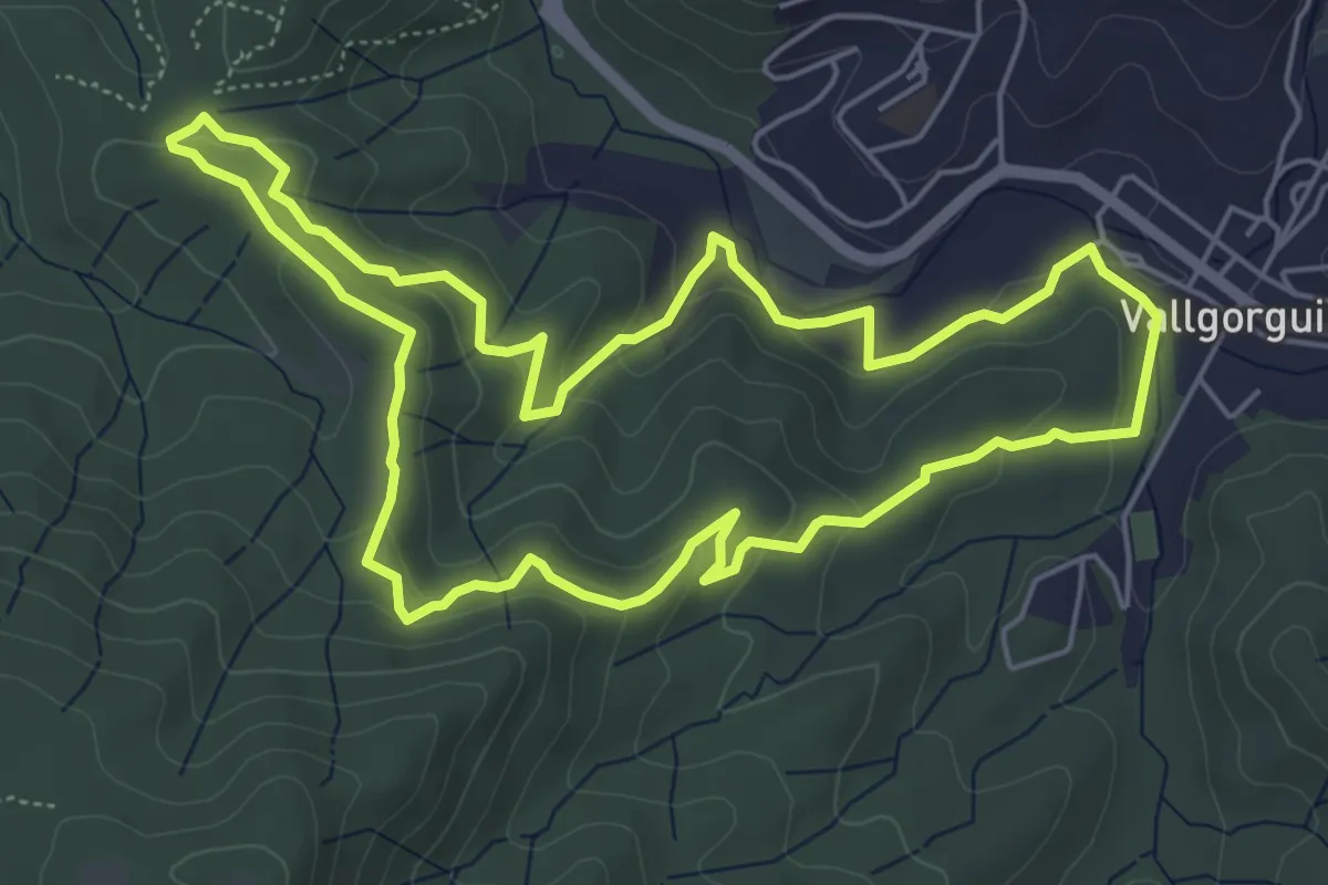
Easy · Trail
El dolmen de Pedra Gentil
6.2 km · ↑ 184 m · 1 h 58 min
Easy · Trail
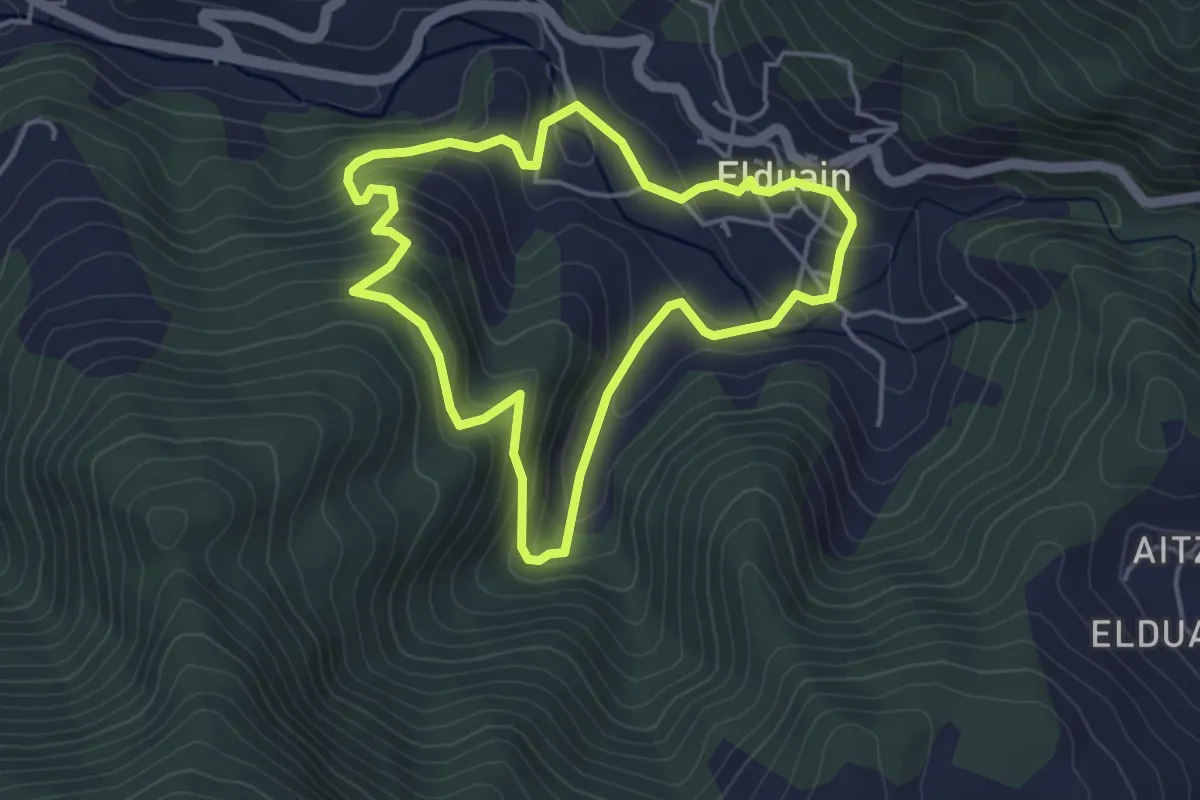
Elduaingo itzulia
4.1 km · ↑ 217 m · 1 h 30 min
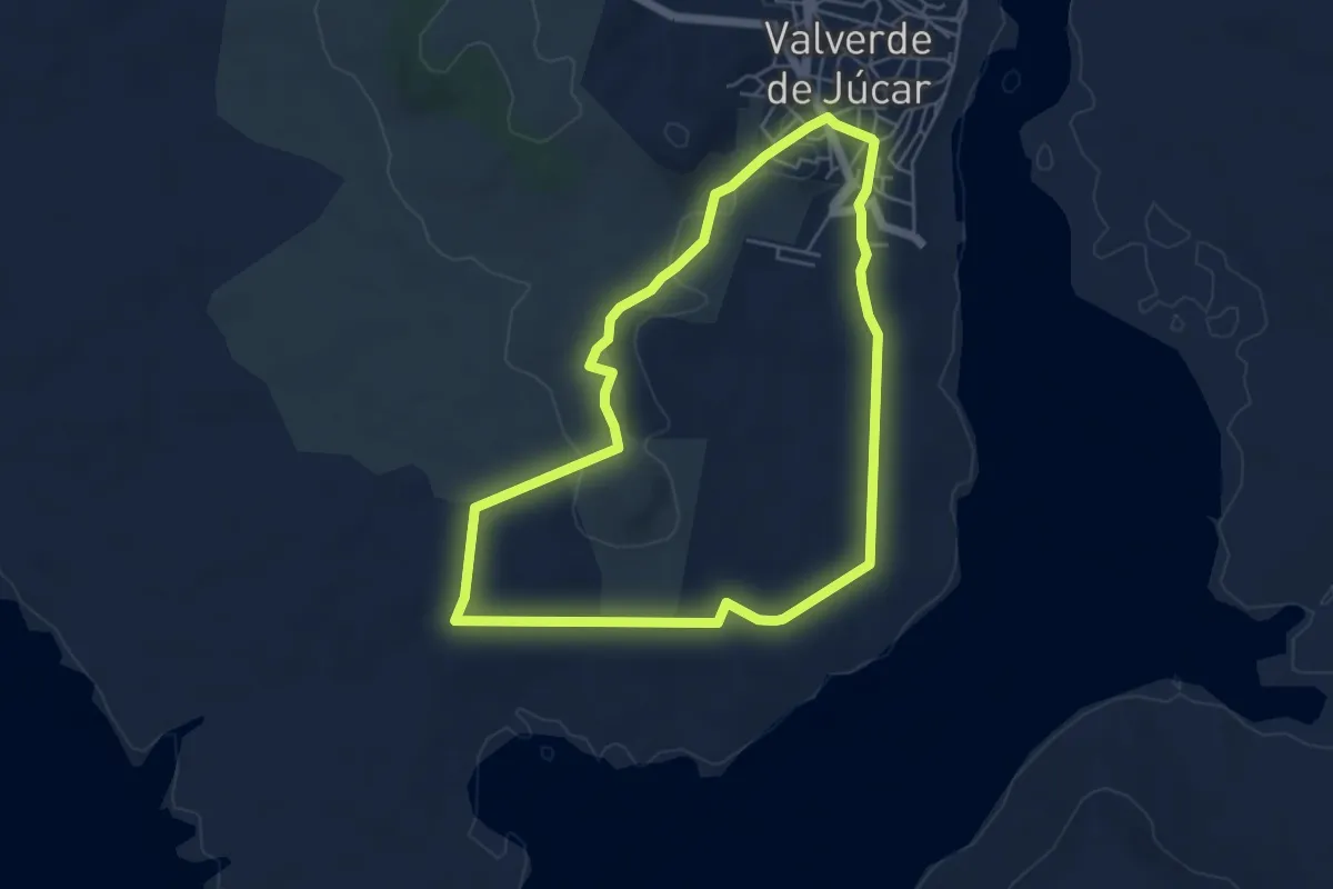
Easy · Trail
El espejo de Valverde
5.6 km · ↑ 79 m · 1 h 34 min
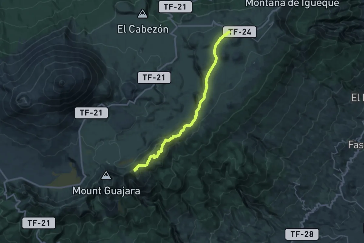
Demanding · Summit
El Filo
26.3 km · ↑ 669 m · 7 h 40 min
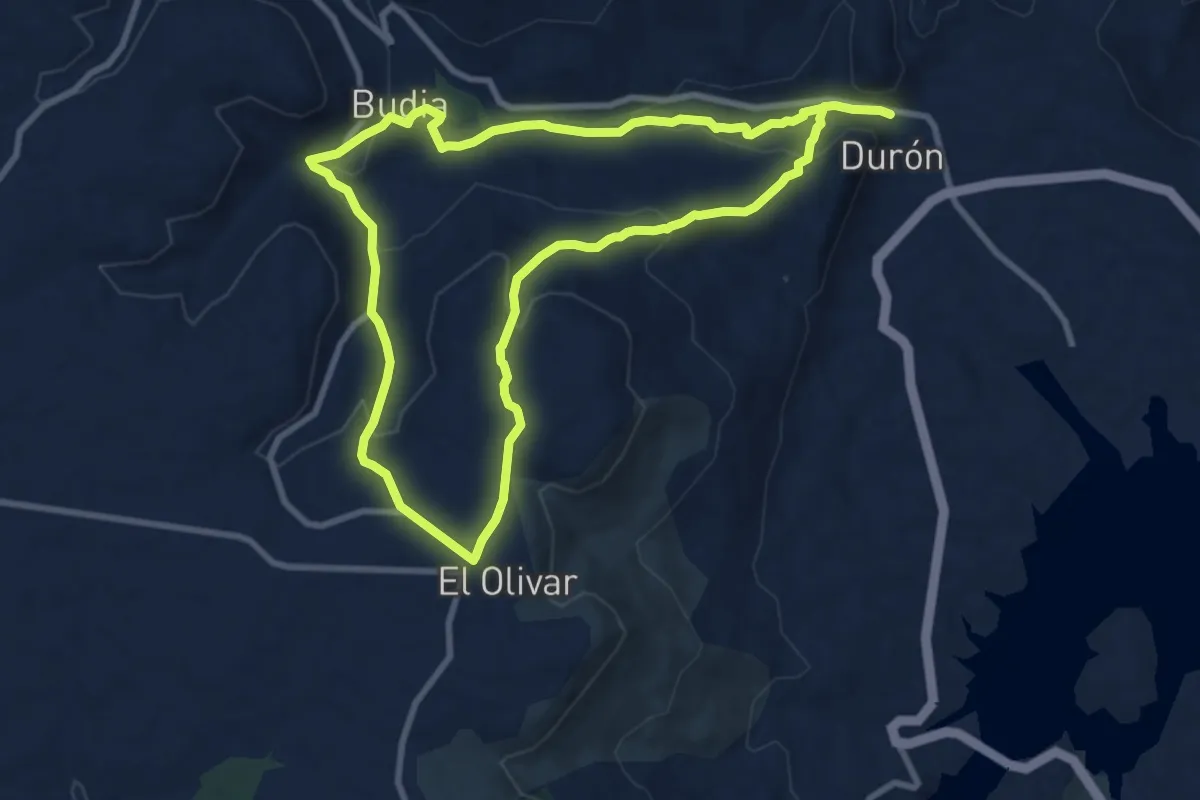
Medium · Trail
El garduño de Cela
9.6 km · ↑ 311 m · 3 h 4 min
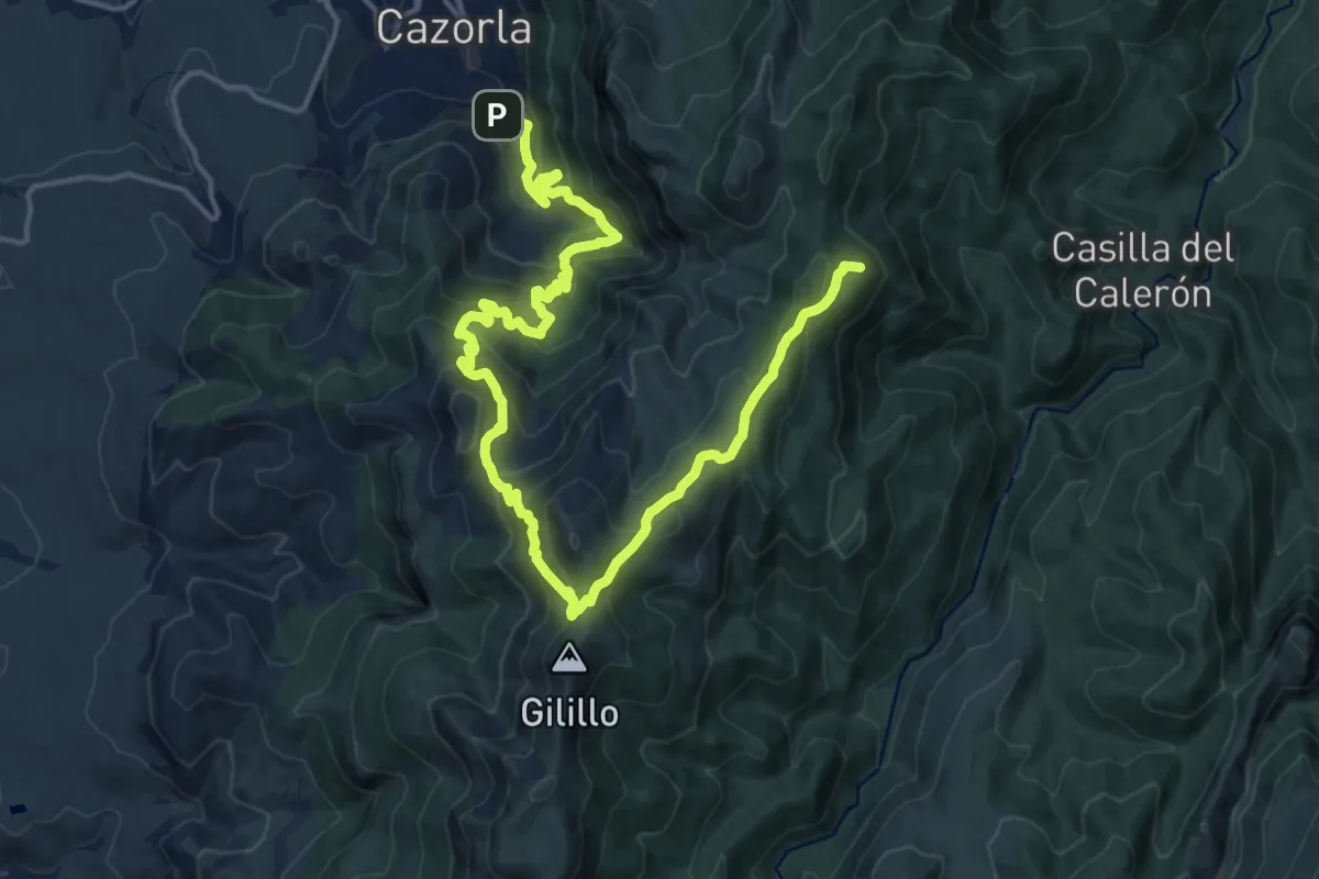
Demanding · Summit
El Gilillo
23.7 km · ↑ 1433 m · 8 h 41 min